Road Information |
||
 |
||
| Total Mileage in State: | 80 miles | |
| Northern End: | At Georgia state line | |
| Southern End: | At I-65, in Montgomery | |
| Mileage covered in Photos: | 80 miles | |
| Counties covered in Photos: | Montgomery, Macon, Lee, Chambers | |
| Major Junctions in Photos: | US 29, in Auburn US 280/US 431, in Opelika US 29, in Valley |
|
| Control Cities in Photos: | Montgomery, Auburn, Opelika | |
Northbound
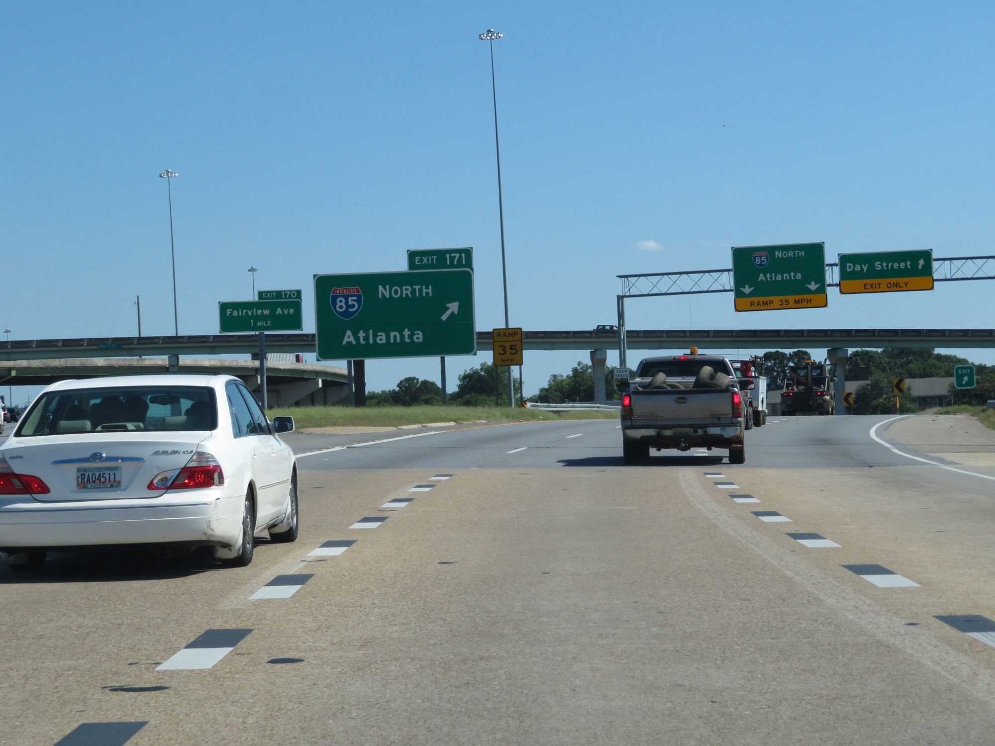 |
Merging onto Interstate 85 North from Interstate 65 South via Exit 171 in Montgomery. (Photo taken 5/26/17). |
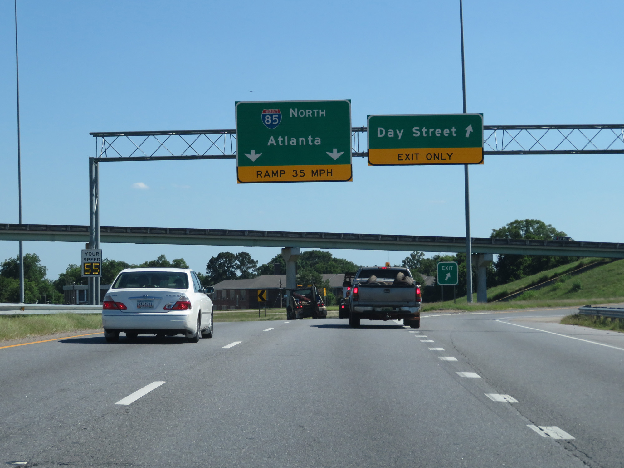 |
The ramp to Interstate 85 North from Interstate 65 South provides access to the exit for Day Streeet. (Photo taken 5/26/17). |
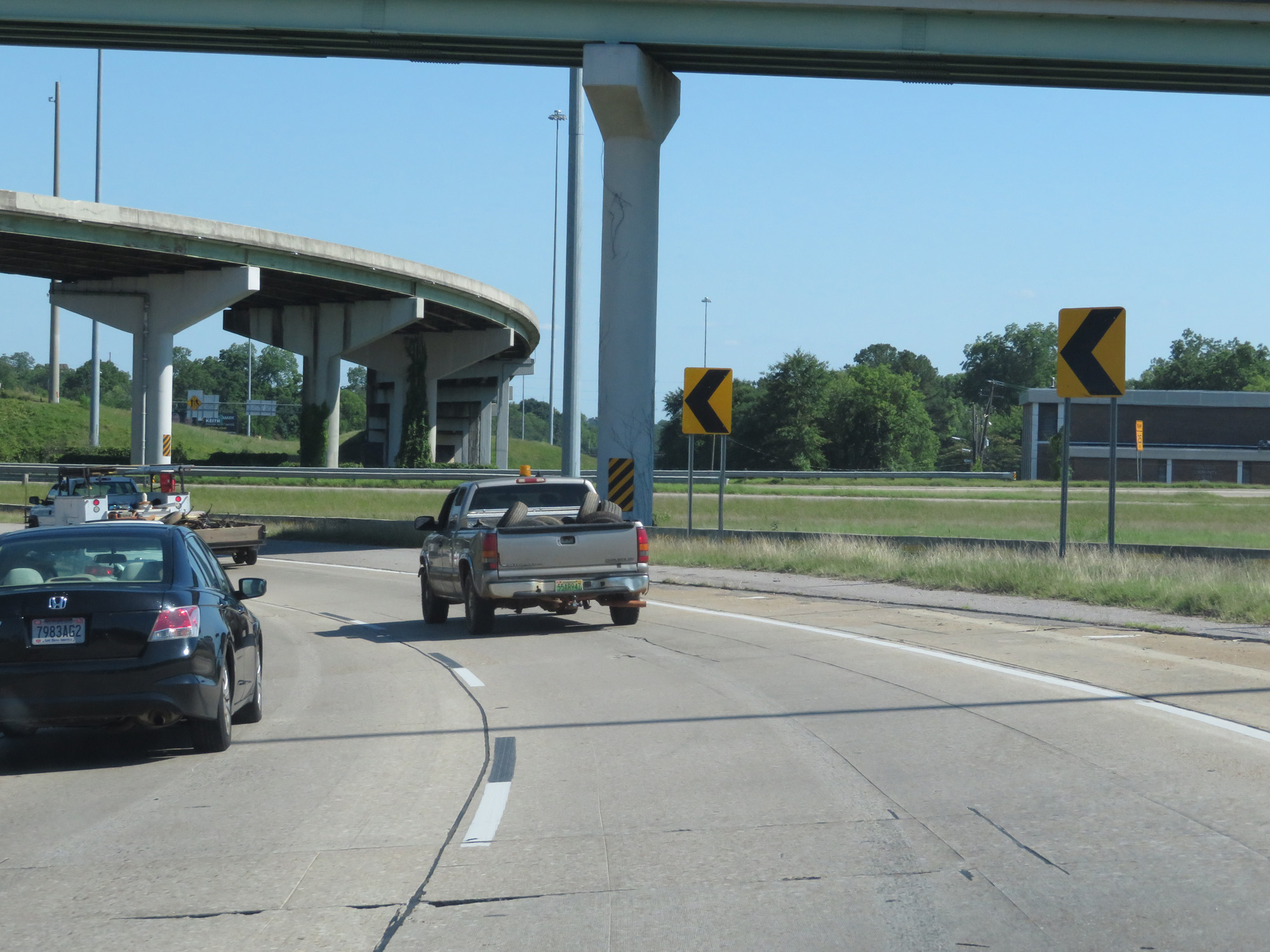 |
View of the ramp to Interstate 85 North. (Photo taken 5/26/17). |
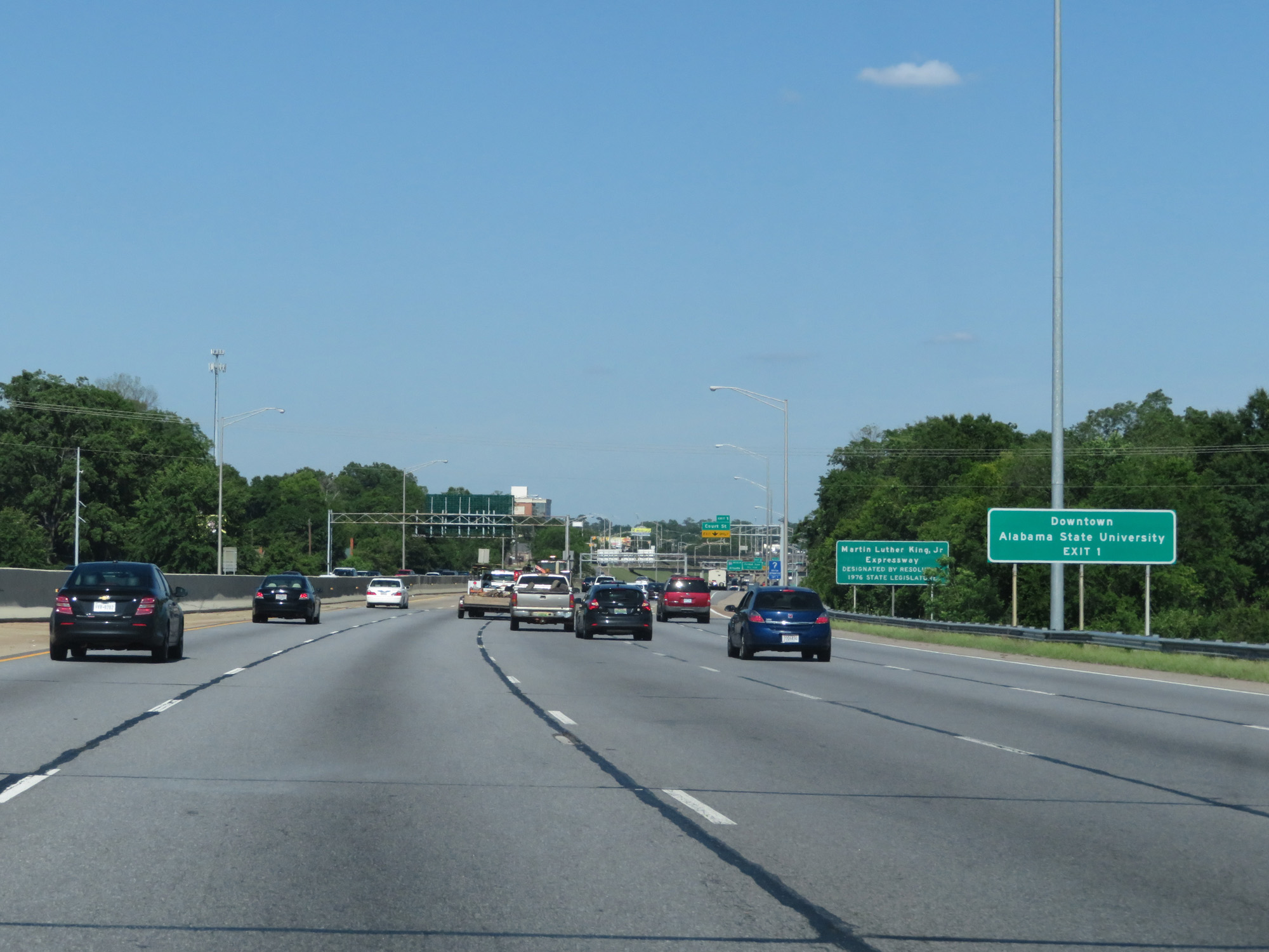 |
Take Exit 1 to Downtown and Alabama State University. (Photo taken 5/26/17). |
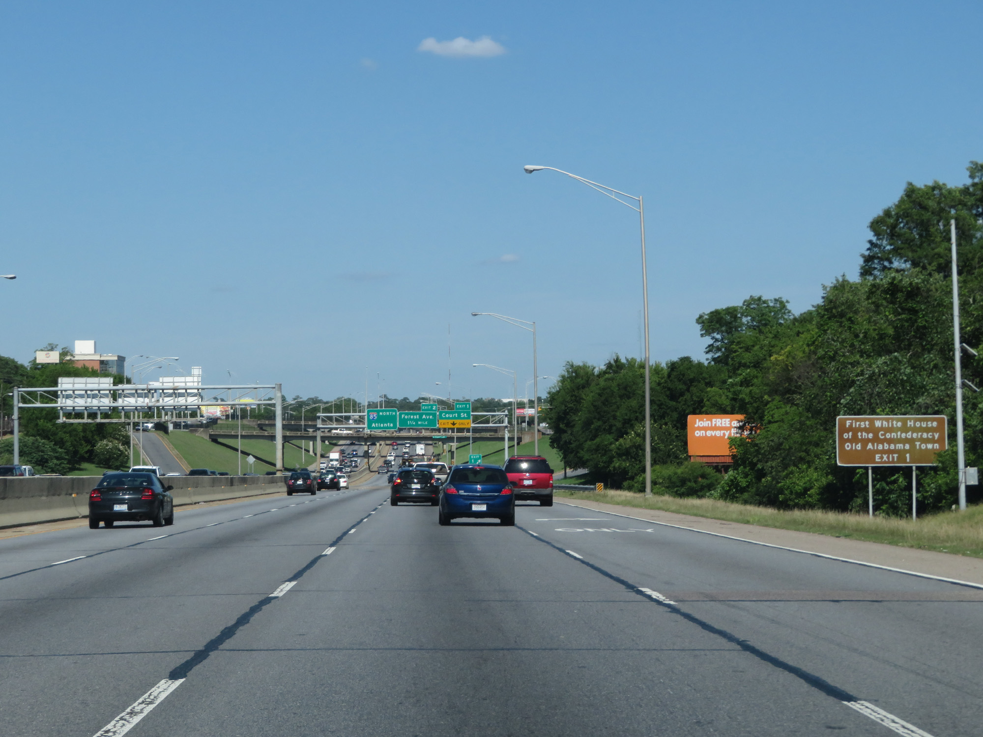 |
Also take Exit 1 to the First White House of the Confederacy and Old Alabama Town. (Photo taken 5/26/17). |
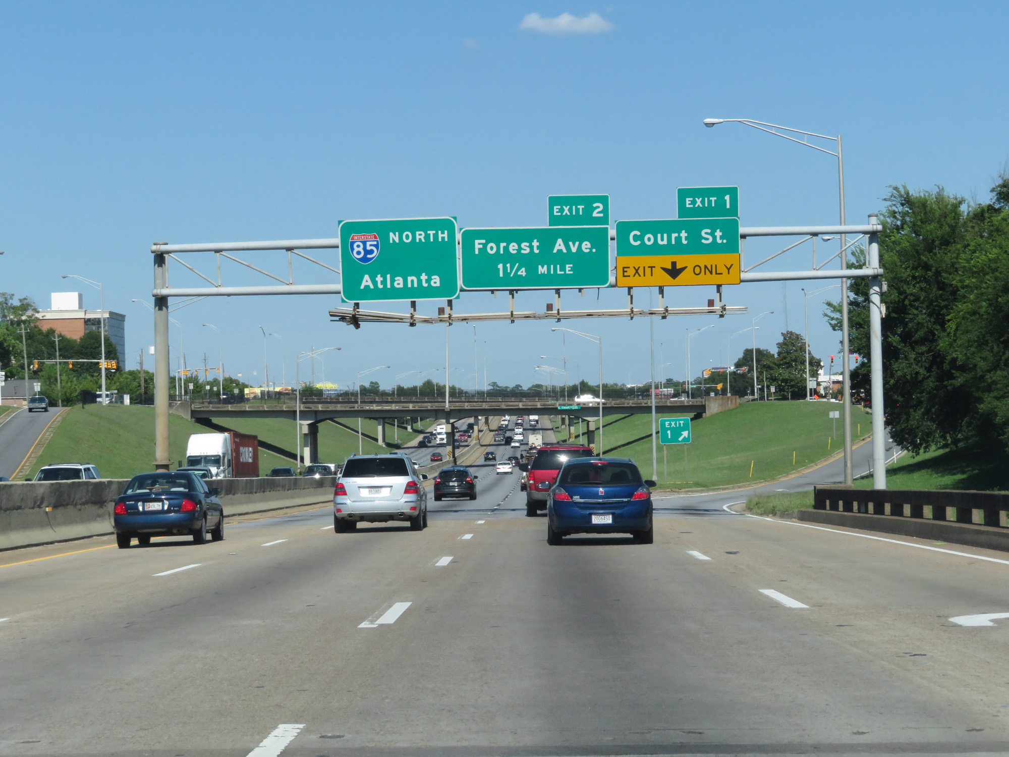 |
Interstate 85 North at Exit 1: Court St (Photo taken 5/26/17). |
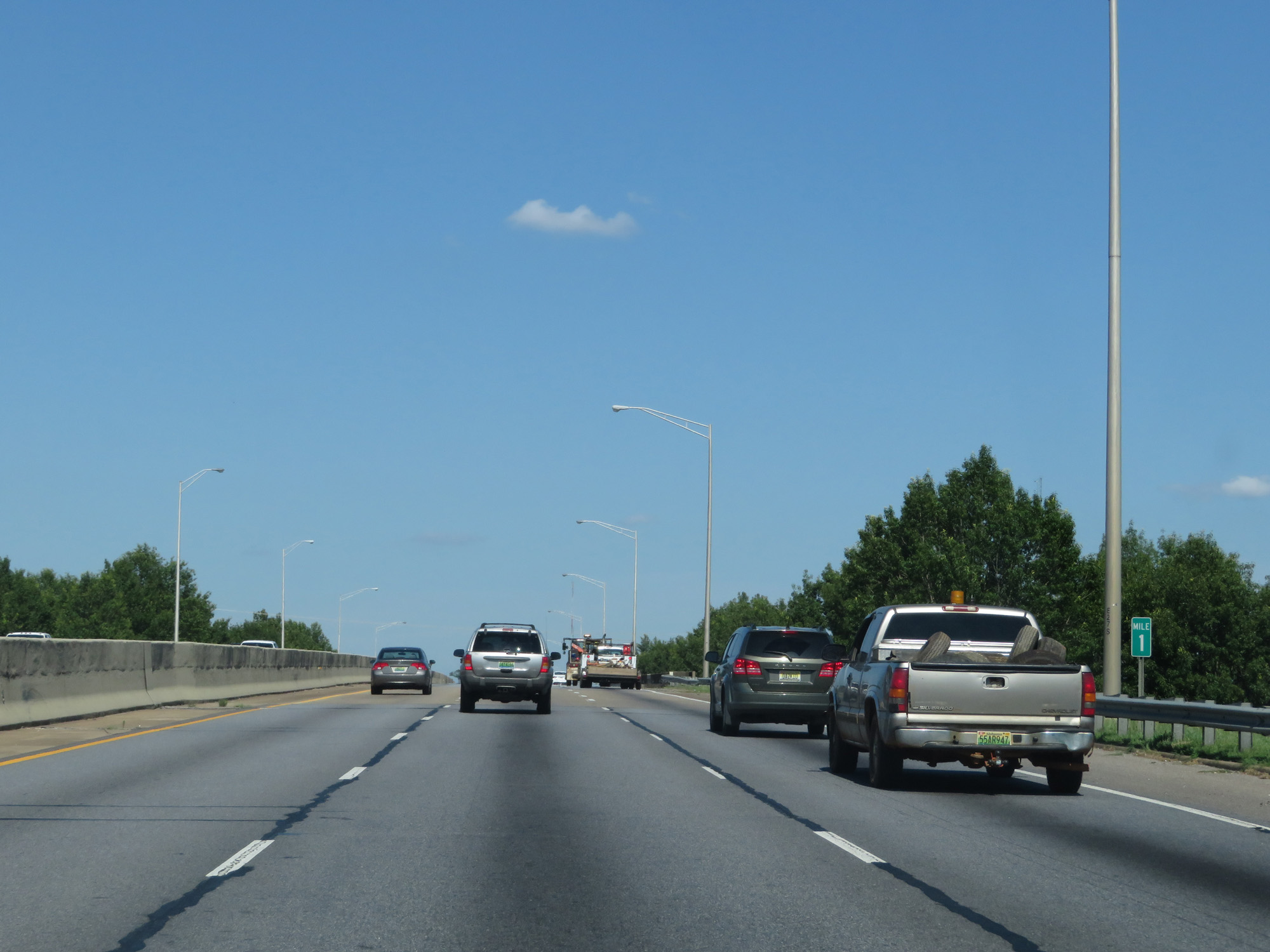 |
Interstate 85 North at mile marker 1. (Photo taken 5/26/17). |
 |
The speed limit starts out at 50 mph on Interstate 85 North in Montgomery. (Photo taken 5/26/17). |
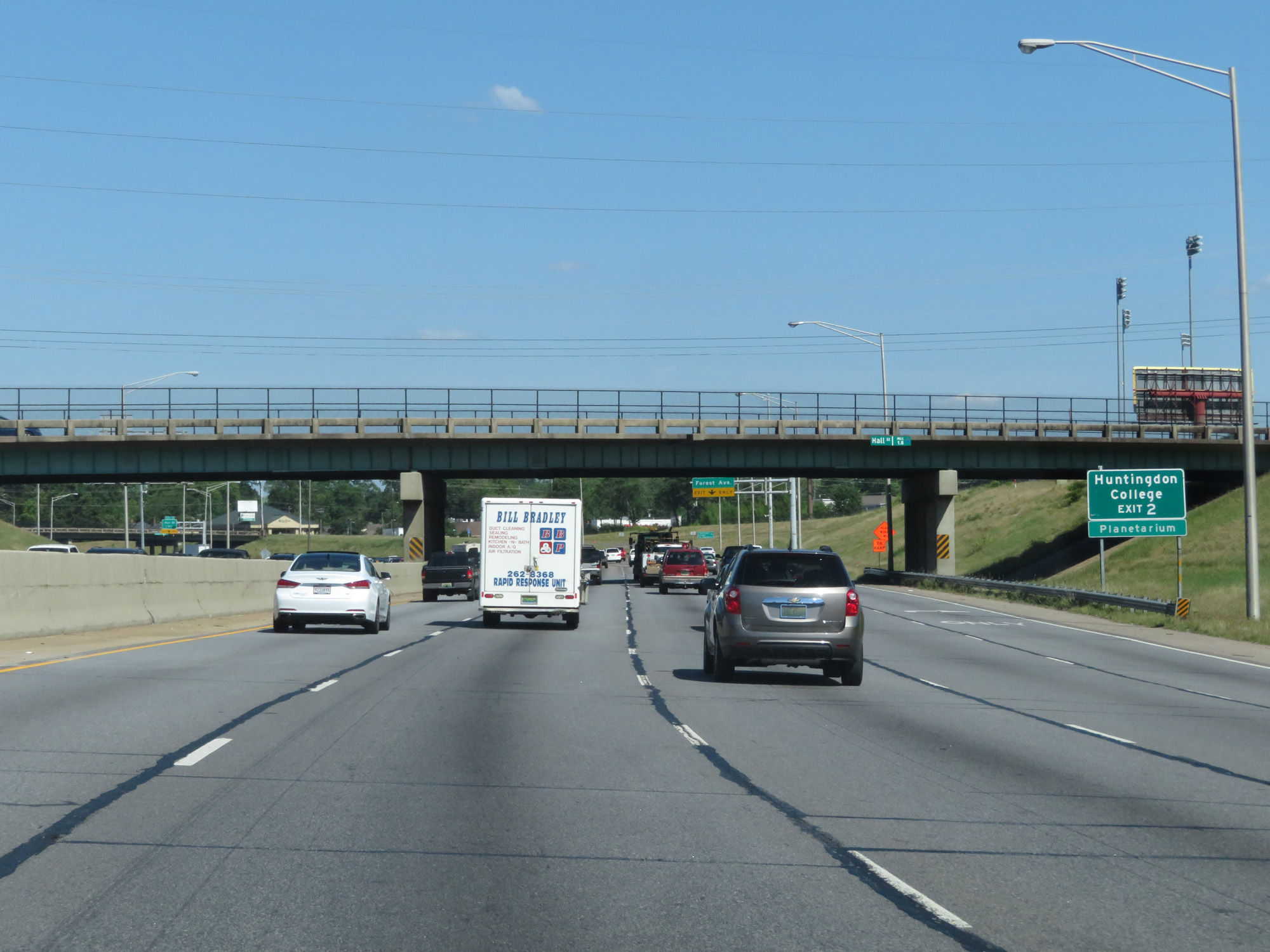 |
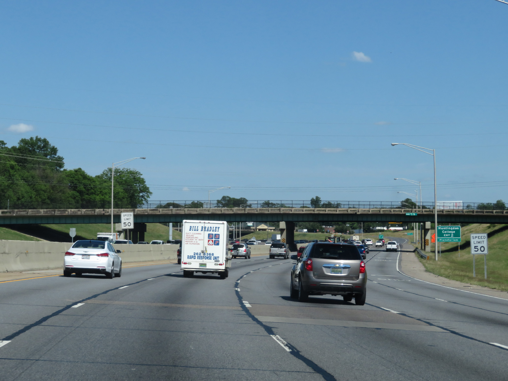
Take Exit 2 to Huntingdon College and the Planetarium. (Photo taken 5/26/17). |
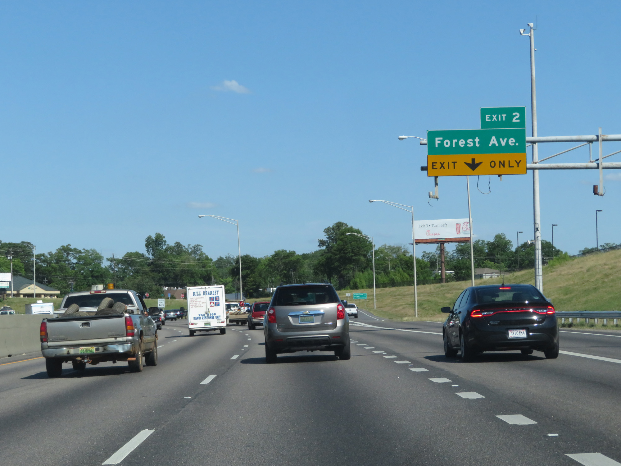 |
Interstate 85 North at Exit 2: Forest Ave (Photo taken 5/26/17). |
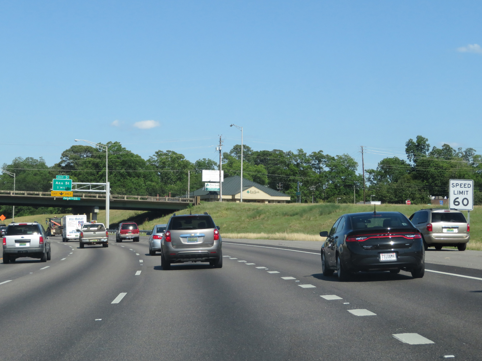 |
Beyond Exit 2, the speed limit increases to 60 mph. (Photo taken 5/26/17). |
 |
Take Exit 3 to Zelda Road. (Photo taken 5/26/17). |
 |
Interstate 85 North at Exit 3: Ann St (Photo taken 5/26/17). |
 |
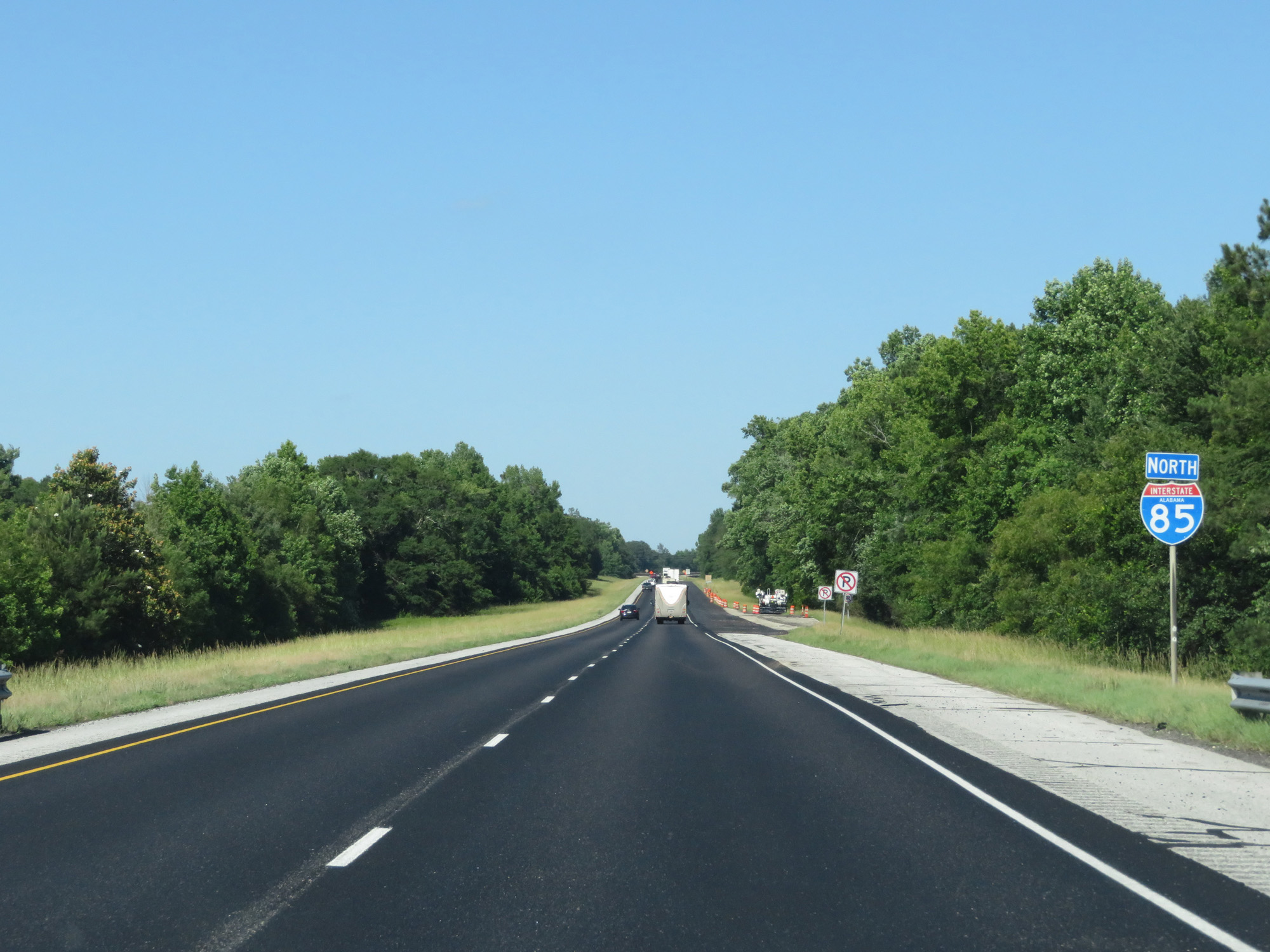
State-named Interstate 85 North reassurance shield. (Photo taken 5/26/17). |
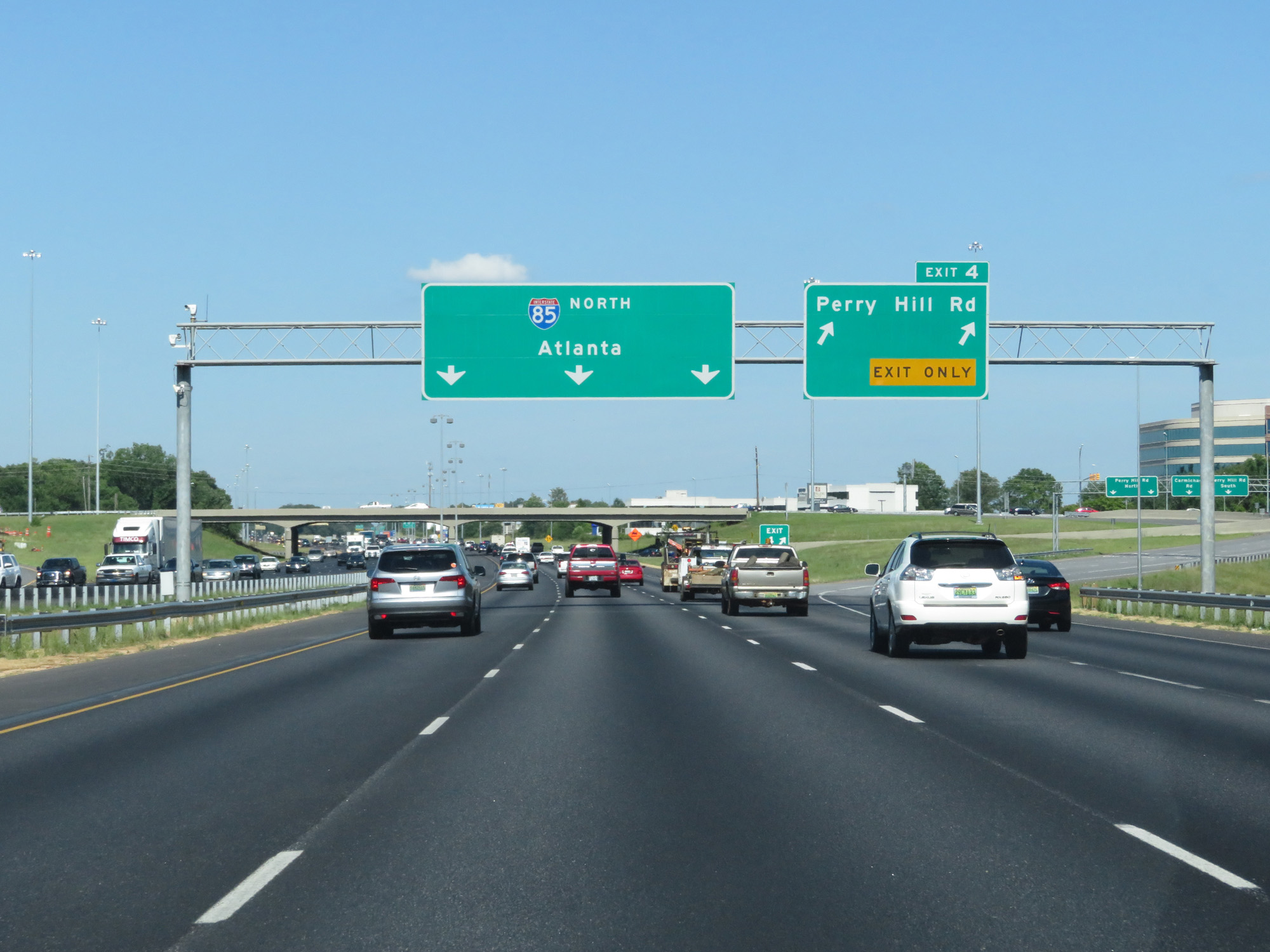 |
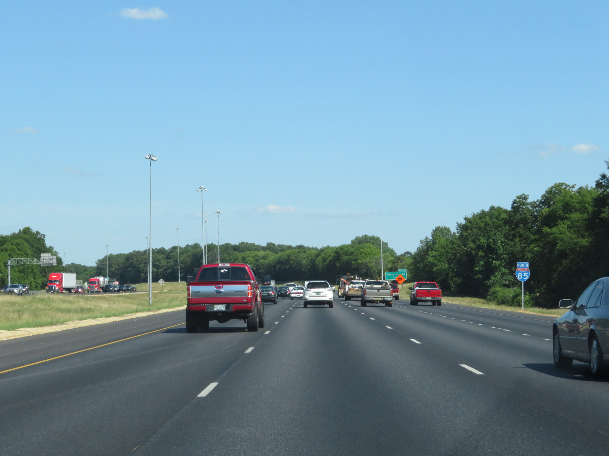
Interstate 85 North at Exit 4: Perry Hill Rd (Photo taken 5/26/17). |
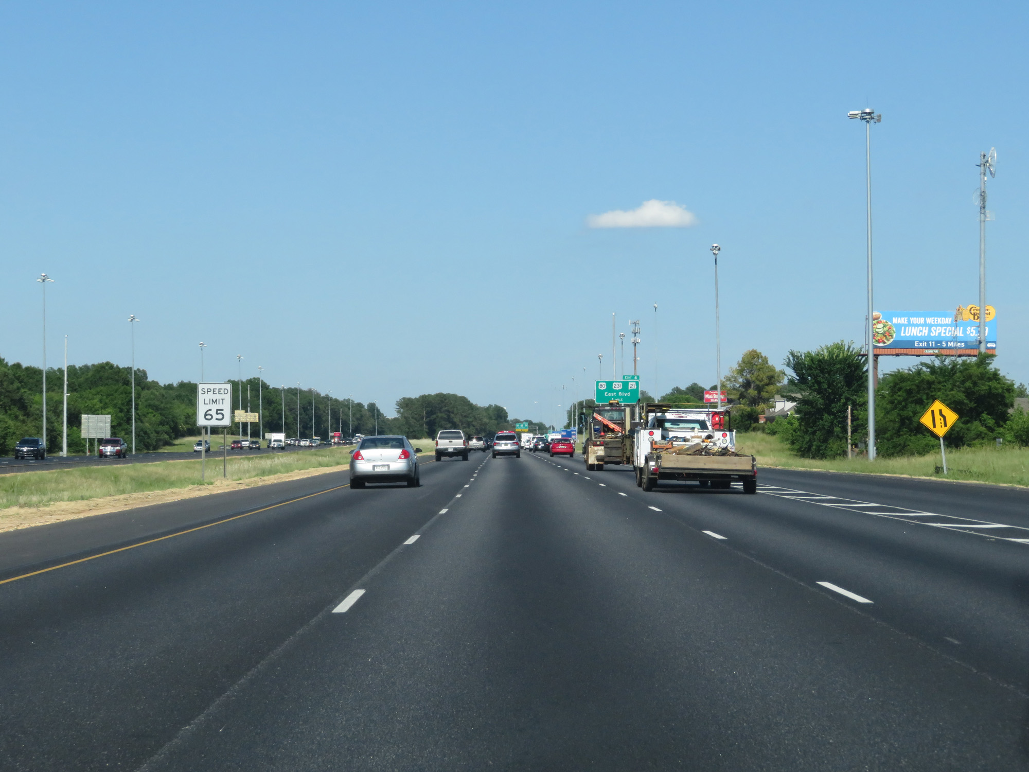 |
Beyond Exit 4, the speed limit increases to 65 mph. (Photo taken 5/26/17). |
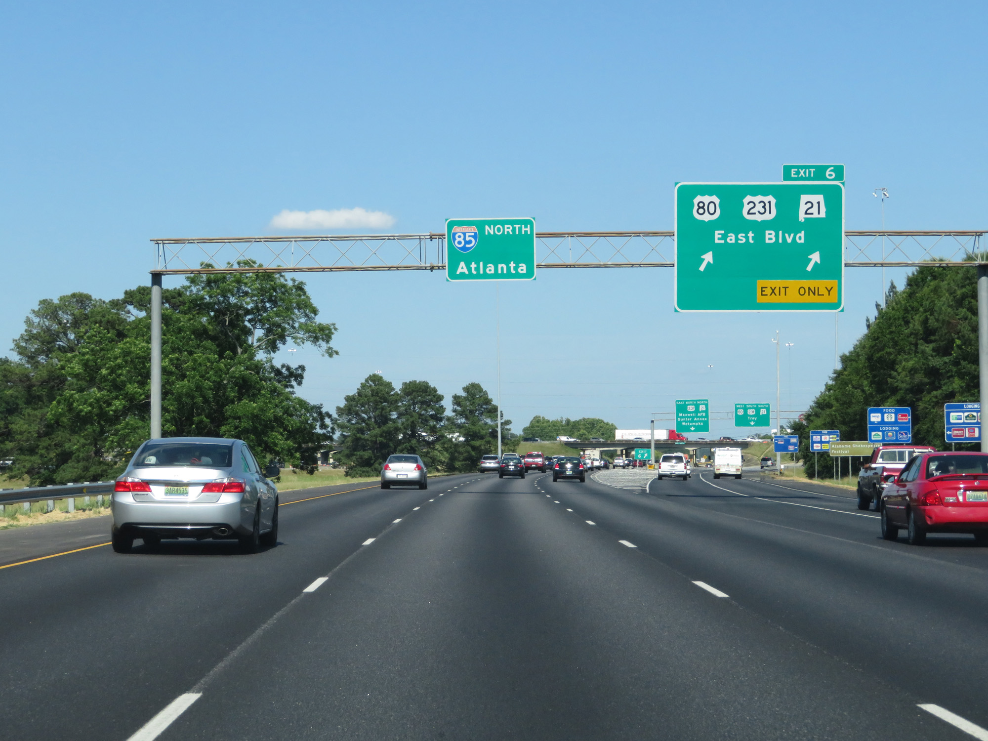 |
Interstate 85 North at Exit 6: US 80 / US 231 / AL 21 - East Blvd (Photo taken 5/26/17). |
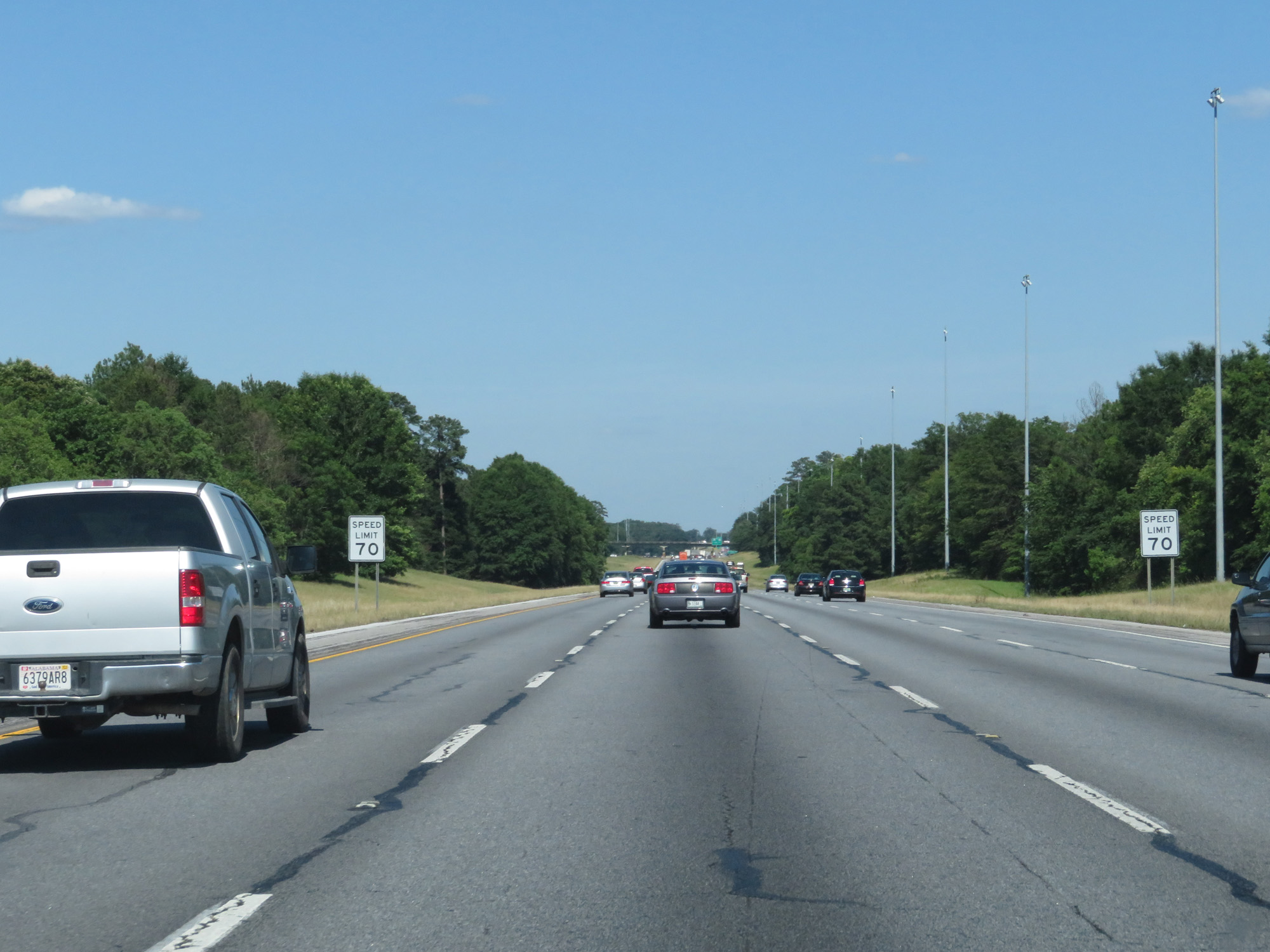 |
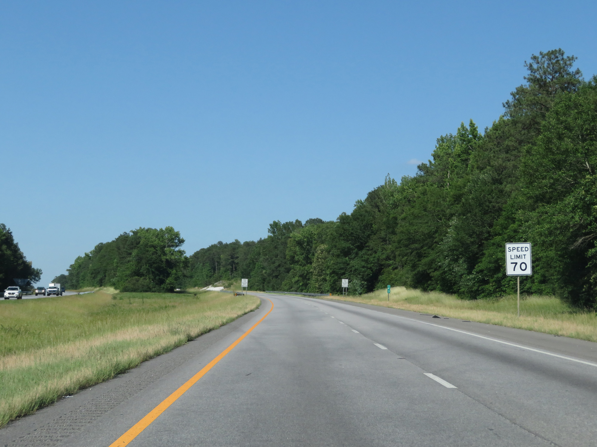
North of Exit 6, the speed limit finally increases to the standard 70 mph. (Photo taken 5/26/17). |
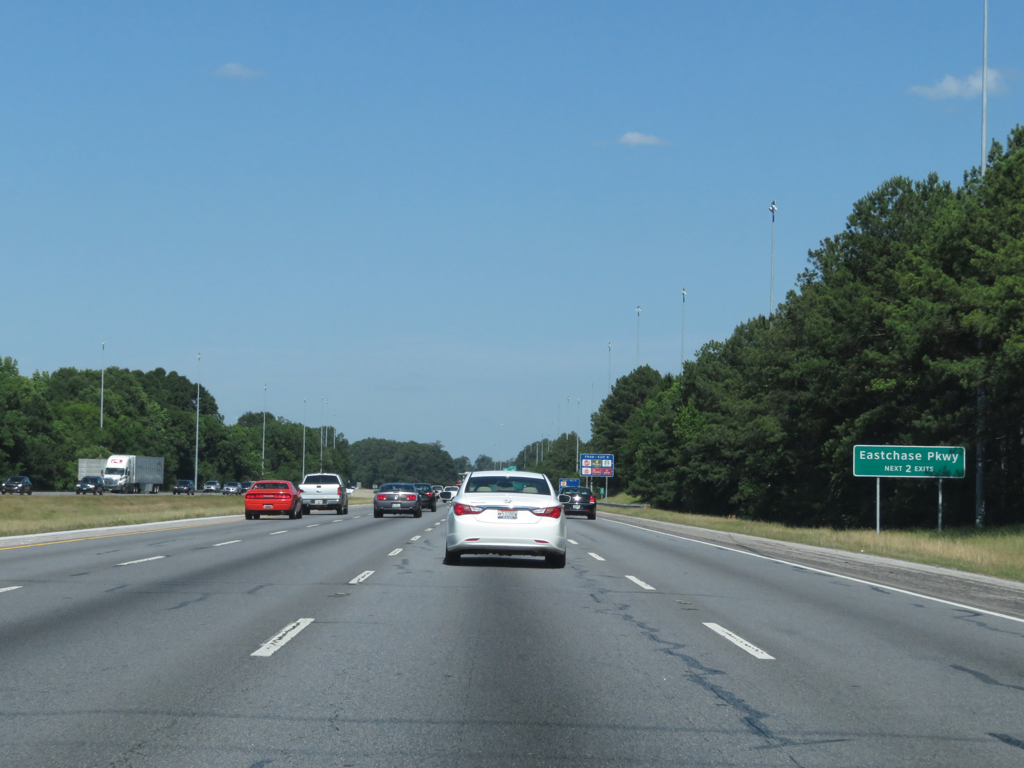 |
Take either of the next 2 exits to Eastchase Pkwy. (Photo taken 5/26/17). |
 |
Interstate 85 North at mile marker 8. (Photo taken 5/26/17). |
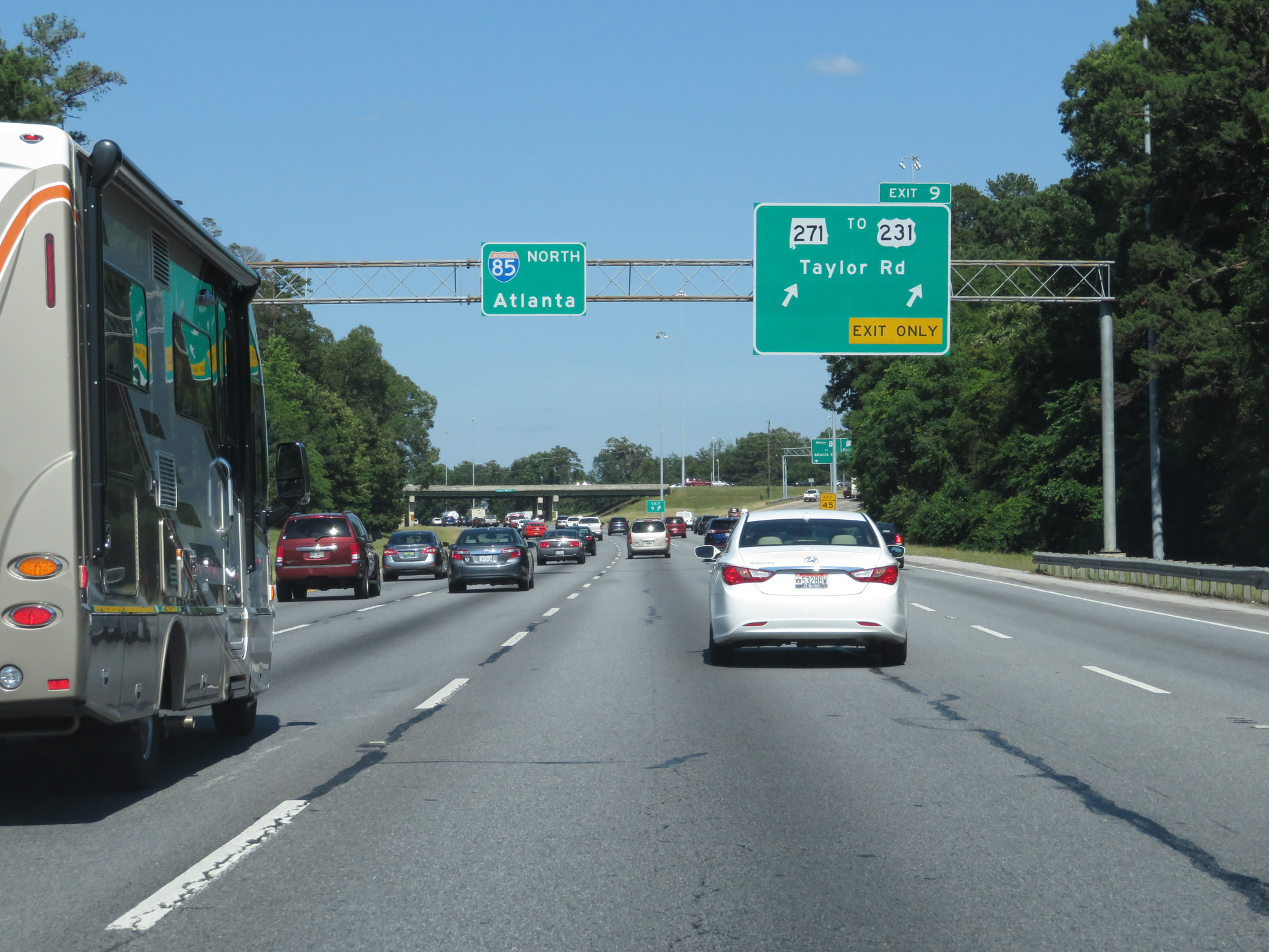 |
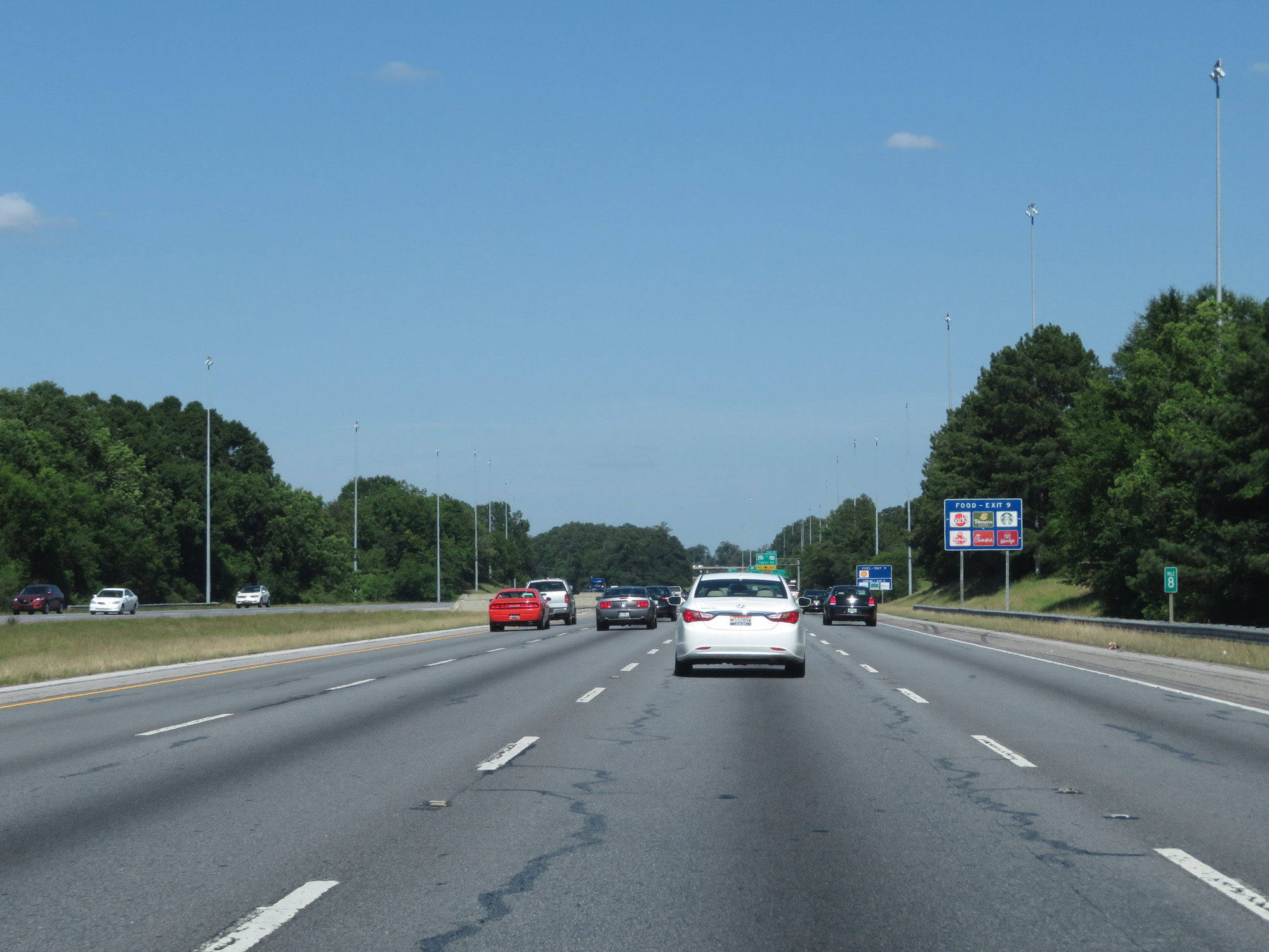
Interstate 85 North at Exit 9: AL 271 / To US 231 - Taylor Rd Interstate 85 North at mile marker 8. (Photo taken 5/26/17). |
 |
Interstate 85 North approaching Exit 11 - 1 mile. (Photo taken 5/26/17). |
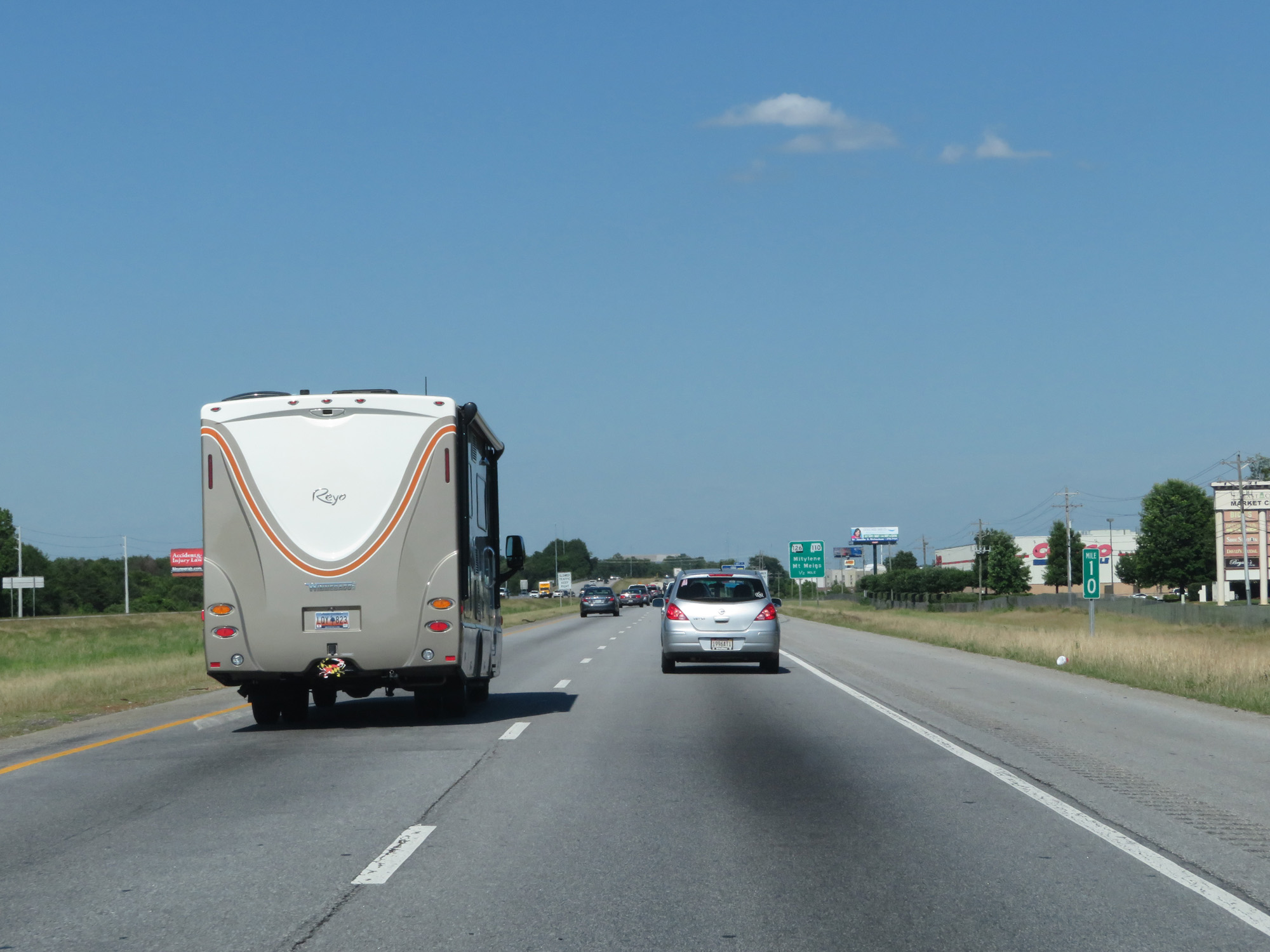 |
Interstate 85 North at mile marker 10. (Photo taken 5/26/17). |
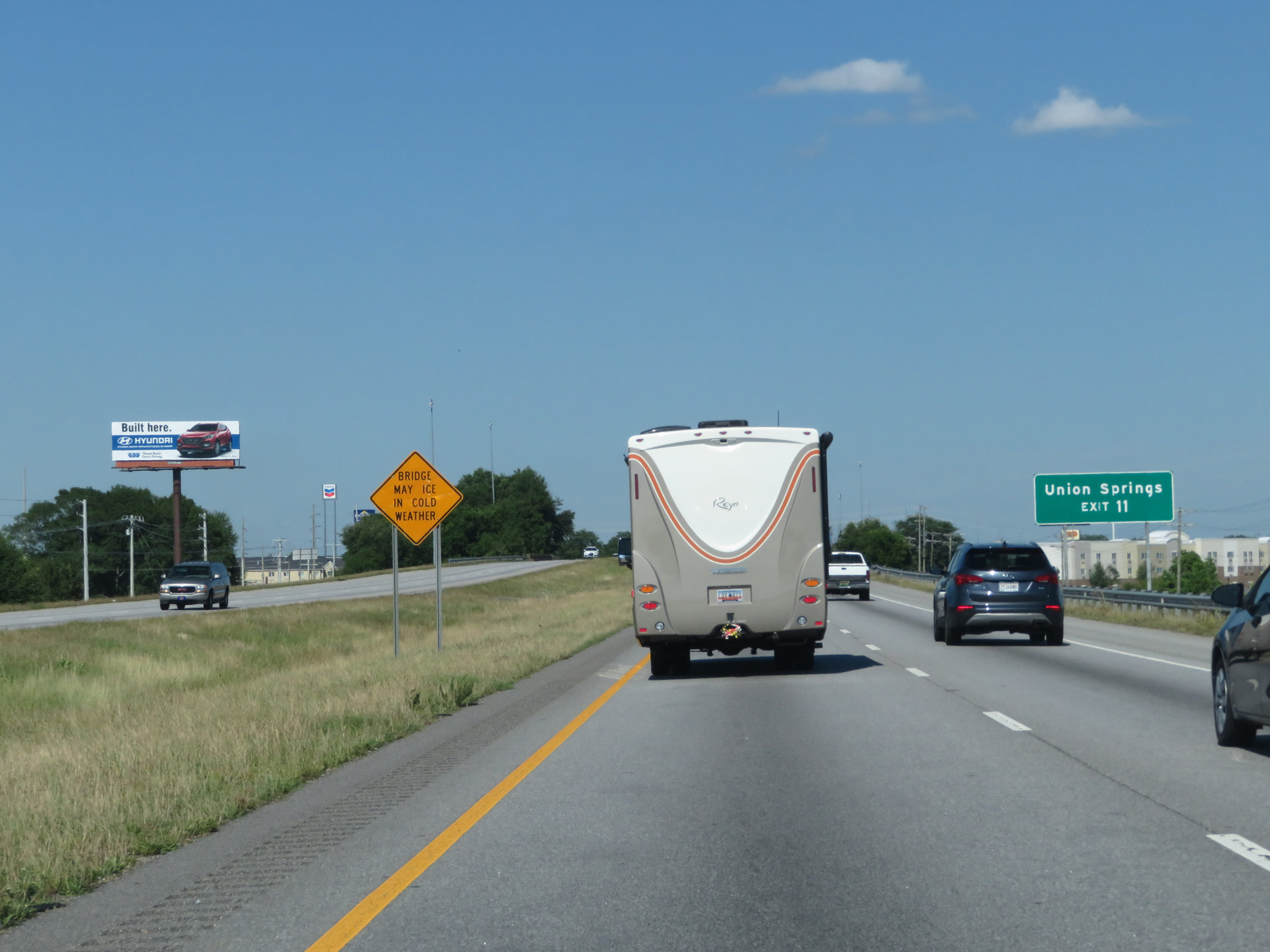 |
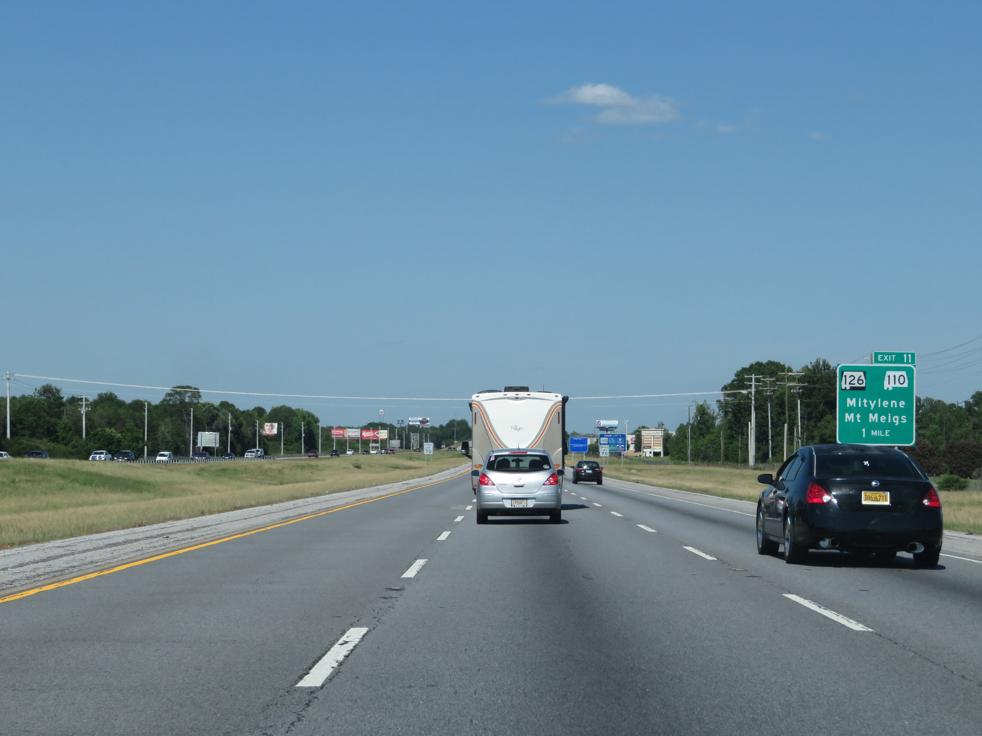
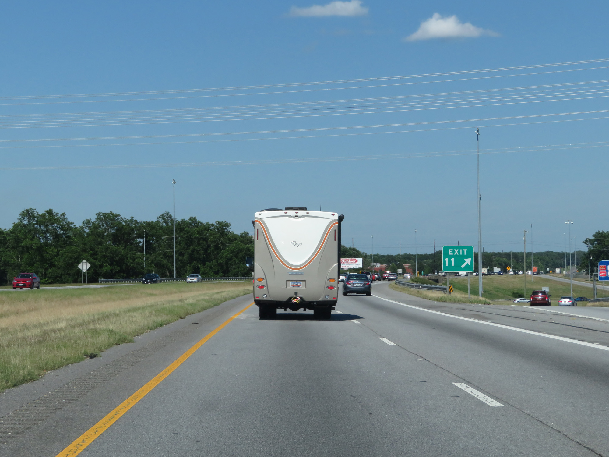
Take Exit 11 to Union Springs. (Photo taken 5/26/17). |
 |
Interstate 85 North at Exit 11: AL 126 / AL 110 - Mitylene / Mt Meigs (Photo taken 5/26/17). |
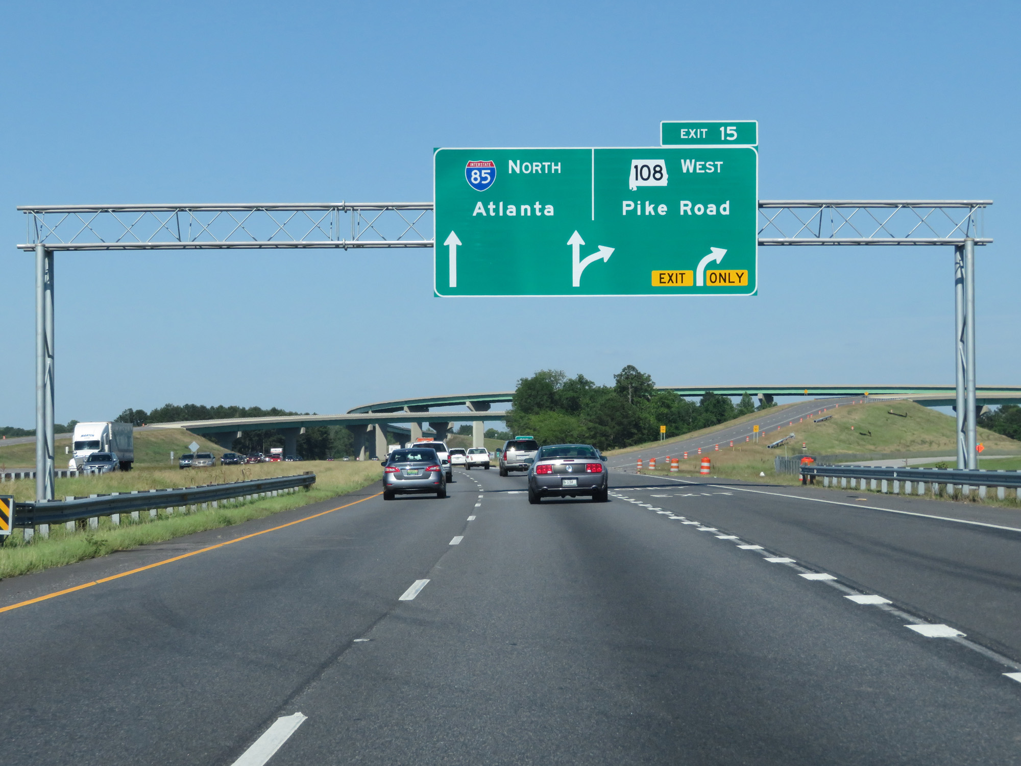 |
Interstate 85 North at Exit 15: AL 108 West - Pike Road (Photo taken 5/26/17). |
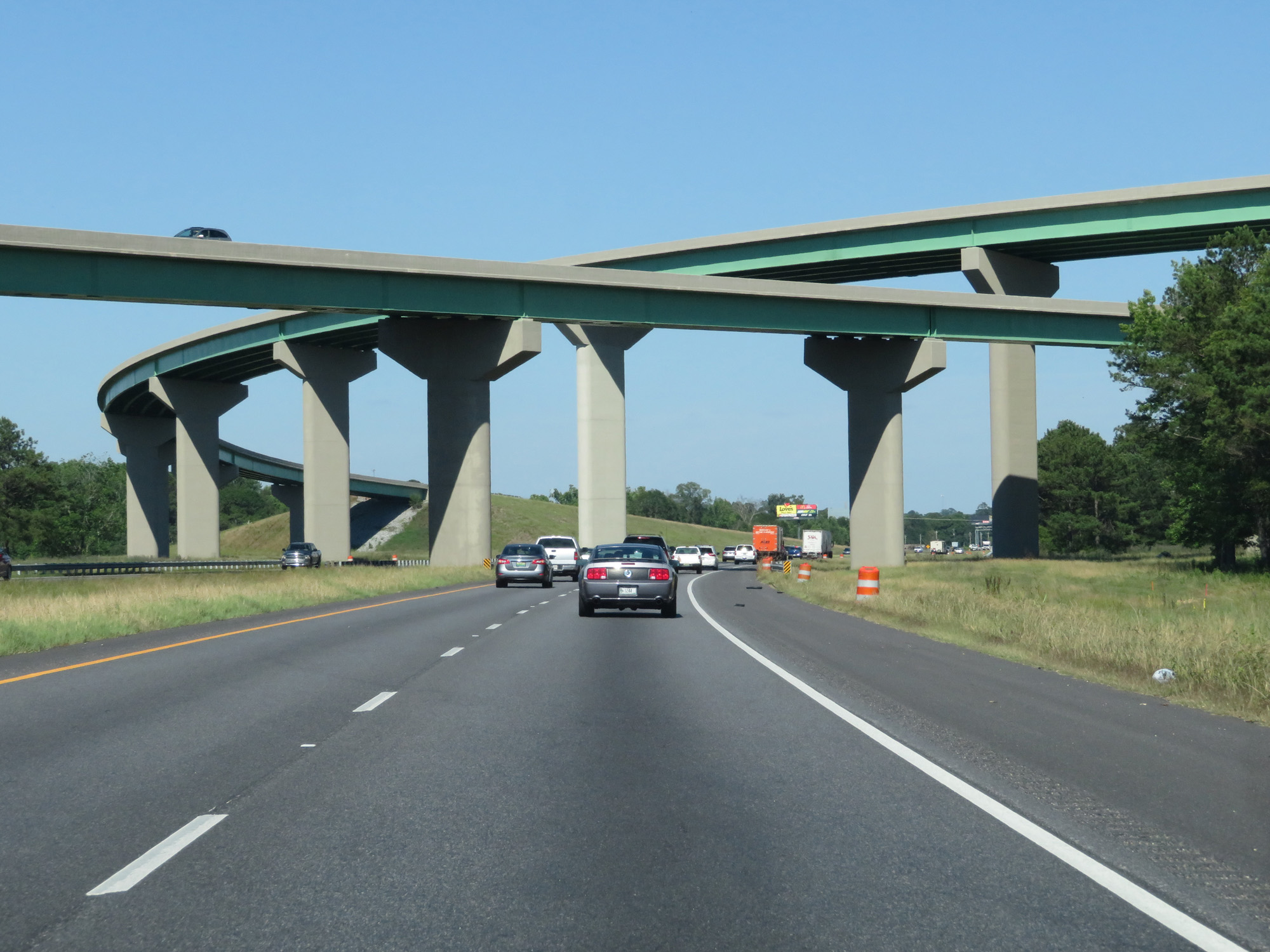 |
Interstate 85 North as it prepares to pass under the ramps to and from AL 108. (Photo taken 5/26/17). |
 |
State-named Interstate 85 North reassurance shields. (Photo taken 5/26/17). |
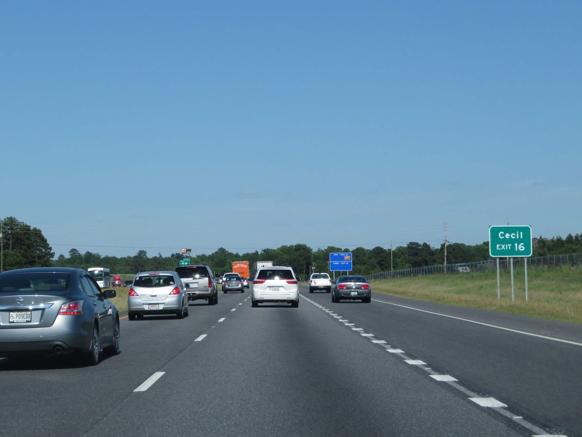 |
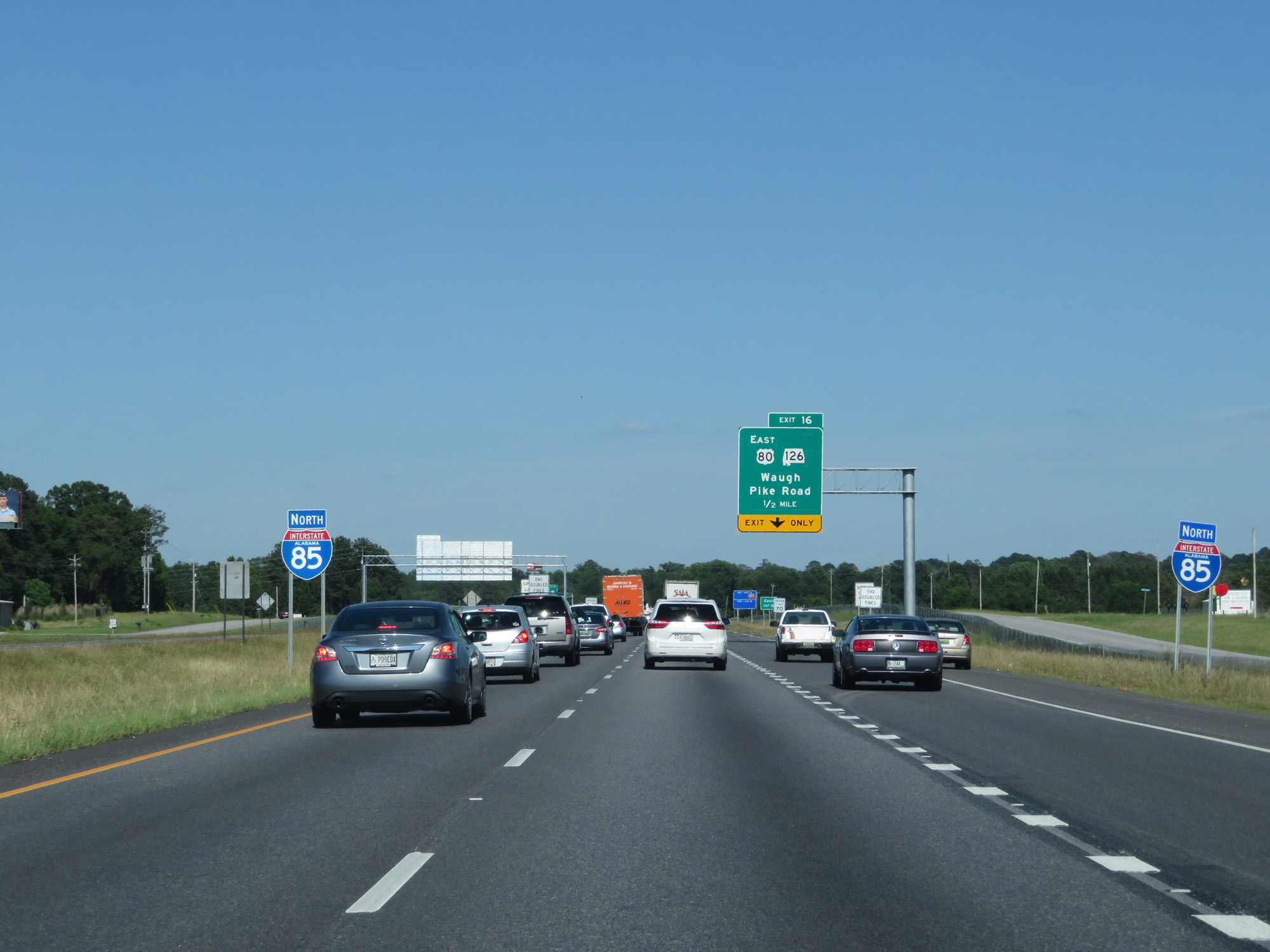
Take Exit 16 to Cecil. (Photo taken 5/26/17). |
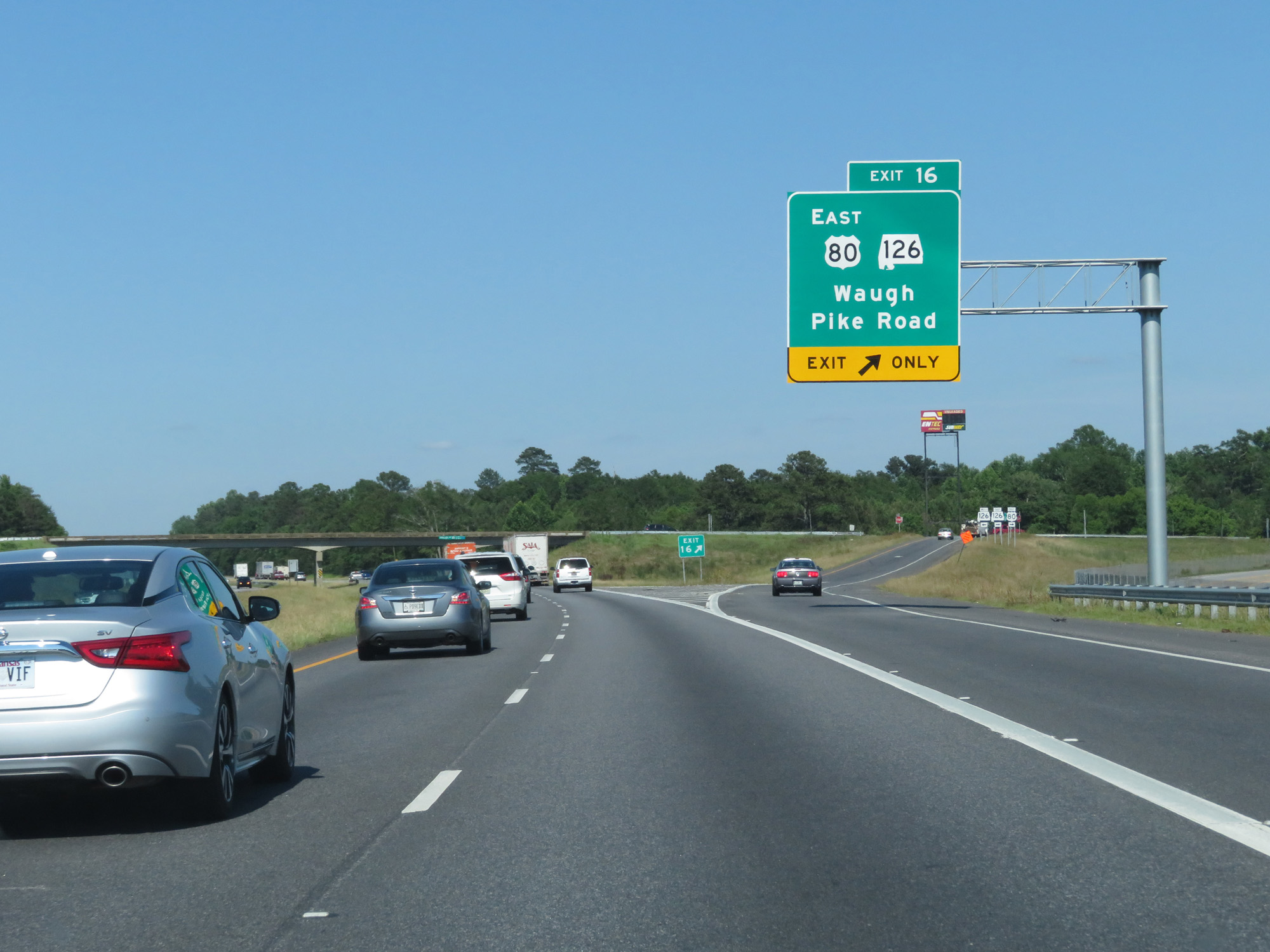 |
Interstate 85 North at Exit 16: US 80 East / AL 126 - Waugh / Pike Road (Photo taken 5/26/17). |
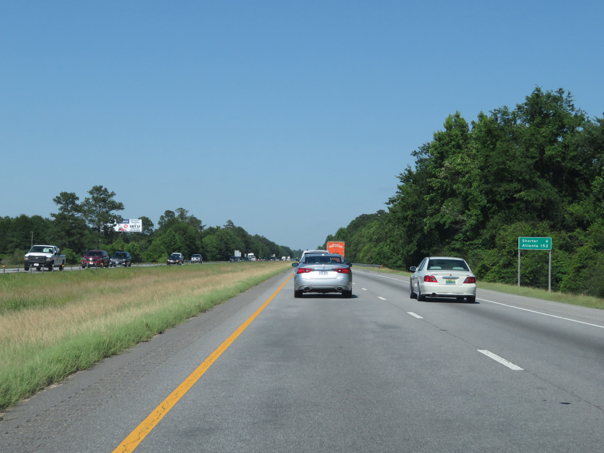 |
Mileage sign on Interstate 85 North. Atlanta lies 152 miles ahead. (Photo taken 5/26/17). |
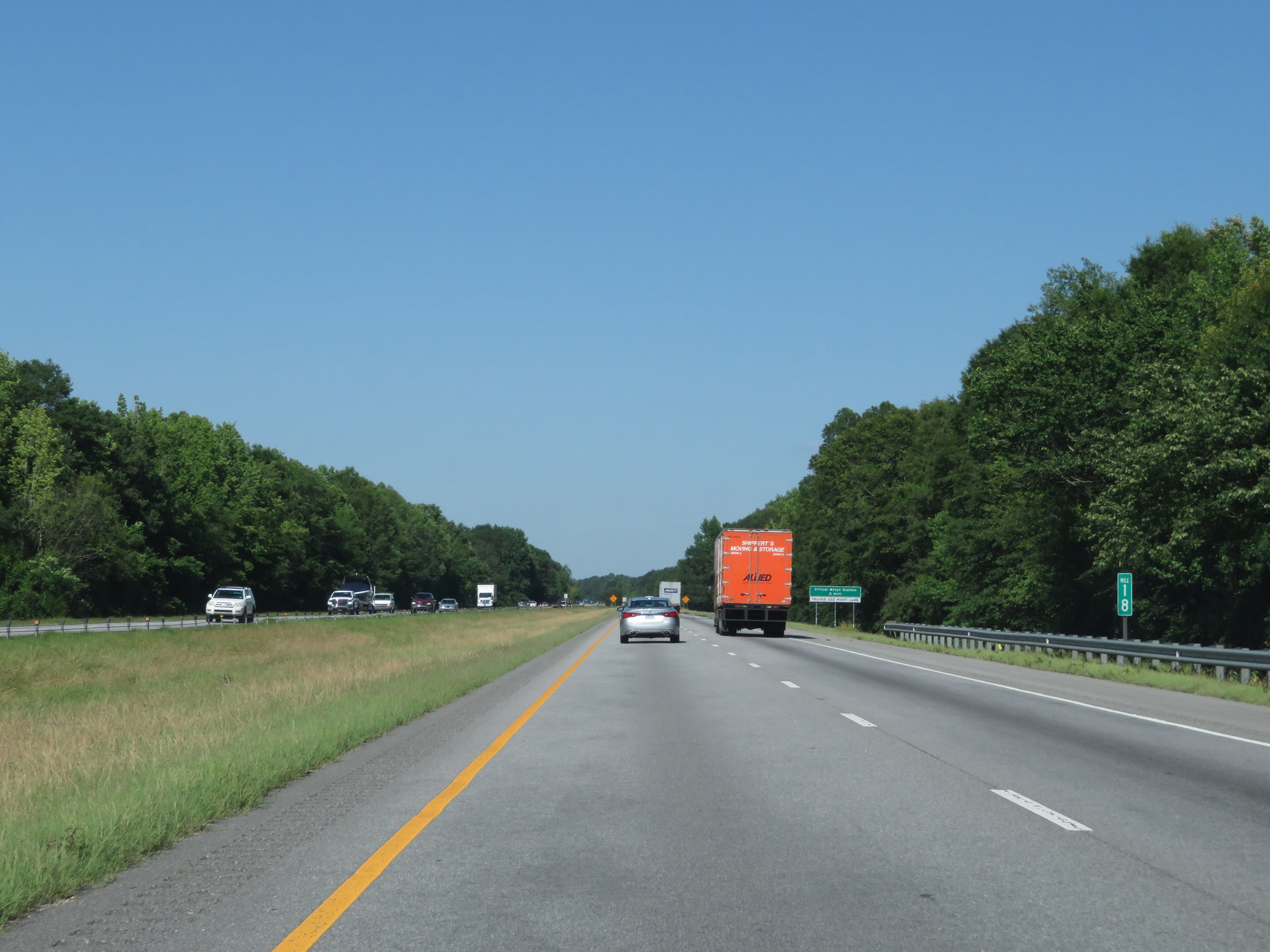 |
Interstate 85 North at mile marker 18. (Photo taken 5/26/17). |
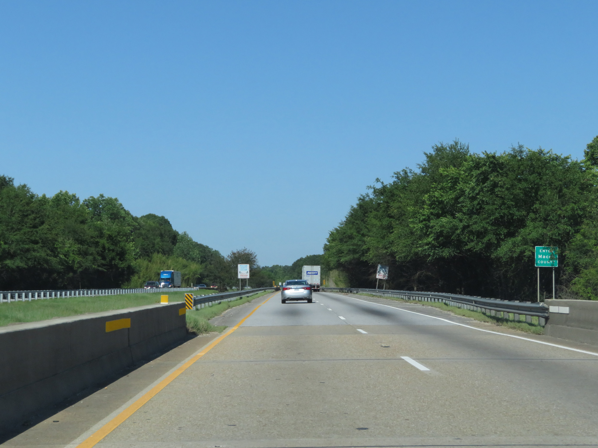 |
Interstate 85 North as it enters Macon County. (Photo taken 5/26/17). |
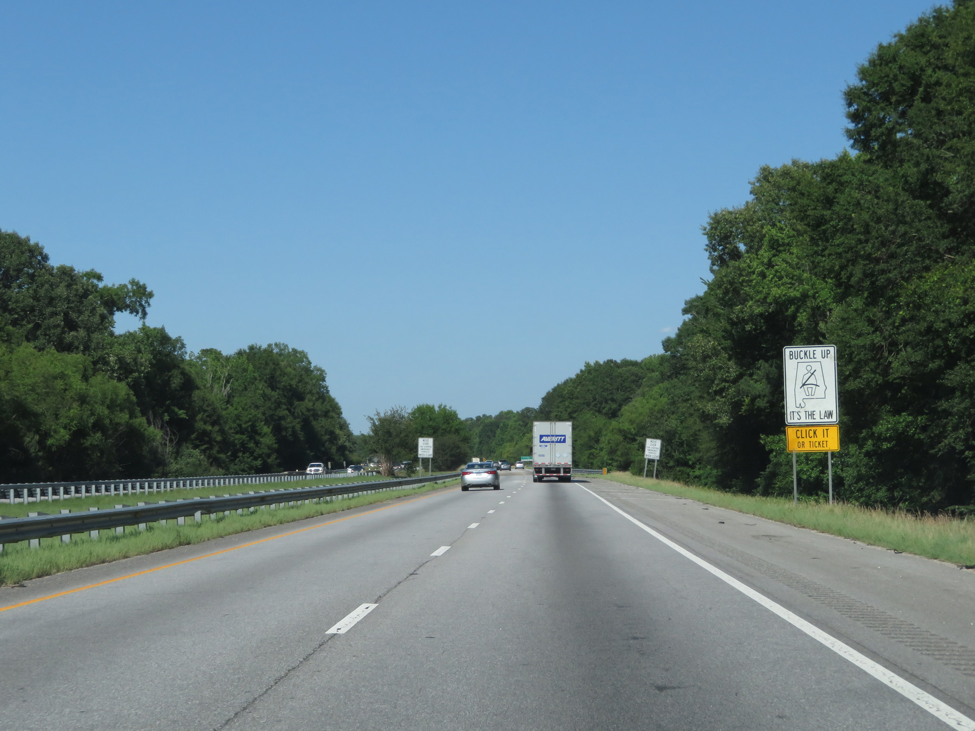 |
View on Interstate 85 North. (Photo taken 5/26/17). |
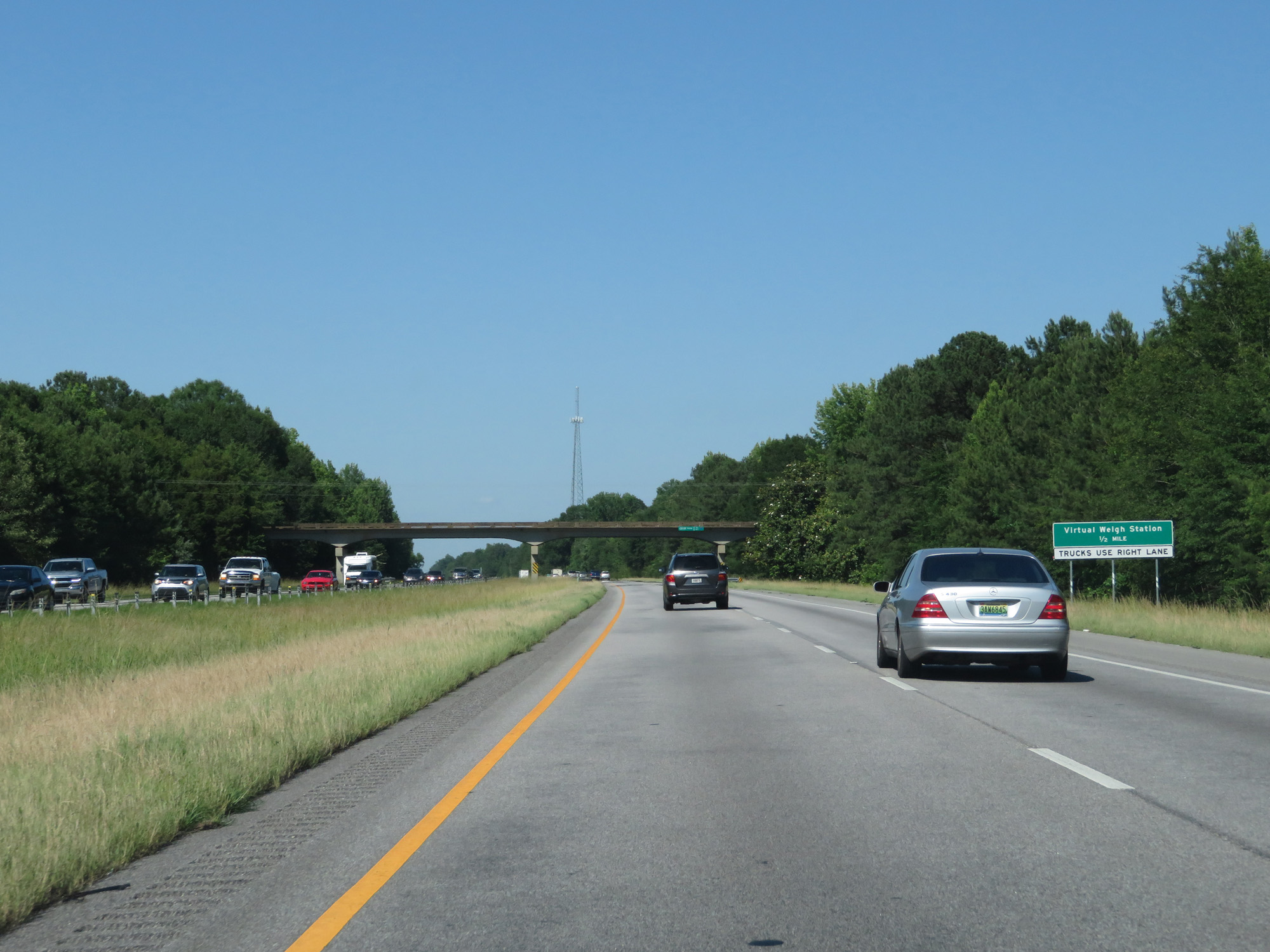 |
Interstate 85 North approaching the Virtual Weigh Station - 1/2 mile. All trucks should use the right lane. (Photo taken 5/26/17). |
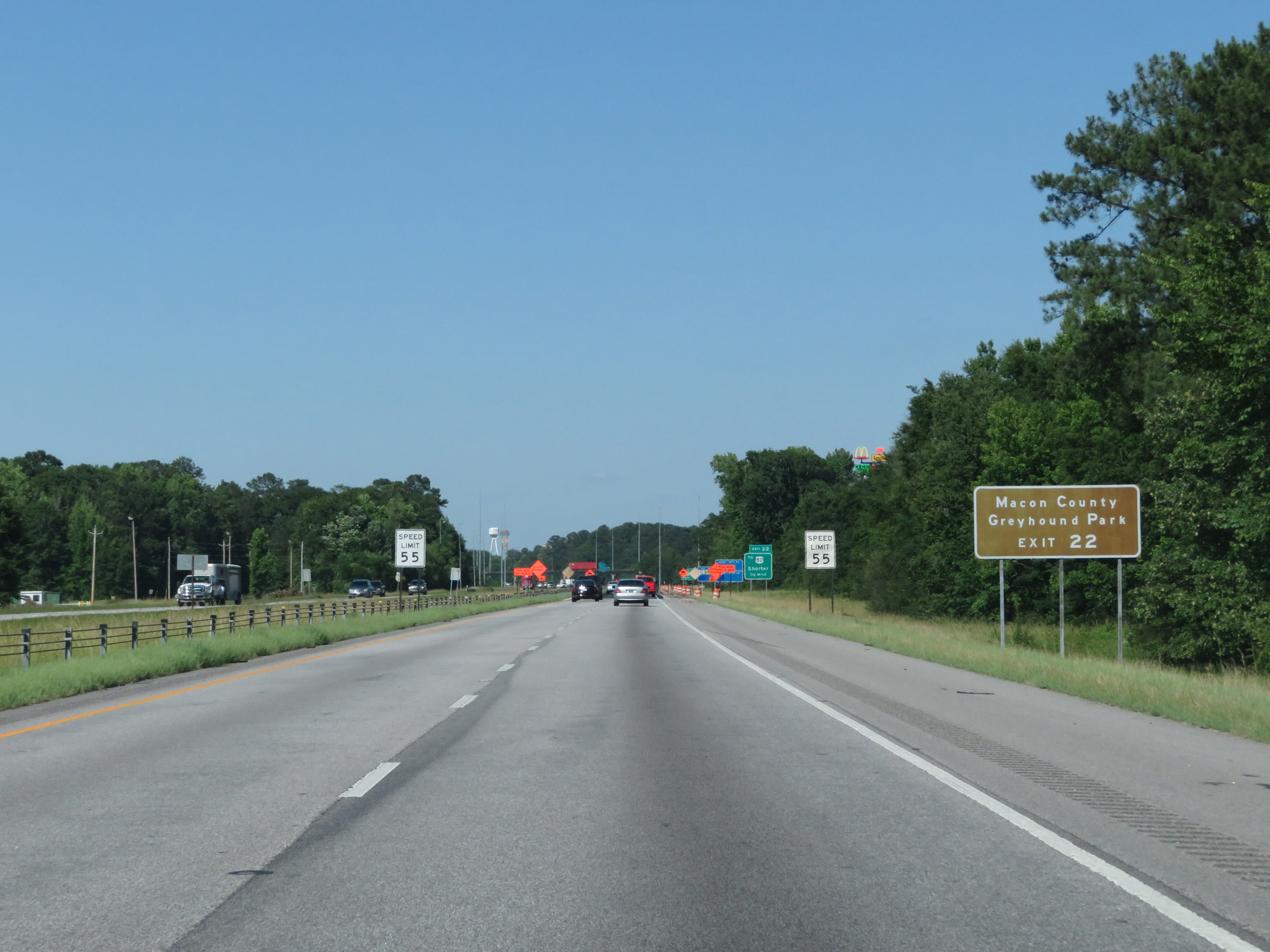 |
Take Exit 22 to Macon County Greyhound Park. (Photo taken 5/26/17). |
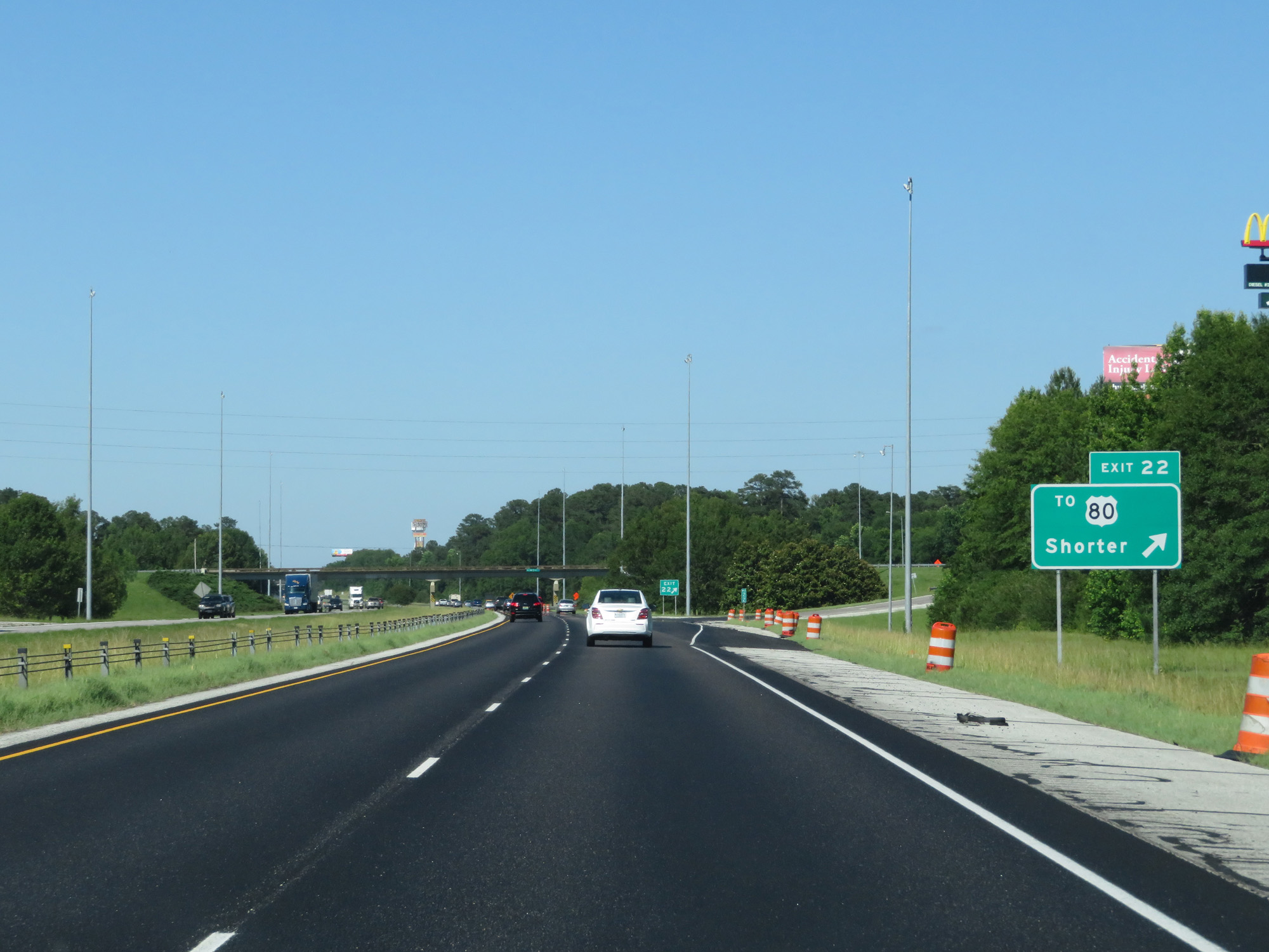 |
Interstate 85 North at Exit 22: To US 80 - Shorter (Photo taken 5/26/17). |
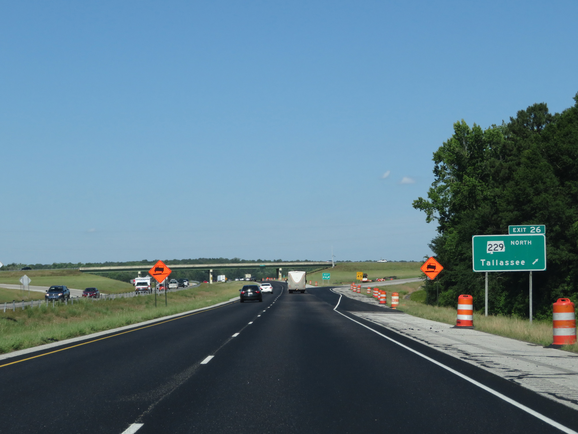 |
Interstate 85 North at Exit 26: AL 229 North - Tallassee (Photo taken 5/26/17). |
 |
State-named Interstate 85 North reassurance shield. (Photo taken 5/26/17). |
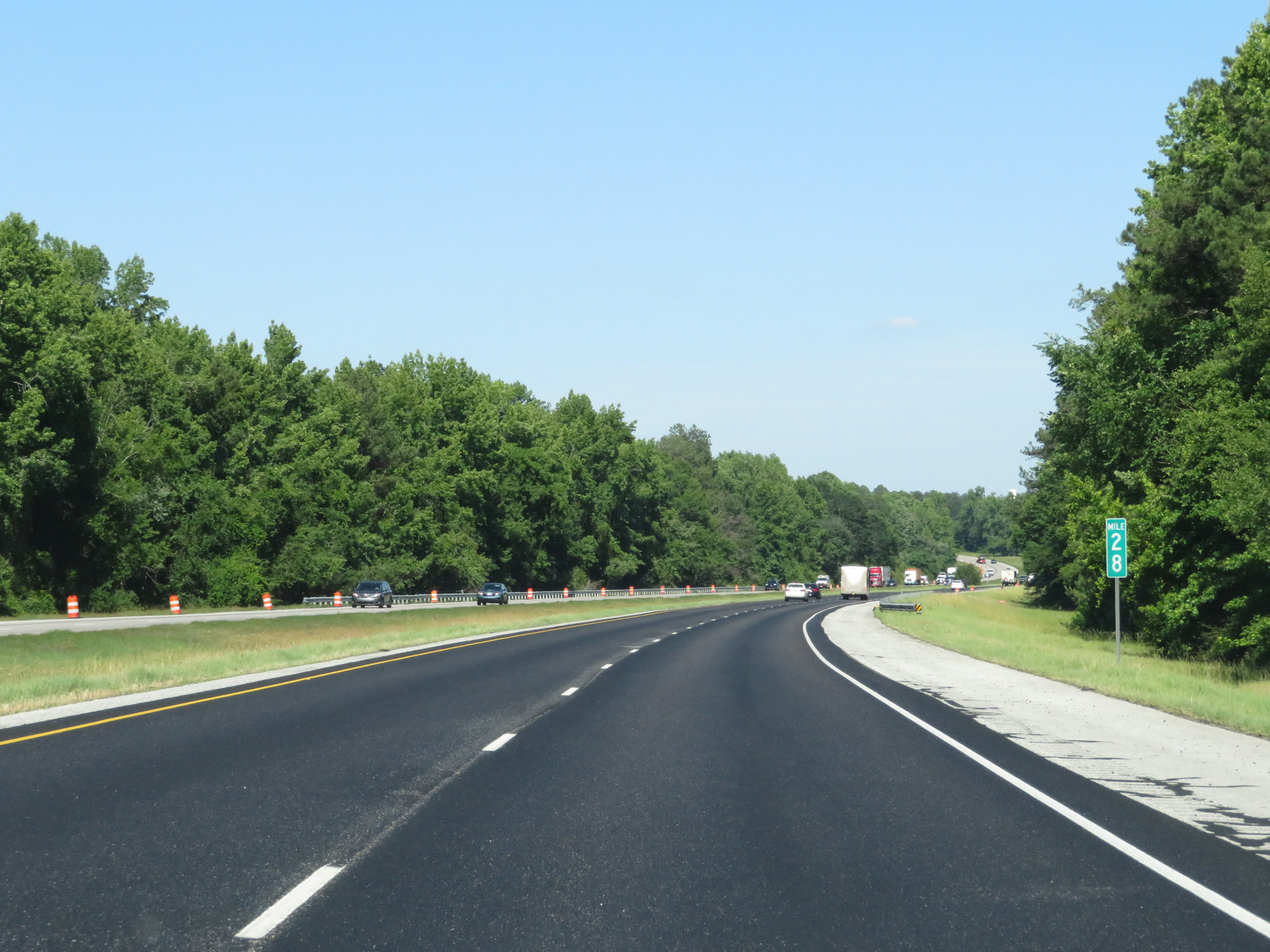 |
Interstate 85 North at mile marker 28. (Photo taken 5/26/17). |
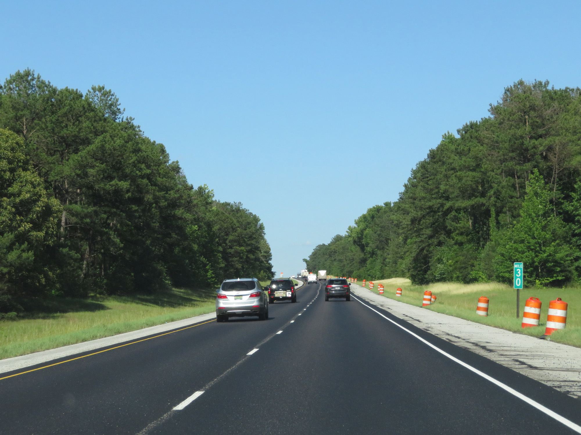 |
Interstate 85 North at mile marker 30. (Photo taken 5/26/17). |
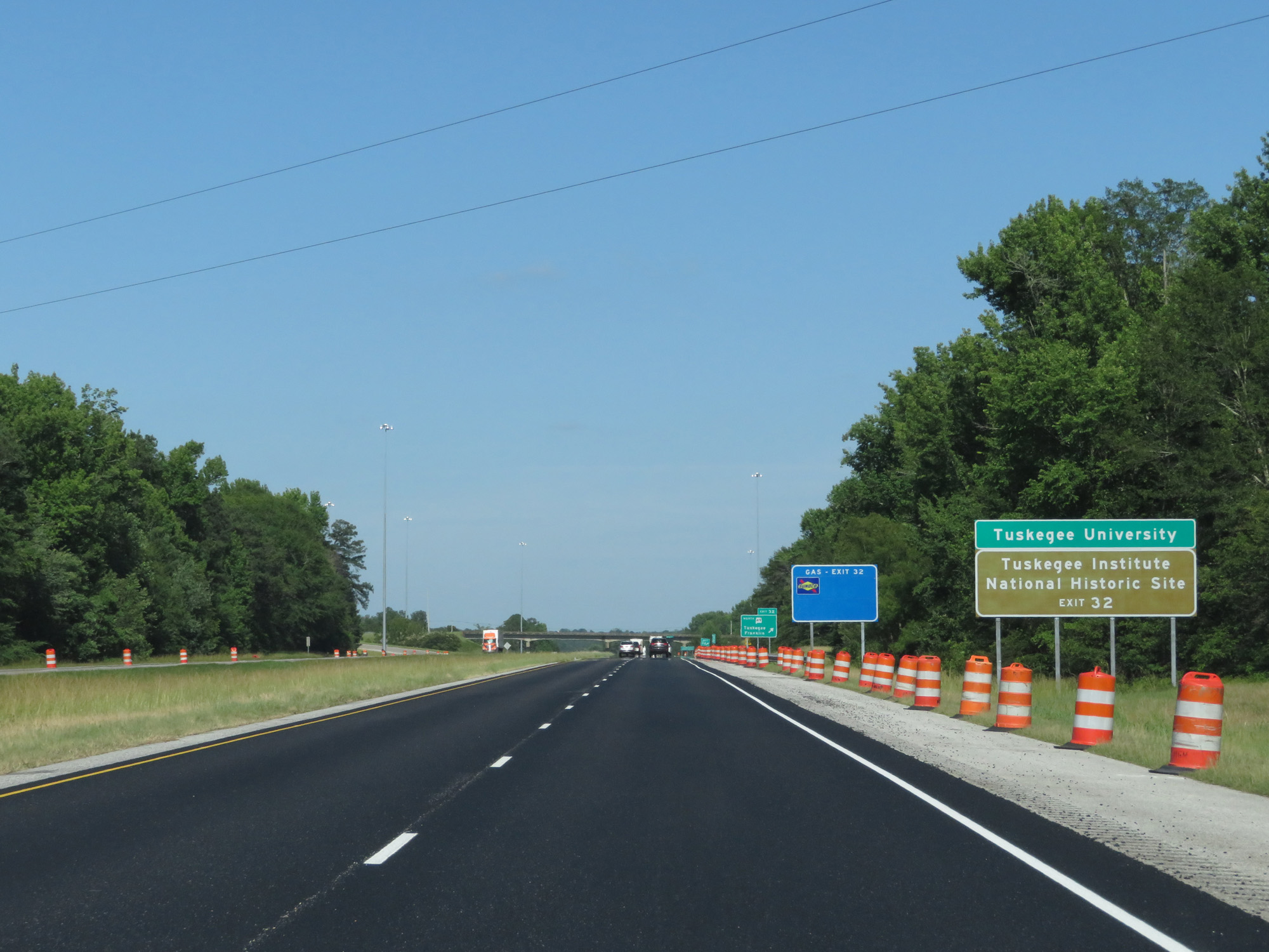 |
Take Exit 32 to Tuskegee University and Tuskegee Institute National Historic Site. (Photo taken 5/26/17). |
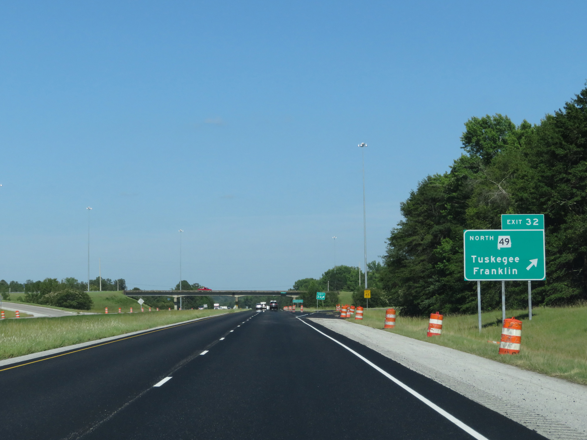 |
Interstate 85 North at Exit 32: AL 49 North - Tuskegee / Franklin (Photo taken 5/26/17). |
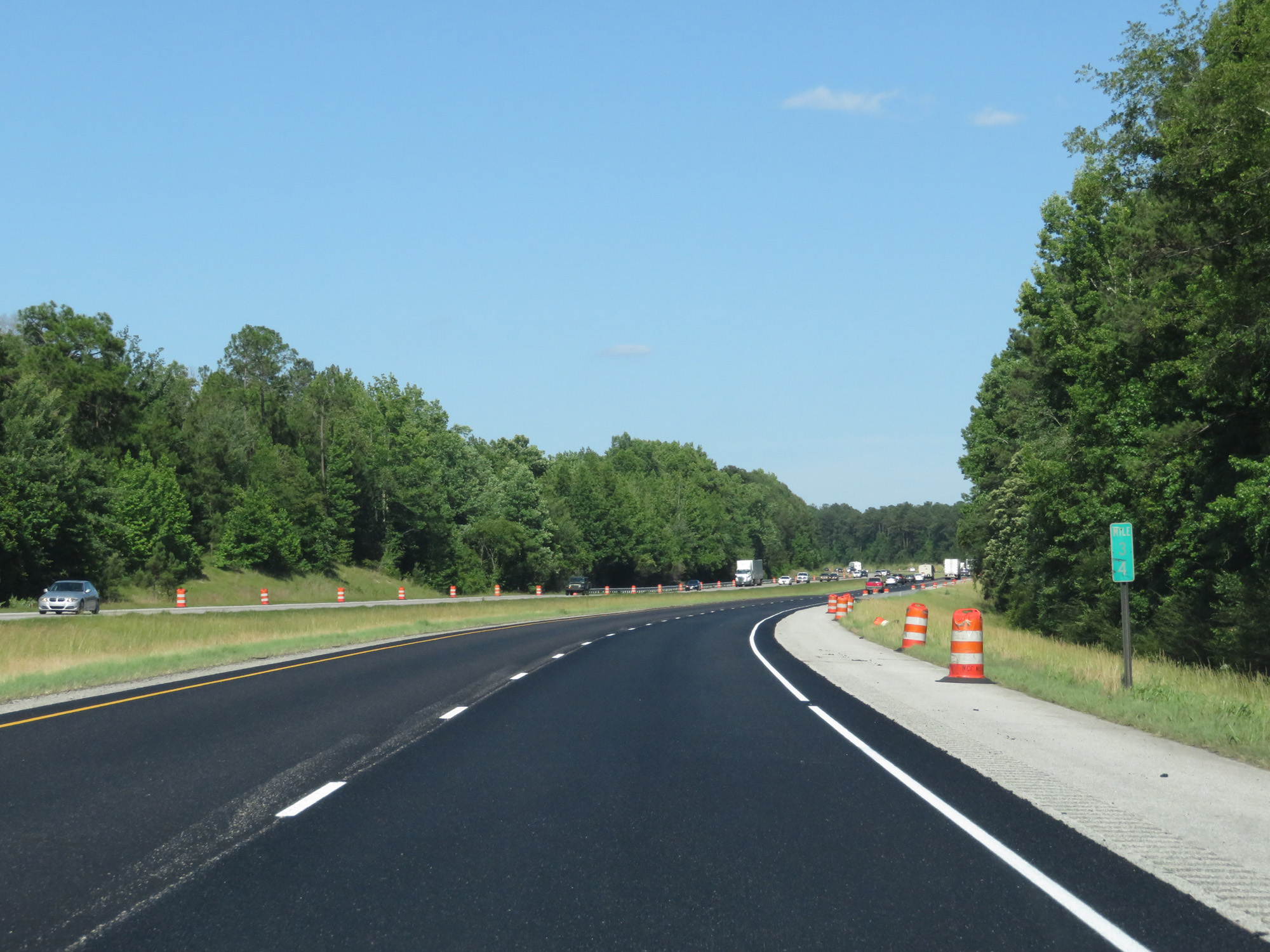 |
Interstate 85 North at a faded mile marker 34. (Photo taken 5/26/17). |
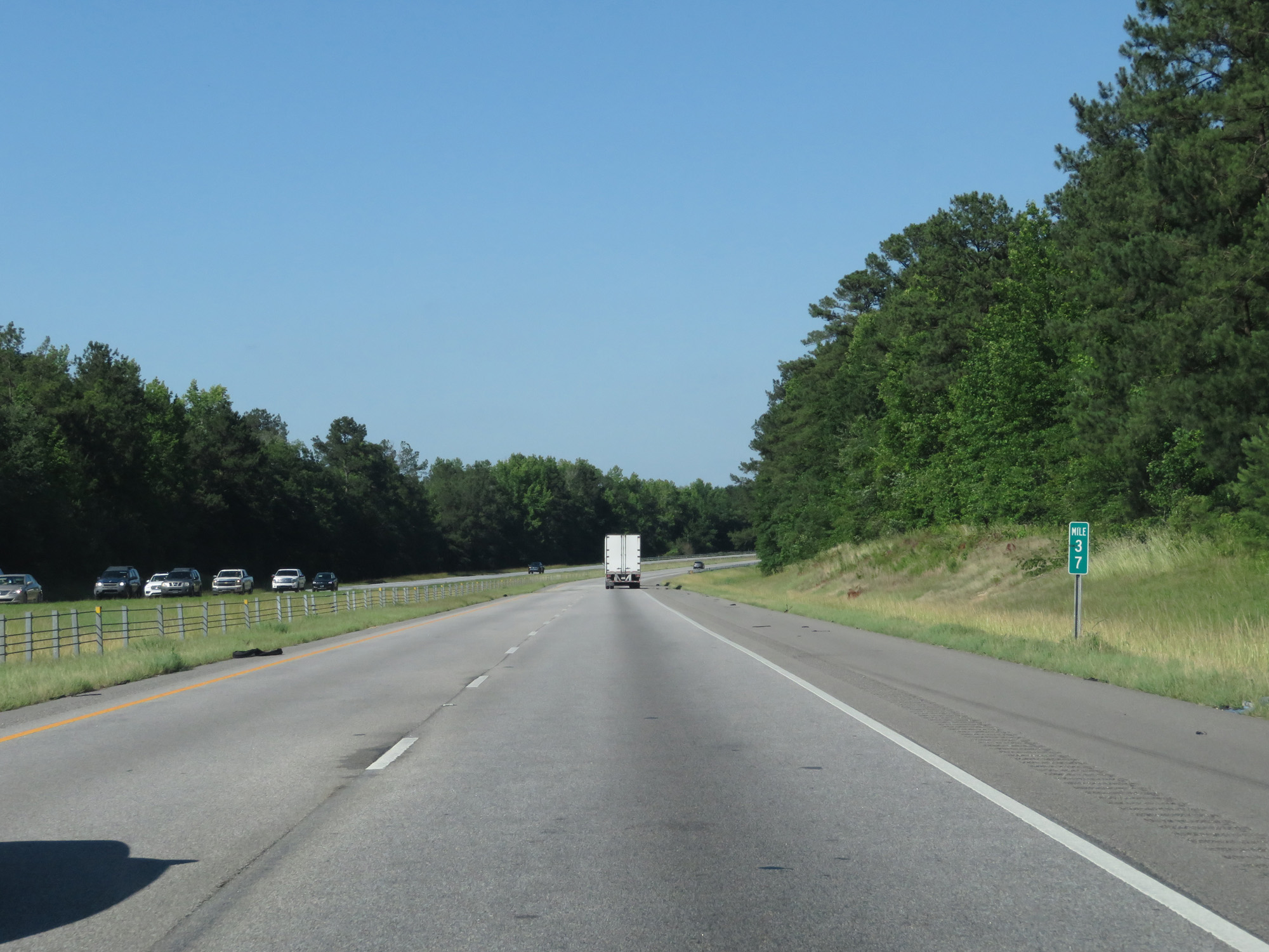 |
Interstate 85 North at mile marker 37. (Photo taken 5/26/17). |
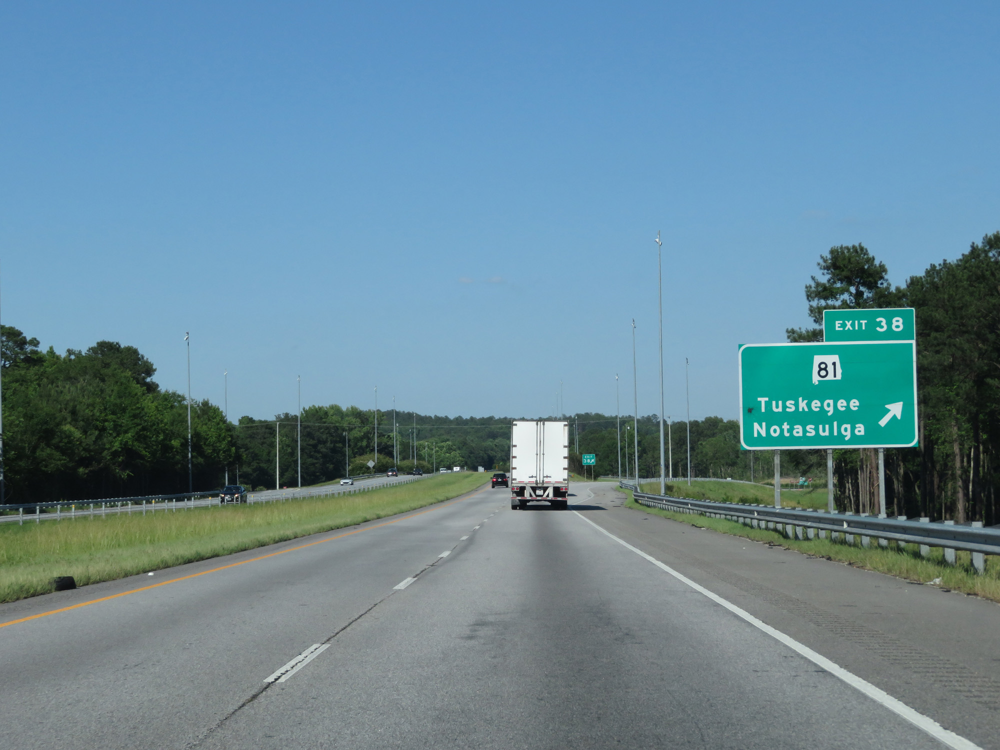 |
Interstate 85 North at Exit 38: AL 81 - Tuskegee / Notasulga (Photo taken 5/26/17). |
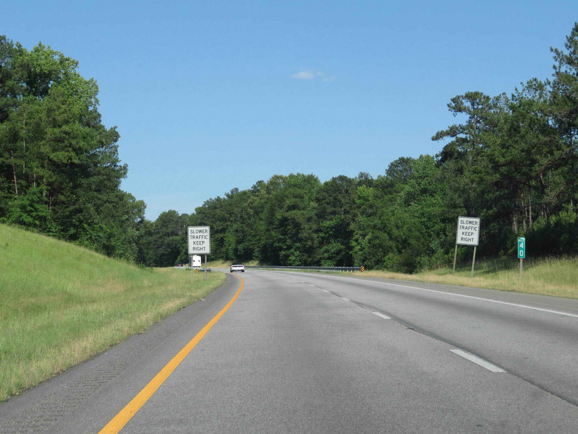 |
Interstate 85 North at mile marker 40. (Photo taken 5/26/17). |
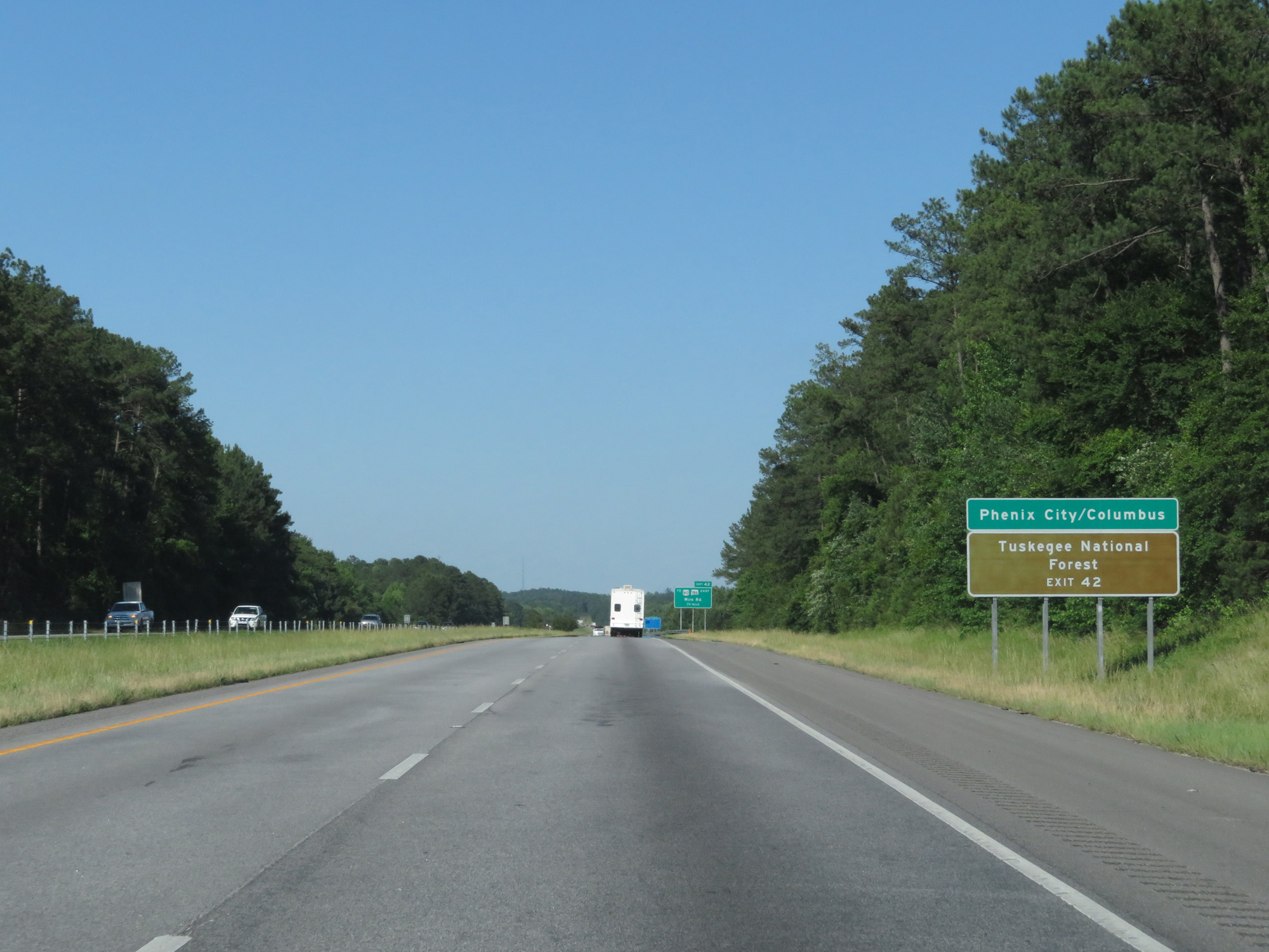 |
Take Exit 42 to Phenix City / Columbus and Tuskegee National Forest. (Photo taken 5/26/17). |
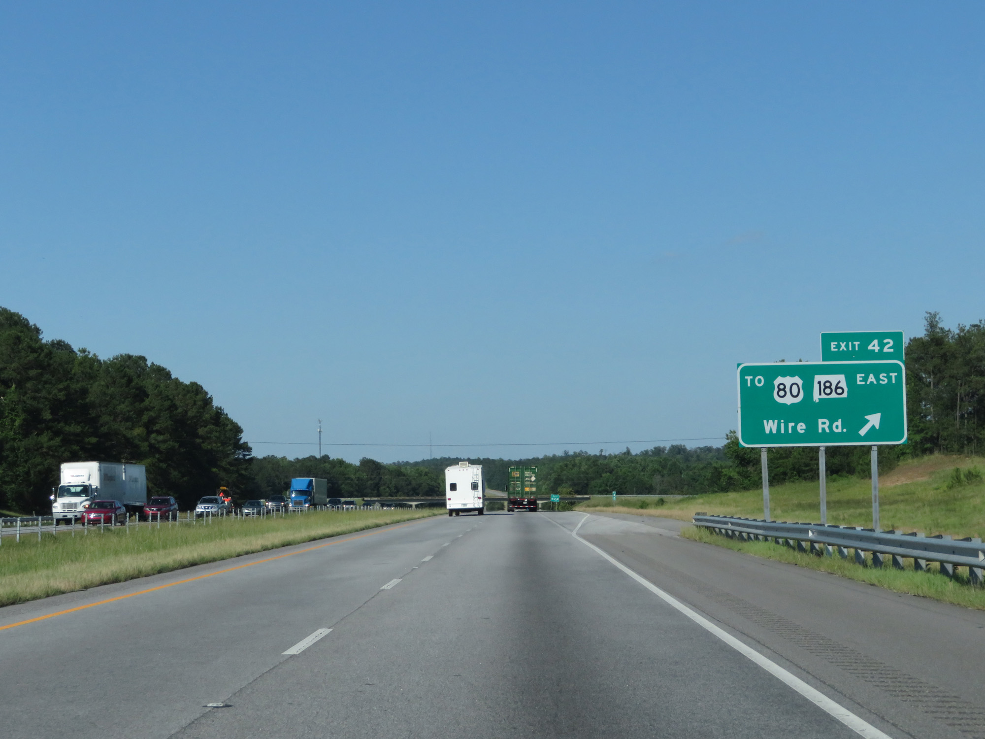 |
Interstate 85 North at Exit 42: To US 80 / AL 186 East - Wire Rd (Photo taken 5/26/17). |
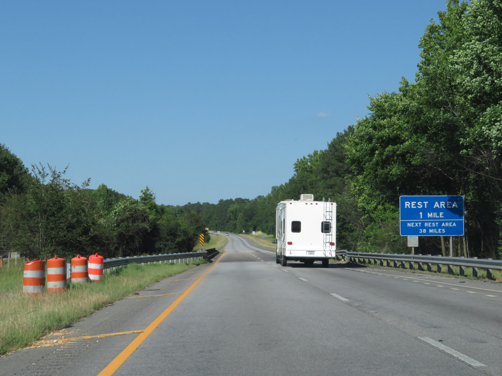 |
It's 38 miles to the next Rest Area beyond the one a mile ahead. (Photo taken 5/26/17). |
 |
The speed limit remains 70 mph. (Photo taken 5/26/17). |
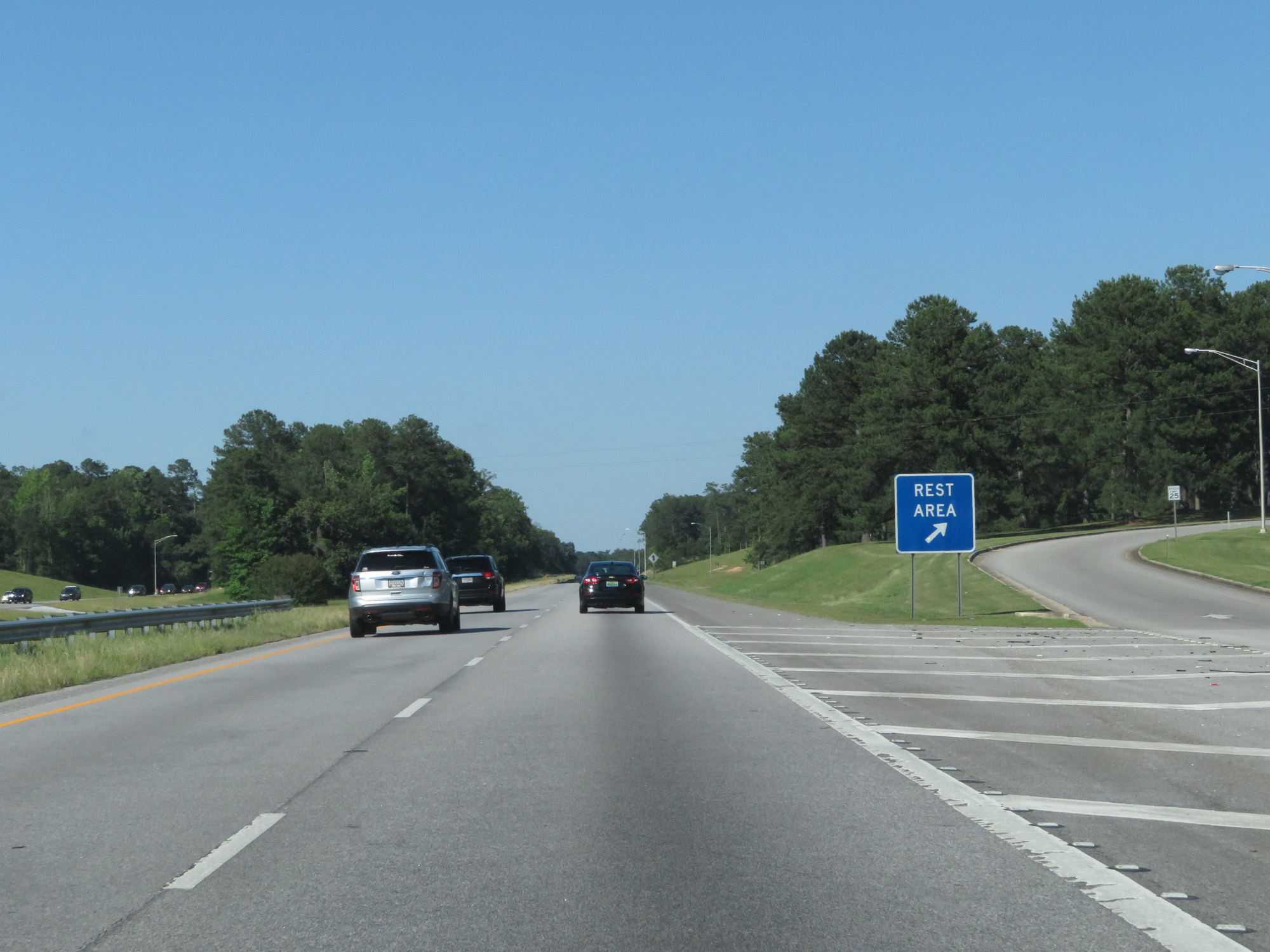 |
Interstate 85 North at the Rest Area located near mile marker 44. (Photo taken 5/26/17). |
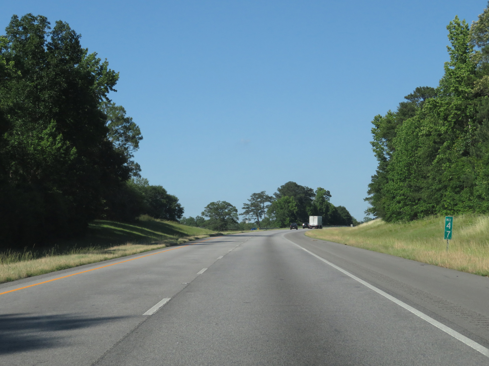 |
Interstate 85 North at mile marker 47. (Photo taken 5/26/17). |
 |
Interstate 85 North entering Lee County. (Photo taken 5/26/17). |
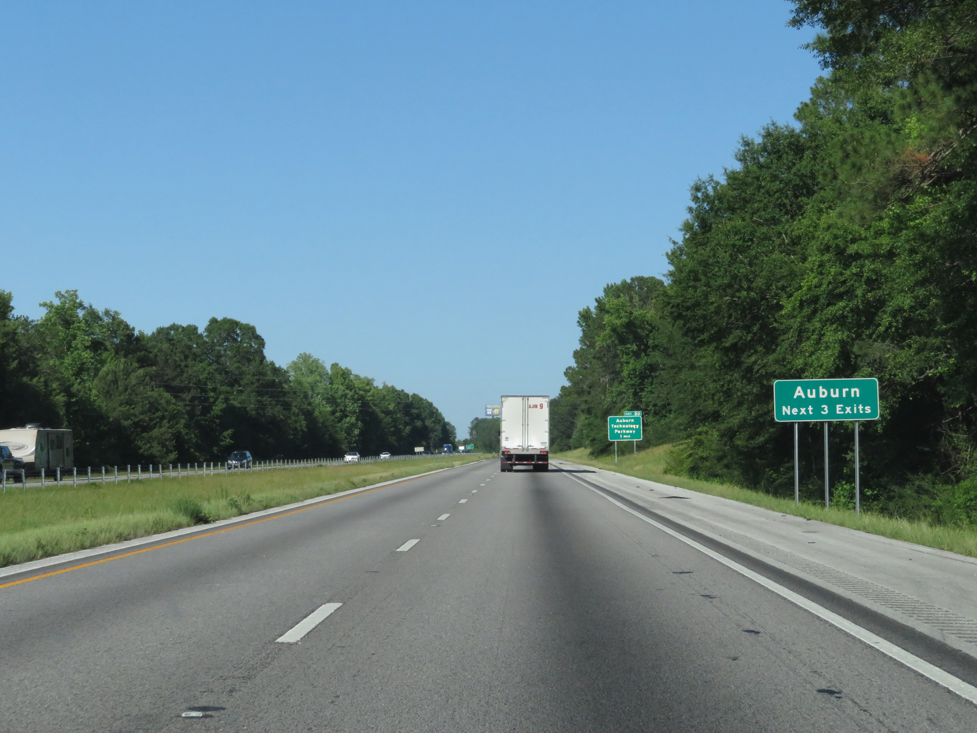 |
Take any of the next 3 exits to Auburn. (Photo taken 5/26/17). |
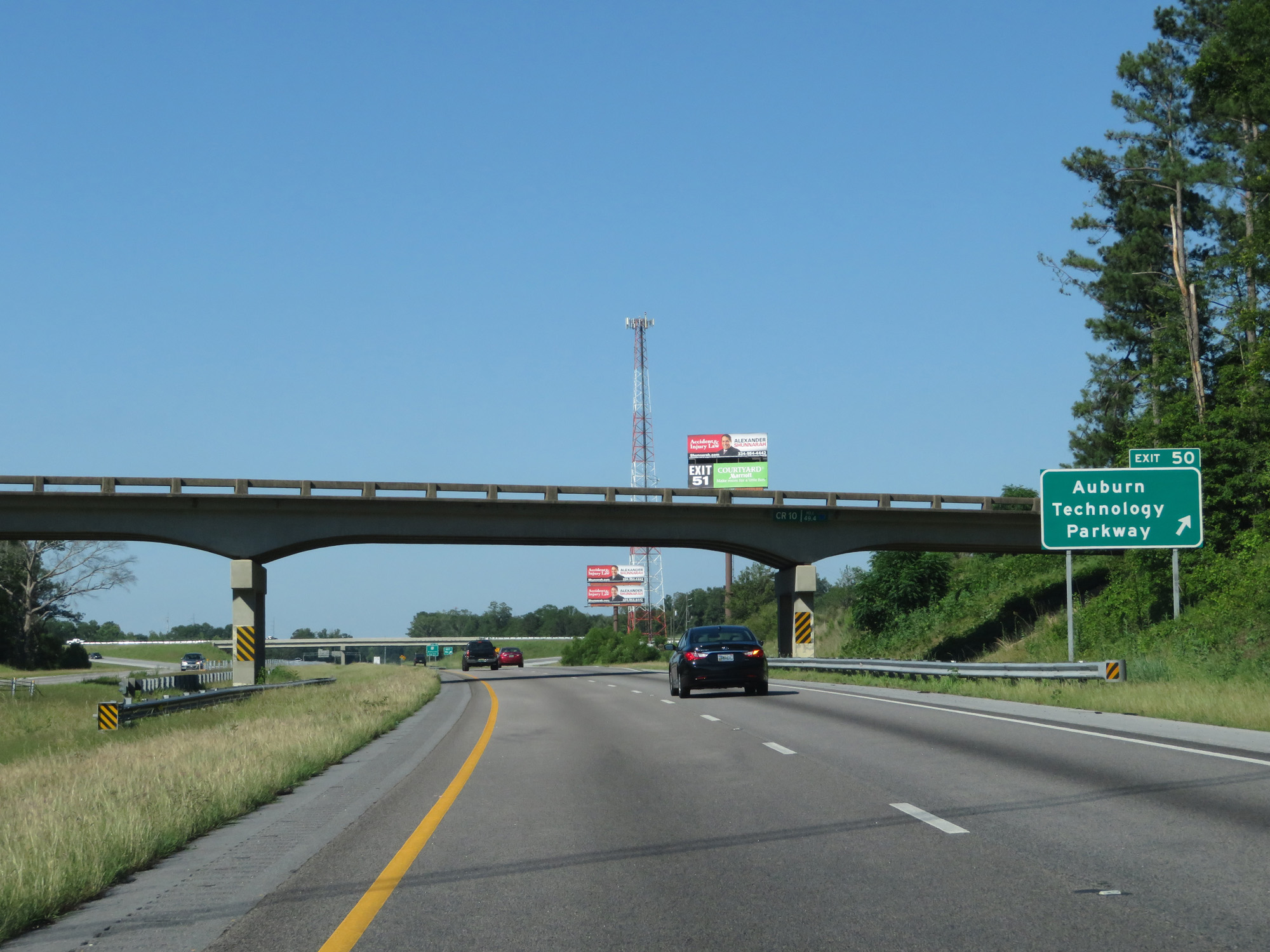 |
Interstate 85 North at Exit 50: Auburn Technology Parkway (Photo taken 5/26/17). |
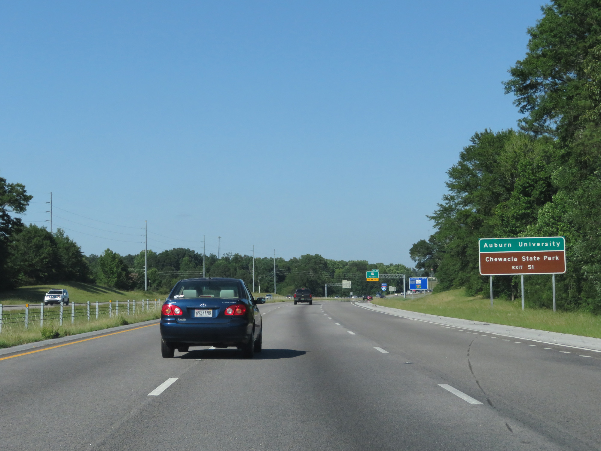 |
Take Exit 51 to Auburn University and Chewacla State Park. (Photo taken 5/26/17). |
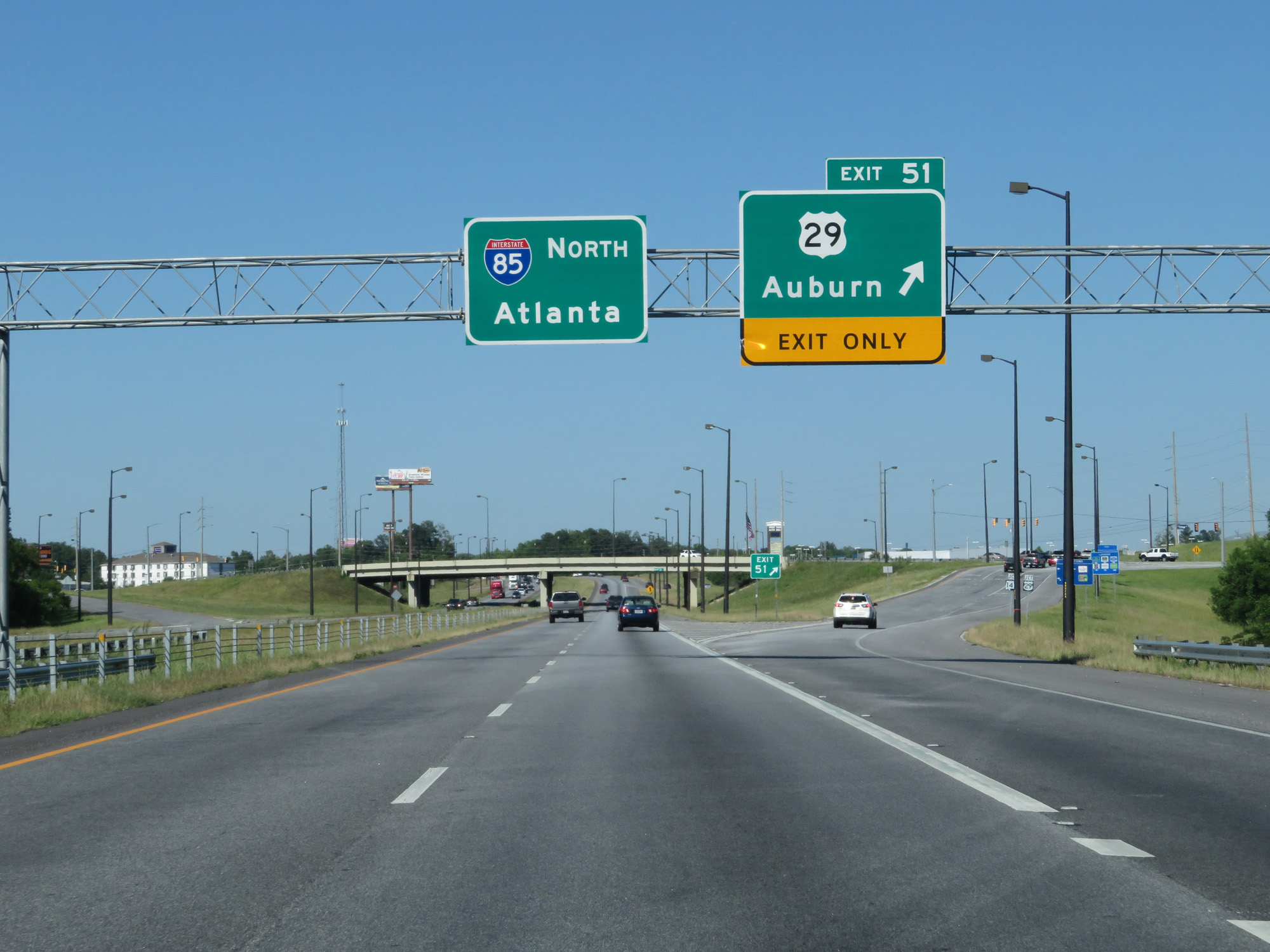 |
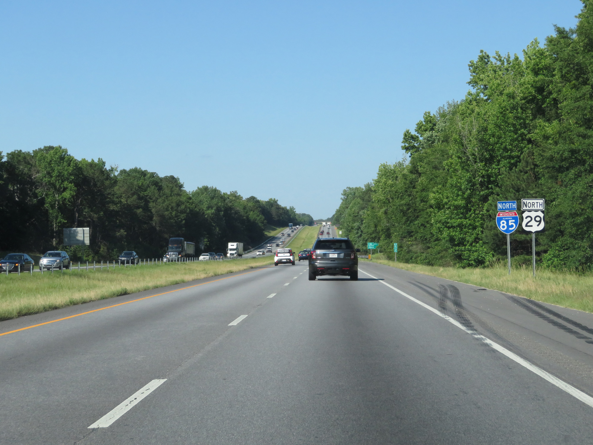
Interstate 85 North at Exit 51: US 29 - Auburn (Photo taken 5/26/17). |
 |
Another state-named Interstate 85 North reassurance shield. (Photo taken 5/26/17). |
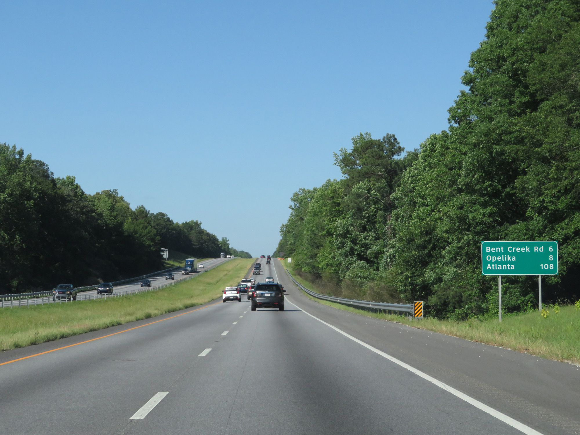 |
Mileage sign on Interstate 85 North. It's 6 miles to Bent Creek Rd, 8 miles to Opelika, and 108 miles to Atlanta. (Photo taken 5/26/17). |
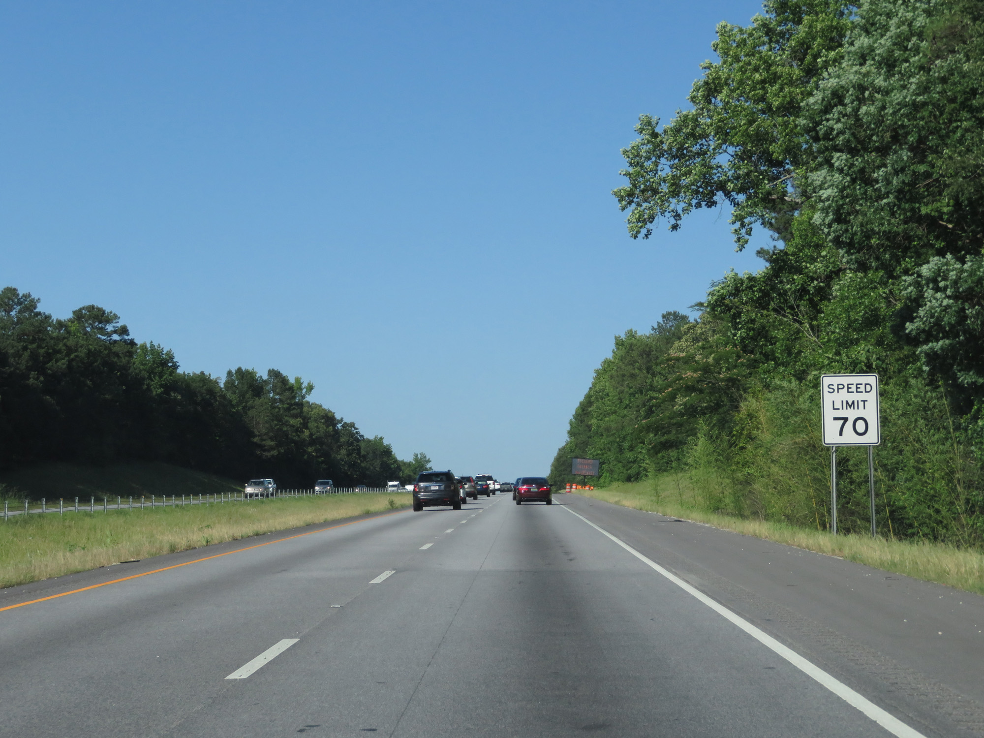 |
Speed Limit - 70 mph. (Photo taken 5/26/17). |
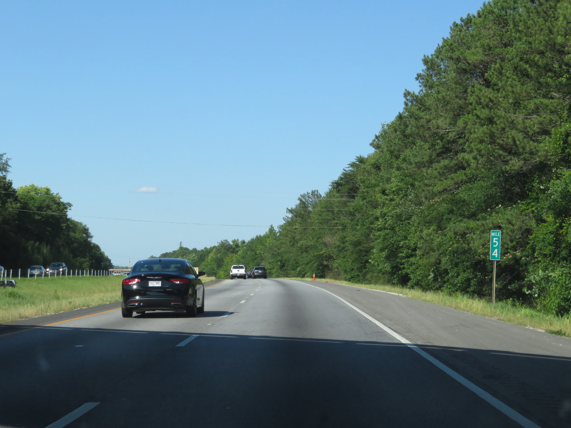 |
Interstate 85 North at mile marker 54. (Photo taken 5/26/17). |
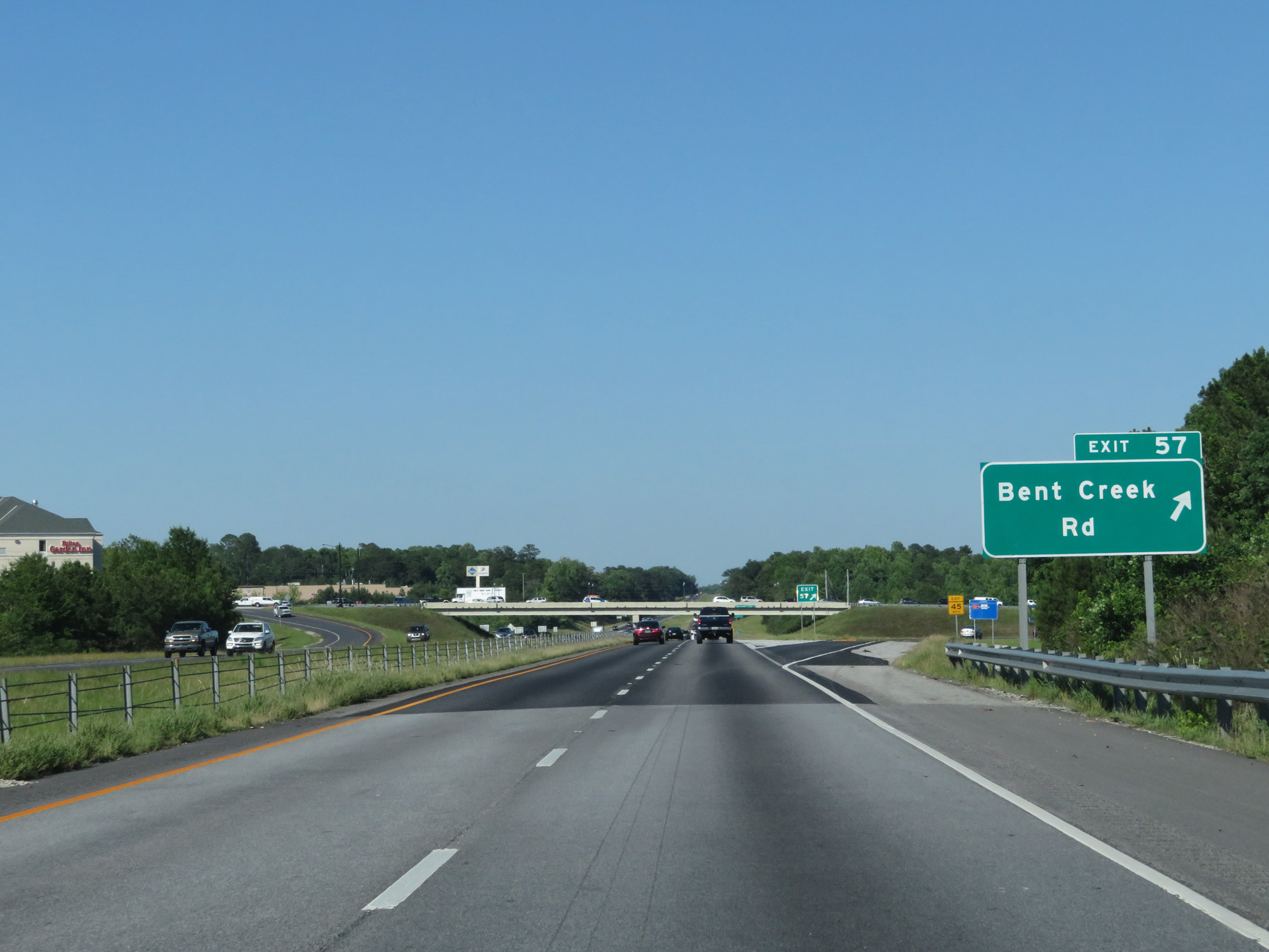 |
Interstate 85 North at Exit 57: Bent Creek Rd (Photo taken 5/26/17). |
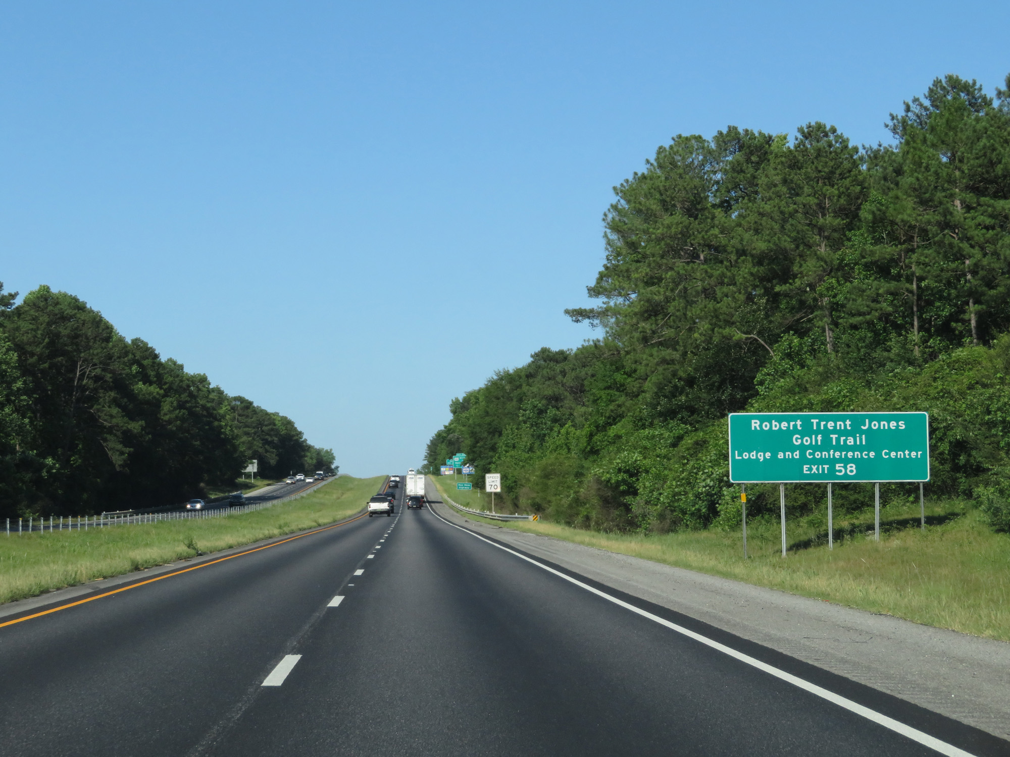 |
Take Exit 58 to Robert Trent Jones Golf Trail Lodge and Conference Center. (Photo taken 5/26/17). |
 |
Take any of the next 5 exits to Opelika. (Photo taken 5/26/17). |
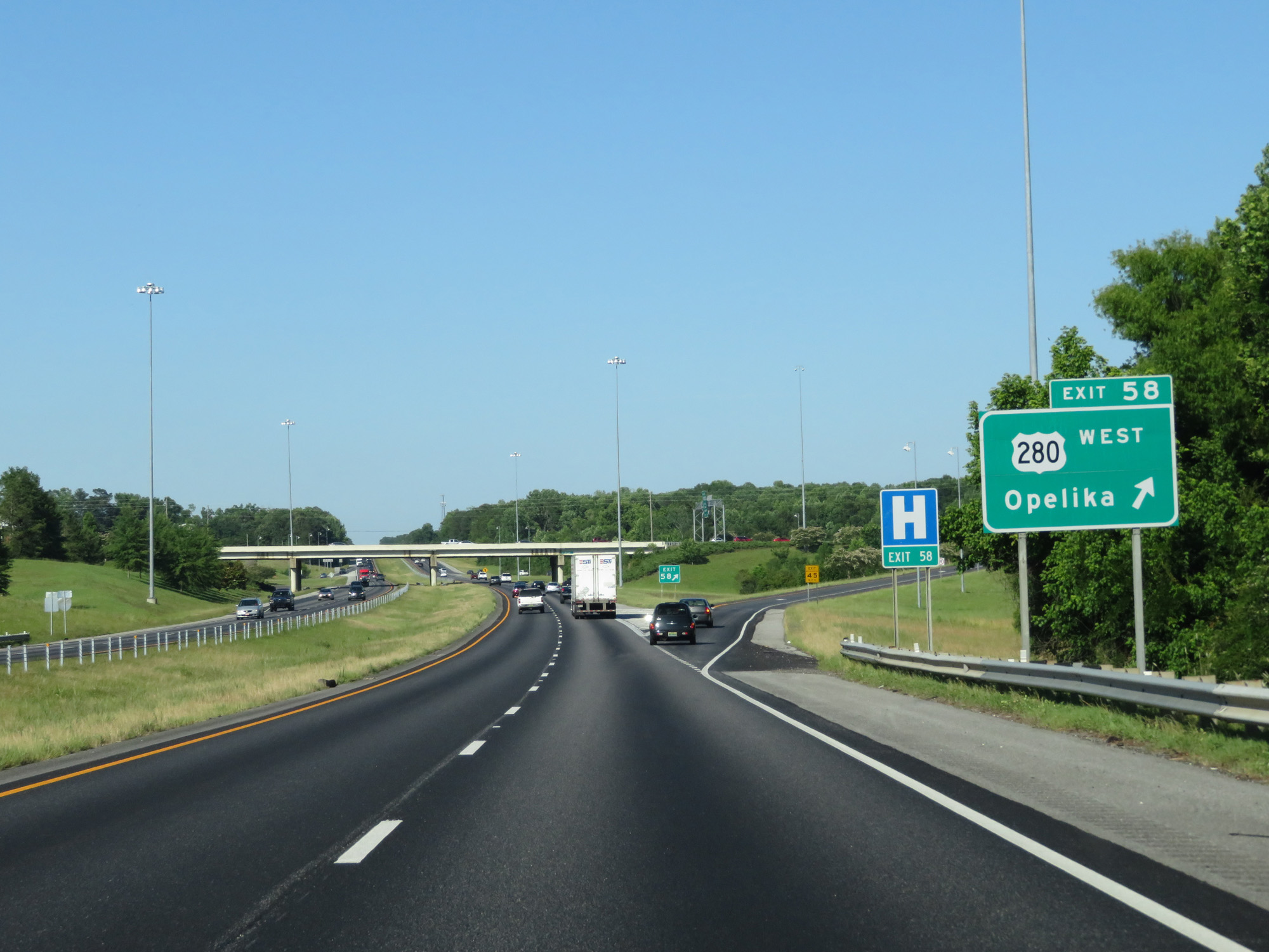 |
Interstate 85 North at Exit 58: US 280 West - Opelika (Photo taken 5/26/17). |
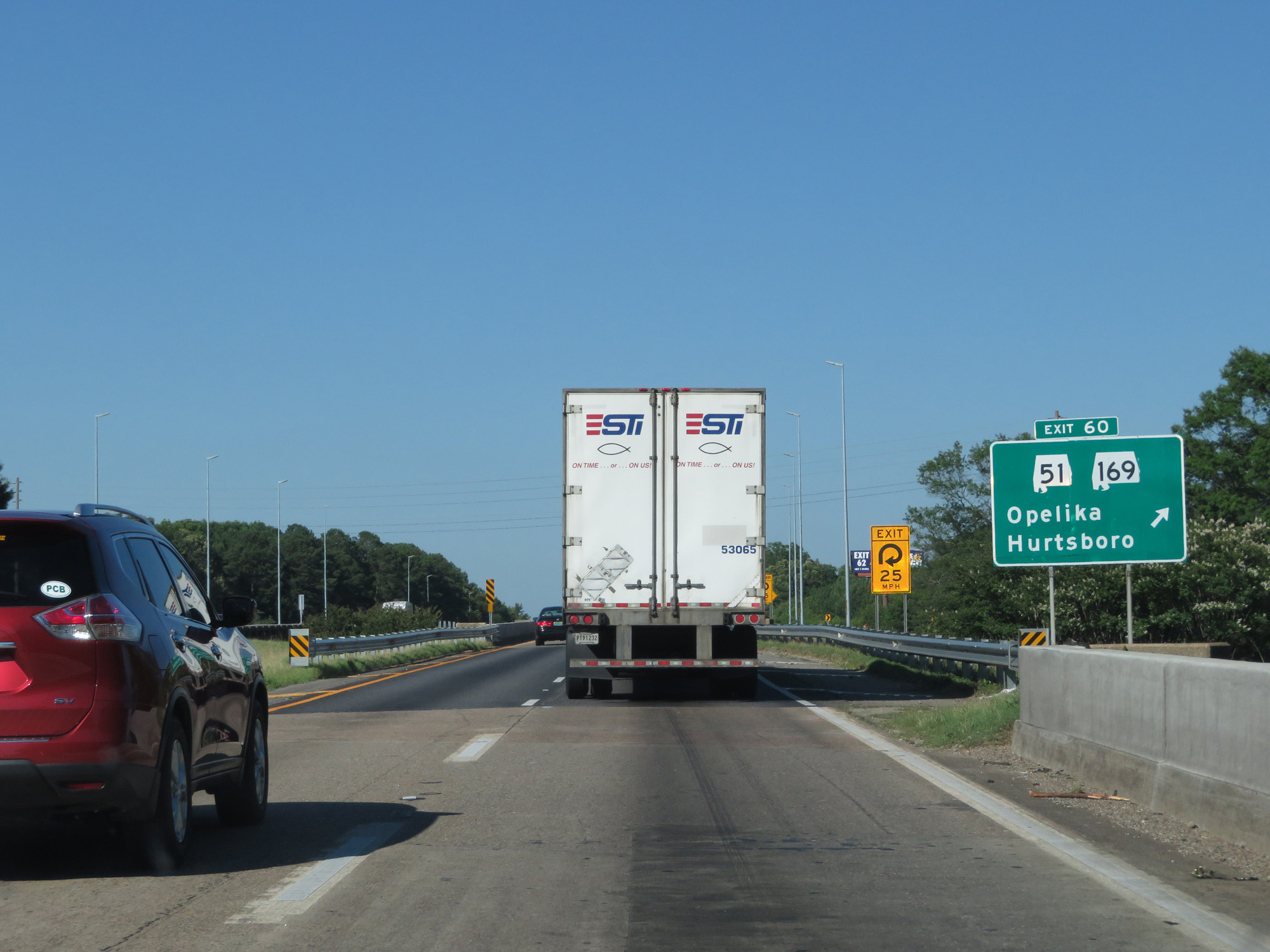 |
Interstate 85 North at Exit 60: AL 51 / AL 169 - Opelika / Hurtsboro (Photo taken 5/26/17). |
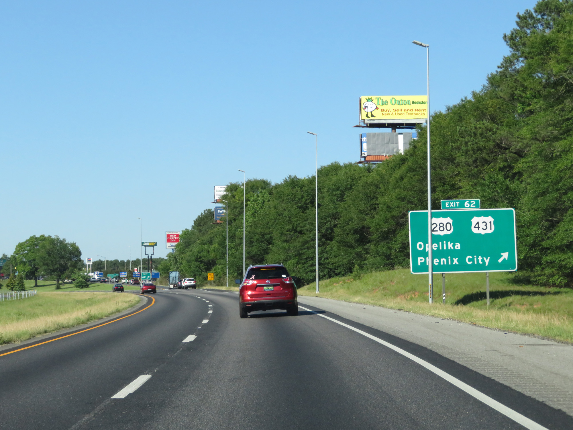 |
Interstate 85 North at Exit 62: US 280 / US 431 - Opelika / Phenix City (Photo taken 5/26/17). |
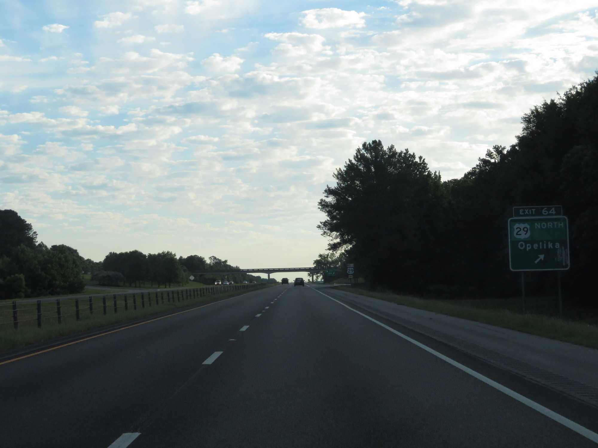 |
Interstate 85 North at Exit 64: US 29 North - Opelika (Photo taken 5/27/17). |
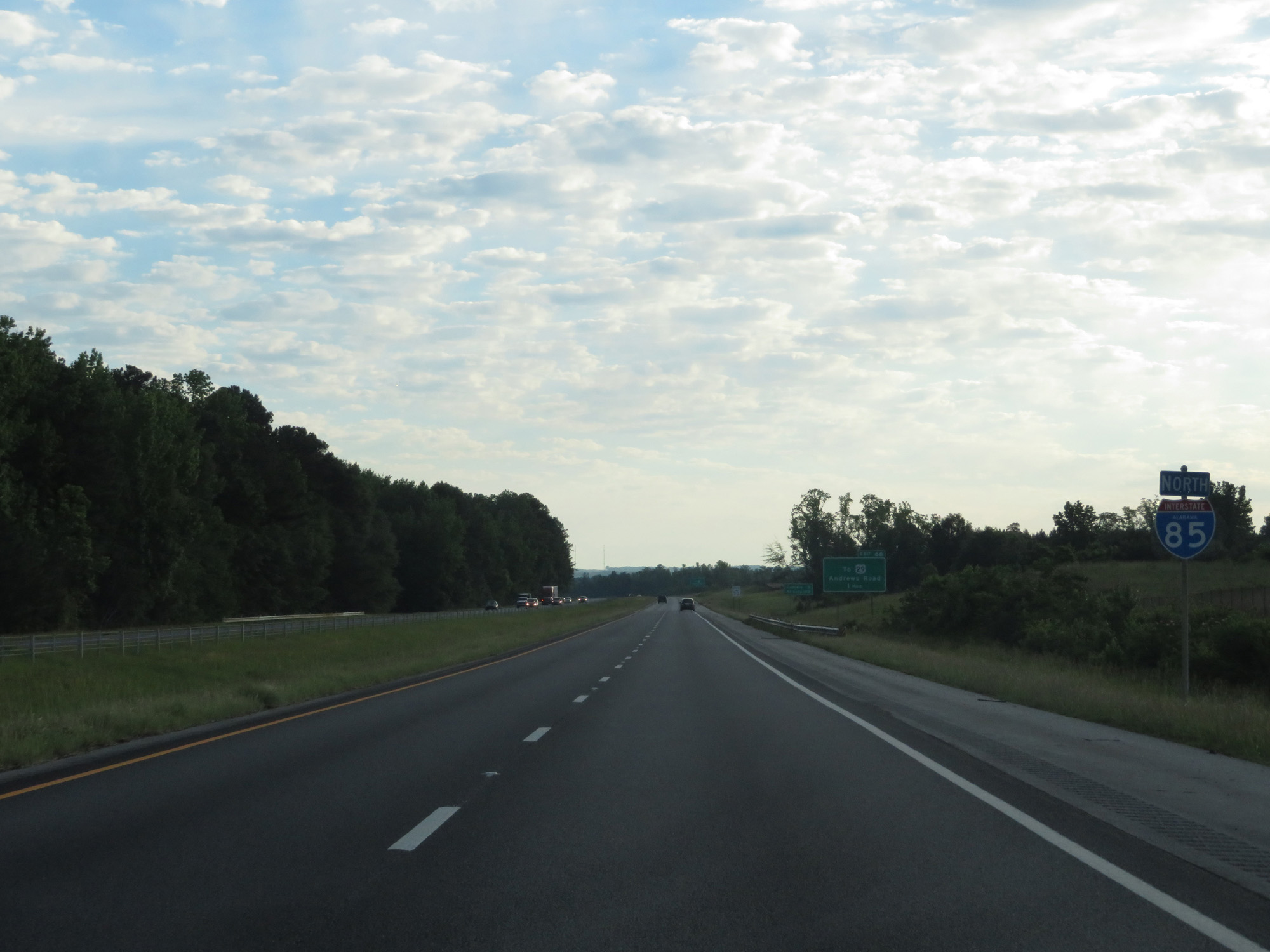 |
State-named Interstate 85 North reassurance shield. (Photo taken 5/27/17). |
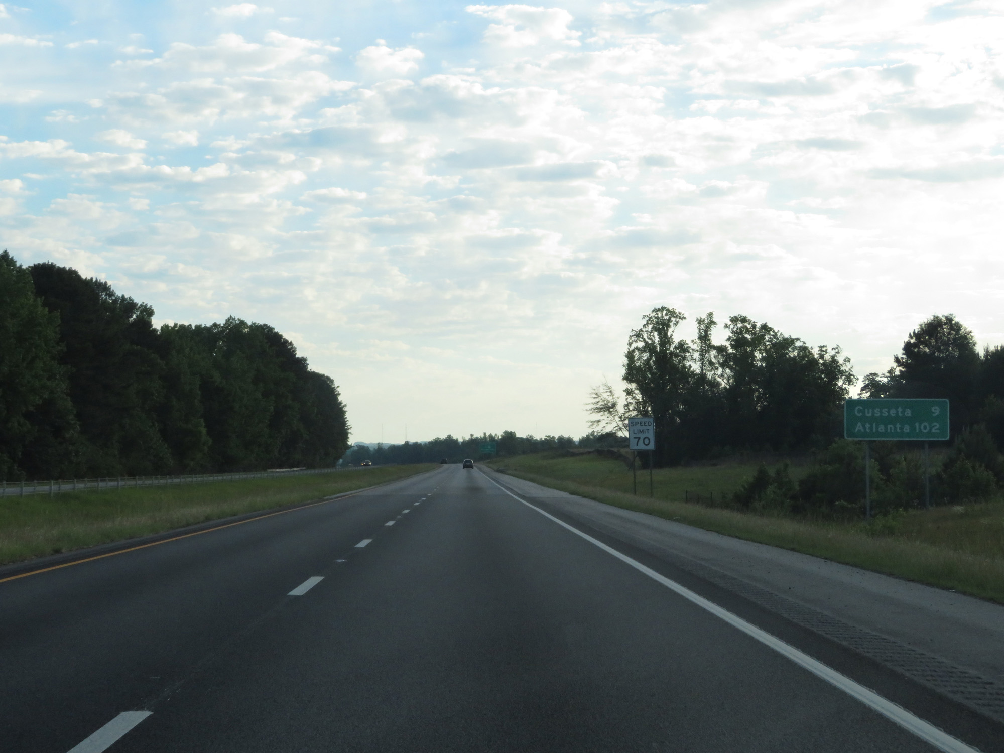 |
Mileage sign on Interstate 85 North. It's 9 miles to Cusseta and 102 miles to Atlanta. (Photo taken 5/27/17). |
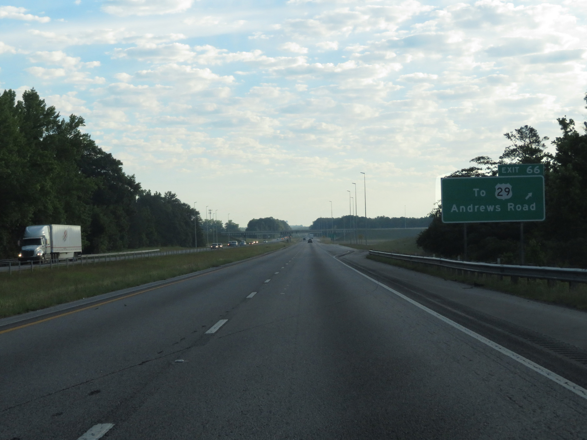 |
Interstate 85 North at Exit 66: To US 29 - Andrews Road (Photo taken 5/27/17). |
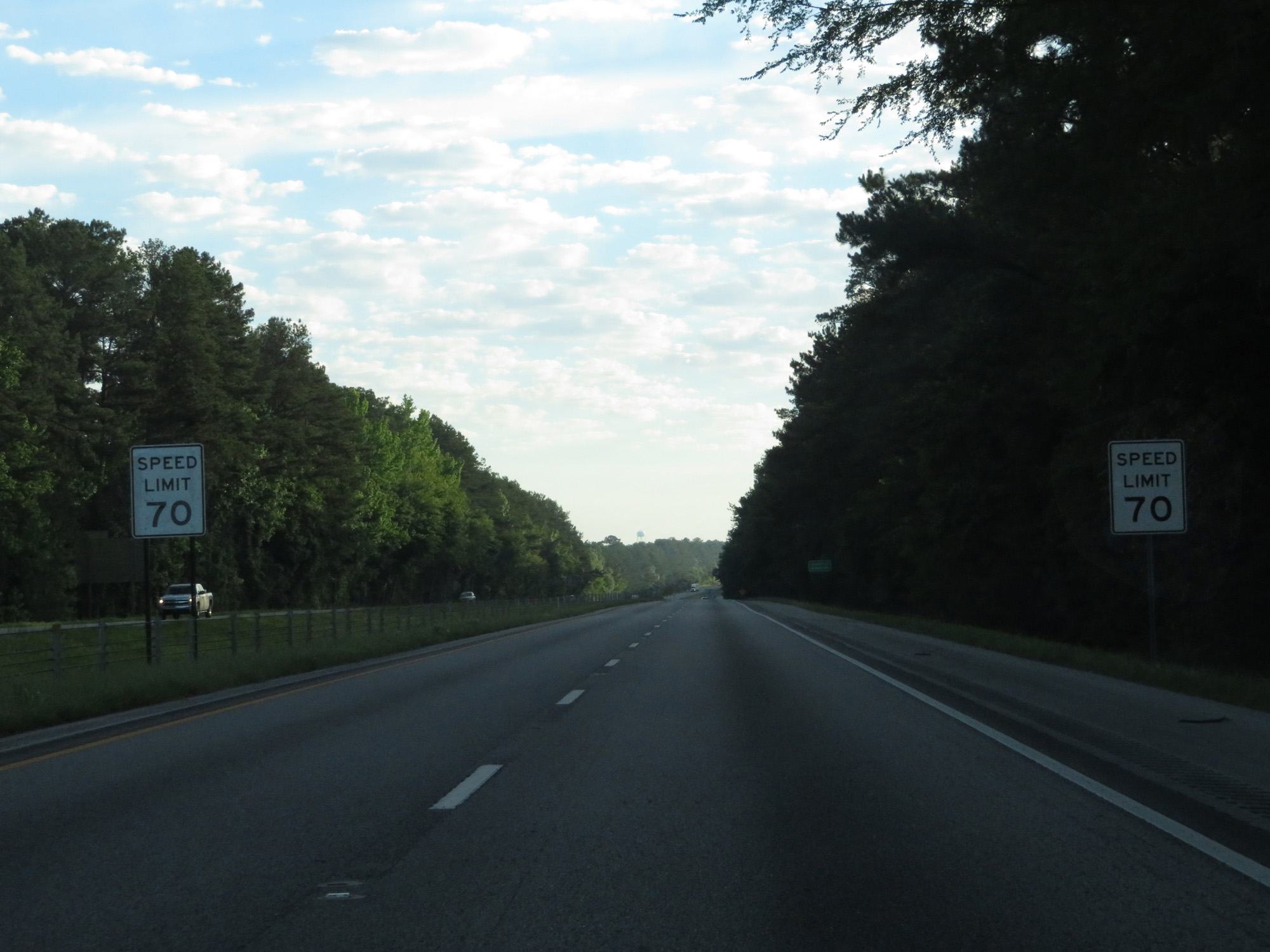 |
The speed limit remains 70 mph. (Photo taken 5/27/17). |
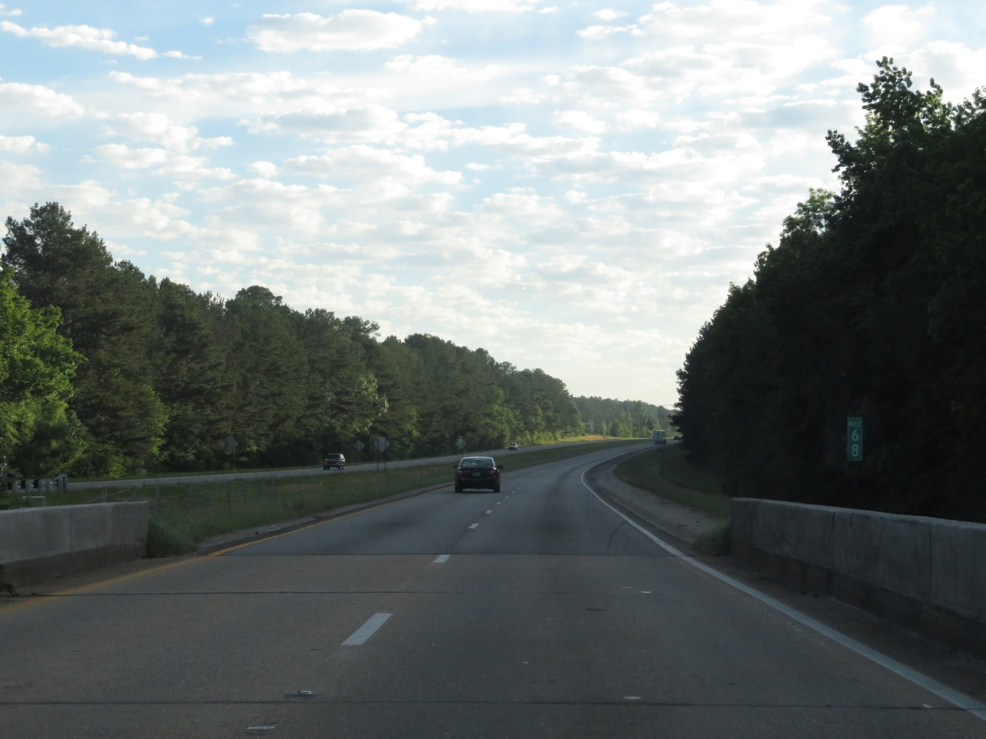 |
Interstate 85 North at mile marker 68. (Photo taken 5/27/17). |
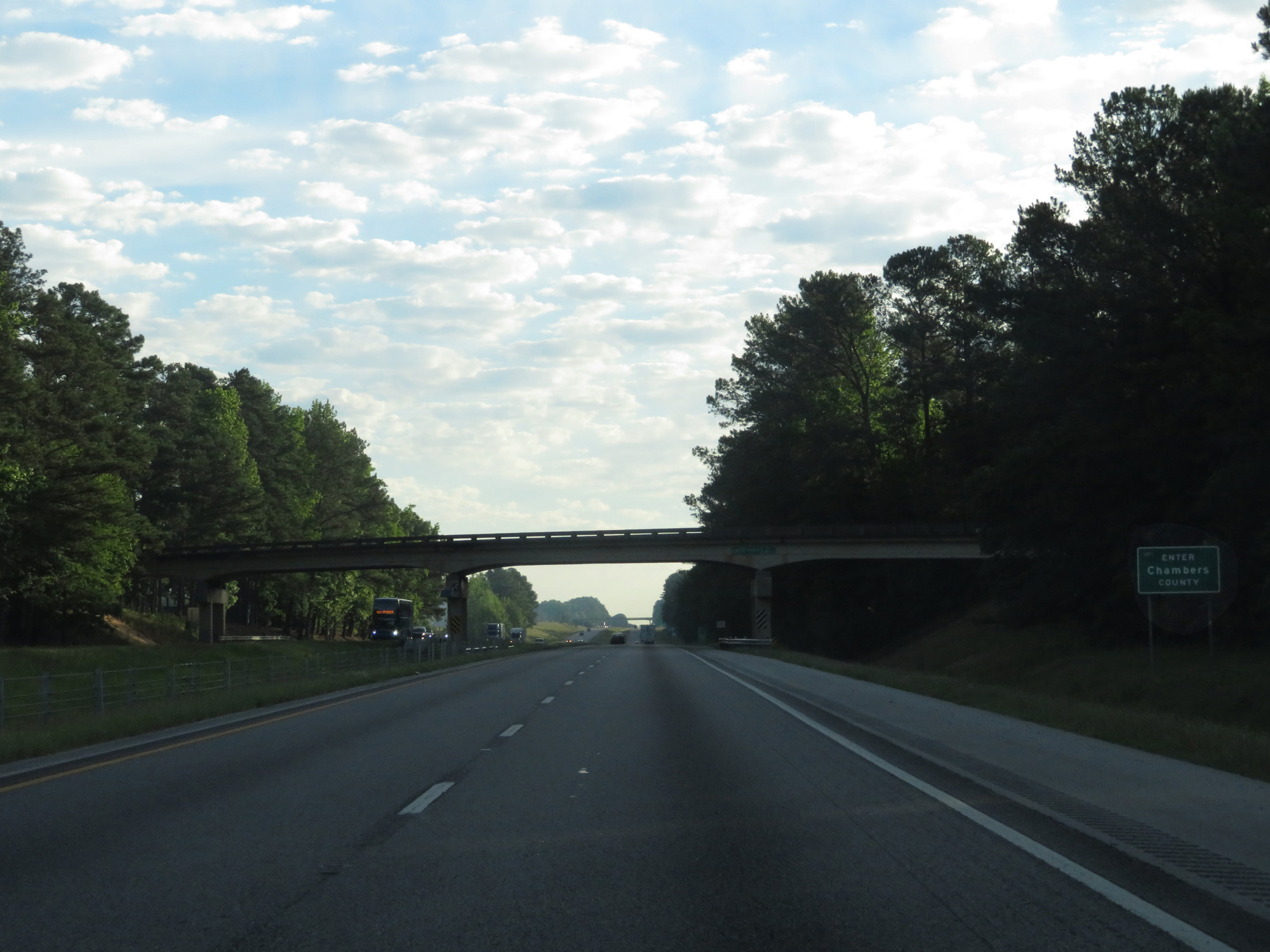 |
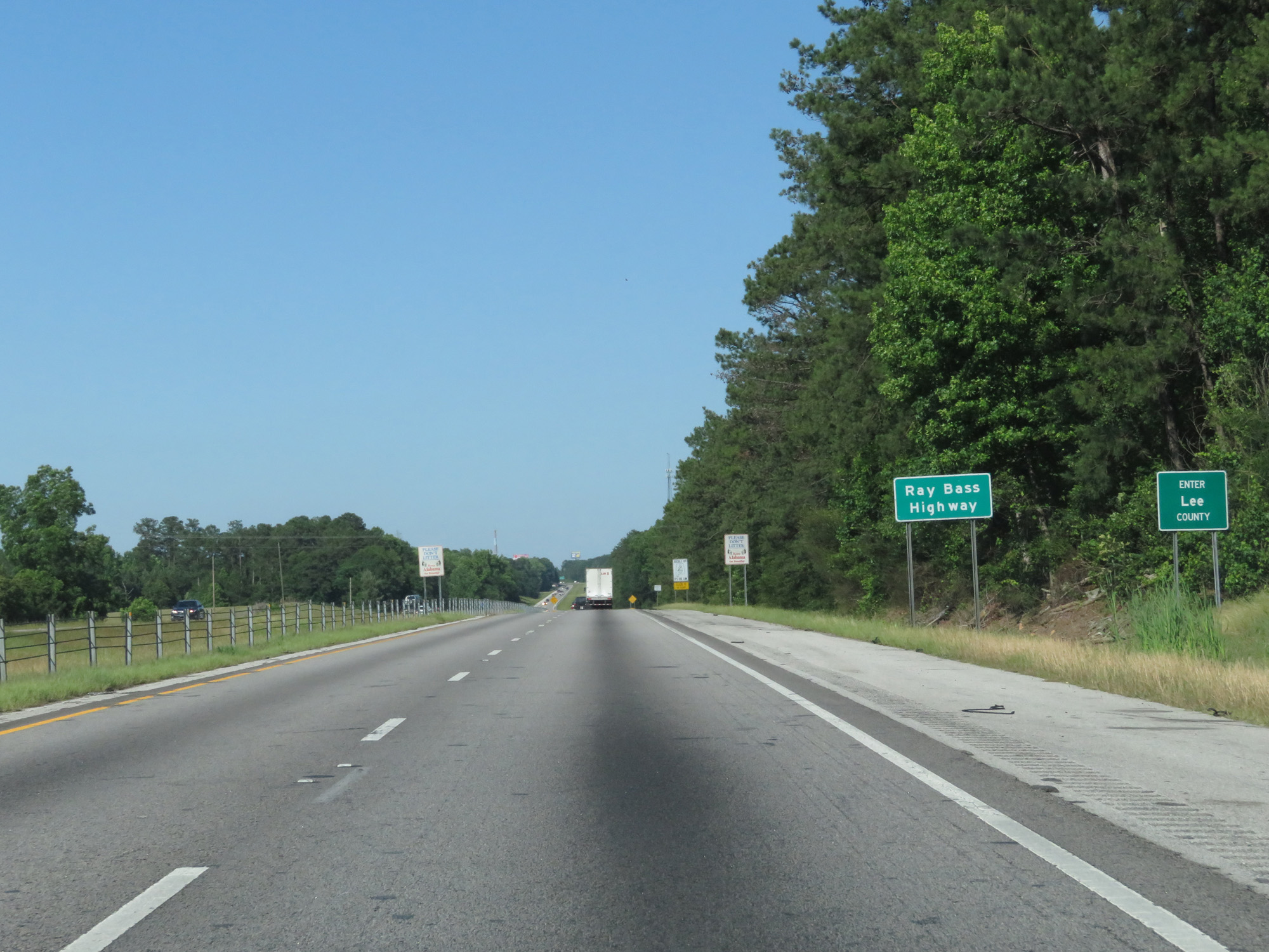
Interstate 85 North entering Chambers County. (Photo taken 5/27/17). |
 |
Take Exit 70 to Lafayette. (Photo taken 5/27/17). |
 |
Interstate 85 North at Exit 70: CR 388 - Cusseta (Photo taken 5/27/17). |
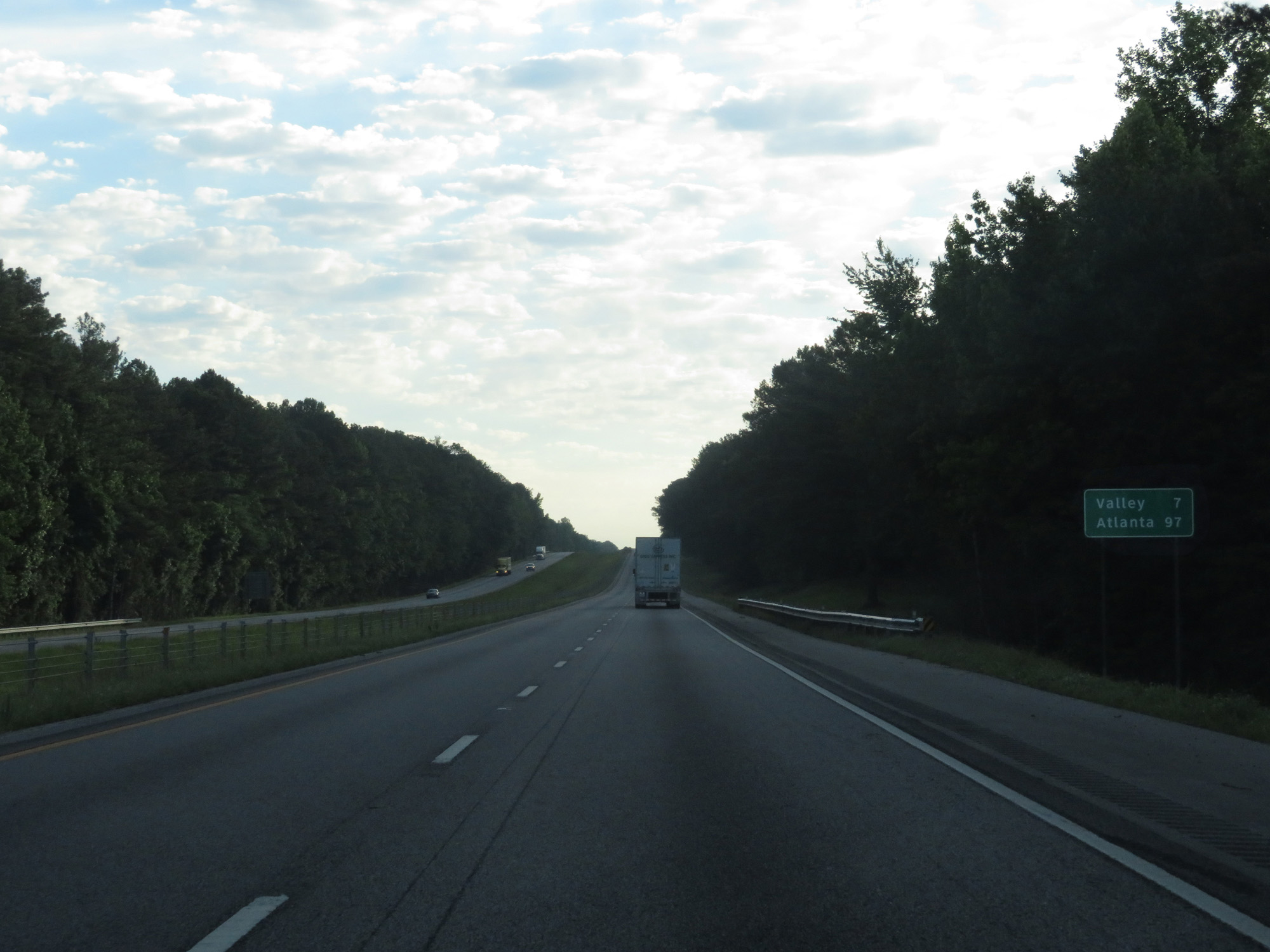 |
Mileage sign on Interstate 85 North. It's 7 miles to Valley and 97 miles to Atlanta. (Photo taken 5/27/17). |
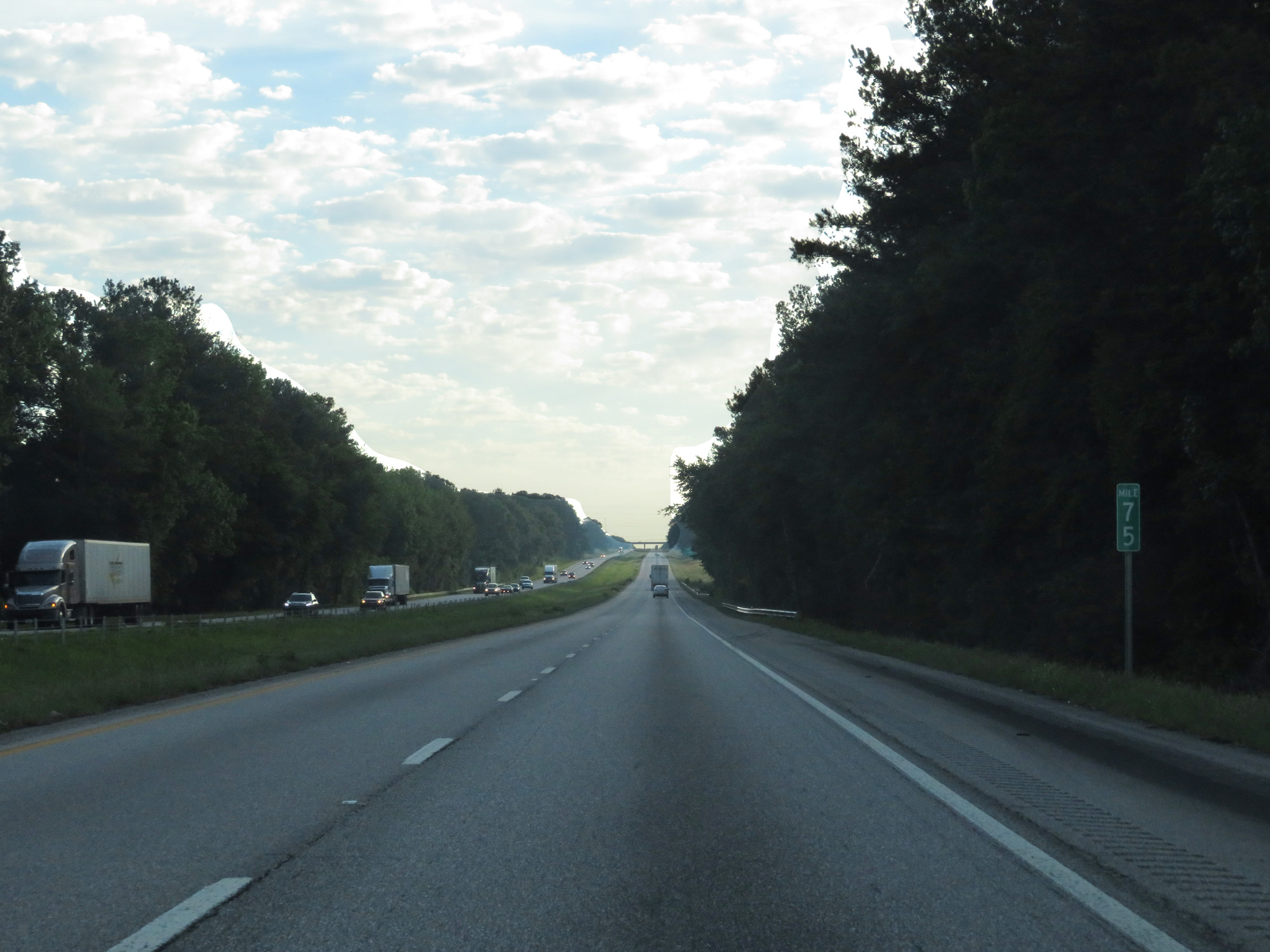 |
Interstate 85 North at mile marker 75. (Photo taken 5/27/17). |
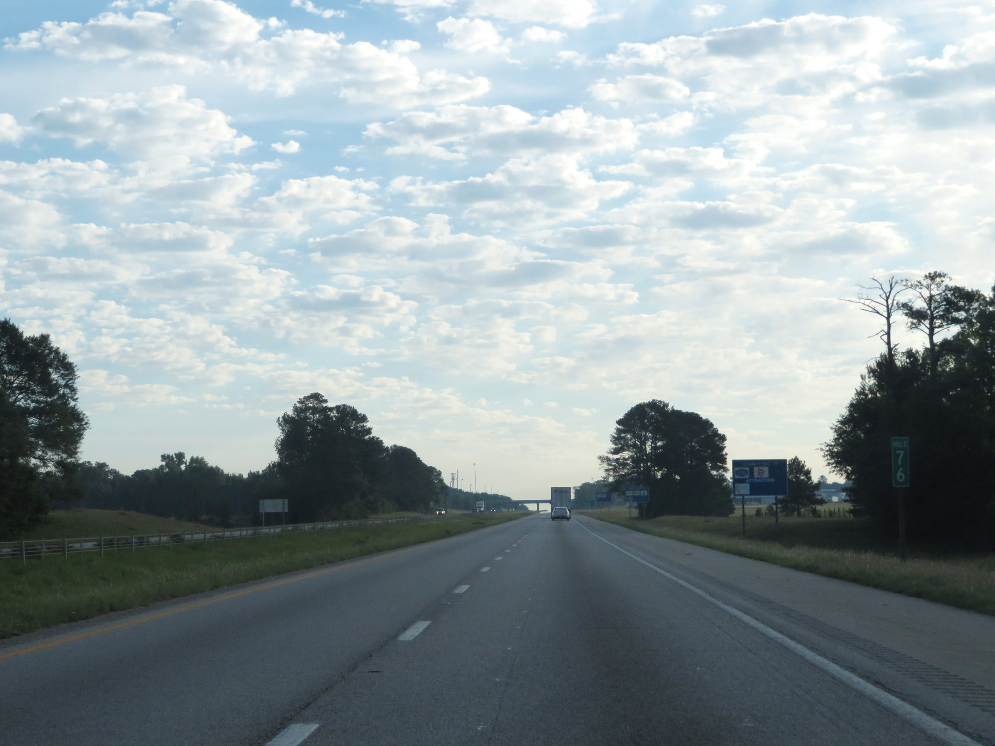 |
Interstate 85 North at mile marker 76. (Photo taken 5/27/17). |
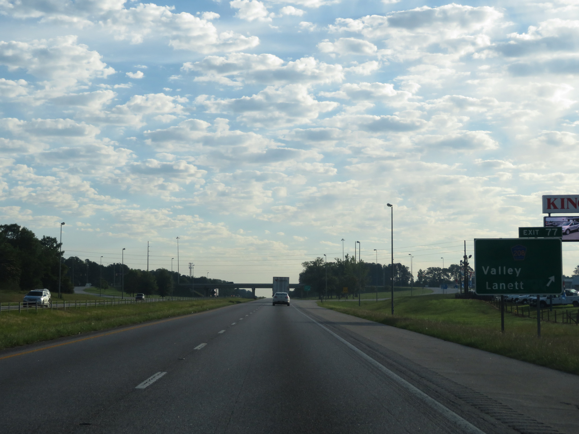 |
Interstate 85 North at Exit 77: CR 208 - Valley / Lanett (Photo taken 5/27/17). |
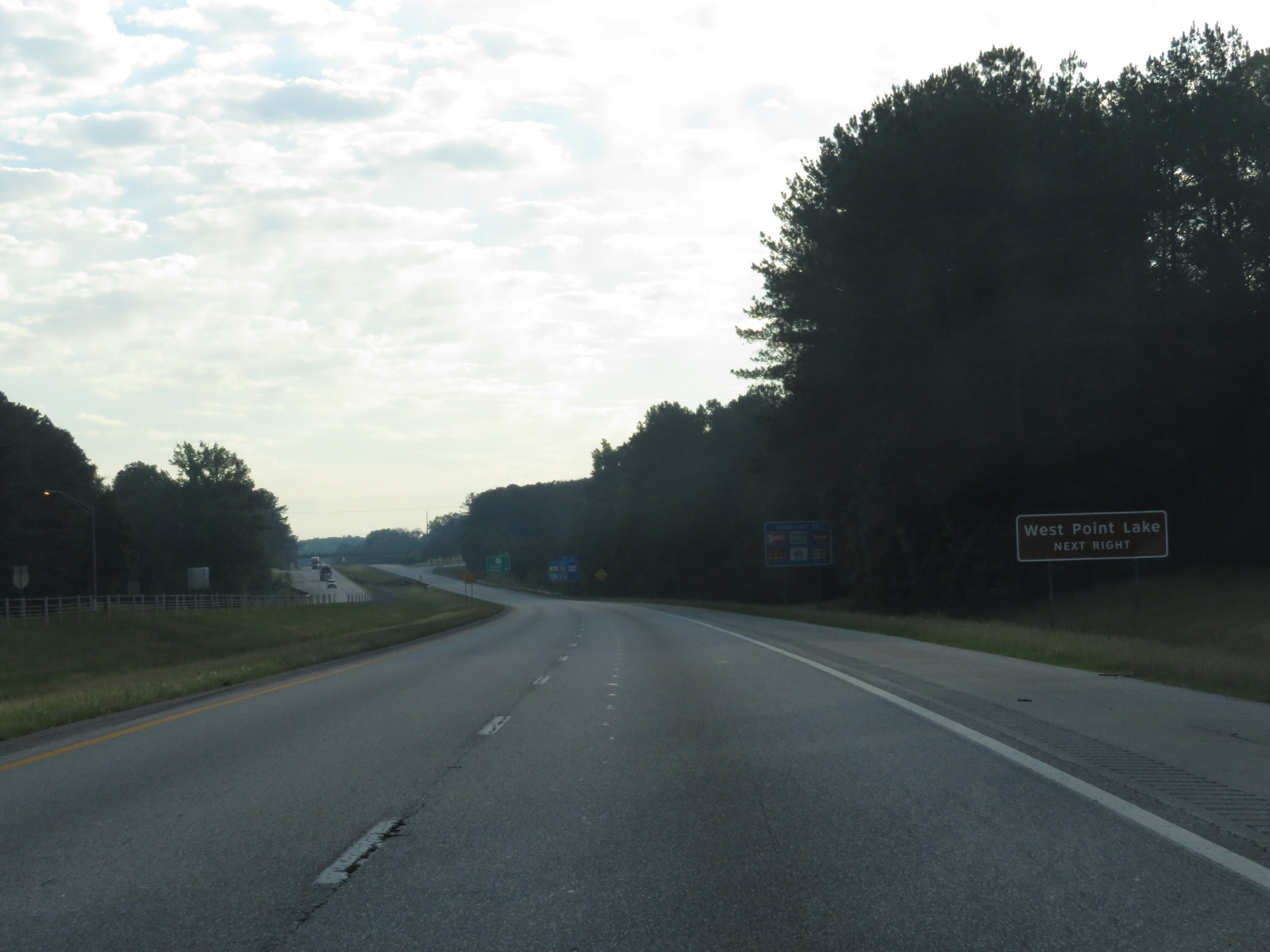 |
Take Exit 79 to West Point Lake. (Photo taken 5/27/17). |
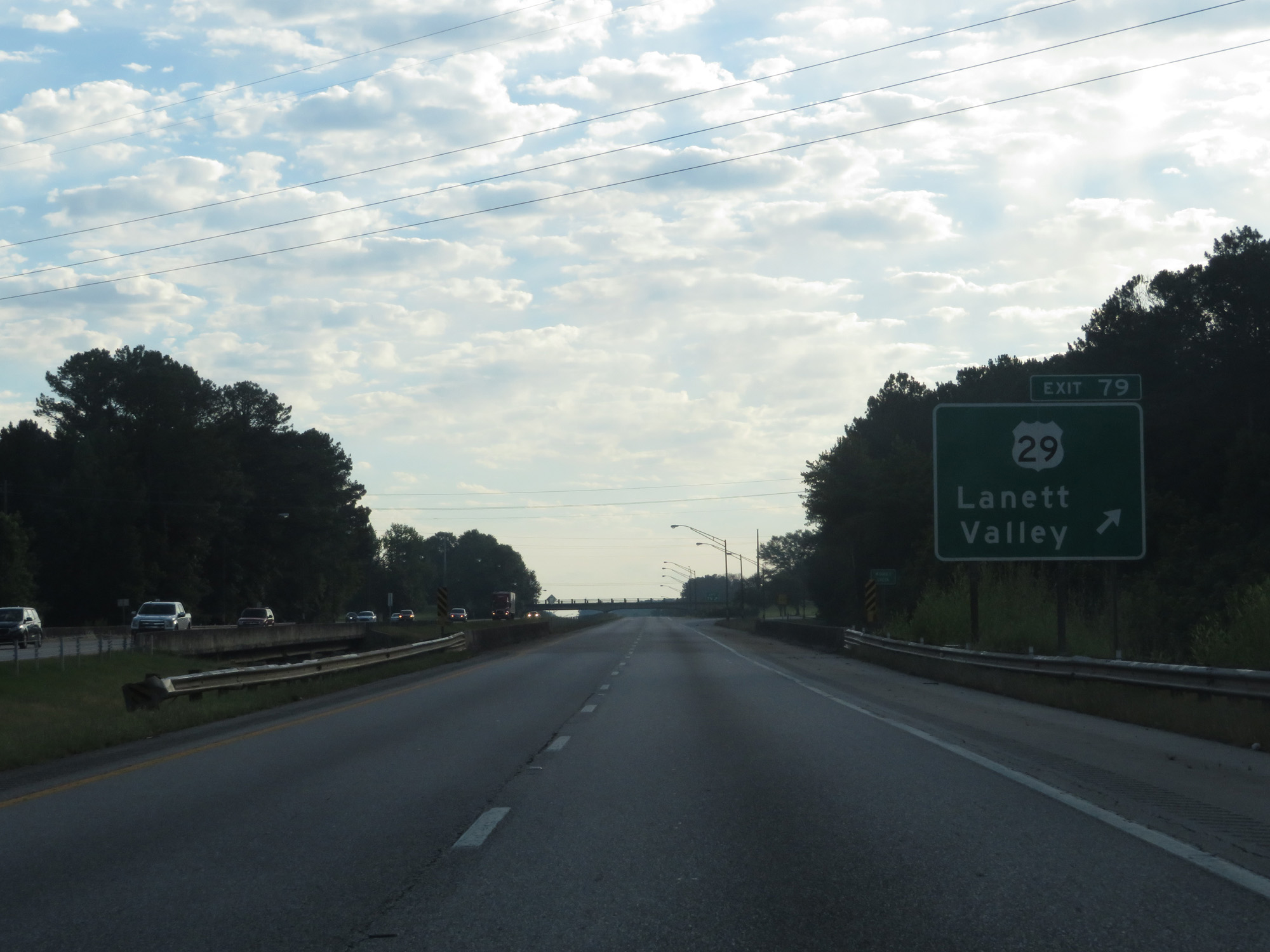 |
Interstate 85 North at Exit 79: US 29 - Lanett / Valley (Photo taken 5/27/17). |
 |
The Georgia Welcome Center and Visitor Information Center is 1/2 mile ahead. (Photo taken 5/27/17). |
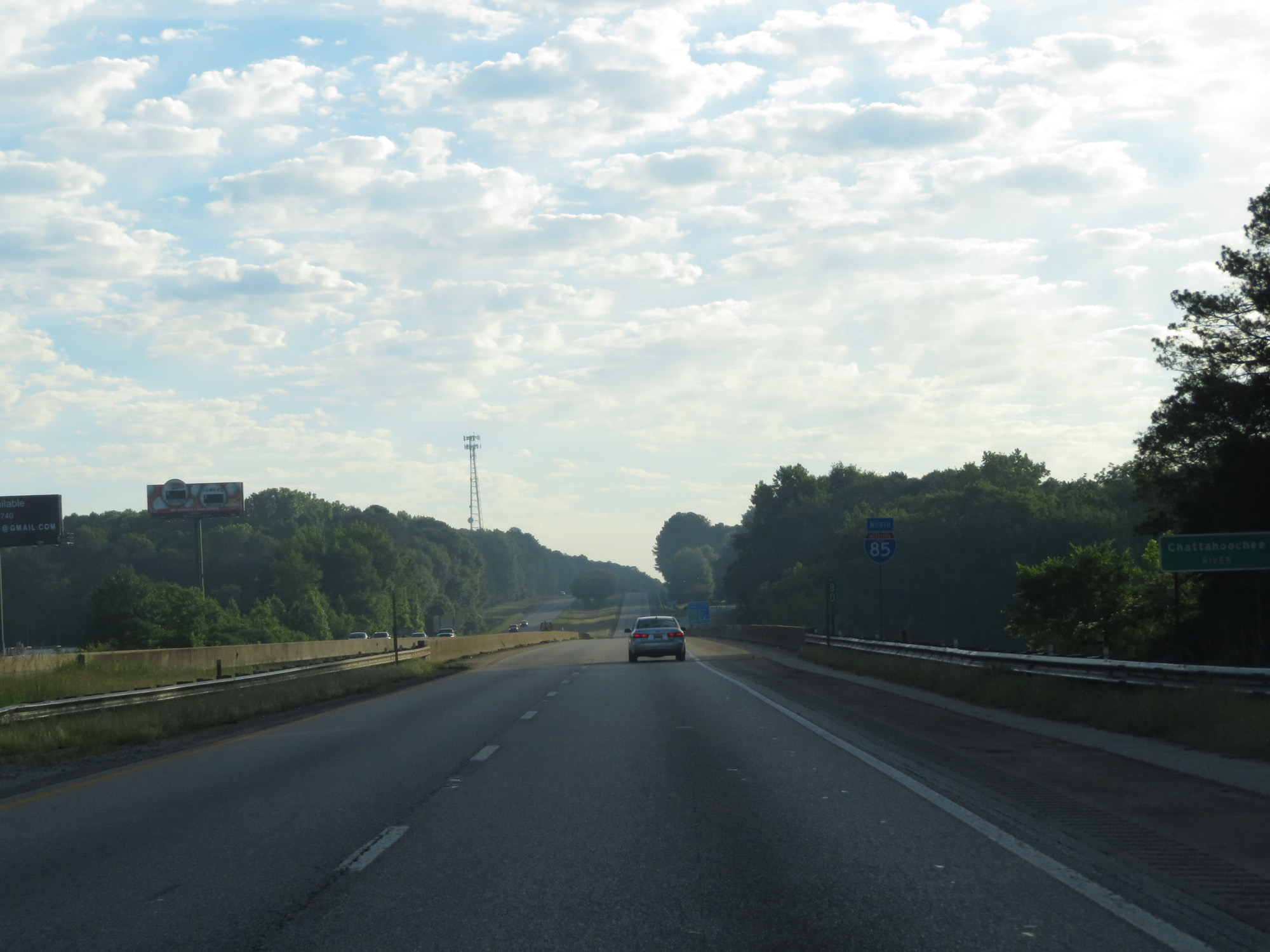 |
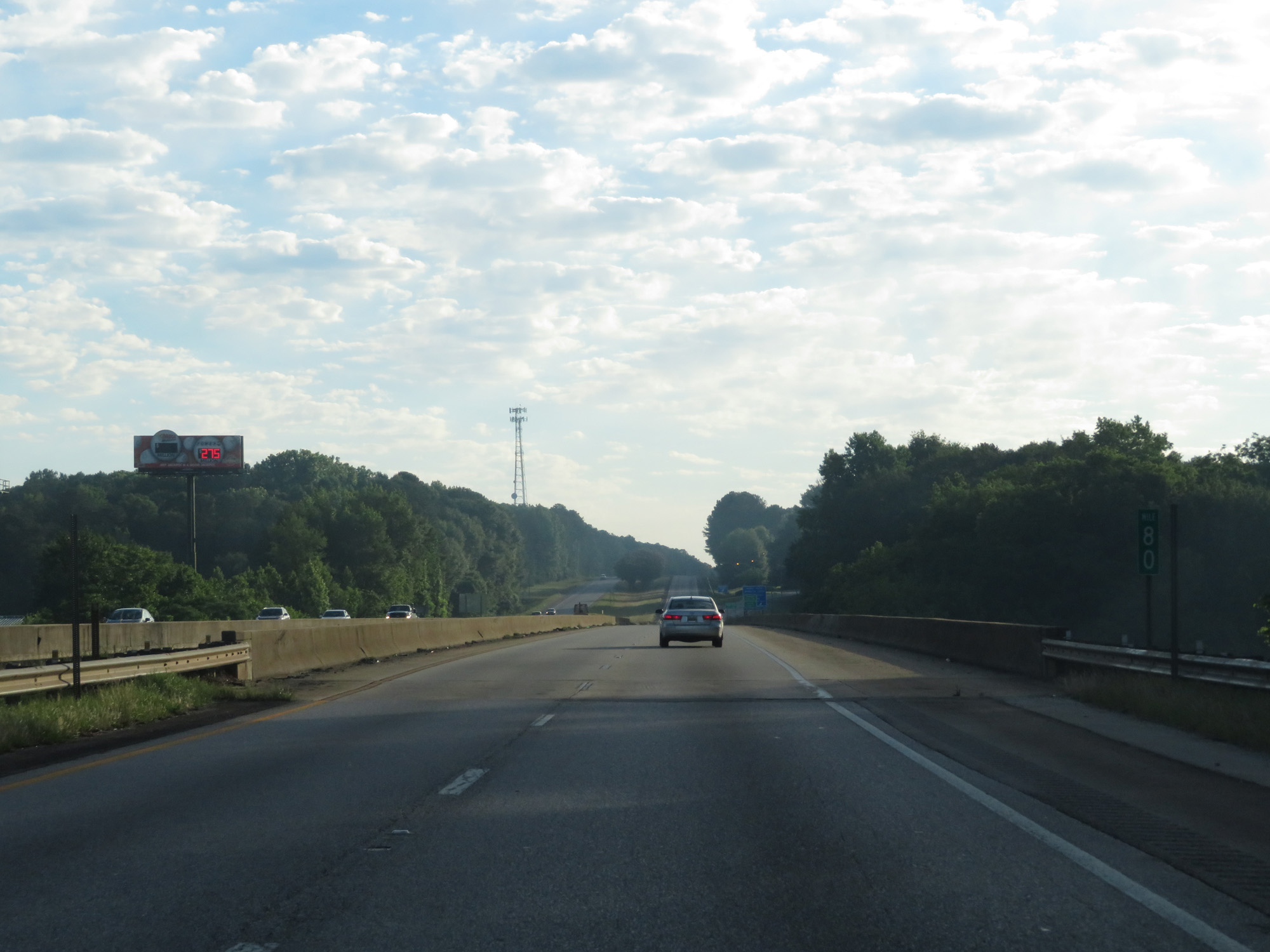
Interstate 85 North as it prepares to cross the Chattahoochee River into Georgia. (Photo taken 5/27/17). |
 |
Interstate 85 North at mile marker 80, as it crosses the Chattahoochee River into Georgia. (Photo taken 5/27/17). |