Road Information |
||
 |
||
| Total Mileage in State: | 250 miles | |
| Eastern End: | At North Dakota state line | |
| Western End: | At I-90, in Billings | |
| Mileage covered in Photos: | 250 miles | |
| Counties covered in Photos: | Wibaux, Dawson, Prairie, Custer, Rosebud, Treasure, Yellowstone | |
| Major Junctions in Photos: | MT 16, in Glendive US 12, in Miles City US 12, in Forsyth I-90, in Billings |
|
| Control Cities in Photos: | Glendive, Miles City, Forsyth, Billings | |
Westbound
- Section 1: North Dakota Border to Glendive (Exit 215)
- Section 2: Glendive (Exit 215) to Miles City (Exit 135)
- Section 3: Miles City (Exit 135) to Custer (Exit 47)
- Section 4: Custer (Exit 47) to Interstate 90
Section 1: North Dakota Border to Glendive (Exit 215)
 |
Montana welcome sign as Interstate 94 West enters the Treasure State, or "Big Sky Country", from North Dakota. (Photo taken 5/23/16). |
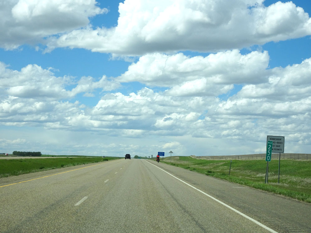 |
Interstate 94 West at mile marker 250. (Photo taken 5/23/16). |
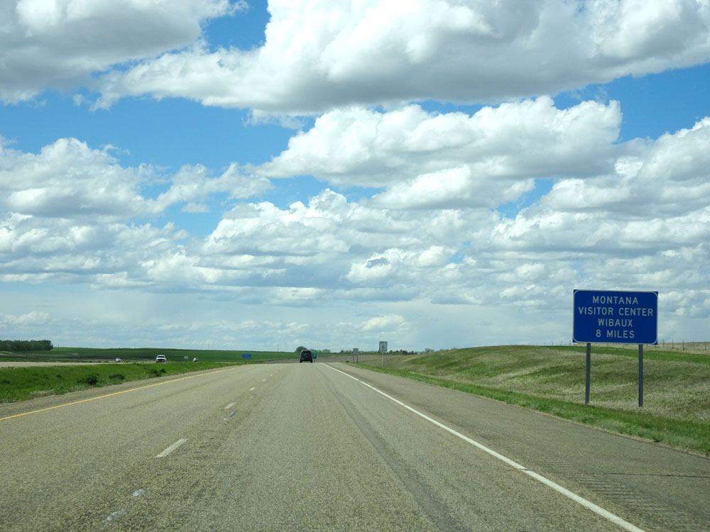 |
The Montana Welcome Center lies 8 miles ahead in Wibaux. (Photo taken 5/23/16). |
 |
Interstate 94 West approaching Exit 248 - 1/2 mile. (Photo taken 5/23/16). |
 |
Interstate 94 West at Exit 248: Carlyle Rd (Photo taken 5/23/16). |
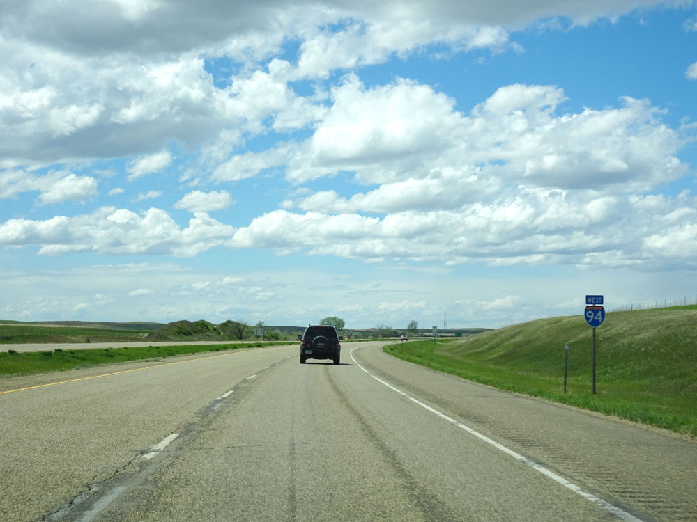 |
Interstate 94 West assurance shield just west of Exit 248. (Photo taken 5/23/16). |
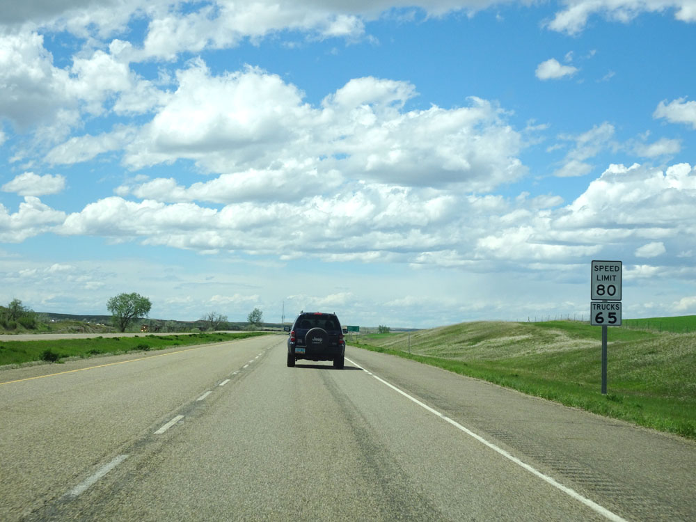 |
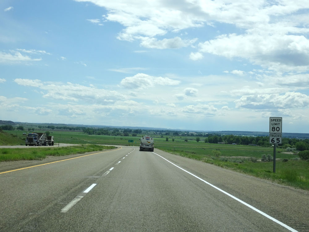
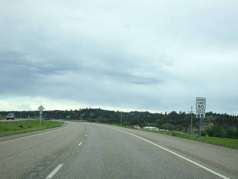
Speed limit signs on Interstate 94 West. The speed limit on most rural Interstates in Montana is 80 mph for autos and 65 mph for trucks. (Photo taken 5/23/16). |
 |
Interstate 94 West at mile marker 246. (Photo taken 5/23/16). |
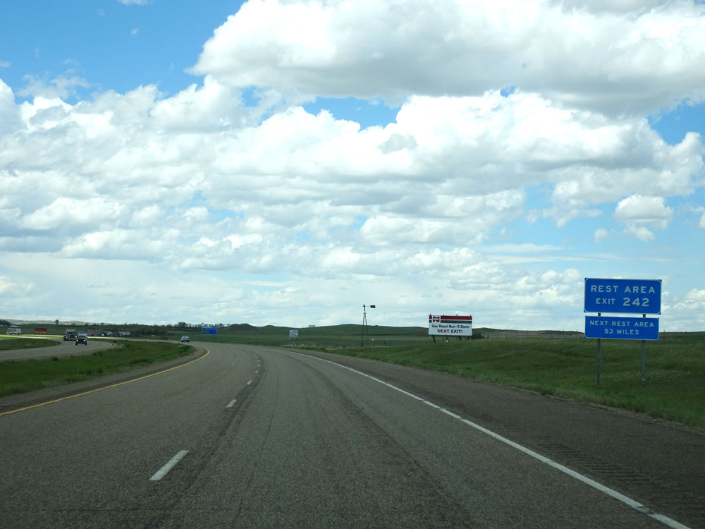 |
The Welcome Center / Rest Area is at Exit 242 ahead. The next Rest Area after this one lies 53 miles ahead. (Photo taken 5/23/16). |
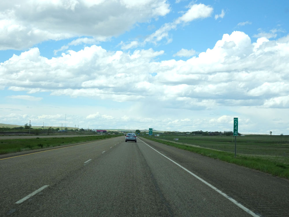 |
Interstate 94 West at mile marker 244. (Photo taken 5/23/16). |
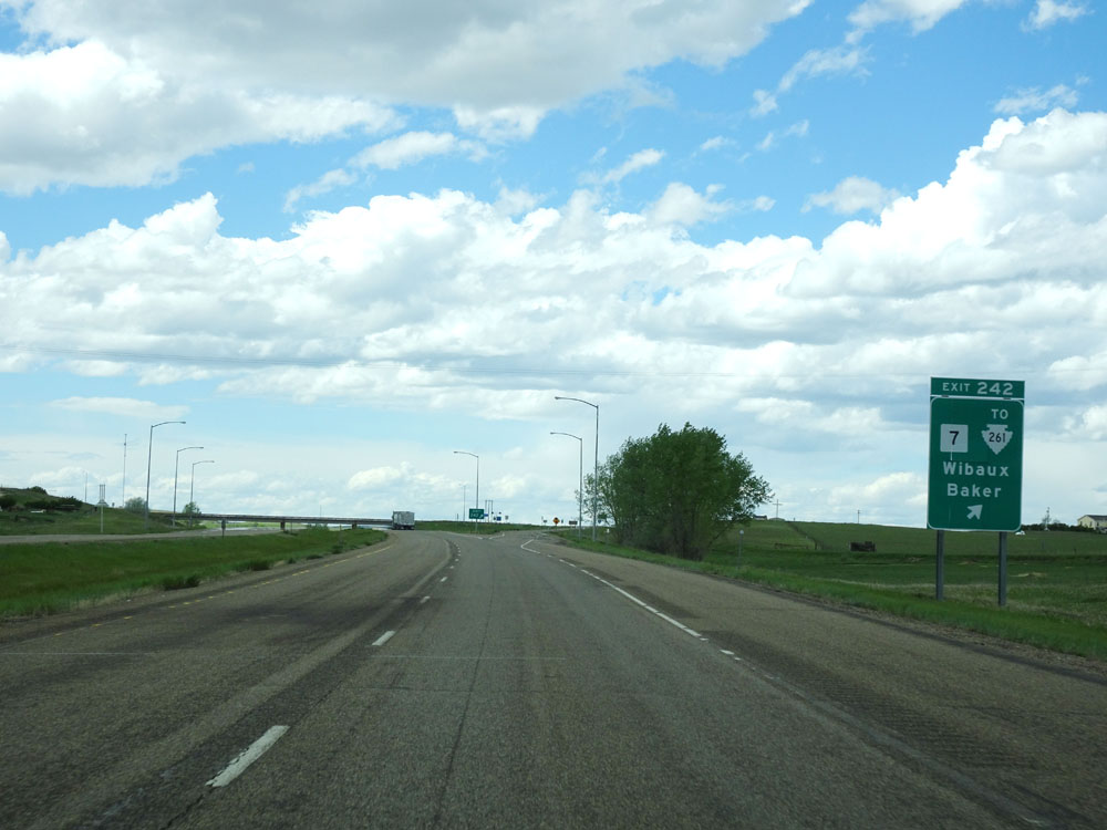 |
Interstate 94 West at Exit 242: MT 7 / To S-261 - Wibaux / Baker (Photo taken 5/23/16). |
 |
Approaching the Weigh Station ahead, this sign states that commercial vehicles equippied with Drivewyze (a device similar to PrePass) should follow in-cab signals. (Photo taken 5/23/16). |
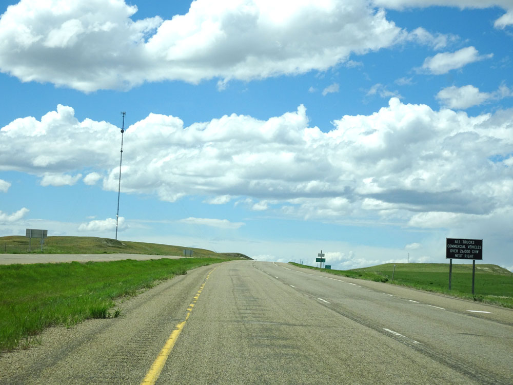 |
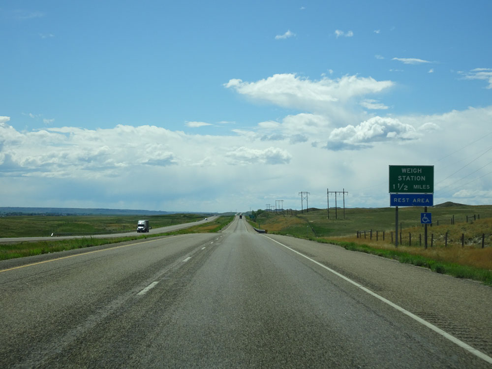
All trucks over 26,000 lbs GVW (Gross Vehicle Weight) must enter the Weigh Station ahead when it is open. (Photo taken 5/23/16). |
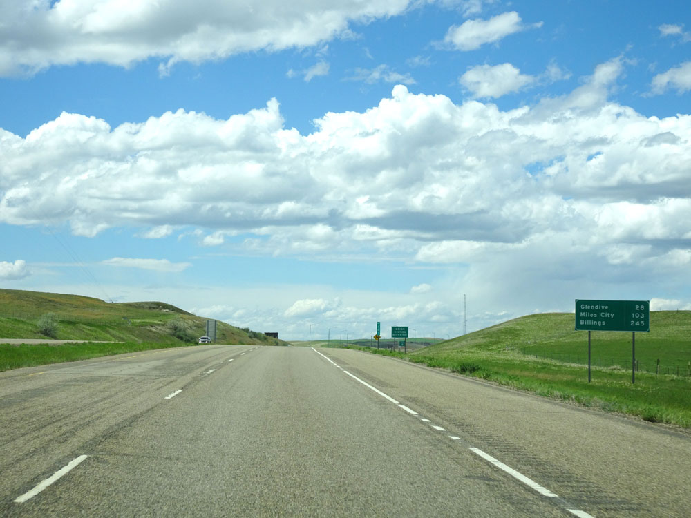 |
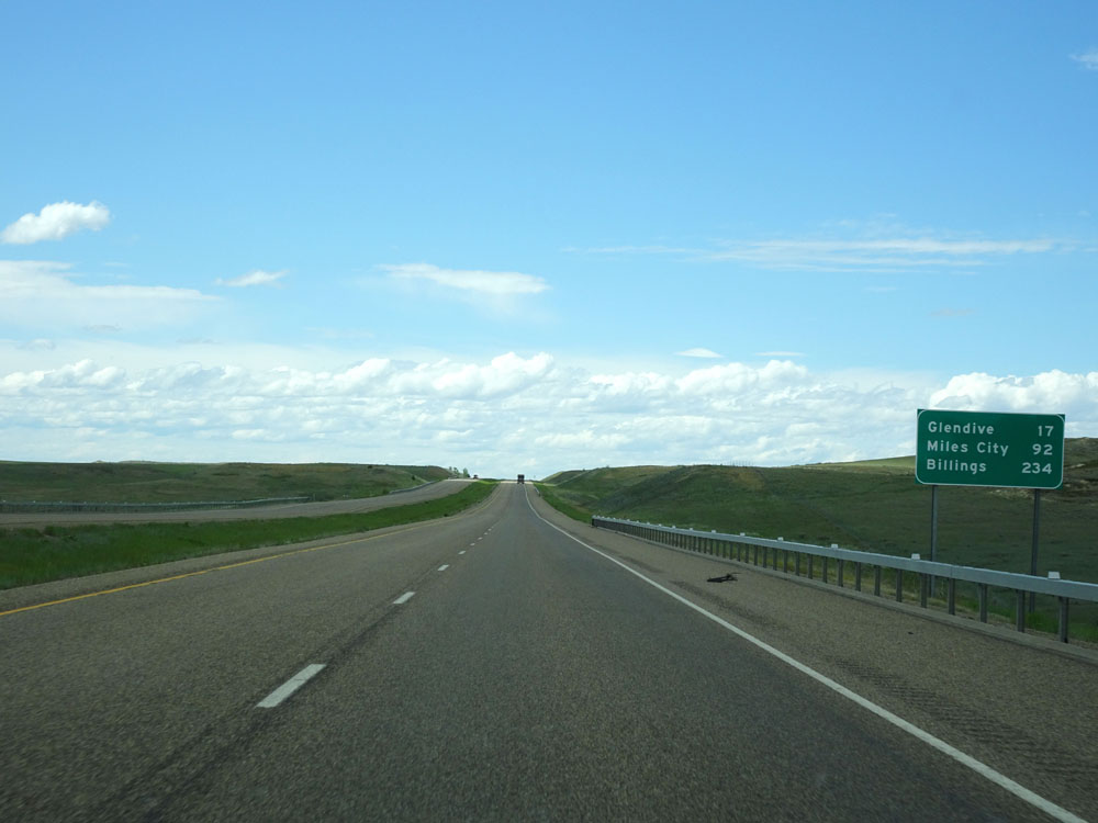
Mileage sign at mile marker 241. It's 28 miles to Glendive, 103 miles to Miles City, and 245 miles to Billings. (Photo taken 5/23/16). |
 |
Interstate 94 West at the Weigh Station located just west of mile marker 241. (Photo taken 5/23/16). |
 |
Interstate 94 West at mile marker 240. (Photo taken 5/23/16). |
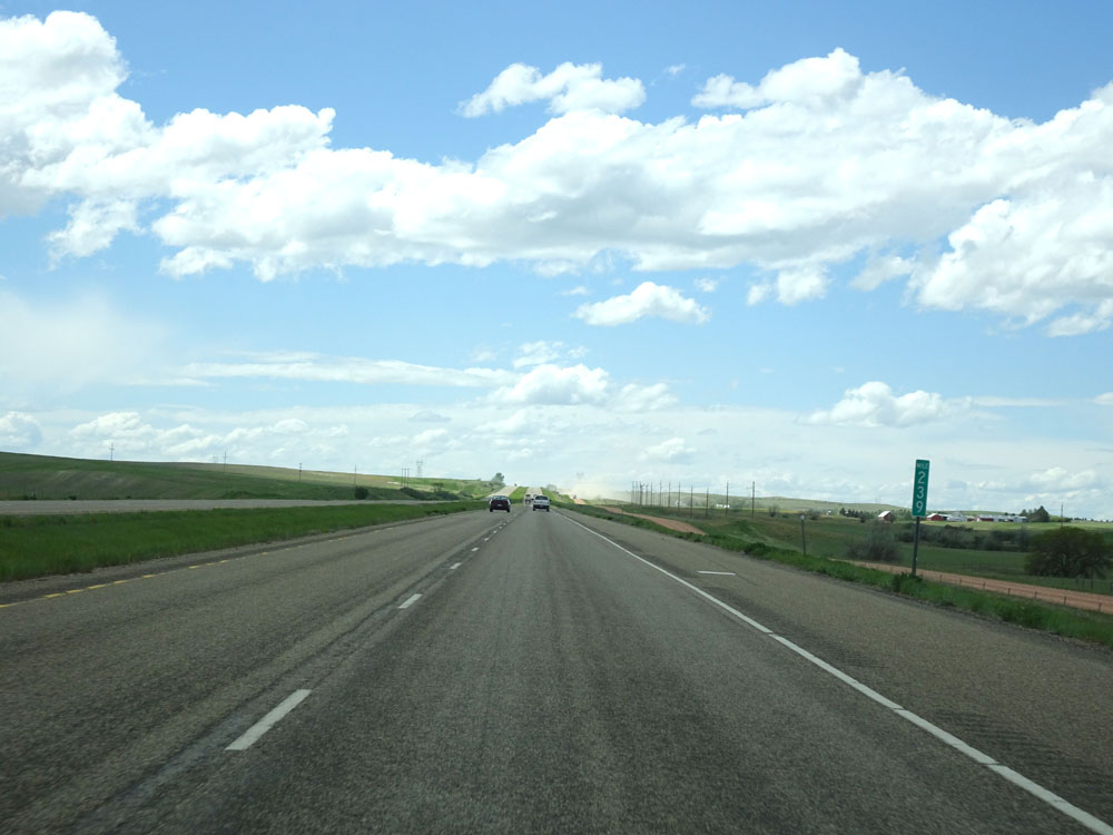 |
Interstate 94 West at mile marker 239. (Photo taken 5/23/16). |
 |
Interstate 94 West approaching Exit 236 - 1/2 mile. (Photo taken 5/23/16). |
 |
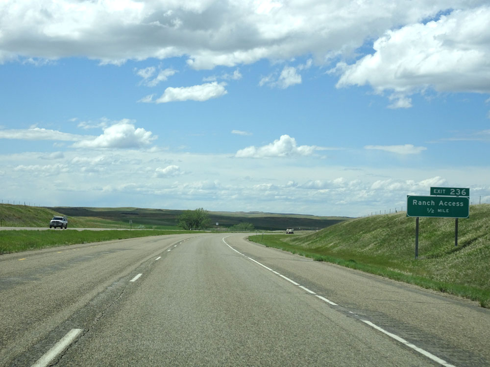
Interstate 94 West at Exit 236: Ranch Access (Photo taken 5/23/16). |
 |
Interstate 94 West assurance shield just west of Exit 236. (Photo taken 5/23/16). |
 |
Interstate 94 West as it enters Dawson County. (Photo taken 5/23/16). |
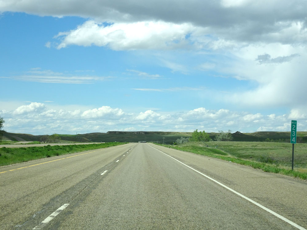 |
Interstate 94 West at mile marker 234. (Photo taken 5/23/16). |
 |
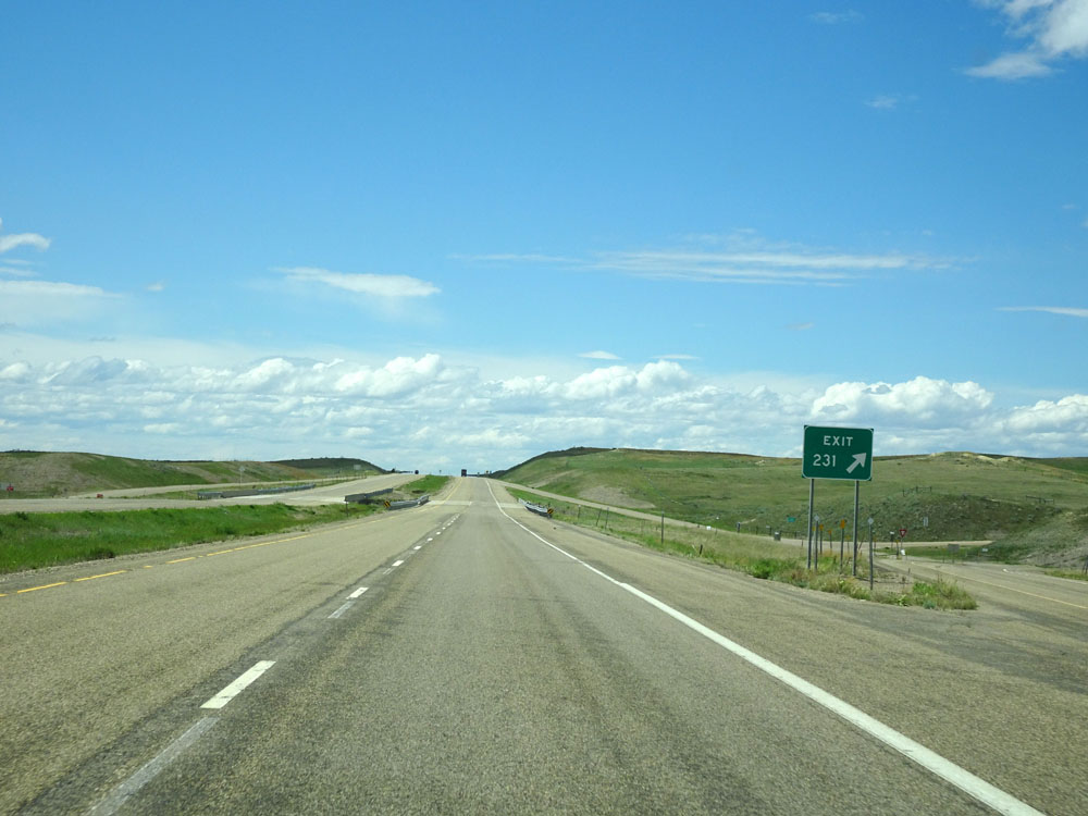
Interstate 94 West approaching Exit 231 - 1/2 mile. (Photo taken 5/23/16). |
 |
Interstate 94 West at mile marker 232. (Photo taken 5/23/16). |
 |
Interstate 94 West at Exit 231: Hodges Rd (Photo taken 5/23/16). |
 |
Speed limit assurance signs west of Exit 231. Speed Limit - 80 mph for autos, 65 mph for trucks. (Photo taken 5/23/16). |
 |
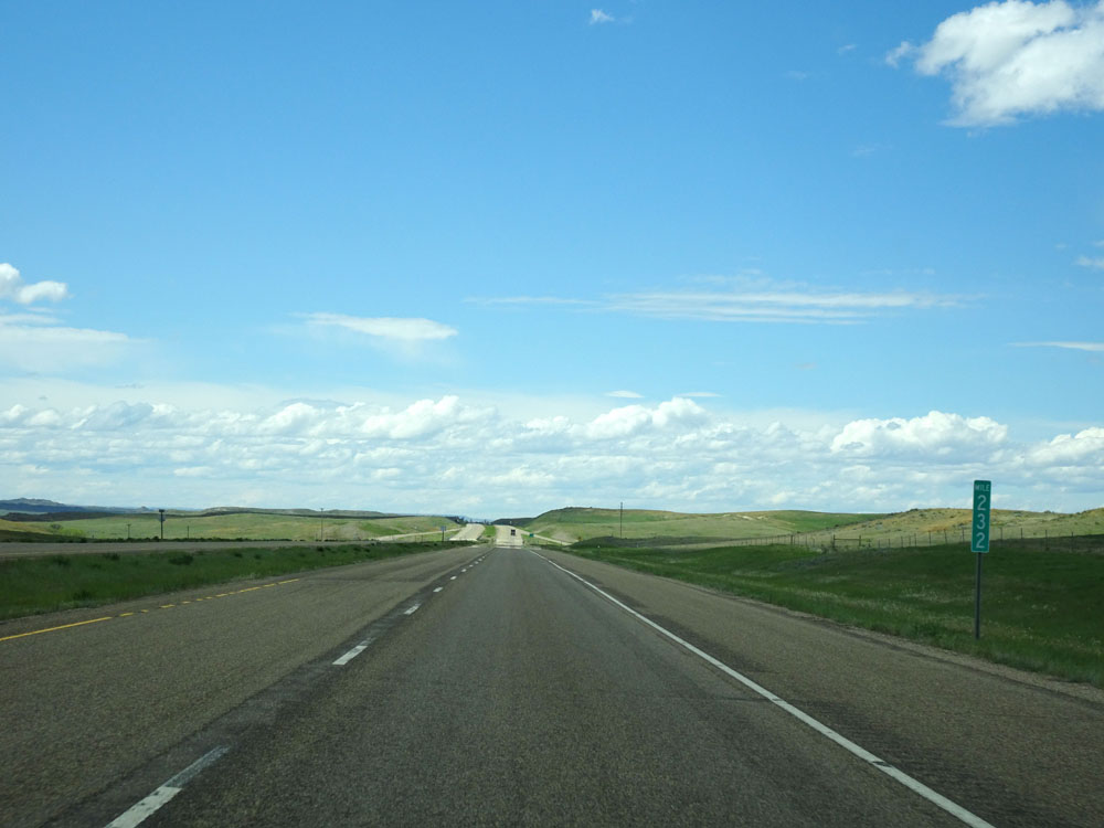
Mileage sign west of Exit 231. It's 17 miles to Glendive, 92 miles to Miles City, and 234 miles to Billings. (Photo taken 5/23/16). |
 |
Interstate 94 West at mile marker 228. (Photo taken 5/23/16). |
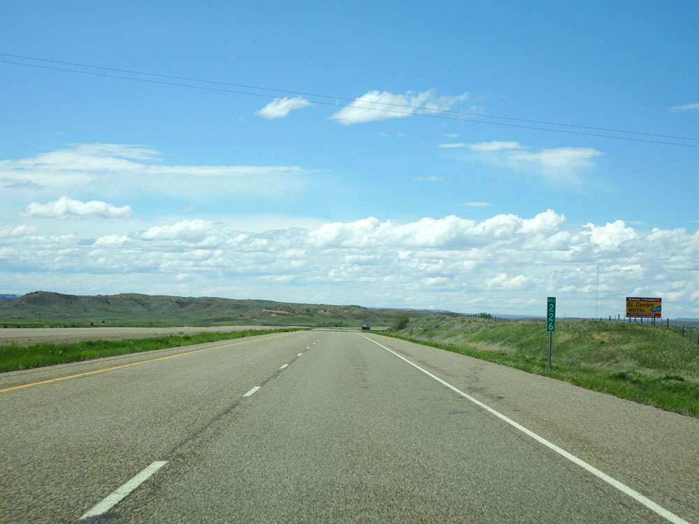 |
Interstate 94 West at mile marker 226. (Photo taken 5/23/16). |
 |
Interstate 94 West approaching Exit 224 - 1/2 mile. (Photo taken 5/23/16). |
 |
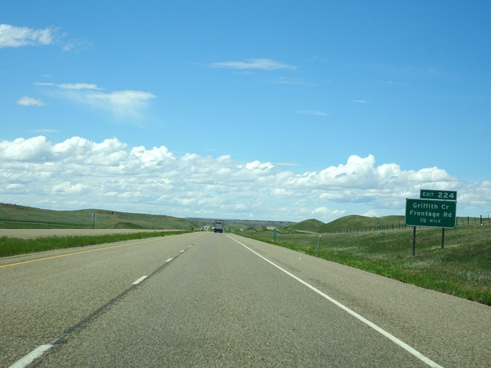
Interstate 94 West at Exit 224: Griffith Creek / Frontage Rd (Photo taken 5/23/16). |
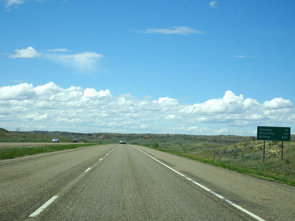 |
Mileage sign west of Exit 224. It's 10 miles to Glendive, 85 miles to Miles City, and 227 miles to Billings. (Photo taken 5/23/16). |
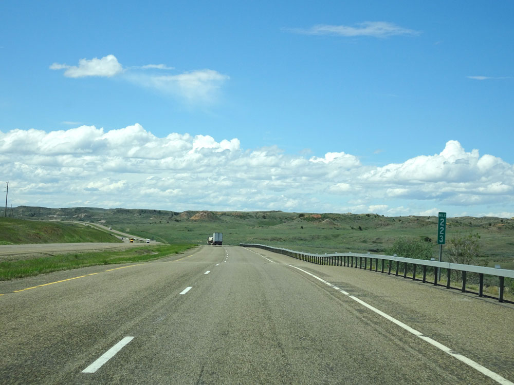 |
Interstate 94 West at mile marker 223. (Photo taken 5/23/16). |
 |
Interstate 94 West at mile marker 222. (Photo taken 5/23/16). |
 |
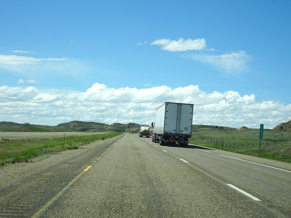
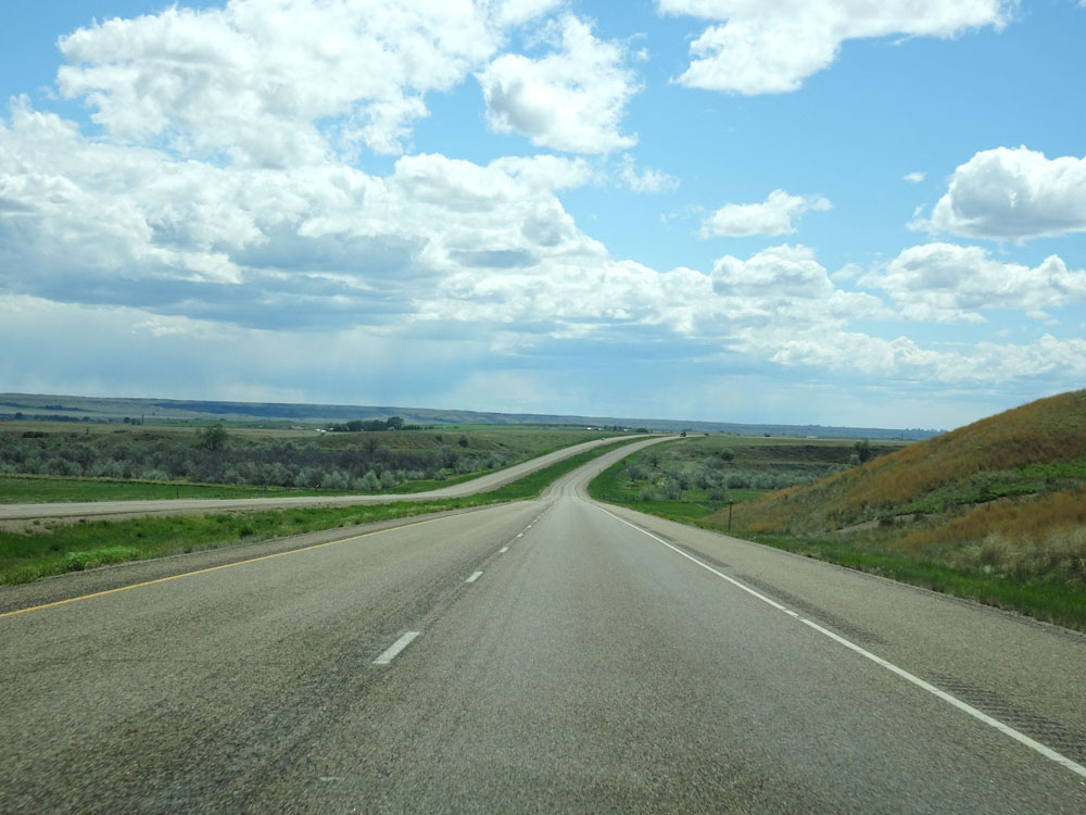
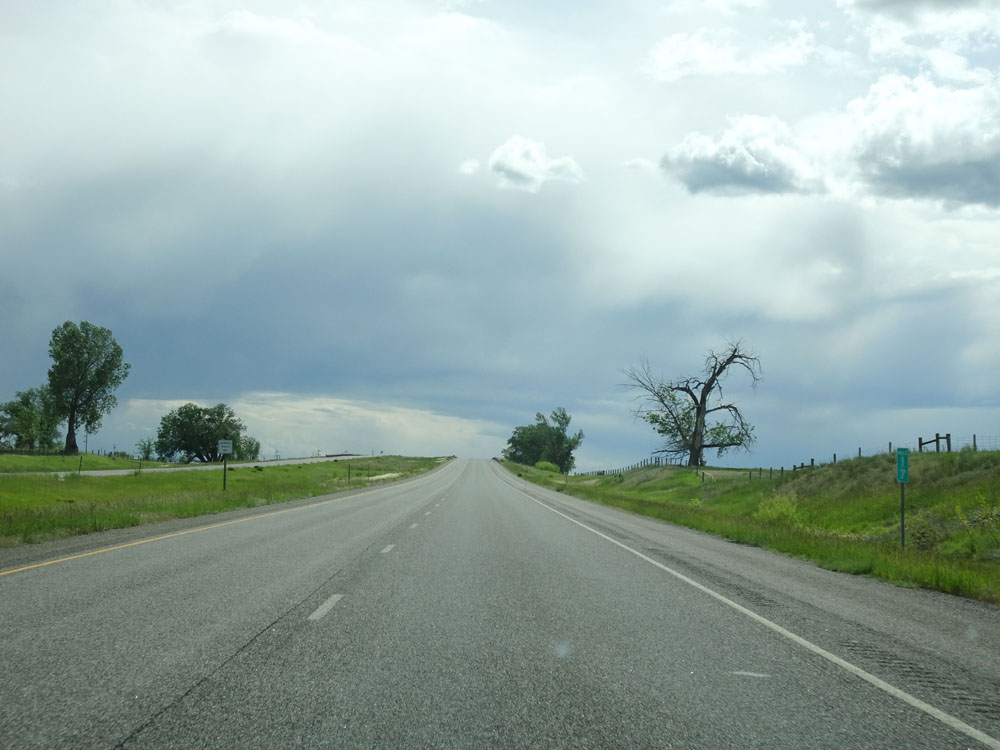
Interstate 94 West at mile marker 220. Contrary to some popular belief in the general public, eastern Montana isn't really flat. The terrain posesses several grades, short and long, through the high plains and "broken hills" of the region. If you're a truck driver hauling heavy, you will be much more likely to notice. (Photo taken 5/23/16). |
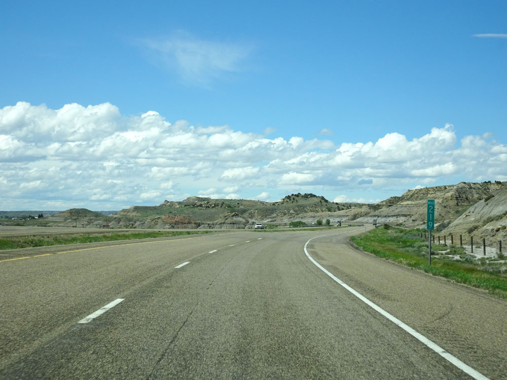 |
Interstate 94 West at mile marker 219. (Photo taken 5/23/16). |
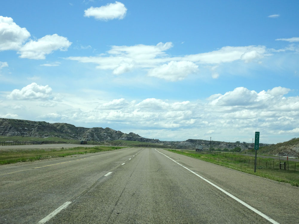 |
Interstate 94 West at mile marker 218. (Photo taken 5/23/16). |
 |
Sign listing the distances to the three upcoming Glendive Exits. (Photo taken 5/23/16). |
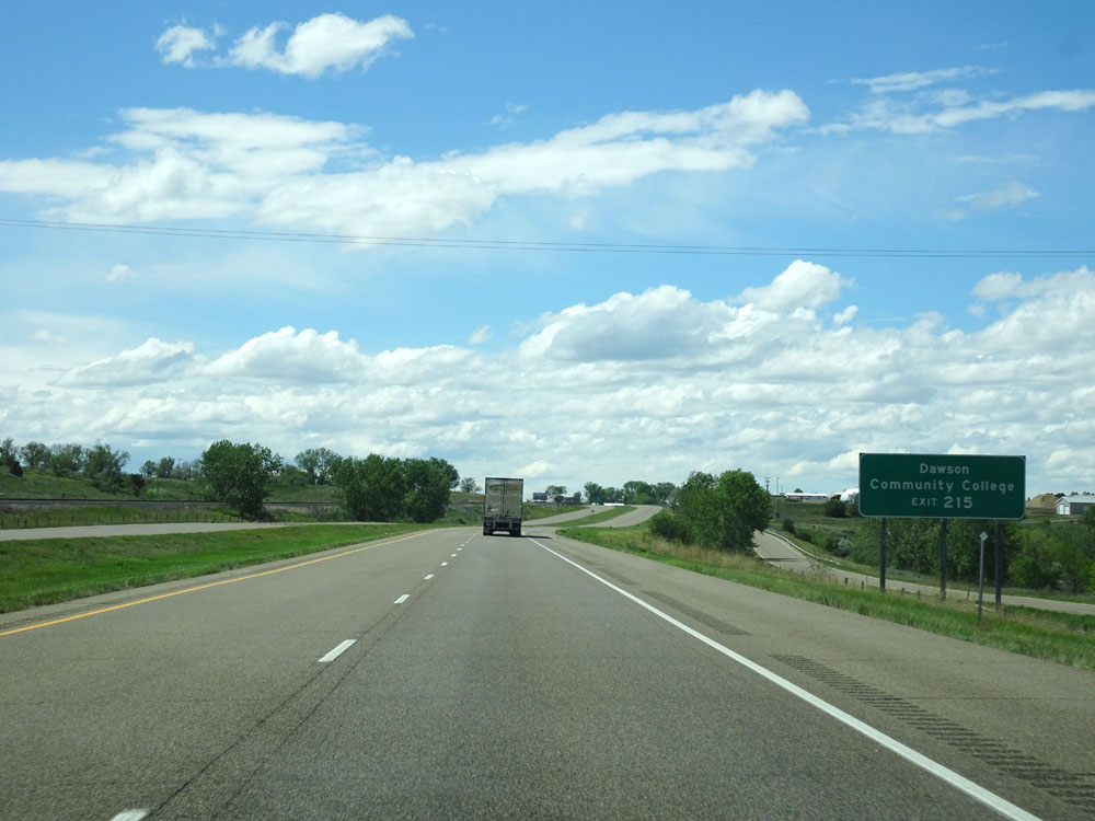 |
Take Exit 215 to Dawson Community College. (Photo taken 5/23/16). |
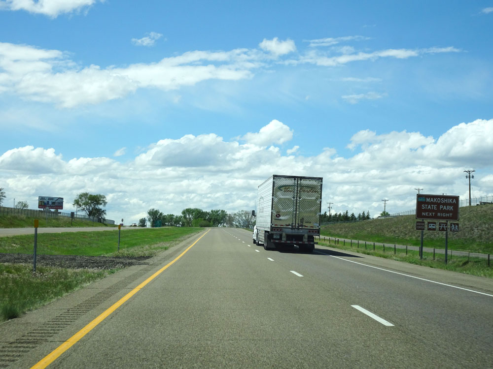 |
Also take Exit 215 to Makoshika State Park. (Photo taken 5/23/16). |
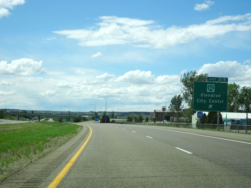 |
Interstate 94 West at Exit 215: I-94 Busn. - Glendive / City Center (Photo taken 5/23/16). |
Section 2: Glendive (Exit 215) to Miles City (Exit 135)
 |
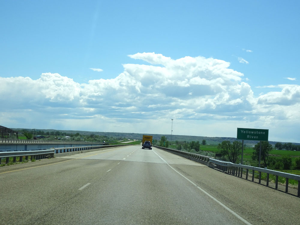
Interstate 94 West as it prepares to cross the Yellowstone River for the first time, at mile marker 215. (Photo taken 5/23/16). |
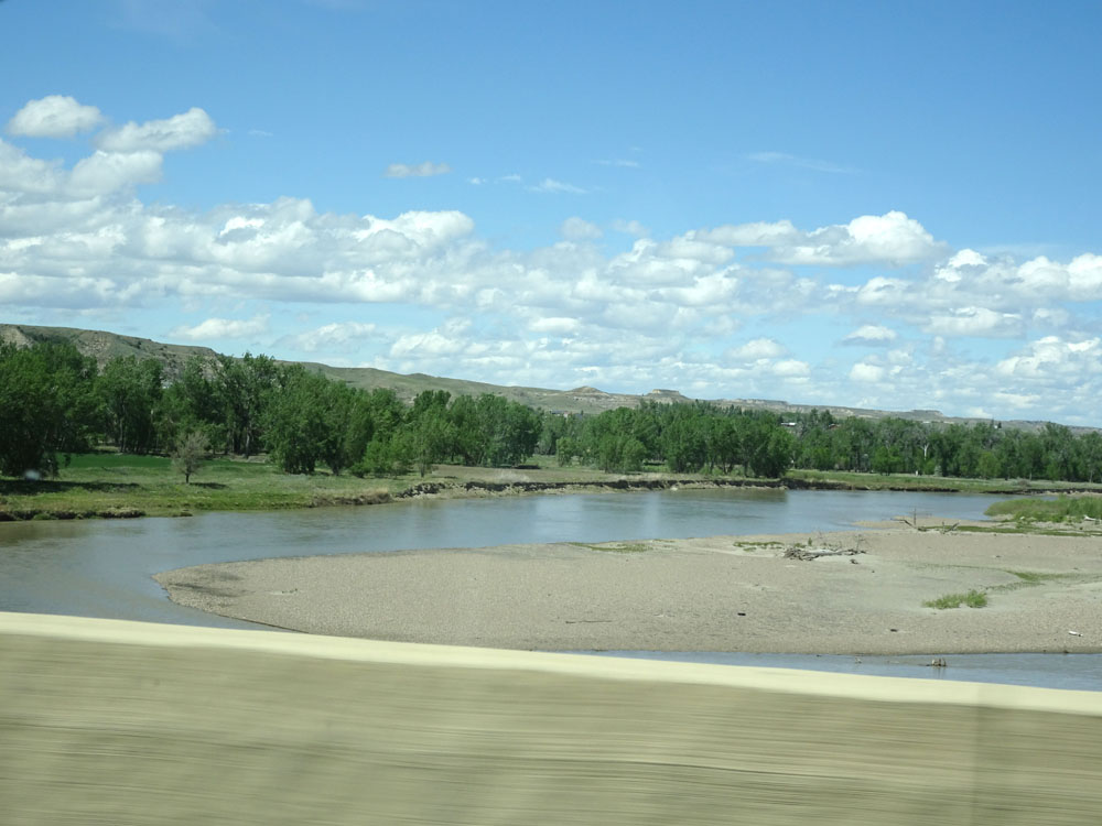 |
View of the Yellowstone River at mile marker 215. (Photo taken 5/23/16). |
 |
Interstate 94 West approaching Exit 213 - 3/4 mile. (Photo taken 5/23/16). |
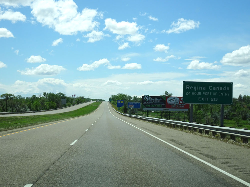 |
Take Exit 213 to Regina, Saskatchewan and 24 hour Port of Entry. (Photo taken 5/23/16). |
 |
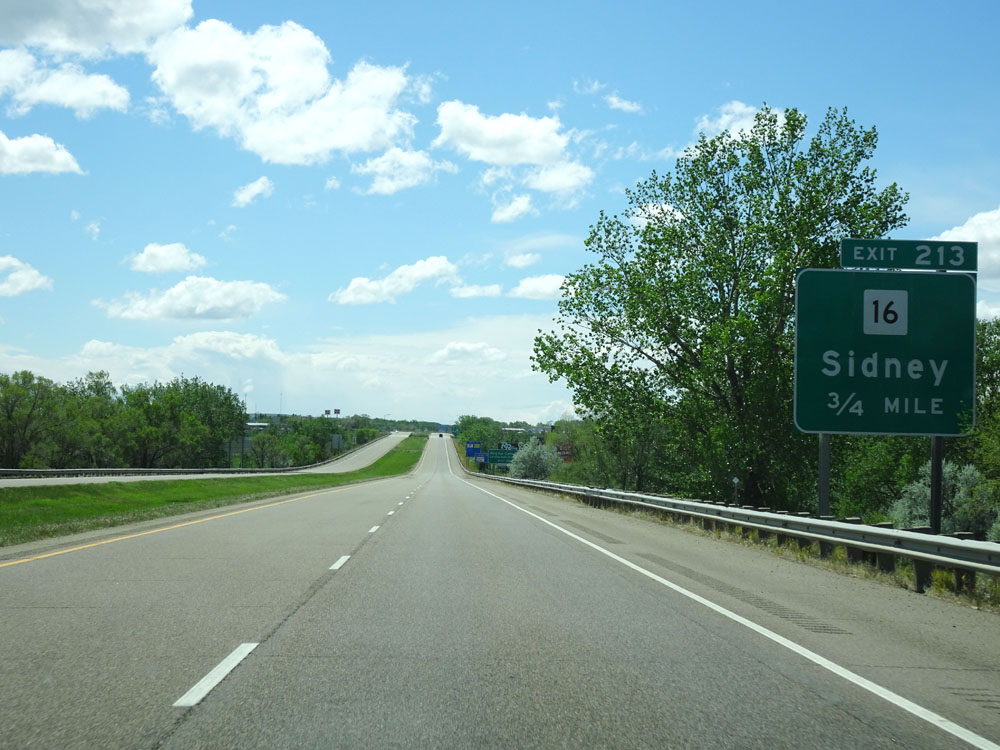
Interstate 94 West at Exit 213: MT 16 - Sidney (Photo taken 5/23/16). |
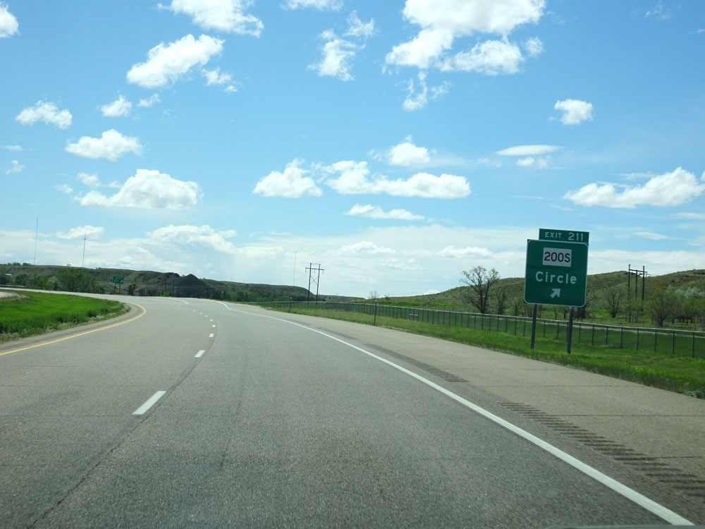 |
Interstate 94 West at Exit 211: MT 200S - Circle (Photo taken 5/23/16). |
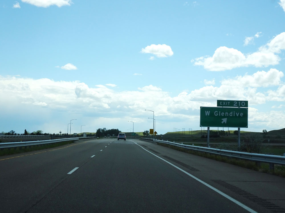 |
Interstate 94 West at Exit 210: W Glendive (Photo taken 5/23/16). |
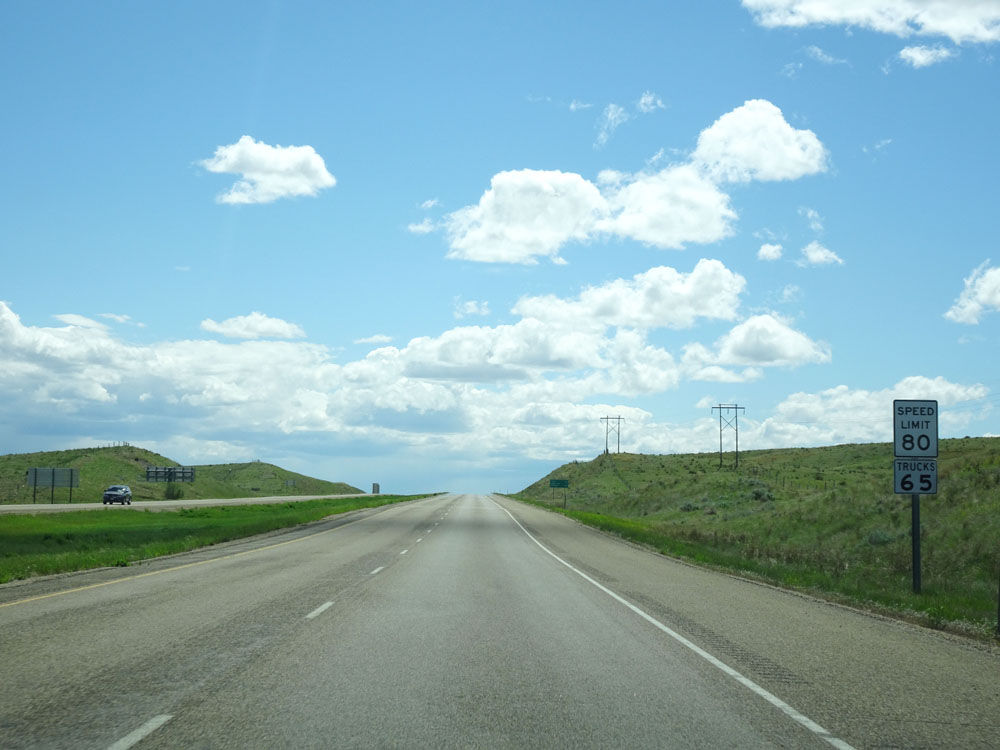 |
Another set of speed limit assurance signs west of Exit 210. Speed Limit - 80 mph for cars, 65 mph for trucks. Sorry for sharing so many speed limit signs in Montana, but I just LOVE that they upped the speed limit to 80 mph and tend to get carried away with sharing the photos of the 80 mph speed limit signs. (Photo taken 5/23/16). |
 |
Interstate 94 West at mile marker 209. (Photo taken 5/23/16). |
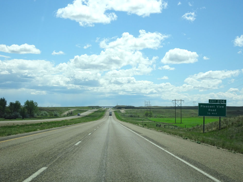 |
Interstate 94 West approaching Exit 206 - 1/2 mile. (Photo taken 5/23/16). |
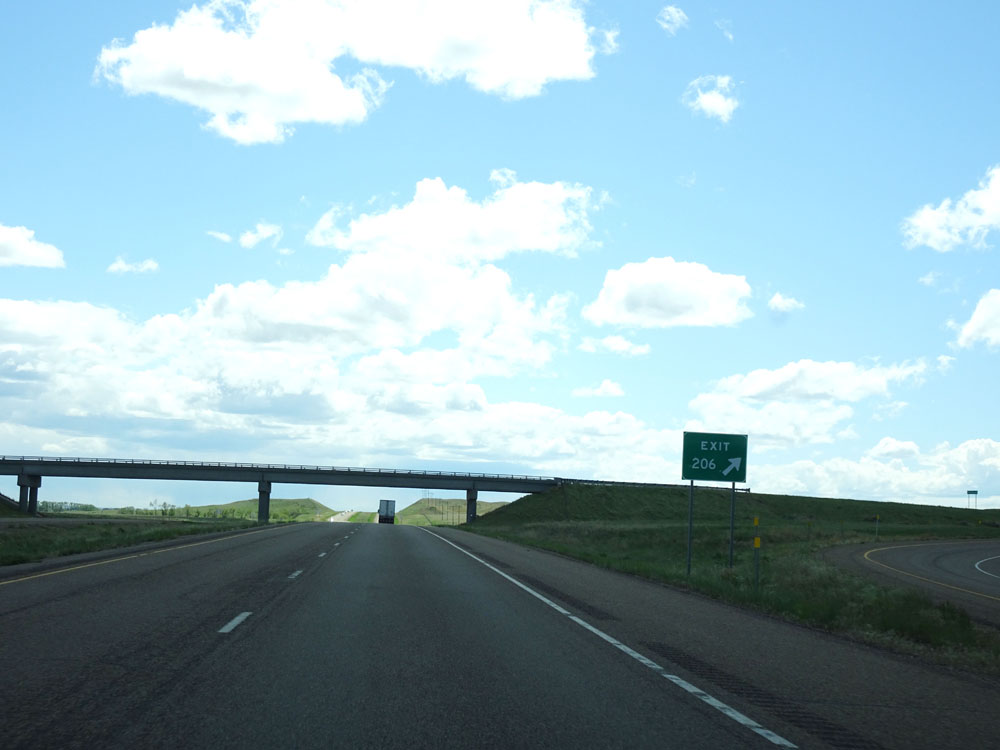 |
Interstate 94 West at Exit 206: Pleasant View Rd (Photo taken 5/23/16). |
 |
Interstate 94 West assurance shield near mile marker 205. (Photo taken 5/23/16). |
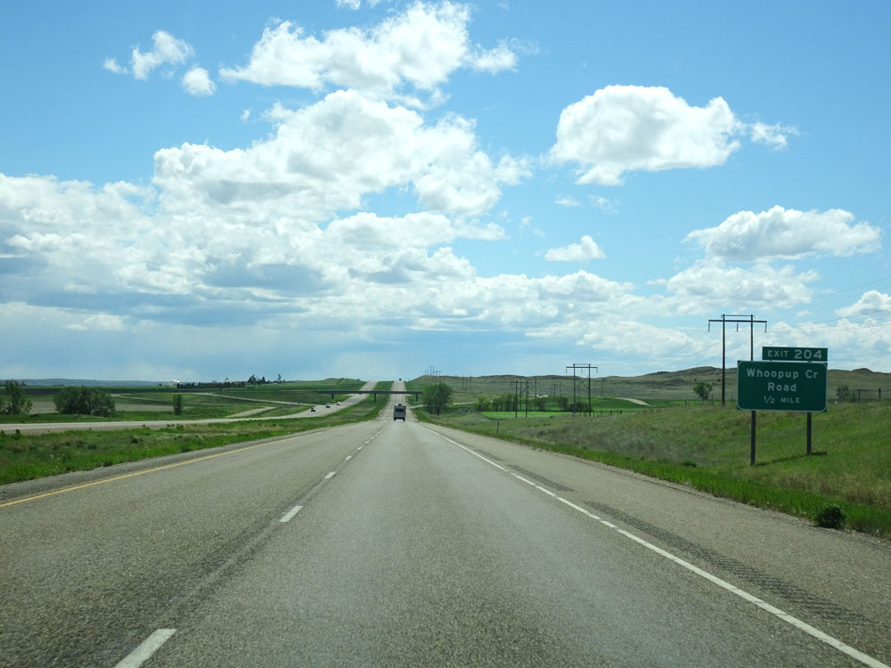 |
Interstate 94 West approaching Exit 204 - 1/2 mile. (Photo taken 5/23/16). |
 |
Interstate 94 West at Exit 204: Whoopup Creek Road (Photo taken 5/23/16). |
 |
Mileage sign west of Exit 204. It's 18 miles to Fallon, 65 miles to Miles City, and 207 miles to Billings. (Photo taken 5/23/16). |
 |
View on Interstate 94 West. (Photo taken 5/23/16). |
 |
Interstate 94 West at mile marker 202. (Photo taken 5/23/16). |
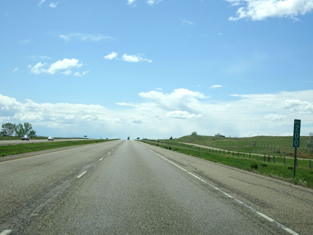 |
Interstate 94 West at mile marker 200. (Photo taken 5/23/16). |
 |
Interstate 94 West approaching Exit 198 - 1/2 mile. (Photo taken 5/23/16). |
 |
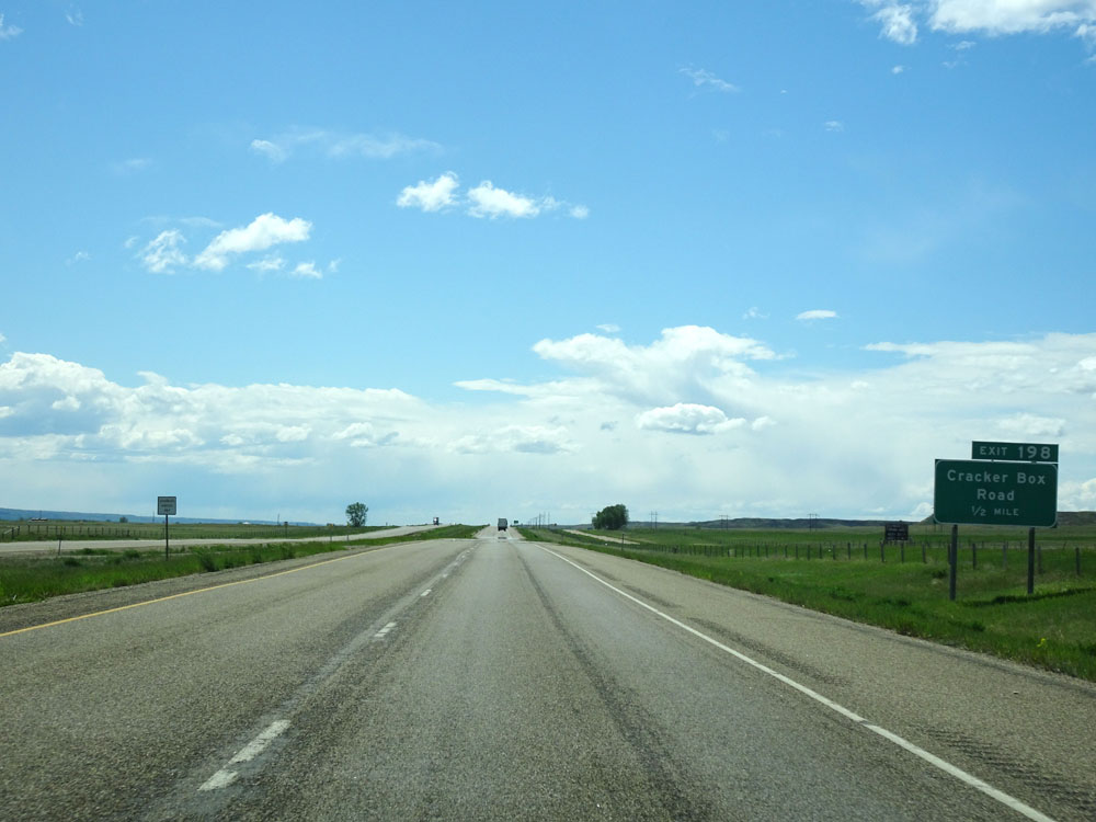
Interstate 94 West at Exit 198: Cracker Box Road (Photo taken 5/23/16). |
 |
Interstate 94 West at mile marker 197. (Photo taken 5/23/16). |
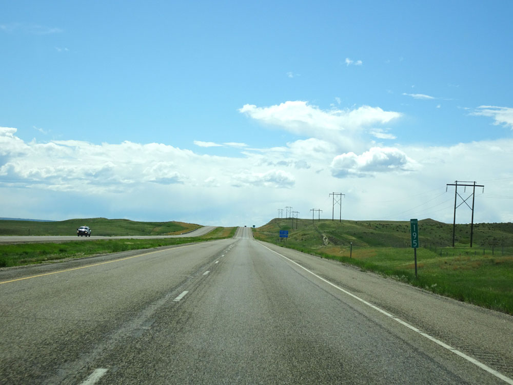 |
Interstate 94 West at mile marker 195. (Photo taken 5/23/16). |
 |
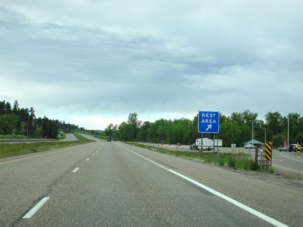
A Rest Area exists off Exit 192 ahead. It's 80 miles to the next Rest Area after this one. (Photo taken 5/23/16). |
 |
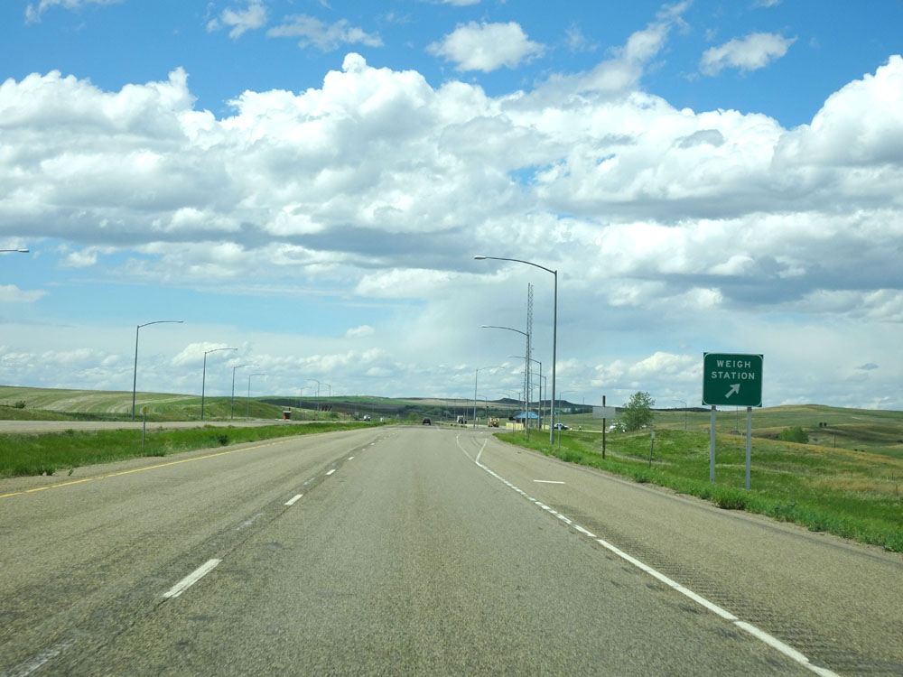
The Rest Area at Exit 192 is also used as a Weigh Station. (Photo taken 5/23/16). |
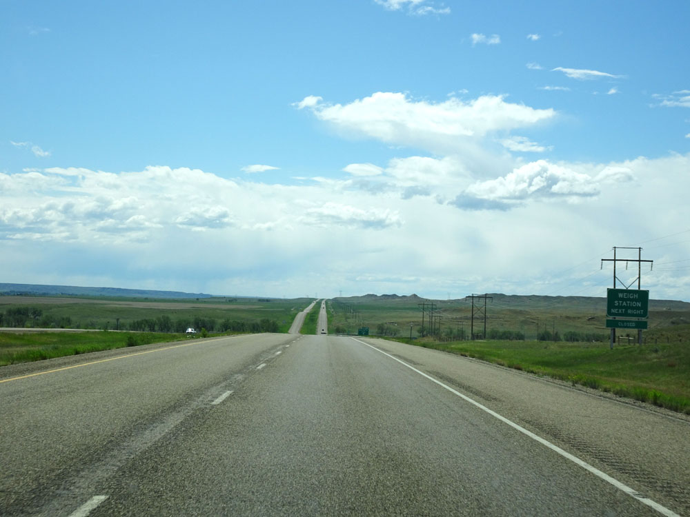 |
This sign shows whether or not the Weigh Station off Exit 192 ahead is open or not. At this time, it was closed and commercial vehicles don't have to stop. (Photo taken 5/23/16). |
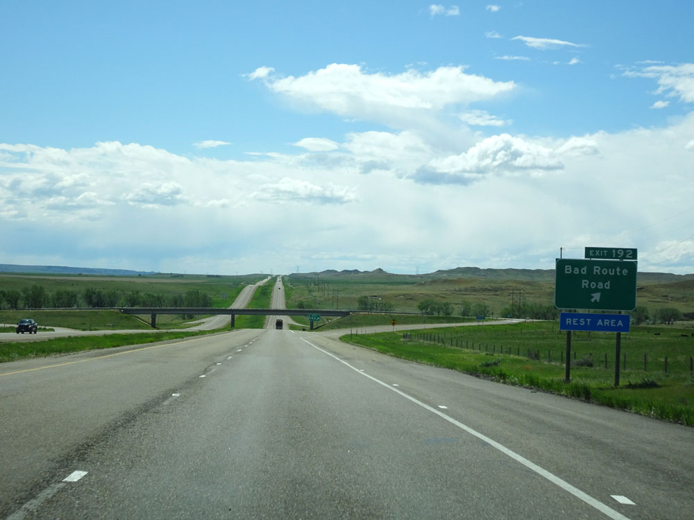 |
Interstate 94 West at Exit 192: Bad Route Road. Best exit name ever. (Photo taken 5/23/16). |
 |
Just west of Exit 192, Interstate 94 West enters Prairie County. (Photo taken 5/23/16). |
 |
Interstate 94 West at mile marker 190. (Photo taken 5/23/16). |
 |
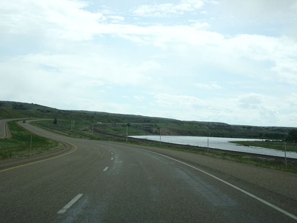
Interstate 94 West crossing the Yellowstone River for the second time. (Photo taken 5/23/16). |
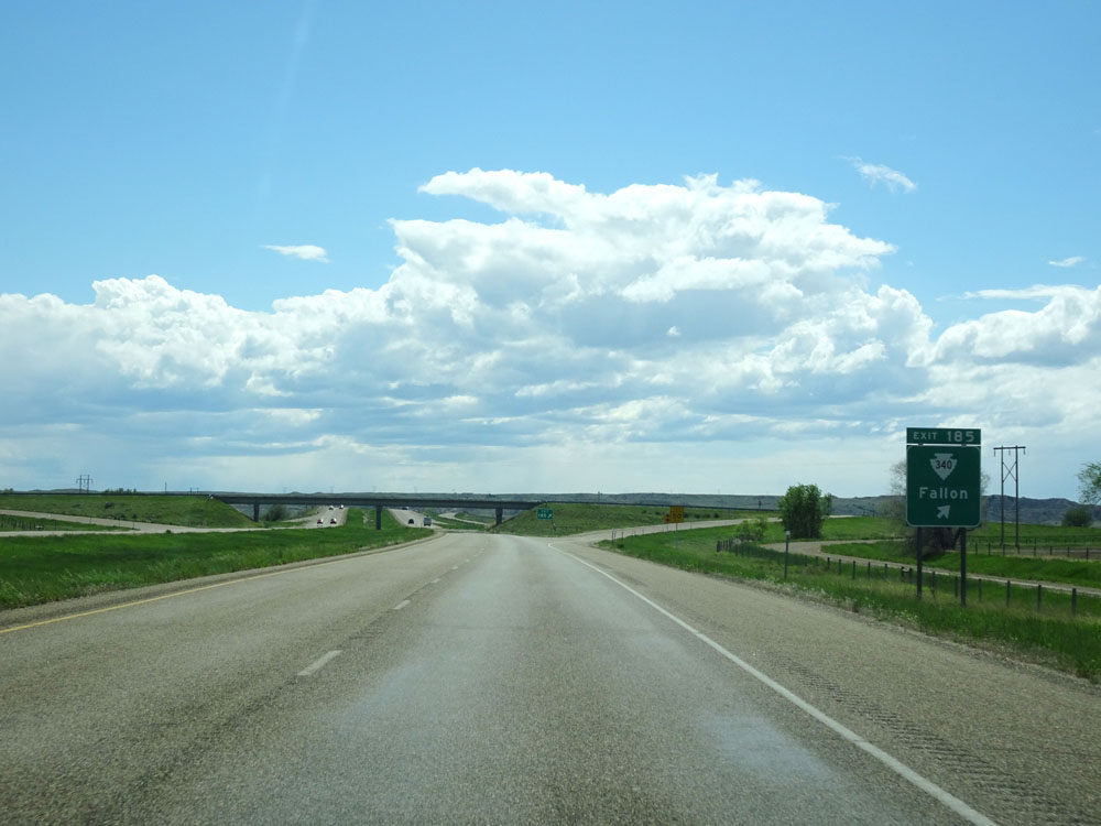 |
Interstate 94 West at Exit 185: S-340 - Fallon (Photo taken 5/23/16). |
 |
Mileage sign west of Exit 185. It's 8 miles to Terry, 46 miles to Miles City, and 188 miles to Billings. (Photo taken 5/23/16). |
 |
Interstate 94 West at mile marker 182. (Photo taken 5/23/16). |
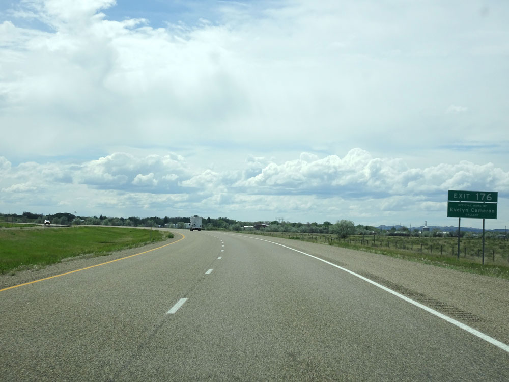 |
Take Exit 176 to the Official Home of Evelyn Cameron Gallery. (Photo taken 5/23/16). |
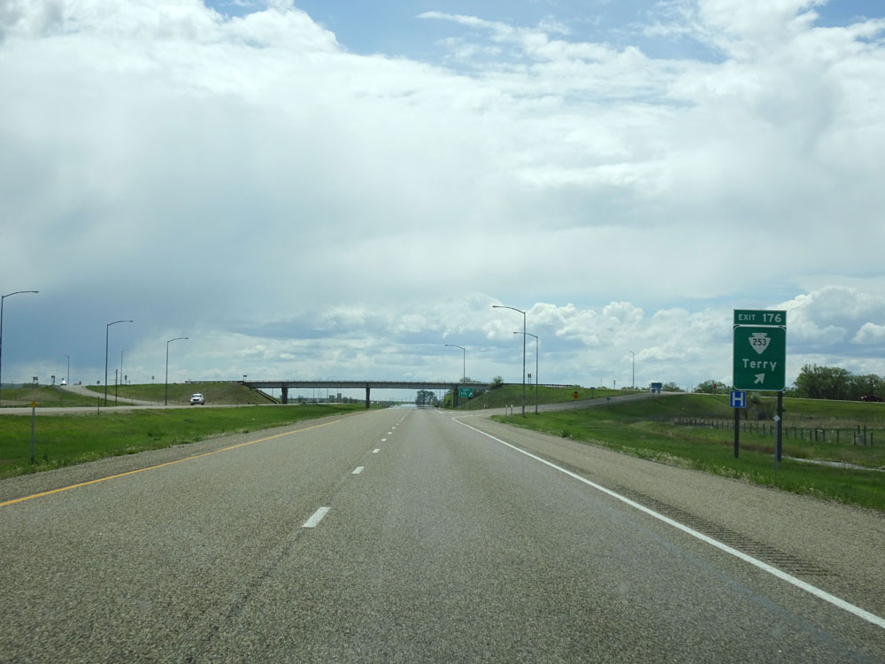 |
Interstate 94 West at Exit 176: S-253 - Terry (Photo taken 5/23/16). |
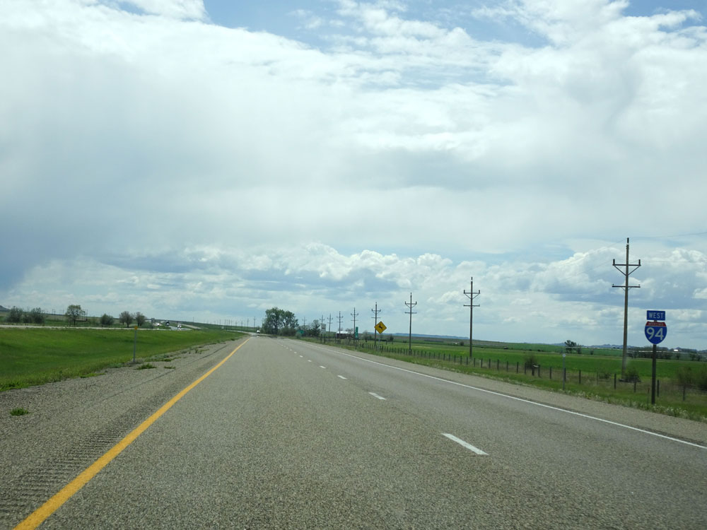 |
Interstate 94 West assurance shield. (Photo taken 5/23/16). |
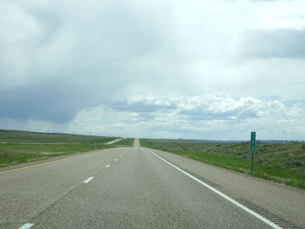 |
Interstate 94 West at mile marker 173. (Photo taken 5/23/16). |
 |
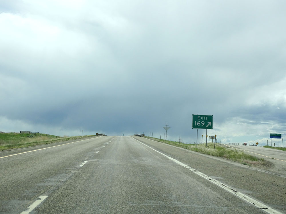
Interstate 94 West approaching Exit 169 - 1/2 mile. (Photo taken 5/23/16). |
 |
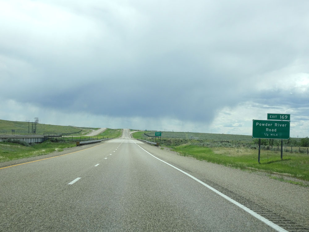
Interstate 94 West at Exit 169: Powder River Road (Photo taken 5/23/16). |
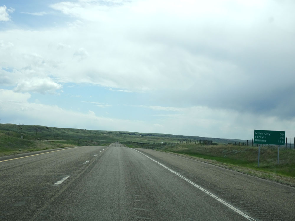 |
Mileage sign west of Exit 169. It's 30 miles to Miles City, 74 miles to Forsyth, and 172 miles to Billings. (Photo taken 5/23/16). |
 |
Interstate 94 West at mile marker 167. (Photo taken 5/23/16). |
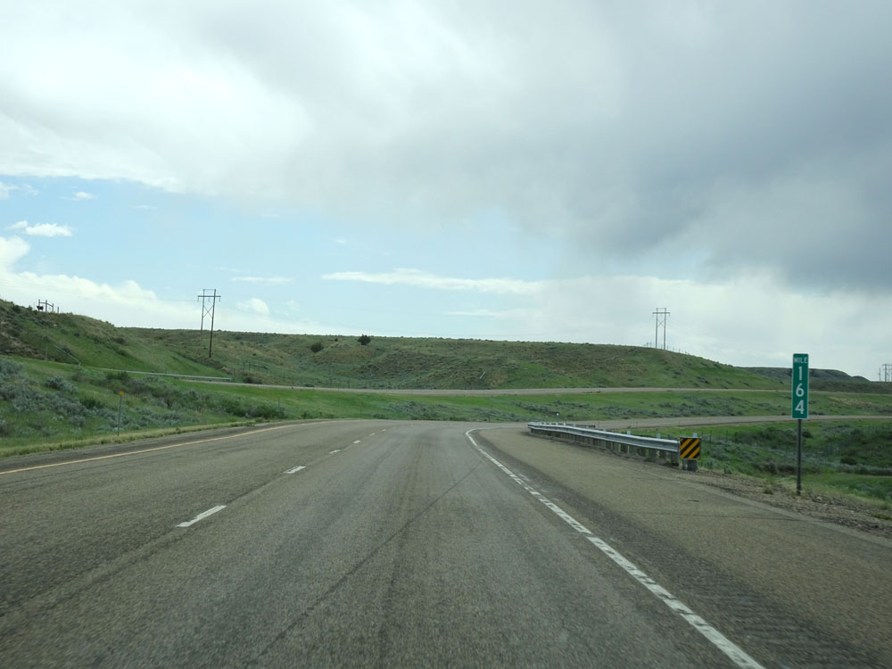 |
Interstate 94 West at mile marker 164. (Photo taken 5/23/16). |
 |
Interstate 94 West entering Custer County. (Photo taken 5/23/16). |
 |
View on Interstate 94 West. (Photo taken 5/23/16). |
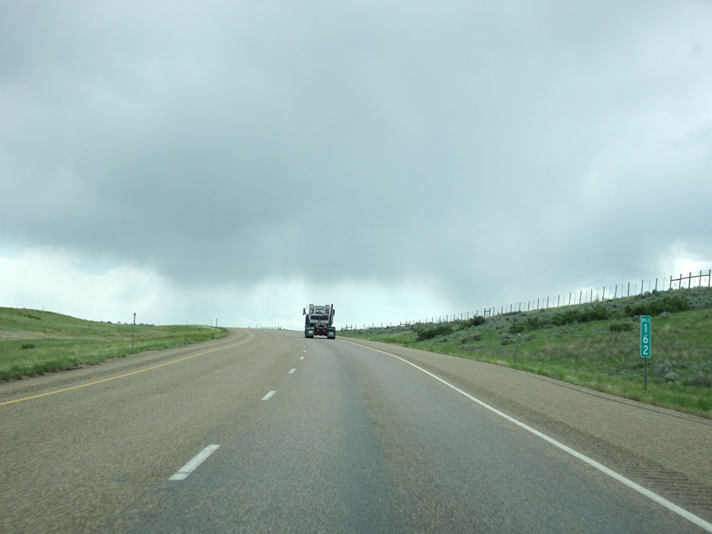 |
Interstate 94 West at mile marker 162. (Photo taken 5/23/16). |
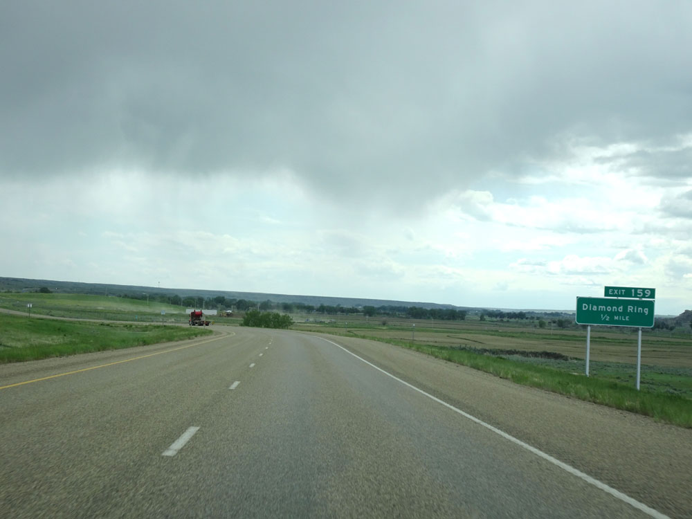 |
Interstate 94 West approaching Exit 159 - 1/2 mile. (Photo taken 5/23/16). |
 |
Interstate 94 West at Exit 159: Diamond Ring (Photo taken 5/23/16). |
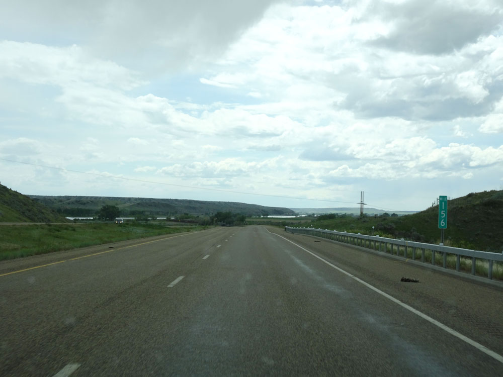 |
Interstate 94 West at mile marker 156. (Photo taken 5/23/16). |
 |
View on Interstate 94 West. (Photo taken 5/23/16). |
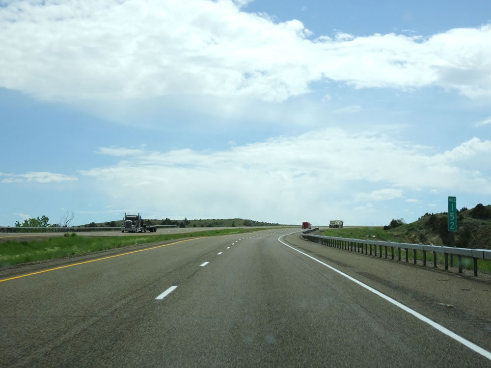 |
Interstate 94 West at mile marker 152. (Photo taken 5/23/16). |
 |
Interstate 94 West at Exit 148: Valley Access (Photo taken 5/23/16). |
 |
Interstate 94 West assurance shield west of Exit 148. (Photo taken 5/23/16). |
 |
Speed limit signs west of Exit 148. Speed Limit - 80 mph for autos, 65 mph for trucks. (Photo taken 5/23/16). |
 |
Mileage sign on Interstate 94 West. It's 10 miles to Miles City, 54 miles to Forsyth, and 152 miles to Billings. (Photo taken 5/23/16). |
 |
Interstate 94 West at mile marker 147. (Photo taken 5/23/16). |
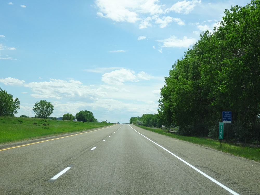 |
Interstate 94 West at mile marker 145. (Photo taken 5/23/16). |
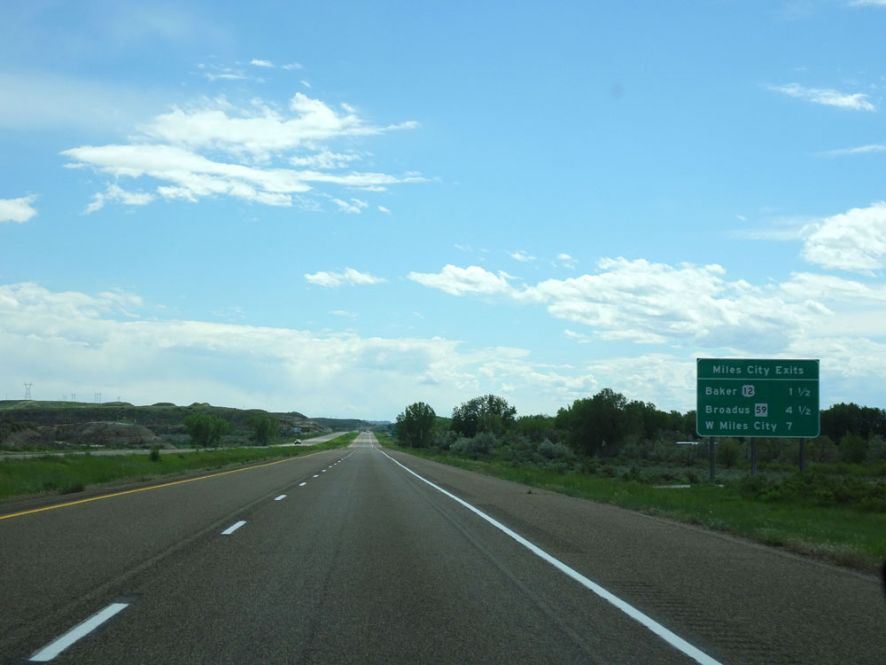 |
Sign listing the distances to the three upcoming exits to Miles City. (Photo taken 5/23/16). |
 |
Interstate 94 West at mile marker 142. (Photo taken 5/23/16). |
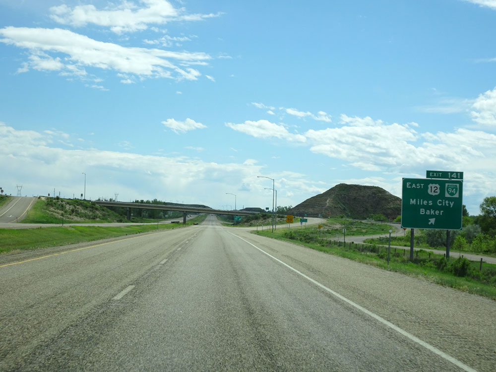 |
Interstate 94 West at Exit 141: US 12 East / I-94 Busn. - Miles City / Baker (Photo taken 5/23/16). |
 |
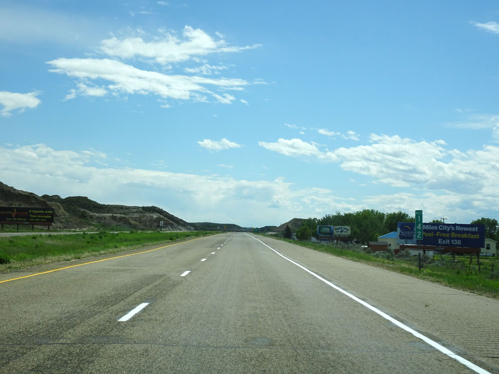
Take Exit 138 to Miles City Western Cultural Area. (Photo taken 5/23/16). |
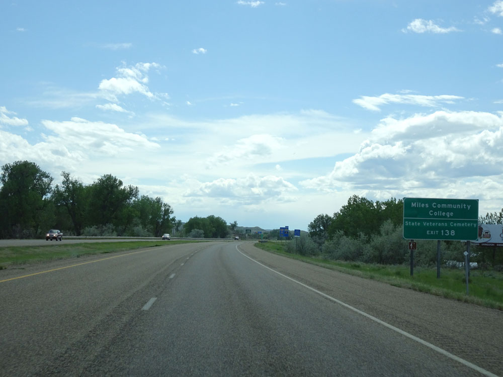 |
Also take Exit 138 to Miles Community College and State Veterans Cemetery. (Photo taken 5/23/16). |
 |
Interstate 94 West at Exit 138: MT 59 - Miles City / Broadus (Photo taken 5/23/16). |
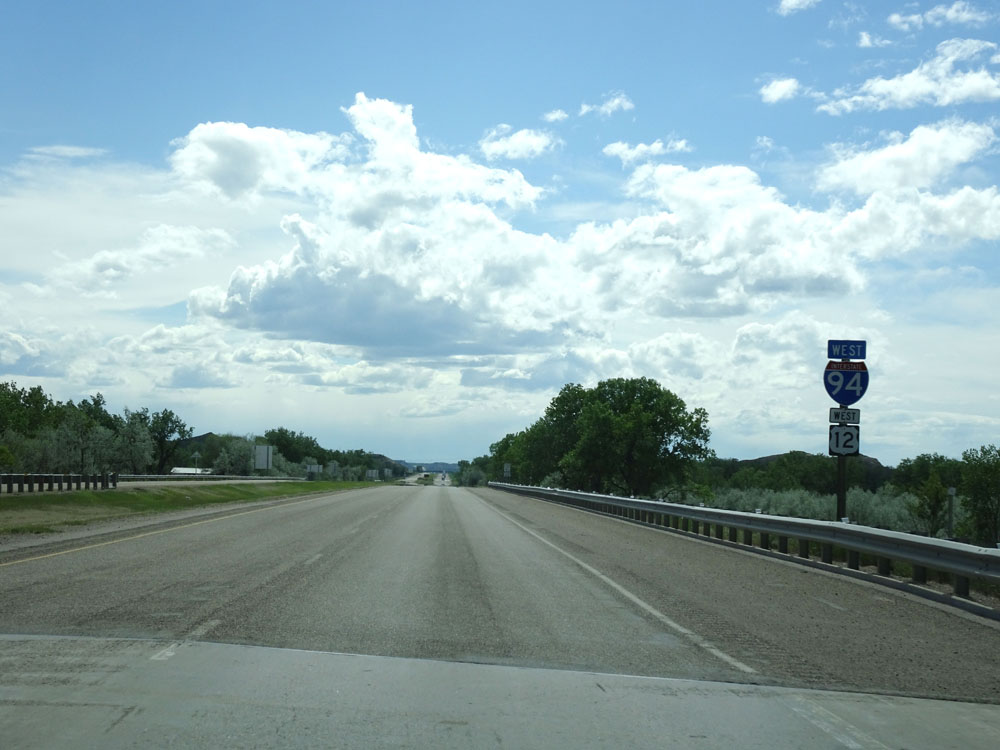 |
Dual Interstate 94 West / US 12 West assurance shields just beyond Exit 138. (Photo taken 5/23/16). |
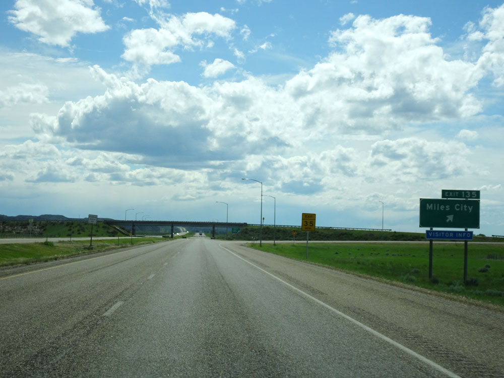 |
Interstate 94 West at Exit 135: Miles City (Photo taken 5/23/16). |
Section 3: Miles City (Exit 135) to Custer (Exit 47)
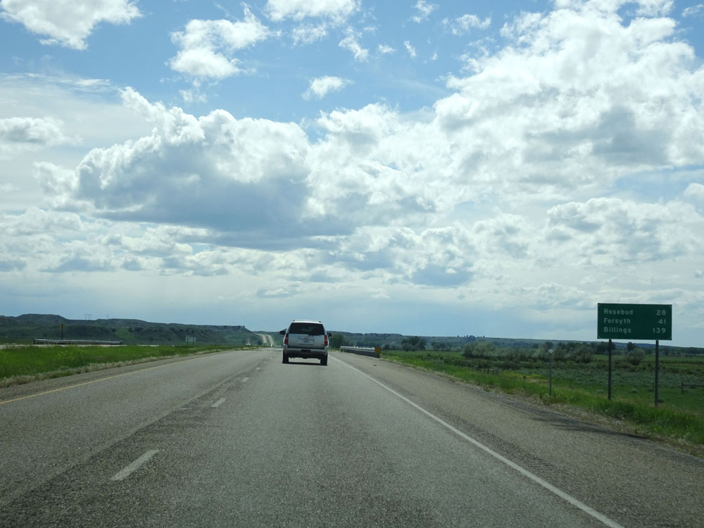 |
Mileage sign west of Exit 135. It's 28 miles to Rosebud, 41 miles to Forsyth, and 139 miles to Billings. (Photo taken 5/23/16). |
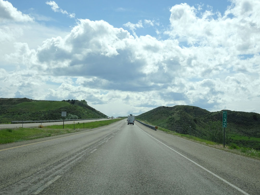 |
Interstate 94 West at mile marker 132. (Photo taken 5/23/16). |
 |
Interstate 94 West approaching Exit 128 - 1/2 mile. (Photo taken 5/23/16). |
 |
Interstate 94 West at Exit 128: Local Access (Photo taken 5/23/16). |
 |
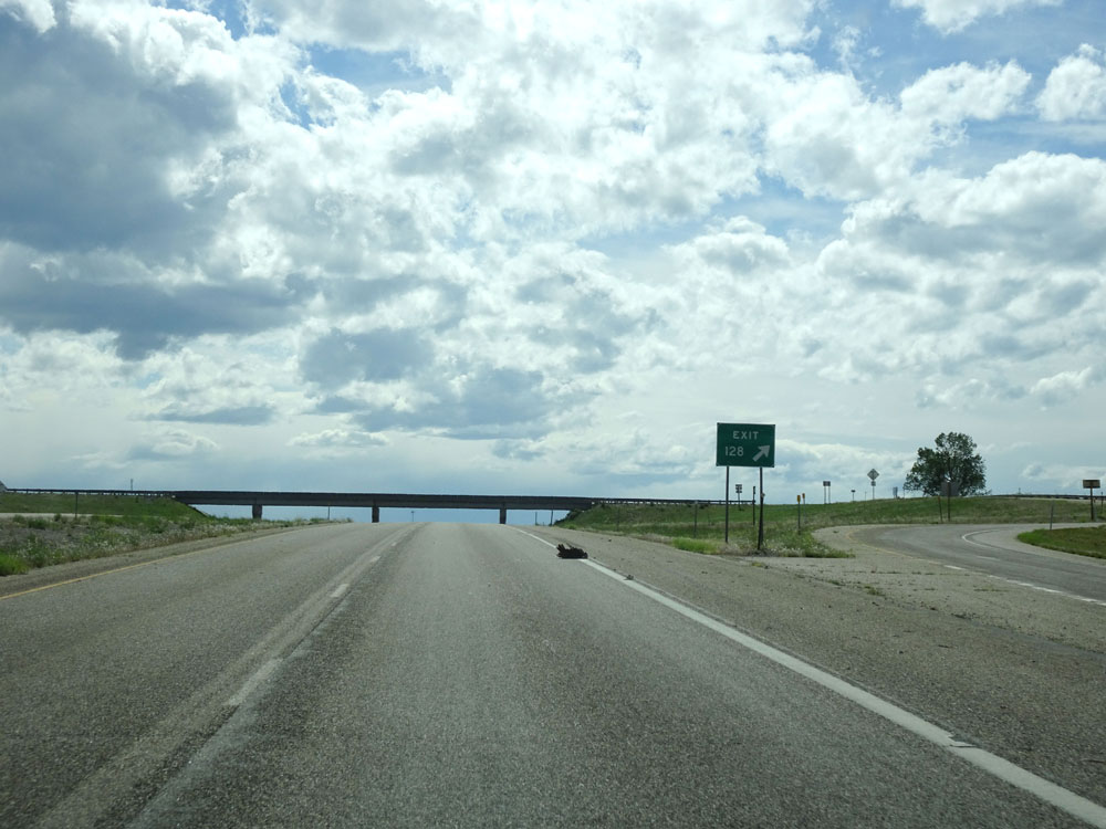
Interstate 94 West at mile marker 128. (Photo taken 5/23/16). |
 |
Interstate 94 West approaching Exit 126 - 1/2 mile. (Photo taken 5/23/16). |
 |
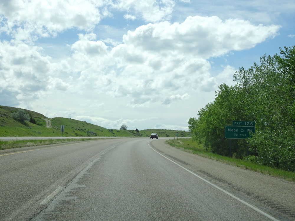
Interstate 94 West at Exit 126: Moon Creek Road (Photo taken 5/23/16). |
 |
Interstate 94 West at mile marker 124. (Photo taken 5/23/16). |
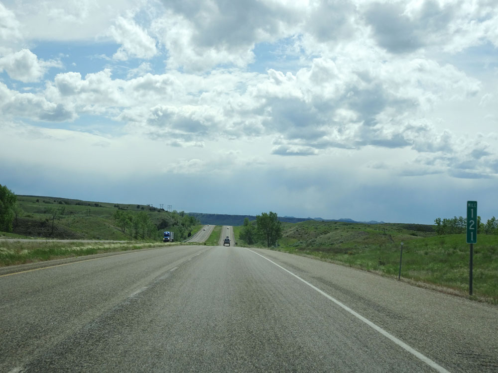 |
Interstate 94 West at mile marker 121. (Photo taken 5/23/16). |
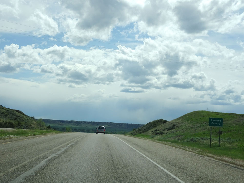 |
Interstate 94 West entering Rosebud County. (Photo taken 5/23/16). |
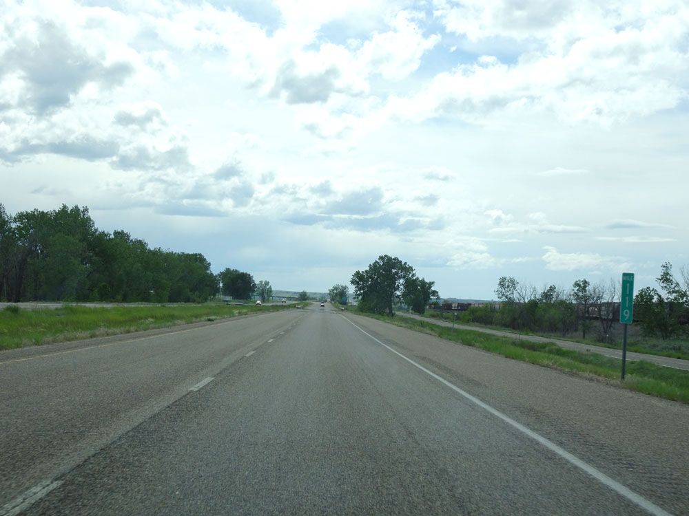 |
Interstate 94 West at mile marker 119. (Photo taken 5/23/16). |
 |
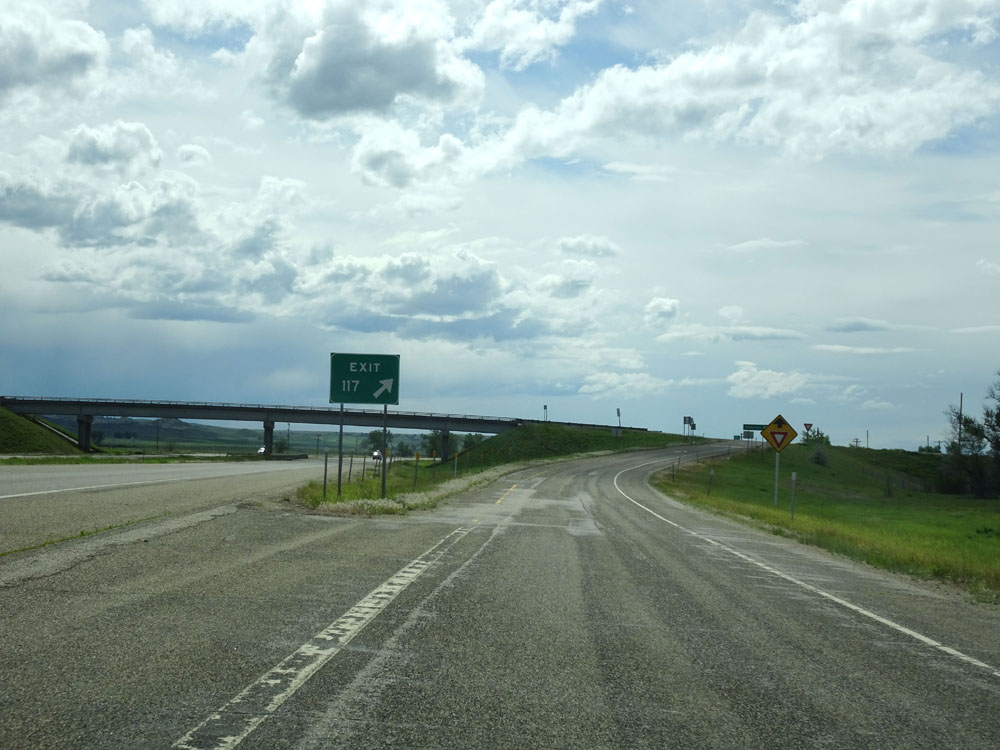
Interstate 94 West approaching Exit 117 - 1/2 mile. (Photo taken 5/23/16). |
 |
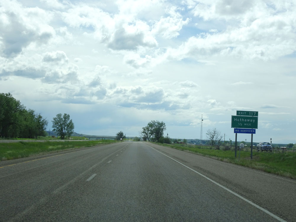
Interstate 94 West at Exit 117: Hathaway (Photo taken 5/23/16). |
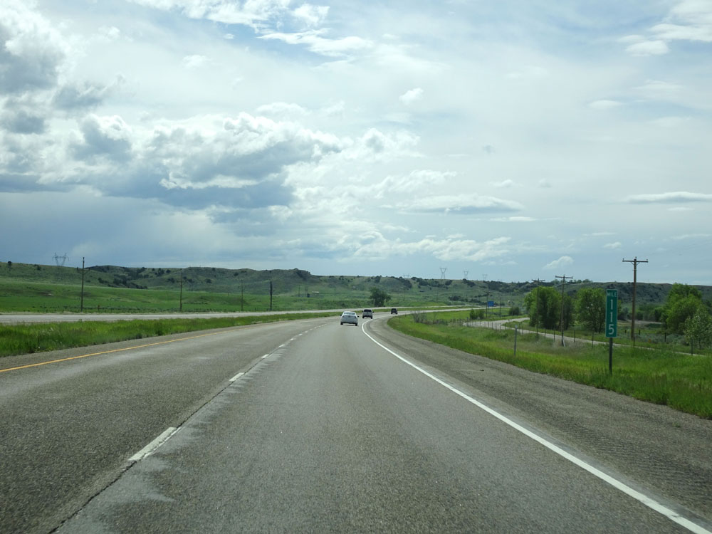 |
Interstate 94 West at mile marker 115. (Photo taken 5/23/16). |
 |
Interstate 94 West at mile marker 114. (Photo taken 5/23/16). |
 |
Interstate 94 West at the Rest Area located near mile marker 113. (Photo taken 5/23/16). |
 |
Interstate 94 West at mile marker 112. (Photo taken 5/23/16). |
 |
Interstate 94 West at mile marker 110. (Photo taken 5/23/16). |
 |
Interstate 94 West at Exit 106: Rosebud (Photo taken 5/23/16). |
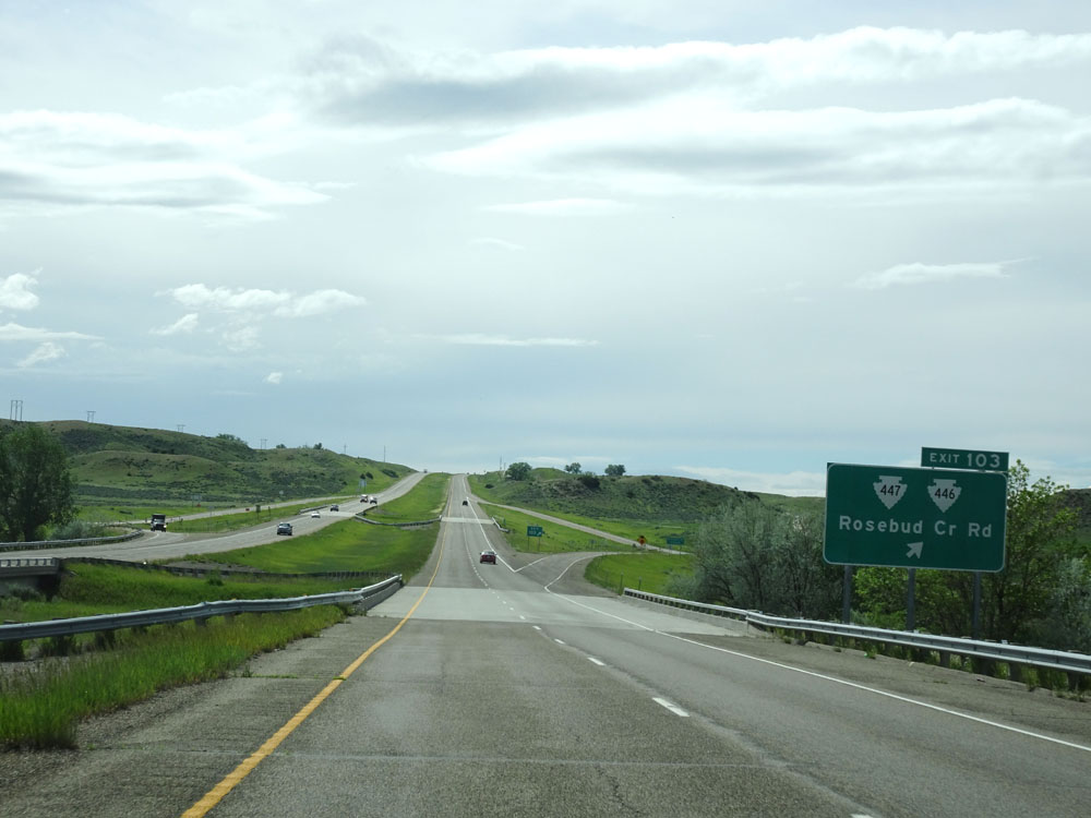 |
Interstate 94 West at Exit 103: S-447 / S-446 - Rosebud Cr Rd (Photo taken 5/23/16). |
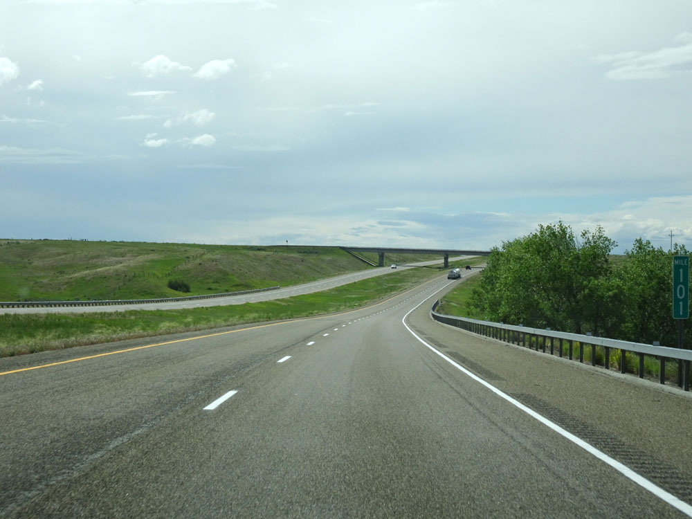 |
Interstate 94 West at mile marker 101. (Photo taken 5/23/16). |
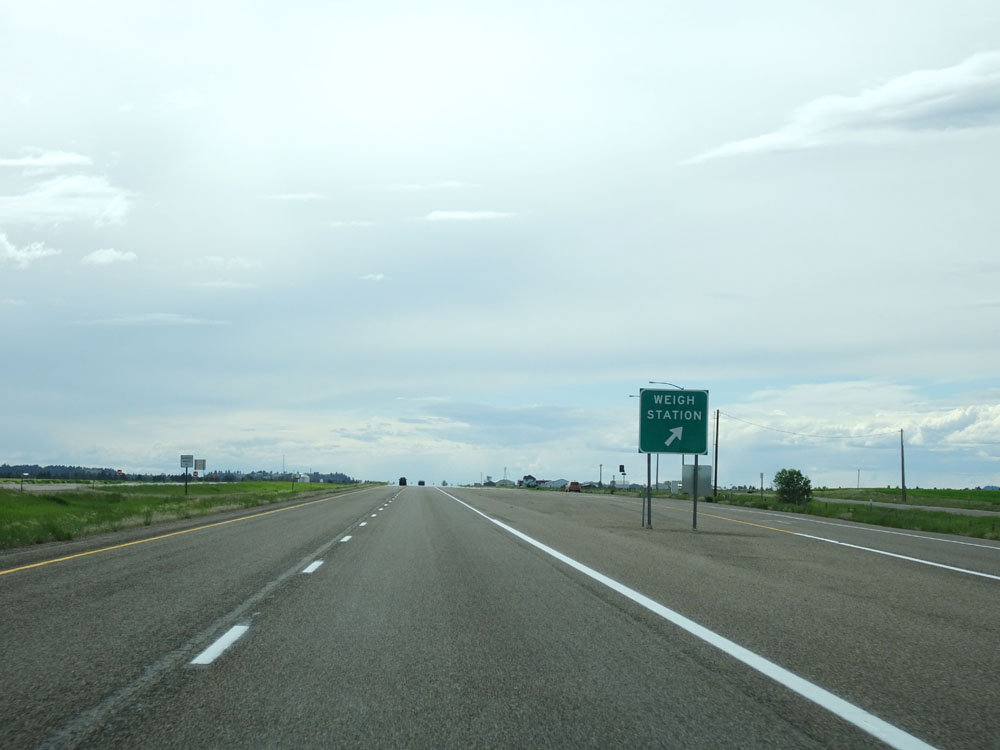 |
Interstate 94 West at the Weigh Station located just west of mile marker 99. (Photo taken 5/23/16). |
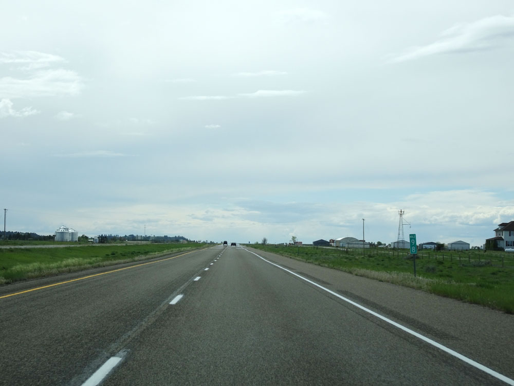 |
Interstate 94 West at mile marker 98. (Photo taken 5/23/16). |
 |
Take either of the next 2 exits to Forsyth. (Photo taken 5/23/16). |
 |
Take Exit 95 to Rosebud Recreation Area. (Photo taken 5/23/16). |
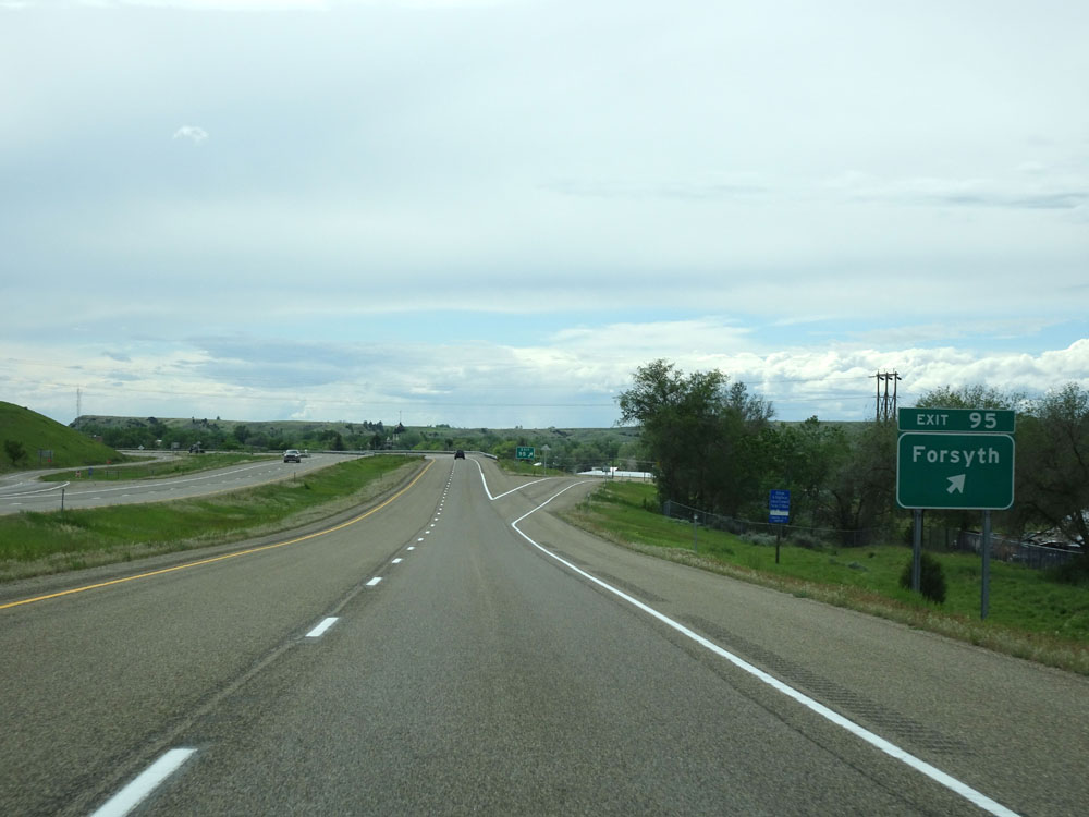 |
Interstate 94 West at Exit 95: Forsyth (Photo taken 5/23/16). |
 |
Interstate 94 West at Exit 93: US 12 West - Forsyth / Roundup (Photo taken 5/23/16). |
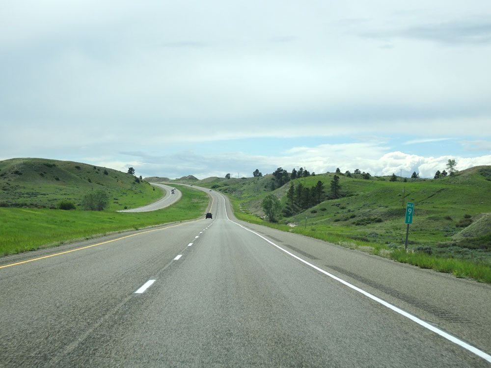 |
Interstate 94 West at mile marker 91. (Photo taken 5/23/16). |
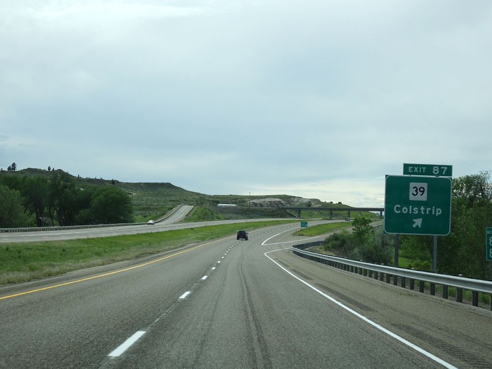 |
Interstate 94 West at Exit 87: MT 39 - Colstrip (Photo taken 5/23/16). |
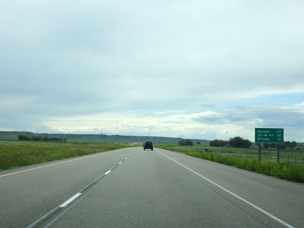 |
Mileage sign west of Exit 87. It's 19 miles to Hysham, 38 miles to the junction of MT 47, and 91 miles to Billings. (Photo taken 5/23/16). |
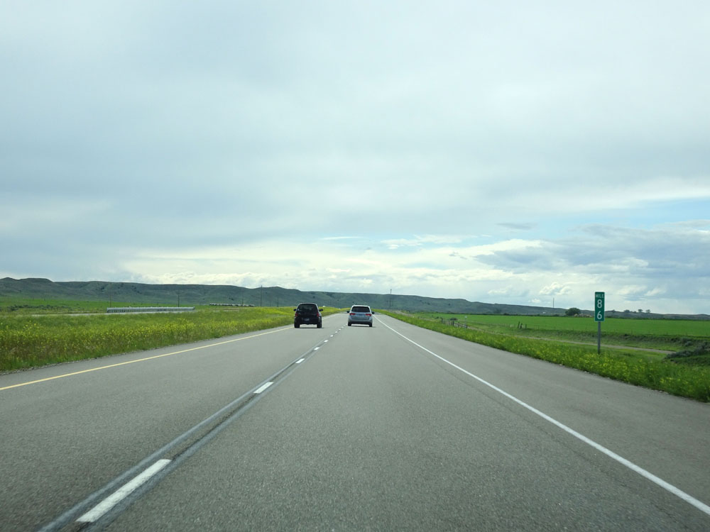 |
Interstate 94 West at mile marker 86. (Photo taken 5/23/16). |
 |
Interstate 94 West at mile marker 84. (Photo taken 5/23/16). |
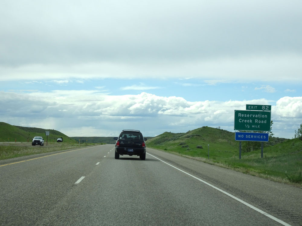 |
Interstate 94 West approaching Exit 82 - 1/2 mile. (Photo taken 5/23/16). |
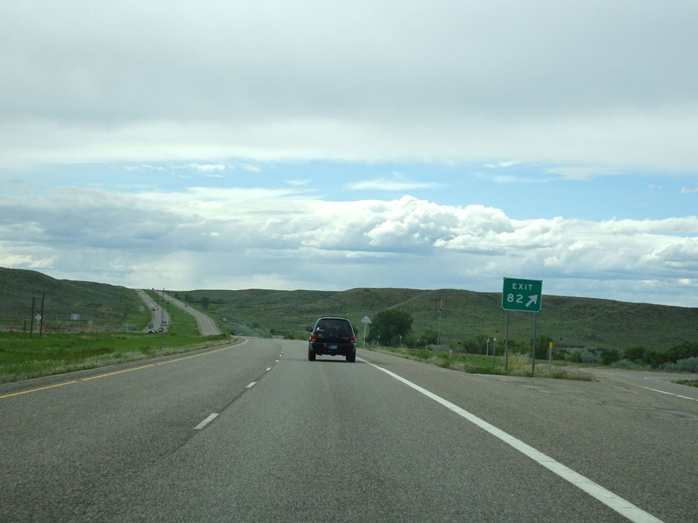 |
Interstate 94 West at Exit 82: Reservation Creek Road (Photo taken 5/23/16). |
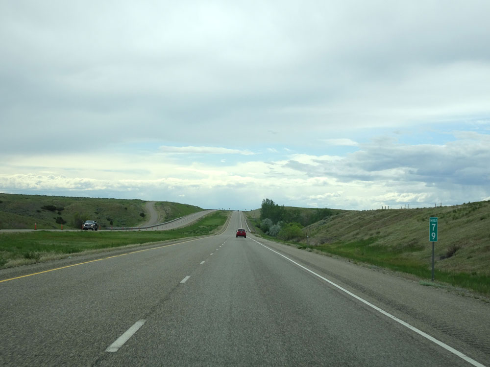 |
Interstate 94 West at mile marker 79. (Photo taken 5/23/16). |
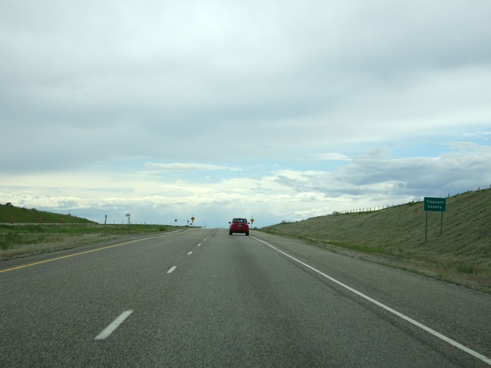 |
Interstate 94 West as it enters Treasure County. (Photo taken 5/23/16). |
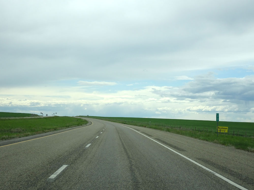 |
Interstate 94 West at mile marker 77. (Photo taken 5/23/16). |
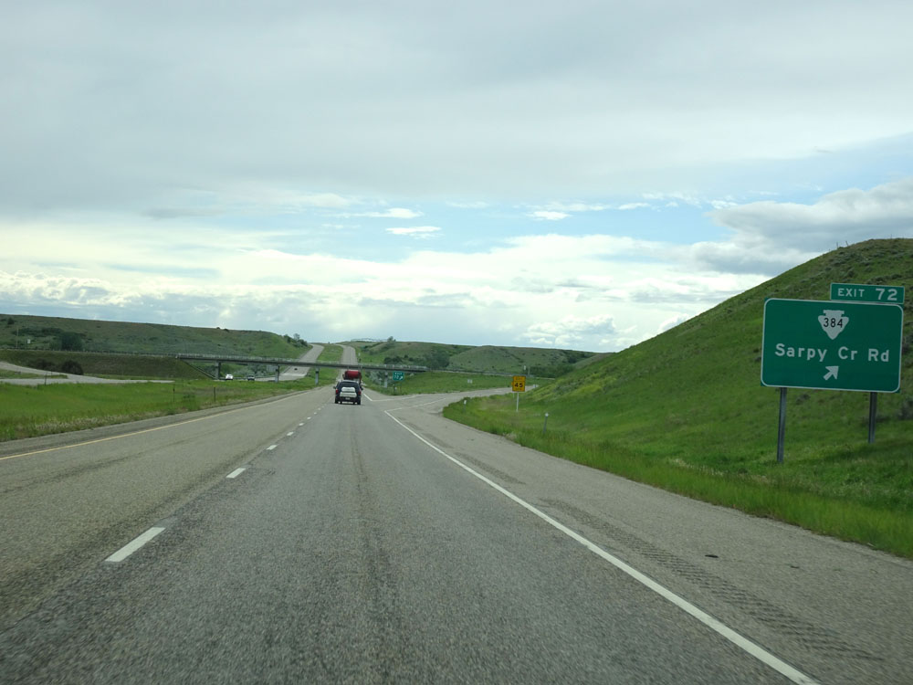 |
Interstate 94 West at Exit 72: S-384 - Sarpy Cr Rd (Photo taken 5/23/16). |
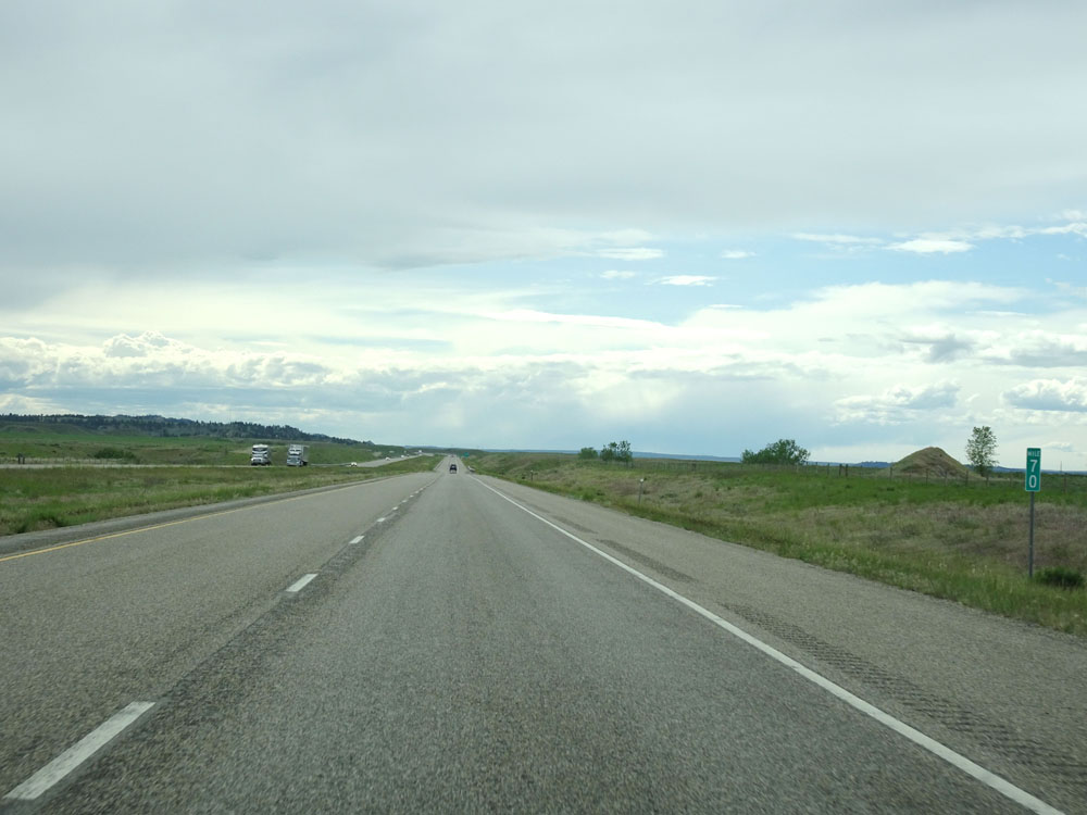 |
Interstate 94 West at mile marker 70. (Photo taken 5/23/16). |
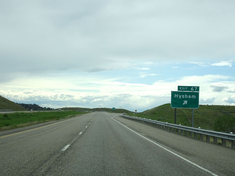 |
Interstate 94 West at Exit 67: Hysham (Photo taken 5/23/16). |
 |
Speed limit signs west of Exit 67. Again, the speed limit on most rural Interstates in Montana is 80 mph for cars and 65 mph for trucks. (Photo taken 5/23/16). |
 |
Interstate 94 West at the Rest Area located at mile marker 65. (Photo taken 5/23/16). |
 |
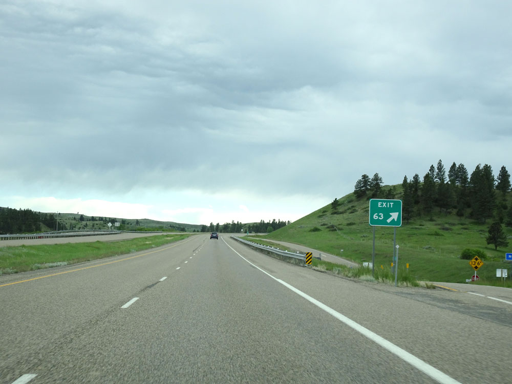
Interstate 94 West approaching Exit 63 - 1/2 mile. (Photo taken 5/23/16). |
 |
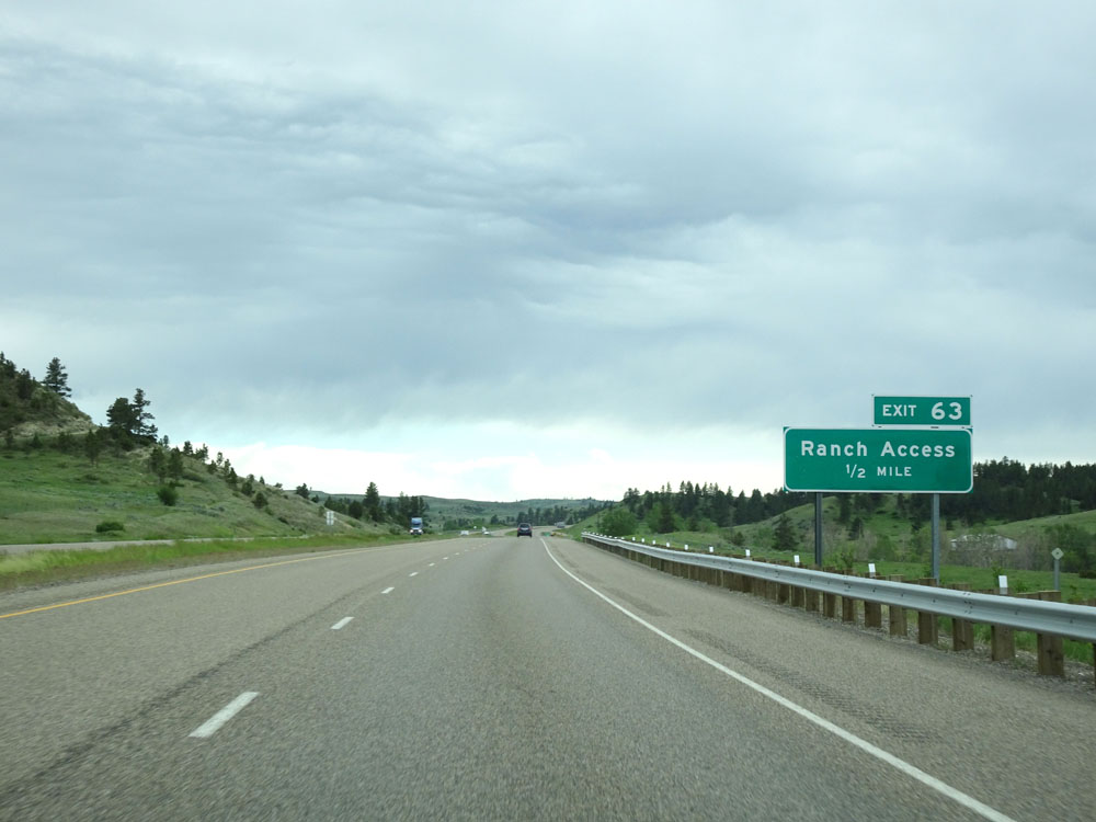
Interstate 94 West at Exit 63: Ranch Access (Photo taken 5/23/16). |
 |
Interstate 94 West at mile marker 62. (Photo taken 5/23/16). |
 |
Interstate 94 West at mile marker 57. (Photo taken 5/23/16). |
 |
This warning sign alerts motorists to watch for rocks that have fallen into the roadway. (Photo taken 5/23/16). |
 |
View on Interstate 94 West. (Photo taken 5/23/16). |
 |
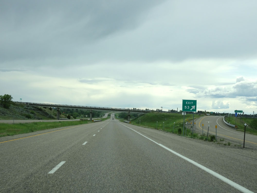
Interstate 94 West approaching Exit 53 - 1/2 mile. (Photo taken 5/23/16). |
 |
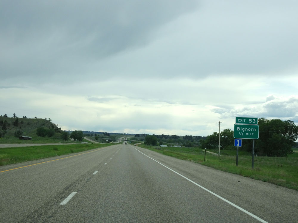
Interstate 94 West at Exit 53: Bighorn (Photo taken 5/23/16). |
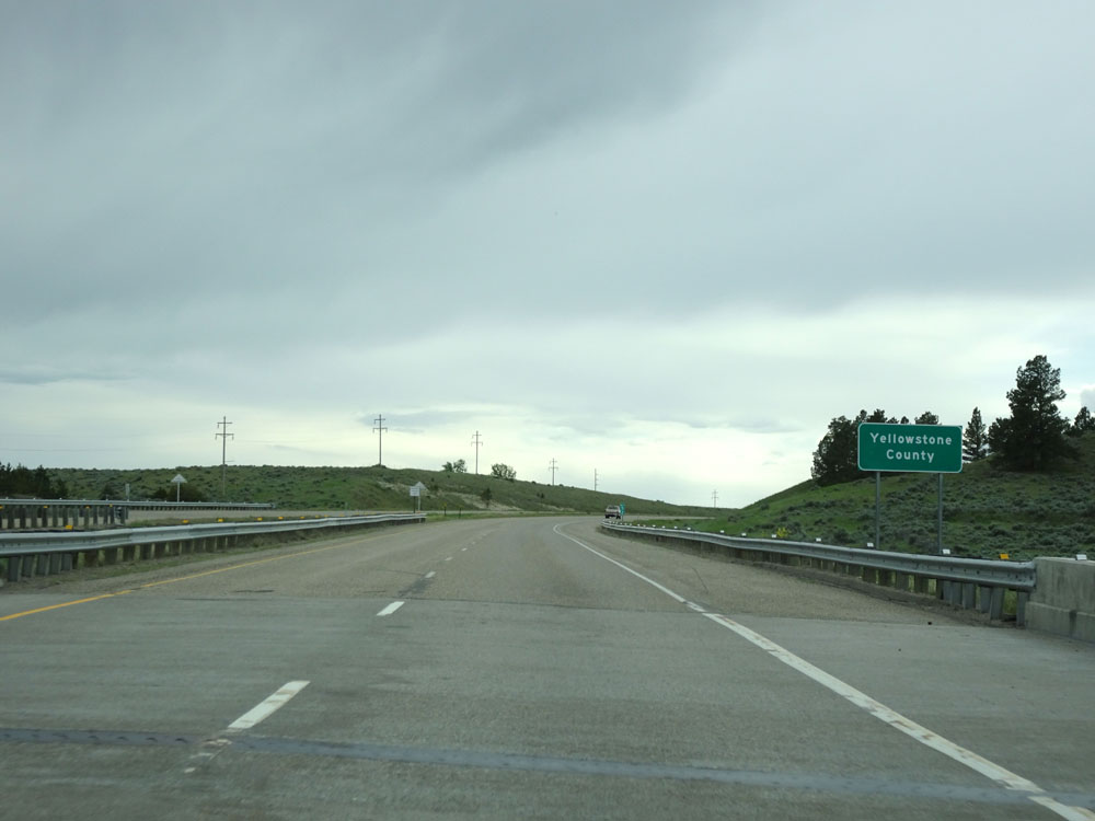 |
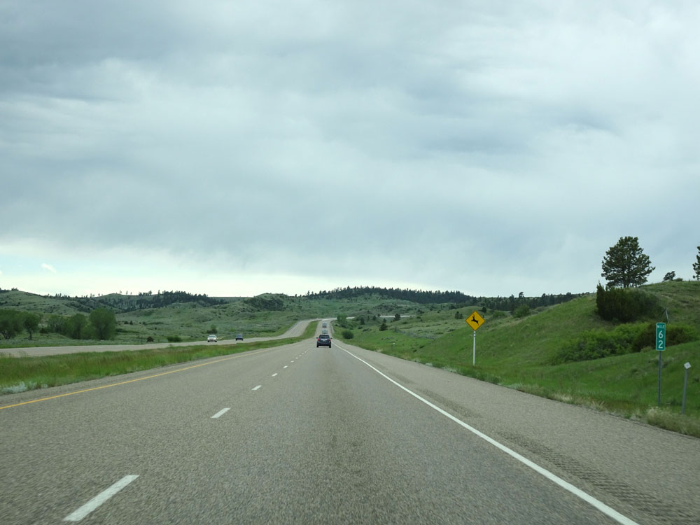
Interstate 94 West entering Yellowstone County near mile marker 52. (Photo taken 5/23/16). |
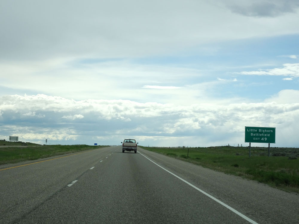 |
Take Exit 49 to Little Bighorn Battlefield. (Photo taken 5/23/16). |
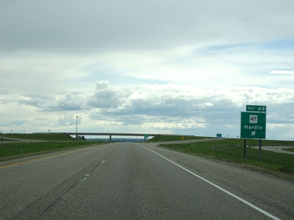 |
Interstate 94 West at Exit 49: MT 47 - Hardin (Photo taken 5/23/16). |
 |
Interstate 94 West assurance shield west of Exit 49. (Photo taken 5/23/16). |
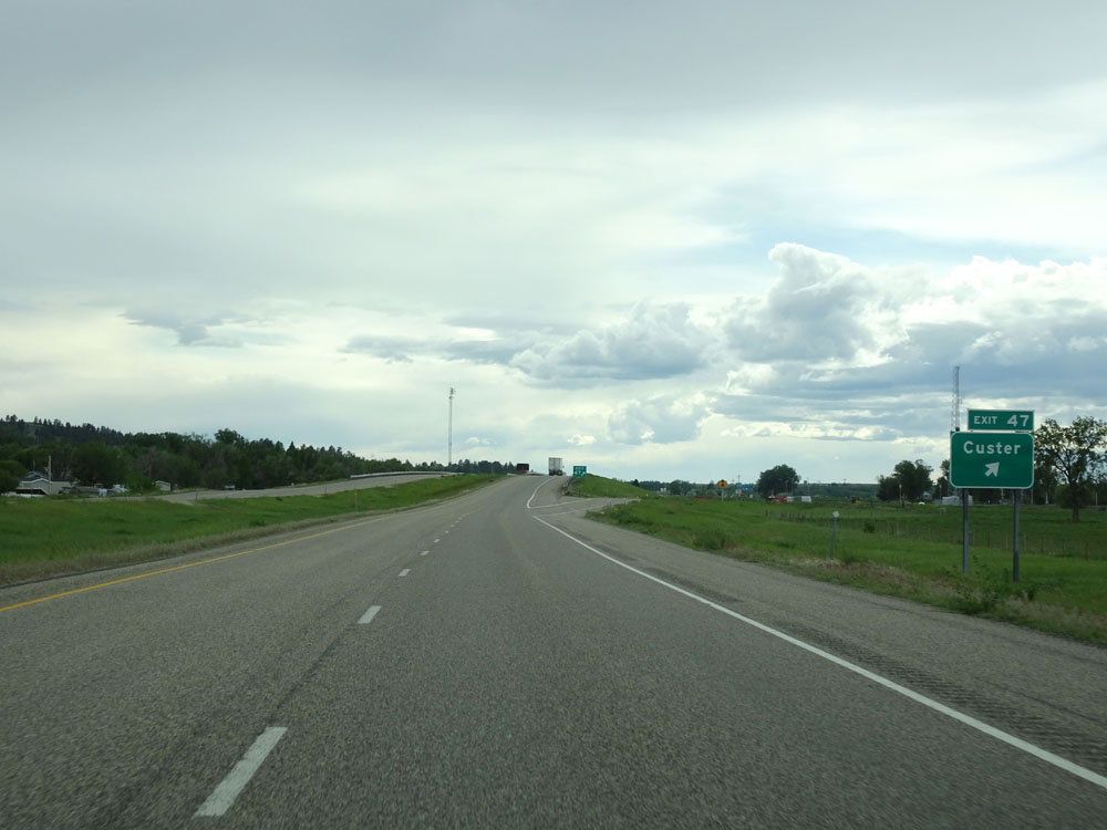 |
Interstate 94 West at Exit 47: Custer (Photo taken 5/23/16). |
Section 4: Custer (Exit 47) to Interstate 90
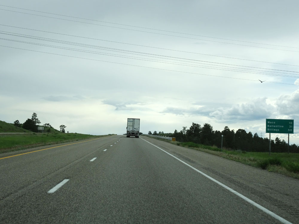 |
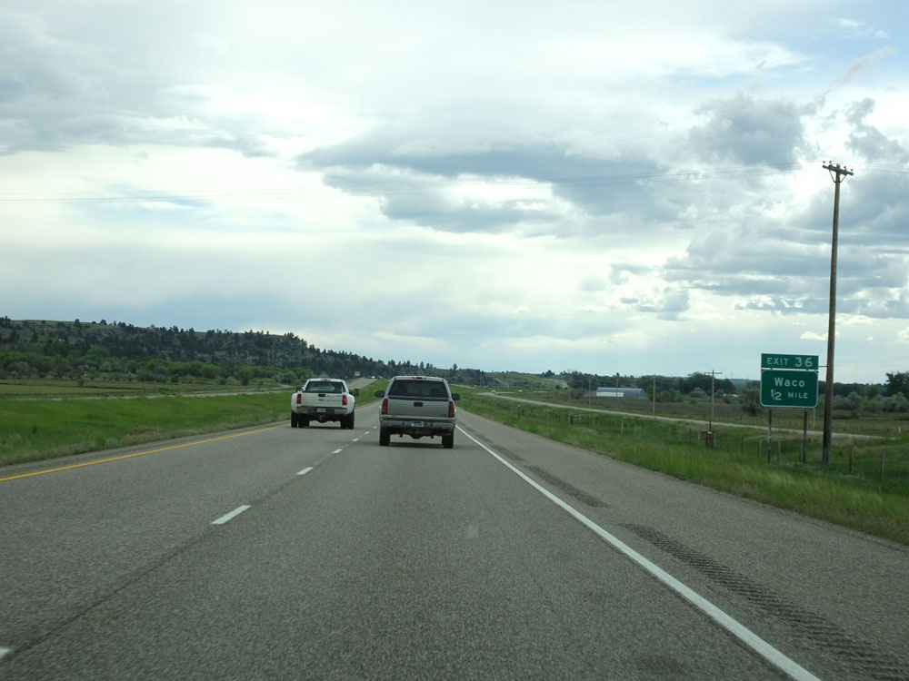
Mileage sign west of Exit 47. It's 10 miles to Waco, 31 miles to Ballantine, and 50 miles to Billings. (Photo taken 5/23/16). |
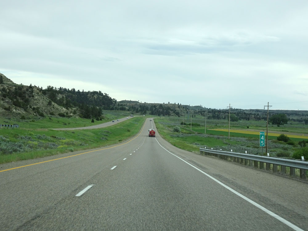 |
Interstate 94 West at mile marker 45. (Photo taken 5/23/16). |
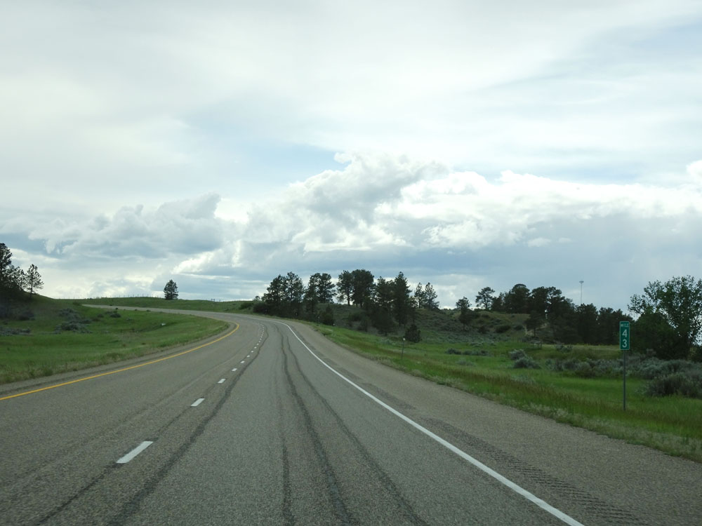 |
Interstate 94 West at mile marker 43. (Photo taken 5/23/16). |
 |
Interstate 94 West at the Rest Area located near mile marker 42. (Photo taken 5/23/16). |
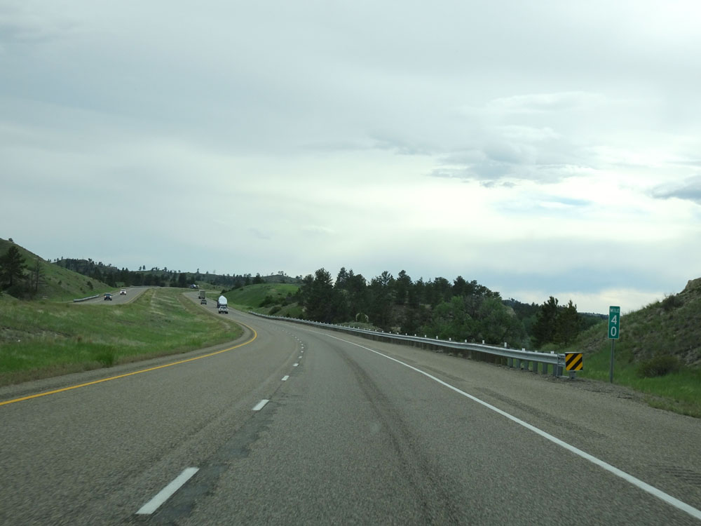 |
Interstate 94 West at mile marker 40. (Photo taken 5/23/16). |
 |
Interstate 94 West approaching Exit 36 - 1/2 mile. (Photo taken 5/23/16). |
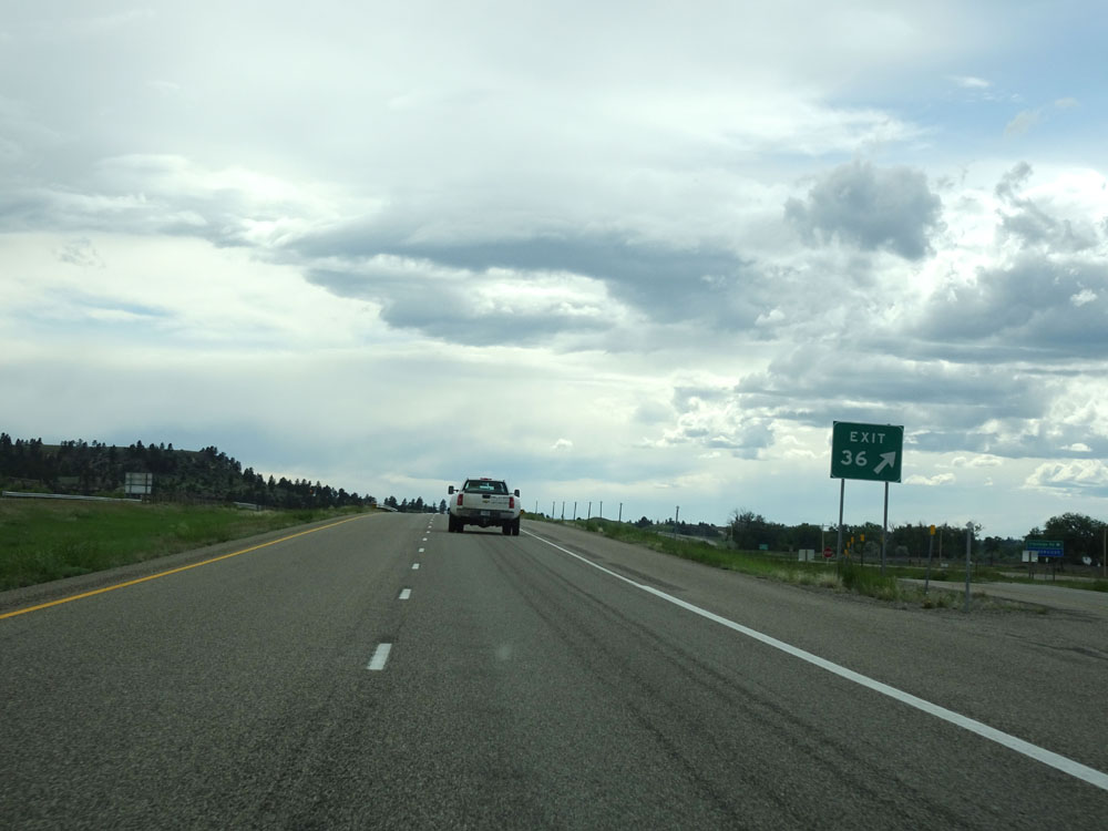 |
Interstate 94 West at Exit 36: Waco (Photo taken 5/23/16). |
 |
Interstate 94 West at mile marker 33. (Photo taken 5/23/16). |
 |
Interstate 94 West at mile marker 30. (Photo taken 5/23/16). |
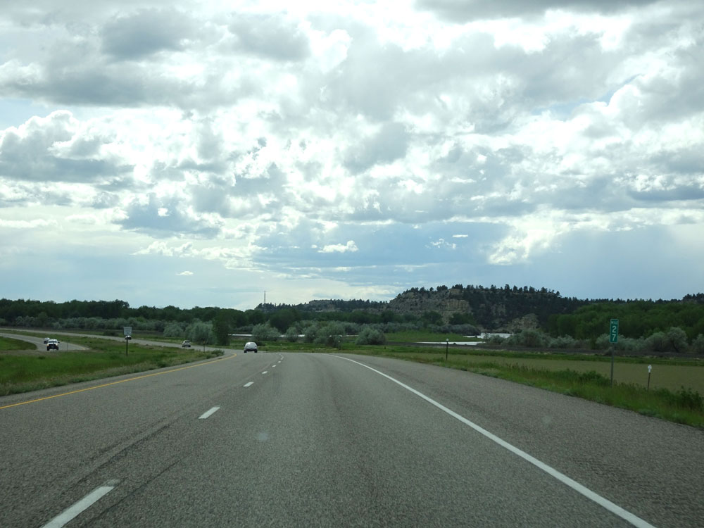 |
Interstate 94 West at mile marker 27. (Photo taken 5/23/16). |
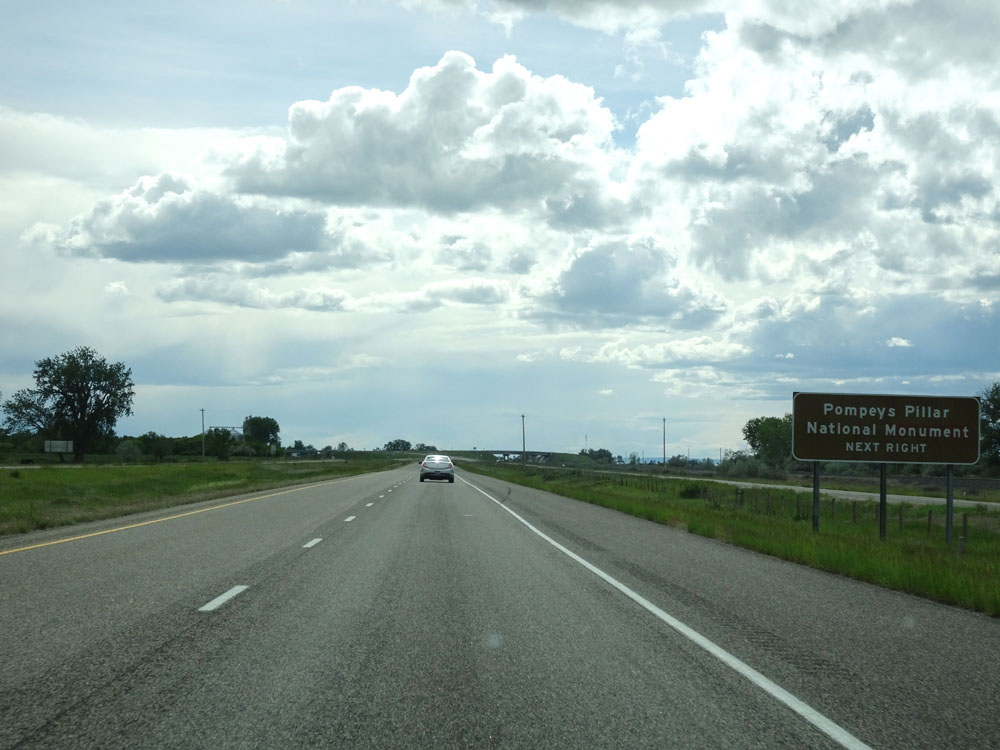 |
Take Exit 23 to Pompeys Pillar National Monument. (Photo taken 5/23/16). |
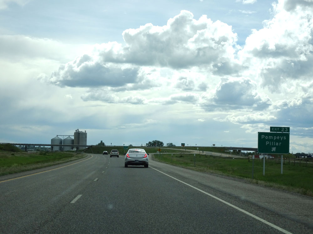 |
Interstate 94 West at Exit 23: Pompeys Pillar (Photo taken 5/23/16). |
 |
Interstate 94 West at mile marker 19. (Photo taken 5/23/16). |
 |
Interstate 94 West at mile marker 17. (Photo taken 5/23/16). |
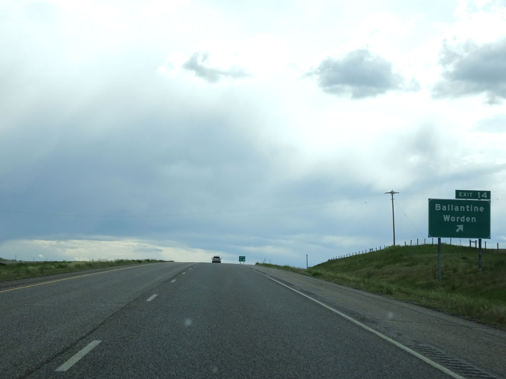 |
Interstate 94 West at Exit 14: Ballantine / Worden (Photo taken 5/23/16). |
 |
Speed limit assurance signs west of Exit 14. Speed Limit - 80 mph for autos, 65 mph for trucks. (Photo taken 5/23/16). |
 |
Mileage sign west of Exit 14. It's 8 miles to Huntley, 14 miles to the junction of Interstate 90, and 18 miles to Billings. (Photo taken 5/23/16). |
 |
Interstate 94 West at mile marker 11. (Photo taken 5/23/16). |
 |
Interstate 94 West at mile marker 8. (Photo taken 5/23/16). |
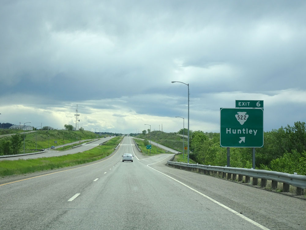 |
Interstate 94 West at Exit 6: S-522 - Huntley (Photo taken 5/23/16). |
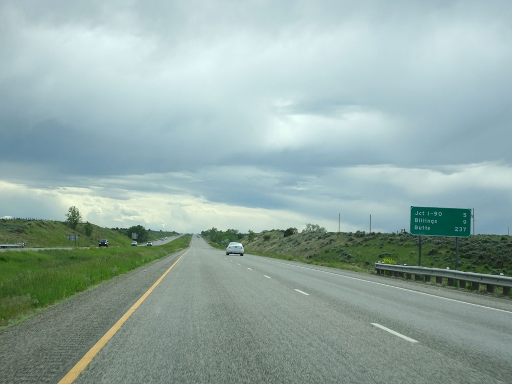 |
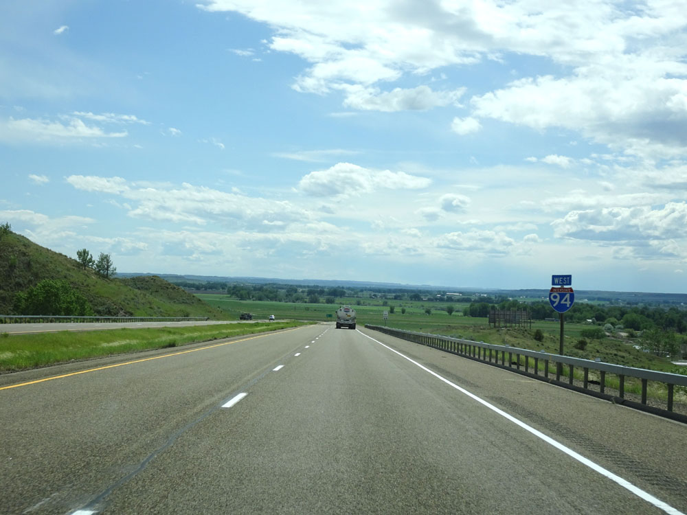
Mileage sign west of Exit 6. It's 5 miles to the junction of Interstate 90, 9 miles to Billings, and 237 miles to Butte. (Photo taken 5/23/16). |
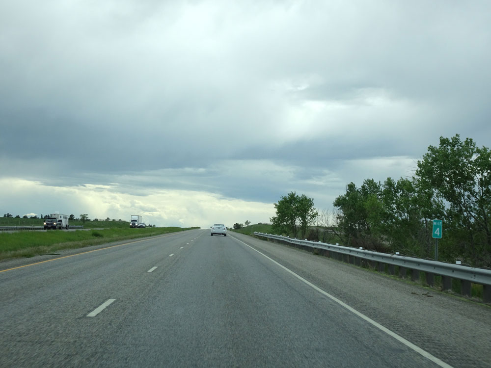 |
Interstate 94 West at mile marker 4. (Photo taken 5/23/16). |
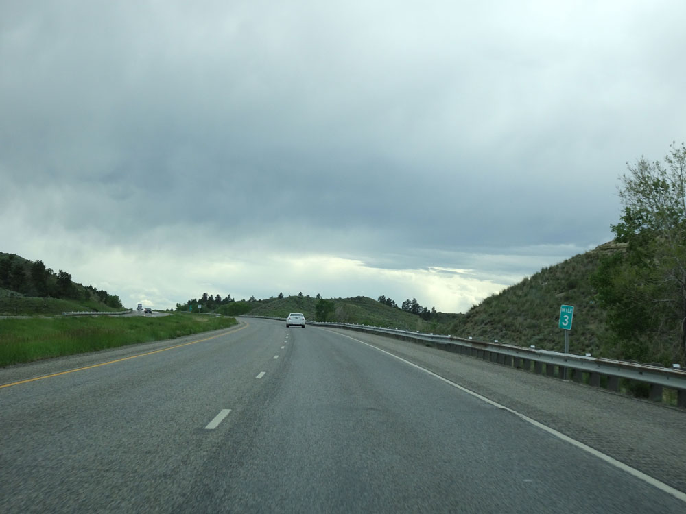 |
Interstate 94 West at mile marker 3. (Photo taken 5/23/16). |
 |
Interstate 94 West approaching Exit 0, the junction of Interstate 90 and western terminus of Interstate 94 - 2 miles. (Photo taken 5/23/16). |
 |
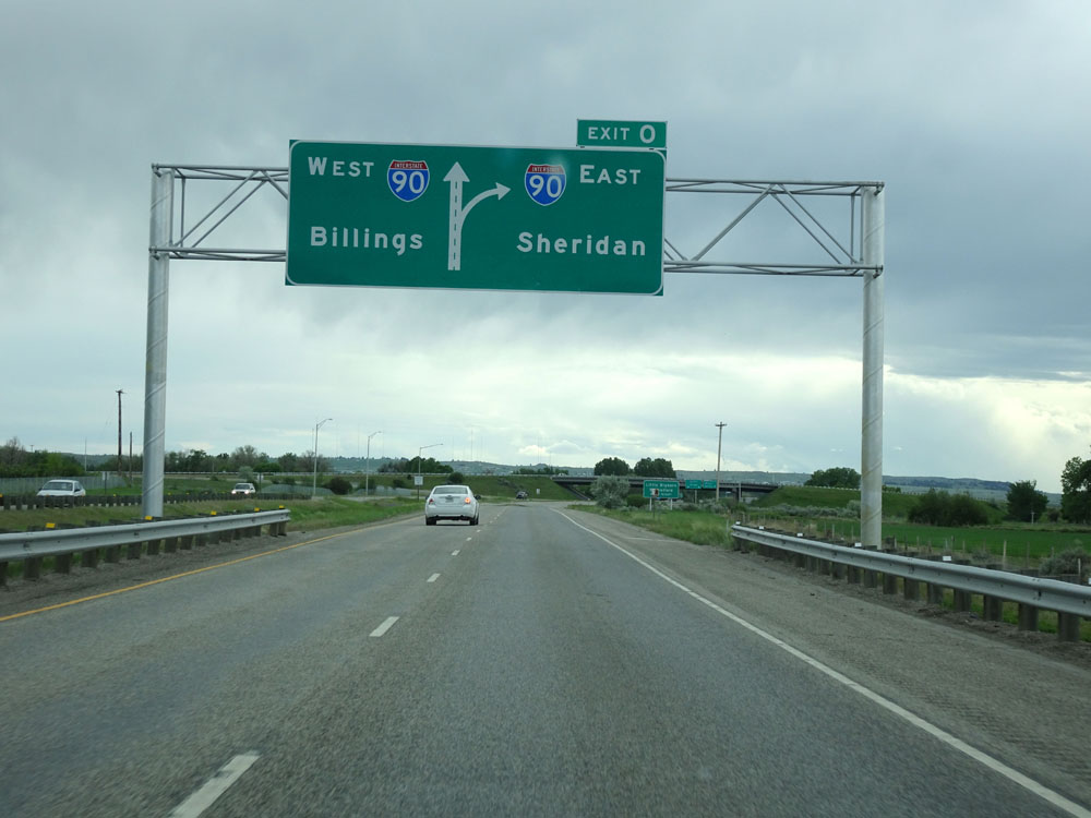
Interstate 94 West approaching Exit 0 - 1 mile. To go onto Interstate 90 West toward Billings, simply stay straight. (Photo taken 5/23/16). |
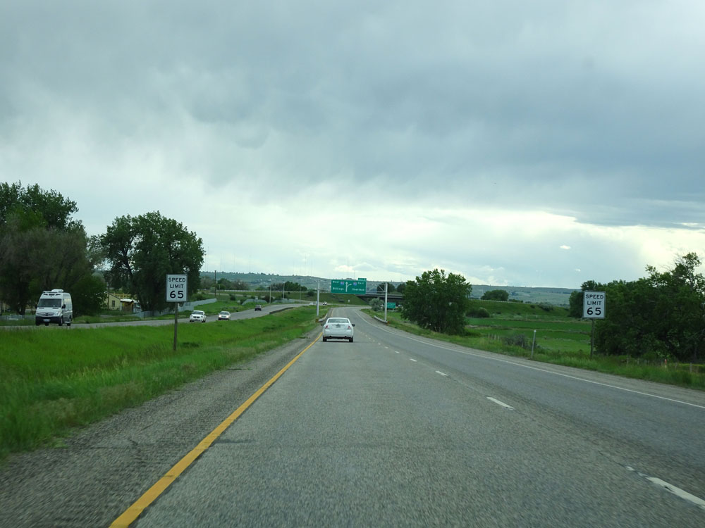 |
The speed limit decreases to 65 mph for all vehicles as Interstate 94 West approaches the junction of Interstate 90 and enters the Billings area. (Photo taken 5/23/16). |
 |
Interstate 94 West approaching its western terminus at Exit 0 and the junction of Interstate 90 - 1/2 mile. (Photo taken 5/23/16). |
 |
Take Exit 0 (Interstate 90 East toward Sheridan) to Little Bighorn Battlefield. (Photo taken 5/23/16). |
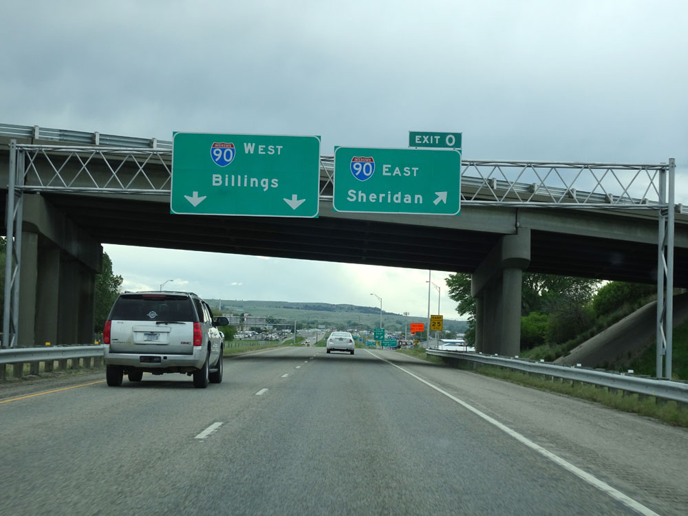 |
Interstate 94 West at Exit 0: Interstate 90 East - Sheridan (Photo taken 5/23/16). |
 |
A closer view of the exit sign for Exit 0 (Interstate 90 East), as Interstate 94 reaches its western terminus. Straight ahead, I-94's two lanes merge into Interstate 90 West to head through the Billings area. (Photo taken 5/23/16). |