Road Information |
||
 |
||
| Total Mileage in State: | 41.7 miles | |
| Northern End: | At I-35/I-35E, in Columbus | |
| Southern End: | At I-35/I-35E, in Burnsville | |
| Mileage covered in Photos: | 41.7 miles | |
| Counties covered in Photos: | Dakota, Hennepin, Ramsey, Anoka | |
| Major Junctions in Photos: | I-494, in Bloomington I-94, in Minneapolis I-694, in New Brighton I-35, in Columbus |
|
| Control Cities in Photos: | Burnsville, Bloomington, Minneapolis, Roseville, New Brighton, Arden Hills, Columbus | |
Northbound
- Section 1: Interstate 35 (Burnsville) to Minneapolis (Exit 17C)
- Section 2: Minneapolis (Exit 17C) to Interstate 35 (Columbus)
Section 1: Interstate 35 (Burnsville) to Minneapolis (Exit 17C)
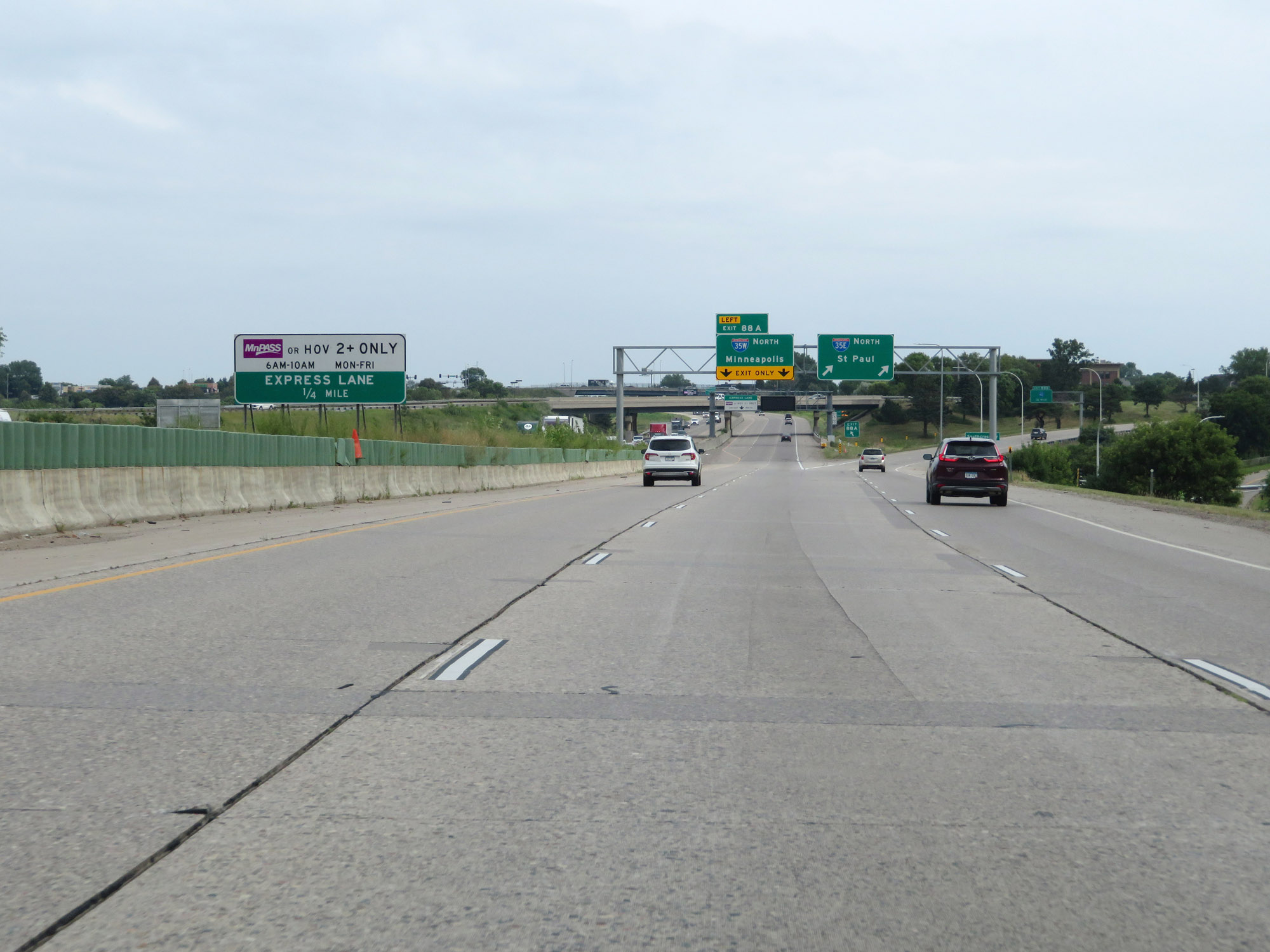 |
Interstate 35 North as it approaches its split into Interstate 35E and Interstate 35W North in Burnsville. If headed to Duluth or points north on Interstate 35, Interstate 35E is the most direct route. Interstate 35W passes through downtown Minneapolis and its suburbs before rejoining I-35E to the northeast of the Twin Cities. (Photo taken 8/7/20). |
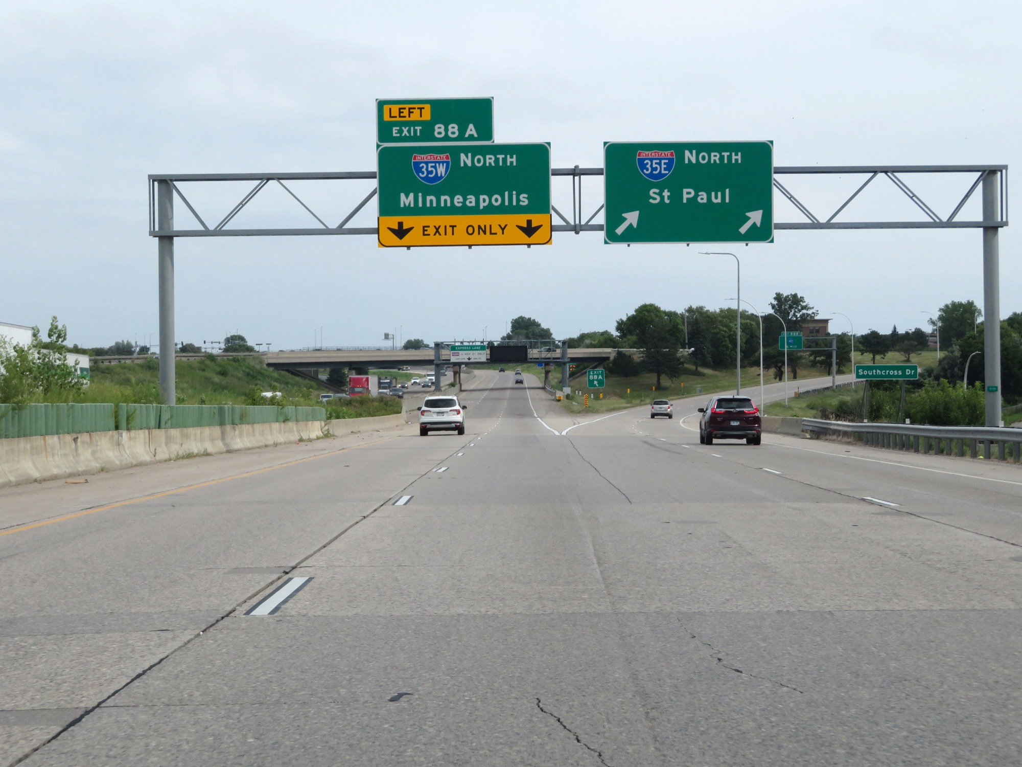 |
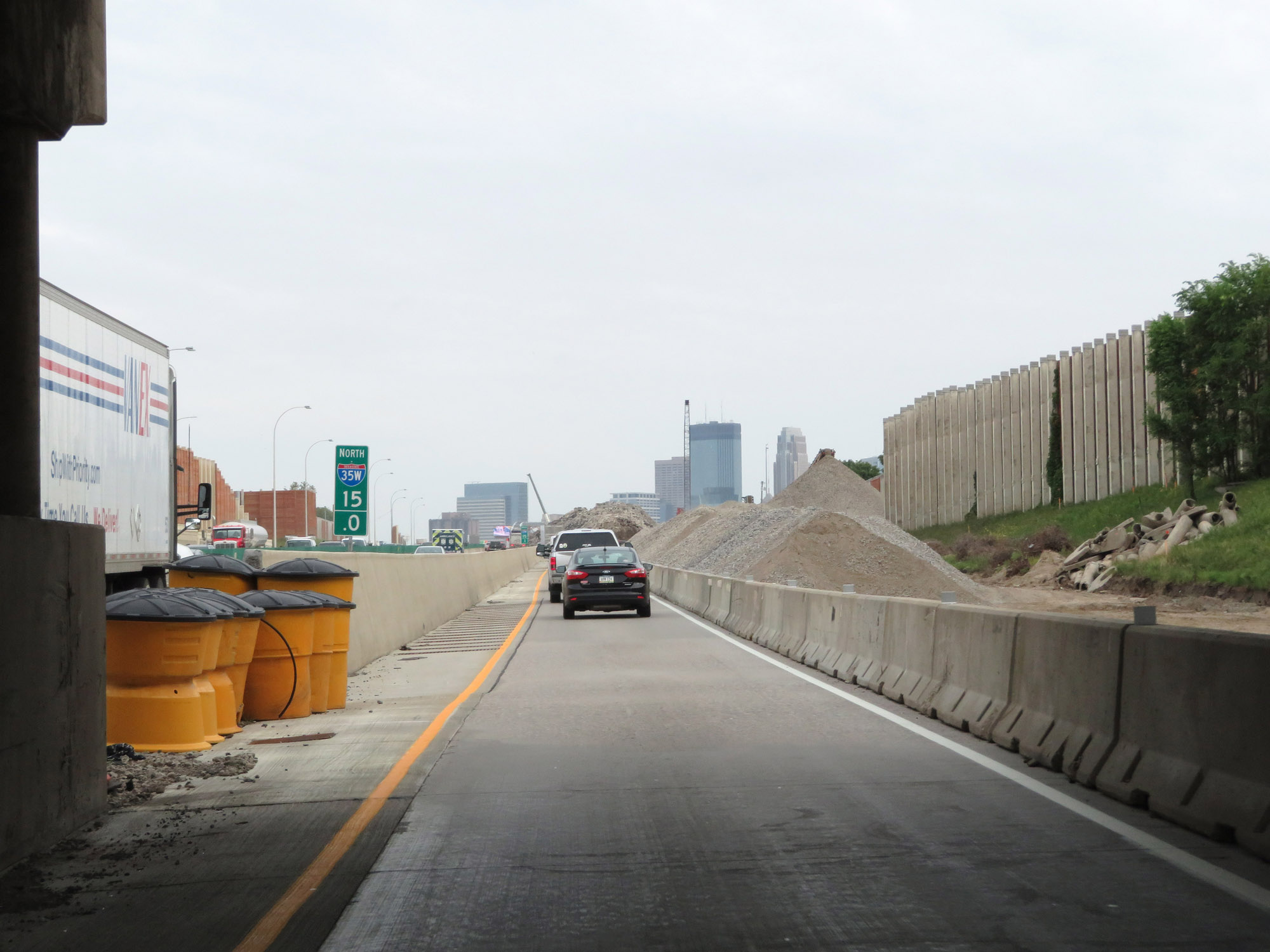
Interstate 35 North at Exit 88A: Interstate 35W North - Minneapolis. Here begins both Interstate 35W North and Interstate 35E North, passing through downtown Minneapolis and St. Paul, respectively. (Photo taken 8/7/20). |
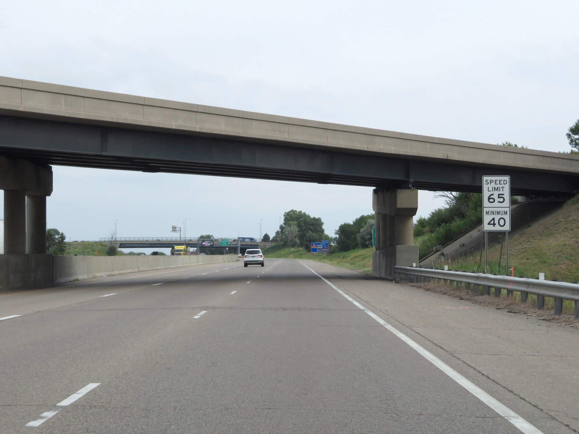 |
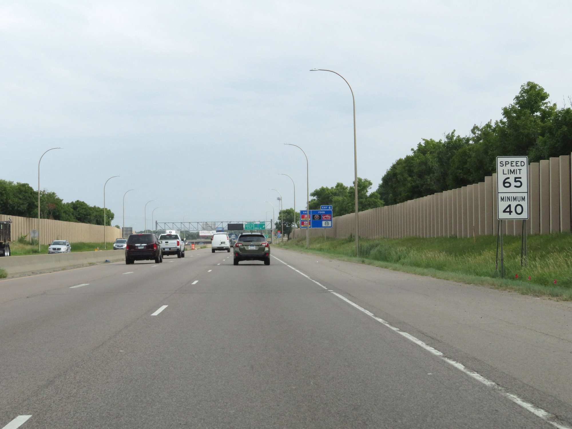
The speed limits on Interstate 35W North start out at 65 mph maximum and 40 mph minimum. (Photo taken 8/7/20). |
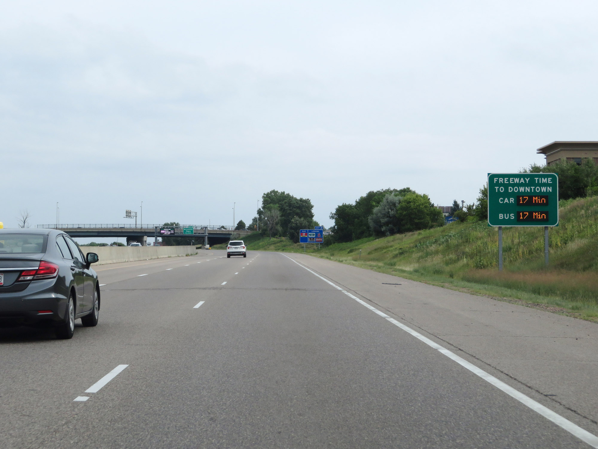 |
This sign dynamically shows the estimated travel time to downtown Minneapolis for both cars and buses on Interstate 35W North. (Photo taken 8/7/20). |
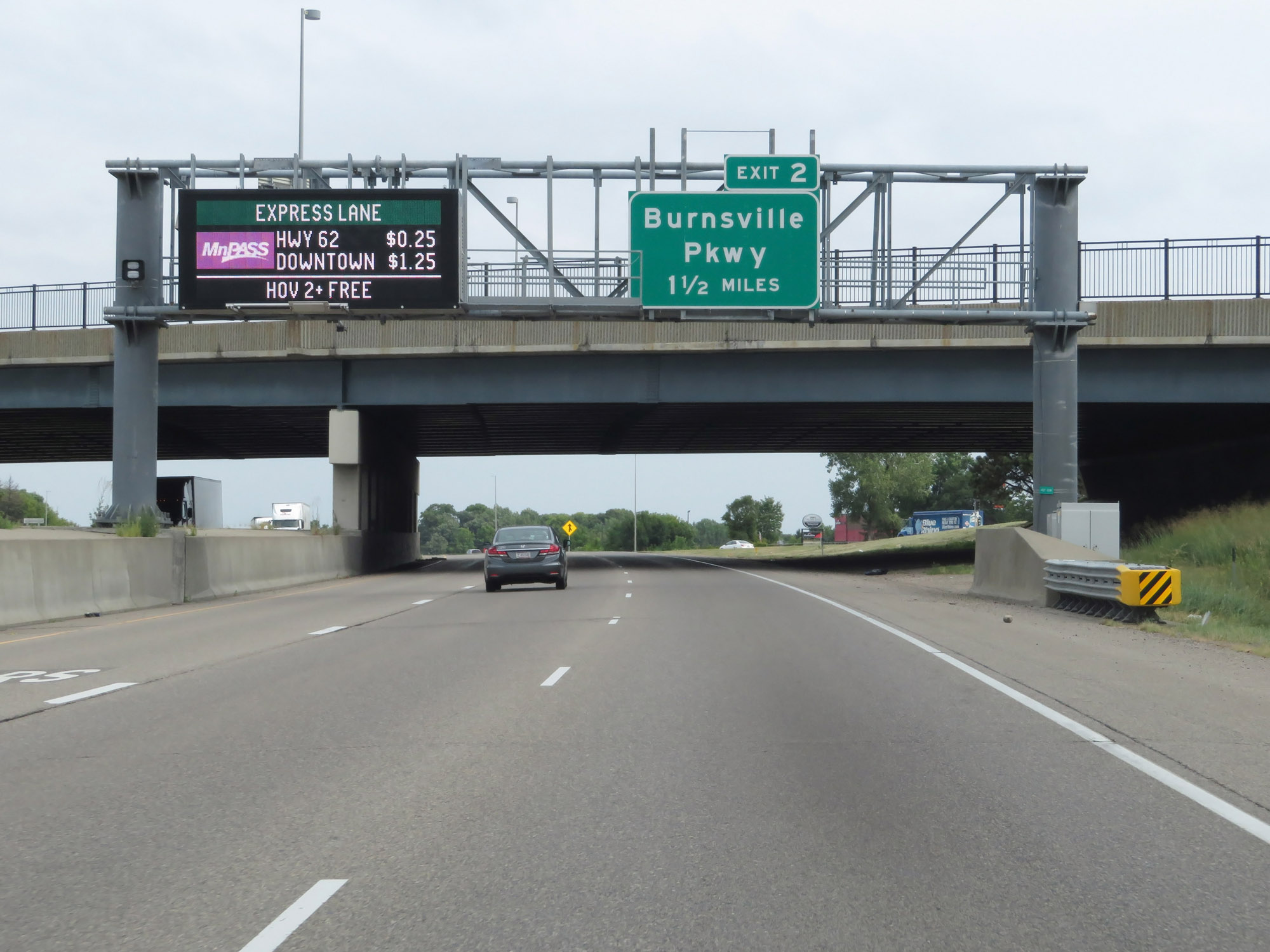 |
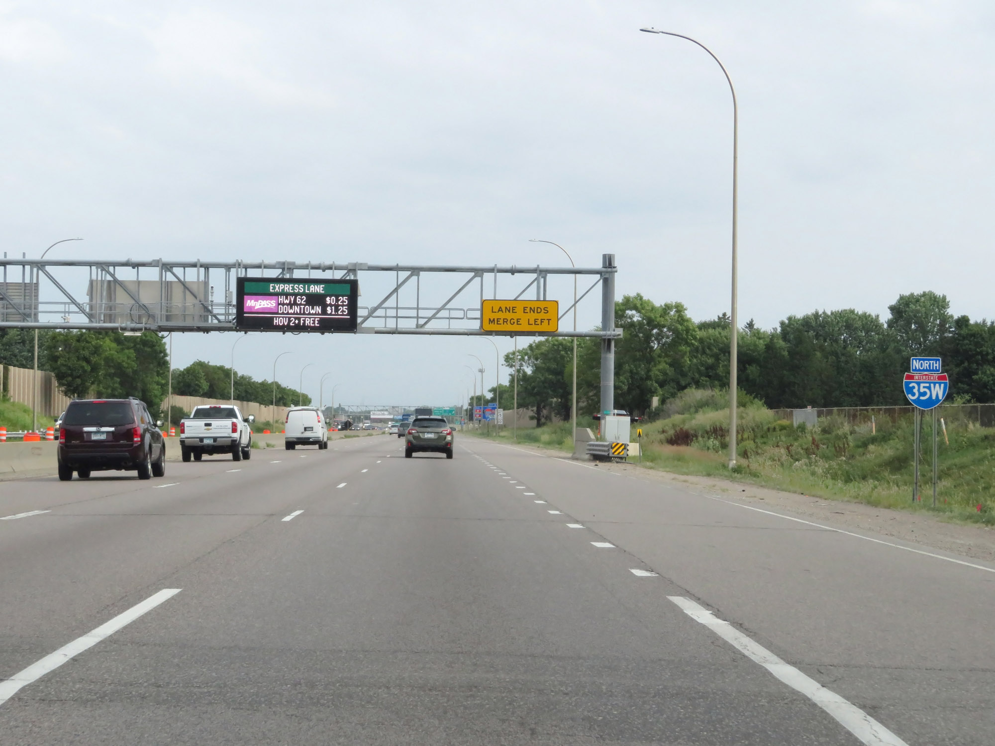
Interstate 35W carries a tolled express lane from this point to downtown Minneapolis and to the north of downtown as well. This electronic sign shows the current toll rates to two of the popular exits off of Interstate 35W North. In the express lane, MnPass is the only accepted electronic tolling method. (Photo taken 8/7/20). |
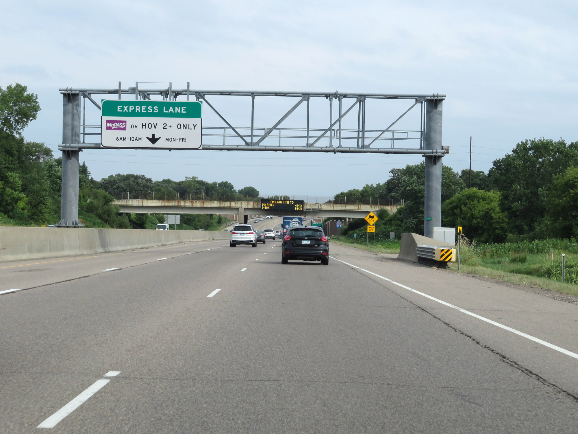 |
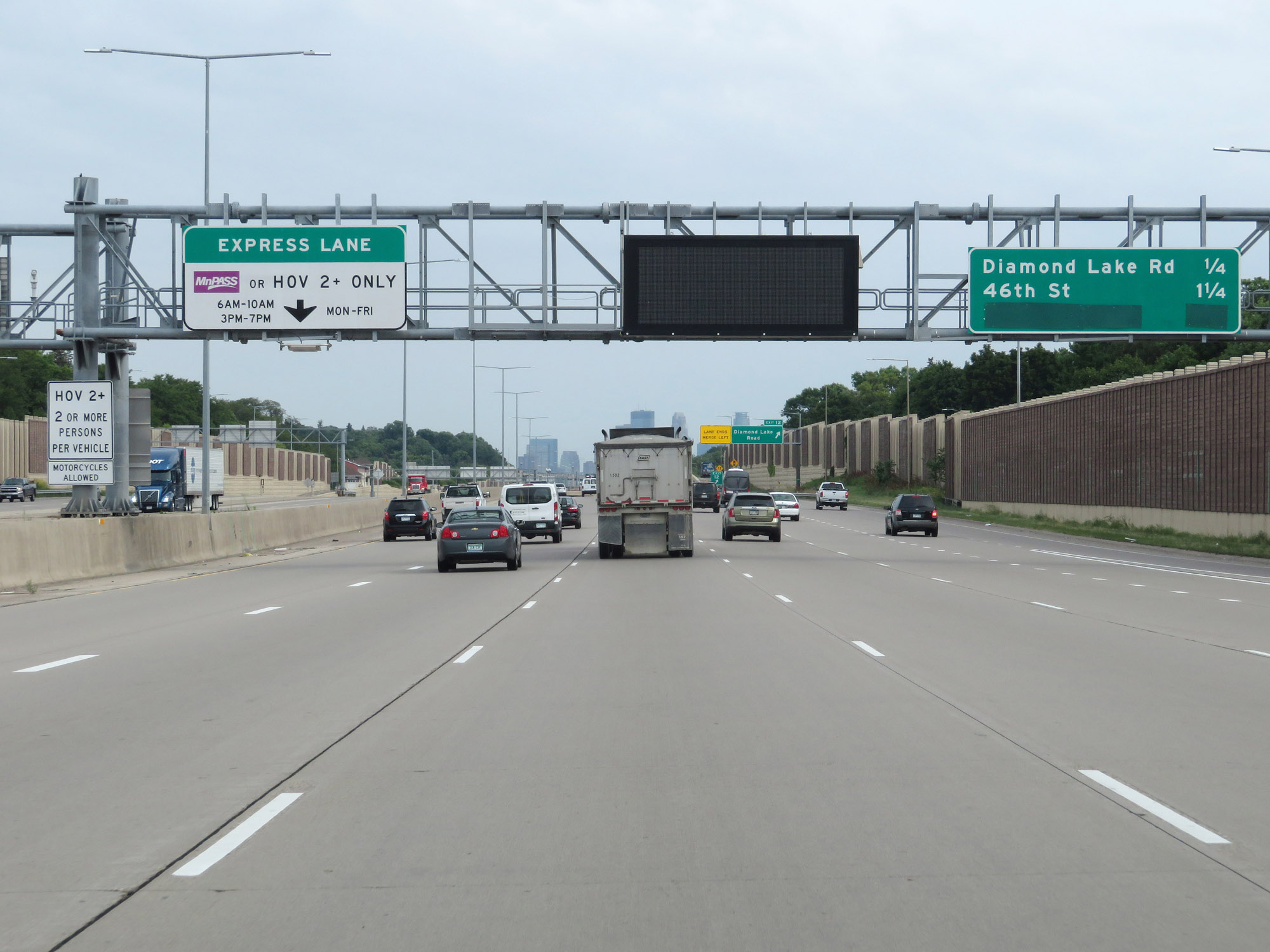
The tolled express lane is active from 6AM to 10AM Monday thru Friday. High occupancy vehicles of 2 passengers or more are also permitted to use the express lane during these times. (Photo taken 8/7/20). |
 |
Interstate 35W North reassurance shield. (Photo taken 8/7/20). |
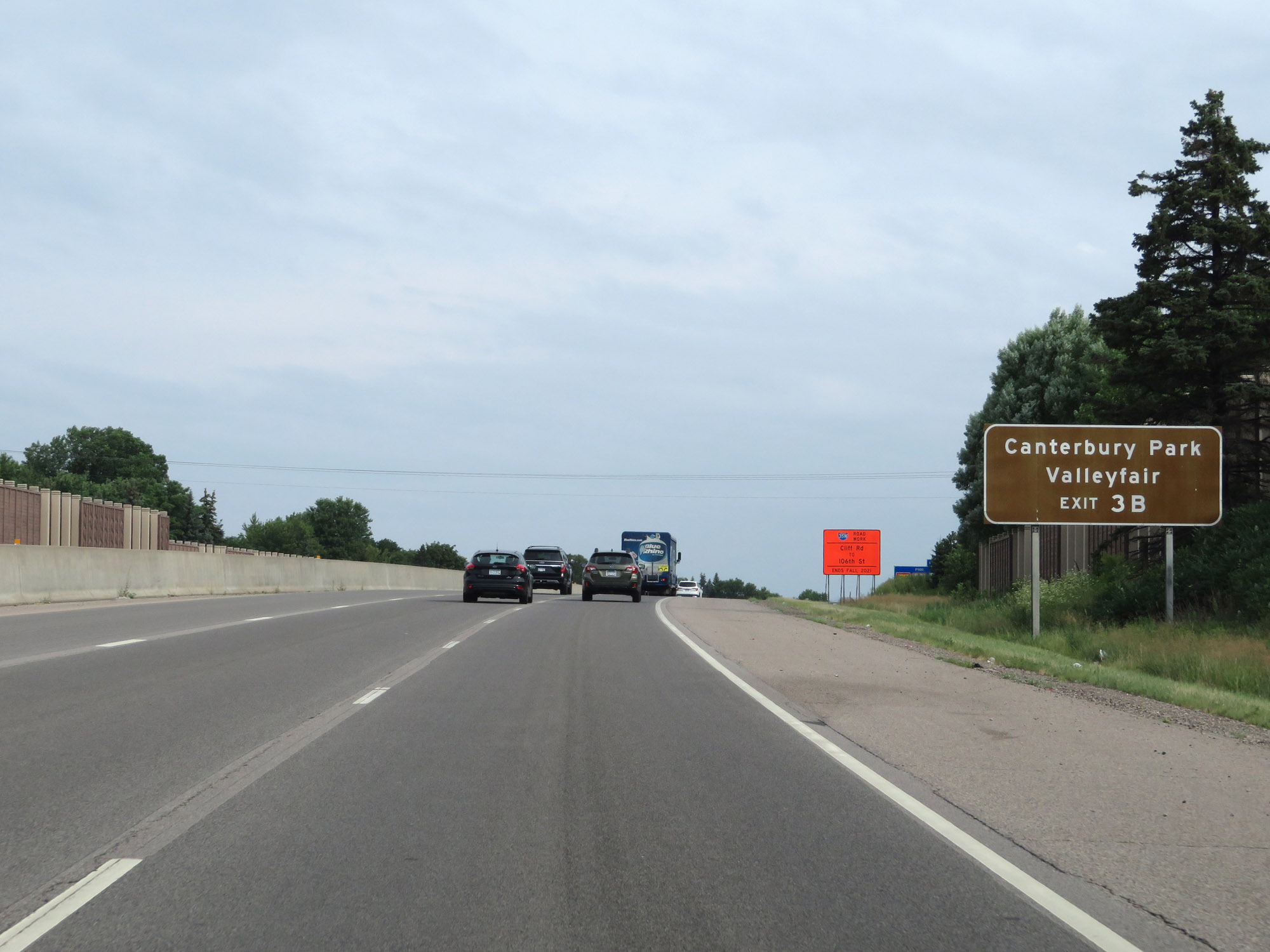 |
Take Exit 3B to Canterbury Park and Valleyfair. (Photo taken 8/7/20). |
 |
Interstate 35W North at Exit 2: Burnsville Pkwy (Photo taken 8/7/20). |
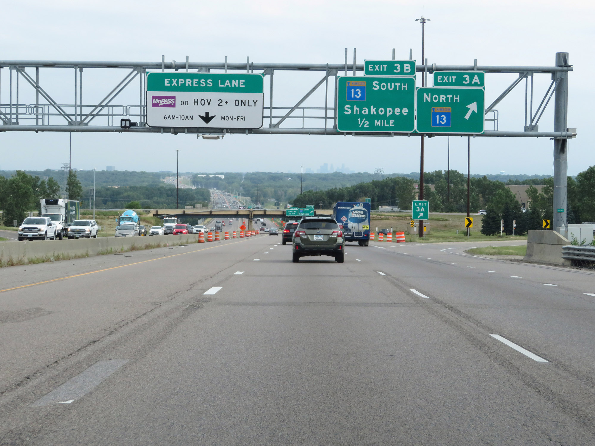 |
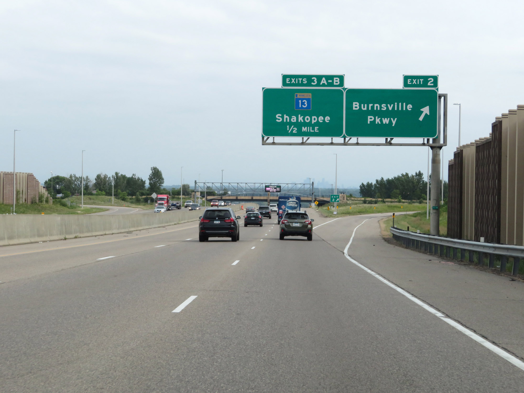
Interstate 35W North at Exit 3A: MN 13 North (Photo taken 8/7/20). |
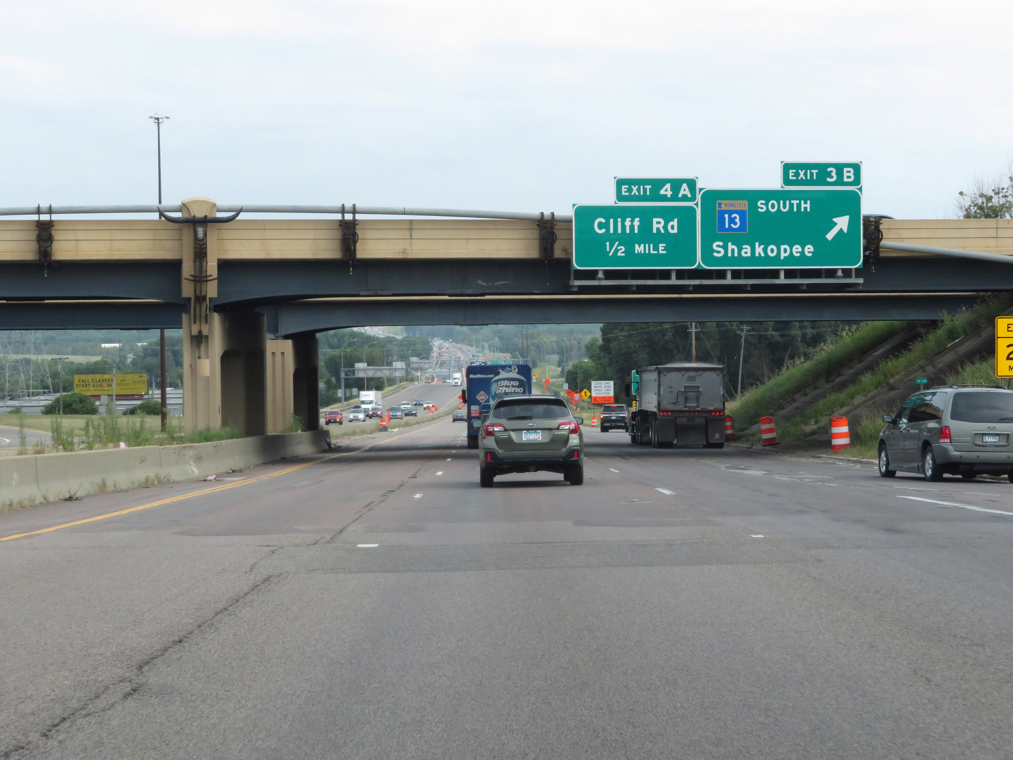 |
Interstate 35W North at Exit 3B: MN 13 South - Shakopee (Photo taken 8/7/20). |
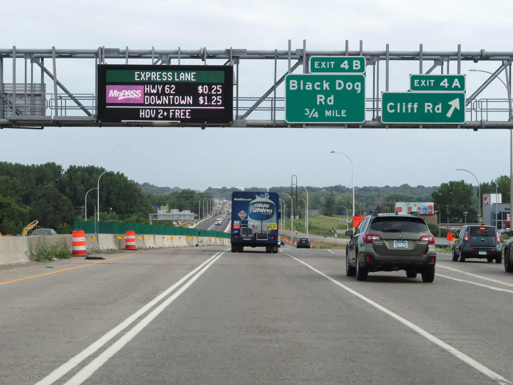 |
Interstate 35W North at Exit 4A: Cliff Rd (Photo taken 8/7/20). |
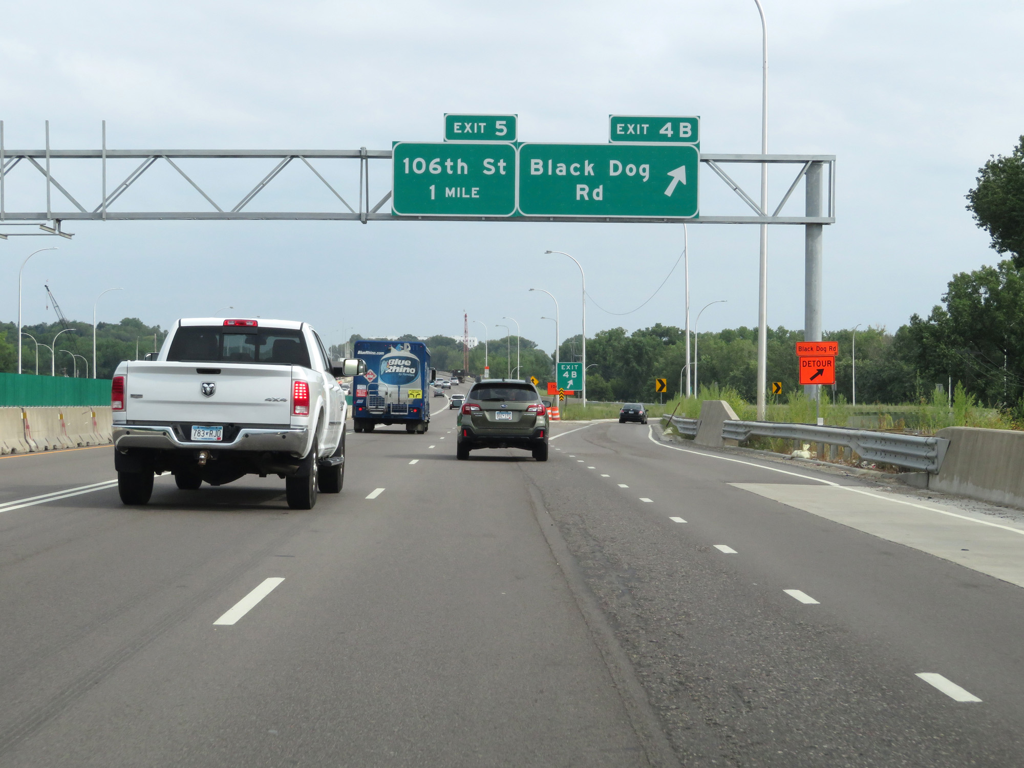 |
Interstate 35W North at Exit 4B: Black Dog Rd (Photo taken 8/7/20). |
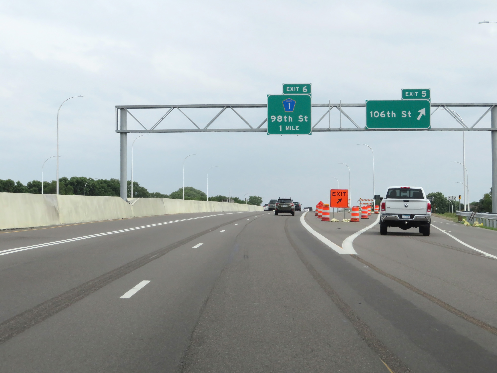 |
Interstate 35W North at Exit 5: 106th St (Photo taken 8/7/20). |
 |
Another Interstate 35W North reassurance shield. (Photo taken 8/7/20). |
 |
The speed limits remain 65 mph maximum and 40 mph minimum. (Photo taken 8/7/20). |
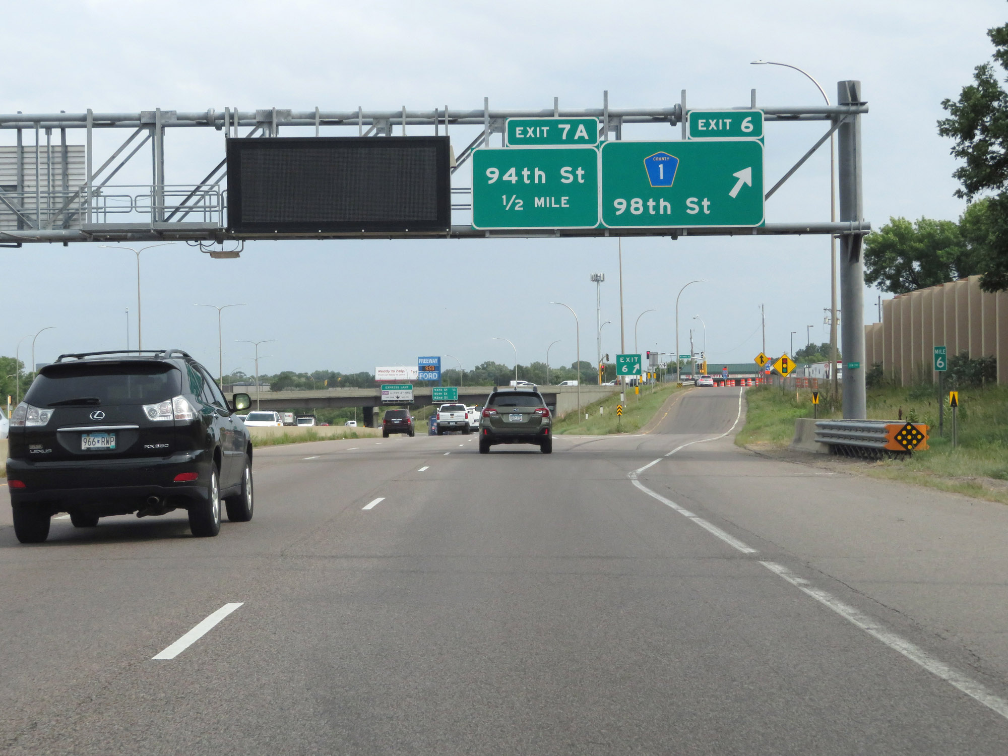 |
Interstate 35W North at Exit 6: CR 1 - 98th St (Photo taken 8/7/20). |
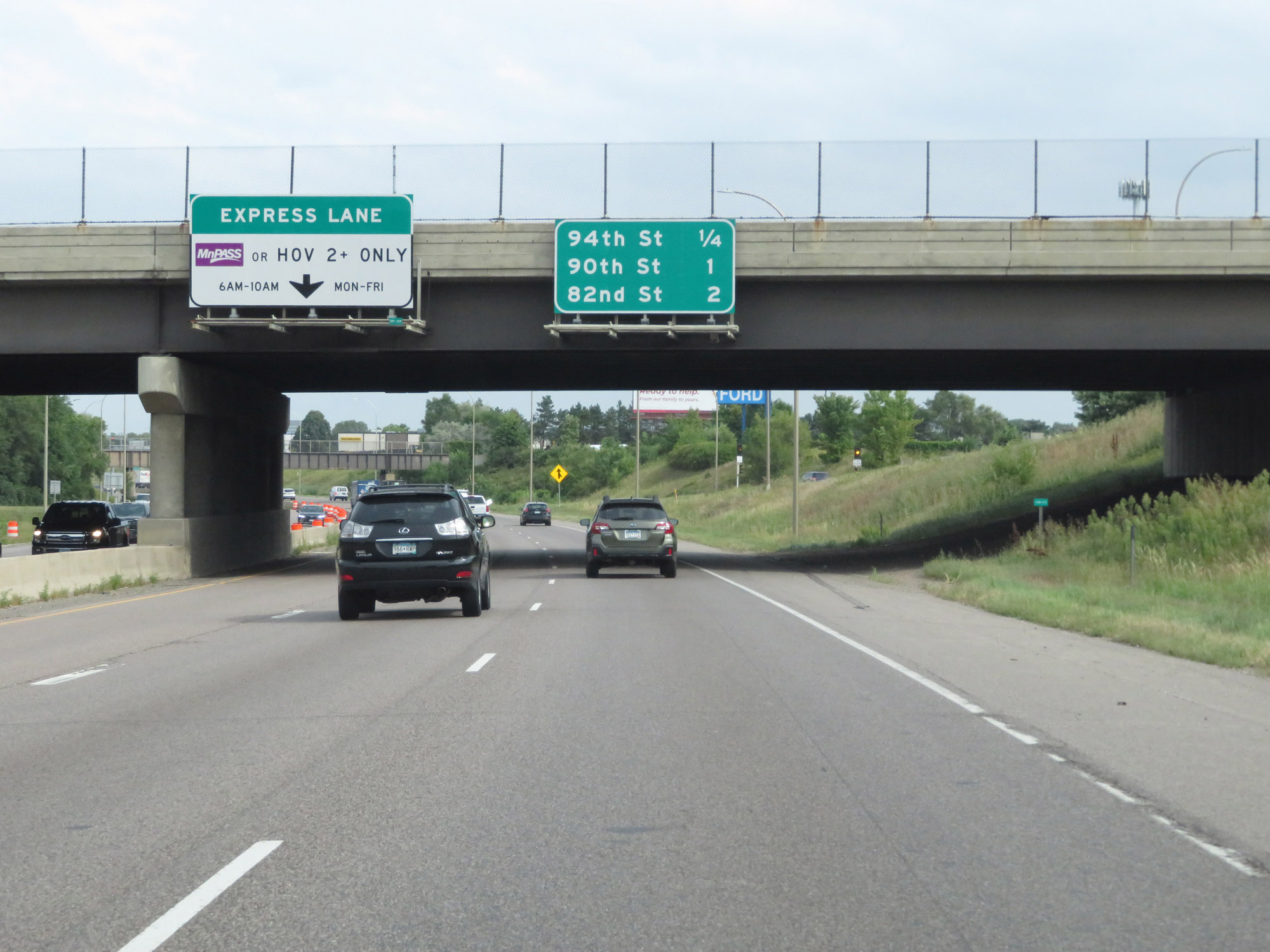 |
Overhead mileage sign listing the distances to the next three interchanges on Interstate 35W North. (Photo taken 8/7/20). |
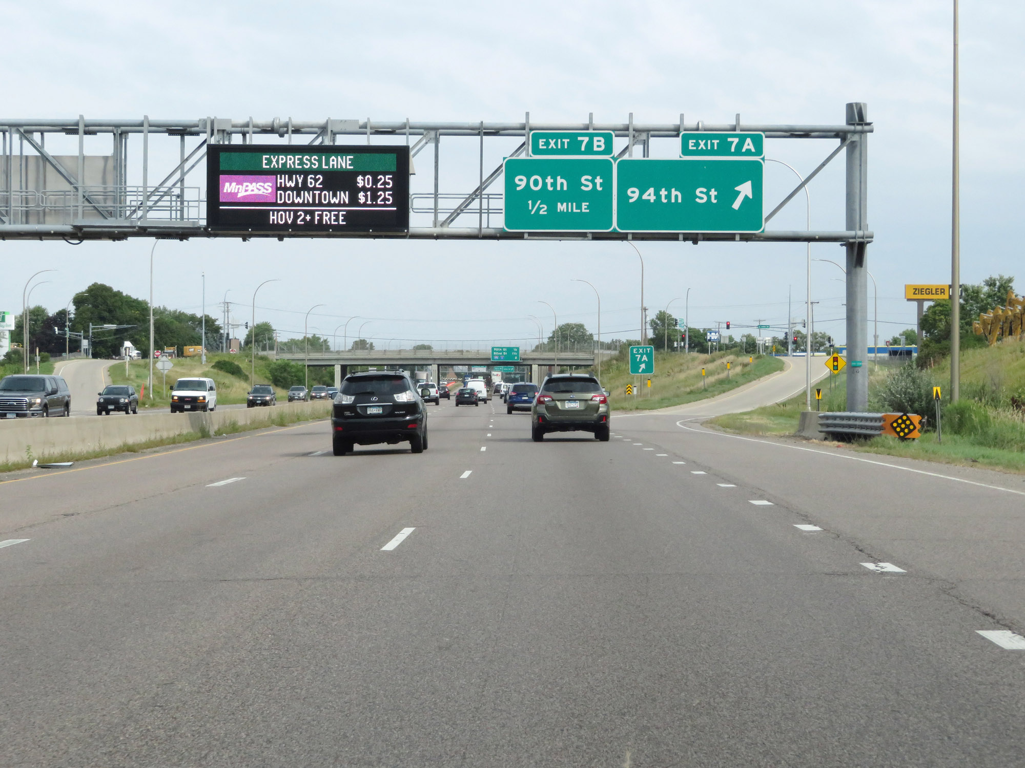 |
Interstate 35W North at Exit 7A: 94th St (Photo taken 8/7/20). |
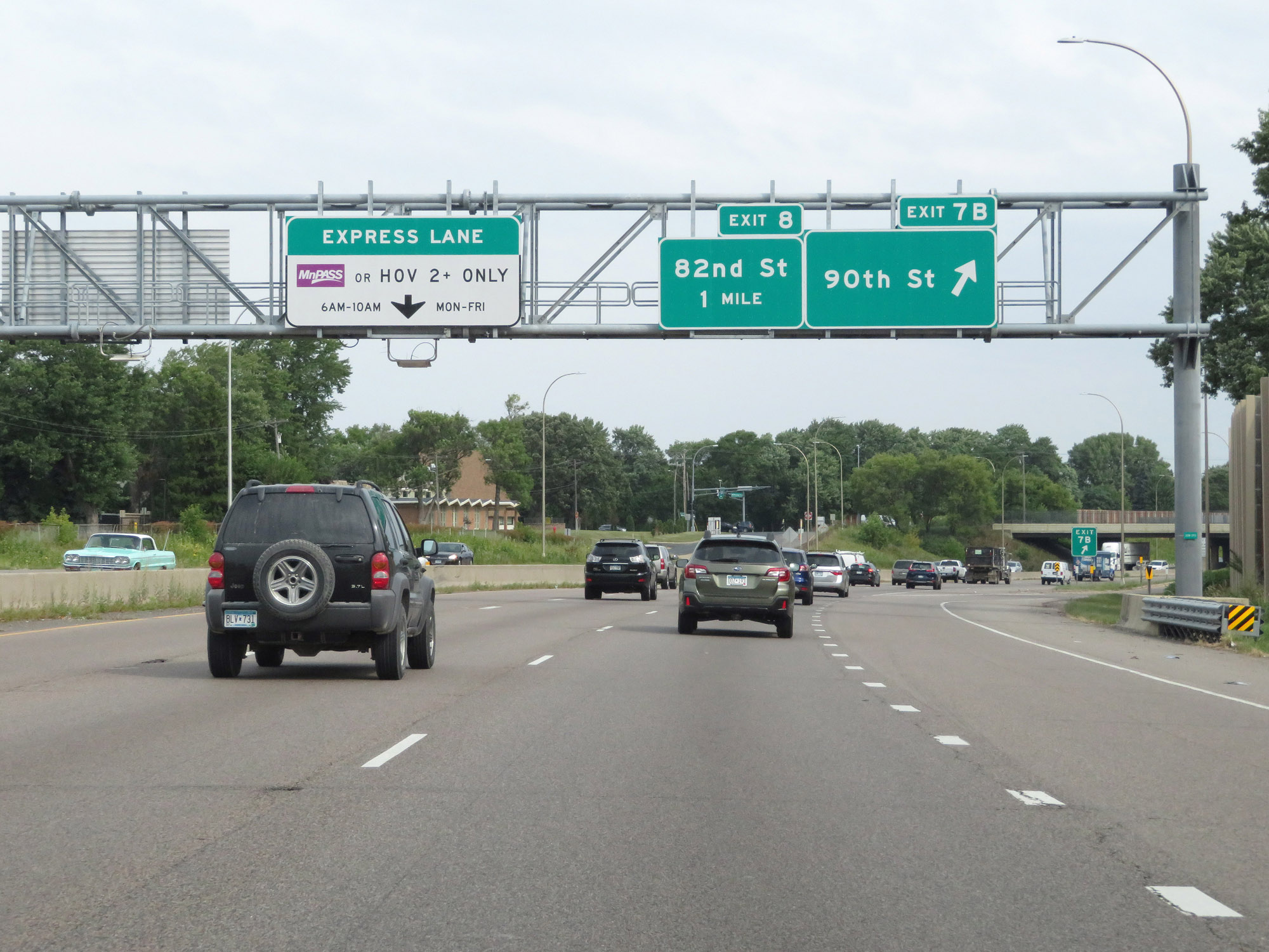 |
Interstate 35W North at Exit 7B: 90th St (Photo taken 8/7/20). |
 |
Interstate 35W North approaching Exits 9A-B - 1 mile. (Photo taken 8/7/20). |
 |
Nearing the junction of Interstate 494, the maximum speed limit decreases to 55 mph. The minimum remains 40 mph. (Photo taken 8/7/20). |
 |
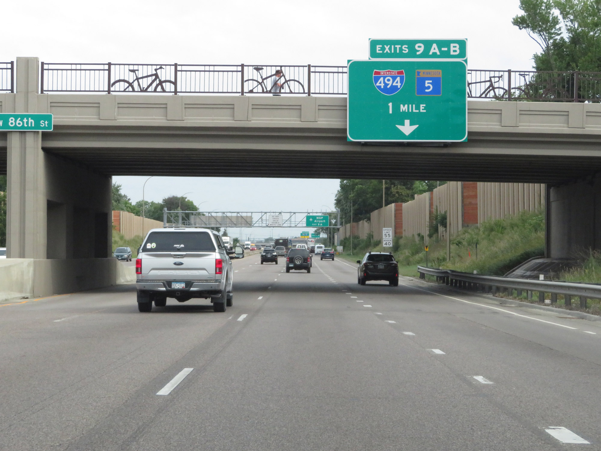
Take Exit 9A (Interstate 494 East) to MSP Airport. (Photo taken 8/7/20). |
 |
Interstate 35W North at Exit 8: 82nd St (Photo taken 8/7/20). |
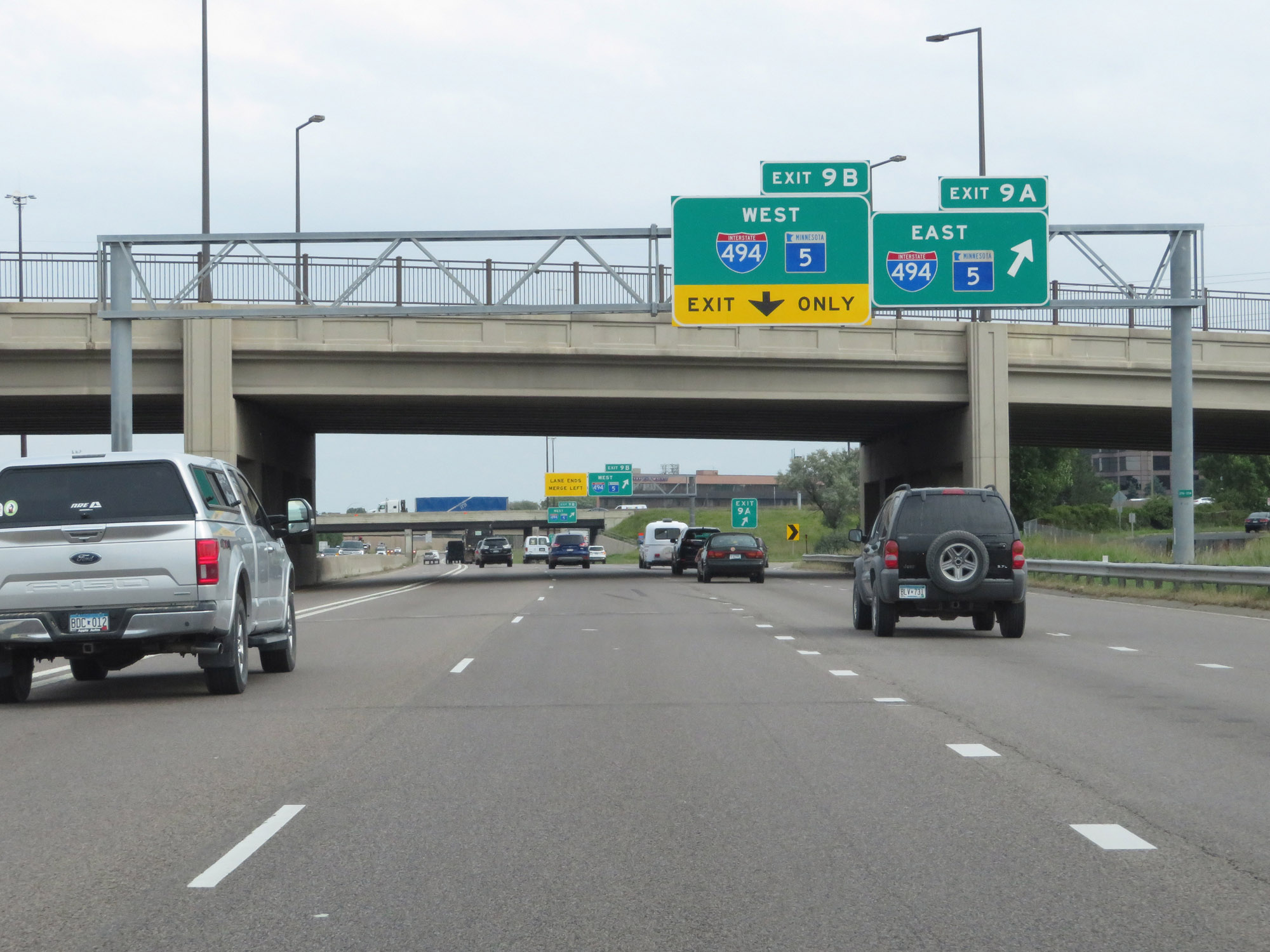 |
Interstate 35W North at Exit 9A: Interstate 494 East / MN 5 East (Photo taken 8/7/20). |
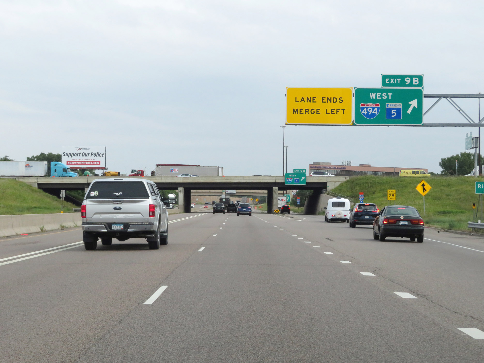 |
Interstate 35W North at Exit 9B: Interstate 494 West / MN 5 West (Photo taken 8/7/20). |
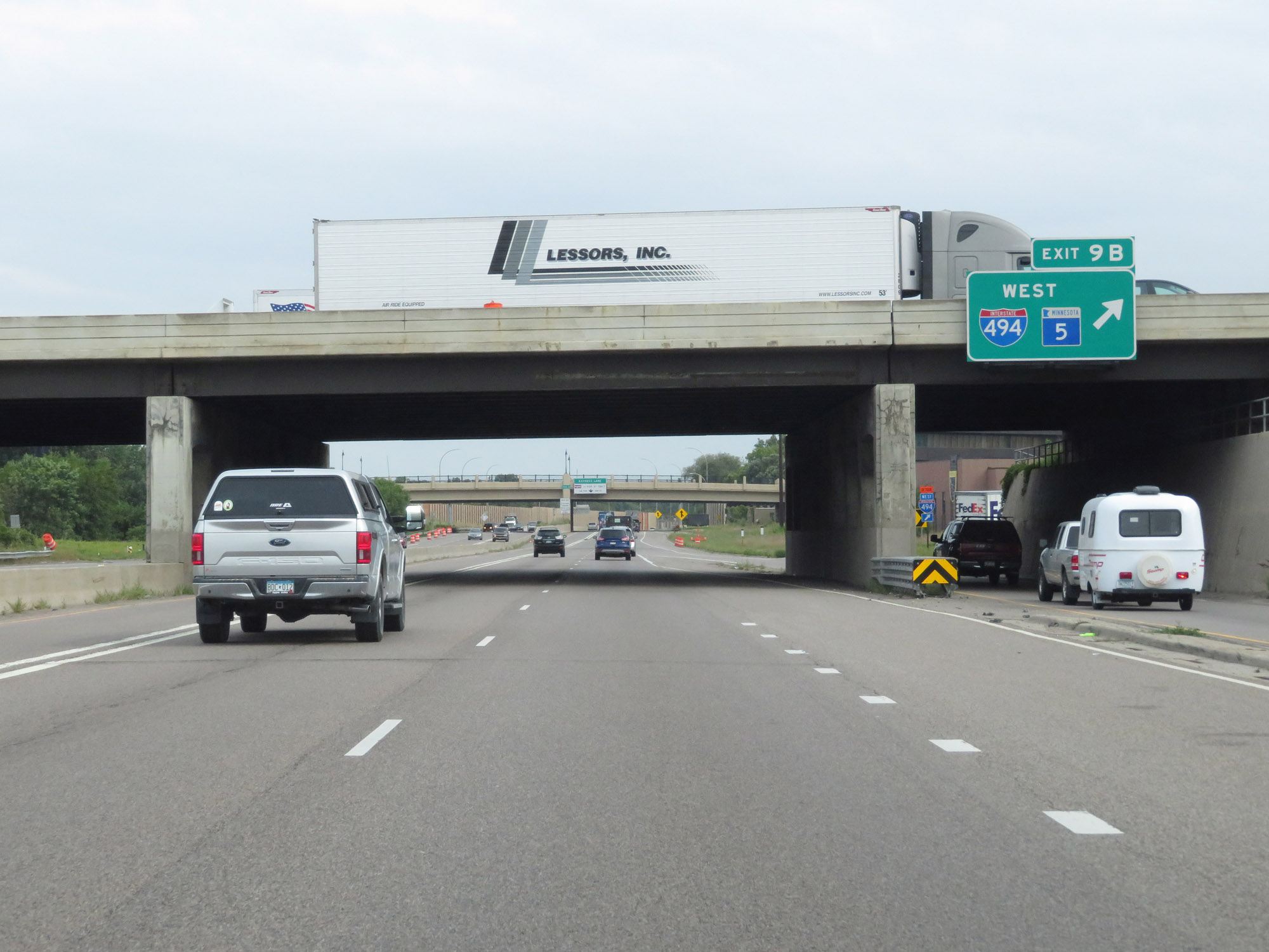 |
A view of the ramp for Exit 9B as Interstate 35W North prepares to pass under Interstate 494. (Photo taken 8/7/20). |
 |
The speed limits remain 55 mph maximum and 40 mph minimum. (Photo taken 8/7/20). |
 |
Another overhead mileage sign listing the distances to the next three interchanges on Interstate 35W North. (Photo taken 8/7/20). |
 |
Interstate 35W North at Exit 10: CR 53 - 66th St (Photo taken 8/7/20). |
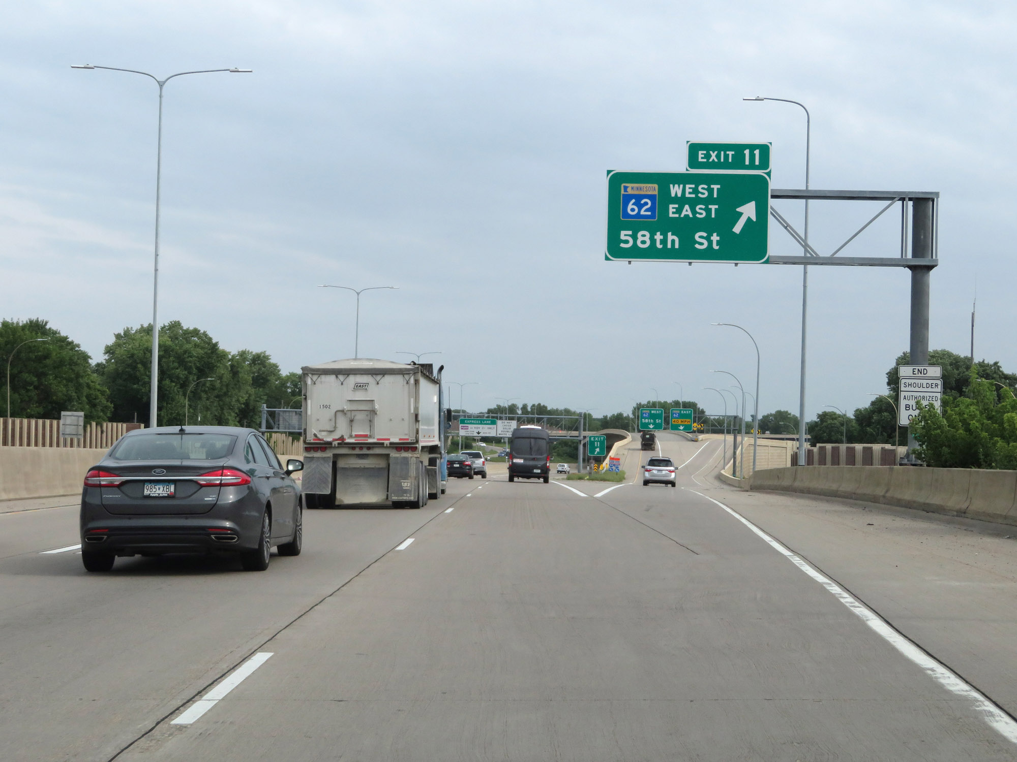 |
Interstate 35W North at Exit 11: MN 62 - 58th St (Photo taken 8/7/20). |
 |
View on Interstate 35W as it prepares to curve to the east, at which point it will briefly run alongside MN 62 East. (Photo taken 8/7/20). |
 |
Interstate 35W North at mile marker 11. Now facing eastward, I-35W North is running alongside MN 62 East for a brief time. Although the two routes run alongside one another, they do not run concurrently. (Photo taken 8/7/20). |
 |
Interstate 35W North reassurance shield as it runs alongside MN 62 East. (Photo taken 8/7/20). |
 |
View on Interstate 35W North as it prepares to curve back to the north, at which point it will begin to make its way into downtown Minneapolis. (Photo taken 8/7/20). |
 |
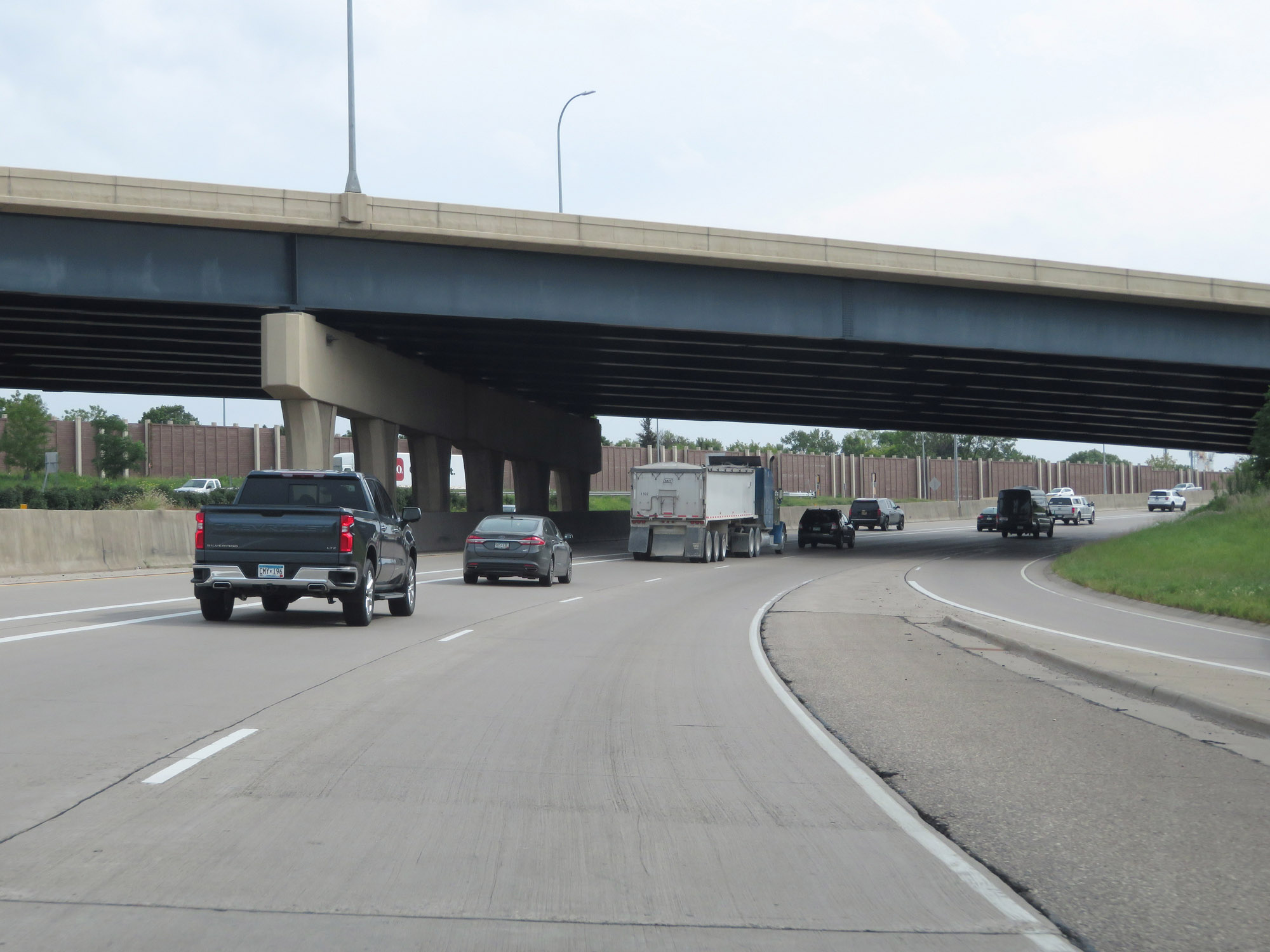
Curving back to the north, Interstate 35W North enters the Minneapolis city limits. (Photo taken 8/7/20). |
 |
The leftmost lane continues to double as a tolled express lane as downtown Minneapolis comes into view in the distance. (Photo taken 8/7/20). |
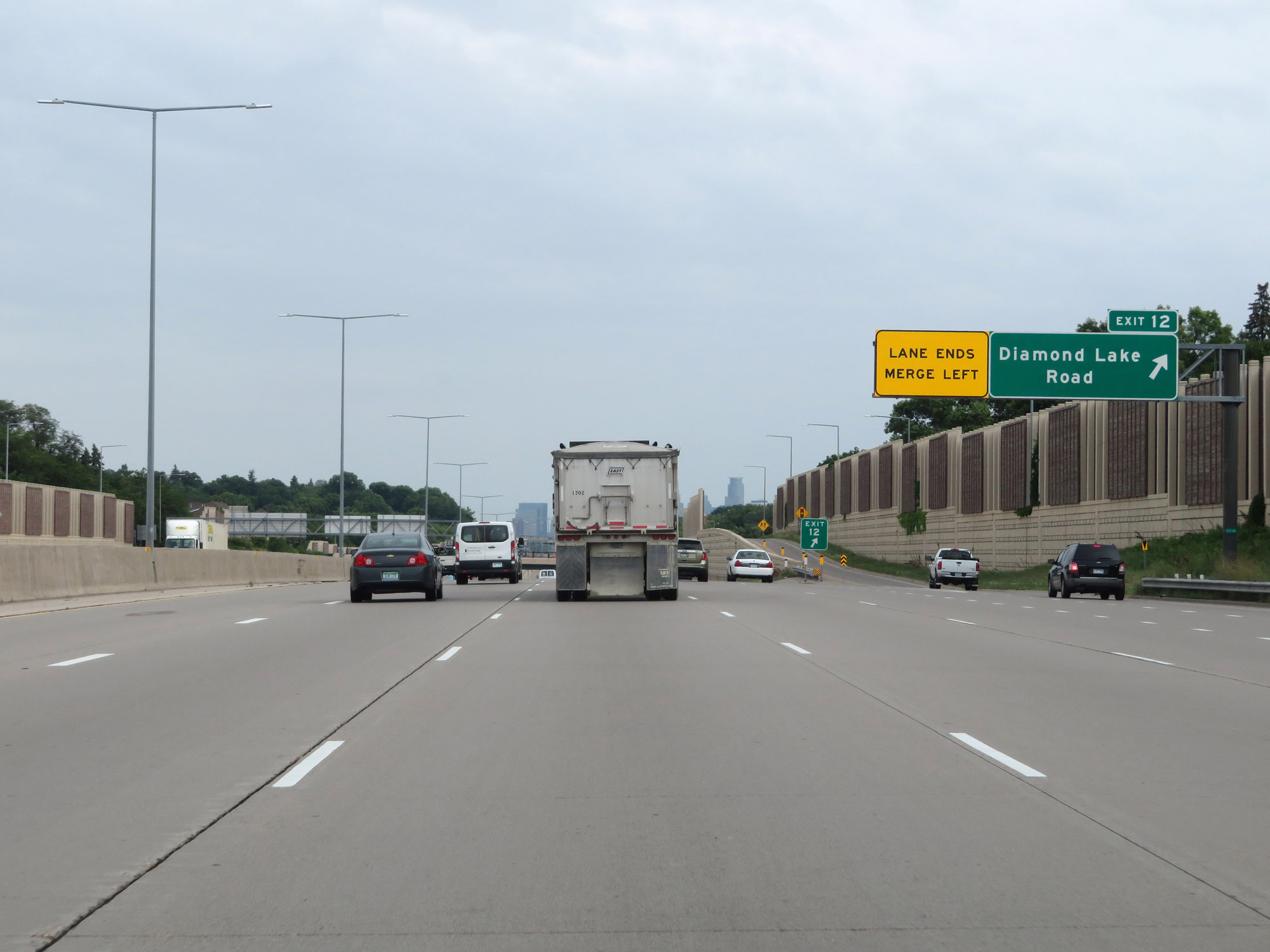 |
Interstate 35W North at Exit 12: Diamond Lake Road (Photo taken 8/7/20). |
 |
Interstate 35W North reassurance shield approaching downtown Minneapolis. (Photo taken 8/7/20). |
 |
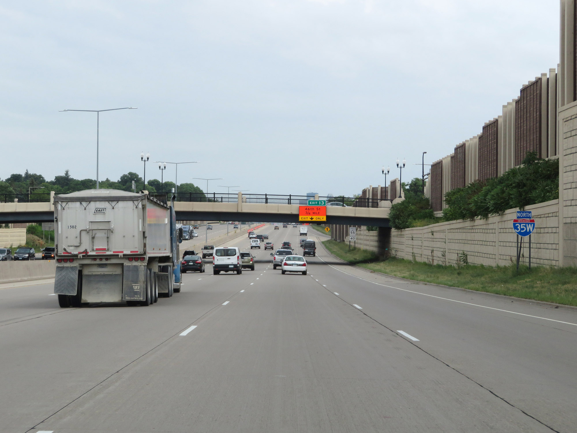
Interstate 35W North at Exit 13: 46th St (Photo taken 8/7/20). |
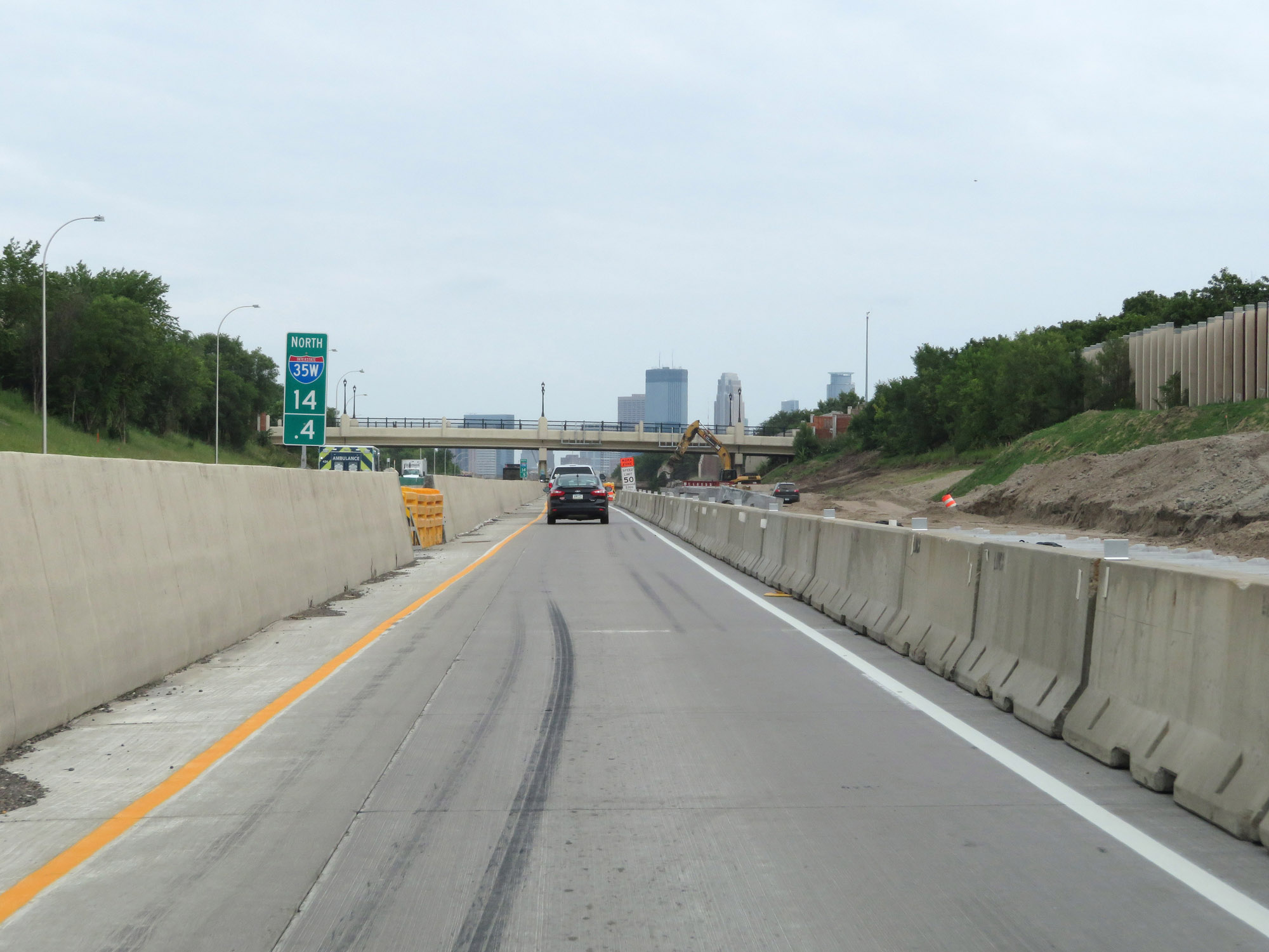 |
View on Interstate 35W North at mile marker 14.4. (Photo taken 8/7/20). |
 |
Interstate 35W North at mile marker 15. (Photo taken 8/7/20). |
 |
Traffic to downtown Minneapolis should move to the leftmost lane at this point to take the respective exit. (Photo taken 8/7/20). |
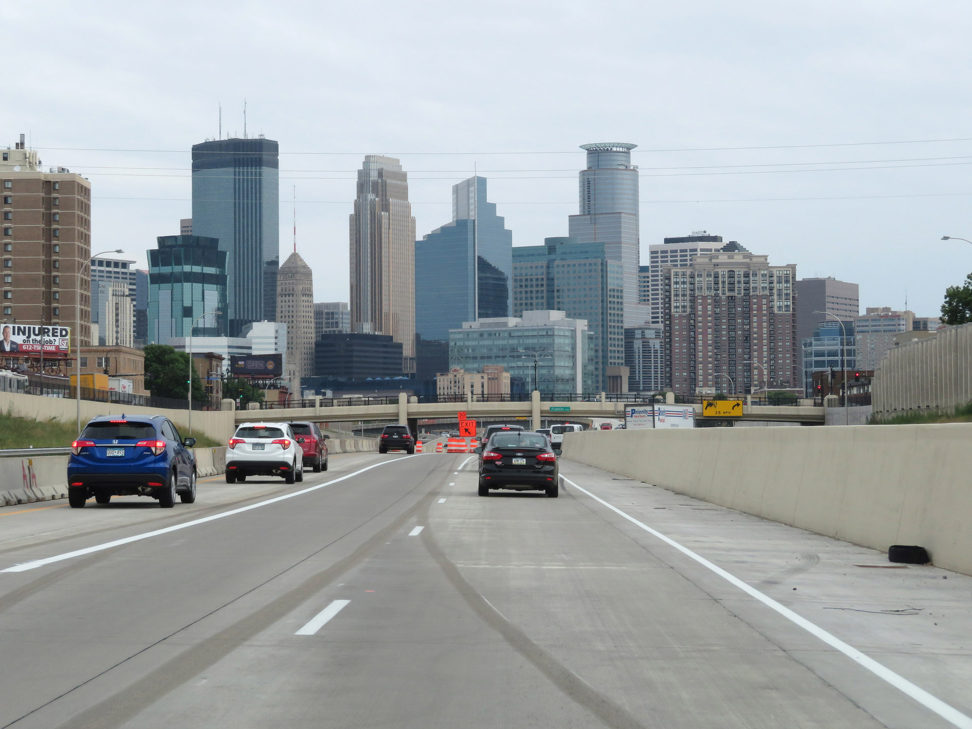 |
View of downtown Minneapolis and its skyline from Interstate 35W North. (Photo taken 8/7/20). |
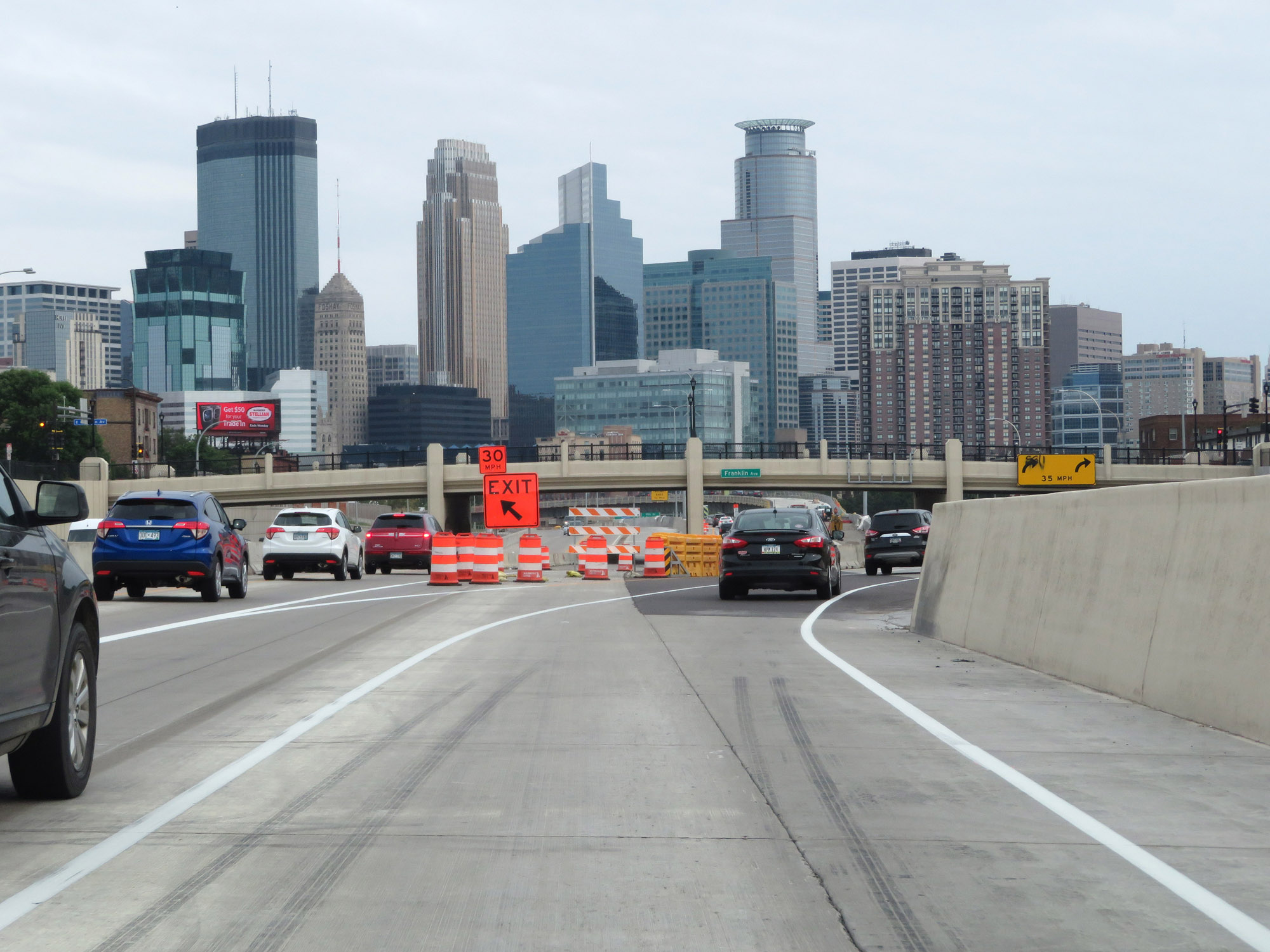 |
Interstate 35W North at Exit 16A: Downtown (Photo taken 8/7/20). |
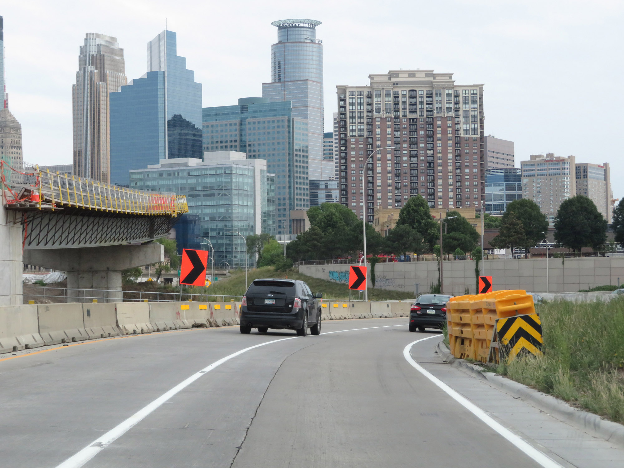 |
Immediately after Exit 16A and its access to downtown Minneapolis, Interstate 35W North curves to the east once again at which point it will briefly run alongside (but not concurrent with) Interstate 94 East. (Photo taken 8/7/20). |
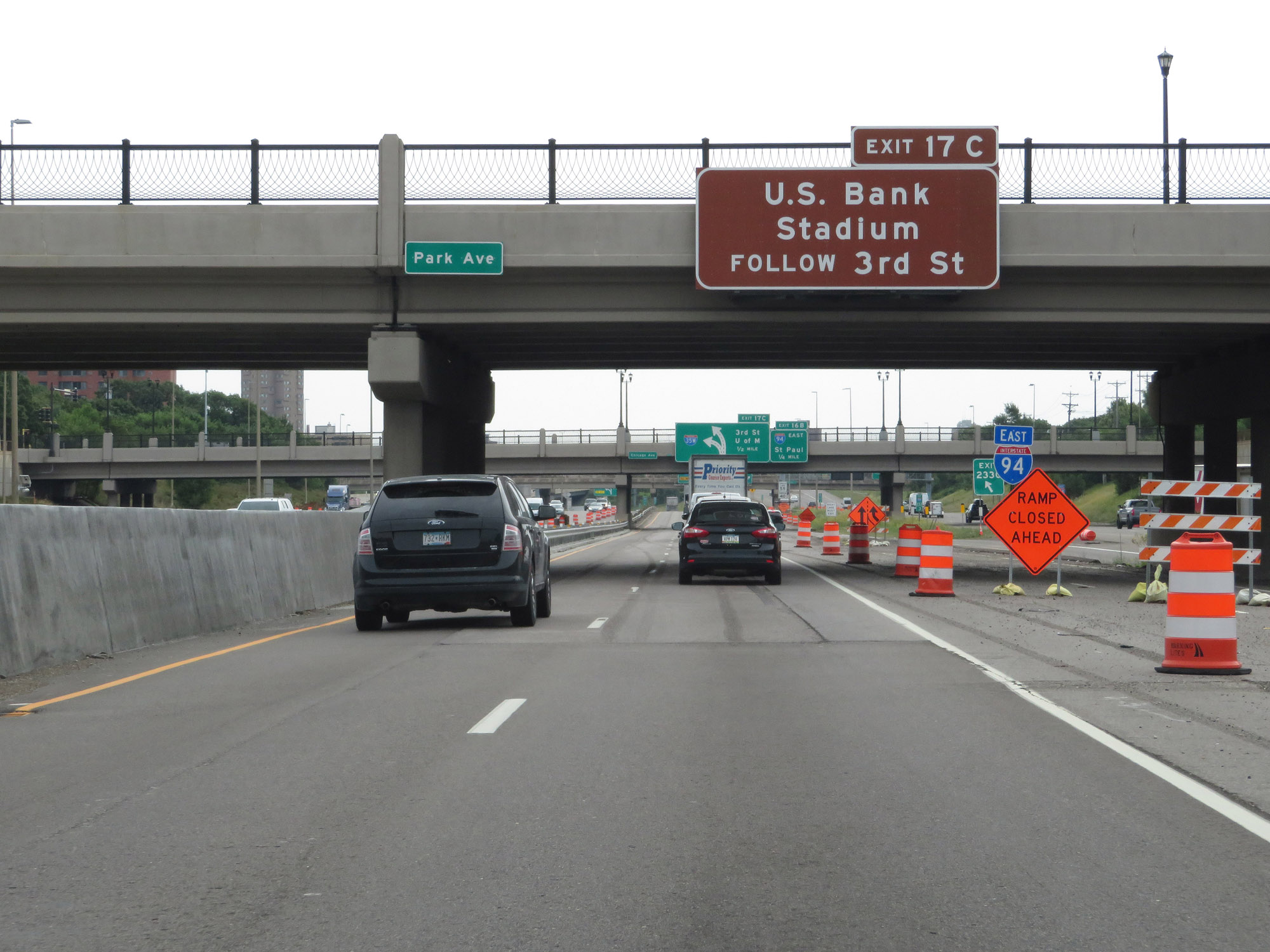 |
Take Exit 17C to U.S. Bank Stadium via 3rd St. (Photo taken 8/7/20). |
 |
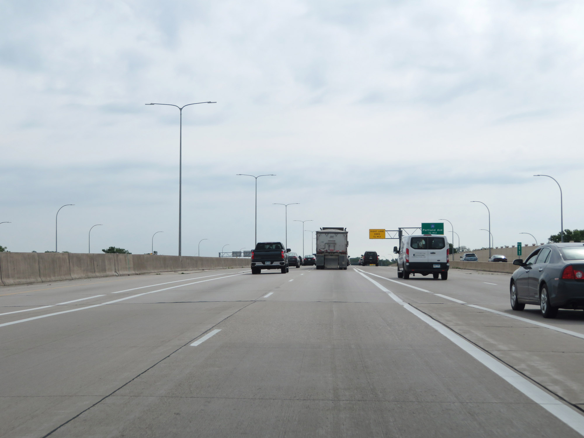
Interstate 35W North approaching Exit 16B - 1/4 mile. (Photo taken 8/7/20). |
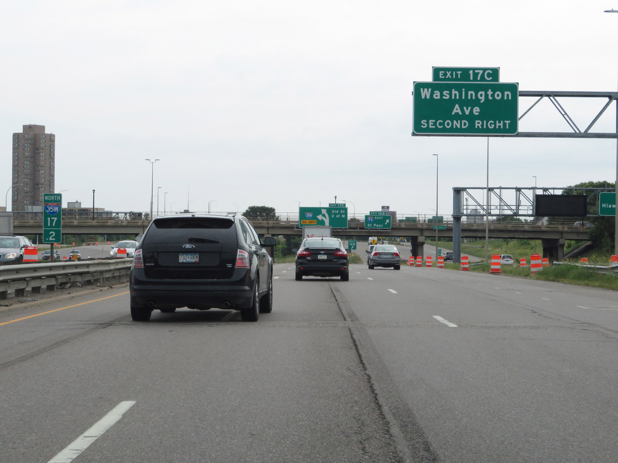 |
Also take Exit 17C to Washington Ave. (Photo taken 8/7/20). |
 |
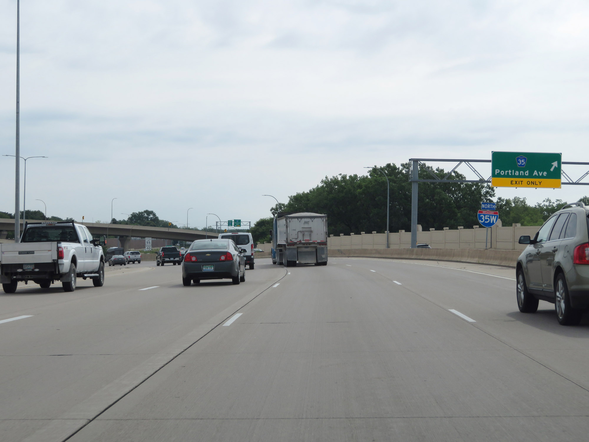
Interstate 35W North at Exit 16B: Interstate 94 East - St Paul (Photo taken 8/7/20). |
 |
As Interstate 35W North curves back to the north, this sign warns that Exit 17C is just ahead on the right. I-35W North thru traffic should keep left. (Photo taken 8/7/20). |
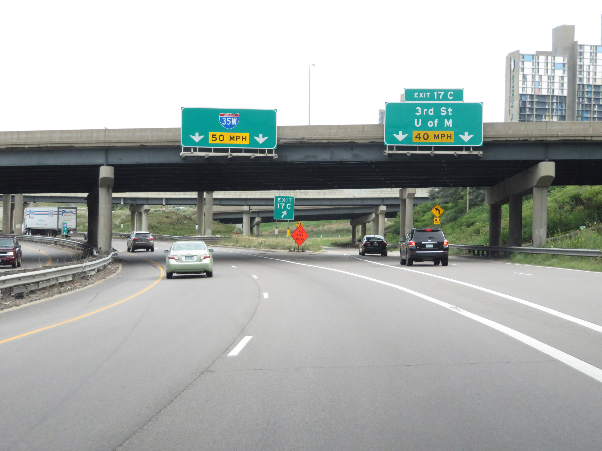 |
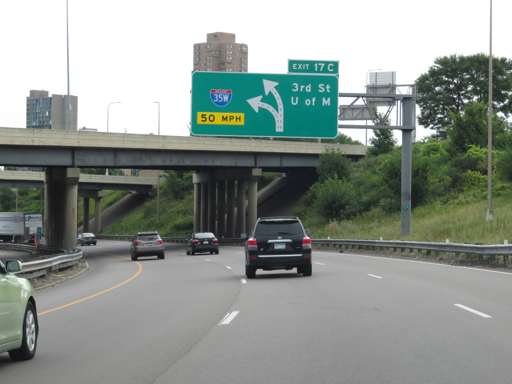
Interstate 35W North at Exit 17C: 3rd St / University of Minnesota (Photo taken 8/7/20). |
Section 2: Minneapolis (Exit 17C) to Interstate 35 (Columbus)
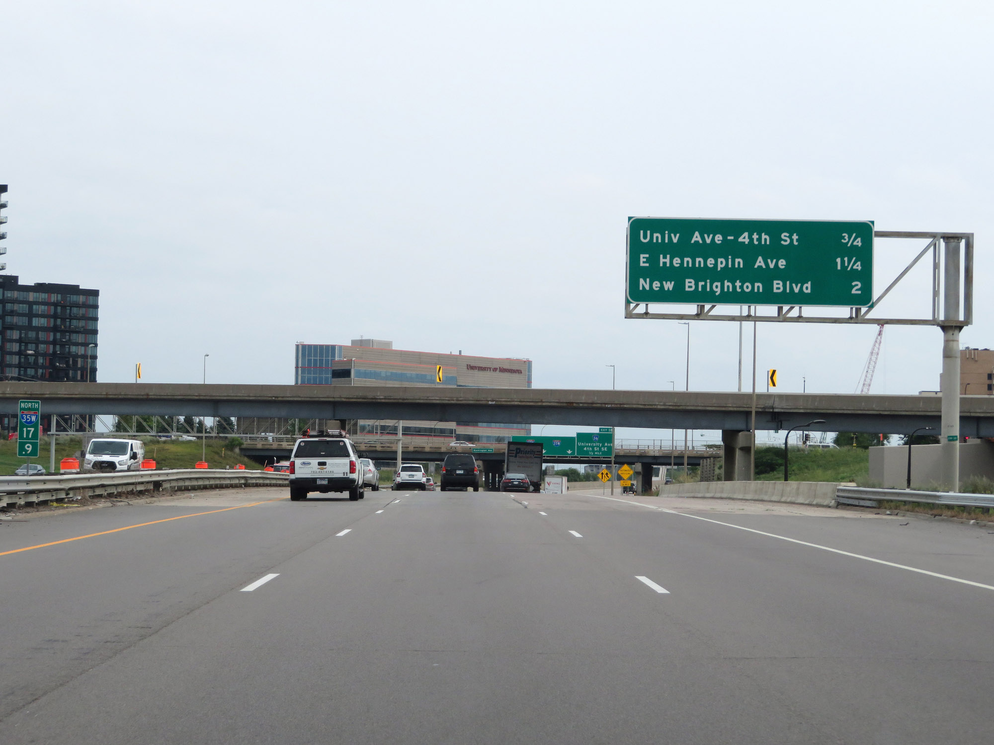 |
Another overhead mileage sign listing the distances to the three upcoming interchanges on Interstate 35W North. (Photo taken 8/7/20). |
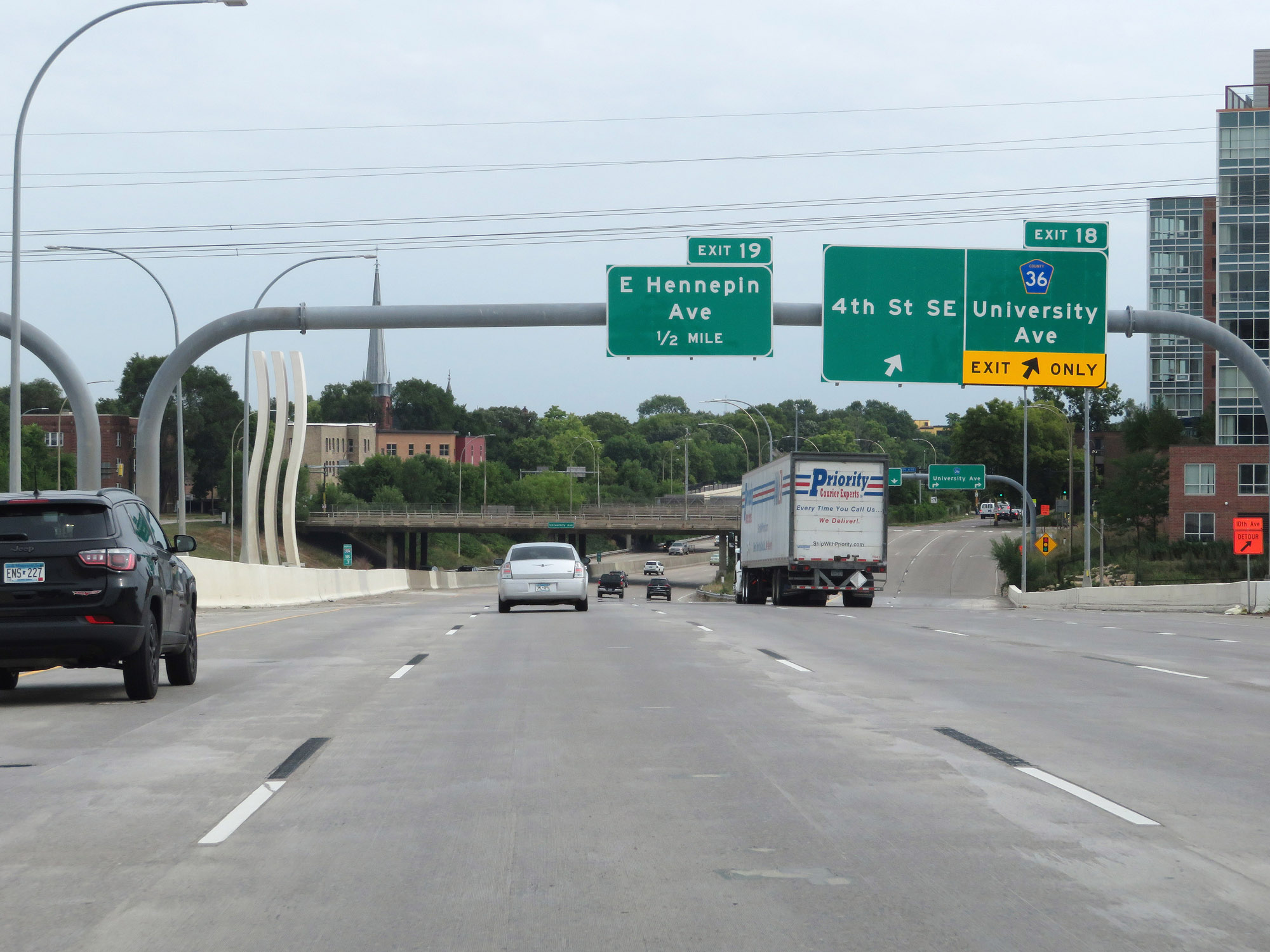 |
Interstate 35W North at Exit 18: CR 35 - University Ave / 4th St SE (Photo taken 8/7/20). |
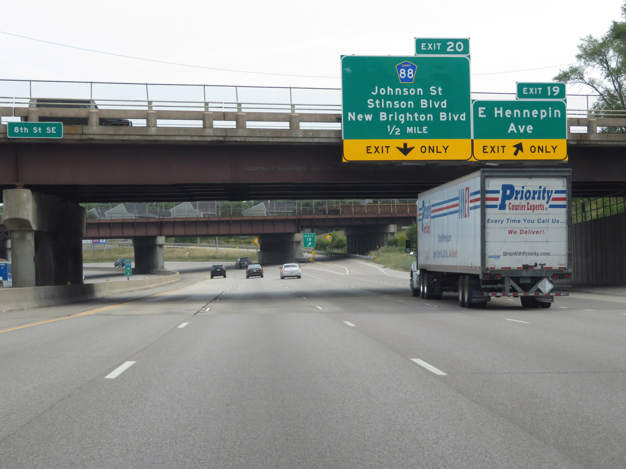 |
Interstate 35W North at Exit 19: E Hennepin Ave (Photo taken 8/7/20). |
 |
The speed limits remain 55 mph maximum and 40 mph minimum. (Photo taken 8/7/20). |
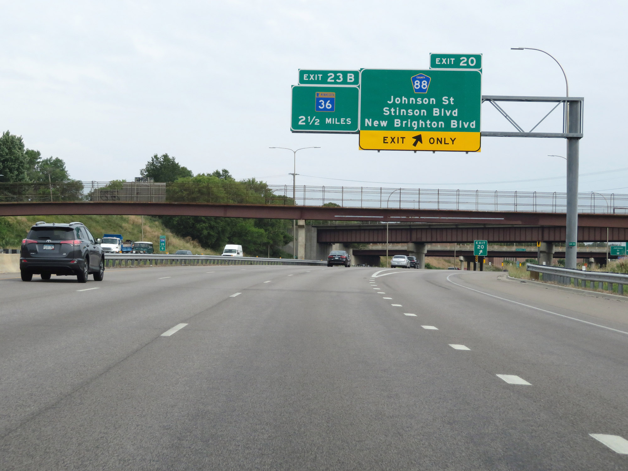 |
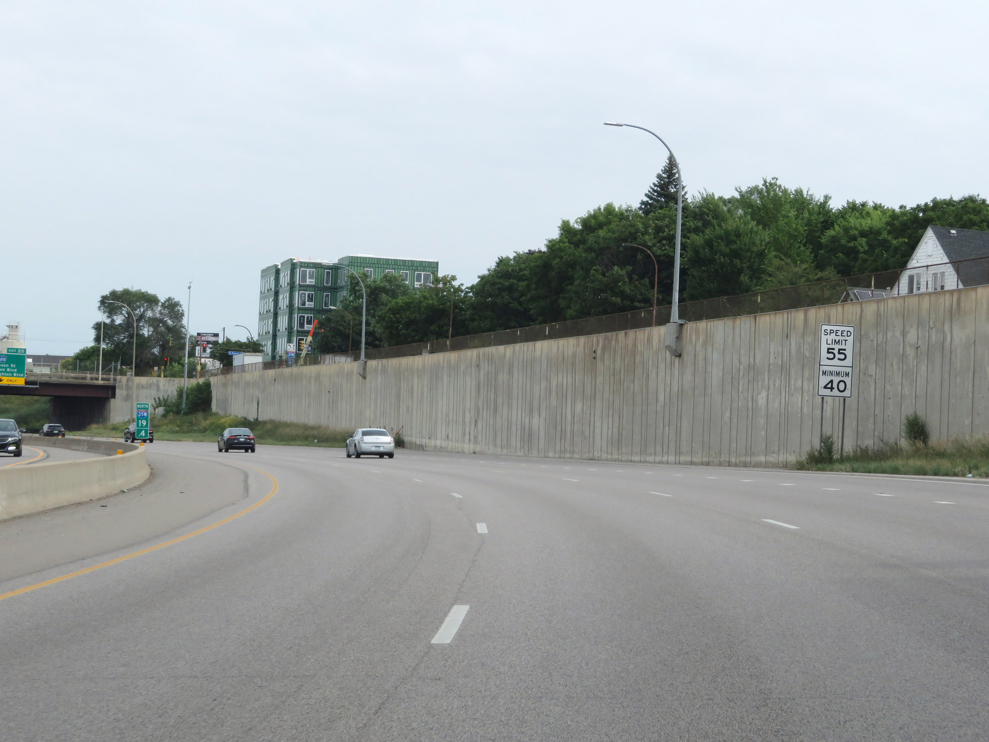
Interstate 35W North at Exit 20: CR 88 - Johnson St / Stinson Blvd / New Brighton Blvd (Photo taken 8/7/20). |
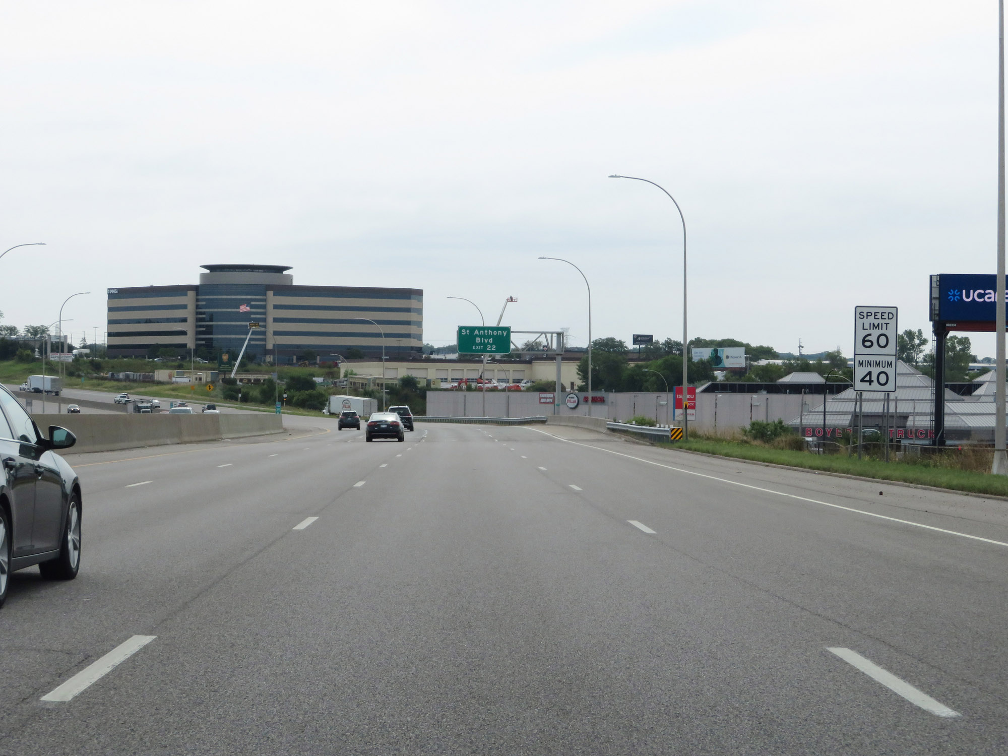 |
North of Exit 20, the maximum speed limit increases to 60 mph. The minimum remains 40 mph as usual. (Photo taken 8/7/20). |
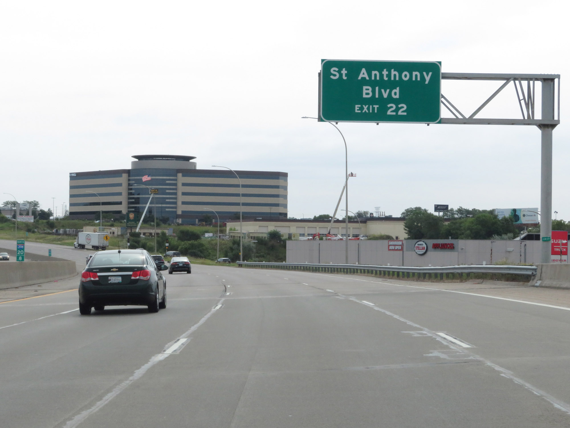 |
Take Exit 22 to St Anthony Blvd. (Photo taken 8/7/20). |
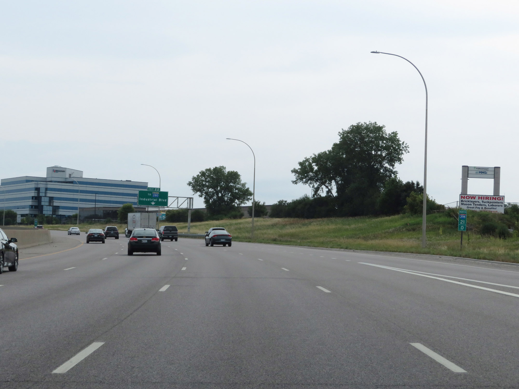 |
View on Interstate 35W North at mile marker 21. (Photo taken 8/7/20). |
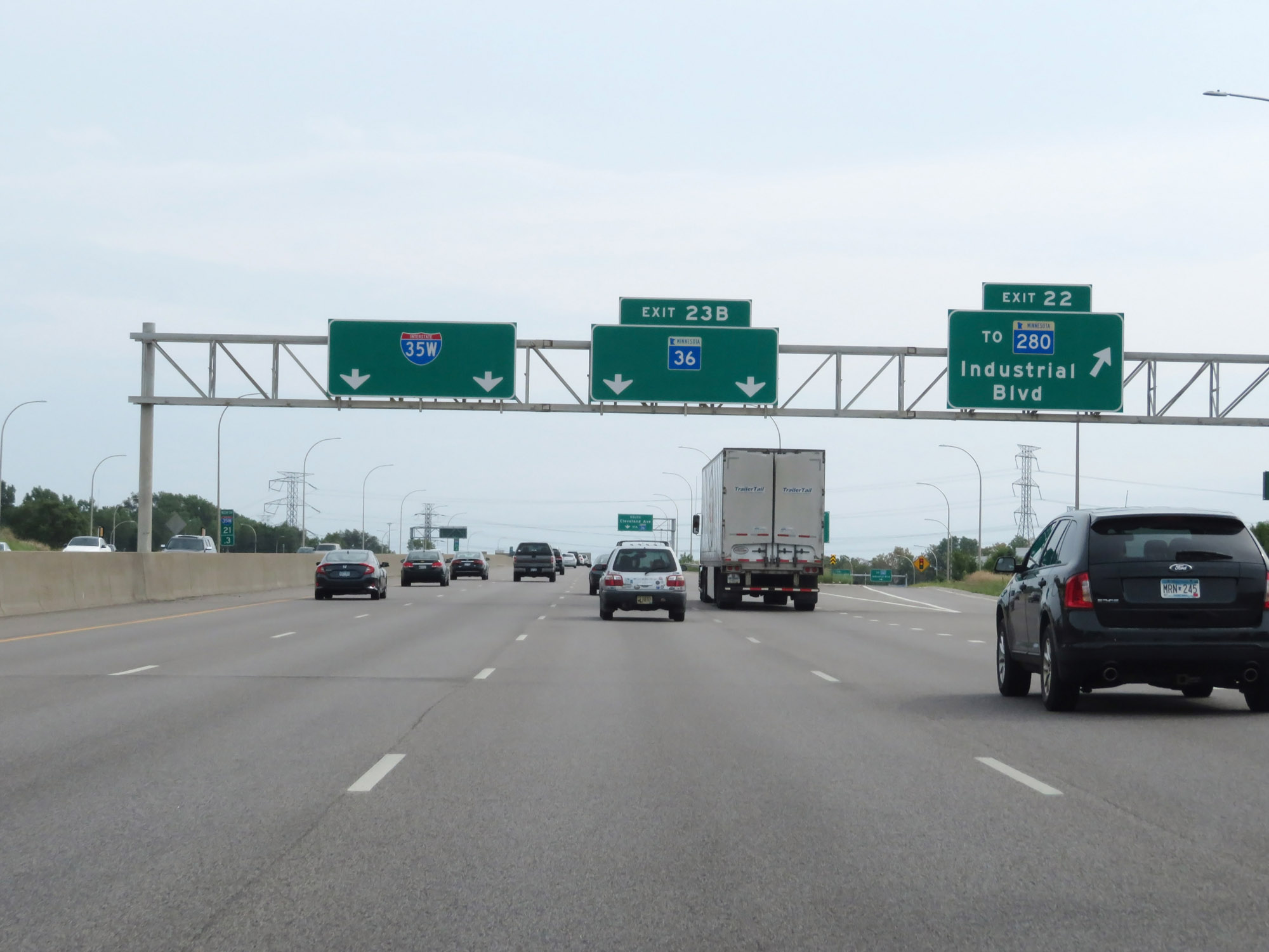 |
Interstate 35W North at Exit 22: To MN 280 - Industrial Blvd (Photo taken 8/7/20). |
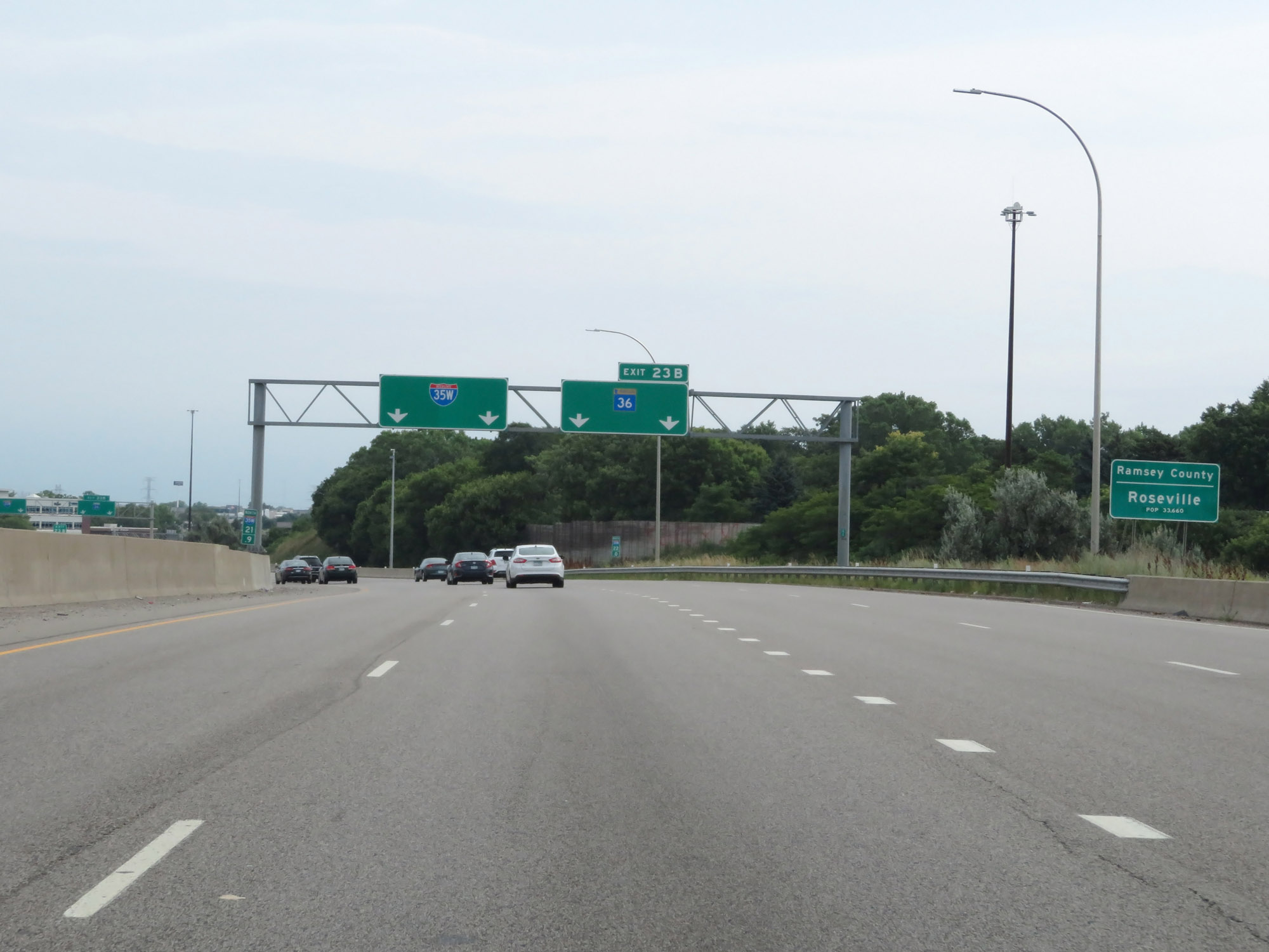 |
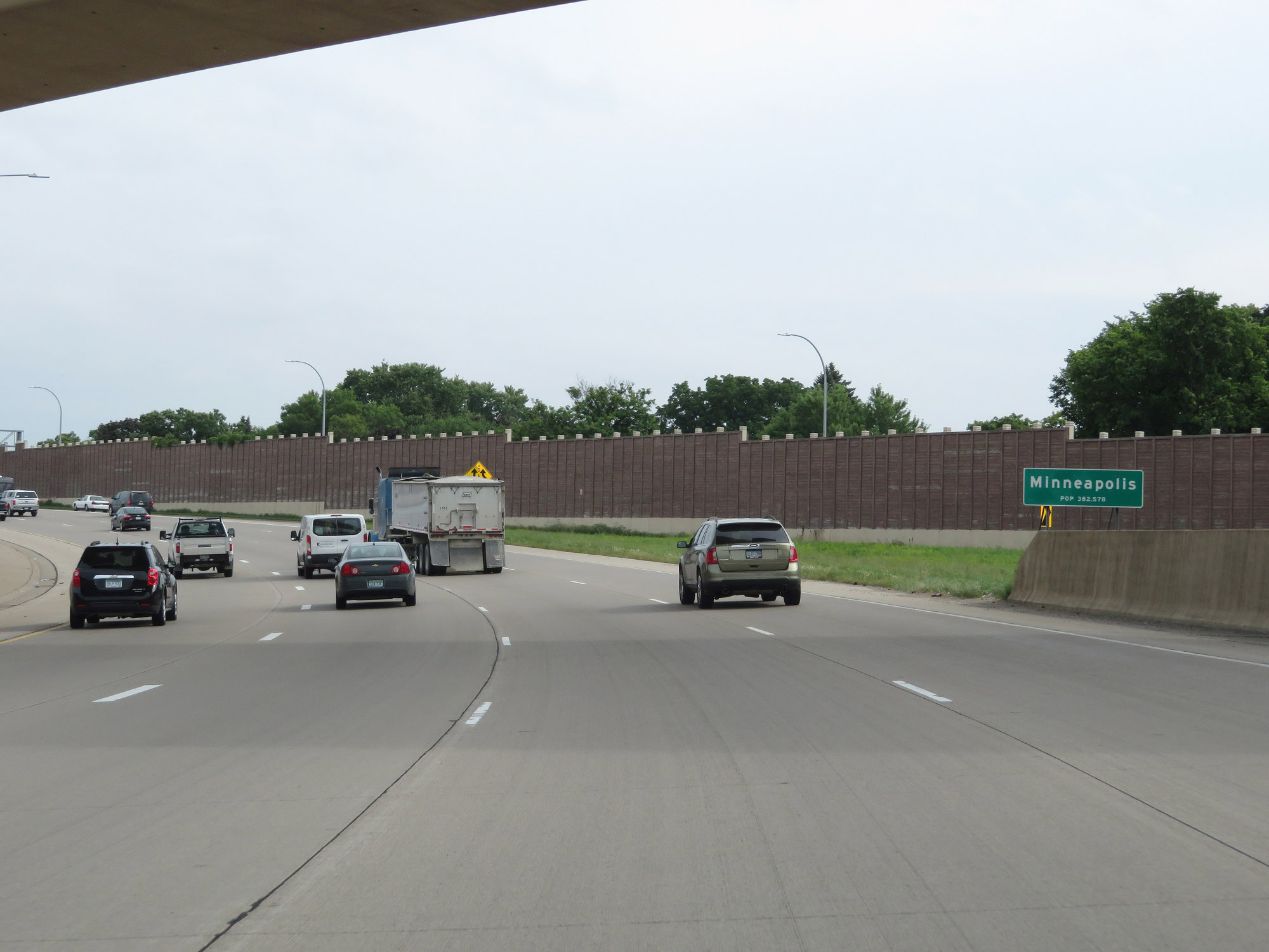
Interstate 35W North as it enters Ramsey County and the Roseville city limits. (Photo taken 8/7/20). |
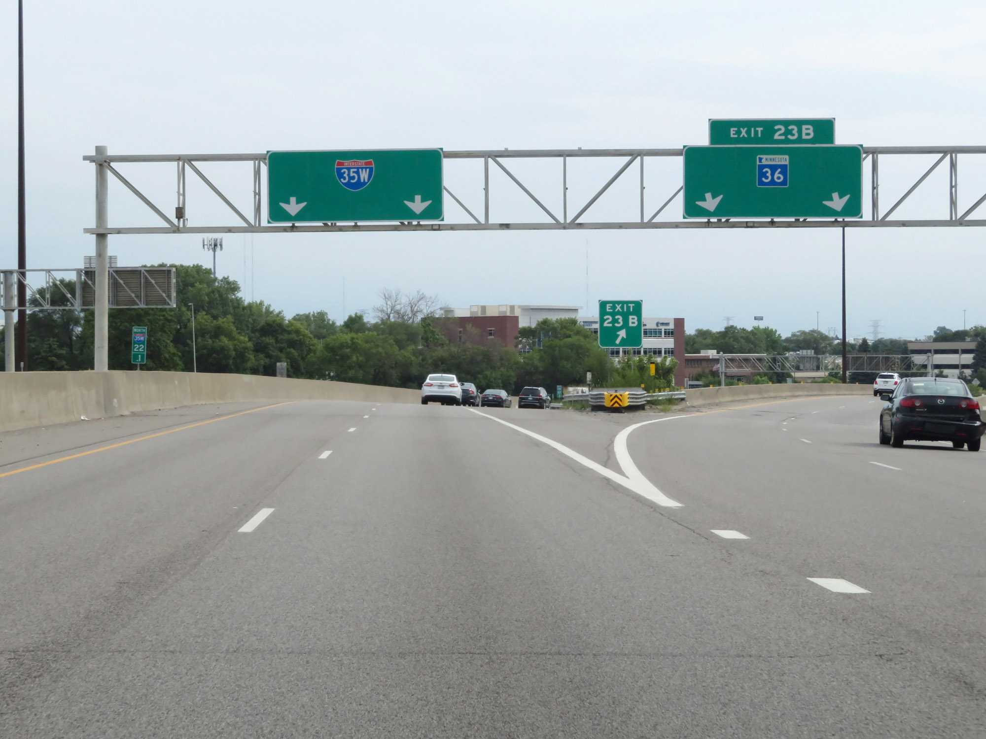 |
Interstate 35W North at Exit 23B: MN 36 (Photo taken 8/7/20). |
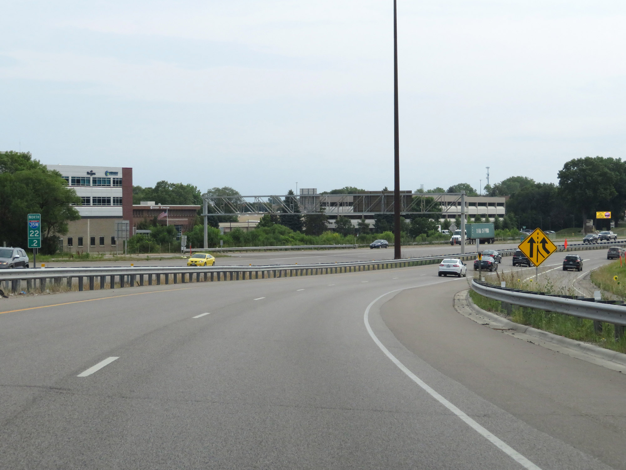 |
View on Interstate 35W North at mile marker 22.2. (Photo taken 8/7/20). |
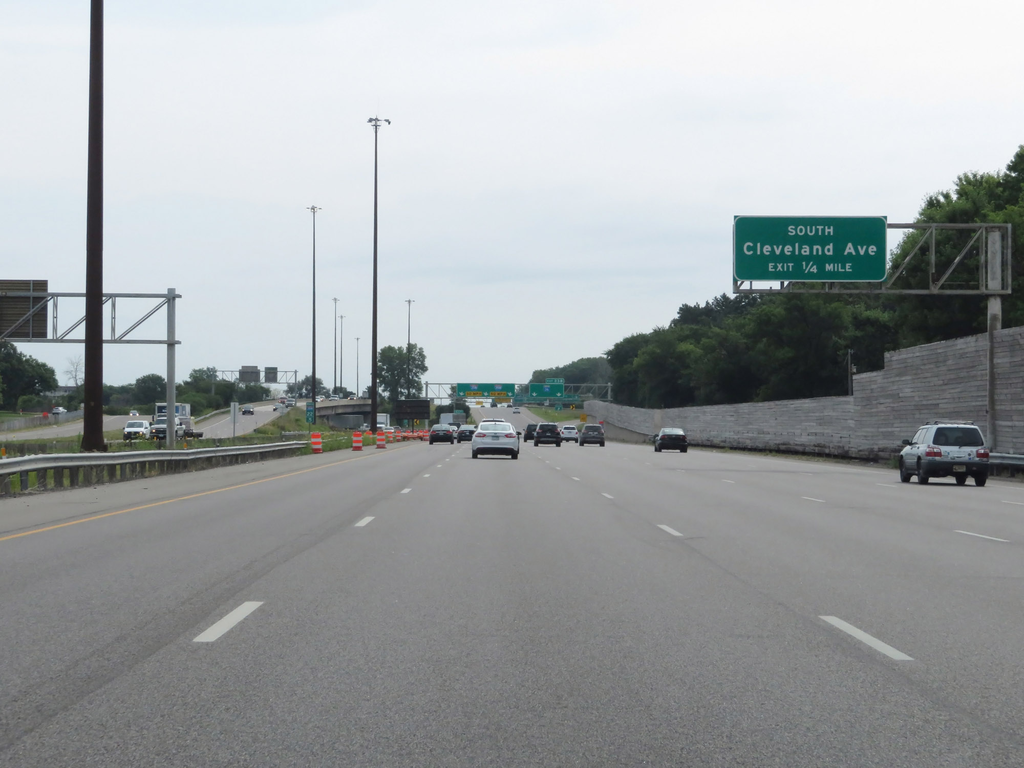 |
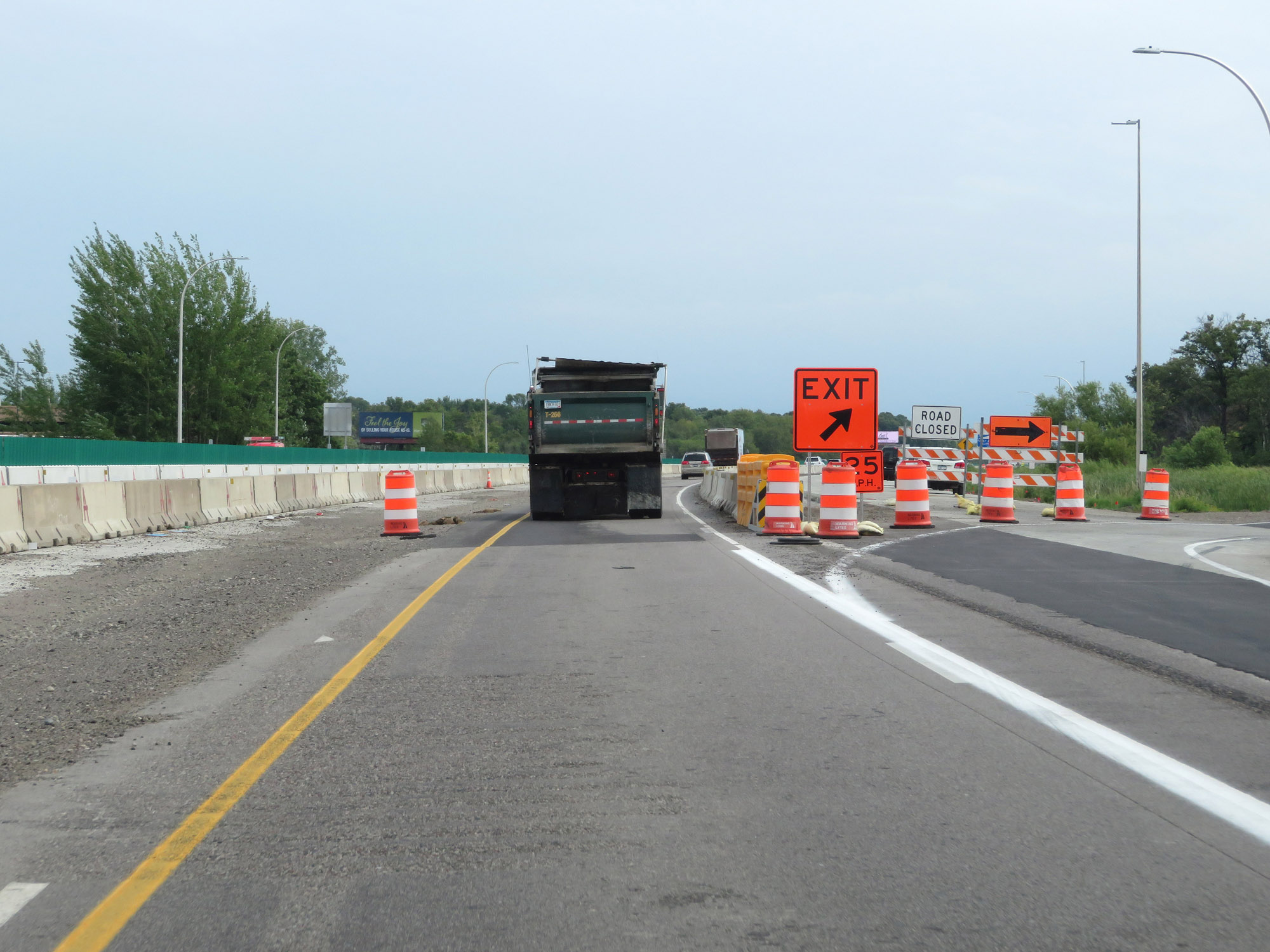
Take Exit 23B to Cleveland Ave South. (Photo taken 8/7/20). |
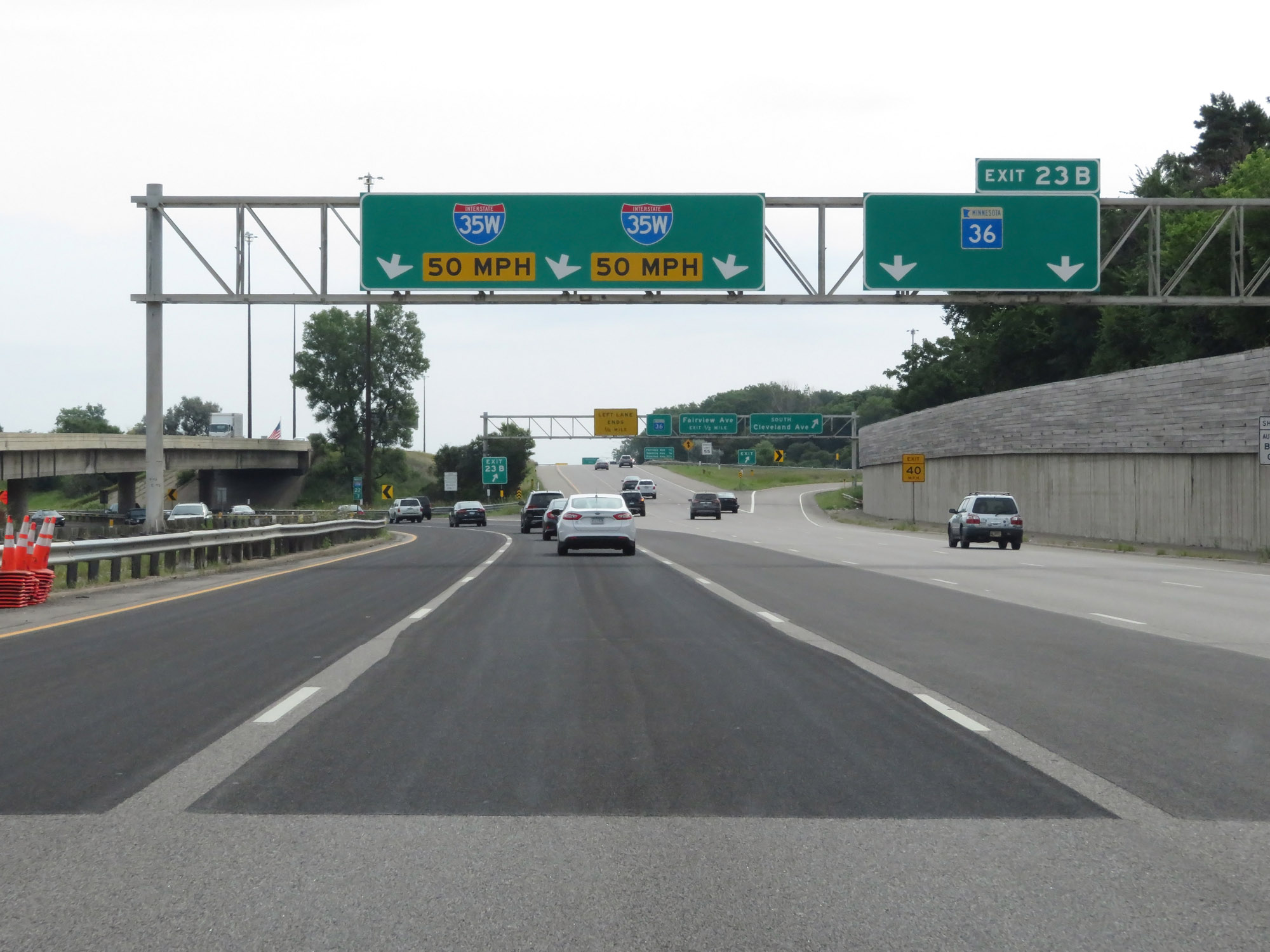 |
Interstate 35W North as it provides a second ramp to Exit 23B: MN 36 (Photo taken 8/7/20). |
 |
View on Interstate 35W North at mile marker 23, as it curves more to the north once again. (Photo taken 8/7/20). |
 |
Interstate 35W North approaching Exit 24. (Photo taken 8/7/20). |
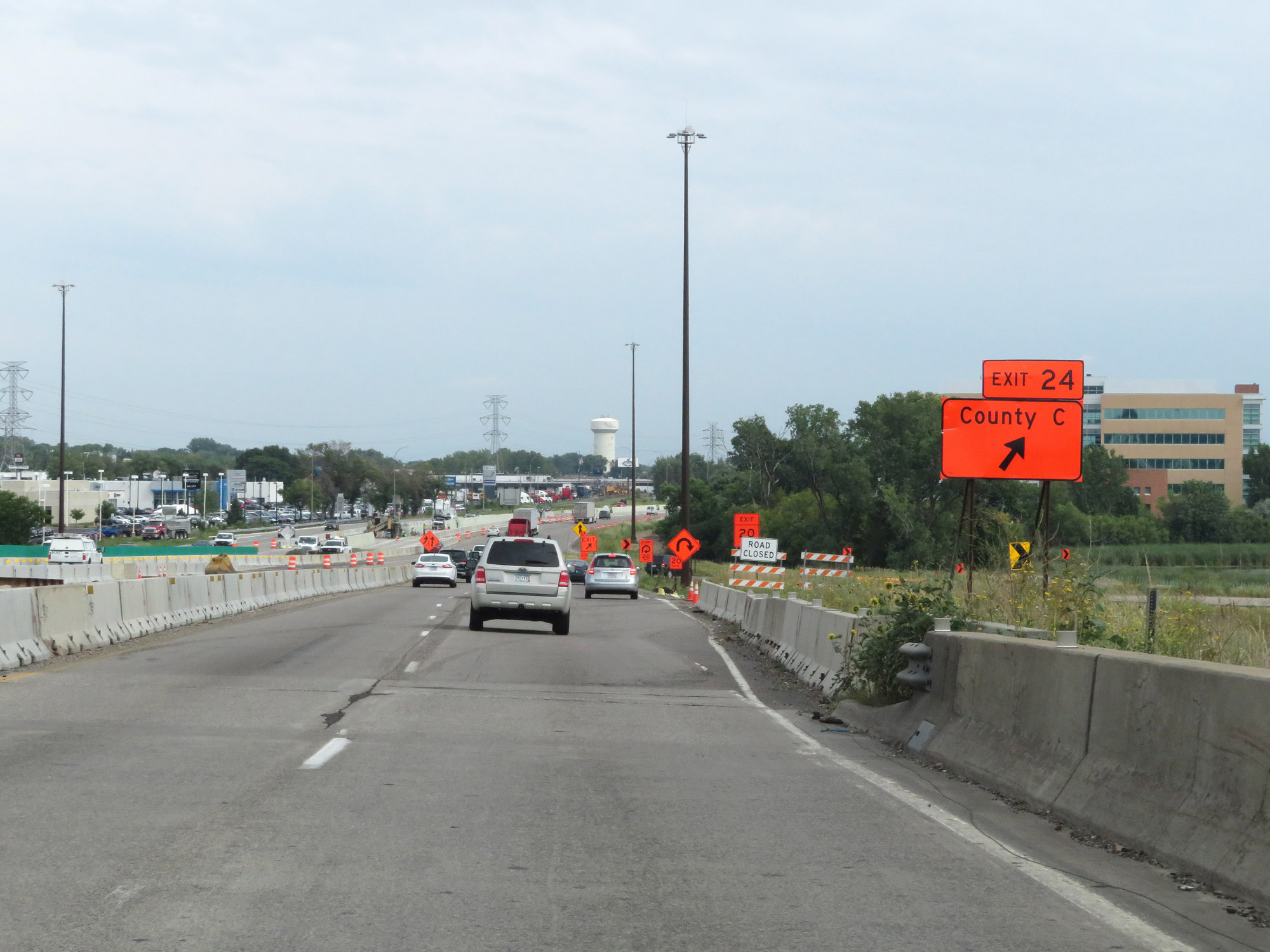 |
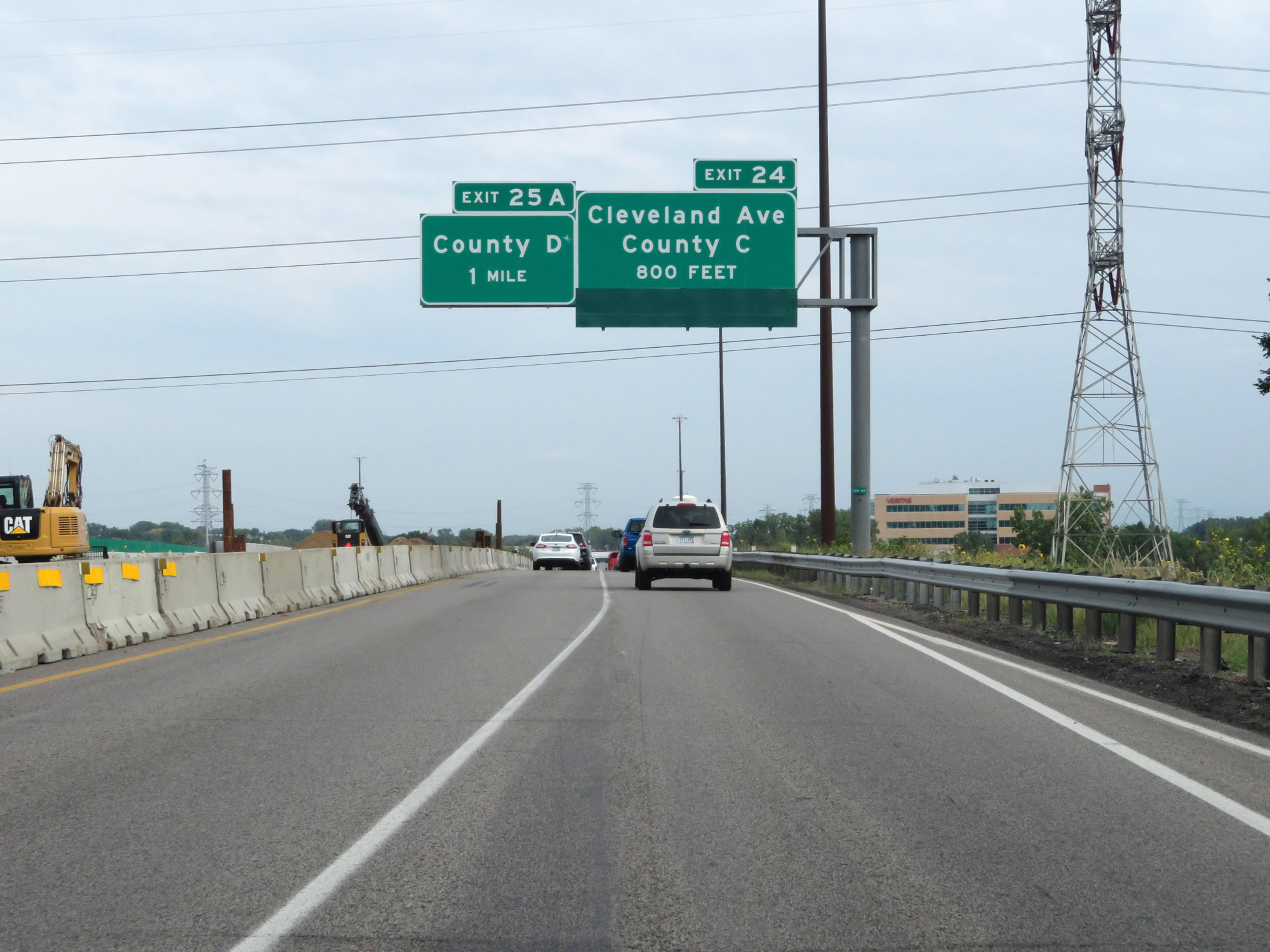
Interstate 35W North at Exit 24: Cleveland Ave / County Rd C (Photo taken 8/7/20). |
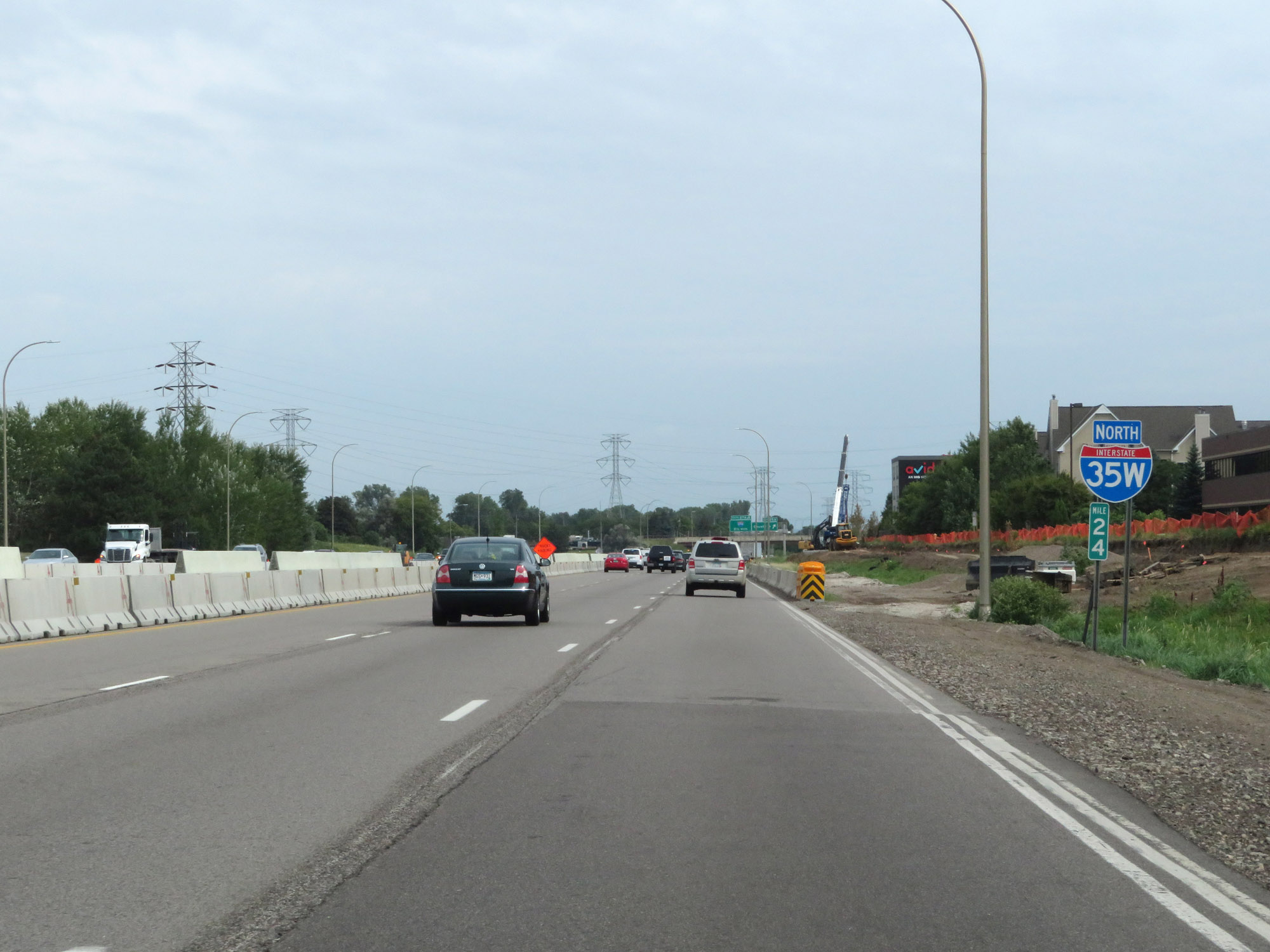 |
Interstate 35W North reassurance shield at mile marker 24. (Photo taken 8/7/20). |
 |
Interstate 35W North at Exit 25A: County Rd D (Photo taken 8/7/20). |
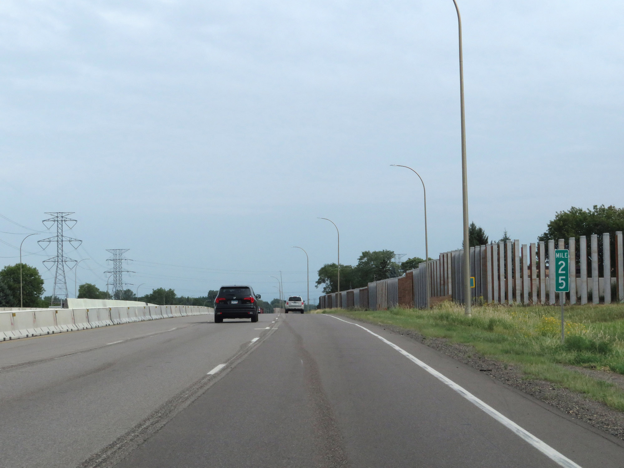 |
View on Interstate 35W North at mile marker 25. (Photo taken 8/7/20). |
 |
Mileage sign listing the distances to the next three interchanges on Interstate 35W North. (Photo taken 8/7/20). |
 |
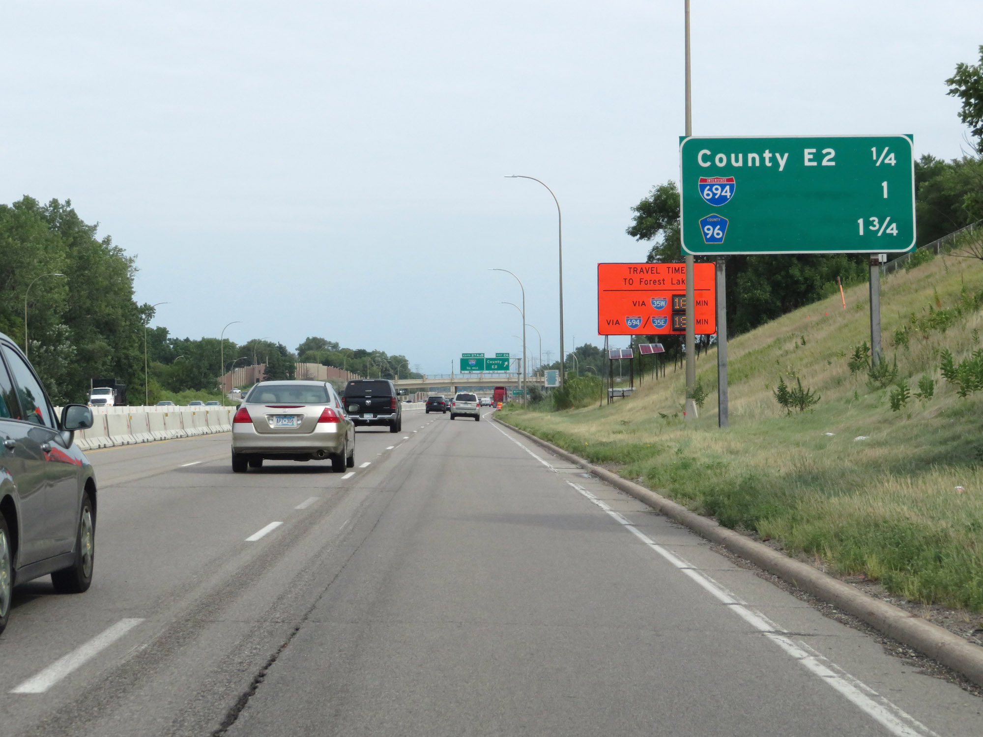
Interstate 35W North at Exit 26: County Rd E2 (Photo taken 8/7/20). |
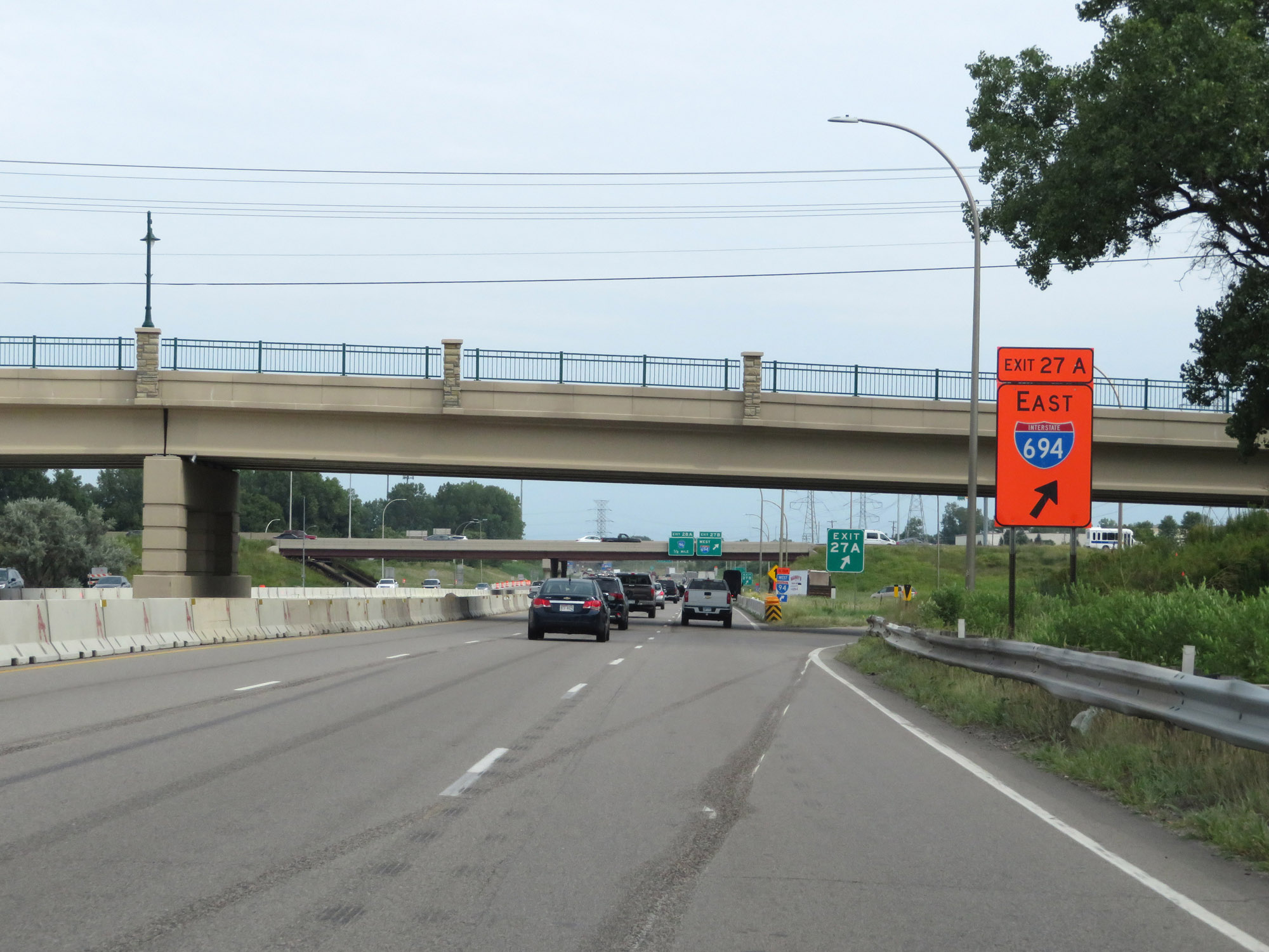 |
Interstate 35W North at Exit 27A: Interstate 694 East (Photo taken 8/7/20). |
 |
Interstate 35W North at Exit 27B: Interstate 694 West (Photo taken 8/7/20). |
 |
Another Interstate 35W North reassurance shield. (Photo taken 8/7/20). |
 |
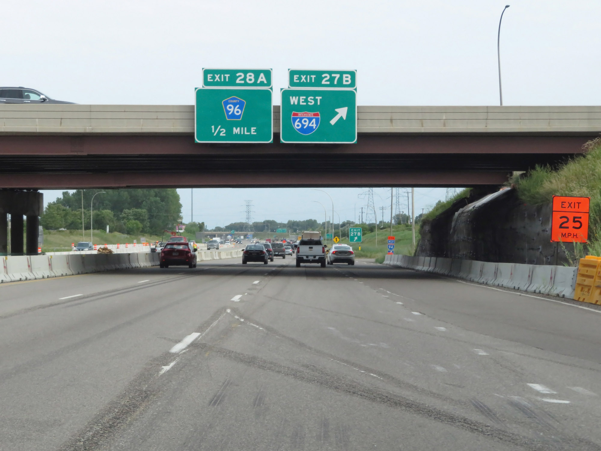
Interstate 35W North at Exit 28A: CR 96 (Photo taken 8/7/20). |
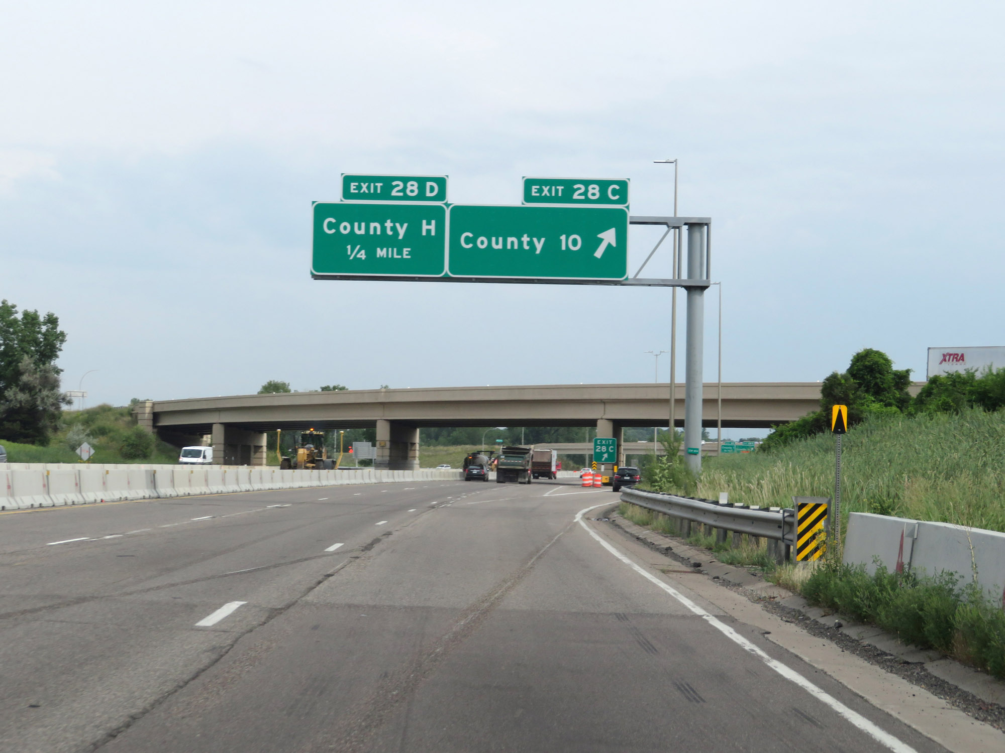 |
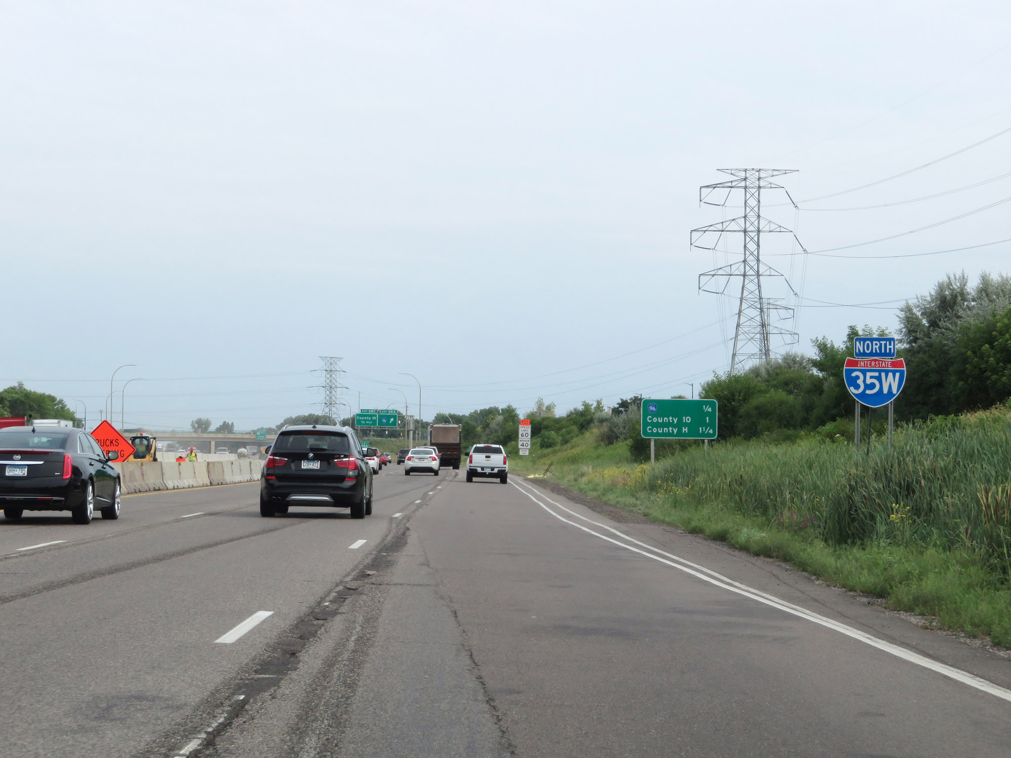
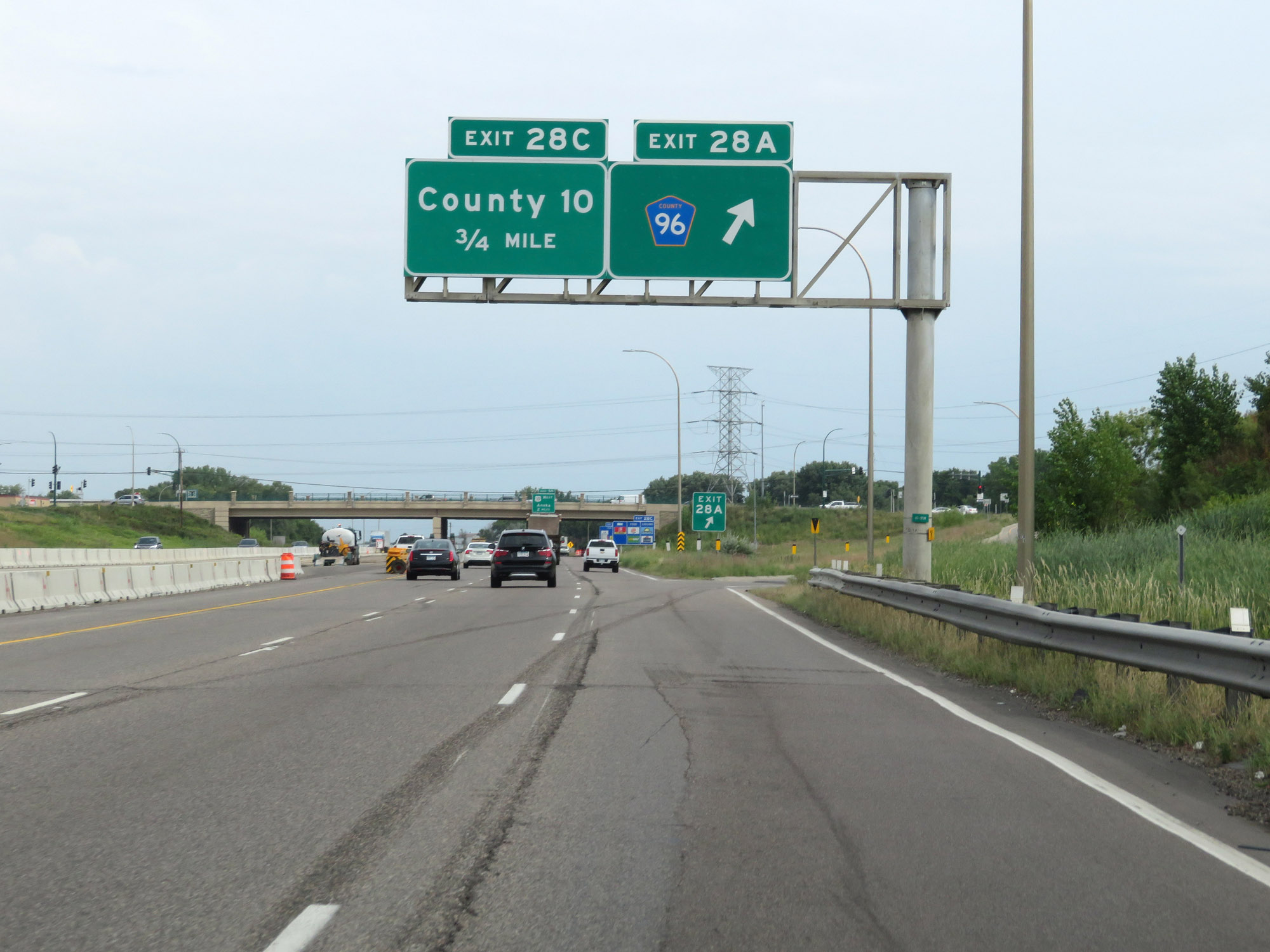
Interstate 35W North at Exit 28C: County Rd 10 (Photo taken 8/7/20). |
 |
Interstate 35W North at Exit 28D: County Rd H (Photo taken 8/7/20). |
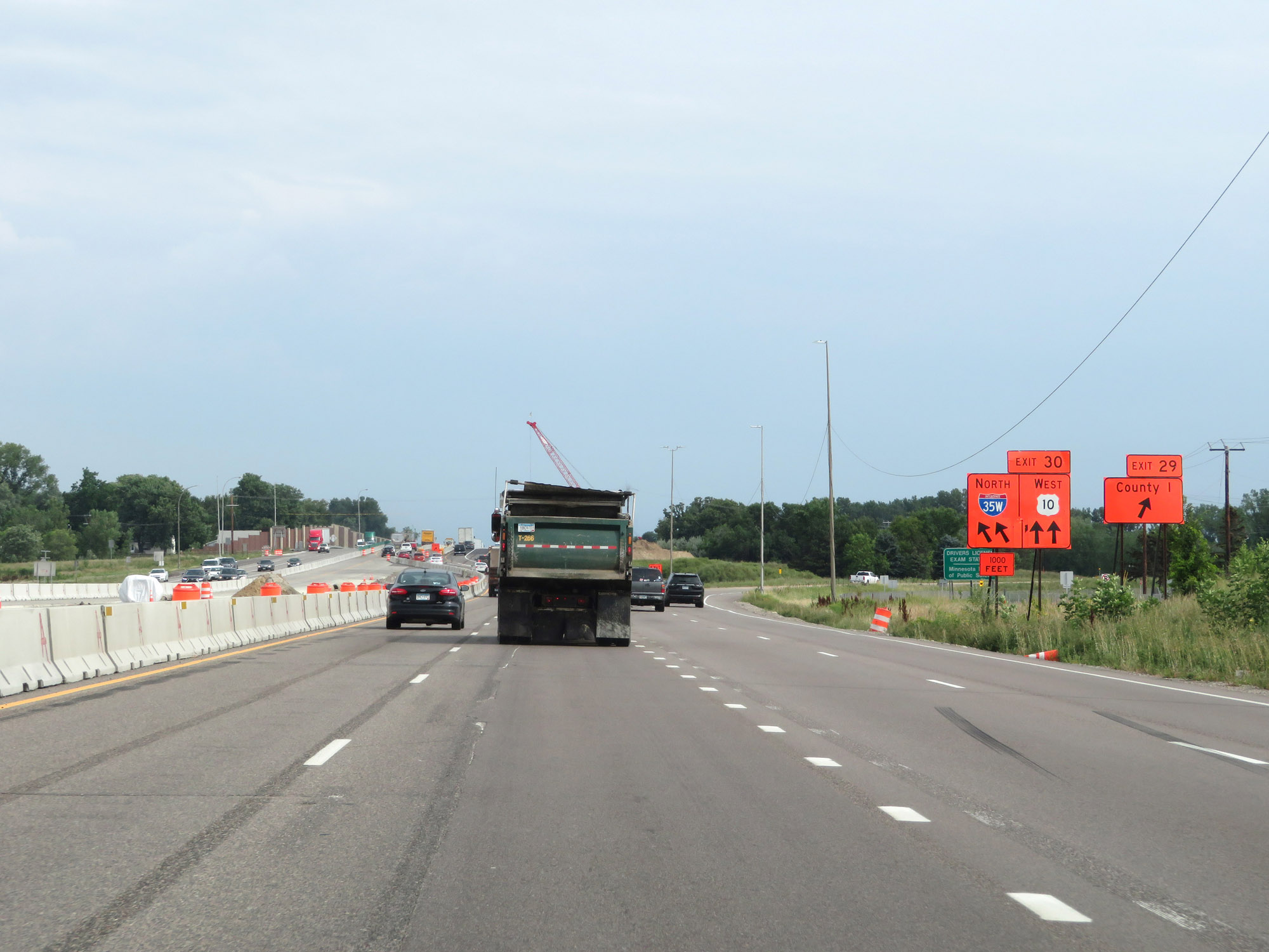 |
Interstate 35W North at Exit 29: County Rd I (Photo taken 8/7/20). |
 |
Interstate 35W North at Exit 30: US 10 West - Anoka (Photo taken 8/7/20). |
 |
Interstate 35W North at Exit 31A: County Rd J / 85th Ave NE (Photo taken 8/7/20). |
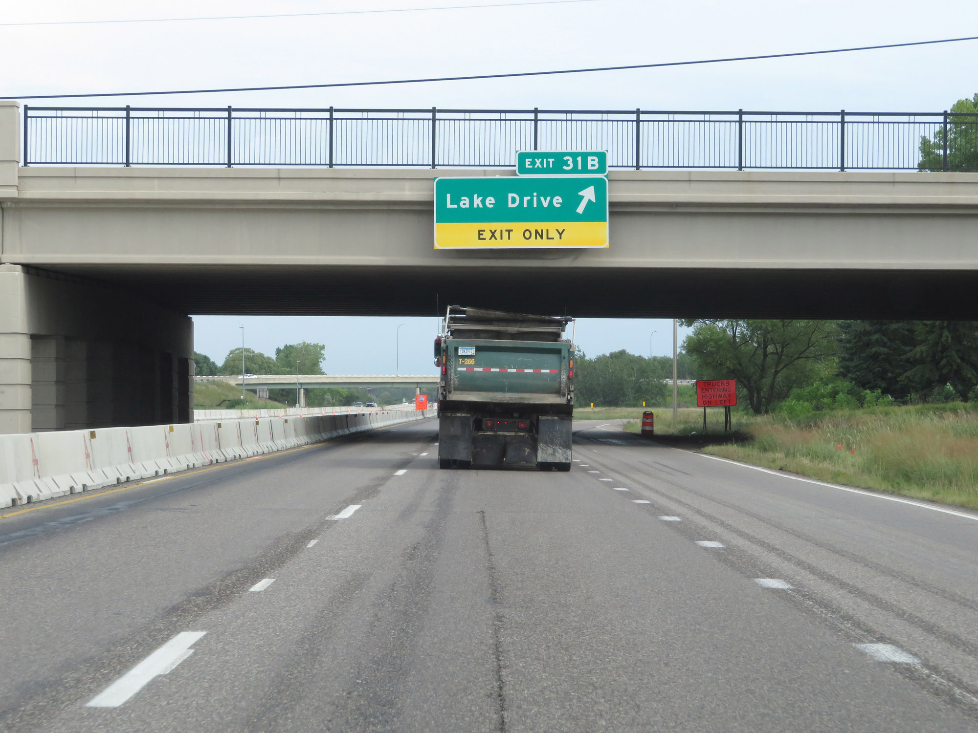 |
Interstate 35W North at Exit 31B: Lake Drive (Photo taken 8/7/20). |
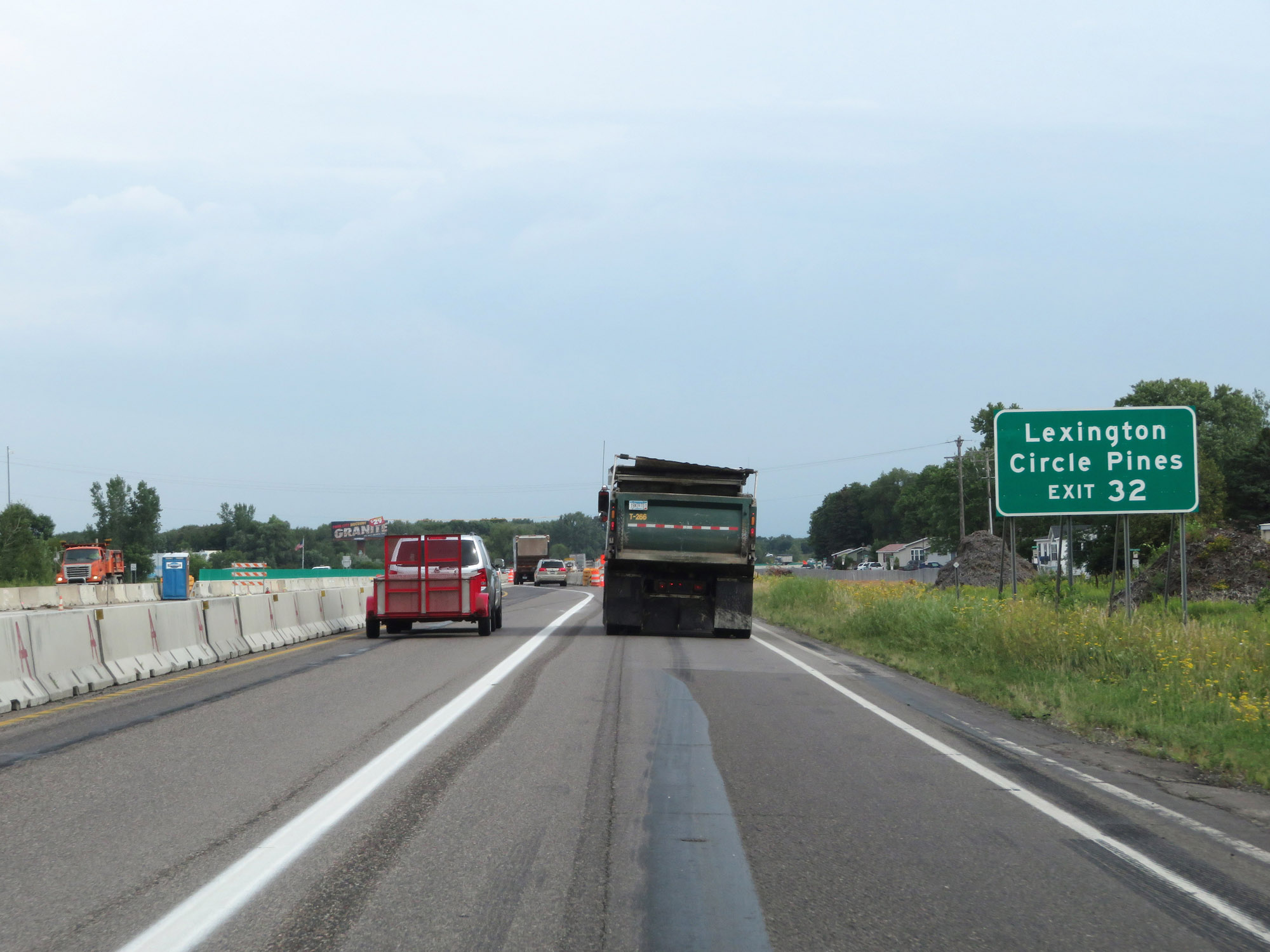 |
Take Exit 32 to Lexington and Circle Pines. (Photo taken 8/7/20). |
 |
Interstate 35W North at Exit 32: CR 52 - 95th Ave NE (Photo taken 8/7/20). |
 |
View of the ramp for Exit 32. (Photo taken 8/7/20). |
 |
Interstate 35W North approaching Exit 33. (Photo taken 8/7/20). |
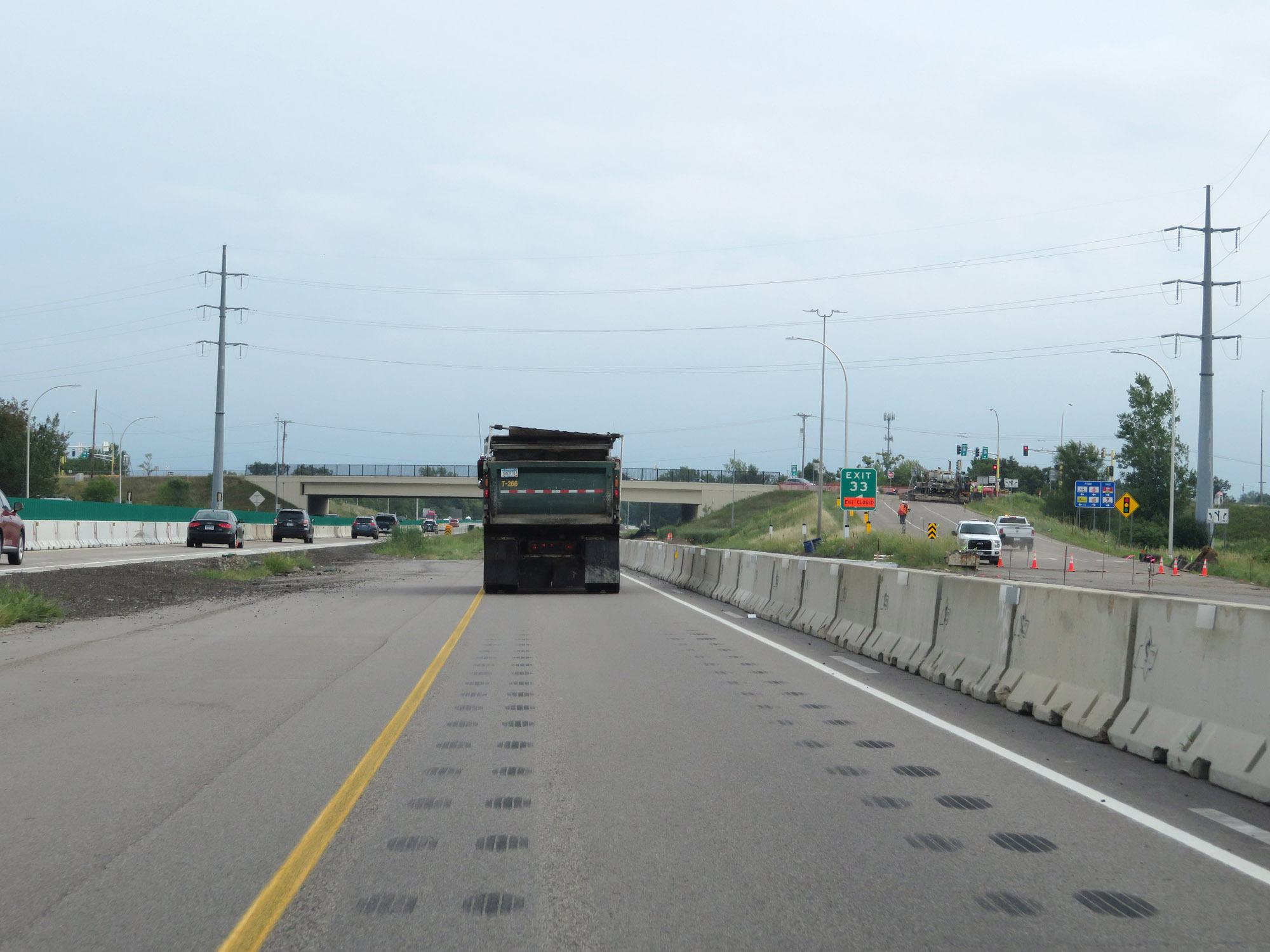 |
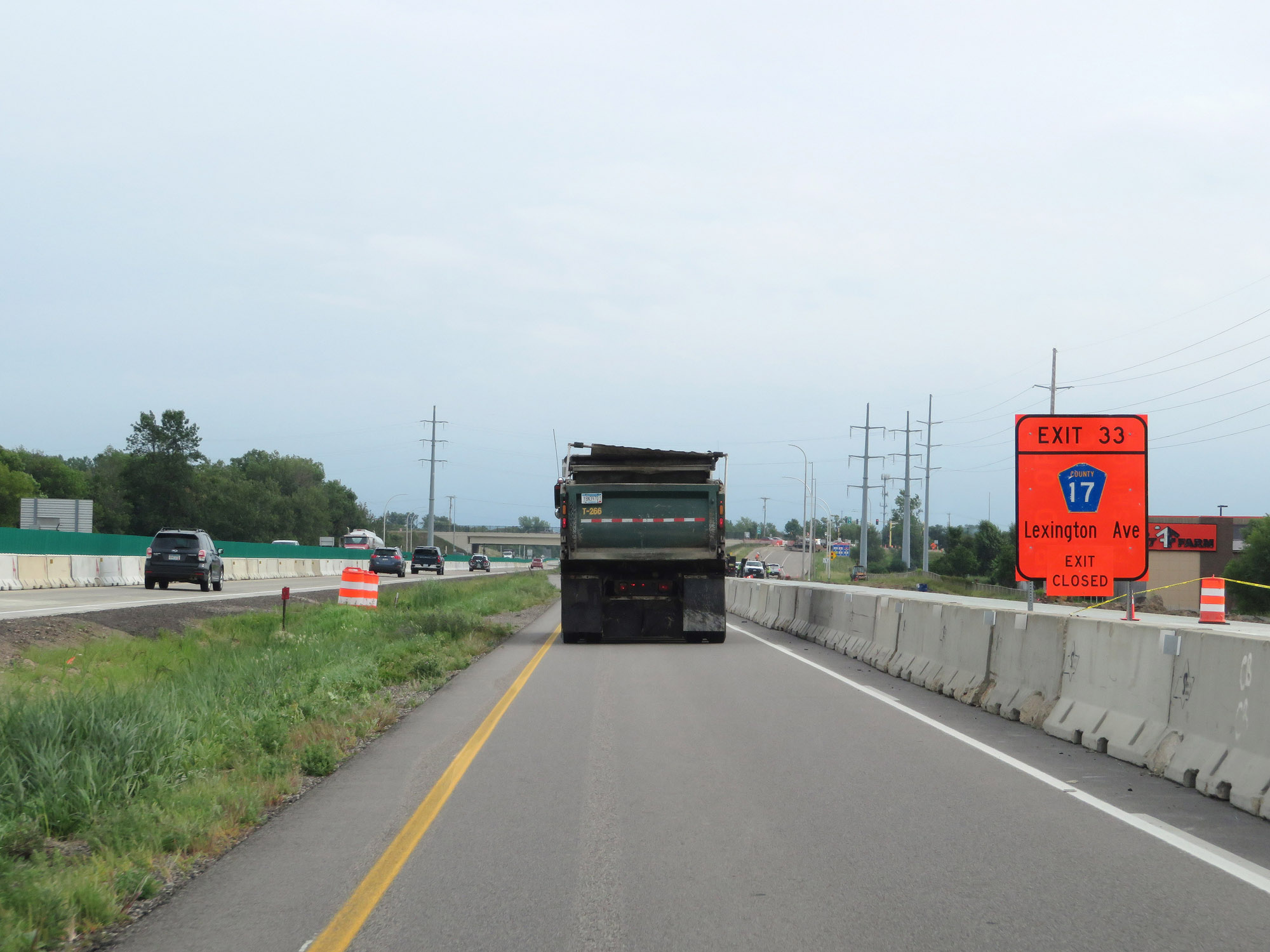
Interstate 35W North at Exit 33: CR 17 - Lexington Ave (Photo taken 8/7/20). |
 |
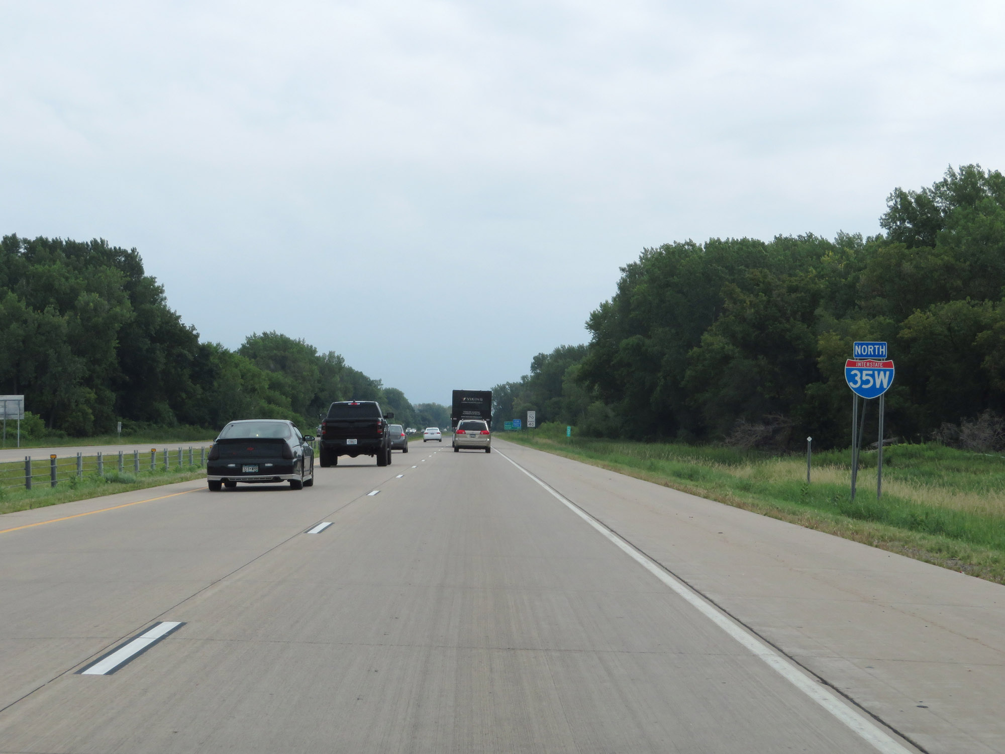
At mile marker 35, the maximum speed limit increases to 70 mph. This is the standard speed limit on most rural Interstate highways in Minnesota. (Photo taken 8/7/20). |
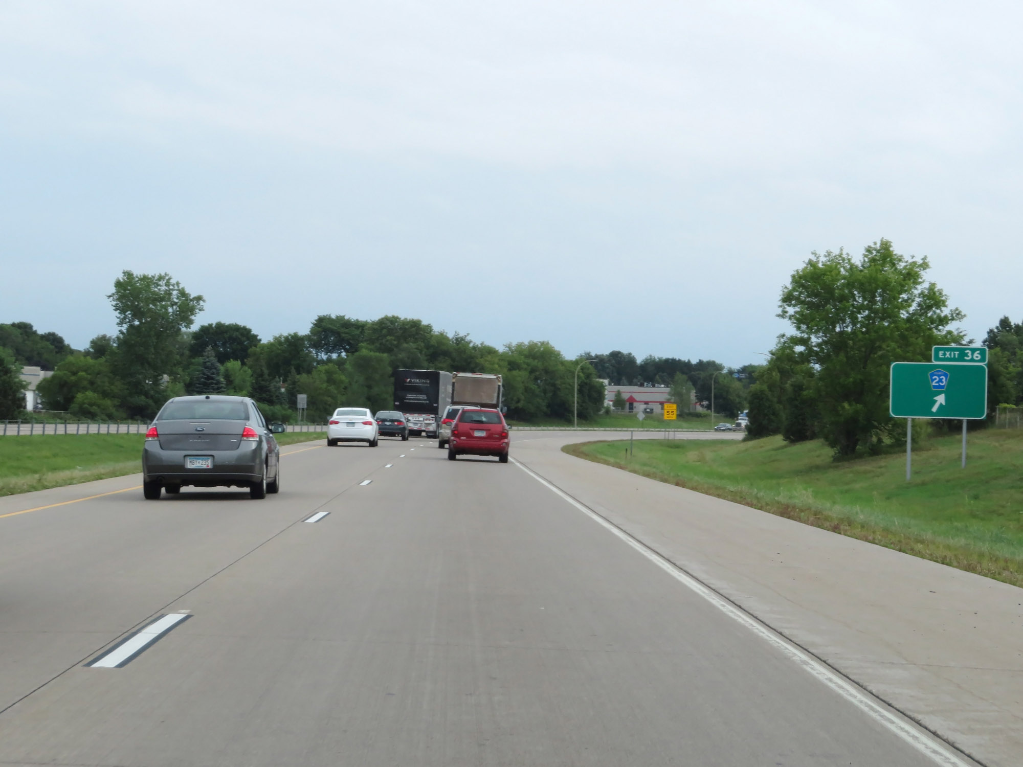 |
Interstate 35W North at Exit 36: CR 23 (Photo taken 8/7/20). |
 |
Interstate 35W North reassurance shield. (Photo taken 8/7/20). |
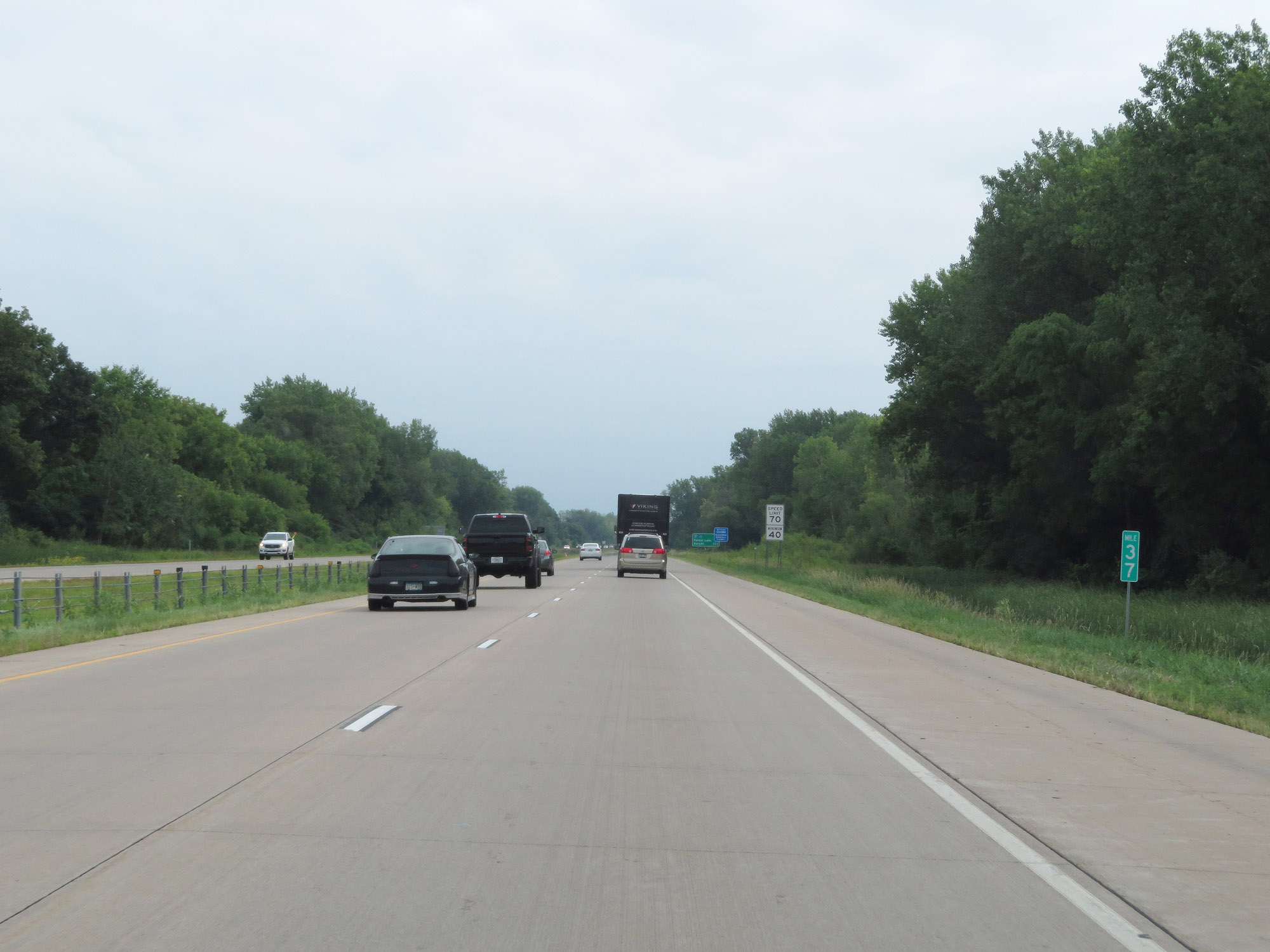 |
View on Interstate 35W North at mile marker 37. (Photo taken 8/7/20). |
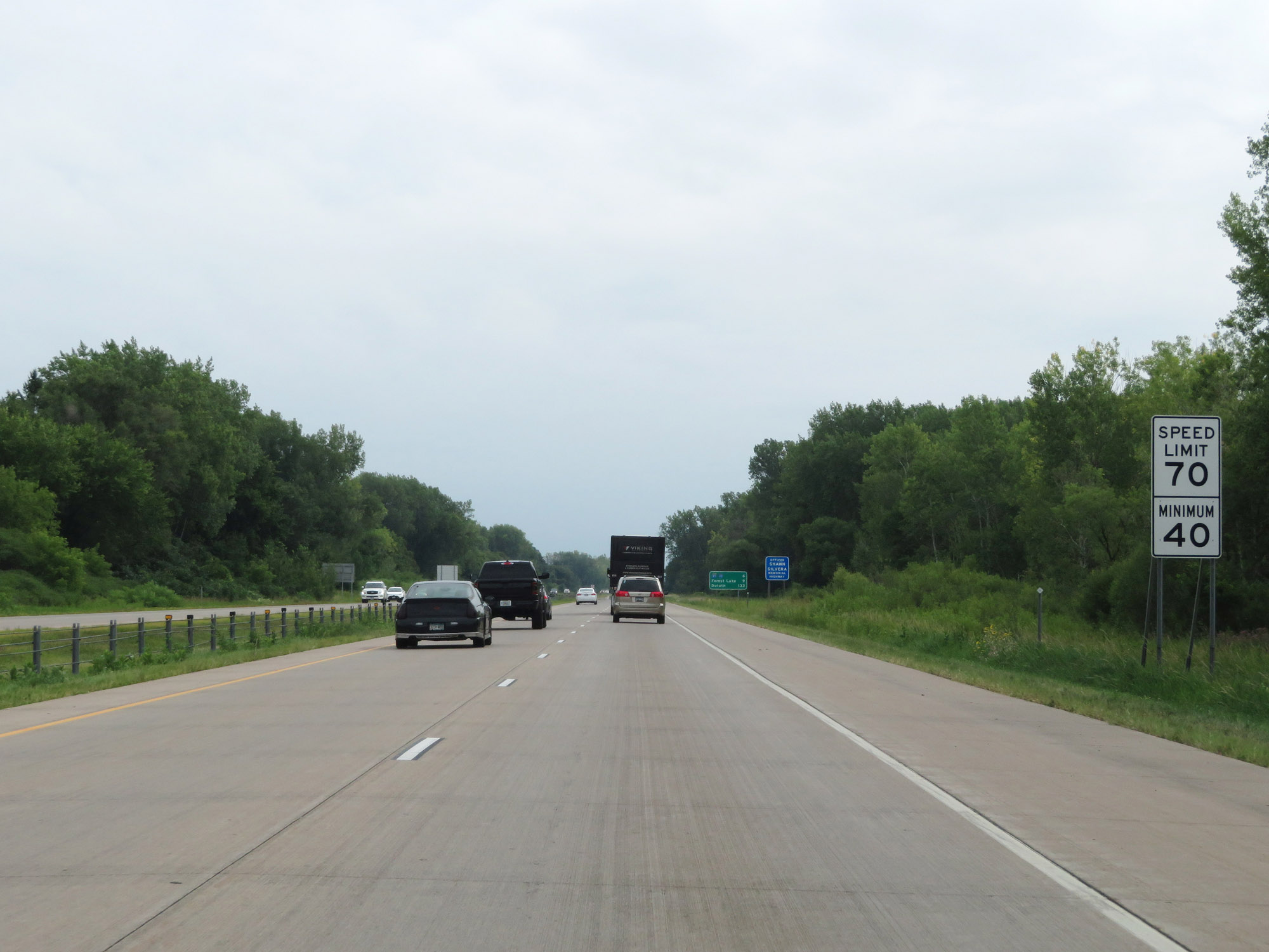 |
The speed limits remain 70 mph maximum and 40 mph minimum. (Photo taken 8/7/20). |
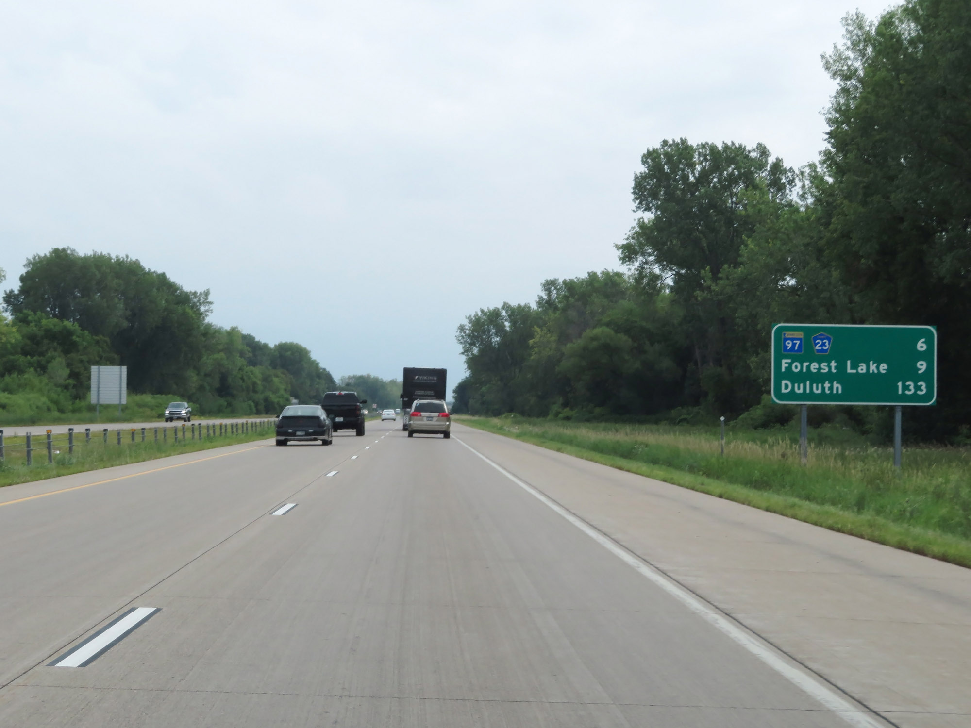 |
Mileage sign on Interstate 35W North. It's 6 miles to the junction of MN 97 / CR 23, 9 miles to Forest Lake, and 133 miles to Duluth. (Photo taken 8/7/20). |
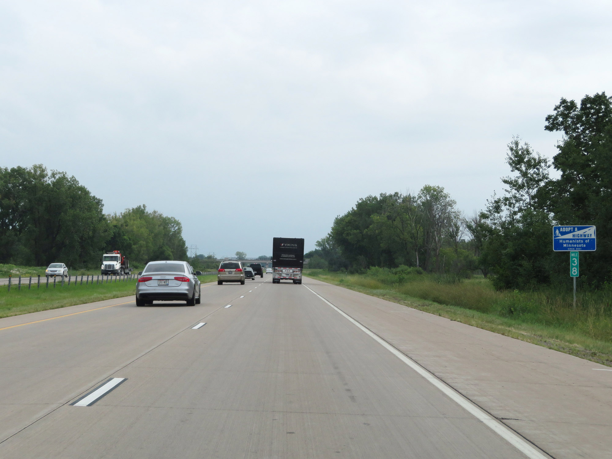 |
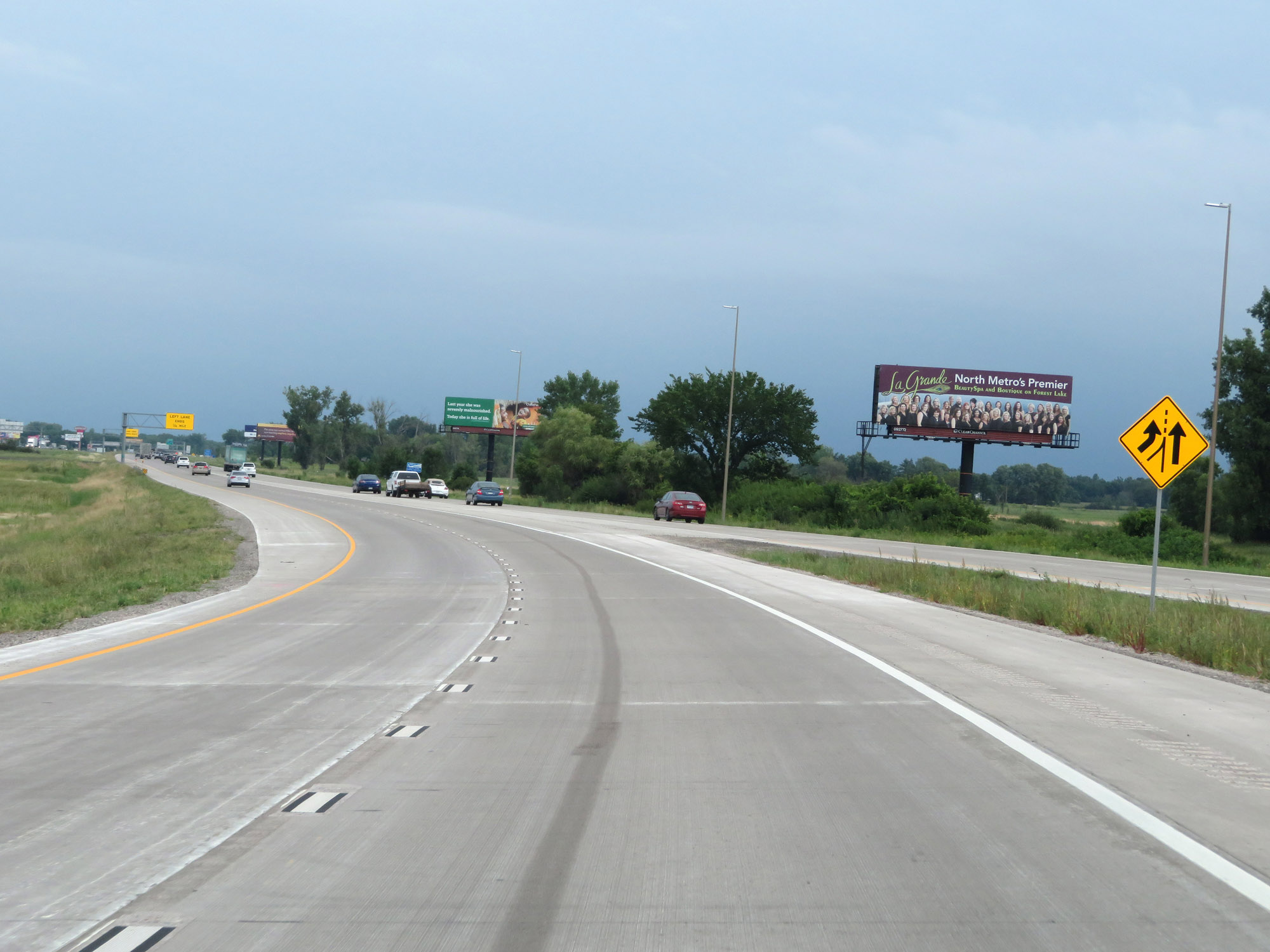
View on Interstate 35W North at mile marker 38. (Photo taken 8/7/20). |
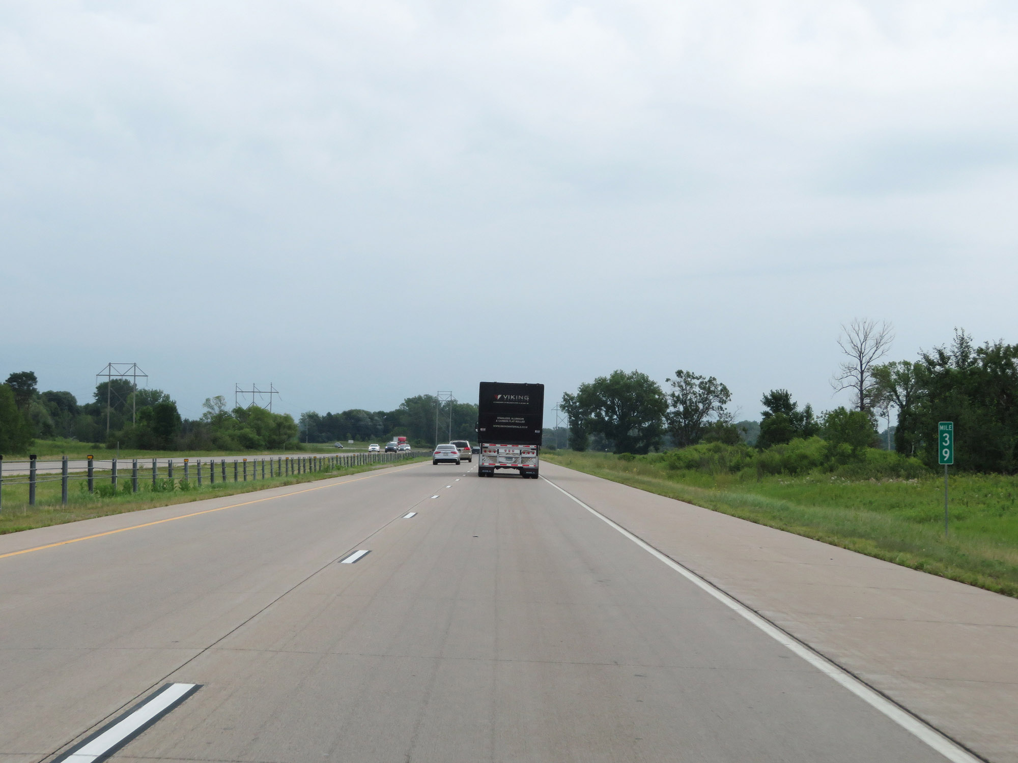 |
Interstate 35W North at mile marker 39. (Photo taken 8/7/20). |
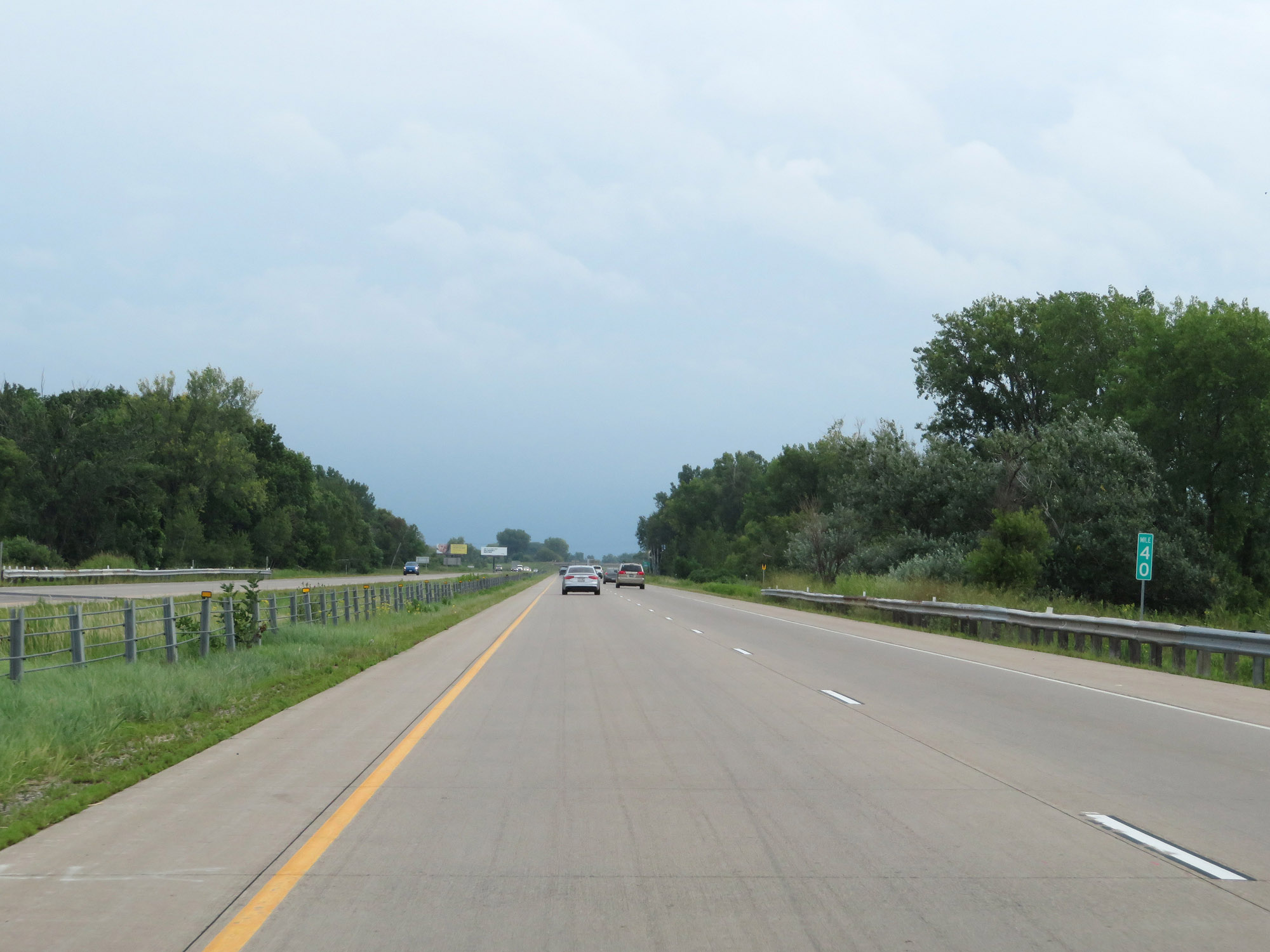 |
View on Interstate 35W North at mile marker 40. (Photo taken 8/7/20). |
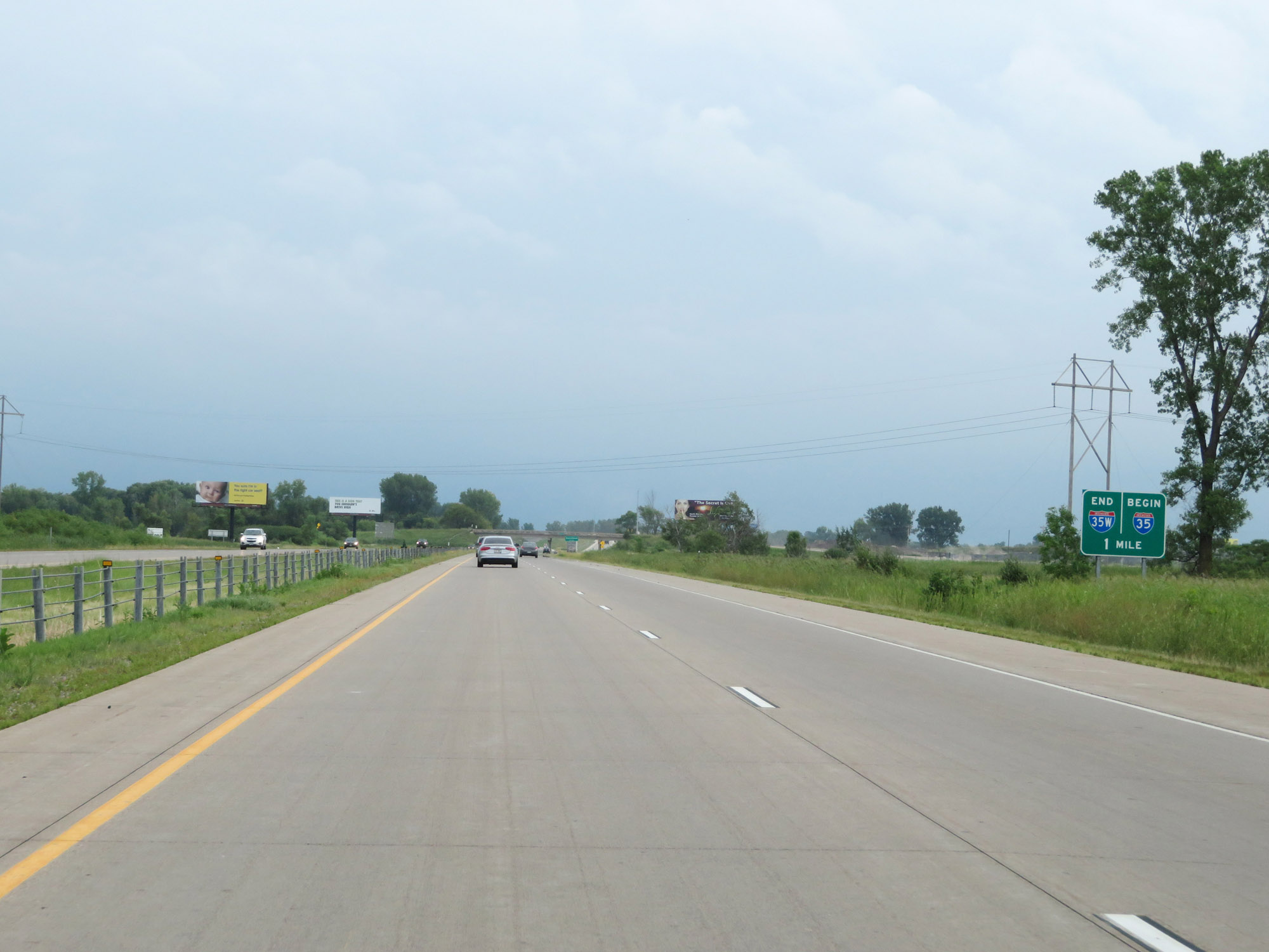 |
This sign states that one mile ahead, Interstate 35W North will end and come together with the northbound lanes of Interstate 35E to continue northward as Interstate 35. (Photo taken 8/7/20). |
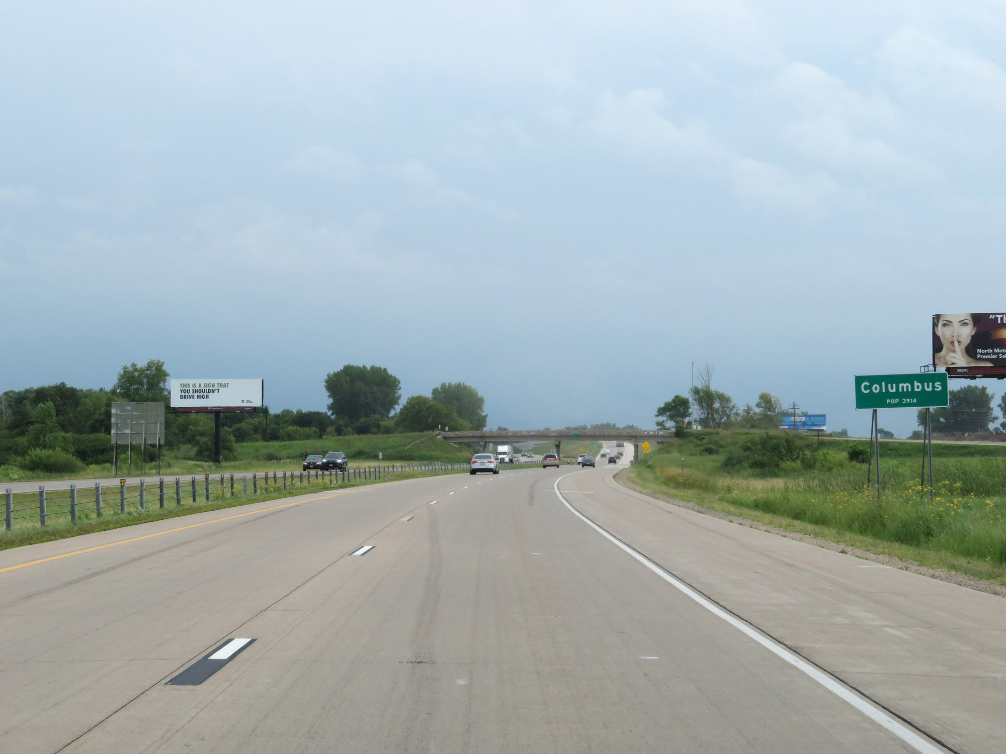 |
Interstate 35W North enters the Columbus city limits as it nears its northern terminus. (Photo taken 8/7/20). |
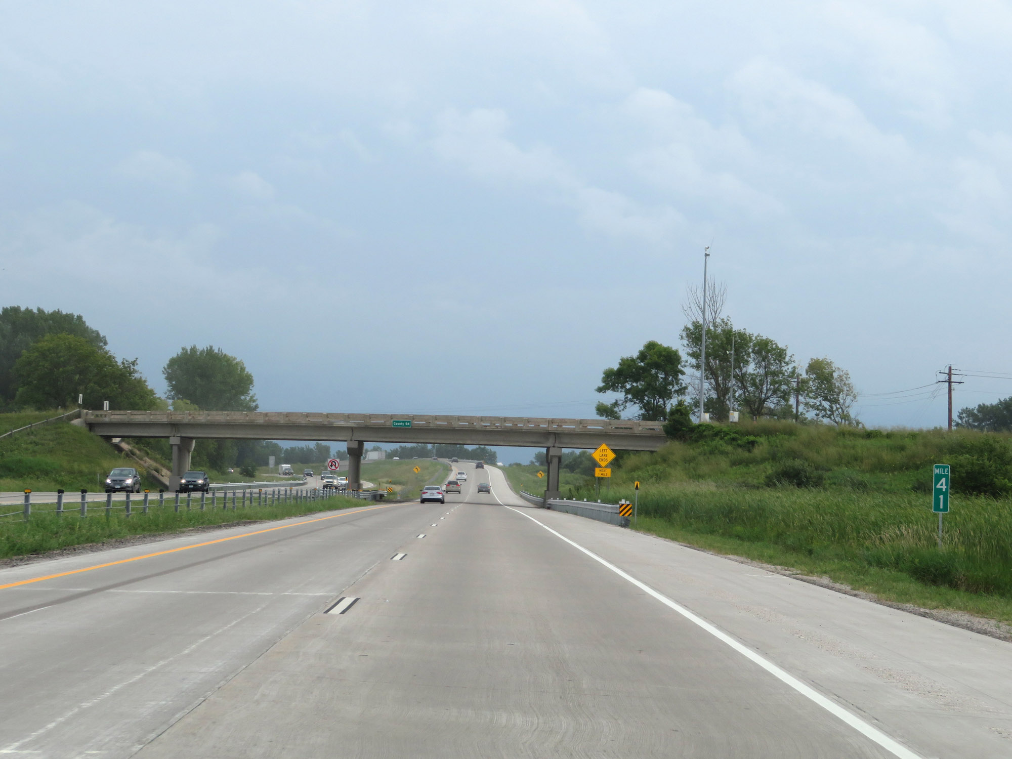 |
View on Interstate 35W North at mile marker 41. (Photo taken 8/7/20). |
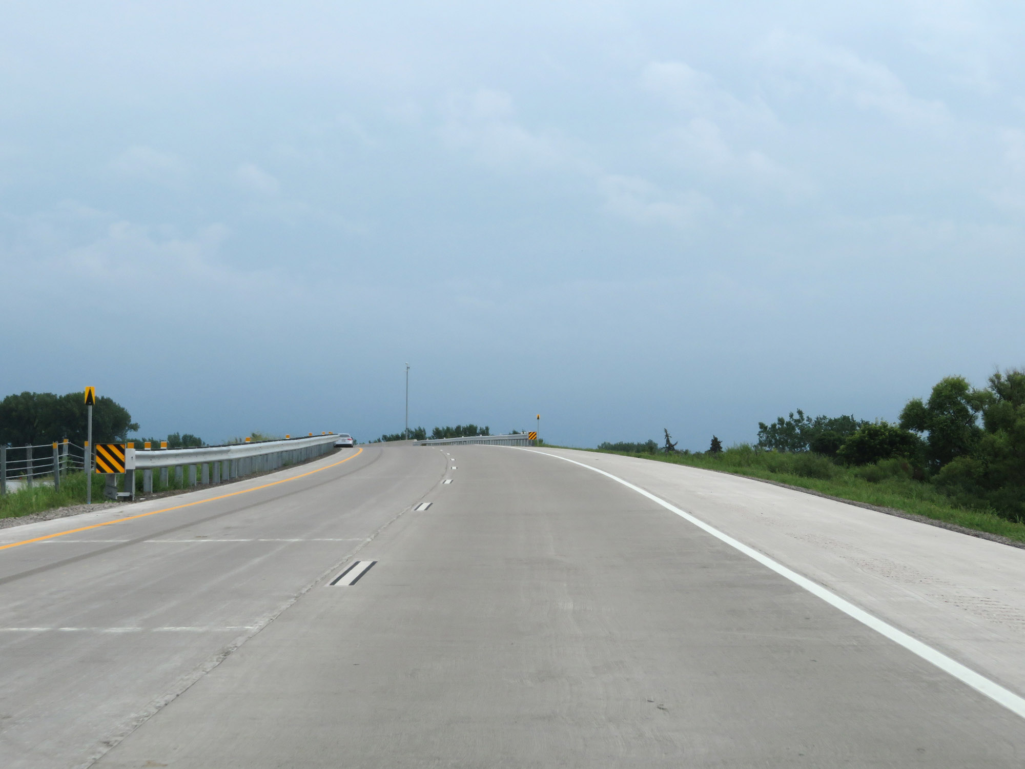 |
Interstate 35W North as it approaches its northern terminus, crossing over the southbound lanes of Interstate 35E. (Photo taken 8/7/20). |
 |
Interstate 35W North as the northbound lanes of Interstate 35E come into view. Ahead, both I-35W and I-35E will merge together to continue northward as Interstate 35 North. (Photo taken 8/7/20). |
 |
Interstate 35W North at its northern terminus, as it merges into the northbound lanes of Interstate 35E to continue north as Interstate 35 in Columbus. (Photo taken 8/7/20). |