Road Information |
||
 |
||
| Total Mileage in State: | 201 miles | |
| Northern/Eastern End: | At Canadian border | |
| Western/Southern End: | At Indiana state line | |
| Mileage covered in Photos: | 72 miles | |
| Counties covered in Photos: | Eaton, Calhoun, Branch | |
| Major Junctions in Photos: | I-94, near Marshall | |
| Control Cities in Photos: | Charlotte, Olivet, Marshall | |
Westbound/Southbound
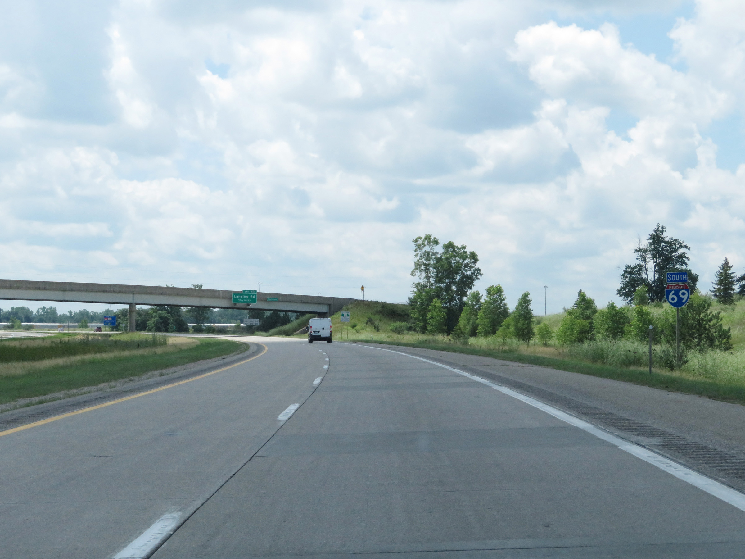 |
Interstate 69 South reassurance shield after its departure from Interstate 96 East at the southwestern corner of the Lansing area. (Photo taken 7/17/17). |
 |
Speed limit signs on Interstate 69 South. The speed limits are 70 mph maximum for automobiles, 65 mph maximum for trucks, and 55 minimum for all traffic. (Photo taken 7/17/17). |
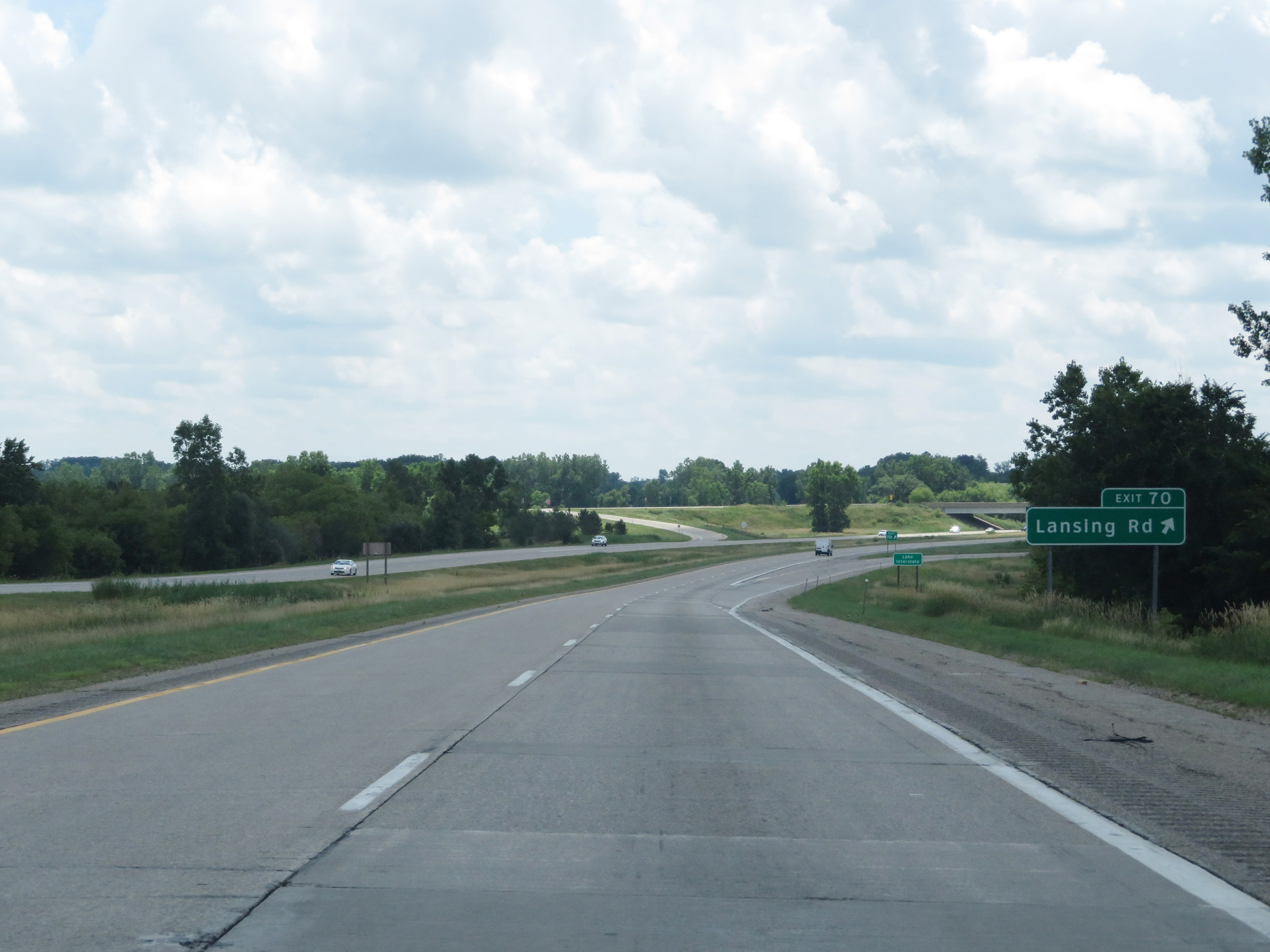 |
Interstate 69 South at Exit 70: Lansing Rd (Photo taken 7/17/17). |
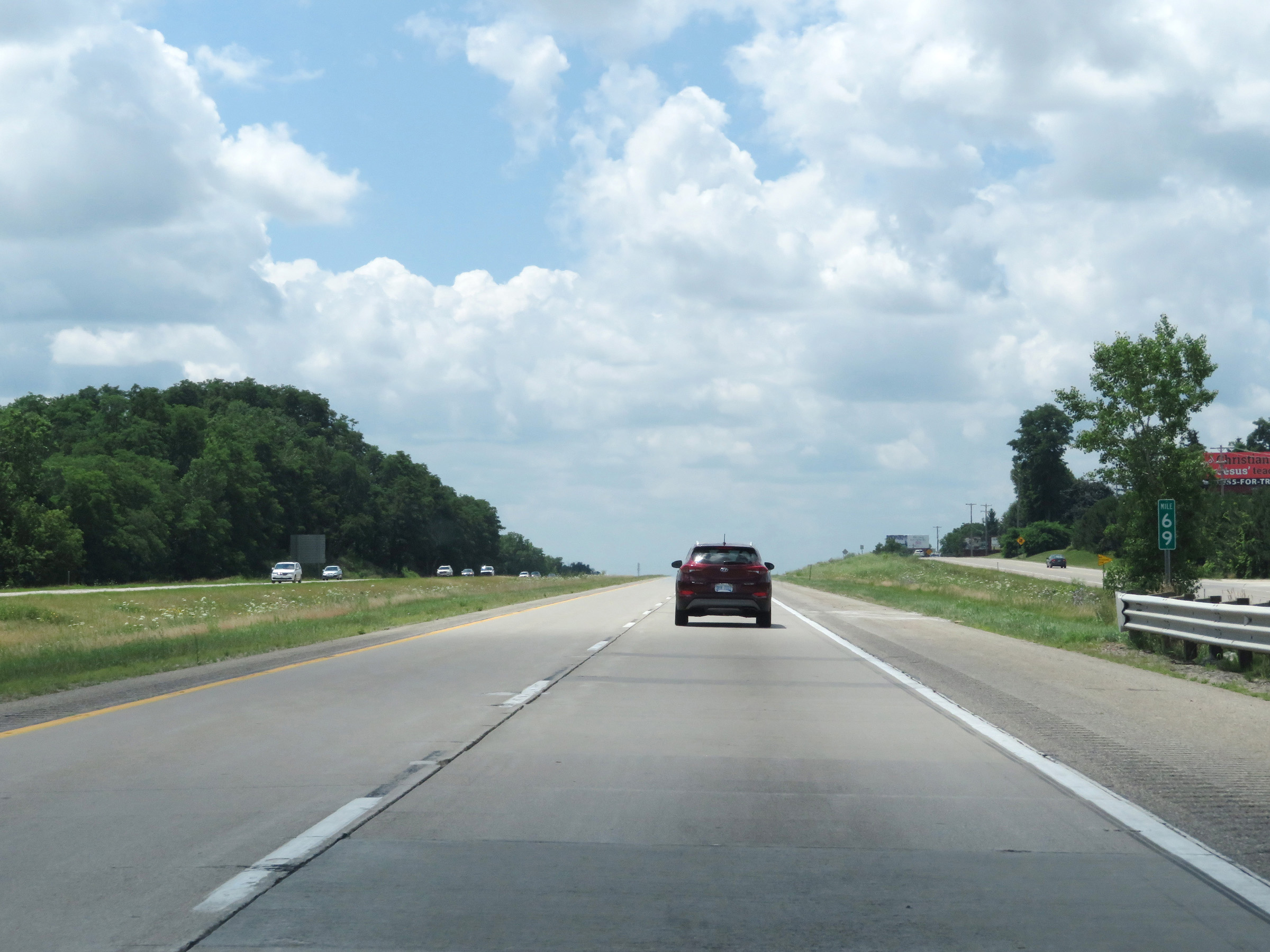 |
Mile marker 69 on Interstate 69 South in Eaton County. (Photo taken 7/17/17). |
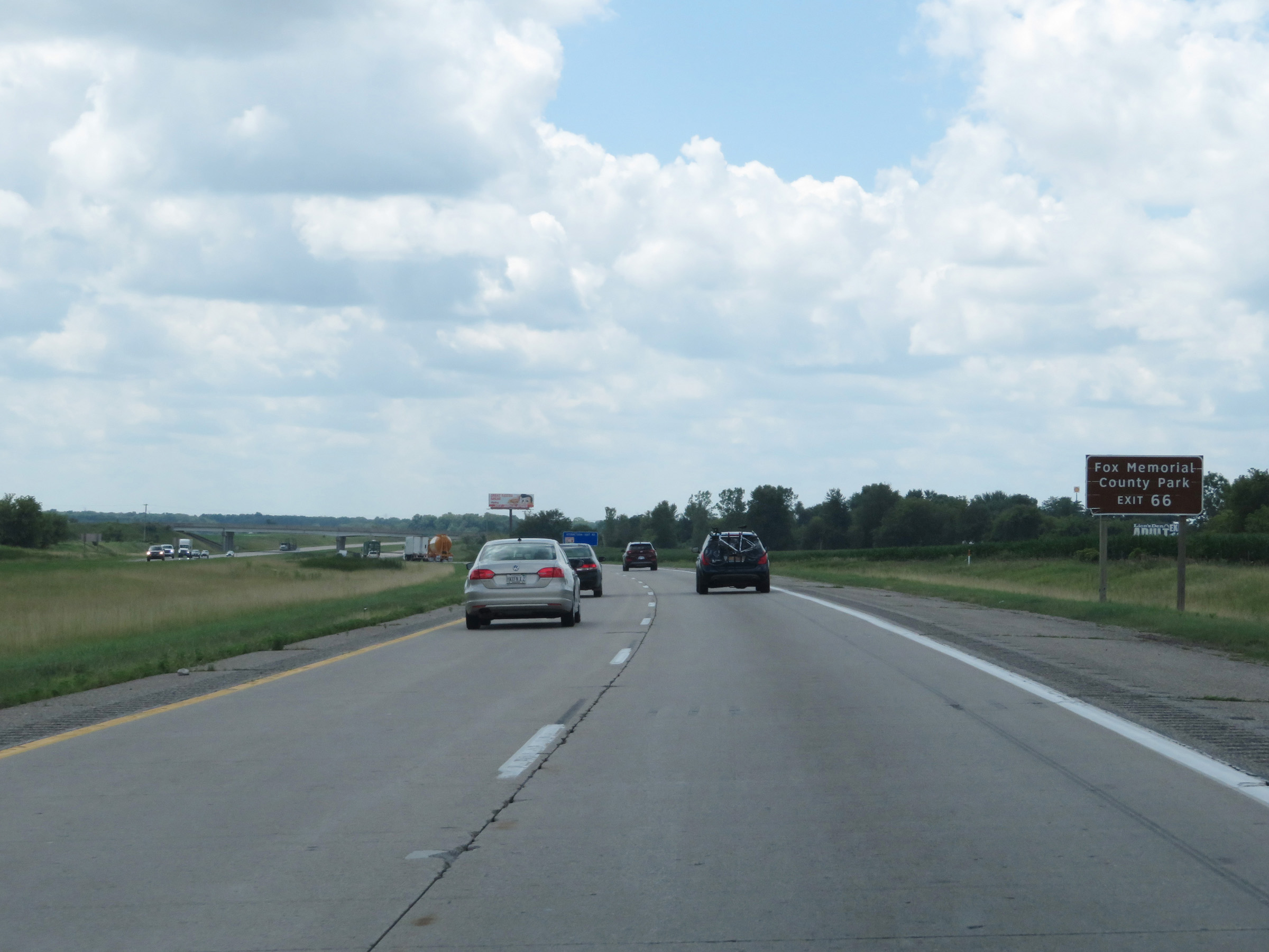 |
Take Exit 66 to Fox Memorial County Park. (Photo taken 7/17/17). |
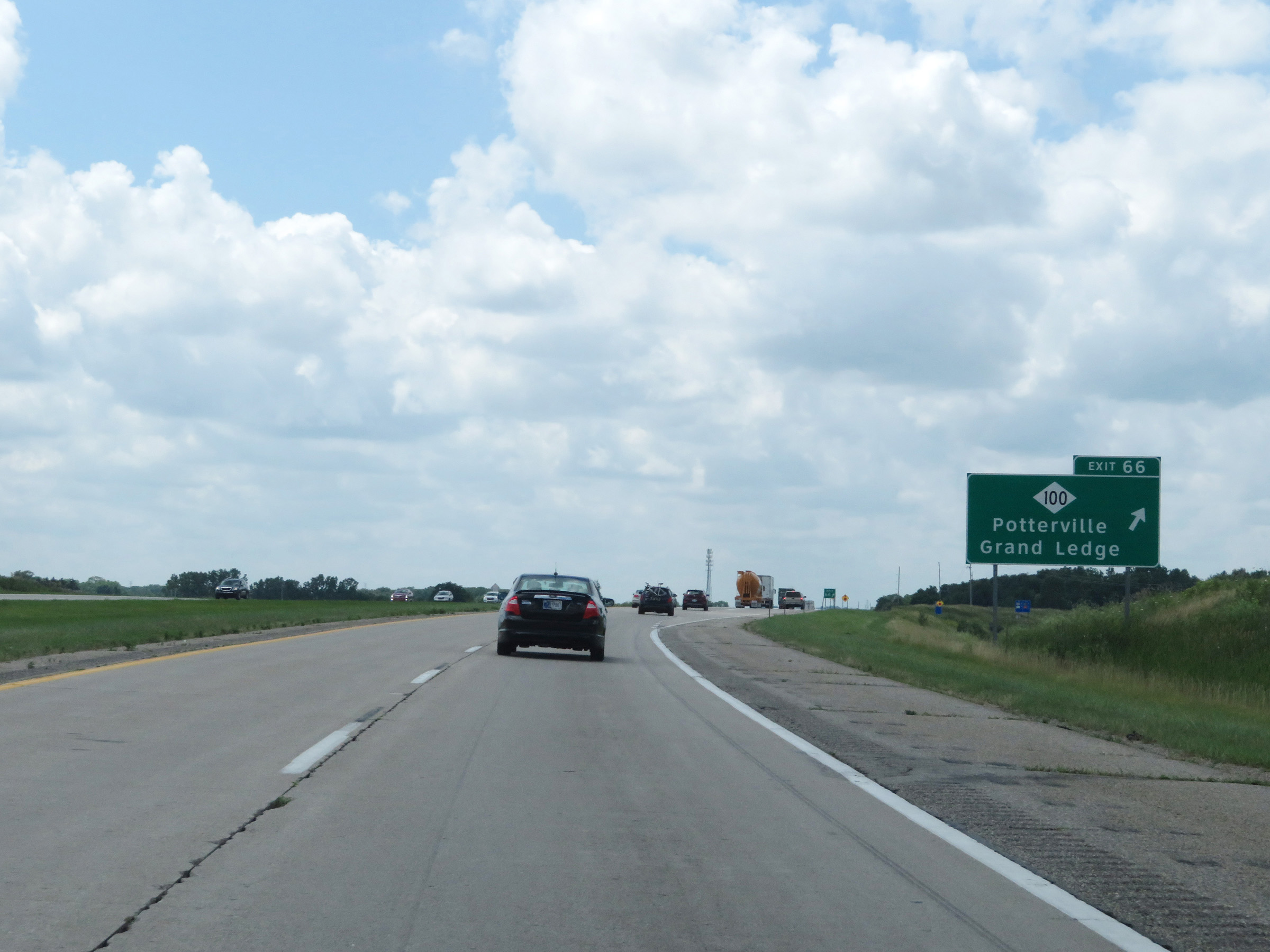 |
Interstate 69 South at Exit 66: M-100 - Potterville / Grand Ledge (Photo taken 7/17/17). |
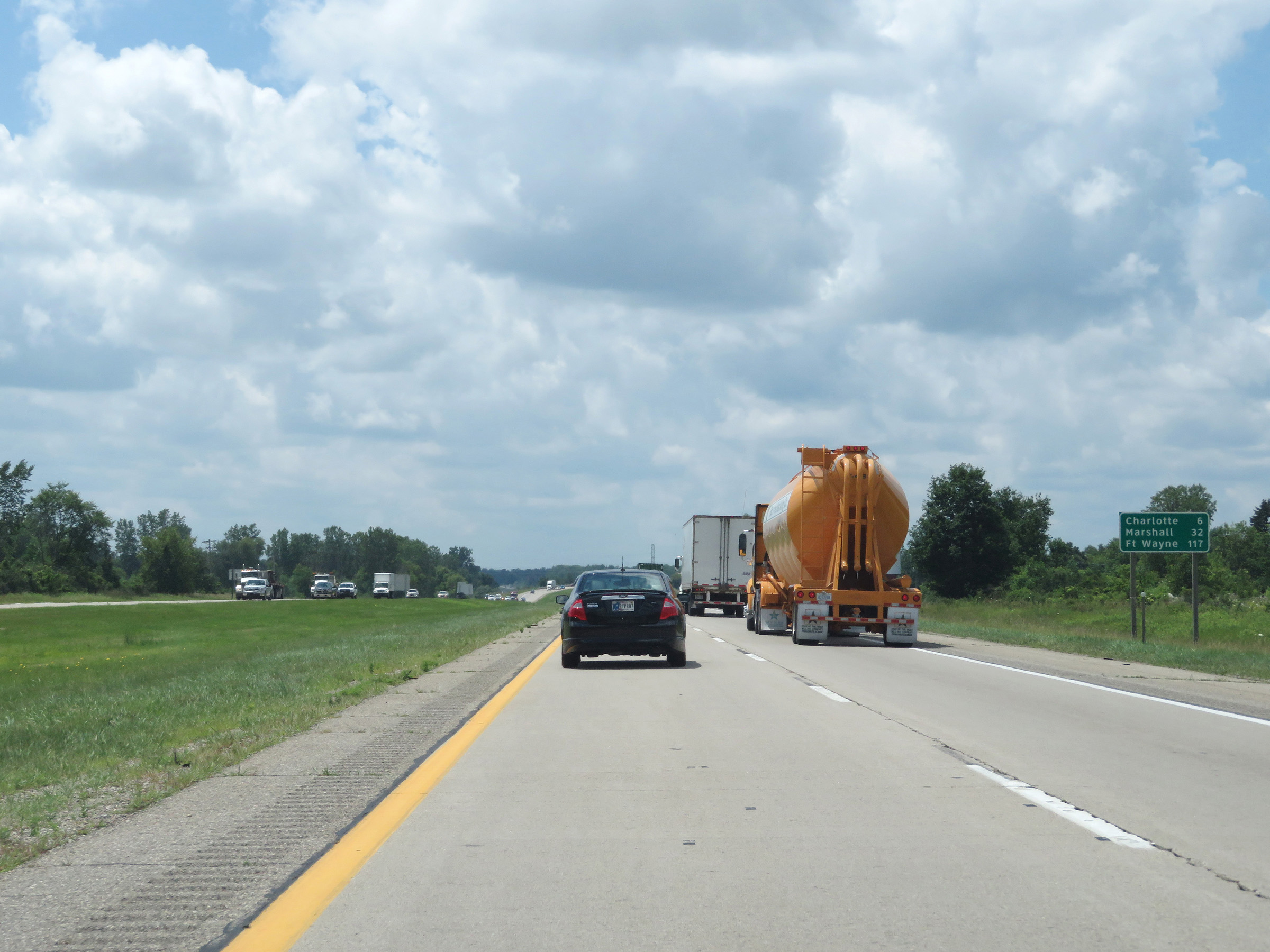 |
Mileage sign on Interstate 69 South. It's 6 miles to Charlotte, 32 miles to Marshall, and 117 miles to Fort Wayne. (Photo taken 7/17/17). |
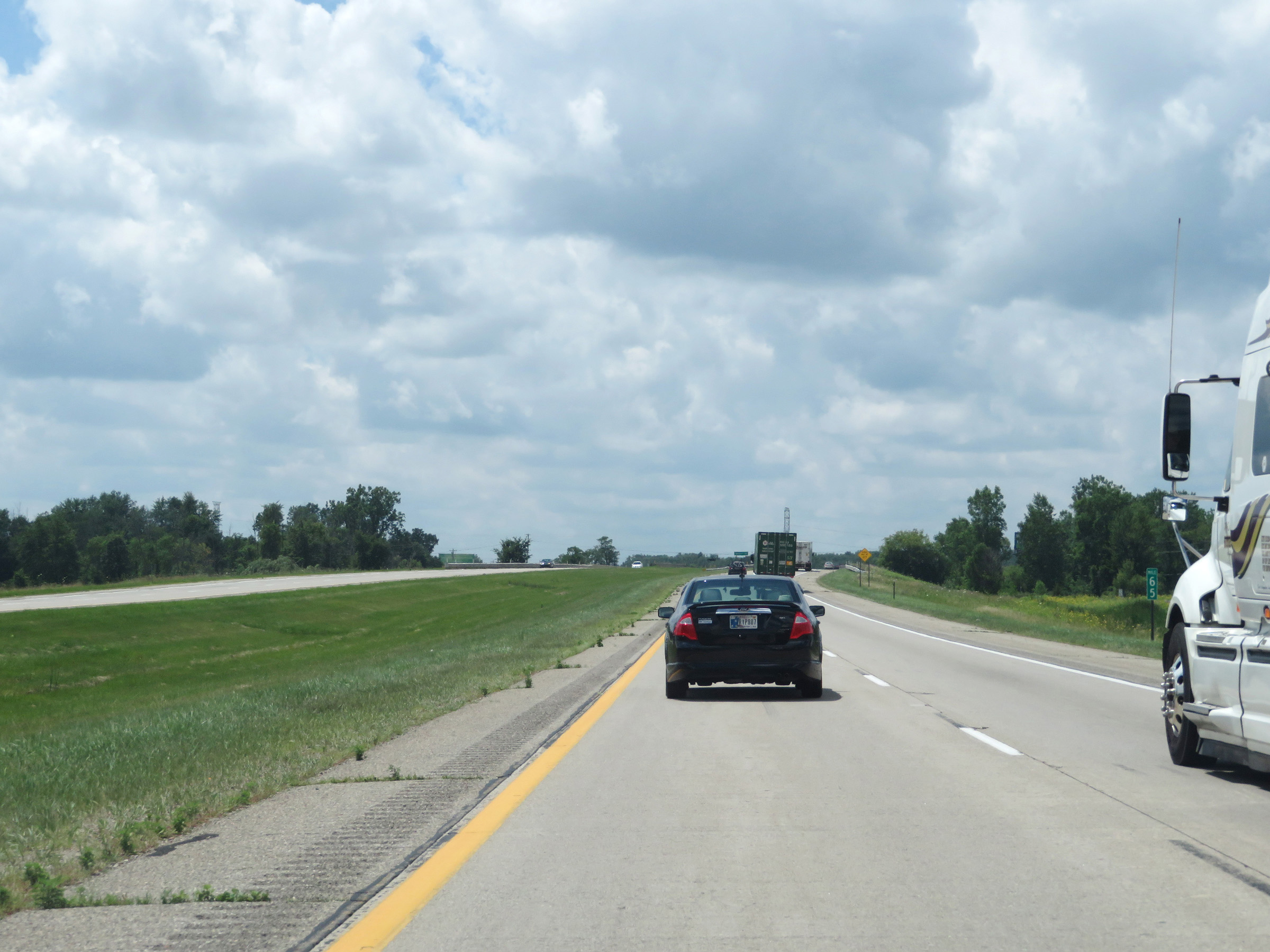 |
Interstate 69 South at mile marker 65. (Photo taken 7/17/17). |
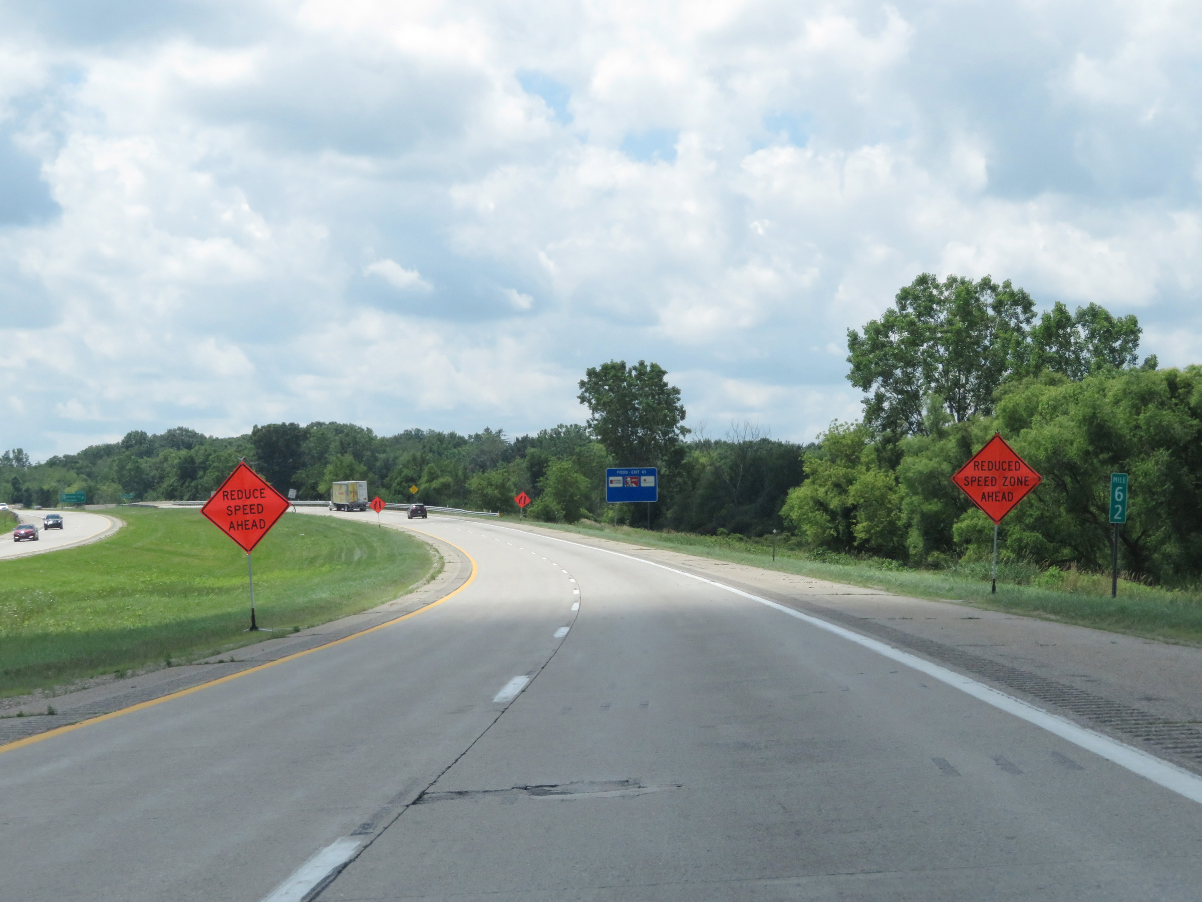 |
View on Interstate 69 South at mile marker 62. (Photo taken 7/17/17). |
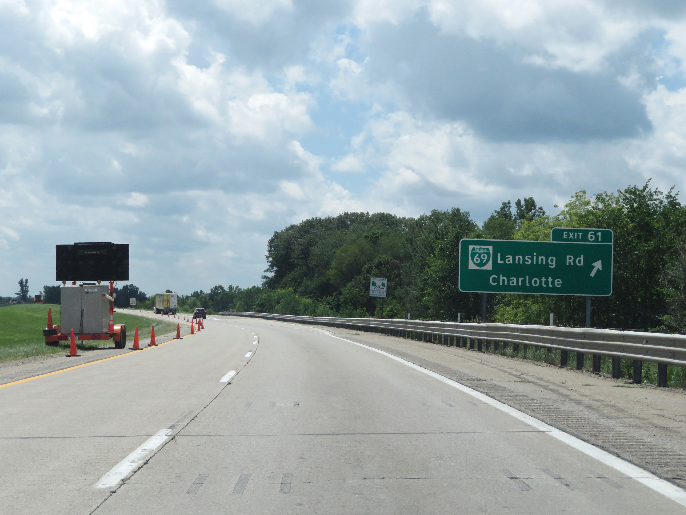 |
Interstate 69 South at Exit 61: Interstate 69 Business Loop - Lansing Rd / Charlotte (Photo taken 7/17/17). |
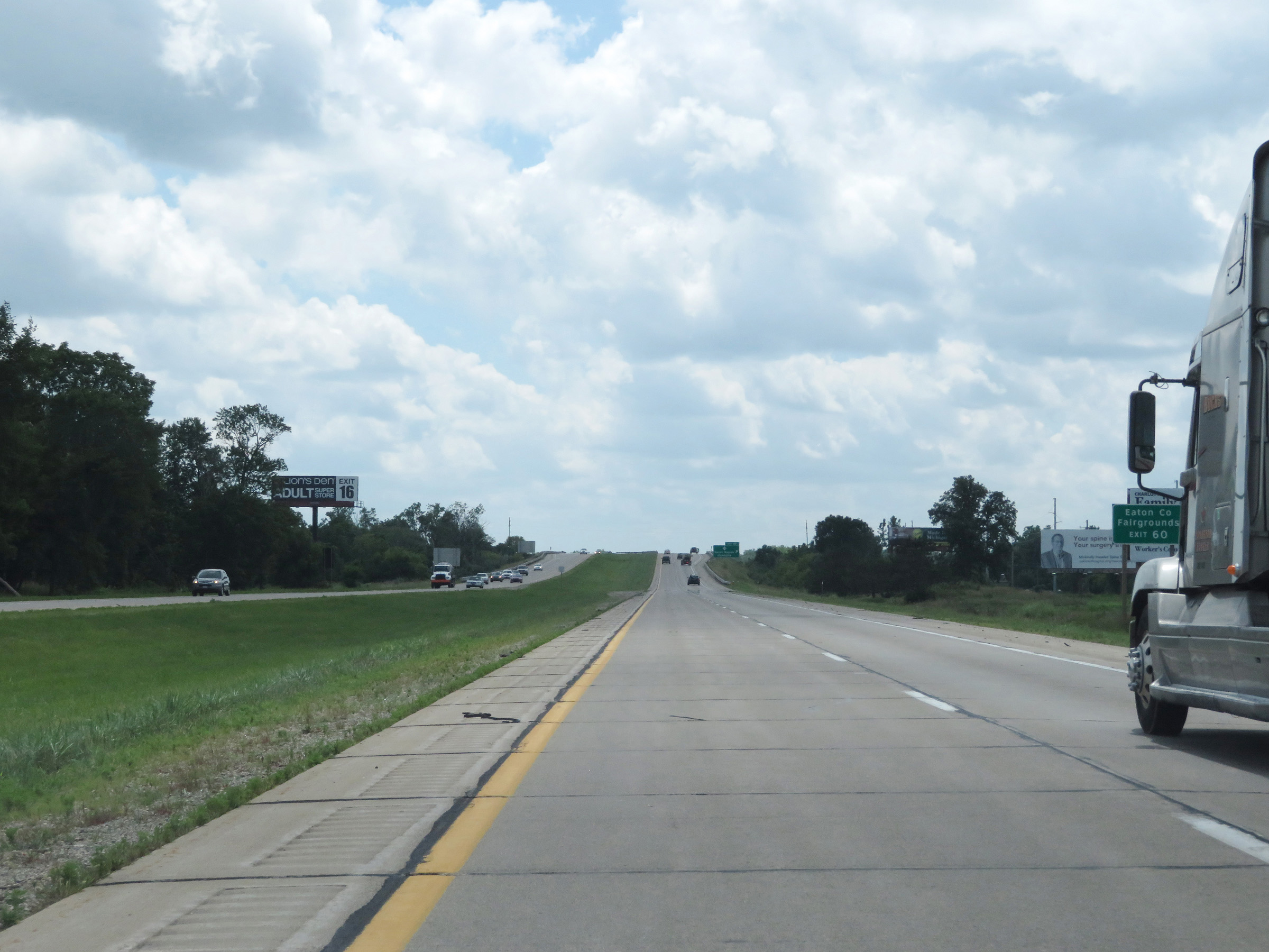 |
Take Exit 60 to the Eaton County Fairgrounds. (Photo taken 7/17/17). |
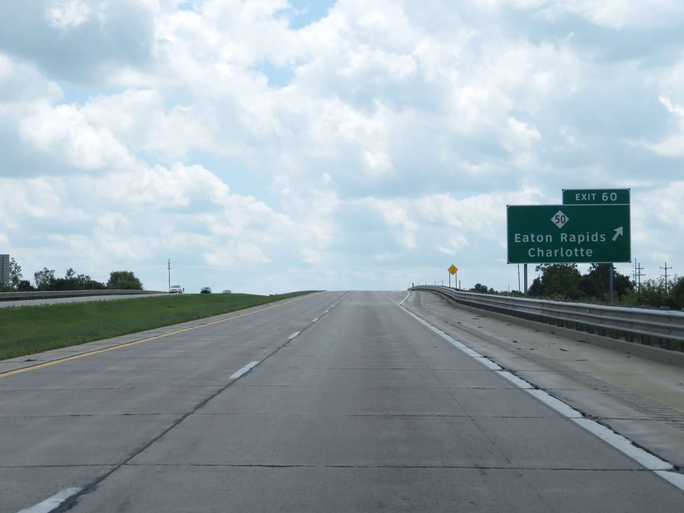 |
Interstate 69 South at Exit 60: M-50 - Eaton Rapids / Charlotte (Photo taken 7/17/17). |
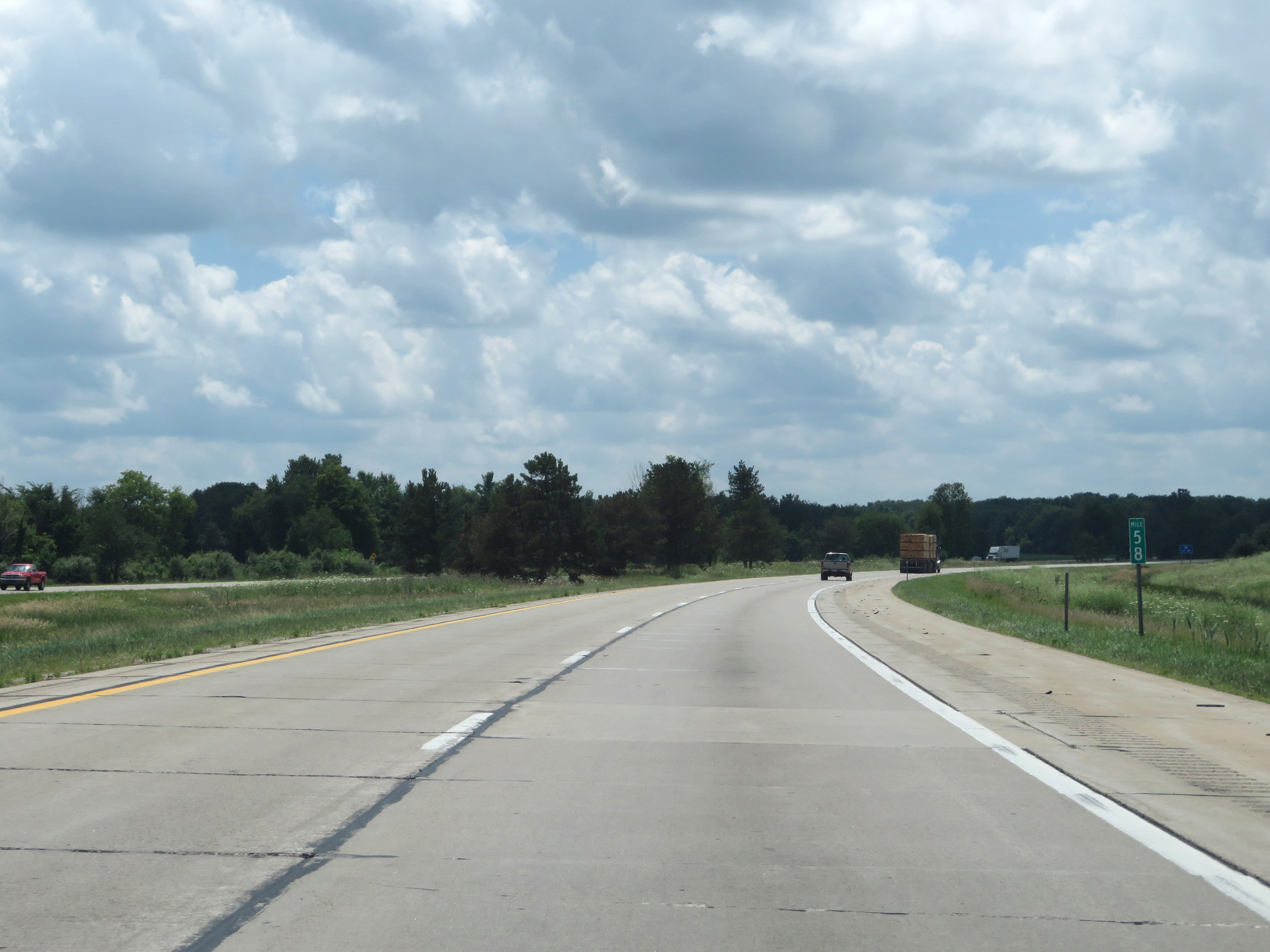 |
View on Interstate 69 South at mile marker 58. (Photo taken 7/17/17). |
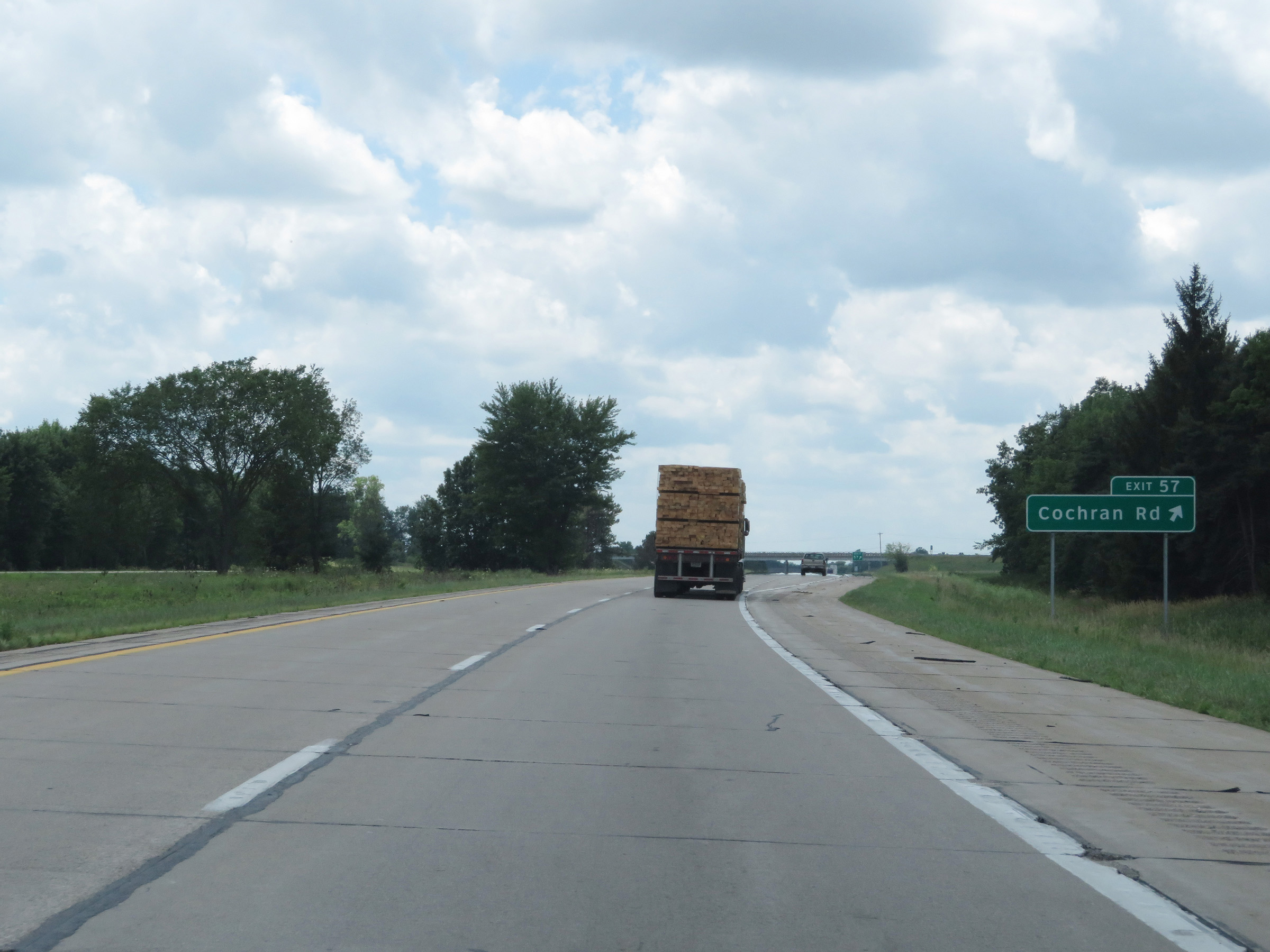 |
Interstate 69 South at Exit 57: Cochran Rd (Photo taken 7/17/17). |
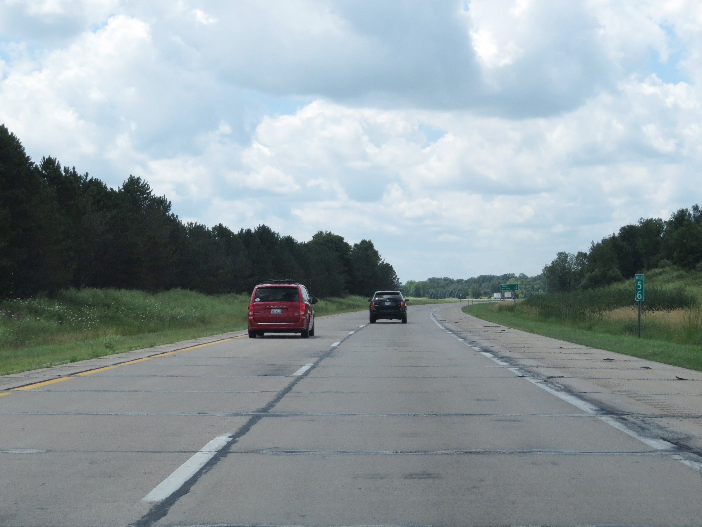 |
Mile marker 56 on Interstate 69 South in Eaton County. (Photo taken 7/17/17). |
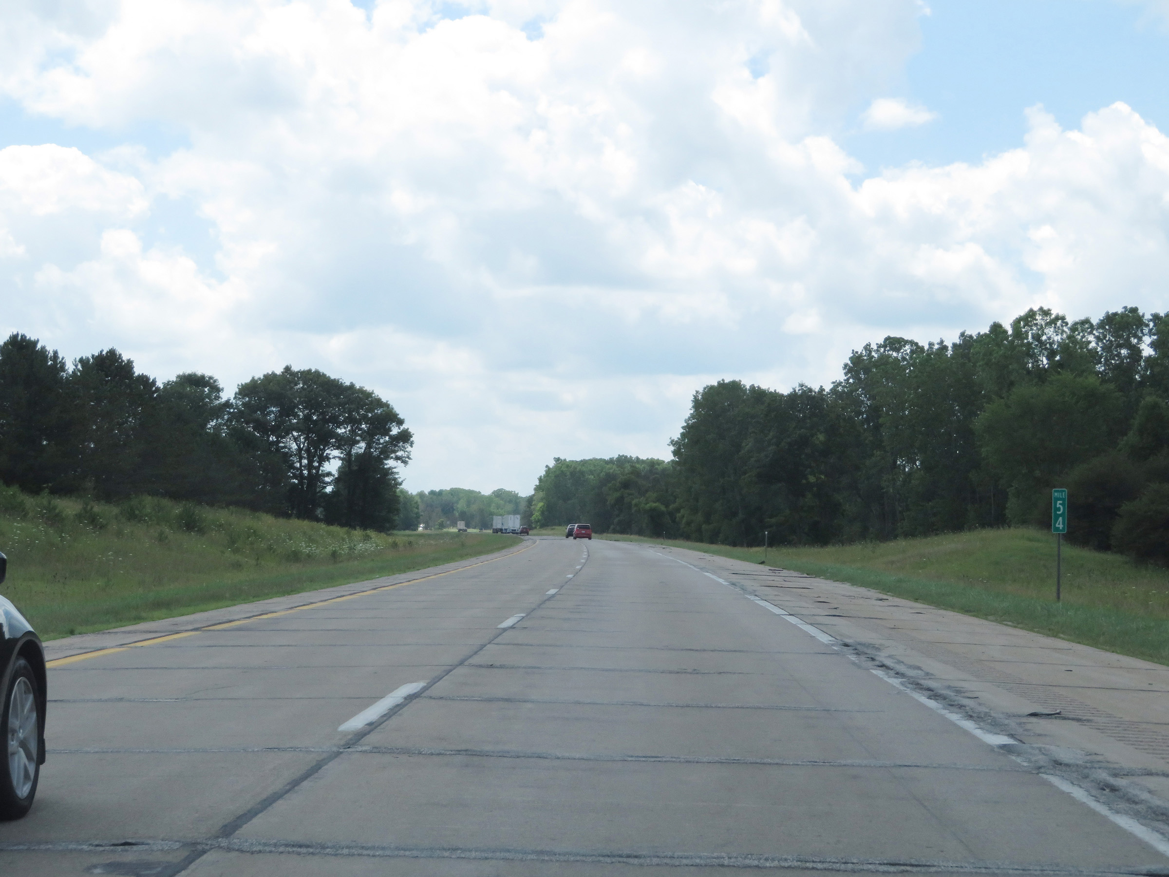 |
View on Interstate 69 South at mile marker 54. (Photo taken 7/17/17). |
 |
Take either of the next 2 exits to Olivet. (Photo taken 7/17/17). |
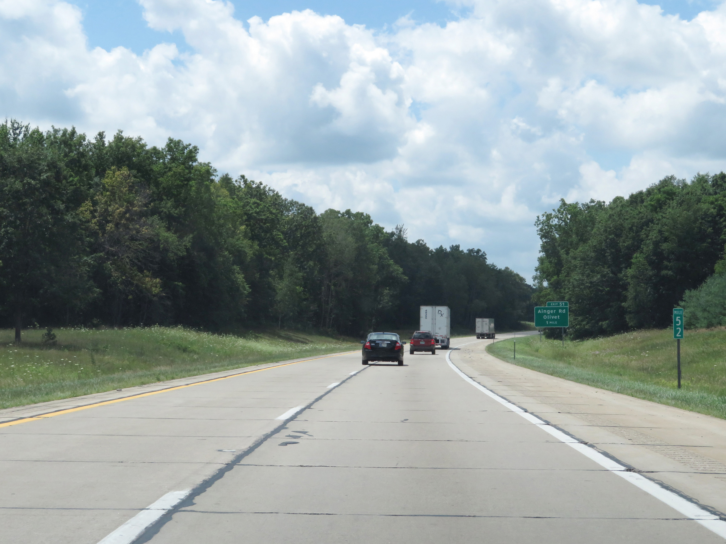 |
Interstate 69 South at mile marker 52. (Photo taken 7/17/17). |
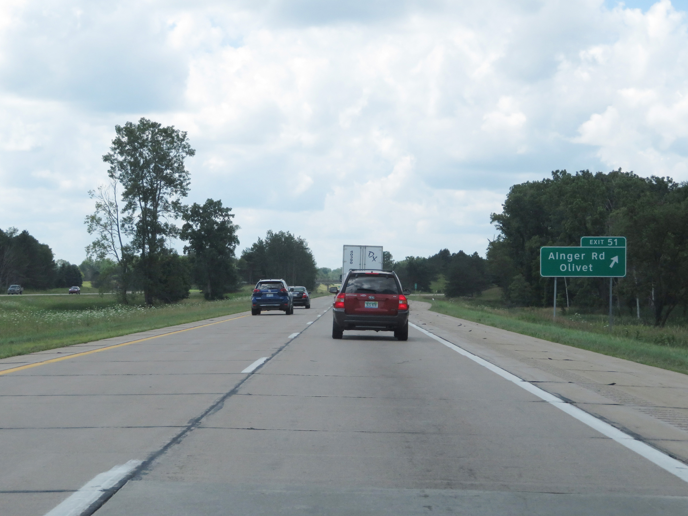 |
Interstate 69 South at Exit 51: Ainger Rd / Olivet (Photo taken 7/17/17). |
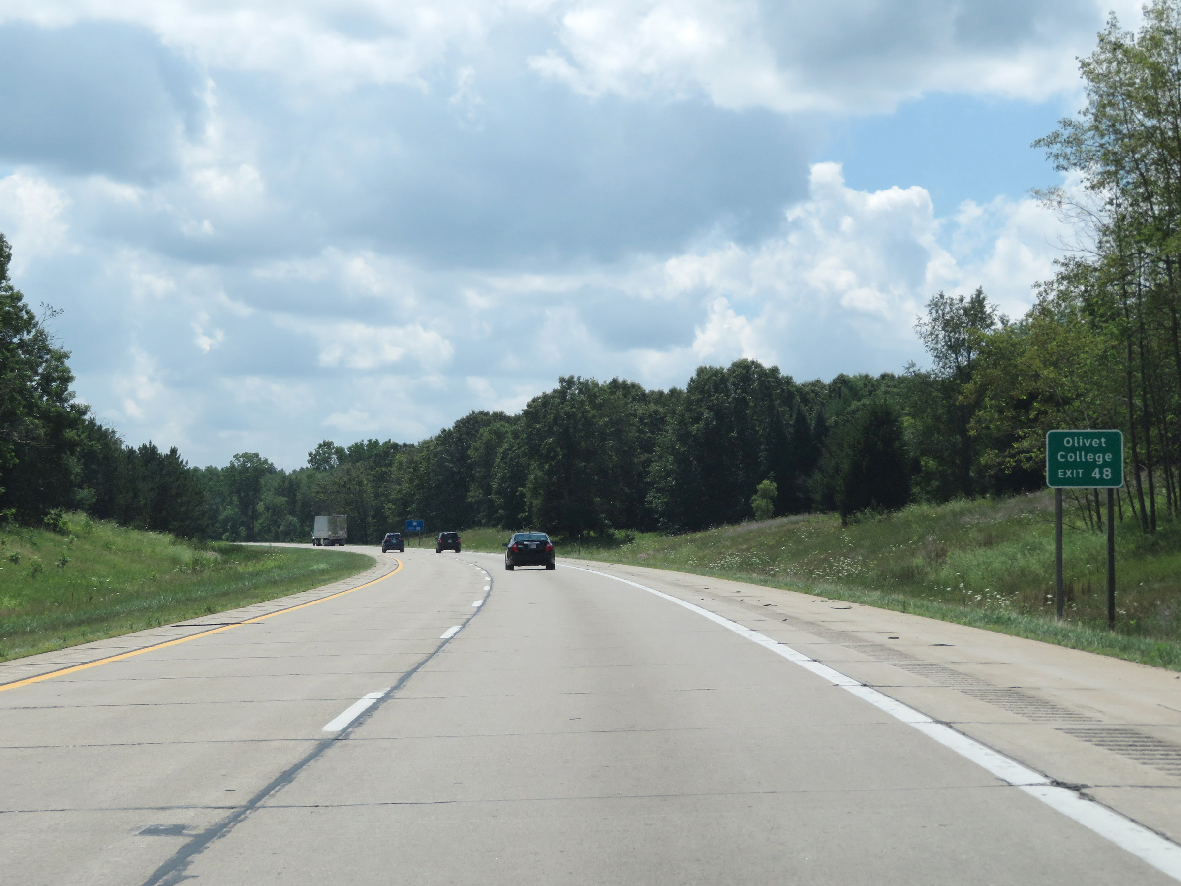 |
Take Exit 48 to Olivet College. (Photo taken 7/17/17). |
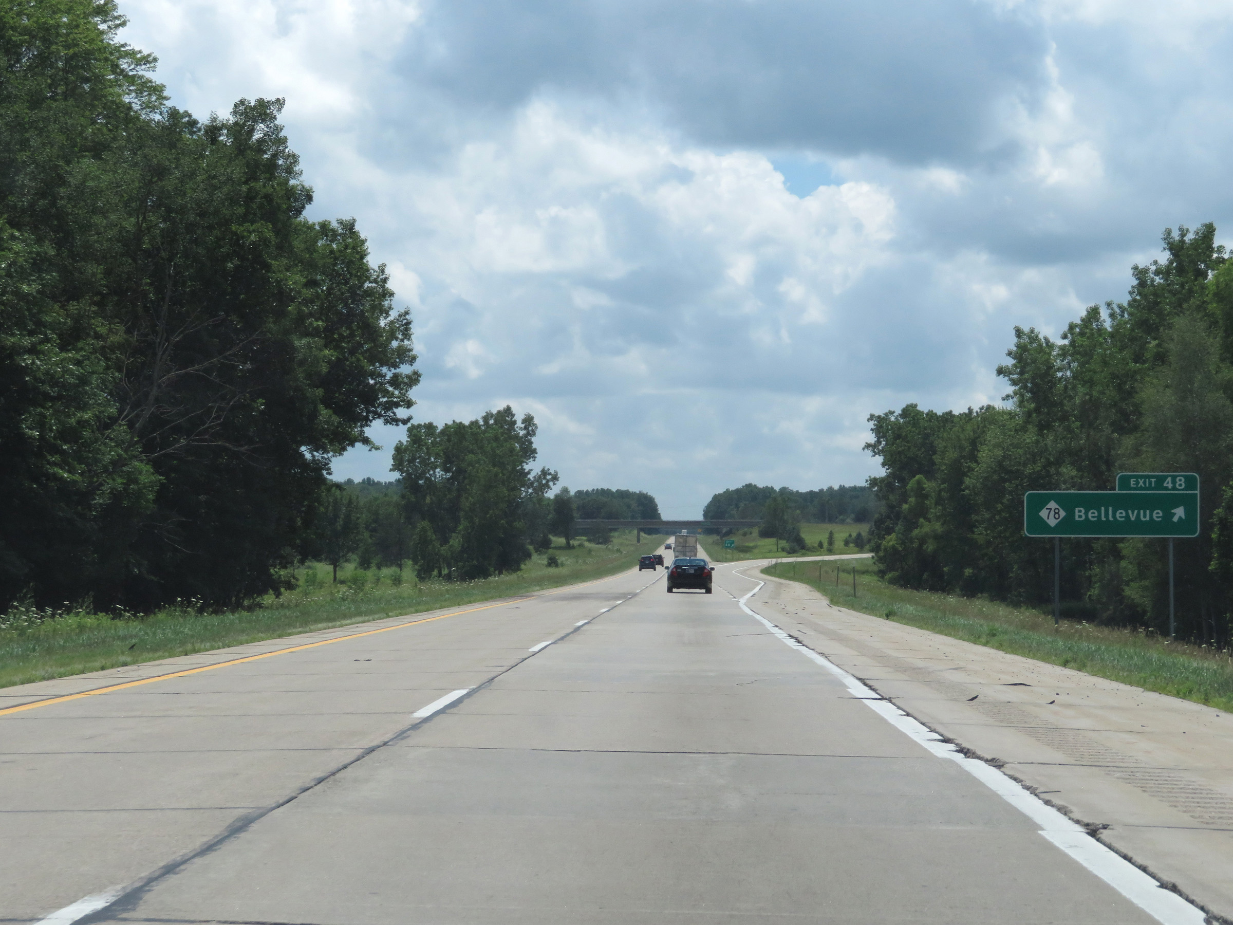 |
Interstate 69 South at Exit 48: M-78 - Bellevue (Photo taken 7/17/17). |
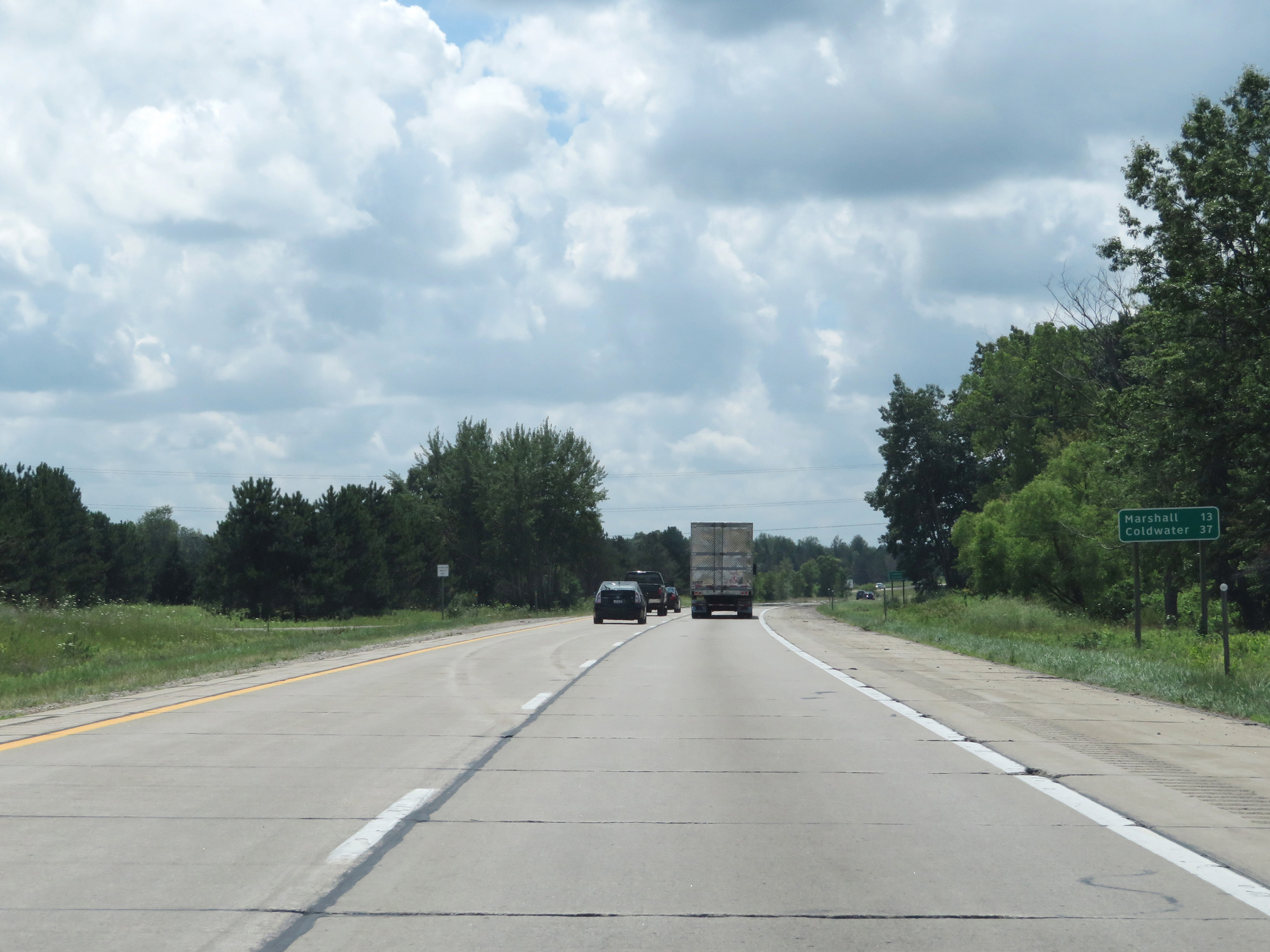 |
Another mileage sign on Interstate 69 South. It's 13 miles to Marshall and 37 miles to Coldwater. (Photo taken 7/17/17). |
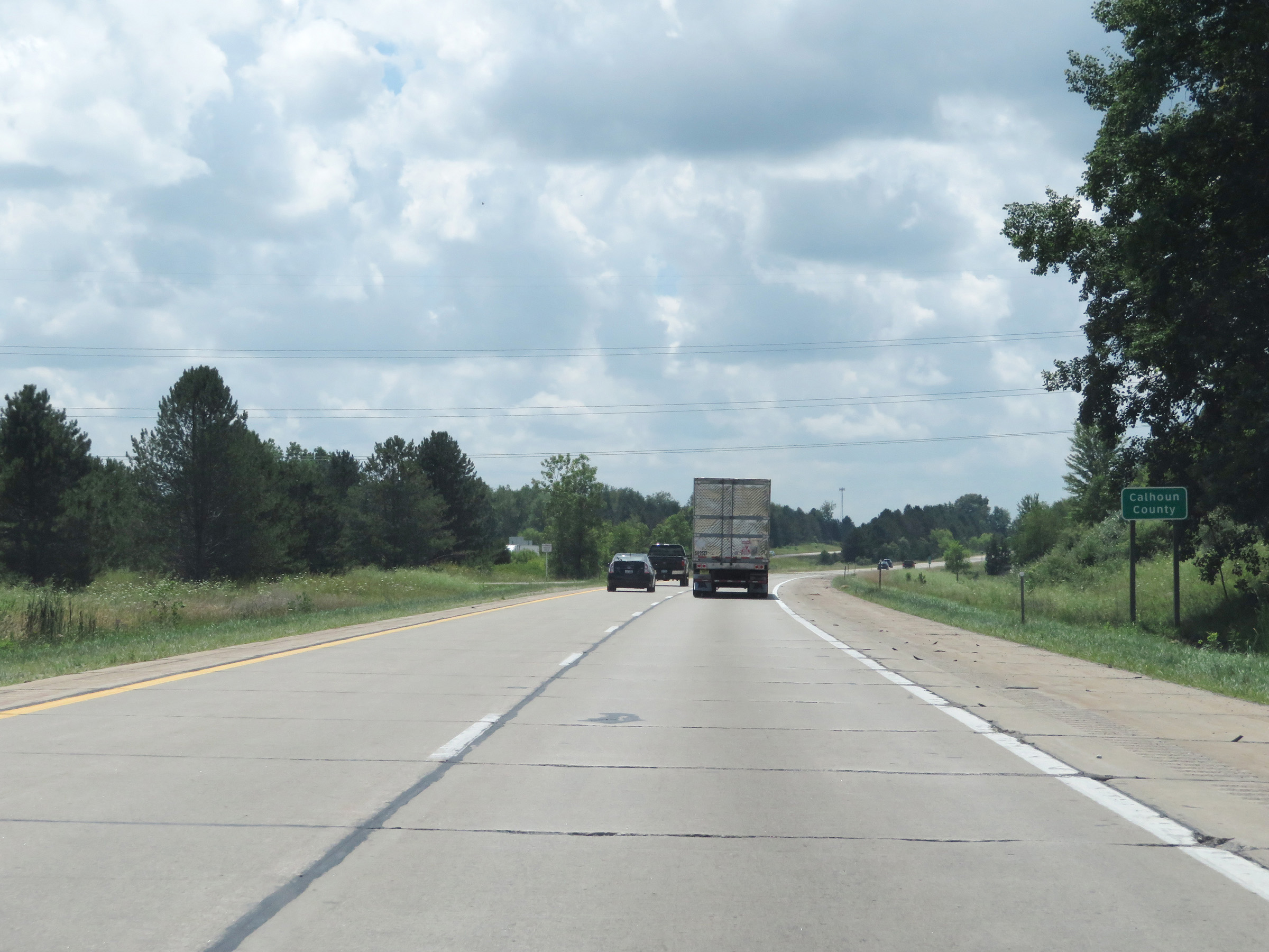 |
Interstate 69 South as it enters Calhoun County. (Photo taken 7/17/17). |
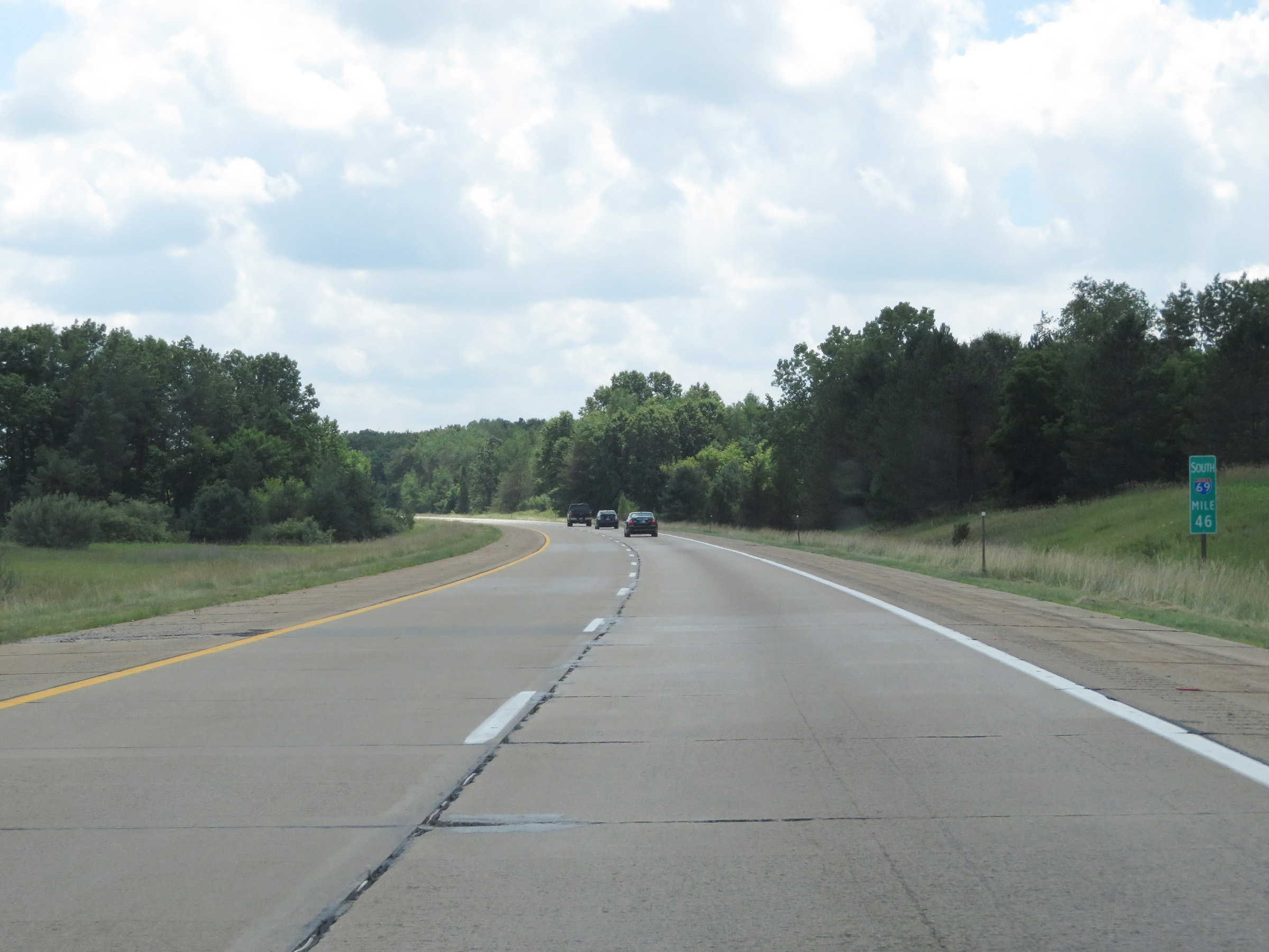 |
View on Interstate 69 South at mile marker 46. (Photo taken 7/17/17). |
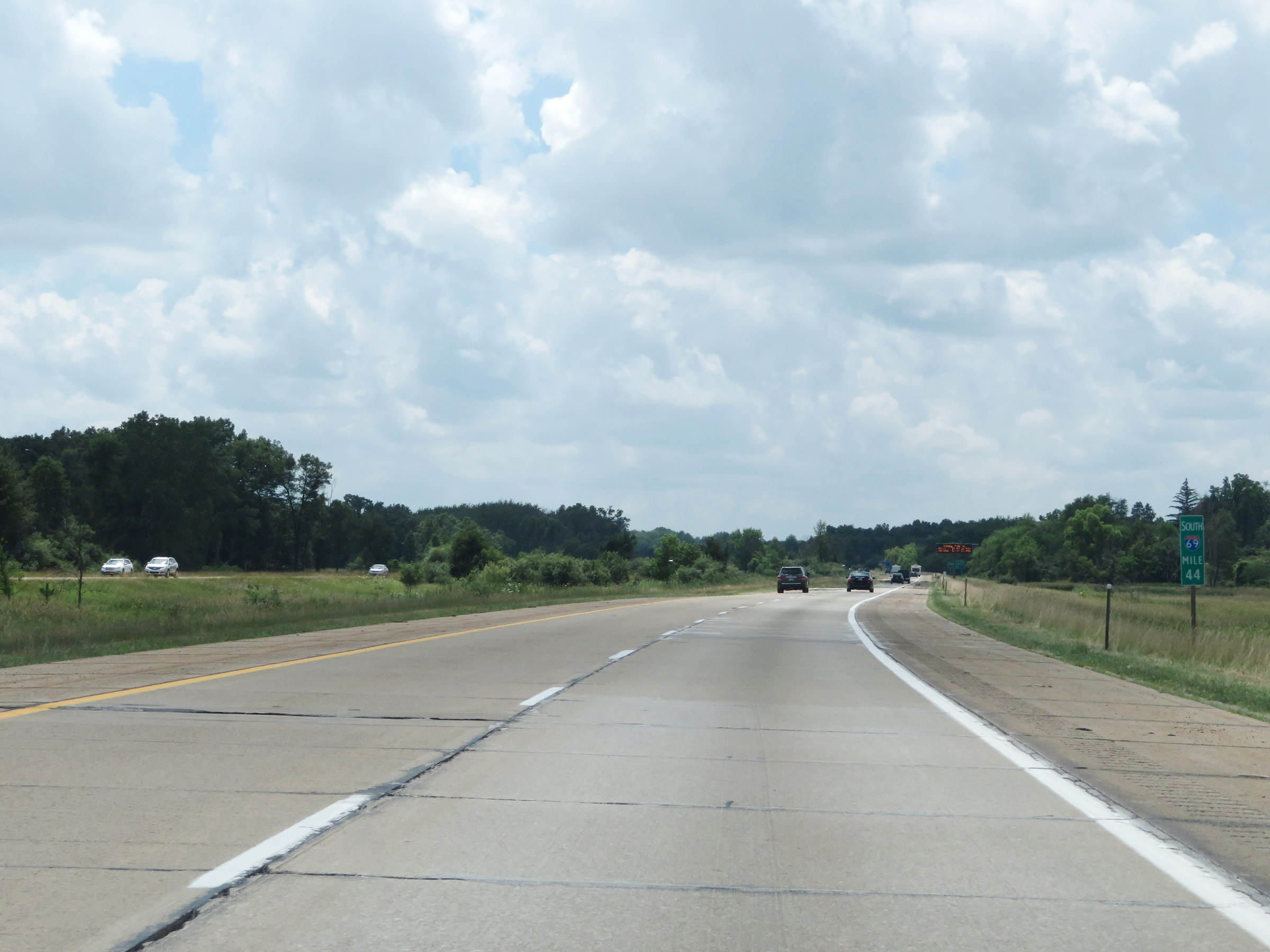 |
Interstate 69 South at mile marker 44. (Photo taken 7/17/17). |
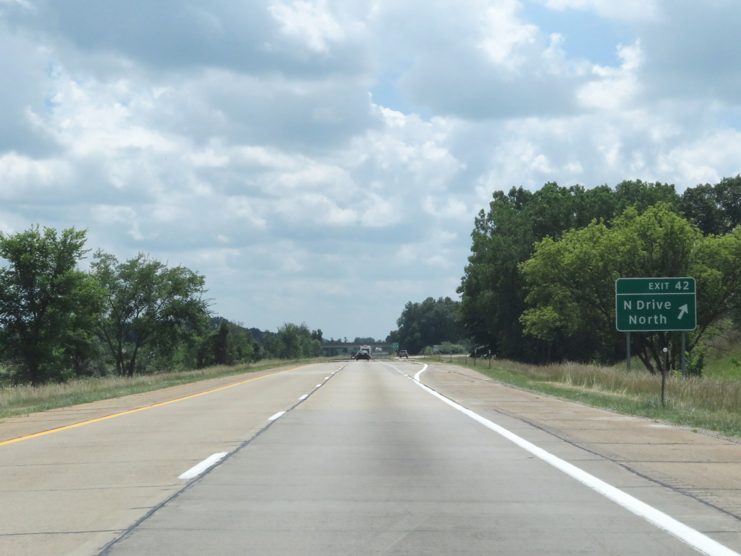 |
Interstate 69 South at Exit 42: N Drive North (Photo taken 7/17/17). |
 |
Rest Area on Interstate 69 South in Calhoun County. (Photo taken 7/17/17). |
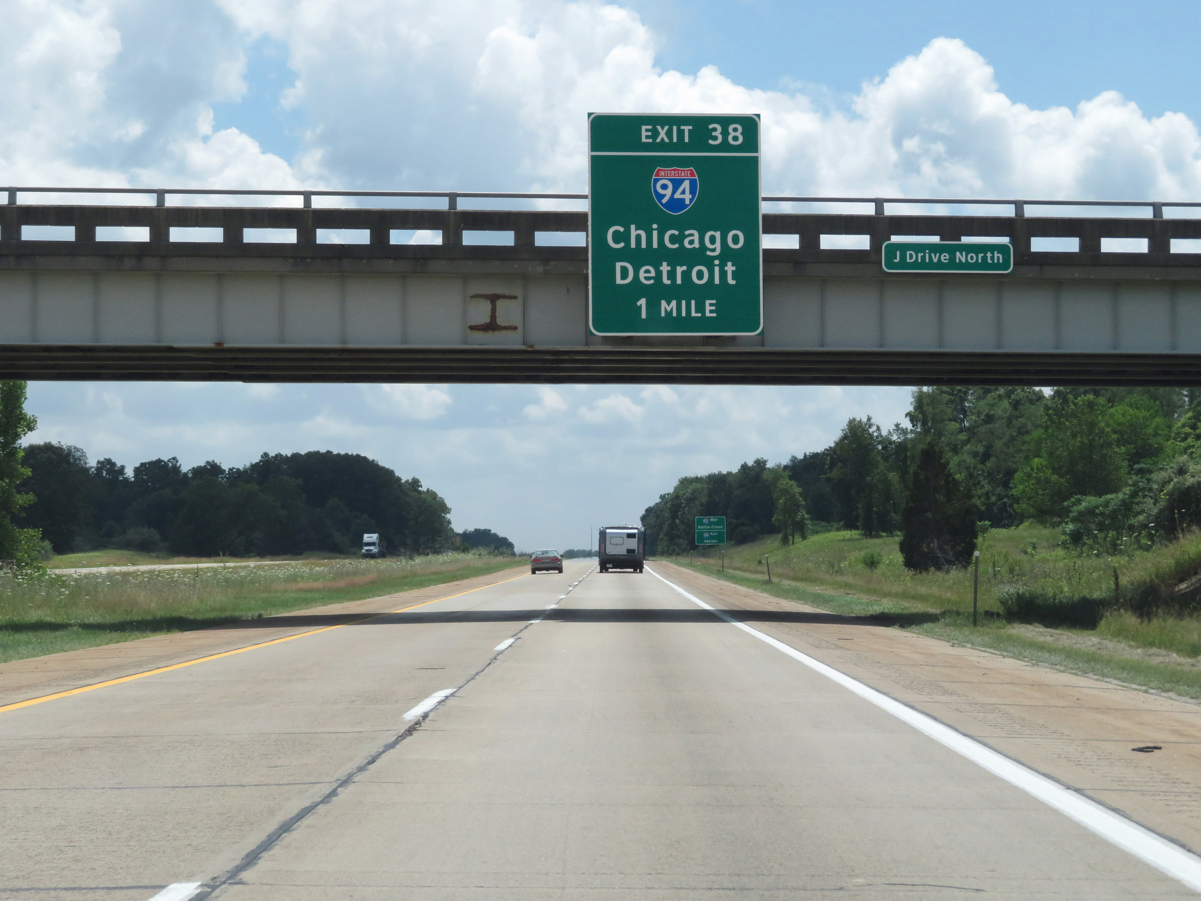 |
Interstate 69 South approaching the junction of Interstate 94 via Exit 38 - 1 mile. (Photo taken 7/17/17). |
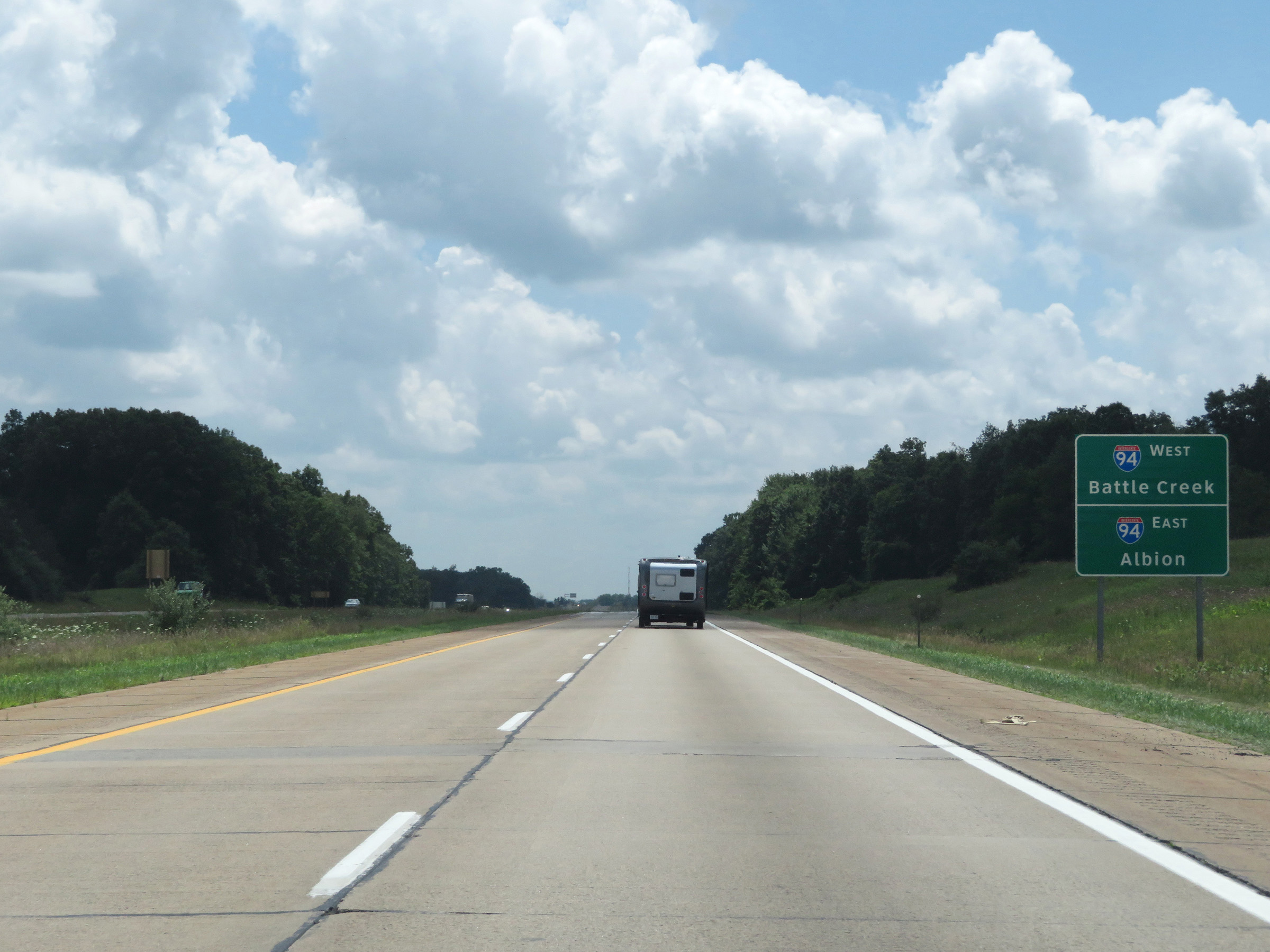 |
Traffic to Battle Creek should follow Interstate 94 West, while traffic to Albion should use I-94 East. (Photo taken 7/17/17). |
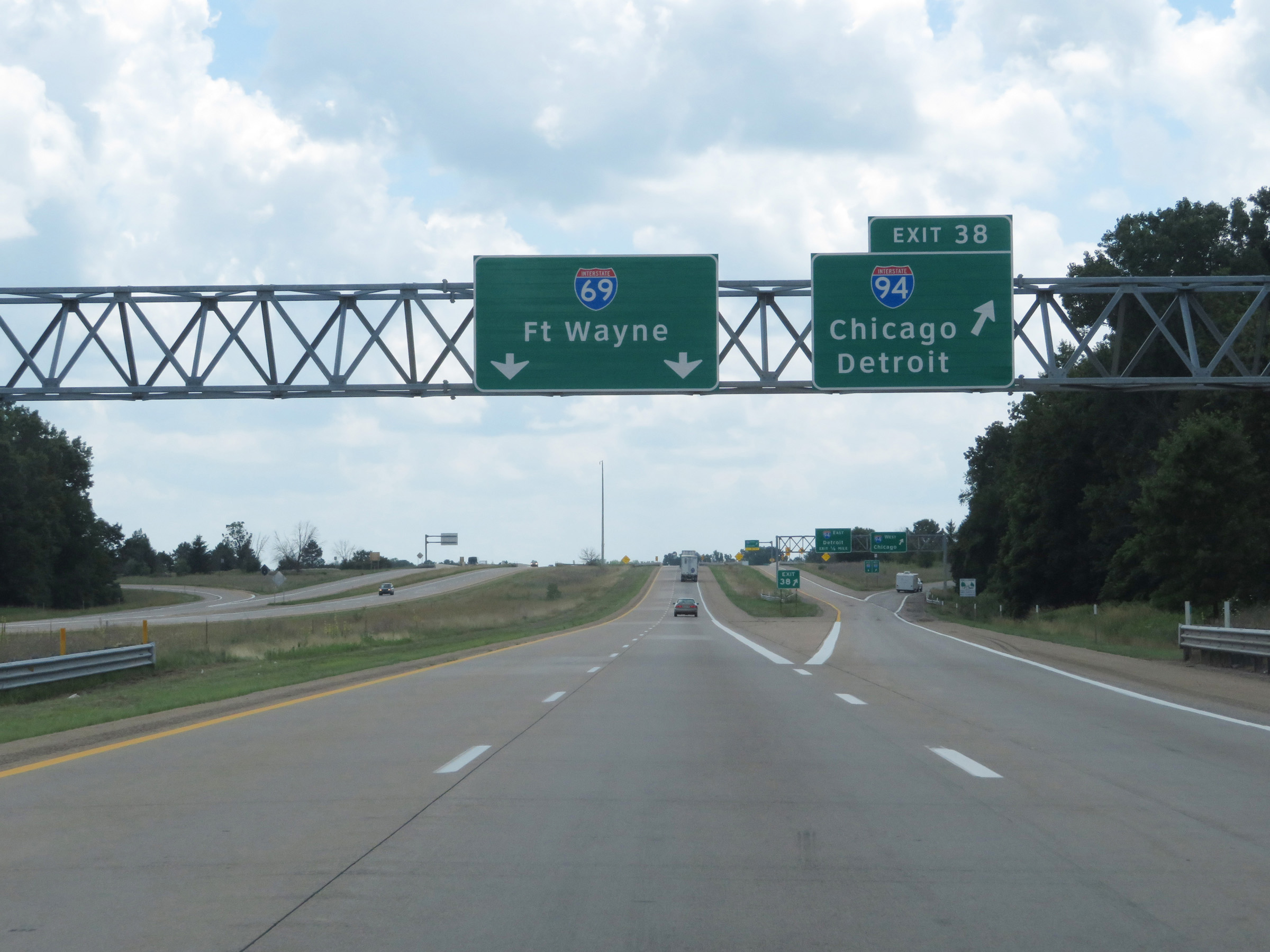 |
Interstate 69 South at Exit 38: Interstate 94 - Chicago / Detroit (Photo taken 7/17/17). |
 |
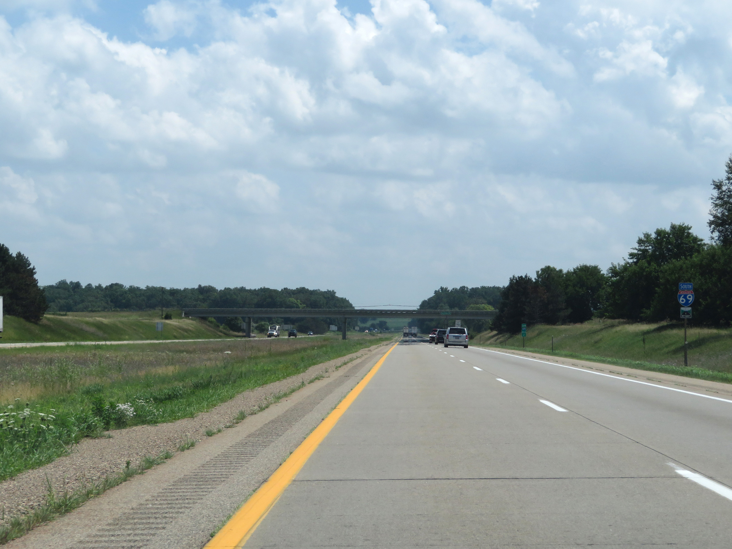
Another Interstate 69 South reassurance shield. (Photo taken 7/17/17). |
 |
Speed limit signs in the median on Interstate 69 South. The speed limits remain 70 mph maximum for automobiles, 65 mph maximum for trucks, and 55 mph minimum for all traffic. (Photo taken 7/17/17). |
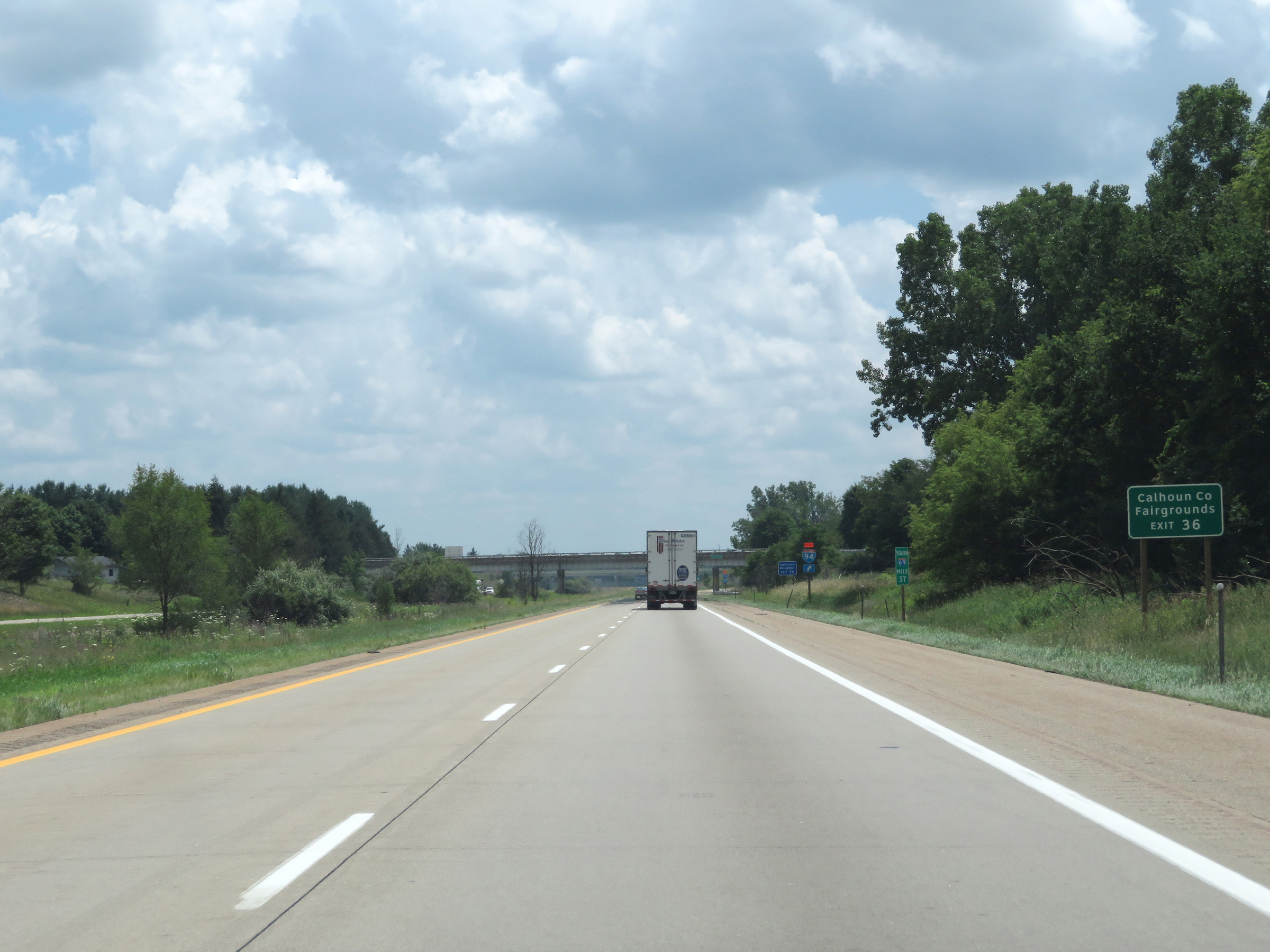 |
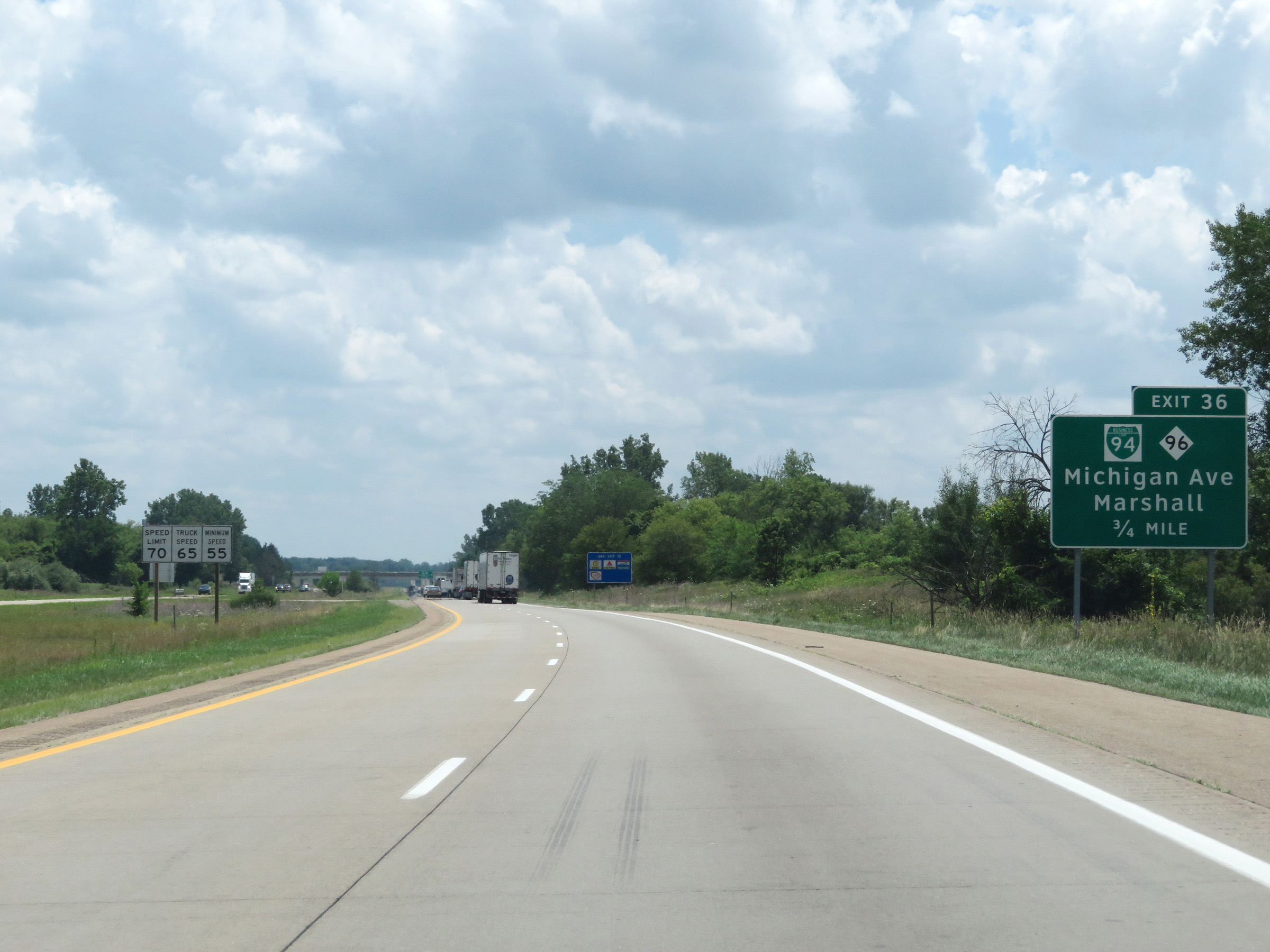
Take Exit 36 to the Calhoun County Fairgrounds. (Photo taken 7/17/17). |
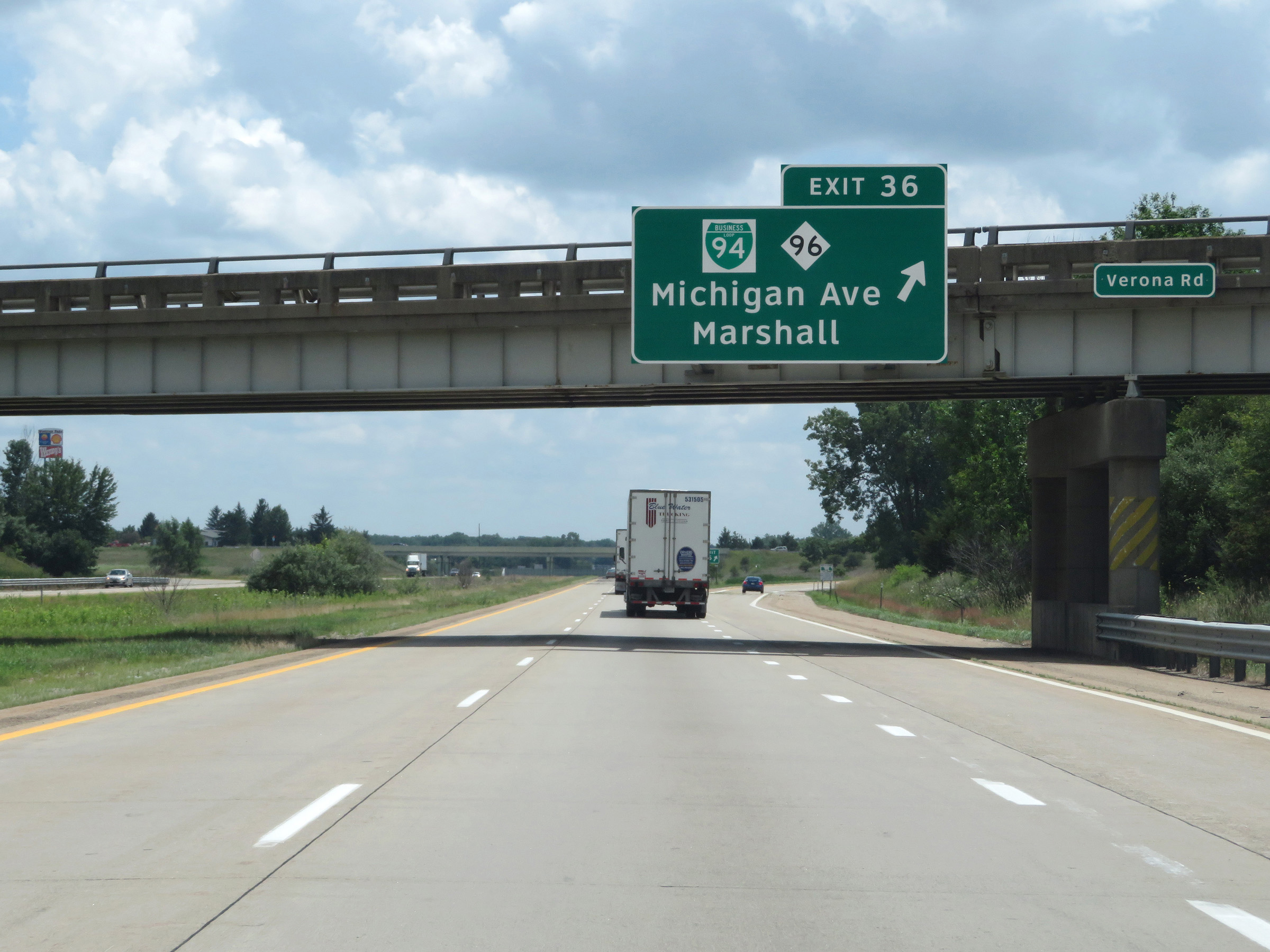 |
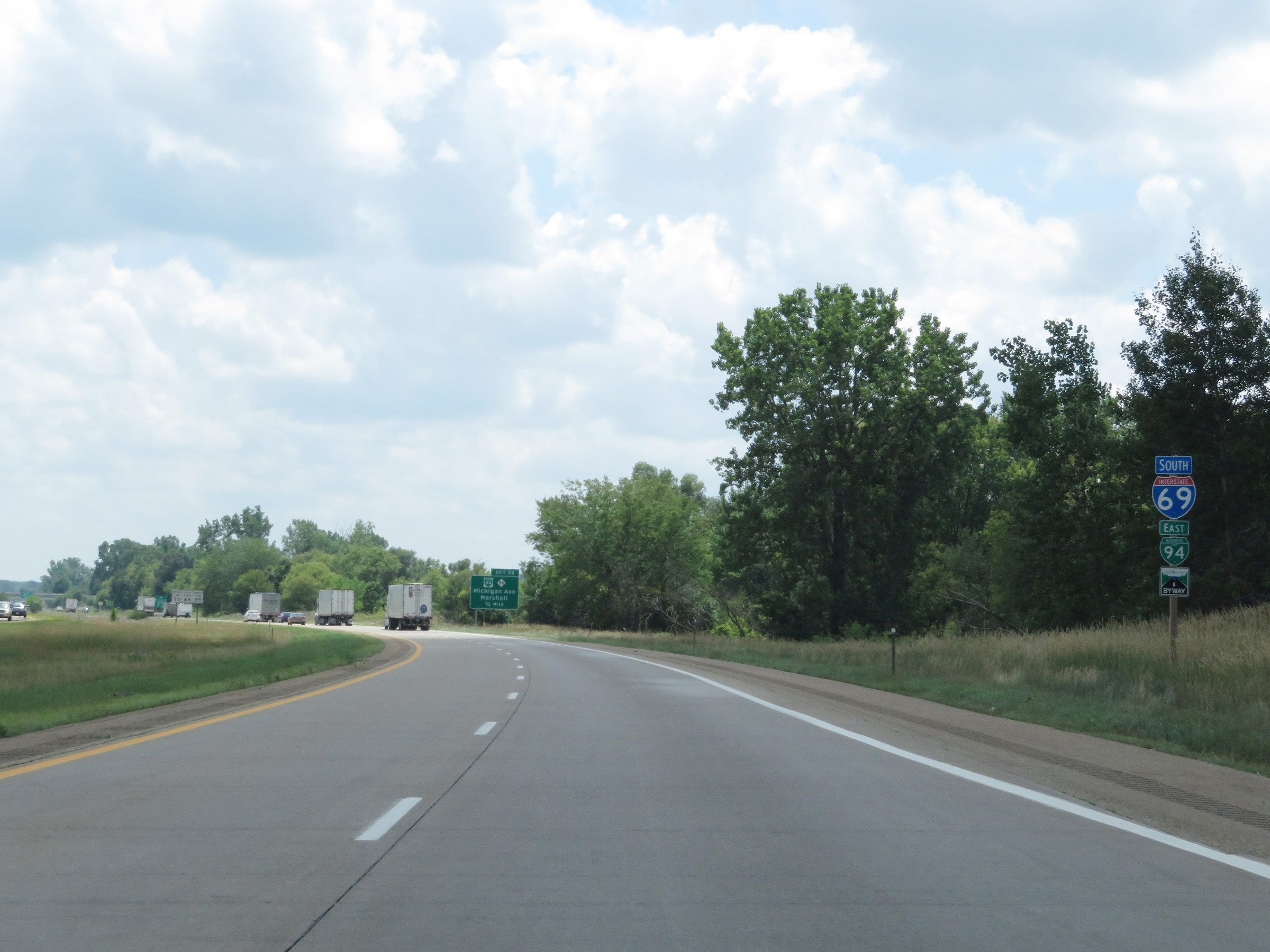
Interstate 69 South at Exit 36: Interstate 94 Business Loop / M-96 - Michigan Ave / Marshall (Photo taken 7/17/17). |
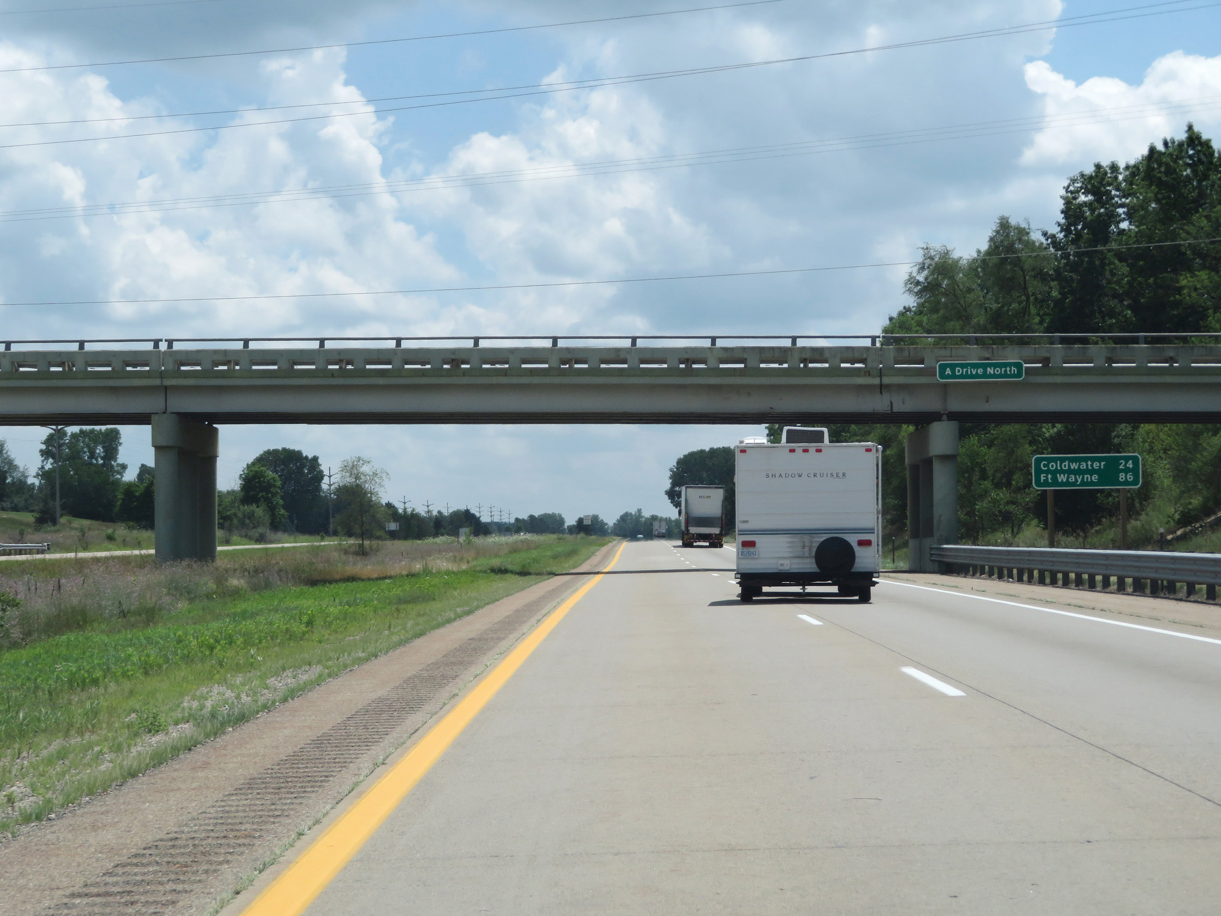 |
Mileage sign on Interstate 69 South. It's 24 miles to Coldwater and 86 miles to Fort Wayne. (Photo taken 7/17/17). |
 |
View on Interstate 69 South at mile marker 34. (Photo taken 7/17/17). |
 |
Interstate 69 South at Exit 32: M-227 - F Drive South (Photo taken 7/17/17). |
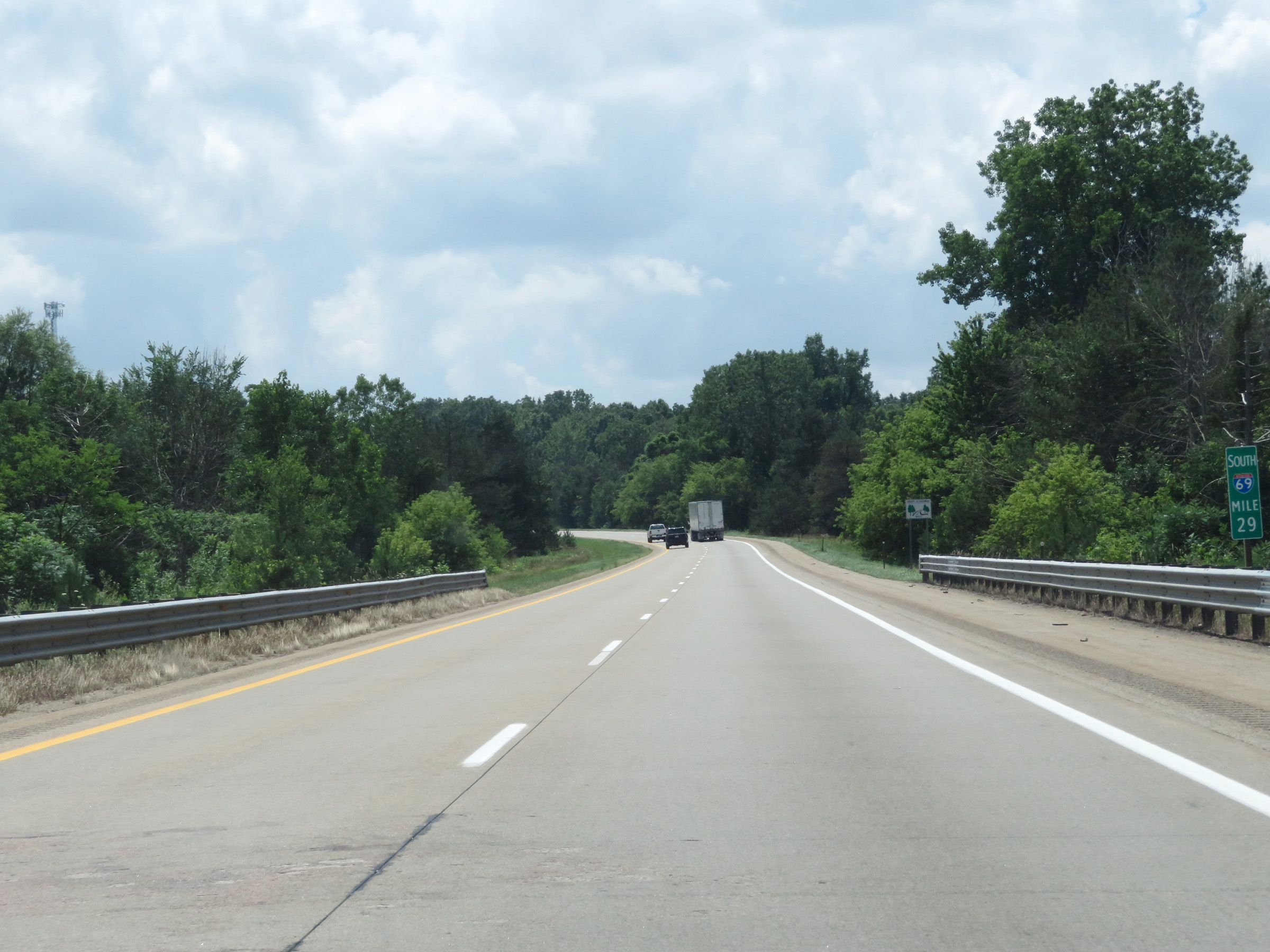 |
Mile marker 29 on Interstate 69 South in Calhoun County. (Photo taken 7/17/17). |
 |
View on Interstate 69 South at mile marker 28. (Photo taken 7/17/17). |
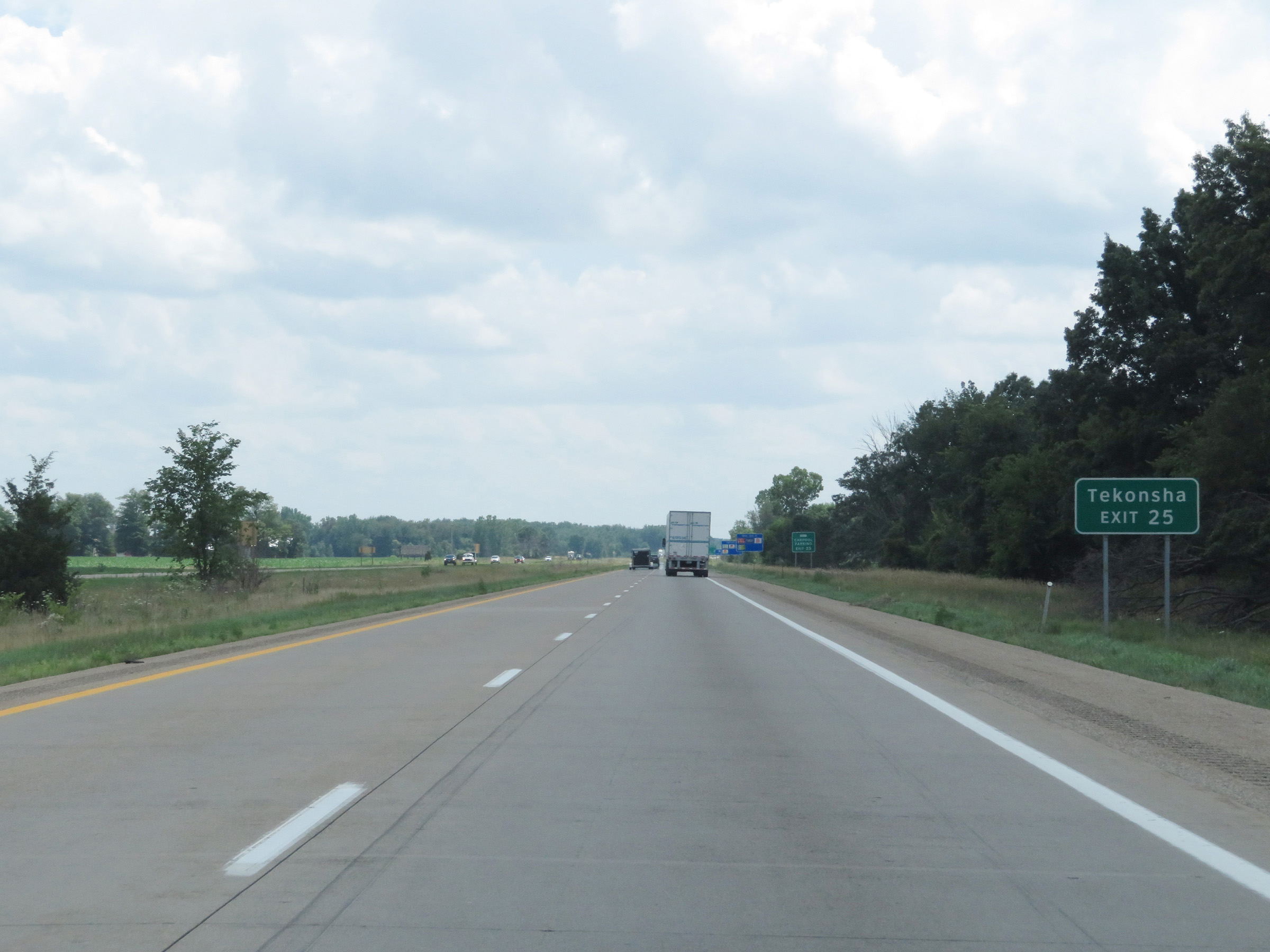 |
Take Exit 25 to Tekonsha. (Photo taken 7/17/17). |
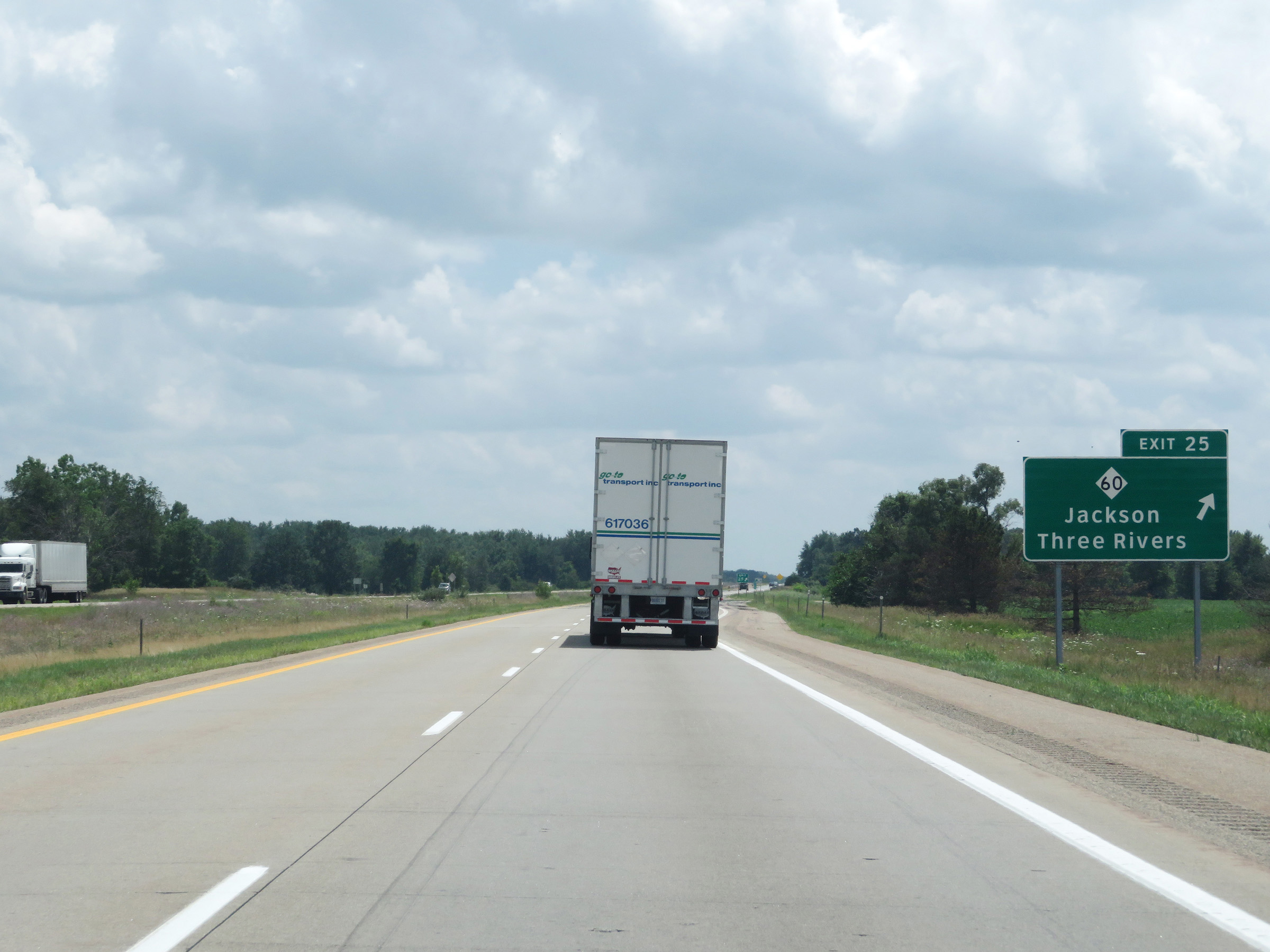 |
Interstate 69 South at Exit 25: M-60 - Jackson / Three Rivers (Photo taken 7/17/17). |
 |
Interstate 69 South reassurance shield. (Photo taken 7/17/17). |
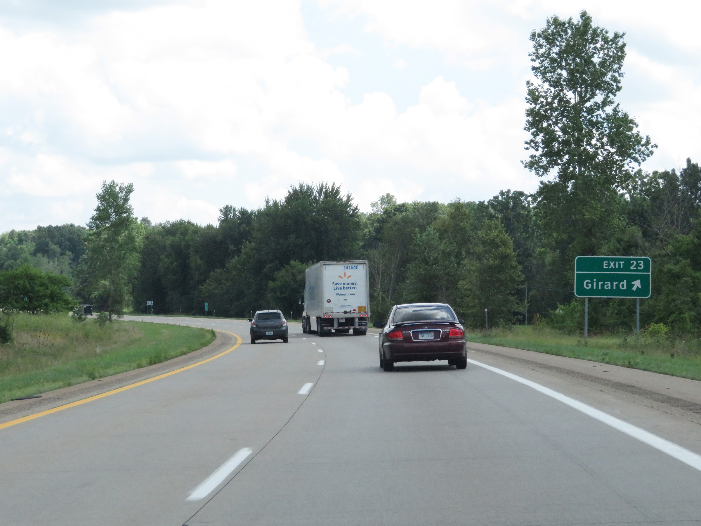 |
Interstate 69 South at Exit 23: Girard (Photo taken 7/17/17). |
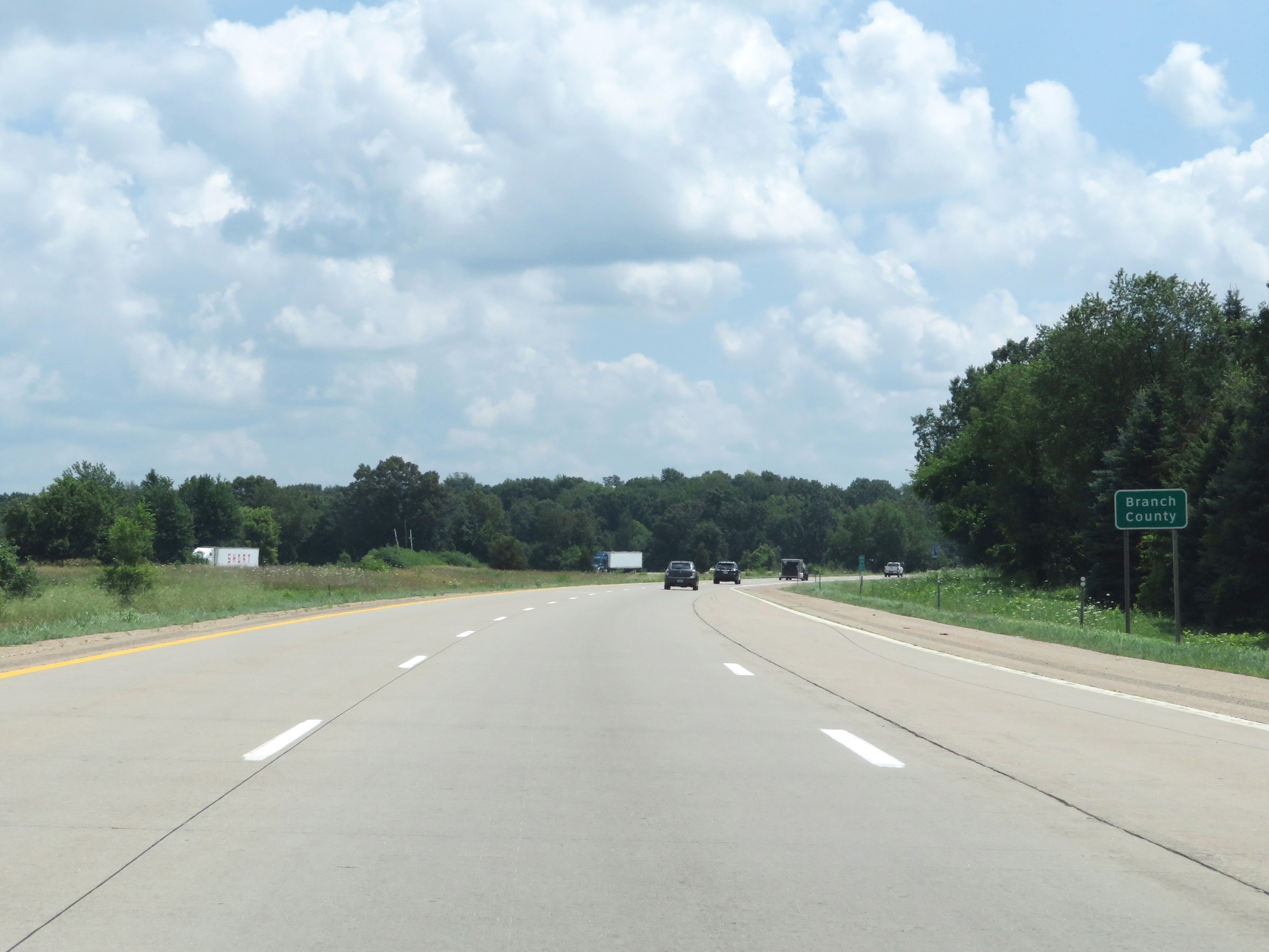 |
Interstate 69 South as it enters Branch County. (Photo taken 7/17/17). |
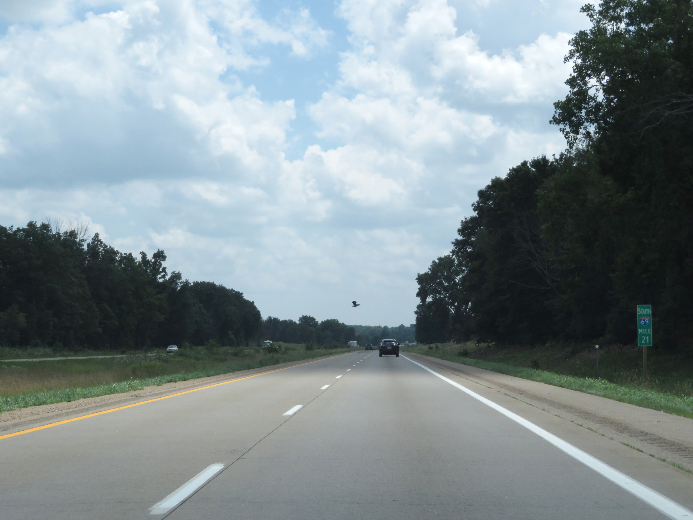 |
View on Interstate 69 South at mile marker 21. (Photo taken 7/17/17). |
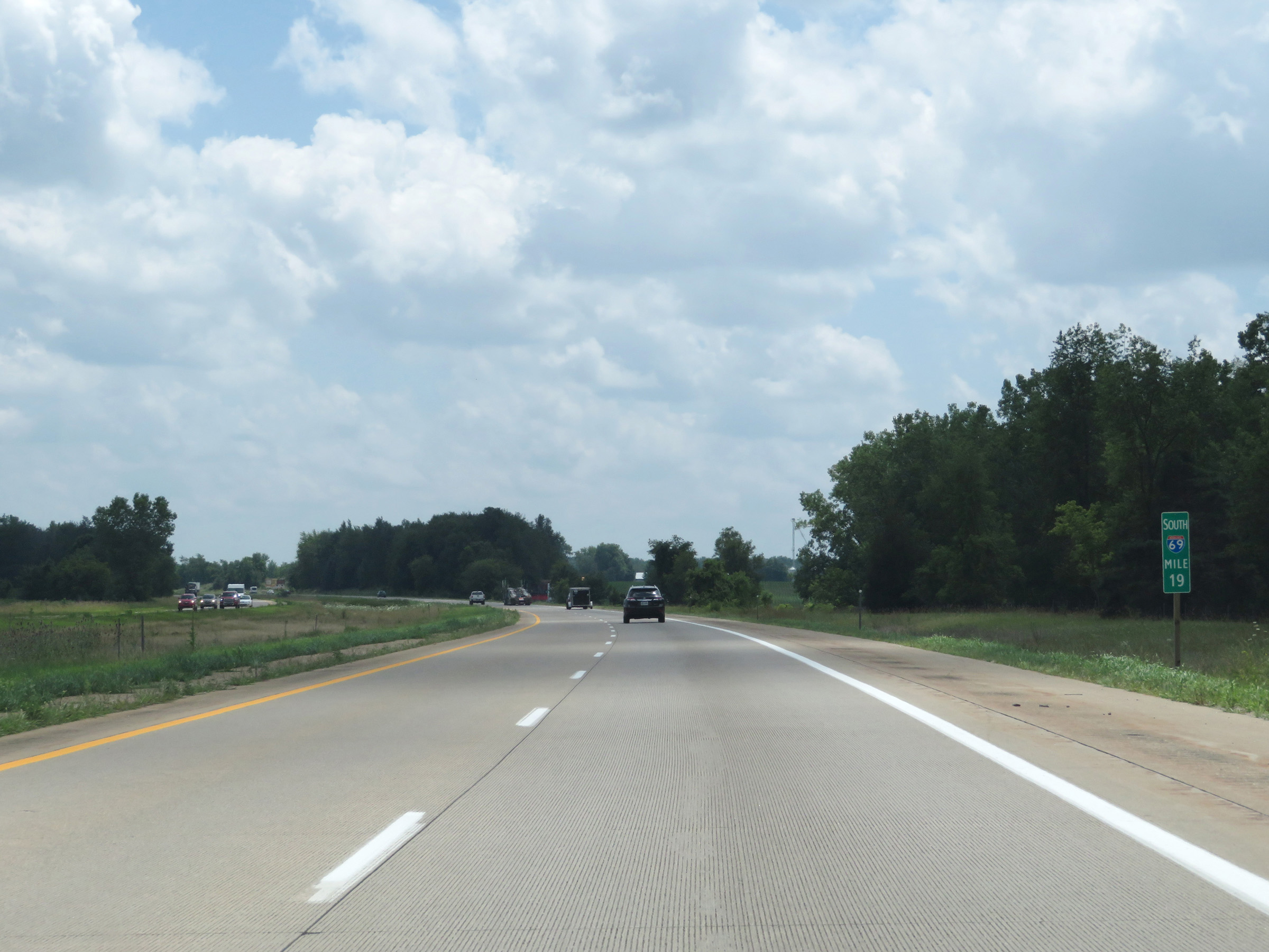 |
Mile marker 19 on Interstate 69 South in Branch County. (Photo taken 7/17/17). |
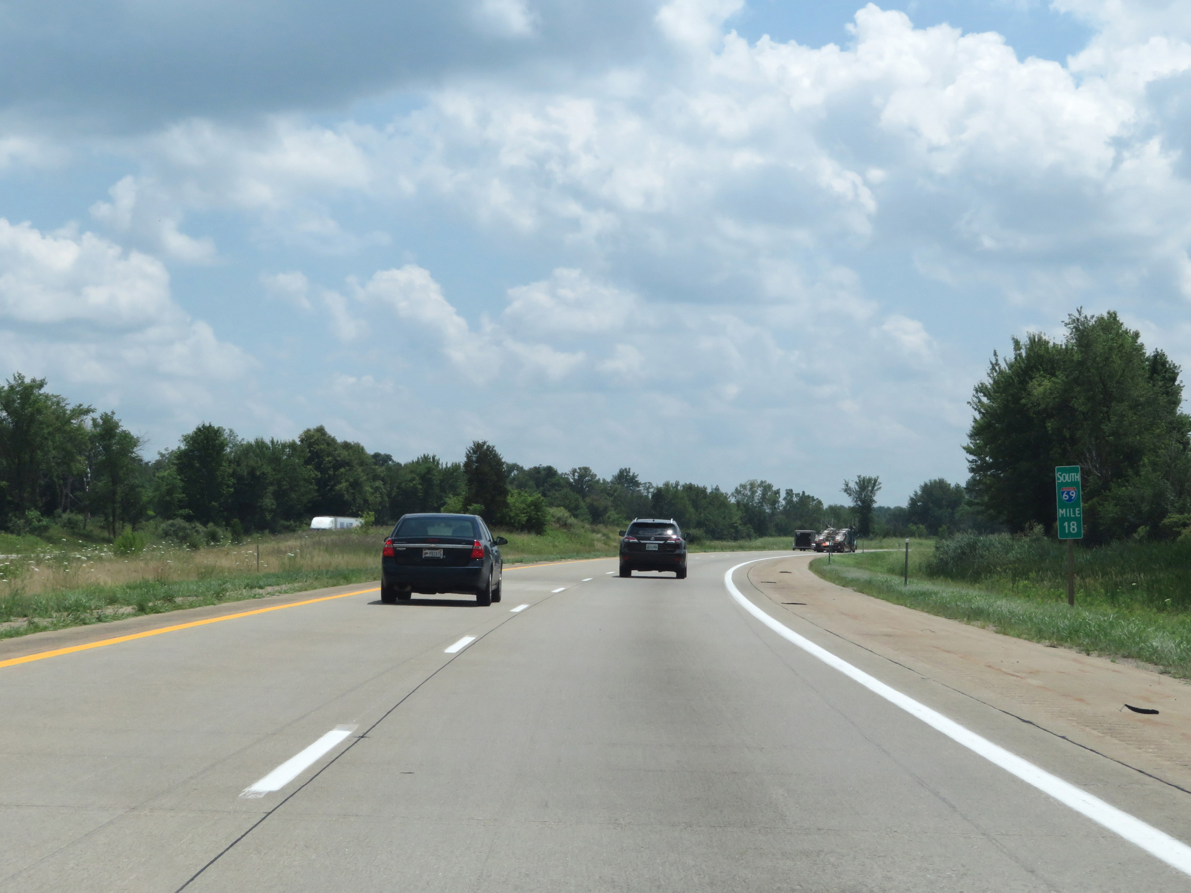 |
Interstate 69 South at mile marker 18. (Photo taken 7/17/17). |
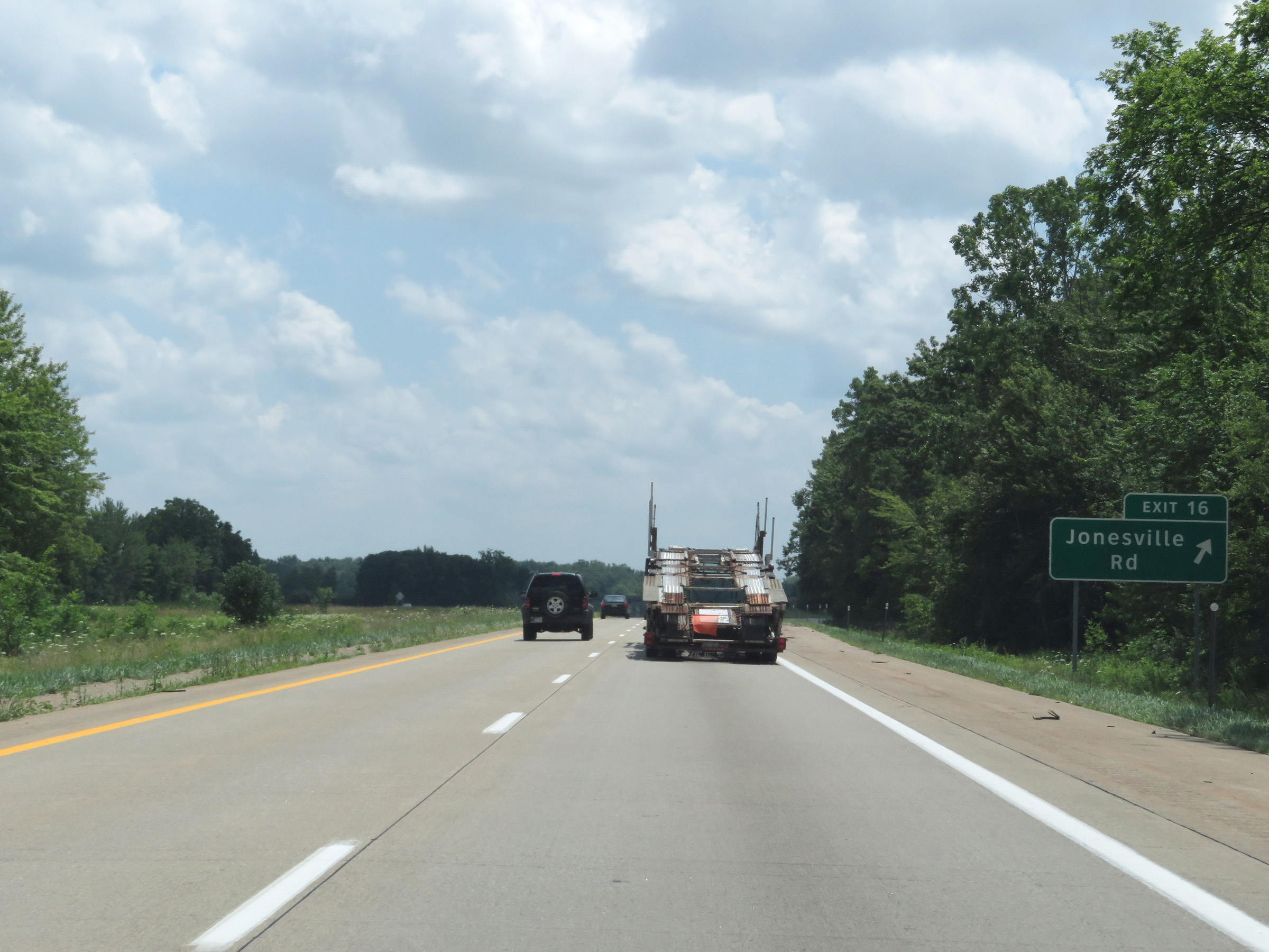 |
Interstate 69 South at Exit 16: Jonesville Rd (Photo taken 7/17/17). |
 |
Take Exit 13 to the Branch County Fairgrounds. (Photo taken 7/17/17). |
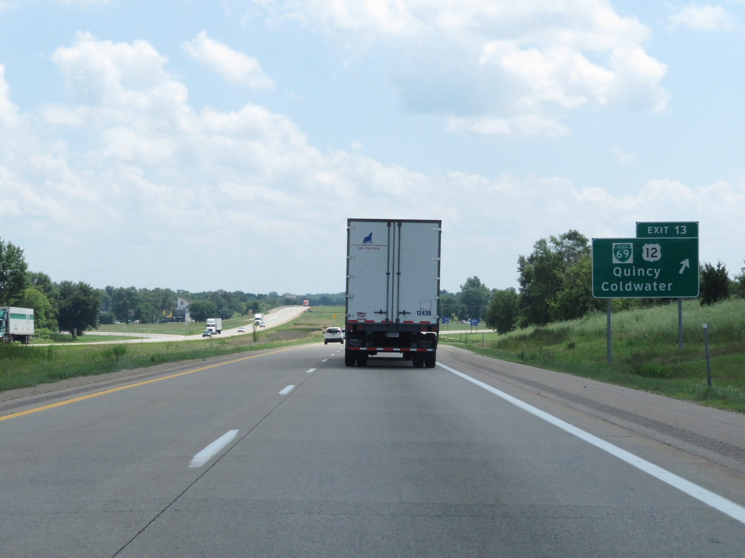 |
Interstate 69 South at Exit 13: Interstate 69 Business Loop / US 12 - Quincy / Coldwater (Photo taken 7/17/17). |
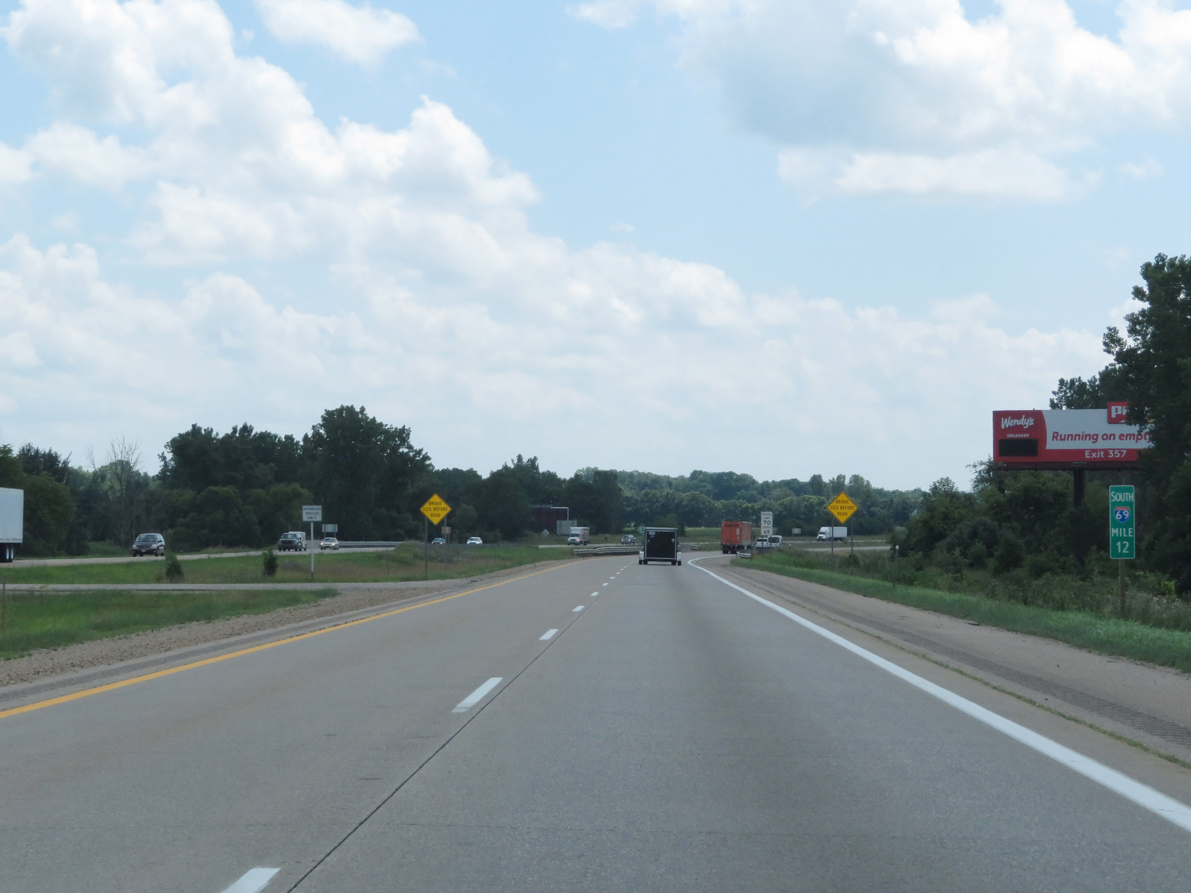 |
View on Interstate 69 South at mile marker 12. (Photo taken 7/17/17). |
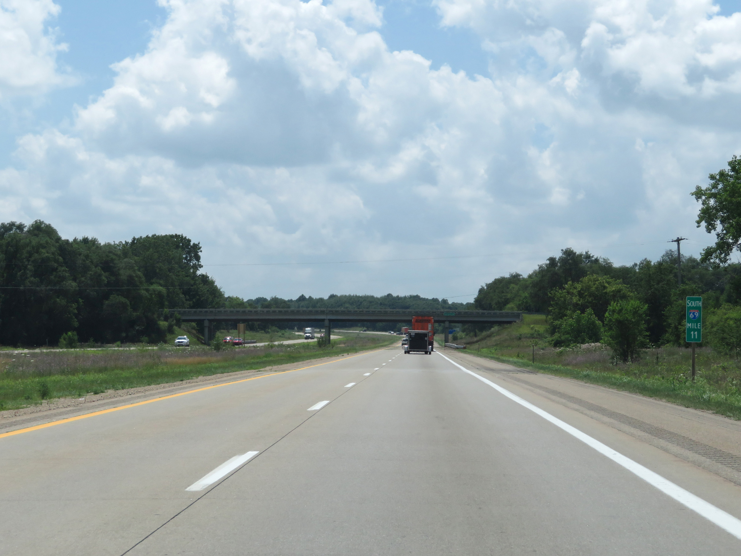 |
Interstate 69 South at mile marker 11. (Photo taken 7/17/17). |
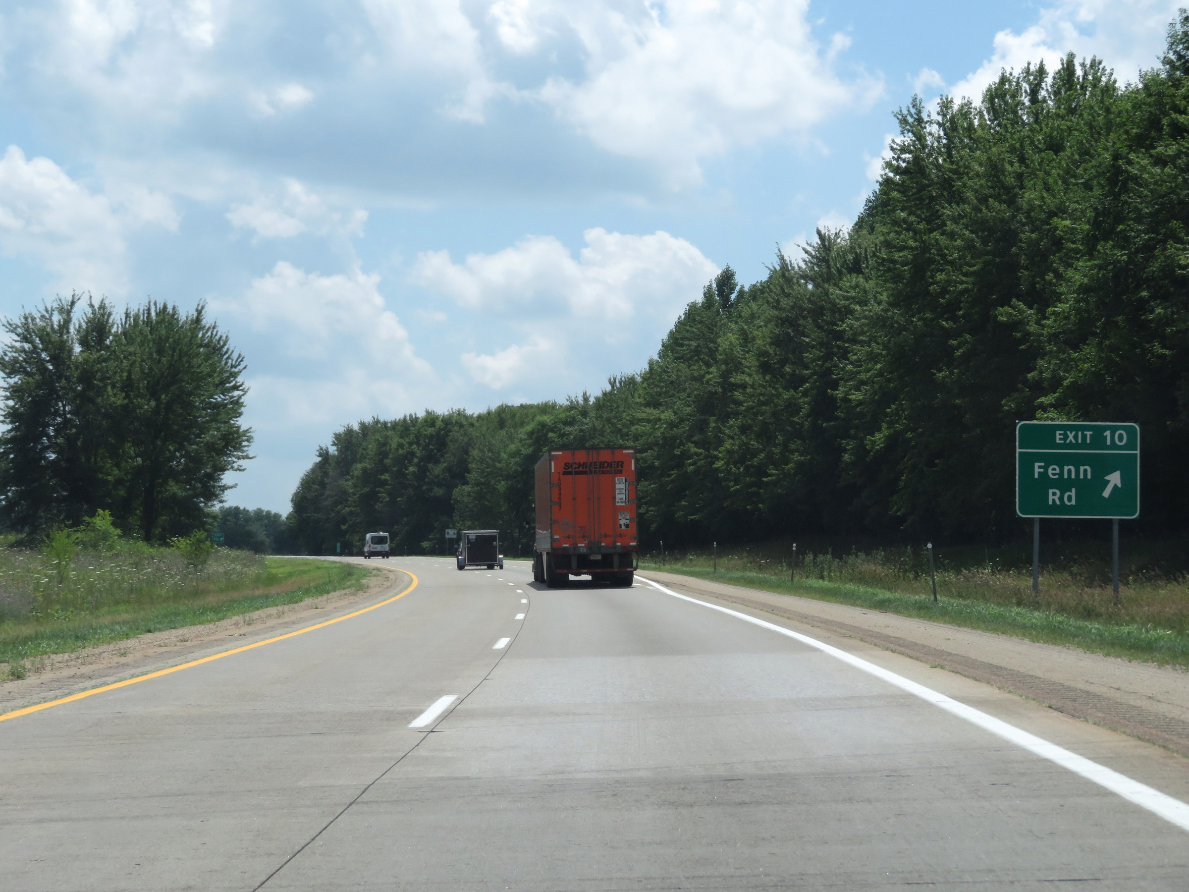 |
Interstate 69 South at Exit 10: Fenn Rd (Photo taken 7/17/17). |
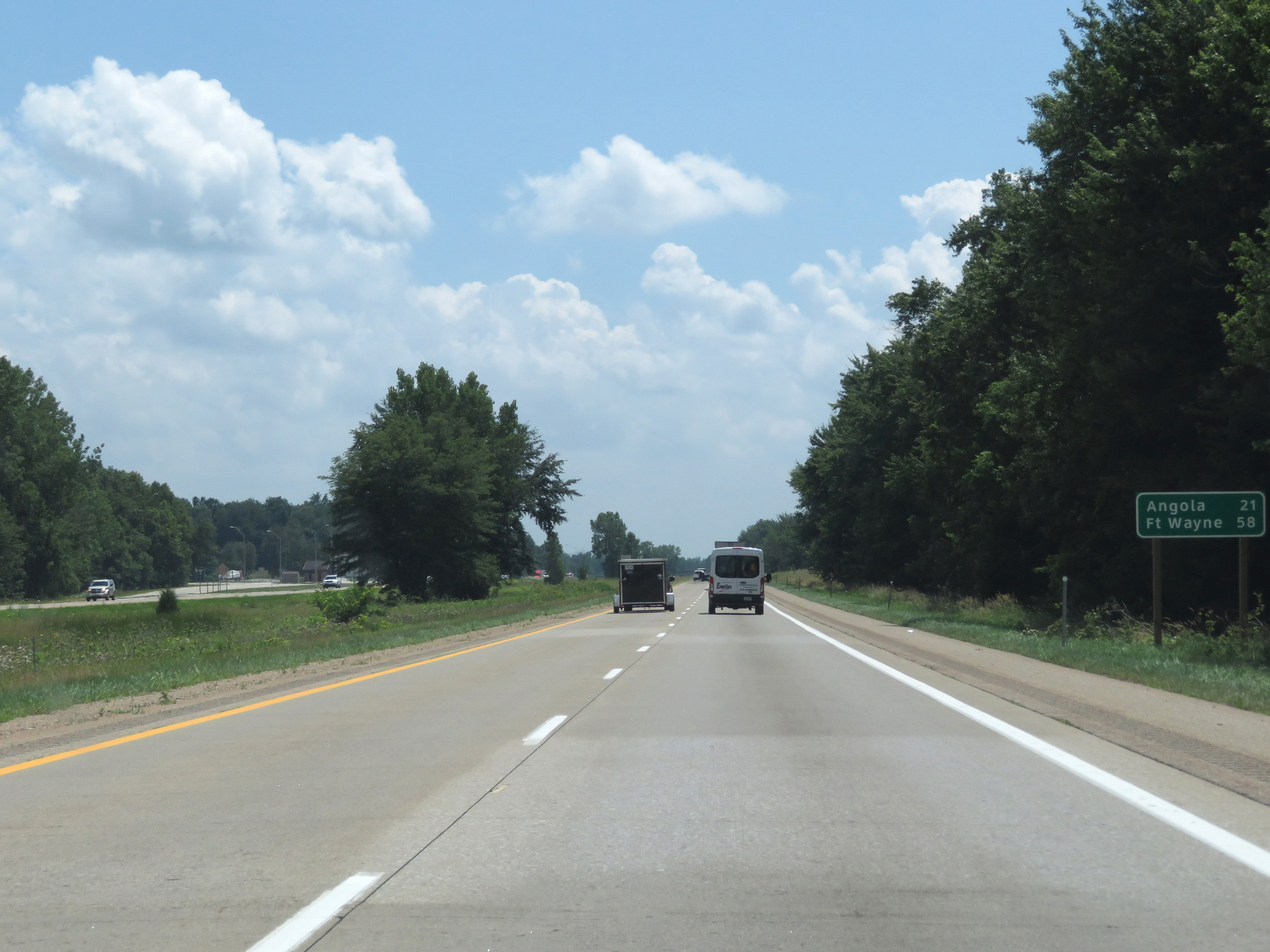 |
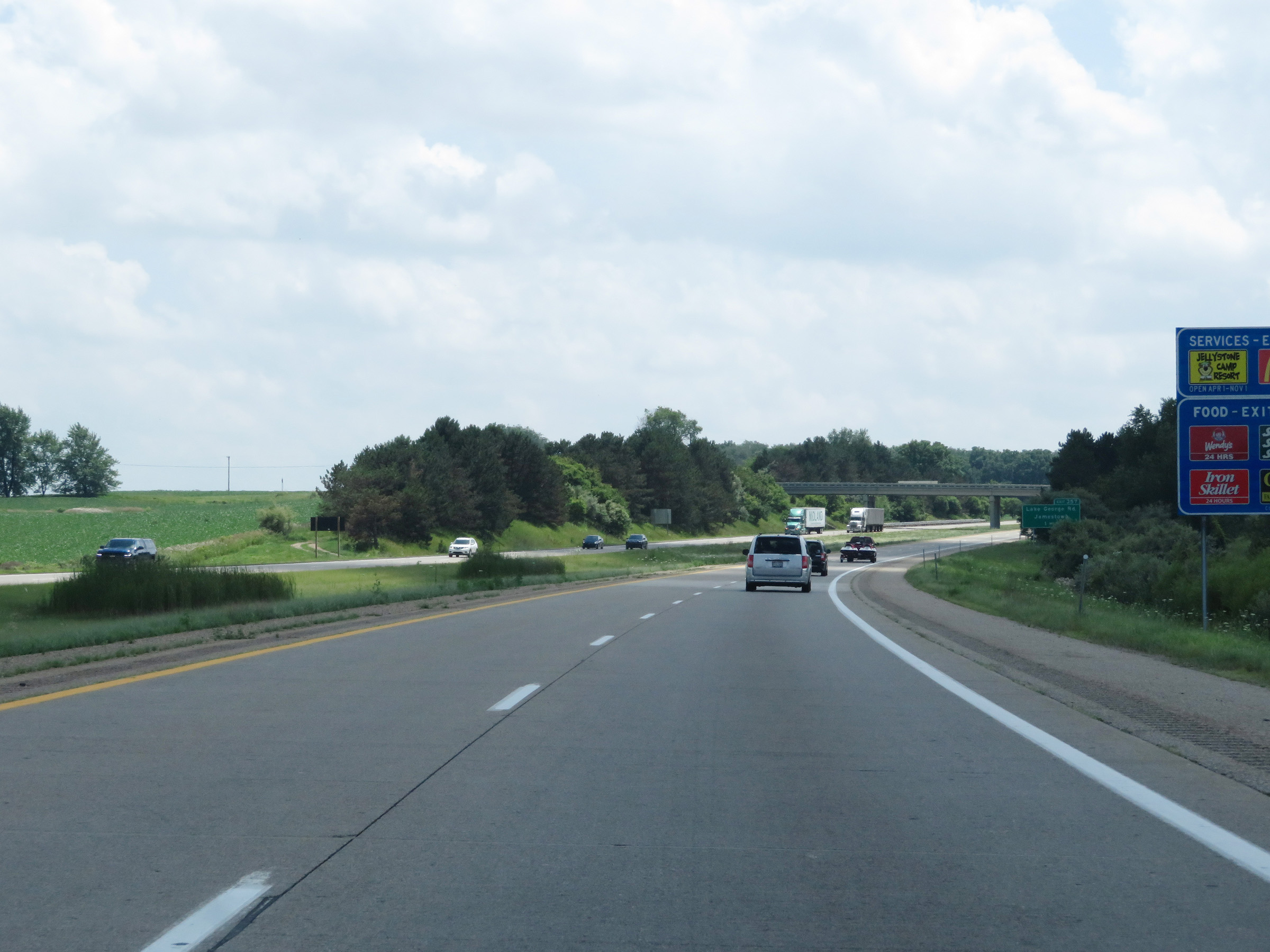
Another mileage sign on Interstate 69 South. It's 21 miles to Angola and 58 miles to Fort Wayne. (Photo taken 7/17/17). |
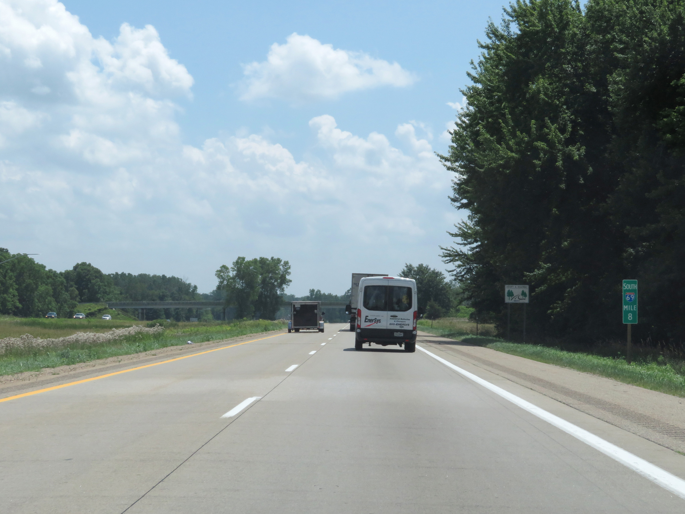 |
Mile marker 8 on Interstate 69 South in Branch County. (Photo taken 7/17/17). |
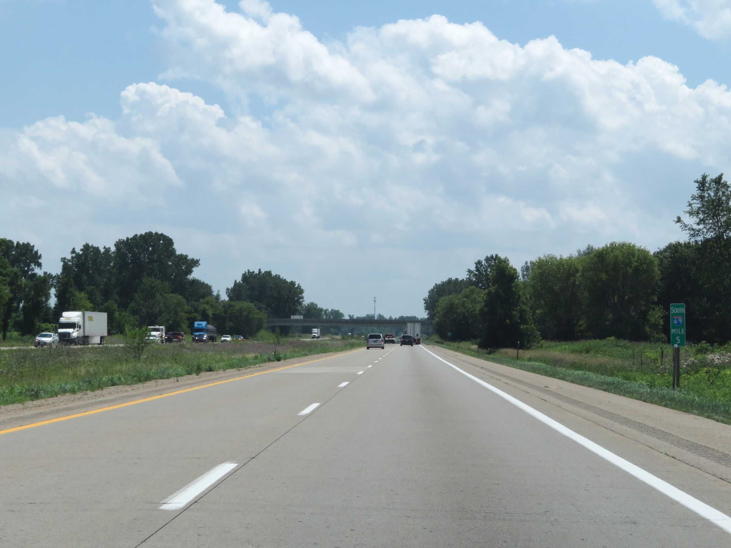 |
View on Interstate 69 South at mile marker 5. (Photo taken 7/17/17). |
 |
Interstate 69 South at Exit 3: Copeland Rd / Kinderhook (Photo taken 7/17/17). |
 |
One final Interstate 69 South reassurance shield. (Photo taken 7/17/17). |
 |
View on Interstate 69 South at mile marker 1. (Photo taken 7/17/17). |
 |
Interstate 69 South as it approaches the Indiana state line. (Photo taken 7/17/17). |
 |
Advance signage for Exit 357 as Interstate 69 South prepares to enter Indiana. (Photo taken 7/17/17). |