Road Information |
||
 |
||
| Total Mileage in State: | 112 miles | |
| Northern End: | At South Carolina state line | |
| Southern End: | At Florida state line | |
| Mileage covered in Photos: | 112 miles | |
| Counties covered in Photos: | Effingham, Chatham, Bryan, Liberty, McIntosh, Glynn, Camden | |
| Major Junctions in Photos: | I-16, near Savannah | |
| Control Cities in Photos: | Savannah, Brunswick | |
Southbound
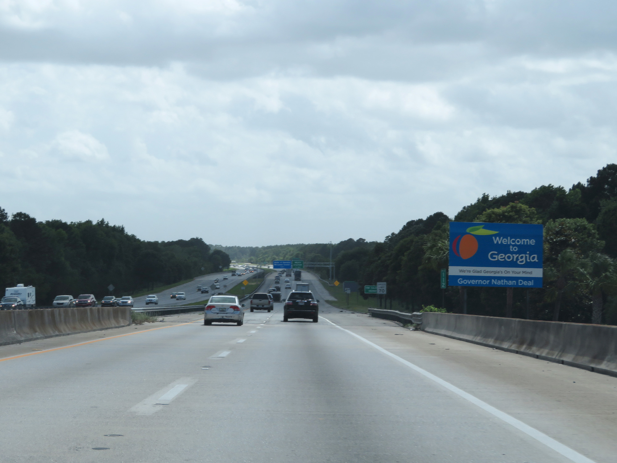 |
Georgia welcome sign as Interstate 95 South enters the Peachtree State from South Carolina. (Photo taken 5/20/17). |
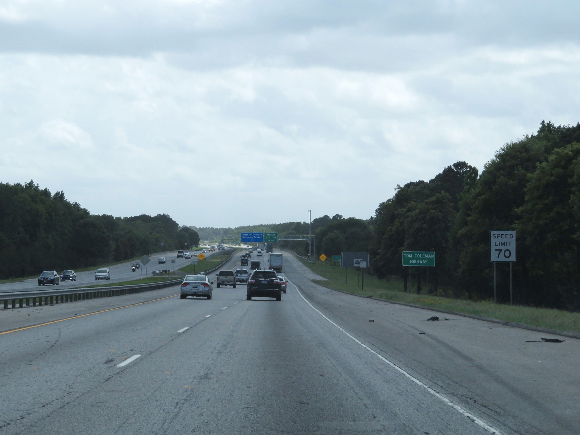 |
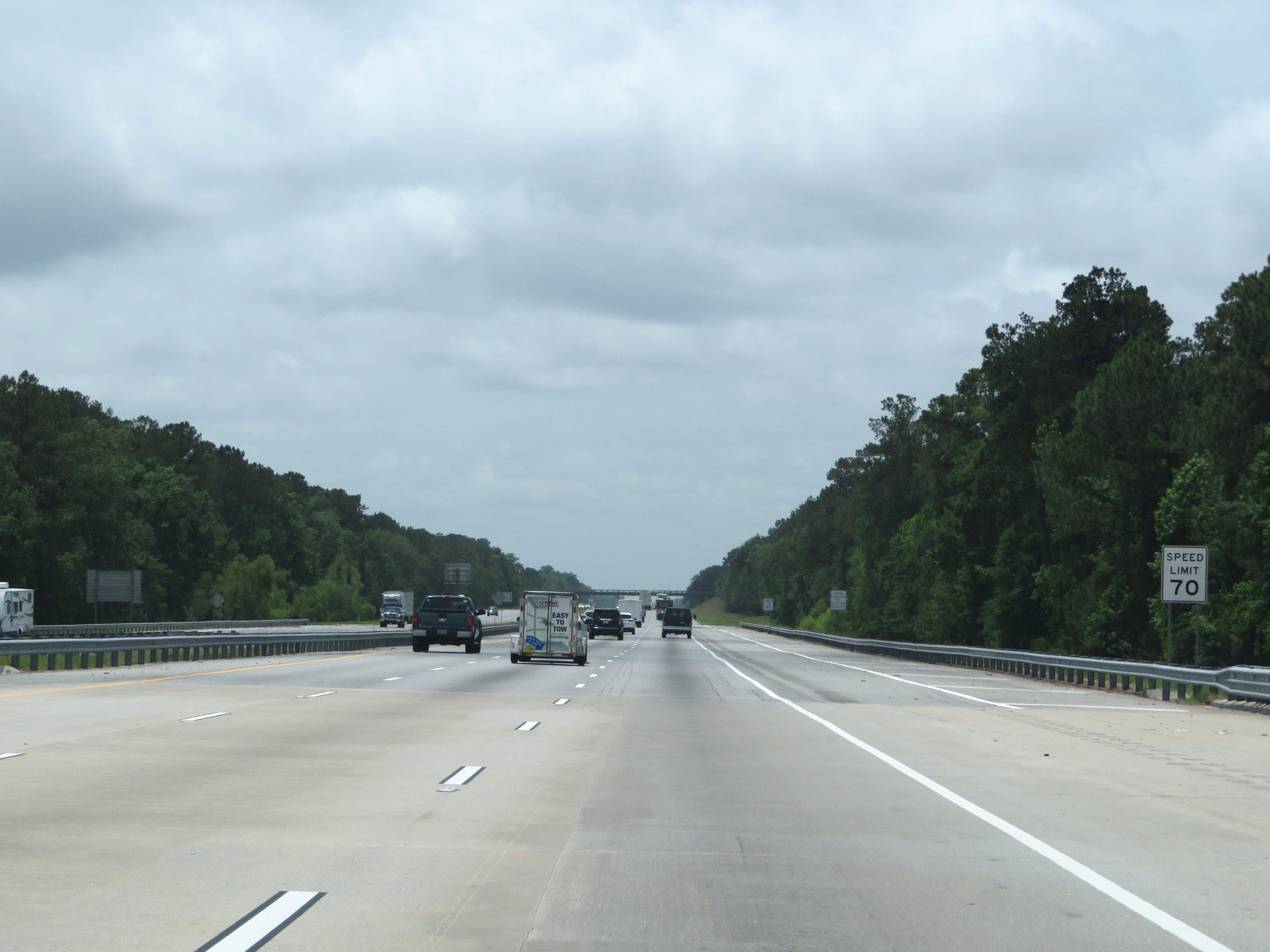
The standard speed limit on most rural Interstates in Georgia is 70 mph, as seen here. (Photo taken 5/20/17). |
 |
Weigh Station upon entering Georgia on Interstate 95 South. (Photo taken 5/20/17). |
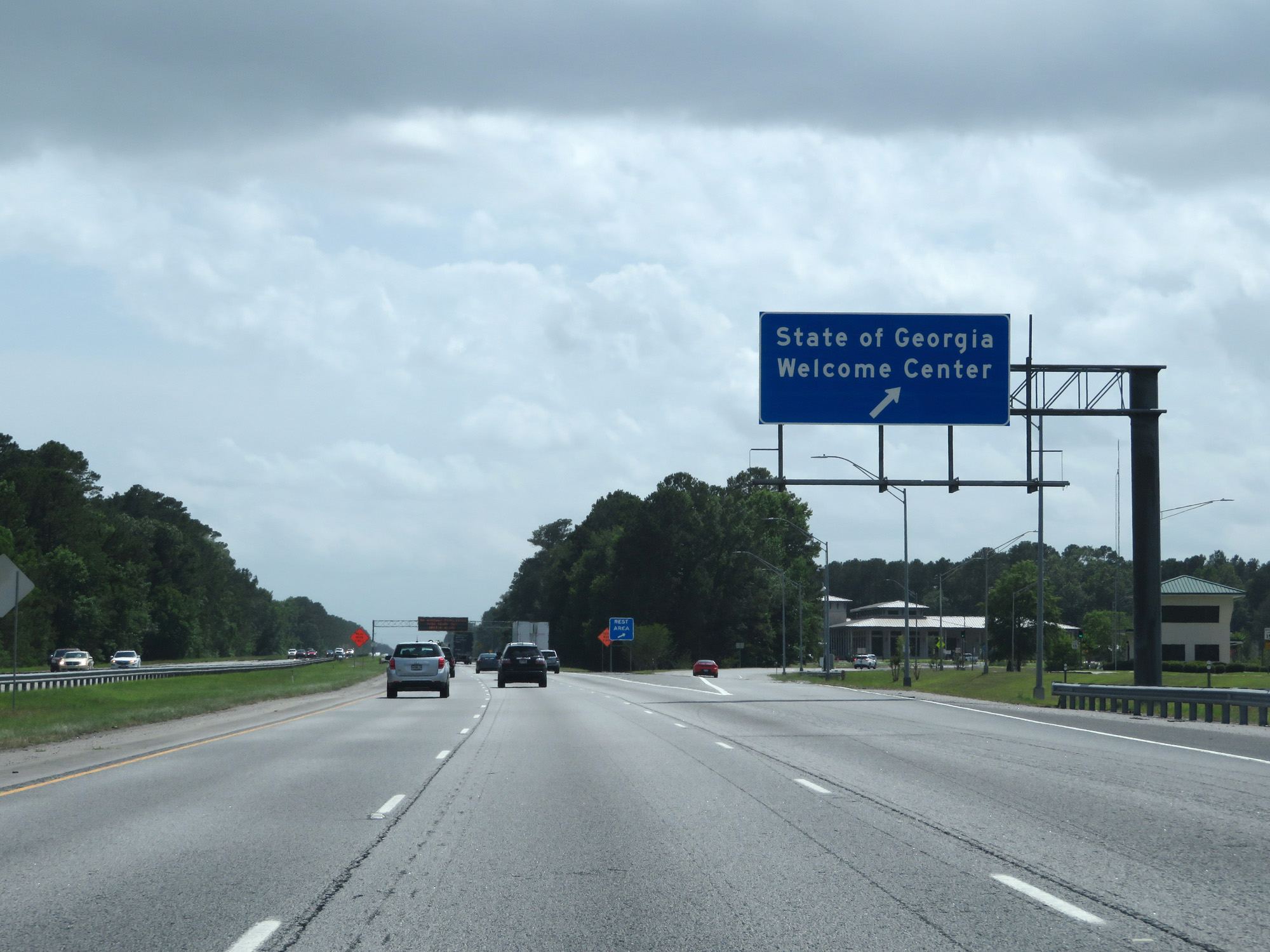 |
Georgia Welcome Center / Rest Area on Interstate 95 South, just beyond the Weigh Station. (Photo taken 5/20/17). |
 |
Take Exit 109 to Georgia Ports Authority, Rincon, and Springfield. (Photo taken 5/20/17). |
 |
Also take Exit 109 to Savannah National Wildlife Refuge. (Photo taken 5/20/17). |
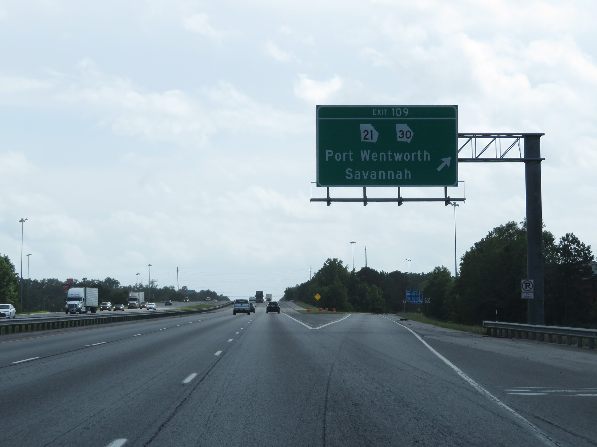 |
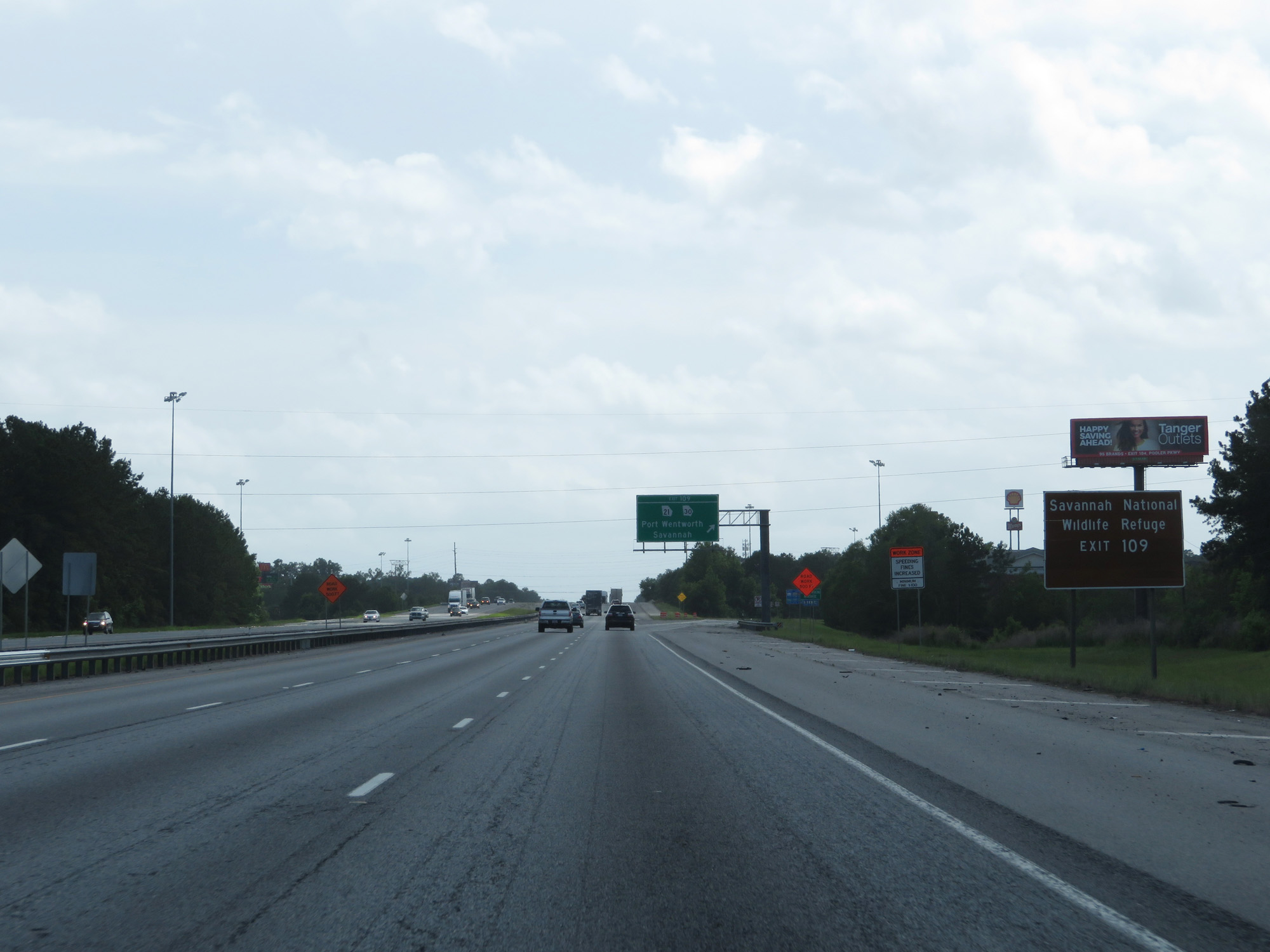
Interstate 95 South at Exit 109: GA 21 / GA 30 - Port Wentworth / Savannah (Photo taken 5/20/17). |
 |
Take Exit 106 to Georgia Tech Savannah Campus. (Photo taken 5/20/17). |
 |
Mileage sign approaching Exit 106. It's 6 miles to Pooler, 8 miles to the junction of Interstate 16, and 76 miles to Brunswick. (Photo taken 5/20/17). |
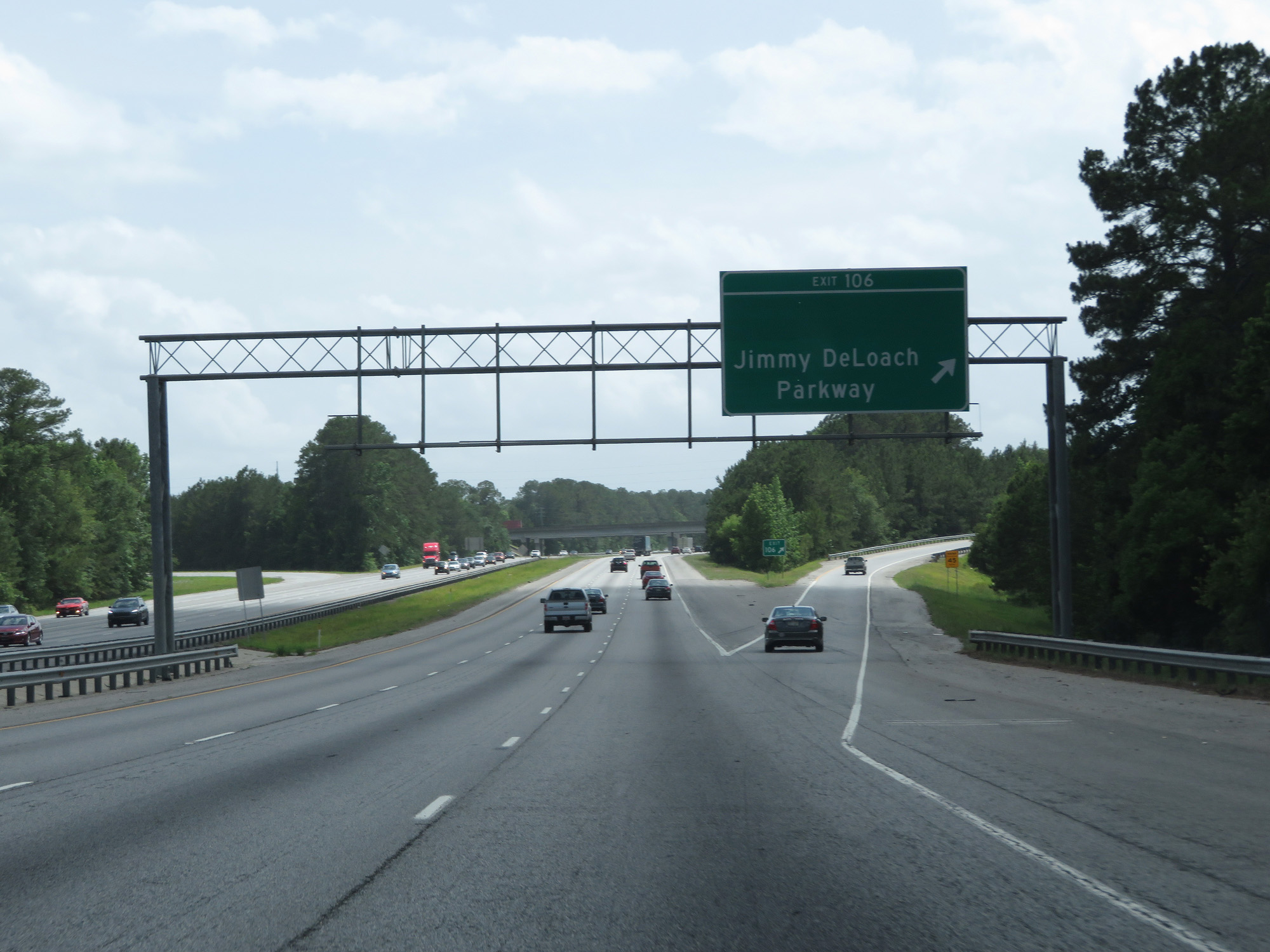 |
Interstate 95 South at Exit 106: Jimmy DeLoach Parkway (Photo taken 5/20/17). |
 |
The speed limit remains 70 mph. (Photo taken 5/20/17). |
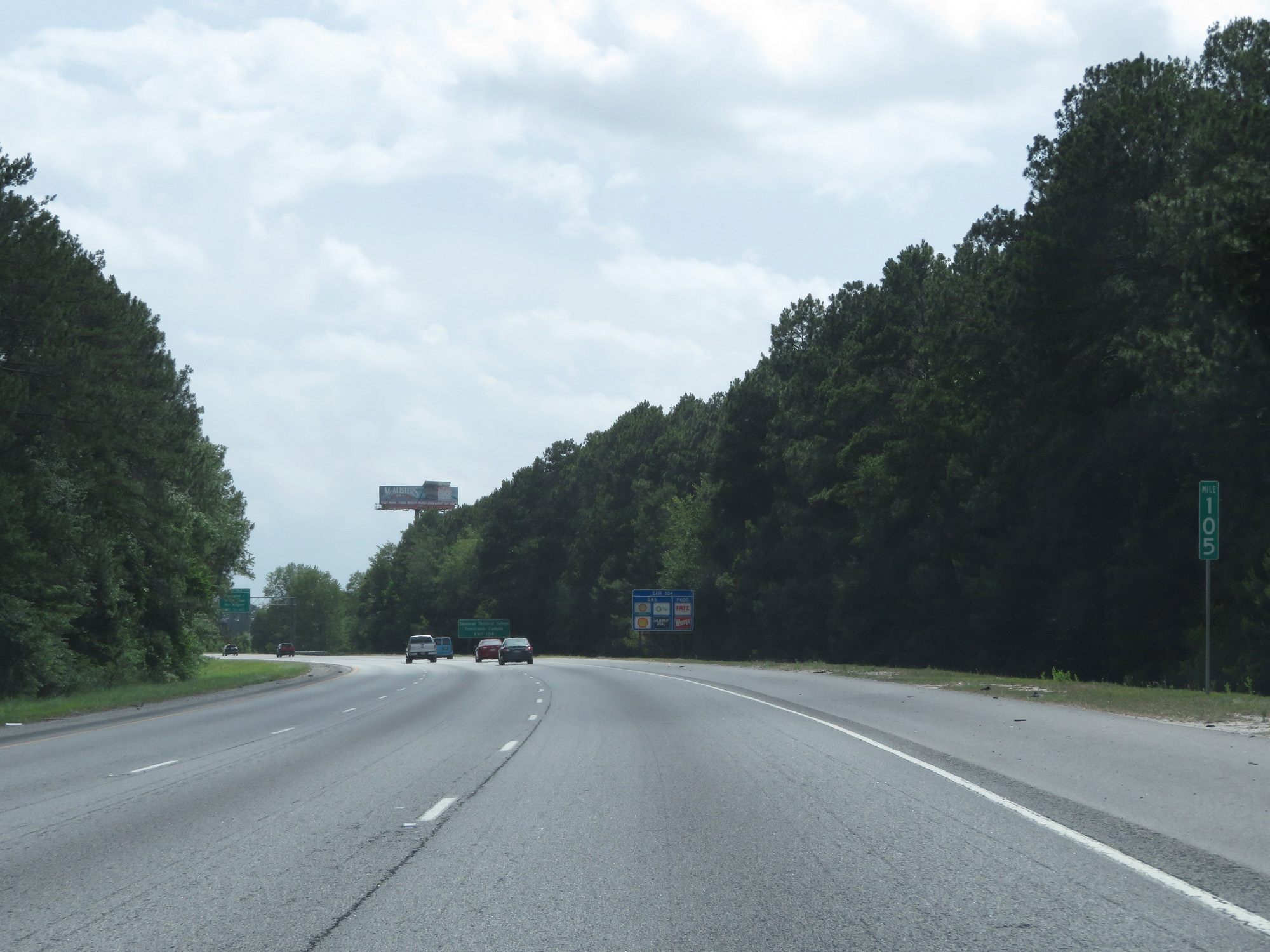 |
Interstate 95 South at mile marker 105. (Photo taken 5/20/17). |
 |
Take Exit 104 to Savannah Technical College Crossroads Campus. (Photo taken 5/20/17). |
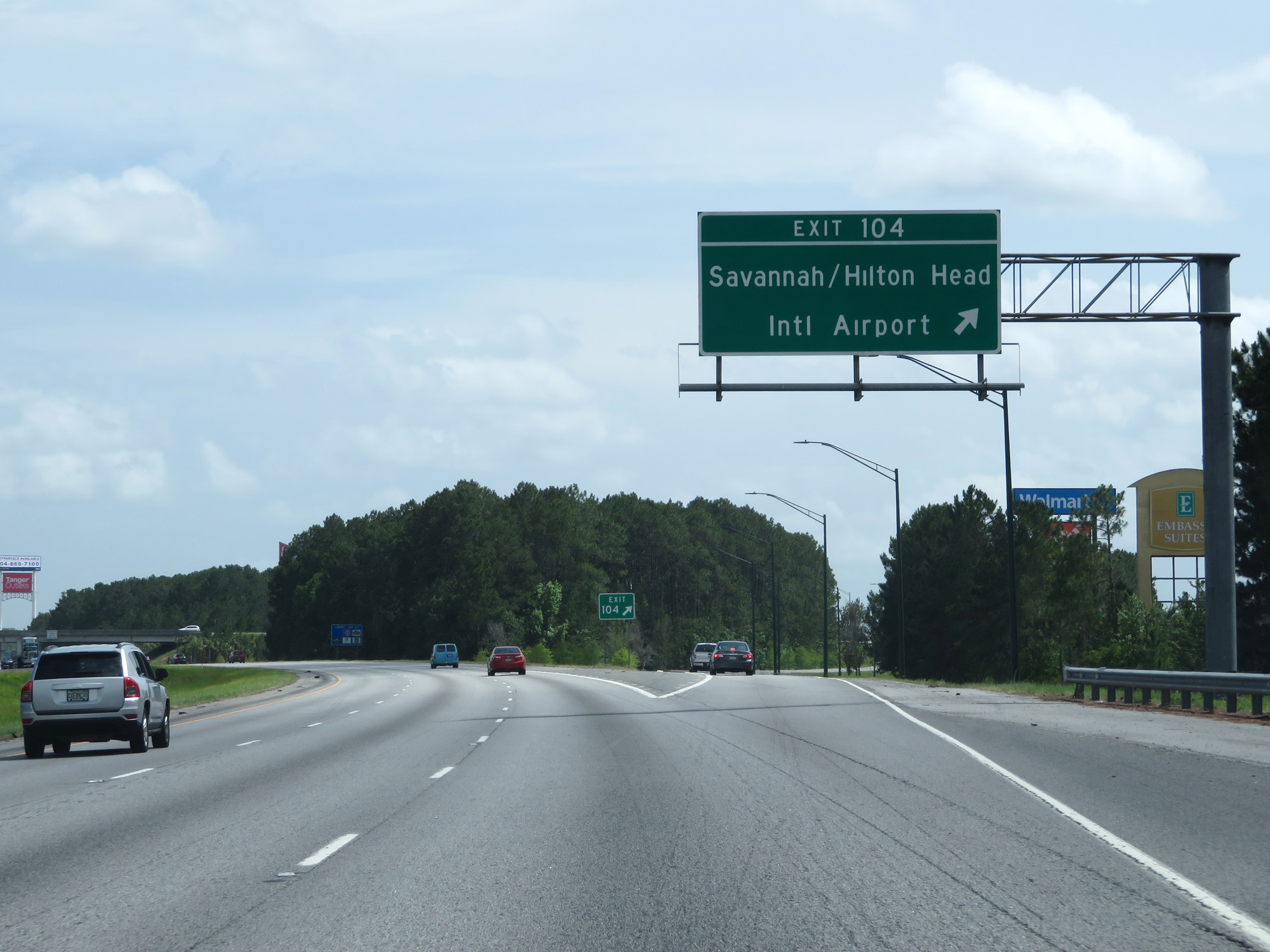 |
Interstate 95 South at Exit 104: Savannah/Hilton Head International Airport (Photo taken 5/20/17). |
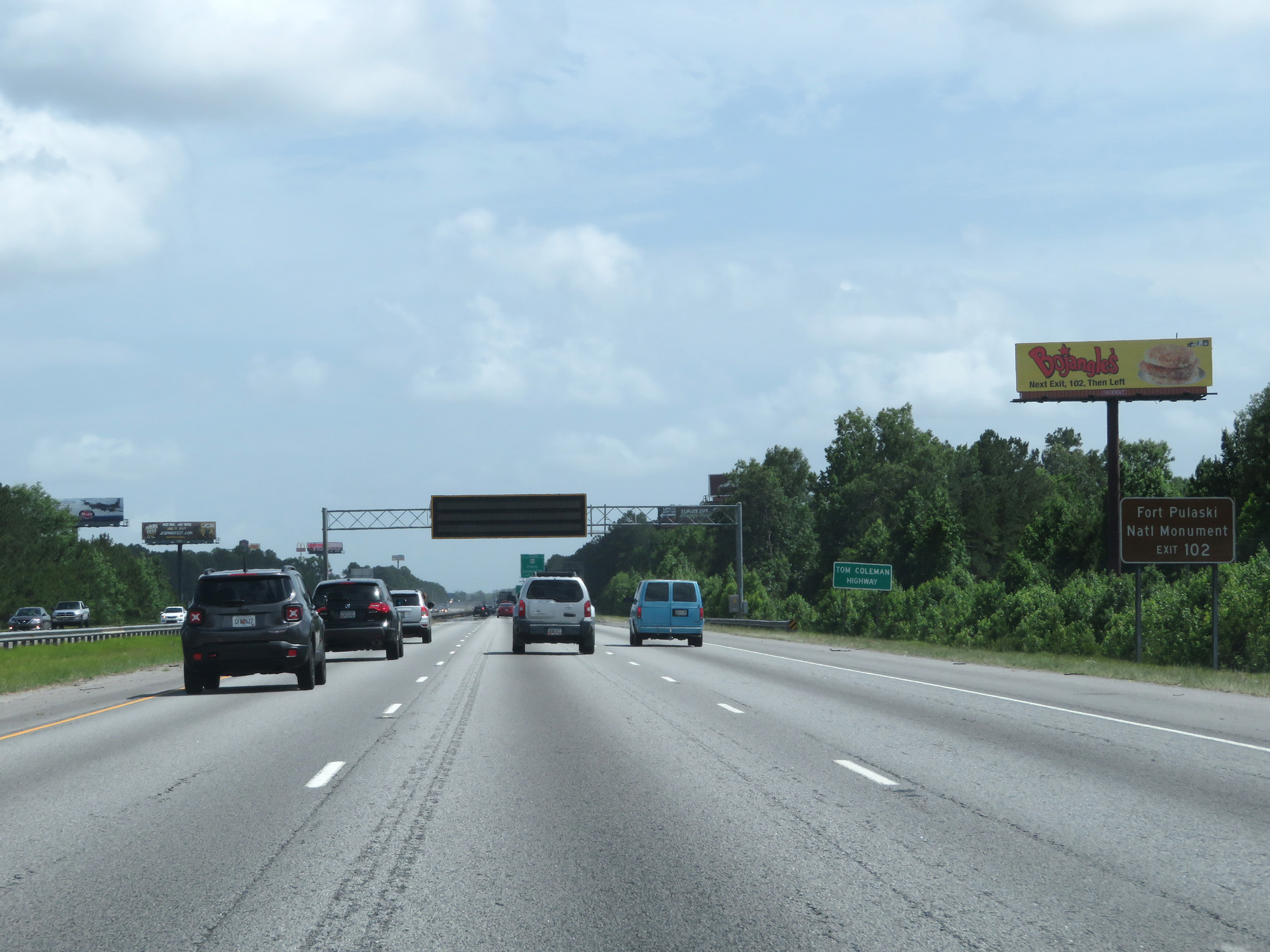 |
Take Exit 102 to Fort Pulaski National Monument. (Photo taken 5/20/17). |
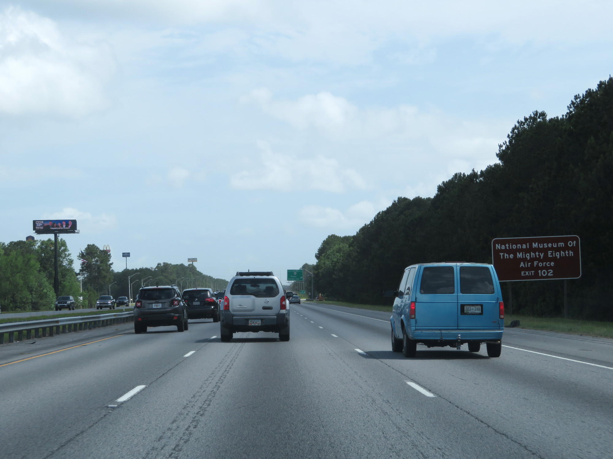 |
Also take Exit 102 to National Museum Of The Mighty Eighth Air Force. (Photo taken 5/20/17). |
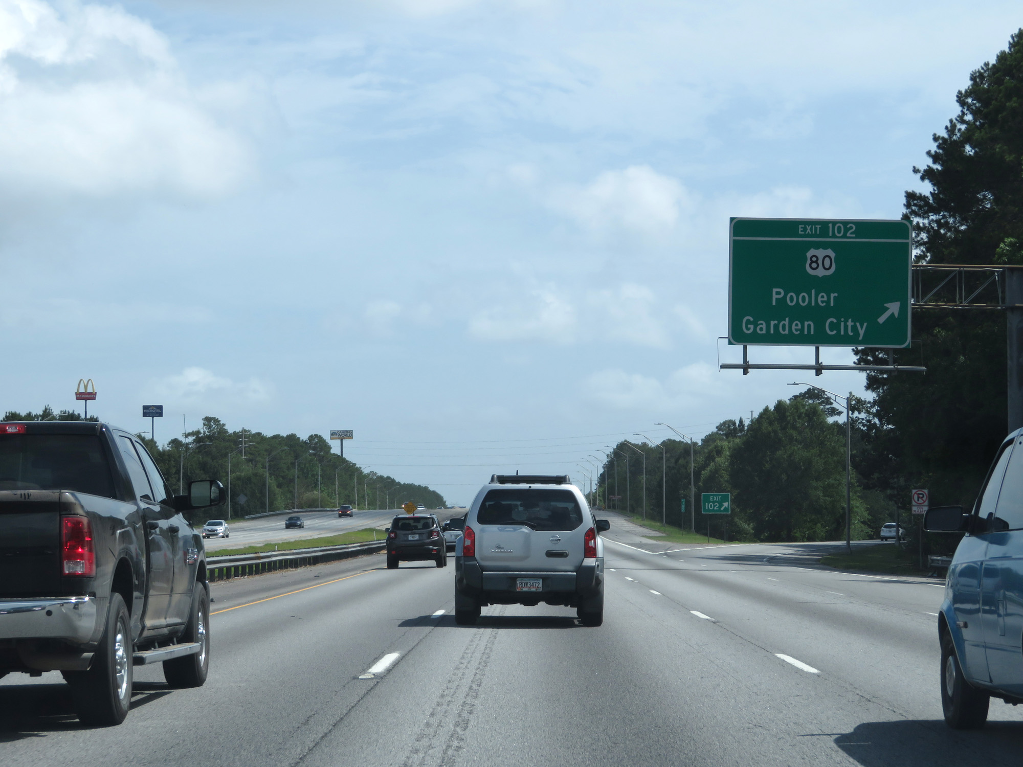 |
Interstate 95 South at Exit 102: US 80 - Pooler / Garden City (Photo taken 5/20/17). |
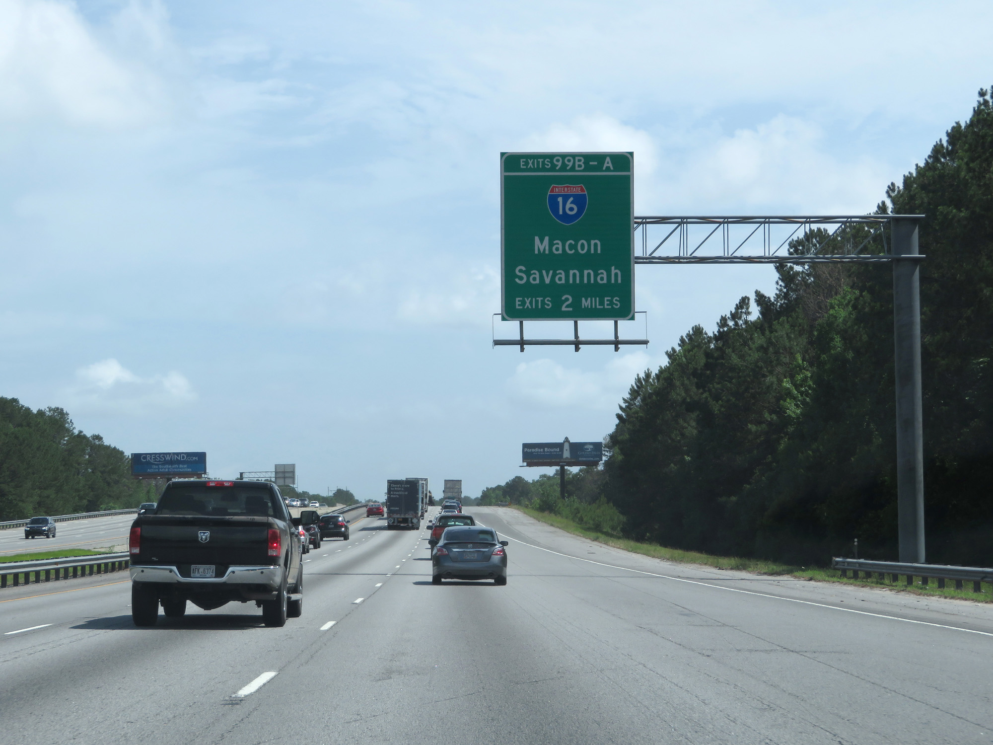 |
Interstate 95 South approaching Exits 99B-A - 2 miles. (Photo taken 5/20/17). |
 |
Approaching the junction of Interstate 16, the speed limit decreases to 65 mph. (Photo taken 5/20/17). |
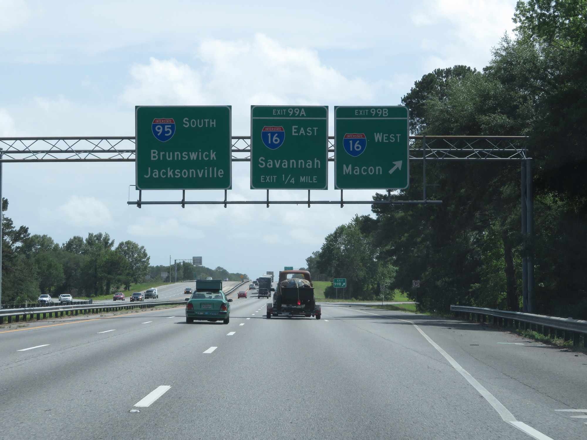 |
Interstate 95 South at Exit 99B: Interstate 16 West - Macon (Photo taken 5/20/17). |
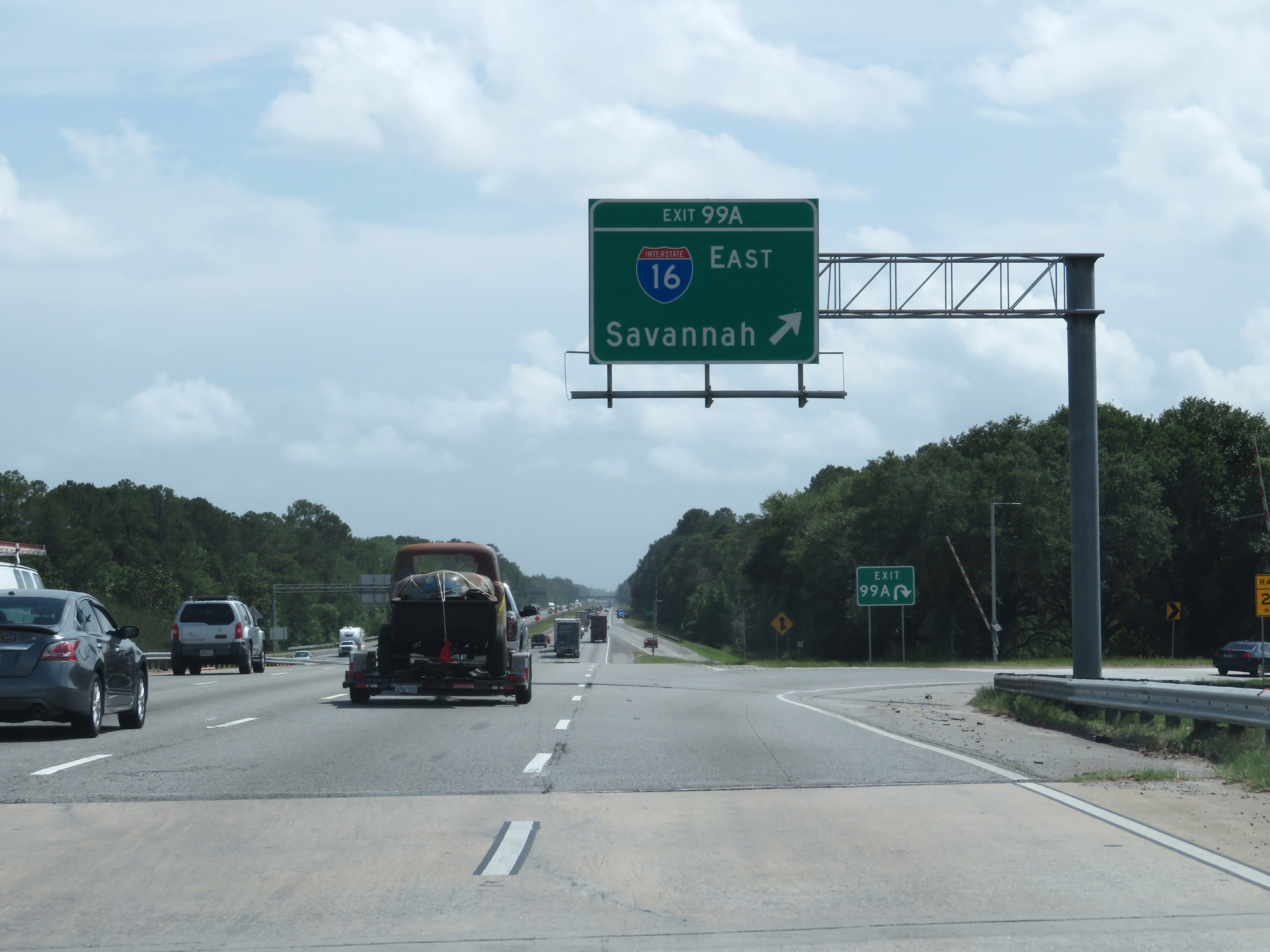 |
Interstate 95 South at Exit 99A: Interstate 16 East - Savannah (Photo taken 5/20/17). |
 |
State-named Interstate 95 South reassurance shield. (Photo taken 5/21/17). |
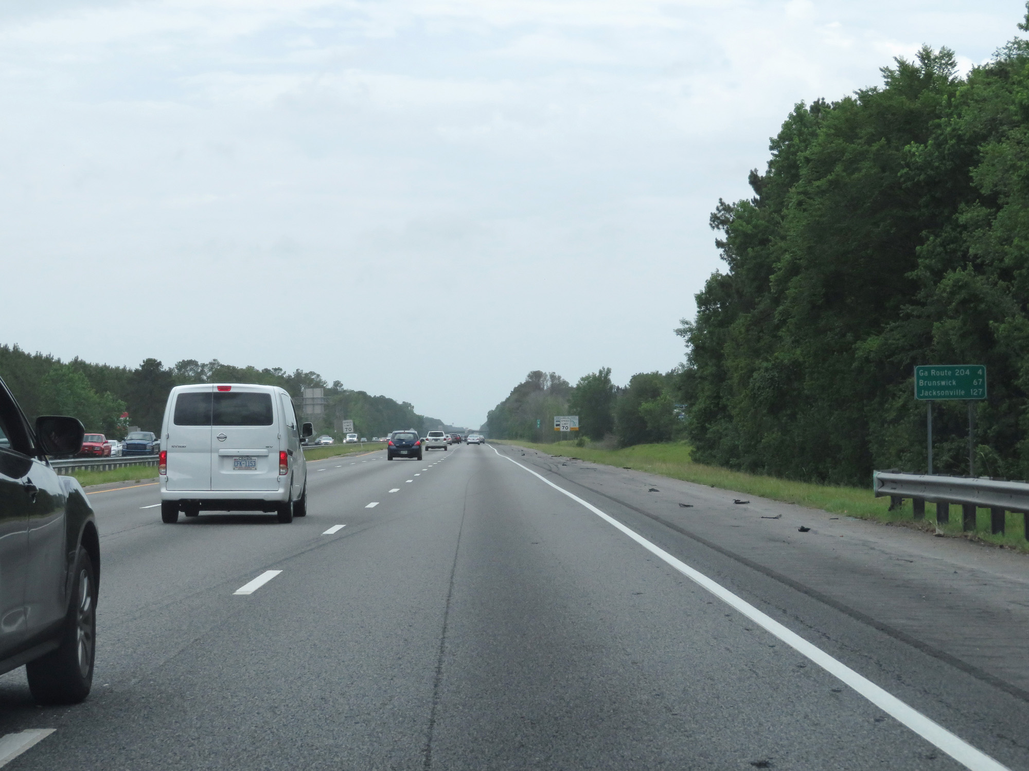 |
Mileage sign on Interstate 95 South. It's 4 miles to the junction of GA 204, 67 miles to Brunswick, and 127 miles to Jacksonville. (Photo taken 5/21/17). |
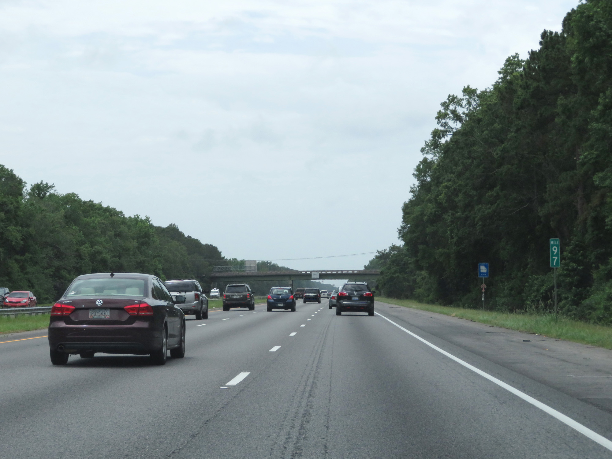 |
Interstate 95 South at mile marker 97. (Photo taken 5/21/17). |
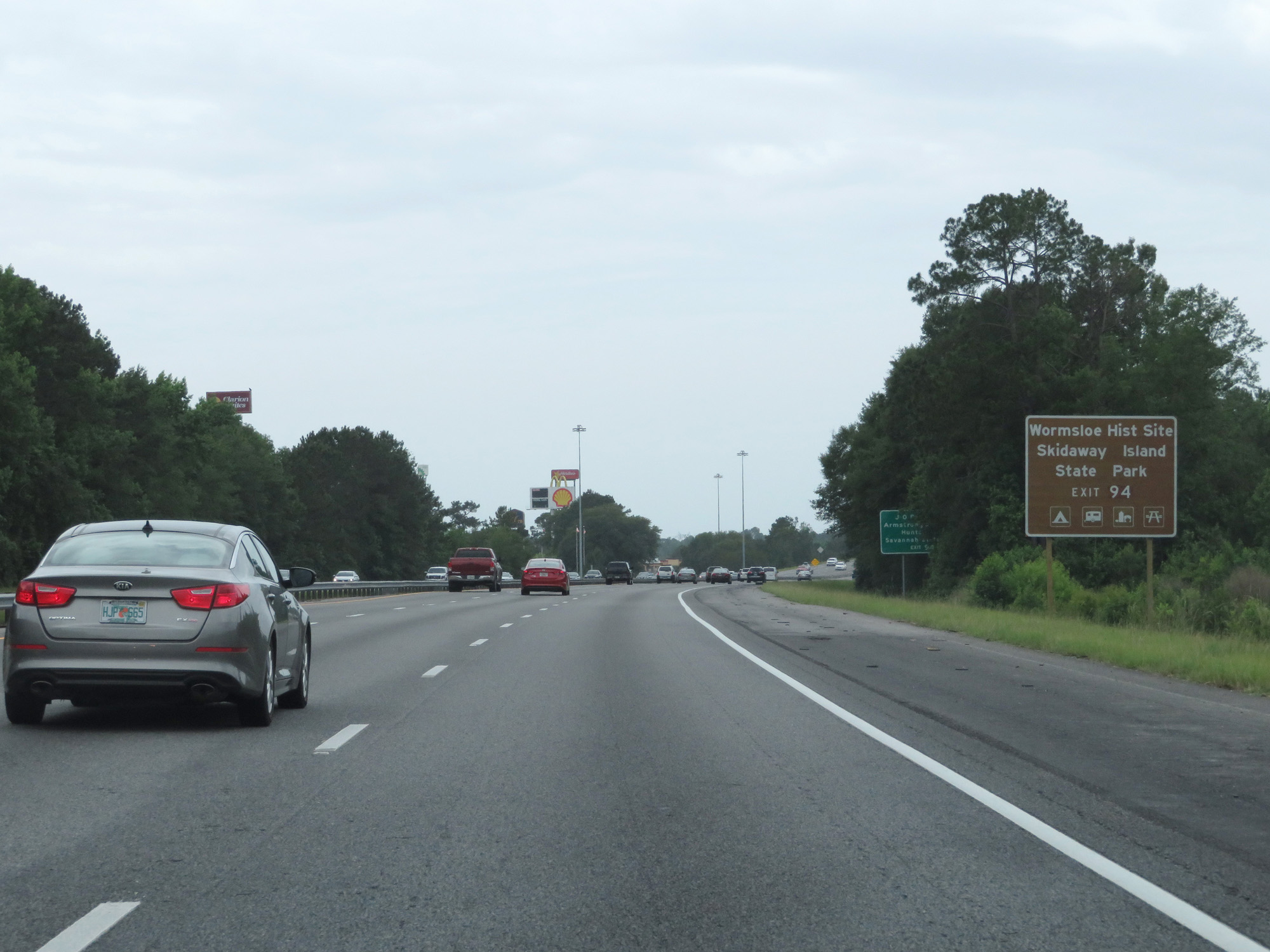 |
Take Exit 94 to Wormsloe Historic Site and Skidaway Island State Park. (Photo taken 5/21/17). |
 |
Interstate 95 South at Exit 94: GA 204 - Savannah / Pembroke (Photo taken 5/21/17). |
 |
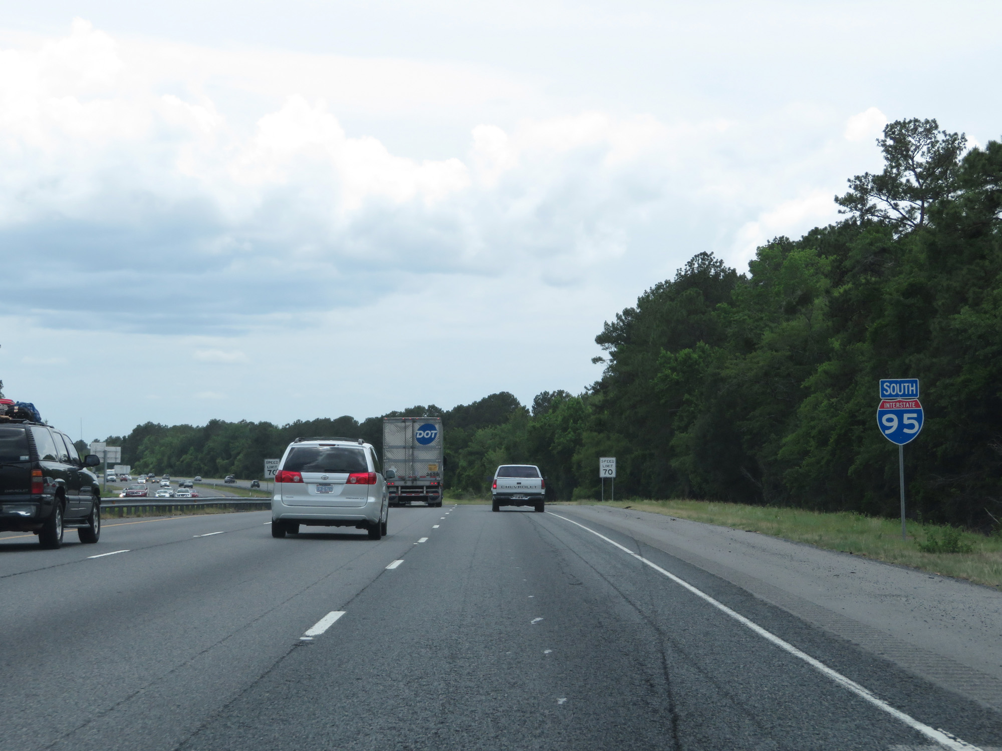
Another state-named Interstate 95 South reassurance shield. (Photo taken 5/21/17). |
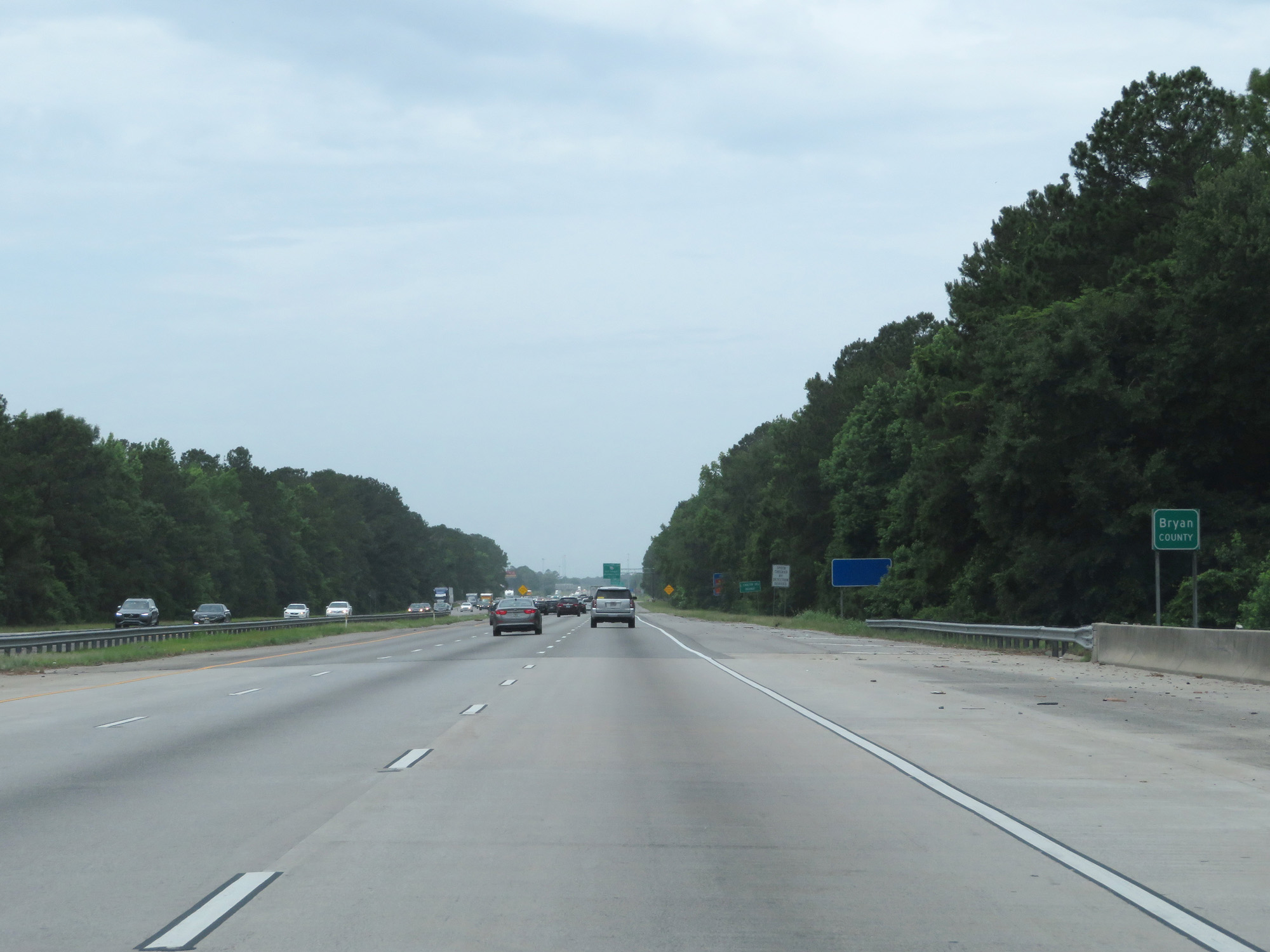 |
Interstate 95 South entering Bryan County. (Photo taken 5/21/17). |
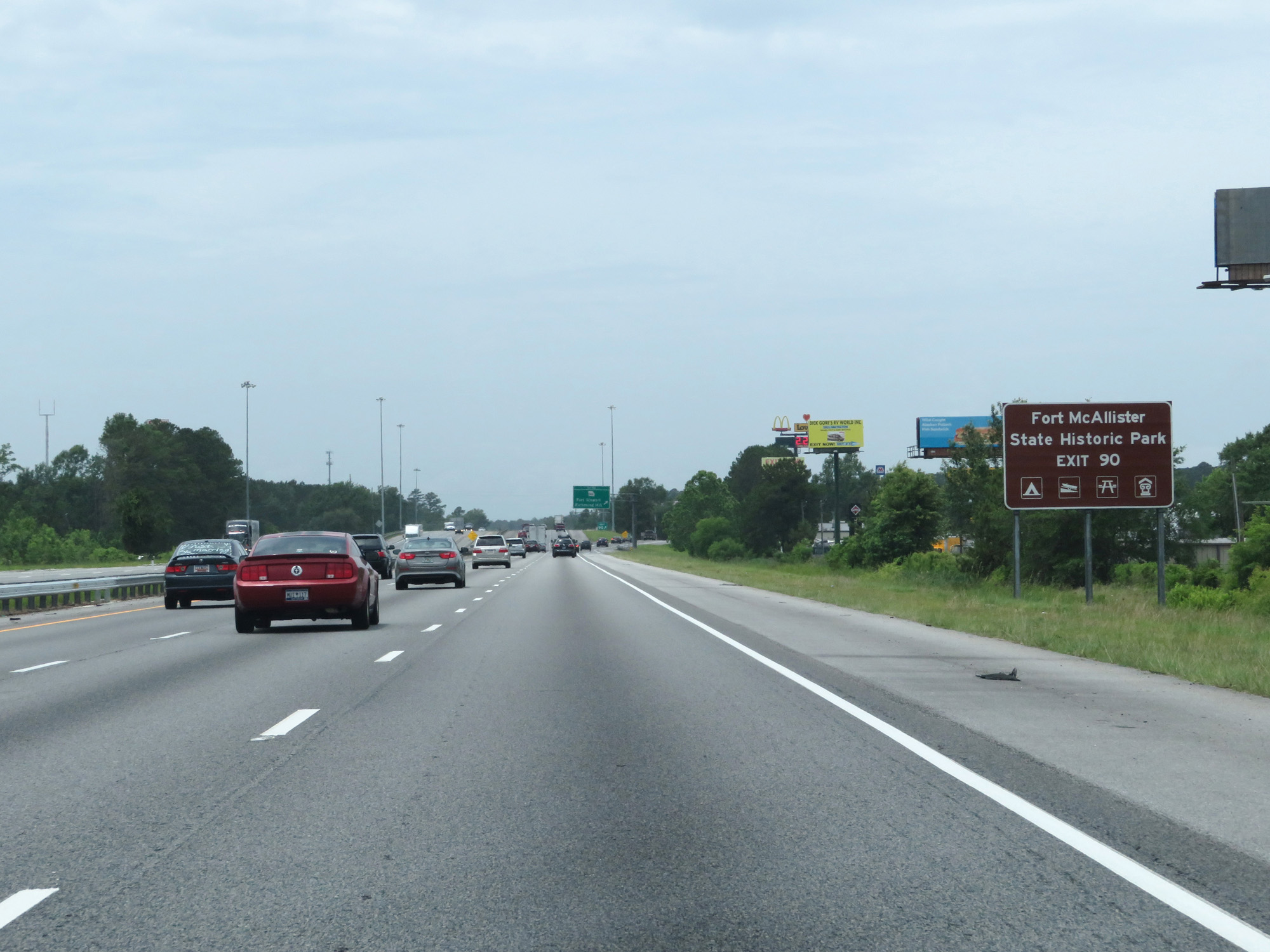 |
Take Exit 90 to Fort McAllister State Historic Park. (Photo taken 5/21/17). |
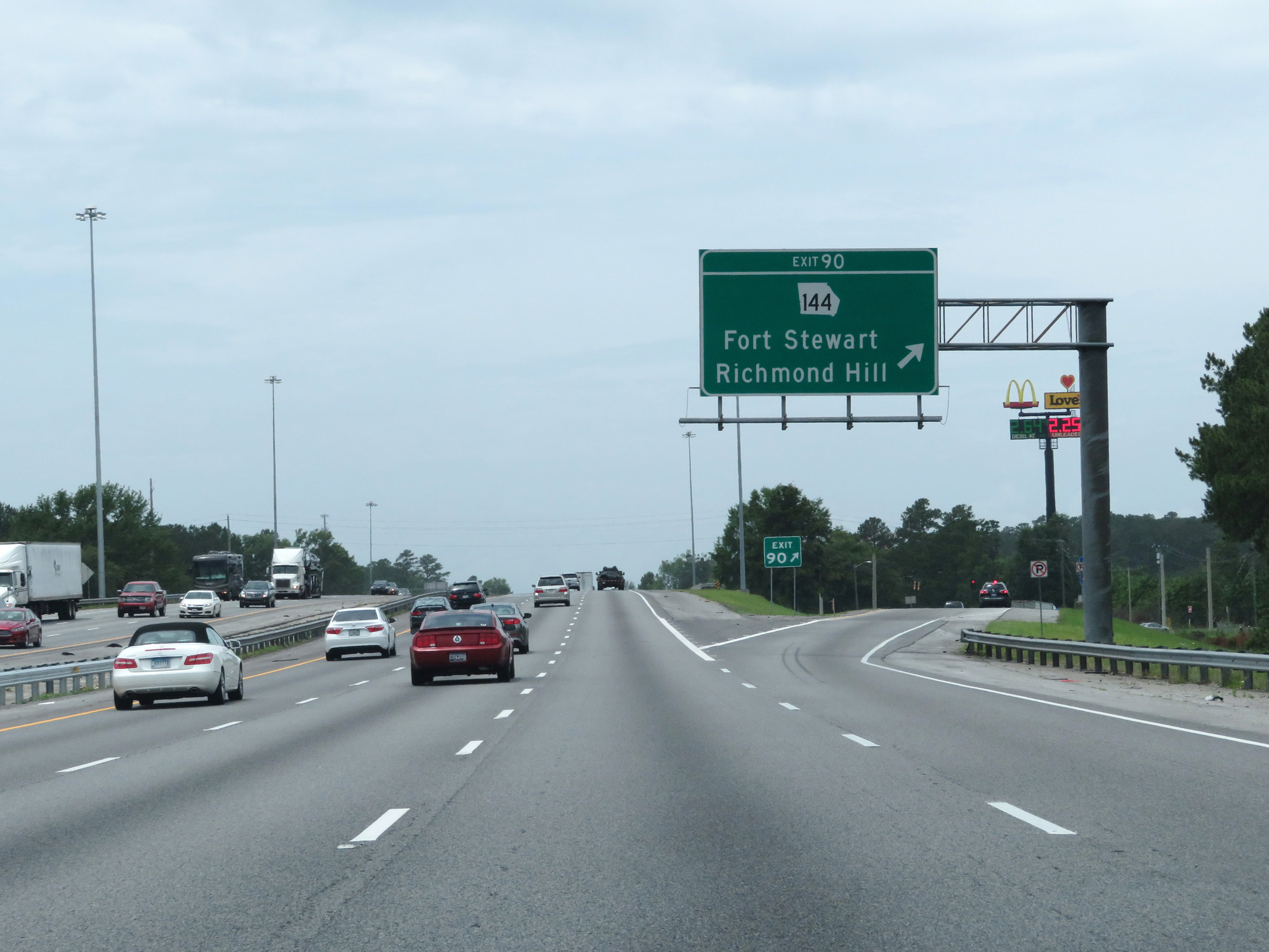 |
Interstate 95 South at Exit 90: GA 144 - Fort Stewart / Richmond Hill (Photo taken 5/21/17). |
 |
Interstate 95 South at Exit 87: US 17 - Coastal Hwy (Photo taken 5/21/17). |
 |
Interstate 95 South at mile marker 86. (Photo taken 5/21/17). |
 |
Interstate 95 South at mile marker 82. (Photo taken 5/21/17). |
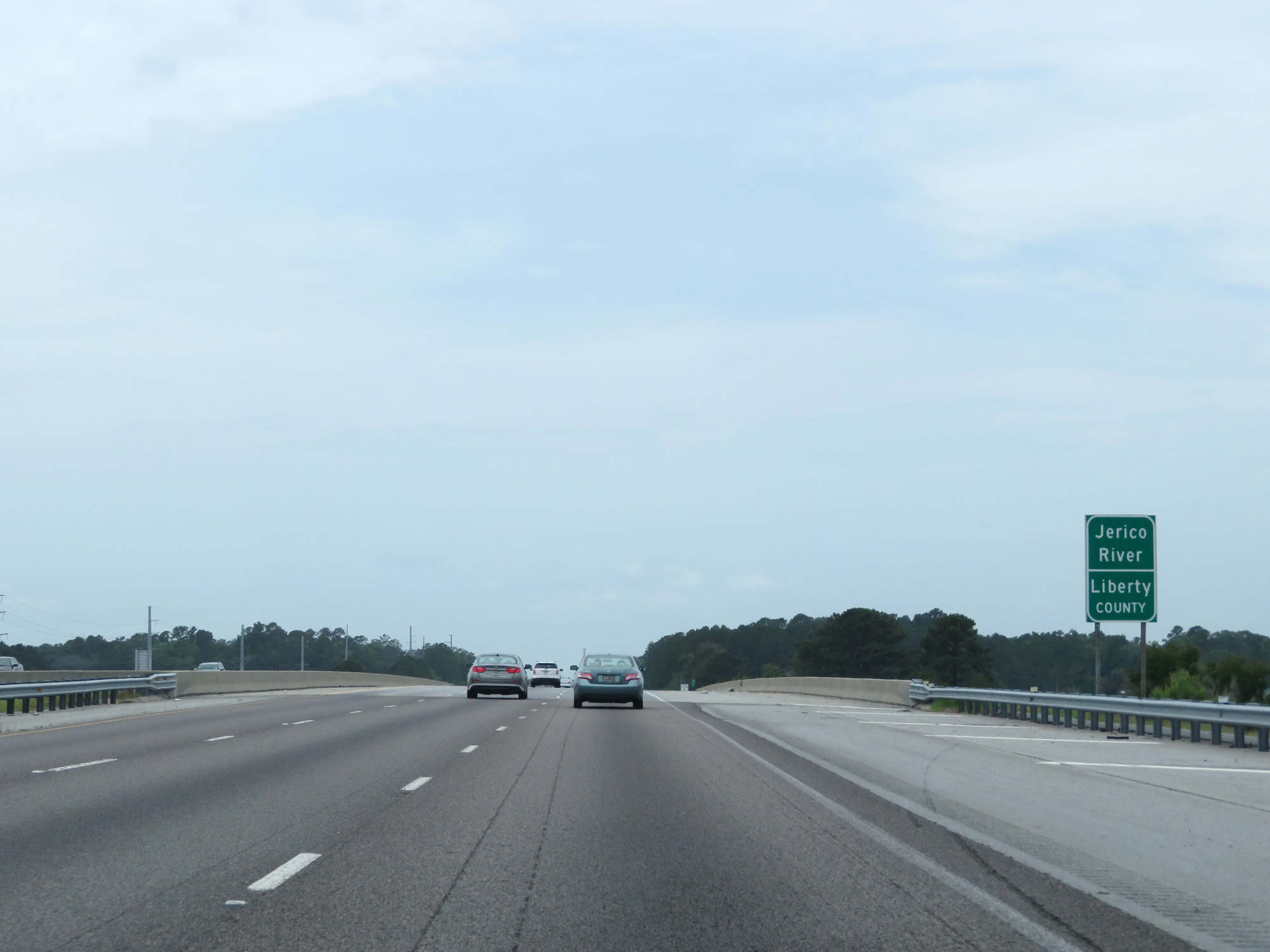 |
Interstate 95 South crossing the Jerico River into Liberty County. (Photo taken 5/21/17). |
 |
Interstate 95 South at mile marker 80. (Photo taken 5/21/17). |
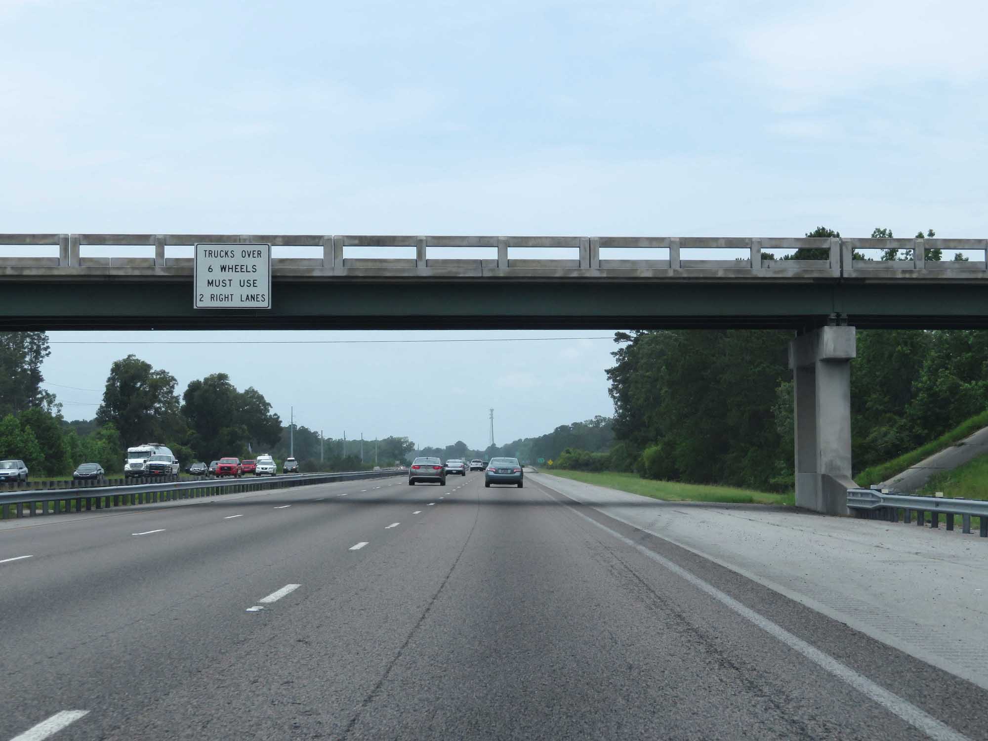 |
Trucks over 6 wheels are prohibited in the left lane. (Photo taken 5/21/17). |
 |
Take Exit 76 to Hinesville and Fort Stewart. (Photo taken 5/21/17). |
 |
Also take Exit 76 to Historic Liberty Trail. (Photo taken 5/21/17). |
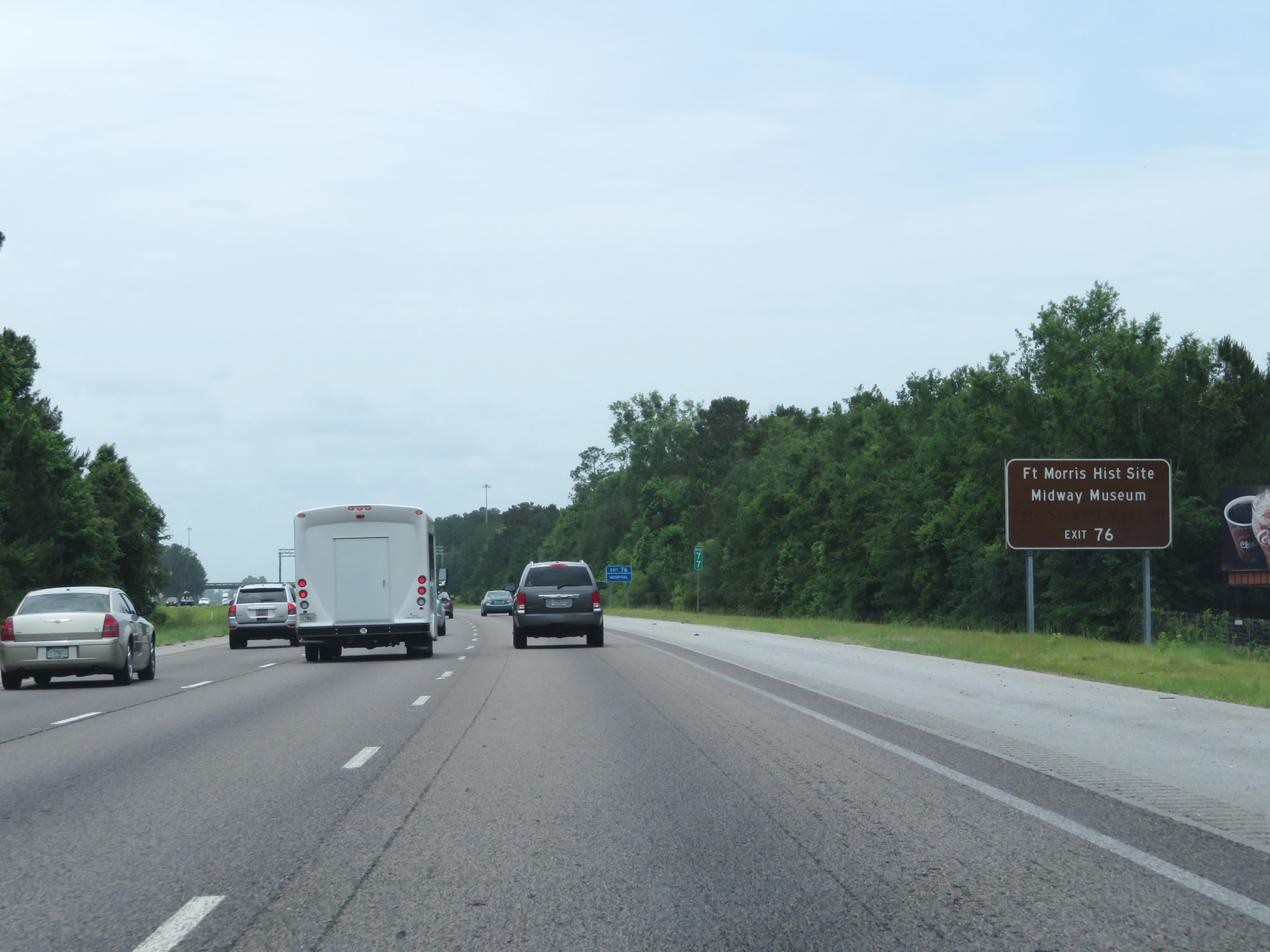 |
Take Exit 76 to Fort Morris Historic Site and Midway Museum as well. (Photo taken 5/21/17). |
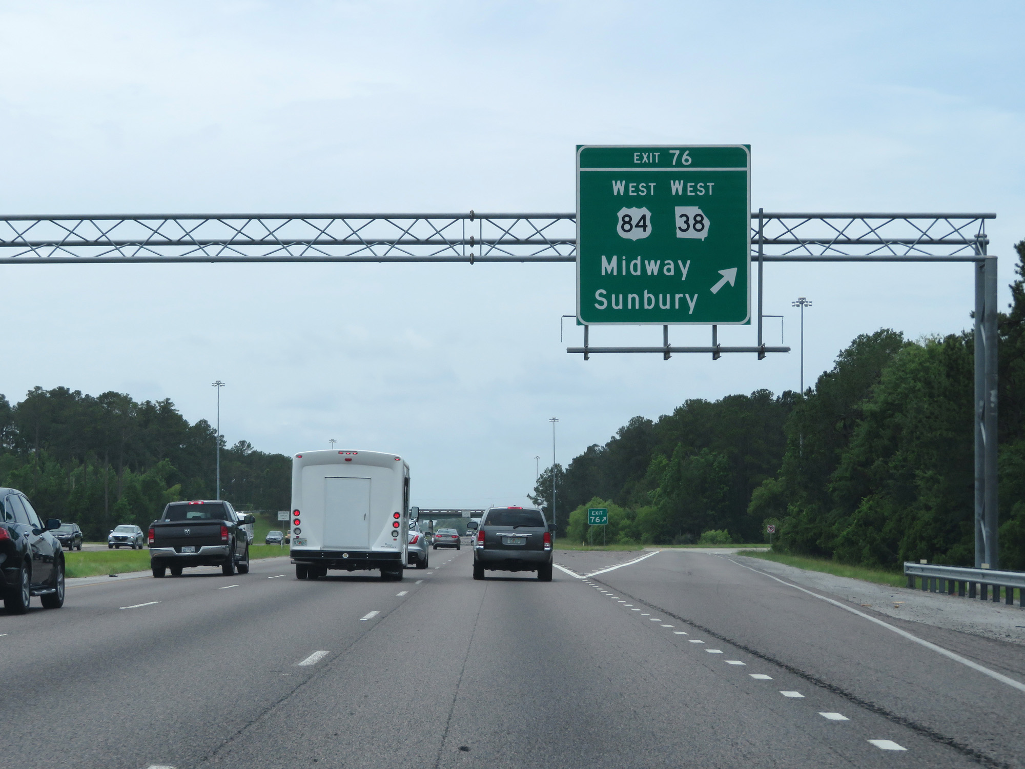 |
Interstate 95 South at Exit 76: US 84 West / GA 38 West - Midway / Sunbury (Photo taken 5/21/17). |
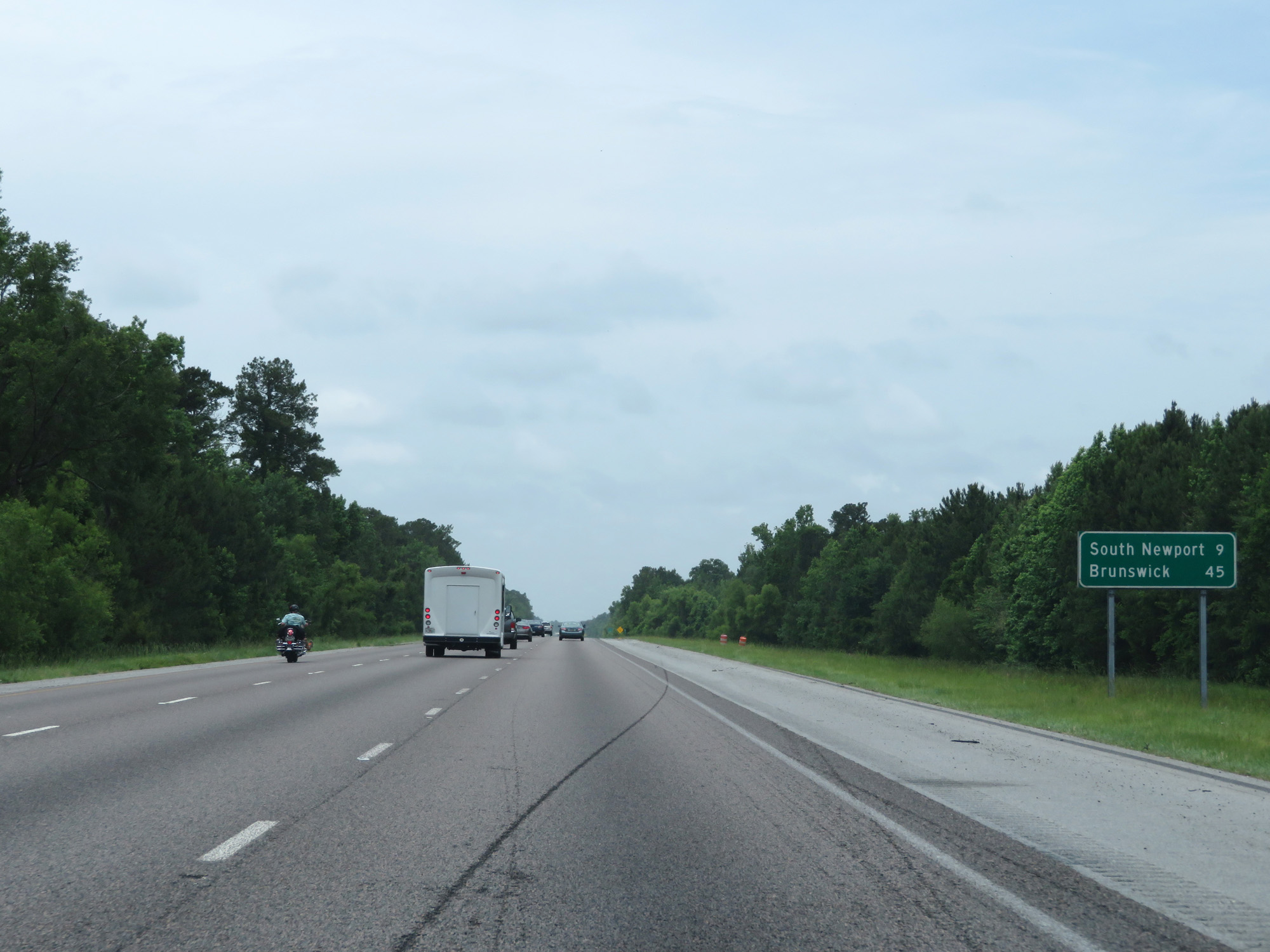 |
Mileage sign on Interstate 95 South. It's 9 miles to South Newport and 45 miles to Brunswick. (Photo taken 5/21/17). |
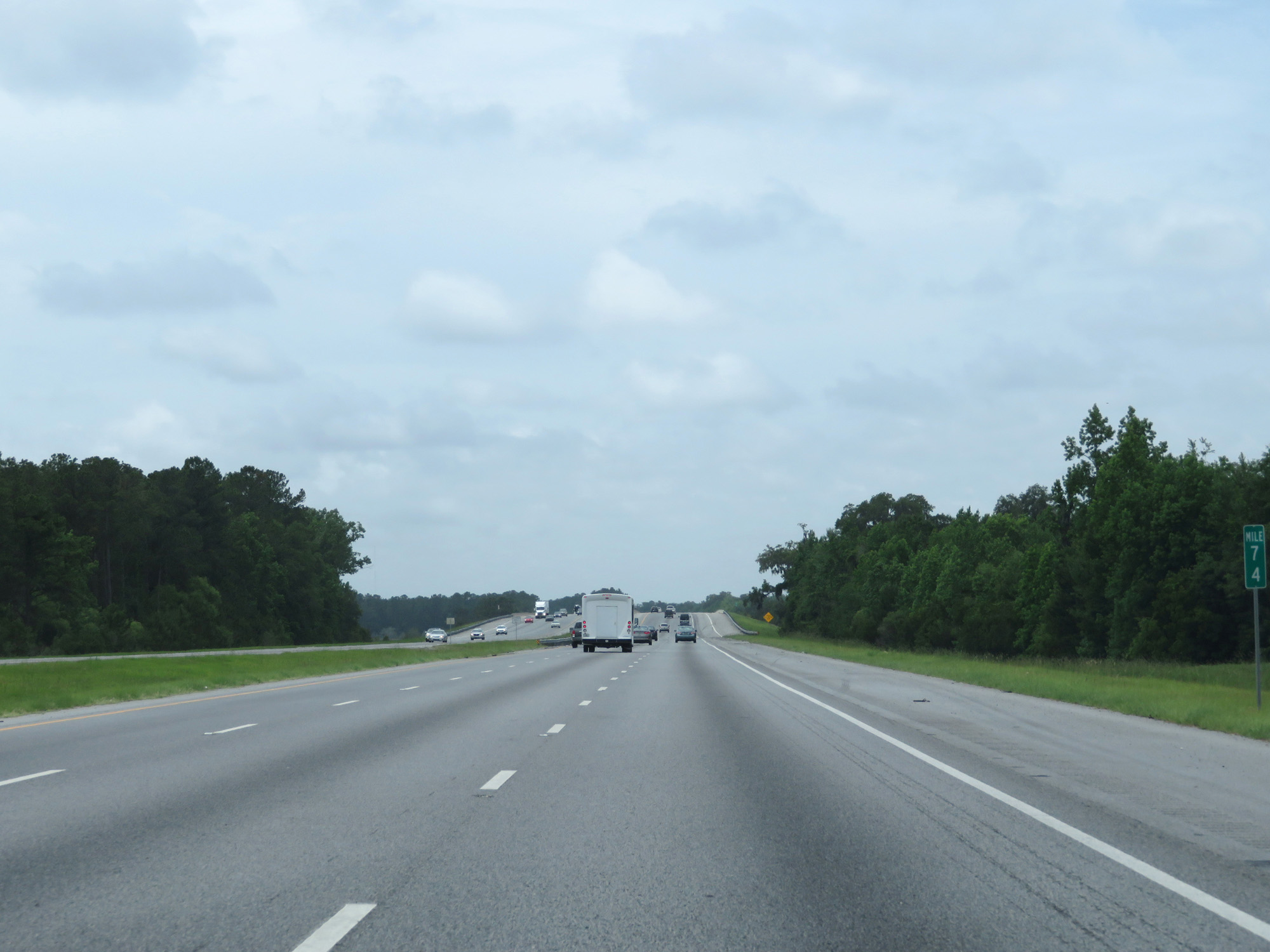 |
Interstate 95 South at mile marker 74. (Photo taken 5/21/17). |
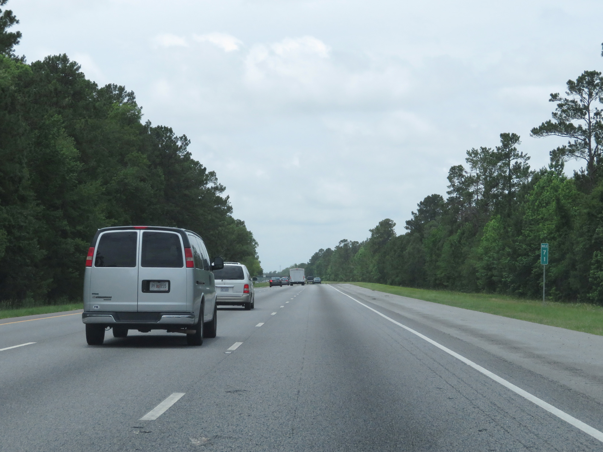 |
Interstate 95 South at mile marker 71. (Photo taken 5/21/17). |
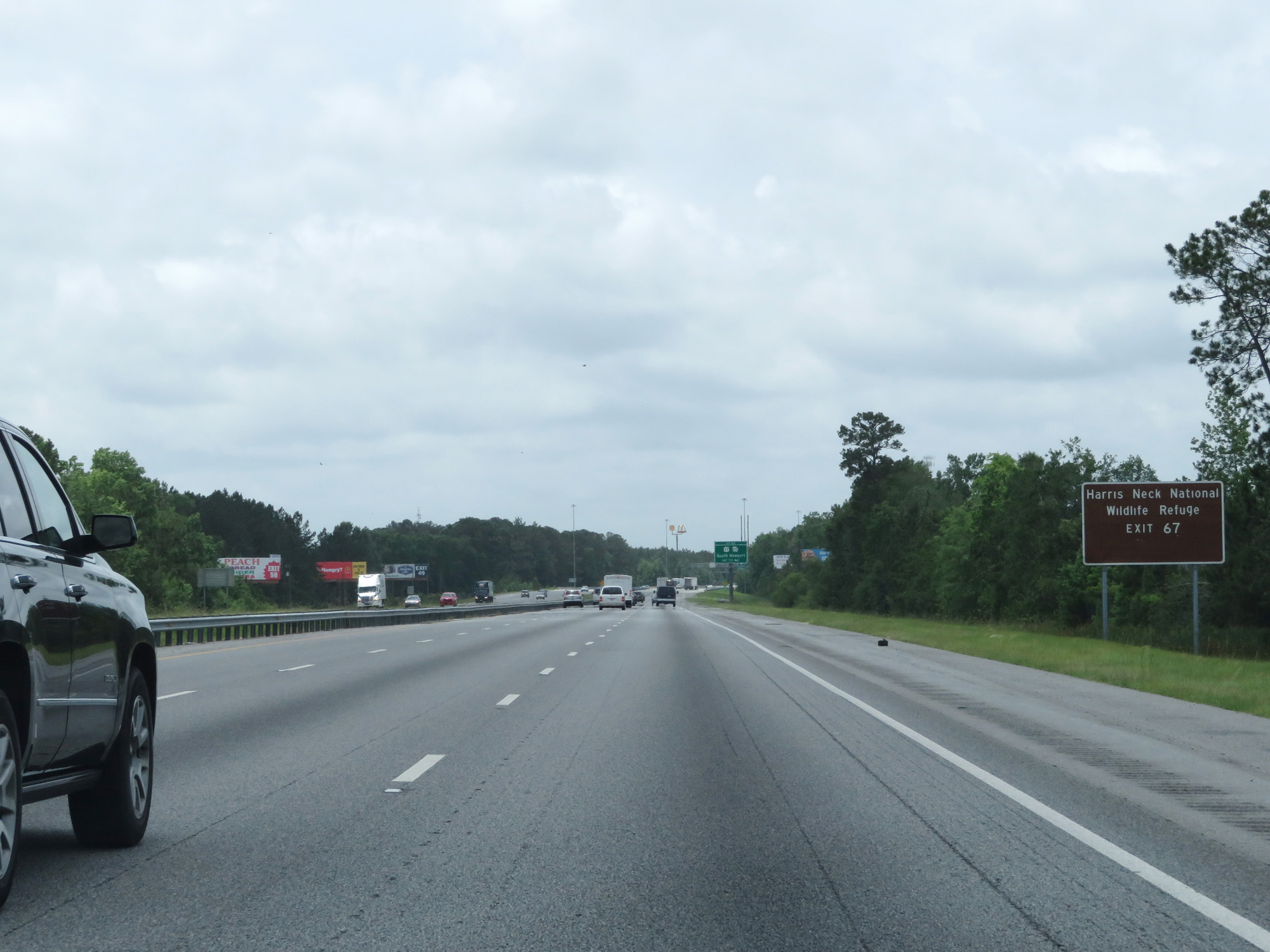 |
Take Exit 67 to Harris Neck National Wildlife Refuge. (Photo taken 5/21/17). |
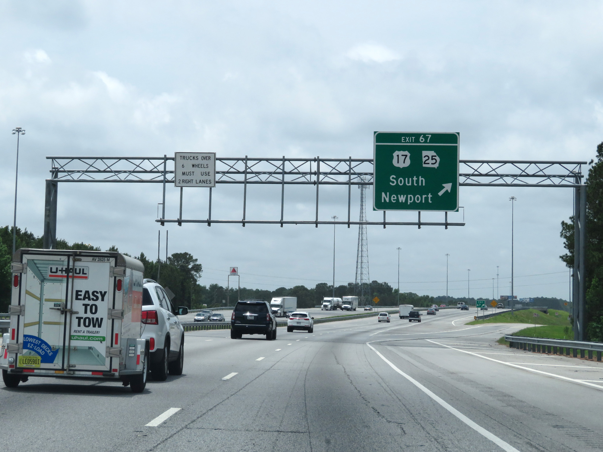 |
Interstate 95 South at Exit 67: US 17 / GA 25 - South Newport (Photo taken 5/21/17). |
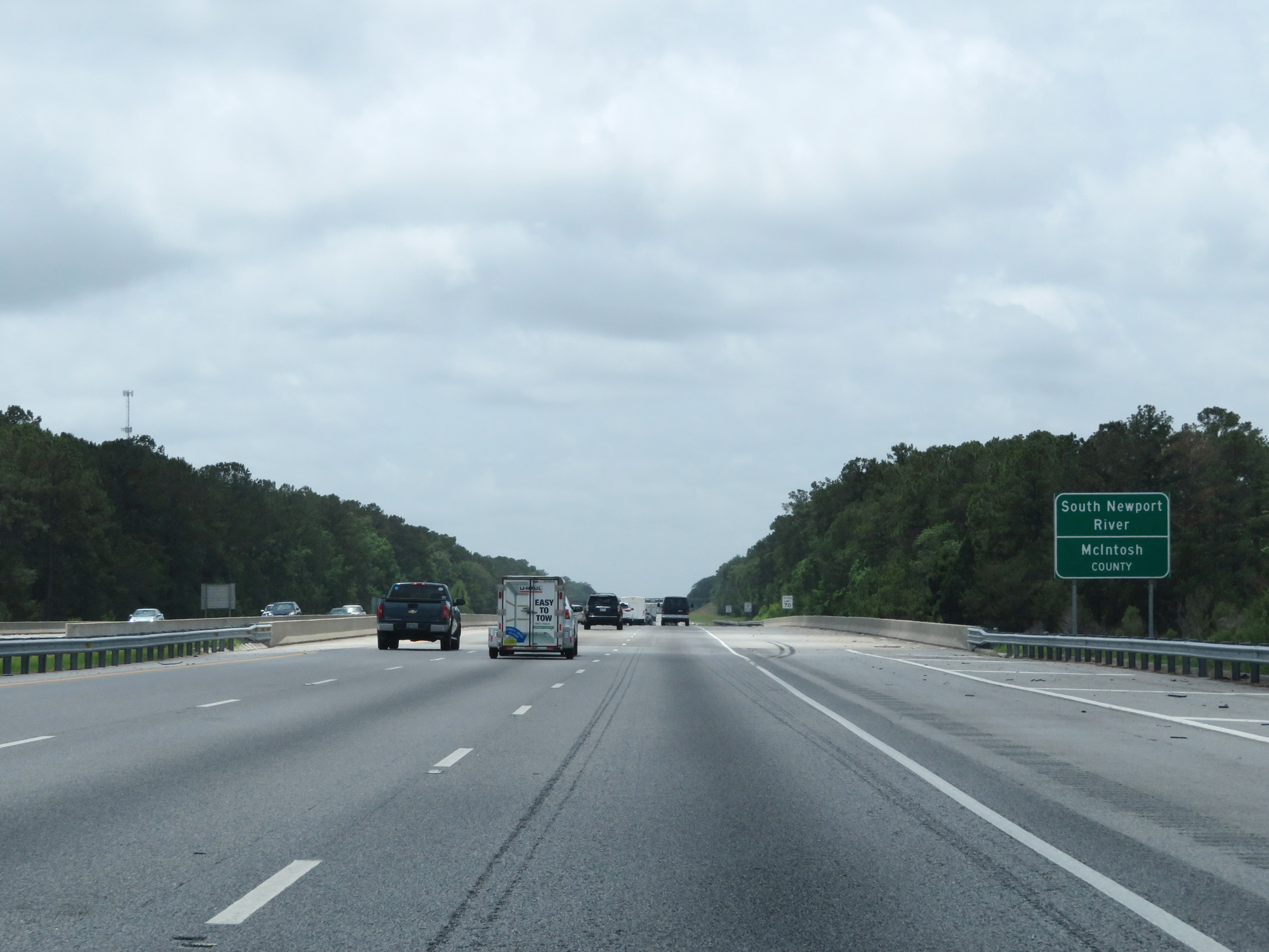 |
Interstate 95 South as it prepares to cross the South Newport River into McIntosh County. (Photo taken 5/21/17). |
 |
The speed limit remains 70 mph. (Photo taken 5/21/17). |
 |
Also standard on rural Interstates in Georgia is a 40 mph minimum speed limit as seen here. (Photo taken 5/21/17). |
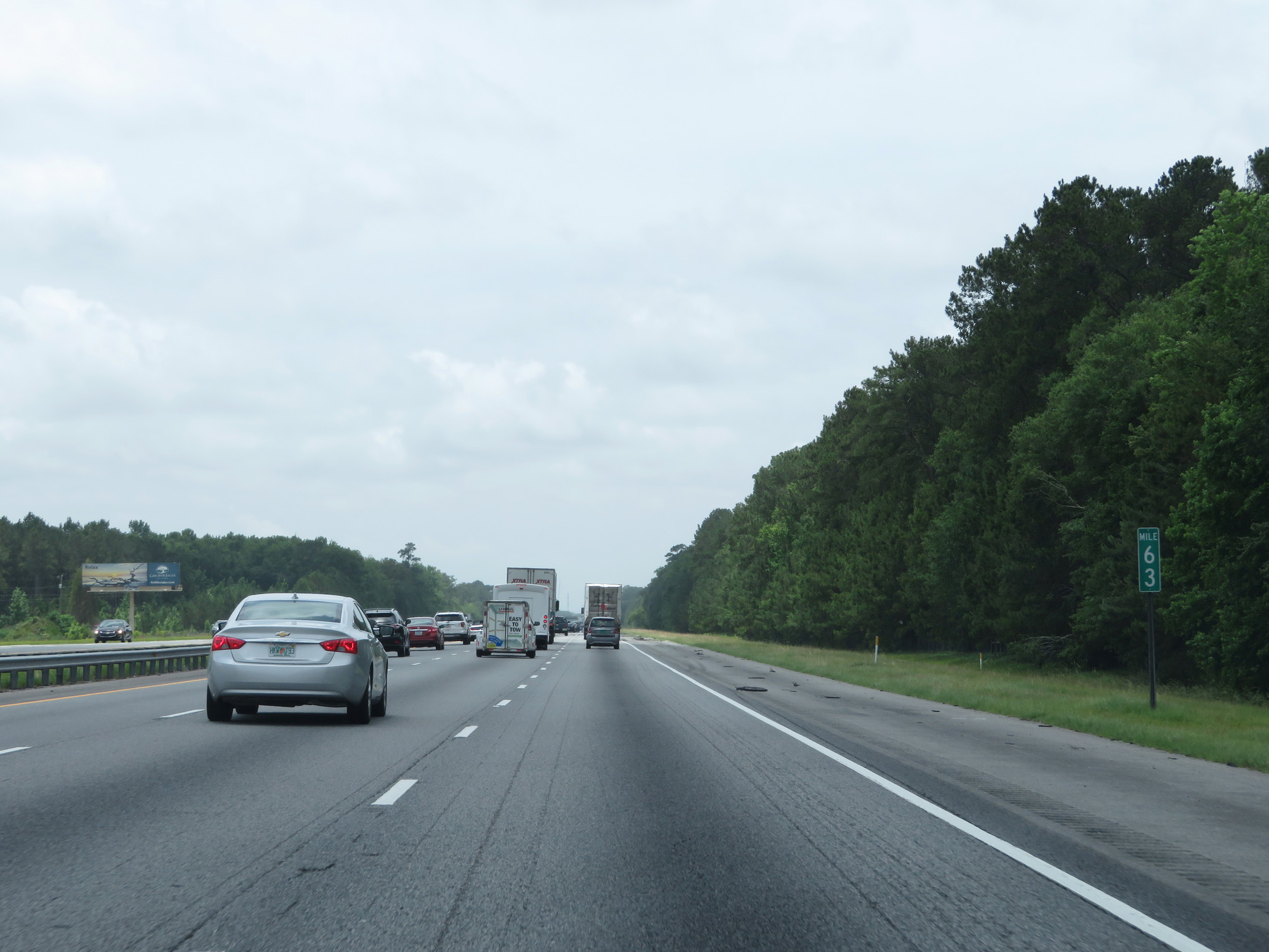 |
Interstate 95 South at mile marker 63. (Photo taken 5/21/17). |
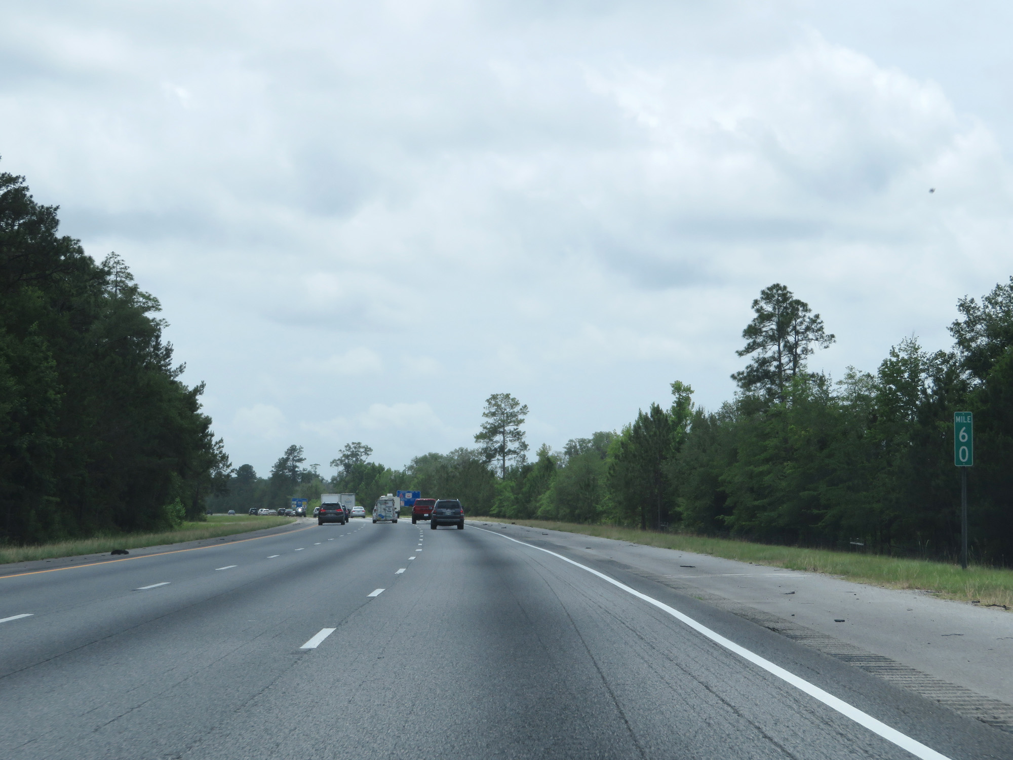 |
Interstate 95 South at mile marker 60. (Photo taken 5/21/17). |
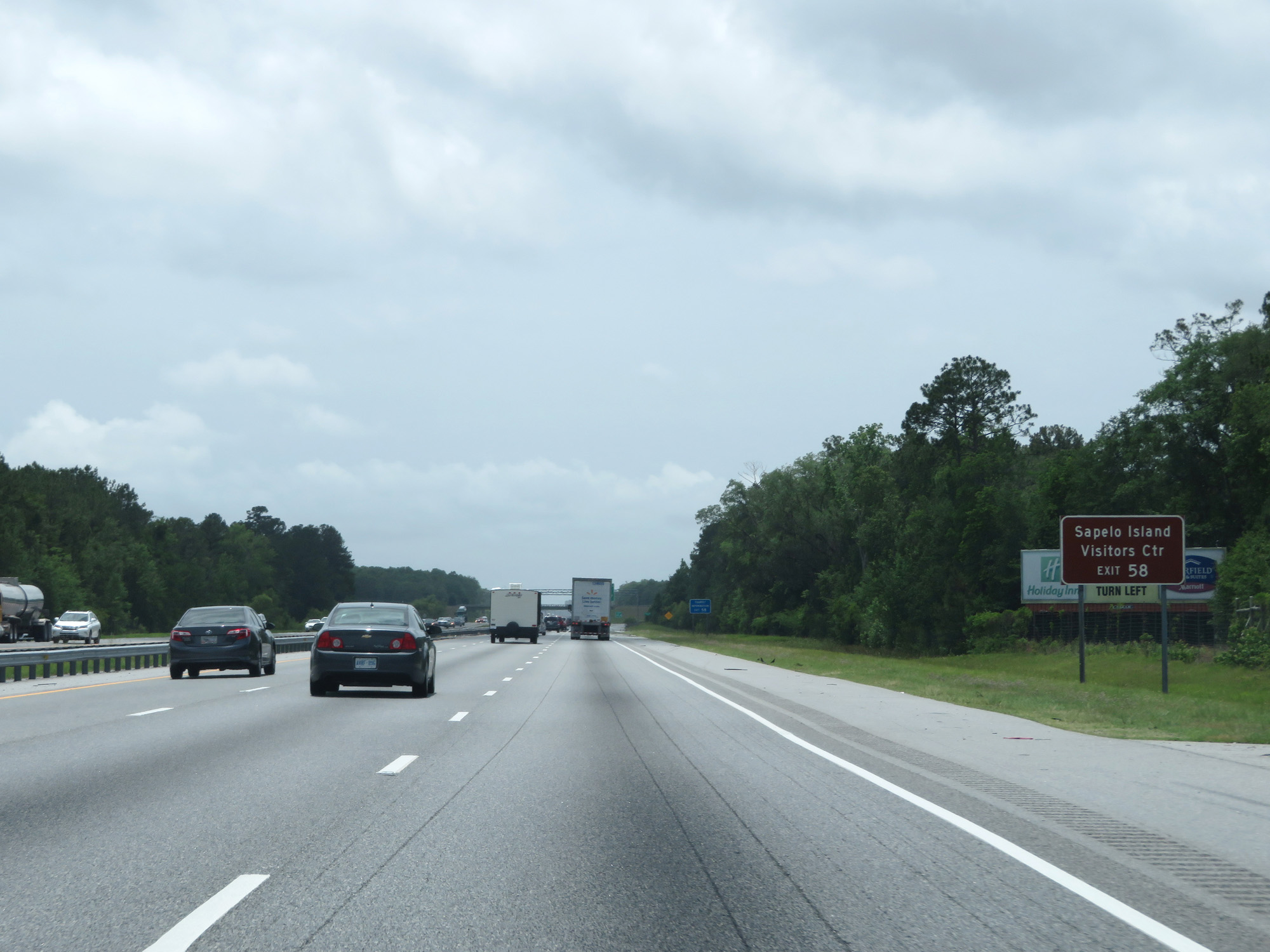 |
Take Exit 58 to Sapelo Island Visitors Center. (Photo taken 5/21/17). |
 |
Interstate 95 South at Exit 58: GA 57 / GA 99 - Townsend Rd / Eulonia (Photo taken 5/21/17). |
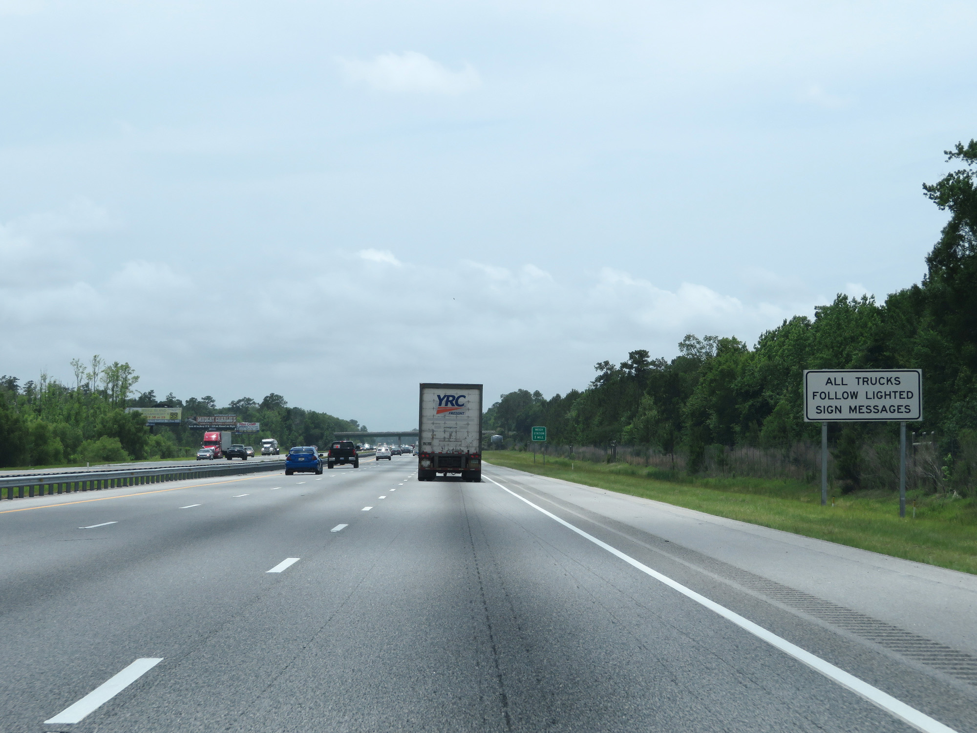 |
Approaching the Weigh Station in McIntosh County on Interstate 95 South, this sign reminds trucks to follow the lighted sign messages. (Photo taken 5/21/17). |
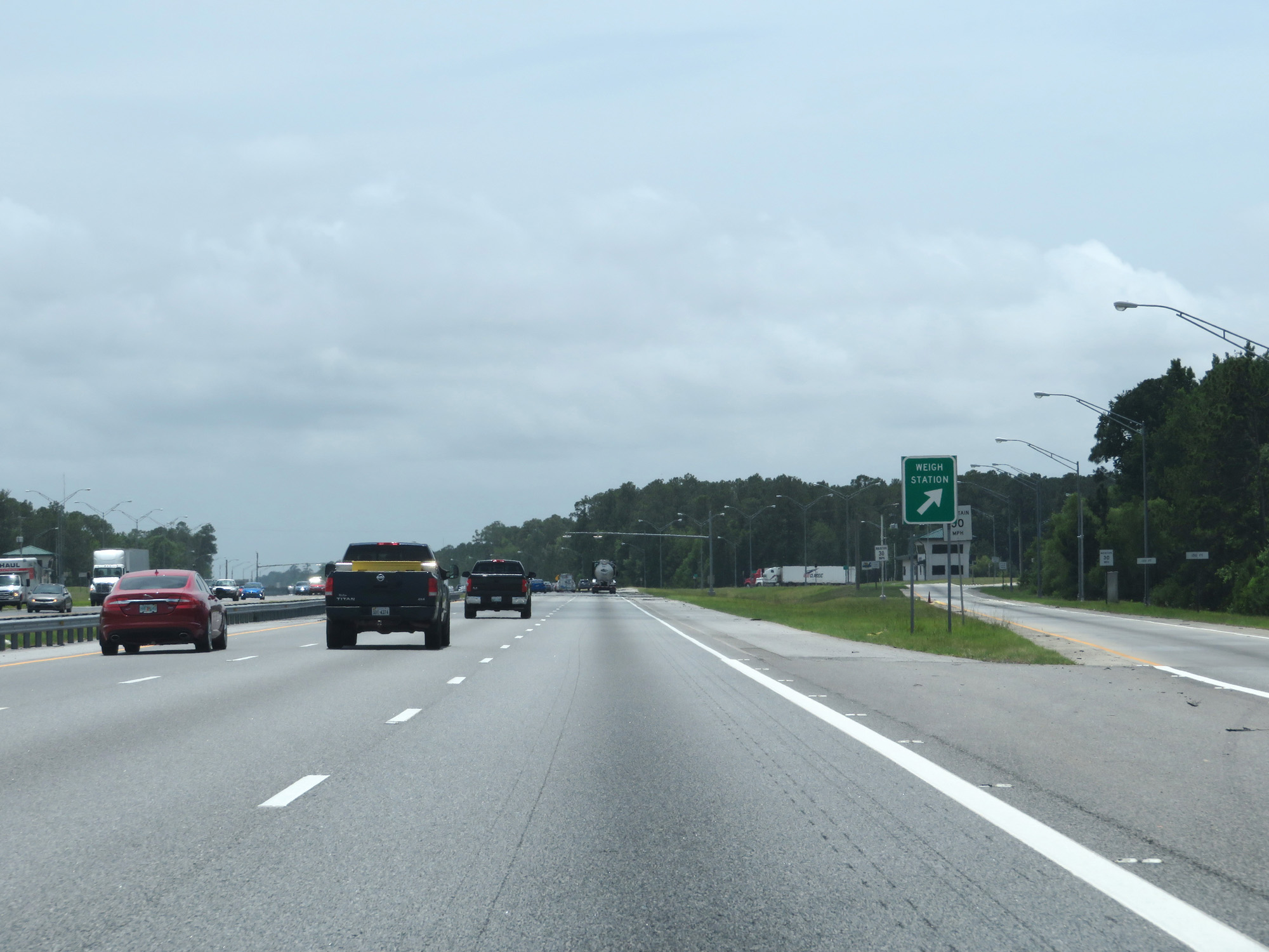 |
Interstate 95 South at the Weigh Station in McIntosh County. (Photo taken 5/21/17). |
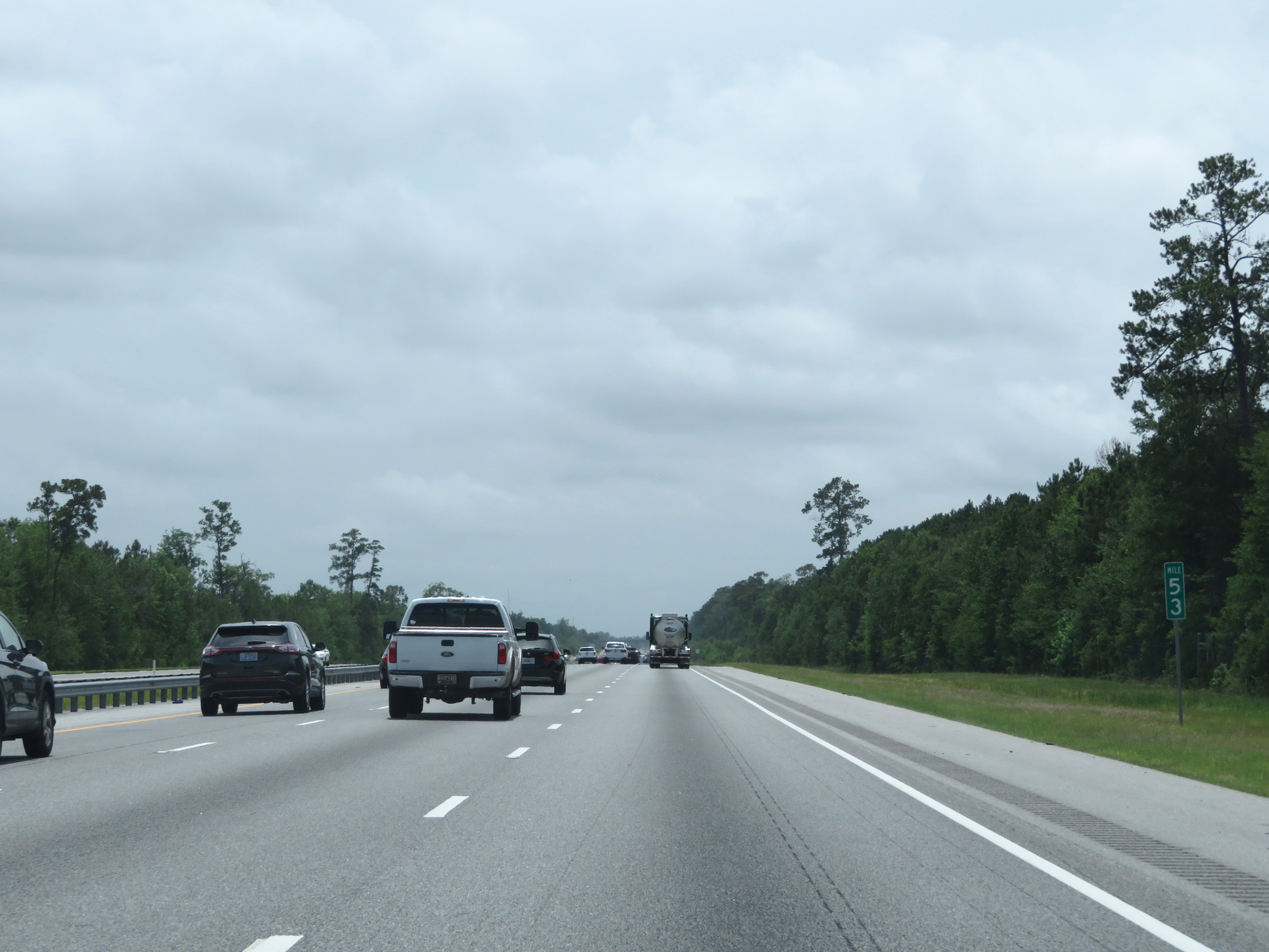 |
Interstate 95 South at mile marker 53. (Photo taken 5/21/17). |
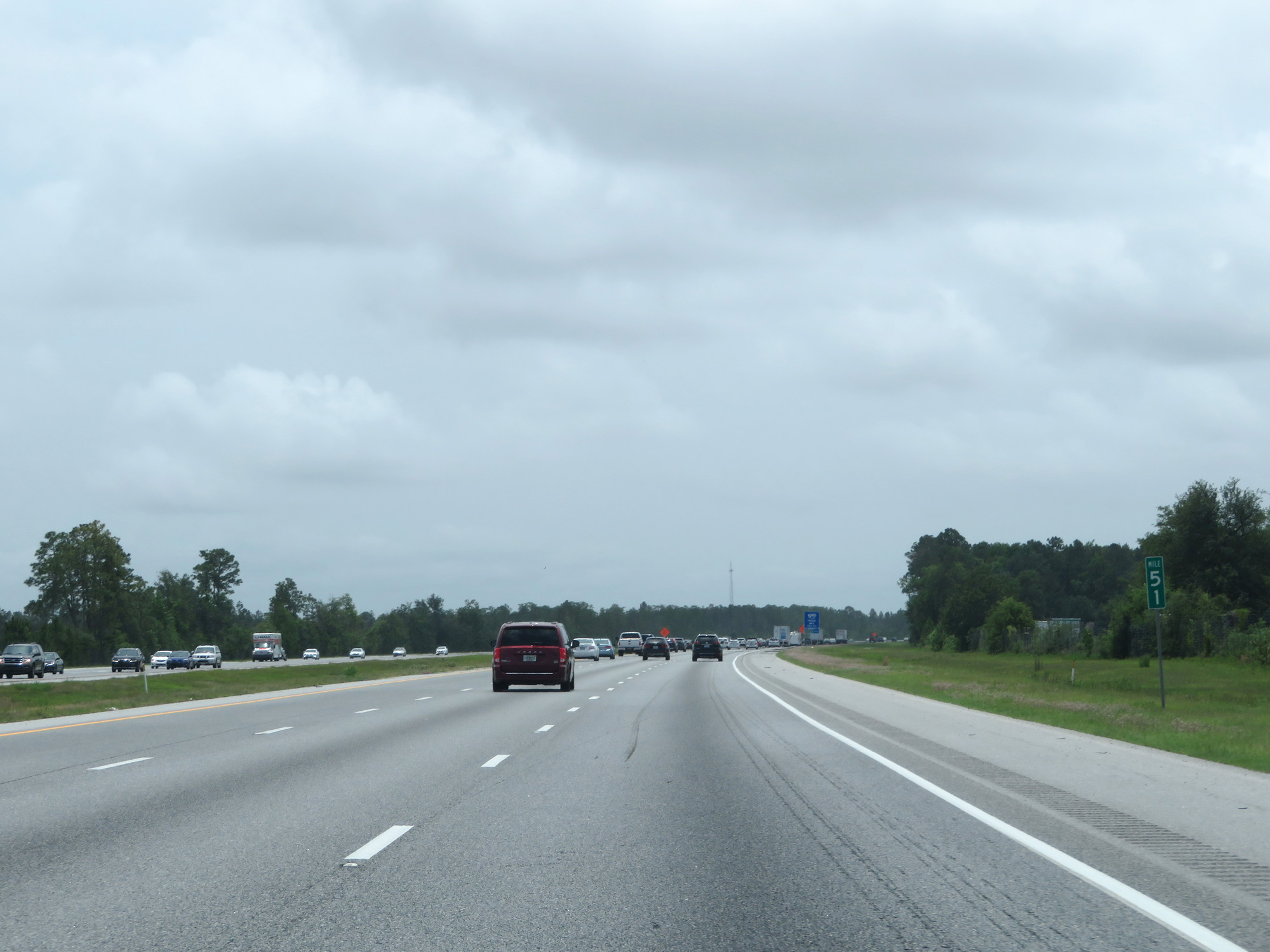 |
Interstate 95 South at mile marker 51. (Photo taken 5/21/17). |
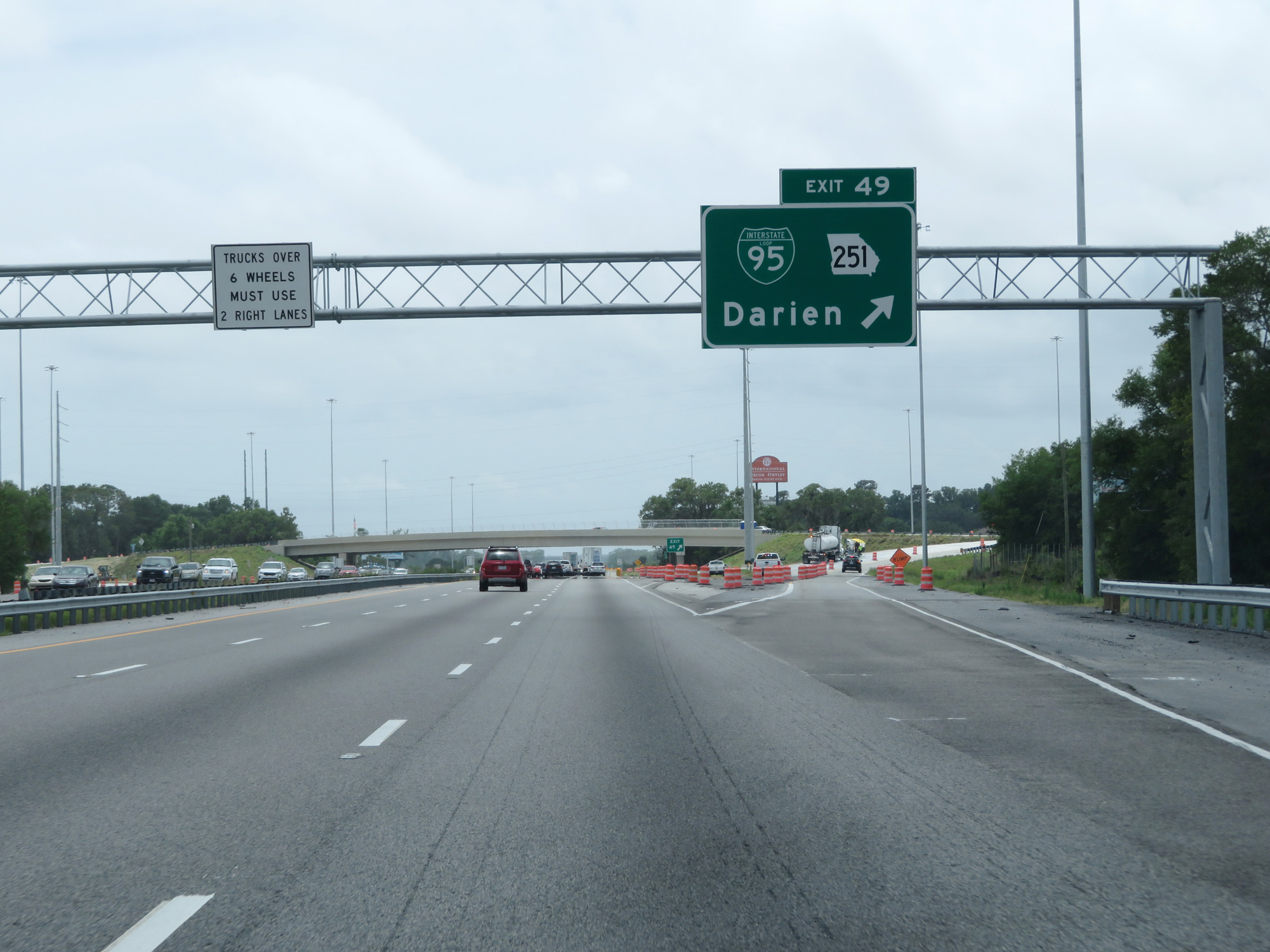 |
Interstate 95 South at Exit 49: Interstate 95 Business Loop / GA 251 - Darien (Photo taken 5/21/17). |
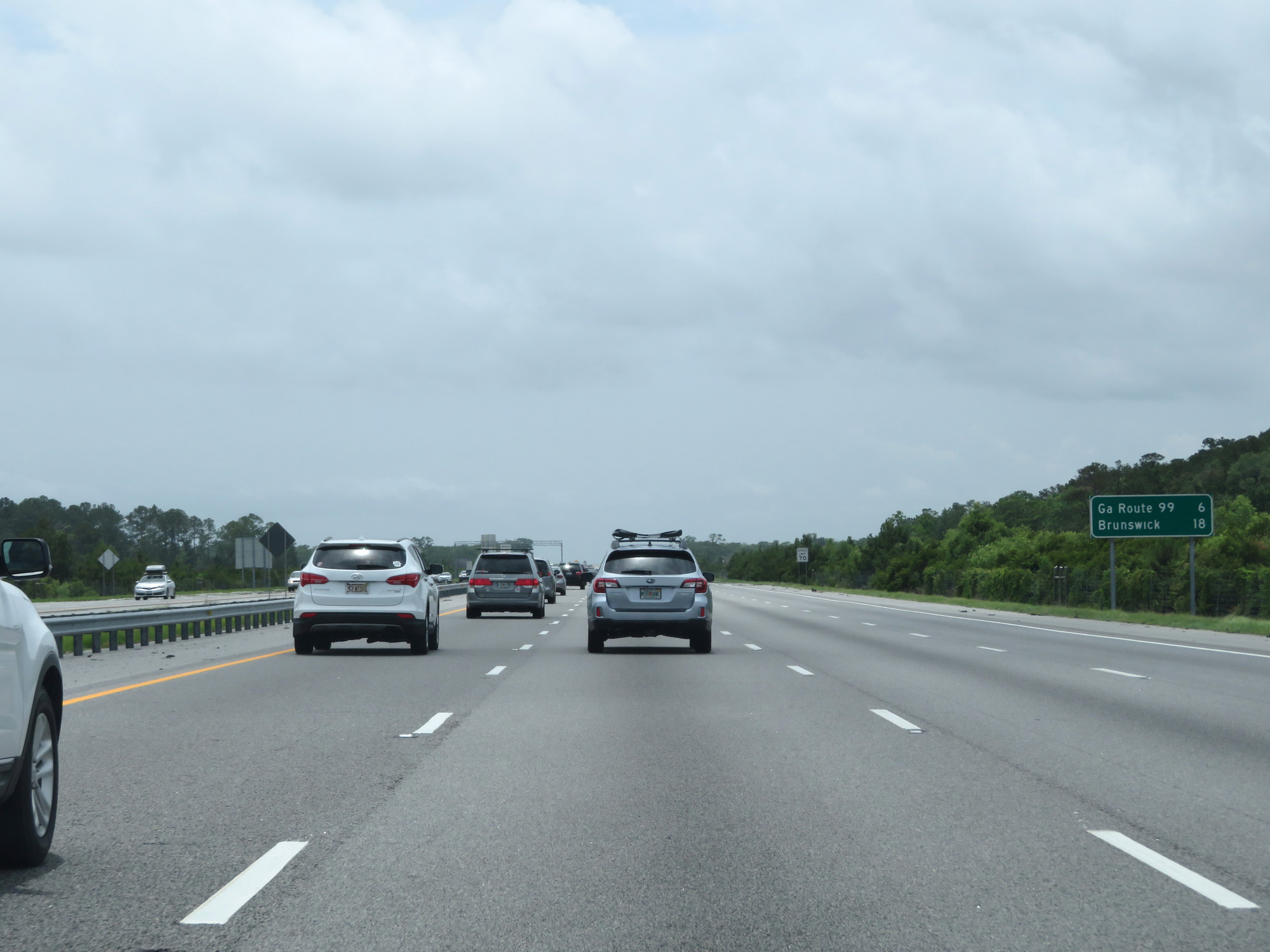 |
Mileage sign on Interstate 95 South. It's 6 miles to the junction of GA 99 and 18 miles to Brunswick. (Photo taken 5/21/17). |
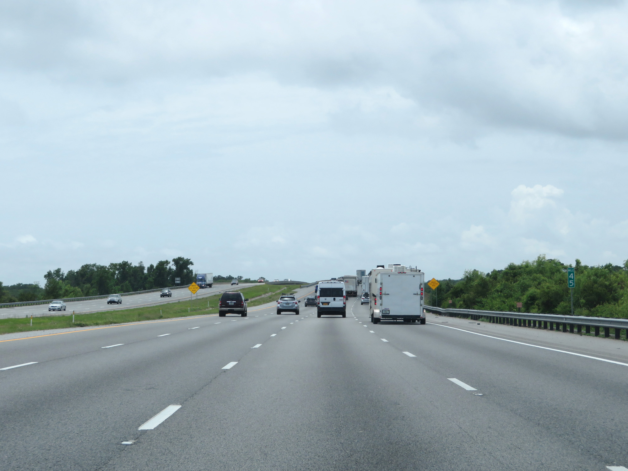 |
Interstate 95 South at mile marker 45. (Photo taken 5/21/17). |
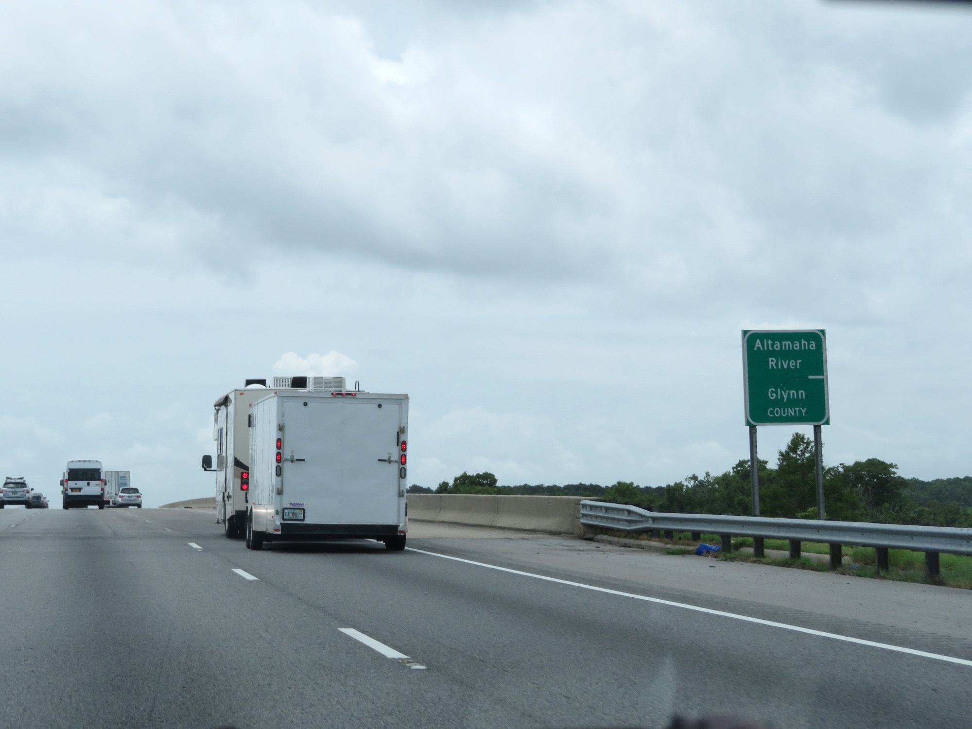 |
Interstate 95 South crossing the Altamaha River into Glynn County. (Photo taken 5/21/17). |
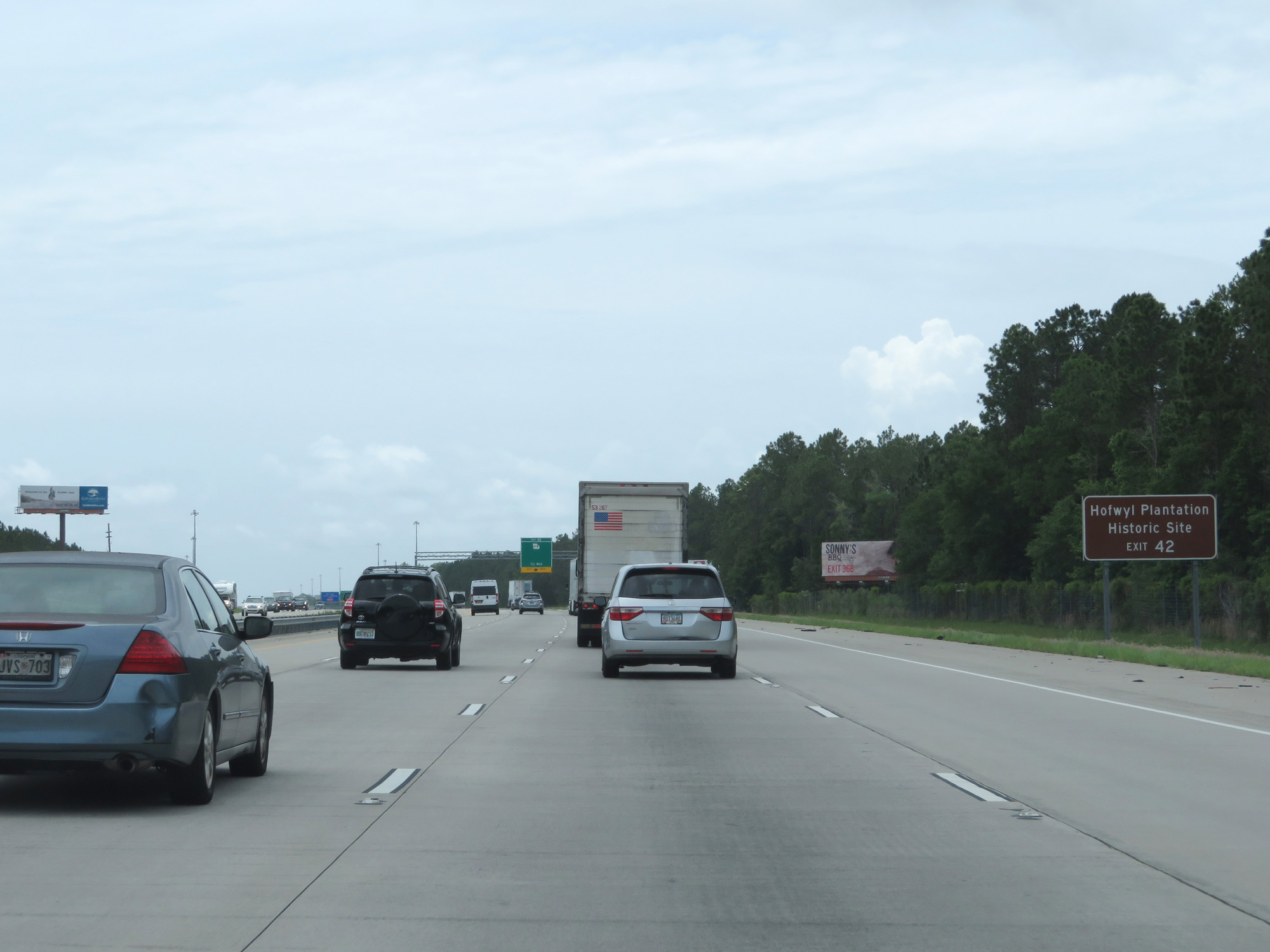 |
Take Exit 42 to Hofwyl Plantation Historic Site. (Photo taken 5/21/17). |
 |
Interstate 95 South at Exit 42: GA 99. This is what you call exit sign overkill. (Photo taken 5/21/17). |
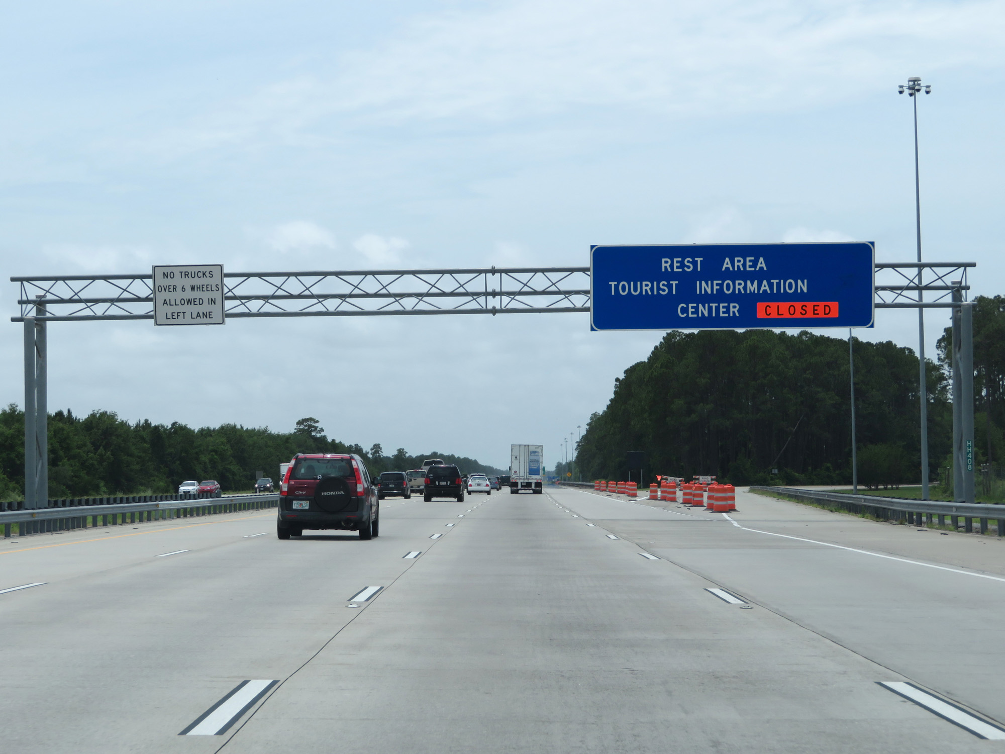 |
Interstate 95 South at the Rest Area / Tourist Information Center in Glynn County, which was closed at the time. (Photo taken 5/21/17). |
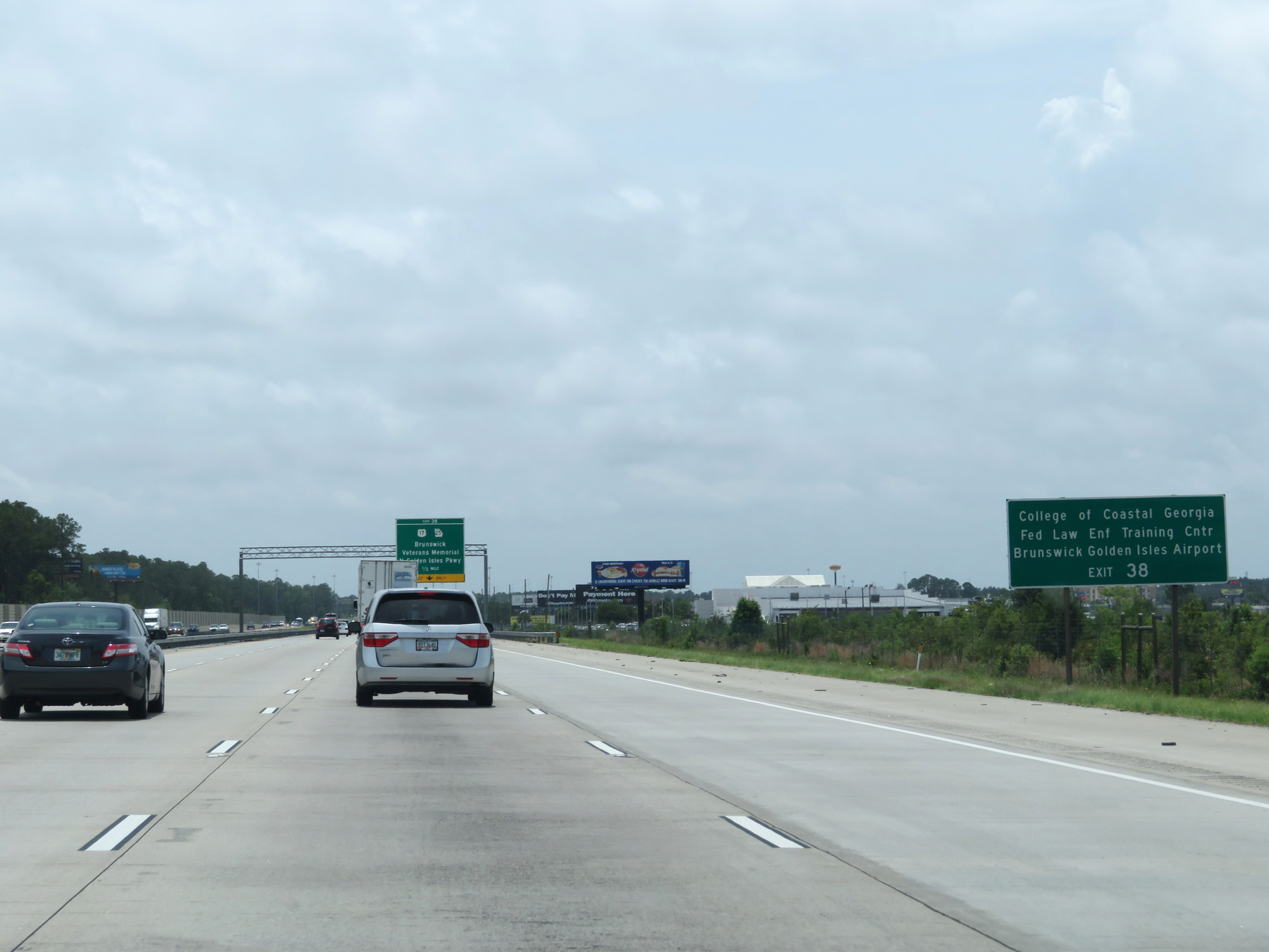 |
Take Exit 38 to College of Coastal Georgia, Federal Law Enforcement Training Center, and Brunswick Golden Isles Airport. (Photo taken 5/21/17). |
 |
Also take Exit 38 to St Simons Island and Fort Frederica Sea Island. (Photo taken 5/21/17). |
 |
Interstate 95 South at Exit 38: US 17 / GA 25 Spur - Brunswick / Veterans Memorial / N Golden Isles Pkwy (Photo taken 5/21/17). |
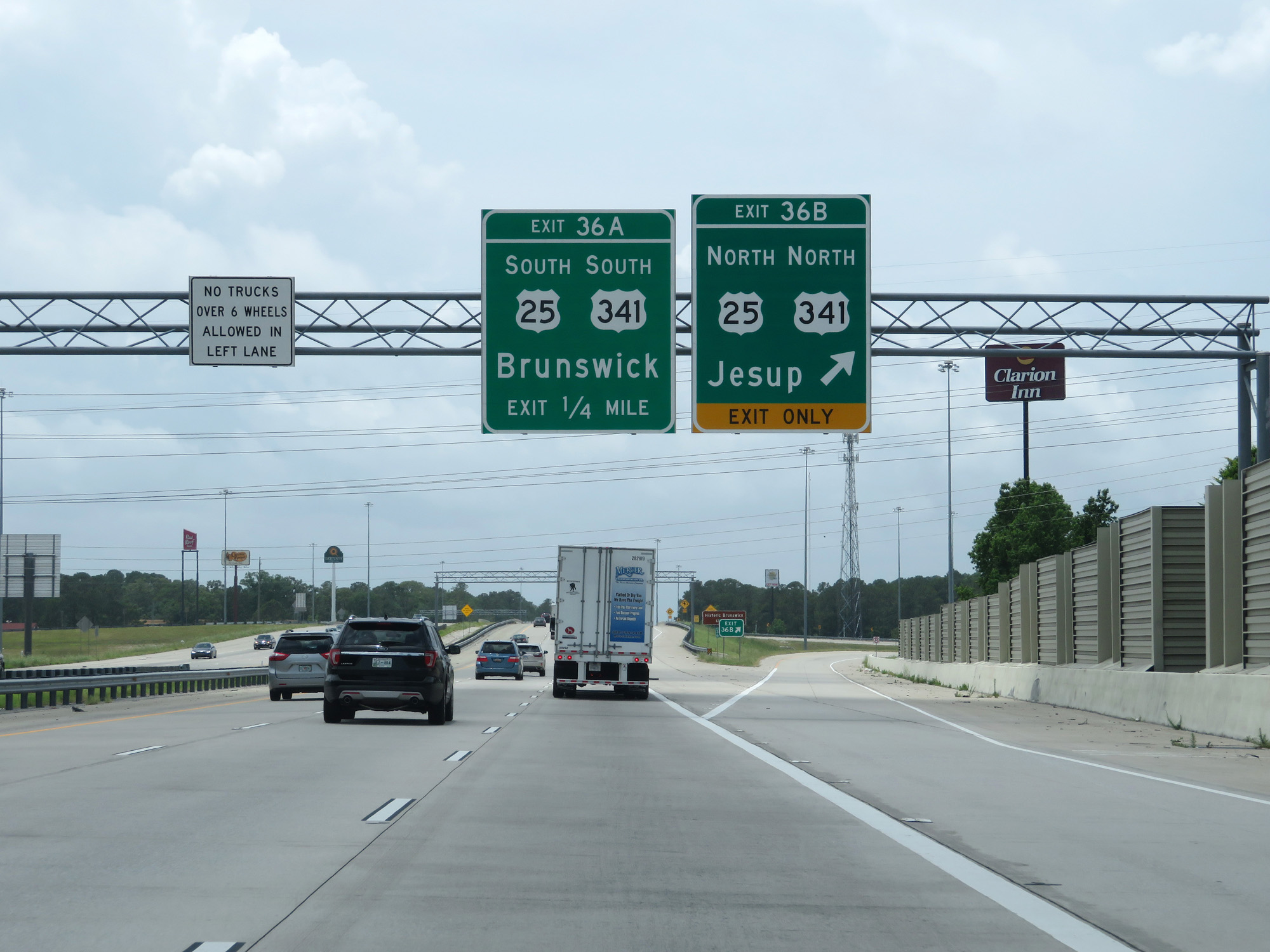 |
Interstate 95 South at Exit 36B: US 25 North / US 341 North - Jesup (Photo taken 5/21/17). |
 |
Interstate 95 South at Exit 36A: US 25 South / US 341 South - Brunswick (Photo taken 5/21/17). |
 |
Interstate 95 South at mile marker 34. (Photo taken 5/21/17). |
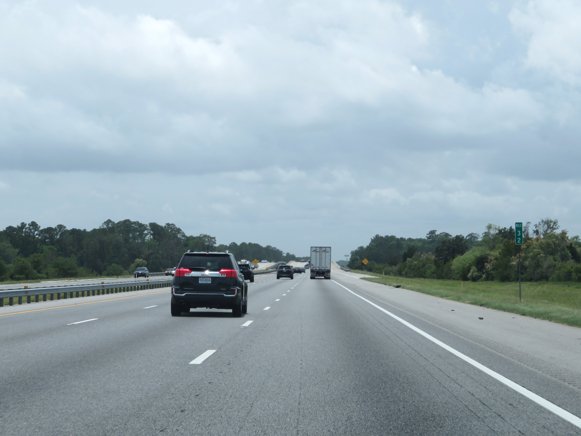 |
Interstate 95 South at mile marker 32. (Photo taken 5/21/17). |
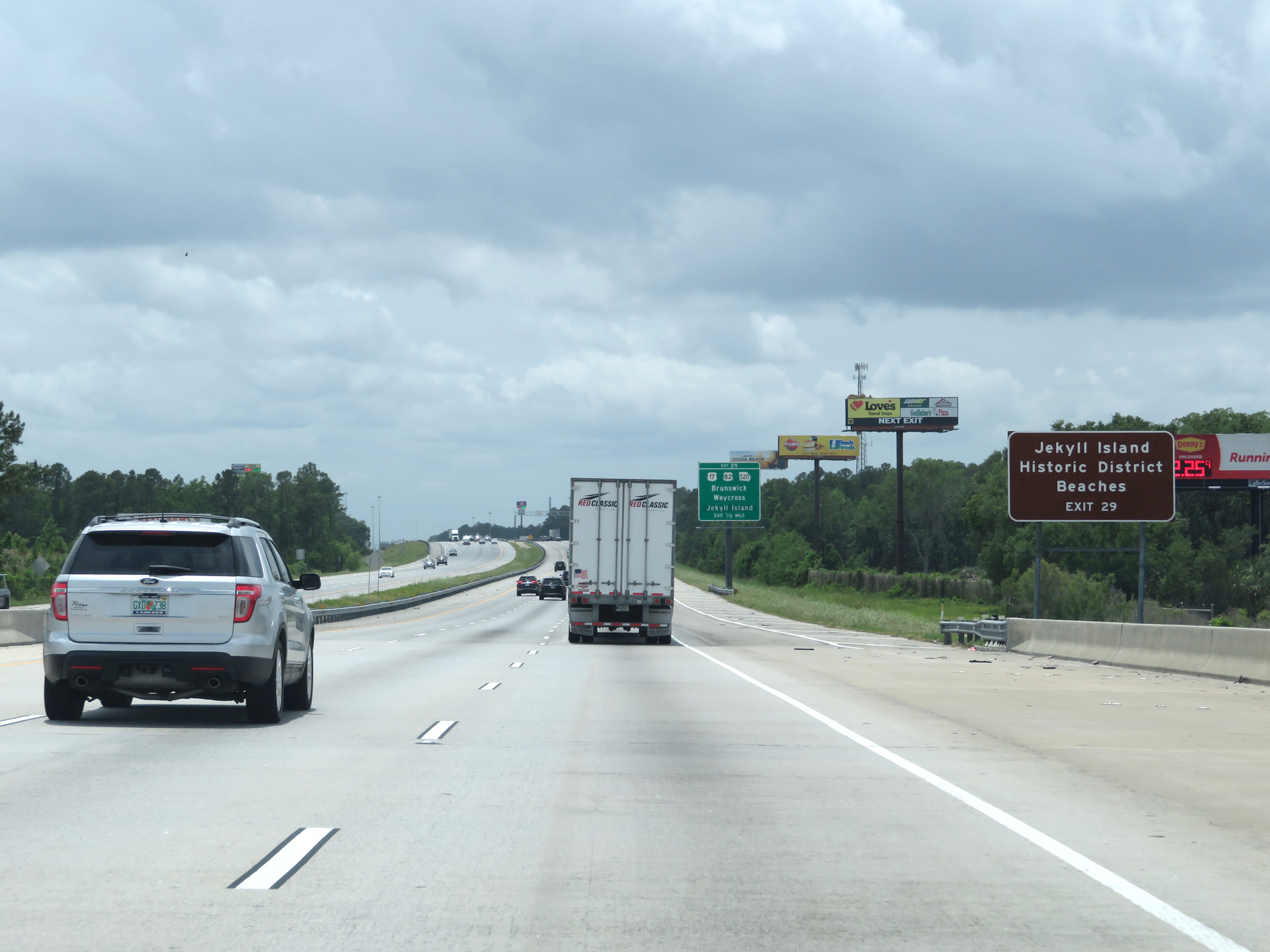 |
Take Exit 29 to Jekyll Island Historic District and Beaches. (Photo taken 5/21/17). |
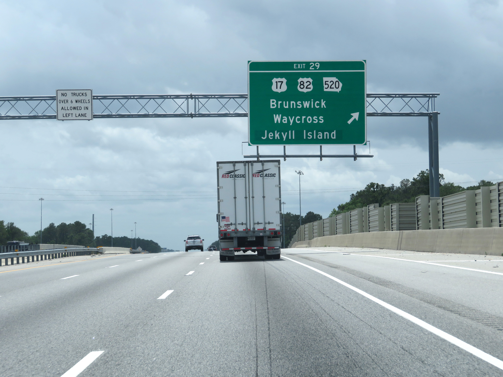 |
Interstate 95 South at Exit 29: US 17 / US 82 / GA 520 - Brunswick / Waycross / Jekyll Island (Photo taken 5/21/17). |
 |
State-named Interstate 95 South reassurance shield. (Photo taken 5/21/17). |
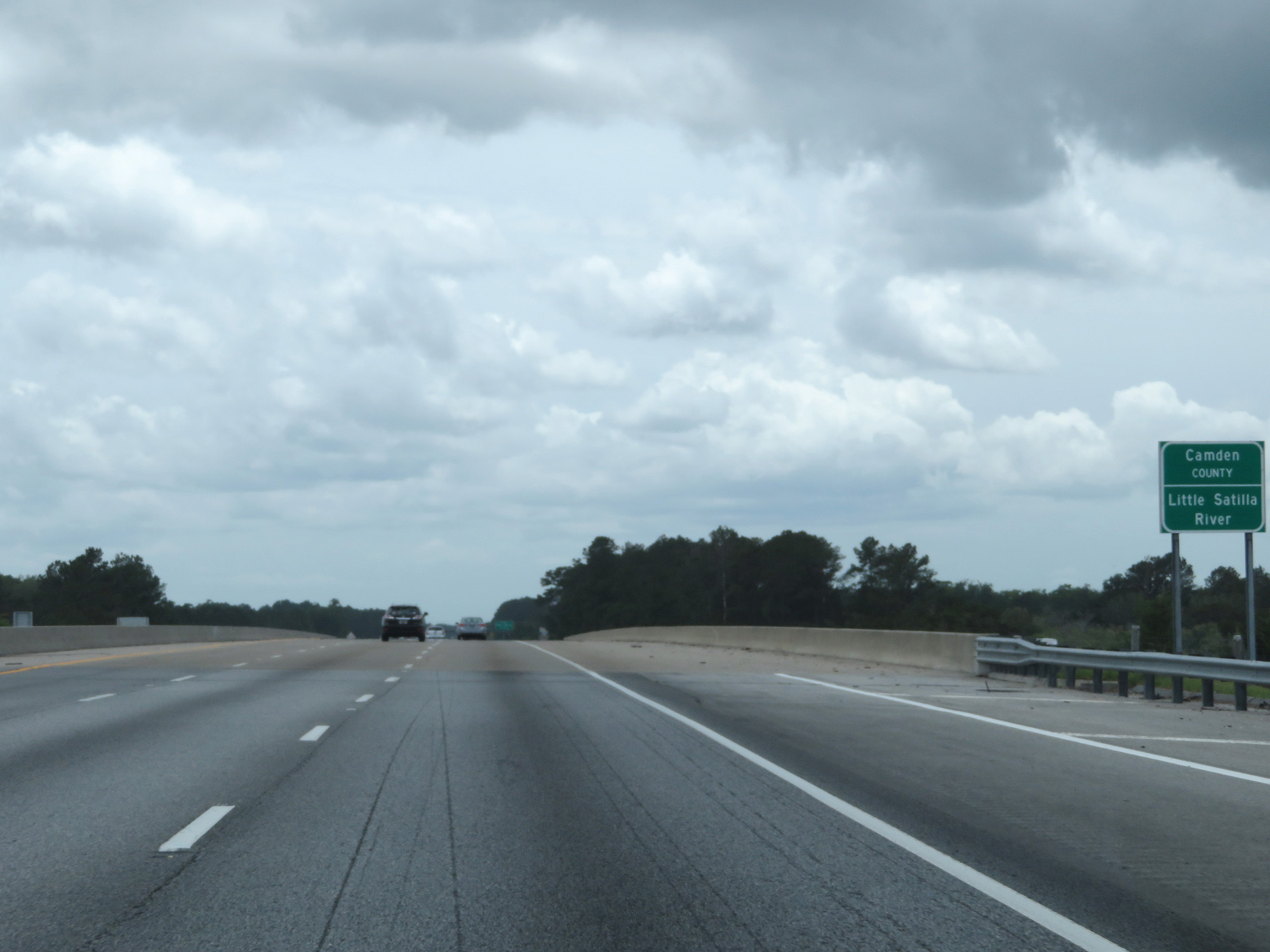 |
Interstate 95 South as it crosses the Little Satilla River into Camden County. (Photo taken 5/21/17). |
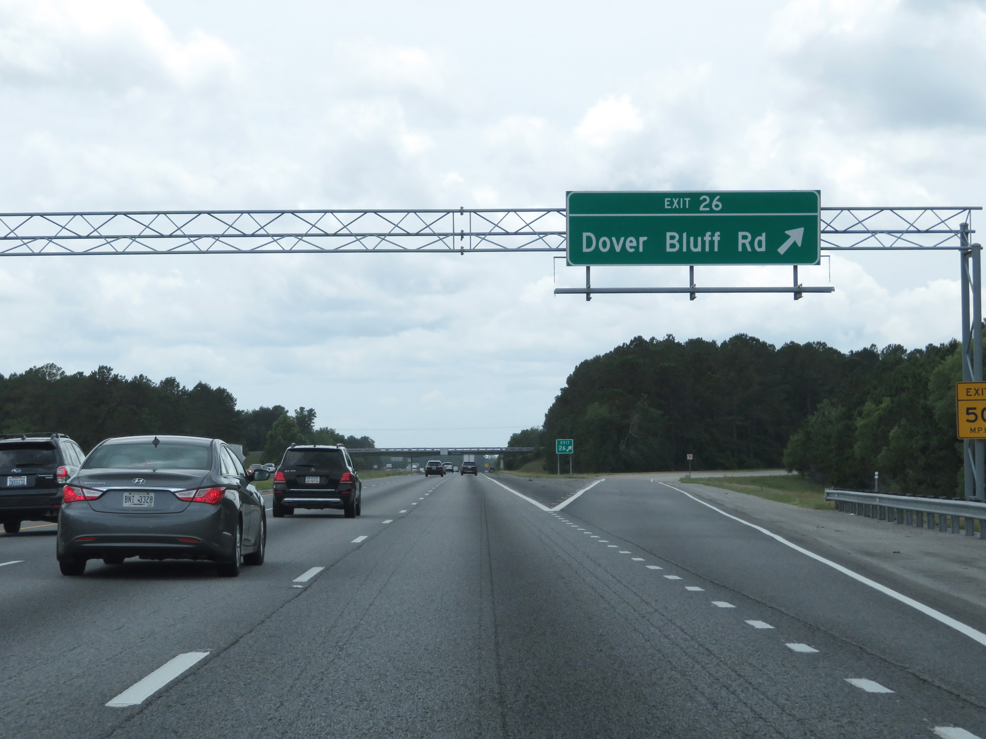 |
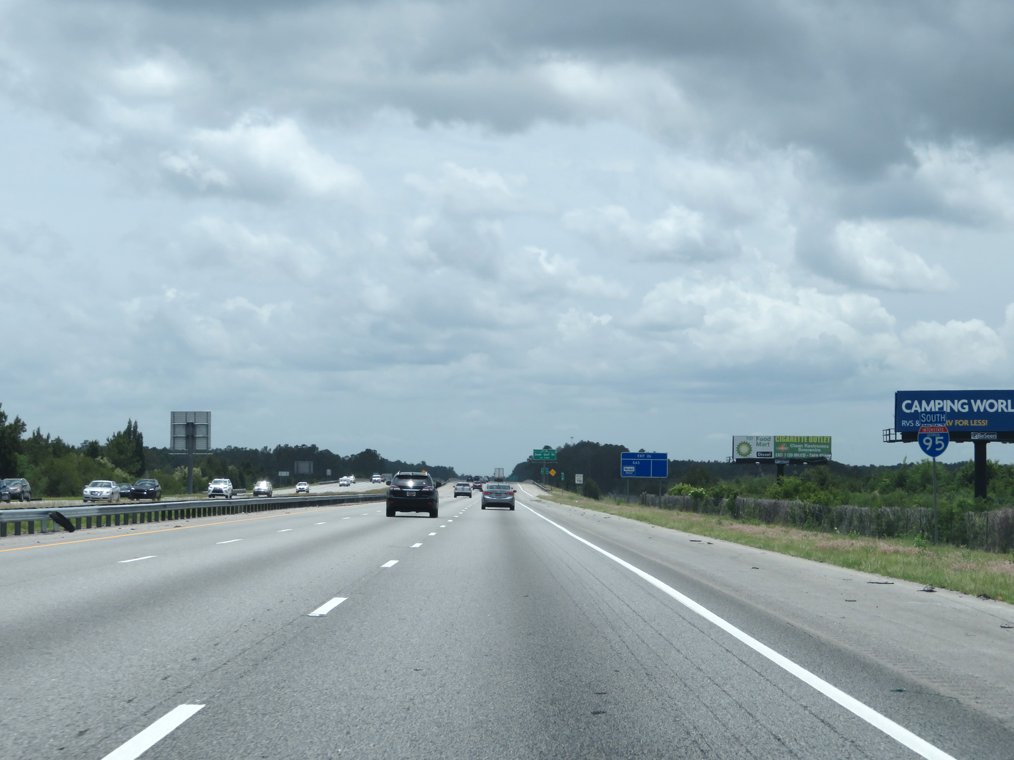
Interstate 95 South at Exit 26: Dover Bluff Rd (Photo taken 5/21/17). |
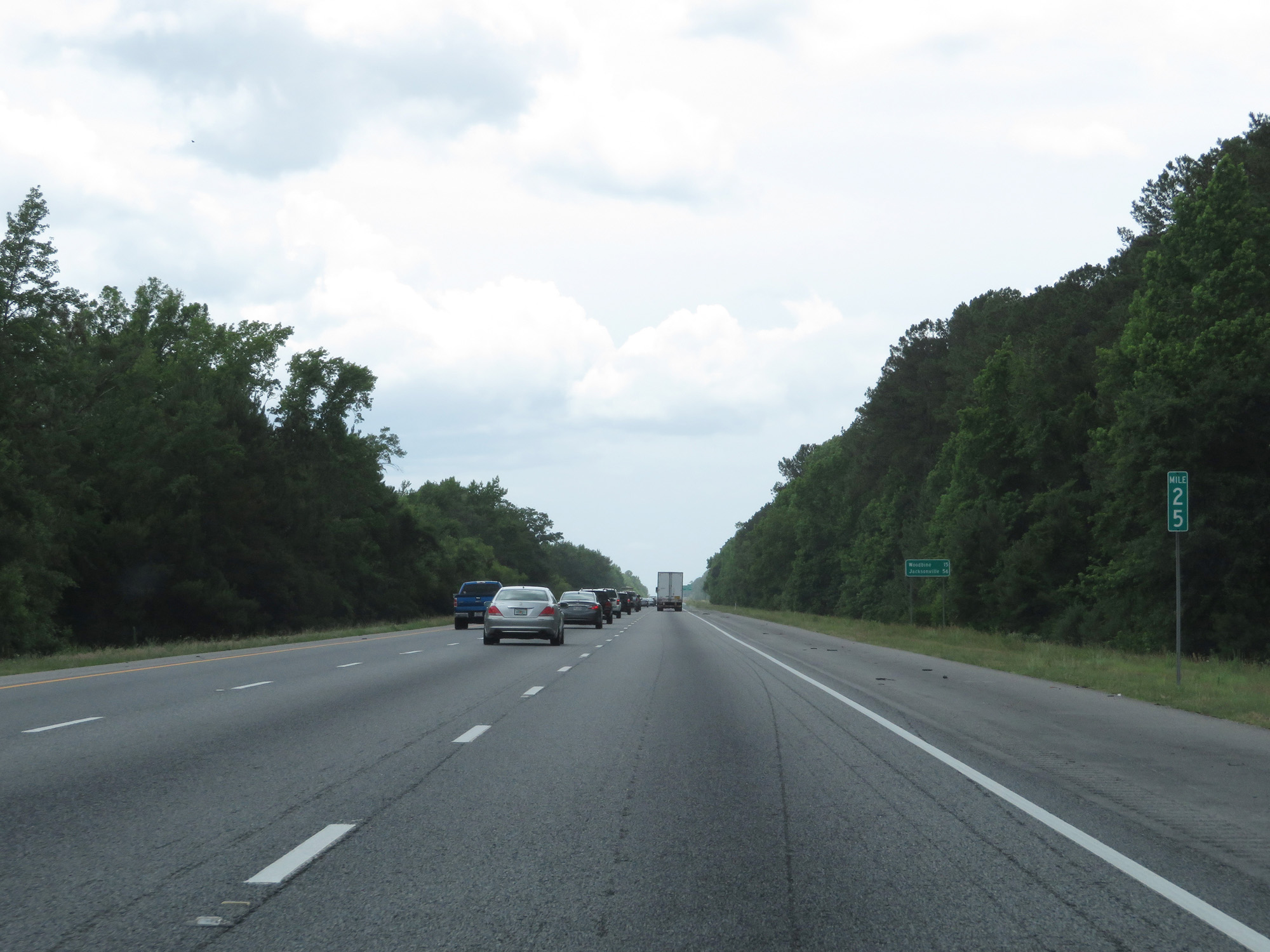 |
Interstate 95 South at mile marker 25. (Photo taken 5/21/17). |
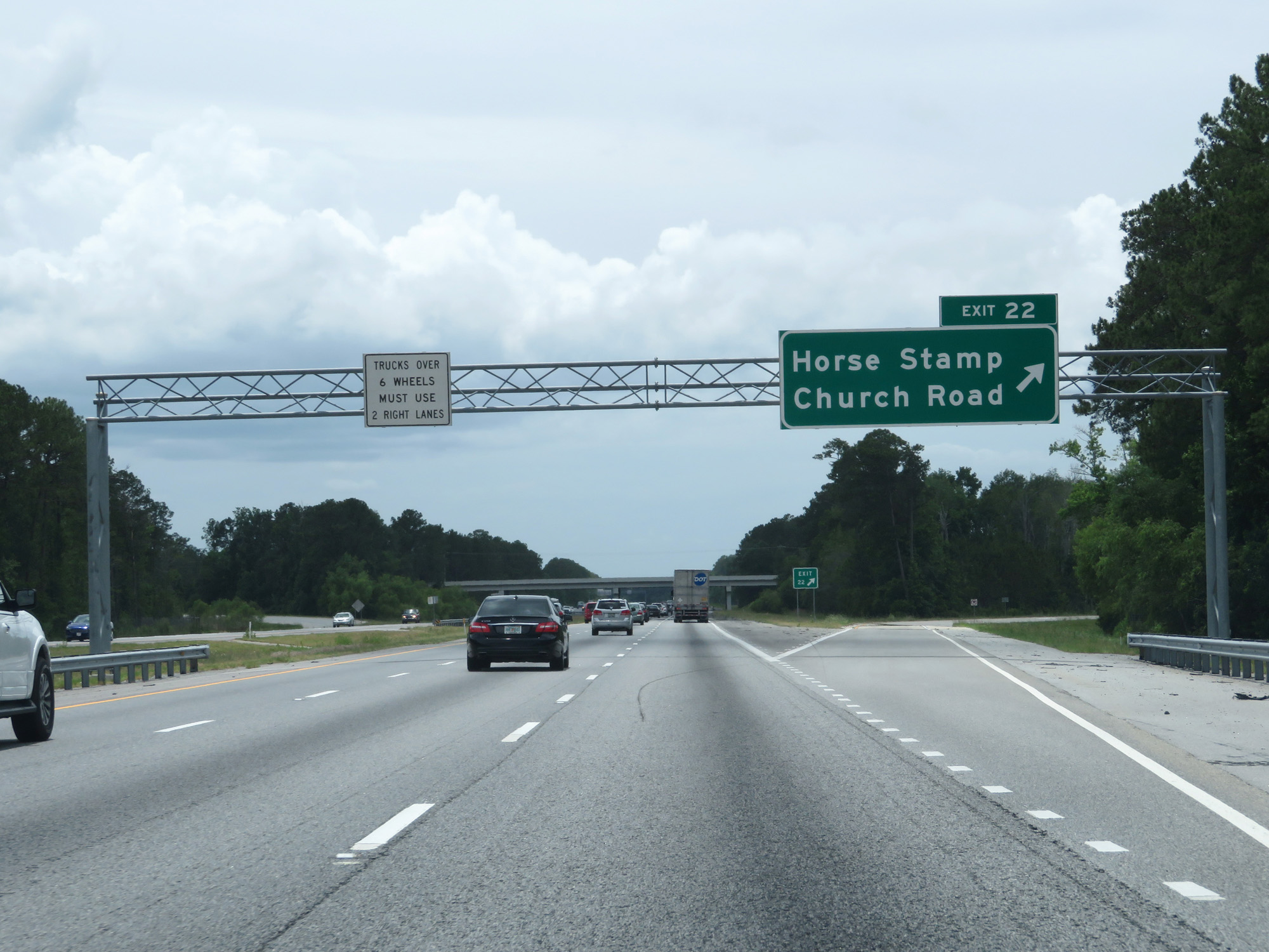 |
Interstate 95 South at Exit 22: Horse Stamp Church Road (Photo taken 5/21/17). |
 |
Interstate 95 South reassurance shield. (Photo taken 5/21/17). |
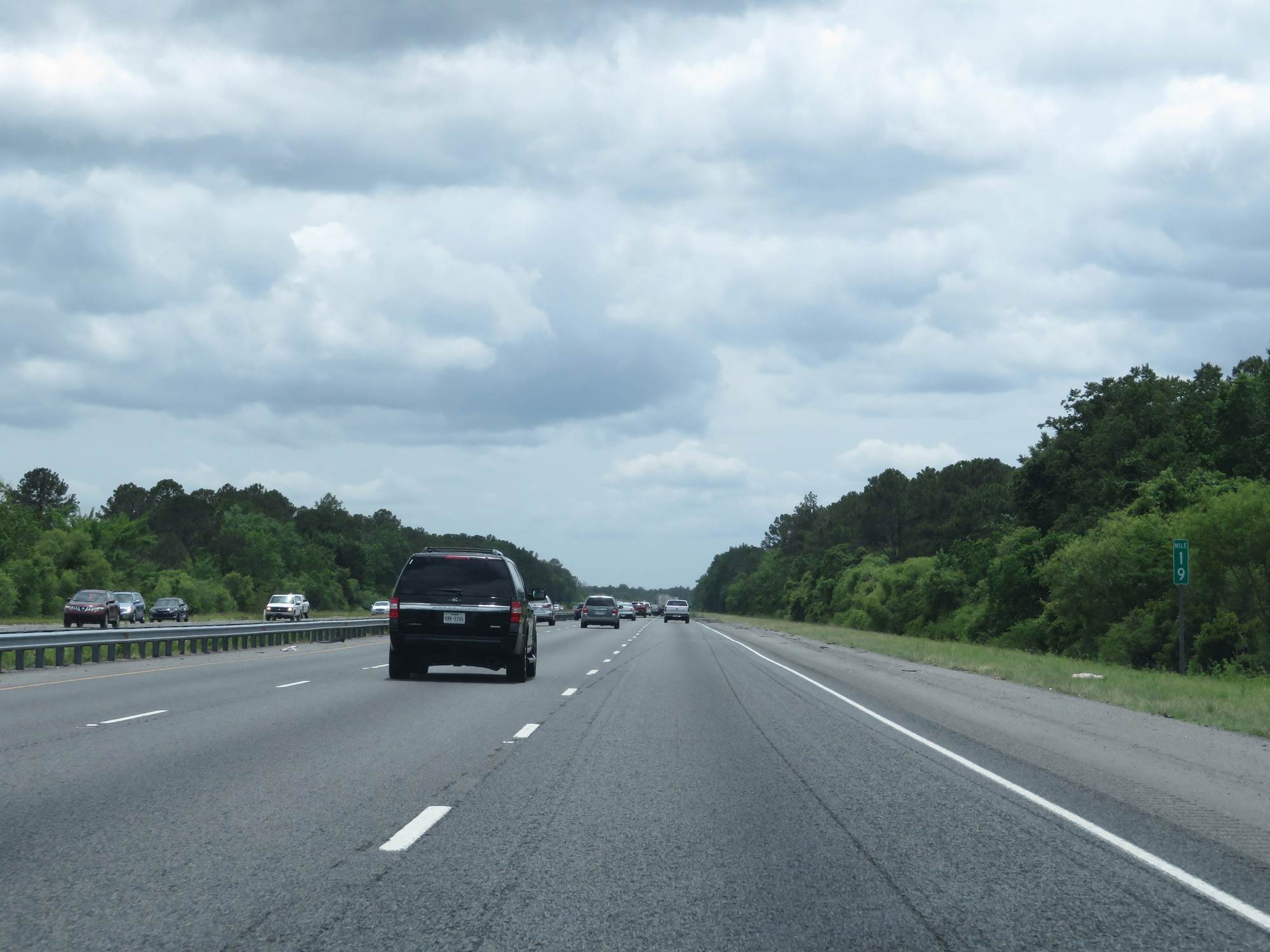 |
Interstate 95 South at mile marker 19. (Photo taken 5/21/17). |
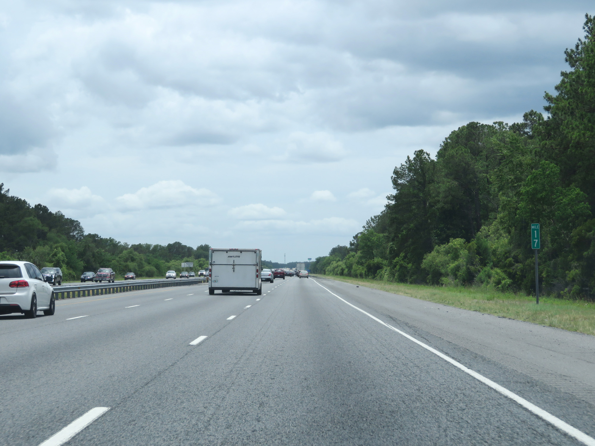 |
Interstate 95 South at mile marker 17. (Photo taken 5/21/17). |
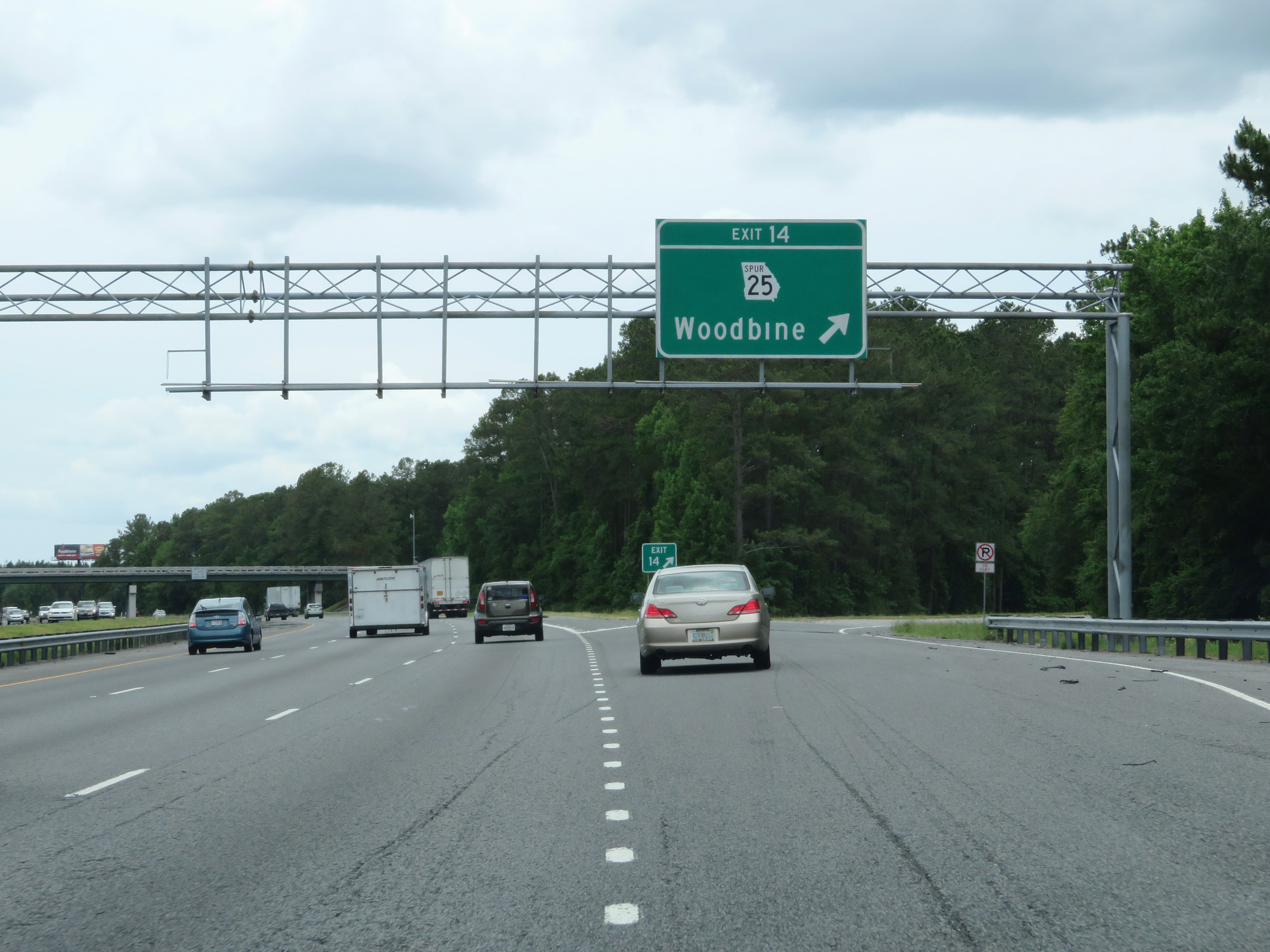 |
Interstate 95 South at Exit 14: GA 25 Spur - Woodbine (Photo taken 5/21/17). |
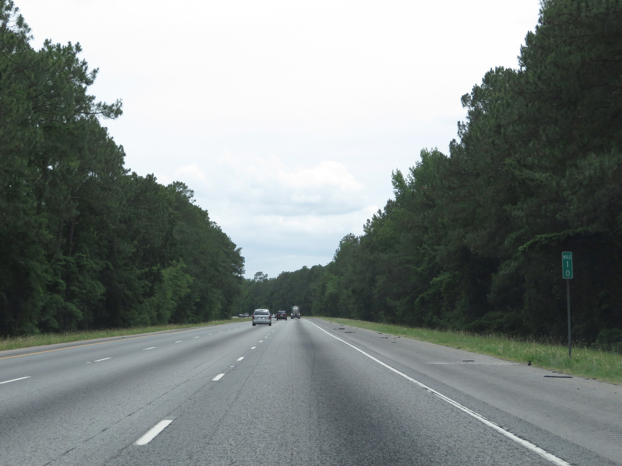 |
Interstate 95 South at mile marker 10. (Photo taken 5/21/17). |
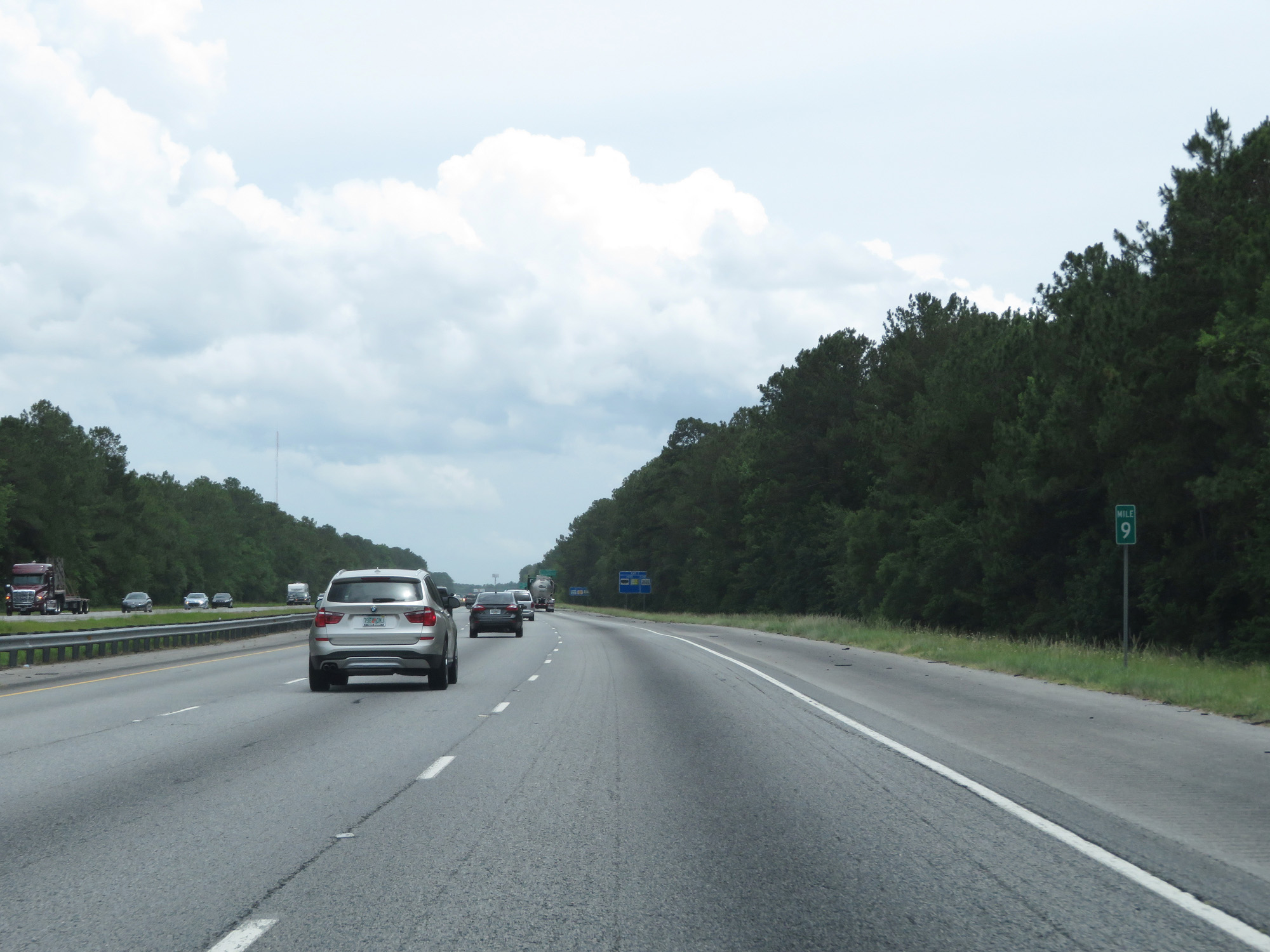 |
Interstate 95 South at mile marker 9. (Photo taken 5/21/17). |
 |
Interstate 95 South at Exit 7: Harrietts Bluff Road (Photo taken 5/21/17). |
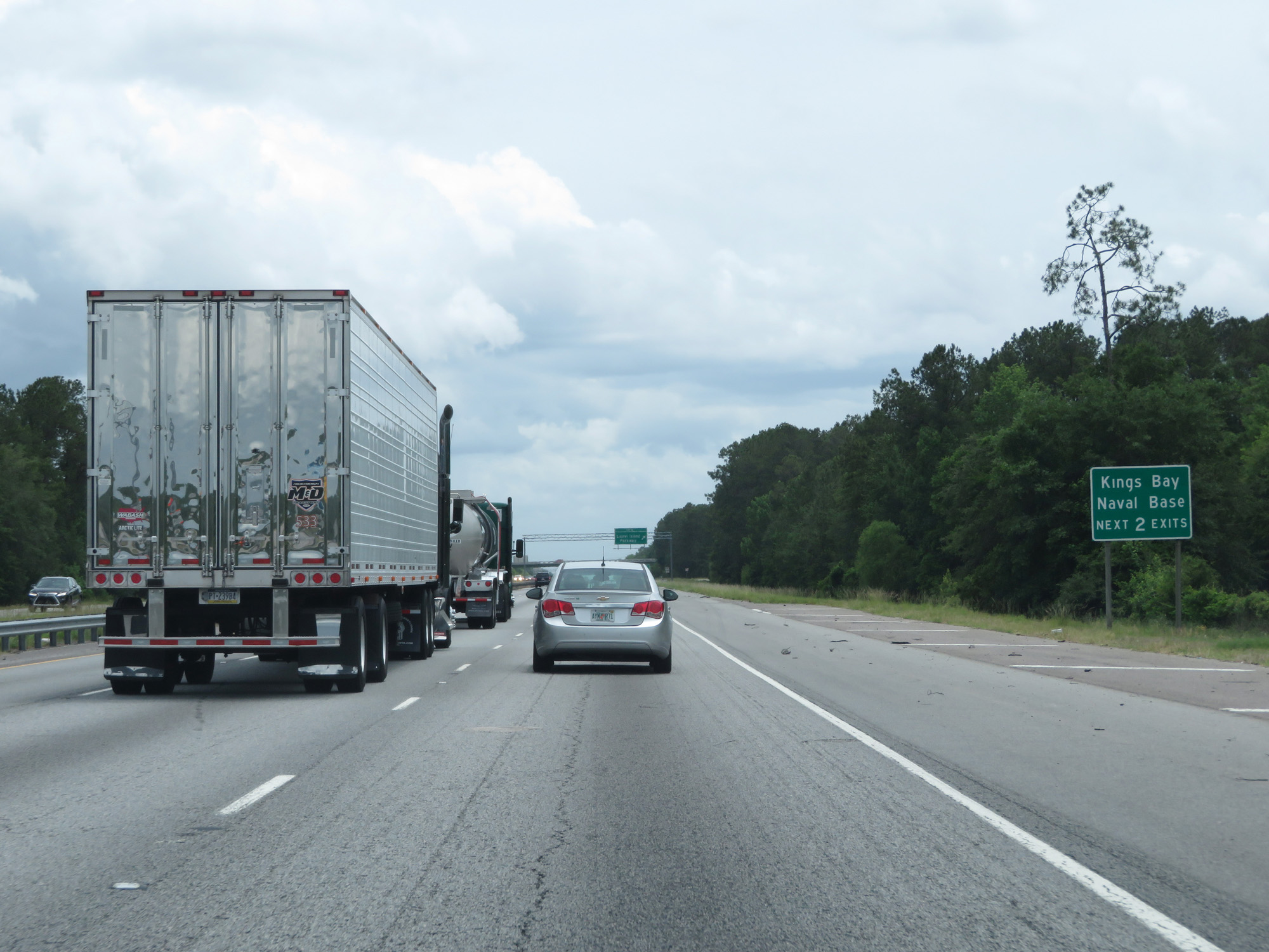 |
Take either of the next 2 exits to Kings Bay Naval Base. (Photo taken 5/21/17). |
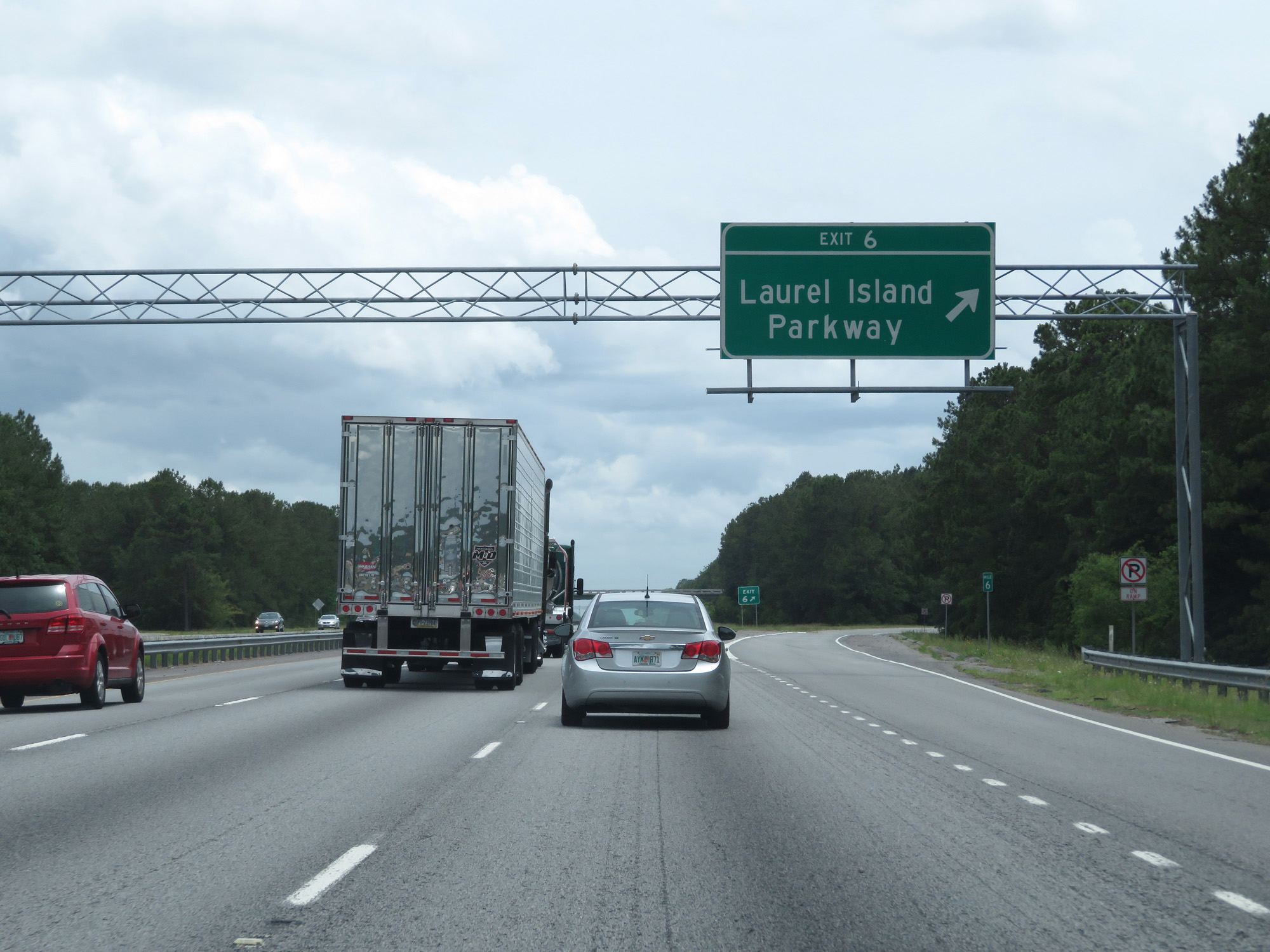 |
Interstate 95 South at Exit 6: Laurel Island Parkway (Photo taken 5/21/17). |
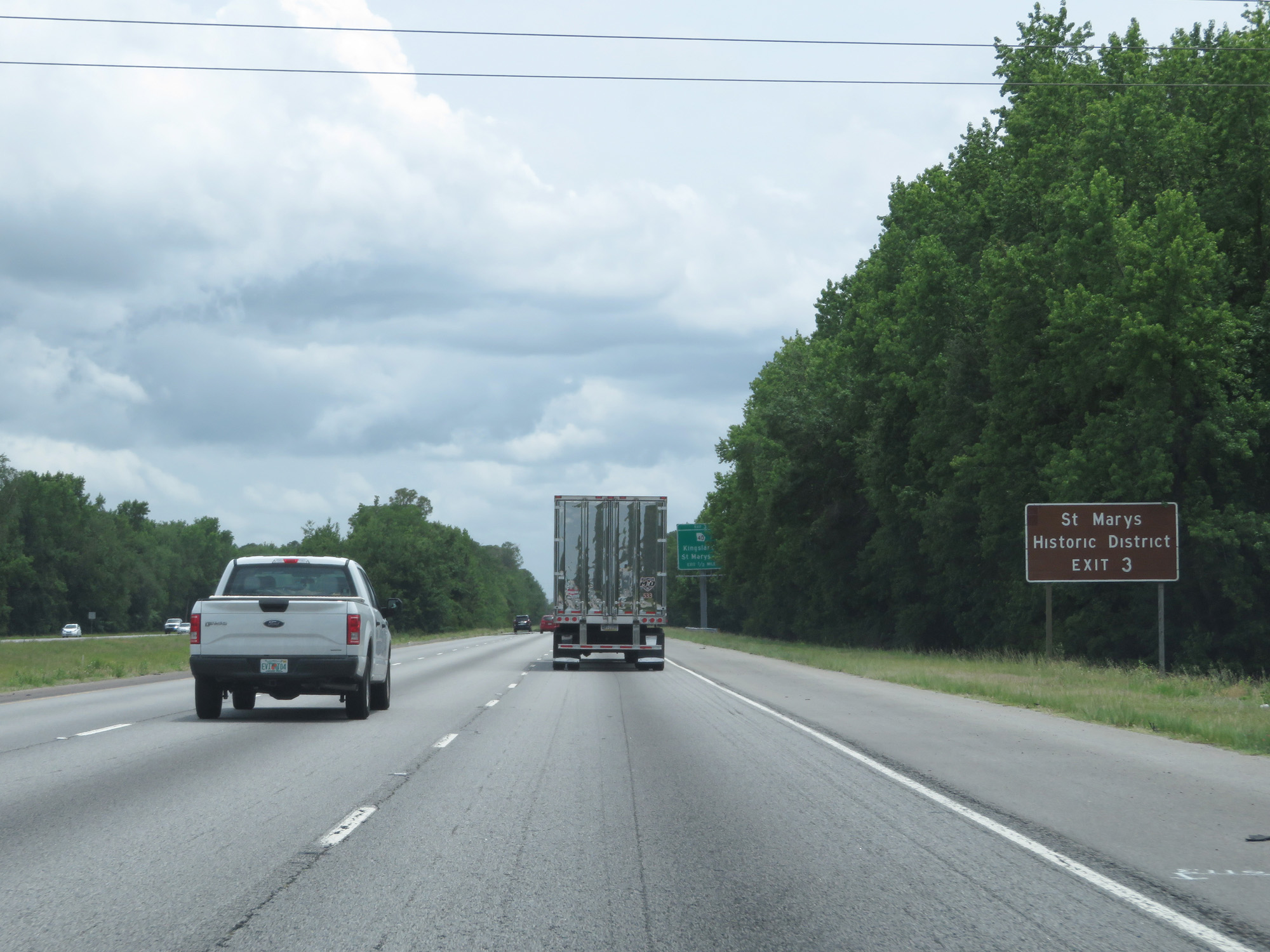 |
Take Exit 3 to St Marys Historic District. (Photo taken 5/21/17). |
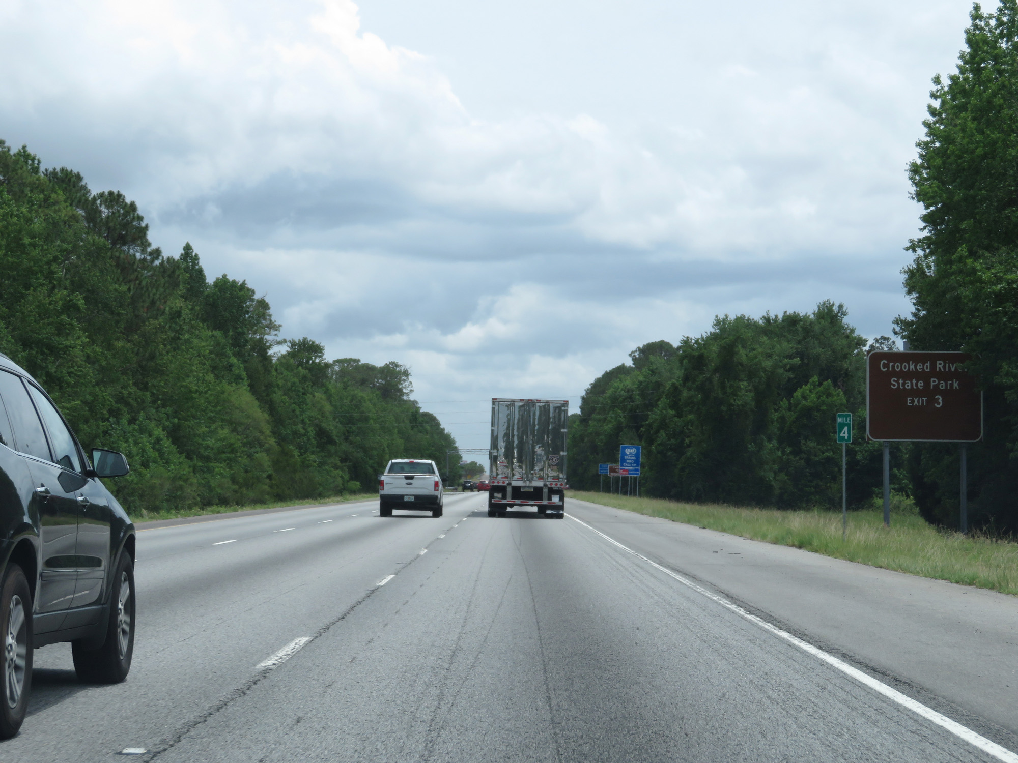 |
Also take Exit 3 to Crooked River State Park. (Photo taken 5/21/17). |
 |
Interstate 95 South at Exit 3: GA 40 - Kingsland / St Marys (Photo taken 5/21/17). |
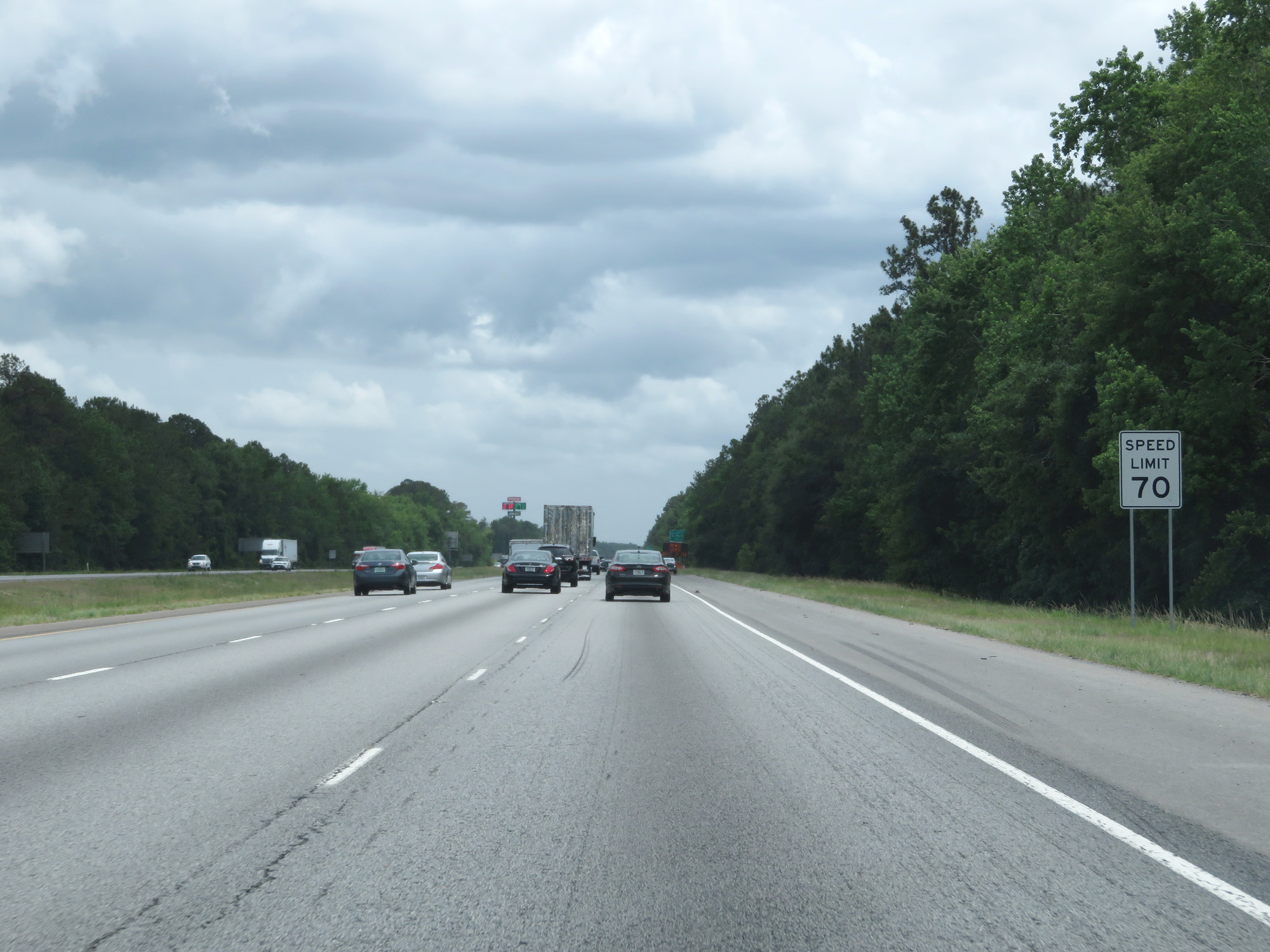 |
The speed limit remains 70 mph. (Photo taken 5/21/17). |
 |
Interstate 95 South at mile marker 2. (Photo taken 5/21/17). |
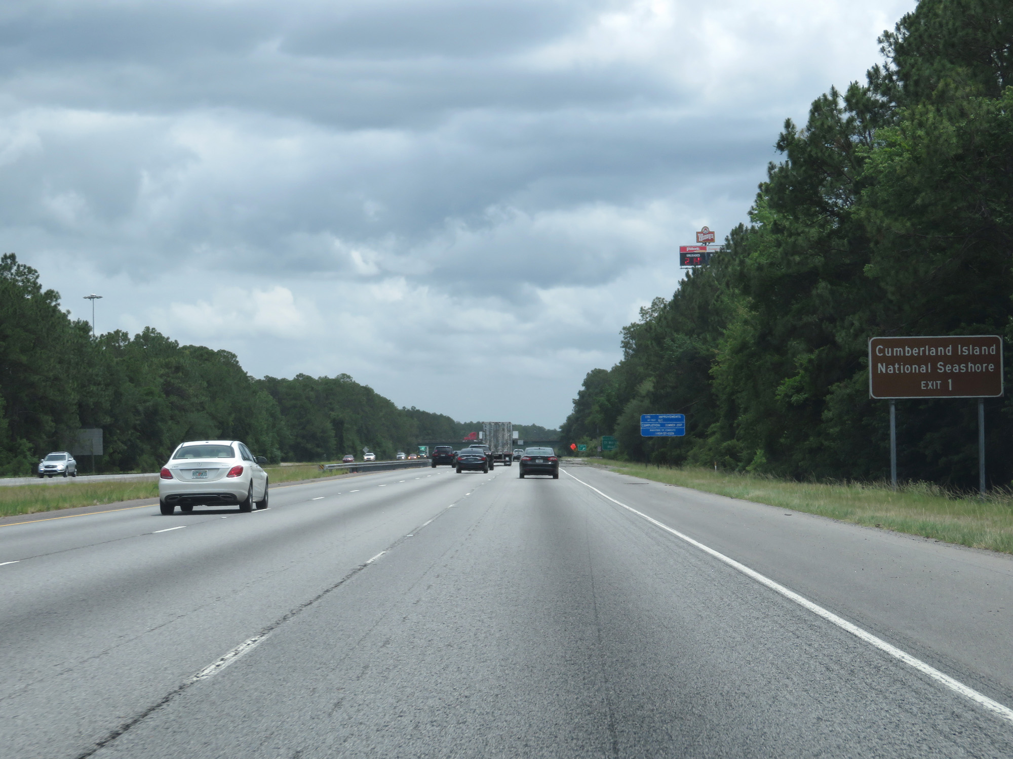 |
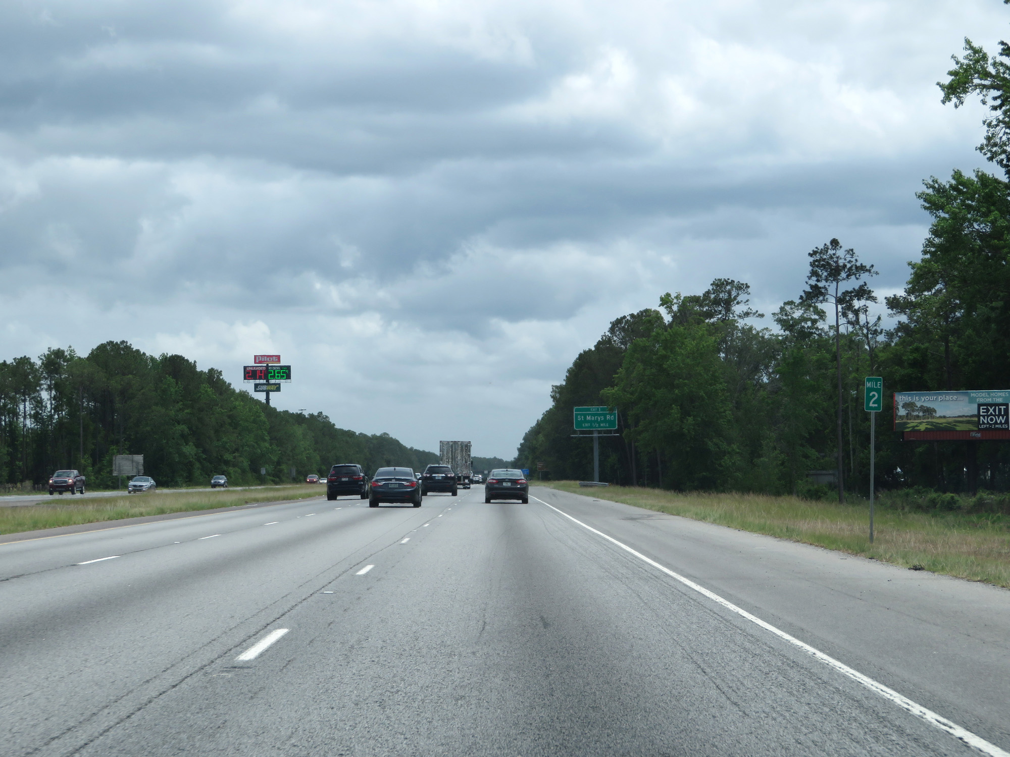
Take Exit 1 to Cumberland Island National Seashore. (Photo taken 5/21/17). |
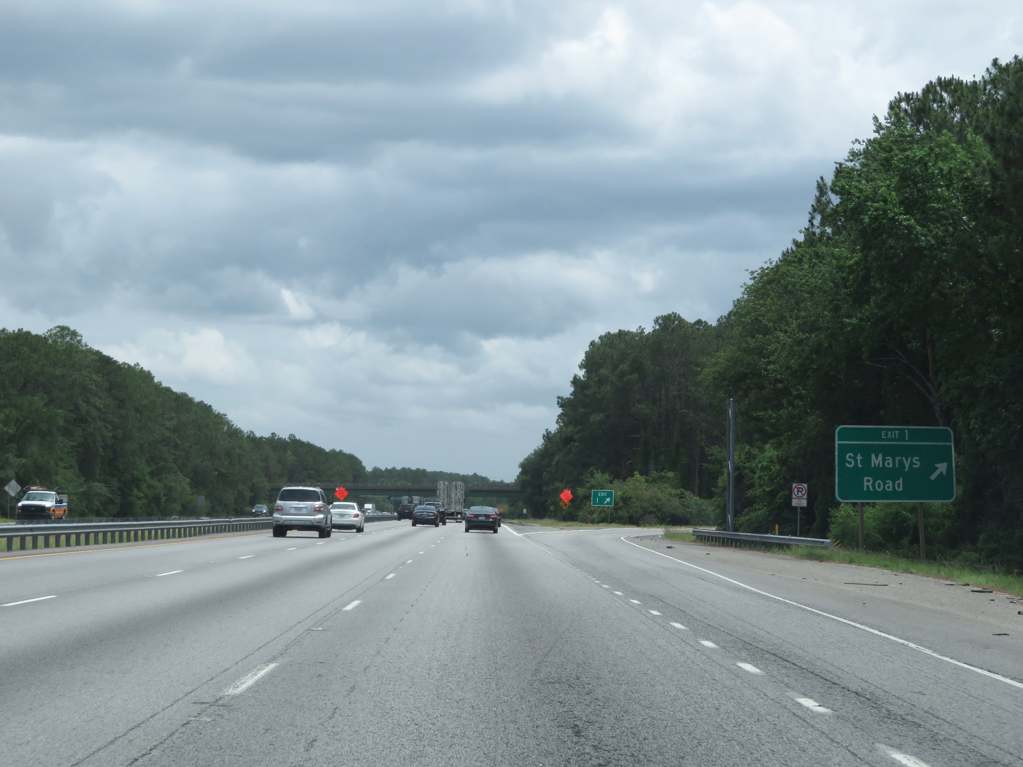 |
Interstate 95 South at Exit 1: St Marys Road (Photo taken 5/21/17). |
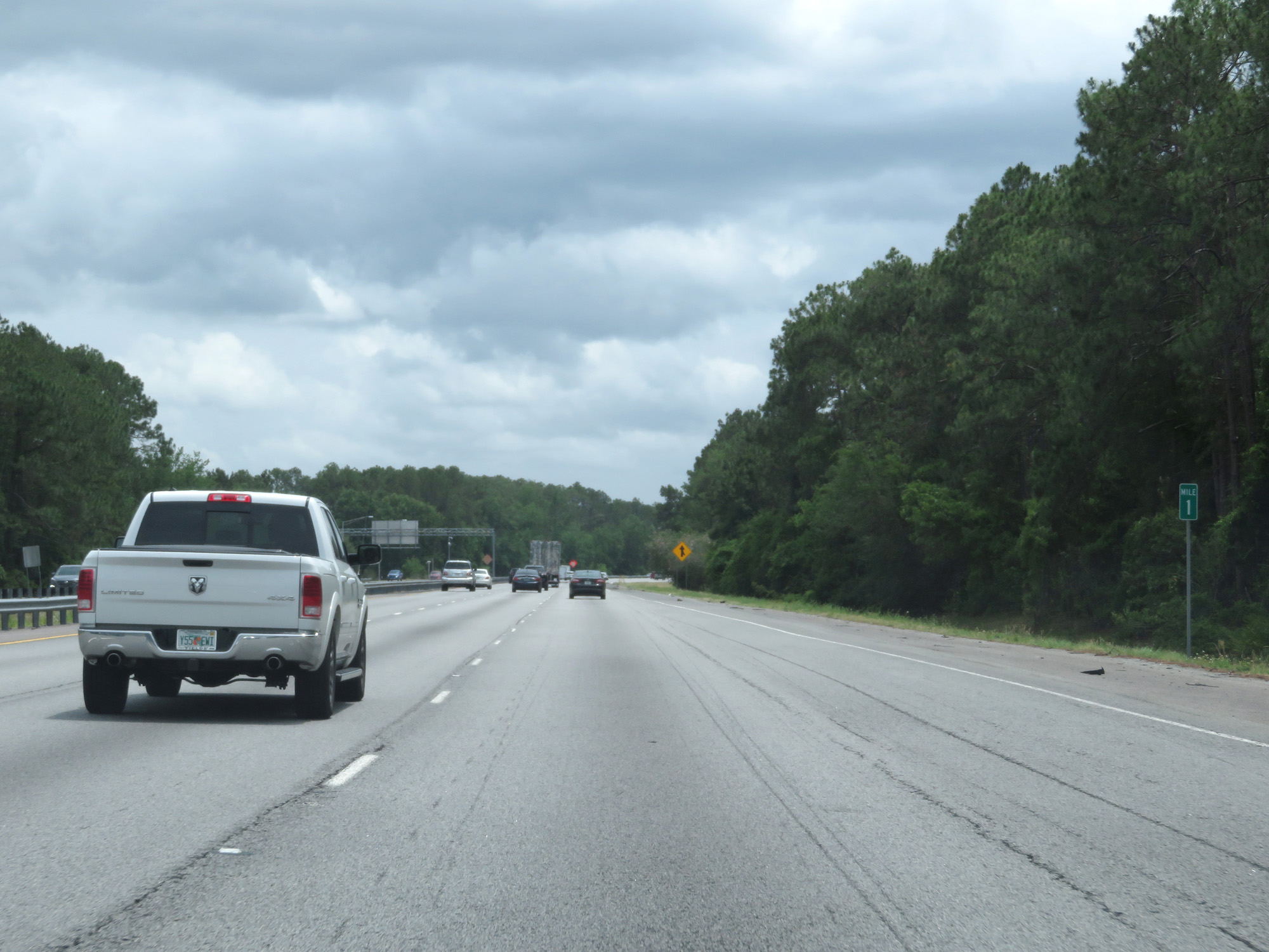 |
Interstate 95 South at mile marker 1. (Photo taken 5/21/17). |
 |
Interstate 95 South as it prepares to cross the St Marys River into Florida. (Photo taken 5/21/17). |