Road Information |
||
 |
||
| Total Mileage in State: | 167 miles | |
| Eastern End: | At Montgomery St, in Savannah | |
| Western End: | At I-75, in Macon | |
| Mileage covered in Photos: | 167 miles | |
| Counties covered in Photos: | Chatham, Effingham, Bryan, Bulloch, Candler, Emanuel, Treutlen, Laurens, Bleckley, Twiggs, Bibb | |
| Major Junctions in Photos: | I-516, in Savannah I-95, in Pooler US 319/US 441, near Dublin US 80/GA 87/GA 540, in Macon I-75, in Macon |
|
| Control Cities in Photos: | Savannah, Garden City, Pooler, Metter, Oak Park, Dublin, Dudley, Macon | |
Westbound
- Section 1: Savannah to Metter (Exit 104)
- Section 2: Metter (Exit 104) to Dudley (Exit 42)
- Section 3: Dudley (Exit 42) to Interstate 75
Section 1: Savannah to Metter (Exit 104)
 |
Merging onto Interstate 16 West from Montgomery Street in Savannah, which is the beginning of I-16 West. (Photo taken 5/21/17). |
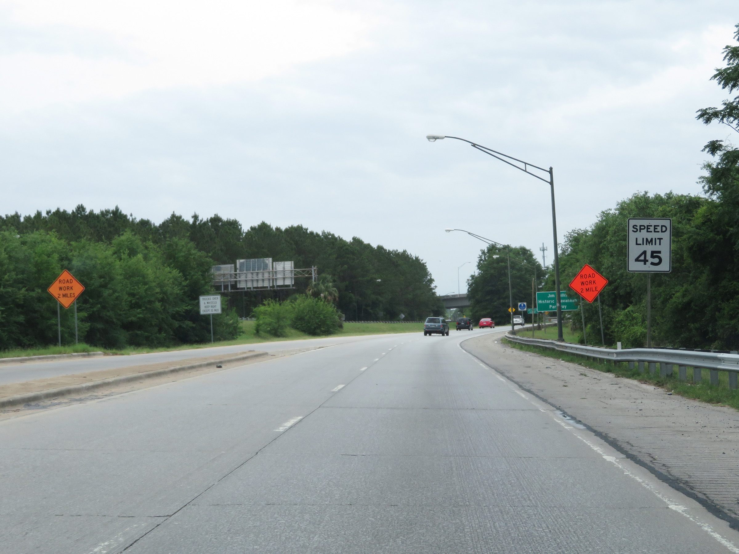 |
The speed limit on Interstate 16 West starts out at 45 mph in Savannah. (Photo taken 5/21/17). |
 |
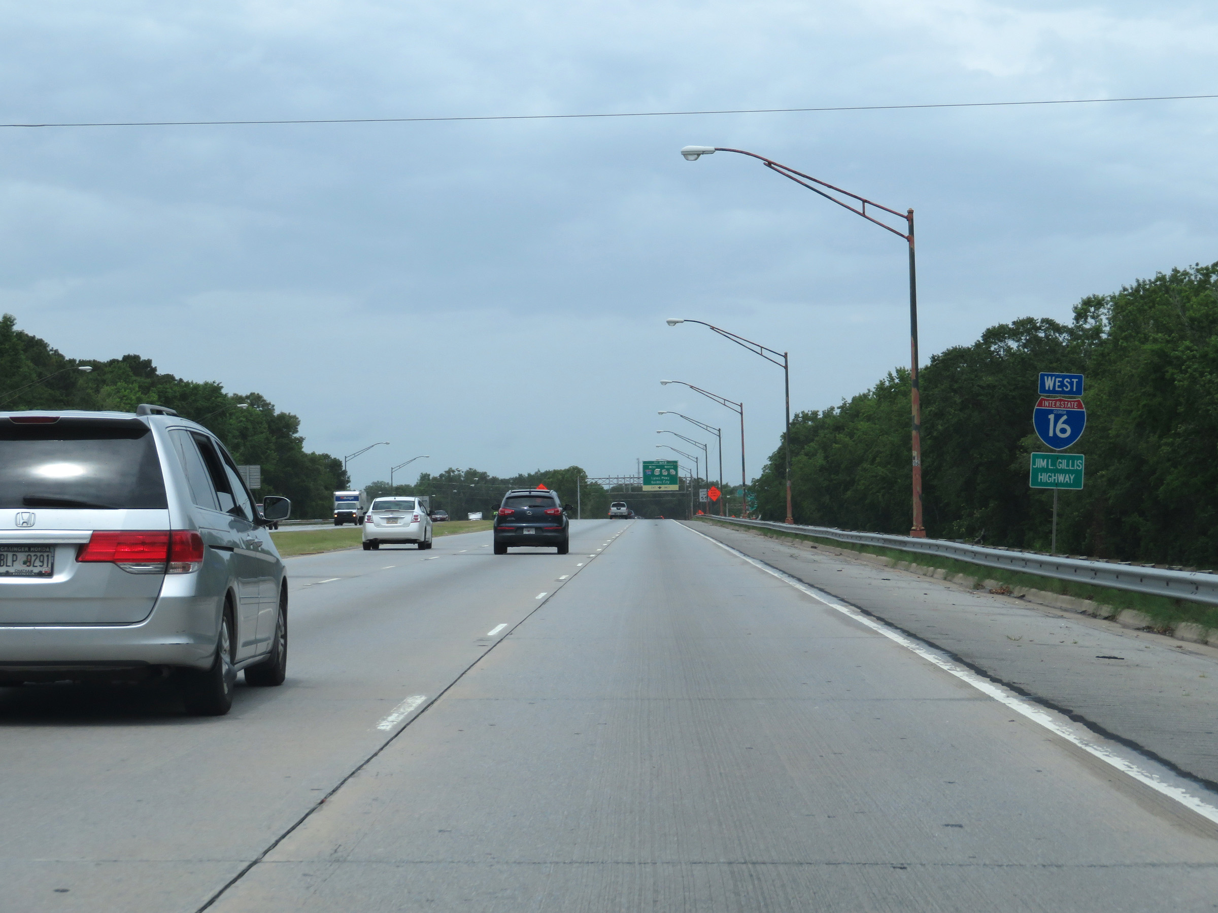
As this sign reads, Interstate 16 is also known as Jim Gillis Historic Savannah Parkway. (Photo taken 5/21/17). |
 |
View on Interstate 16 West at mile marker 166 in Savannah. (Photo taken 5/21/17). |
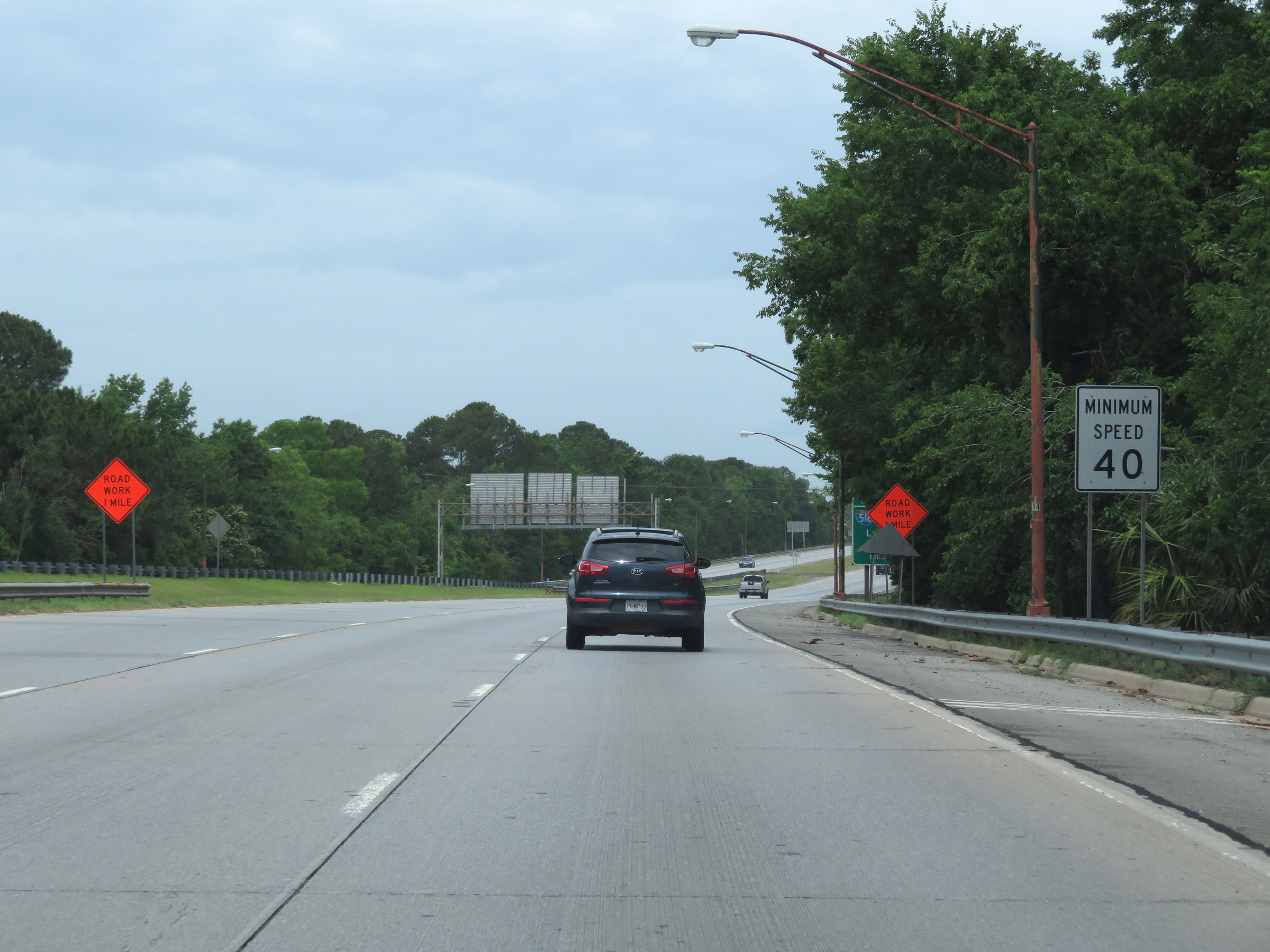 |
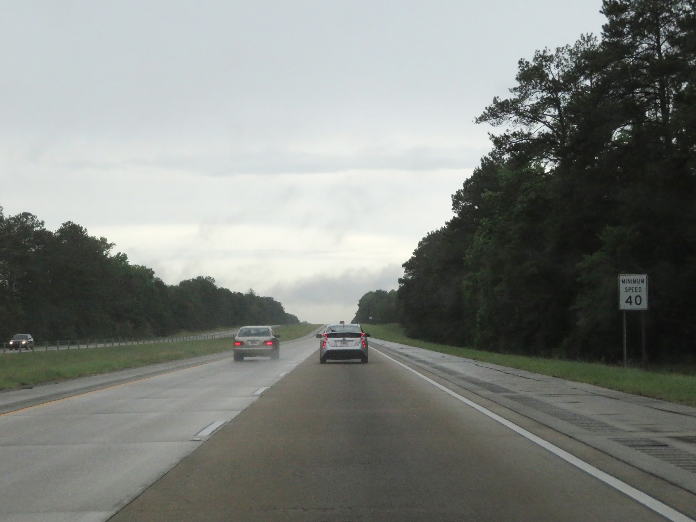
The minimum speed limit on Interstate 16 West is 40 mph, which is standard on all Interstate highways in Georgia. (Photo taken 5/21/17). |
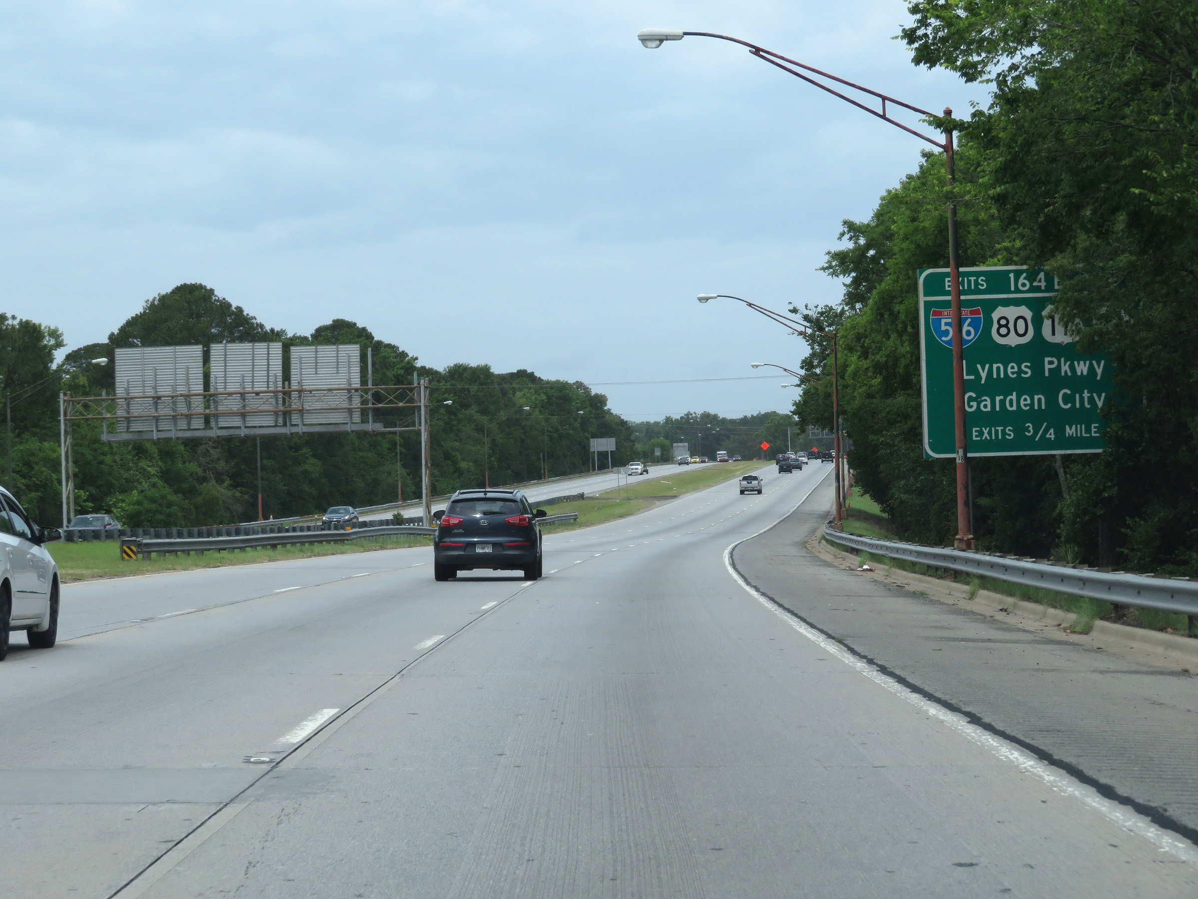 |
Interstate 16 West approaching Exits 164B-A - 3/4 mile. (Photo taken 5/21/17). |
 |
State-named Interstate 16 West reassurance shield approaching Exits 164B-A. (Photo taken 5/21/17). |
 |
Approaching Exit 164B, the maximum speed limit increases to 55 mph. (Photo taken 5/21/17). |
 |
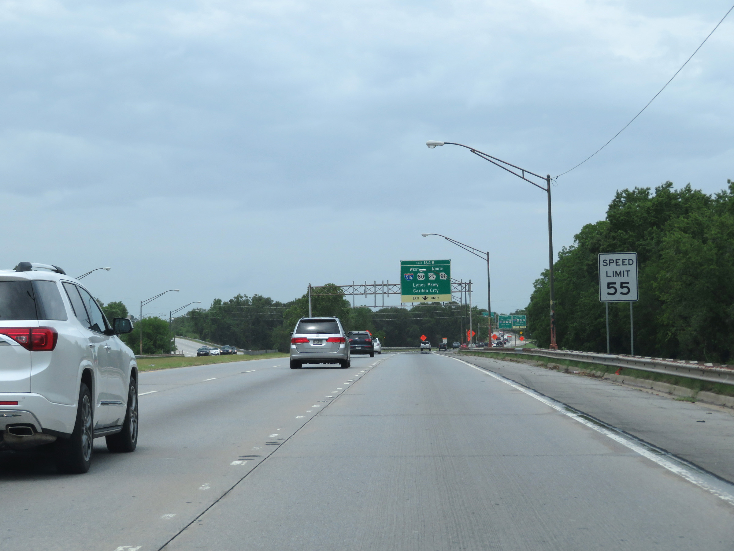
Interstate 16 West at Exit 164B: Interstate 516 West / US 80 West / GA 25 North / GA 21 North - Lynes Pkwy / Garden City (Photo taken 5/21/17). |
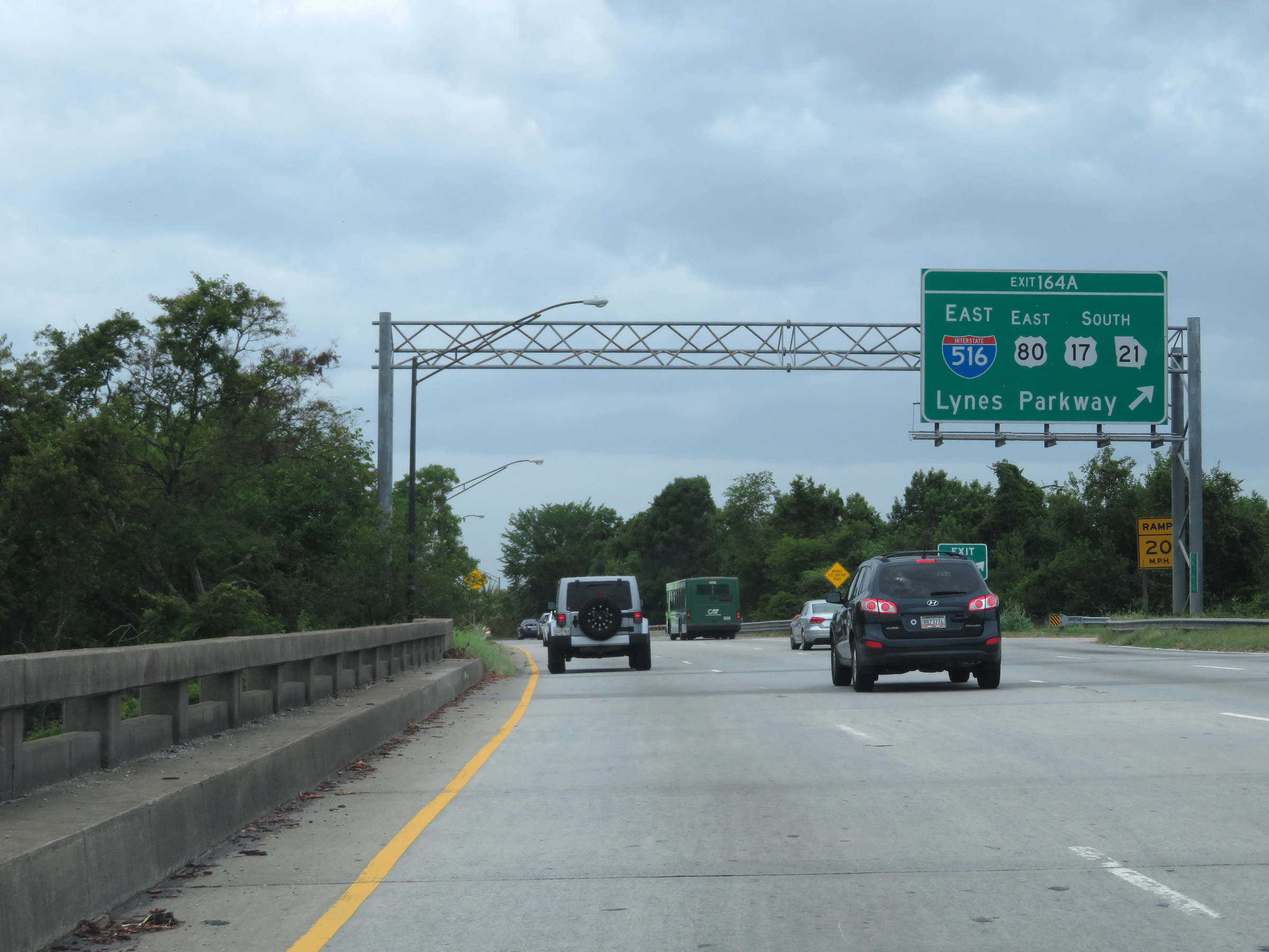 |
Interstate 16 West at Exit 164A: Interstate 516 East / US 80 East / US 17 South / GA 21 South - Lynes Parkway (Photo taken 5/21/17). |
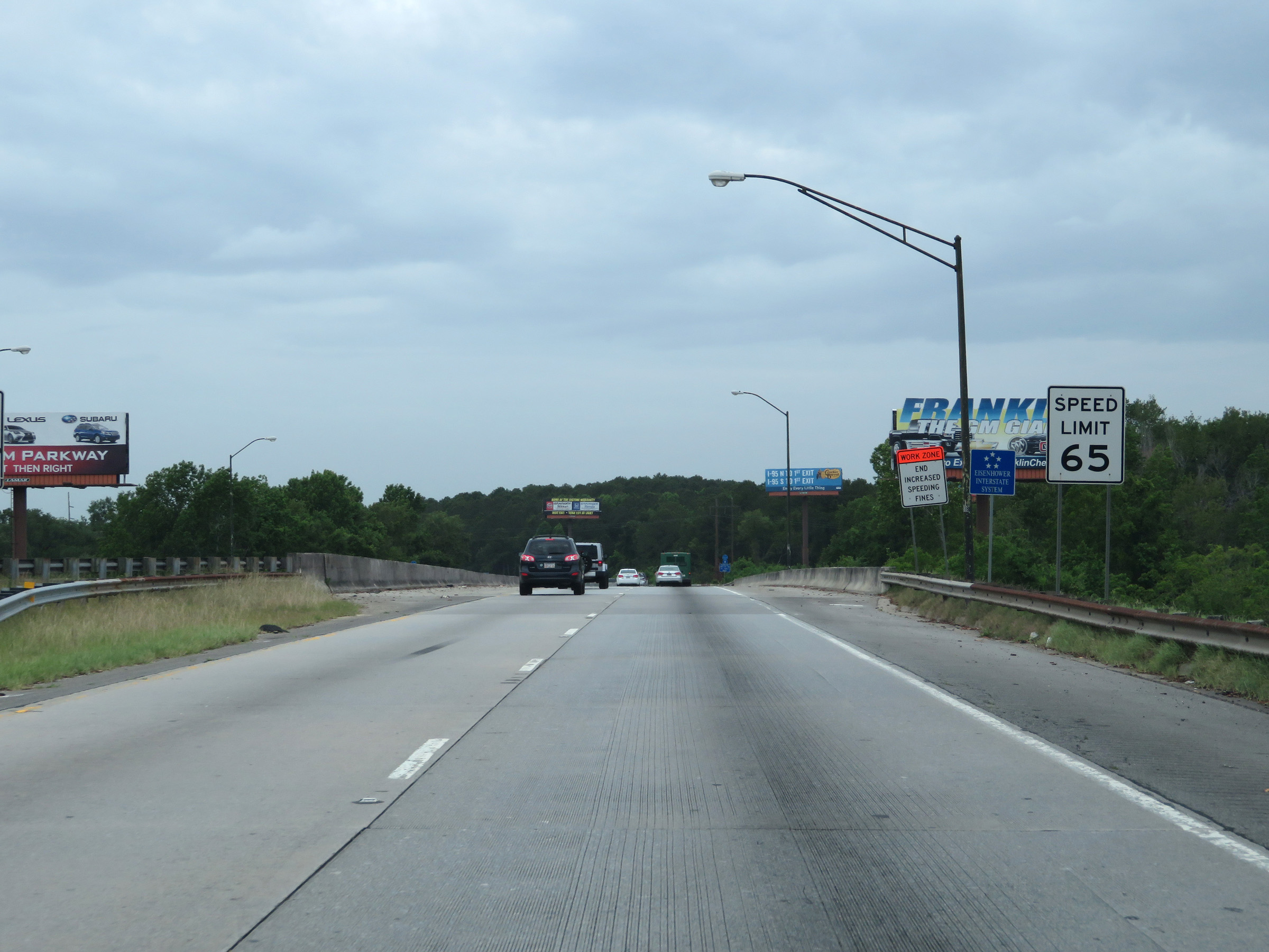 |
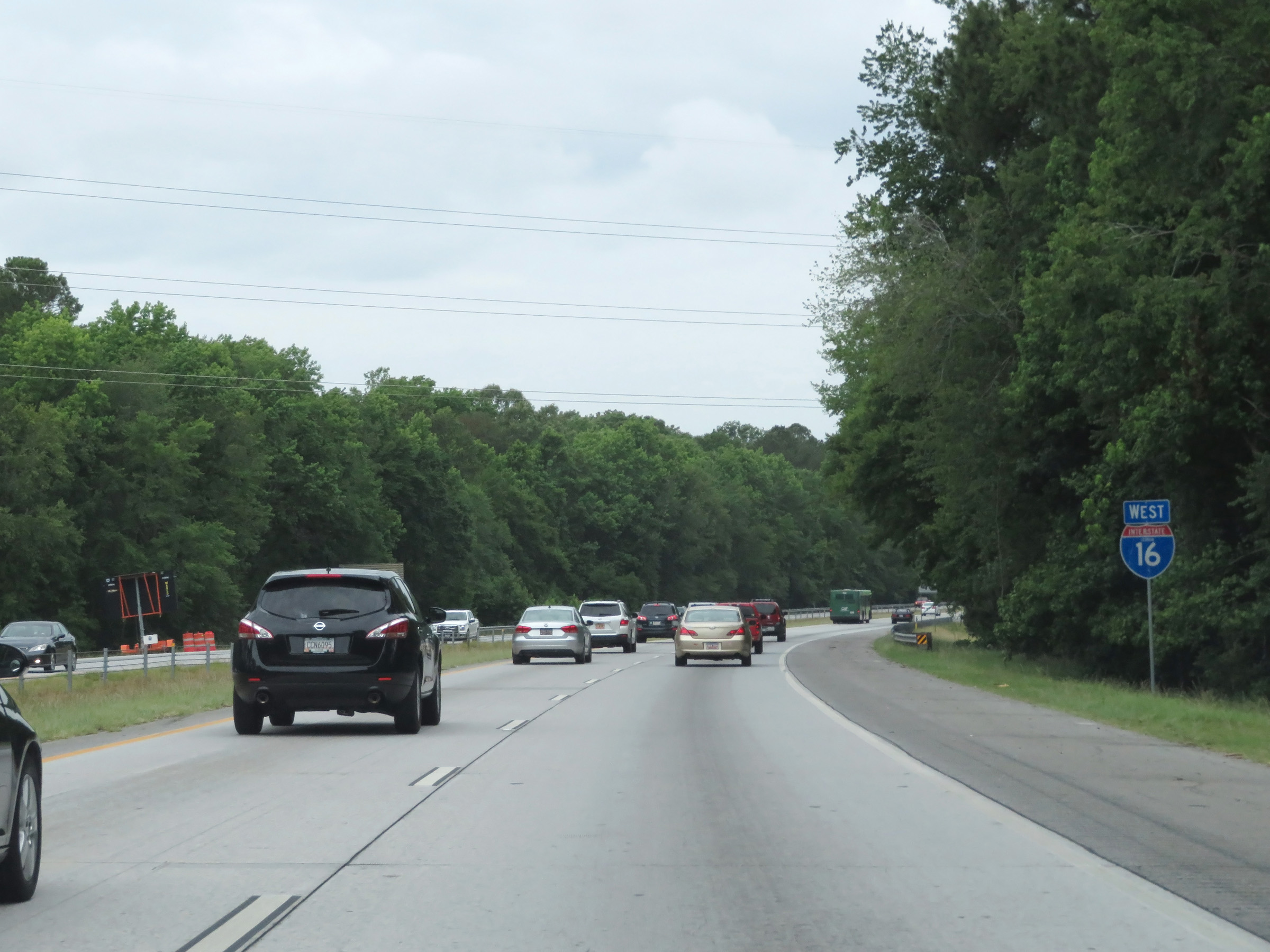
West of Exit 164A, the maximum speed limit on Interstate 16 West increases to 65 mph. (Photo taken 5/21/17). |
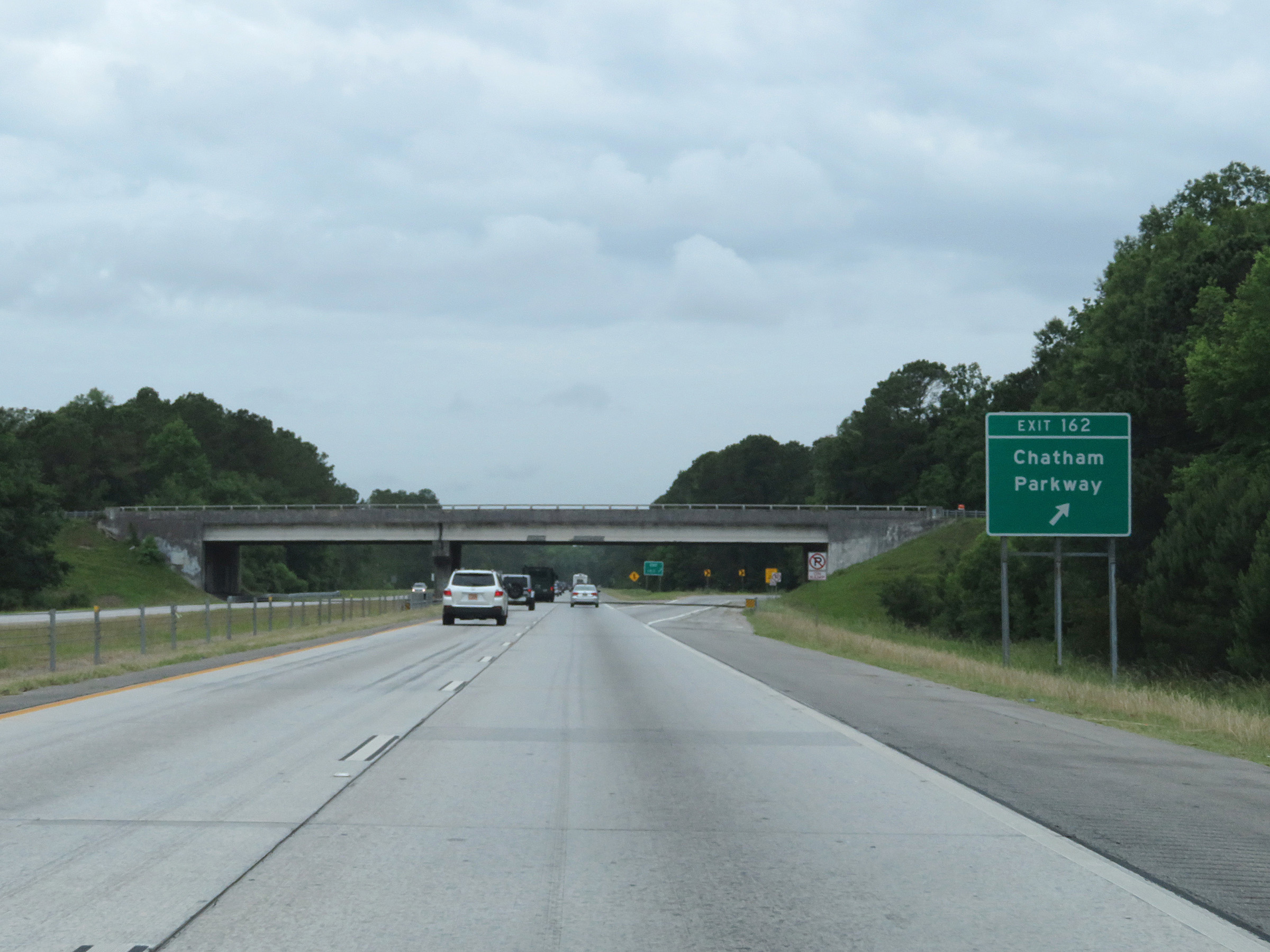 |
Interstate 16 West at Exit 162: Chatham Parkway (Photo taken 5/21/17). |
 |
Another state-named Interstate 16 West reassurance shield. (Photo taken 5/21/17). |
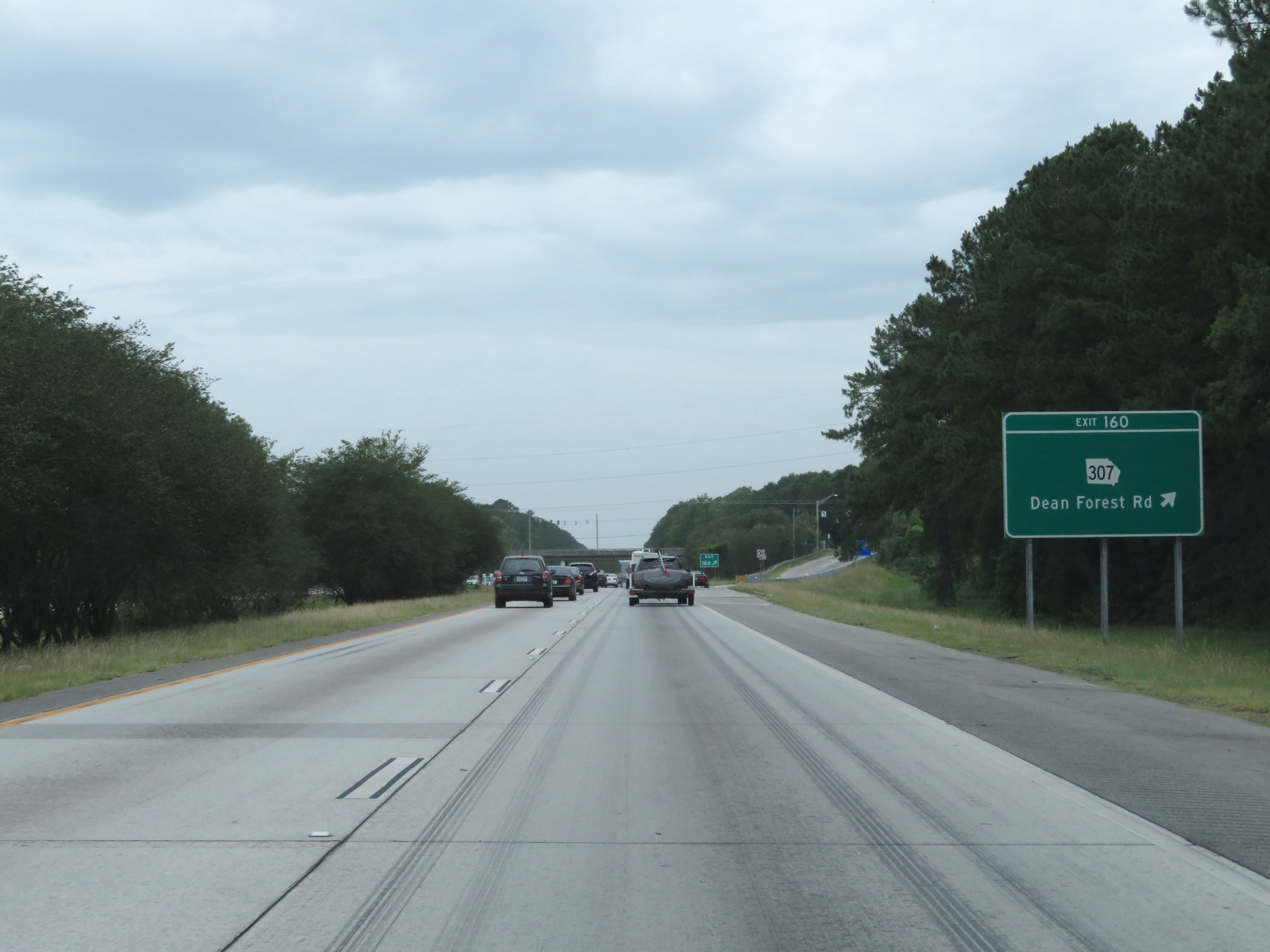 |
Interstate 16 West at Exit 160: GA 307 - Dean Forest Rd (Photo taken 5/21/17). |
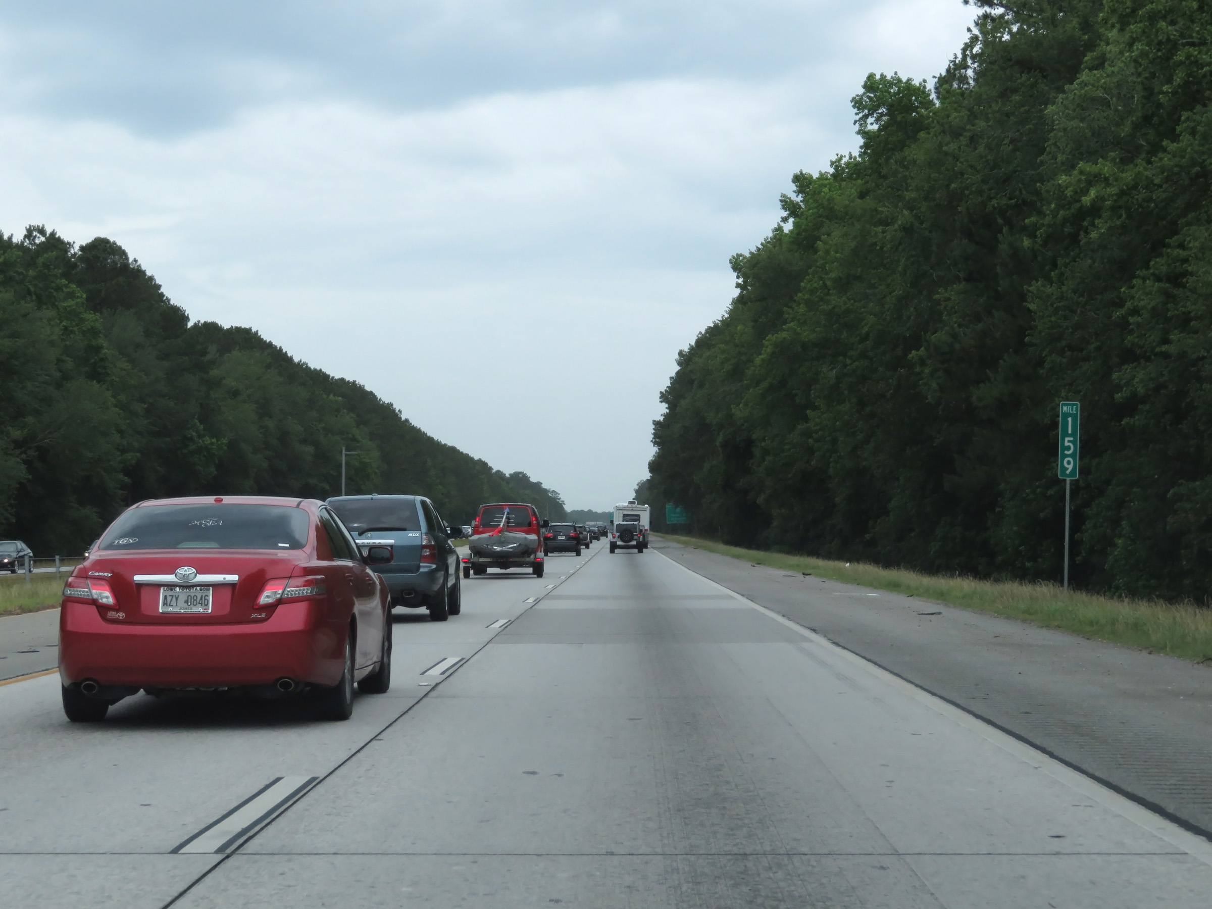 |
View on Interstate 16 West at mile marker 159. (Photo taken 5/21/17). |
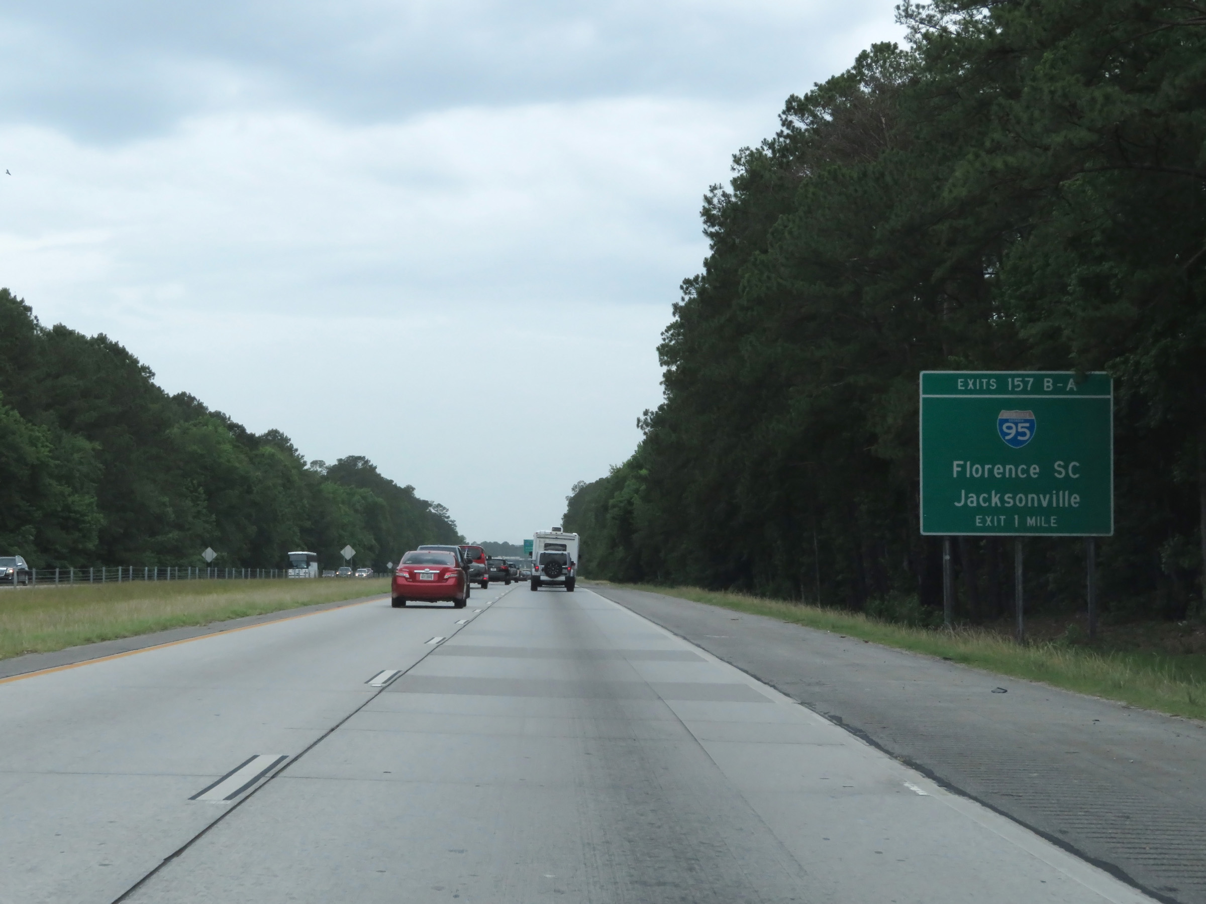 |
Interstate 16 West approaching Exits 157B-A - 1 mile. (Photo taken 5/21/17). |
 |
Interstate 16 West approaching Exit 157B - 1/2 mile. (Photo taken 5/21/17). |
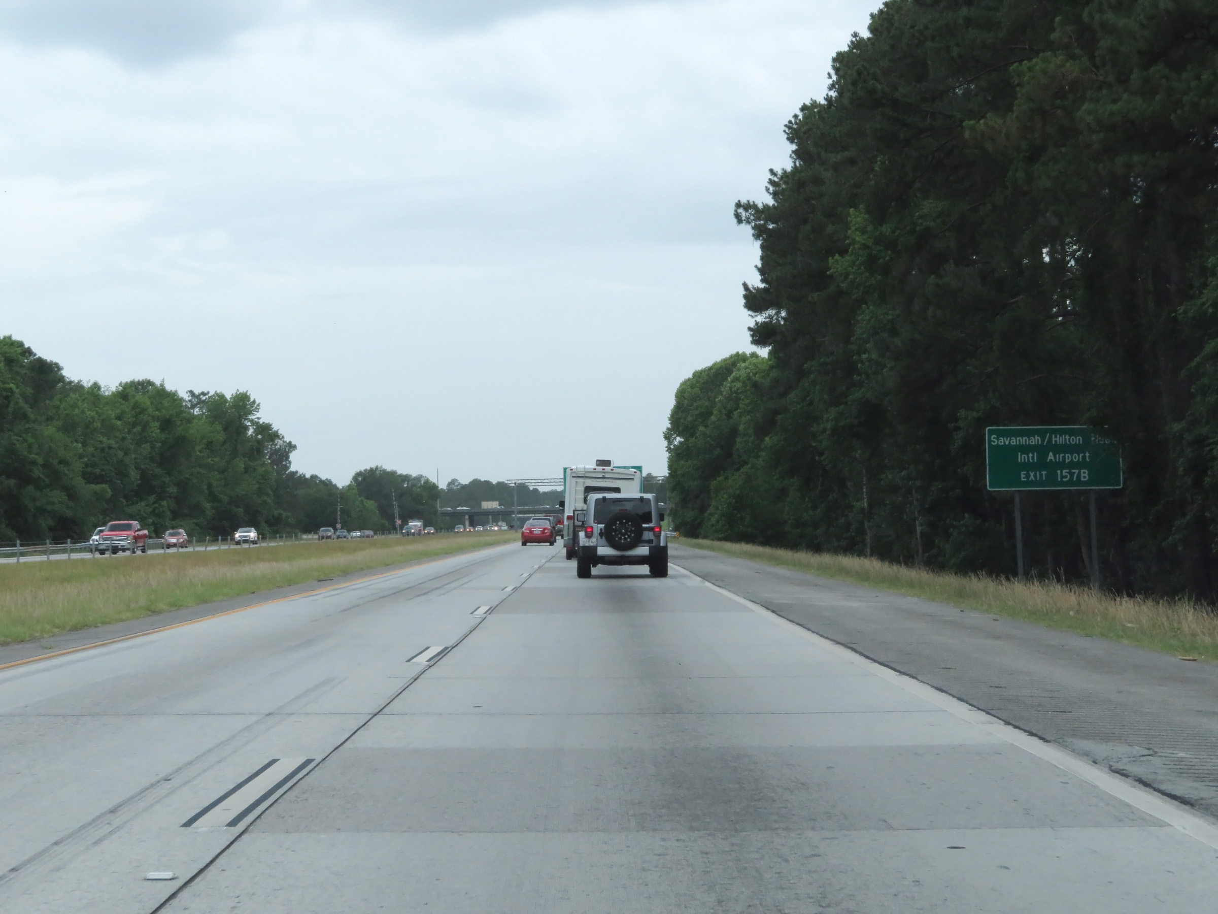 |
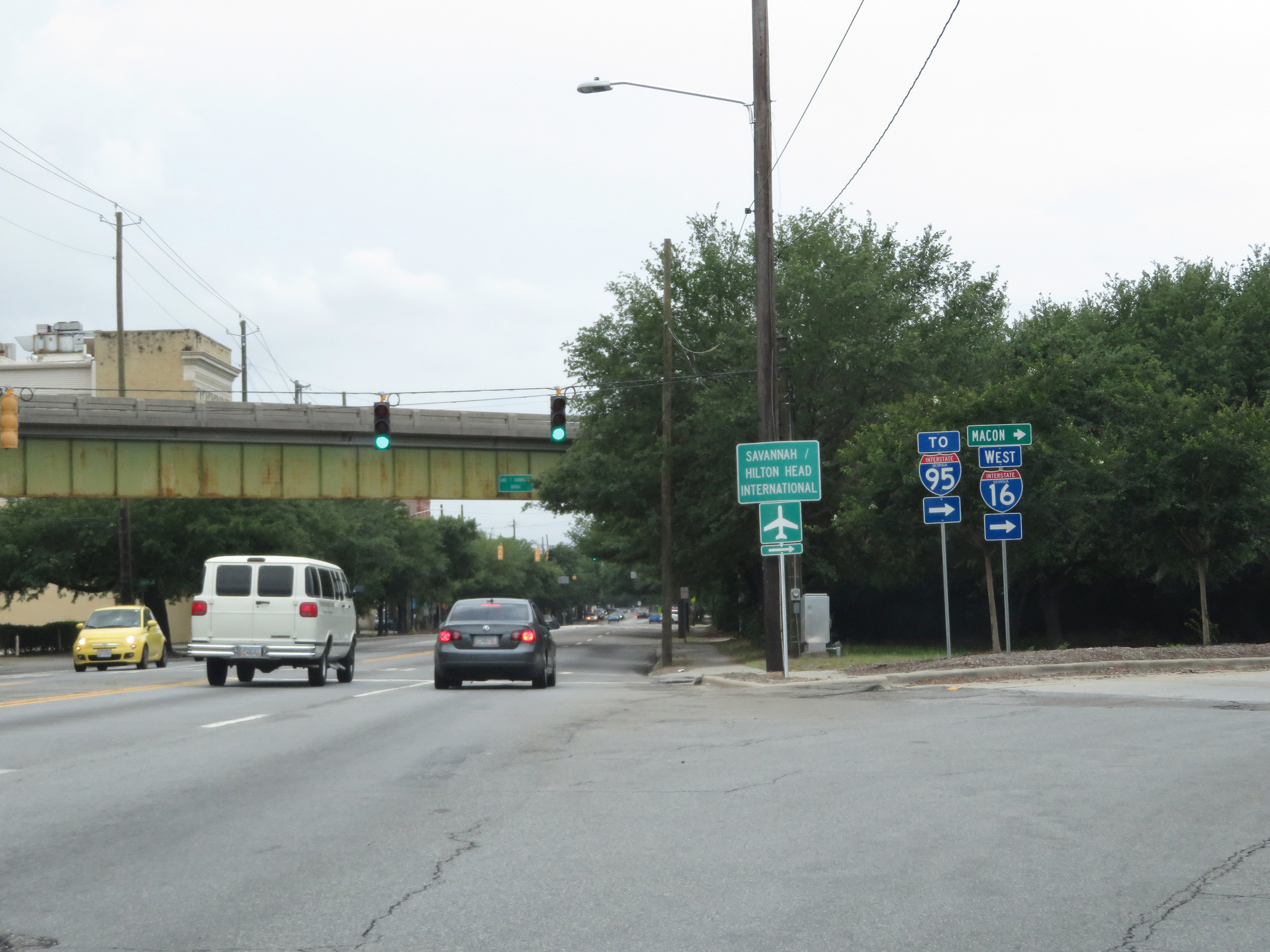
Take Exit 157B (Interstate 95 North) to Savannah / Hilton Head International Airport. (Photo taken 5/21/17). |
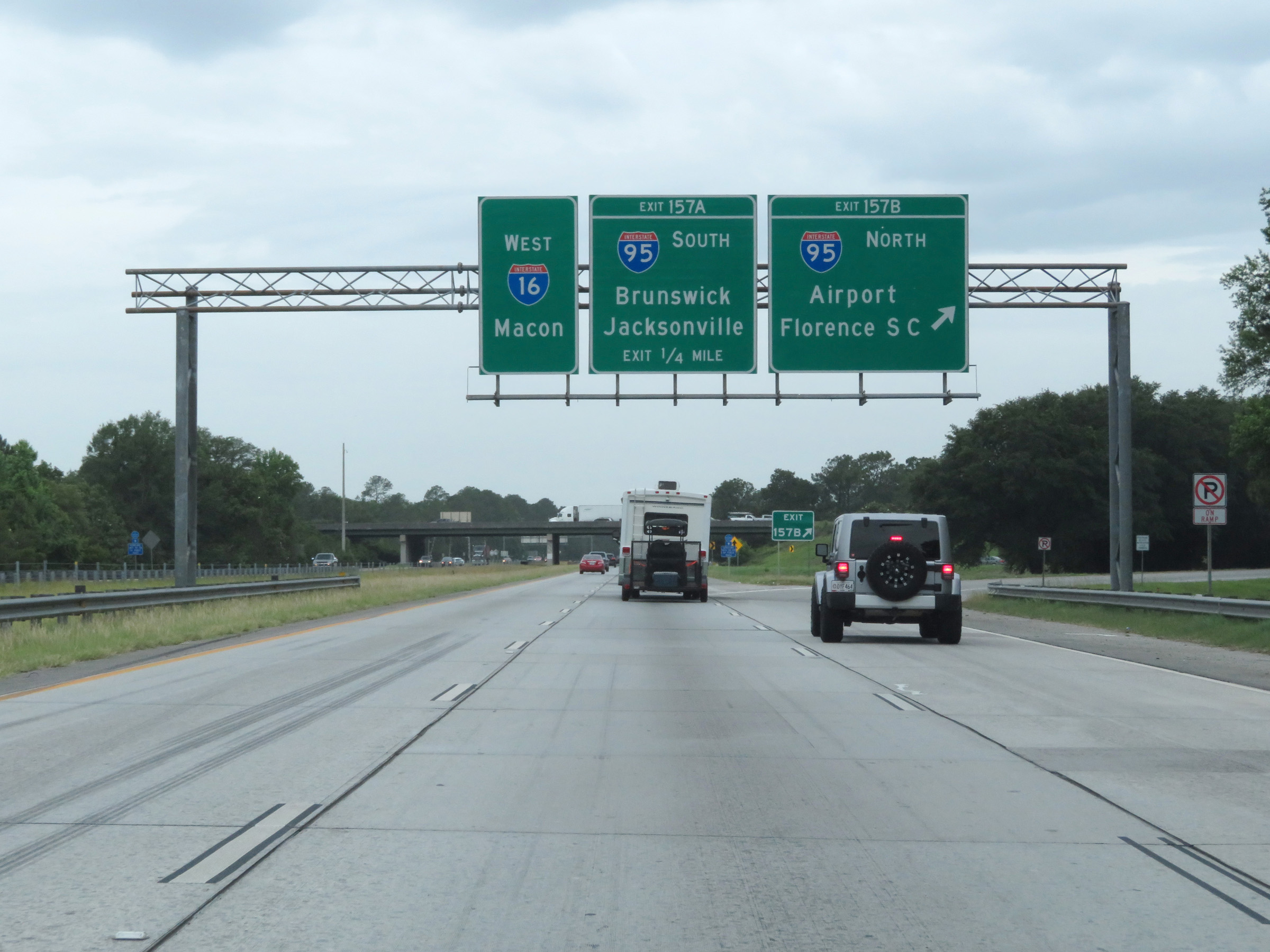 |
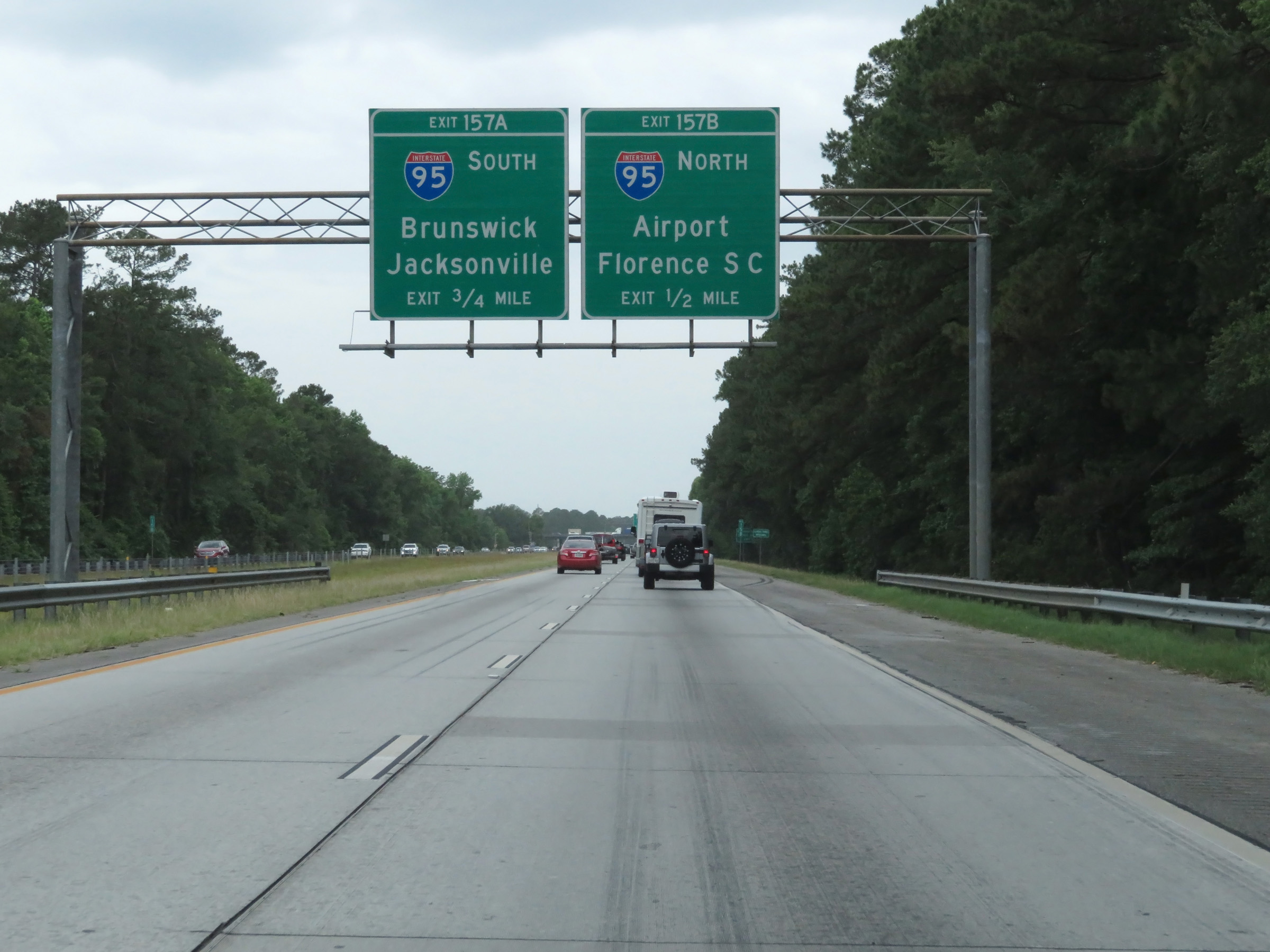
Interstate 16 West at Exit 157B: Interstate 95 North - Airport / Florence, SC (Photo taken 5/21/17). |
 |
Interstate 16 West at Exit 157A: Interstate 95 South - Brunswick / Jacksonville (Photo taken 5/21/17). |
 |
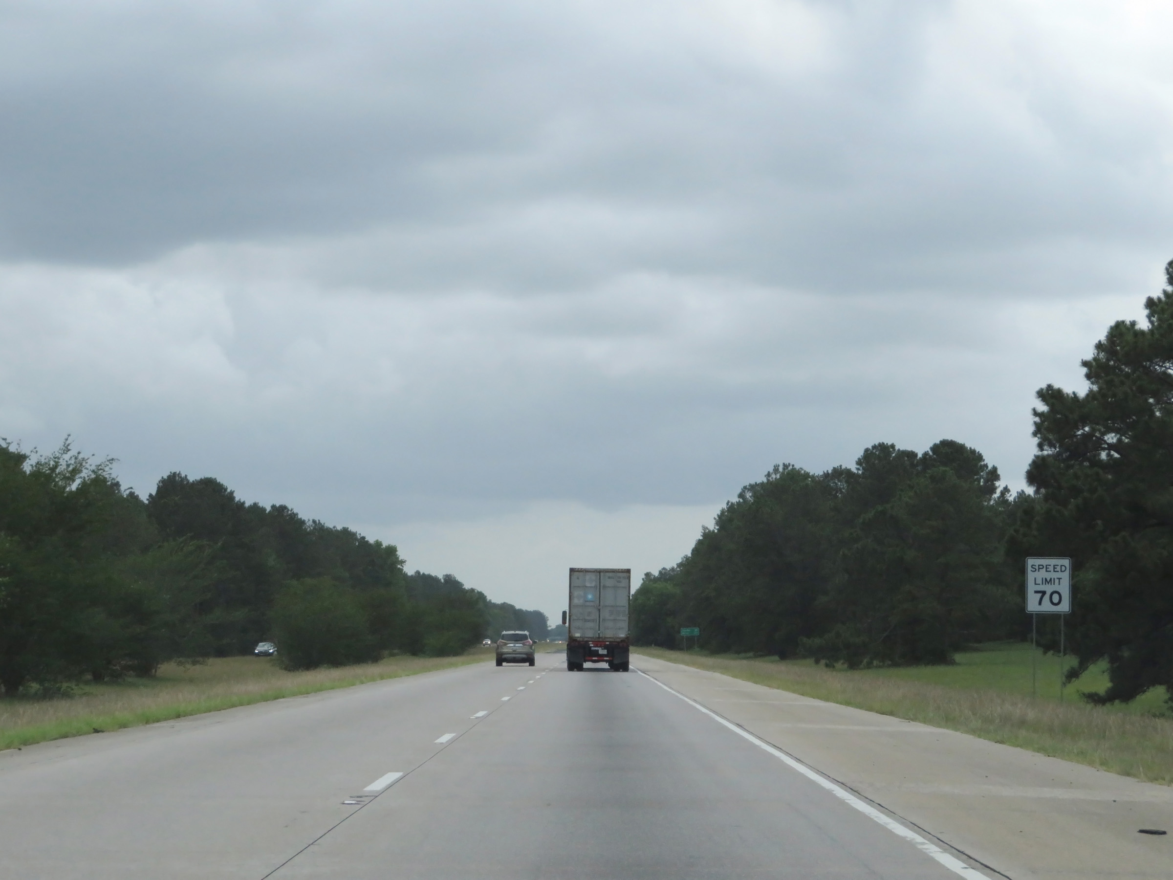
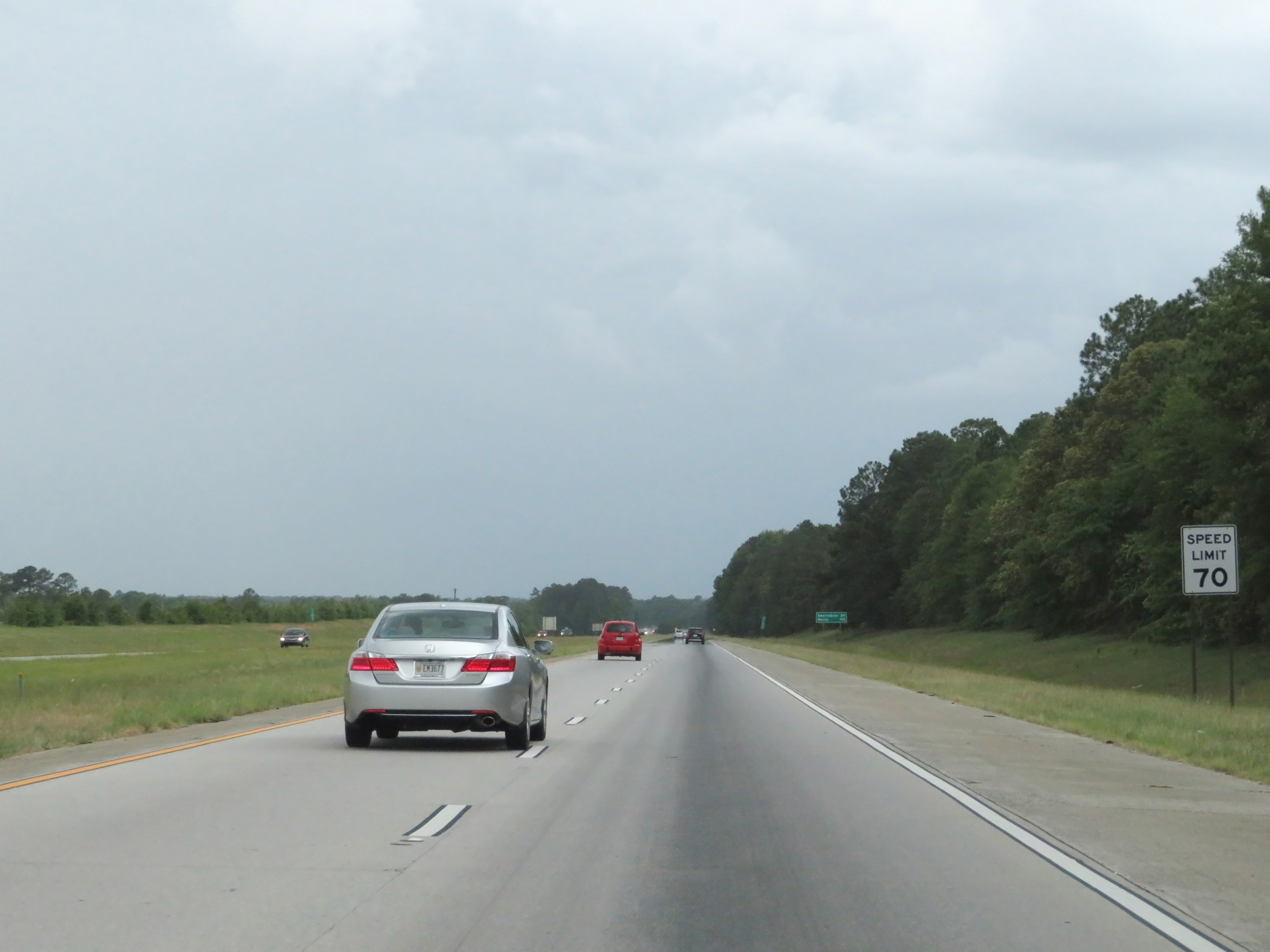
West of the junction of Interstate 95, the maximum speed limit increases to 70 mph on Interstate 16 West. This is the standard maximum speed limit on most rural Interstate highways in Georgia. (Photo taken 5/20/17). |
 |
Interstate 16 West at Exit 155: Savannah/Hilton Head International Airport / Pooler (Photo taken 5/20/17). |
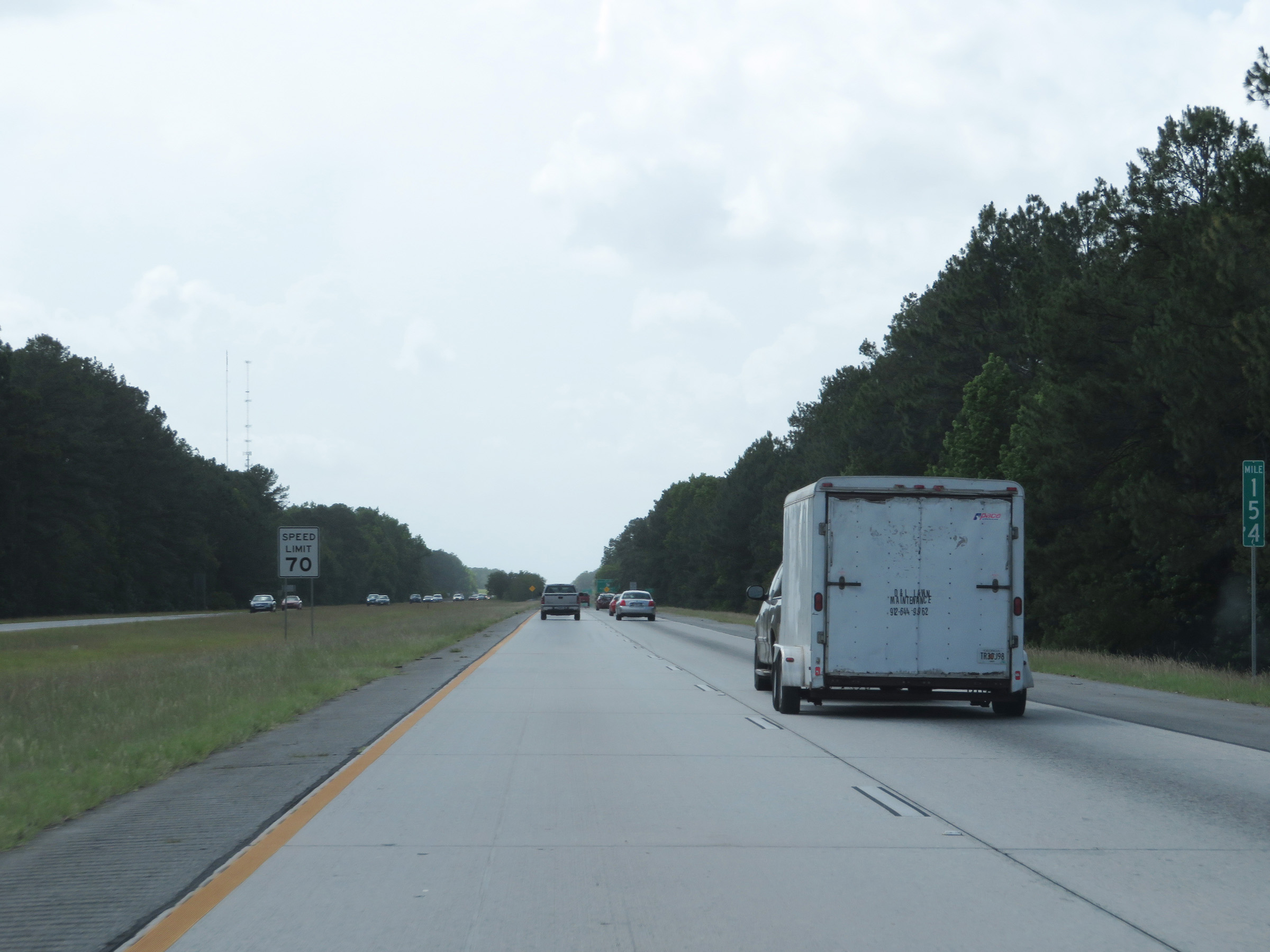 |
View on Interstate 16 West at mile marker 154. (Photo taken 5/20/17). |
 |
Interstate 16 West at Exit 152: GA 17 - Bloomingdale Rd (Photo taken 5/20/17). |
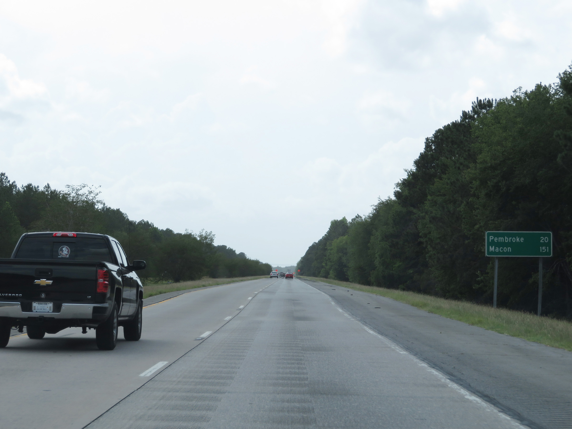 |
Mileage sign on Interstate 16 West. It's 20 miles to Pembroke and 151 miles to Macon. (Photo taken 5/20/17). |
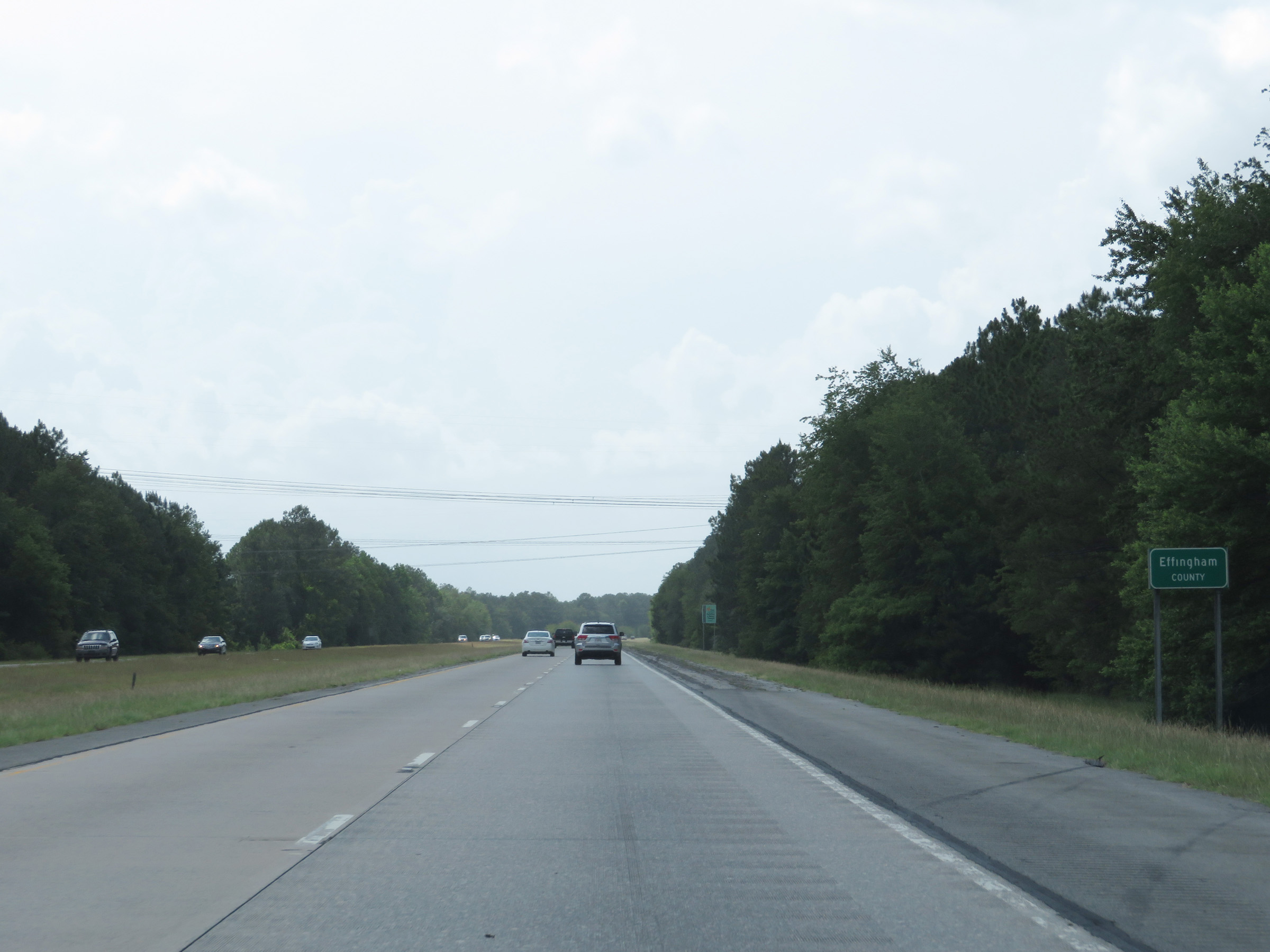 |
Interstate 16 West as it enters Effingham County. (Photo taken 5/20/17). |
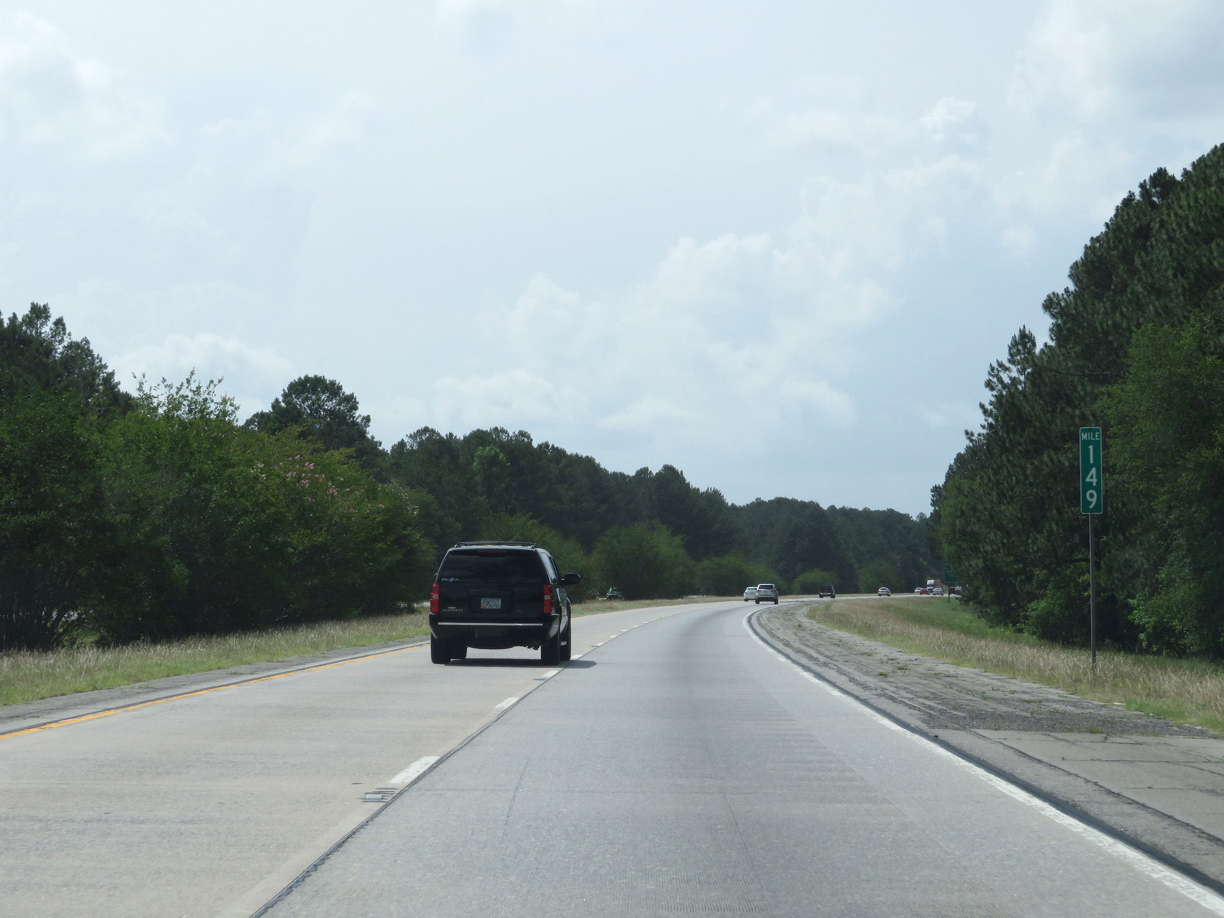 |
View on Interstate 16 West at mile marker 149. (Photo taken 5/20/17). |
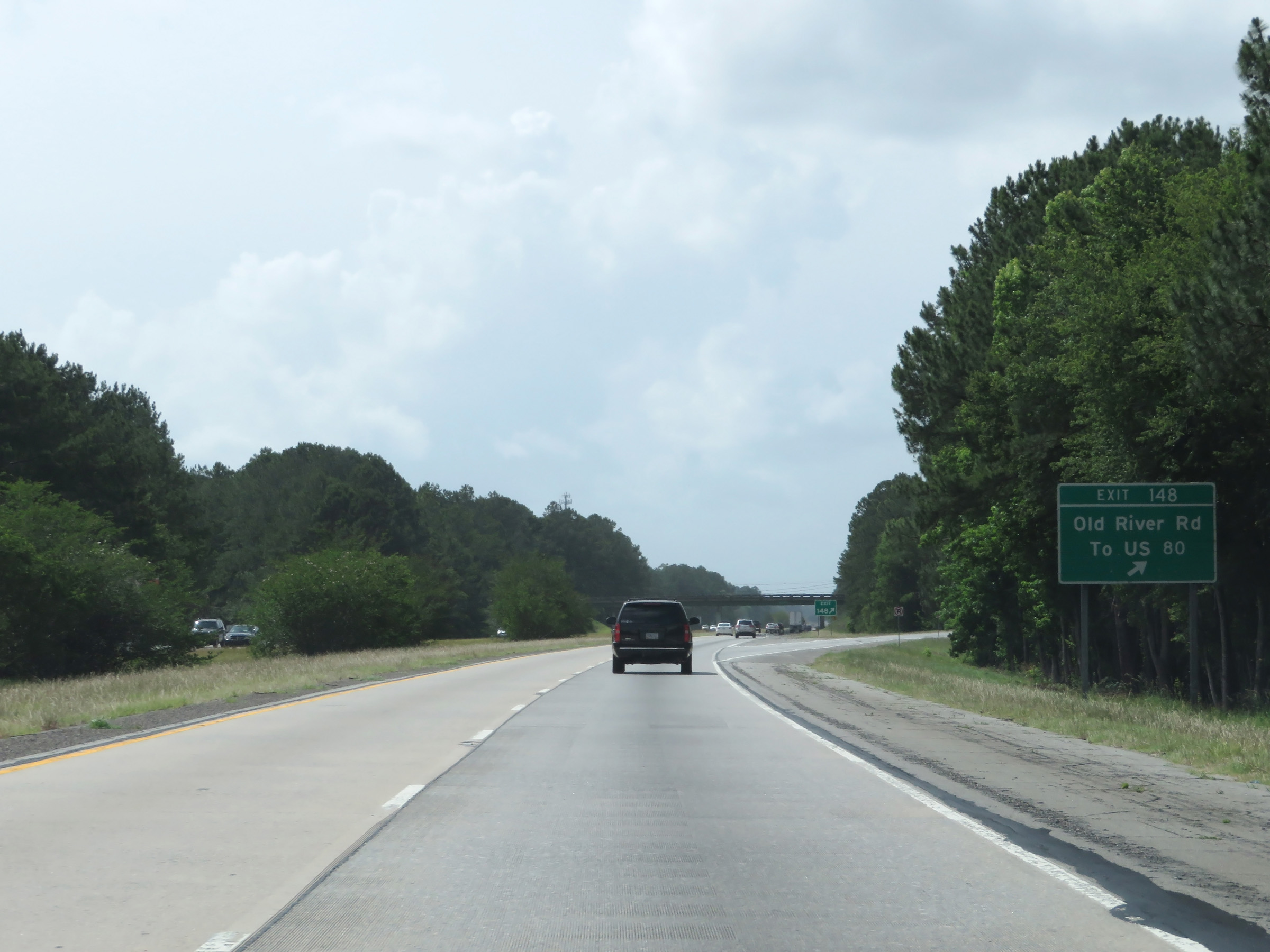 |
Interstate 16 West at Exit 148: Old River Rd / To US 80 (Photo taken 5/20/17). |
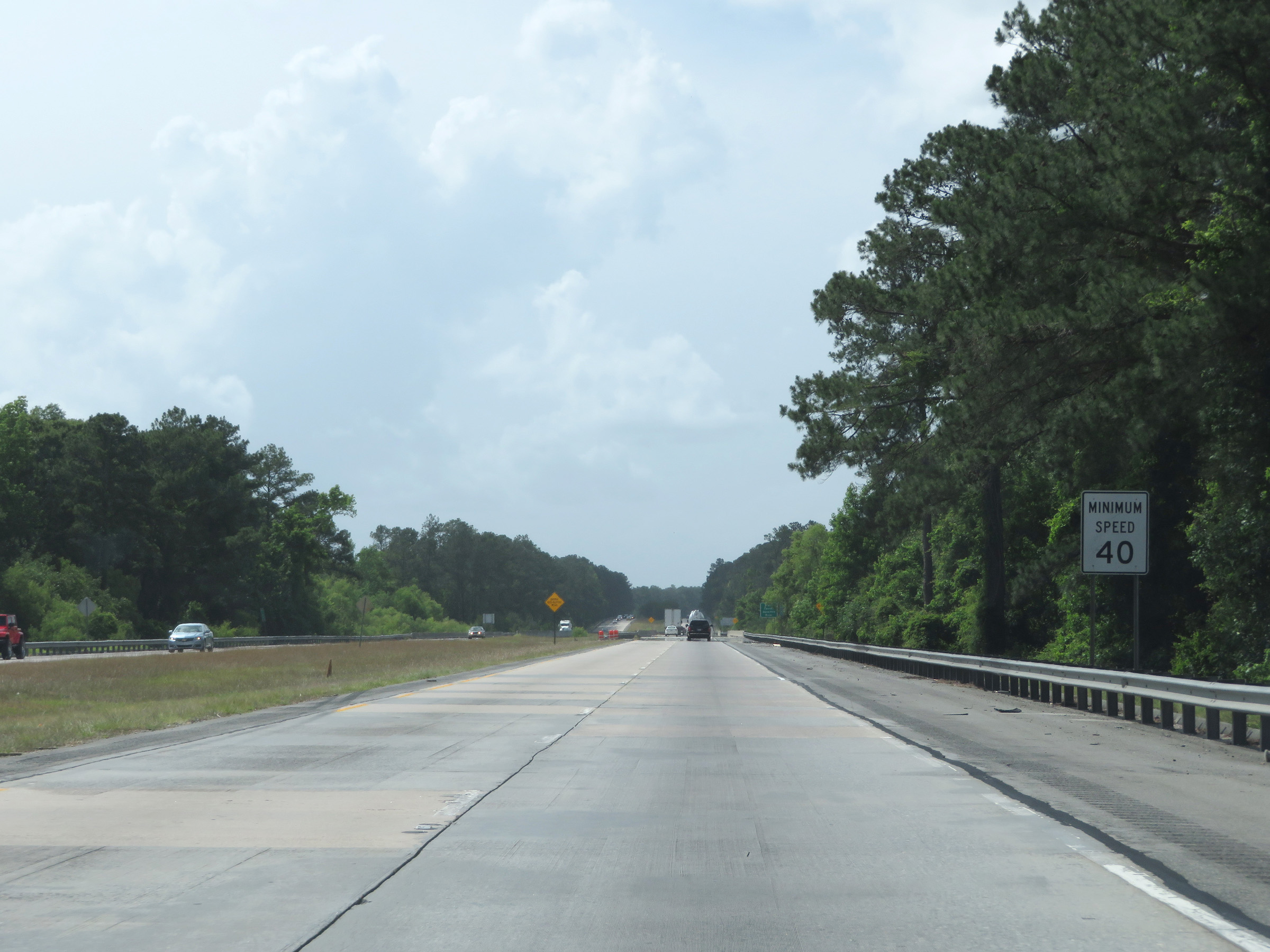 |
The minimum speed limit remains 40 mph, as is standard on Interstate highways in Georgia. (Photo taken 5/20/17). |
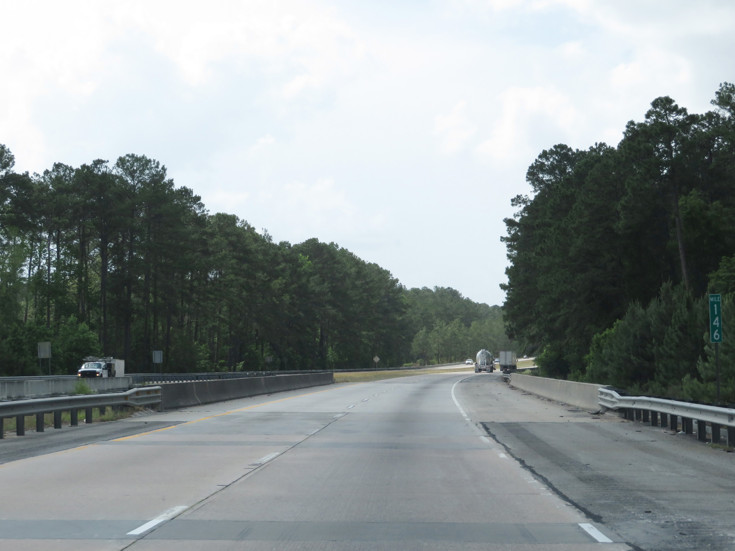 |
View on Interstate 16 West at mile marker 146. (Photo taken 5/20/17). |
 |
Weigh Station on Interstate 16 West at mile marker 144 in Bryan County. (Photo taken 5/20/17). |
 |
Interstate 16 West at Exit 143: US 280 - To US 80 / Pembroke (Photo taken 5/20/17). |
 |
State-named Interstate 16 West reassurance shield. (Photo taken 5/20/17). |
 |
Interstate 16 West at mile marker 141. (Photo taken 5/20/17). |
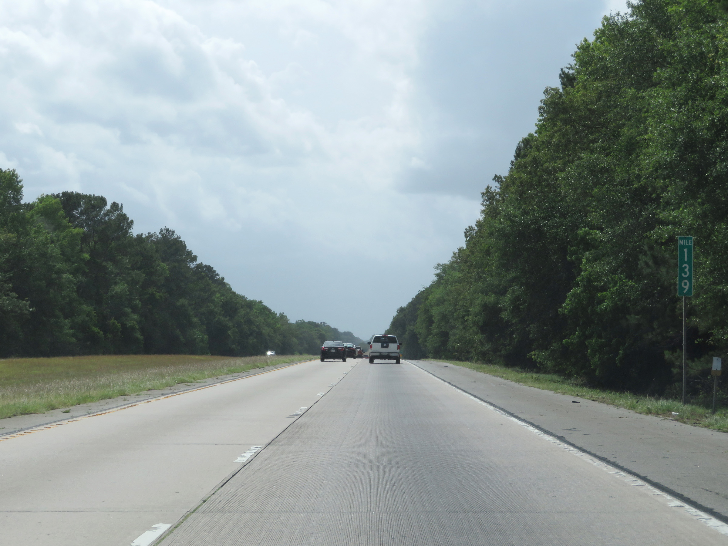 |
View on Interstate 16 West at mile marker 139. (Photo taken 5/20/17). |
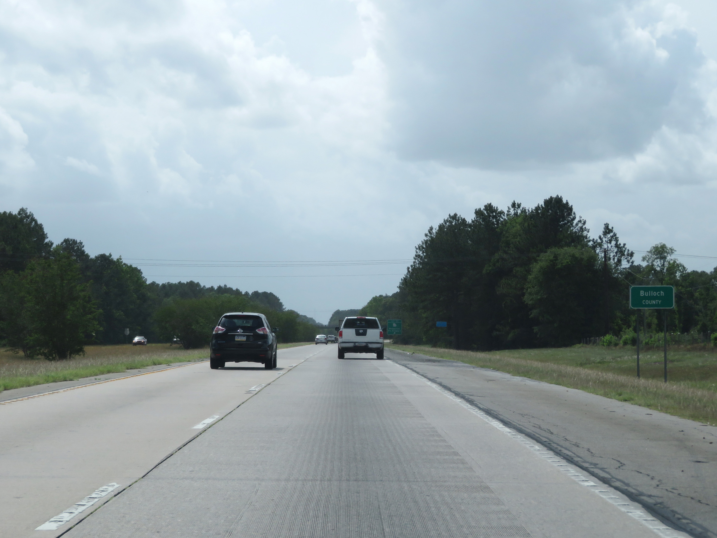 |
Interstate 16 West as it enters Bulloch County. (Photo taken 5/20/17). |
 |
Interstate 16 West at Exit 137: GA 119 - Pembroke / Fort Stewart (Photo taken 5/20/17). |
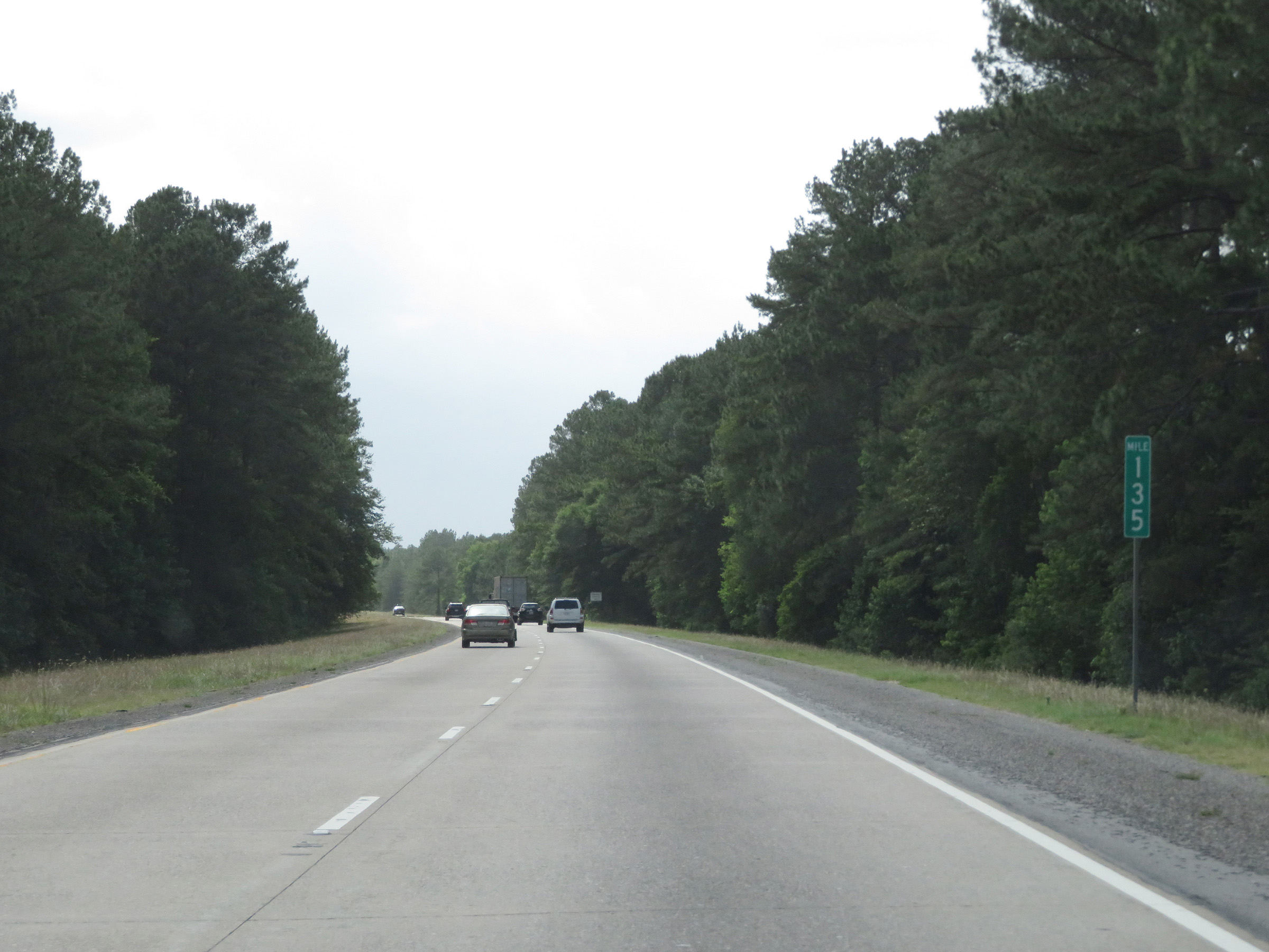 |
View on Interstate 16 West at mile marker 135. (Photo taken 5/20/17). |
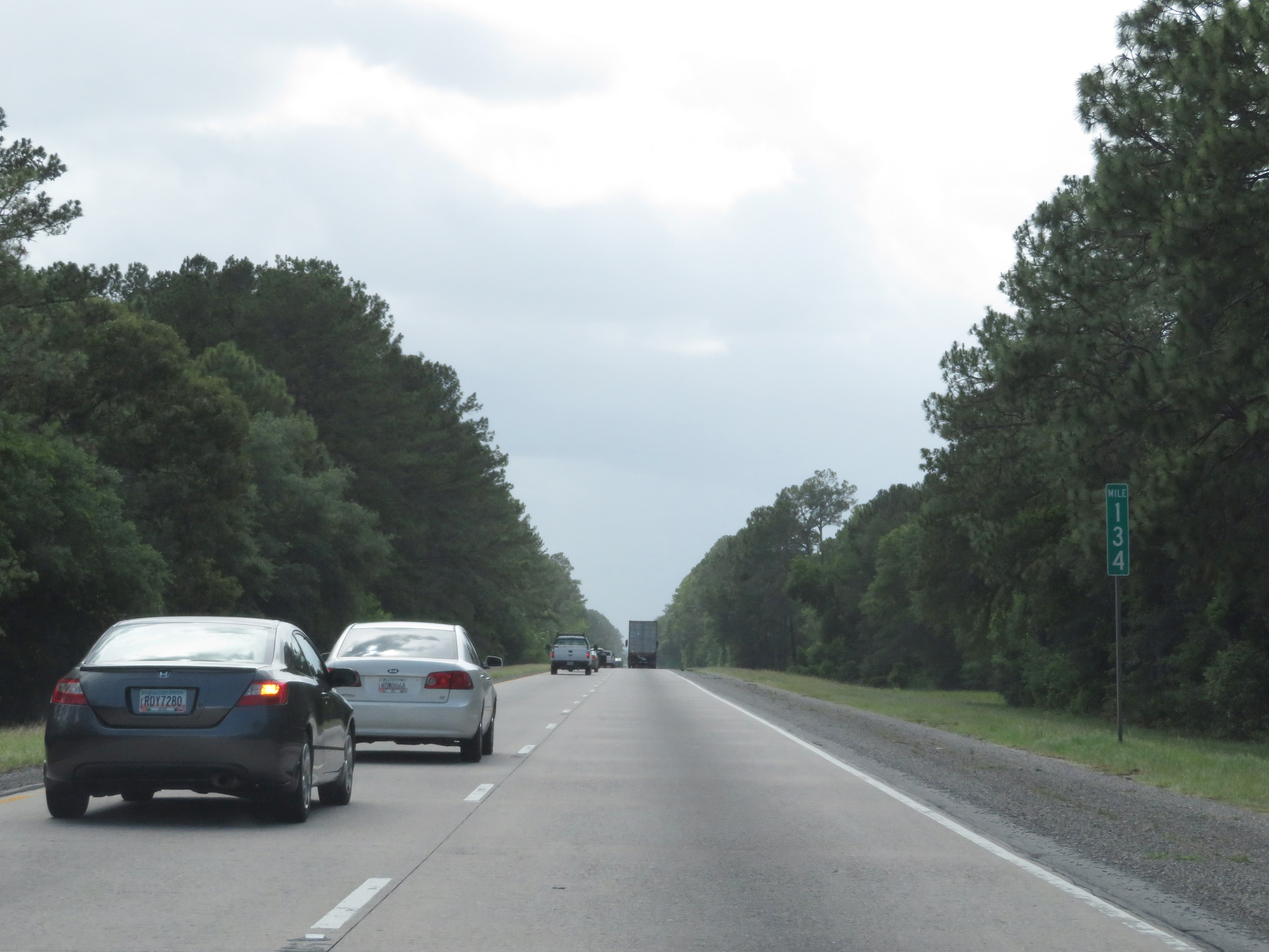 |
Interstate 16 West at mile marker 134. (Photo taken 5/20/17). |
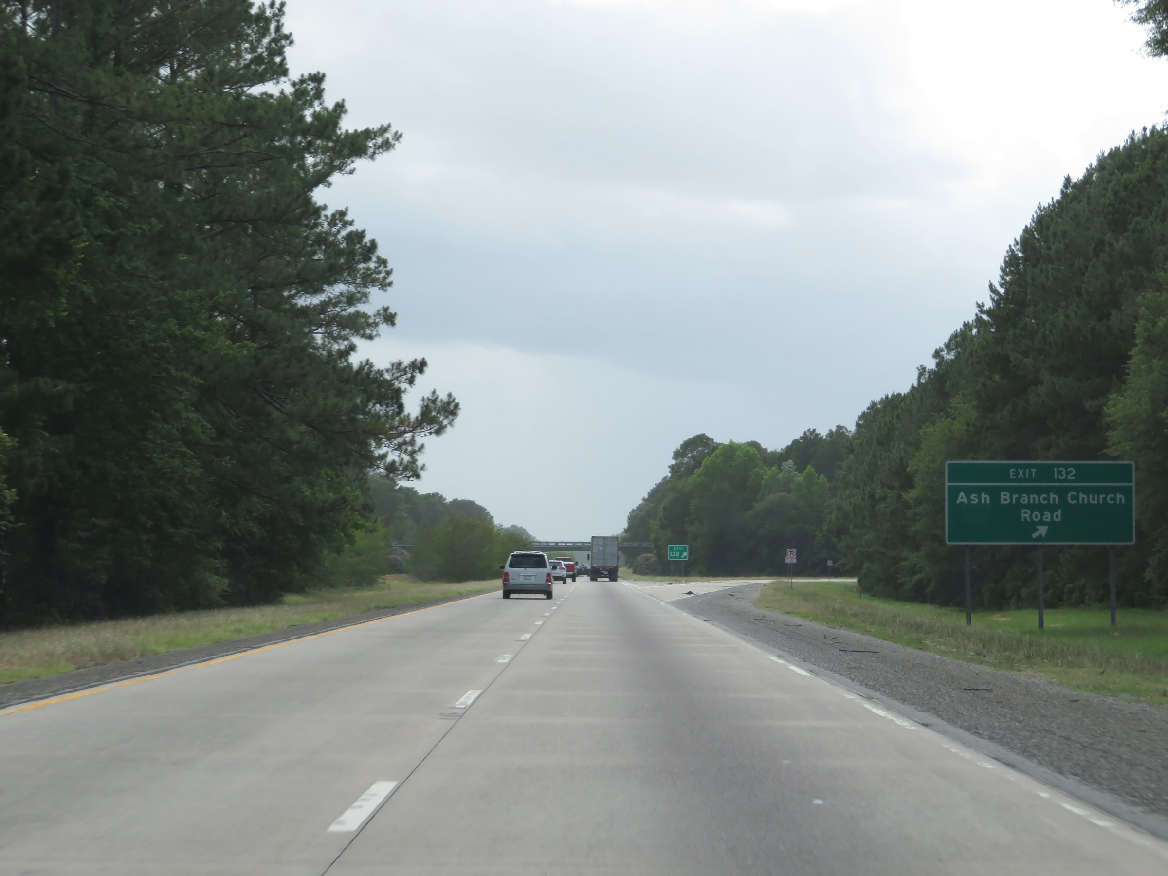 |
Interstate 16 West at Exit 132: Ash Branch Church Road (Photo taken 5/20/17). |
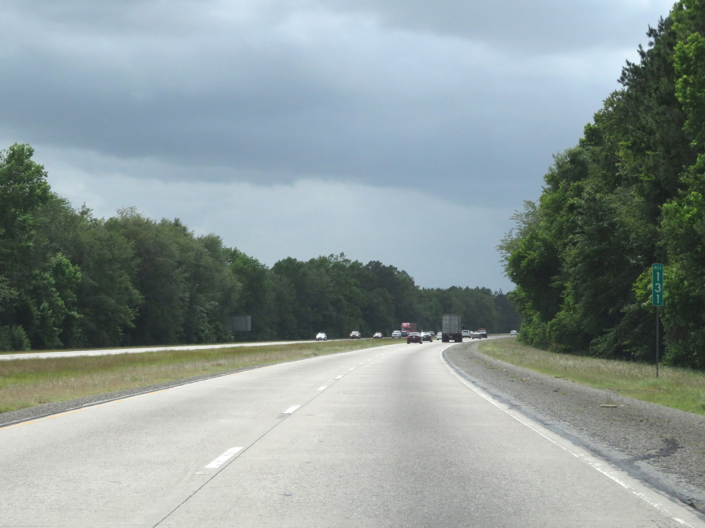 |
View on Interstate 16 West at mile marker 131. (Photo taken 5/20/17). |
 |
Interstate 16 West at mile marker 129. I had to laugh at the failure to spell "Peaches" correctly here. (Photo taken 5/20/17). |
 |
View on Interstate 16 West at mile marker 128. Look, I make mistakes too. We all do. But this second misspelling of "Peaches" one two separate signs within a mile of each other is rather.......funny? (Photo taken 5/20/17). |
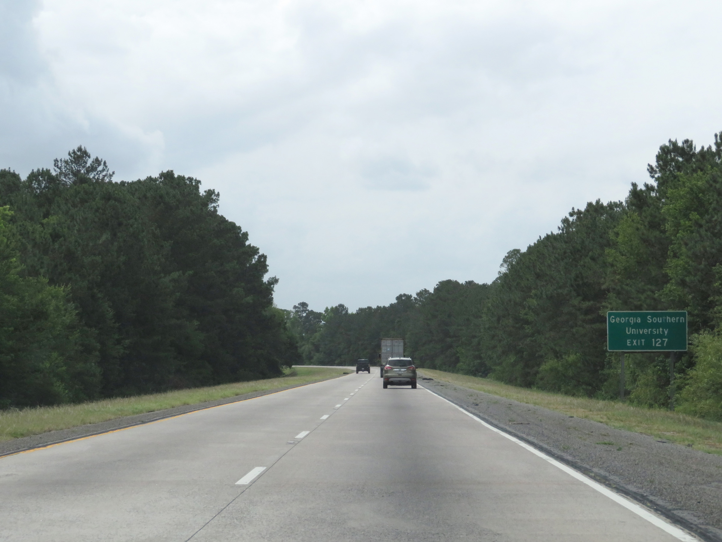 |
Take Exit 127 to Georgia Southern University. (Photo taken 5/20/17). |
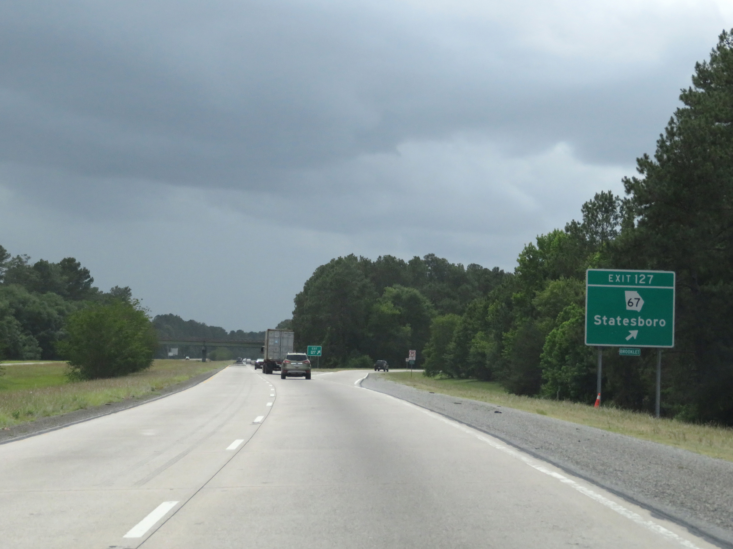 |
Interstate 16 West at Exit 127: GA 67 - Statesboro (Photo taken 5/20/17). |
 |
The maximum speed limit remains 70 mph for all traffic. (Photo taken 5/20/17). |
 |
Interstate 16 West at mile marker 123. (Photo taken 5/20/17). |
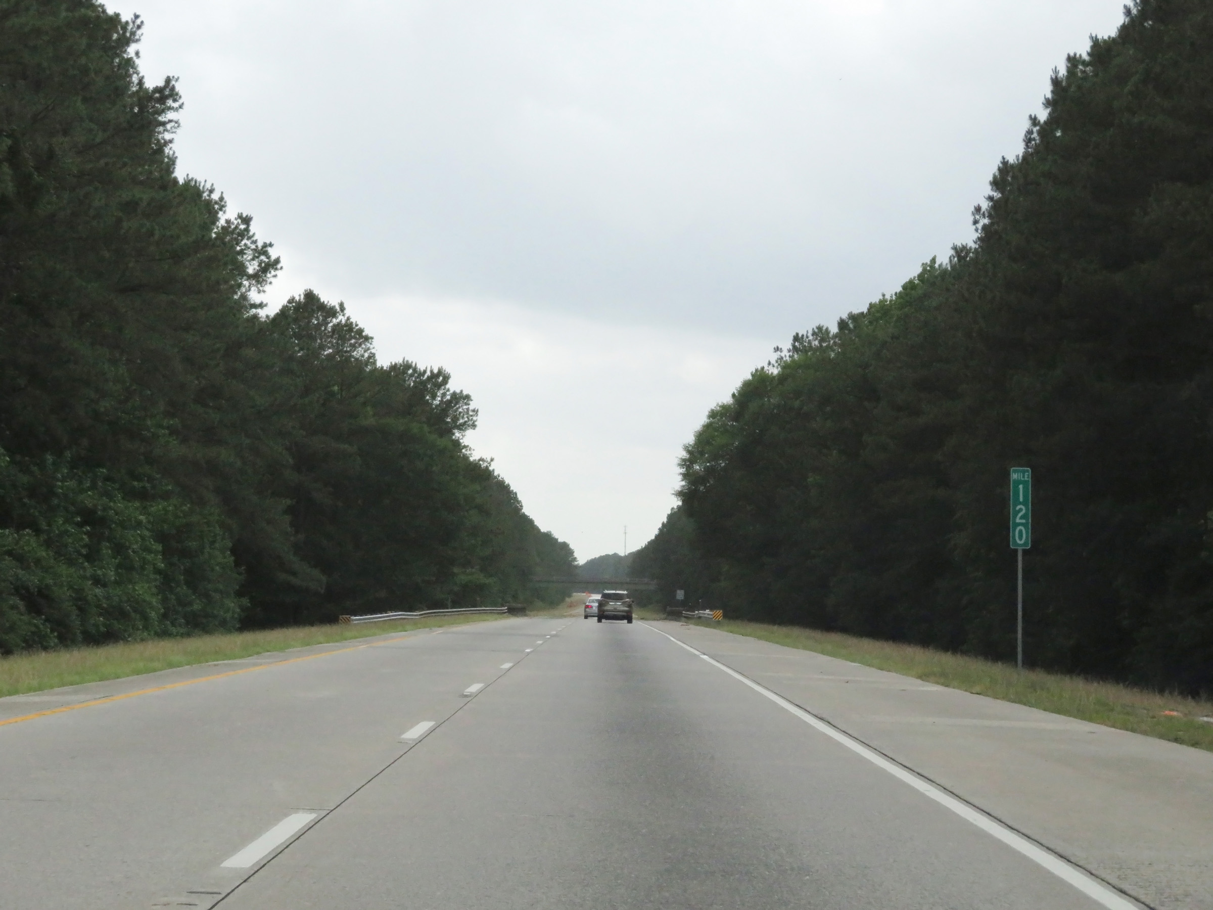 |
View on Interstate 16 West at mile marker 120. (Photo taken 5/20/17). |
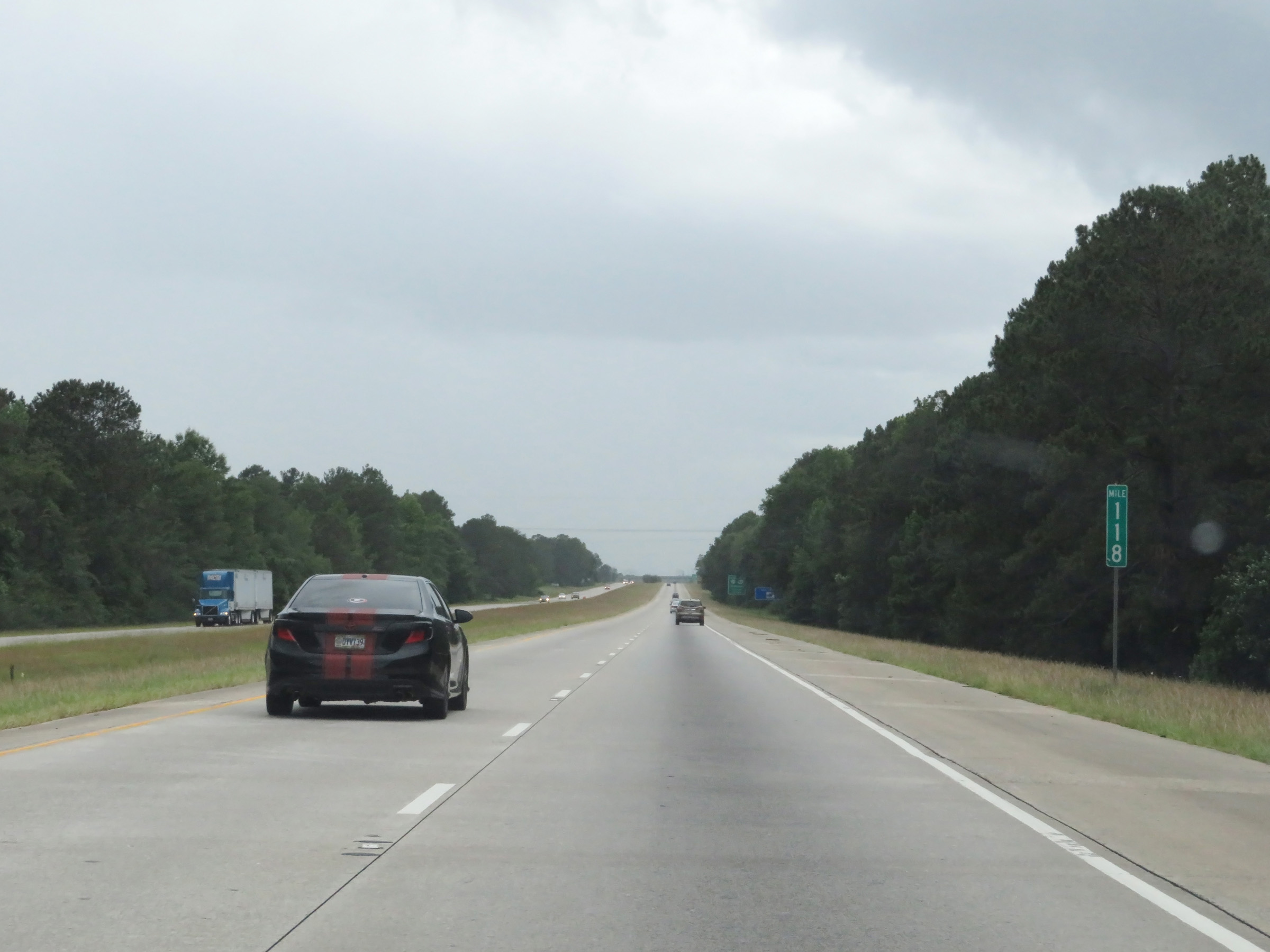 |
Mile marker 118 on Interstate 16 West in Bulloch County. (Photo taken 5/20/17). |
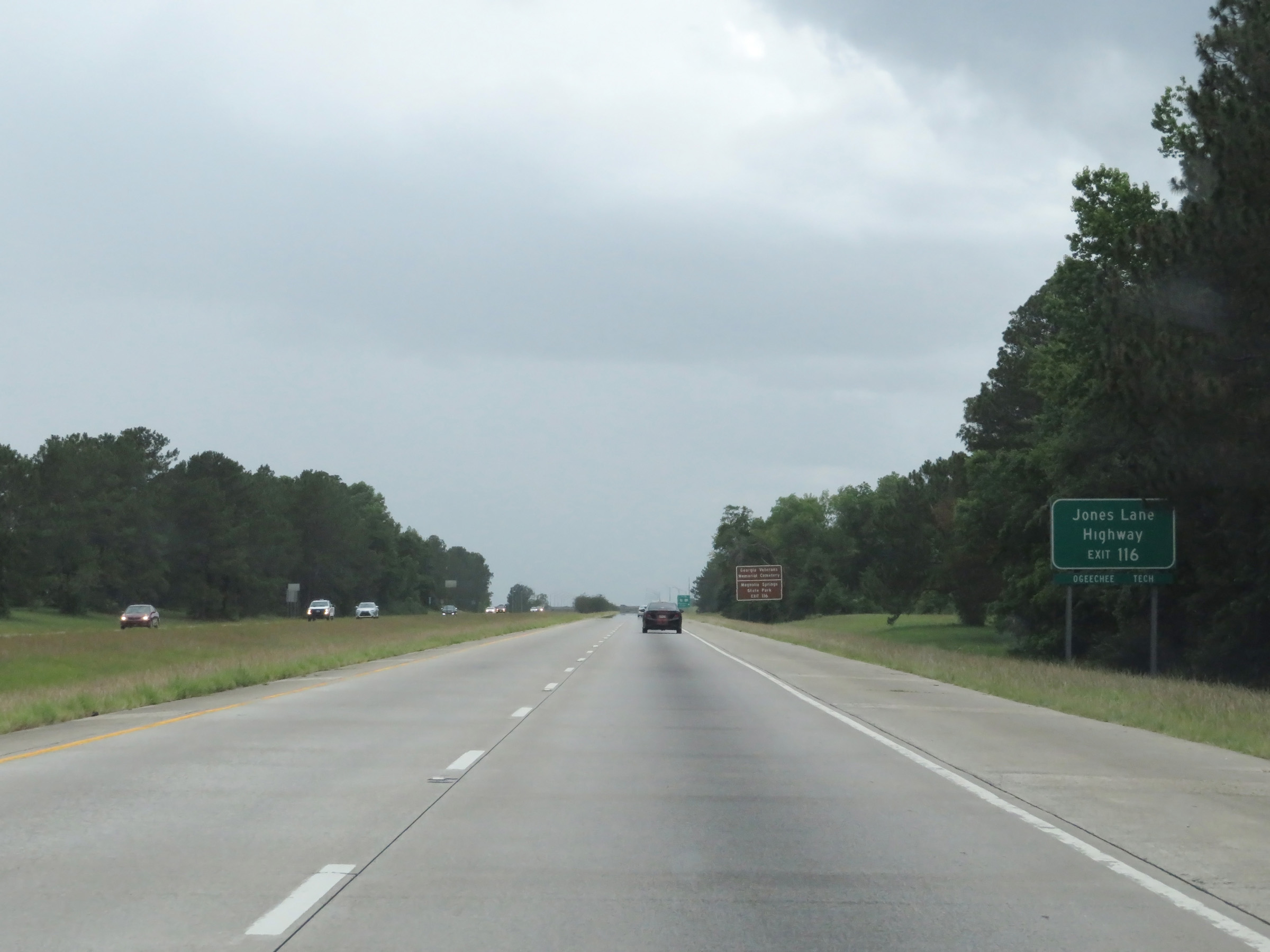 |
Take Exit 116 to Jones Lane Highway. (Photo taken 5/20/17). |
 |
Also take Exit 116 to Georgia Veterans Memorial Cemetery and Magnolia Springs State Park. (Photo taken 5/20/17). |
 |
Interstate 16 West at Exit 116: US 25 / US 301 - Statesboro / Claxton (Photo taken 5/20/17). |
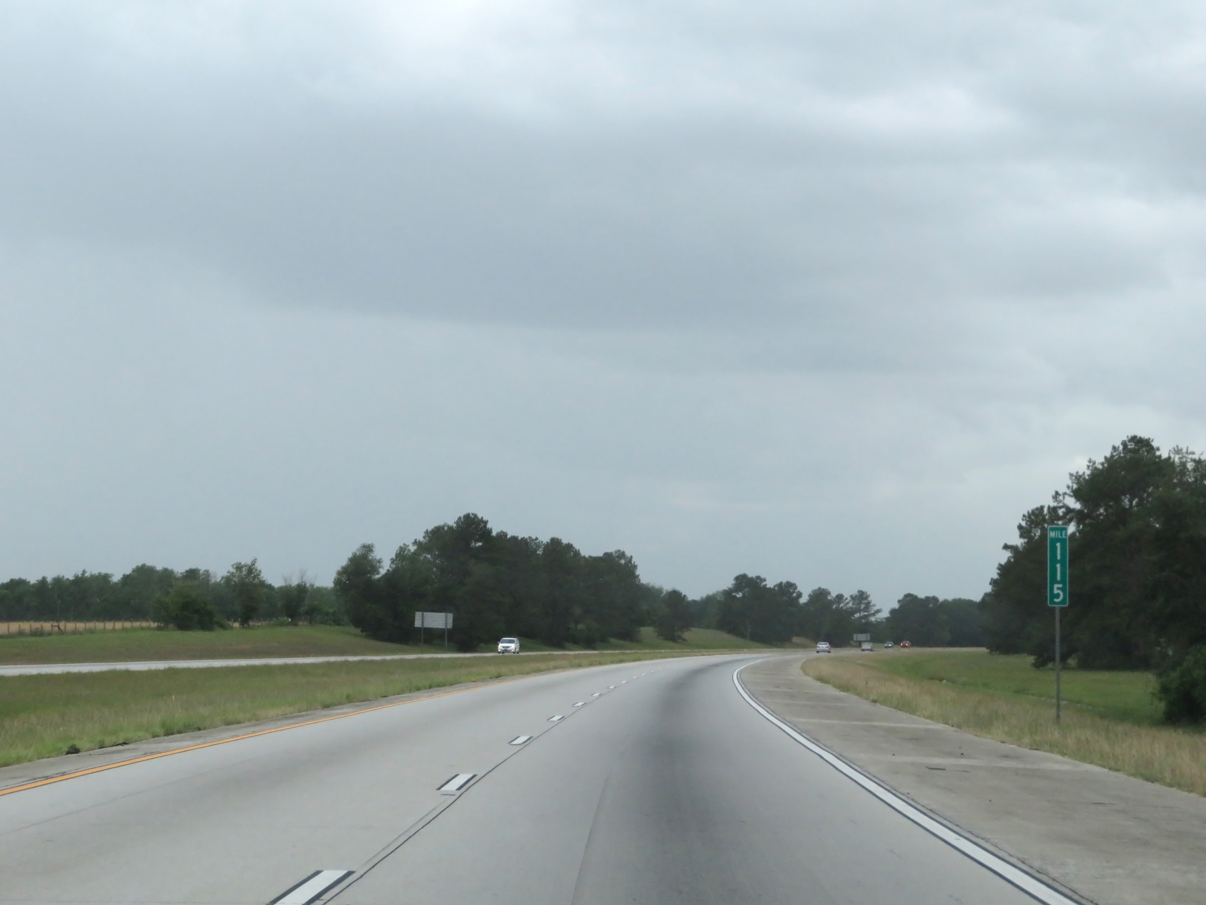 |
View on Interstate 16 West at mile marker 115. (Photo taken 5/20/17). |
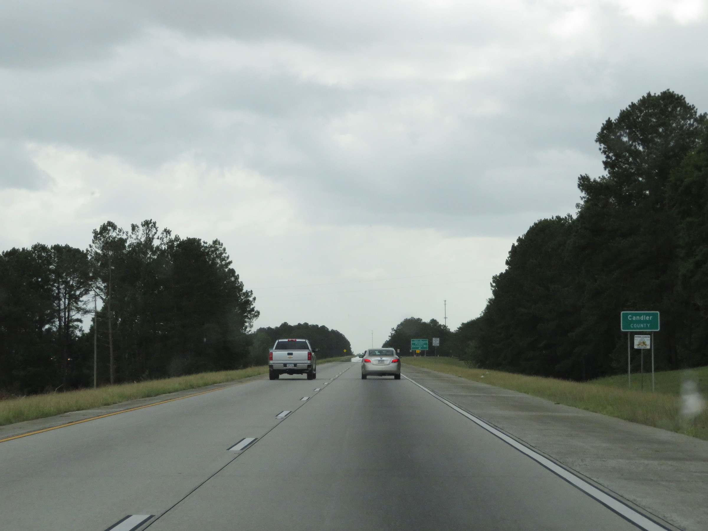 |
Interstate 16 West as it enters Candler County. (Photo taken 5/20/17). |
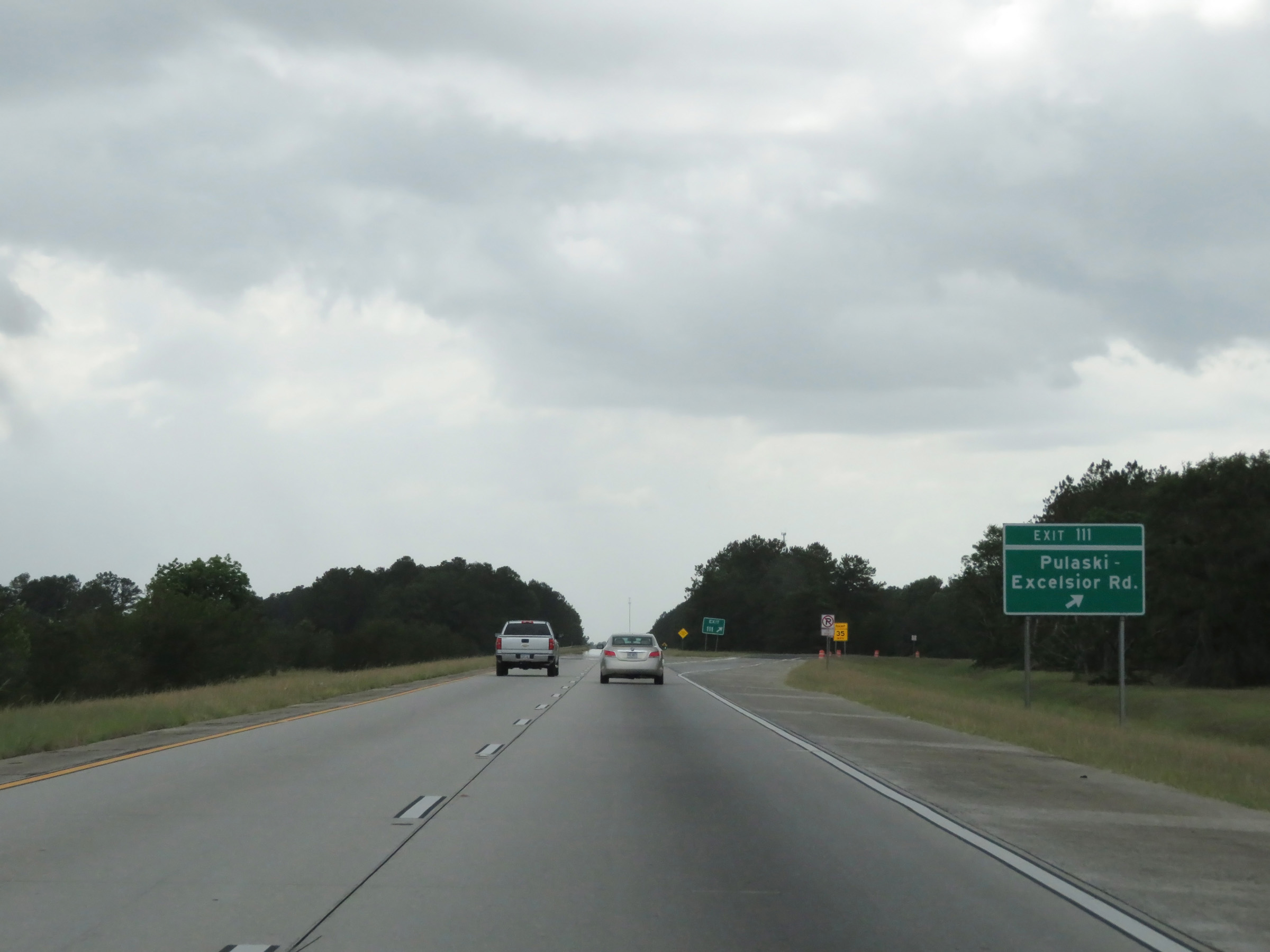 |
Interstate 16 West at Exit 111: Pulaski-Excelsior Rd (Photo taken 5/20/17). |
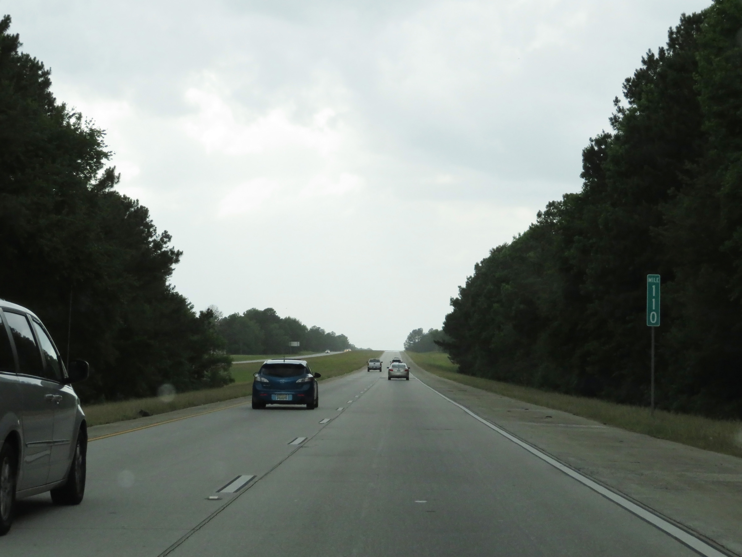 |
Mile marker 110 on Interstate 16 West in Candler County. (Photo taken 5/20/17). |
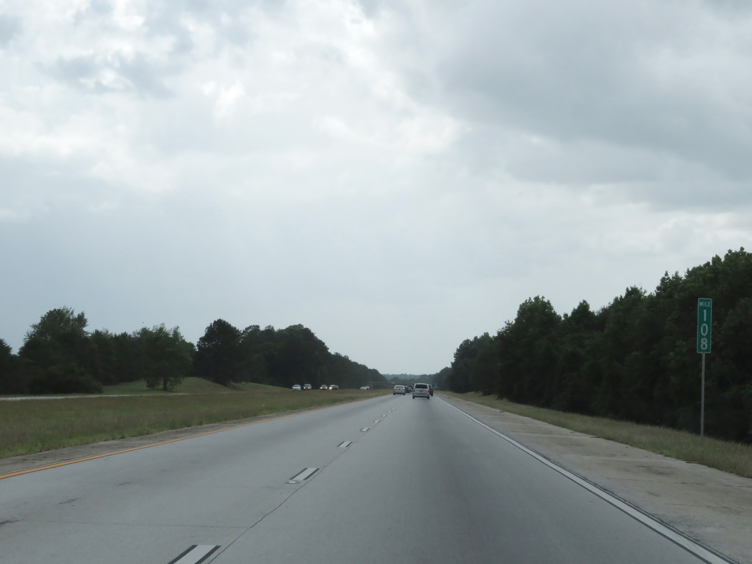 |
View on Interstate 16 West at mile marker 108. (Photo taken 5/20/17). |
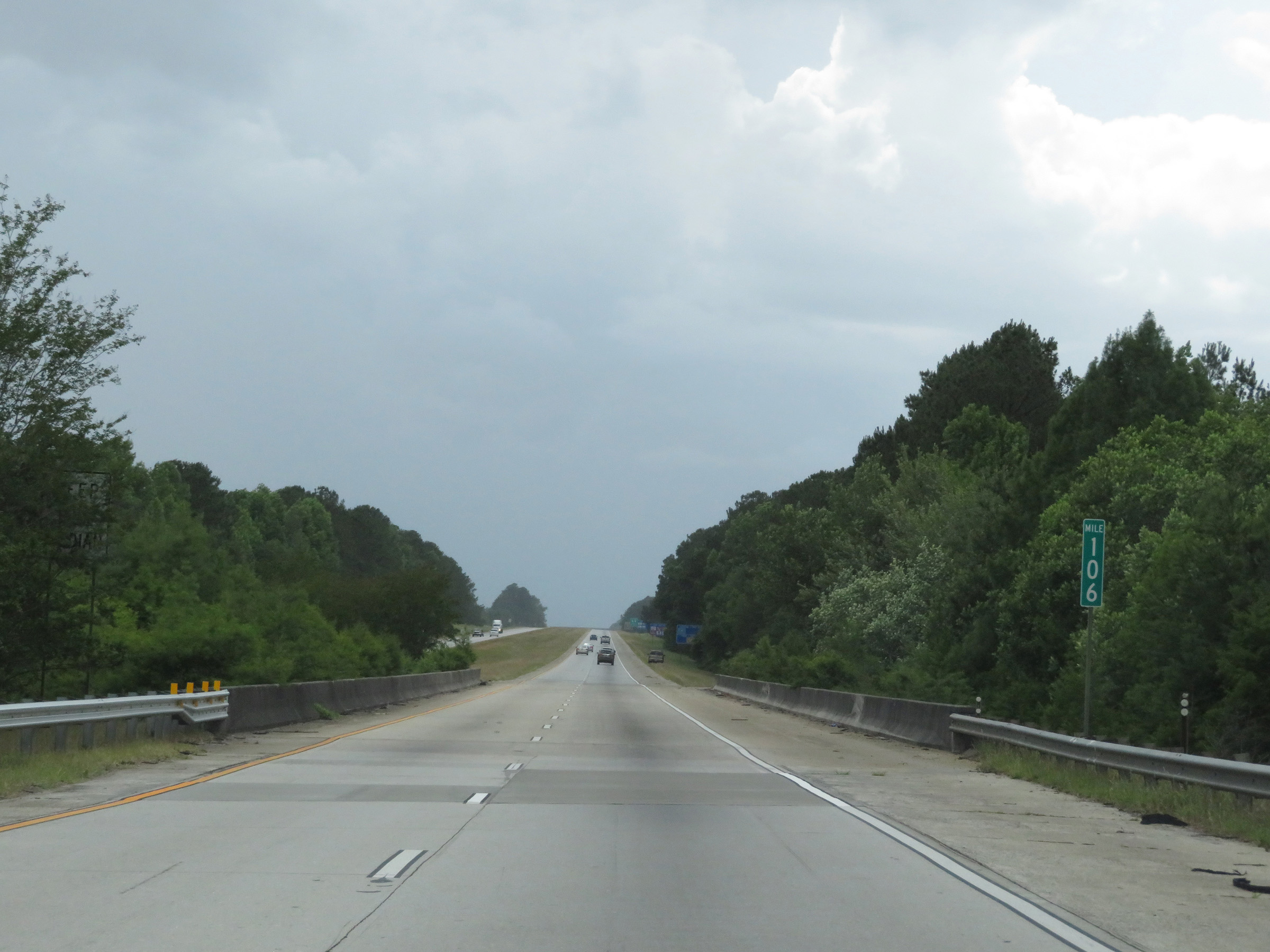 |
Interstate 16 West at mile marker 106. (Photo taken 5/20/17). |
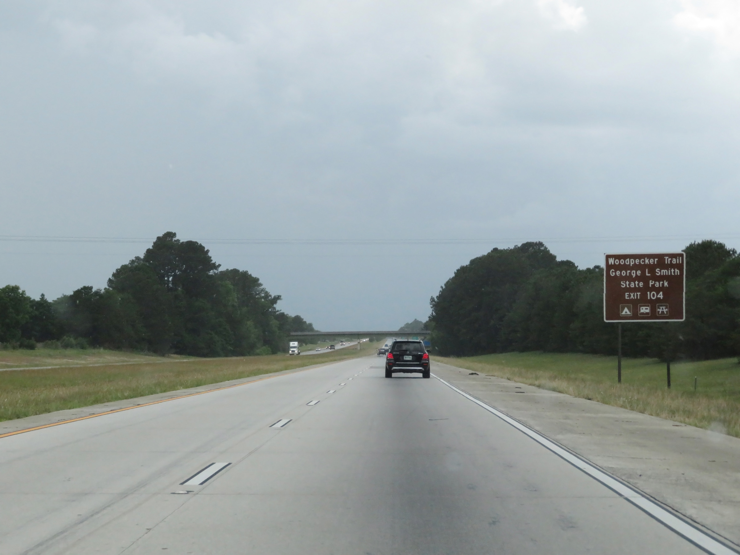 |
Take Exit 104 to Woodpecker Trail and George L. Smith State Park. (Photo taken 5/20/17). |
 |
A Tourist Information Center also exists off Exit 104. (Photo taken 5/20/17). |
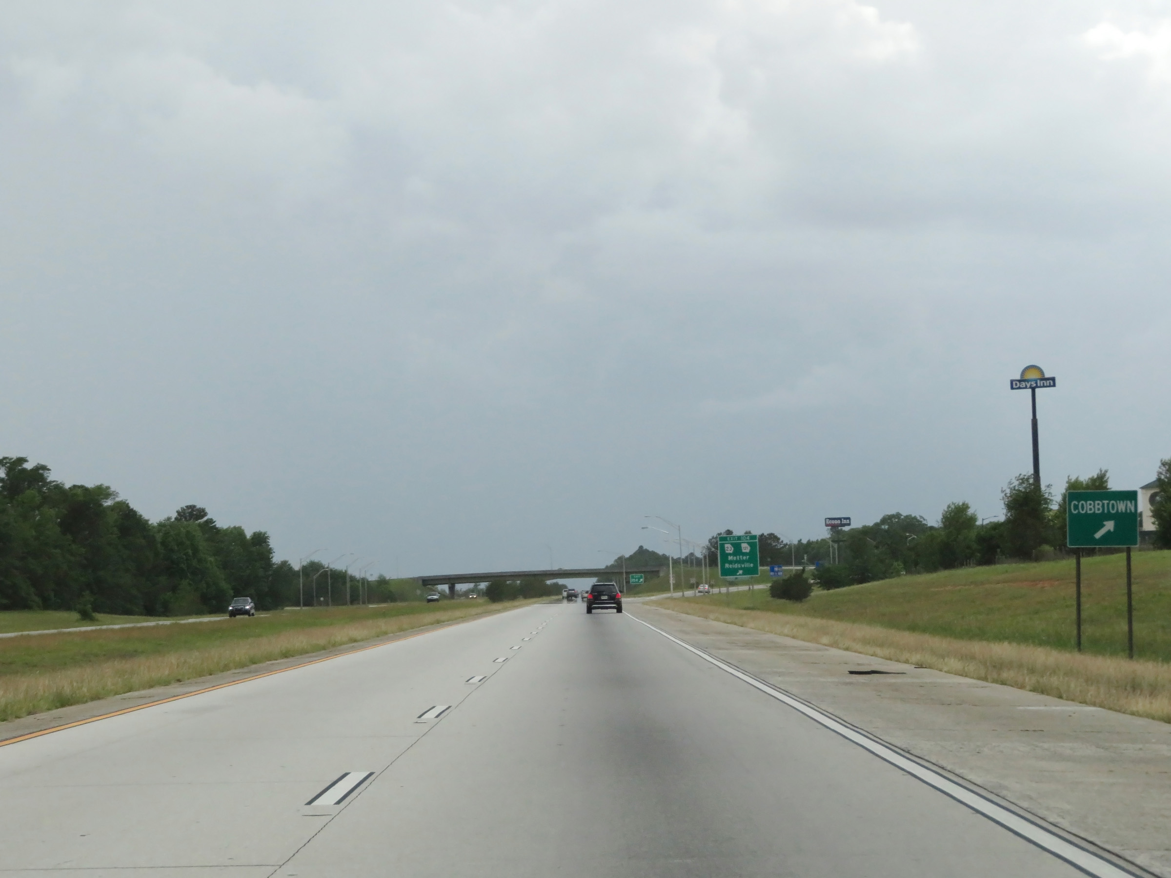 |
Take Exit 104 to Cobbtown as well. (Photo taken 5/20/17). |
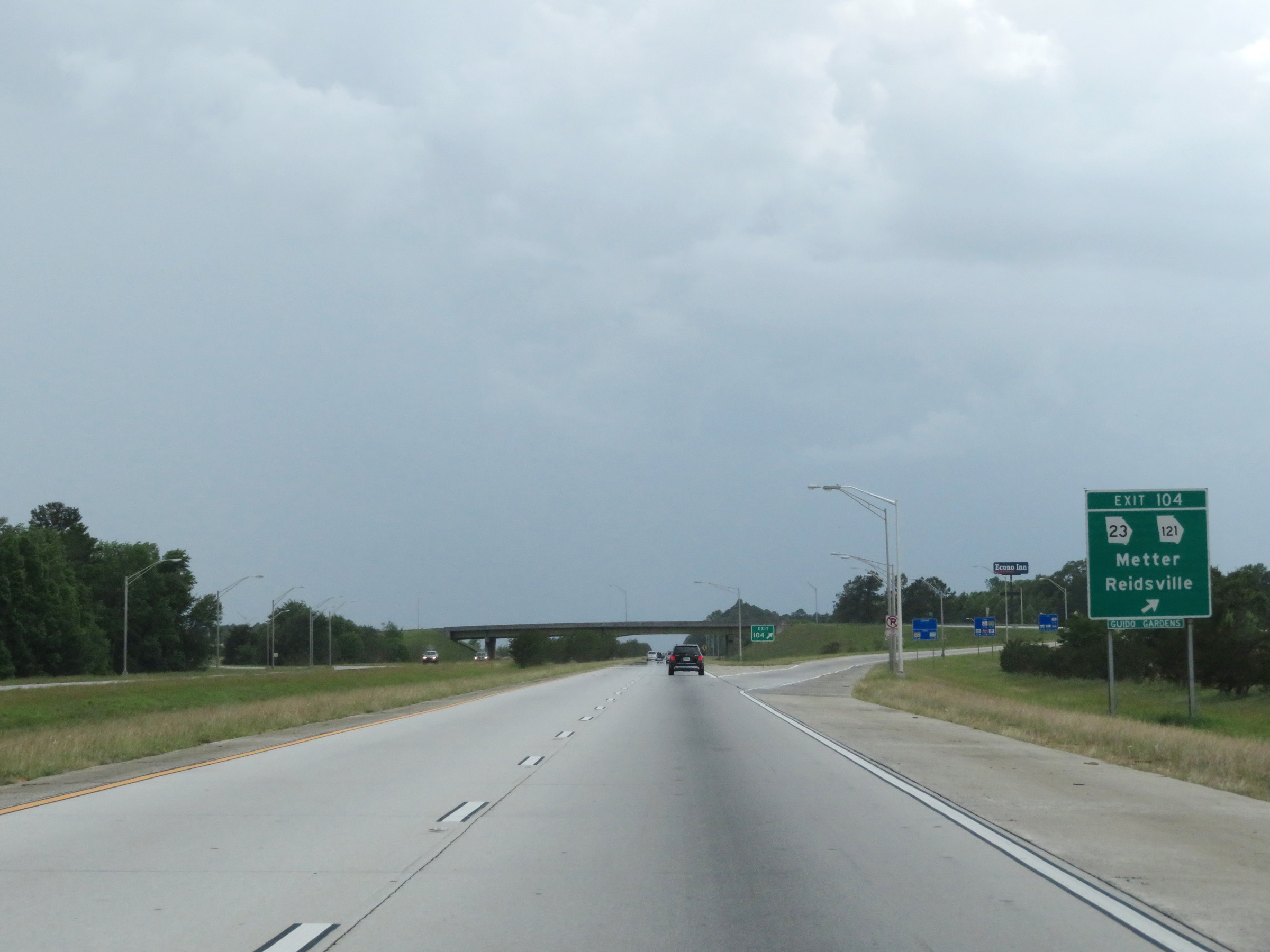 |
Interstate 16 West at Exit 104: GA 23 / GA 121 - Metter / Reidsville (Photo taken 5/20/17). |
Section 2: Metter (Exit 104) to Dudley (Exit 42)
 |
The maximum speed limit remains 70 mph on Interstate 16 West. This is the standard maximum speed limit on most rural Interstate highways in Georgia. (Photo taken 5/20/17). |
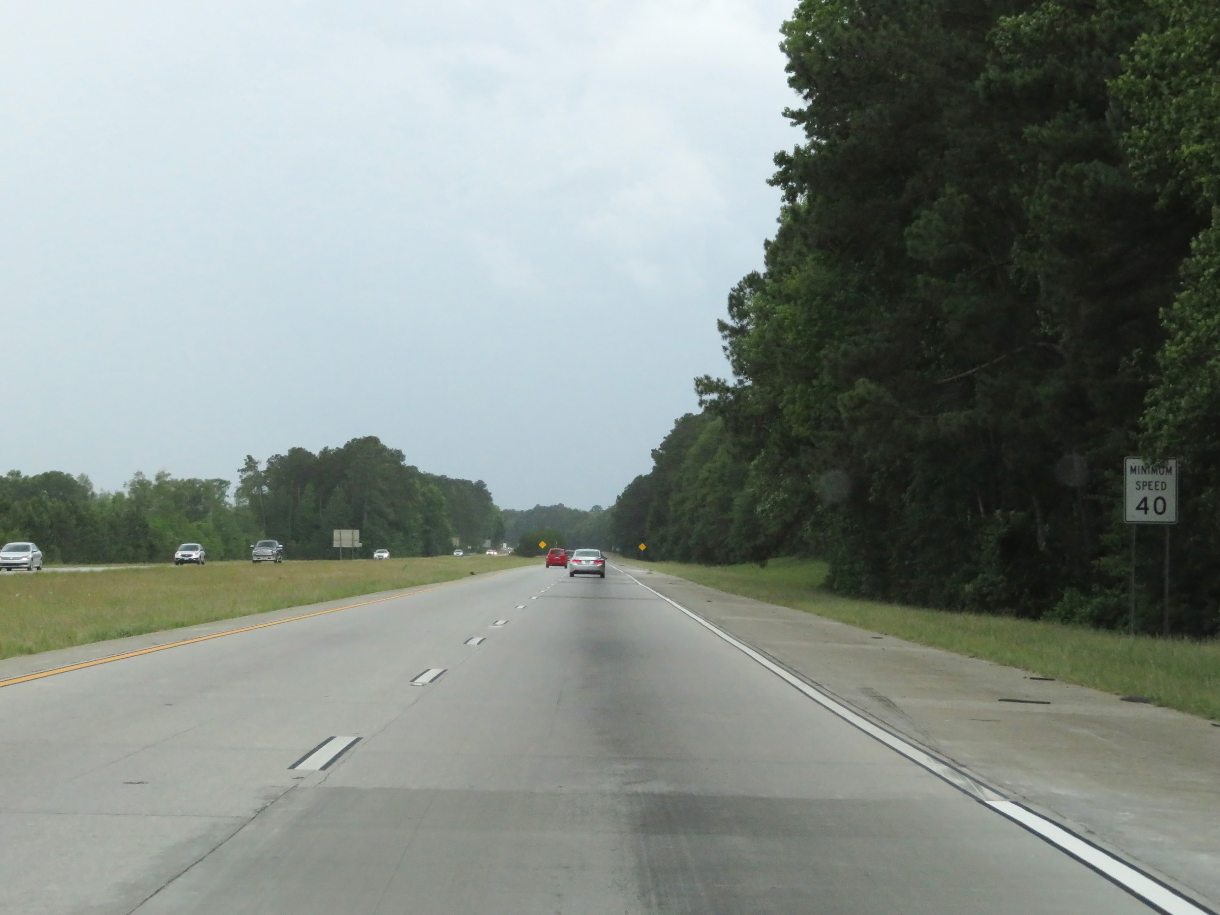 |
The minimum speed limit remains 40 mph on Interstate 16 West. This is the standard minimum speed limit on Interstate highways in Georgia. (Photo taken 5/20/17). |
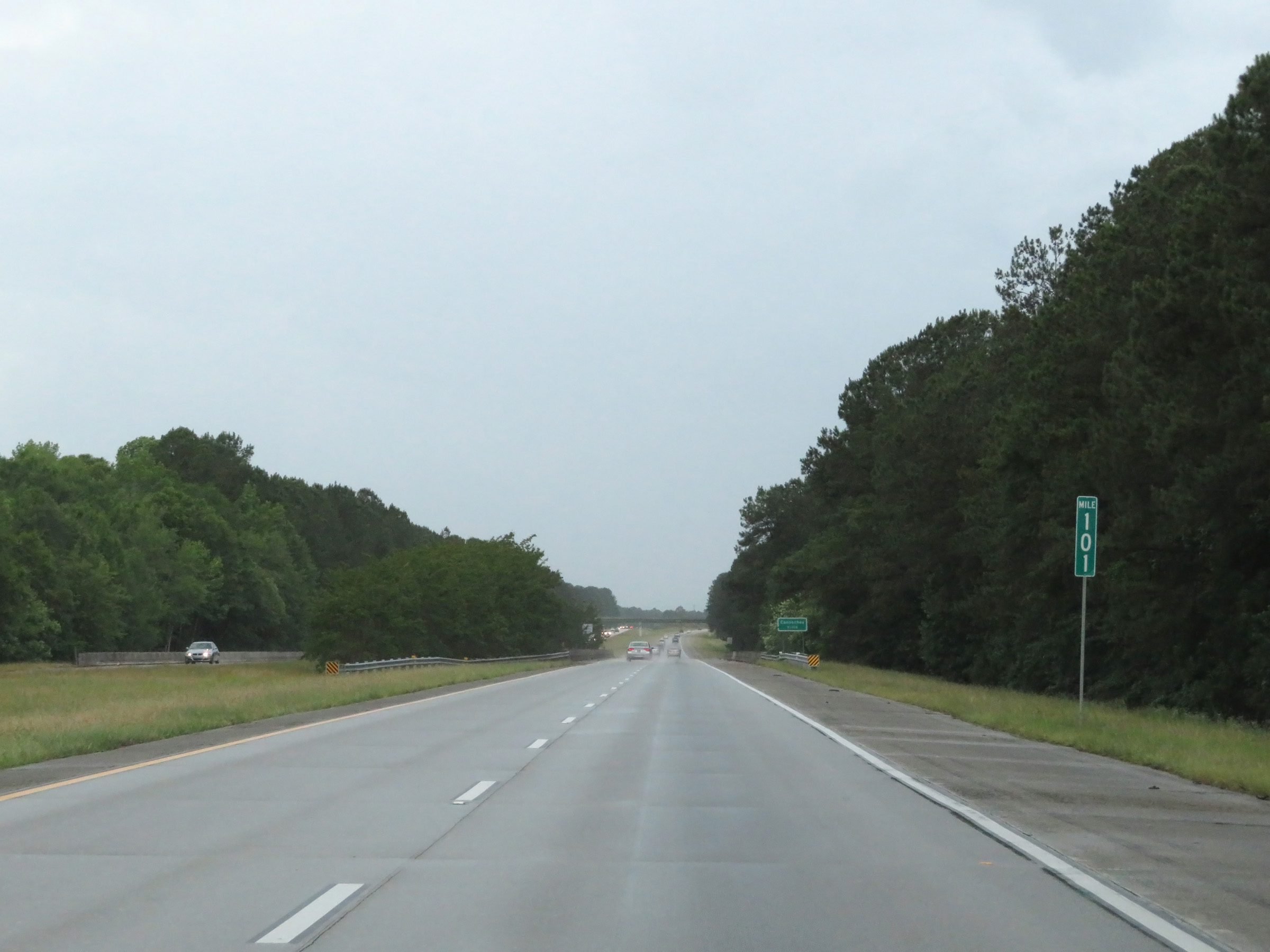 |
View on Interstate 16 West at mile marker 101. (Photo taken 5/20/17). |
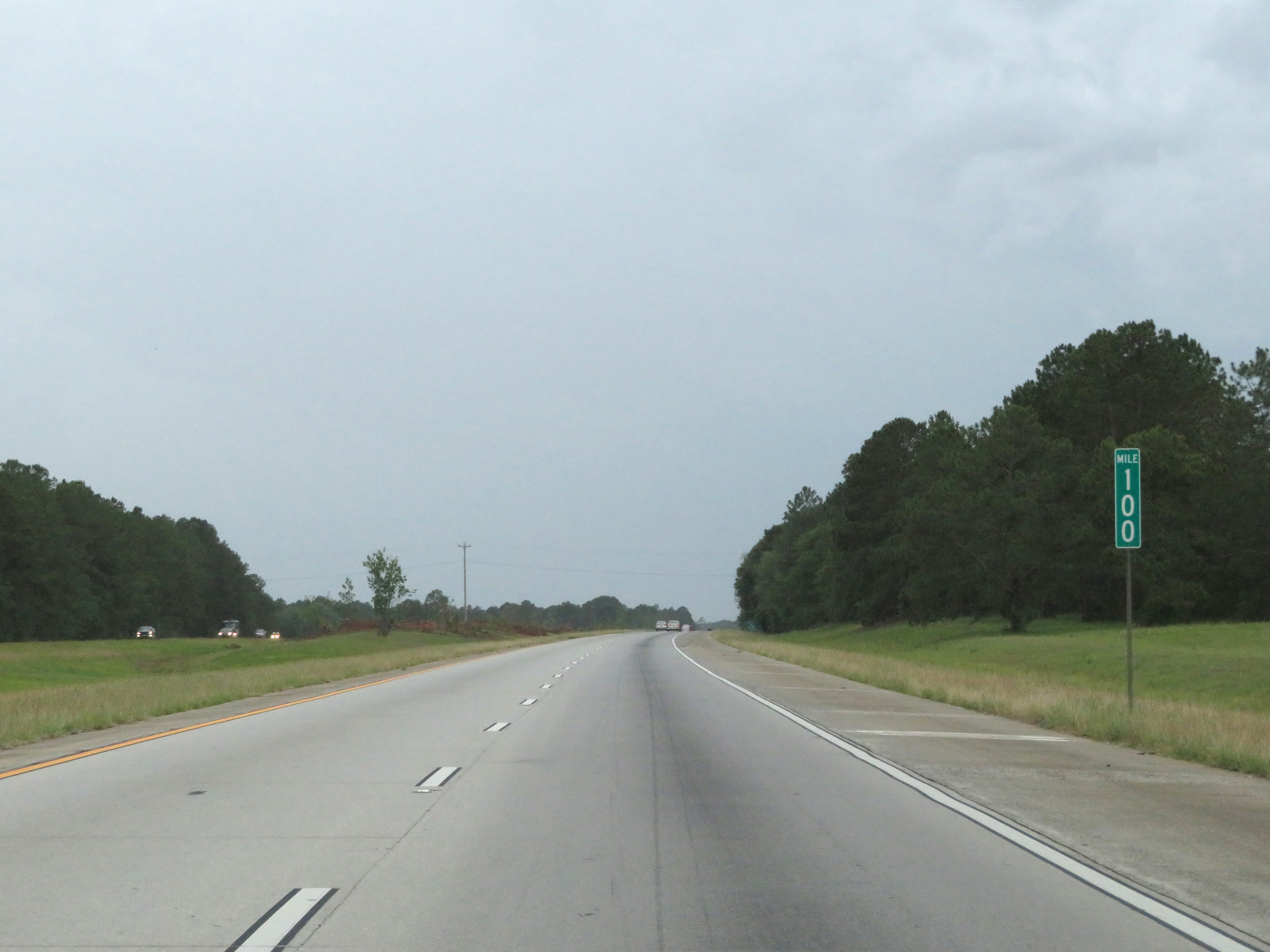 |
Interstate 16 West at mile marker 100. (Photo taken 5/20/17). |
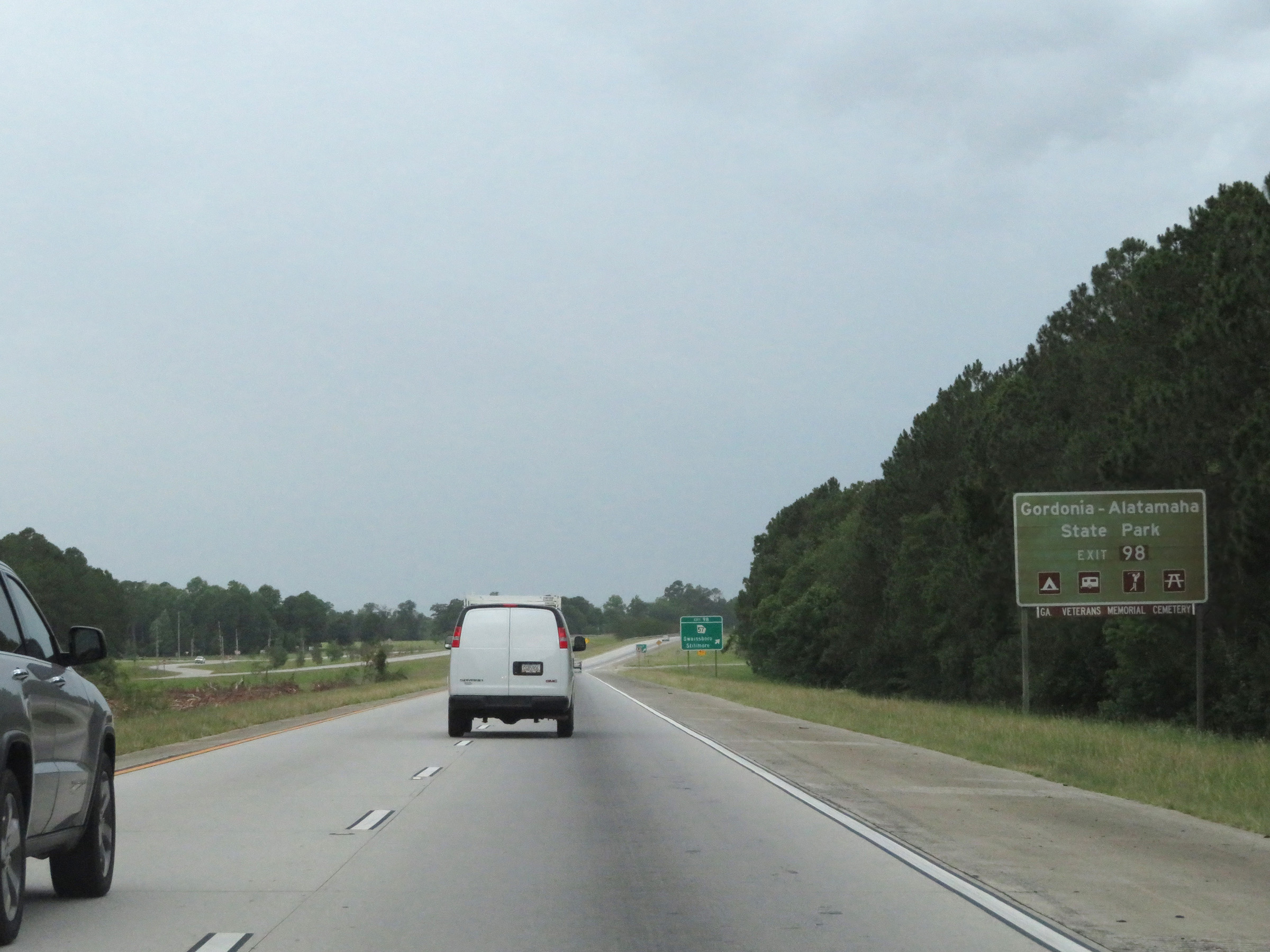 |
Take Exit 98 to Gordonia-Alatamaha State Park. (Photo taken 5/20/17). |
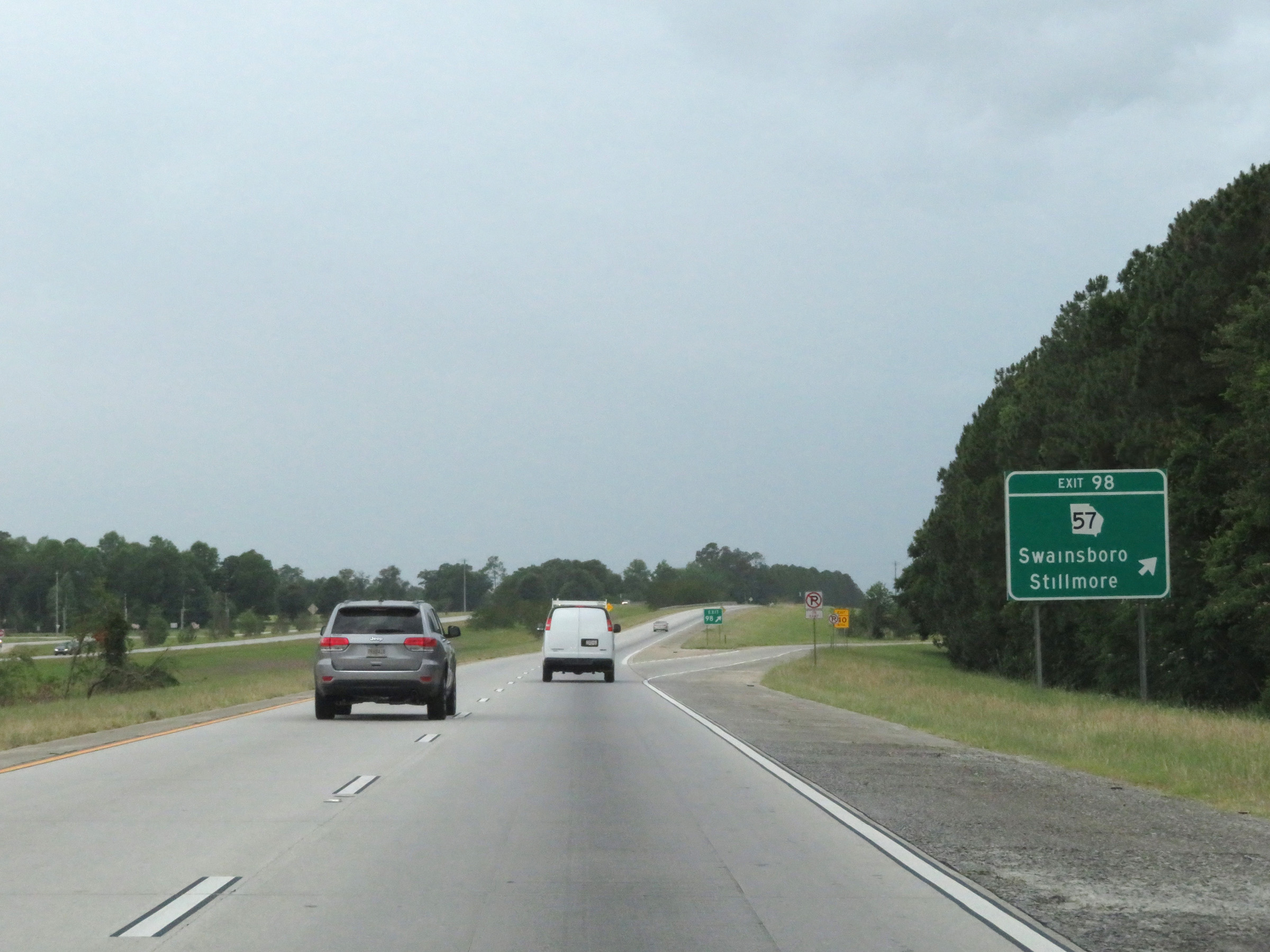 |
Interstate 16 West at Exit 98: GA 57 - Swainsboro / Stillmore (Photo taken 5/20/17). |
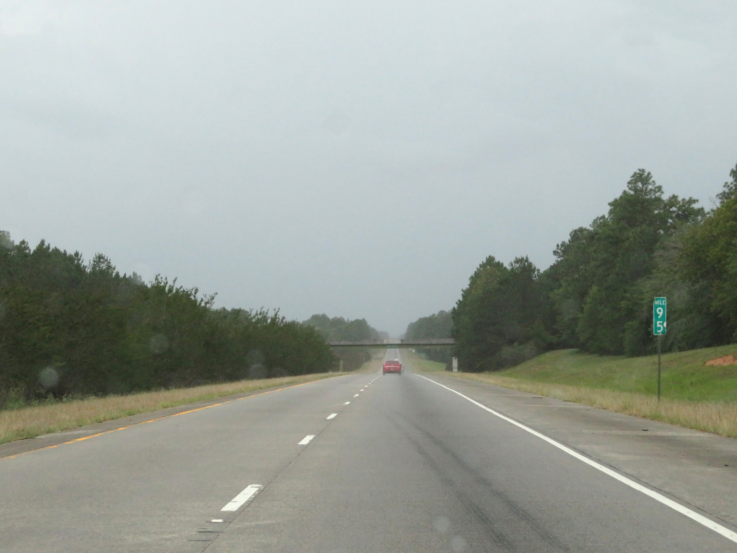 |
View on Interstate 16 West at mile marker 95. (Photo taken 5/20/17). |
 |
Interstate 16 West as it enters Emanuel County. (Photo taken 5/20/17). |
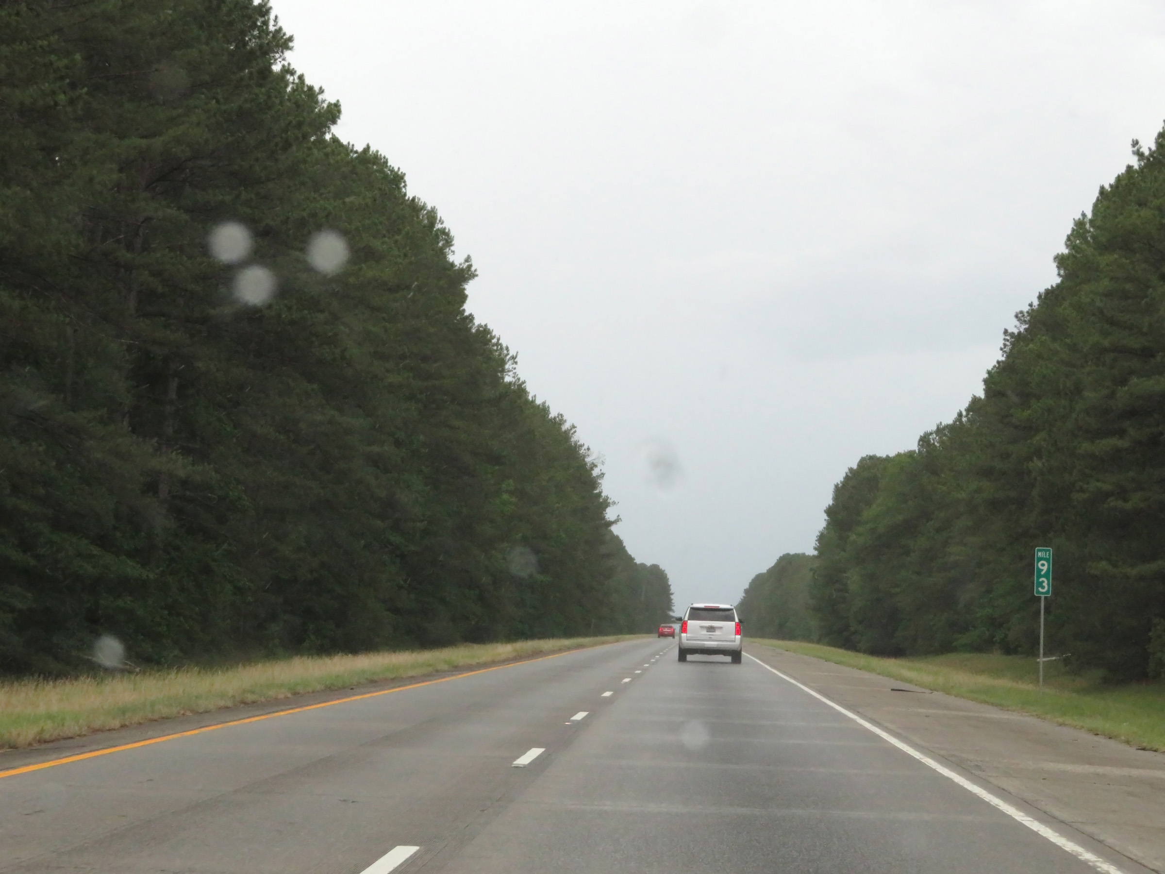 |
Interstate 16 West at mile marker 93. (Photo taken 5/20/17). |
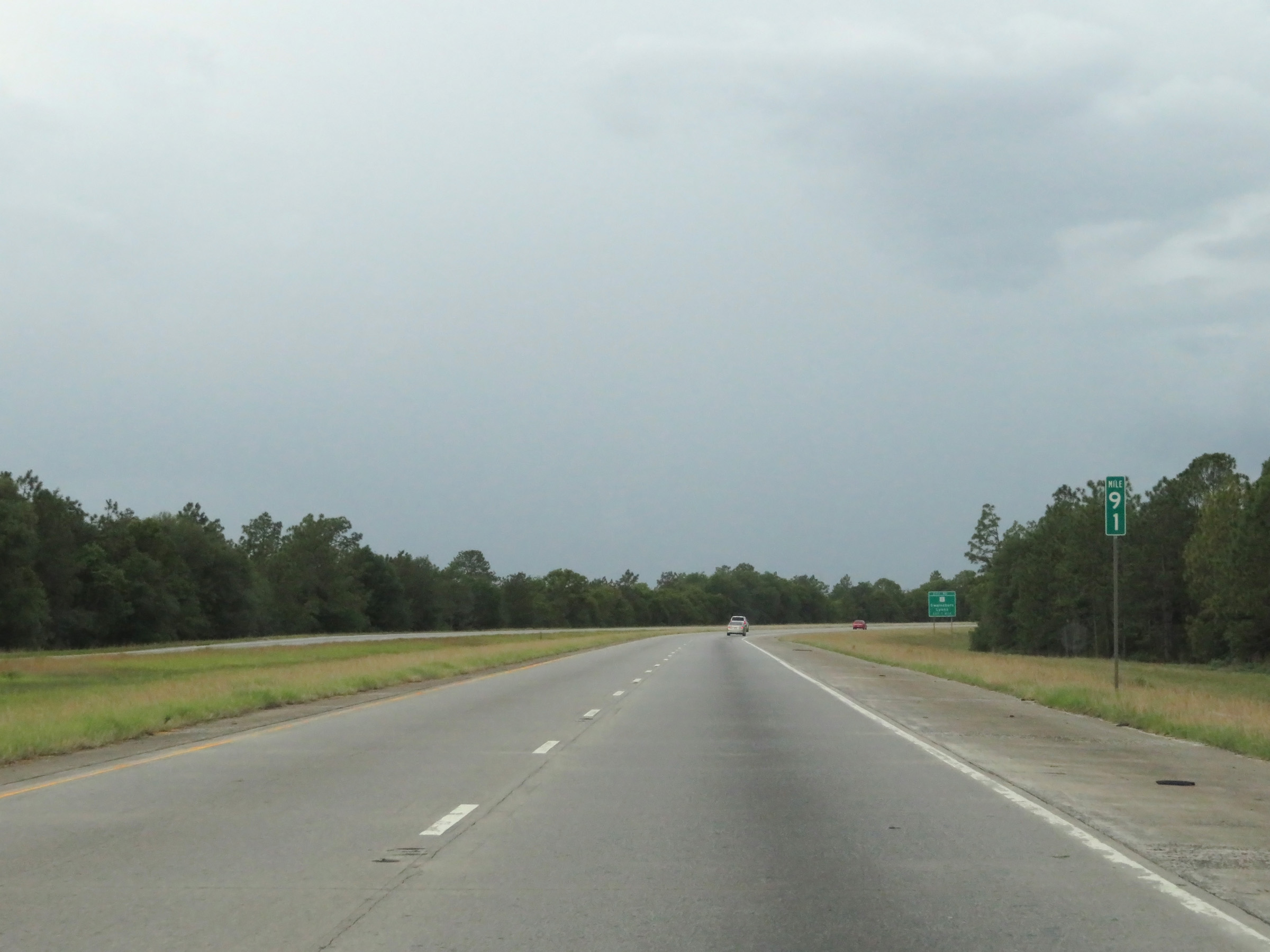 |
View on Interstate 16 West at mile marker 91. (Photo taken 5/20/17). |
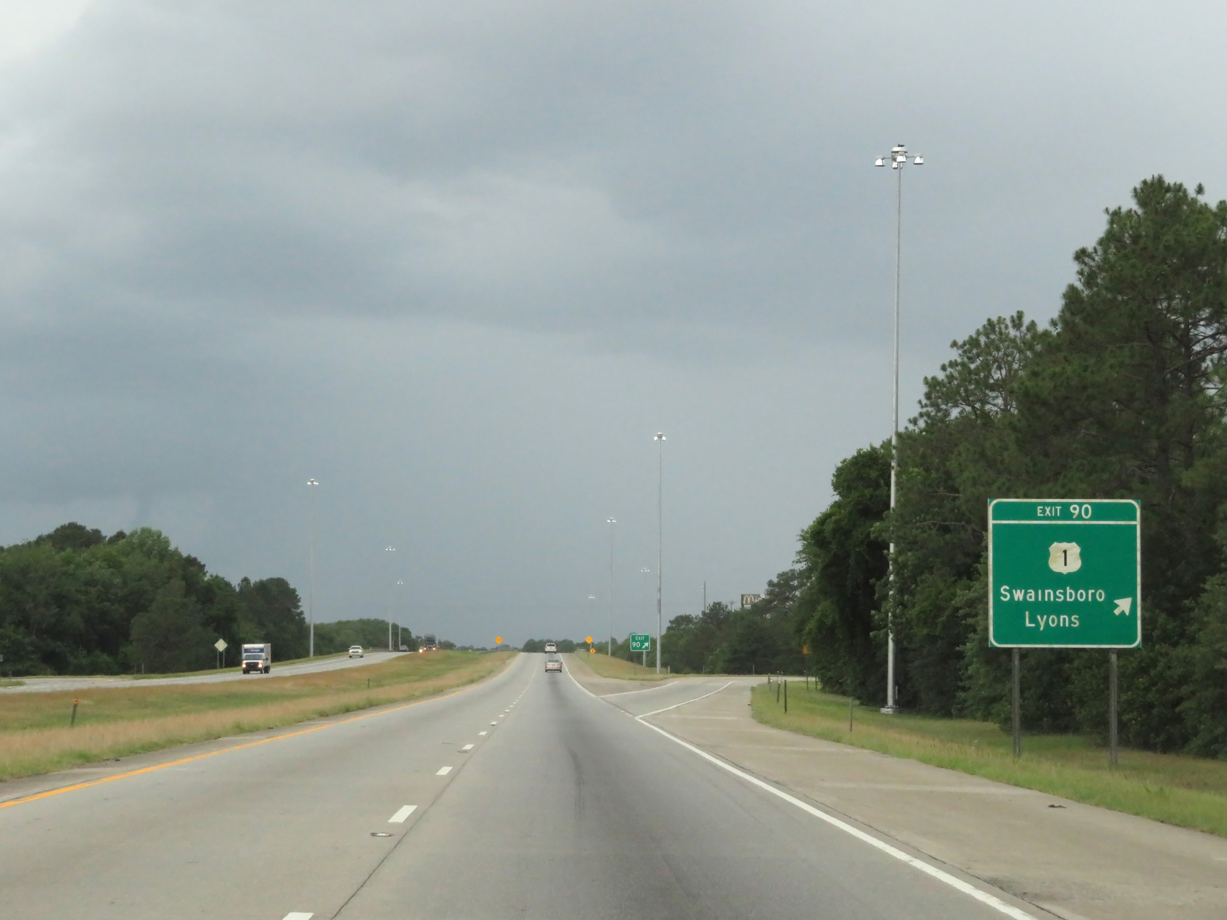 |
Interstate 16 West at Exit 90: US 1 - Swainsboro / Lyons (Photo taken 5/20/17). |
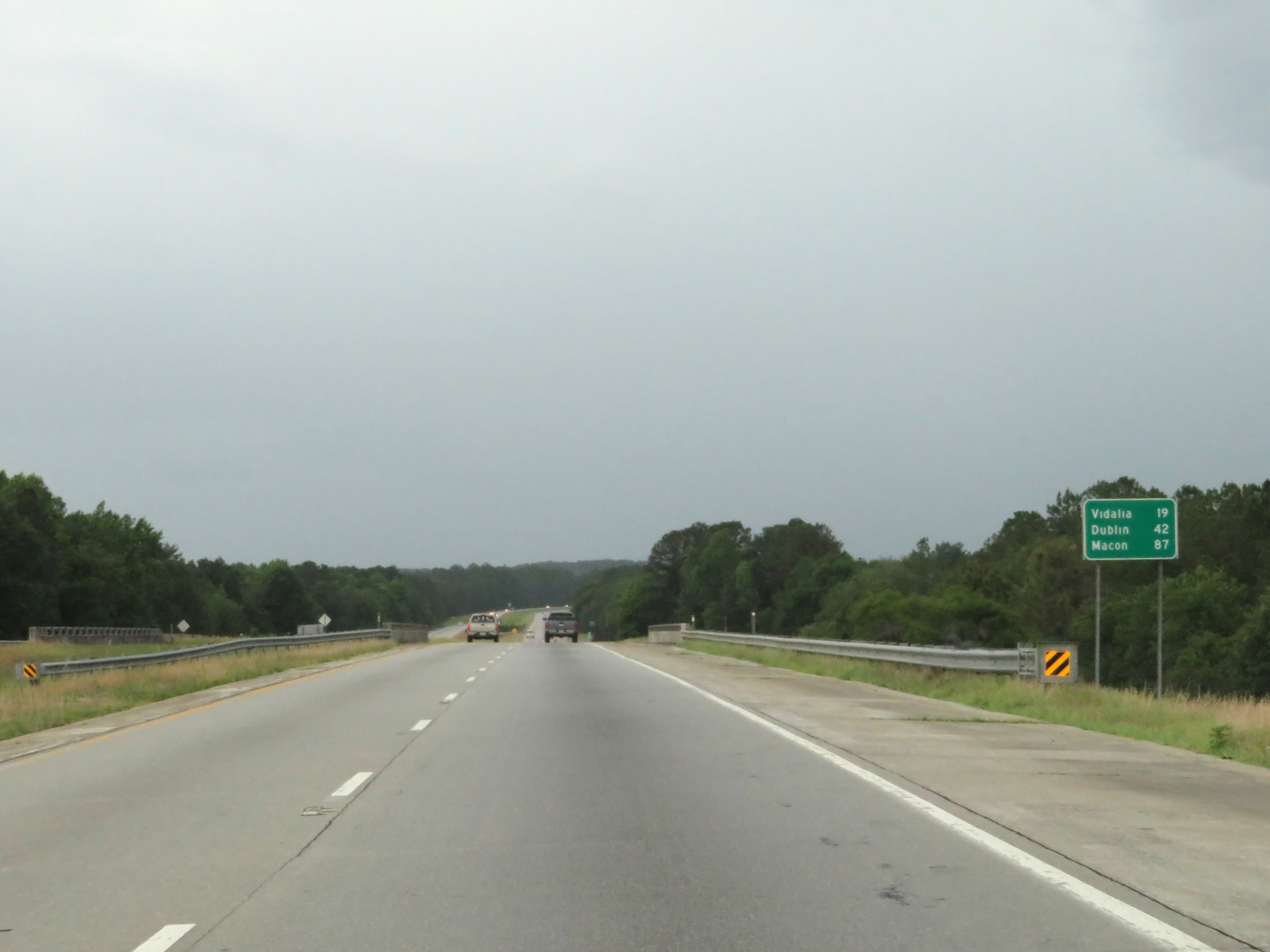 |
Mileage sign on Interstate 16 West. It's 19 miles to Vidalia, 42 miles to Dublin, and 87 miles to Macon. (Photo taken 5/20/17). |
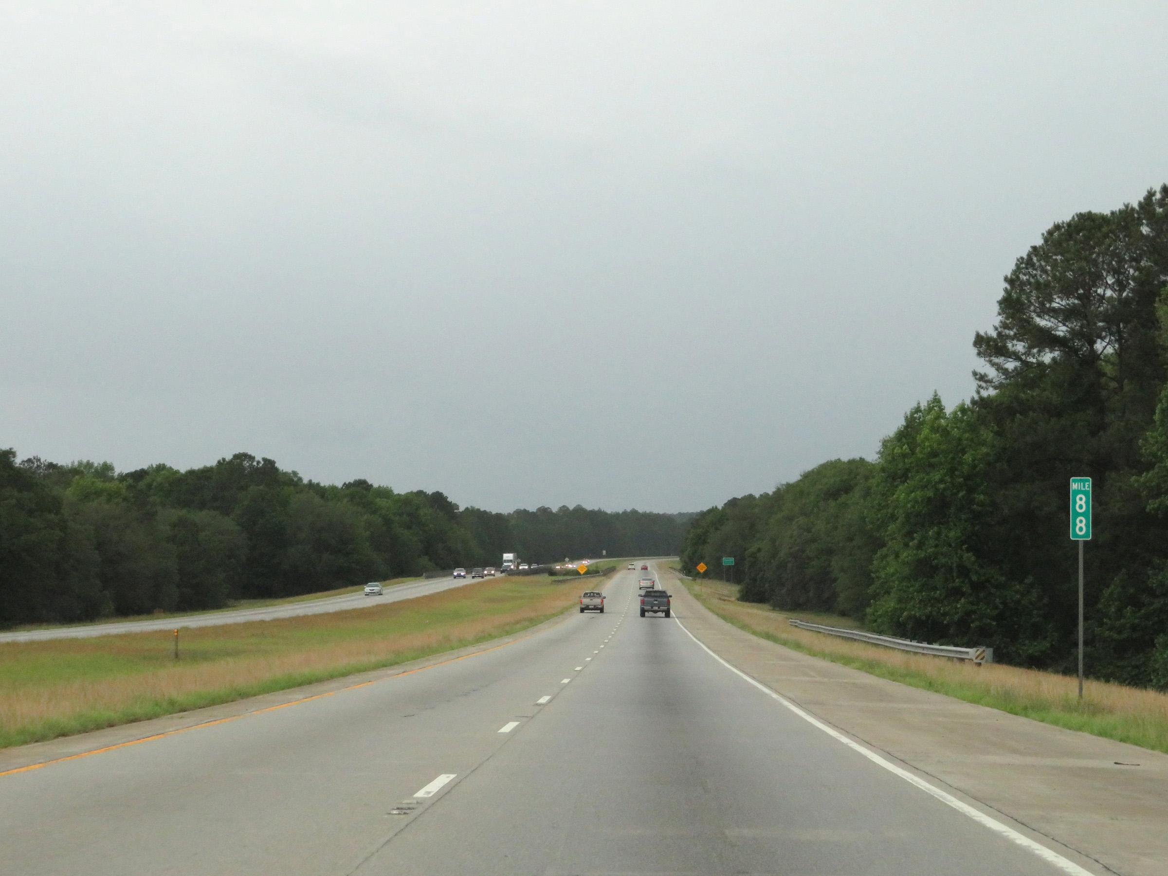 |
View on Interstate 16 West at mile marker 88. (Photo taken 5/20/17). |
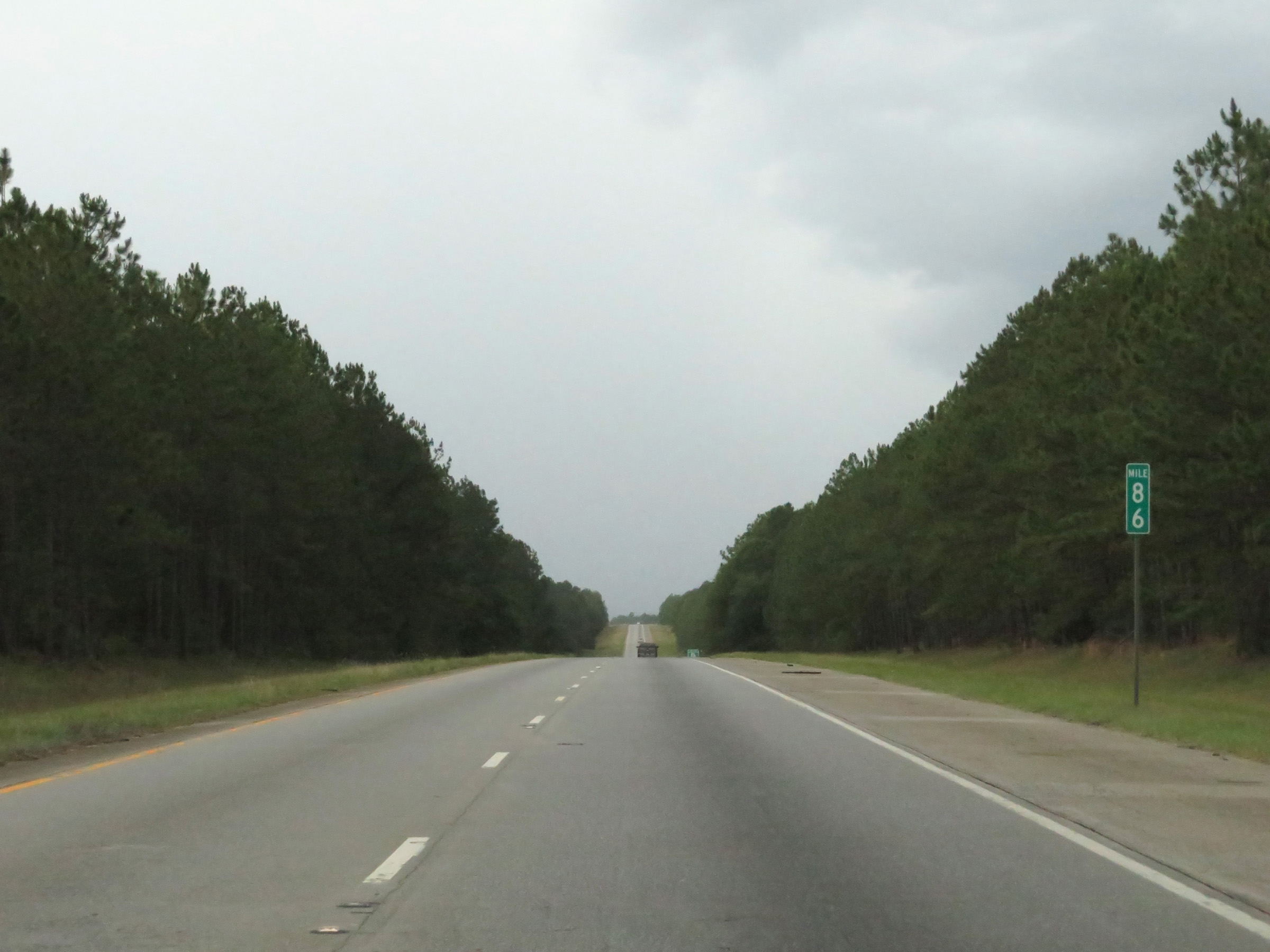 |
Interstate 16 West at mile marker 86. (Photo taken 5/20/17). |
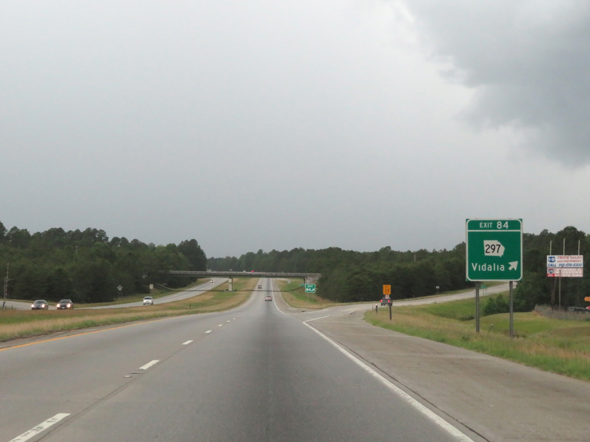 |
Interstate 16 West at Exit 84: GA 297 - Vidalia (Photo taken 5/20/17). |
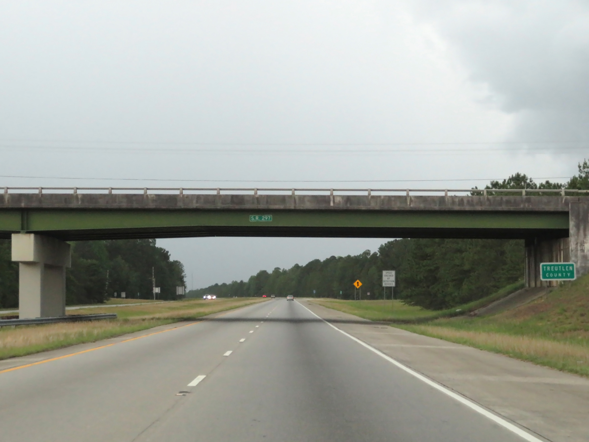 |
Interstate 16 West as it enters Treutlen County. (Photo taken 5/20/17). |
 |
View on Interstate 16 West at mile marker 82. (Photo taken 5/20/17). |
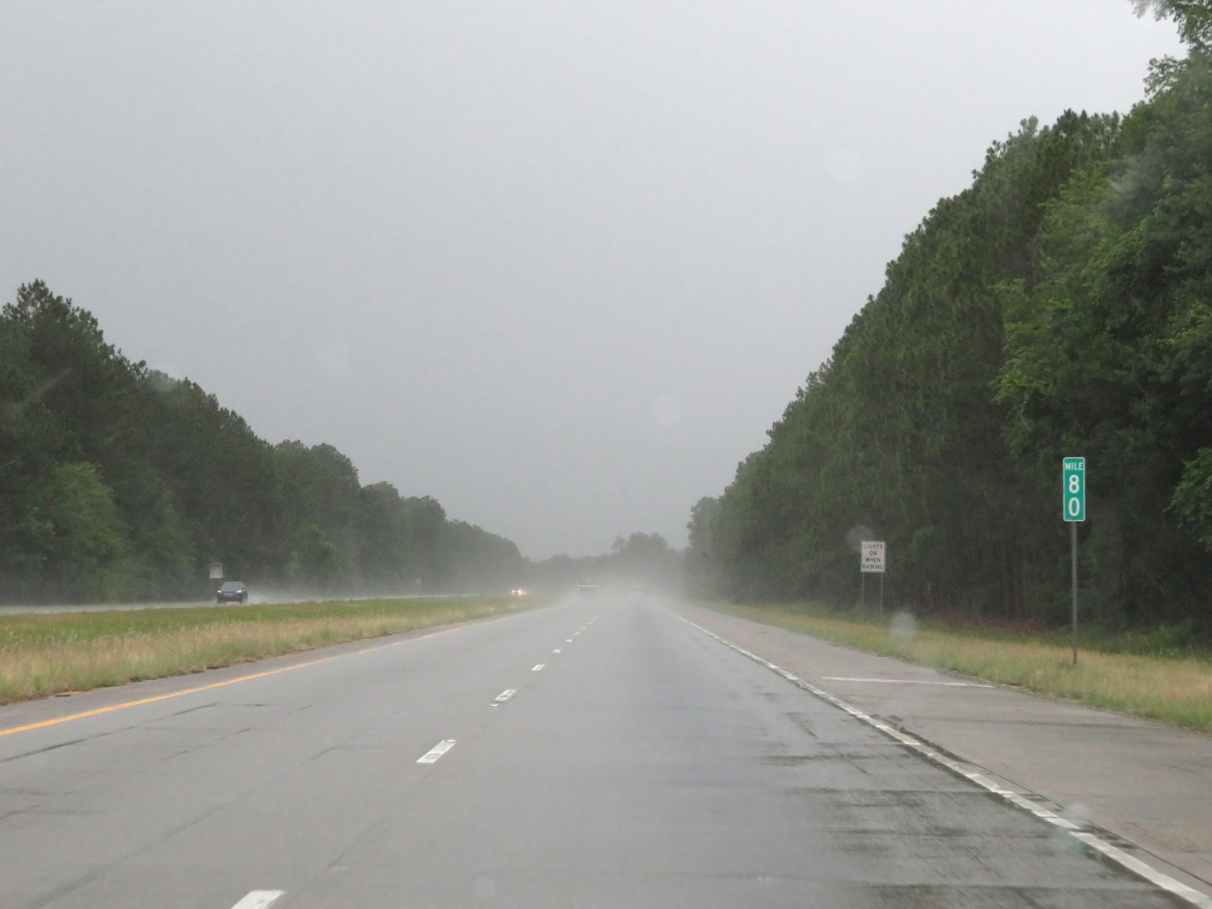 |
Interstate 16 West at mile marker 80. (Photo taken 5/20/17). |
 |
Interstate 16 West approaching Exit 78 - 1 mile. (Photo taken 5/20/17). |
 |
Take Exit 78 to Eastman. (Photo taken 5/20/17). |
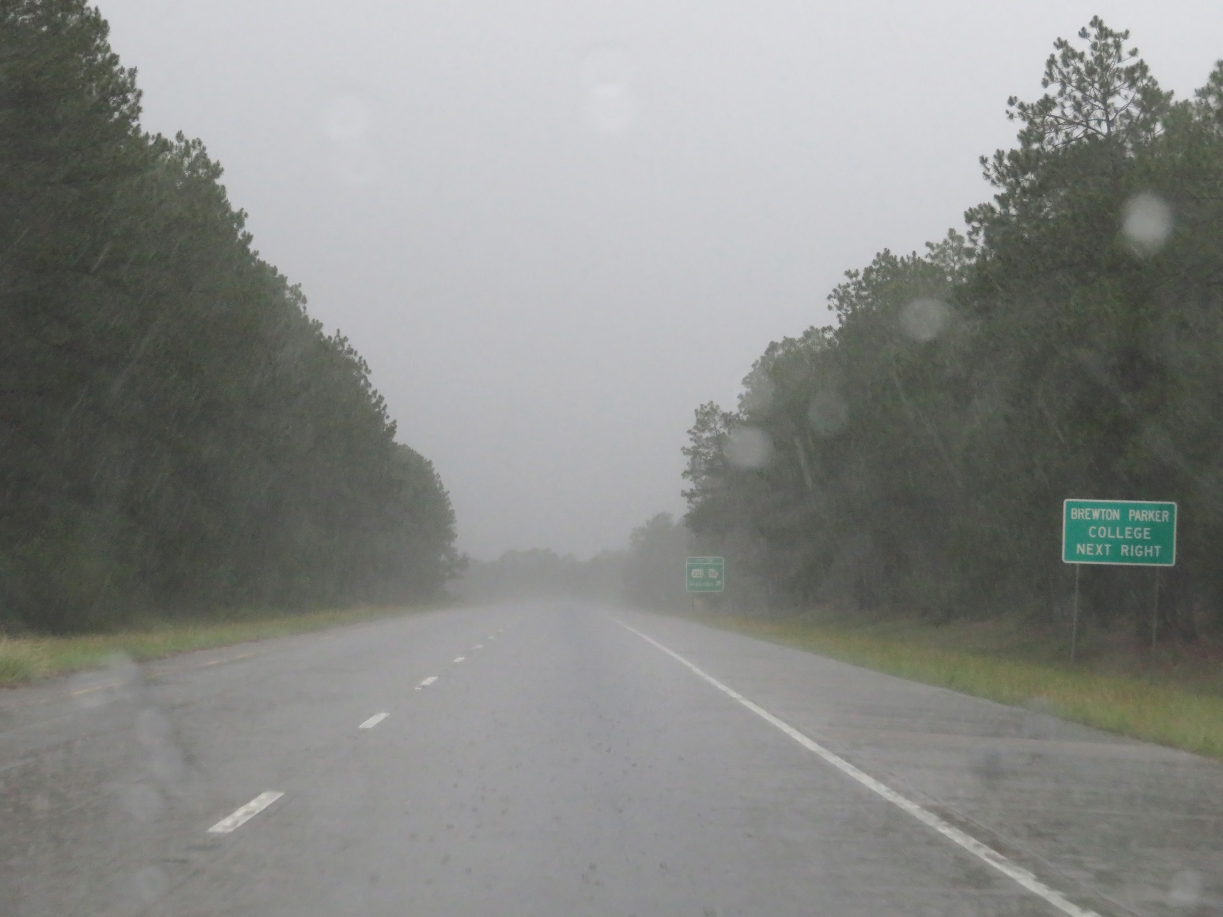 |
Also take Exit 78 to Brewton Parker College. (Photo taken 5/20/17). |
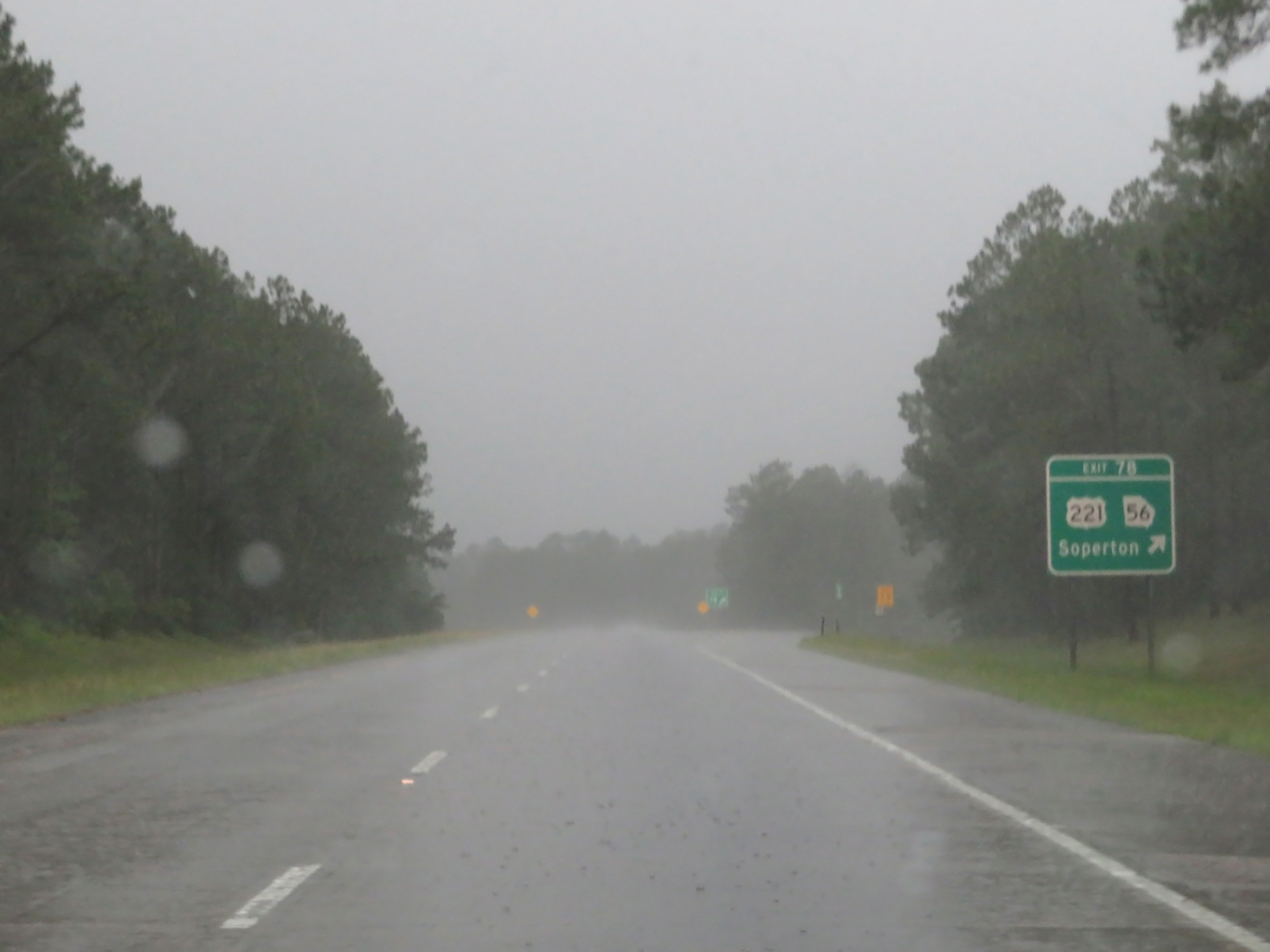 |
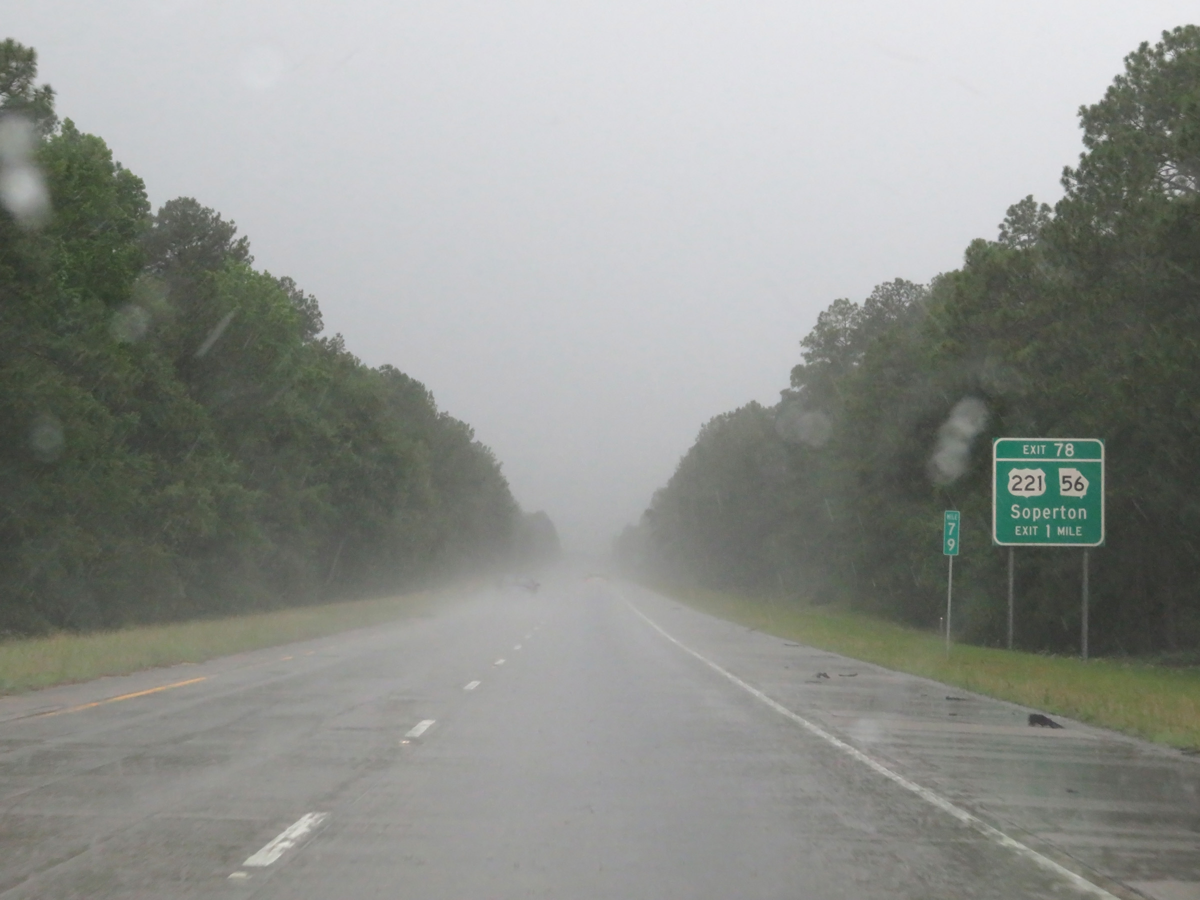
Interstate 16 West at Exit 78: US 221 / GA 56 - Soperton (Photo taken 5/20/17). |
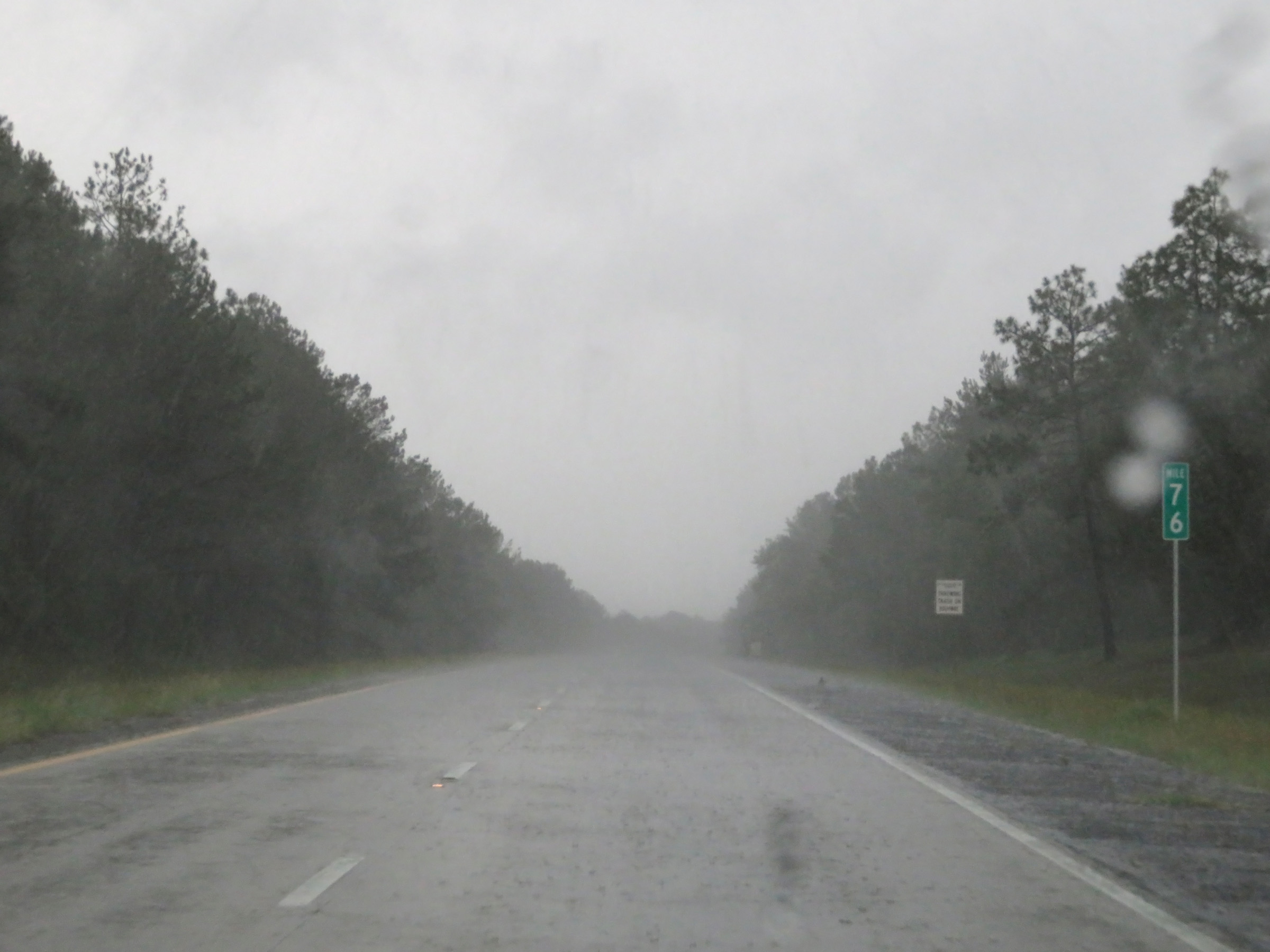 |
Mile marker 76 on Interstate 16 West in Treutlen County. (Photo taken 5/20/17). |
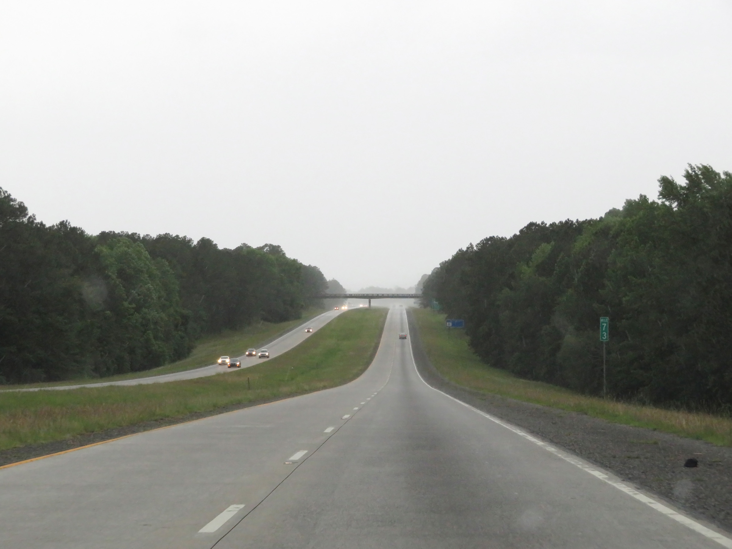 |
View on Interstate 16 West at mile marker 73. (Photo taken 5/20/17). |
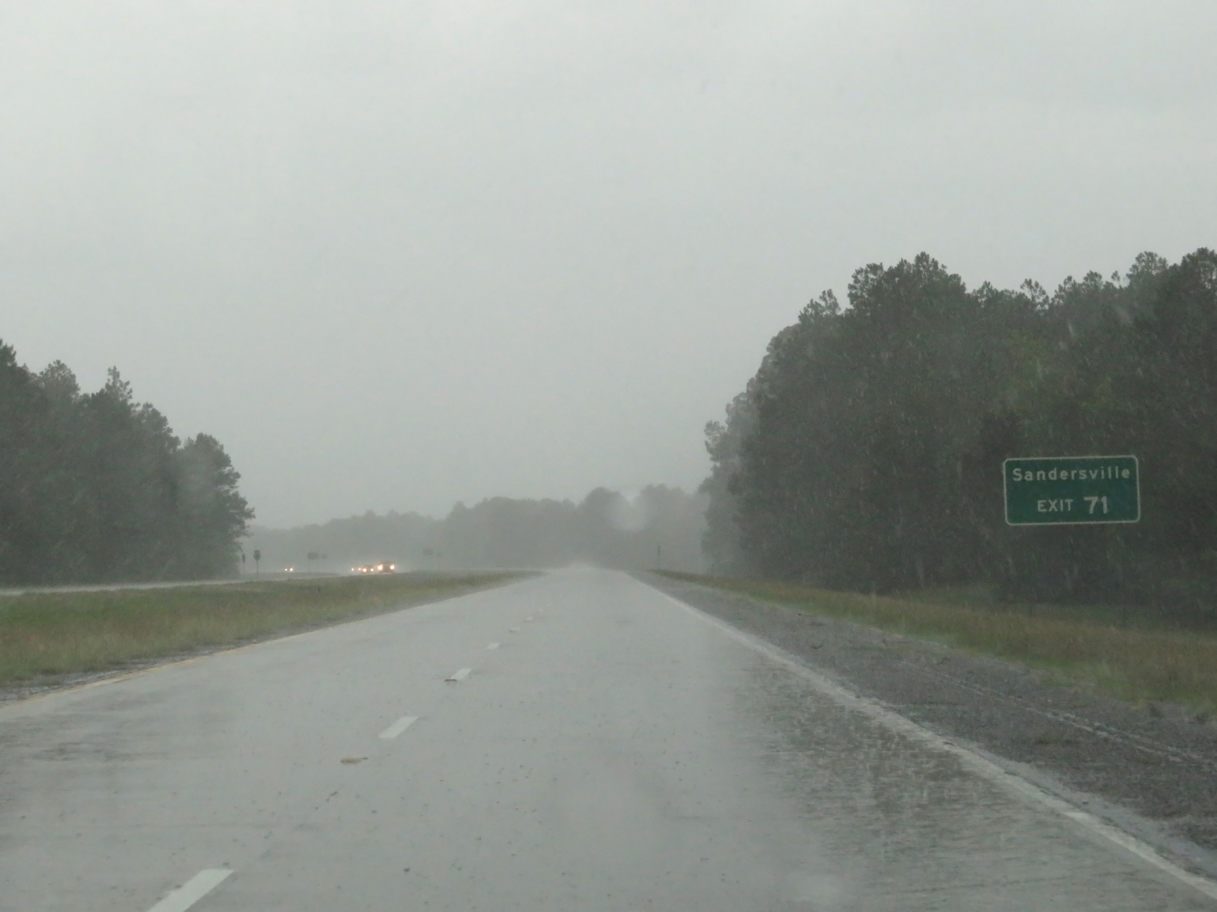 |
Take Exit 71 to Sandersville. (Photo taken 5/20/17). |
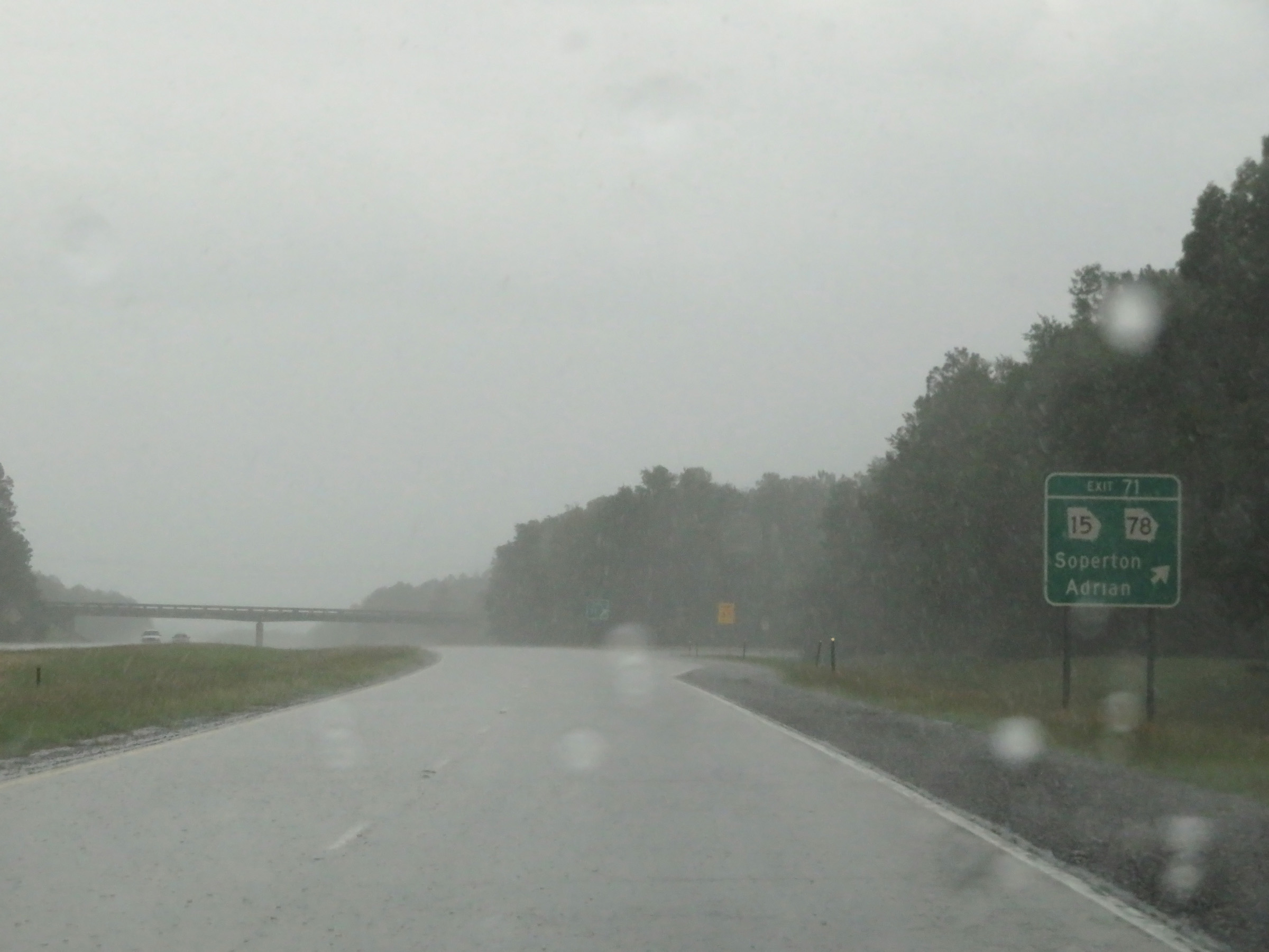 |
Interstate 16 West at Exit 71: GA 15 / GA 78 - Soperton / Adrian (Photo taken 5/20/17). |
 |
Interstate 16 West at mile marker 69. (Photo taken 5/20/17). |
 |
A Tourist Information Center exists off Exit 67. (Photo taken 5/20/17). |
|
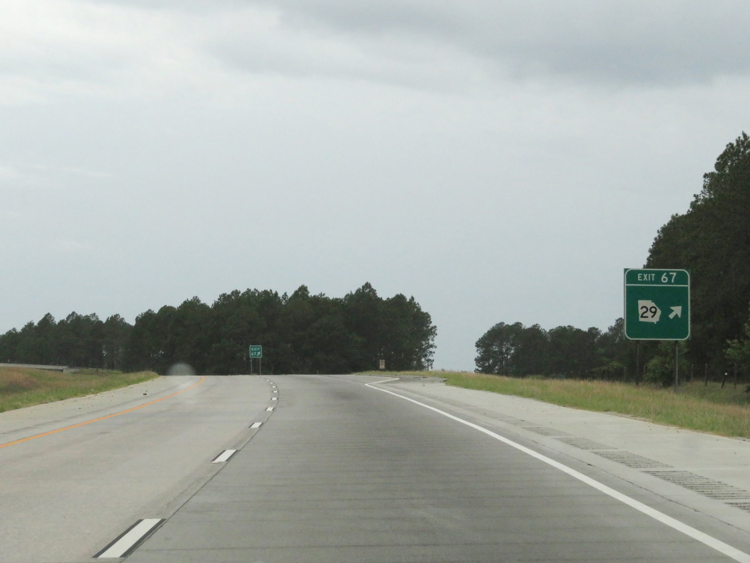
Interstate 16 West at Exit 67: GA 29 (Photo taken 5/20/17). |
 |
Interstate 16 West as it enters Laurens County. (Photo taken 5/20/17). |
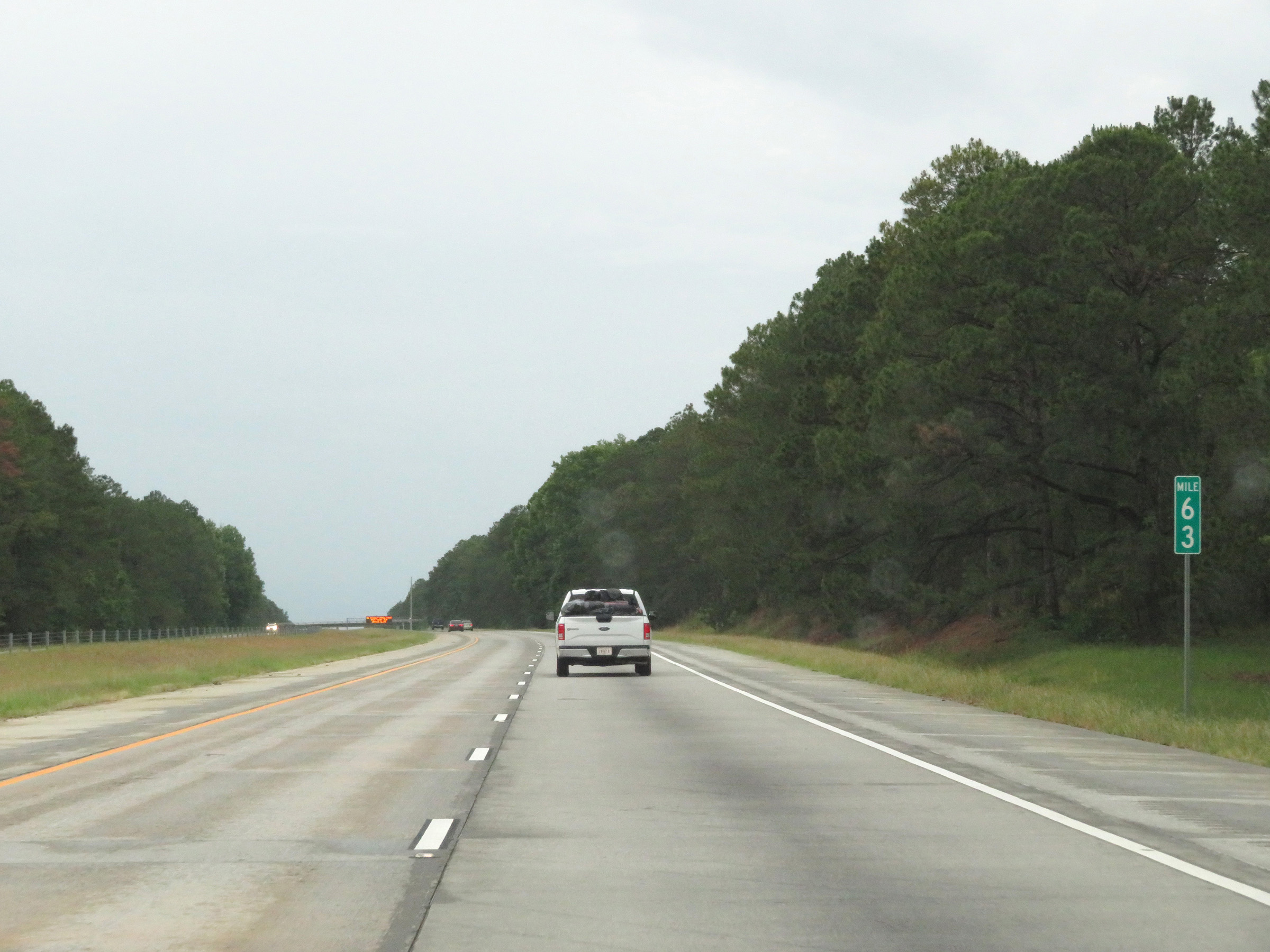 |
View on Interstate 16 West at mile marker 63. (Photo taken 5/20/17). |
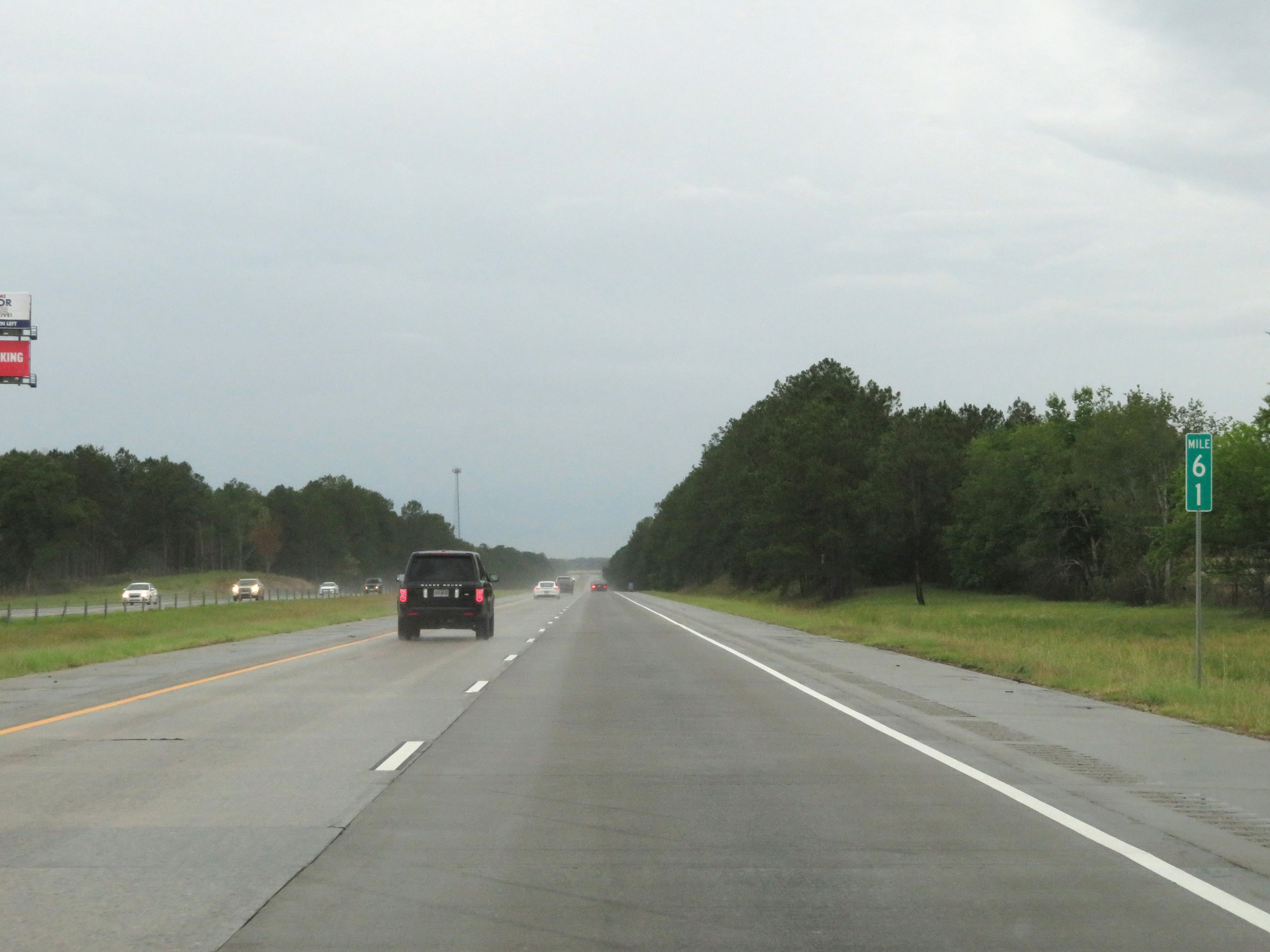 |
Interstate 16 West at mile marker 61. (Photo taken 5/20/17). |
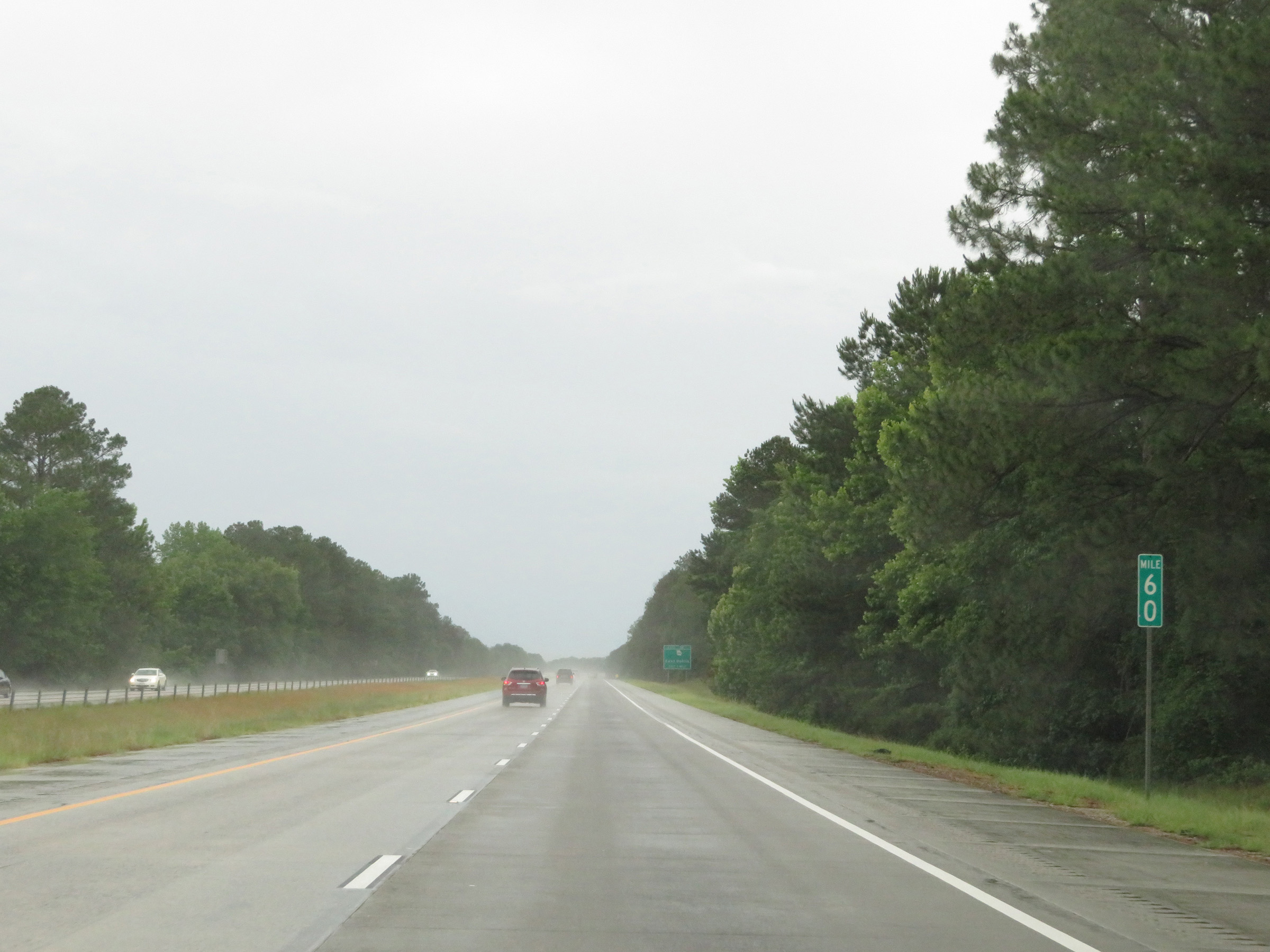 |
Mile marker 60 on Interstate 16 West in Laurens County. (Photo taken 5/20/17). |
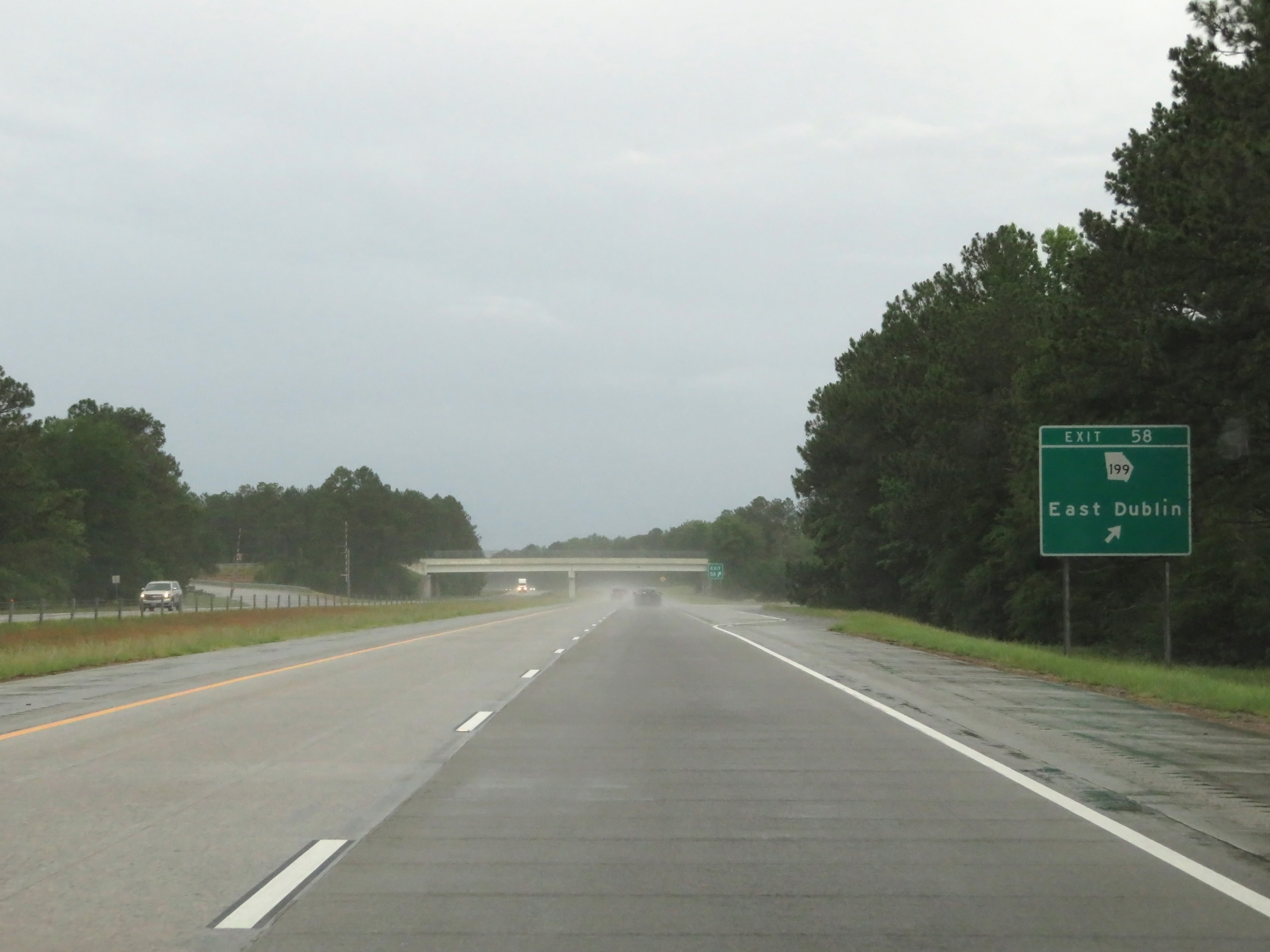 |
Interstate 16 West at Exit 58: GA 199 - East Dublin (Photo taken 5/20/17). |
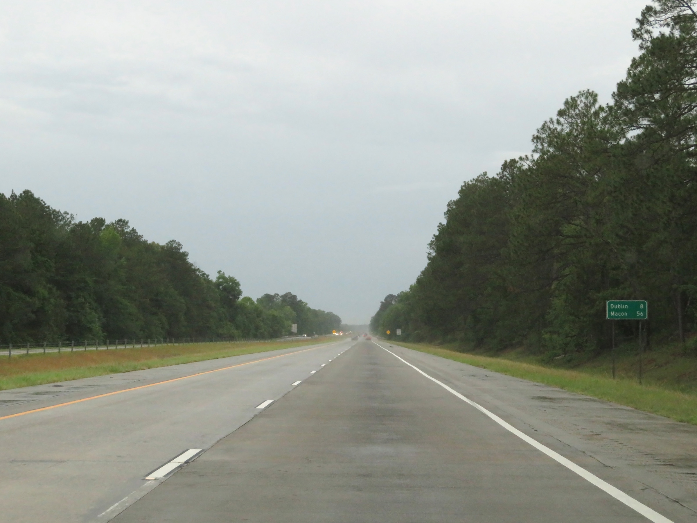 |
Mileage sign on Interstate 16 West. It's 8 miles to Dublin and 56 miles to Macon. (Photo taken 5/20/17). |
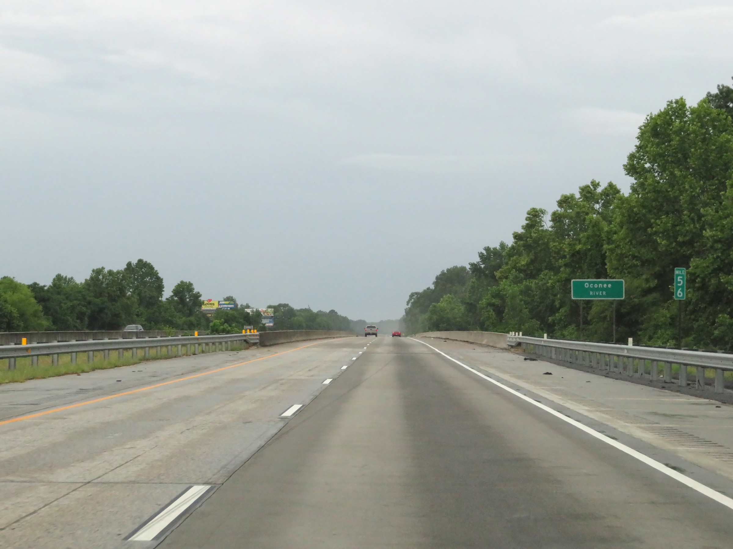 |
View on Interstate 16 West at mile marker 56, as it crosses the Oconee River. (Photo taken 5/20/17). |
 |
Take any of the next 3 exits to Dublin. (Photo taken 5/20/17). |
 |
Interstate 16 West at Exit 54: GA 19 - Dublin (Photo taken 5/20/17). |
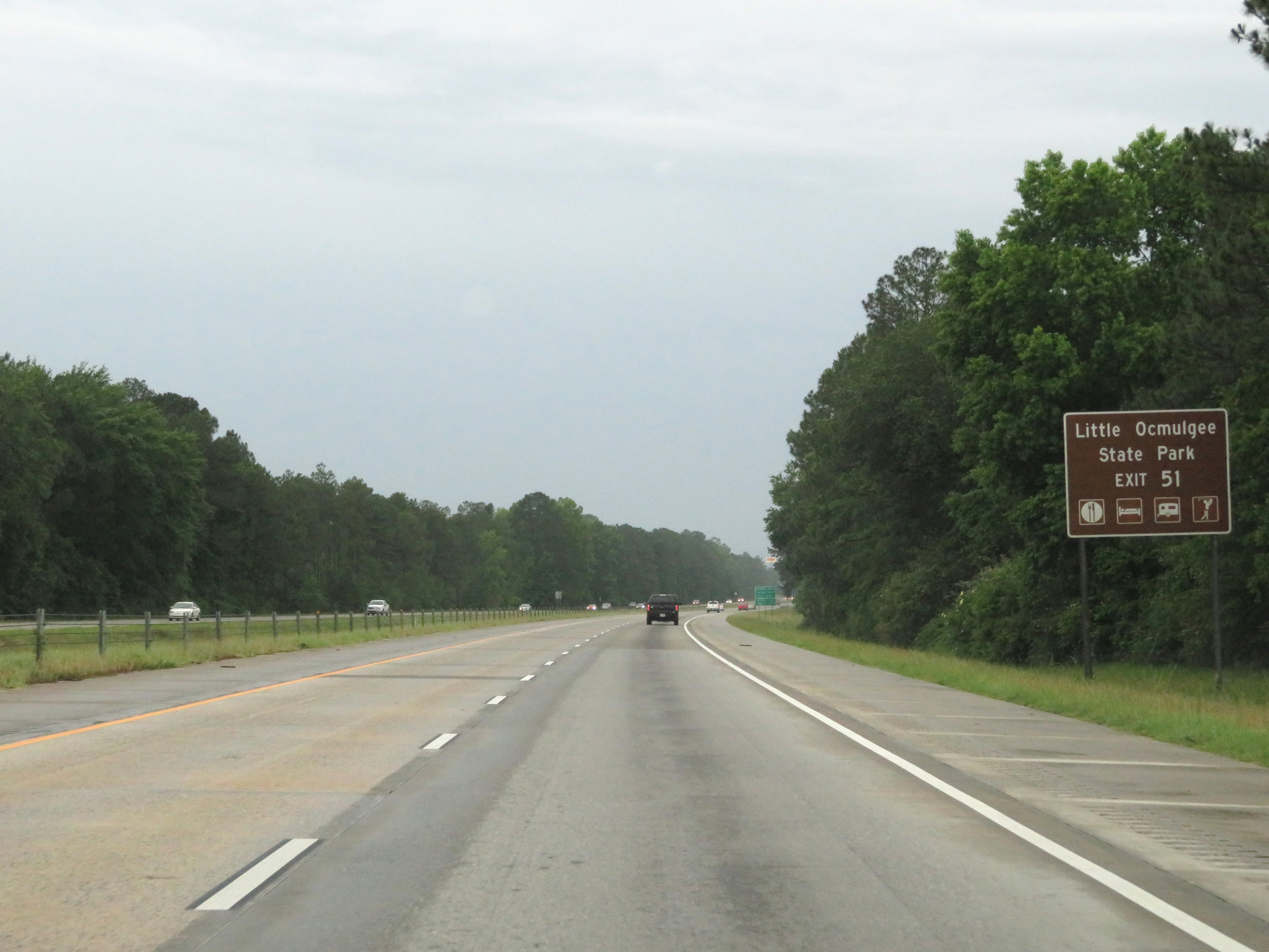 |
Take Exit 51 to Little Ocmulgee State Park. (Photo taken 5/20/17). |
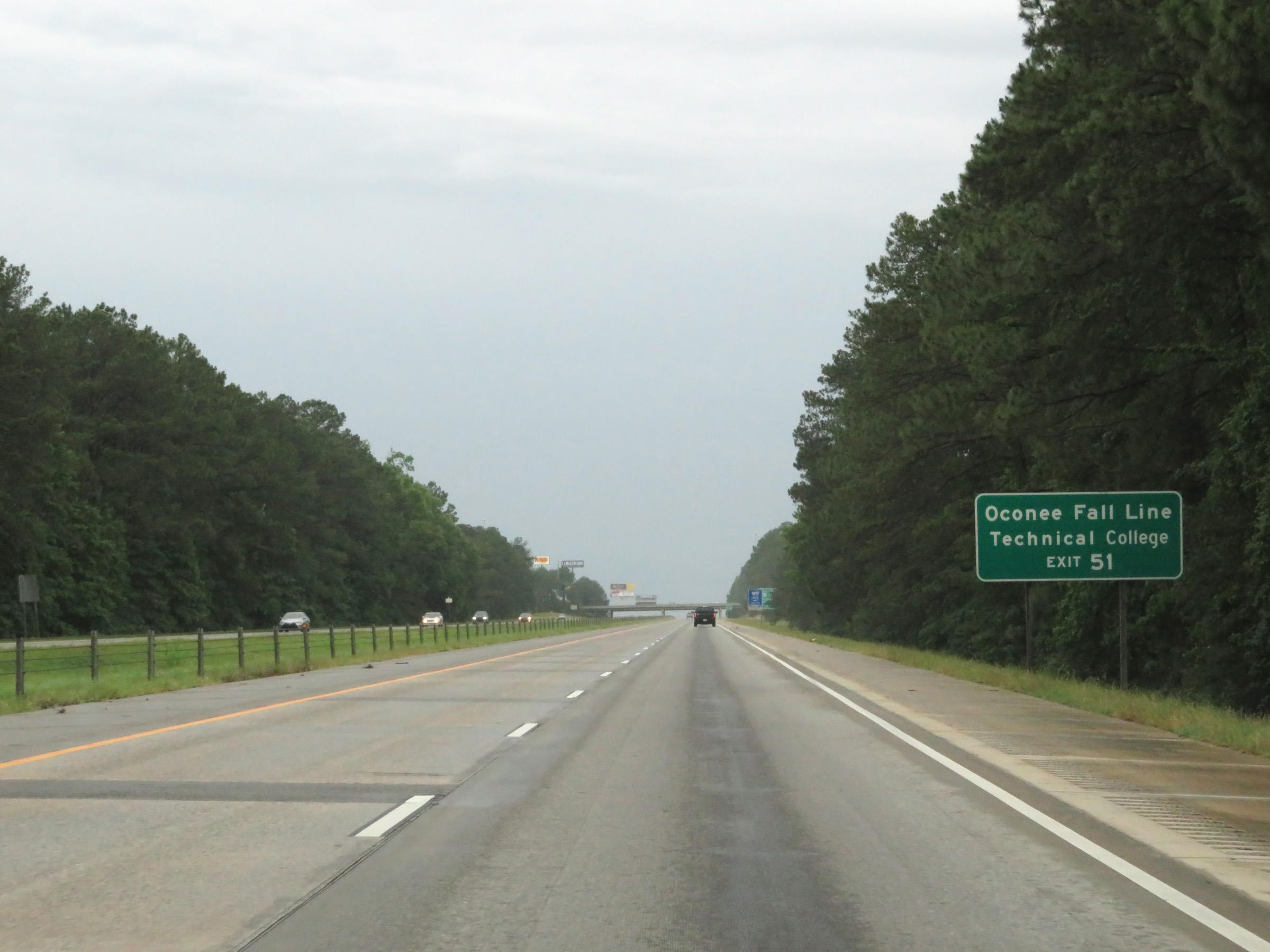 |
Also take Exit 51 to Oconee Fall Line Technical College. (Photo taken 5/20/17). |
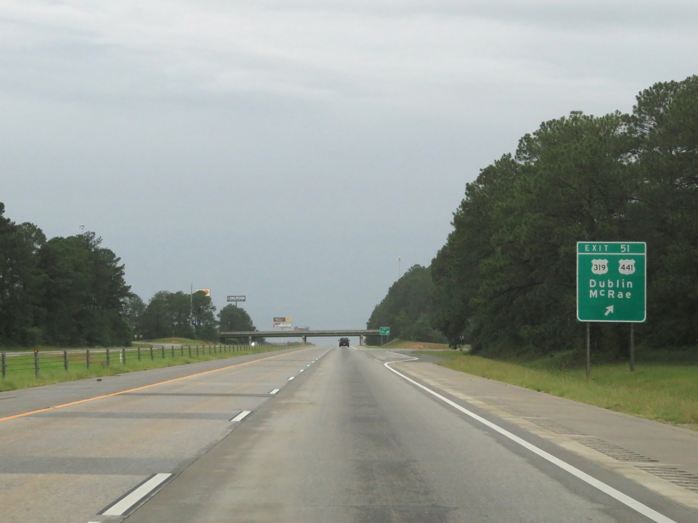 |
Interstate 16 West at Exit 51: US 319 / US 441 - Dublin / McRae (Photo taken 5/20/17). |
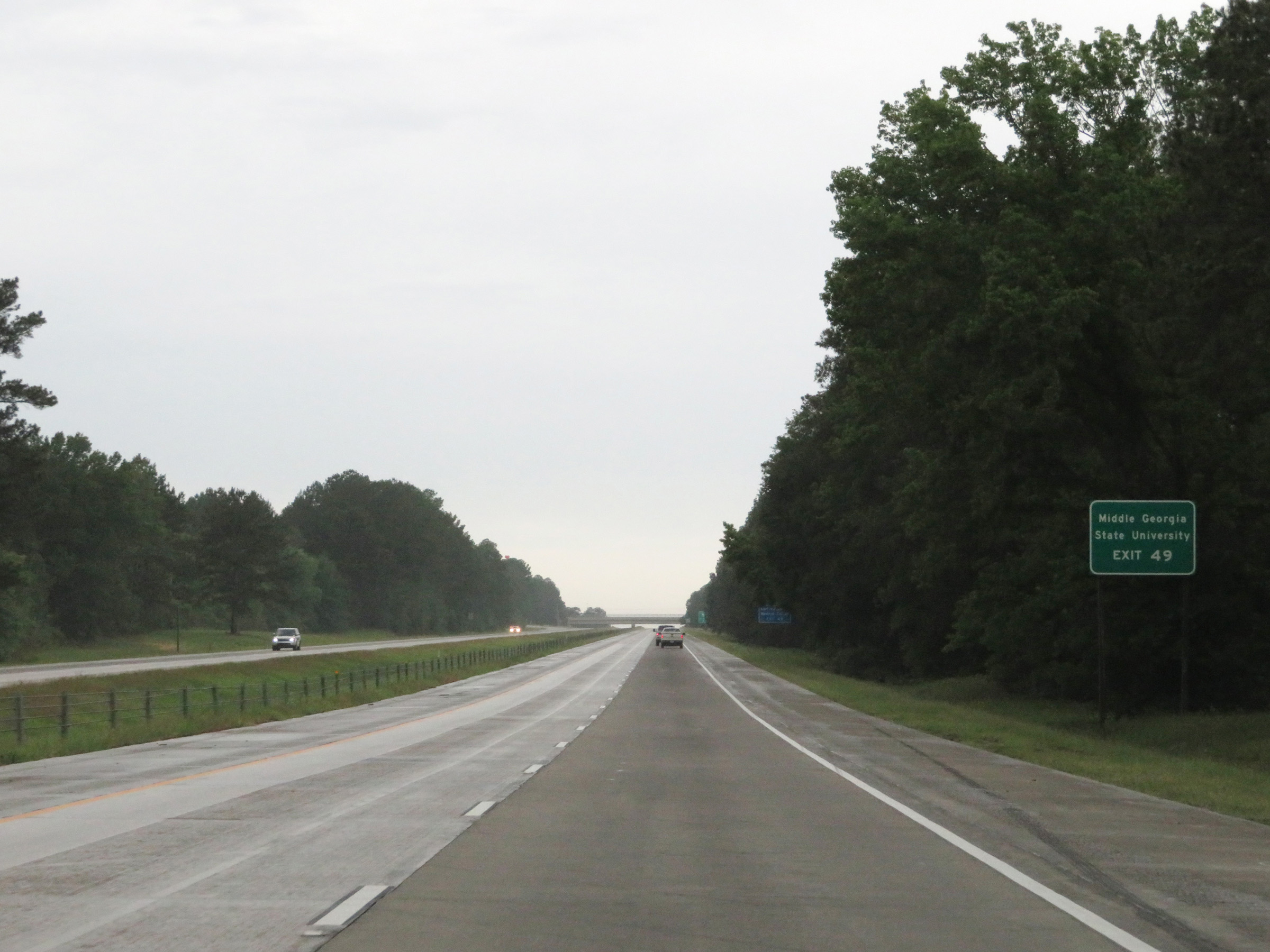 |
Take Exit 49 to Middle Georgia State University. (Photo taken 5/21/17). |
 |
Interstate 16 West at Exit 49: GA 257 - Dexter (Photo taken 5/21/17). |
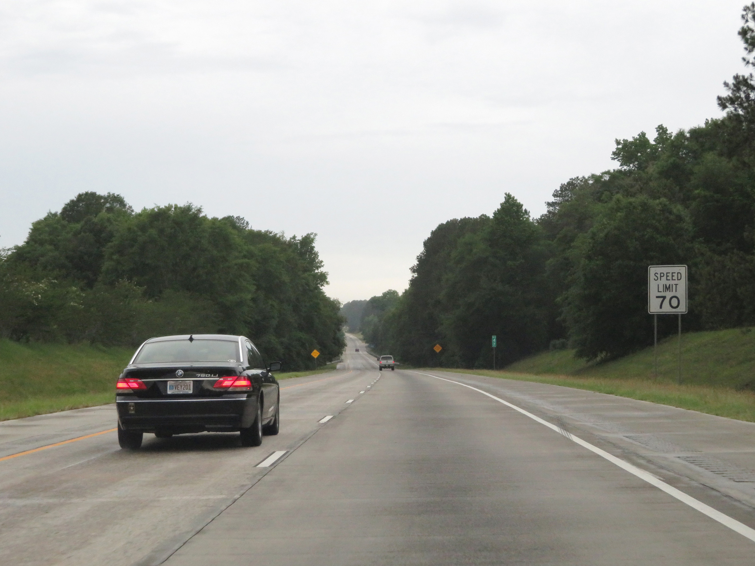 |
The maximum speed limit remains 70 mph on Interstate 16 West. (Photo taken 5/21/17). |
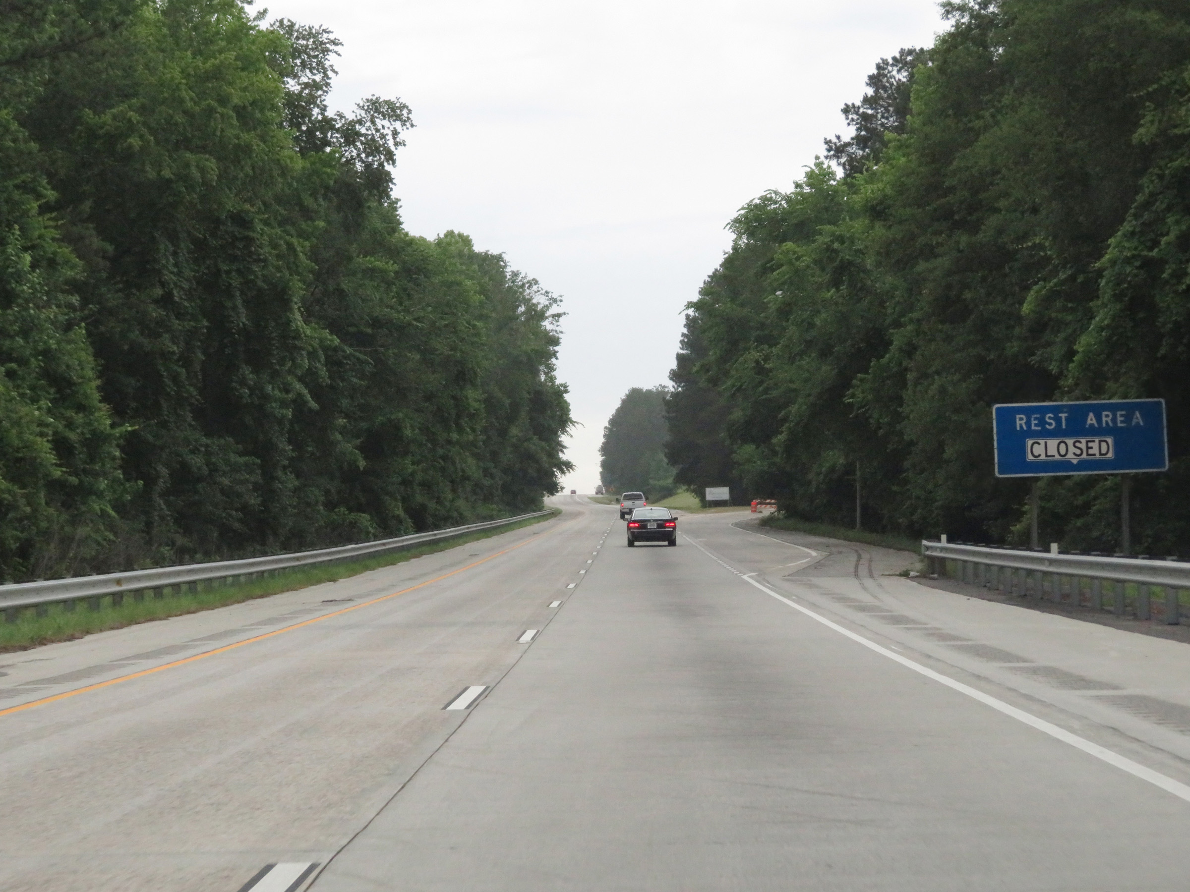 |
Rest Area on Interstate 16 West in Laurens County. (Photo taken 5/21/17). |
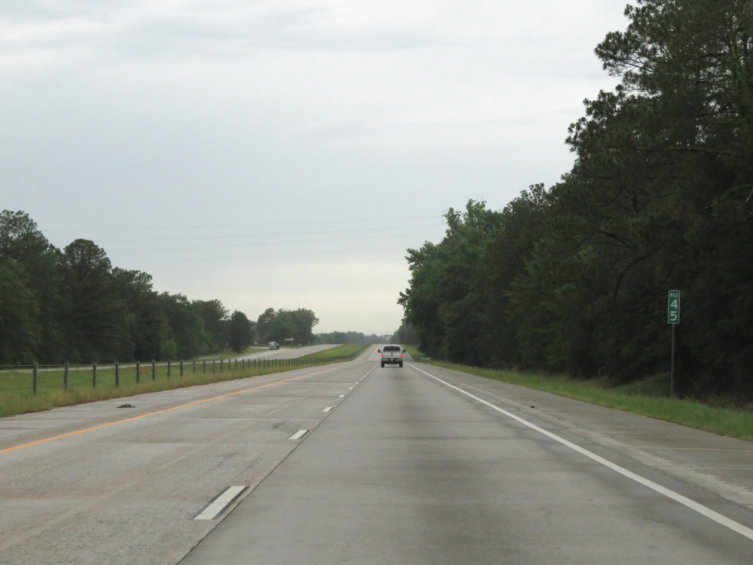 |
View on Interstate 16 West at mile marker 45. (Photo taken 5/21/17). |
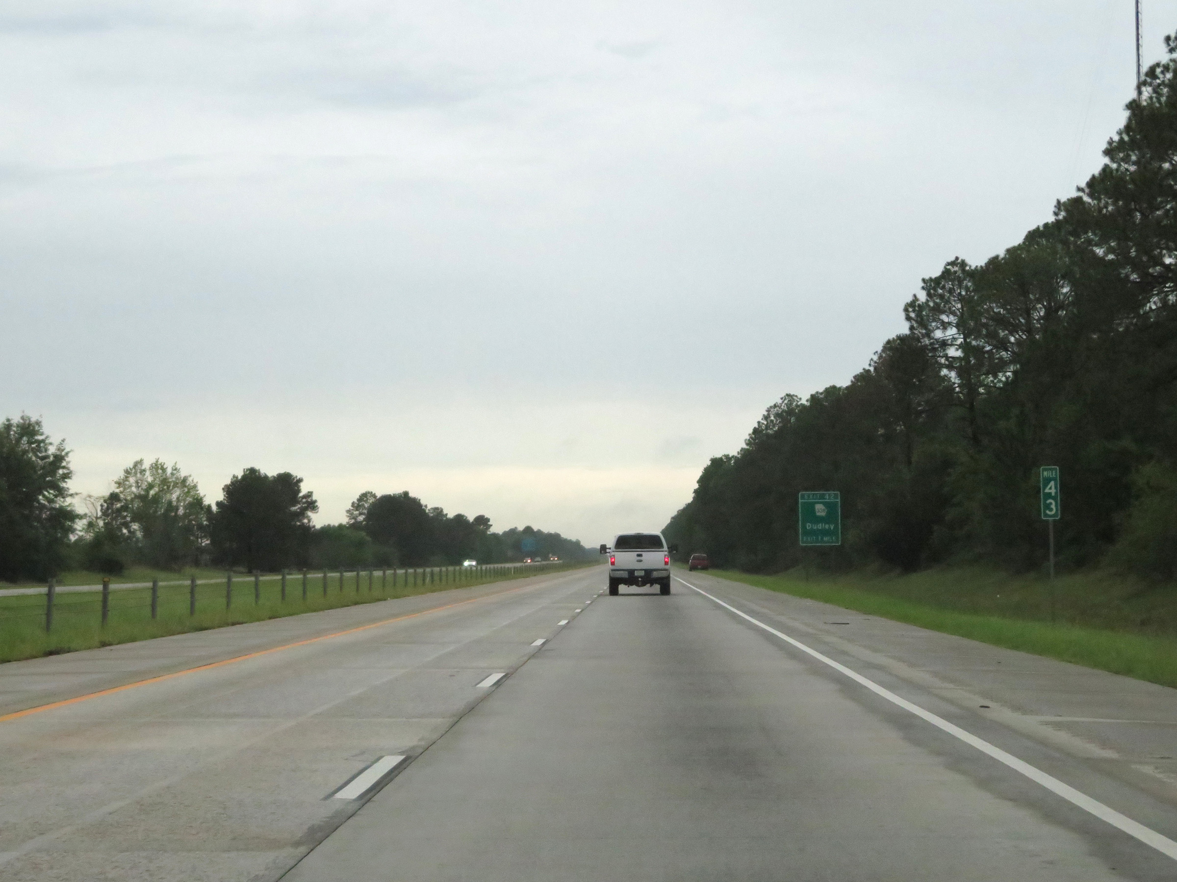 |
Interstate 16 West at mile marker 43. (Photo taken 5/21/17). |
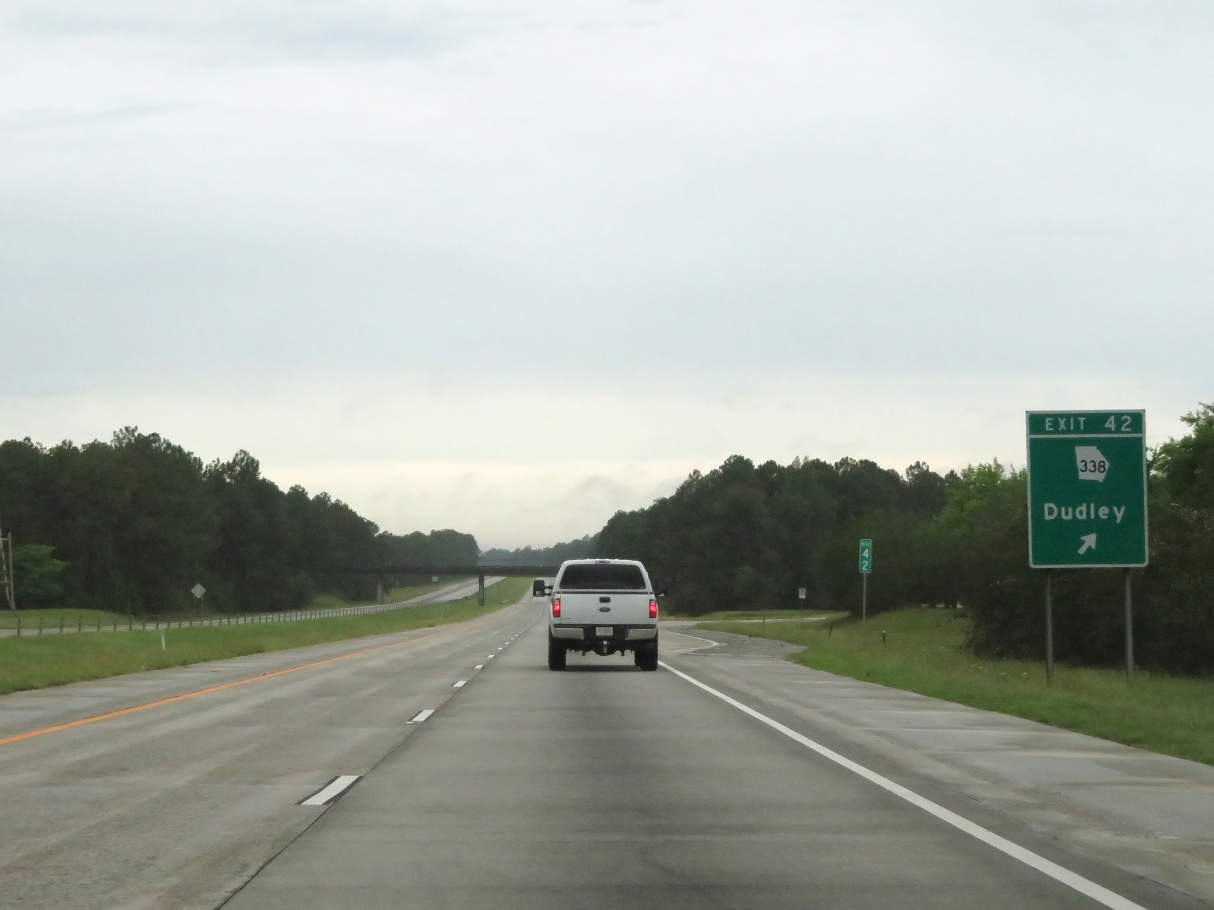 |
Interstate 16 West at Exit 42: GA 338 - Dudley (Photo taken 5/21/17). |
Section 3: Dudley (Exit 42) to Interstate 75
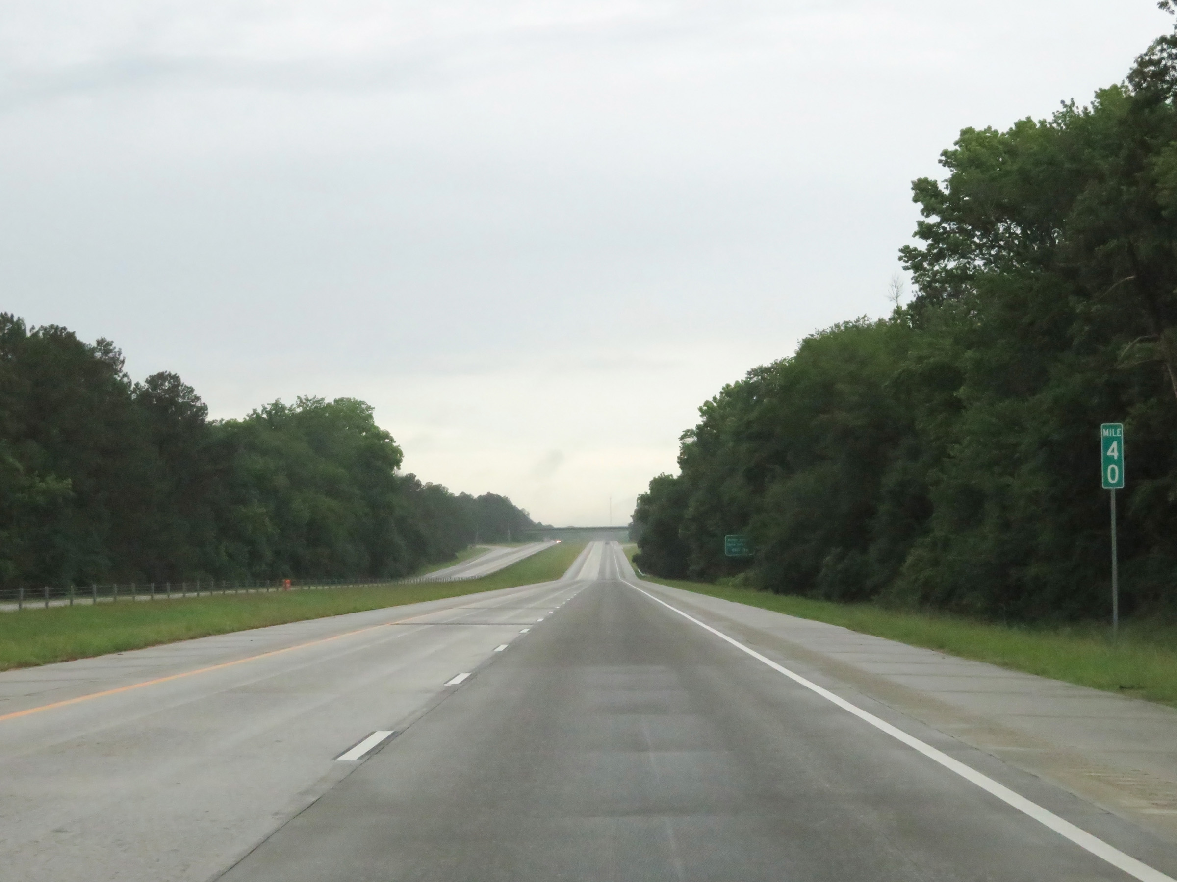 |
View on Interstate 16 West at mile marker 40. (Photo taken 5/21/17). |
 |
Take Exit 39 to Middle Georgia State University. (Photo taken 5/21/17). |
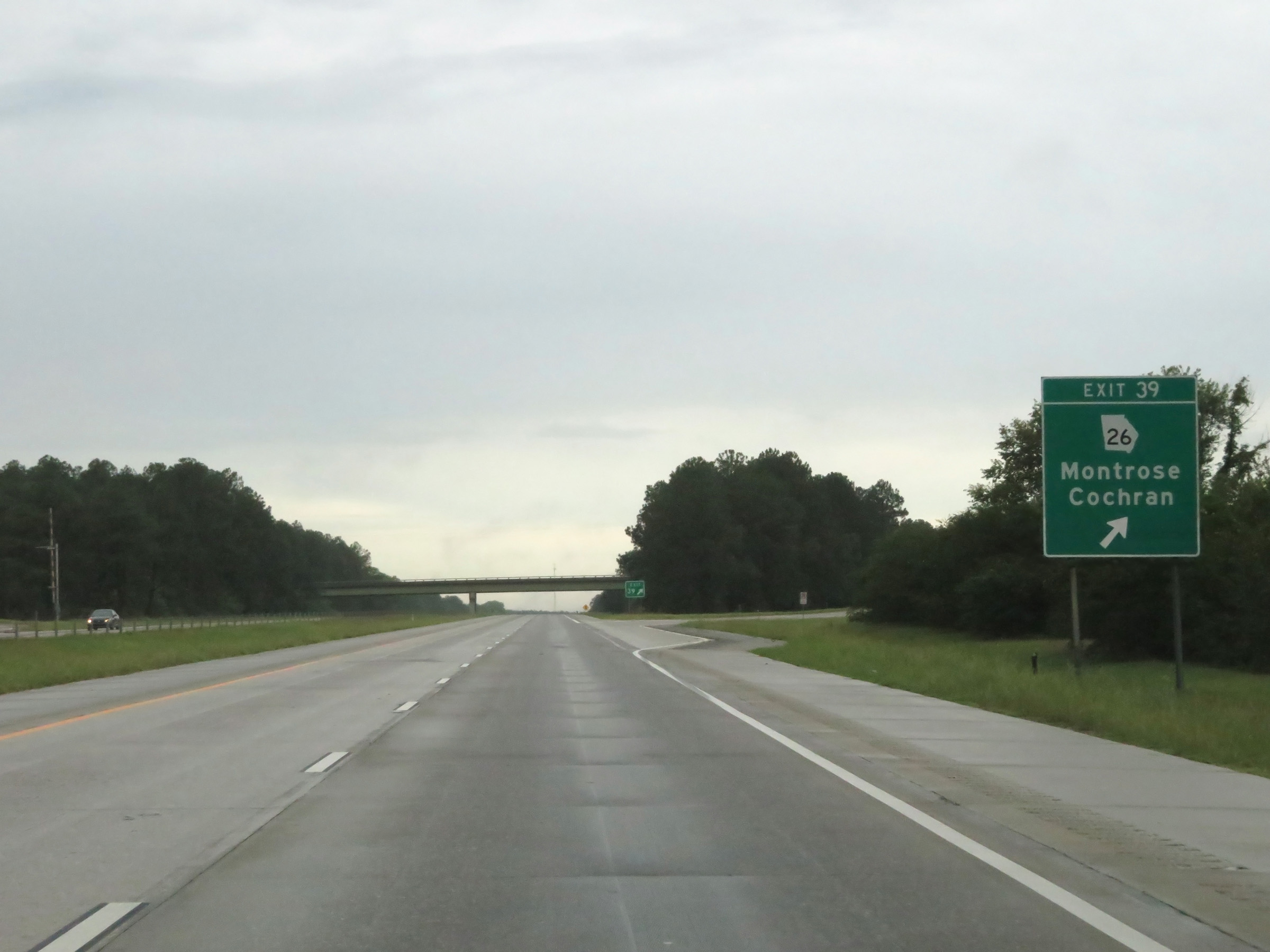 |
Interstate 16 West at Exit 39: GA 26 - Montrose / Cochran (Photo taken 5/21/17). |
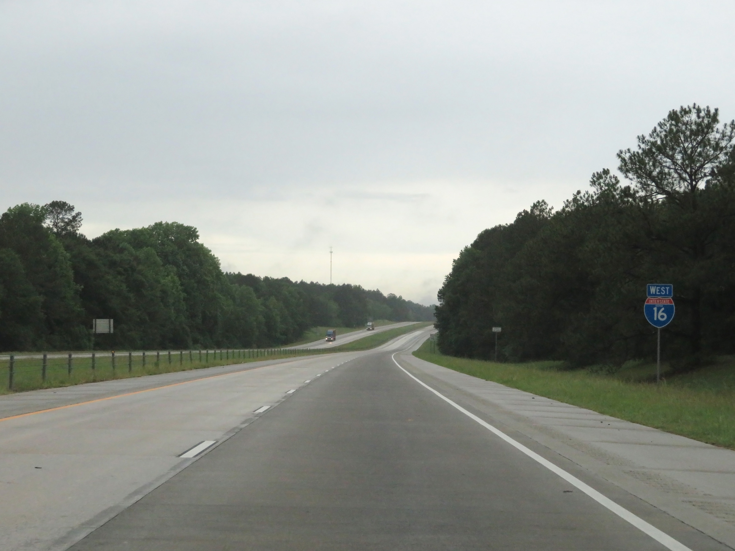 |
Another state-named Interstate 16 West reassurance shield. (Photo taken 5/21/17). |
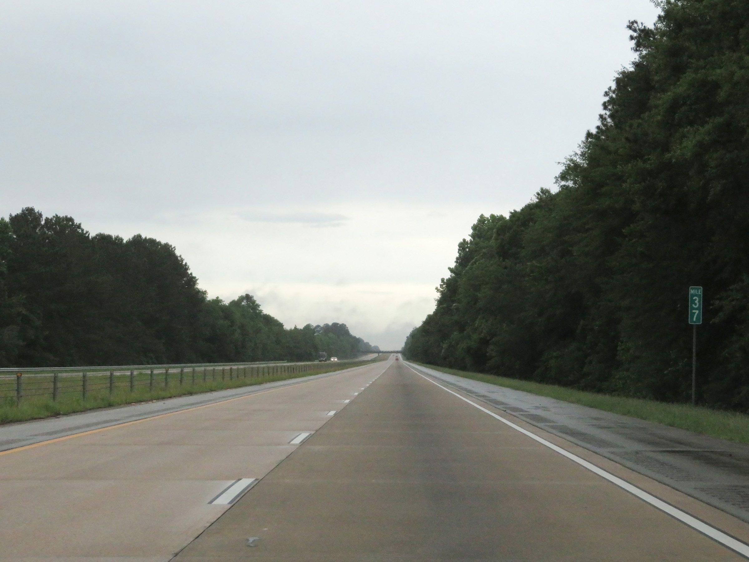 |
View on Interstate 16 West at mile marker 37. (Photo taken 5/21/17). |
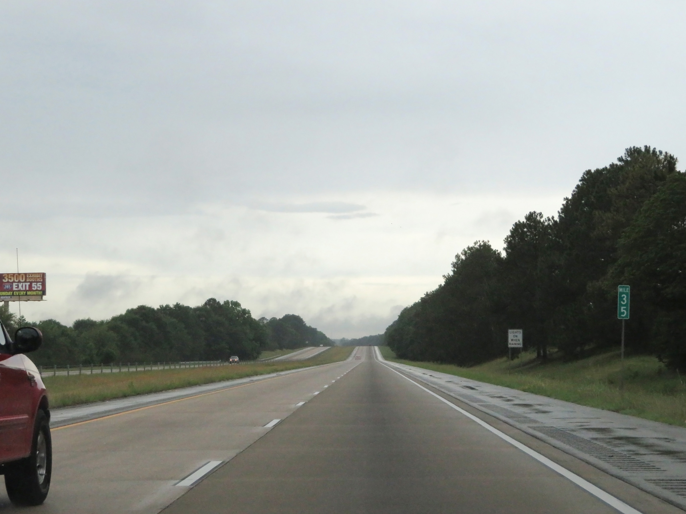 |
Interstate 16 West at mile marker 35. (Photo taken 5/21/17). |
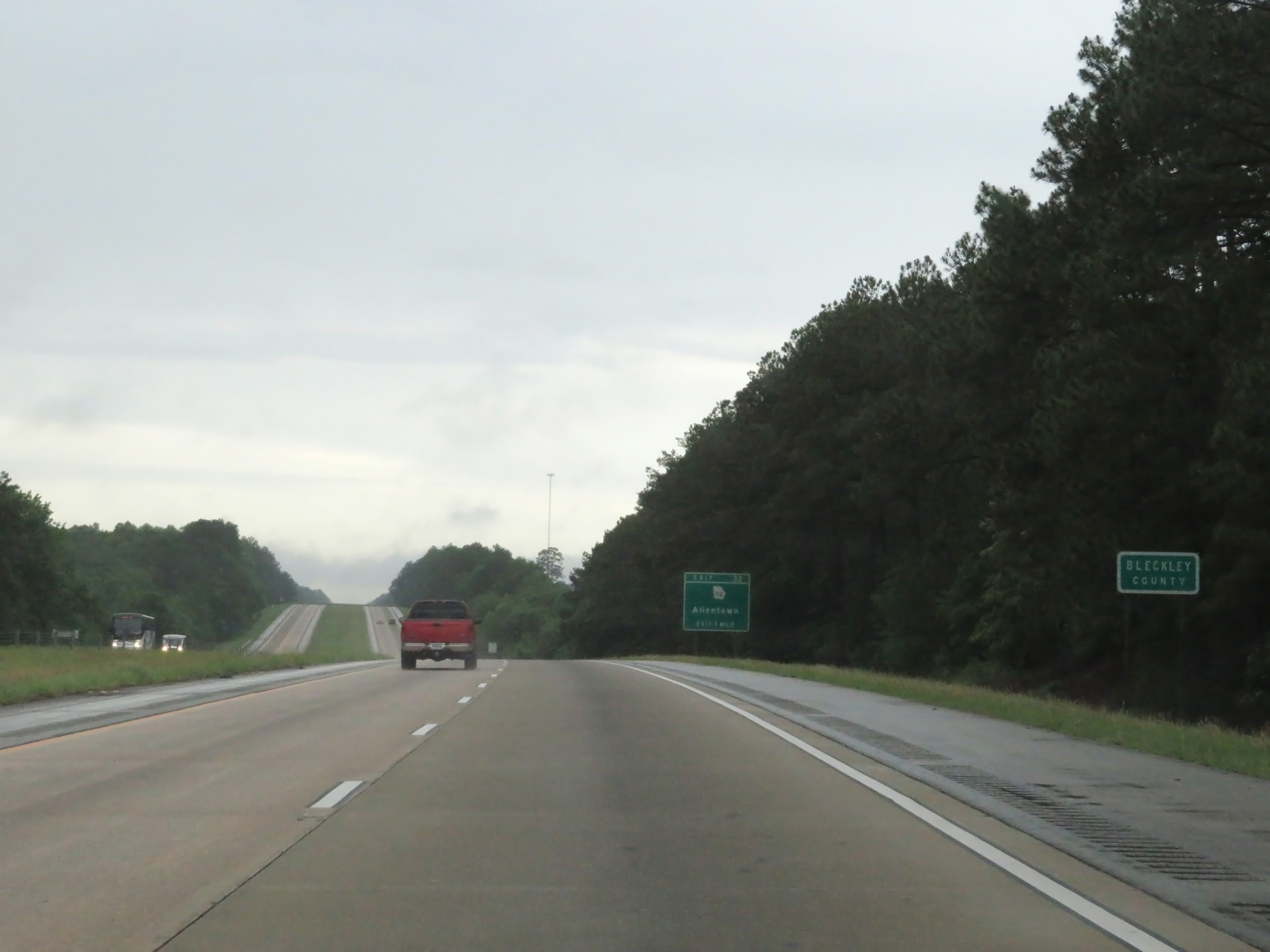 |
Interstate 16 West as it briefly dips into Bleckley County. (Photo taken 5/21/17). |
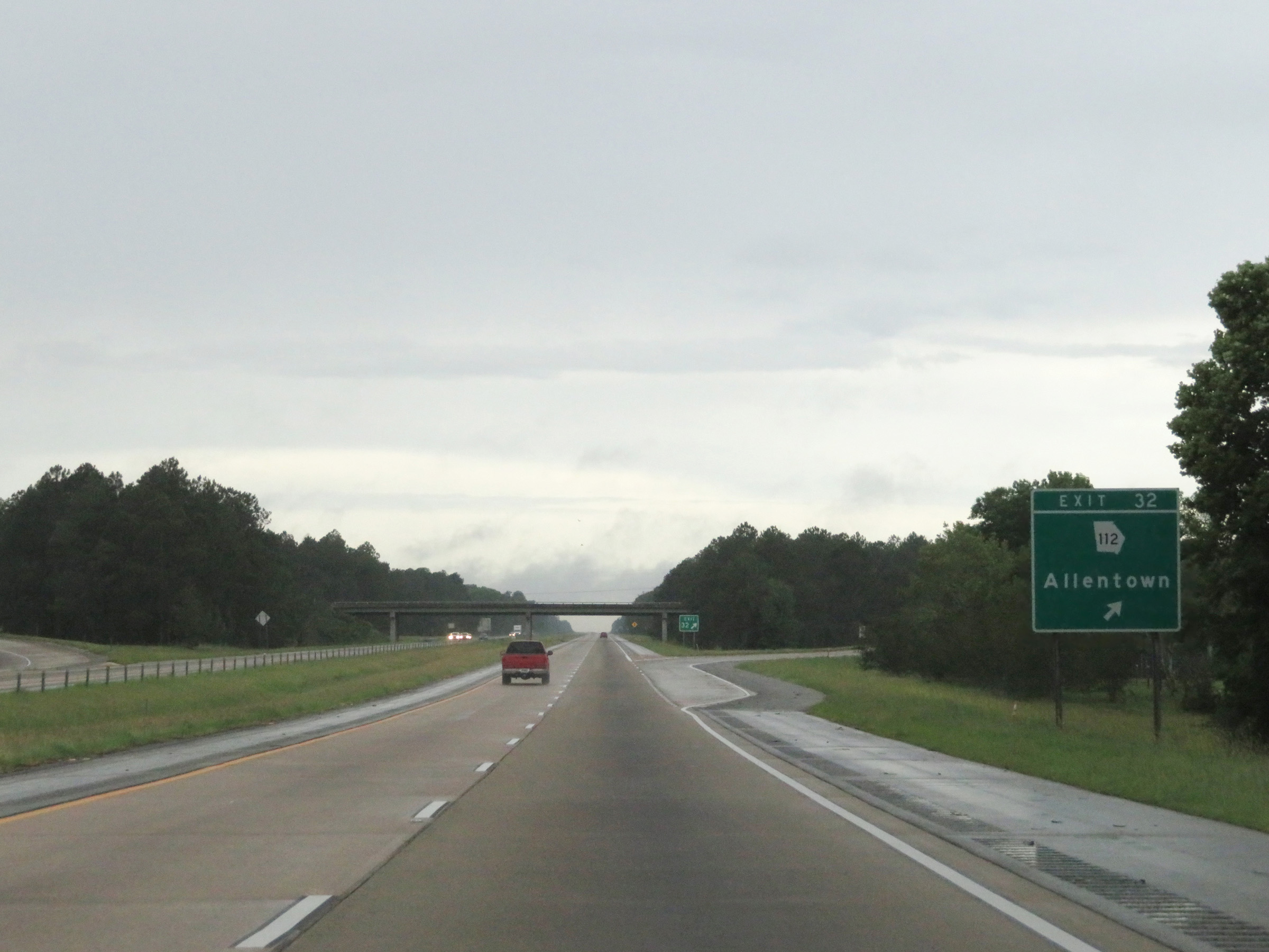 |
Interstate 16 West at Exit 32: GA 112 - Allentown (Photo taken 5/21/17). |
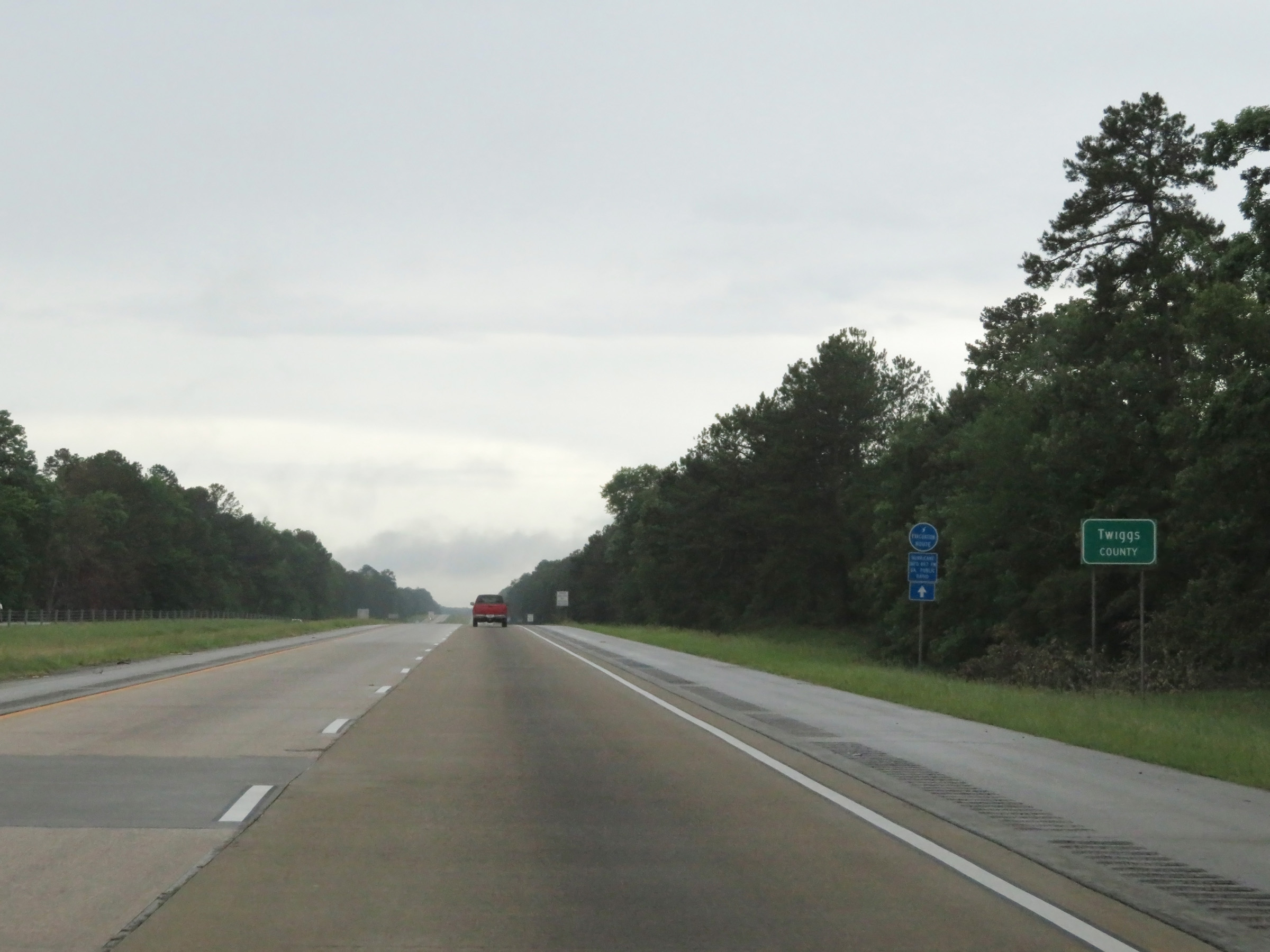 |
Interstate 16 West as it enters Twiggs County. (Photo taken 5/21/17). |
 |
The maximum speed limit remains 70 mph on Interstate 16 West. (Photo taken 5/21/17). |
 |
The minimum speed limit remains 40 mph. (Photo taken 5/21/17). |
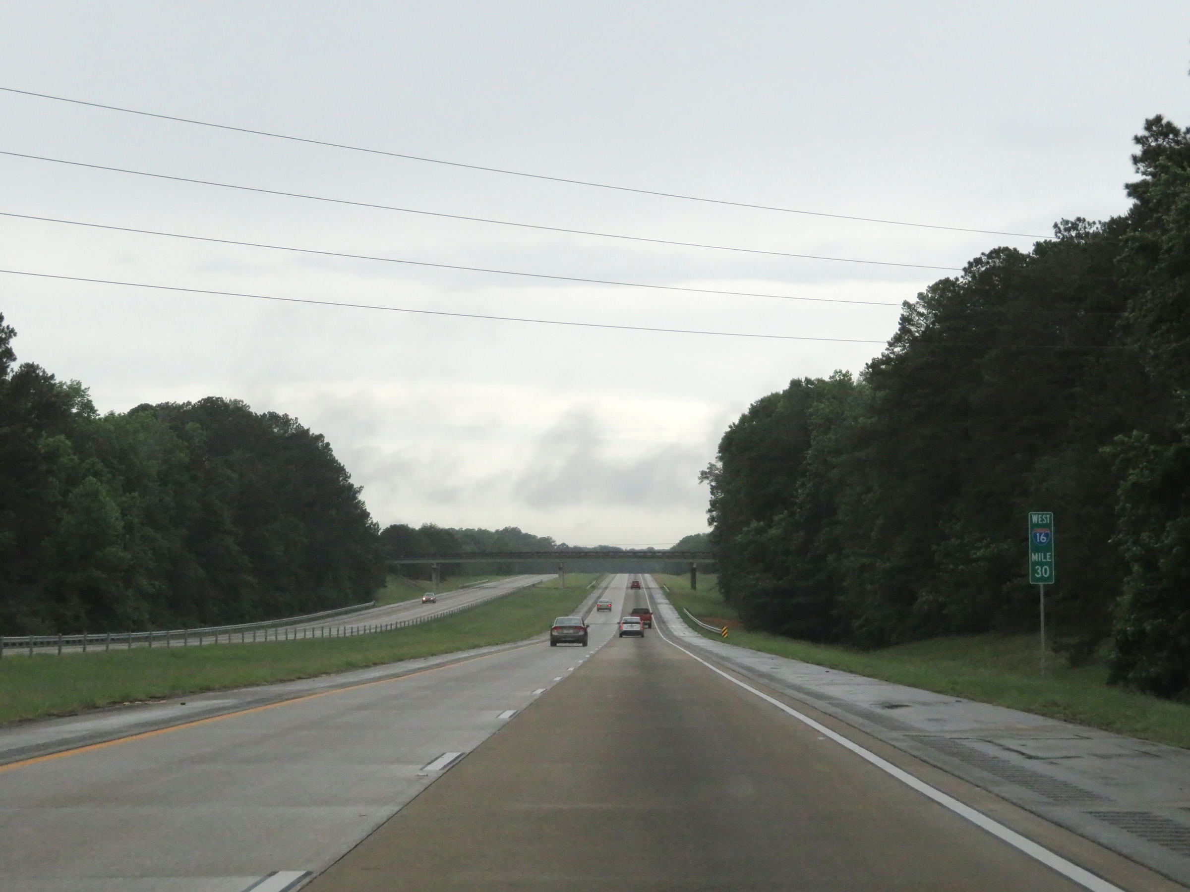 |
View on Interstate 16 West at mile marker 30. (Photo taken 5/21/17). |
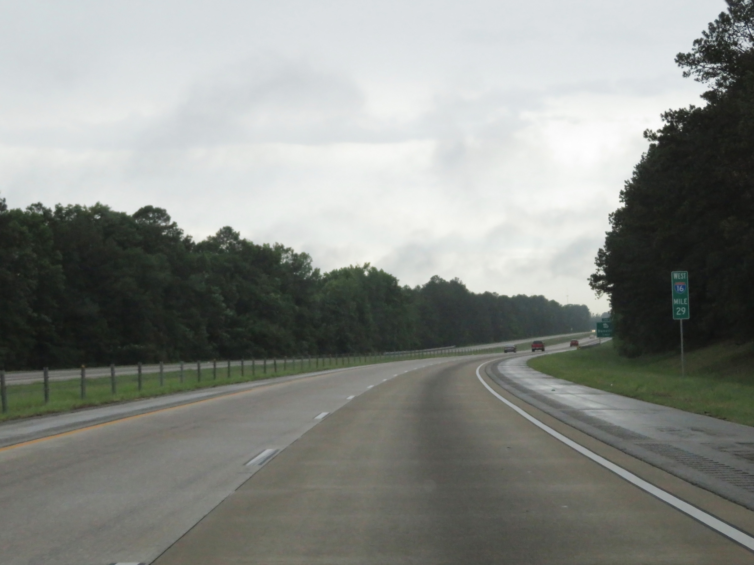 |
Interstate 16 West at mile marker 29. (Photo taken 5/21/17). |
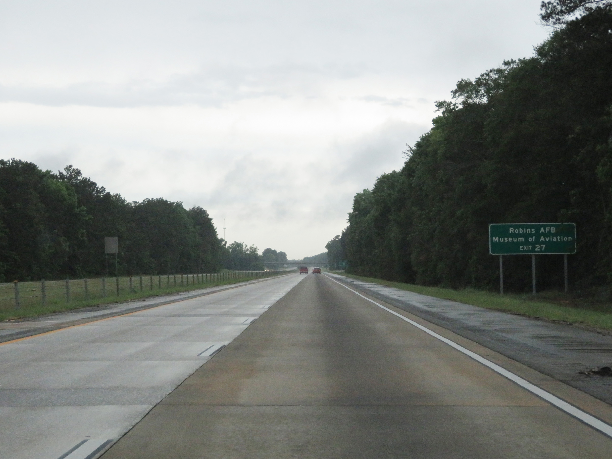 |
Take Exit 27 to Robins Air Force Base and Museum of Aviation. (Photo taken 5/21/17). |
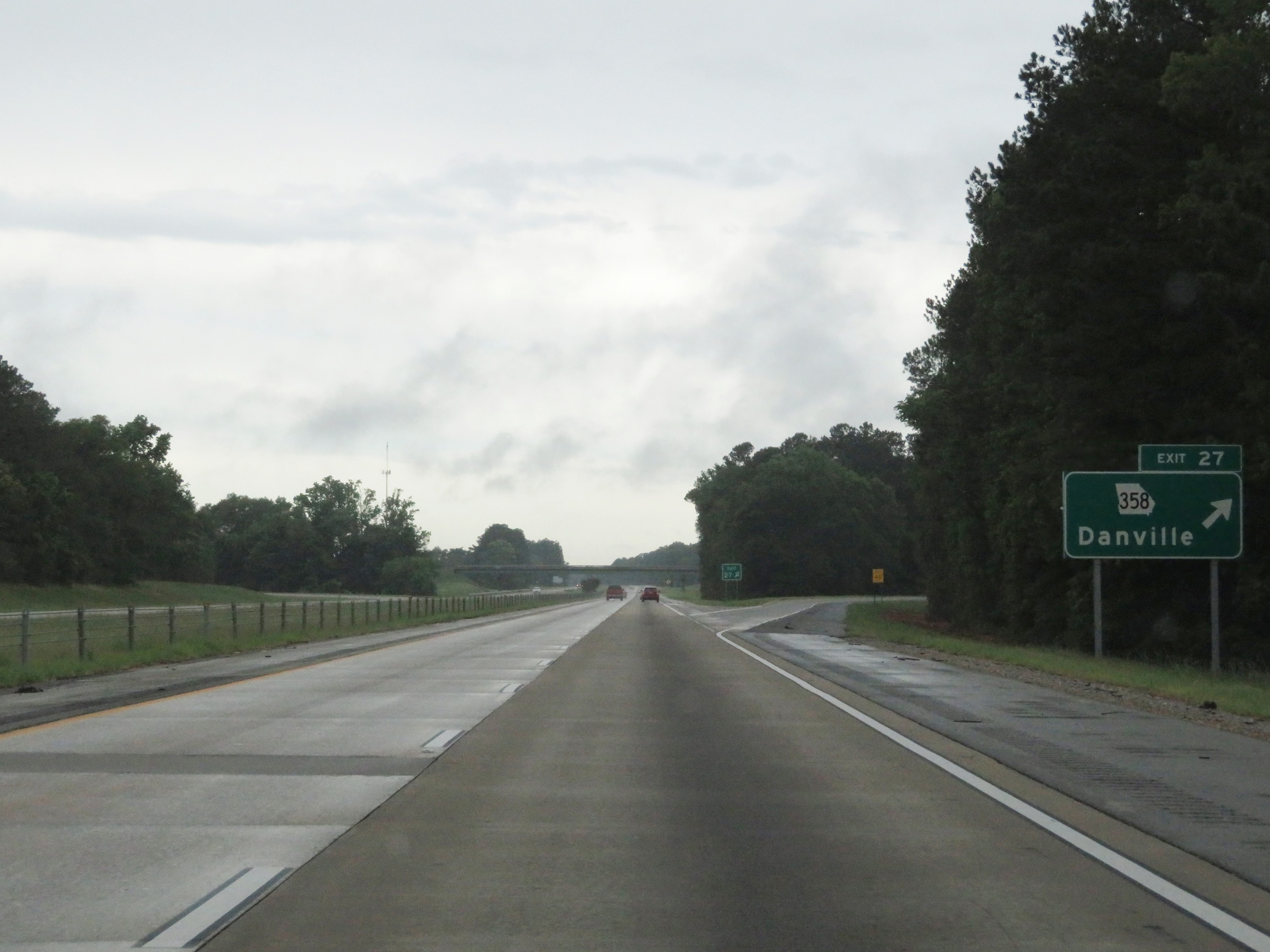 |
Interstate 16 West at Exit 27: GA 358 - Danville (Photo taken 5/21/17). |
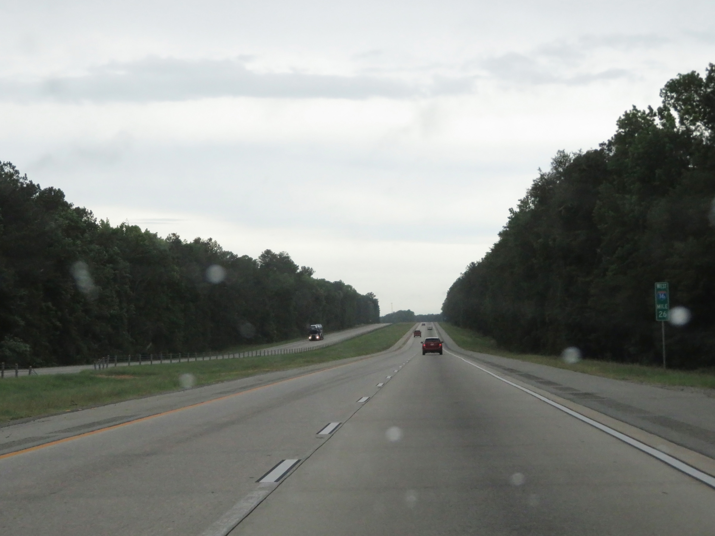 |
Mile marker 26 on Interstate 16 West in Twiggs County. (Photo taken 5/21/17). |
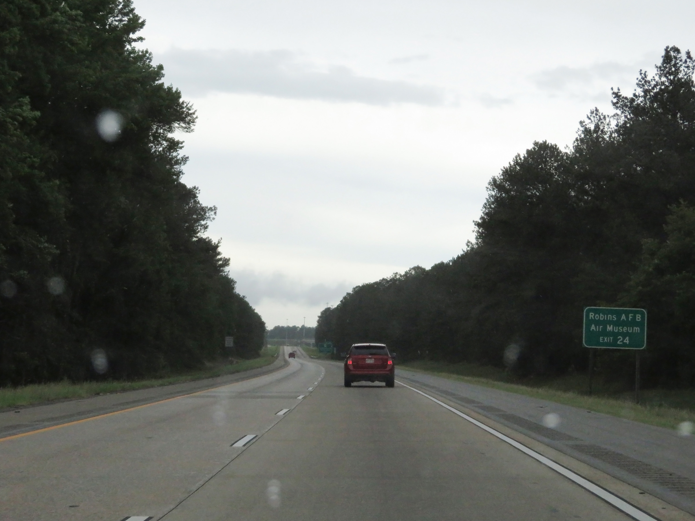 |
Robins Air Force Base and Air Museum can also be accessed via Exit 24. (Photo taken 5/21/17). |
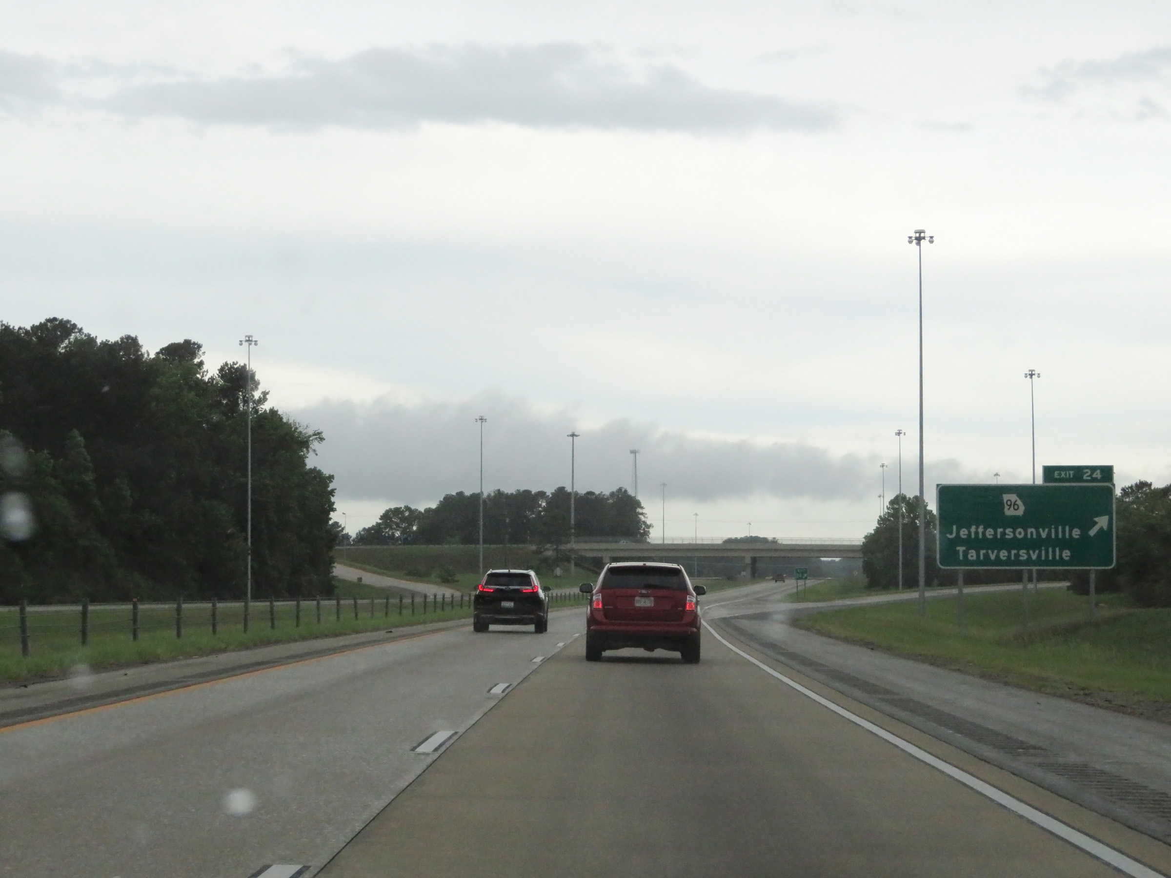 |
Interstate 16 West at Exit 24: GA 96 - Jeffersonville / Tarversville (Photo taken 5/21/17). |
 |
View on Interstate 16 West at mile marker 22. (Photo taken 5/21/17). |
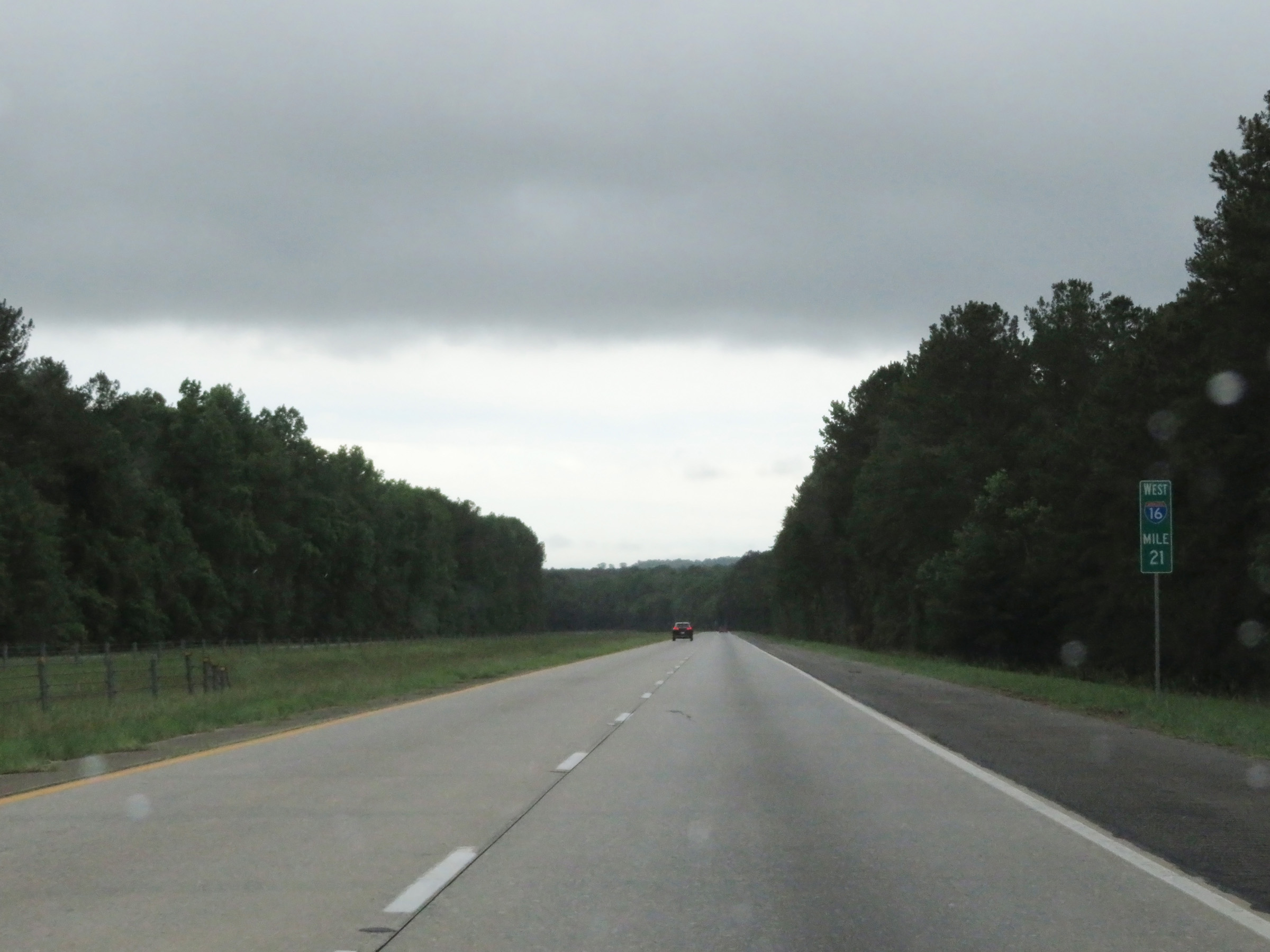 |
Interstate 16 West at mile marker 21. (Photo taken 5/21/17). |
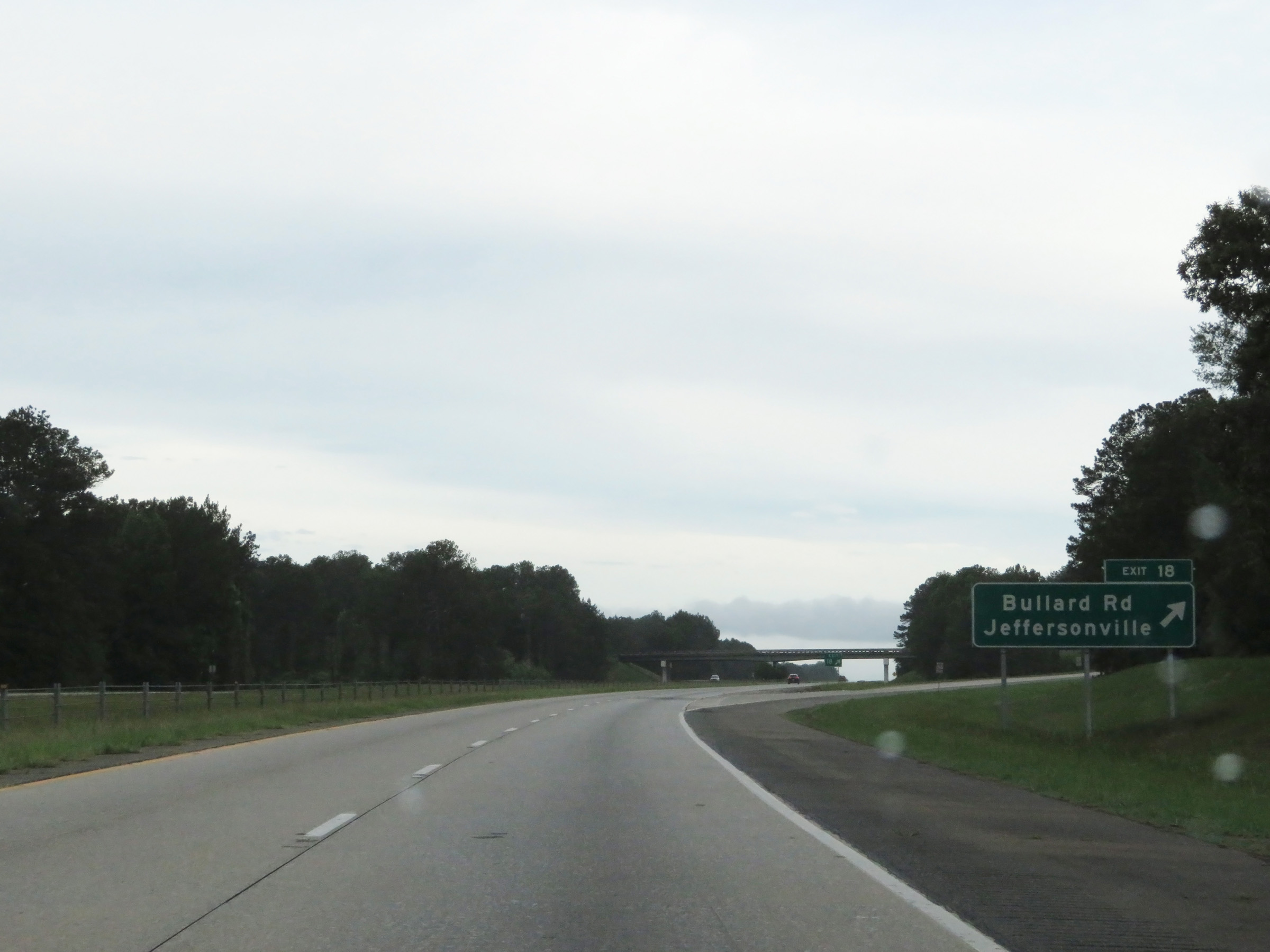 |
Interstate 16 West at Exit 18: Bullard Rd / Jeffersonville (Photo taken 5/21/17). |
 |
View on Interstate 16 West at mile marker 16. (Photo taken 5/21/17). |
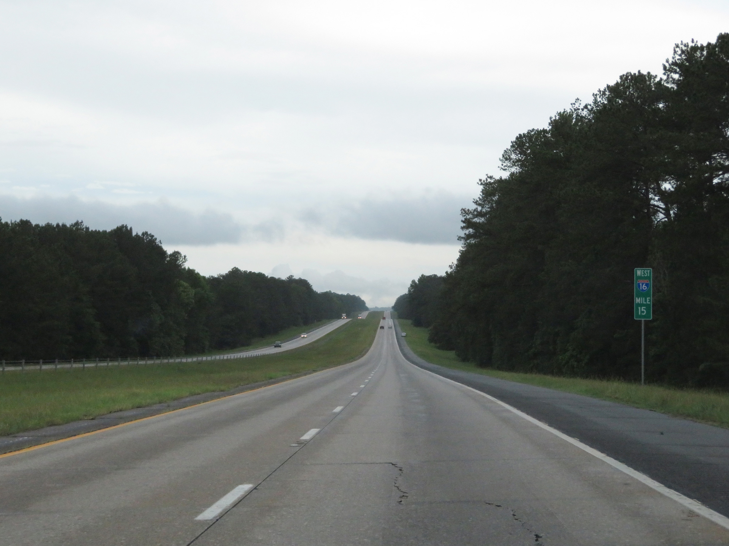 |
Interstate 16 West at mile marker 15. (Photo taken 5/21/17). |
 |
Interstate 16 West at Exit 12: Sgoda Rd / Huber (Photo taken 5/21/17). |
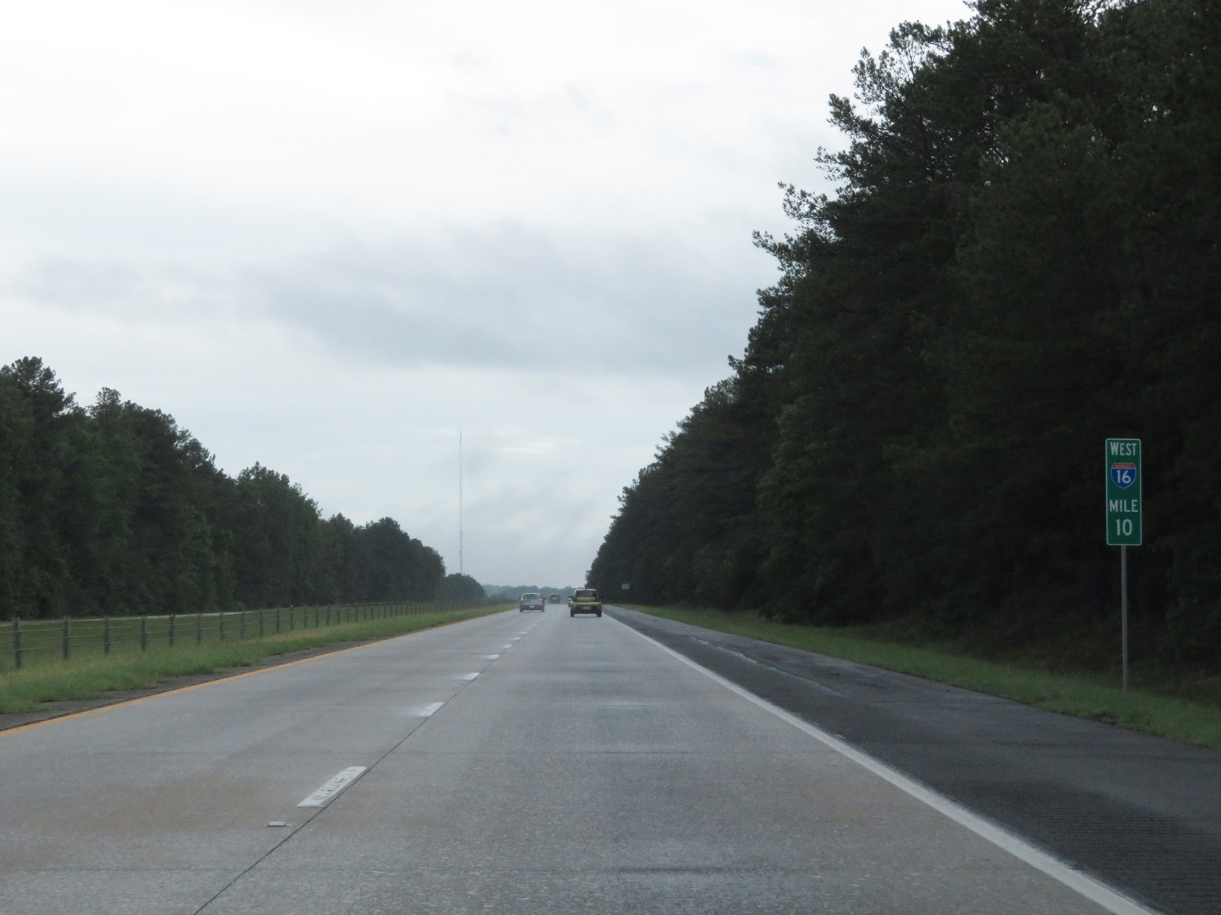 |
View on Interstate 16 West at mile marker 10. (Photo taken 5/21/17). |
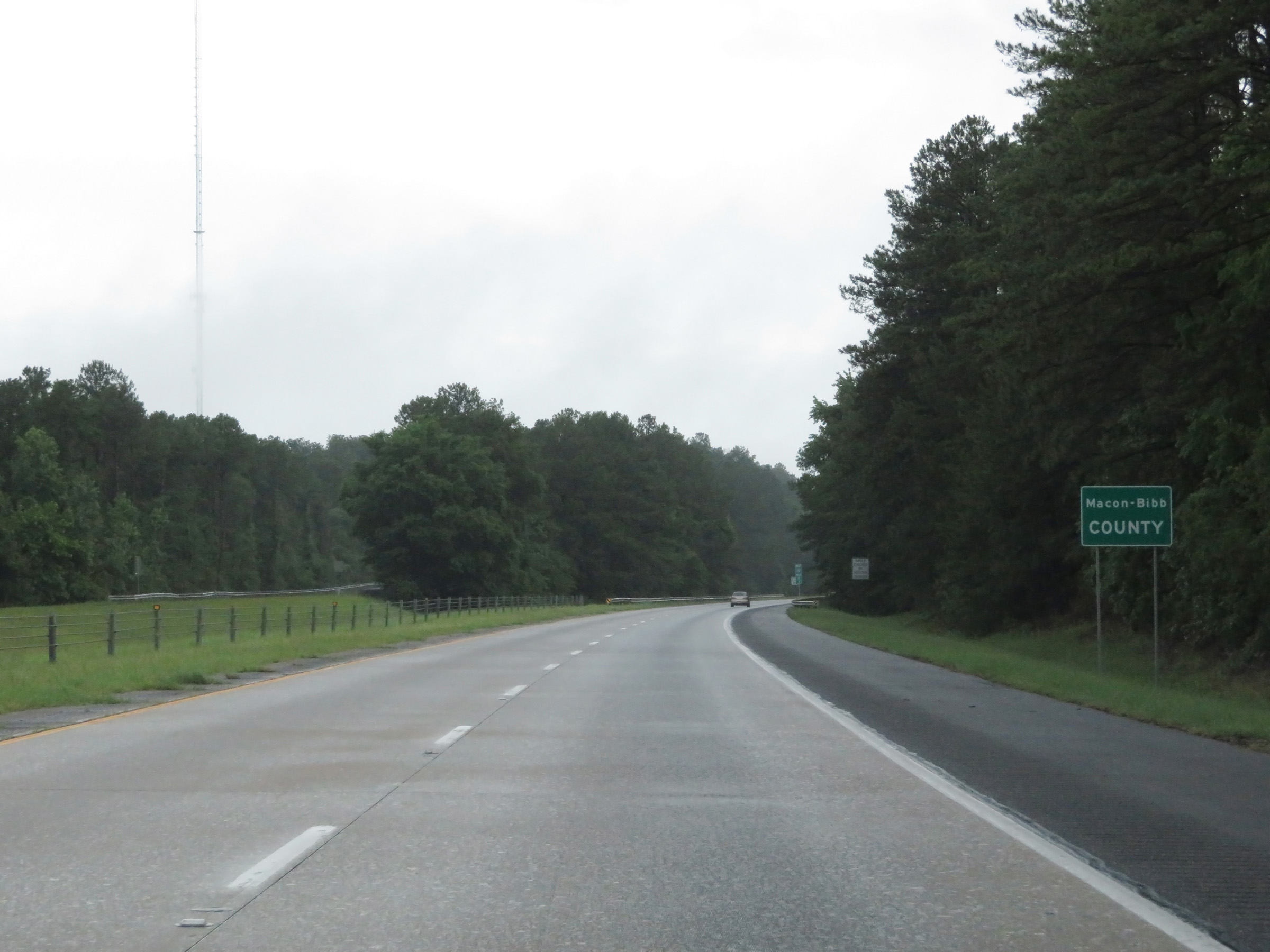 |
Interstate 16 West as it enters Bibb County and the Macon city limits. (Photo taken 5/21/17). |
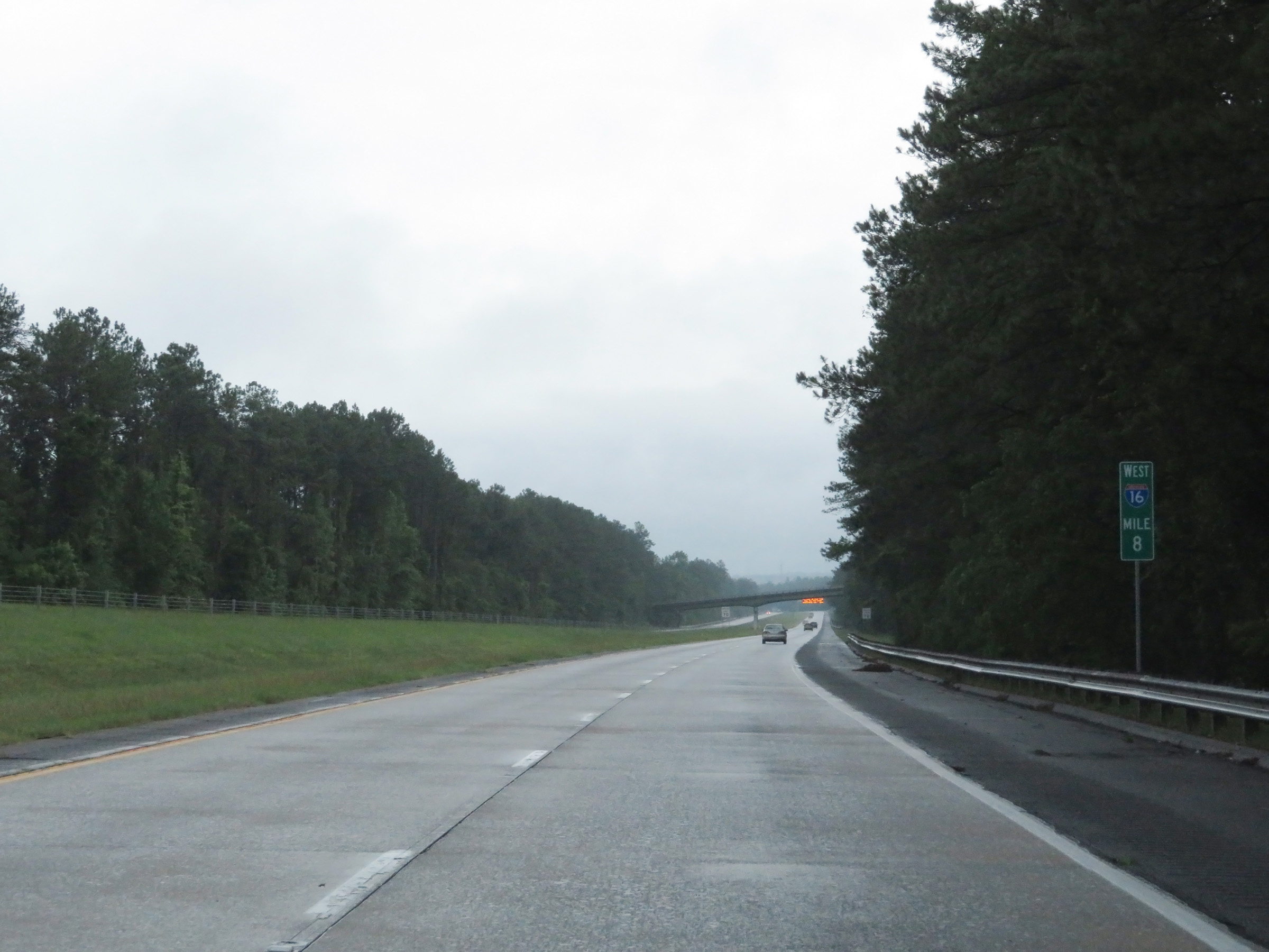 |
Interstate 16 West at mile marker 8. (Photo taken 5/21/17). |
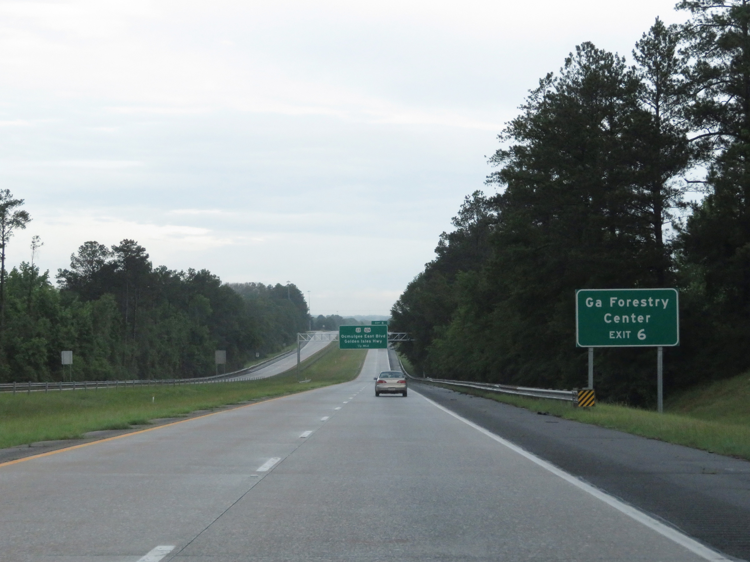 |
Take Exit 6 to the Georgia Forestry Center. (Photo taken 5/21/17). |
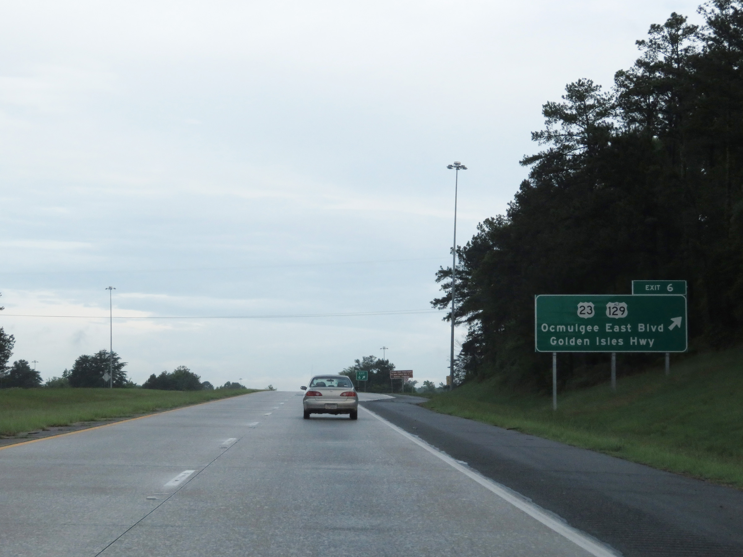 |
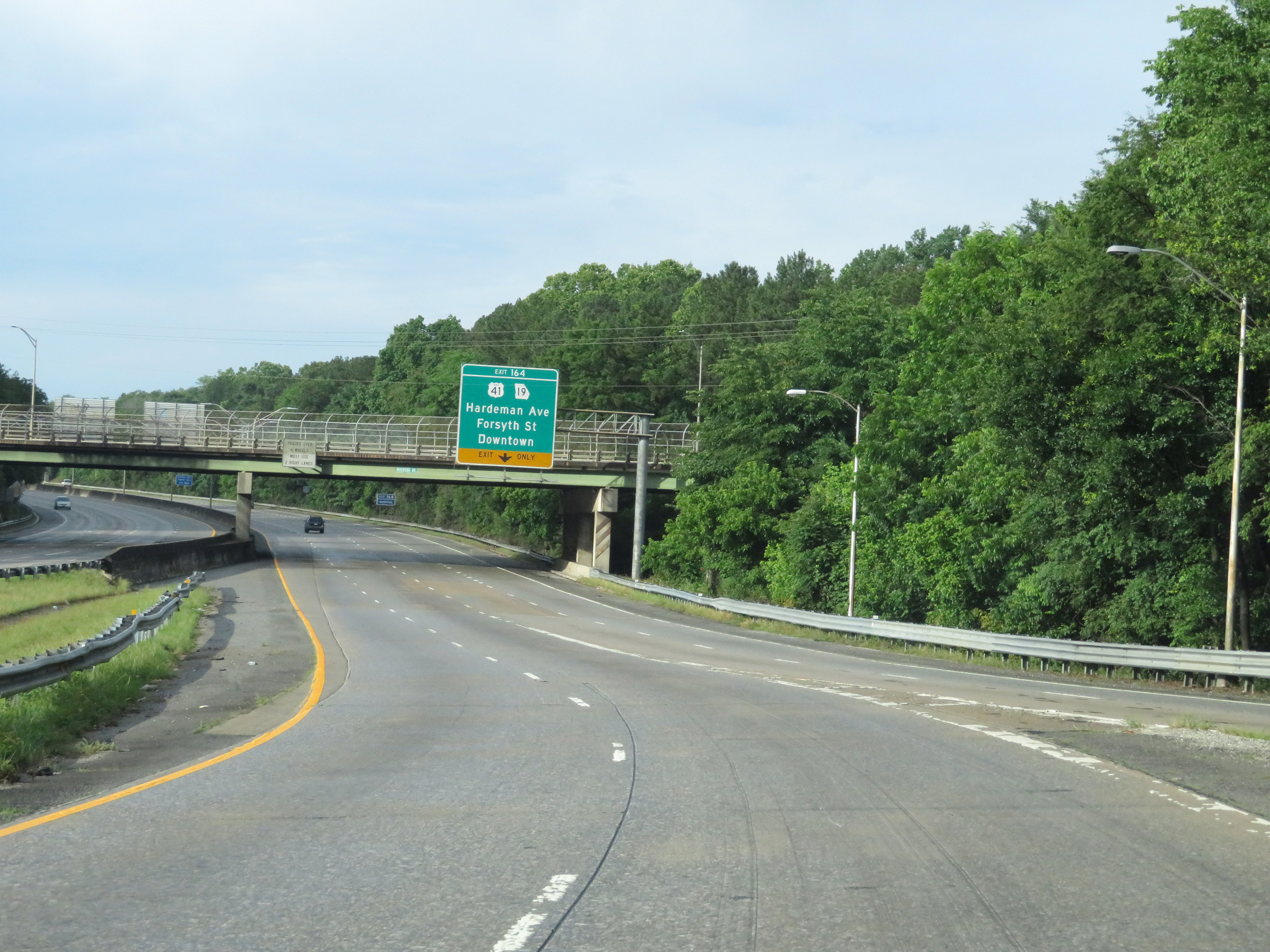
Interstate 16 West at Exit 6: US 23 / US 129 Alternate - Ocmulgee East Blvd / Golden Isles Hwy (Photo taken 5/21/17). |
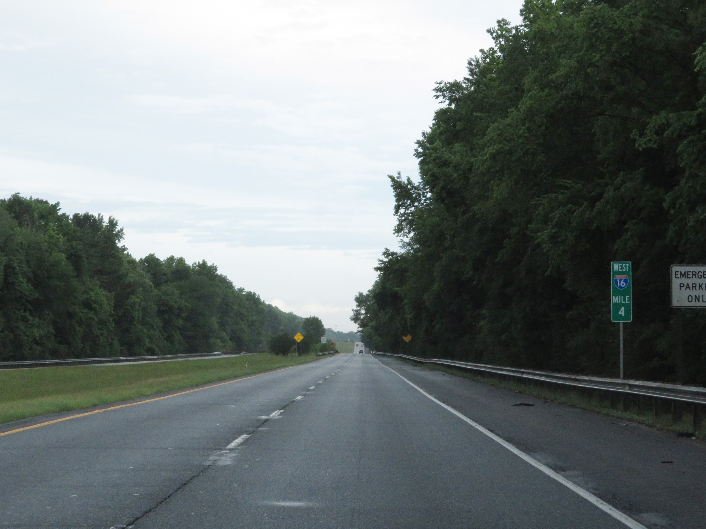 |
View on Interstate 16 West at mile marker 4. (Photo taken 5/21/17). |
 |
Take Exit 2 to the Coliseum, Georgia Secretary of State Examining Boards, and Georgia College. (Photo taken 5/21/17). |
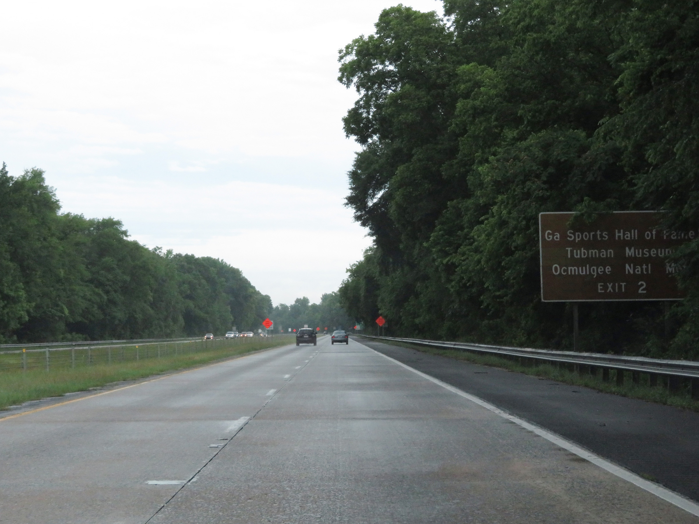 |
Also take Exit 2 to the Georgia Sports Hall of Fame, Tubman Museum, and Ocmulgee National Monument. (Photo taken 5/21/17). |
 |
At mile marker 2, the maximum speed limit decreases to 65 mph. (Photo taken 5/21/17). |
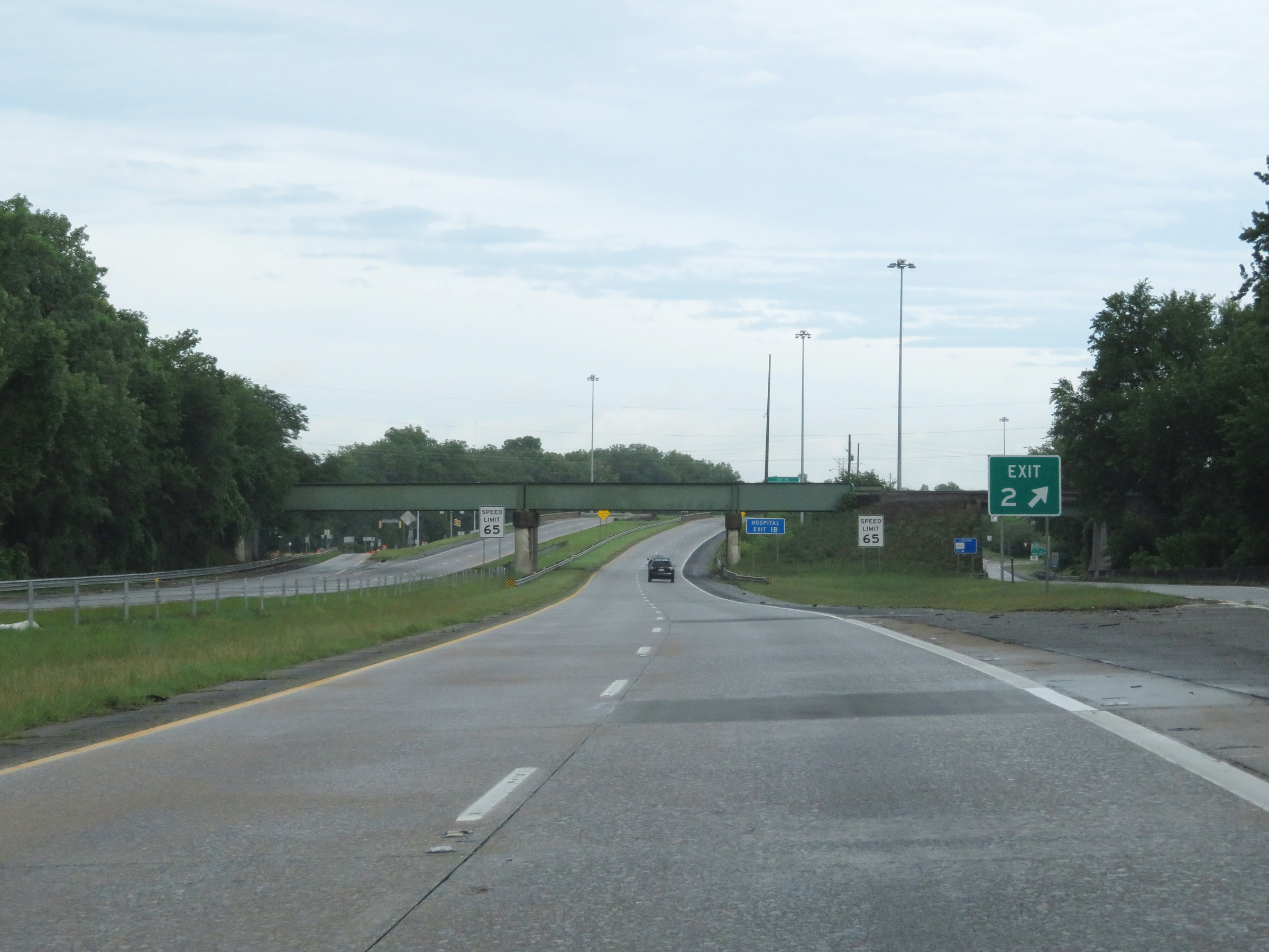 |
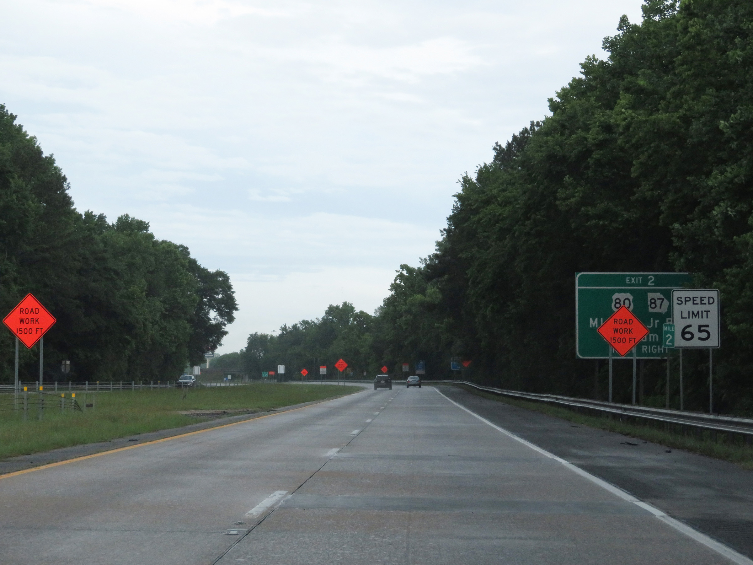
Interstate 16 West at Exit 2: US 80 / GA 87 - Martin Luther King Jr. Blvd / Coliseum Dr (Photo taken 5/21/17). |
 |
The maximum speed limit remains 65 mph for the remainder of Interstate 16 West. (Photo taken 5/21/17). |
 |
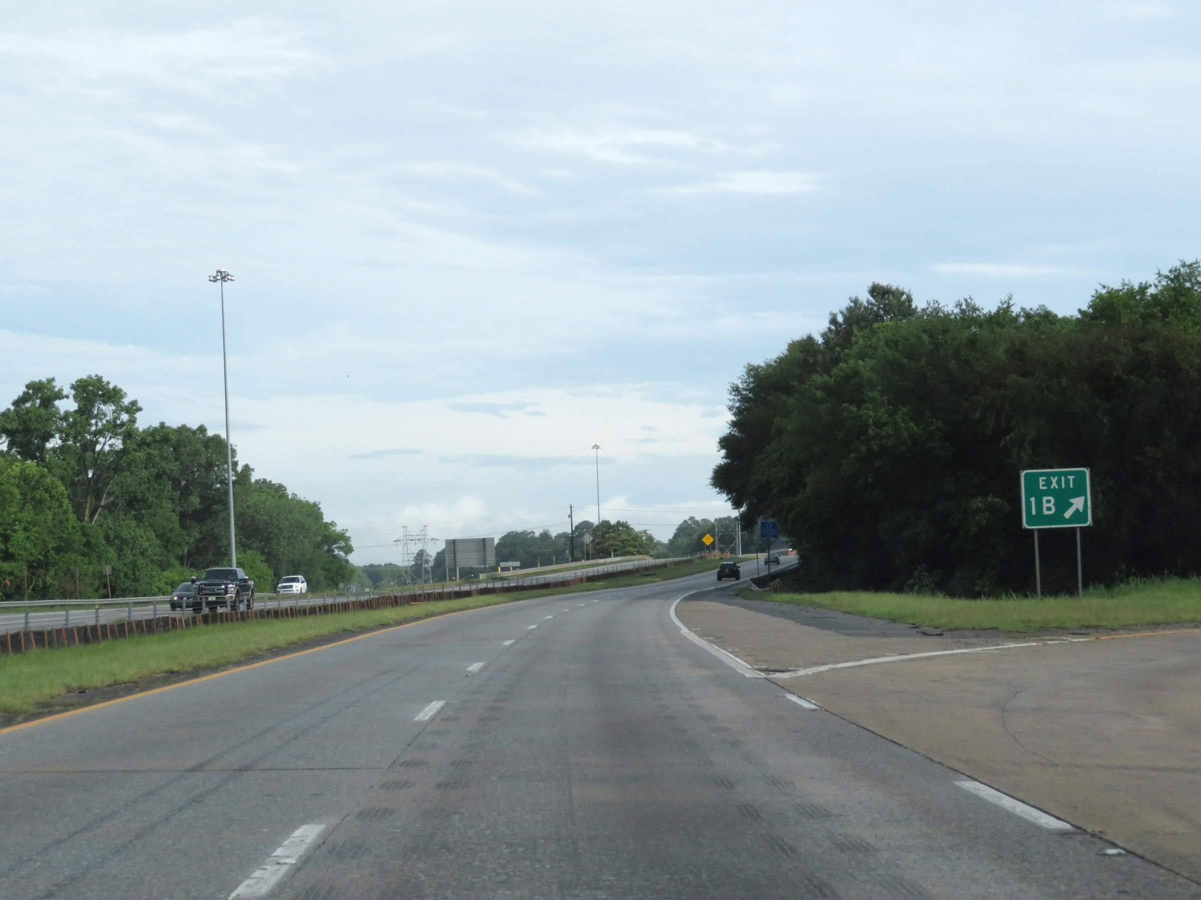
Interstate 16 West approaching Exit 1B - 1/2 mile. (Photo taken 5/21/17). |
 |
Interstate 16 West approaching Exit 1 - 1 mile. (Photo taken 5/21/17). |
 |
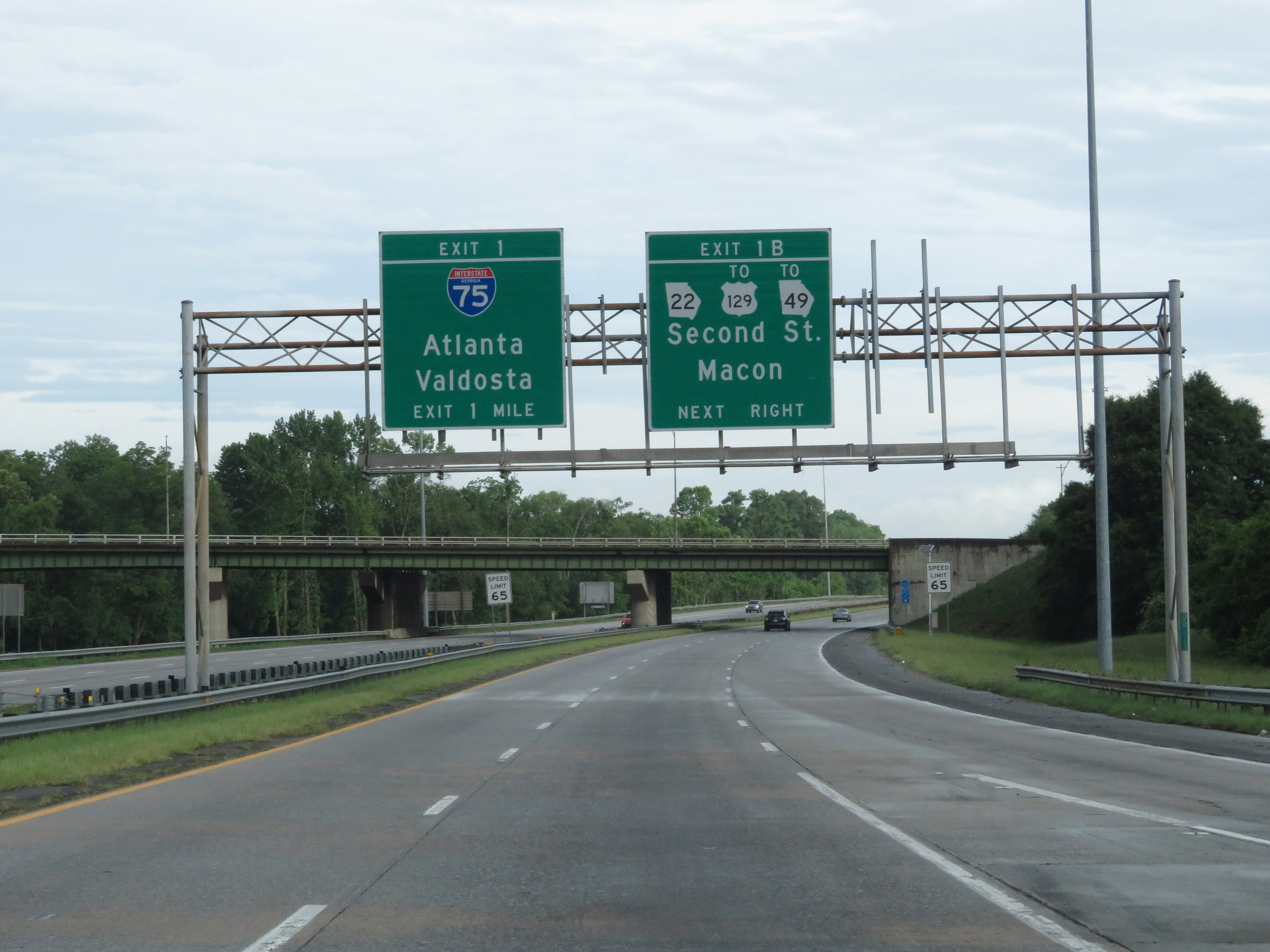
Interstate 16 West at Exit 1B: GA 22 / To US 129 / To GA 49 - Second St / Macon (Photo taken 5/21/17). |
 |
One final state-named Interstate 16 West reassurance shield. (Photo taken 5/21/17). |
 |
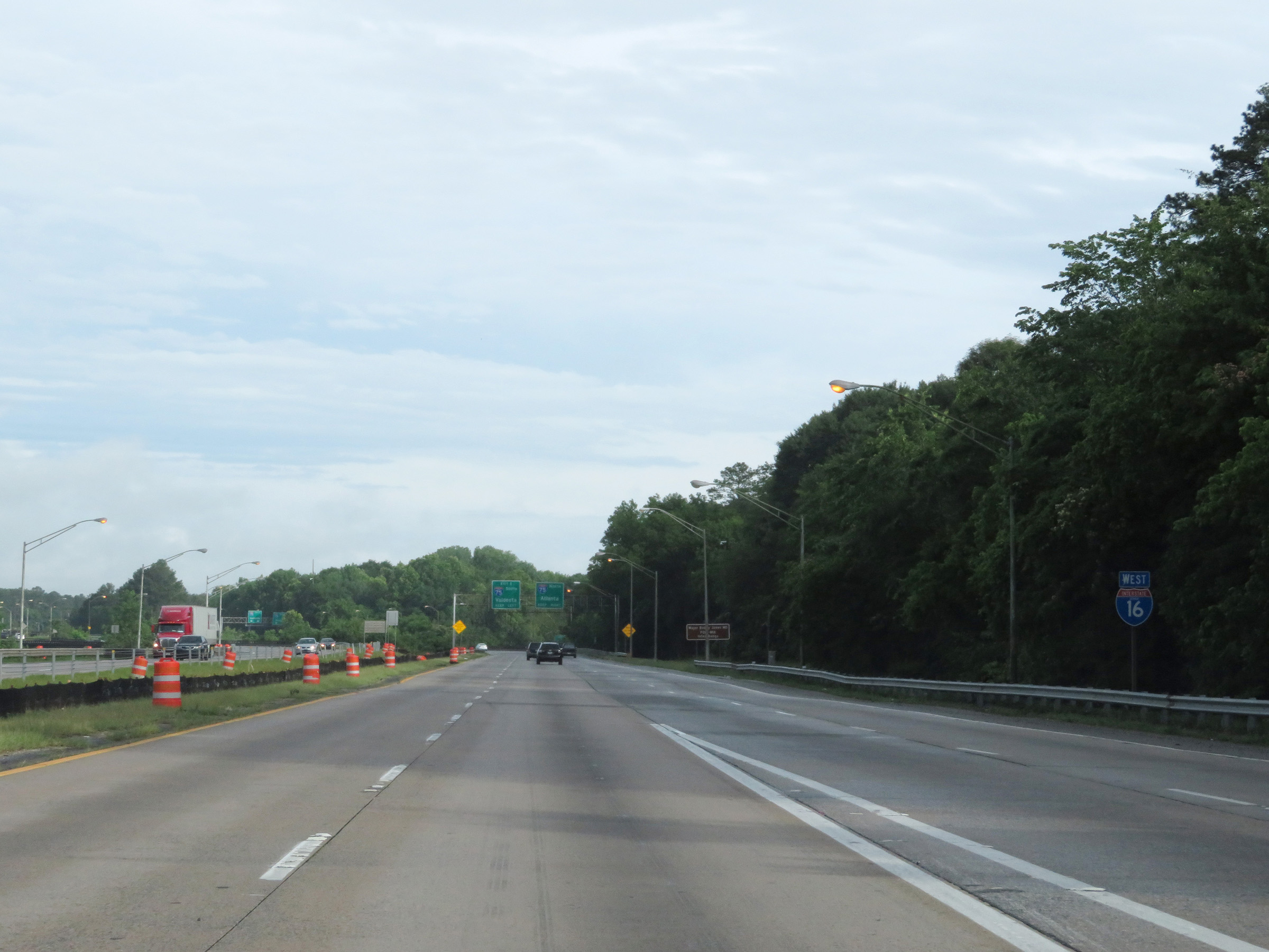
Approaching the junction of Interstate 75 at the western terminus of Interstate 16, these signs guide traffic to I-75 North to keep right and traffic to I-75 South to keep left. (Photo taken 5/21/17). |
 |
Interstate 16 West at mile marker 0, which is posted a bit prematurely as the junction of Interstate 75 is still about 1/4 mile ahead. (Photo taken 5/21/17). |
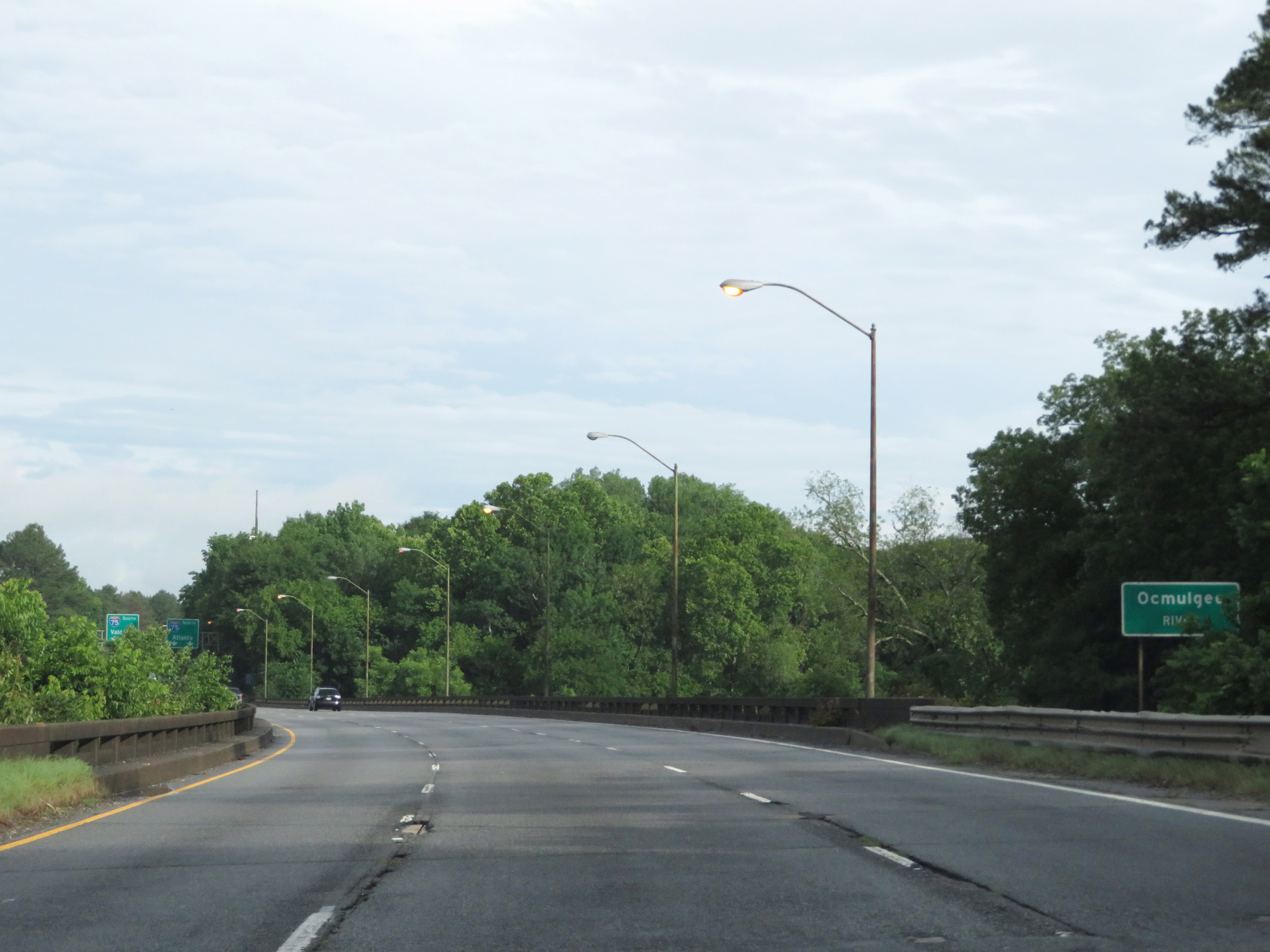 |
Interstate 16 West crosses the Ocmulgee River just before its western terminus at the junction of Interstate 75. (Photo taken 5/21/17). |
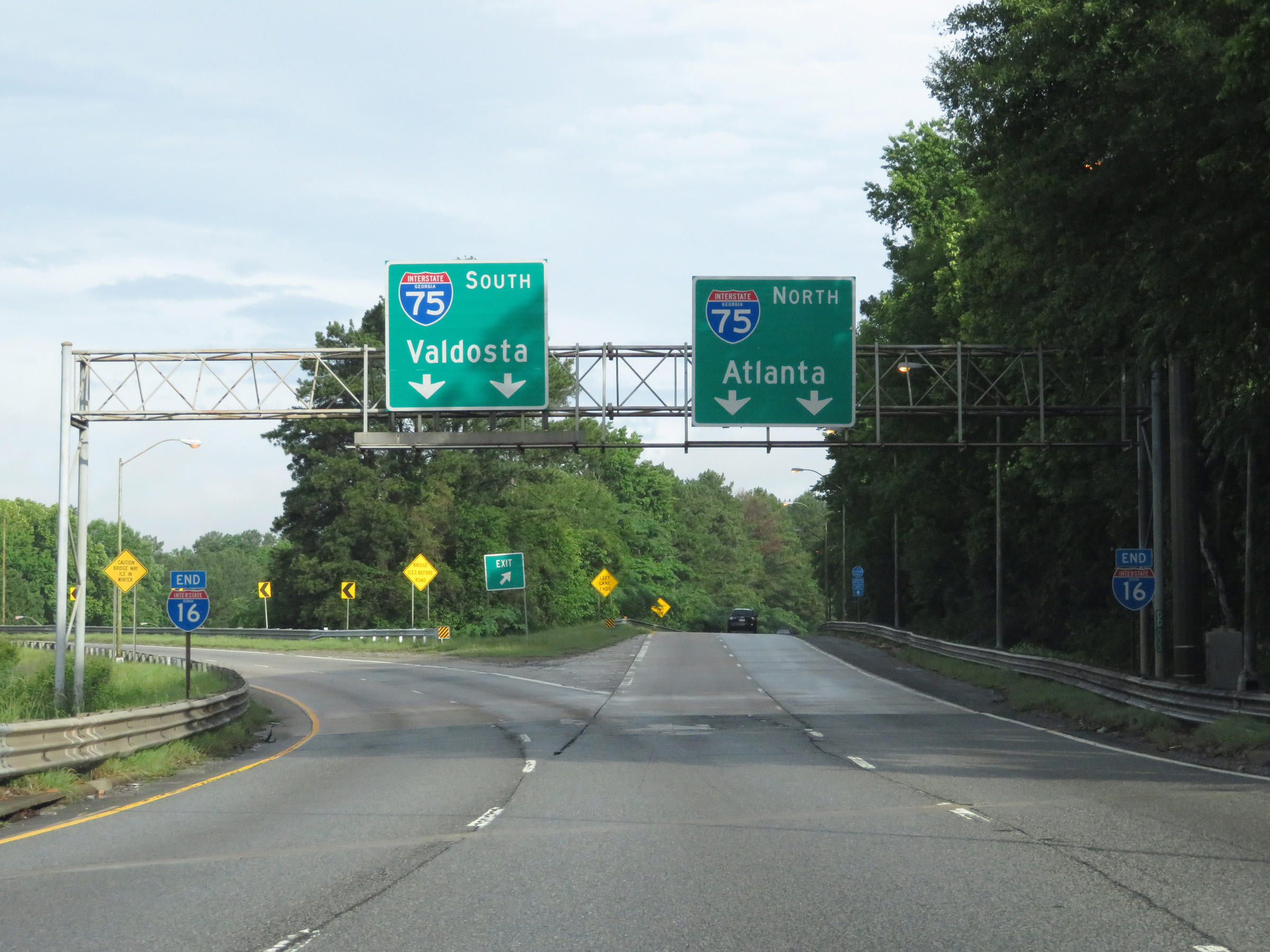 |
Interstate 16 West at the junction of Interstate 75, which marks its western terminus as the I-16 END shields here show. (Photo taken 5/21/17). |
 |
View on the ramp to Interstate 75 South. (Photo taken 5/21/17). |
 |
The ramp carries two lanes onto Interstate 75 South as seen here. (Photo taken 5/21/17). |