Road Information |
||
 |
||
| Total Mileage in State: | 178 miles | |
| Northern End: | At District of Columbia border | |
| Southern End: | At North Carolina state line | |
| Mileage covered in Photos: | 178 miles | |
| Counties covered in Photos: | City of Alexandria, Fairfax, Prince William, Stafford, Sposylvania, Caroline, Hanover, Henrico, City of Richmond, Chesterfield, City of Petersburg, Prince George, Sussex, Greensville | |
| Major Junctions in Photos: | I-395/I-495, in Springfield US 17, in Fredericksburg I-295, near Ashland I-64 West/I-195, in Richmond I-64 East, in Richmond I-295, near Petersburg I-85, in Petersburg |
|
| Control Cities in Photos: | Alexandria, Springfield, Dumfries, Fredericksburg, Richmond, Petersburg, Emporia | |
Southbound
- Section 1: District of Columbia Border to Dumfries (Exit 152A)
- Section 2: Dumfries (Exit 152A) to Ashland (Exit 92)
- Section 3: Ashland (Exit 92) to Hopewell (Exit 61A)
- Section 4: Hopewell (Exit 61A) to North Carolina Border
Section 1: District of Columbia Border to Dumfries (Exit 152A)
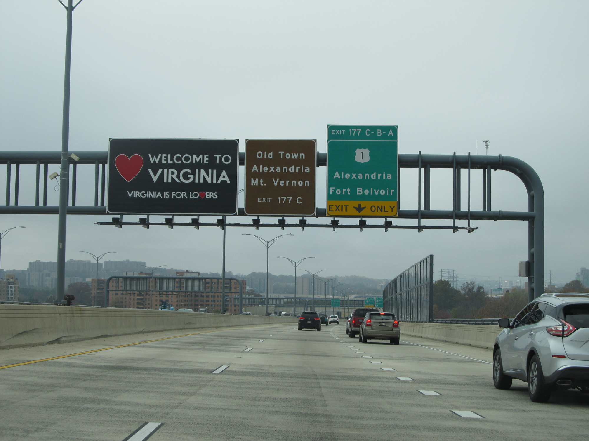 |
Virginia welcome sign on Interstate 95 South / Interstate 495 Inner Loop (West), on the west side of the Woodrow Wilson Bridge. (Photo taken 11/5/15). |
 |
Interstate 95 South / Interstate 495 Inner Loop (West) at Exit 177C: Mount Vernon; Exit 177B: US 1 North - Alexandria (Photo taken 11/5/15). |
 |
Interstate 95 South / Interstate 495 Inner Loop (West) at Exit 177A: US 1 South - Ft Belvoir (Photo taken 11/5/15). |
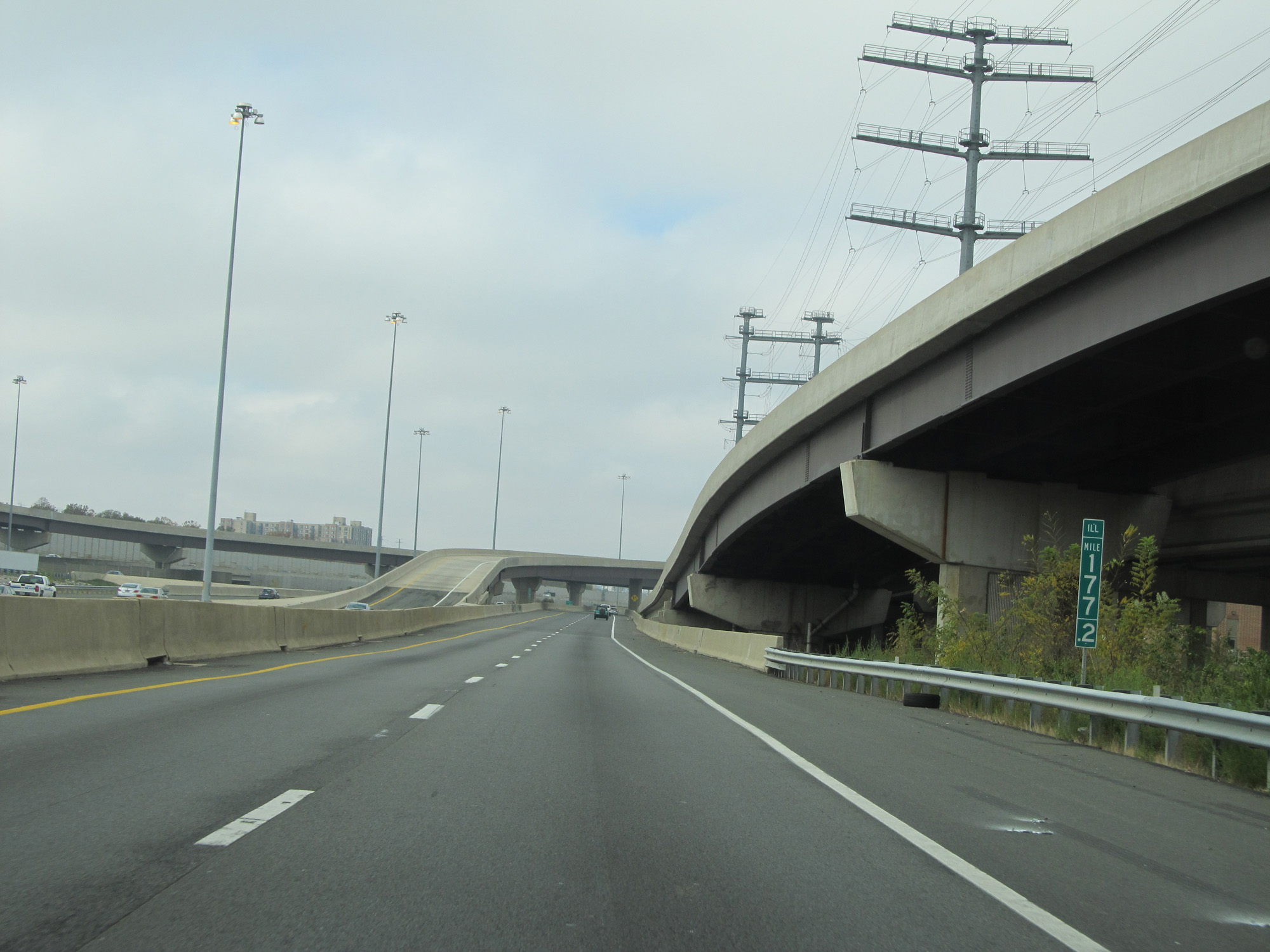 |
Interstate 95 South / Interstate 495 Inner Loop (West) at mile marker 177.2. (Photo taken 11/5/15). |
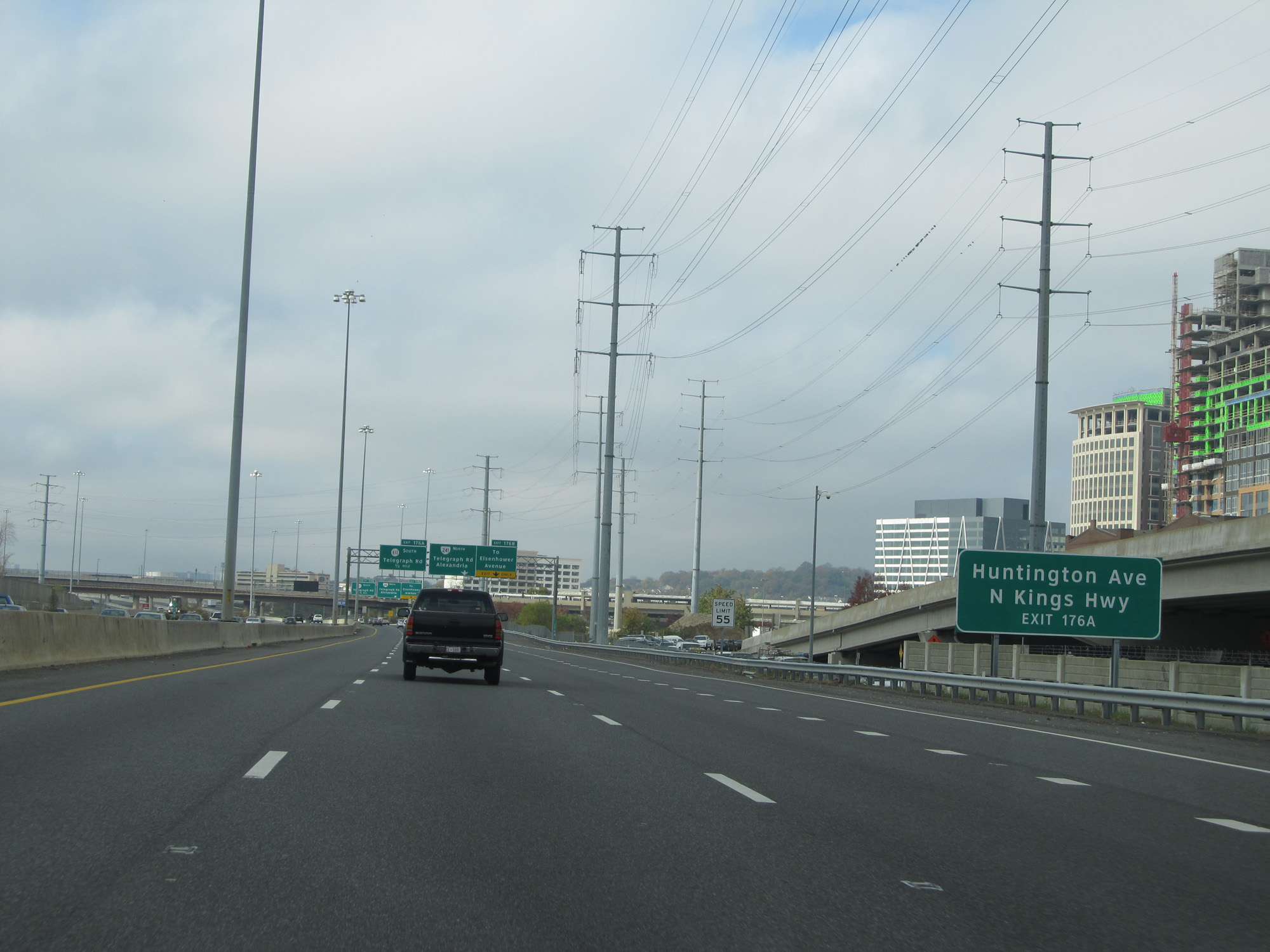 |
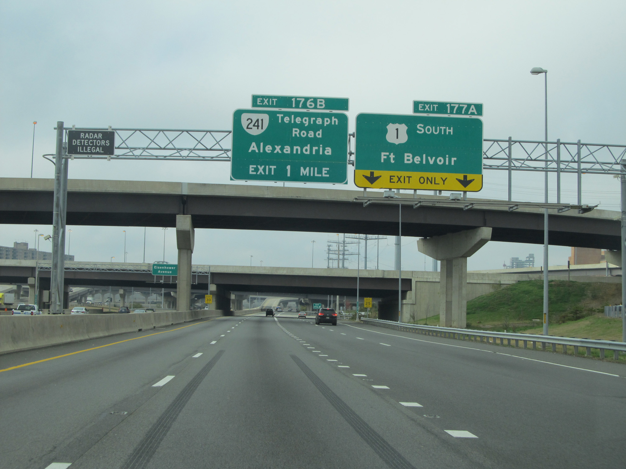
Take Exit 176A to Huntington Ave and N Kings Hwy. (Photo taken 11/5/15). |
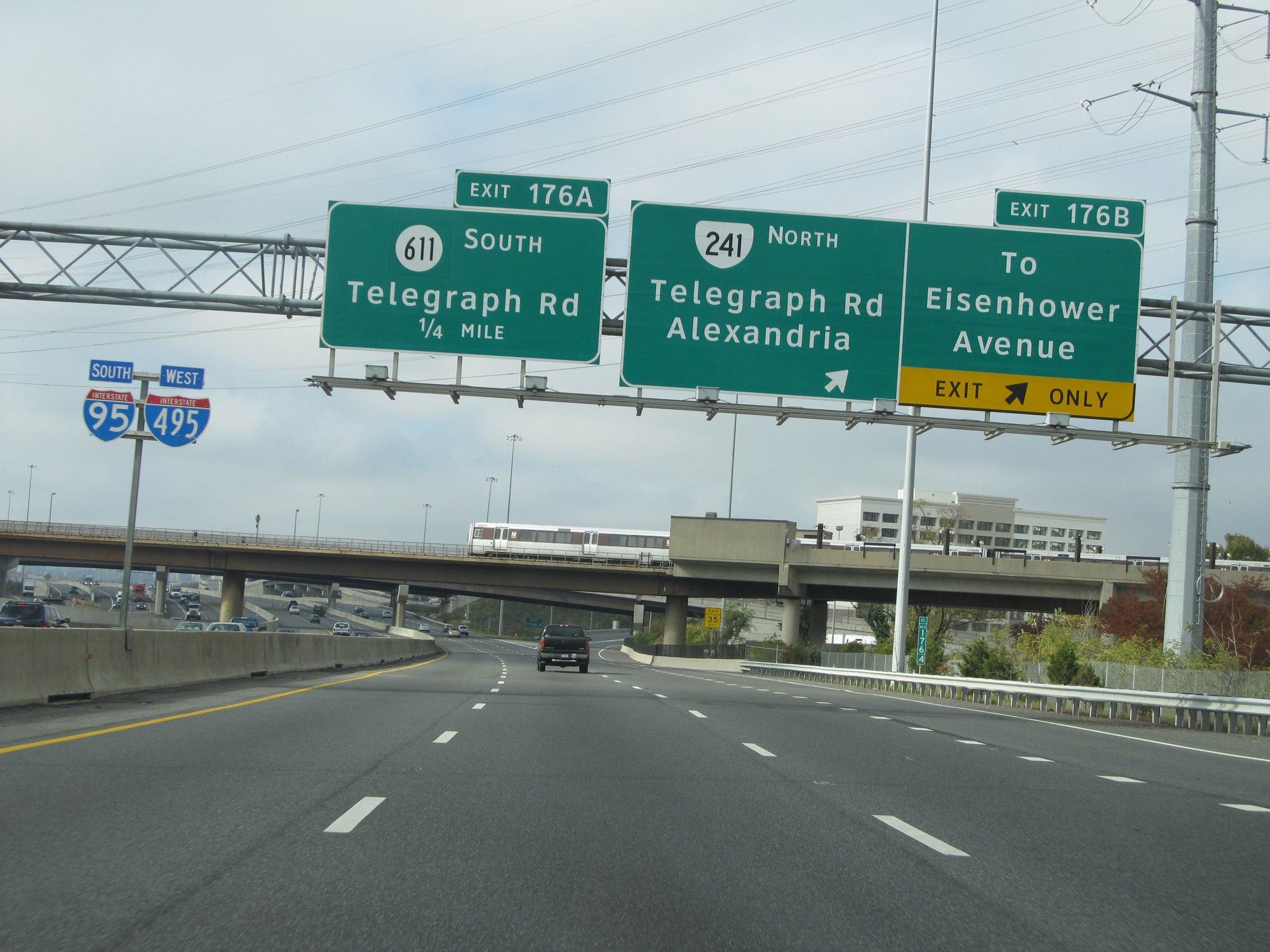 |
Interstate 95 South / Interstate 495 Inner Loop (West) at Exit 176B: VA 241 North - Telegraph Rd / Alexandria / To Eisenhower Avenue (Photo taken 11/5/15). |
 |
Interstate 95 South / Interstate 495 Inner Loop (West) at Exit 176A: SR 611 South - Telegraph Rd (Photo taken 11/5/15). |
 |
Interstate 95 South / Interstate 495 Inner Loop (West) at mile marker 175.4. (Photo taken 11/5/15). |
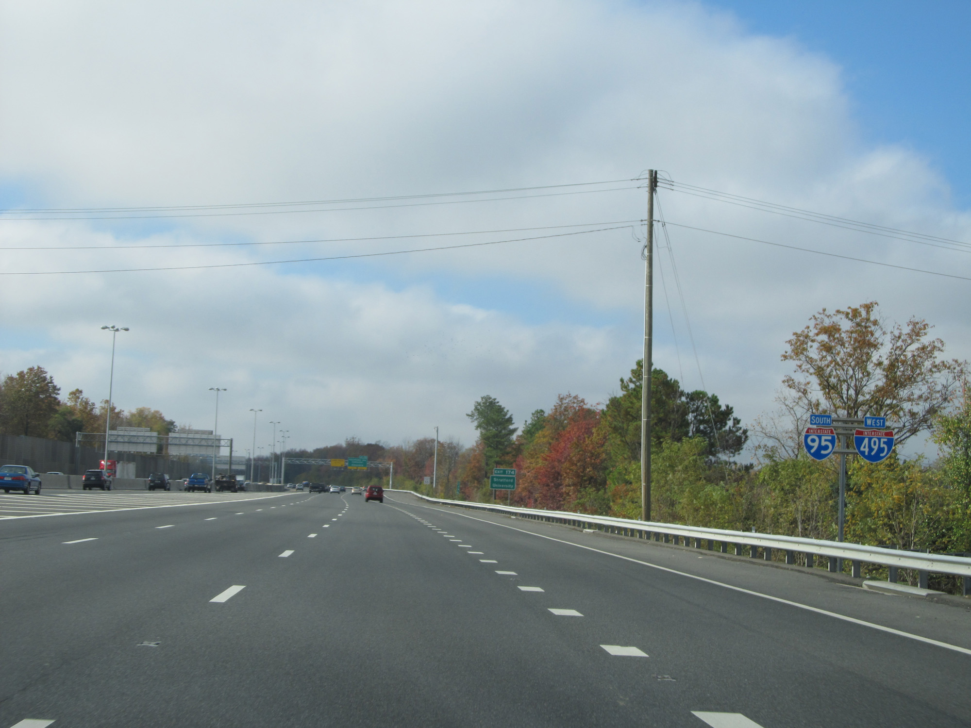 |
Interstate 95 South / Interstate 495 West reassurance shields. (Photo taken 11/5/15). |
 |
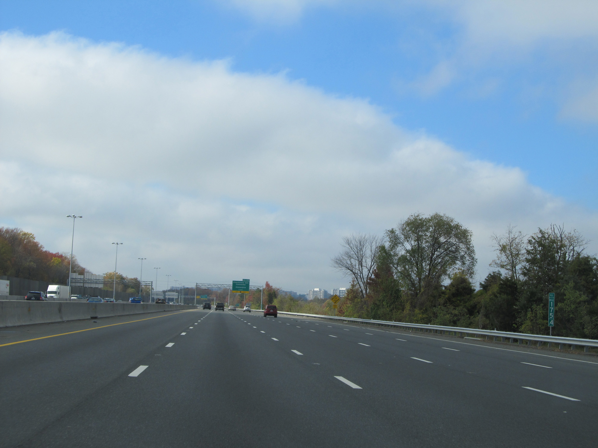
Interstate 95 South / Interstate 495 Inner Loop (West) at Exit 174: Eisenhower Ave Connector / Alexandria (Photo taken 11/5/15). |
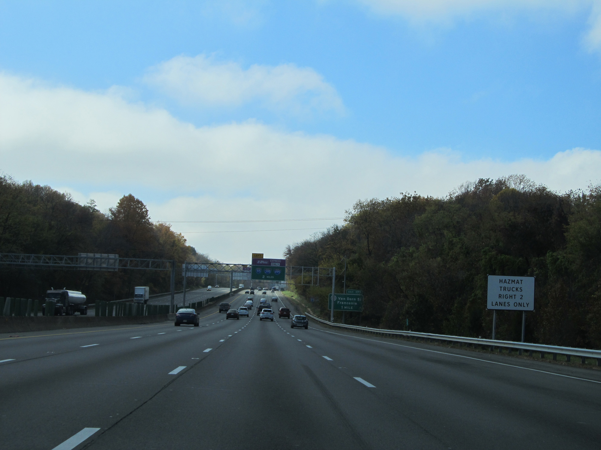 |
Trucks with hazardous cargo are restricted to the two rightmost lanes. (Photo taken 11/5/15). |
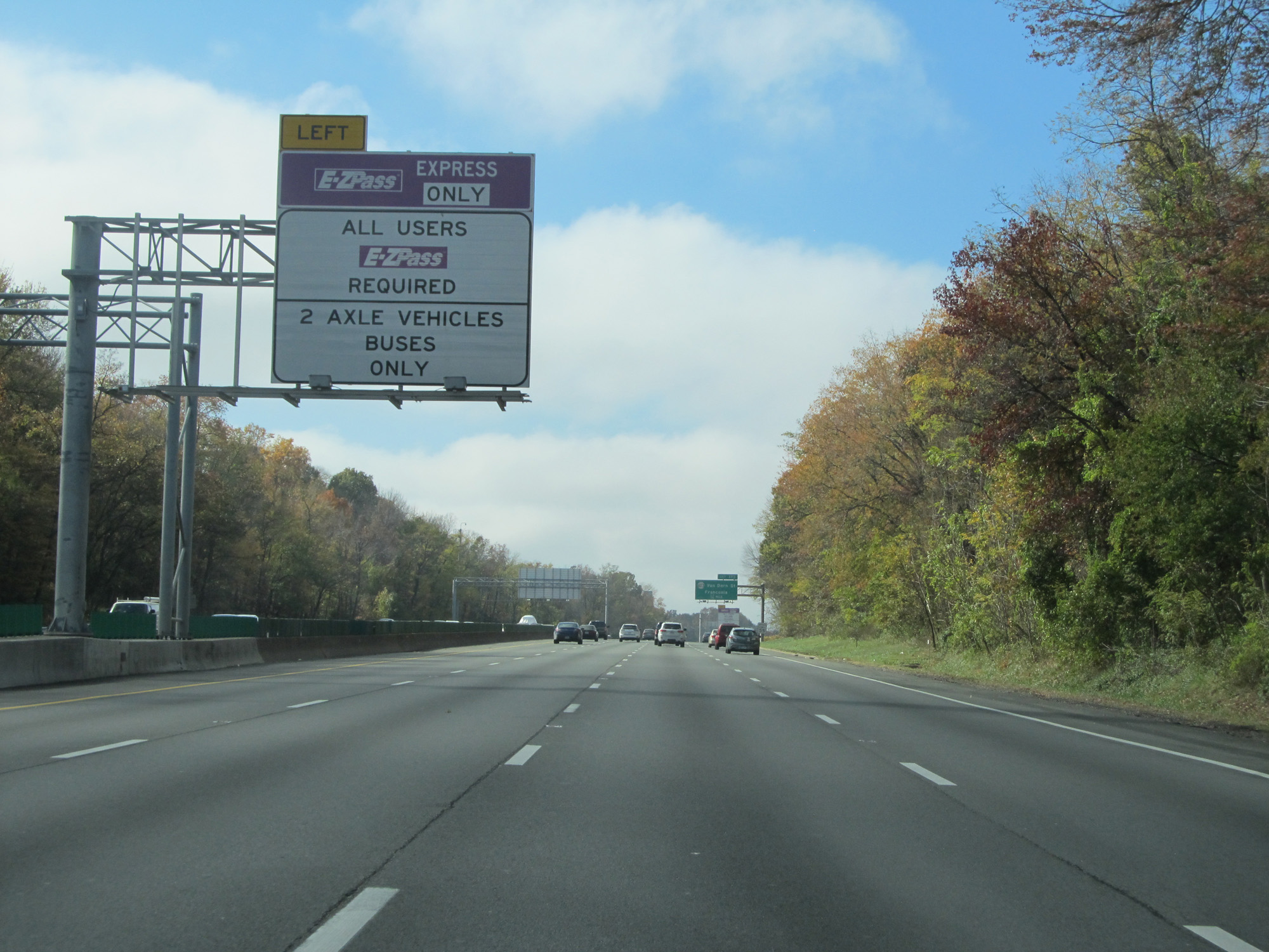 |
This sign states what vehicles are allowed in the upcoming Interstate 95 South Express Toll Lanes. All vehicles using the express lanes must have EZ Pass. (Photo taken 11/5/15). |
 |
The speed limit on the Interstate 95 South / Interstate 495 Inner Loop (West) concurrency is 55 mph. (Photo taken 11/5/15). |
 |
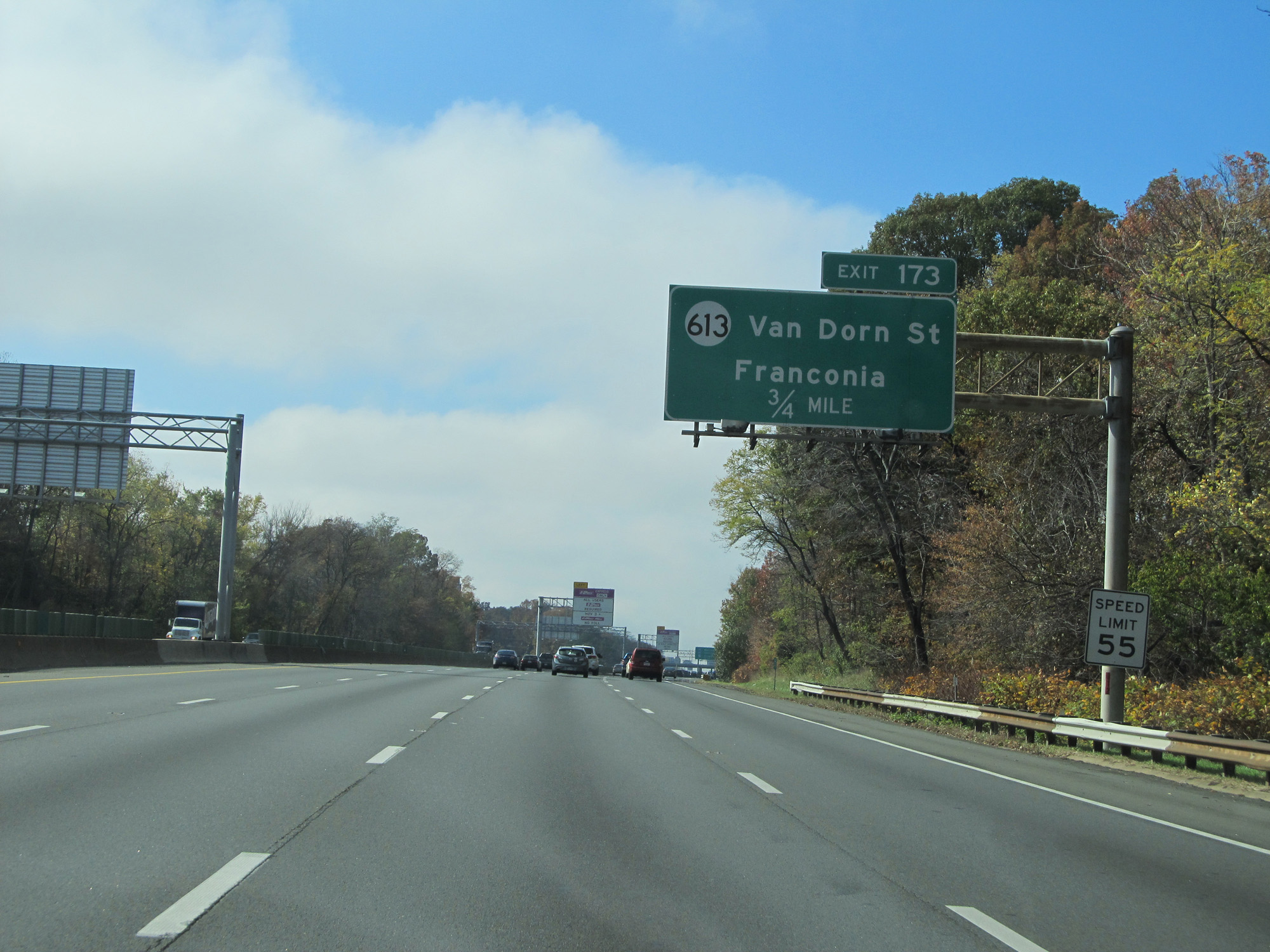
Interstate 95 South / Interstate 495 Inner Loop (West) at Exit 173: SR 613 - Van Dorn St / Franconia (Photo taken 11/5/15). |
 |
This sign lists the current toll rates for the express lanes on Interstate 395 North (closed at the time) and Interstate 95 South. The express lane entrances are 1 mile ahead on the left. (Photo taken 11/5/15). |
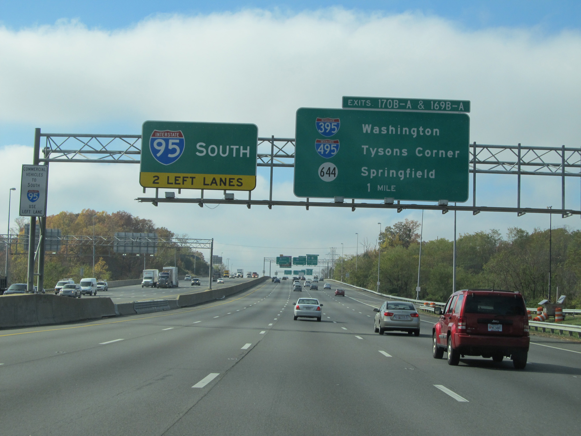 |
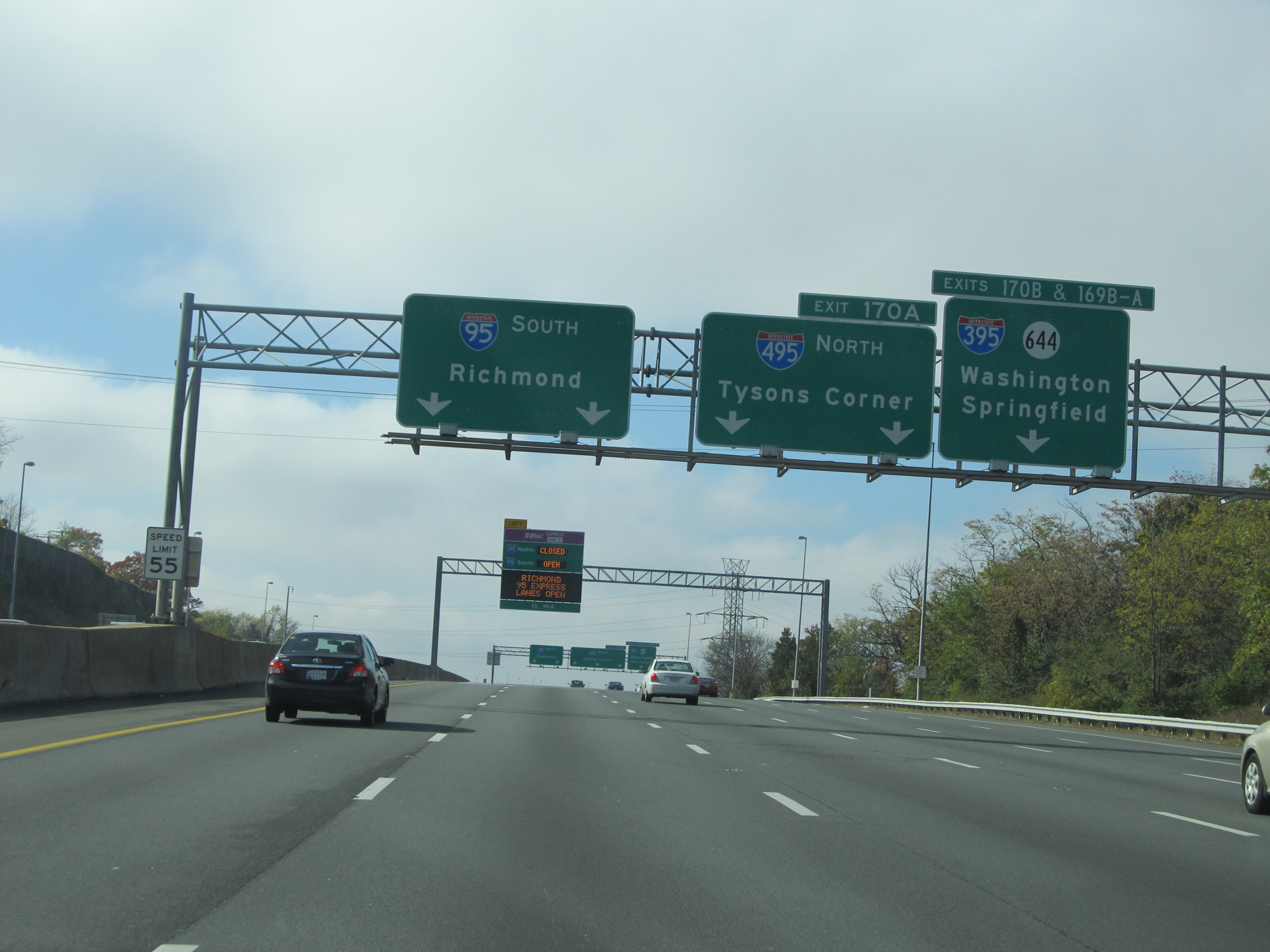
Interstate 95 South / Interstate 495 Inner Loop (West) approaching Exits 170B-A and 169B-A - 1 mile. Interstate 95 South traffic should move to the two leftmost lanes at this point. (Photo taken 11/5/15). |
 |
Interstate 95 South / Interstate 495 Inner Loop (West) approaching Exits 170B-A and 169B-A - 1/4 mile. (Photo taken 11/5/15). |
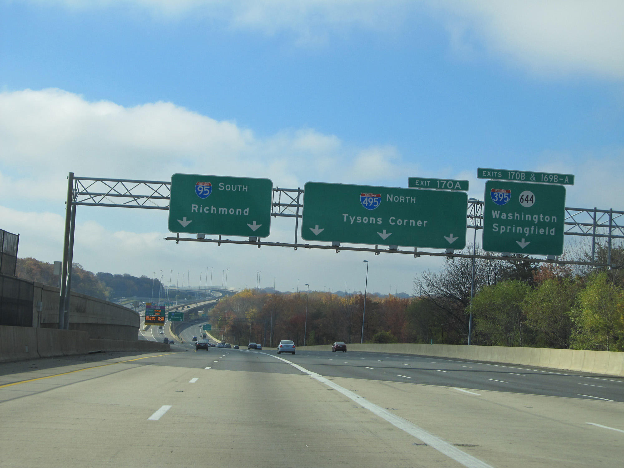 |
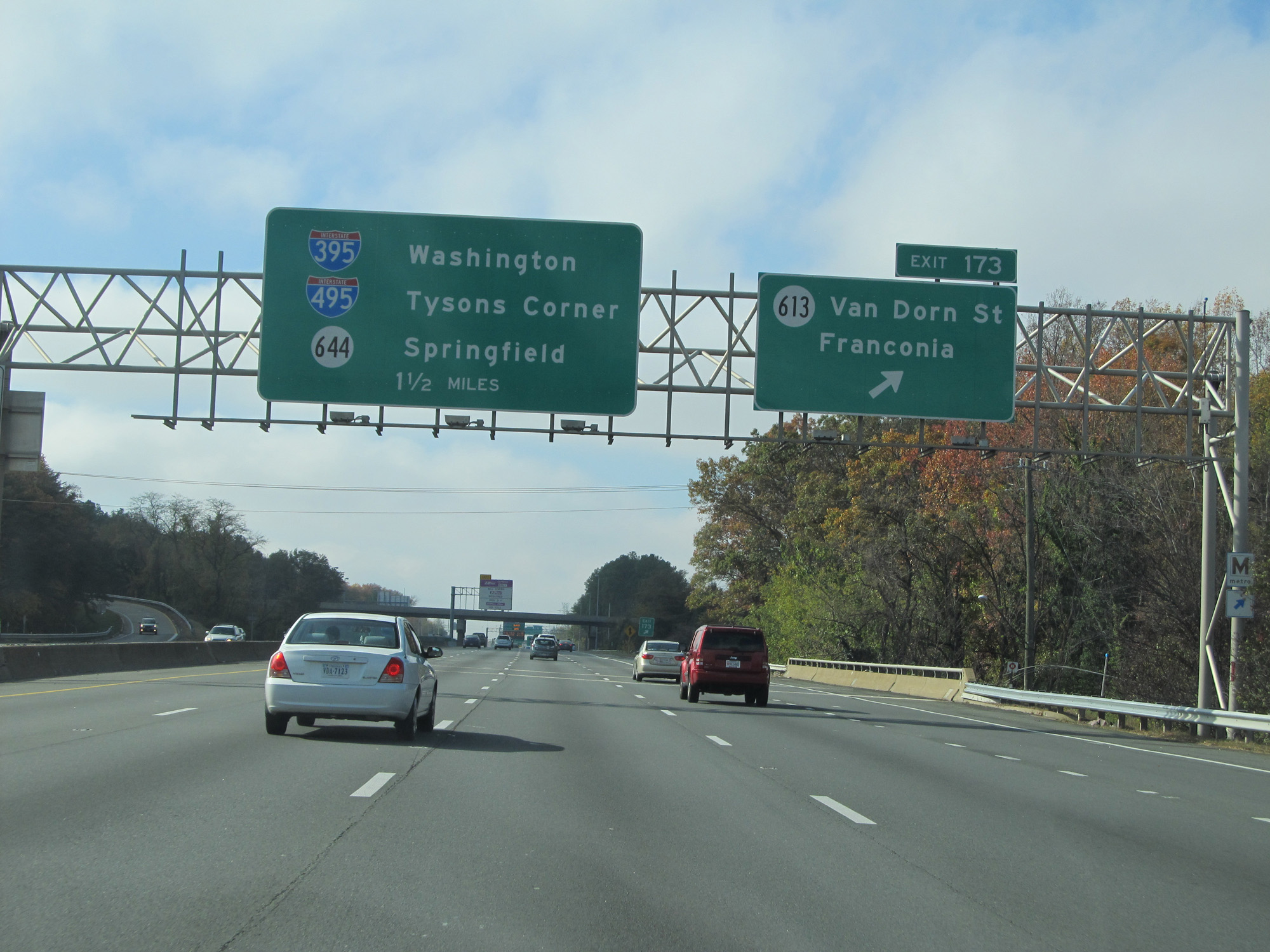
Interstate 95 South / Interstate 495 Inner Loop (West) at Exit 170A: Interstate 495 North - Tysons Corner; Exits 170B & 169B-A: Interstate 395 / SR 644 - Washington / Springfield (Photo taken 11/5/15). |
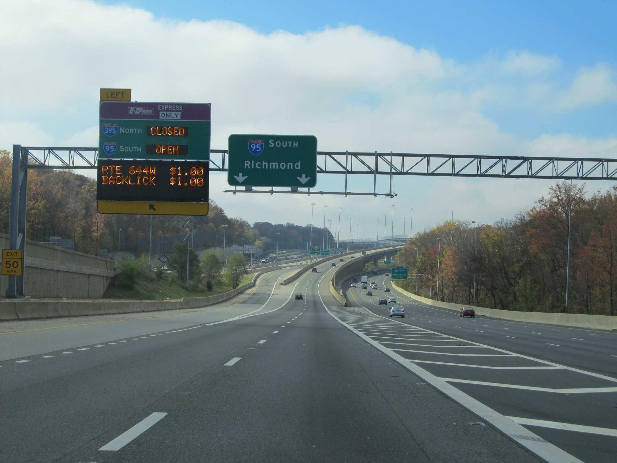 |
As Interstate 95 South breaks away from Interstate 495, this express toll lane entrance to I-395's express lanes and I-95 South's express lanes is on the left. (Photo taken 11/5/15). |
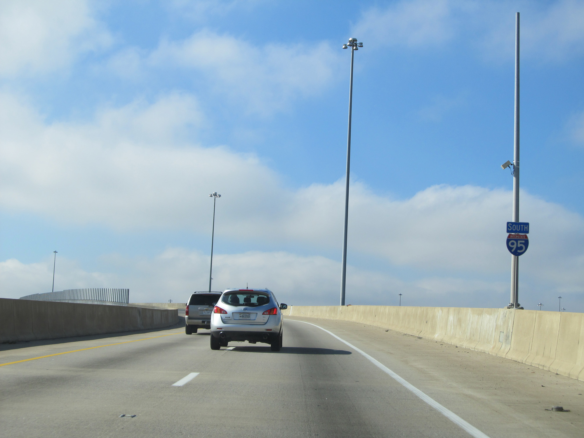 |
Interstate 95 South reassurance shield. (Photo taken 11/5/15). |
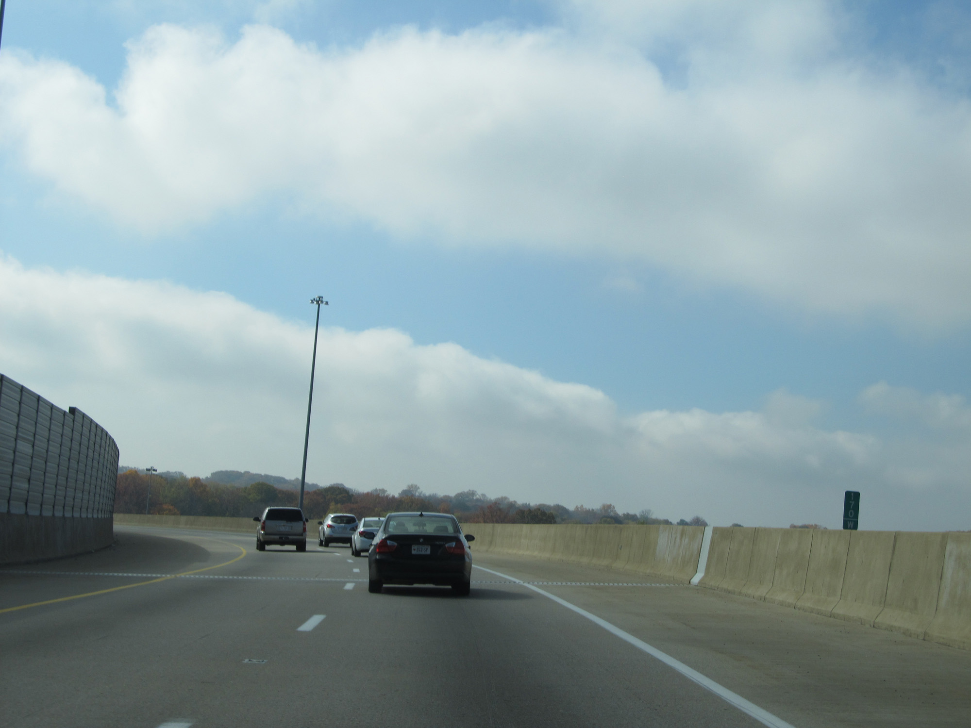 |
Interstate 95 South at mile marker 170. (Photo taken 11/5/15). |
 |
To the right, you can see traffic from Interstate 395 South and Interstate 495 Outer Loop merging onto Interstate 95 South. (Photo taken 11/5/15). |
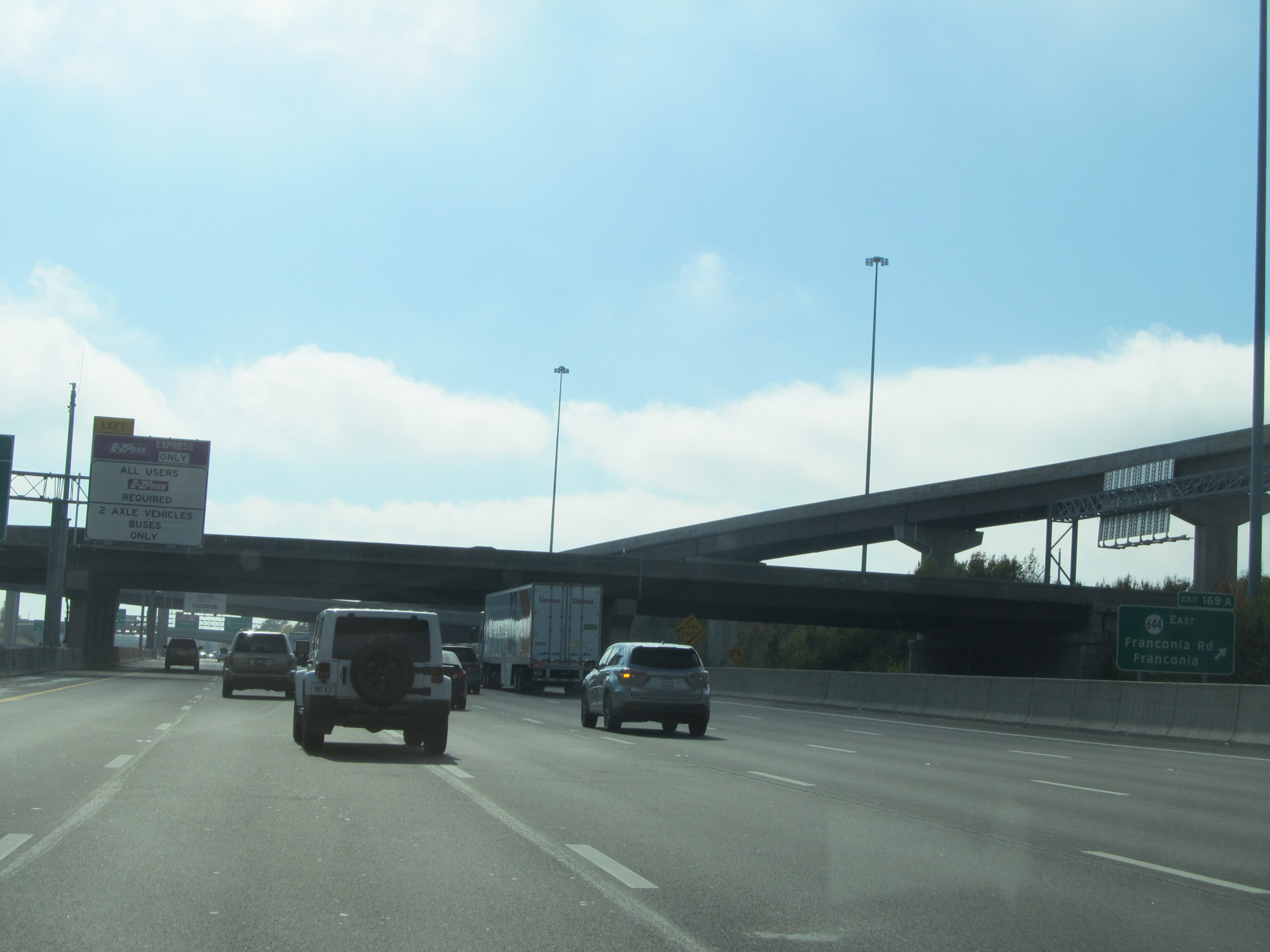 |
Interstate 95 South at Exit 169A: SR 644 East - Franconia Rd / Franconia (Photo taken 11/5/15). |
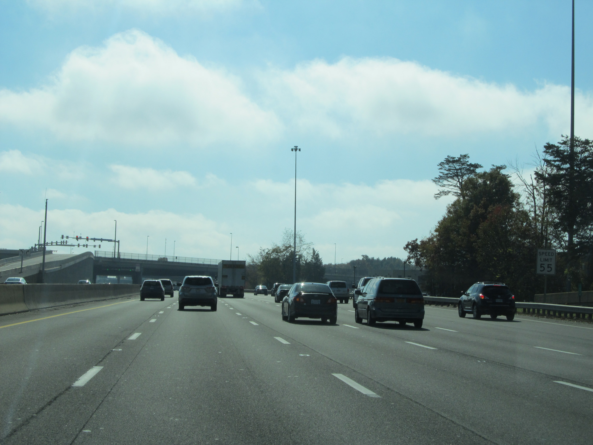 |
The speed limit on the local lanes of Interstate 95 South seen here remains 55 mph for the time being. (Photo taken 11/5/15). |
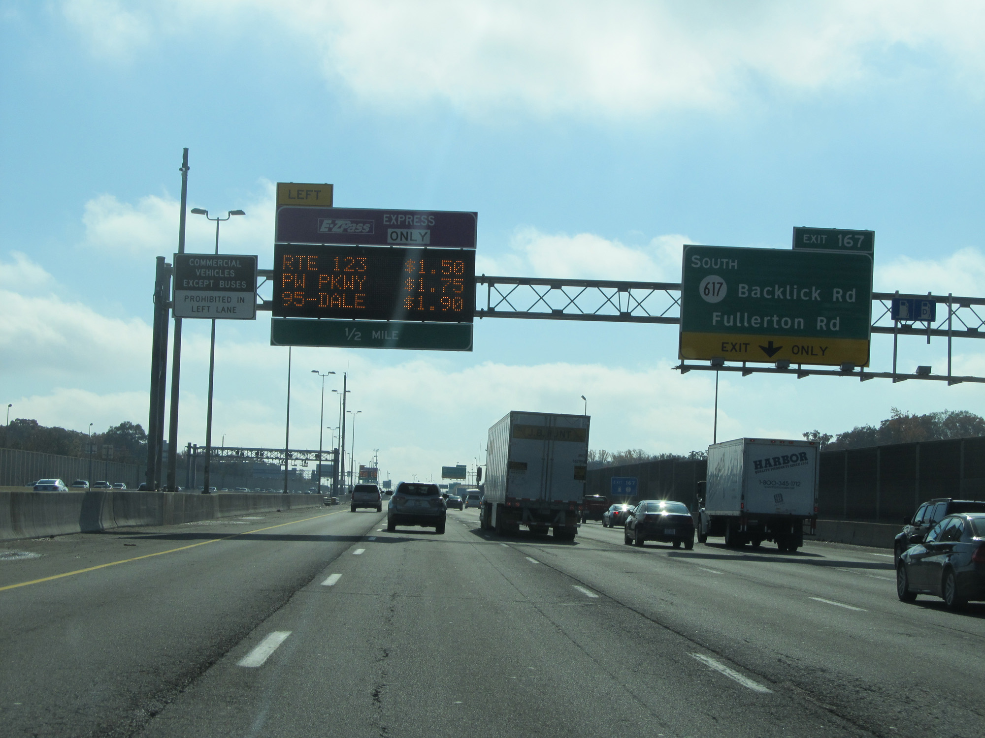 |
Interstate 95 South at Exit 167: SR 617 South - Backlick Rd / Fullerton Rd (Photo taken 11/5/15). |
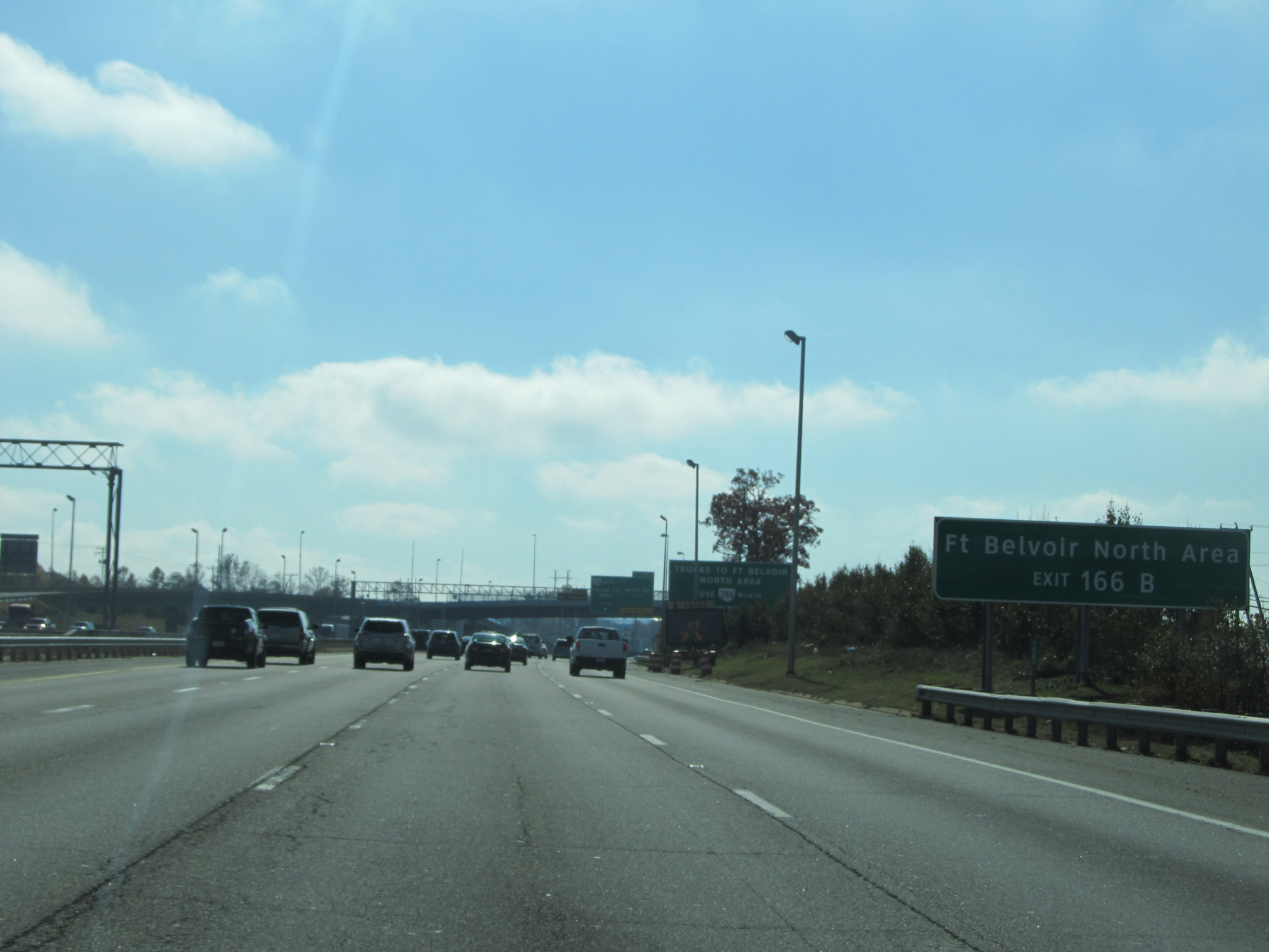 |
Take Exit 166B to Ft Belvoir North Area. (Photo taken 11/5/15). |
 |
Interstate 95 South at Exit 166B: VA 286 North - Fairfax County Pkwy / Heller Rd (Photo taken 11/5/15). |
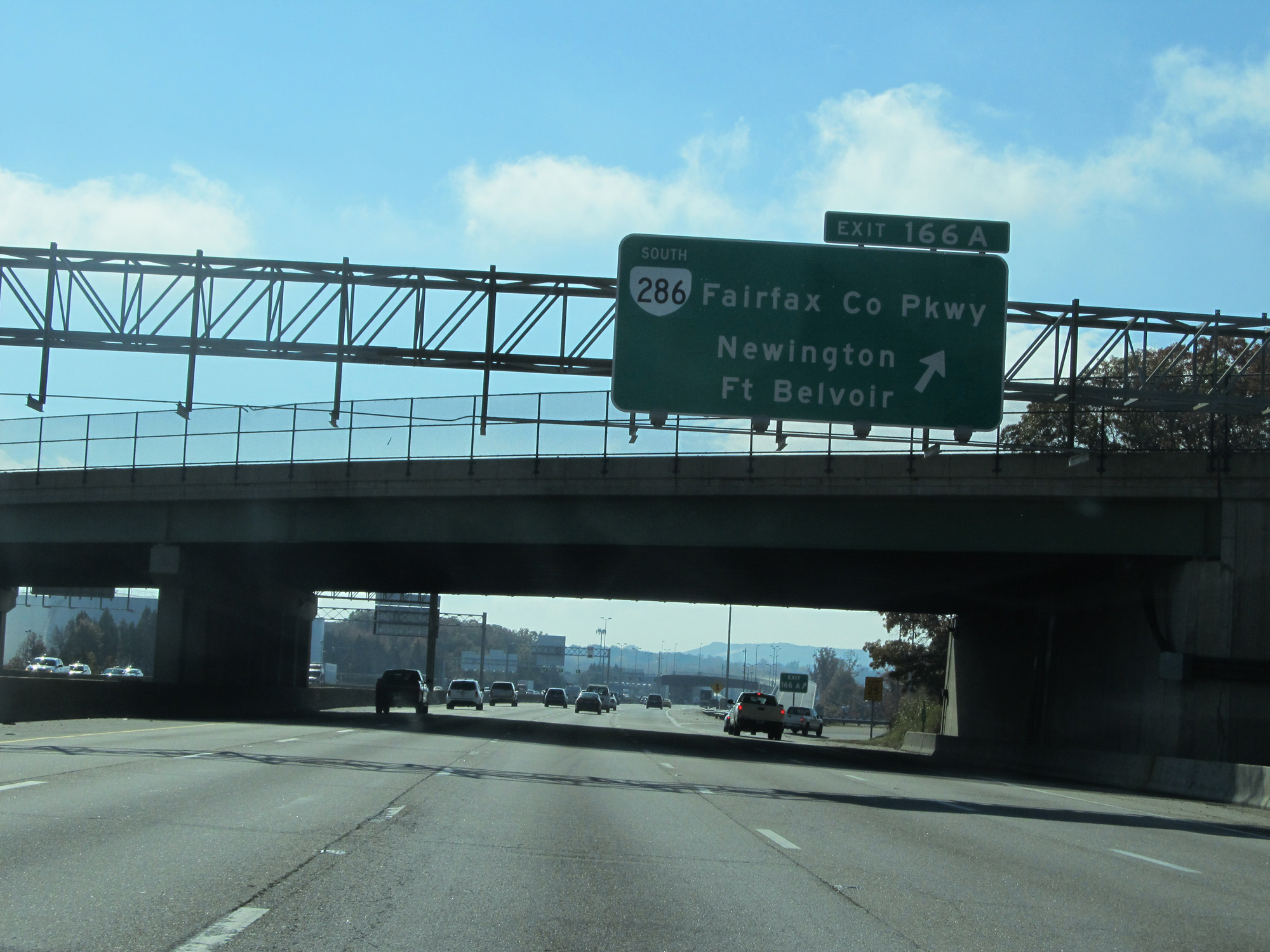 |
Interstate 95 South at Exit 166A: VA 286 South - Fairfax County Pkwy / Newington / Ft Belvoir (Photo taken 11/5/15). |
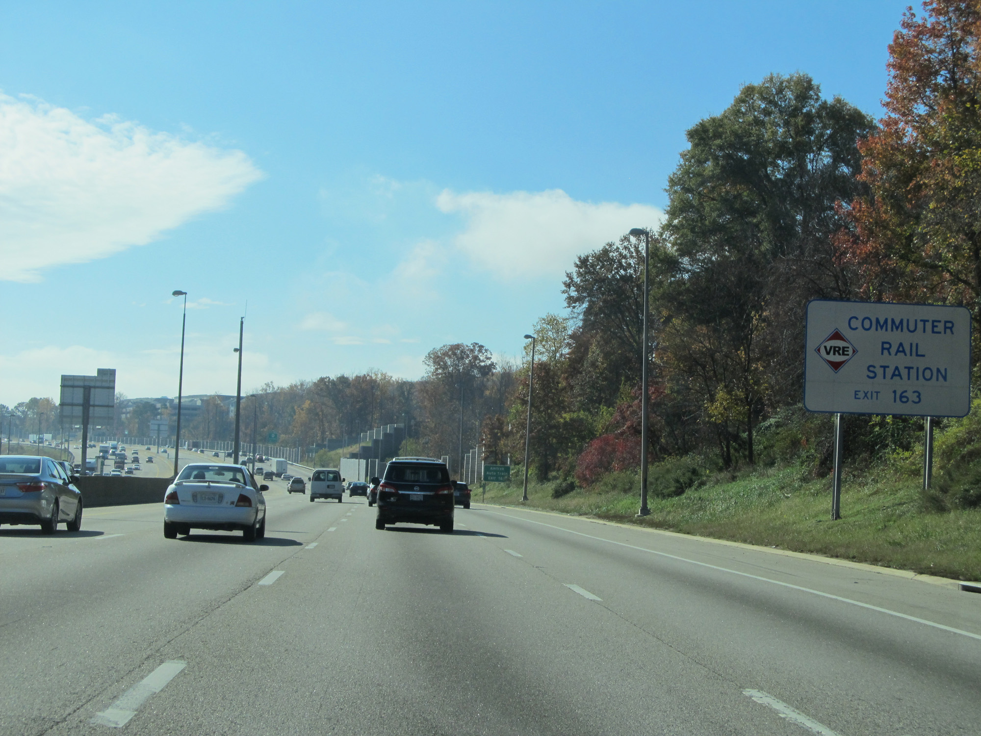 |
Take Exit 163 to Commuter Rail Station. (Photo taken 11/5/15). |
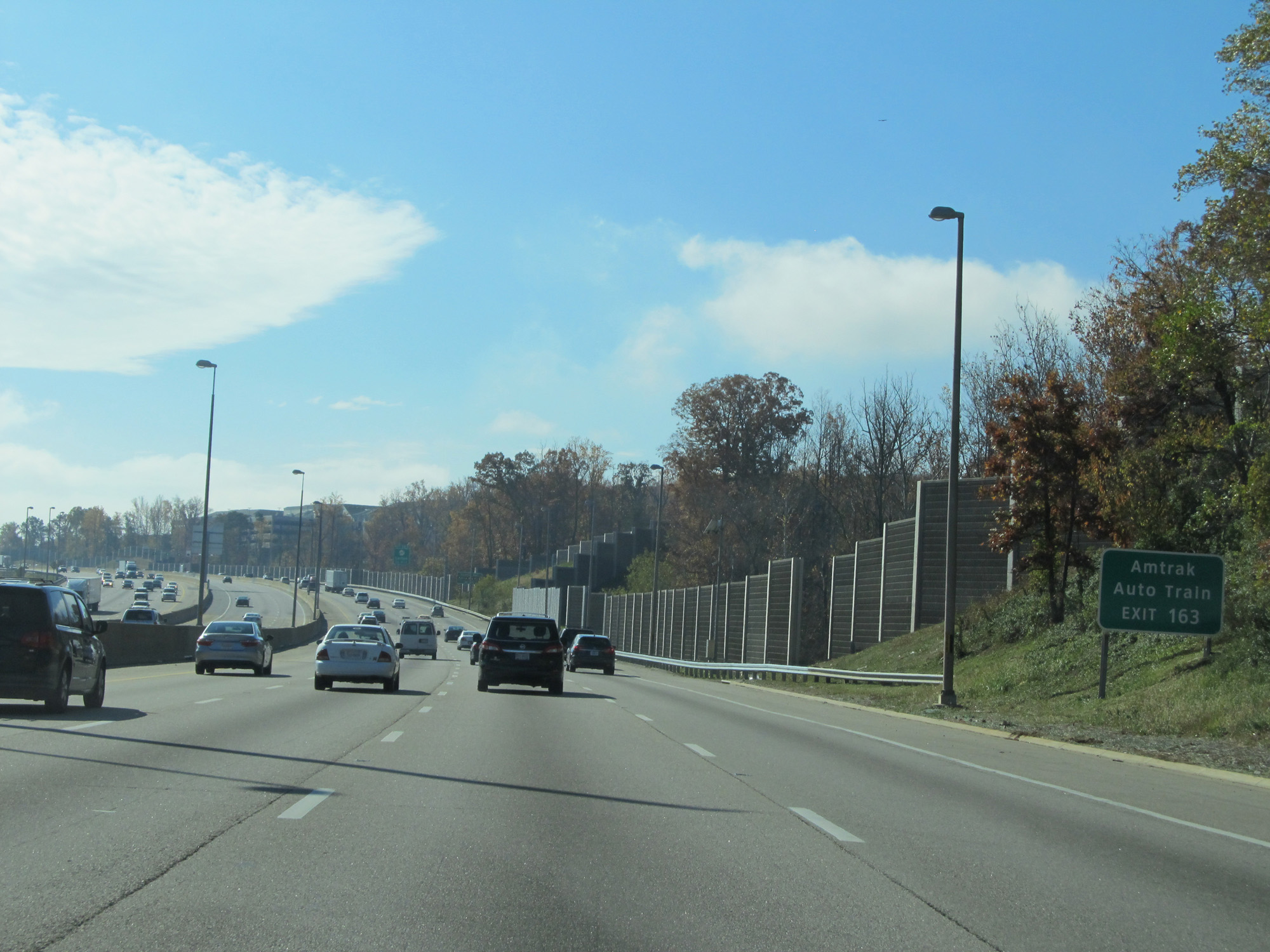 |
Take Exit 163 to Amtrak Auto Train. (Photo taken 11/5/15). |
 |
Also take Exit 163 to Gunston Hall and Pohick Bay Park. (Photo taken 11/5/15). |
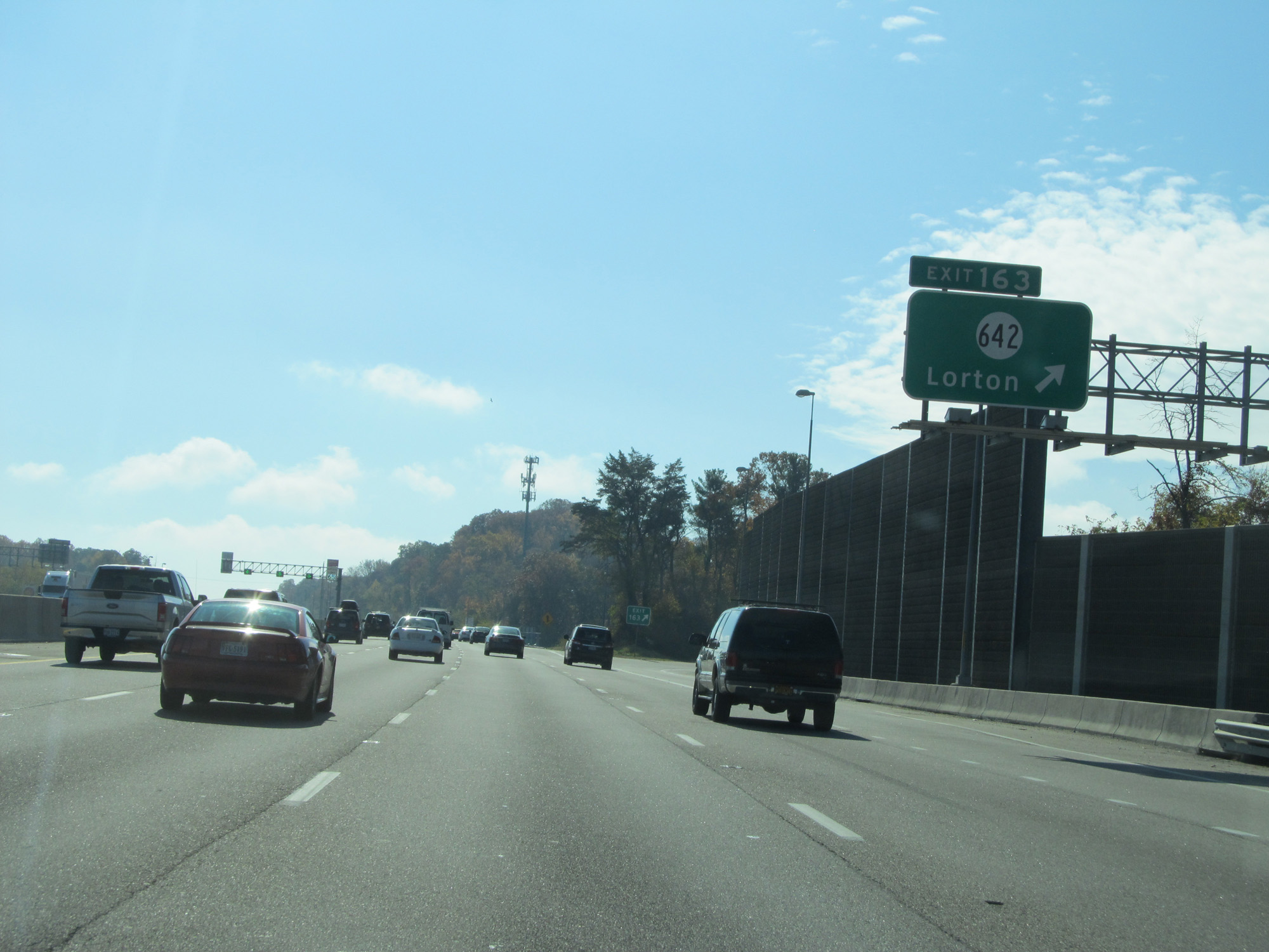 |
Interstate 95 South at Exit 163: SR 642 - Lorton (Photo taken 11/5/15). |
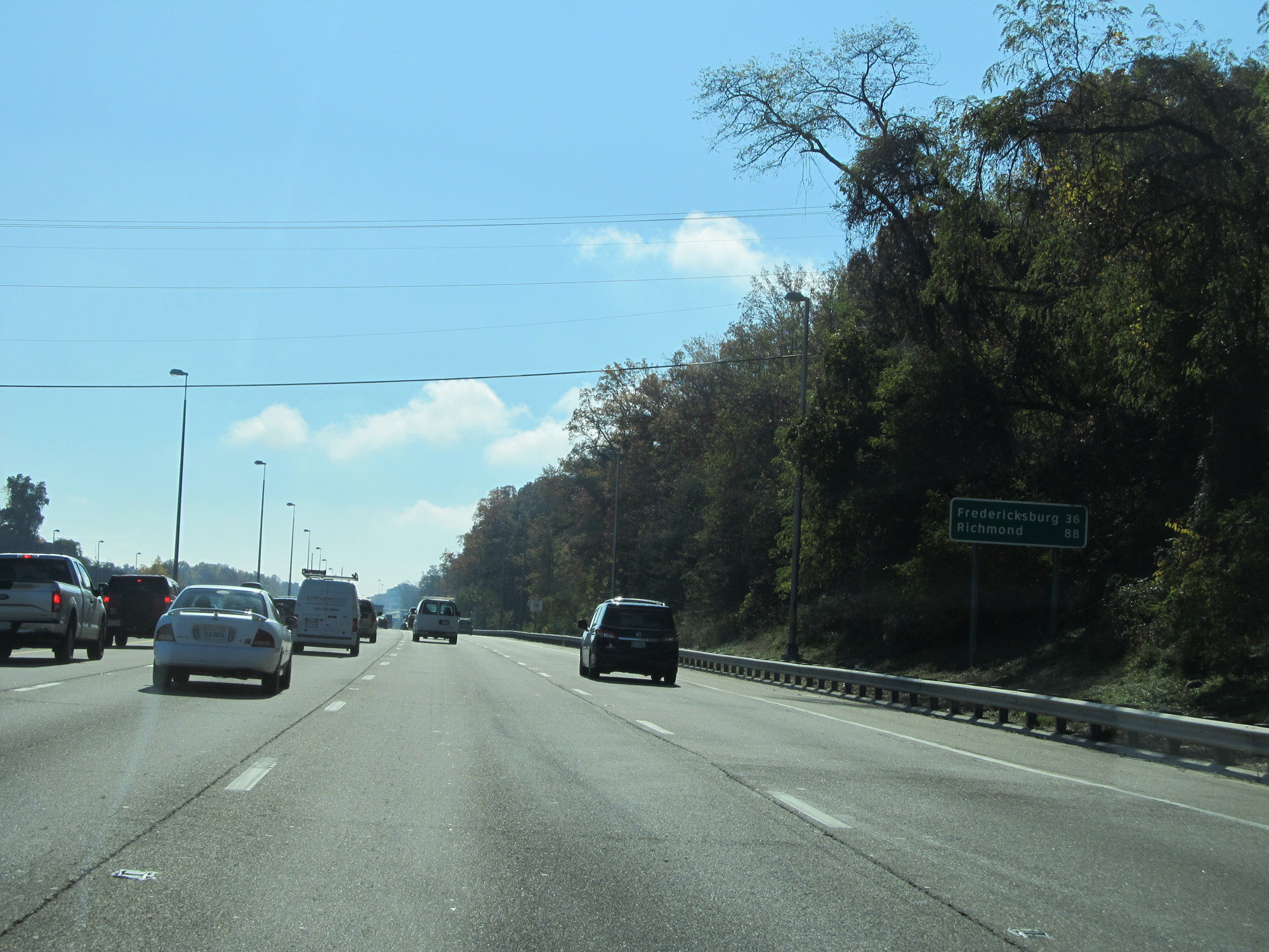 |
Mileage sign on Interstate 95 South. It's 36 miles to Fredericksburg and 88 miles to Richmond. (Photo taken 11/5/15). |
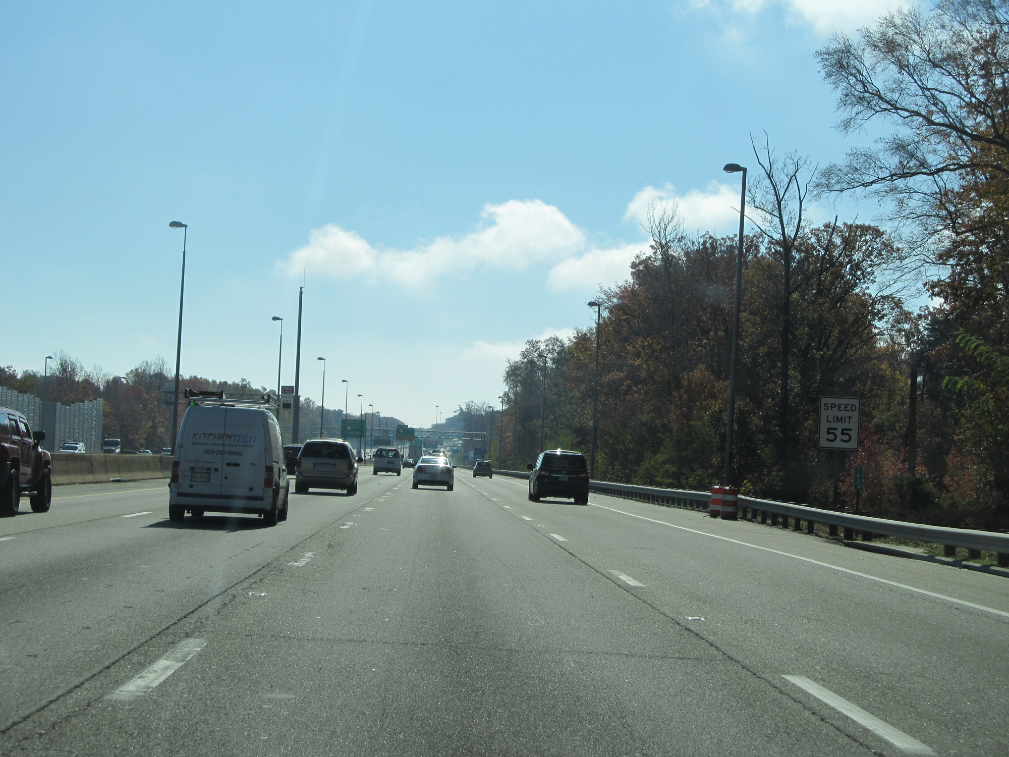 |
The speed limit in the local lanes remains 55 mph. (Photo taken 11/5/15). |
 |
Interstate 95 South at mile marker 163. (Photo taken 11/5/15). |
 |
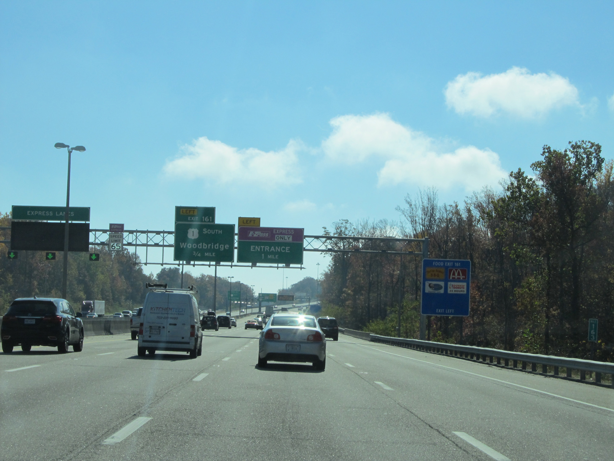
Interstate 95 South at Exit 161: US 1 South - Woodbridge (Photo taken 11/5/15). |
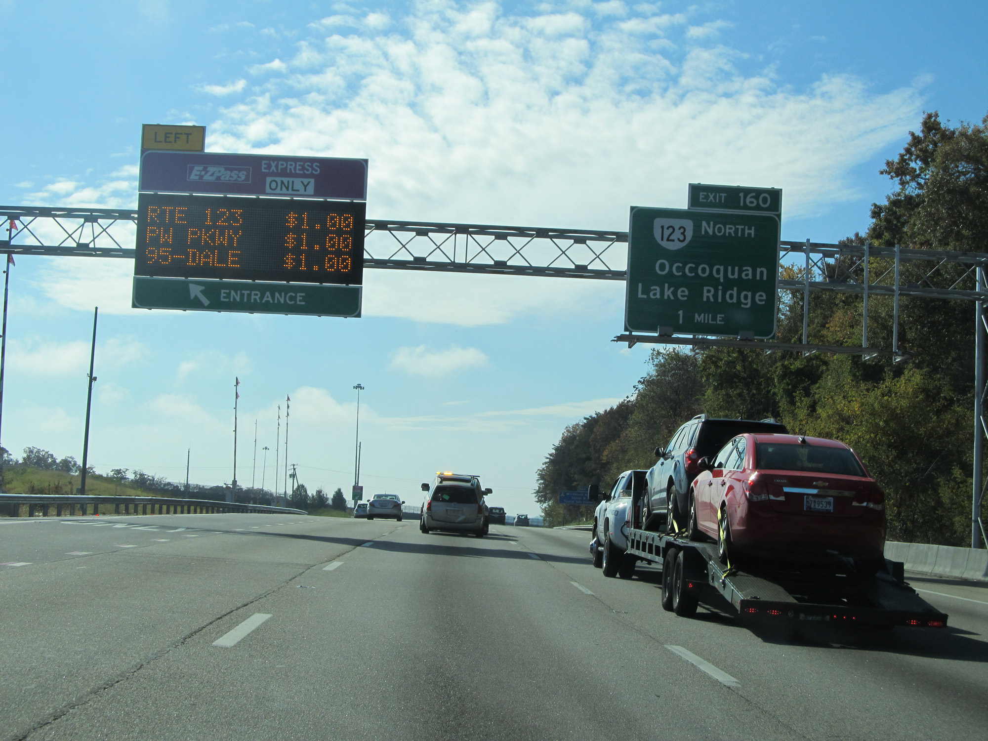 |
Interstate 95 South at an Express Toll lane entrance on the left. The sign also lists the current toll rates to the exits shown. (Photo taken 11/5/15). |
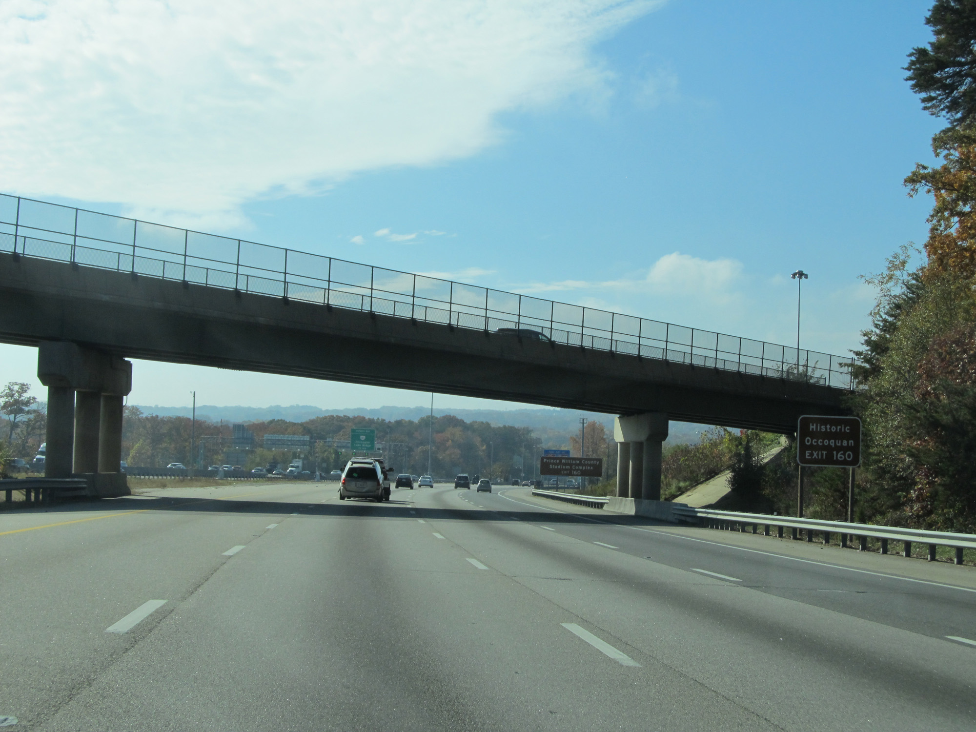 |
Take Exit 160 to Historic Occoquan. (Photo taken 11/5/15). |
 |
Also take Exit 160 to Prince William County Stadium Complex. (Photo taken 11/5/15). |
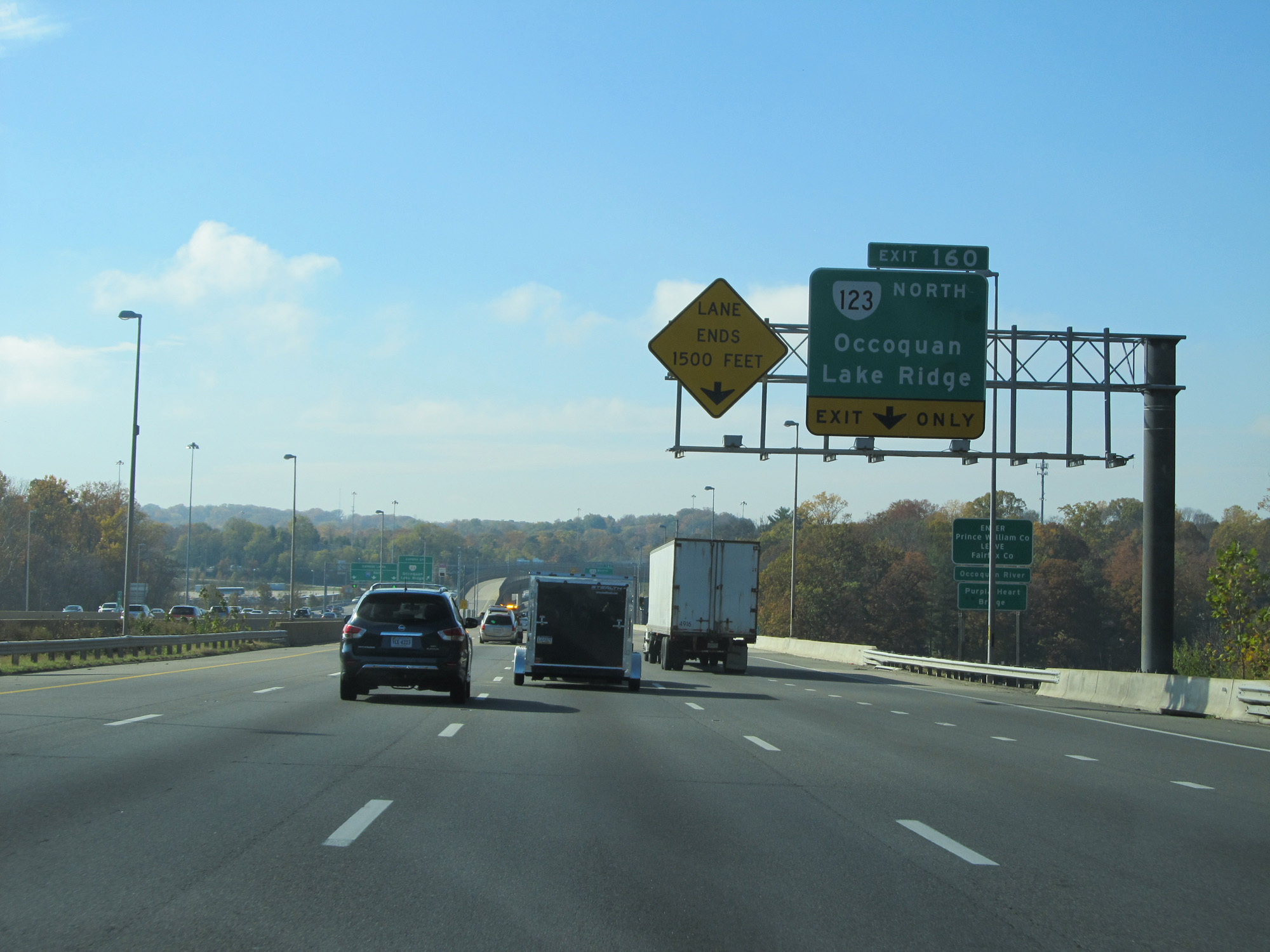 |
Interstate 95 South entering Prince William County. (Photo taken 11/5/15). |
 |
Interstate 95 South at Exit 160: VA 123 North - Occoquan / Lake Ridge (Photo taken 11/5/15). |
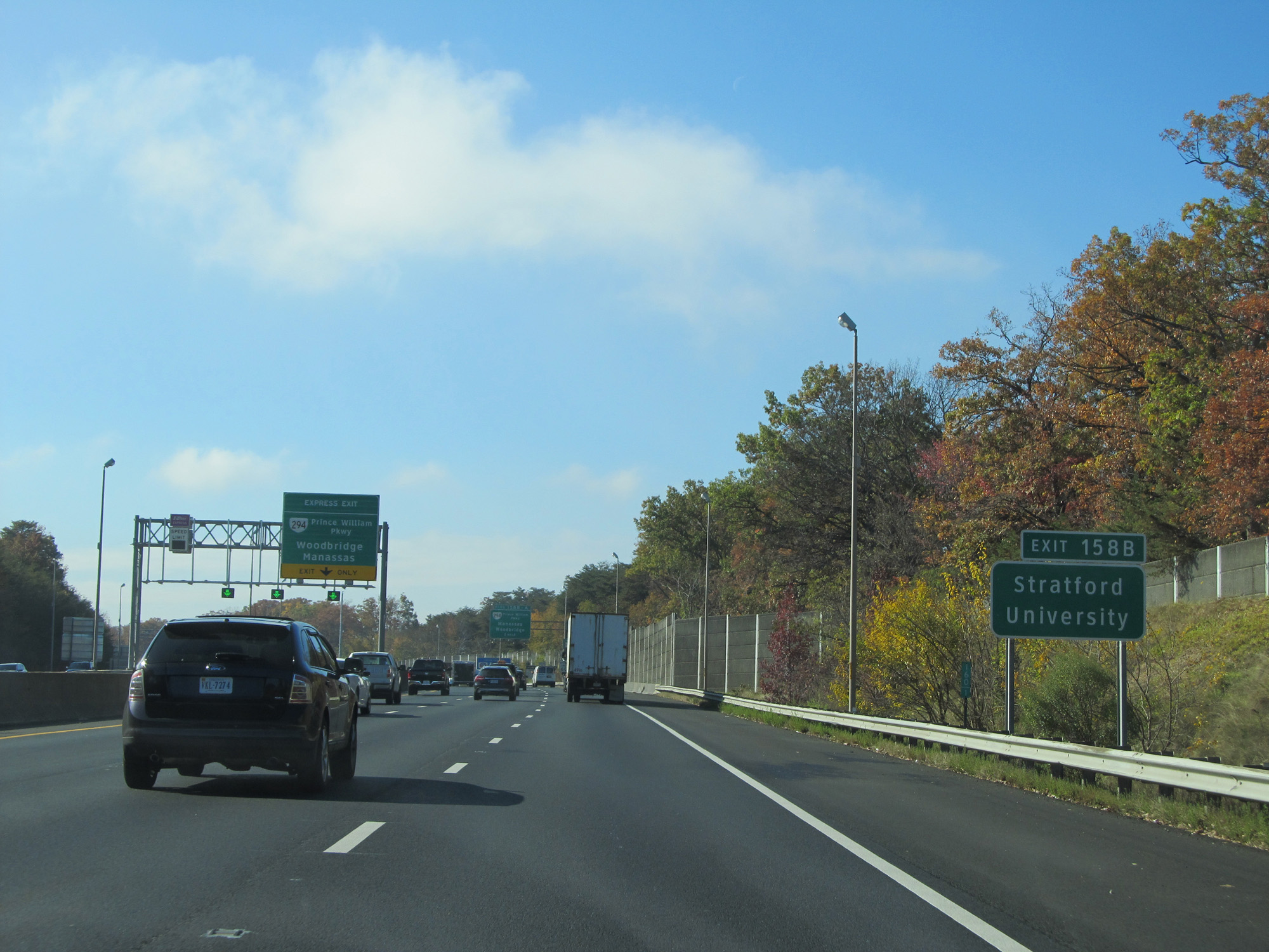 |
Take Exit 158B to Stratford University. (Photo taken 11/5/15). |
 |
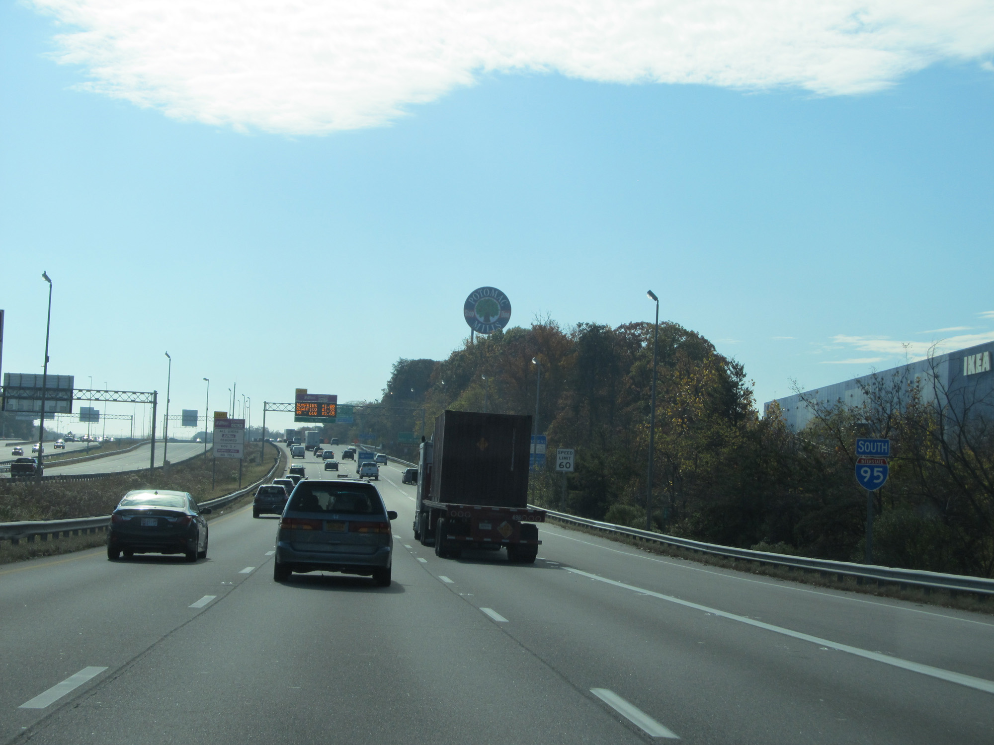
Approaching Exit 158B, the speed limit gets a slight bump up to 60 mph. (Photo taken 11/5/15). |
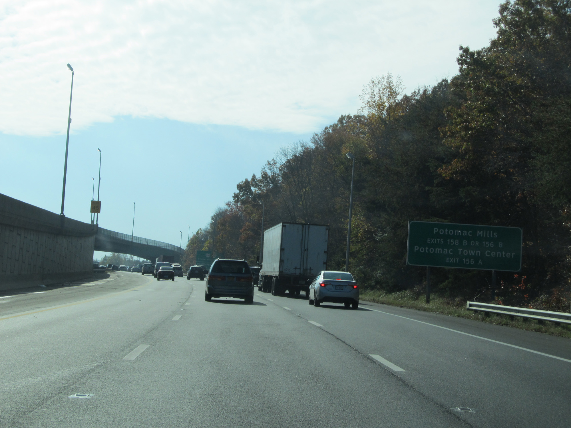 |
Take Exits 158B or 156B to Potomac Mills. Take Exit 156A to Potomac Town Center. (Photo taken 11/5/15). |
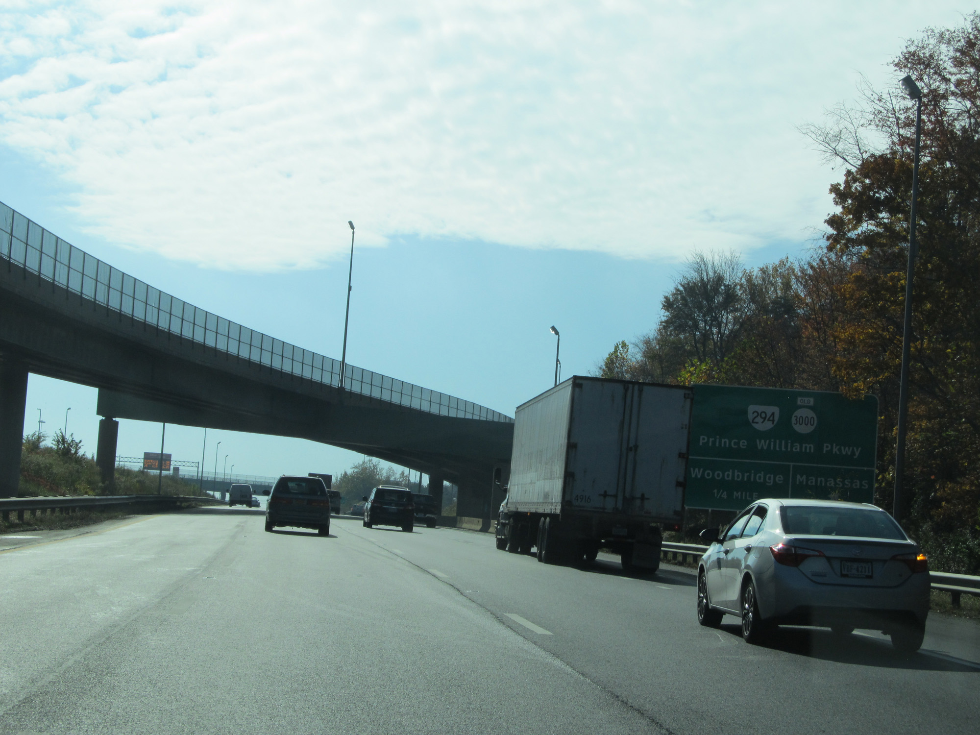 |
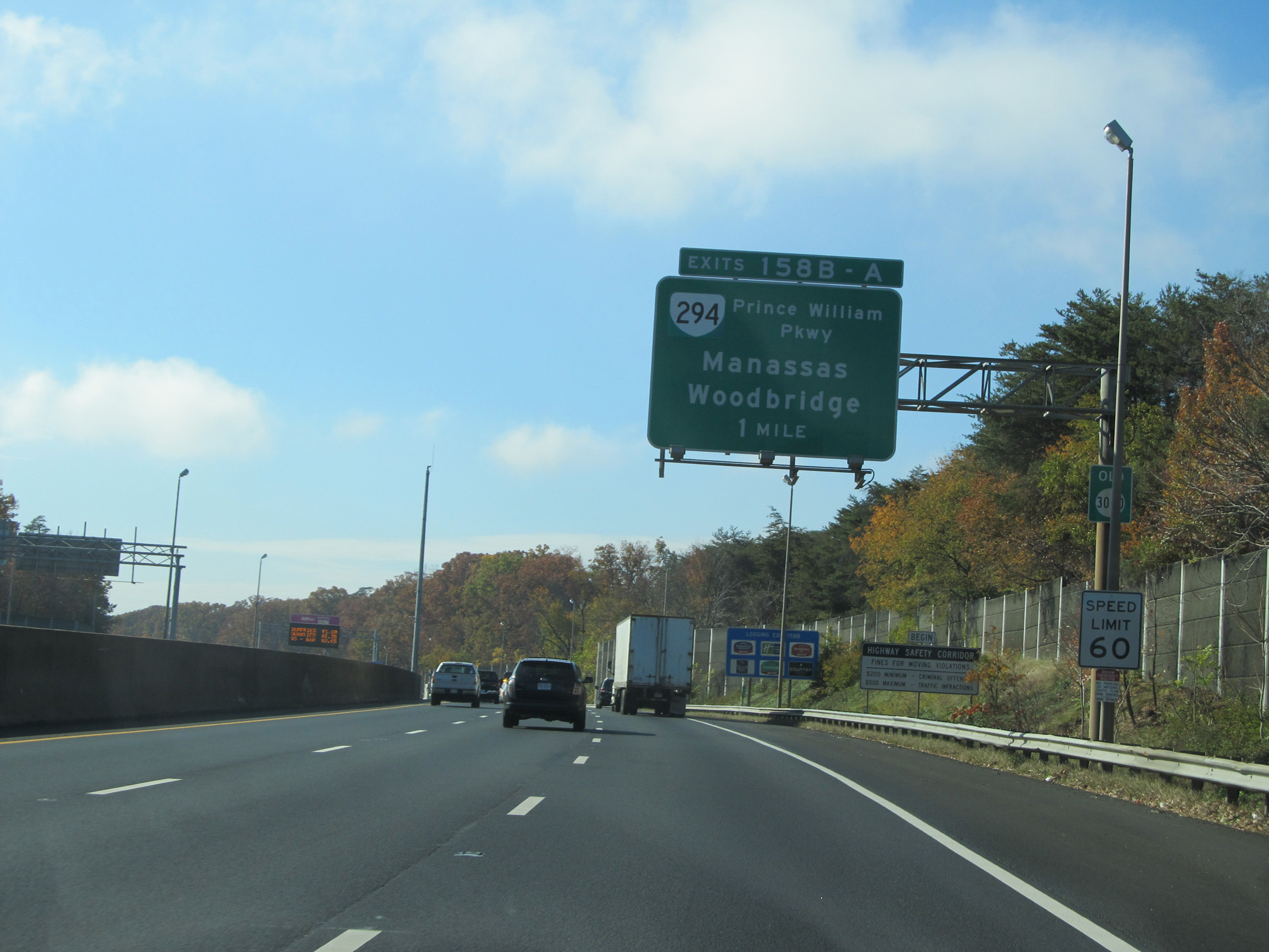
Interstate 95 South at Exit 158B: VA 294 / Old SR 3000 - Prince William Pkwy / Manassas (Photo taken 11/5/15). |
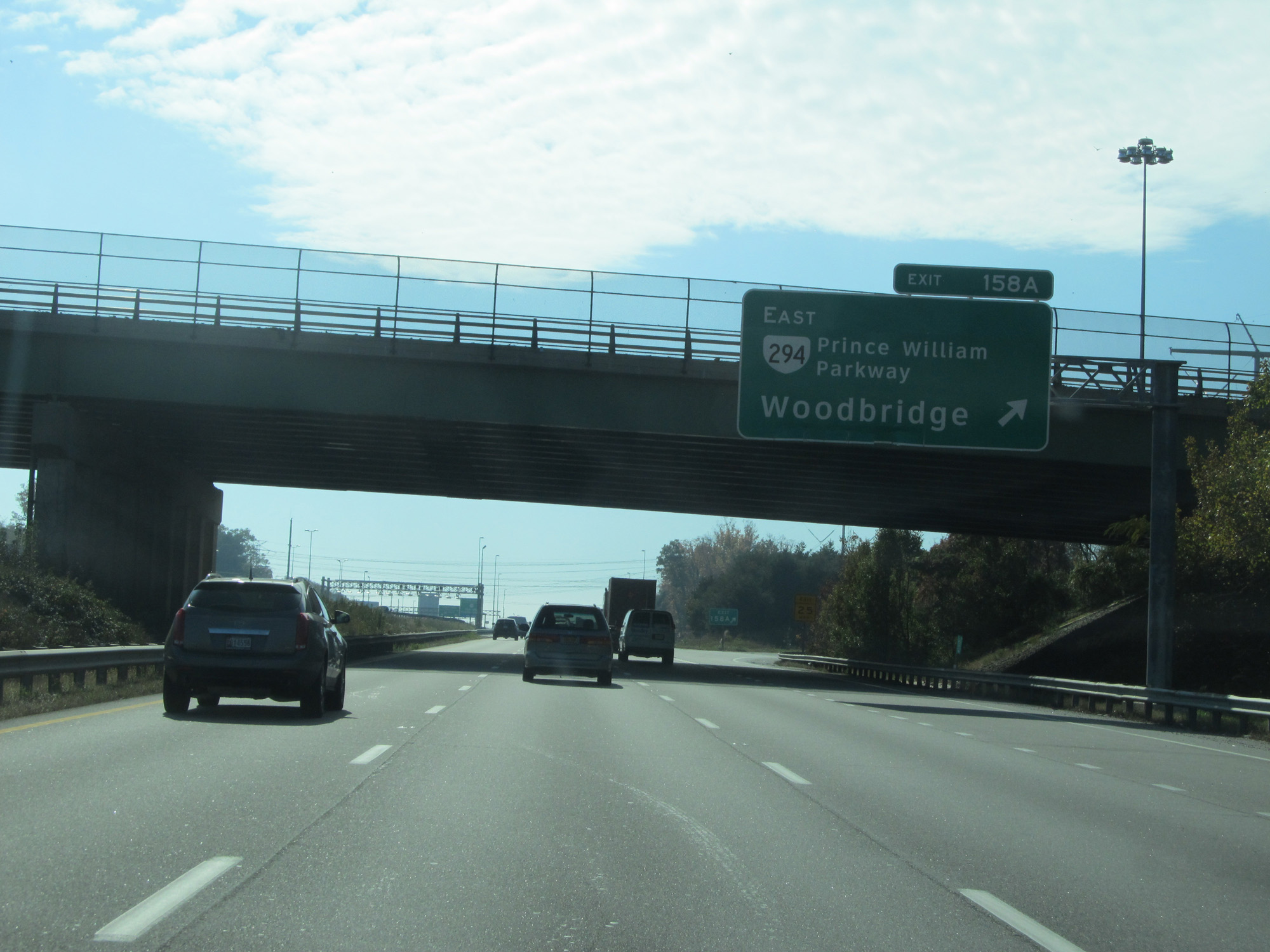 |
Interstate 95 South at Exit 158A: VA 294 East - Prince William Pkwy / Woodbridge (Photo taken 11/5/15). |
 |
Interstate 95 South reassurance shield. (Photo taken 11/5/15). |
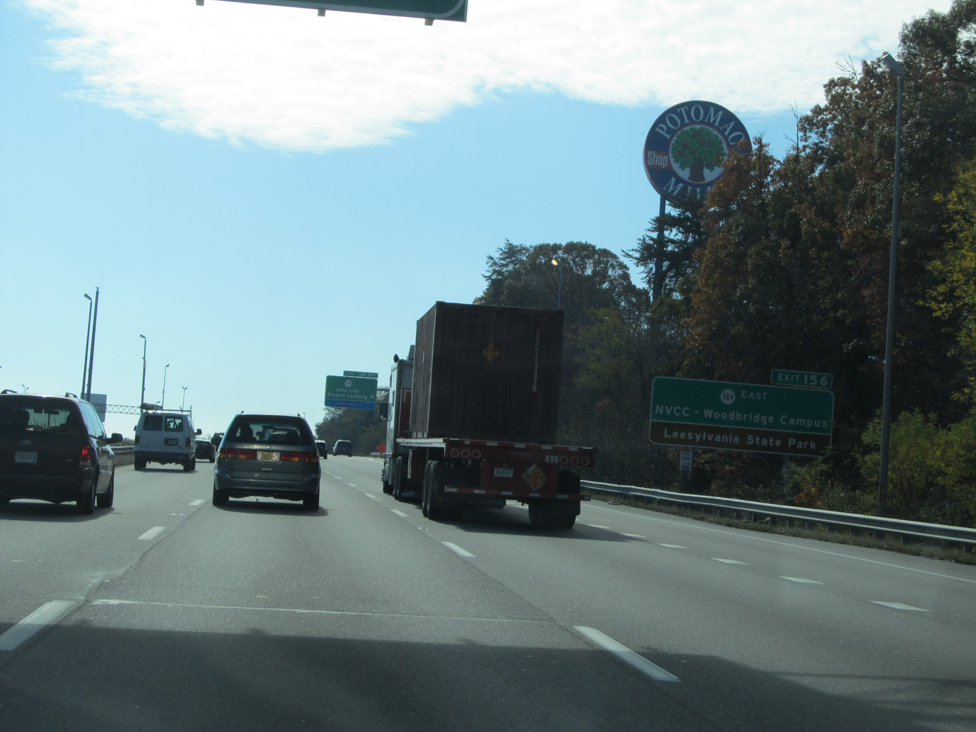 |
Take Exit 156 to SR 784 East, NVCC Woodbridge Campus, and Leesylvania State Park. (Photo taken 11/5/15). |
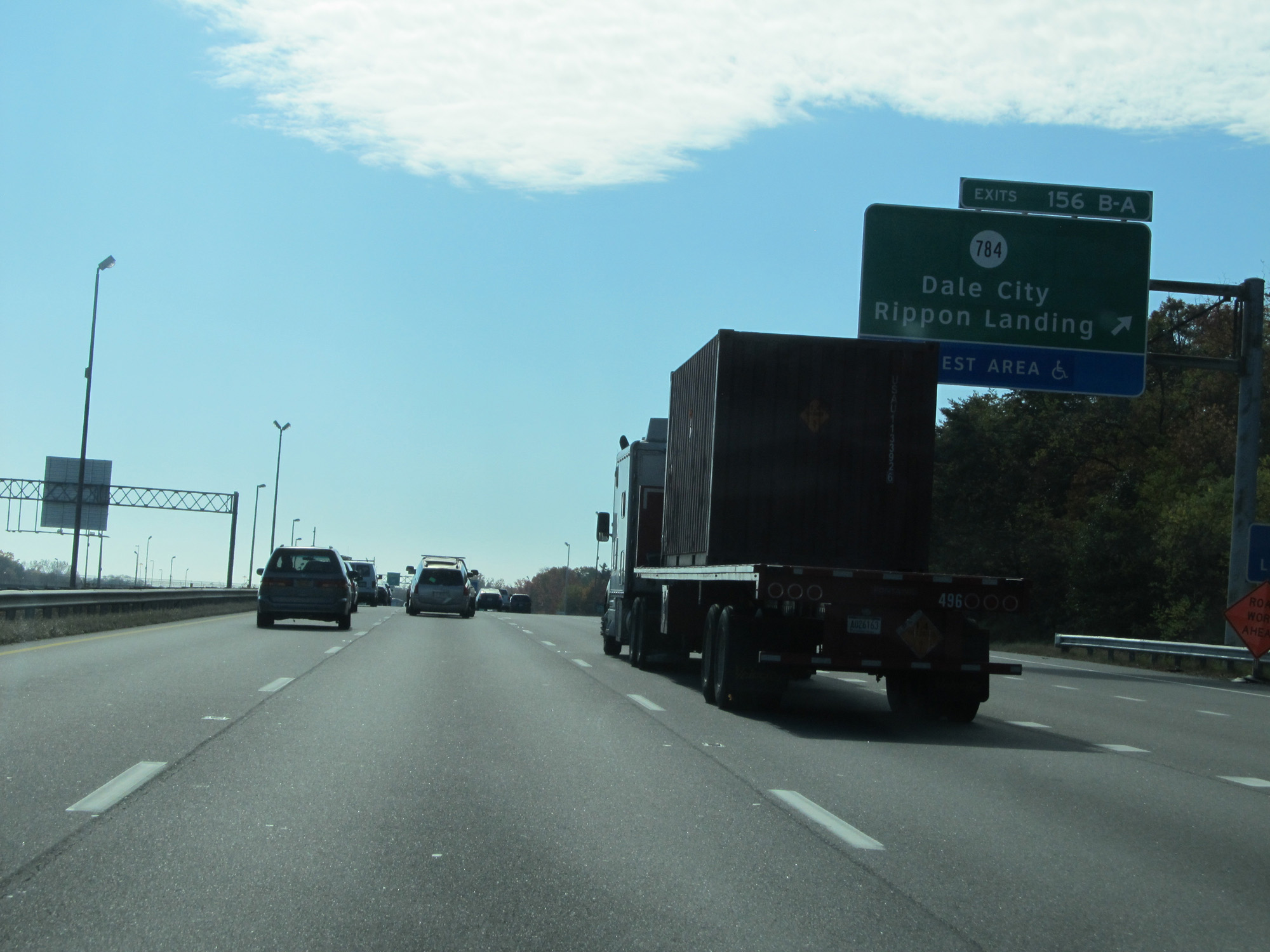 |
Interstate 95 South at Exit 156: SR 784 - Dale City / Rippon Landing / Rest Area (Photo taken 11/5/15). |
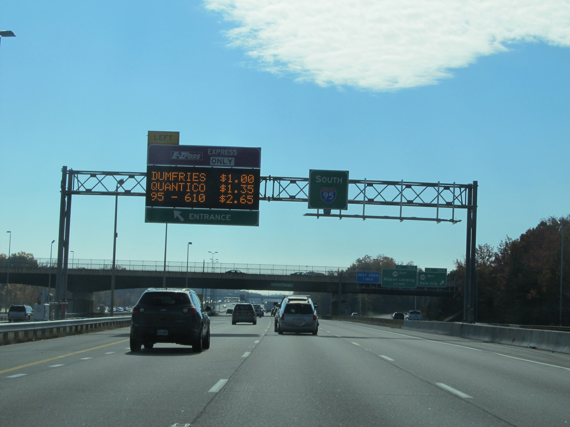 |
Another Express Toll lane entrance on the left. (Photo taken 11/5/15). |
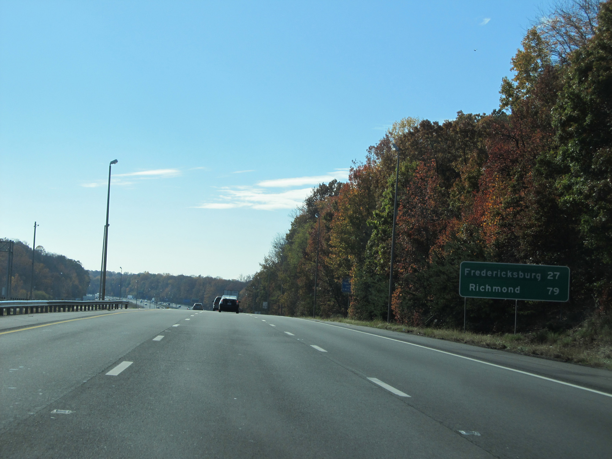 |
Mileage sign on Interstate 95 South. It's 27 miles to Fredericksburg and 79 miles to Richmond. (Photo taken 11/5/15). |
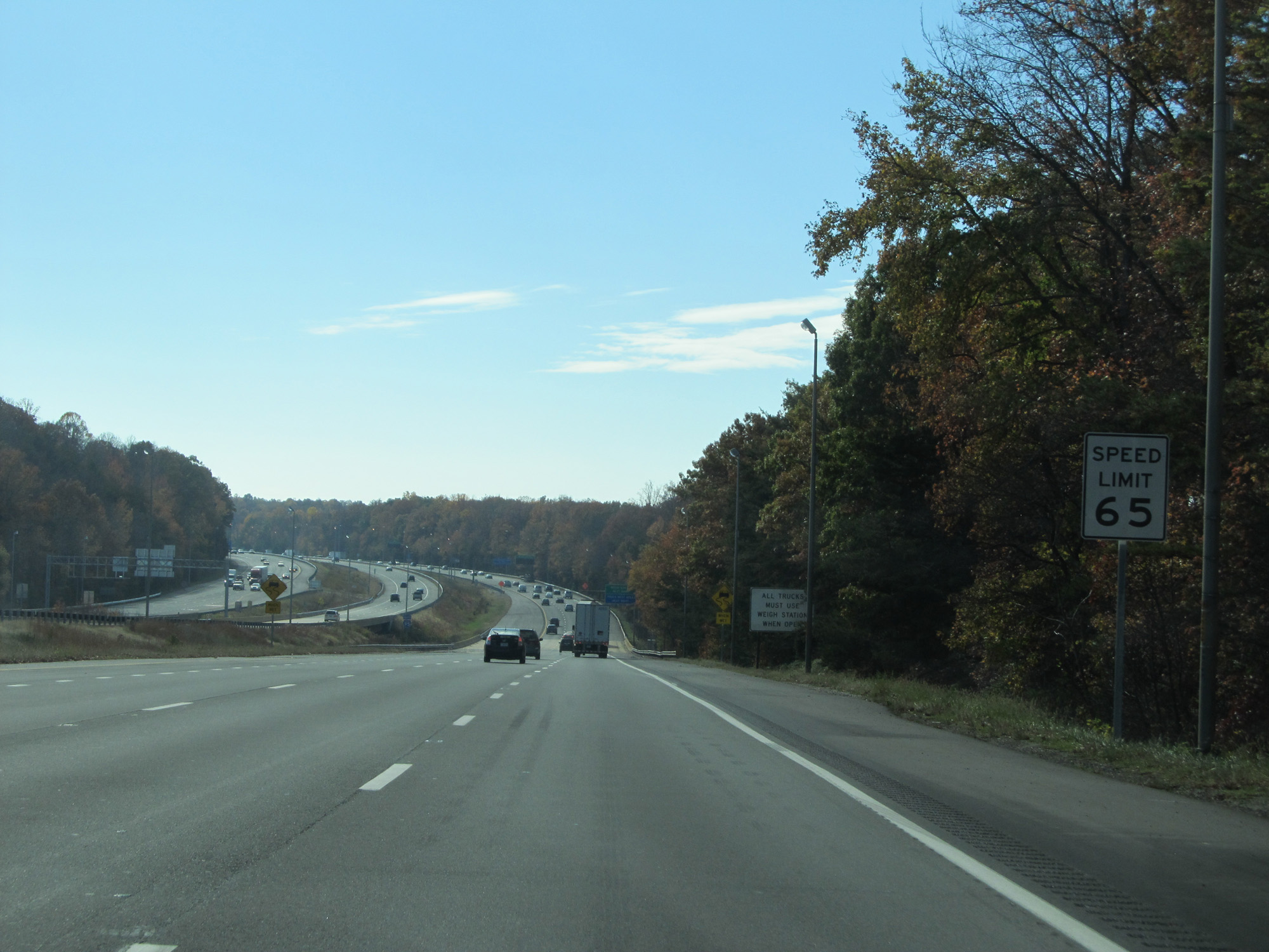 |
South of Exit 156, the speed limit increases to 65 mph. (Photo taken 11/5/15). |
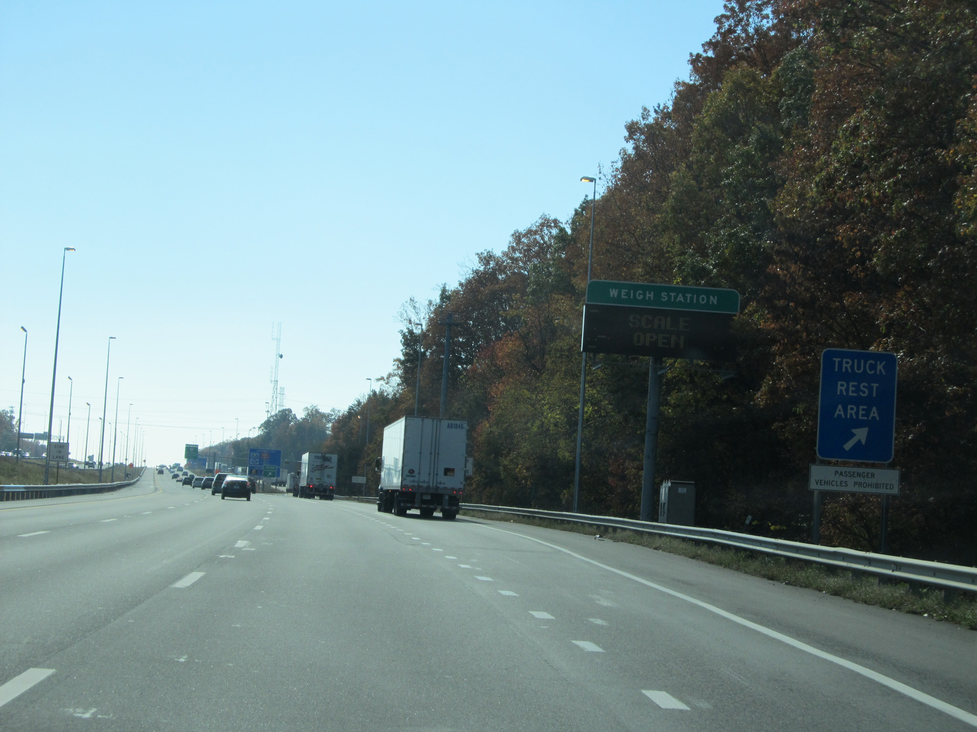 |
A Truck Rest Area is available at the Weigh Station ahead. (Photo taken 11/5/15). |
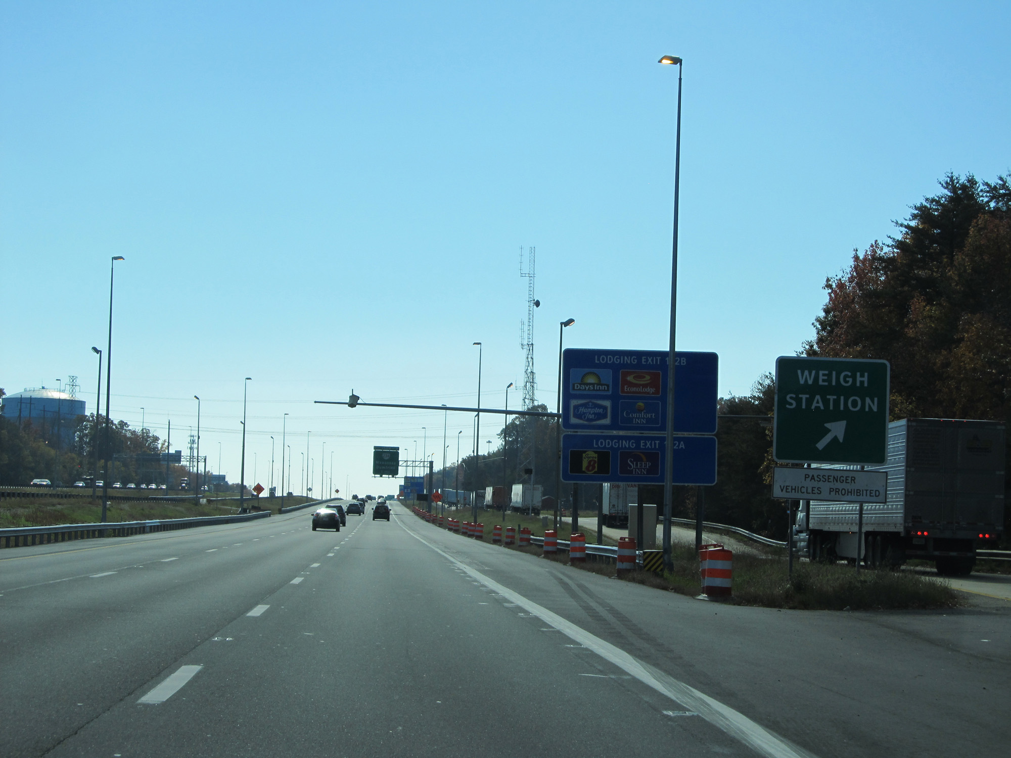 |
Interstate 95 South at the Weigh Station in Prince William County. (Photo taken 11/5/15). |
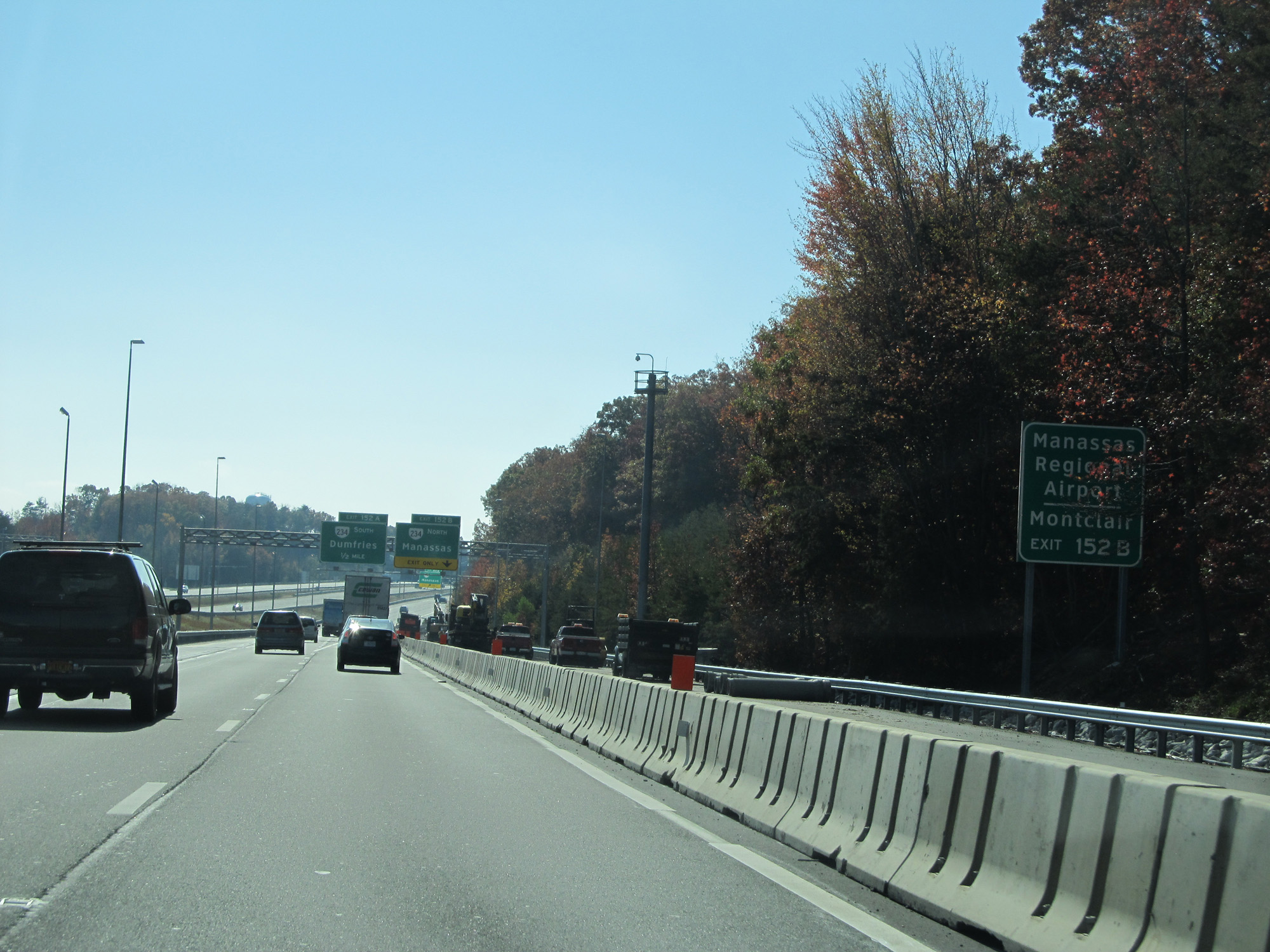 |
Take Exit 152B to Manassas Regional Airport and Montclair. (Photo taken 11/5/15). |
 |
Take Exit 152A to Weems-Botts Museum. (Photo taken 11/5/15). |
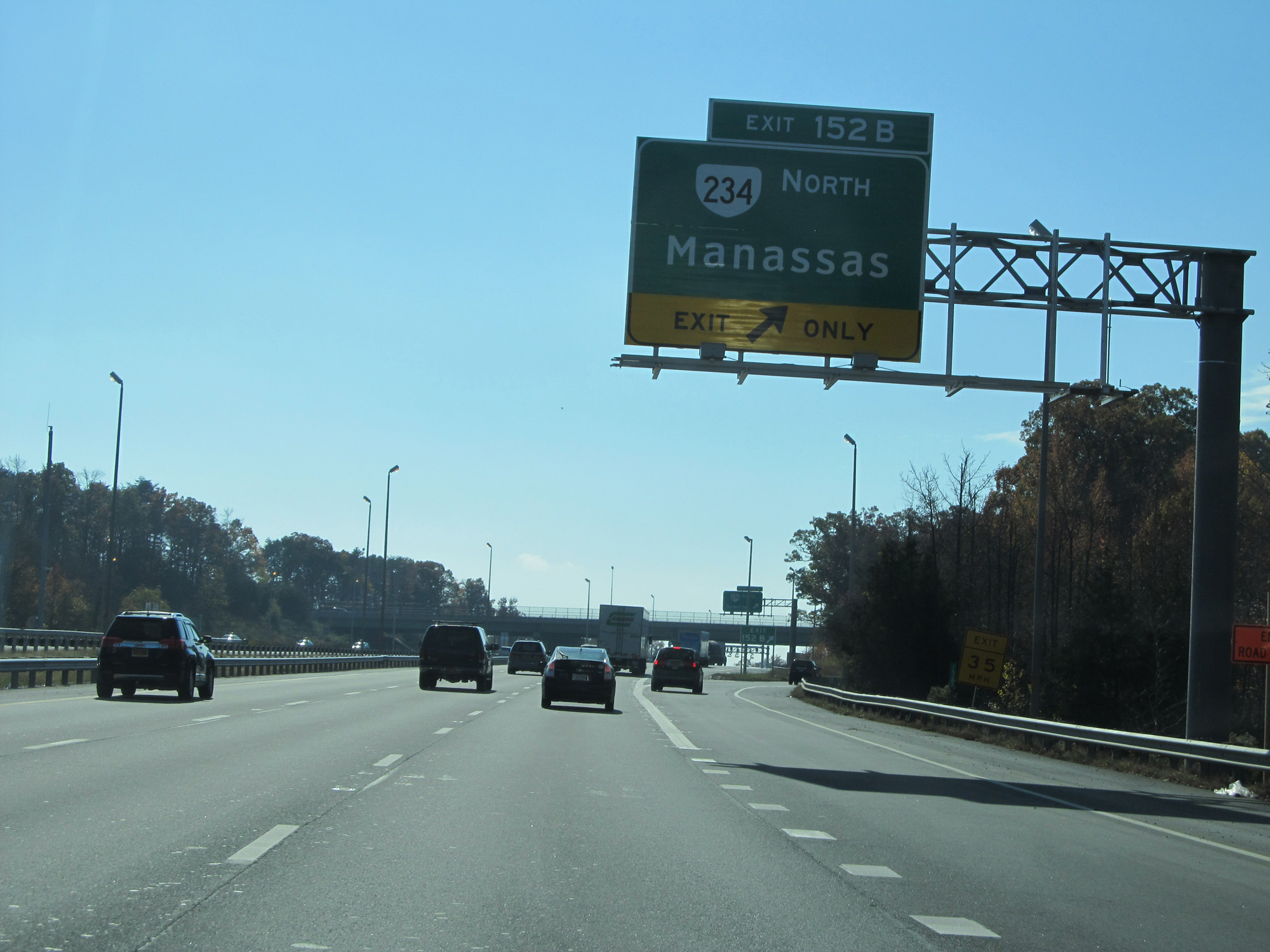 |
Interstate 95 South at Exit 152B: VA 234 North - Manassas (Photo taken 11/5/15). |
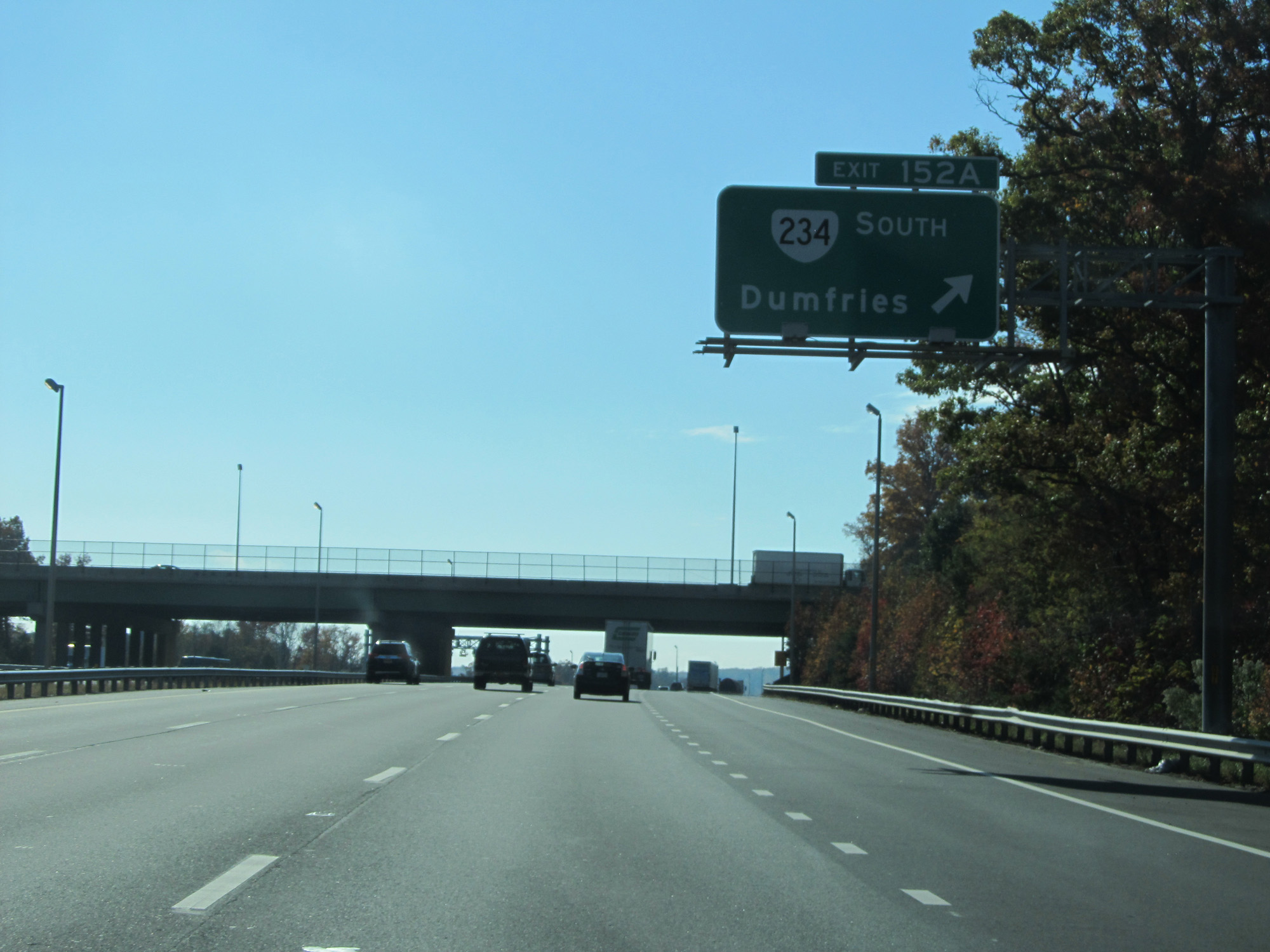 |
Interstate 95 South at Exit 152A: VA 234 South - Dumfries (Photo taken 11/5/15). |
Section 2: Dumfries (Exit 152A) to Ashland (Exit 92)
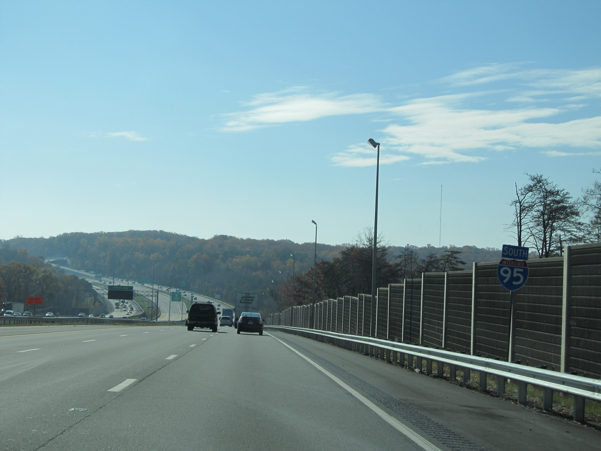 |
Interstate 95 South reassurance shield. (Photo taken 11/5/15). |
 |
Take Exit 150A to Commuter Rail Station. (Photo taken 11/5/15). |
 |
Take Exit 150B to Quantico National Cemetery. (Photo taken 11/5/15). |
 |
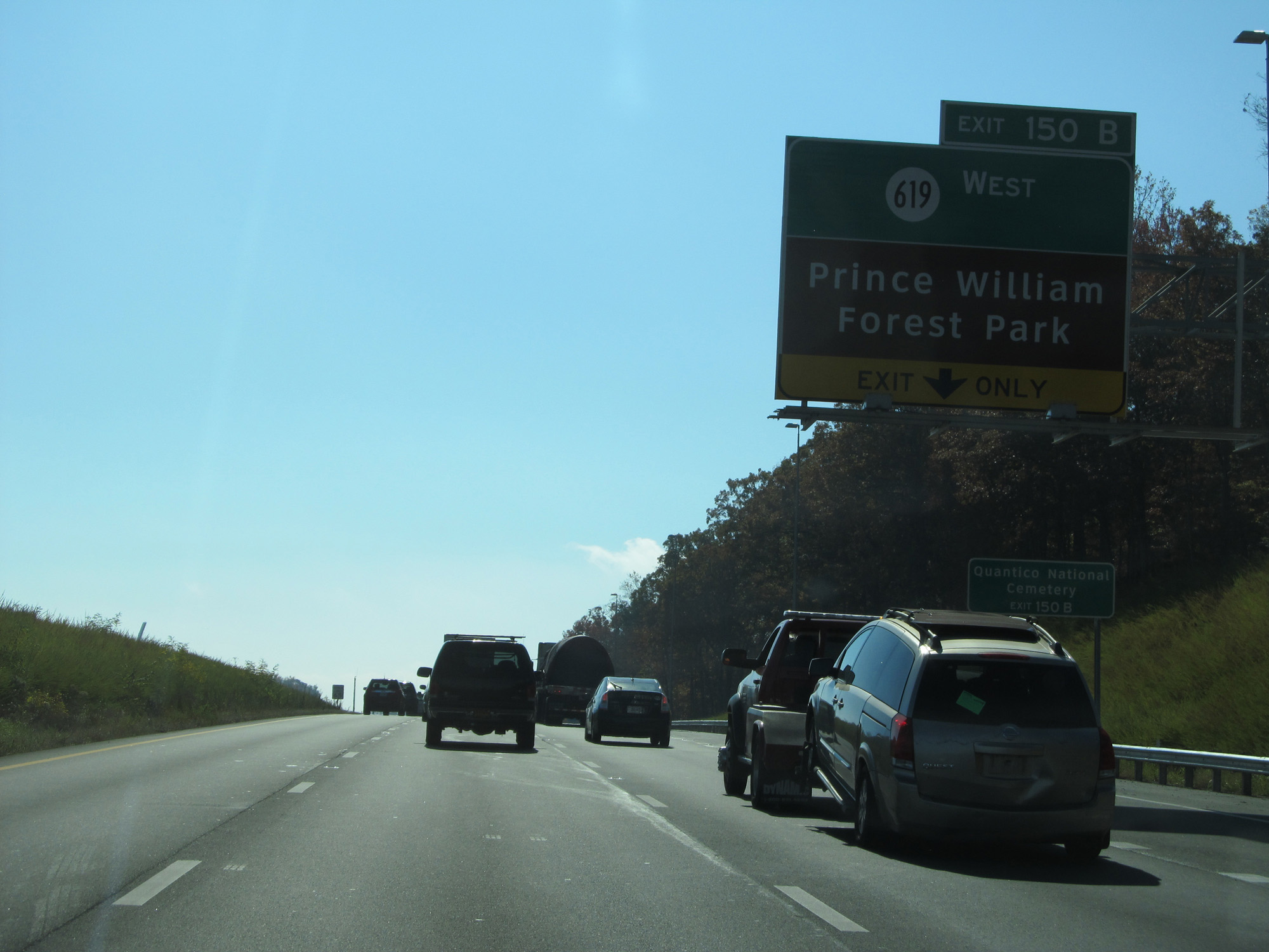
Interstate 95 South at Exit 150B: SR 619 West - Prince William Forest Park (Photo taken 11/5/15). |
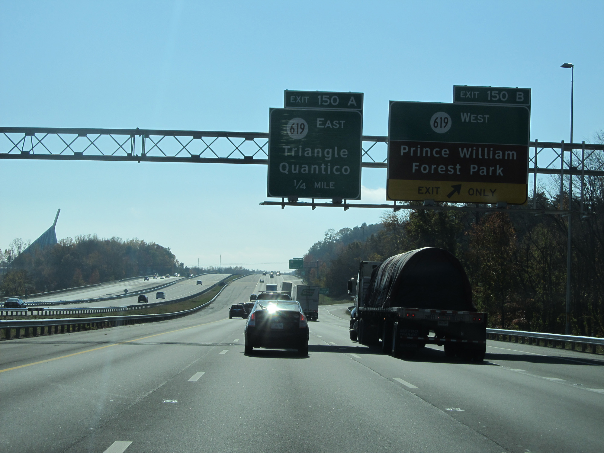
 |
Interstate 95 South at Exit 150A: SR 619 East - Triangle / Quantico (Photo taken 11/5/15). |
 |
Commercial vehicles to Quantico should use Exit 148 ahead. (Photo taken 11/5/15). |
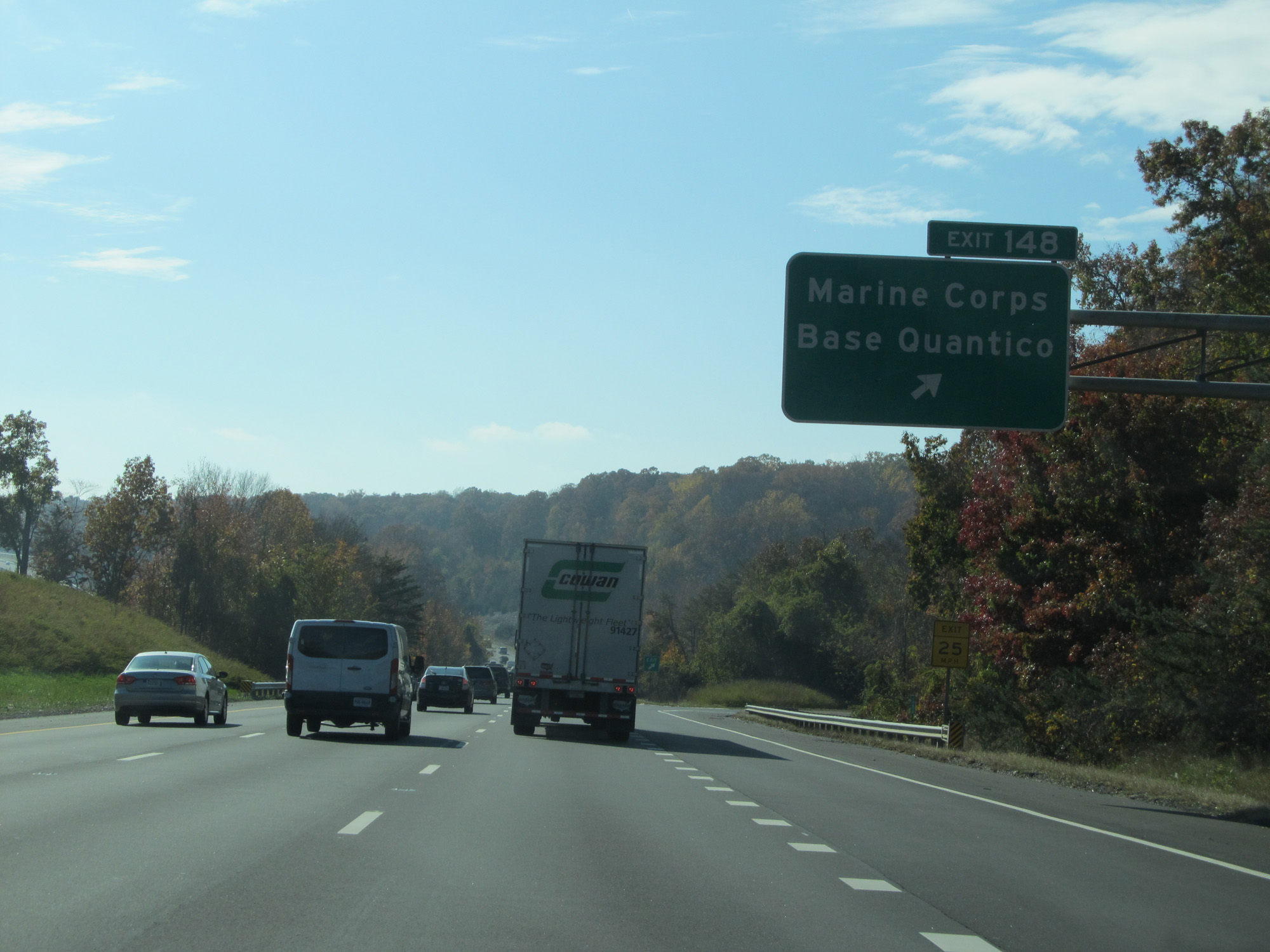 |
Interstate 95 South at Exit 148: Marine Corps Base Quantico (Photo taken 11/5/15). |
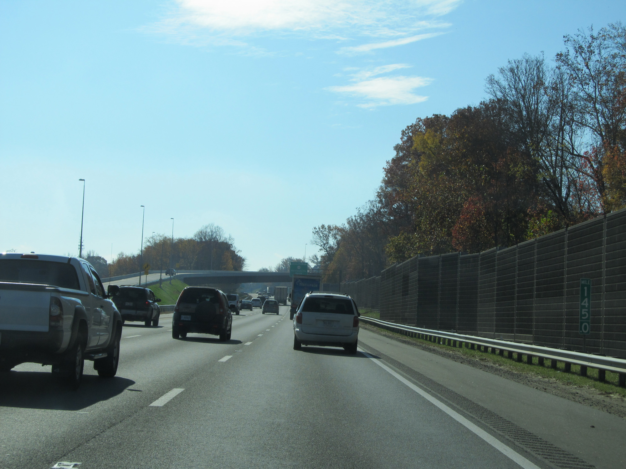 |
Interstate 95 South at mile marker 145. (Photo taken 11/5/15). |
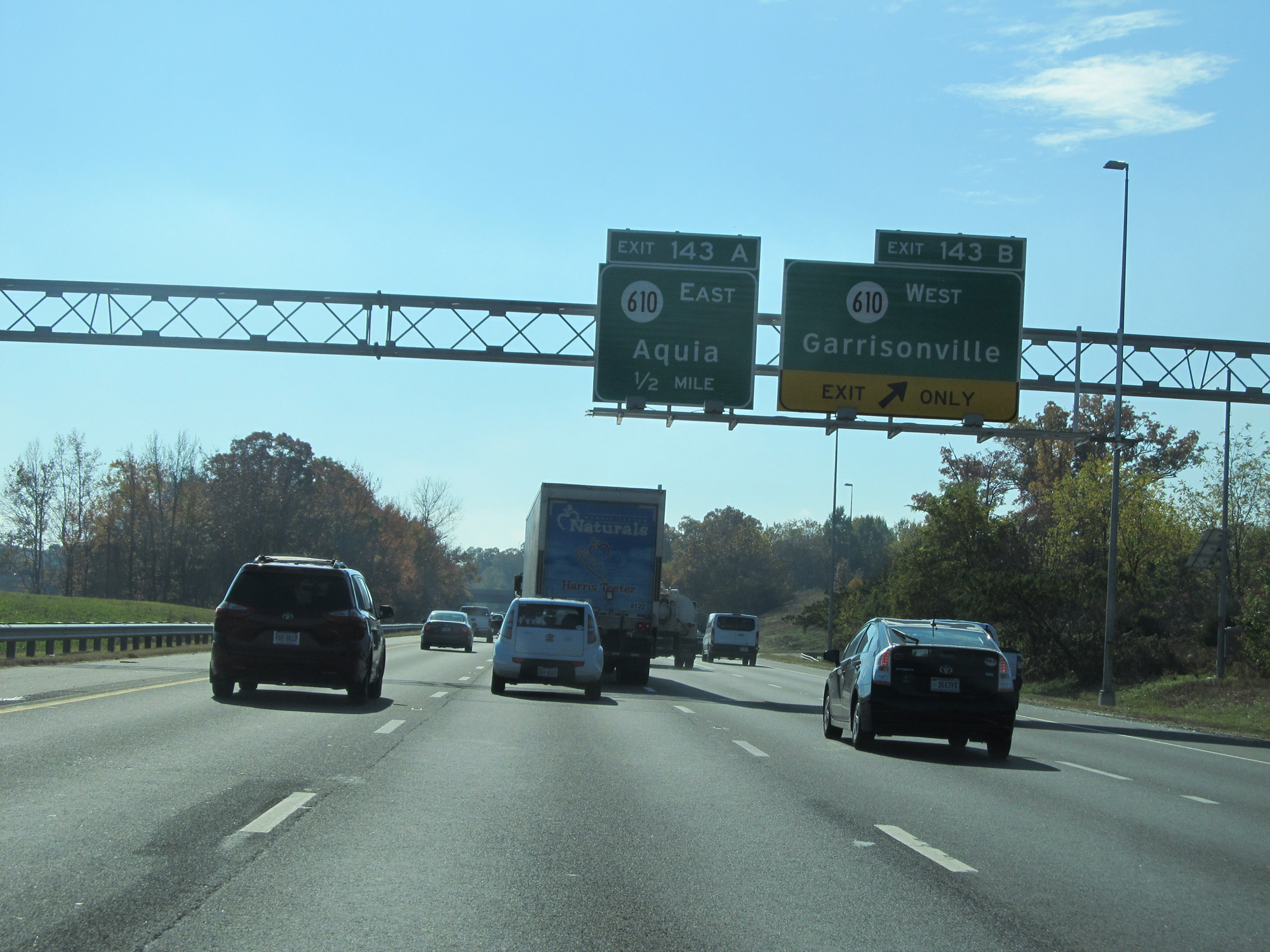 |
Interstate 95 South at Exit 143B: SR 610 West - Garrisonville (Photo taken 11/5/15). |
 |
Interstate 95 South at Exit 143A: SR 610 East - Aquia (Photo taken 11/5/15). |
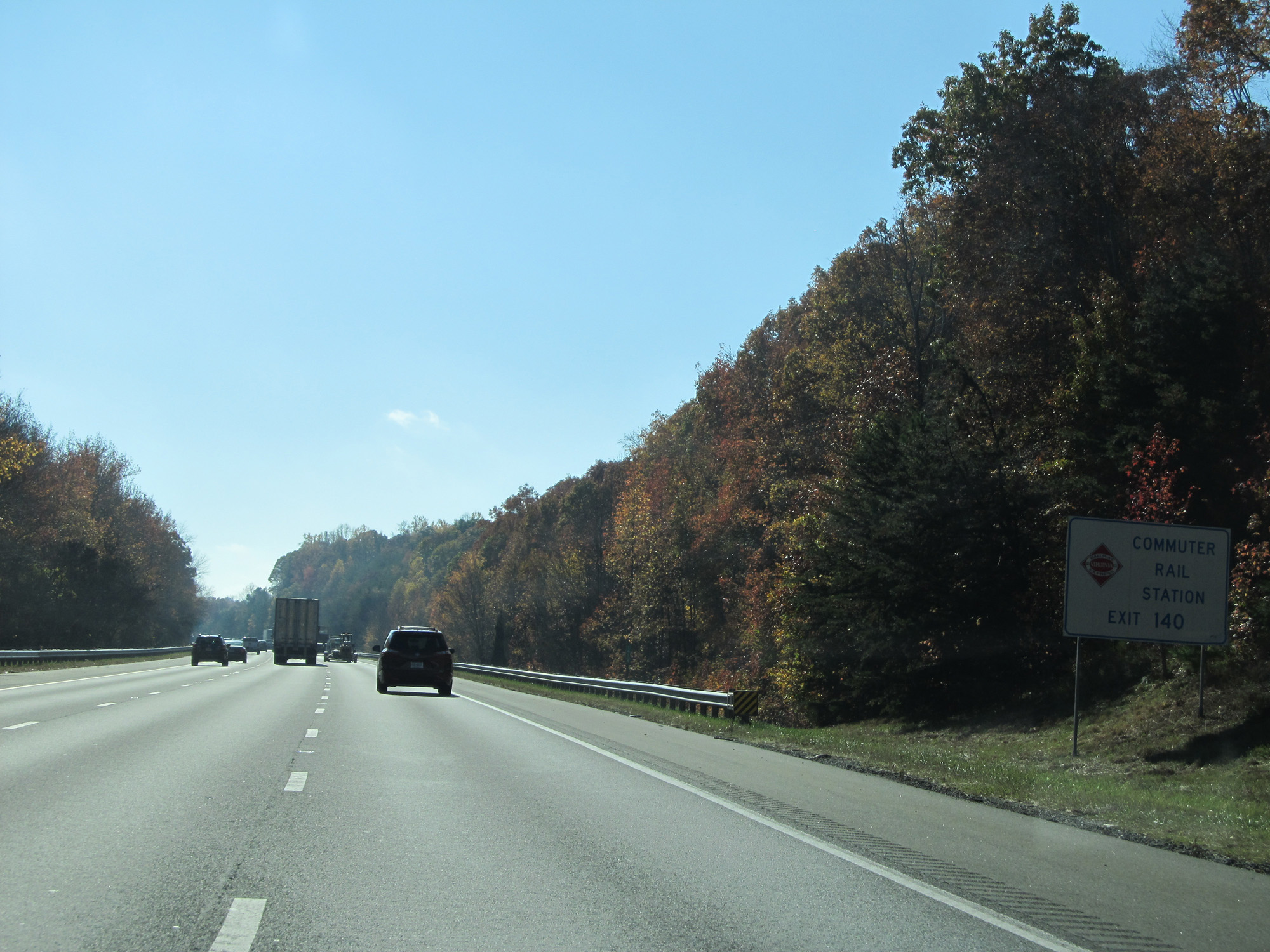 |
Take Exit 140 to Commuter Rail Station. (Photo taken 11/5/15). |
 |
Interstate 95 South at mile marker 141. (Photo taken 11/5/15). |
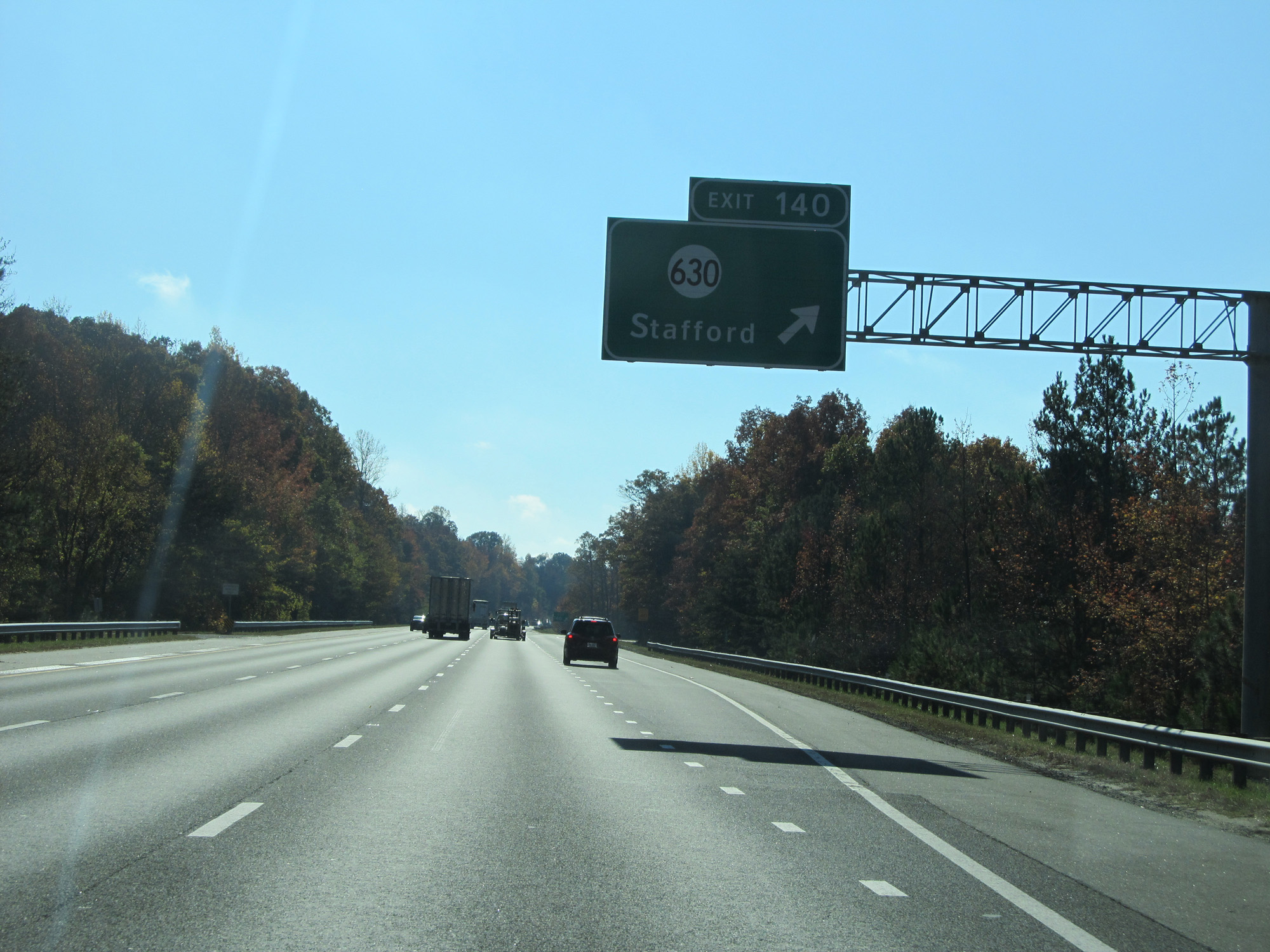 |
Interstate 95 South at Exit 140: SR 630 - Stafford (Photo taken 11/5/15). |
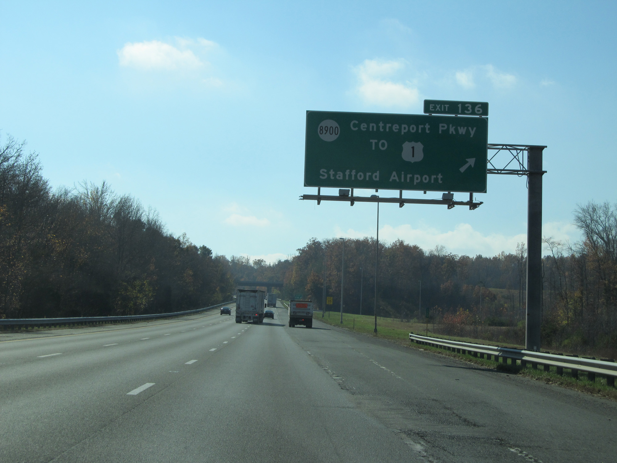 |
Interstate 95 South at Exit 136: SR 8900 / To US 1 - Centreport Pkwy / Stafford Airport (Photo taken 11/5/15). |
 |
Interstate 95 South approaching Exits 133B-A - 1 mile. (Photo taken 11/5/15). |
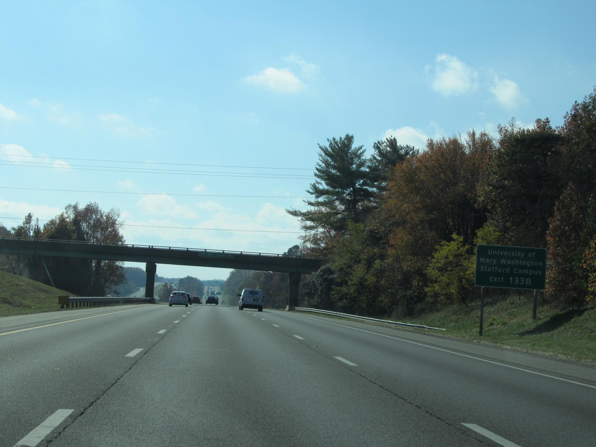 |
Take Exit 133B to University of Mary Washington Stafford Campus. (Photo taken 11/5/15). |
 |
Take Exit 133A to Gari Melchers' Belmont and Chatham Manor. (Photo taken 11/5/15). |
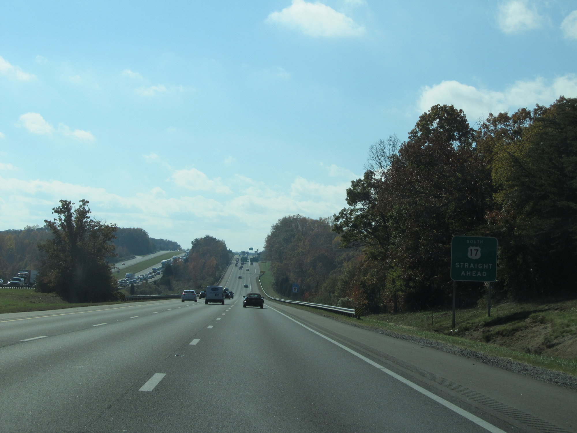 |
Stay straight on Interstate 95 South to US 17 South. (Photo taken 11/5/15). |
 |
Interstate 95 South at Exit 133B: US 17 North - Warrenton (Photo taken 11/5/15). |
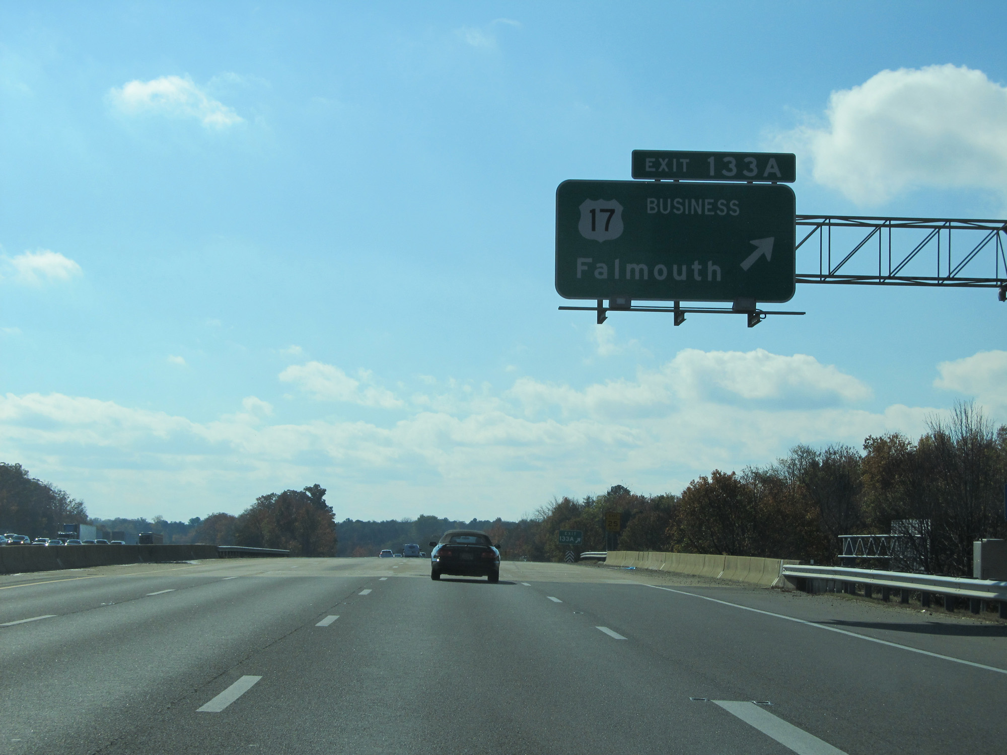 |
Interstate 95 South at Exit 133A: US 17 Business - Falmouth (Photo taken 11/5/15). |
 |
Rest Area on Interstate 95 South beyond Exit 133A. (Photo taken 11/5/15). |
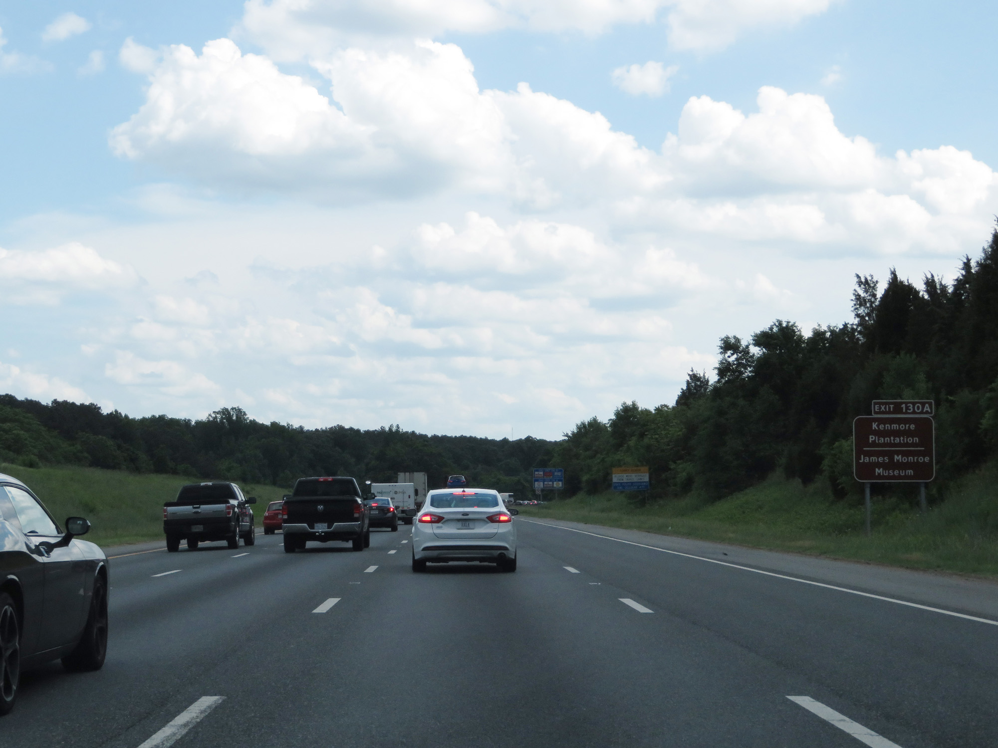 |
Take Exit 130A to Kenmore Plantation and James Monroe Museum. (Photo taken 5/19/17). |
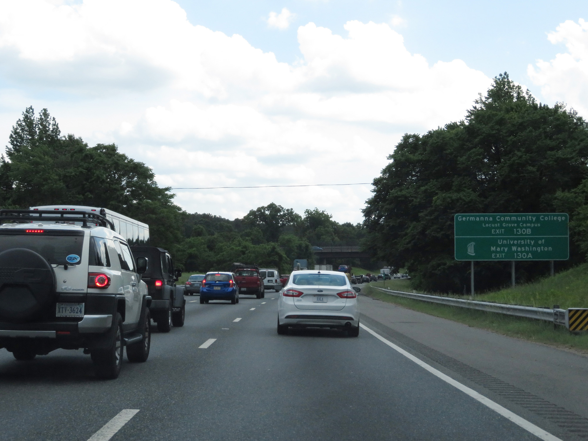 |
Take Exit 130B to Germanna Community College Locust Grove Campus. Take Exit 130A to University of Mary Washington. (Photo taken 5/19/17). |
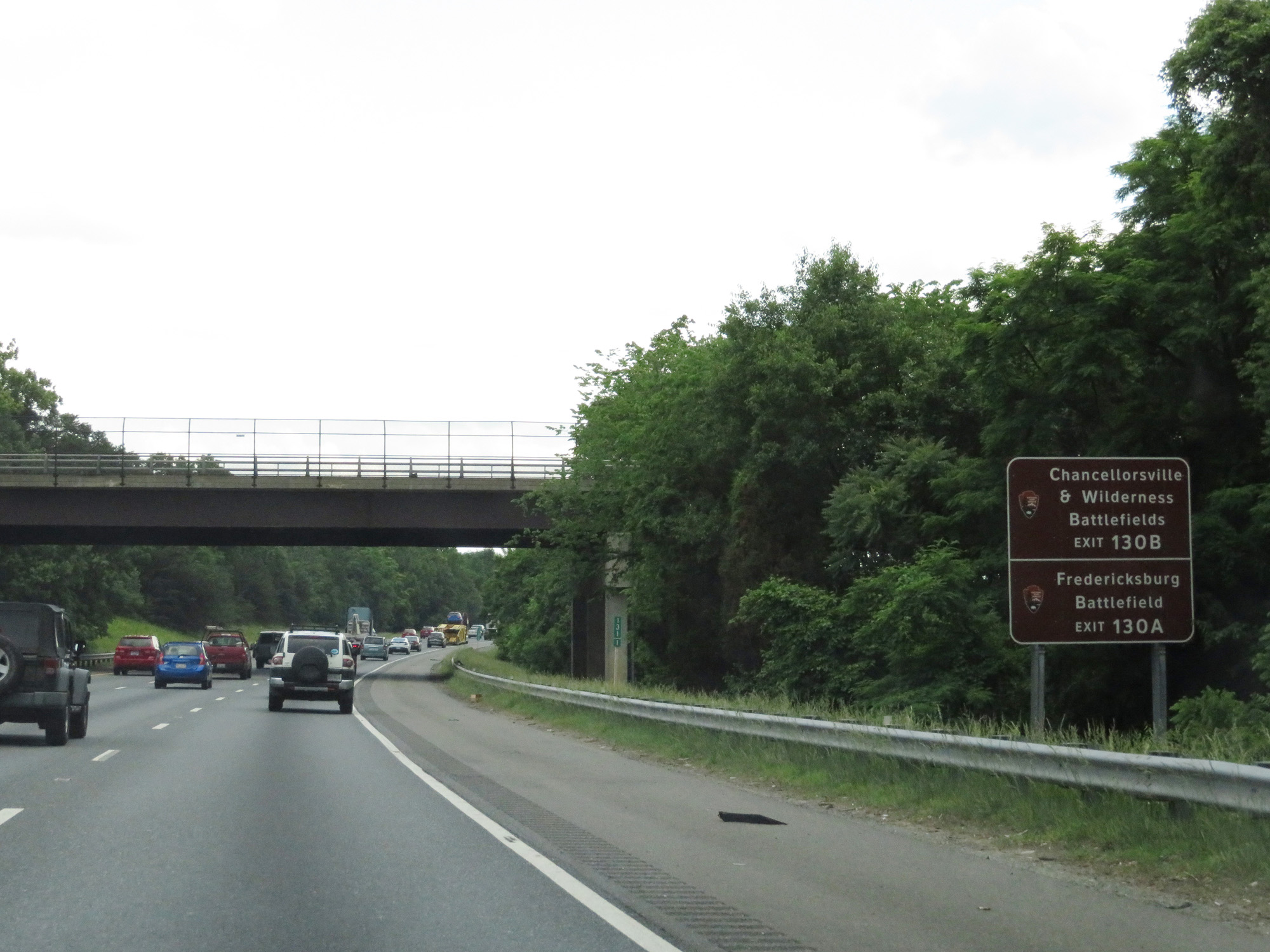 |
Take Exit 130B to Chancellorsville & Wilderness Battlefields. Take Exit 130A to Fredericksburg Battlefield. (Photo taken 5/19/17). |
 |
Interstate 95 South at mile marker 131. (Photo taken 5/19/17). |
 |
Take Exit 130A for Fredericksburg Tourist Info Center and Historic Downtown Fredericksburg. (Photo taken 5/19/17). |
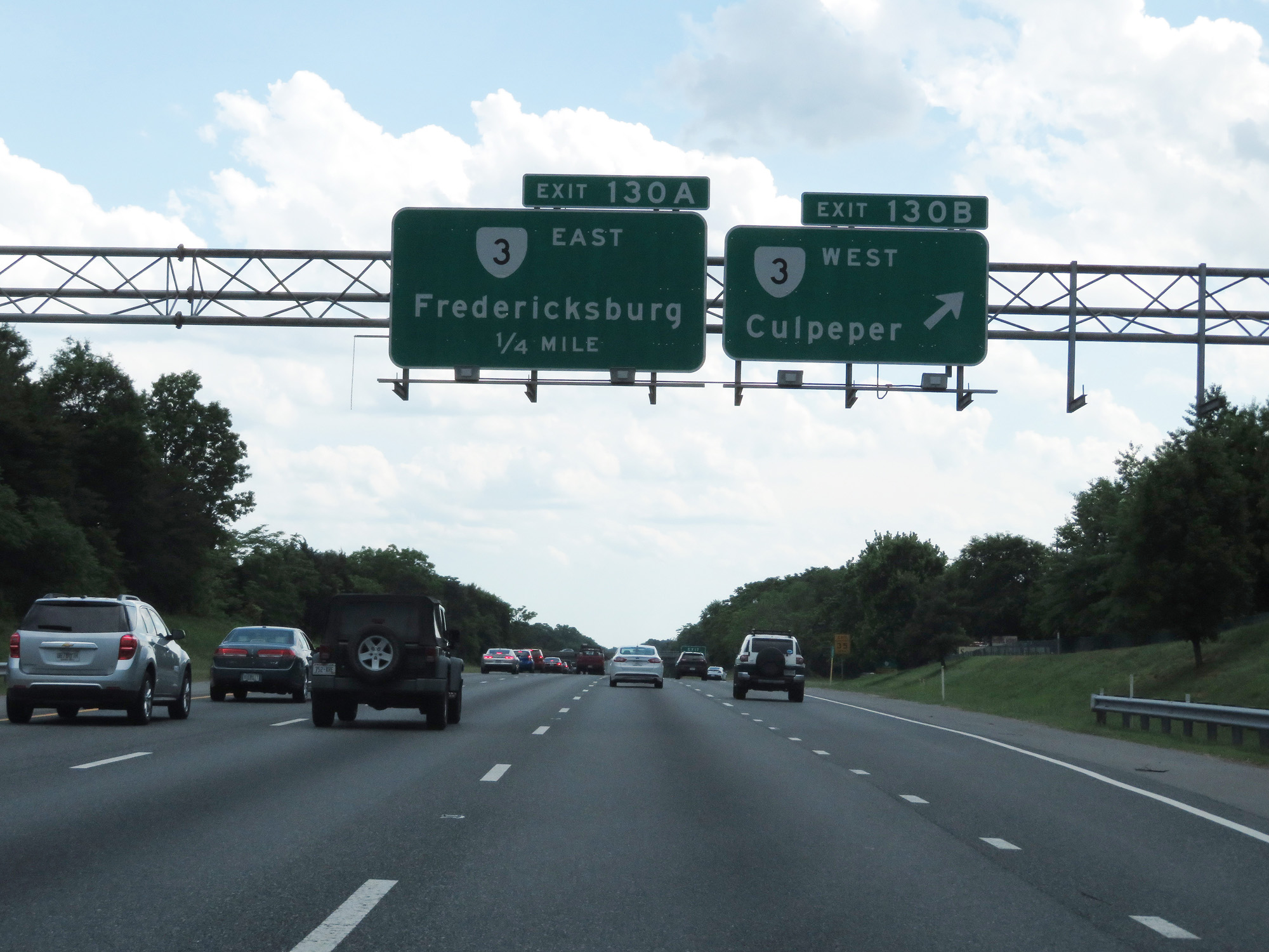 |
Interstate 95 South at Exit 130B: VA 3 West - Culpeper (Photo taken 5/19/17). |
 |
Interstate 95 South at Exit 130A: VA 3 East - Fredericksburg (Photo taken 5/19/17). |
 |
Interstate 95 South / US 17 South reassurance shields. (Photo taken 5/19/17). |
 |
The speed limit remains 65 mph on Interstate 95 through the Fredericksburg area. (Photo taken 5/19/17). |
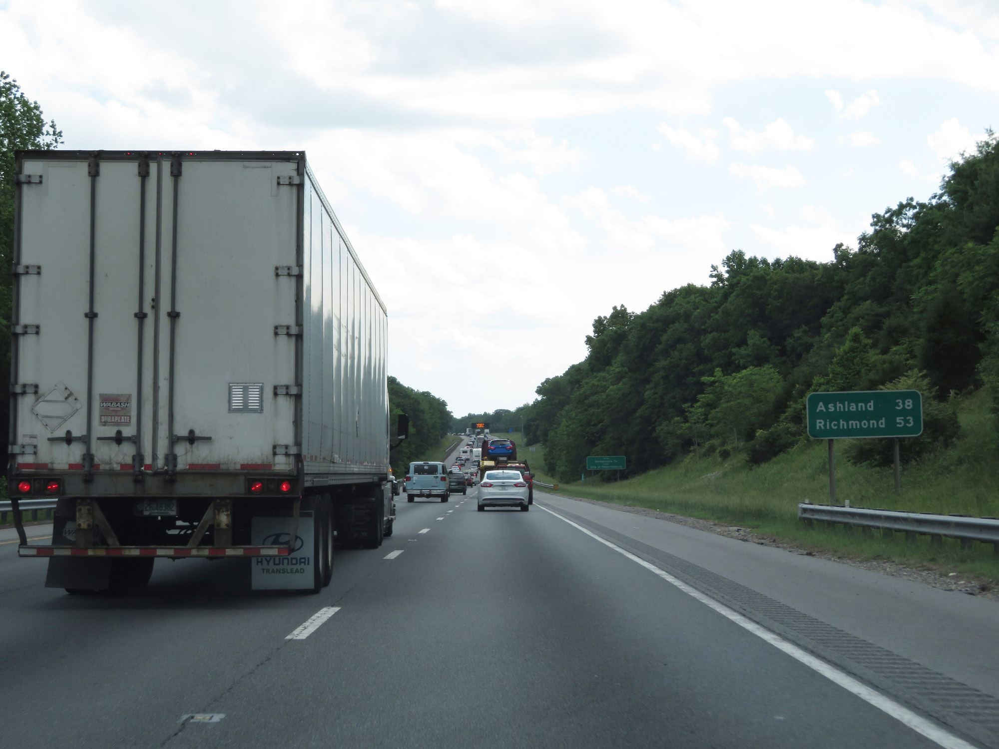 |
Mileage sign on Interstate 95 South. It's 38 miles to Ashland and 53 miles to Richmond. (Photo taken 5/19/17). |
 |
Interstate 95 South entering Spotsylvania County. (Photo taken 5/19/17). |
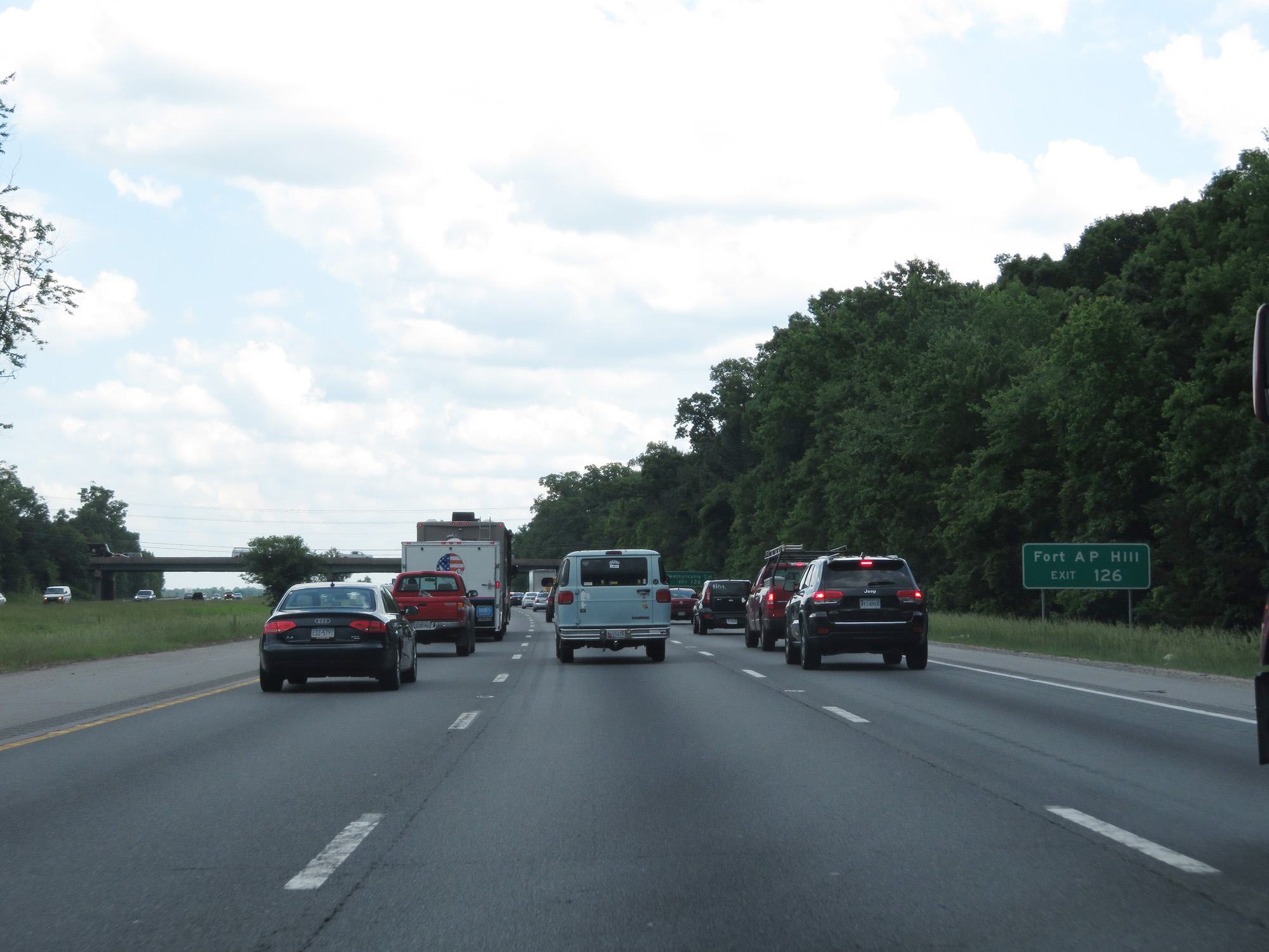 |
Take Exit 126 to Fort AP Hill. (Photo taken 5/19/17). |
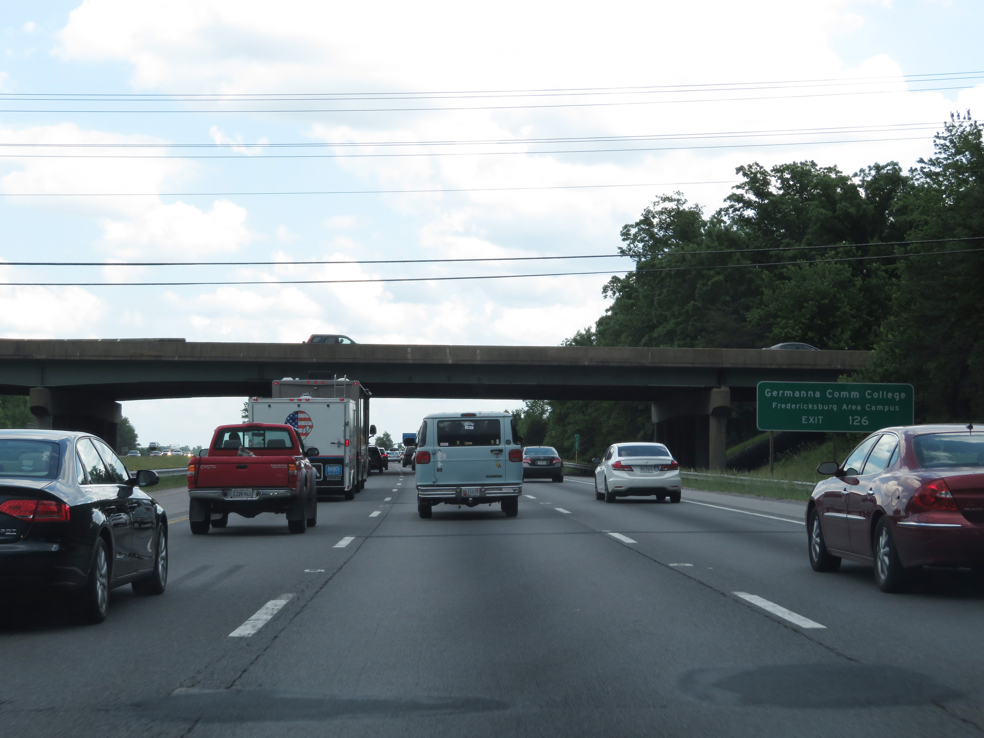 |
Also take Exit 126 to Germanna Community College Fredericksburg Area Campus. (Photo taken 5/19/17). |
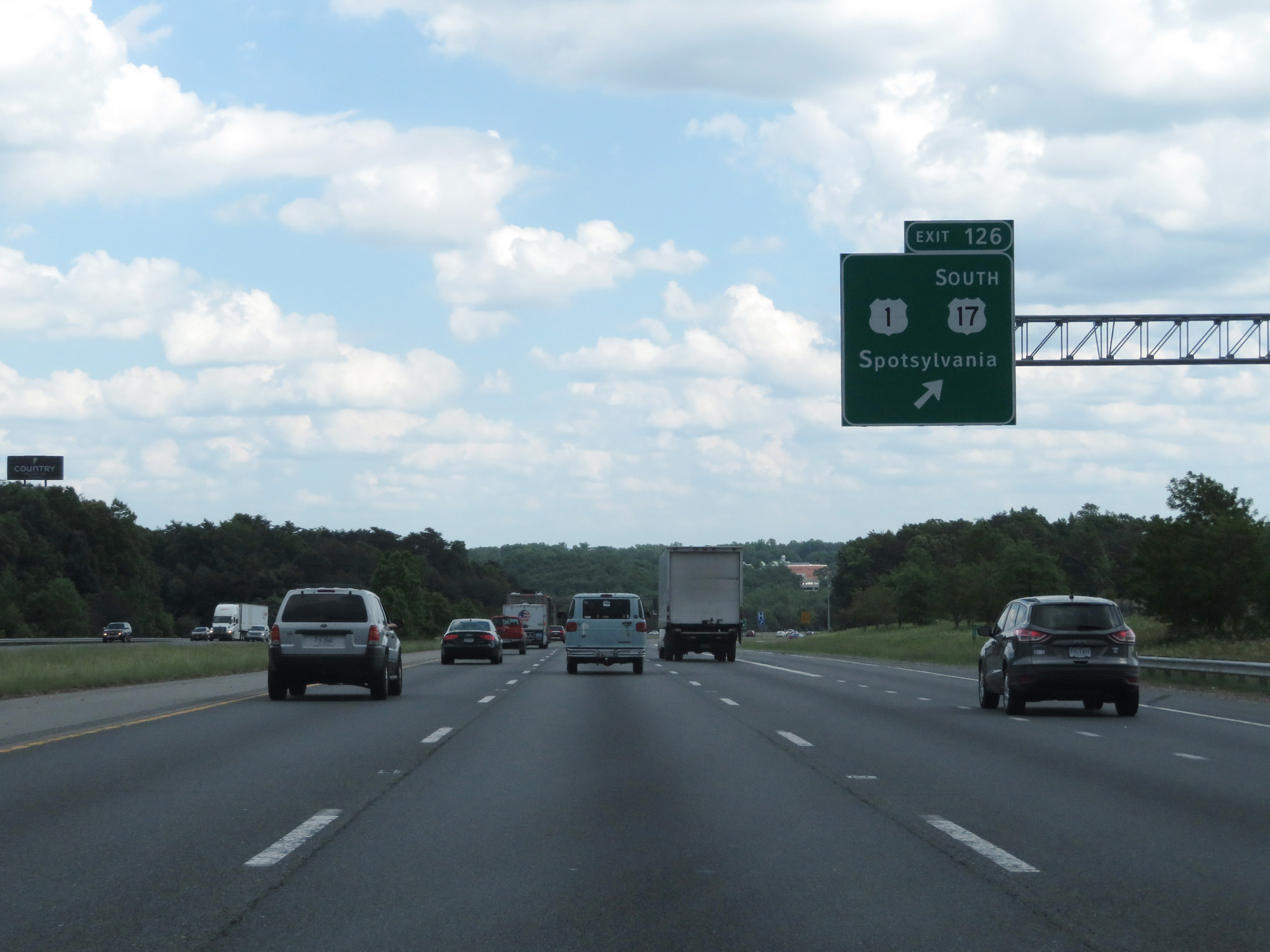 |
Interstate 95 South at Exit 126: US 1 / US 17 South - Spotsylvania (Photo taken 5/19/17). |
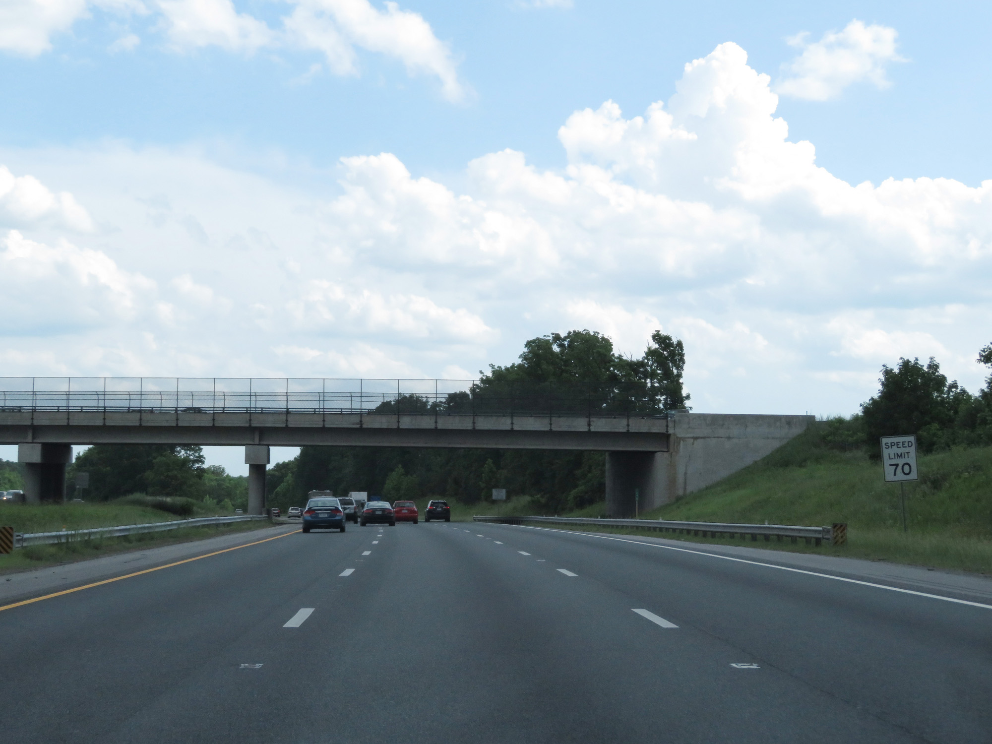 |
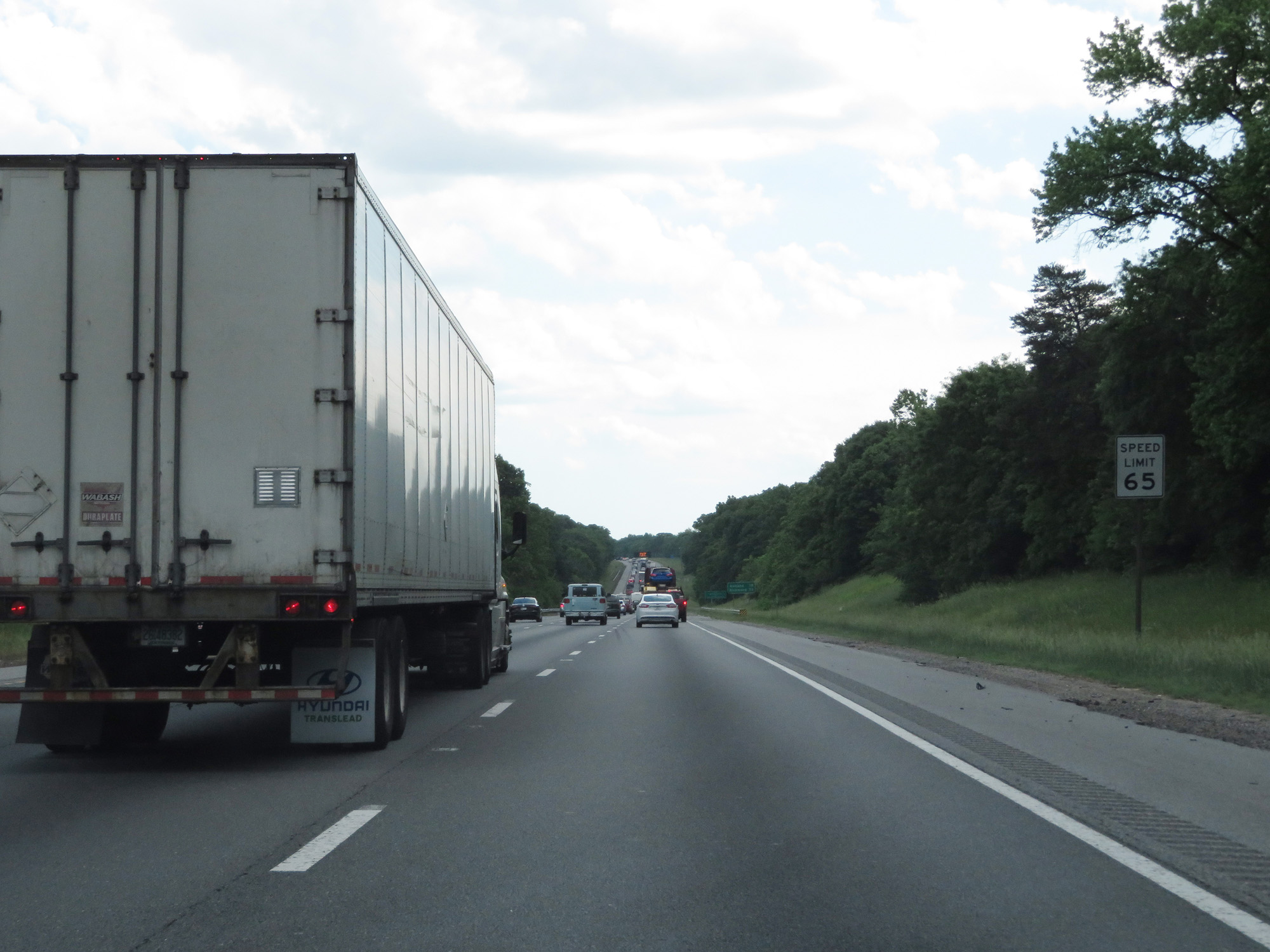
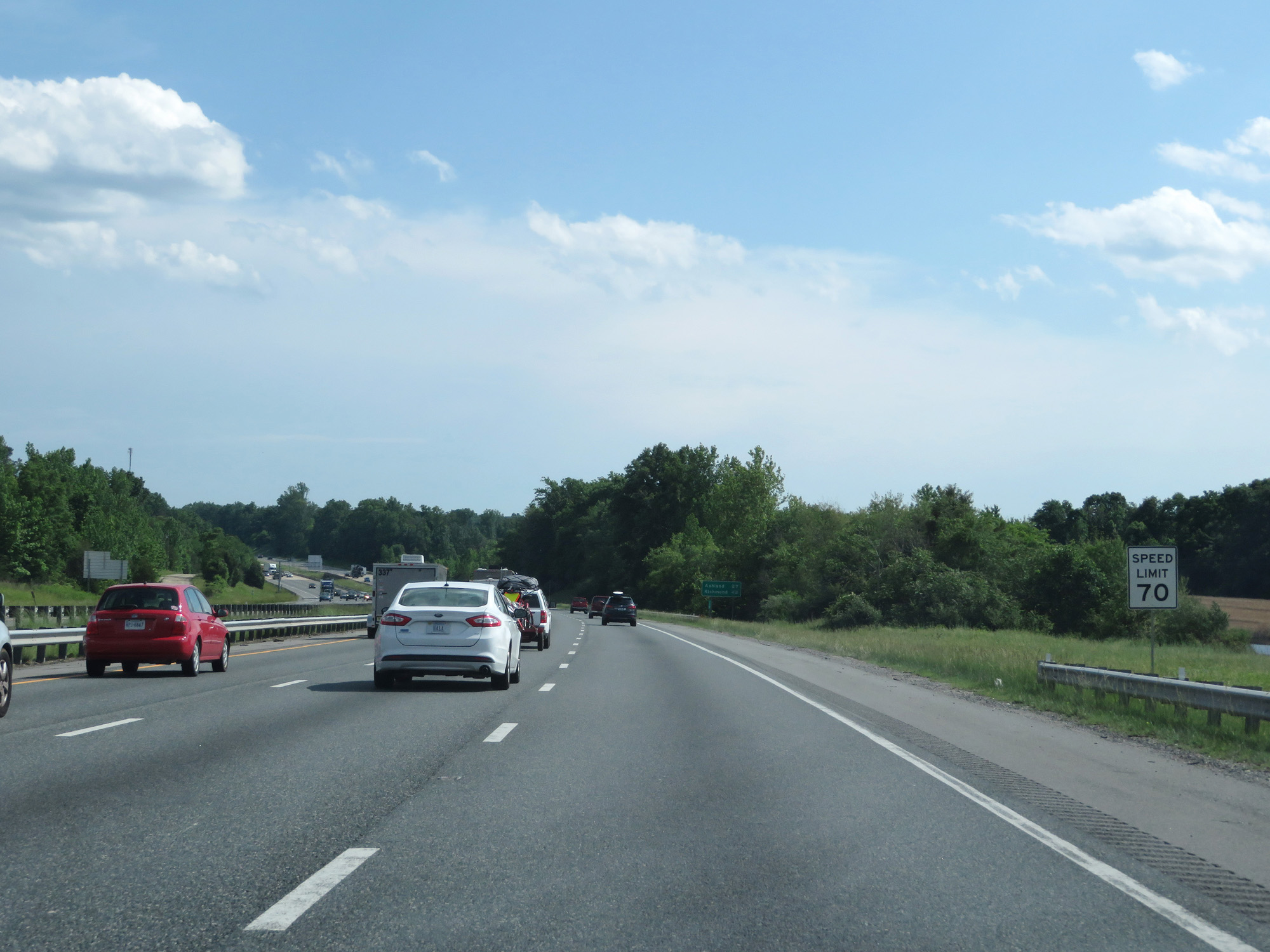
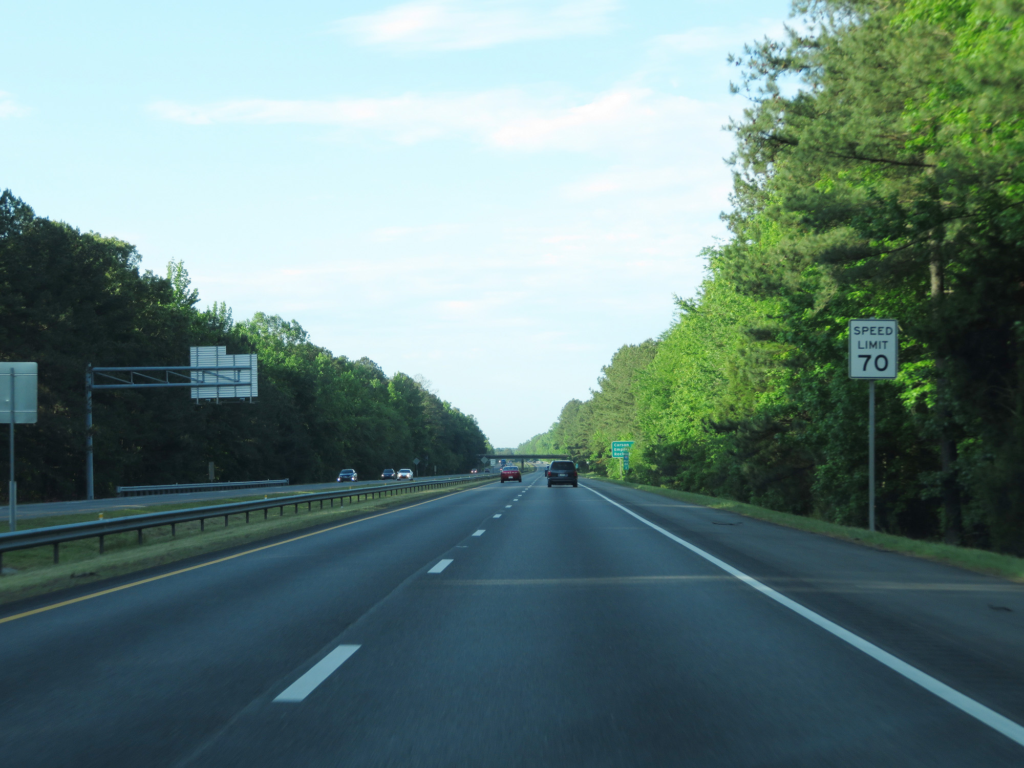
South of Exit 126, the speed limit increases to 70 mph on Interstate 95 South. 70 mph is the standard speed limit on most rural Interstates in Virginia. (Photo taken 5/19/17). |
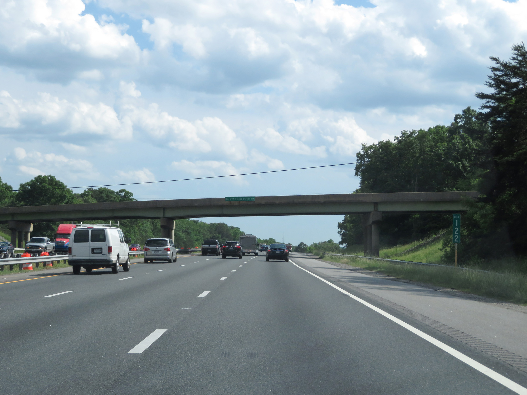 |
Interstate 95 South at mile marker 122. (Photo taken 5/19/17). |
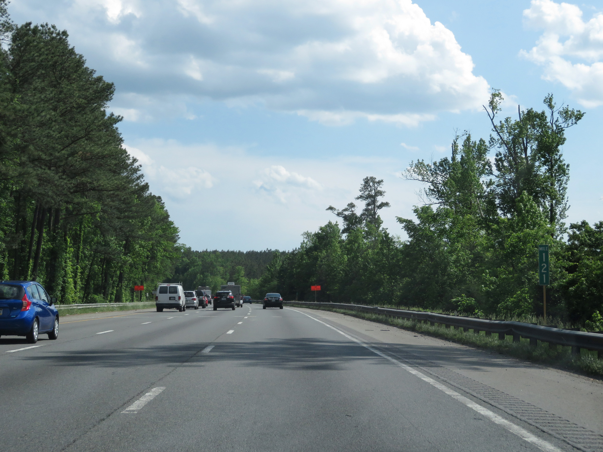 |
Interstate 95 South at mile marker 121. (Photo taken 5/19/17). |
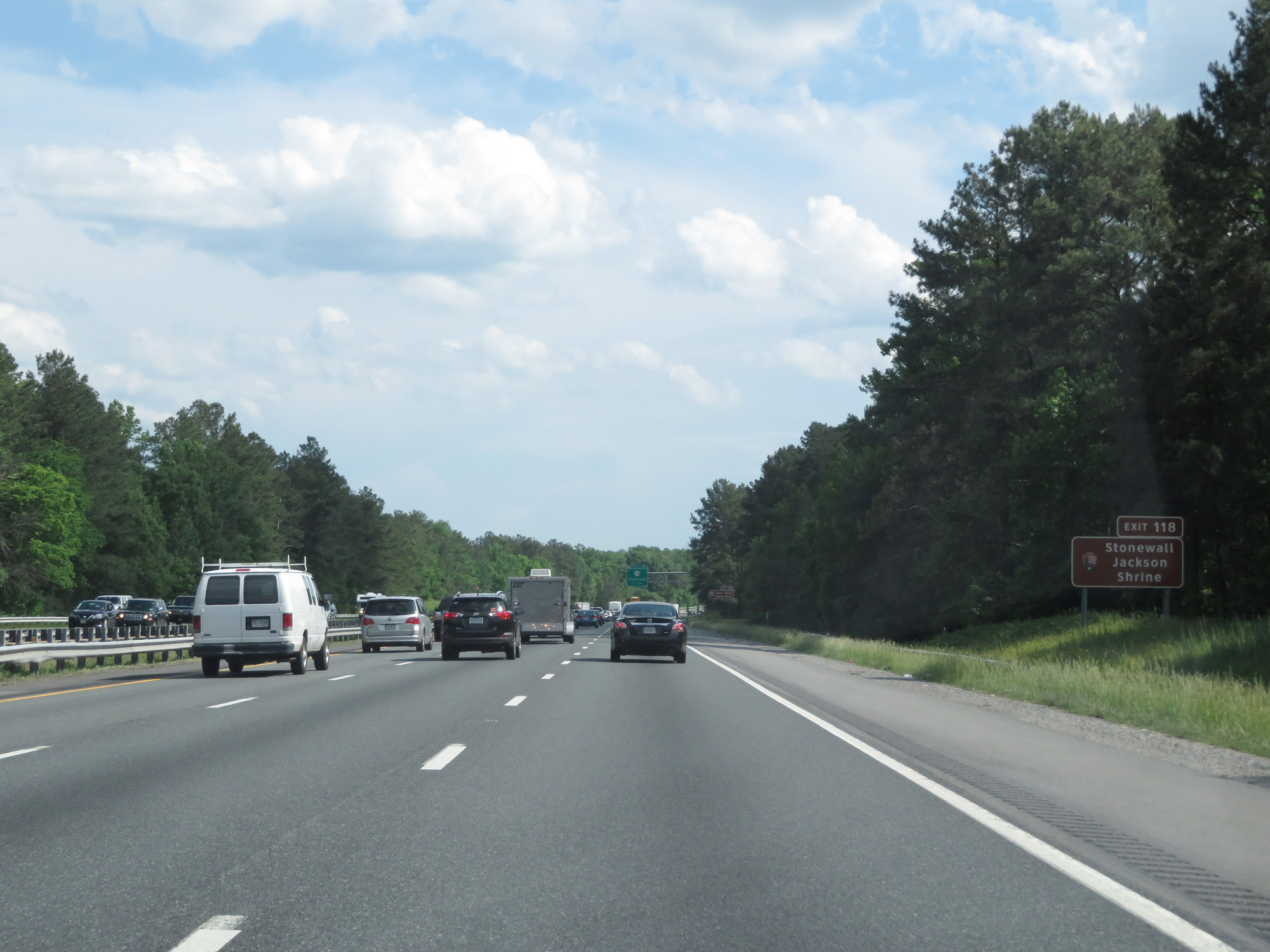 |
Take Exit 118 to Stonewall Jackson Shrine. (Photo taken 5/19/17). |
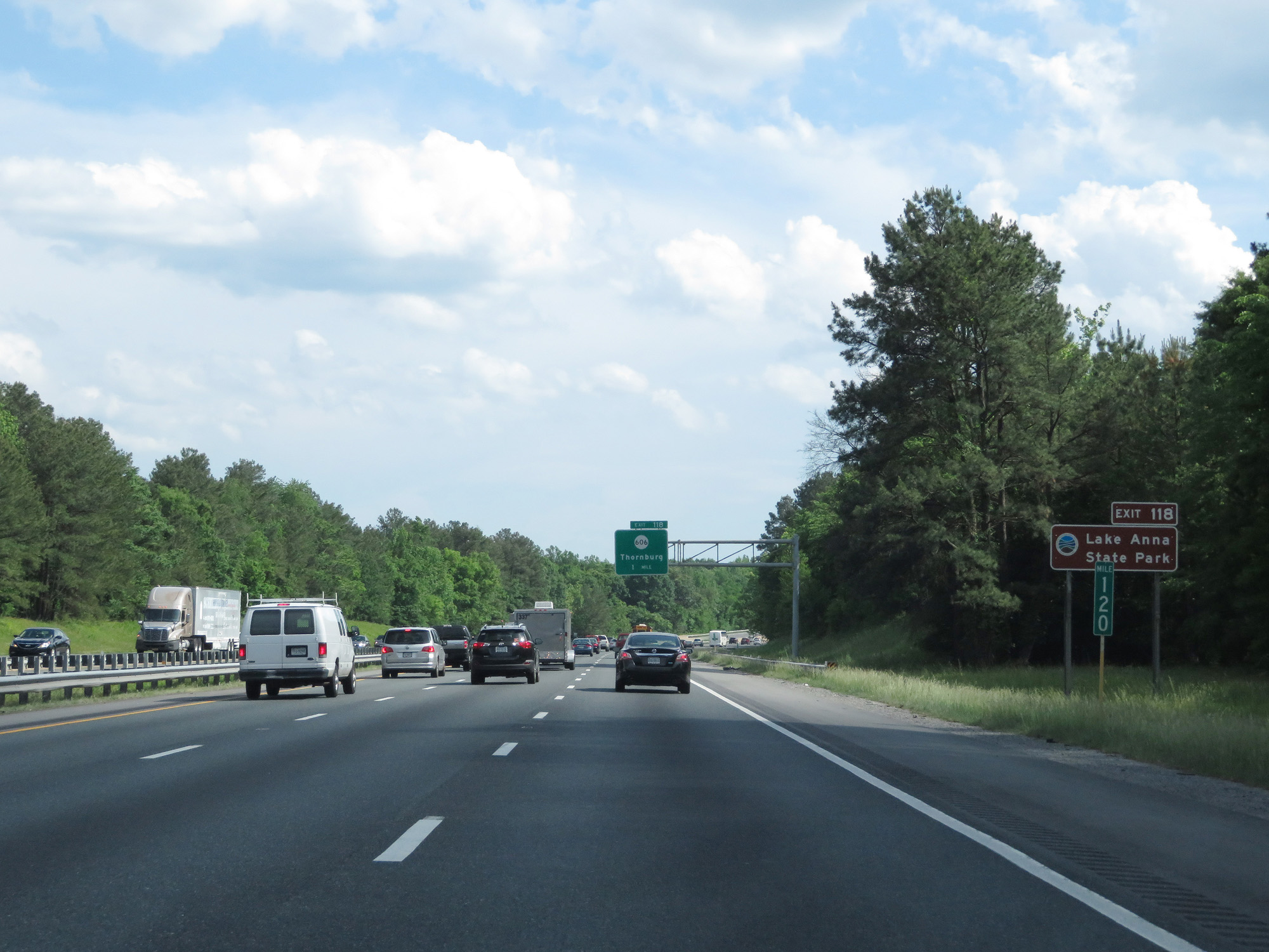 |
Also take Exit 118 to Lake Anna State Park. (Photo taken 5/19/17). |
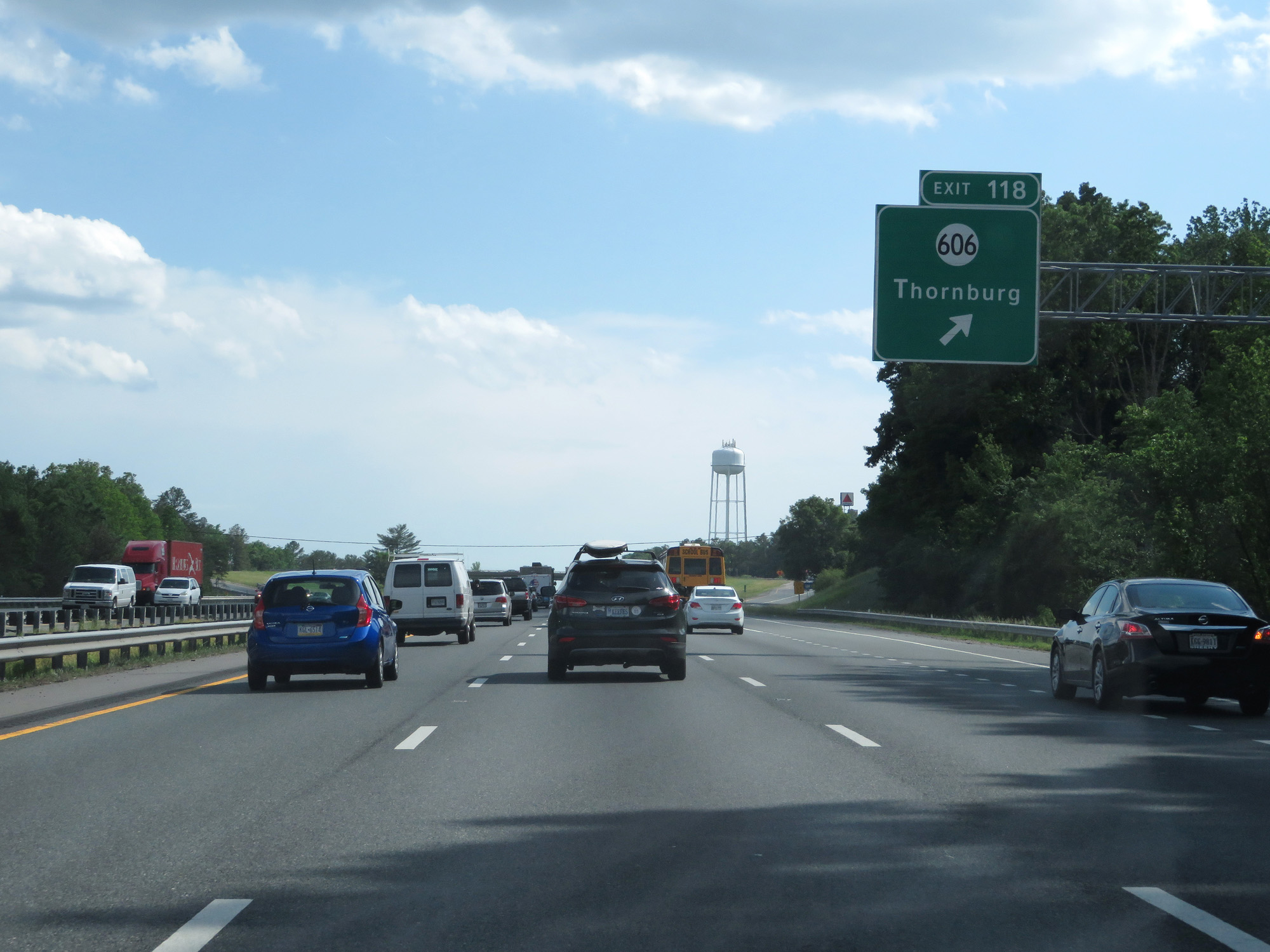 |
Interstate 95 South at Exit 118: SR 606 - Thornburg (Photo taken 5/19/17). |
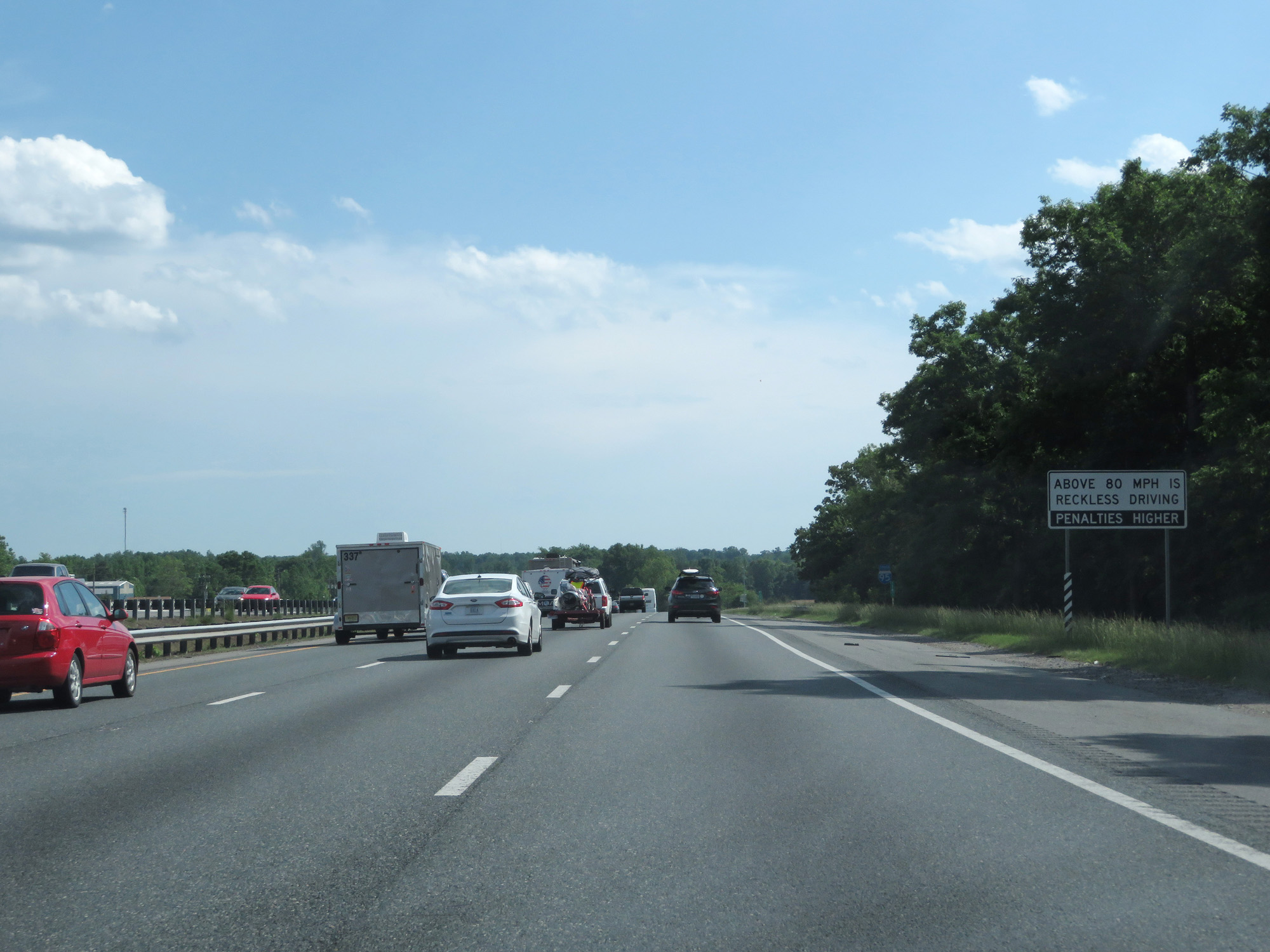 |
This sign states that driving over 80 mph is considered reckless driving by the state of Virginia, and thus it results in higher penalties. (Photo taken 5/19/17). |
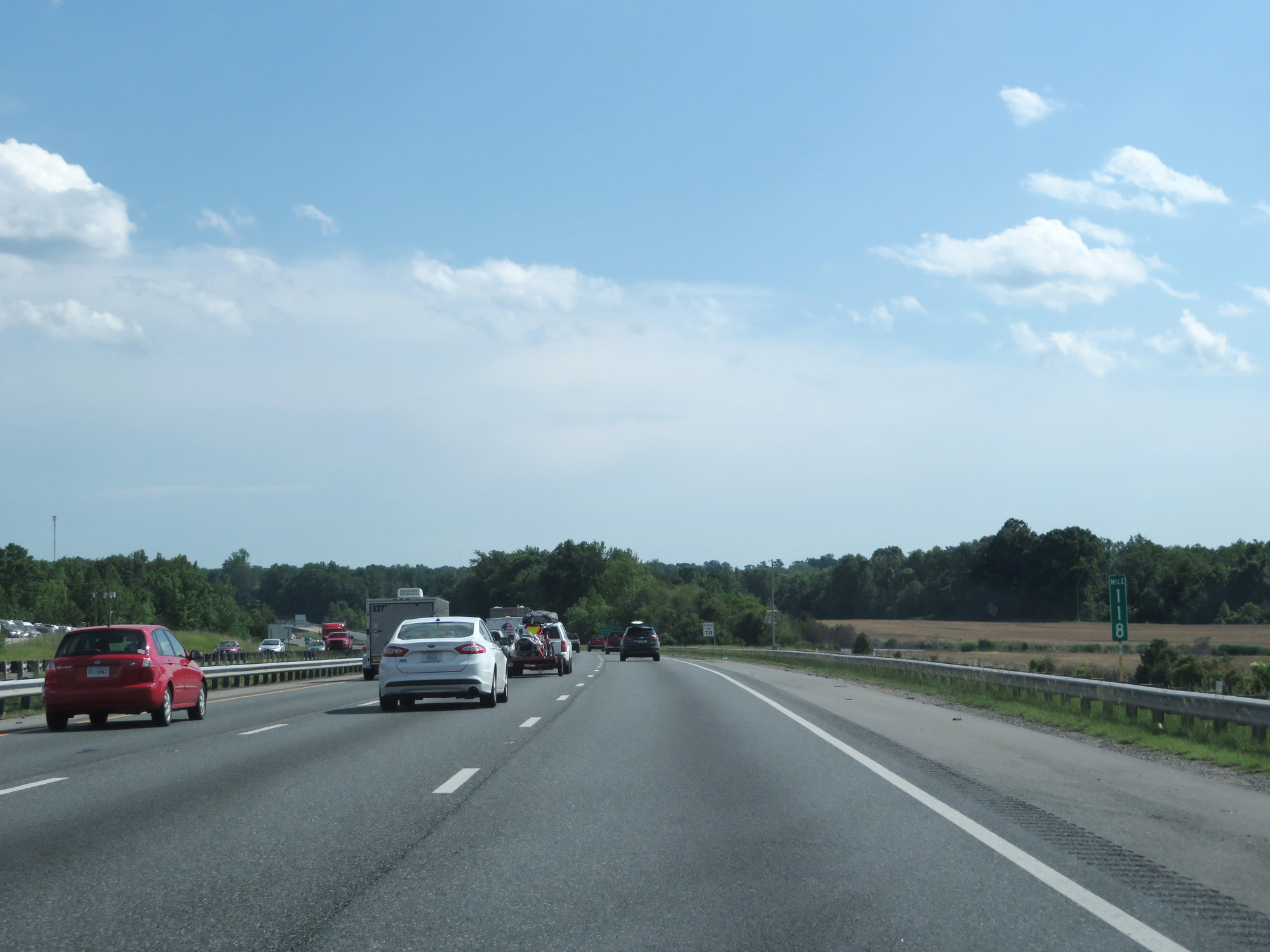 |
Interstate 95 South at mile marker 118. (Photo taken 5/19/17). |
 |
The speed limit remains 70 mph. (Photo taken 5/19/17). |
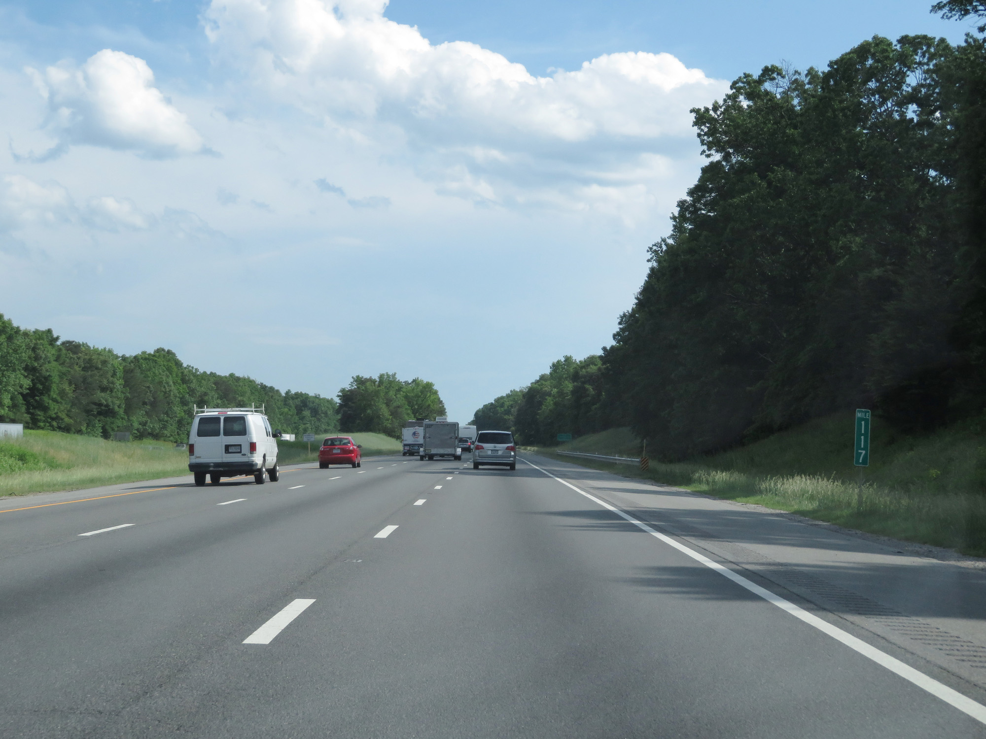 |
Interstate 95 South at mile marker 117. (Photo taken 5/19/17). |
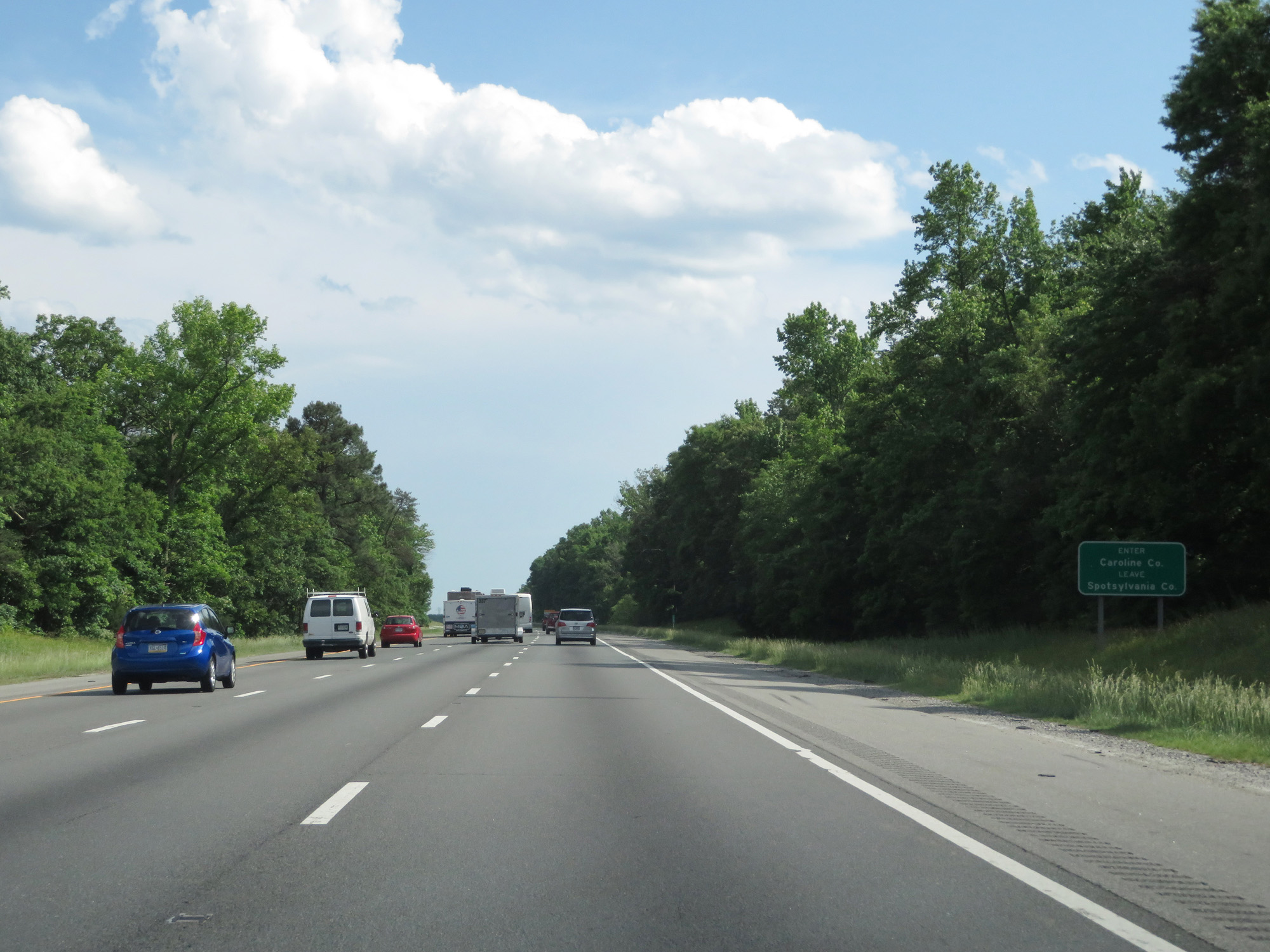 |
Interstate 95 South entering Caroline County. (Photo taken 5/19/17). |
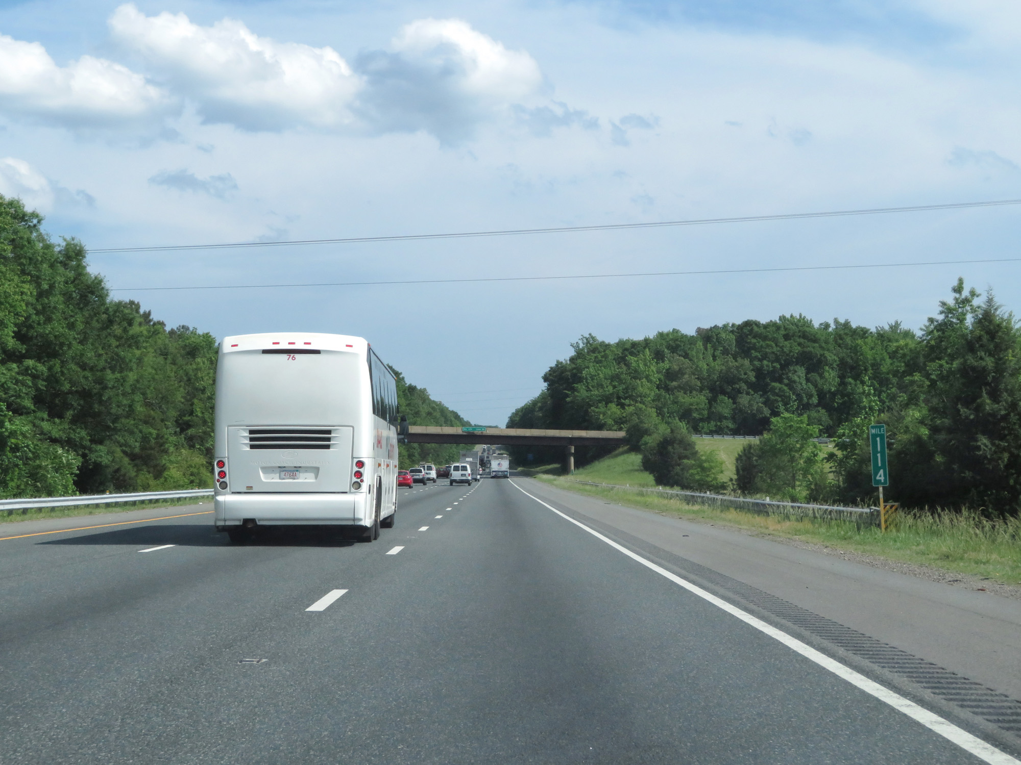 |
Interstate 95 South at mile marker 114. (Photo taken 5/19/17). |
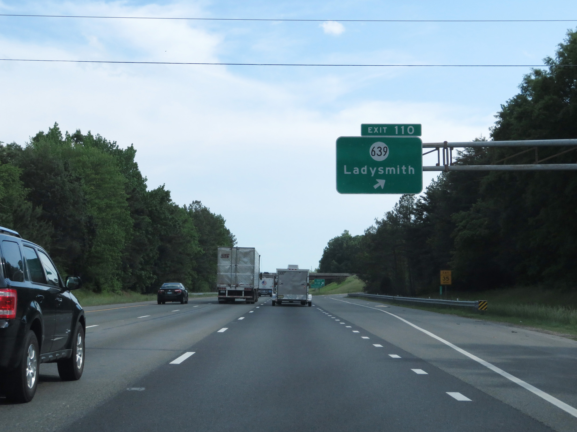 |
Interstate 95 South at Exit 110: SR 639 - Ladysmith (Photo taken 5/19/17). |
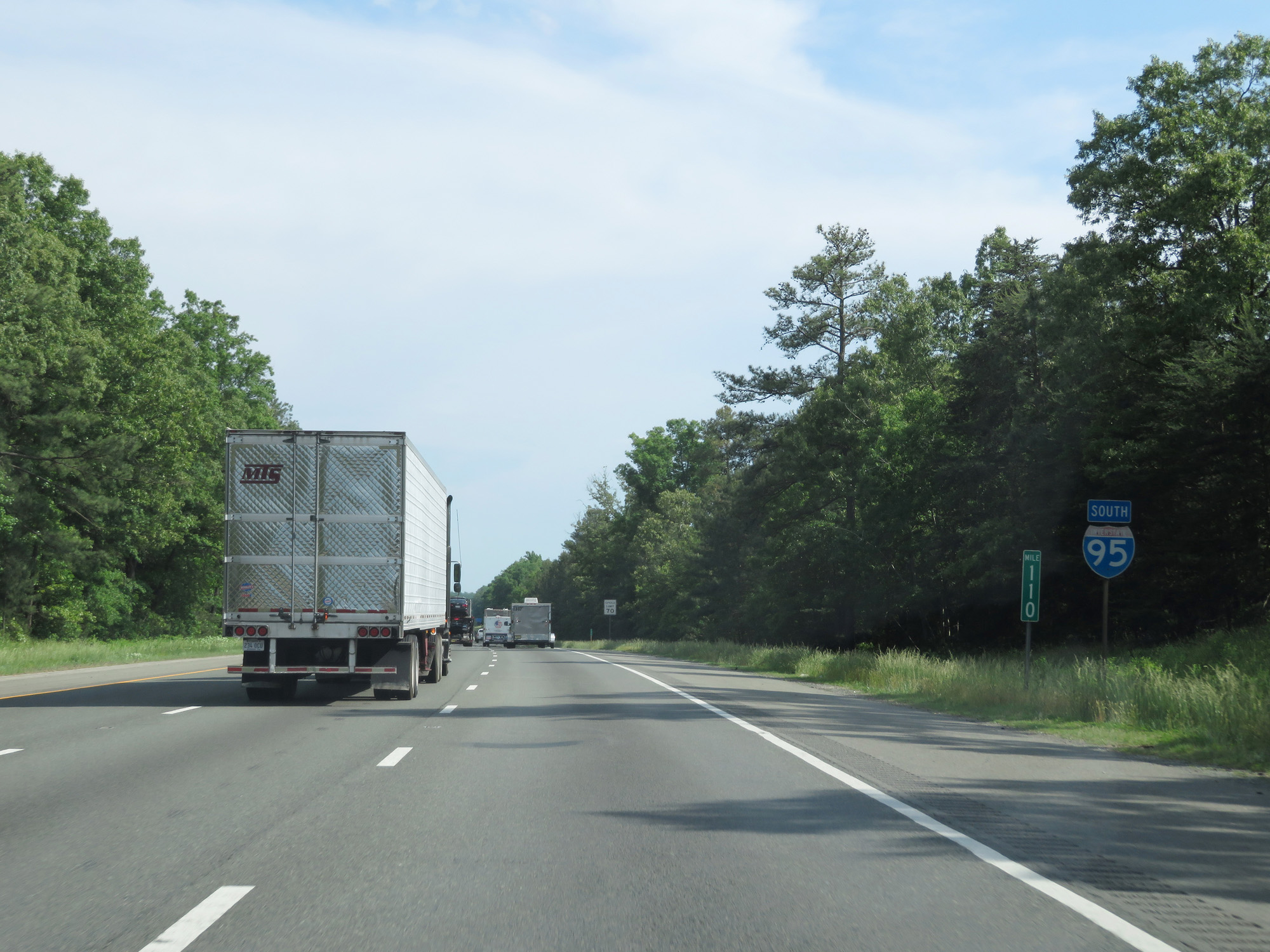 |
Interstate 95 South reassurance shield at mile marker 110. (Photo taken 5/19/17). |
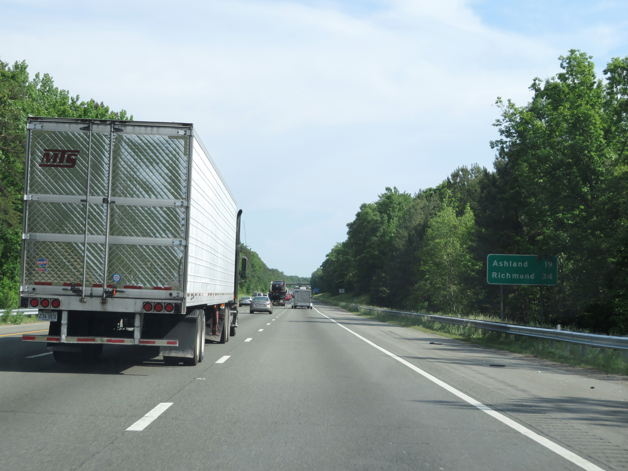 |
Mileage sign on Interstate 95 South. It's 19 miles to Ashland and 34 miles to Richmond. (Photo taken 5/19/17). |
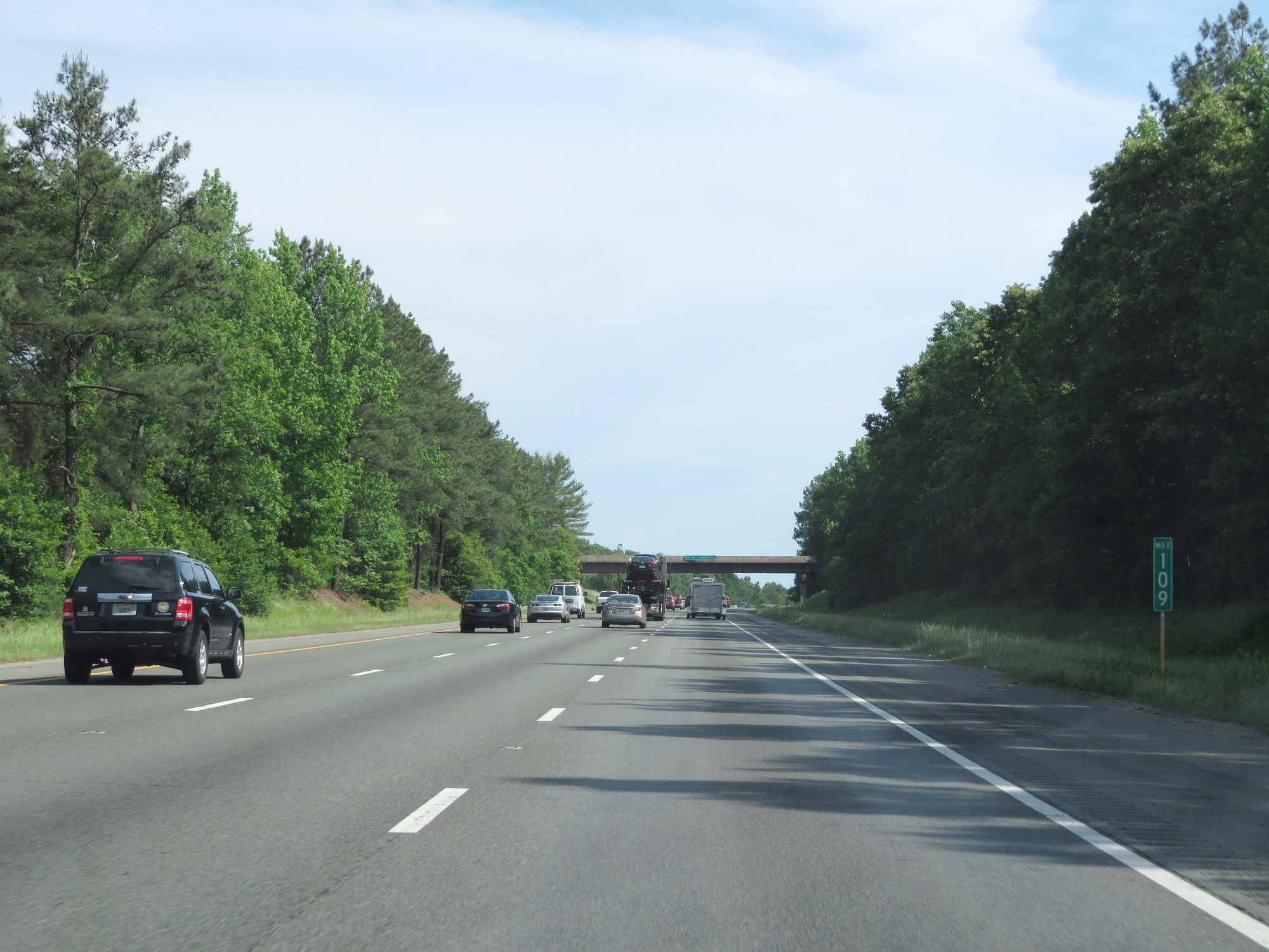 |
Interstate 95 South at mile marker 109. (Photo taken 5/19/17). |
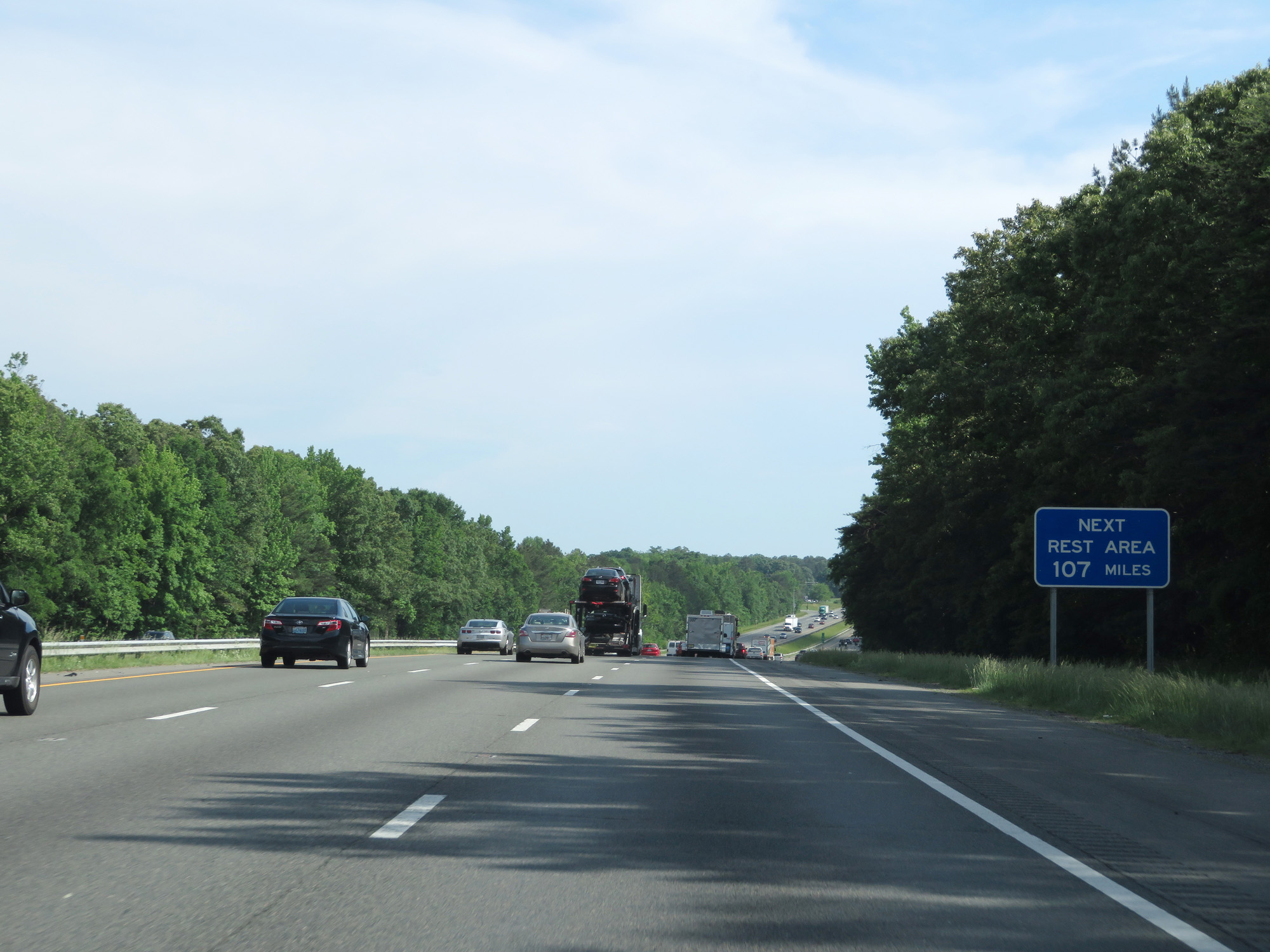 |
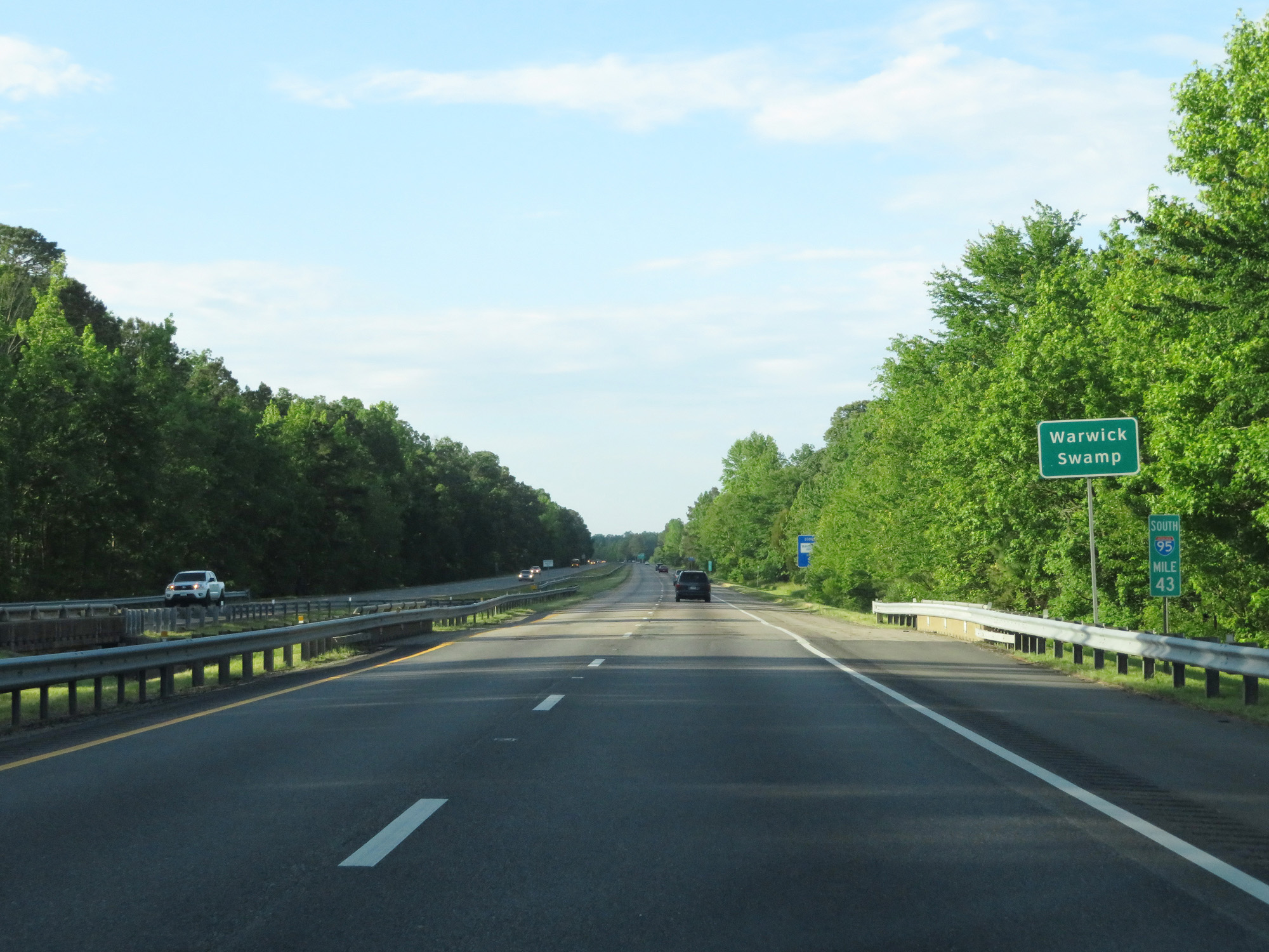
The next available Rest Area after the upcoming one is 107 miles ahead. In other words, the upcoming Rest Area is the last one in Virginia on Interstate 95 South. (Photo taken 5/19/17). |
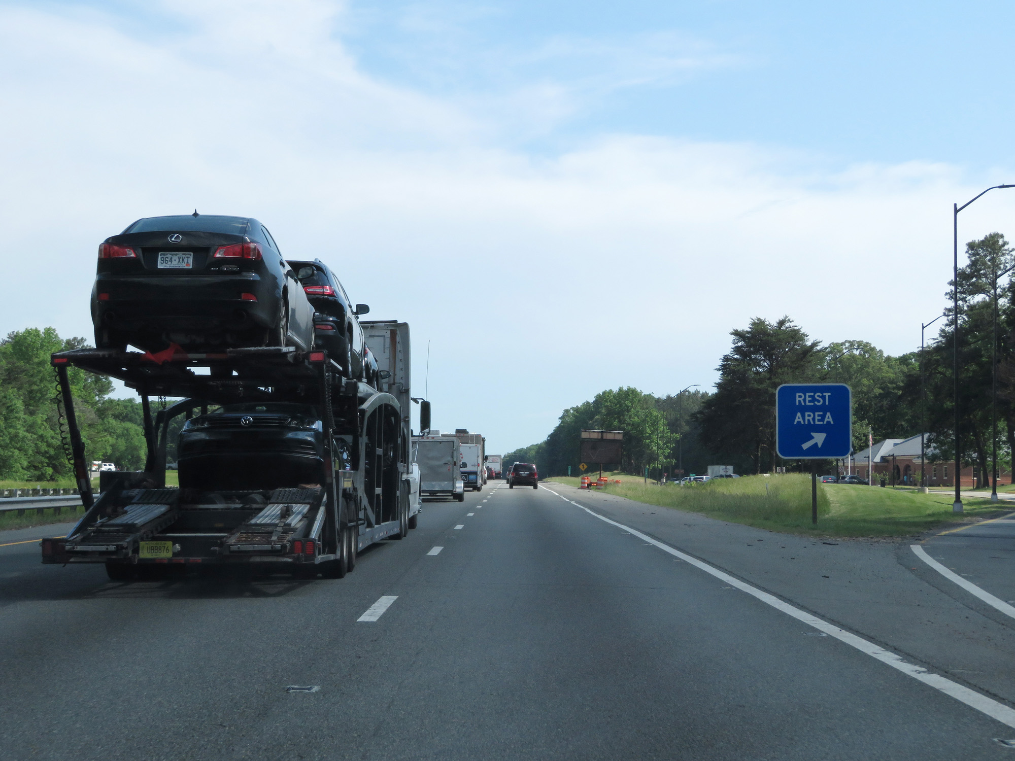 |
Interstate 95 South at the Rest Area in Caroline County. (Photo taken 5/19/17). |
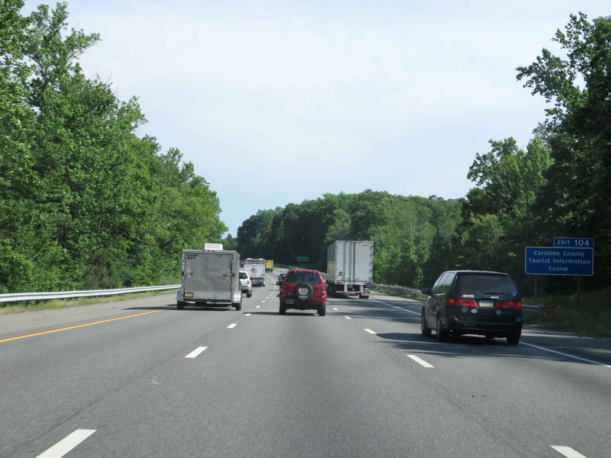 |
Take Exit 104 to the Caroline County Tourist Information Center. (Photo taken 5/19/17). |
 |
Also take Exit 104 to Fort AP Hill. (Photo taken 5/19/17). |
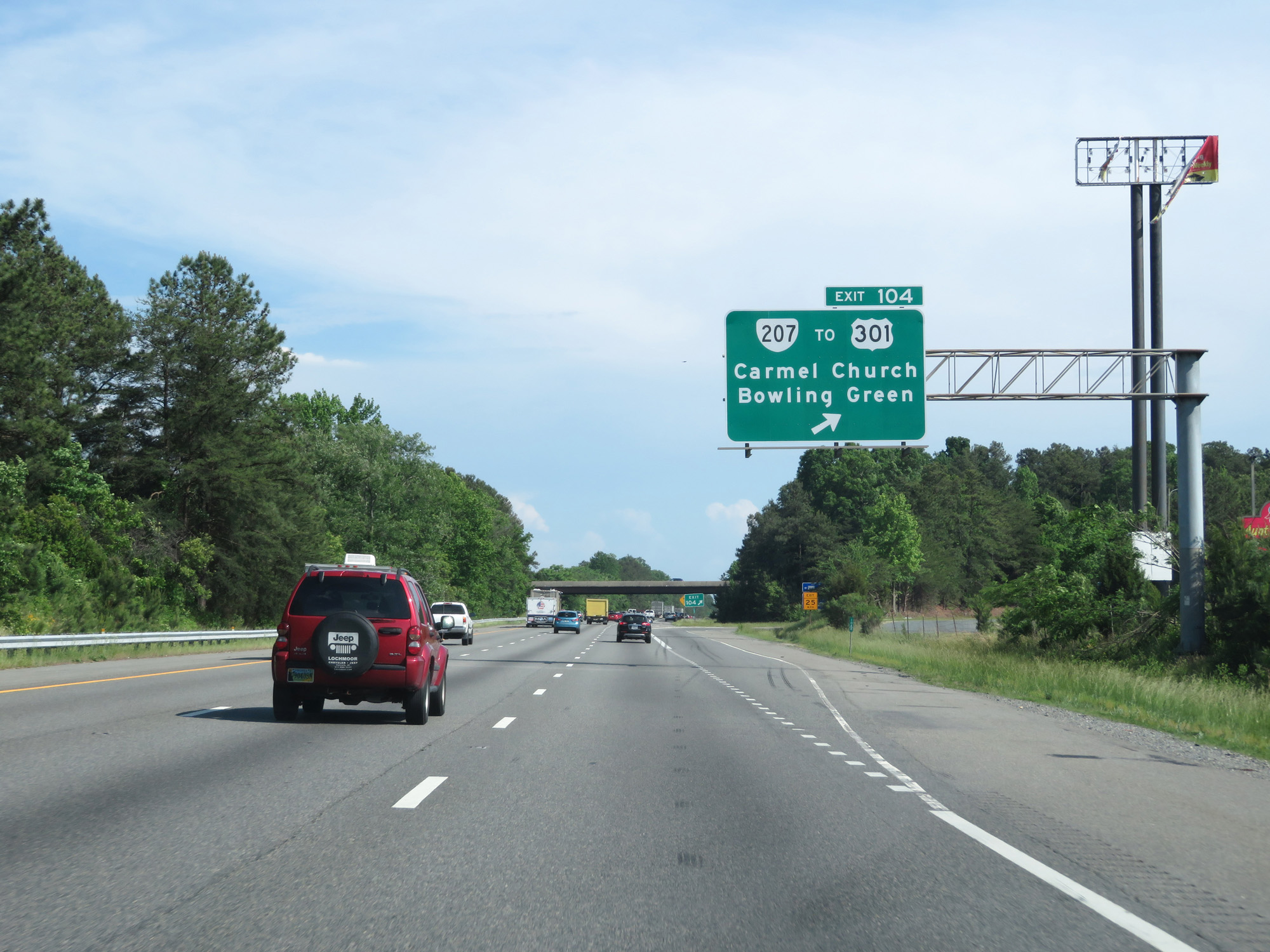 |
Interstate 95 South at Exit 104: VA 207 / To US 301 - Carmel Church / Bowling Green (Photo taken 5/19/17). |
 |
Interstate 95 South as it enters Hanover County at mile marker 101.2. (Photo taken 5/19/17). |
 |
Interstate 95 South at Exit 98: VA 30 - Doswell / West Point / Kings Dominion (Photo taken 5/19/17). |
 |
Interstate 95 South at mile marker 96. (Photo taken 5/19/17). |
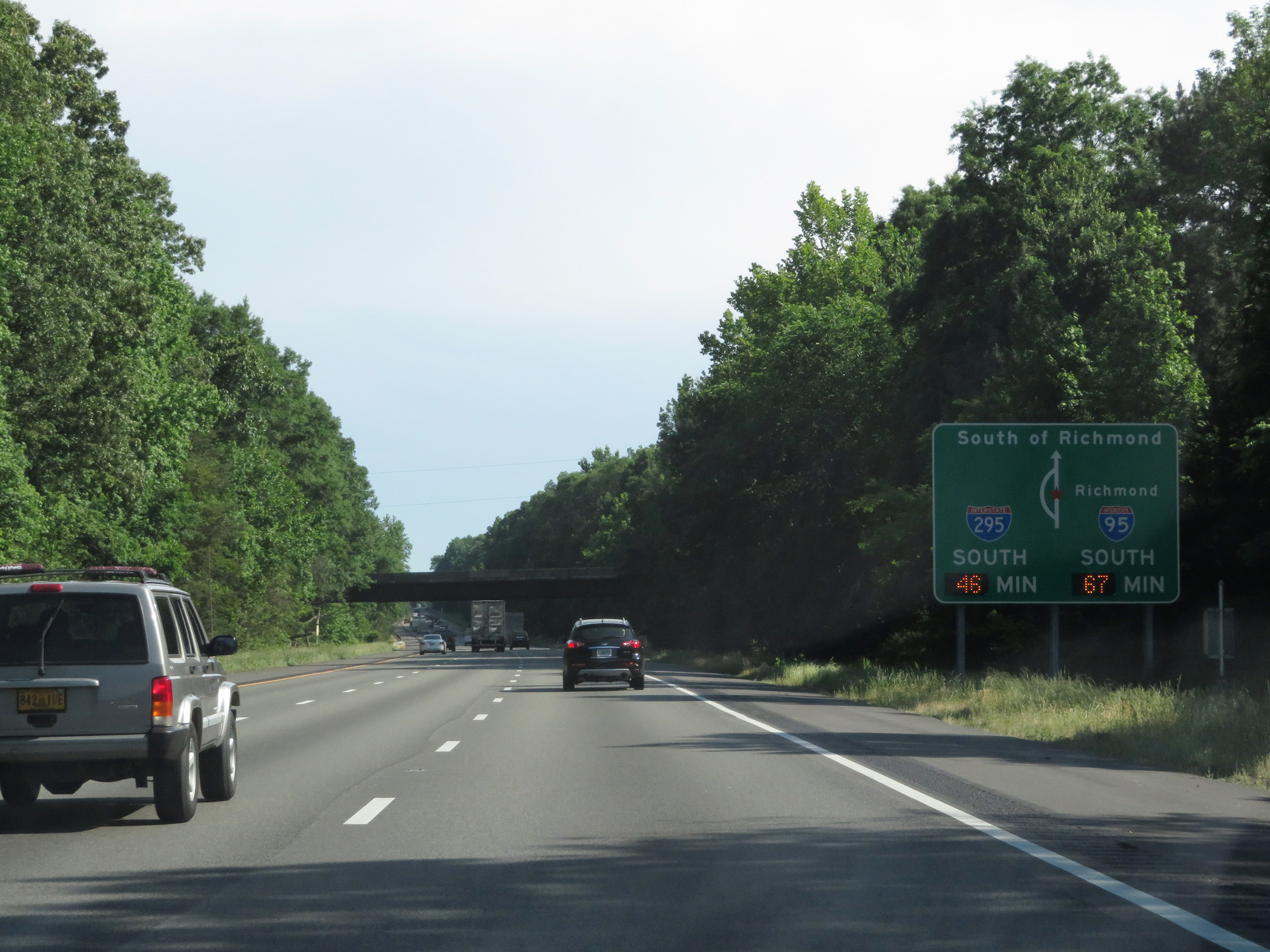 |
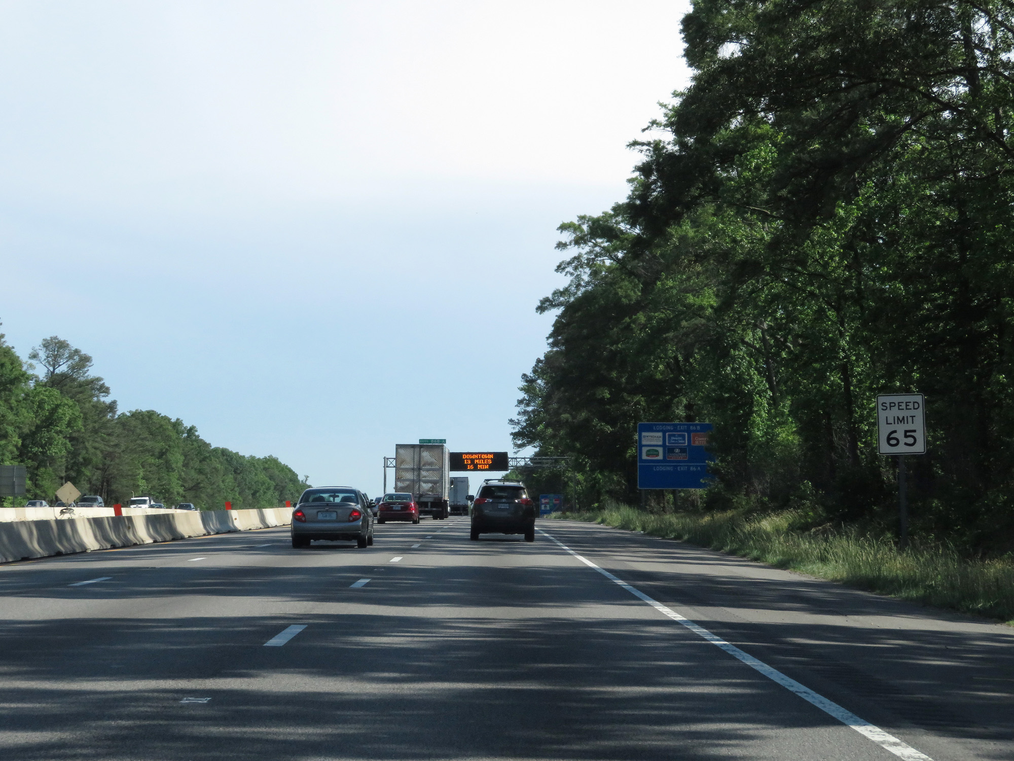
This sign shows the current travel times to the south of Richmond via Interstate 95 South and Interstate 295 South. (Photo taken 5/19/17). |
 |
Take Exit 92 to Scotchtown Hanover Tavern. (Photo taken 5/19/17). |
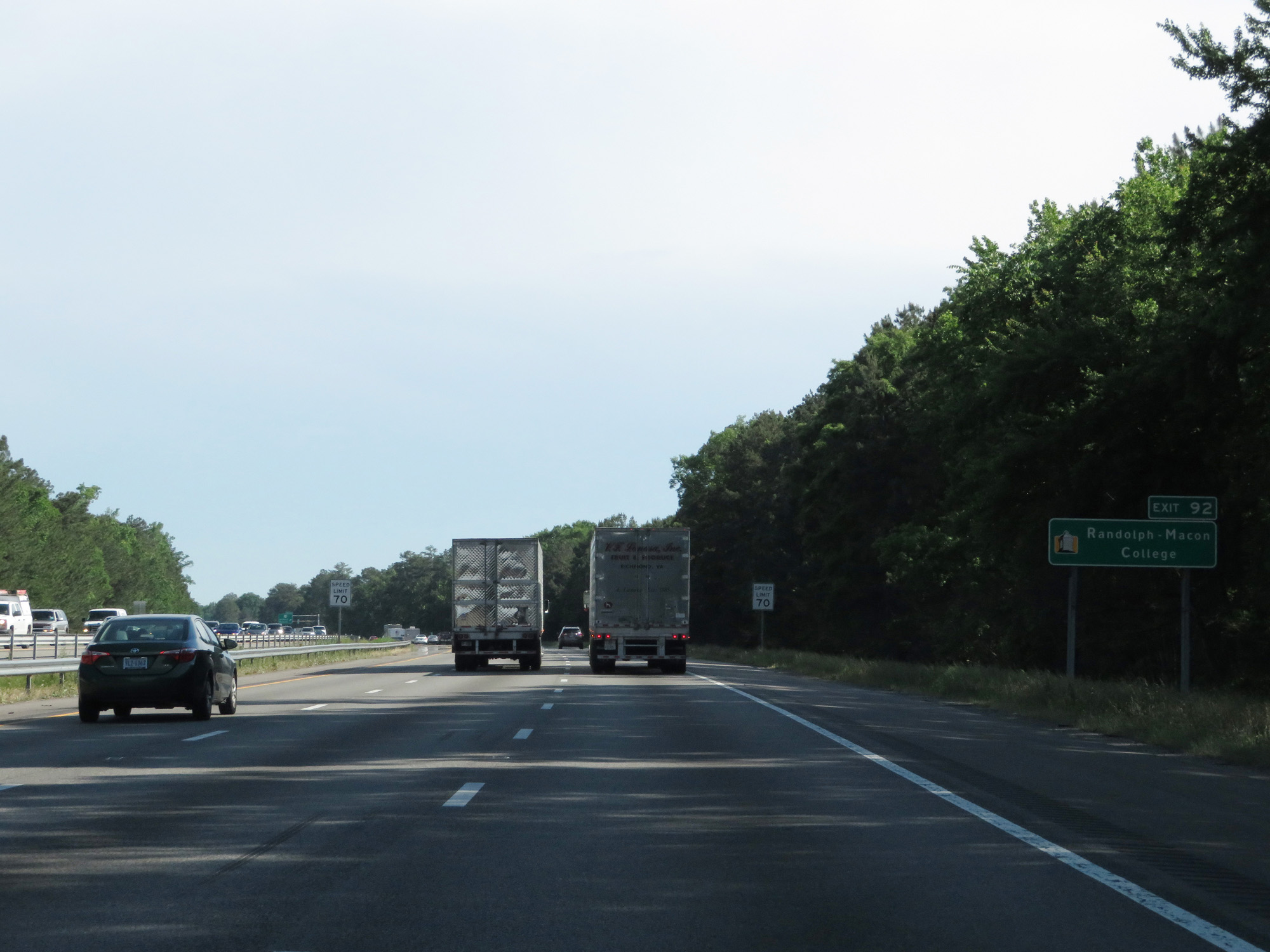 |
Also take Exit 92 to Randolph-Macon College. (Photo taken 5/19/17). |
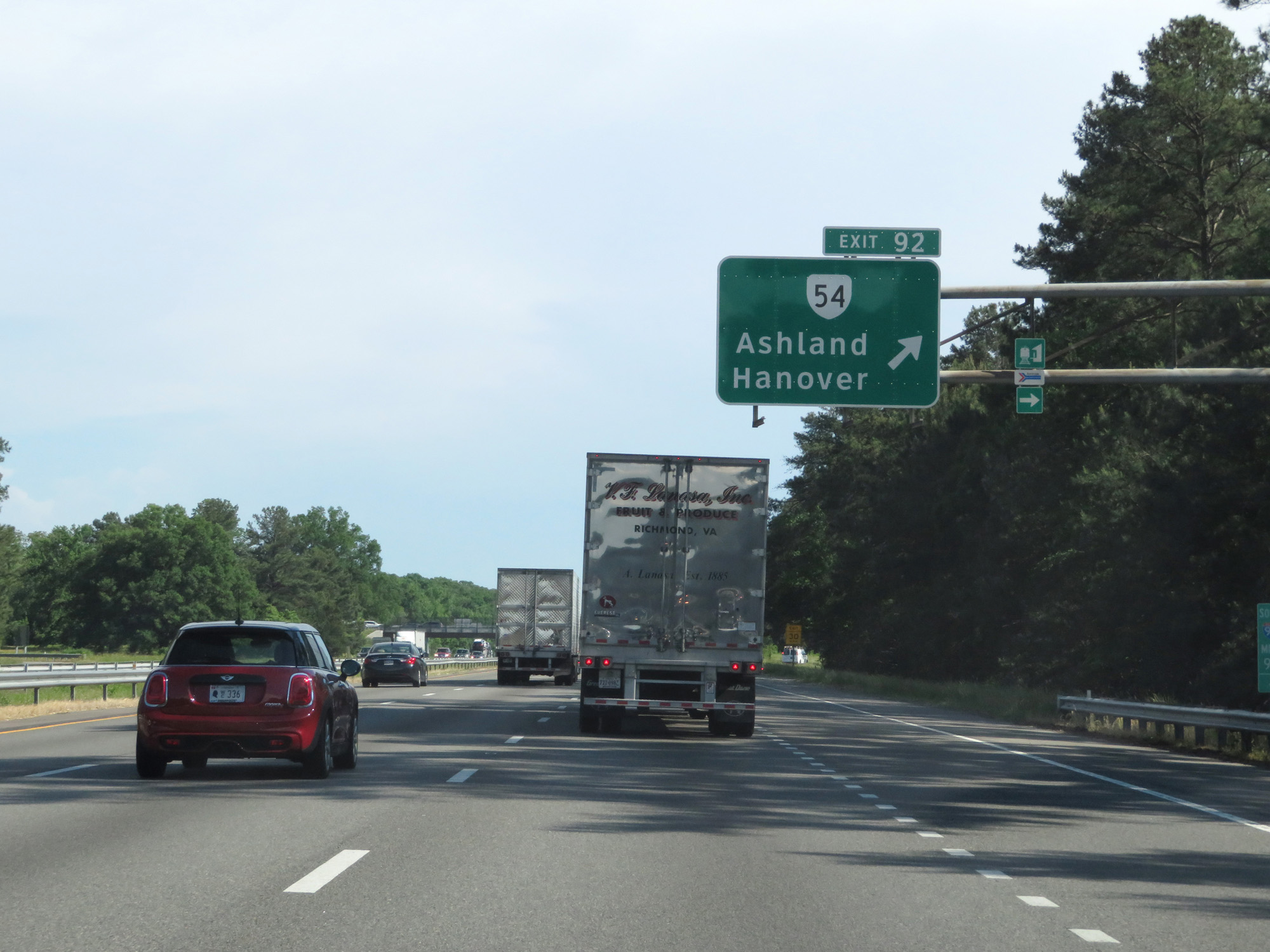 |
Interstate 95 South at Exit 92: VA 54 - Ashland / Hanover (Photo taken 5/19/17). |
Section 3: Ashland (Exit 92) to Hopewell (Exit 61A)
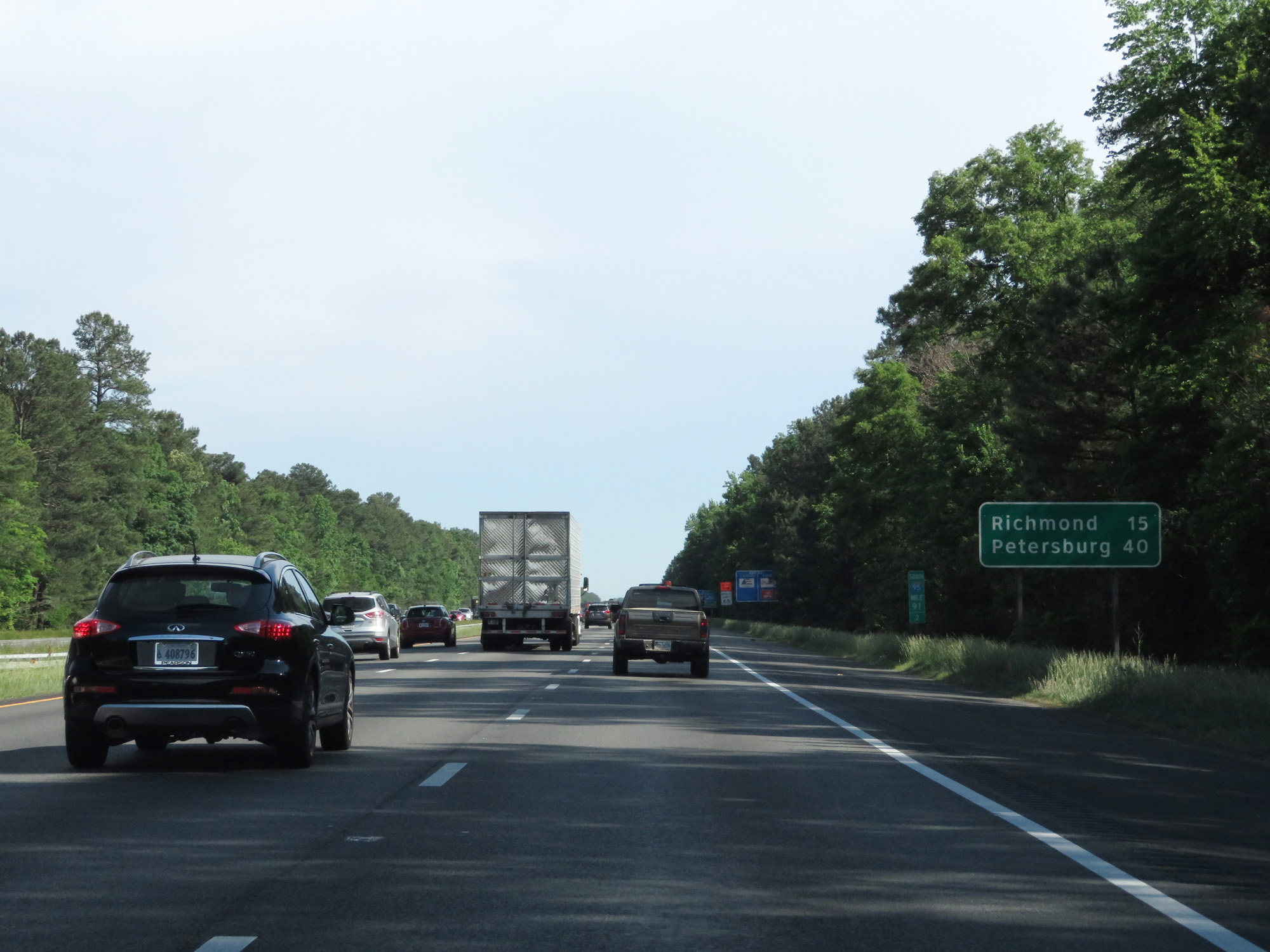 |
Mileage sign on Interstate 95 South. It's 15 miles to Richmond and 40 miles to Petersburg. (Photo taken 5/19/17). |
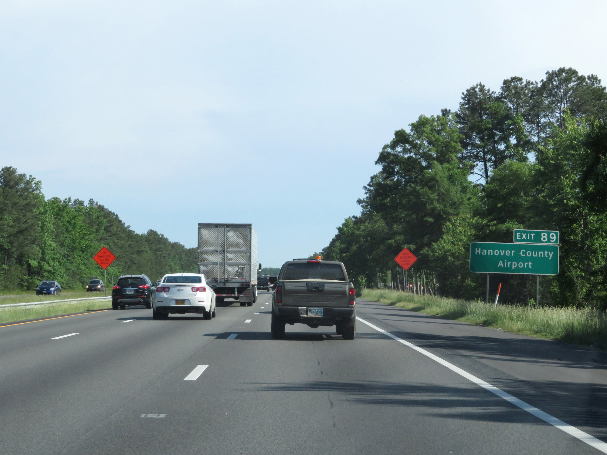 |
Take Exit 89 to Hanover County Airport. (Photo taken 5/19/17). |
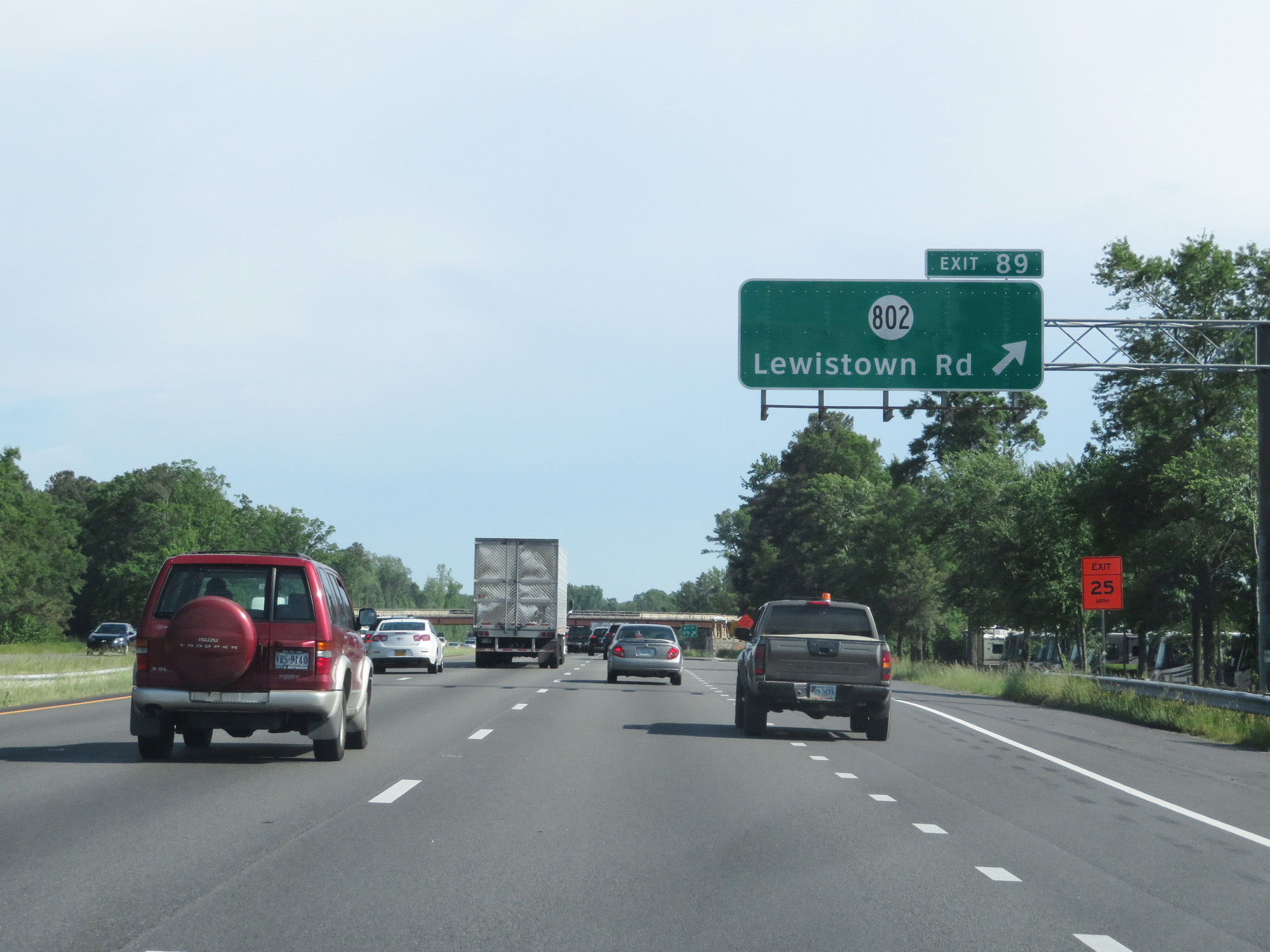 |
Interstate 95 South at Exit 89: SR 802 - Lewistown Rd (Photo taken 5/19/17). |
 |
South of Exit 89, the speed limit decreases to 65 mph. (Photo taken 5/19/17). |
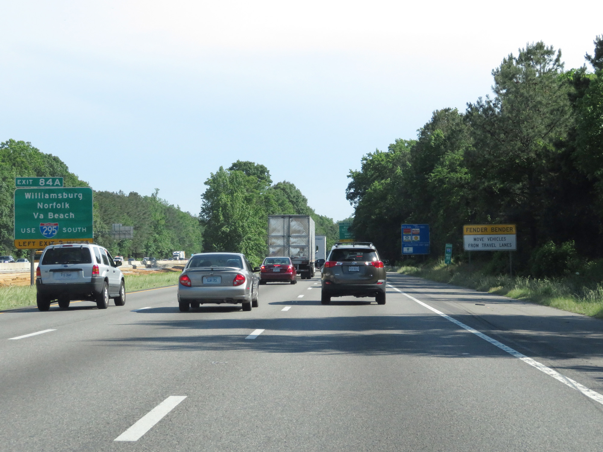 |
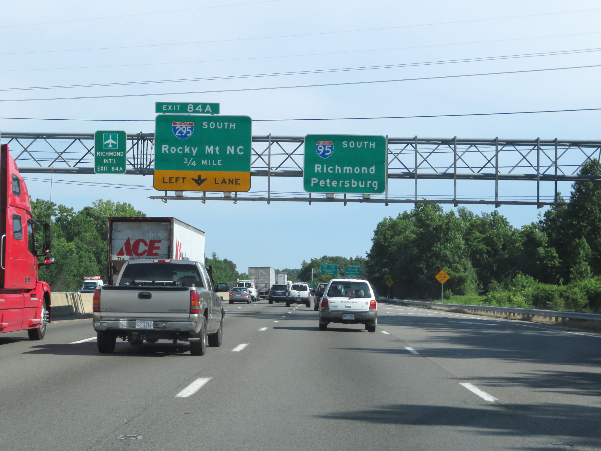
Take Exit 84A for Interstate 295 South toward Williamsburg, Norfolk, and Virginia Beach. (Photo taken 5/19/17). |
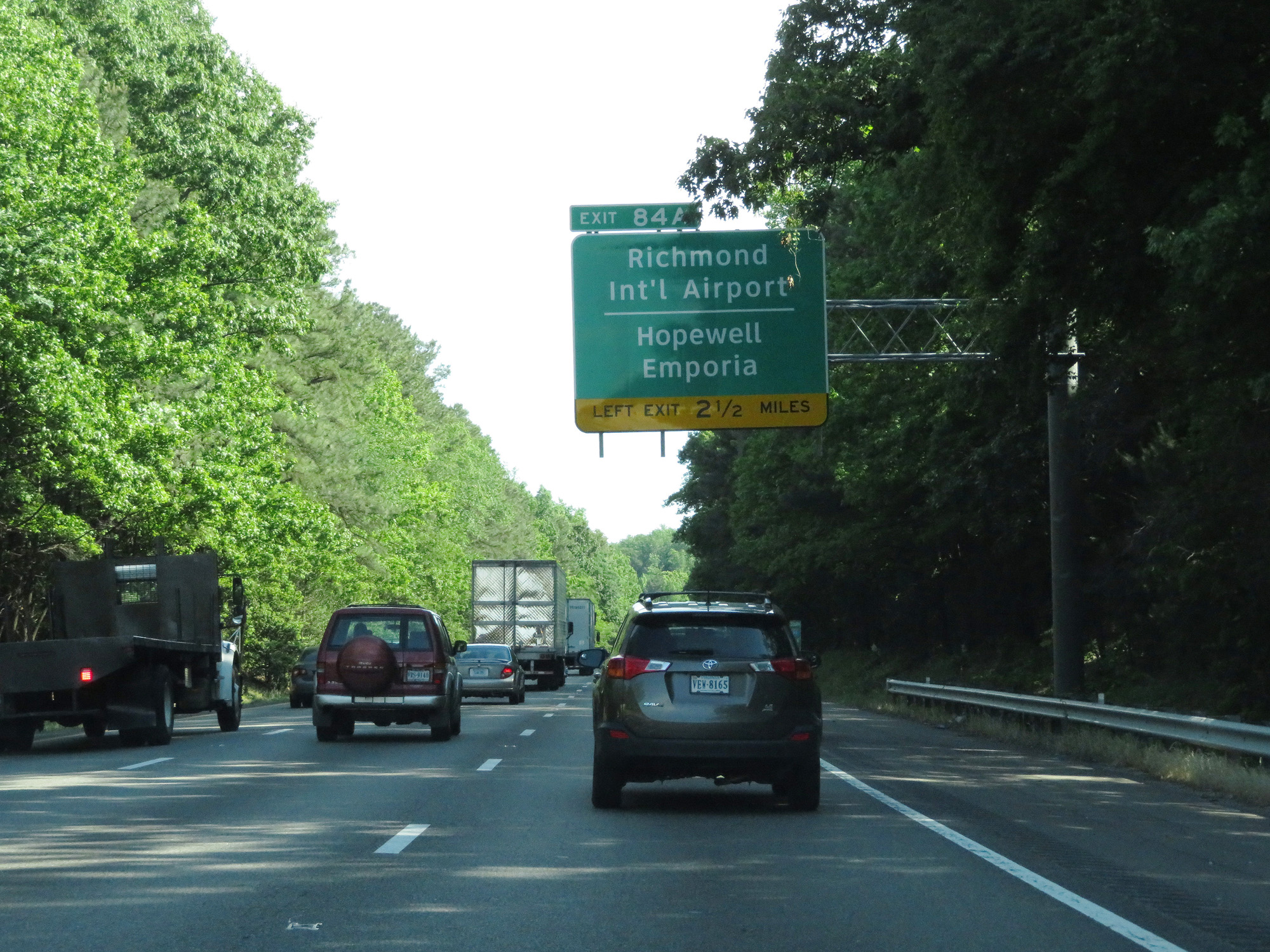 |
Also take Exit 84A and use Interstate 295 South to Richmond International Airport, Hopewell, and Emporia. (Photo taken 5/19/17). |
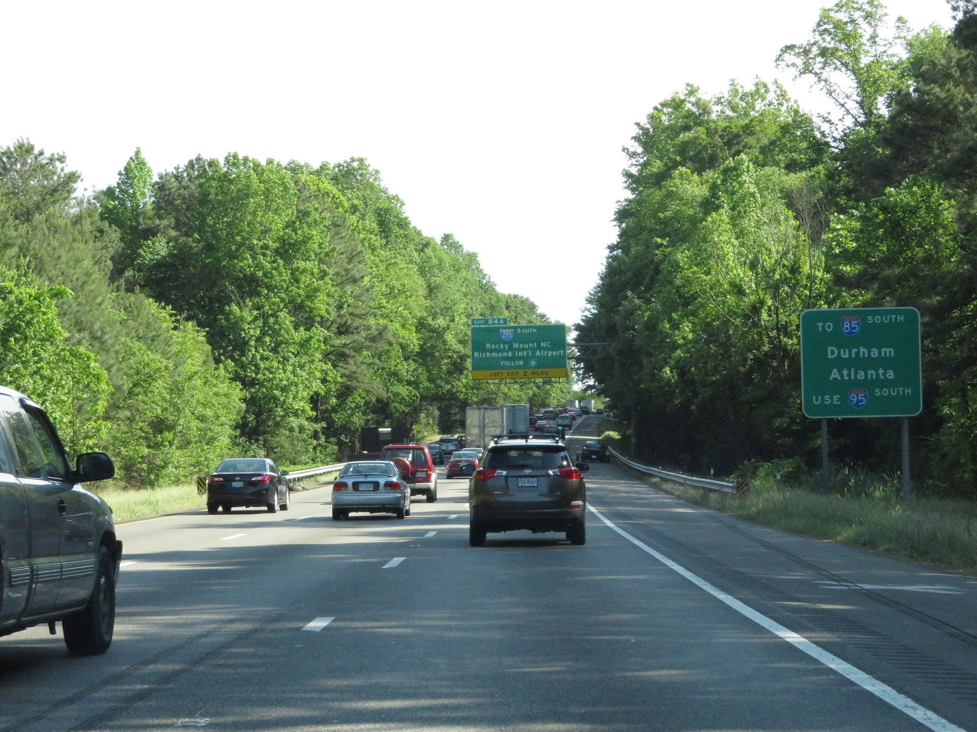 |
Traffic headed to Interstate 85 South toward Atlanta should remain on Interstate 95 South. (Photo taken 5/19/17). |
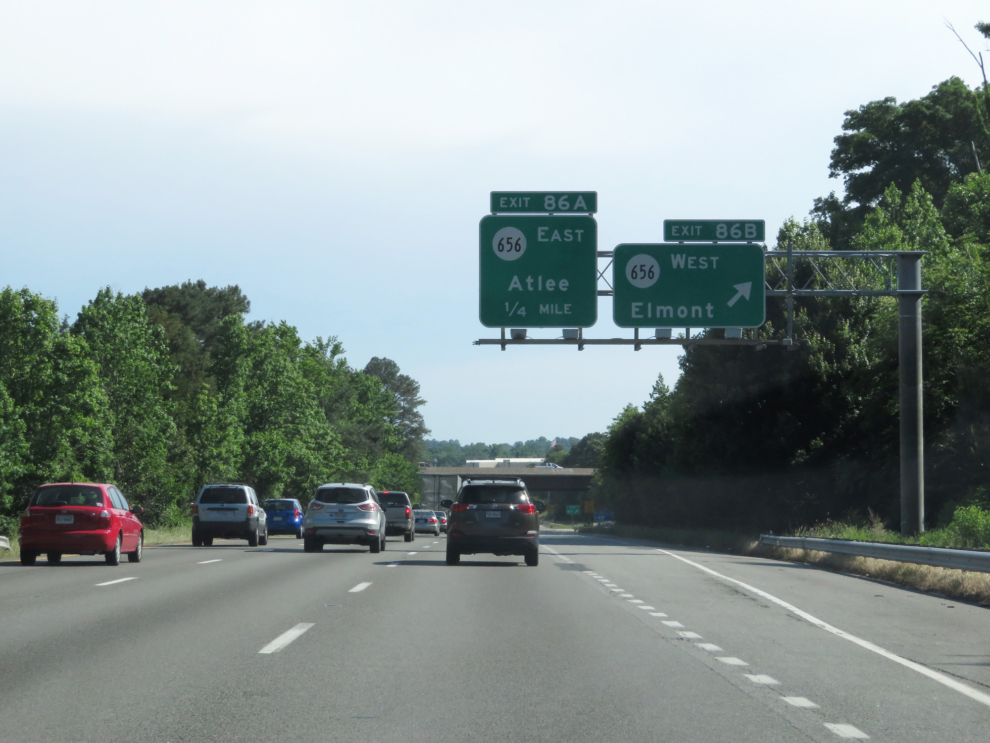 |
Interstate 95 South at Exit 86B: SR 656 West - Elmont (Photo taken 5/19/17). |
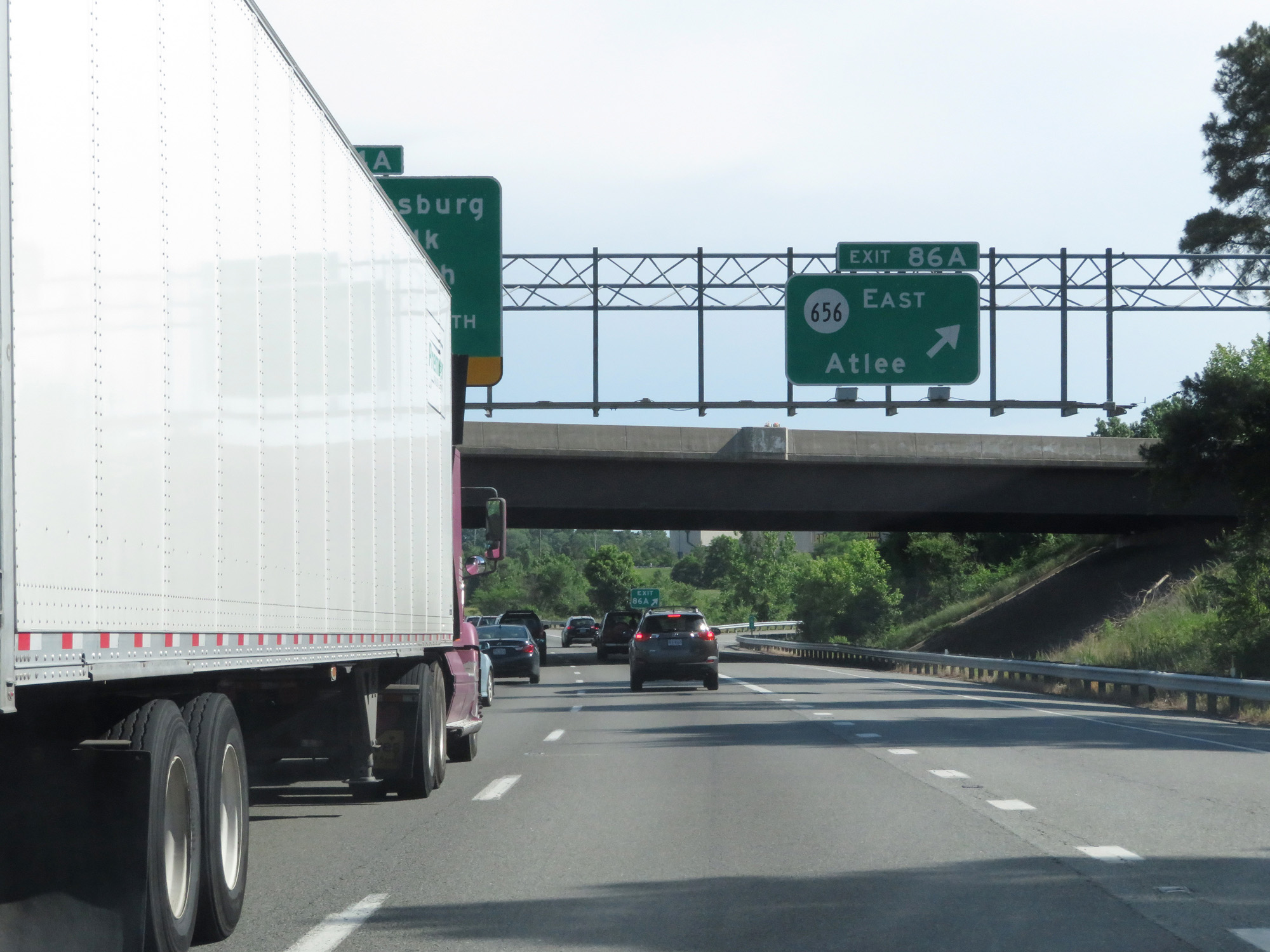 |
Interstate 95 South at Exit 86A: SR 656 East - Atlee (Photo taken 5/19/17). |
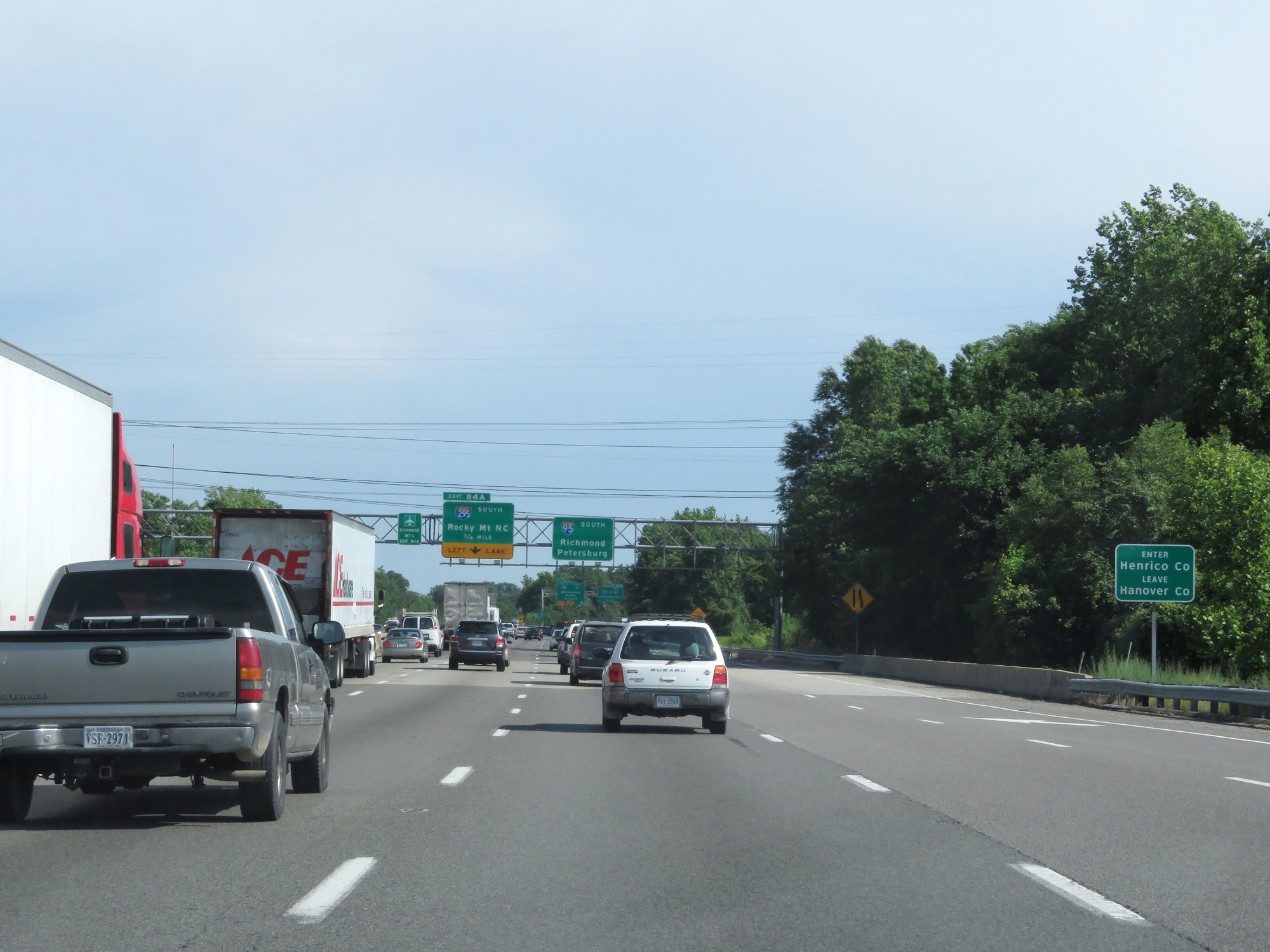 |
Interstate 95 South entering Henrico County. (Photo taken 5/19/17). |
 |
Interstate 95 South approaching Exit 84A - 3/4 mile on the left. (Photo taken 5/19/17). |
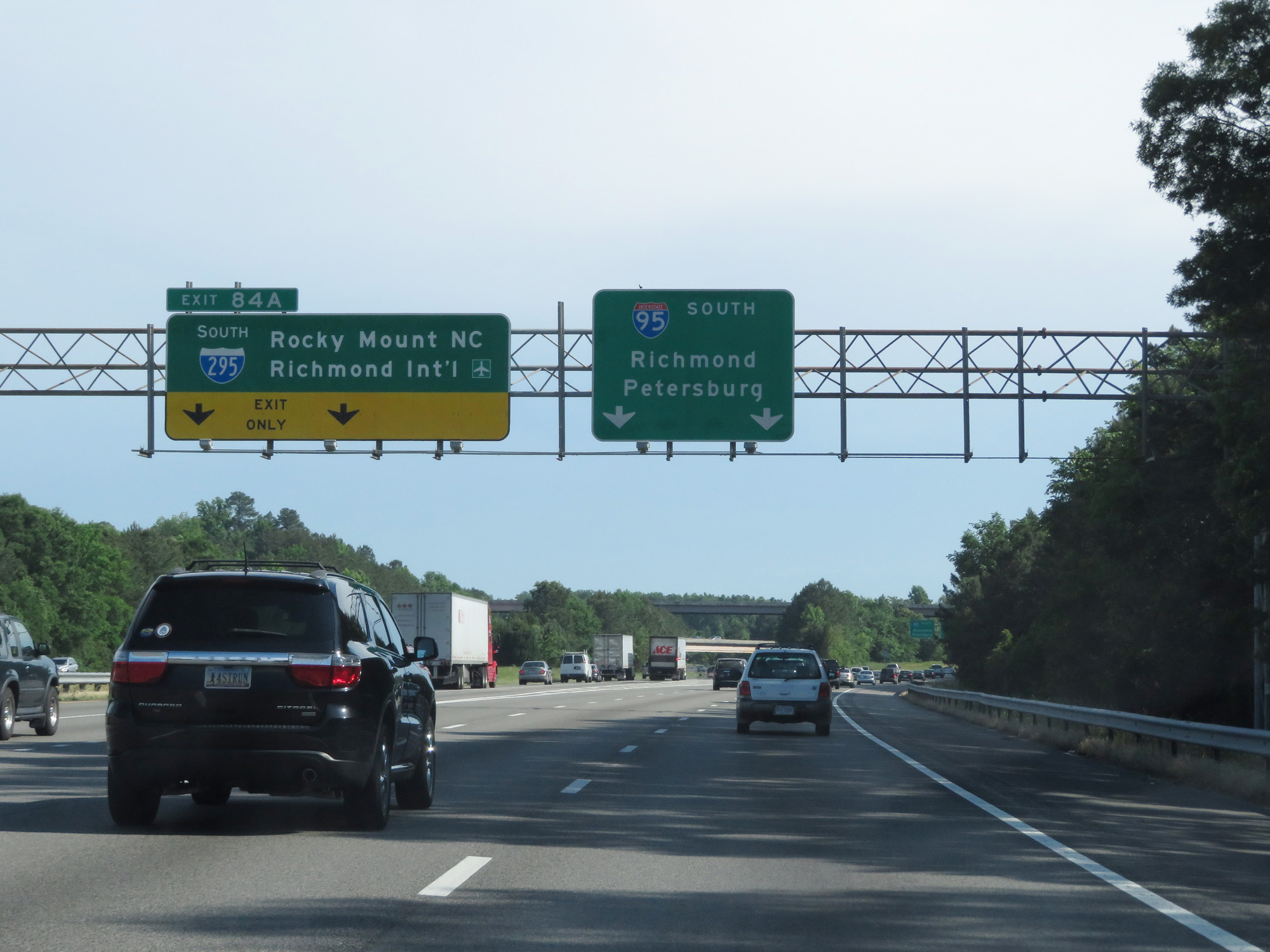 |
Interstate 95 South at Exit 84A: Interstate 295 South - Rocky Mount / Richmond International Airport (Photo taken 5/19/17). |
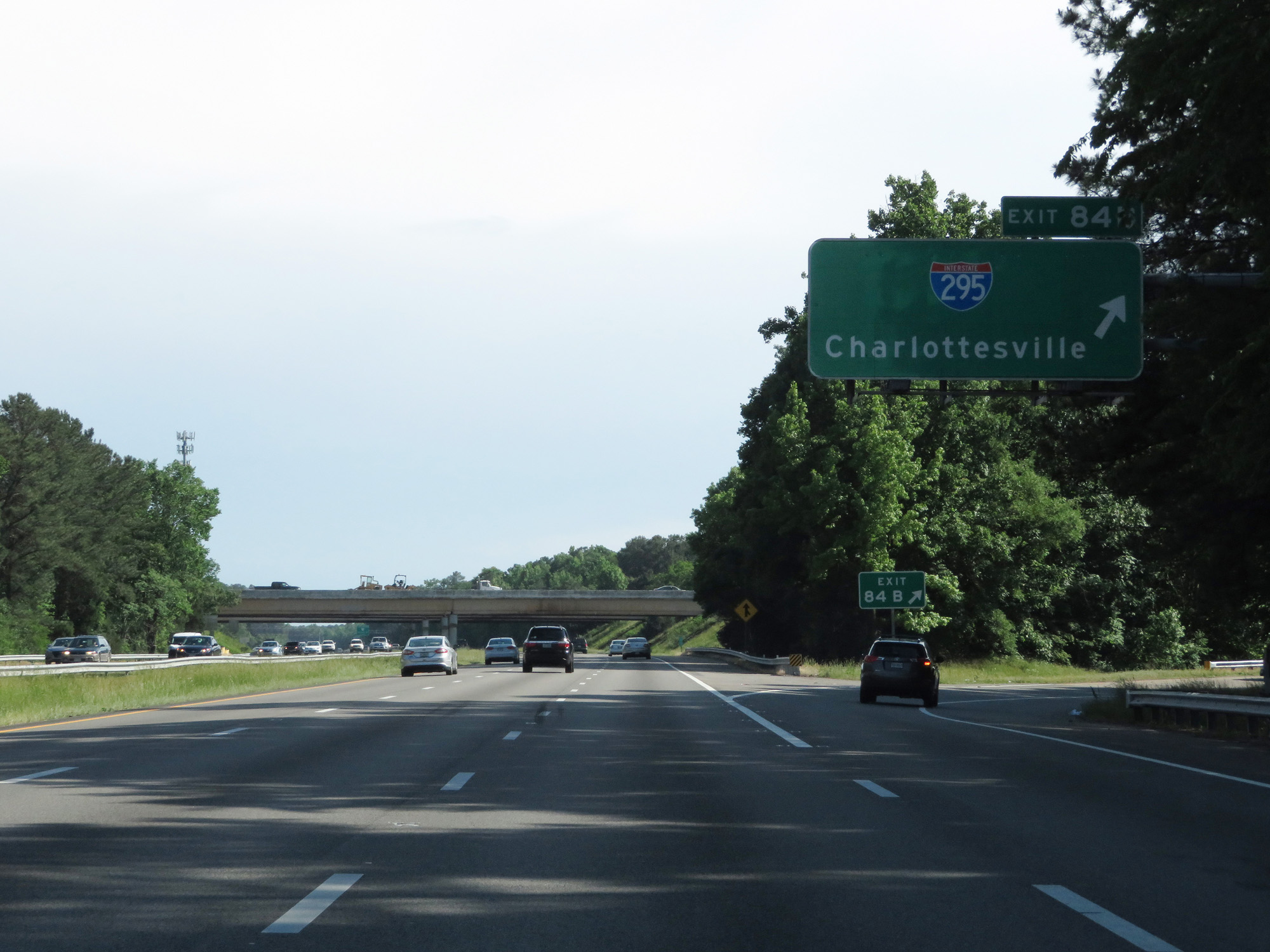 |
Interstate 95 South at Exit 84B: Interstate 295 - Charlottesville (Photo taken 5/19/17). |
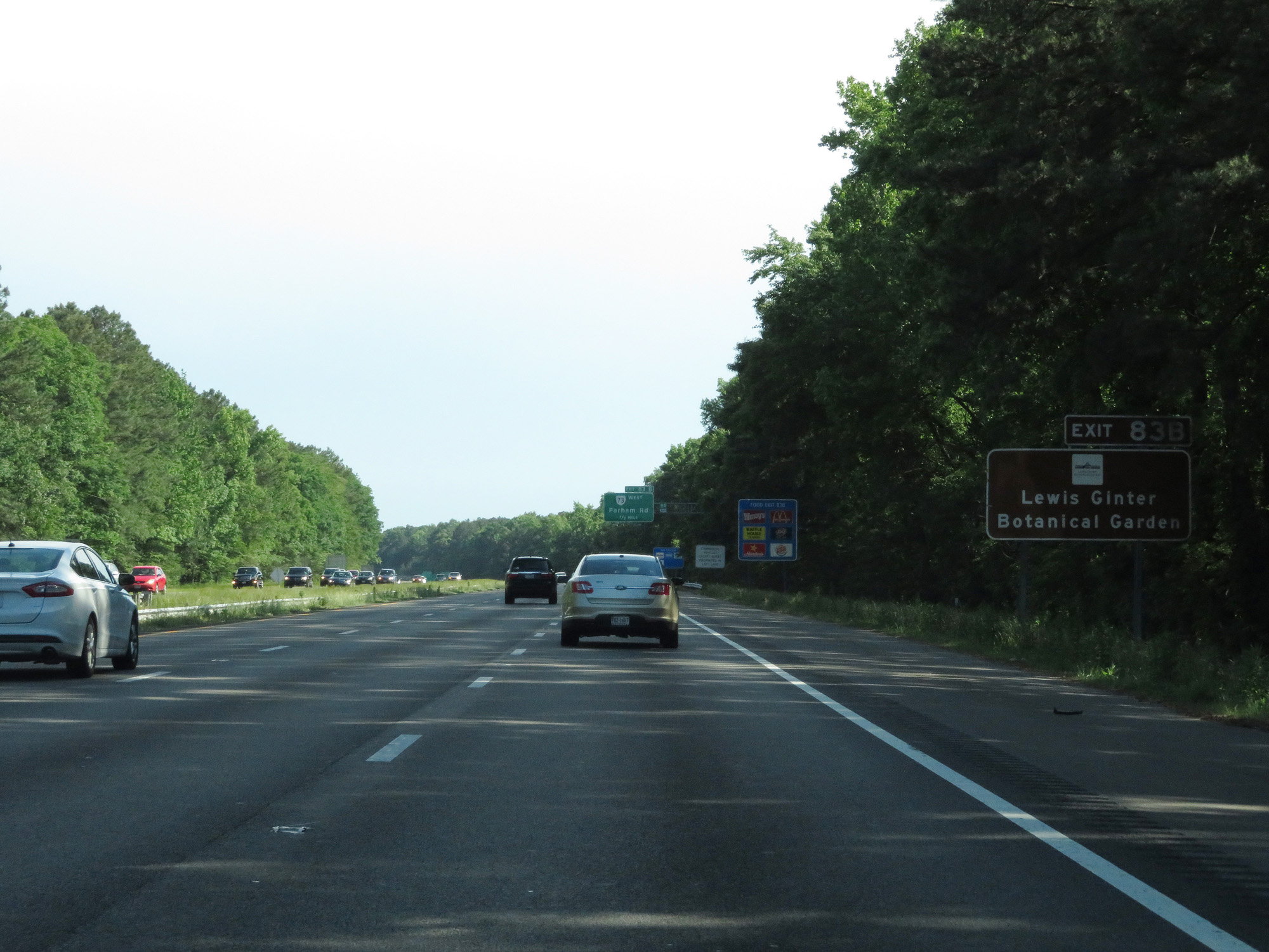 |
Take Exit 83B to Lewis Ginter Botanical Garden. (Photo taken 5/19/17). |
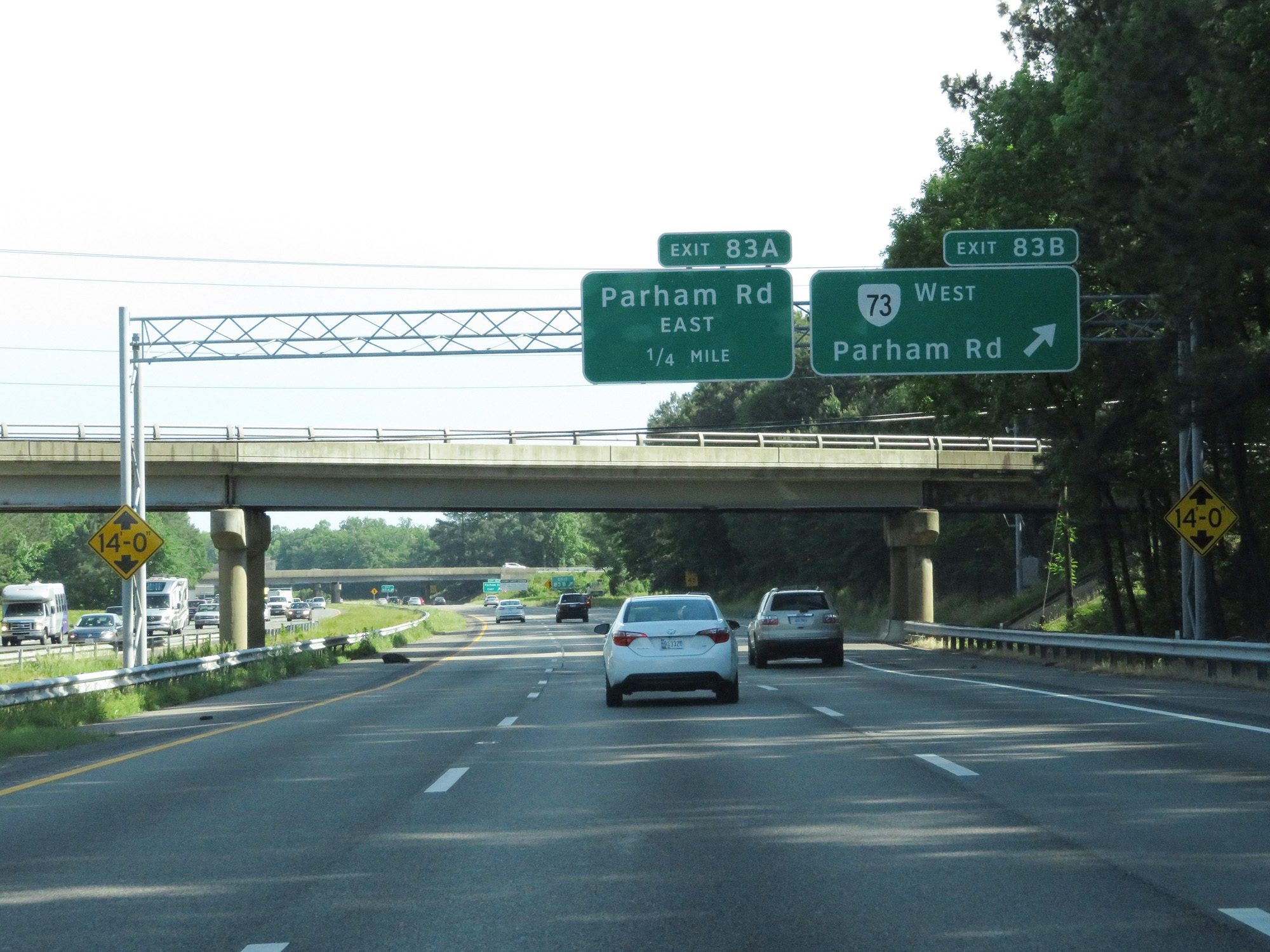 |
Interstate 95 South at Exit 83B: VA 73 West - Parham Rd (Photo taken 5/19/17). |
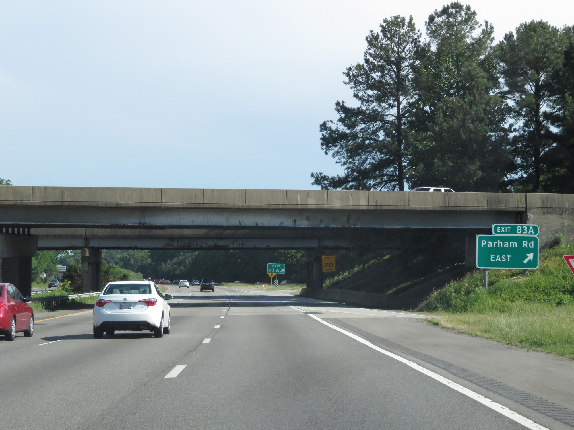 |
Interstate 95 South at Exit 83A: Parham Rd East (Photo taken 5/19/17). |
 |
Interstate 95 South at Exit 82: US 301 - Chamberlayne Avenue (Photo taken 5/19/17). |
 |
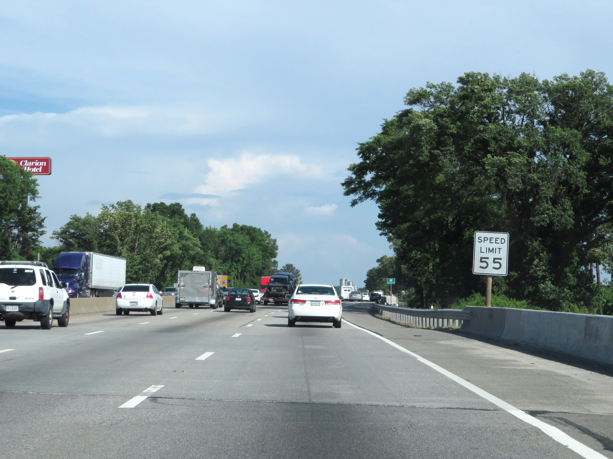
The speed limit decreases to 55 mph as Interstate 95 South approaches downtown Richmond. (Photo taken 5/19/17). |
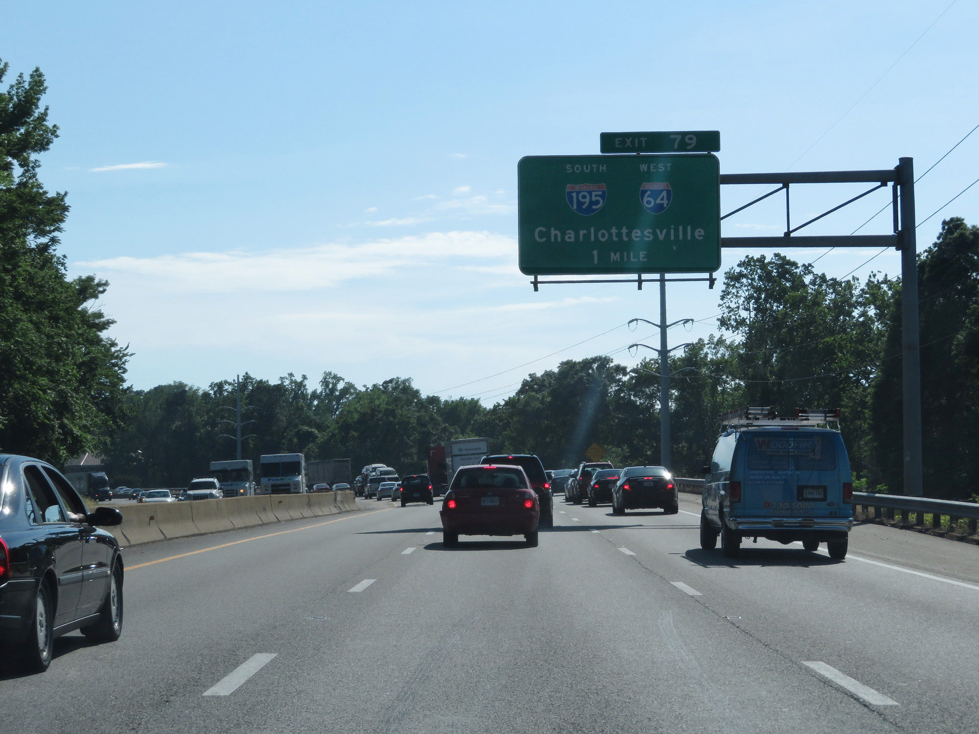 |
Interstate 95 South approaching Exit 79 - 1 mile. (Photo taken 5/19/17). |
 |
Interstate 95 South as it enters the Richmond city limits. (Photo taken 5/19/17). |
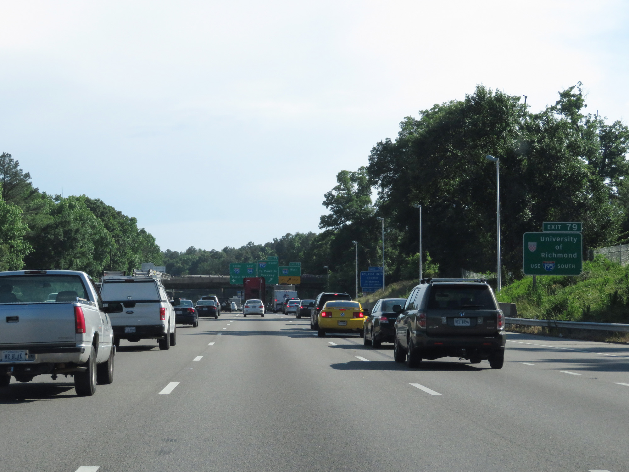 |
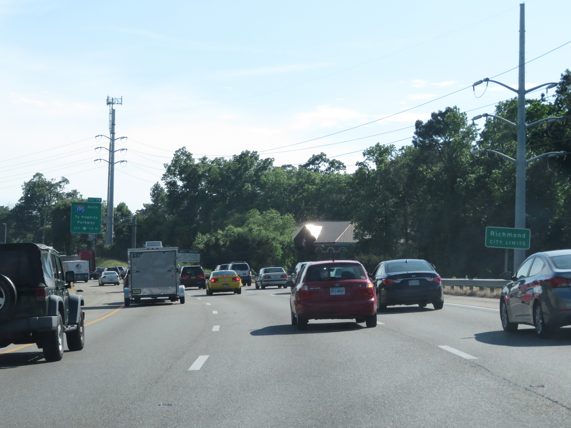
Take Exit 79 and follow Interstate 195 South to the University of Richmond. (Photo taken 5/19/17). |
 |
Interstate 95 South at Exit 79: Interstate 64 West (Photo taken 5/19/17). |
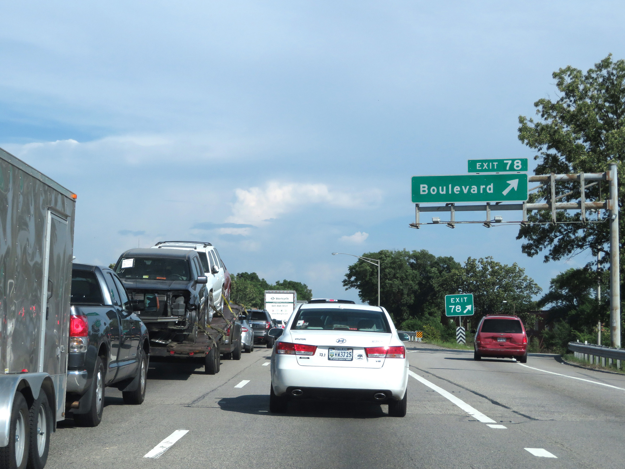 |
Interstate 95 South / Interstate 64 East at Exit 78: Boulevard (Photo taken 5/19/17). |
 |
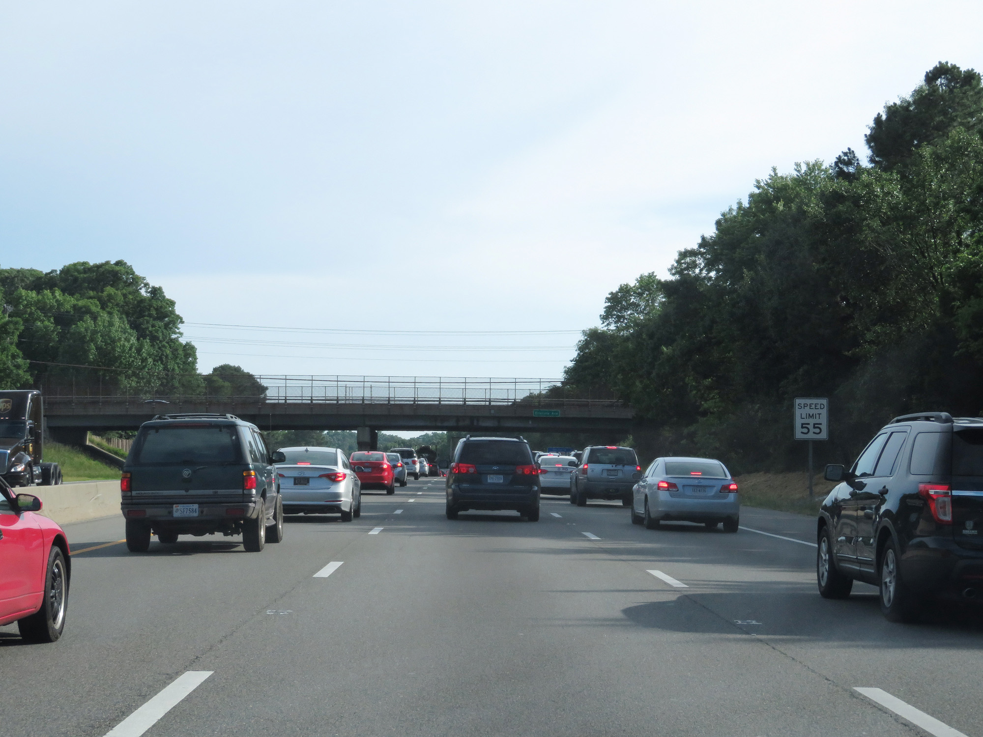
The speed limit remains 55 mph through downtown Richmond. (Photo taken 5/19/17). |
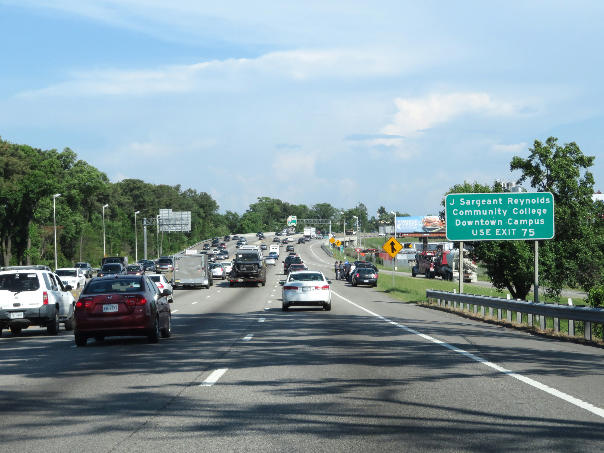 |
Take Exit 75 to J Sargeant Reynolds Community College Downtown Campus. (Photo taken 5/19/17). |
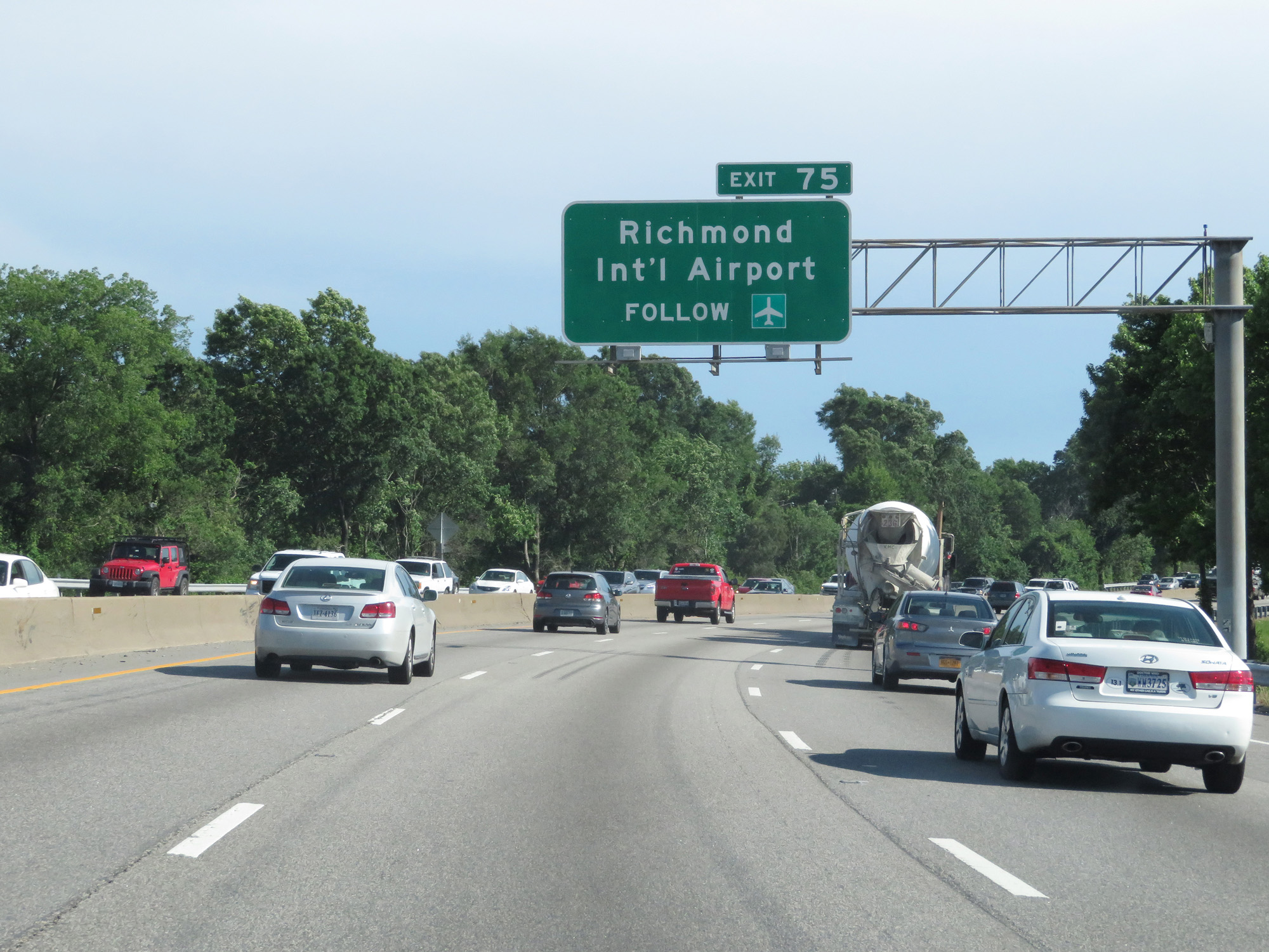 |
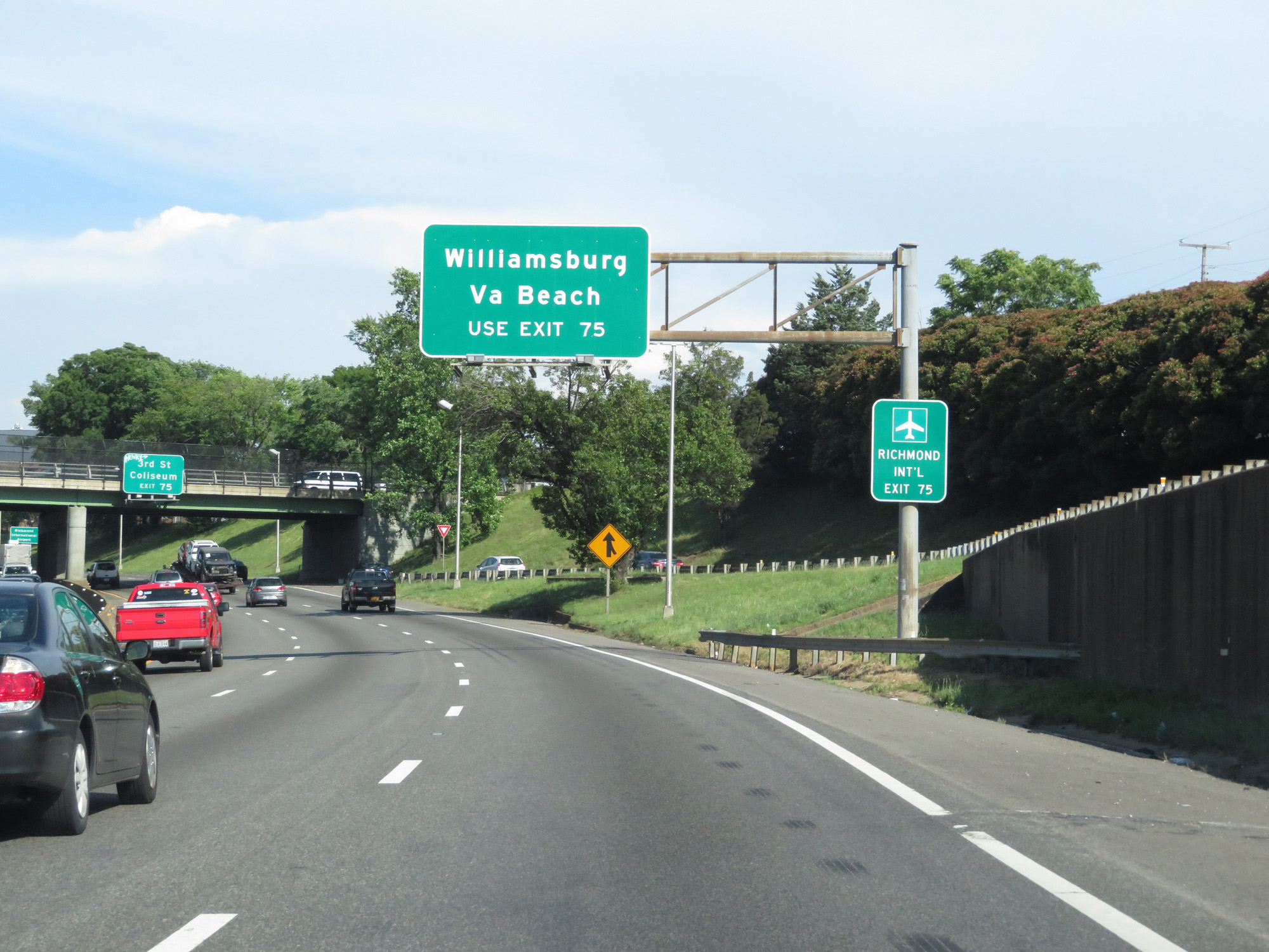
Take Exit 75 (Interstate 64 East) to Richmond International Airport. (Photo taken 5/19/17). |
 |
Overhead sign listing the distances to the three upcoming exits. (Photo taken 5/19/17). |
 |
Take Exit 75 for Interstate 64 East to Williamsburg and Norfolk. (Photo taken 5/19/17). |
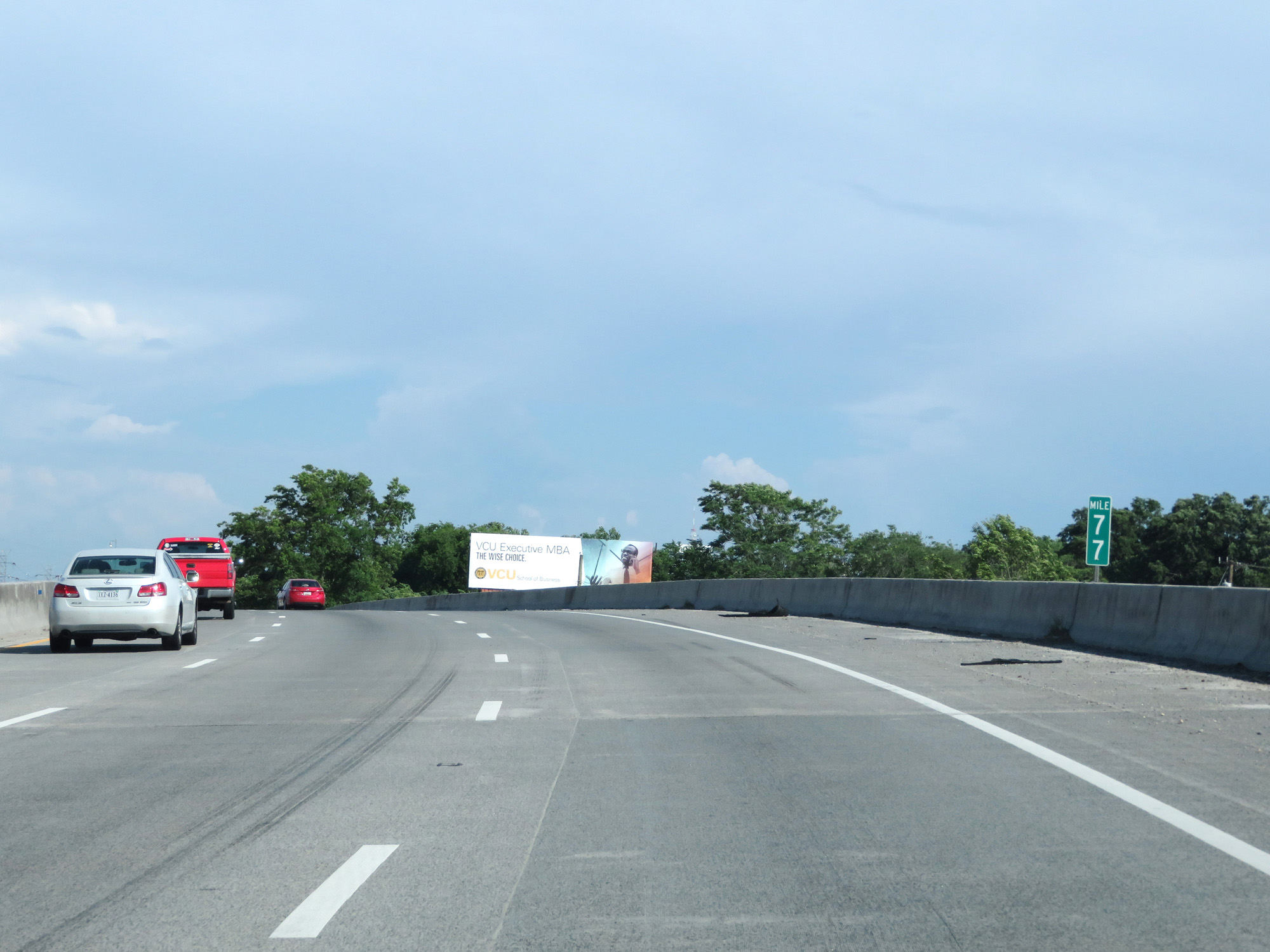 |
Interstate 95 South / Interstate 64 East at mile marker 77. (Photo taken 5/19/17). |
 |
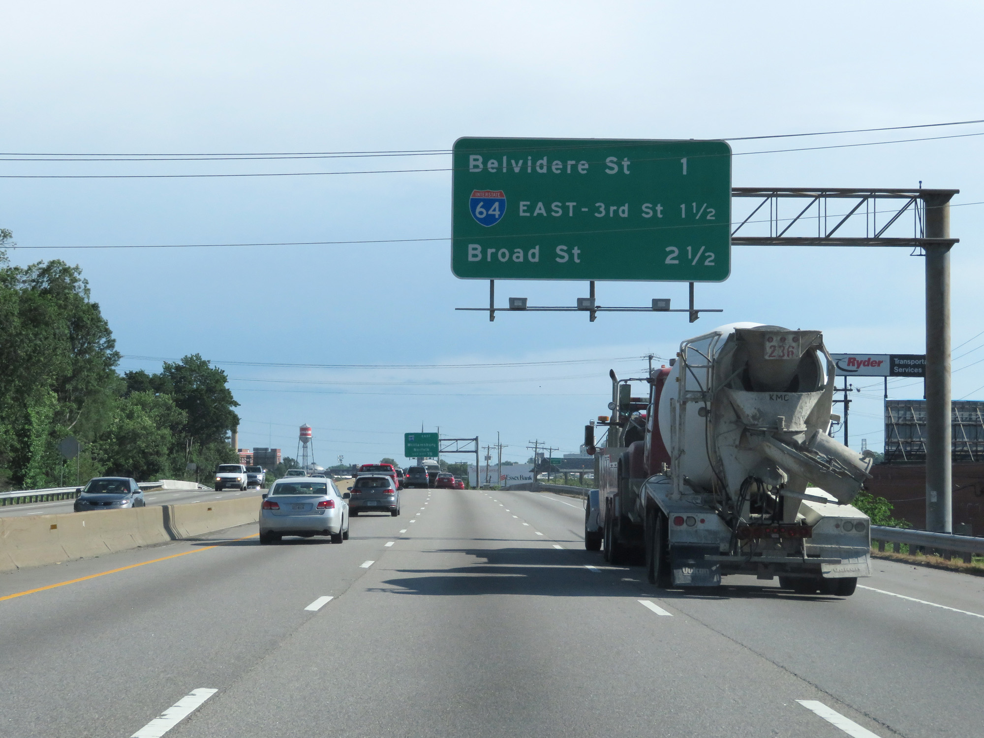
Interstate 95 South / Interstate 64 East at Exit 76B: US 1 / US 301 - Belvidere St (Photo taken 5/19/17). |
 |
Interstate 95 South / Interstate 64 East approaching Exit 75 - 1/2 mile. (Photo taken 5/19/17). |
 |
Take Exit 75 and follow Interstate 64 East to Williamsburg and Virginia Beach. (Photo taken 5/19/17). |
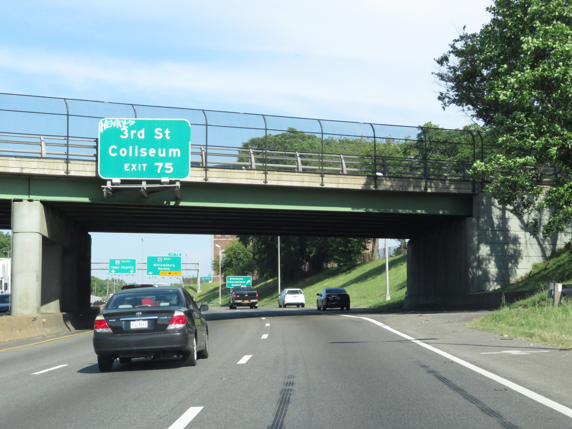 |
Take Exit 75 to 3rd St and the Coliseum as well. (Photo taken 5/19/17). |
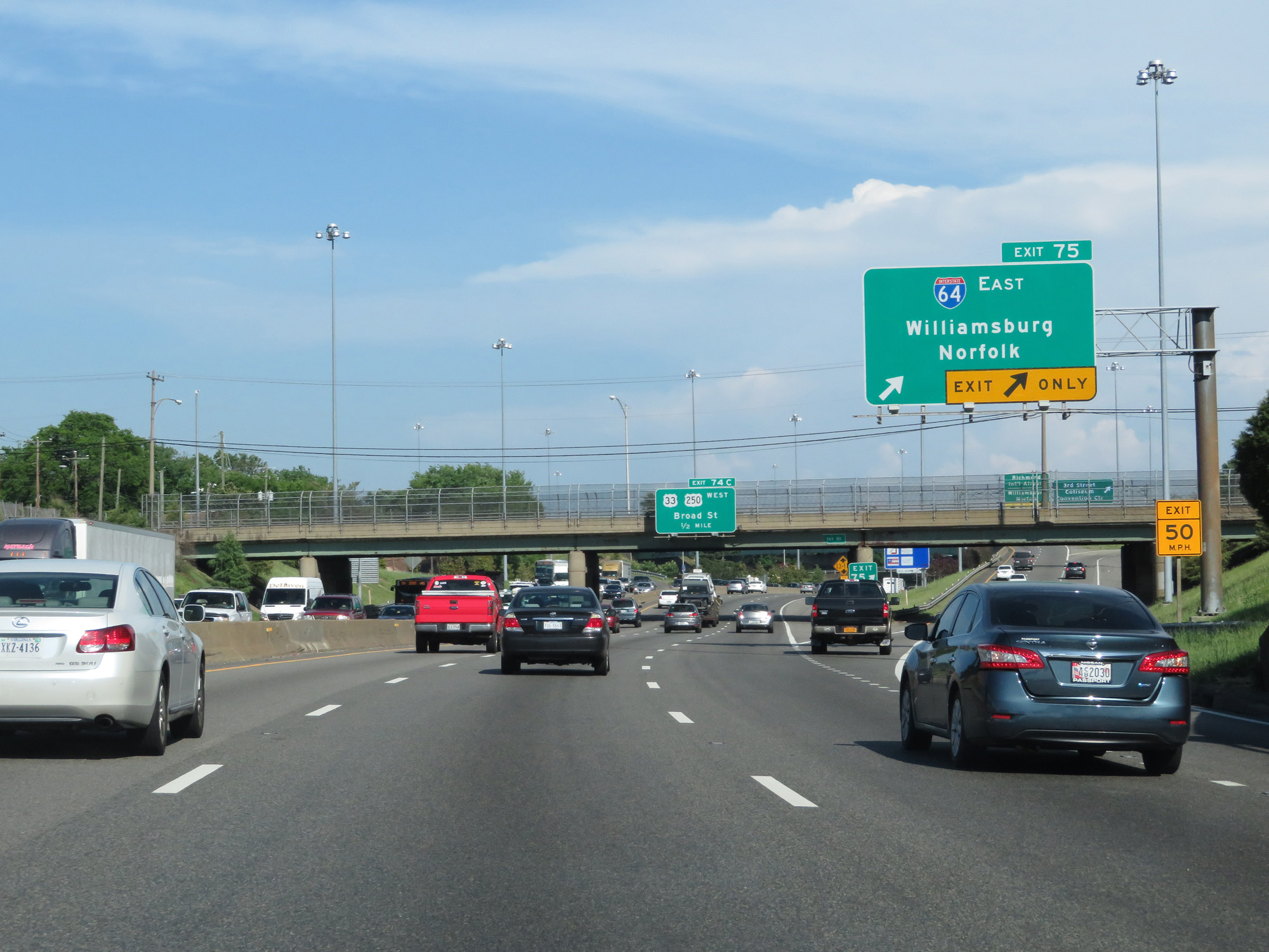 |
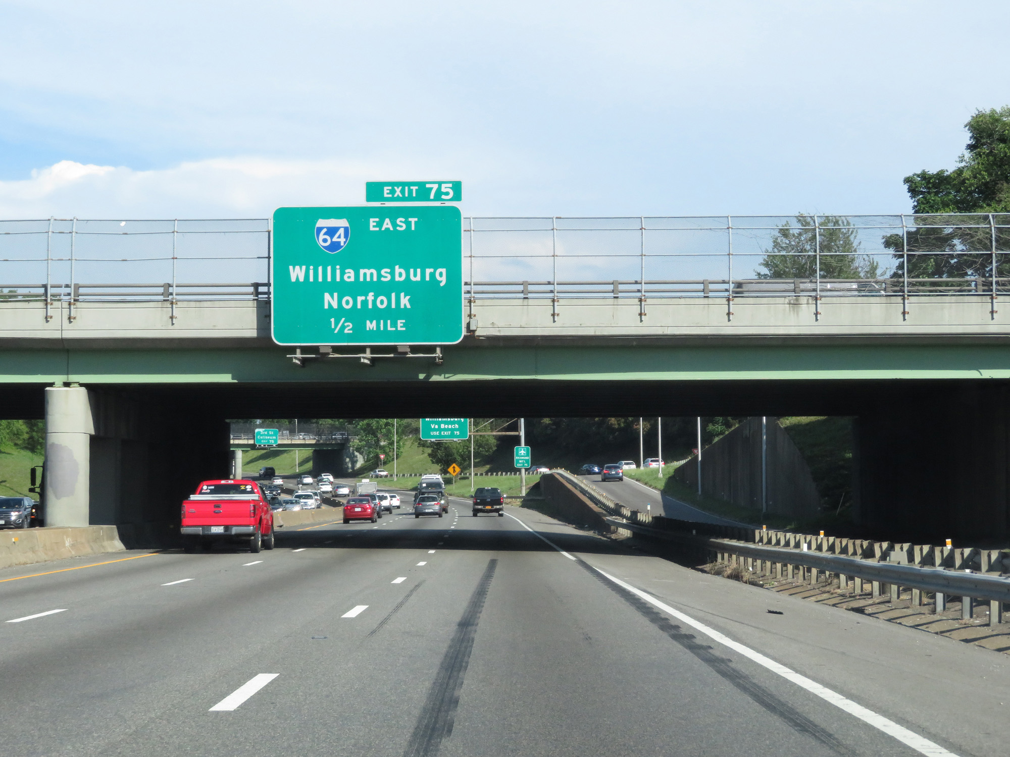
Interstate 95 South / Interstate 64 East at Exit 75: Interstate 64 East - Williamsburg / Norfolk (Photo taken 5/19/17). |
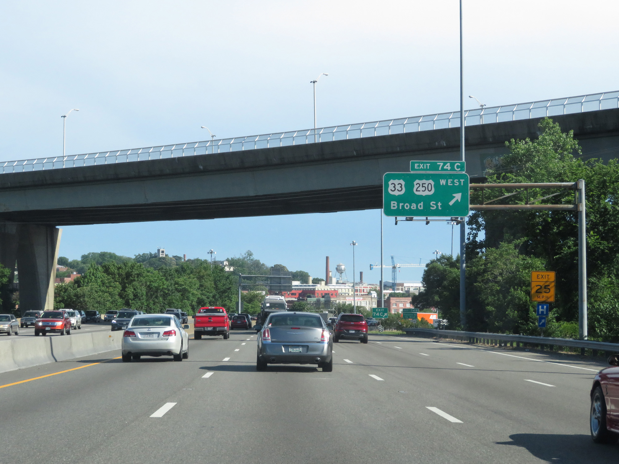 |
Interstate 95 South at Exit 74C: US 33 West / US 250 West - Broad St (Photo taken 5/19/17). |
 |
Interstate 95 South at Exit 74B: Franklin St (Photo taken 5/19/17). |
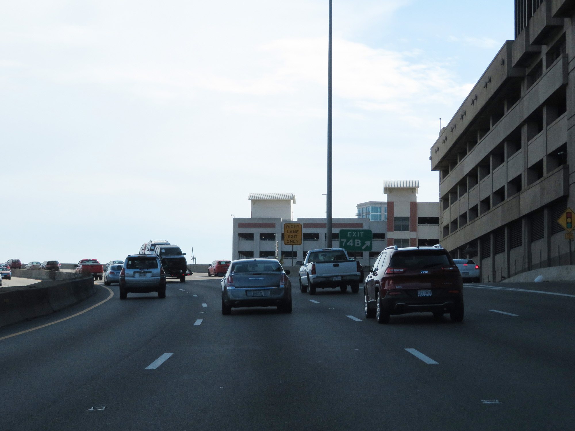 |
Gore point signage for Exit 74B in downtown Richmond. (Photo taken 5/19/17). |
 |
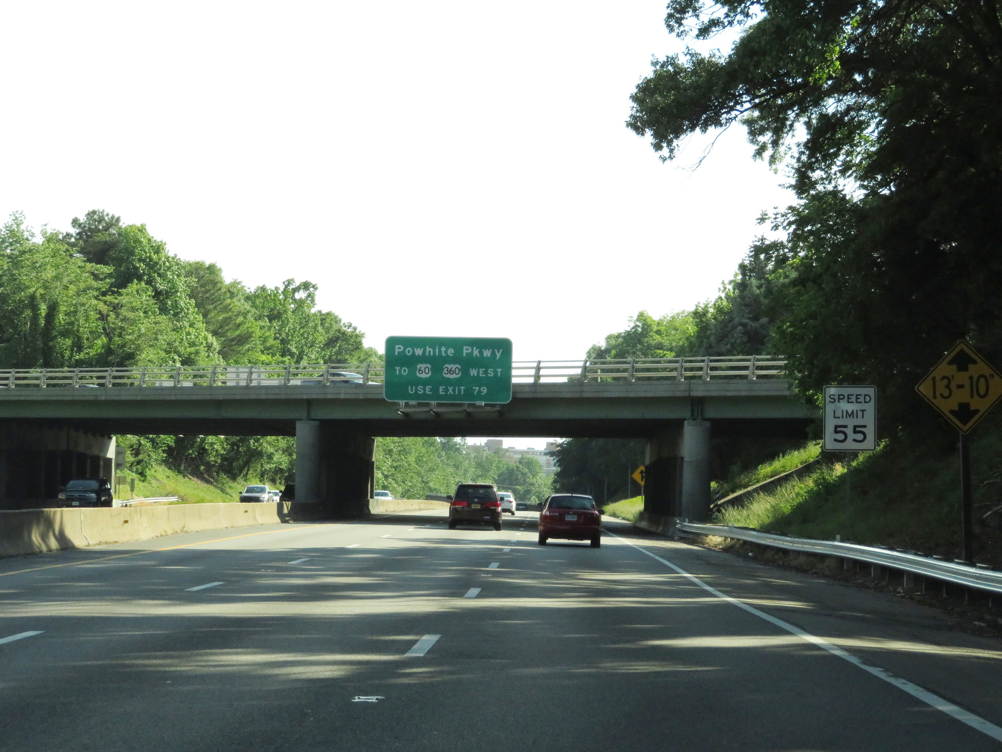
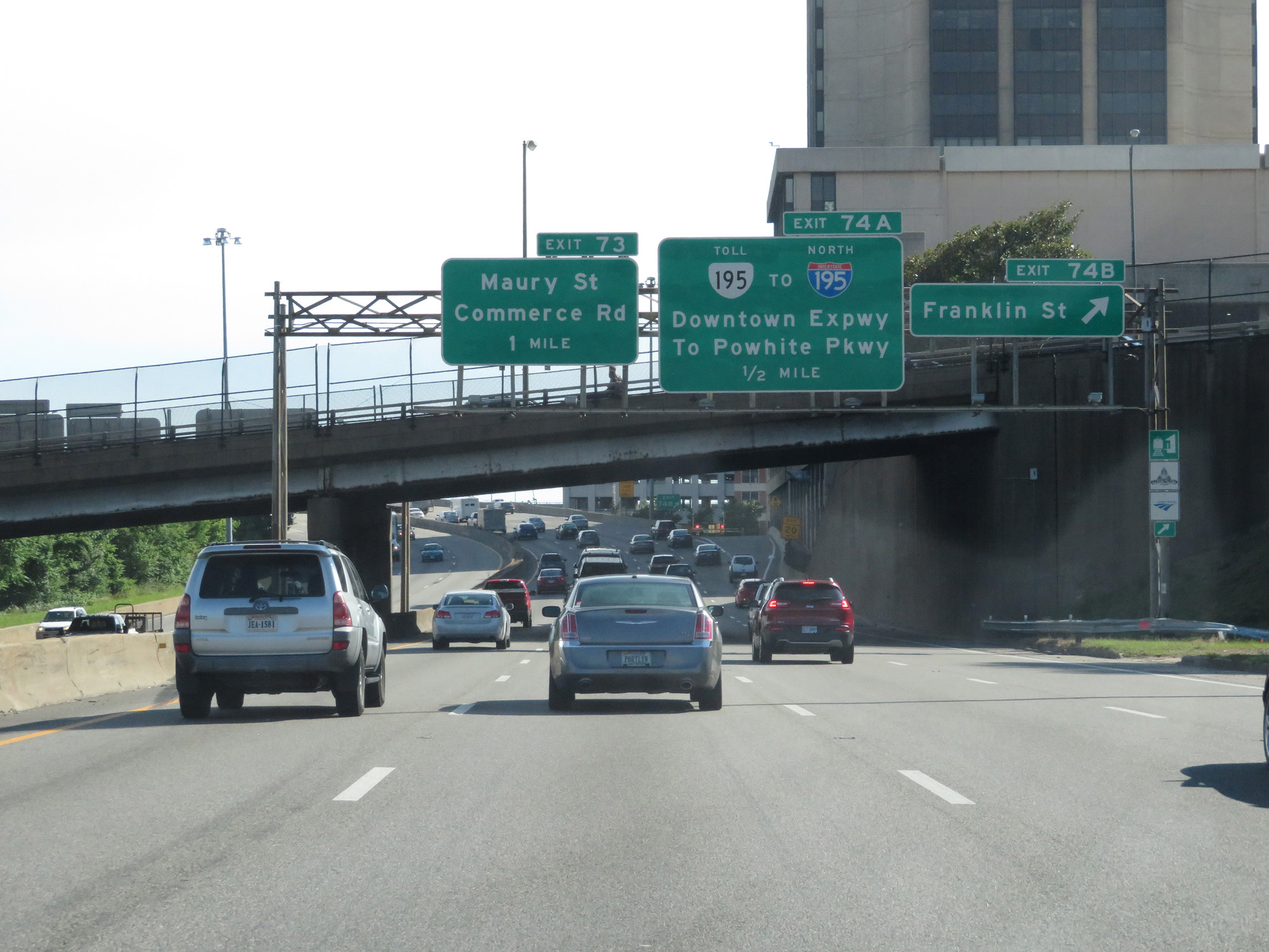
Interstate 95 South at Exit 74A: VA 195 Toll / To Interstate 195 - Downtown Expwy / To Powhite Pkwy (Photo taken 5/19/17). |
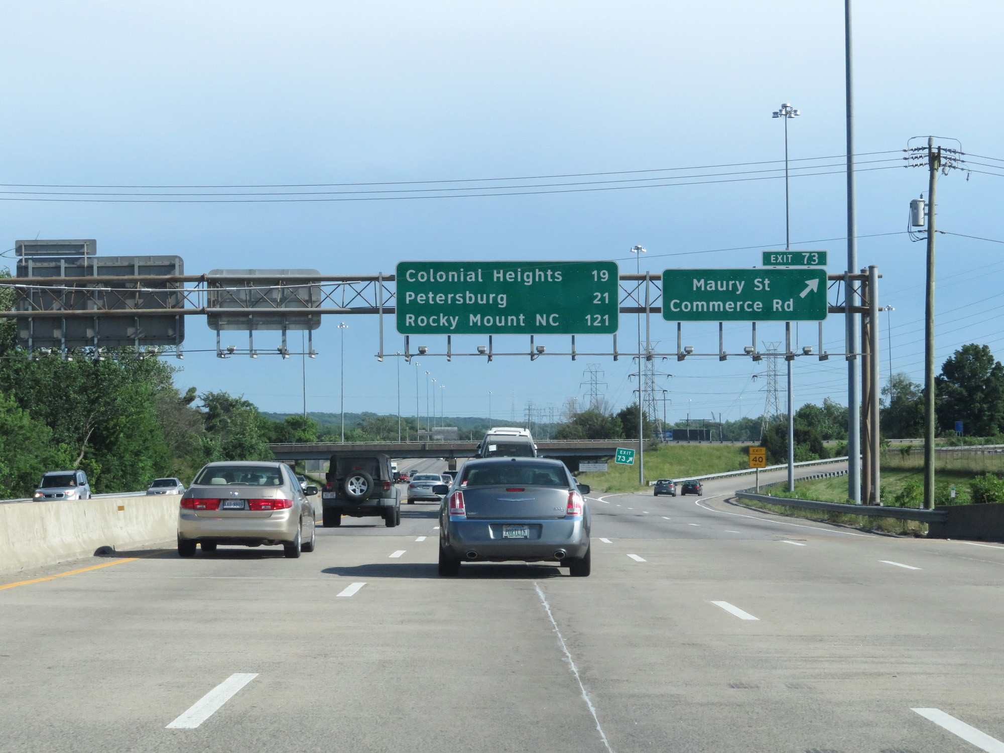 |
Interstate 95 South at Exit 73: Maury St / Commerce Rd (Photo taken 5/19/17). |
 |
Interstate 95 South reassurance shield. (Photo taken 5/19/17). |
 |
At mile marker 73, the speed limit gets a slight jump up to 60 mph now that we're south of downtown Richmond. (Photo taken 5/19/17). |
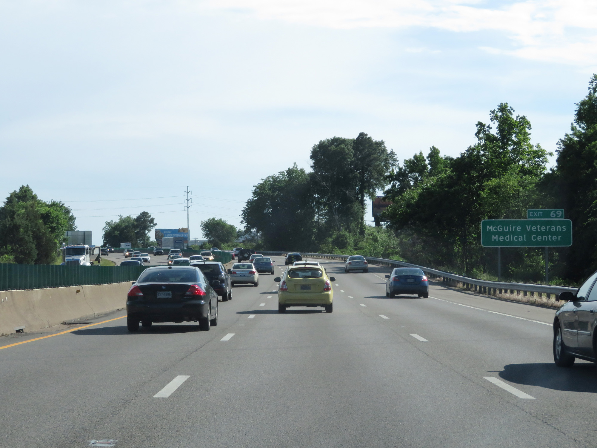 |
Take Exit 69 to McGuire Veterans Medical Center. (Photo taken 5/19/17). |
 |
Also take Exit 69 to Port of Richmond. (Photo taken 5/19/17). |
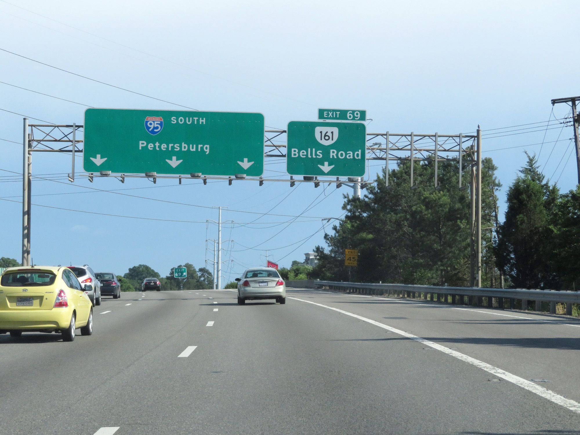 |
Interstate 95 South at Exit 69: VA 161 - Bells Road (Photo taken 5/19/17). |
 |
Interstate 95 South entering Chesterfield County. (Photo taken 5/19/17). |
 |
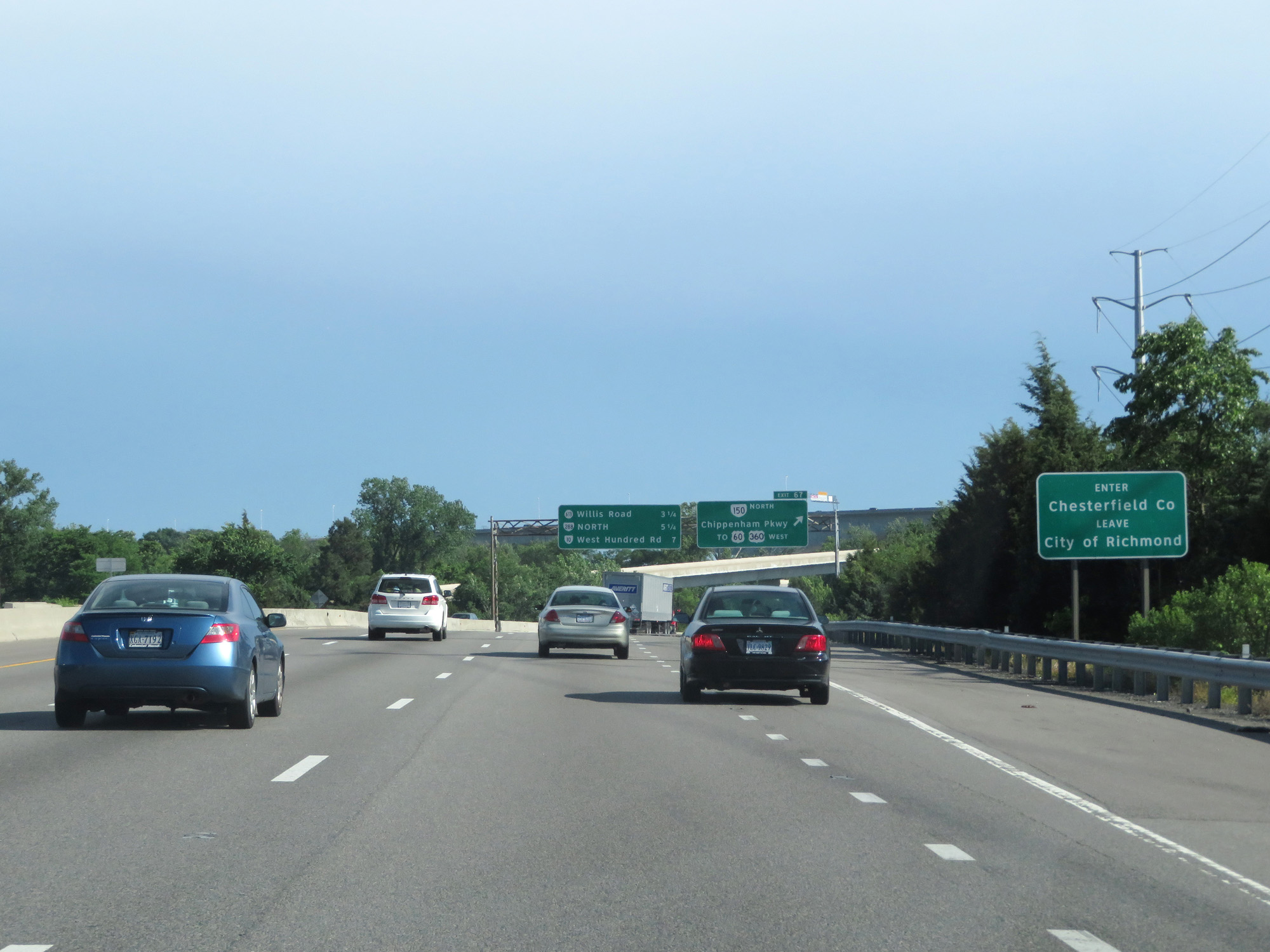
Interstate 95 South at Exit 67: VA 150 North / To US 60 West / To US 360 West - Chippenham Pkwy (Photo taken 5/19/17). |
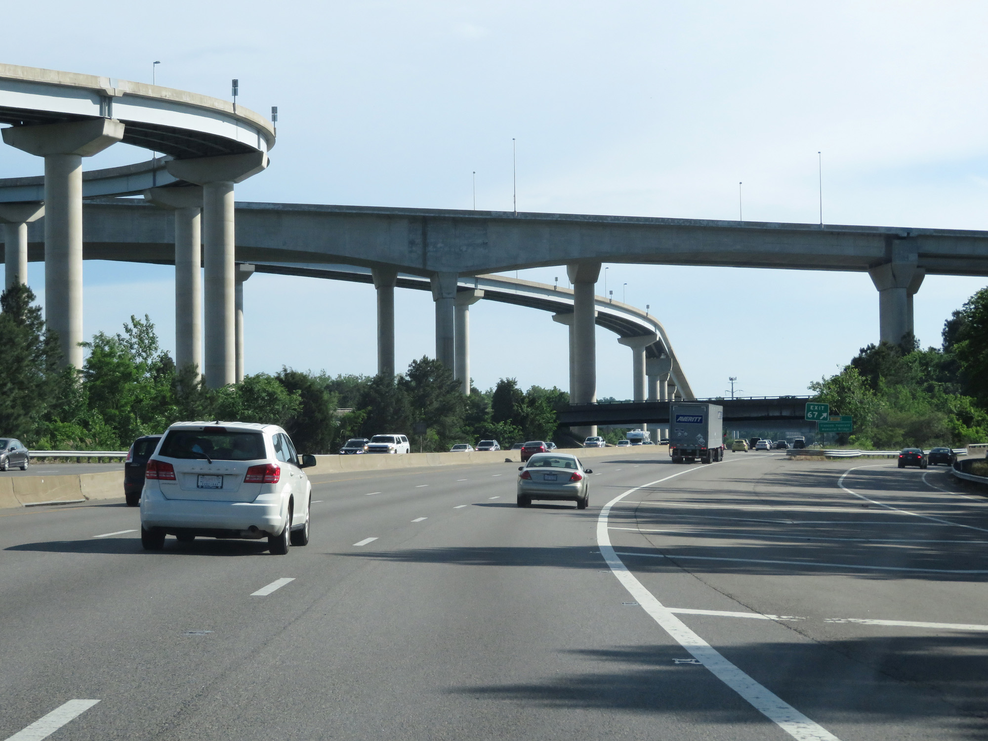 |
Interstate 95 South as it prepares to cross under the tall ramps to and from VA 895 Toll and VA 150. (Photo taken 5/19/17). |
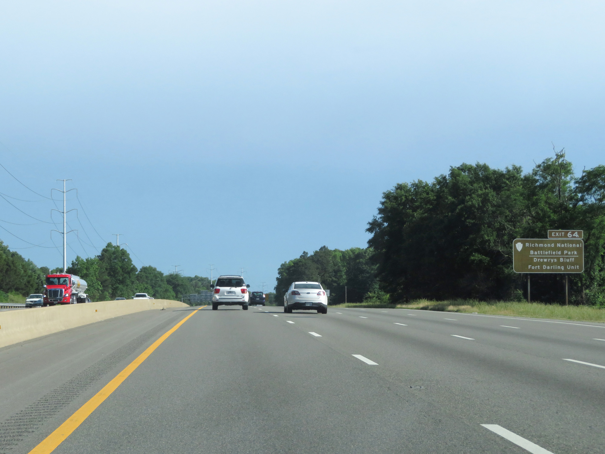 |
Take Exit 64 to Richmond National Battlefield Park and Drewrys Bluff Fort Darling Unit. (Photo taken 5/19/17). |
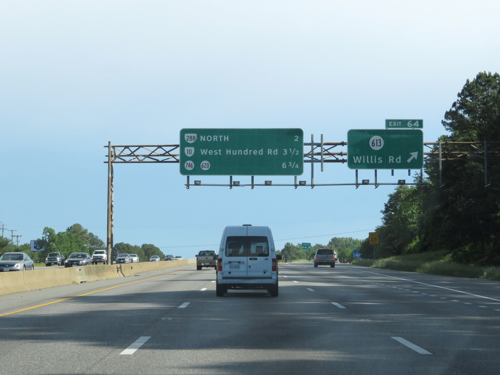 |
Interstate 95 South at Exit 64: SR 613 - Willis Rd (Photo taken 5/19/17). |
 |
Interstate 95 South reassurance shield. (Photo taken 5/19/17). |
 |
Take Exit 62 to Chesterfield County Airport. (Photo taken 5/19/17). |
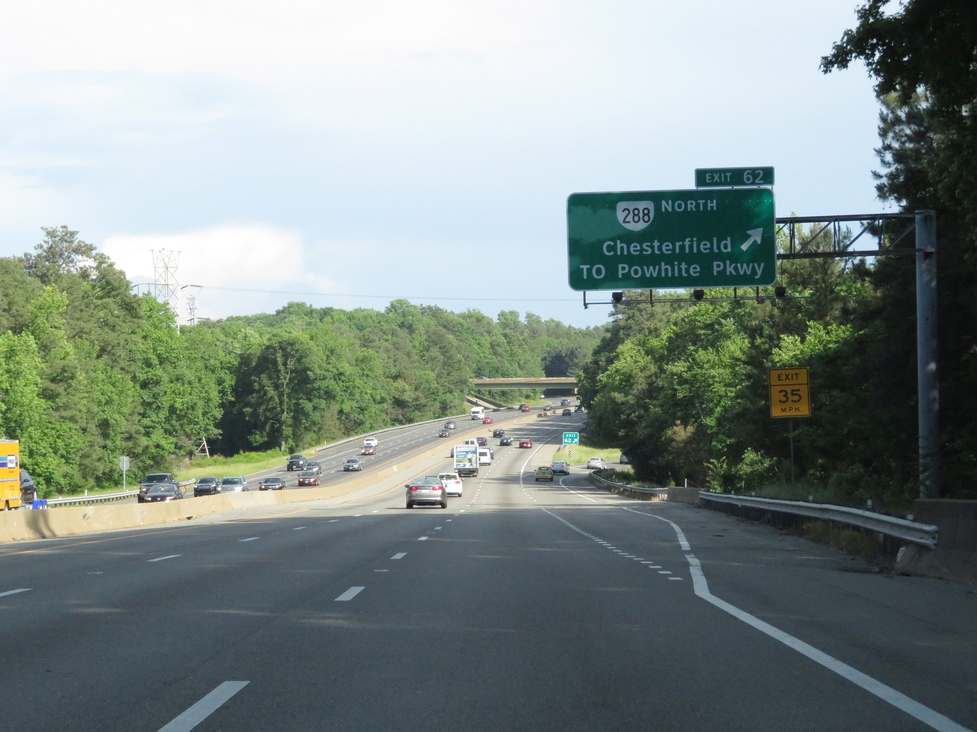 |
Interstate 95 South at Exit 62: VA 288 North - Chesterfield / To Powhite Pkwy (Photo taken 5/19/17). |
 |
Take Exit 61B to Pocahontas State Park and John Tyler Community College Chester Campus. (Photo taken 5/19/17). |
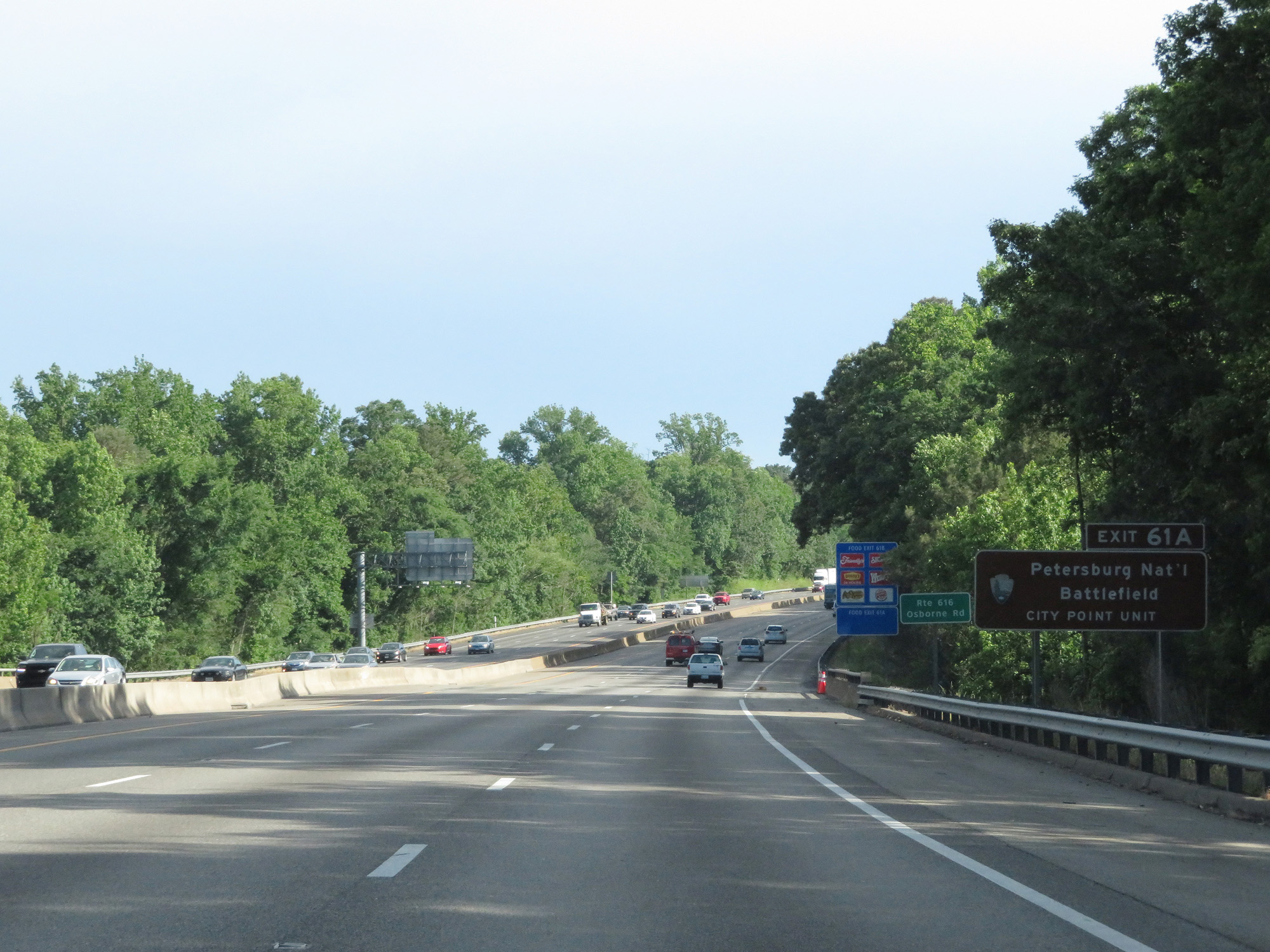 |
Take Exit 61A to Petersburg National Battlefield City Point Unit. (Photo taken 5/19/17). |
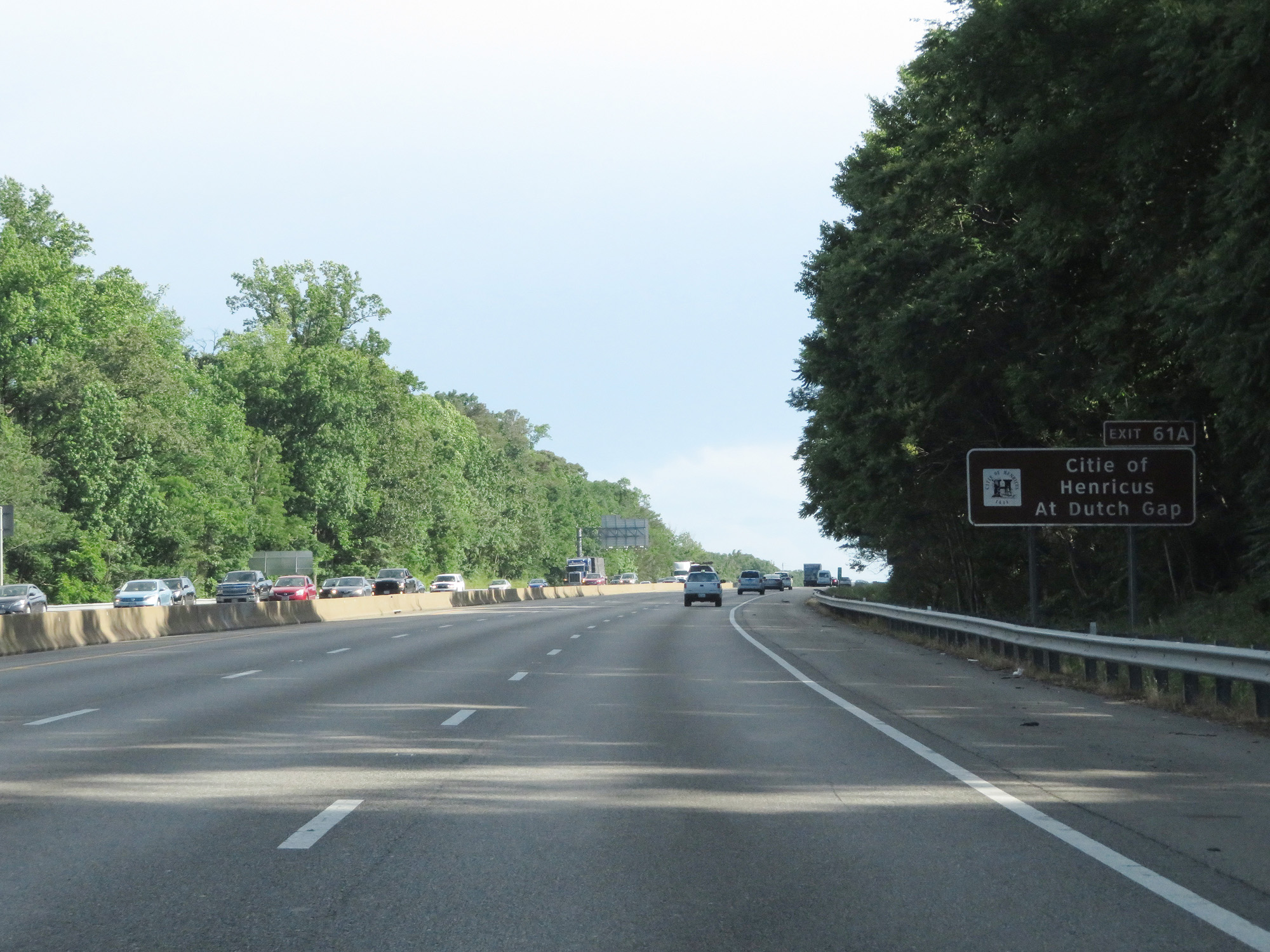 |
Also take Exit 61A to Citie of Henricus At Dutch Gap. (Photo taken 5/19/17). |
 |
Interstate 95 South at Exit 61B: VA 10 West - Chester (Photo taken 5/19/17). |
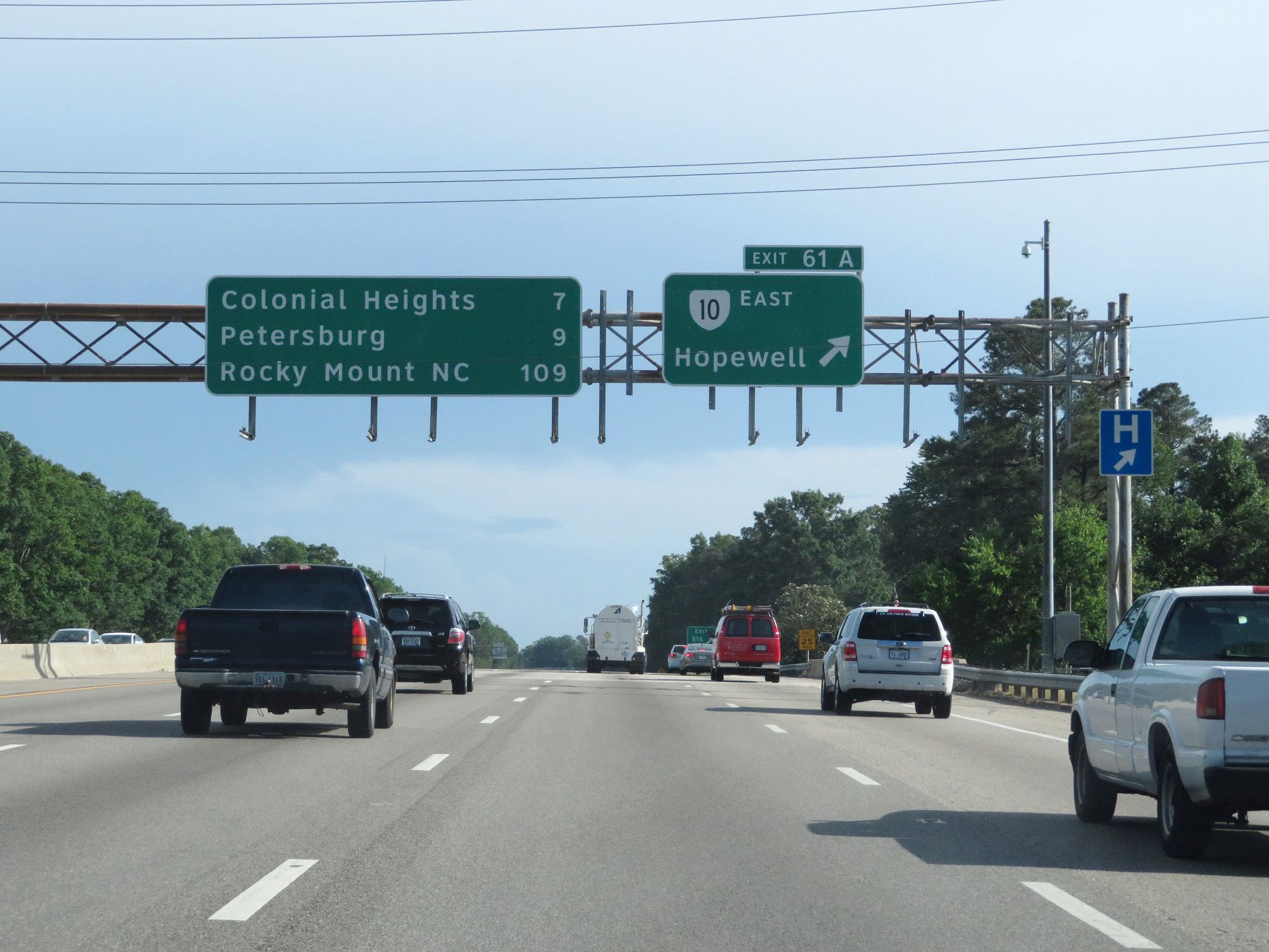 |
Interstate 95 South at Exit 61A: VA 10 East - Hopewell (Photo taken 5/19/17). |
Section 4: Hopewell (Exit 61A) to North Carolina Border
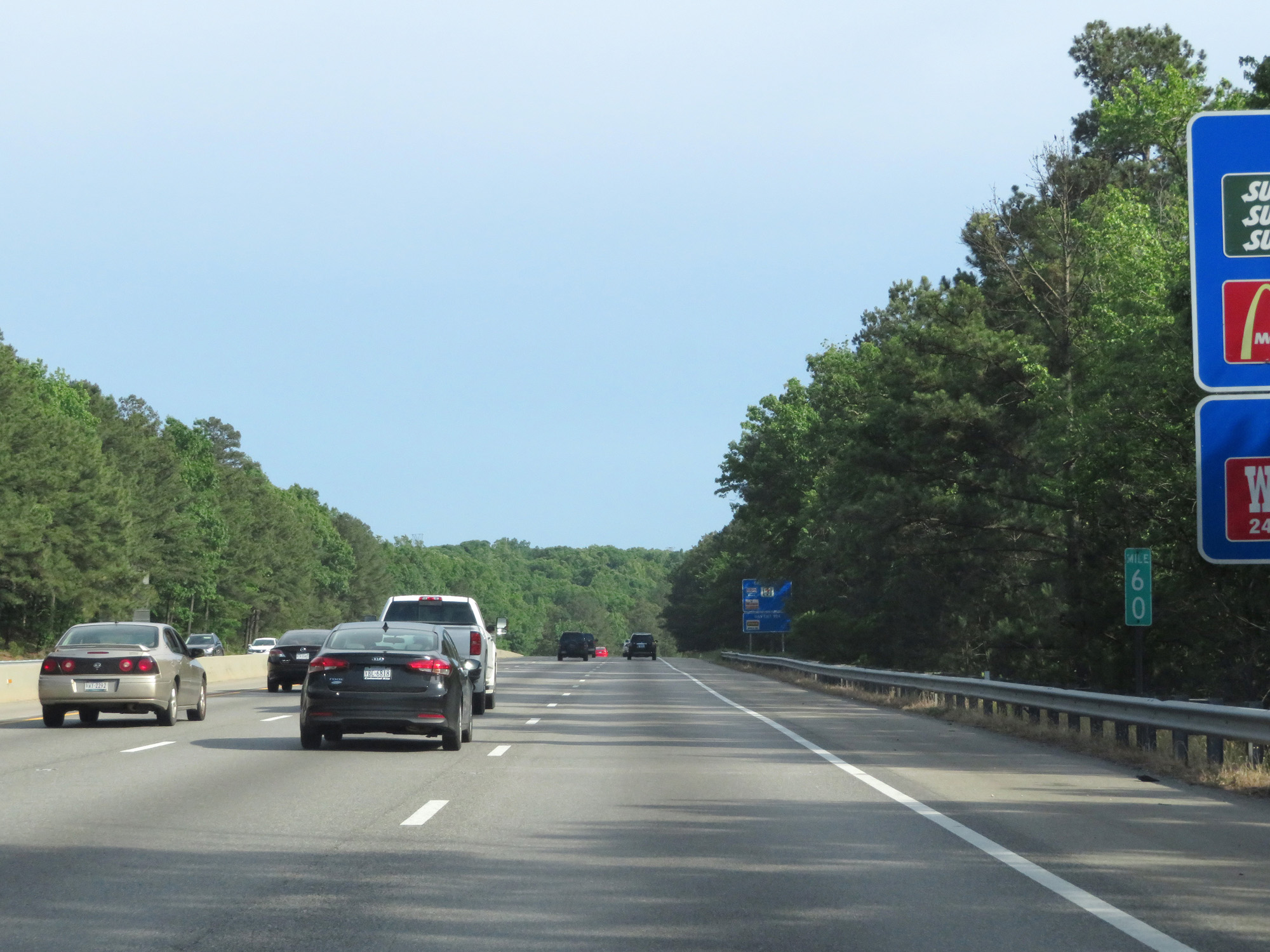 |
Interstate 95 South at mile marker 60. (Photo taken 5/19/17). |
 |
Interstate 95 South at Exit 58B: SR 620 West - Woods Edge Rd (Photo taken 5/19/17). |
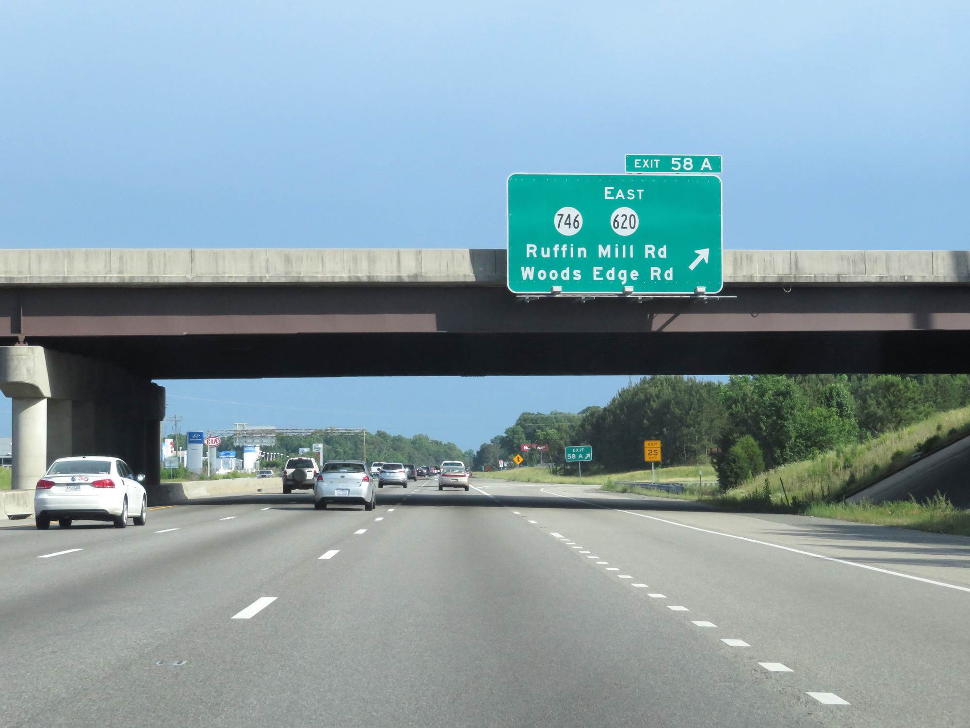 |
Interstate 95 South at Exit 58A: SR 746 / SR 620 East - Ruffin Mill Rd / Woods Edge Rd (Photo taken 5/19/17). |
 |
Take either of the next 2 exits to Colonial Heights. (Photo taken 5/19/17). |
 |
Take Exit 54 to Fort Lee and Hopewell. (Photo taken 5/19/17). |
 |
Also take Exit 54 to Virginia State University. (Photo taken 5/19/17). |
 |
Approaching Exit 54, the speed limit decreases to 55 mph once again. (Photo taken 5/19/17). |
 |
Interstate 95 South at Exit 54: VA 144 - Temple Ave (Photo taken 5/19/17). |
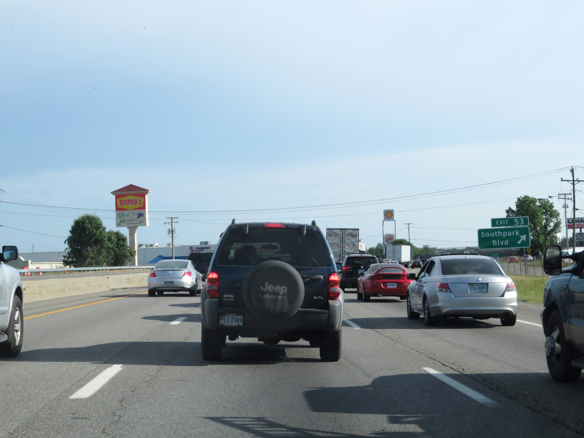 |
Interstate 95 South at Exit 53: Southpark Blvd (Photo taken 5/19/17). |
 |
Interstate 95 South approaching Exit 51 - 1 mile. (Photo taken 5/19/17). |
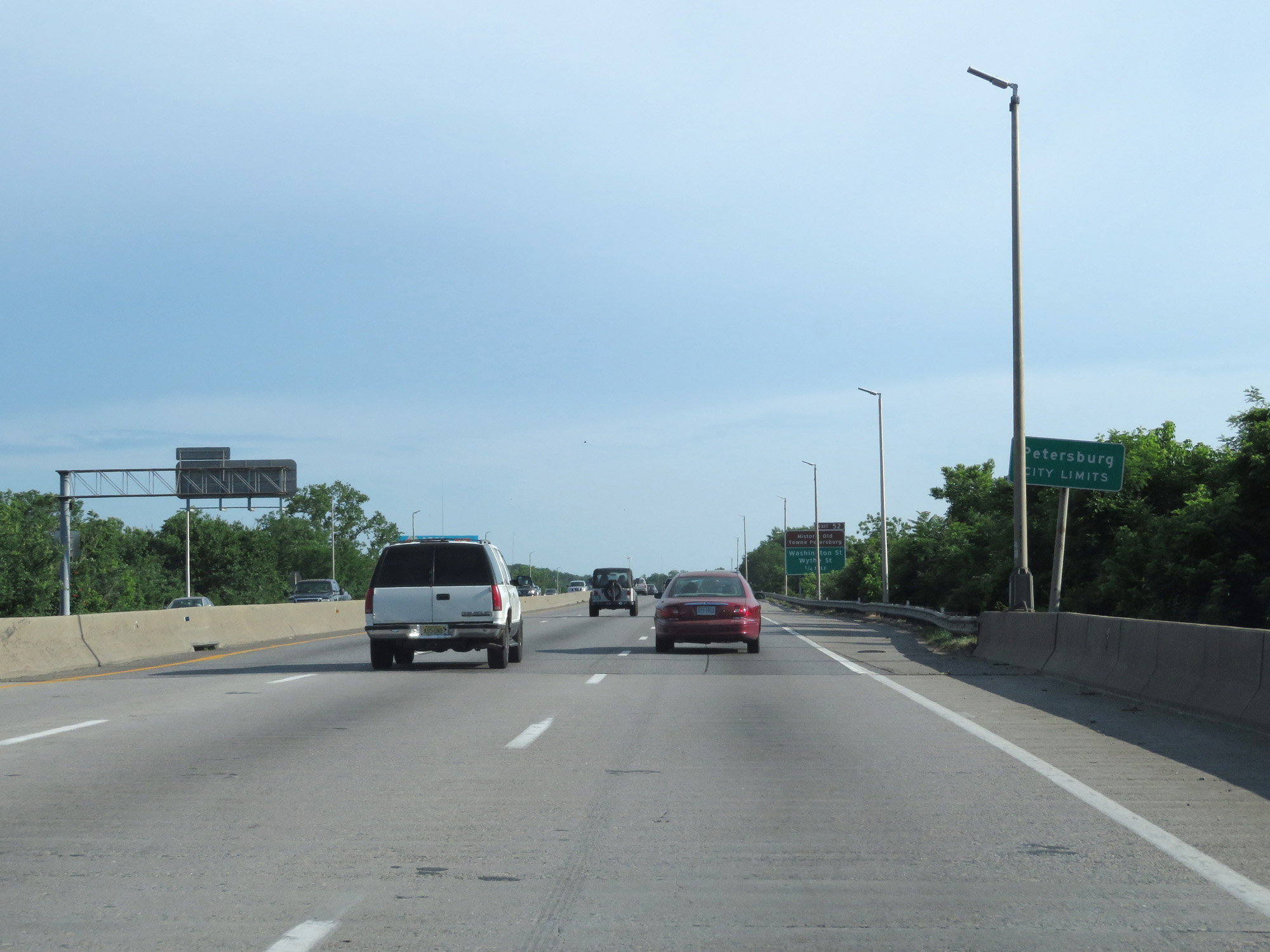 |
Interstate 95 South entering the Petersburg city limits. (Photo taken 5/19/17). |
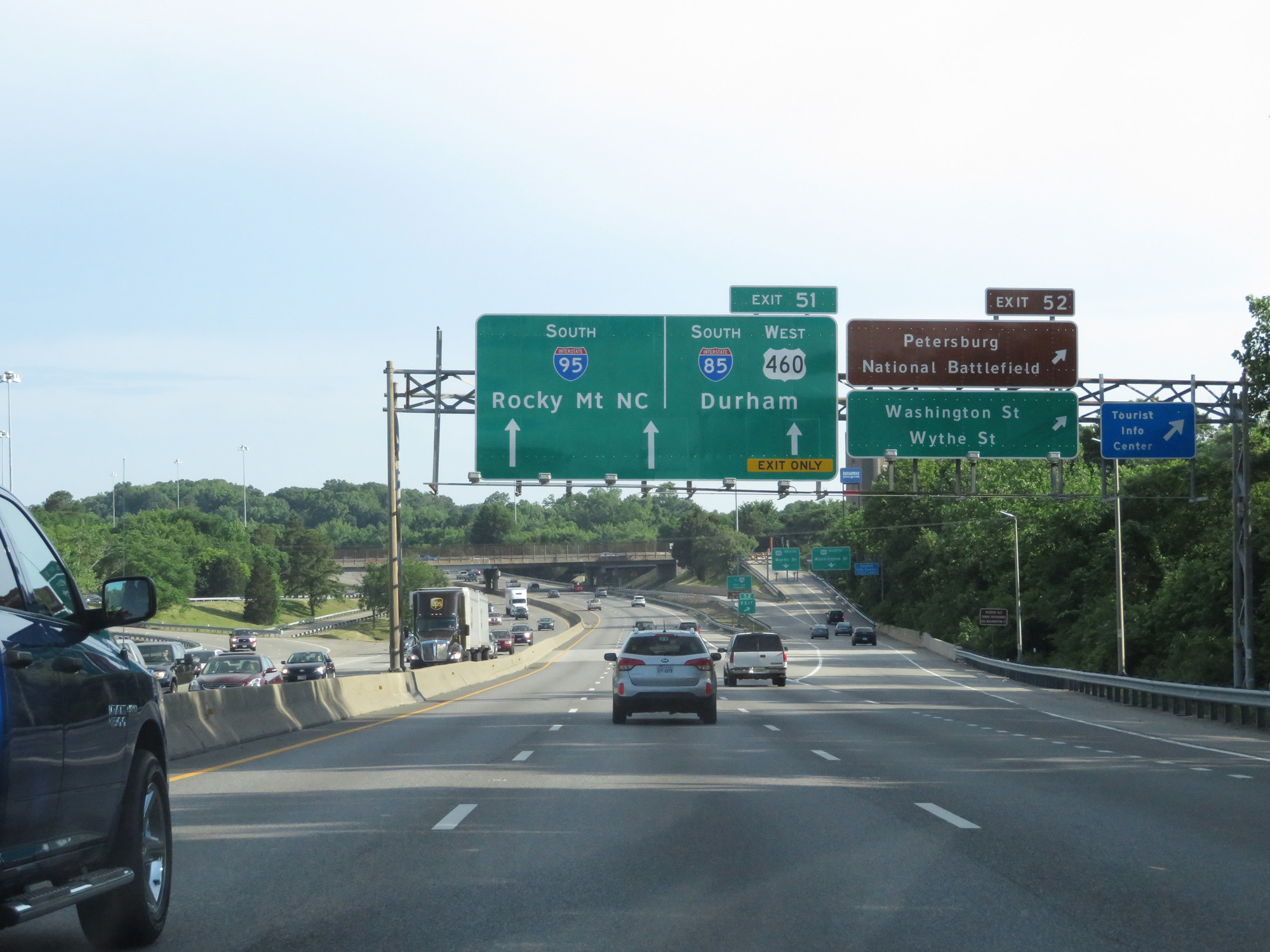 |
Interstate 95 South at Exit 52: Petersburg National Battlefield / Washington St / Wythe St (Photo taken 5/19/17). |
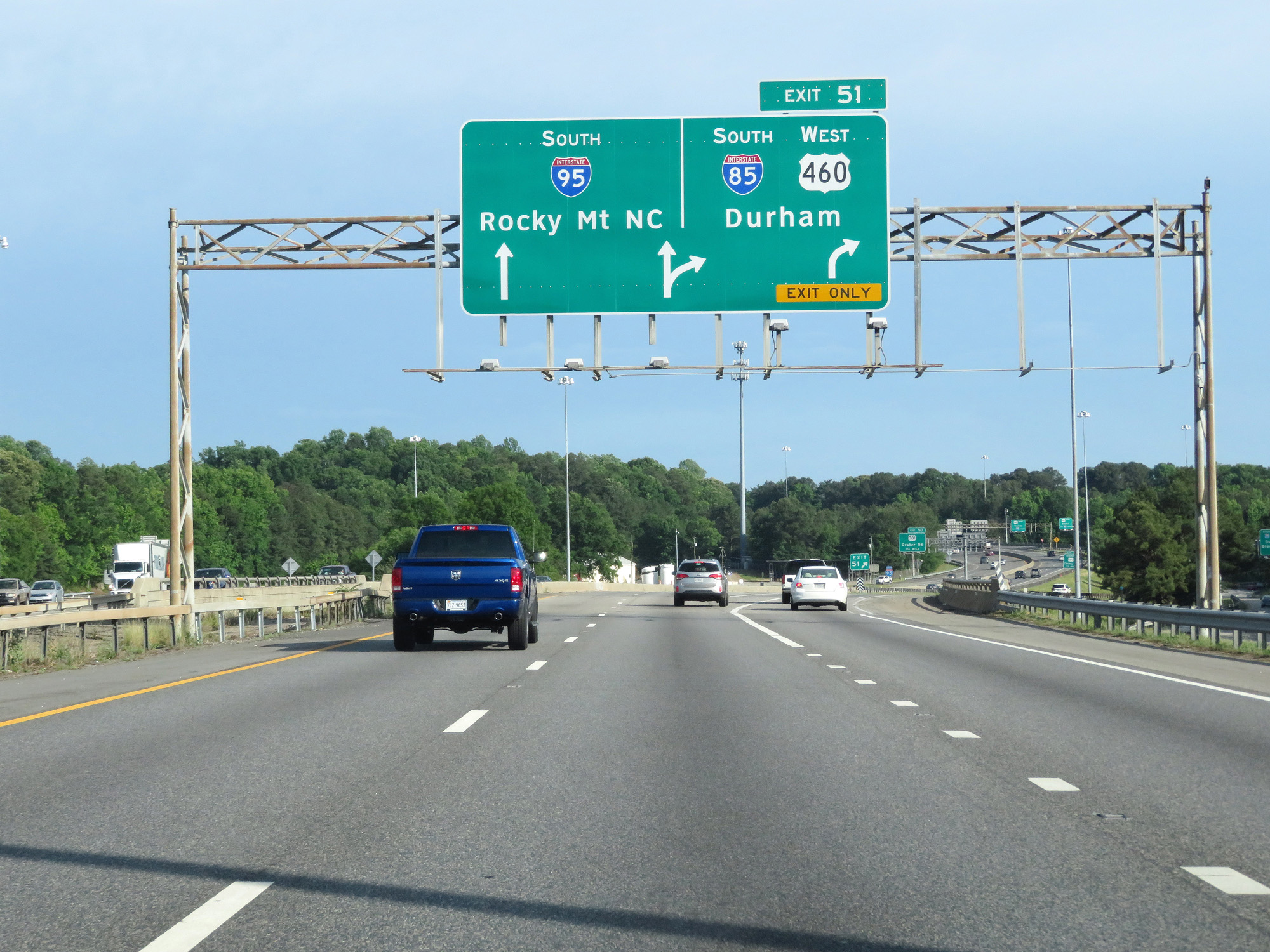 |
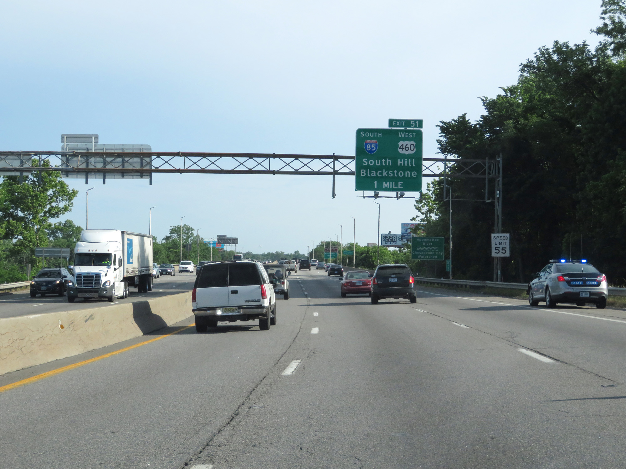
Interstate 95 South at Exit 51: Interstate 85 South / US 460 West - Durham (Photo taken 5/19/17). |
 |
Interstate 95 South reassurance shield. (Photo taken 5/19/17). |
 |
Stay on Interstate 95 South to get to US 460 East toward Norfolk. (Photo taken 5/19/17). |
 |
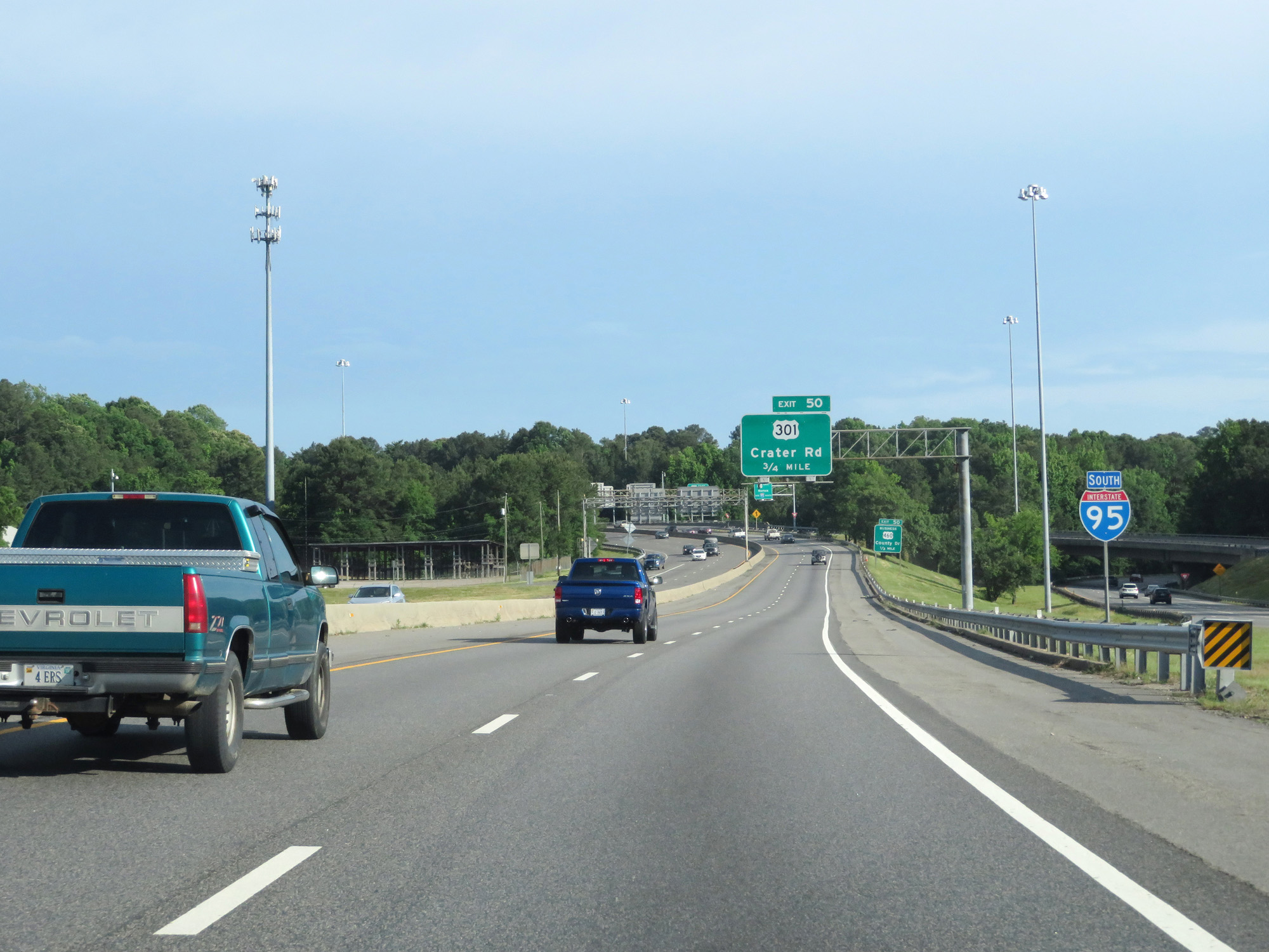
Interstate 95 South at Exit 50: US 301 / US 460 Business - Crater Rd / County Rd (Photo taken 5/19/17). |
 |
Interstate 95 South at mile marker 51. (Photo taken 5/19/17). |
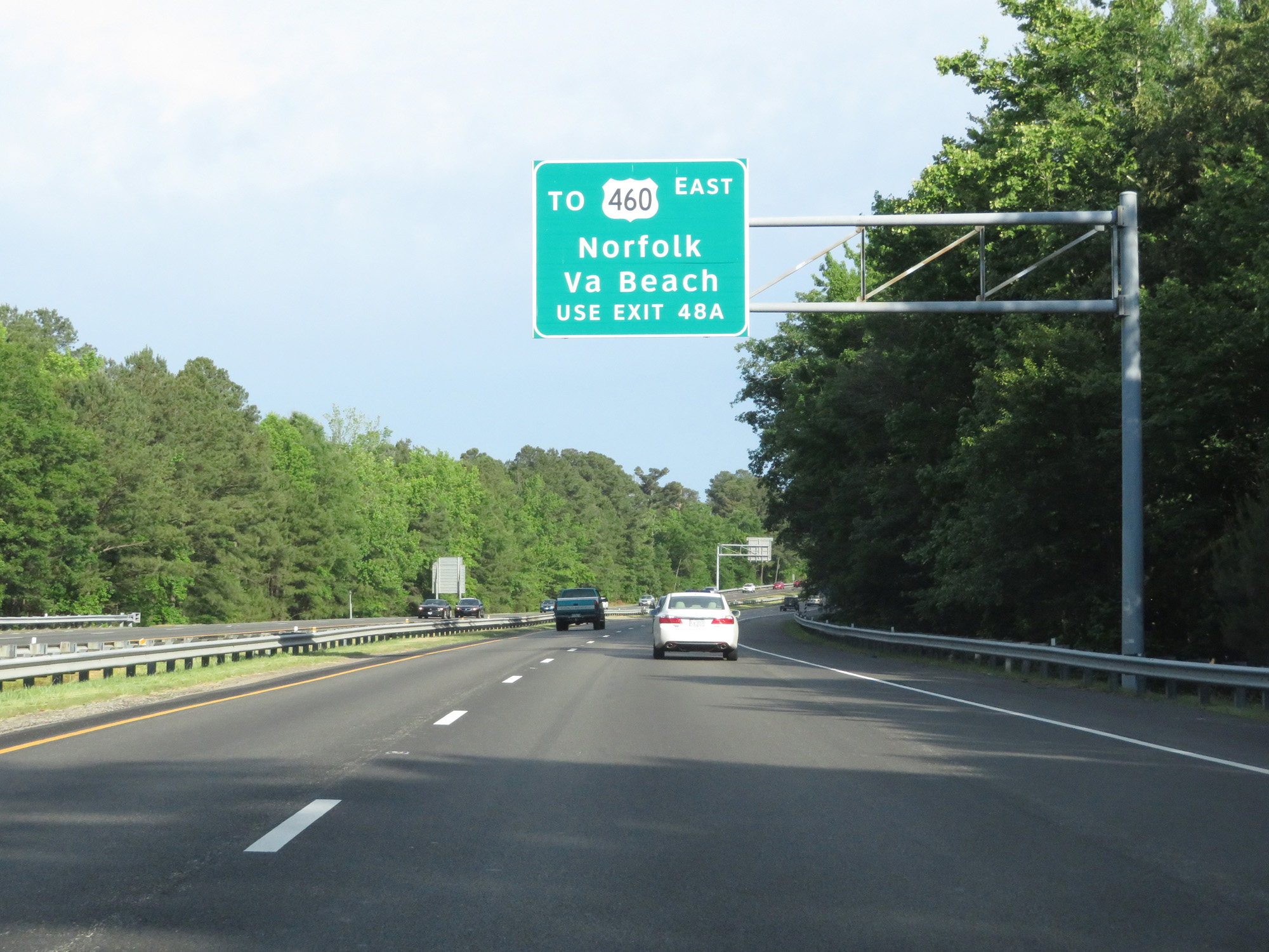 |
Take Exit 48A for US 460 East to Norfolk and Virginia Beach. (Photo taken 5/19/17). |
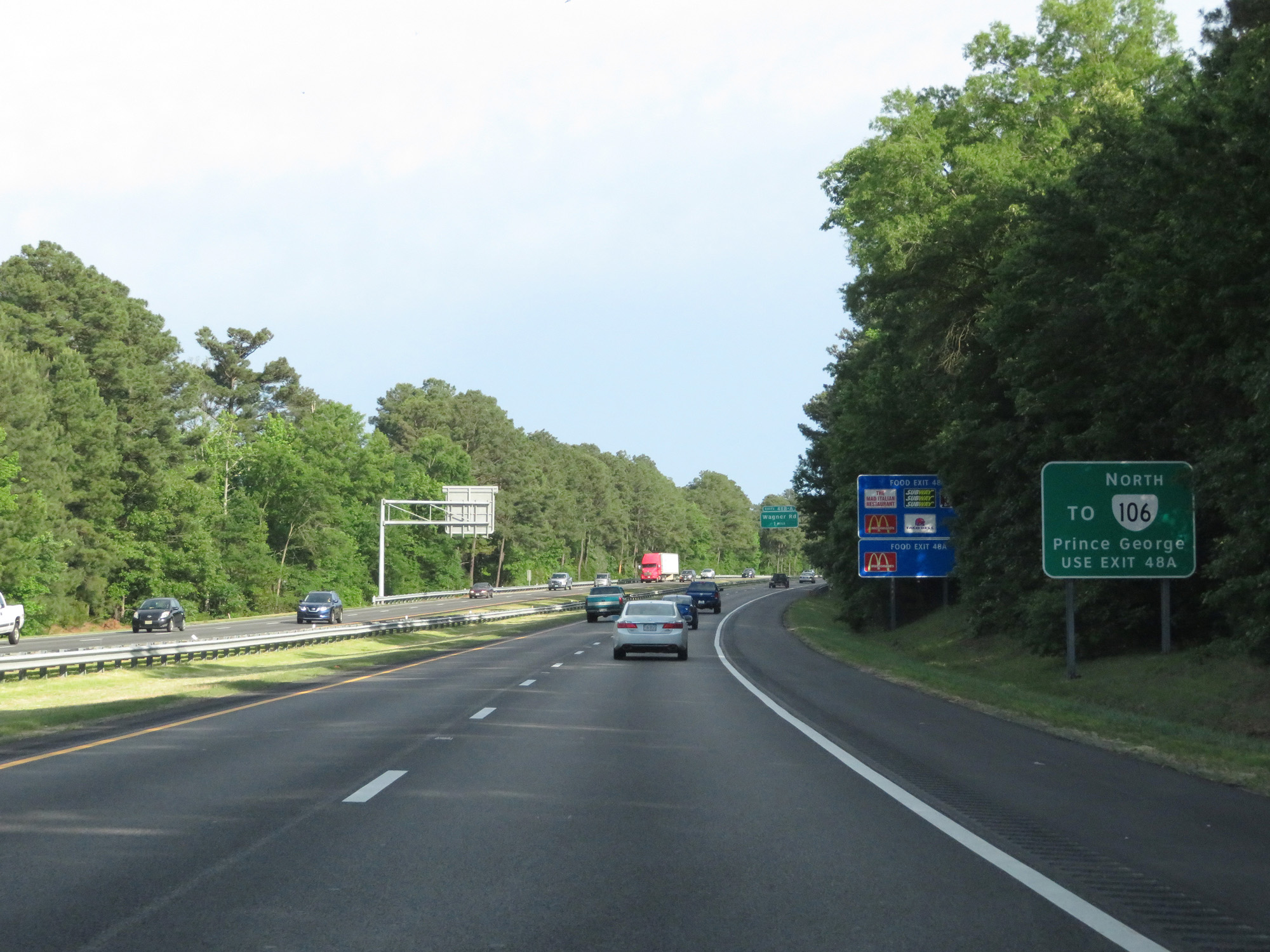 |
Also take Exit 48A to VA 106 North toward Prince George. (Photo taken 5/19/17). |
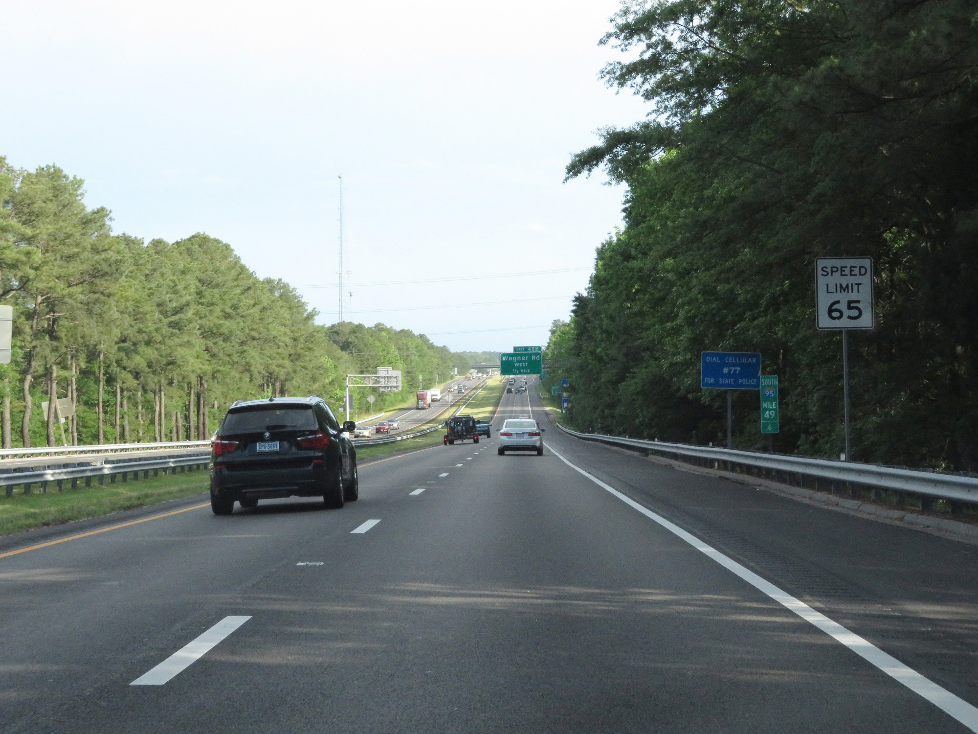 |
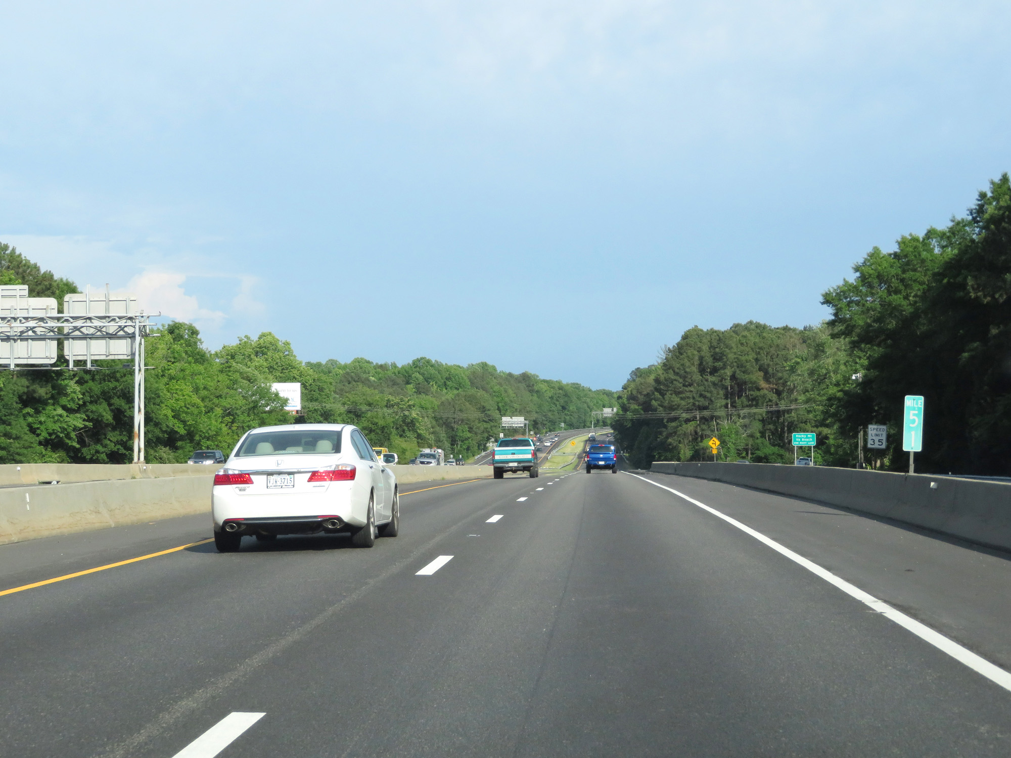
At mile marker 49.6, the speed limit finally increases to 65 mph. (Photo taken 5/19/17). |
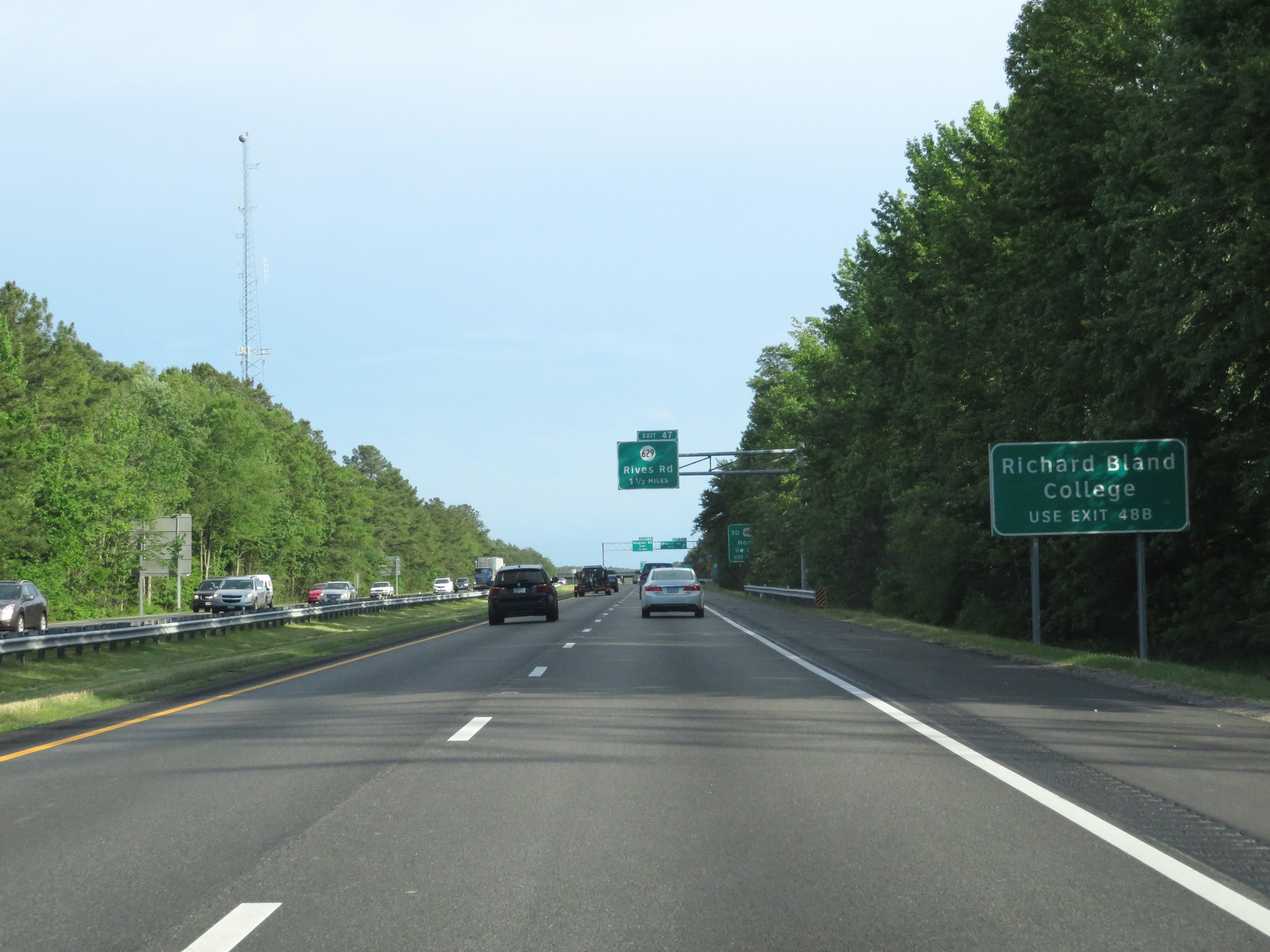 |
Take Exit 48B to Richard Bland College. (Photo taken 5/19/17). |
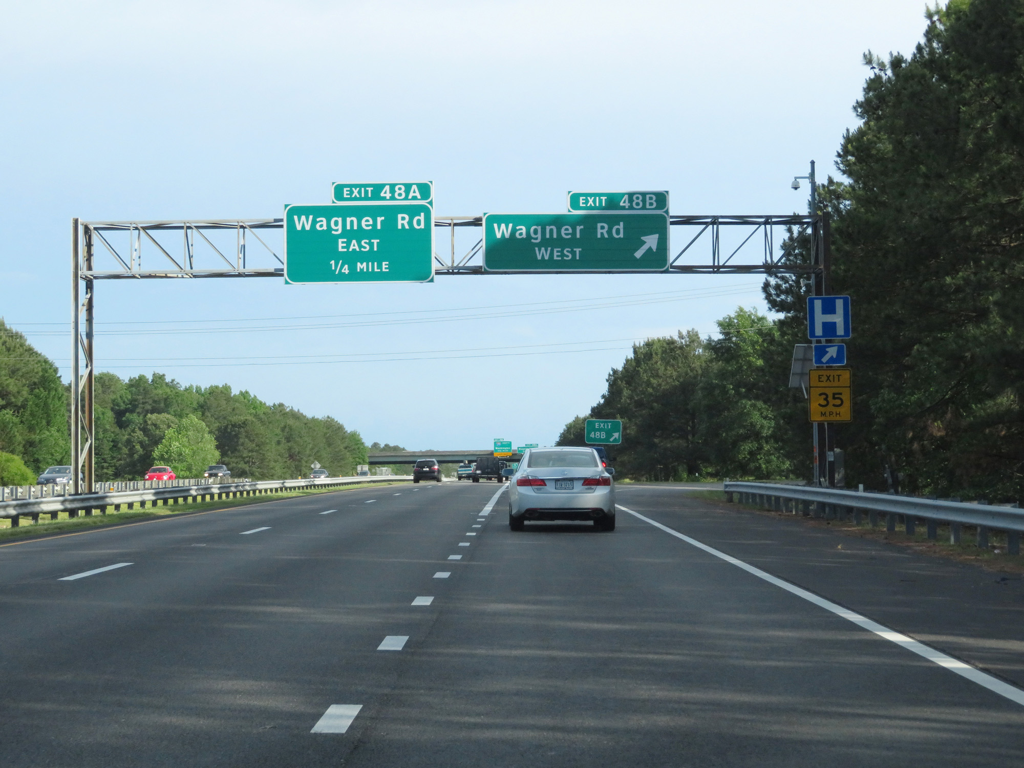 |
Interstate 95 South at Exit 48B: Wagner Rd West (Photo taken 5/19/17). |
 |
Interstate 95 South at Exit 48A: Wagner Rd East (Photo taken 11/5/15). |
 |
Interstate 95 South at Exit 47: SR 629 - Rives Rd (Photo taken 5/20/17). |
 |
Interstate 95 South approaching Exit 46 - 1/2 mile on the left. (Photo taken 5/20/17). |
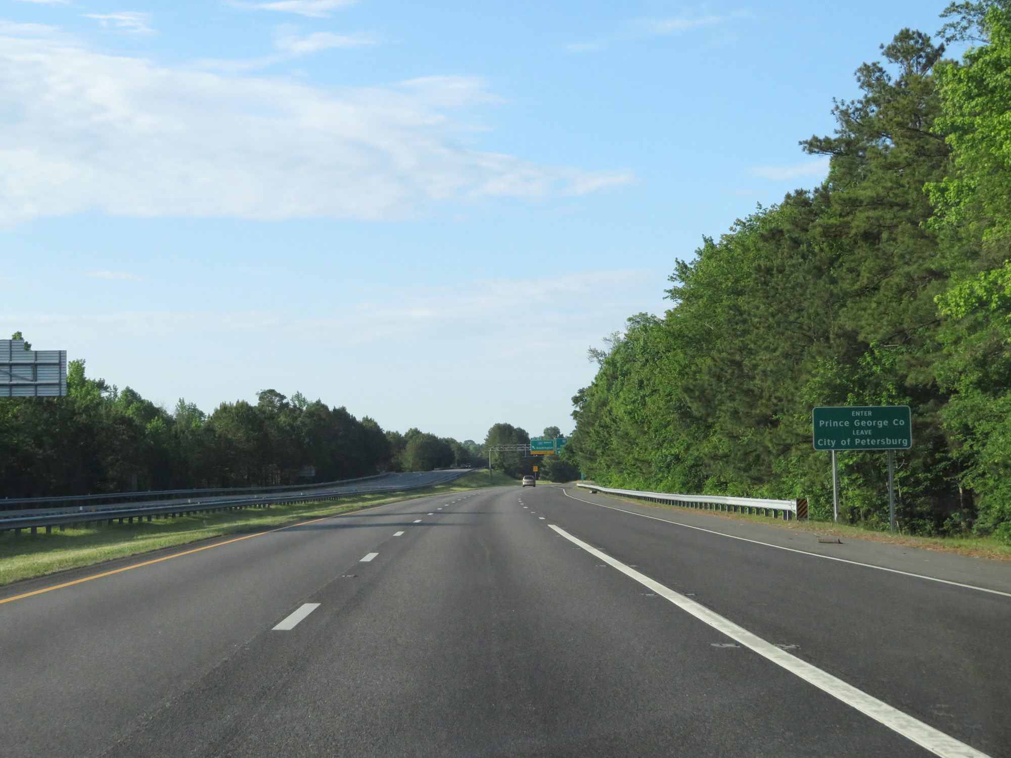 |
Interstate 95 South entering Prince George County. (Photo taken 5/20/17). |
 |
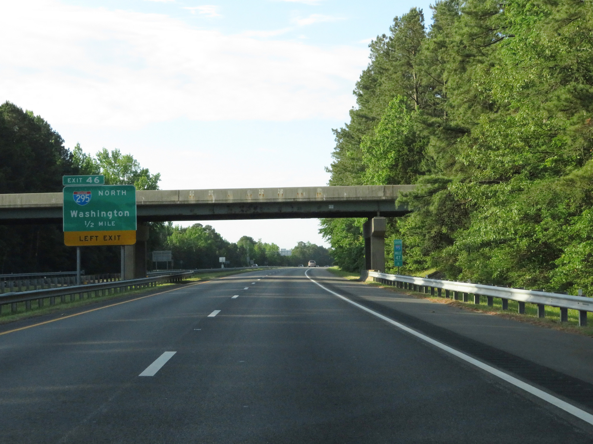
Interstate 95 South at Exit 46: Interstate 295 North - Washington (Photo taken 5/20/17). |
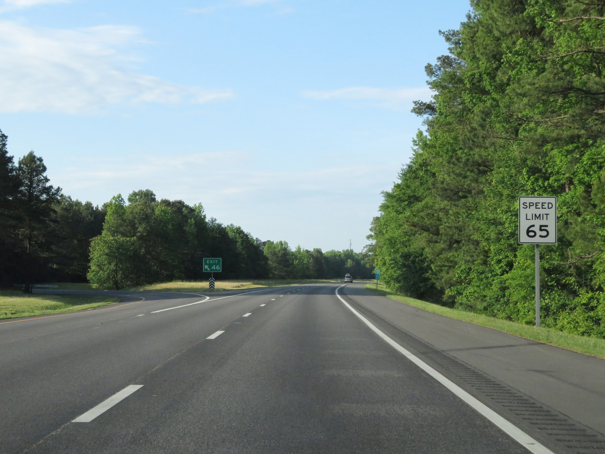 |
Gore point signage for Exit 46 on the left. The speed limit remains 65 mph for a bit longer. (Photo taken 5/20/17). |
 |
Interstate 95 South as traffic from Interstate 295 South prepares to merge from the left. (Photo taken 5/20/17). |
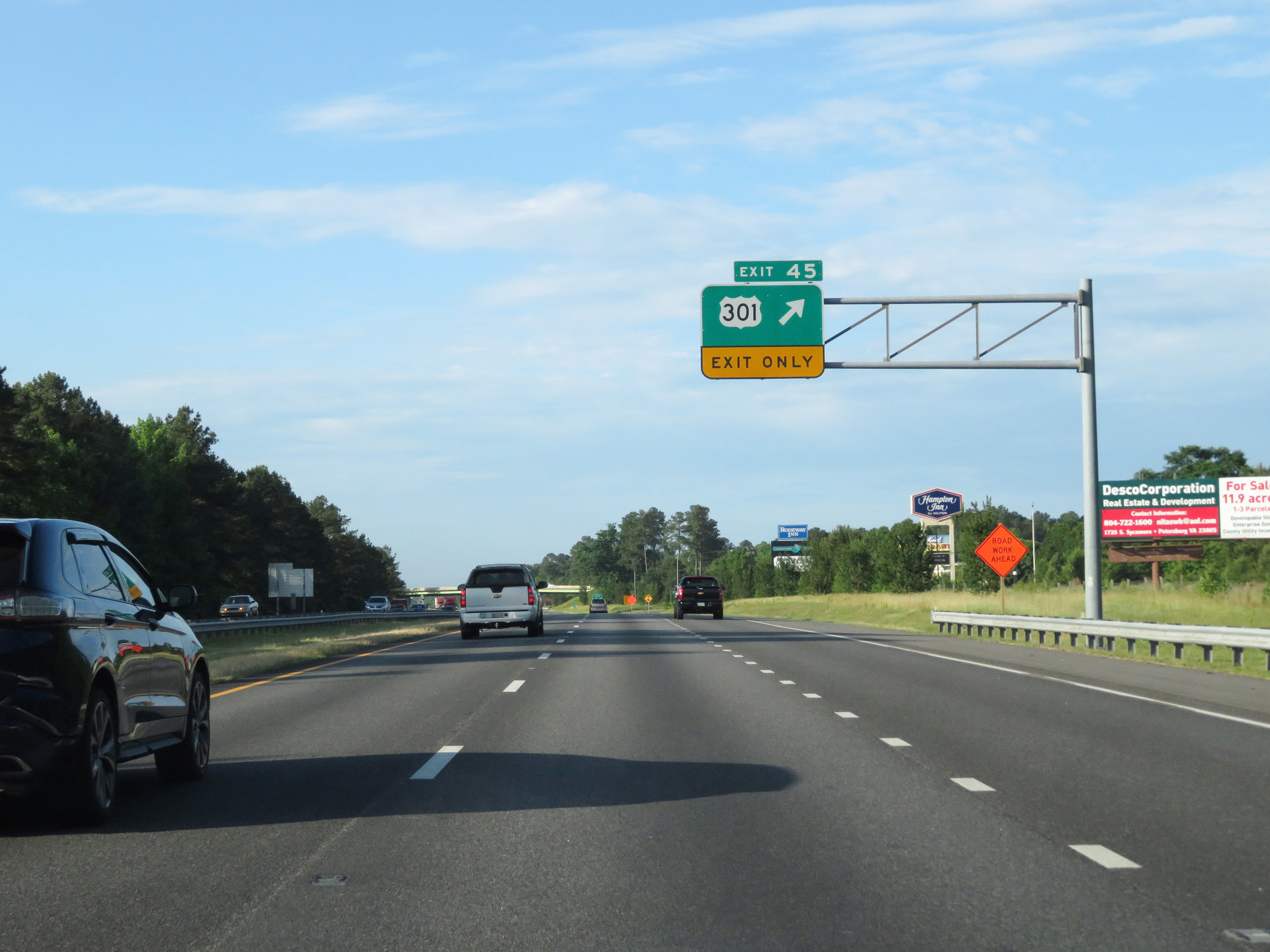 |
Interstate 95 South at Exit 45: US 301 (Photo taken 5/20/17). |
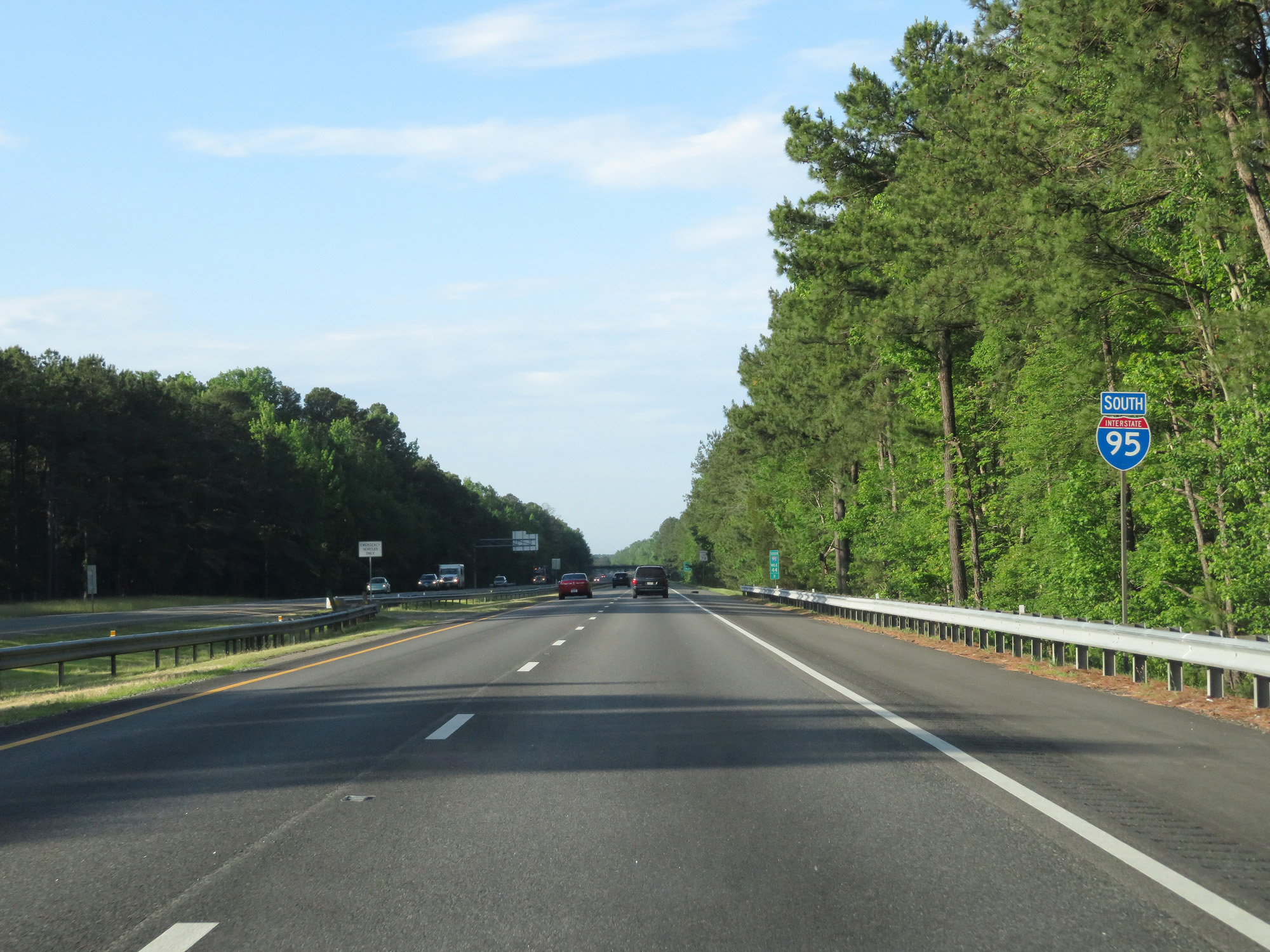 |
Interstate 95 South reassurance shield. (Photo taken 5/20/17). |
 |
South of Exit 45, the standard rural speed limit of 70 mph resumes. (Photo taken 5/20/17). |
 |
Interstate 95 South at mile marker 43. (Photo taken 5/20/17). |
 |
Interstate 95 South at Exit 41: US 301 / VA 35 / VA 156 - Courtland (Photo taken 5/20/17). |
 |
View on Interstate 95 South. (Photo taken 5/20/17). |
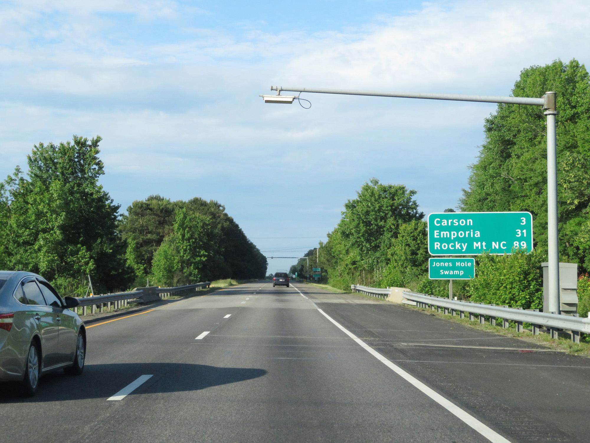 |
Mileage sign on Interstate 95 South. It's 3 miles to Carson, 31 miles to Emporia, and 89 miles to Rocky Mount. (Photo taken 5/20/17). |
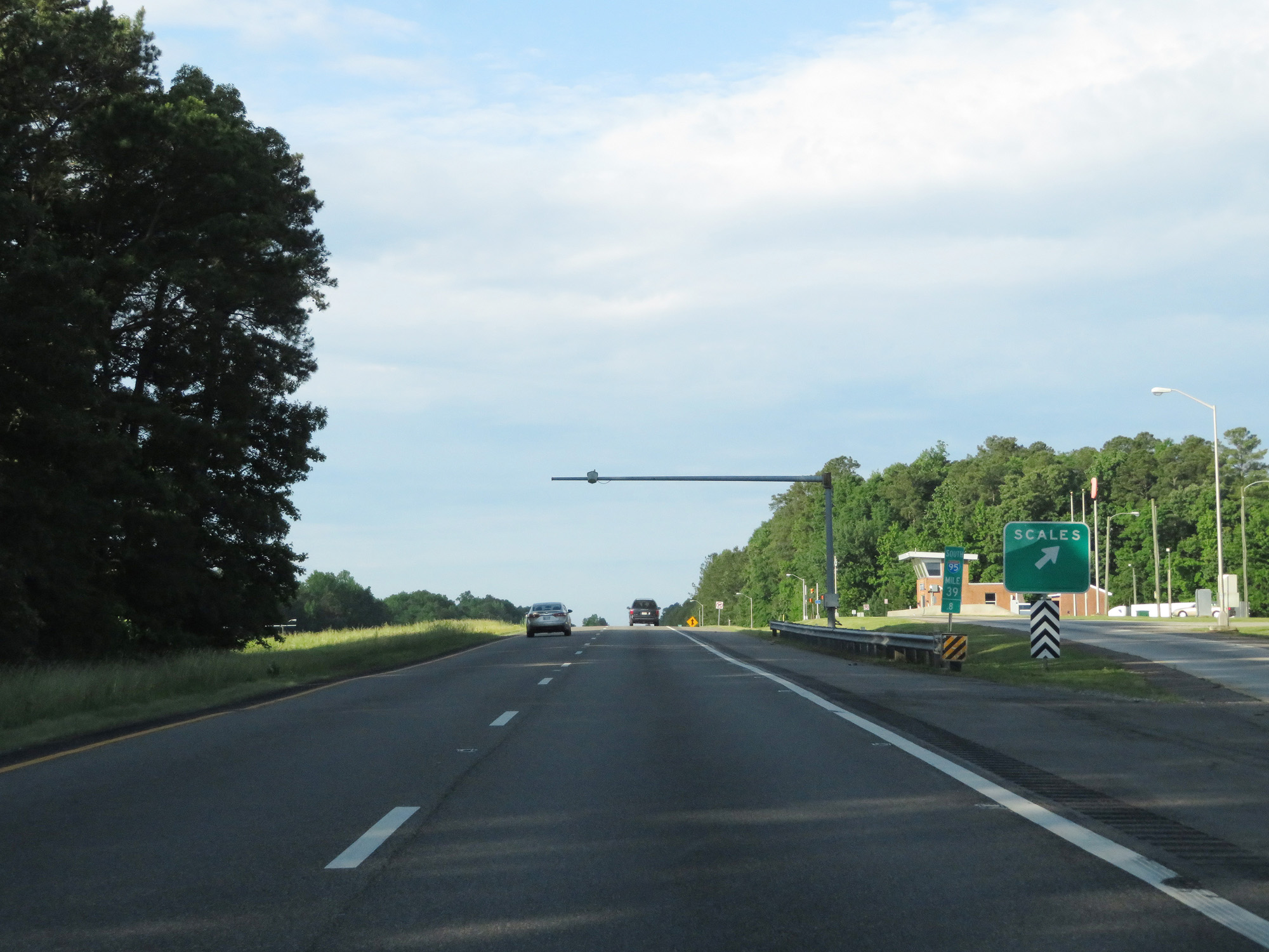 |
Interstate 95 South at the Weigh Station located at mile marker 39.8. (Photo taken 5/20/17). |
 |
Interstate 95 South at Exit 37: US 301 - Carson (Photo taken 5/20/17). |
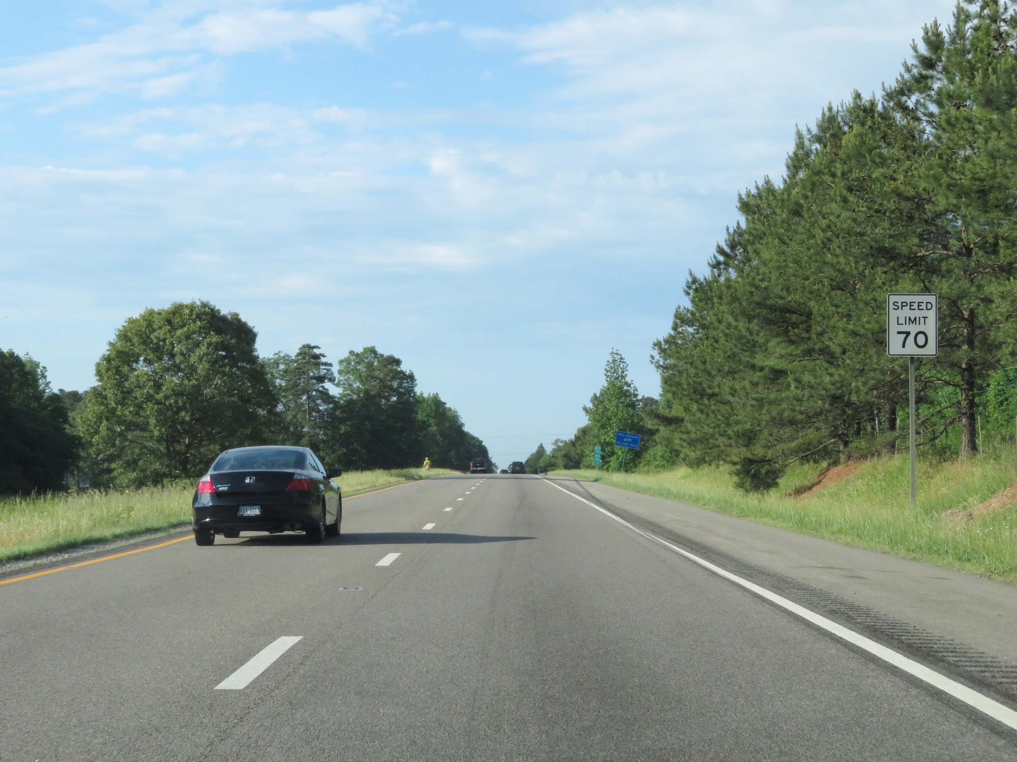 |
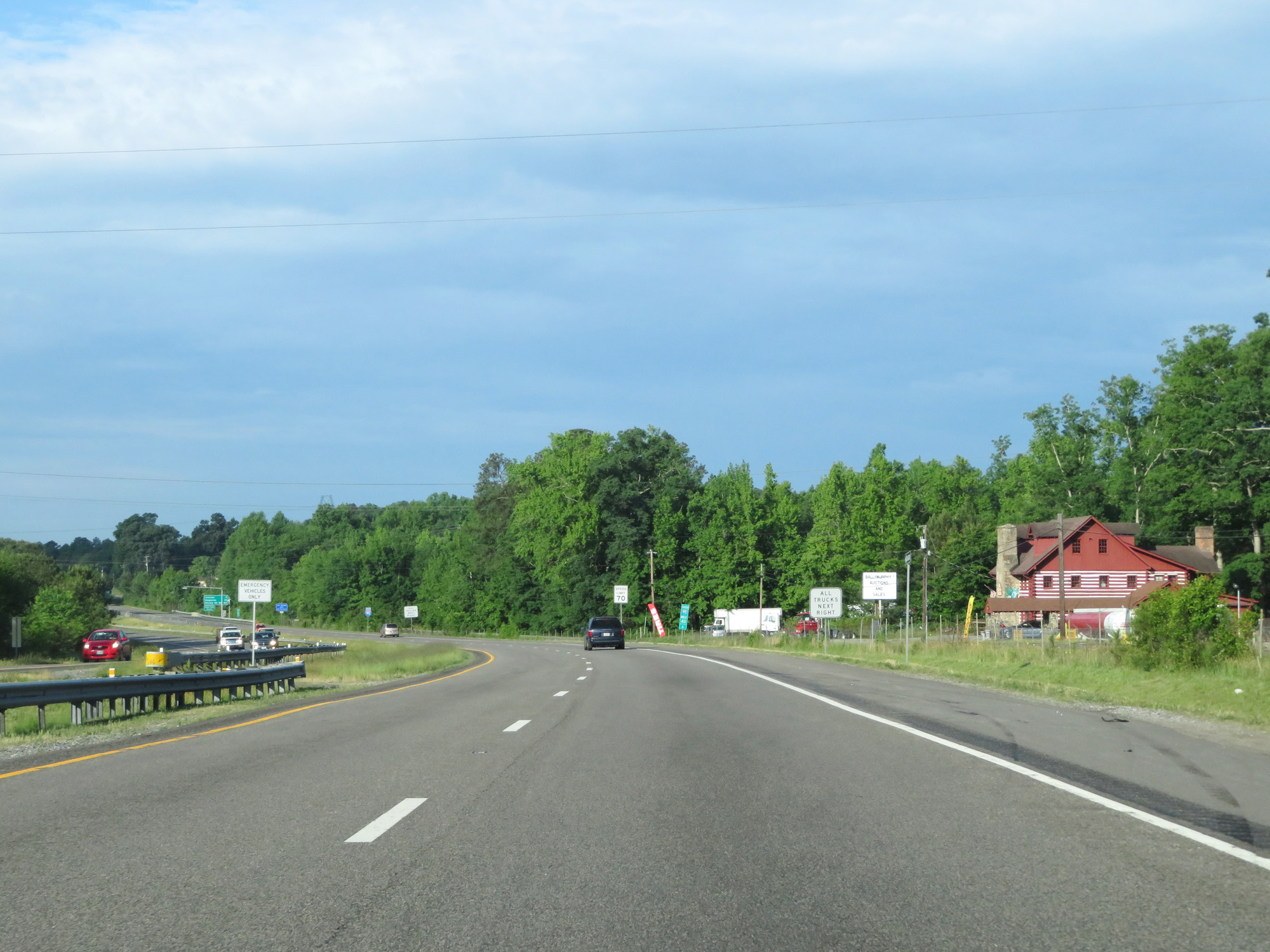
Speed Limit - 70 mph. (Photo taken 5/20/17). |
 |
Interstate 95 South entering Sussex County. (Photo taken 5/20/17). |
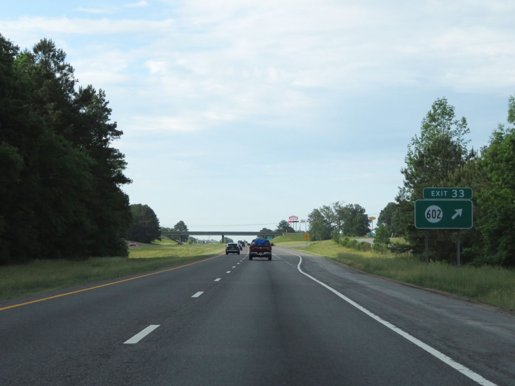 |
Interstate 95 South at Exit 33: SR 602 (Photo taken 5/20/17). |
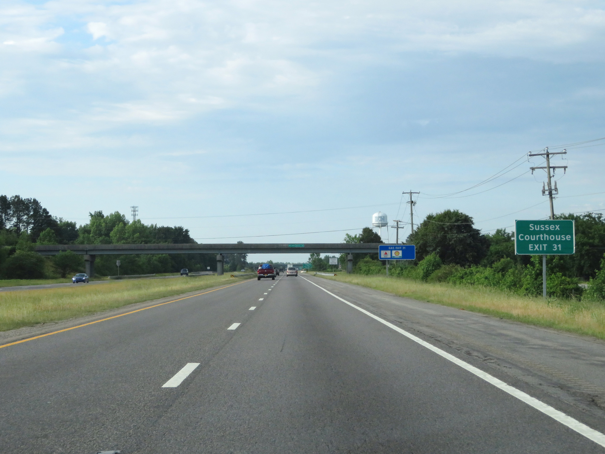 |
Take Exit 31 to Sussex Courthouse. (Photo taken 5/20/17). |
 |
Interstate 95 South at Exit 31: VA 40 - Stony Creek / Waverly (Photo taken 5/20/17). |
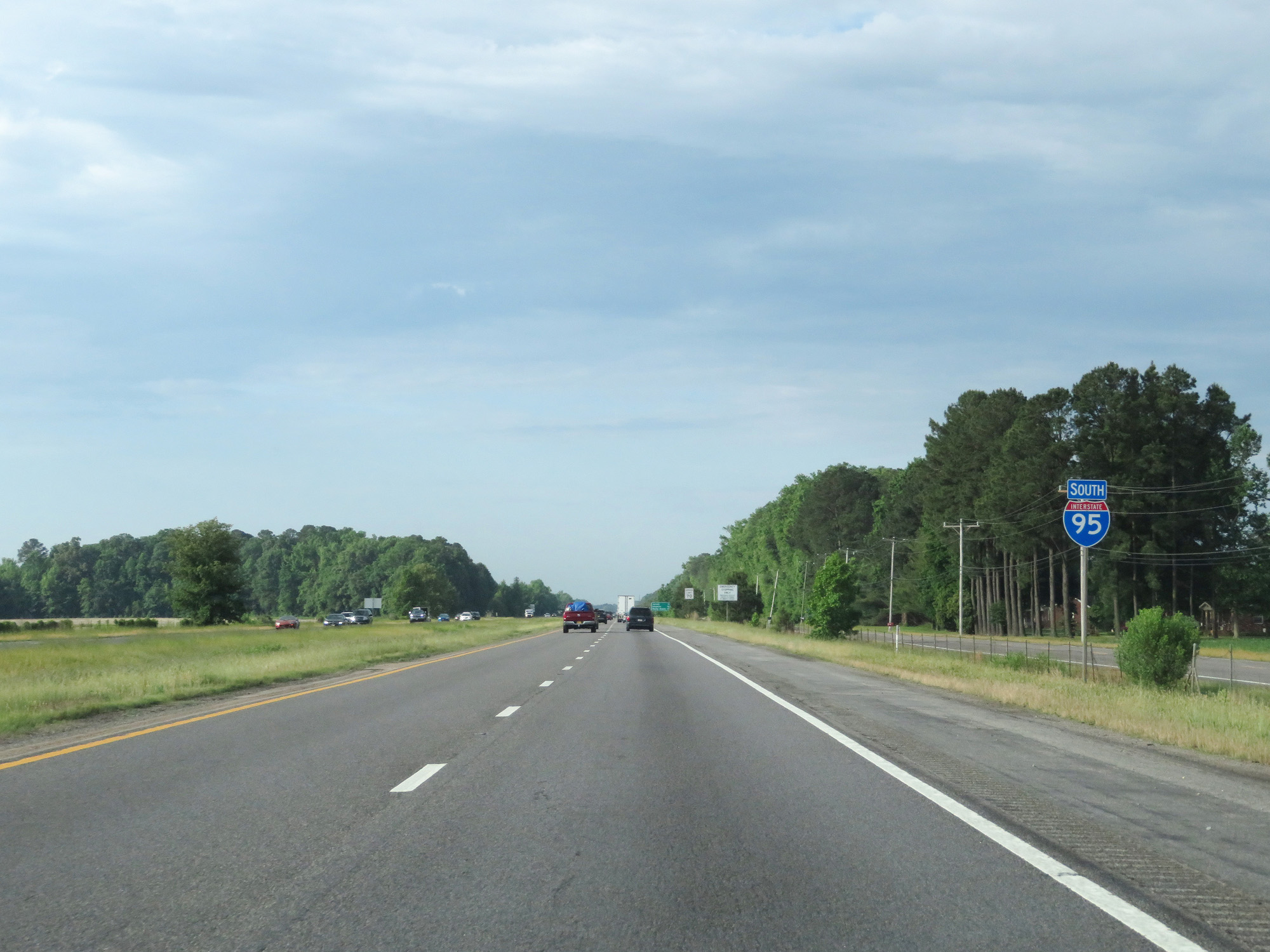 |
Interstate 95 South reassurance shield. (Photo taken 5/20/17). |
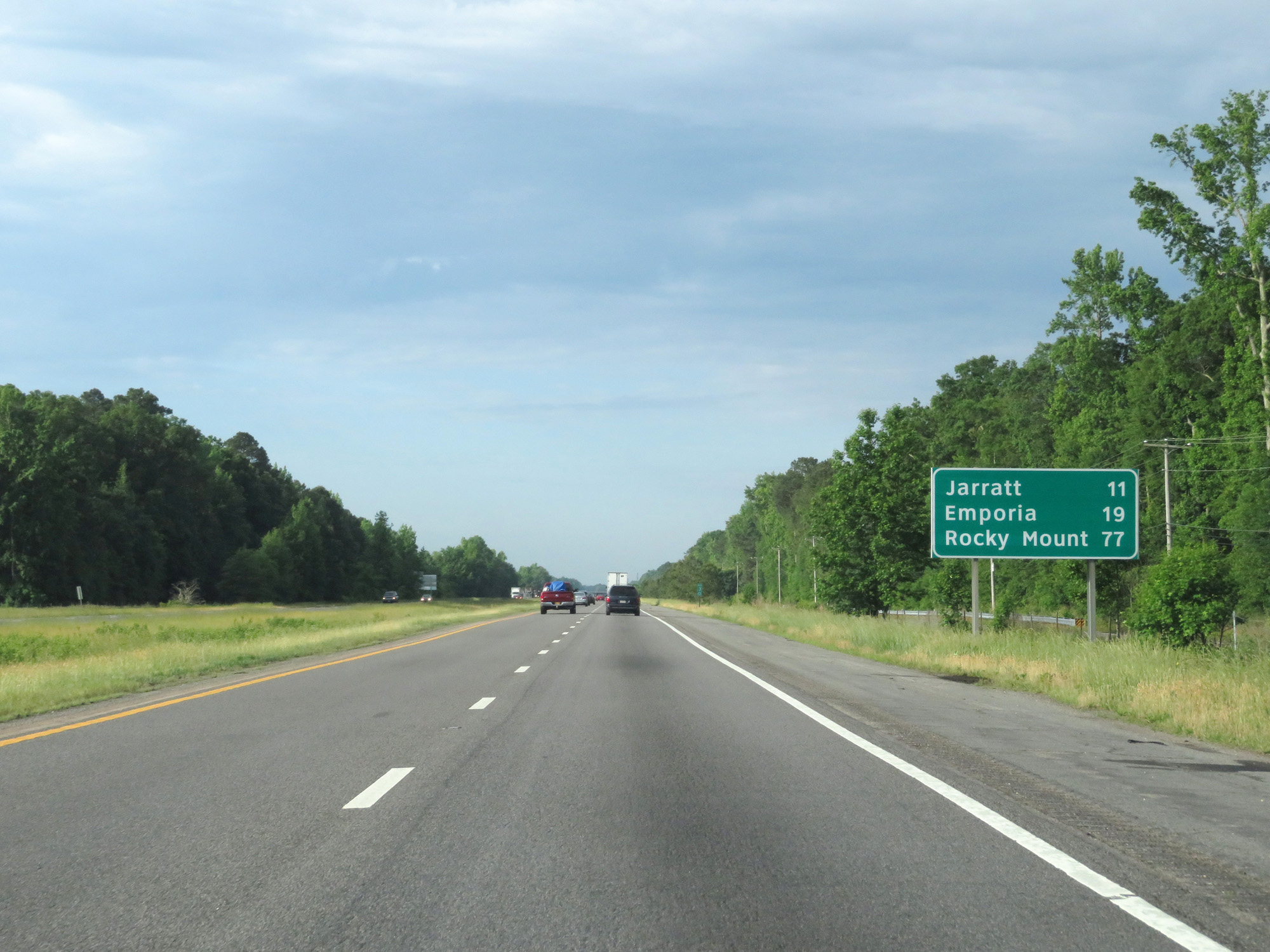 |
Mileage sign on Interstate 95 South. It's 11 miles to Jarratt, 19 miles to Emporia, and 77 miles to Rocky Mount. (Photo taken 5/20/17). |
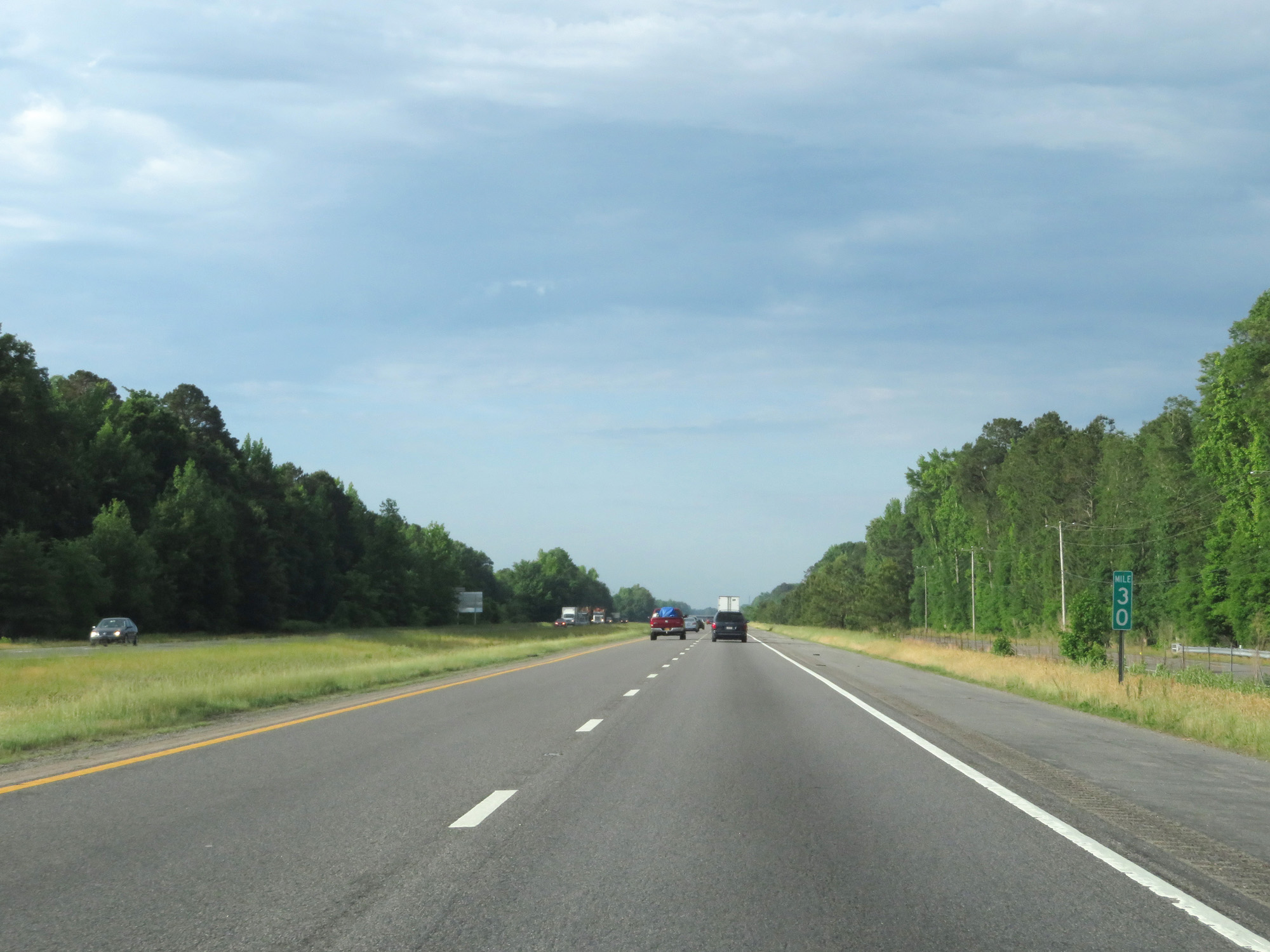 |
Interstate 95 South at mile marker 30. (Photo taken 5/20/17). |
 |
Interstate 95 South at mile marker 28. (Photo taken 5/20/17). |
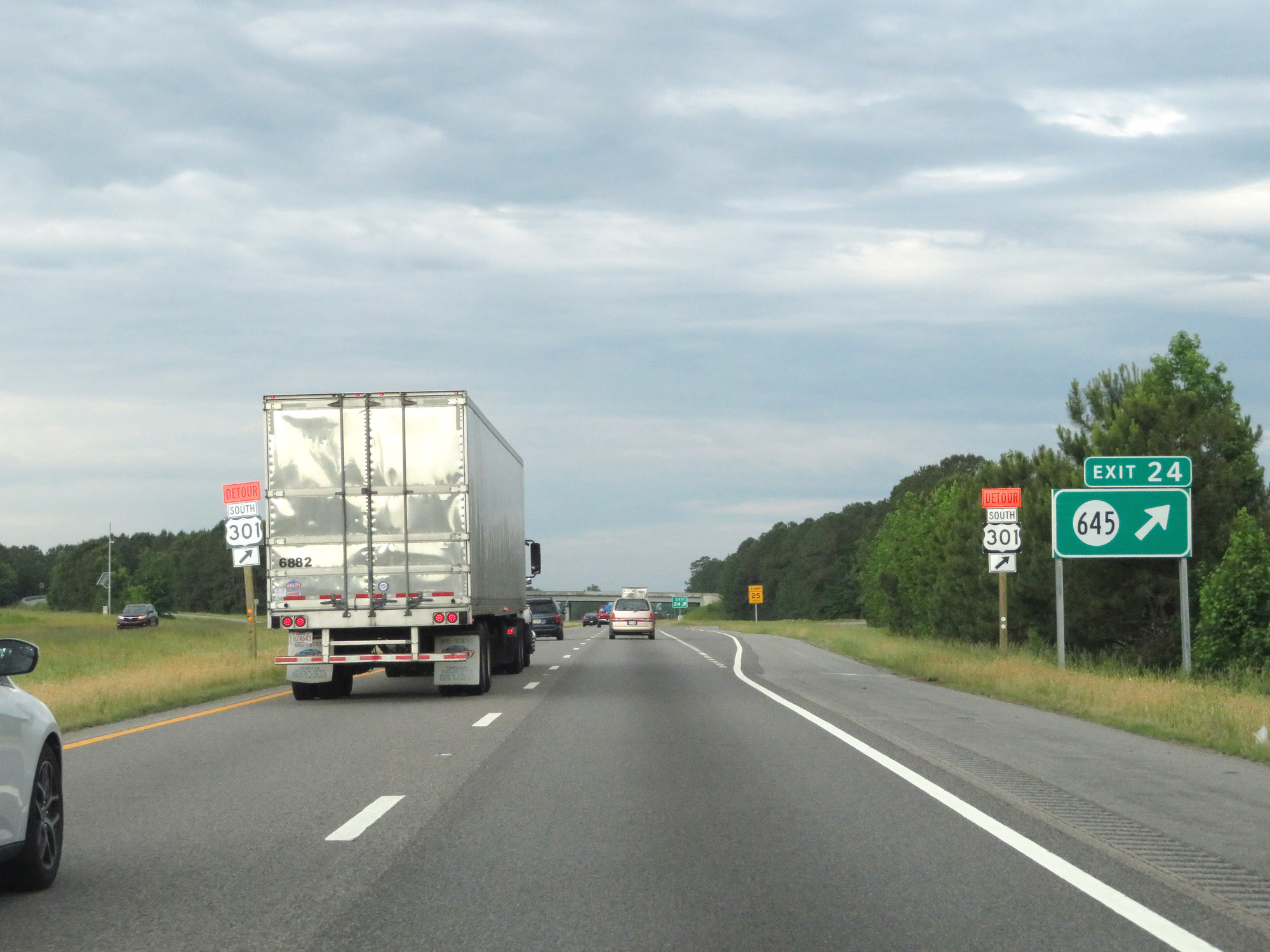 |
Interstate 95 South at Exit 24: SR 645 (Photo taken 5/20/17). |
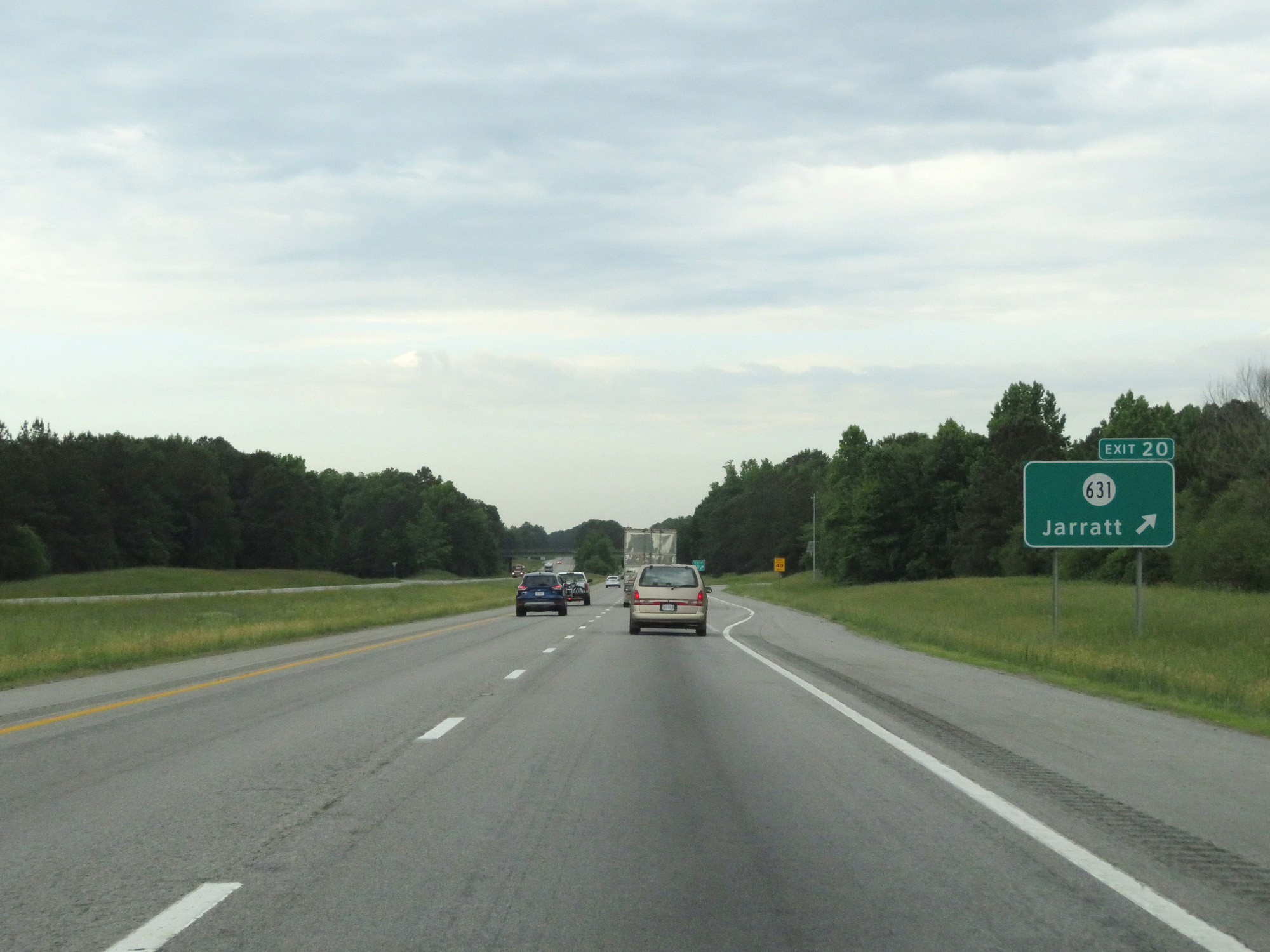 |
Interstate 95 South at Exit 20: SR 631 - Jarratt (Photo taken 5/20/17). |
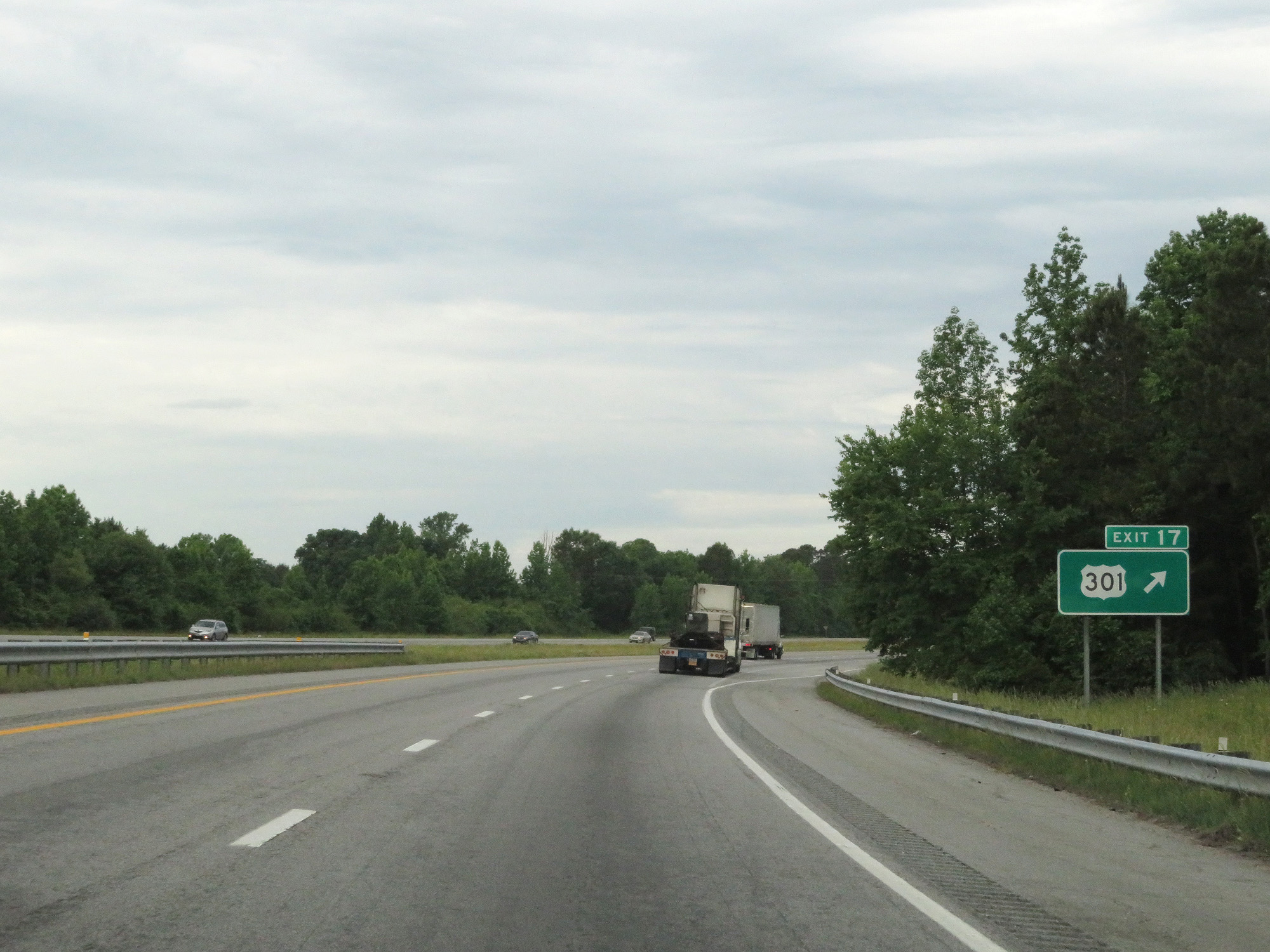 |
Interstate 95 South at Exit 17: US 301 (Photo taken 5/20/17). |
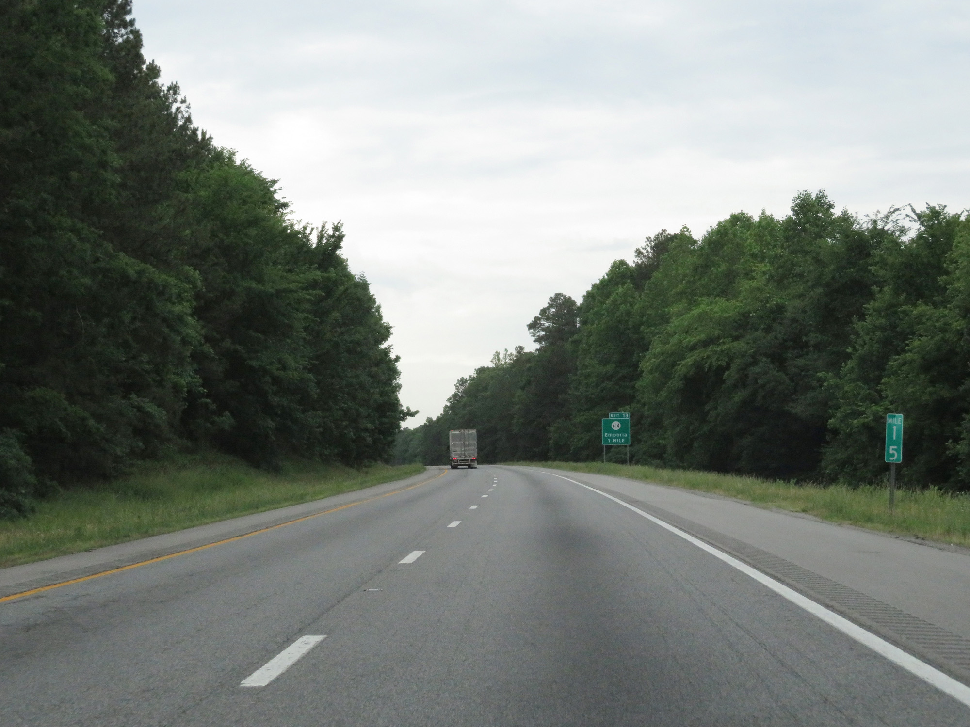 |
Interstate 95 South at mile marker 15. (Photo taken 5/20/17). |
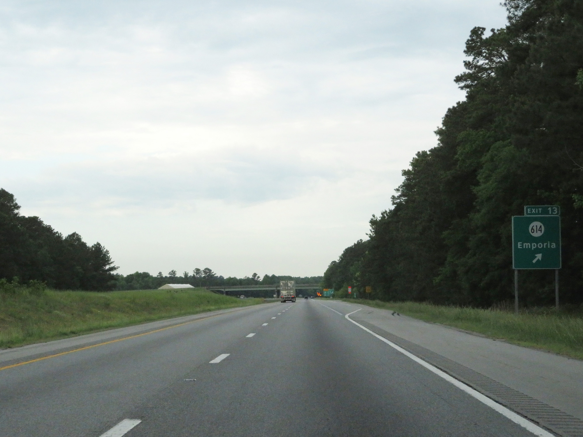 |
Interstate 95 South at Exit 13: SR 614 - Emporia (Photo taken 5/20/17). |
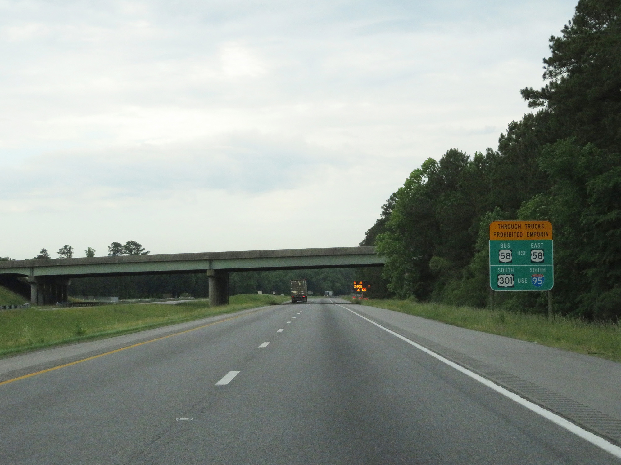 |
Thru trucks are prohibited on US 58 Business and US 301 South in Emporia. This sign displays the alternate routes. (Photo taken 5/20/17). |
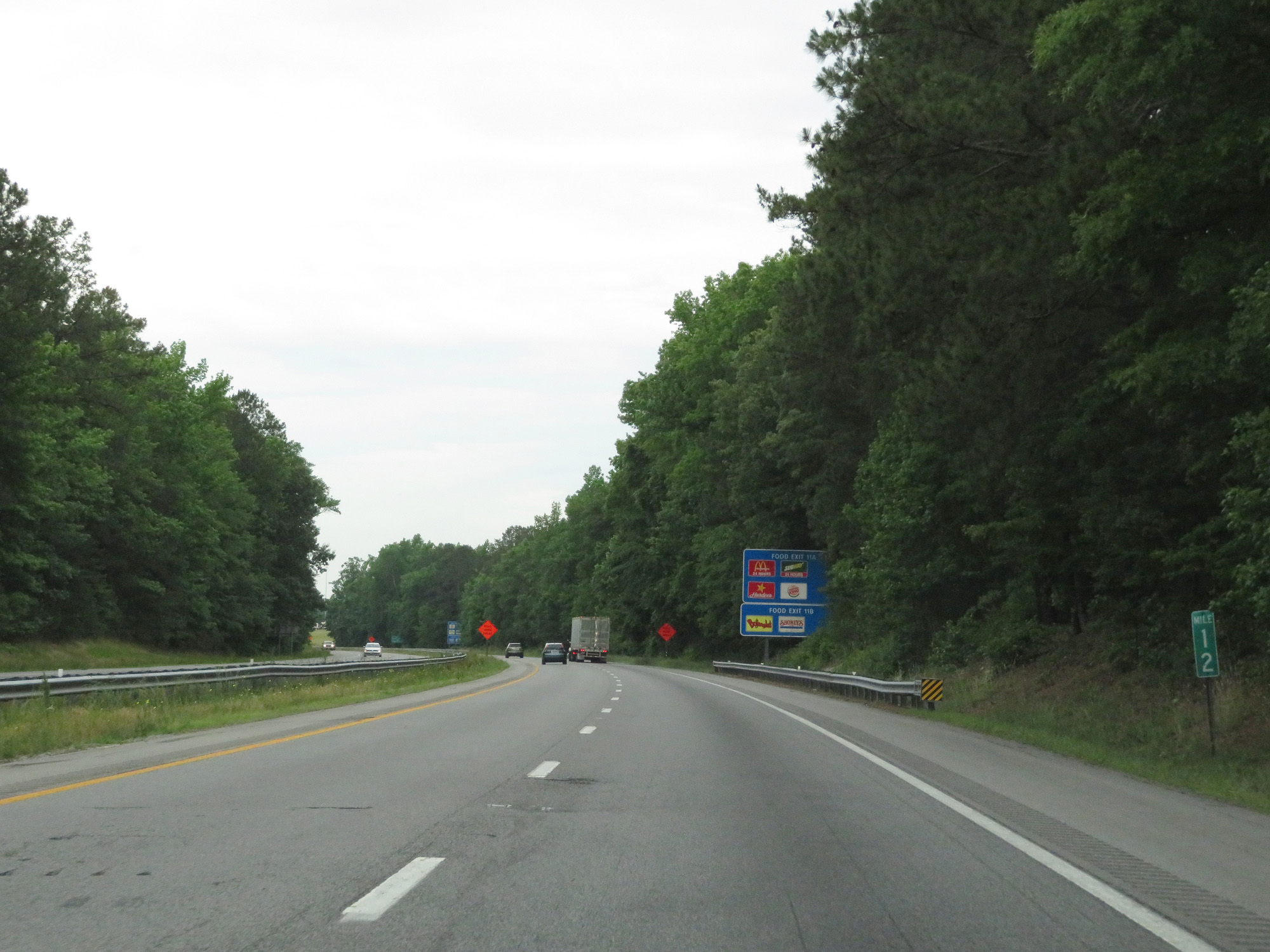 |
Interstate 95 South at mile marker 12. (Photo taken 5/20/17). |
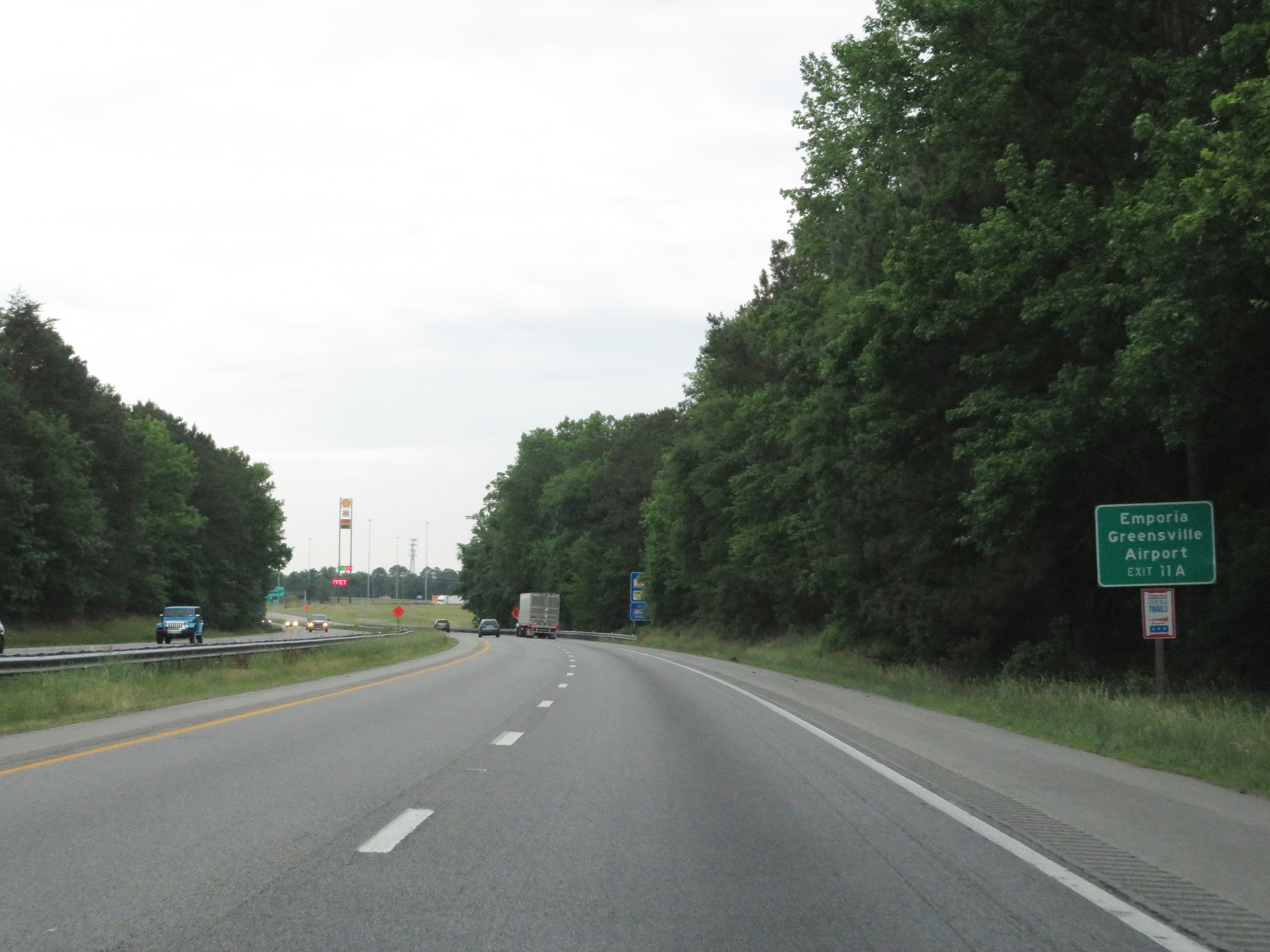 |
Take Exit 11A to Emporia Greensville Airport. (Photo taken 5/20/17). |
 |
Interstate 95 South entering the City of Emporia. (Photo taken 5/20/17). |
 |
Interstate 95 South at Exit 11B: US 58 West - South Hill (Photo taken 5/20/17). |
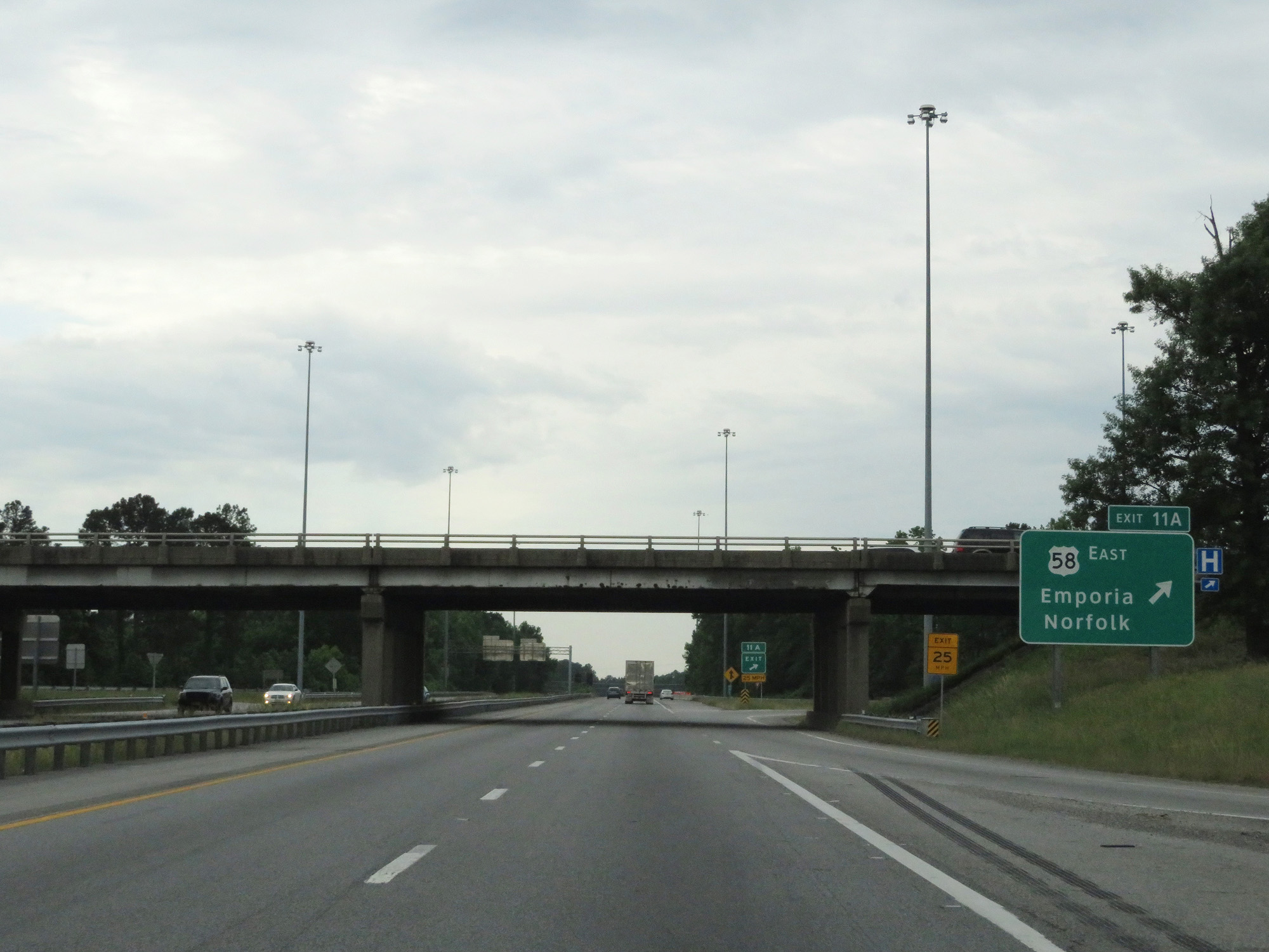 |
Interstate 95 South at Exit 11A: US 58 East - Emporia / Norfolk (Photo taken 5/20/17). |
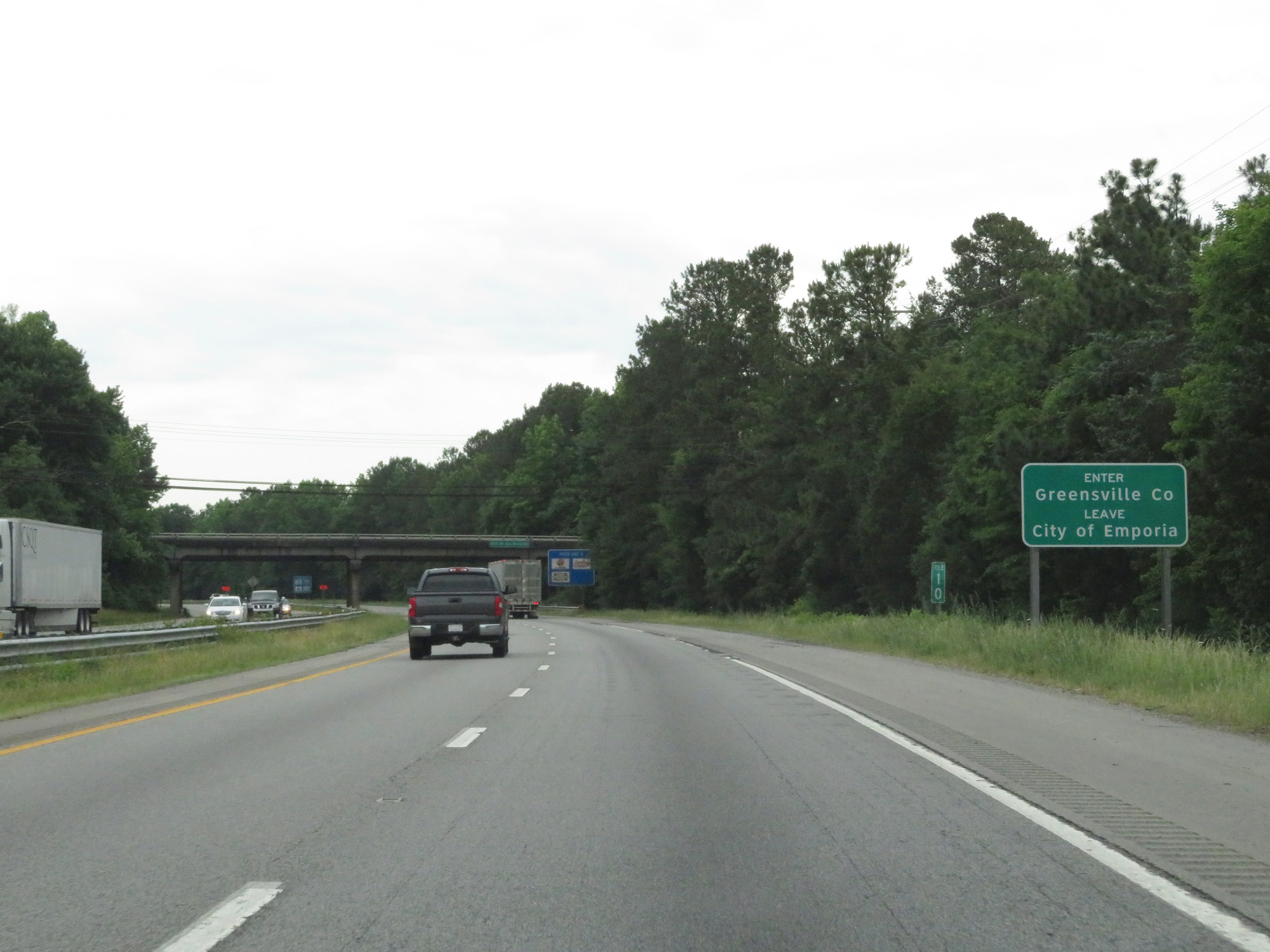 |
Interstate 95 South as it re-enters Greensville County. (Photo taken 5/20/17). |
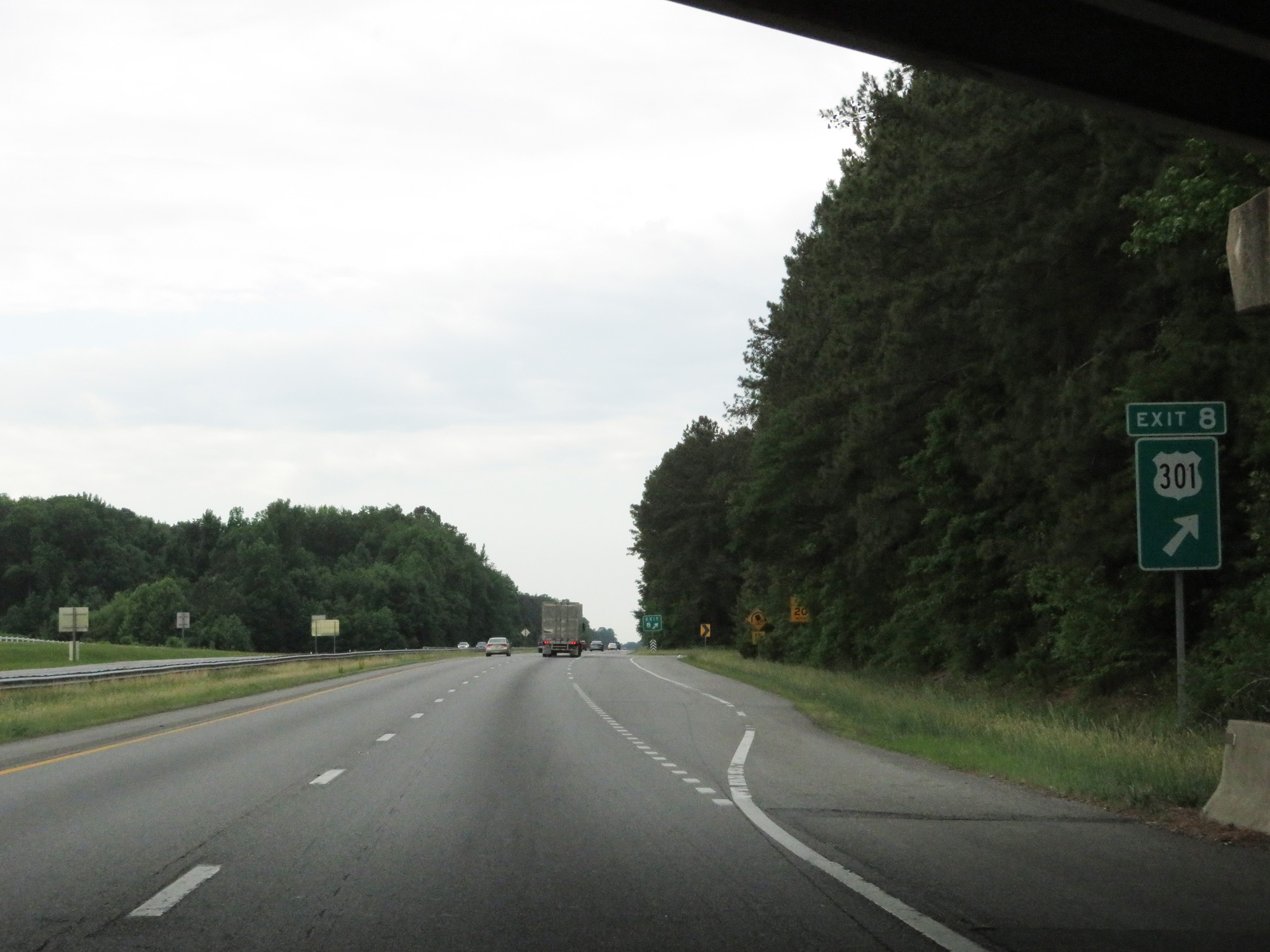 |
Interstate 95 South at Exit 8: US 301 (Photo taken 5/20/17). |
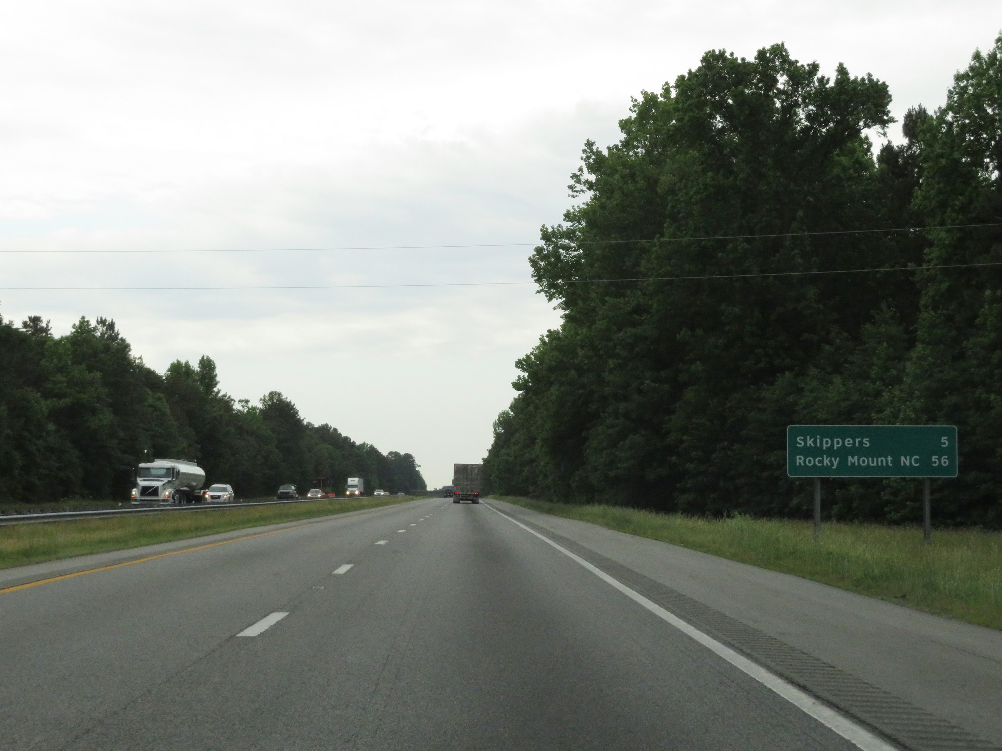 |
Mileage sign on Interstate 95 South. It's 5 miles to Skippers and 56 miles to Rocky Mount. (Photo taken 5/20/17). |
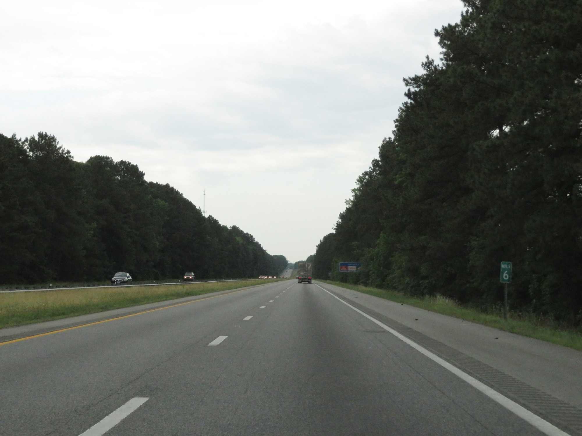 |
Interstate 95 South at mile marker 6. (Photo taken 5/20/17). |
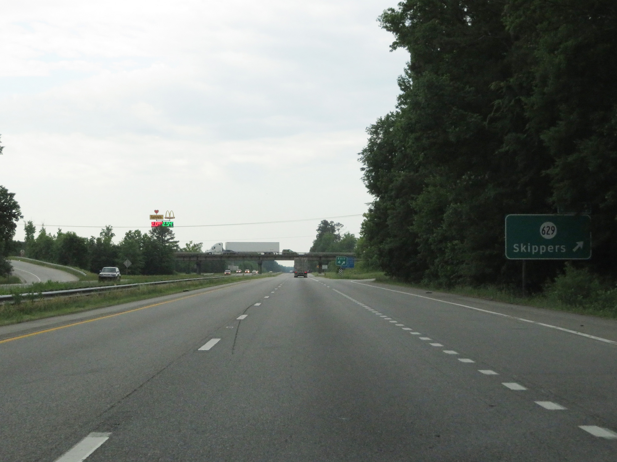 |
Interstate 95 South at Exit 4: SR 629 - Skippers (Photo taken 5/20/17). |
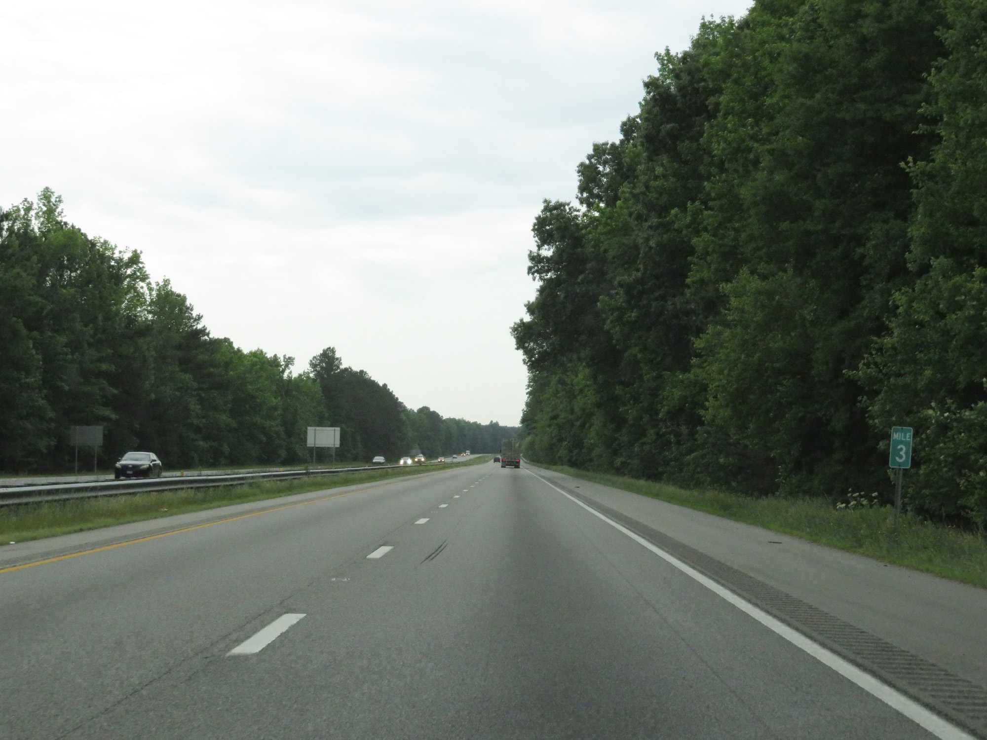 |
Interstate 95 South at mile marker 3. (Photo taken 5/20/17). |
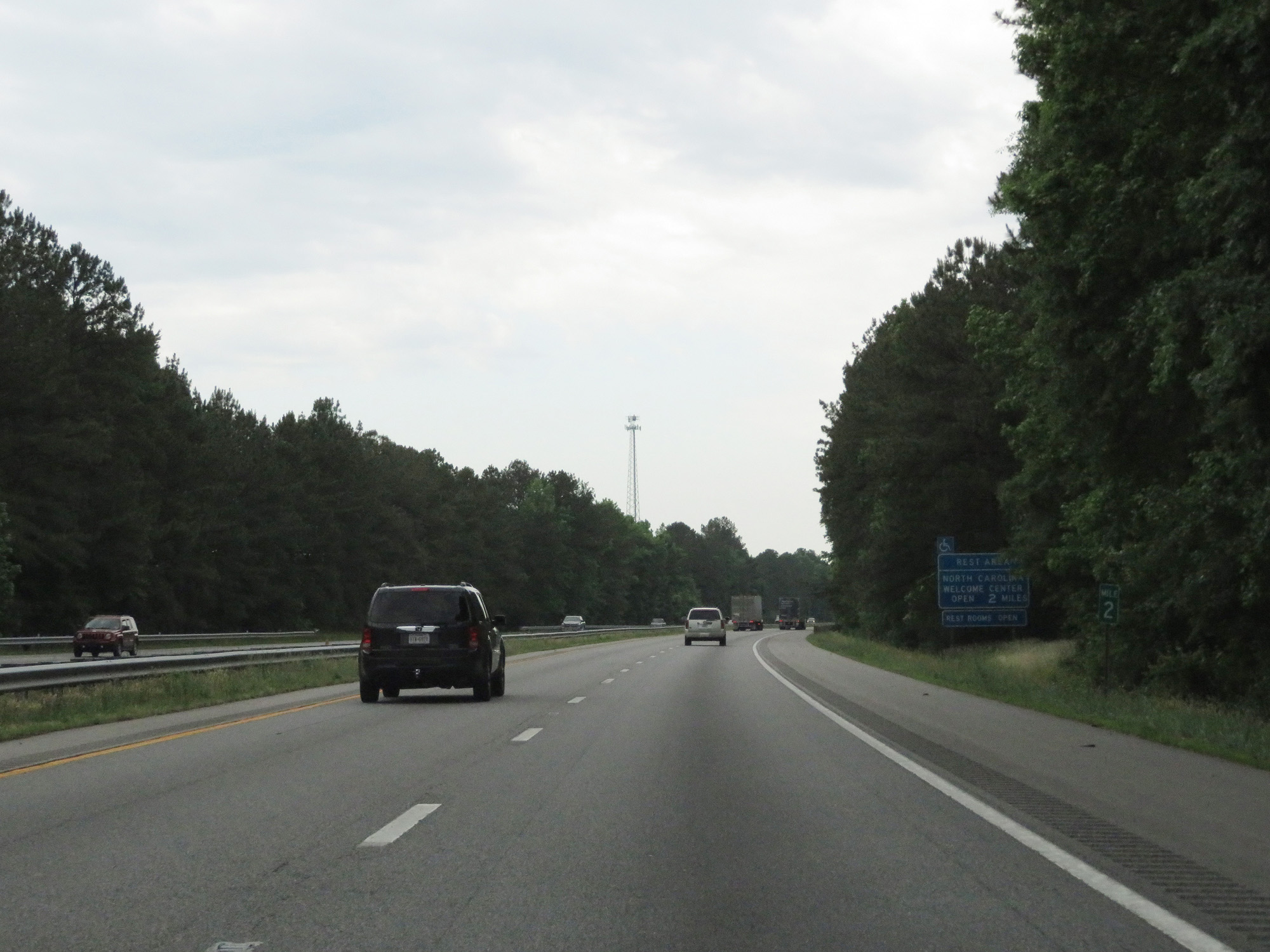 |
Interstate 95 South at mile marker 2. (Photo taken 5/20/17). |
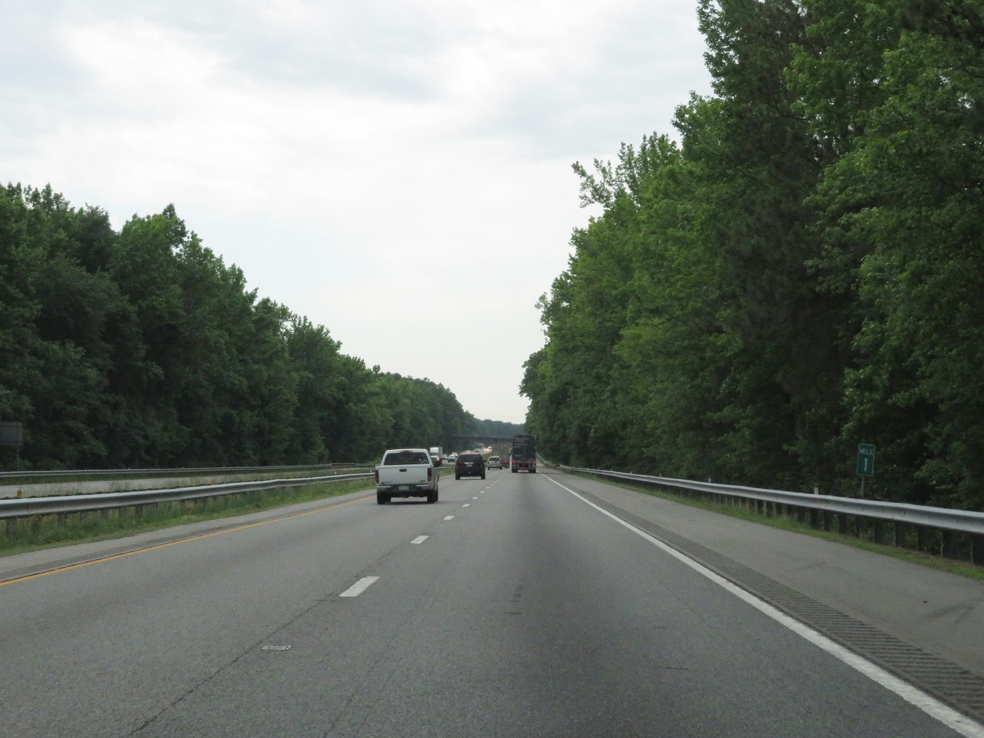 |
Interstate 95 South at mile marker 1. (Photo taken 5/20/17). |
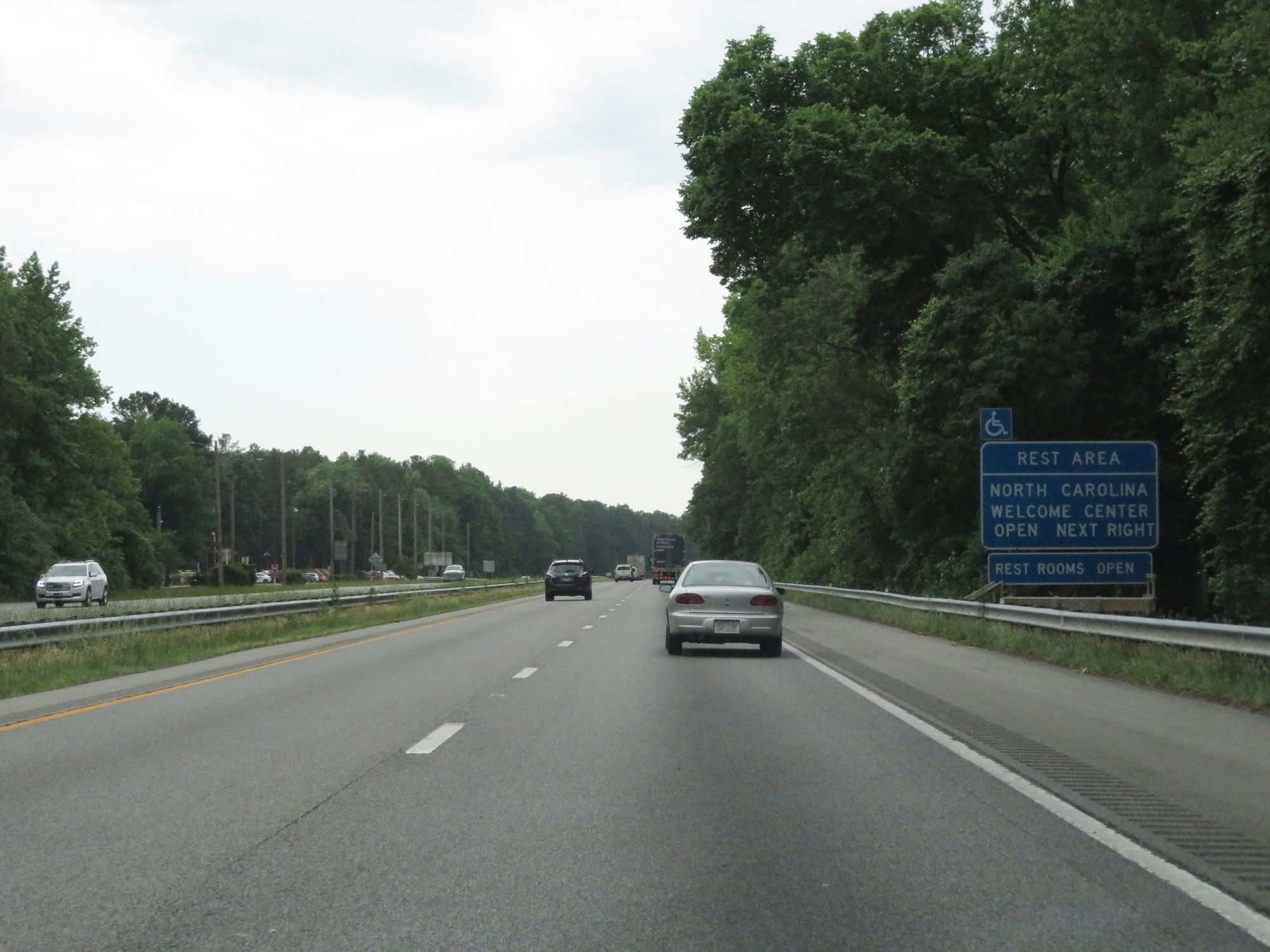 |
Interstate 95 South as it prepares to cross the border. (Photo taken 5/20/17). |