Road Information |
||
 |
||
| Total Mileage in State: | 177 miles | |
| Northern End: | At Canadian Border | |
| Southern End: | At Massachusetts state line | |
| Mileage covered in Photos: | 49 miles | |
| Counties covered in Photos: | Caledonia, Orleans | |
| Major Junctions in Photos: | US 5, in Lyndon | |
| Control Cities in Photos: | St. Johnsbury, Lyndon, Derby Line | |
Northbound
 |
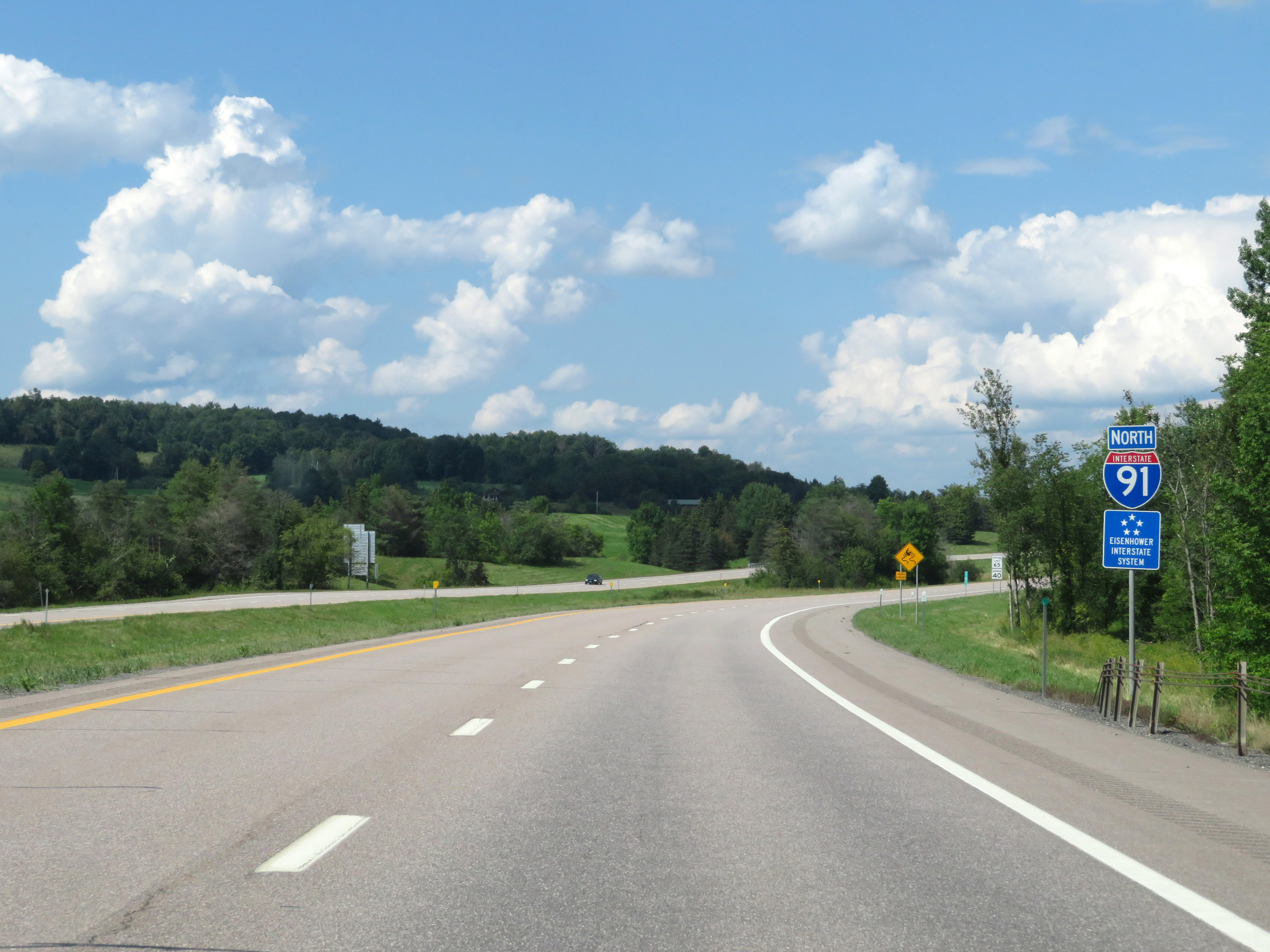
Interstate 91 North at Exit 20: US 5 - St. Johnsbury (Photo taken 8/8/17). |
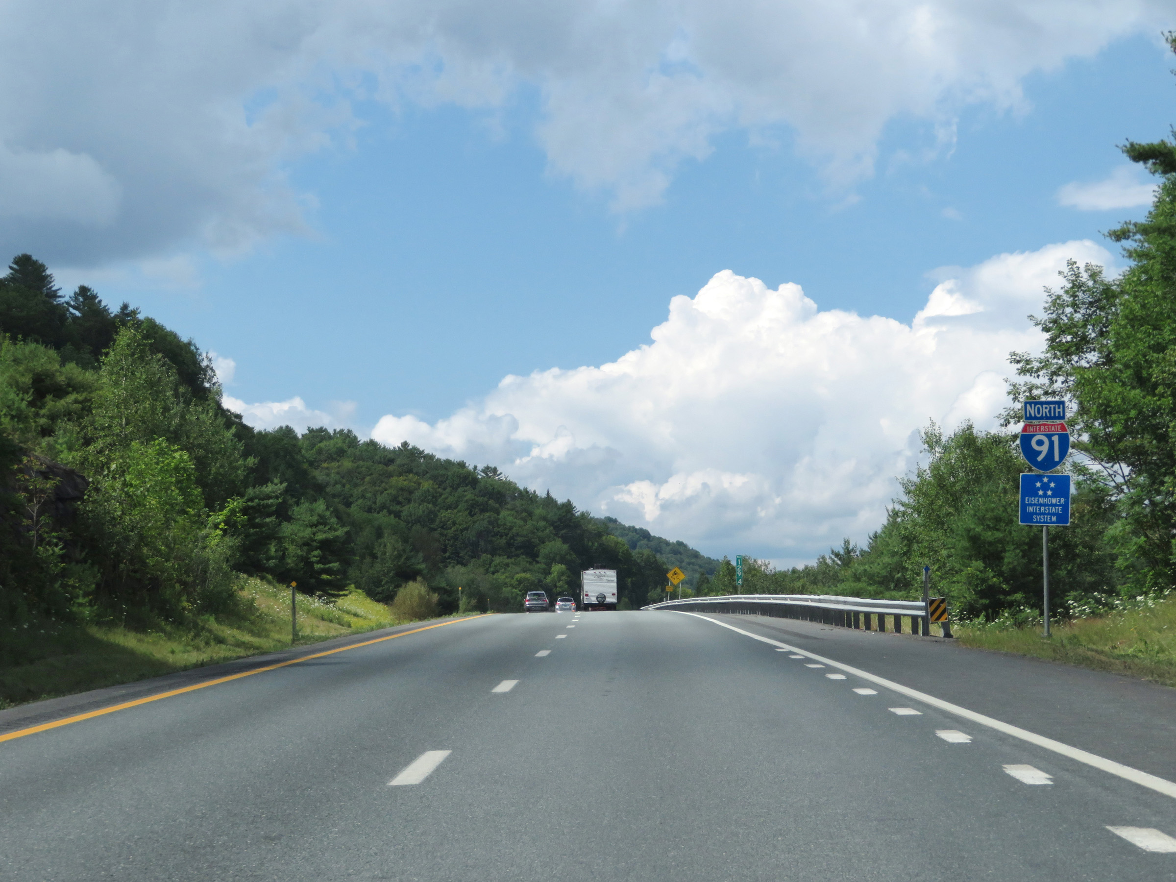 |
Interstate 91 North reassurance shield. (Photo taken 8/8/17). |
 |
The speed limits remain 65 mph maximum and 40 mph minimum. (Photo taken 8/8/17). |
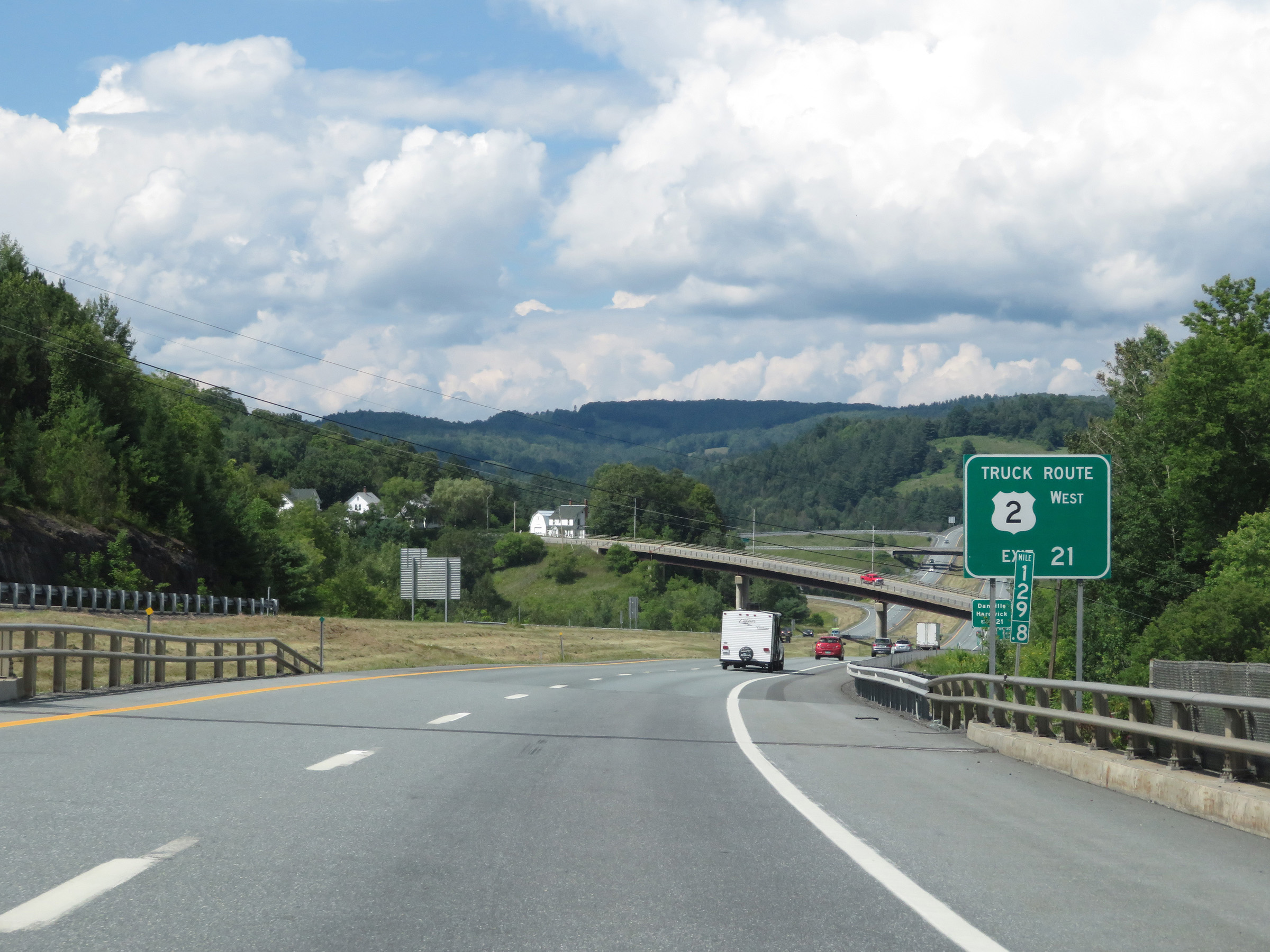 |
Trucks to US 2 West should use Exit 21. (Photo taken 8/8/17). |
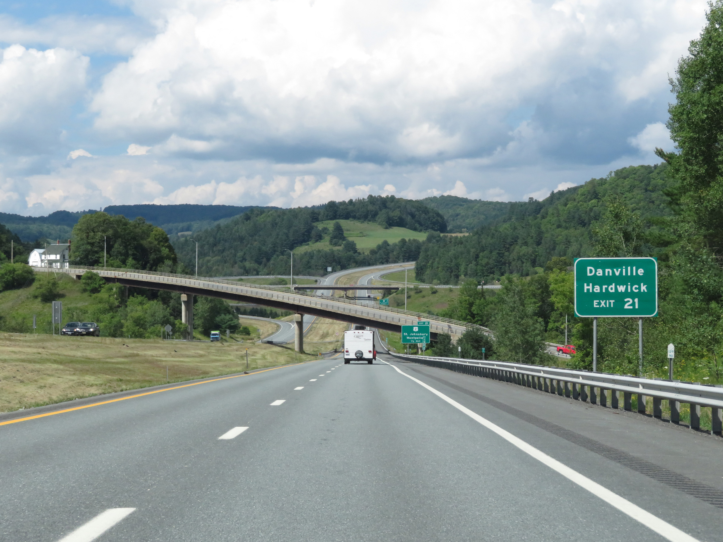 |
Take Exit 21 to Danville and Hardwick. (Photo taken 8/8/17). |
 |
Interstate 91 North at Exit 21: US 2 - St. Johnsbury / Montpelier (Photo taken 8/8/17). |
 |
This sign warns trucks that the exit ramp for Exit 22 is a steep downgrade. Trucks that must use Exit 22 should use a lower gear. (Photo taken 8/8/17). |
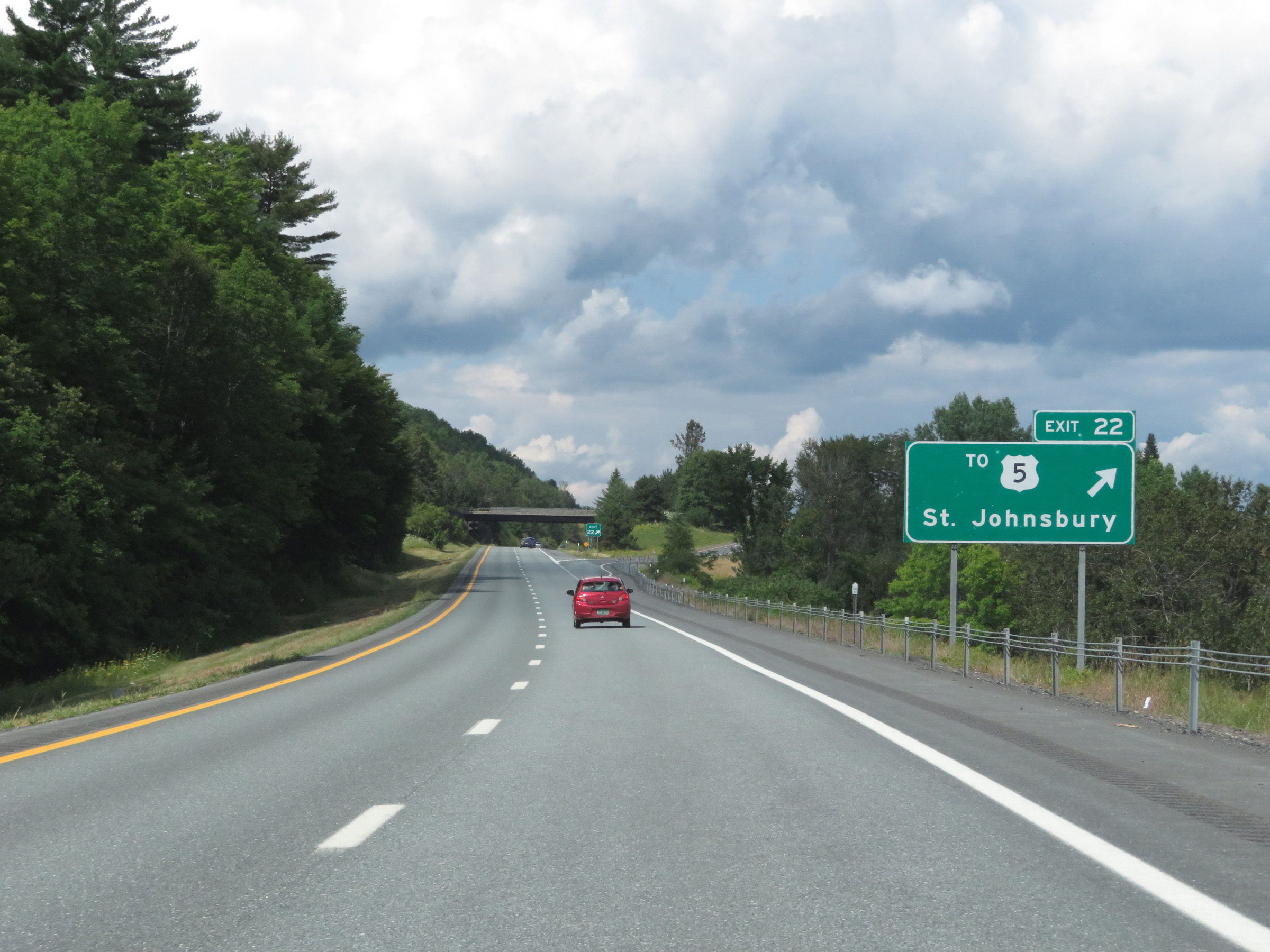 |
Interstate 91 North at Exit 22: To US 5 - St. Johnsbury (Photo taken 8/8/17). |
 |
Mileage sign at mile marker 133.6. It's 5 miles to Lyndonville and 40 miles to Newport. (Photo taken 8/8/17). |
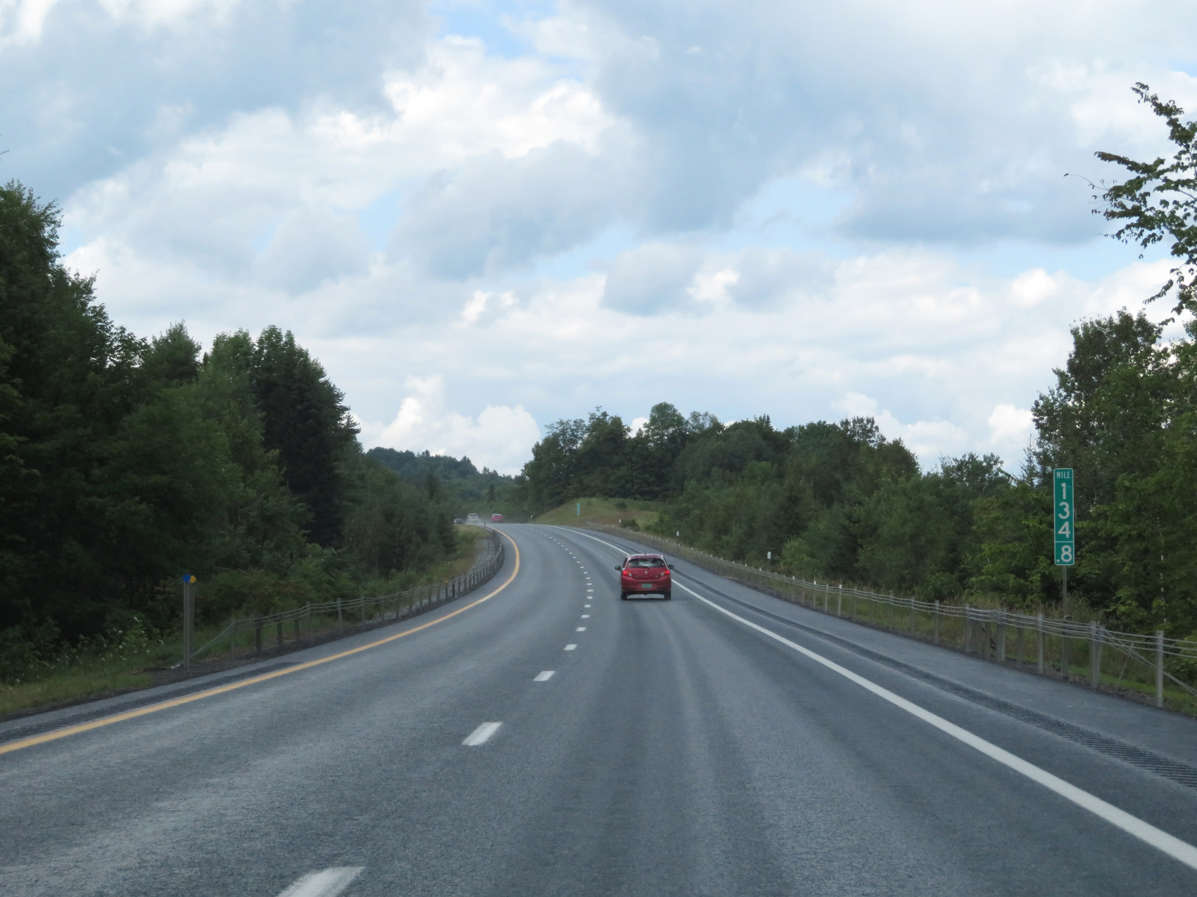 |
View on Interstate 91 North at mile amrker 134.8. (Photo taken 8/8/17). |
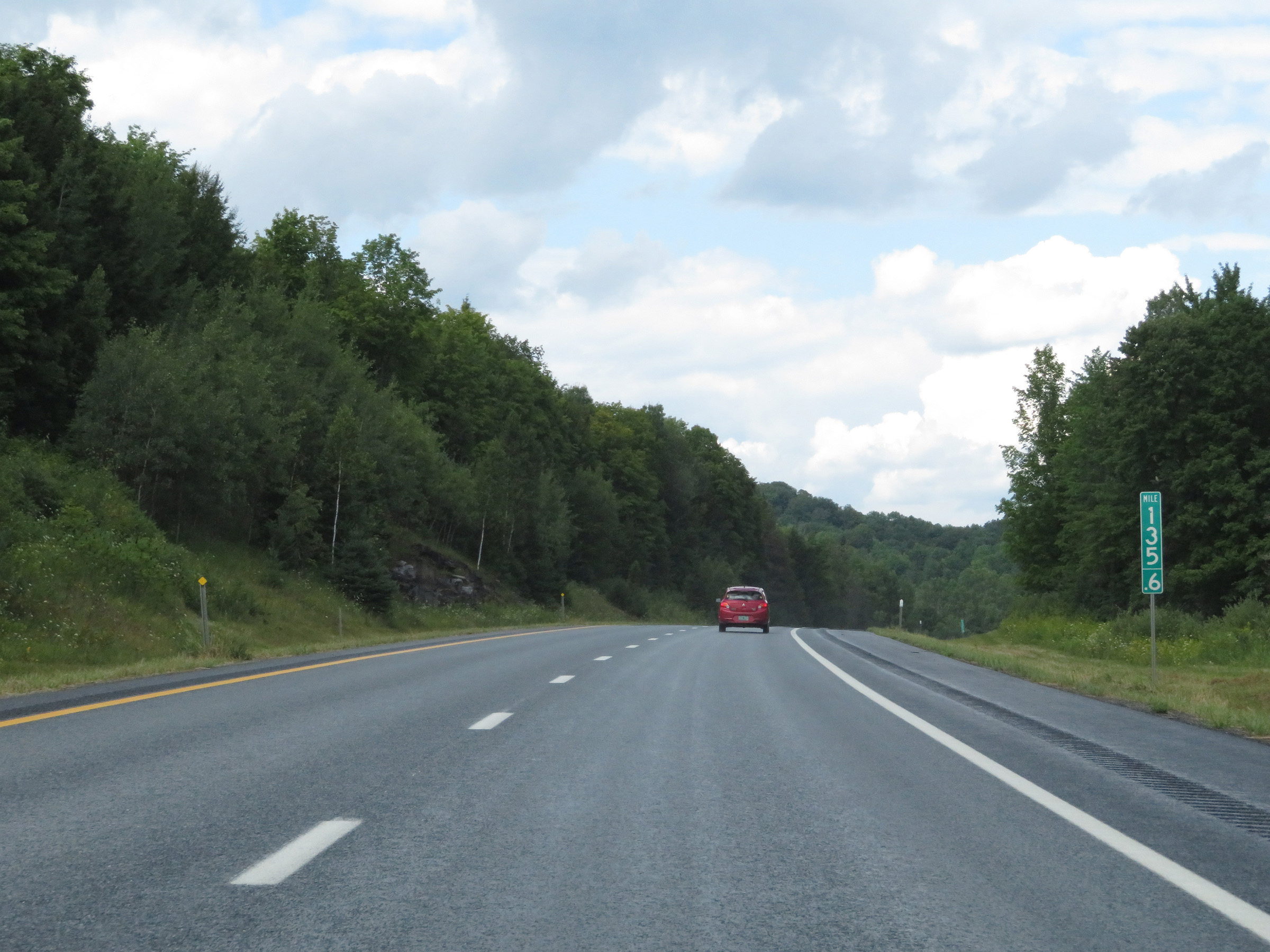 |
Mile marker 135.6 on Interstate 91 North in Caledonia County. (Photo taken 8/8/17). |
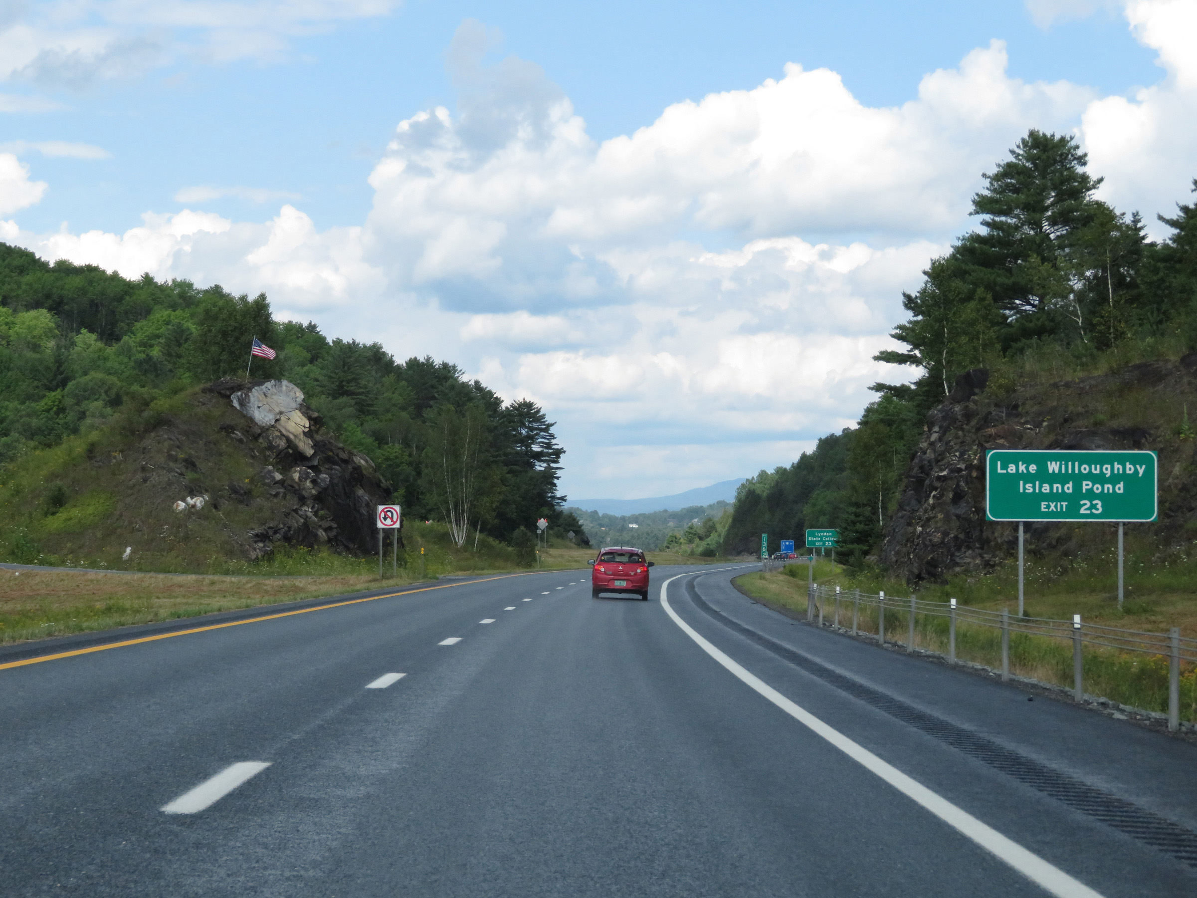 |
Take Exit 23 to Lake Willoughby and Island Pond. (Photo taken 8/8/17). |
 |
Also take Exit 23 to Lyndon State College. (Photo taken 8/8/17). |
 |
Interstate 91 North at Exit 23: US 5 / To VT 114 - Lyndonville / East Burke (Photo taken 8/8/17). |
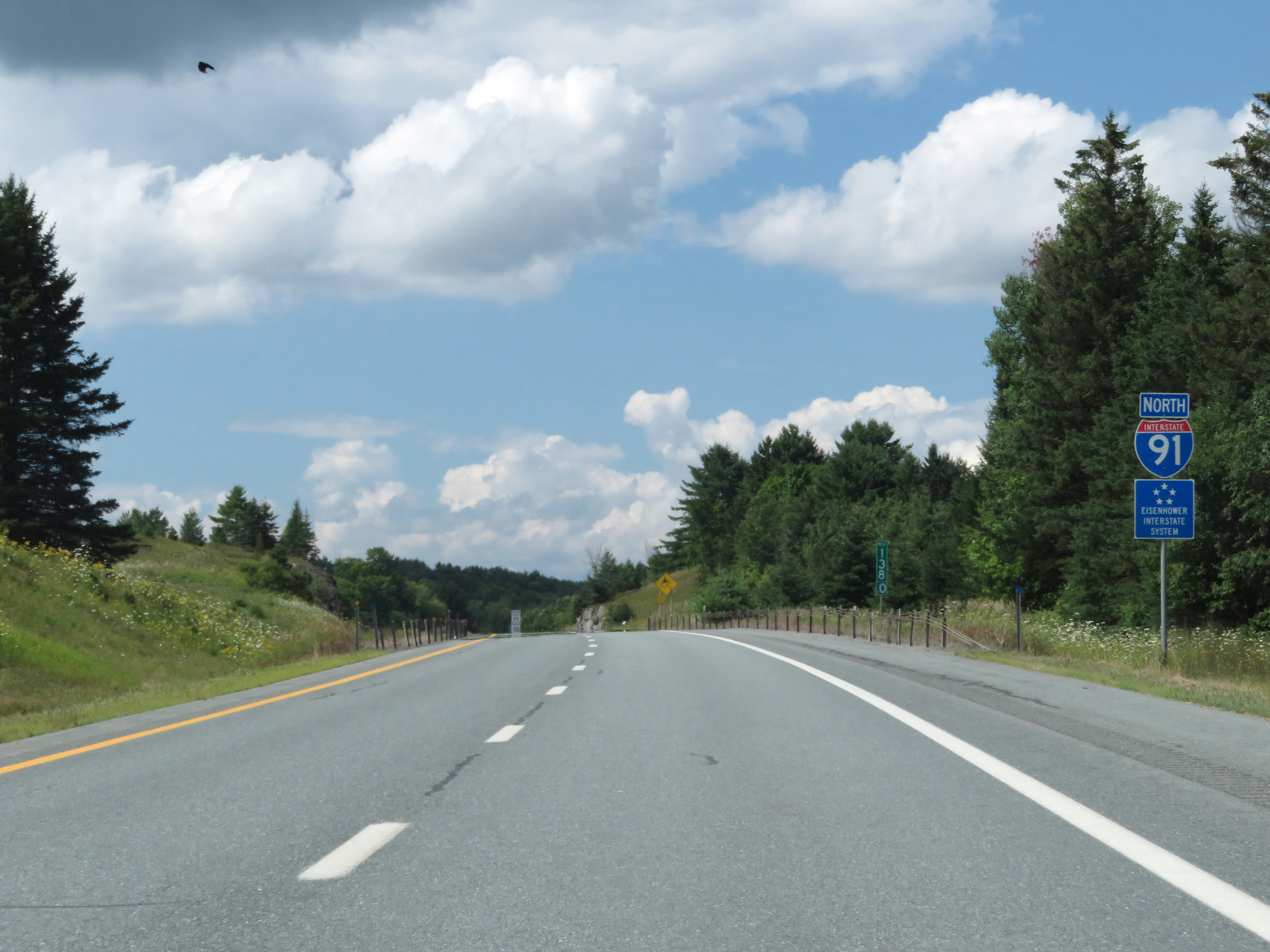 |
Interstate 91 North reassurance shield at mile marker 138. (Photo taken 8/8/17). |
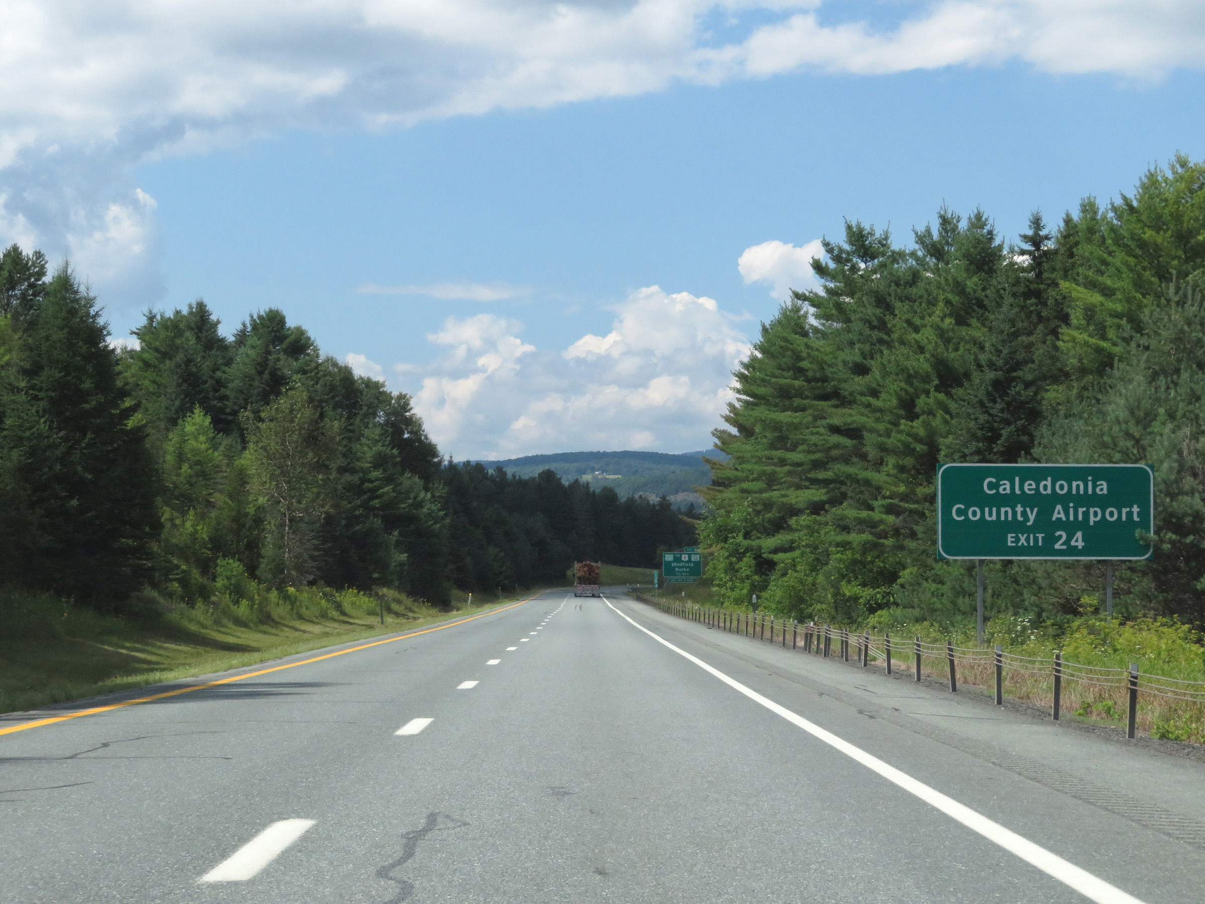 |
Take Exit 24 to Caledonia County Airport. (Photo taken 8/8/17). |
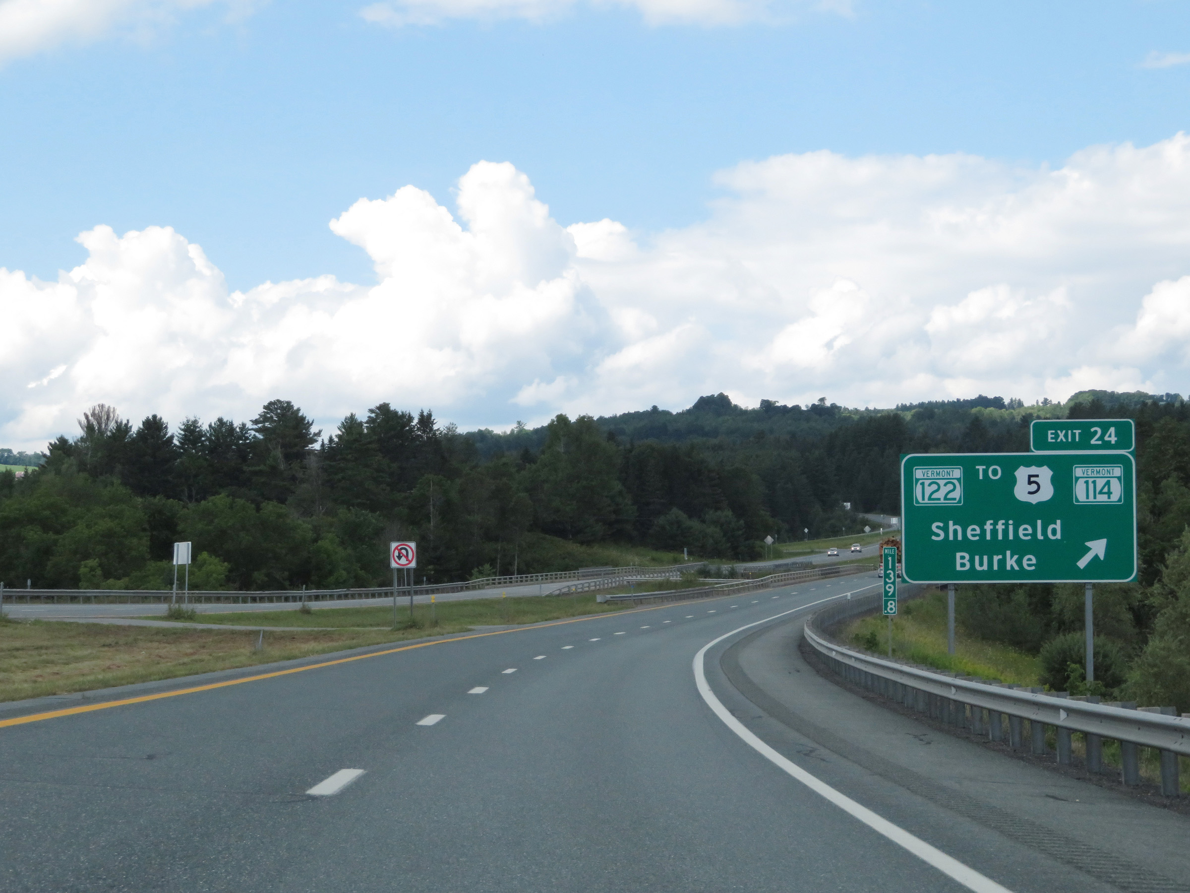 |
Interstate 91 North at Exit 24: VT 122 / To US 5 / To VT 114 - Sheffield / Burke (Photo taken 8/8/17). |
 |
View on Interstate 91 North at mile marker 141. (Photo taken 8/8/17). |
 |
Parking Area on Interstate 91 North in Caledonia County. (Photo taken 8/8/17). |
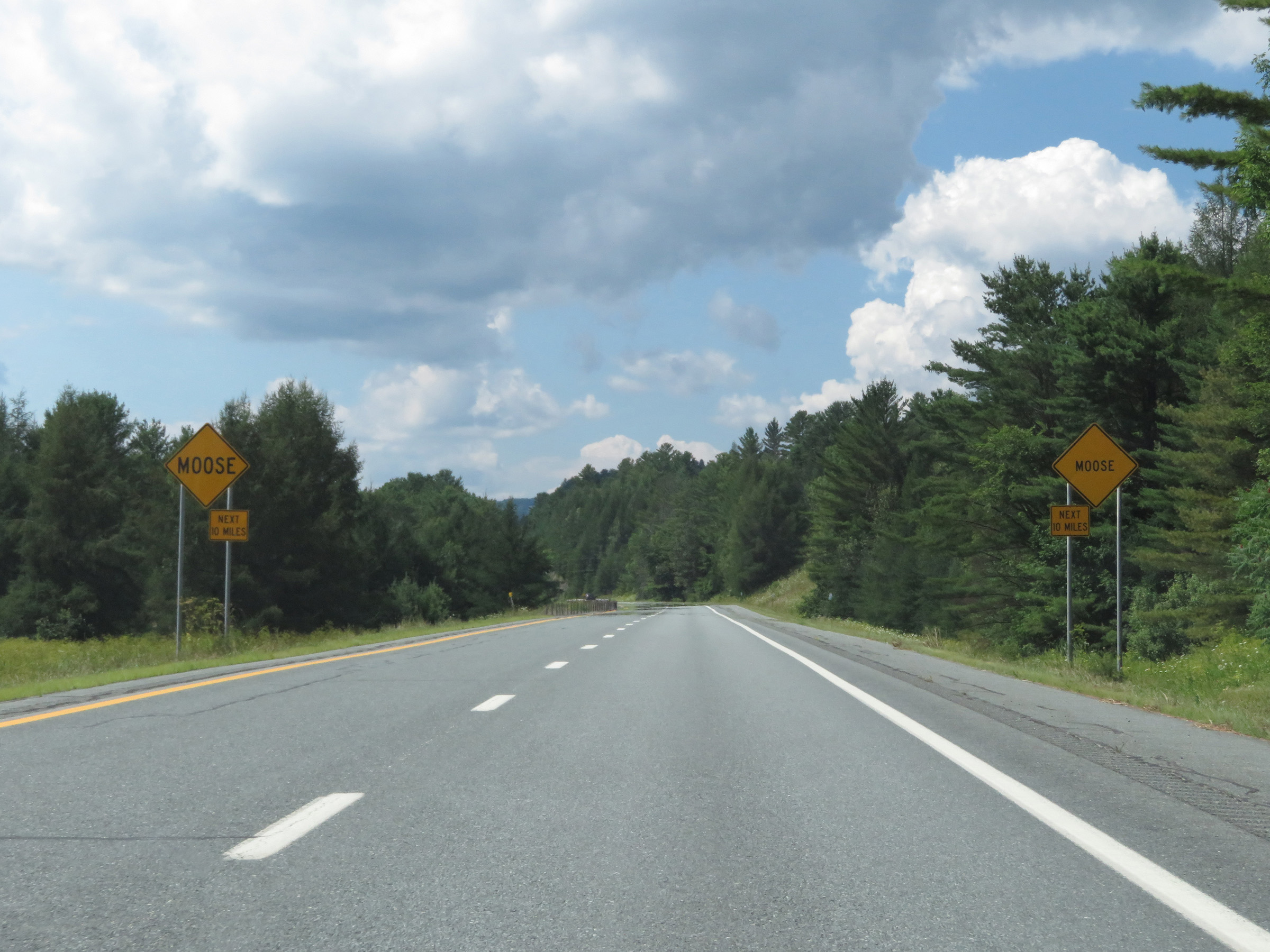 |
As these signs warn, motorists should be alert for moose entering the roadway for the next 10 miles. (Photo taken 8/8/17). |
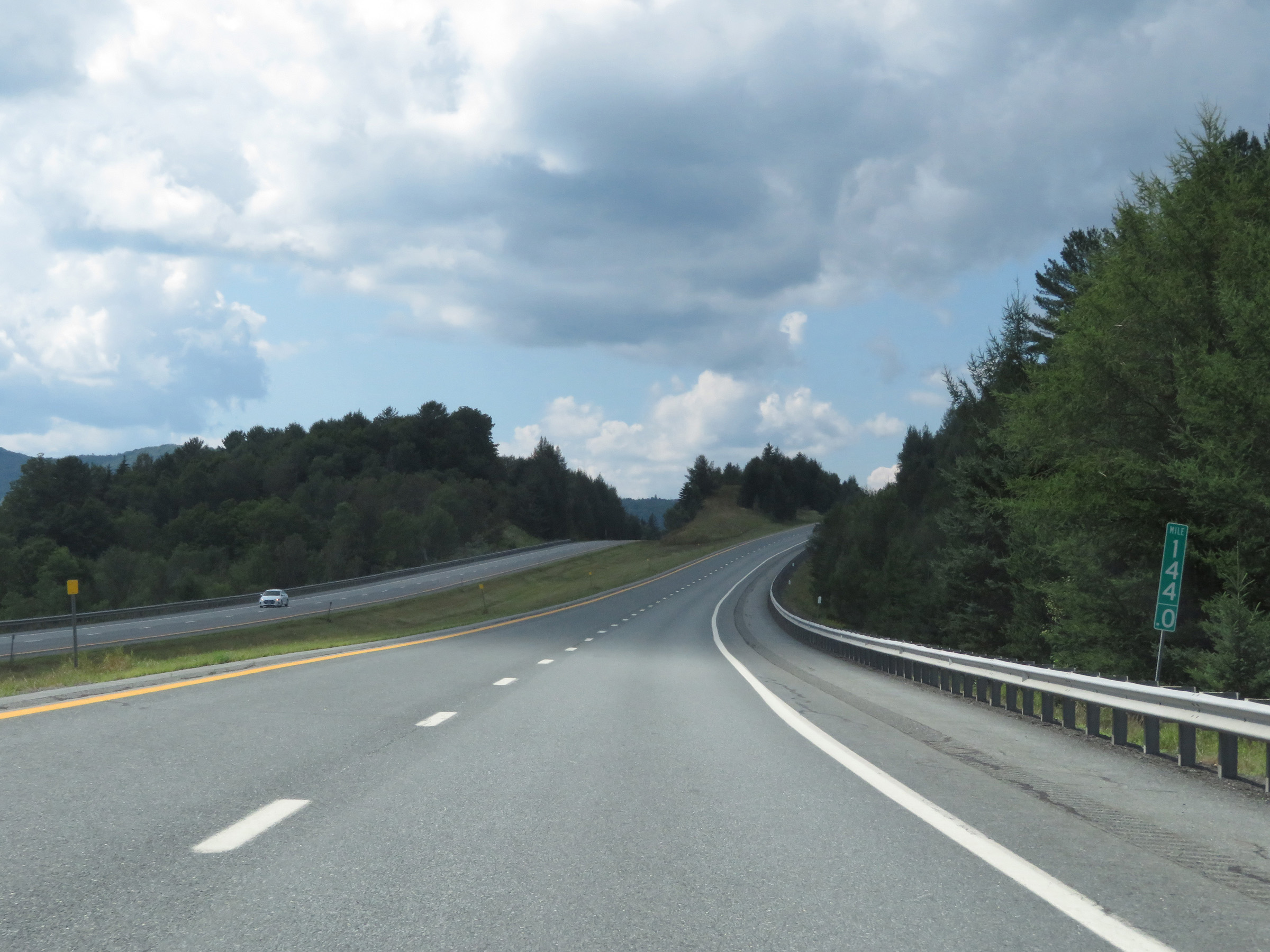 |
Interstate 91 North at mile marker 144. (Photo taken 8/8/17). |
 |
View on Interstate 91 North at mile marker 146. (Photo taken 8/8/17). |
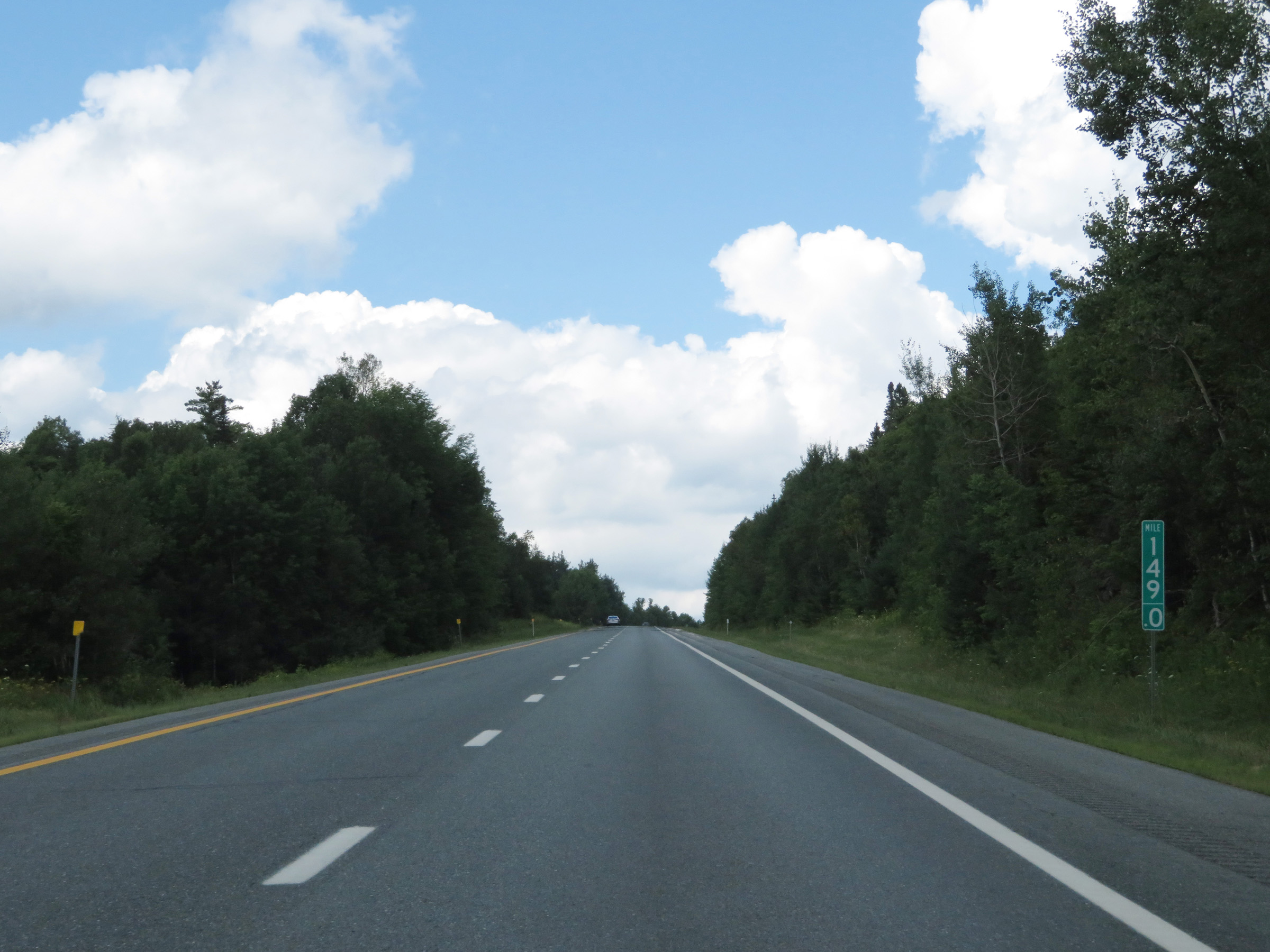 |
Interstate 91 North at mile marker 149. (Photo taken 8/8/17). |
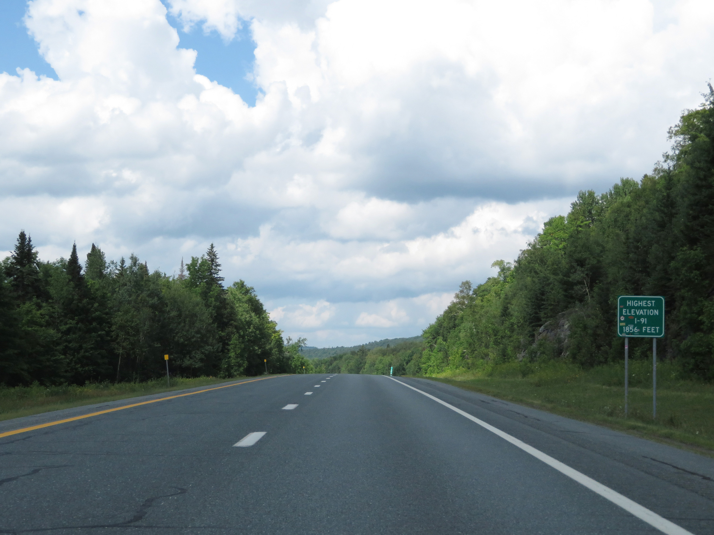 |
At this point, Interstate 91 reaches its highest elevation at an altitude of 1,856 feet. (Photo taken 8/8/17). |
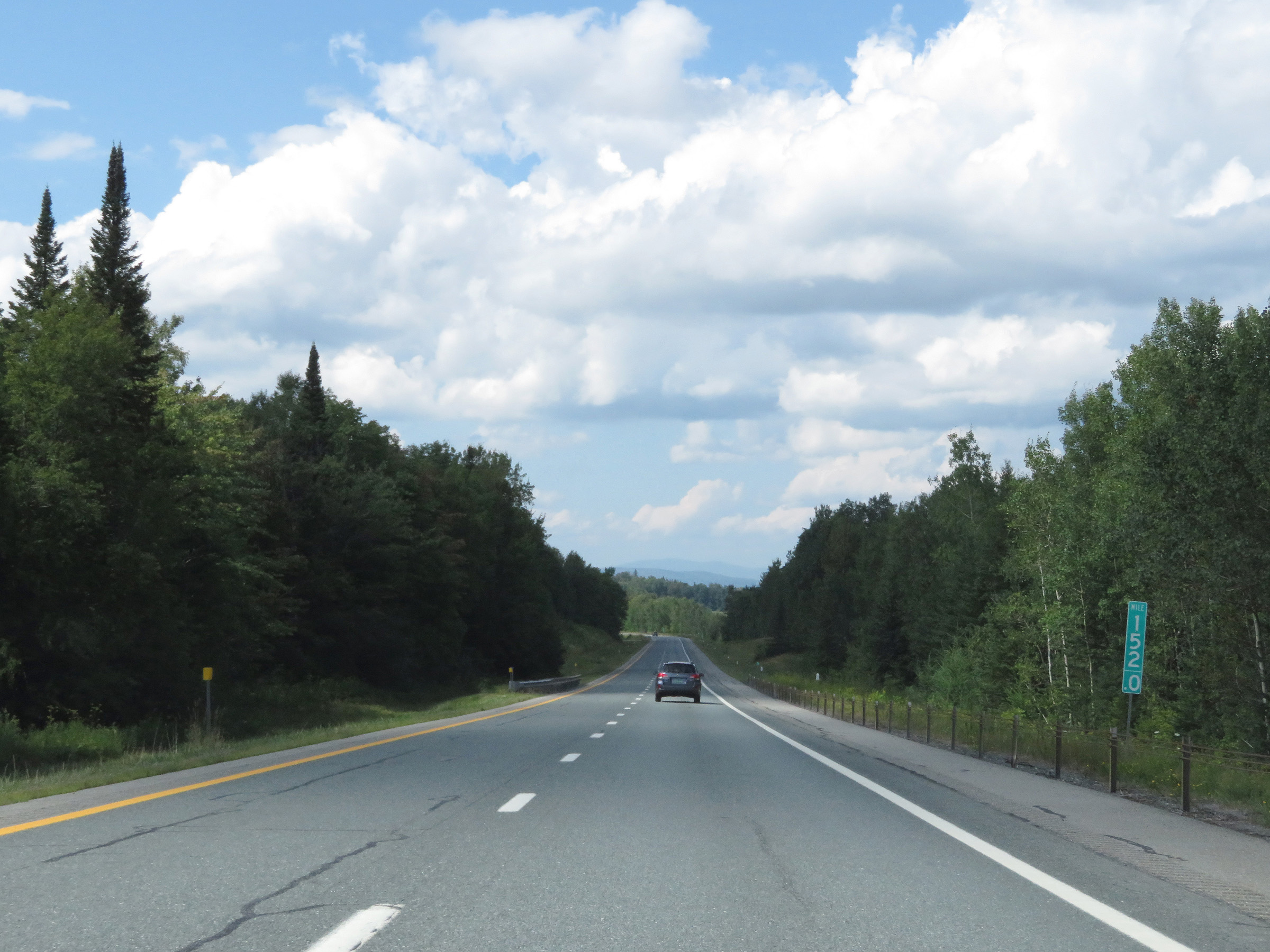 |
View on Interstate 91 North at mile marker 152. (Photo taken 8/8/17). |
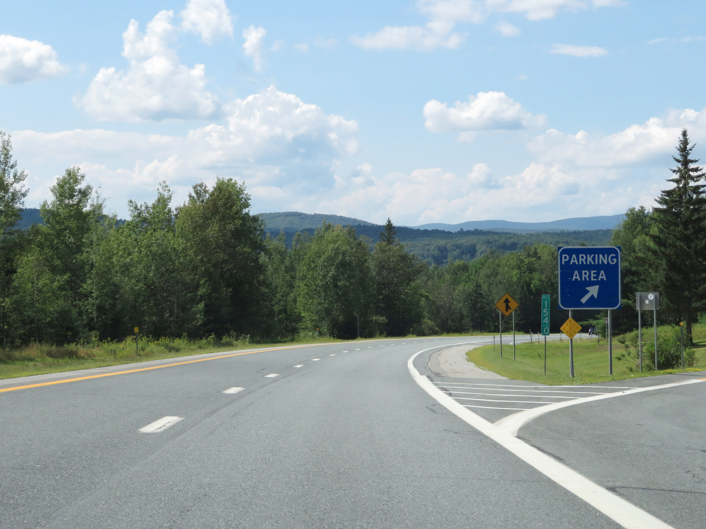 |
Parking Area on Interstate 91 North at mile marker 154. (Photo taken 8/8/17). |
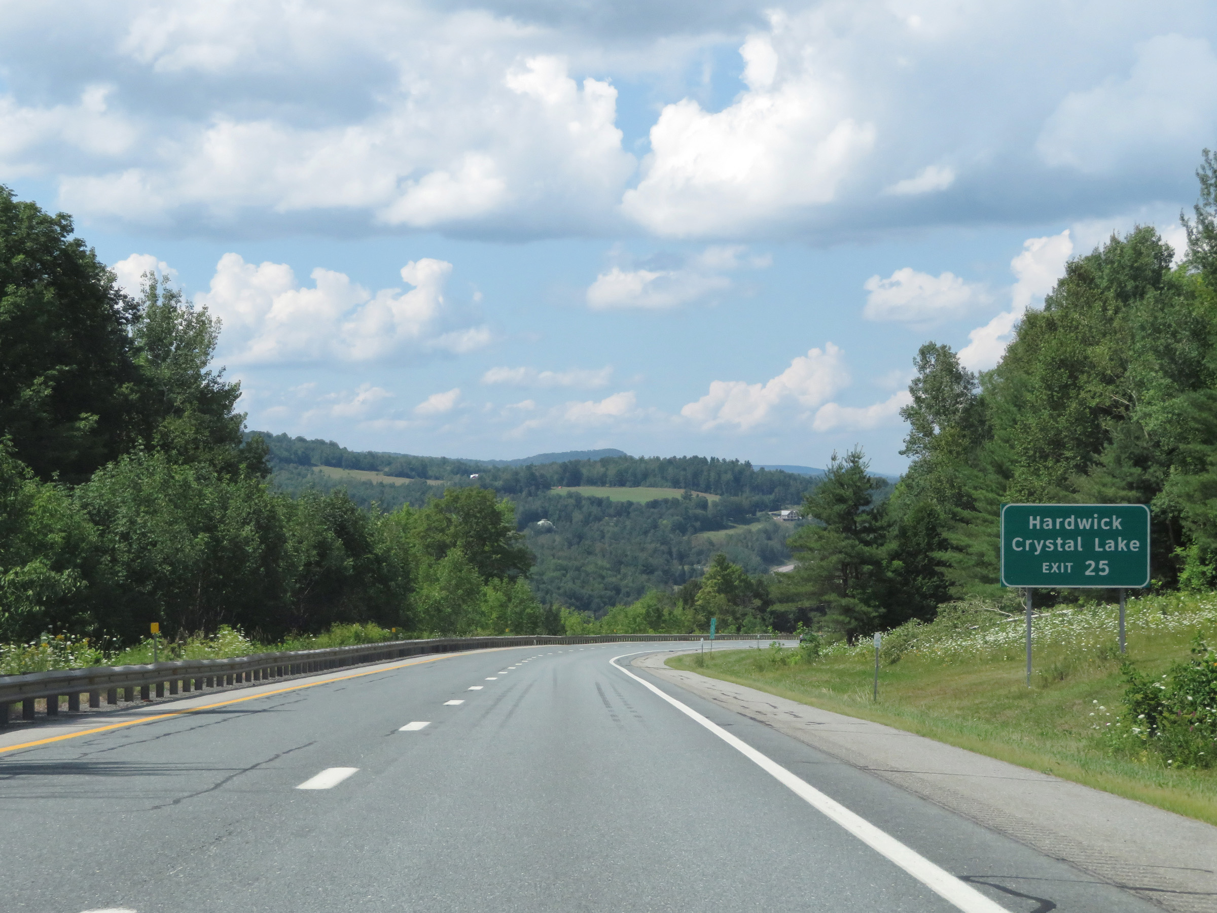 |
Take Exit 25 to Hardwick and Crystal Lake. (Photo taken 8/8/17). |
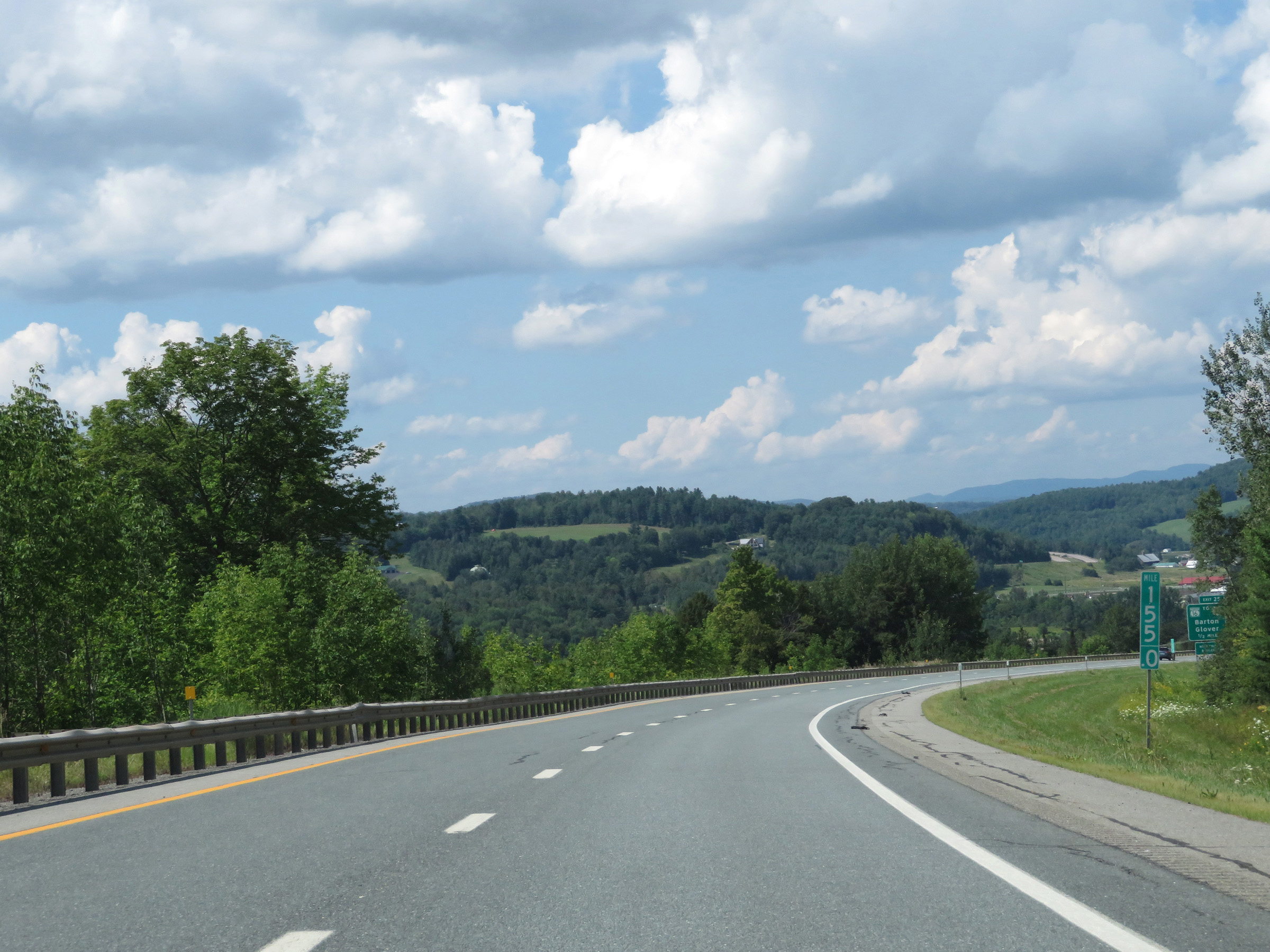 |
View on Interstate 91 North at mile marker 155. (Photo taken 8/8/17). |
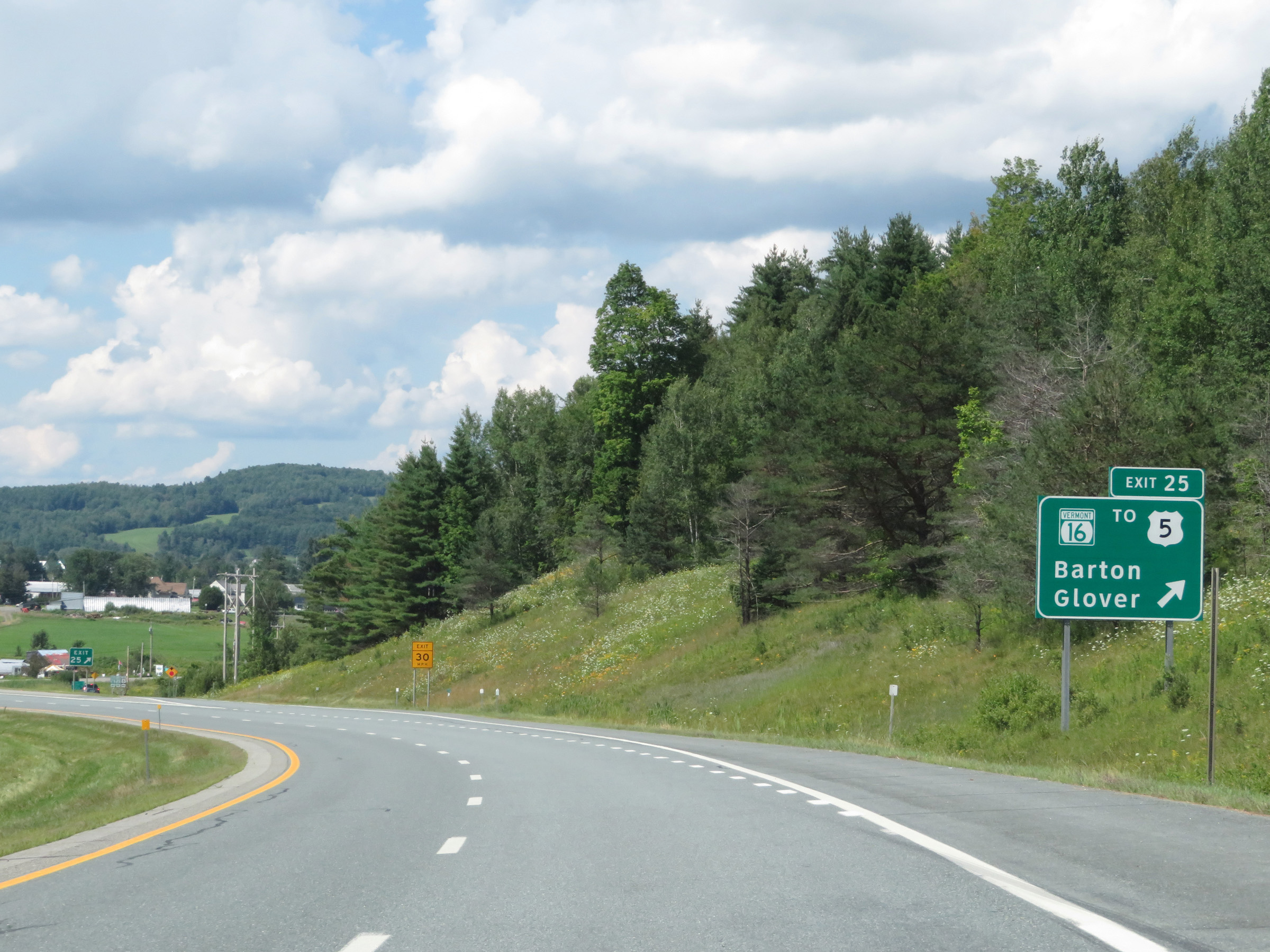 |
Interstate 91 North at Exit 25: VT 16 / To US 5 - Barton / Glover (Photo taken 8/8/17). |
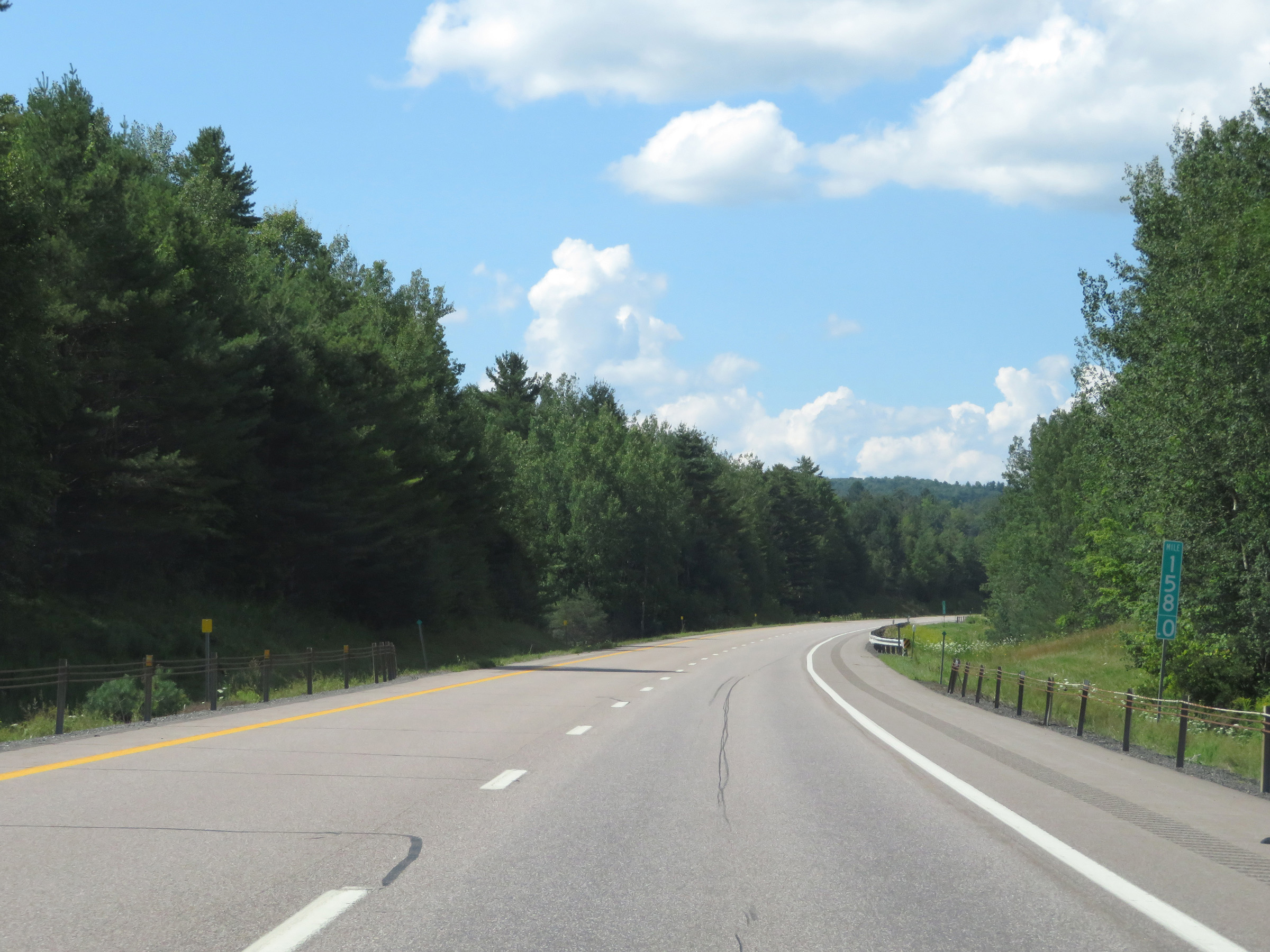 |
Interstate 91 North at mile marker 158. (Photo taken 8/8/17). |
 |
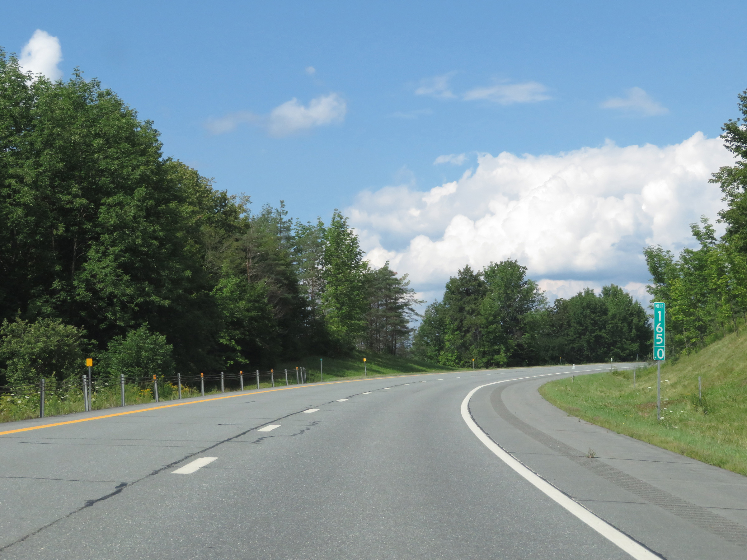
View on Interstate 91 North at mile marker 160. (Photo taken 8/8/17). |
 |
Take Exit 26 to Lake Willoughby and Jay. (Photo taken 8/8/17). |
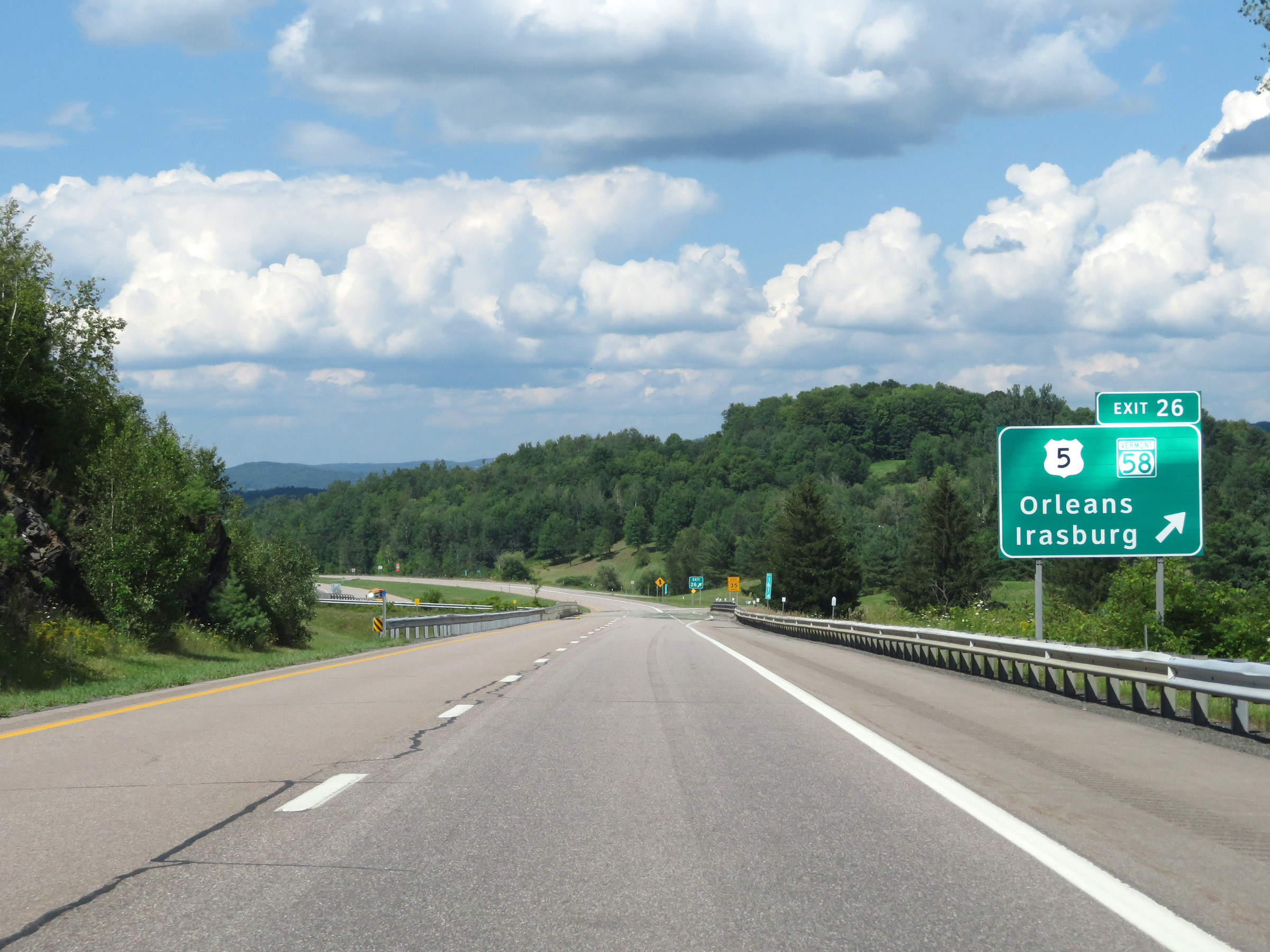 |
Interstate 91 North at Exit 26: US 5 / VT 58 - Orleans / Irasburg (Photo taken 8/8/17). |
 |
Another Interstate 91 North reassurance shield. (Photo taken 8/8/17). |
 |
Mileage sign on Interstate 91 North. It's 11 miles to Newport and 43 miles to Sherbrooke. (Photo taken 8/8/17). |
 |
View on Interstate 91 North at mile marker 163. (Photo taken 8/8/17). |
 |
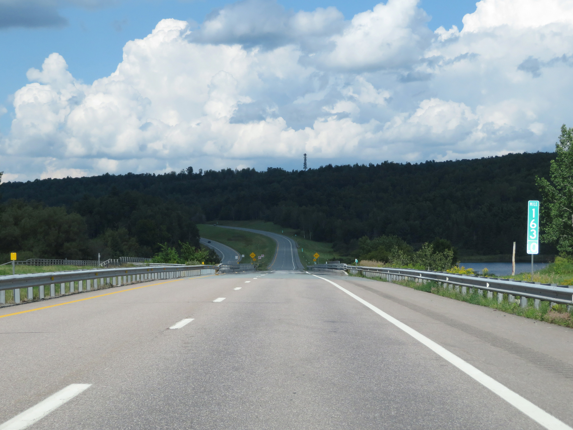
Mile marker 165 on Interstate 91 North in Orleans County. (Photo taken 8/8/17). |
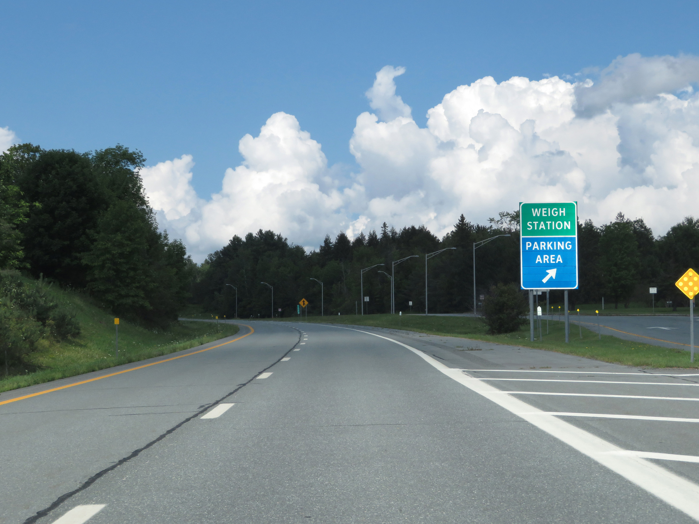 |
Parking Area / Weigh Station on Interstate 91 North in Orleans County. (Photo taken 8/8/17). |
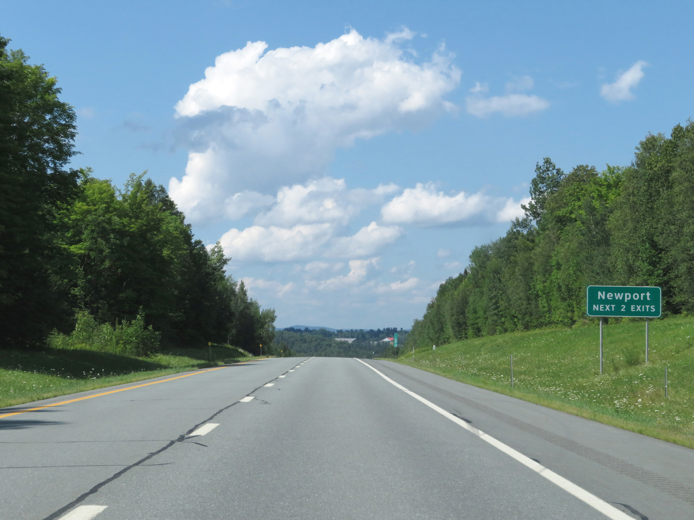 |
Take either of the next 2 exits to Newport. (Photo taken 8/8/17). |
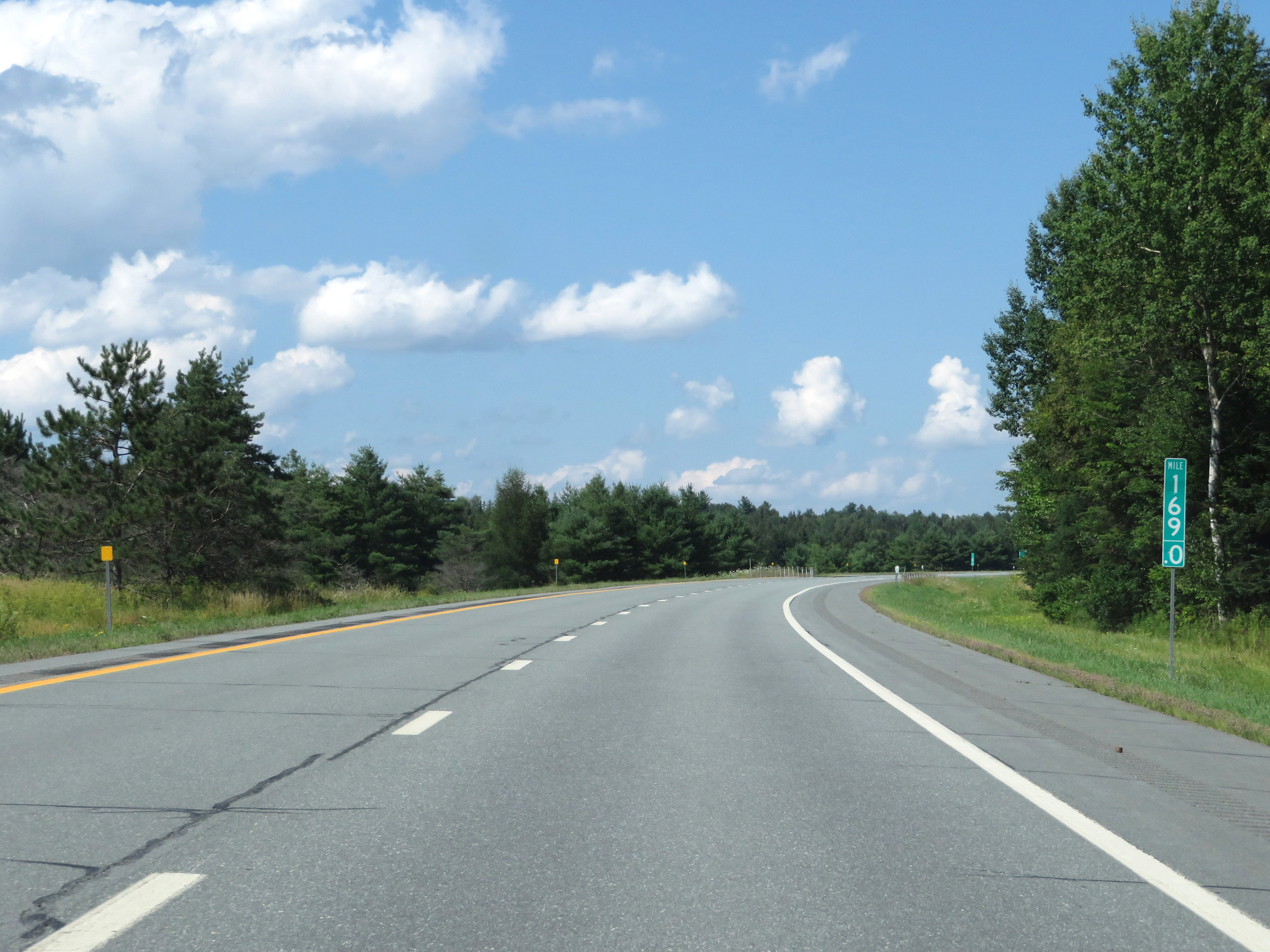 |
View on Interstate 91 North at mile marker 169. (Photo taken 8/8/17). |
 |
Take Exit 27 to Lake Memphremagog. (Photo taken 8/8/17). |
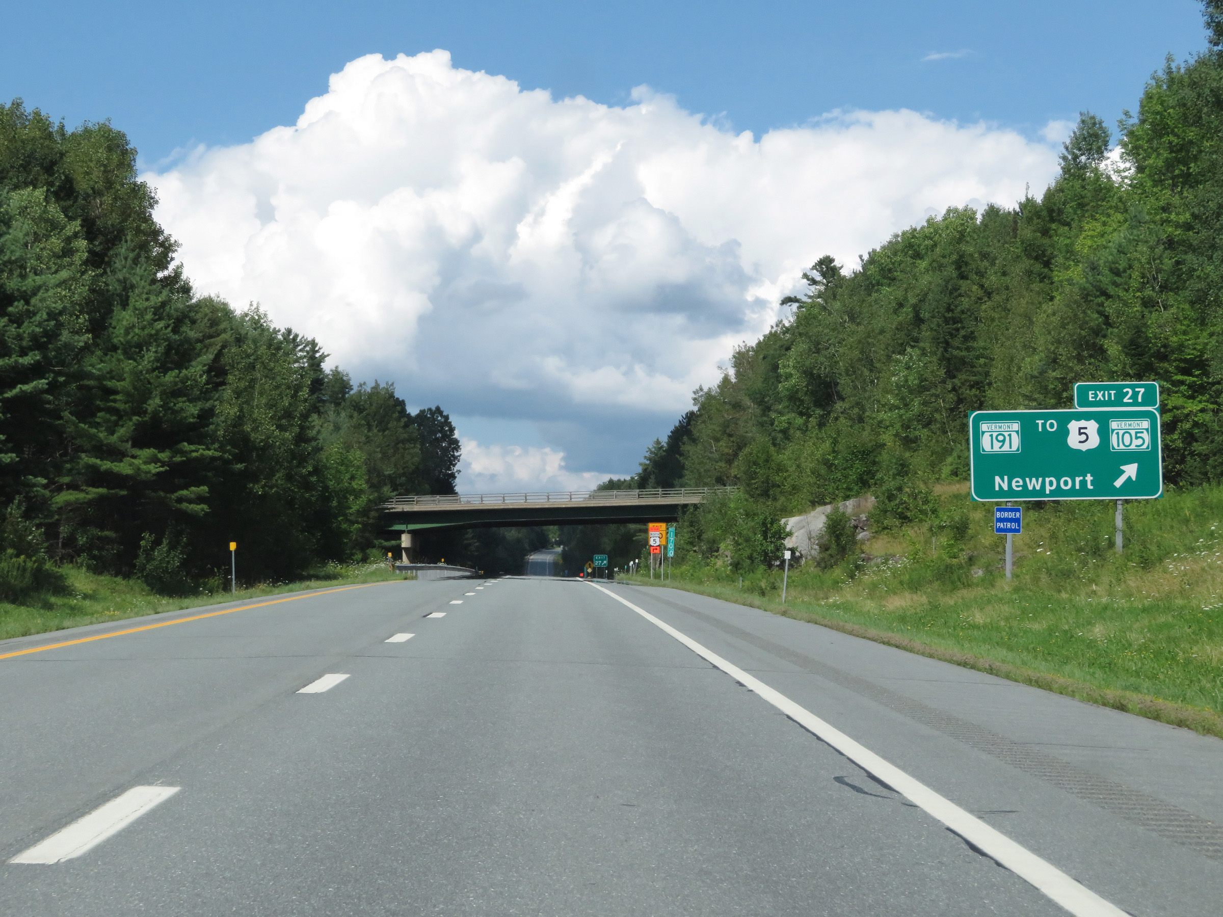 |
Interstate 91 North at Exit 27: VT 191 / To US 5 / To VT 105 - Newport (Photo taken 8/8/17). |
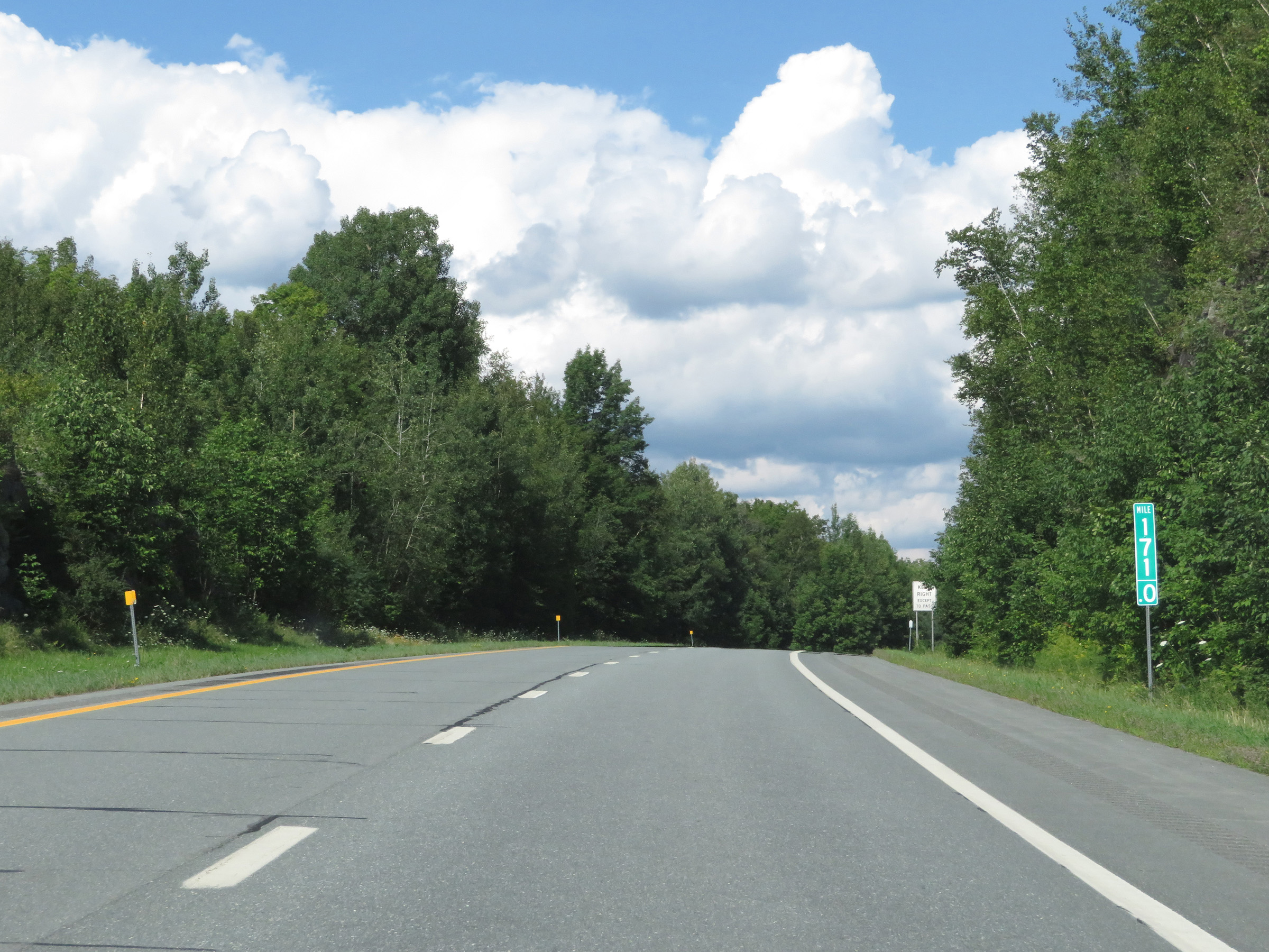 |
Interstate 91 North at mile marker 171. (Photo taken 8/8/17). |
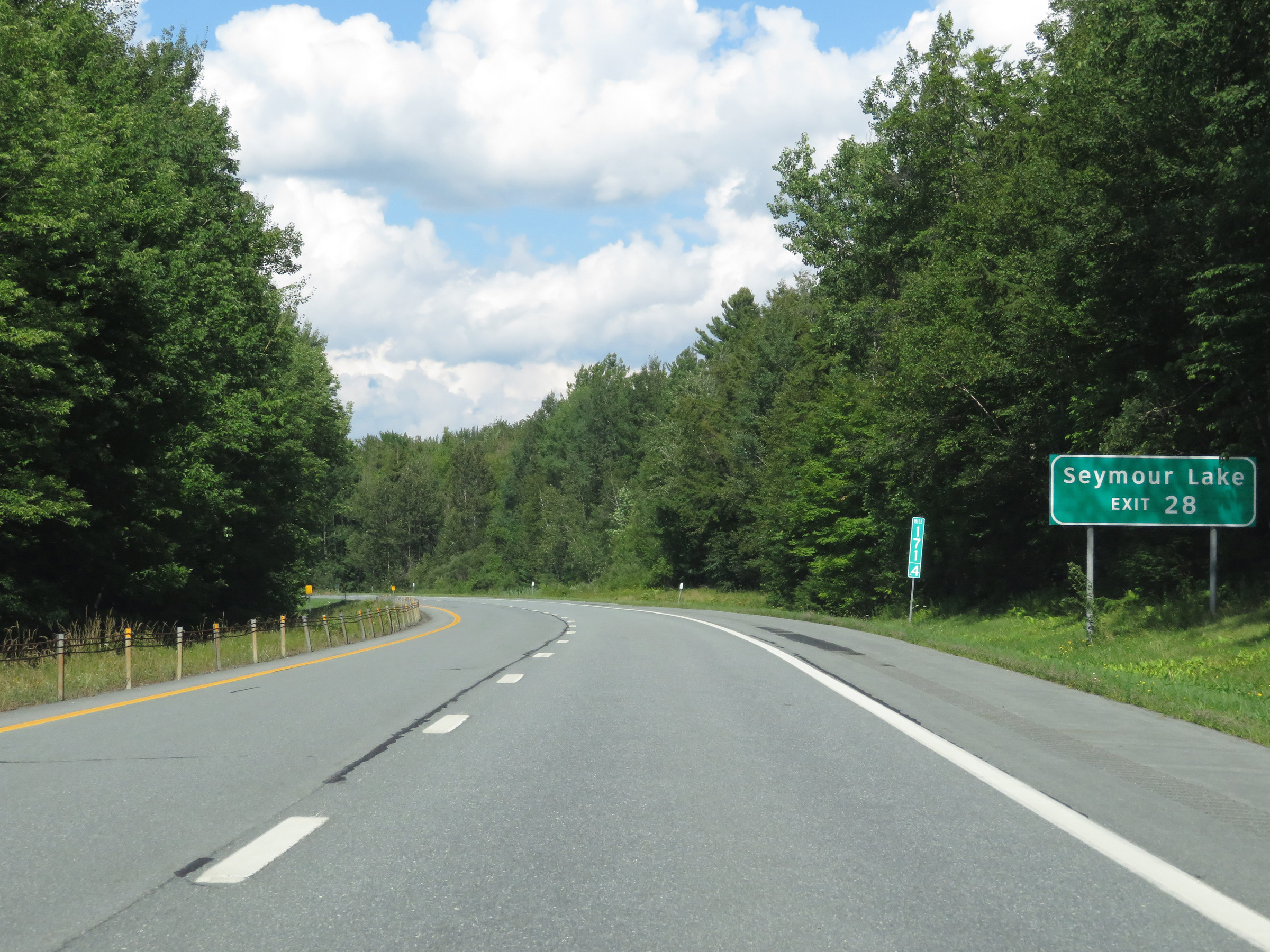 |
Take Exit 28 to Seymour Lake. (Photo taken 8/8/17). |
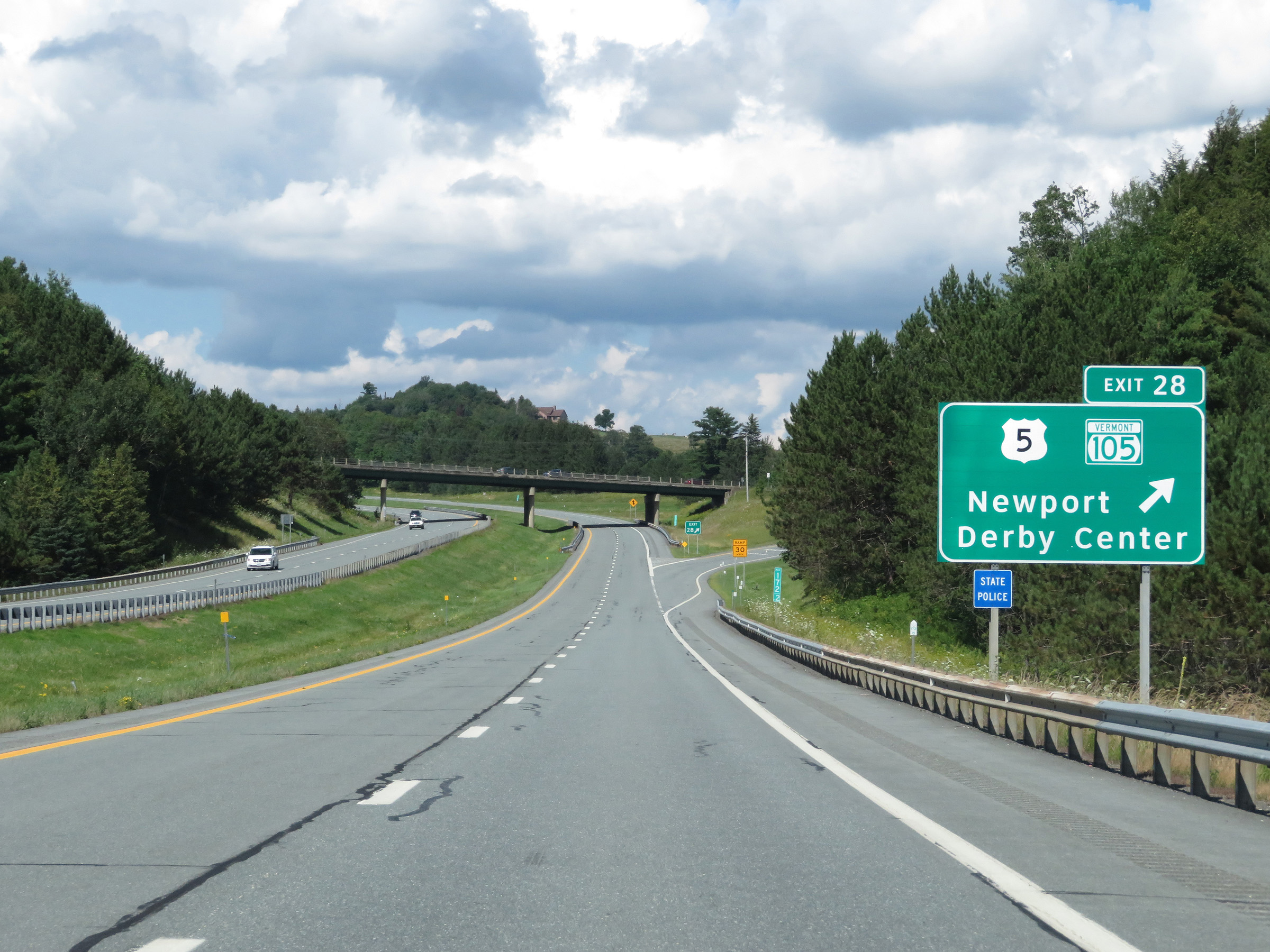 |
Interstate 91 North at Exit 28: US 5 / VT 105 - Newport / Derby Center (Photo taken 8/8/17). |
 |
Another Interstate 91 North reassurance shield at mile marker 173. (Photo taken 8/8/17). |
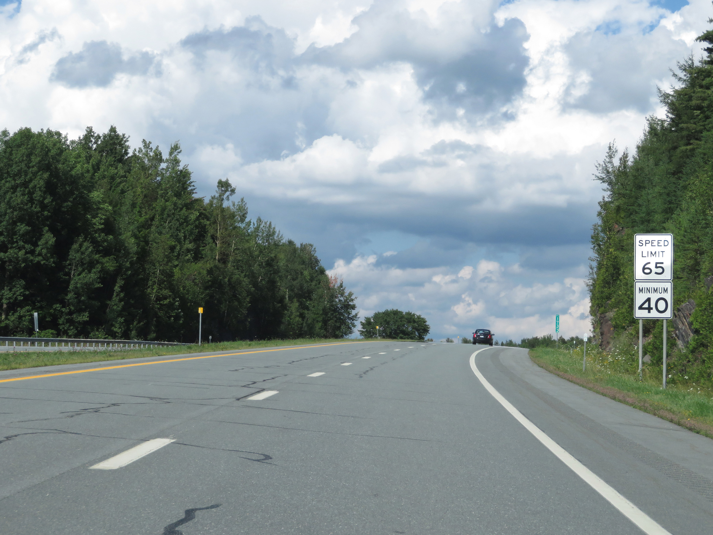 |
The speed limits remain 65 mph maximum and 40 mph minimum. (Photo taken 8/8/17). |
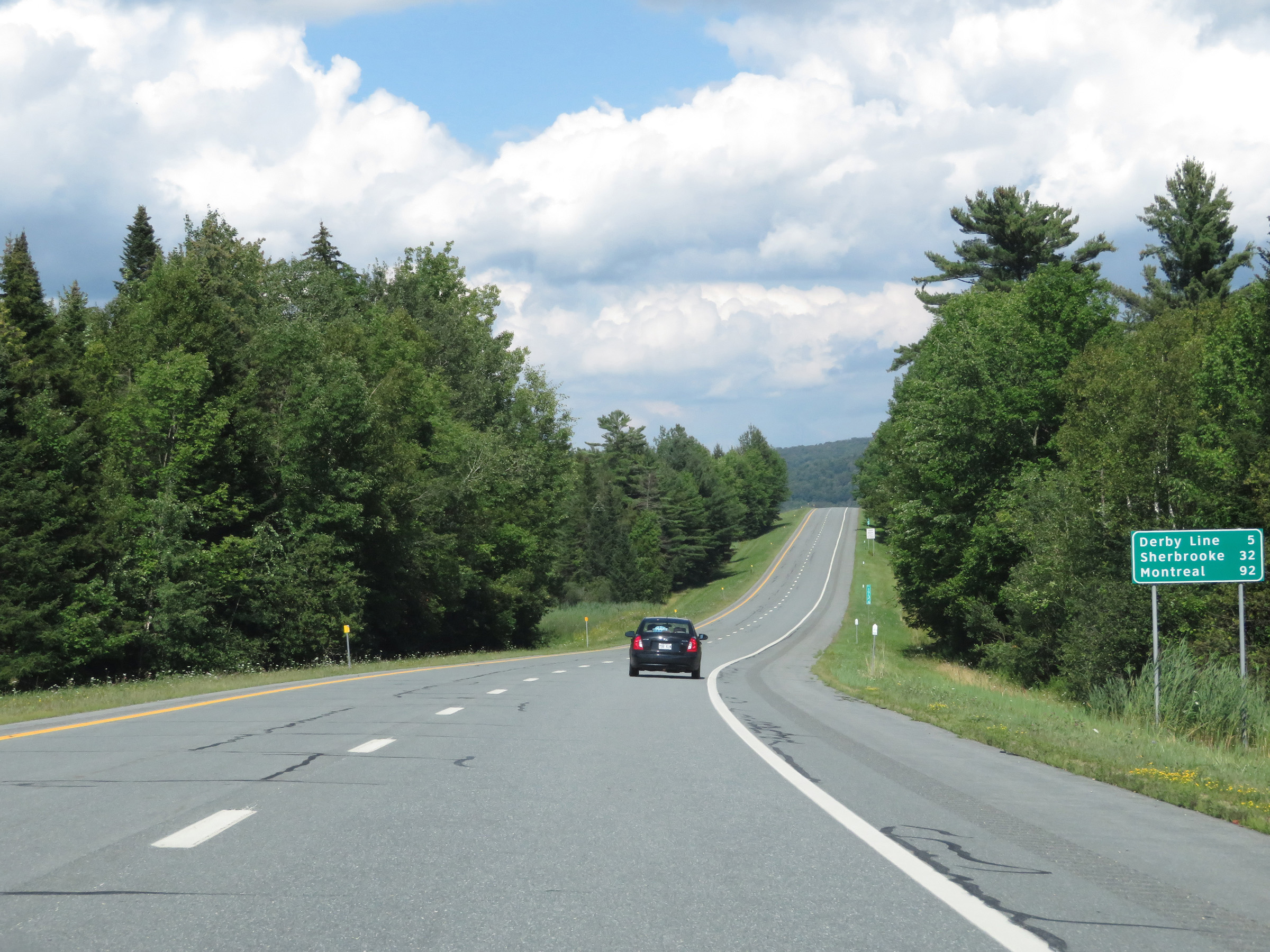 |
Mileage sign on Interstate 91 North. It's 5 miles to Derby Line, 32 miles to Sherbrooke, and 92 miles to Montreal. (Photo taken 8/8/17). |
 |
View on Interstate 91 North at mile marker 175. (Photo taken 8/8/17). |
 |
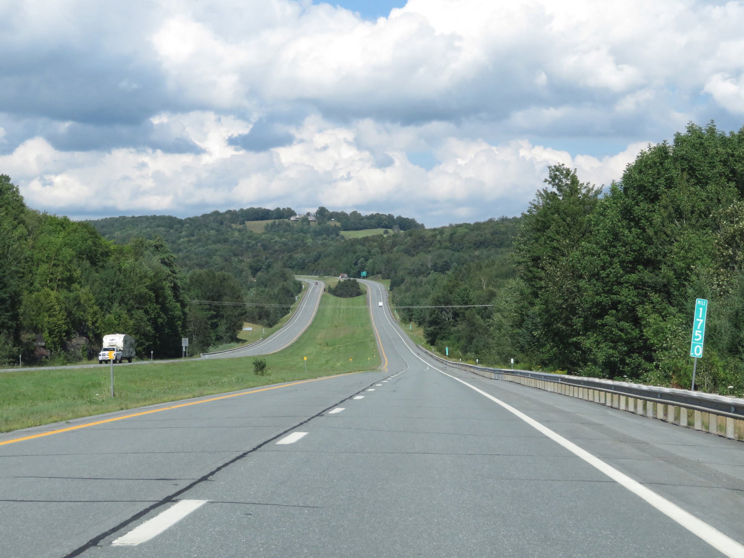
Interstate 91 North at mile marker 176.2. (Photo taken 8/8/17). |
 |
As Interstate 91 North begins its approach to Exit 29 and the Canadian border, the speed limit decreases to 40 mph. (Photo taken 8/8/17). |
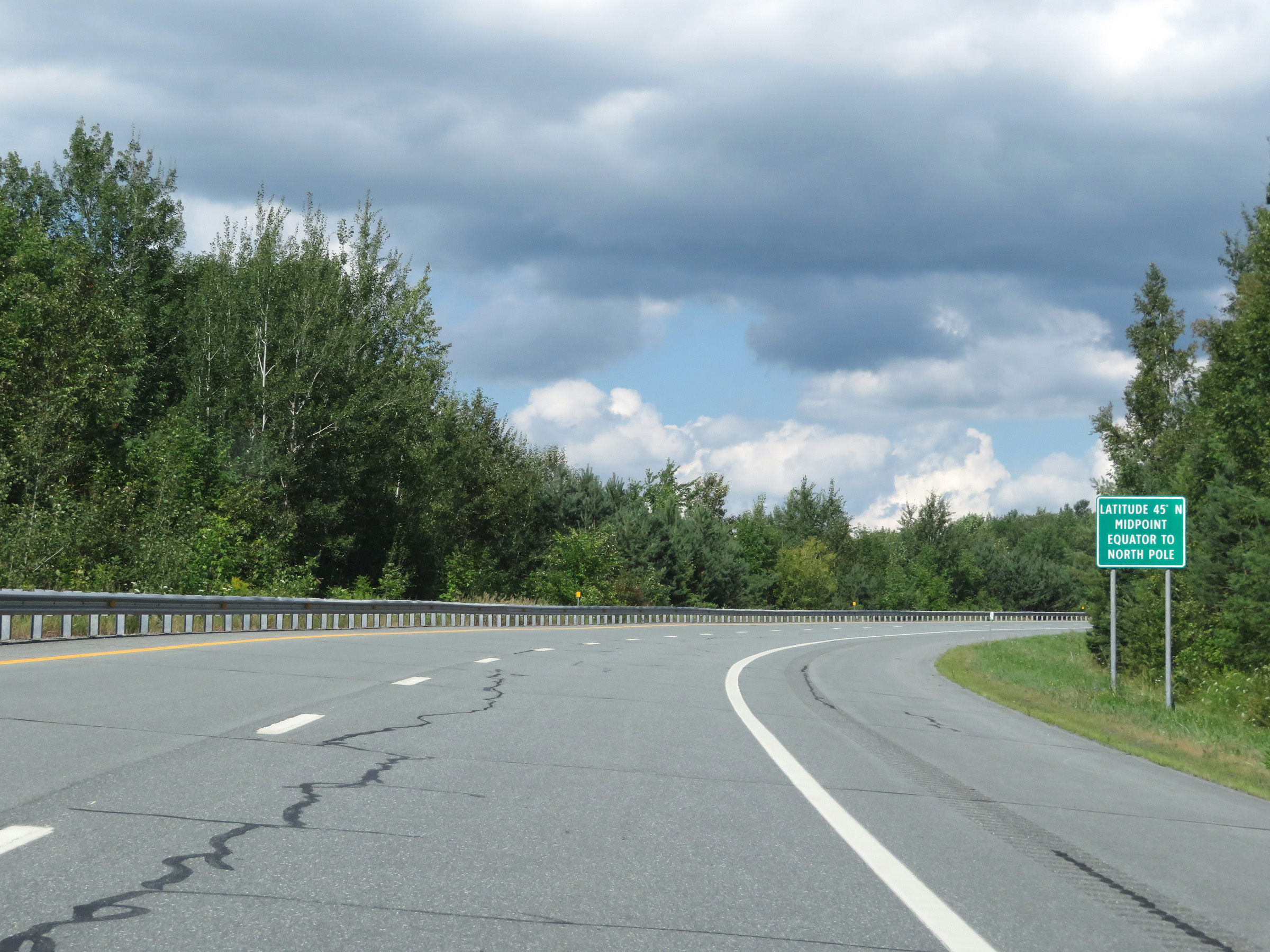 |
As this sign reads, Interstate 91 North crosses the 45 degrees north latitude line, which marks the halfway point between the equator and the North Pole, at this point just to the south of Derby Line. (Photo taken 8/8/17). |
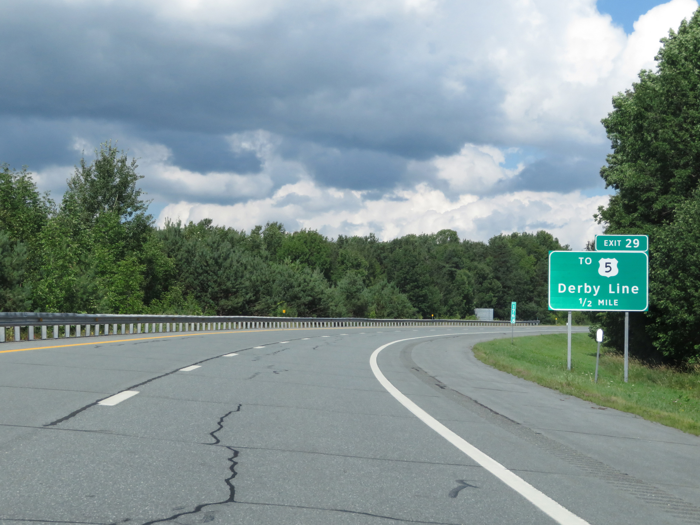 |
Interstate 91 North approaching Exit 29 - 1/2 mile. (Photo taken 8/8/17). |
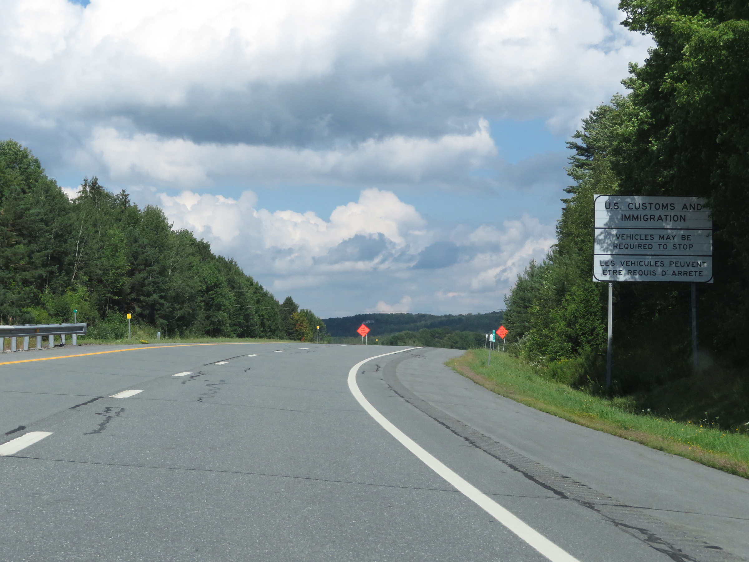 |
Nearing Exit 29 and the Canadian border, this sign warns that vehicles might be required to stop at the US Customs and Immigration Station ahead. The sign also states this information in French. (Photo taken 8/8/17). |
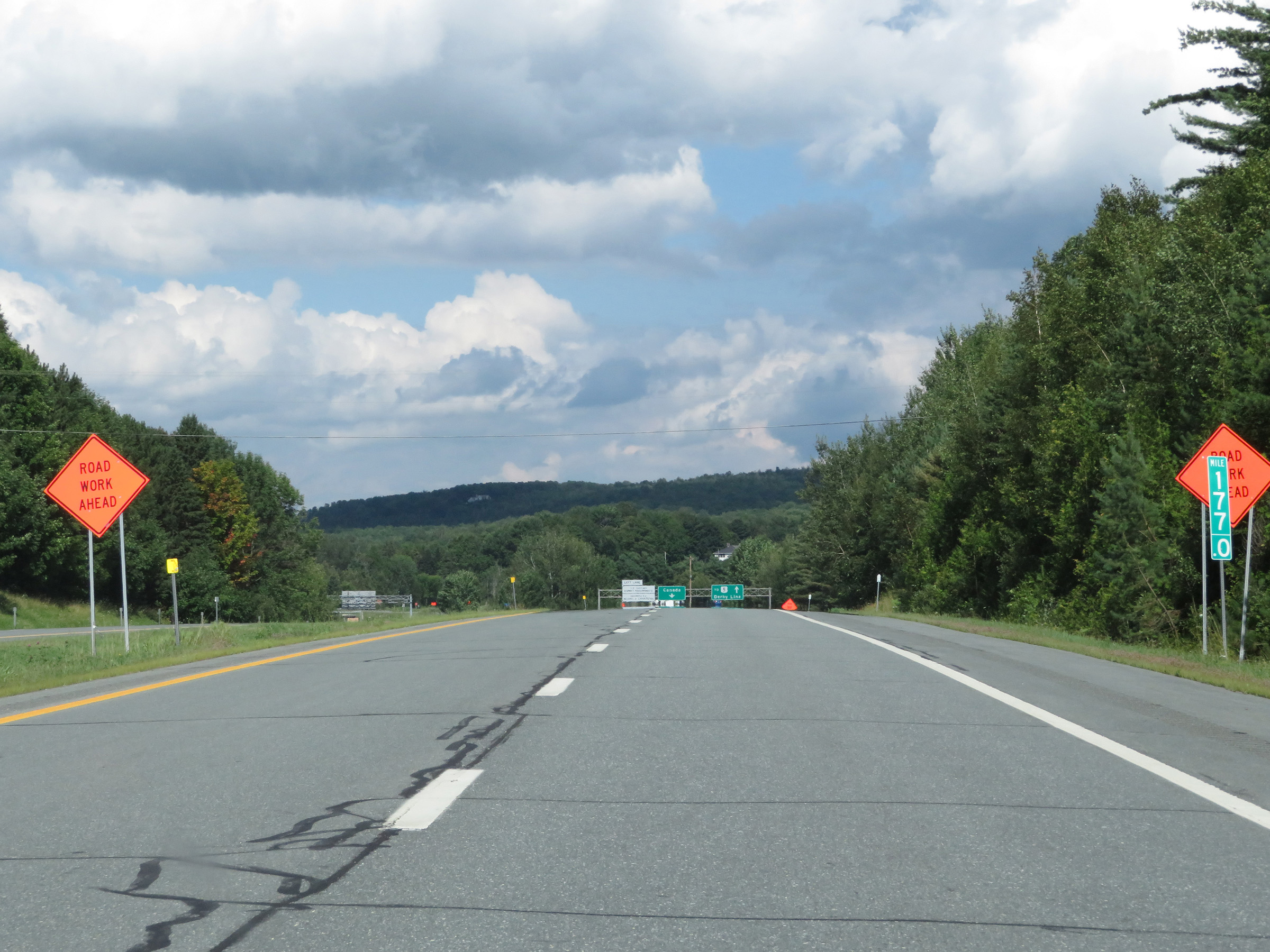 |
View on Interstate 91 North at mile marker 177, as it begins its approach to Exit 29 and the Canadian border and customs station. (Photo taken 8/8/17). |
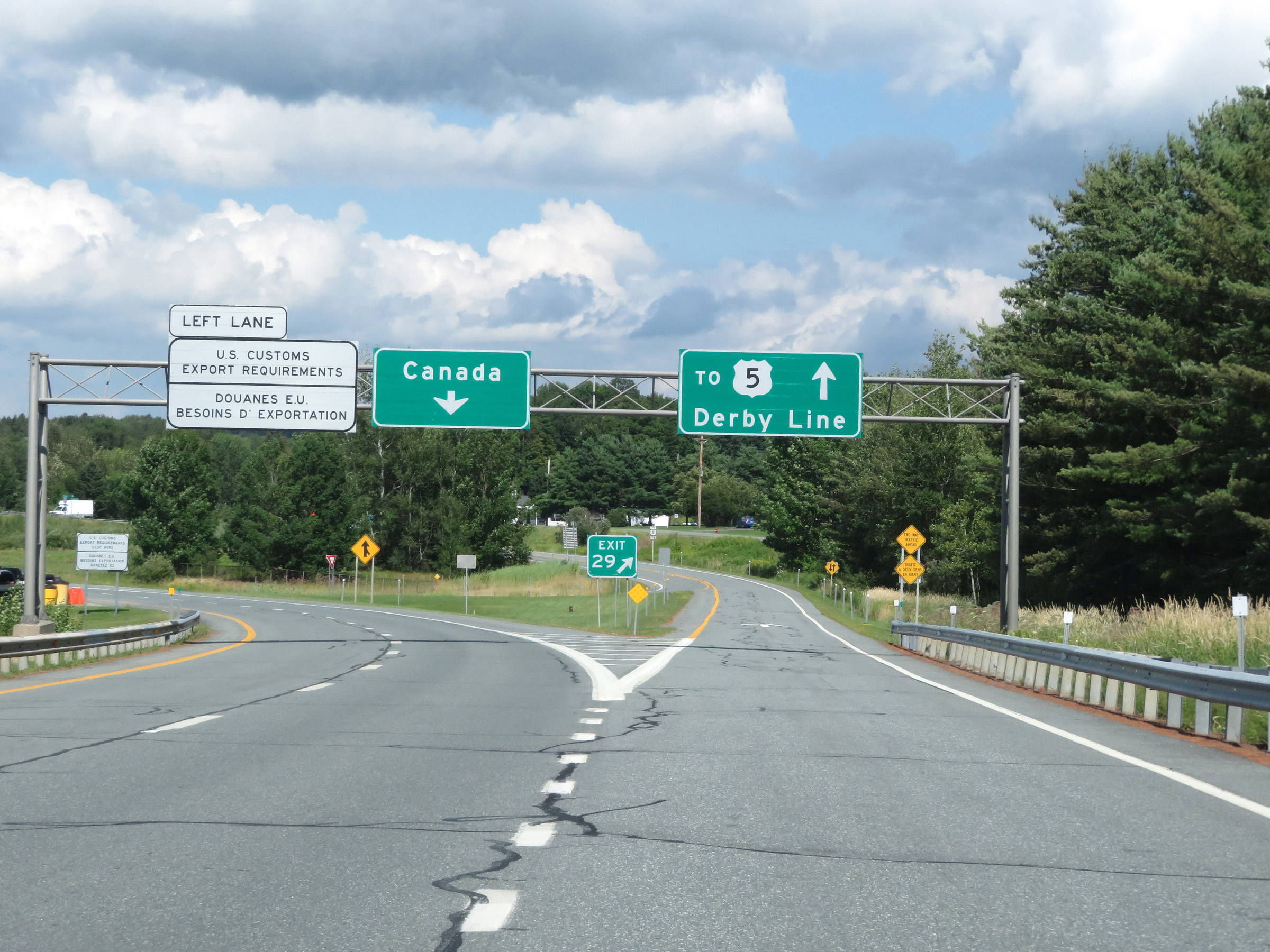 |
Interstate 91 North at Exit 29: To US 5 - Derby Line (Photo taken 8/8/17). |
 |
View on the off ramp for Exit 29, which is at the northern terminus of Interstate 91 in Derby Line. (Photo taken 8/8/17). |
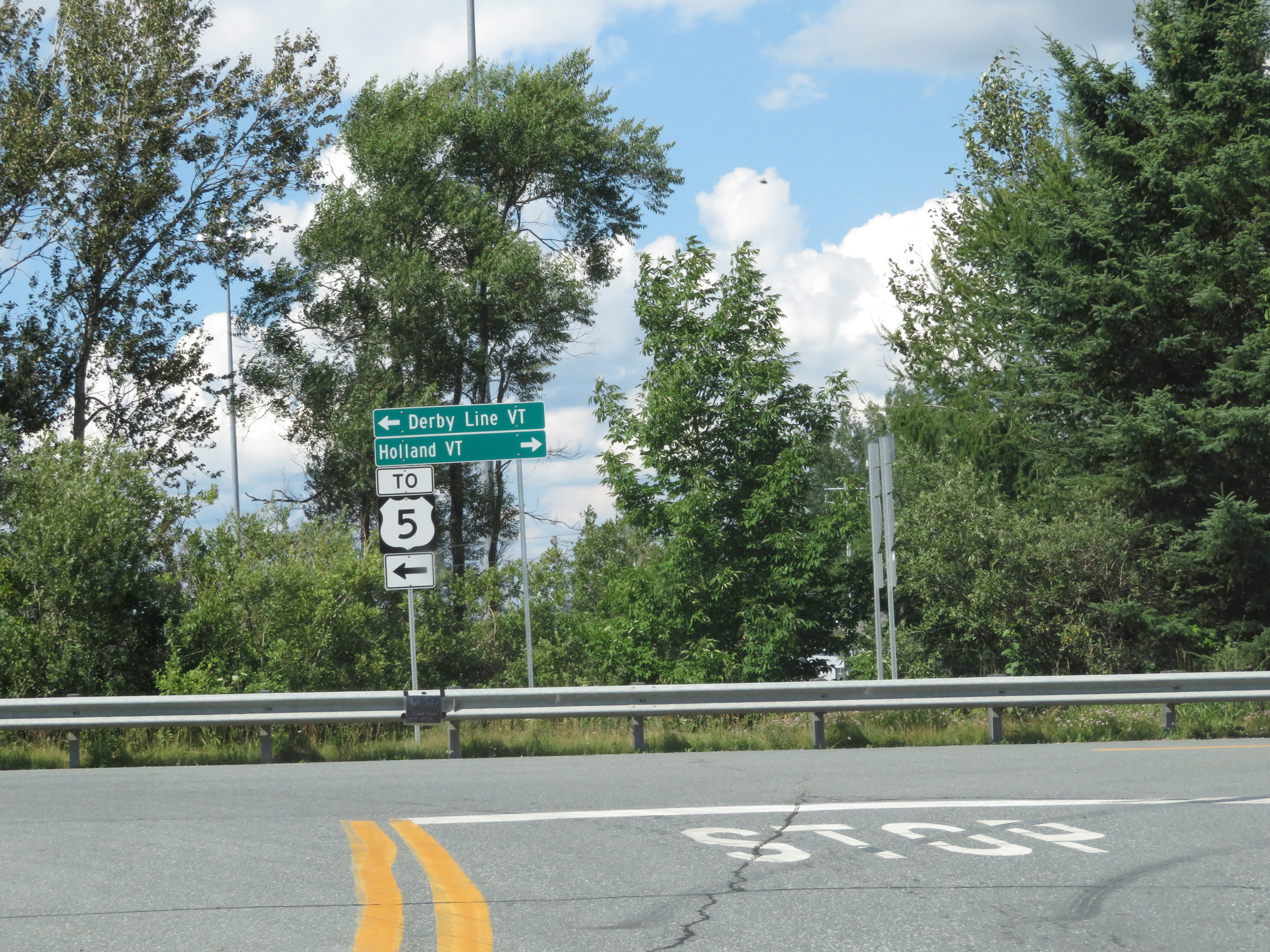 |
At the end of the ramp, this signage directs traffic to turn left to get to US 5 and Derby Line. (Photo taken 8/8/17). |
 |
A view of the Canadian Customs Station looking to the north from Caswell Ave, which takes traffic from Interstate 91 North into Derby Line. (Photo taken 8/8/17). |
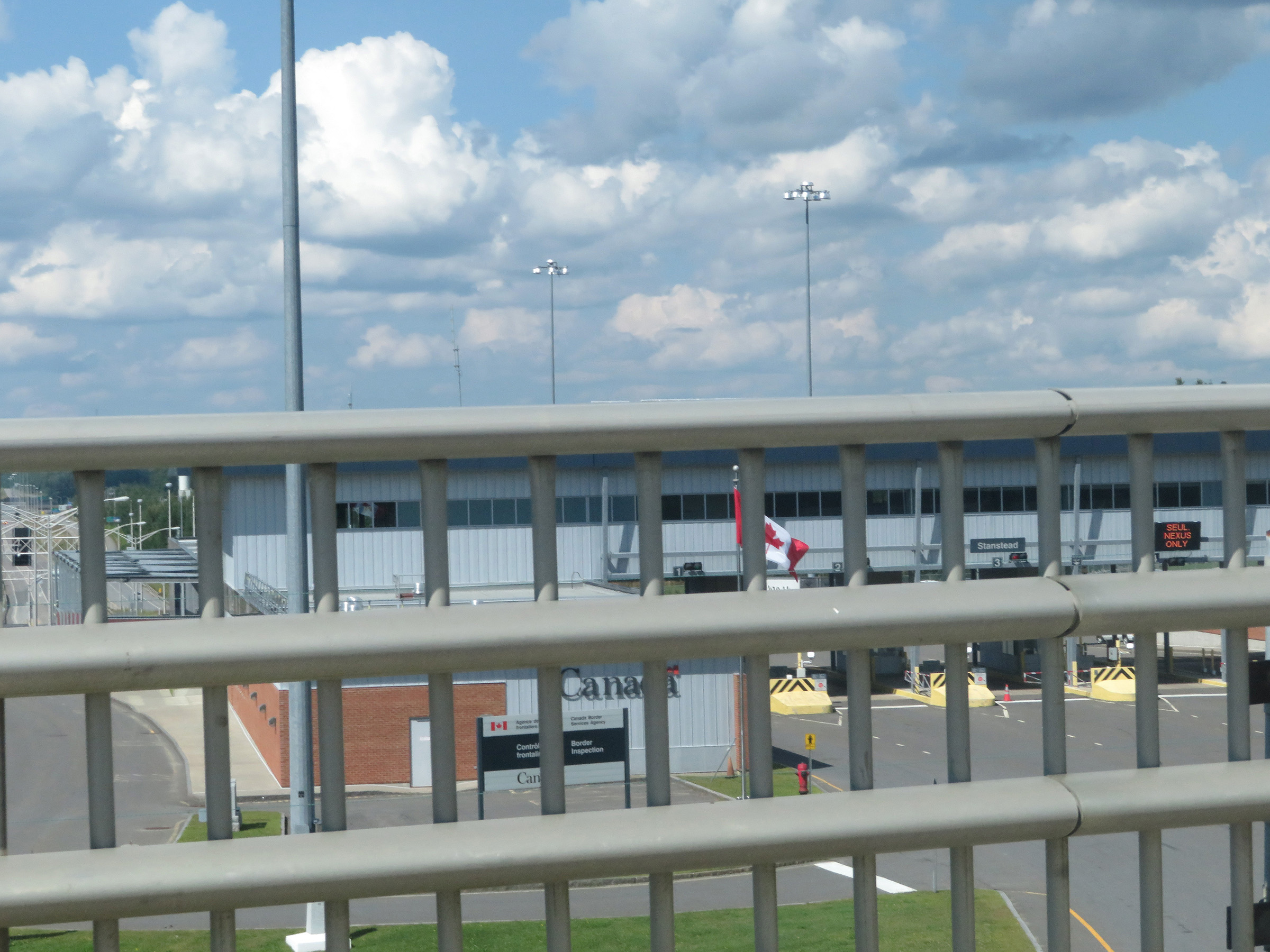 |
A closer view of the four leftmost lanes at the Canadian Customs Station. (Photo taken 8/8/17). |
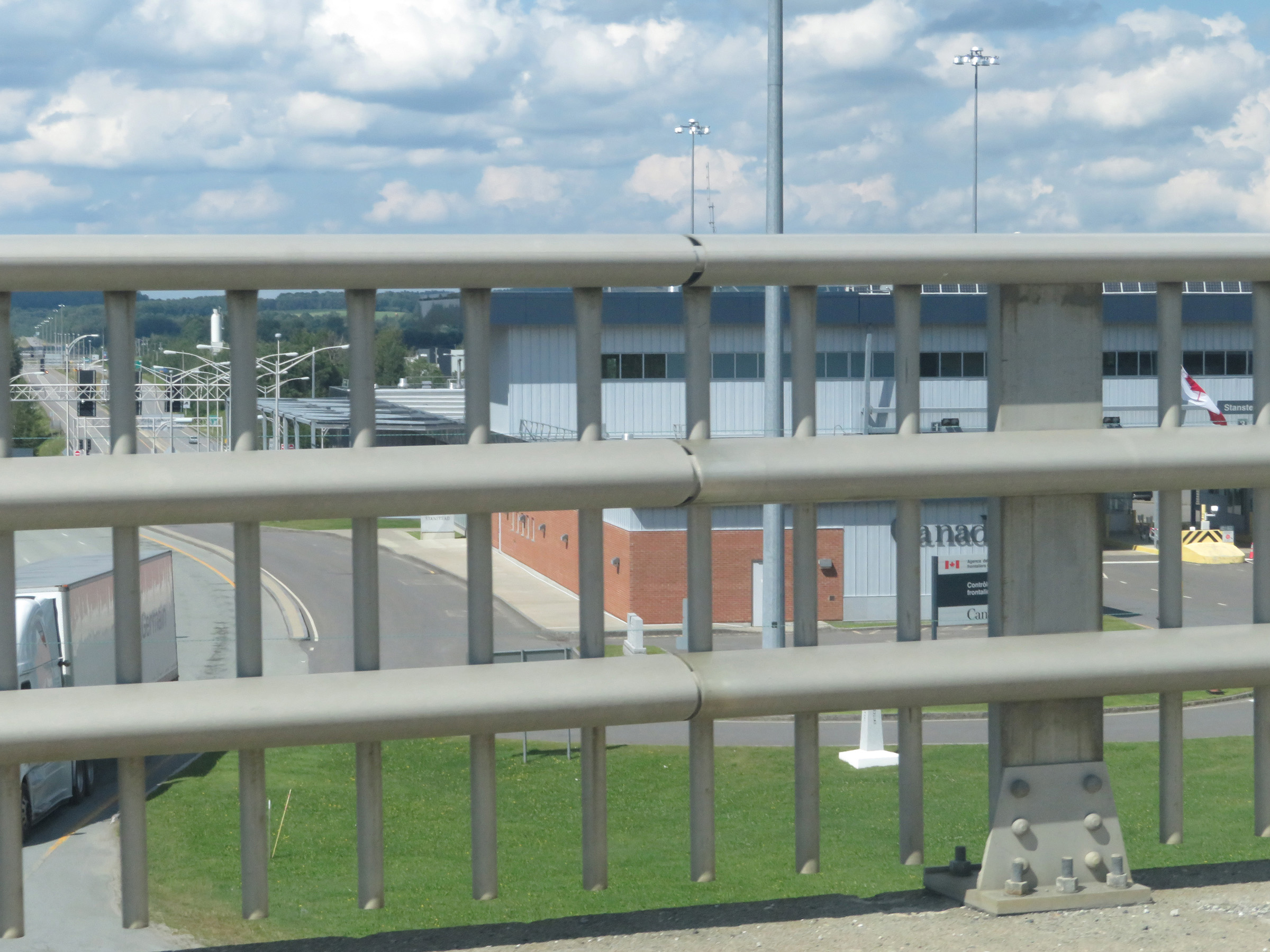 |
One final view of the Canadian Customs Station, showing the southbound lanes entering the US and Vermont from Quebec. (Photo taken 8/8/17). |