Road Information |
||
 |
||
| Total Mileage in State: | 223 miles | |
| Eastern End: | At Arkansas state line | |
| Western End: | At I-20, near Fort Worth | |
| Mileage covered in Photos: | 223 miles | |
| Counties covered in Photos: | Bowie, Morris, Titus, Franklin, Hopkins, Hunt, Rockwall, Dallas, Tarrant, Parker | |
| Major Junctions in Photos: | I-635, in Mesquite I-45, in Dallas I-35E, in Dallas I-35W, in Fort Worth I-820, in Fort Worth |
|
| Control Cities in Photos: | Texarkana, Sulphur Springs, Greenville, Garland, Mesquite, Dallas, Arlington, Fort Worth | |
Westbound
- Section 1: Arkansas Border to Mount Pleasant (Exit 162B)
- Section 2: Mount Pleasant (Exit 162B) to Greenville (Exit 94)
- Section 3: Greenville (Exit 94) to Dallas (Exit 44A)
- Section 4: Dallas (Exit 44A) to Fort Worth (Exit 21B)
- Section 5: Fort Worth (Exit 21B) to Interstate 20
Section 1: Arkansas Border to Mount Pleasant (Exit 162B)
 |
Interstate 30 West at Exit 223: US 71 North / US 59 North - State Line Ave / Ashdown (Photo taken 9/21/11). |
 |
Interstate 30 West approaching Exit 222 - 1/2 mile. (Photo taken 9/21/11). |
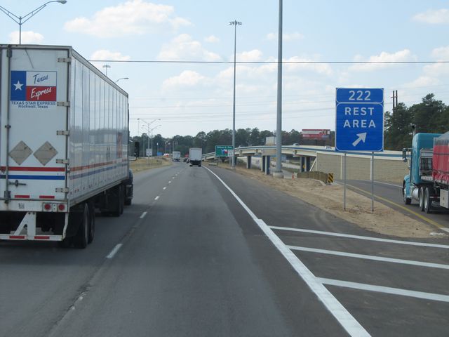 |
Interstate 30 West at the Rest Area / Welcome Center located near mile marker 222. (Photo taken 9/21/11). |
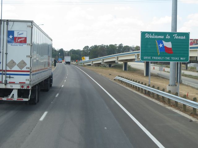 |
Texas welcome sign located near mile marker 222. (Photo taken 9/21/11). |
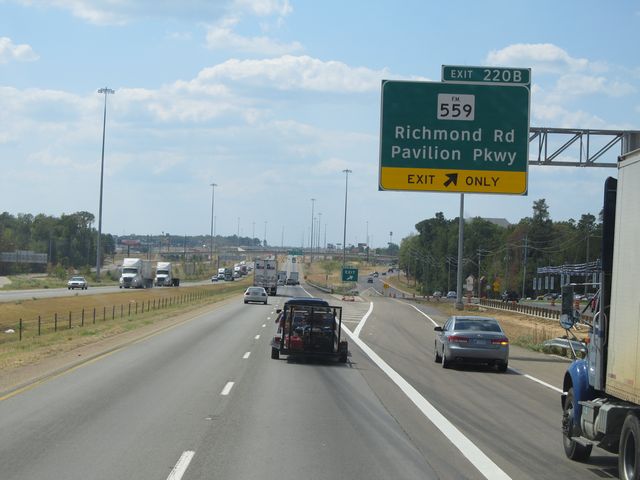 |
Interstate 30 West at Exit 220B: FM 559 - Richmond Rd / Pavilion Pkwy (Photo taken 9/21/11). |
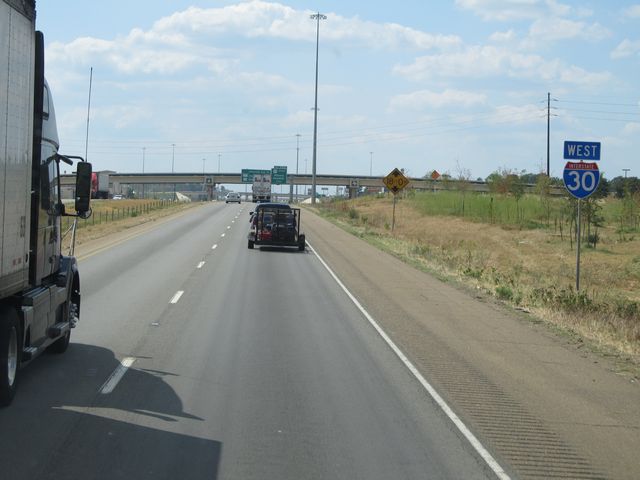 |
Interstate 30 West shield sign located near mile marker 221. (Photo taken 9/21/11). |
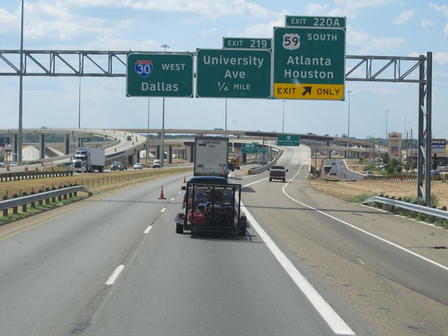 |
Interstate 30 West at Exit 220A: US 59 South - Atlanta / Houston (Photo taken 9/21/11). |
 |
Interstate 30 West at Exit 219: Universty Ave (Photo taken 9/21/11). |
 |
Interstate 30 West: Road view from near mile marker 219. You can see here the trademark high overpasses that are common throughout Texas. (Photo taken 9/21/11). |
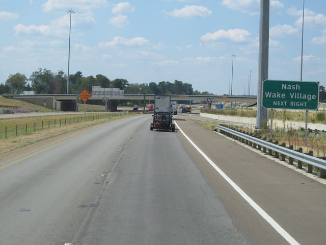 |
Use the next exit (Exit 218) for Nash and Wake Village. (Photo taken 9/21/11). |
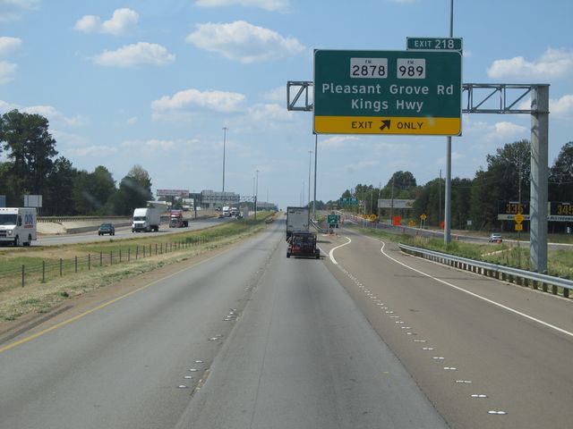 |
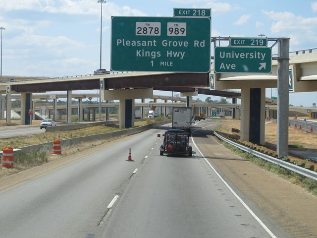
Interstate 30 West at Exit 218: FM 2878 / FM 989 - Pleasant Grove Rd / Kings Hwy (Photo taken 9/21/11). |
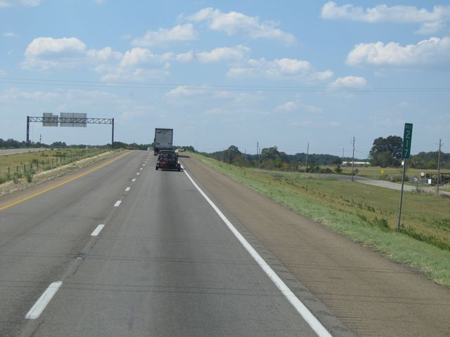 |
Interstate 30 West: Road view from mile marker 217. (Photo taken 9/21/11). |
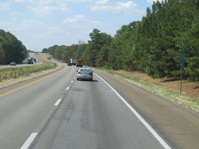 |
Interstate 30 West: Road view from mile marker 215. (Photo taken 9/21/11). |
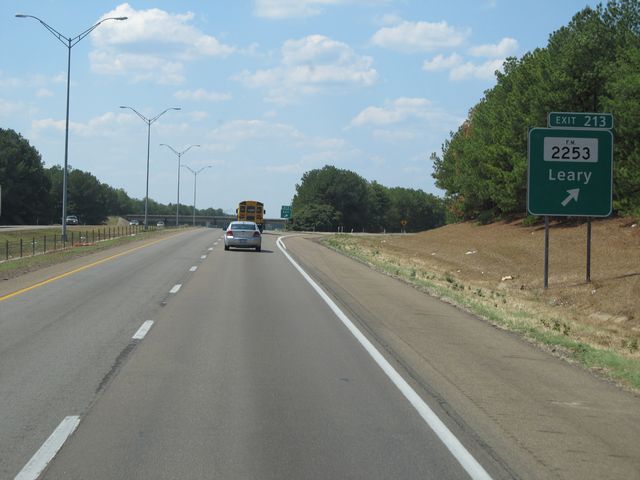 |
Interstate 30 West at Exit 213: FM 2253 - Leary (Photo taken 9/21/11). |
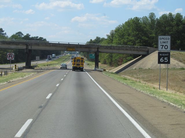 |
Speed limit sign located near mile marker 213. The speed limit on most rural Texas freeways is 70 mph during the day and 65 mph at night. However, Texas has since done away with night speed llimits. (Photo taken 9/21/11). |
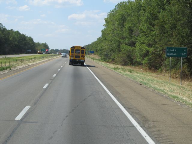 |
Mileage sign located near mile marker 213. It's 4 miles to Hooks and 167 miles to Dallas. (Photo taken 9/21/11). |
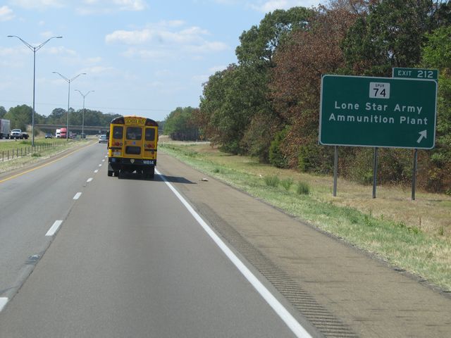 |
Interstate 30 West at Exit 212: Spur 74 - Lone Star Army Ammunition Plant (Photo taken 9/21/11). |
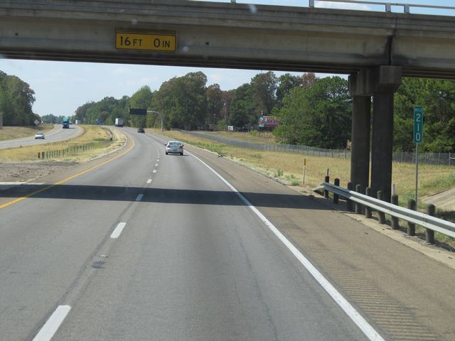 |
Interstate 30 West: Road view from mile marker 210. (Photo taken 9/21/11). |
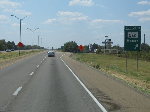 |
Interstate 30 West at Exit 208: FM 560 - Hooks (Photo taken 9/21/11). |
 |
Interstate 30 West: Road view from mile marker 207. (Photo taken 9/21/11). |
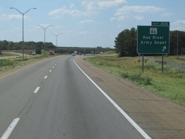 |
Interstate 30 West at Exit 206: Spur 86 - Red River Army Depot (Photo taken 9/21/11). |
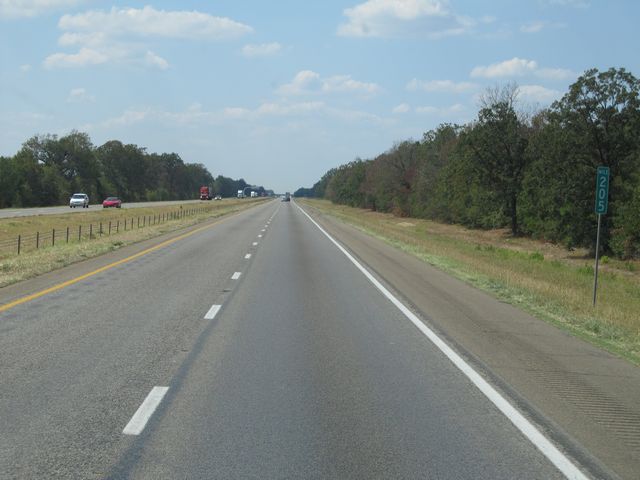 |
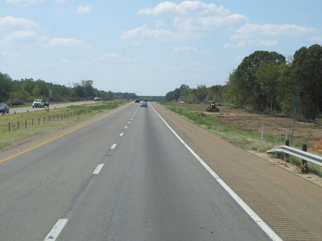
Interstate 30 West: Road view from mile marker 205. (Photo taken 9/21/11). |
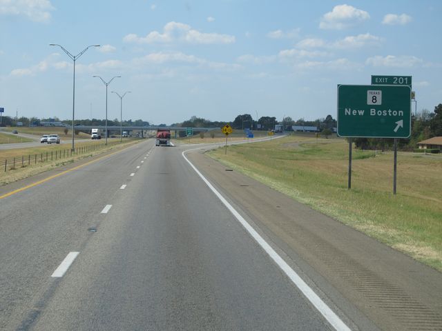 |
Interstate 30 West at Exit 201: TX 8 - New Boston (Photo taken 9/21/11). |
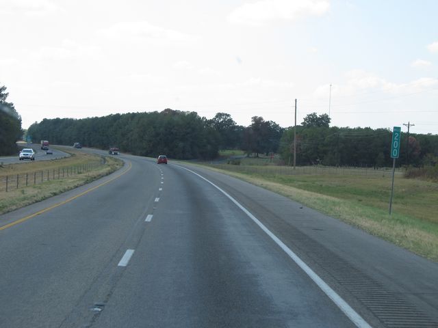 |
Interstate 30 West: Road view from mile marker 200. (Photo taken 9/21/11). |
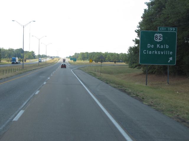 |
Interstate 30 West at Exit 199: US 82 - De Kalb / Clarksville (Photo taken 9/21/11). |
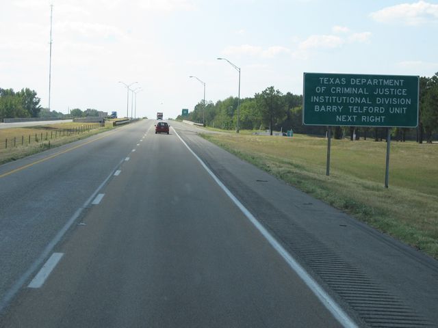 |
Use the next exit (Exit 198) for the Texas Department of Criminal Justice Institutional Division Barry Telford Unit. (Photo taken 9/21/11). |
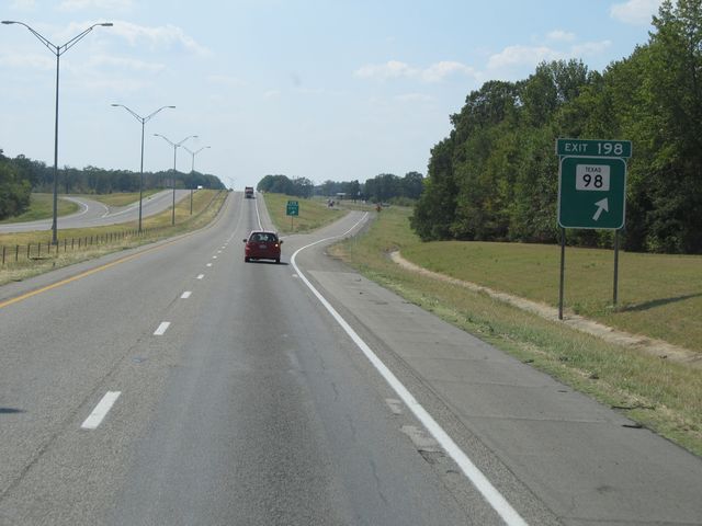 |
Interstate 30 West at Exit 198: TX 98 (Photo taken 9/21/11). |
 |
Interstate 30 West: Road view from mile marker 197. (Photo taken 9/21/11). |
 |
Interstate 30 West: Road view from mile marker 194. (Photo taken 9/21/11). |
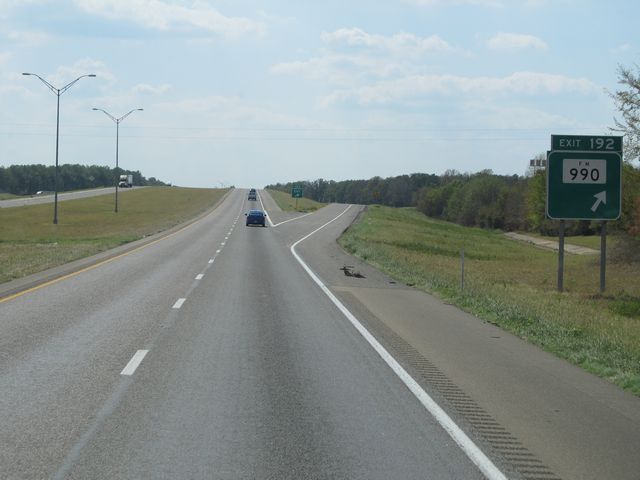 |
Interstate 30 West at Exit 192: FM 990 (Photo taken 9/21/11). |
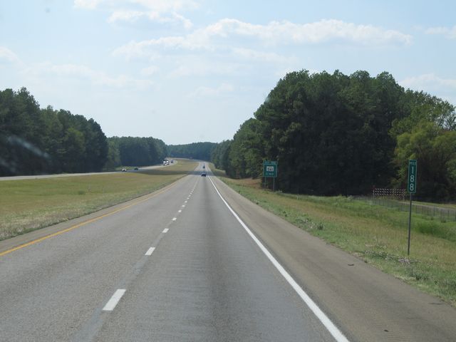 |
Interstate 30 West: Road view from mile marker 188. (Photo taken 9/21/11). |
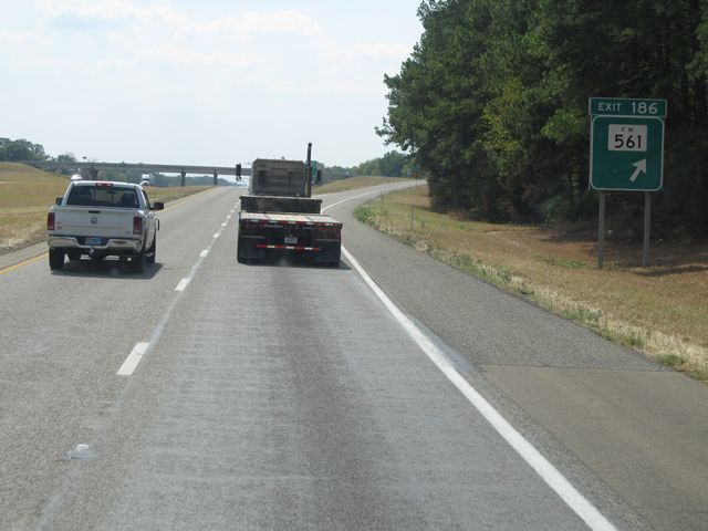 |
Interstate 30 West at Exit 186: FM 561 (Photo taken 9/21/11). |
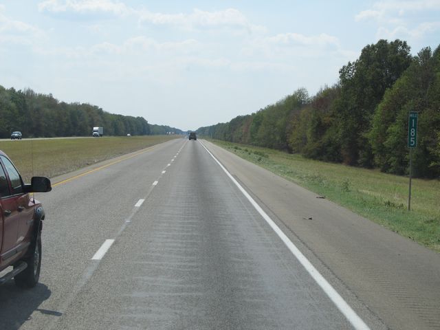 |
Interstate 30 West: Road view from mile marker 185. (Photo taken 9/21/11). |
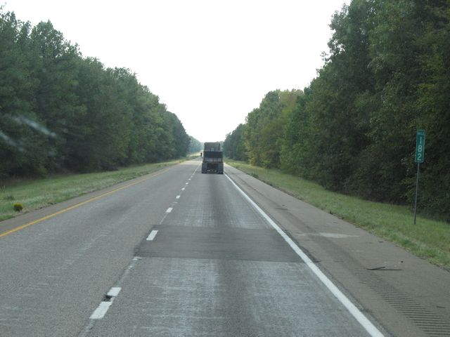 |
Interstate 30 West: Road view from mile marker 182. (Photo taken 9/21/11). |
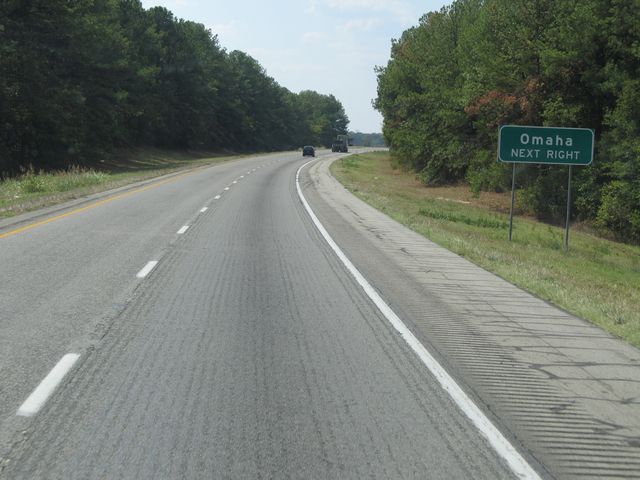 |
Use the next exit (Exit 178) for Omaha. (Photo taken 9/21/11). |
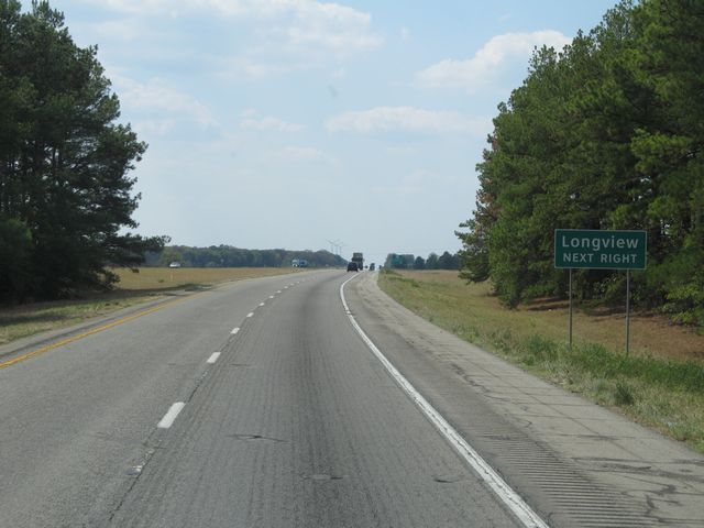 |
Also use Exit 178 for Longview. (Photo taken 9/21/11). |
 |
Interstate 30 West at Exit 178: US 259 - De Kalb / Daingerfield (Photo taken 9/21/11). |
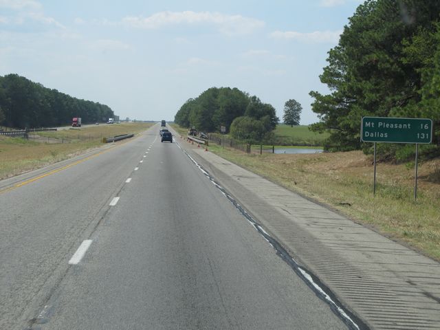 |
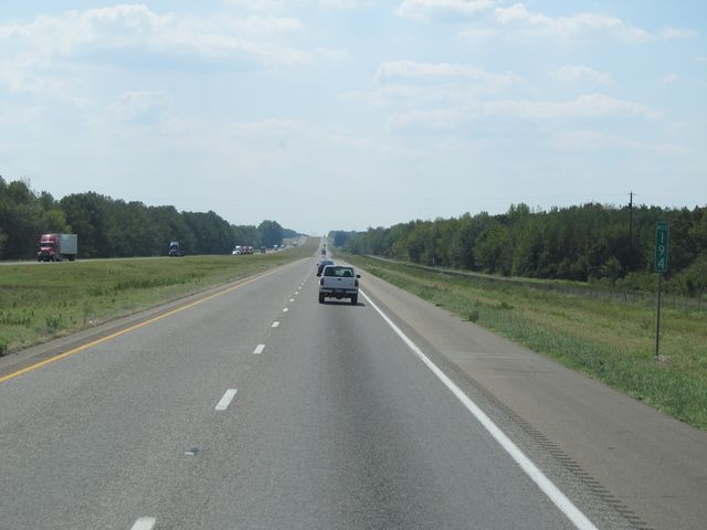
Mileage sign located near mile marker 177. It's 16 miles to Mt Pleasant and 131 miles to Dallas. (Photo taken 9/21/11). |
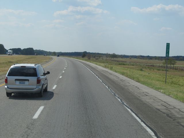 |
Interstate 30 West: Road view from mile marker 176. (Photo taken 9/21/11). |
 |
Interstate 30 West: Road view from mile marker 172. (Photo taken 9/21/11). |
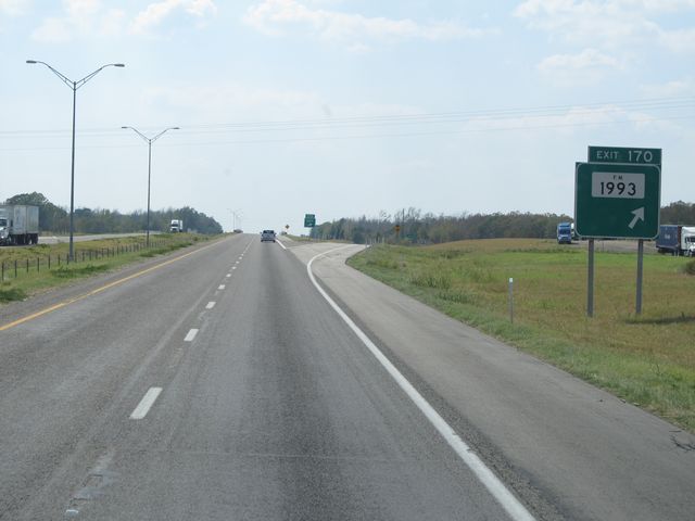 |
Interstate 30 West at Exit 170: FM 1993 (Photo taken 9/21/11). |
 |
Interstate 30 West: Road view from mile marker 169. (Photo taken 9/21/11). |
 |
Interstate 30 West at Exit 165: FM 1001 (Photo taken 9/21/11). |
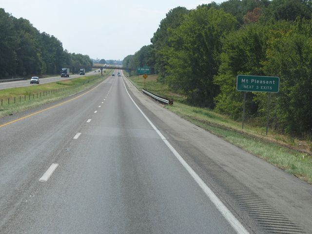 |
Use any of the next 3 exits to get to Mt Pleasant. (Photo taken 9/21/11). |
 |
Interstate 30 West at Exit 162B: FM 1402 - Mt Pleasant (Photo taken 9/21/11). |
Section 2: Mount Pleasant (Exit 162B) to Greenville (Exit 94)
 |
Interstate 30 West at Exit 162A: US 271 Business / FM 2152 - Mt Pleasant (Photo taken 9/21/11). |
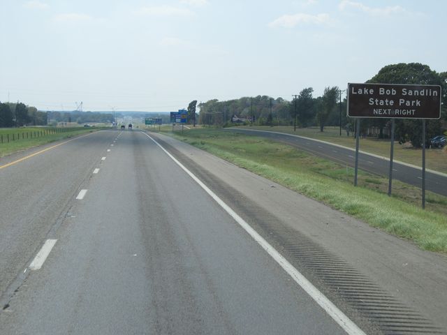 |
Use the next exit (Exit 160) for Lake Bob Sandlin State Park. (Photo taken 9/21/11). |
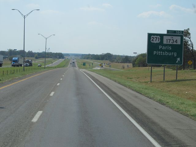 |
Interstate 30 West at Exit 160: US 271 / FM 1734 - Paris / Pittsburg (Photo taken 9/21/11). |
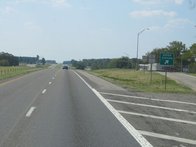 |
Interstate 30 West at the Weigh Station located at mile marker 158. (Photo taken 9/21/11). |
 |
Interstate 30 West: Road view from mile marker 157. (Photo taken 9/21/11). |
 |
Interstate 30 West at Exit 156: Frontage Rd (Photo taken 9/21/11). |
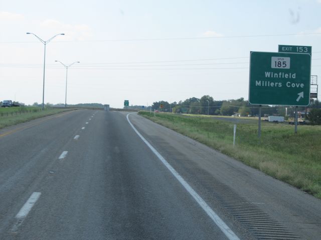 |
Interstate 30 West at Exit 153: Spur 185 - Winfield / Millers Cove (Photo taken 9/21/11). |
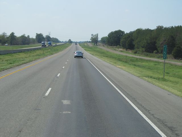 |
Interstate 30 West: Road view from mile marker 152. (Photo taken 9/21/11). |
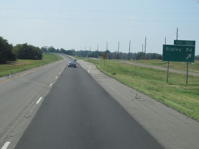 |
Interstate 30 West at Exit 150: Ripley Rd (Photo taken 9/21/11). |
 |
Use Exit 146 ahead to get to Mt Vernon. (Photo taken 9/21/11). |
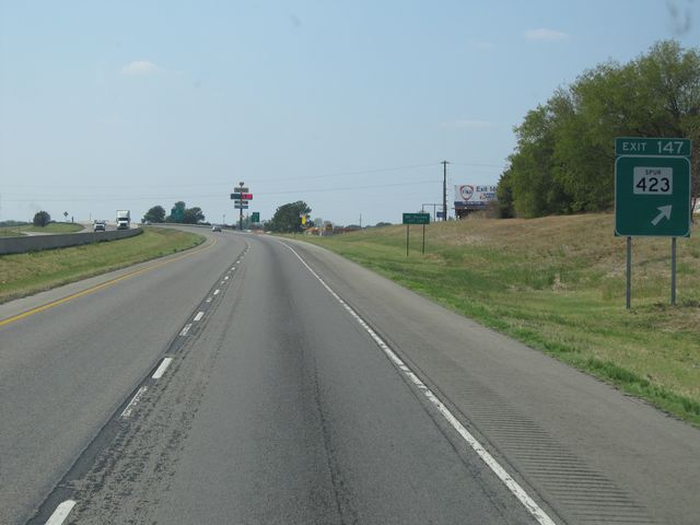 |
Interstate 30 West at Exit 147: Spur 423 (Photo taken 9/21/11). |
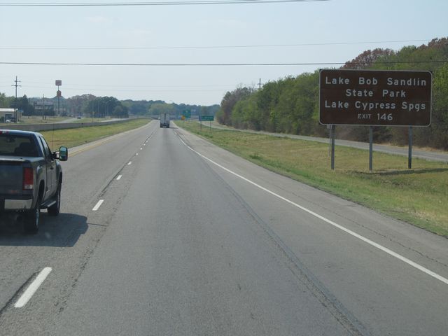 |
Use Exit 146 for Lake Bob Sandlin State Park and Lake Cypress Springs. (Photo taken 9/21/11). |
 |
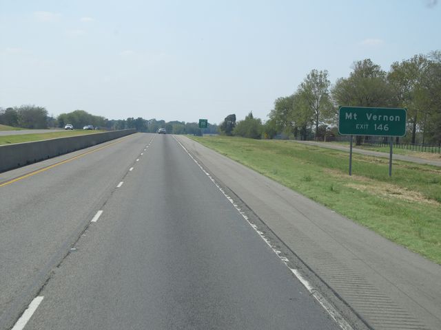
Interstate 30 West at Exit 146: TX 37 - Clarksville / Winnsboro (Photo taken 9/21/11). |
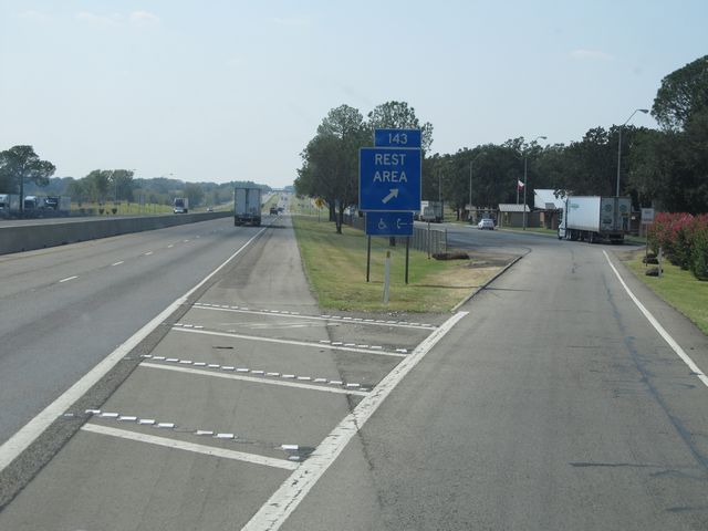 |
Interstate 30 West at the Rest Area located at mile marker 143. (Photo taken 9/21/11). |
 |
Interstate 30 West at Exit 141: FM 900 - Saltillo Rd (Photo taken 9/21/11). |
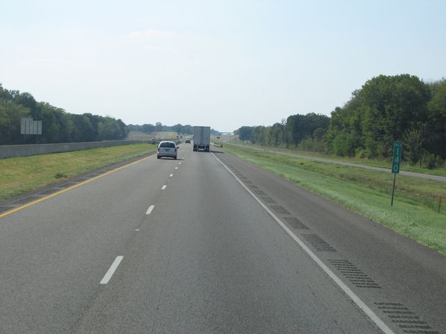 |
Interstate 30 West: Road view from mile marker 140. (Photo taken 9/21/11). |
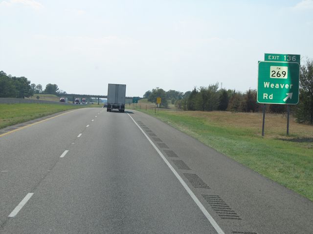 |
Interstate 30 West at Exit 136: FM 269 - Weaver Rd (Photo taken 9/21/11). |
 |
Interstate 30 West at Exit 135: US 67 North (Photo taken 9/21/11). |
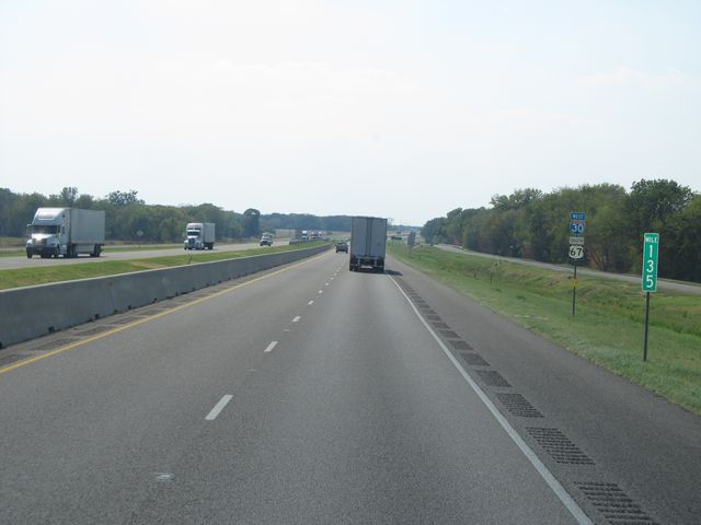 |
Interstate 30 West: Road view from mile marker 135. (Photo taken 9/21/11). |
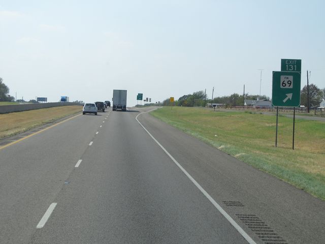 |
Interstate 30 West at Exit 131: FM 69 (Photo taken 9/21/11). |
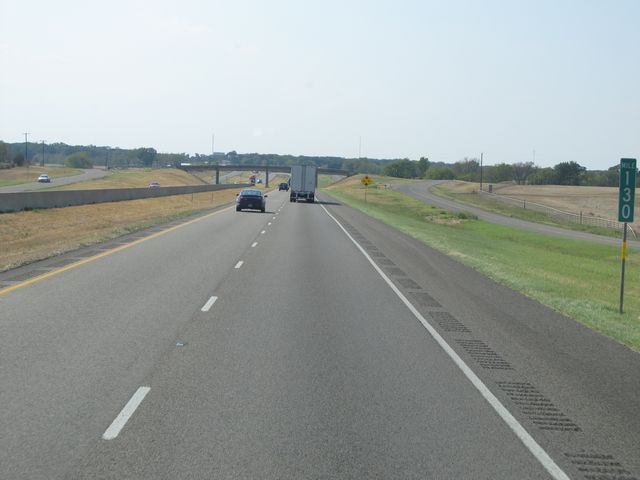 |
Interstate 30 West: Road view from mile marker 130. (Photo taken 9/21/11). |
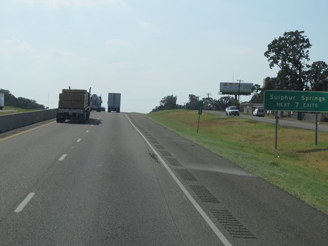 |
Use any of the next 7 exits for Sulphur Springs. (Photo taken 9/21/11). |
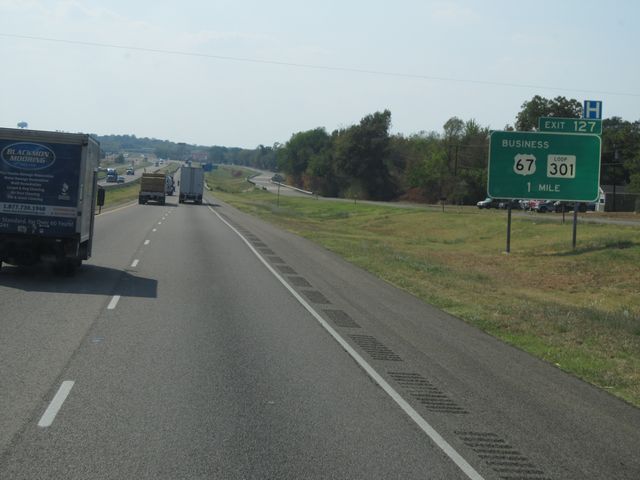 |
Interstate 30 West approaching Exit 127 - 1 mile. (Photo taken 9/21/11). |
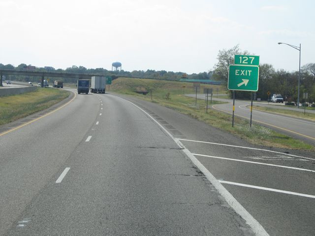 |
Interstate 30 West at Exit 127: US 67 Business / Loop 301 (Photo taken 9/21/11). |
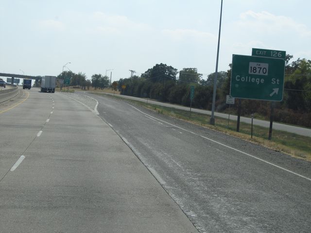 |
Interstate 30 West at Exit 126: FM 1870 - College St (Photo taken 9/21/11). |
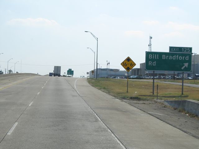 |
Interstate 30 West at Exit 125: Bill Bradford Rd (Photo taken 9/21/11). |
 |
Interstate 30 West at Exit 124: TX 11 / TX 154 - Broadway St / Sulphur Springs (Photo taken 9/21/11). |
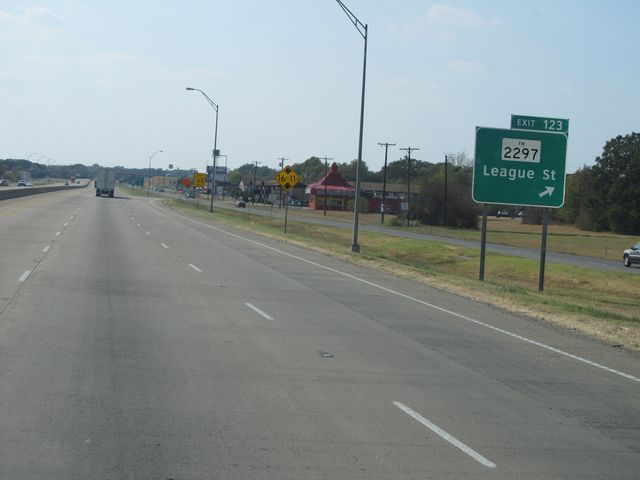 |
Interstate 30 West at Exit 123: FM 2297 - League St (Photo taken 9/21/11). |
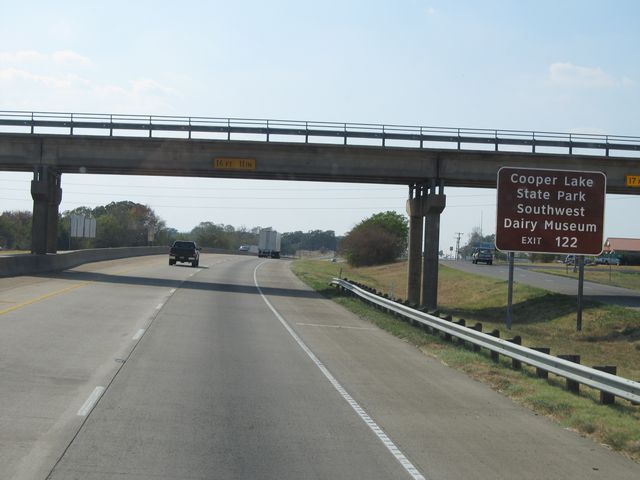 |
Use Exit 122 for Cooper Lake State Park and Southwest Dairy Museum. (Photo taken 9/21/11). |
 |
Also use Exit 122 for Hopkins County Regional Civic Center. (Photo taken 9/21/11). |
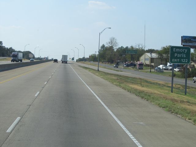 |
Exit 122 will also allow you to get to Emory and Paris. (Photo taken 9/21/11). |
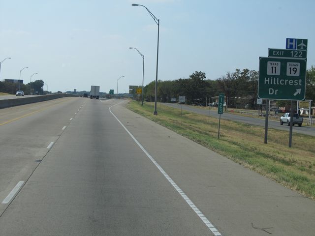 |
Interstate 30 West at Exit 122: TX 11 / TX 19 - Hillcrest Dr (Photo taken 9/21/11). |
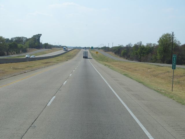 |
Interstate 30 West: Road view from mile marker 121. (Photo taken 9/21/11). |
 |
Interstate 30 West at Exit 120: US 67 Business (Photo taken 9/21/11). |
 |
Mileage sign located near mile marker 120. It's 25 miles to Greenville and 71 miles to Dallas. (Photo taken 9/21/11). |
 |
Interstate 30 West: Road view from mile marker 119. (Photo taken 9/21/11). |
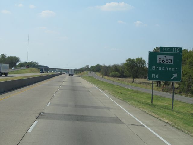 |
Interstate 30 West at Exit 116: FM 2653 - Brashear Rd (Photo taken 9/21/11). |
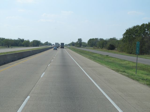 |
Interstate 30 West: Road view from mile marker 115. (Photo taken 9/21/11). |
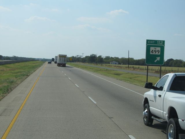 |
Interstate 30 West at Exti 112: FM 499 (Photo taken 9/21/11). |
 |
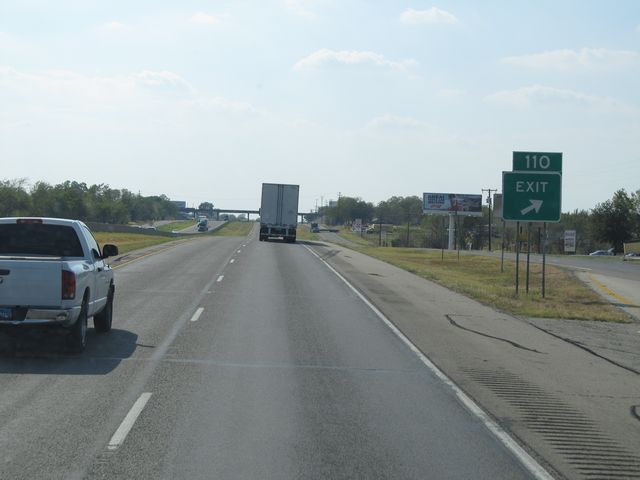
Interstate 30 West approaching Exit 110 - 1 mile. (Photo taken 9/21/11). |
 |
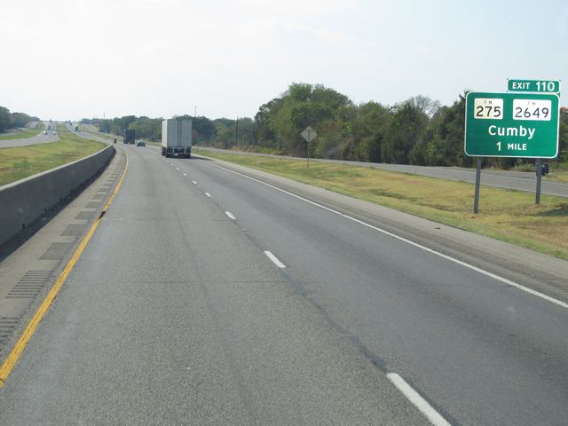
Interstate 30 West at Exit 110: FM 275 / FM 2649 - Cumby (Photo taken 9/21/11). |
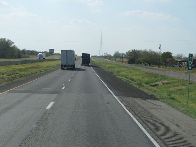 |
Interstate 30 West: Road view from mile marker 109. (Photo taken 9/21/11). |
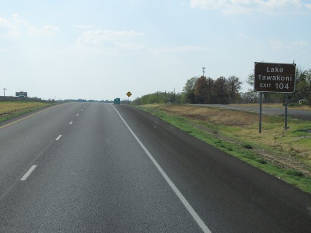 |
Use Exit 104 for Lake Tawakoni. (Photo taken 9/21/11). |
 |
Interstate 30 West at Exit 104: FM 513 - Campbell / Lone Oak (Photo taken 9/21/11). |
 |
Use Exit 101 for Texas A&M Commerce. (Photo taken 9/21/11). |
 |
Interstate 30 West at Exit 101: TX 24 / FM 1737 - Commerce / Paris (Photo taken 9/21/11). |
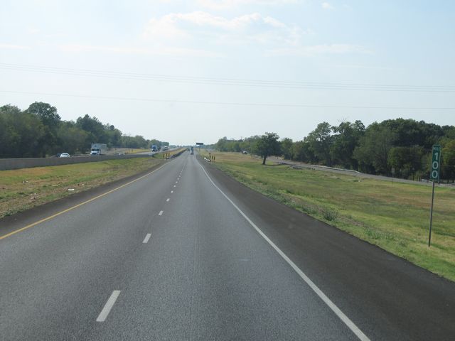 |
Interstate 30 West: Road view from mile marker 100. (Photo taken 9/21/11). |
 |
Interstate 30 West at Exit 97: Lamar St (Photo taken 9/21/11). |
 |
Use Exit 96 for Downtown. (Photo taken 9/21/11). |
 |
Use any of the next 6 exits for Greenville. (Photo taken 9/21/11). |
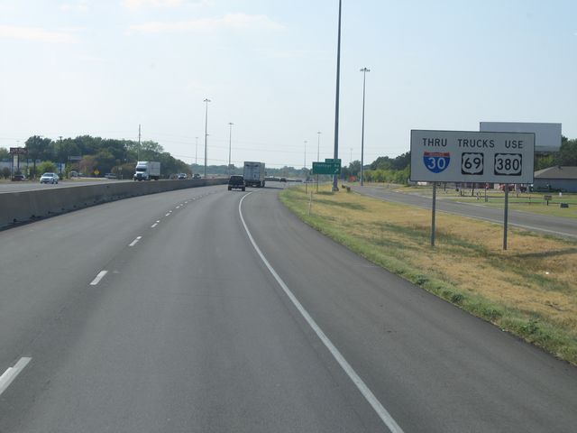 |
Sign near mile marker 97 stating that all through trucks should use either Interstate 30, US 69, or US 380. (Photo taken 9/21/11). |
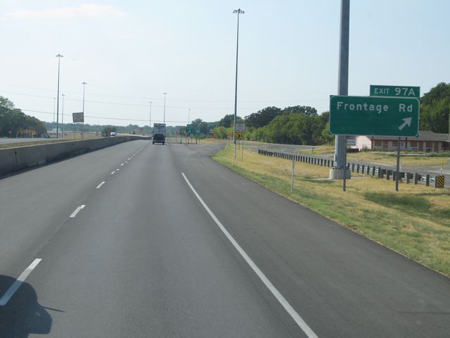 |
Interstate 30 West at Exit 97A: Frontage Rd (Photo taken 9/21/11). |
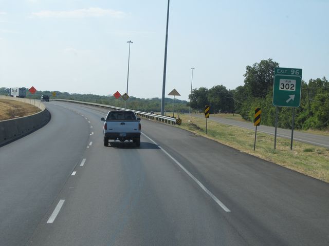 |
Interstate 30 West at Exit 96: Spur 302 (Photo taken 9/21/11). |
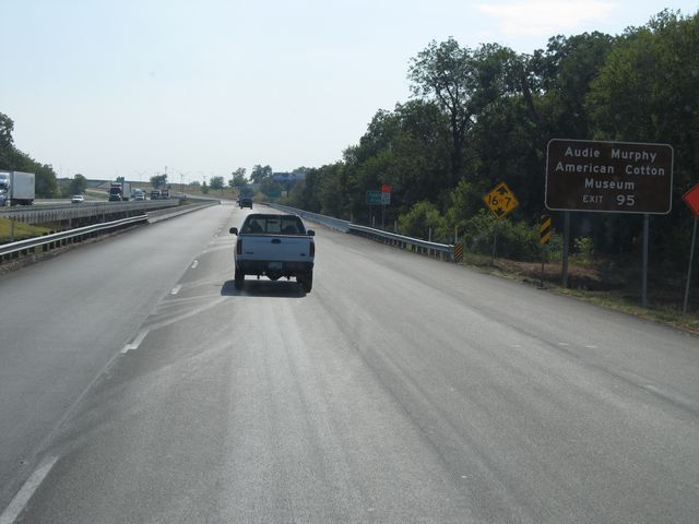 |
Use Exit 95 for the Audie Murphy American Cotton Museum. (Photo taken 9/21/11). |
 |
Interstate 30 West at Exit 95: Division St (Photo taken 9/21/11). |
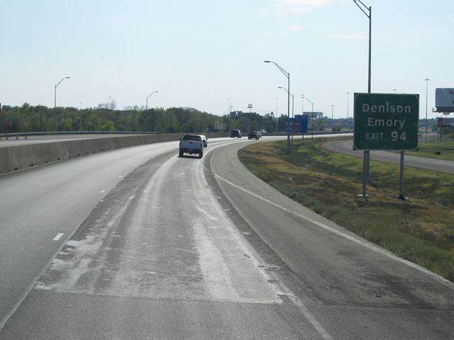 |
Use Exit 94 for Denison and Emory. (Photo taken 9/21/11). |
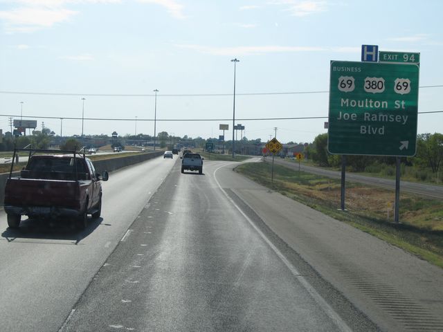 |
Interstate 30 West at Exit 94: US 69 Business / US 380 / US 69 - Moulton St / Joe Ramsey Blvd (Photo taken 9/21/11). |
Section 3: Greenville (Exit 94) to Dallas (Exit 44A)
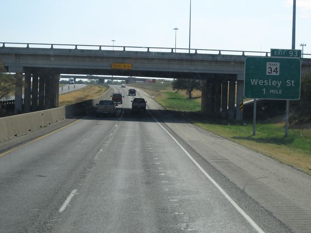 |
Interstate 30 West approaching Exit 93 - 1 mile. (Photo taken 9/21/11). |
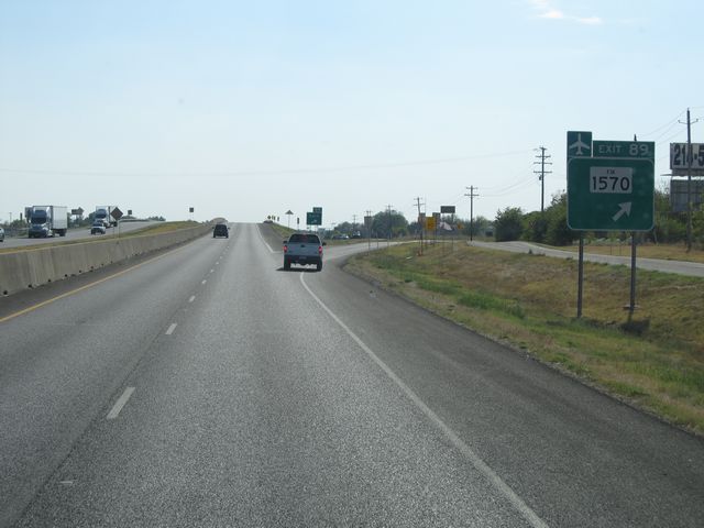 |
Interstate 30 West at Exit 89: FM 1570 (Photo taken 9/21/11). |
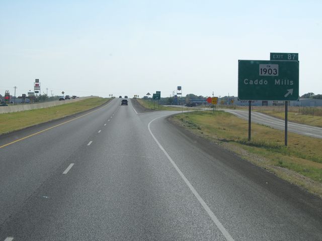 |
Interstate 30 West at Exit 87: FM 1903 - Caddo Mills (Photo taken 9/21/11). |
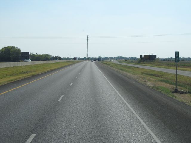 |
Interstate 30 West: Road view from mile marker 86. (Photo taken 9/21/11). |
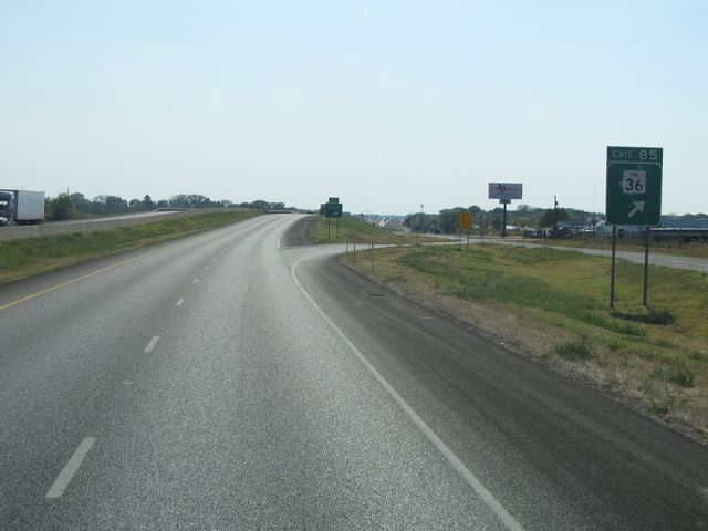 |
Interstate 30 West at Exit 85: FM 36 (Photo taken 9/21/11). |
 |
Interstate 30 West: Road view from mile marker 84. (Photo taken 9/21/11). |
 |
Interstate 30 West at Exit 83: FM 1565 (Photo taken 9/21/11). |
 |
Interstate 30 West: Road view from mile marker 82. (Photo taken 9/21/11). |
 |
Interstate 30 West at Exit 79: FM 2642 (Photo taken 9/21/11). |
 |
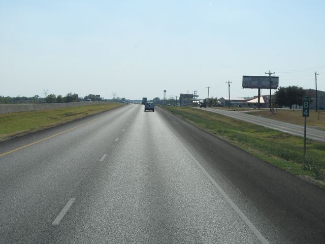
As you approach Rockwall, the speed limit drops to 65 mph. (Photo taken 9/21/11). |
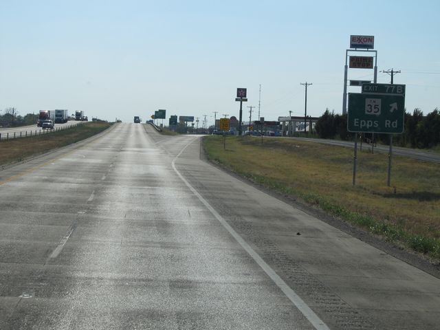 |
Interstate 30 West at Exit 77B: FM 35 - Epps Rd (Photo taken 9/21/11). |
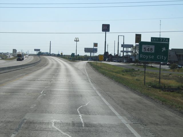 |
Interstate 30 West at Exit 77A: FM 548 - Royse City (Photo taken 9/21/11). |
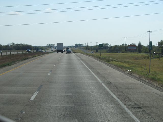 |
Interstate 30 West: Road view from mile marker 74. (Photo taken 9/21/11). |
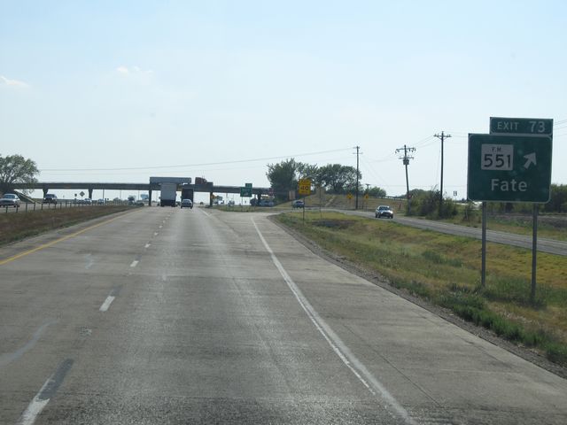 |
Interstate 30 West at Exit 73: FM 551 - Fate (Photo taken 9/21/11). |
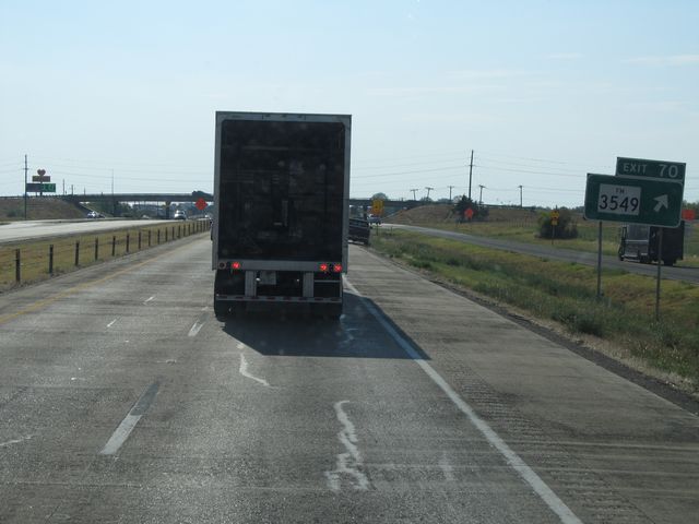 |
Interstate 30 West at Exit 70: FM 3549 (Photo taken 9/21/11). |
 |
Interstate 30 West at Exit 68: TX 205 - Rockwall / Terrell (Photo taken 9/21/11). |
 |
Use Exit 67 for Village Dr / Horizon Rd (Photo taken 9/21/11). |
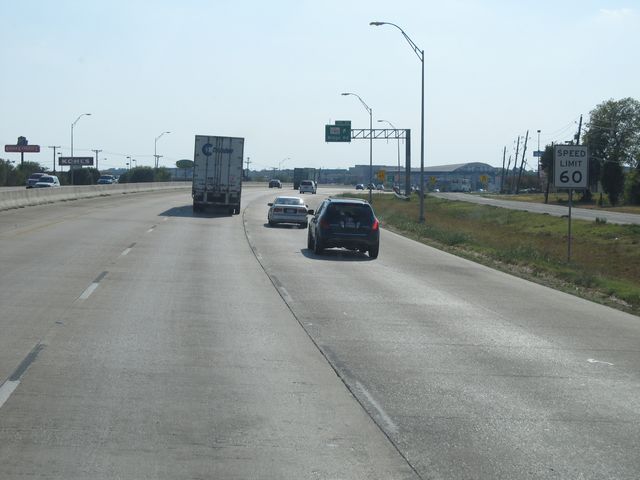 |
Just before Exit 67, the speed limit drops once again to 60 mph. (Photo taken 9/21/11). |
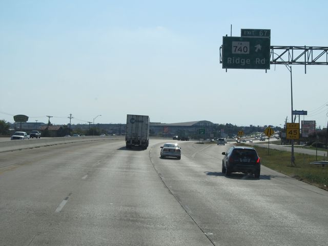 |
Interstate 30 West at Exit 67: FM 740 - Ridge Rd (Photo taken 9/21/11). |
 |
Interstate 30 West: Road view from mile marker 67. (Photo taken 9/21/11). |
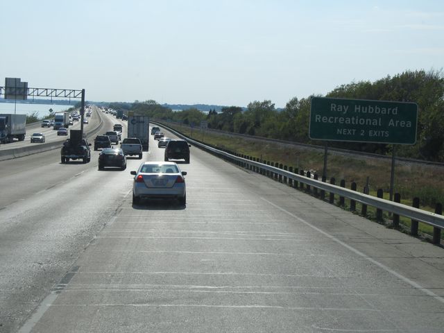 |
Use either of the next 2 exits for the Ray Hubbard Recreational Area. (Photo taken 9/21/11). |
 |
Interstate 30 West as it crosses the Ray Hubbard Reservoir. (Photo taken 9/21/11). |
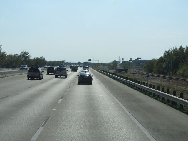 |
Interstate 30 West: Road view from mile marker 65. (Photo taken 9/21/11). |
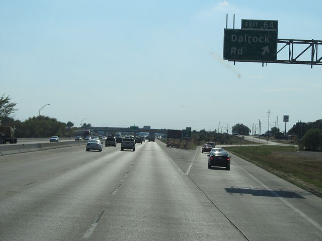 |
Interstate 30 West at Exit 64: Dalrock Rd (Photo taken 9/21/11). |
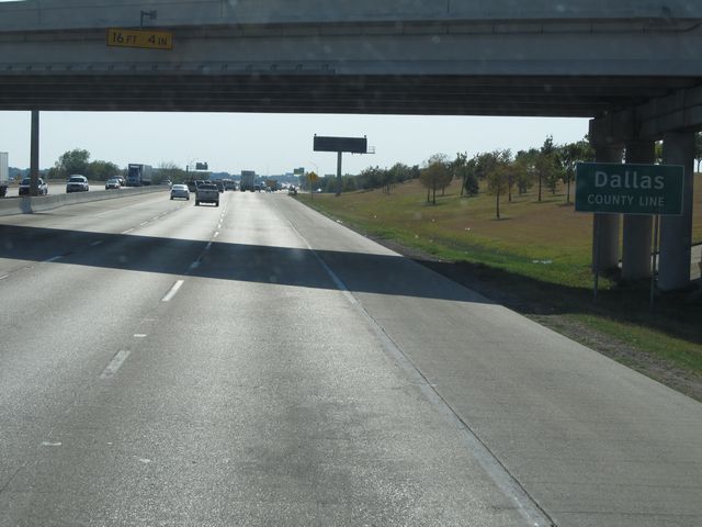 |
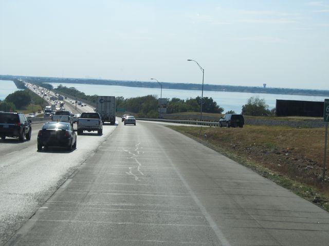
Interstate 30 West as it enters Dallas County, near mile marker 64. (Photo taken 9/21/11). |
 |
Interstate 30 West at Exit 62: Bass Pro Dr (Photo taken 9/21/11). |
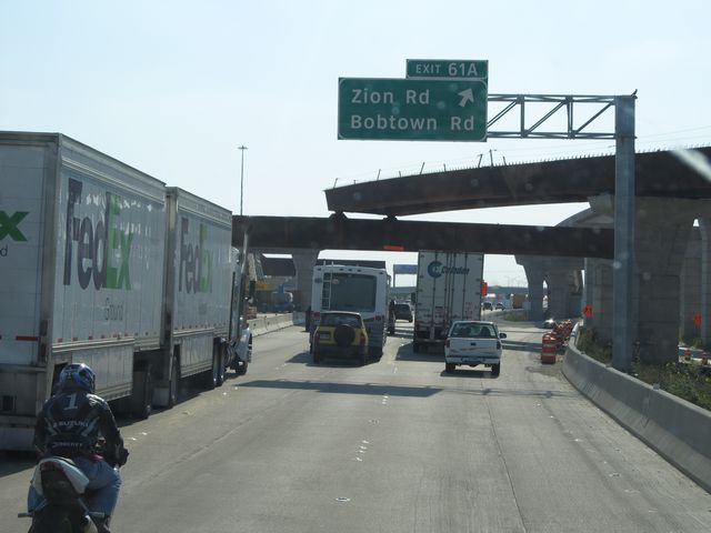 |
Interstate 30 West at Exit 61A: Zion Rd / Bobtown Rd (Photo taken 9/21/11). |
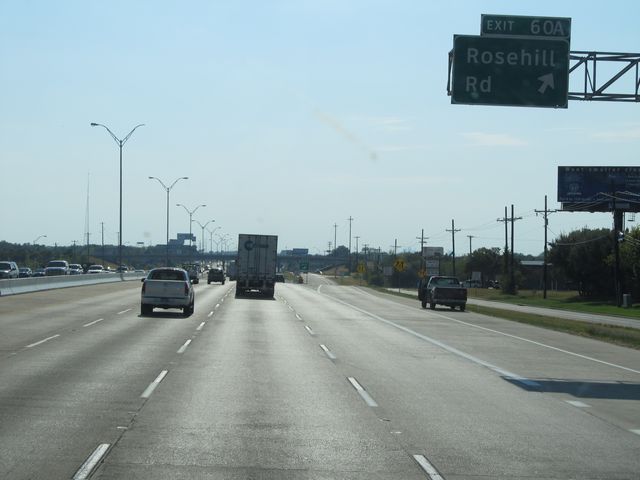 |
Interstate 30 West at Exit 60A: Rosehill Rd (Photo taken 9/21/11). |
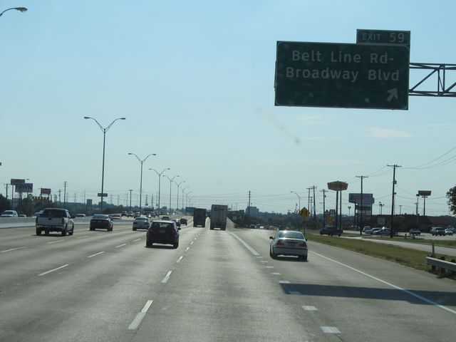 |
Interstate 30 West at Exit 59: Belt Line Rd / Broadway Blvd (Photo taken 9/21/11). |
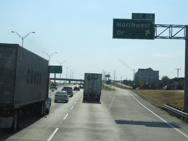 |
Interstate 30 West at Exit 58: Northwest Dr (Photo taken 9/21/11). |
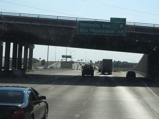 |
Interstate 30 West at Exit 57: Galloway Ave / Gus Thomasson Rd (Photo taken 9/21/11). |
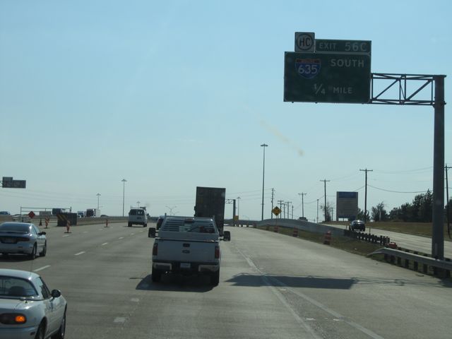 |
Interstate 30 West approaching Exit 56C - 1/4 mile. (Photo taken 9/21/11). |
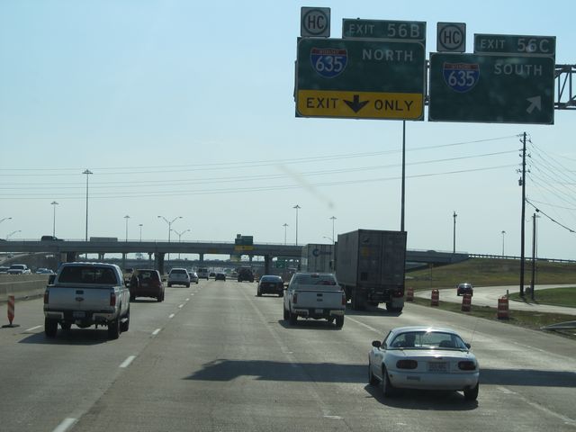 |
Interstate 30 West at Exit 56C: Interstate 635 South (Photo taken 9/21/11). |
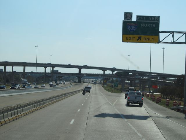 |
Interstate 30 West at Exit 56B: Interstate 635 North (Photo taken 9/21/11). |
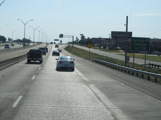 |
Use Exit 55 for Eastfield College. (Photo taken 9/21/11). |
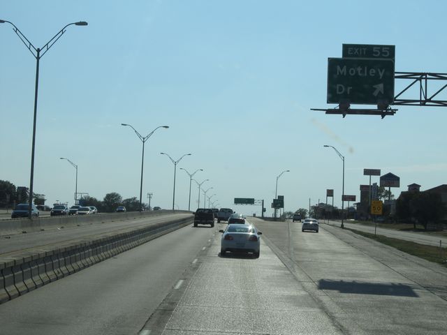 |
Interstate 30 West at Exit 55: Motley Dr (Photo taken 9/21/11). |
 |
Interstate 30 West at Exit 54: Big Town Blvd (Photo taken 9/21/11). |
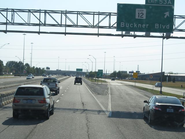 |
Interstate 30 West at Exit 53A: Loop 12 - Buckner Blvd (Photo taken 9/21/11). |
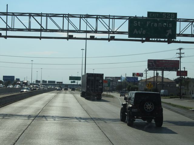 |
Interstate 30 West at Exit 52B: St Francis Ave (Photo taken 9/21/11). |
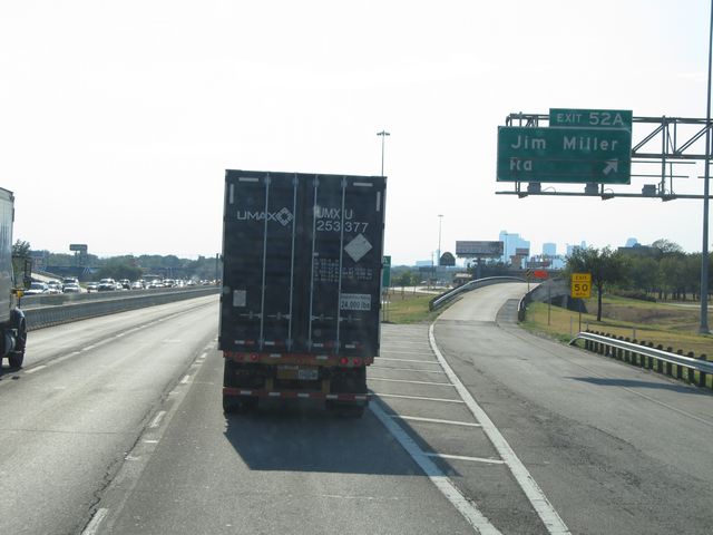 |
Interstate 30 West at Exit 52A: Jim Miller Rd (Photo taken 9/21/11). |
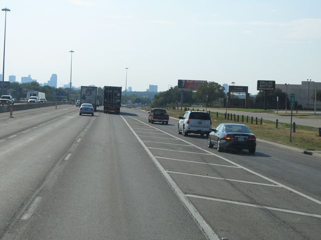 |
Interstate 30 West: Road view from mile marker 52. (Photo taken 9/21/11). |
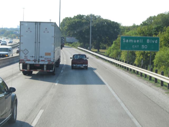 |
Use Exit 50 for Samuell Blvd. (Photo taken 9/21/11). |
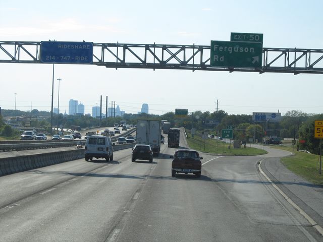 |
Interstate 30 West at Exit 50: Ferguson Rd (Photo taken 9/21/11). |
 |
Interstate 30 West at Exit 49B: Dolphin Rd (Photo taken 9/21/11). |
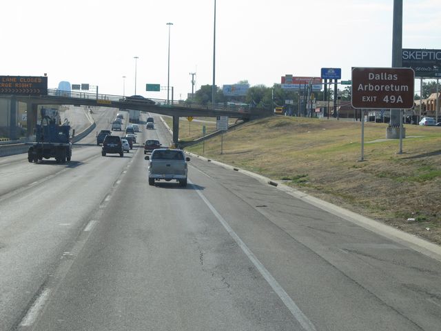 |
Use Exit 49A for the Dallas Arboretum. (Photo taken 9/21/11). |
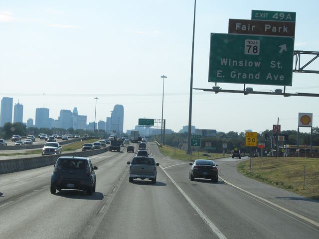 |
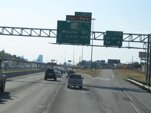
Interstate 30 West at Exit 49A: TX 78 - Winslow St / E Grand Ave (Photo taken 9/21/11). |
 |
Interstate 30 West at Exit 48B: Barry Ave / Munger Blvd (Photo taken 9/21/11). |
 |
Interstate 30 West at Exit 48A: Carroll Ave (Photo taken 9/21/11). |
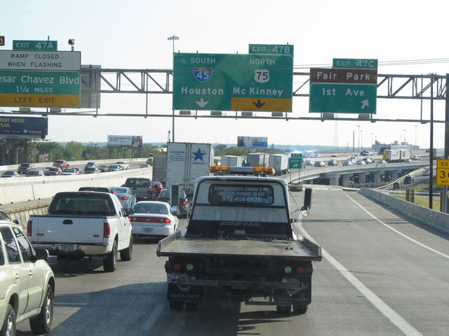 |
Interstate 30 West at Exit 47C: Fair Park / 1st Ave (Photo taken 9/21/11). |
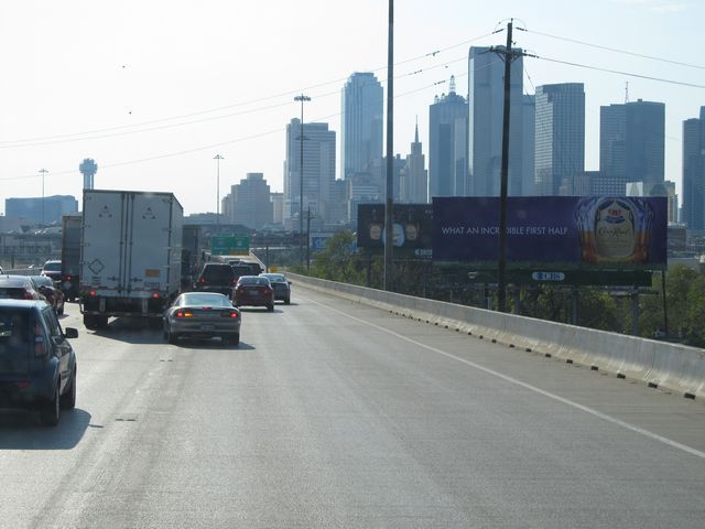 |
A view of downtown Dallas from near mile marker 47. (Photo taken 9/21/11). |
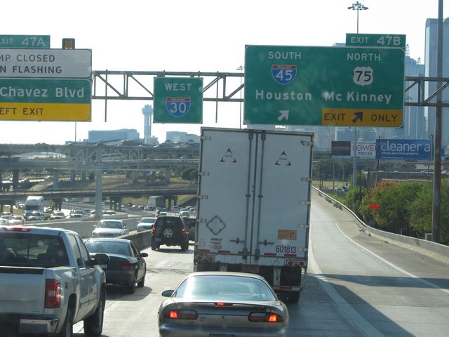 |
Interstate 30 West at Exit 47B: Interstate 45 South - Houston; US 75 North - McKinney (Photo taken 9/21/11). |
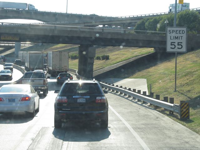 |
The speed limit drops to 55 mph near mile marker 47, as you enter the downtown area. (Photo taken 9/21/11). |
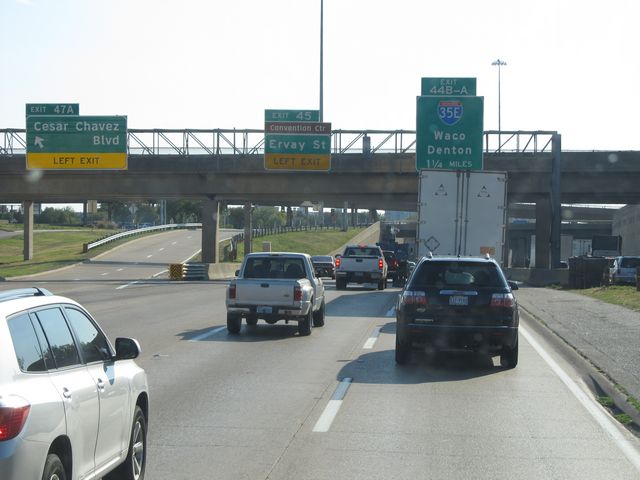 |
Interstate 30 West at Exit 47A: Cesar Chavez Blvd (Photo taken 9/21/11). |
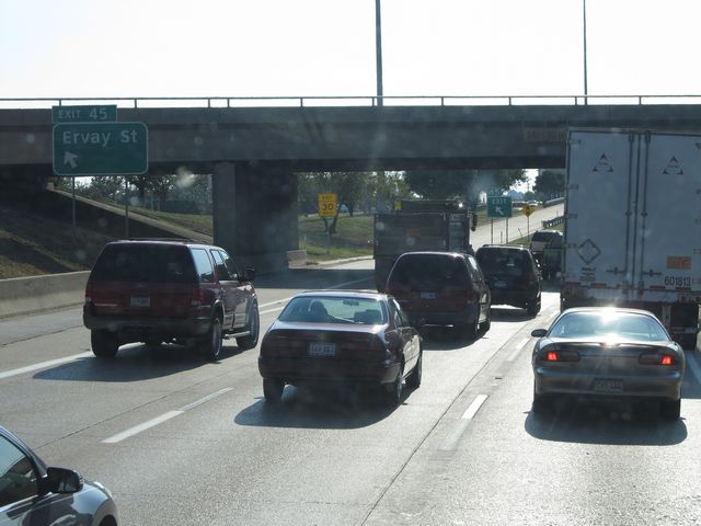 |
Interstate 30 West at Exit 45: Ervay St (Photo taken 9/21/11). |
 |
Interstate 30 West approaching Exit 44B - 1/2 mile. (Photo taken 9/21/11). |
 |
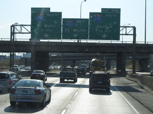
Things get a little bit hectic here. If you are taking Exit 44B (Interstate 35E South - Waco), you should get in the leftmost lane. To stay on Interstate 30 West, get in the center lane. For Exit 44A (Interstate 35E North - Denton), stay in the rightmost lane. (Photo taken 9/21/11). |
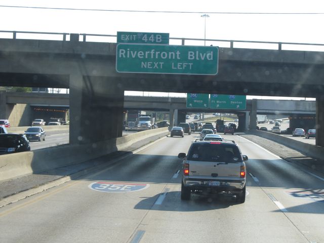 |
Use Exit 44B for Riverfront Blvd. (Photo taken 9/21/11). |
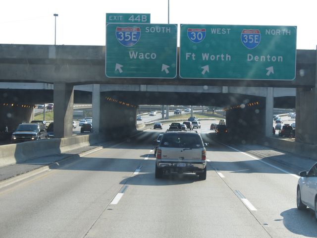 |
Interstate 30 West at Exit 44B: Interstate 35E South - Waco (Photo taken 9/21/11). |
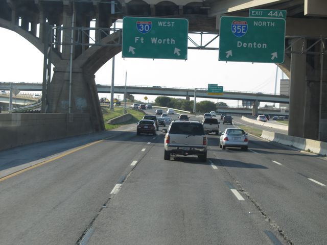 |
Interstate 30 West at Exit 44A: Interstate 35E North - Denton (Photo taken 9/21/11). |
Section 4: Dallas (Exit 44A) to Fort Worth (Exit 21B)
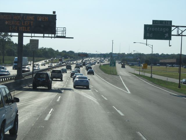 |
Interstate 30 West at Exit 43B: Frontage Rd (Photo taken 9/21/11). |
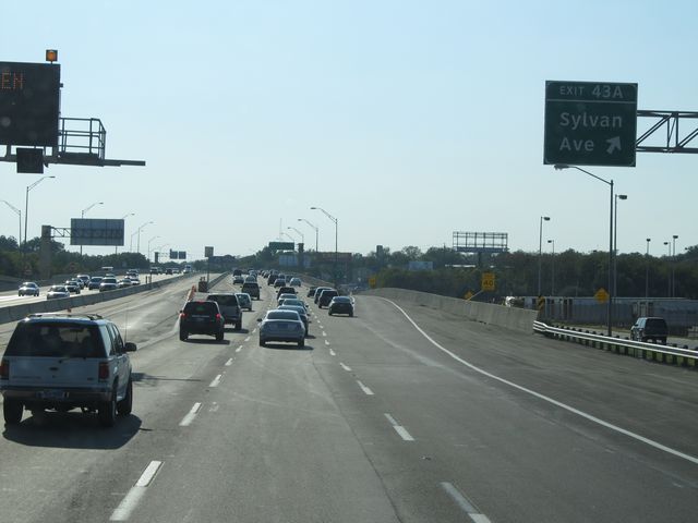 |
Interstate 30 West at Exit 43A: Sylvan Ave (Photo taken 9/21/11). |
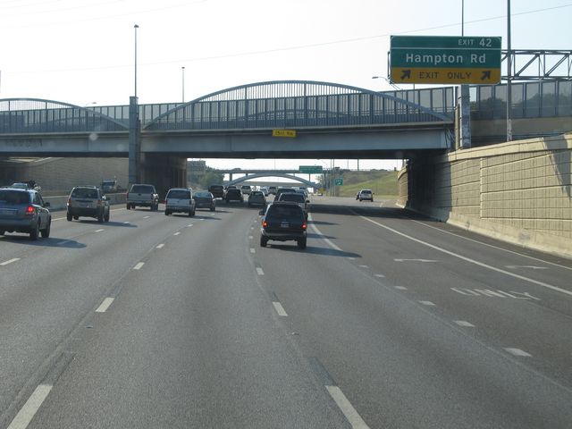 |
Interstate 30 West at Exit 42: Hampton Rd (Photo taken 9/21/11). |
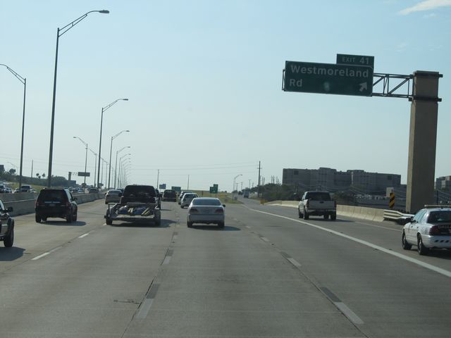 |
Interstate 30 West at Exit 41: Westmoreland Rd (Photo taken 9/21/11). |
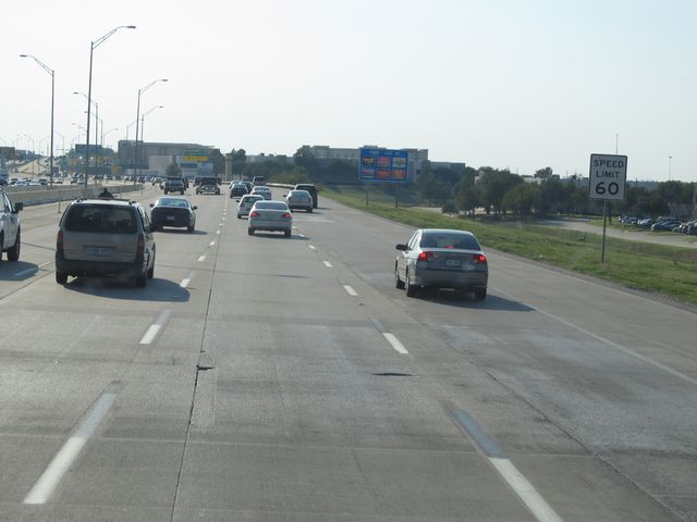 |
Near mile marker 41, the speed limit increases back to 60 mph as you proceed west of the downtown area. (Photo taken 9/21/11). |
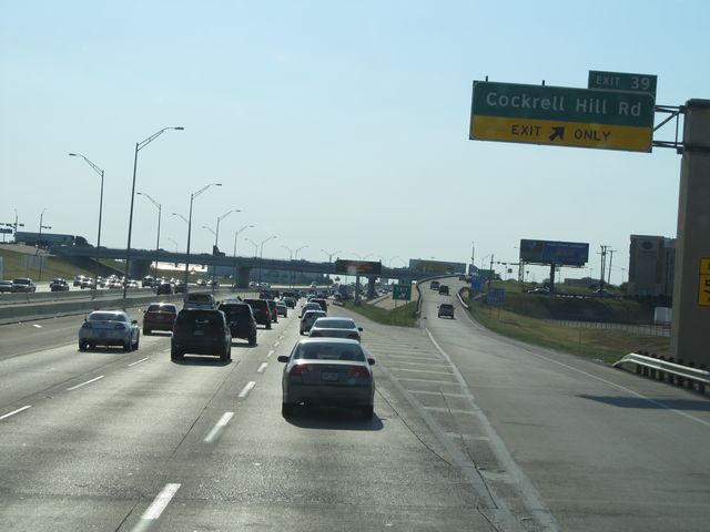 |
Interstate 30 West at Exit 39: Cockrell Hill Rd (Photo taken 9/21/11). |
 |
Interstate 30 West: Road view from mile marker 40. (Photo taken 9/21/11). |
 |
Interstate 30 West at Exit 38: Loop 12 (Photo taken 9/21/11). |
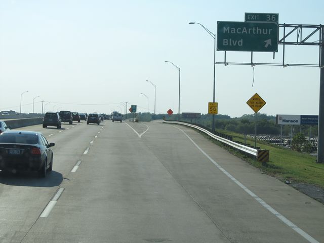 |
Interstate 30 West at Exit 36: MacArthur Blvd (Photo taken 9/21/11). |
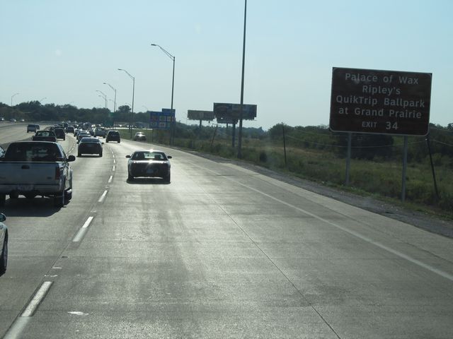 |
Use Exit 34 for Ripley's Palace of Wax and QuikTrip Ballpark at Grand Prairie. (Photo taken 9/21/11). |
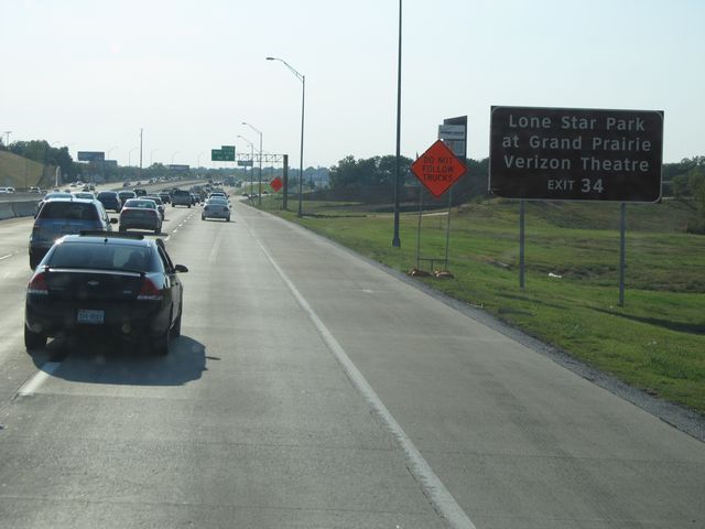 |
Also use Exit 34 for Lone Star Park at Grand Prairie and Verizon Theatre. (Photo taken 9/21/11). |
 |
Interstate 30 West at Exit 34: Belt Line Rd (Photo taken 9/21/11). |
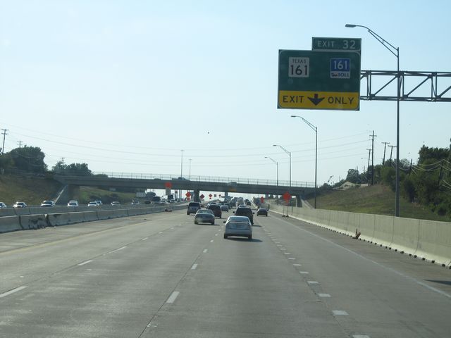 |
Interstate 30 West at Exit 32: TX 161 / TX 161 Toll (Photo taken 9/21/11). |
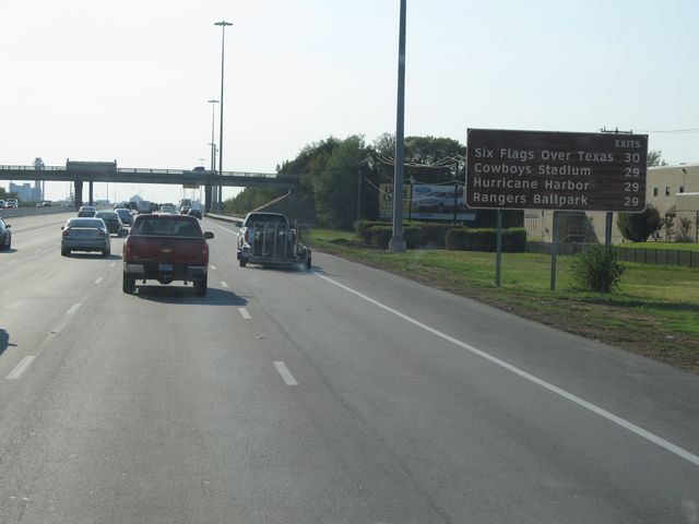 |
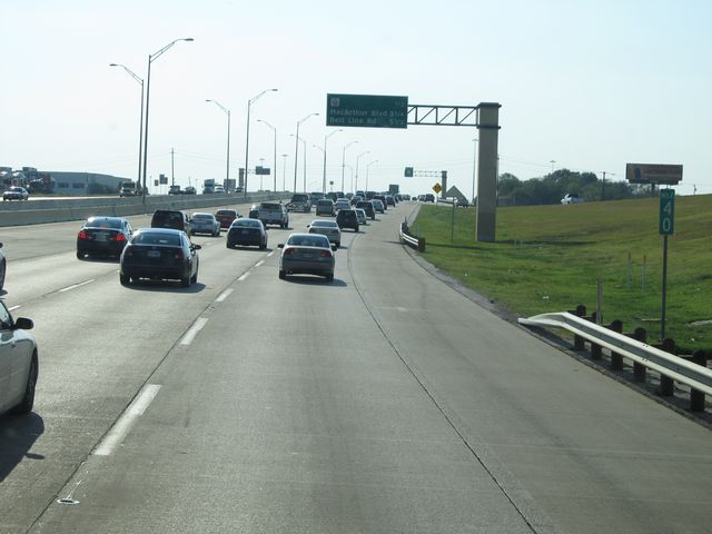
Sign listing the upcoming attractions and the exits you should take to access them. (Photo taken 9/21/11). |
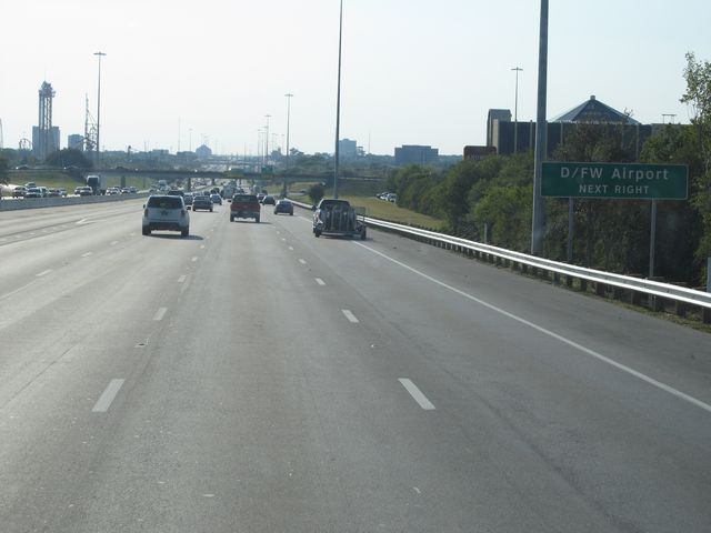 |
Use the next exit (Exit 30) to get to Dallas / Fort Worth International Airport. (Photo taken 9/21/11). |
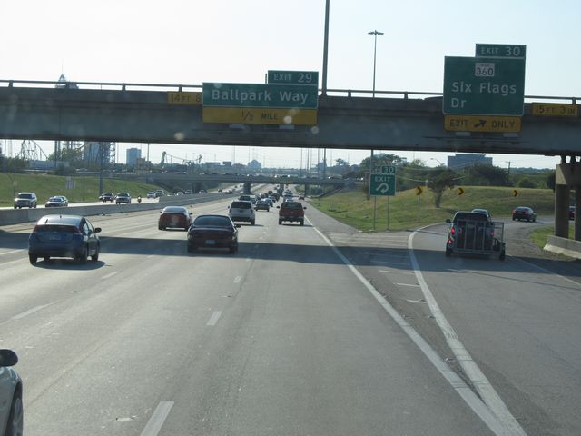 |
Interstate 30 West at Exit 30: TX 360 - Six Flags Dr (Photo taken 9/21/11). |
 |
Interstate 30 West: Road view from mile marker 30. (Photo taken 9/21/11). |
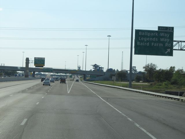 |
Interstate 30 West at Exit 29: Ballpark Way / Legends Way / Baird Farm Rd (Photo taken 9/21/11). |
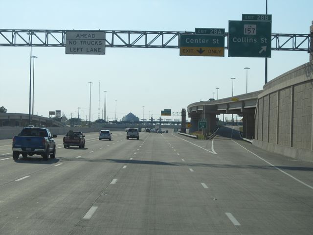 |
Interstate 30 West at Exit 28B: FM 157 - Collins St (Photo taken 9/21/11). |
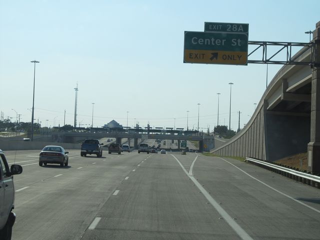 |
Interstate 30 West at Exit 28A: Center St (Photo taken 9/21/11). |
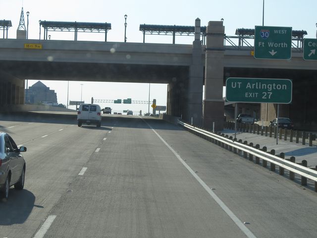 |
Use Exit 27 for UT Arlington. (Photo taken 9/21/11). |
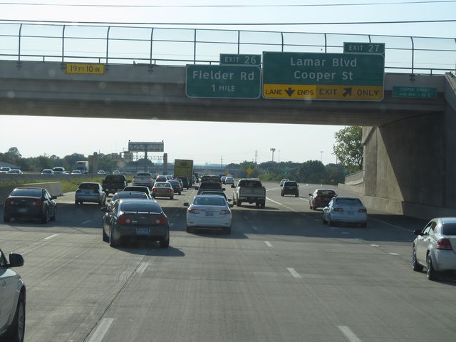 |
Interstate 30 West at Exit 27: Lamar Blvd / Cooper St (Photo taken 9/21/11). |
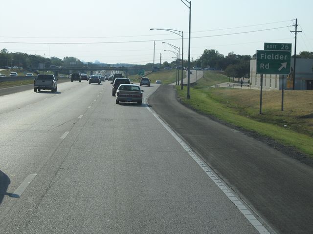 |
Interstate 30 West at Exit 26: Fielder Rd (Photo taken 9/21/11). |
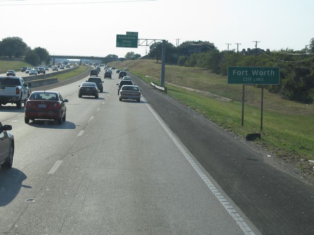 |
Interstate 30 West as it enters the Fort Worth city limits near mile marker 26. (Photo taken 9/21/11). |
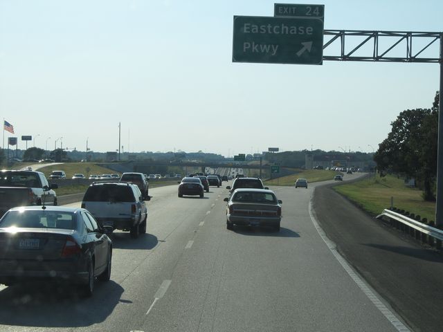 |
Interstate 30 West at Exit 24: Eastchase Pkwy (Photo taken 9/21/11). |
 |
Interstate 30 West: Road view from mile marker 24. (Photo taken 9/21/11). |
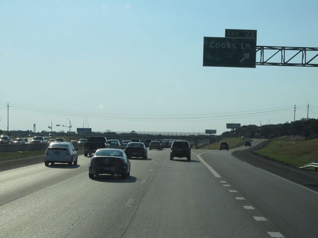 |
Interstate 30 West at Exit 23: Cooks Ln (Photo taken 9/21/11). |
 |
Interstate 30 West approaching Exit 21C - 3/4 mile. (Photo taken 9/21/11). |
 |
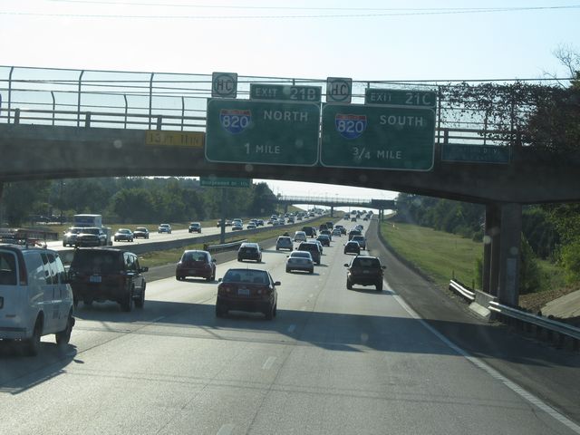
Interstate 30 West at Exit 21C: Interstate 820 South (Photo taken 9/21/11). |
 |
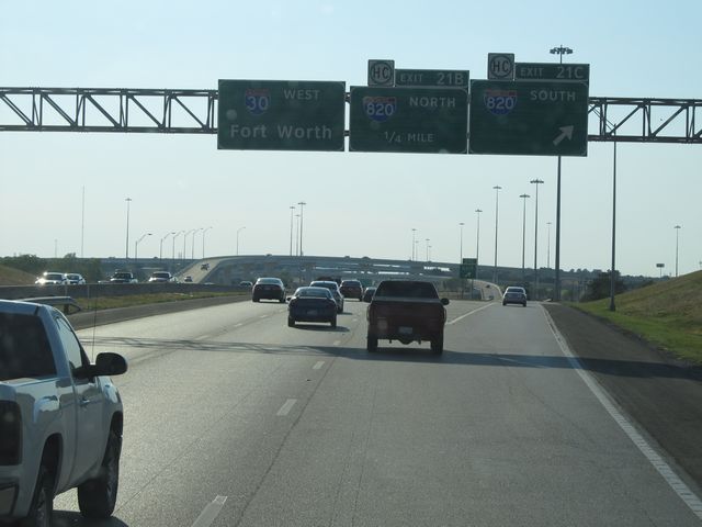
Interstate 30 West at Exit 21B: Interstate 820 North (Photo taken 5/20/18). |
Section 5: Fort Worth (Exit 21B) to Interstate 20
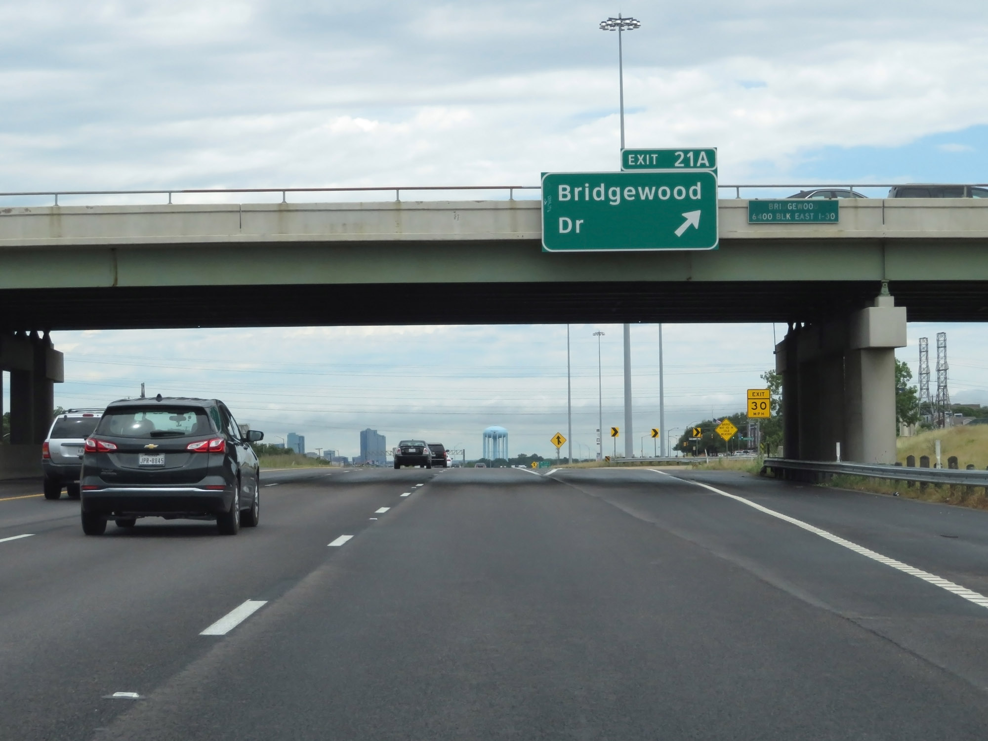 |
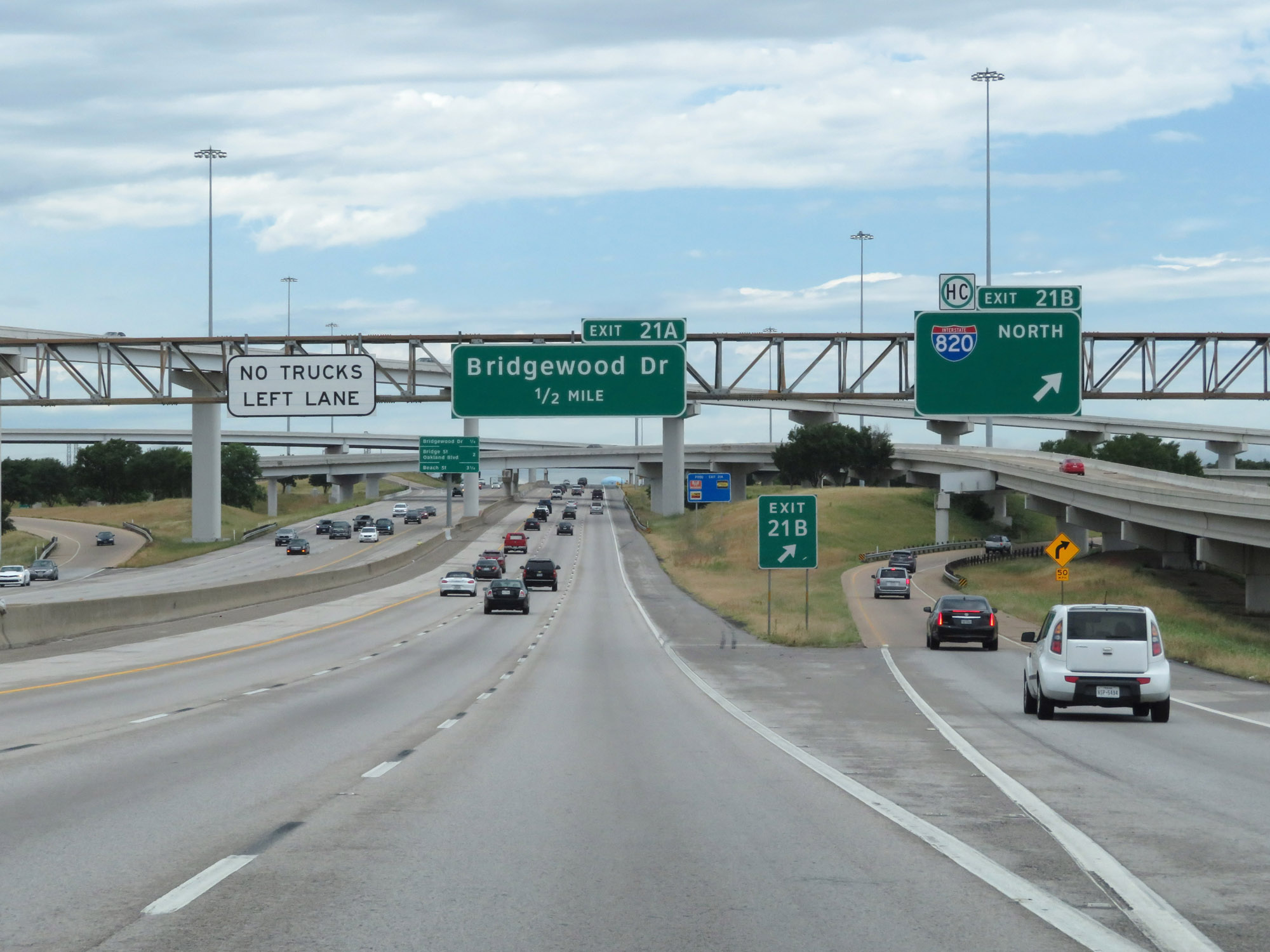
Interstate 30 West at Exit 21A: Bridgewood Dr (Photo taken 5/20/18). |
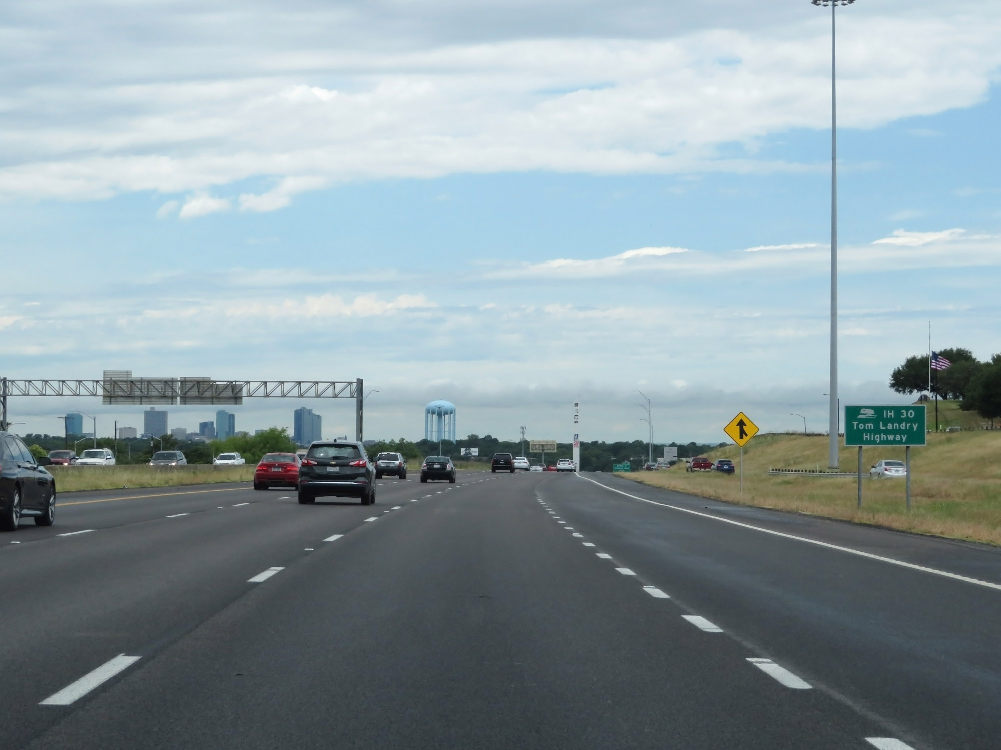 |
Interstate 30 through the Fort Worth area is also known as Tom Landry Highway. (Photo taken 5/20/18). |
 |
Trucks are prohibited from the leftmost lane on Interstate 30 in the Fort Worth area. (Photo taken 5/20/18). |
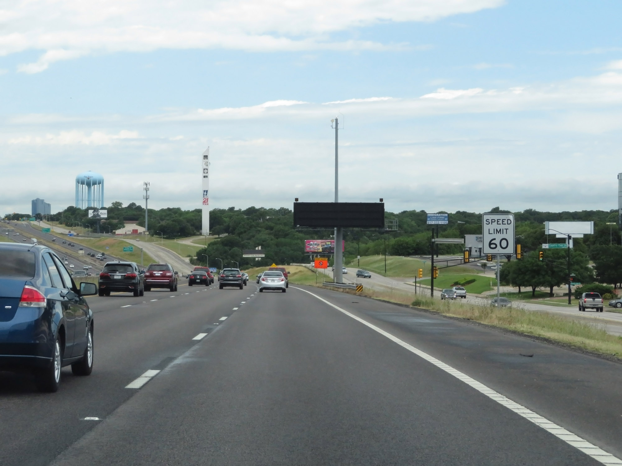 |
The speed limit remains 60 mph approaching downtown Fort Worth. (Photo taken 5/20/18). |
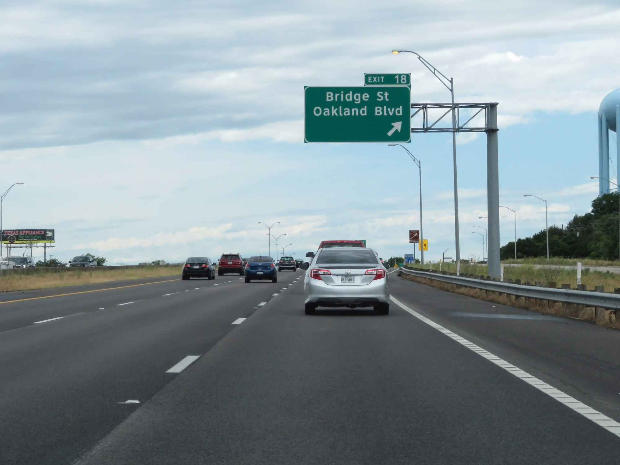 |
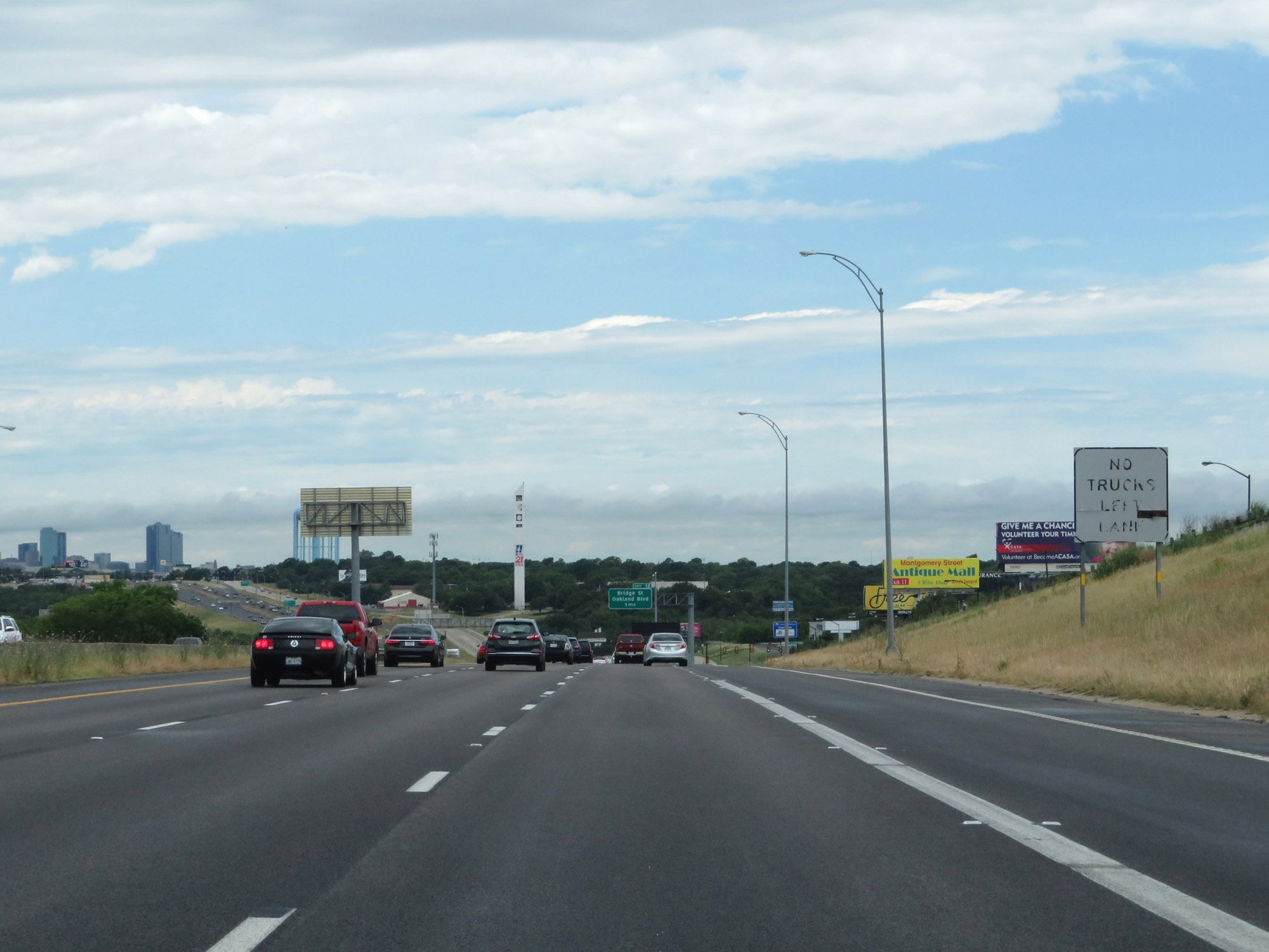
Interstate 30 West at Exit 18: Bridge St / Oakland Blvd (Photo taken 5/20/18). |
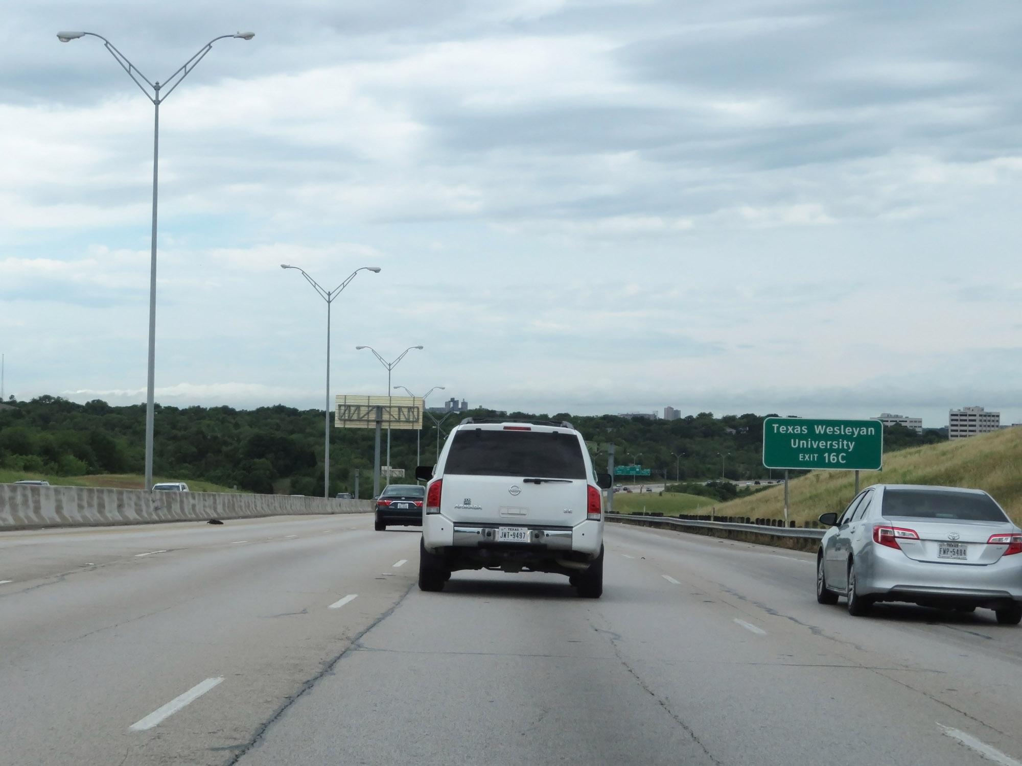 |
Take Exit 16C to Texas Wesleyan University. (Photo taken 5/20/18). |
 |
Interstate 30 West at Exit 16C: Beach St (Photo taken 5/20/18). |
 |
Interstate 30 West at Exit 16B: Riverside Dr North (Photo taken 5/20/18). |
 |
Interstate 30 West at Exit 16B: Riverside Dr South (Photo taken 5/20/18). |
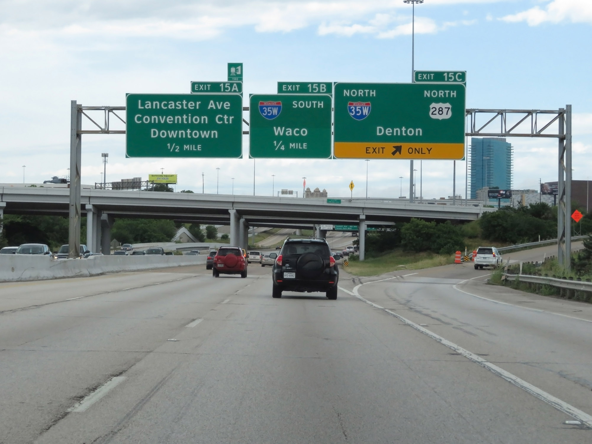 |
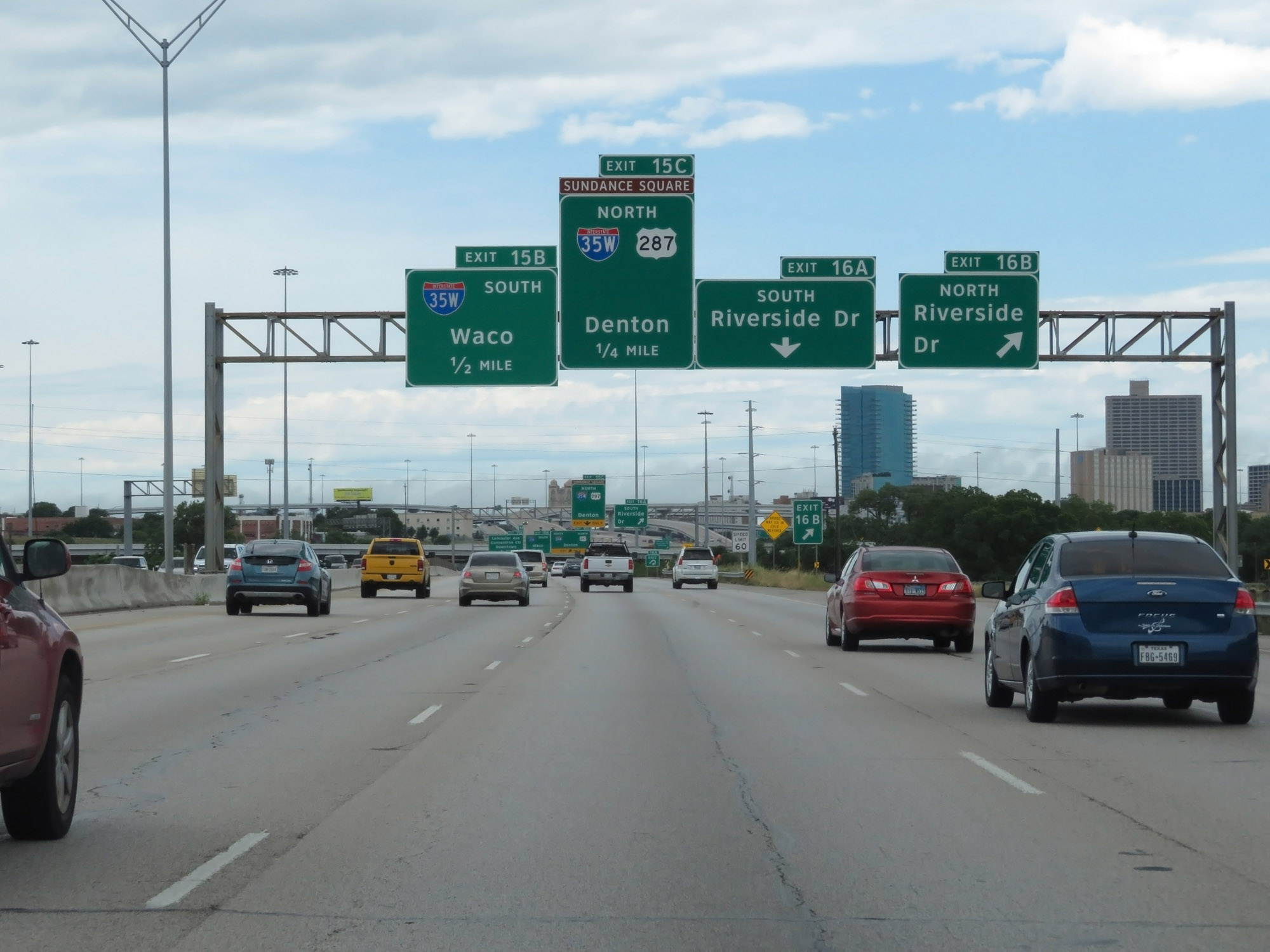
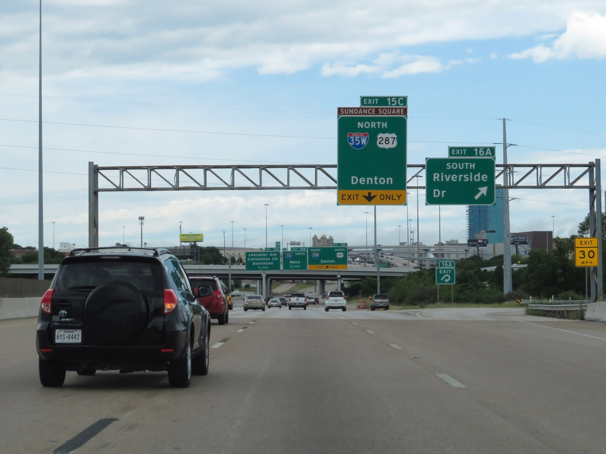
Interstate 30 West at Exit 15C: Interstate 35W North / US 287 North - Denton (Photo taken 5/20/18). |
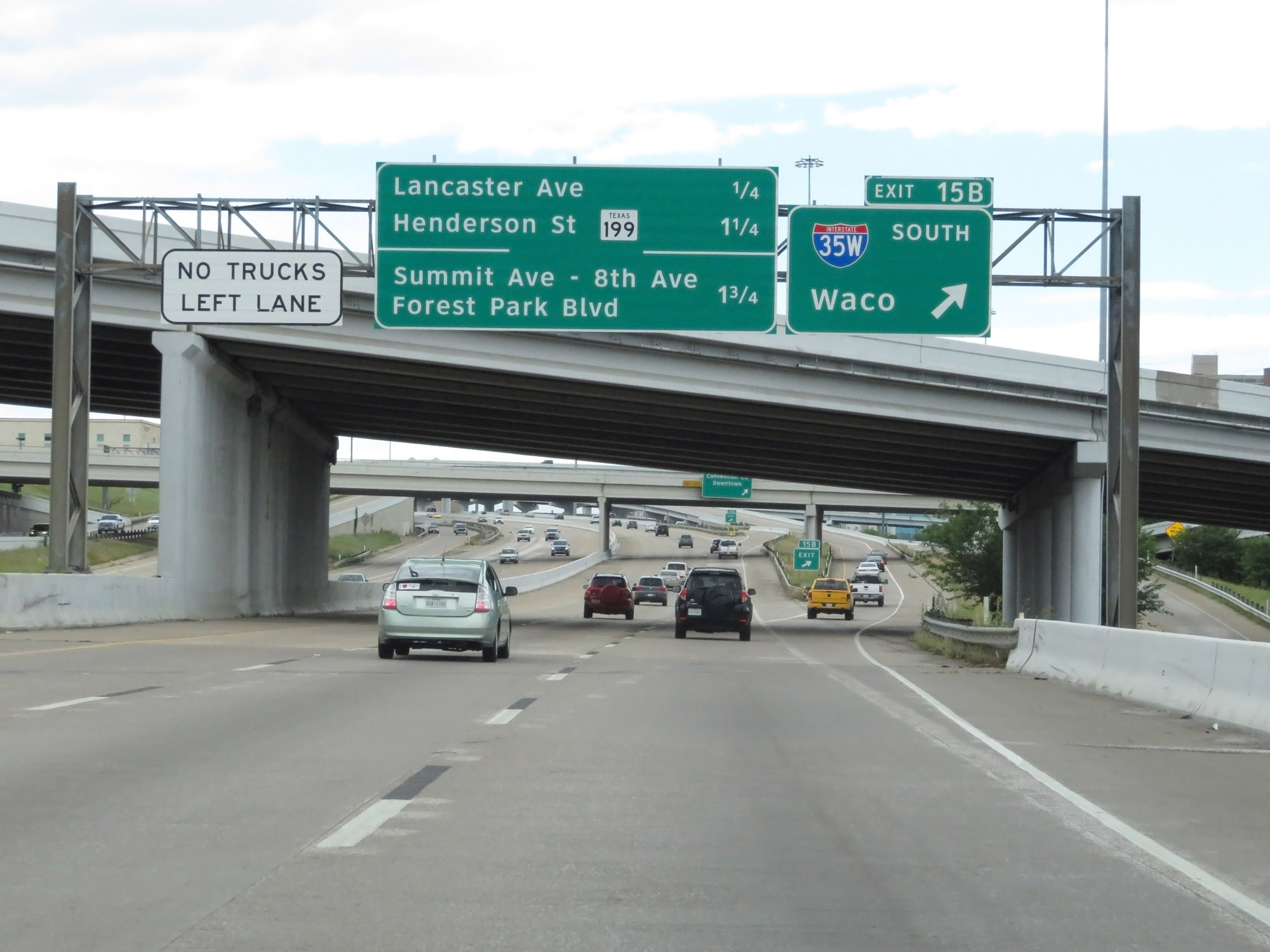 |
Interstate 30 West at Exit 15B: Interstate 35W South - Waco (Photo taken 5/20/18). |
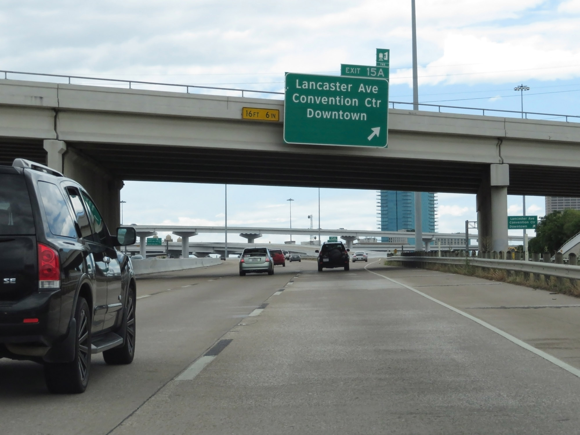 |
Interstate 30 West at Exit 15A: Lancaster Ave / Convention Center / Downtown (Photo taken 5/20/18). |
 |
Interstate 30 West at mile marker 15. (Photo taken 5/20/18). |
 |
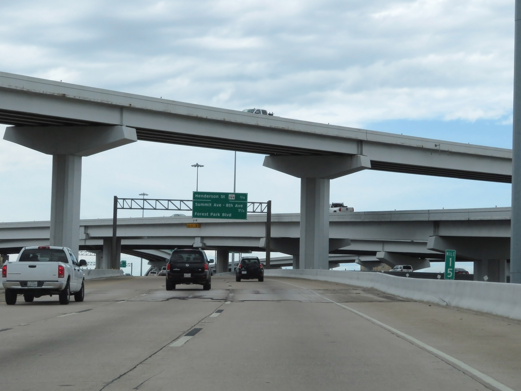
Interstate 30 West at Exit 13B: TX 199 - Henderson St (Photo taken 5/20/18). |
 |
Take Exit 13A to Panther Island Pavilion. (Photo taken 5/20/18). |
 |
Interstate 30 West at Exit 13A: Summit Ave / 8th Ave / Forest Park Blvd (Photo taken 5/20/18). |
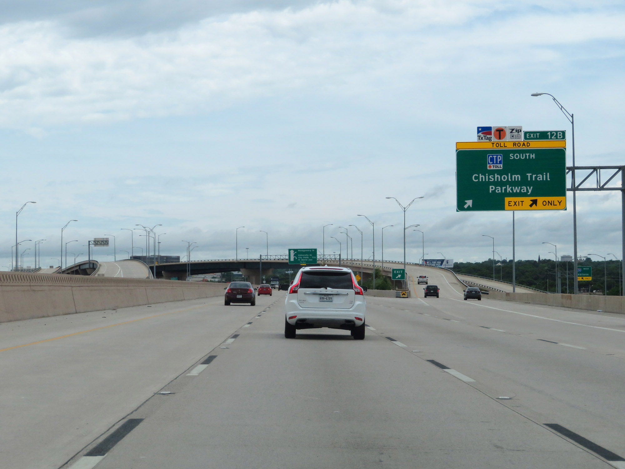 |
Interstate 30 West at Exit 12B: Chisholm Trail Parkway South (Photo taken 5/20/18). |
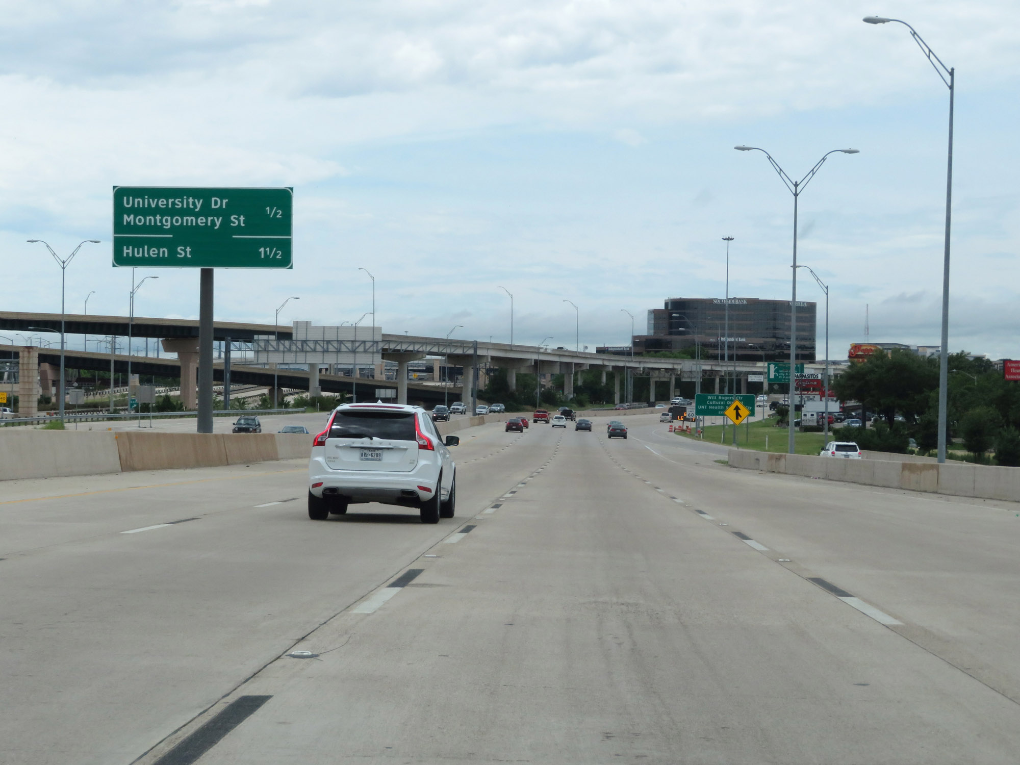 |
Mileage sign listing the distances to the two upcoming exits on Interstate 30 West in Fort Worth. (Photo taken 5/20/18). |
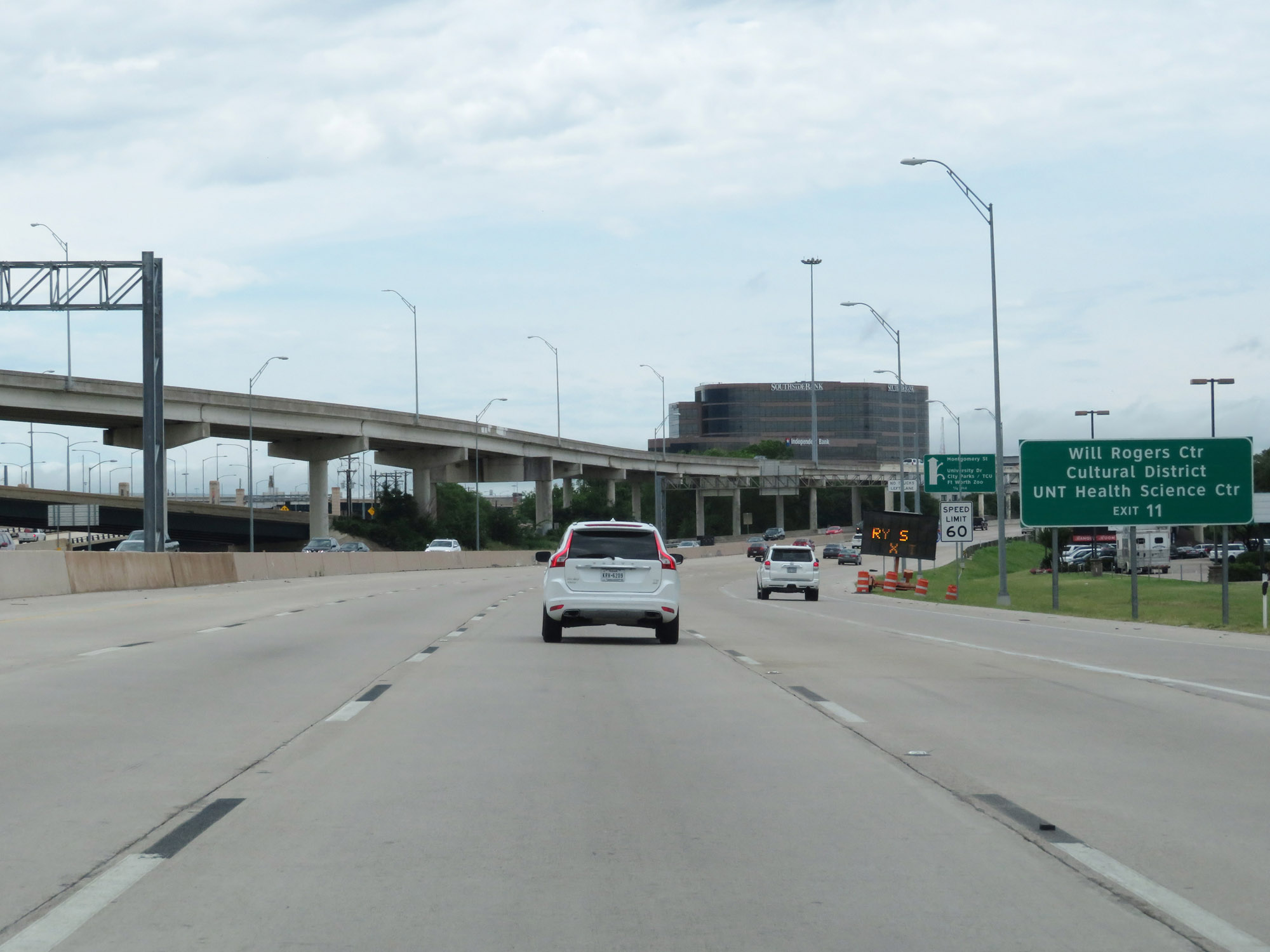 |
Take Exit 11 to the Will Rogers Center, Cultural District, and UNT Health Science Center. (Photo taken 5/20/18). |
 |
Interstate 30 West reassurance shield in Fort Worth. (Photo taken 5/20/18). |
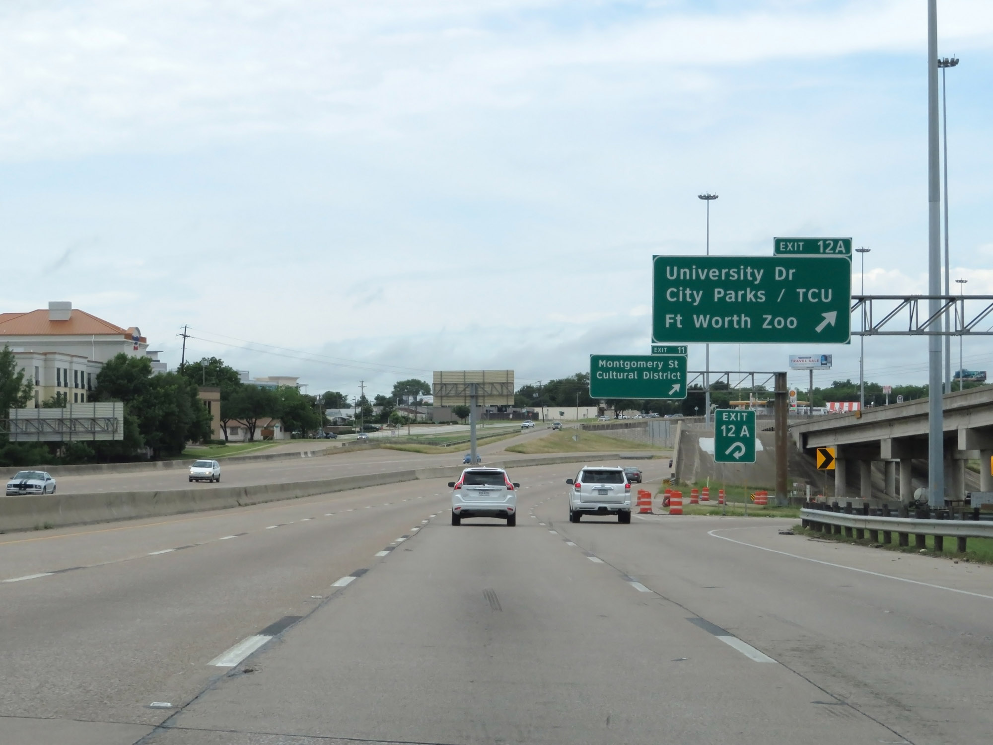 |
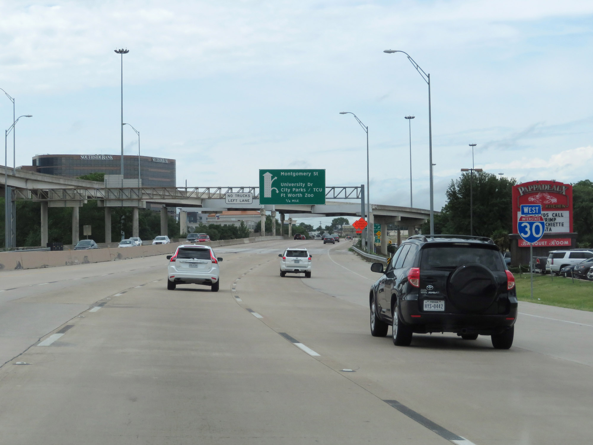
Interstate 30 West at Exit 12A: University Dr / City Parks / TCU / Fort Worth Zoo (Photo taken 5/20/18). |
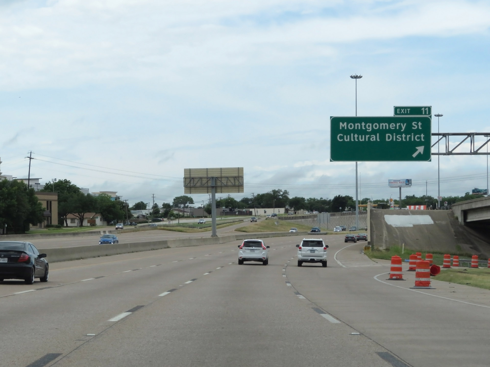 |
Interstate 30 West at Exit 11: Montgomery St / Cultural District (Photo taken 5/20/18). |
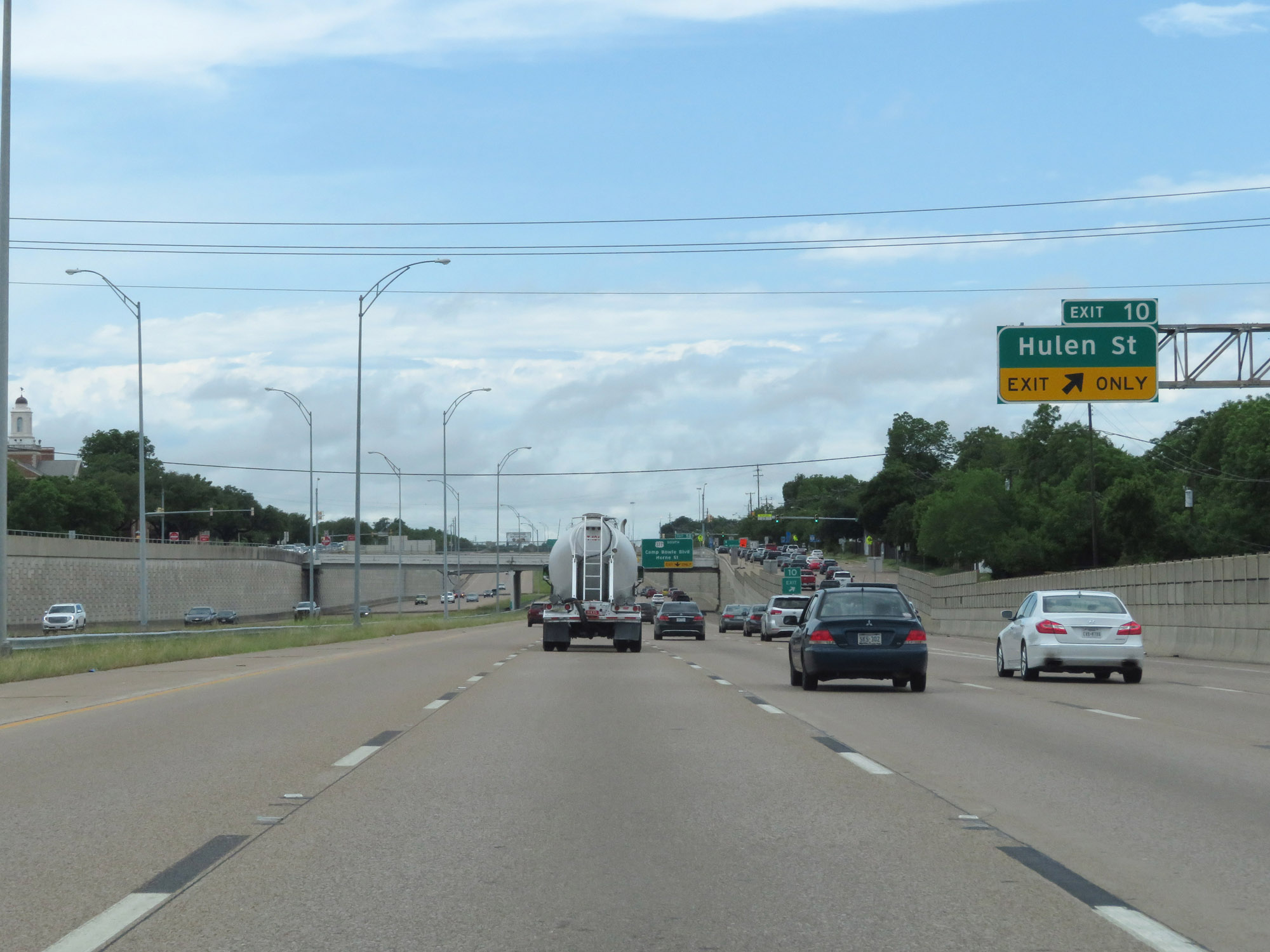 |
Interstate 30 West at Exit 10: Hulen St (Photo taken 5/20/18). |
 |
Interstate 30 West at Exit 9B: US 377 South - Camp Bowie Blvd / Horne St (Photo taken 5/20/18). |
 |
Approaching Exit 9A, the speed limit increases to 65 mph. (Photo taken 5/20/18). |
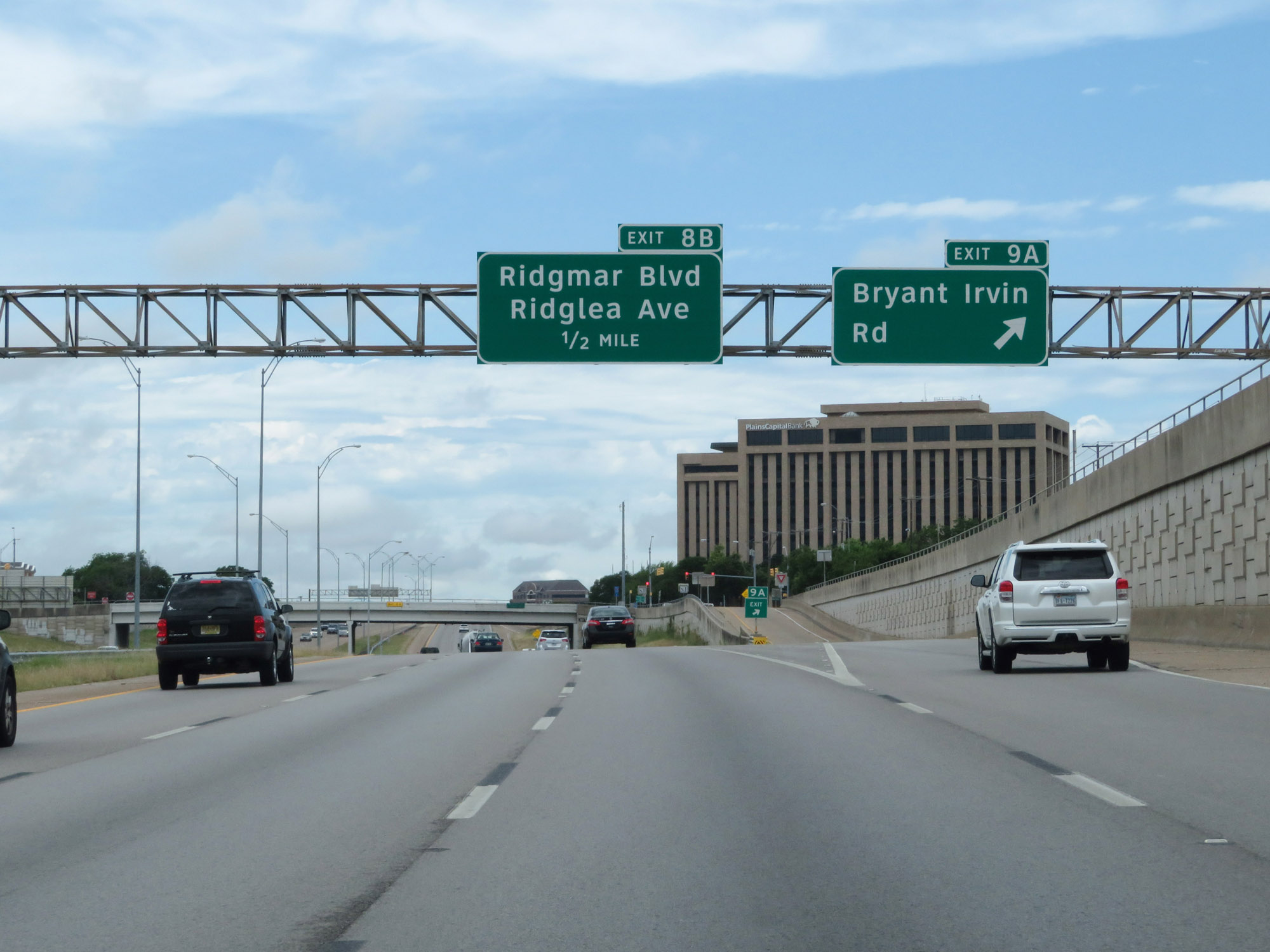 |
Interstate 30 West at Exit 9A: Bryant Irvin Rd (Photo taken 5/20/18). |
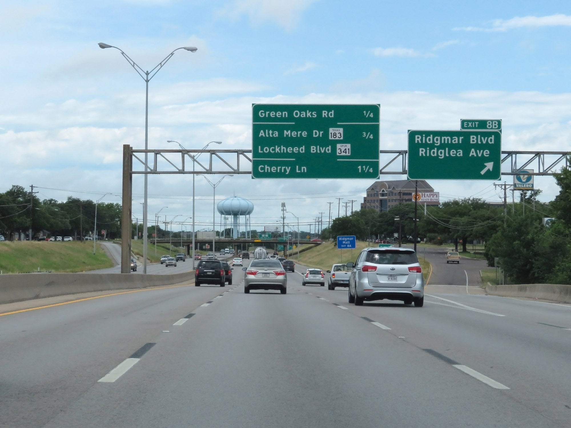 |
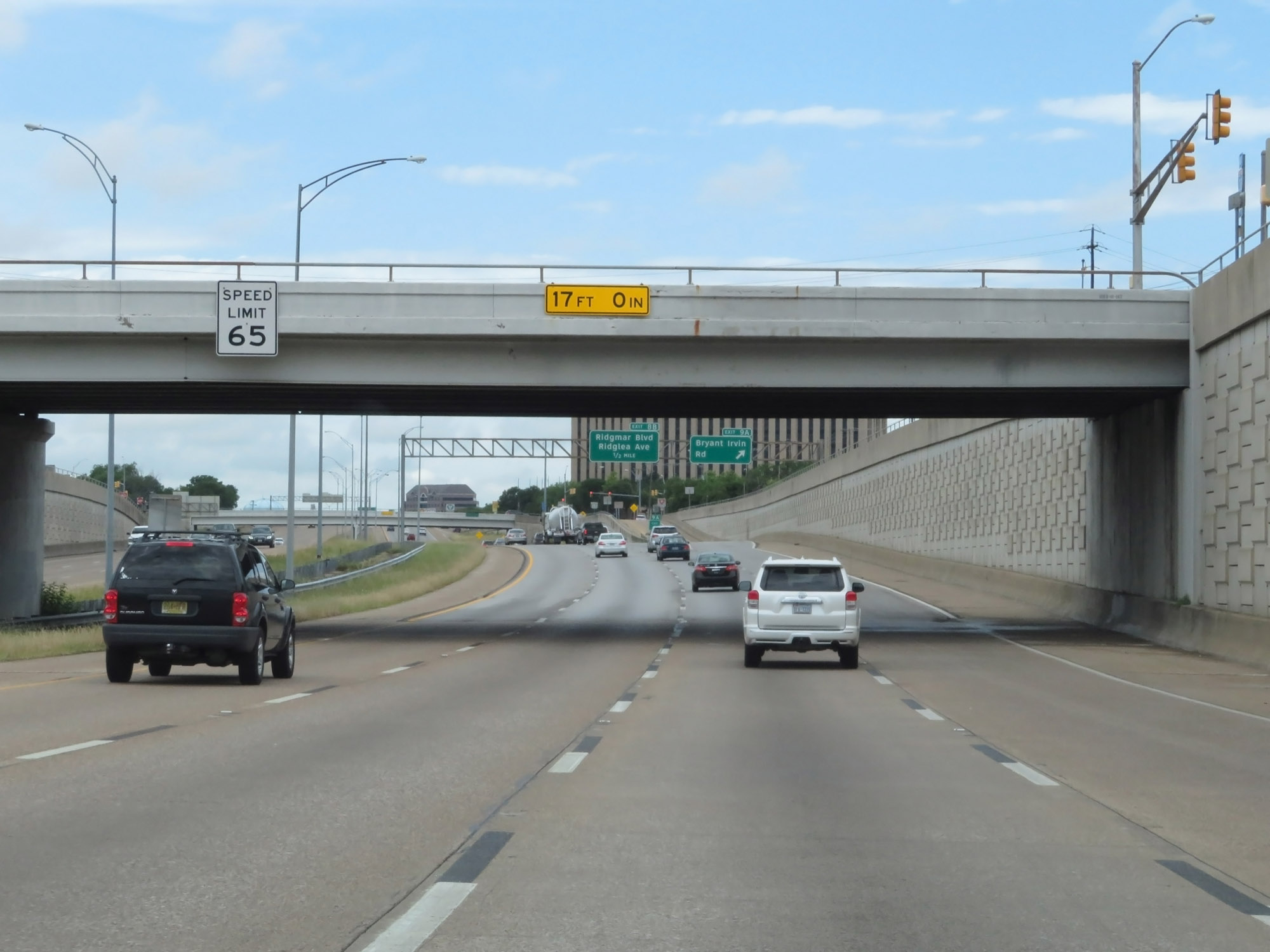
Interstate 30 West at Exit 8B: Ridgmar Blvd / Ridglea Ave (Photo taken 5/20/18). |
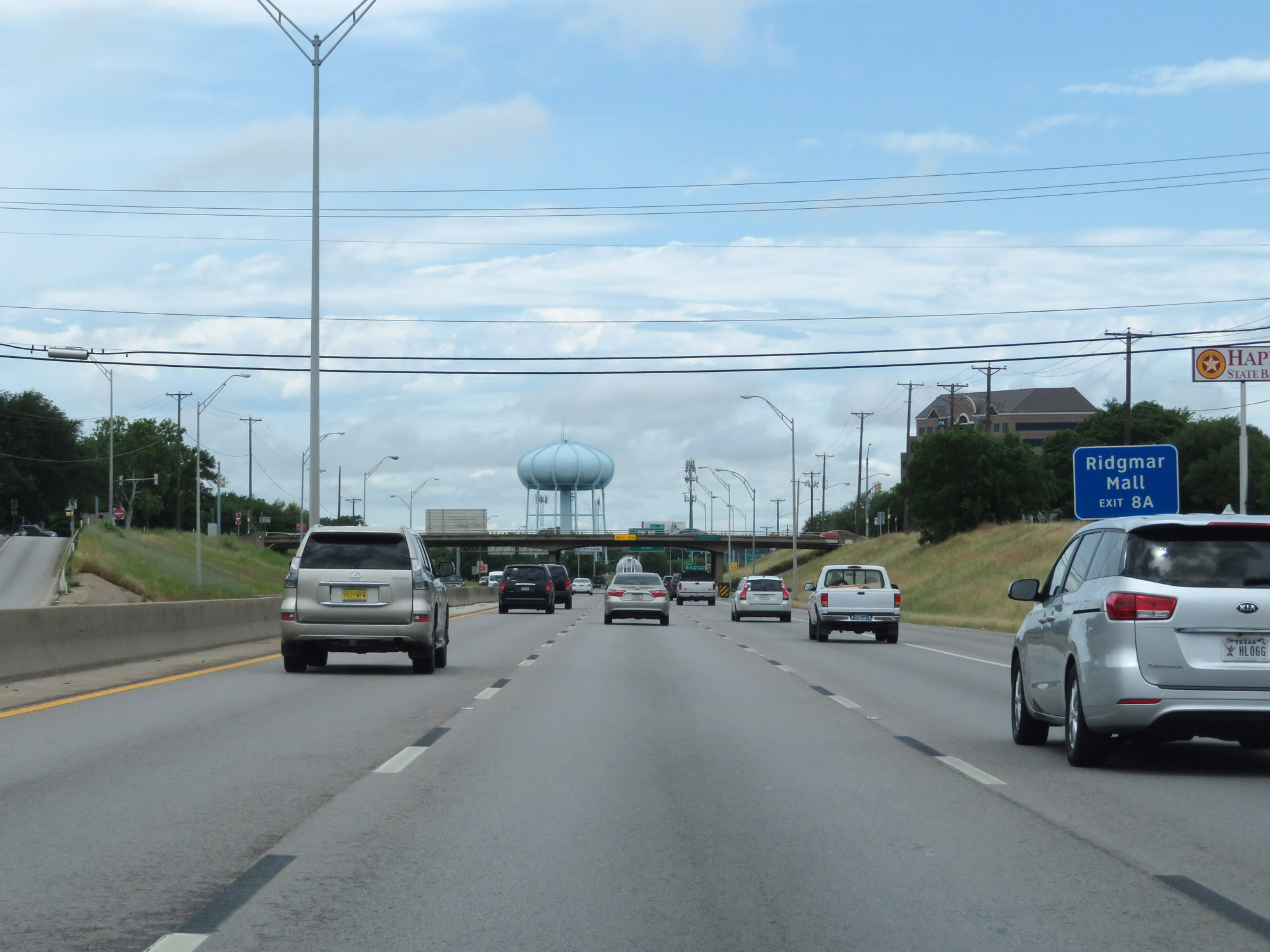 |
Take Exit 8A to Ridgmar Mall. (Photo taken 5/20/18). |
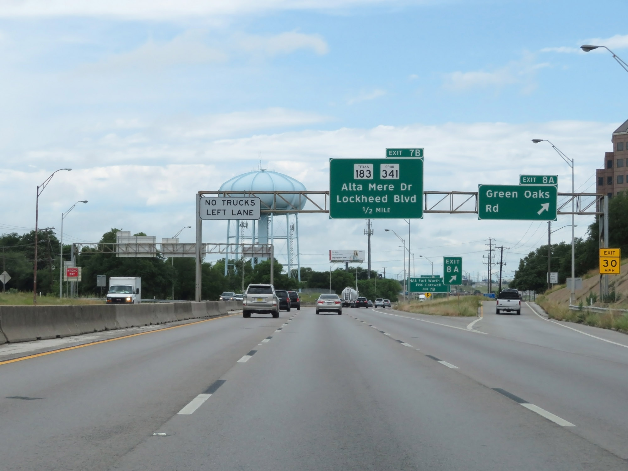 |
Interstate 30 West at Exit 8A: Green Oaks Rd (Photo taken 5/20/18). |
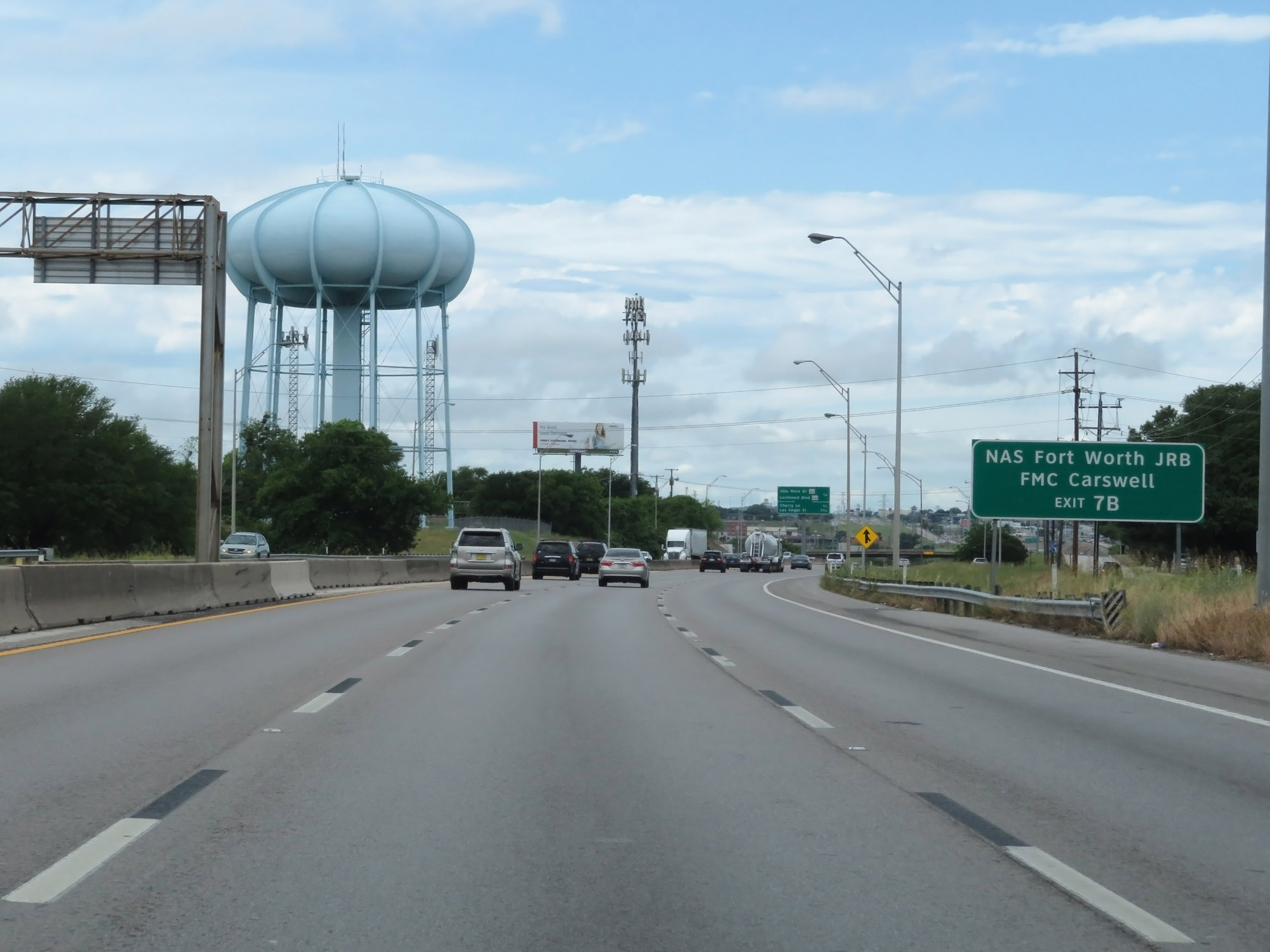 |
Take Exit 7B to NAS Fort Worth JRB and FMC Carswell. (Photo taken 5/20/18). |
 |
Interstate 30 West at Exit 7B: TX 183 / TX Spur 341 - Alta Mere Dr / Lockheed Blvd (Photo taken 5/20/18). |
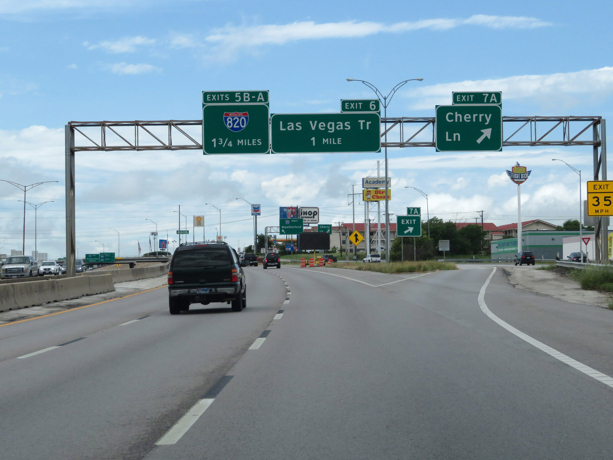 |
Interstate 30 West at Exit 7A: Cherry Ln (Photo taken 5/20/18). |
 |
Interstate 30 West at Exit 6: Las Vegas Trail (Photo taken 5/20/18). |
 |
Interstate 30 West at mile marker 6, leaving the Fort Worth area. (Photo taken 5/20/18). |
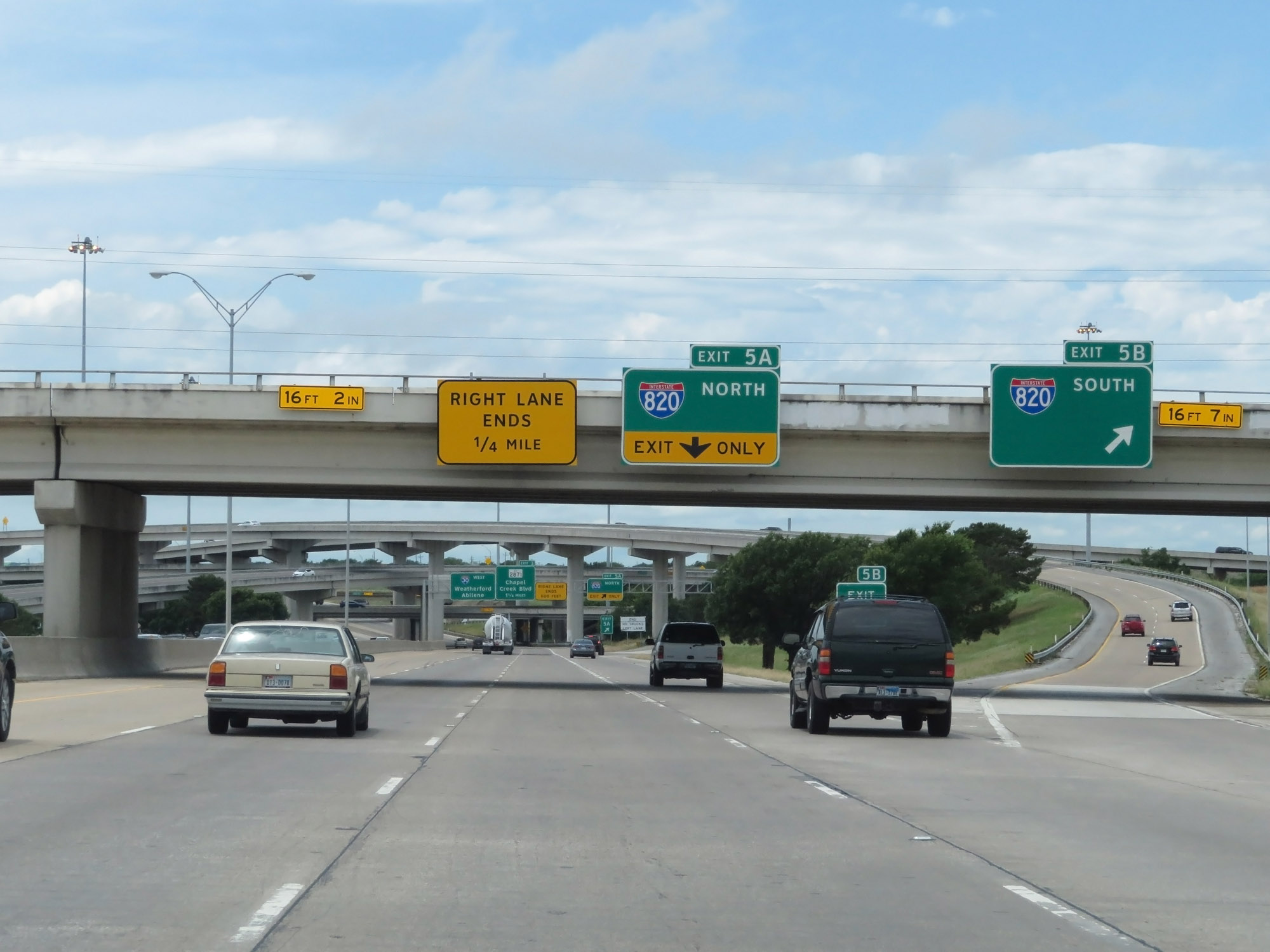 |
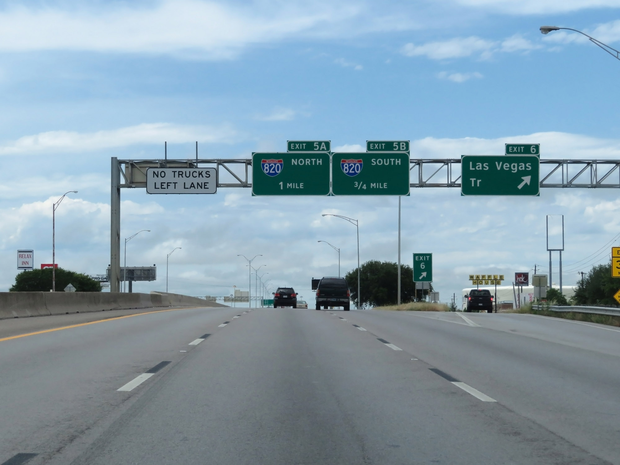
Interstate 30 West at Exit 5B: Interstate 820 South (Photo taken 5/20/18). |
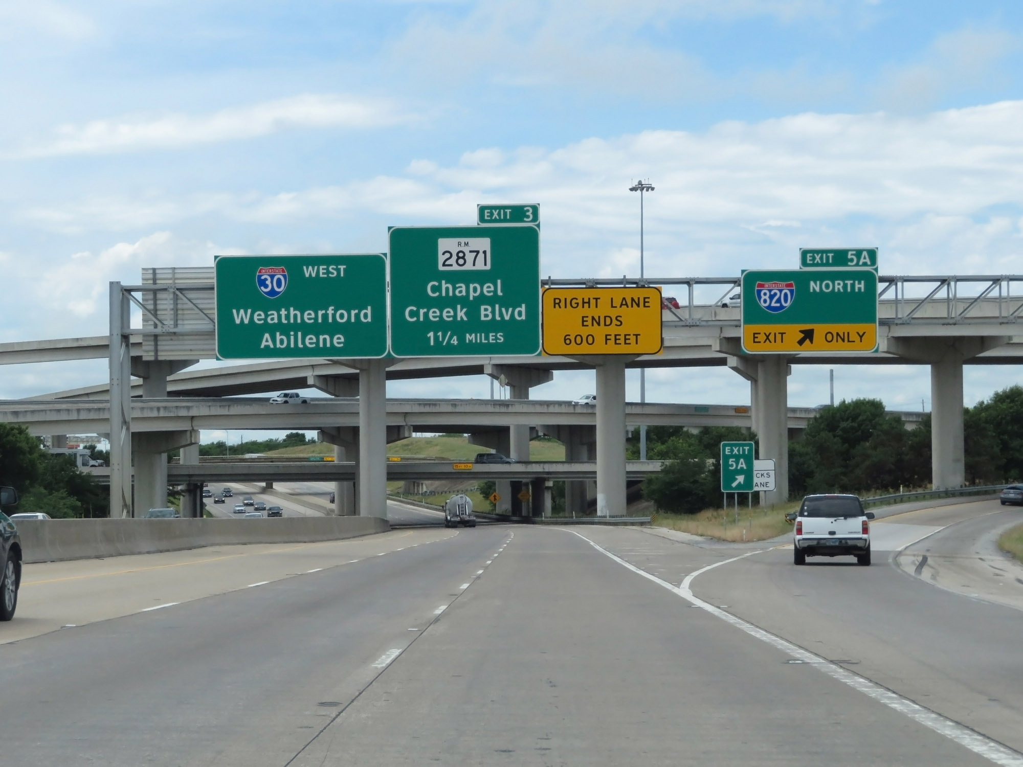 |
Interstate 30 West at Exit 5A: Interstate 820 North (Photo taken 5/20/18). |
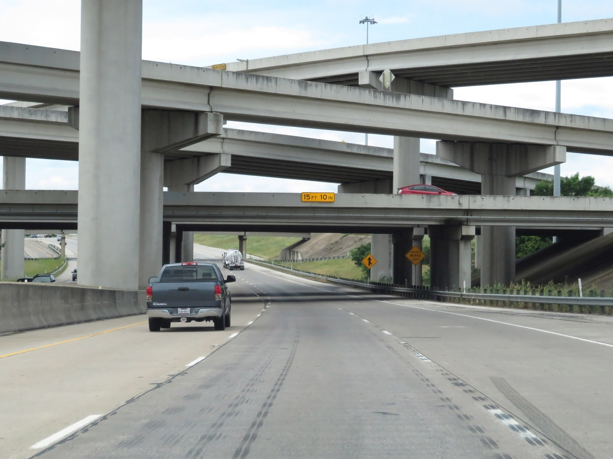 |
Interstate 30 West as it passes under Interstate 820 and the ramps to and from it. (Photo taken 5/20/18). |
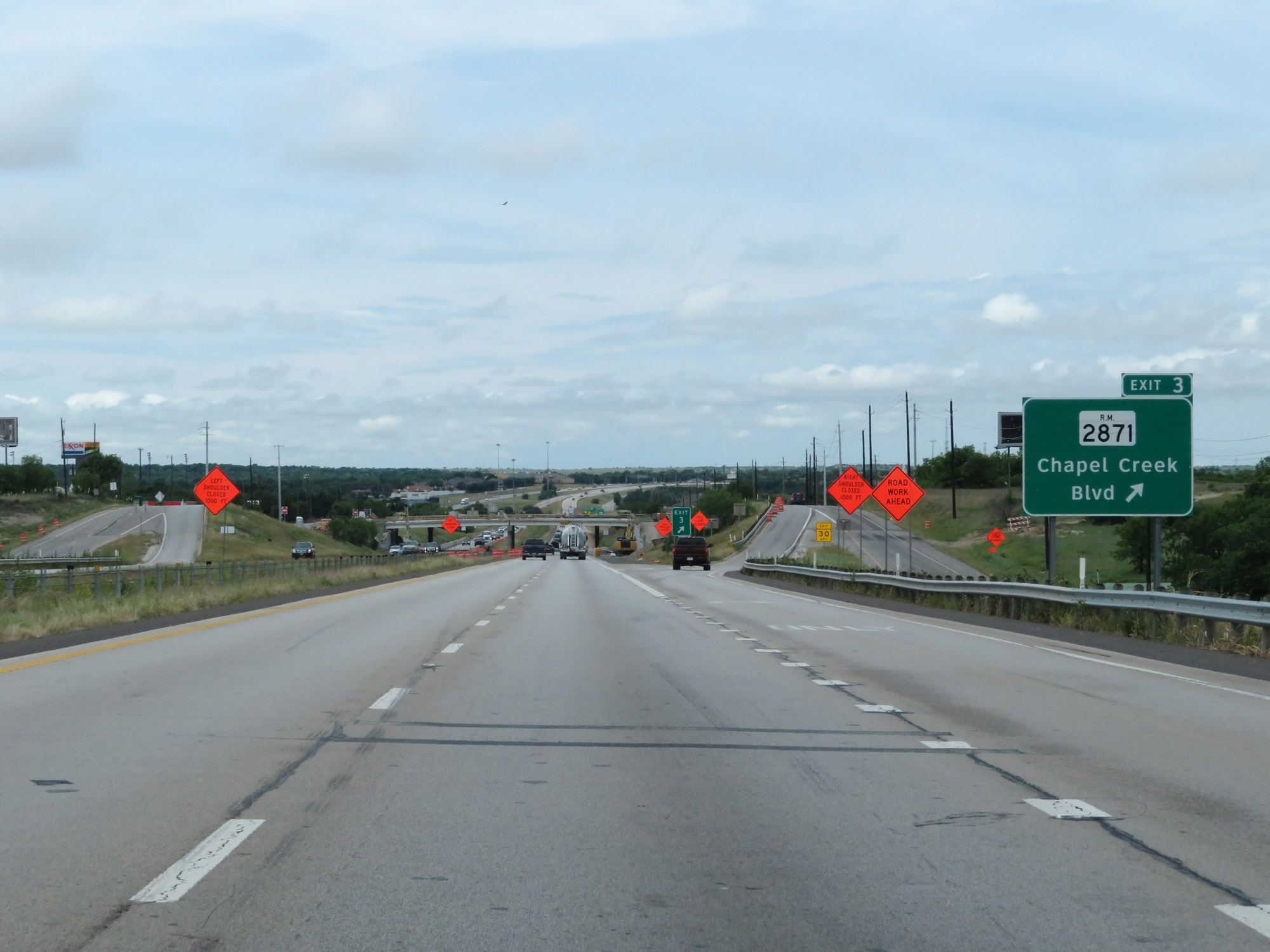 |
Interstate 30 West at Exit 3: RM 2871 - Chapel Creek Blvd (Photo taken 5/20/18). |
 |
West of Exit 3, the speed limit increases to 70 mph. (Photo taken 5/20/18). |
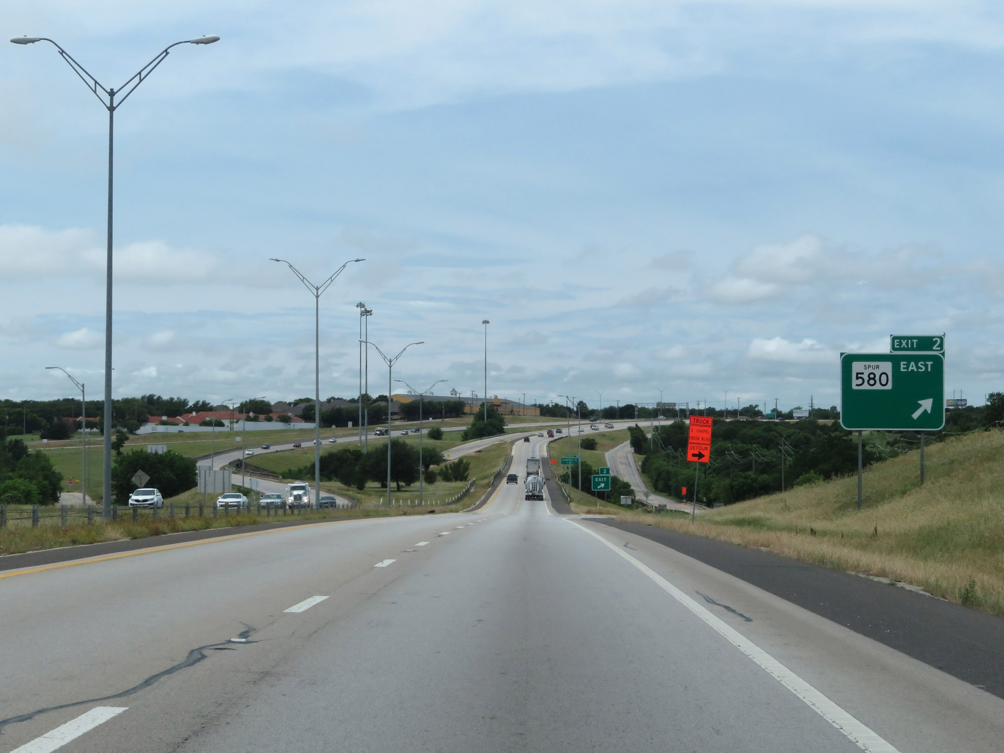 |
Interstate 30 West at Exit 2: TX Spur 580 East (Photo taken 5/20/18). |
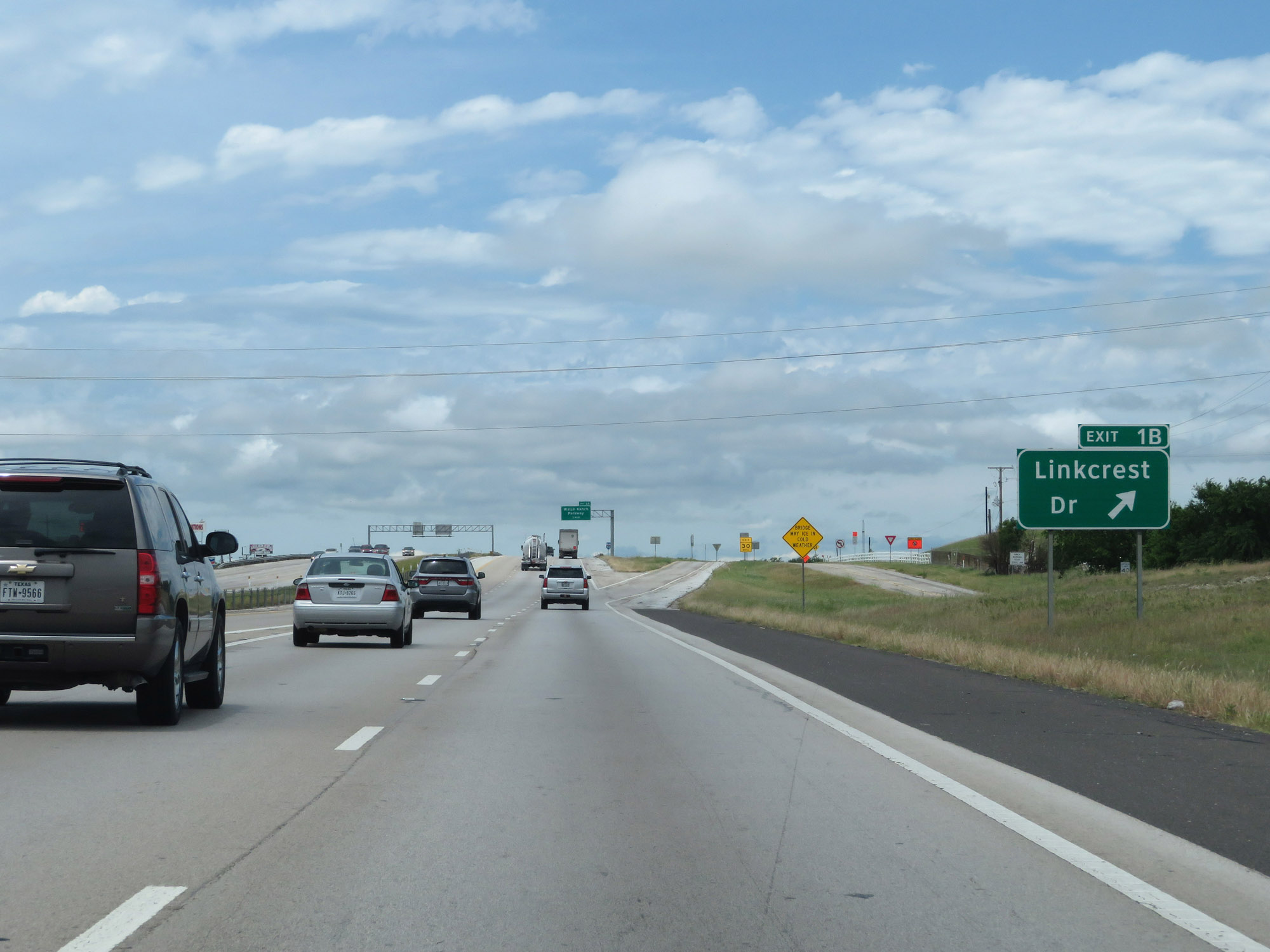 |
Interstate 30 West at Exit 1B: Linkcrest Dr (Photo taken 5/20/18). |
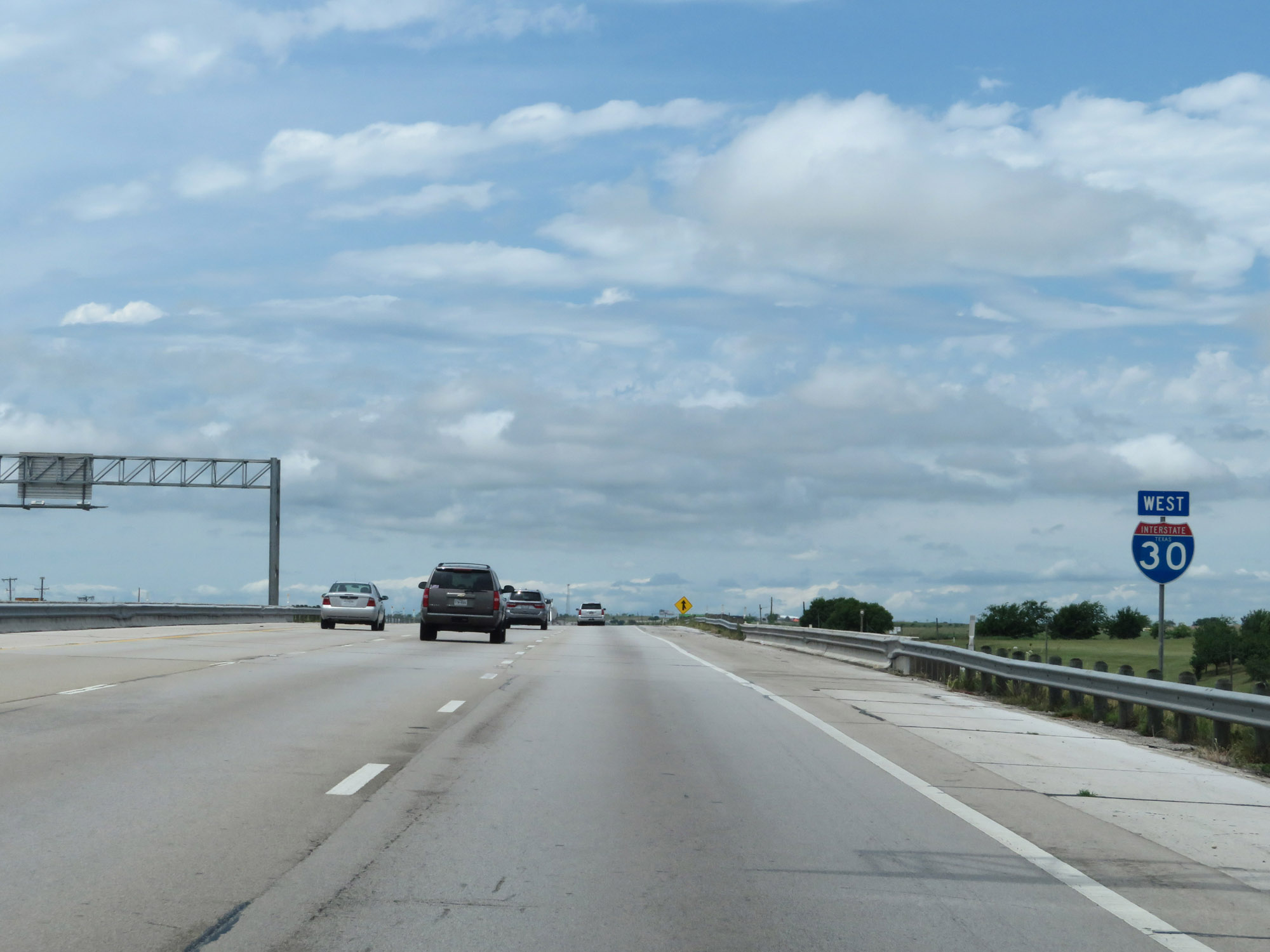 |
One final state-named Interstate 30 West reassurance shield. (Photo taken 5/20/18). |
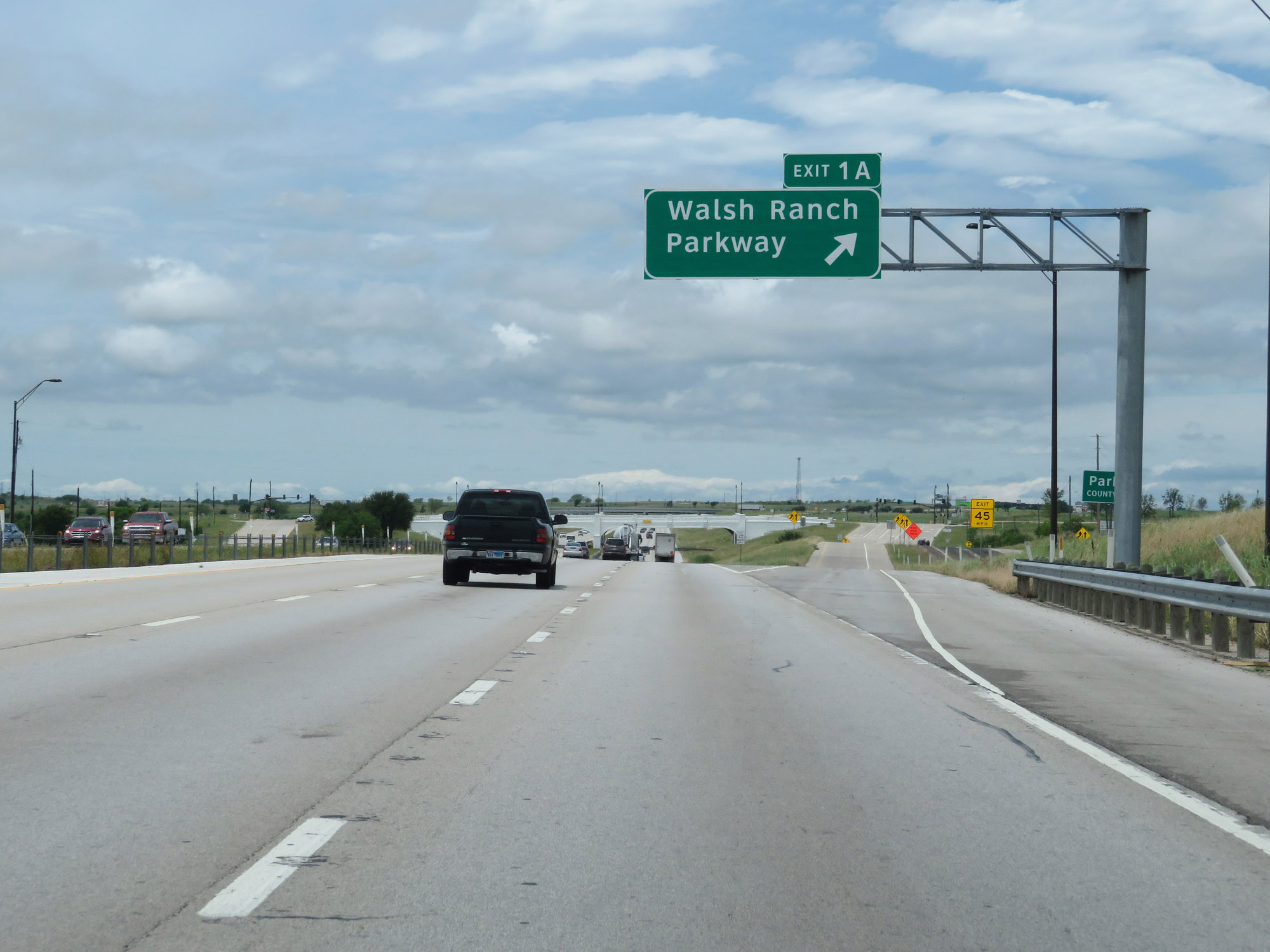 |
Interstate 30 West at Exit 1A: Walsh Ranch Parkway (Photo taken 5/20/18). |
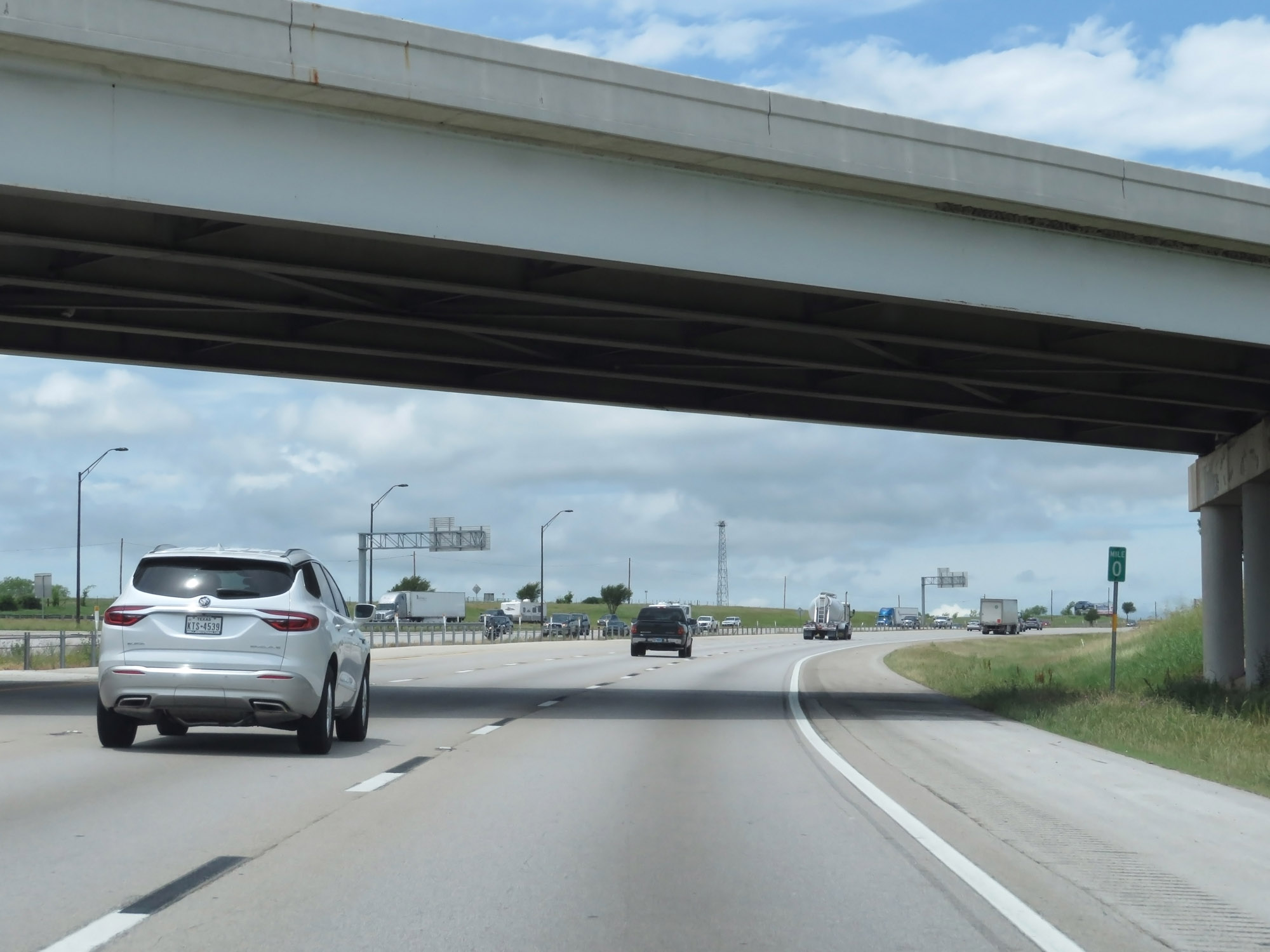 |
Interstate 30 West at mile marker 0, as it prepares to end and merge into the westbound lanes of Interstate 20 ahead. (Photo taken 5/20/18). |
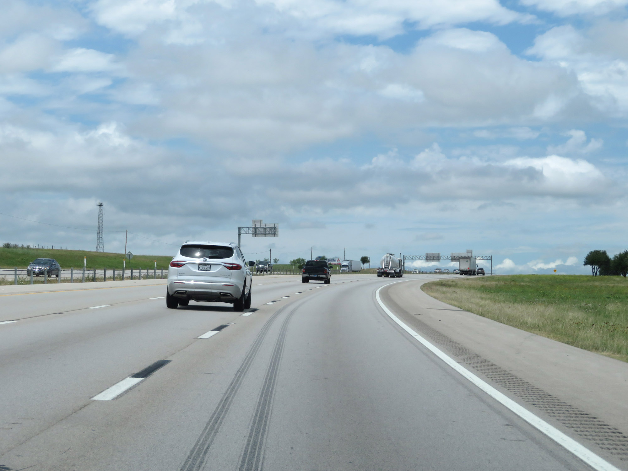 |
Interstate 30 West approaching its western terminus. (Photo taken 5/20/18). |
 |
Interstate 30 West at its western terminus, as Interstate 20's westbound lanes merge into it on the right. (Photo taken 5/20/18). |
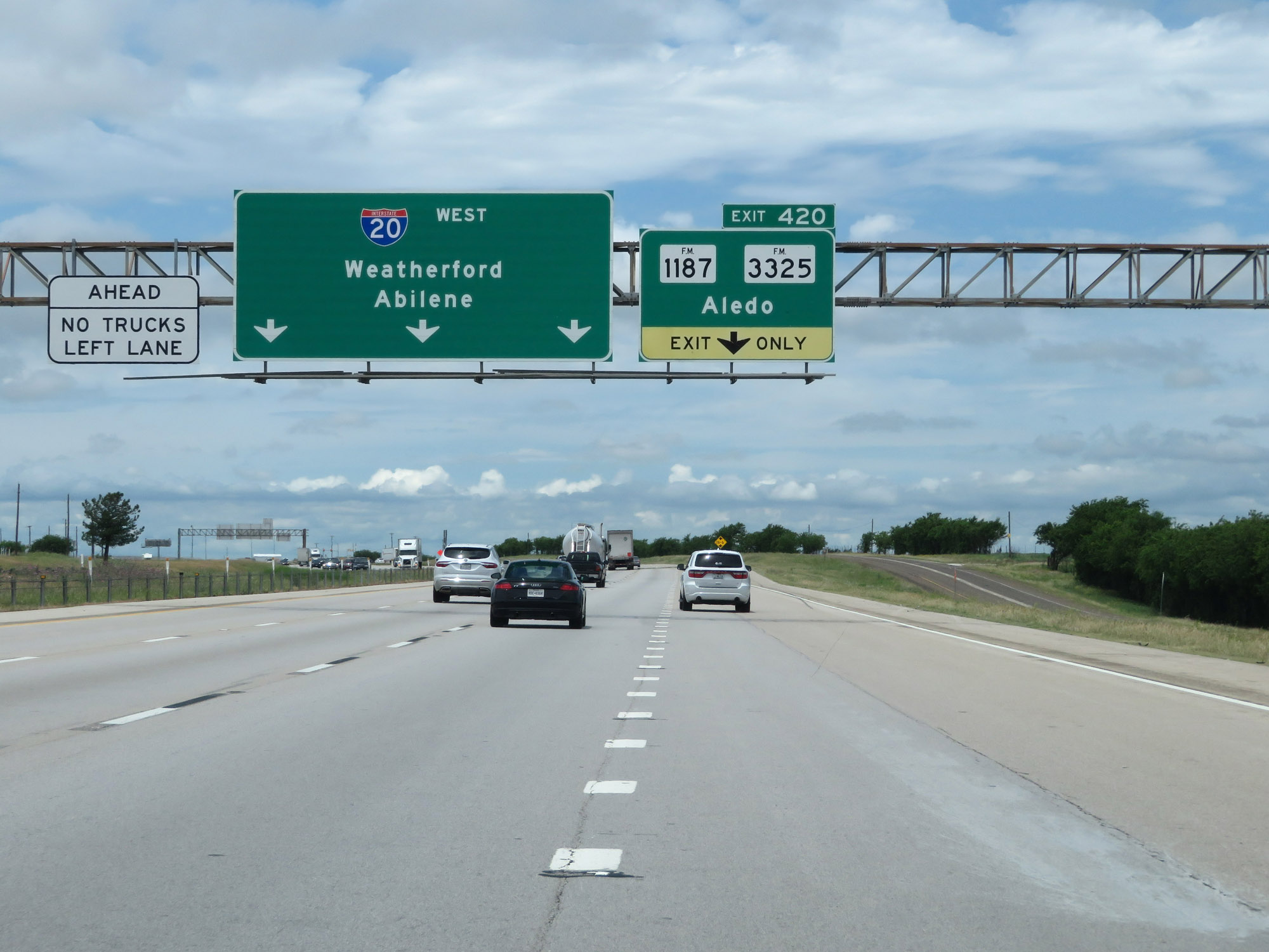 |
Interstate 30 West at its western terminus, as it merges into the westbound lanes of Interstate 20. (Photo taken 5/20/18). |