Road Information |
||
 |
||
| Total Mileage in State: | 223 miles | |
| Eastern End: | At Arkansas state line | |
| Western End: | At I-20, near Fort Worth | |
| Mileage covered in Photos: | 161 miles | |
| Counties covered in Photos: | Parker, Tarrant, Dallas, Hunt, Hopkins, Franklin, Titus, Morris, Bowie | |
| Major Junctions in Photos: | I-820, in Fort Worth I-35W, in Fort Worth I-820, in Fort Worth I-45, in Dallas |
|
| Control Cities in Photos: | Fort Worth, Dallas, Sulphur Springs, Texarkana | |
Eastbound
- Section 1: Interstate 20 to Fort Worth (Exit 23)
- Section 2: Dallas (Exit 45B) to Mesquite (Exit 53B)
- Section 3: Greenville (Exit 94) to Arkansas Border
Section 1: Interstate 20 to Fort Worth (Exit 23)
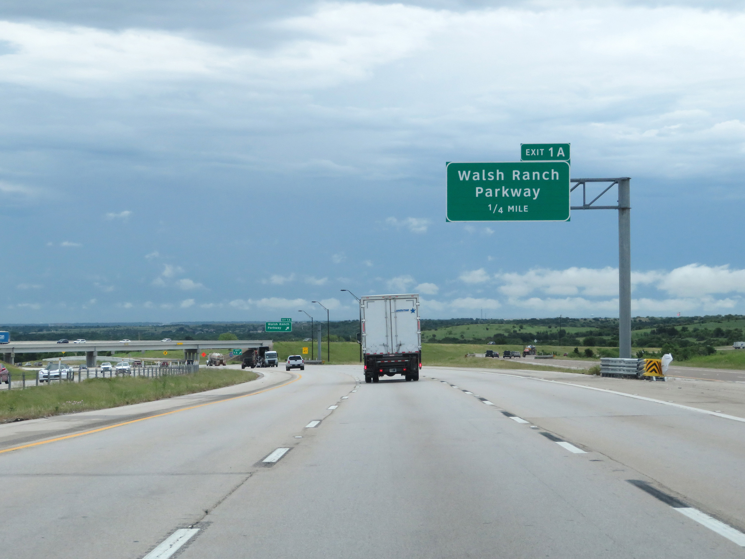 |
Advance signage for Exit 1A on Interstate 30 East as it begins at Exit 421 on Interstate 20 East. (Photo taken 5/20/18). |
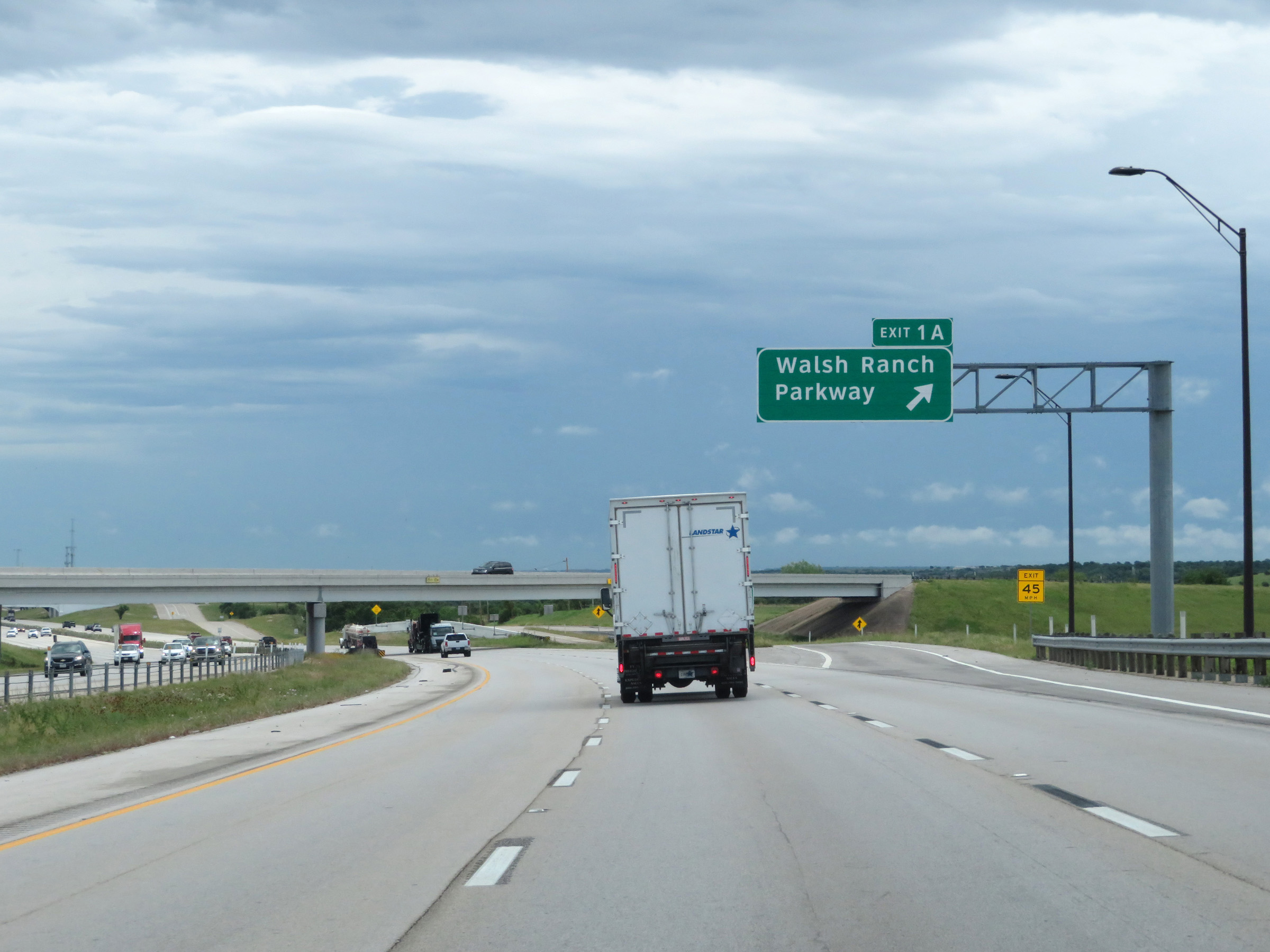 |
Interstate 30 East at Exit 1A: Walsh Ranch Parkway (Photo taken 5/20/18). |
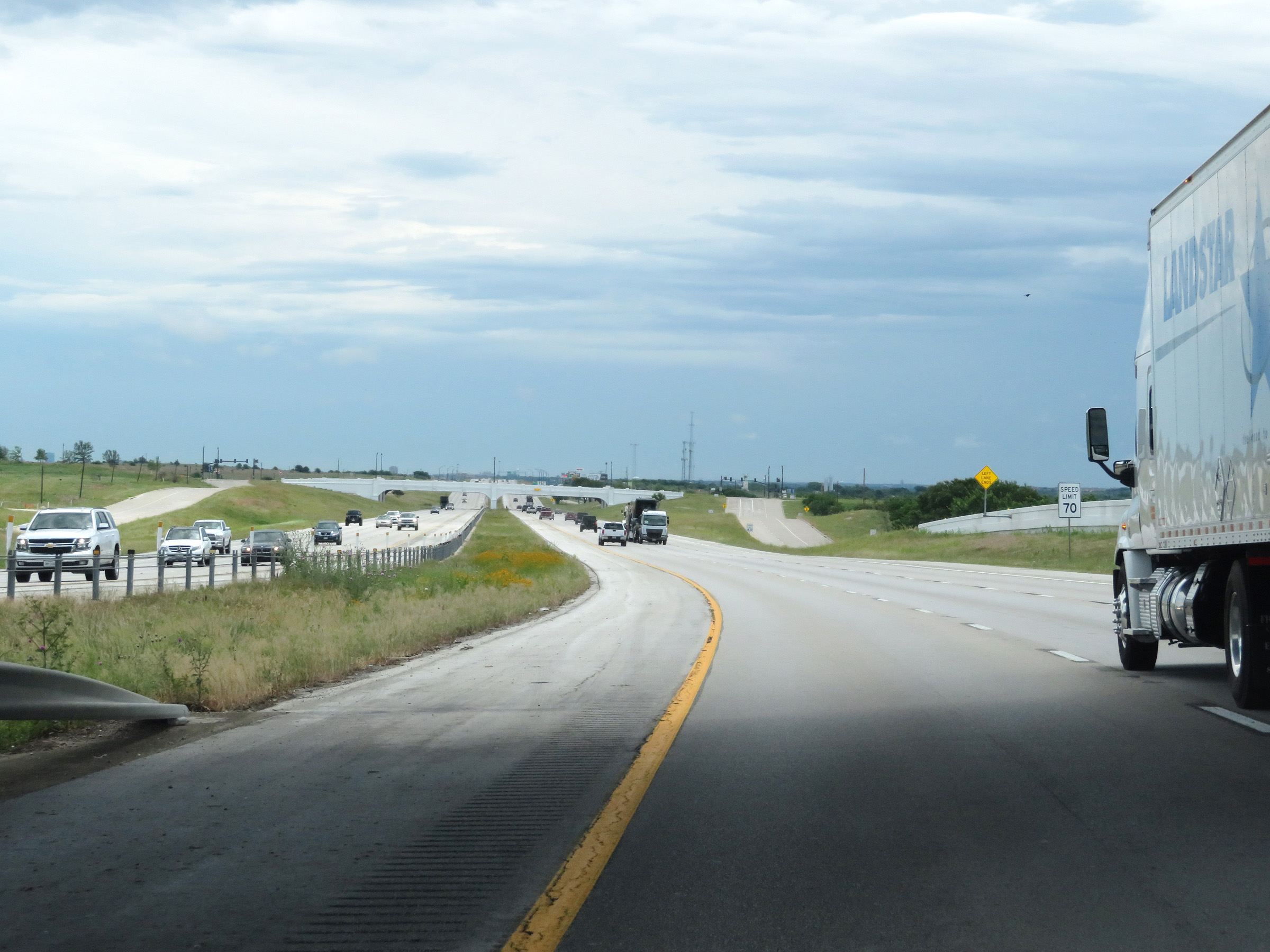 |
The speed limit on Interstate 30 East starts out at 70 mph. (Photo taken 5/20/18). |
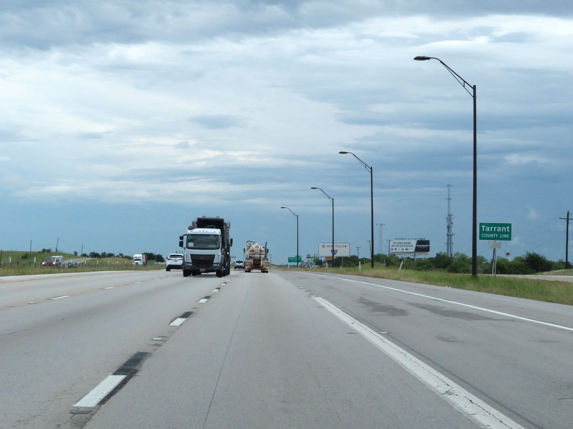 |
Interstate 30 East as it enters Tarrant County. (Photo taken 5/20/18). |
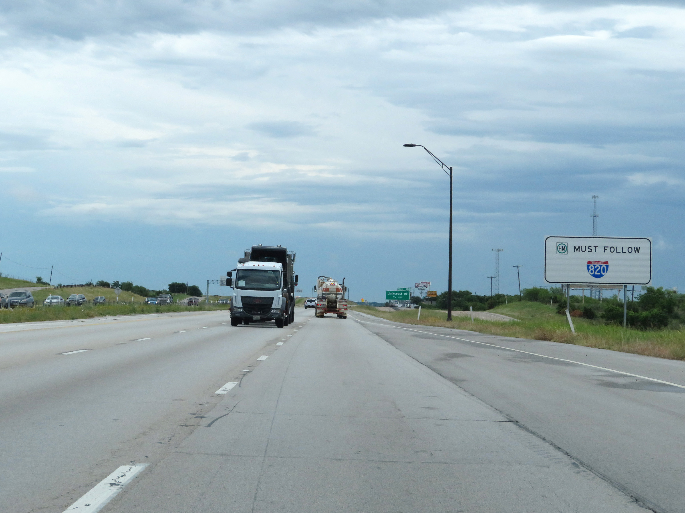 |
As this sign shows, all thru trucks with hazardous materials in a class or weight which requires placards must use Interstate 820. They're not permitted on Interstate 30 East through downtown Fort Worth and Dallas. (Photo taken 5/20/18). |
 |
Interstate 30 East approaching Exit 1B - 1/4 mile. (Photo taken 5/20/18). |
 |
Interstate 30 East at Exit 1B: Linkcrest Dr (Photo taken 5/20/18). |
 |
View on Interstate 30 East at mile marker 2. (Photo taken 5/20/18). |
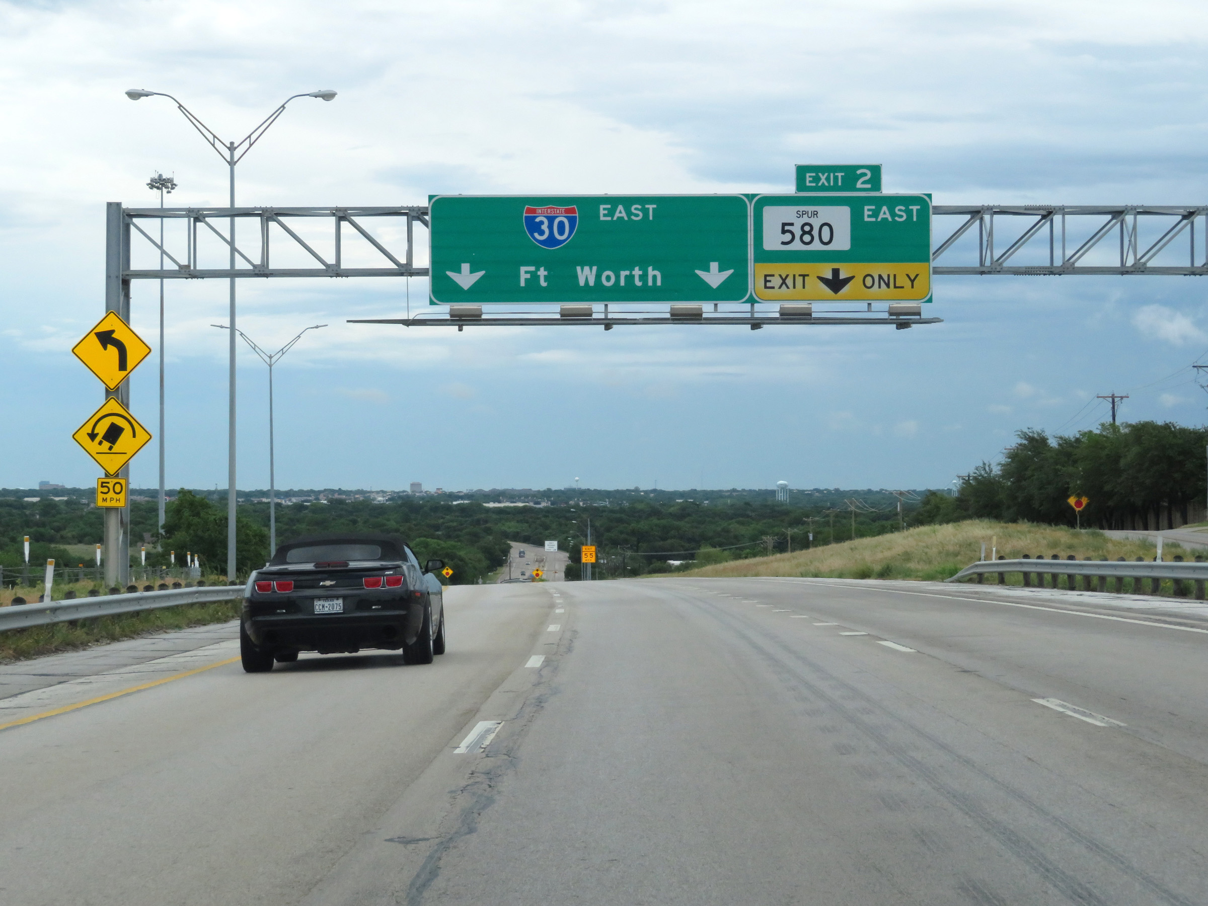 |
Interstate 30 East at Exit 2: TX Spur 580 East (Photo taken 5/20/18). |
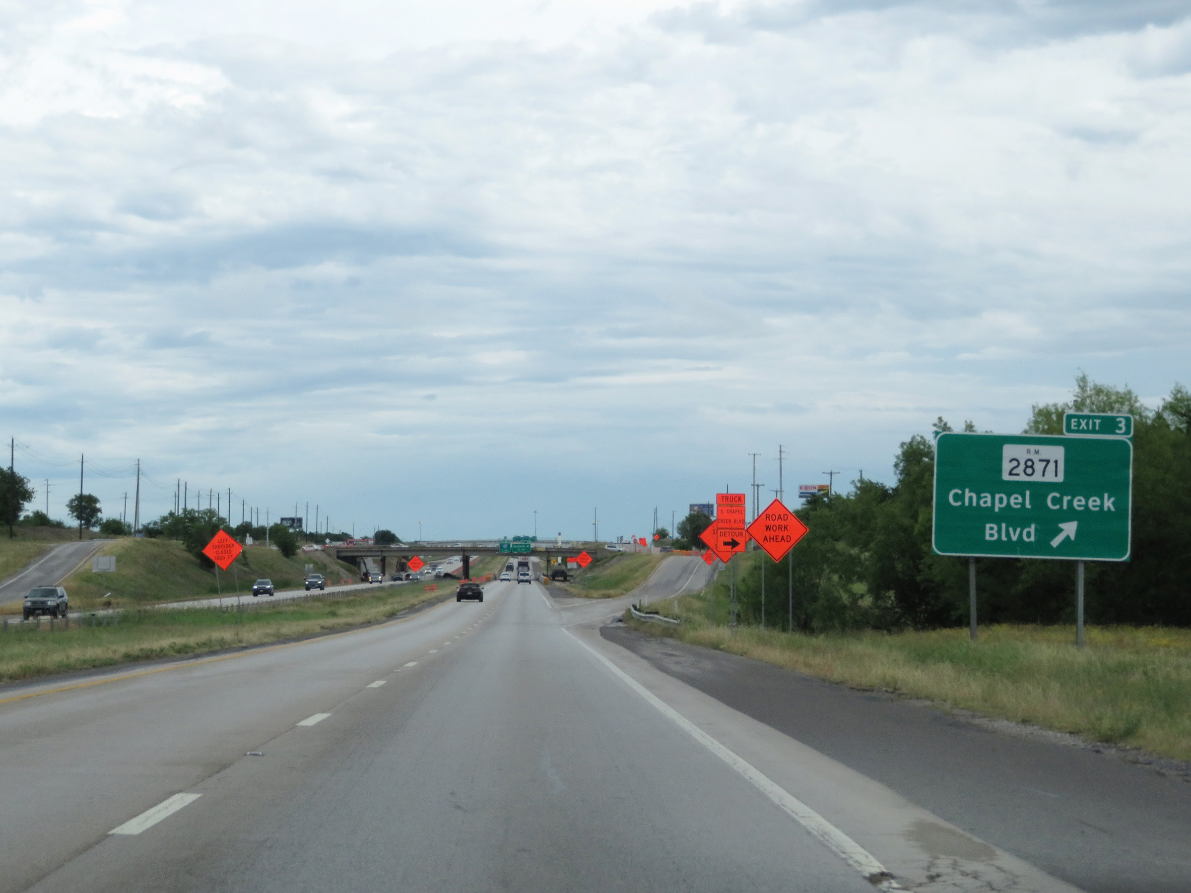 |
Interstate 30 East at Exit 3: RM 2871 - Chapel Creek Blvd (Photo taken 5/20/18). |
 |
Interstate 30 East approaching Exits 5B-C - 1 mile. (Photo taken 5/20/18). |
 |
Interstate 30 East at Exit 5A: Alemeda St (Photo taken 5/20/18). |
 |
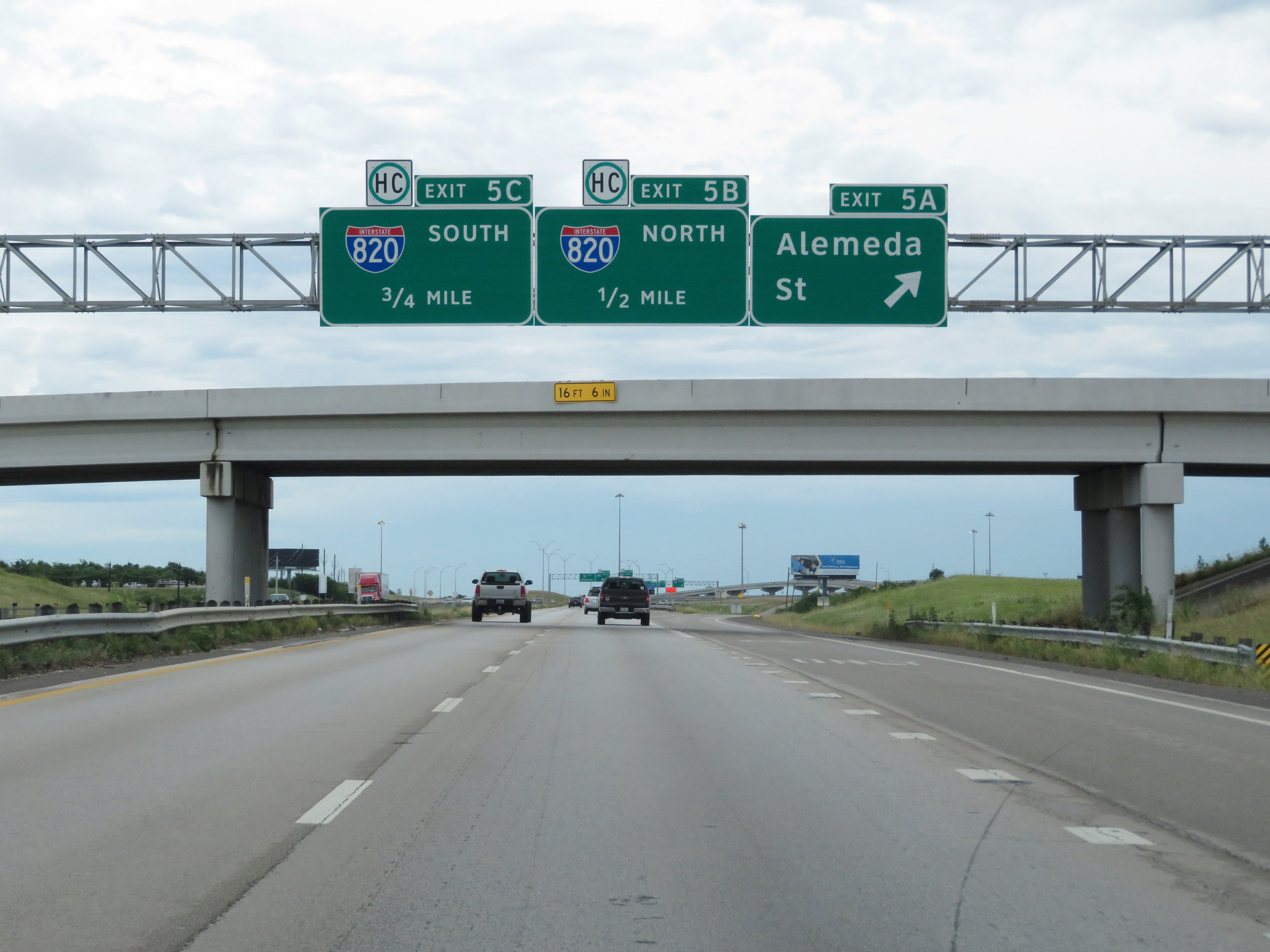
Interstate 30 East at Exit 5B: Interstate 820 North (Photo taken 5/20/18). |
 |
Interstate 30 East at Exit 5C: Interstate 820 South (Photo taken 5/20/18). |
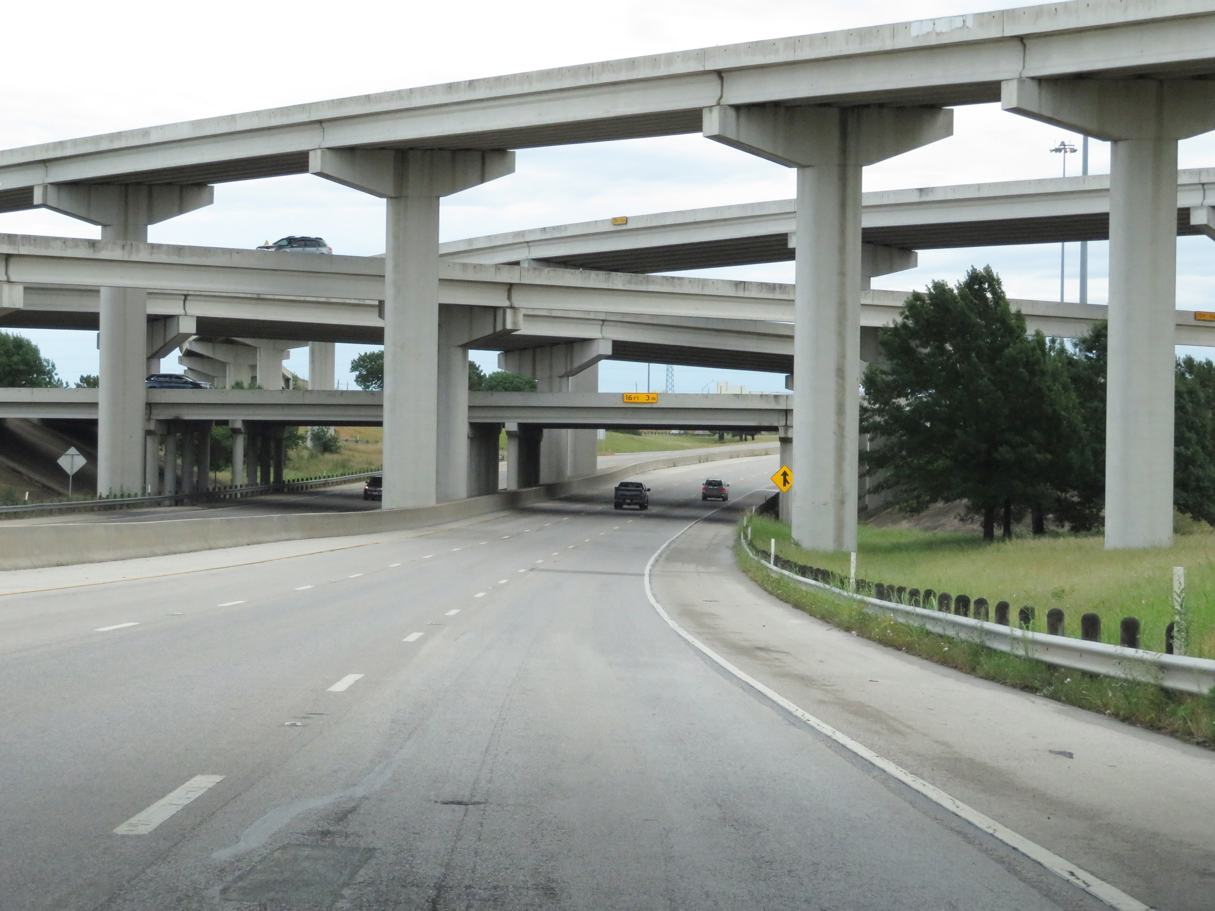 |
View on Interstate 30 East as it prepares to pass under Interstate 820 as well as the ramps to and from it. (Photo taken 5/20/18). |
 |
Approaching Exit 6, the speed limit decreases to 65 mph on Interstate 30 East. (Photo taken 5/20/18). |
 |
Interstate 30 East at Exit 6: Las Vegas Trail (Photo taken 5/20/18). |
 |
Interstate 30 East reassurance shield. (Photo taken 5/20/18). |
 |
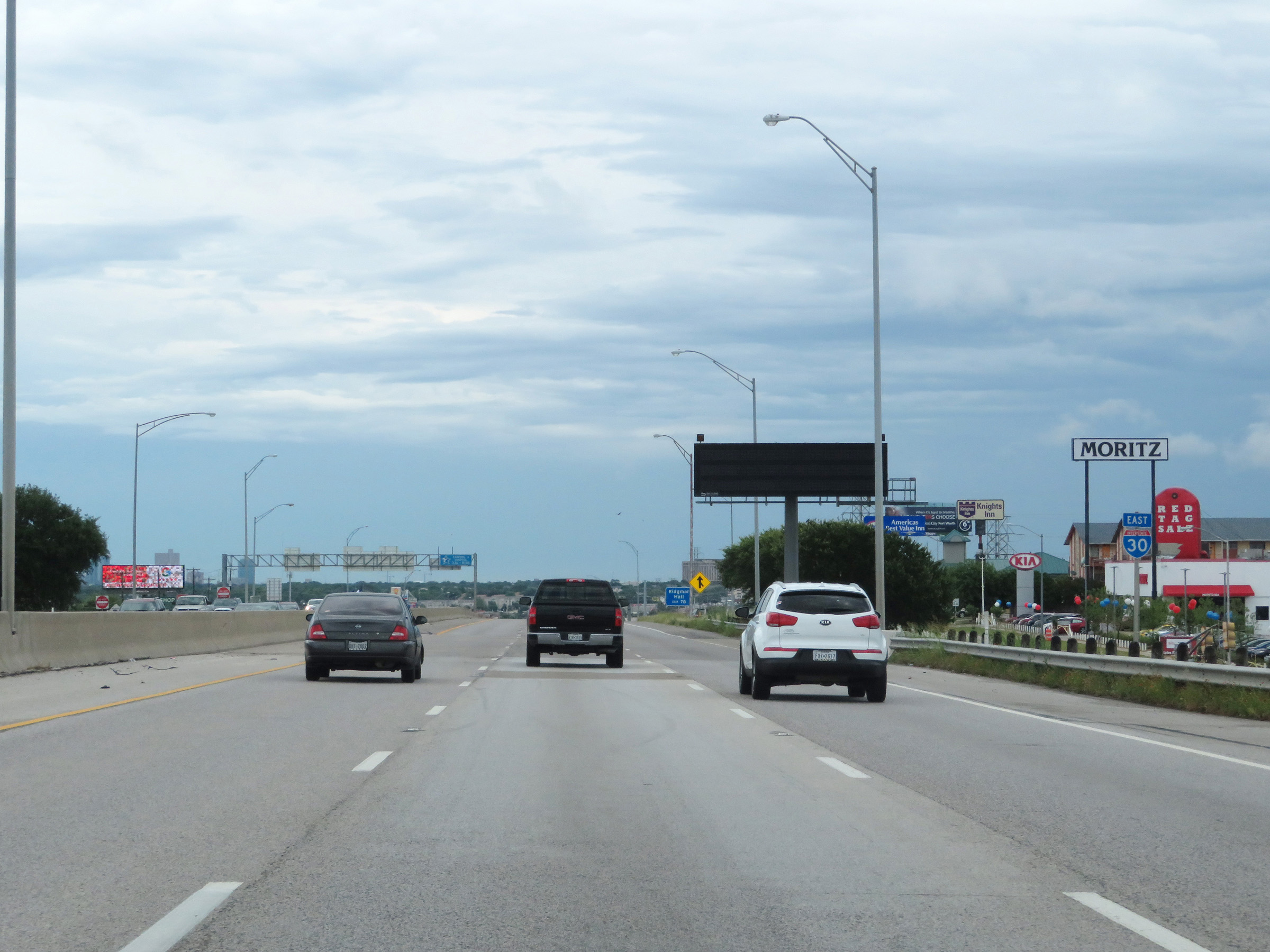
Take Exit 7B to Ridgmar Mall. (Photo taken 5/20/18). |
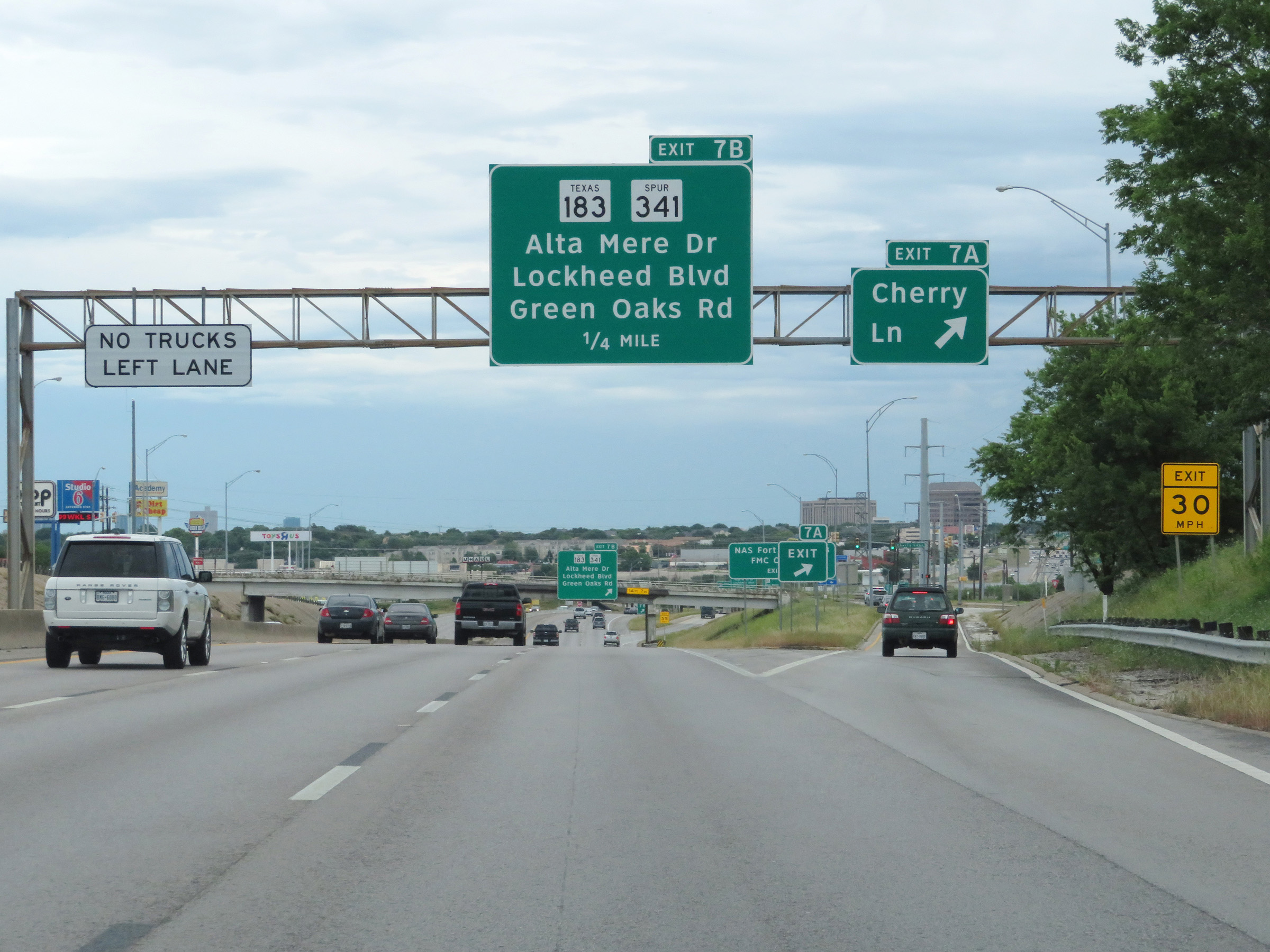 |
Interstate 30 East at Exit 7A: Cherry Ln (Photo taken 5/20/18). |
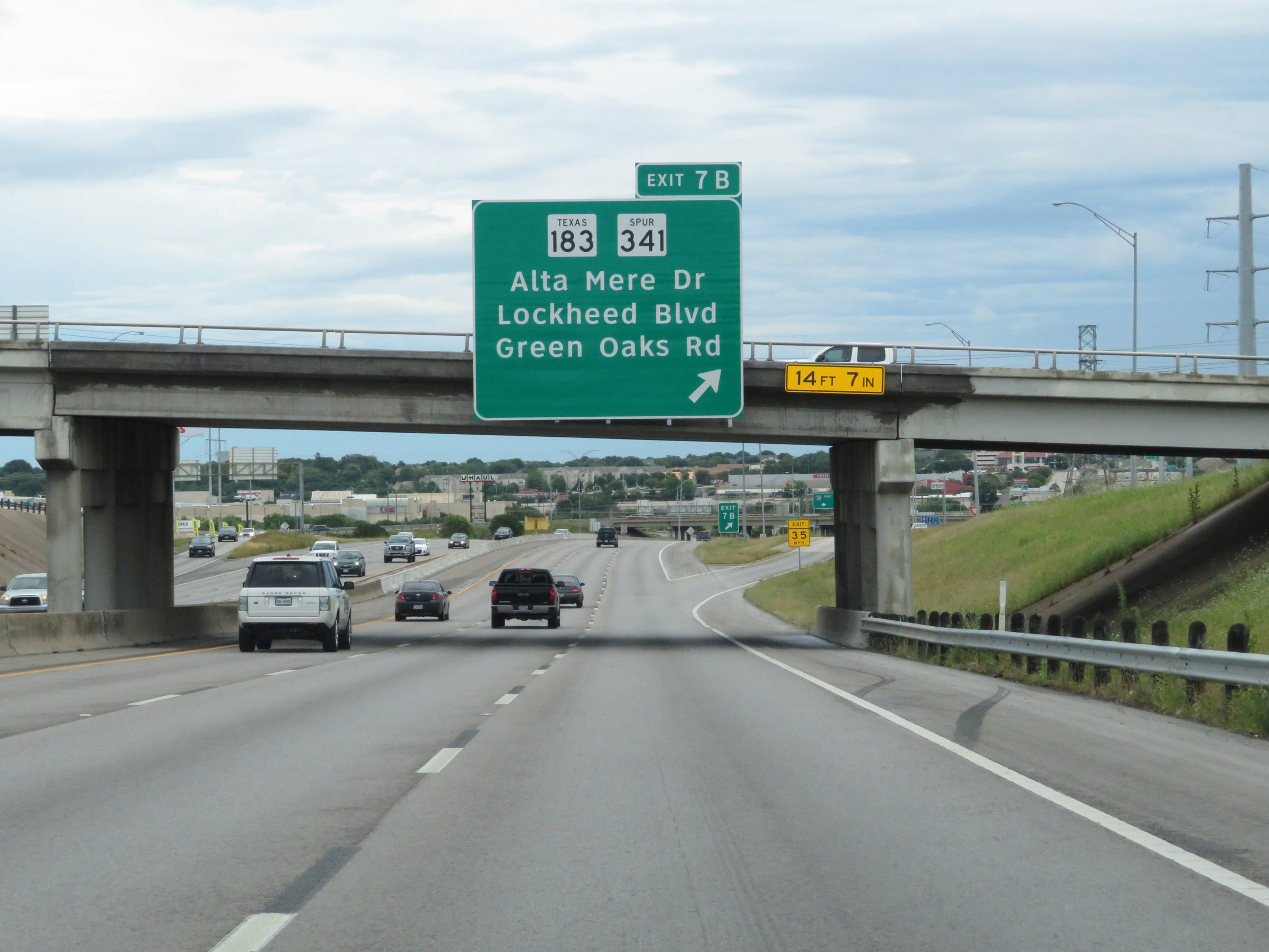 |
Interstate 30 East at Exit 7B: TX 183 / TX Spur 341 - Alta Mere Dr / Green Oaks Rd (Photo taken 5/20/18). |
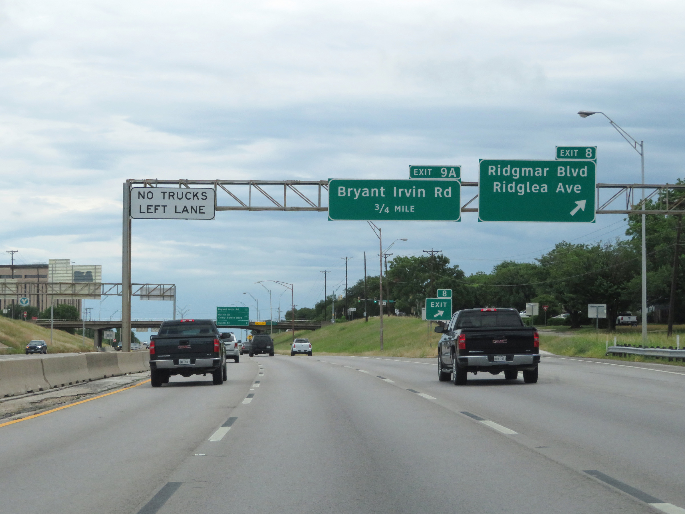 |
Interstate 30 East at Exit 8: Ridgmar Blvd / Ridglea Ave (Photo taken 5/20/18). |
 |
Overhead mileage sign listing the distances to the next three exits on Interstate 30 East in Fort Worth. (Photo taken 5/20/18). |
 |
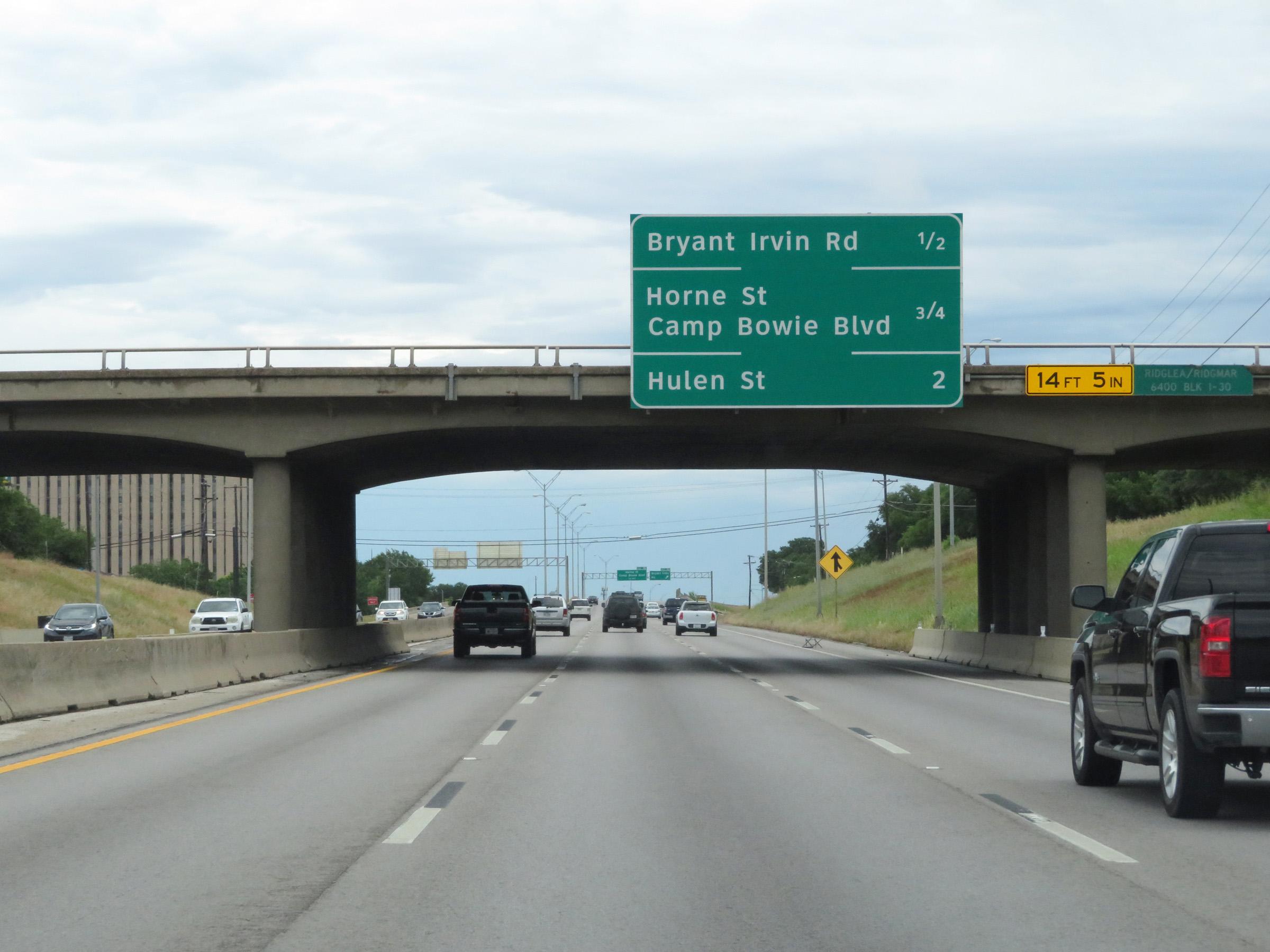
Interstate 30 East at Exit 9A: Bryant Irvin Rd (Photo taken 5/20/18). |
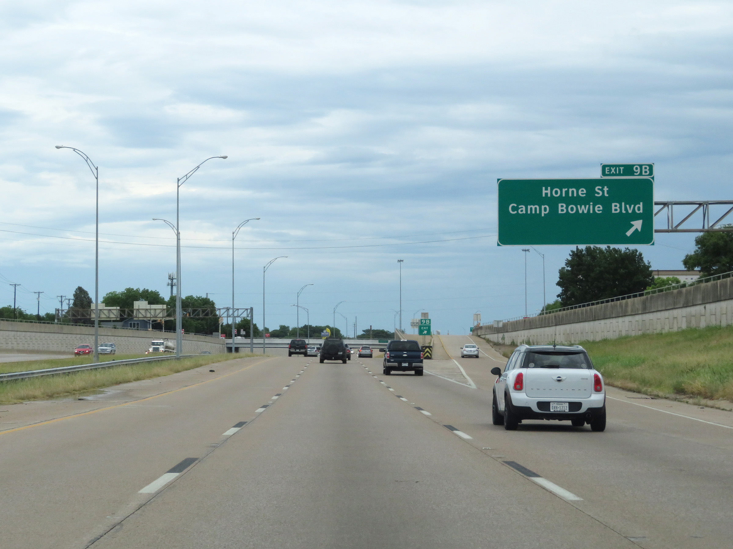 |
Interstate 30 East at Exit 9B: Horne St / Camp Bowie Blvd (Photo taken 5/20/18). |
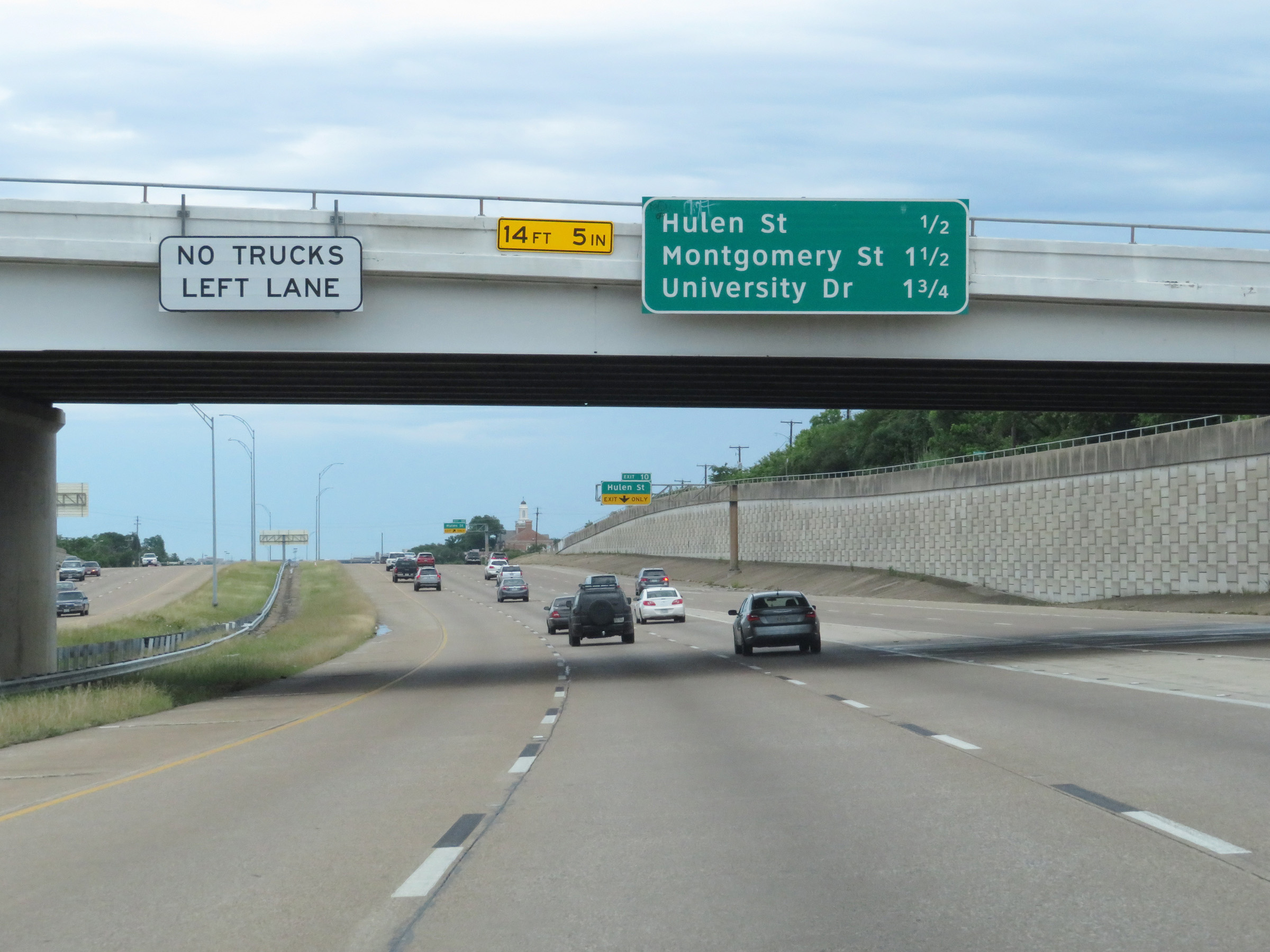 |
Trucks are prohibited in the left lane on Interstate 30 East in downtown Fort Worth. (Photo taken 5/20/18). |
 |
Interstate 30 East at Exit 10: Hulen St (Photo taken 5/20/18). |
 |
View on Interstate 30 East at mile marker 11. (Photo taken 5/20/18). |
 |
Approaching downtown Fort Worth, the speed limit decreases to 60 mph on Interstate 30 East. (Photo taken 5/20/18). |
 |
Take Exit 12A to the Will Rogers Center, Cultural District, and UNT Health Science Center. (Photo taken 5/20/18). |
 |
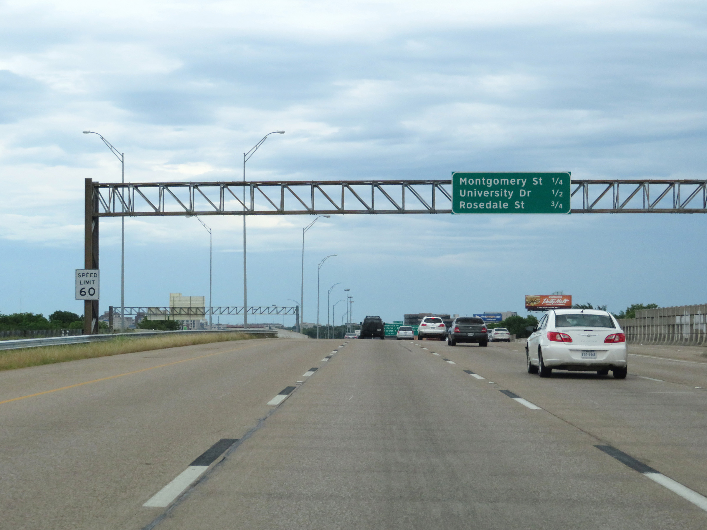
Interstate 30 East at Exit 11: Montgomery St / Cultural District (Photo taken 5/20/18). |
 |
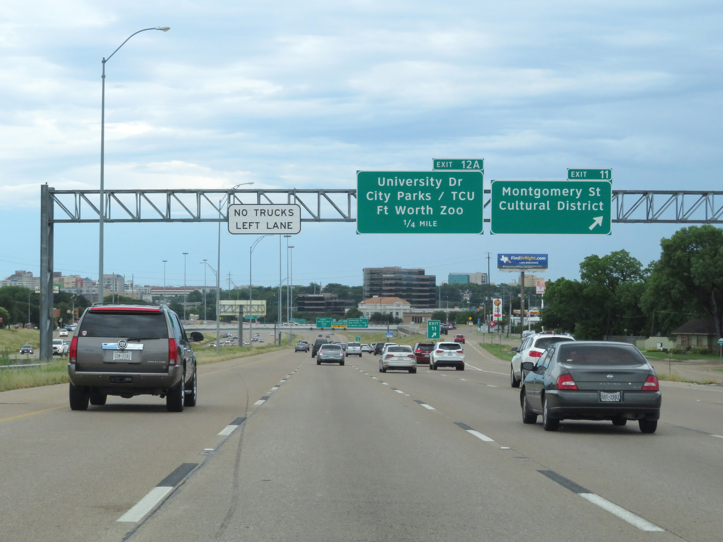
Interstate 30 East at Exit 12A: University Dr / City Parks / TCU / Fort Worth Zoo (Photo taken 5/20/18). |
 |
Take Exit 12C to Panther Island Pavilion. (Photo taken 5/20/18). |
 |
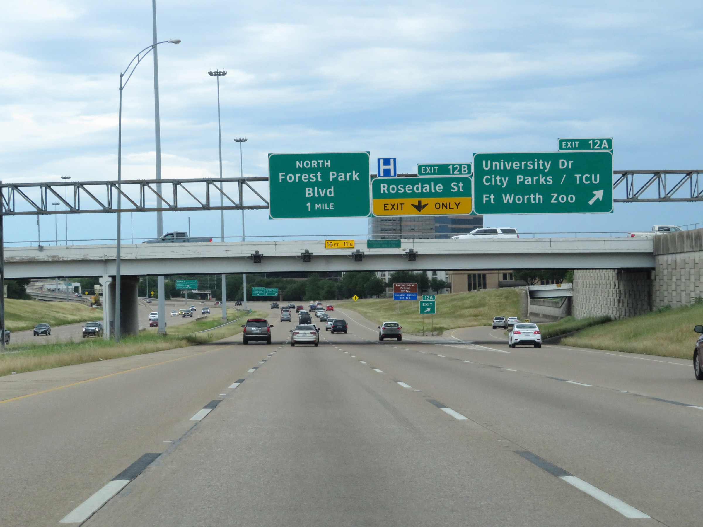
Interstate 30 East at Exit 12B: Rosedale St (Photo taken 5/20/18). |
 |
Take either of the next 2 exits to Downtown Fort Worth. (Photo taken 5/20/18). |
 |
Interstate 30 East at Exit 12C: Forest Park Blvd North (Photo taken 5/20/18). |
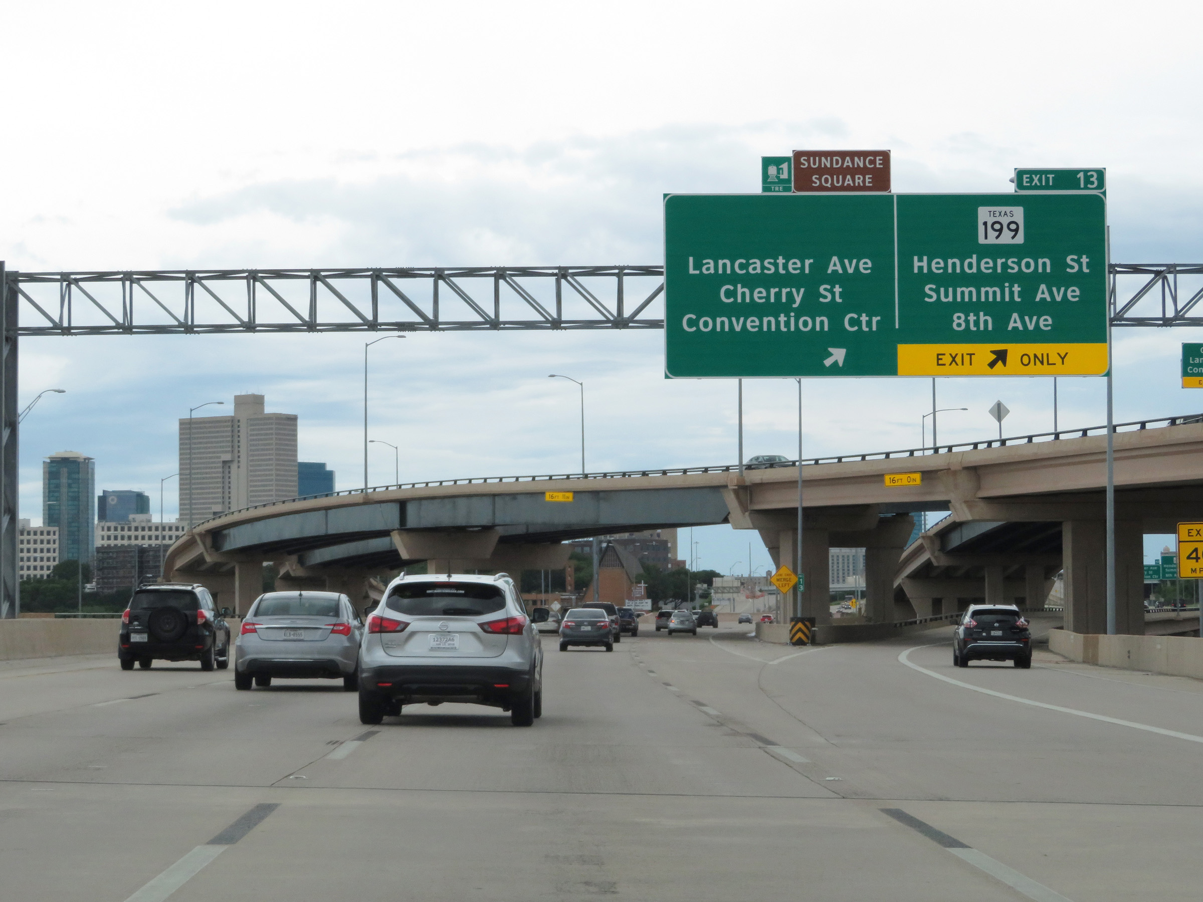 |
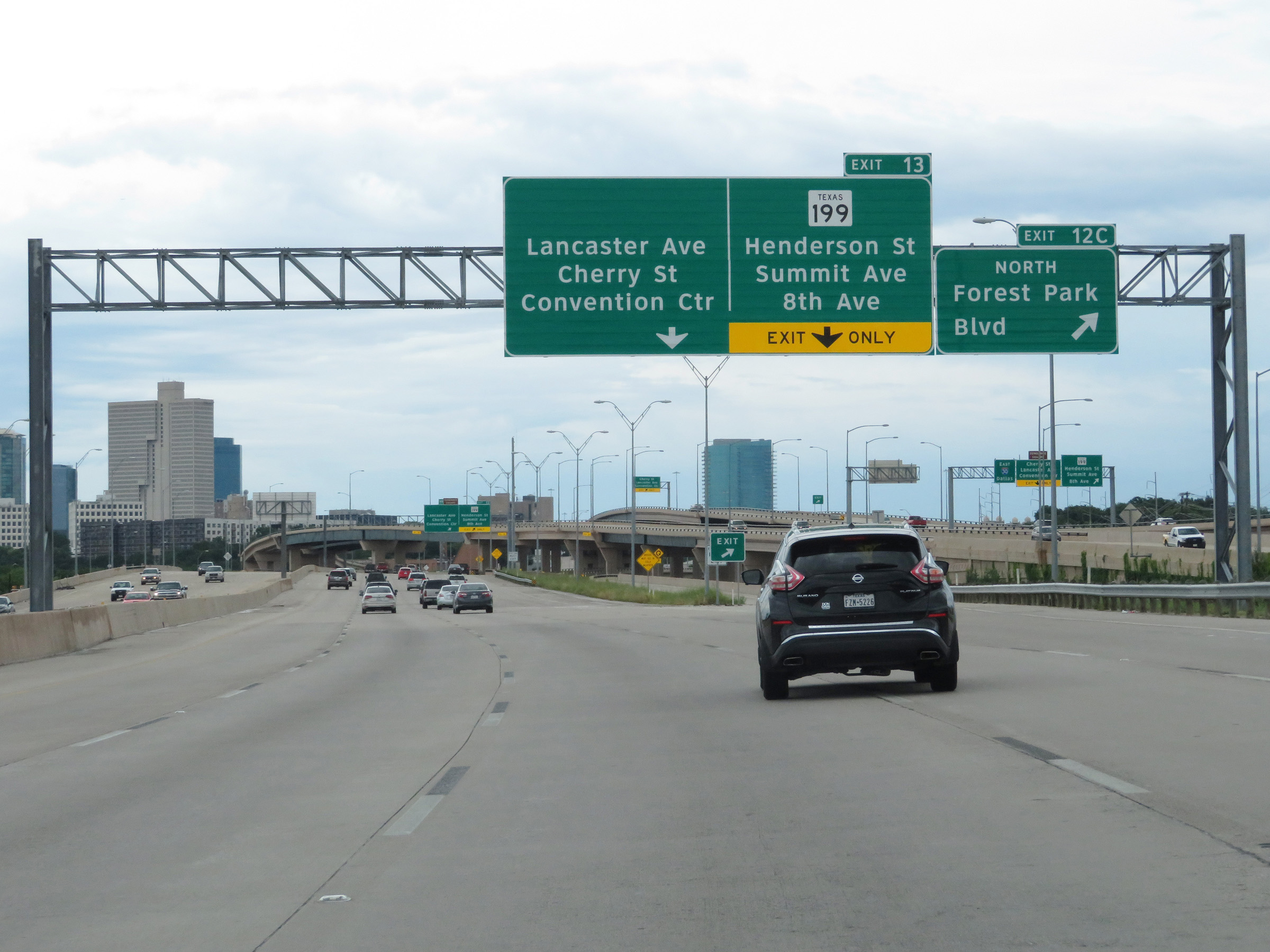
Interstate 30 East at Exit 13: TX 199 - Henderson St / Summit Ave / 8th Ave / Lancaster Ave / Cherry St / Convention Center (Photo taken 5/20/18). |
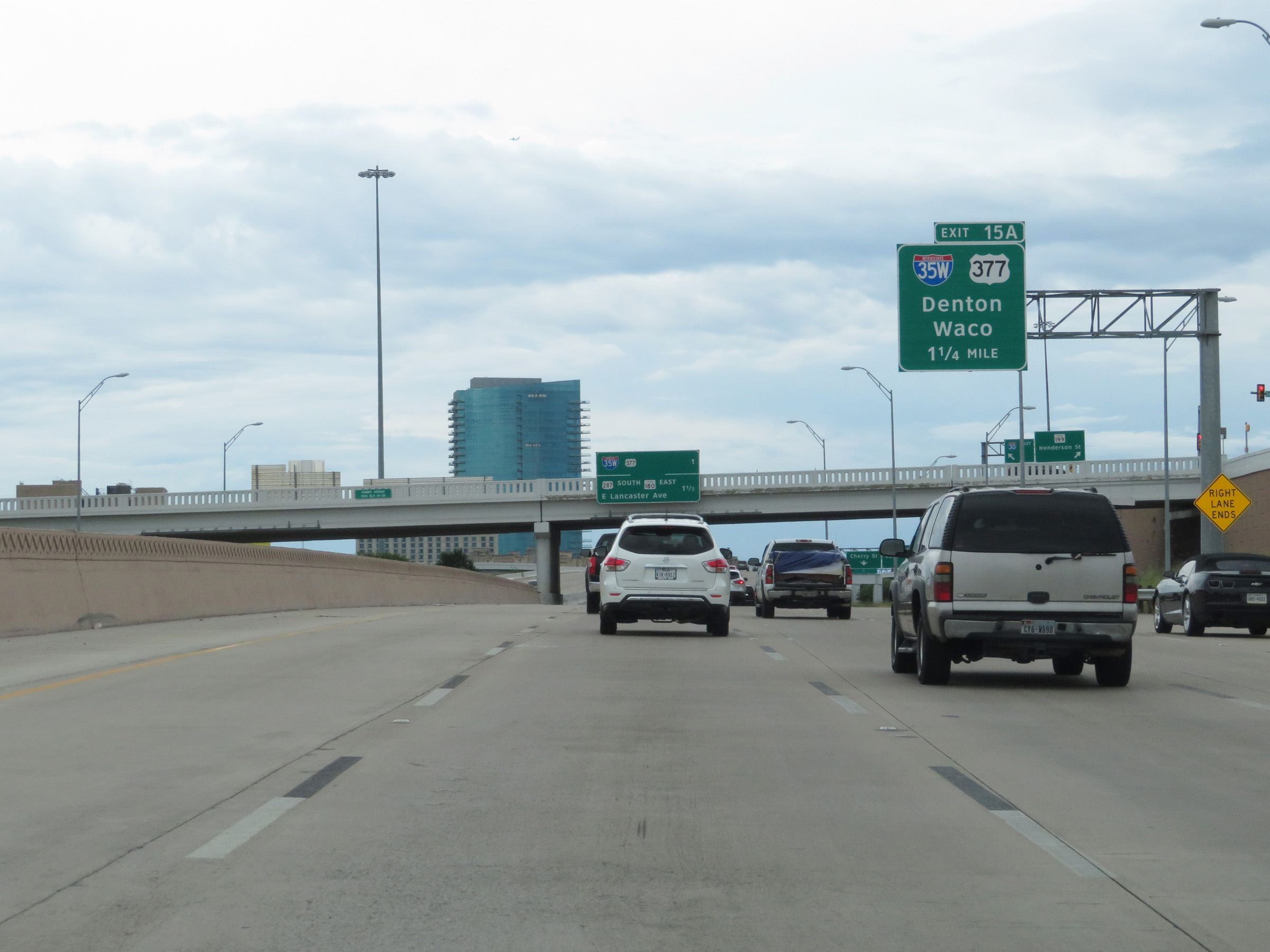 |
Interstate 30 East approaching Exit 15A - 1 1/4 miles. (Photo taken 5/20/18). |
 |
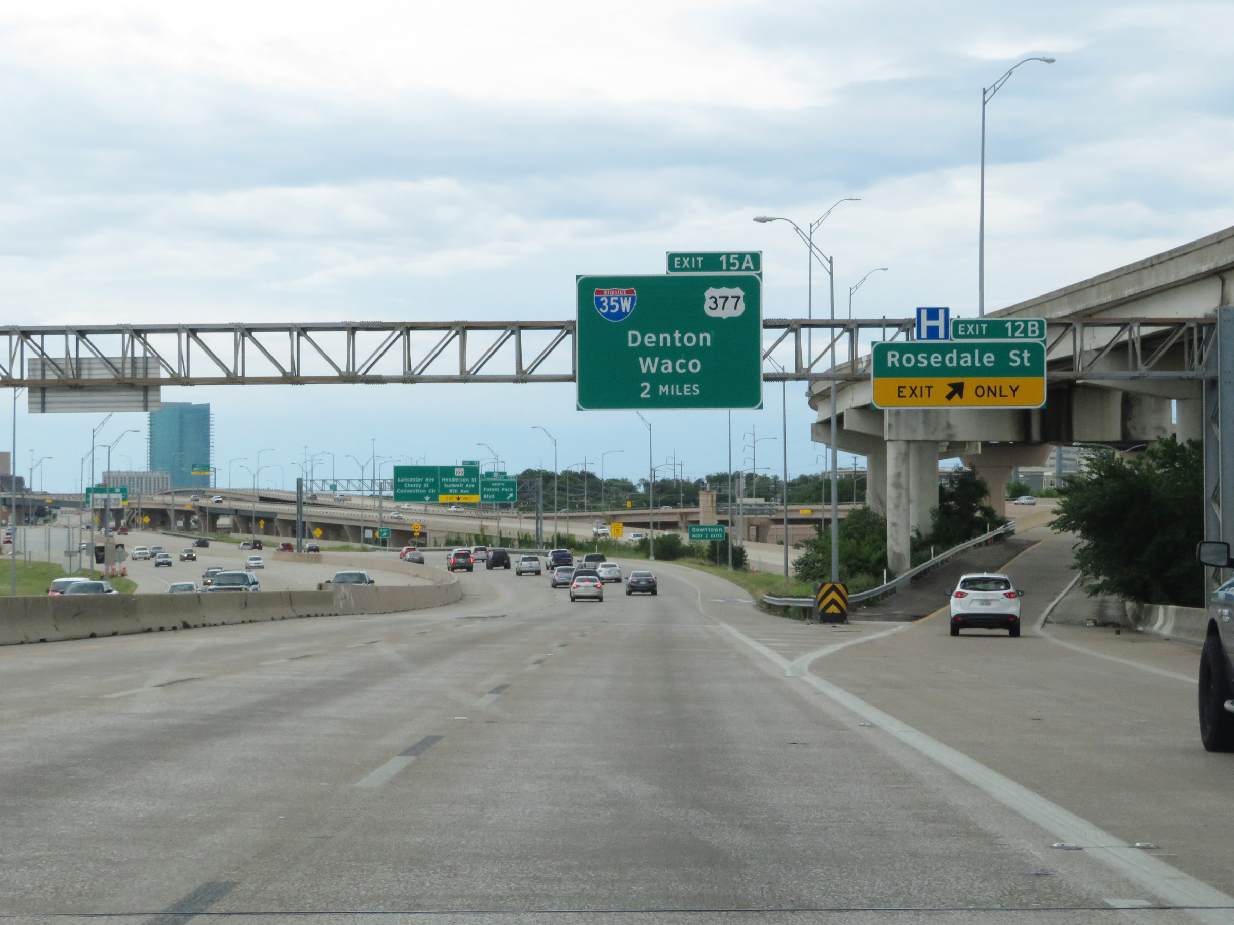
Interstate 30 East at Exit 15A: Interstate 35W / US 377 North - Denton / Waco (Photo taken 5/20/18). |
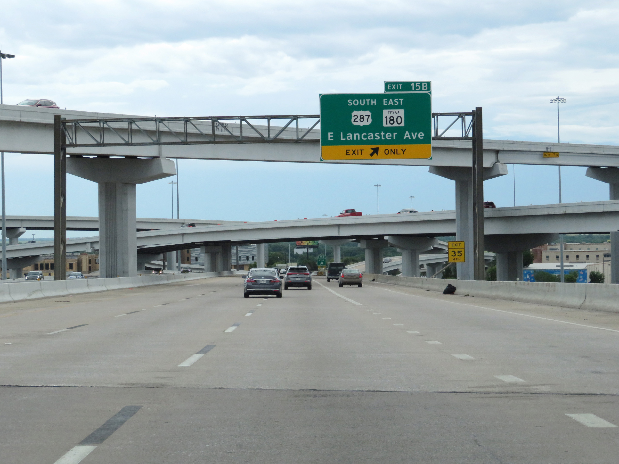 |
Interstate 30 East at Exit 15B: US 287 South / TX 180 East - E Lancaster Ave (Photo taken 5/20/18). |
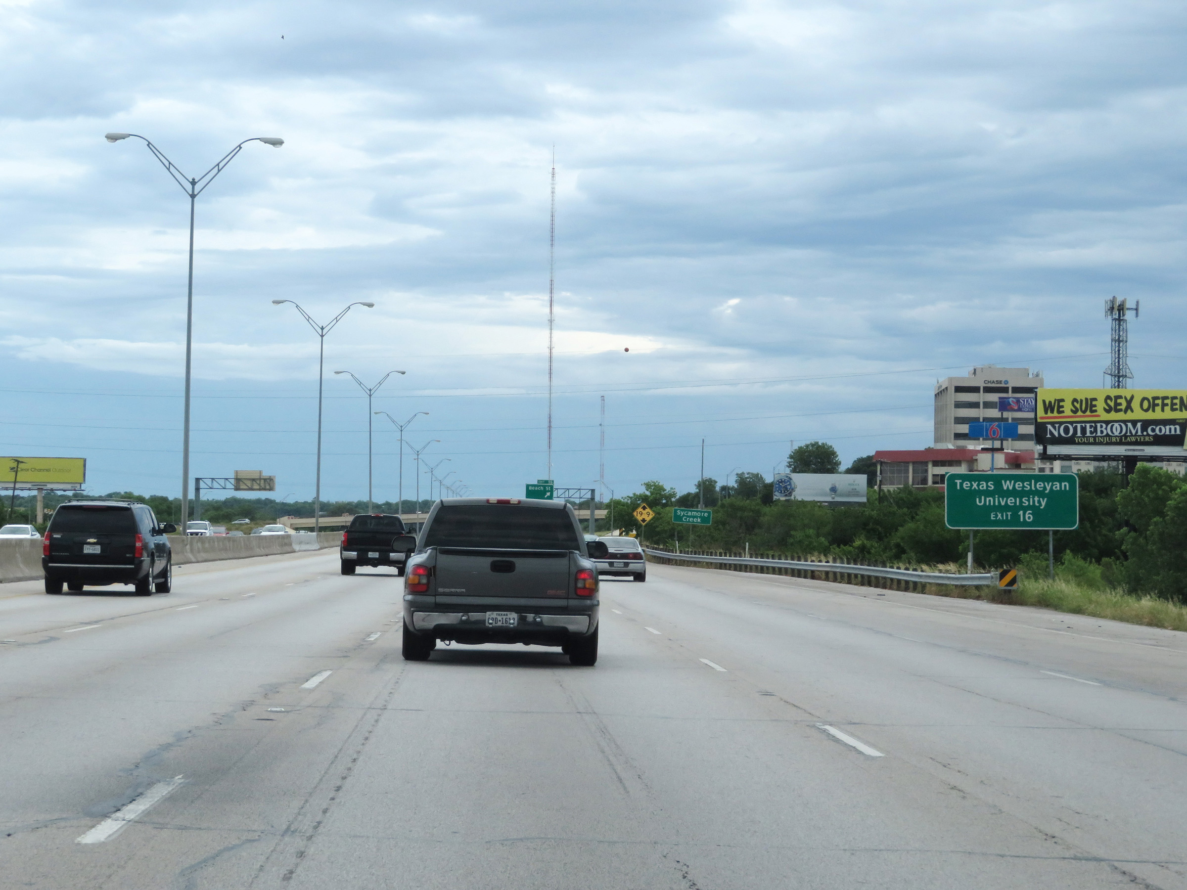 |
Take Exit 16 to Texas Wesleyan University. (Photo taken 5/20/18). |
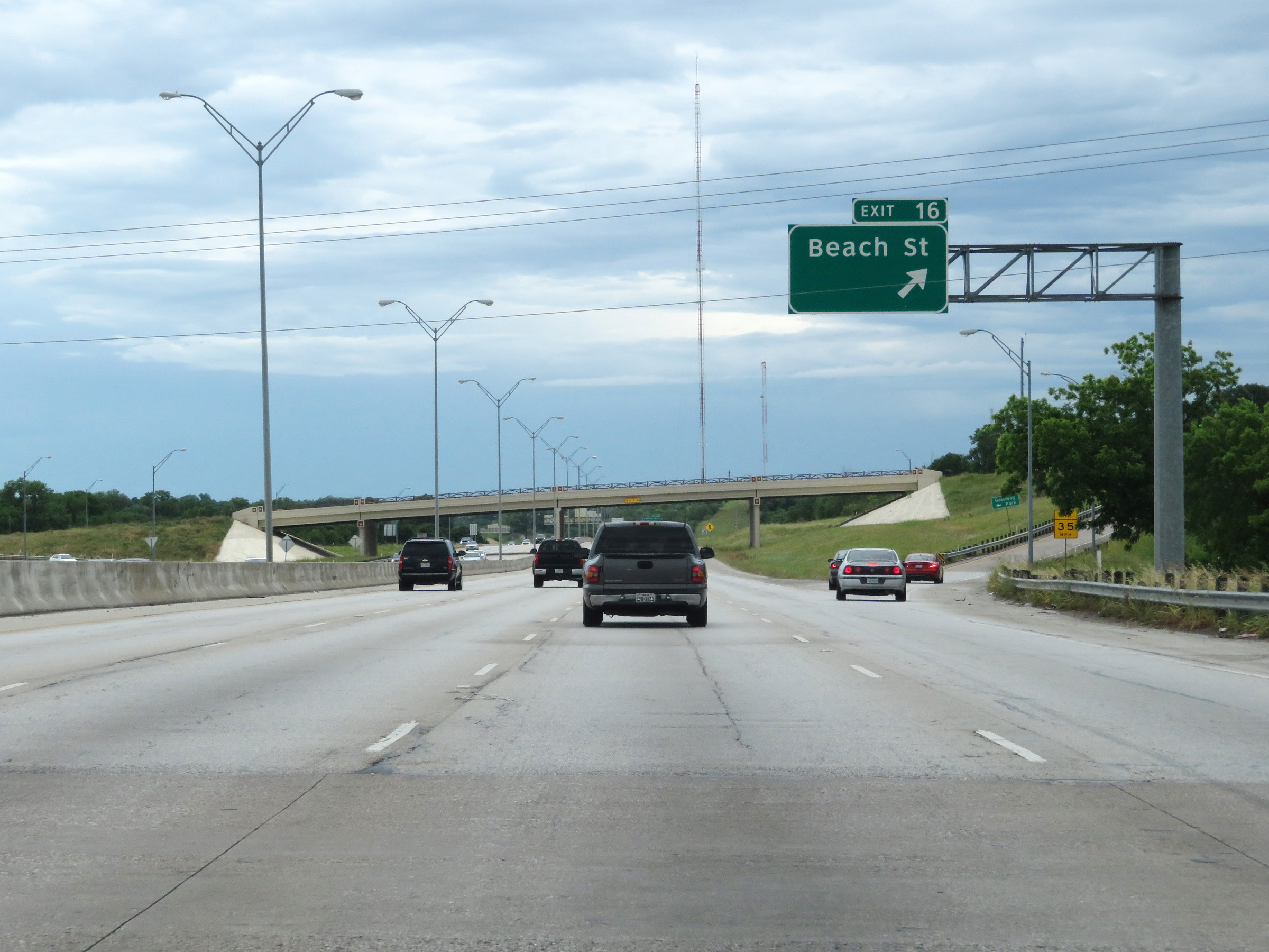 |
Interstate 30 East at Exit 16: Beach St (Photo taken 5/20/18). |
 |
View on Interstate 30 East at mile marker 17. (Photo taken 5/20/18). |
 |
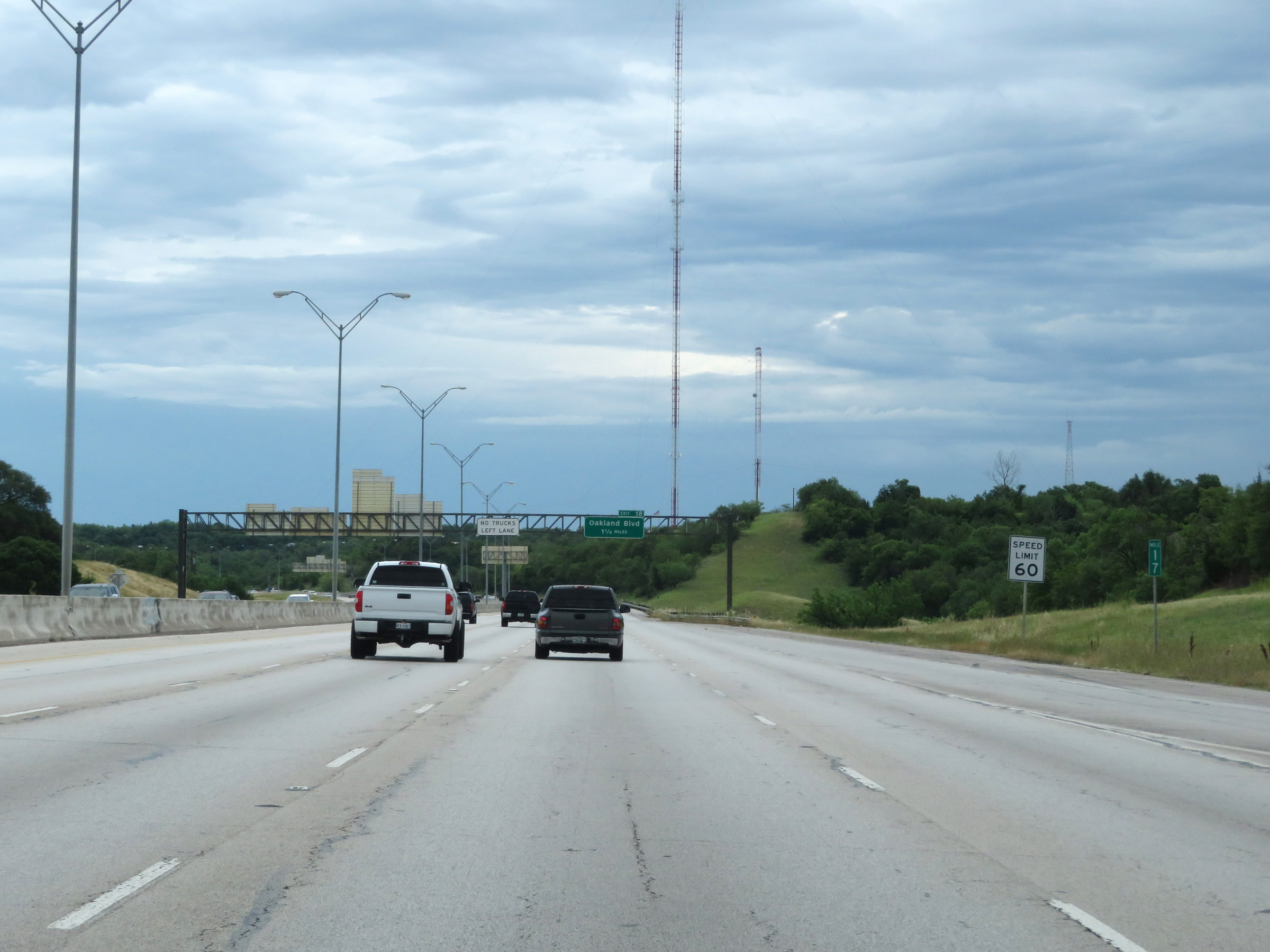
Interstate 30 East at Exit 18: Oakland Blvd (Photo taken 5/20/18). |
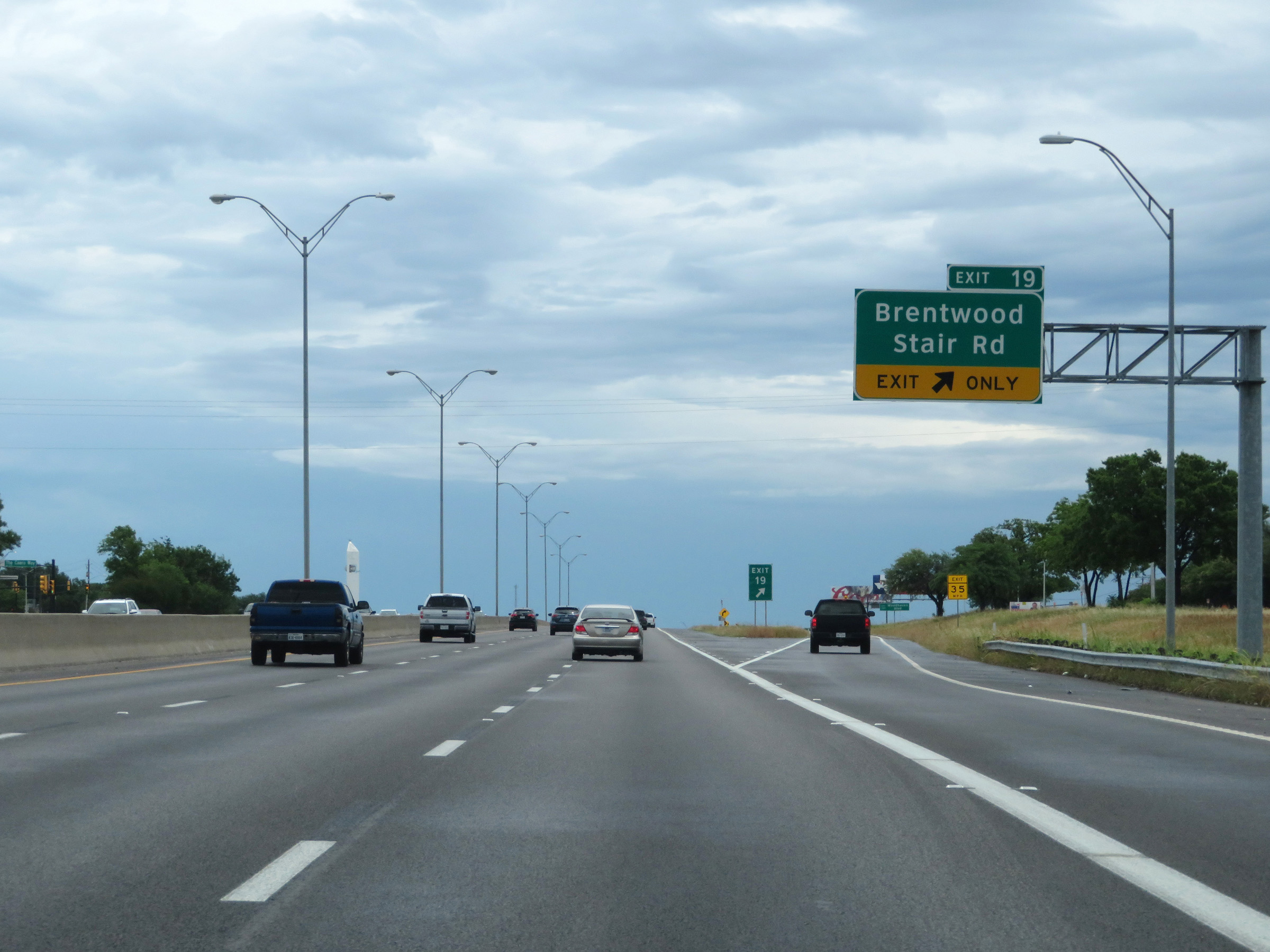 |
Interstate 30 East at Exit 19: Brentwood Stair Rd (Photo taken 5/20/18). |
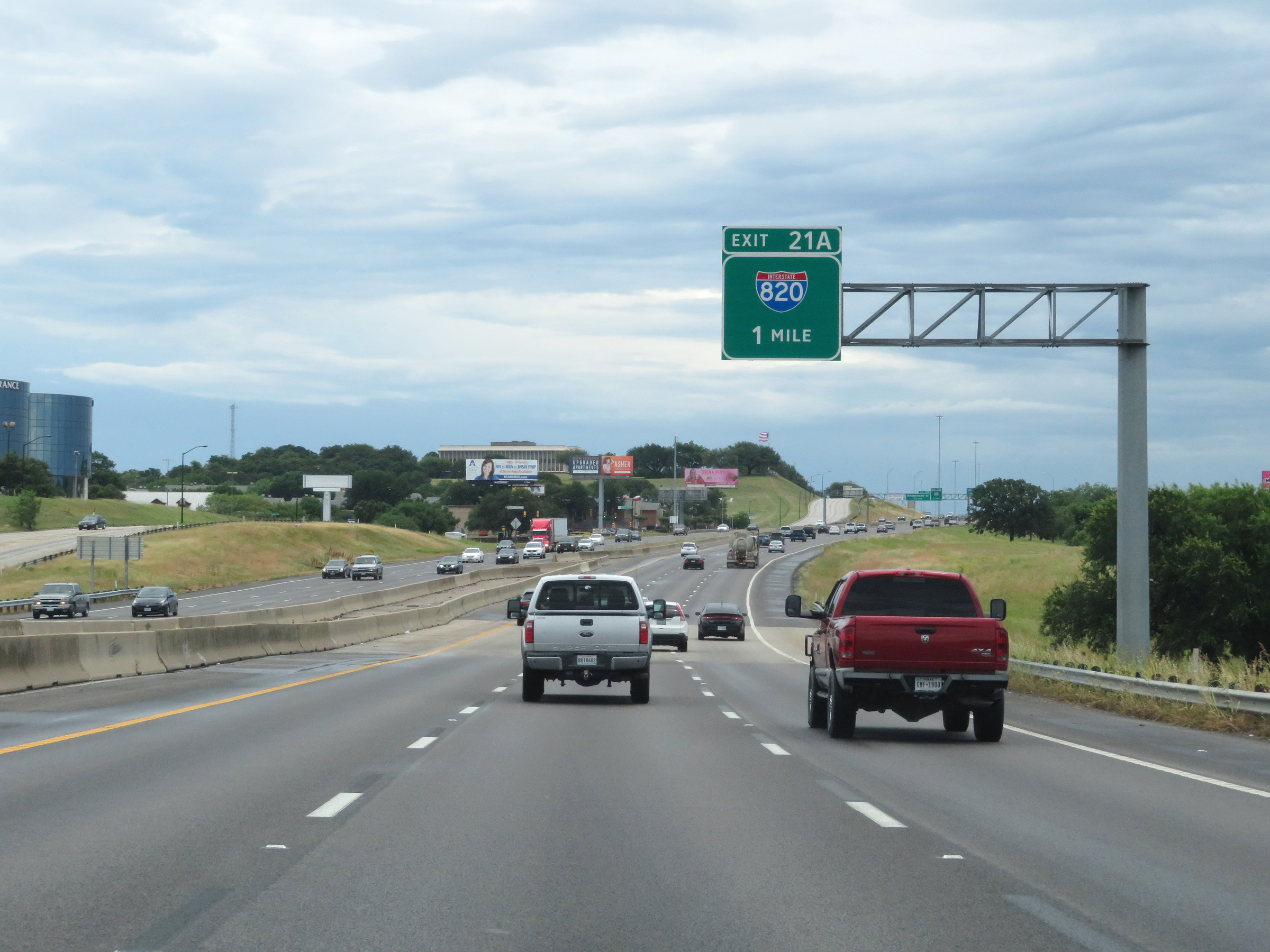 |
Interstate 30 East approaching Exit 21A - 1 mile. (Photo taken 5/20/18). |
 |
Another mileage sign listing the distances to the next three exits on Interstate 30 East. (Photo taken 5/20/18). |
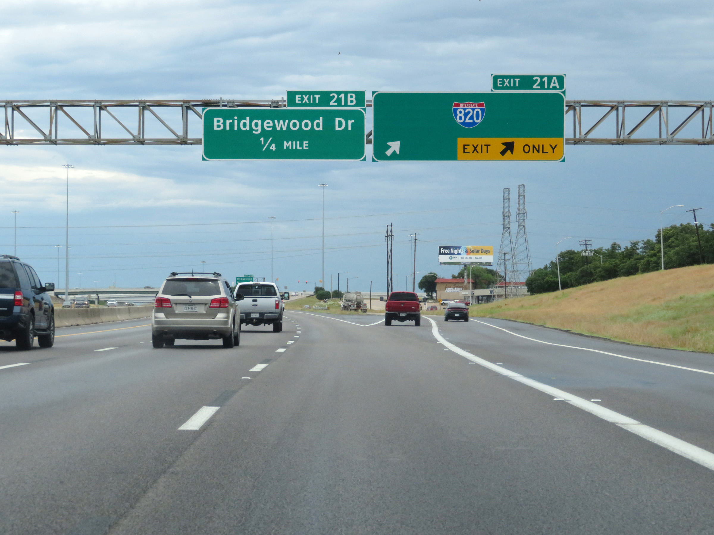 |
Interstate 30 East at Exit 21A: Interstate 820 (Photo taken 5/20/18). |
 |
Interstate 30 East at Exit 21B: Bridgewood Dr (Photo taken 5/20/18). |
 |
View on Interstate 30 East as it prepares to pass over Interstate 820 and under some of the ramps to and from it. (Photo taken 5/20/18). |
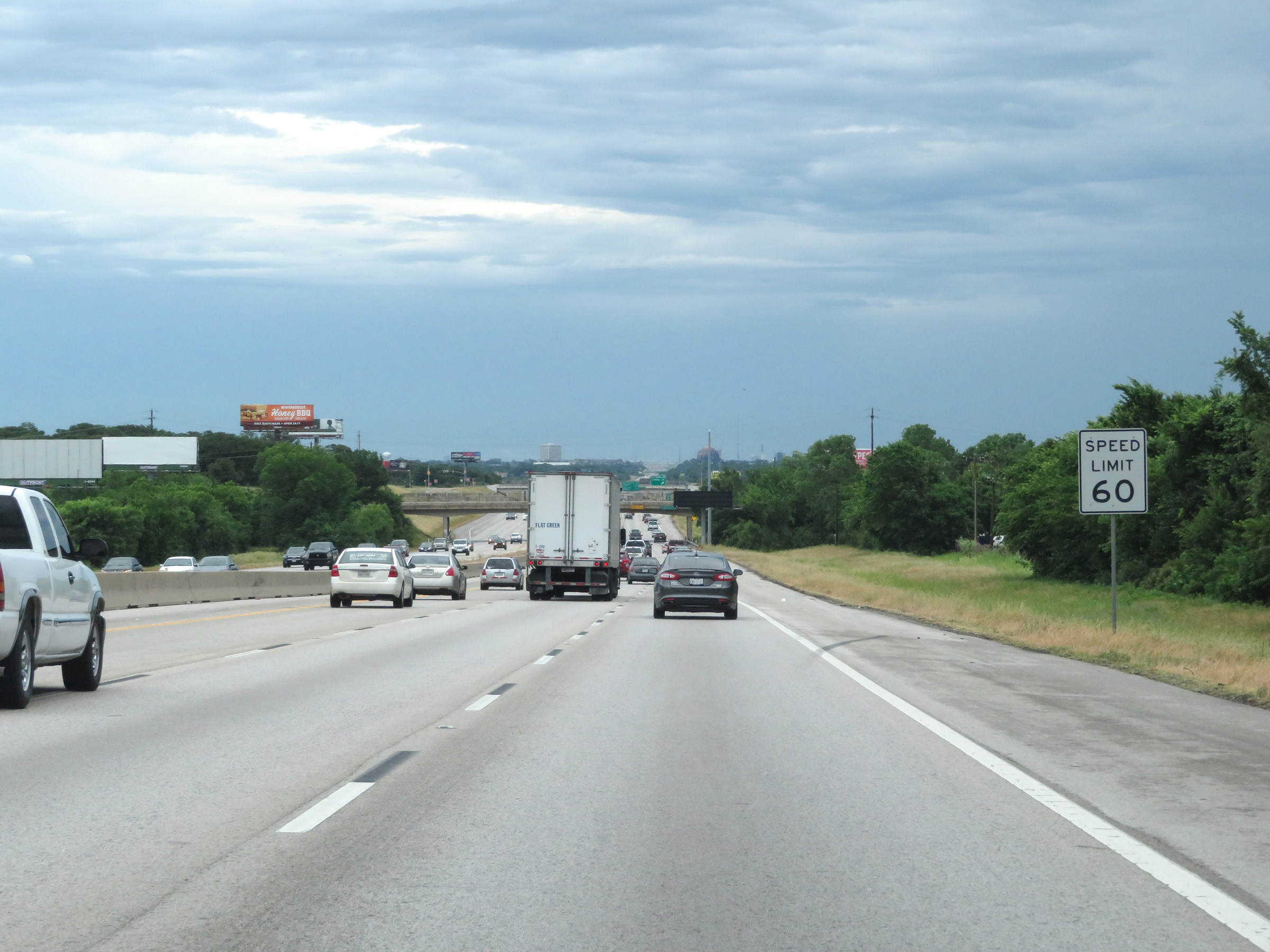 |
The speed limit remains 60 mph on Interstate 30 East in the Fort Worth area. (Photo taken 5/20/18). |
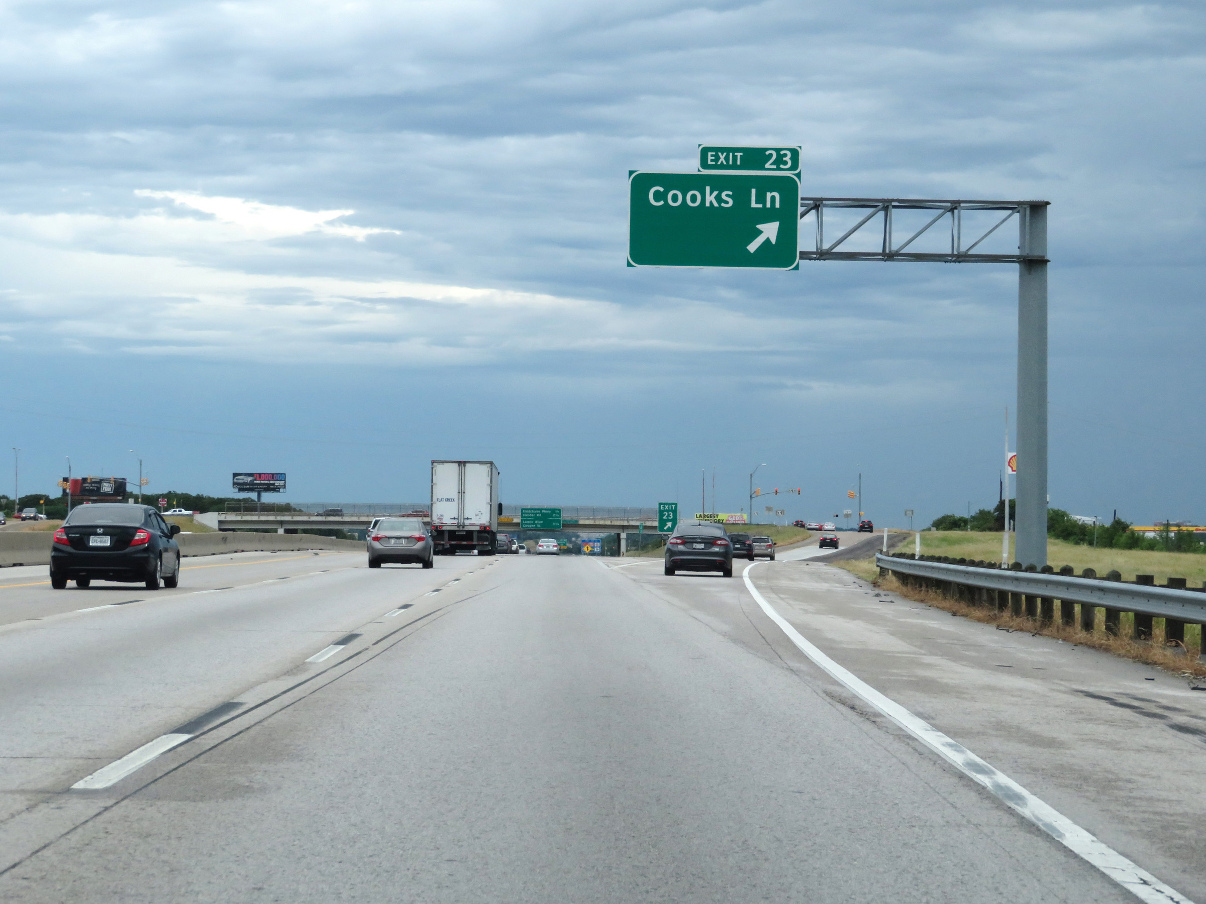 |
Interstate 30 East at Exit 23: Cooks Ln (Photo taken 5/20/18). |
Section 2: Dallas (Exit 45B) to Mesquite (Exit 53B)
 |
Speed limit sign located near mile marker 45 in downtown Dallas. The speed limit on Interstate 30 through the Dallas area is 55 mph. (Photo taken 9/22/11). |
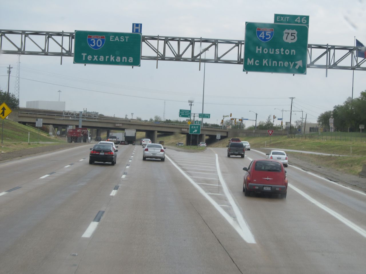 |
Interstate 30 East at Exit 46: Interstate 45 / US 75 - Houston / McKinney (Photo taken 9/22/11). |
 |
Interstate 30 East at Exit 47: 2nd Ave / Fair Park (Photo taken 9/22/11). |
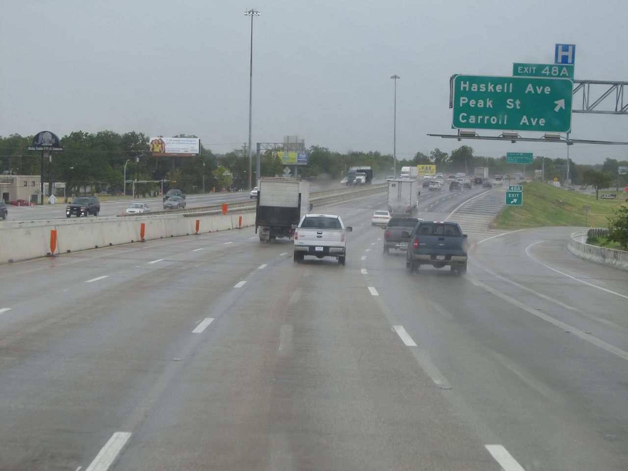 |
Interstate 30 East at Exit 48A: Haskell Ave / Peak St / Carroll Ave (Photo taken 9/22/11). |
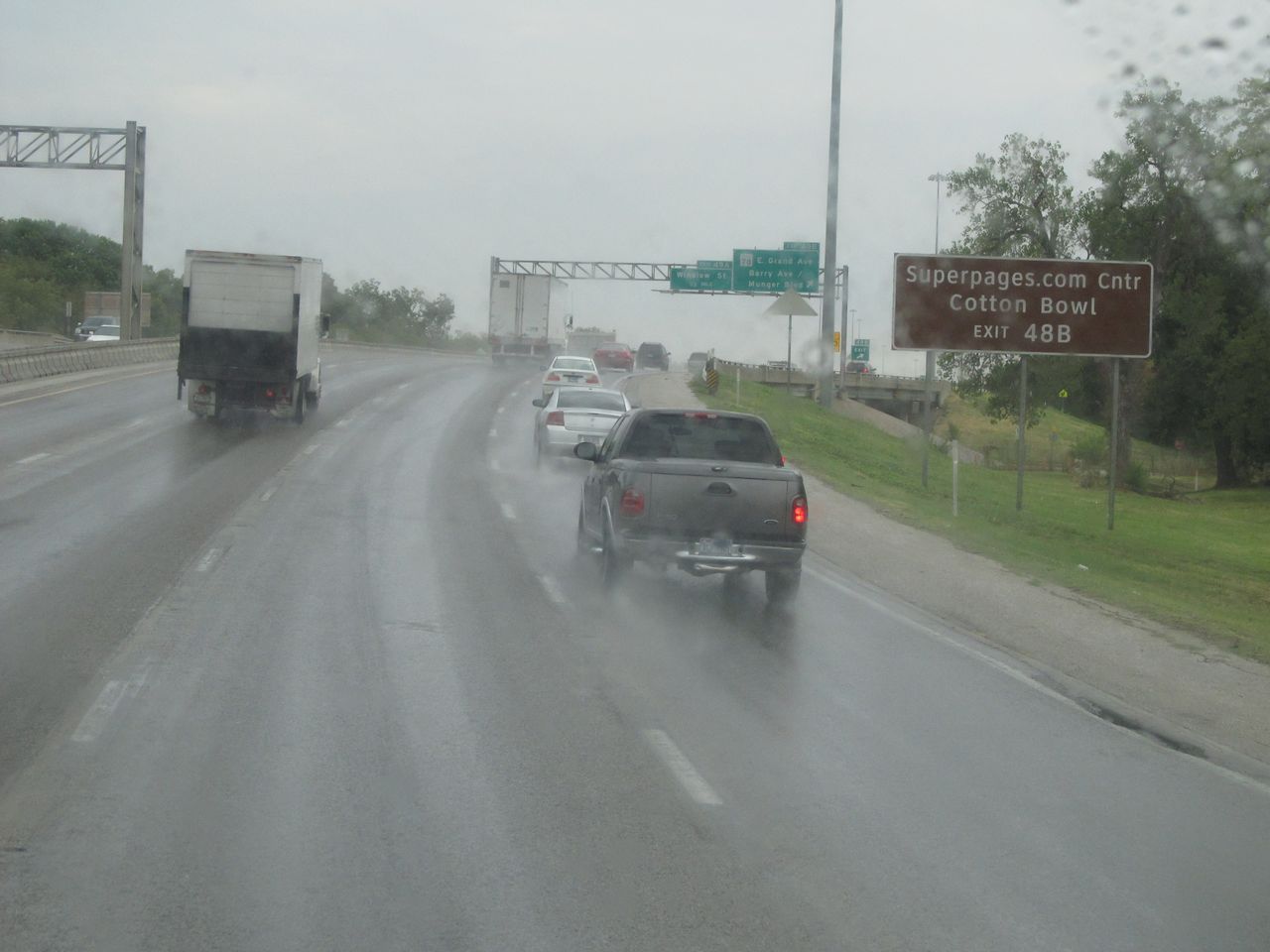 |
Take Exit 48B to Superpages.com Center and Cotton Bowl. (Photo taken 9/22/11). |
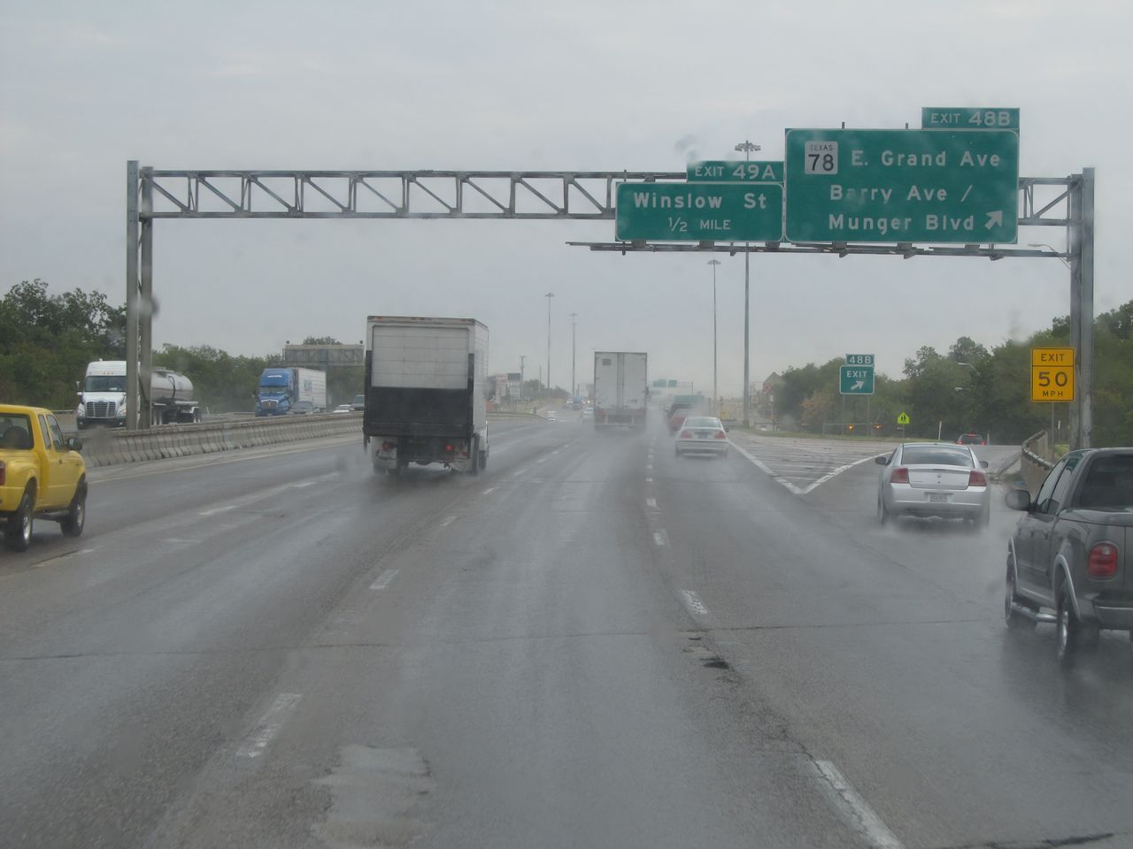 |
Interstate 30 East at Exit 48B: TX 78 - E. Grand Ave / Barry Ave / Munger Blvd (Photo taken 9/22/11). |
 |
Interstate 30 East at Exit 49A: Winslow St (Photo taken 9/22/11). |
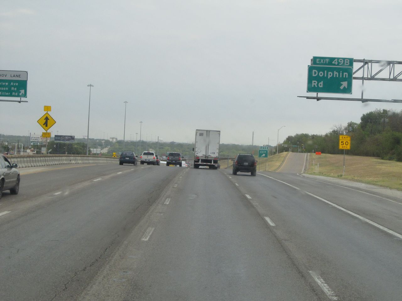 |
Interstate 30 East at Exit 49B: Dolphin Rd (Photo taken 9/22/11). |
 |
Take Exit 50A to Samuell Blvd. (Photo taken 9/22/11). |
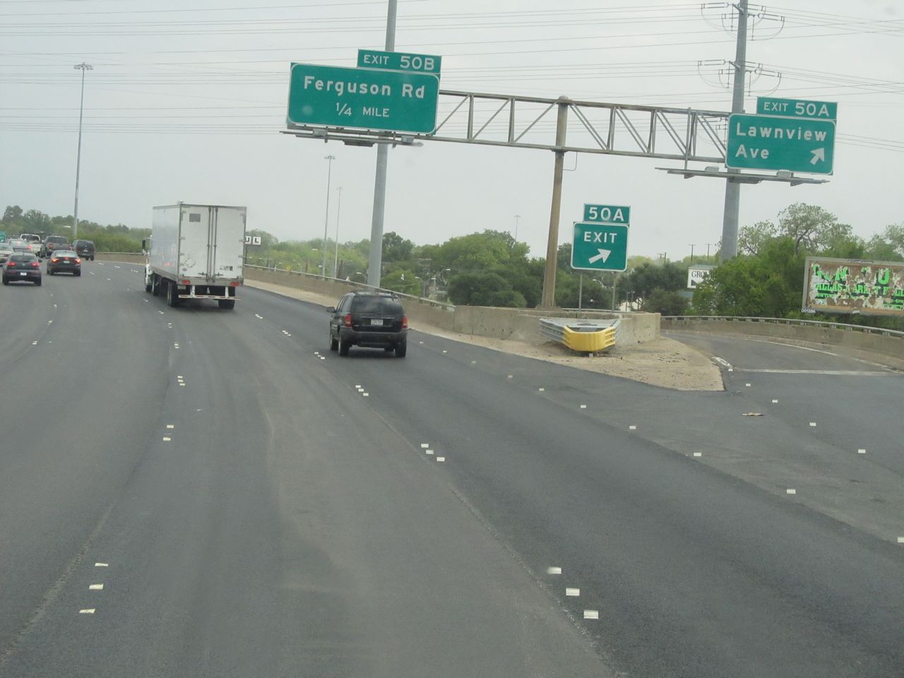 |
Interstate 30 East at Exit 50A: Lawnview Ave (Photo taken 9/22/11). |
 |
Interstate 30 East at Exit 50B: Ferguson Rd (Photo taken 9/22/11). |
 |
Interstate 30 East shield located near mile marker 51. (Photo taken 9/22/11). |
 |
Just past the previous picture, the speed limit increases to 60 mph. (Photo taken 9/22/11). |
 |
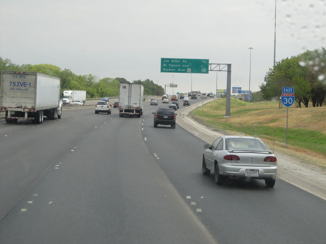
Interstate 30 East at Exit 52A: Jim Miller Rd (Photo taken 9/22/11). |
 |
Interstate 30 East at Exit 52B: St. Francis Ave (Photo taken 9/22/11). |
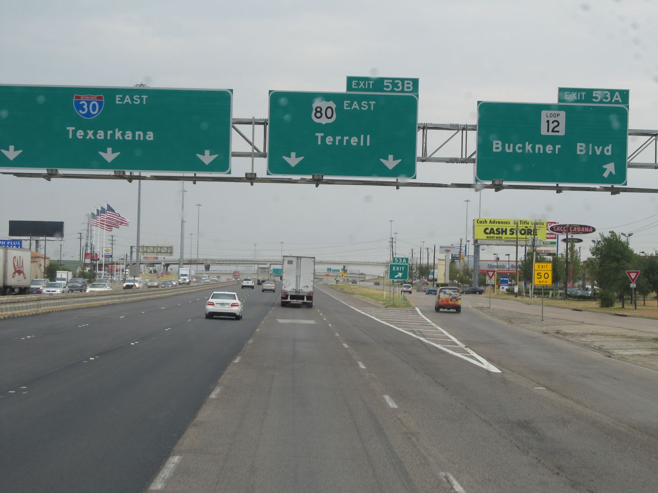 |
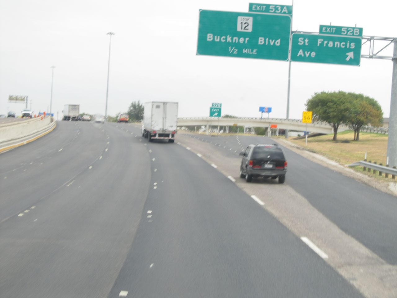
Interstate 30 East at Exit 53A: TX Loop 12 - Buckner Blvd (Photo taken 9/22/11). |
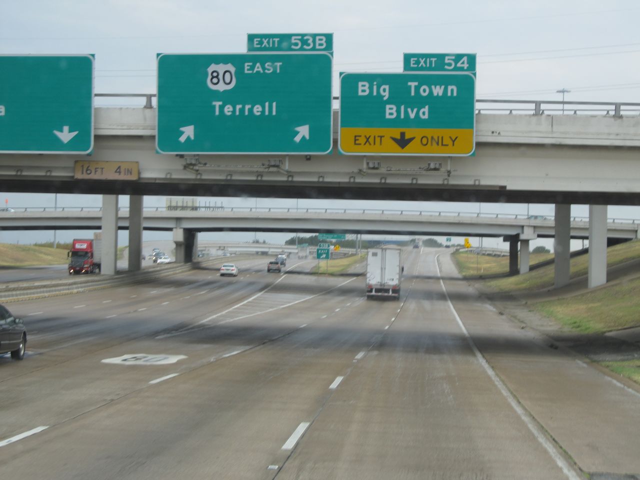 |
Interstate 30 East at Exit 53B: US 80 East - Terrell; Exit 54: Big Town Blvd (Photo taken 9/22/11). |
Section 3: Greenville (Exit 94) to Arkansas Border
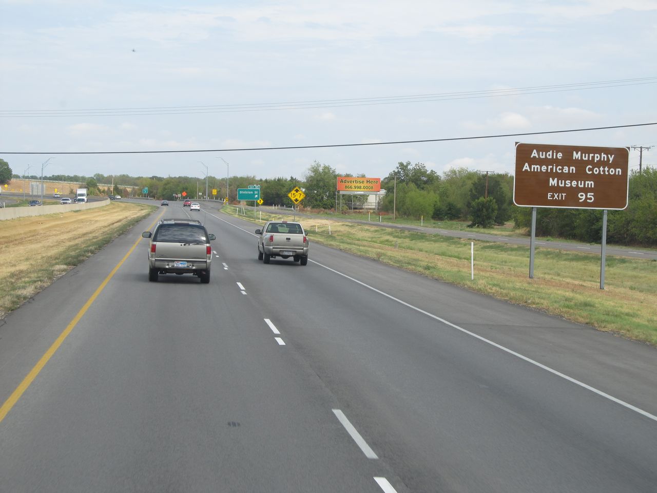 |
Take Exit 95 to Audie Murphy American Cotton Museum. (Photo taken 9/22/11). |
 |
Interstate 30 East at Exit 95: Division St (Photo taken 9/22/11). |
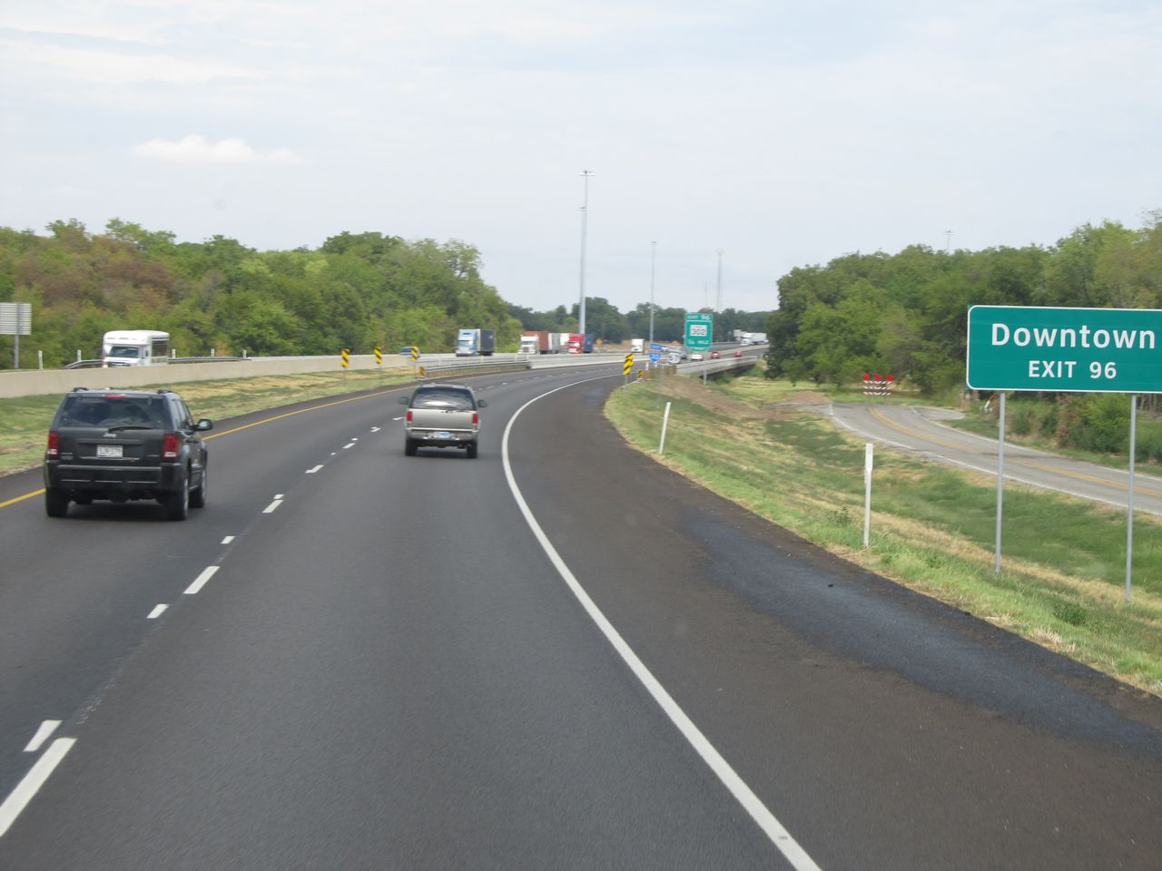 |
Take Exit 96 to Downtown. (Photo taken 9/22/11). |
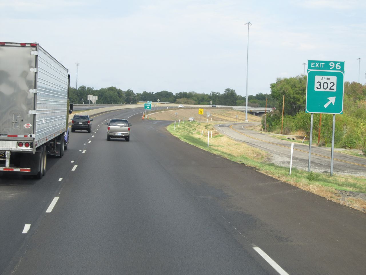 |
Interstate 30 East at Exit 96: TX Spur 302 (Photo taken 9/22/11). |
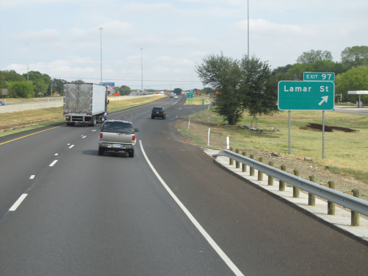 |
Interstate 30 East at Exit 97: Lamar St (Photo taken 9/22/11). |
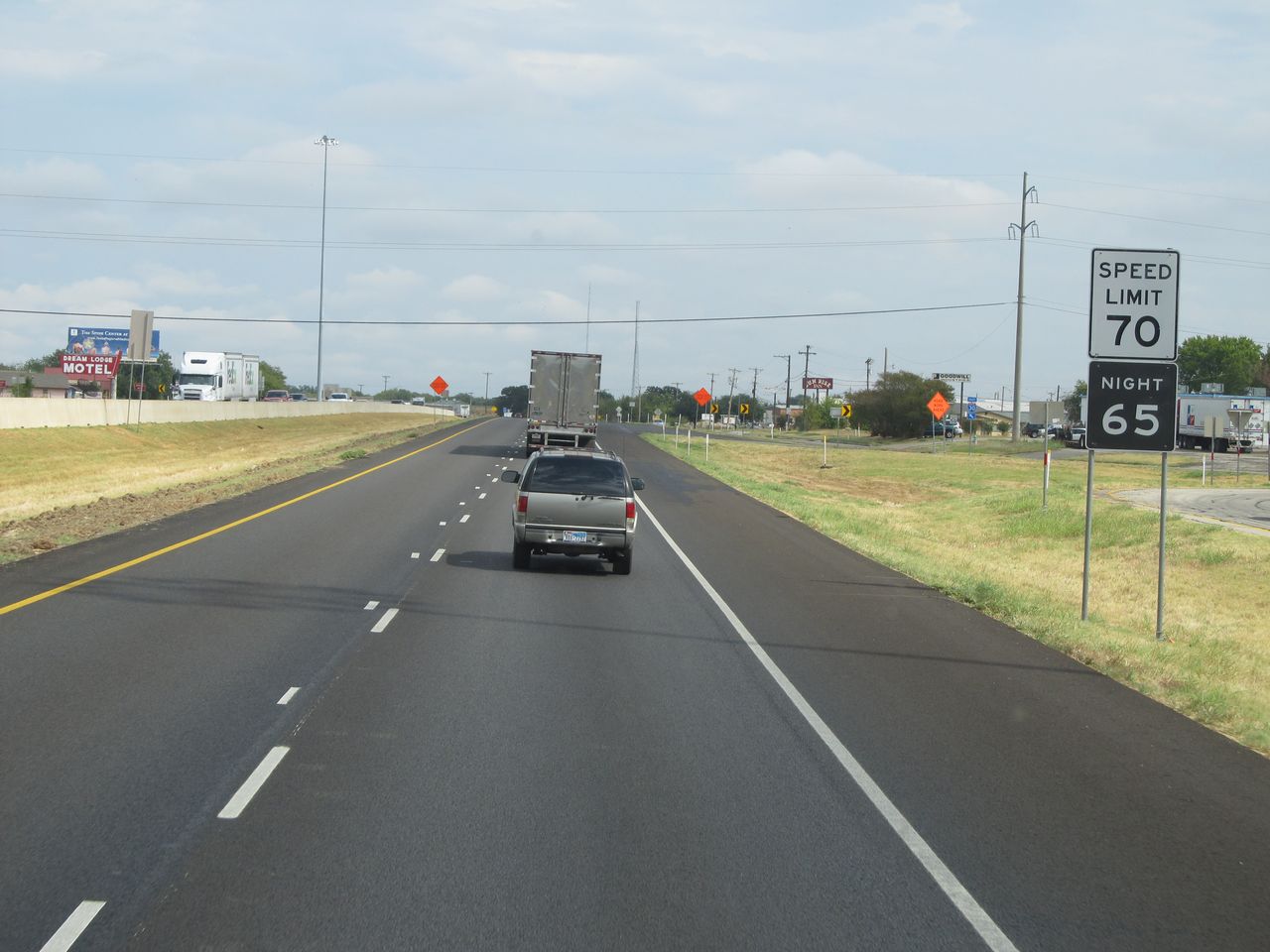 |
Speed limit sign located near mile marker 97. The speed limit on most rural stretches of Interstate in Texas is 70 mph or higher. On this stretch, it's 70 mph. They have since done away with the night speed limits. (Photo taken 9/22/11). |
 |
Interstate 30 East shield located near mile marker 98. (Photo taken 9/22/11). |
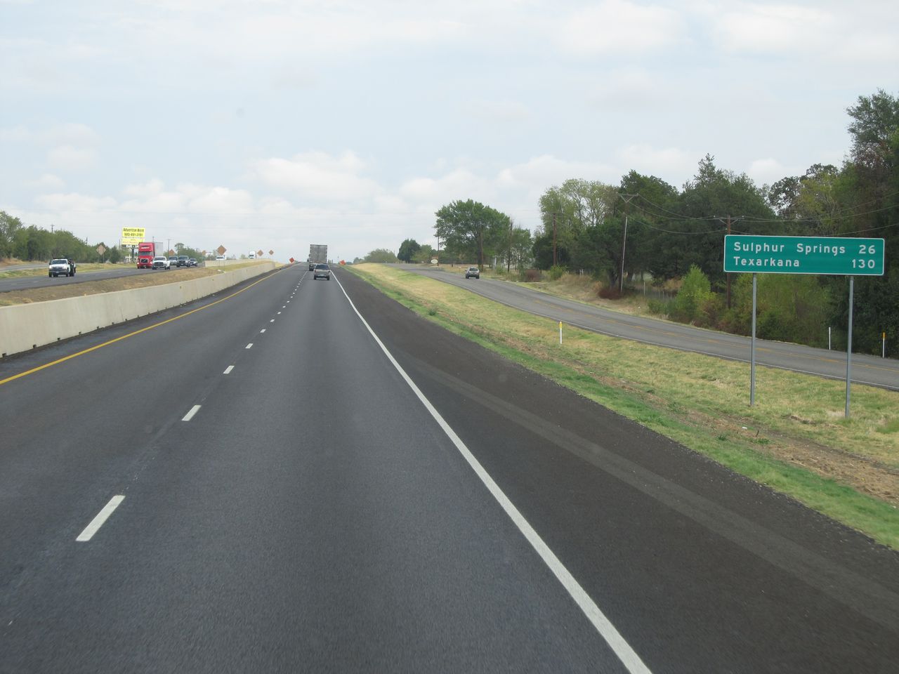 |
Mileage sign located near mile marker 99. It's 26 miles to Sulphur Springs and 130 miles to Texarkana. (Photo taken 9/22/11). |
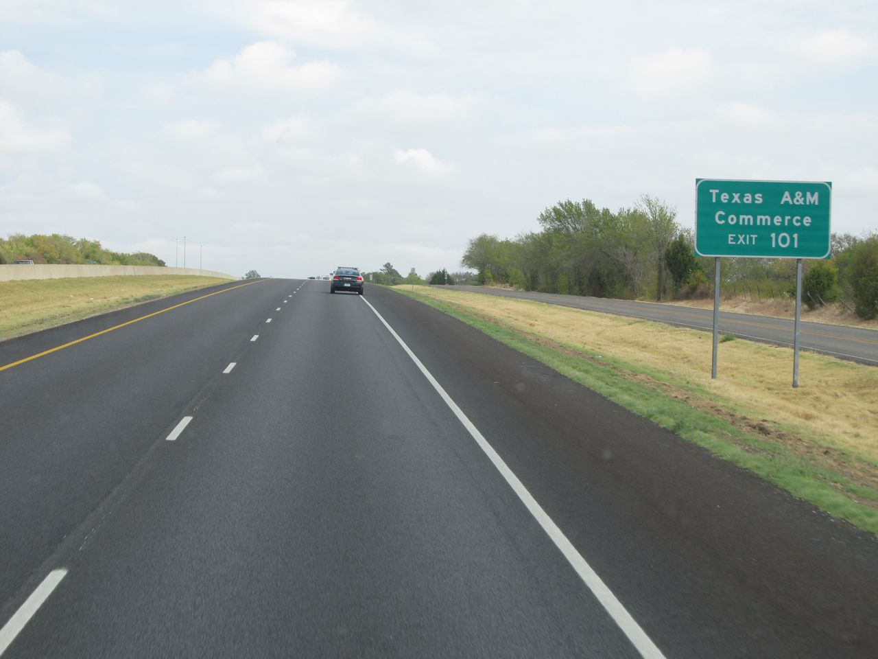 |
Take Exit 101 to Texas A&M Commerce. (Photo taken 9/22/11). |
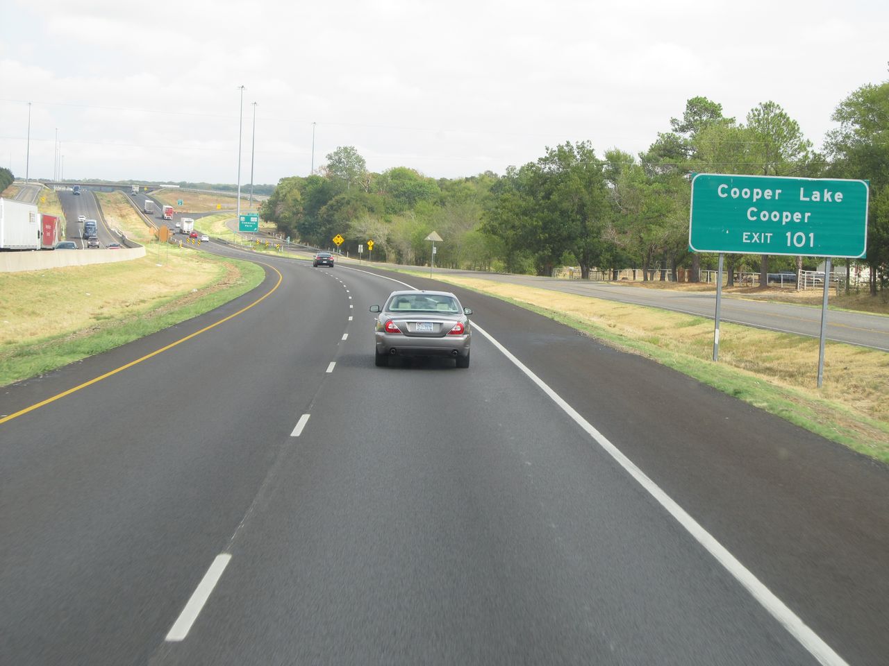 |
Also take Exit 101 to Cooper Lake and Cooper. (Photo taken 9/22/11). |
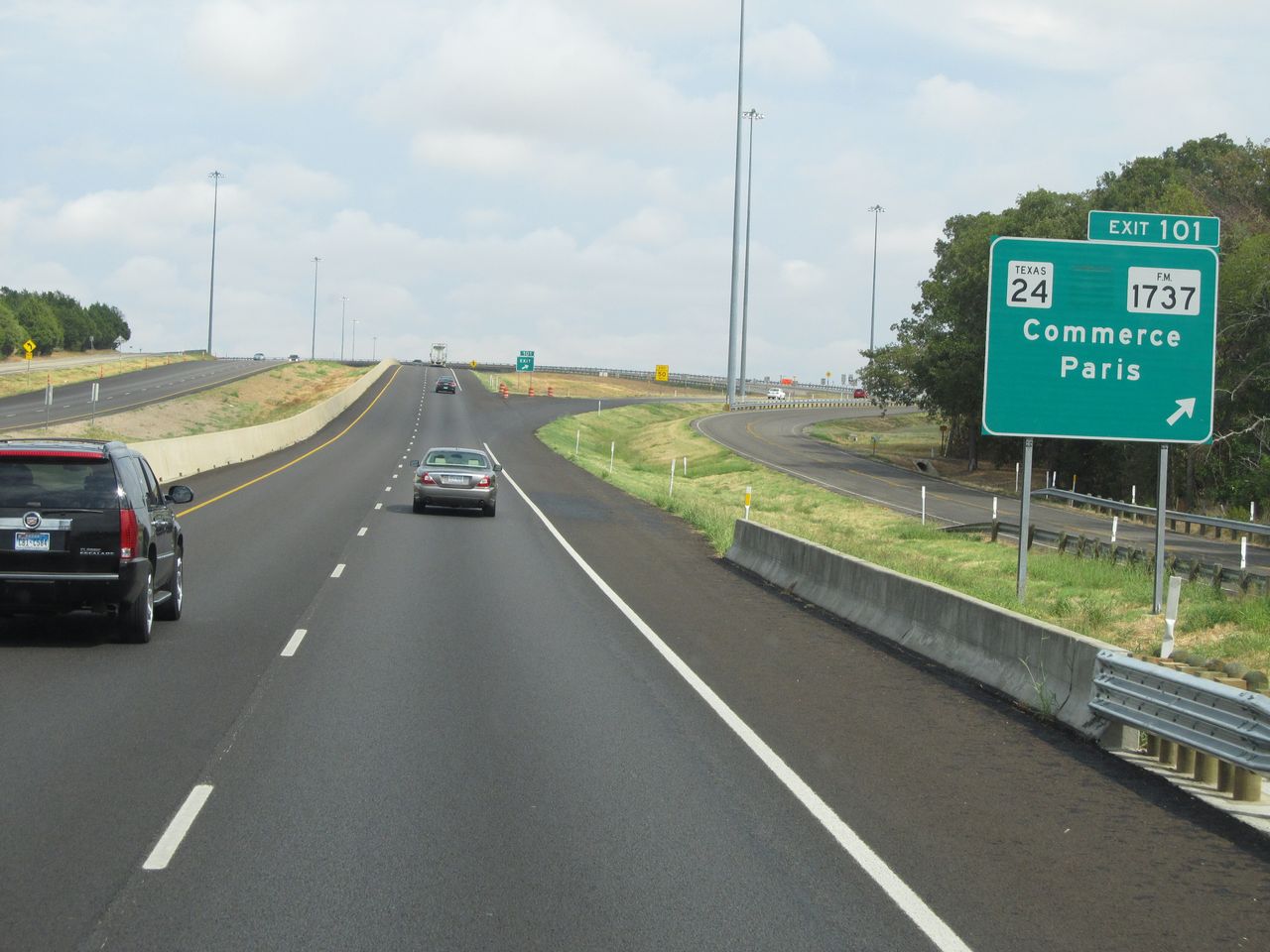 |
Interstate 30 East at Exit 101: TX 24 / FM 1737 - Commerce / Paris (Photo taken 9/22/11). |
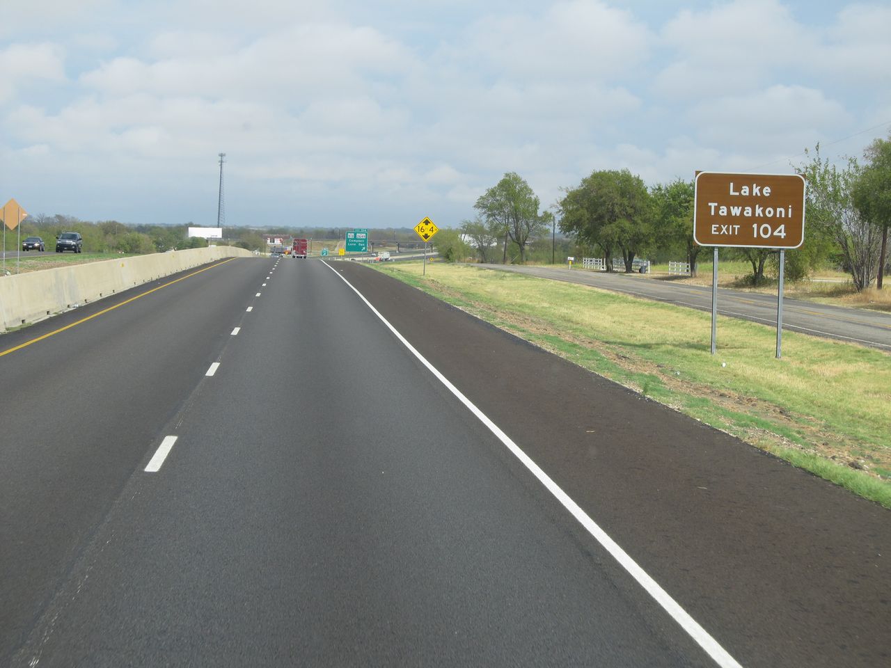 |
Take Exit 104 to Lake Tawakoni. (Photo taken 9/22/11). |
 |
Interstate 30 East at Exit 104: FM 513 / FM 2649 - Campbell / Lone Oak (Photo taken 9/22/11). |
 |
Interstate 30 East: Road view from mile marker 108. (Photo taken 9/22/11). |
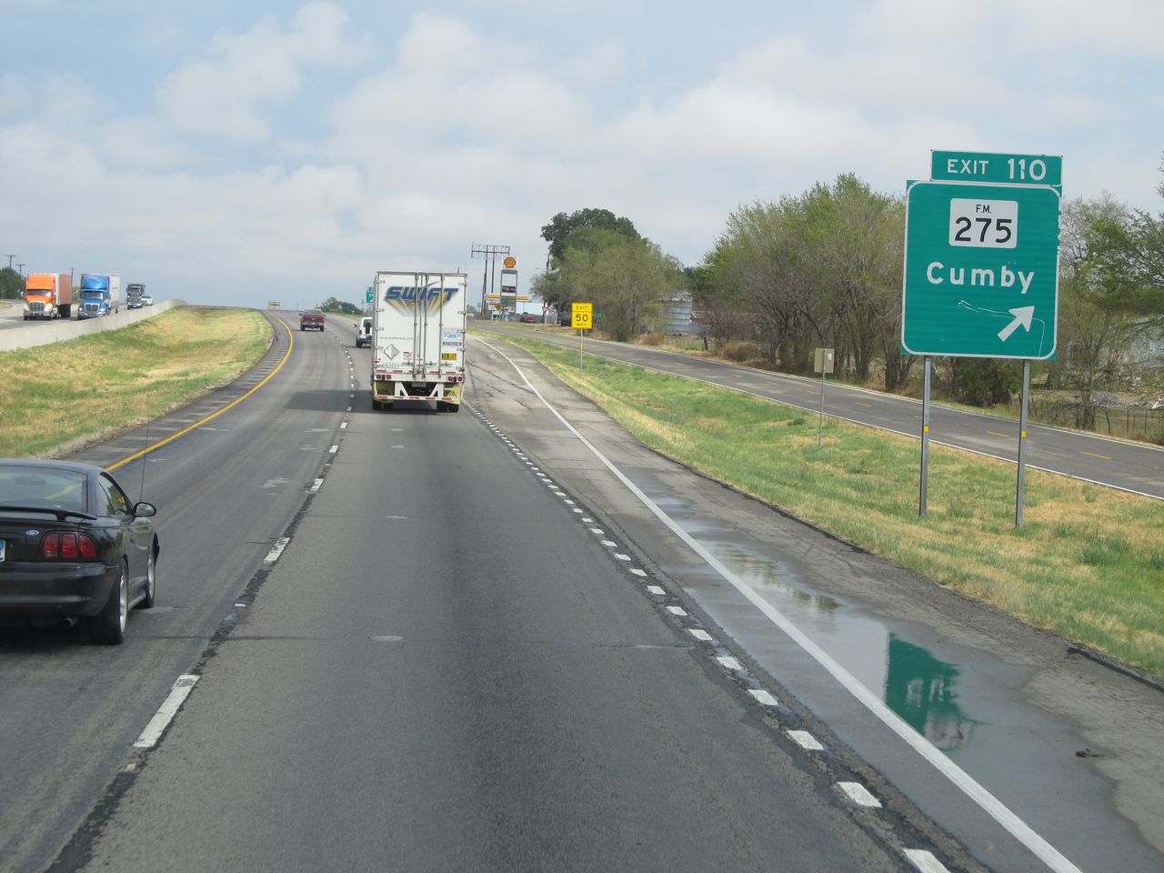 |
Interstate 30 East at Exit 110: FM 275 - Cumby (Photo taken 9/22/11). |
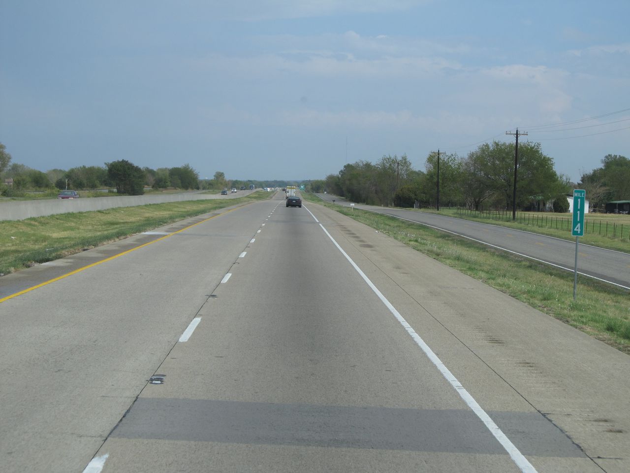 |
Interstate 30 East: Road view from mile marker 114. (Photo taken 9/22/11). |
 |
Interstate 30 East at Exit 116: FM 2653 - Brashear (Photo taken 9/22/11). |
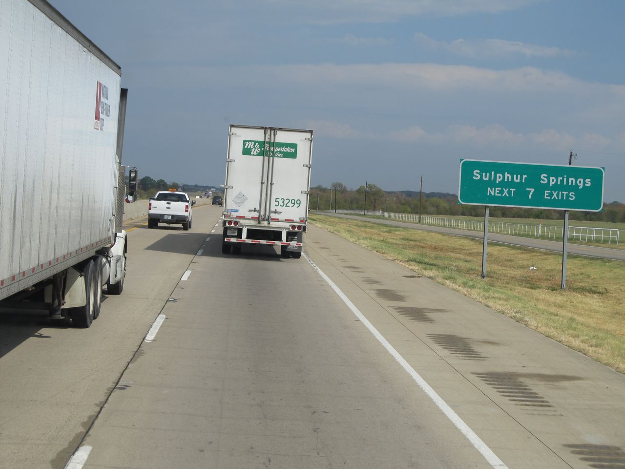 |
Take any of the next 7 exits to Sulphur Springs. (Photo taken 9/22/11). |
 |
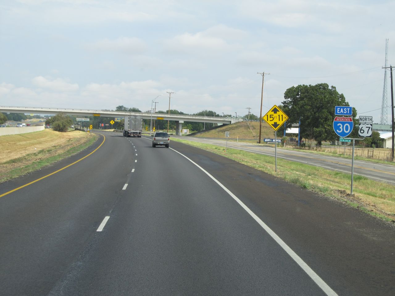
Interstate 30 East at Exit 120: US 67 BR (Photo taken 9/22/11). |
 |
Take Exit 122 to Paris and Emory. (Photo taken 9/22/11). |
 |
Also take Exit 122 to Cooper Lake State Park and Hopkins County Regional Civic Center. (Photo taken 9/22/11). |
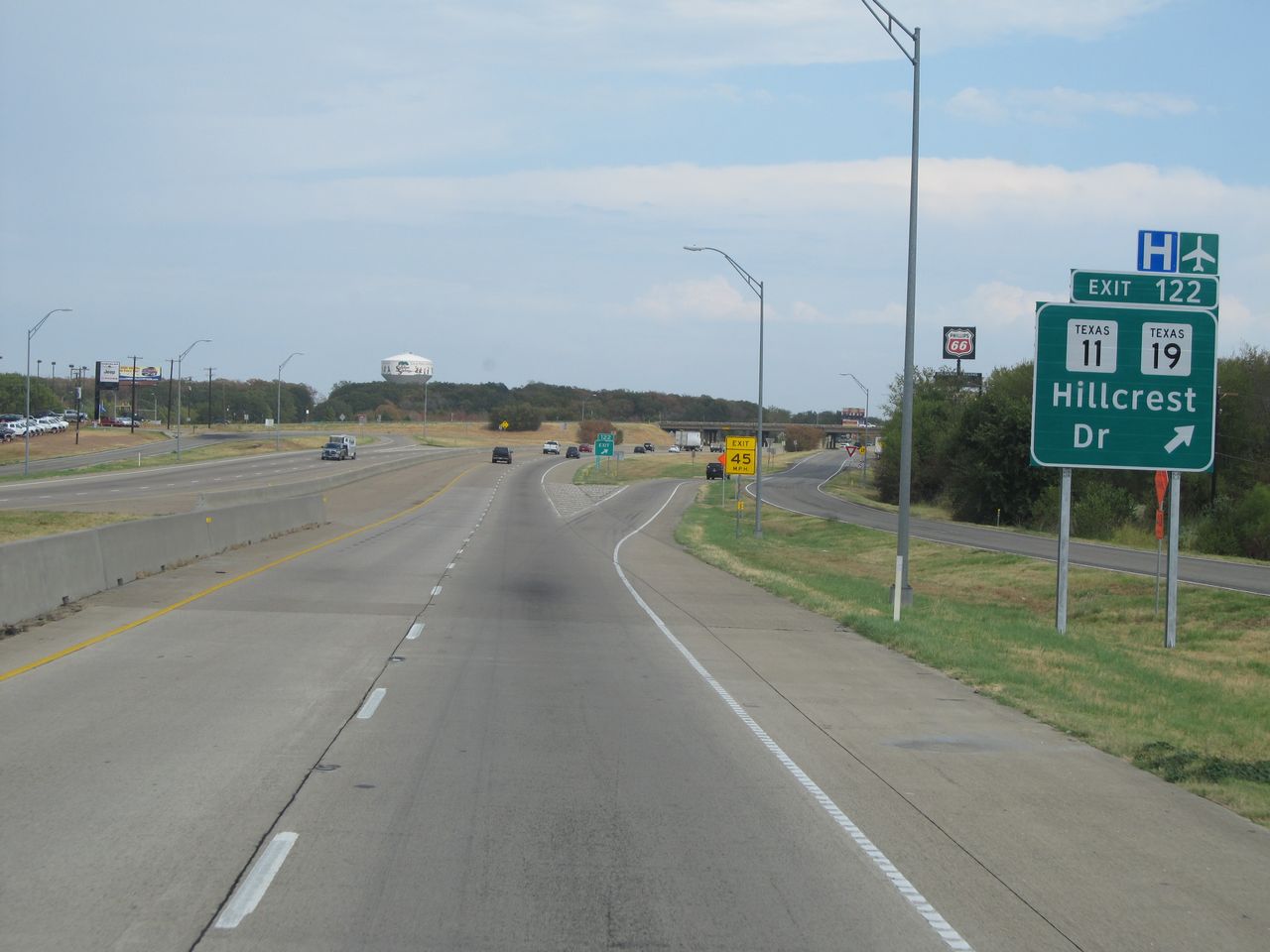 |
Interstate 30 East at Exit 122: TX 11 / TX 19 - Hillcrest Dr (Photo taken 9/22/11). |
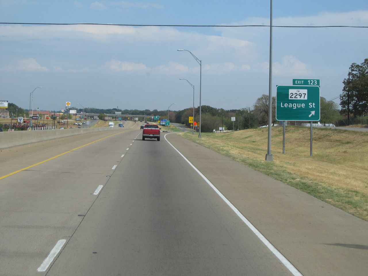 |
Interstate 30 East at Exit 123: FM 2297 - League St (Photo taken 9/22/11). |
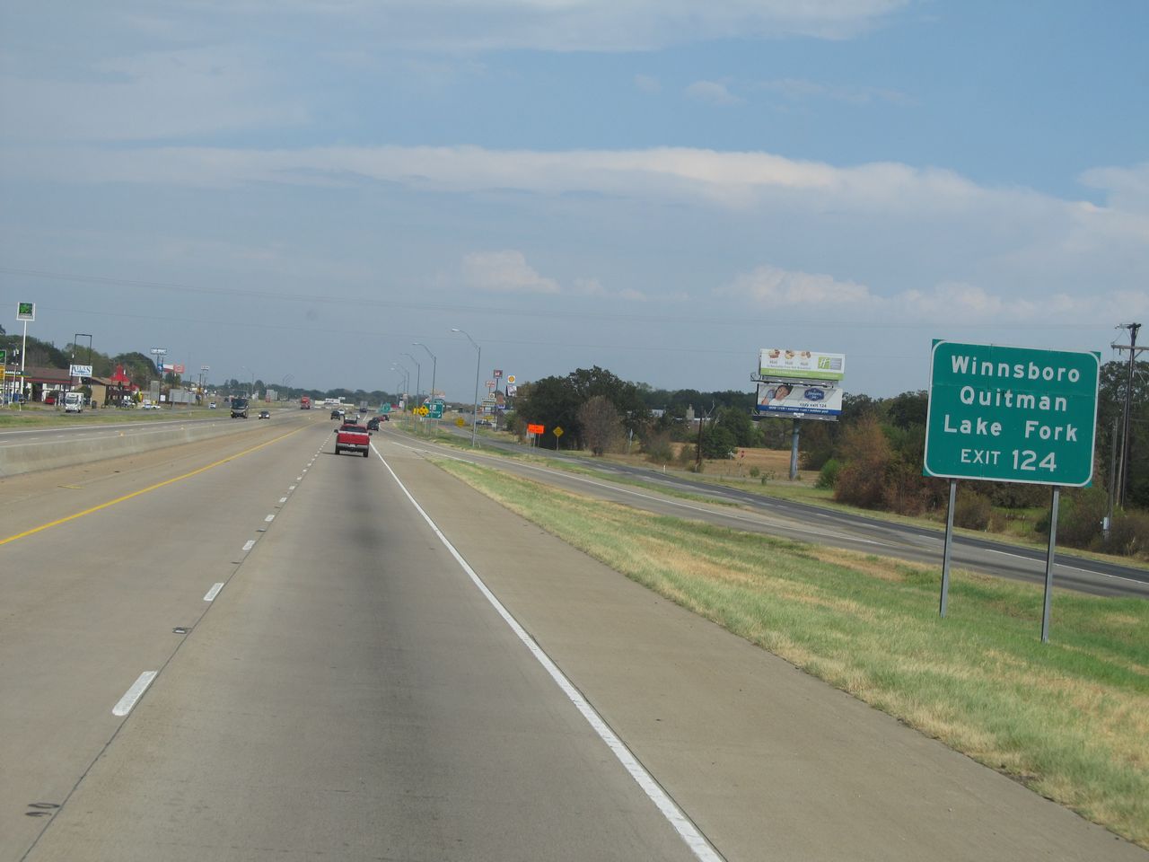 |
Take Exit 124 to Winnsboro, Quitman, and Lake Fork. (Photo taken 9/22/11). |
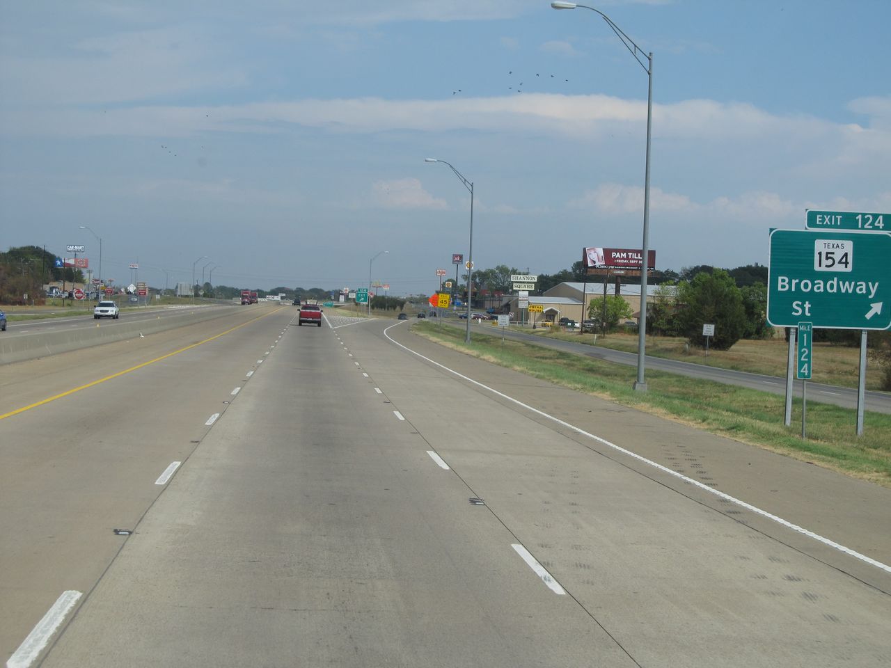 |
Interstate 30 East at Exit 124: TX 154 - Broadway St (Photo taken 9/22/11). |
 |
Interstate 30 East at Exit 125: Bill Bradford Rd (Photo taken 9/22/11). |
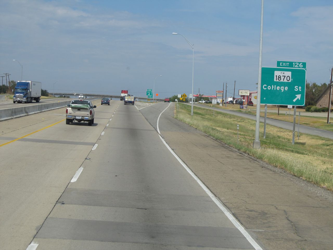 |
Interstate 30 East at Exit 125: FM 1870 - College St (Photo taken 9/22/11). |
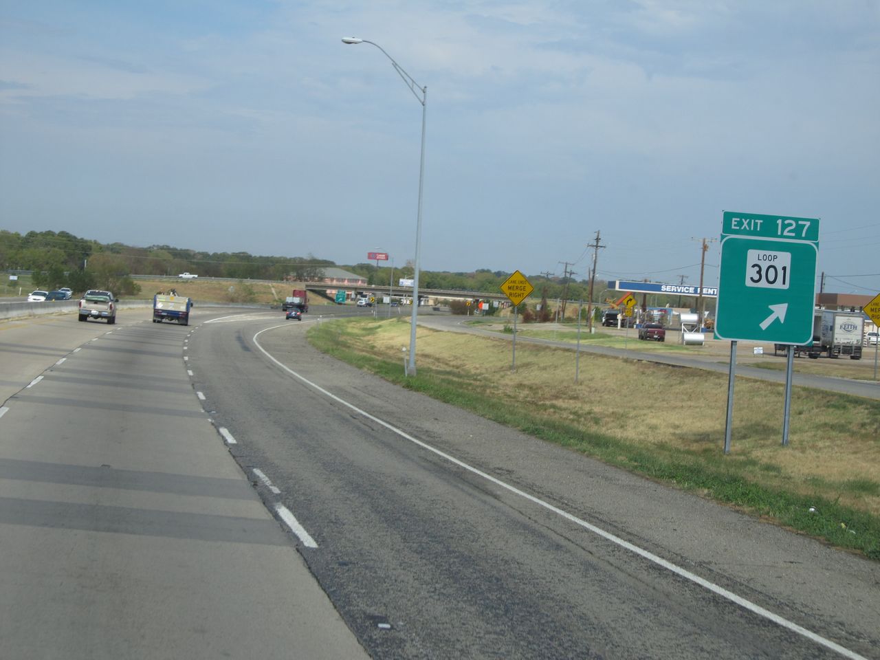 |
Interstate 30 East at Exit 127: TX Loop 301 (Photo taken 9/22/11). |
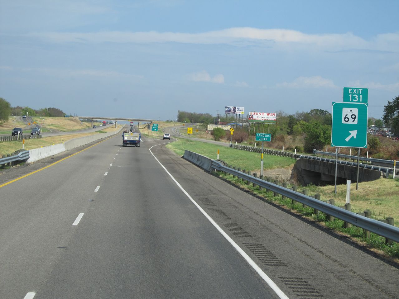 |
Interstate 30 East at Exit 131: FM 69 (Photo taken 9/22/11). |
 |
Interstate 30 East at Exit 135: US 67 North (Photo taken 9/22/11). |
 |
Interstate 30 East at Exit 136: FM 269 - Weaver Rd (Photo taken 9/22/11). |
 |
Interstate 30 East shield located near mile marker 137. (Photo taken 9/22/11). |
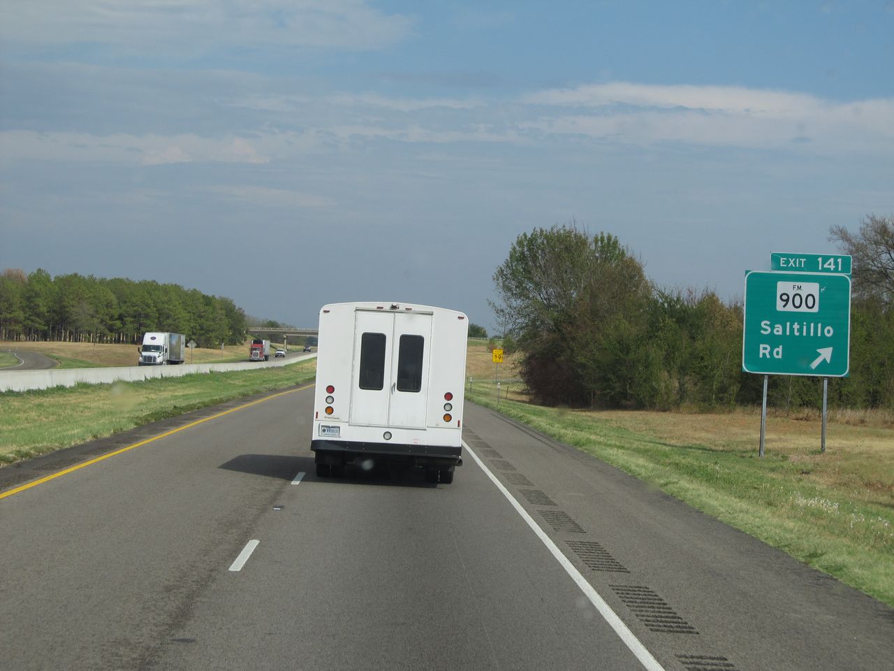 |
Interstate 30 East at Exit 141: FM 900 - Saltillo Rd (Photo taken 9/22/11). |
 |
Interstate 30 East at Exit 143: County Line Rd (Photo taken 9/22/11). |
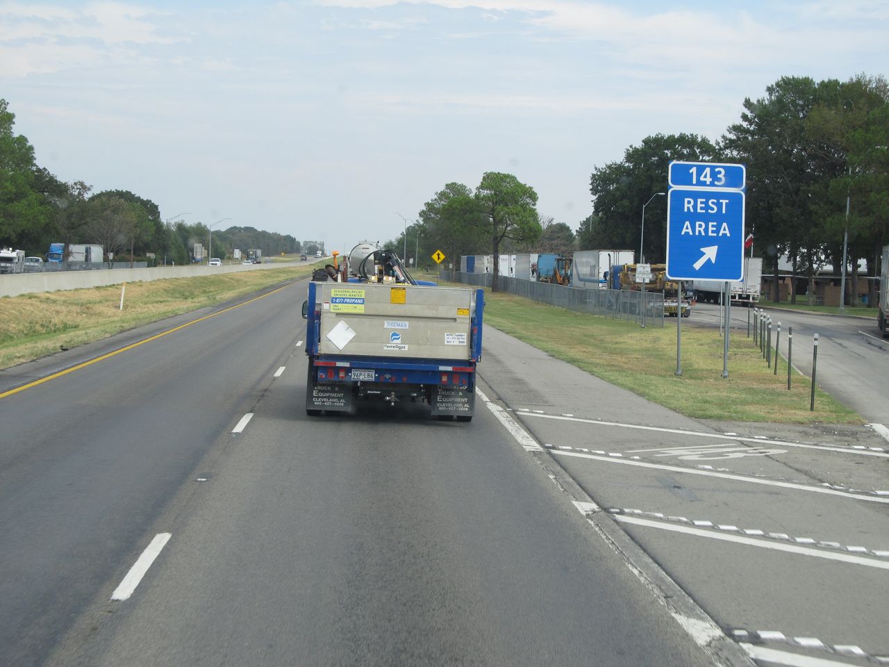 |
Interstate 30 East at the Rest Area located at mile marker 143. (Photo taken 9/22/11). |
 |
Take Exit 146 to Lake Bob Sandlin State Park and Lake Cypress Springs. (Photo taken 9/22/11). |
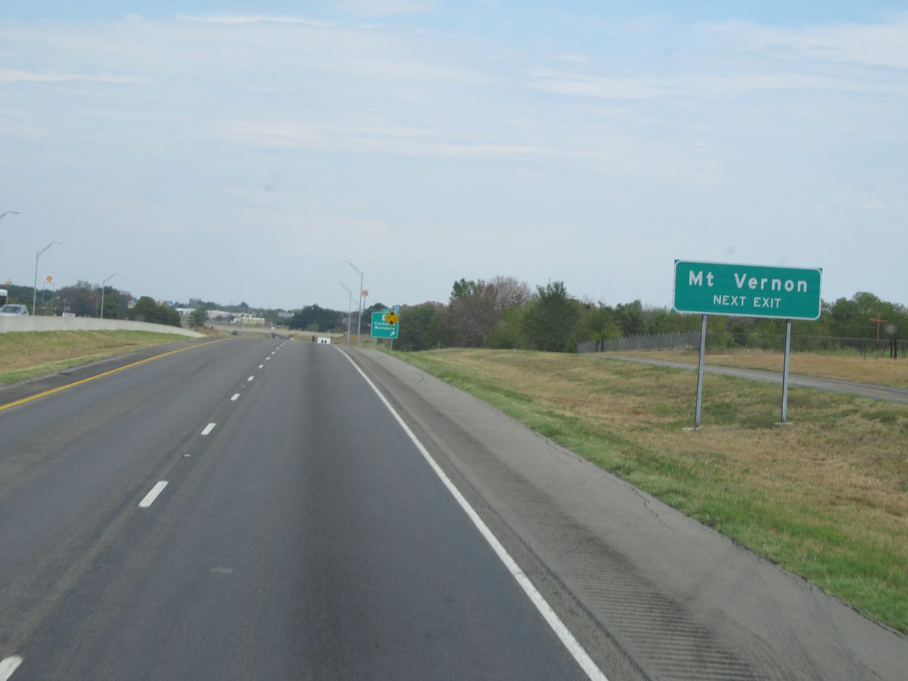 |
Also take the next exit (Exit 146) to Mt. Vernon. (Photo taken 9/22/11). |
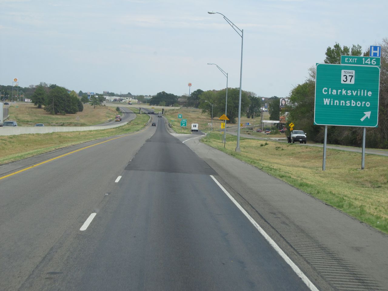 |
Interstate 30 East at Exit 146: TX 37 - Clarksville / Winnsboro (Photo taken 9/22/11). |
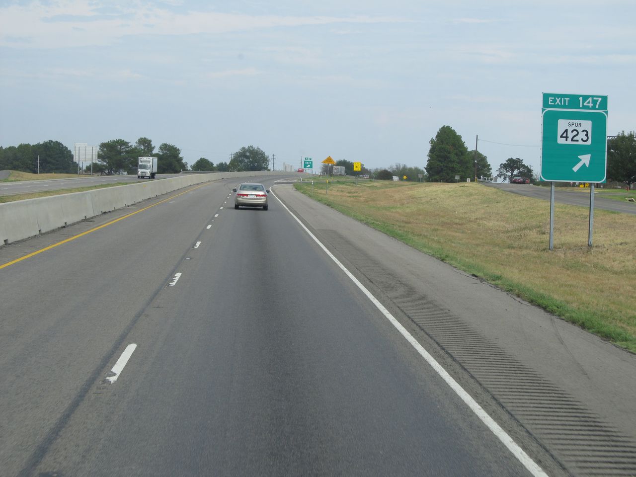 |
Interstate 30 East at Exit 147: TX Spur 423 (Photo taken 9/22/11). |
 |
Interstate 30 East shield located near mile marker 148. (Photo taken 9/22/11). |
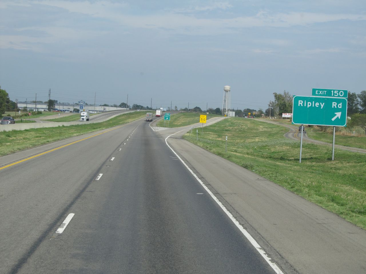 |
Interstate 30 East at Exit 150: Ripley Rd (Photo taken 9/22/11). |
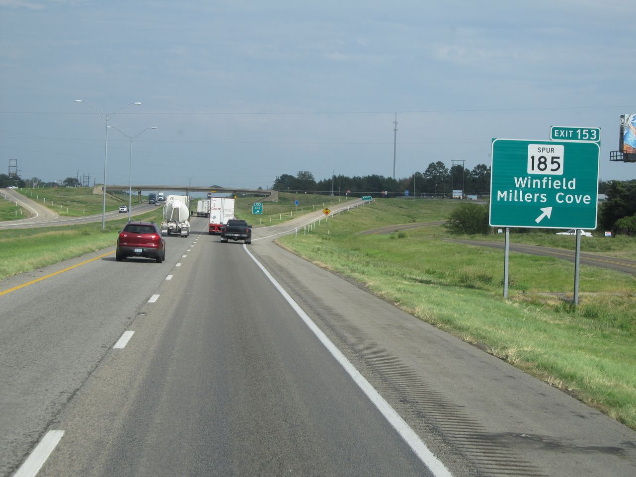 |
Interstate 30 East at Exit 153: TX Spur 185 - Winfield / Millers Cove (Photo taken 9/22/11). |
 |
Interstate 30 East at Exit 156: Frontage Rd (Photo taken 9/22/11). |
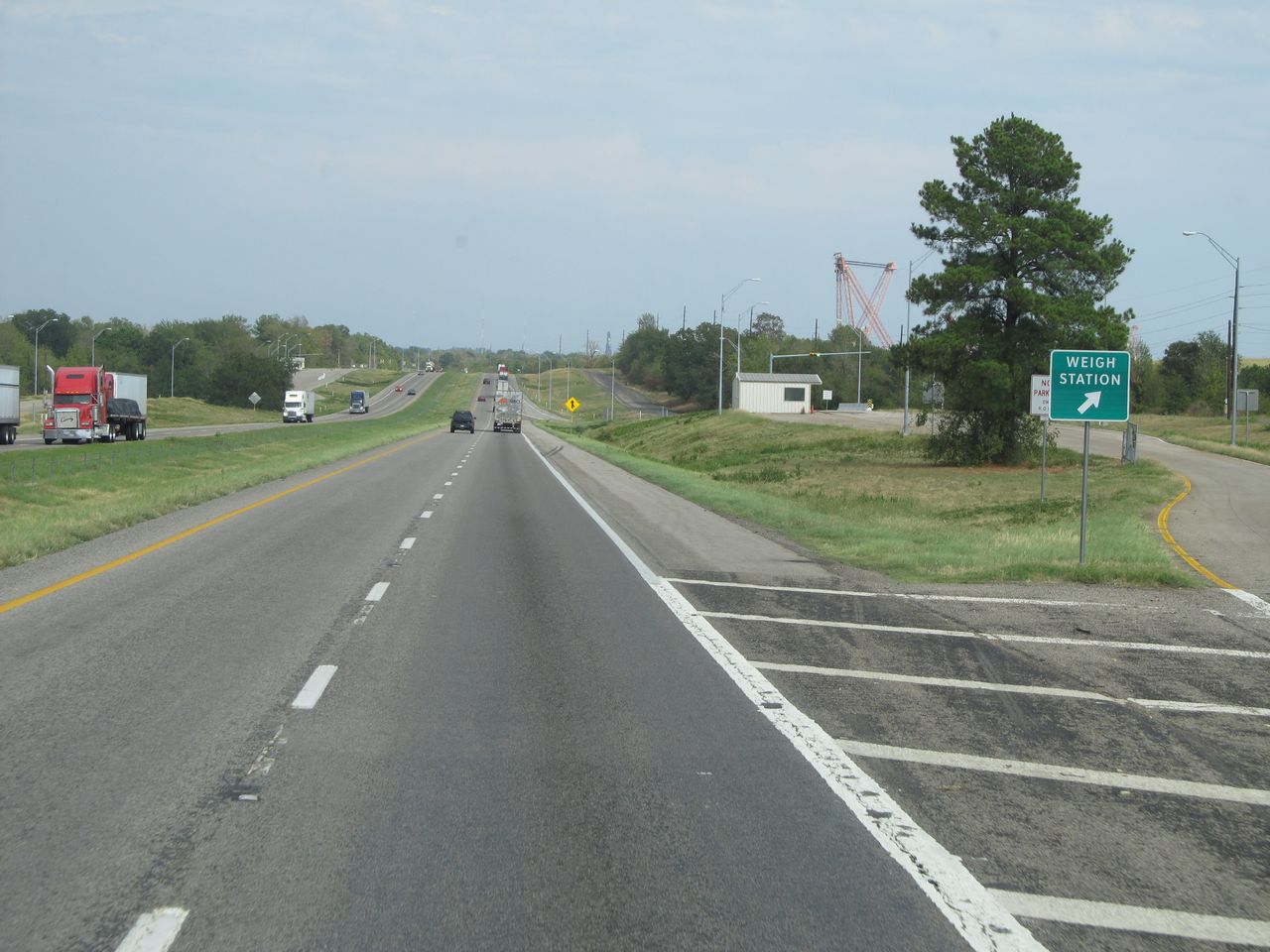 |
Interstate 30 East at the Weigh Station located near mile marker 158. (Photo taken 9/22/11). |
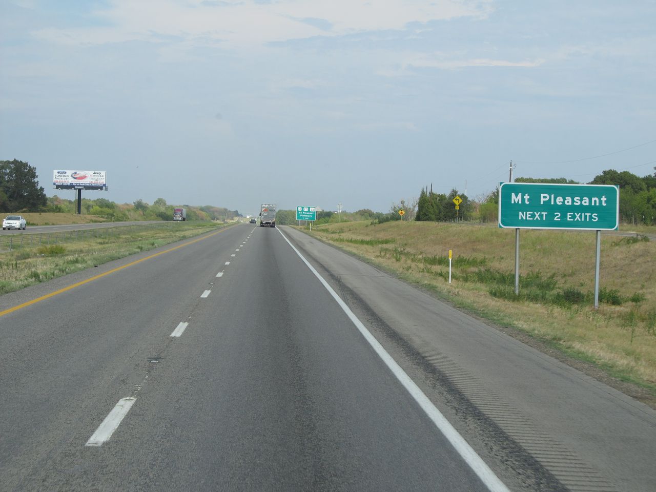 |
Take either of the next 2 exits to Mt. Pleasant. (Photo taken 9/22/11). |
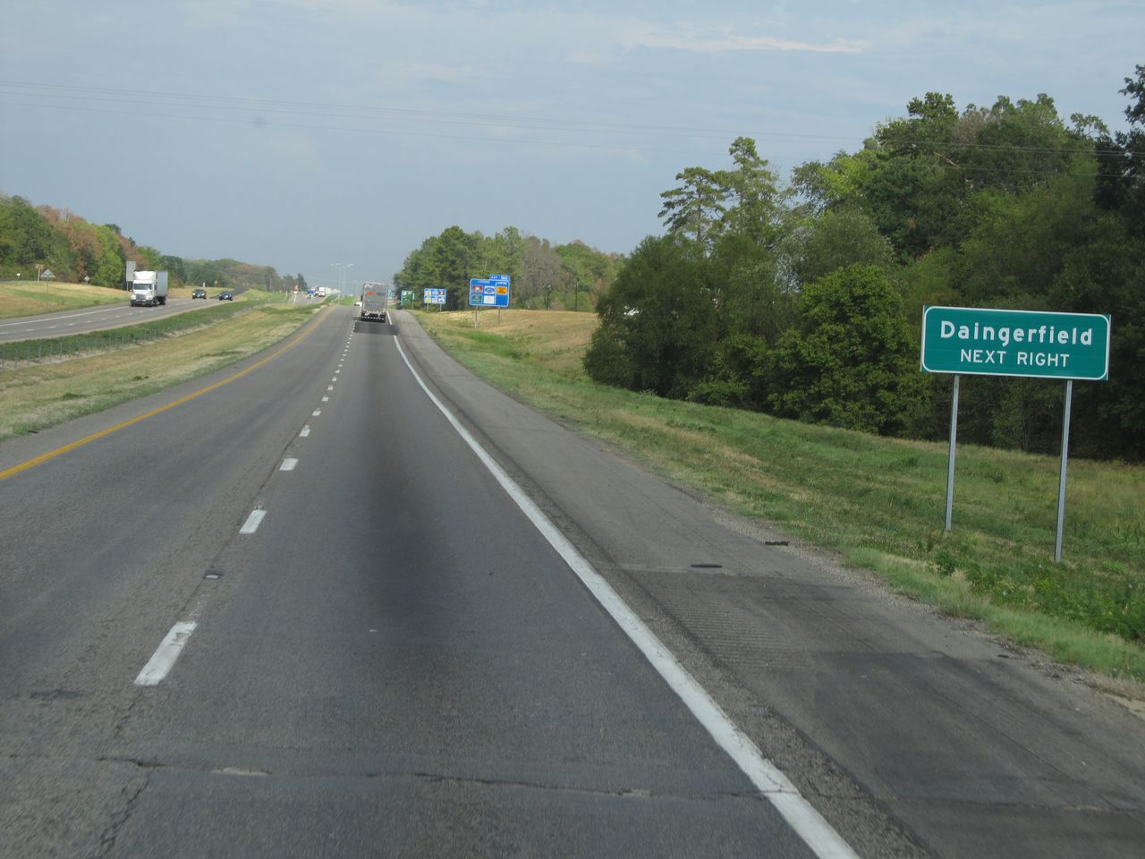 |
You can take the next exit (Exit 160) to Daingerfield. (Photo taken 9/22/11). |
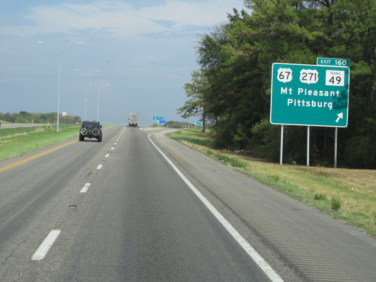 |
Interstate 30 East at Exit 160: US 67 / US 271 / TX 49 - Mt. Pleasant / Pittsburg (Photo taken 9/22/11). |
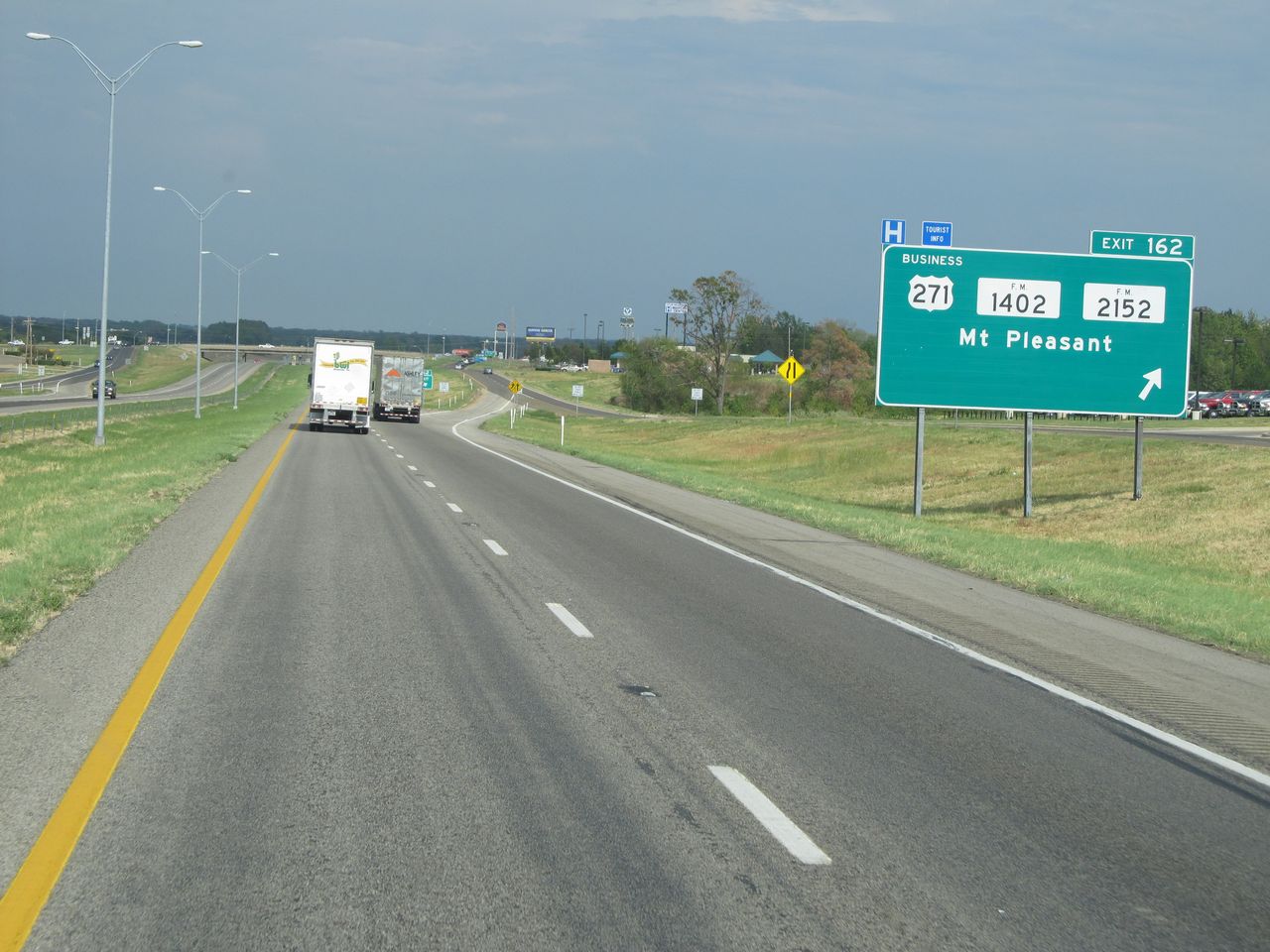 |
Interstate 30 East at Exit 162: US 271 BR / FM 1402 / FM 2152 - Mt. Pleasant (Photo taken 9/22/11). |
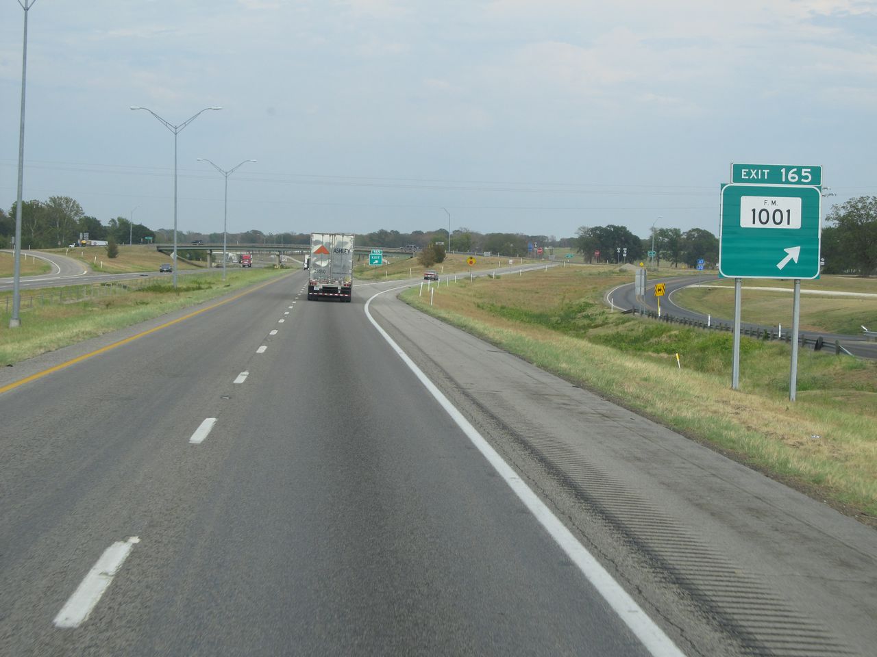 |
Interstate 30 East at Exit 165: FM 1001 (Photo taken 9/22/11). |
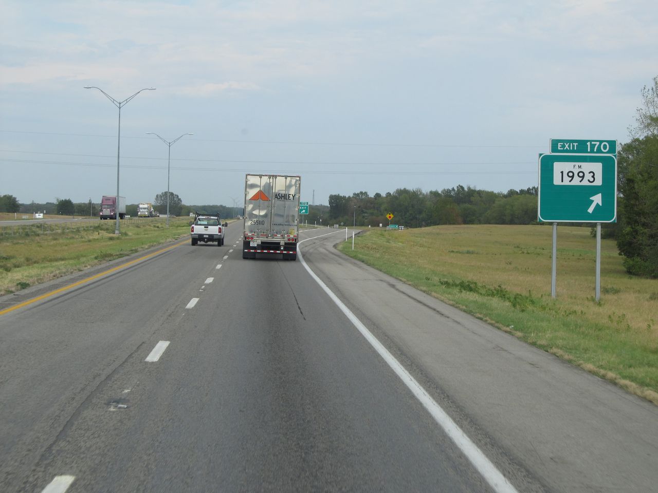 |
Interstate 30 East at Exit 170: FM 1993 (Photo taken 9/22/11). |
 |
Interstate 30 East: Road view from mile marker 175. (Photo taken 9/22/11). |
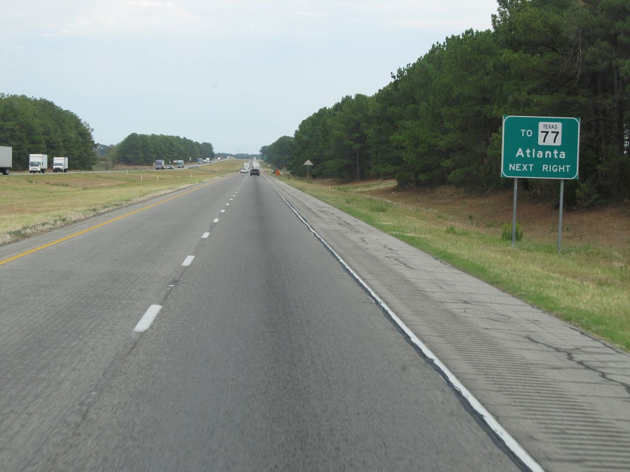 |
Take the next exit (Exit 178) to TX 77 toward Atlanta. (Photo taken 9/22/11). |
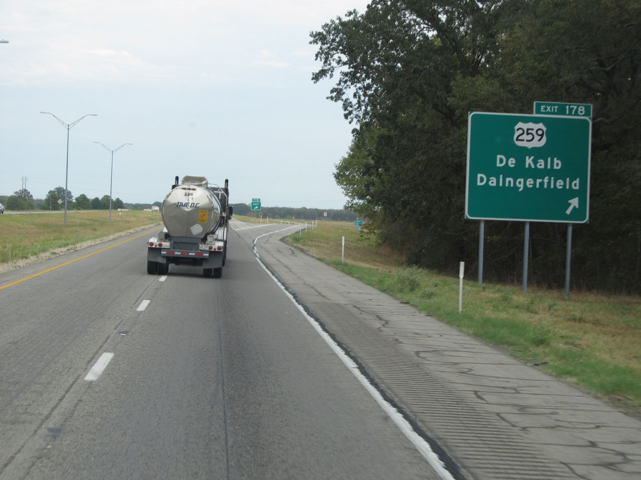 |
Interstate 30 East at Exit 178: US 259 - DeKalb / Daingerfield (Photo taken 9/22/11). |
 |
Interstate 30 East: Road view from mile marker 180. (Photo taken 9/22/11). |
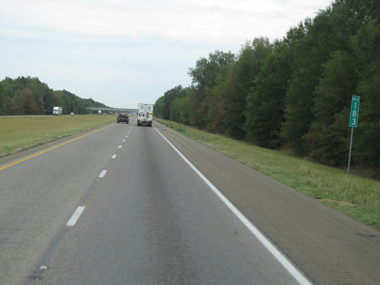 |
Interstate 30 East: Road view from mile marker 183. (Photo taken 9/22/11). |
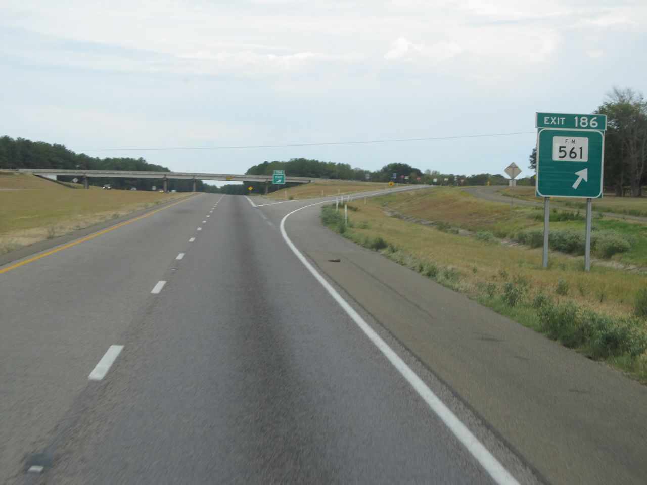 |
Interstate 30 East at Exit 186: FM 561 (Photo taken 9/22/11). |
 |
Interstate 30 East: Road view from mile marker 189. (Photo taken 9/22/11). |
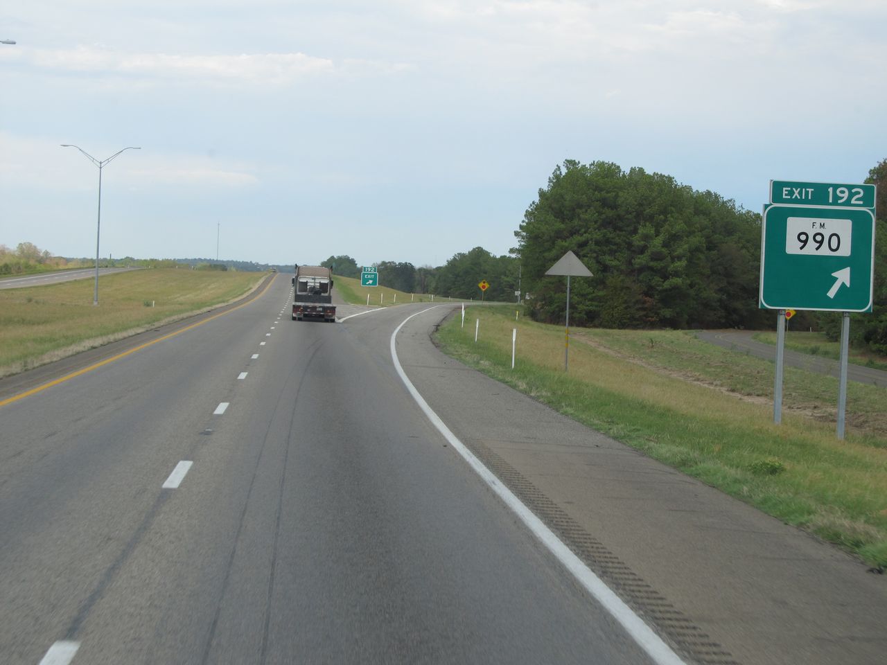 |
Interstate 30 East at Exit 192: FM 990 (Photo taken 9/22/11). |
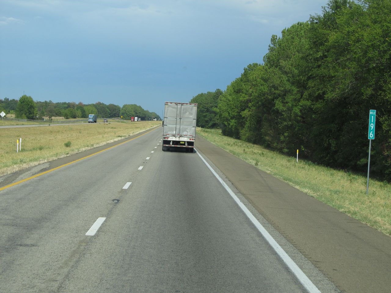 |
Interstate 30 East: Road view from mile marker 196. (Photo taken 9/22/11). |
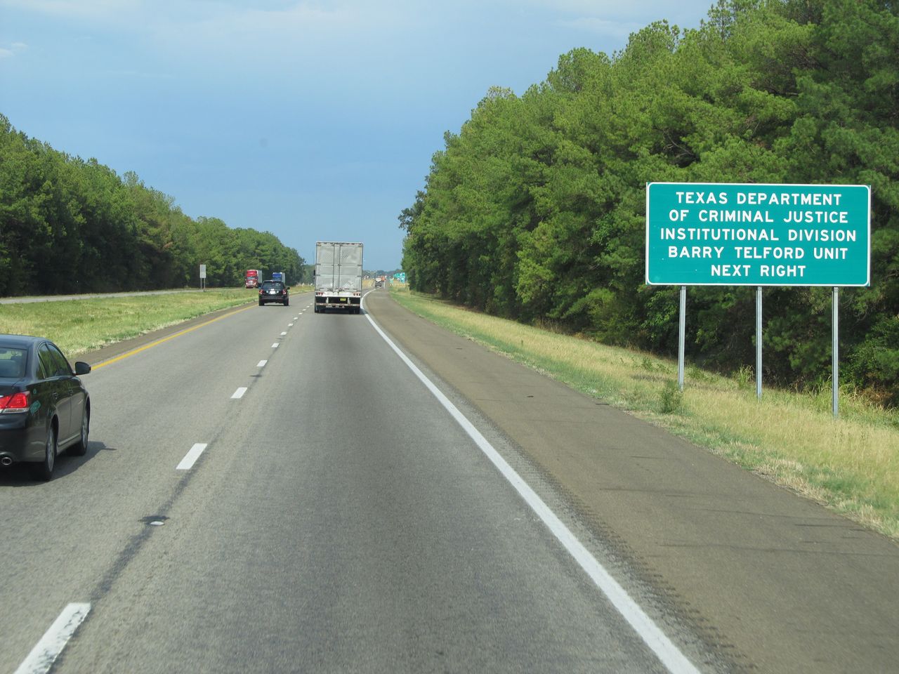 |
Take the next exit (Exit 198) to Texas Department of Criminal Justice Institutional Division Barry Telford Unit. (Photo taken 9/22/11). |
 |
Interstate 30 East at Exit 198: TX 98 (Photo taken 9/22/11). |
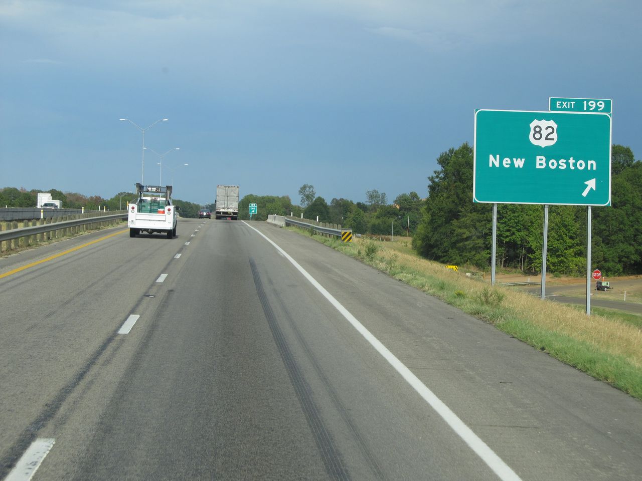 |
Interstate 30 East at Exit 199: US 82 - New Boston (Photo taken 9/22/11). |
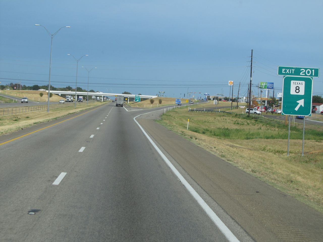 |
Interstate 30 East at Exit 201: TX 8 (Photo taken 9/22/11). |
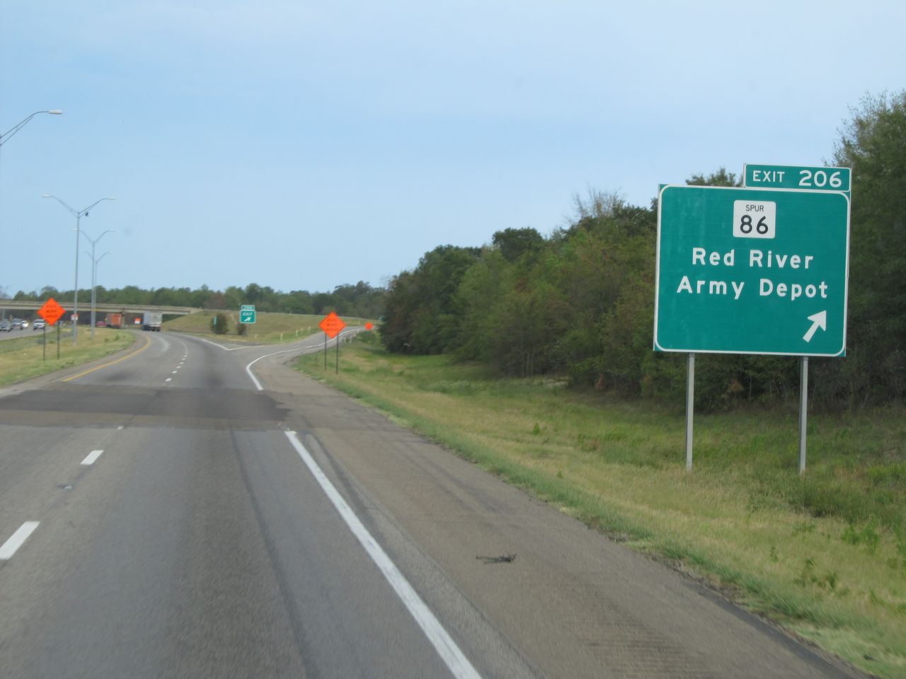 |
Interstate 30 East at Exit 206: TX Spur 86 - Red River Army Depot (Photo taken 9/22/11). |
 |
Interstate 30 East approaching Exit 208 - 3/4 mile. (Photo taken 9/22/11). |
 |
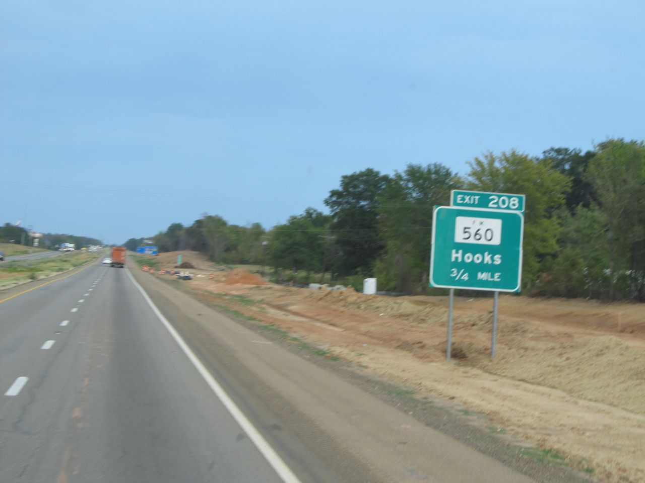
Interstate 30 East at Exit 208: FM 560 - Hooks (Photo taken 9/22/11). |
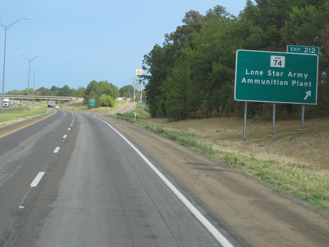 |
Interstate 30 East at Exit 212: TX Spur 74 - Lone Star Army Ammunition Plant (Photo taken 9/22/11). |
 |
Interstate 30 East at Exit 213: FM 2253 - Leary (Photo taken 9/22/11). |
 |
Interstate 30 East at Exit 218: FM 989 - Kings Hwy (Photo taken 9/22/11). |
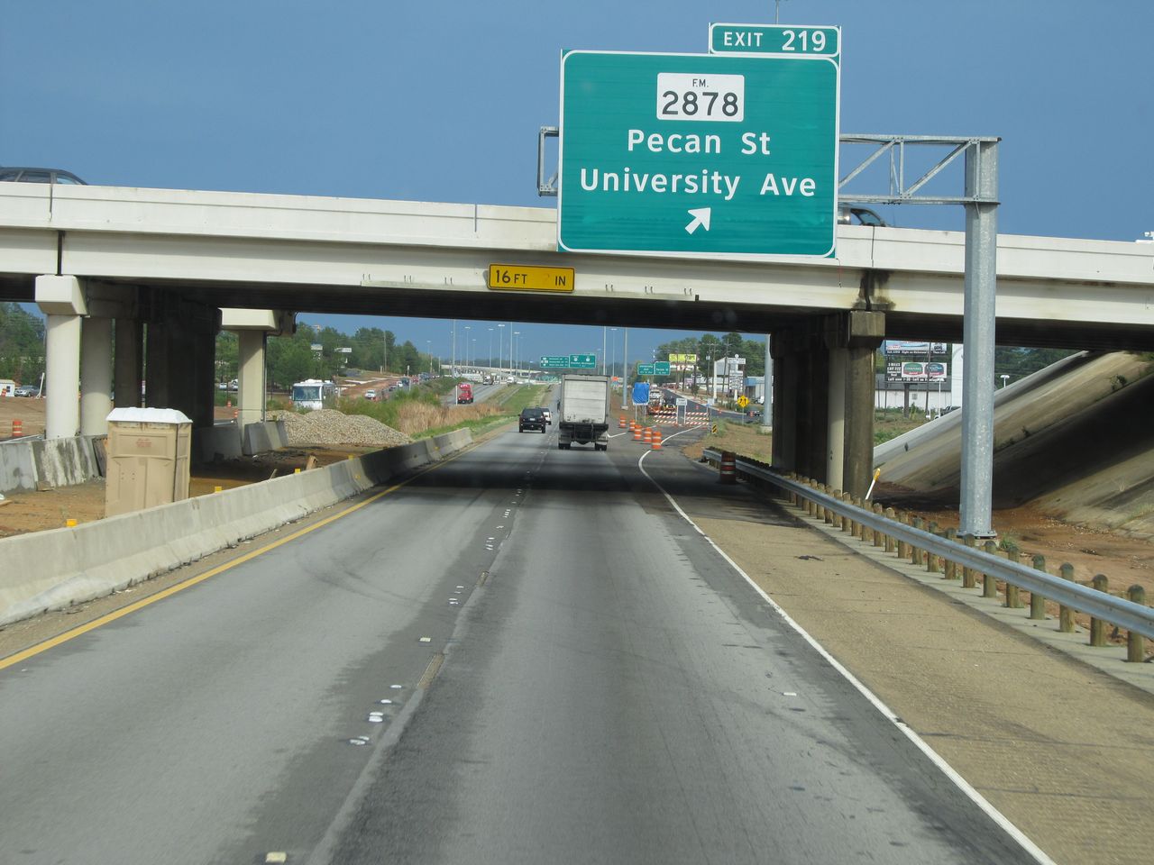 |
Interstate 30 East at Exit 219: FM 2878 - Pecan St / University Ave (Photo taken 9/22/11). |
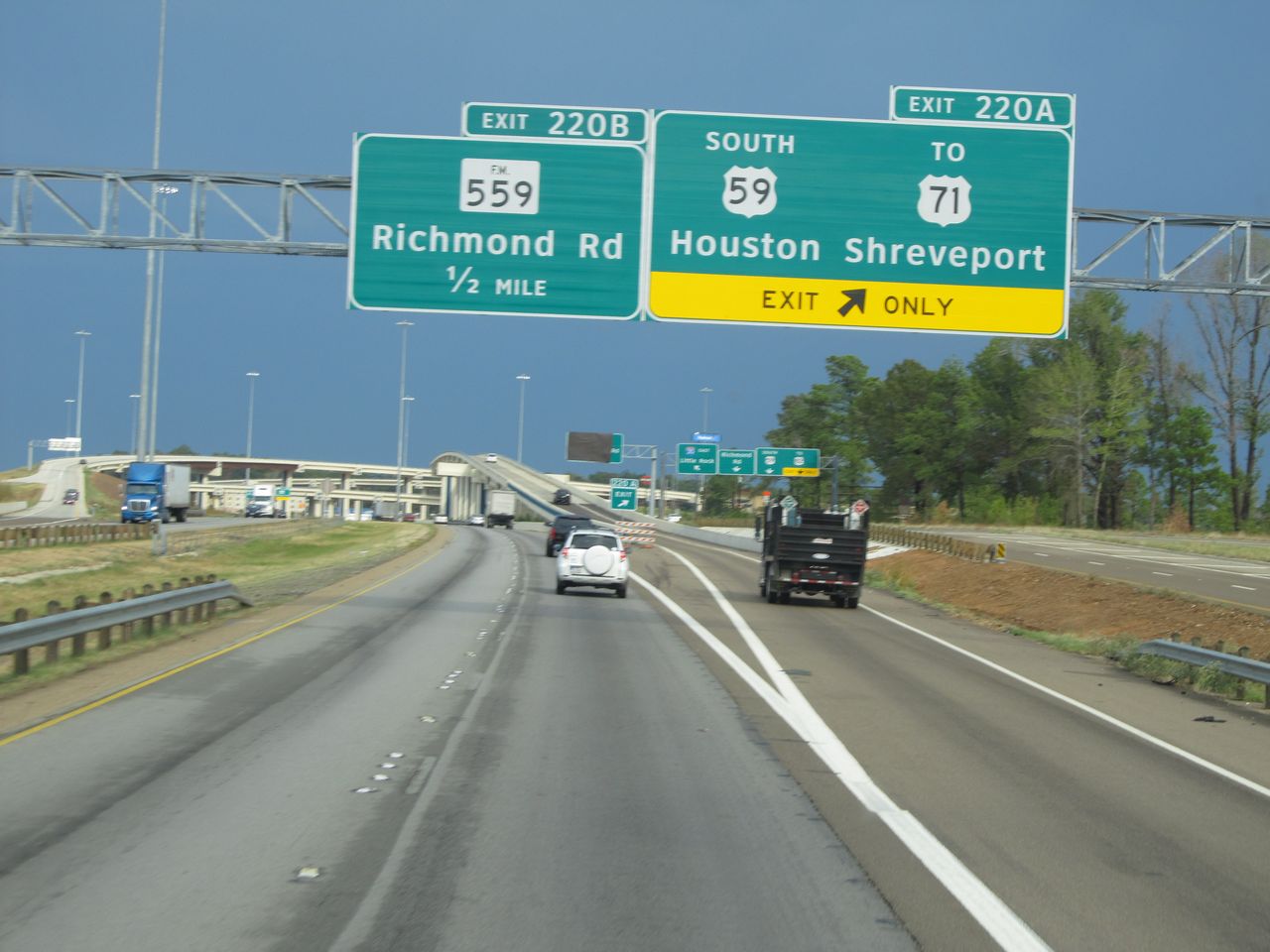 |
Interstate 30 East at Exit 220A: US 59 South / To US 71 - Houston / Shreveport (Photo taken 9/22/11). |
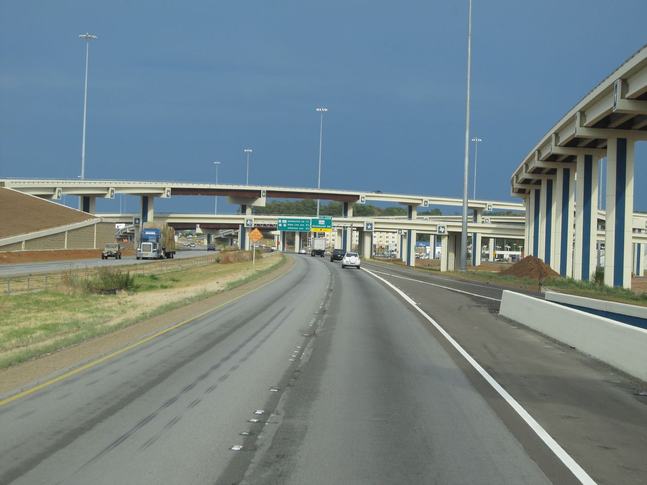 |
Interstate 30 East: Road view from near mile marker 220. (Photo taken 9/22/11). |
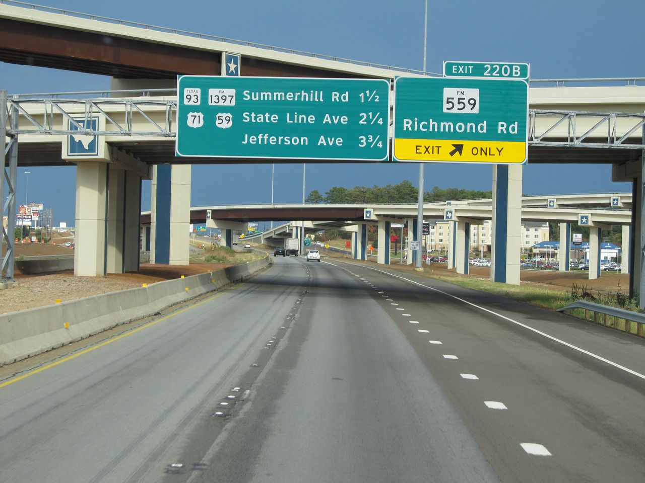 |
Interstate 30 East at Exit 220B: FM 559 - Richmond Rd (Photo taken 9/22/11). |
|
Interstate 30 East at Exit 222: TX 93 / FM 1397 - Summerhill Rd (Photo taken 9/22/11). |
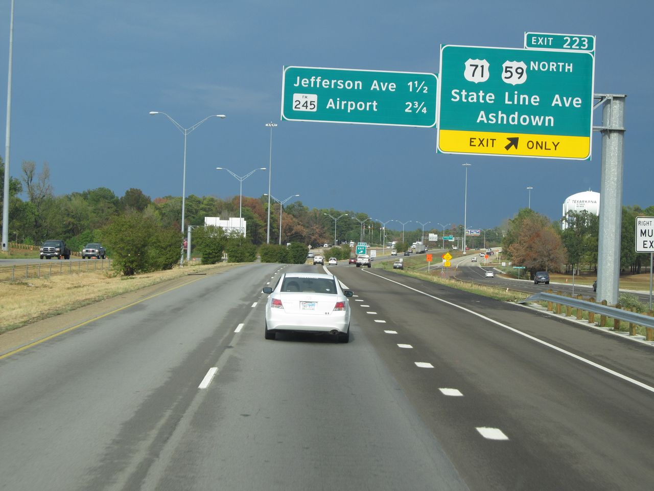 |
Interstate 30 East at Exit 223: US 71 / US 59 North - State Line Ave / Ashdown. This is the final exit before crossing the state line into Arkansas. (Photo taken 9/22/11). |