Road Information |
||
 |
||
| Total Mileage in State: | 121 miles | |
| Northern End: | At Kentucky state line | |
| Southern End: | At Alabama state line | |
| Mileage covered in Photos: | 121 miles | |
| Counties covered in Photos: | Robertson, Sumner, Davidson, Williamson, Maury, Marshall, Giles | |
| Major Junctions in Photos: | I-24, in Nashville I-40, in Nashville I-440, in Nashville I-840, in Franklin |
|
| Control Cities in Photos: | Goodlettsville, Nashville, Franklin, Columbia | |
Southbound
- Section 1: Kentucky Border to Nashville (Exit 84A)
- Section 2: Nashville (Exit 84A) to Columbia (Exit 46)
- Section 3: Columbia (Exit 46) to Alabama Border
Section 1: Kentucky Border to Nashville (Exit 84A)
 |
Entering Tennessee from Kentucky on Interstate 65 South. (Photo taken 8/11/19). |
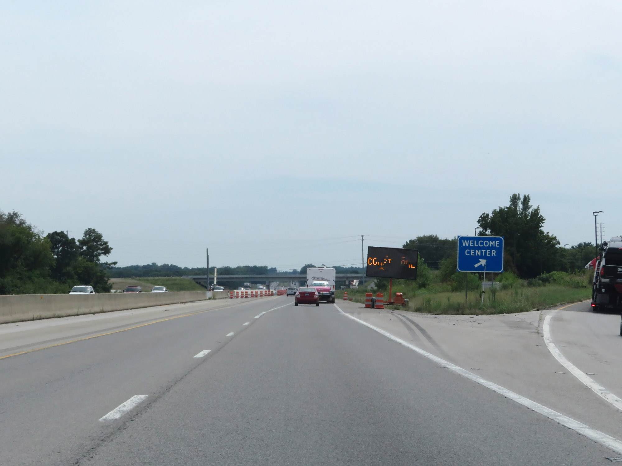 |
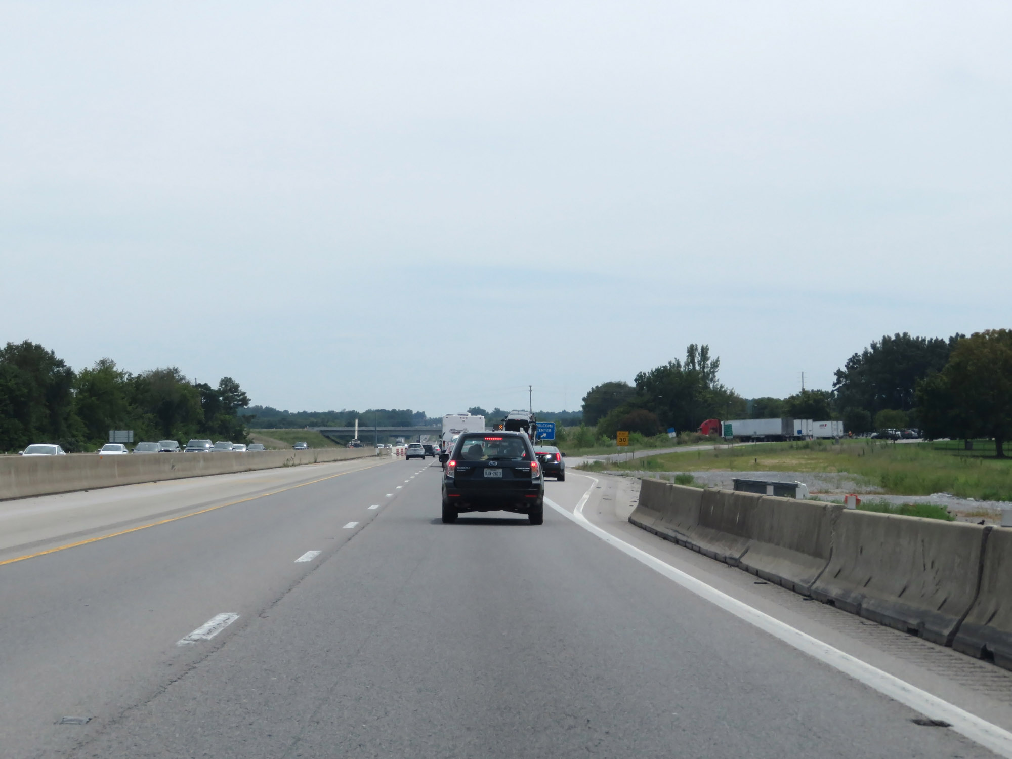
Tennessee Welcome Center / Rest Area on Interstate 65 South in Robertson County. (Photo taken 8/11/19). |
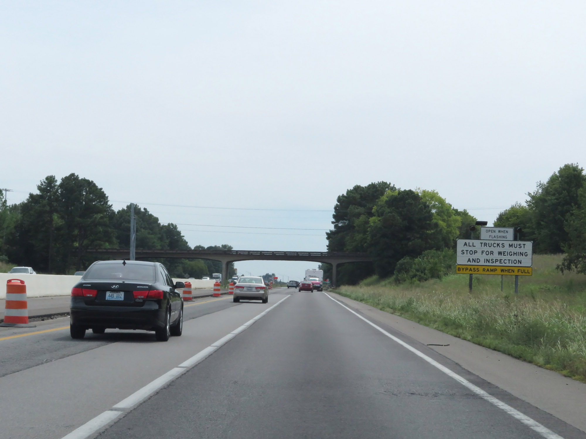 |
When the lights on this sign are flashing, it means the Weigh Station ahead is open and all trucks must enter. (Photo taken 8/11/19). |
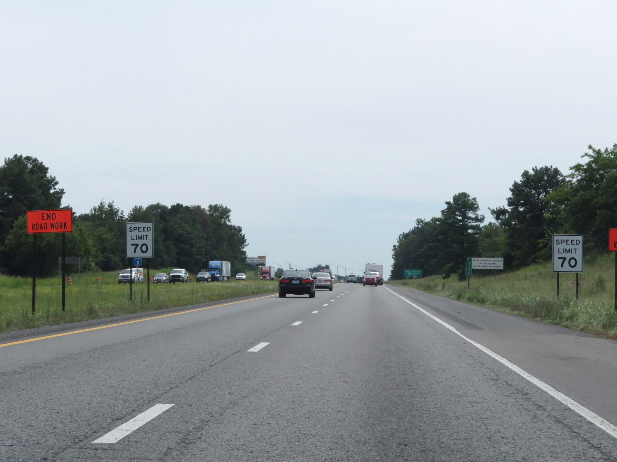 |
The speed limit on Interstate 65 South starts out at 70 mph, which is the standard speed limit on most rural Interstate highways in Tennessee. (Photo taken 8/11/19). |
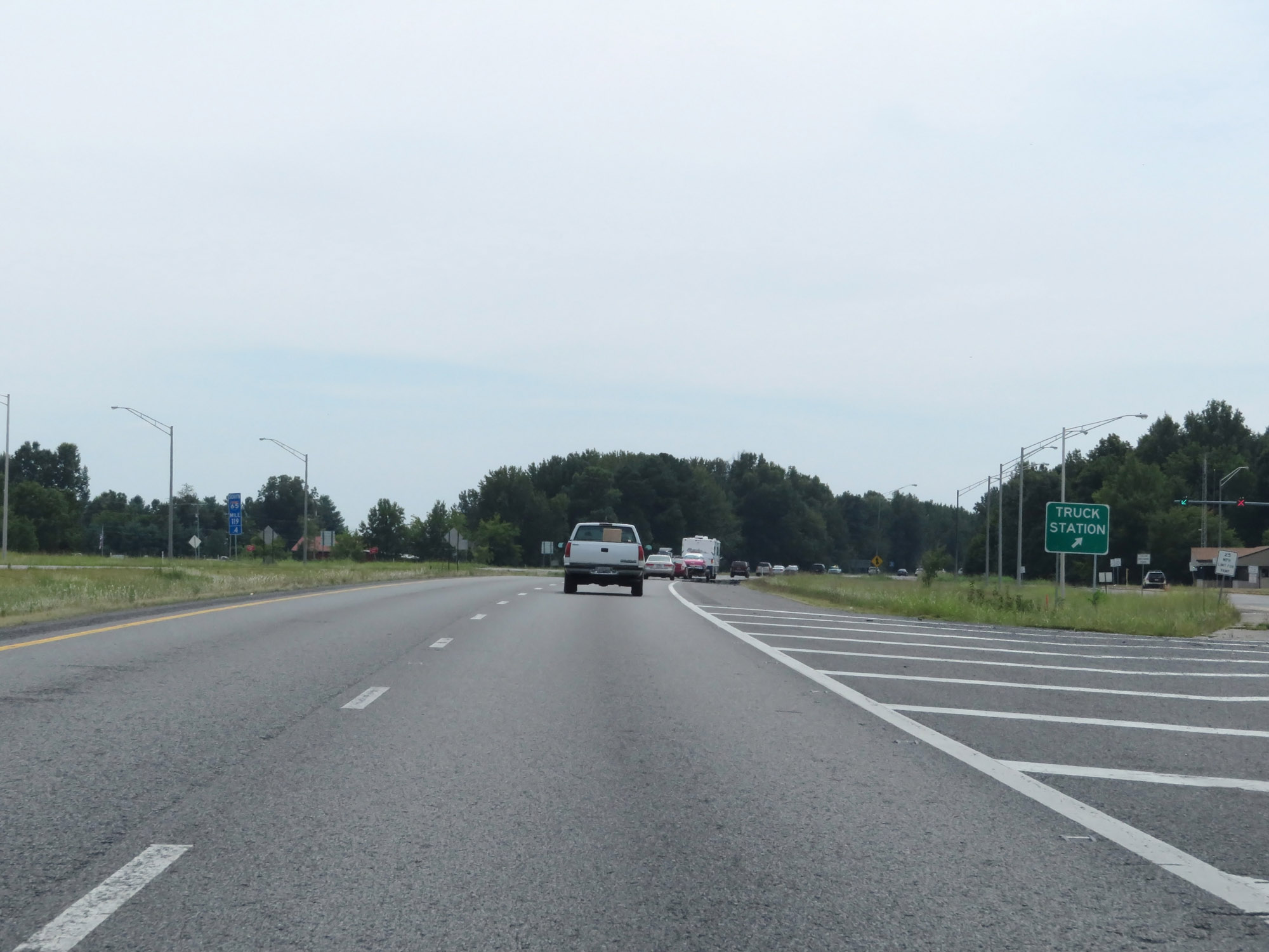 |
Weigh Station on Interstate 65 South at mile marker 119.4 in Robertson County. (Photo taken 8/11/19). |
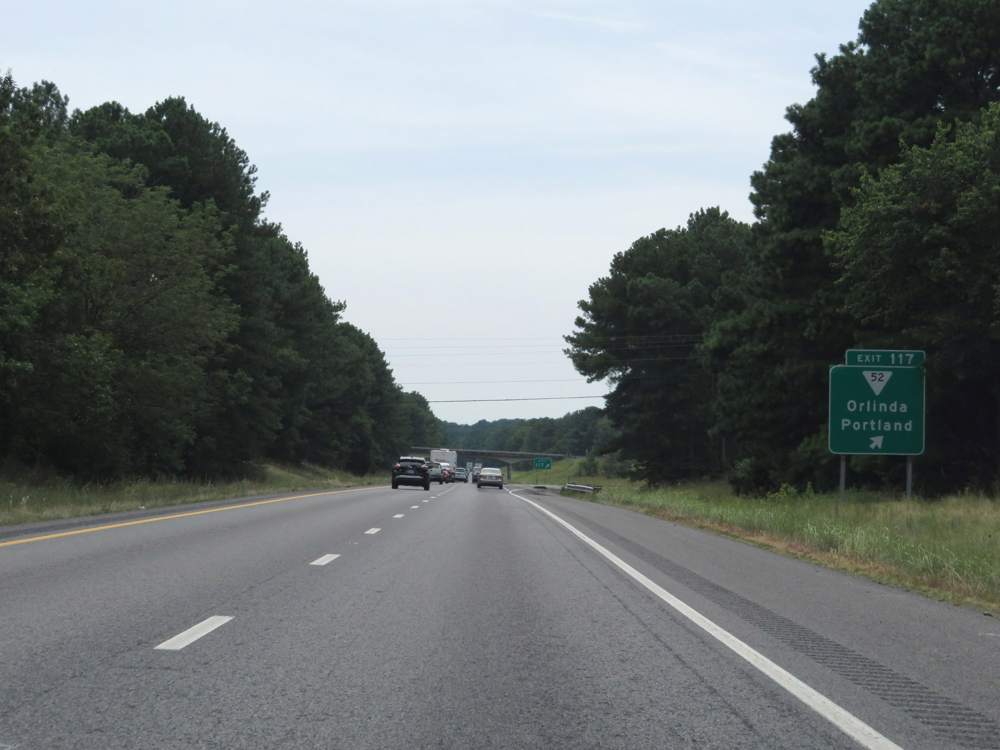 |
Interstate 65 South at Exit 117: SR 52 - Orlinda / Portland (Photo taken 8/11/19). |
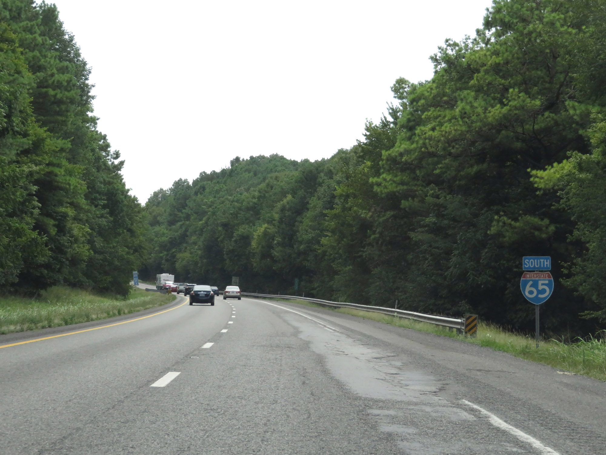 |
Interstate 65 South reassurance shield. (Photo taken 8/11/19). |
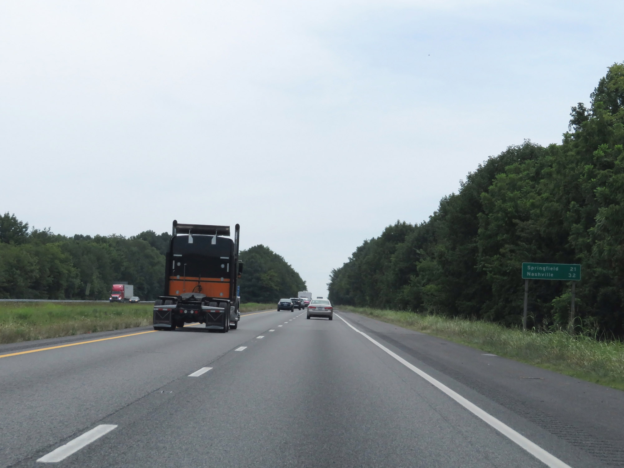 |
Mileage sign on Interstate 65 South. It's 21 miles to Springfield and 32 miles to Nashville. (Photo taken 8/11/19). |
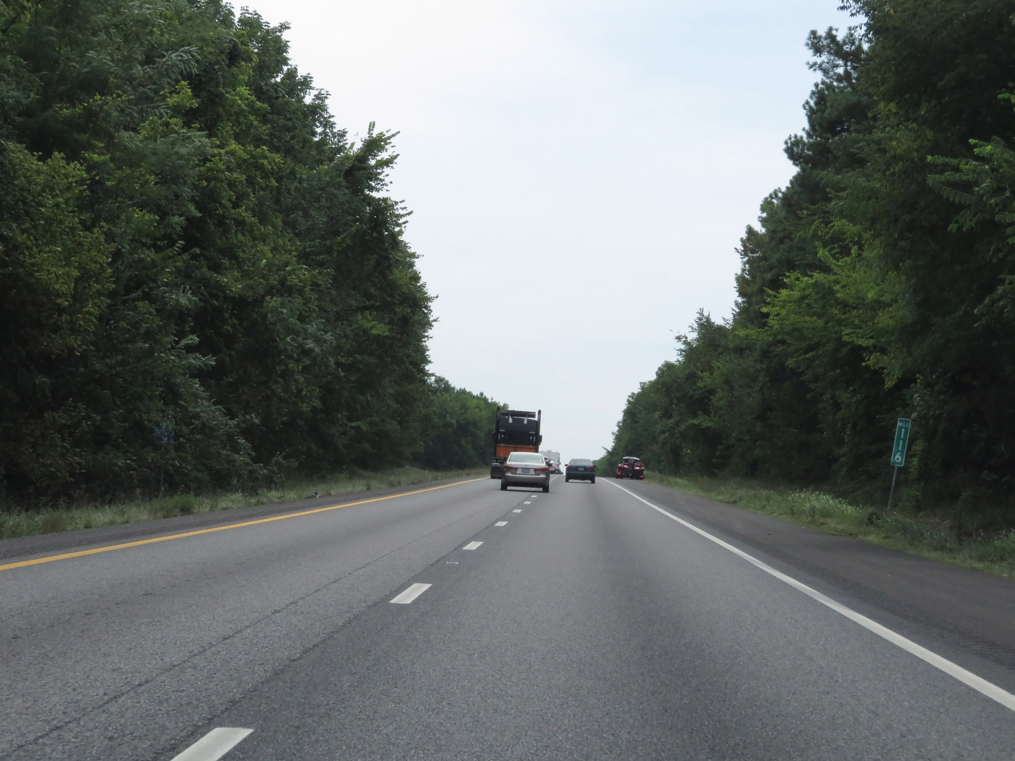 |
Interstate 65 South at mile marker 116. (Photo taken 8/11/19). |
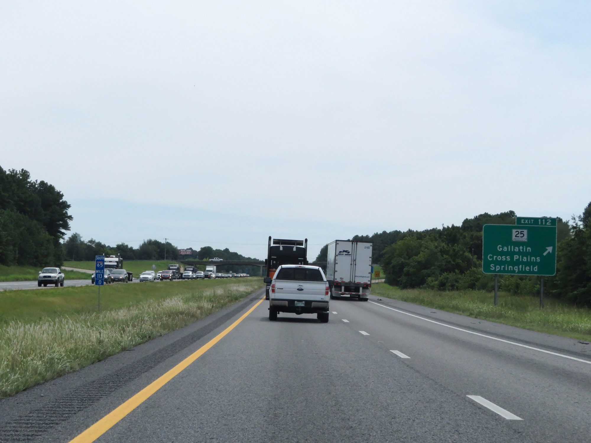 |
Interstate 65 South at Exit 112: TN 25 - Gallatin / Cross Plains / Springfield (Photo taken 8/11/19). |
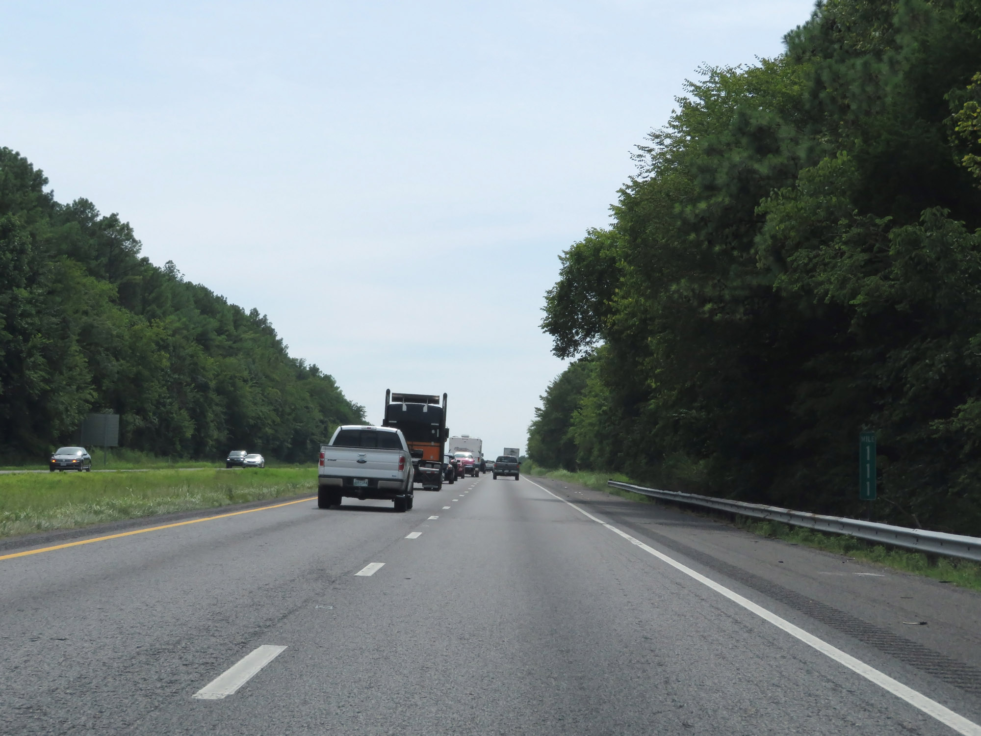 |
View on Interstate 65 South at mile marker 111. (Photo taken 8/11/19). |
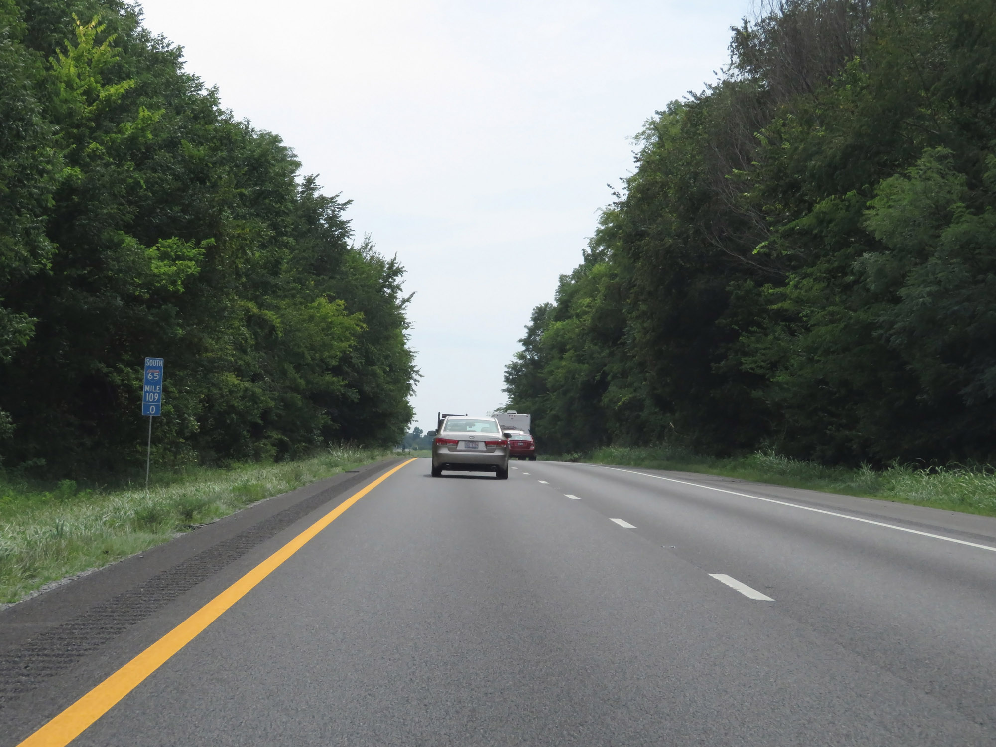 |
Interstate 65 South at mile marker 109. (Photo taken 8/11/19). |
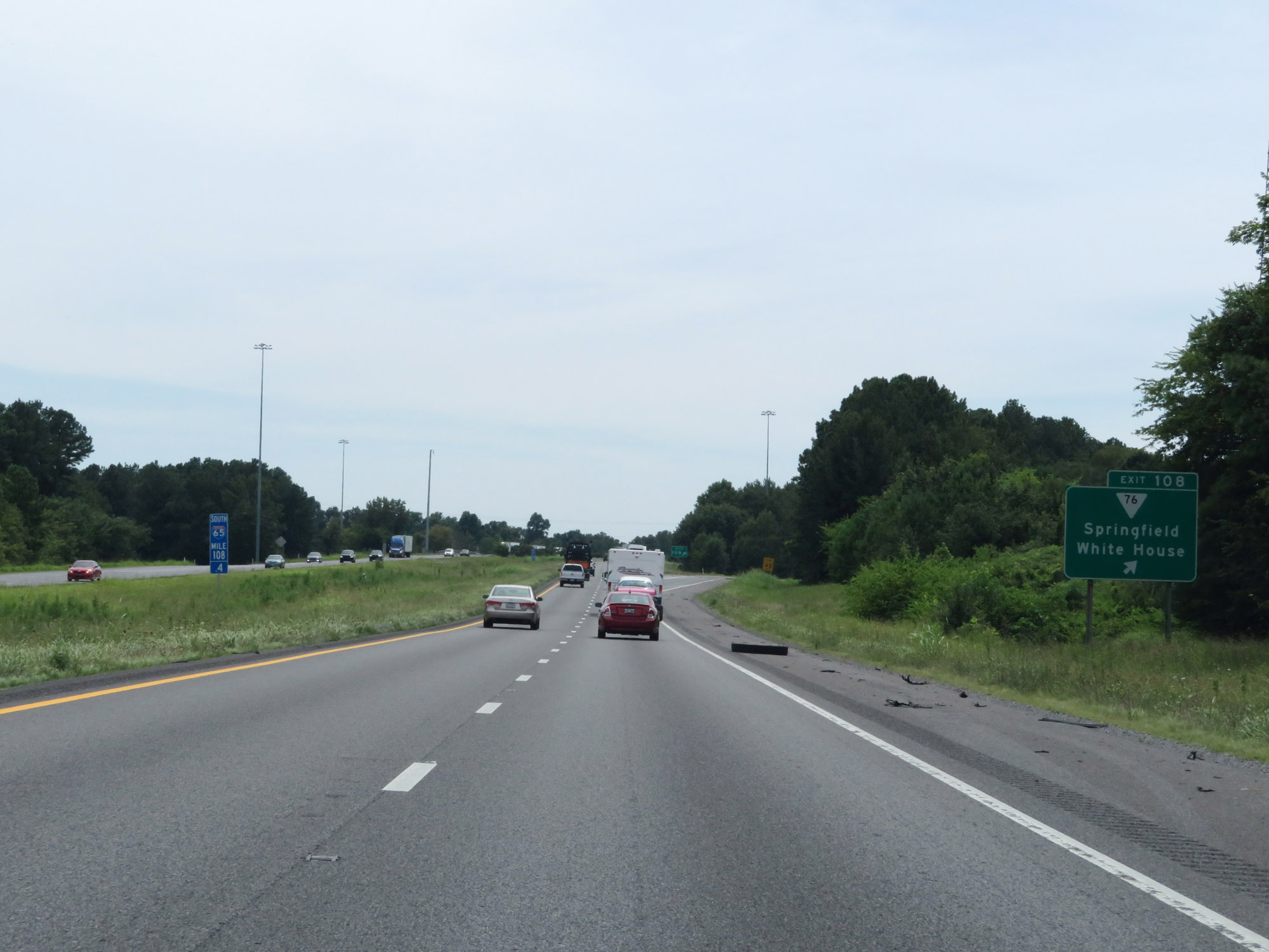 |
Interstate 65 South at Exit 108: SR 76 - Springfield / White House (Photo taken 8/11/19). |
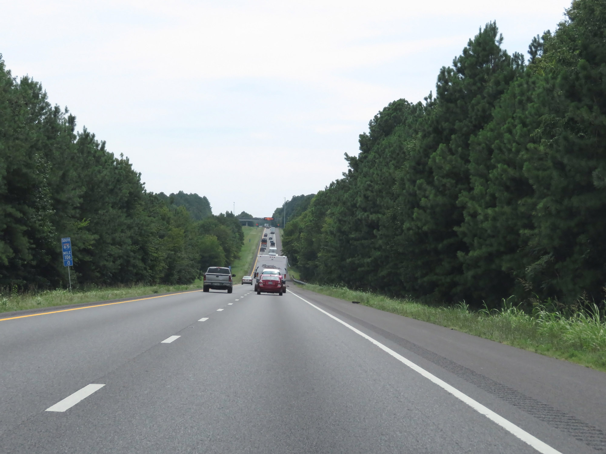 |
View on Interstate 65 South at mile marker 106. (Photo taken 8/11/19). |
 |
Take Exit 104 to Highland Rim Speedway. (Photo taken 8/11/19). |
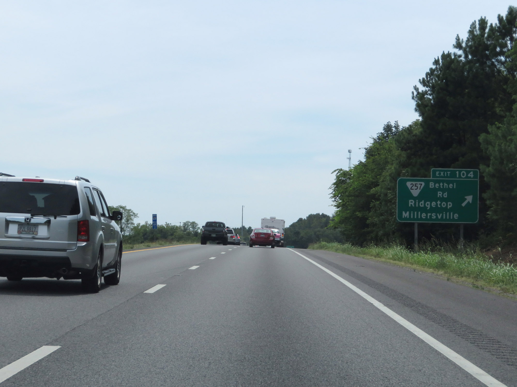 |
Interstate 65 South at Exit 104: SR 257 (Bethel Rd) - Ridgetop / Millersville (Photo taken 8/11/19). |
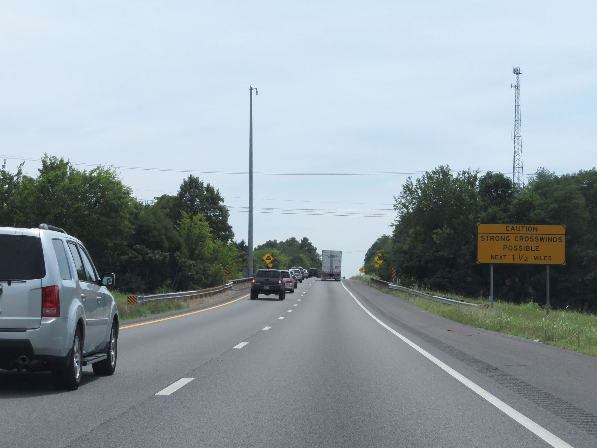 |
This sign warns that strong crosswinds may exist for the next 1 1/2 miles. (Photo taken 8/11/19). |
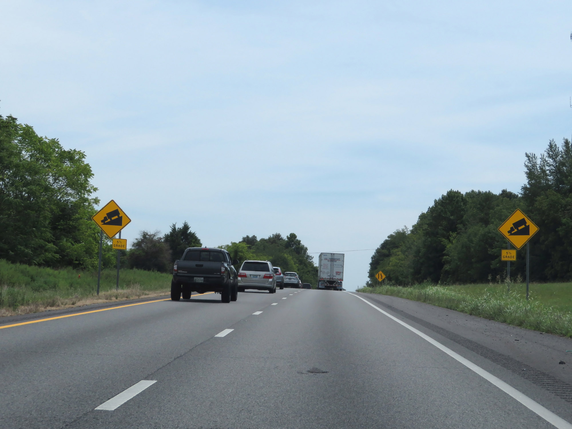 |
Interstate 65 South as it prepares to go down a 5% grade near the Robertson-Sumner County line. (Photo taken 8/11/19). |
 |
Interstate 65 South enters Sumner County as it starts down the 5% grade. (Photo taken 8/11/19). |
 |
Another Interstate 65 South reassurance shield. (Photo taken 8/11/19). |
 |
View on Interstate 65 South at mile marker 103. (Photo taken 8/11/19). |
 |
As Interstate 65 South continues down the 5% grade, these signs warn of a 60 mph curve ahead. (Photo taken 8/11/19). |
 |
At mile marker 102.4, we reach the bottom of the grade. (Photo taken 8/11/19). |
 |
The speed limit remains 70 mph. Nashville is now just 18 miles ahead. (Photo taken 8/11/19). |
 |
Interstate 65 South at mile marker 101. (Photo taken 8/11/19). |
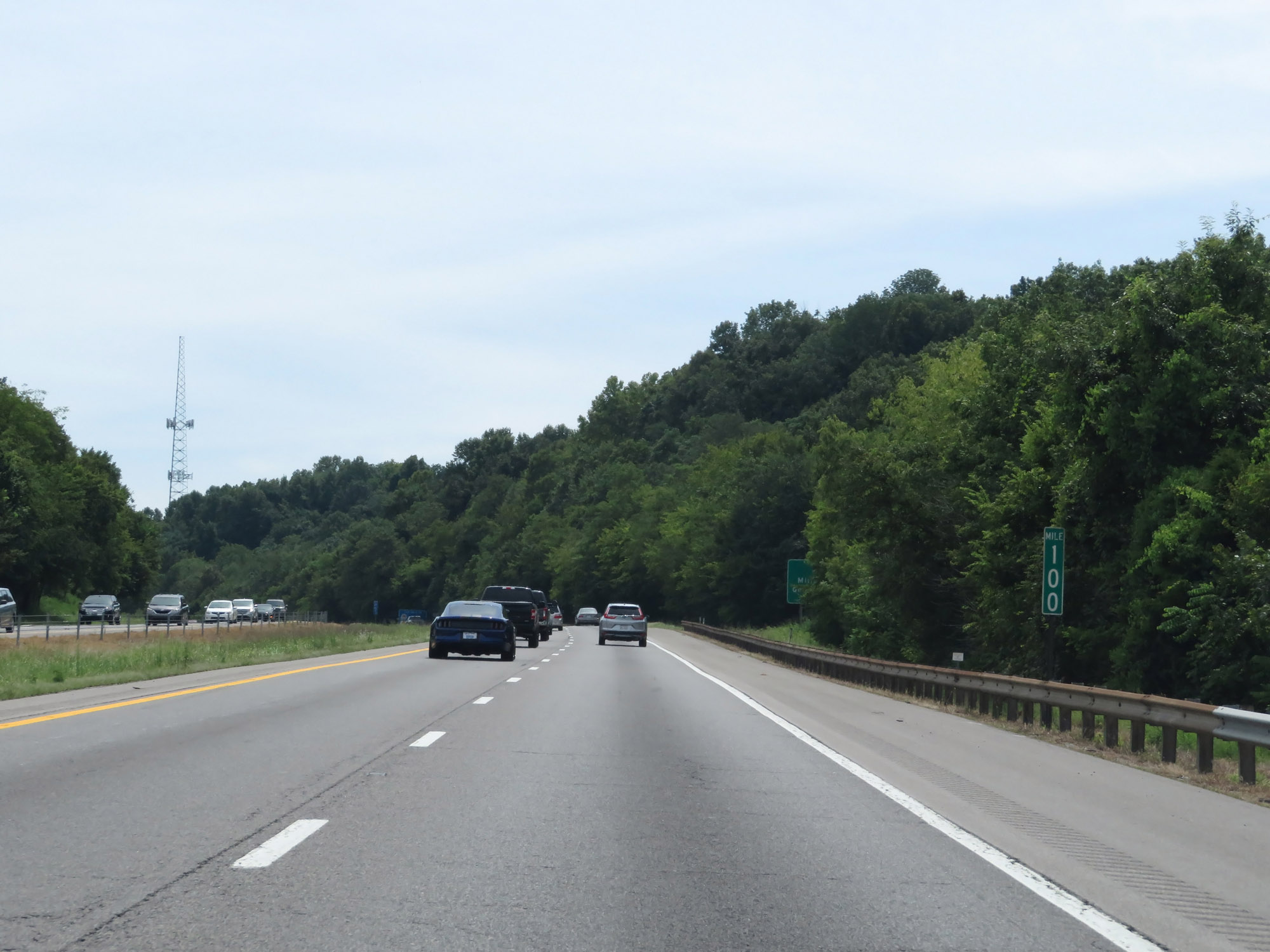 |
Interstate 65 South at mile marker 100. (Photo taken 8/11/19). |
 |
Take Exit 98 to Greenbrier. (Photo taken 8/11/19). |
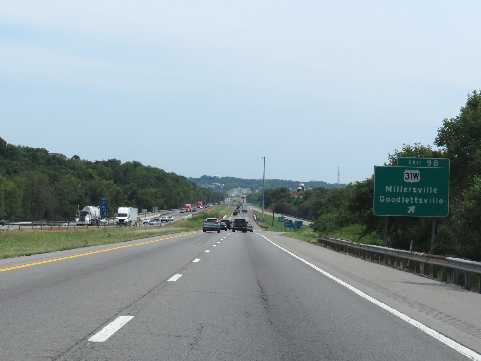 |
Interstate 65 South at Exit 98: US 31W - Millersville / Goodlettsville (Photo taken 8/11/19). |
 |
Take Exit 97 to Historic Mansker's Station. (Photo taken 8/11/19). |
 |
Interstate 65 South as it enters Davidson County. (Photo taken 8/11/19). |
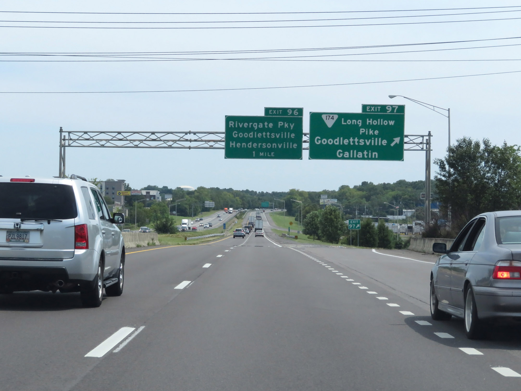 |
Interstate 65 South at Exit 97: SR 174 (Long Hollow Pike) - Goodlettsville / Gallatin (Photo taken 8/11/19). |
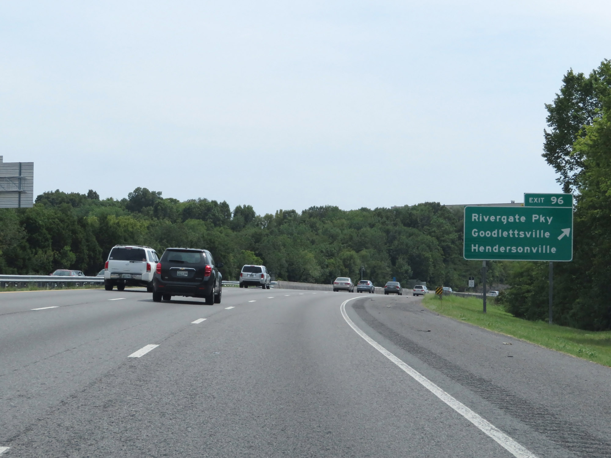 |
Interstate 65 South at Exit 96: Rivergate Pkwy / Goodlettsville / Hendersonville (Photo taken 8/11/19). |
 |
Interstate 65 South reassurance shield. (Photo taken 8/11/19). |
 |
Interstate 65 South at mile marker 94.2. (Photo taken 8/11/19). |
 |
Take Exit 92 to Old Hickory Dam. (Photo taken 8/11/19). |
 |
Interstate 65 South at Exit 92: SR 45 (Old Hickory Blvd) - Madison (Photo taken 8/11/19). |
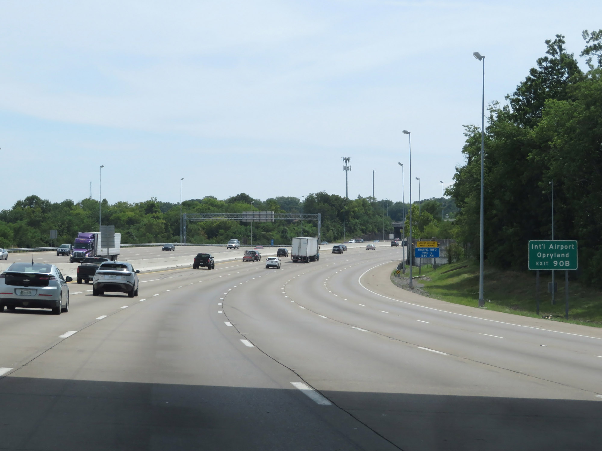 |
Take Exit 90B to the International Airport and Opryland. (Photo taken 8/11/19). |
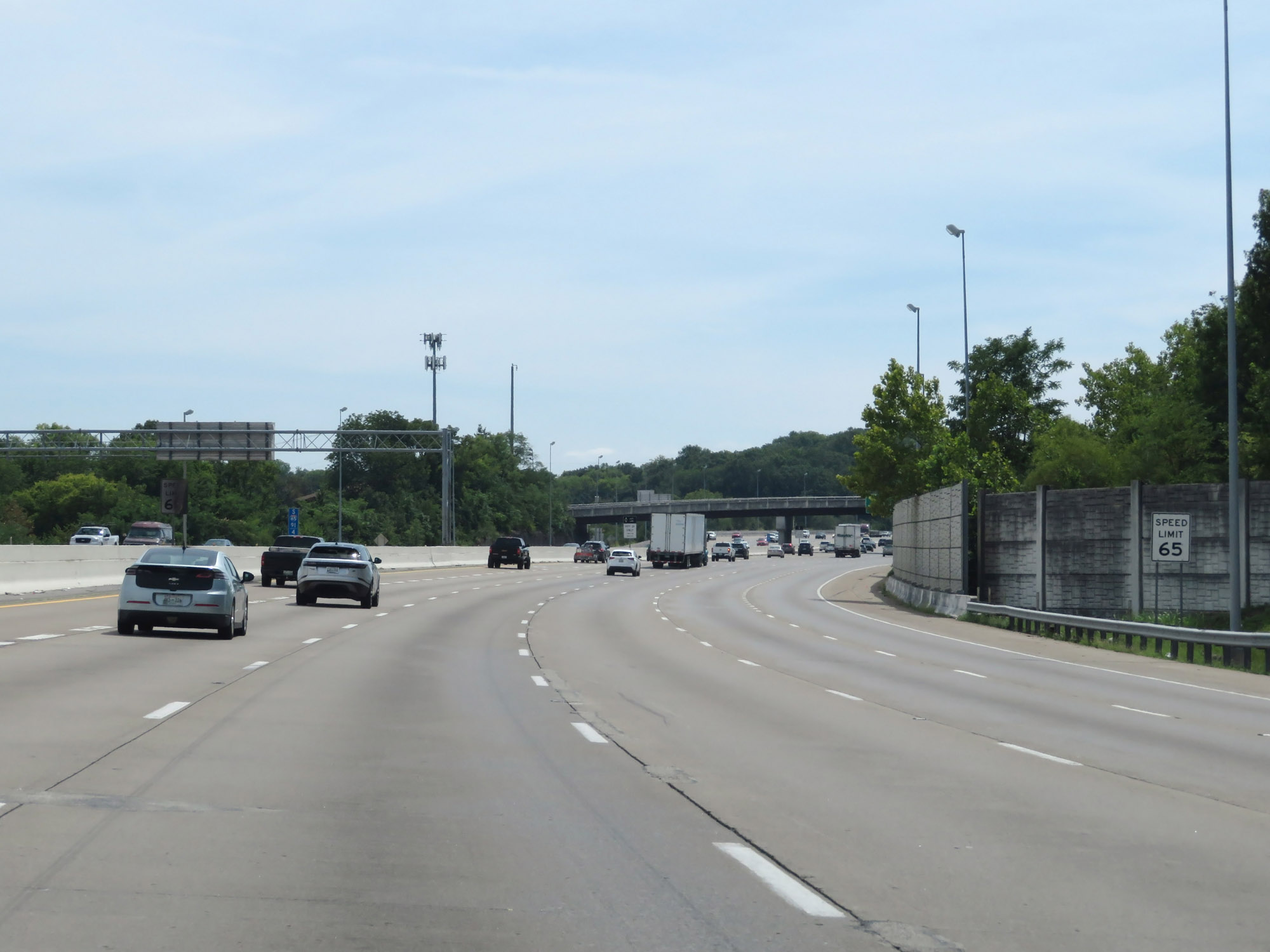 |
At mile marker 91.4, the speed limit decreases to 65 mph. (Photo taken 8/11/19). |
 |
Interstate 65 South at mile marker 91. (Photo taken 8/11/19). |
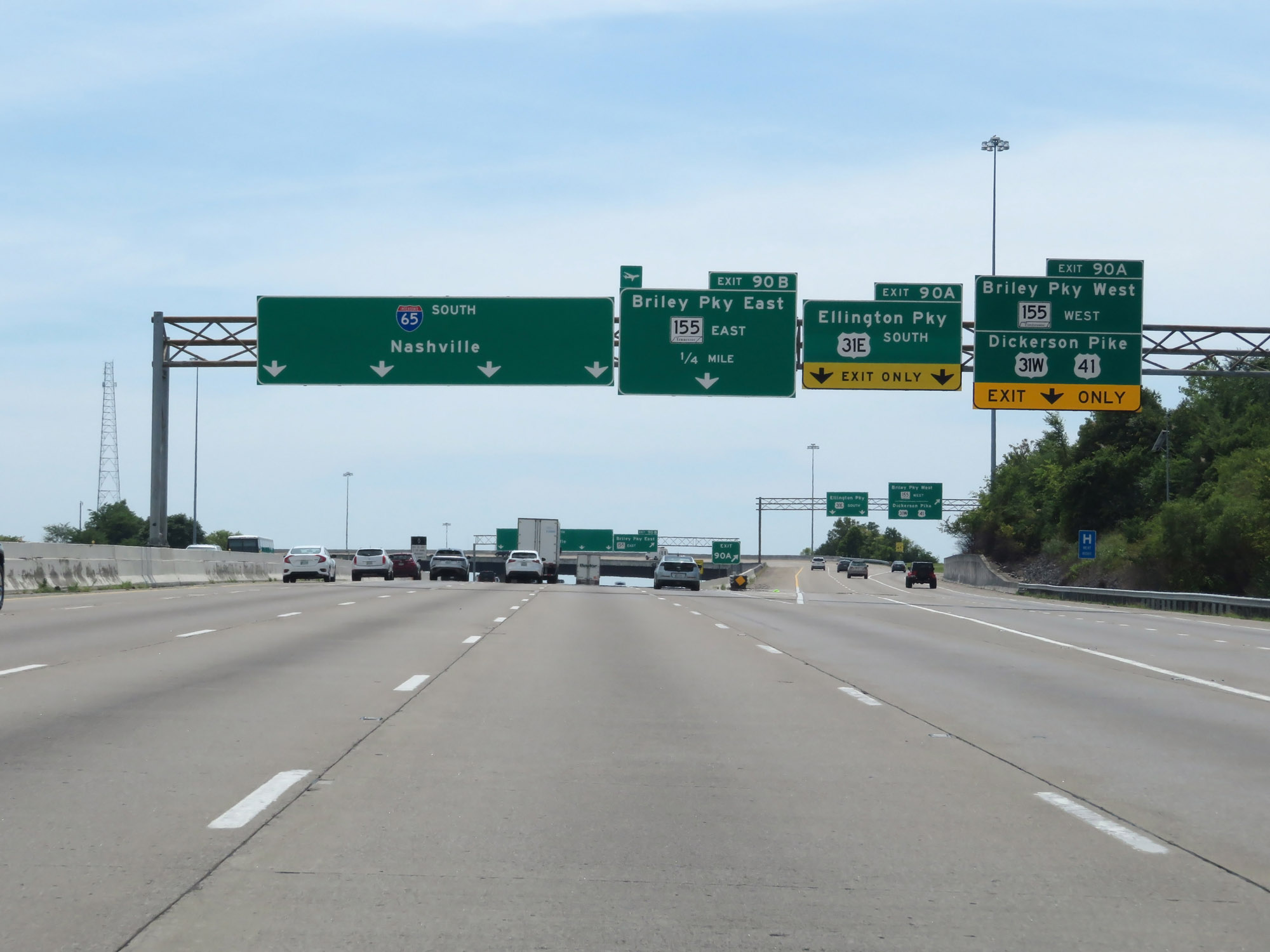 |
Interstate 65 South at Exit 90A: US 31W / US 41 / US 31 E South / TN 155 West - Dickerson Pike / Ellington Pkwy / Briley Pkwy West (Photo taken 8/11/19). |
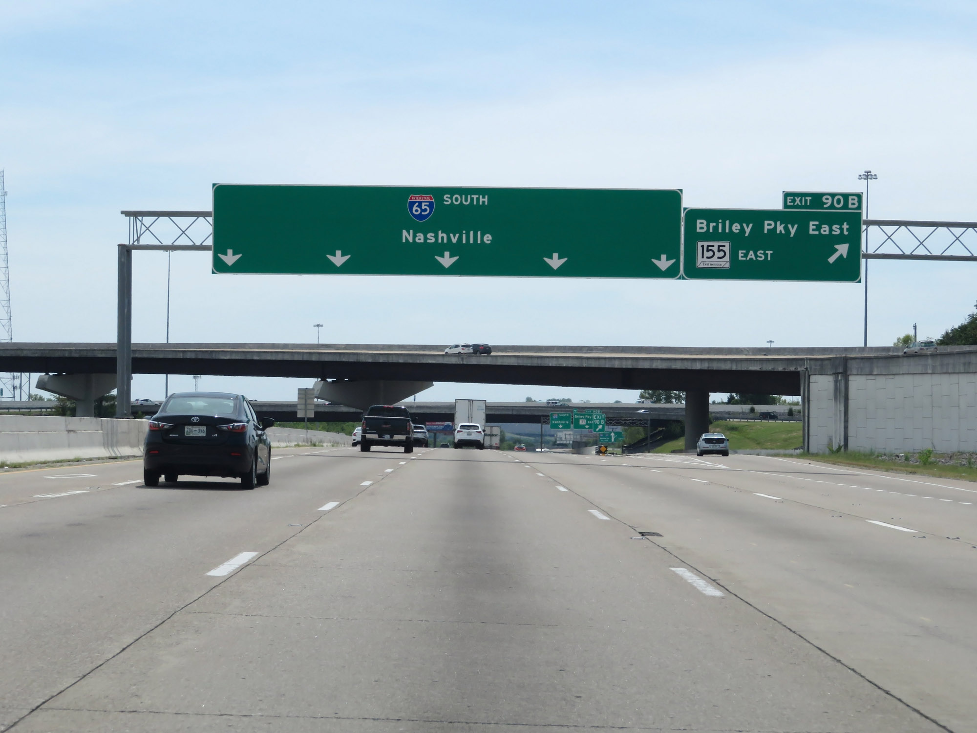 |
Interstate 65 South at Exit 90B: TN 155 East - Briley Pkwy East (Photo taken 8/11/19). |
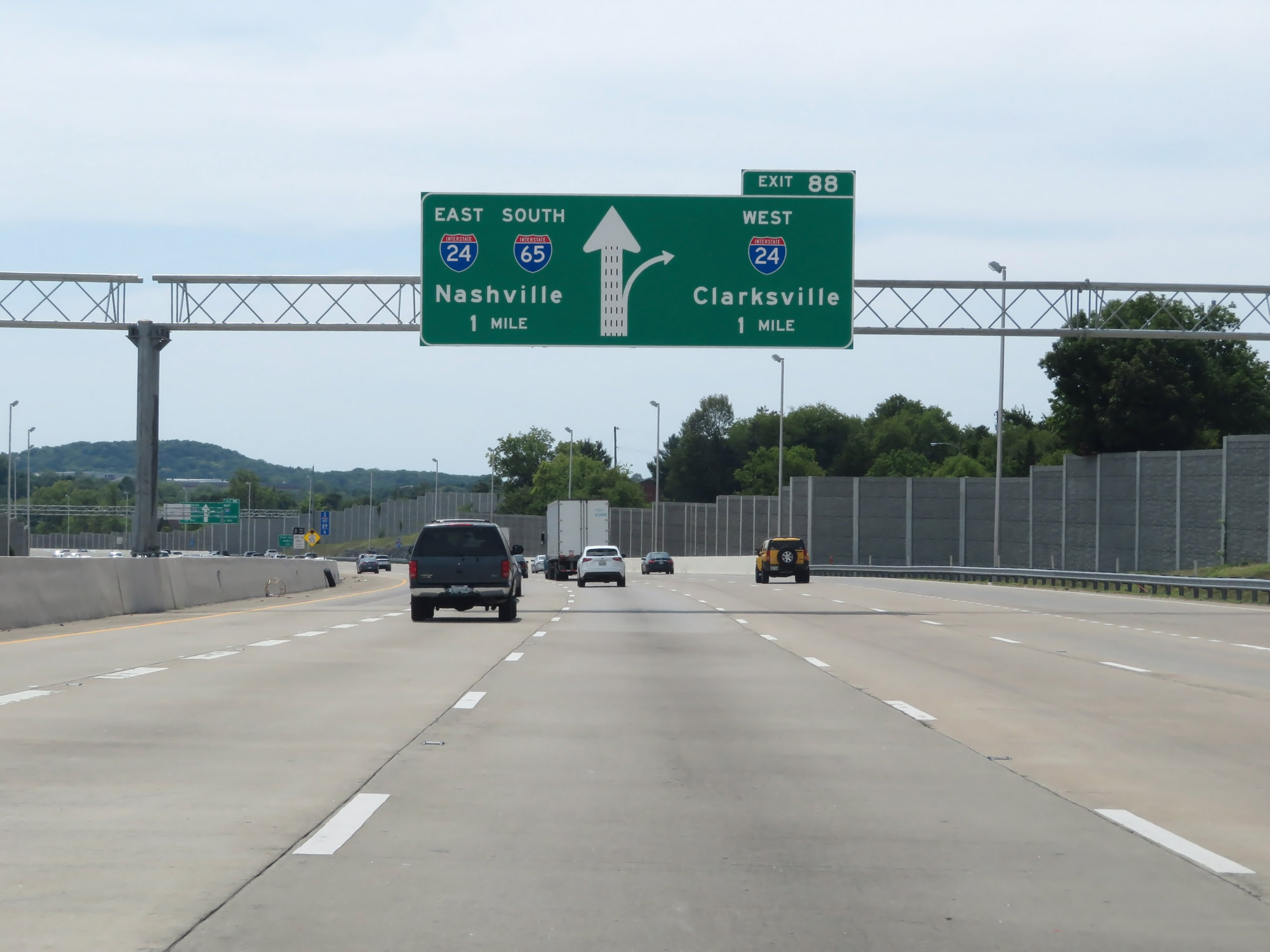 |
Interstate 65 South approaching Exit 88 - 1 mile. (Photo taken 8/11/19). |
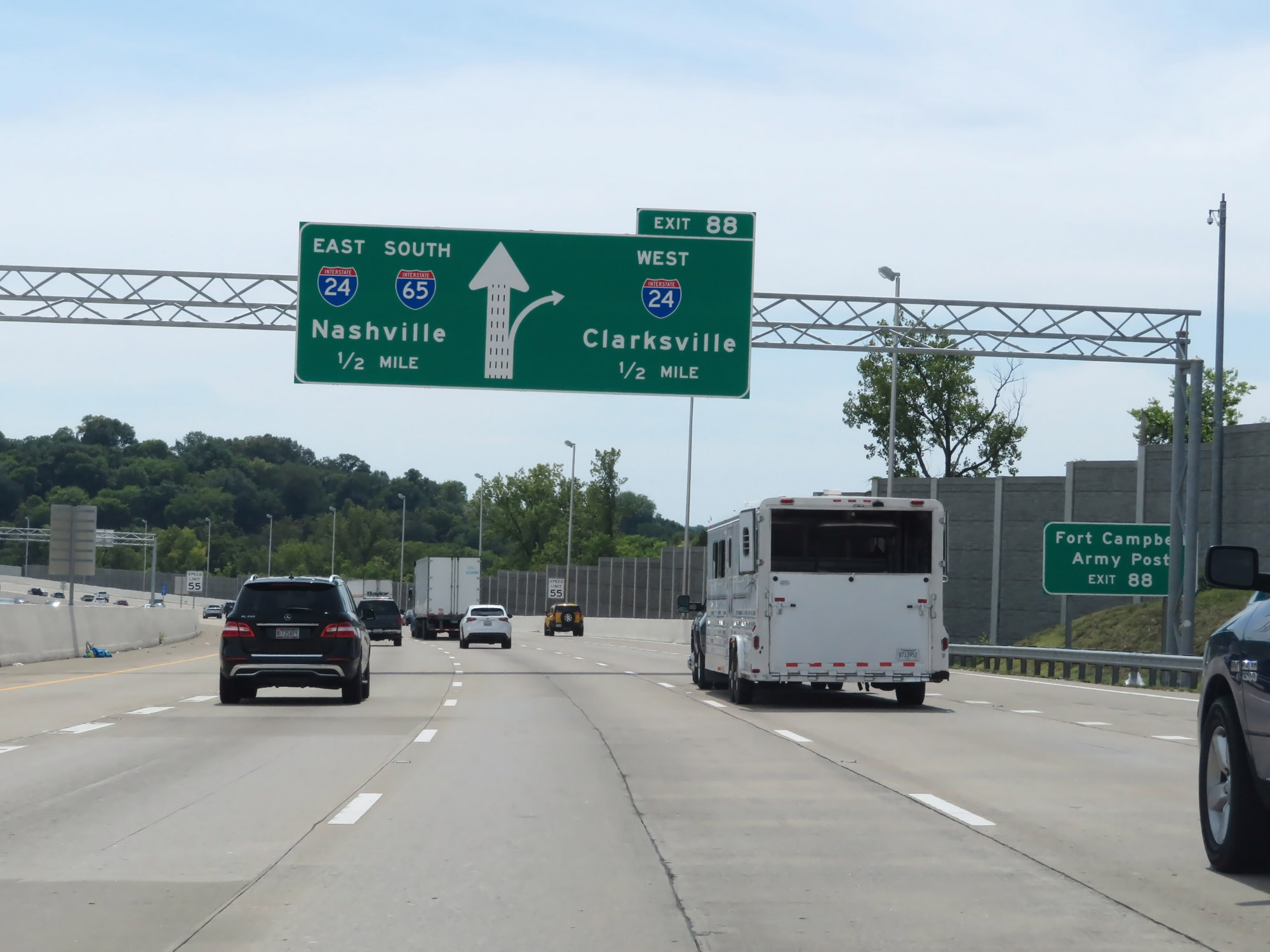 |
Take Exit 88 to Fort Campbell Army Post. (Photo taken 8/11/19). |
 |
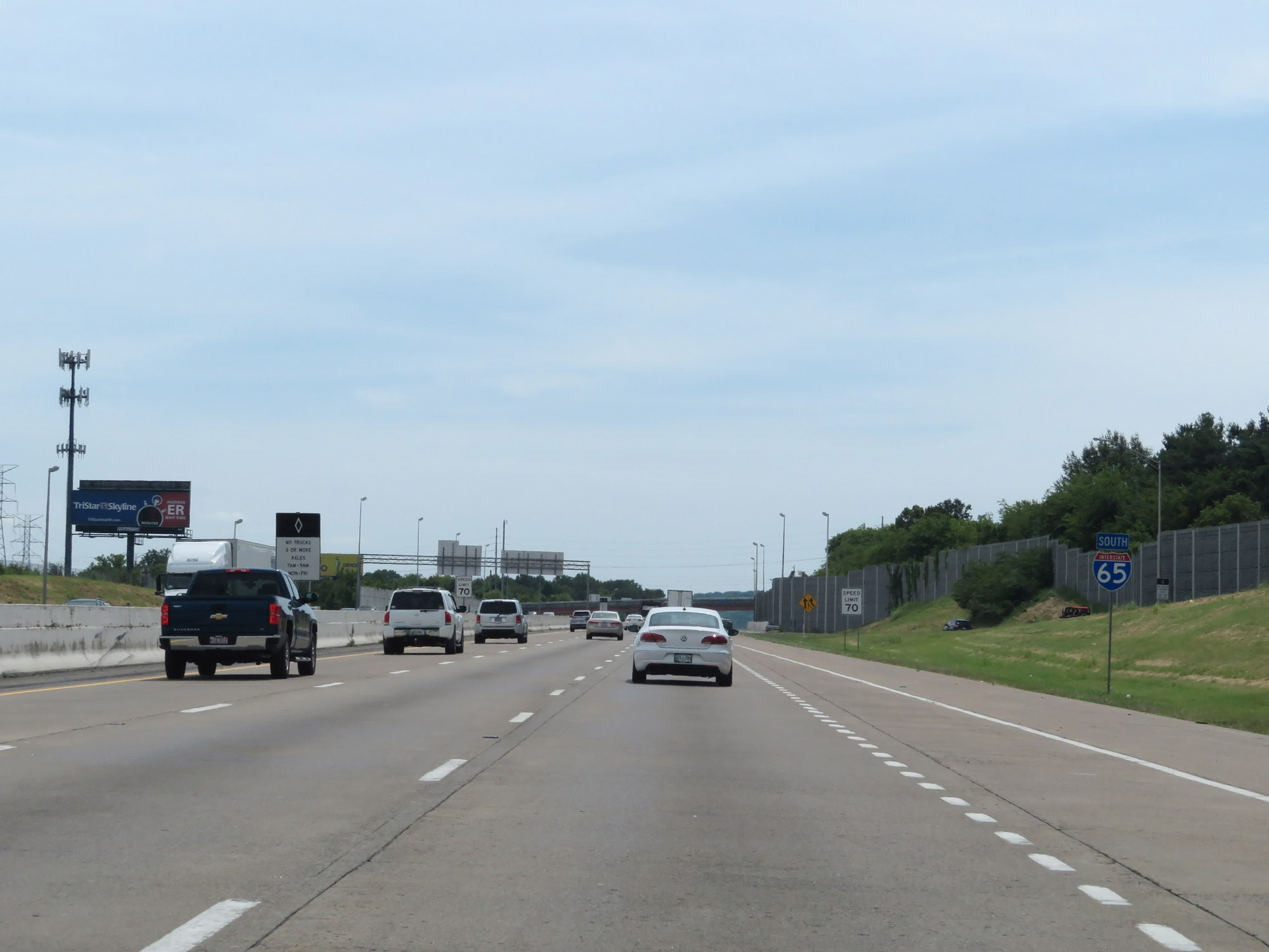
Approaching Exit 88 and the Interstate 24 concurrency, the speed limit decreases to 55 mph on Interstate 65 South. (Photo taken 8/11/19). |
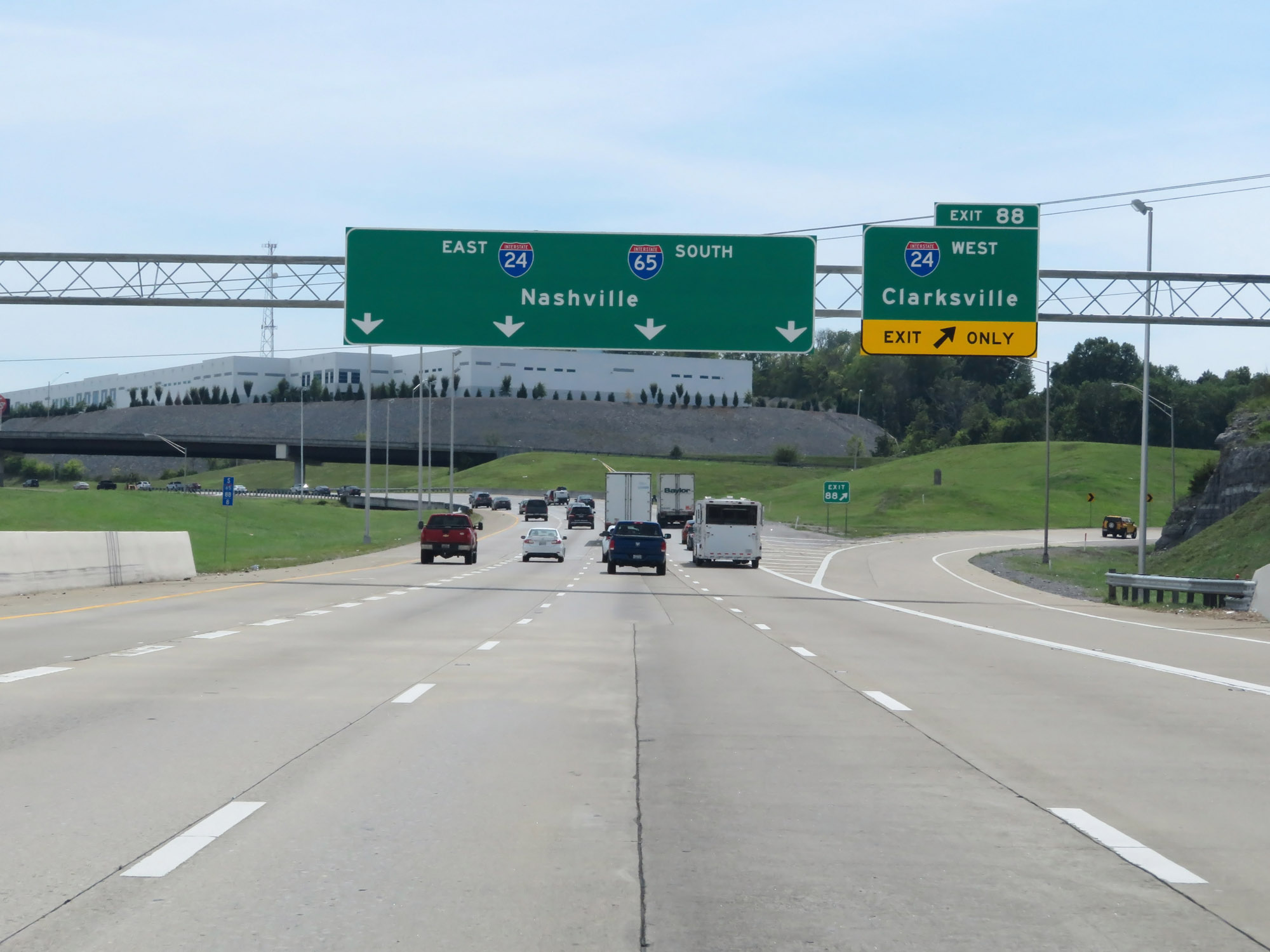 |
Interstate 65 South at Exit 88: Interstate 24 West - Clarksville (Photo taken 8/11/19). |
 |
Interstate 65 South / Interstate 24 East reassurance shields as their concurrency begins and downtown Nashville comes into view. (Photo taken 8/11/19). |
 |
Take Exit 87 to American Baptist College. (Photo taken 8/11/19). |
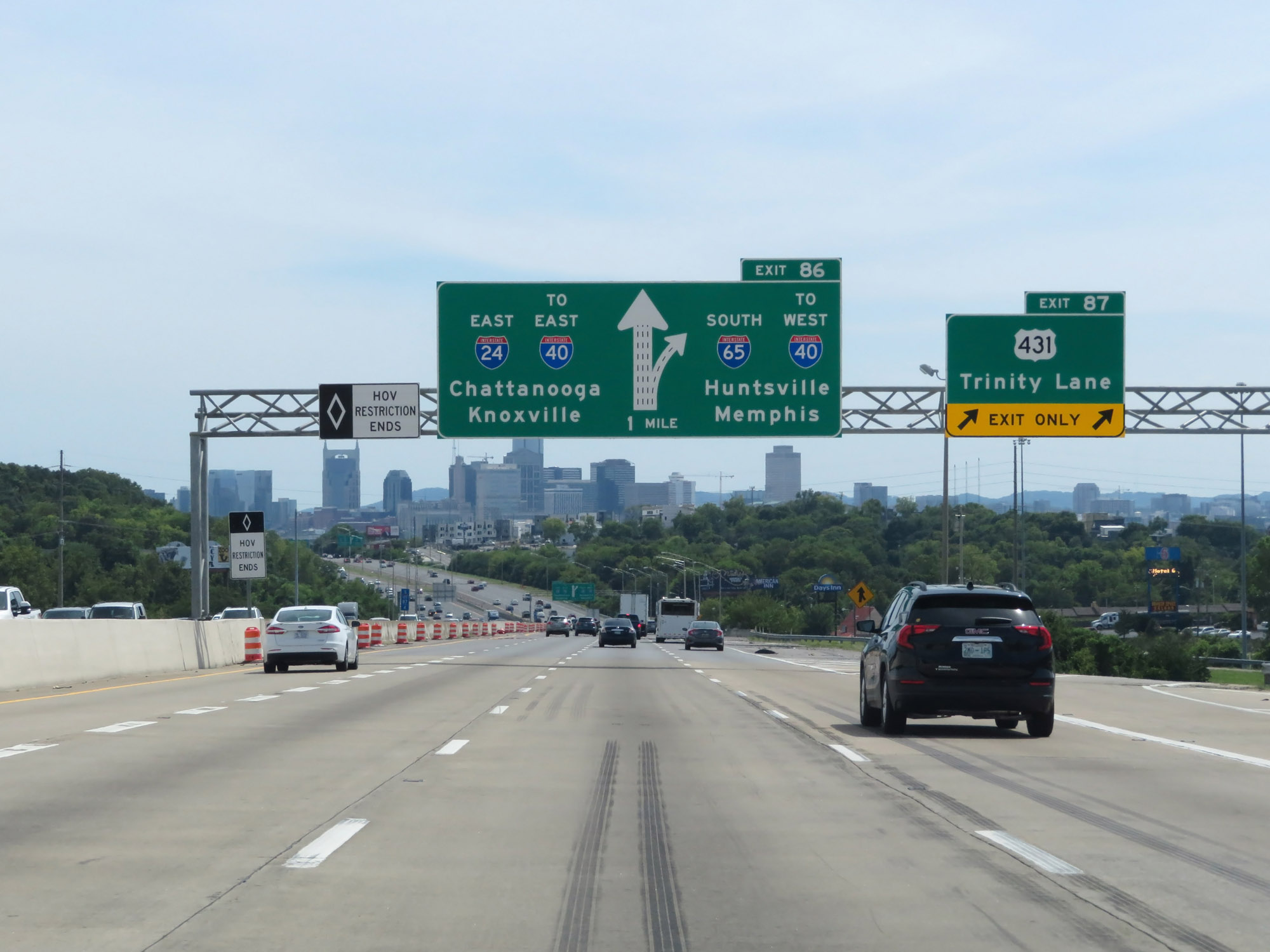 |
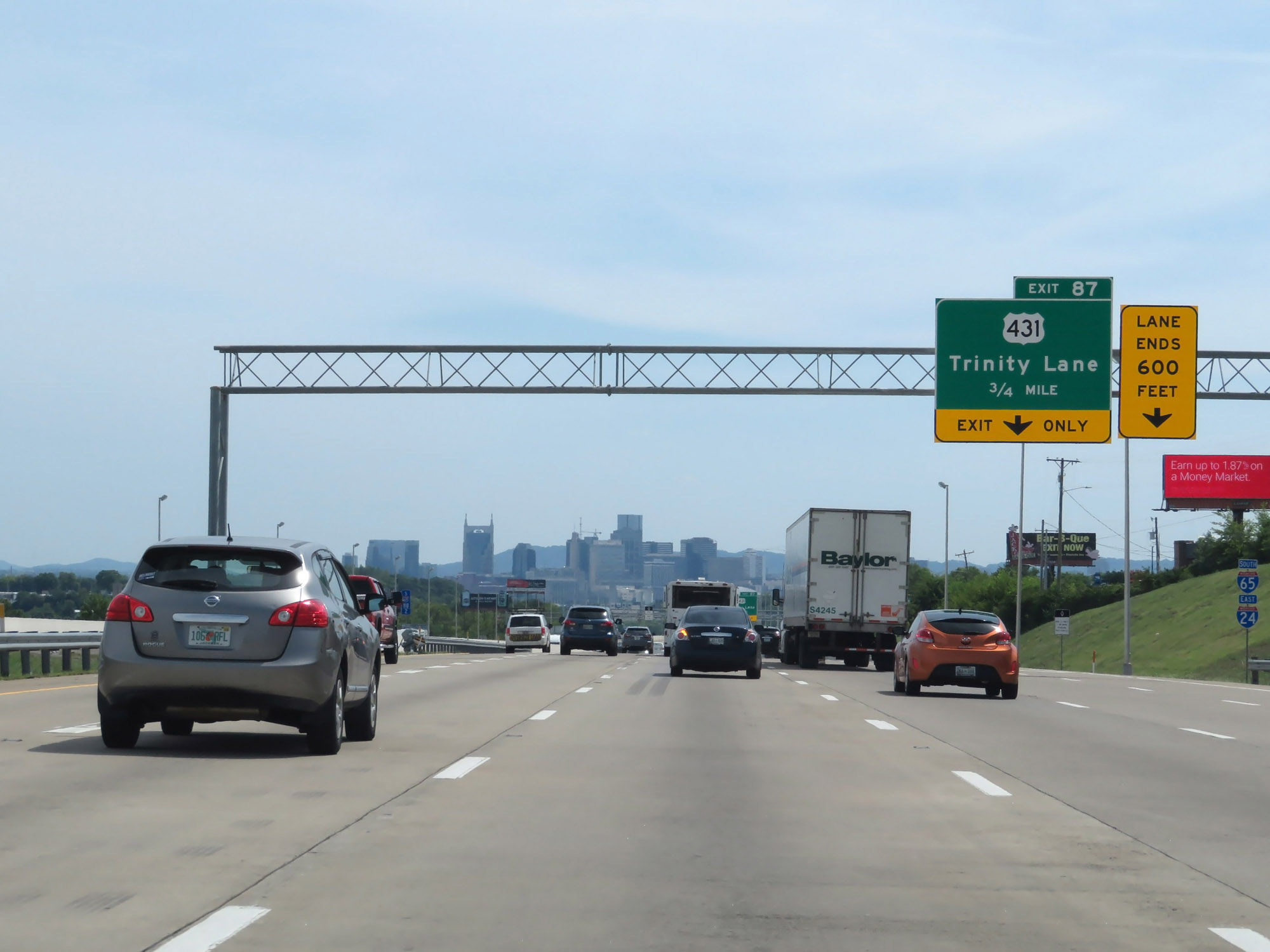
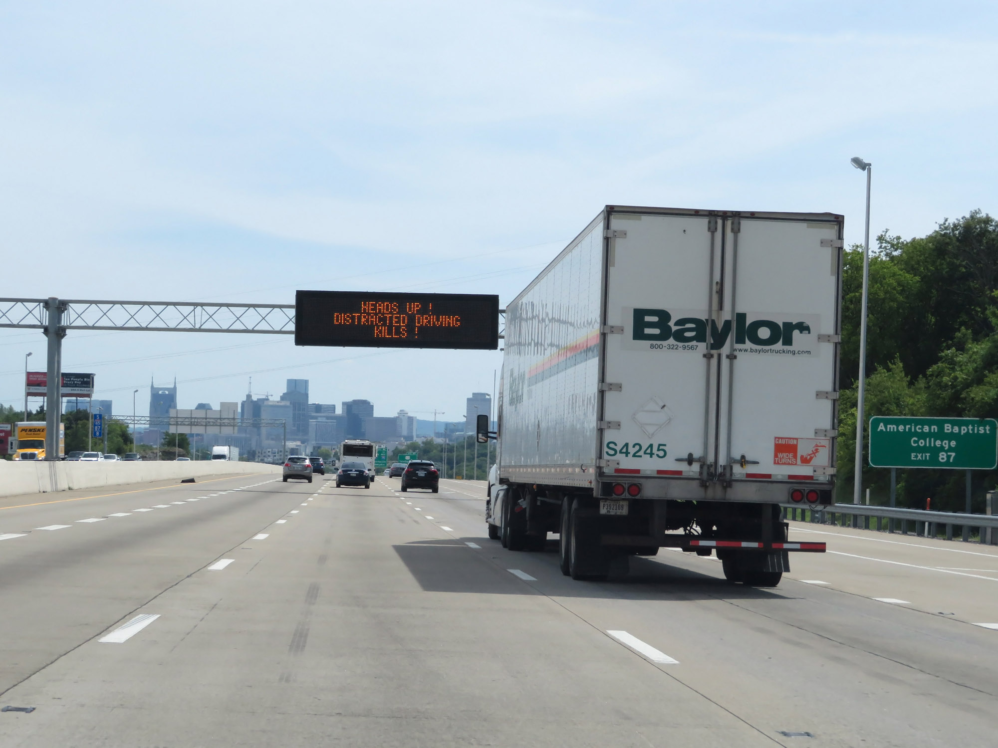
Interstate 65 South / Interstate 24 East at Exit 87: US 431 - Trinity Lane (Photo taken 8/11/19). |
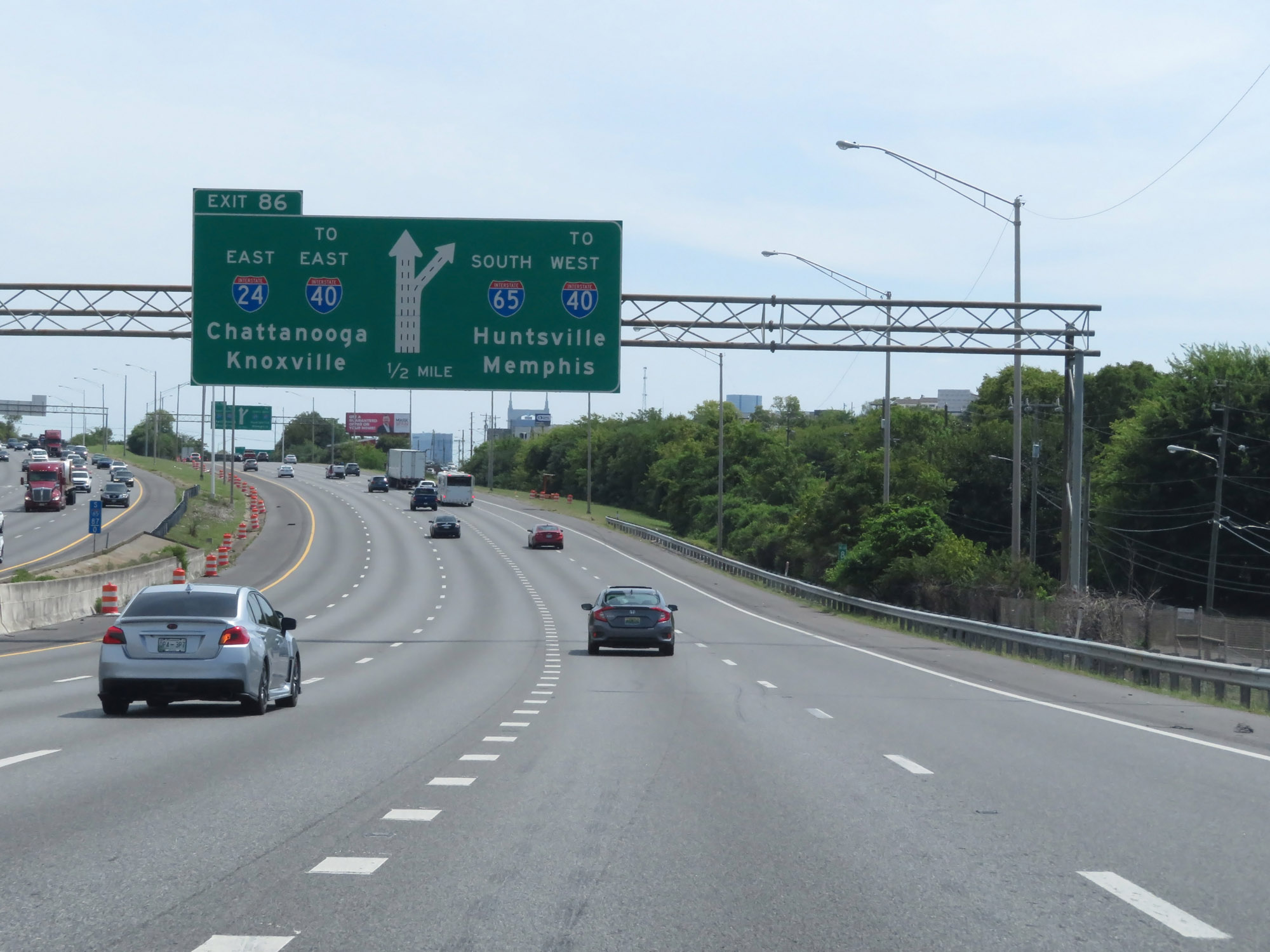 |
Interstate 65 South / Interstate 24 East approaching Exit 86 - 1/2 mile on the left. Exit 86 will mark the southern end of I-65's brief concurrency with I-24. Interstate 65 South thru traffic must be in the two rightmost lanes at this point. (Photo taken 8/11/19). |
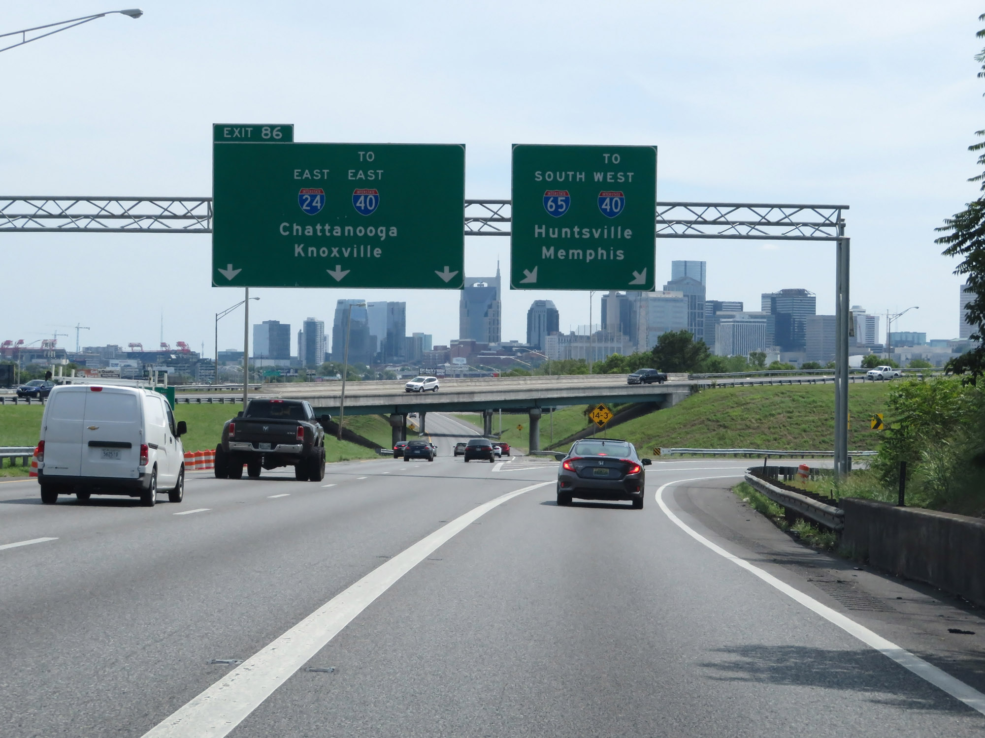 |
Interstate 65 South / Interstate 24 East at Exit 86: Interstate 24 East / To Interstate 40 East - Chattanooga / Knoxville (Photo taken 8/11/19). |
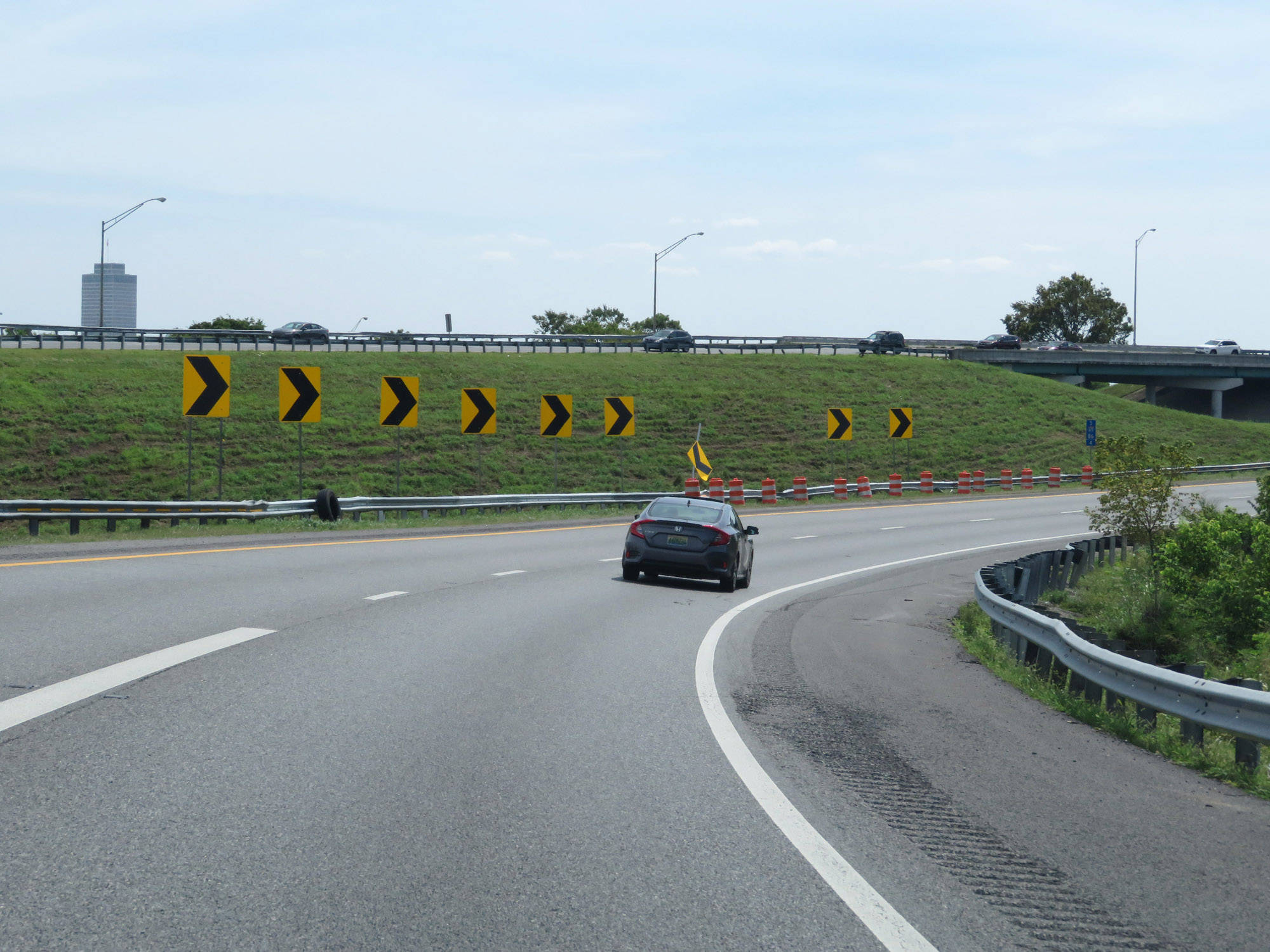 |
View on Interstate 65 South as it curves to the west after the departure of Interstate 24 East. (Photo taken 8/11/19). |
 |
The speed limit remains 55 mph through downtown Nashville. A 45 mph minimum speed limit also applies. (Photo taken 8/11/19). |
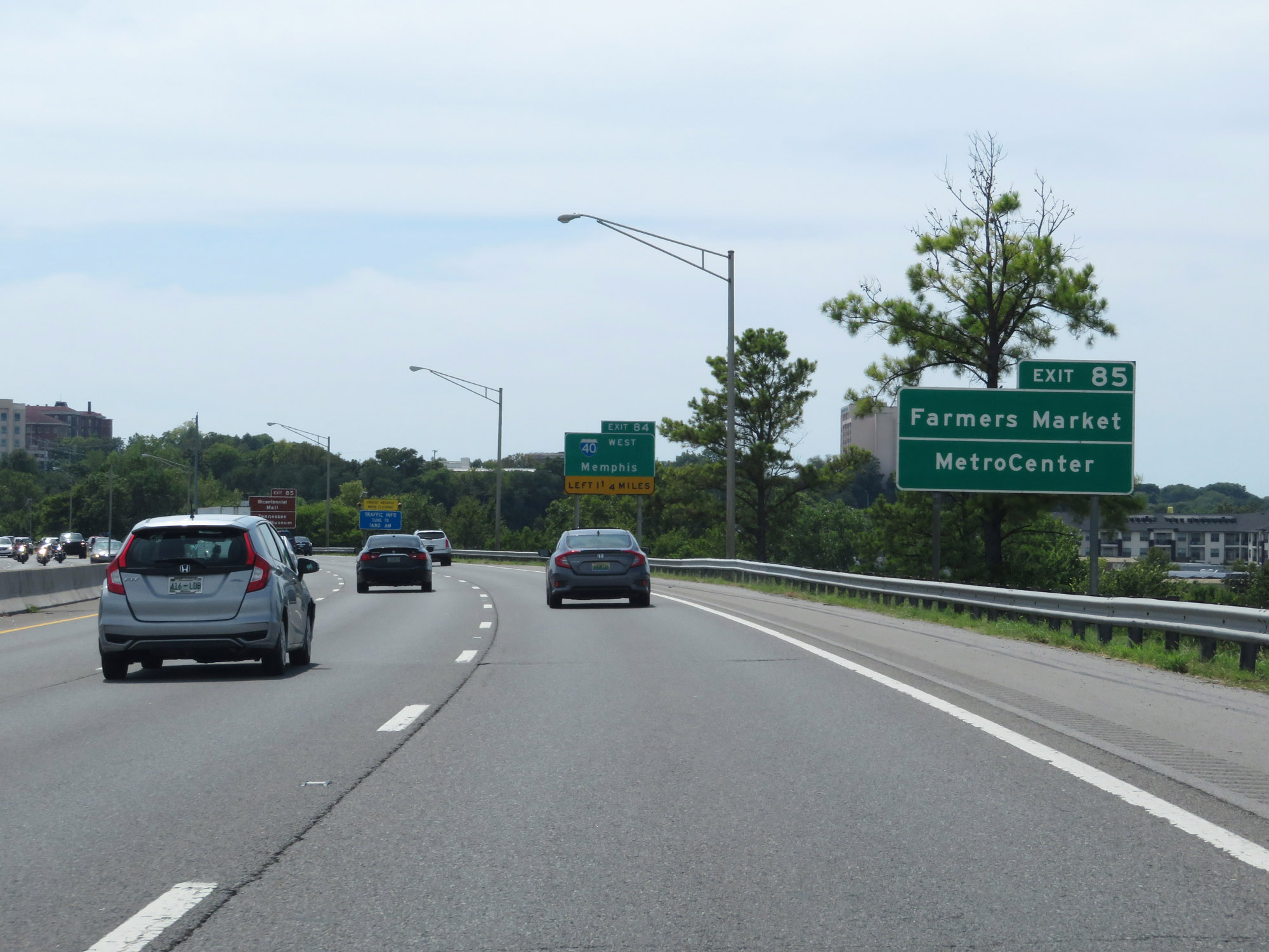 |
Take Exit 85 to the Farmers Market and MetroCenter. (Photo taken 8/11/19). |
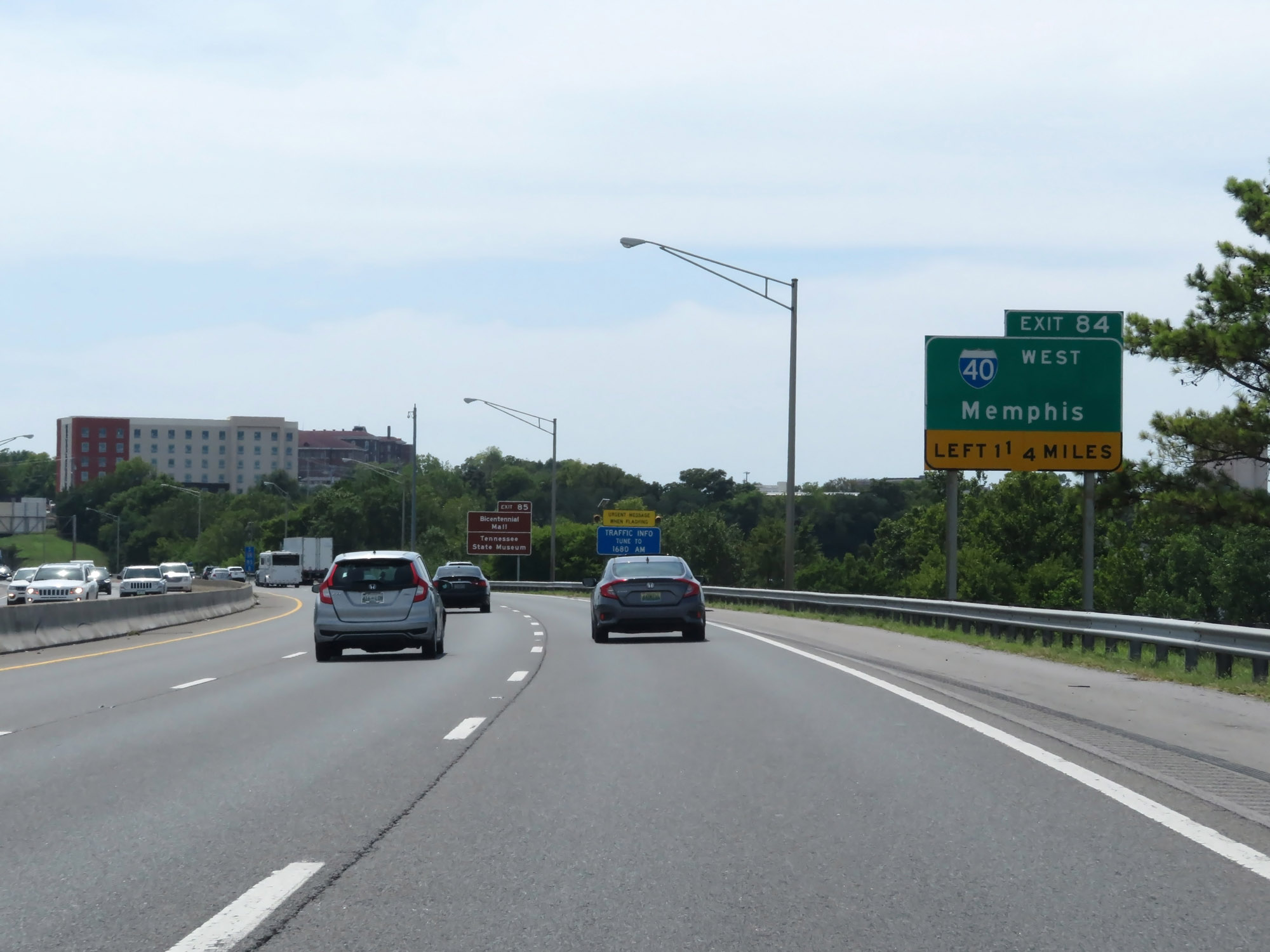 |
Interstate 65 South approaching Exit 84 - 1 1/4 miles on the left. (Photo taken 8/11/19). |
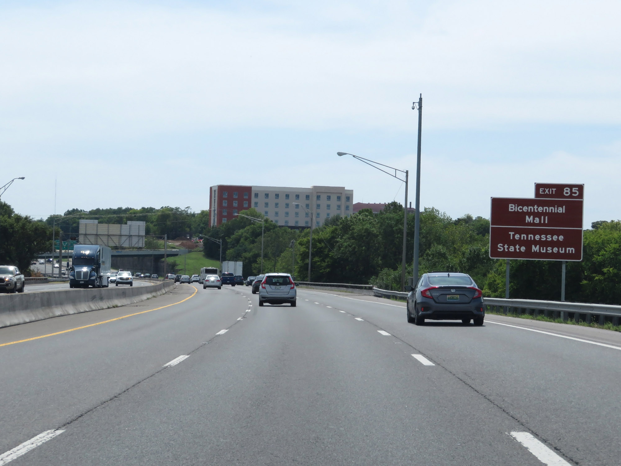 |
Also take Exit 85 to Bicentennial Mall and the Tennessee State Museum. (Photo taken 8/11/19). |
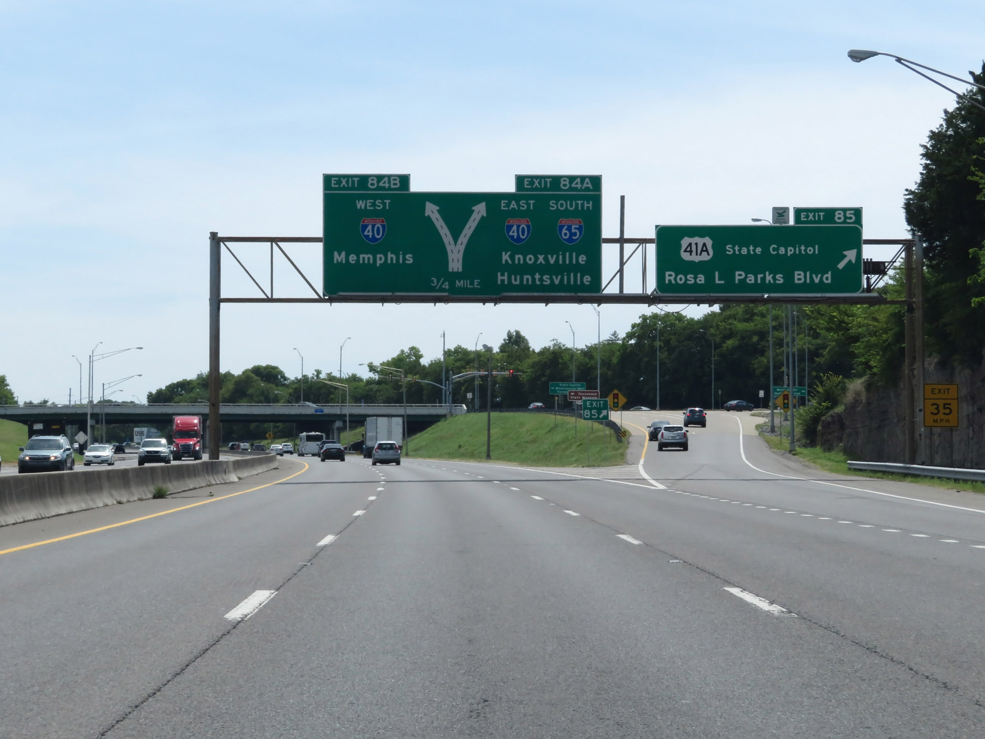 |
Interstate 65 South at Exit 85: US 41A - State Capitol / Rosa L Parks Blvd (Photo taken 8/11/19). |
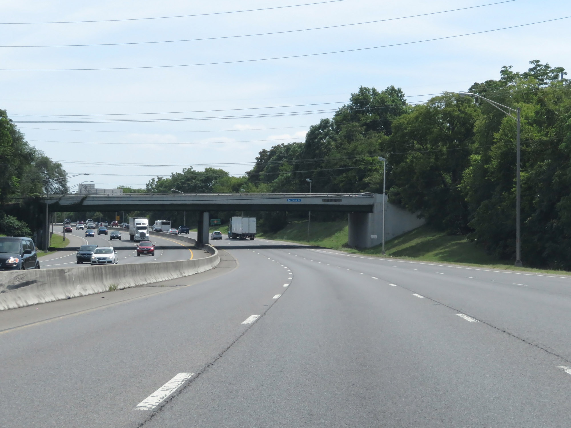 |
View on Interstate 65 South in downtown Nashville, approaching the junction of Interstate 40. (Photo taken 8/11/19). |
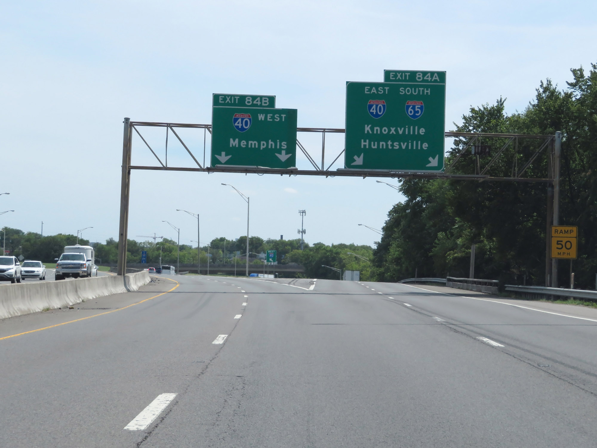 |
Interstate 65 South at Exit 84A: Interstate 40 East / Interstate 65 South - Knoxville / Huntsville; Exit 84B: Interstate 40 West - Memphis (Photo taken 8/11/19). |
Section 2: Nashville (Exit 84A) to Columbia (Exit 46)
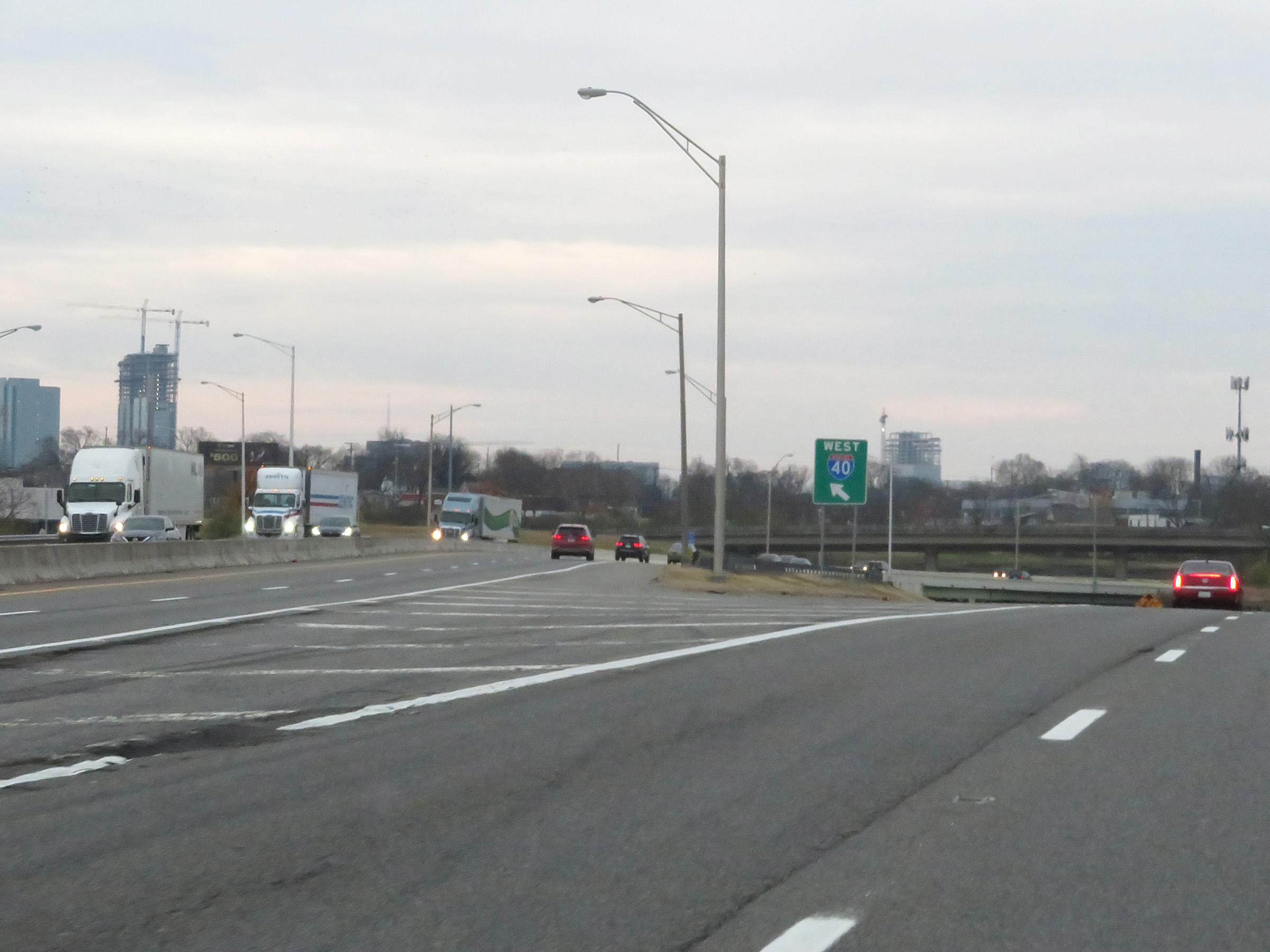 |
A closer view of the ramp to Interstate 40 West via Exit 84B in Nashville. (Photo taken 12/13/20). |
 |
Interstate 65 South as it passes under the ramps from I-65 South to Interstate 40 West and I-40 East to I-65 North. Ahead, I-65 South will run concurrently with I-40 West for a couple of miles in downtown Nashville. (Photo taken 12/13/20). |
 |
As Interstate 65 South curves to the east and passes under Jefferson St, its two lanes prepare to combine with the two thru lanes of Interstate 40 East ahead. I-40 East traffic will join from the right. (Photo taken 12/13/20). |
 |
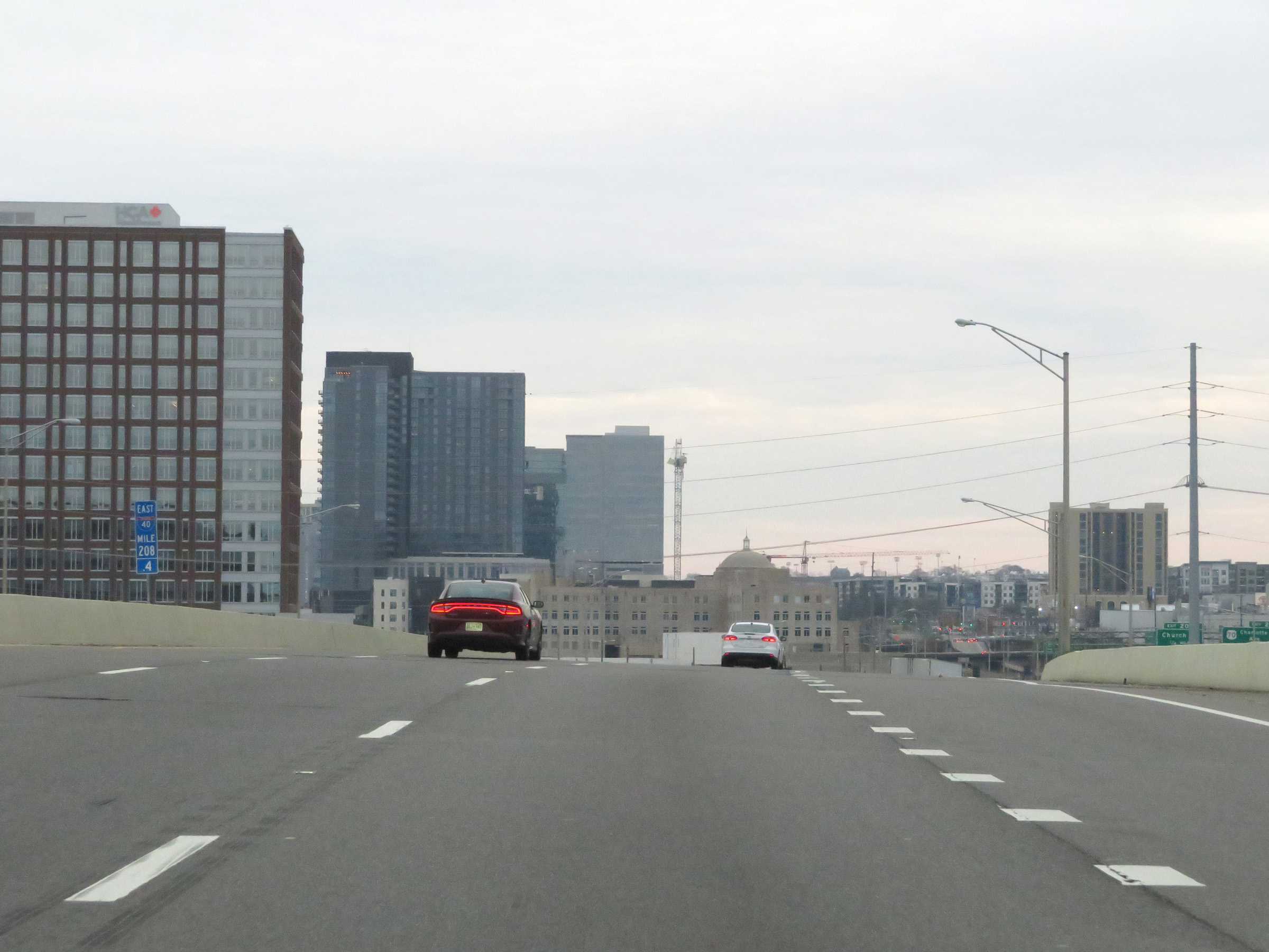
View on Interstate 65 South / Interstate 40 East at mile marker 208 in downtown Nashville. During the I-65 / I-40 concurrency, the mile markers and exit numbers are based on the total mileage of I-40. (Photo taken 12/13/20). |
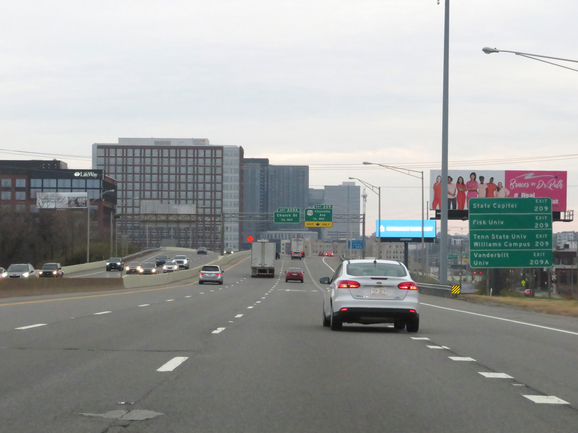 |
Take Exit 209 to the Tennessee State Capitol, Fisk University, and Tennessee State University Williams Campus. Take Exit 209A to Vanderbilt University. (Photo taken 12/13/20). |
 |
Interstate 65 South / Interstate 40 East at mile marker 208.4 in downtown Nashville. (Photo taken 12/13/20). |
 |
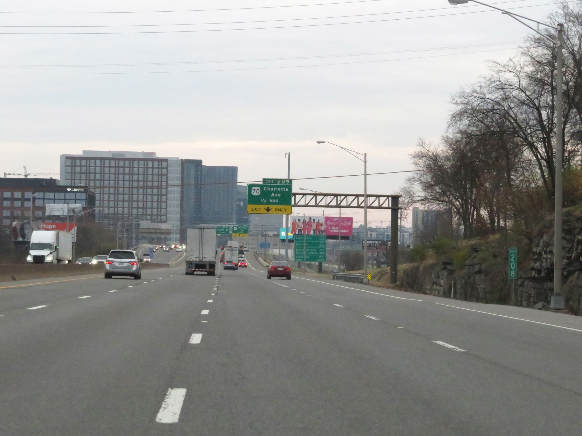
Interstate 65 South / Interstate 40 East at Exit 209: US 70 - Charlotte Ave (Photo taken 12/13/20). |
 |
Take Exit 209B to Frist Art Museum, Music City Center, the Country Music Hall of Fame, and Bridgestone Arena. (Photo taken 12/13/20). |
 |
Interstate 65 South / Interstate 40 East at Exit 209A: Church St (Photo taken 12/13/20). |
 |
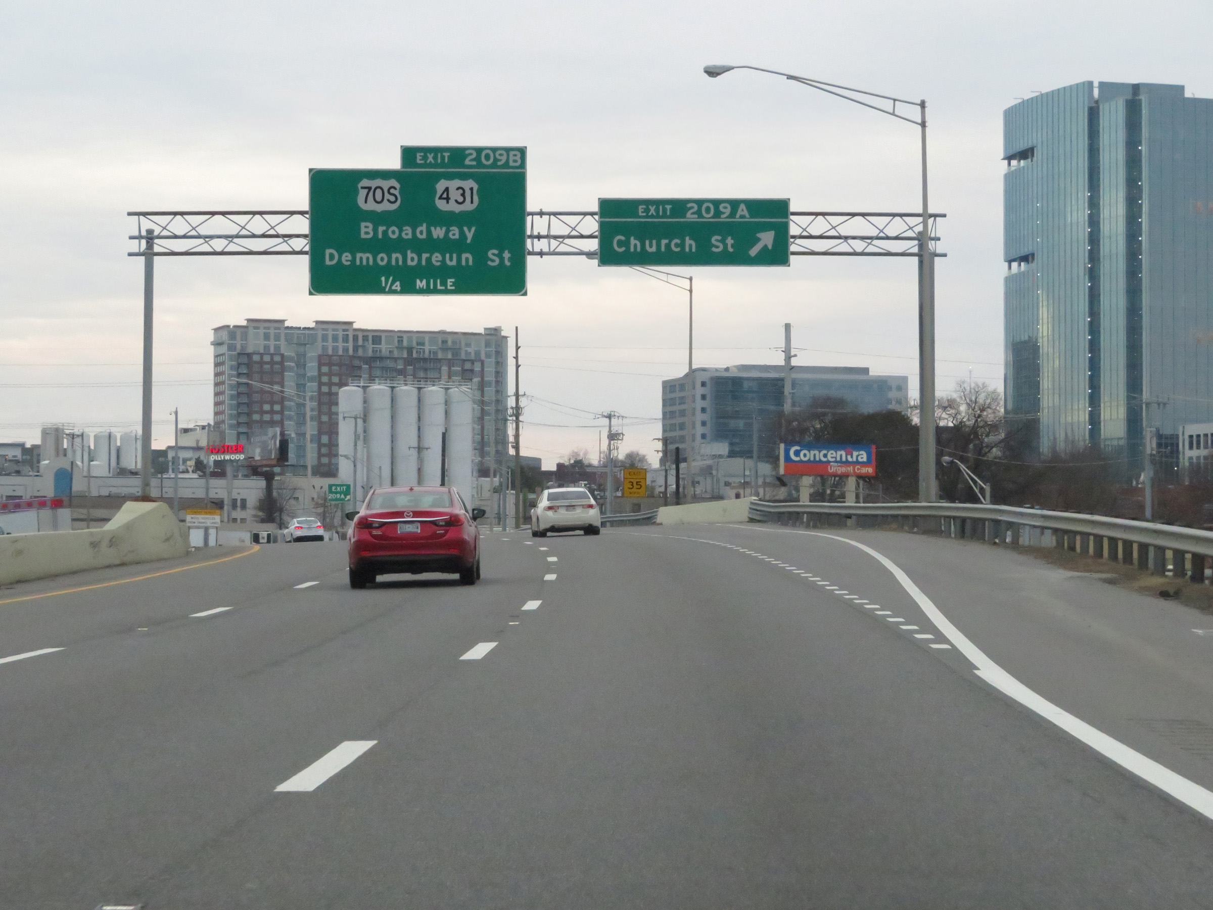
Interstate 65 South / Interstate 40 East at Exit 209B: US 70S / US 431 - Broadway / Demonbreun St (Photo taken 12/13/20). |
 |
View on Interstate 65 South / Interstate 40 East at mile marker 209. (Photo taken 12/13/20). |
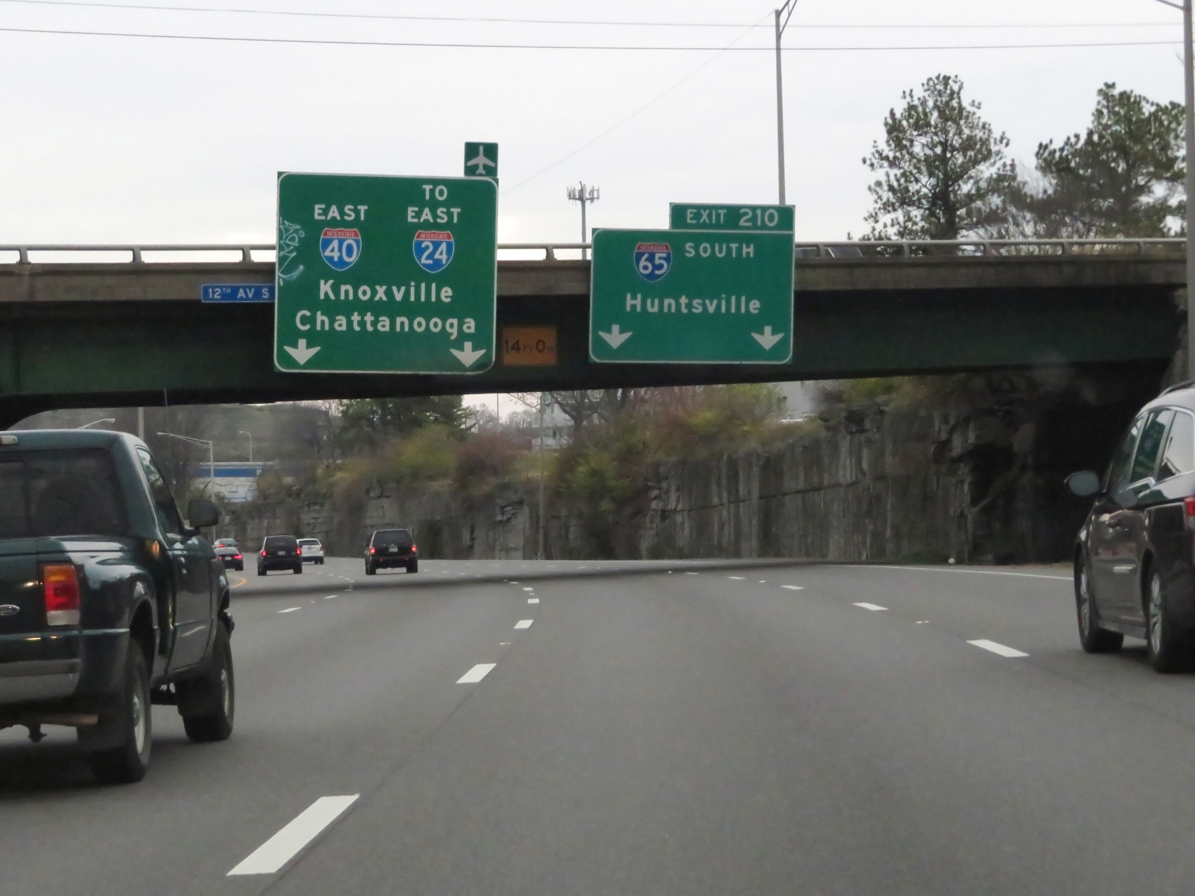 |
Interstate 65 South / Interstate 40 East approaching Exit 210. I-65 South thru traffic should use the two right lanes, while I-40 East thru traffic should use the two leftmost lanes. (Photo taken 12/13/20). |
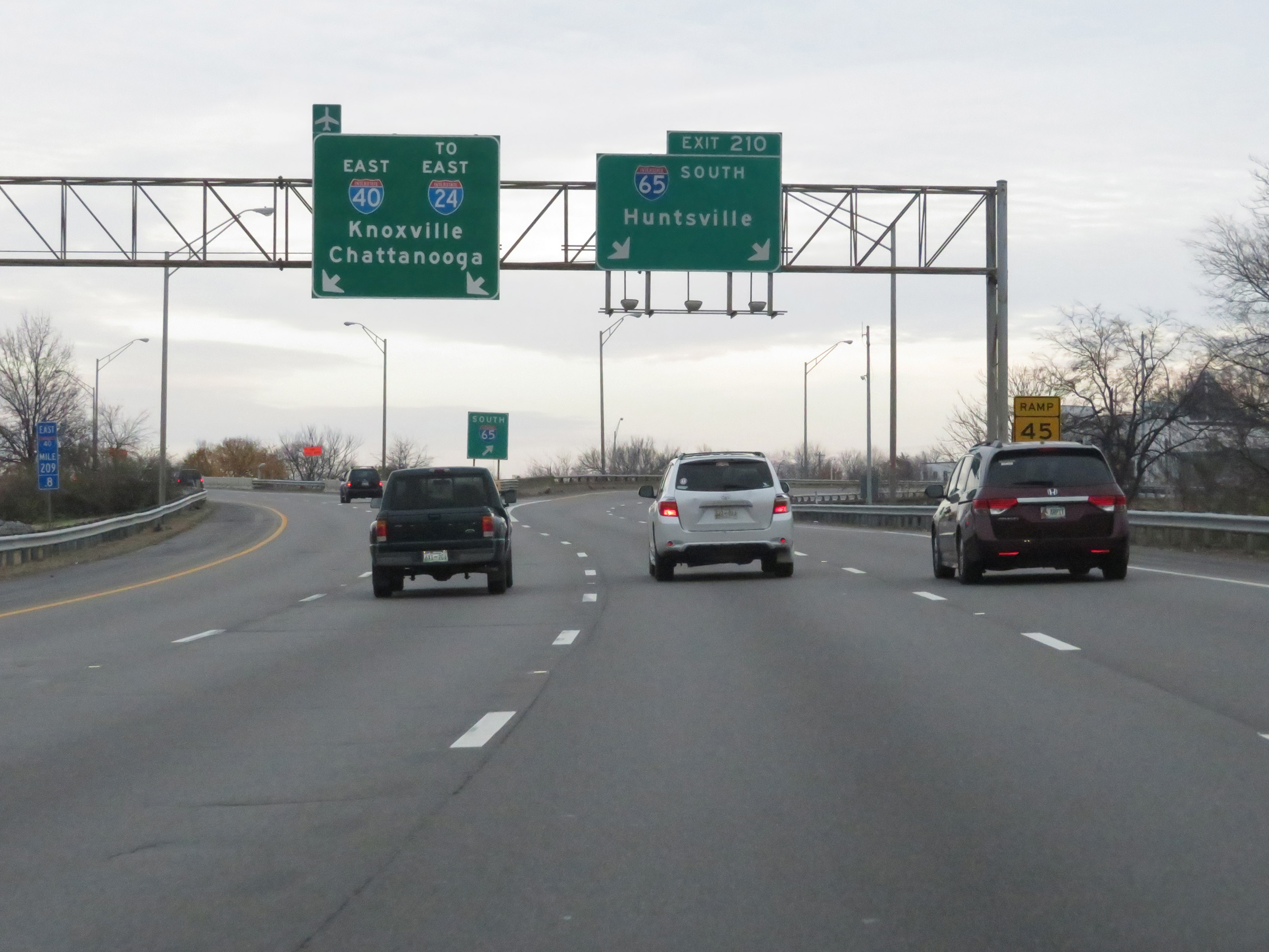 |
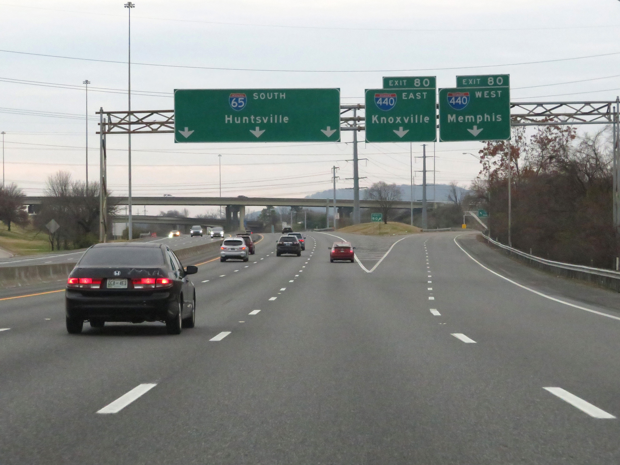
Interstate 65 South / Interstate 40 East at Exit 210: Interstate 65 South - Huntsville (Photo taken 12/13/20). |
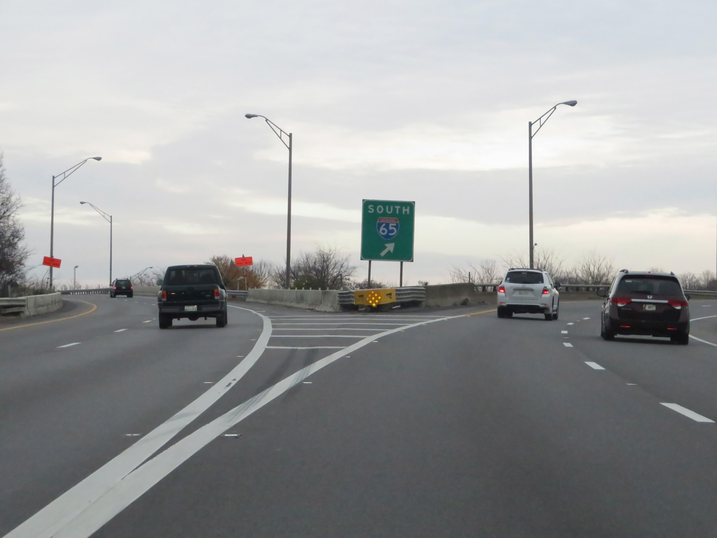 |
A closer view of the split as Interstate 65 South and Interstate 40 East part ways in Nashville. (Photo taken 12/13/20). |
 |
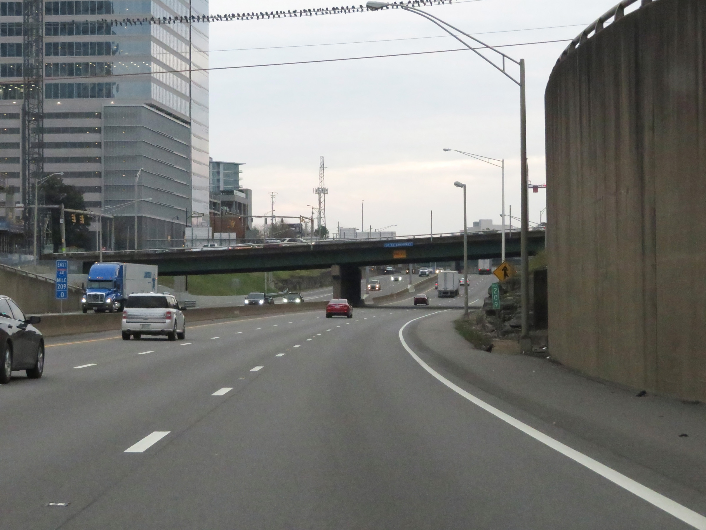
View on Interstate 65 South as it curves to the south after departing Interstate 40 East. (Photo taken 12/13/20). |
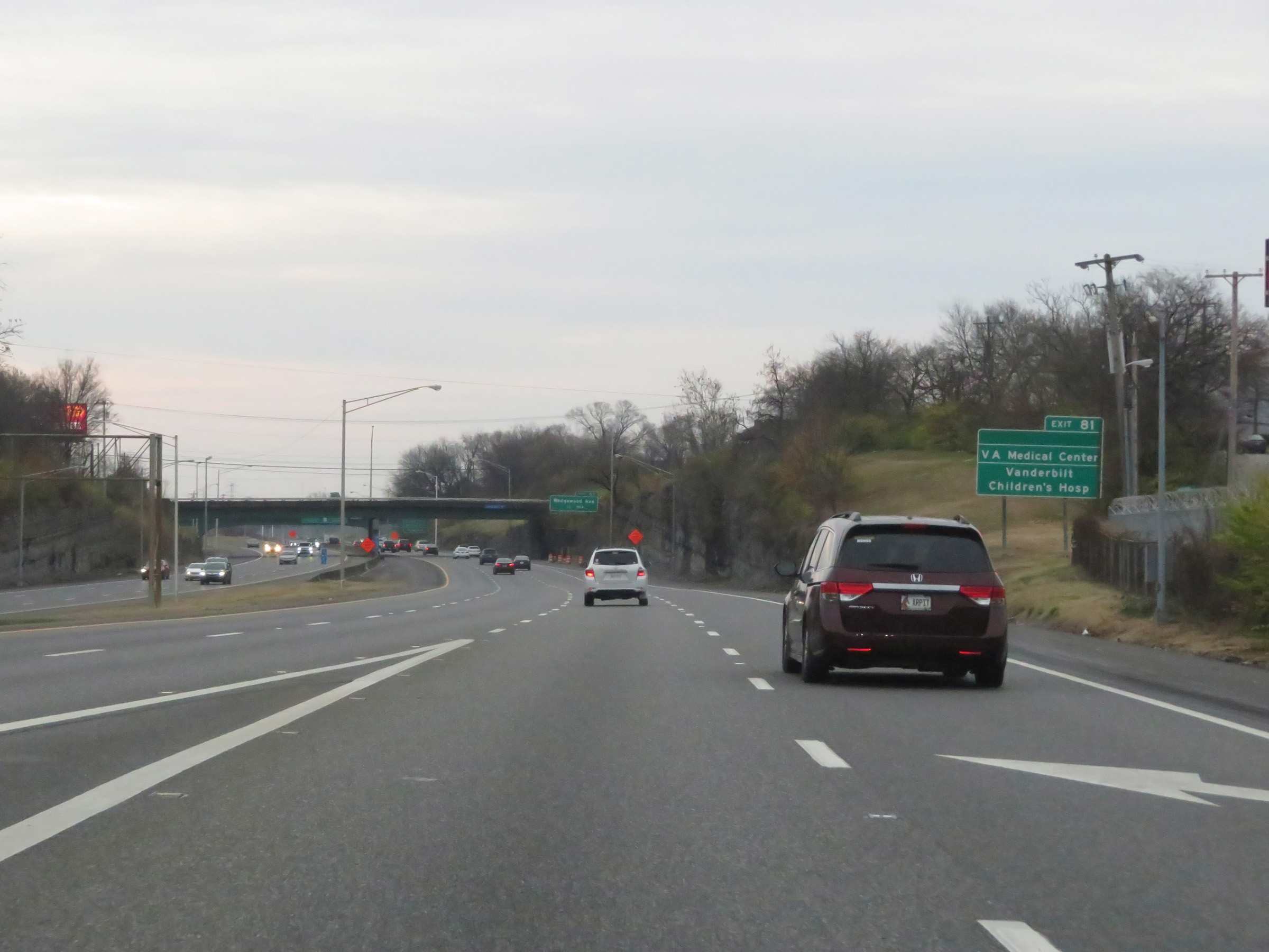 |
Take Exit 81 to the VA Medical Center and Vanderbilt Children's Hospital. To the left, we see the two lanes of the ramp from Interstate 40 West joining Interstate 65 South. (Photo taken 12/13/20). |
 |
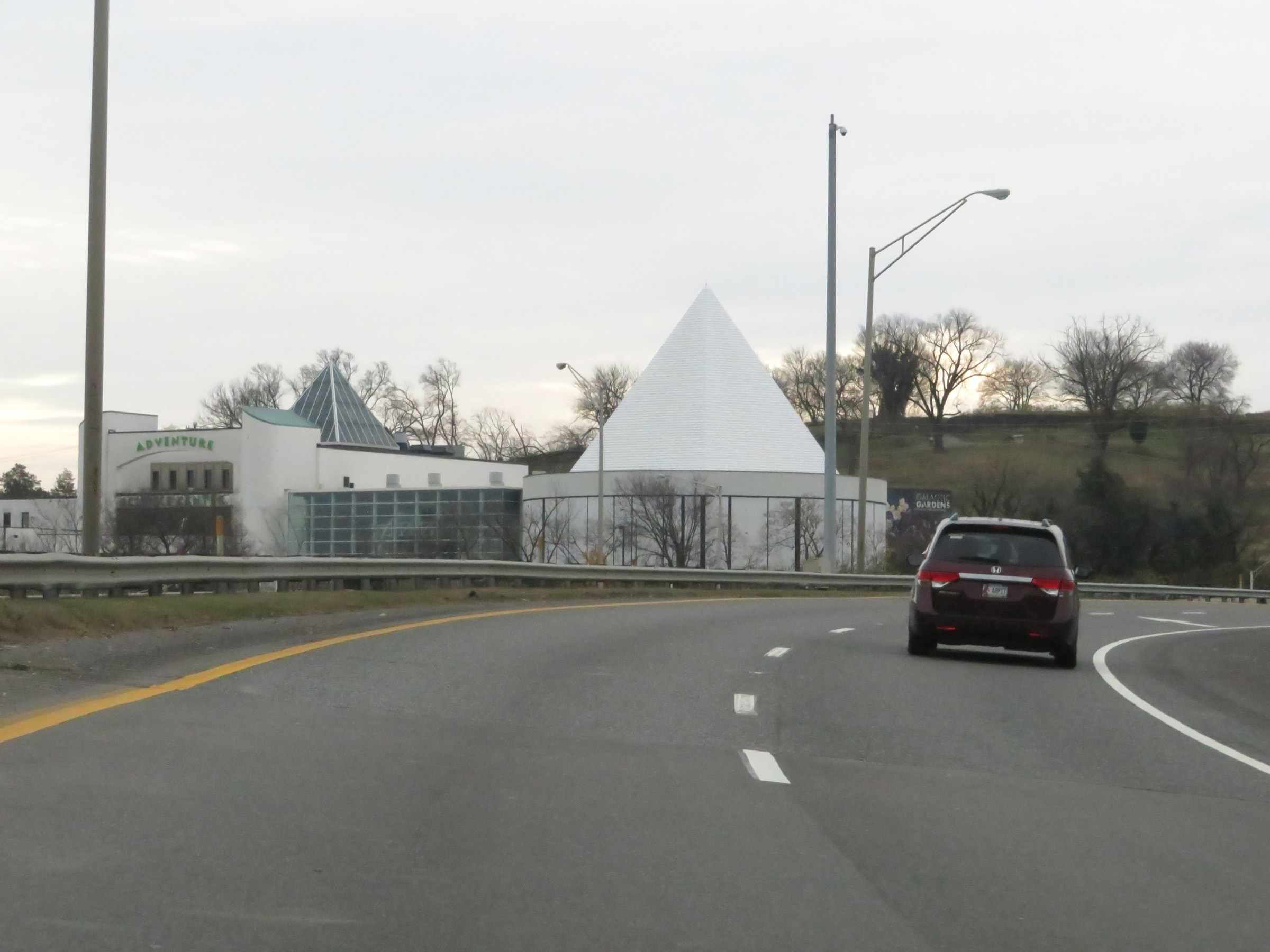
Also take Exit 81 to Adventure Science Center, Belmont University, and the Fairgrounds. (Photo taken 12/13/20). |
 |
Interstate 65 South approaching Exit 80 - 1 1/4 miles. (Photo taken 12/13/20). |
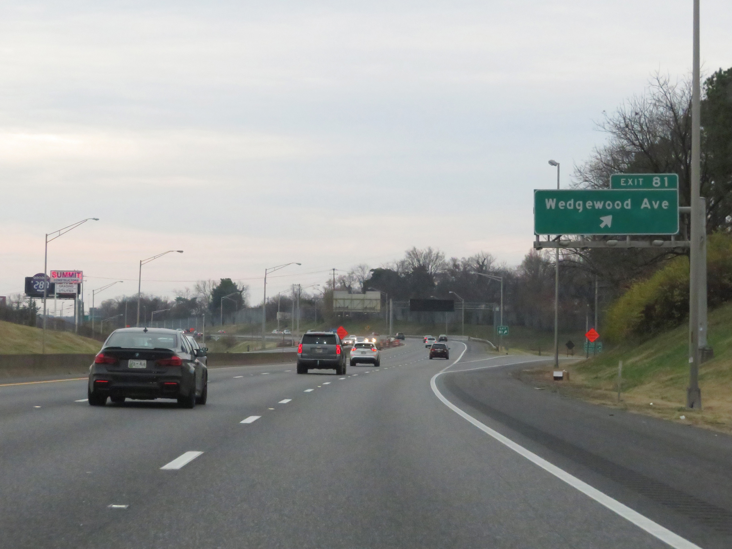 |
Interstate 65 South at Exit 81: Wedgewood Ave (Photo taken 12/13/20). |
 |
Interstate 65 South reassurance shield. (Photo taken 12/13/20). |
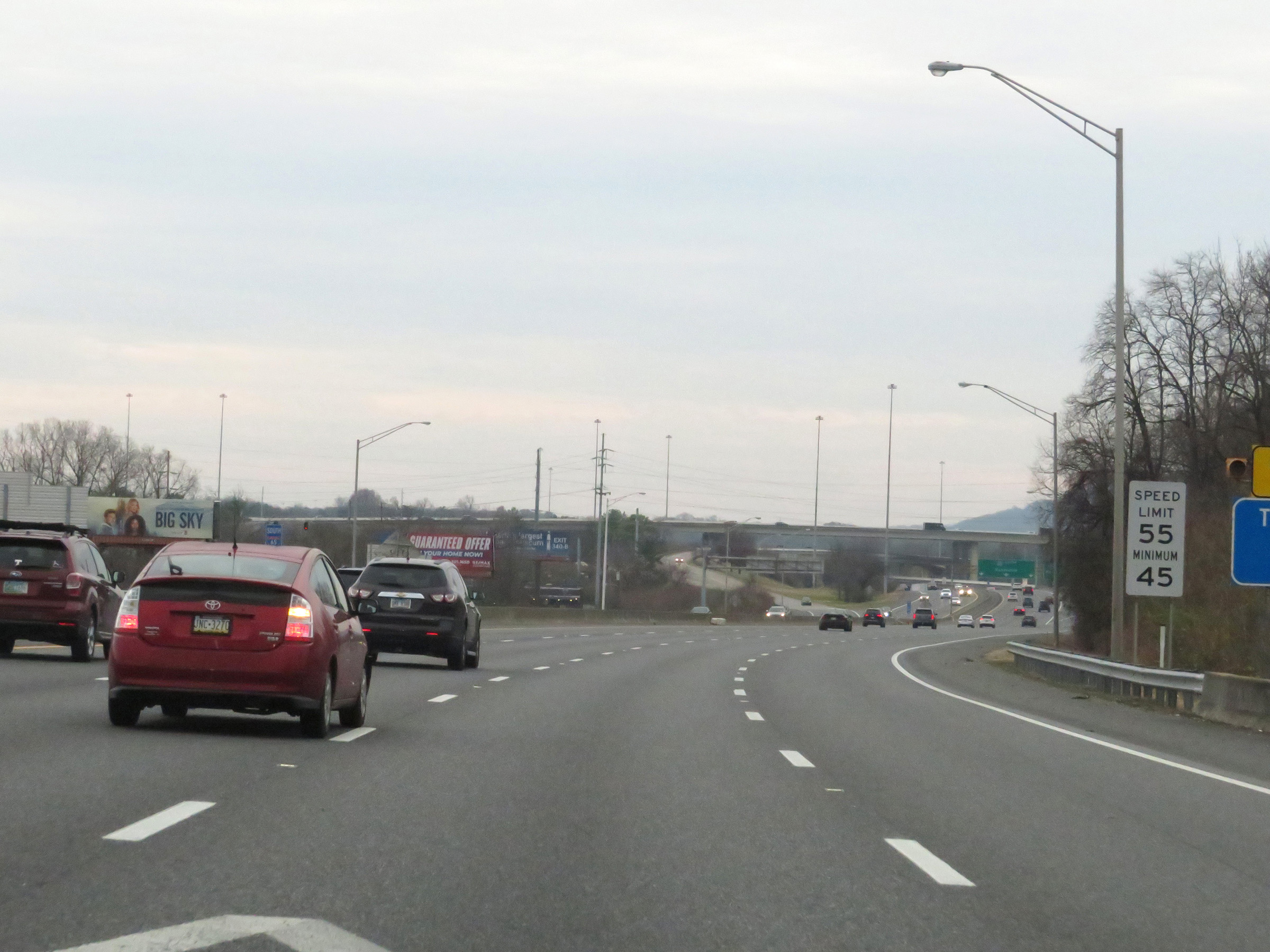 |
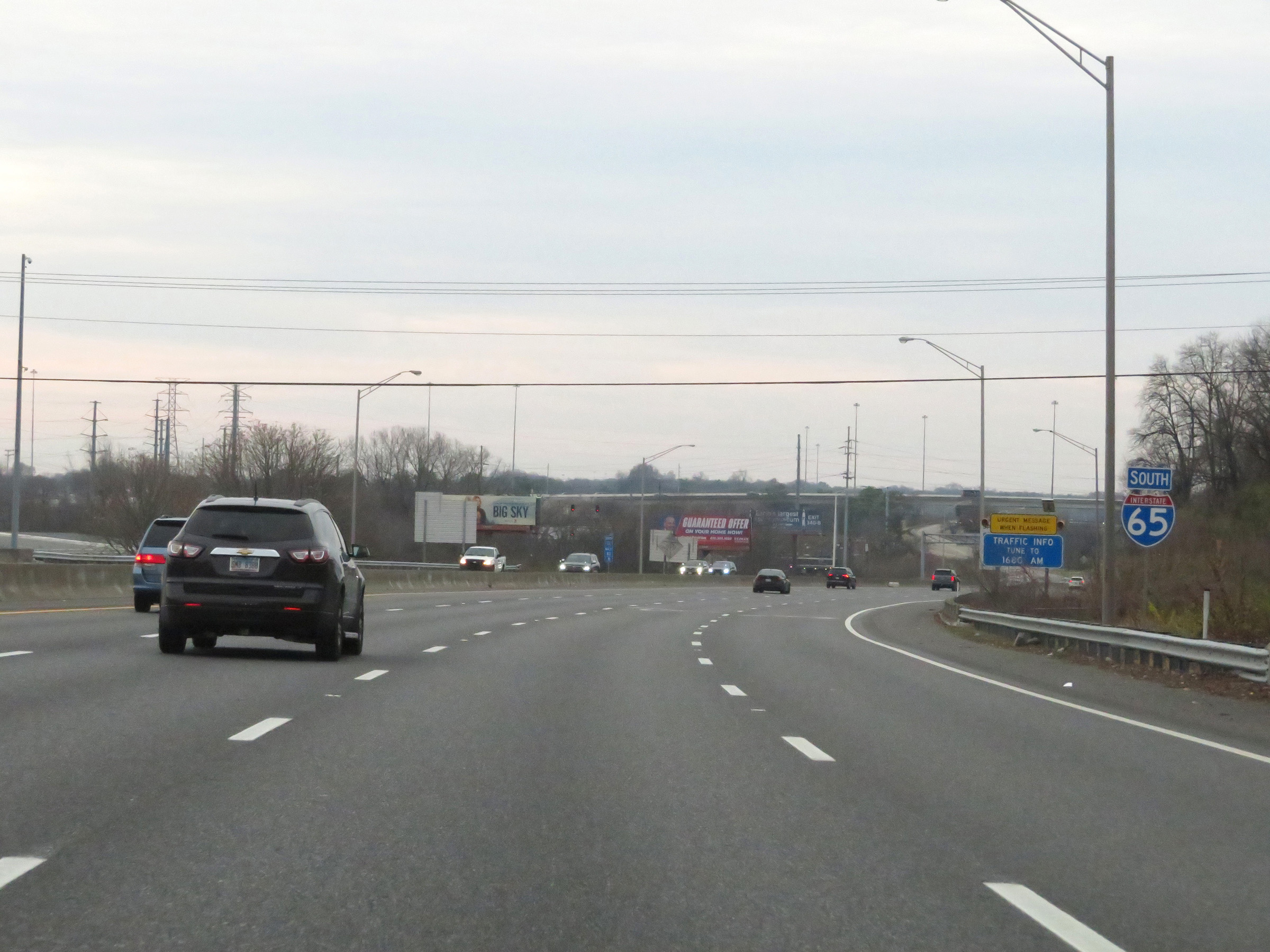
The speed limits on this stretch of Interstate 65 South remain 55 mph maximum and 45 mph minimum. (Photo taken 12/13/20). |
 |
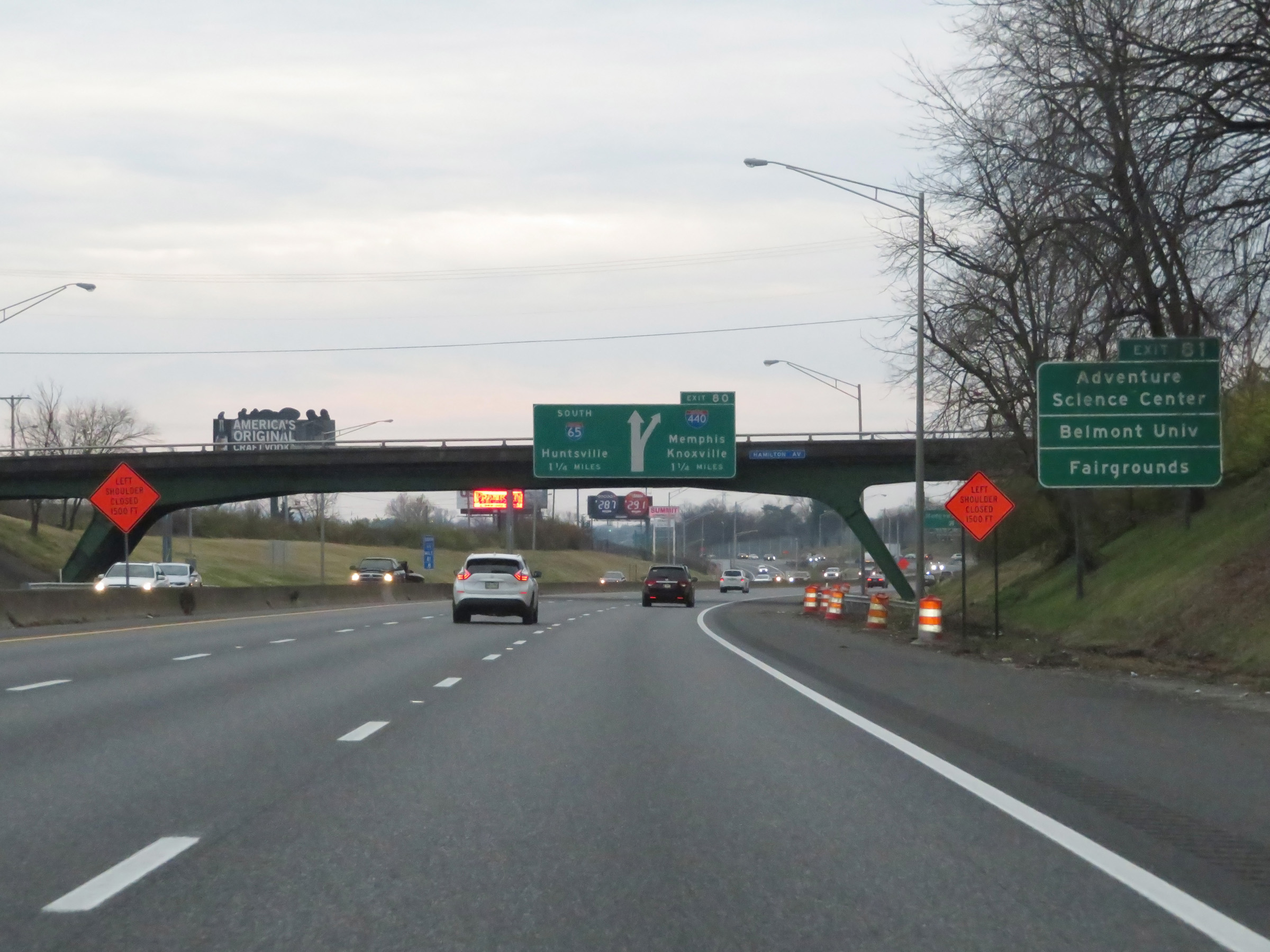
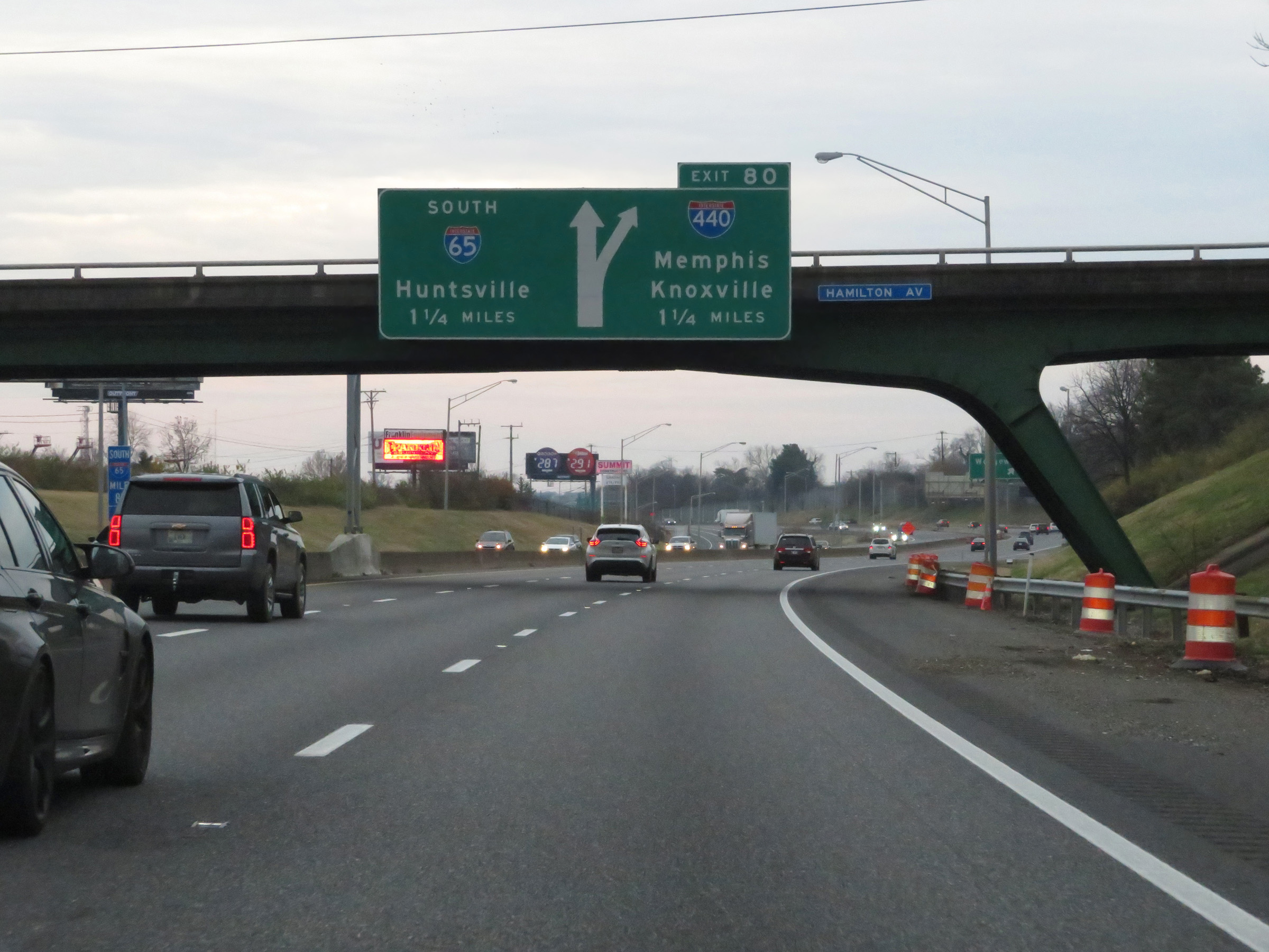
Interstate 65 South at Exit 80: Interstate 440 - Knoxville / Memphis (Photo taken 12/13/20). |
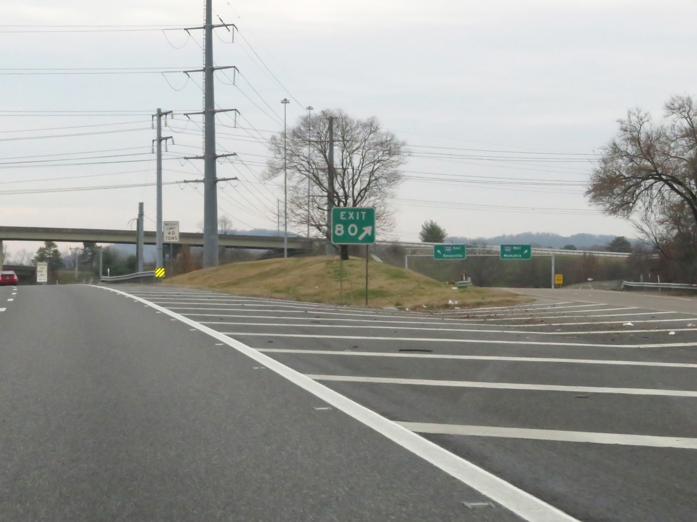 |
A closer look at the ramp to Interstate 440 via Exit 80. (Photo taken 12/13/20). |
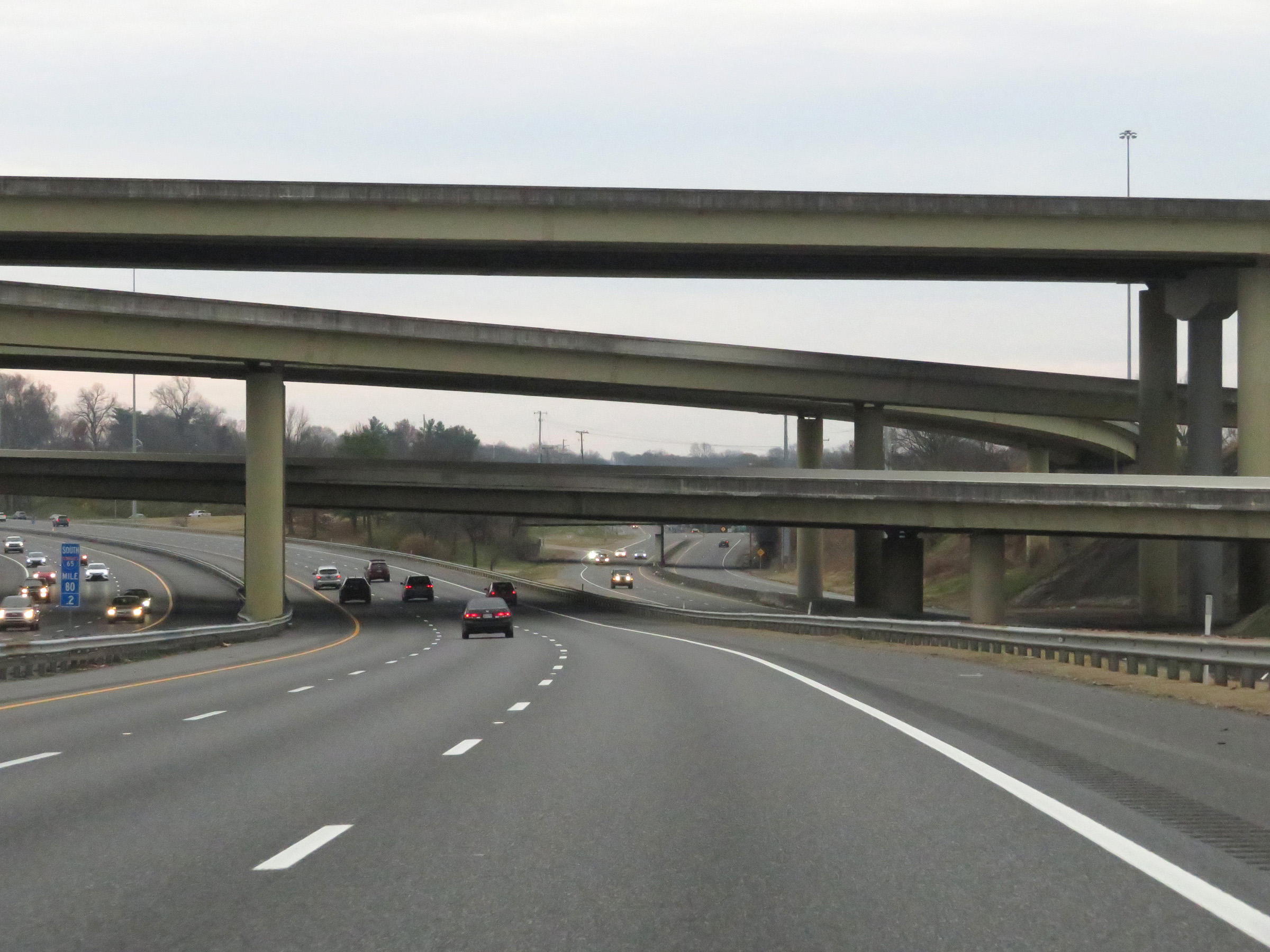 |
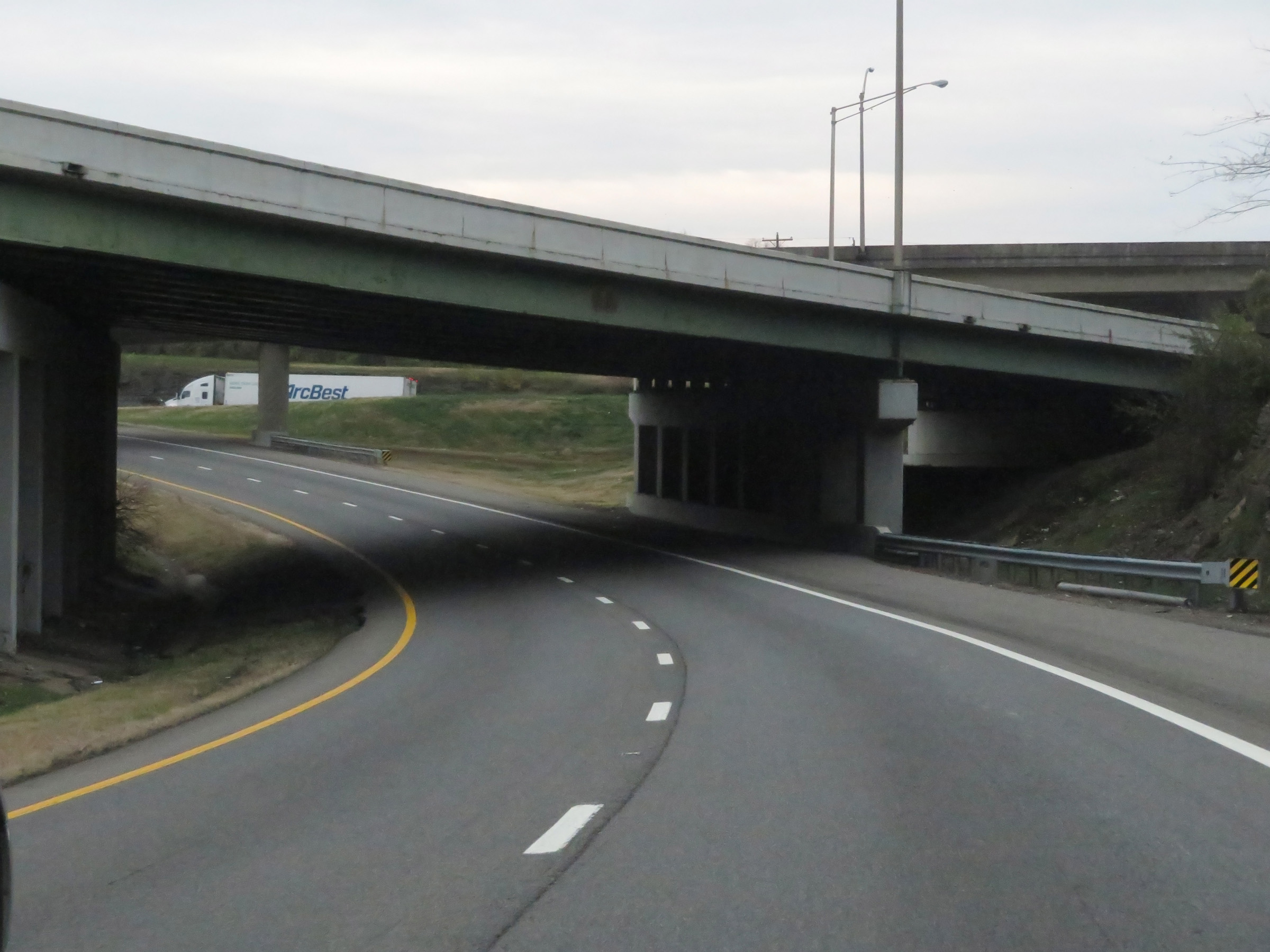
View on Interstate 65 South at mile marker 80.2, as it prepares to pass under Interstate 440 and the ramps to and from it. (Photo taken 12/13/20). |
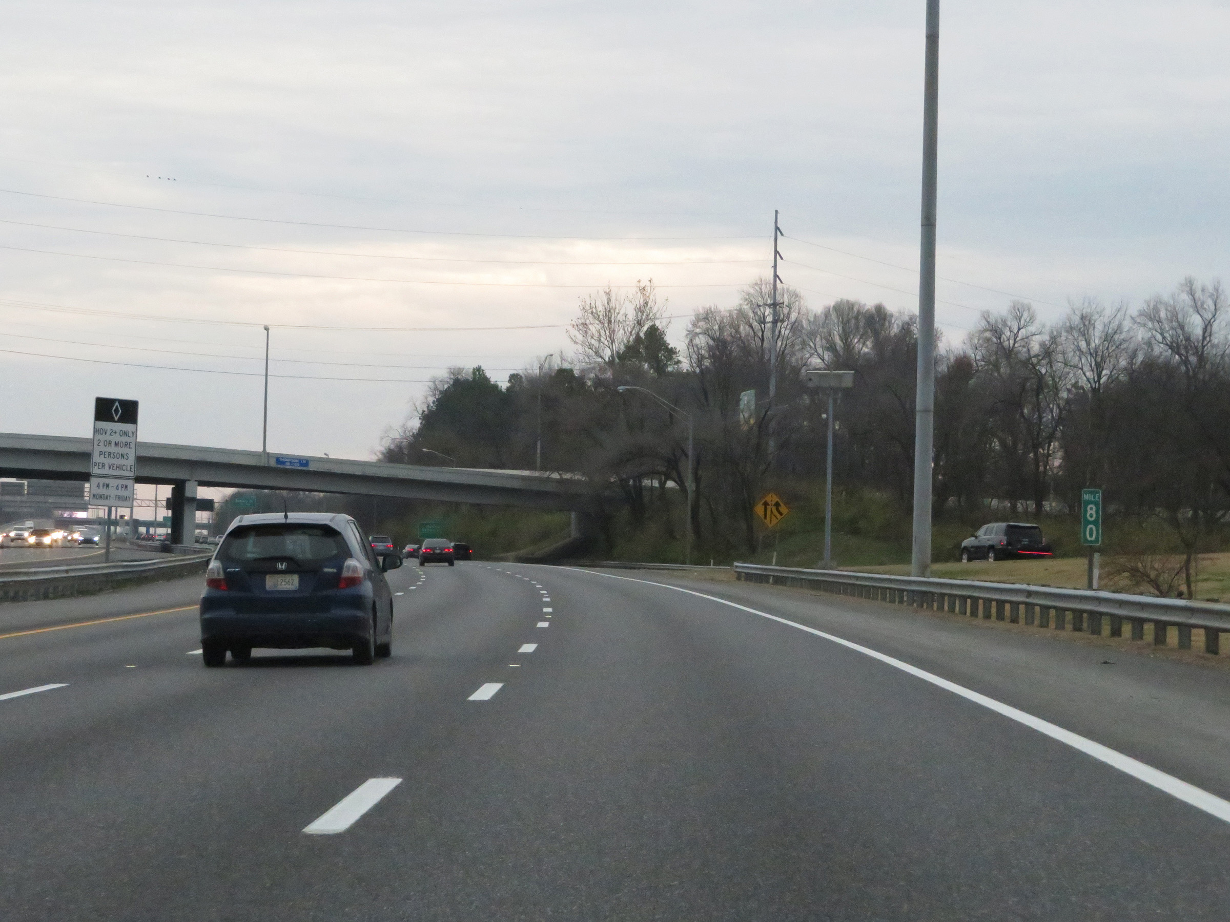 |
The left lane continues to be a HOV lane on Interstate 65 South. The HOV restrictions are in place Monday thru Friday from 4 PM to 6 PM. (Photo taken 12/13/20). |
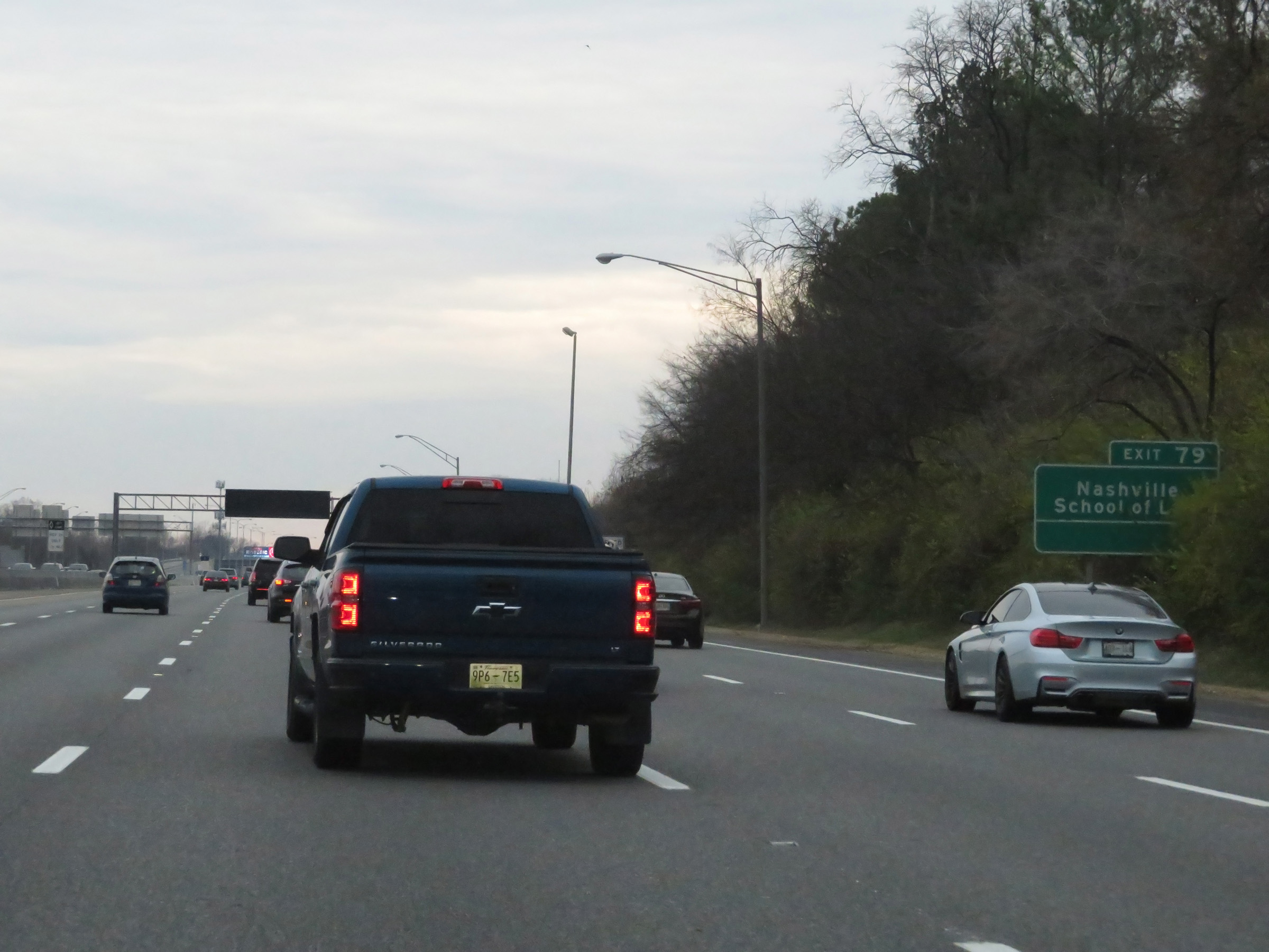 |
Take Exit 79 to Nashville School of Law. (Photo taken 12/13/20). |
 |
Approaching Exit 79, the speed limit increases to 65 mph on Interstate 65 South. (Photo taken 12/13/20). |
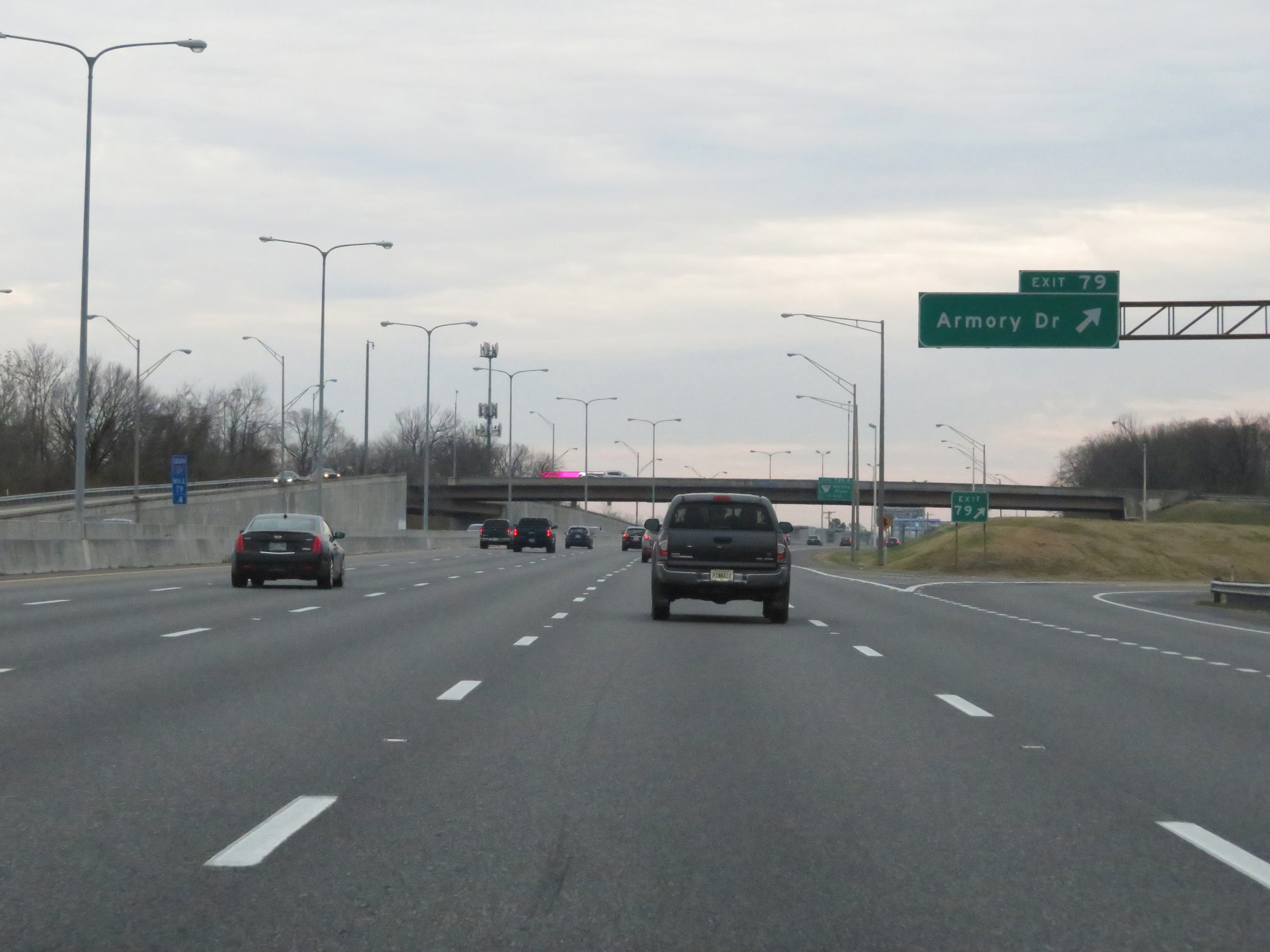 |
Interstate 65 South at Exit 79: Armory Dr (Photo taken 12/13/20). |
 |
Take Exit 78B to Battle of Nashville Civil War Site, Travellers Rest Plantation, and Lipscomb University. (Photo taken 12/13/20). |
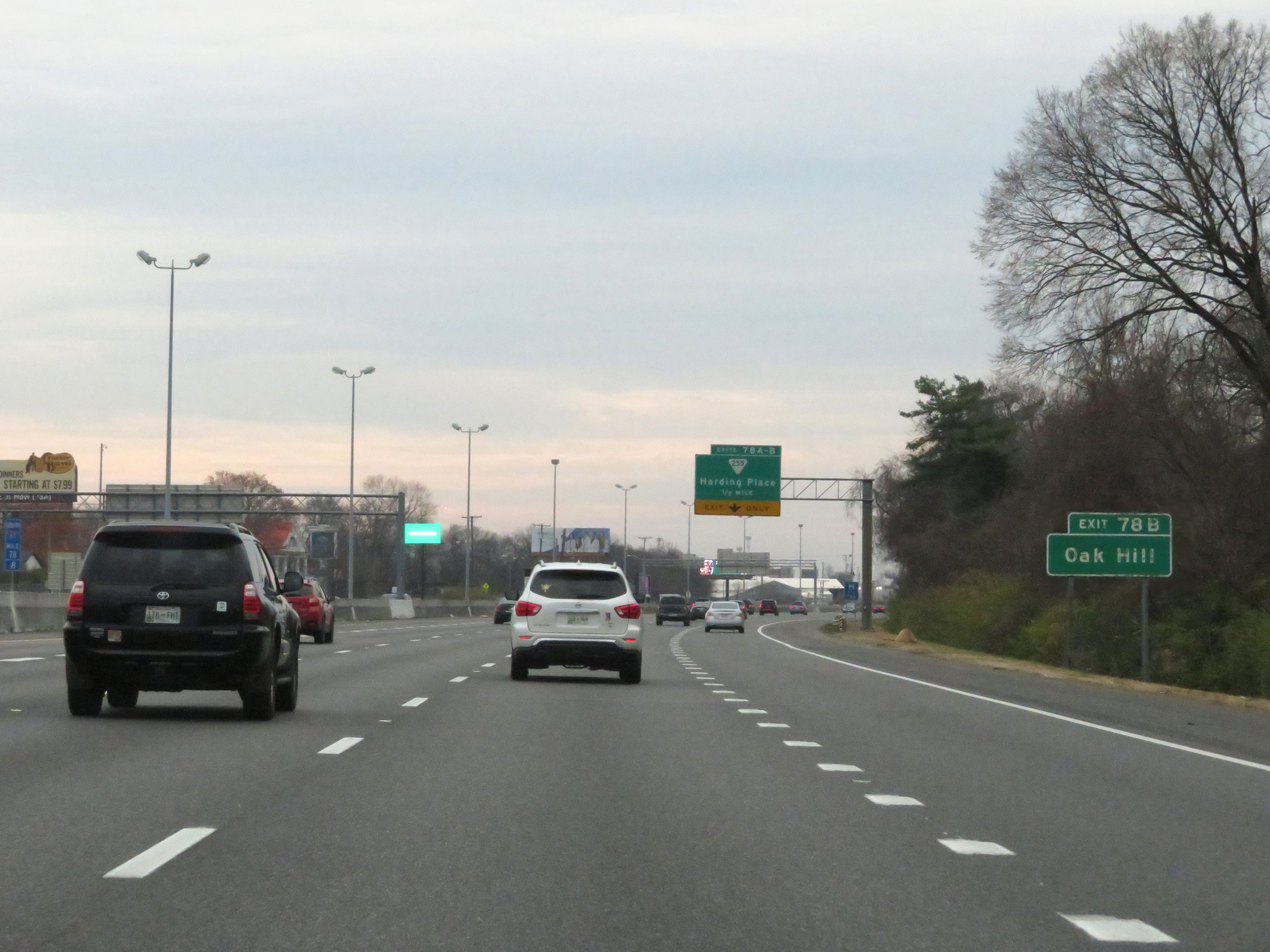 |
Also take Exit 78B to Oak Hill. (Photo taken 12/13/20). |
 |
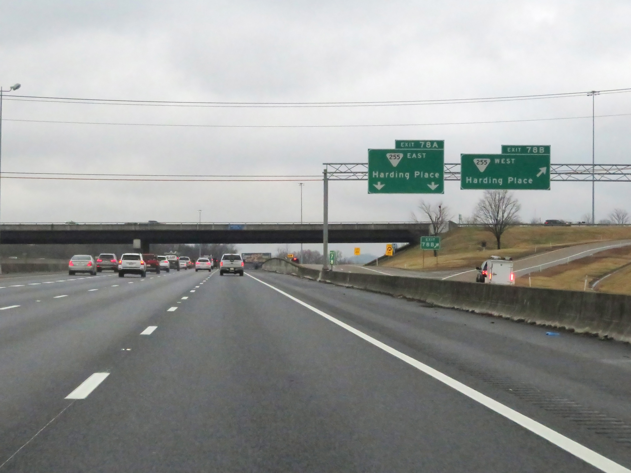
Interstate 65 South at Exits 78A-B: SR 255 - Harding Place (Photo taken 12/13/20). |
 |
View of the ramp for Exit 78B on Interstate 65 South. (Photo taken 12/14/20). |
 |
South of Exits 78A-B, the speed limit increases to 70 mph on Interstate 65 South. This is the standard speed limit on most rural Interstate highways in Tennessee. (Photo taken 12/14/20). |
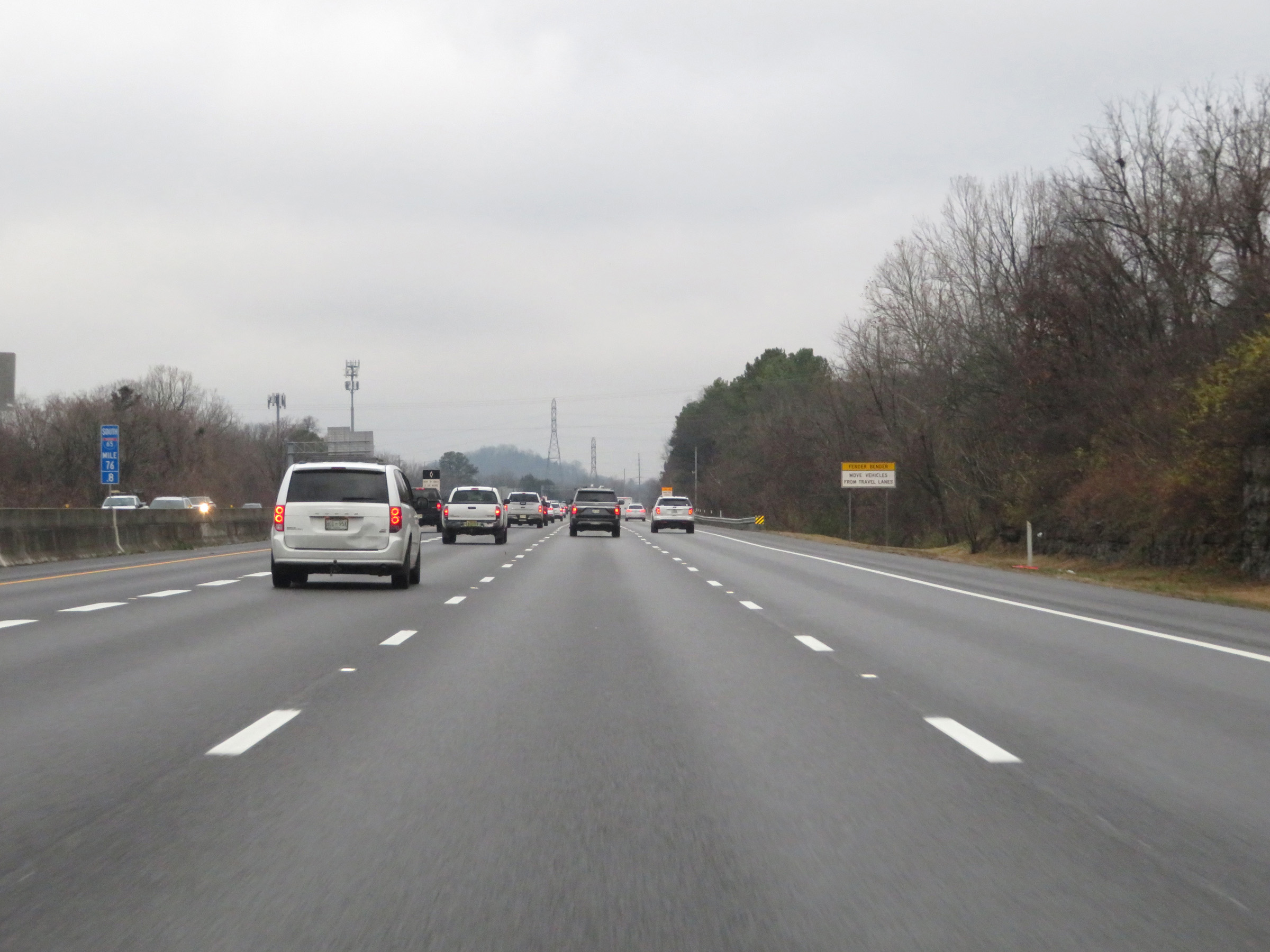 |
View on Interstate 65 South at mile marker 76.8. (Photo taken 12/14/20). |
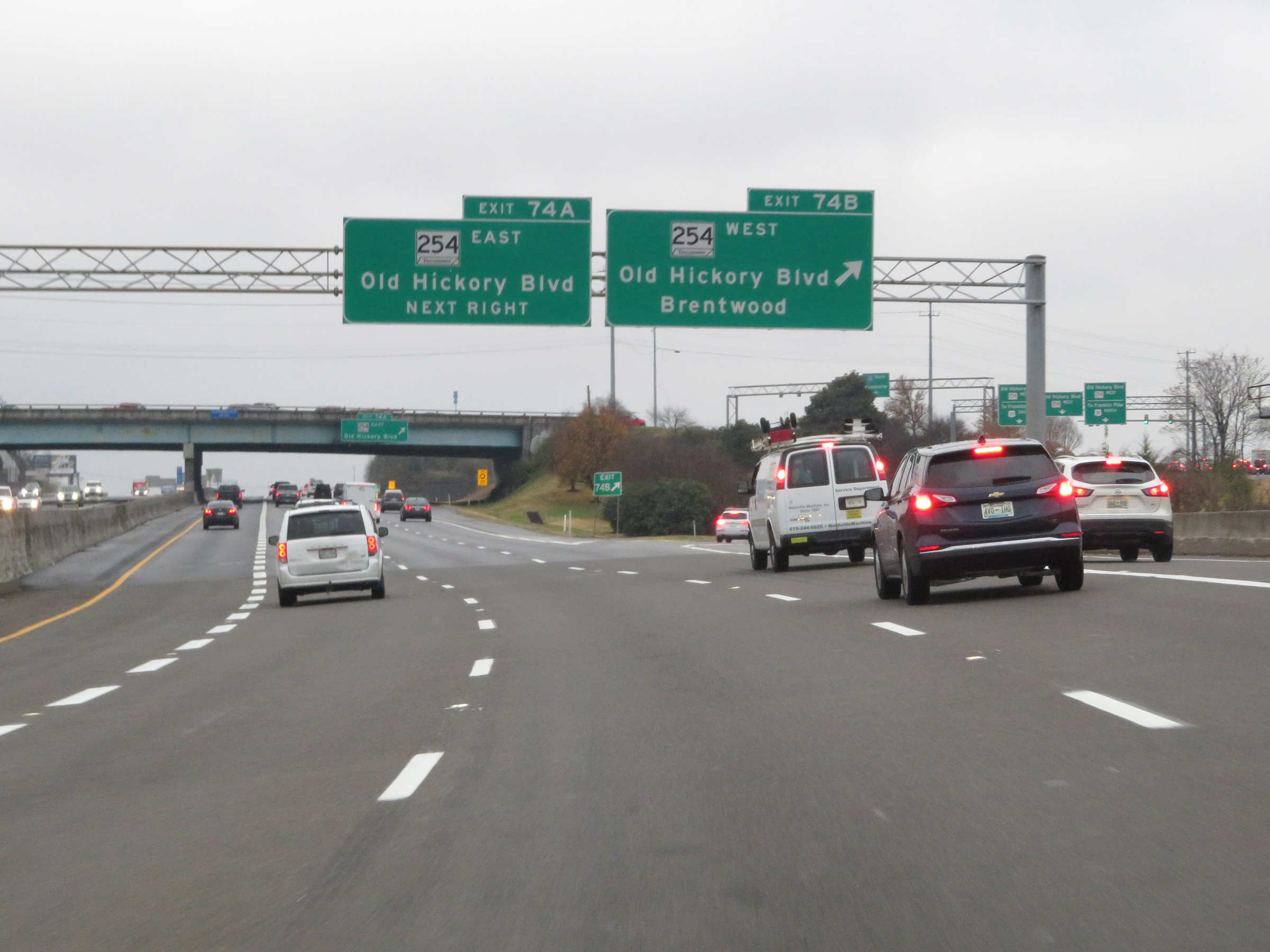 |
Interstate 65 South at Exit 74B: TN 254 West - Old Hickory Blvd / Brentwood (Photo taken 12/14/20). |
 |
Interstate 65 South at Exit 74A: TN 254 East - Old Hickory Blvd (Photo taken 12/14/20). |
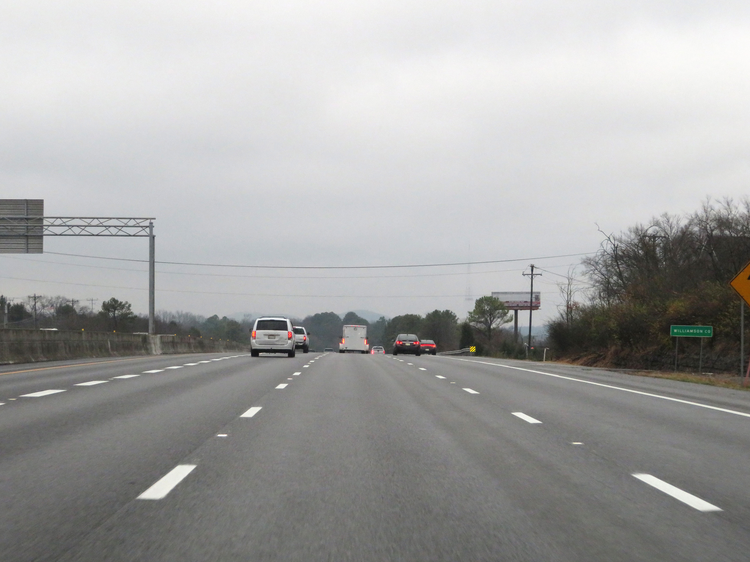 |
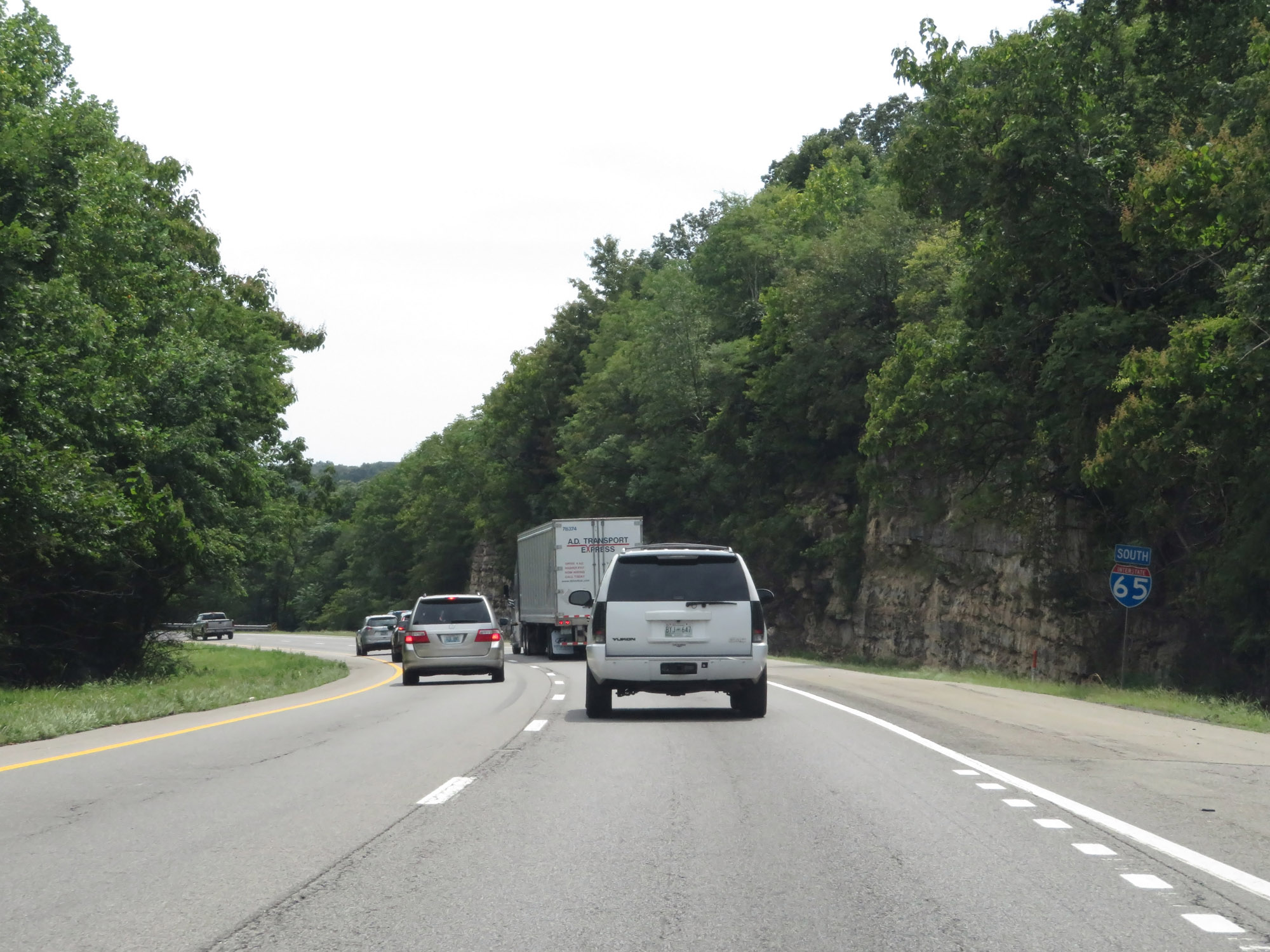
Interstate 65 South as it enters Williamson County. (Photo taken 12/14/20). |
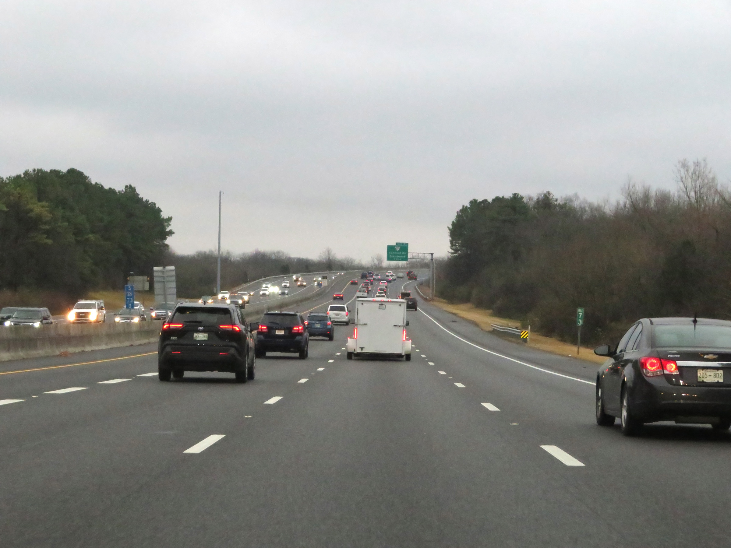 |
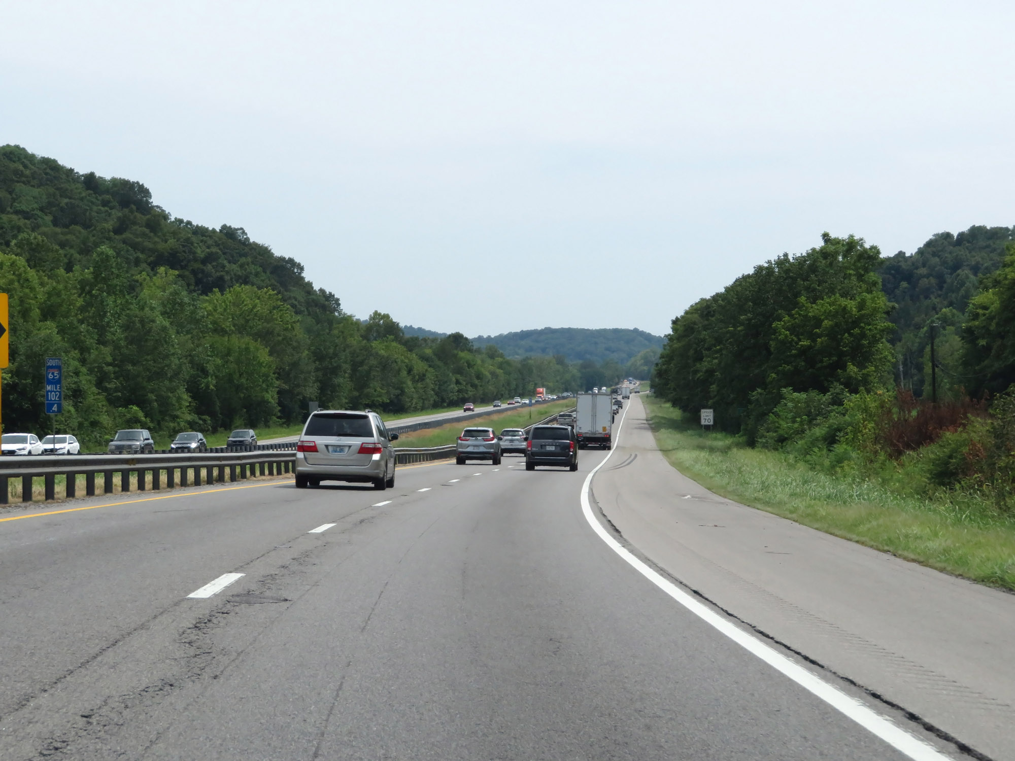
View on Interstate 65 South at mile marker 73. (Photo taken 12/14/20). |
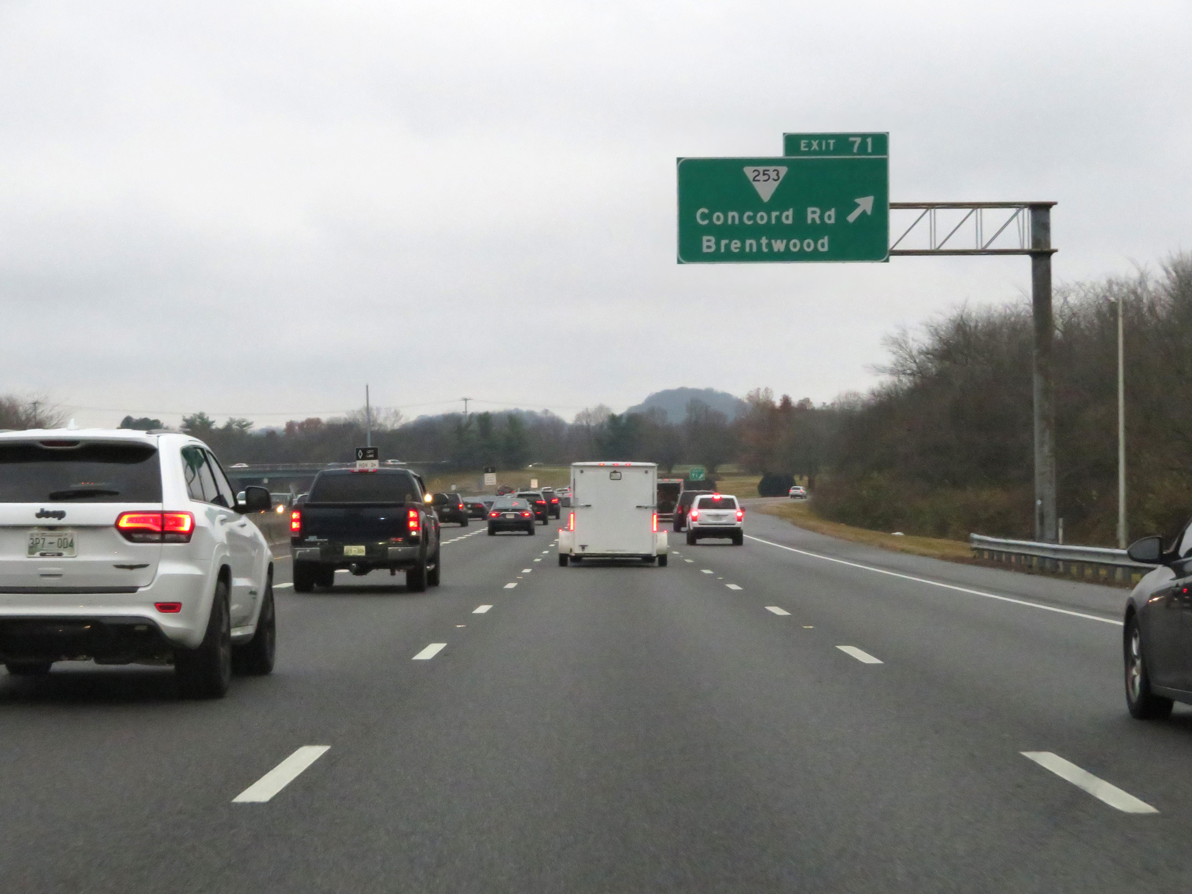 |
Interstate 65 South at Exit 71: SR 253 - Concord Rd / Brentwood (Photo taken 12/14/20). |
 |
Mile marker 70 on Interstate 65 South in Williamson County. (Photo taken 12/14/20). |
 |
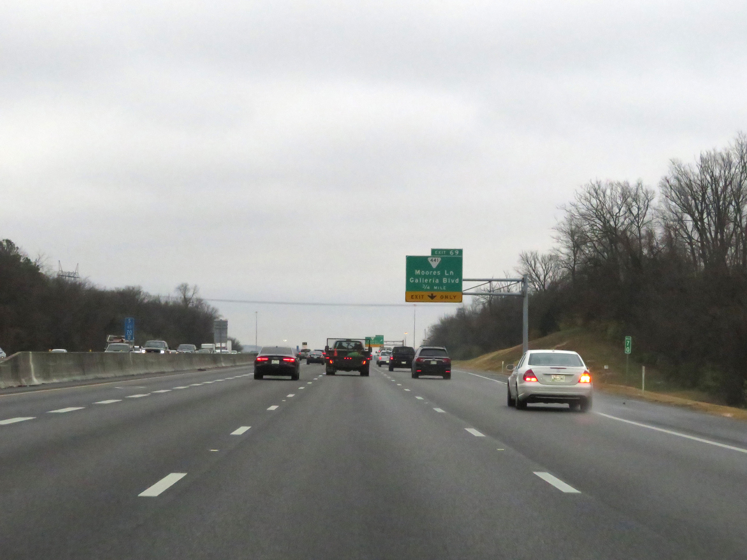
Interstate 65 South at Exit 69: SR 441 - Moores Ln / Galleria Blvd (Photo taken 12/14/20). |
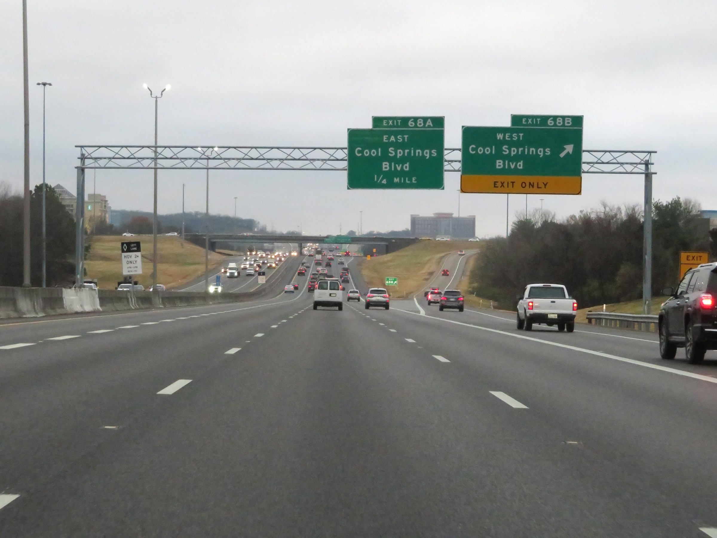 |
Interstate 65 South at Exit 68B: Cool Springs Blvd West (Photo taken 12/14/20). |
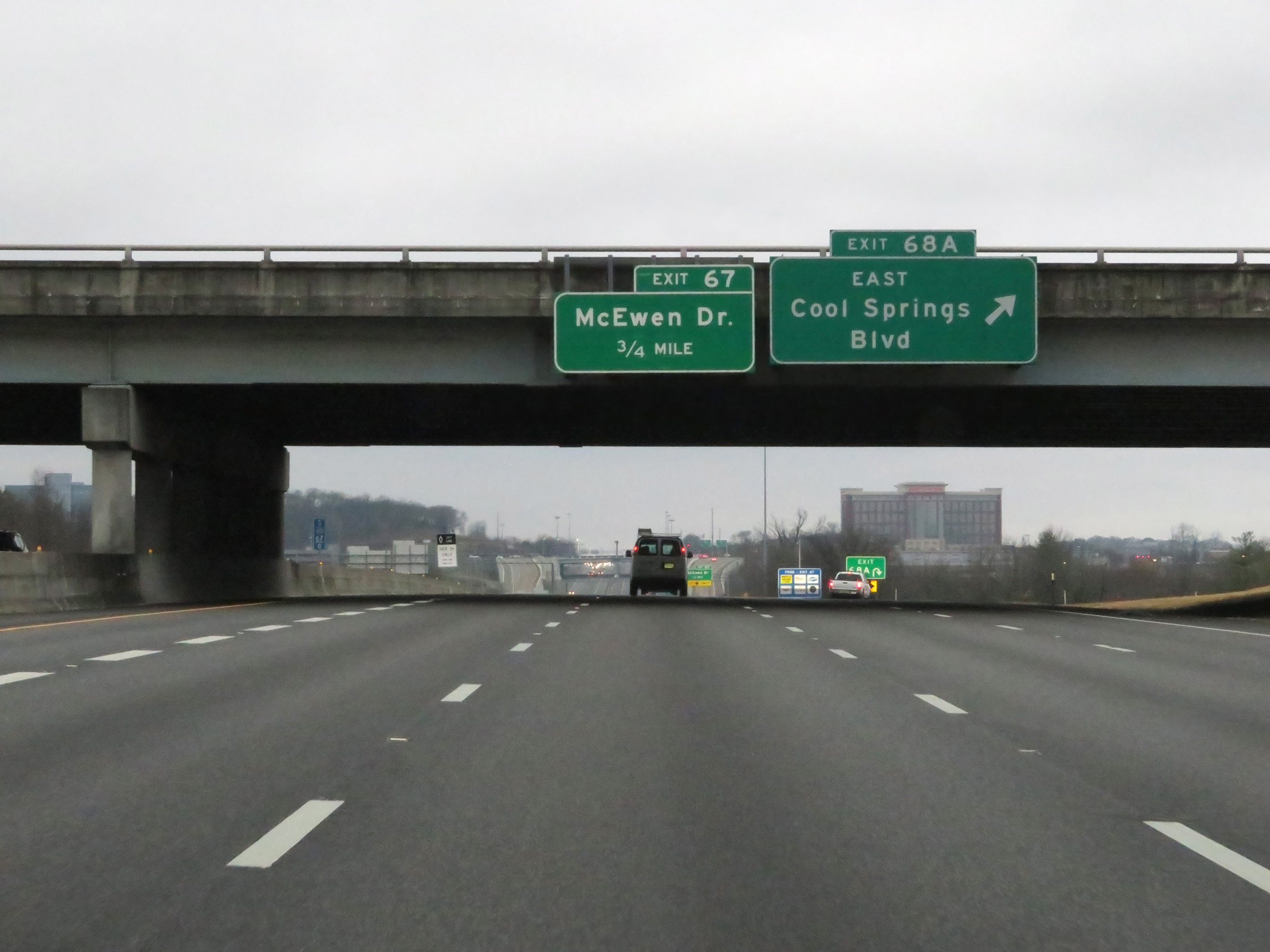 |
Interstate 65 South at Exit 68A: Cool Springs Blvd East (Photo taken 12/14/20). |
 |
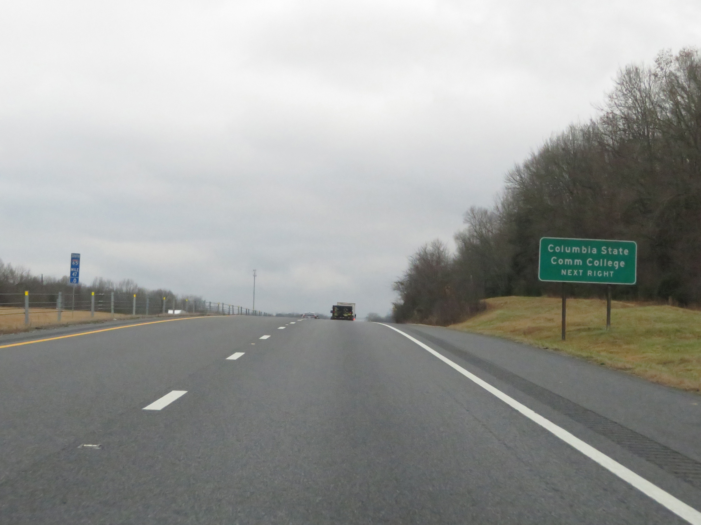
Take Exit 67 to Columbia State Community College. (Photo taken 12/14/20). |
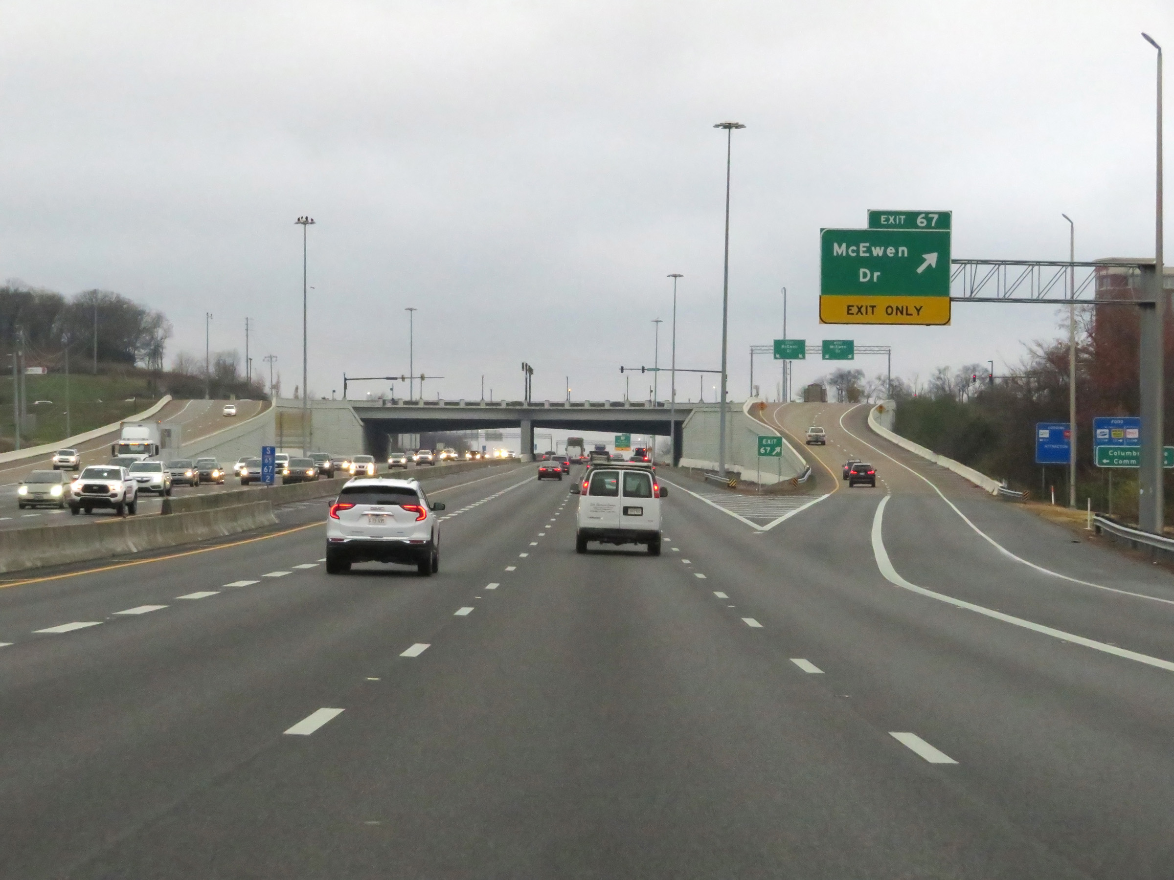 |
Interstate 65 South at Exit 67: McEwen Dr (Photo taken 12/14/20). |
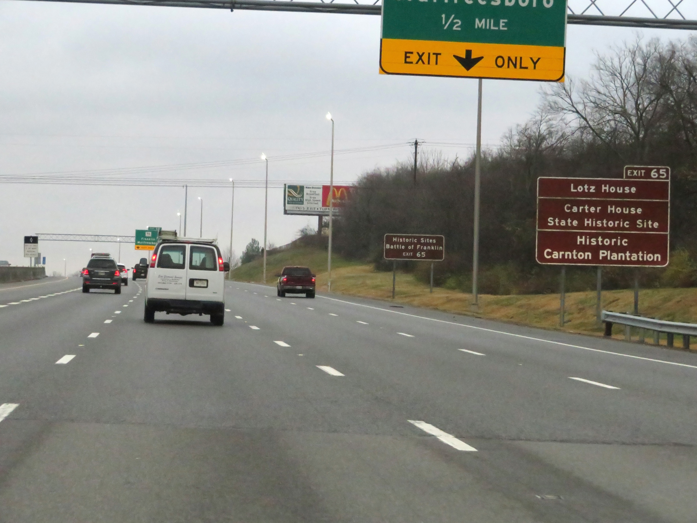 |
Take Exit 65 to the Lotz House, Carter House State Historic Site, Historic Carnton Plantation, and the Battle of Franklin Historic Sites. (Photo taken 12/14/20). |
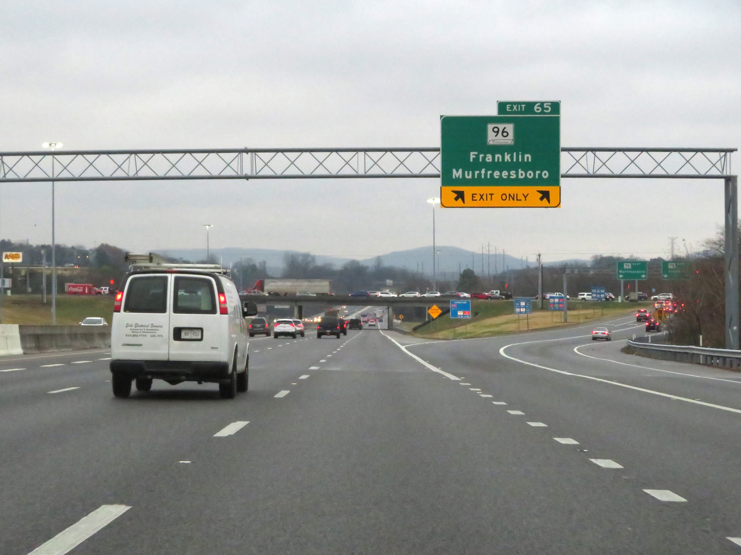 |
Interstate 65 South at Exit 65: TN 96 - Franklin / Murfreesboro (Photo taken 12/14/20). |
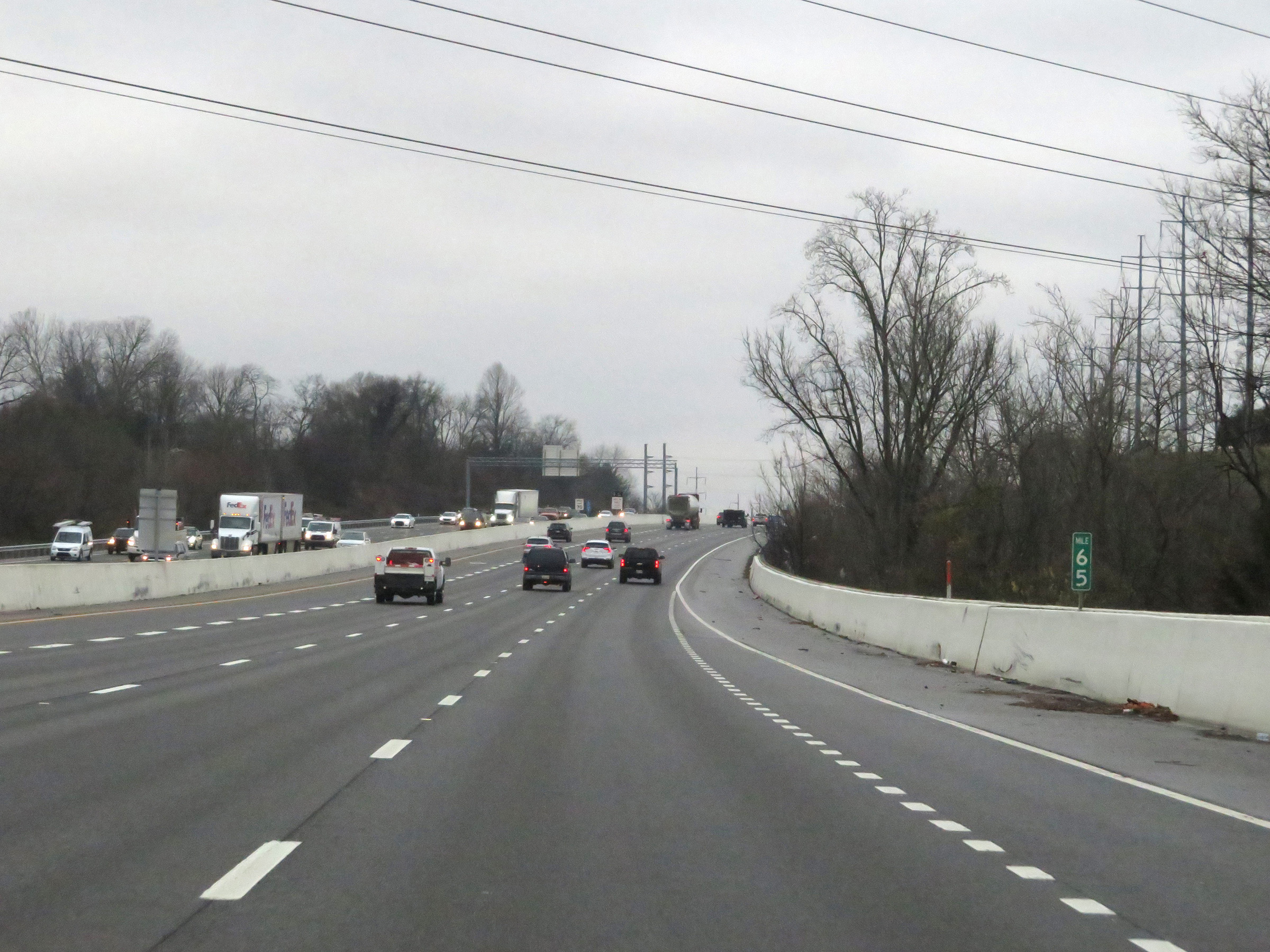 |
View on Interstate 65 South at mile marker 65. (Photo taken 12/14/20). |
 |
The speed limit remains 70 mph for all traffic. (Photo taken 12/14/20). |
 |
View on Interstate 65 South at mile marker 63. (Photo taken 12/14/20). |
 |
Take Exit 61 to the Williamson County Agricultural Expo Center. (Photo taken 12/14/20). |
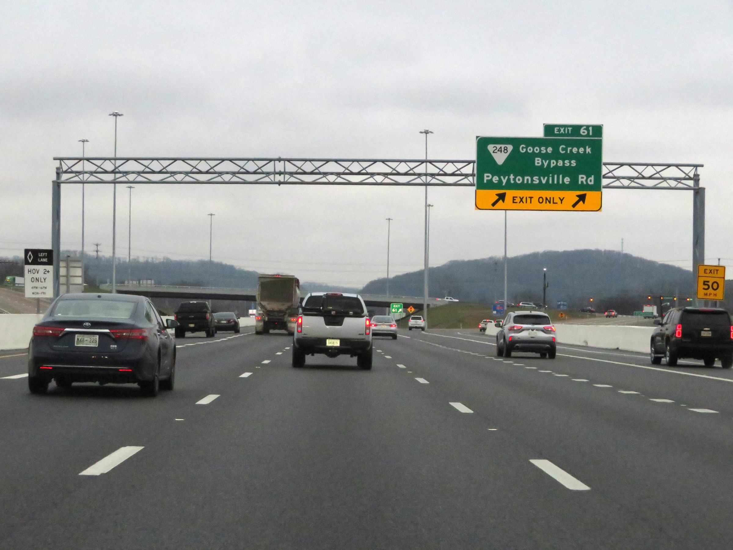 |
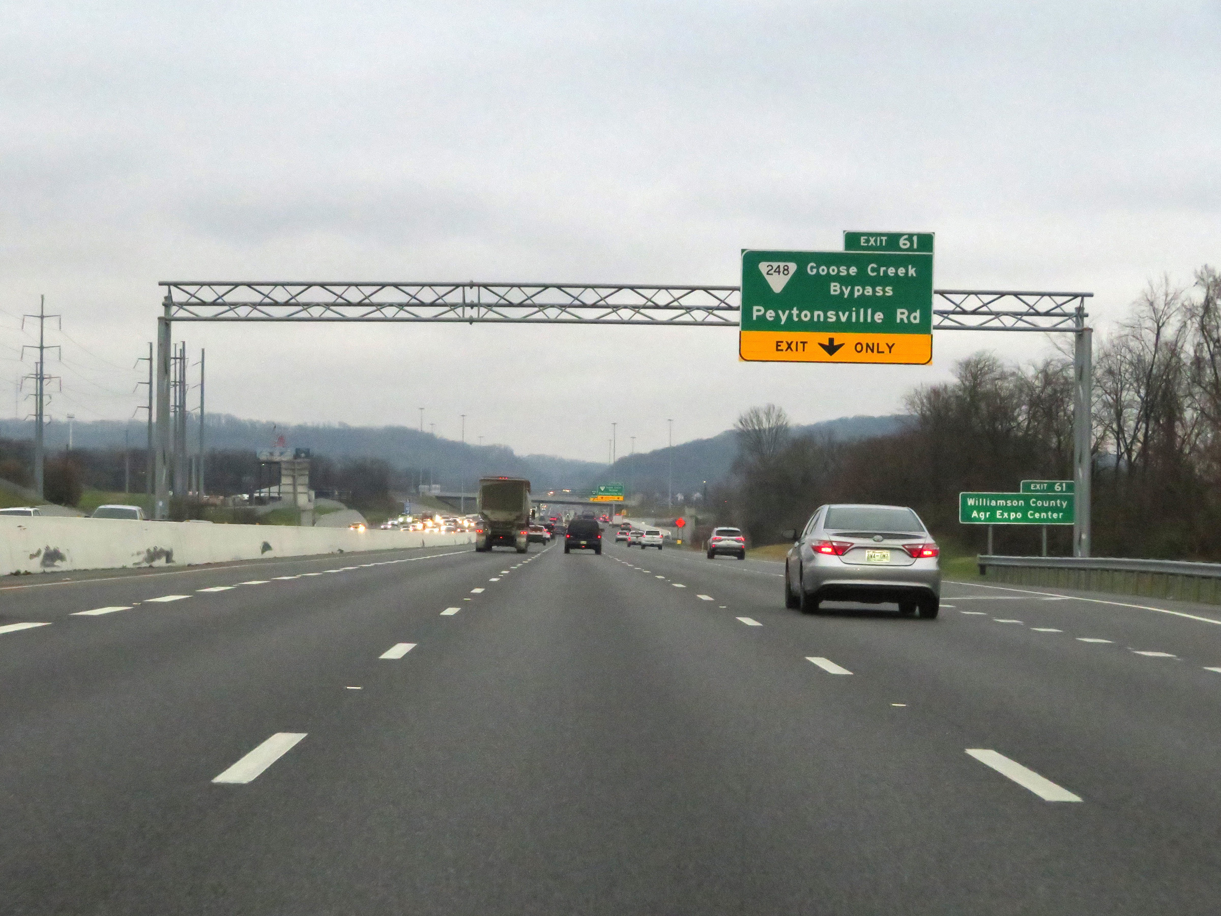
Interstate 65 South at Exit 61: SR 248 (Goose Creek Bypass) - Peytonsville Rd (Photo taken 12/14/20). |
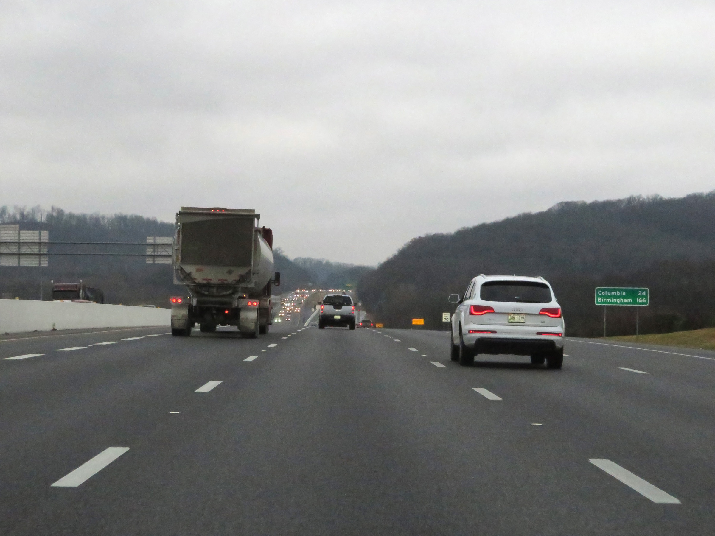 |
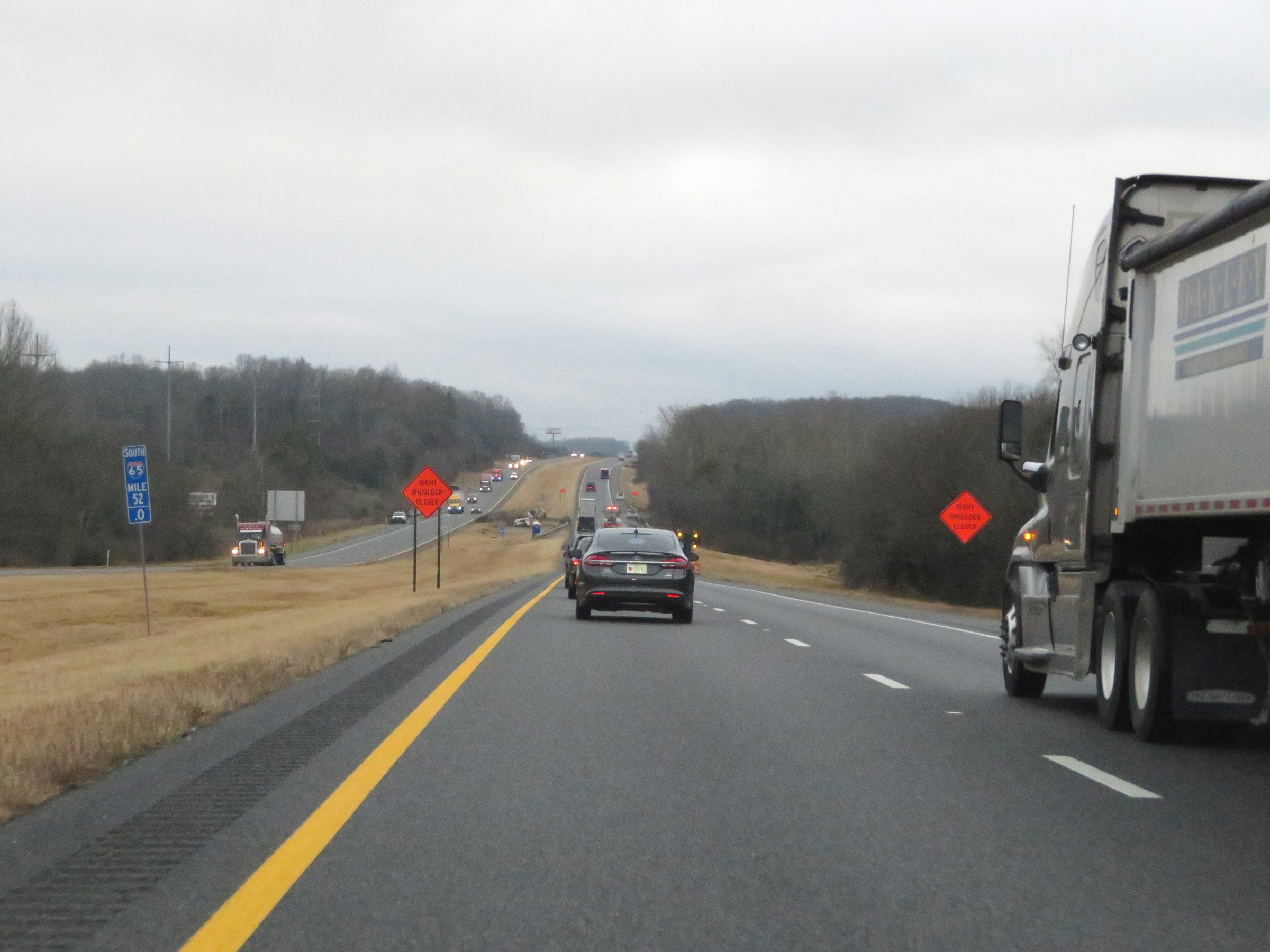
Mileage sign on Interstate 65 South. It's 24 miles to Columbia and 166 miles to Birmingham. (Photo taken 12/14/20). |
 |
An Emergency Pull Over on Interstate 65 South. There are several of these on the Interstates surrounding the Nashville area. (Photo taken 12/14/20). |
 |
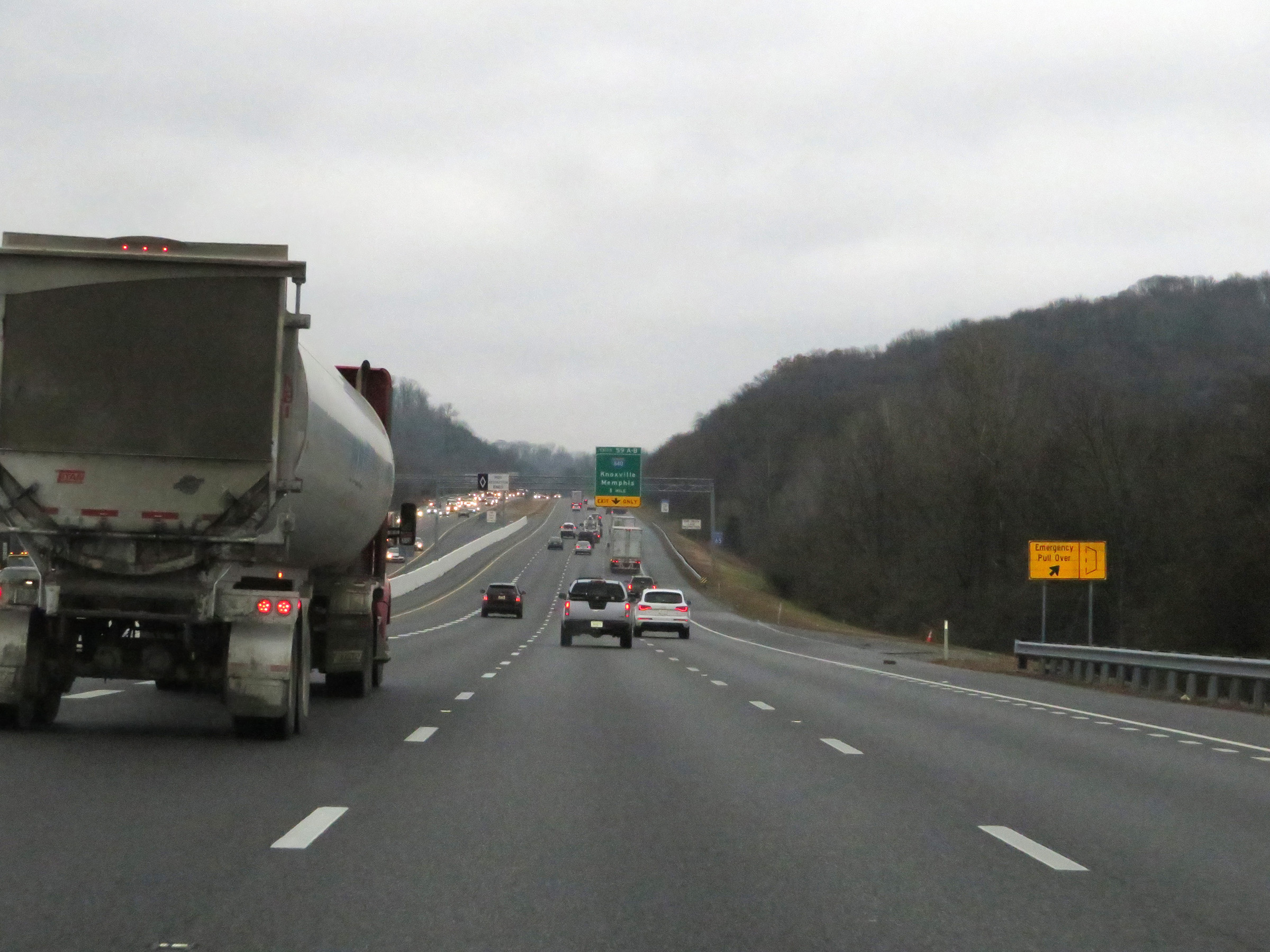
Interstate 65 South approaching Exits 59A-B - 1 mile. (Photo taken 12/14/20). |
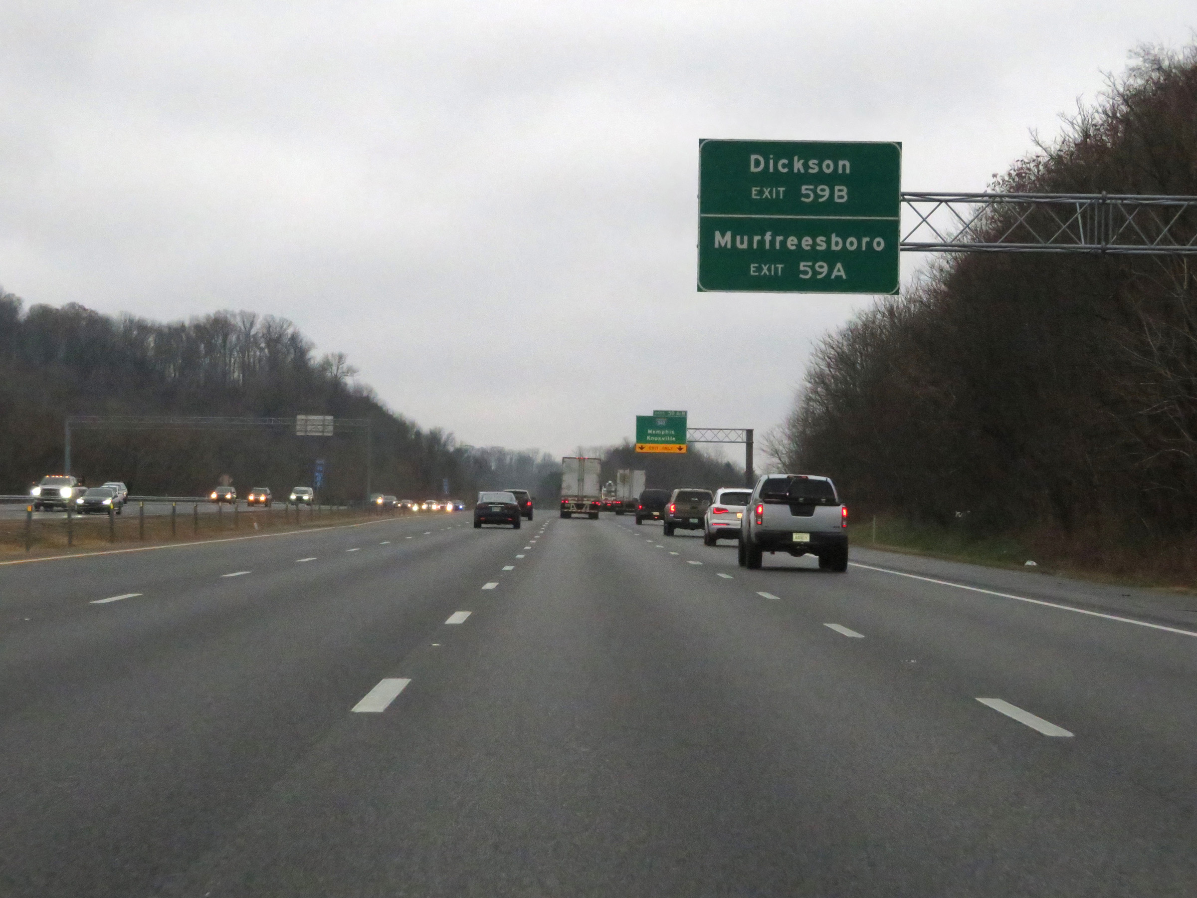 |
Take Exit 59B (Interstate 840 West) to Dickson. Take Exit 59A (Interstate 840 East) to Murfreesboro. (Photo taken 12/14/20). |
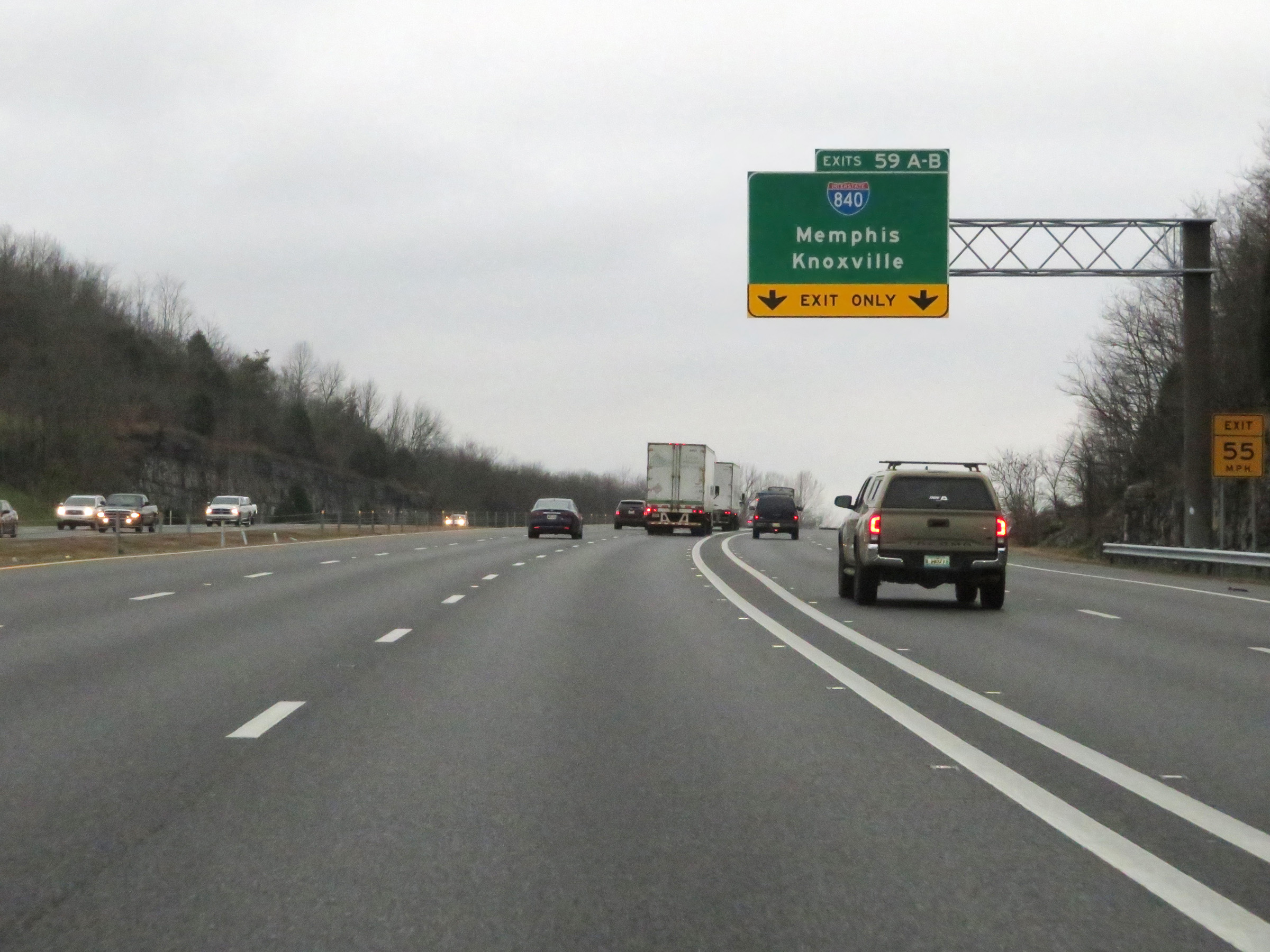 |
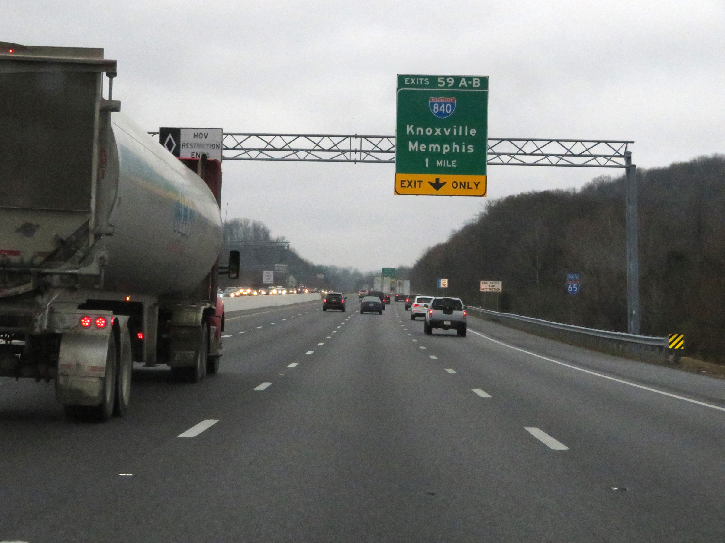
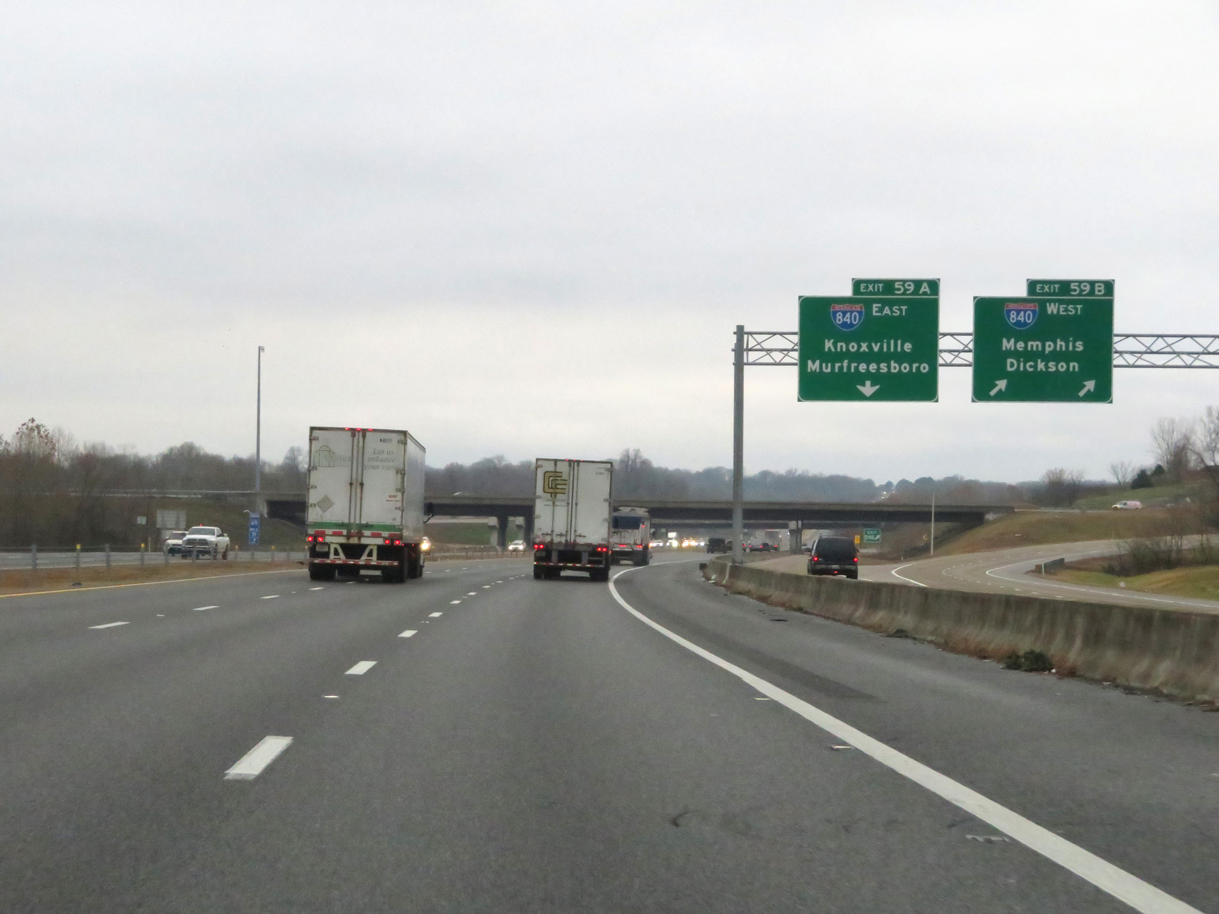
Interstate 65 South at Exits 59A-B: Interstate 840 - Memphis / Knoxville (Photo taken 12/14/20). |
 |
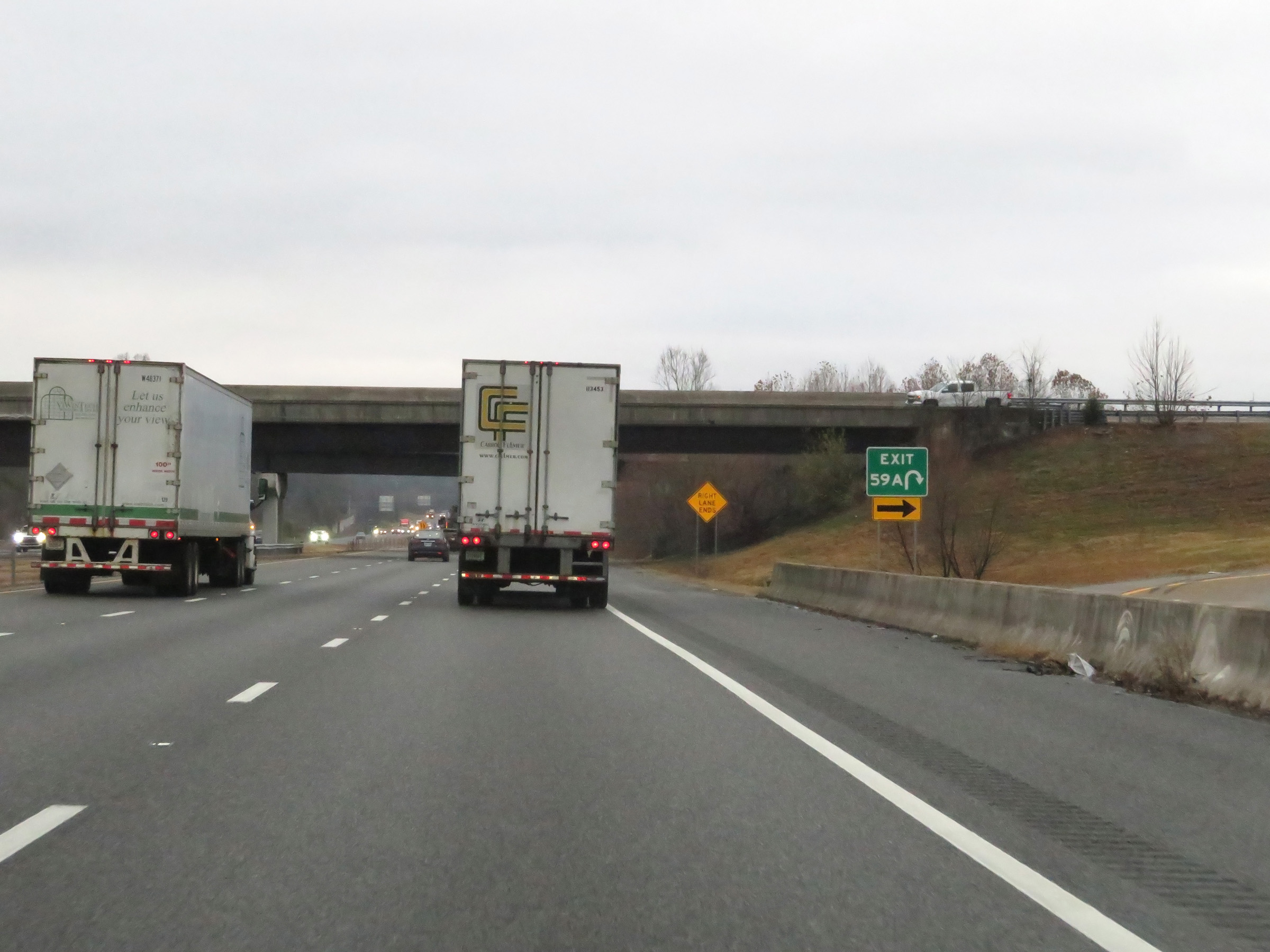
View of the ramp to Interstate 840 West via Exit 59B. (Photo taken 12/14/20). |
 |
View of the ramp to Interstate 840 East via Exit 59A. (Photo taken 12/14/20). |
 |
Interstate 65 South at mile marker 58, as traffic from Interstate 840 prepares to merge into it ahead on the right. (Photo taken 12/14/20). |
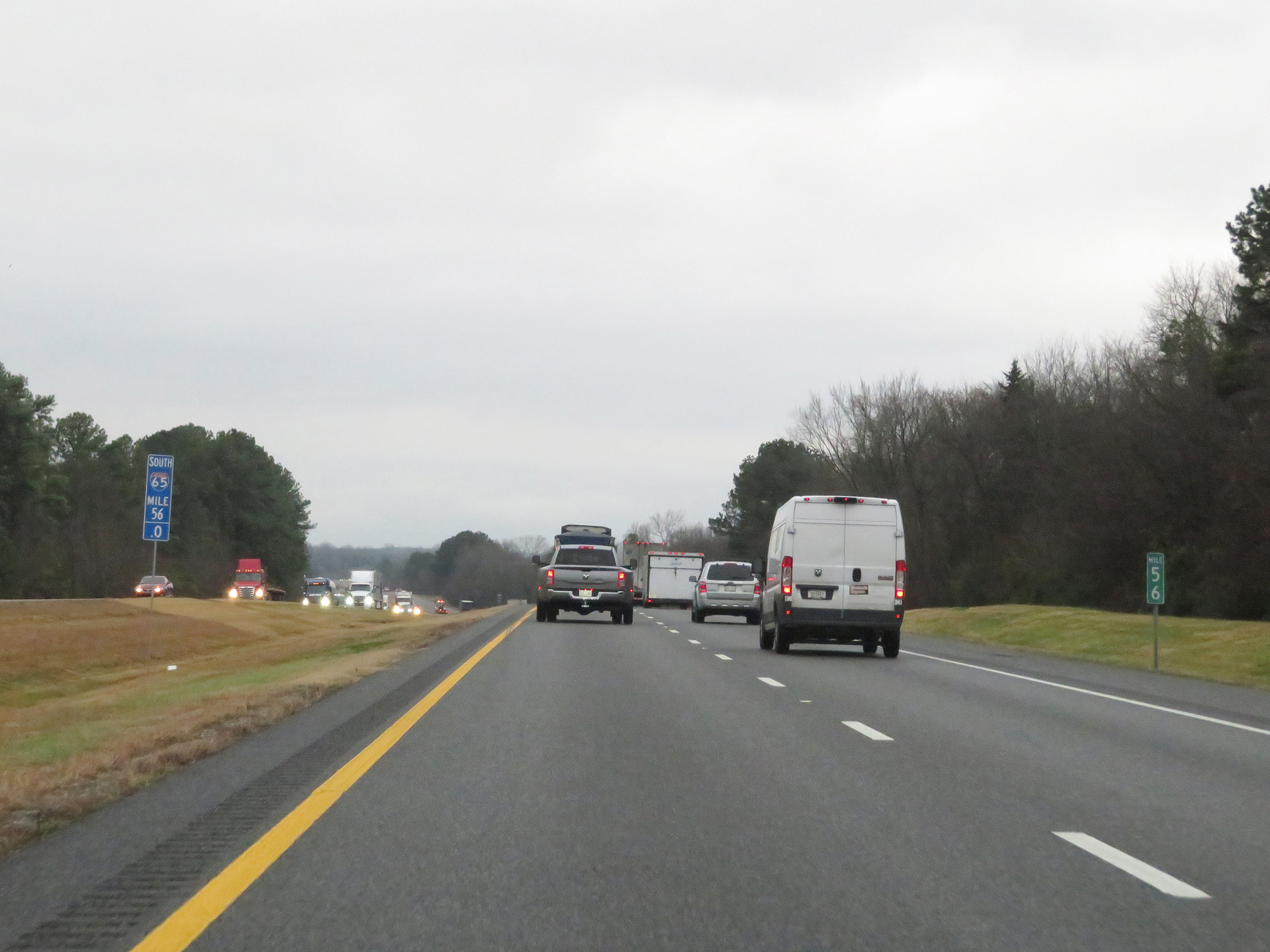 |
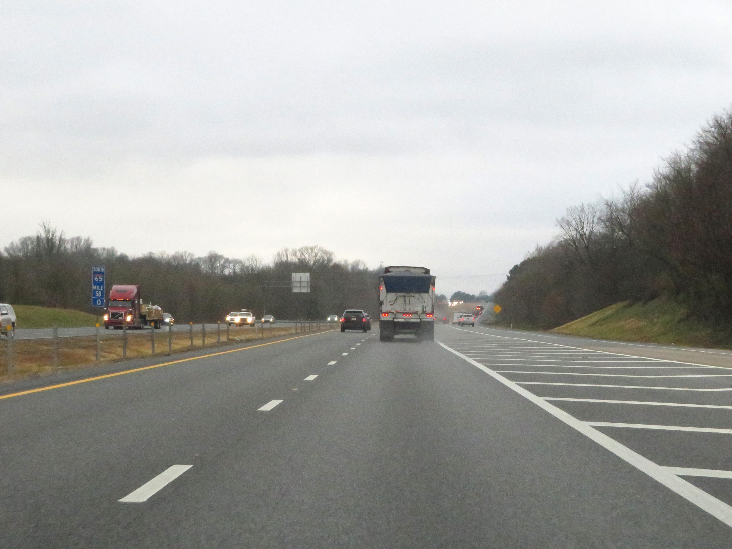
Interstate 65 South at mile marker 56. (Photo taken 12/14/20). |
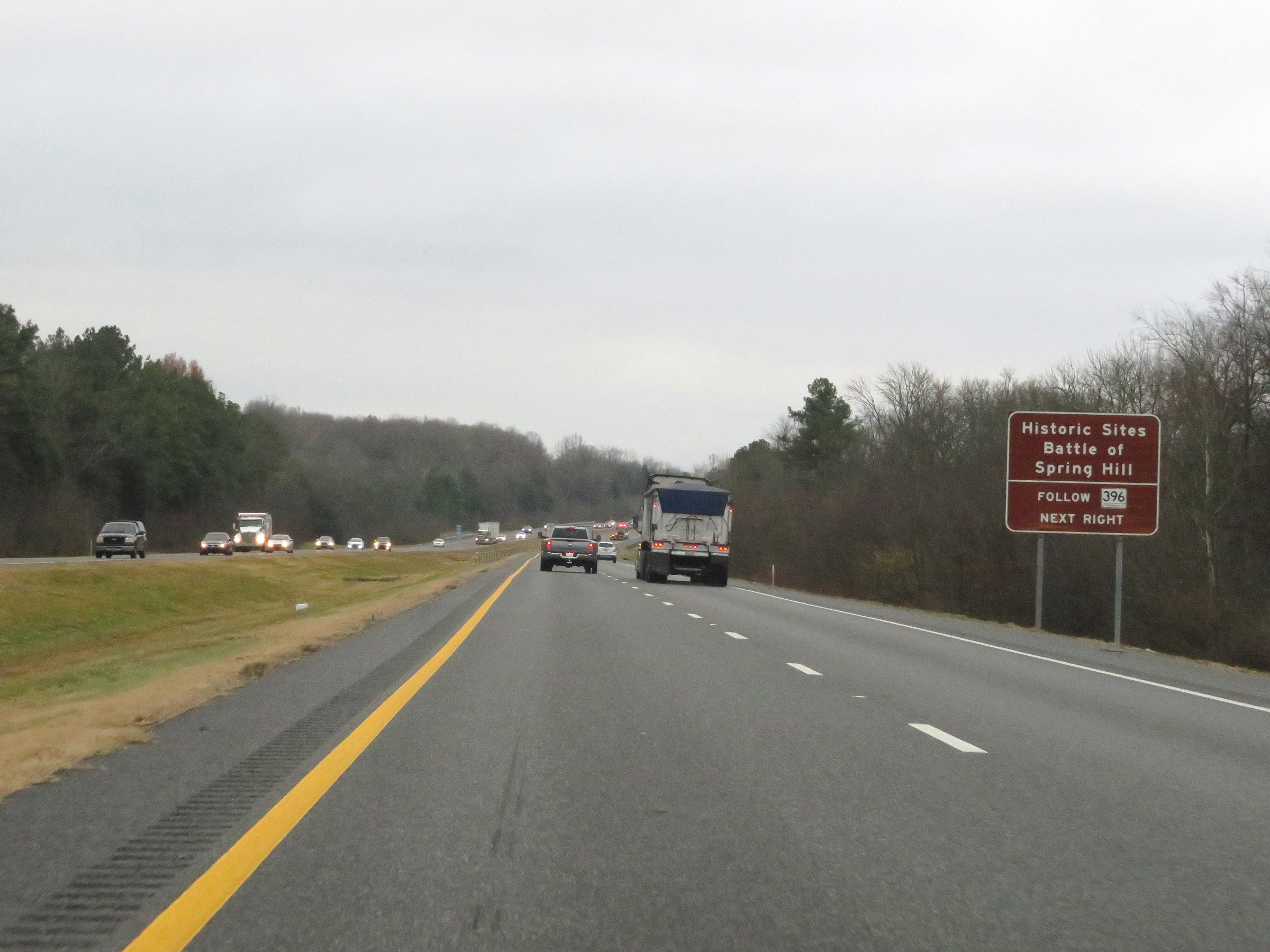 |
Take Exit 53 to the Battle of Spring Hill Historic Sites. (Photo taken 12/14/20). |
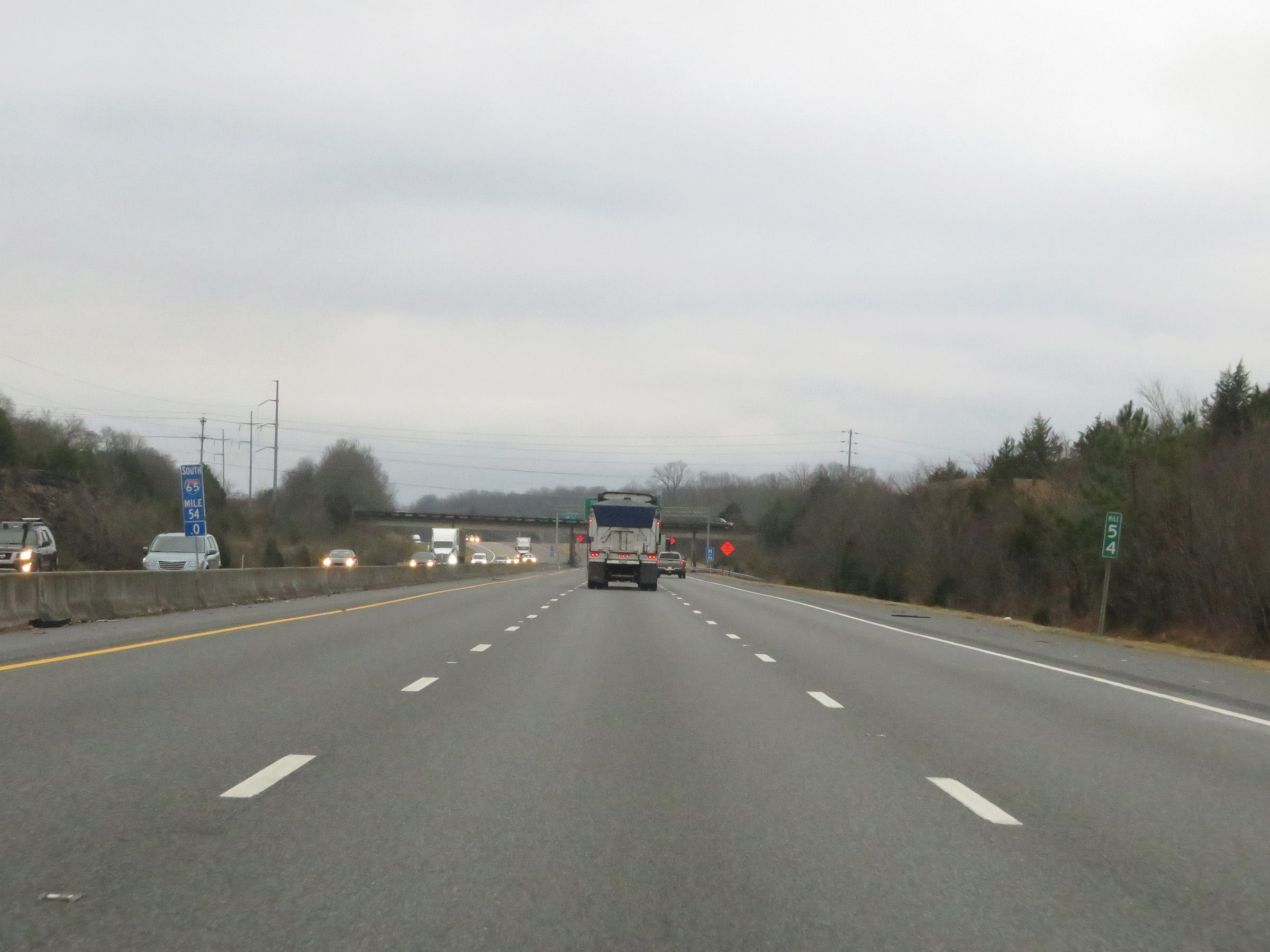 |
View on Interstate 65 South at mile marker 54. (Photo taken 12/14/20). |
 |
Interstate 65 South at Exit 53: TN 396 (Saturn Pkwy) - Columbia / Spring Hill (Photo taken 12/14/20). |
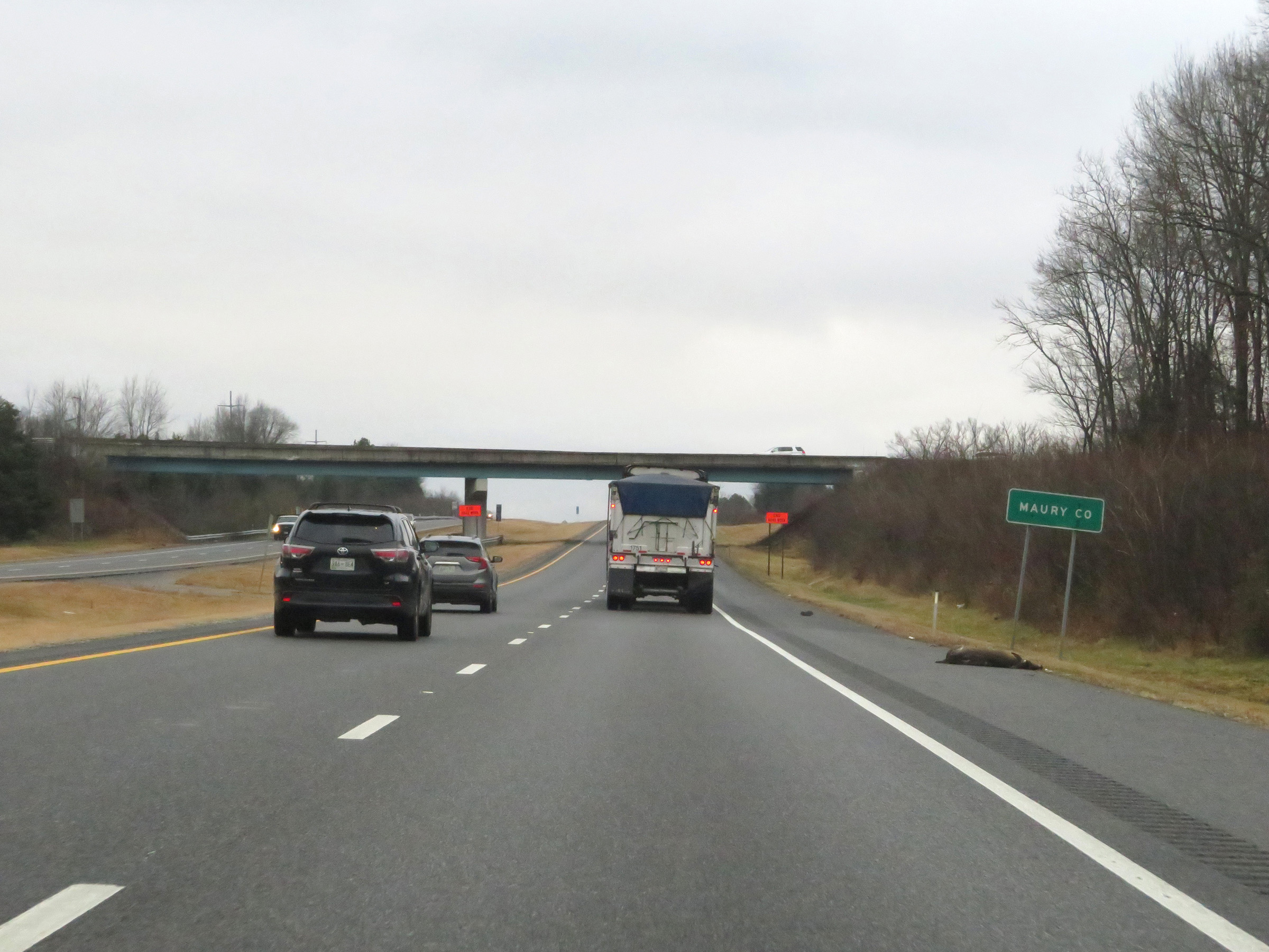 |
Interstate 65 South as it enters Maury County. (Photo taken 12/14/20). |
 |
View on Interstate 65 South at mile marker 52. (Photo taken 12/14/20). |
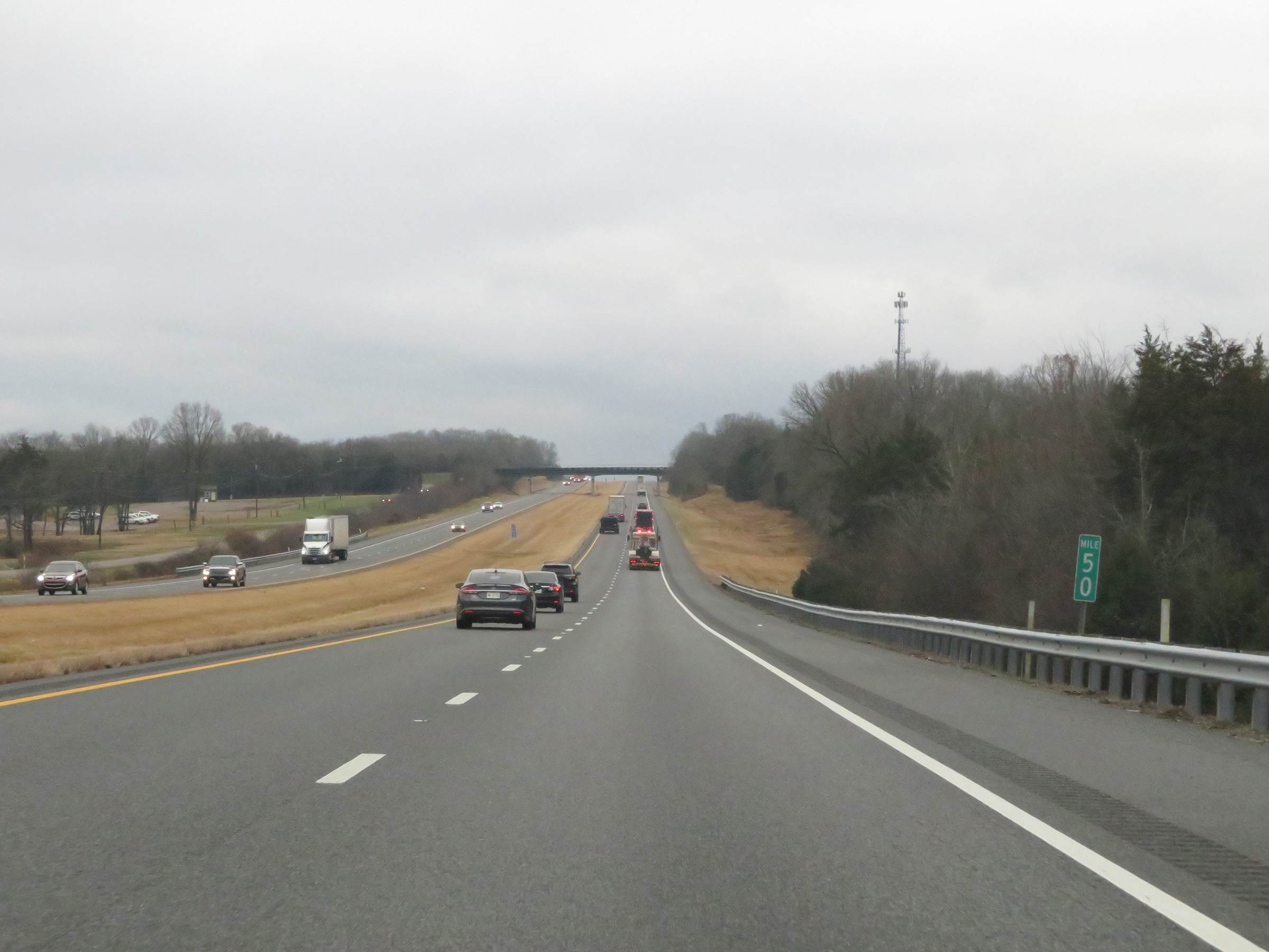 |
Interstate 65 South at mile marker 50. (Photo taken 12/14/20). |
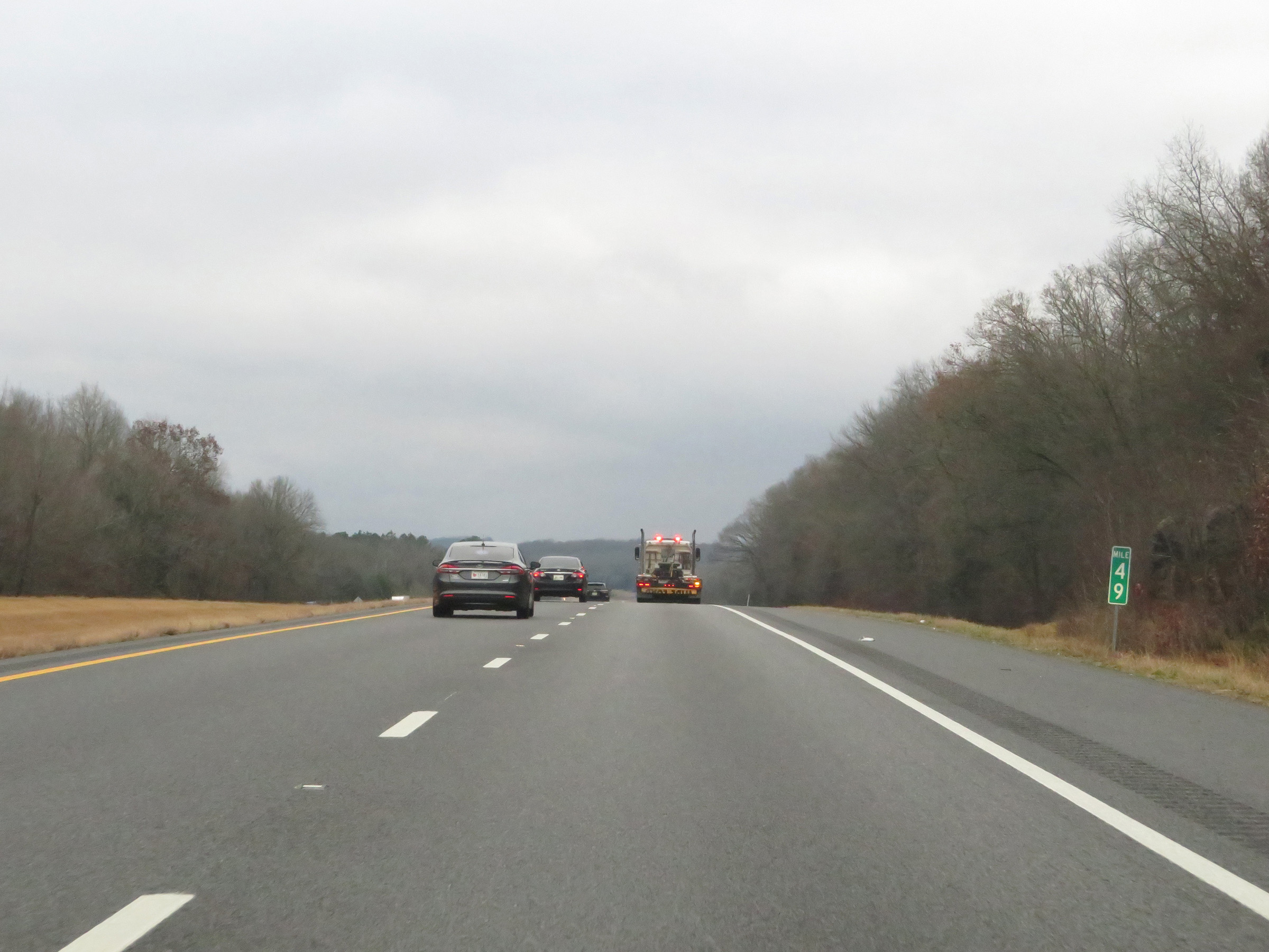 |
Mile marker 49 on Interstate 65 South in Maury County. (Photo taken 12/14/20). |
 |
Take Exit 46 to the President James K. Polk Home Historic Site. (Photo taken 12/14/20). |
 |
Also take Exit 46 to Columbia State Community College. (Photo taken 12/14/20). |
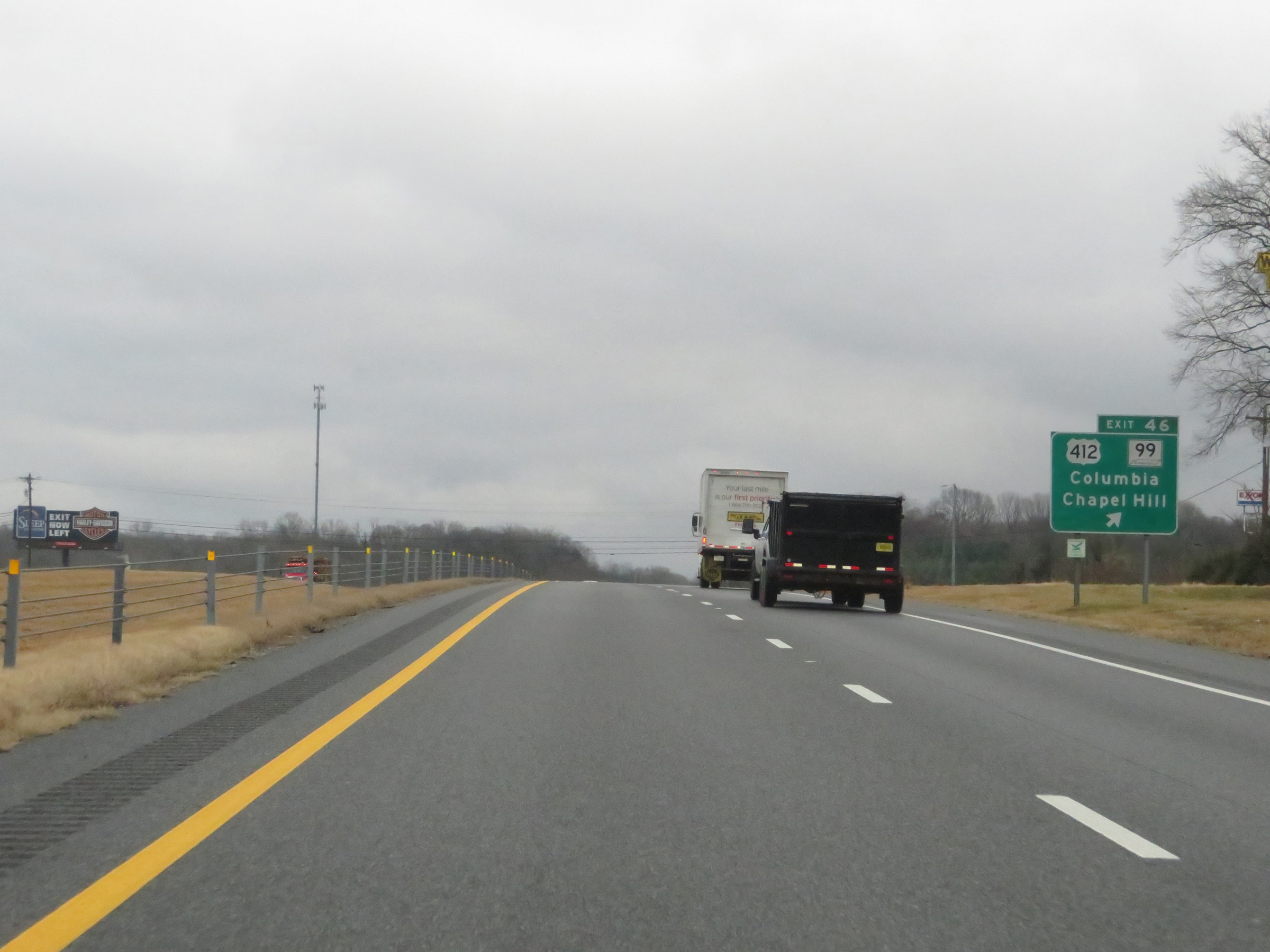 |
Interstate 65 South at Exit 46: US 412 / TN 99 - Columbia / Chapel Hill (Photo taken 12/14/20). |
Section 3: Columbia (Exit 46) to Alabama Border
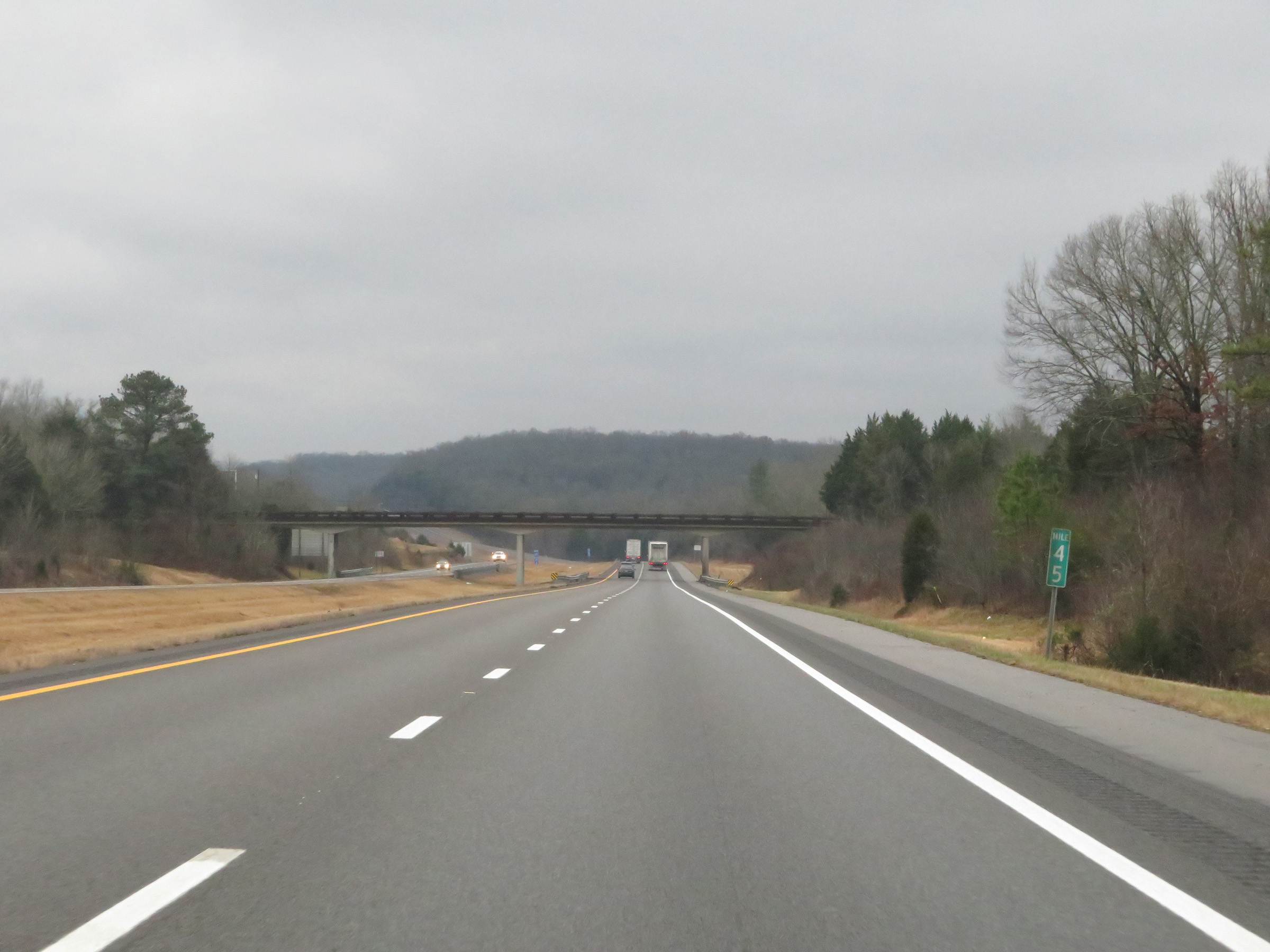 |
View on Interstate 65 South at mile marker 45. (Photo taken 12/14/20). |
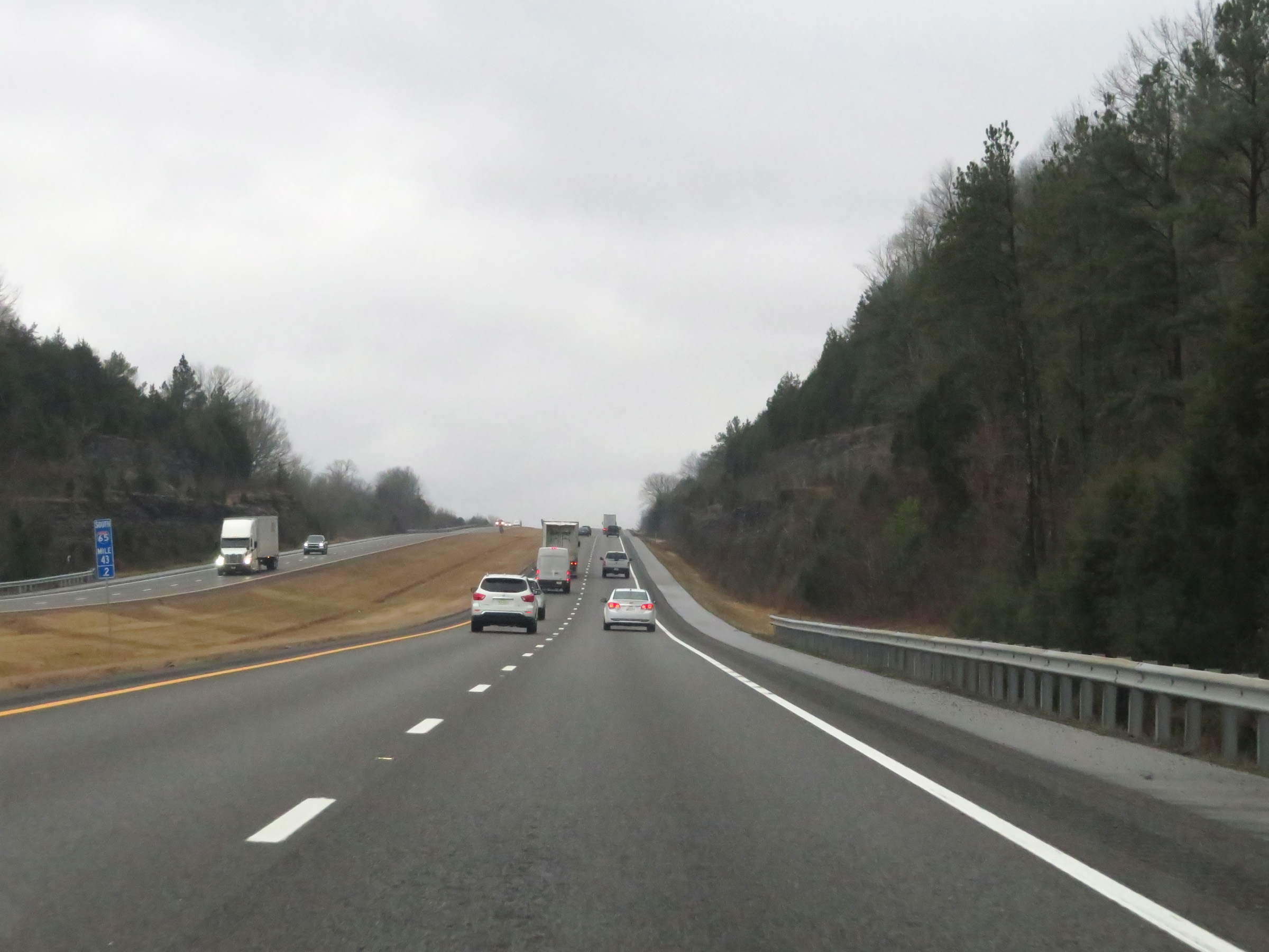 |
Interstate 65 South at mile marker 43.2. (Photo taken 12/14/20). |
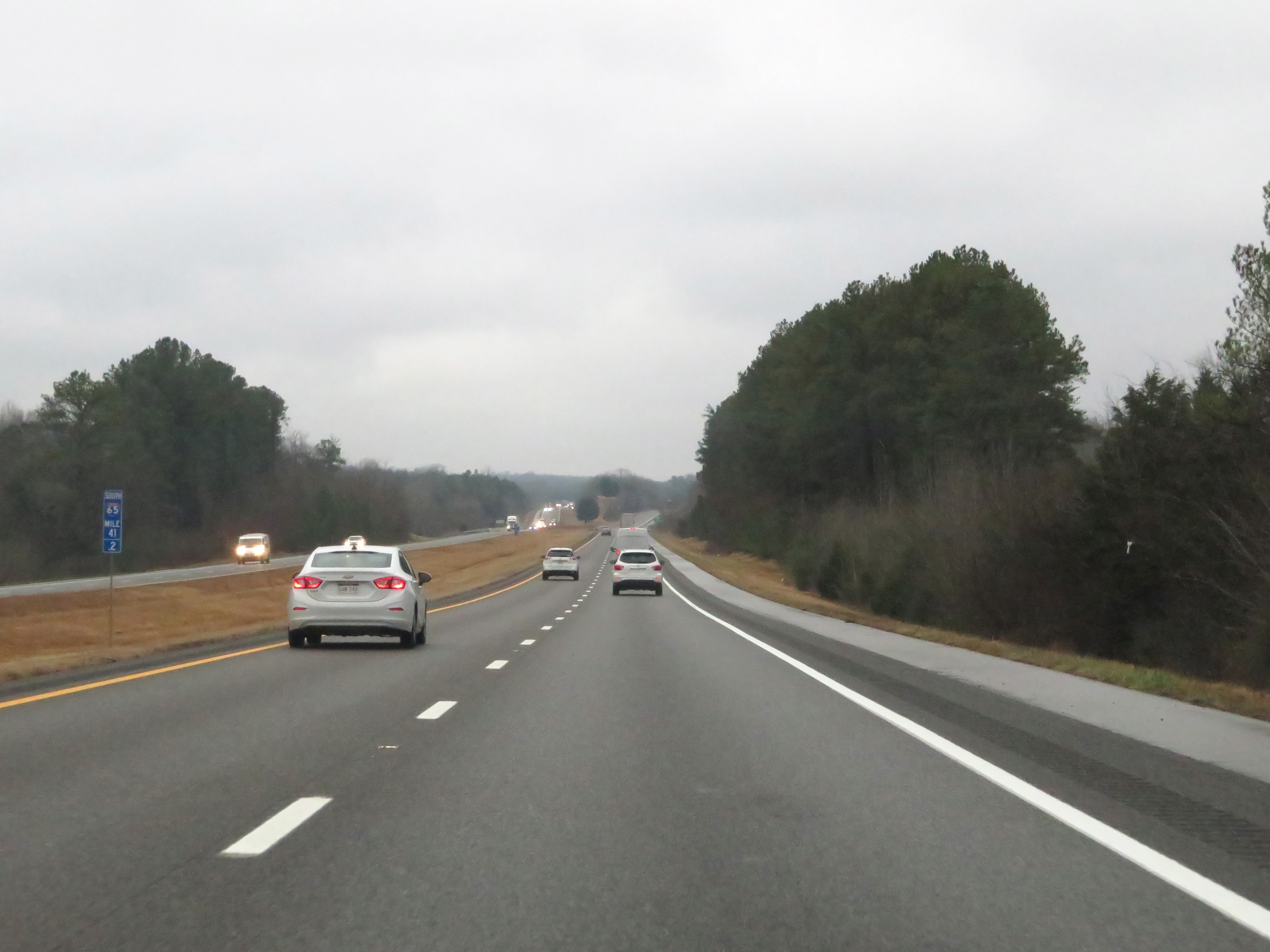 |
Mile marker 41.2 on Interstate 65 South in Maury County. (Photo taken 12/14/20). |
 |
View on Interstate 65 South at mile marker 40. (Photo taken 12/14/20). |
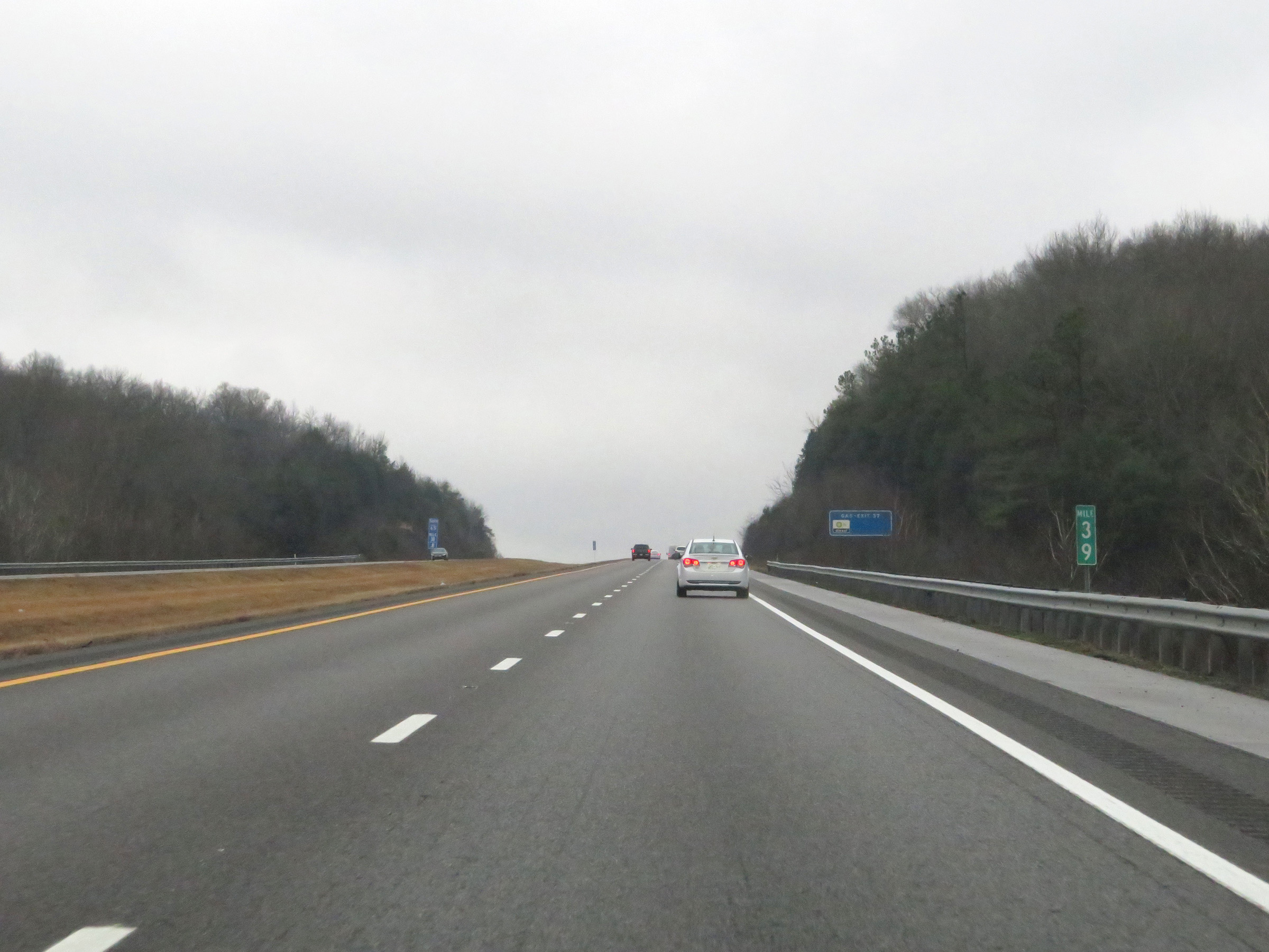 |
Interstate 65 South at mile marker 39. (Photo taken 12/14/20). |
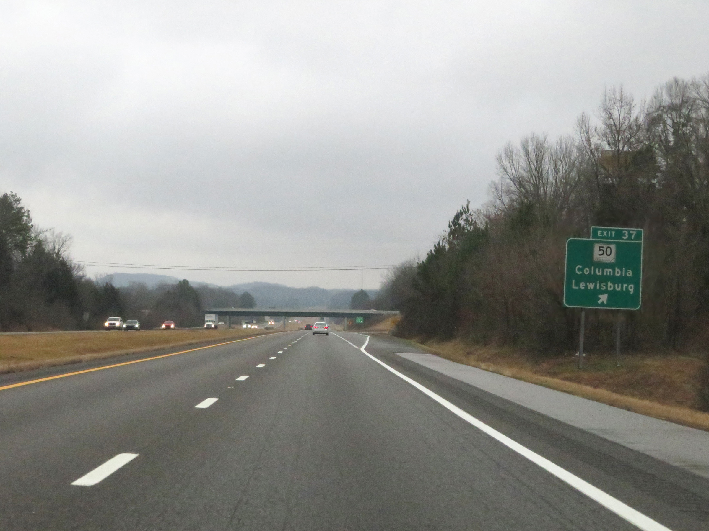 |
Interstate 65 South at Exit 37: TN 50 - Columbia / Lewisburg (Photo taken 12/14/20). |
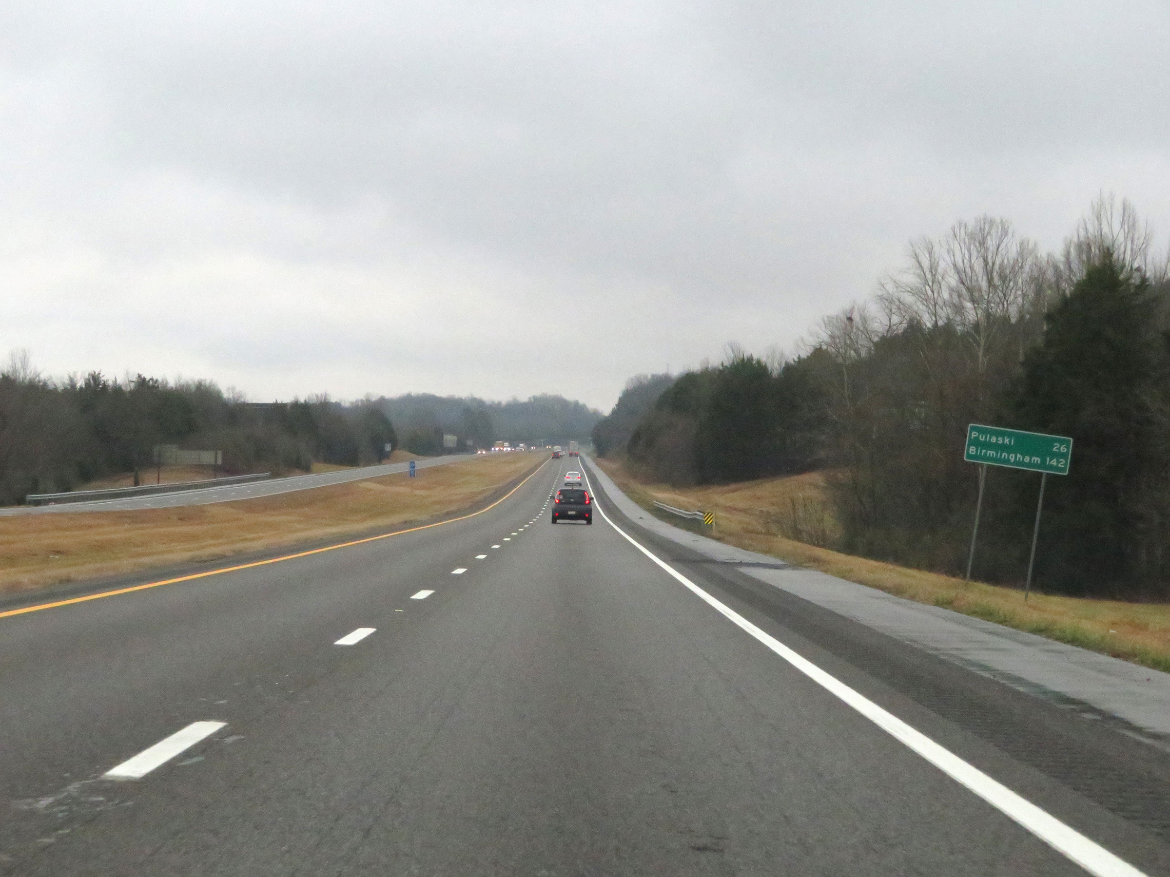 |
Mileage sign on Interstate 65 South. It's 26 miles to Pulaski and 142 miles to Birmingham. (Photo taken 12/14/20). |
 |
View on Interstate 65 South at mile marker 36. (Photo taken 12/14/20). |
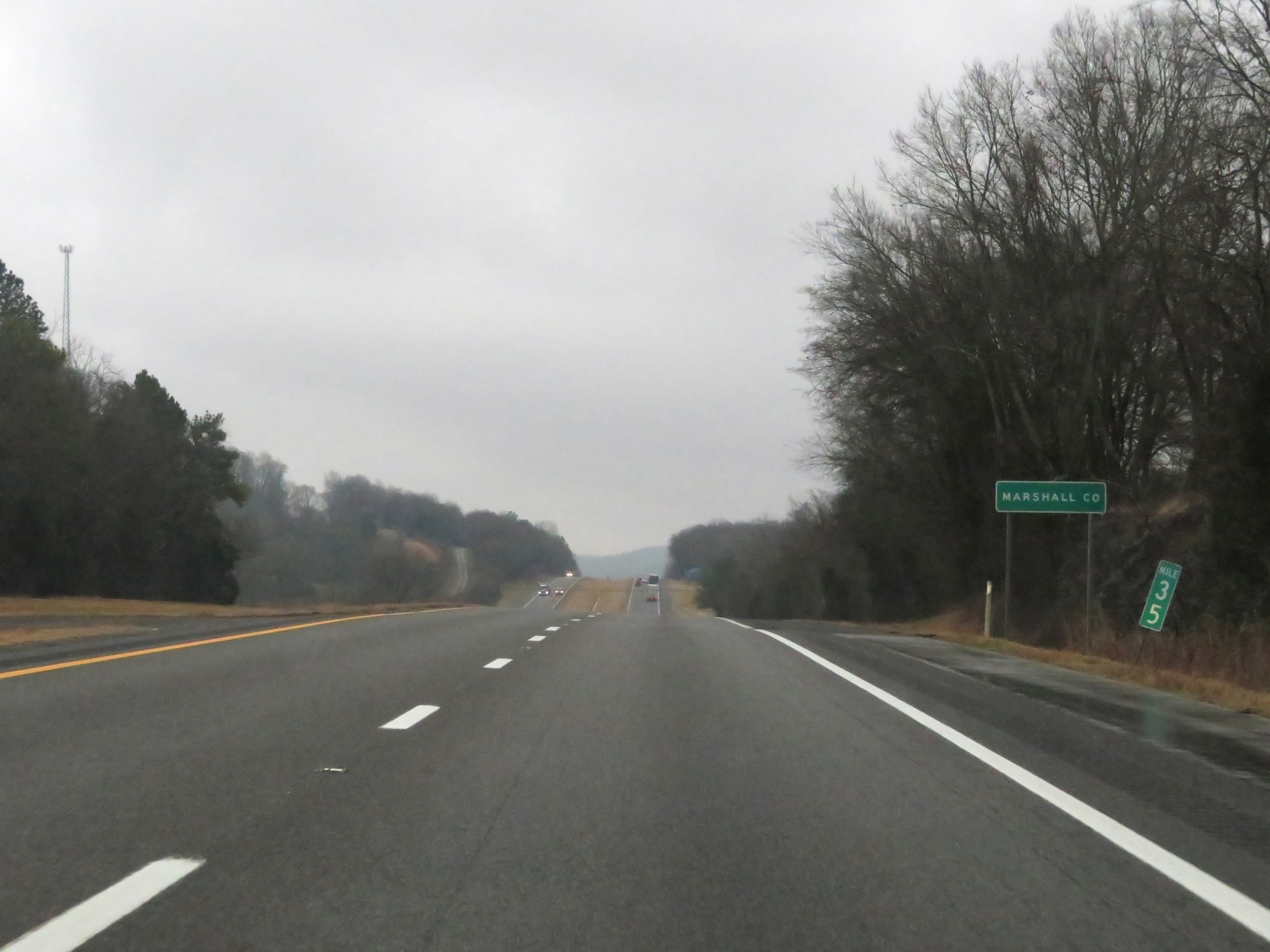 |
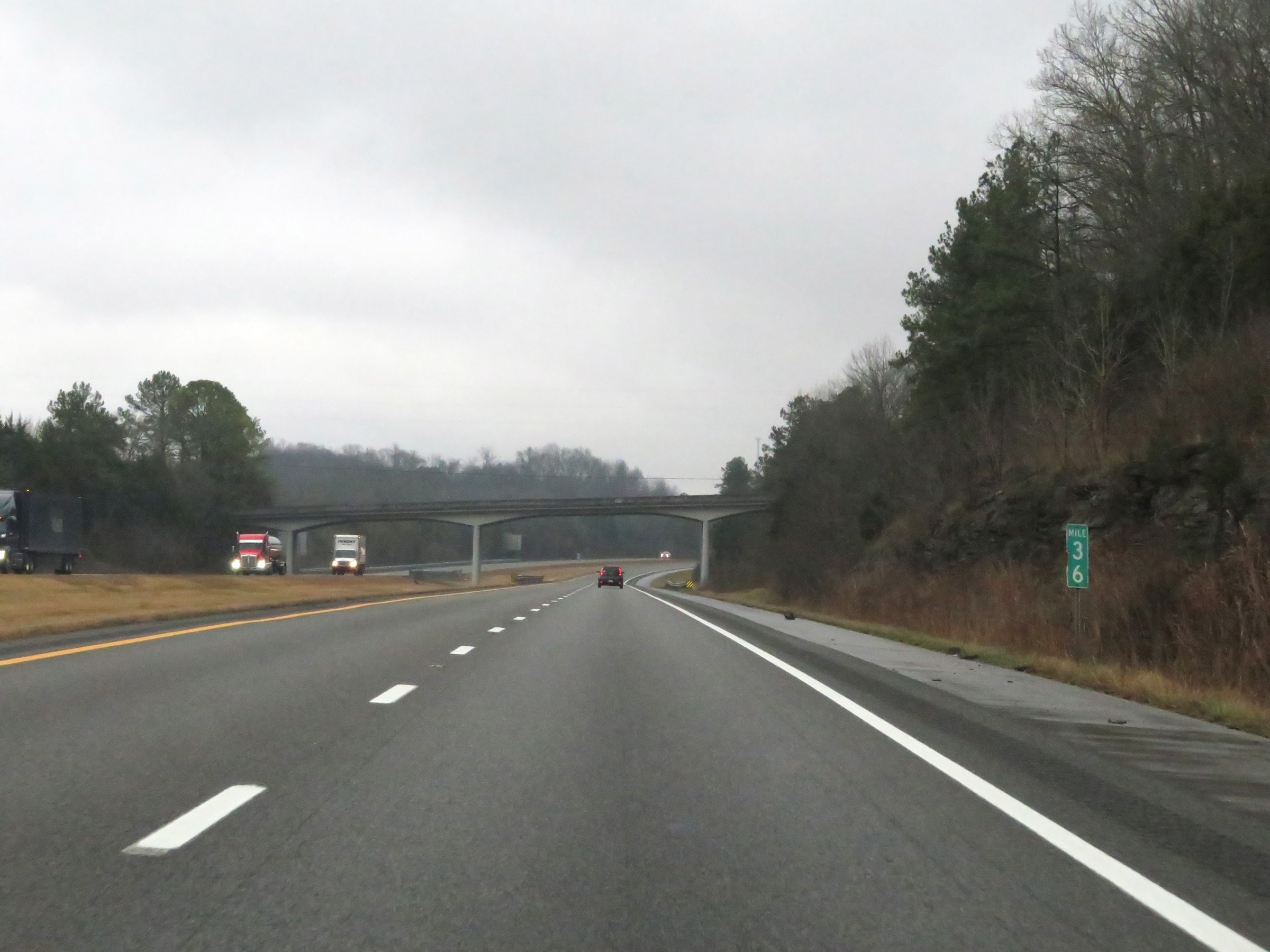
At mile marker 35, Interstate 65 South enters Marshall County. (Photo taken 12/14/20). |
 |
Interstate 65 South at mile marker 34. (Photo taken 12/14/20). |
 |
Interstate 65 South at Exit 32: SR 373 (Mooresville Hwy) - Columbia / Lewisburg (Photo taken 12/14/20). |
 |
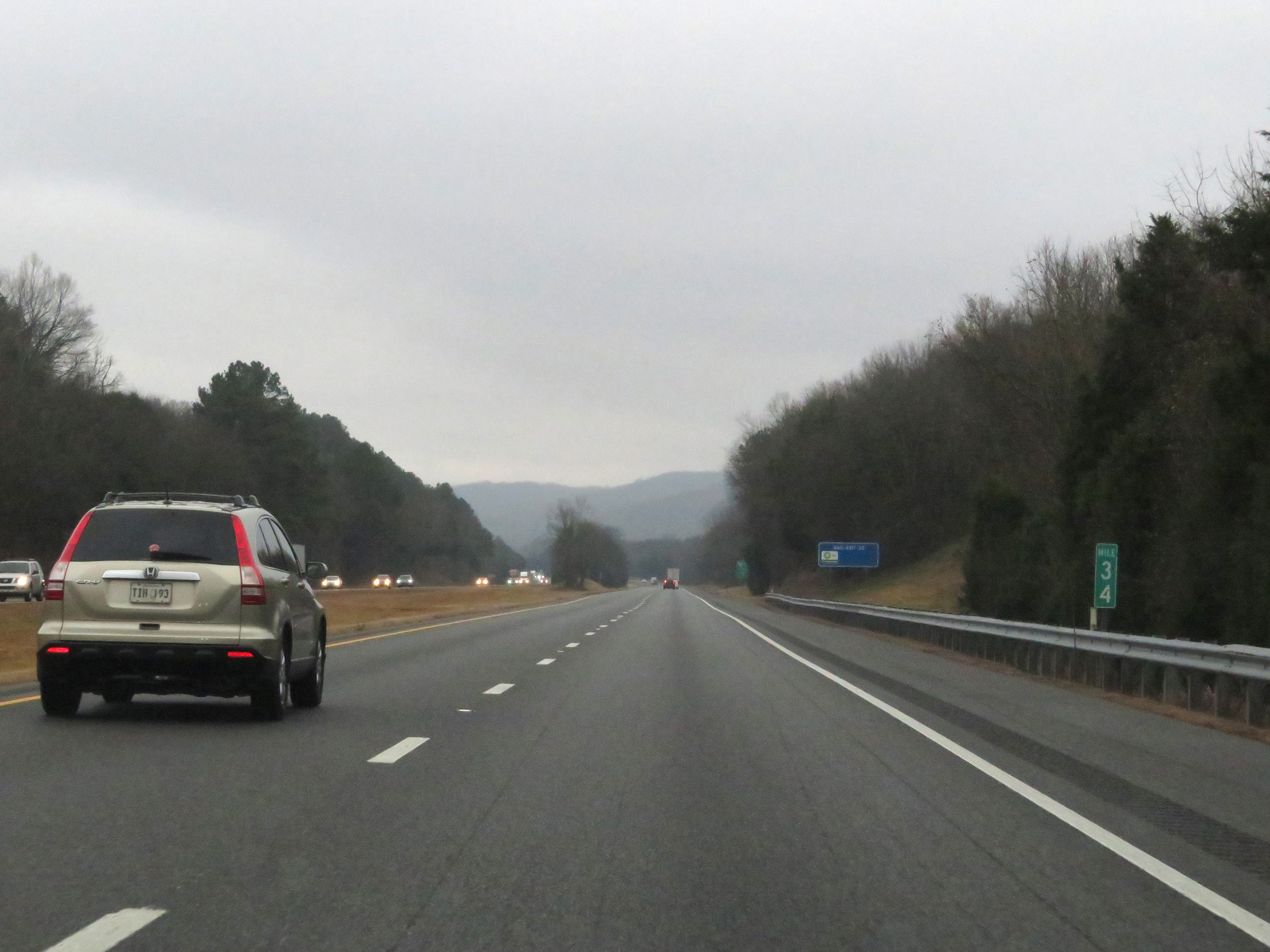
View on Interstate 65 South at mile marker 30. (Photo taken 12/14/20). |
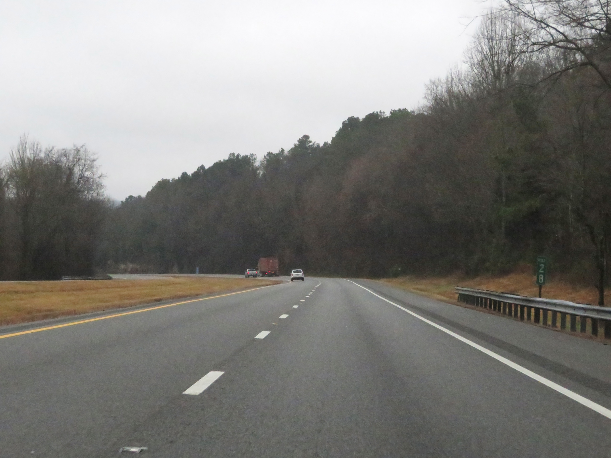 |
Mile marker 28 on Interstate 65 South in Marshall County. (Photo taken 12/14/20). |
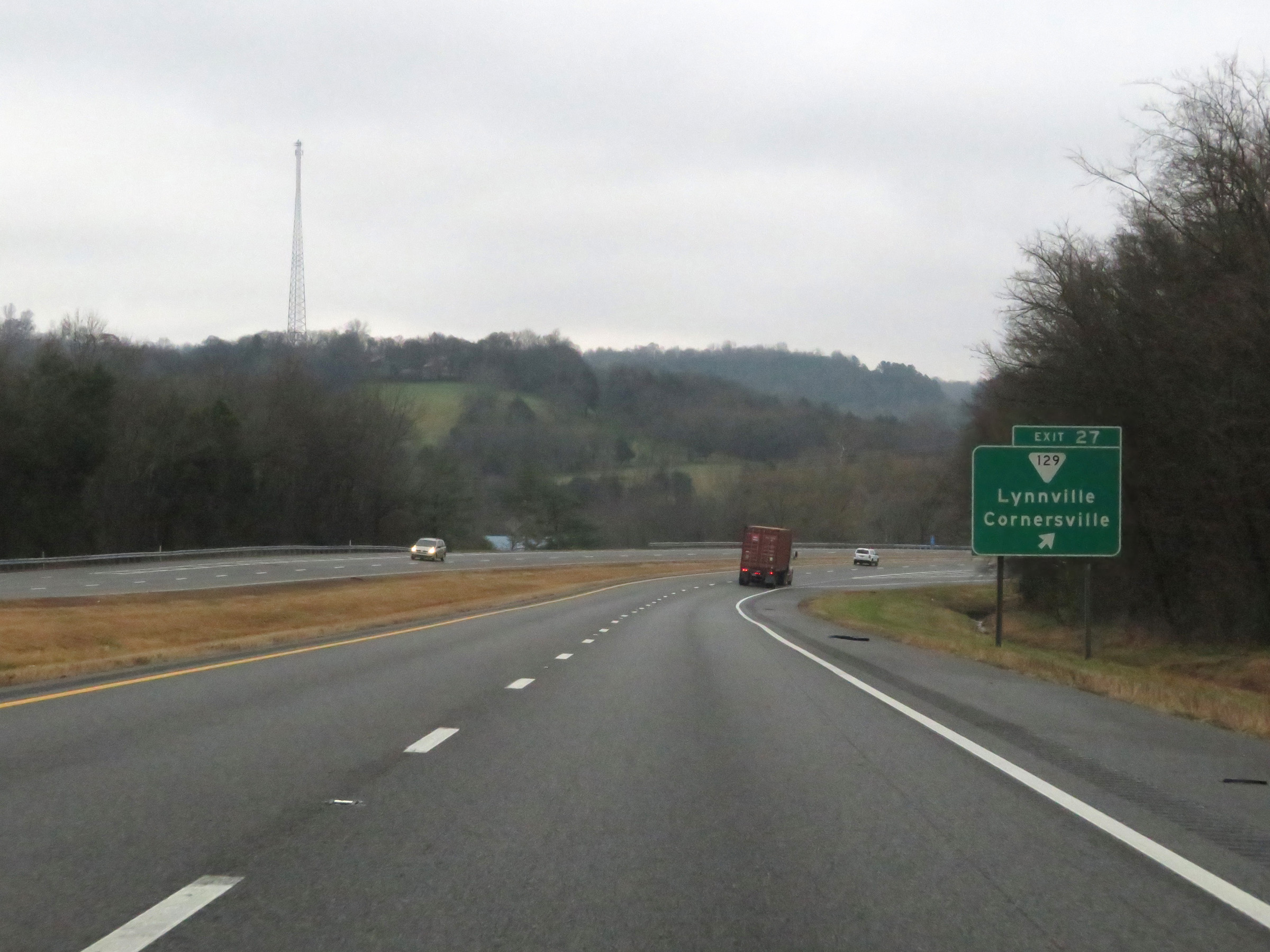 |
Interstate 65 South at Exit 27: SR 129 - Lynnville / Cornersville (Photo taken 12/14/20). |
 |
View on Interstate 65 South at mile marker 26.4. (Photo taken 12/14/20). |
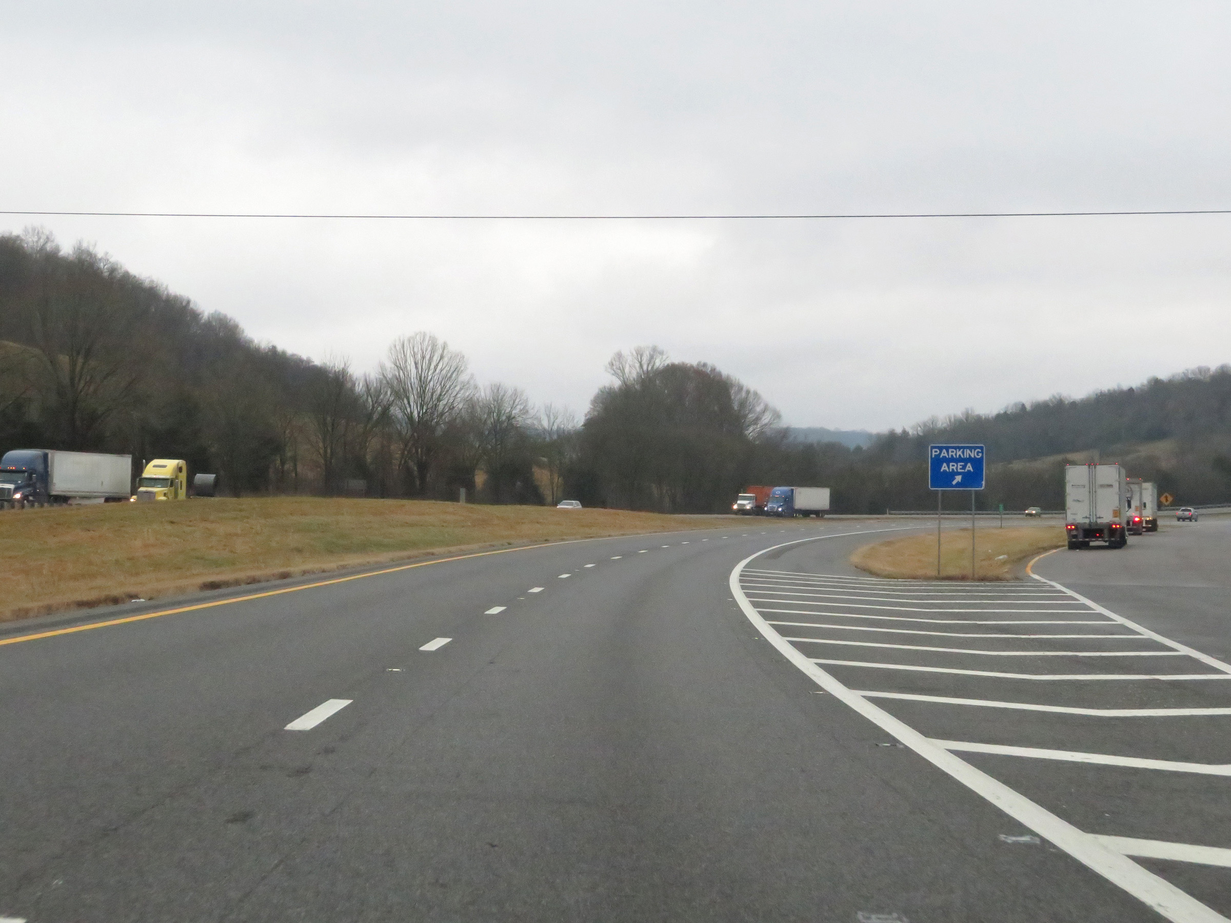 |
Parking Area on Interstate 65 South in Marshall County. (Photo taken 12/14/20). |
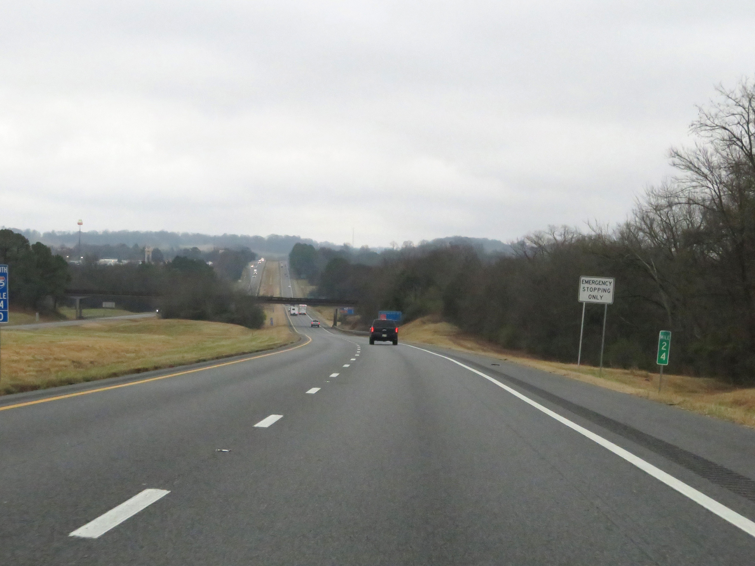 |
Interstate 65 South at mile marker 24. (Photo taken 12/14/20). |
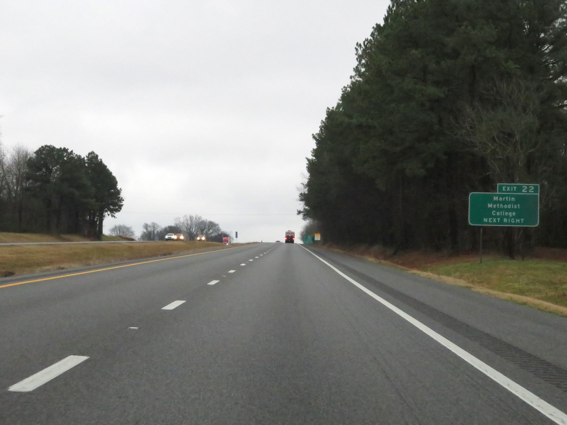 |
Take Exit 22 to Martin Methodist College. (Photo taken 12/14/20). |
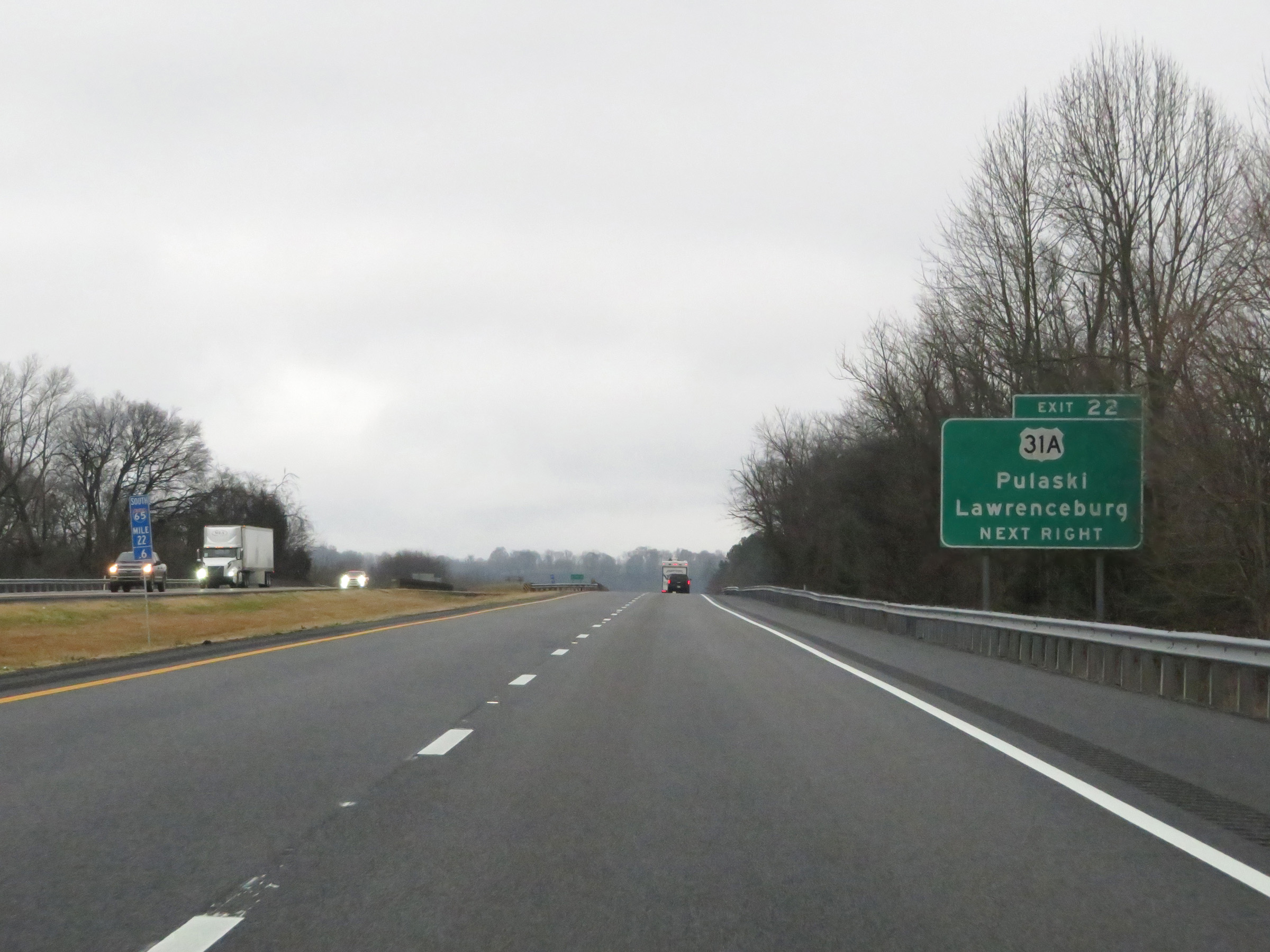 |
Interstate 65 South at Exit 22: US 31A - Pulaski / Lawrenceburg (Photo taken 12/14/20). |
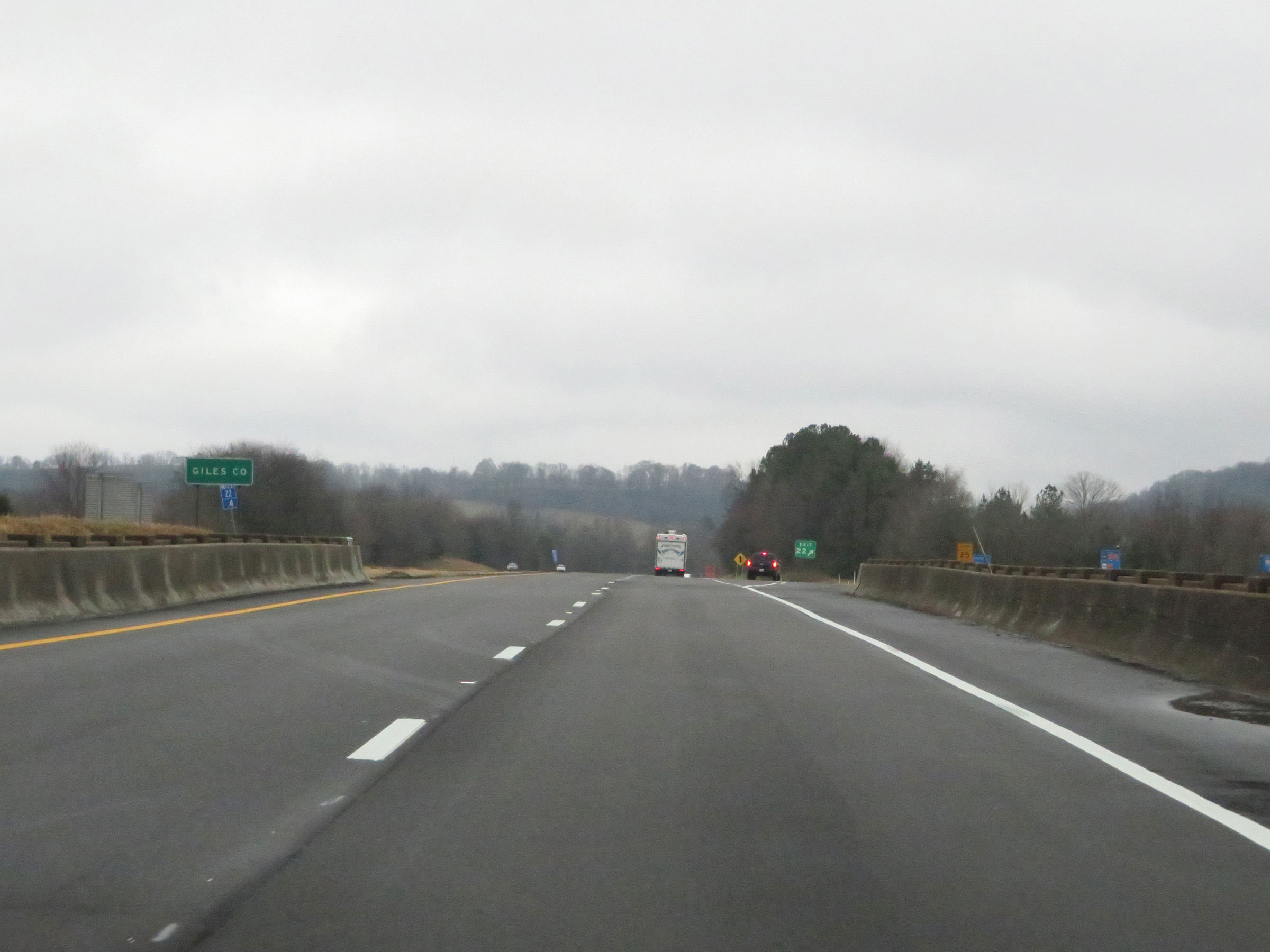 |
At Exit 24, Interstate 65 South enters Giles County. (Photo taken 12/14/20). |
 |
View of the ramp for Exit 22. (Photo taken 12/14/20). |
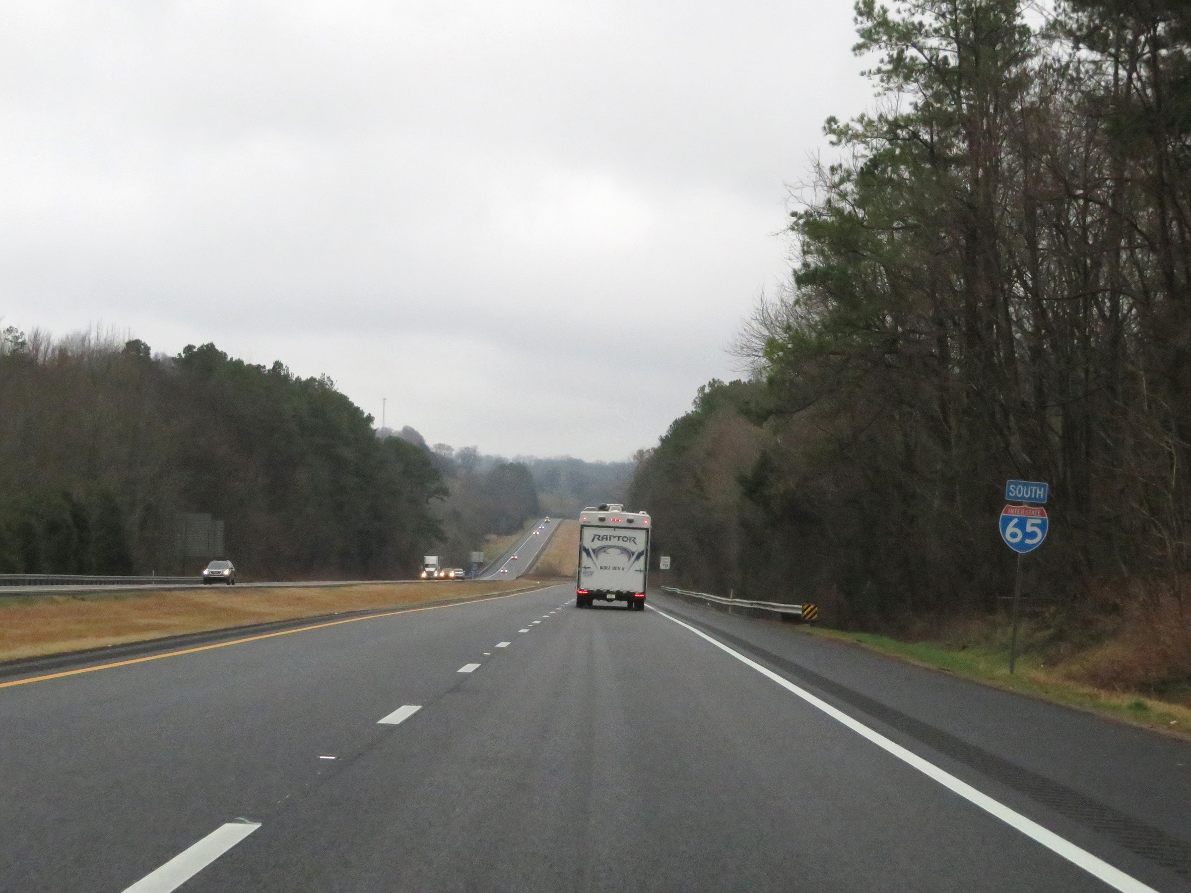 |
Interstate 65 South reassurance shield. (Photo taken 12/14/20). |
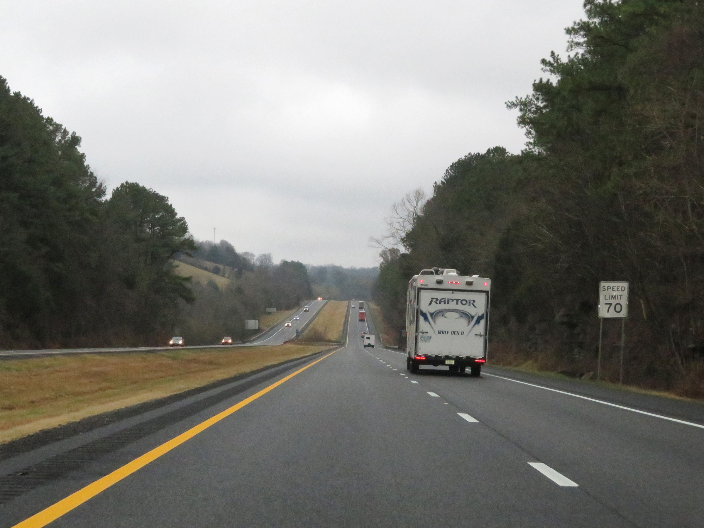 |
The speed limit remains 70 mph for all traffic on Interstate 65 South. (Photo taken 12/14/20). |
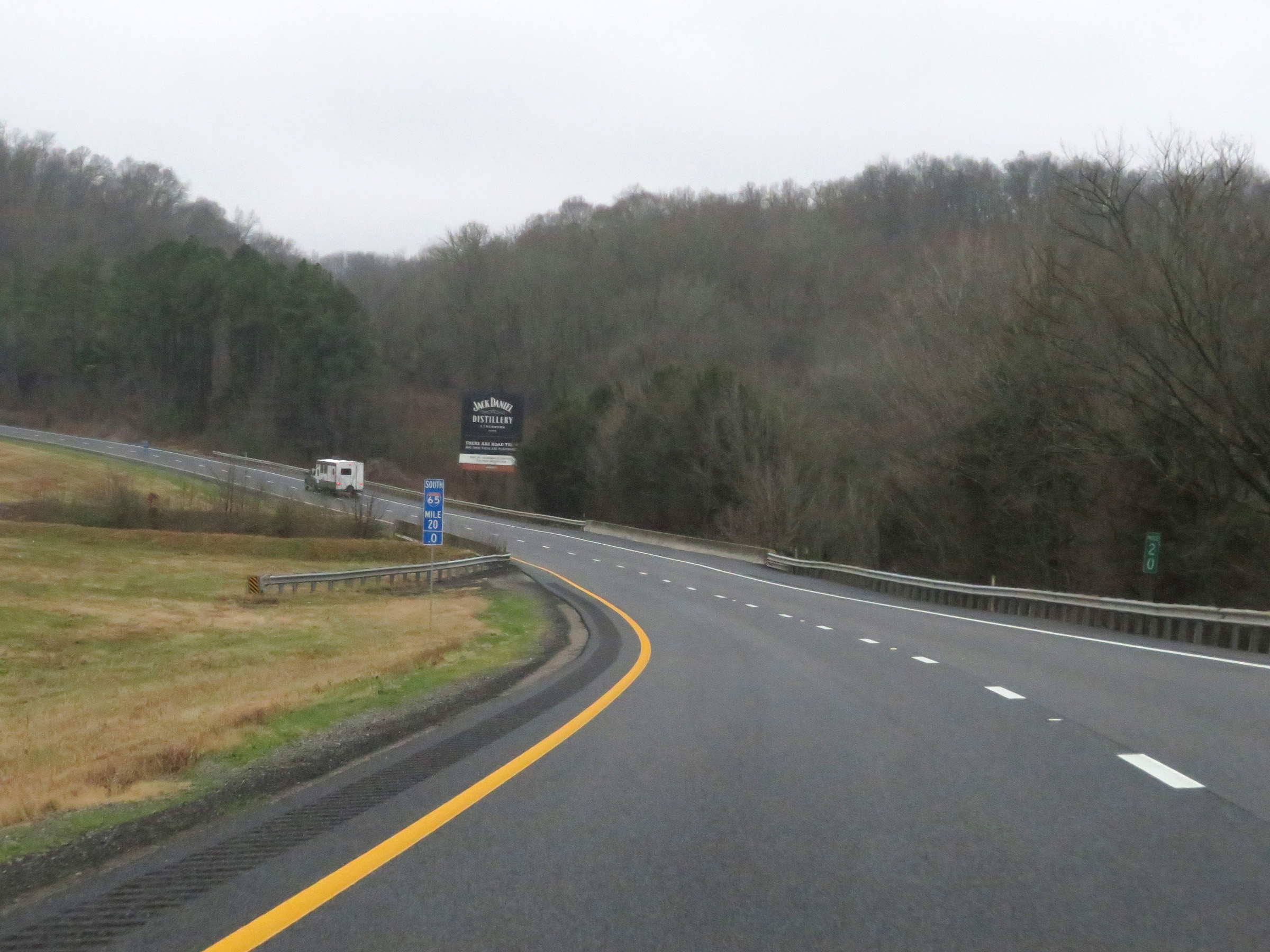 |
View on Interstate 65 South at mile marker 20. (Photo taken 12/14/20). |
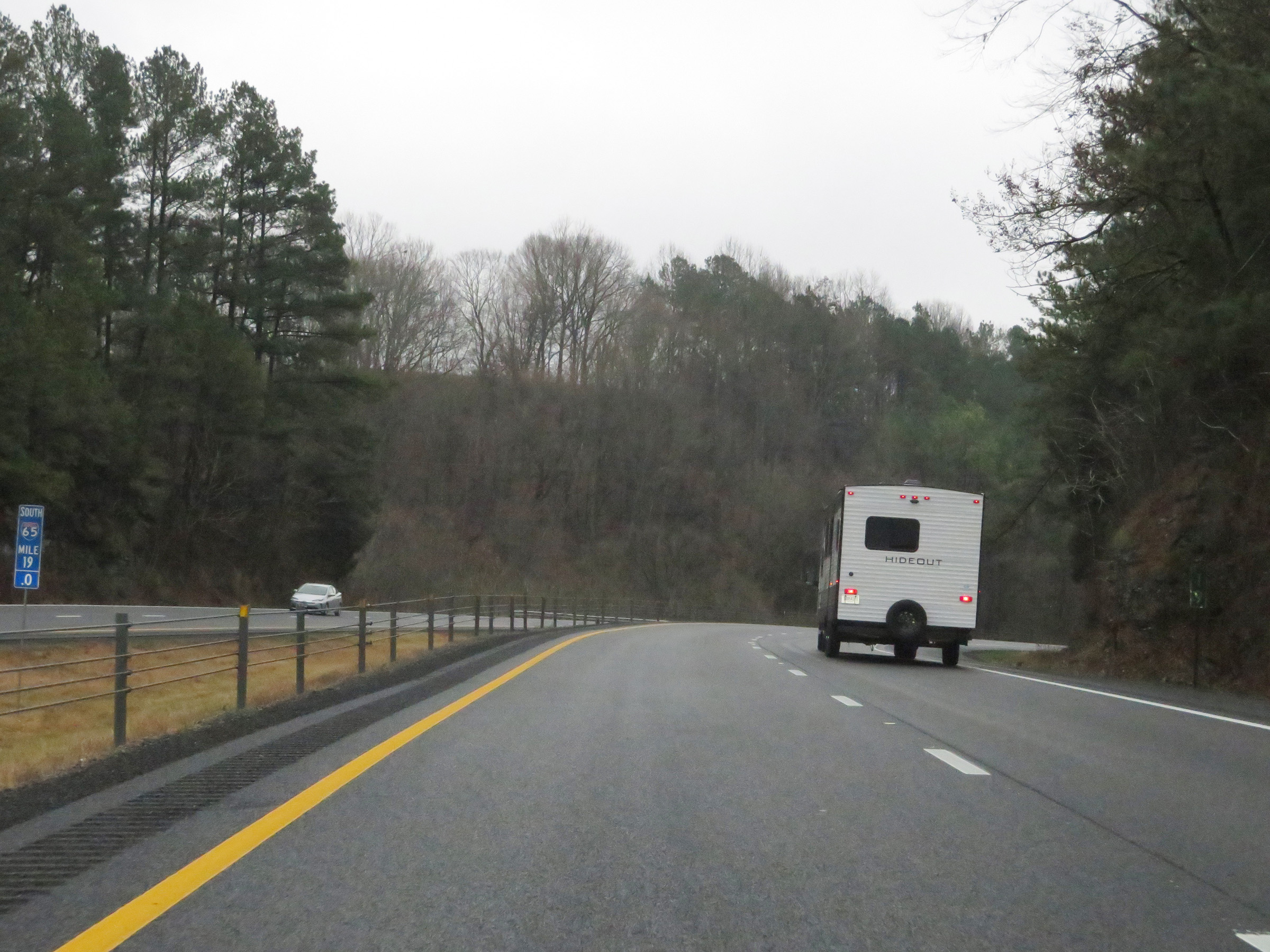 |
Interstate 65 South at mile marker 19. (Photo taken 12/14/20). |
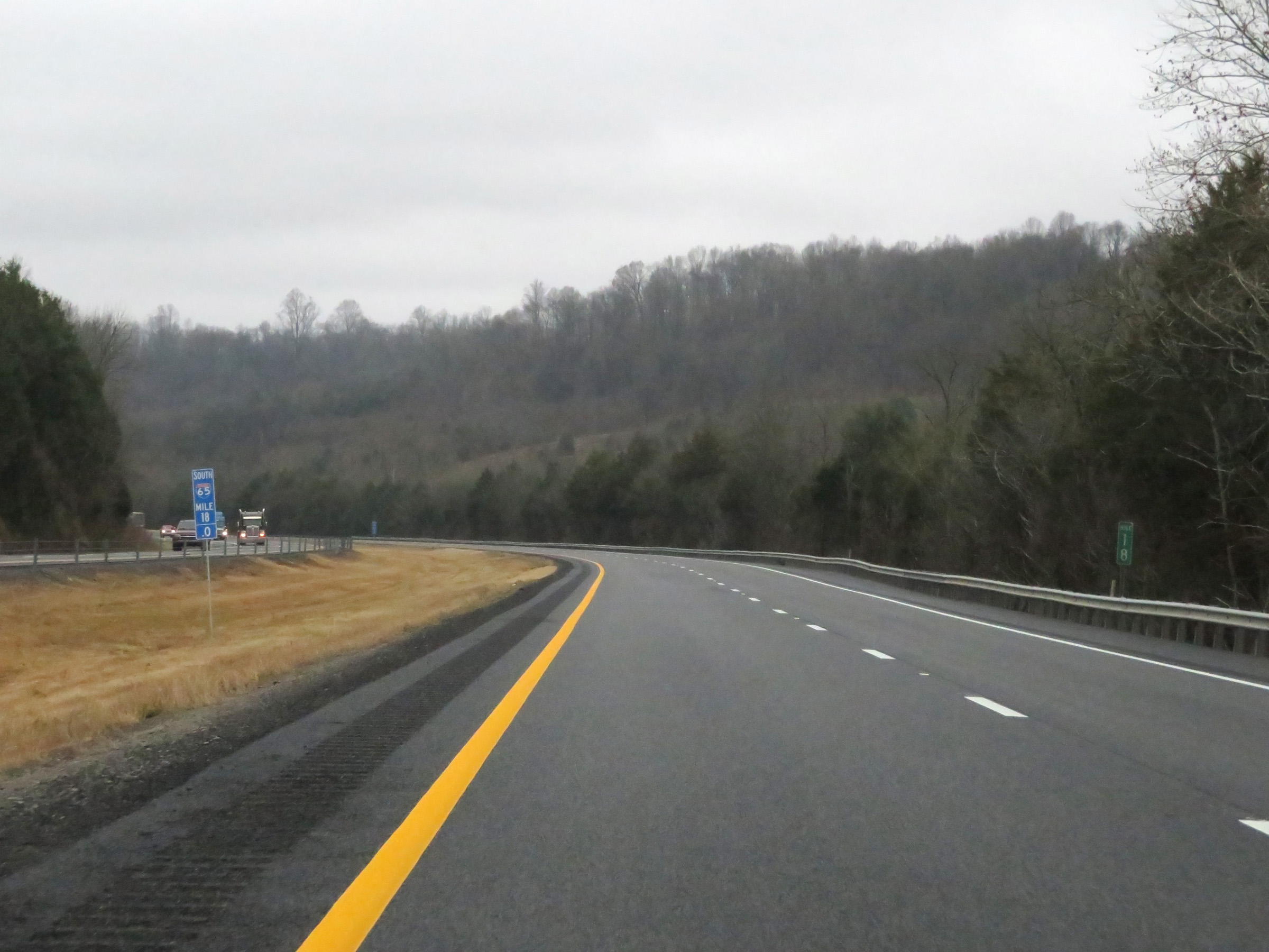 |
Mile marker 18 on Interstate 65 South in Giles County. (Photo taken 12/14/20). |
 |
Take Exit 14 to David Crockett State Park. (Photo taken 12/14/20). |
 |
Interstate 65 South at mile marker 16. (Photo taken 12/14/20). |
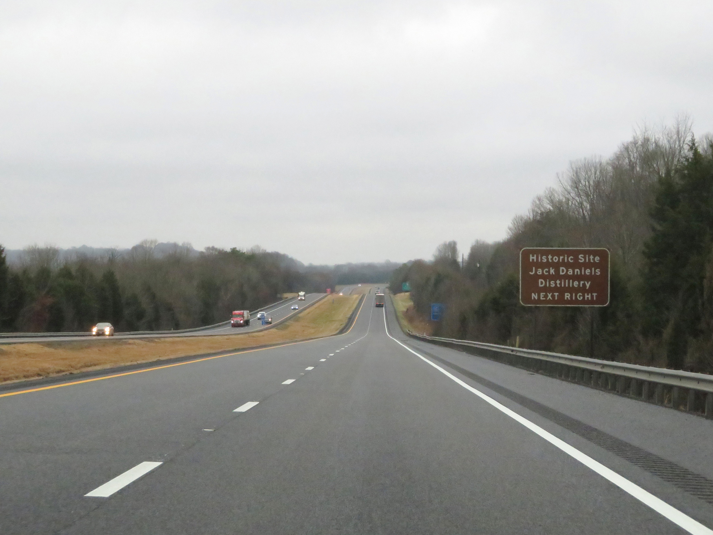 |
Also take Exit 14 to the Jack Daniels Distillery Historic Site. (Photo taken 12/14/20). |
 |
View on Interstate 65 South at mile marker 15. (Photo taken 12/14/20). |
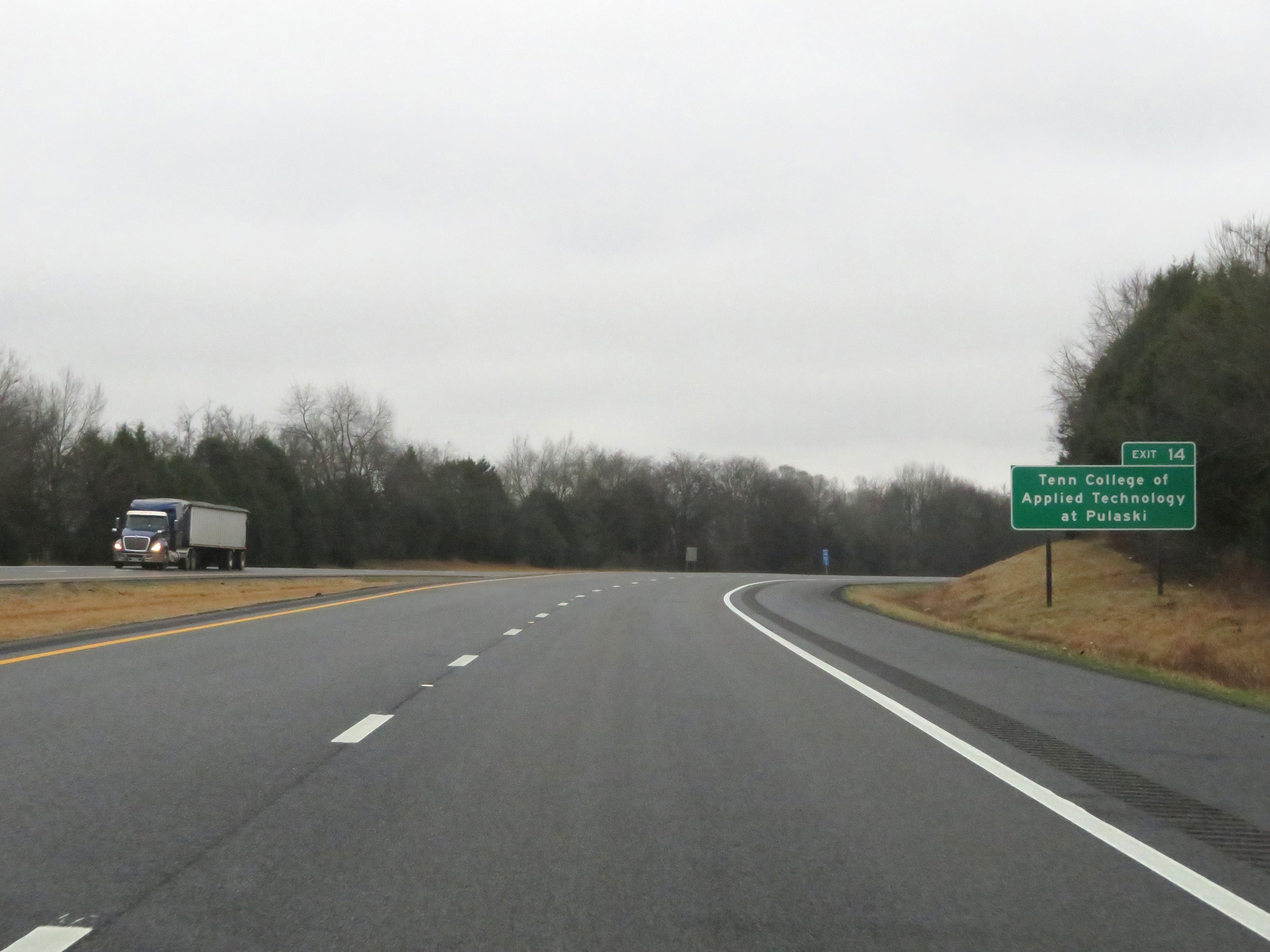 |
Take Exit 14 to Tennessee College of Applied Technology at Pulaski as well. (Photo taken 12/14/20). |
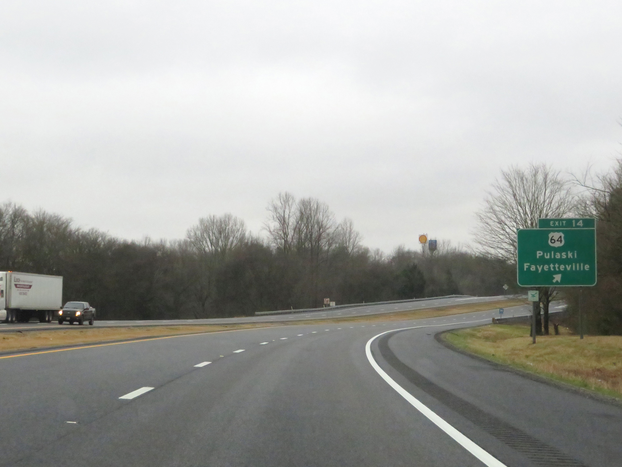 |
Interstate 65 South at Exit 14: US 64 - Pulaski / Fayetteville (Photo taken 12/14/20). |
 |
View on Interstate 65 South at mile marker 12. (Photo taken 12/14/20). |
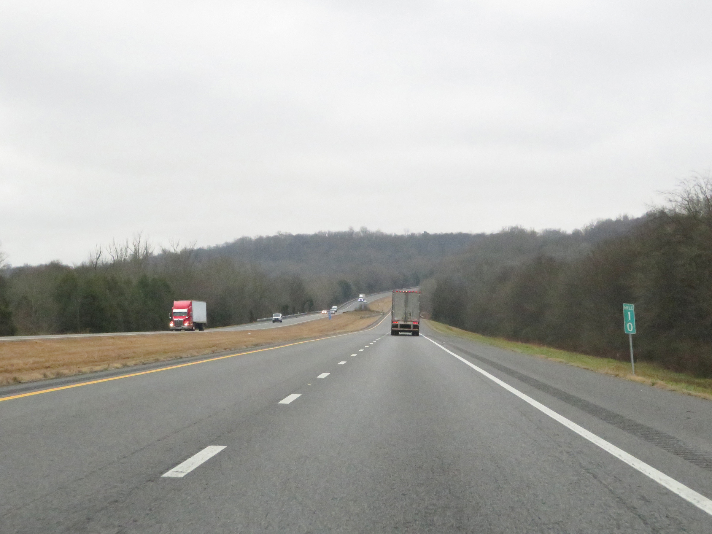 |
Interstate 65 South at mile marker 10. (Photo taken 12/14/20). |
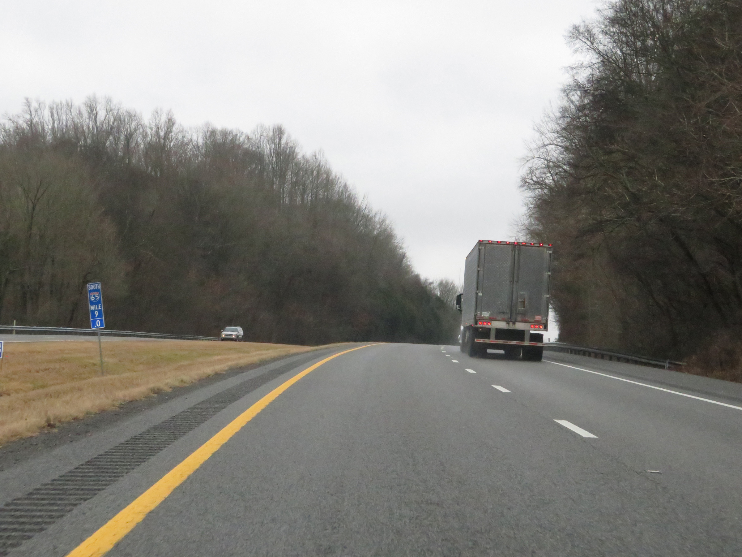 |
Mile marker 9 on Interstate 65 South in Giles County. (Photo taken 12/14/20). |
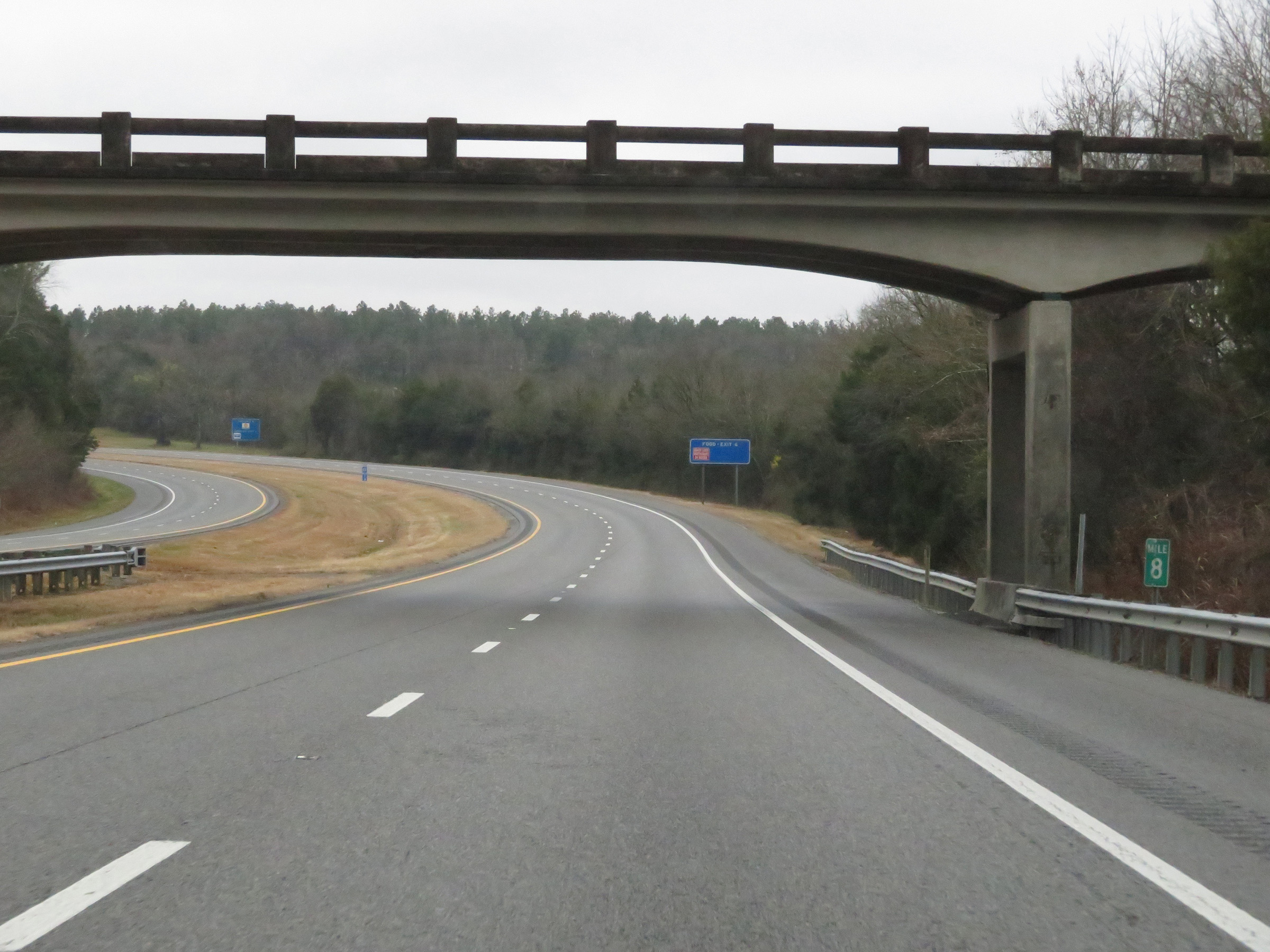 |
View on Interstate 65 South at mile marker 8. (Photo taken 12/14/20). |
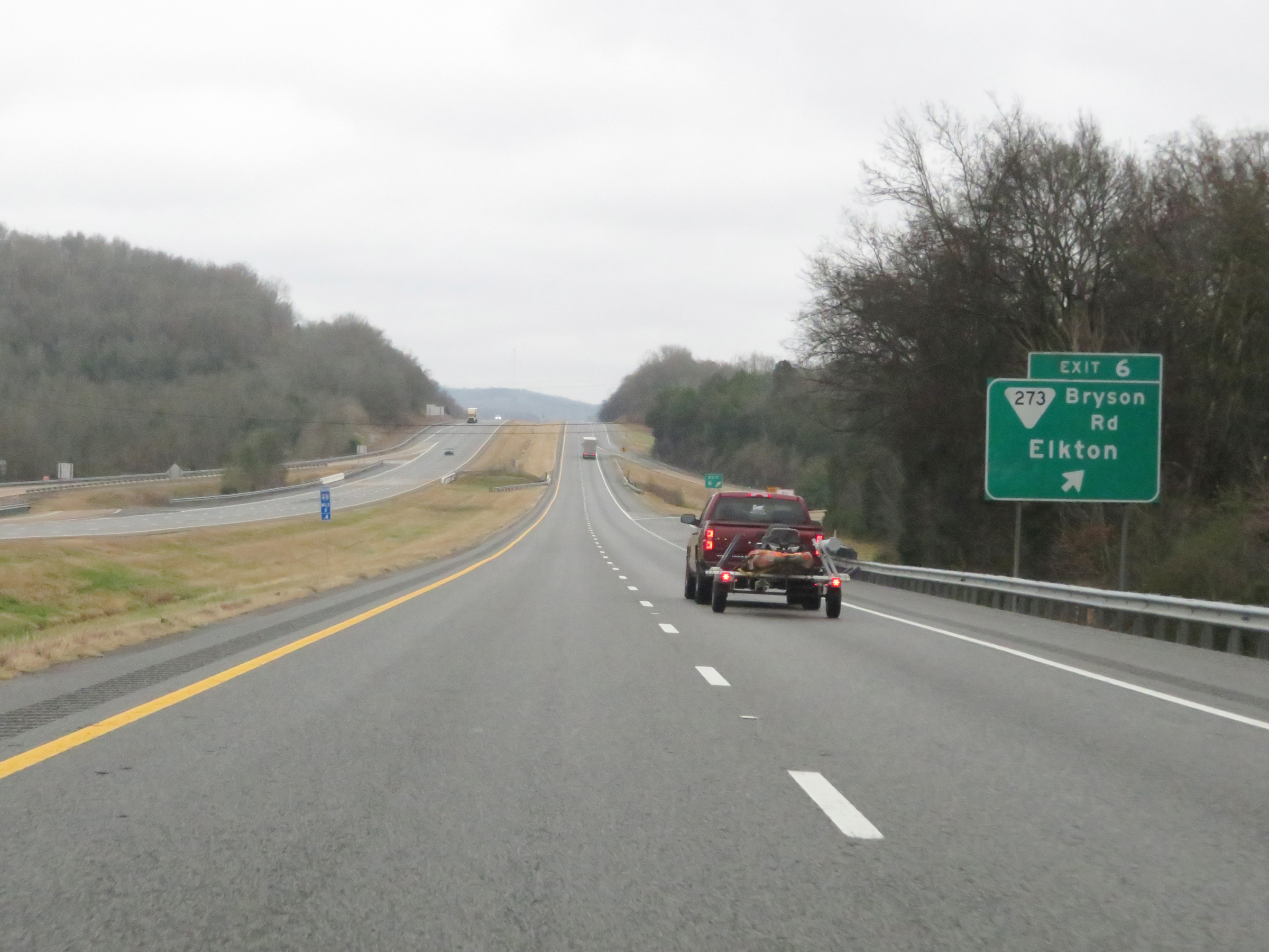 |
Interstate 65 South at Exit 6: SR 273 (Bryson Rd) - Elkton (Photo taken 12/14/20). |
 |
Speed limit sign at mile marker 5.4. The speed limit remains 70 mph for all traffic. (Photo taken 12/14/20). |
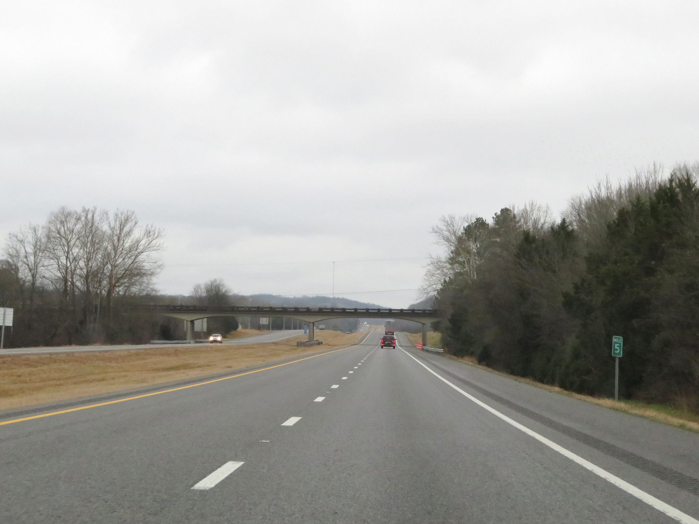 |
View on Interstate 65 South at mile marker 5. (Photo taken 12/14/20). |
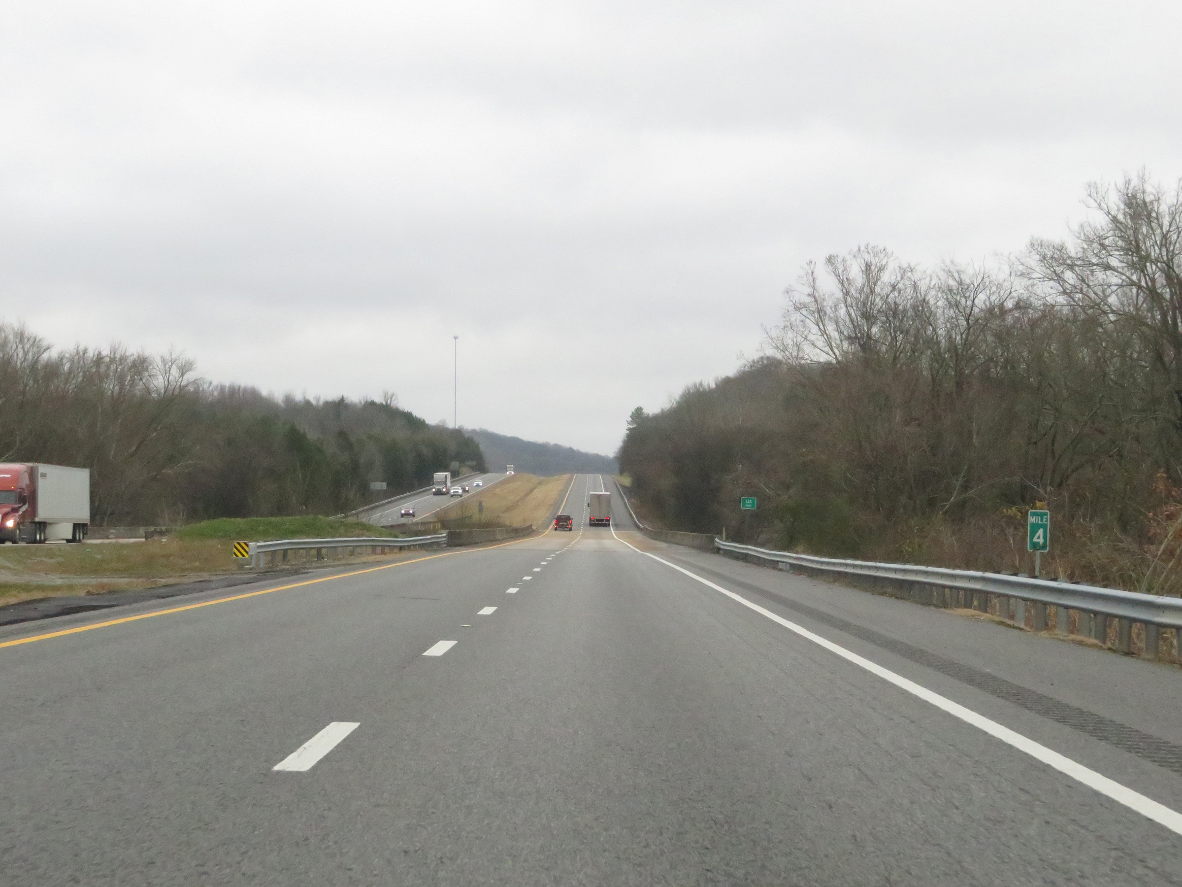 |
Interstate 65 South at mile marker 4. (Photo taken 12/14/20). |
 |
View on Interstate 65 South at mile marker 3. (Photo taken 12/14/20). |
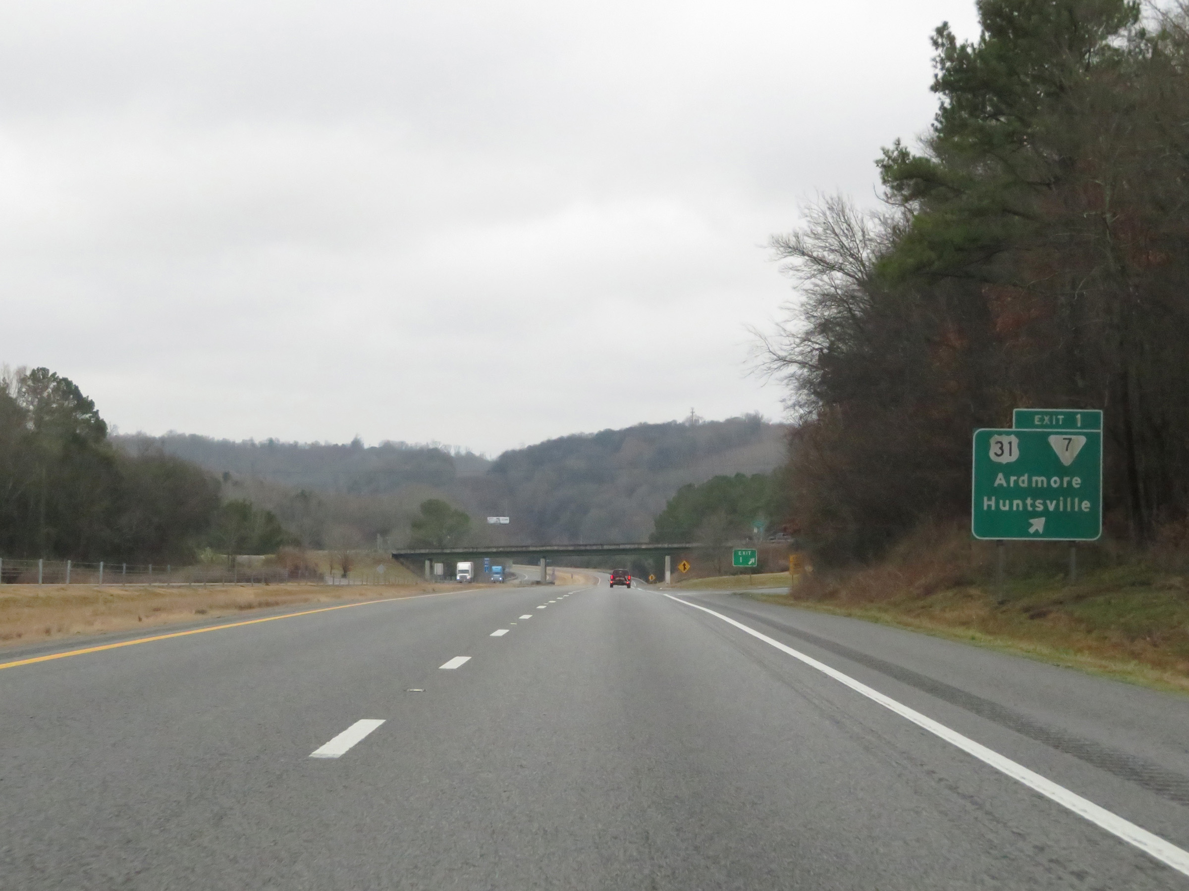 |
Interstate 65 South at Exit 1: US 31 / SR 7 - Ardmore / Huntsville (Photo taken 12/14/20). |
 |
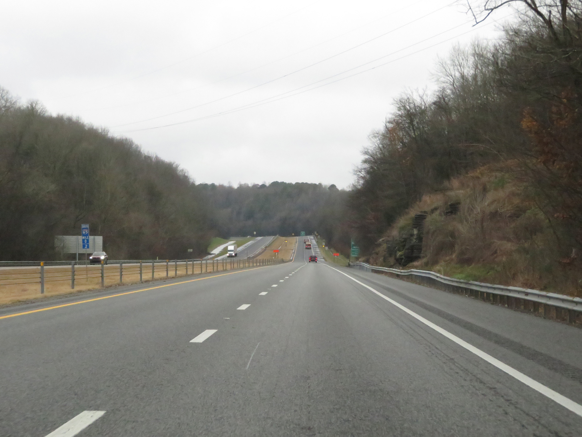
Interstate 65 South at mile marker 1. (Photo taken 12/14/20). |
 |
Birmingham now lies just 106 miles ahead on Interstate 65 South. (Photo taken 12/14/20). |
 |
One final Interstate 65 South reassurance shield in Tennessee. (Photo taken 12/14/20). |
 |
The speed limit remains 70 mph for all traffic. (Photo taken 12/14/20). |
 |
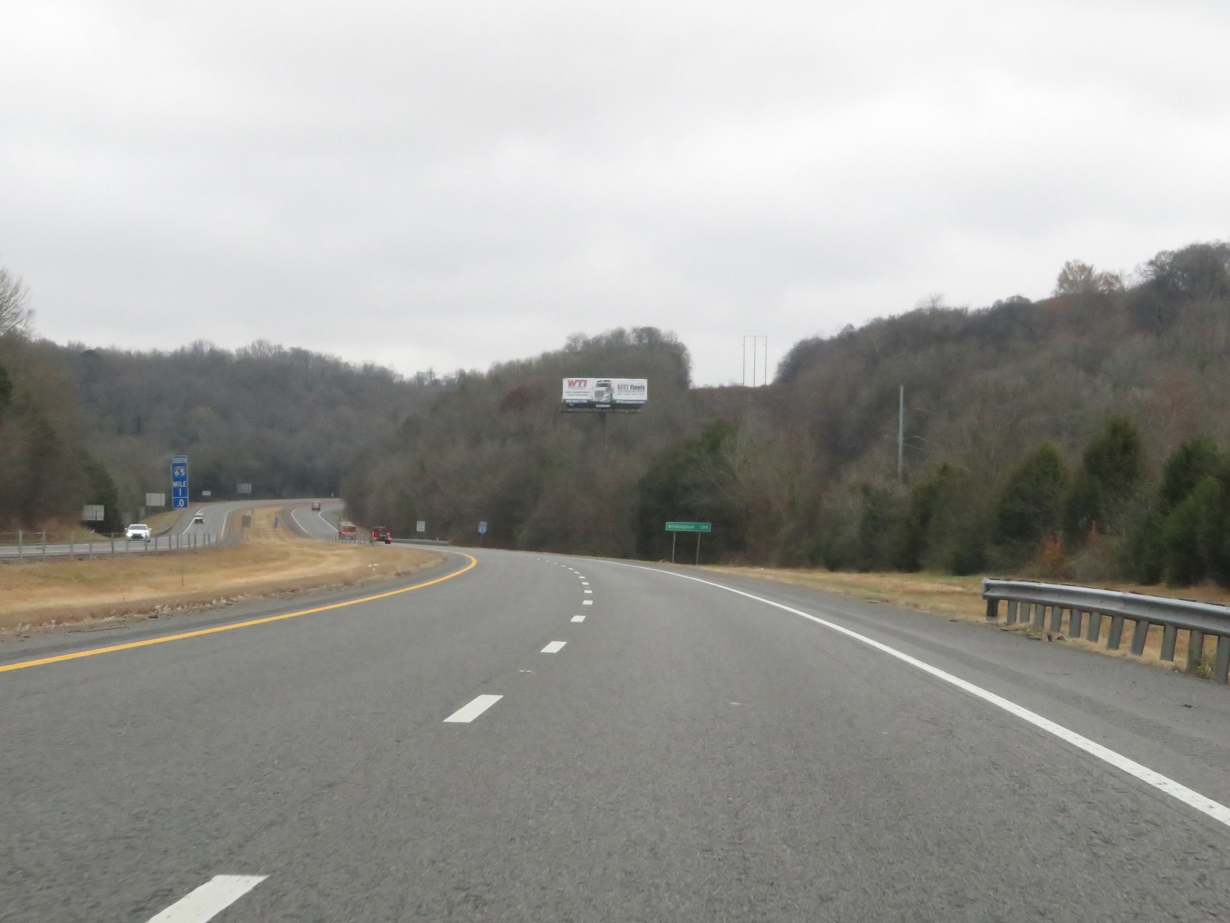
Interstate 65 South at mile marker 0.2, as the Alabama border comes into view. (Photo taken 12/14/20). |
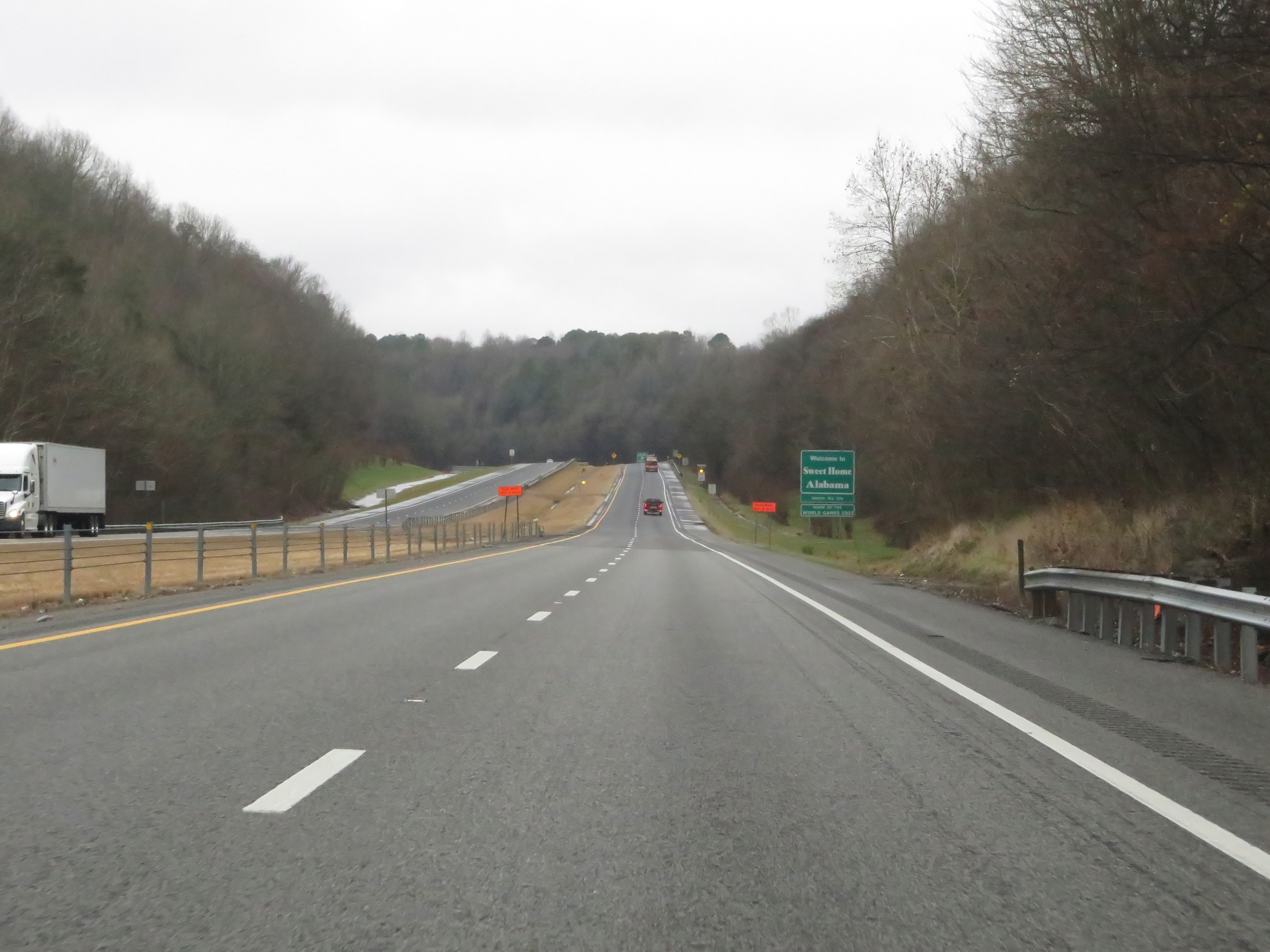 |
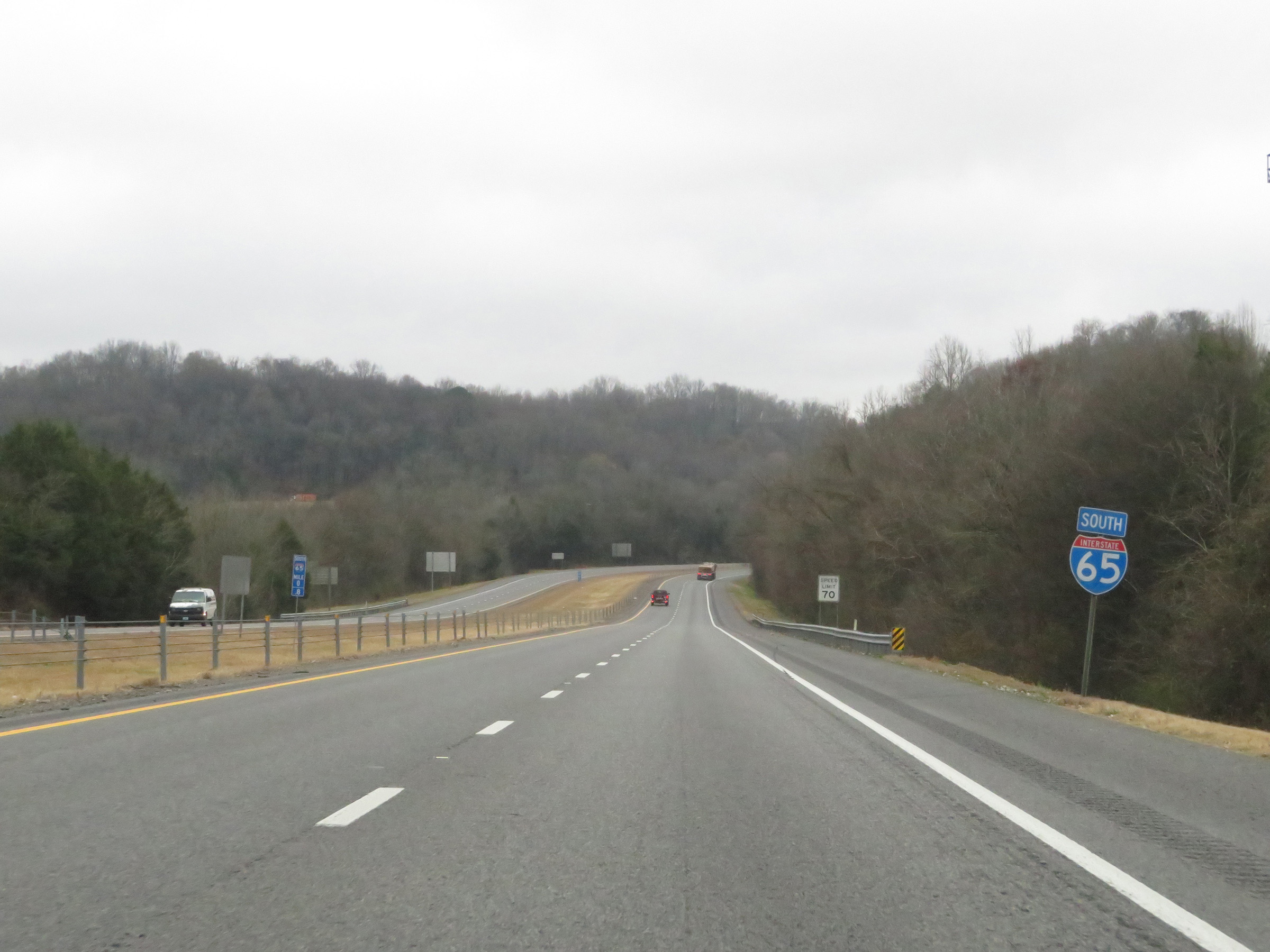
Interstate 65 South as it prepares to leave Tennessee and enter Alabama. (Photo taken 12/14/20). |