Road Information |
||
 |
||
| Total Mileage in State: | 19.5 miles | |
| Eastern End: | At US 17/I-526 Business, in Mount Pleasant | |
| Western End: | At US 17/SC 7, in Charleston | |
| Mileage covered in Photos: | 19.5 miles | |
| Counties covered in Photos: | Charleston, Berkeley, Charleston | |
| Major Junctions in Photos: | I-26, in North Charleston US 17/SC 7, in Charleston |
|
| Control Cities in Photos: | Mount Pleasant, North Charleston, Charleston | |
Westbound
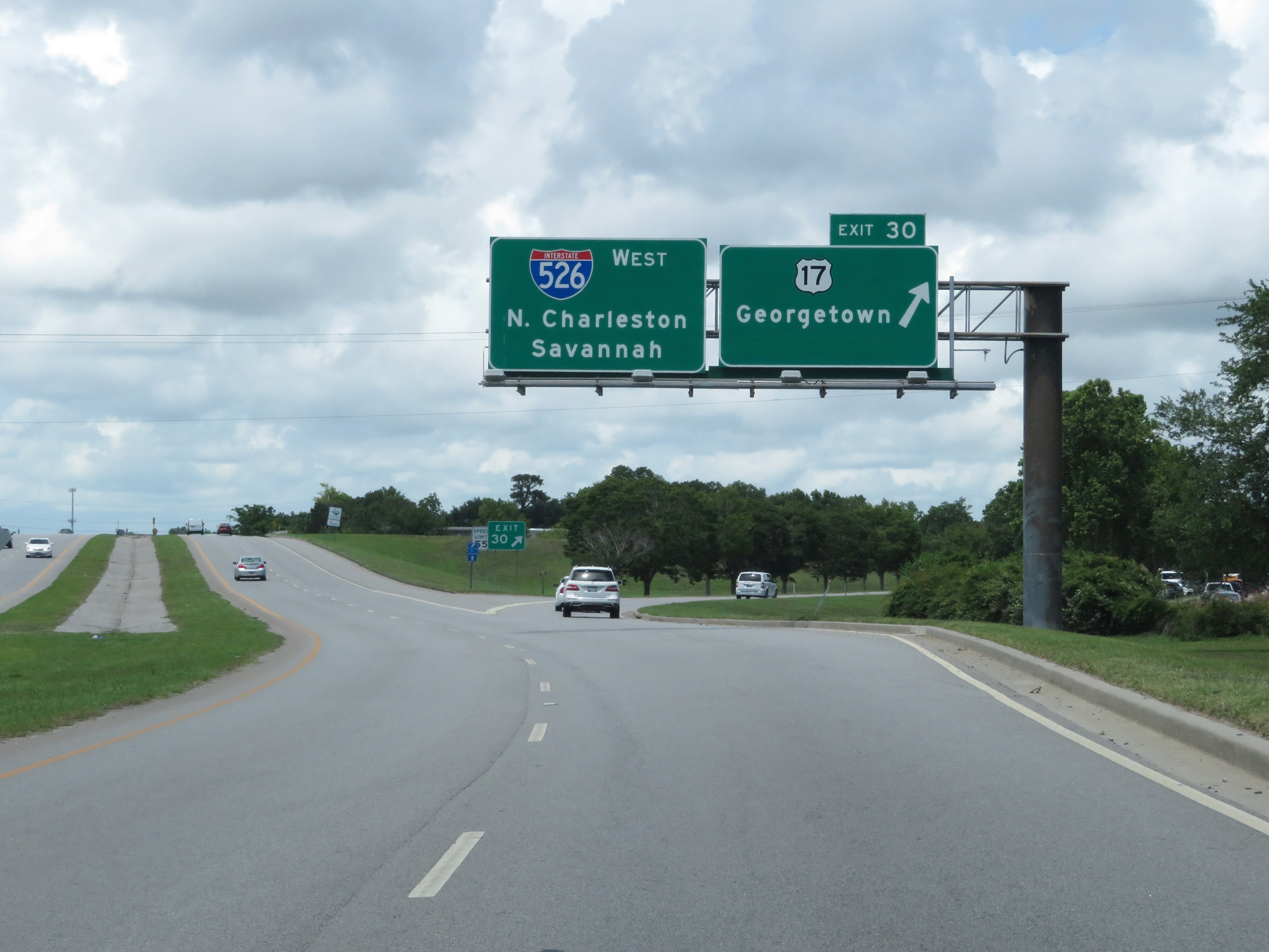 |
Interstate 526 West at Exit 30: US 17 - Georgetown (Photo taken 5/25/18). |
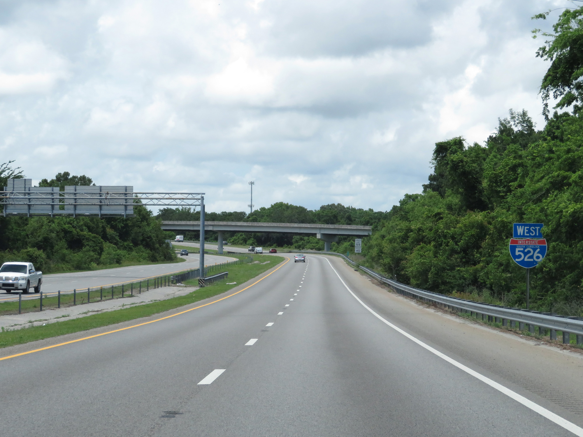 |
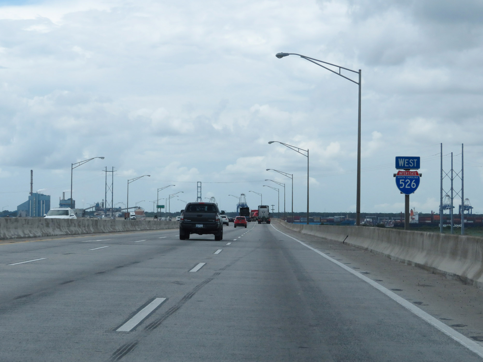
State-named Interstate 526 West reassurance shield. (Photo taken 5/25/18). |
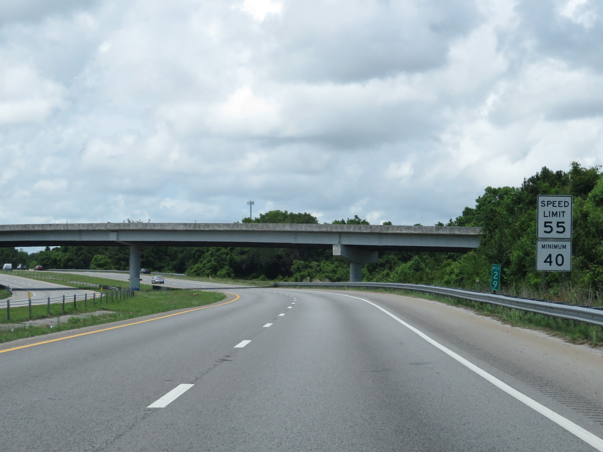 |
The speed limits on Interstate 526 West start out at 55 mph maximum and 40 mph minimum. (Photo taken 5/25/18). |
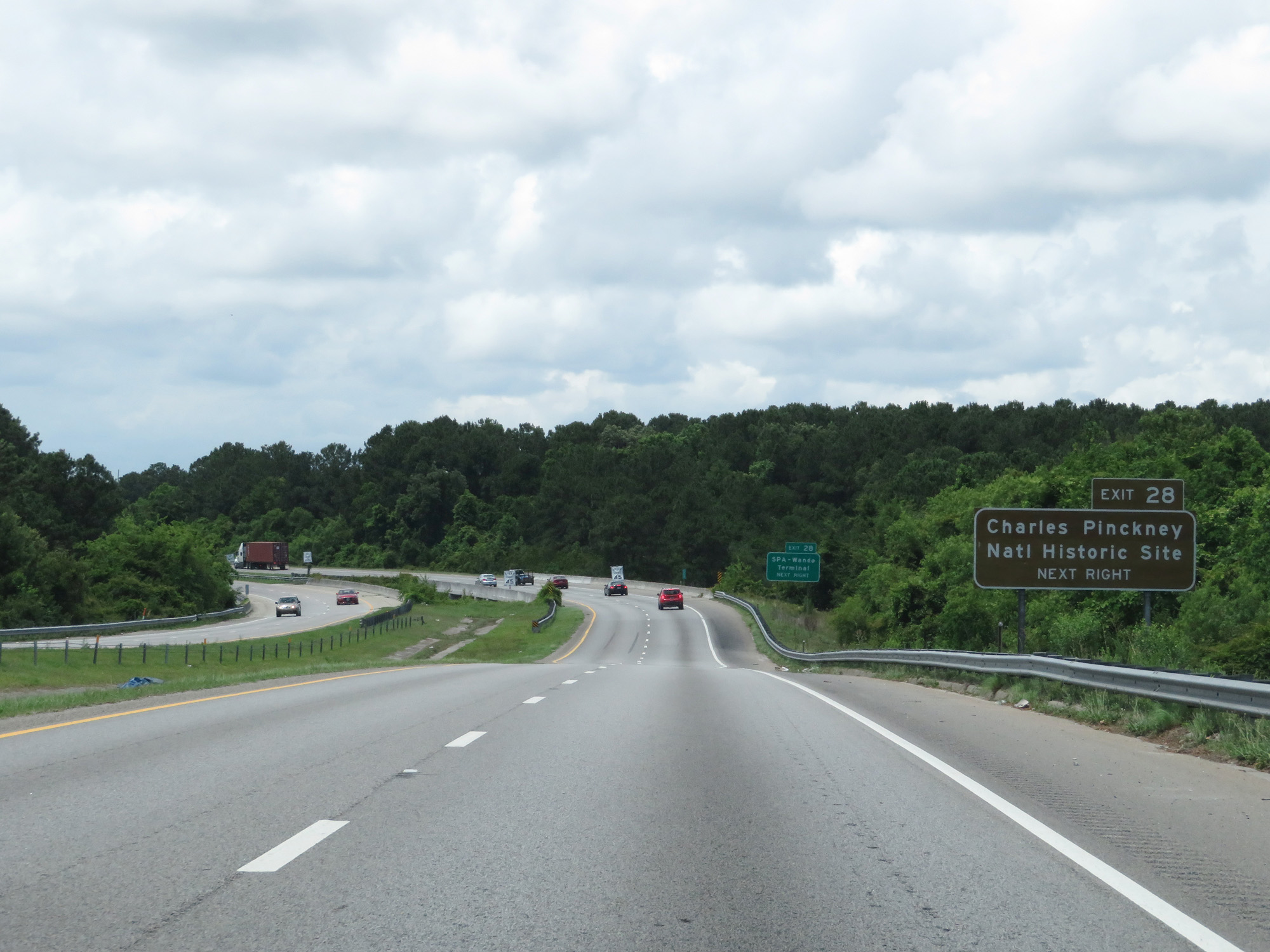 |
Take Exit 28 to Charles Pinckney National Historic Site. (Photo taken 5/25/18). |
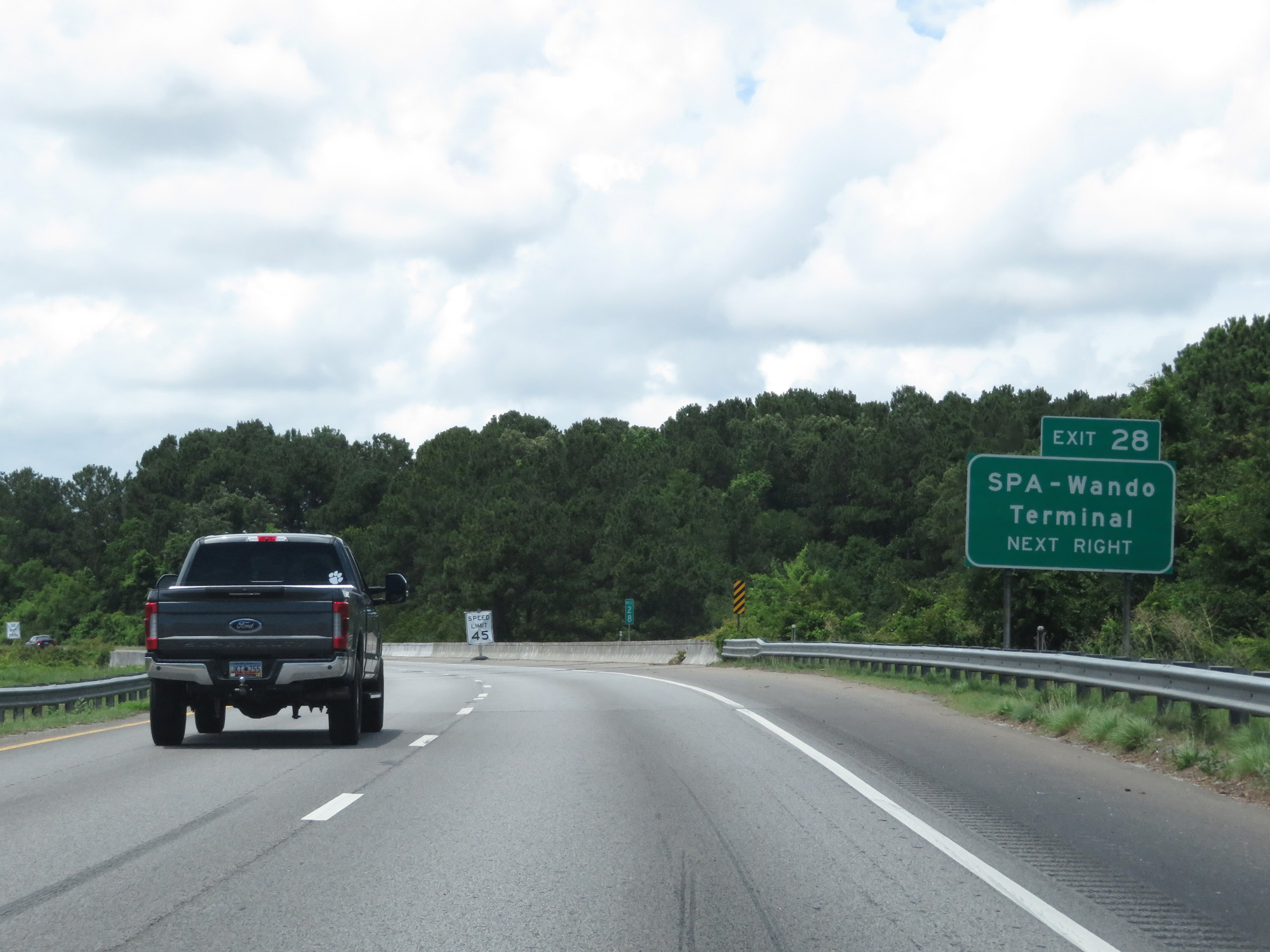 |
Also take Exit 28 to the SPA-Wando Terminal. (Photo taken 5/25/18). |
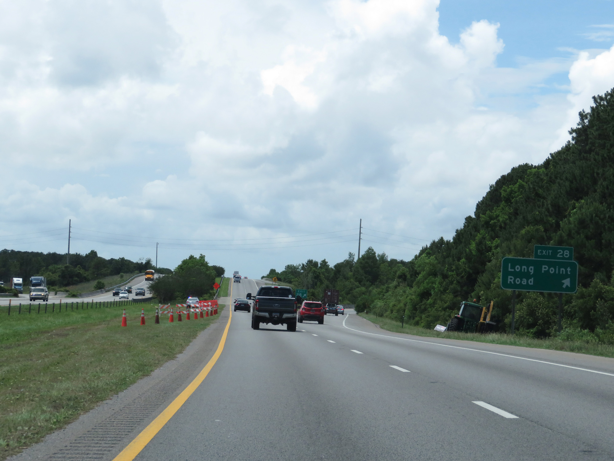 |
Interstate 526 West at Exit 28: Long Point Road (Photo taken 5/25/18). |
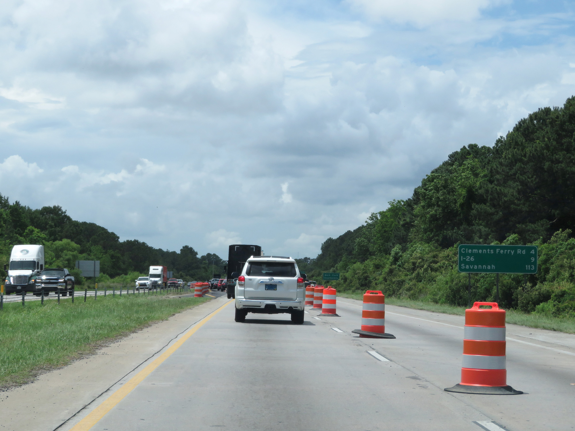 |
Mileage sign on Interstate 526 West. It's 4 miles to Clements Ferry Rd, 9 miles to the junction of Interstate 26, and 113 miles to Savannah. (Photo taken 5/25/18). |
 |
Interstate 526 is also known as Mark Clark Expressway, as this sign reads. (Photo taken 5/25/18). |
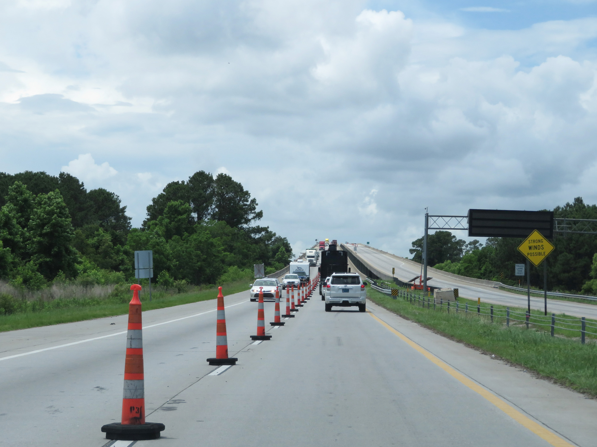 |
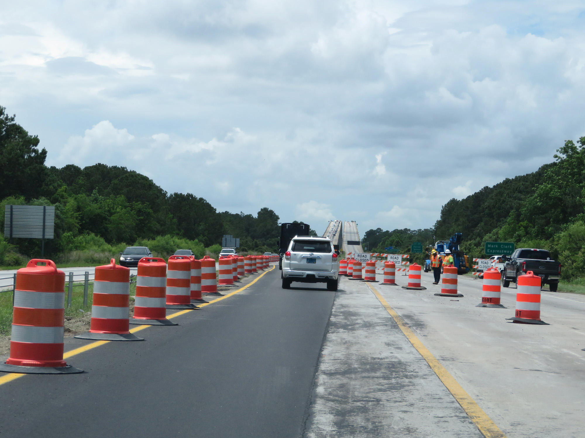
Interstate 526 West approaching the James B. Edwards Bridge over the Wando River. (Photo taken 5/25/18). |
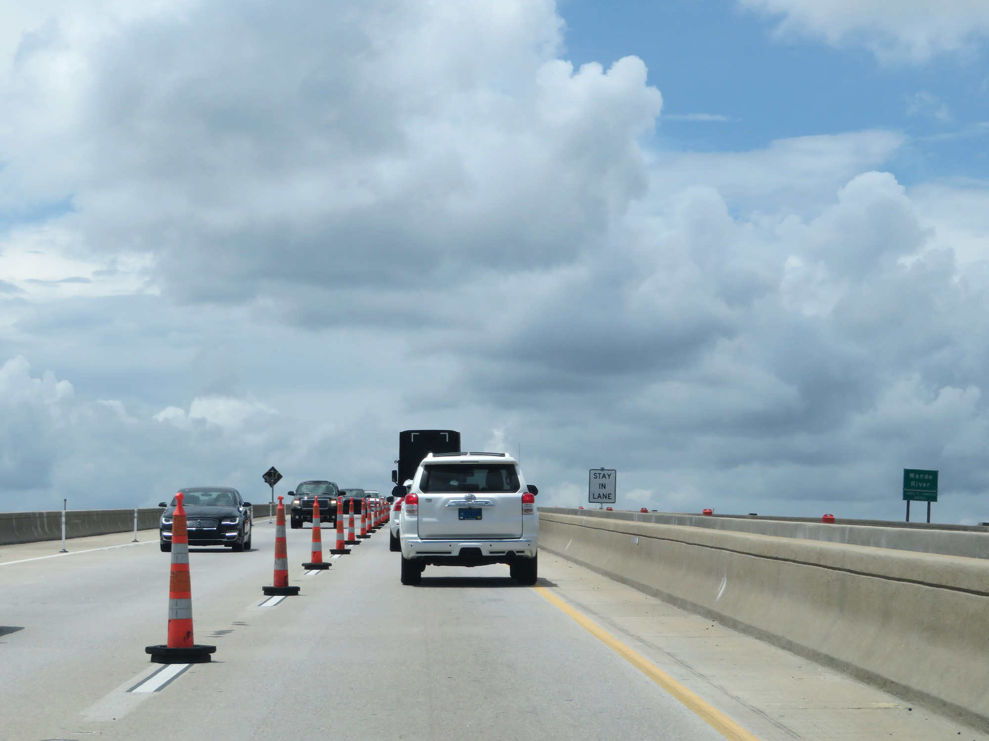 |
Crossing the Wando River via the James B. Edwards Bridge on Interstate 526 West. (Photo taken 5/25/18). |
 |
While crossing the Wando River, Interstate 526 West enters Berkeley County. (Photo taken 5/25/18). |
 |
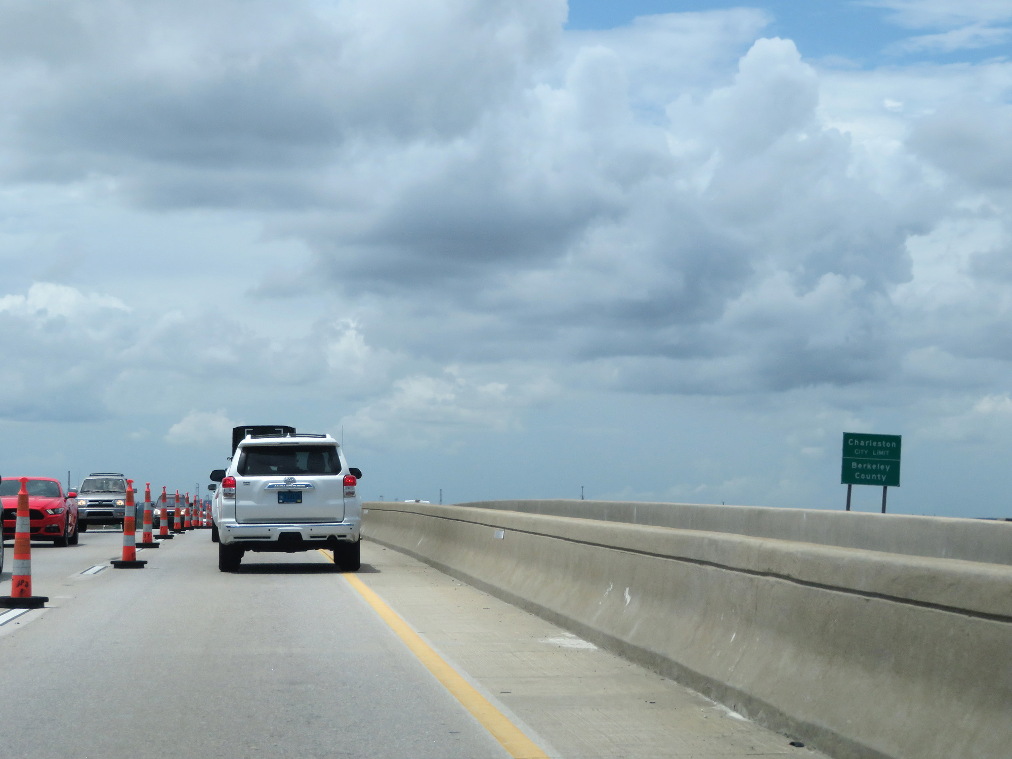
View on the descent of the James B. Edwards Bridge over the Wando River. (Photo taken 5/25/18). |
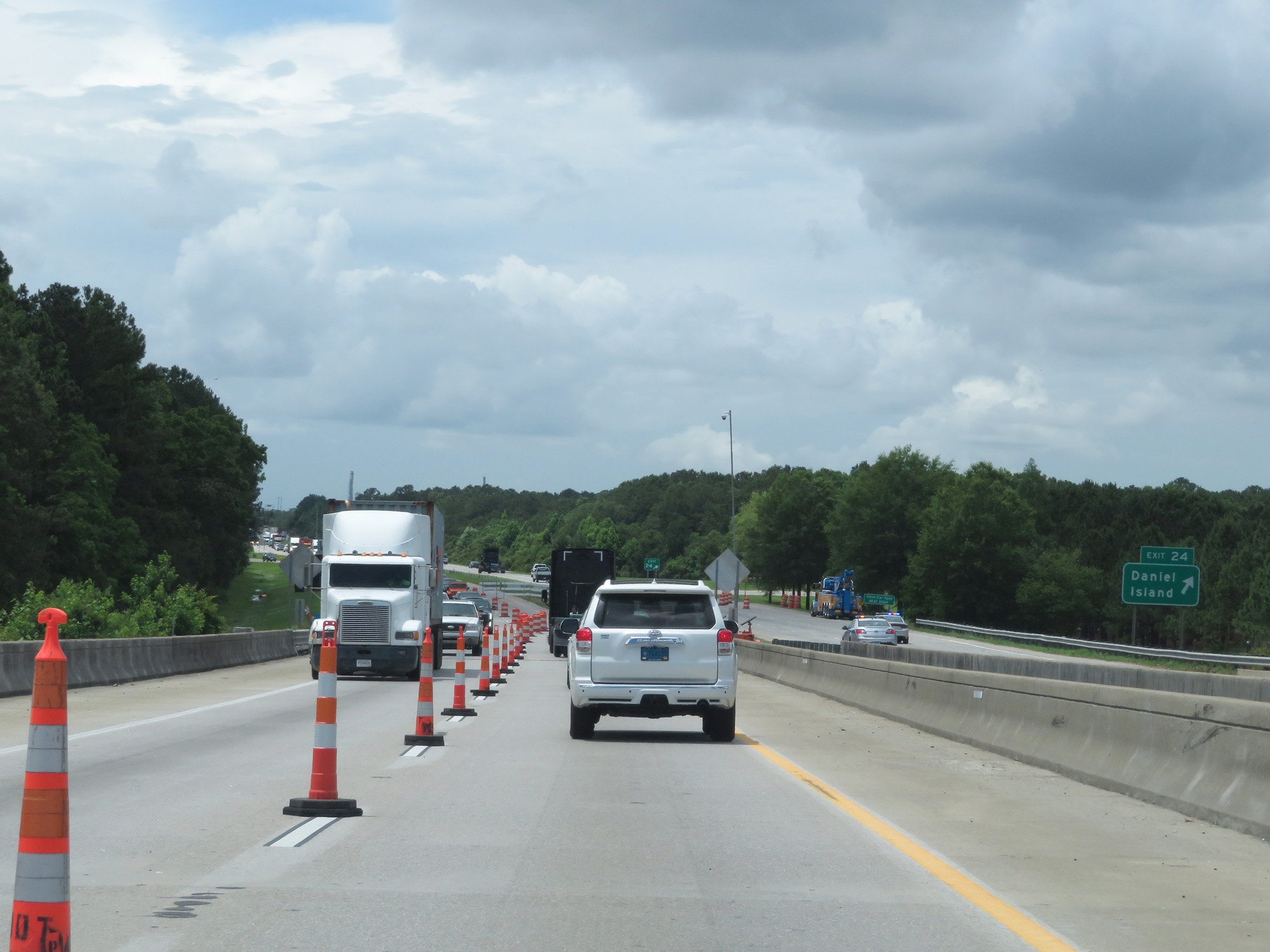 |
Interstate 526 West at Exit 24: Daniel Island (Photo taken 5/25/18). |
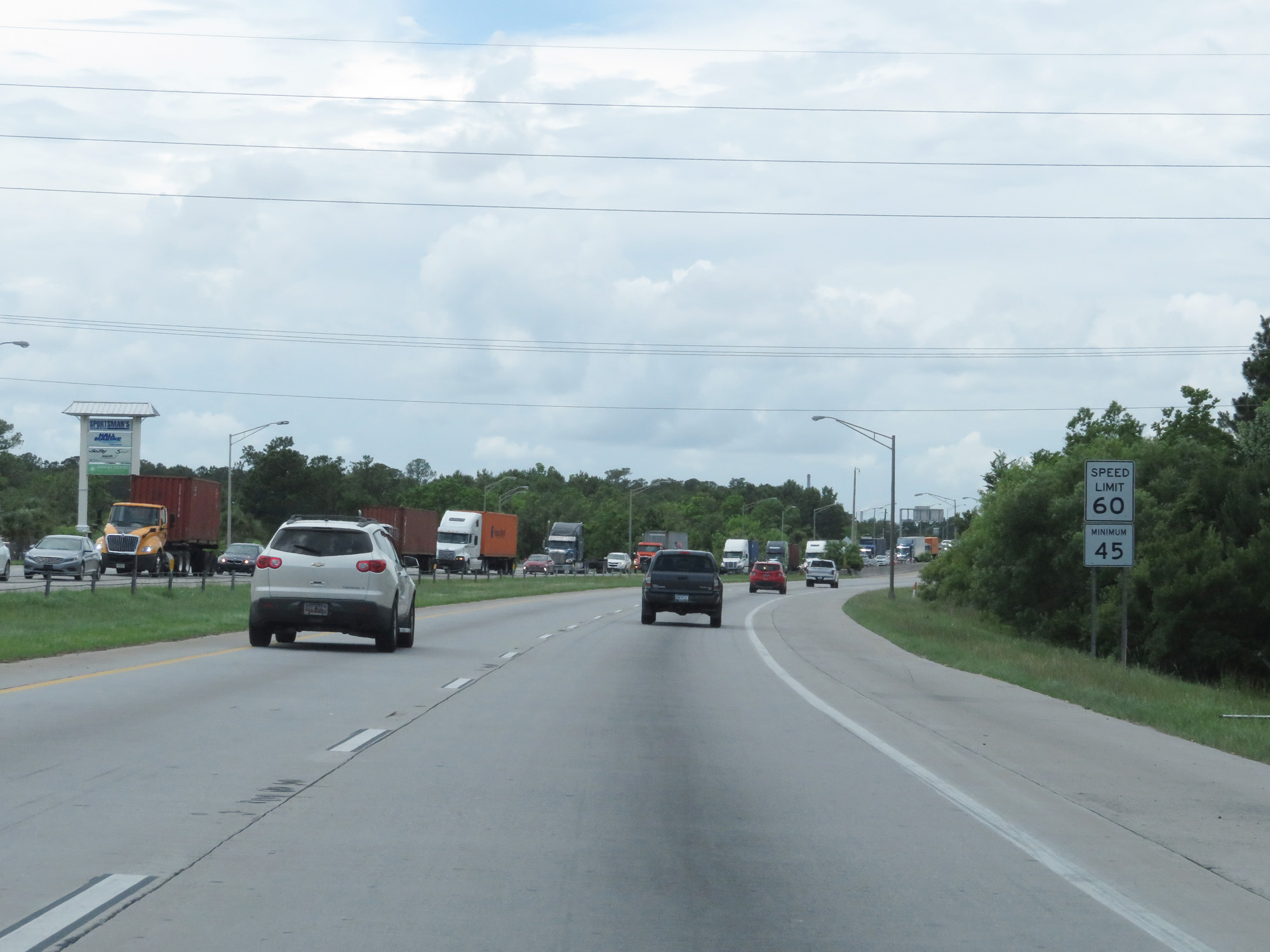 |
Beyond Exit 24, the speed limits increase to 60 mph maximum and 45 mph minimum. (Photo taken 5/25/18). |
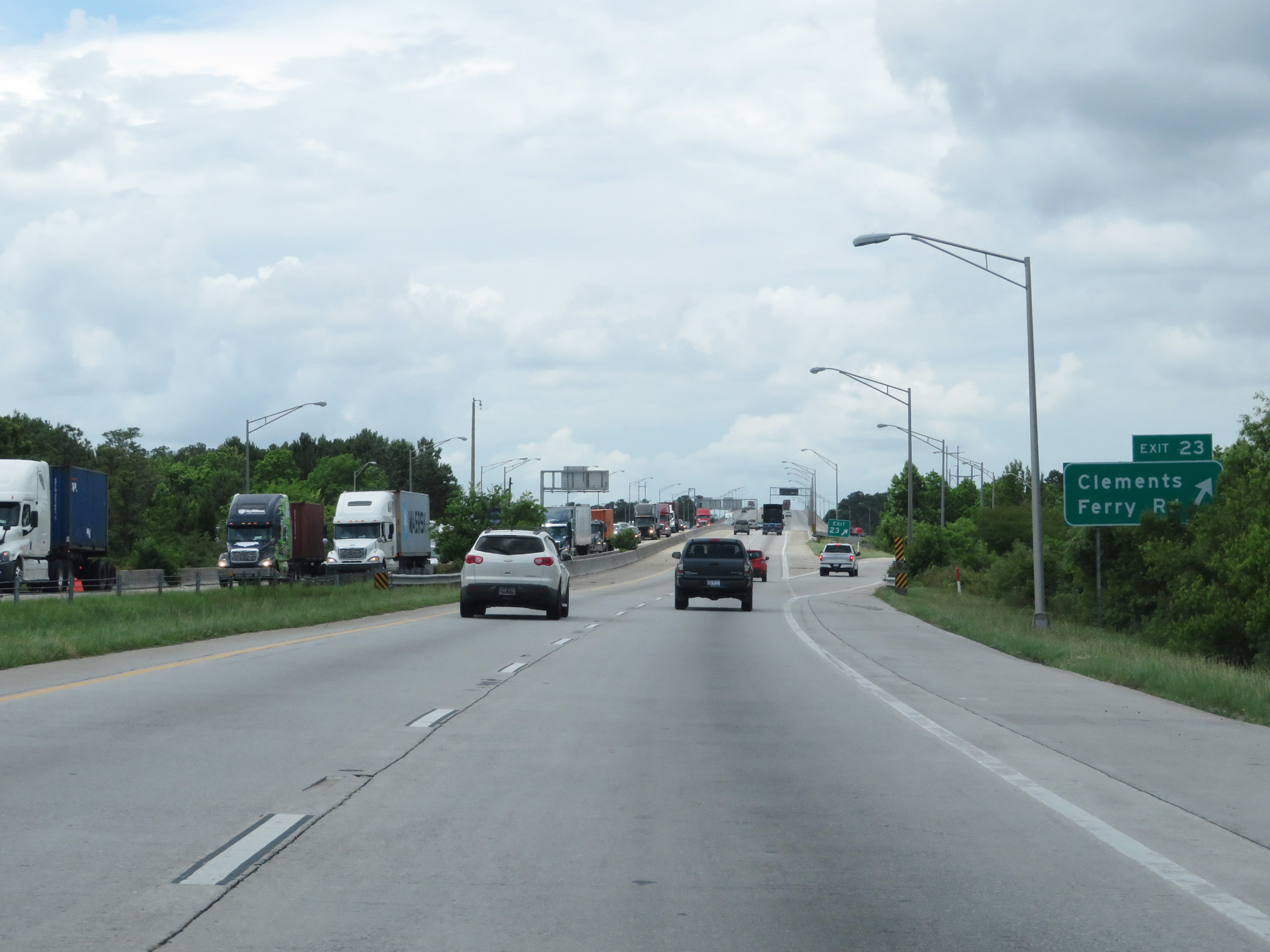 |
Interstate 526 West at Exit 23: Clements Ferry Rd (Photo taken 5/25/18). |
 |
Another state-named Interstate 526 West reassurance shield. (Photo taken 5/25/18). |
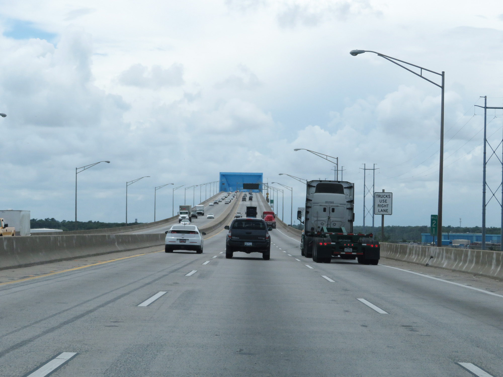 |
Interstate 526 West at mile marker 21, as it prepares to cross the Don N. Holt Bridge over the Cooper River. (Photo taken 5/25/18). |
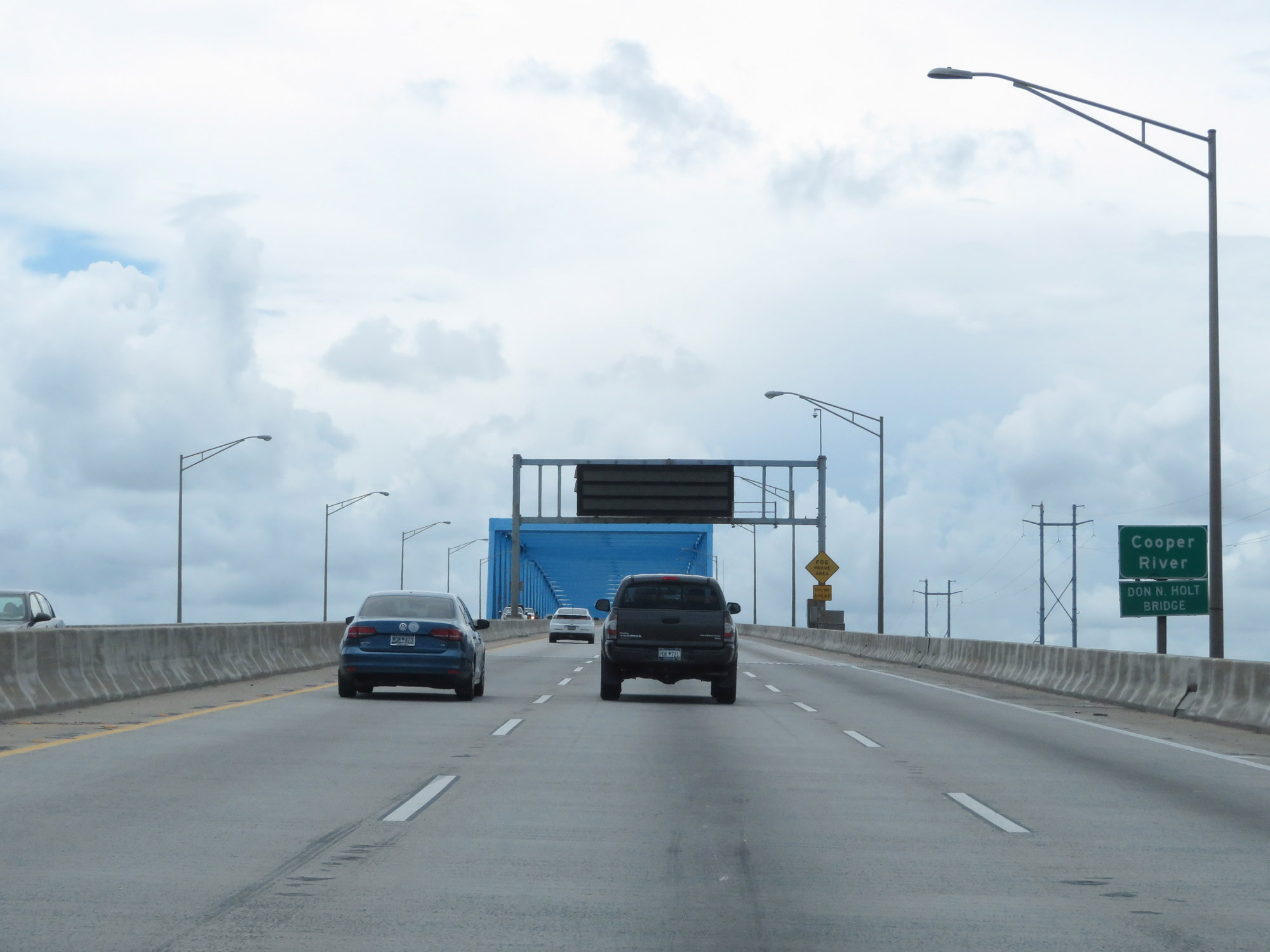 |
Starting across the Don N. Holt Bridge over the Cooper River on Interstate 526 West. (Photo taken 5/25/18). |
 |
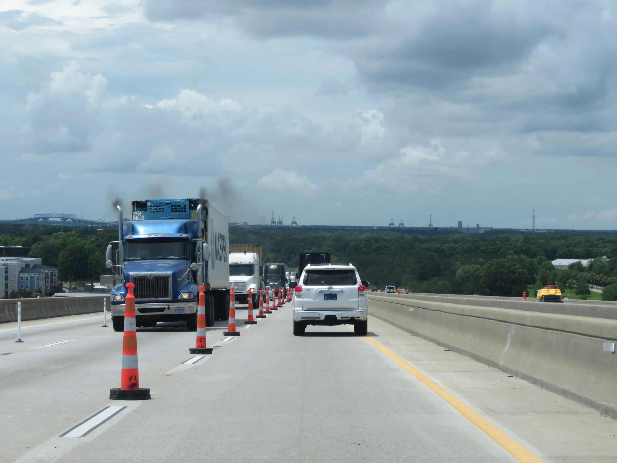
View on the Don N. Holt Bridge, nearing its peak. (Photo taken 5/25/18). |
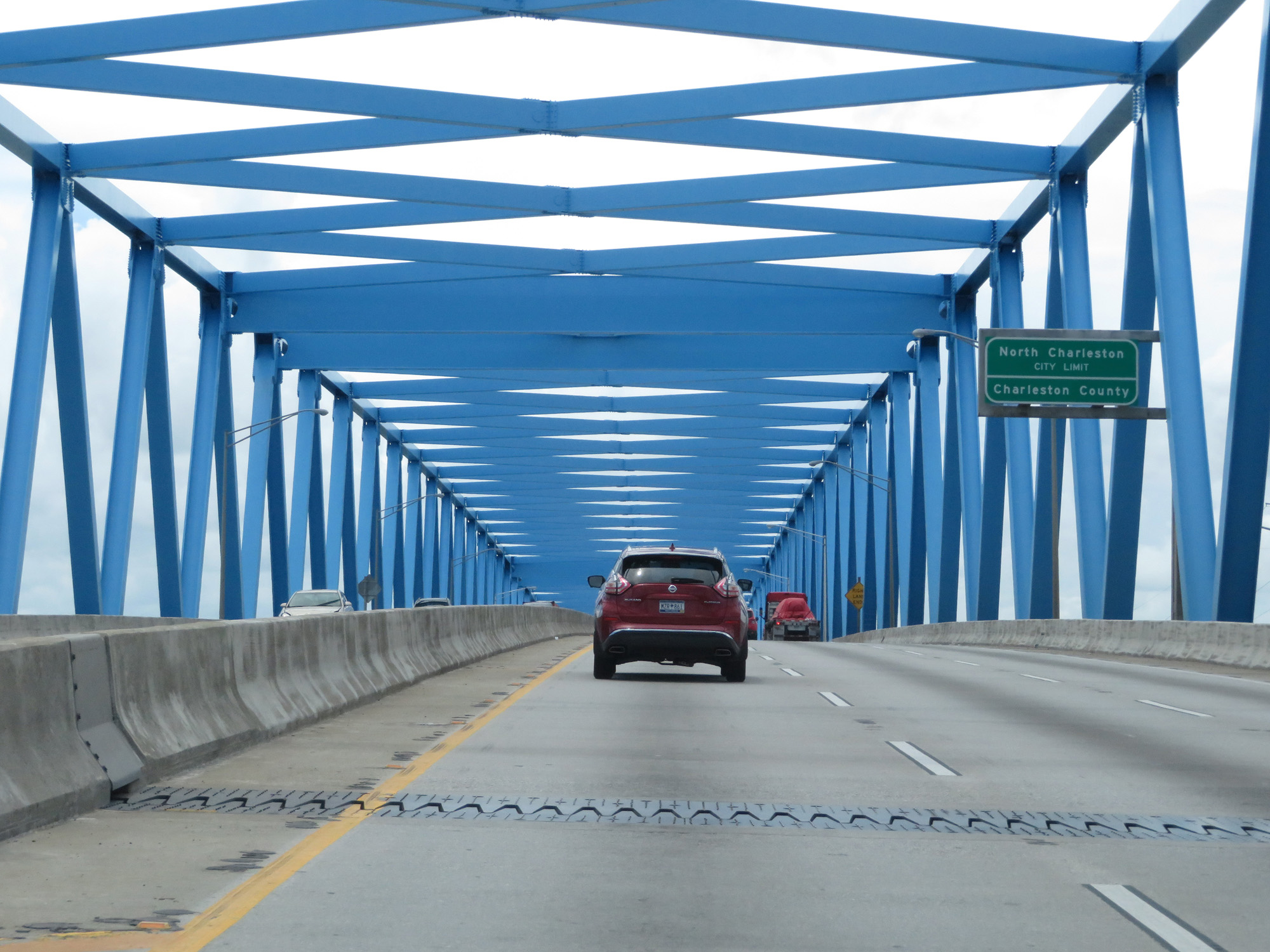 |
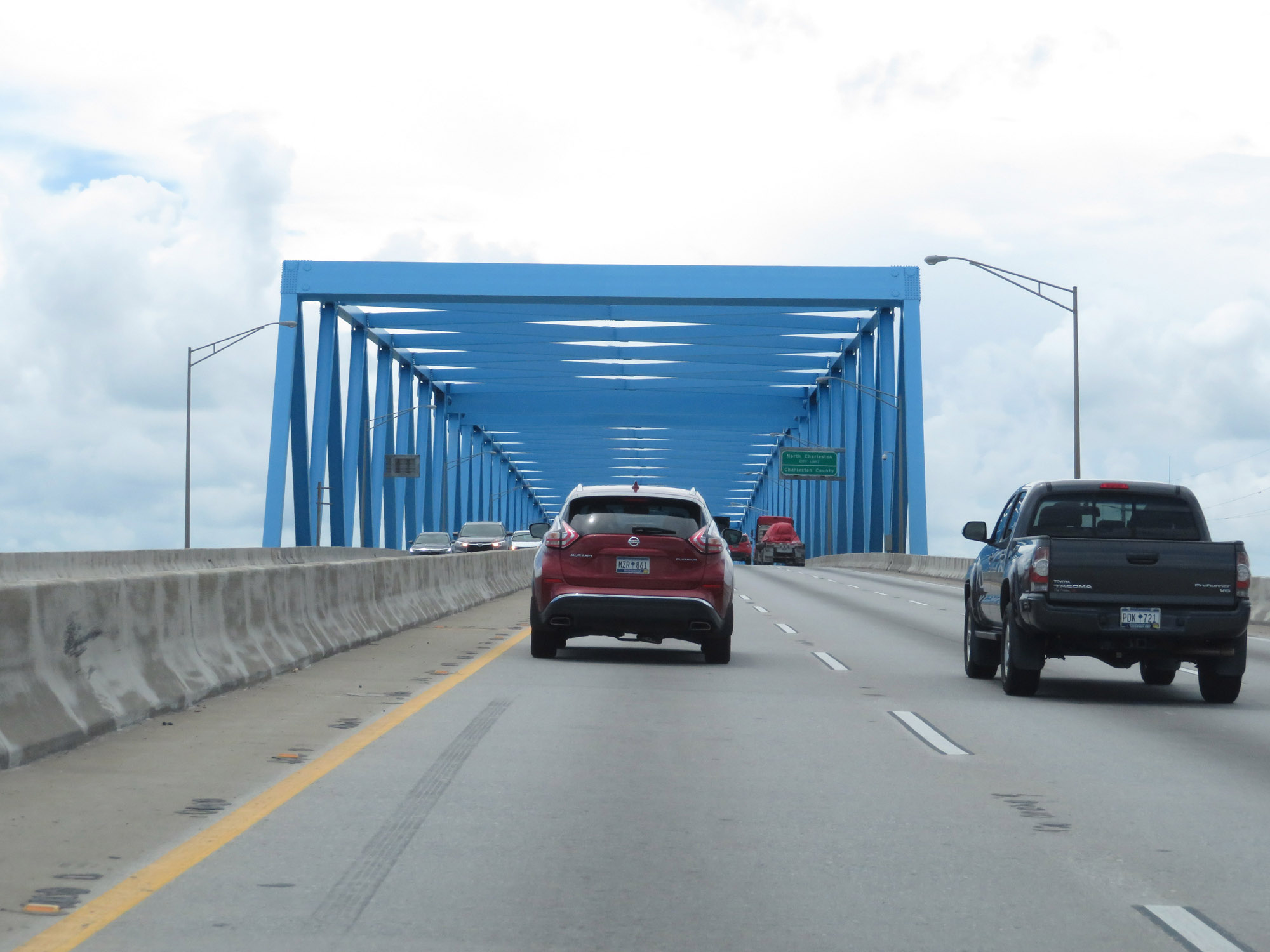
At the peak of the Don N. Holt Bridge over the Cooper River, Interstate 526 West re-enters Charleston County and enters the North Charleston city limits. (Photo taken 5/25/18). |
 |
View on Interstate 526 West as it descends the Don N. Holt Bridge. (Photo taken 5/25/18). |
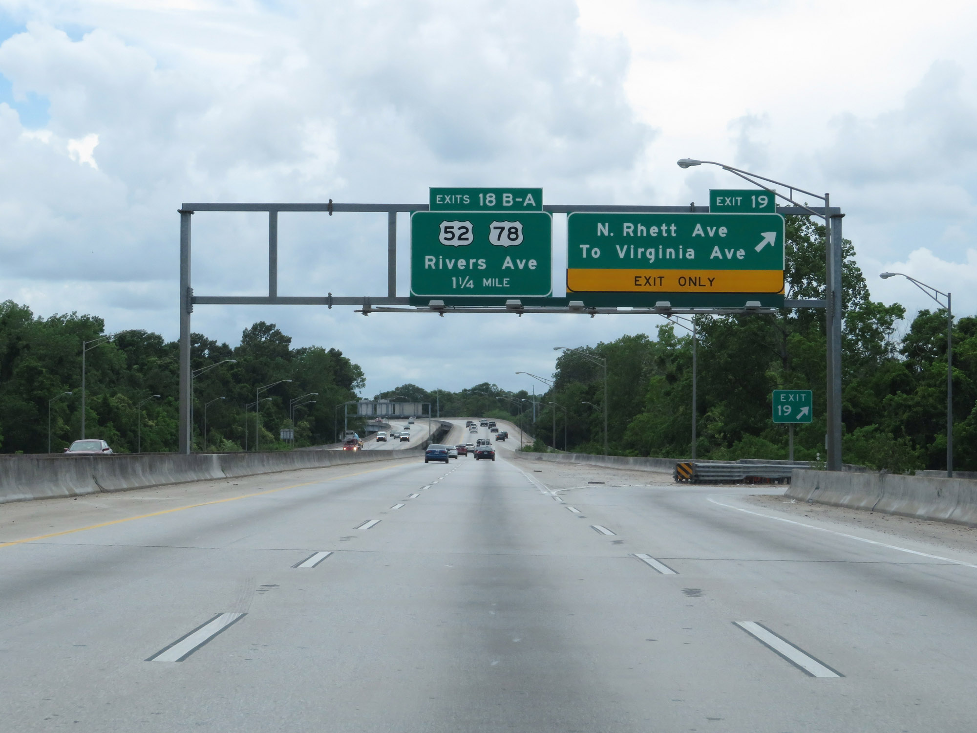 |
Interstate 526 West at Exit 19: North Rhett Ave / To Virginia Ave (Photo taken 5/25/18). |
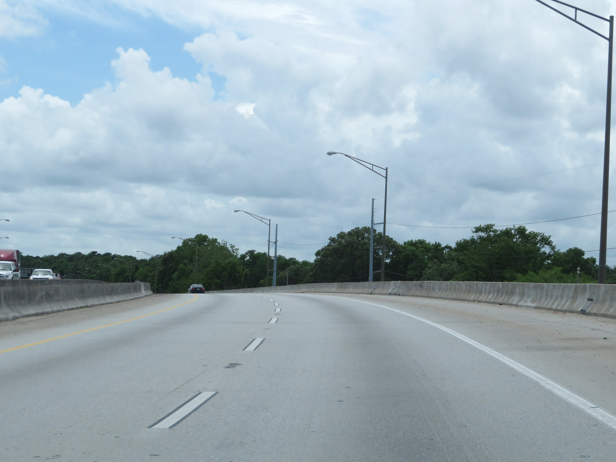 |
Interstate 526 West as it curves to the south. (Photo taken 5/25/18). |
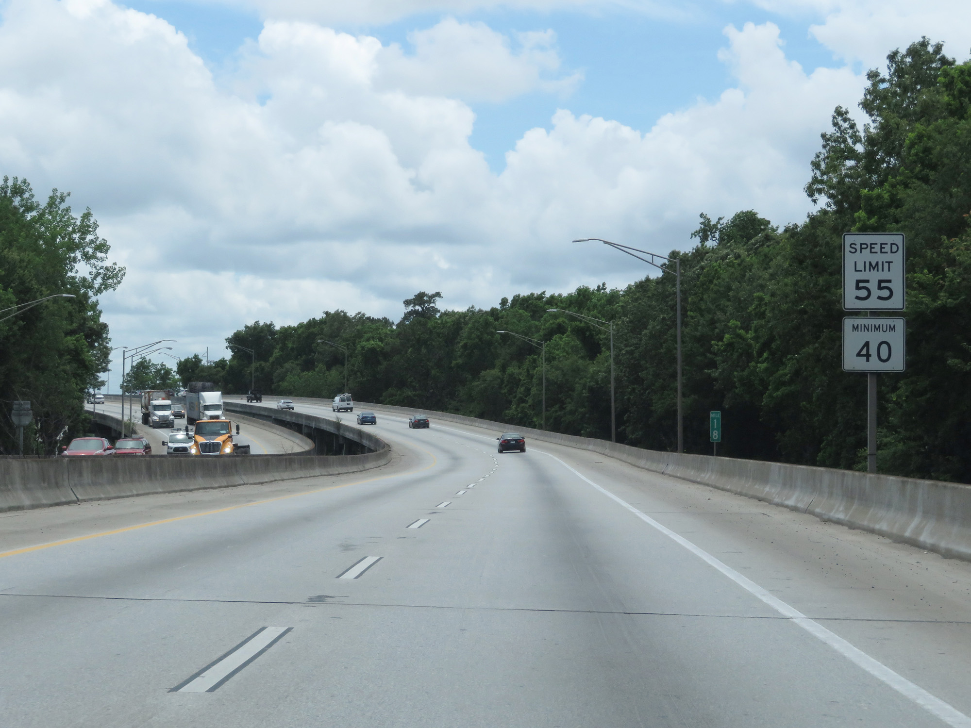 |
At mile marker 18, the speed limits decreases to 55 mph maximum and 40 mph minimum once again. (Photo taken 5/25/18). |
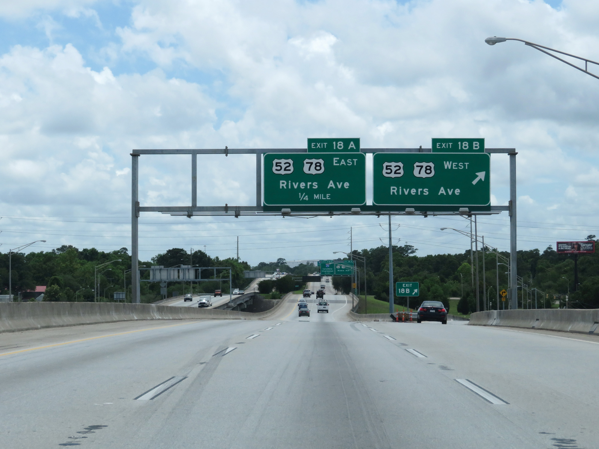 |
Interstate 526 West at Exit 18B: US 52 West / US 78 West - Rivers Ave (Photo taken 5/25/18). |
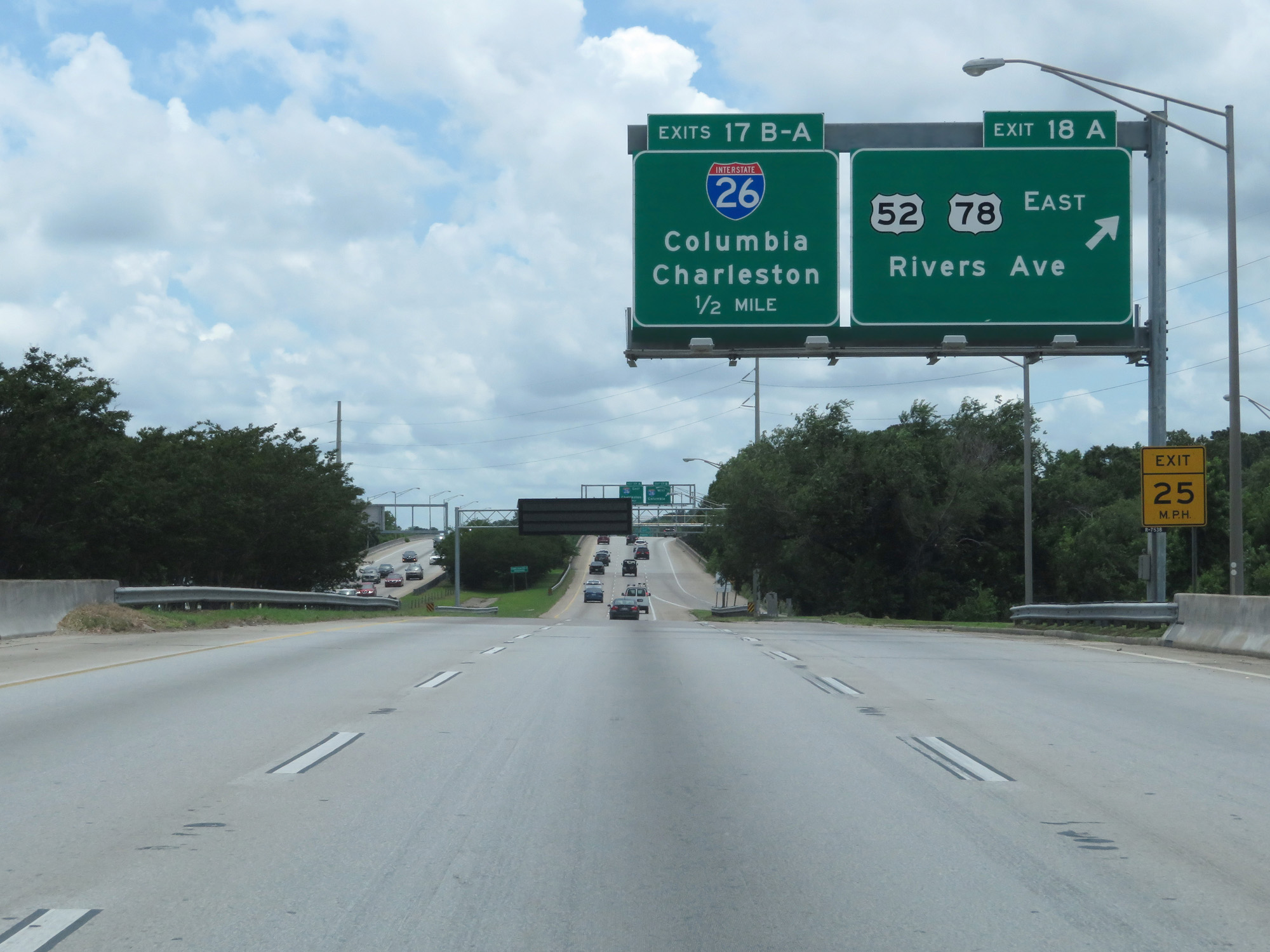 |
Interstate 526 West at Exit 18A: US 52 East / US 78 East - Rivers Ave (Photo taken 5/25/18). |
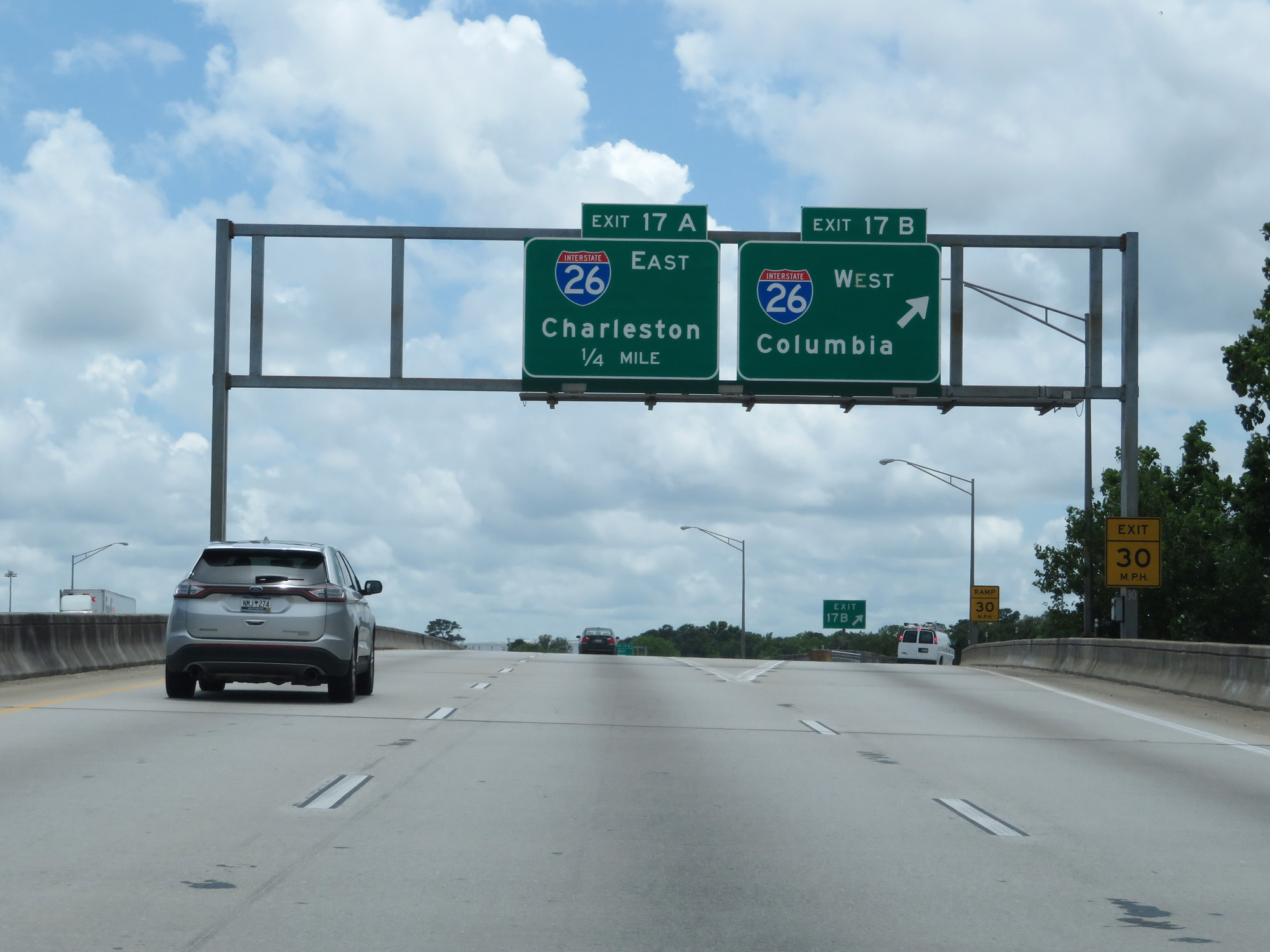 |
Interstate 526 West at Exit 17B: Interstate 26 West - Columbia (Photo taken 5/25/18). |
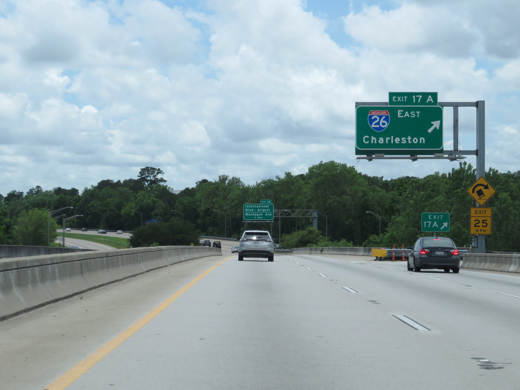 |
Interstate 526 West at Exit 17A: Interstate 26 East - Charleston (Photo taken 5/25/18). |
 |
Approaching Exit 16, the speed limits increase once again to 60 mph maximum and 45 mph minimum. (Photo taken 5/25/18). |
 |
Take Exit 16 to North Charleston Coliseum and the Visitor Info Center. (Photo taken 5/25/18). |
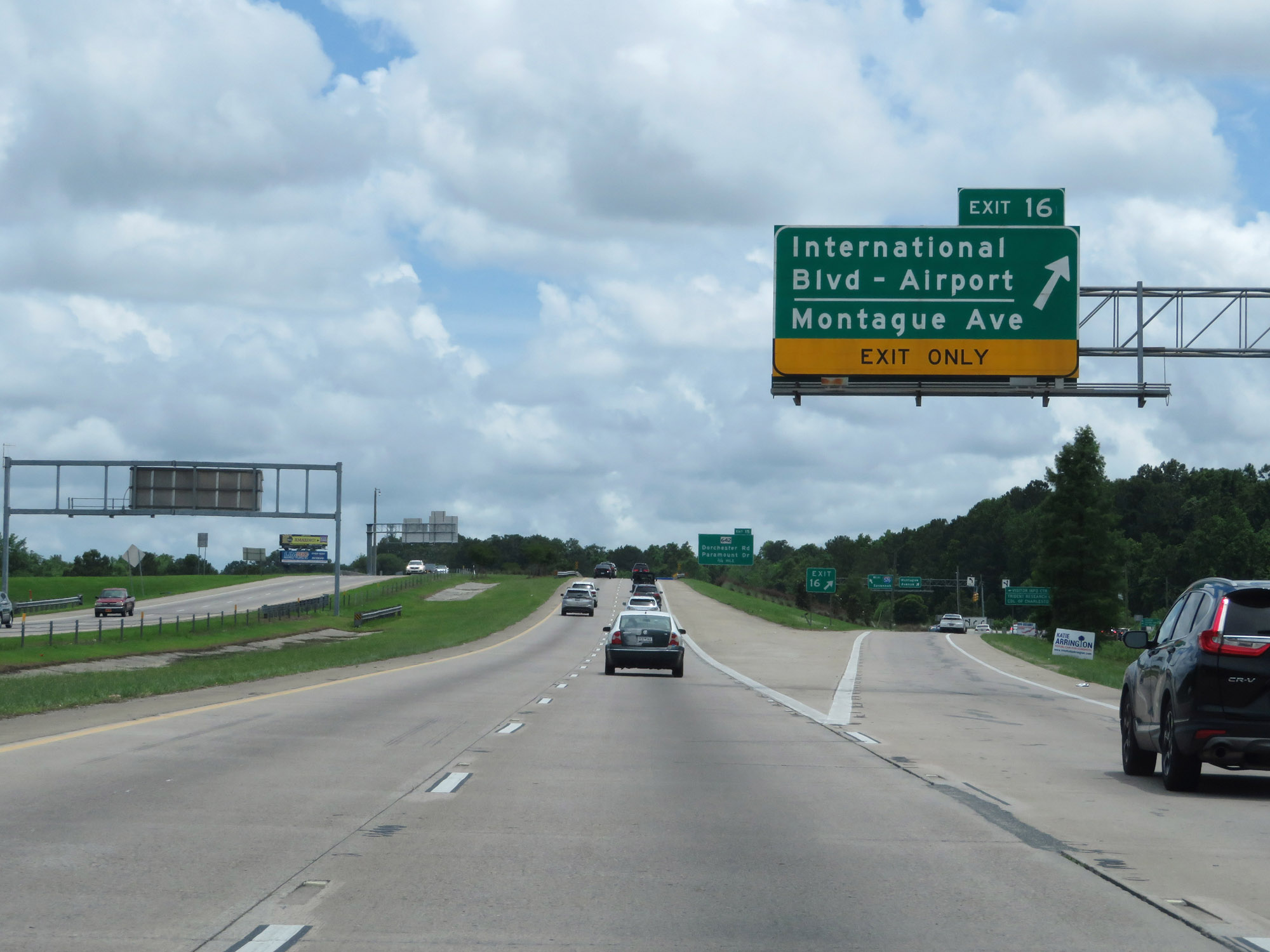 |
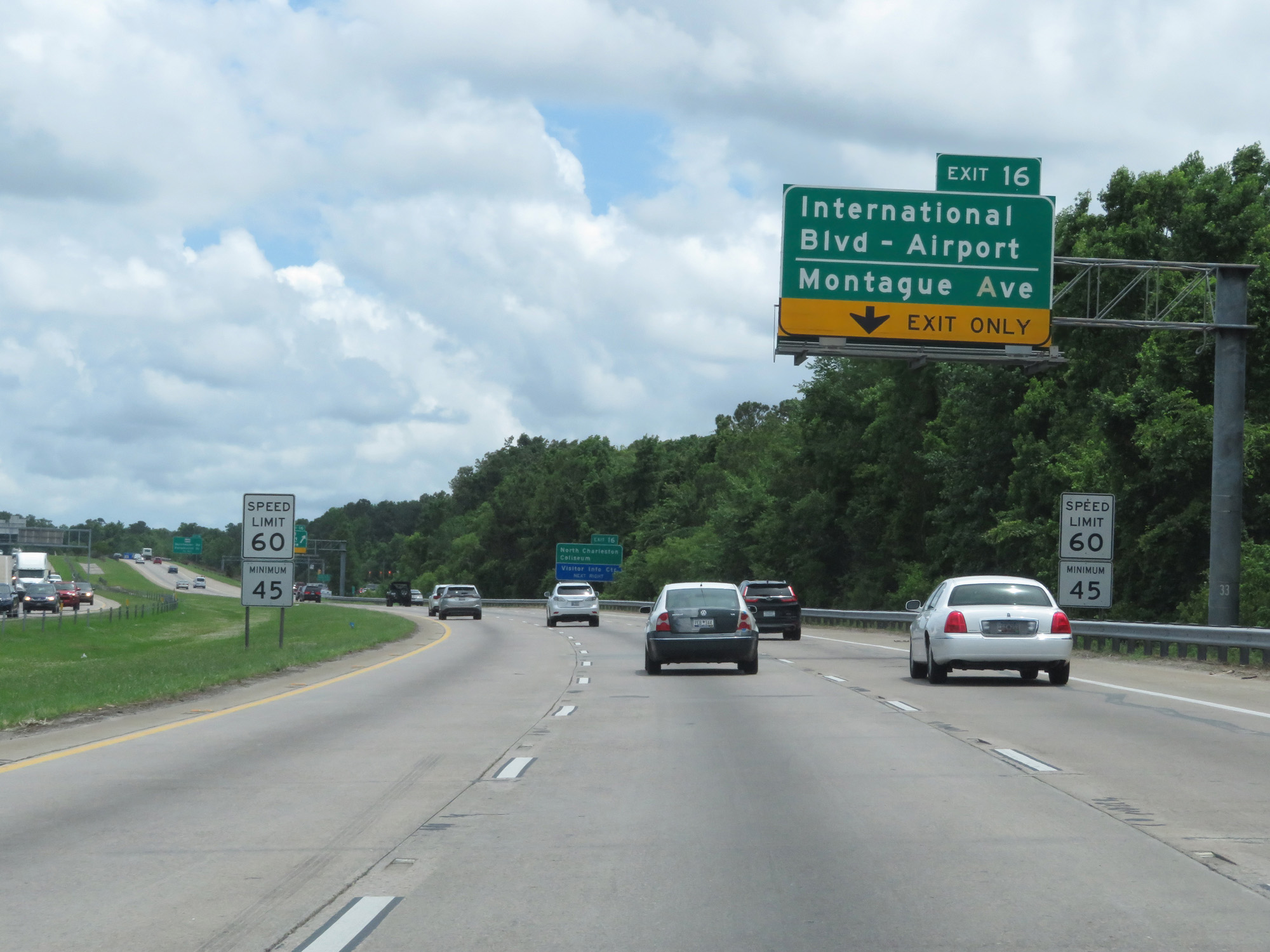
Interstate 526 West at Exit 16: International Blvd / Airport / Montague Ave (Photo taken 5/25/18). |
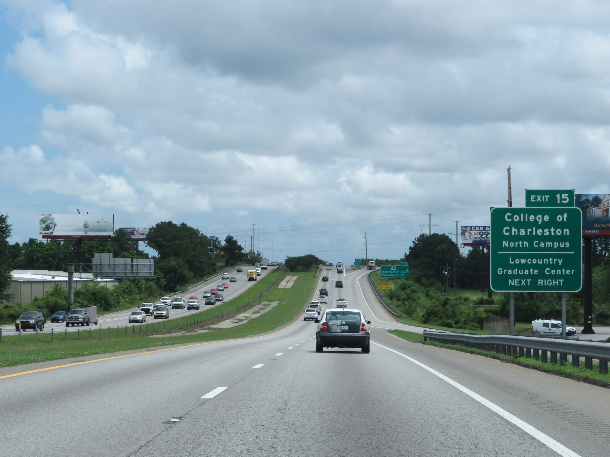 |
Take Exit 15 to College of Charleston North Campus and Lowcountry Graduate Center. (Photo taken 5/25/18). |
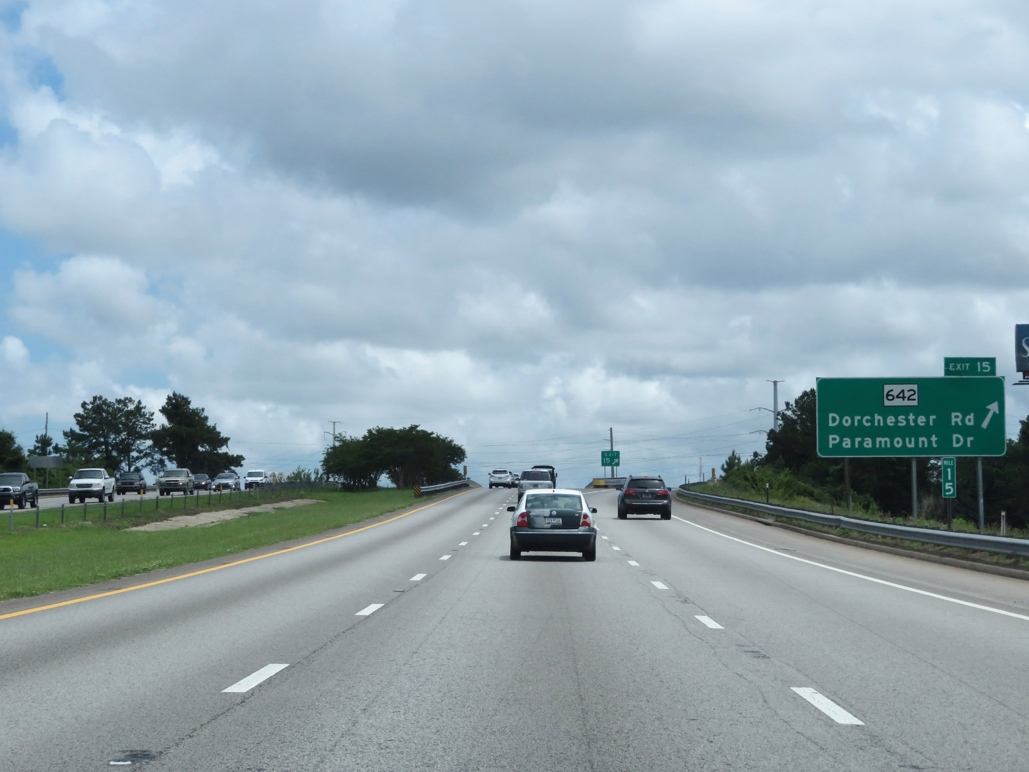 |
Interstate 526 West at Exit 15: SC 642 - Dorchester Rd / Paramount Dr (Photo taken 5/25/18). |
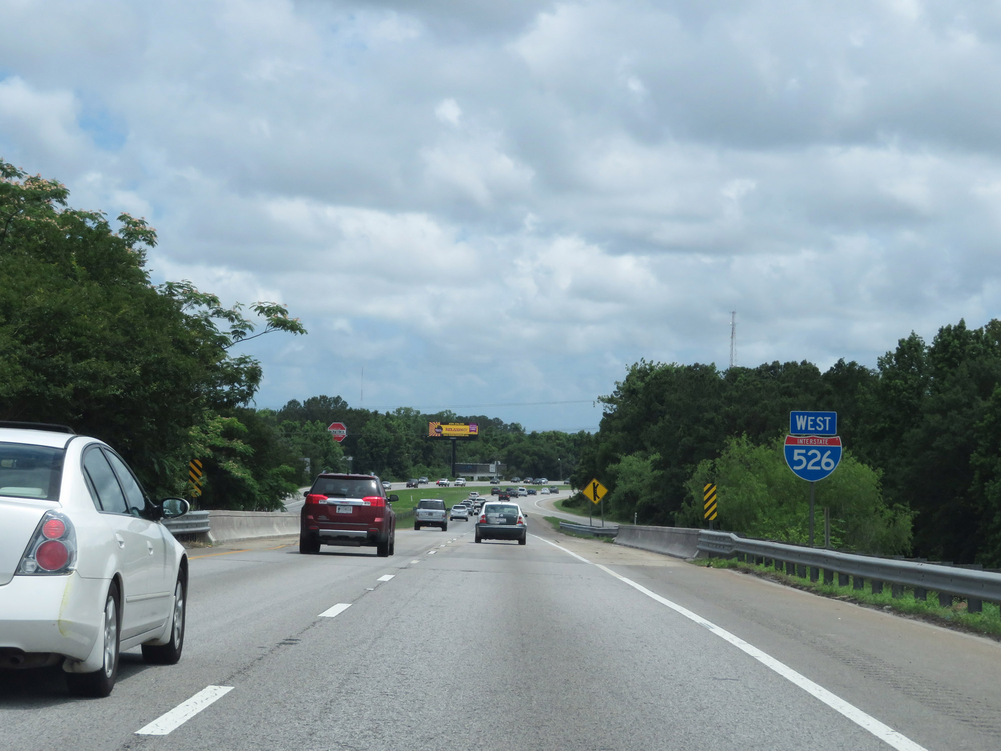 |
Interstate 526 West reassurance shield. (Photo taken 5/25/18). |
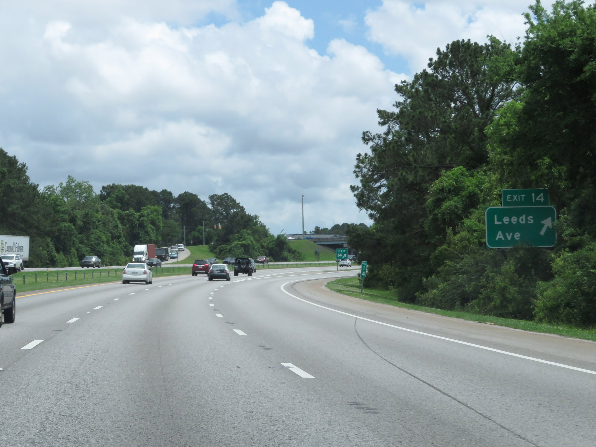 |
Interstate 526 West at Exit 14: Leeds Ave (Photo taken 5/25/18). |
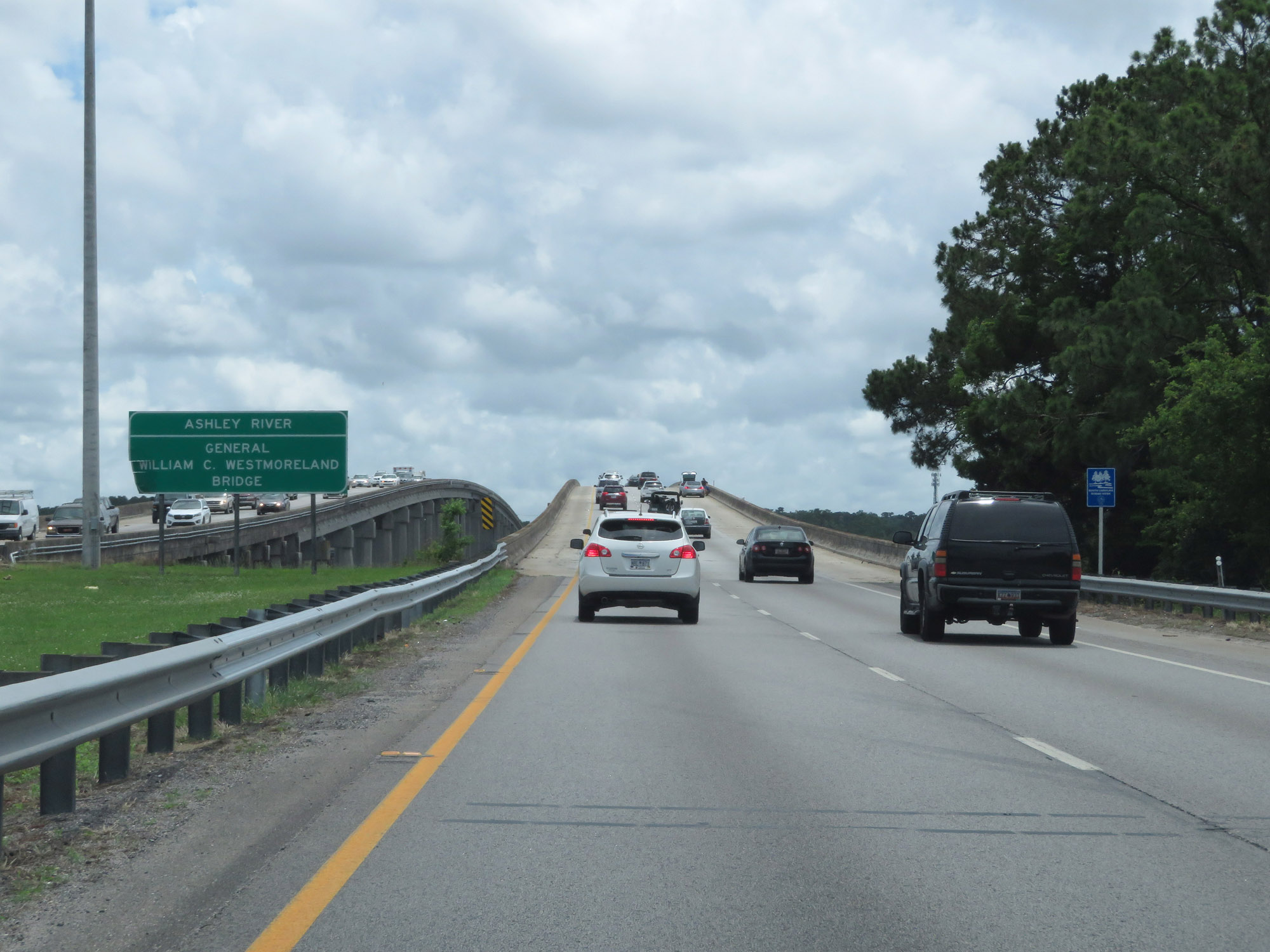 |
Interstate 526 West as it prepares to cross the Ashley River via the General William C. Westmoreland Bridge. (Photo taken 5/25/18). |
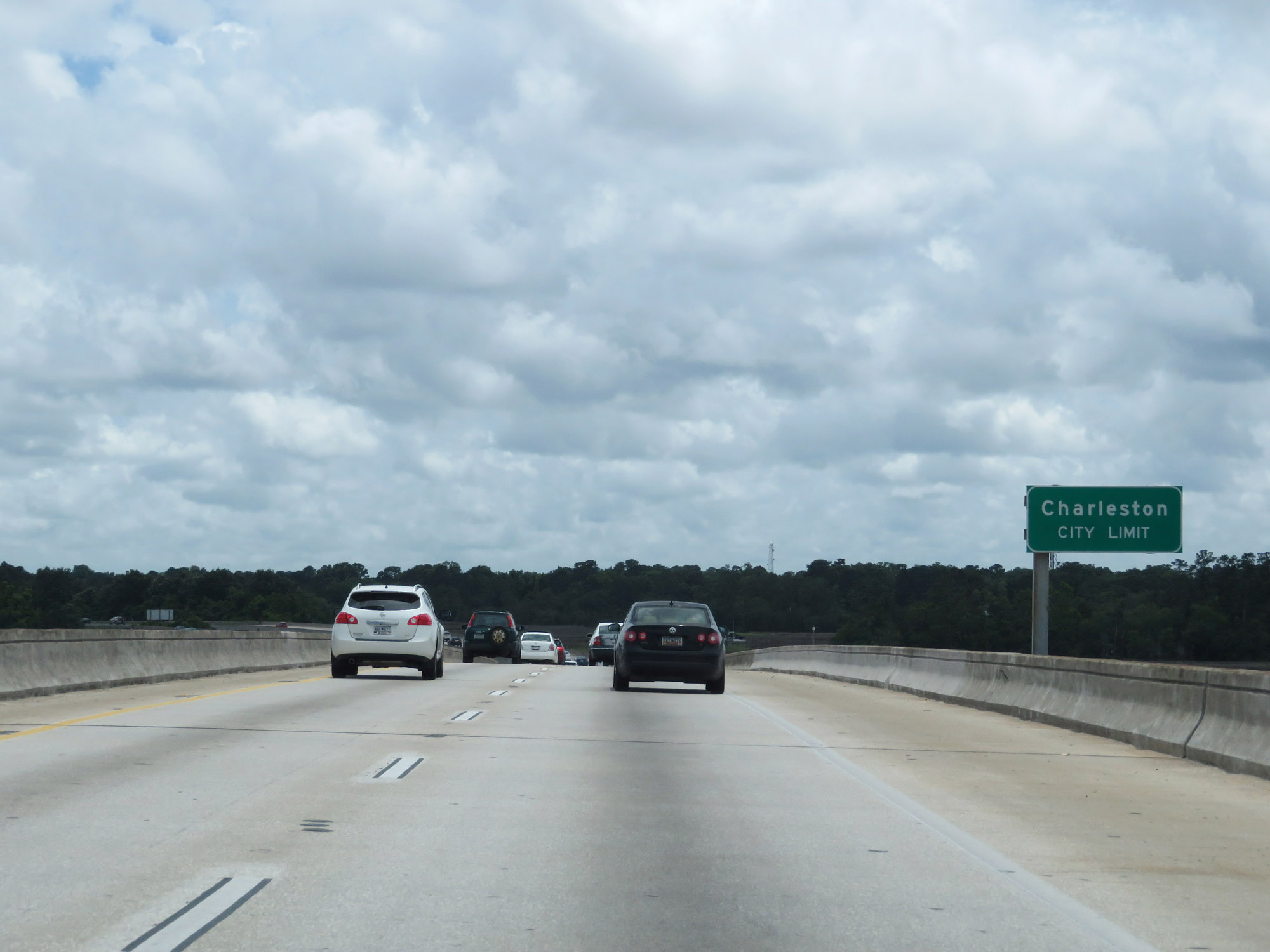 |
Upon crossing the Ashely River, Interstate 526 West enters the Charleston city limits. (Photo taken 5/25/18). |
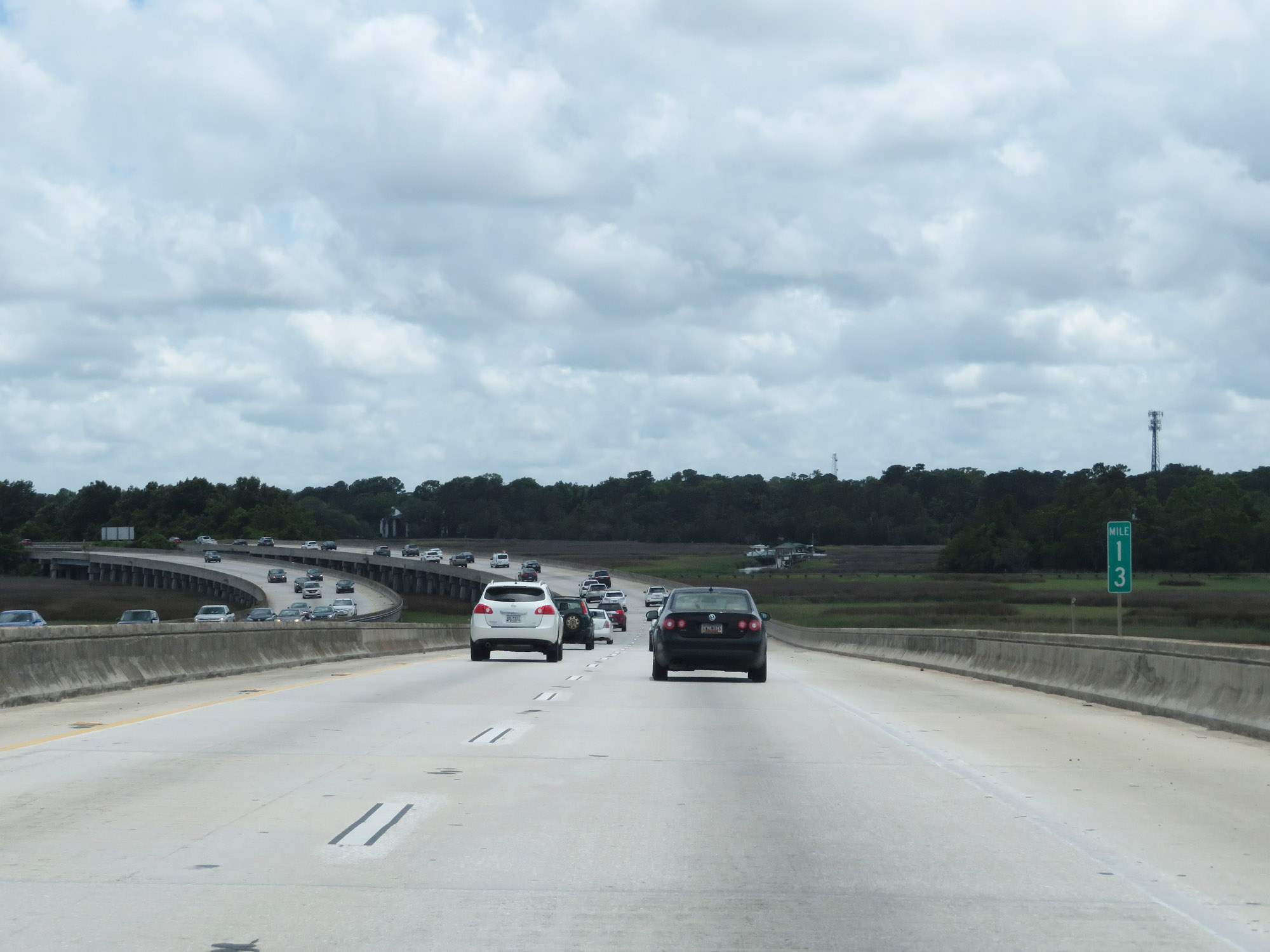 |
Interstate 526 West at mile marker 13. (Photo taken 5/25/18). |
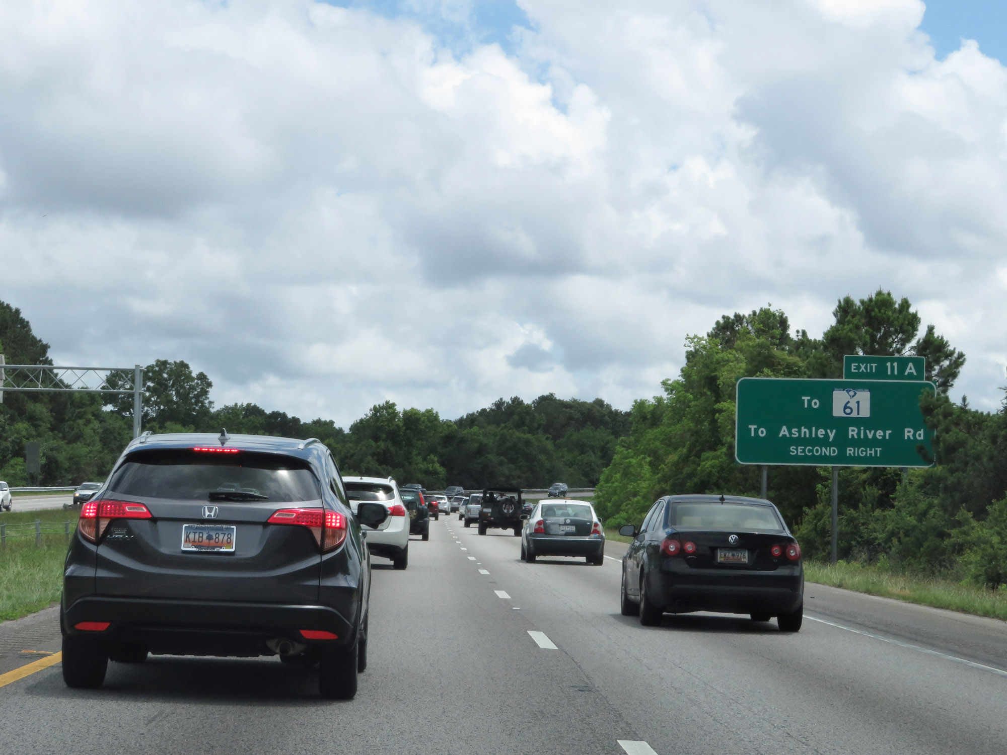 |
Take Exit 11A to SC 61 and Ashley River Rd. (Photo taken 5/25/18). |
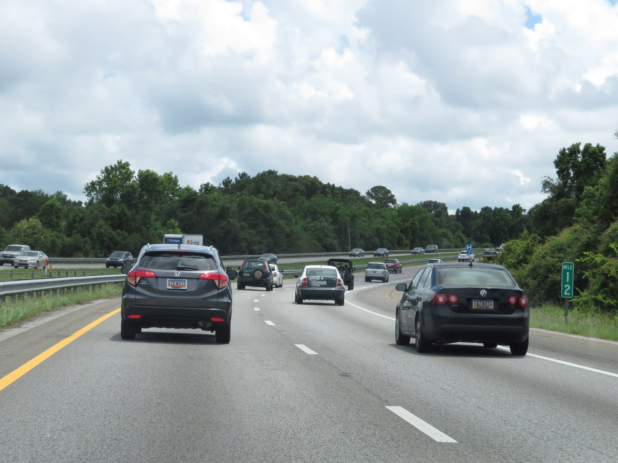 |
Interstate 526 West at mile marker 12. (Photo taken 5/25/18). |
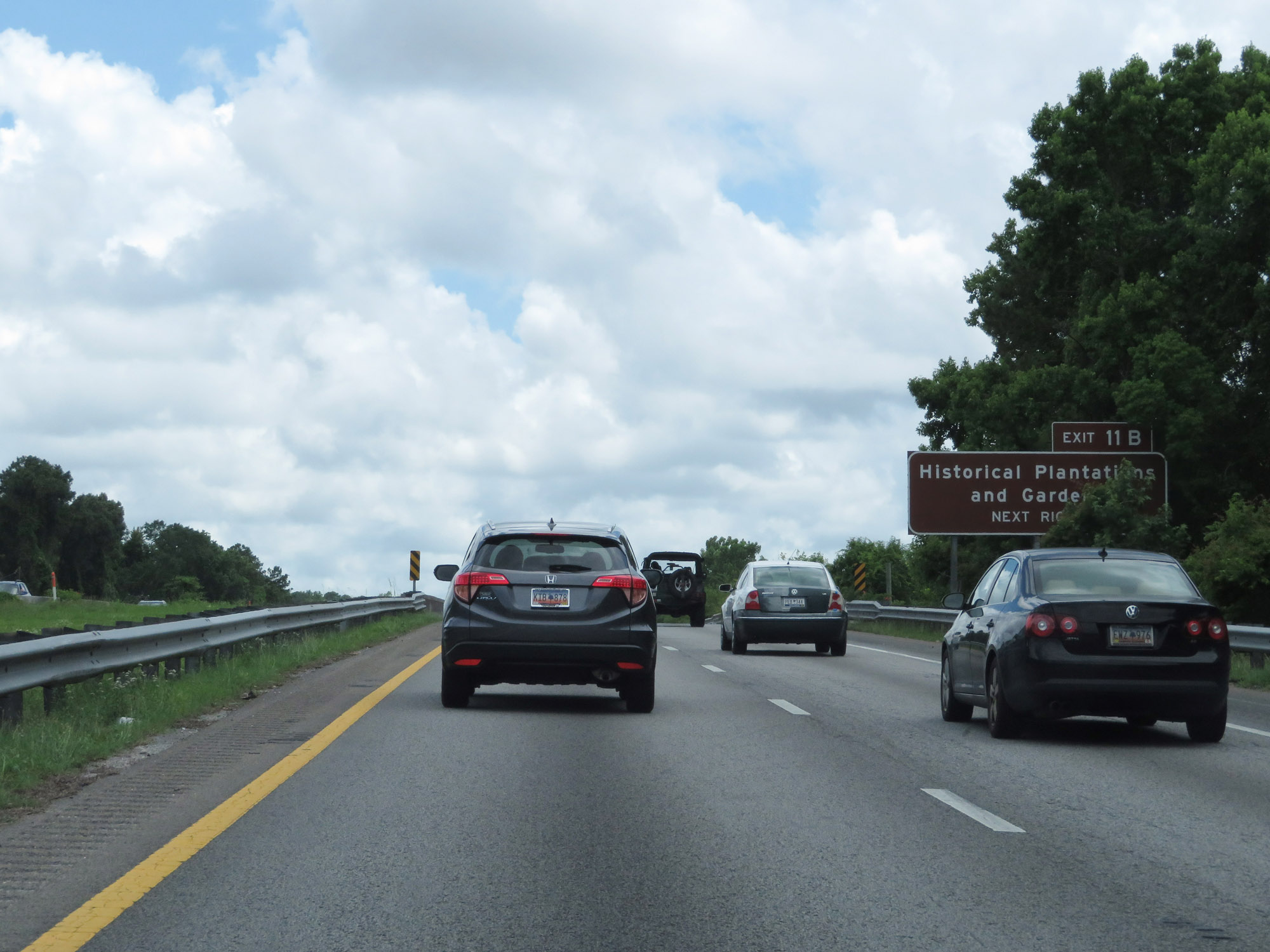 |
Take Exit 11B to Historical Plantationals and Gardens. (Photo taken 5/25/18). |
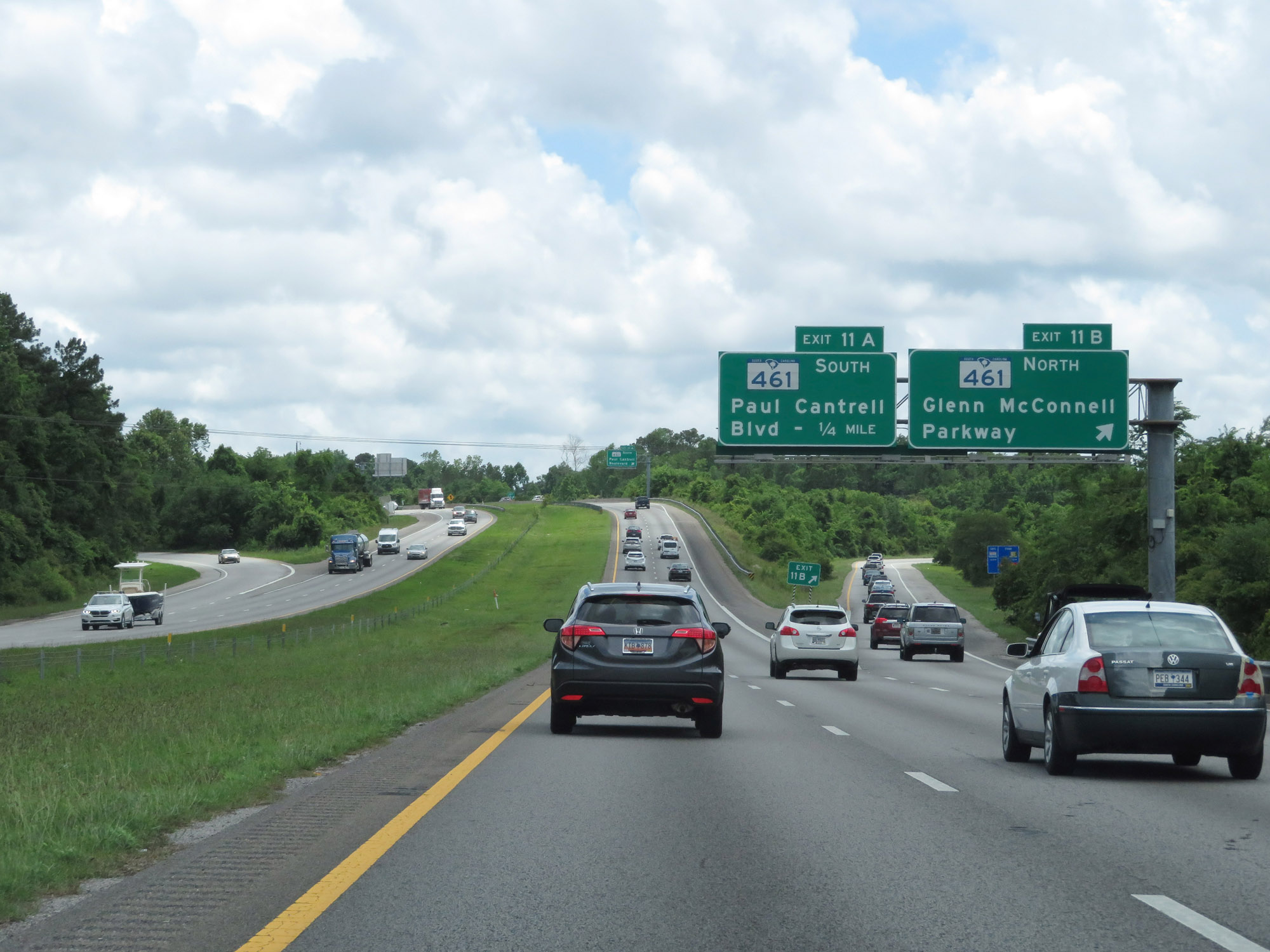 |
Interstate 526 West at Exit 11B: SC 461 North - Glenn McConnell Parkway (Photo taken 5/25/18). |
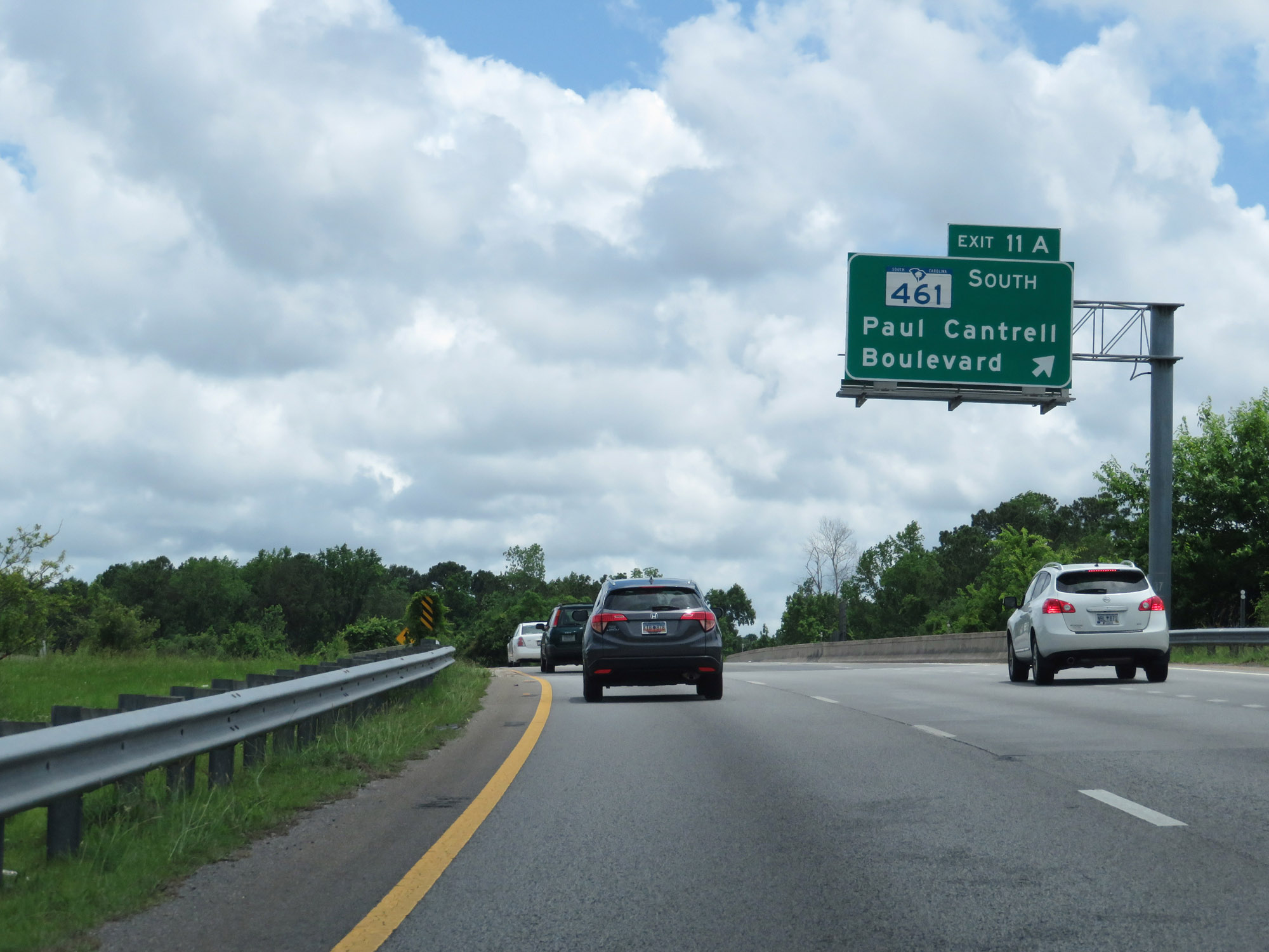 |
Interstate 526 West at Exit 11A: SC 461 South - Paul Cantrell Boulevard (Photo taken 5/25/18). |
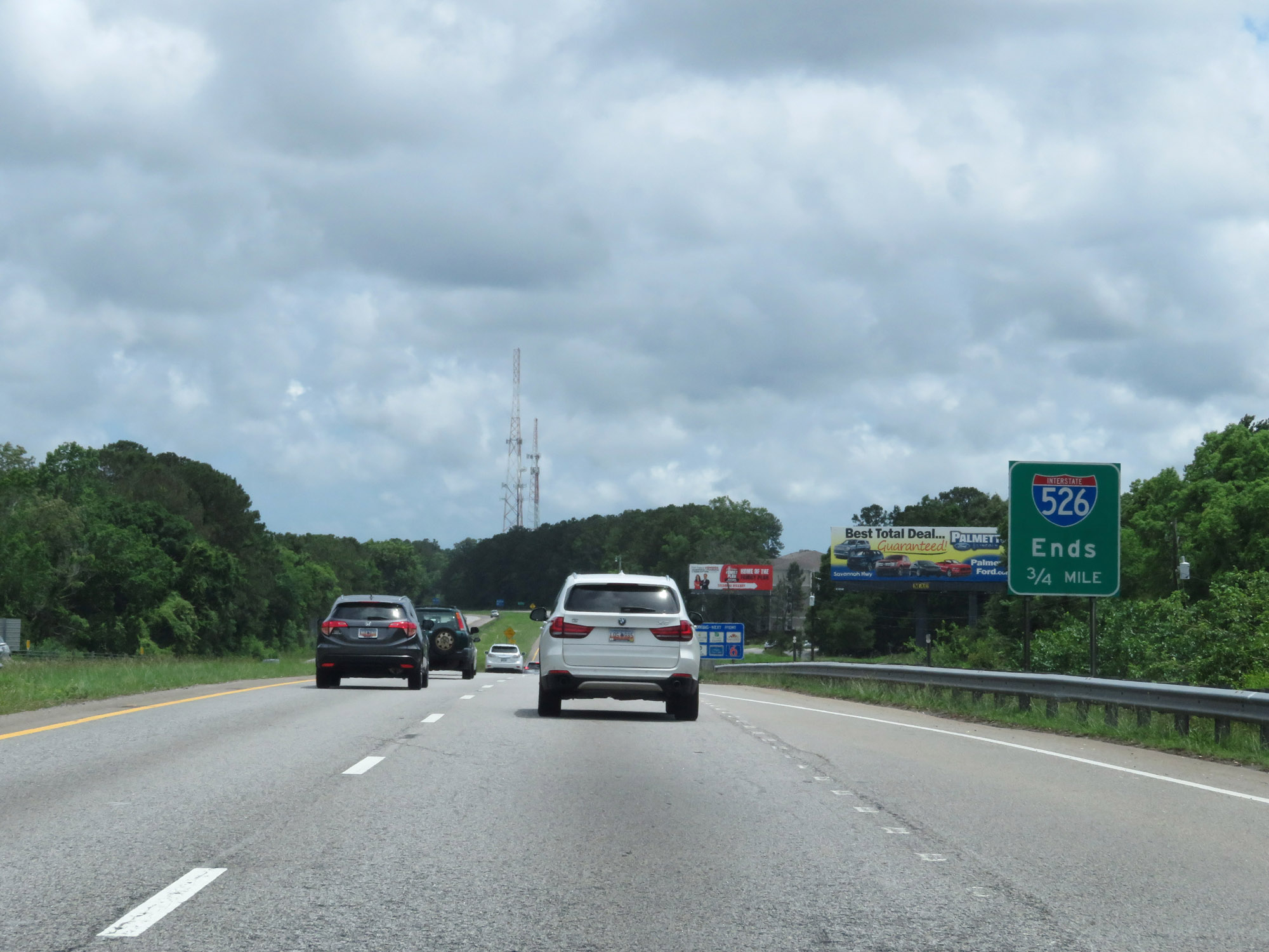 |
As this sign warns, Interstate 526 West ends 3/4 mile ahead. The mileage and exit numbers end at 10 because there once was plans to continue I-526 westbound to Johns Island and James Island. However, these plans were abandoned in 2016. (Photo taken 5/25/18). |
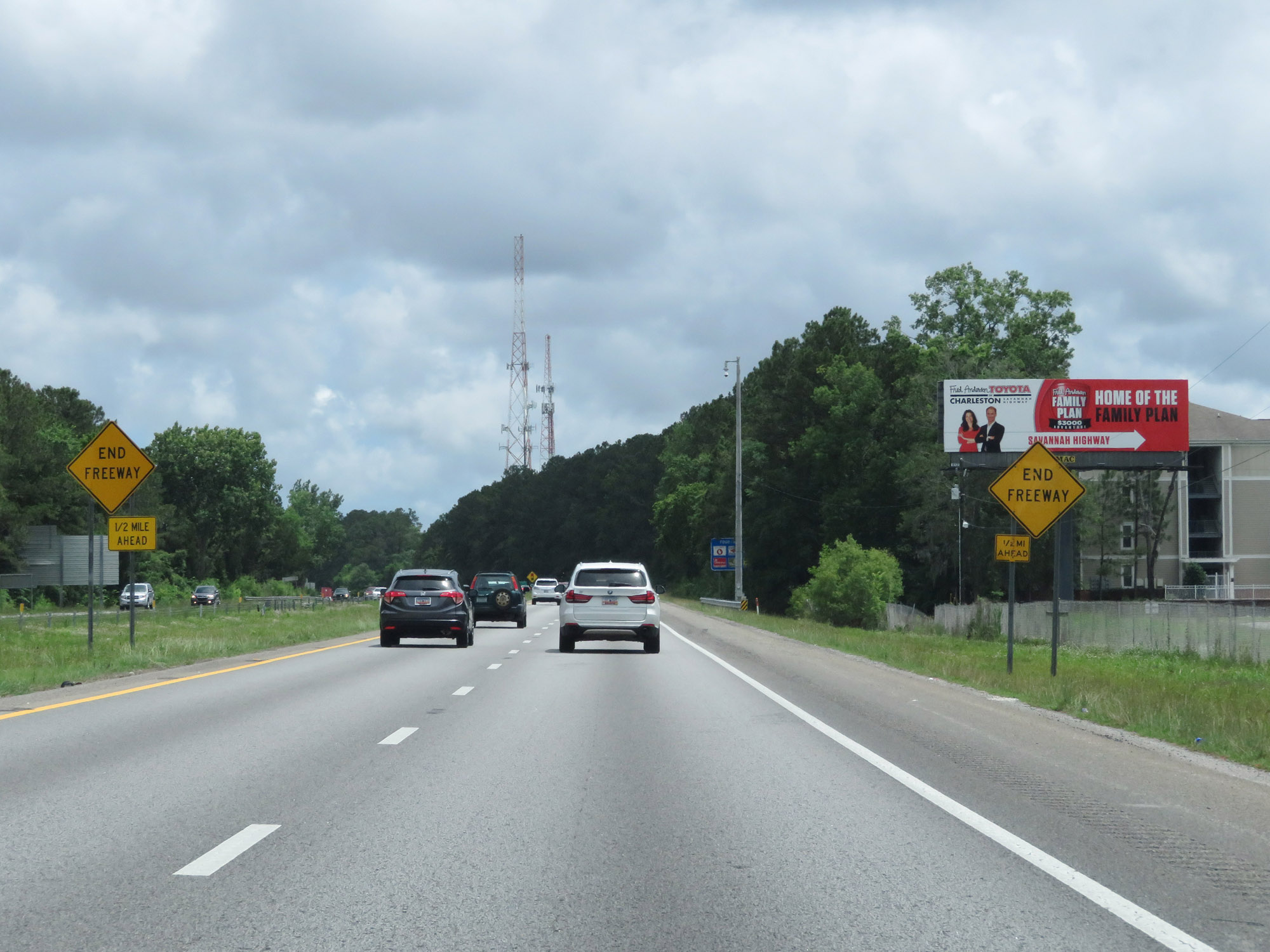 |
Interstate 526 West 1/2 mile from its western terminus at US 17 / SC 7. (Photo taken 5/25/18). |
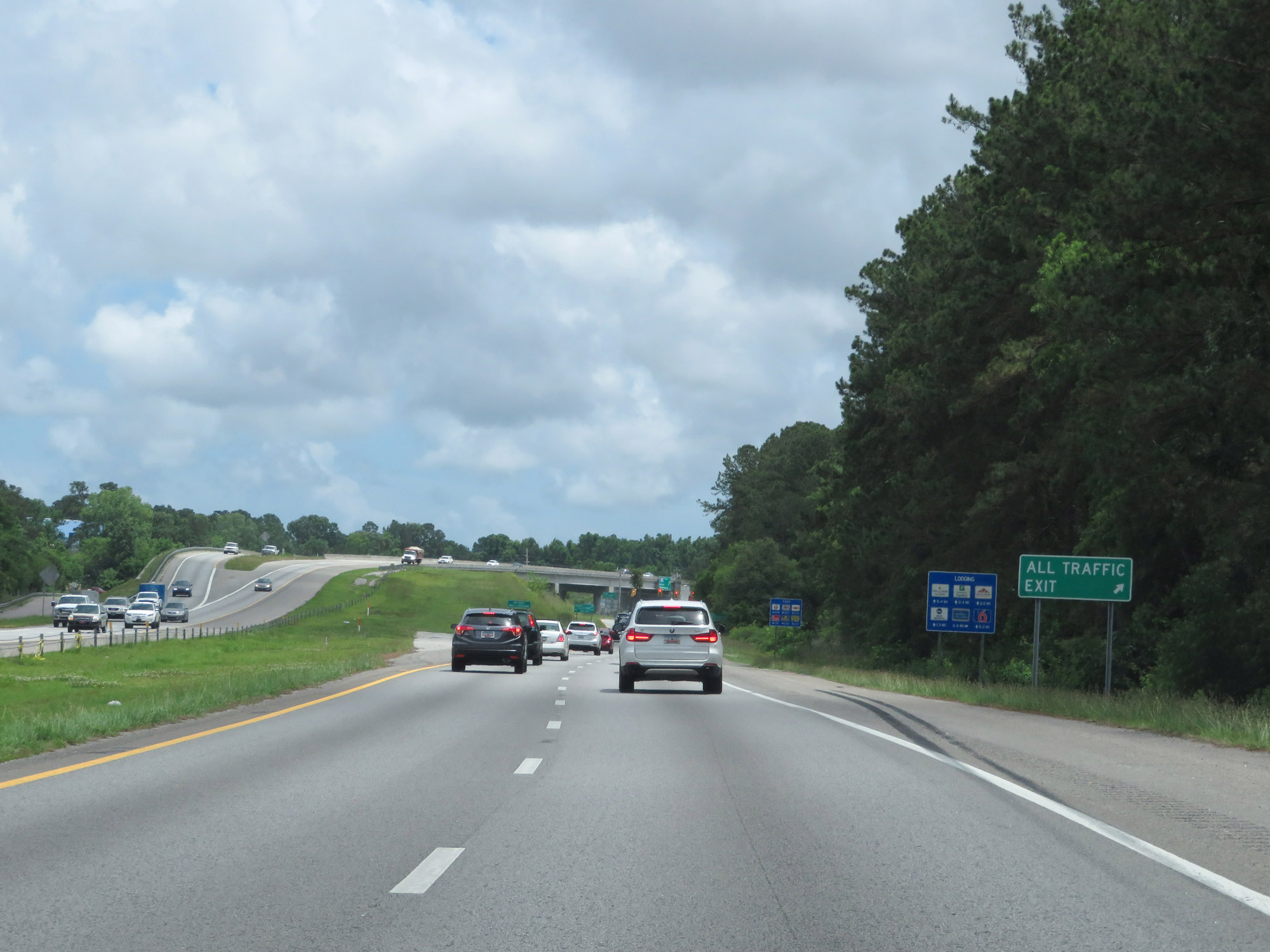 |
At the western terminus, this sign directs all traffic to exit to US 17 / SC 7. As you currently have nowhere else to go, this sign was most likely placed in preparation for the now abandoned extension of I-526. (Photo taken 5/25/18). |
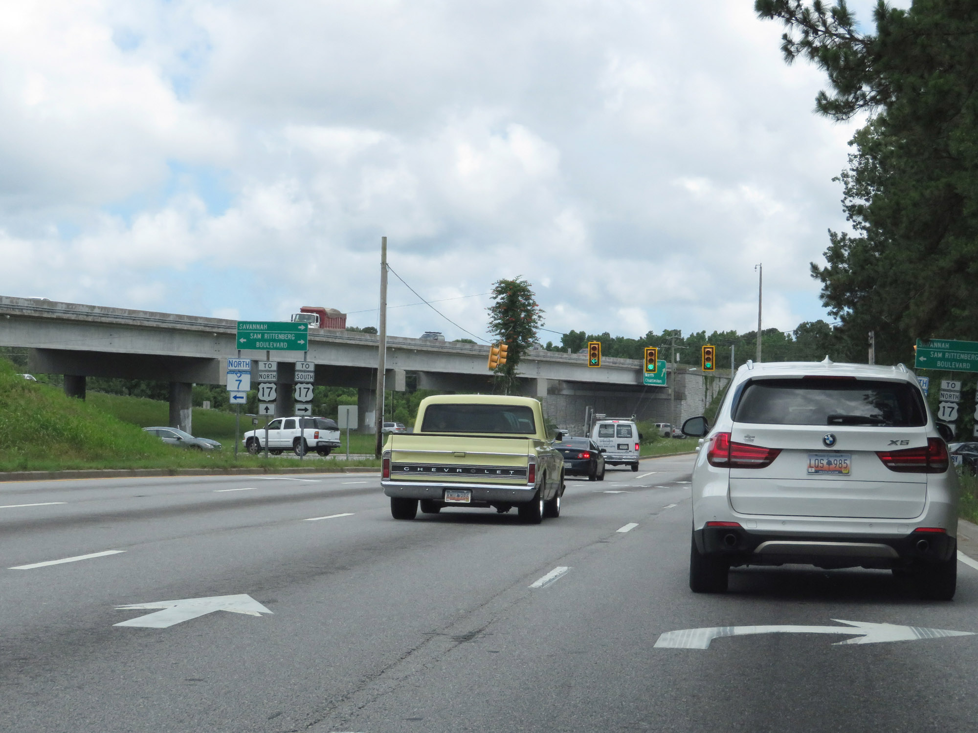 |
Interstate 526 West ends here, at an at-grade intersection with SC 7 in Charleston. (Photo taken 5/25/18). |