Road Information |
||
 |
||
| Total Mileage in State: | 248 miles | |
| Northern End: | At I-90, in Cleveland | |
| Southern End: | At Kentucky state line | |
| Mileage covered in Photos: | 248 miles | |
| Counties covered in Photos: | Hamilton, Warren, Clinton, Greene, Fayette, Madison, Pickaway, Franklin, Delaware, Morrow, Richland, Ashland, Wayne, Medina, Cuyahoga | |
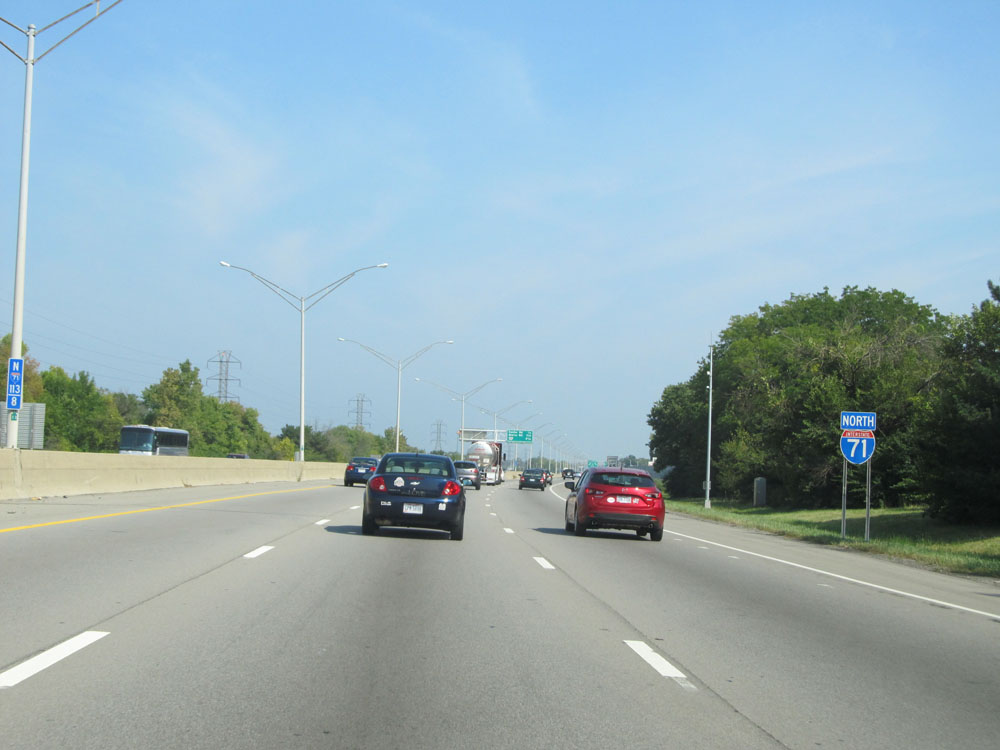
| Major Junctions in Photos: | I-75, in Cincinnati I-275, near Montgomery I-270, near Grove City I-70, in Columbus I-670, in Columbus I-270, in Columbus US 30, near Mansfield I-76, near Seville I-271, in Medina I-80 (OH Turnpike), in Strongsville I-480, in Cleveland I-90/I-490, in Cleveland |
|
| Control Cities in Photos: | Cincinnati, Columbus, Cleveland | |
Northbound
- Section 1: Kentucky Border to Wilmington (Exit 45)
- Section 2: Wilmington (Exit 45) to Columbus (Exit 100A)
- Section 3: Columbus (Exit 100A) to Mansfield (Exit 176)
- Section 4: Mansfield (Exit 176) to Medina (Exit 220)
- Section 5: Medina (Exit 220) to Interstate 90
Section 1: Kentucky Border to Wilmington (Exit 45)
 |
Interstate 71 / Interstate 75 North as the duplex crosses the Brent Spence Bridge over the Ohio River into downtown Cincinnati. I-71 and I-75 split immediately on the north side of the bridge. Stay in the left two lanes to go onto I-75 North. (Photo taken 5/24/15). |
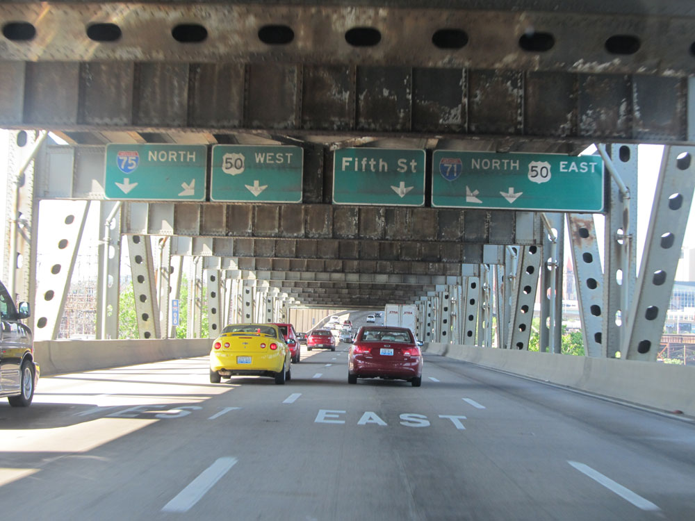 |
At the border halfway across the bridge, these overhead signs inform you which lanes you need to be in for their respective routes. Stay in the right 2 lanes to stay on Interstate 71 North / US 50 East. (Photo taken 5/24/15). |
 |
Interstate 71 / Interstate 75 North at Exit 1B: Interstate 71 North / US 50 East - Columbus. This split occurs immediately after crossing the Brent Spence Bridge into Ohio and downtown Cincinnati. You can see the Ohio welcome sign in the distance on I-75 North. (Photo taken 5/24/15). |
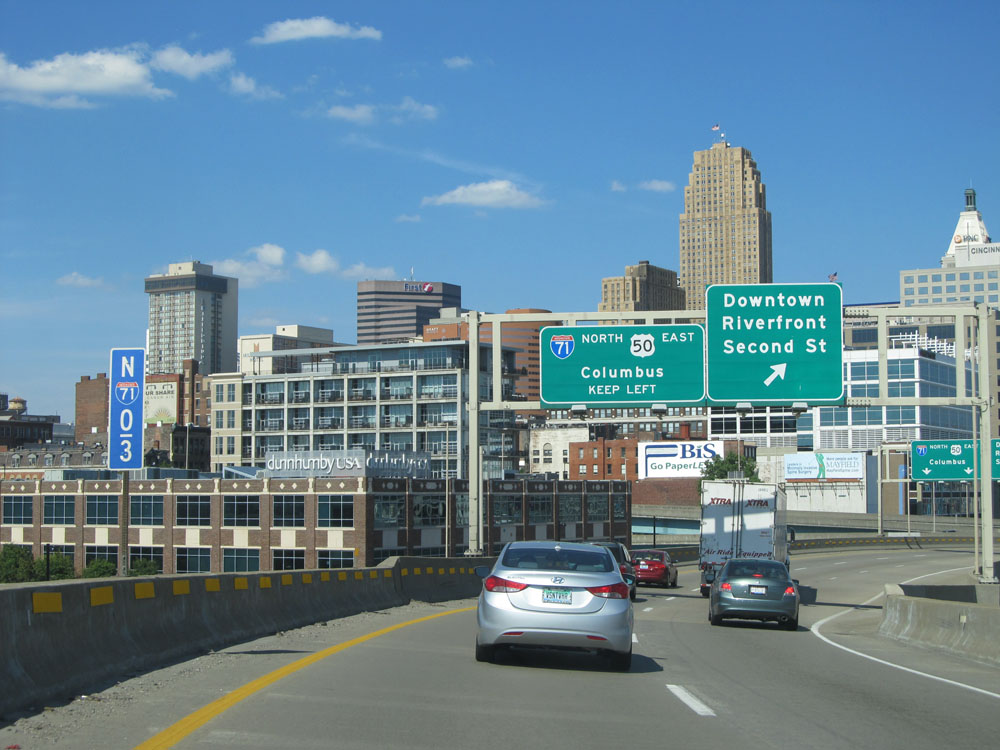 |
A view of downtown Cincinnati as Interstate 71 North curves to the east just after it departs from Interstate 75. (Photo taken 5/24/15). |
 |
Interstate 71 North at Exit 1A: Downtown / Riverfront / Second St (Photo taken 5/24/15). |
 |
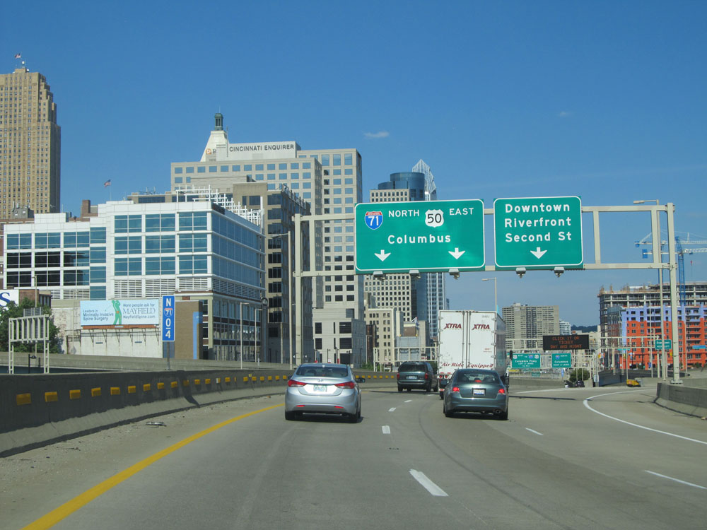
Interstate 71 North approaching Exit 1C on the left - 1/2 mile. (Photo taken 5/24/15). |
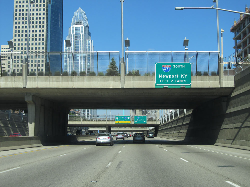 |
Use the left 2 lanes for Exit 1C (Interstate 471 South) toward Newport, KY. (Photo taken 5/24/15). |
 |
Another road view in downtown Cincinnati approaching Exit 1C on the left. (Photo taken 5/24/15). |
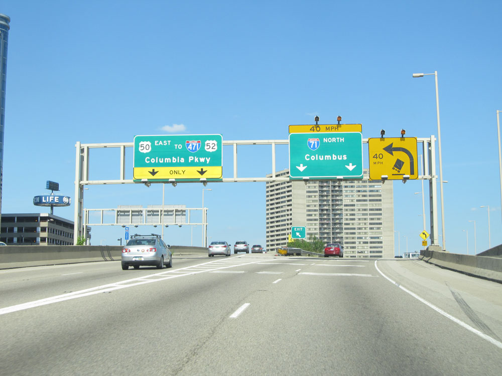 |
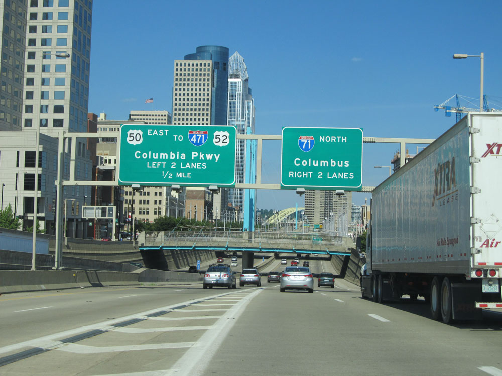
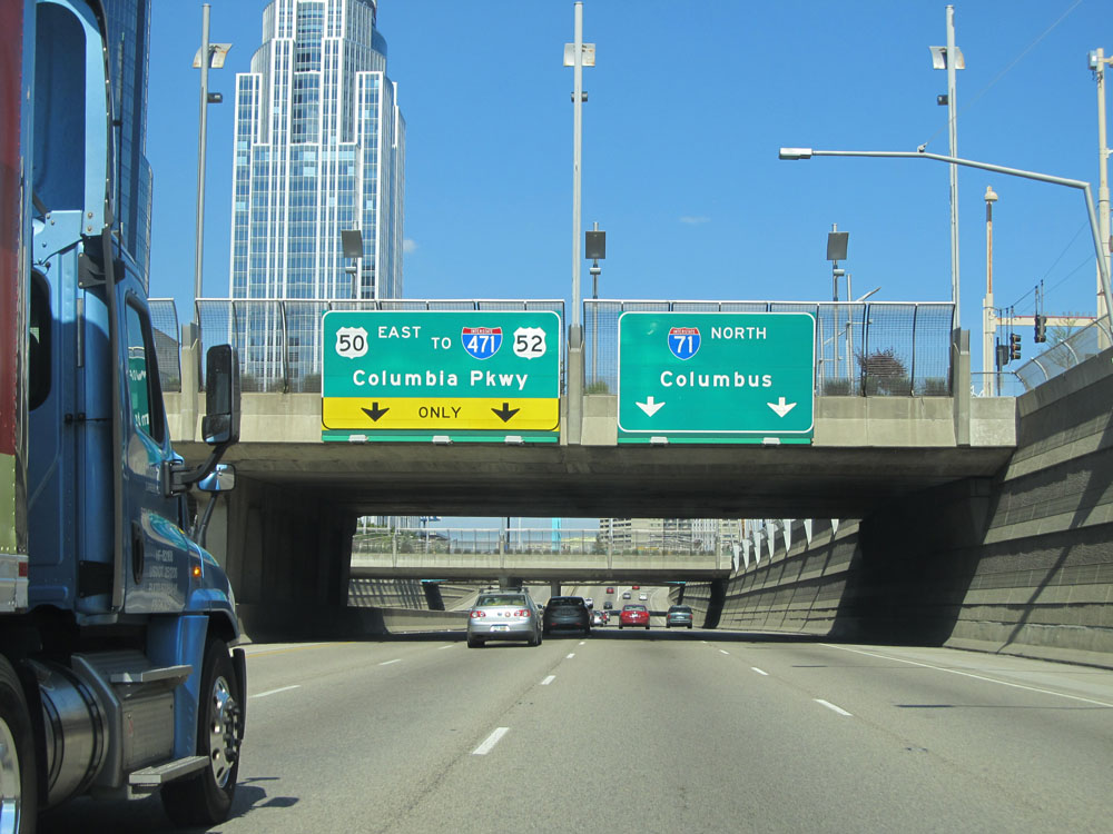
Interstate 71 North at Exit 1C: US 50 East / To Interstate 471 / To US 52 - Columbia Pkwy. Just ahead, I-71 traverses a sharp (40 mph) curve to the left and passes through the brief Lytle Tunnel. (Photo taken 5/24/15). |
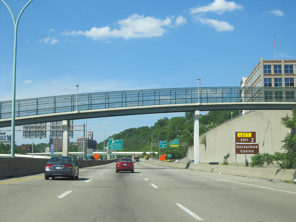 |
North of the Lytle Tunnel (which I botched the picture of, thus omitting it), this sign states you can take Exit 2 to Horseshoe Casino. (Photo taken 5/24/15). |
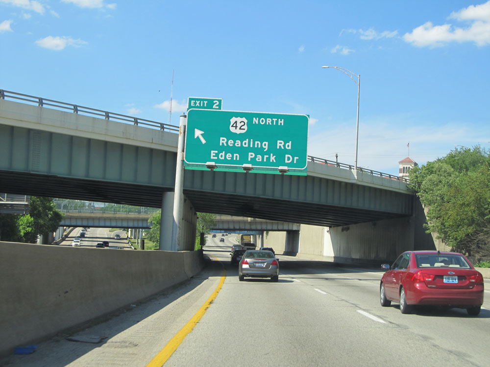 |
Interstate 71 North at Exit 2: US 42 North - Reading Rd / Eden Park Dr (Photo taken 5/24/15). |
 |
Take Exit 5 to Xavier University. (Photo taken 5/24/15). |
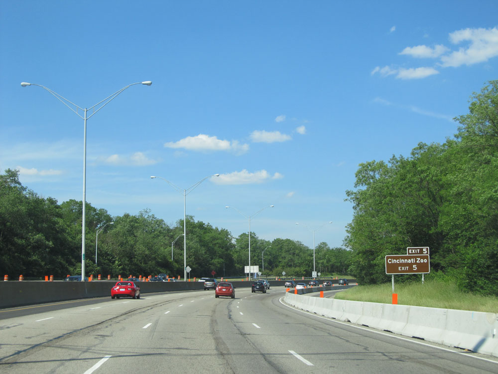 |
Also use Exit 5 to Cincinnati Zoo. (Photo taken 5/24/15). |
 |
Interstate 71 North at Exit 5: Dana Ave / Montgomery Rd (Photo taken 5/24/15). |
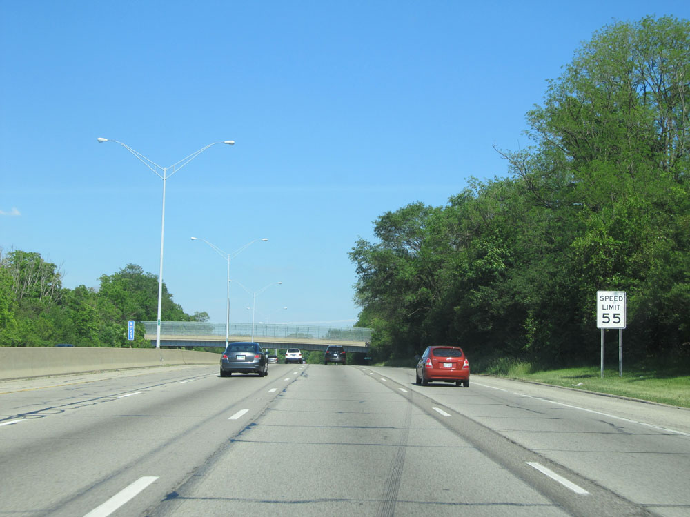 |
The speed limit on Interstate 71 North starts out at 55 mph as you pass through downtown Cincinnati and its northern outskirts. (Photo taken 5/24/15). |
 |
Interstate 71 North at Exit 6: OH 561 - Smith Rd / Edwards Rd (Photo taken 5/24/15). |
 |
Interstate 71 North assurance shield north of Exit 6. (Photo taken 5/24/15). |
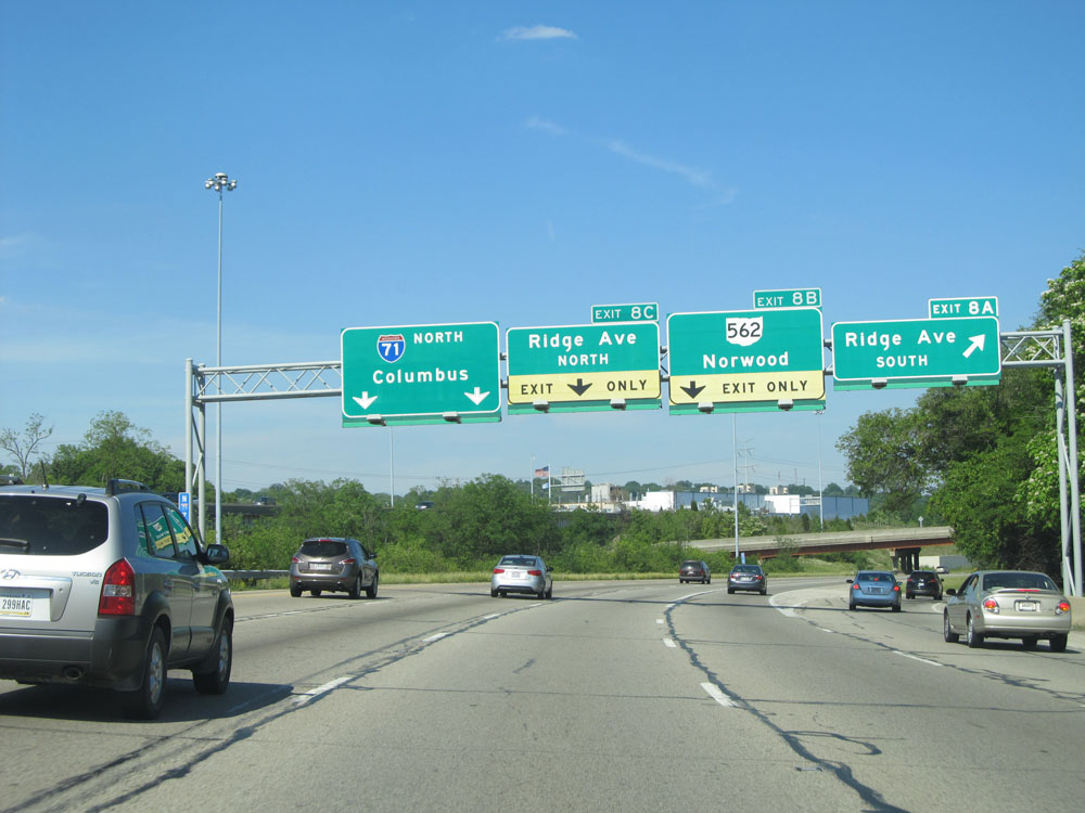 |
Interstate 71 North at Exit 8A: Ridge Ave South (Photo taken 5/24/15). |
 |
Interstate 71 North at Exit 8B: OH 562 - Norwood (Photo taken 5/24/15). |
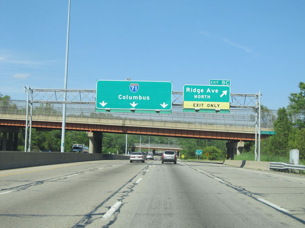 |
Interstate 71 North at Exit 8C: Ridge Ave North (Photo taken 5/24/15). |
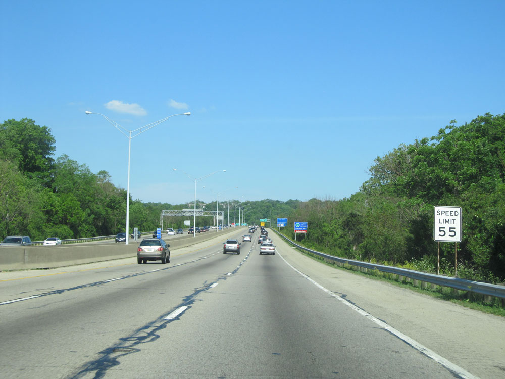 |
Speed limit assurance sign north of Exit 8C. Speed Limit - 55 mph. (Photo taken 5/24/15). |
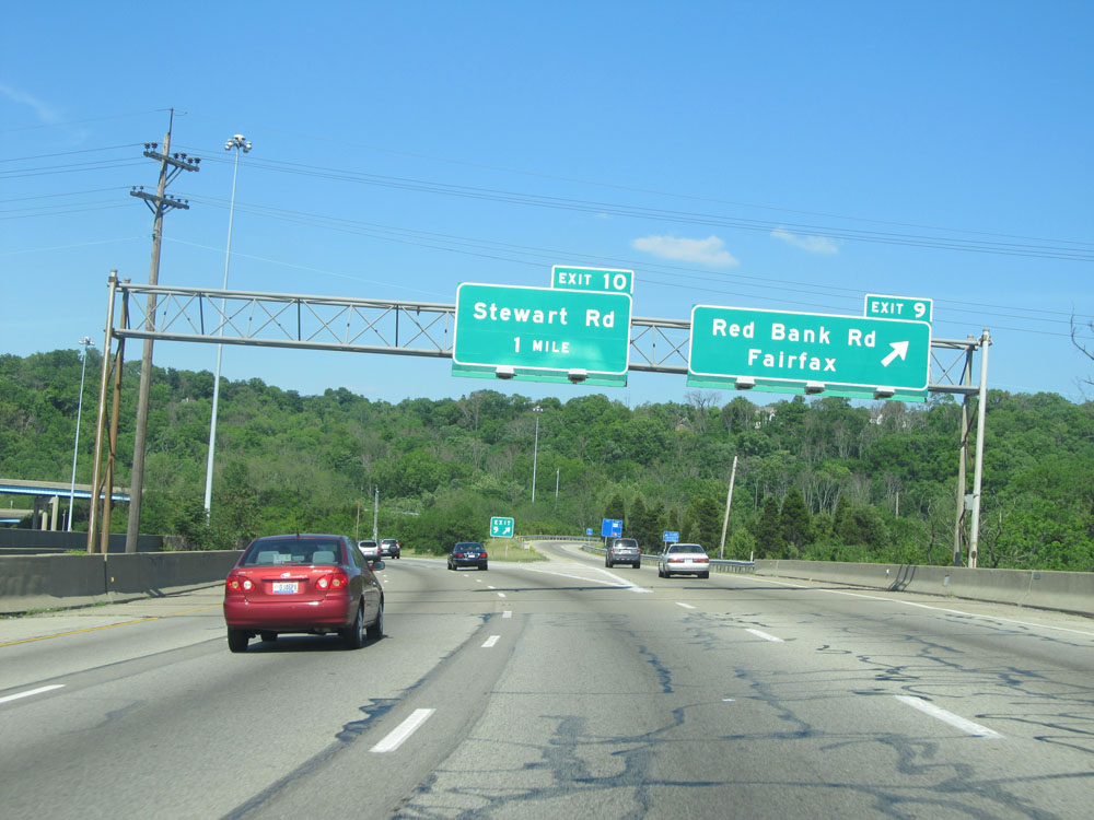 |
Interstate 71 North at Exit 9: Red Bank Rd / Fairfax (Photo taken 5/24/15). |
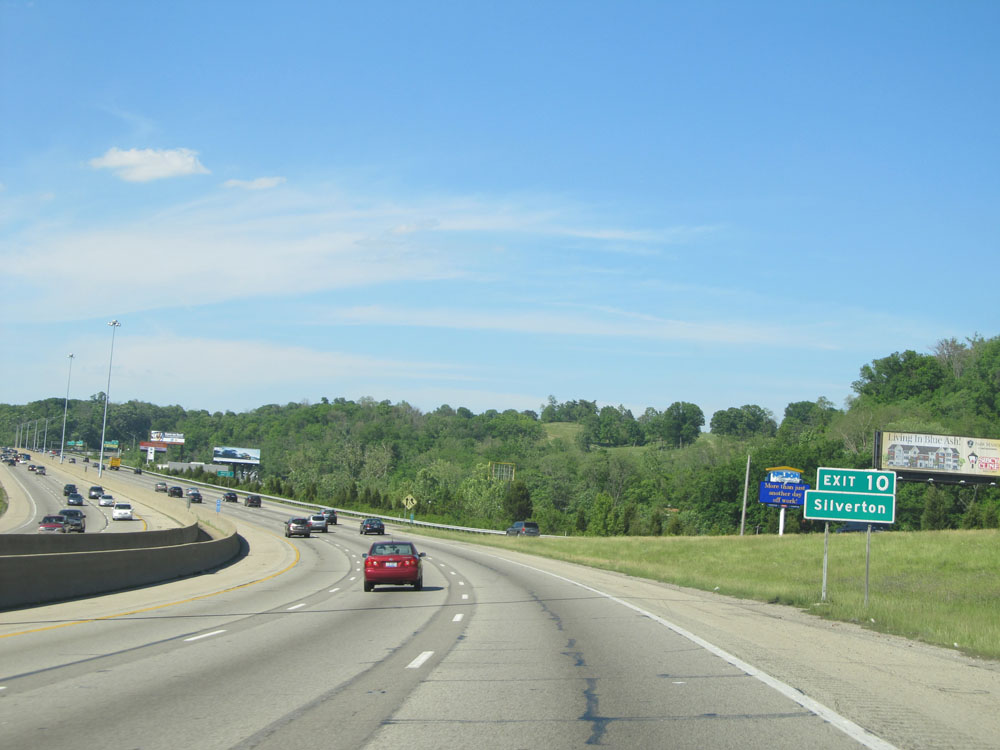 |
Take Exit 10 to Silverton. (Photo taken 5/24/15). |
 |
Interstate 71 North at Exit 10: Stewart Rd (Photo taken 5/24/15). |
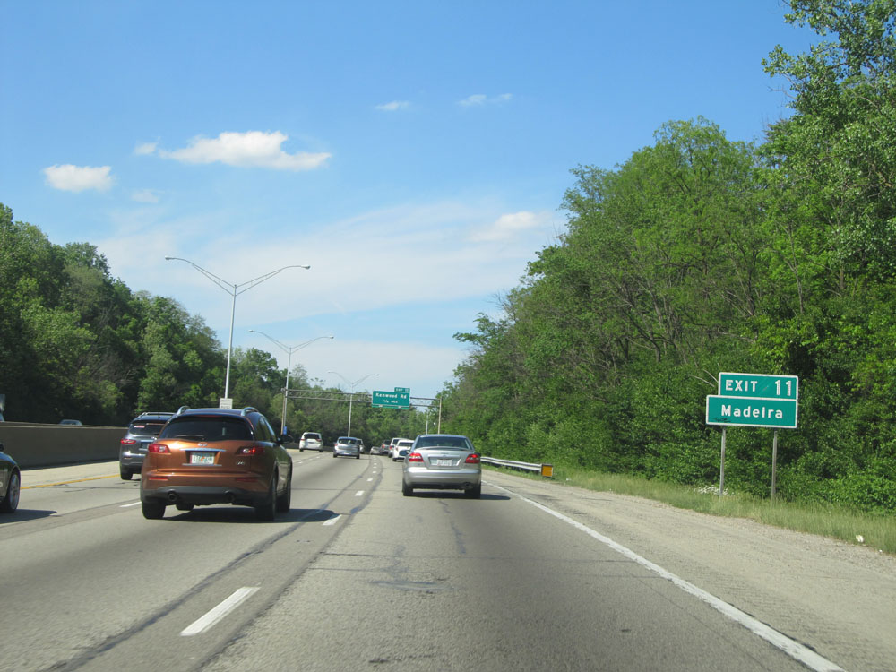 |
Take Exit 11 to Madeira. (Photo taken 5/24/15). |
 |
Interstate 71 North at Exit 11: Kenwood Rd (Photo taken 5/24/15). |
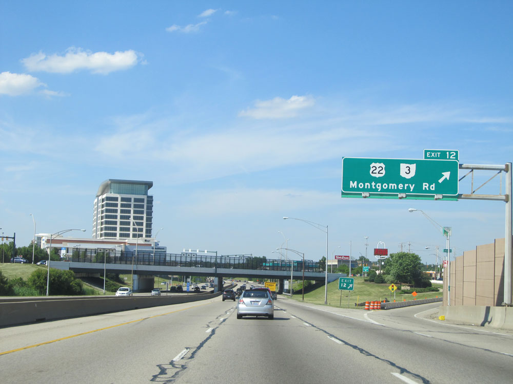 |
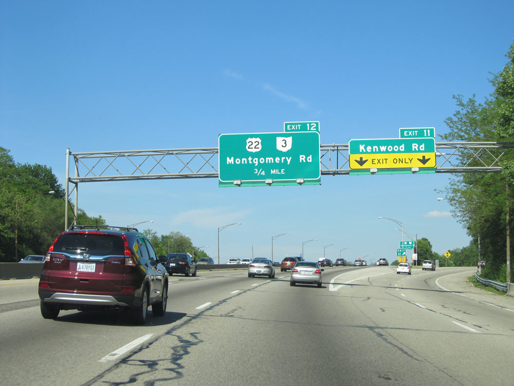
Interstate 71 North at Exit 12: US 22 / OH 3 - Montgomery Rd (Photo taken 5/24/15). |
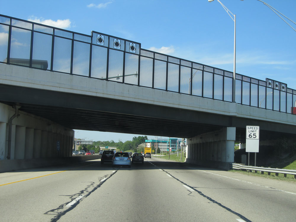 |
Just north of Exit 12, the speed limit increases to 65 mph. (Photo taken 5/24/15). |
 |
Take Exit 14 to Blue Ash and Montgomery. (Photo taken 5/24/15). |
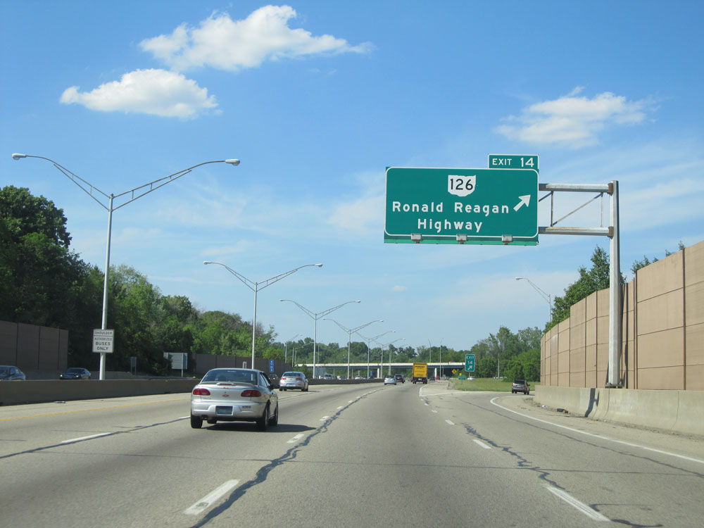 |
Interstate 71 North at Exit 14: OH 126 - Ronald Reagan Highway (Photo taken 5/24/15). |
 |
Interstate 71 North at Exit 15: Pfeiffer Rd (Photo taken 5/24/15). |
 |
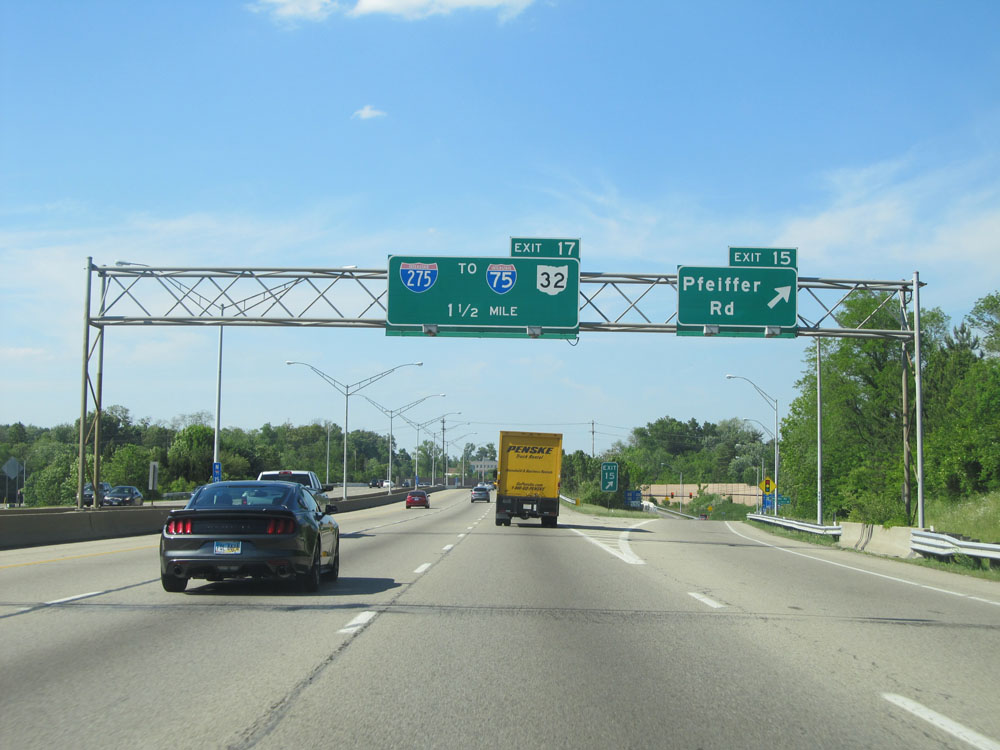
Interstate 71 North approaching Exit 17 - 1/2 mile. (Photo taken 5/24/15). |
 |
Interstate 71 North at Exit 17: Interstate 275 / To Interstate 75 / To OH 32 (Photo taken 5/24/15). |
 |
Interstate 71 North: Road view from mile marker 18. (Photo taken 5/24/15). |
 |
Interstate 71 North at Exit 19: Mason-Montgomery Rd / Fields Ertel Rd (Photo taken 5/24/15). |
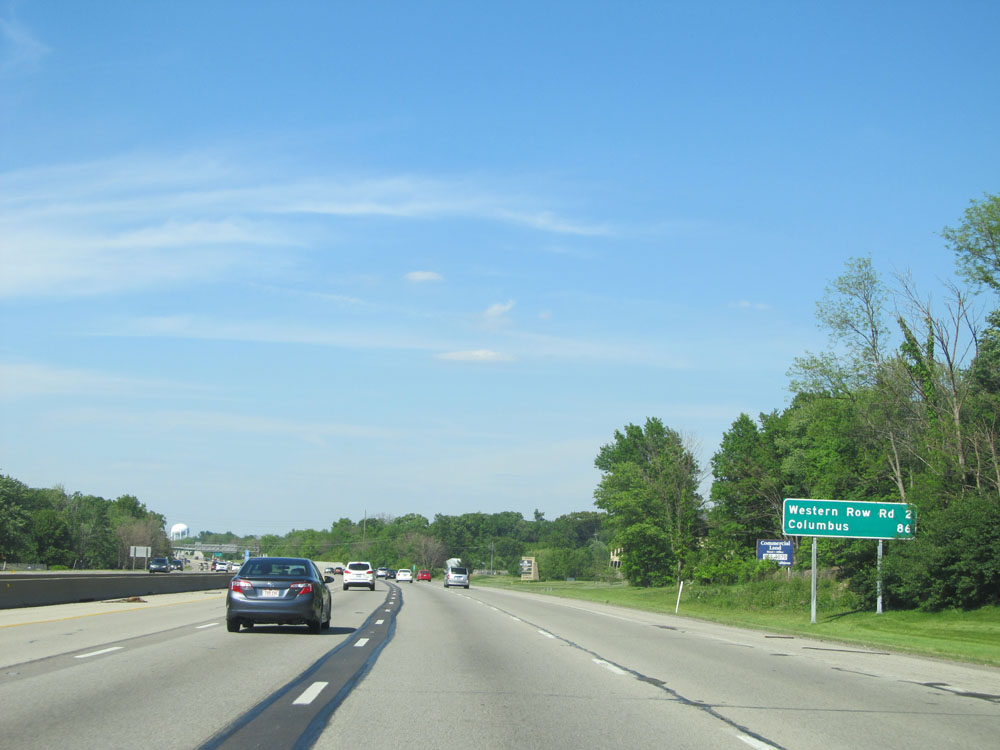 |
Mileage sign on Interstate 71 North. It's 2 miles to the next exit (Western Row Rd) and 86 miles to Columbus. (Photo taken 5/24/15). |
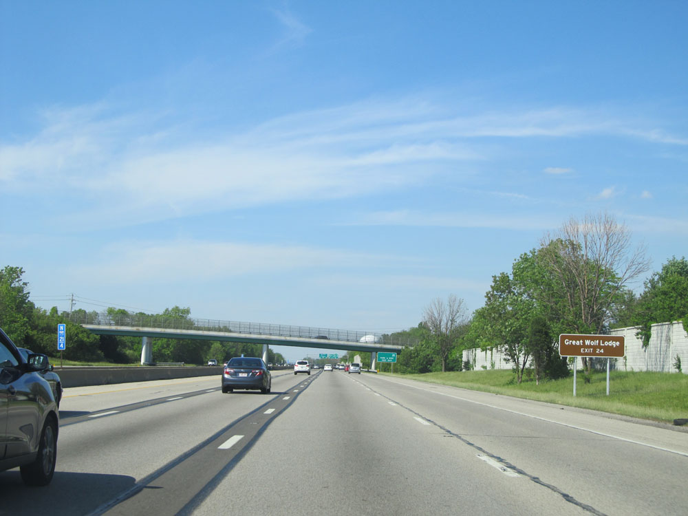 |
Take Exit 24 to Great Wolf Lodge. (Photo taken 5/24/15). |
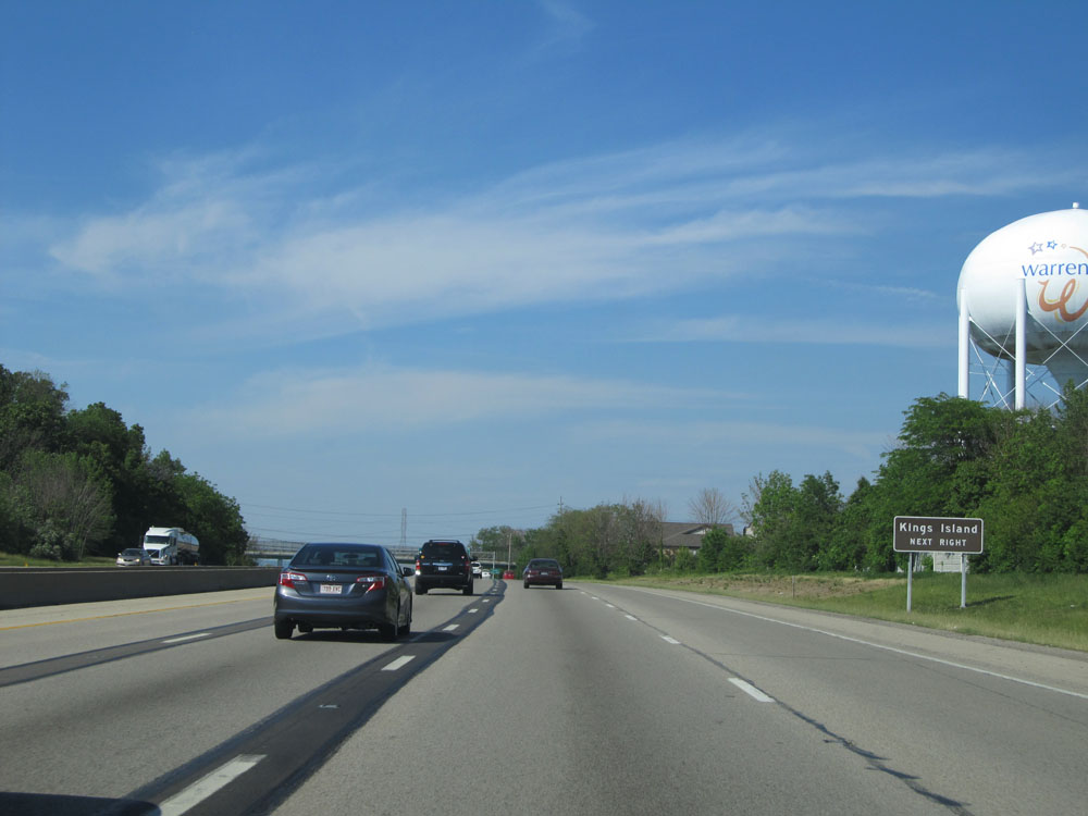 |
Also take Exit 24 to Kings Island. (Photo taken 5/24/15). |
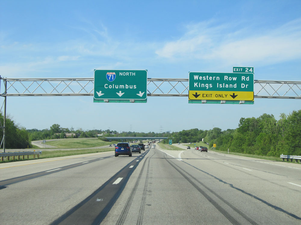 |
Interstate 71 North at Exit 24: Western Row Rd / Kings Island Dr (Photo taken 5/24/15). |
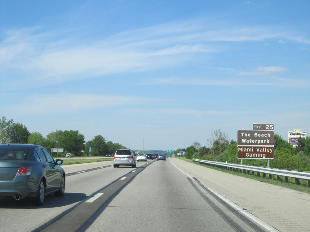 |
Take Exit 25 to The Beach Waterpark and Miami Valley Gaming. (Photo taken 5/24/15). |
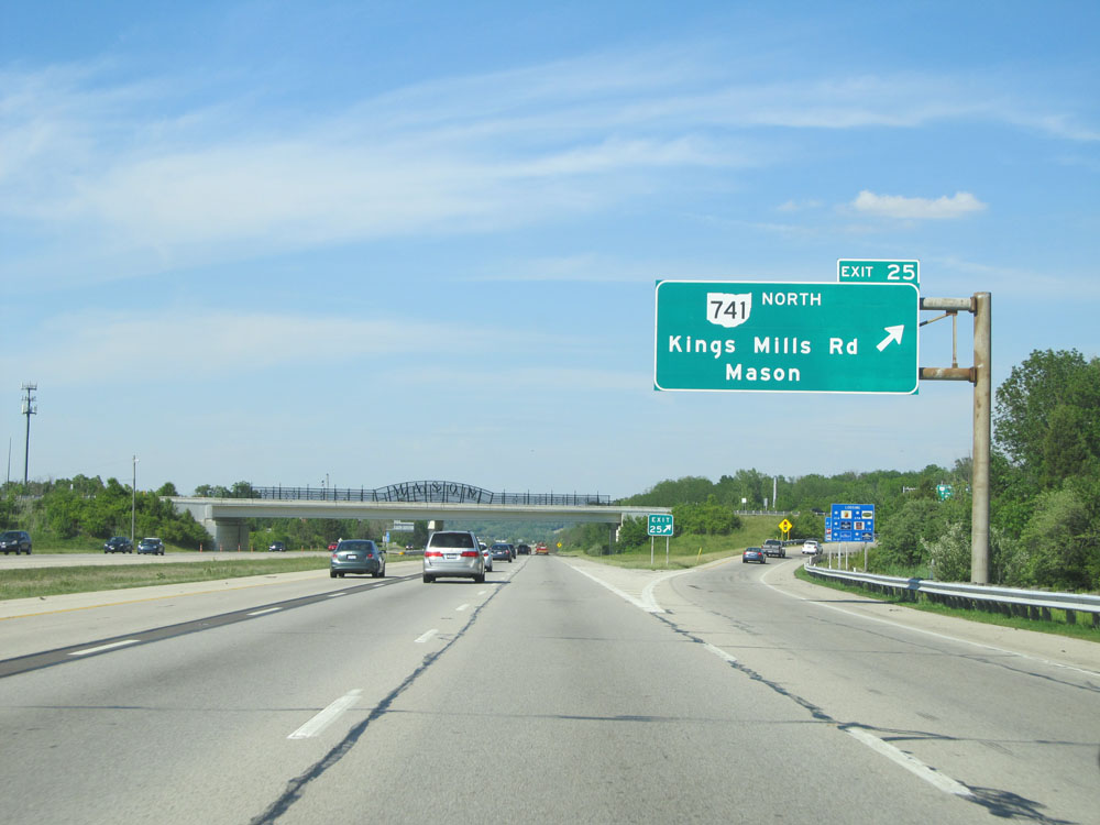 |
Interstate 71 North at Exit 25: OH 741 North - Kings Mills Rd / Mason (Photo taken 5/24/15). |
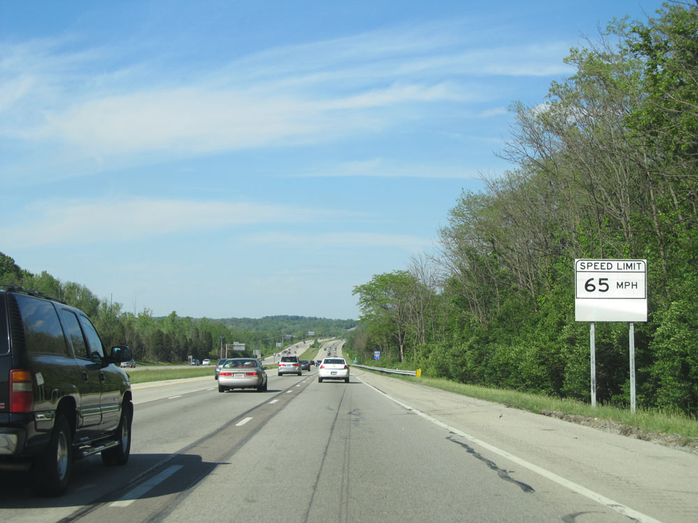 |
Ohio-style speed limit sign north of Exit 25. Speed Limit - 65 mph. (Photo taken 5/24/15). |
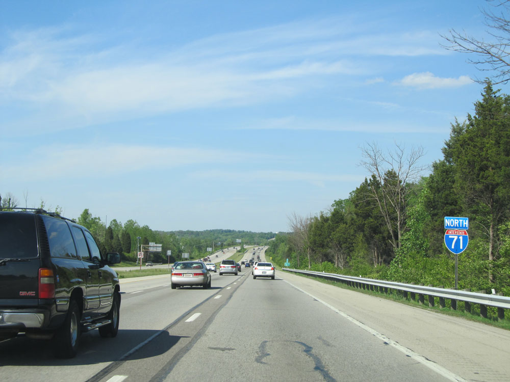 |
Interstate 71 North assurance shield. (Photo taken 5/24/15). |
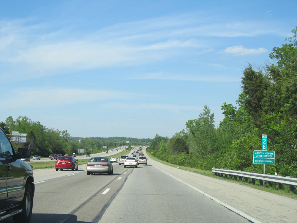 |
Interstate 71 North at mile marker 26. (Photo taken 5/24/15). |
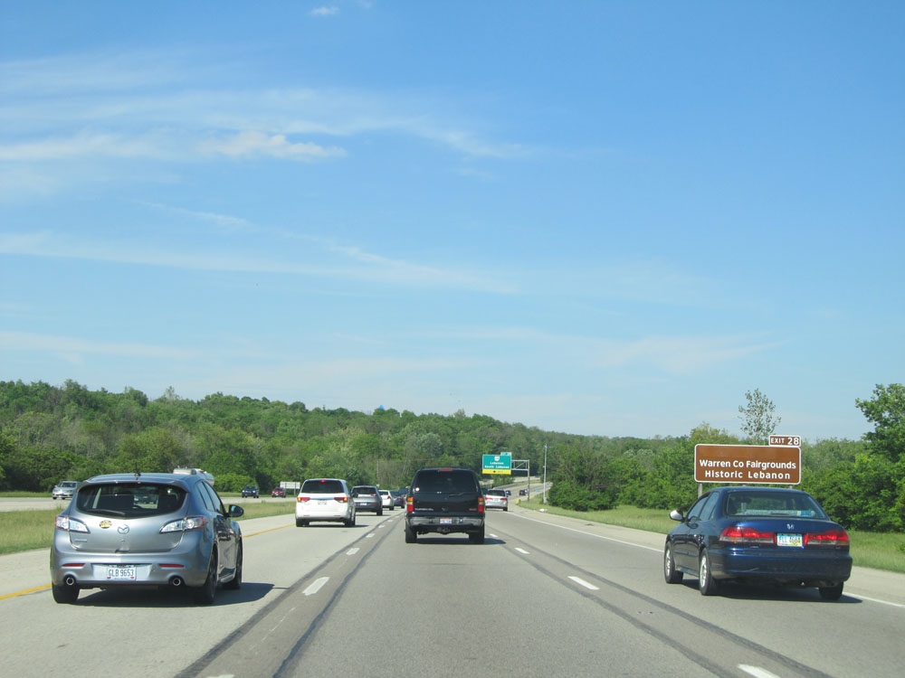 |
Take Exit 28 to Warren County Fairgrounds and Historic Lebanon. (Photo taken 5/24/15). |
 |
Interstate 71 North at Exit 28: OH 48 - Lebanon / South Lebanon (Photo taken 5/24/15). |
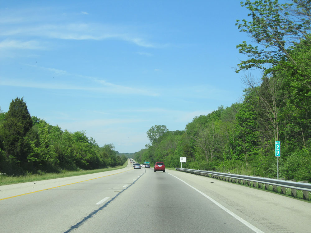 |
Interstate 71 North at mile marker 29. (Photo taken 5/24/15). |
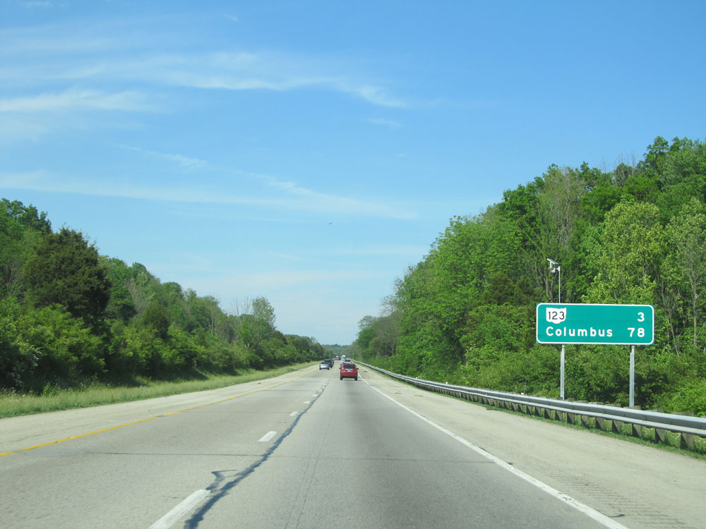 |
Mileage sign near mile marker 30. It's 3 miles to the junction of OH 123 and 78 miles to Columbus. (Photo taken 5/24/15). |
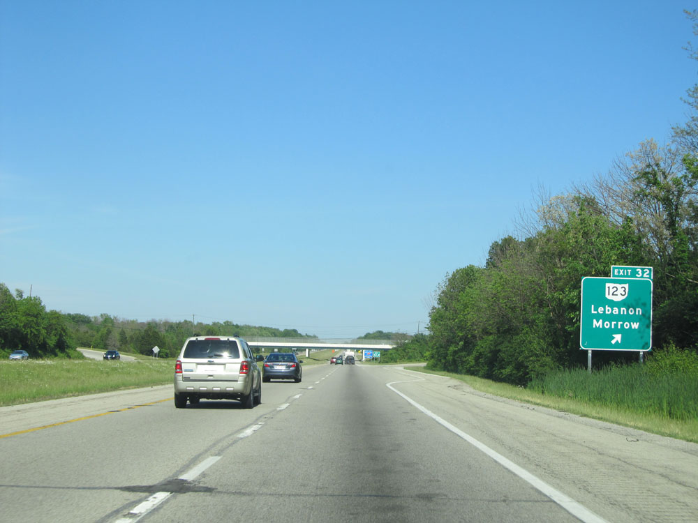 |
Interstate 71 North at Exit 32: OH 123 - Lebanon / Morrow (Photo taken 5/24/15). |
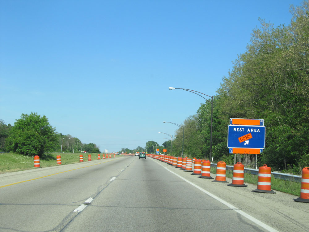 |
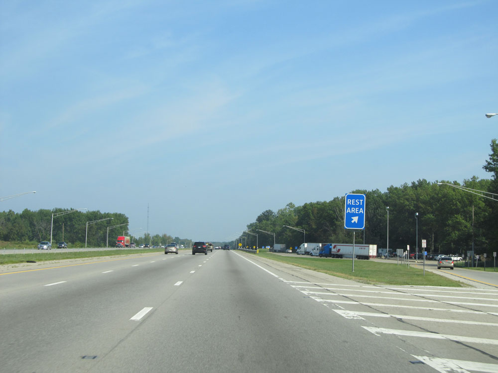
Interstate 71 North at the (closed at the time) Rest Area located near mile marker 33.5. (Photo taken 5/24/15). |
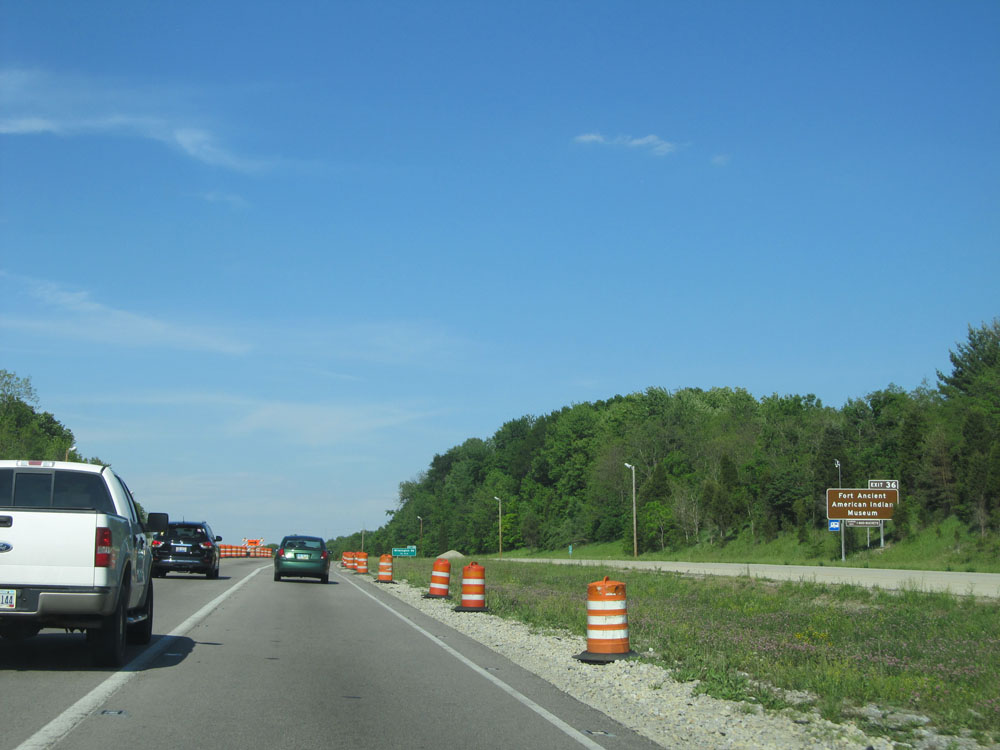 |
Take Exit 36 to Fort Ancient American Indian Museum. (Photo taken 5/24/15). |
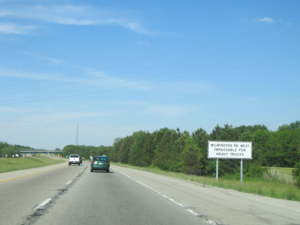 |
This sign warns that Wilmington Rd Westbound is impassable for heavy trucks. (Photo taken 5/24/15). |
 |
Interstate 71 North at Exit 36: Wilmington Rd (Photo taken 5/24/15). |
 |
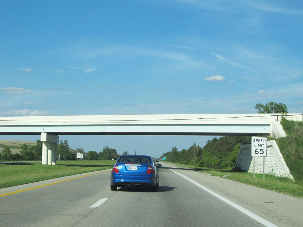
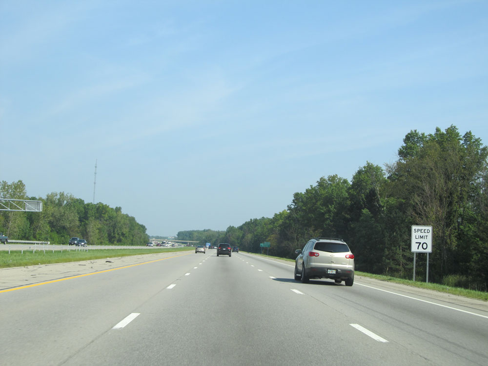
Just north of Exit 36, this Ohio-style speed limit sign indicates that the speed limit increases to 70 mph, which is standard on most rural Interstates in Ohio. (Photo taken 5/24/15). |
 |
Interstate 71 North: Road view from mile marker 38. (Photo taken 5/24/15). |
 |
Interstate 71 North at mile marker 40. (Photo taken 5/24/15). |
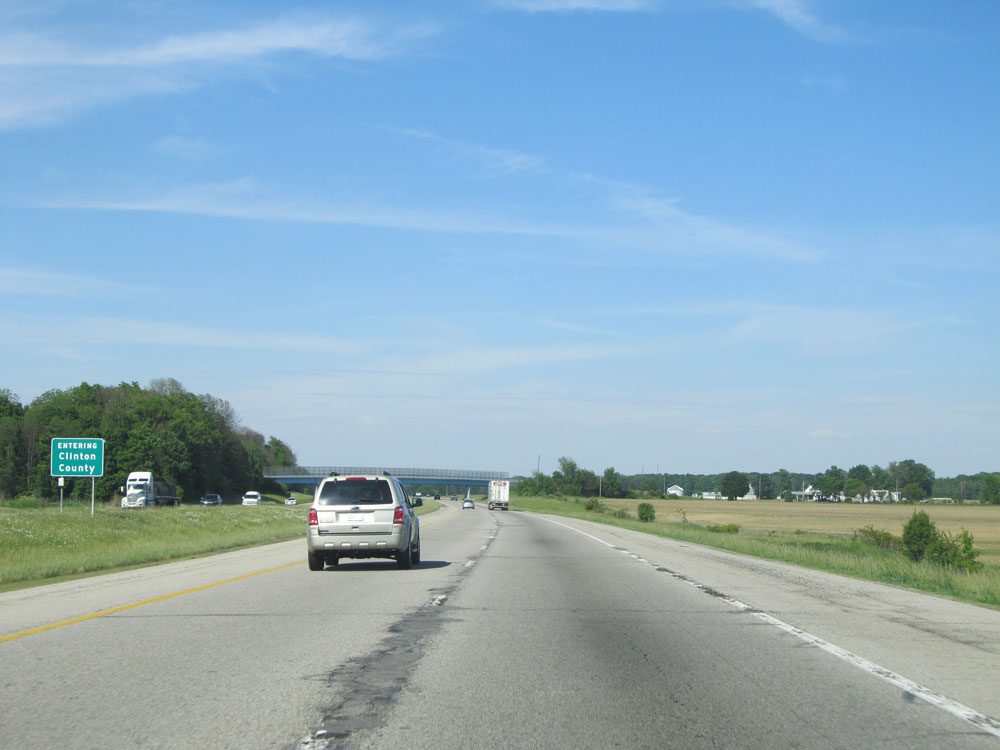 |
Interstate 71 North entering Clinton County. (Photo taken 5/24/15). |
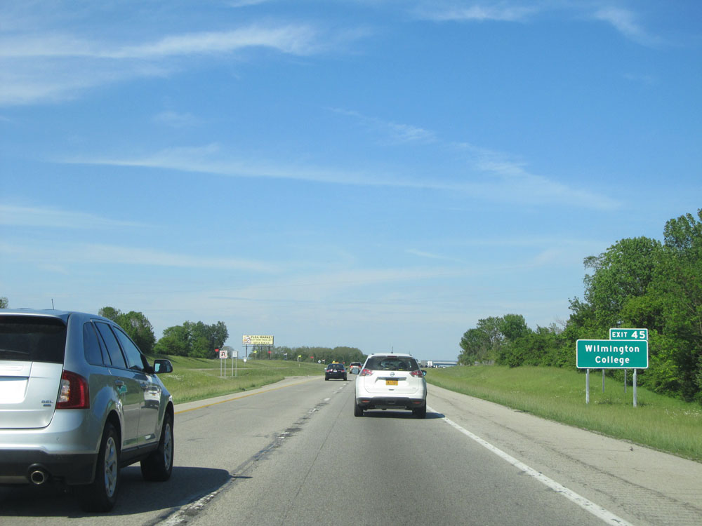 |
Take Exit 45 to Wilmington College. (Photo taken 5/24/15). |
 |
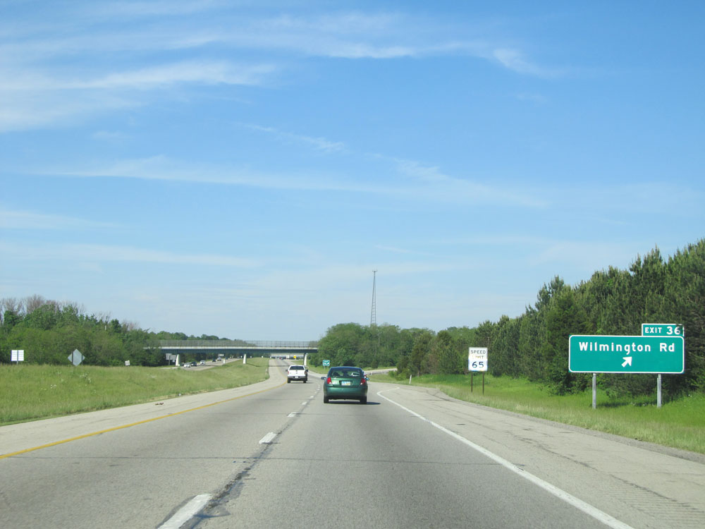
Interstate 71 North at Exit 45: OH 73 - Waynesville / Wilmington (Photo taken 5/24/15). |
Section 2: Wilmington (Exit 45) to Columbus (Exit 100A)
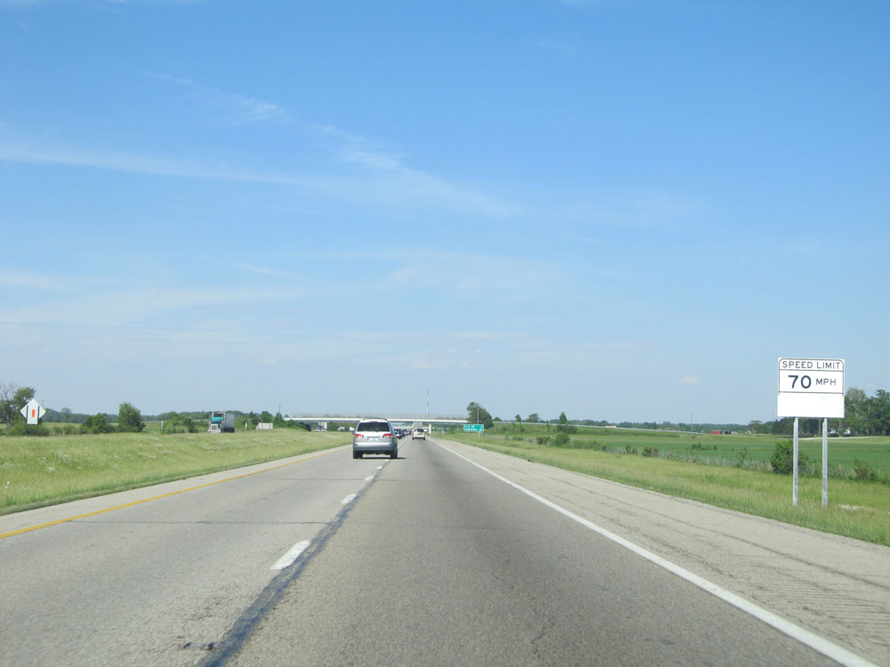 |
Speed limit assurance sign north of Exit 45. Speed Limit - 70 mph. (Photo taken 5/24/15). |
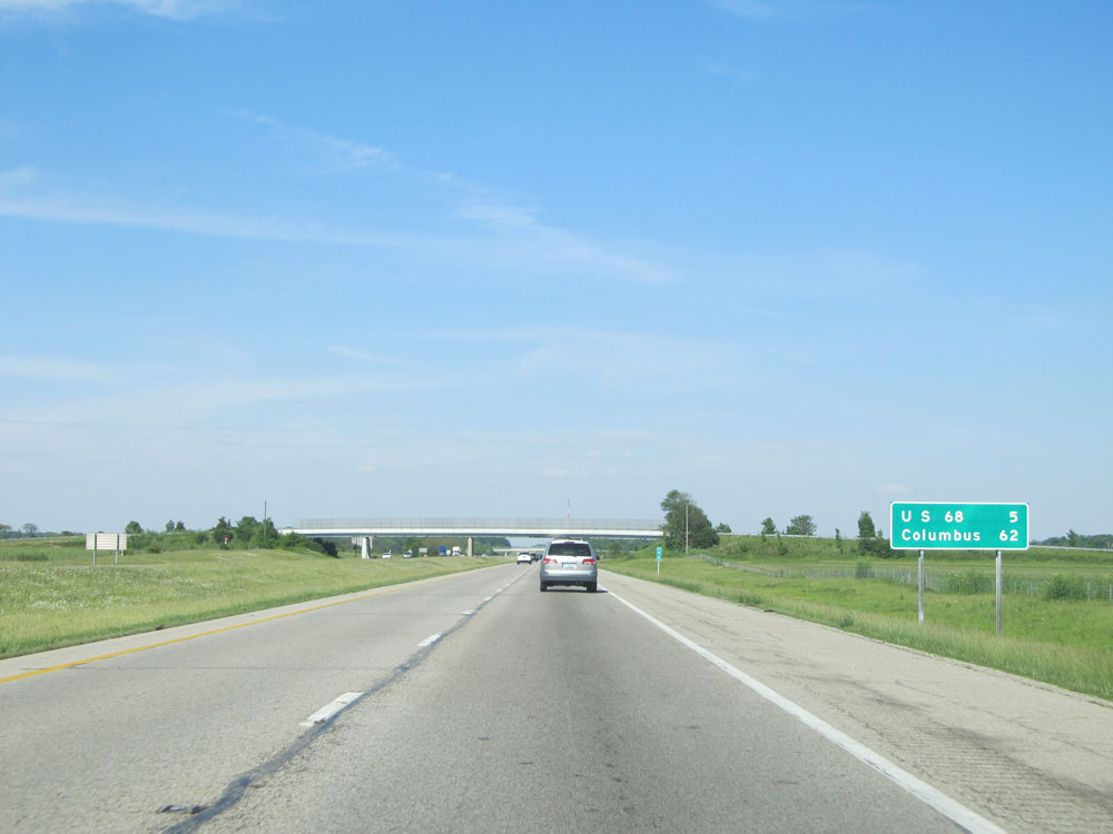 |
Mileage sign near mile marker 45. It's 5 miles to the junction of US 68 and 62 miles to Columbus. (Photo taken 5/24/15). |
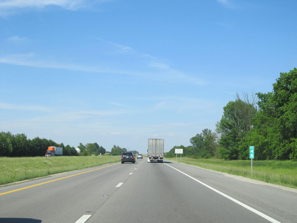 |
Interstate 71 North at mile marker 48. (Photo taken 5/24/15). |
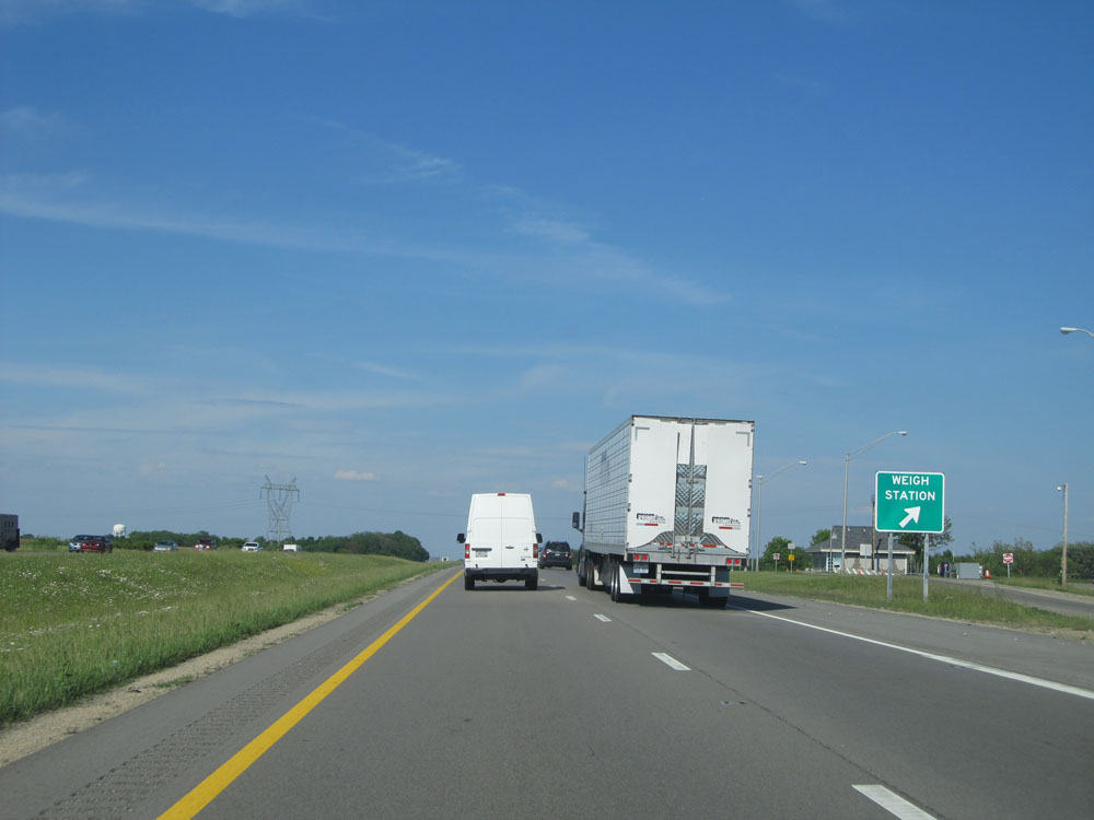 |
Interstate 71 North at the Weigh Station located near mile marker 49. (Photo taken 5/24/15). |
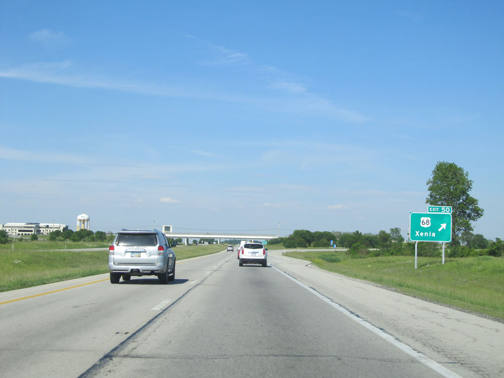 |
Interstate 71 North at Exit 50: US 68 - Xenia (Photo taken 5/24/15). |
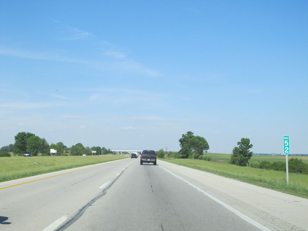 |
Interstate 71 North: Road view from mile marker 52. (Photo taken 5/24/15). |
 |
Interstate 71 North at mile marker 55. (Photo taken 5/24/15). |
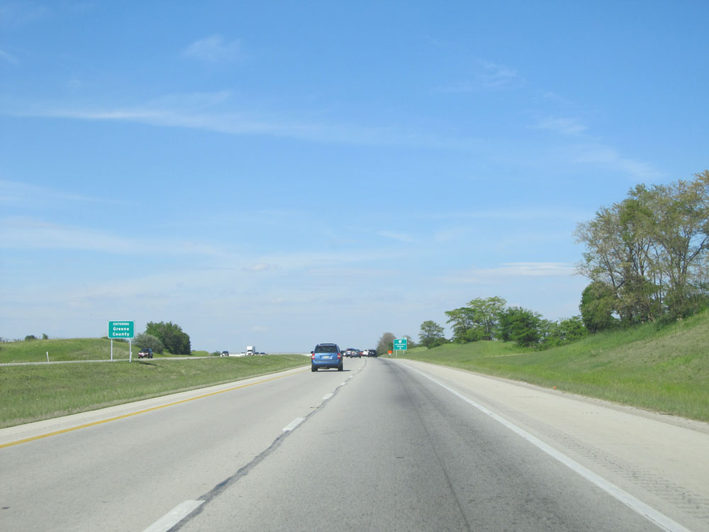 |
Interstate 71 North entering Greene County. (Photo taken 5/24/15). |
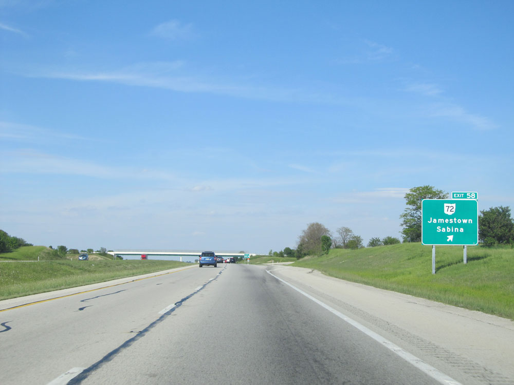 |
Interstate 71 North at Exit 58: OH 72 - Jamestown / Sabina (Photo taken 5/24/15). |
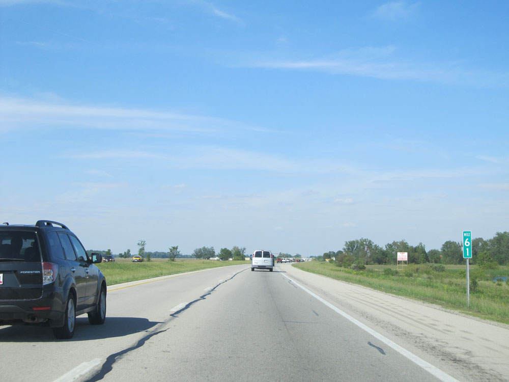 |
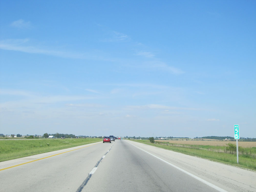
Interstate 71 North at mile marker 61. (Photo taken 5/24/15). |
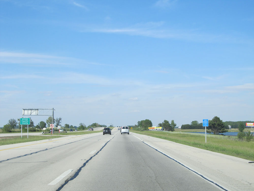 |
Interstate 71 North entering Fayette County. (Photo taken 5/24/15). |
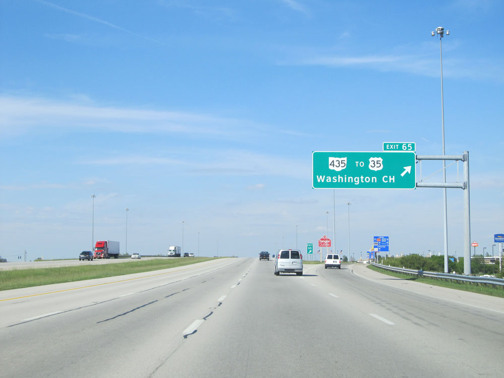 |
Interstate 71 North at Exit 65: OH 435 / To US 35 - Washington Court House (Photo taken 5/24/15). |
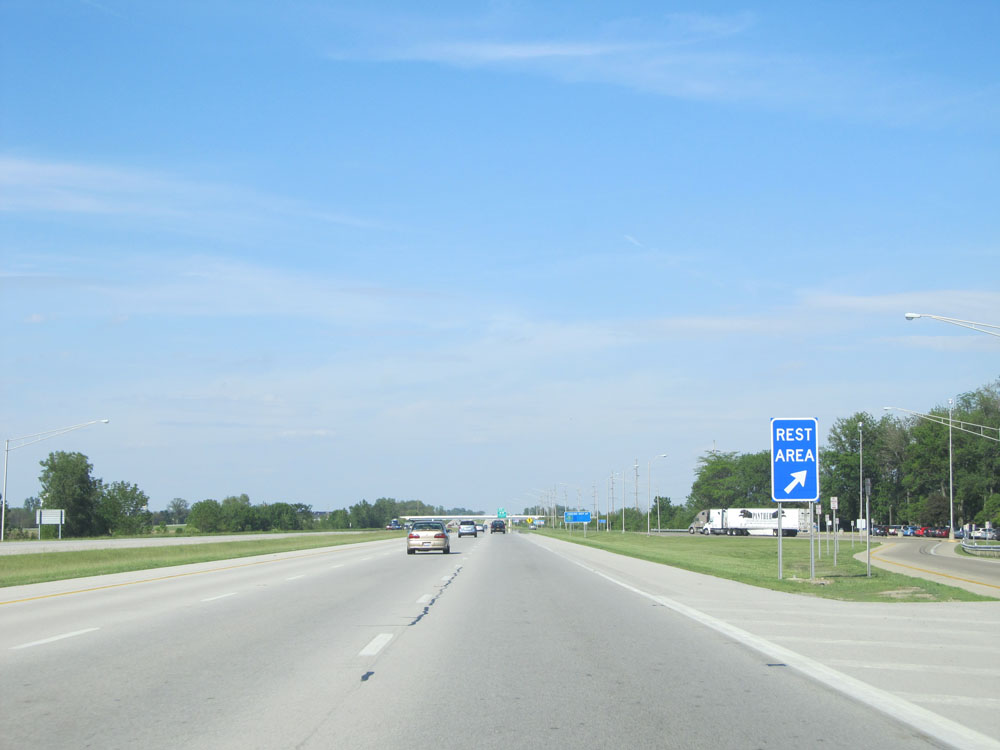 |
Interstate 71 North at the Rest Area located near mile marker 68. (Photo taken 5/24/15). |
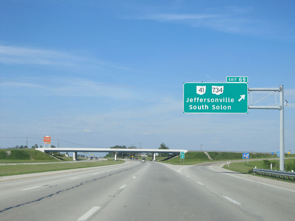 |
Interstate 71 North at Exit 69: OH 41 / OH 734 - Jeffersonville / South Solon (Photo taken 5/24/15). |
 |
Mileage sign near mile marker 69. It's 5 miles to the junction of OH 38 and 38 miles to Columbus. (Photo taken 5/24/15). |
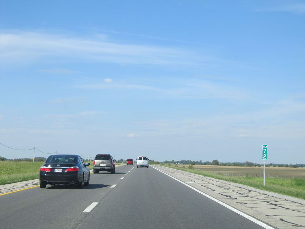 |
Interstate 71 North at mile marker 72. (Photo taken 5/24/15). |
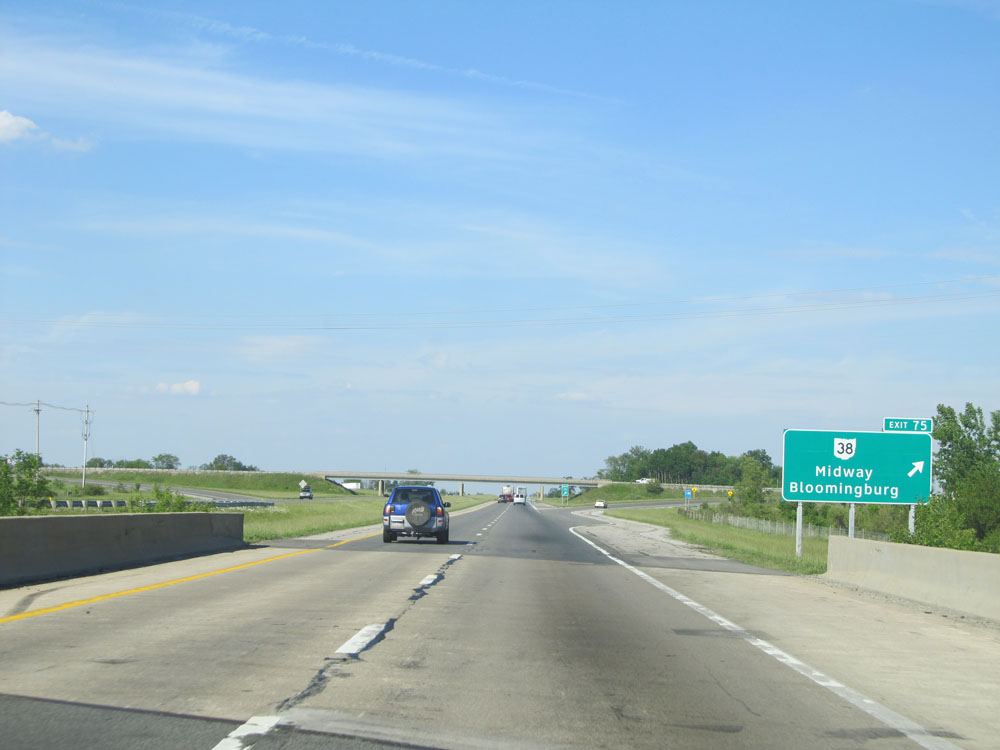 |
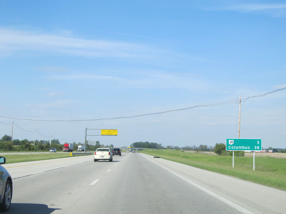
Interstate 71 North at Exit 75: OH 38 - Midway / Bloomingburg (Photo taken 5/24/15). |
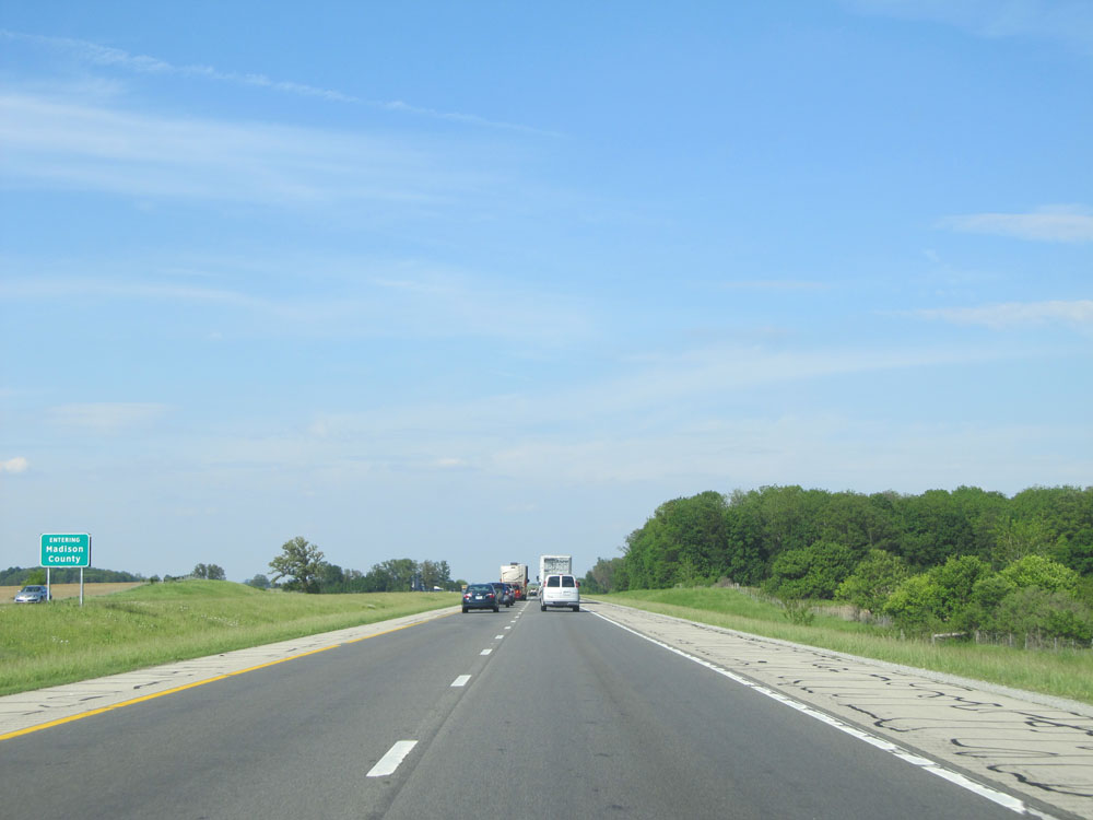 |
Interstate 71 North entering Madison County. (Photo taken 5/24/15). |
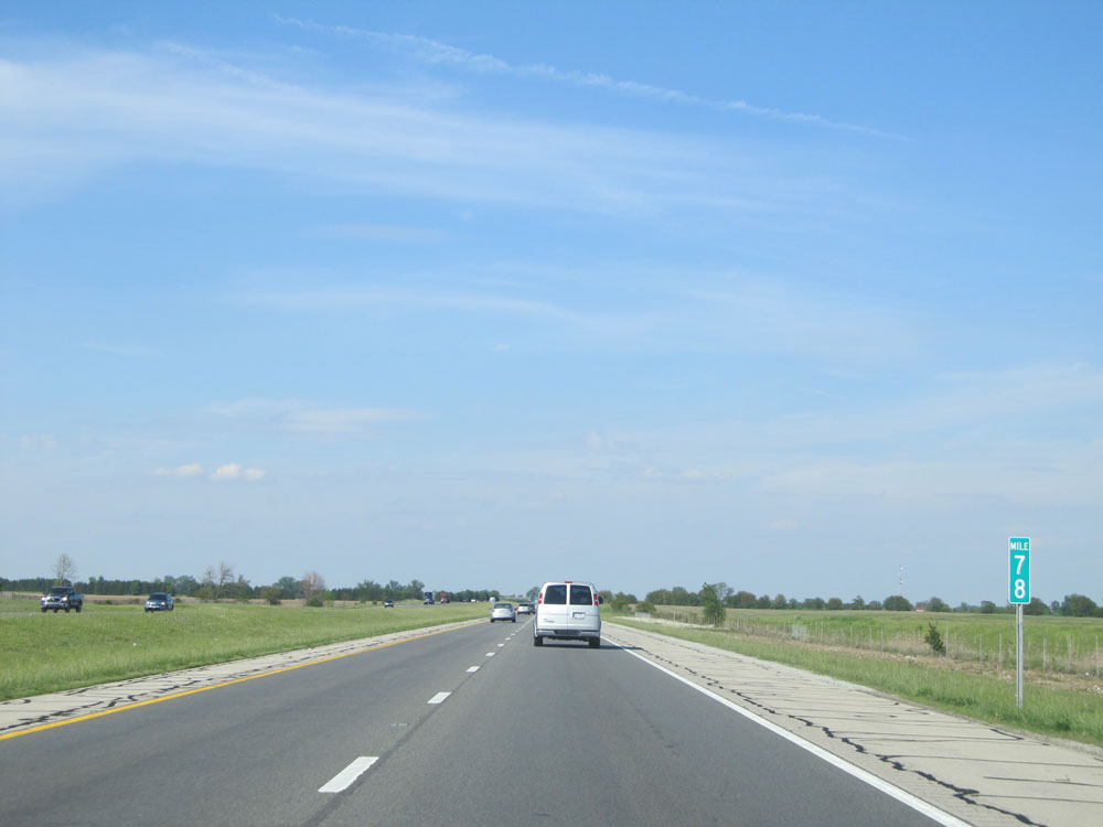 |
Interstate 71 North: Road view from mile marker 78. (Photo taken 5/24/15). |
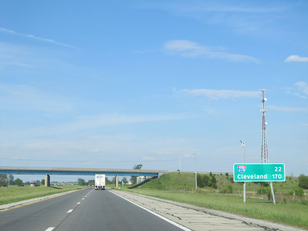 |
Mileage sign on Interstate 71 North. It's 22 miles to the junction of Interstate 270 and 170 miles to Cleveland. (Photo taken 5/24/15). |
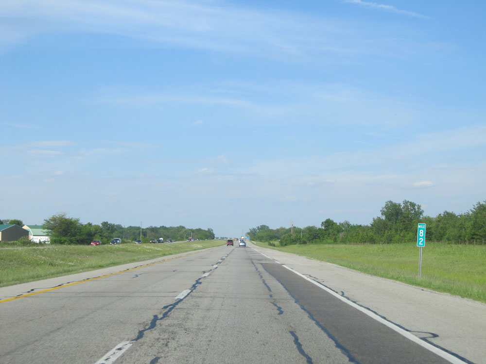 |
Interstate 71 North at mile marker 82. (Photo taken 5/24/15). |
 |
Take Exit 84 to Deer Creek State Park. (Photo taken 5/24/15). |
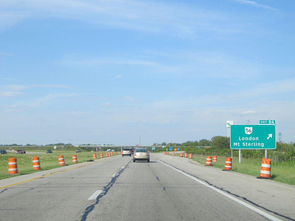 |
Interstate 71 North at Exit 84: OH 56 - London / Mt Sterling (Photo taken 5/24/15). |
 |
Interstate 71 North at mile marker 87. (Photo taken 5/24/15). |
 |
Interstate 71 North entering Pickaway County. (Photo taken 5/24/15). |
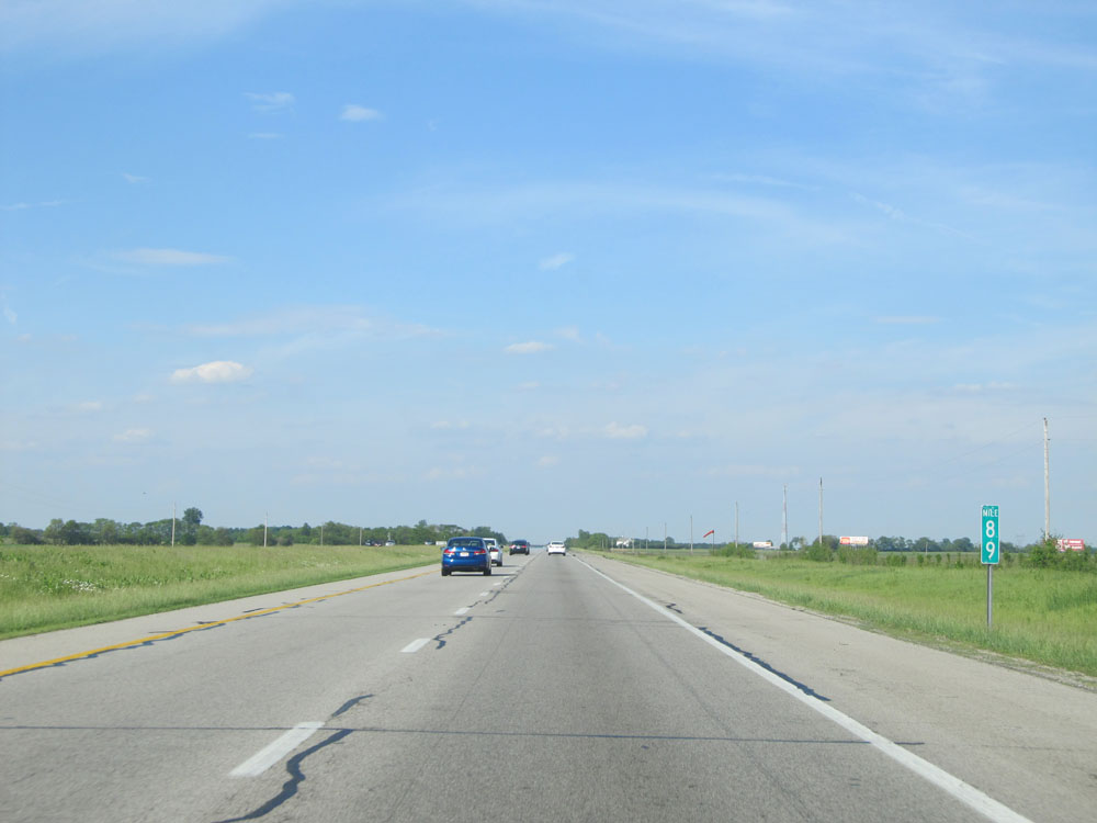 |
Interstate 71 North: Road view from mile marker 89. (Photo taken 5/24/15). |
 |
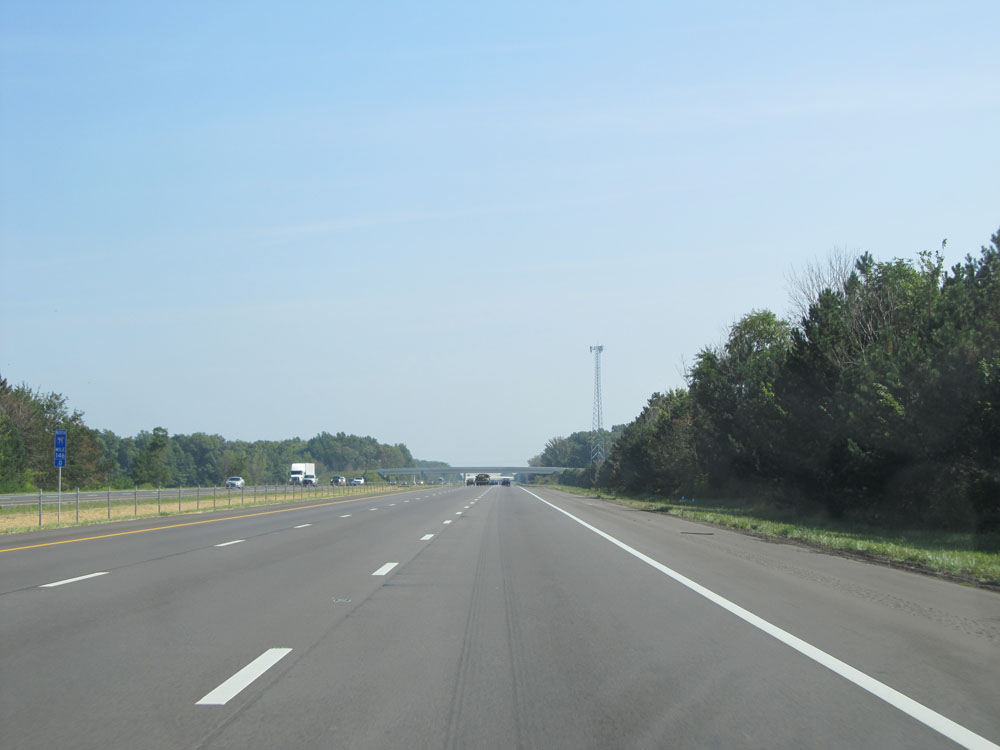
Interstate 71 North entering Franklin County at mile marker 91. (Photo taken 5/24/15). |
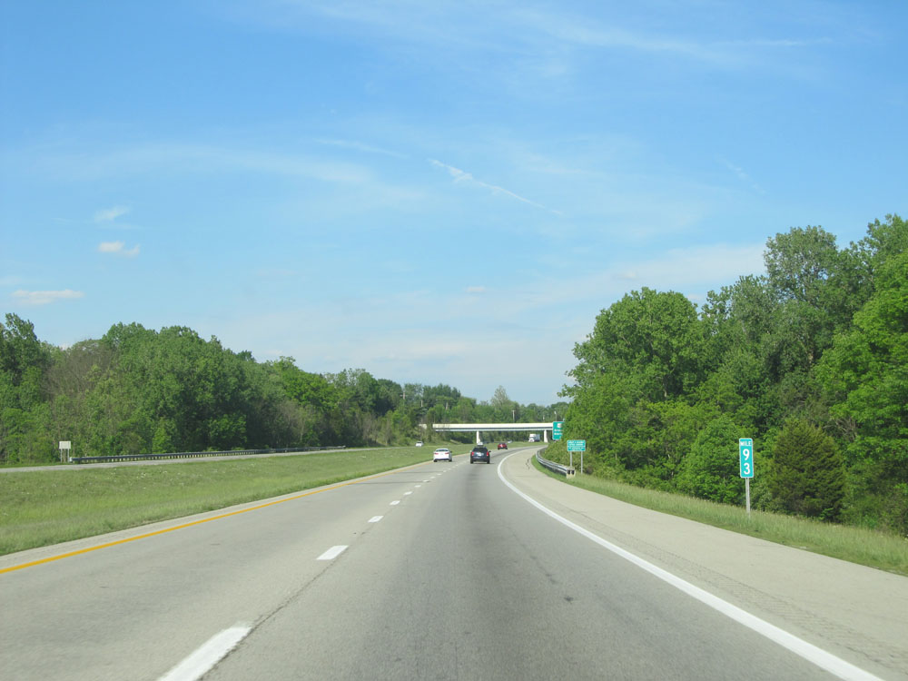 |
Interstate 71 North: Road view from mile marker 93. (Photo taken 5/24/15). |
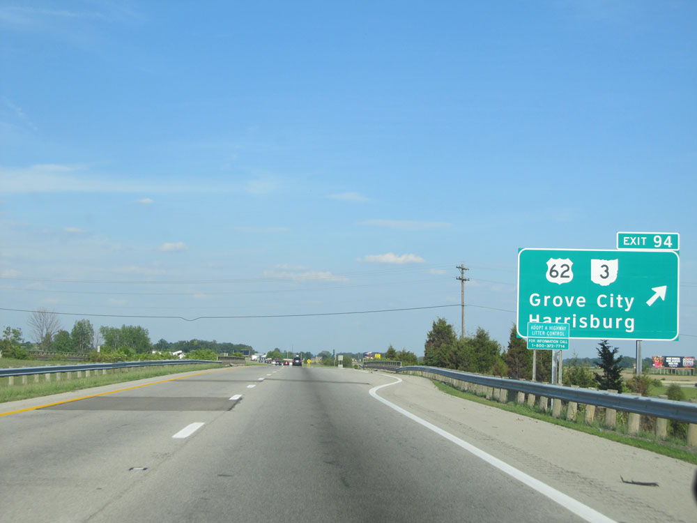 |
Interstate 71 North at Exit 94: US 62 / OH 3 - Grove City / Harrisburg (Photo taken 5/24/15). |
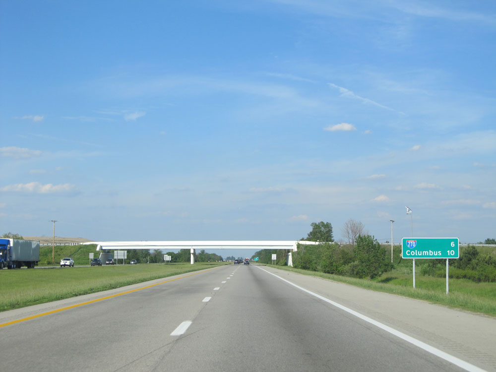 |
Mileage sign just past Exit 94. It's 6 miles to the junction of Interstate 270 and 10 miles to Columbus. (Photo taken 5/24/15). |
 |
Near mile marker 95, the speed limit decreases to 65 mph as you approach the Columbus area. (Photo taken 5/24/15). |
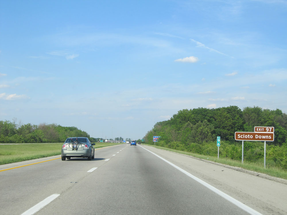 |
Take Exit 97 to Scioto Downs. (Photo taken 5/24/15). |
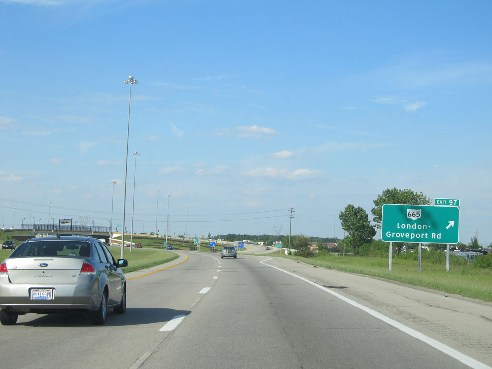 |
Interstate 71 North at Exit 97: OH 665 - London-Groveport Rd (Photo taken 5/24/15). |
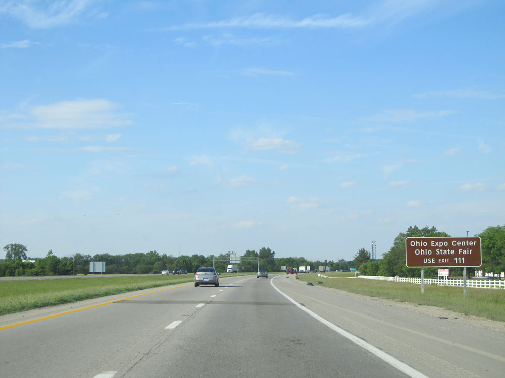 |
Use Exit 111 to Ohio Expo Center and Ohio State Fair. (Photo taken 5/24/15). |
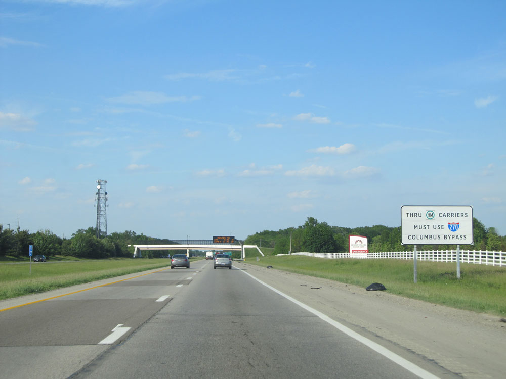 |
Thru trucks hauling hazardous materials must use Interstate 270 to bypass the downtown Columbus area. (Photo taken 5/24/15). |
 |
Interstate 71 North at Exit 100: Stringtown Rd / Grove City (Photo taken 5/24/15). |
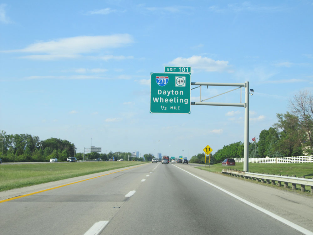 |
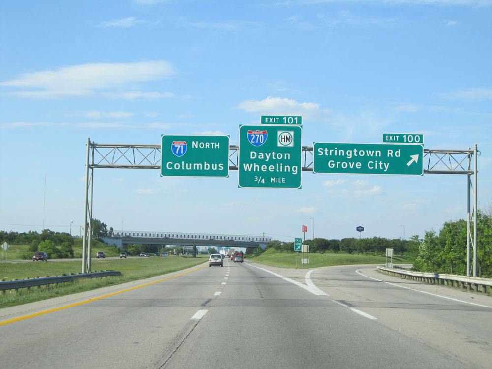
Interstate 71 North approaching Exit 101 - 1/2 mile. (Photo taken 5/24/15). |
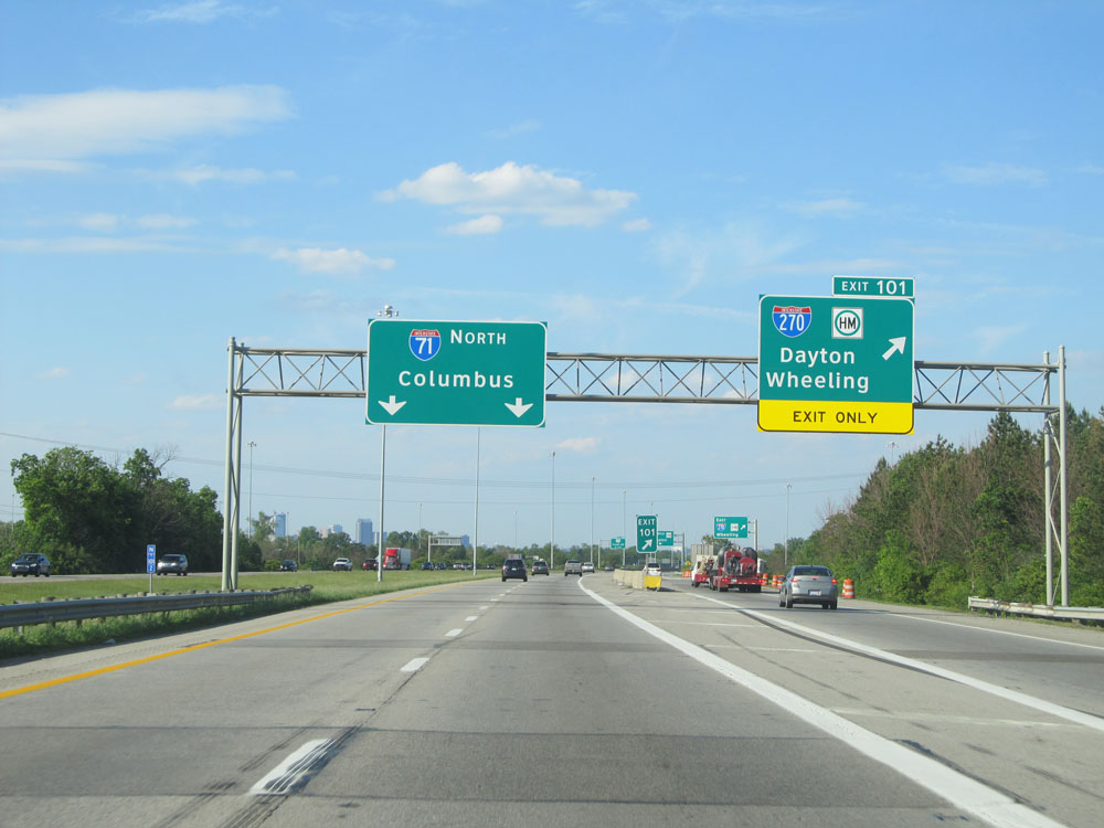 |
Interstate 71 North at Exit 101: Interstate 270 - Dayton / Wheeling (Photo taken 5/24/15). |
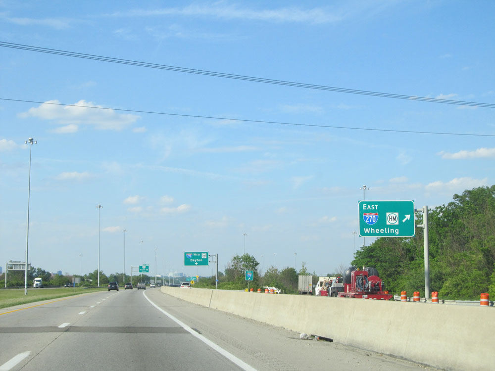 |
A view of the ramp to Interstate 270 East - Wheeling. (Photo taken 5/24/15). |
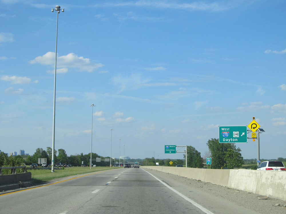 |
View of the ramp to Interstate 270 West - Dayton. (Photo taken 5/24/15). |
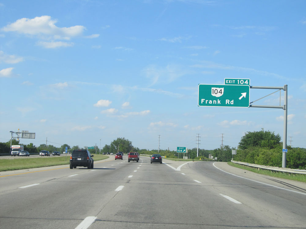 |
Interstate 71 North at Exit 104: OH 104 - Frank Rd (Photo taken 5/24/15). |
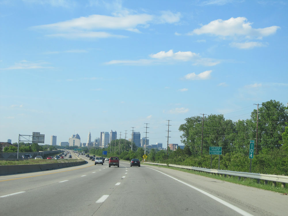 |
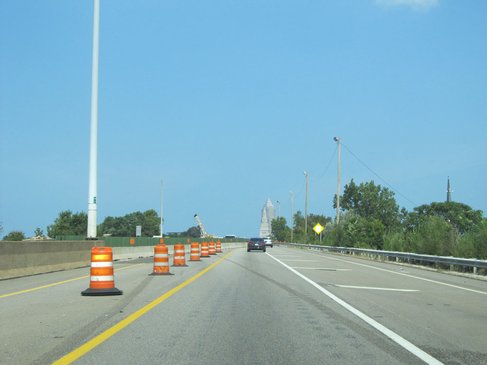
At mile marker 104, the downtown Columbus skyline comes into clear view. (Photo taken 5/24/15). |
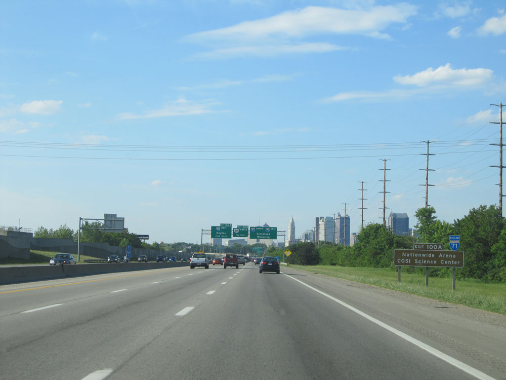 |
Take Exit 100A (during the upcoming Interstate 70-Interstate 71 duplex) to Nationwide Arena and COSI Science Center. (Photo taken 5/24/15). |
 |
Interstate 71 North approaching Exit 106A - 1 3/4 miles on the left. (Photo taken 5/24/15). |
 |
Just before Exit 105, the speed limit decreases to 55 mph as you enter the downtown Columbus area. (Photo taken 5/24/15). |
 |
Interstate 71 North at Exit 105: Greenlawn Ave (Photo taken 5/24/15). |
 |
Interstate 71 North approaching Exit 106A - 1 mile on the left. (Photo taken 5/24/15). |
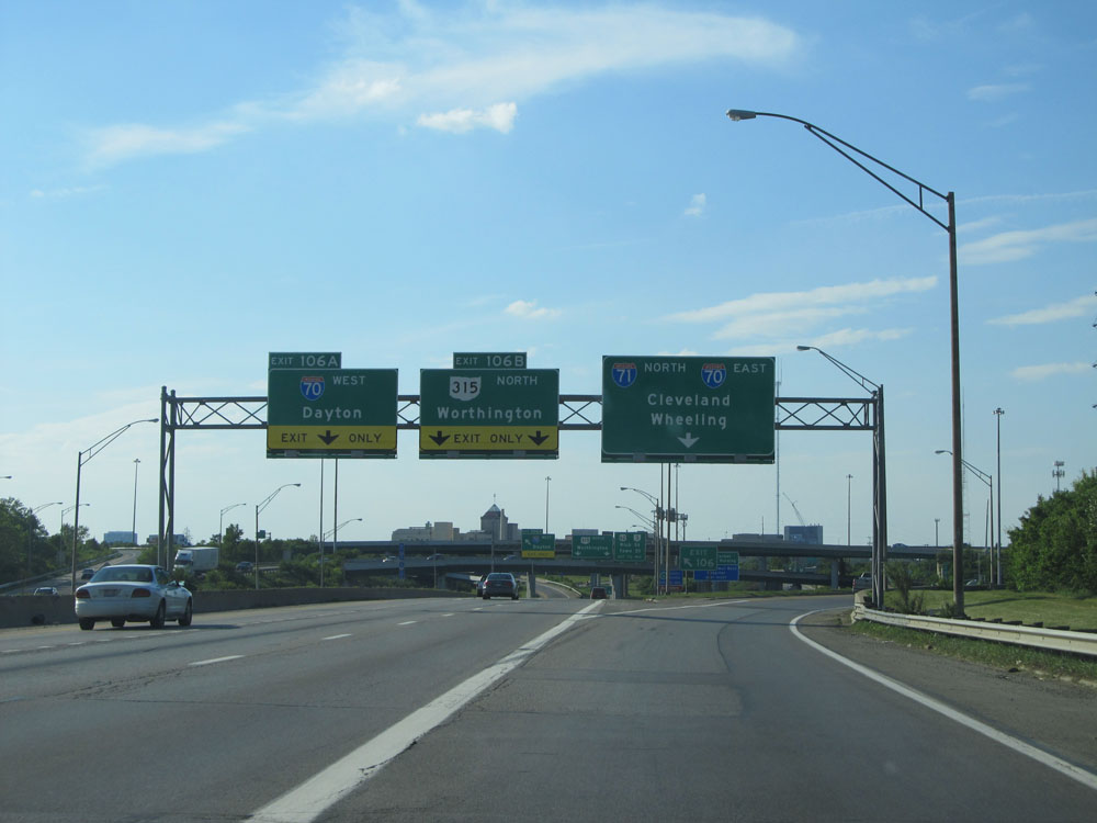 |
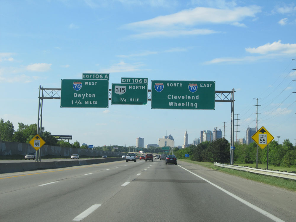
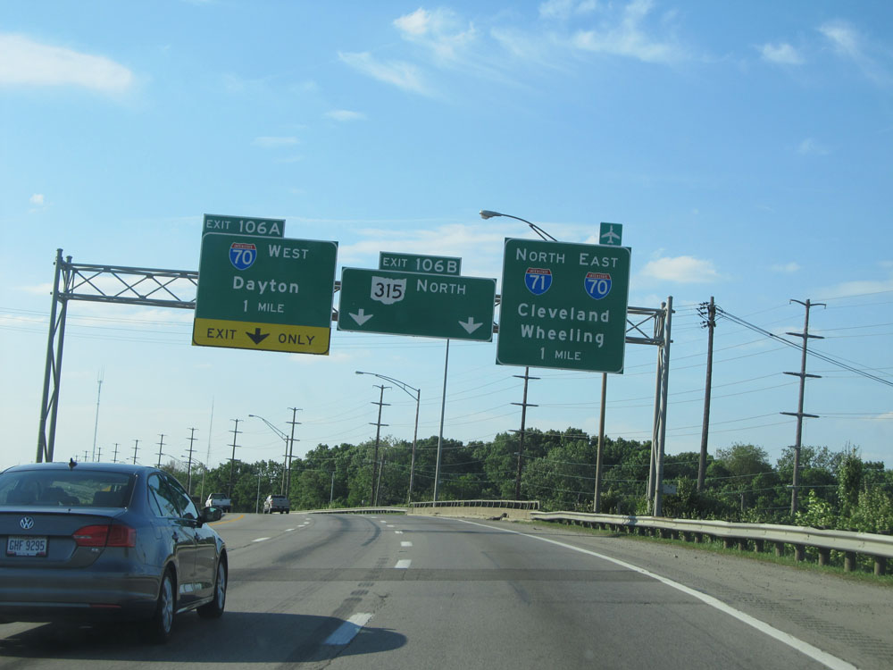
Interstate 71 North at Exit 106A: Interstate 70 West - Dayton; Exit 106B: OH 315 North - Worthington. As I-71 North merges with I-70 East ahead for a brief concurrency, the merge point can be quite a bottleneck during peak hours. (Photo taken 5/24/15). |
 |
Take Exit 100A to the Statehouse and Exit 100B to the Convention Center. (Photo taken 5/24/15). |
 |
Interstate 71 North / Interstate 70 East: Road view from near mile marker 99 in downtown Columbus. During this brief duplex, the mileage and exit numbers are based on I-70's mileage. (Photo taken 5/24/15). |
 |
Interstate 71 North / Interstate 70 East at Exit 100A: US 23 South - Front St / High St (Photo taken 5/24/15). |
Section 3: Columbus (Exit 100A) to Mansfield (Exit 176)
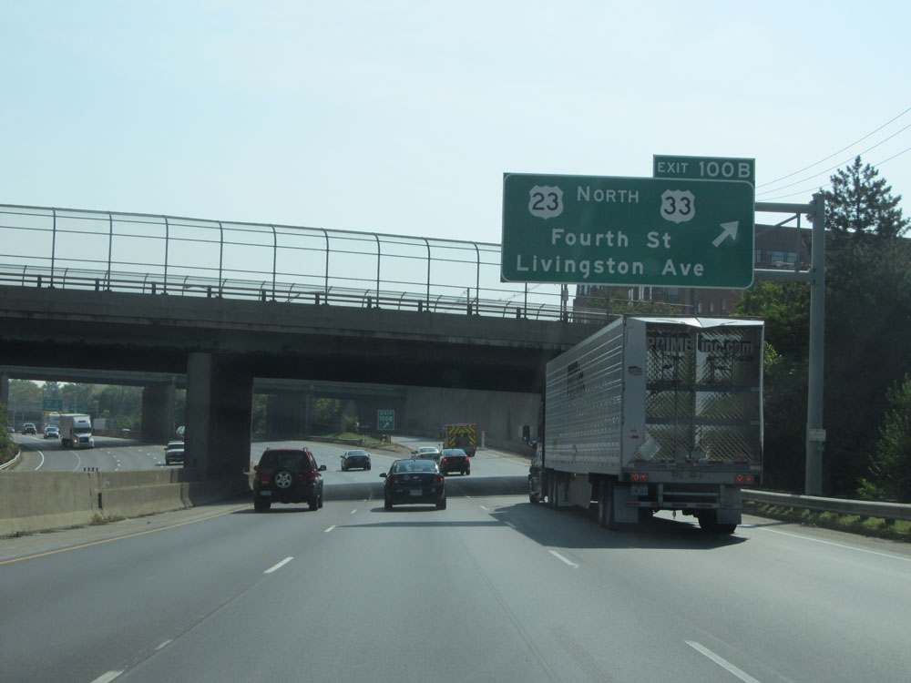 |
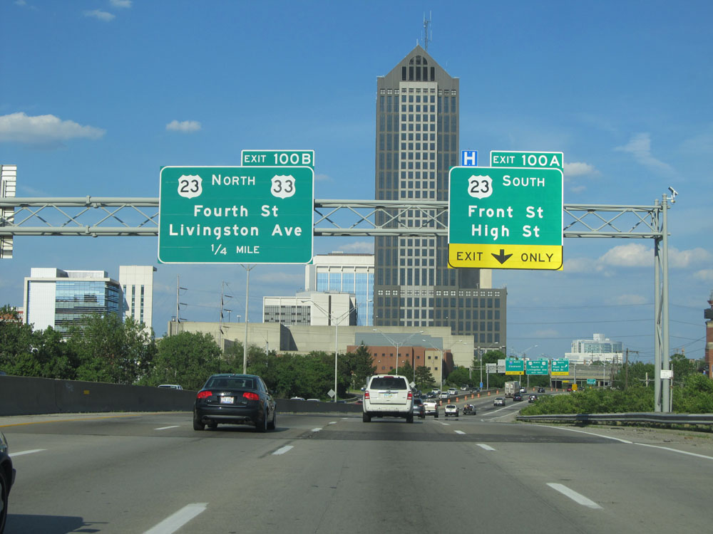
Interstate 71 North / Interstate 70 East at Exit 100B: US 23 North / US 33 - Fourth St / Livingston Ave (Photo taken 9/7/15). |
 |
Interstate 71 North / Interstate 70 East approaching Exit 101A - 1/2 mile on the left. This part of the duplex can cause some quick lane changing for motorists. (Photo taken 9/7/15). |
 |
Now 1/4 mile from Exit 101A (left 2 lanes are Exit Only), traffic wishing to remain on I-70 East should stay in the 2 rightmost lanes. (Photo taken 9/7/15). |
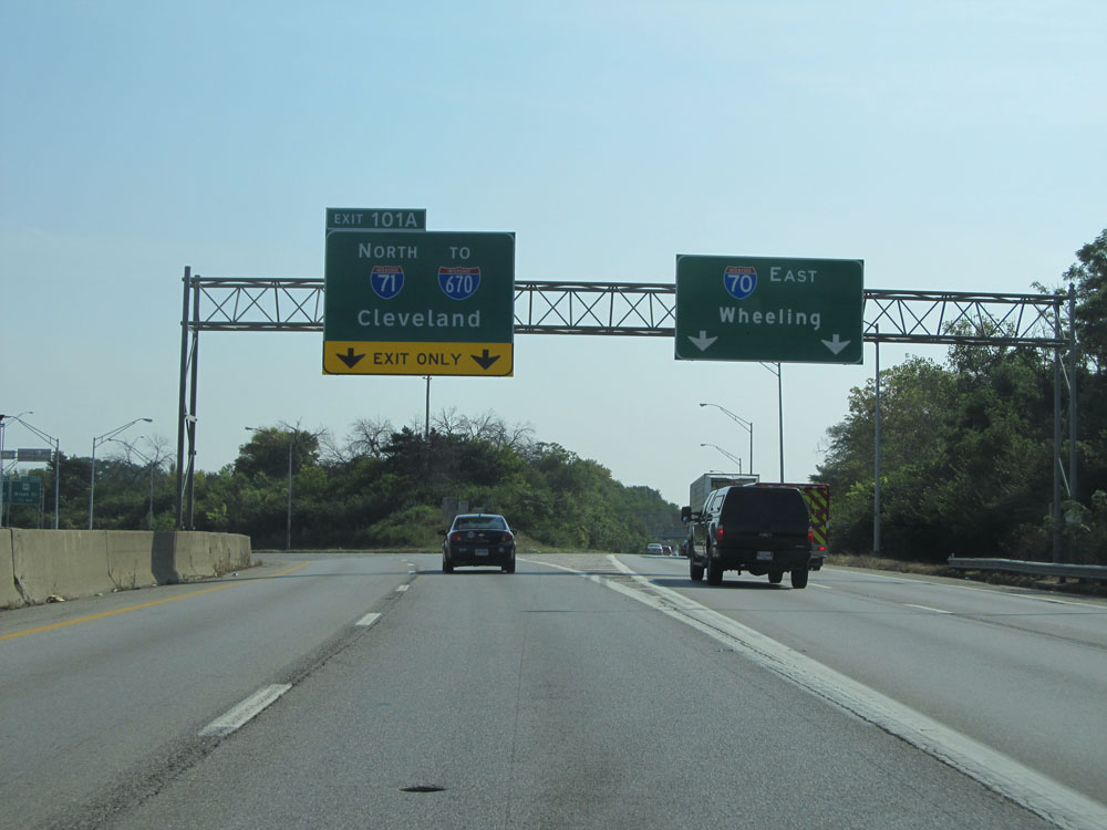 |
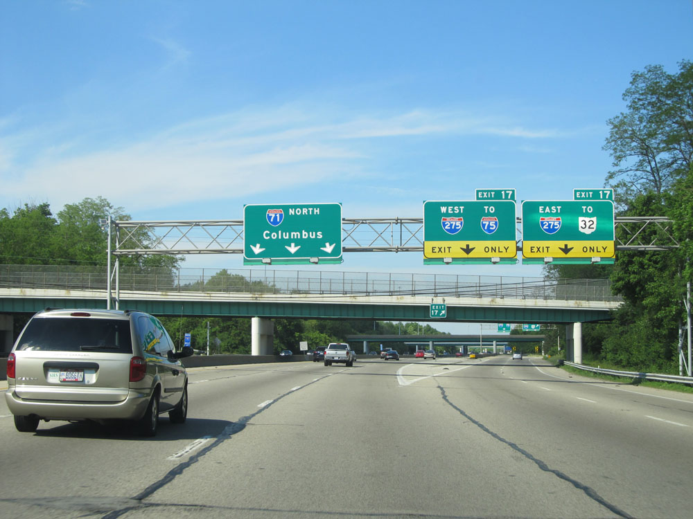
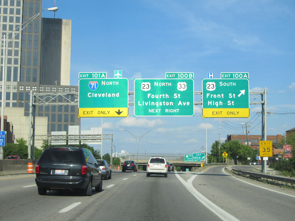
Interstate 71 North / Interstate 70 East at Exit 101A: Interstate 71 North / To Interstate 670 - Cleveland (Photo taken 9/7/15). |
 |
Interstate 71 North approaching the junction of Interstate 670 (Exit 109A) - 3/4 mile, as I-71 North curves back to the north after departing from I-70. (Photo taken 9/7/15). |
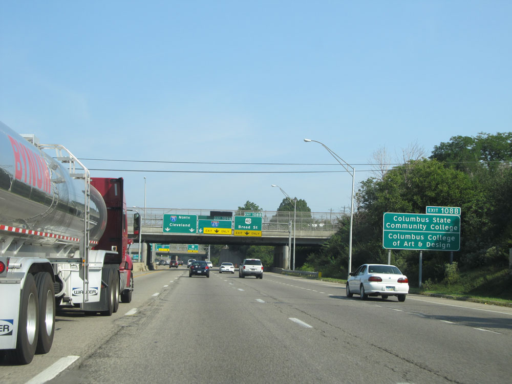 |
Take Exit 108B to Columbus State Community College and Columbus College of Art & Design. (Photo taken 9/7/15). |
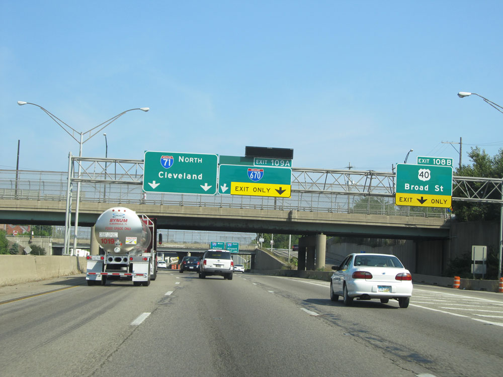 |
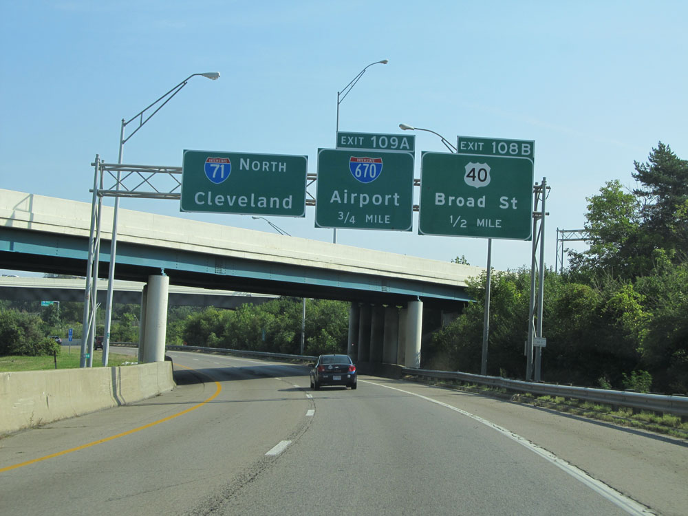
Interstate 71 North at Exit 108B: US 40 - Broad St (Photo taken 9/7/15). |
 |
Interstate 71 North at Exit 109A: Interstate 670 - Dayton / Airport (Photo taken 9/7/15). |
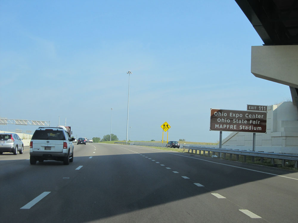 |
Take Exit 111 to Ohio Expo Center, Ohio State Fair, and MAPFRE Stadium. (Photo taken 9/7/15). |
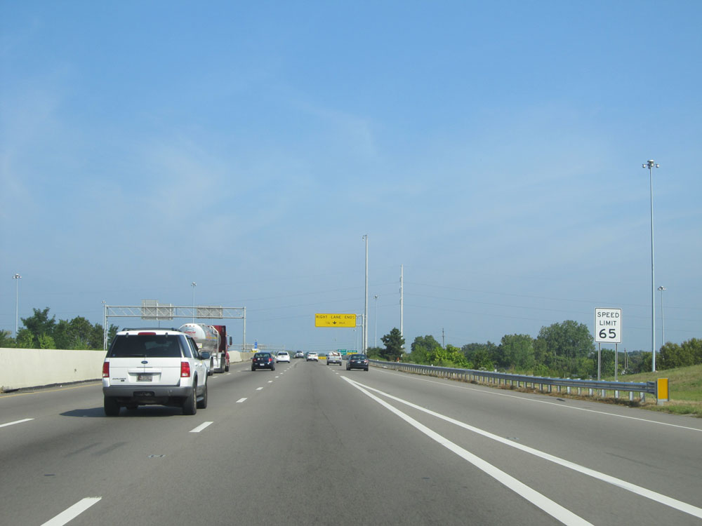 |
North of Exit 109A, the speed limit increases to 65 mph. (Photo taken 9/7/15). |
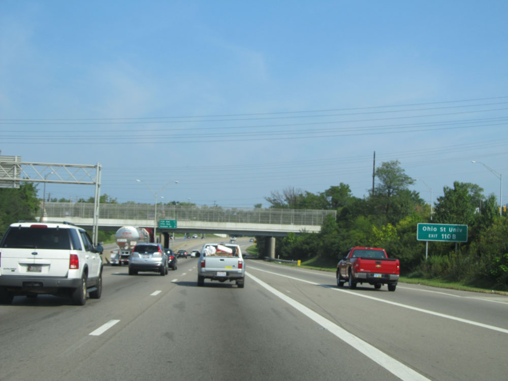 |
Take Exit 110B to Ohio State University. (Photo taken 9/7/15). |
 |
Interstate 71 North at Exit 110B: 11th Ave (Photo taken 9/7/15). |
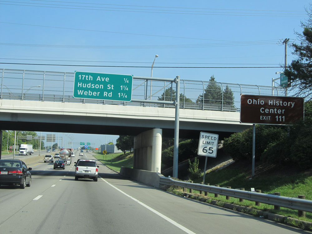 |
Take Exit 111 to Ohio History Center. (Photo taken 9/7/15). |
 |
Interstate 71 North at Exit 111: 17th Ave (Photo taken 9/7/15). |
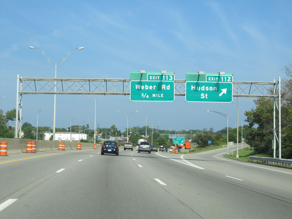 |
Interstate 71 North at Exit 112: Hudson St (Photo taken 9/7/15). |
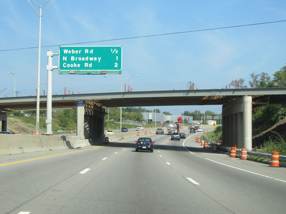 |
Sign listing the distances to the three upcoming exits on Interstate 71 North. (Photo taken 9/7/15). |
 |
Interstate 71 North at Exit 113: Weber Rd (Photo taken 9/7/15). |
 |
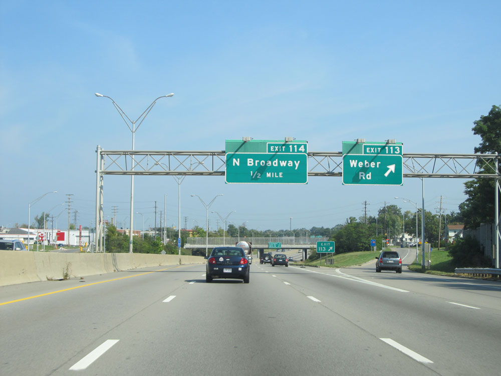
Interstate 71 North at Exit 114: N Broadway (Photo taken 9/7/15). |
 |
Interstate 71 North assurance shield to the north of Exit 114. (Photo taken 9/7/15). |
 |
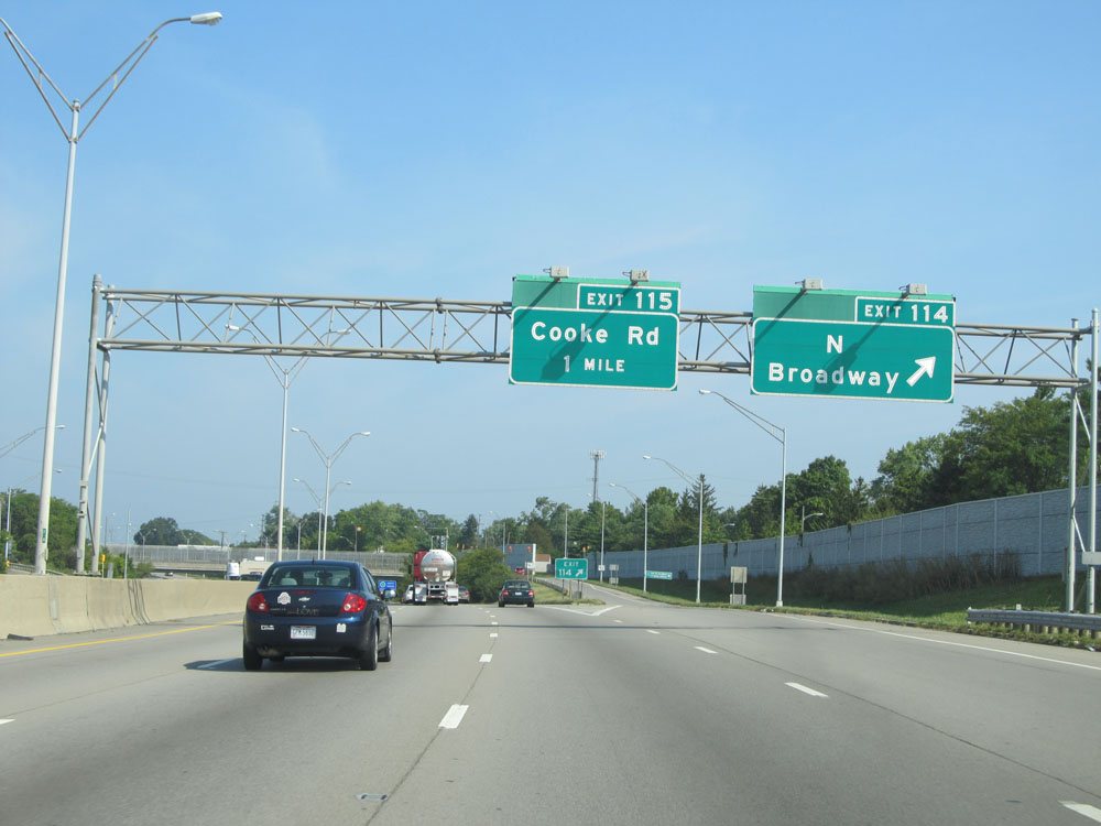
Interstate 71 North at Exit 115: Cooke Rd (Photo taken 9/7/15). |
 |
Interstate 71 North at mile marker 115. (Photo taken 9/7/15). |
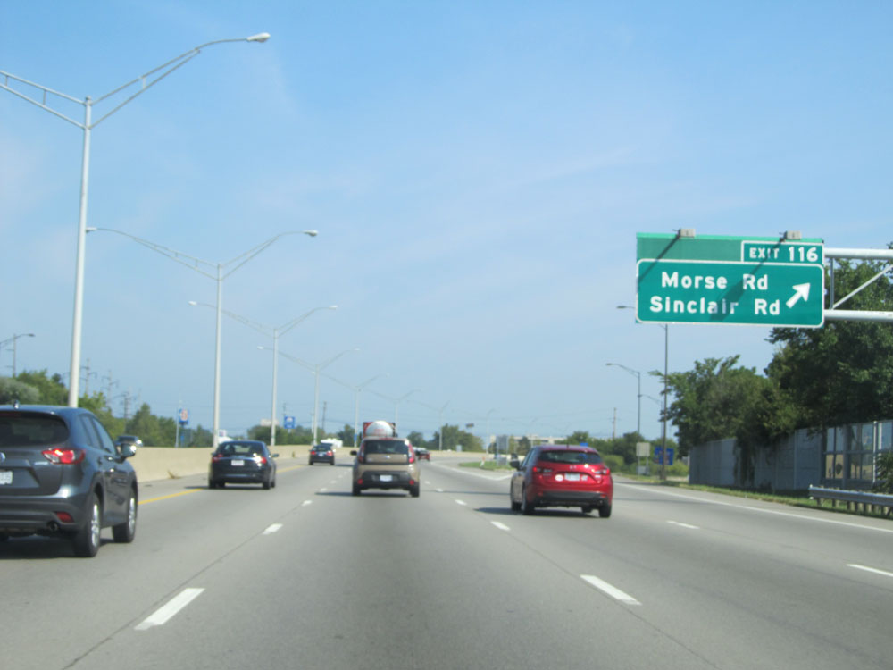 |
Interstate 71 North at Exit 116: Morse Rd / Sinclair Rd (Photo taken 9/7/15). |
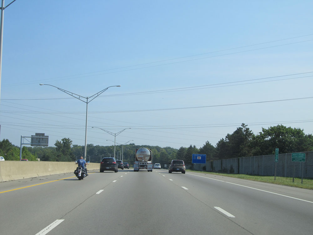 |
Interstate 71 North: Road view from mile marker 116. (Photo taken 9/7/15). |
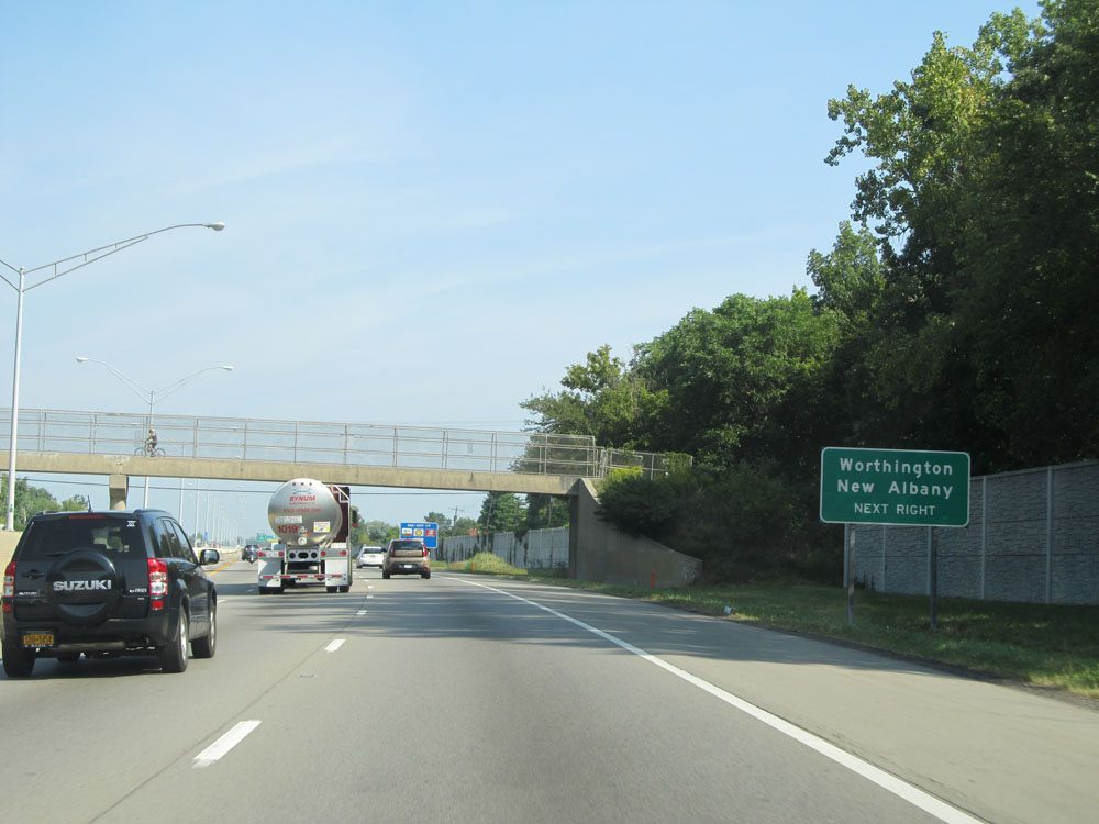 |
Take Exit 117 to Worthington and New Albany. (Photo taken 9/7/15). |
 |
Interstate 71 North at Exit 117: OH 161 - Dublin-Granville Rd (Photo taken 9/7/15). |
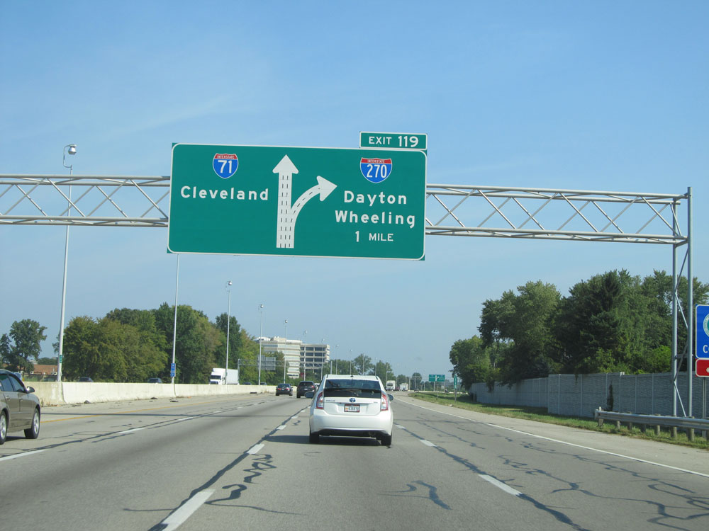 |
Interstate 71 North approaching the northern junction of Interstate 270 (Exit 119) - 1 mile. (Photo taken 9/7/15). |
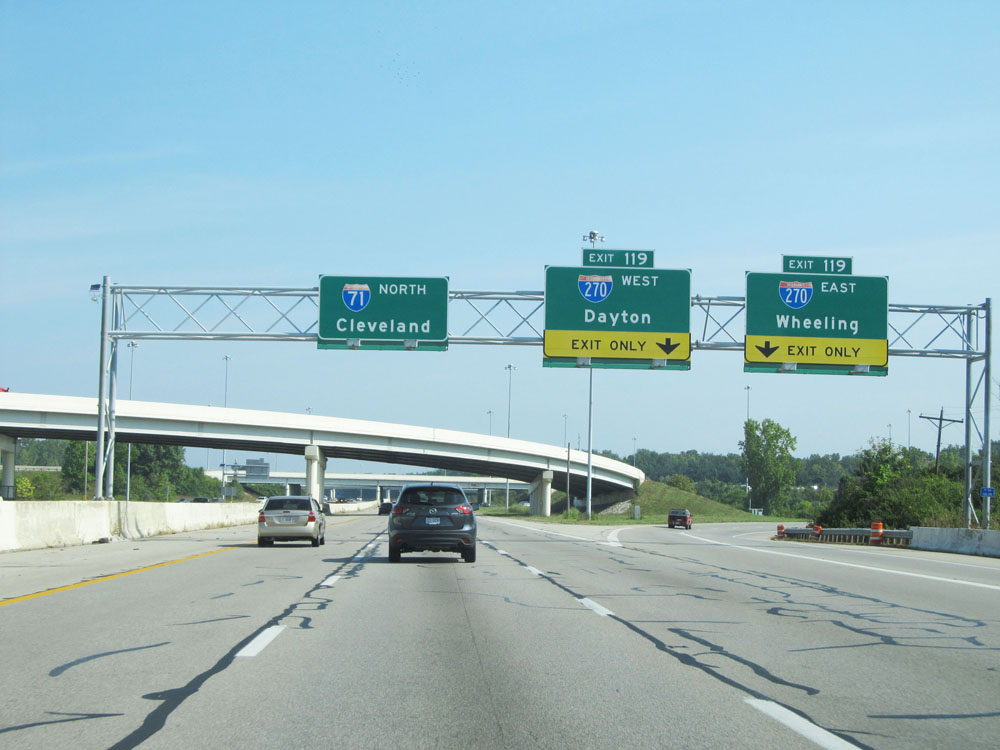 |
Interstate 71 North at Exit 119: Interstate 270 - Dayton / Wheeling (Photo taken 9/7/15). |
 |
Interstate 71 North at mile marker 120. (Photo taken 9/7/15). |
 |
Interstate 71 North at Exit 121: OH 750 - Polaris Pkwy / Gemini Place (Photo taken 9/7/15). |
 |
Interstate 71 North as it passes underneath Gemini Place. (Photo taken 9/7/15). |
 |
At mile marker 122.4, the standard speed limit of 70 mph finally resumes. (Photo taken 9/7/15). |
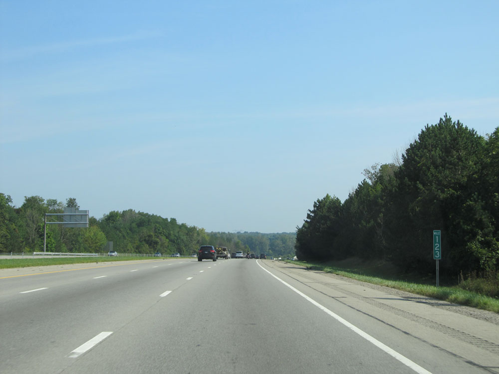 |
Interstate 71 North at mile marker 123. (Photo taken 9/7/15). |
 |
Interstate 71 North: Road view from mile marker 126. (Photo taken 9/7/15). |
 |
Interstate 71 North at the Rest Area located near mile marker 127.5. (Photo taken 9/7/15). |
 |
Another speed limit sign. Speed Limit - 70 mph. (Photo taken 9/7/15). |
 |
Take Exit 131 to Ohio Wesleyan University. (Photo taken 9/7/15). |
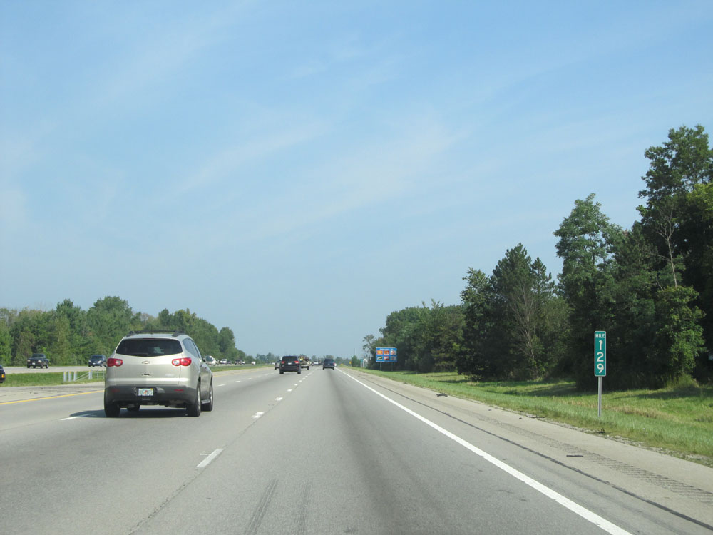 |
Interstate 71 North at mile marker 129. (Photo taken 9/7/15). |
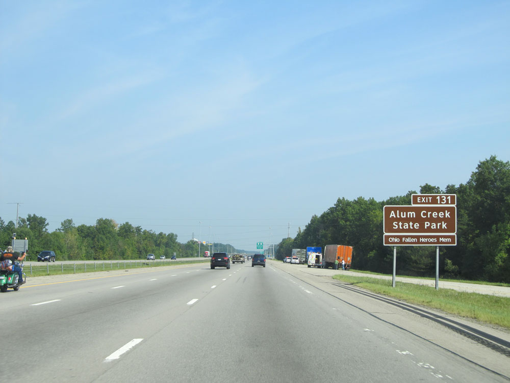 |
Take Exit 131 to Alum Creek State Park. (Photo taken 9/7/15). |
 |
Interstate 71 North at Exit 131: US 36 / OH 37 - Delaware / Sunbury (Photo taken 9/7/15). |
 |
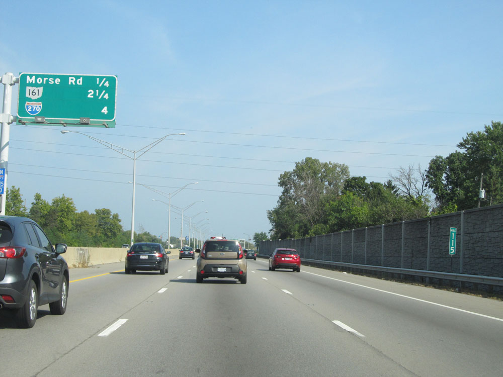
Mileage sign north of Exit 131. It's 43 miles to Mansfield and 117 miles to Cleveland. (Photo taken 9/7/15). |
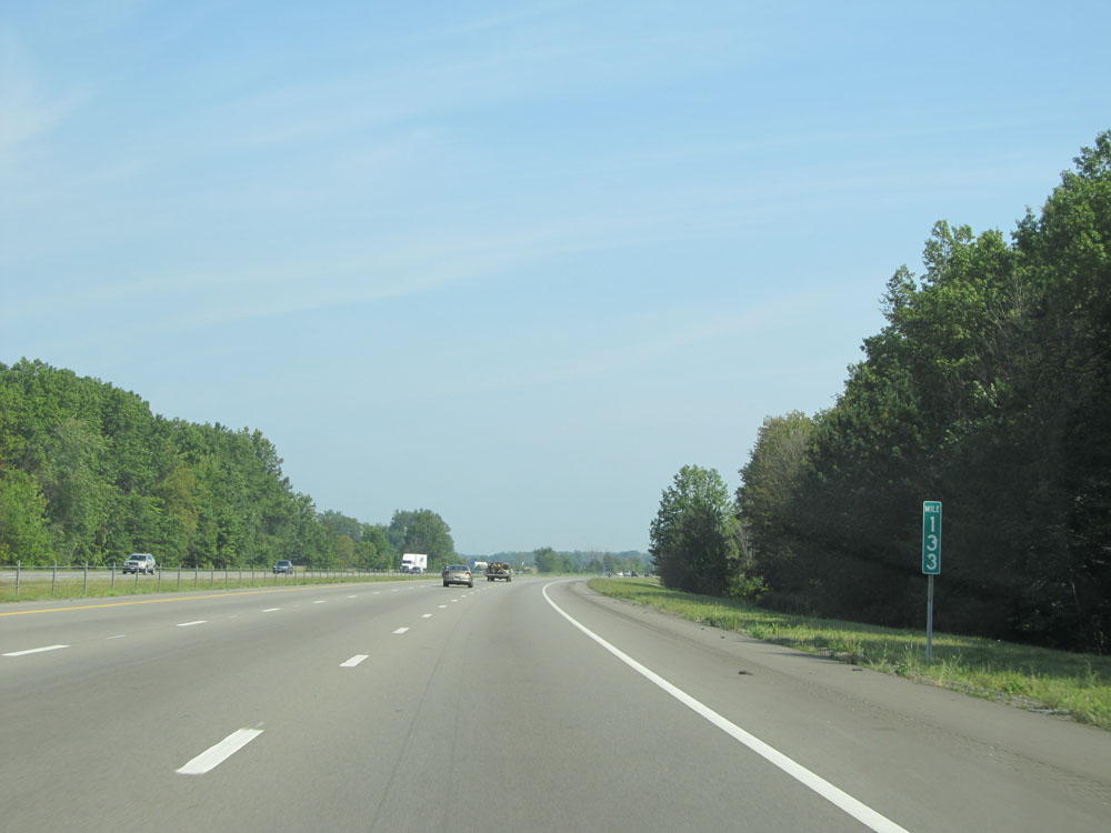 |
Interstate 71 North at mile marker 133. (Photo taken 9/7/15). |
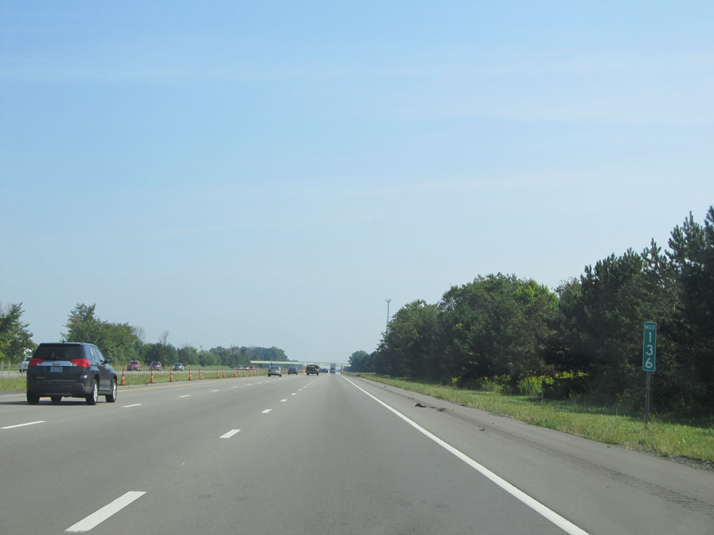 |
Interstate 71 North: Road view from mile marker 136. (Photo taken 9/7/15). |
 |
Interstate 71 North entering Morrow County. (Photo taken 9/7/15). |
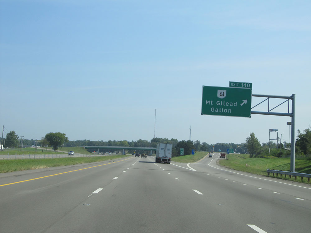 |
Interstate 71 North at Exit 140: OH 61 - Mt Gilead / Galion (Photo taken 9/7/15). |
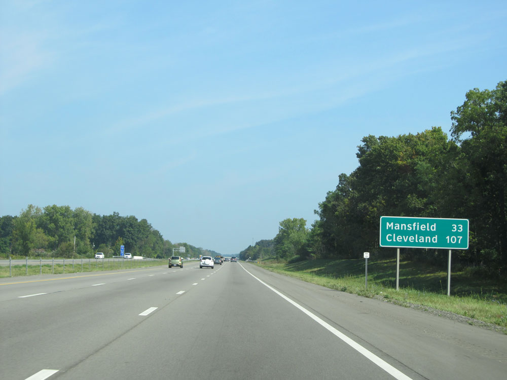 |
Mileage sign near mile marker 140. It's 33 miles to Mansfield and 107 miles to Cleveland. (Photo taken 9/7/15). |
 |
Interstate 71 North at mile marker 143. (Photo taken 9/7/15). |
 |
Interstate 71 North at mile marker 146. (Photo taken 9/7/15). |
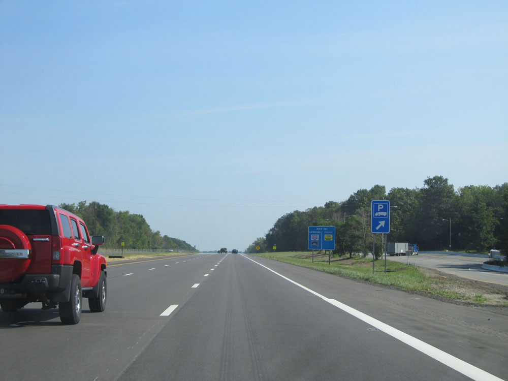 |
Interstate 71 North at the Truck Parking Area located near mile marker 149.6. (Photo taken 9/7/15). |
 |
Take either of the next 2 exits to Mid Ohio. (Photo taken 9/7/15). |
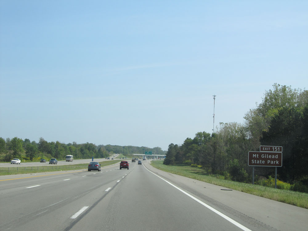 |
Take Exit 151 to Mt Gilead State Park. (Photo taken 9/7/15). |
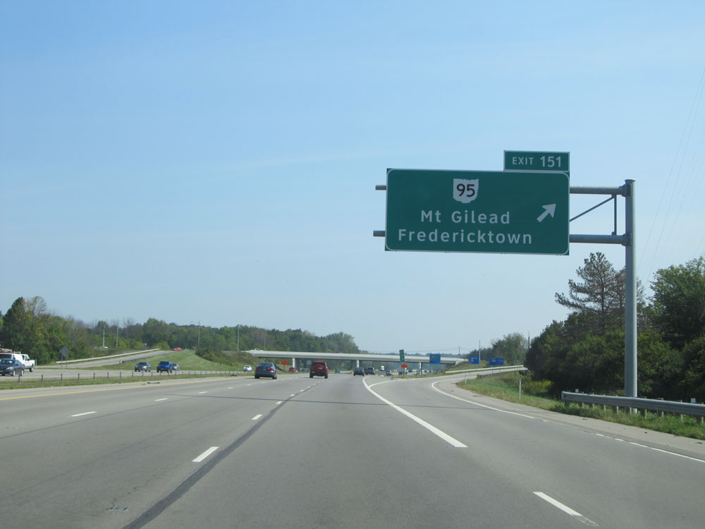 |
Interstate 71 North at Exit 151: OH 95 - Mt Gilead / Fredericktown (Photo taken 9/7/15). |
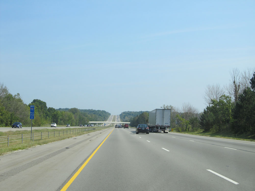 |
Interstate 71 North: Road view from mile mile marker 153. (Photo taken 9/7/15). |
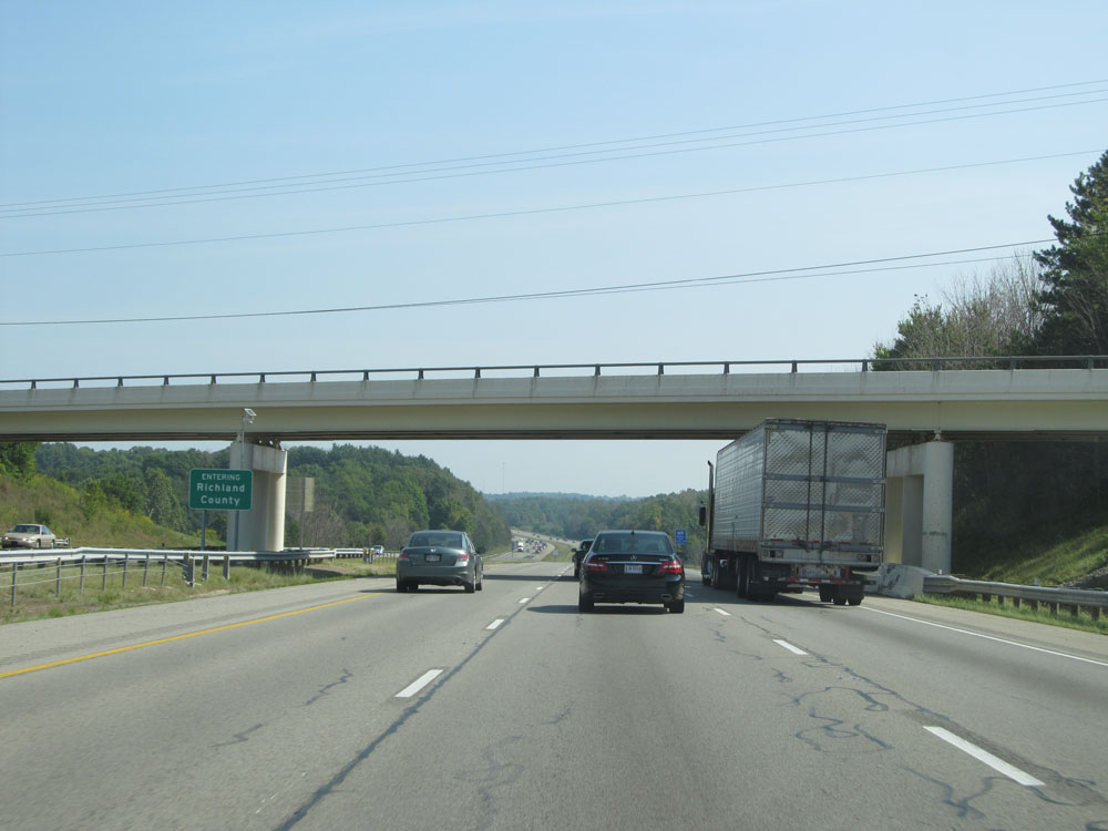 |
Interstate 71 North entering Richland County. (Photo taken 9/7/15). |
 |
Interstate 71 North at mile marker 159. (Photo taken 9/7/15). |
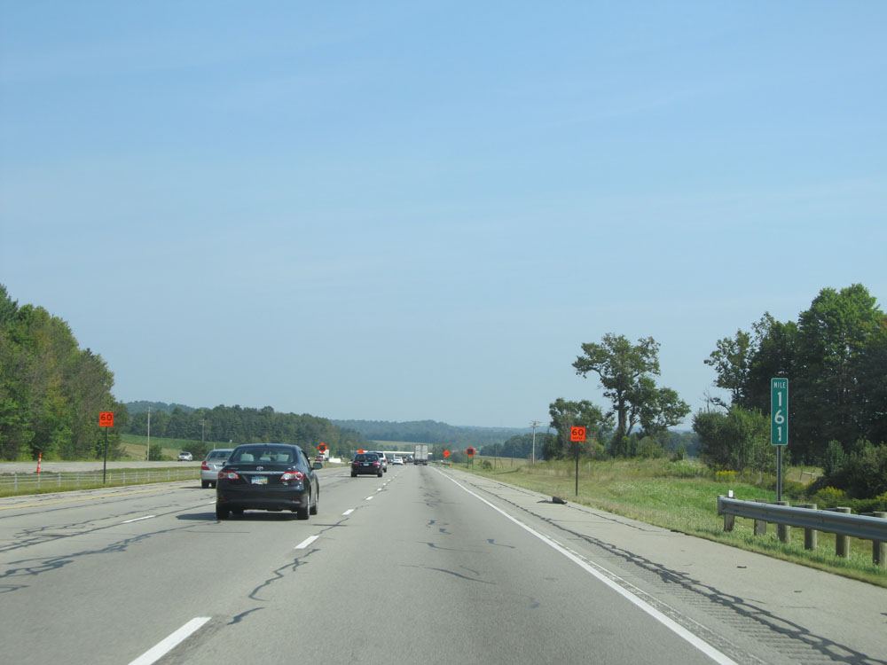 |
Interstate 71 North at mile marker 161. (Photo taken 9/7/15). |
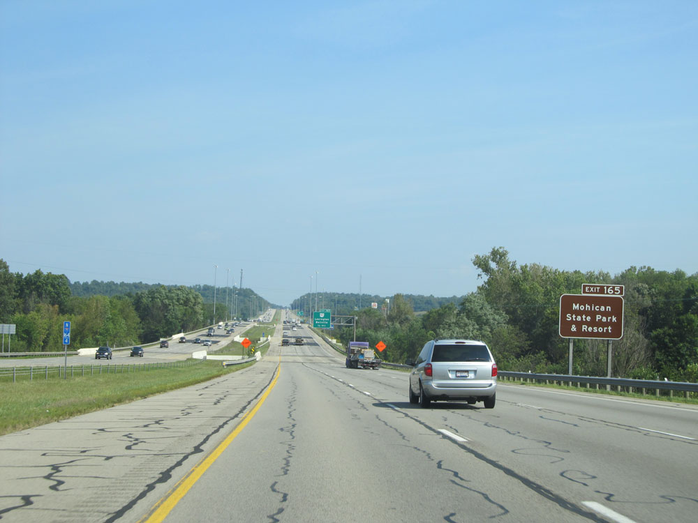 |
Take Exit 165 to Mohican State Park & Resort. (Photo taken 9/7/15). |
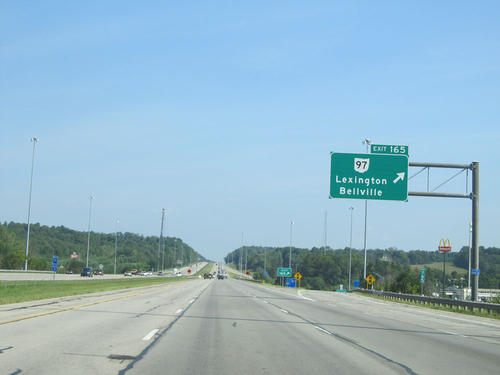 |
Interstate 71 North at Exit 165: OH 97 - Lexington / Bellville (Photo taken 9/7/15). |
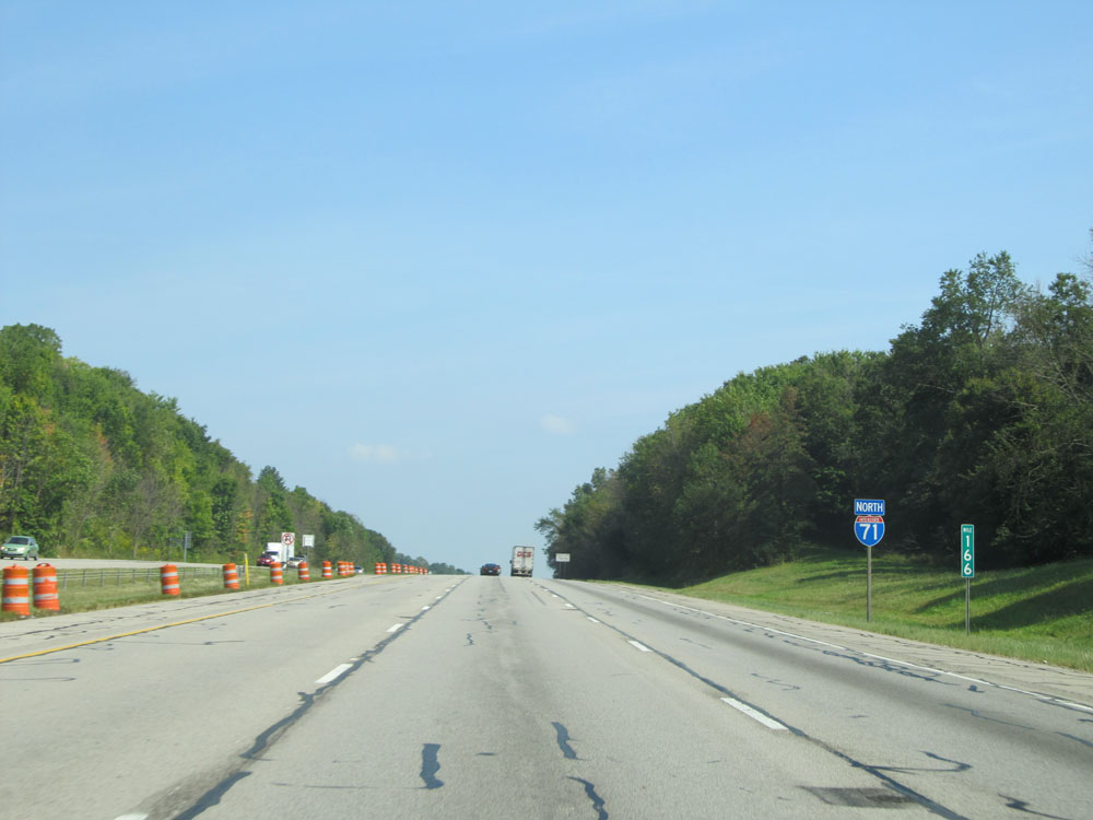 |
Interstate 71 North assurance shield at mile marker 166. (Photo taken 9/7/15). |
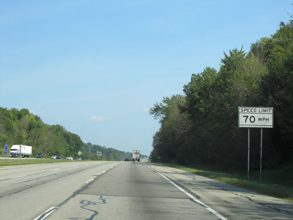 |
Ohio-style speed limit assurance sign just past mile marker 166. Speed Limit - 70 mph. (Photo taken 9/7/15). |
 |
Use Exit 169 to Snow Trails / Malabar Farm. (Photo taken 9/7/15). |
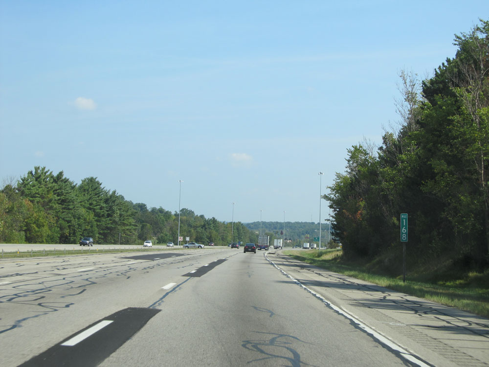 |
Interstate 71 North at mile marker 168. (Photo taken 9/7/15). |
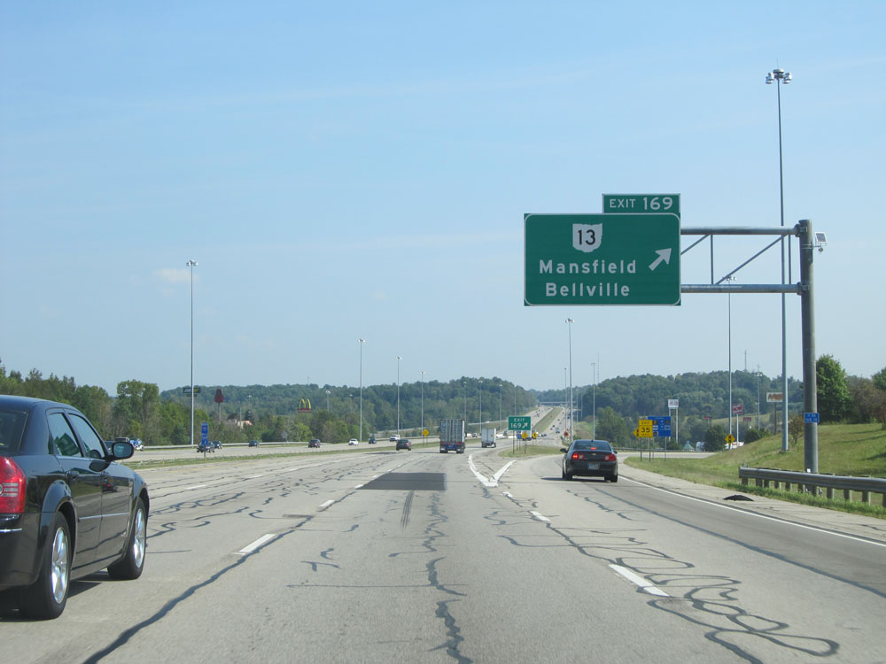 |
Interstate 71 North at Exit 169: OH 13 - Mansfield / Bellville (Photo taken 9/7/15). |
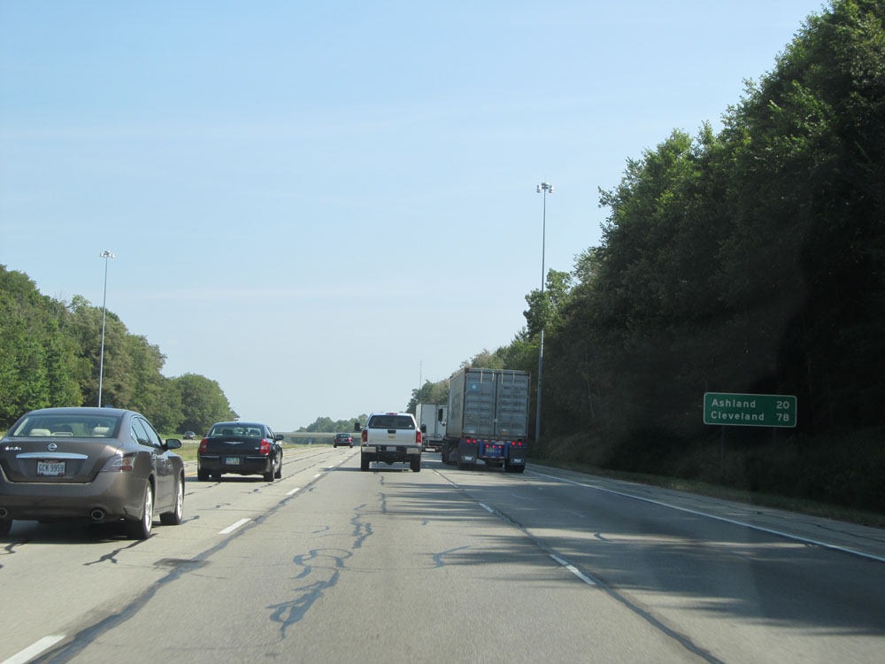 |
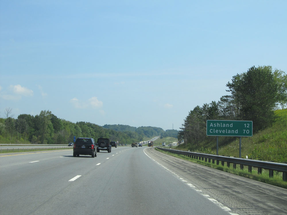
Mileage sign north of Exit 169. It's 20 miles to Ashland and 78 miles to Cleveland. (Photo taken 9/7/15). |
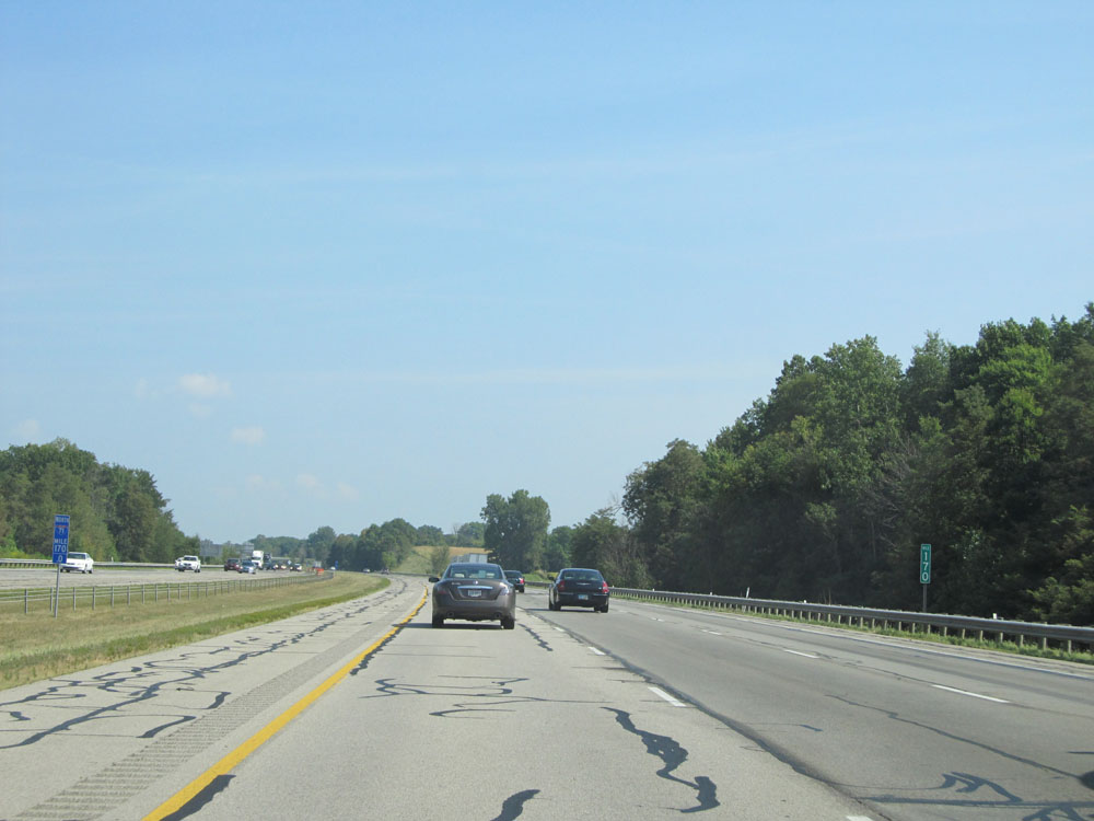 |
Interstate 71 North: Road view from mile marker 170. (Photo taken 9/7/15). |
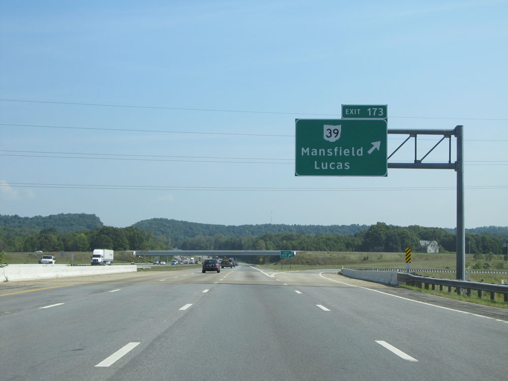 |
Interstate 71 North at Exit 173: OH 39 - Mansfield / Lucas (Photo taken 9/7/15). |
 |
Interstate 71 North approaching the junction of US 30 (Exit 176) - 1 mile. (Photo taken 9/7/15). |
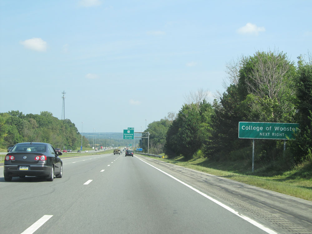 |
Take Exit 176 to College of Wooster. (Photo taken 9/7/15). |
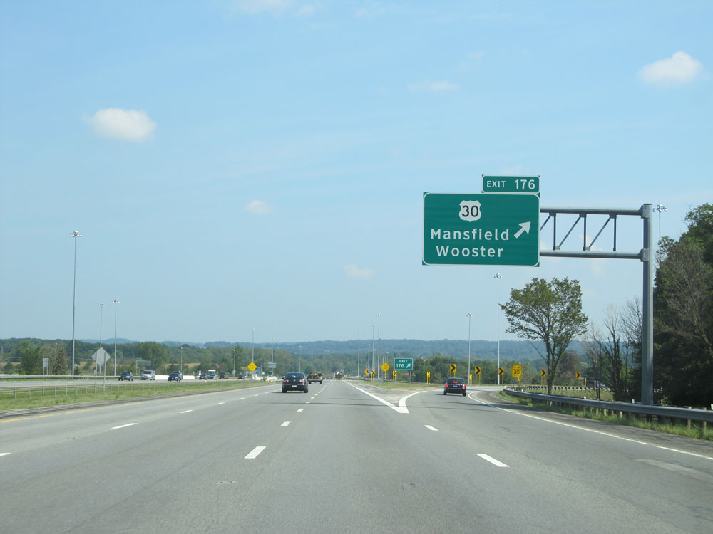 |
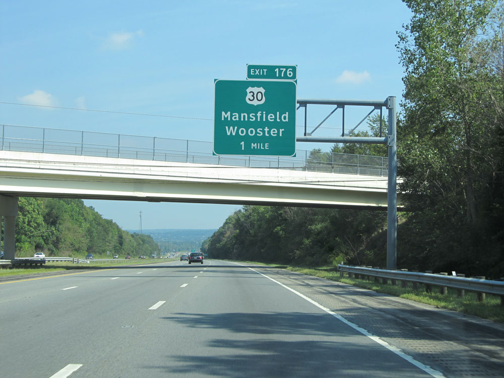
Interstate 71 North at Exit 176: US 30 - Mansfield / Wooster (Photo taken 9/7/15). |
Section 4: Mansfield (Exit 176) to Medina (Exit 220)
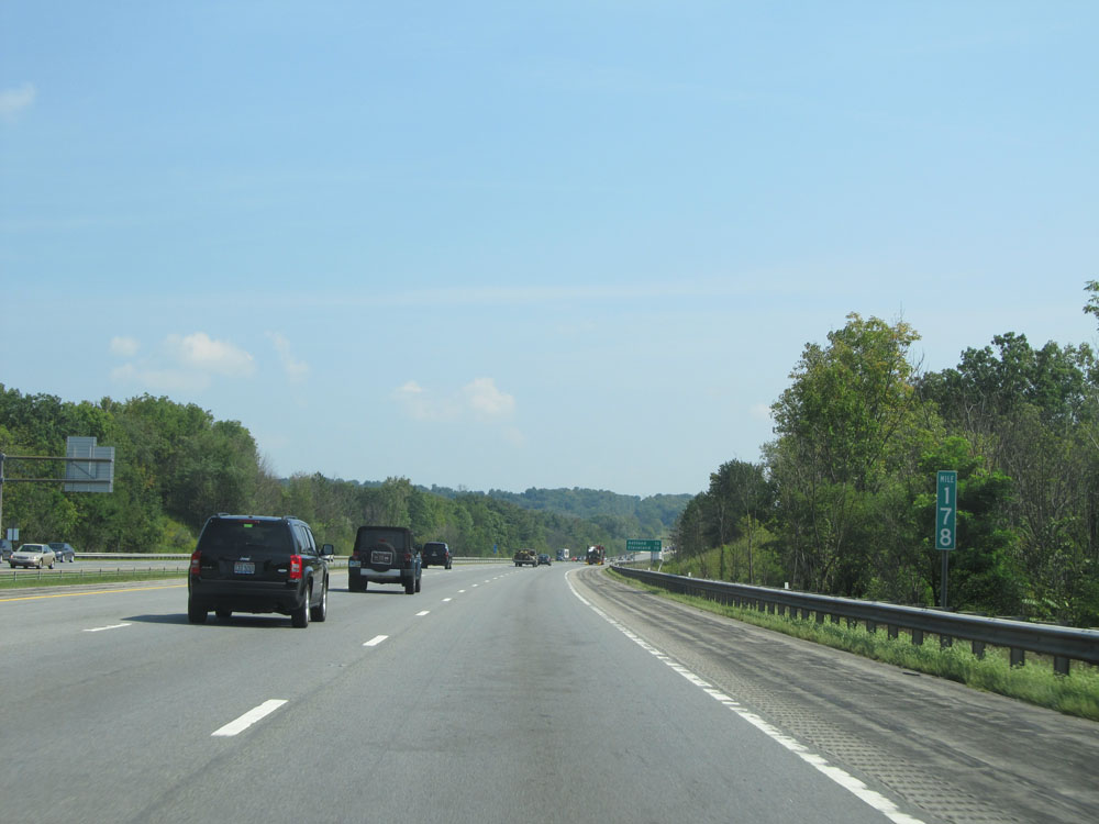 |
Interstate 71 North at mile marker 178. (Photo taken 9/7/15). |
 |
Mileage sign near mile marker 179. It's 12 miles to Ashland and 70 miles to Cleveland. (Photo taken 9/7/15). |
 |
Interstate 71 North entering Ashland County. (Photo taken 9/7/15). |
 |
Interstate 71 North: Road view from mile marker 179. (Photo taken 9/7/15). |
 |
Interstate 71 North at mile marker 182. (Photo taken 9/7/15). |
 |
Take Exit 186 to Ashland University. (Photo taken 9/7/15). |
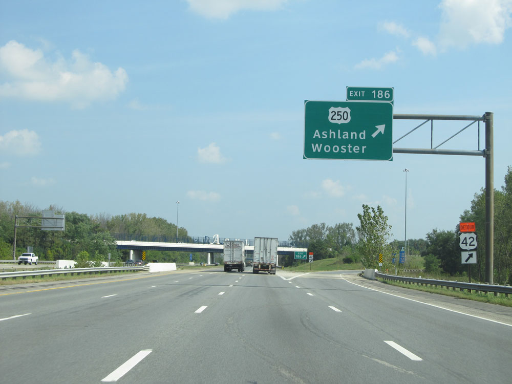 |
Interstate 71 North at Exit 186: US 250 - Ashland / Wooster (Photo taken 9/7/15). |
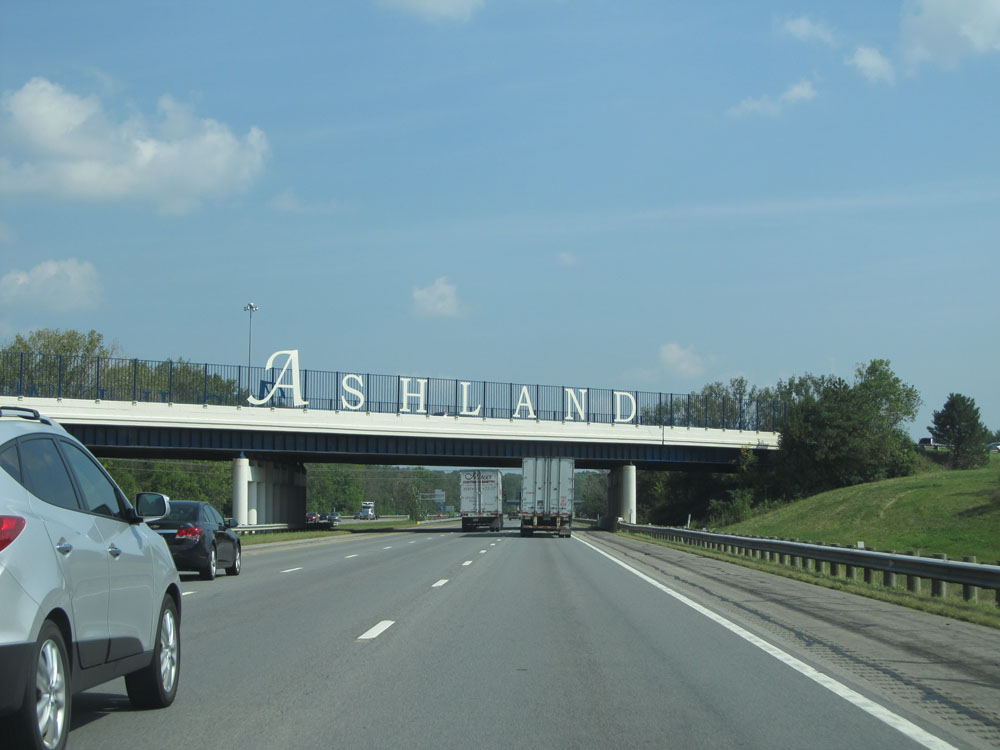 |
Road view on Interstate 71 North as it passes under US 250. (Photo taken 9/7/15). |
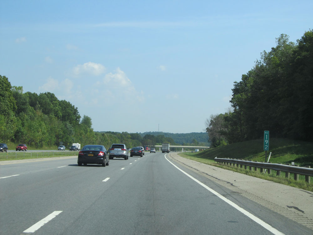 |
Interstate 71 North at mile marker 192. (Photo taken 9/7/15). |
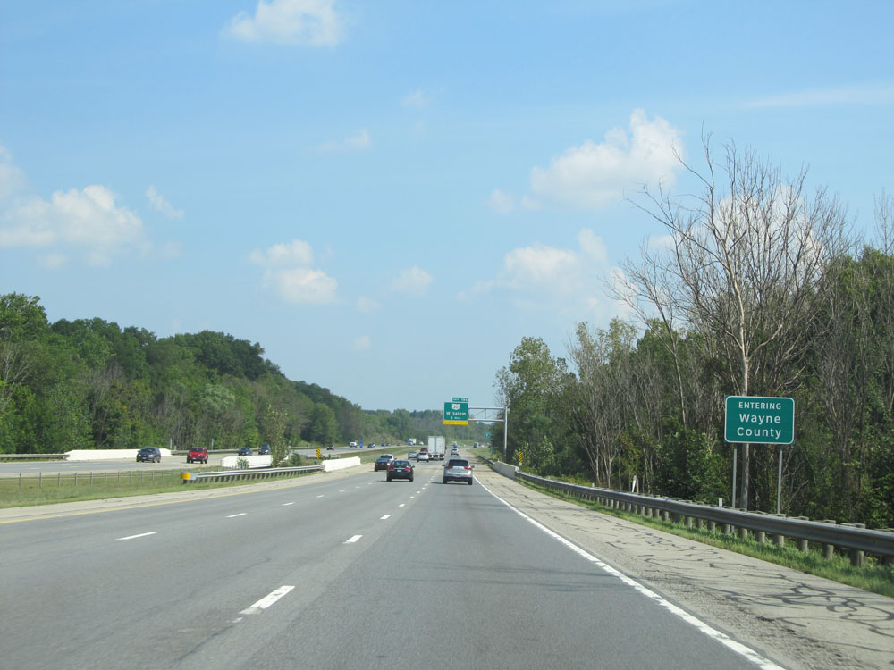 |
Interstate 71 North as it enters Wayne County. (Photo taken 9/7/15). |
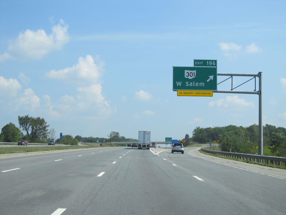 |
Interstate 71 North at Exit 196: OH 301 - W Salem (Photo taken 9/7/15). |
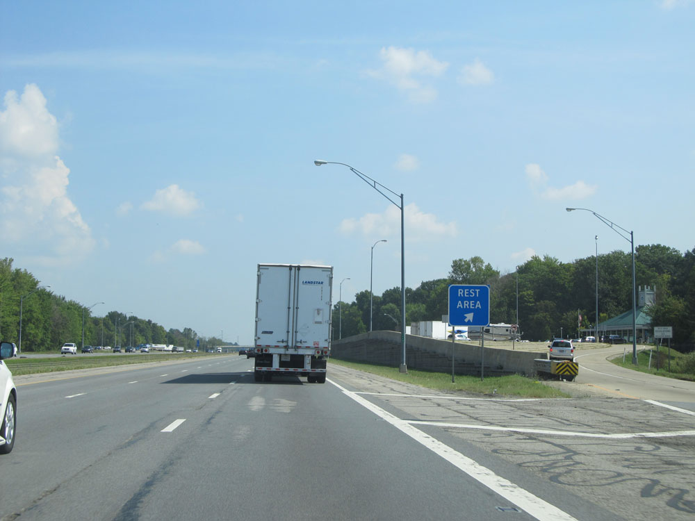 |
Interstate 71 North at the Rest Area located at mile marker 196.6. (Photo taken 9/7/15). |
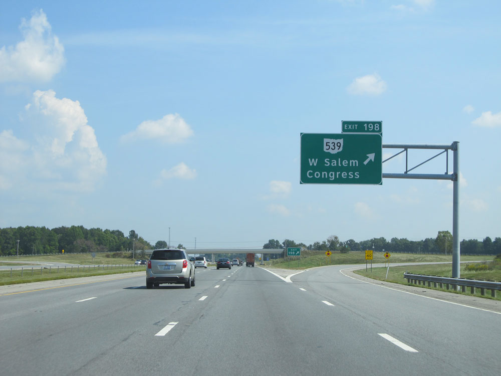 |
Interstate 71 North at Exit 198: OH 539 - W Salem / Congress (Photo taken 9/7/15). |
 |
Interstate 71 North assurance shield just north of Exit 198. (Photo taken 9/7/15). |
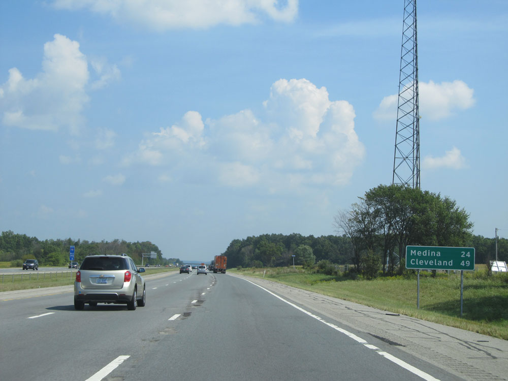 |
Mileage sign near mile marker 198. It's 24 miles to Medina and 49 miles to Cleveland. (Photo taken 9/7/15). |
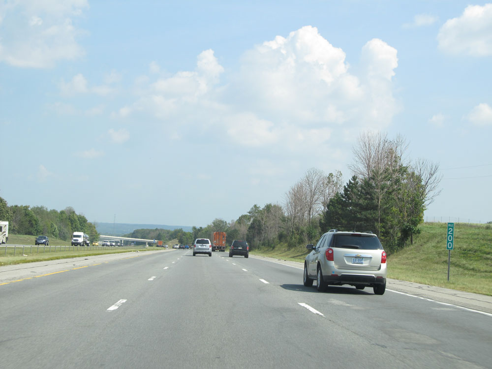 |
Interstate 71 North: Road view from mile marker 200. (Photo taken 9/7/15). |
 |
Interstate 71 North entering Medina County. (Photo taken 9/7/15). |
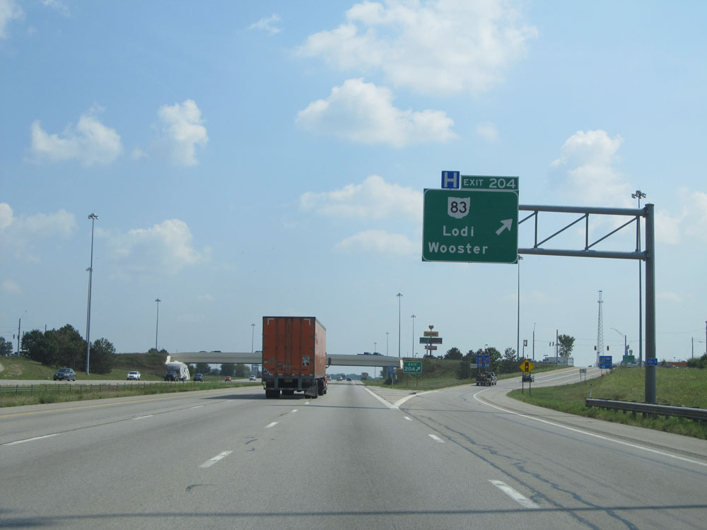 |
Interstate 71 North at Exit 204: OH 83 - Lodi / Wooster (Photo taken 9/7/15). |
 |
The junction of Interstate 76 lies just 4 miles ahead, while it's still 43 miles to Cleveland. (Photo taken 9/7/15). |
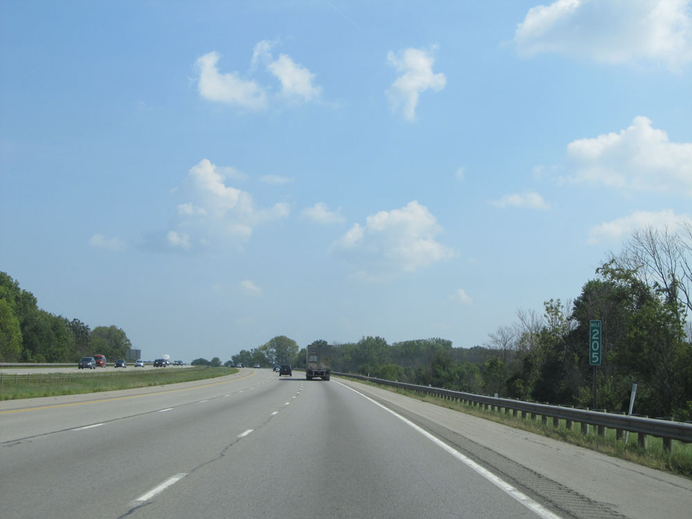 |
Interstate 71 North at mile marker 205. (Photo taken 9/7/15). |
 |
Interstate 71 North: Road view from mile marker 207. (Photo taken 9/7/15). |
 |
Interstate 71 North approaching the junction of Interstate 76 / US 224 (Exits 209A-B) - 1 mile. (Photo taken 9/7/15). |
 |
Take Exit 209A to Seville and Exit 209B to Chippewa Lake. (Photo taken 9/7/15). |
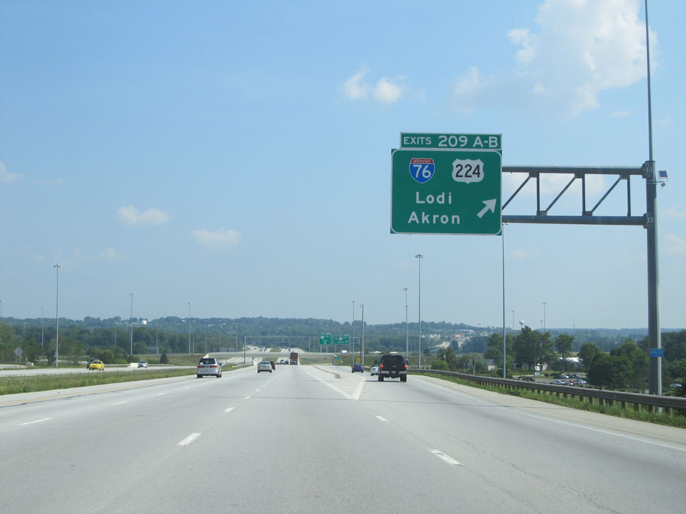 |
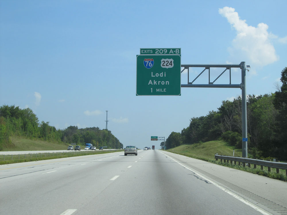
Interstate 71 North at Exits 209A-B: Interstate 76 / US 224 - Lodi / Akron (Photo taken 9/7/15). |
 |
Interstate 71 North at mile marker 210. (Photo taken 9/7/15). |
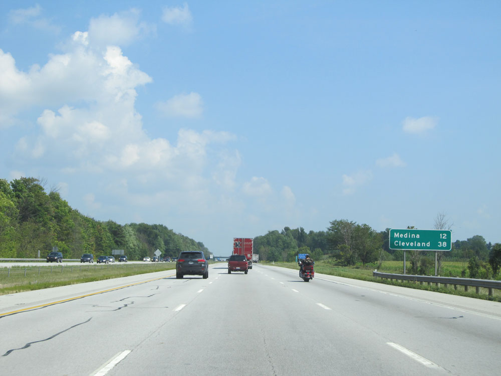 |
Mileage sign near mile marker 211. It's 12 miles to Medina and 38 miles to Cleveland. (Photo taken 9/7/15). |
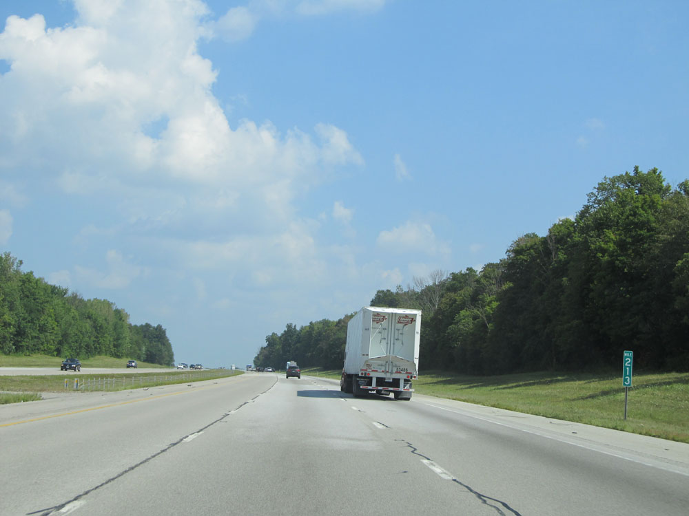 |
Interstate 71 North: Road view from mile marker 213. (Photo taken 9/7/15). |
 |
Interstate 71 North at mile marker 215. (Photo taken 9/7/15). |
 |
Interstate 71 North at mile marker 216. (Photo taken 9/7/15). |
 |
Take Exit 218 to the Fairgrounds and Hospital. (Photo taken 9/7/15). |
 |
Interstate 71 North at Exit 218: OH 18 - Medina / Akron (Photo taken 9/7/15). |
 |
Interstate 71 North approaching the junction of Interstate 271 North (Exit 220) - 1 mile. (Photo taken 9/7/15). |
 |
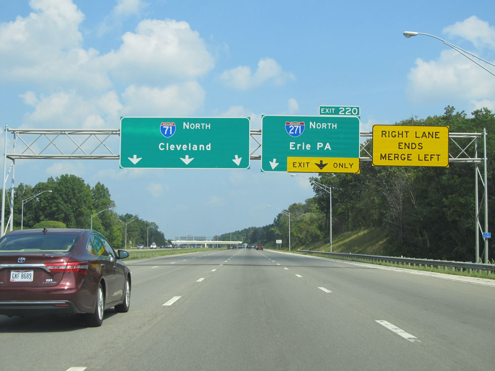
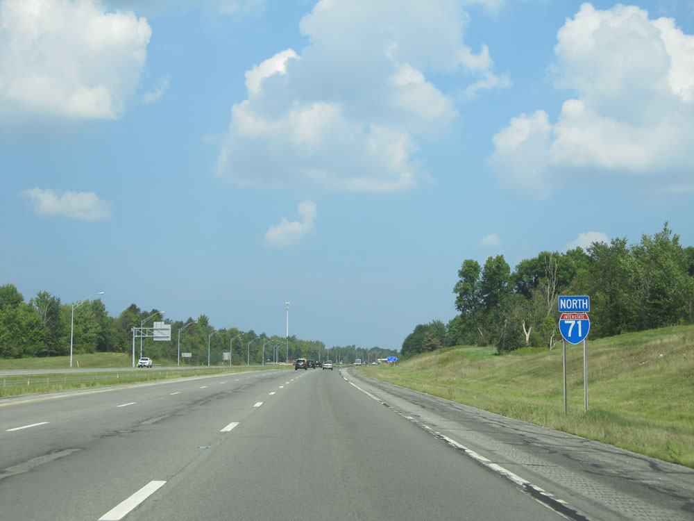
Interstate 71 North at Exit 220: Interstate 271 North - Erie, PA (Photo taken 9/7/15). |
Section 5: Medina (Exit 220) to Interstate 90
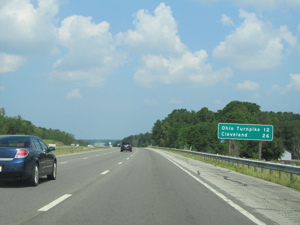 |
Mileage sign near mile marker 220. It's 12 miles to the junction of Interstate 80 (Ohio Turnpike) and 26 miles to Cleveland. (Photo taken 9/7/15). |
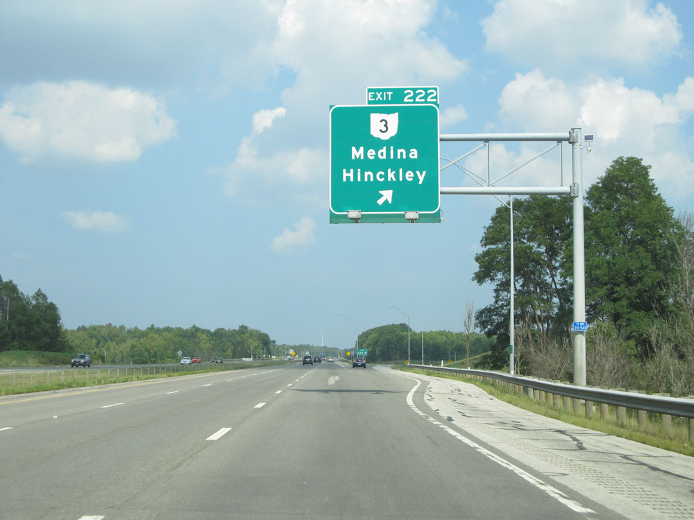 |
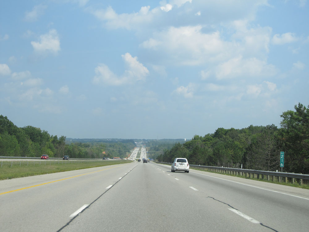
Interstate 71 North at Exit 222: OH 3 - Medina / Hinckley (Photo taken 9/7/15). |
 |
Interstate 71 North assurance shield near mile marker 222. (Photo taken 9/7/15). |
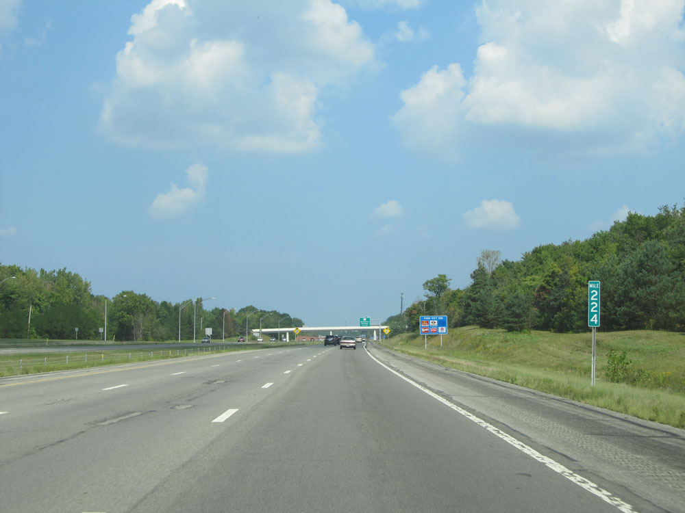 |
Interstate 71 North: Road view from mile marker 224. (Photo taken 9/7/15). |
 |
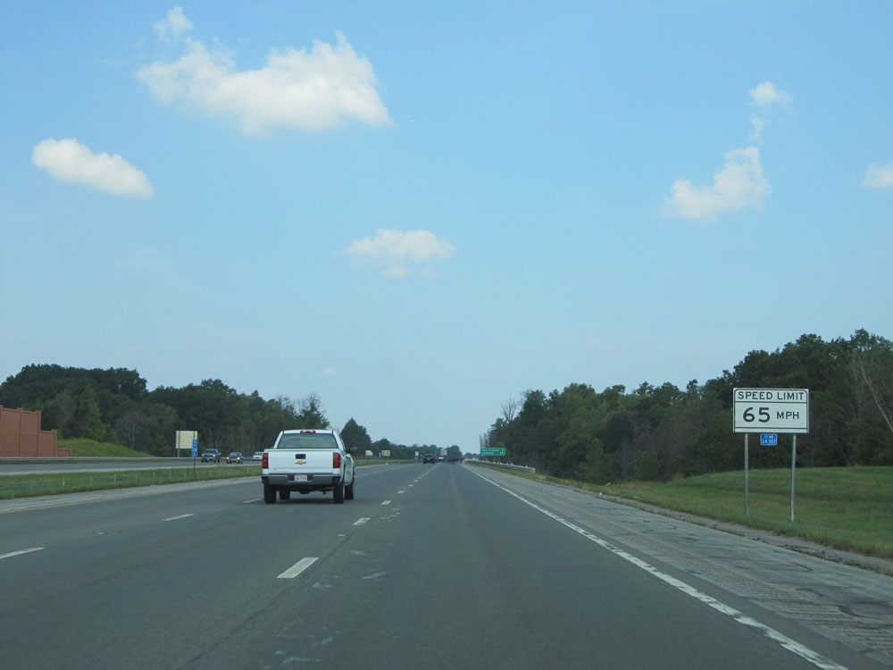
At mile marker 224.4, the speed limit decreases to 65 mph as we enter the southern suburbs of Cleveland. Sorry, no more 70 mph. (Photo taken 9/7/15). |
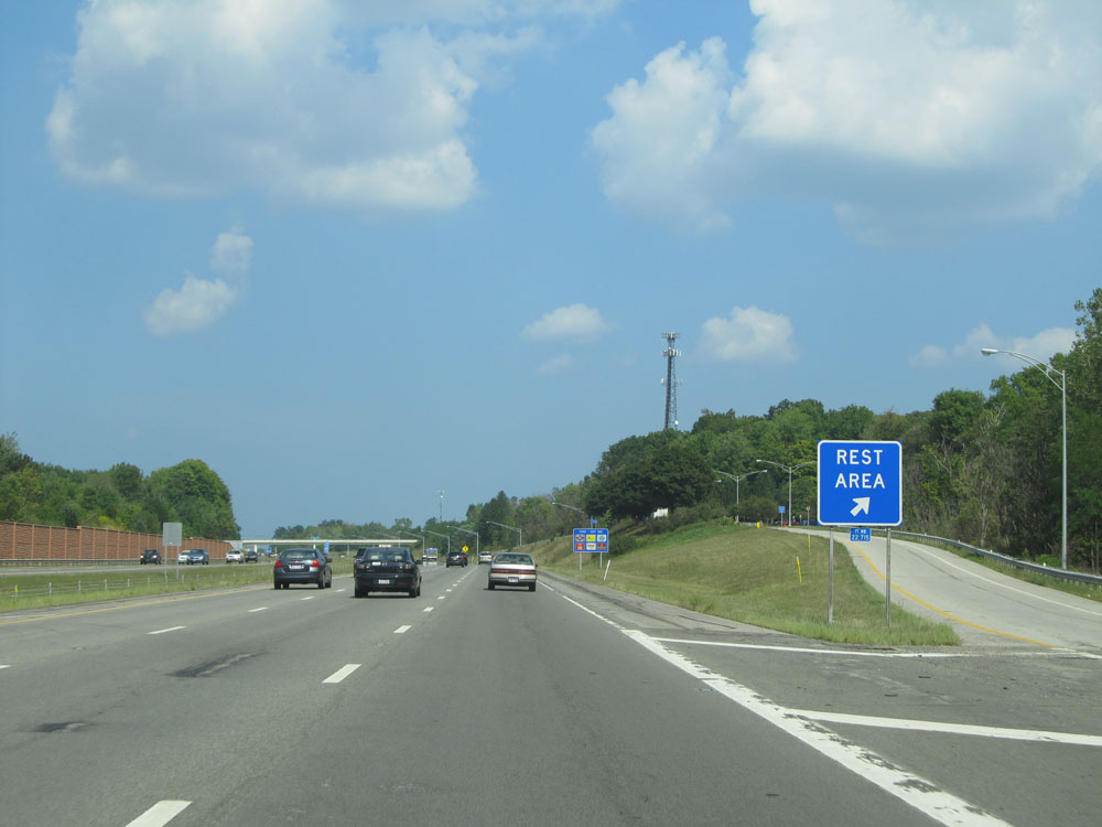 |
Interstate 71 North at the Rest Area located at mile marker 224.8. (Photo taken 9/7/15). |
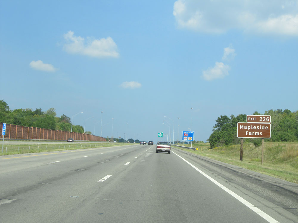 |
Take Exit 226 to Mapleside Farms. (Photo taken 9/7/15). |
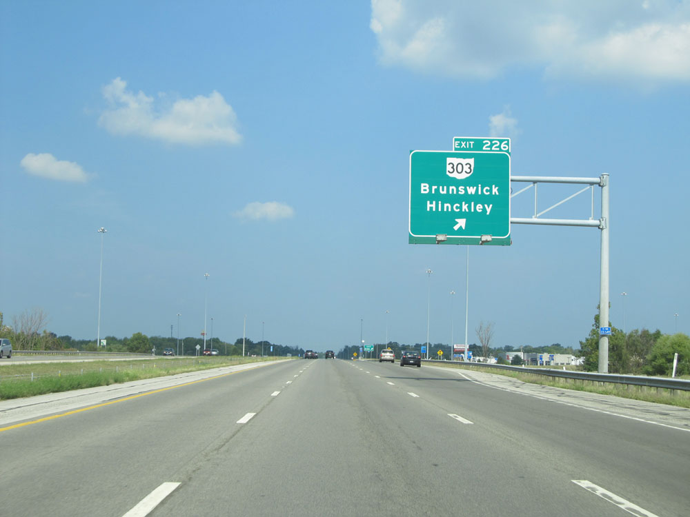 |
Interstate 71 North at Exit 226: OH 303 - Brunswick / Hinckley (Photo taken 9/7/15). |
 |
Ohio-style speed limit sign near mile marker 226. These types of speed limit signs were left over from when Ohio used to have split speed limits for trucks (55 mph, and thankfully they did away with it). They removed the bottom halves of the signs which used to house the truck speed limit. (Photo taken 9/7/15). |
 |
Interstate 71 North at mile marker 228. (Photo taken 9/7/15). |
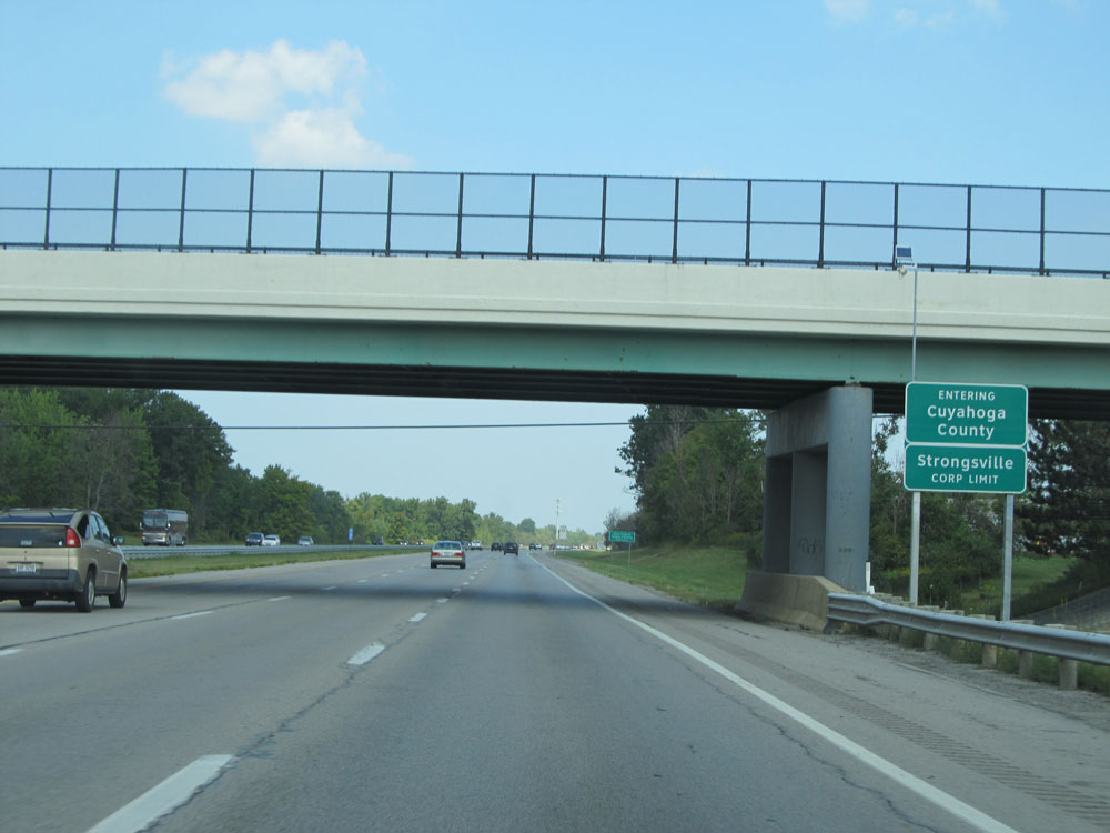 |
Interstate 71 North entering Cuyahoga County and the Strongsville corporate limit. (Photo taken 9/7/15). |
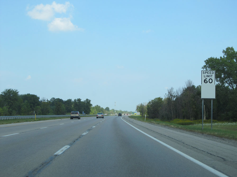 |
Upon entering Cuyahoga County, the speed limit drops to 60 mph, which is the highest speed limit you will see on the Interstates in Cuyahoga County. (Photo taken 9/7/15). |
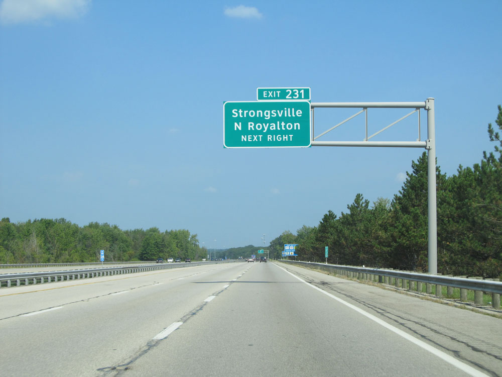 |
Take Exit 231 to Strongsville and North Royalton. (Photo taken 9/7/15). |
 |
Interstate 71 North at Exit 231: OH 82 - Royalton Rd (Photo taken 9/7/15). |
 |
Interstate 71 North assurance shield near mile marker 231. (Photo taken 9/7/15). |
 |
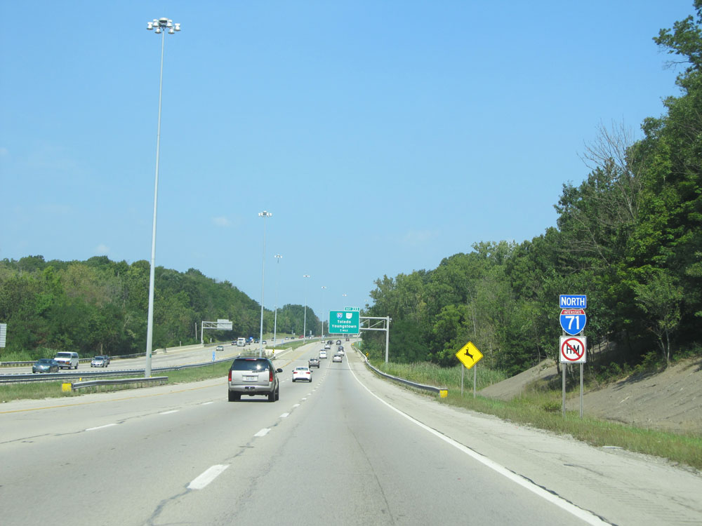
Interstate 71 North approaching the junction of Interstate 80 (Ohio Turnpike, Exit 233) - 1 mile. (Photo taken 9/7/15). |
 |
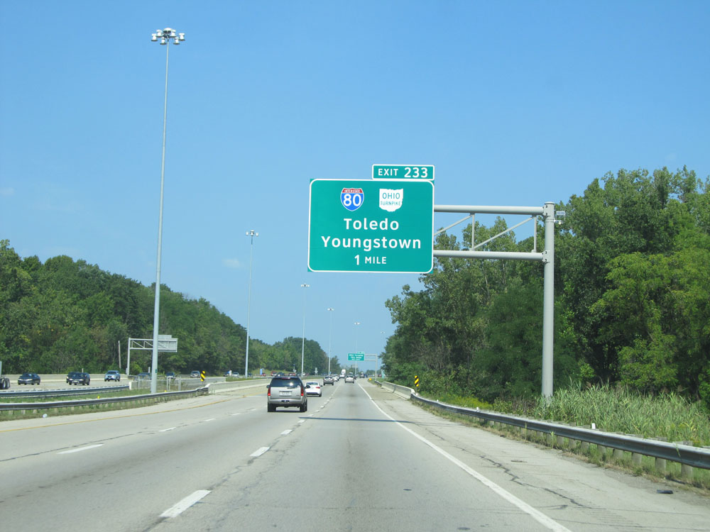
Interstate 71 North at Exit 233: Interstate 80 / Ohio Turnpike - Toledo / Youngstown (Photo taken 9/7/15). |
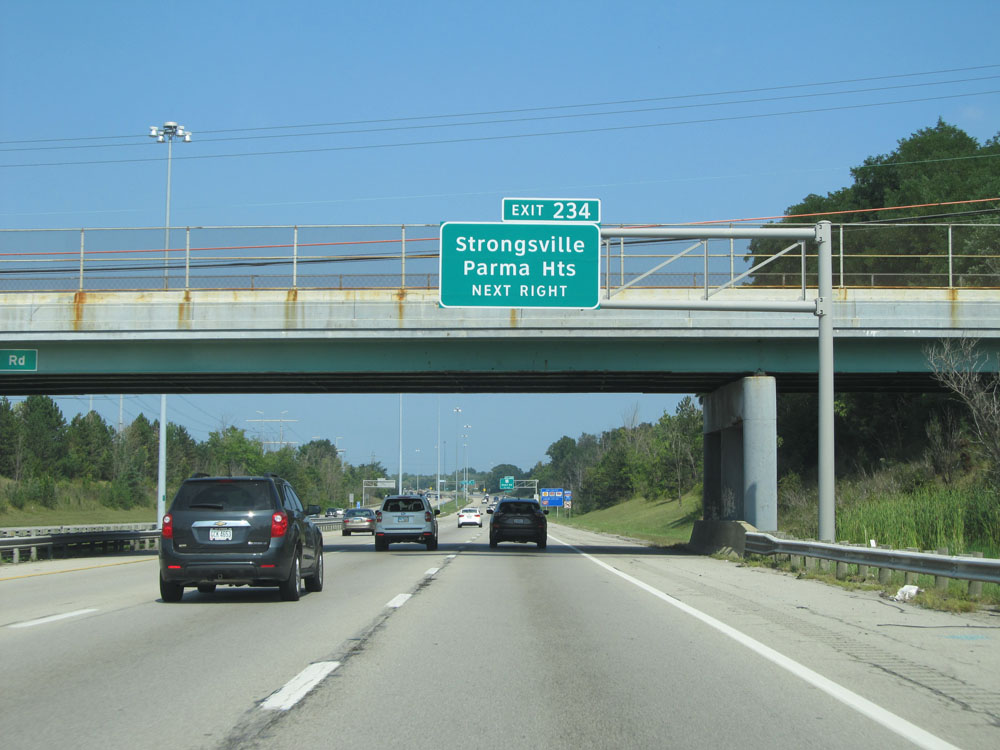 |
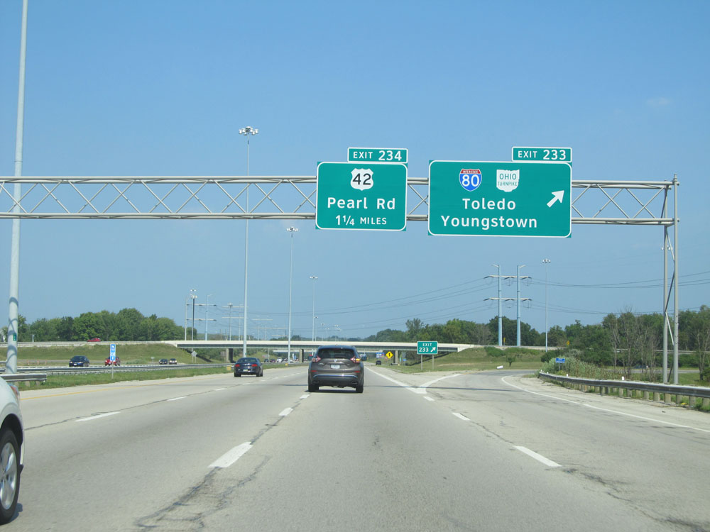
Take Exit 234 to Strongsville and Parma Heights. (Photo taken 9/7/15). |
 |
It's 5 miles to the junction of Interstate 480 and also 5 miles to the airport. (Photo taken 9/7/15). |
 |
Interstate 71 North entering the Middleburg Heights corporate limit. (Photo taken 9/7/15). |
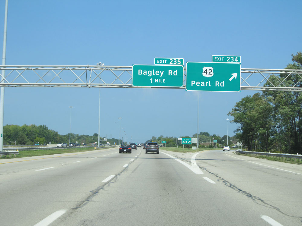 |
Interstate 71 North at Exit 234: US 42 - Pearl Rd (Photo taken 9/7/15). |
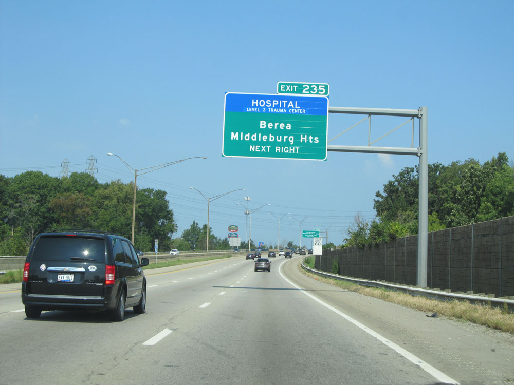 |
Take Exit 235 to Berea and Middleburg Heights. (Photo taken 9/7/15). |
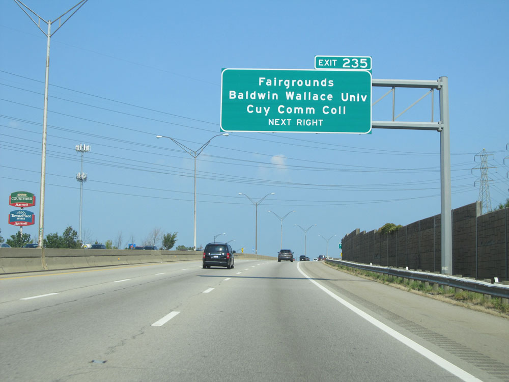 |
Take Exit 235 to the Fairgrounds, Baldwin Wallace University, and Cuyahoga Community College. (Photo taken 9/7/15). |
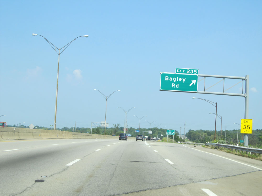 |
Interstate 71 North at Exit 235: Bagley Rd (Photo taken 9/7/15). |
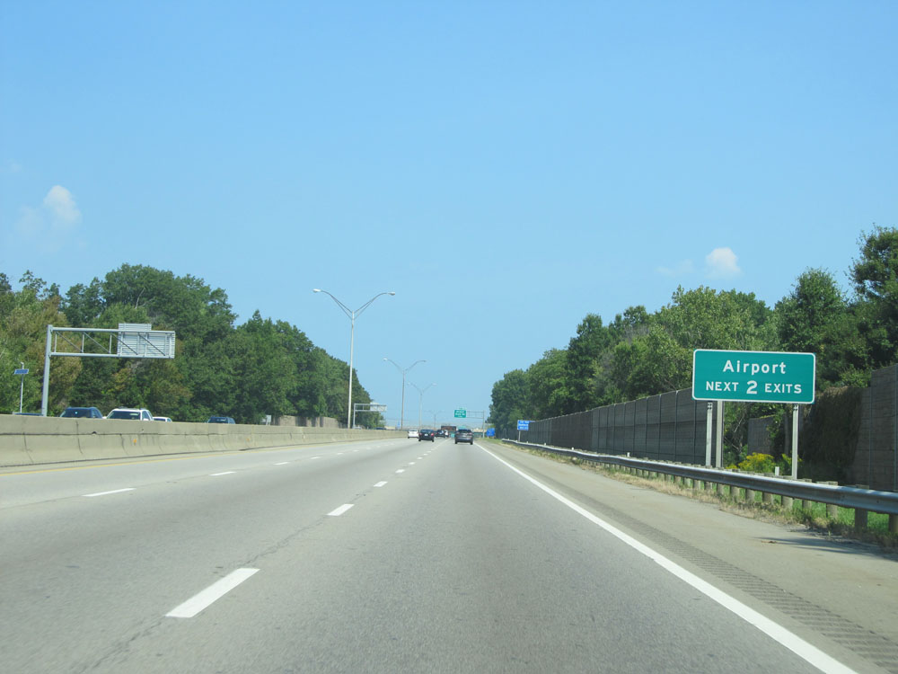 |
Take either of the next 2 exits to the Airport. (Photo taken 9/7/15). |
 |
Rental Car Return should use Exit 238 for Interstate 480 West. (Photo taken 9/7/15). |
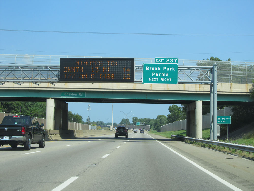 |
Take Exit 237 to Brook Park and Parma. (Photo taken 9/7/15). |
 |
Interstate 71 North at Exit 237: Airport / Snow Rd (Photo taken 9/7/15). |
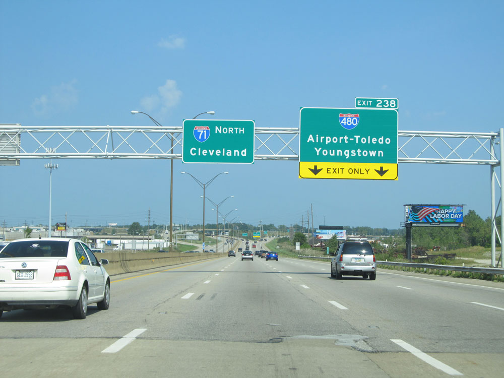 |
Interstate 71 North approaching the junction of Interstate 480 (Exit 238) - 1/4 mile. (Photo taken 9/7/15). |
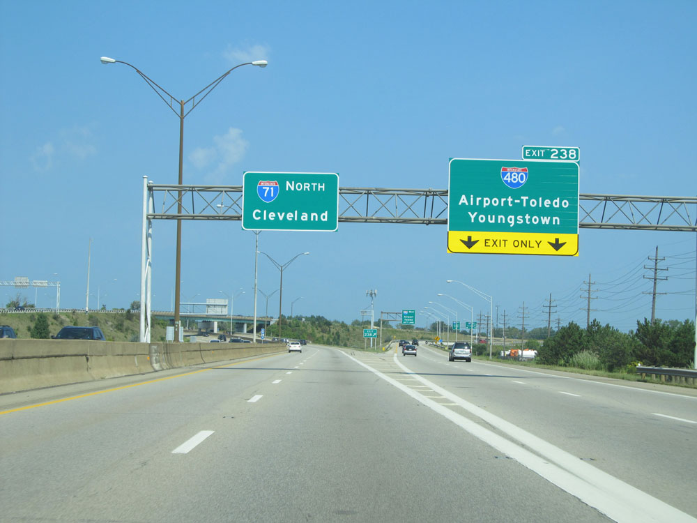 |
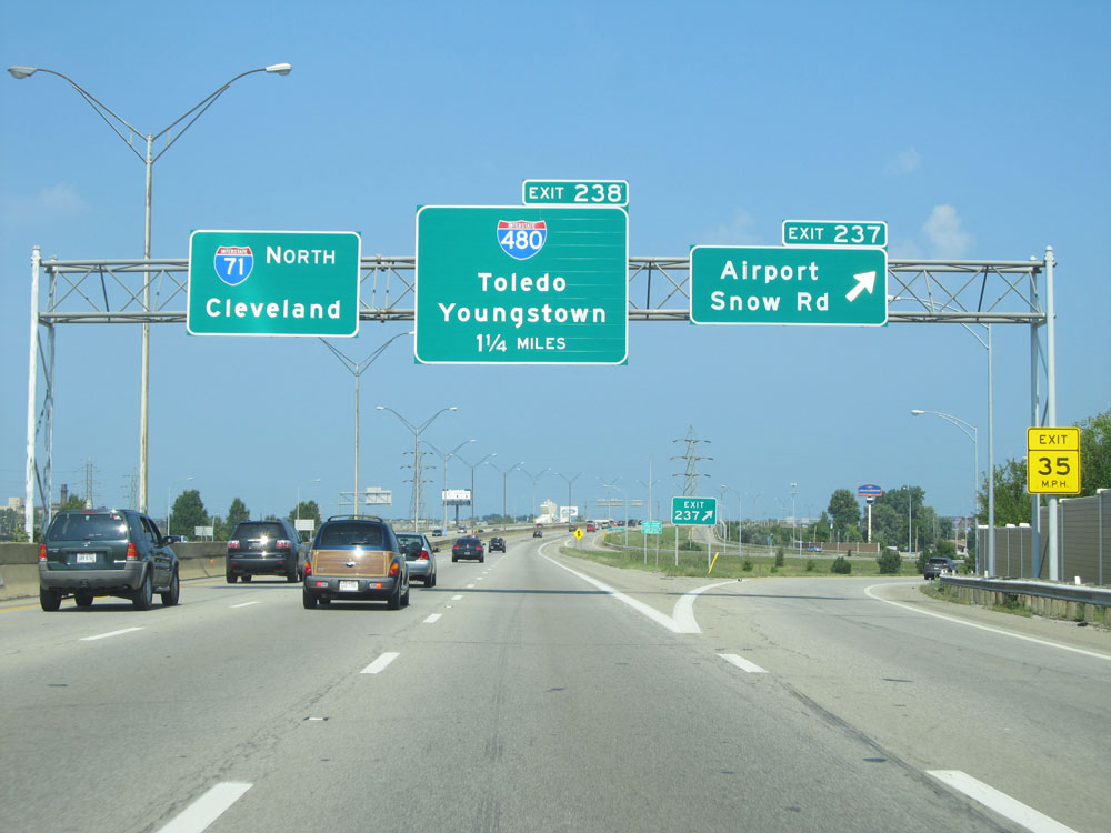
Interstate 71 North at Exit 238: Interstate 480 - Airport-Toledo / Youngstown (Photo taken 9/7/15). |
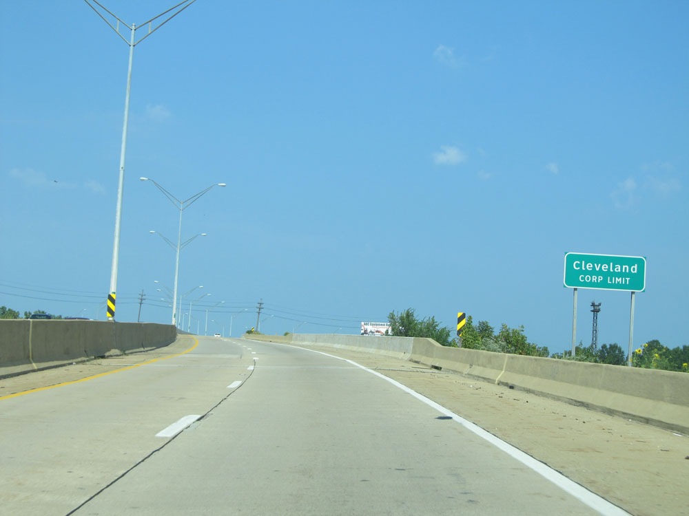 |
Interstate 71 North entering the Cleveland corporate limits. (Photo taken 9/7/15). |
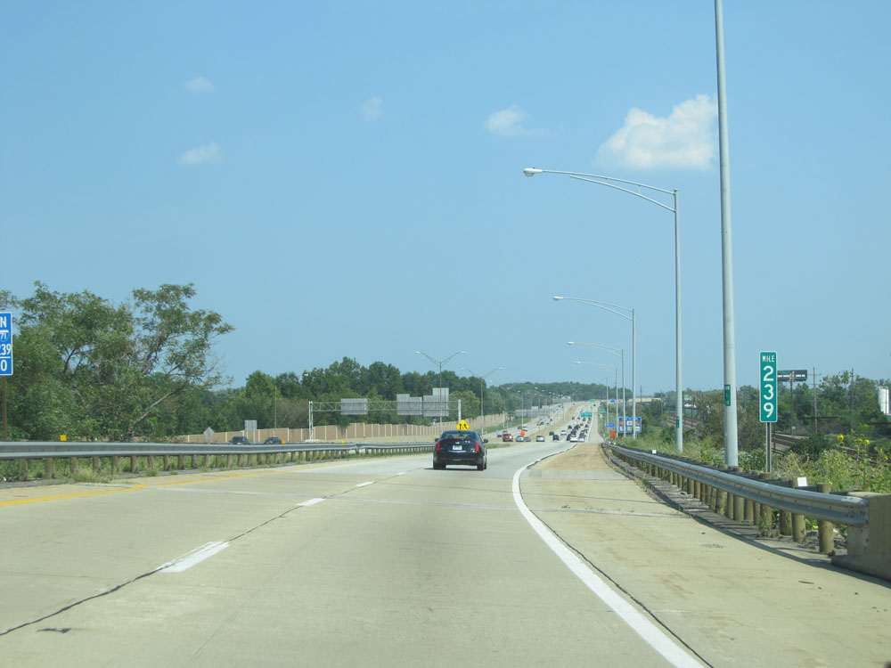 |
Interstate 71 North at mile marker 239. (Photo taken 9/7/15). |
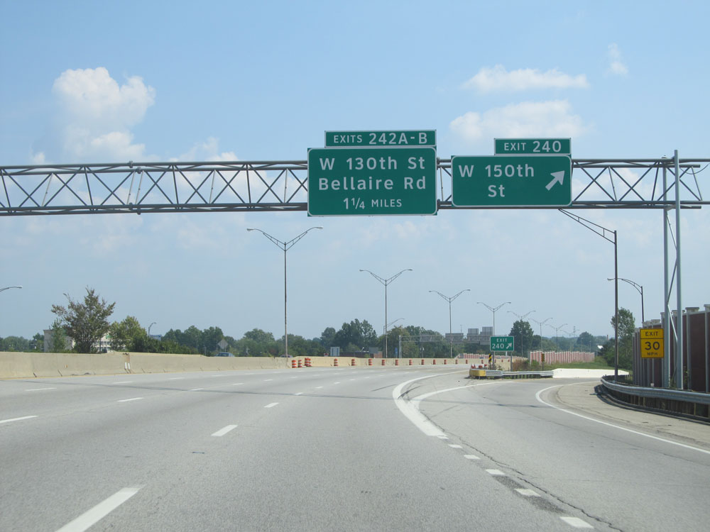 |
Interstate 71 North at Exit 240: W 150th St (Photo taken 9/7/15). |
 |
Interstate 71 North: Road view from mile marker 241. (Photo taken 9/7/15). |
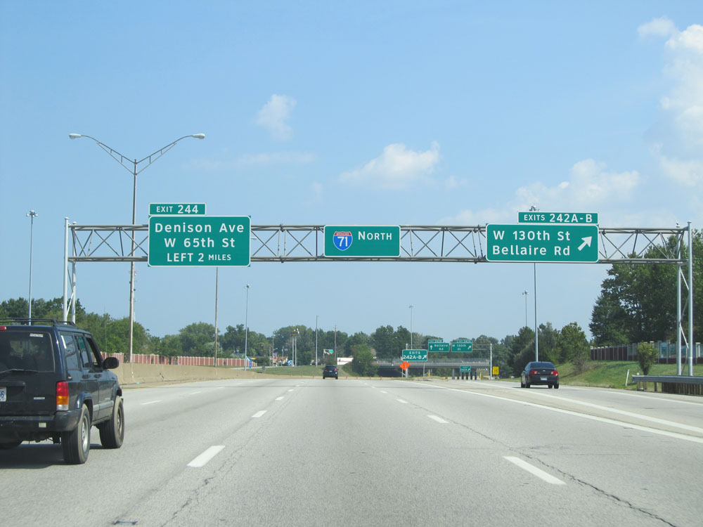 |
Interstate 71 North at Exits 242A-B: W 130th St / Bellaire Rd (Photo taken 9/7/15). |
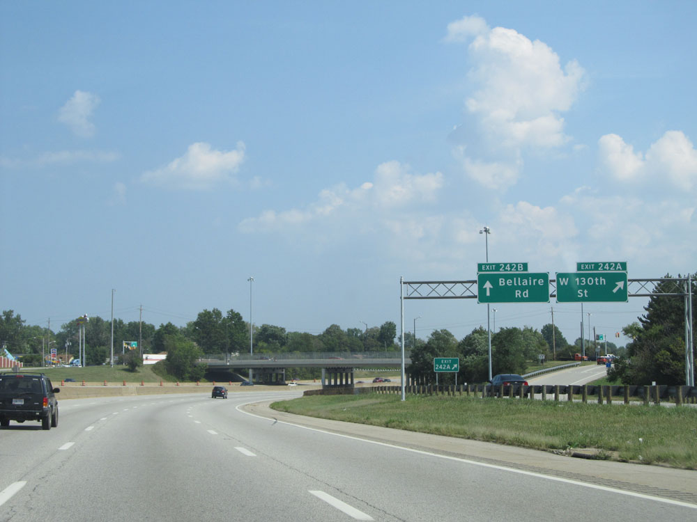 |
A closer view of the ramp for Exit 242A: W 130th St (Photo taken 9/7/15). |
 |
View of the ramp for Exit 242B: Bellaire Rd (Photo taken 9/7/15). |
 |
Interstate 71 North: Road view from mile marker 243. (Photo taken 9/7/15). |
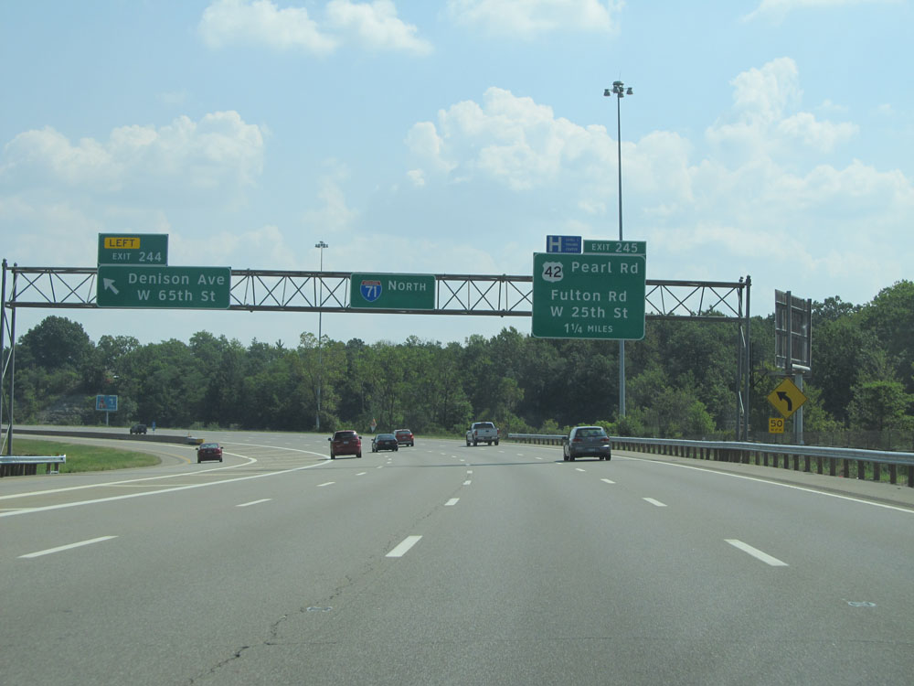 |
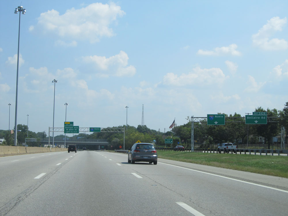
Interstate 71 North at Exit 244: Denison Ave / W 65th St (Photo taken 9/7/15). |
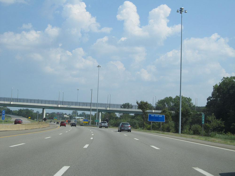 |
Interstate 71 North at mile marker 244. (Photo taken 9/7/15). |
 |
Take Exit 245 to the Aquarium and Metroparks Zoo. (Photo taken 9/7/15). |
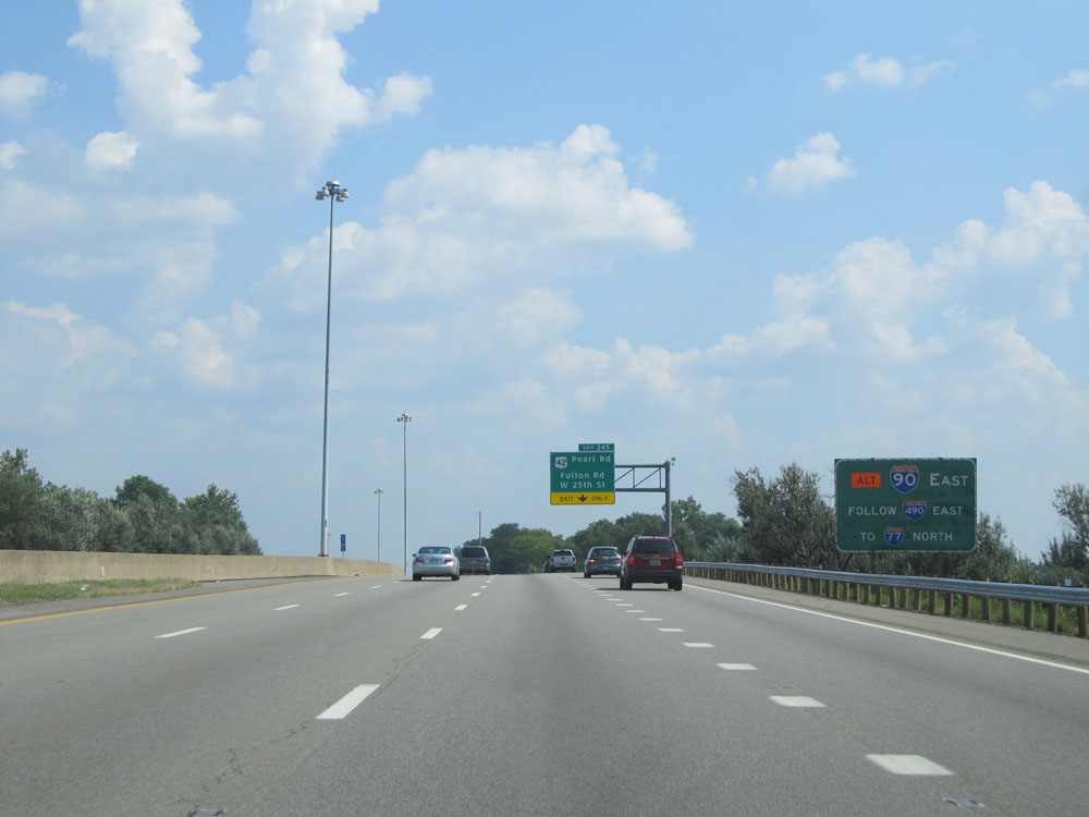 |
An alternate route to Interstate 90 East is to take Interstate 490 East to Interstate 77 North, to I-90 East, bypassing some of downtown Cleveland. (Photo taken 9/7/15). |
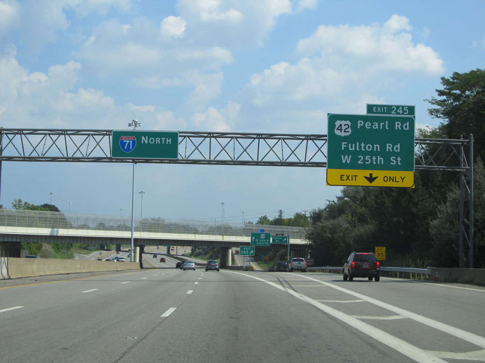 |
Interstate 71 North at Exit 245: US 42 - Pearl Rd / Fulton Rd / W 25th St (Photo taken 9/7/15). |
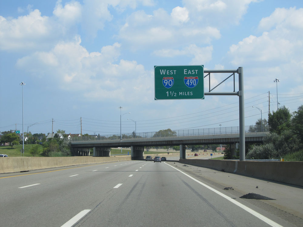 |
The junction of Interstate 90 West / Interstate 490 East, and the northern terminus of Interstate 71, lie 1 1/2 miles ahead. (Photo taken 9/7/15). |
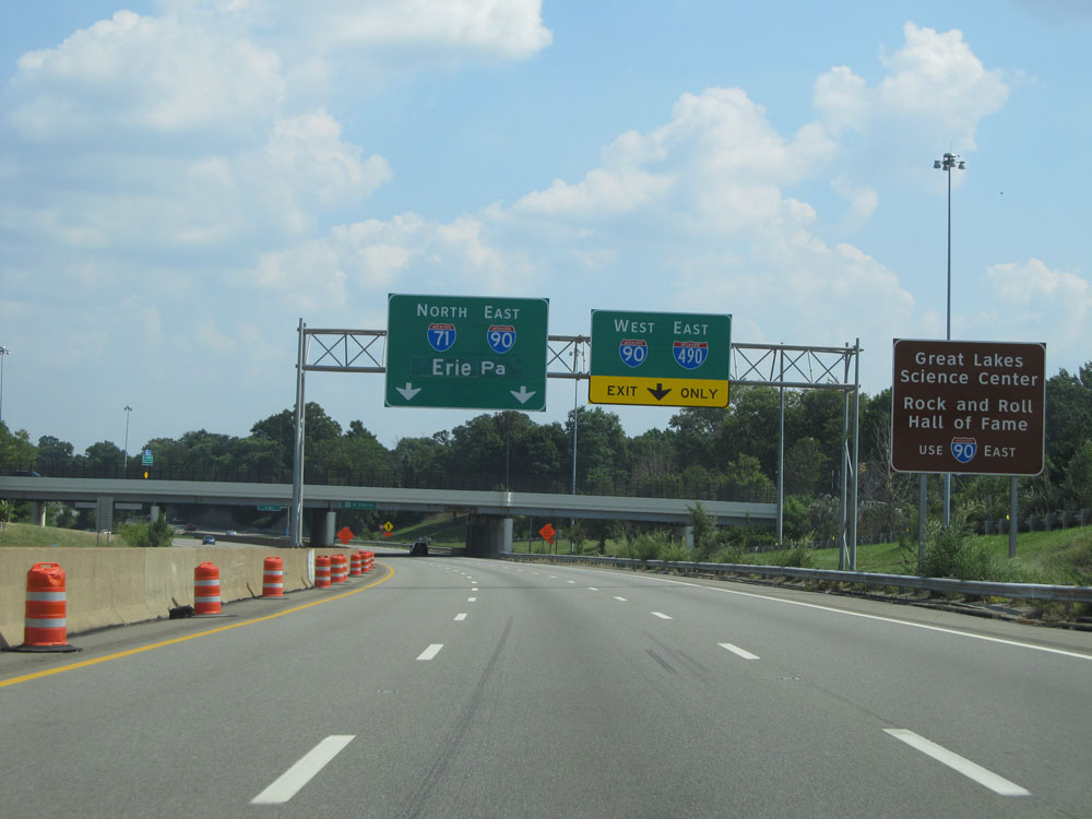 |
Take Interstate 90 East (straight ahead) to Great Lakes Science Center and the Rock and Roll Hall of Fame. (Photo taken 9/7/15). |
 |
Interstate 71 North approaching the junction of Interstate 90 West / Interstate 490 East. (Photo taken 9/7/15). |
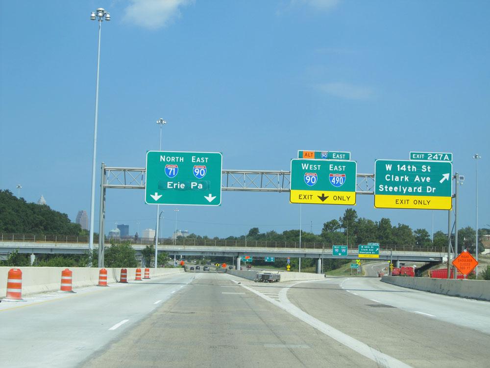 |
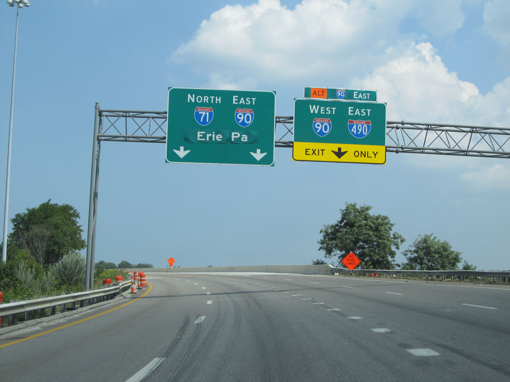
Interstate 71 North at Exit 247A: W 14th St / Clark Ave / Steelyard Dr; Exit 247B: Interstate 490 East / Interstate 90 West (Photo taken 9/7/15). |
 |
Interstate 71 North at its northern terminus, as it merges into Interstate 90 East. (Photo taken 9/7/15). |