Road Information |
||
 |
||
| Total Mileage in State: | 225 miles | |
| Eastern End: | At West Virginia state line | |
| Western End: | At Indiana state line | |
| Mileage covered in Photos: | 225 miles | |
| Counties covered in Photos: | Belmont, Guernsey, Muskingum, Licking, Muskingum, Licking, Fairfield, Franklin, Madison, Clark, Montgomery, Preble | |
| Major Junctions in Photos: | I-77 in Cambridge I-270 in Columbus I-71, in Columbus I-270, near Hilliard I-675, near Medway I-75 near Vandalia |
|
| Control Cities in Photos: | Cambridge, Zanesville, Columbus, Springfield, Huber Heights | |
Westbound
- Section 1: West Virginia Border to Zanesville (Exit 157)
- Section 2: Zanesville (Exit 157) to Columbus (Exit 99C)
- Section 3: Columbus (Exit 99C) to Springfield (Exit 62)
- Section 4: Springfield (Exit 62) to Indiana Border
Section 1: West Virginia Border to Zanesville (Exit 157)
 |
Interstate 70 West at Exit 225: OH 7 - Bridgeport (Photo taken 5/15/18). |
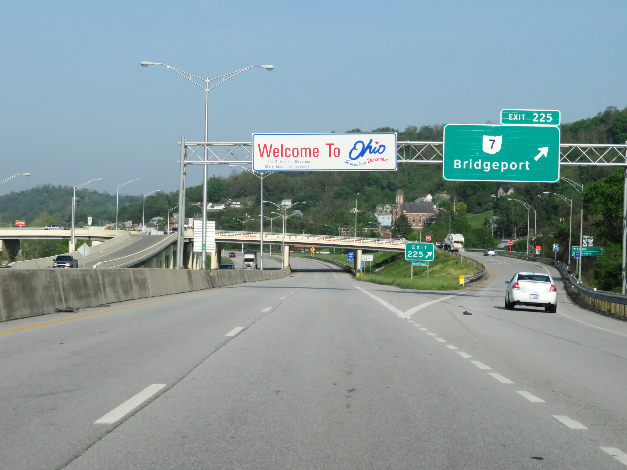 |
Ohio welcome sign at Exit 225 after Interstate 70 West enters the Buckeye State from West Virginia by crossing the Ohio River. (Photo taken 5/15/18). |
 |
The speed limit on Interstate 70 West starts out at 65 mph for all traffic. (Photo taken 5/15/18). |
 |
Interstate 70 West reassurance shield at mile marker 224.8. (Photo taken 5/15/18). |
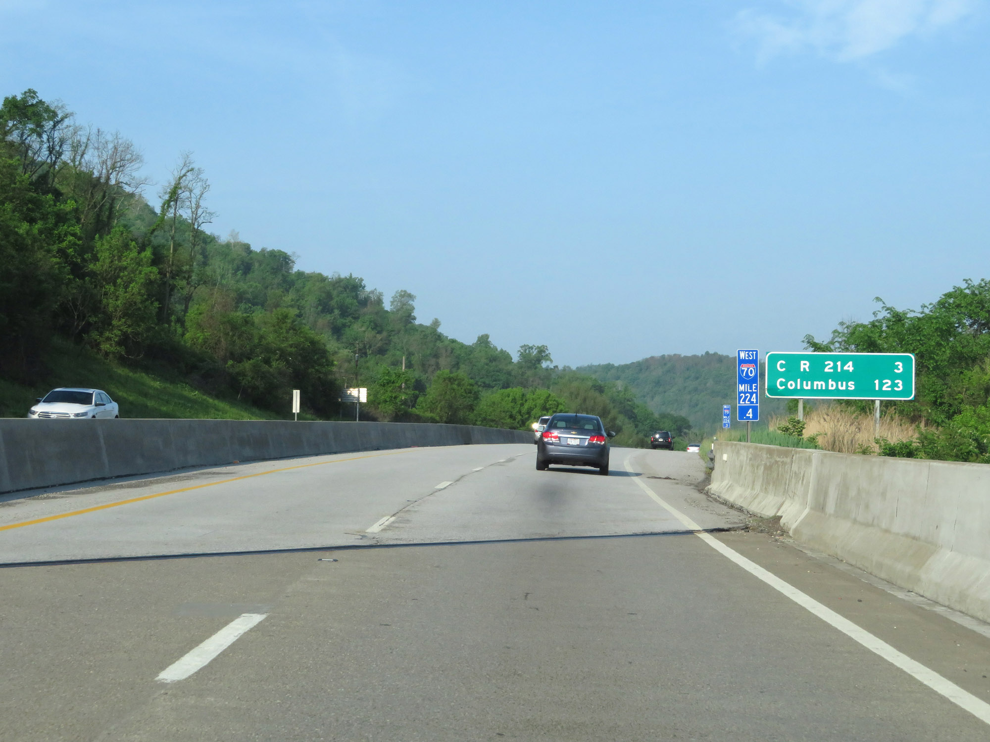 |
Mileage sign on Interstate 70 West at mile marker 224.4. It's 3 miles to the junction of CR 214 and 123 miles to Columbus. (Photo taken 5/15/18). |
 |
At mile marker 223, a climbing lane appears as Interstate 70 West climbs up from the Ohio River. (Photo taken 5/15/18). |
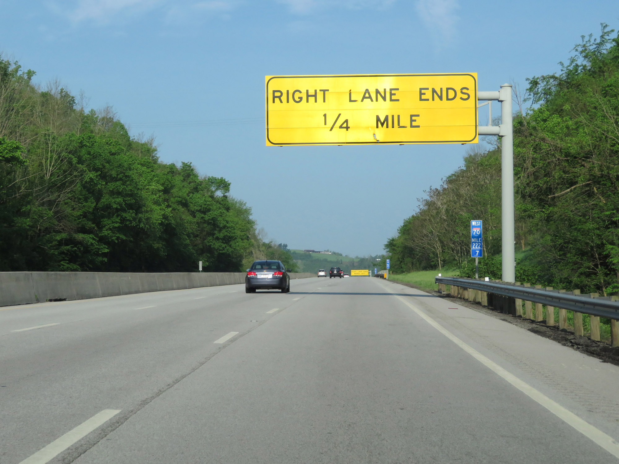 |
At mile marker 222.7, this overhead sign warns the that climbing lane will end 1/4 mile ahead. (Photo taken 5/15/18). |
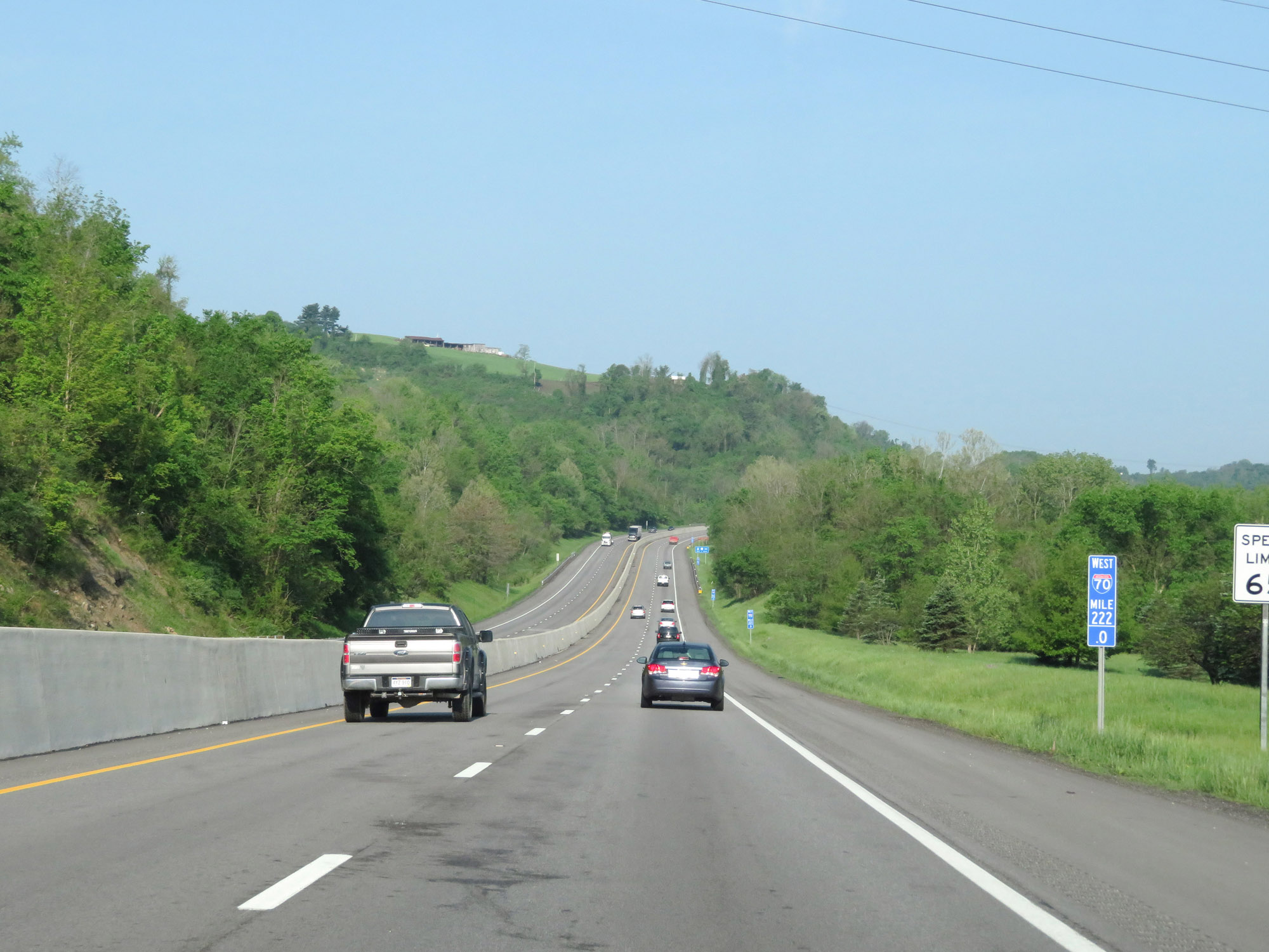 |
View on Interstate 70 West at mile marker 222. (Photo taken 5/15/18). |
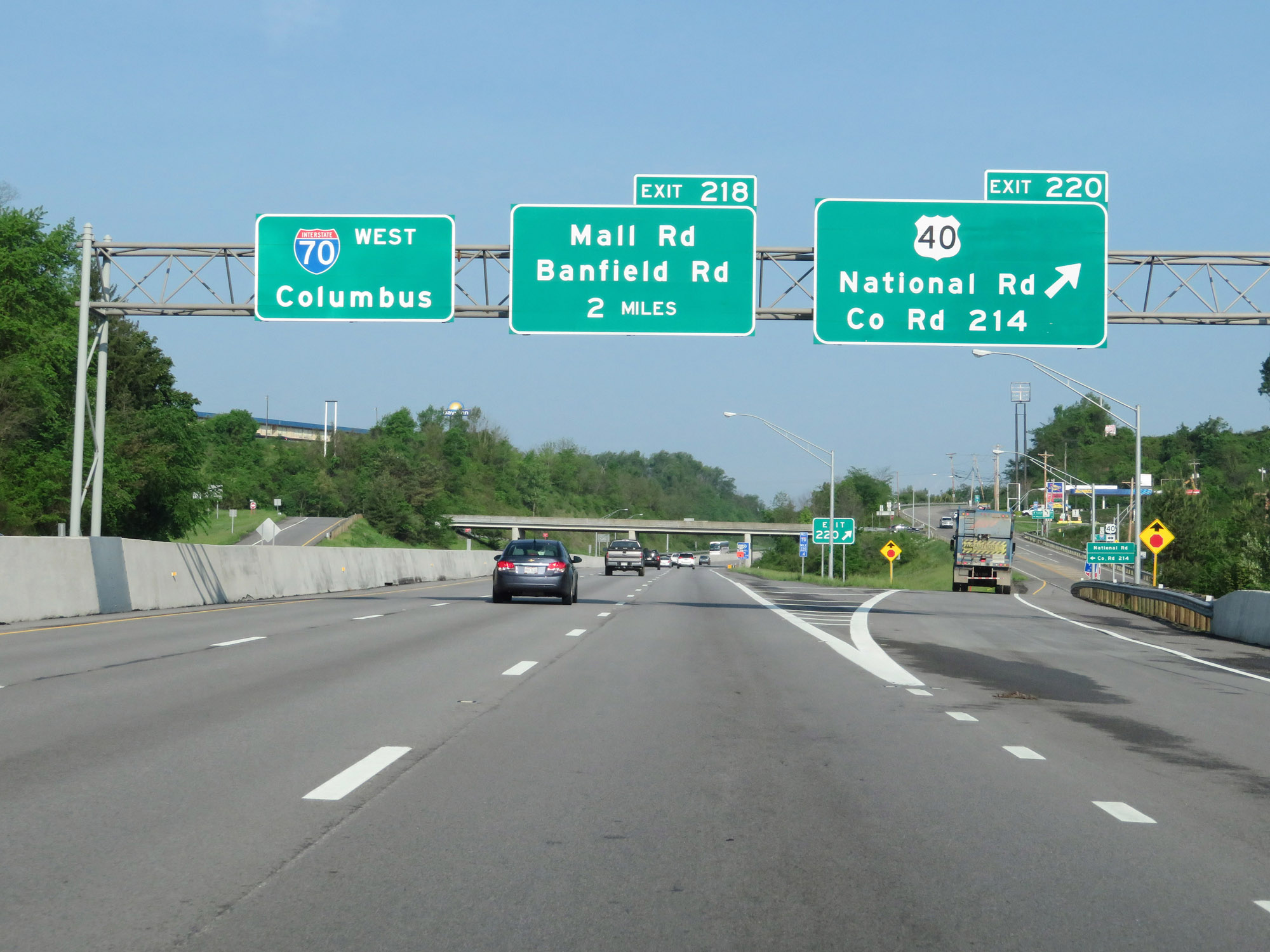 |
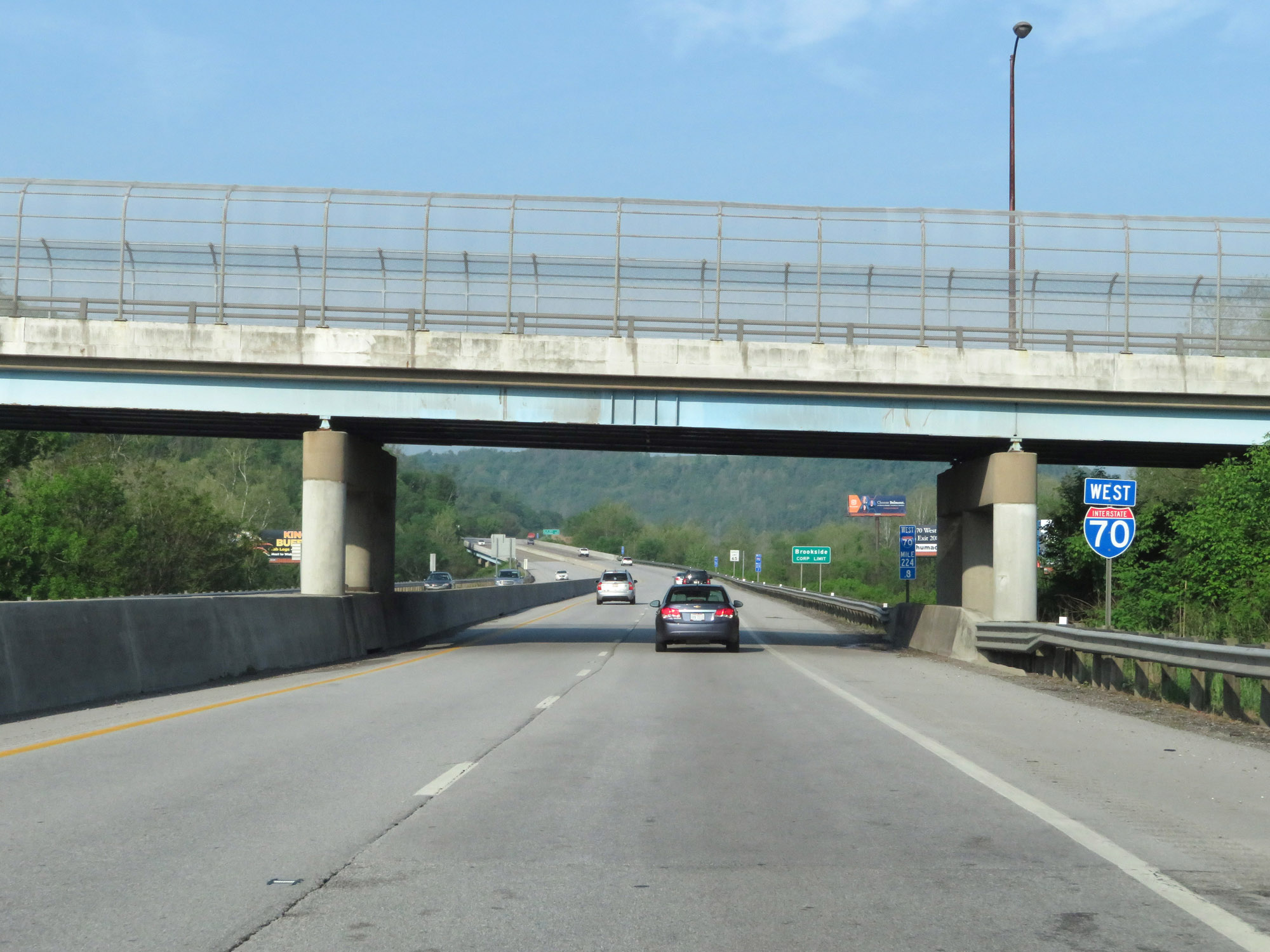
Interstate 70 West at Exit 220: US 40 - National Rd / County Rd 214 (Photo taken 5/15/18). |
 |
Interstate 70 West at mile marker 219.3. (Photo taken 5/15/18). |
 |
Interstate 70 West at Exit 218: Mall Rd / Banfield Rd (Photo taken 5/15/18). |
 |
Interstate 70 West is reduced to two lanes at mile marker 217.8. (Photo taken 5/15/18). |
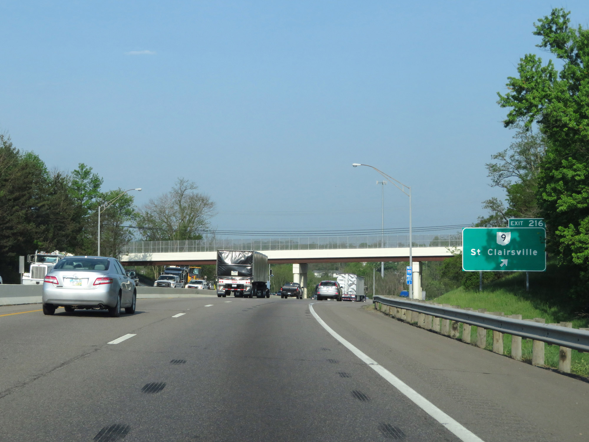 |
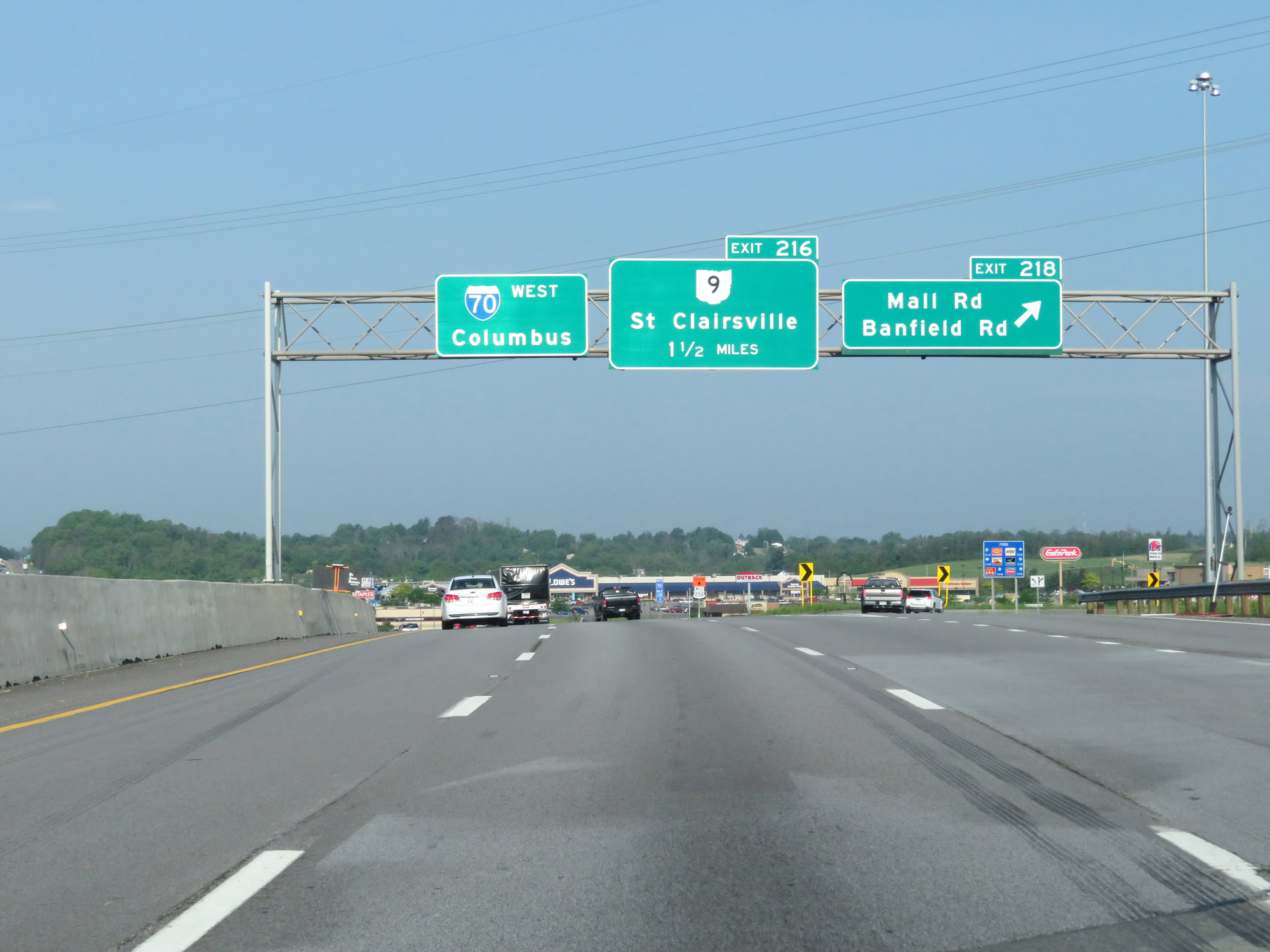
Interstate 70 West at Exit 216: OH 9 - St Clairsville (Photo taken 5/15/18). |
 |
Interstate 70 West at Exit 215: US 40 - National Rd (Photo taken 5/15/18). |
 |
Take Exit 213 to Ohio University Eastern Campus, Belmont College, and Belmont County JVS. (Photo taken 5/15/18). |
 |
Interstate 70 West at Exit 213: OH 331 - Flushing (Photo taken 5/15/18). |
 |
West of Exit 213, the speed limit increases to 70 mph for all traffic. This is the standard speed limit on most rural Interstate highways in Ohio. (Photo taken 5/15/18). |
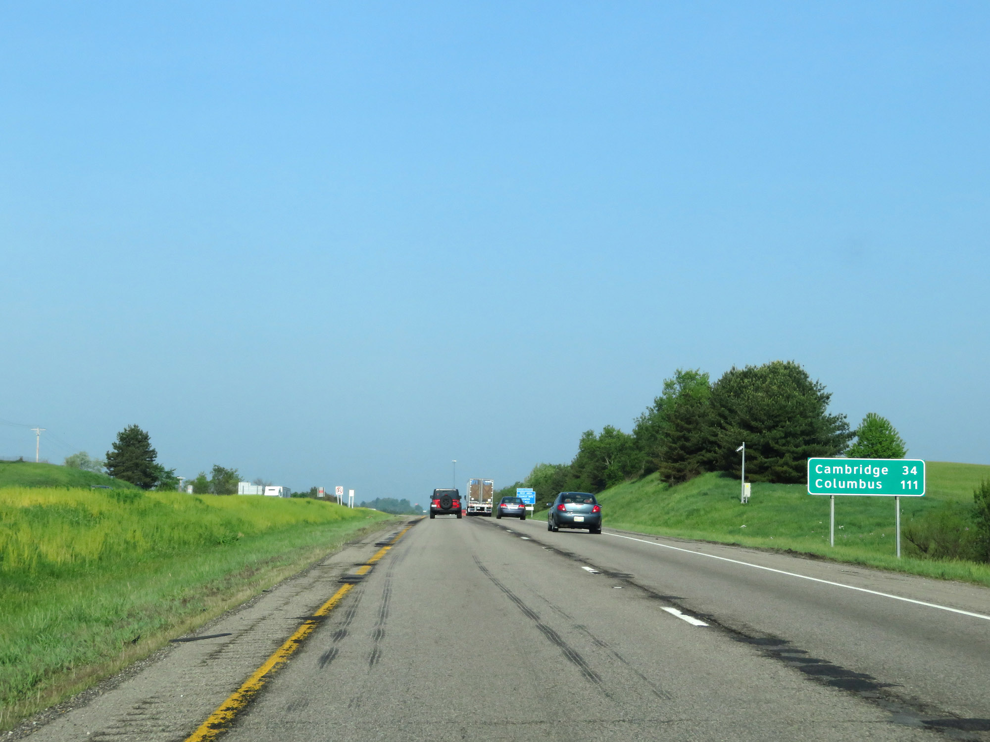 |
Mileage sign on Interstate 70 West. It's 34 miles to Cambridge and 111 miles to Columbus. (Photo taken 5/15/18). |
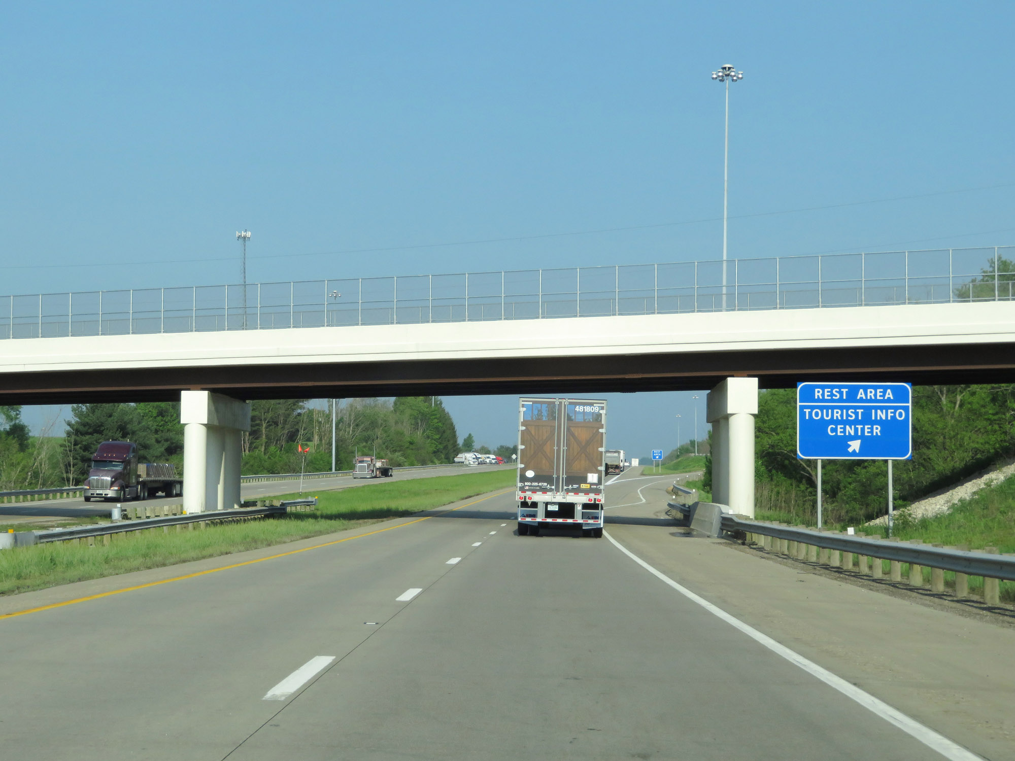 |
Rest Area / Tourist Info Center on Interstate 70 West in Belmont County. (Photo taken 5/15/18). |
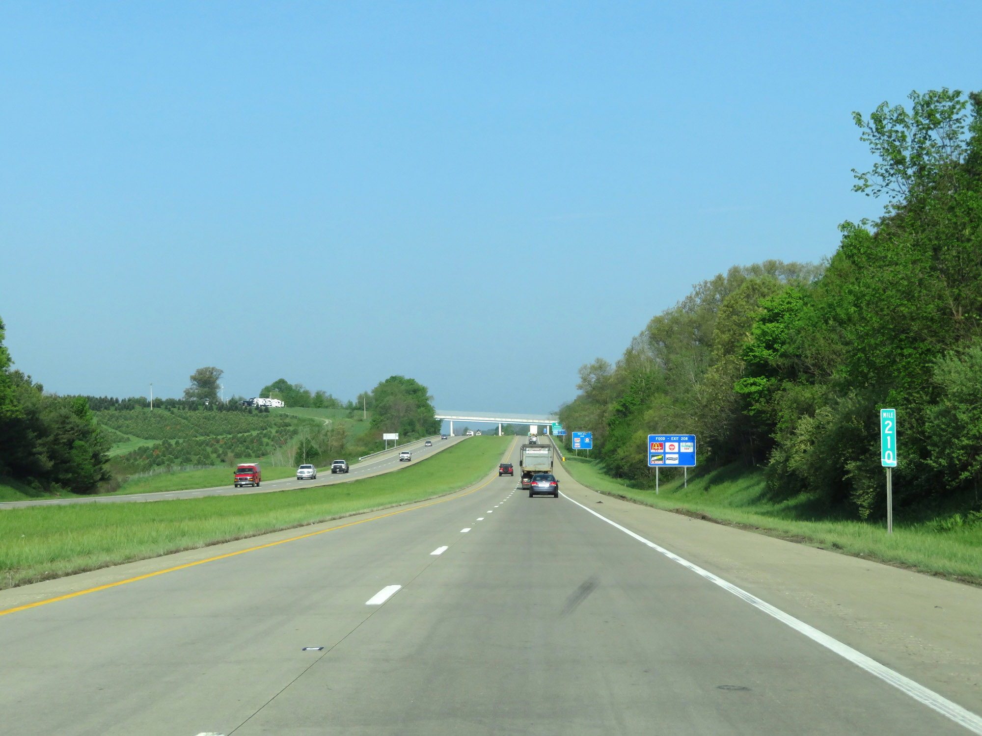 |
View on Interstate 70 West at mile marker 210. (Photo taken 5/15/18). |
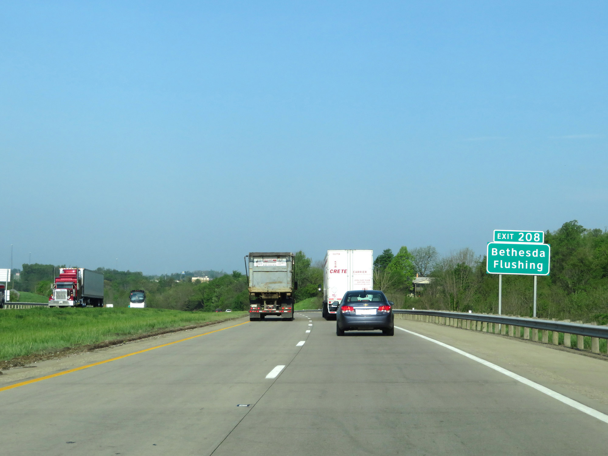 |
Take Exit 208 to Bethesda and Flushing. (Photo taken 5/15/18). |
 |
Also take Exit 208 to Barkcamp State Park. (Photo taken 5/15/18). |
 |
Take Exit 208 to the Underground Railroad Museum Foundation as well. (Photo taken 5/15/18). |
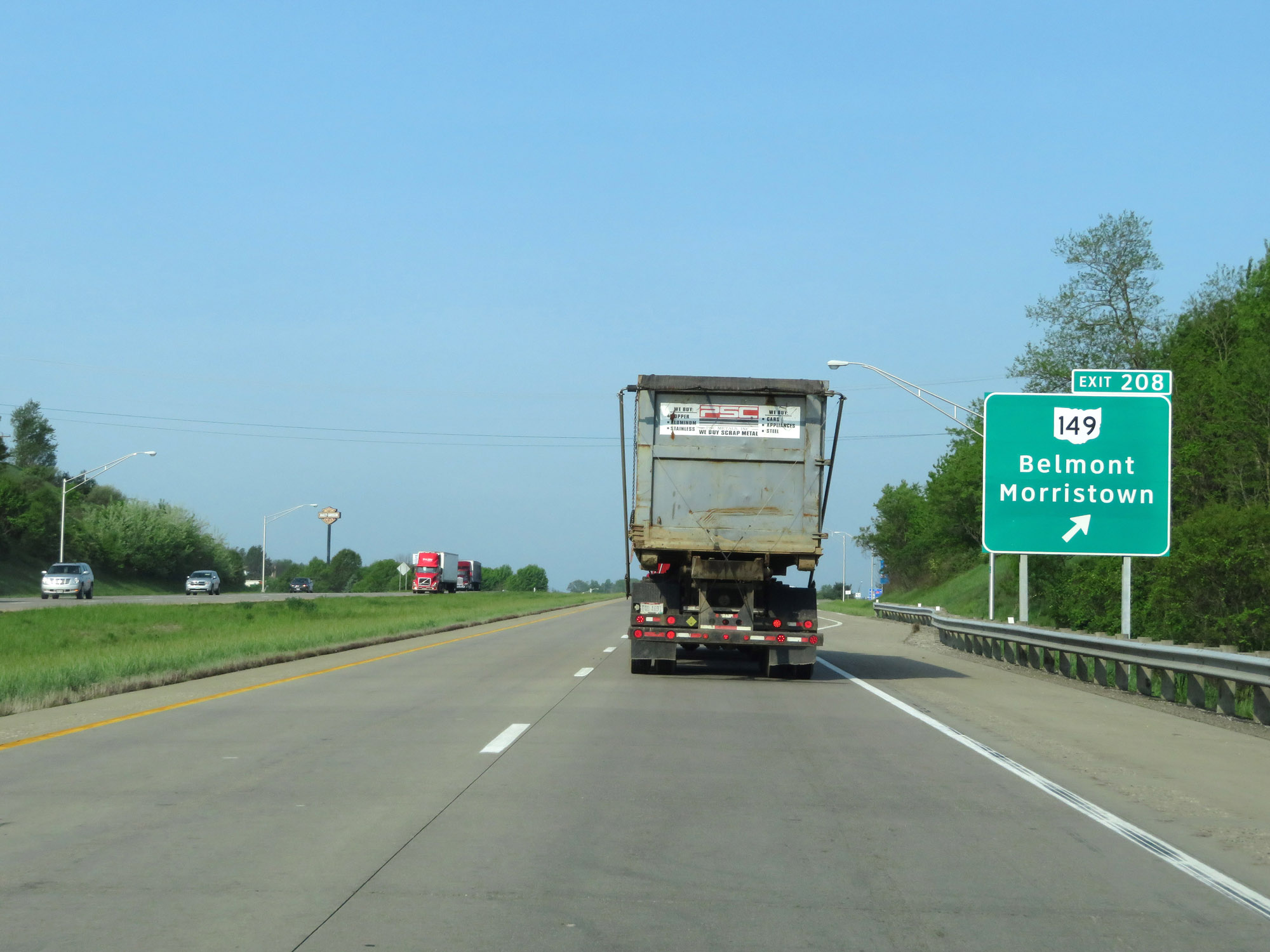 |
Interstate 70 West at Exit 208: OH 149 - Belmont / Morristown (Photo taken 5/15/18). |
 |
Interstate 70 West reassurance shield. (Photo taken 5/15/18). |
 |
The speed limit remains 70 mph. (Photo taken 5/15/18). |
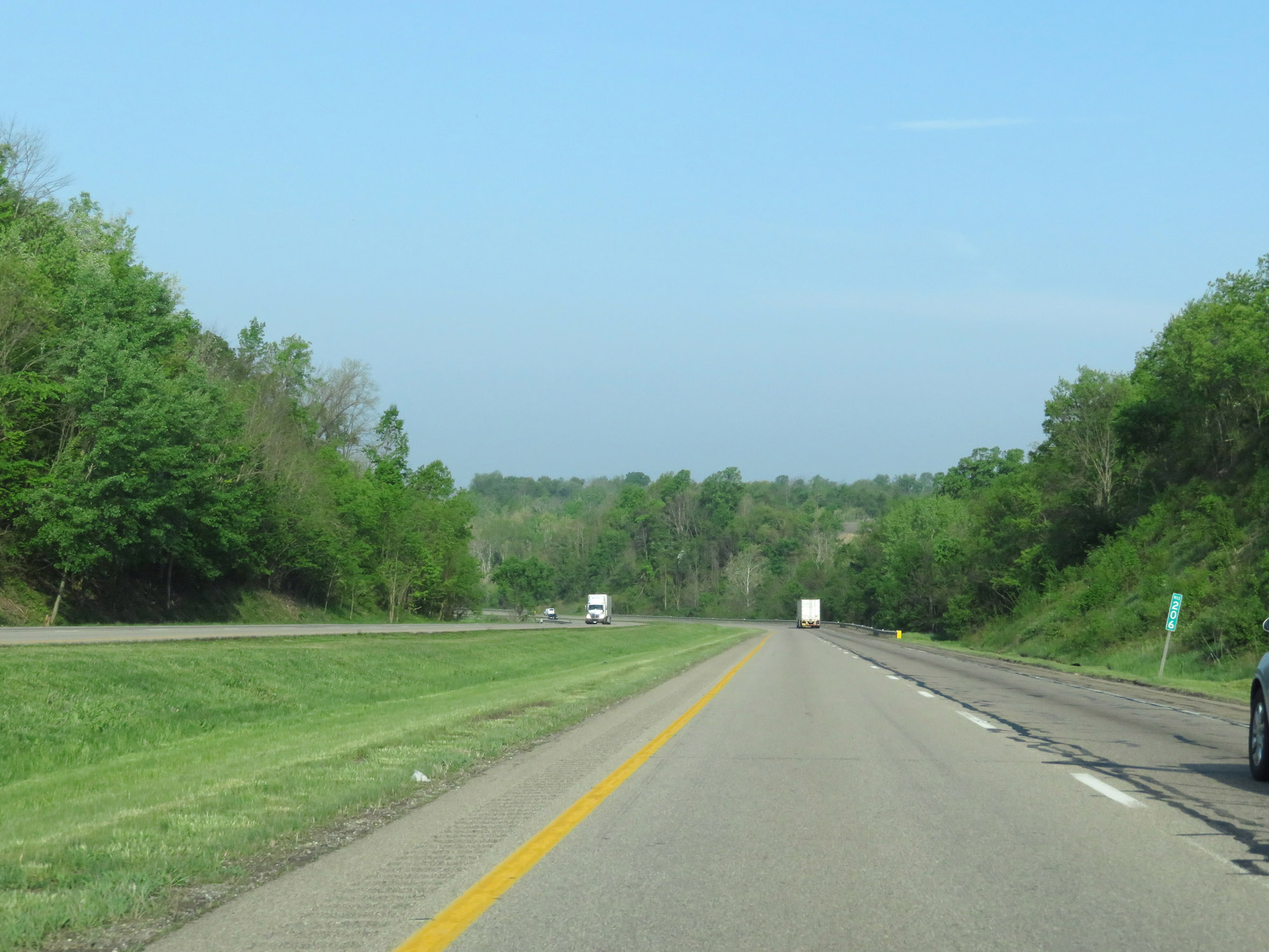 |
View on Interstate 70 West at mile marker 206. (Photo taken 5/15/18). |
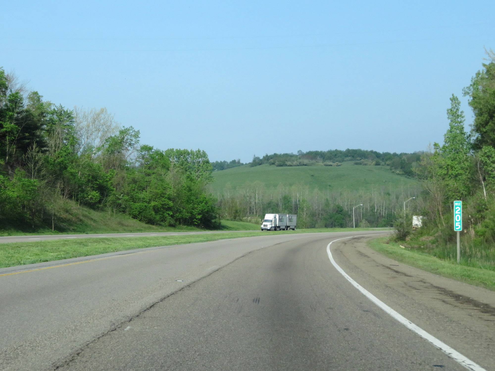 |
Interstate 70 West at mile marker 205. (Photo taken 5/15/18). |
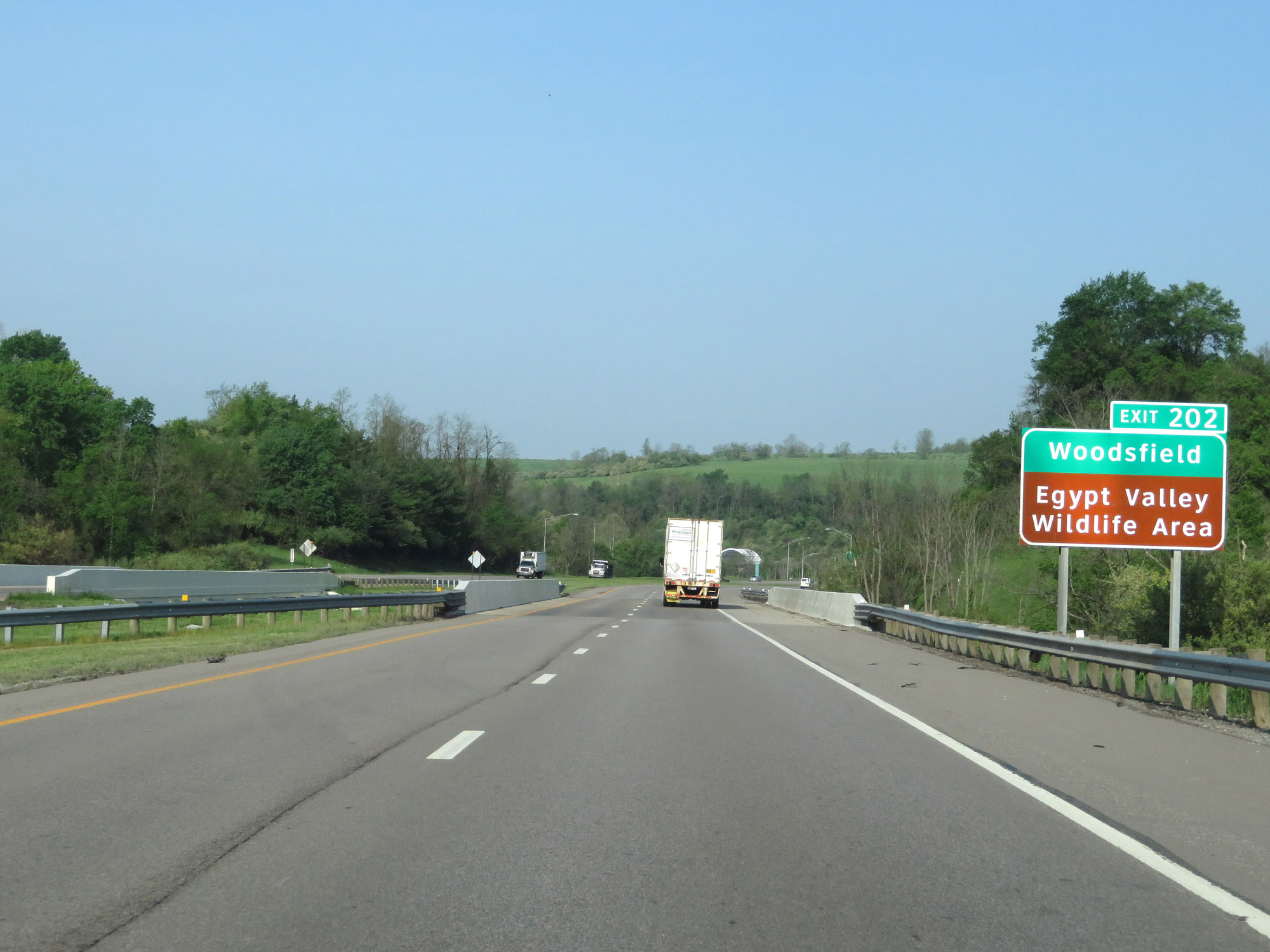 |
Take Exit 202 to Woodsfield and Egypt Valley Wildlife Area. (Photo taken 5/15/18). |
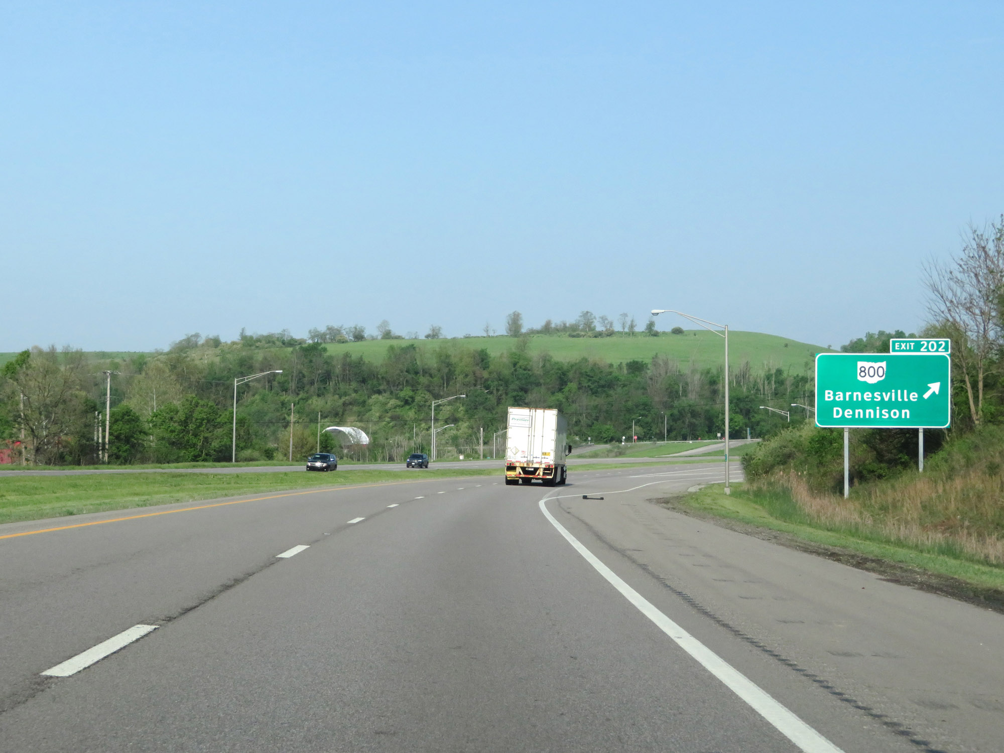 |
Interstate 70 West at Exit 202: OH 800 - Barnesville / Dennison (Photo taken 5/15/18). |
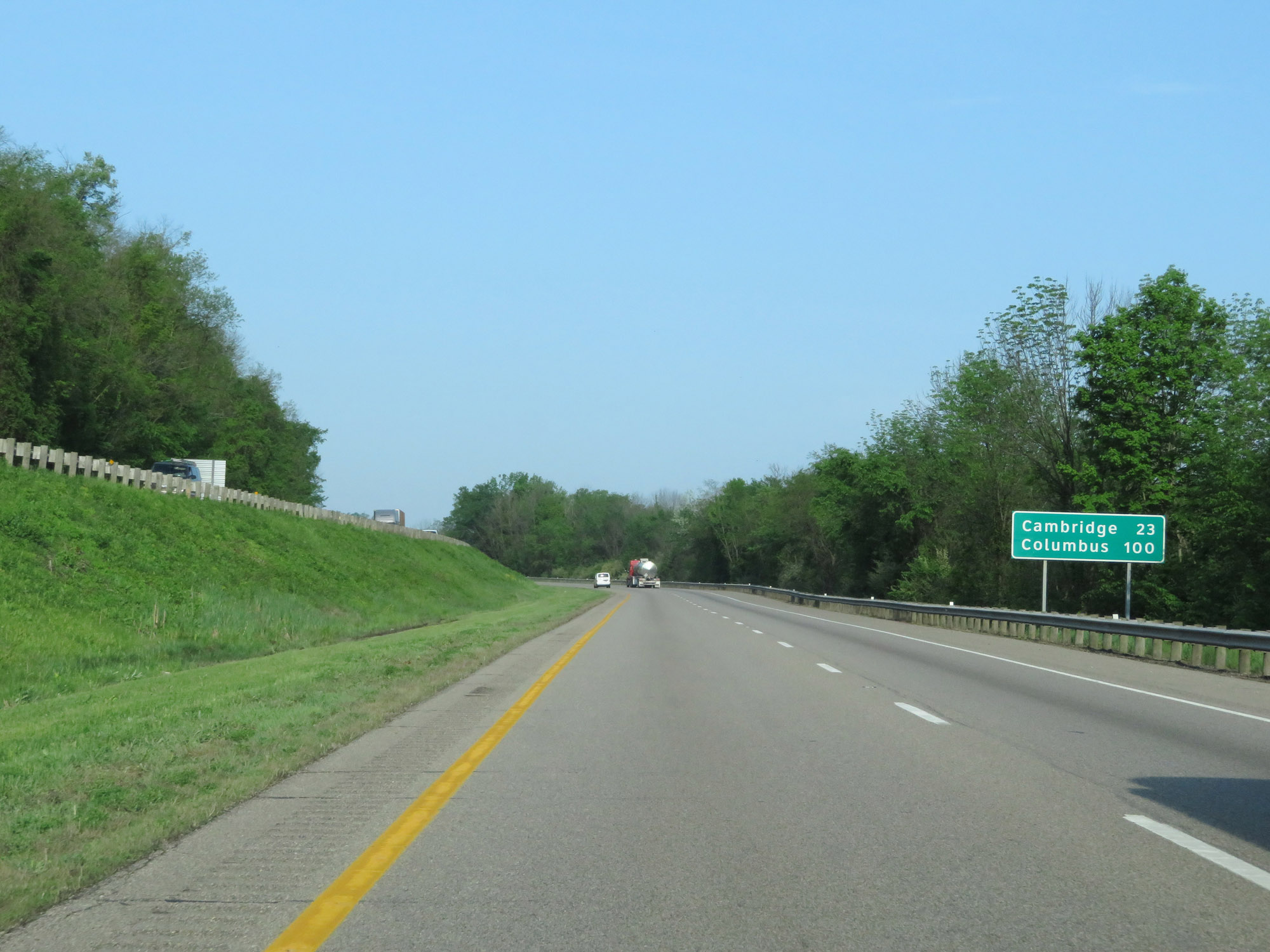 |
Another mileage sign on Interstate 70 West. It's 23 miles to Cambridge and 100 miles to Columbus. (Photo taken 5/15/18). |
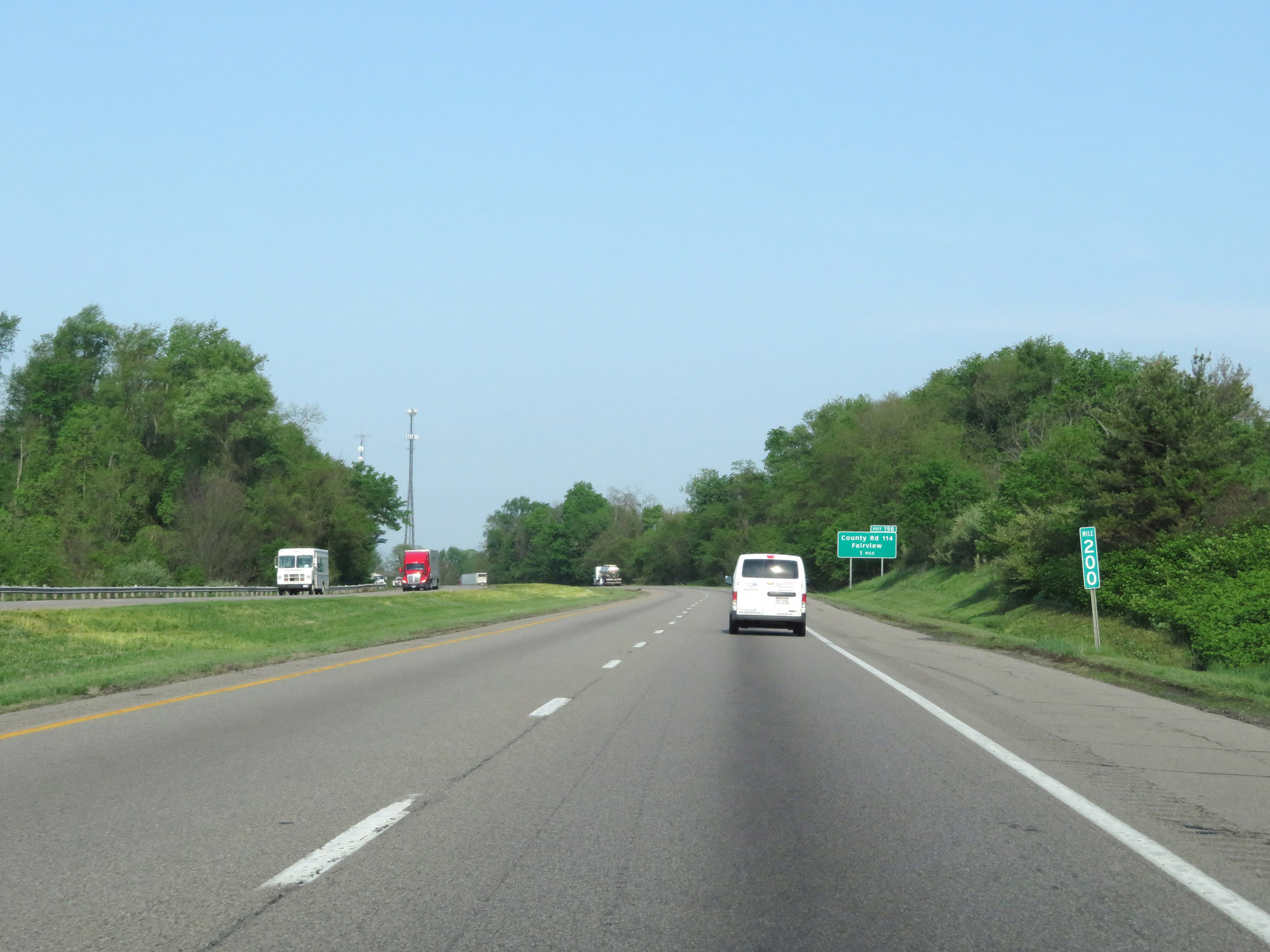 |
Interstate 70 West at mile marker 200. (Photo taken 5/15/18). |
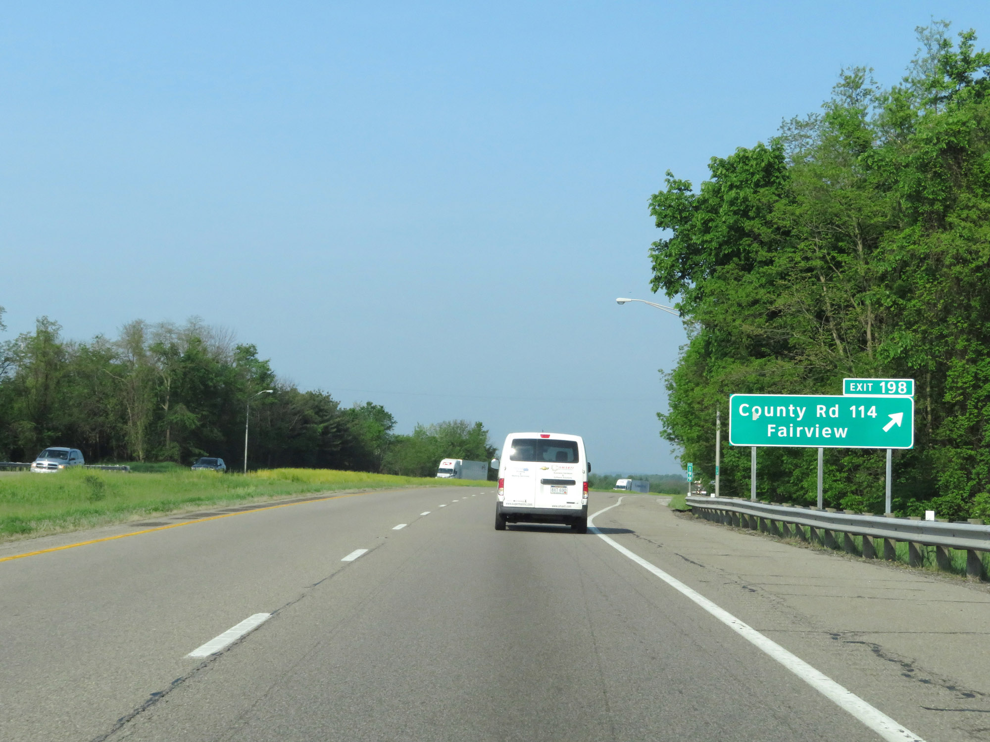 |
Interstate 70 West at Exit 198: County Rd 114 / Fairview (Photo taken 5/15/18). |
 |
Interstate 70 West as it enters Guernsey County. (Photo taken 5/15/18). |
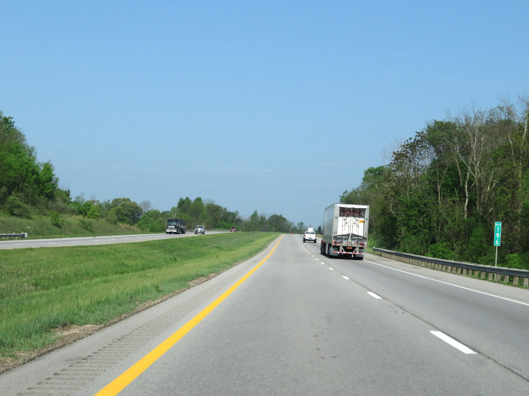 |
View on Interstate 70 West at mile marker 196. (Photo taken 5/15/18). |
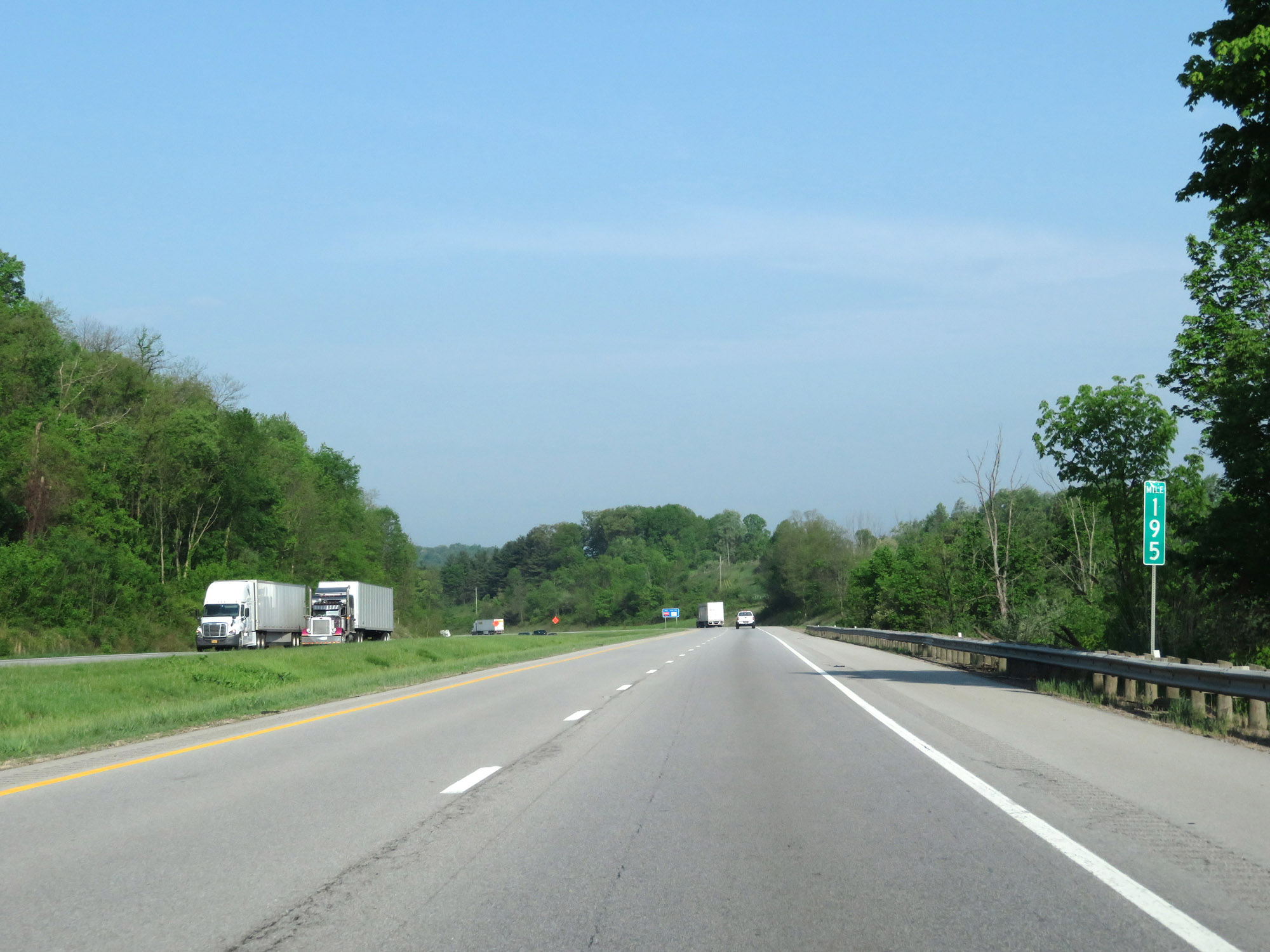 |
Interstate 70 West at mile marker 195. (Photo taken 5/15/18). |
 |
Interstate 70 West at Exit 193: OH 513 - Quaker City (Photo taken 5/15/18). |
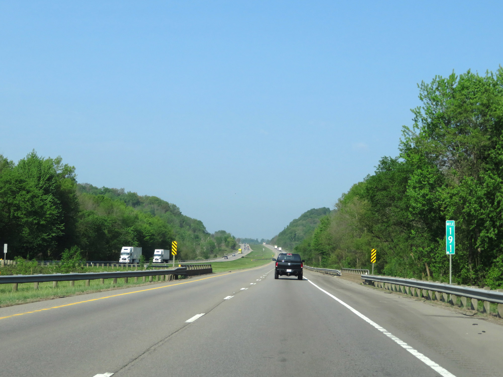 |
View on Interstate 70 West at mile marker 191. (Photo taken 5/15/18). |
 |
Interstate 70 West at mile marker 189. (Photo taken 5/15/18). |
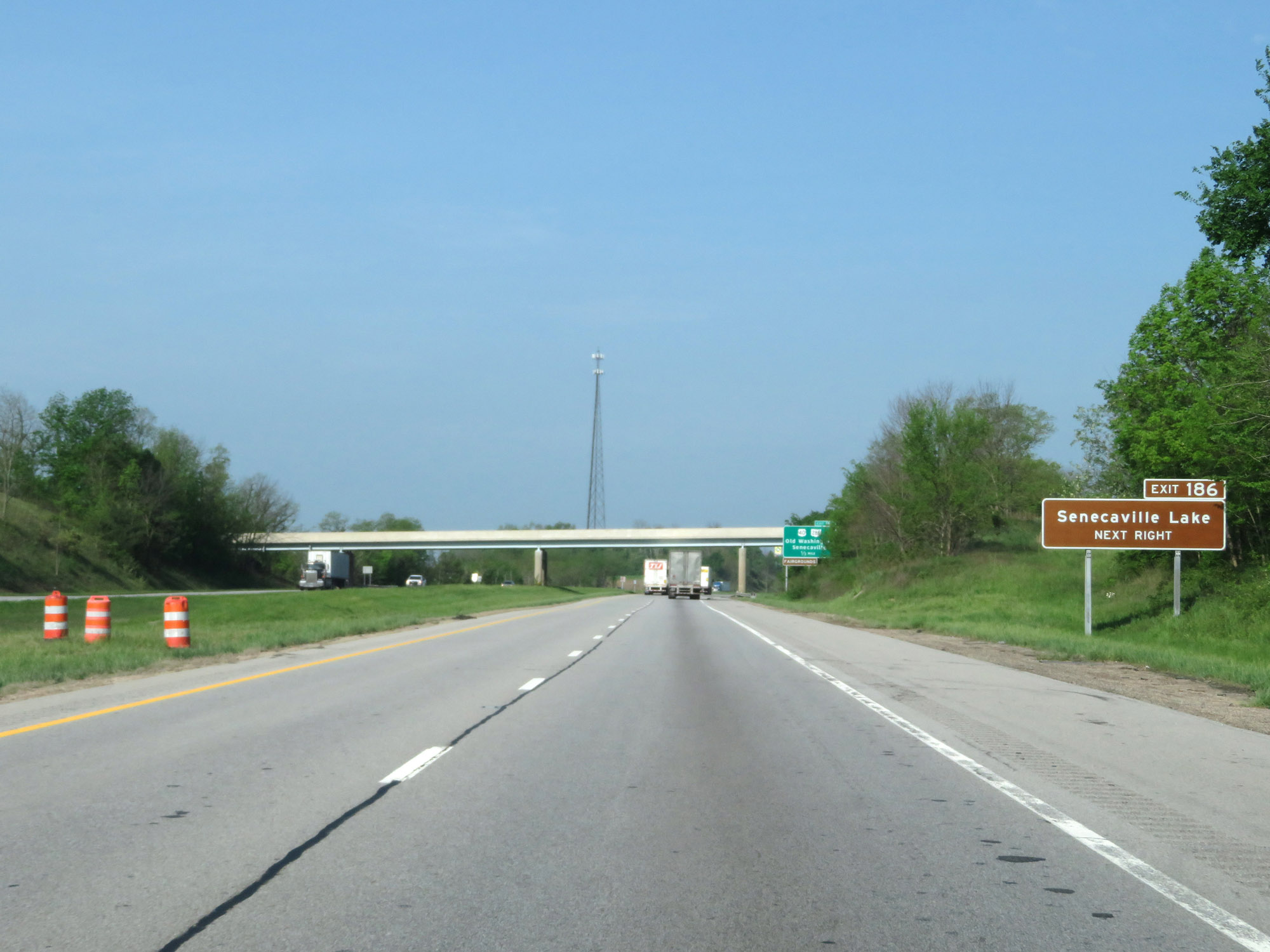 |
Take Exit 186 to Senecaville Lake. (Photo taken 5/15/18). |
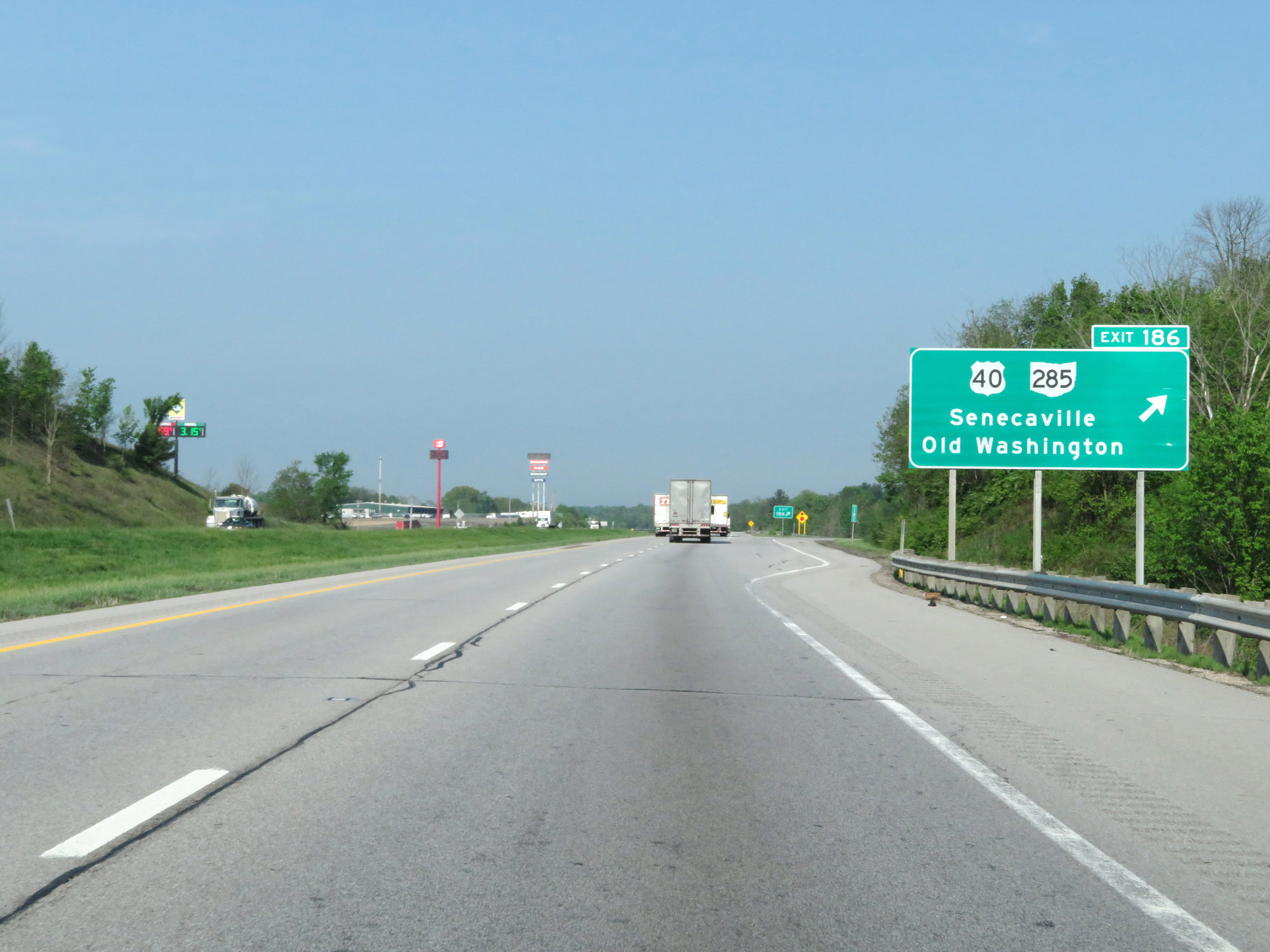 |
Interstate 70 West at Exit 186: US 40 / OH 285 - Senecaville / Old Washington (Photo taken 5/15/18). |
 |
Interstate 70 West at mile marker 183. (Photo taken 5/15/18). |
 |
Interstate 70 West approaching Exits 180B-A - 1 mile. (Photo taken 5/15/18). |
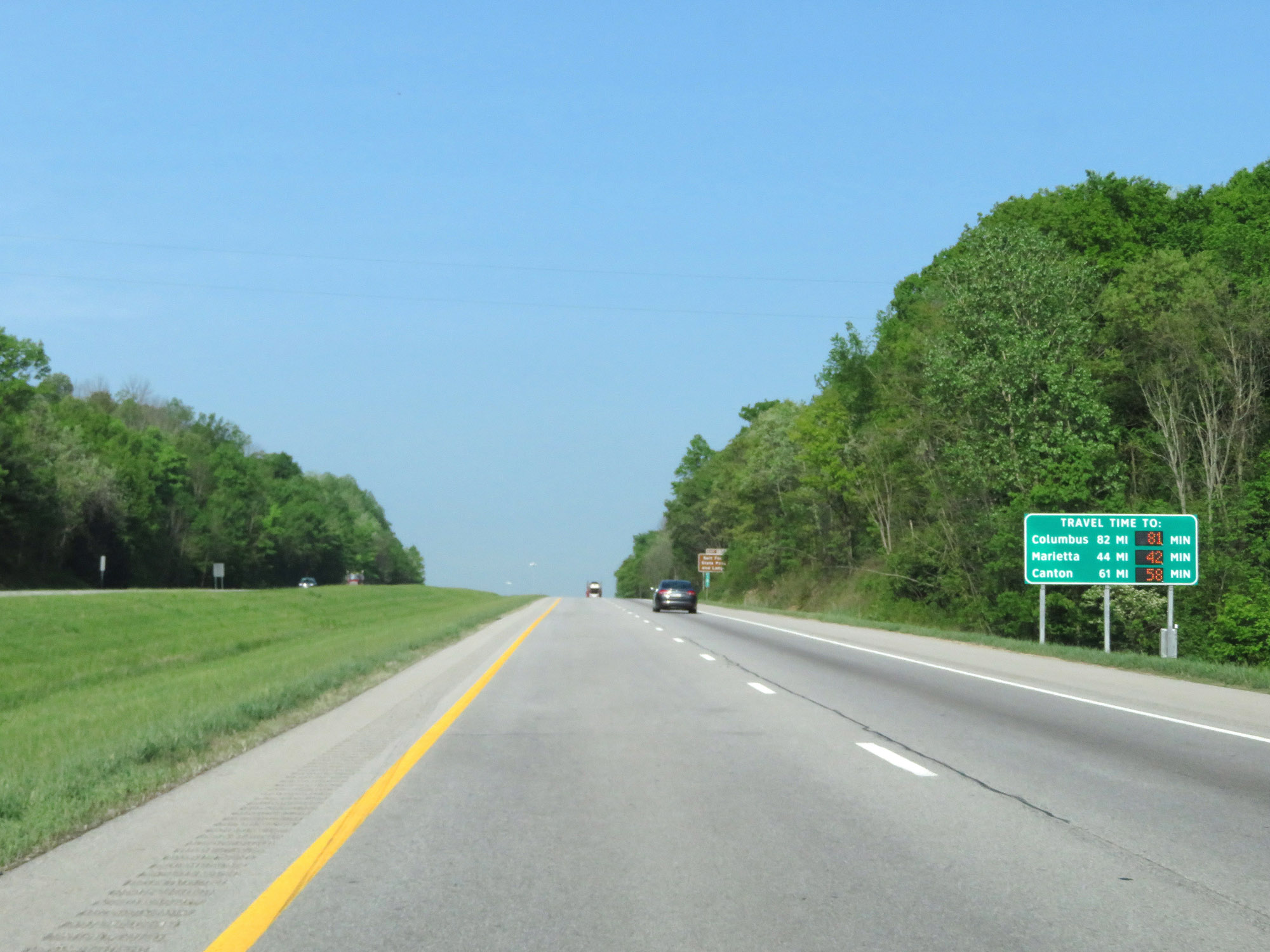 |
Dynamic digital sign listing the current travel times to Columus, Marietta, and Canton from this point. (Photo taken 5/15/18). |
 |
Take Exit 180B (Interstate 77 North) to Salt Fork State Park and Lodge. (Photo taken 5/15/18). |
 |
Sign listing the distances to the three upcoming Cambridge exits. (Photo taken 5/15/18). |
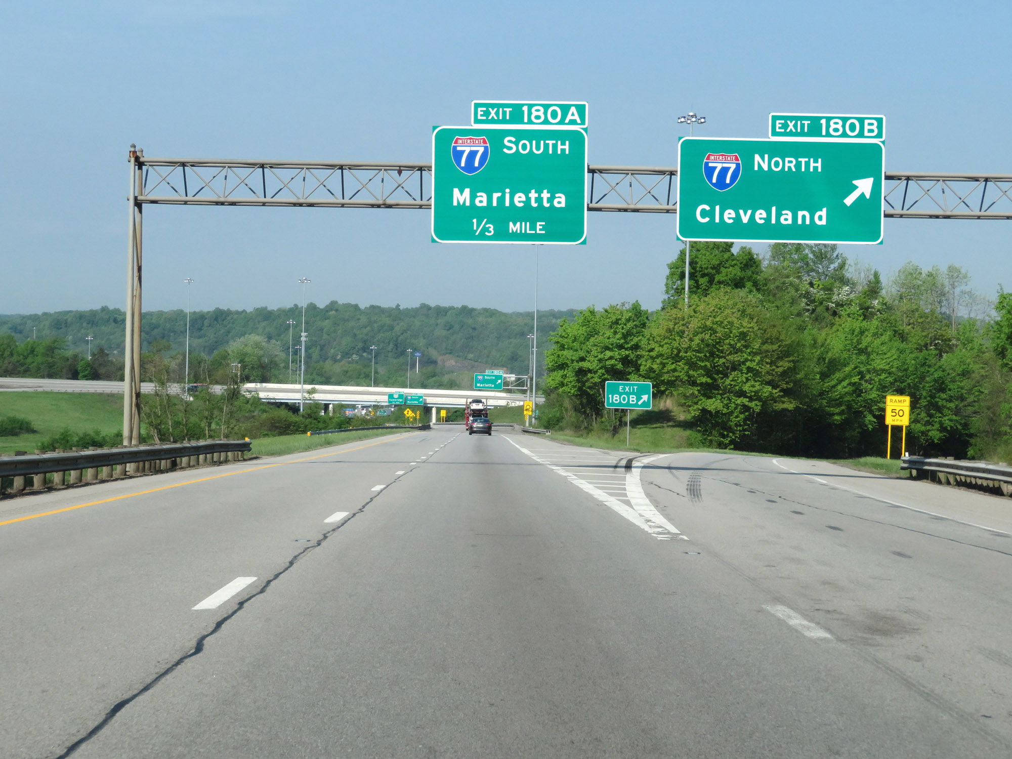 |
Interstate 70 West at Exit 180B: Interstate 77 North - Cleveland (Photo taken 5/15/18). |
 |
Interstate 70 West at Exit 180A: Interstate 77 South - Marietta (Photo taken 5/15/18). |
 |
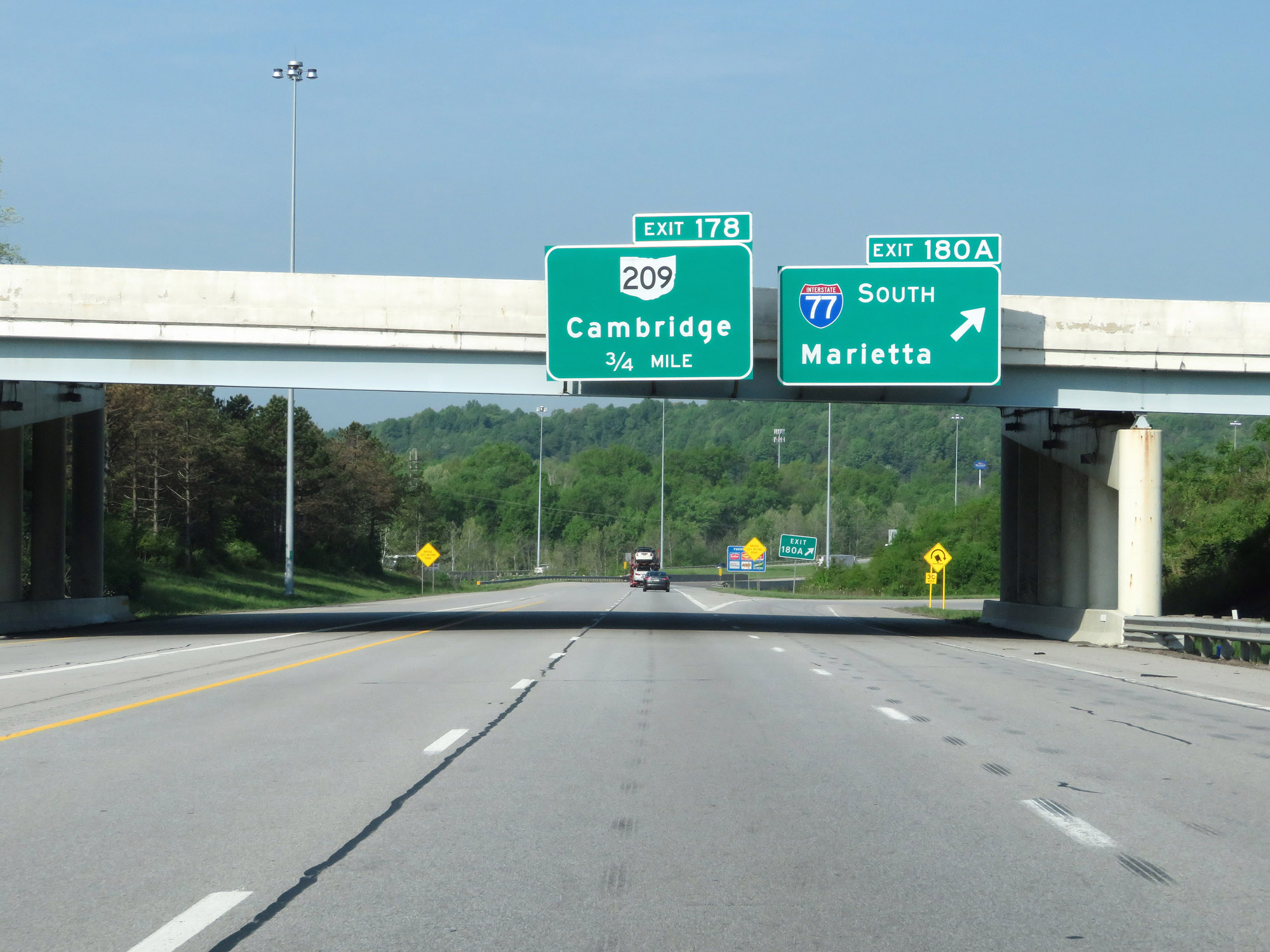
Interstate 70 West at Exit 178: OH 209 - Cambridge (Photo taken 5/15/18). |
 |
Interstate 70 West reassurance shield in Cambridge. (Photo taken 5/15/18). |
 |
The speed limit remains 70 mph. (Photo taken 5/15/18). |
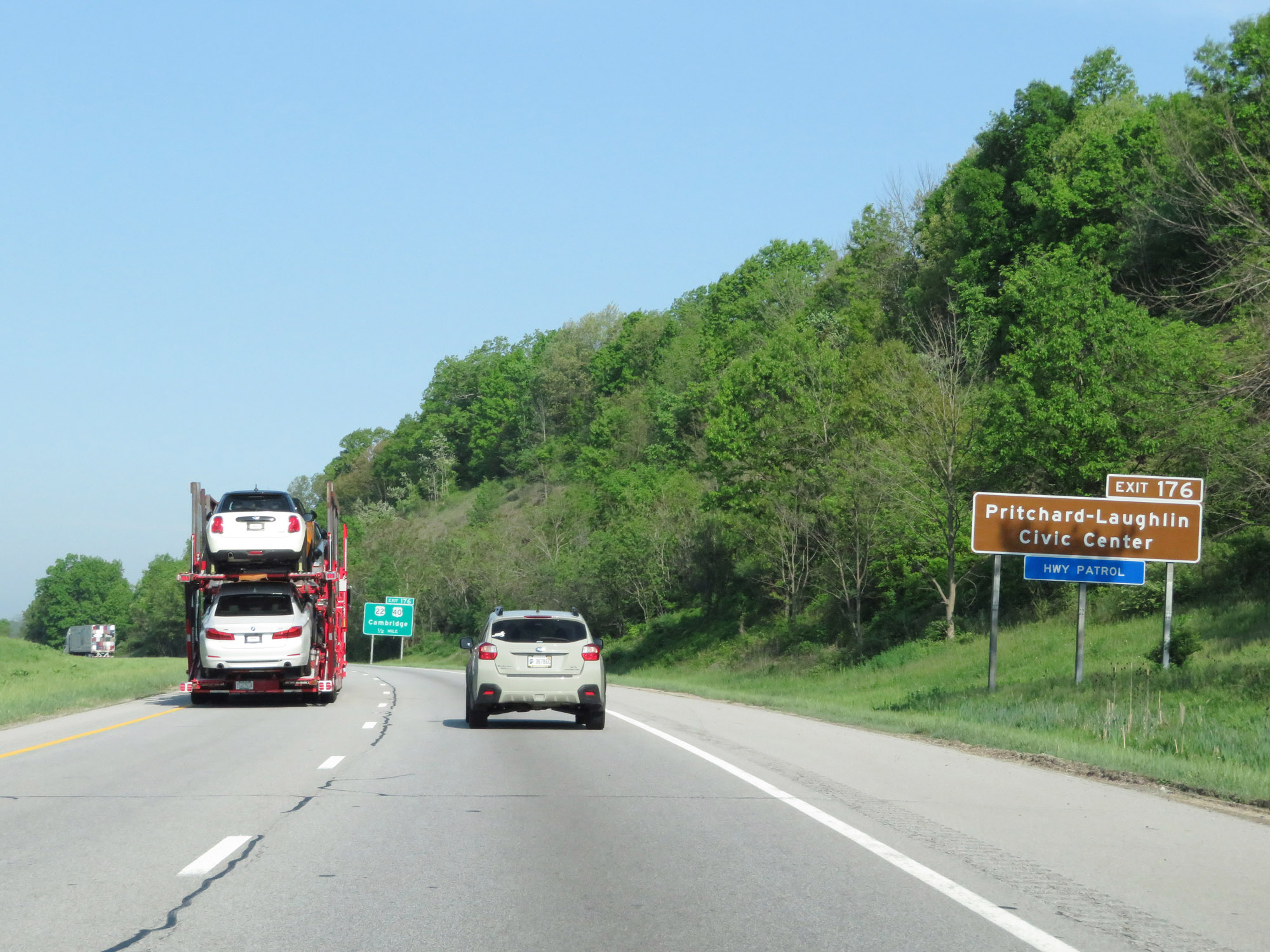 |
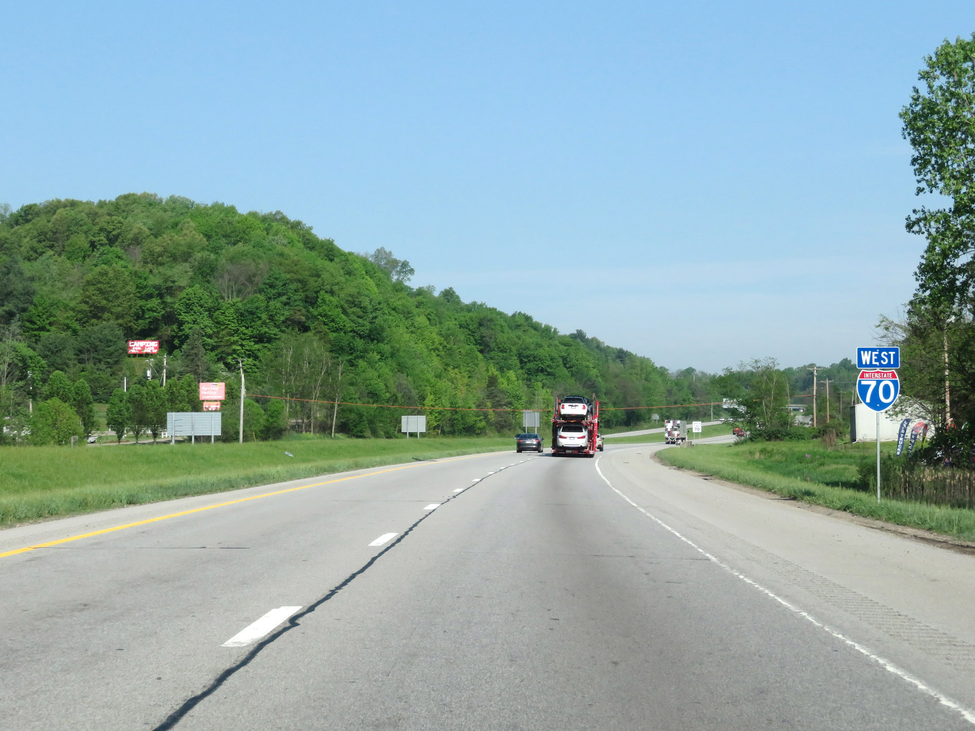
Take Exit 176 to Pritchard-Laughlin Civic Center. (Photo taken 5/15/18). |
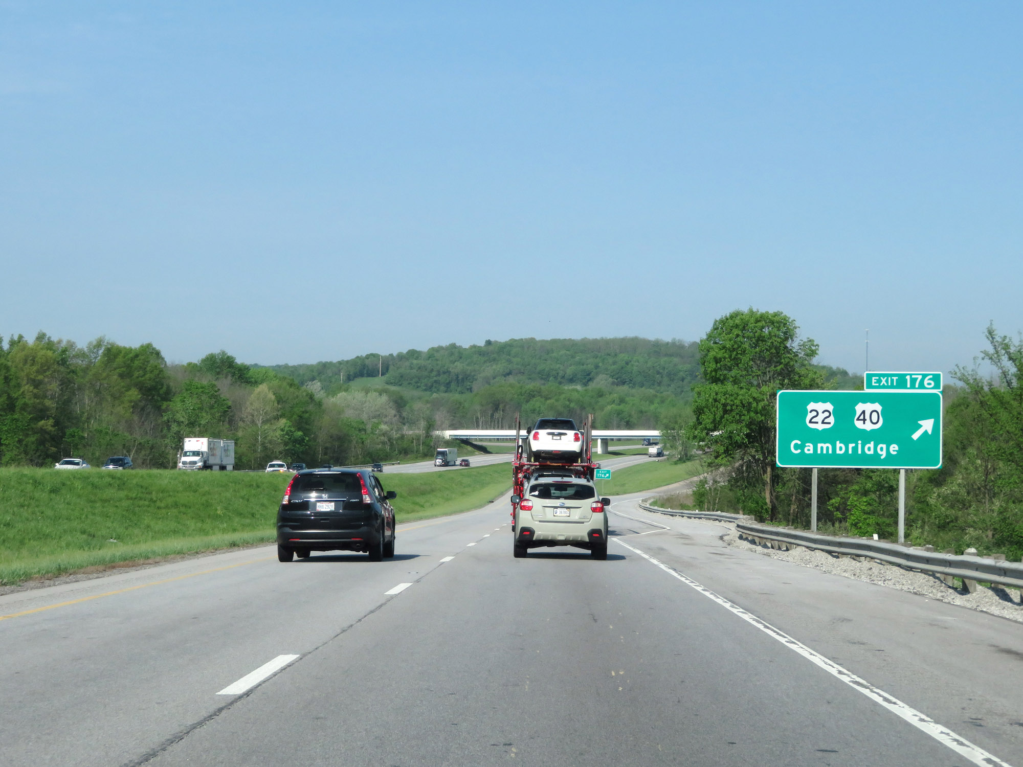 |
Interstate 70 West at Exit 176: US 22 / US 40 - Cambridge (Photo taken 5/15/18). |
 |
Mileage sign on Interstate 70 West. It's 5 miles to the junction of OH 83, 22 miles to Zanesville, and 75 miles to Columbus. (Photo taken 5/15/18). |
 |
View on Interstate 70 West at mile marker 175. (Photo taken 5/15/18). |
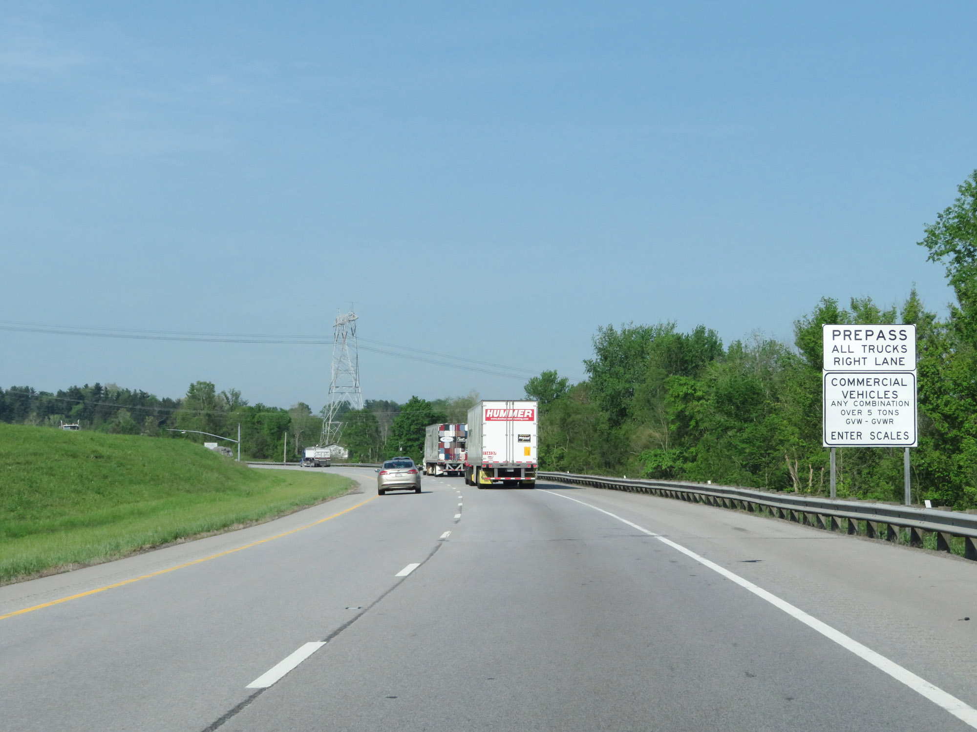 |
Approaching the only permanent scales on Interstate 70 West in Ohio, this sign describes what vehicles must enter the scales when they're open. (Photo taken 5/15/18). |
 |
Weigh Station on Interstate 70 West in Guernsey County. (Photo taken 5/15/18). |
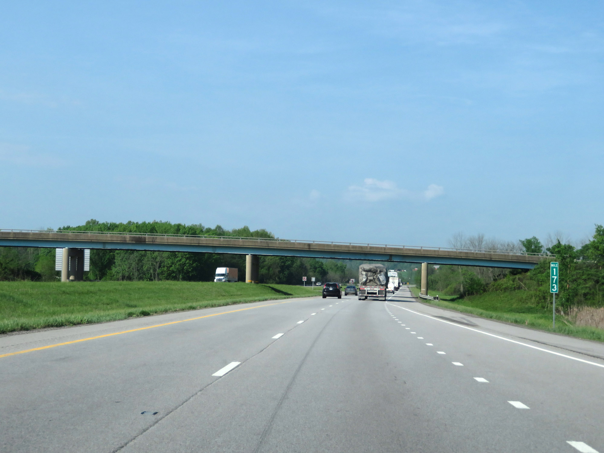 |
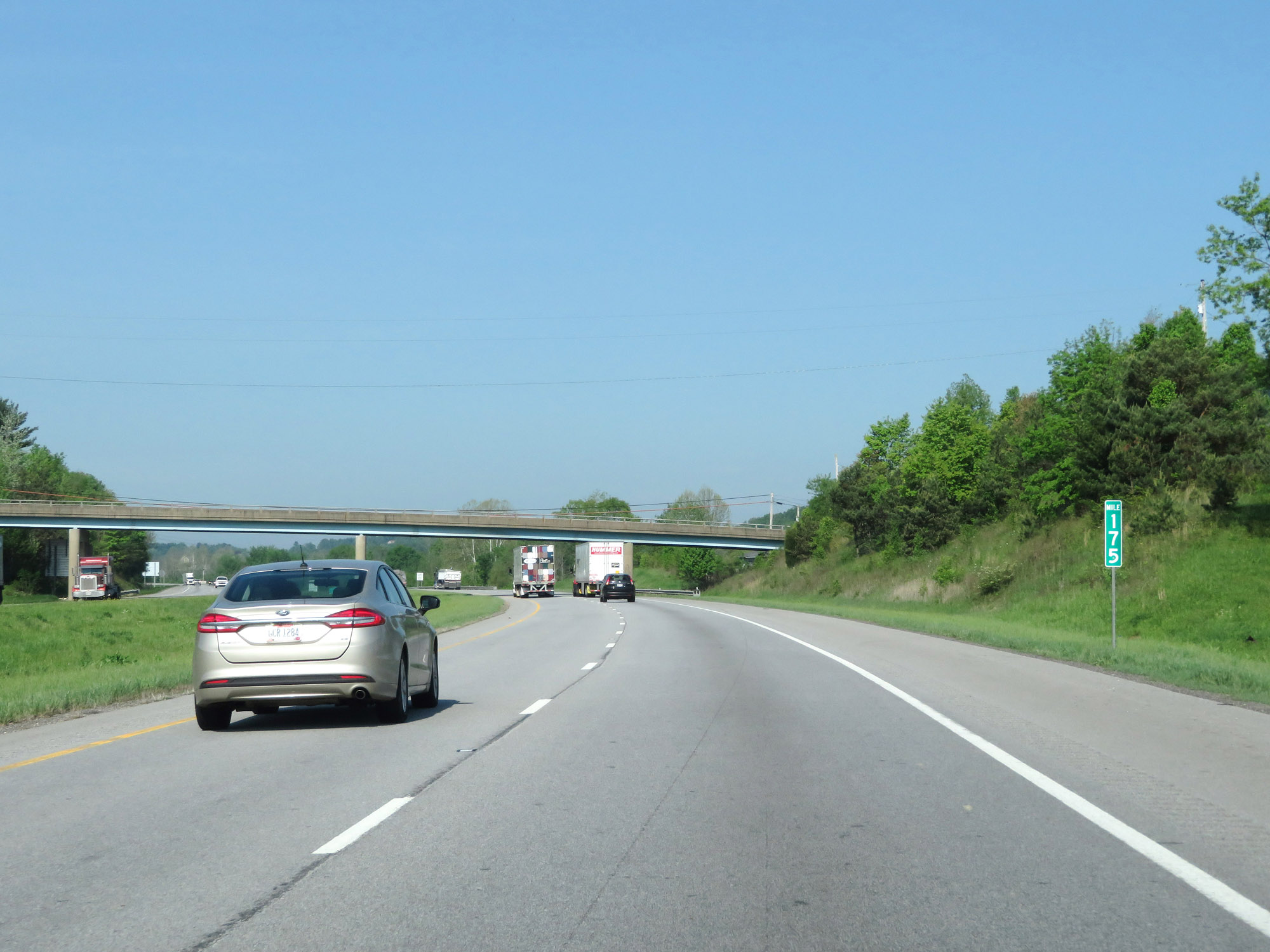
Interstate 70 West at mile marker 173. (Photo taken 5/15/18). |
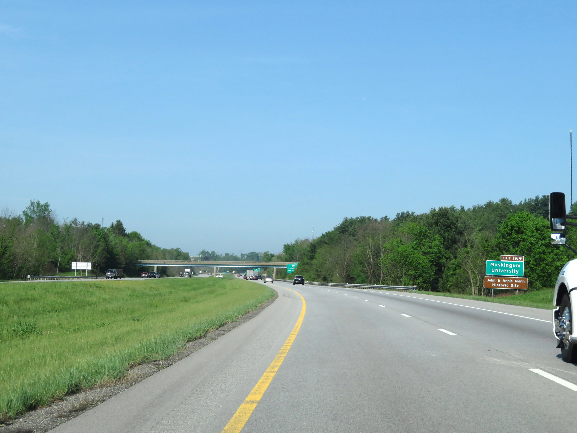 |
Take Exit 169 to Muskingum University and the John & Annie Glenn Historic Site. (Photo taken 5/15/18). |
 |
Also take Exit 169 to The Wilds. (Photo taken 5/15/18). |
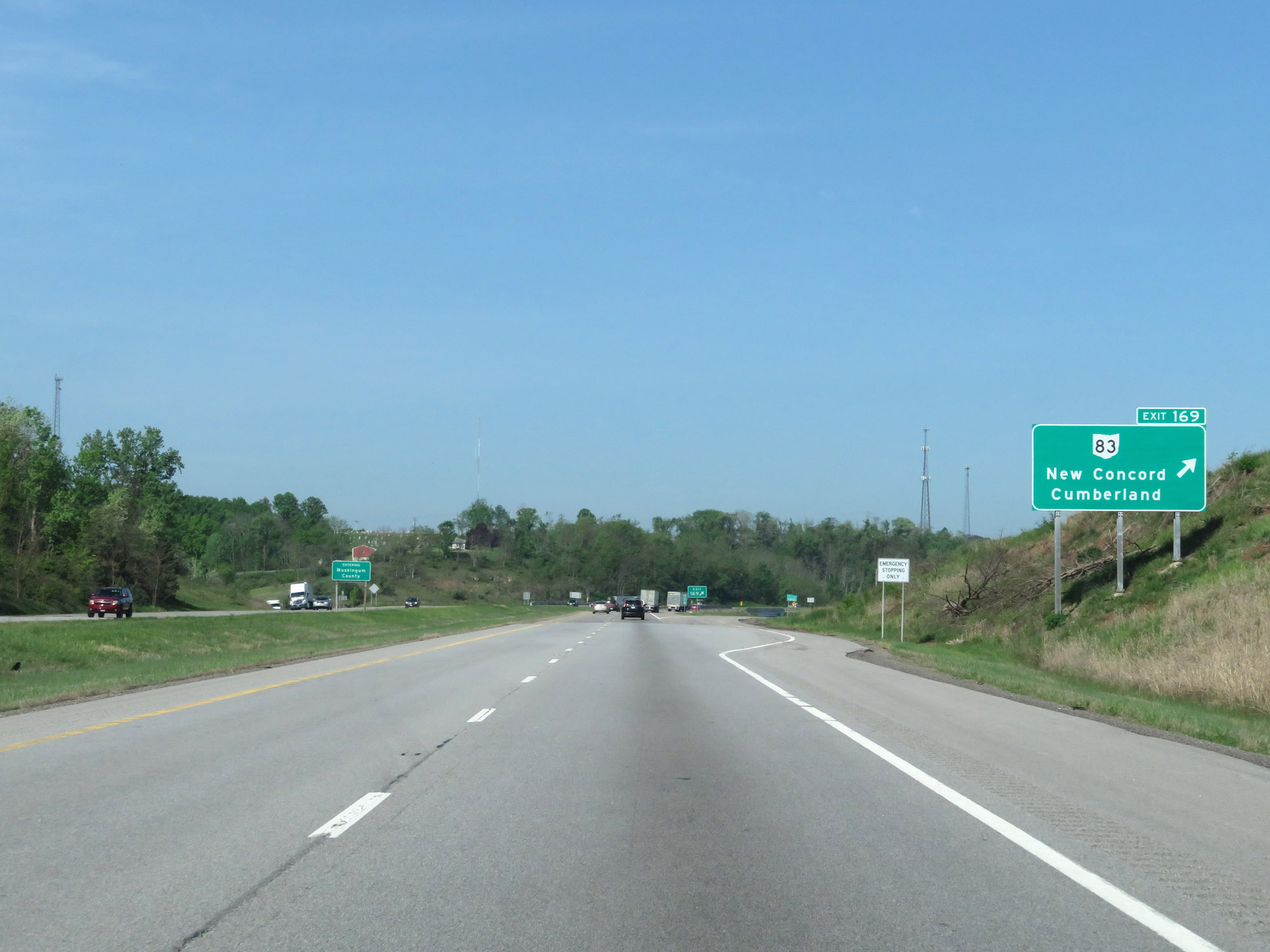 |
Interstate 70 West at Exit 169: OH 83 - New Concord / Cumberland (Photo taken 5/15/18). |
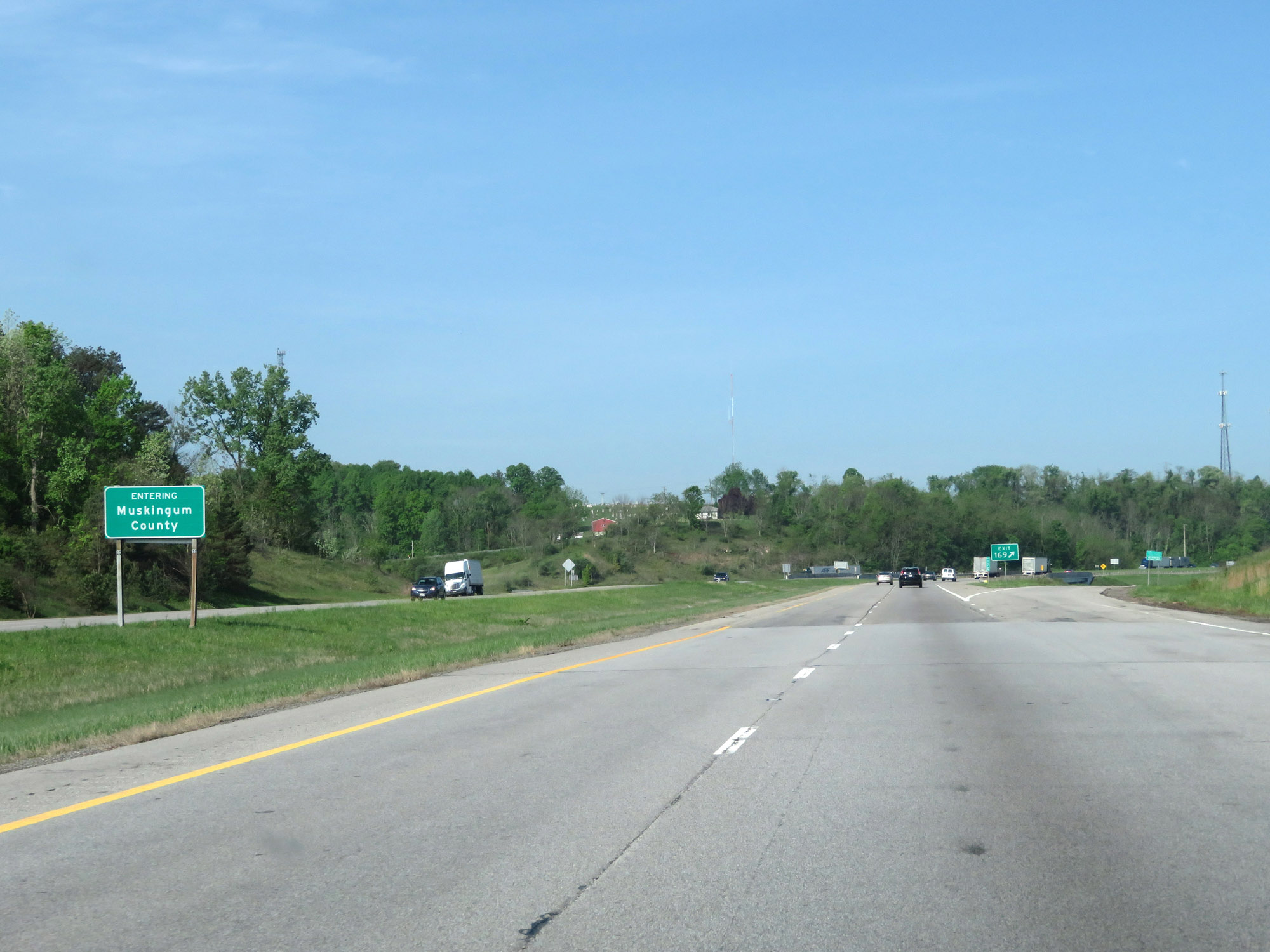 |
At Exit 169, Interstate 70 West enters Muskingum County. (Photo taken 5/15/18). |
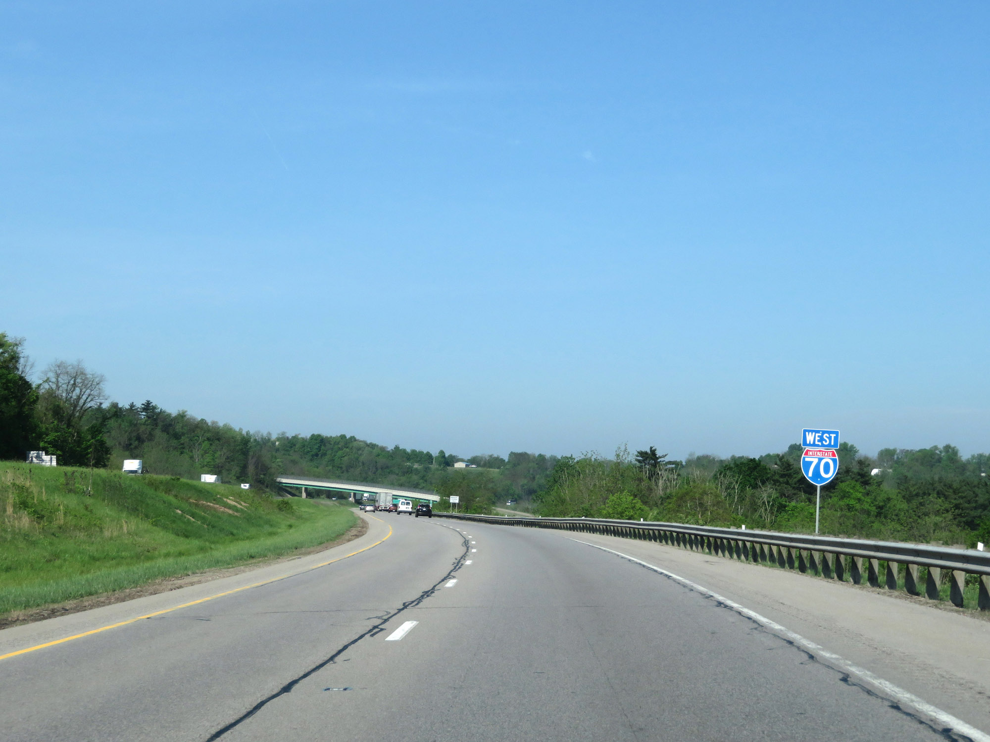 |
Another Interstate 70 West reassurance shield. (Photo taken 5/15/18). |
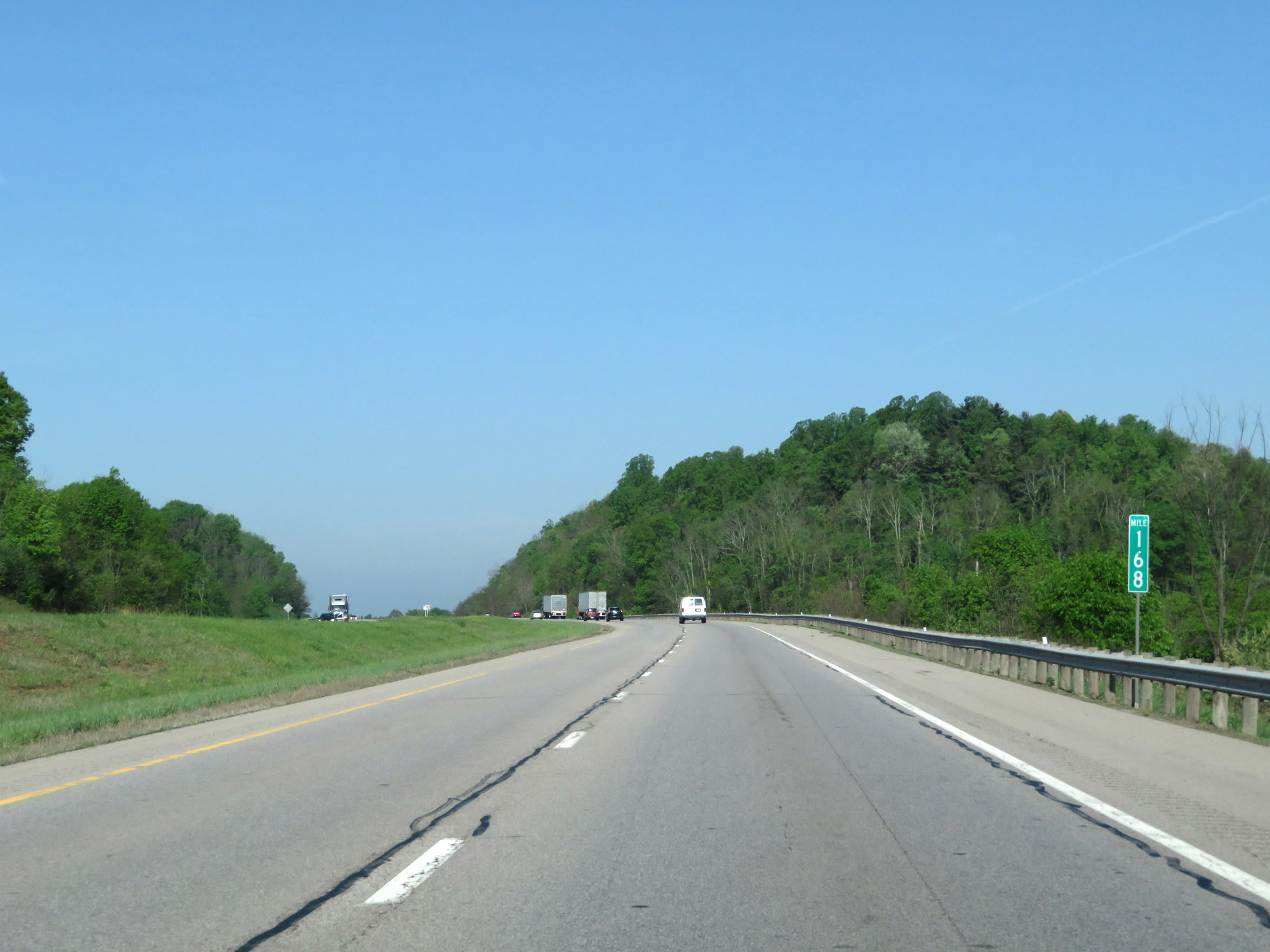 |
View on Interstate 70 West at mile marker 168. (Photo taken 5/15/18). |
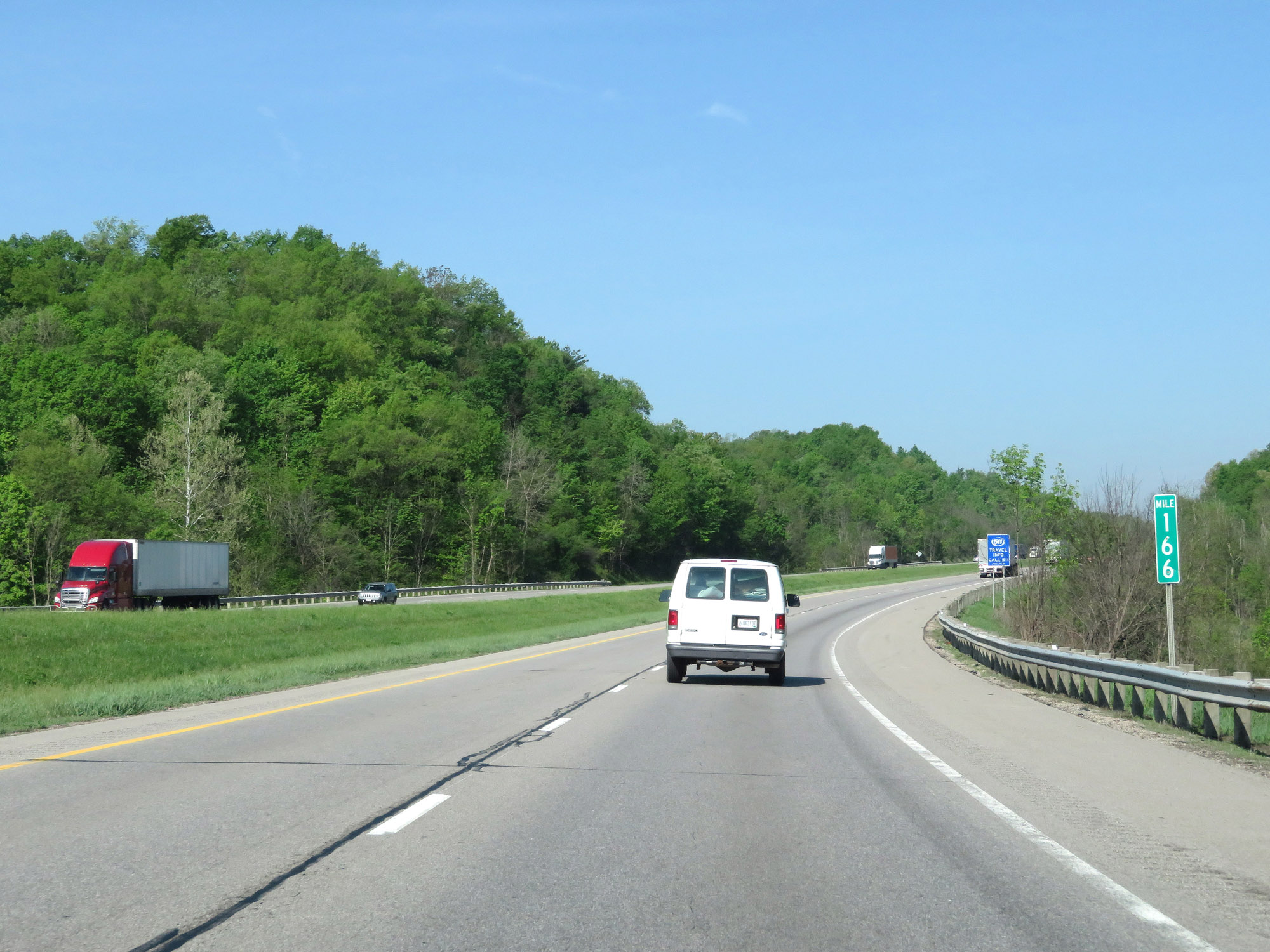 |
Interstate 70 West at mile marker 166. (Photo taken 5/15/18). |
 |
Take Exit 164 to National Road and the Zane Grey Museum. (Photo taken 5/15/18). |
 |
Interstate 70 West at Exit 164: US 22 / US 40 - Norwich (Photo taken 5/15/18). |
 |
Rest Area on Interstate 70 West in Muskingum County. (Photo taken 5/15/18). |
 |
Interstate 70 West at Exit 160: Airport Rd / Sonora Rd (Photo taken 5/15/18). |
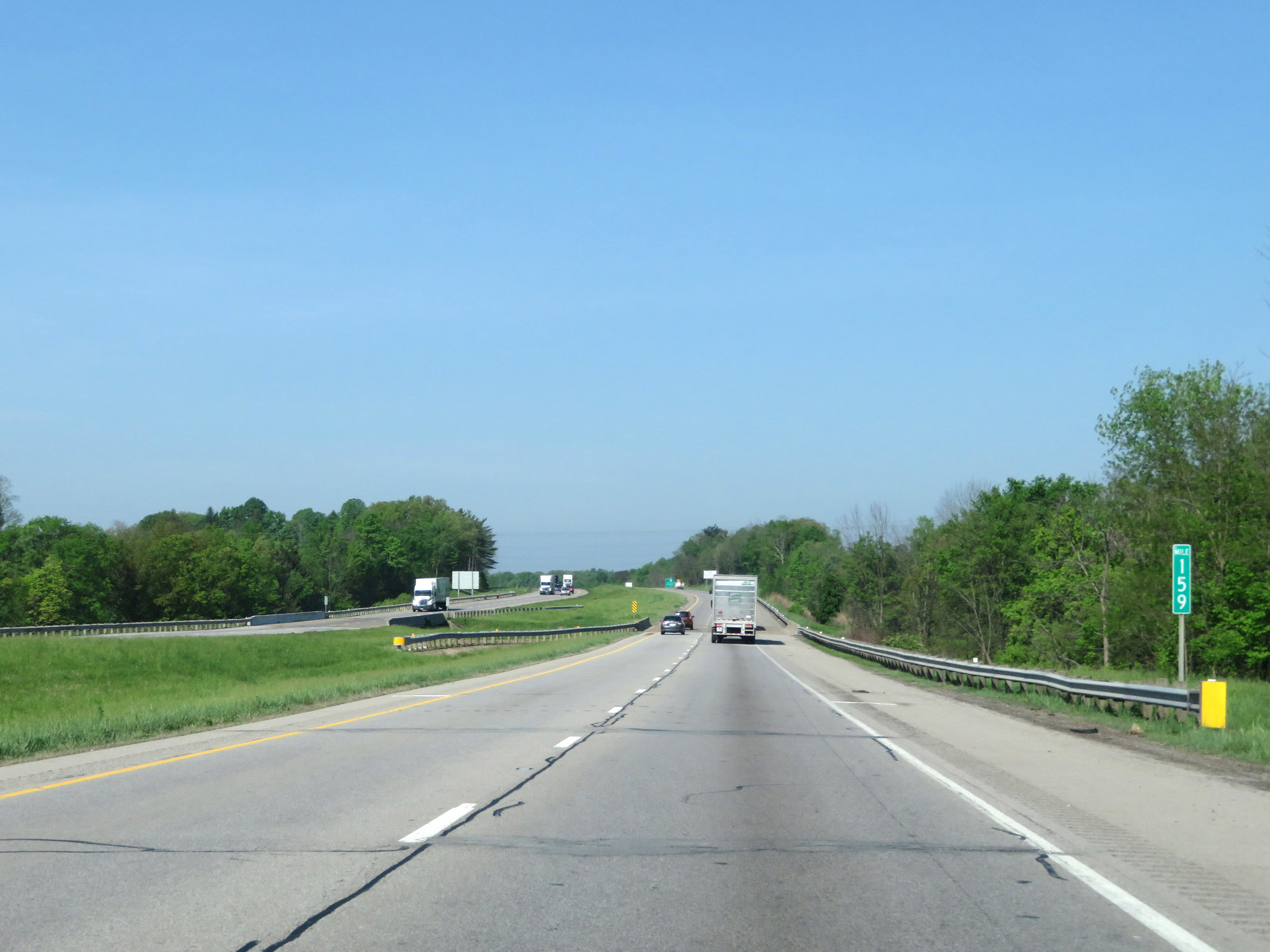 |
View on Interstate 70 West at mile marker 159. (Photo taken 5/15/18). |
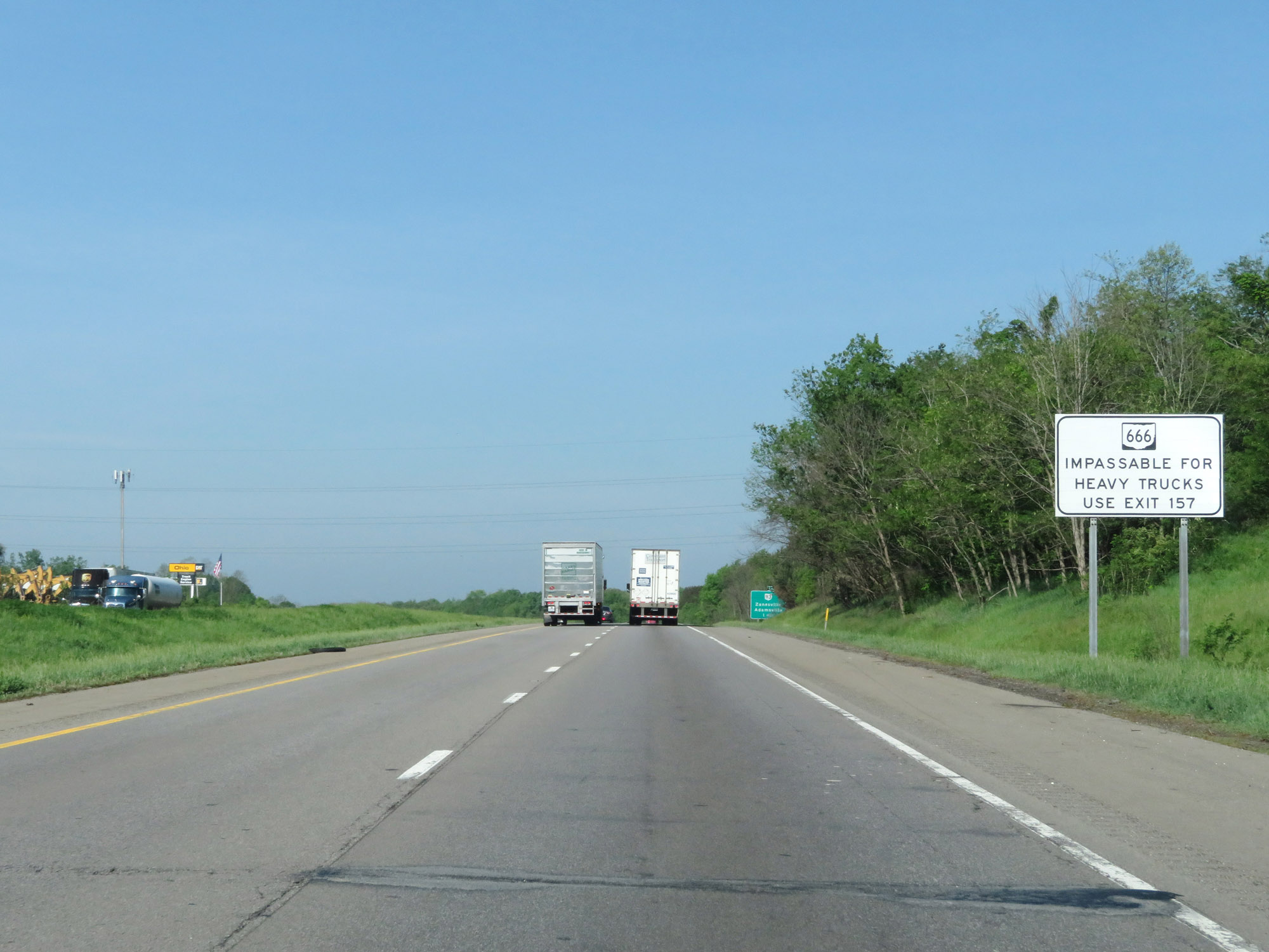 |
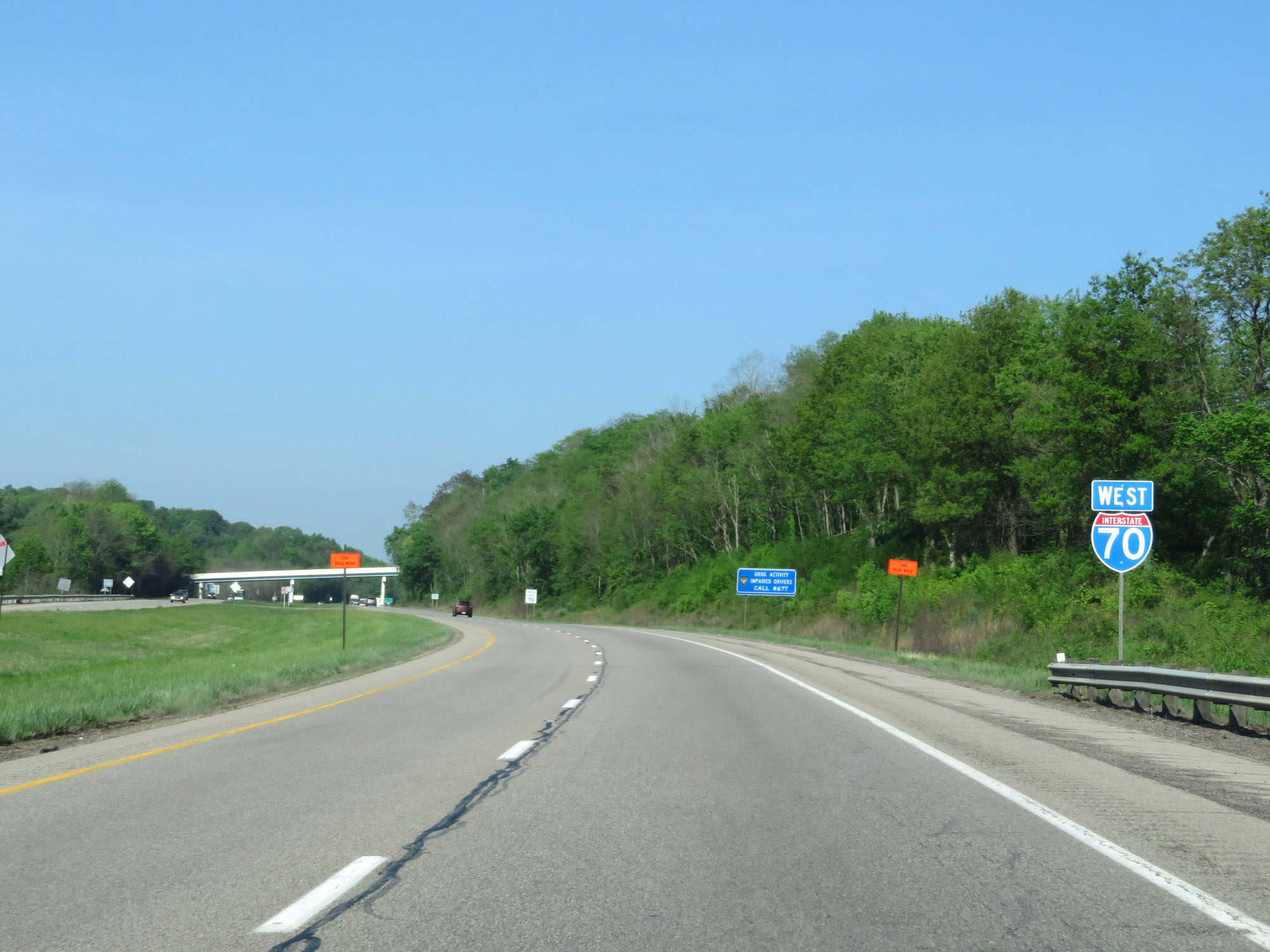
This sign advises that OH 666 is impassable for heavy trucks. Instead, trucks should use Exit 157. (Photo taken 5/15/18). |
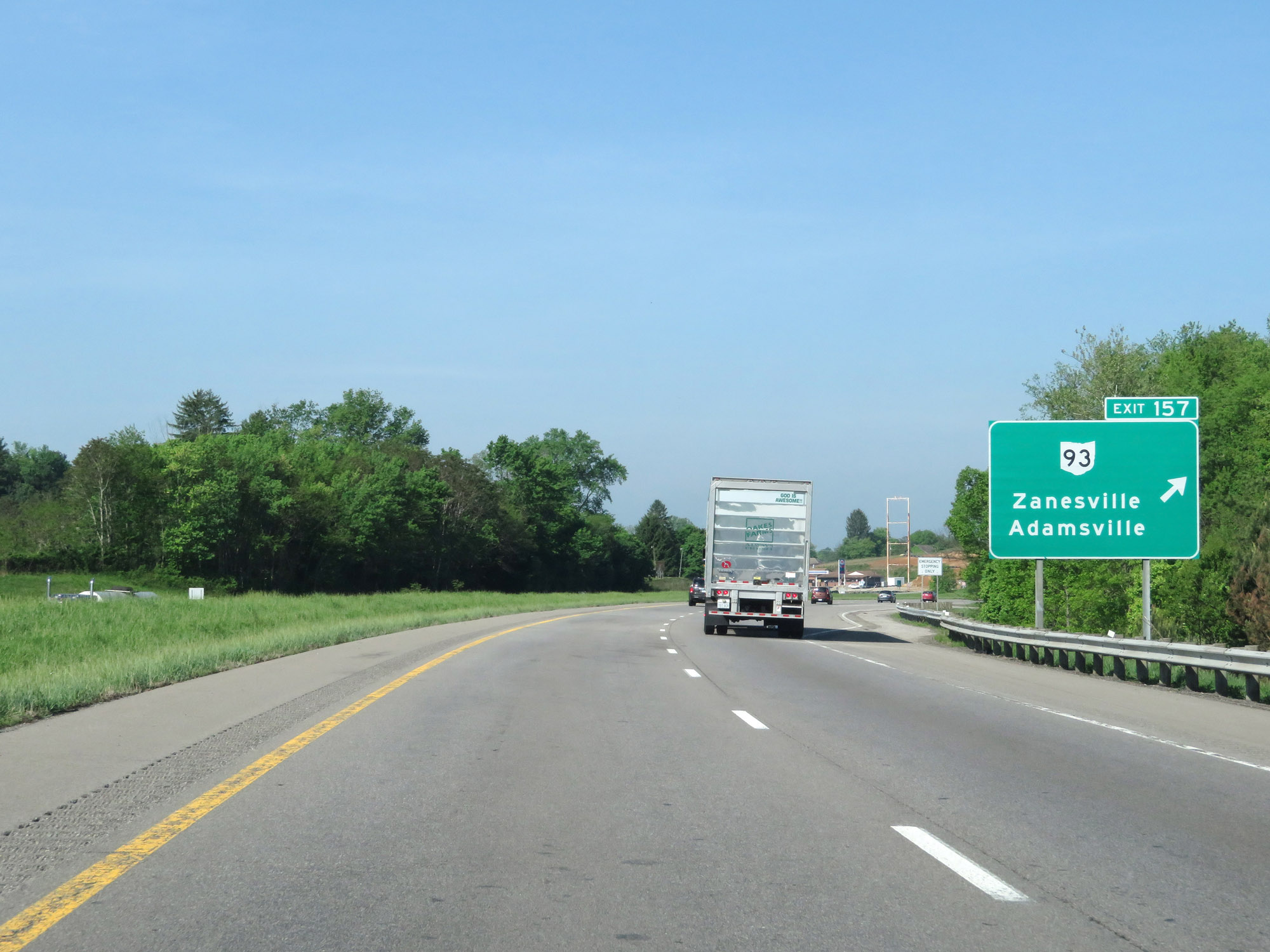 |
Interstate 70 West at Exit 157: OH 93 - Zanesville / Adamsville (Photo taken 5/15/18). |
Section 2: Zanesville (Exit 157) to Columbus (Exit 99C)
 |
Take Exit 155 to Downtown Zanesville. (Photo taken 5/15/18). |
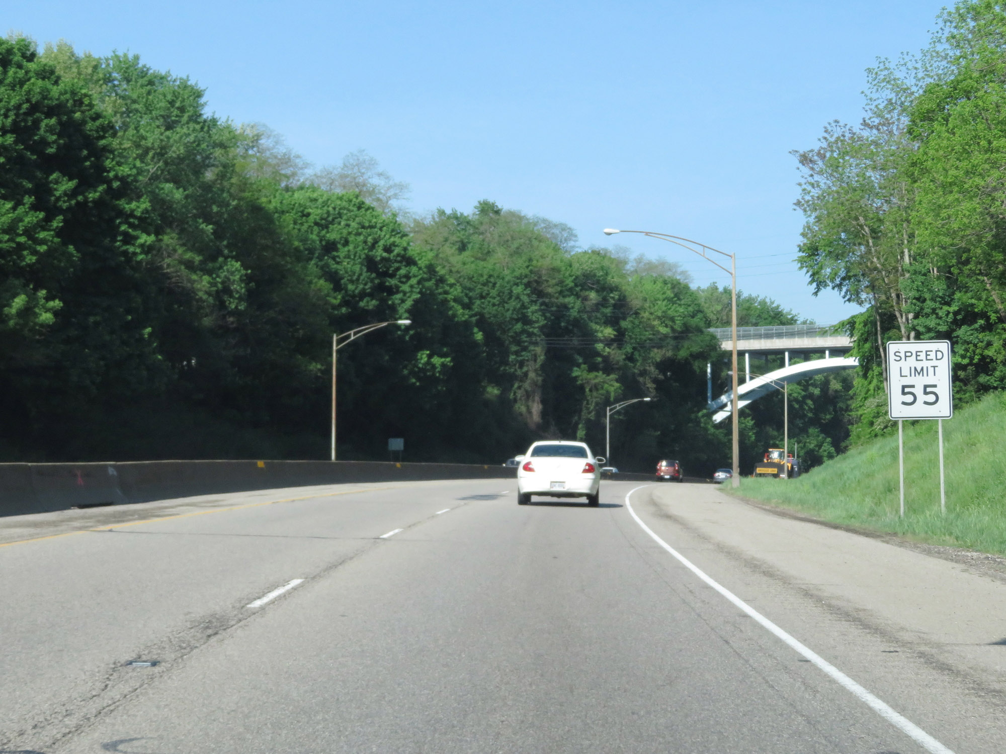 |
Approaching downtown Zanesville, the speed limit on Interstate 70 West decreases to 55 mph for all traffic. (Photo taken 5/15/18). |
 |
View on Interstate 70 West as it prepares to pass under Hamline Ave. (Photo taken 5/15/18). |
 |
Interstate 70 West at Exit 155: OH 60 / OH 146 - Underwood St (Photo taken 5/15/18). |
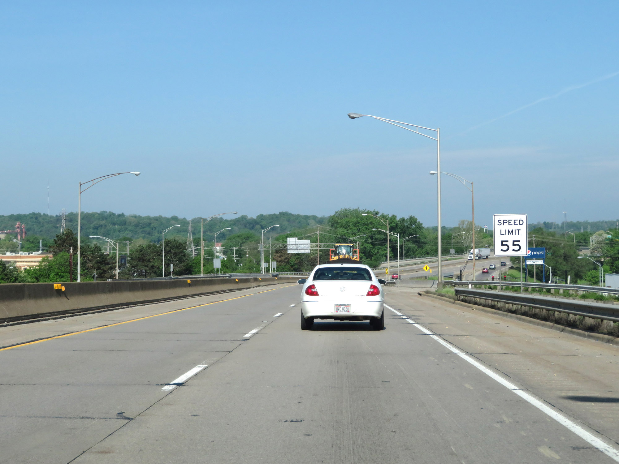 |
The speed limit remains 55 mph throughout downtown Zanesville. (Photo taken 5/15/18). |
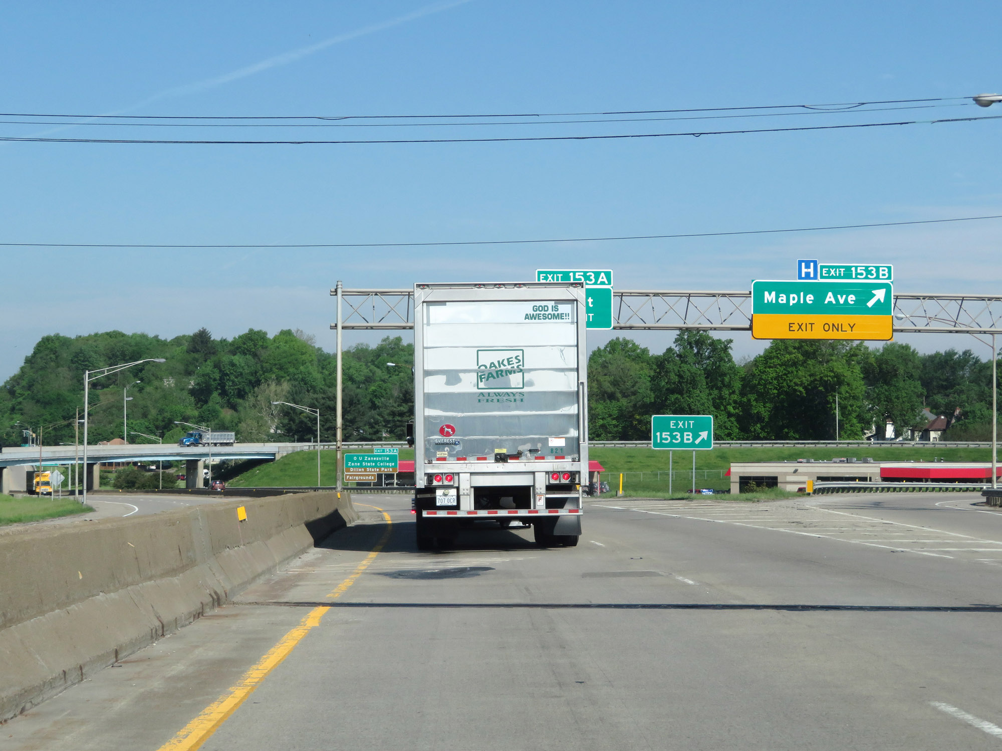 |
Interstate 70 West at Exit 153B: Maple Ave (Photo taken 5/15/18). |
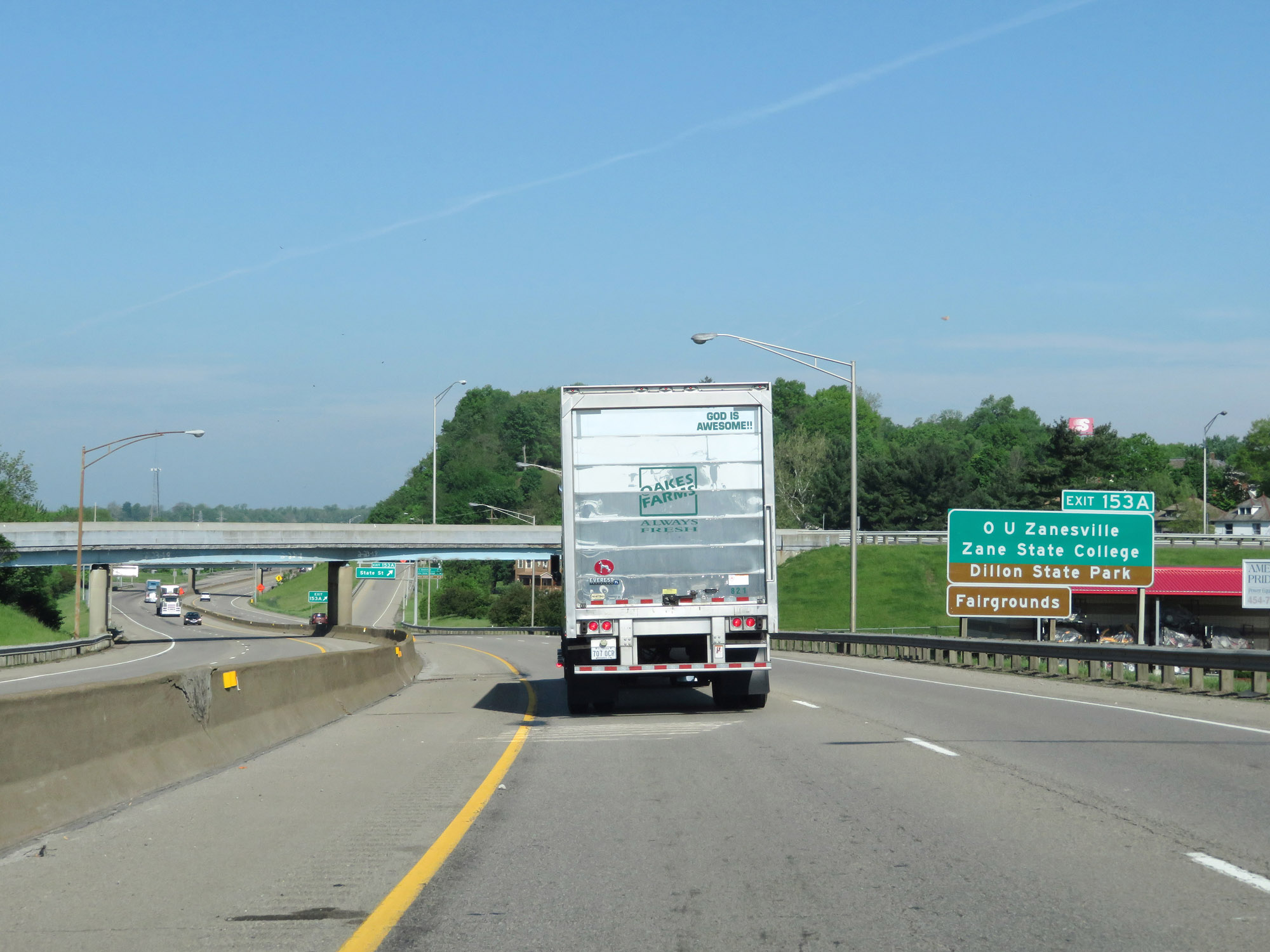 |
Take Exit 153A to OU Zanesville, Zane State College, Dillon State Park, and the Fairgrounds. (Photo taken 5/15/18). |
 |
Interstate 70 West at Exit 153A: State St (Photo taken 5/15/18). |
 |
West of Exit 153A, the standard rural speed limit of 70 mph resumes as Interstate 70 West leaves downtown Zanesville. (Photo taken 5/15/18). |
 |
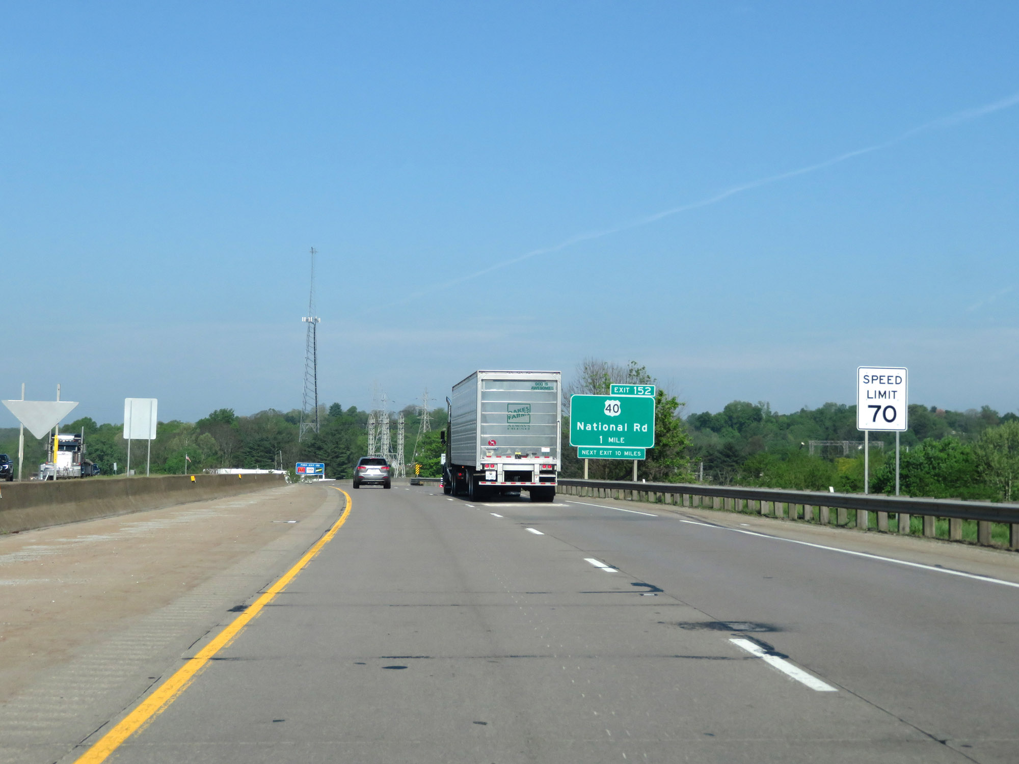
Interstate 70 West at Exit 152: US 40 - National Rd (Photo taken 5/15/18). |
 |
Interstate 70 West reassurance shield. (Photo taken 5/15/18). |
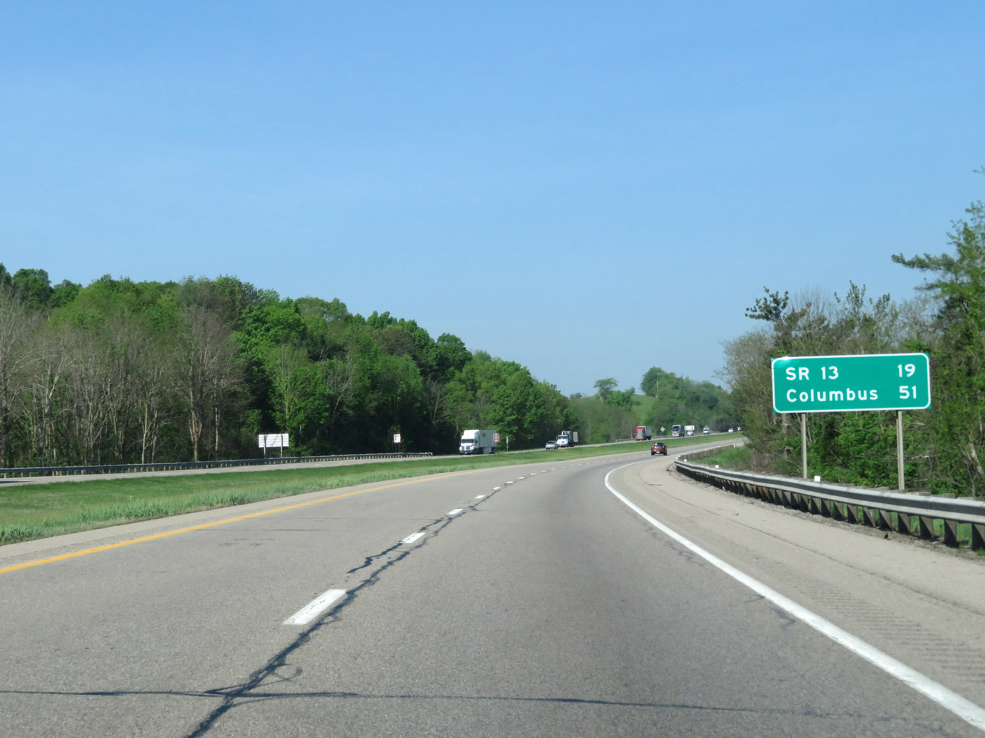 |
Mileage sign on Interstate 70 West. It's 19 miles to the junction of OH 13 and 51 miles to Columbus. (Photo taken 5/15/18). |
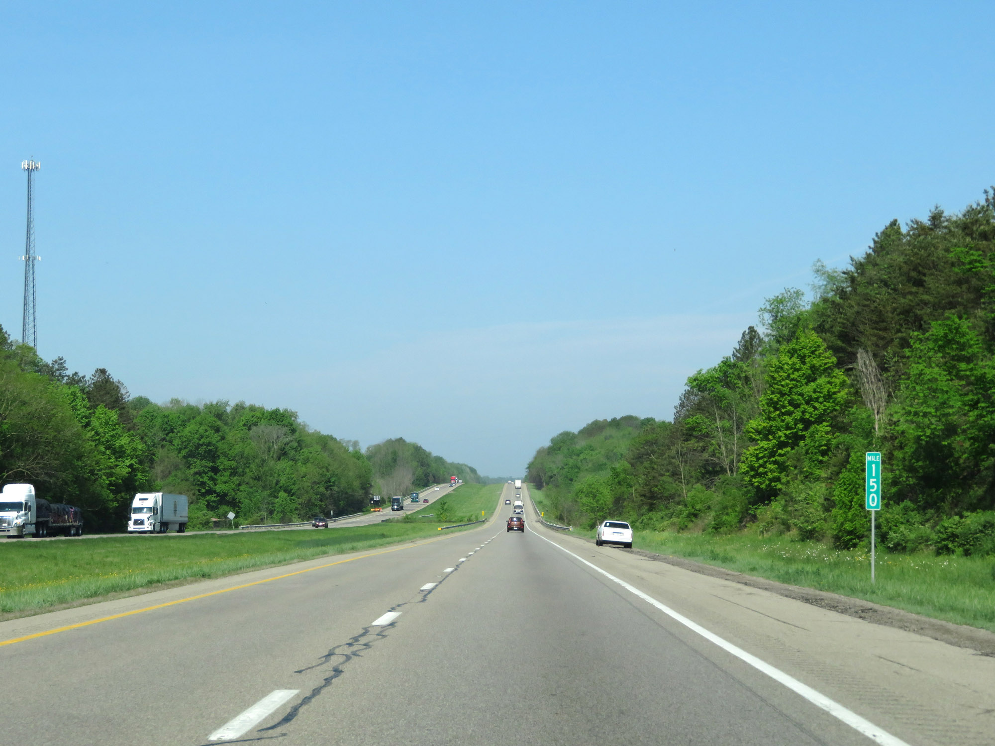 |
View on Interstate 70 West at mile marker 150. (Photo taken 5/15/18). |
 |
Interstate 70 West at mile marker 148. (Photo taken 5/15/18). |
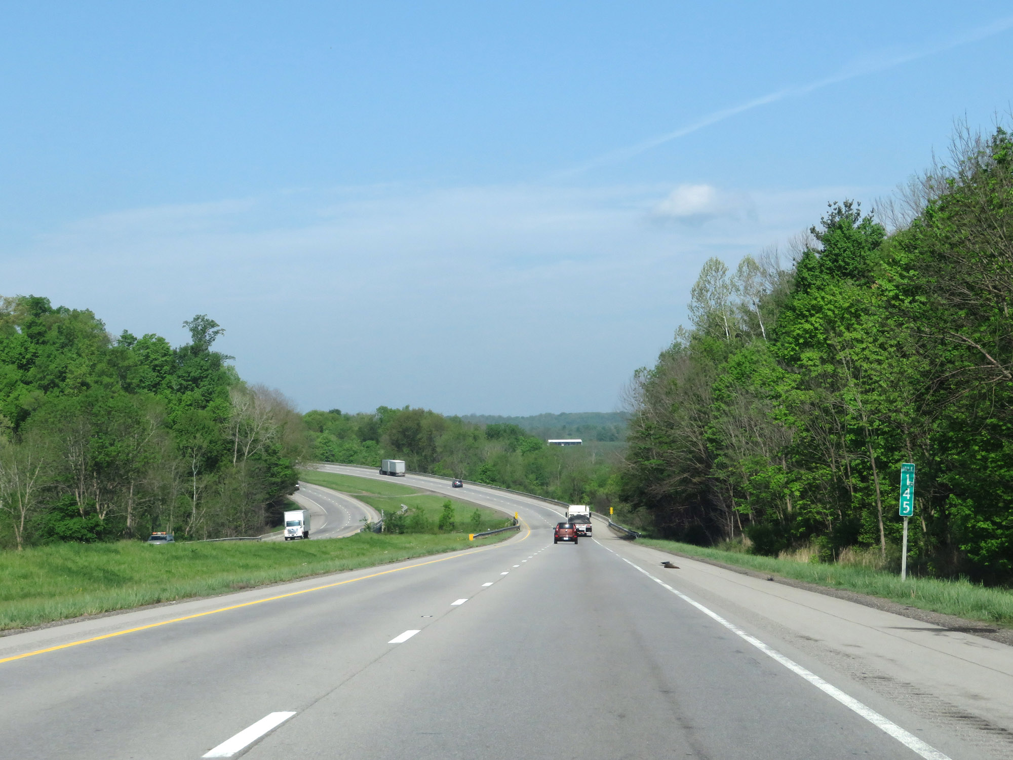 |
View on Interstate 70 West at mile marker 145. (Photo taken 5/15/18). |
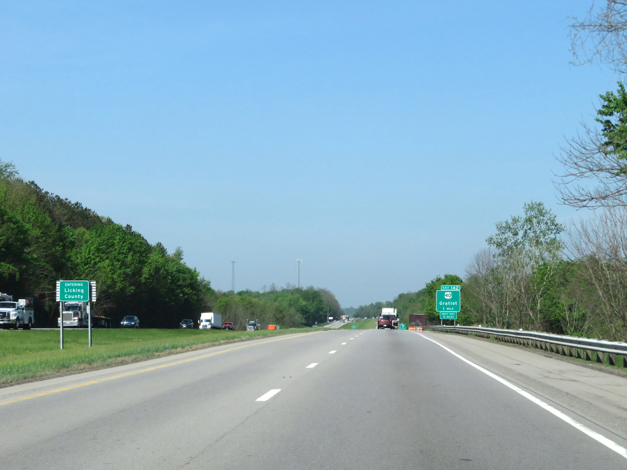 |
Interstate 70 West as it enters Licking County. (Photo taken 5/15/18). |
 |
Take Exit 142 to Brownsville. (Photo taken 5/15/18). |
 |
Interstate 70 West at Exit 142: US 40 - Gratiot (Photo taken 5/15/18). |
 |
View on Interstate 70 West at mile marker 138. (Photo taken 5/15/18). |
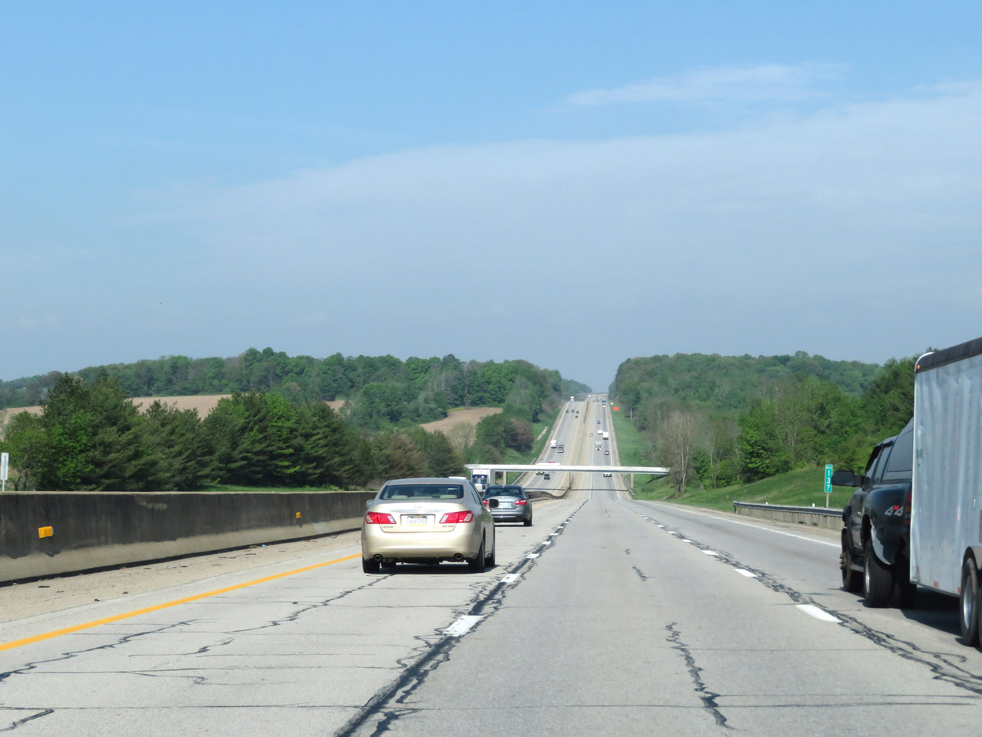 |
Interstate 70 West at mile marker 137. (Photo taken 5/15/18). |
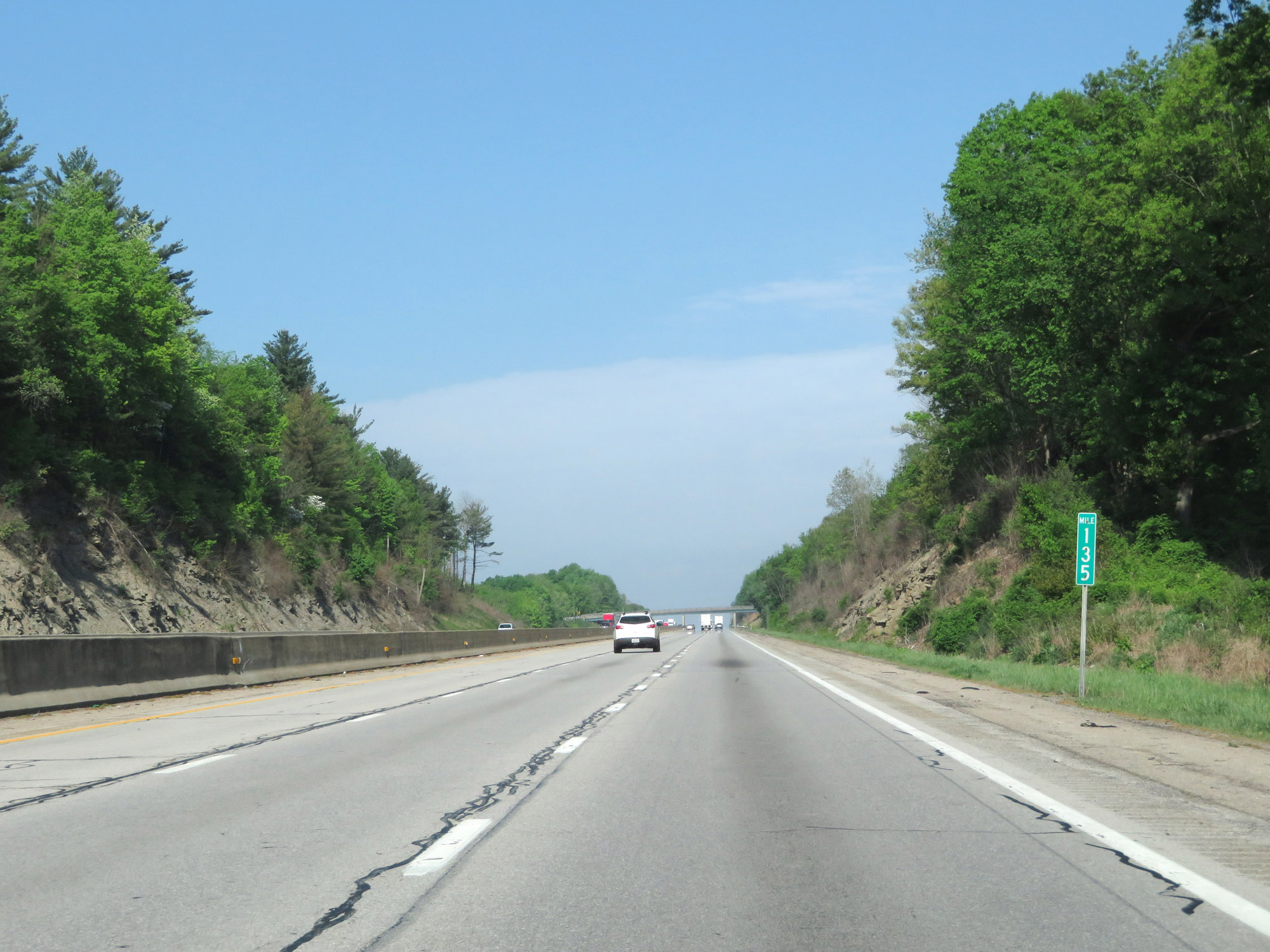 |
Interstate 70 West at mile marker 135. (Photo taken 5/15/18). |
 |
Take Exit 132 to Somerset and New Lexington. (Photo taken 5/15/18). |
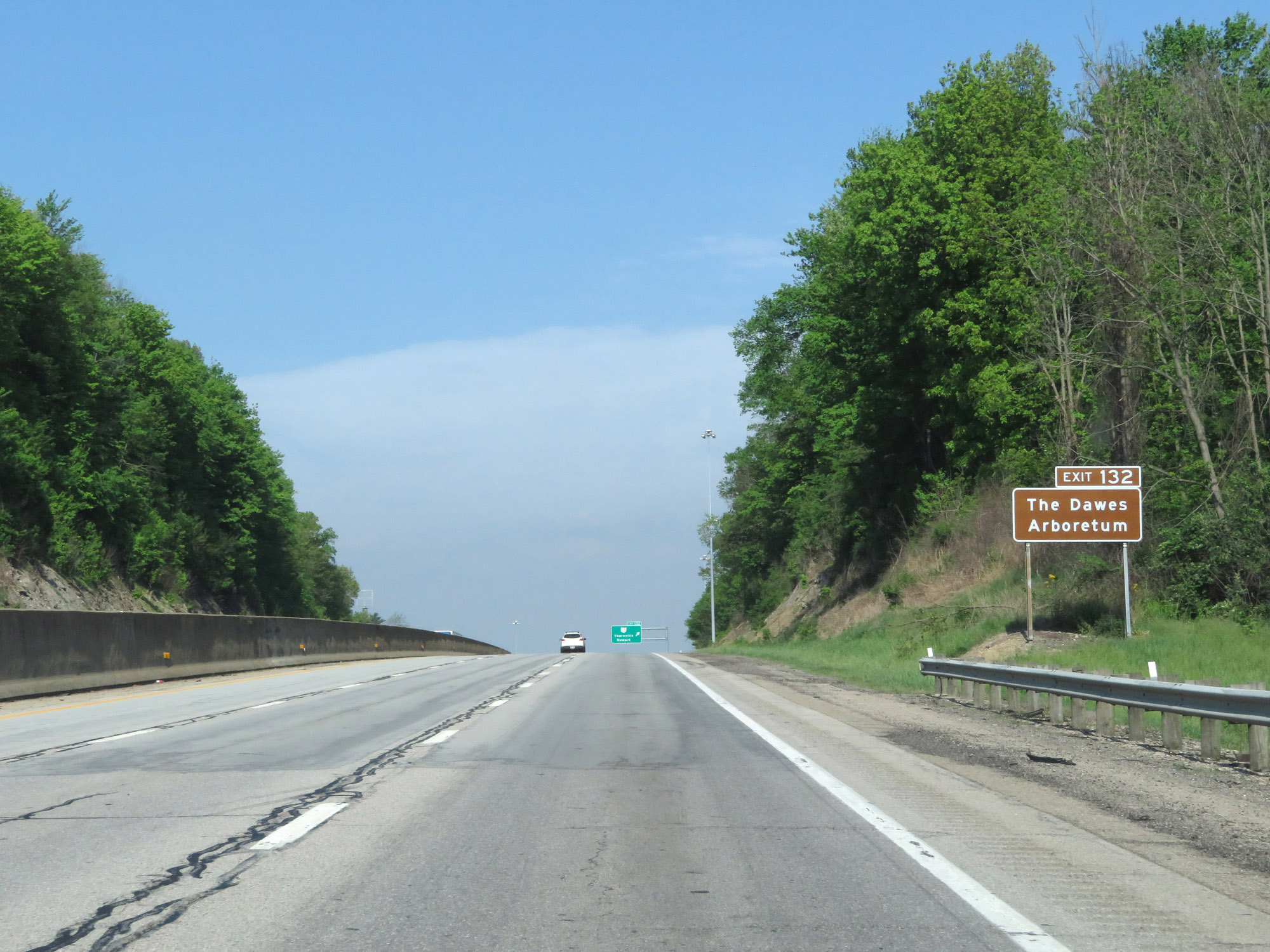 |
Also take Exit 132 to Dawes Arboretum. (Photo taken 5/15/18). |
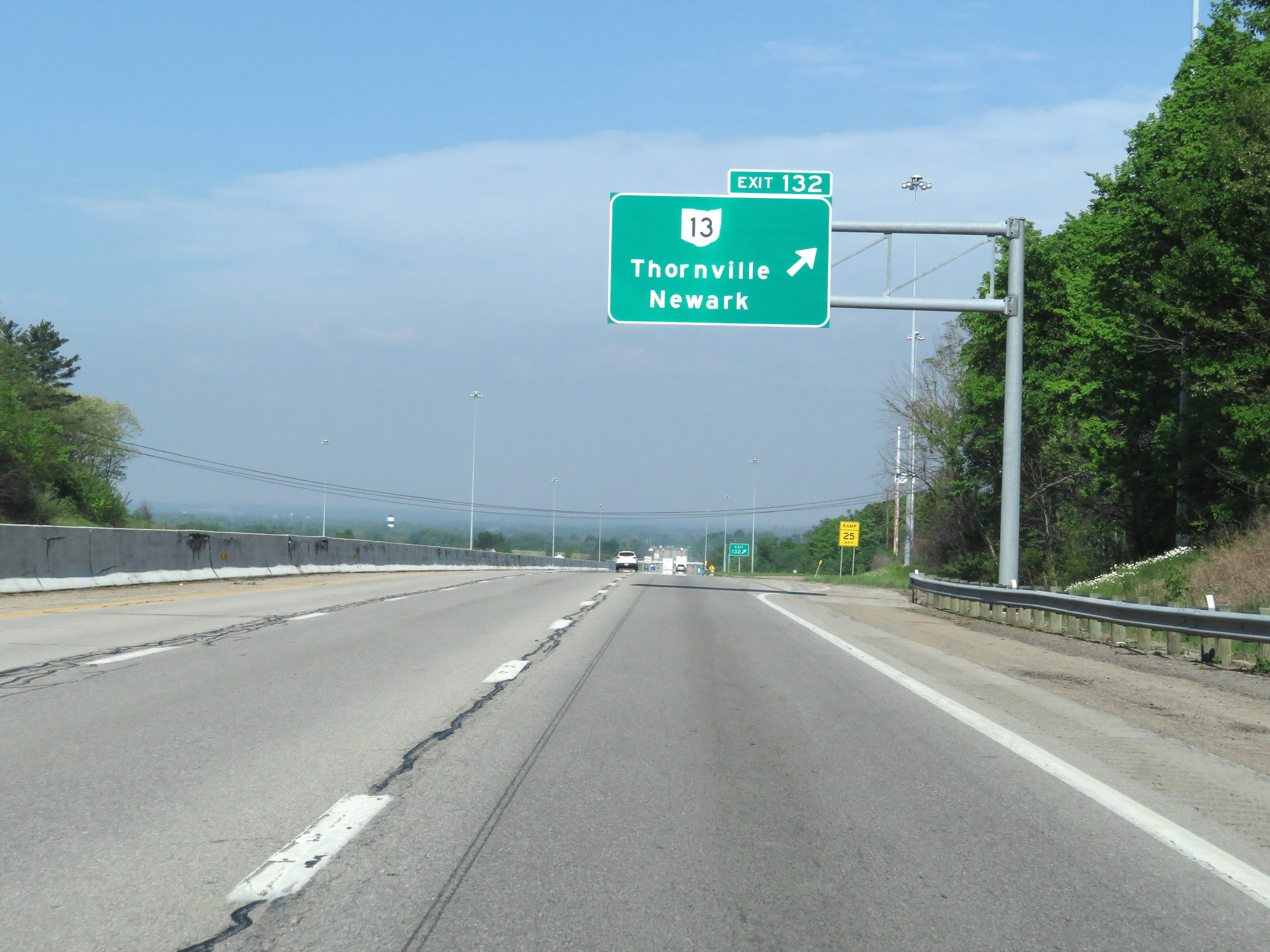 |
Interstate 70 West at Exit 132: OH 13 - Thornville / Newark (Photo taken 5/15/18). |
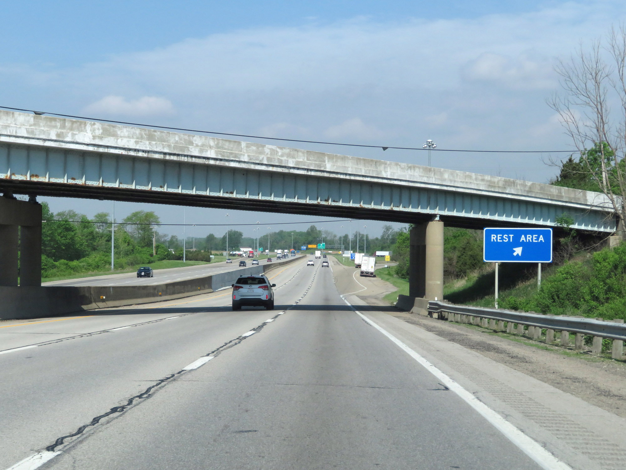 |
Rest Area on Interstate 70 West in Licking County. (Photo taken 5/15/18). |
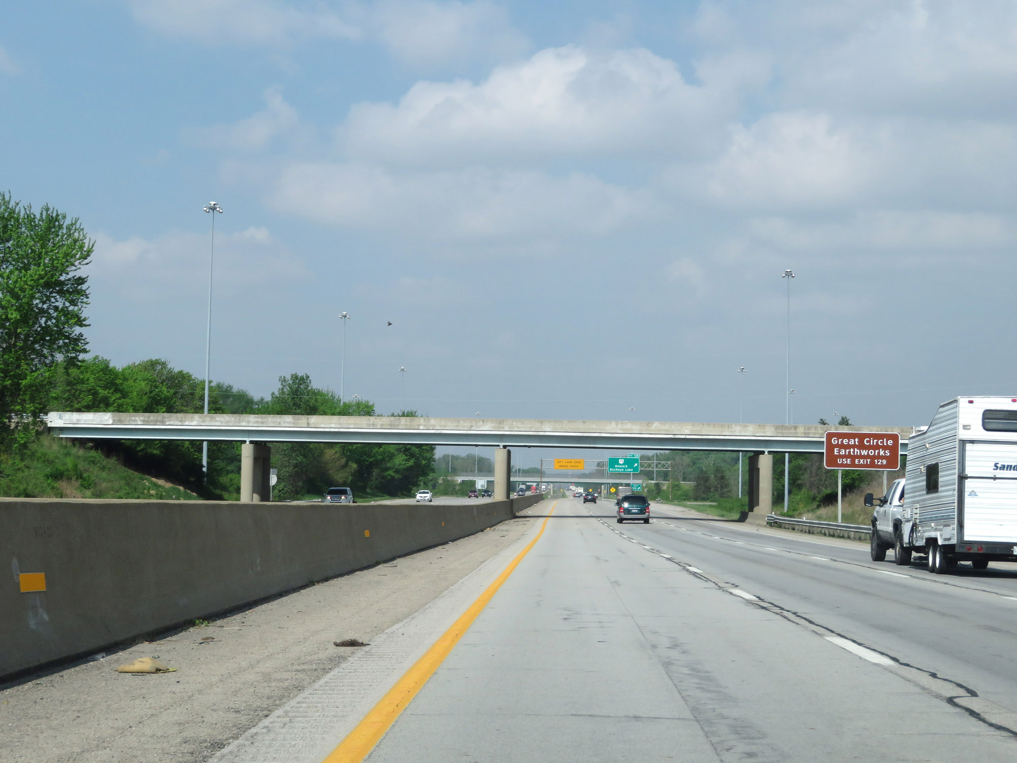 |
Take Exit 129 to Great Circle Earthworks. (Photo taken 5/15/18). |
 |
Interstate 70 West at Exit 129: OH 79 - Newark / Buckeye Lake (Photo taken 5/15/18). |
 |
Interstate 70 West at mile marker 128. (Photo taken 5/15/18). |
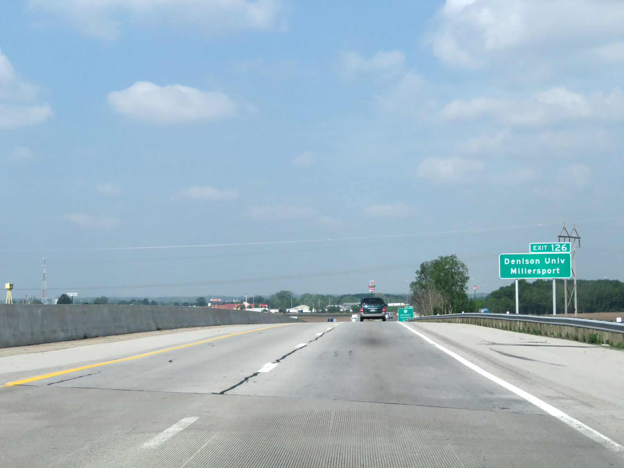 |
Take Exit 126 to Denison University and Millersport. (Photo taken 5/15/18). |
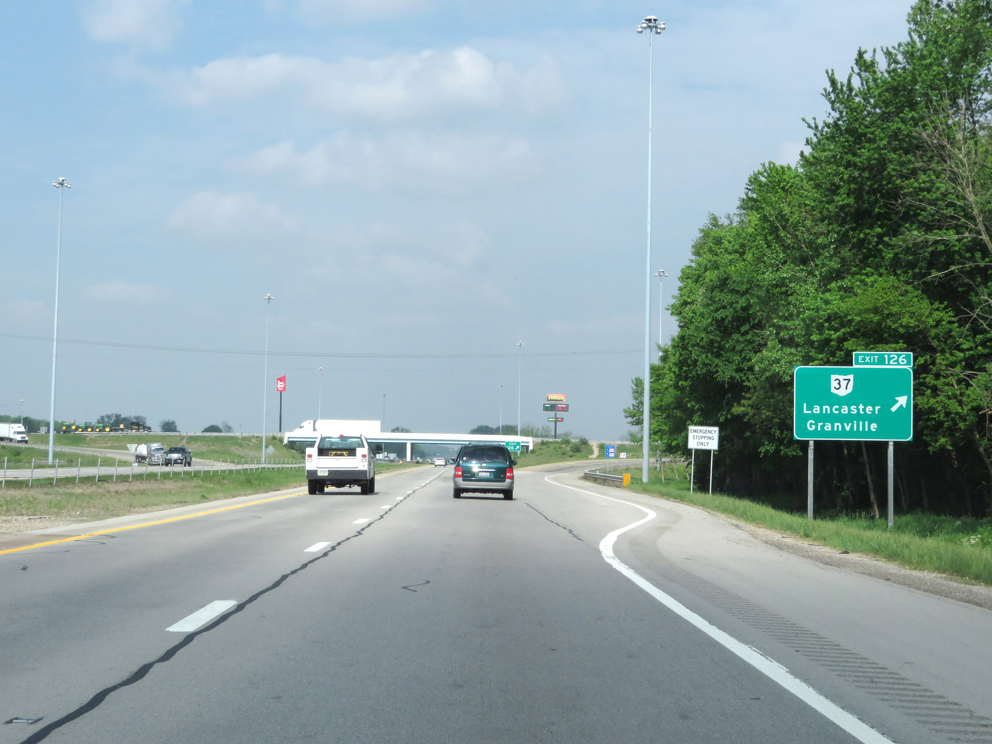 |
Interstate 70 West at Exit 126: OH 37 - Lancaster / Granville (Photo taken 5/15/18). |
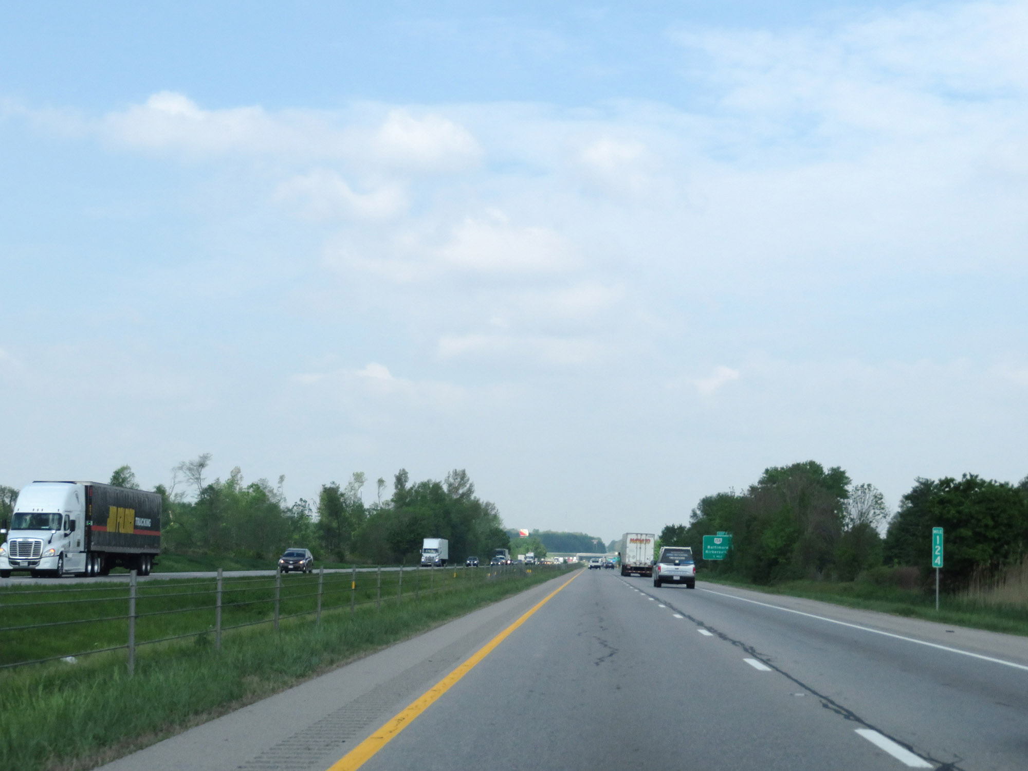 |
View on Interstate 70 West at mile marker 124. (Photo taken 5/15/18). |
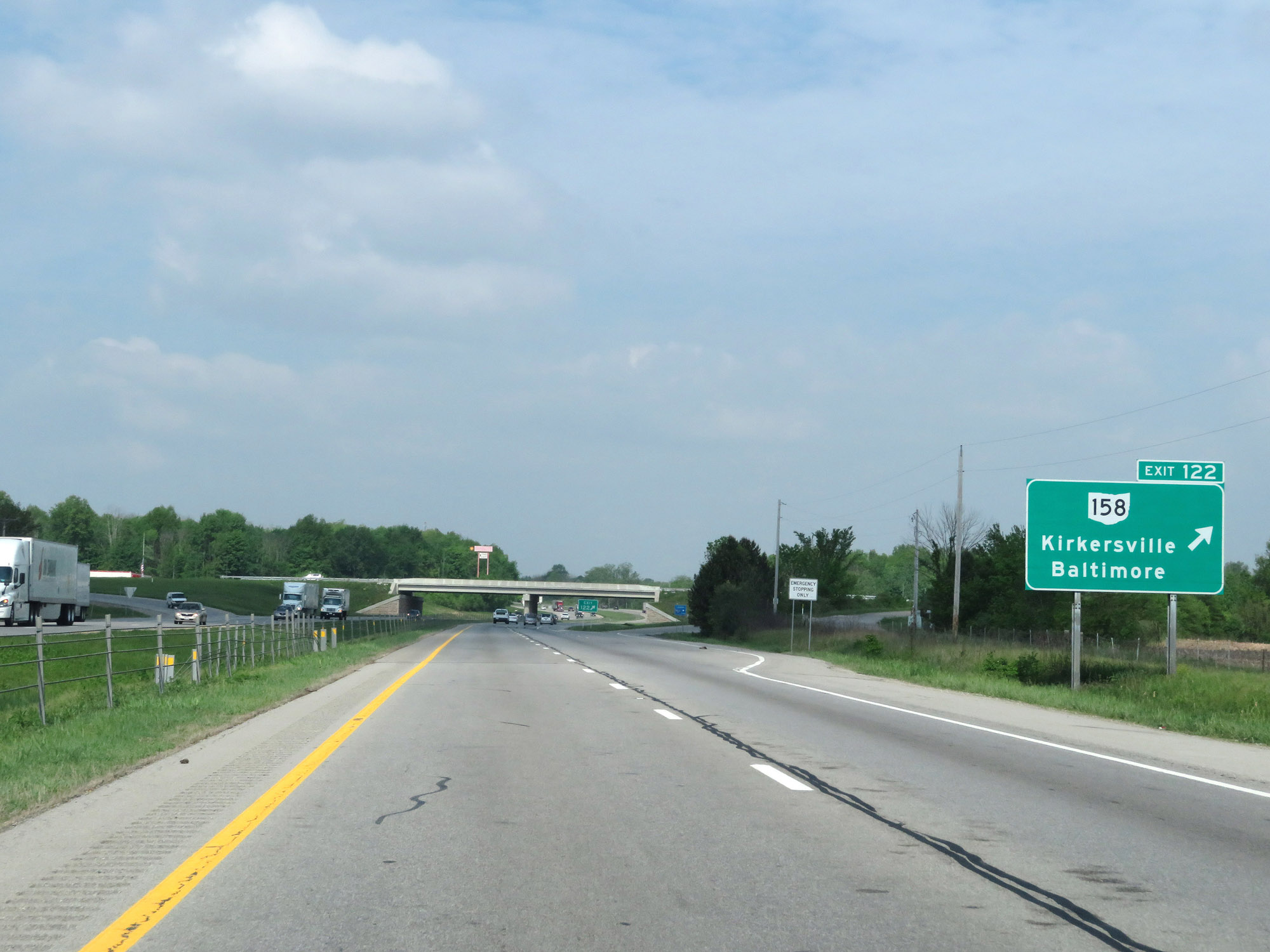 |
Interstate 70 West at Exit 122: OH 158 - Kirkersville / Baltimore (Photo taken 5/15/18). |
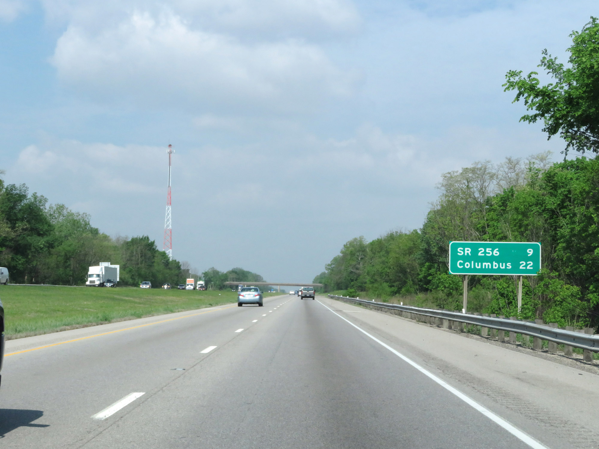 |
Mileage sign on Interstate 70 West. It's 9 miles to the junction of OH 256 and 22 miles to Columbus. (Photo taken 5/15/18). |
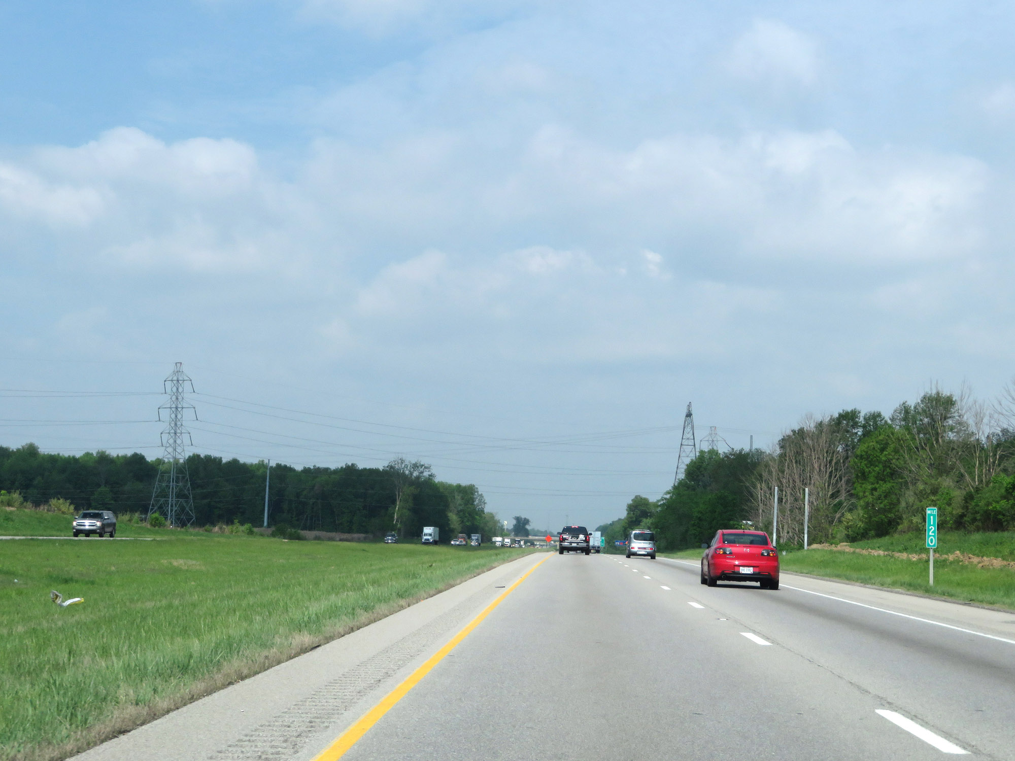 |
View on Interstate 70 West at mile marker 120. (Photo taken 5/15/18). |
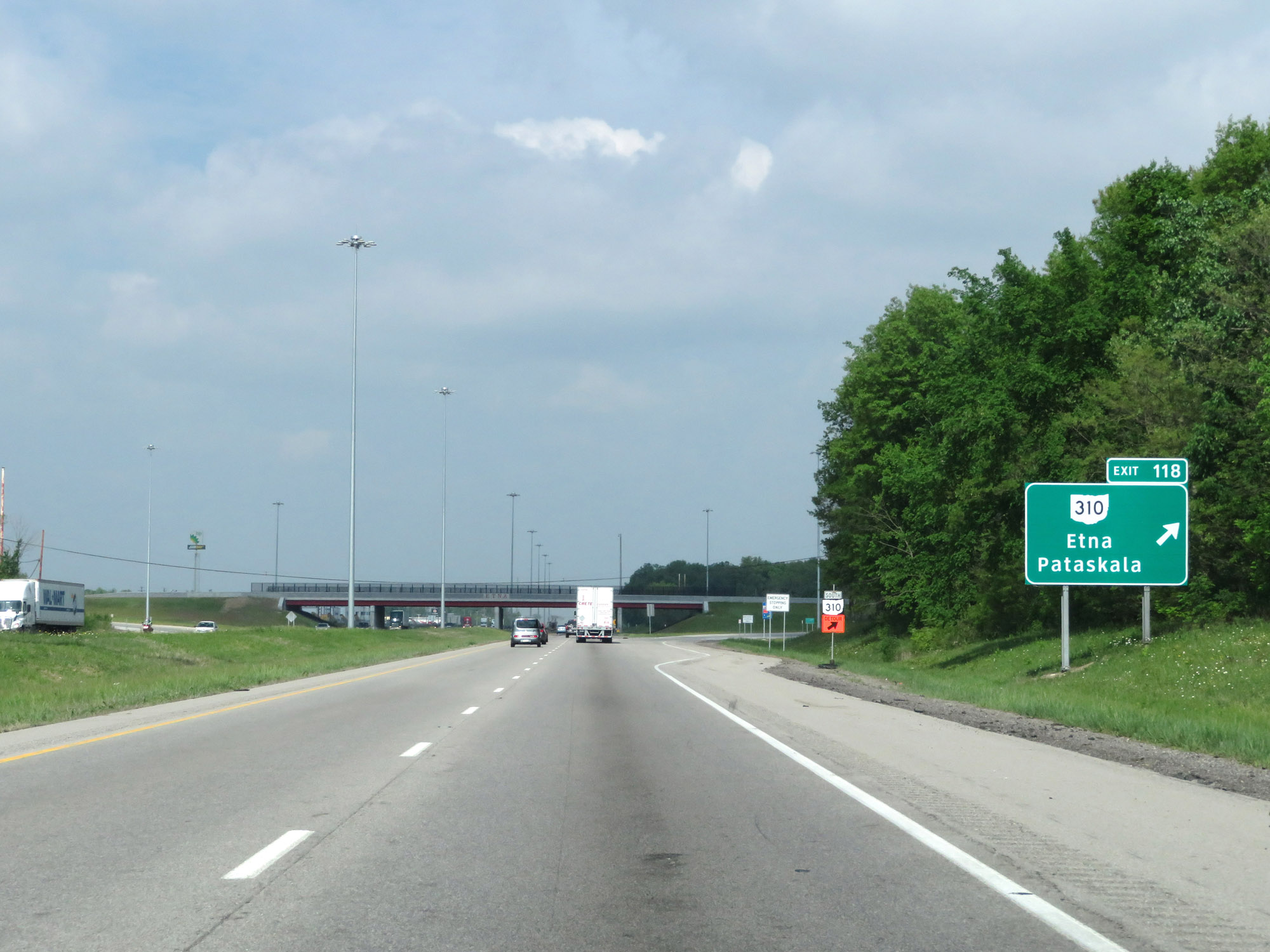 |
Interstate 70 West at Exit 118: OH 310 - Etna / Pataskala (Photo taken 5/15/18). |
 |
Interstate 70 West at mile marker 117. (Photo taken 5/15/18). |
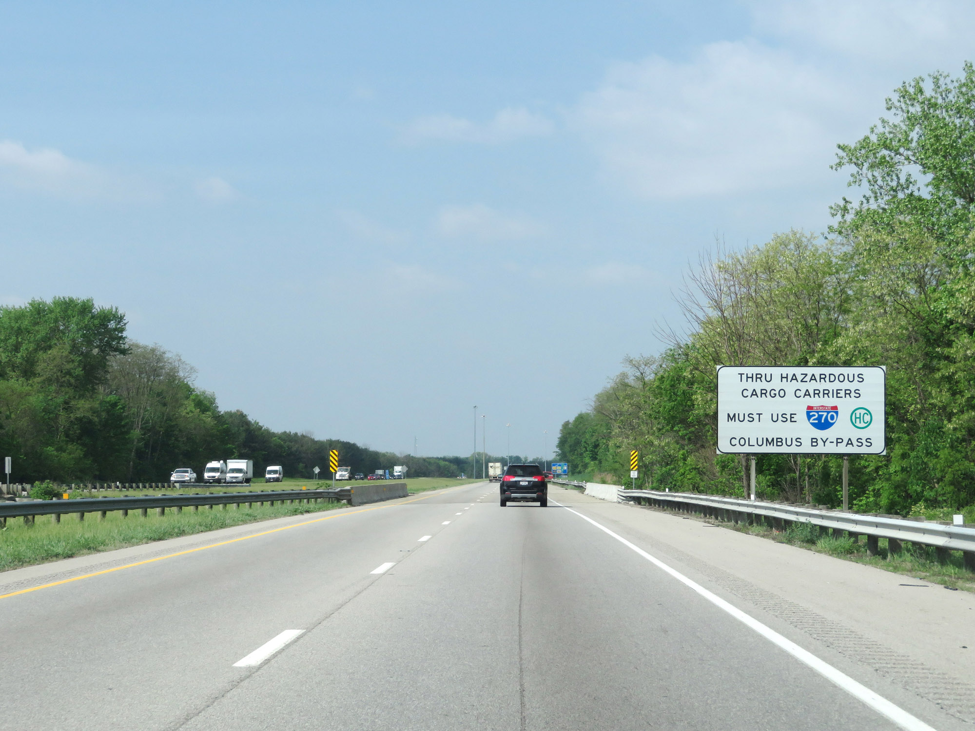 |
This sign warns that all thru trucks hauling hazardous materials must use Interstate 270 to bypass downtown Columbus. (Photo taken 5/15/18). |
 |
View on Interstate 70 West at mile marker 114. (Photo taken 5/15/18). |
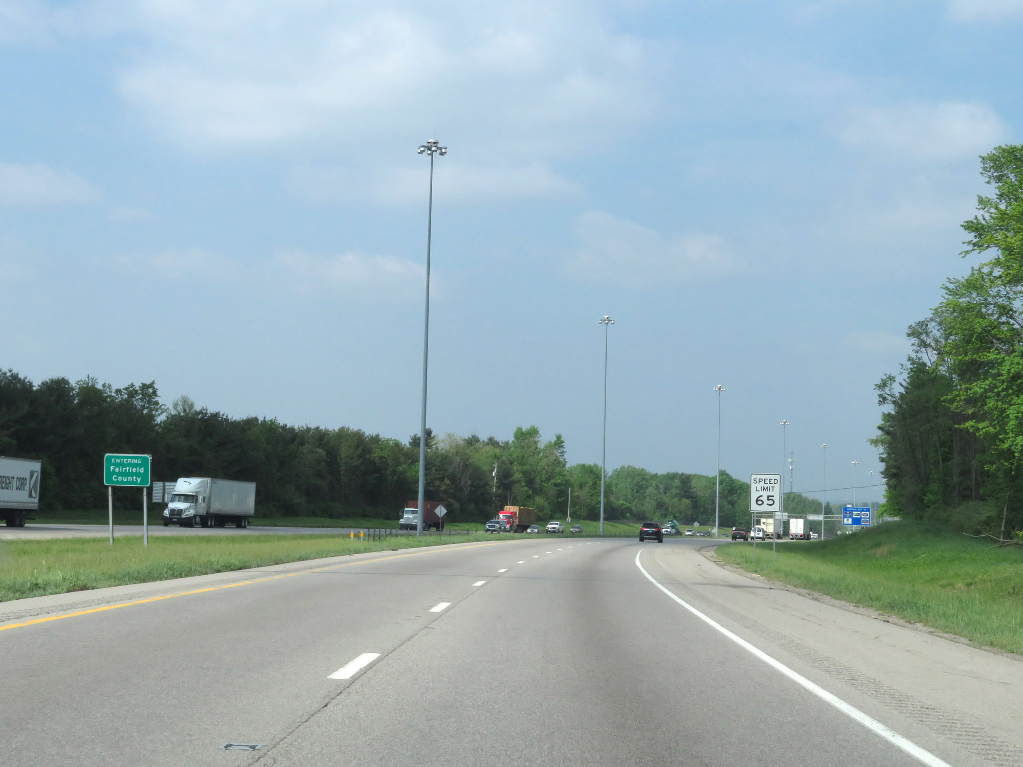 |
Interstate 70 West as it enters Fairfield County. Upon doing so, the speed limit decreases to 65 mph. (Photo taken 5/15/18). |
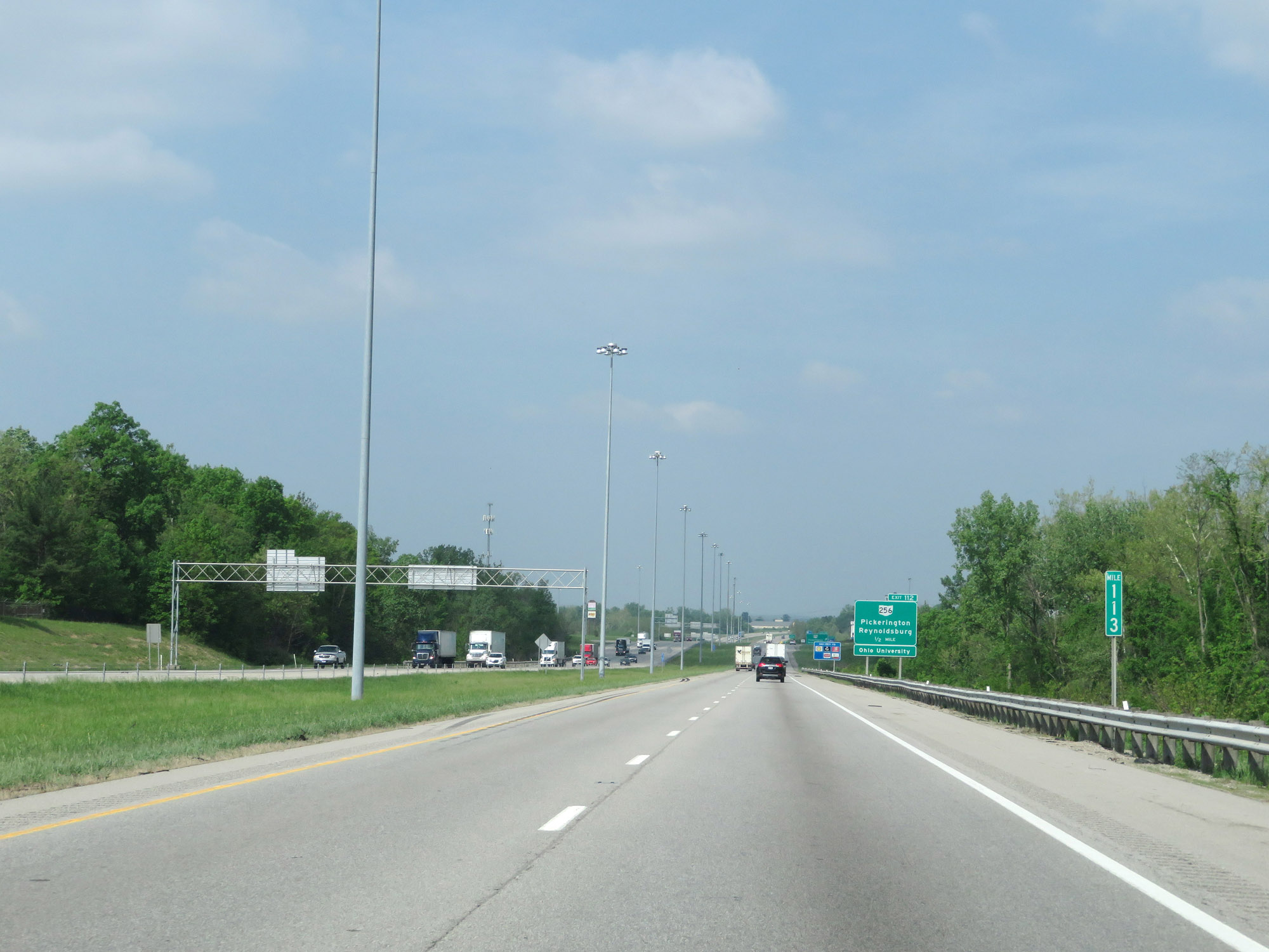 |
Interstate 70 West at mile marker 113. (Photo taken 5/15/18). |
 |
Interstate 70 West at Exit 112: OH 256 - Pickerington / Reynoldsburg (Photo taken 5/15/18). |
 |
Traffic looking to bypass downtown Columbus (or trucks hauling hazardous materials) should take Exit 108A into Interstate 270 South. (Photo taken 5/15/18). |
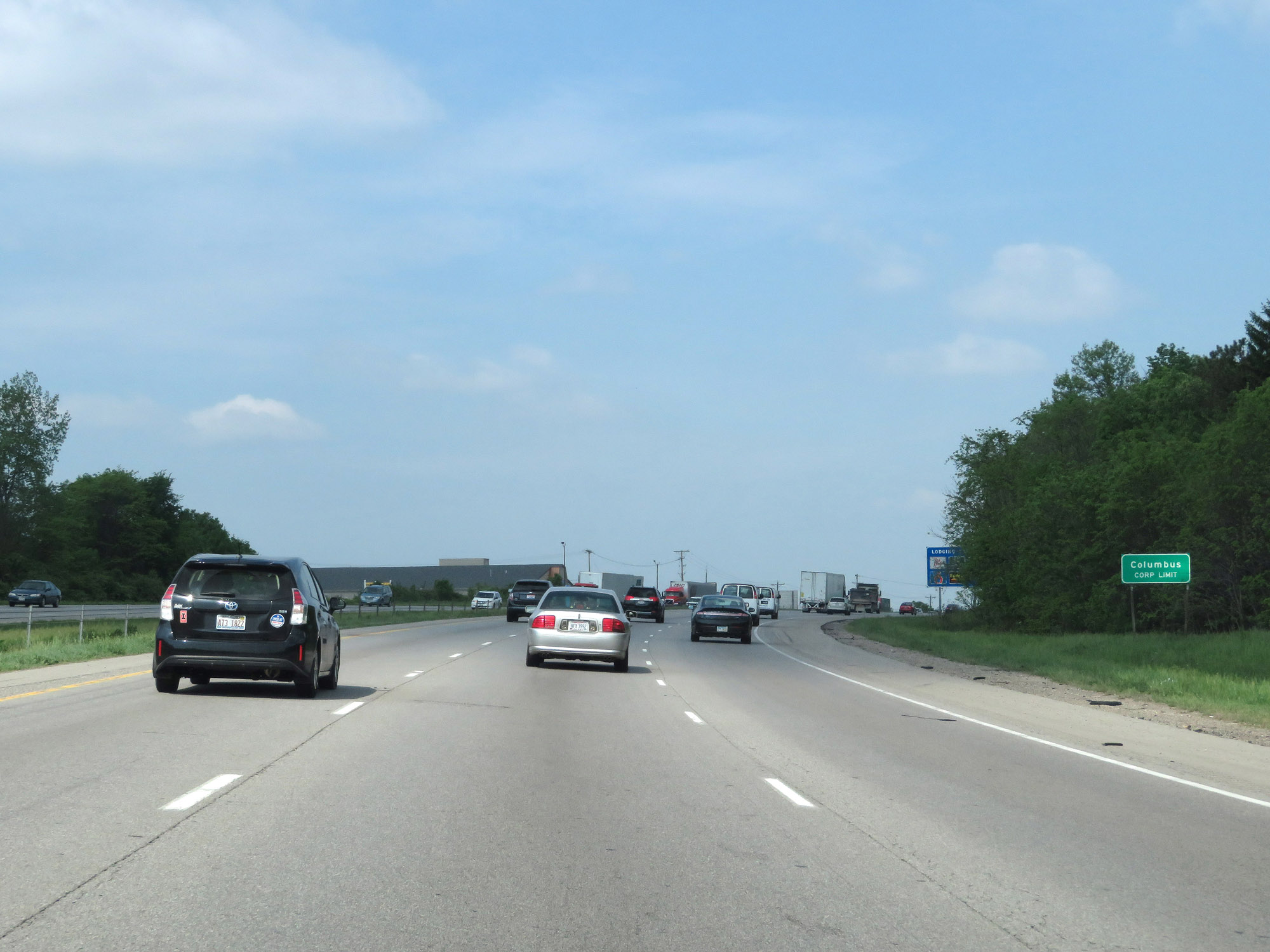 |
Interstate 70 West as it enters the Columbus city limits. (Photo taken 5/15/18). |
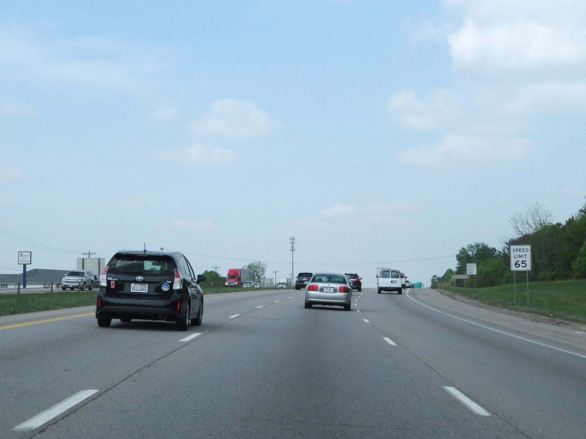 |
The speed limit remains 65 mph for all traffic. (Photo taken 5/15/18). |
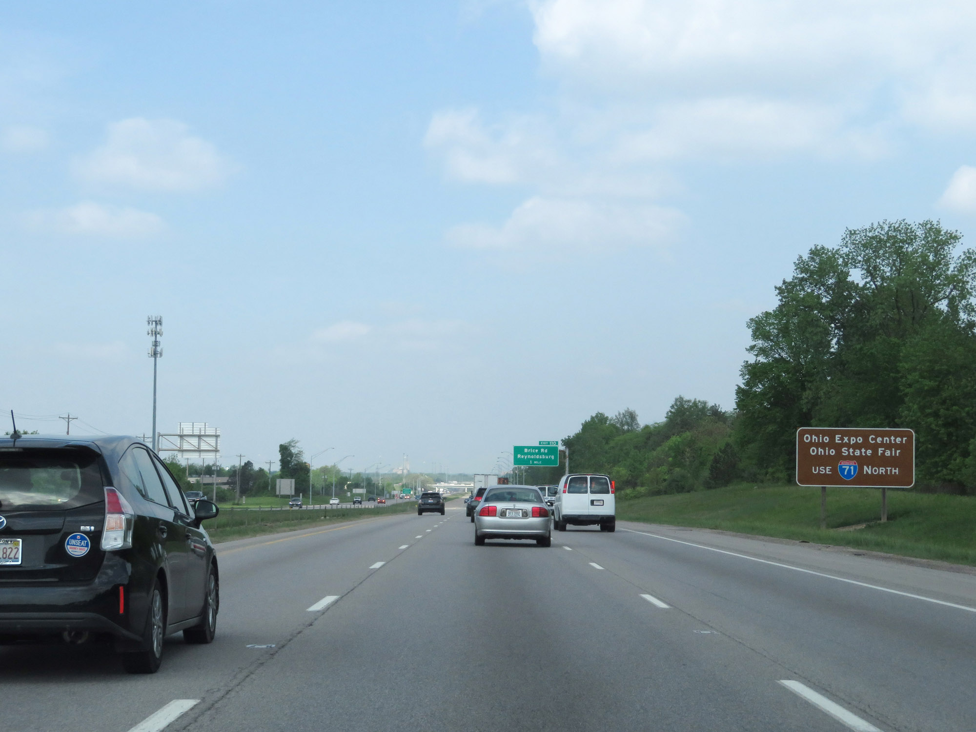 |
Traffic to the Ohio Expo Center and Ohio State Fair should follow Interstate 71 North. (Photo taken 5/15/18). |
 |
Interstate 70 West as it enters Franklin County. (Photo taken 5/15/18). |
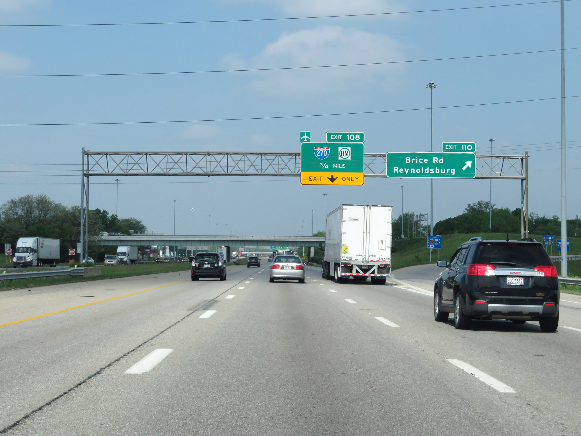 |
Interstate 70 West at Exit 110: Brice Rd / Reynoldsburg (Photo taken 5/15/18). |
 |
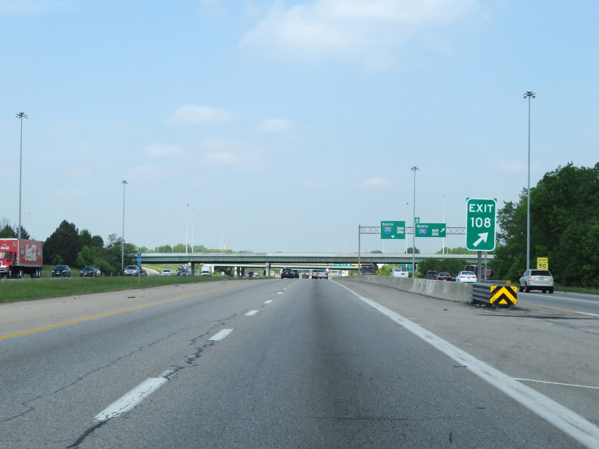
Interstate 70 West approaching Exit 108 - 1/4 mile. (Photo taken 5/15/18). |
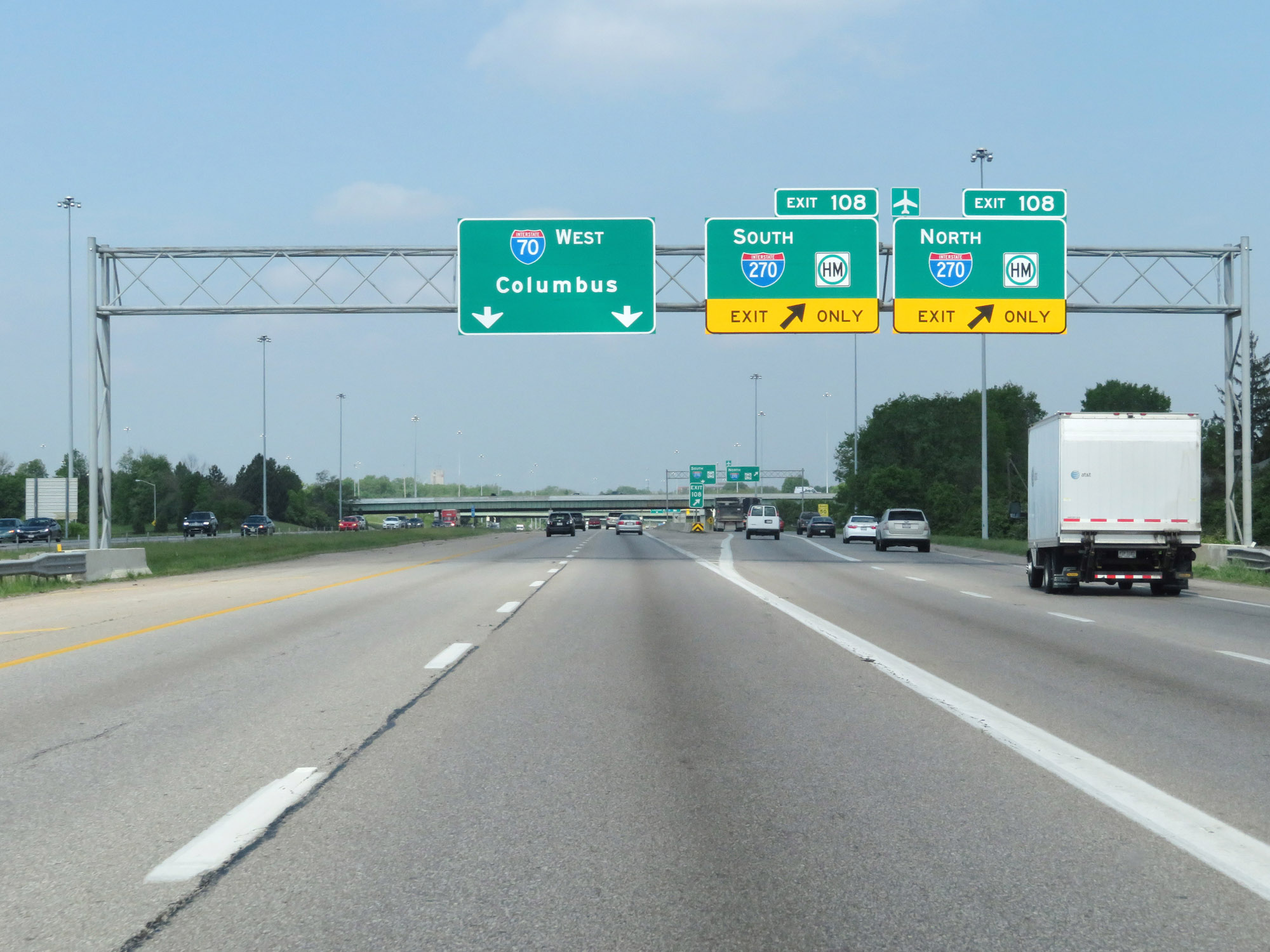 |
Interstate 70 West at Exit 108: Interstate 270 (Photo taken 5/15/18). |
 |
View of the ramp for Exit 108. Surprisingly, the exits to Interstate 270 North and South are not signed Exits 108A and 108B. (Photo taken 5/15/18). |
 |
Interstate 70 West at Exit 107: OH 317 - Hamilton Rd / Whitehall (Photo taken 5/15/18). |
 |
The speed limit remains 65 mph for all traffic. (Photo taken 5/15/18). |
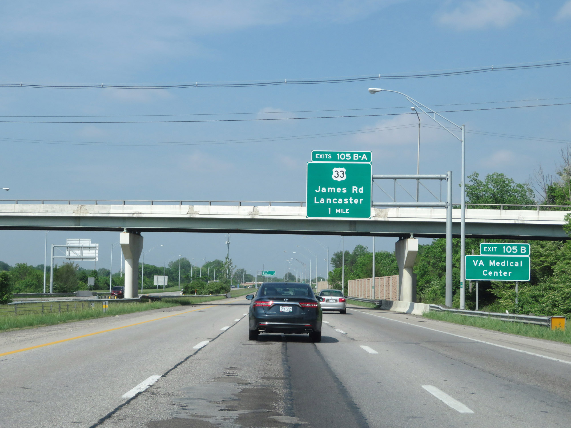 |
Take Exit 105B to the VA Medical Center. (Photo taken 5/15/18). |
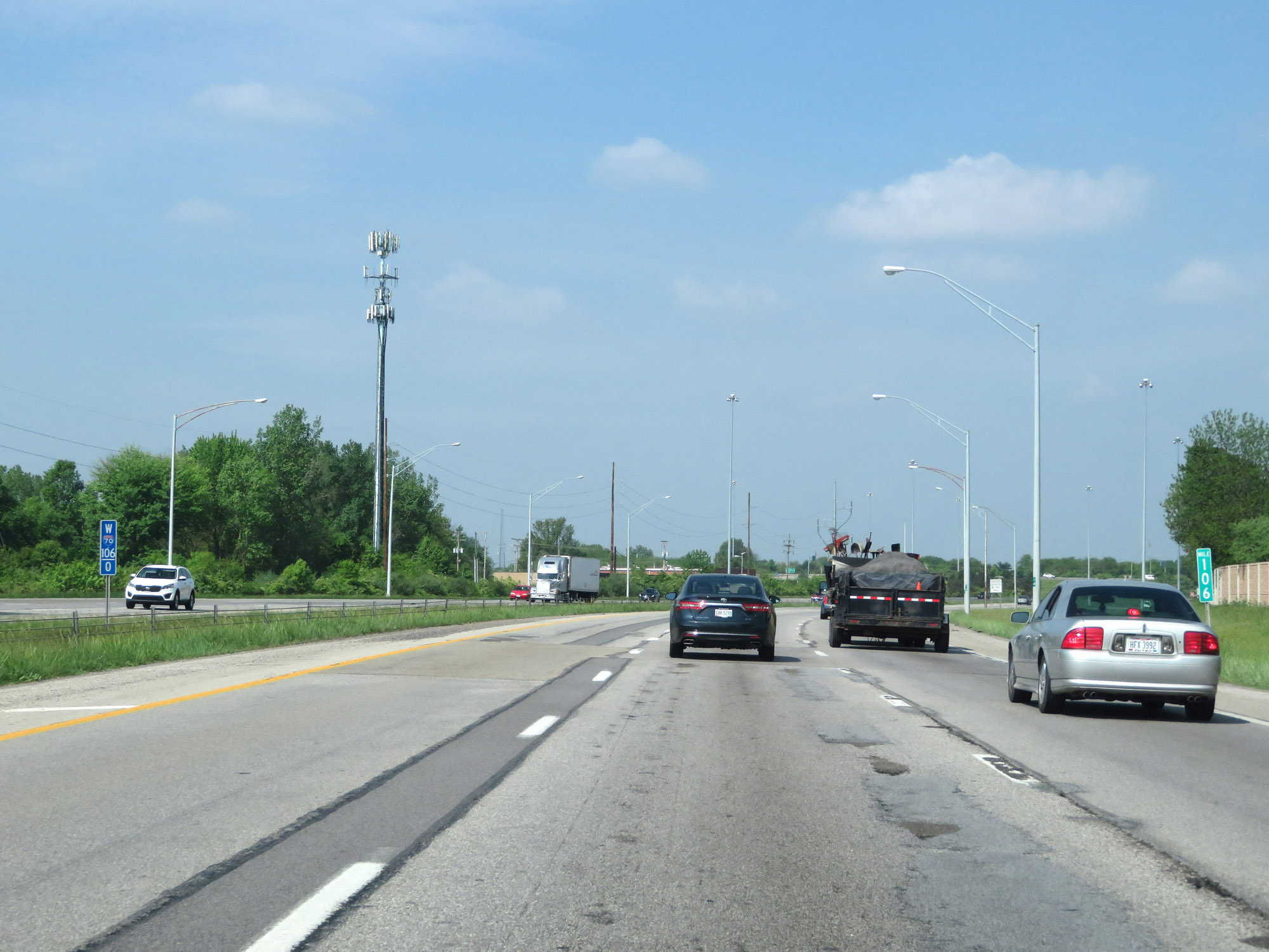 |
View on Interstate 70 West at mile marker 106. (Photo taken 5/15/18). |
 |
Interstate 70 West at Exit 105B: James Rd / Bexley (Photo taken 5/15/18). |
 |
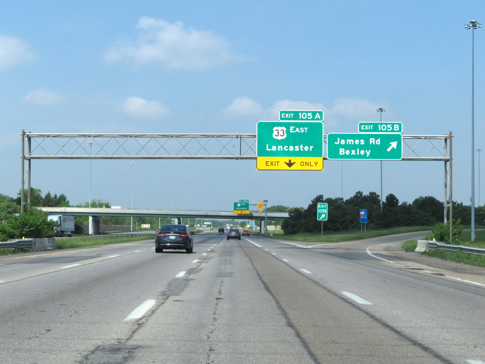
Interstate 70 West at Exit 105A: US 33 East - Lancaster (Photo taken 5/15/18). |
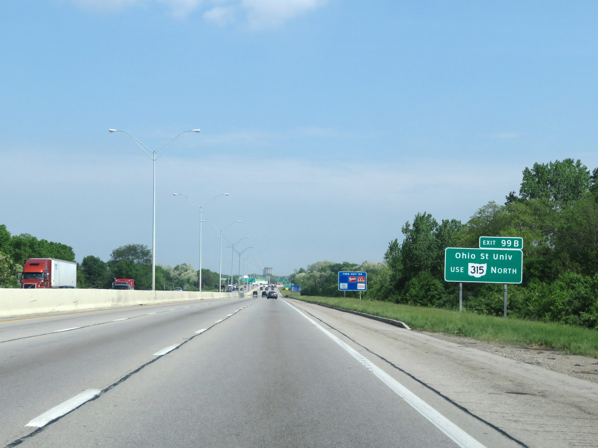 |
Take Exit 99B to Ohio State University via OH 315 North. (Photo taken 5/15/18). |
 |
Interstate 70 West reassurance shield at mile marker 104. (Photo taken 5/15/18). |
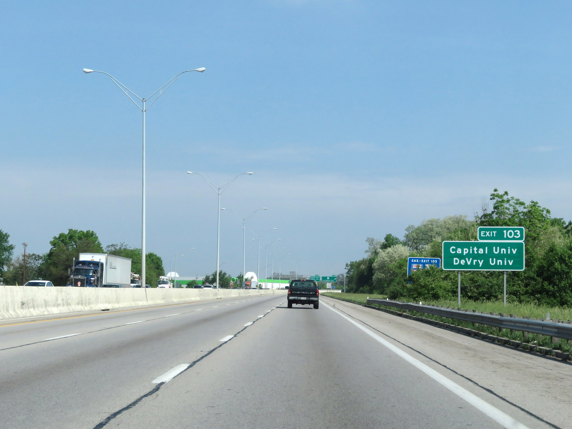 |
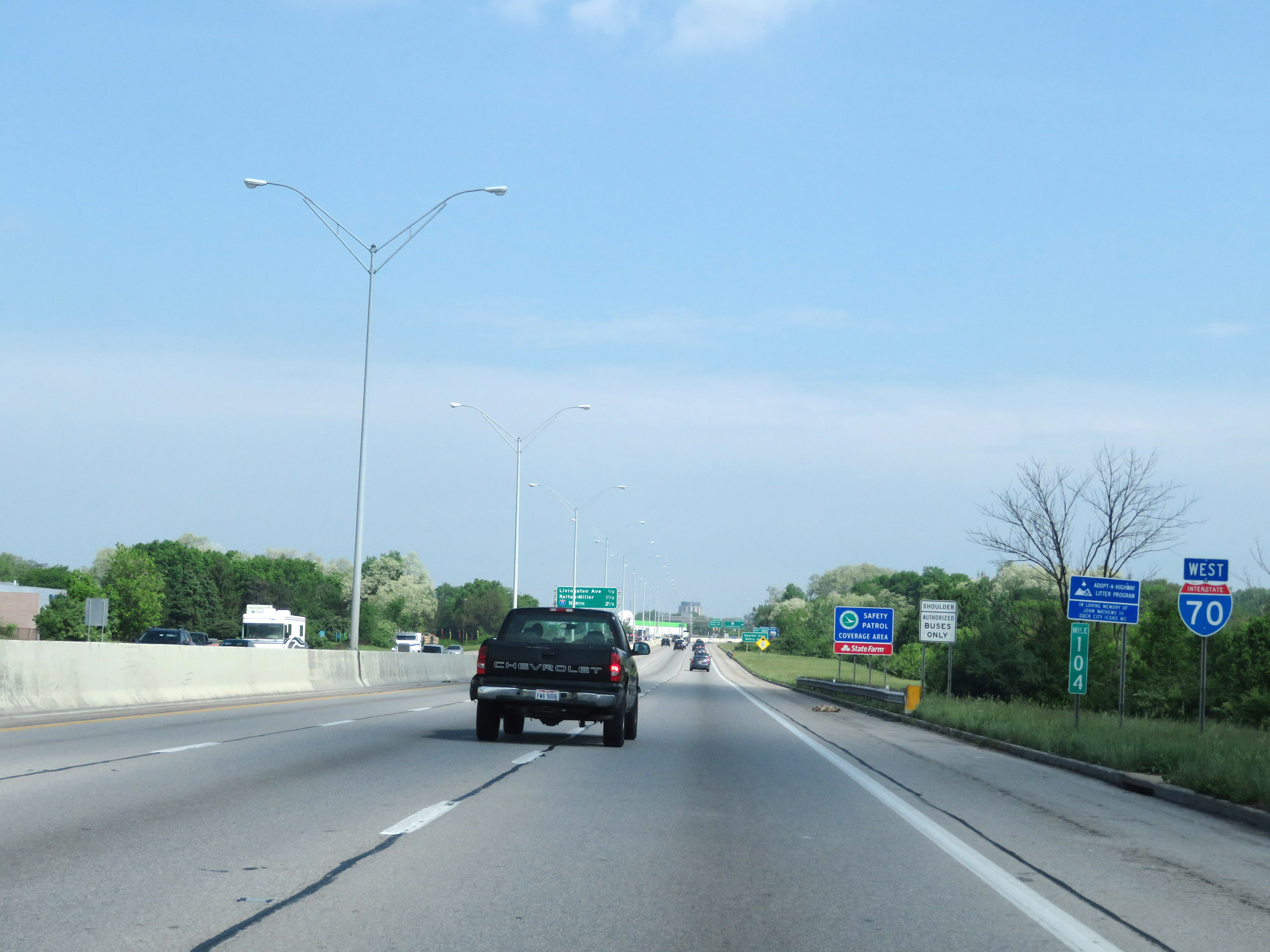
Take Exit 103 to Capital University and DeVry University. (Photo taken 5/15/18). |
 |
Approaching Exit 103 and downtown Columbus, the speed limit decreases to 55 mph. (Photo taken 5/15/18). |
 |
Interstate 70 West at Exit 103: US 33 - Livingston Ave (Photo taken 5/15/18). |
 |
Interstate 70 West at mile marker 103. (Photo taken 5/15/18). |
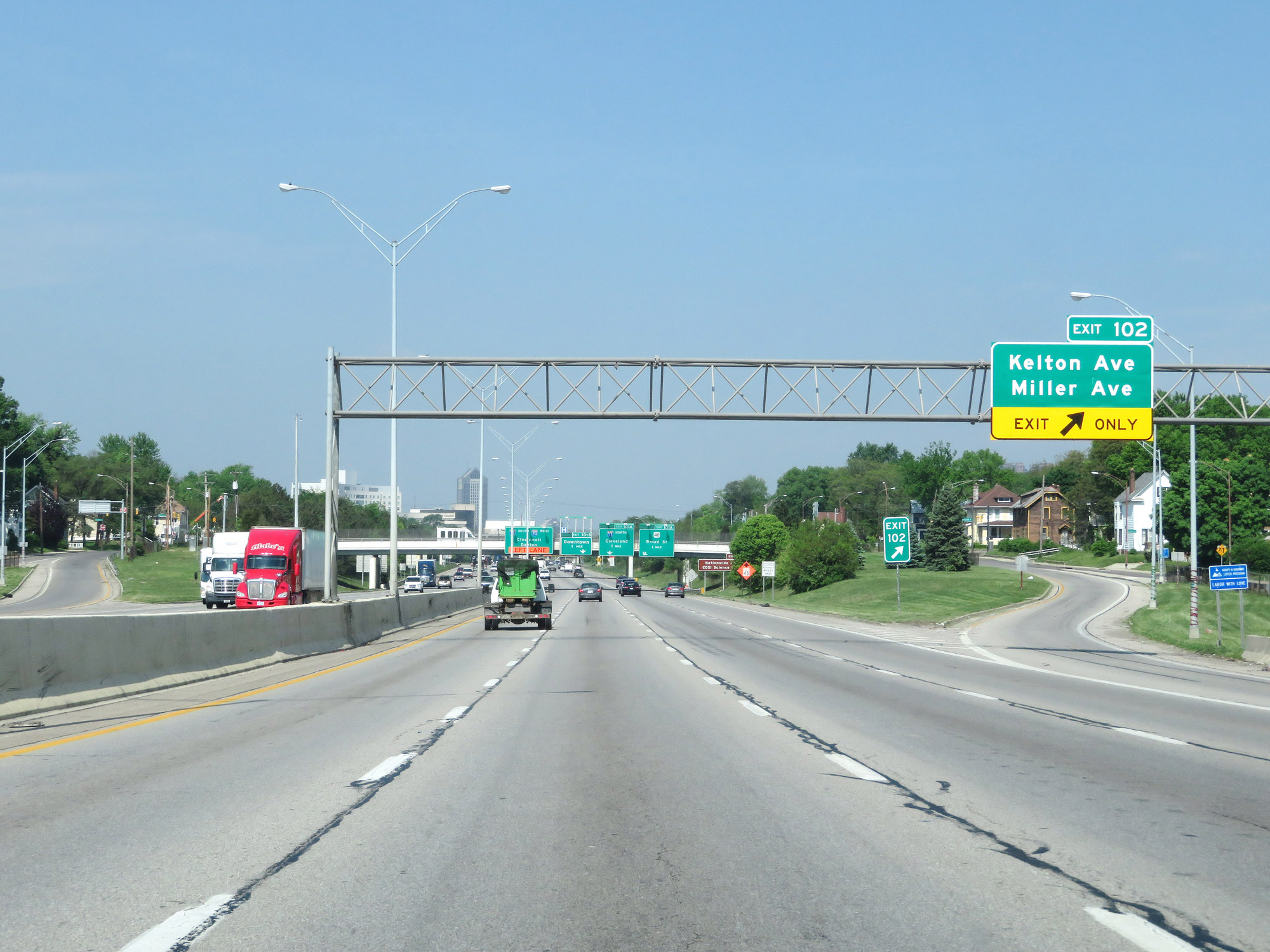 |
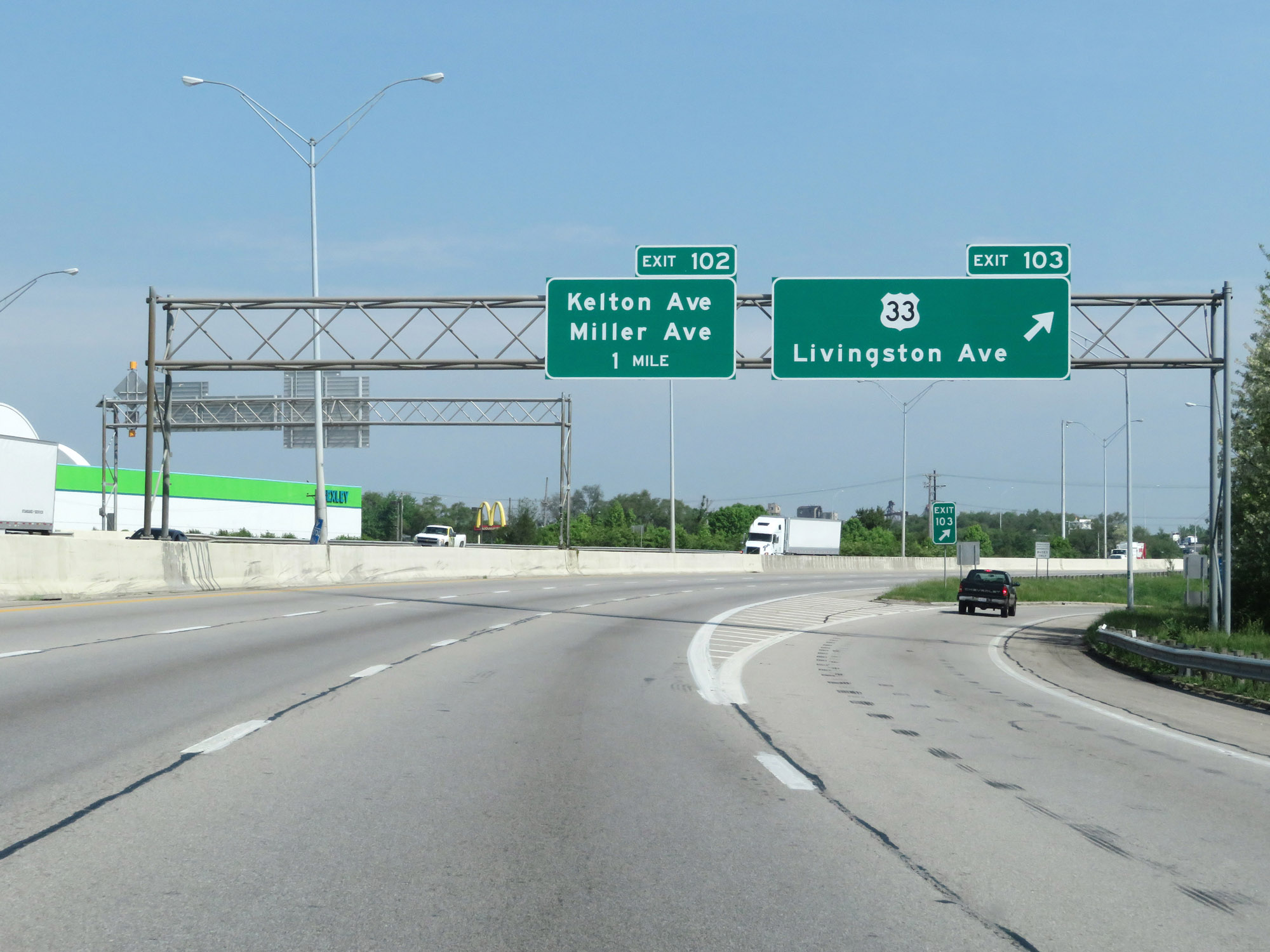
Interstate 70 West at Exit 102: Kelton Ave / Miller Ave (Photo taken 5/15/18). |
 |
Take Exit 101B to Nationwide Arena and COSI Science Center. (Photo taken 5/15/18). |
 |
Interstate 70 West approaching Exit 101A - 1 mile. (Photo taken 5/15/18). |
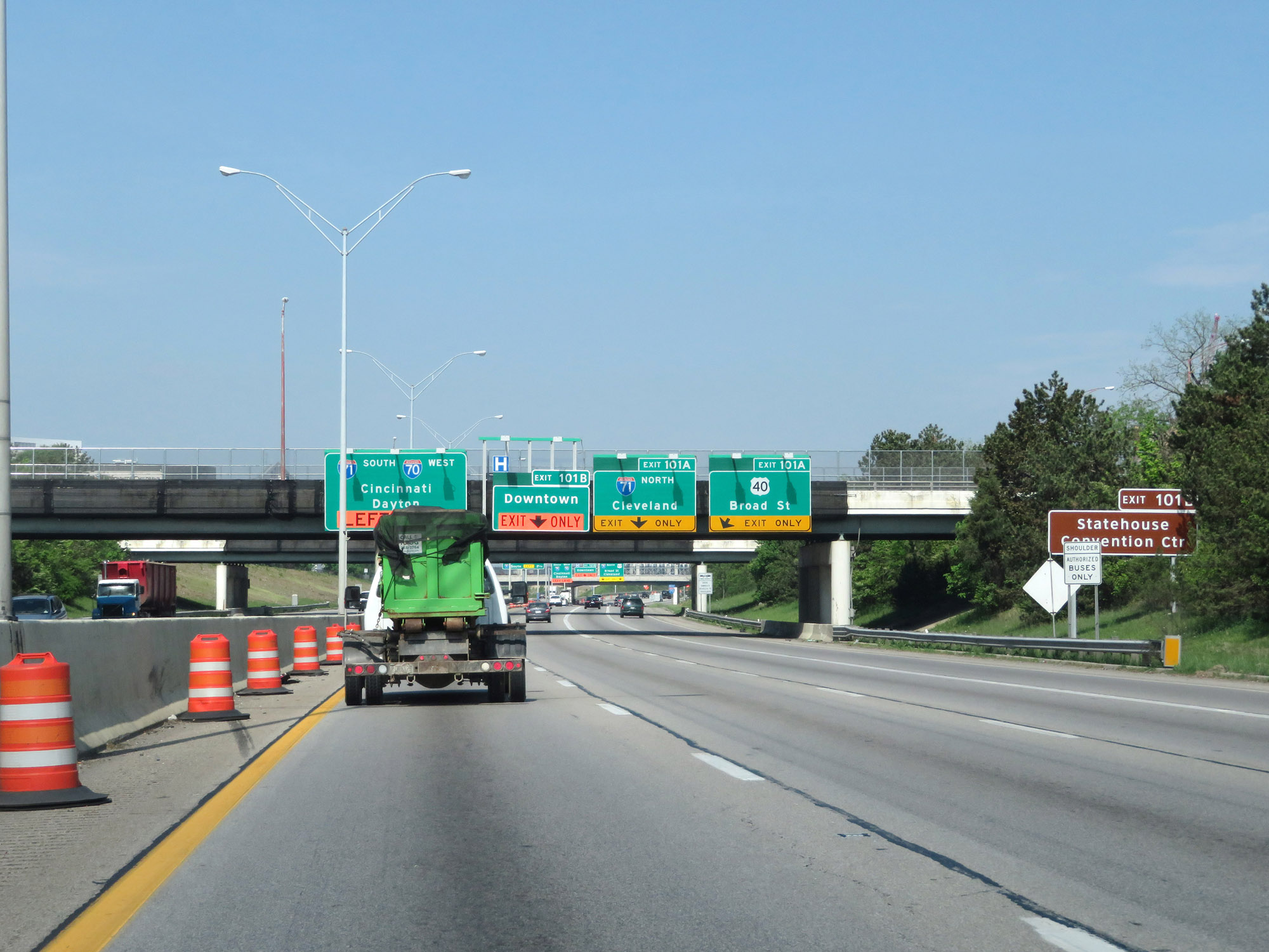 |
Take Exit 101B to the Statehouse and Convention Center. (Photo taken 5/15/18). |
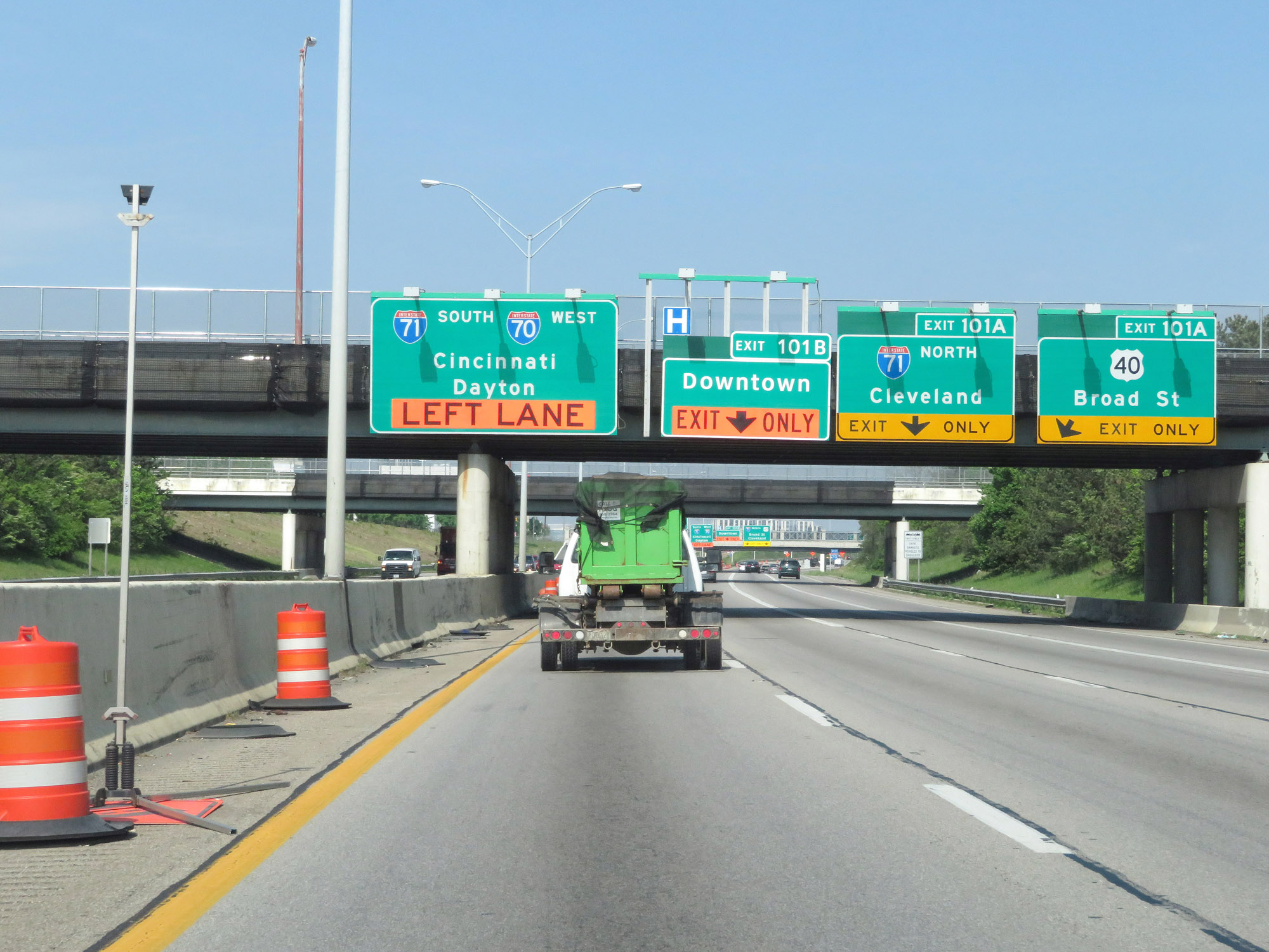 |
Interstate 70 West approaching Exit 101A in downtown Columbus. (Photo taken 5/15/18). |
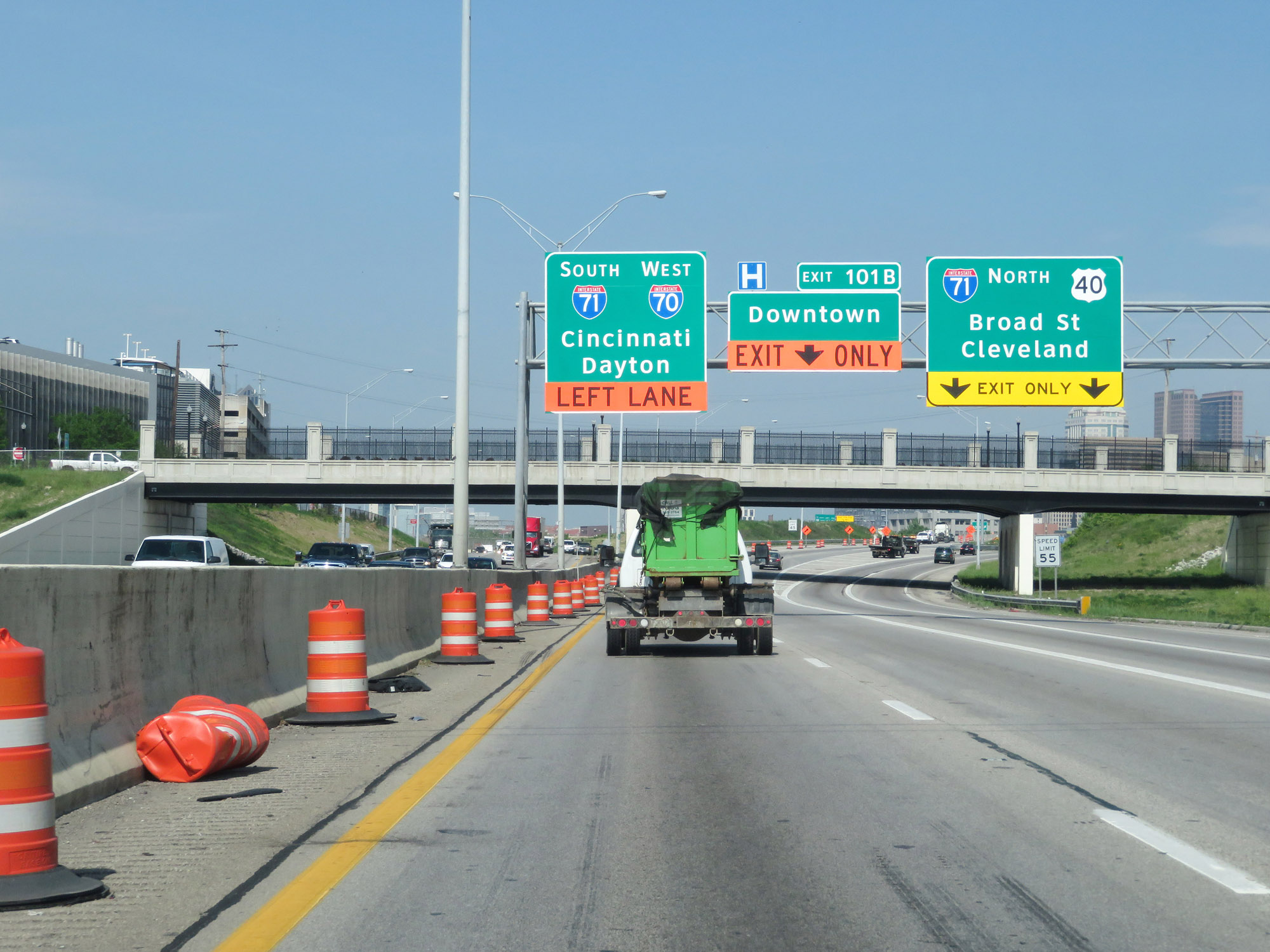 |
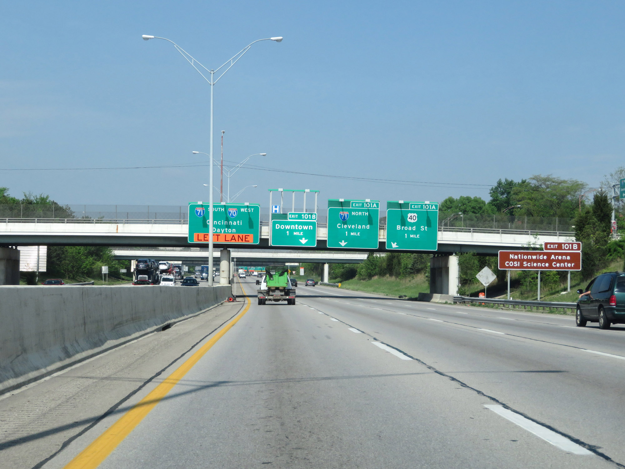
Interstate 70 West at Exit 101A: Interstate 71 North / US 40 - Broad St / Cleveland (Photo taken 5/15/18). |
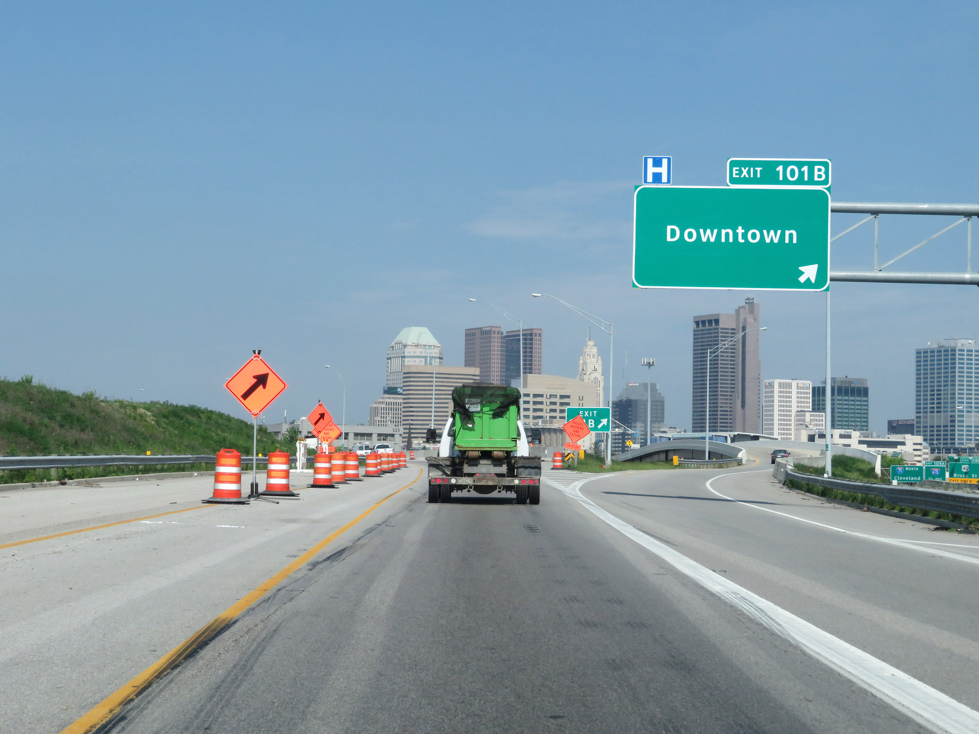 |
Interstate 70 West at Exit 101B: Downtown (Photo taken 5/15/18). |
 |
Interstate 70 West at mile marker 101 in downtown Columbus, as Interstate 71 South traffic prepares to merge into it briefly. (Photo taken 5/15/18). |
 |
As Interstate 71 South traffic merges into Interstate 70 West in downtown Columbus, I-70 thru traffic should keep right. I-71 South traffic should keep left. (Photo taken 5/15/18). |
 |
Interstate 70 West / Interstate 71 South approaching Exits 99B-A. Again, I-71 South traffic must keep left. (Photo taken 5/15/18). |
 |
Likewise, Interstate 70 West thru traffic should use the two rightmost lanes. (Photo taken 5/15/18). |
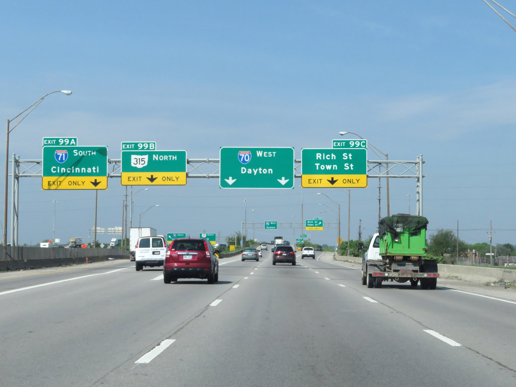 |
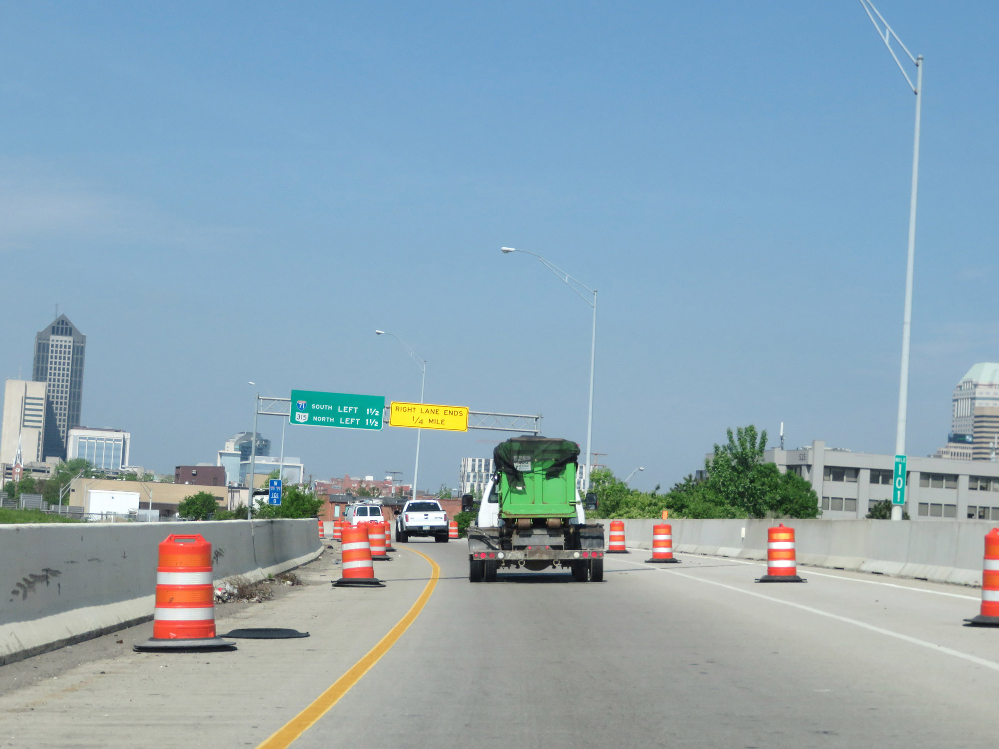
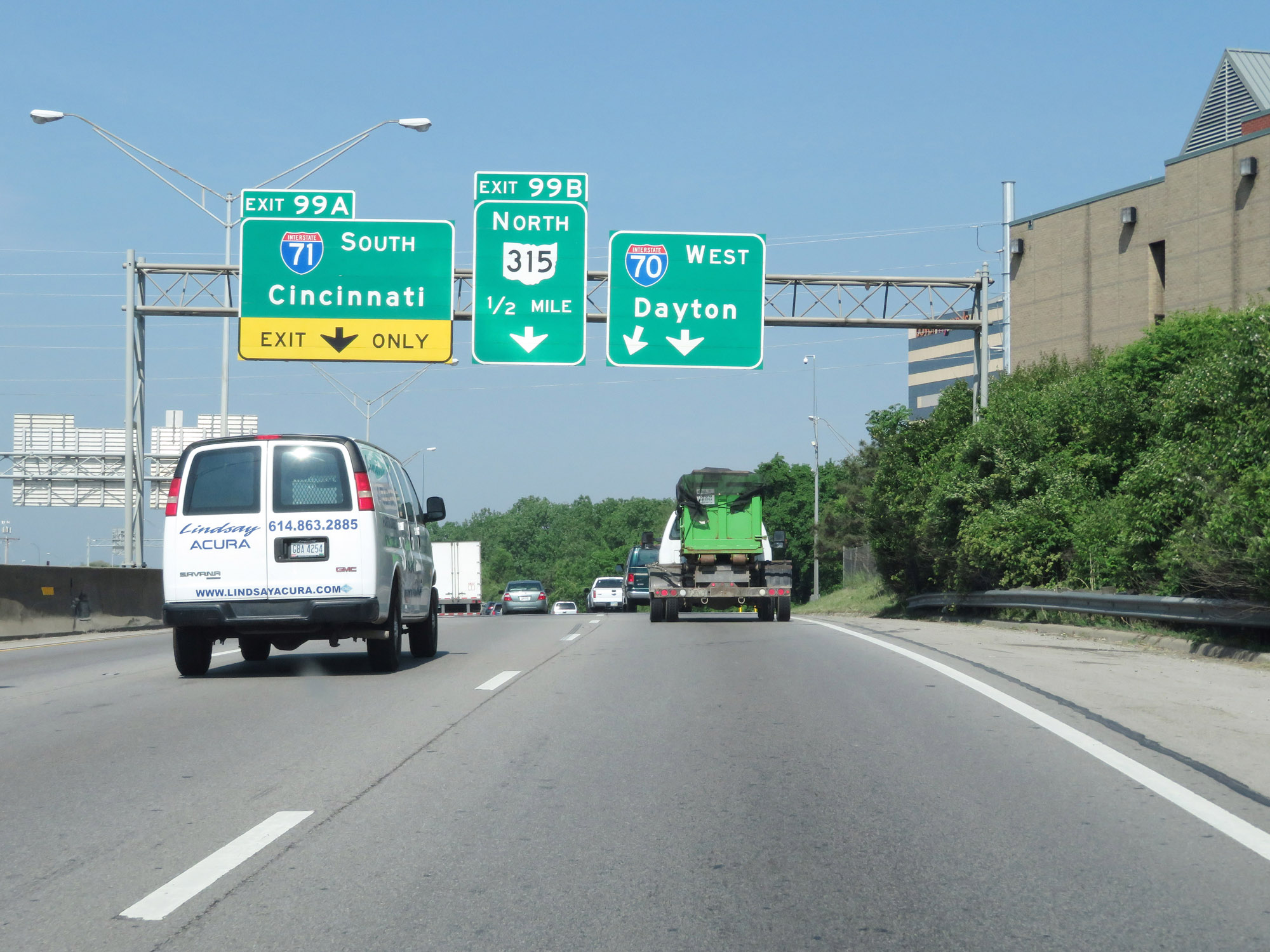
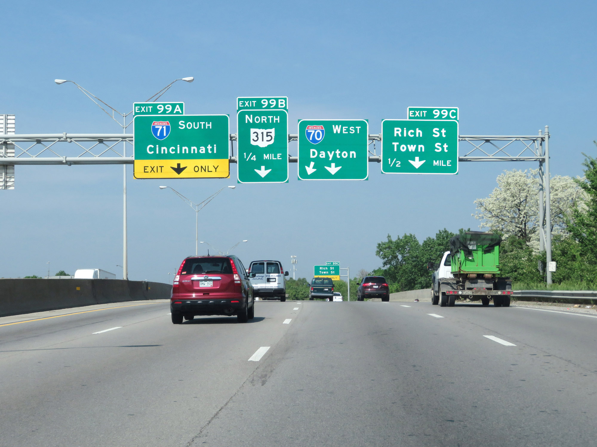
Interstate 70 West / Interstate 71 South at Exit 99A: Interstate 71 South - Cincinatti; Exit 99B: OH 315 North (Photo taken 5/15/18). |
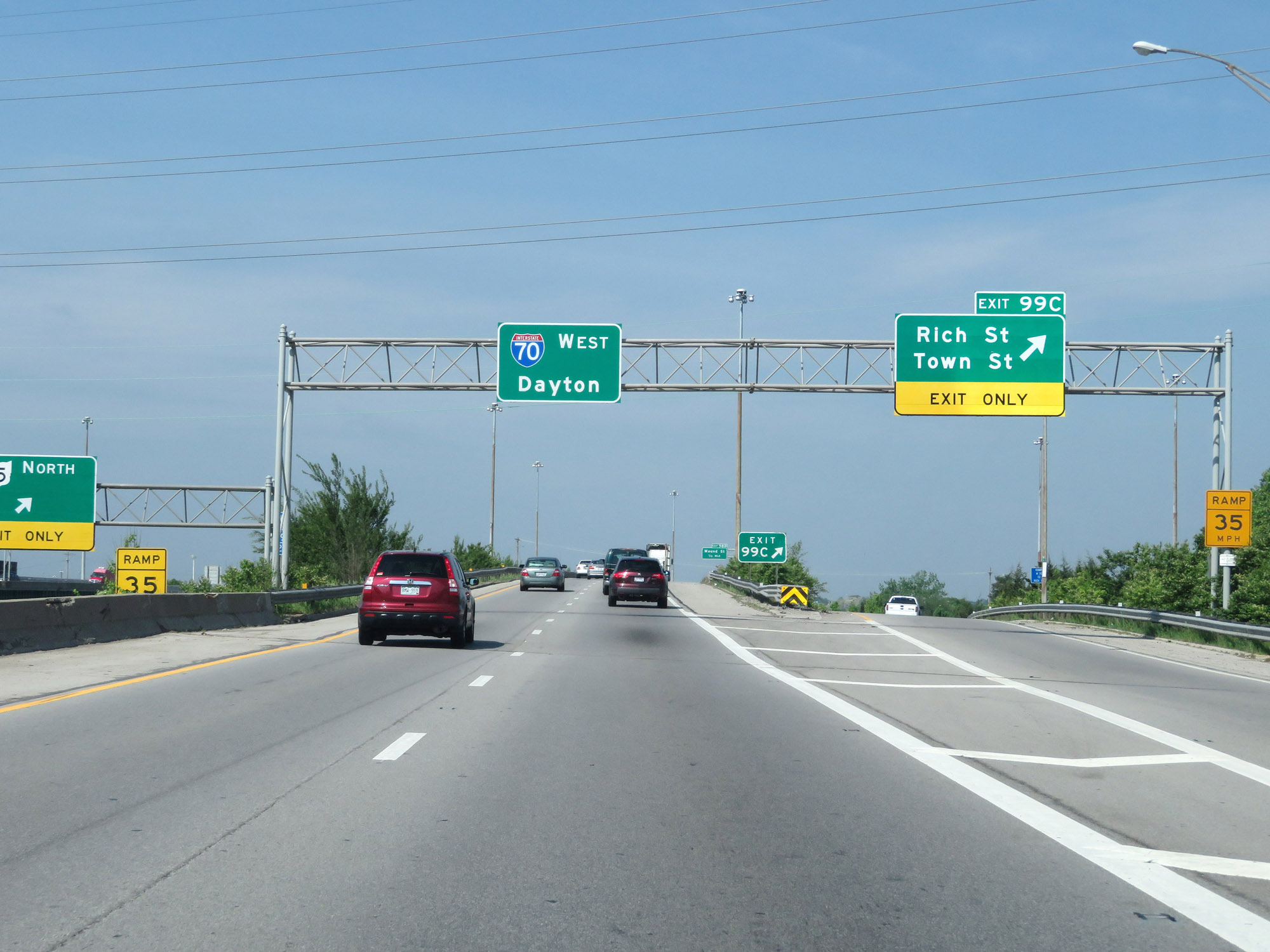 |
Interstate 70 West at Exit 99C: Rich St / Town St (Photo taken 5/15/18). |
Section 3: Columbus (Exit 99C) to Springfield (Exit 62)
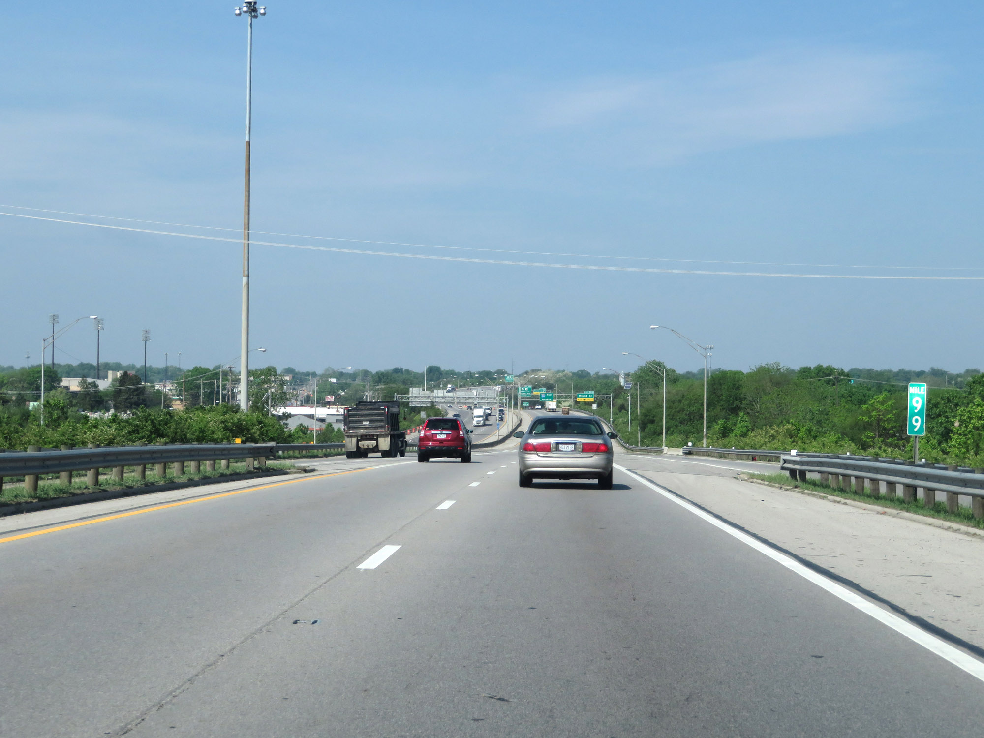 |
View on Interstate 70 West at mile marker 99 in downtown Columbus. (Photo taken 5/15/18). |
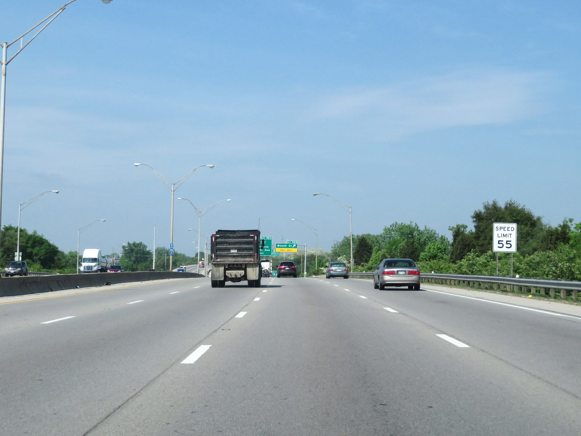 |
The speed limit remains 55 mph for all traffic. (Photo taken 5/15/18). |
 |
Interstate 70 West at Exit 98B: Mound St (Photo taken 5/15/18). |
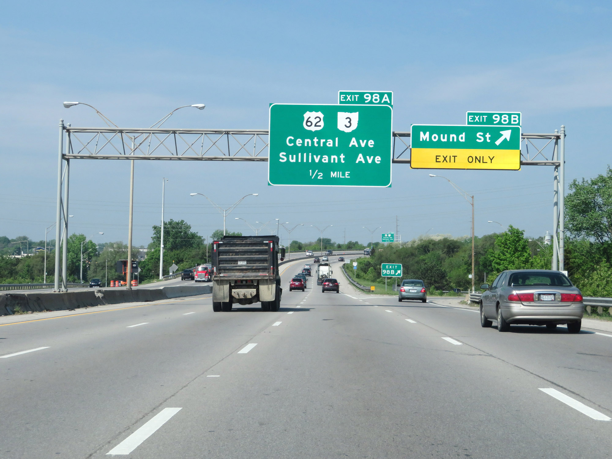
 |
Interstate 70 West at Exit 98A: US 62 / OH 3 - Central Ave / Sullivant Ave (Photo taken 5/15/18). |
 |
West of Exit 98A, the speed limit increases to 65 mph once again as Interstate 70 West leaves downtown Columbus. (Photo taken 5/15/18). |
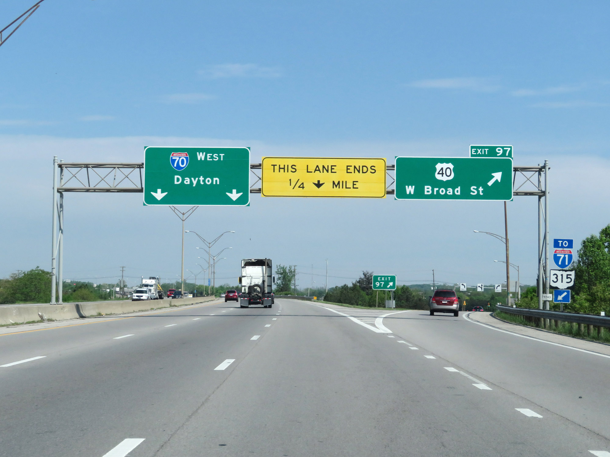 |
Interstate 70 West at Exit 97: US 40 - W Broad St (Photo taken 5/15/18). |
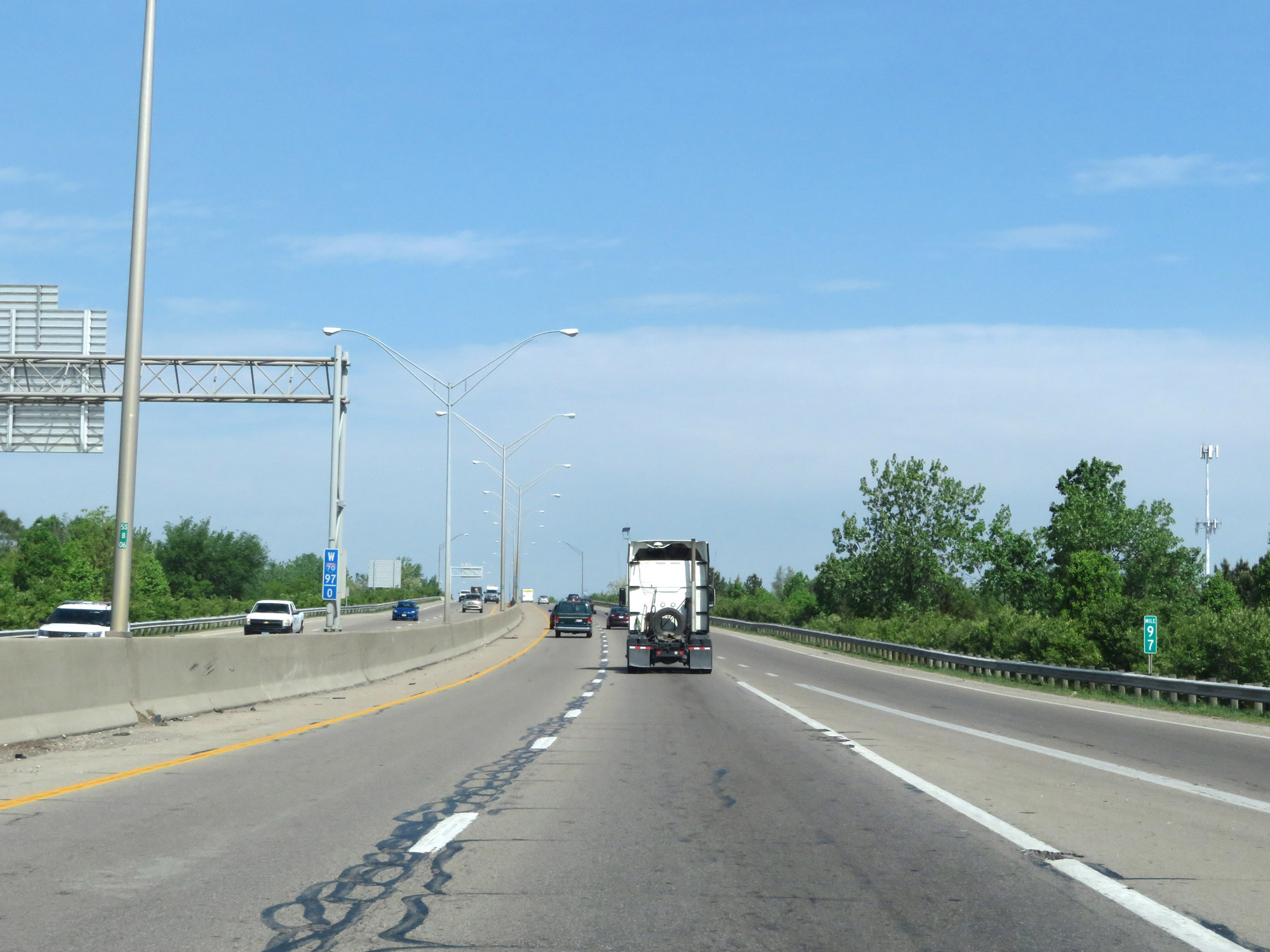 |
Interstate 70 West at mile marker 97. (Photo taken 5/15/18). |
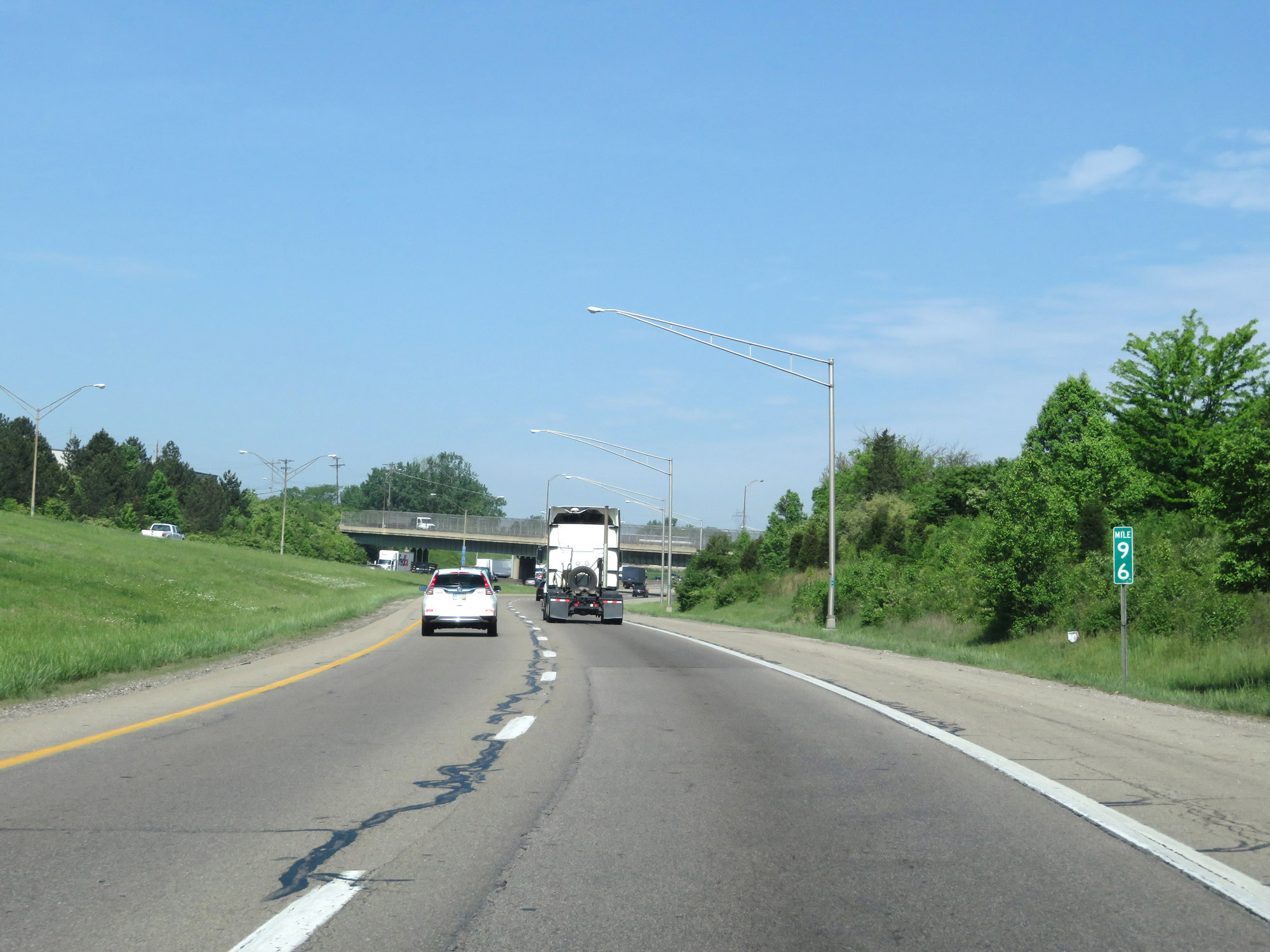 |
View on Interstate 70 West at mile marker 96. (Photo taken 5/15/18). |
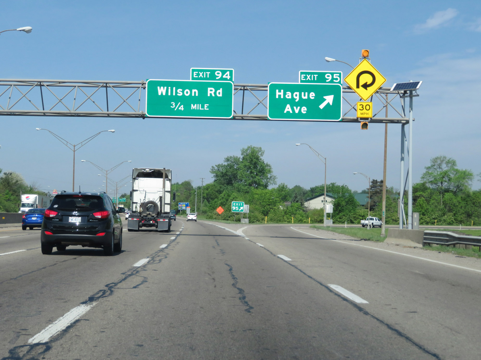 |
Interstate 70 West at Exit 95: Hague Ave (Photo taken 5/15/18). |
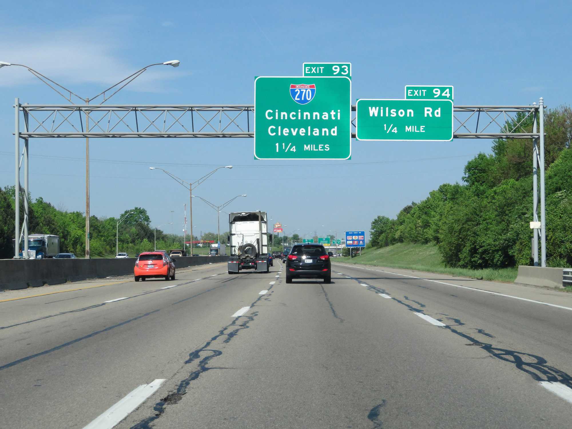 |
Interstate 70 West approaching Exit 93 - 1 1/4 miles. (Photo taken 5/15/18). |
 |
Interstate 70 West at Exit 94: Wilson Rd (Photo taken 5/15/18). |
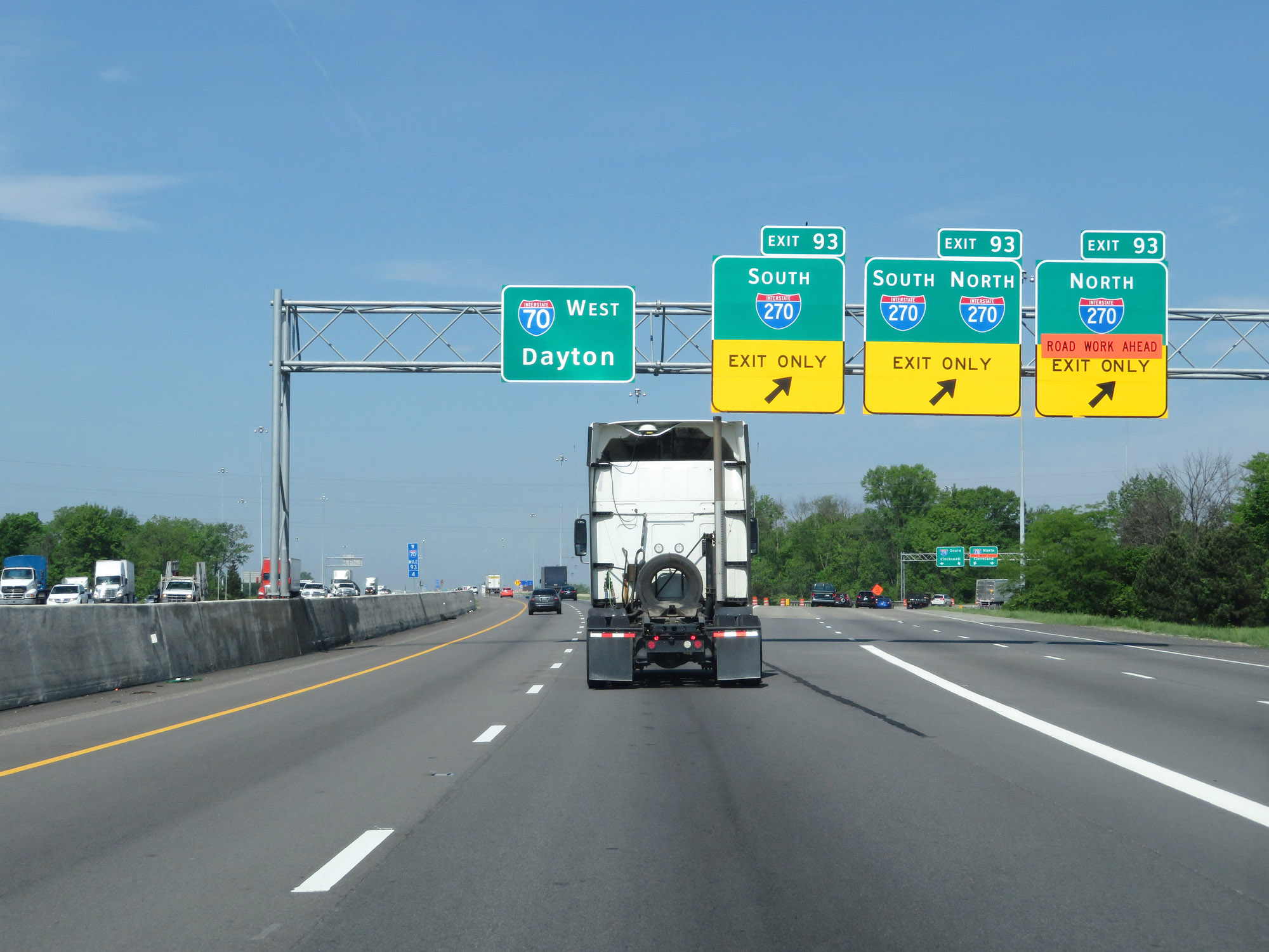 |
Interstate 70 West at Exit 93: Interstate 270 (Photo taken 5/15/18). |
 |
Advance signage for Exits 91B-A as Interstate 70 West passes over Interstate 270. (Photo taken 5/15/18). |
 |
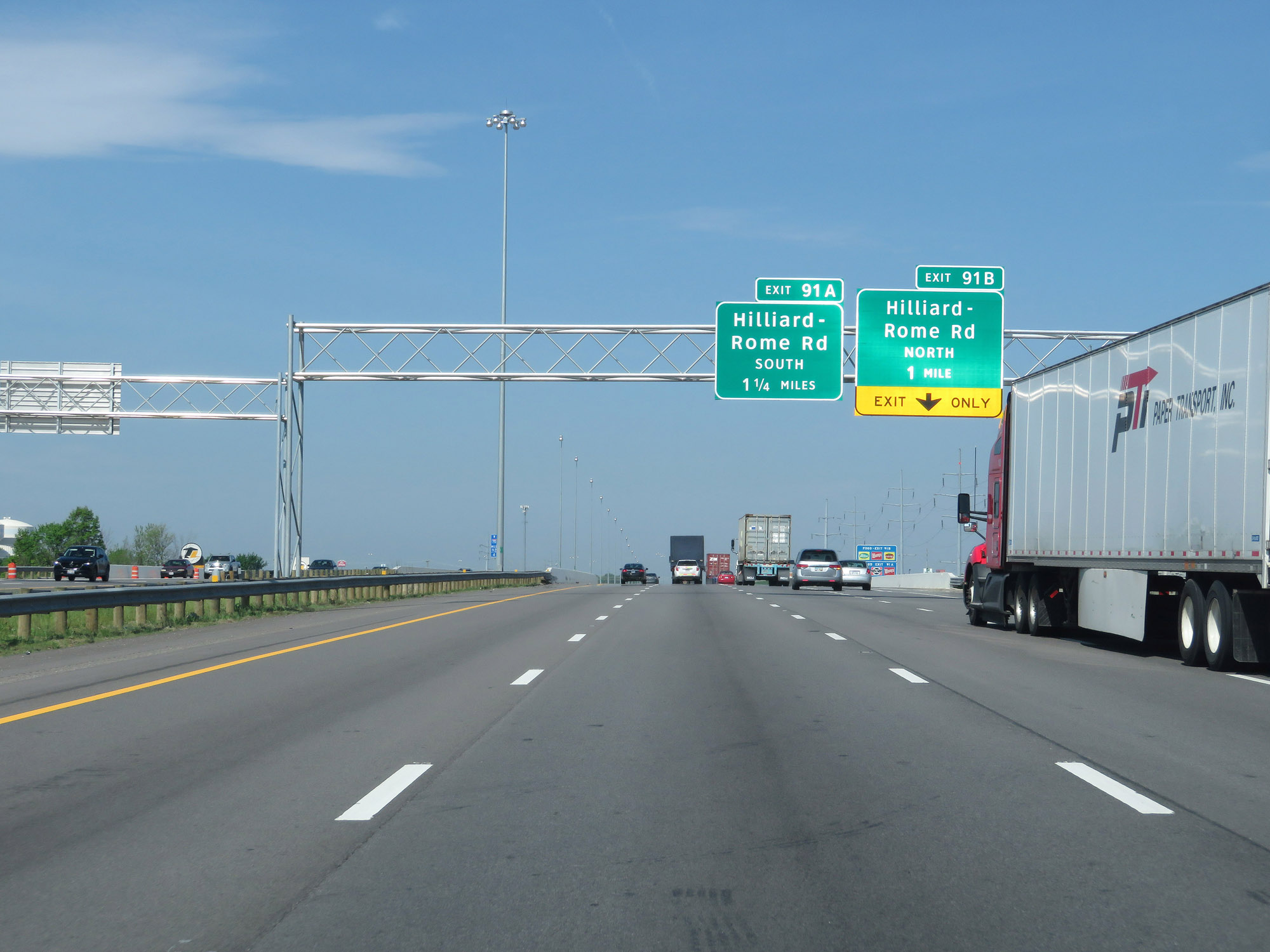
Interstate 70 West at Exit 91B: Hilliard-Rome Rd North (Photo taken 5/15/18). |
 |
Interstate 70 West at Exit 91A: Hilliard-Rome Rd South (Photo taken 5/15/18). |
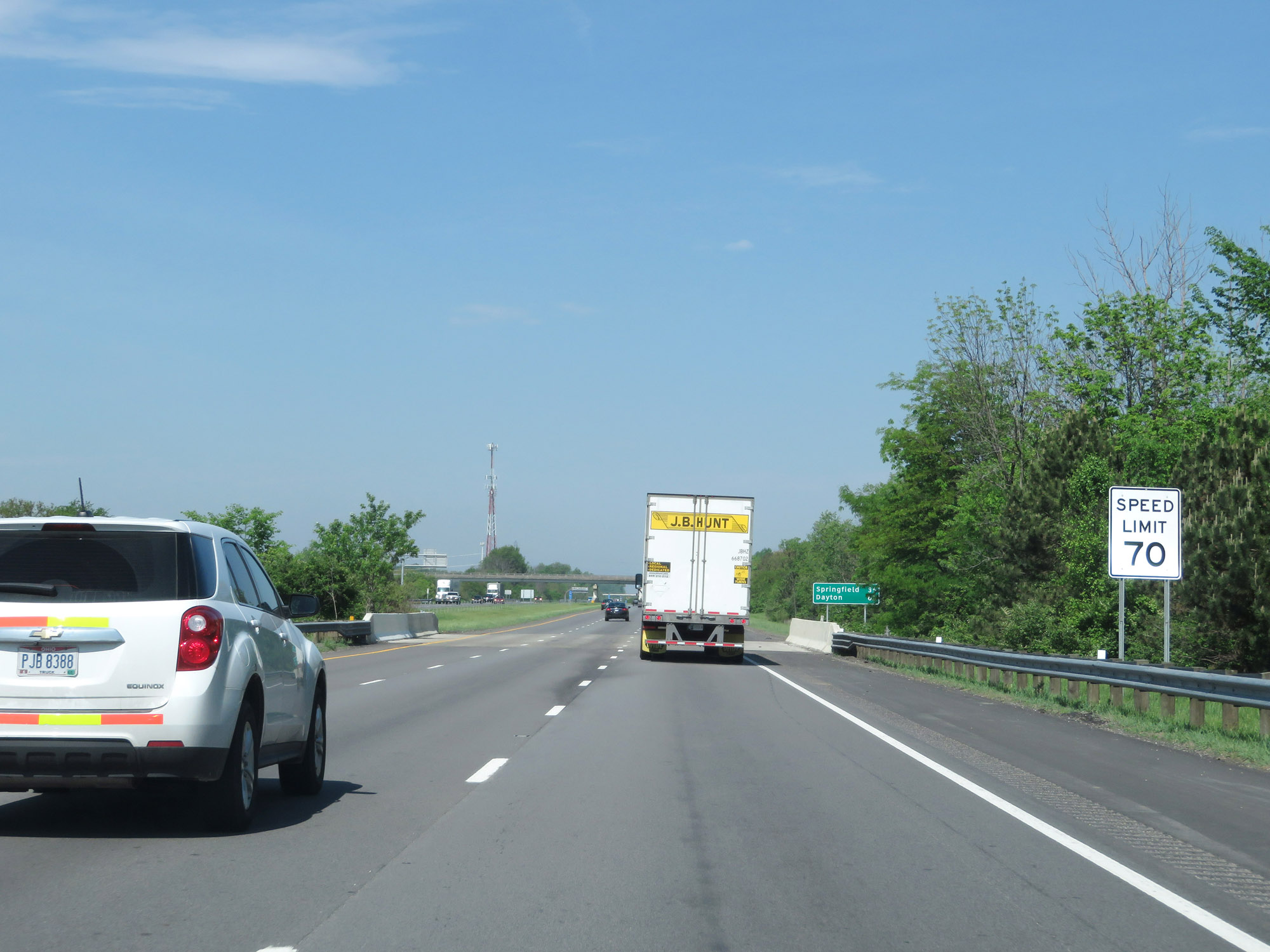 |
West of Exit 91A, the standard rural speed limit of 70 mph resumes. (Photo taken 5/15/18). |
 |
Mileage sign on Interstate 70 West. It's 35 miles to Springfield and 62 miles to Dayton. (Photo taken 5/15/18). |
 |
View on Interstate 70 West at mile marker 89. (Photo taken 5/15/18). |
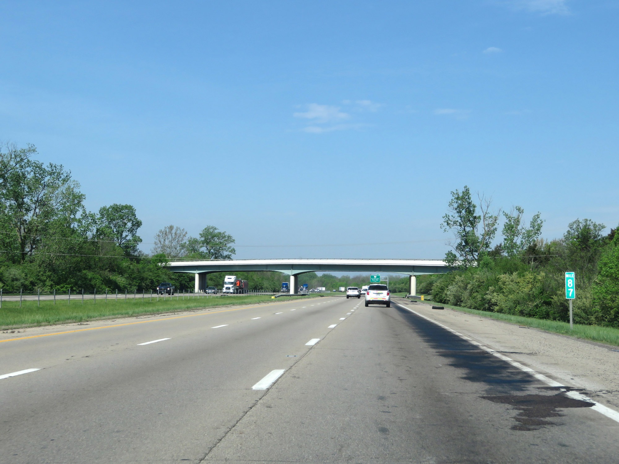 |
Interstate 70 West at mile marker 87. (Photo taken 5/15/18). |
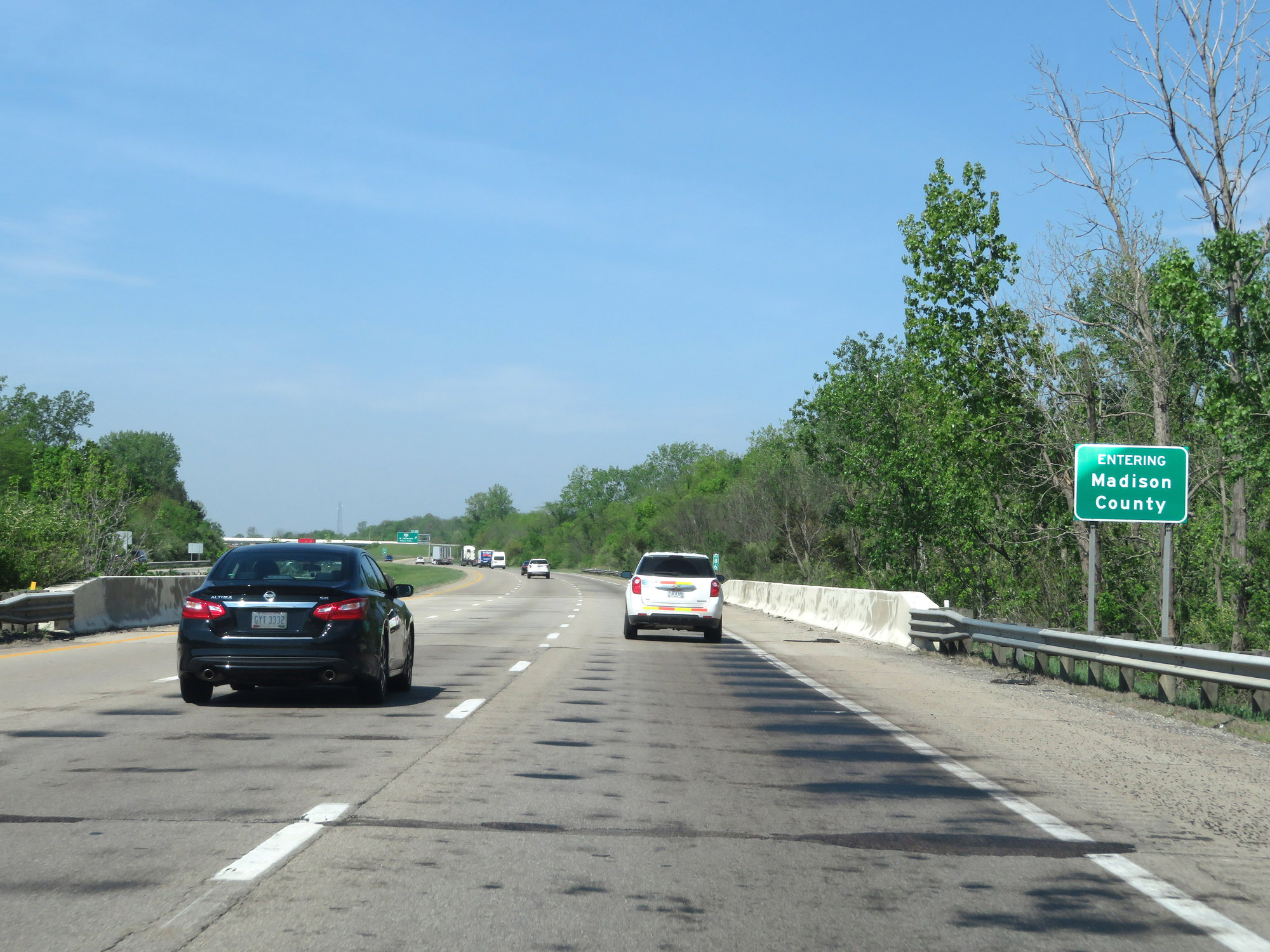 |
Interstate 70 West as it enters Madison County. (Photo taken 5/15/18). |
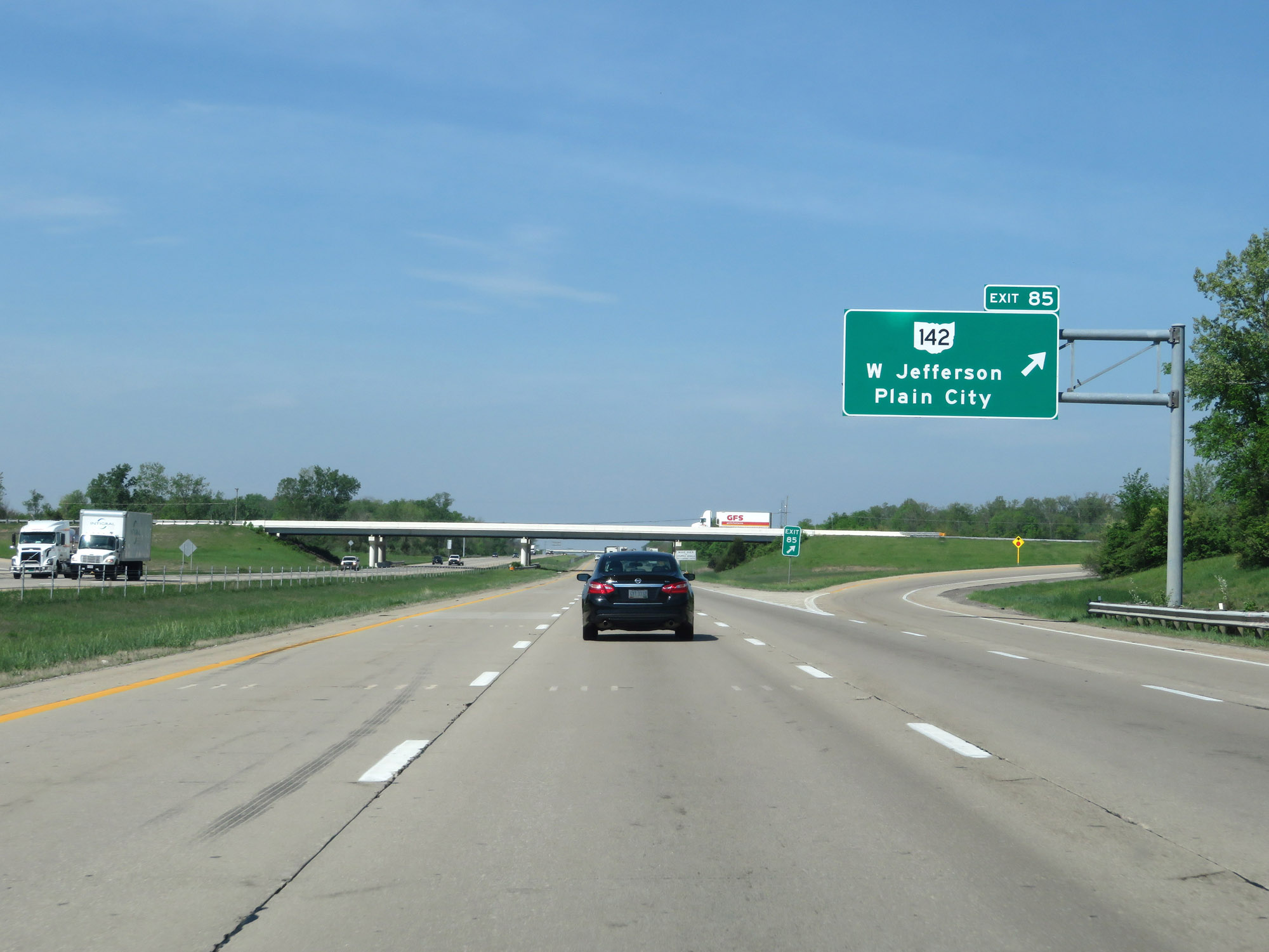 |
Interstate 70 West at Exit 85: OH 142 - West Jefferson / Plain City (Photo taken 5/15/18). |
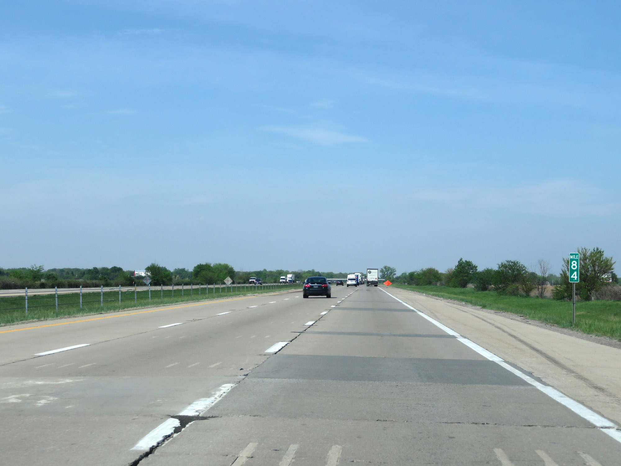 |
Interstate 70 West at mile marker 84. (Photo taken 5/15/18). |
 |
View on Interstate 70 West at mile marker 82. (Photo taken 5/15/18). |
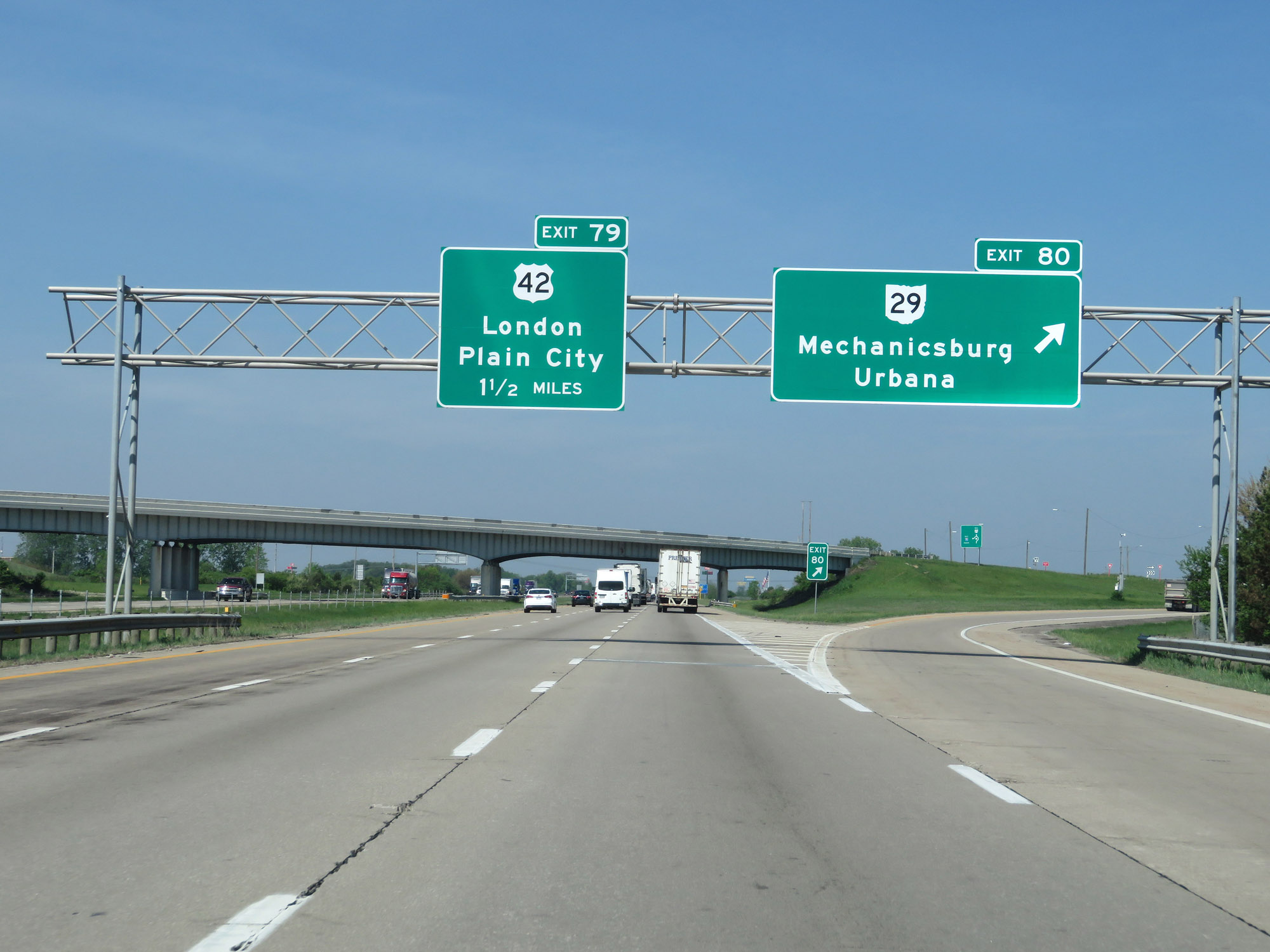 |
Interstate 70 West at Exit 80: OH 29 - Mechanicsburg / Urbana (Photo taken 5/15/18). |
 |
Interstate 70 West at Exit 79: US 42 - London / Plain City (Photo taken 5/15/18). |
 |
Interstate 70 West reassurance shield. (Photo taken 5/15/18). |
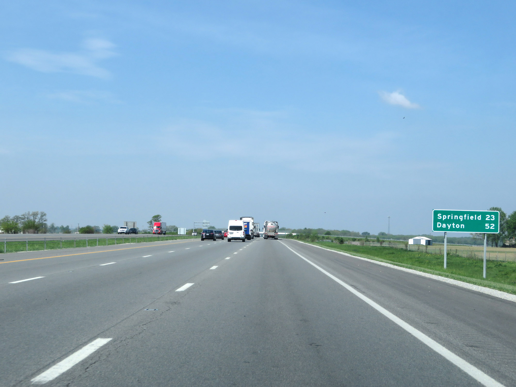 |
Another mileage sign on Interstate 70 West. It's 23 miles to Springfield and 52 miles to Dayton. (Photo taken 5/15/18). |
 |
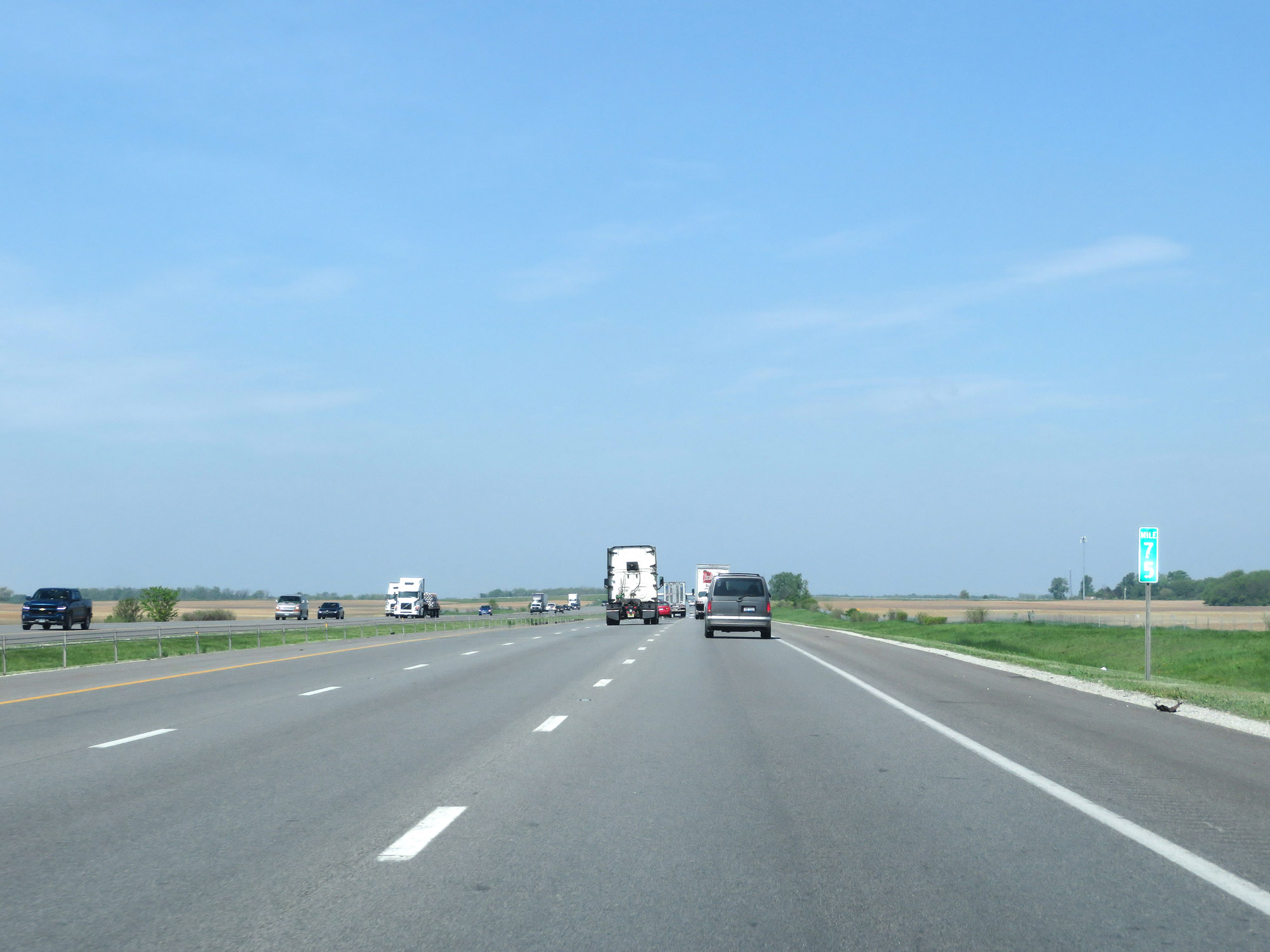
View on Interstate 70 West at mile marker 77. (Photo taken 5/15/18). |
 |
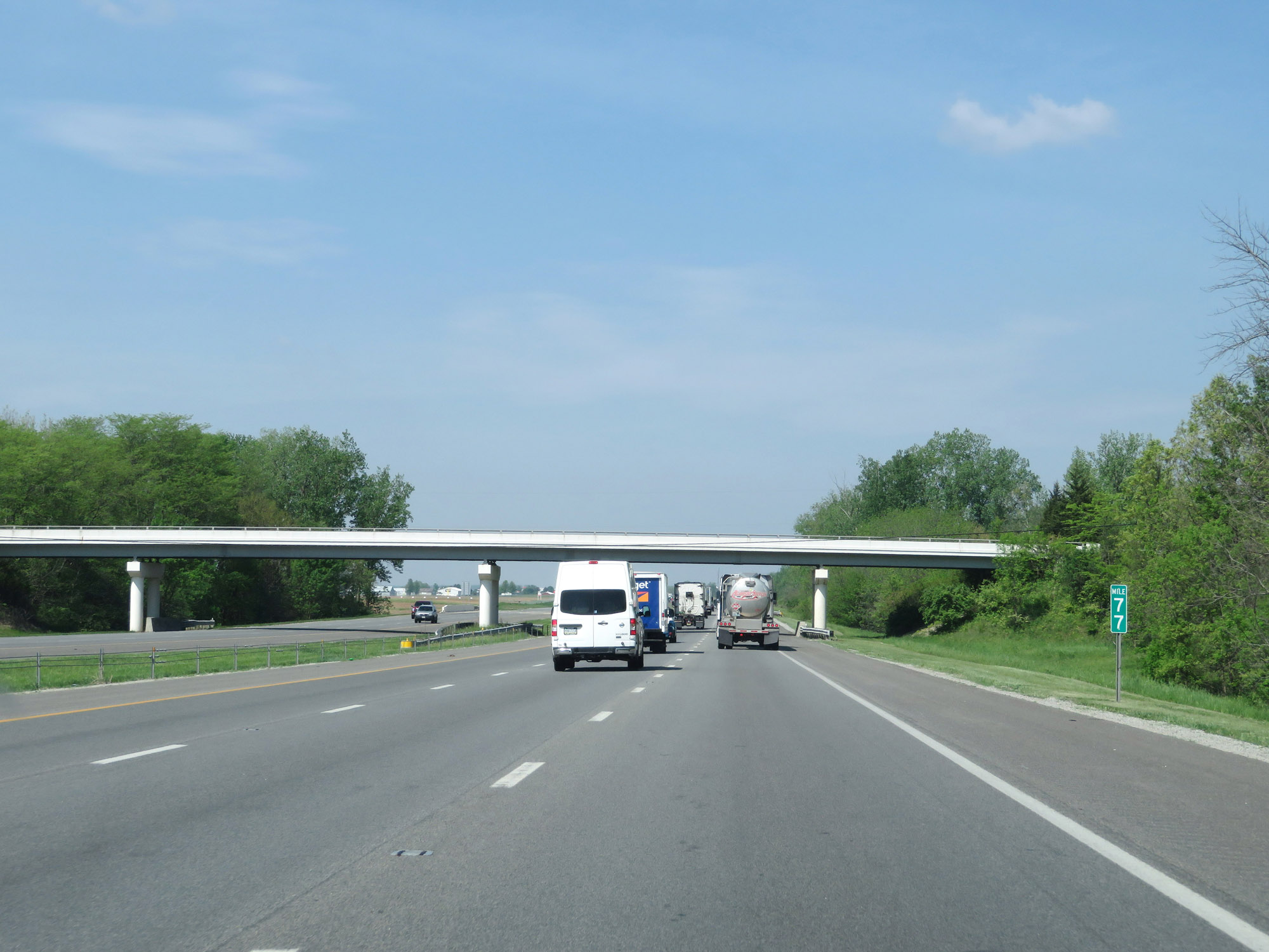
Interstate 70 West at mile marker 75. (Photo taken 5/15/18). |
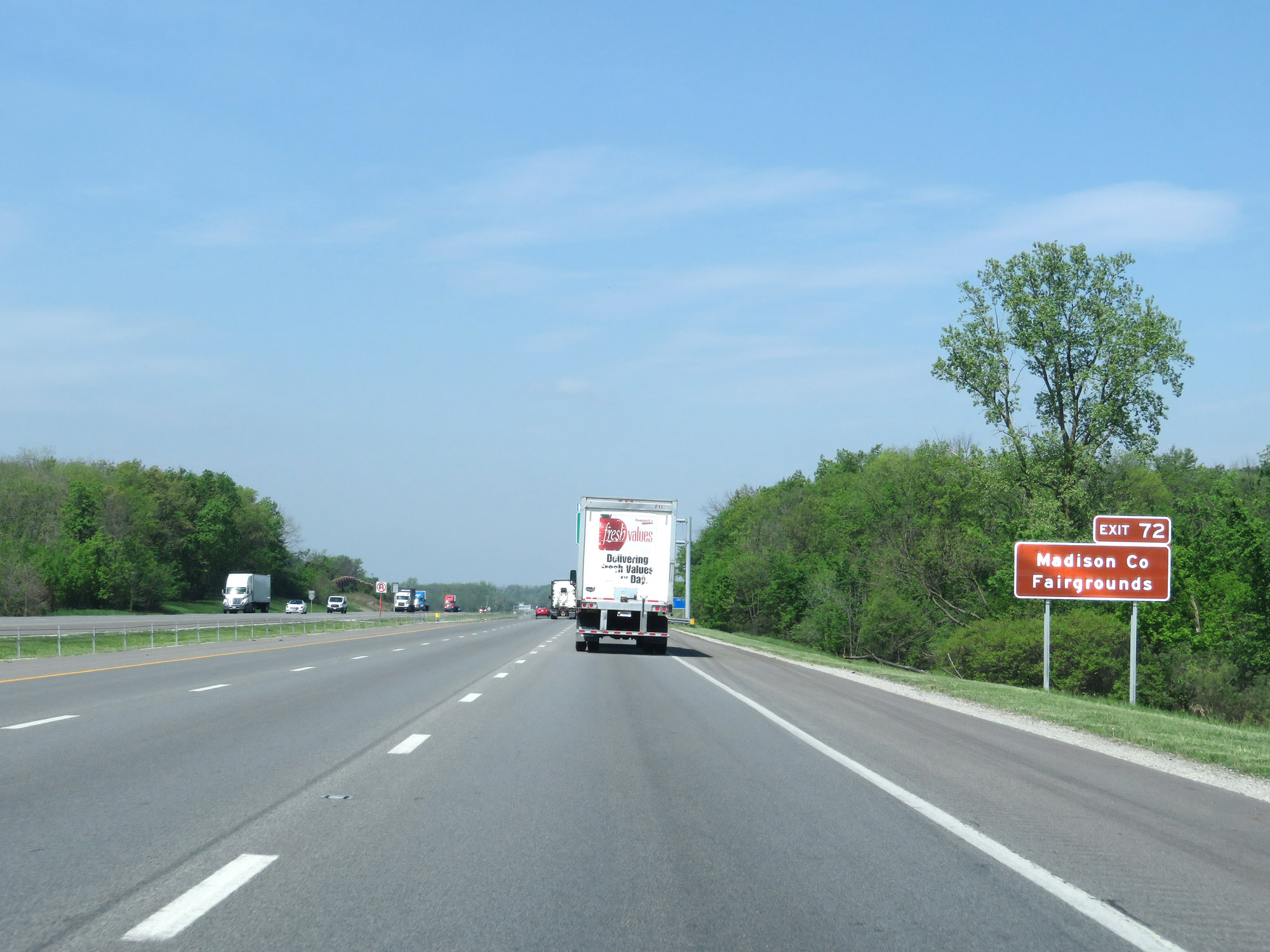 |
Take Exit 72 to the Madison County Fairgrounds. (Photo taken 5/15/18). |
 |
Interstate 70 West at Exit 72: OH 56 - London (Photo taken 5/15/18). |
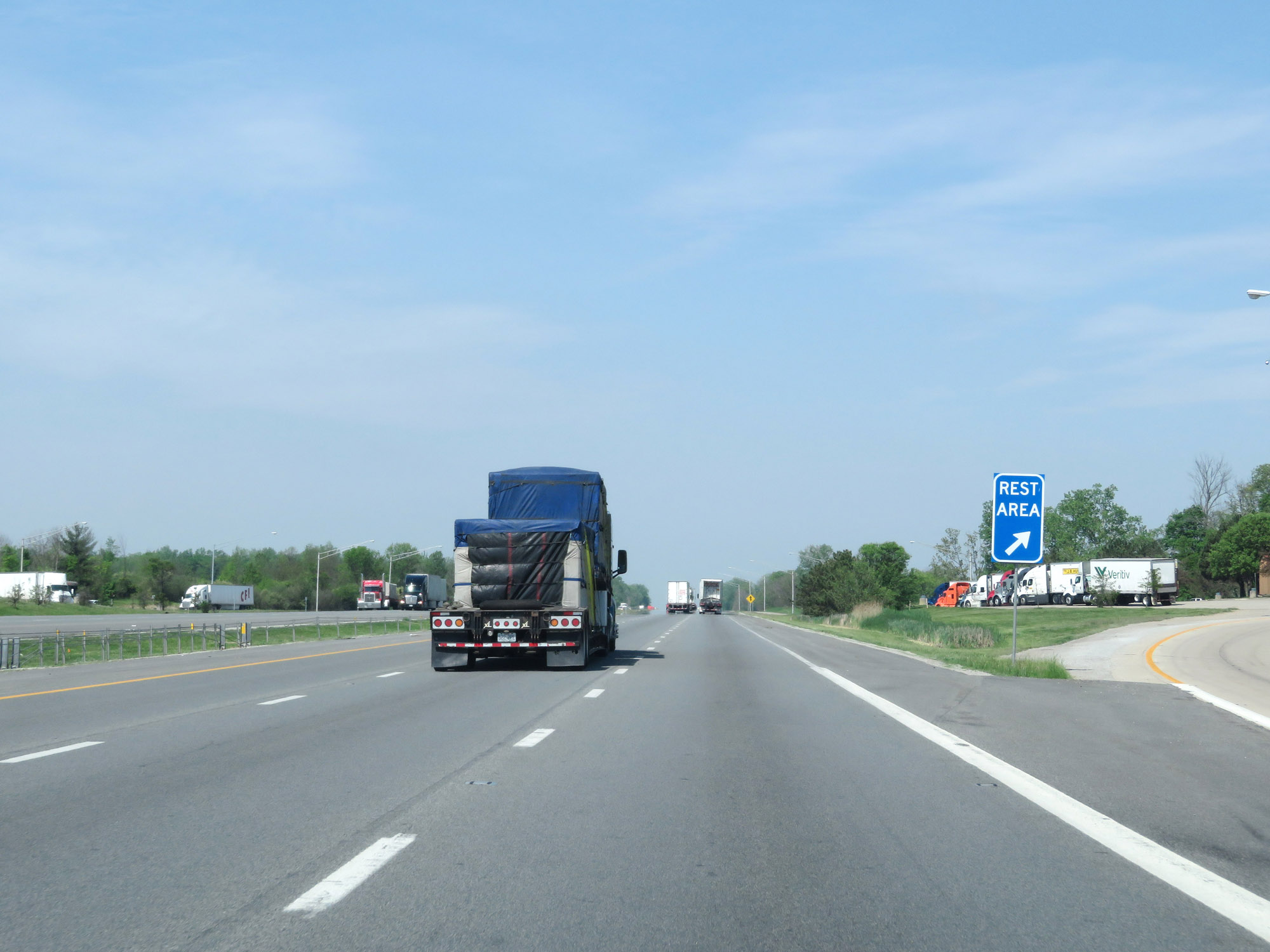 |
Rest Area on Interstate 70 West in Madison County. (Photo taken 5/15/18). |
 |
Entering Clark County on Interstate 70 West. (Photo taken 5/15/18). |
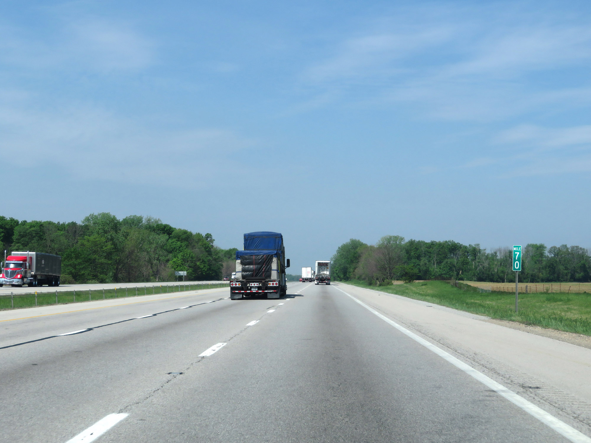 |
Interstate 70 West at mile marker 70. (Photo taken 5/15/18). |
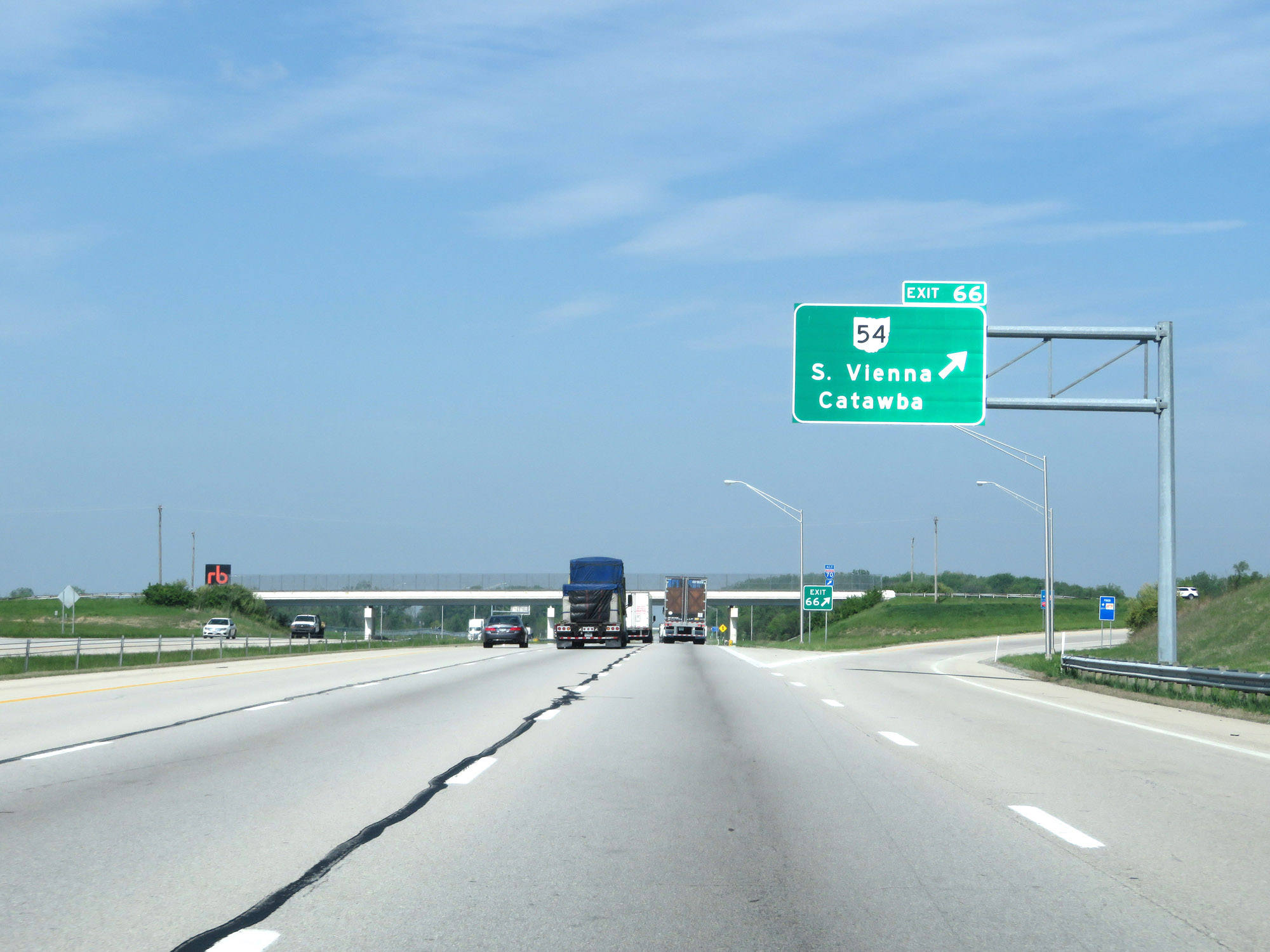 |
Interstate 70 West at Exit 66: OH 54 - South Vienna / Catawba (Photo taken 5/15/18). |
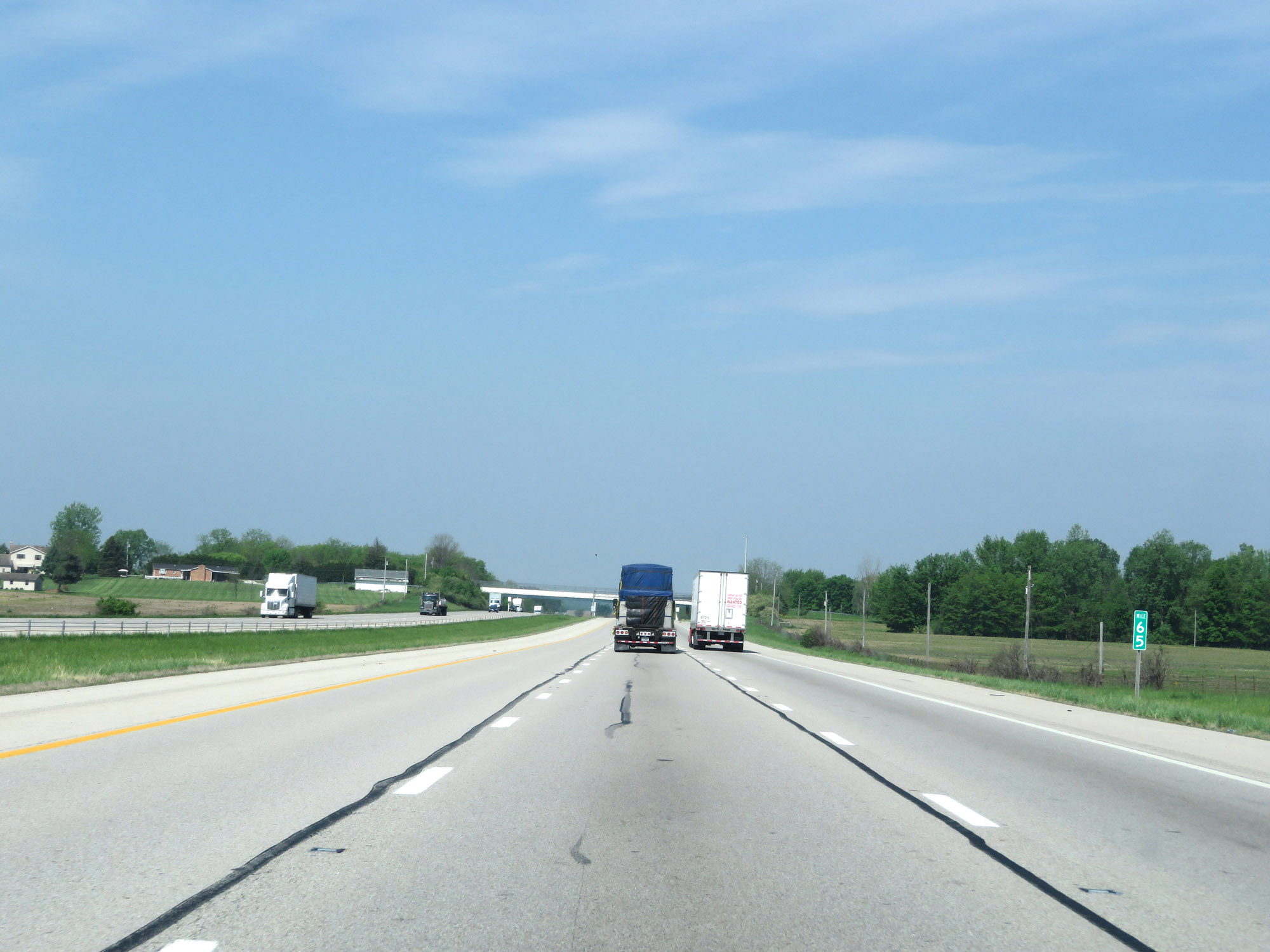 |
View on Interstate 70 West at mile marker 65. (Photo taken 5/15/18). |
 |
Interstate 70 West at mile marker 63. (Photo taken 5/15/18). |
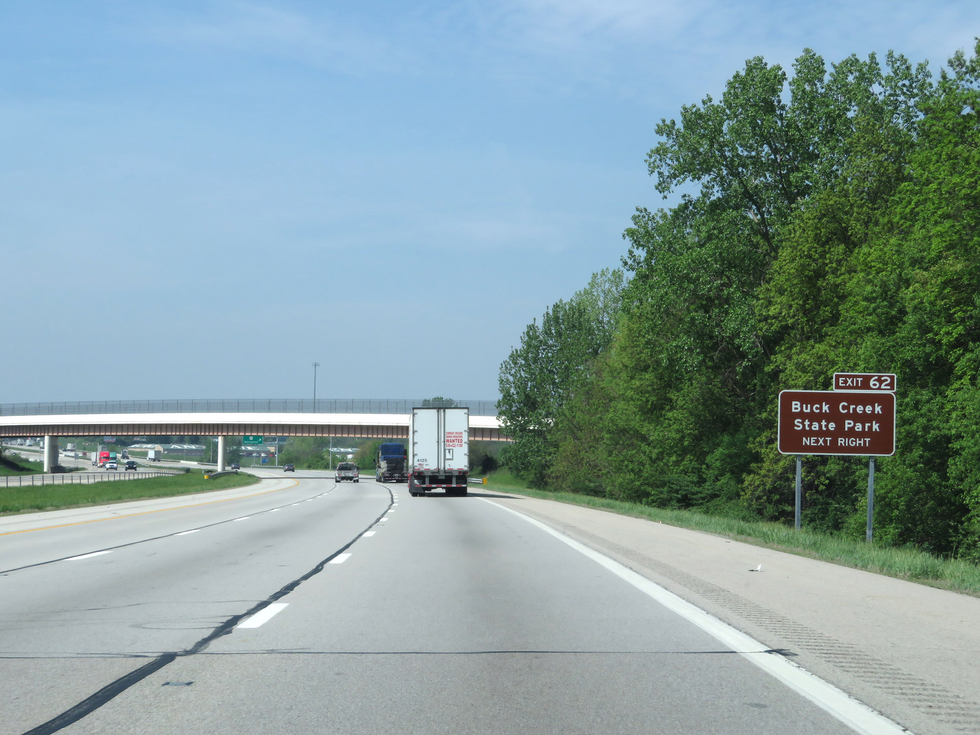 |
Take Exit 62 to Buck Creek State Park. (Photo taken 5/15/18). |
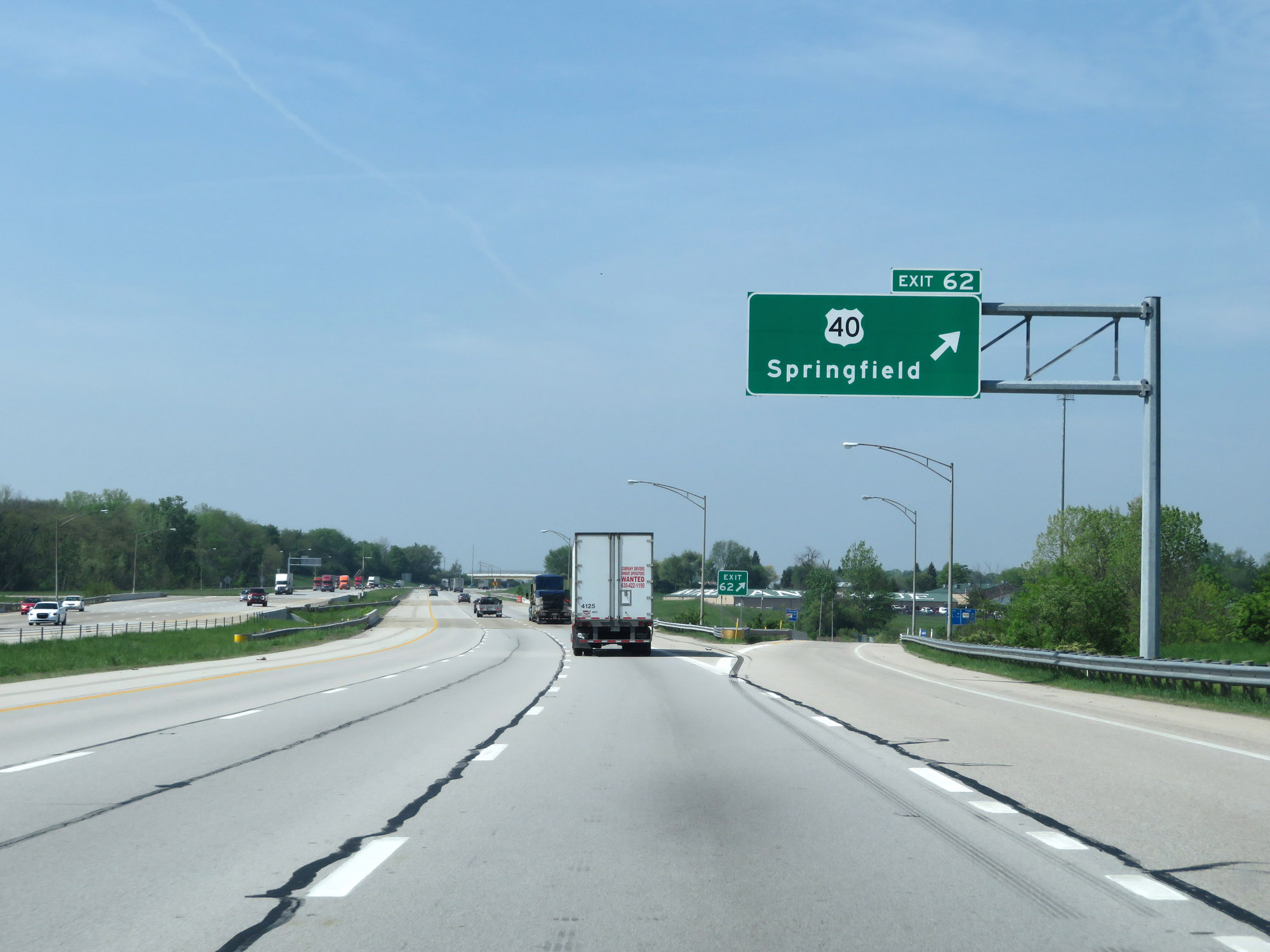 |
Interstate 70 West at Exit 62: US 40 - Springfield (Photo taken 5/15/18). |
Section 4: Springfield (Exit 62) to Indiana Border
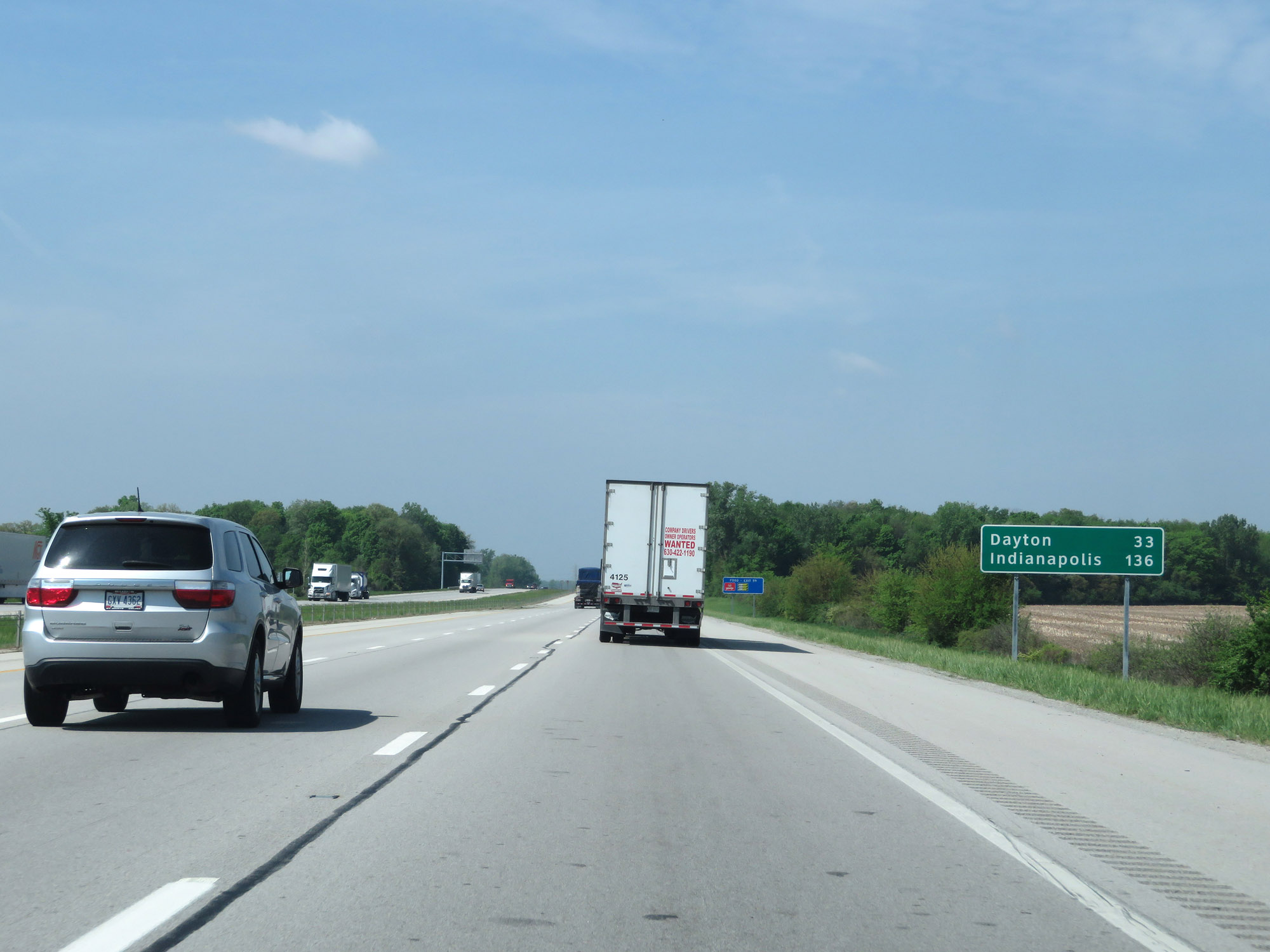 |
Mileage sign on Interstate 70 West. It's 33 miles to Dayton and 136 miles to Indianapolis. (Photo taken 5/15/18). |
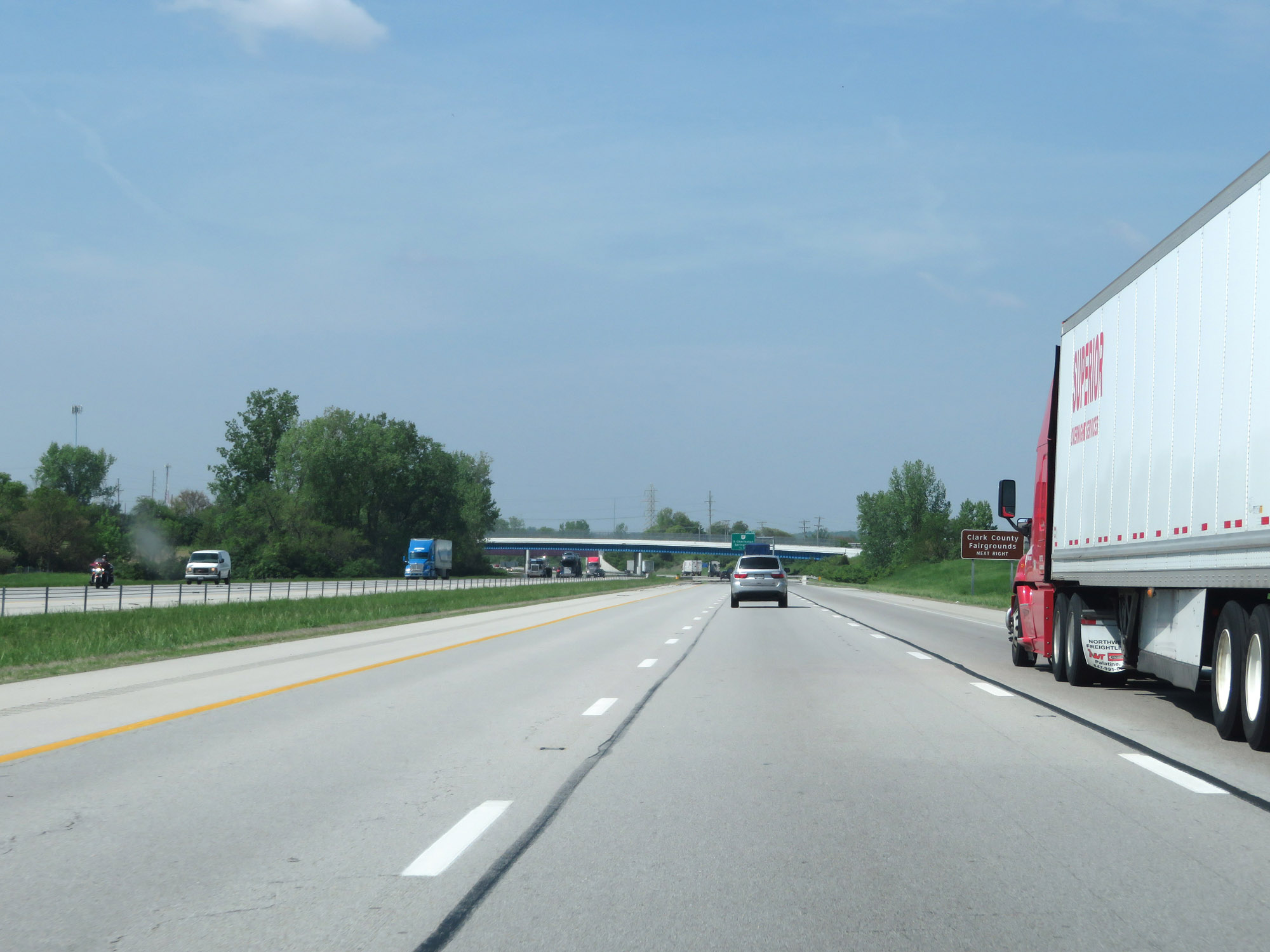 |
Take Exit 59 to the Clark County Fairgrounds. (Photo taken 5/15/18). |
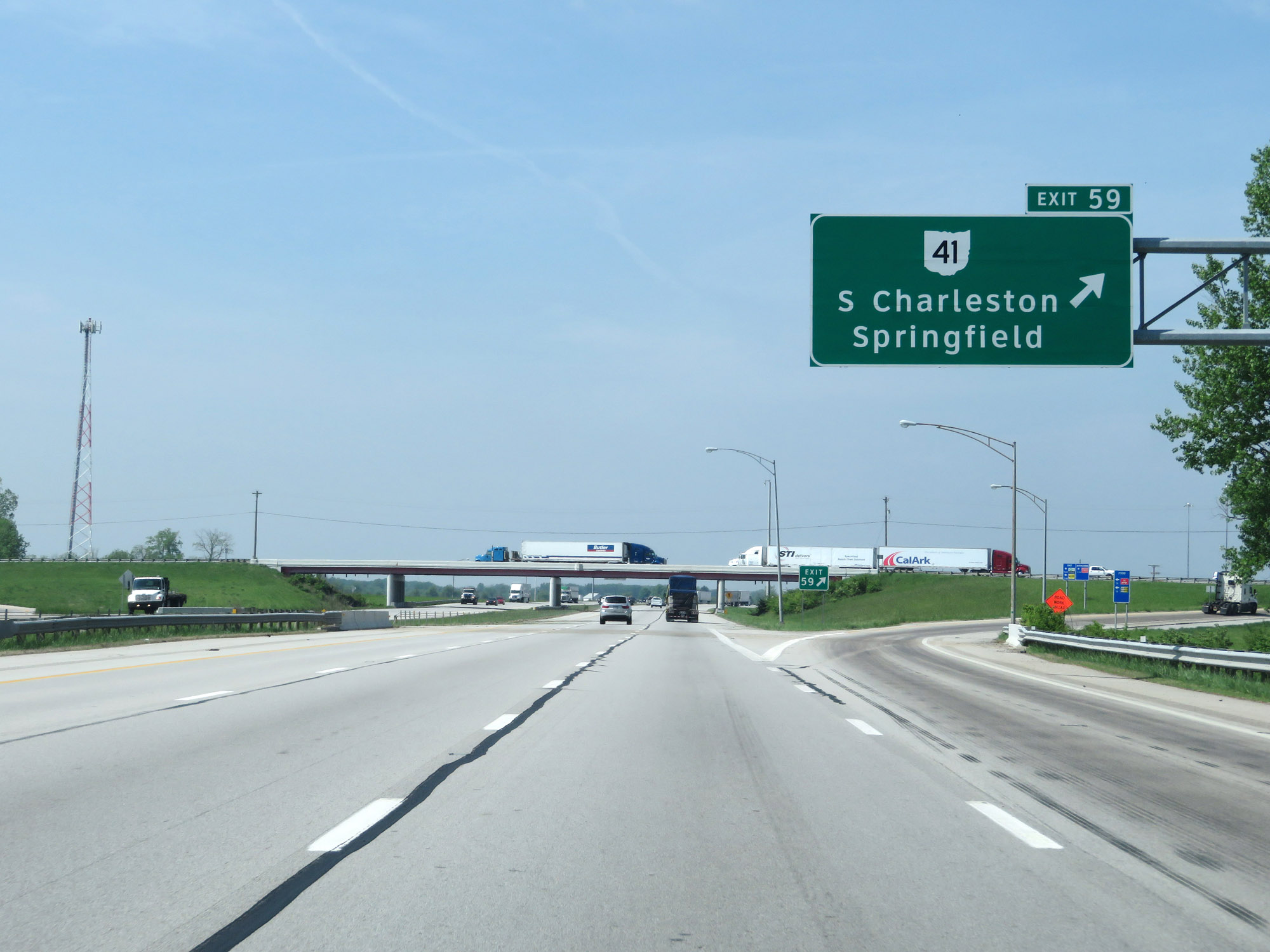 |
Interstate 70 West at Exit 59: OH 41 - South Charleston / Springfield (Photo taken 5/15/18). |
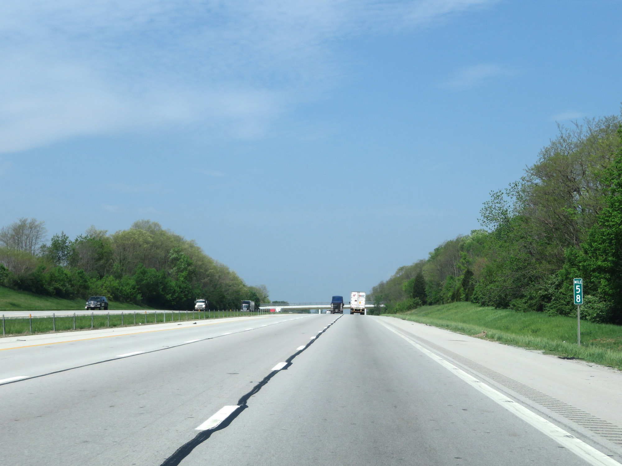 |
View on Interstate 70 West at mile marker 58. (Photo taken 5/15/18). |
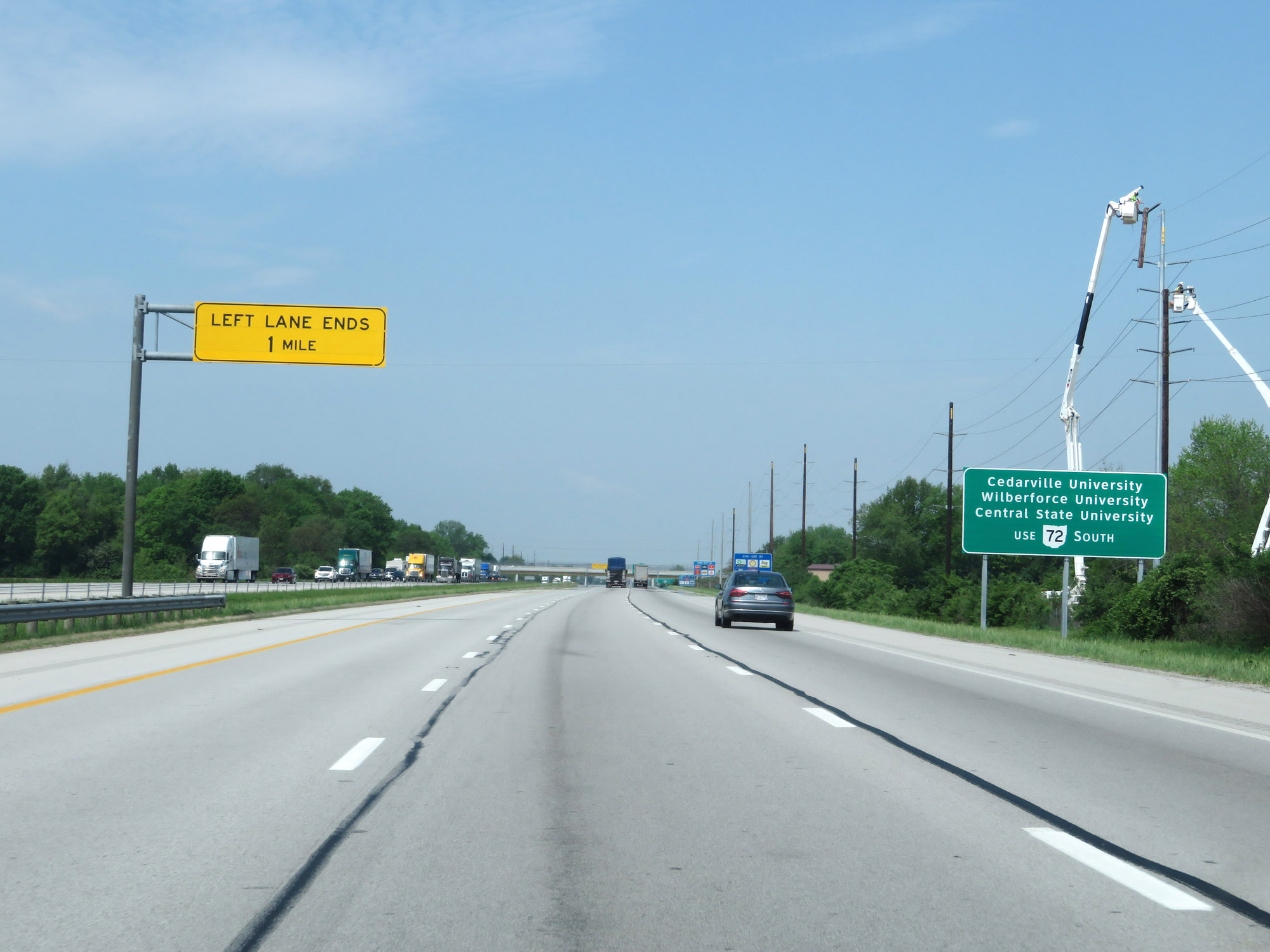 |
Take Exit 54 and follow OH 72 South to Cedarville, University, Wilberforce University, and Central State University. (Photo taken 5/15/18). |
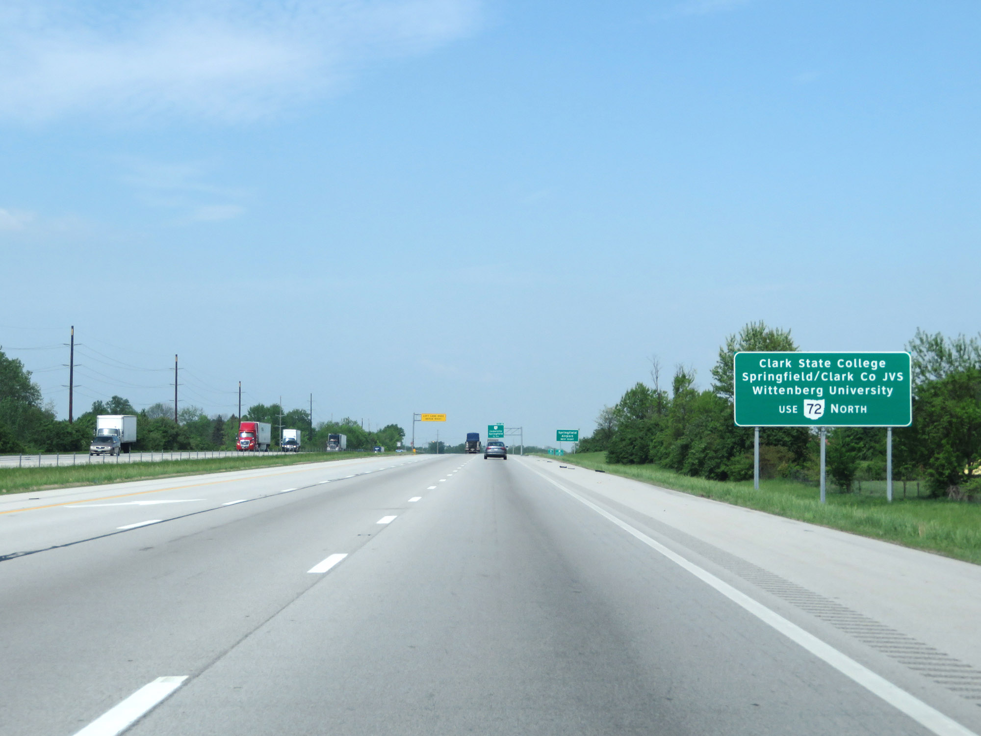 |
Take Exit 54 and follow OH 72 North to Clark State College, Springfield/Clark County JVS, and Wittenberg University. (Photo taken 5/15/18). |
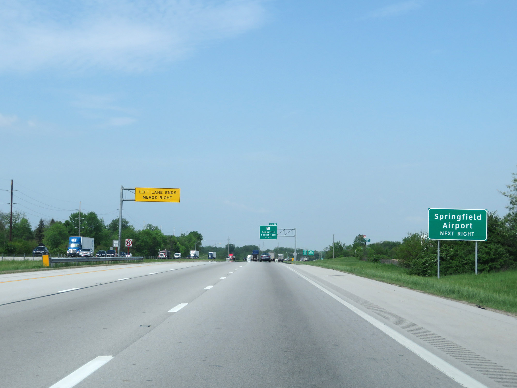 |
Also take Exit 54 to Springfield Airport. (Photo taken 5/15/18). |
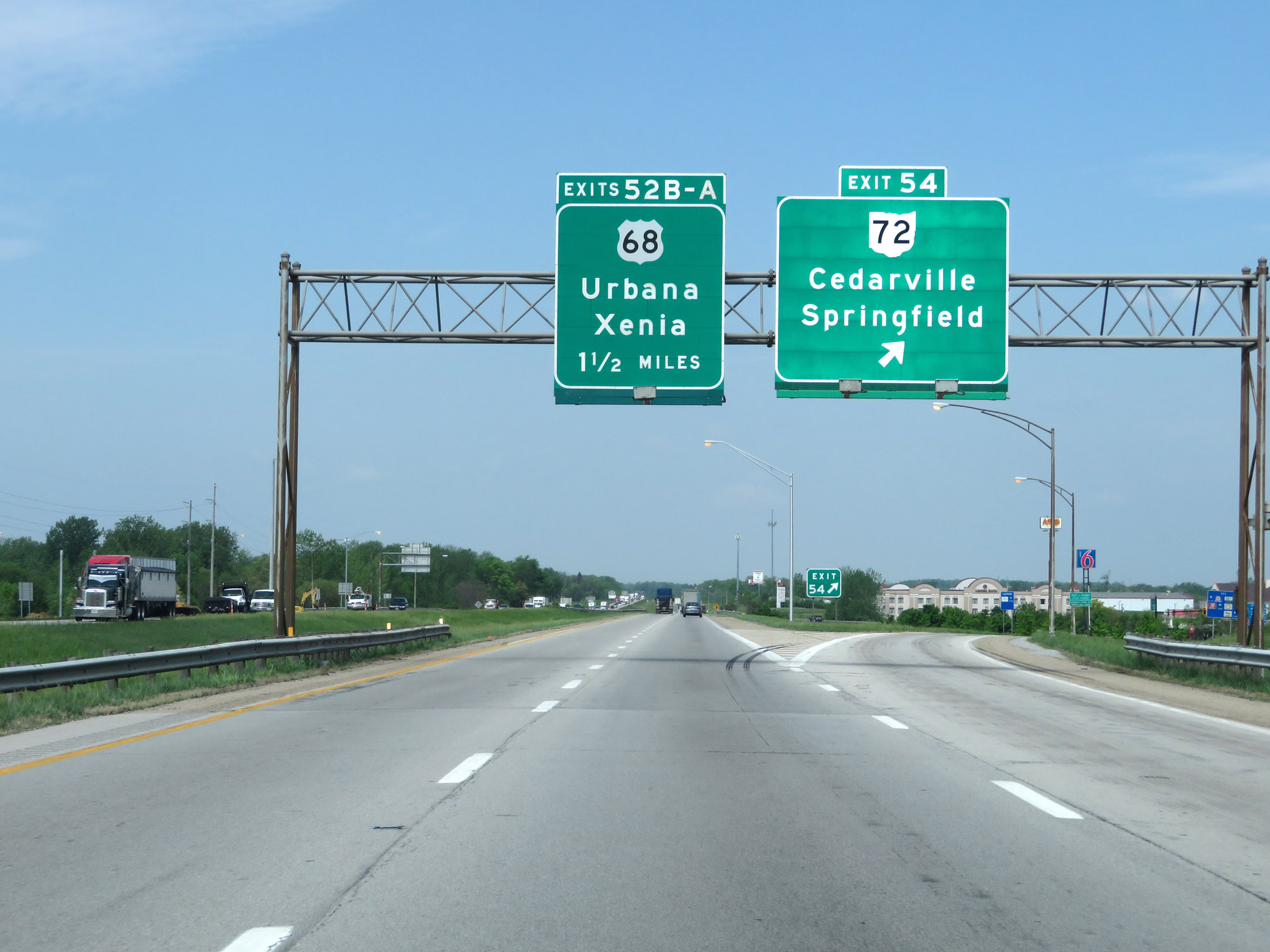 |
Interstate 70 West at Exit 54: OH 72 - Cedarville / Springfield (Photo taken 5/15/18). |
 |
Take Exit 52A to Yellow Springs and Antioch University. (Photo taken 5/15/18). |
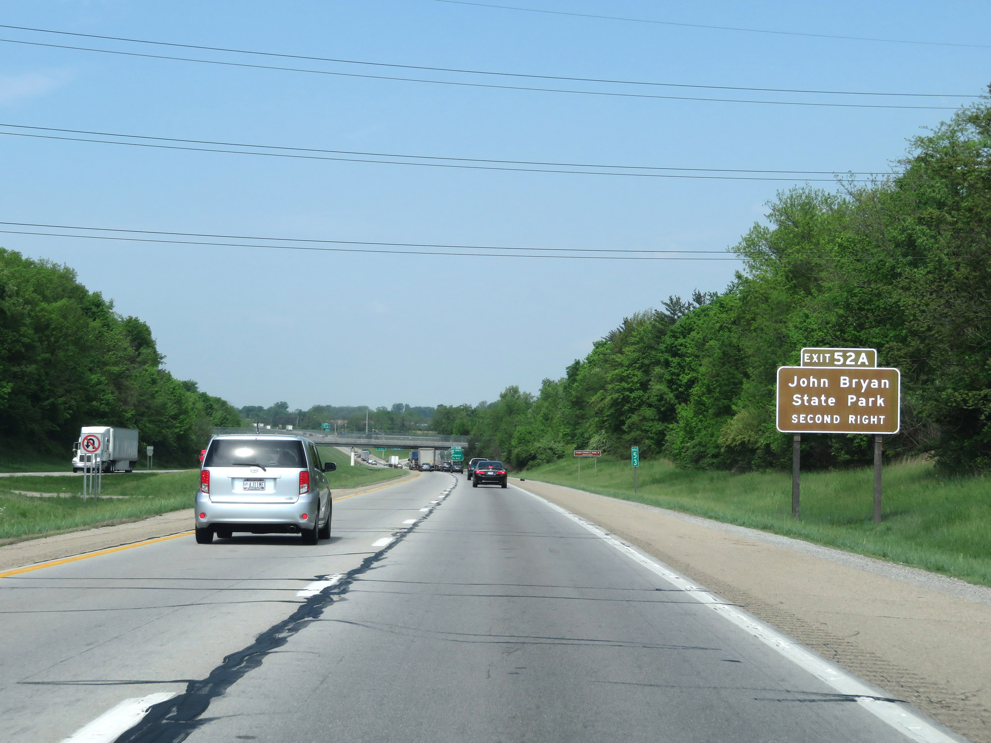 |
Also take Exit 52A to John Bryan State Park. (Photo taken 5/15/18). |
 |
Interstate 70 West at Exit 52B: US 68 North - Urbana (Photo taken 5/15/18). |
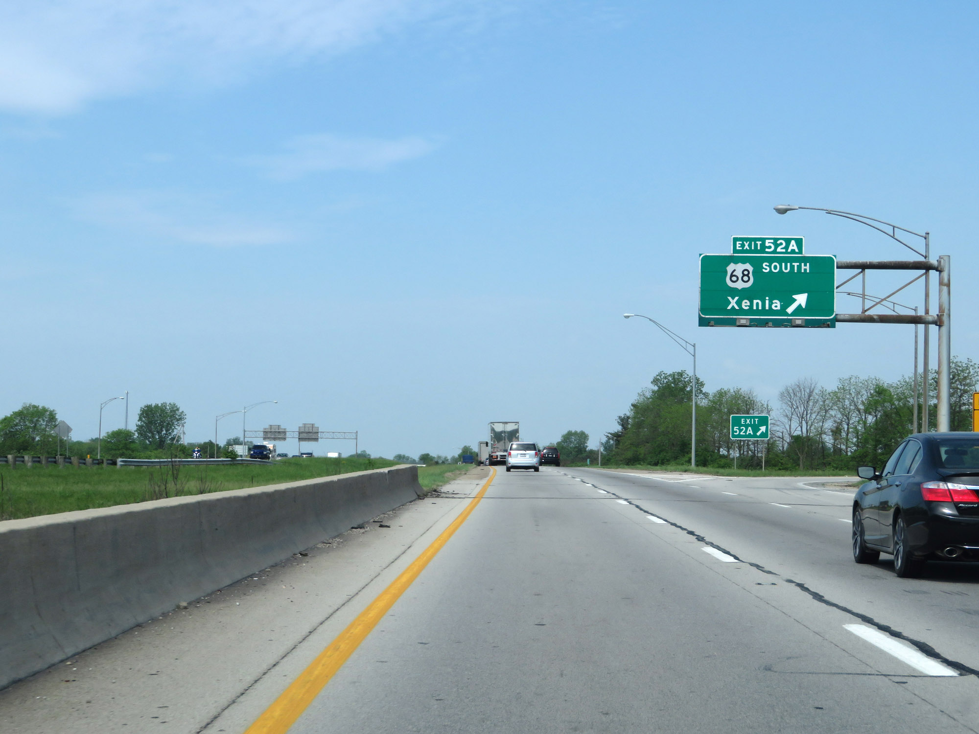 |
Interstate 70 West at Exit 52A: US 68 South - Xenia (Photo taken 5/15/18). |
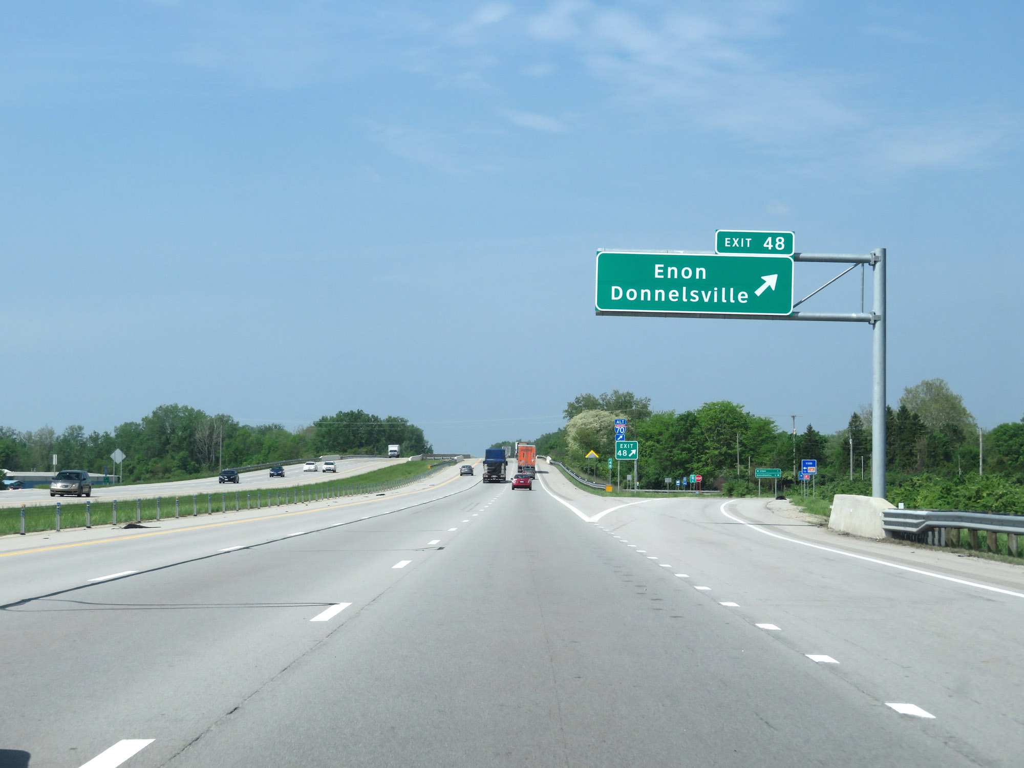 |
Interstate 70 West at Exit 48: Enon / Donnelsville (Photo taken 5/15/18). |
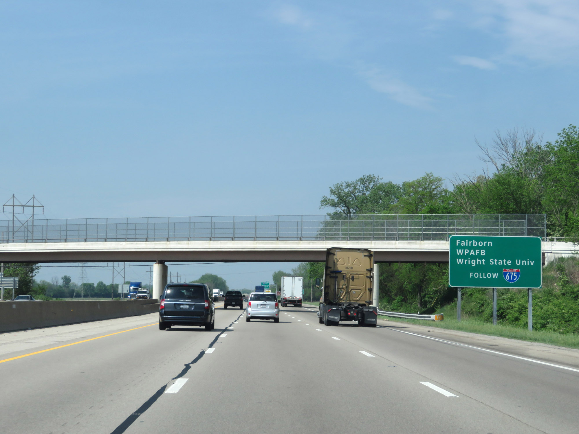 |
Follow Interstate 675 South via Exit 44 to Fairborn, Wright Patterson Air Force Base, and Wright State University. (Photo taken 5/15/18). |
 |
Interstate 70 West approaching Exit 44 - 1 mile. (Photo taken 5/15/18). |
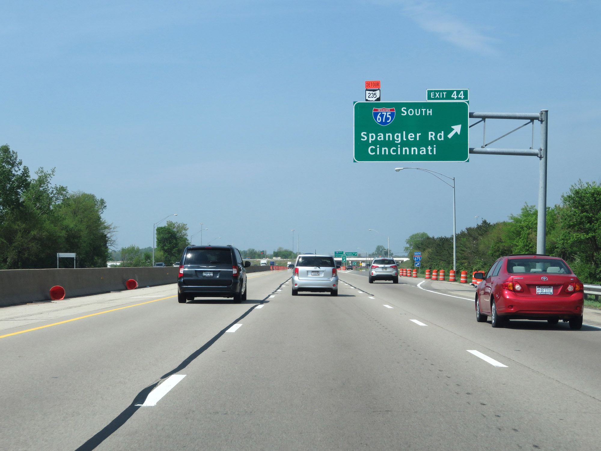 |
Interstate 70 West at Exit 44: Interstate 675 South - Spangler Rd / Cincinnati (Photo taken 5/15/18). |
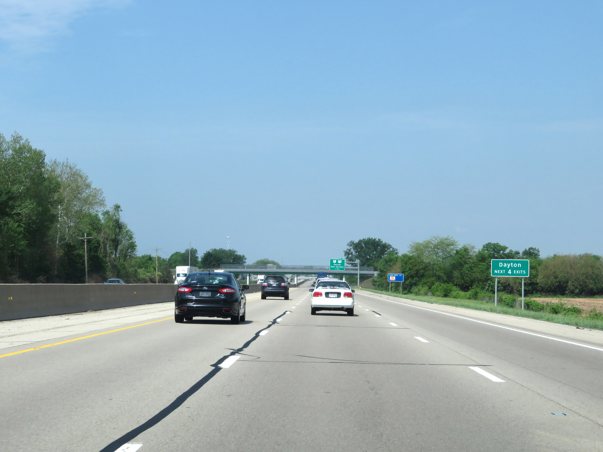 |
Take any of the next 4 exits to Dayton. (Photo taken 5/15/18). |
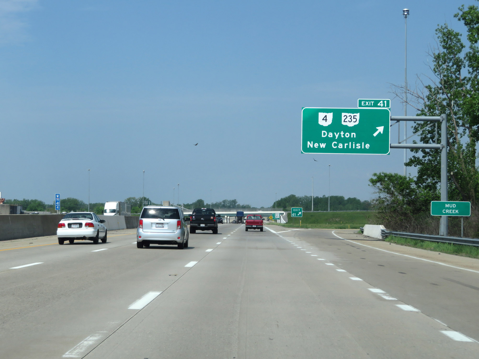 |
Interstate 70 West at Exit 41: OH 4 / OH 235 - Dayton / New Carlisle (Photo taken 5/15/18). |
 |
The speed limit decreases to 65 mph as Interstate 70 West prepares to enter Montgomery County. (Photo taken 5/15/18). |
 |
Interstate 70 West as it enters Montgomery County and the Huber Heights city limits. (Photo taken 5/15/18). |
 |
View on Interstate 70 West at mile marker 40. (Photo taken 5/15/18). |
 |
Take Exit 38 to Carriage Hill Metropark and Sinclair College. (Photo taken 5/15/18). |
 |
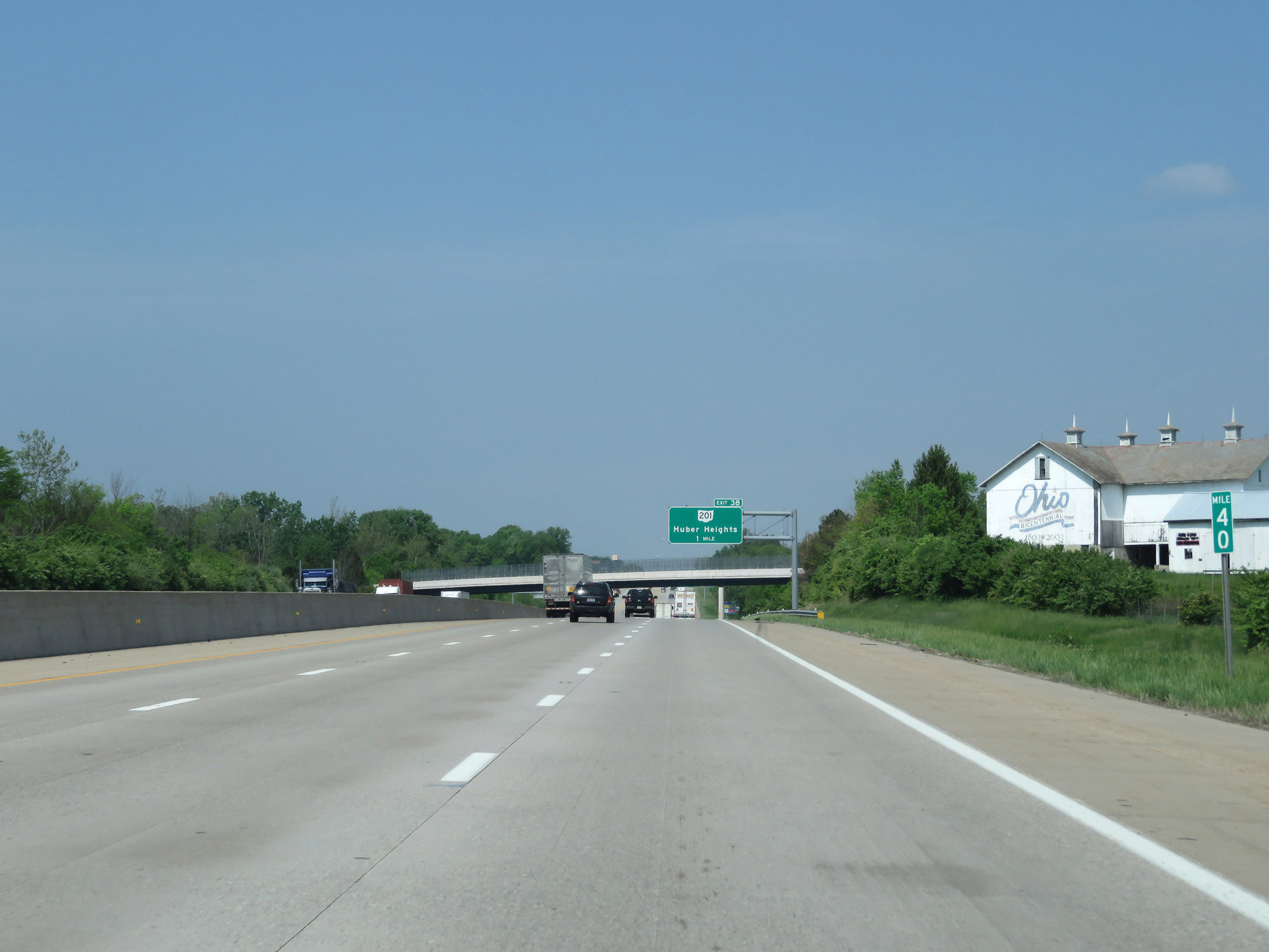
Interstate 70 West at Exit 38: OH 201 - Huber Heights (Photo taken 5/15/18). |
 |
Interstate 70 West reassurance shield. (Photo taken 5/15/18). |
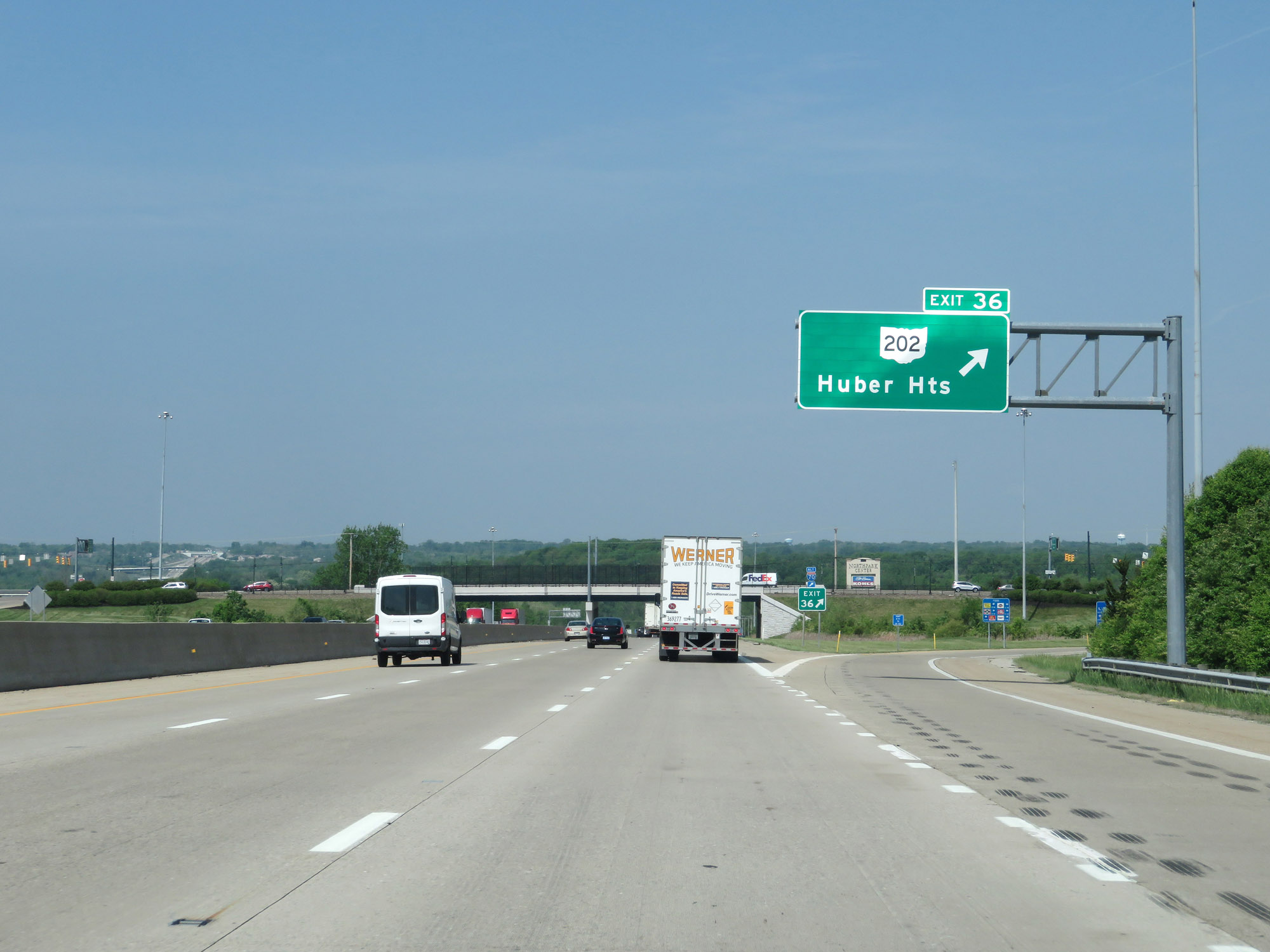 |
Interstate 70 West at Exit 36: OH 202 - Huber Heights (Photo taken 5/15/18). |
 |
Traffic to Dayton International Airport should remain on Interstate 70 West beyond the junction of Interstate 75. (Photo taken 5/15/18). |
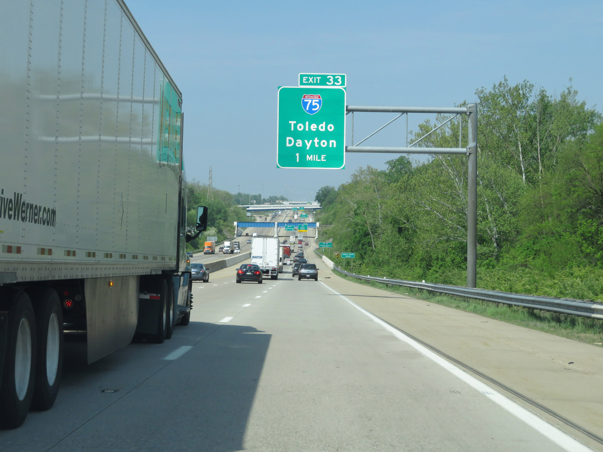 |
Interstate 70 West approaching Exit 33 - 1 mile. (Photo taken 5/15/18). |
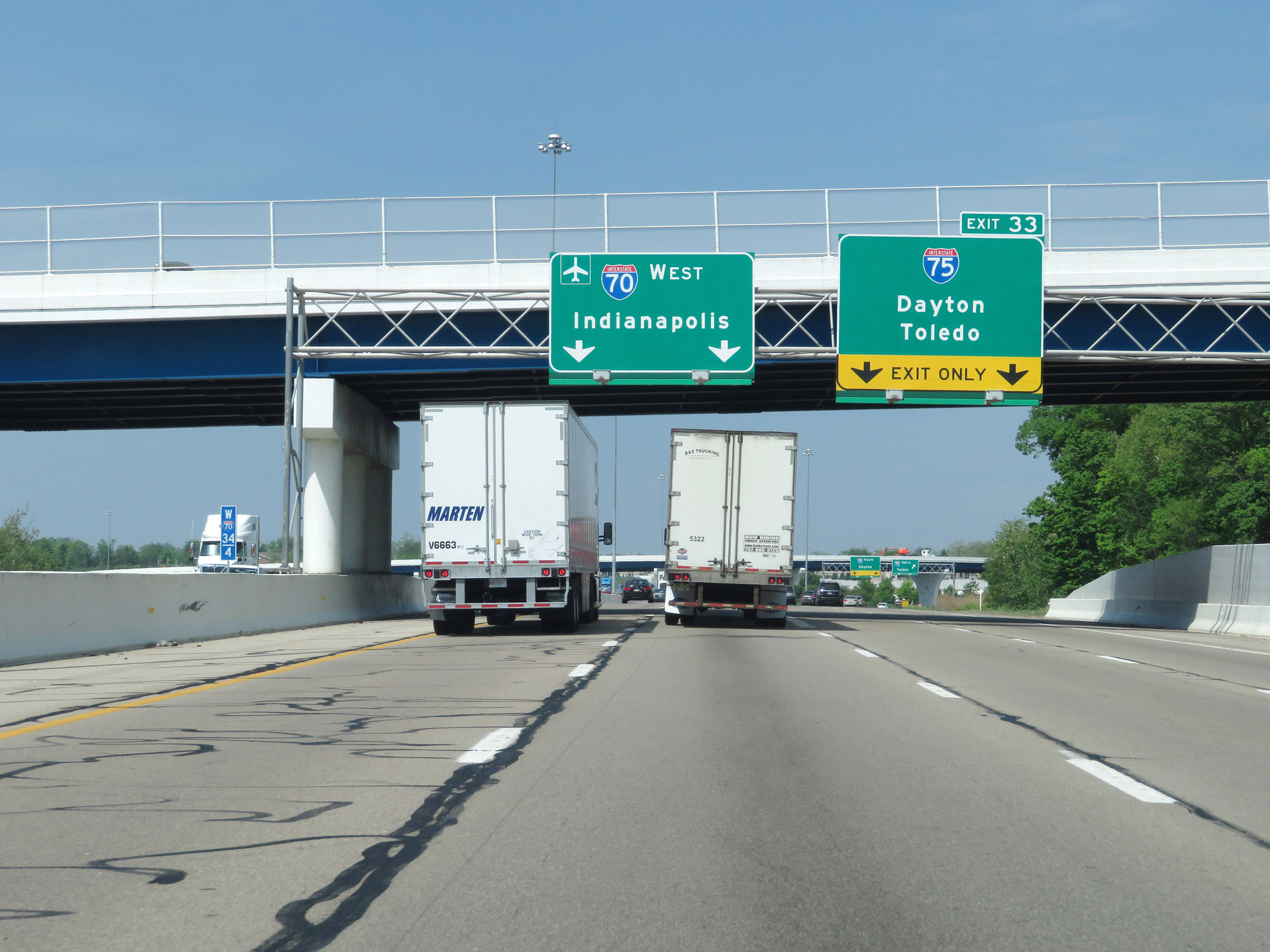 |
Interstate 70 West at Exit 33: Interstate 75 - Dayton / Toledo (Photo taken 5/15/18). |
 |
Interstate 70 West at Exit 32: To US 40 - Vandalia / Dayton International Airport (Photo taken 5/15/18). |
 |
Another Interstate 70 West reassurance shield. (Photo taken 5/15/18). |
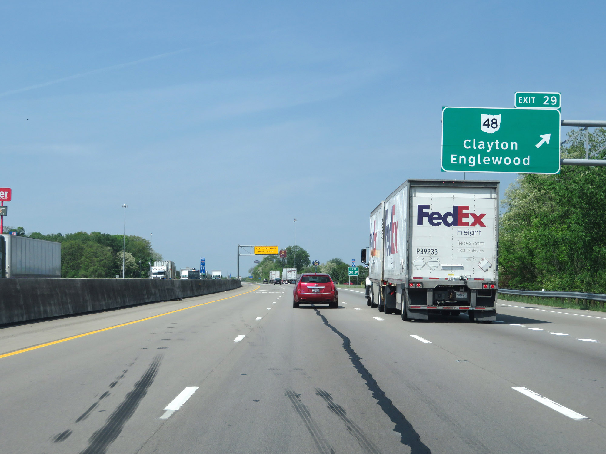 |
Interstate 70 West at Exit 29: OH 48 - Clayton / Englewood (Photo taken 5/15/18). |
 |
The speed limit remains 65 mph, as Interstate 70 West is reduced to two lanes once again. (Photo taken 5/15/18). |
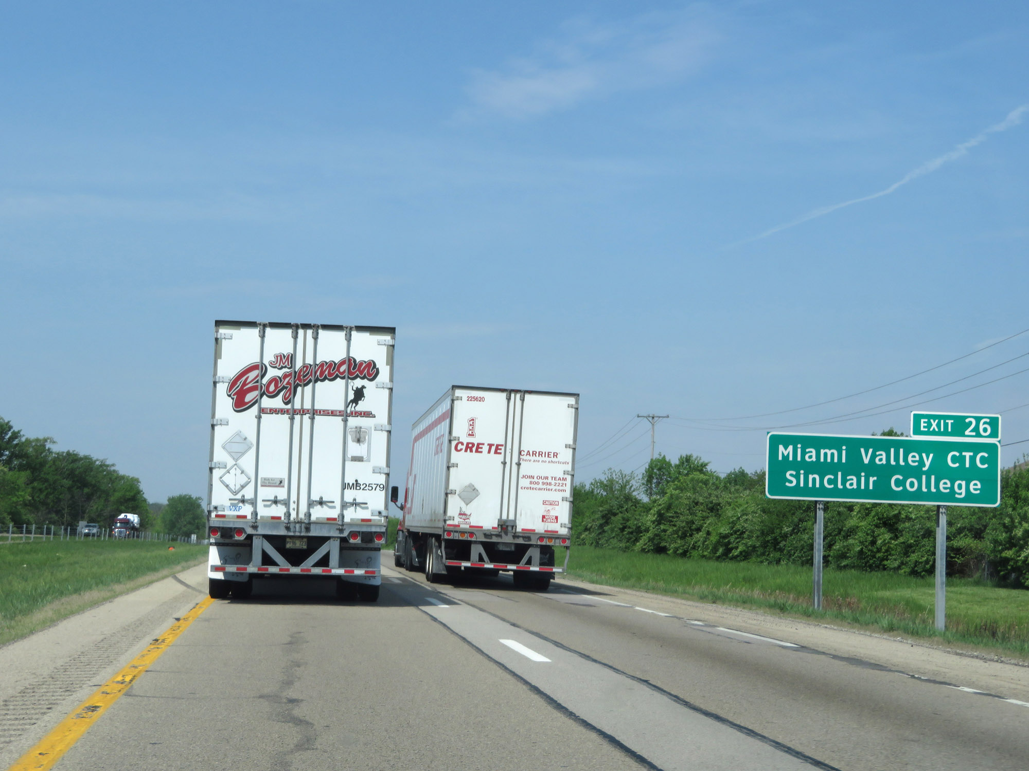 |
Take Exit 26 to Miami Valley CTC and Sinclair College. (Photo taken 5/15/18). |
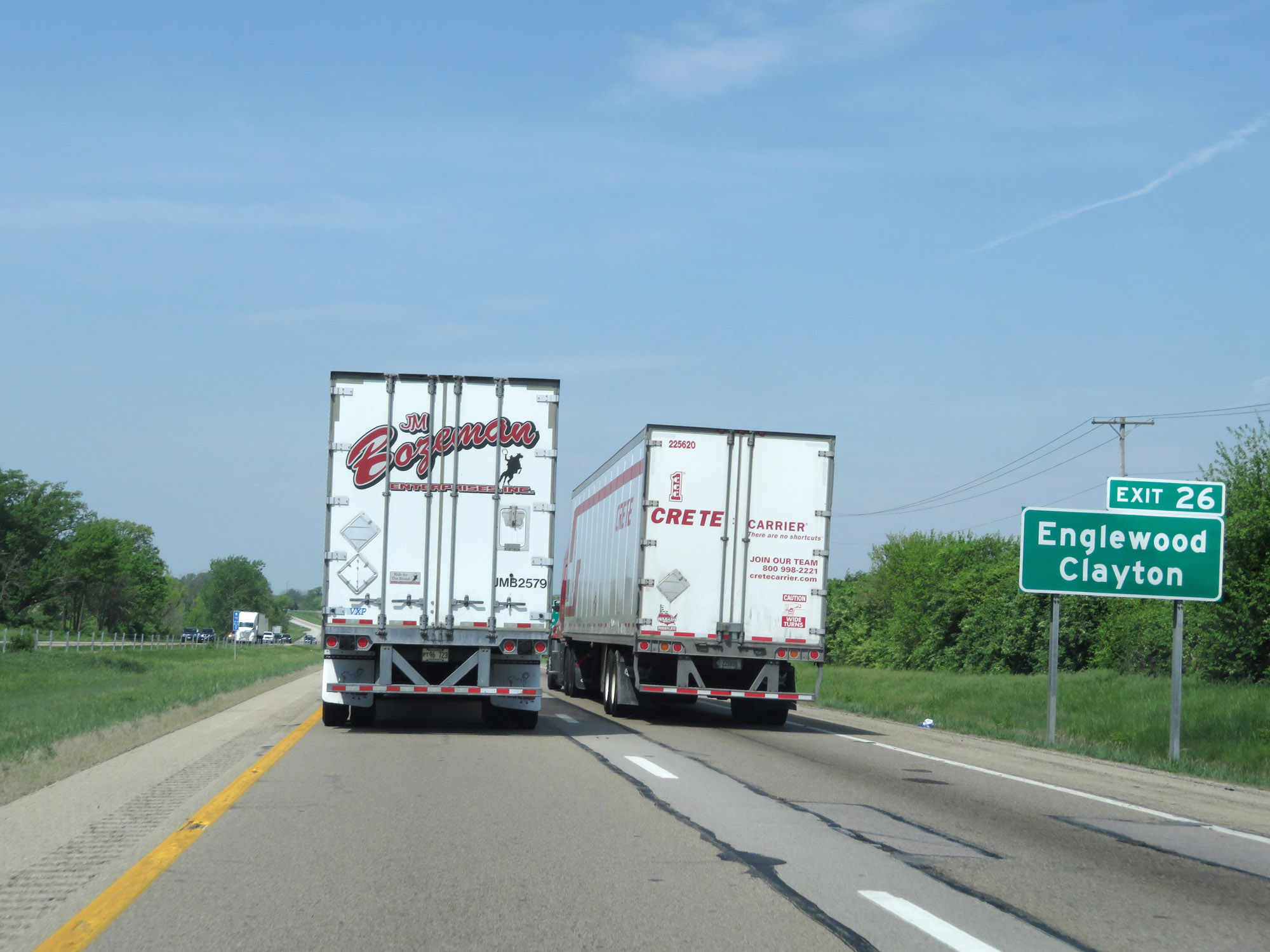 |
Take Exit 26 to Englewood and Clayton as well. (Photo taken 5/15/18). |
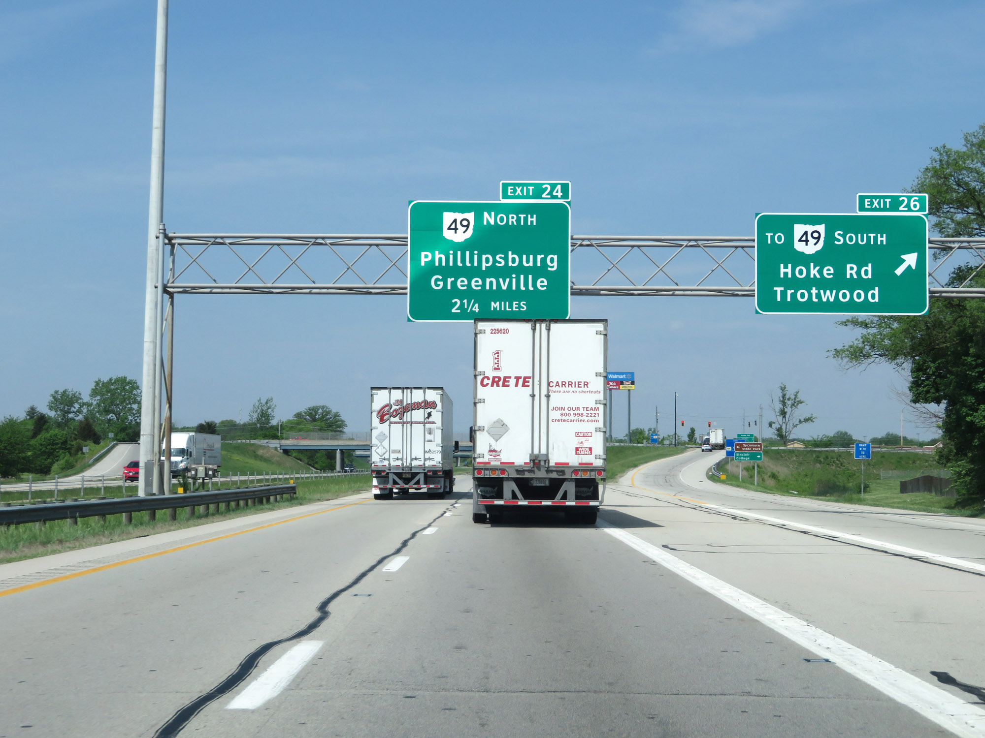 |
Interstate 70 West at Exit 26: To OH 49 South - Hoke Rd / Trotwood (Photo taken 5/15/18). |
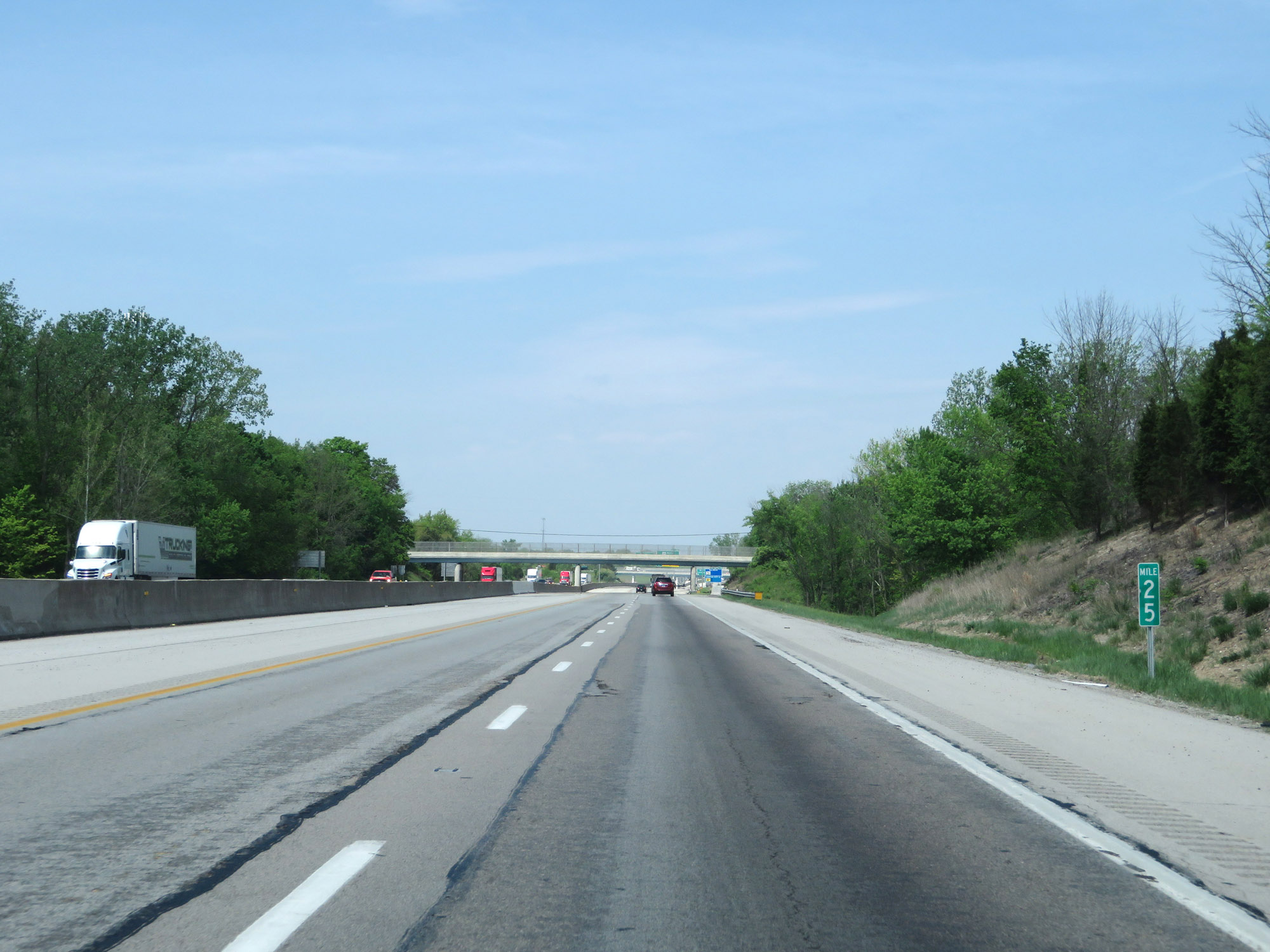 |
View on Interstate 70 West at mile marker 25. (Photo taken 5/15/18). |
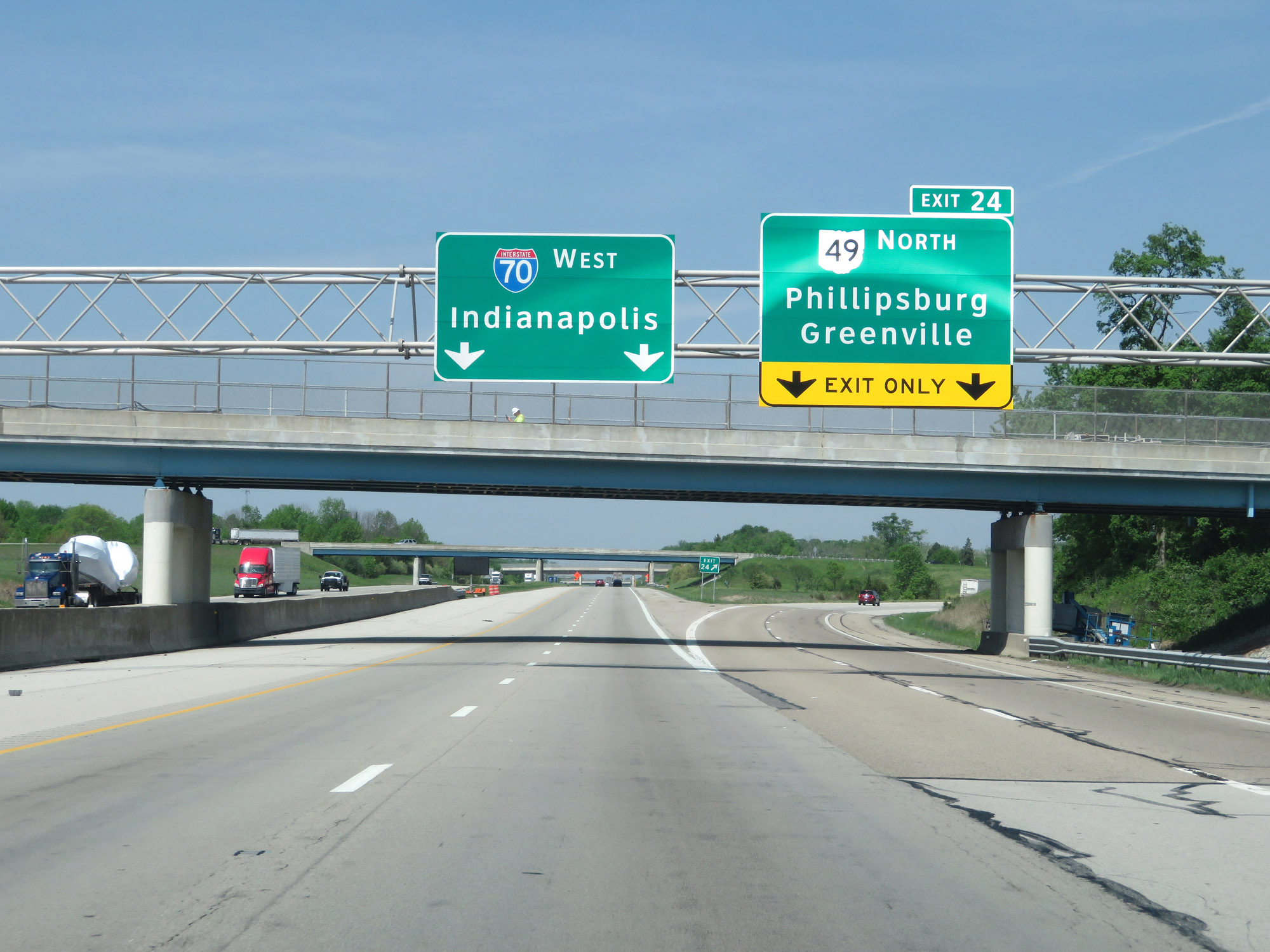 |
Interstate 70 West at Exit 24: OH 49 North - Phillipsburg / Greenville (Photo taken 5/15/18). |
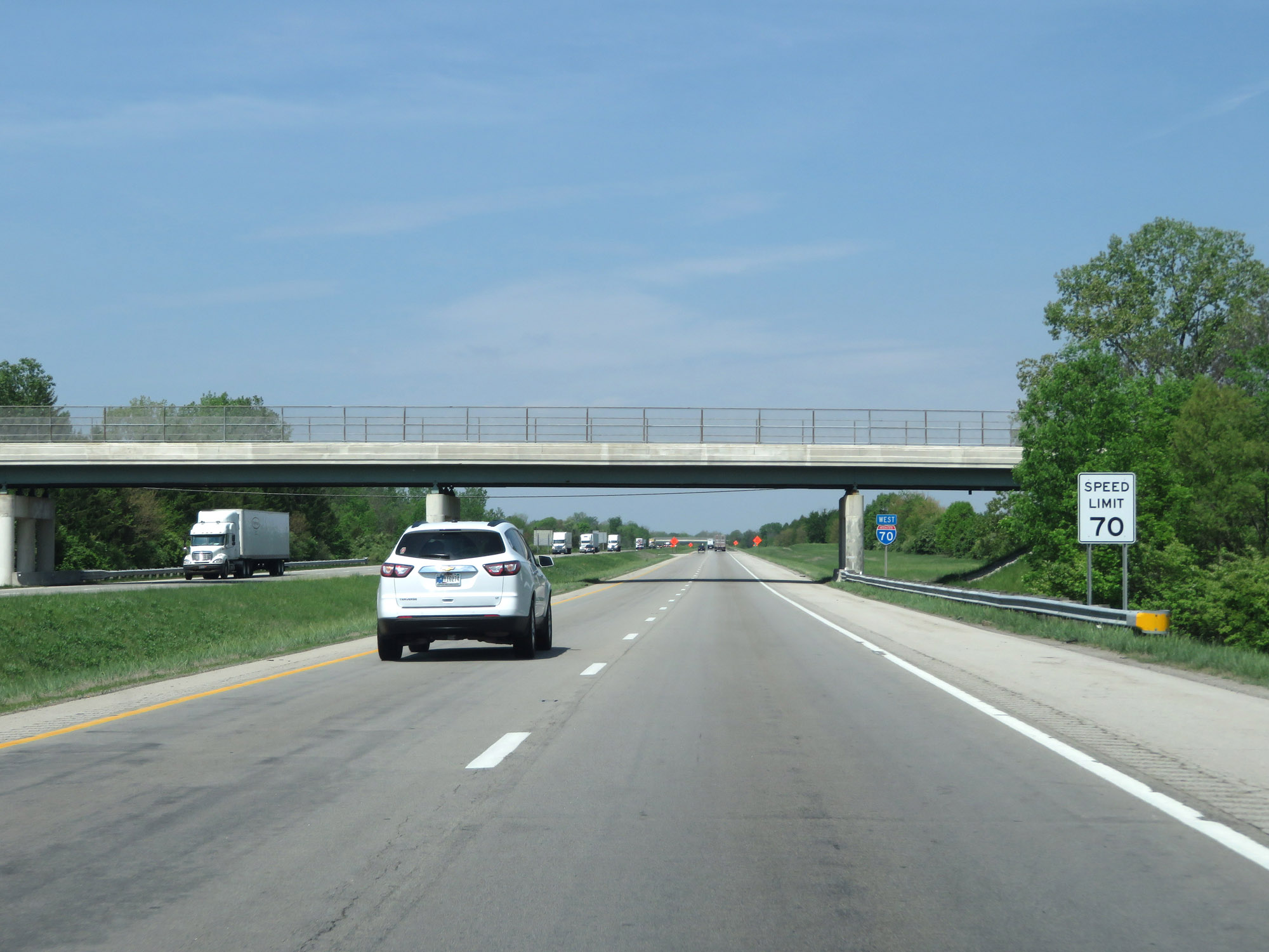 |
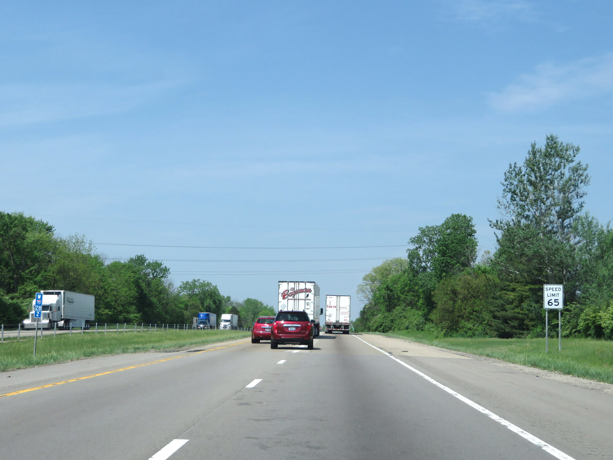
West of Exit 24, the standard rural speed limit of 70 mph resumes. (Photo taken 5/15/18). |
 |
Interstate 70 West at mile marker 22. (Photo taken 5/15/18). |
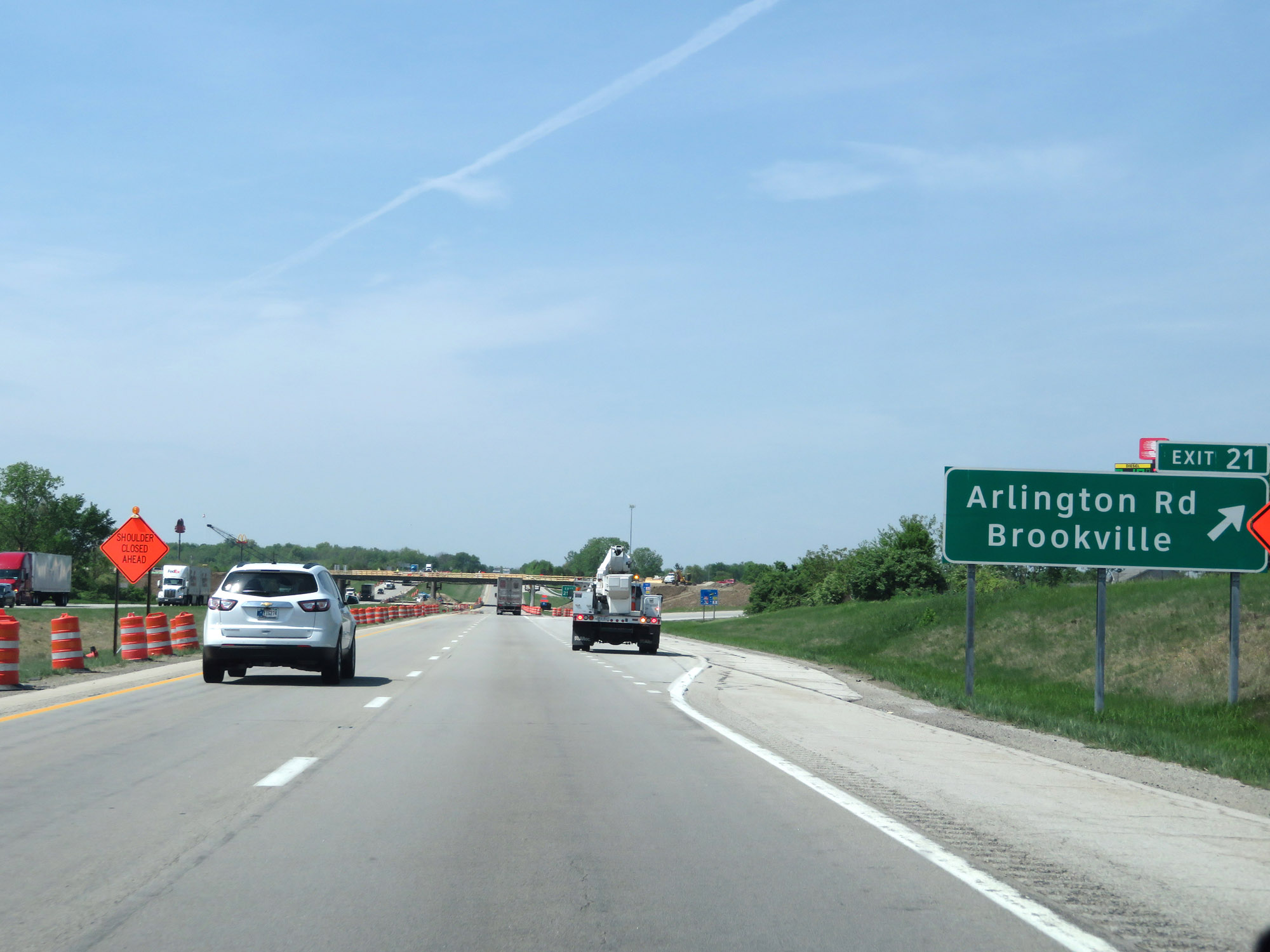 |
Interstate 70 West at Exit 21: Arlington Rd / Brookville (Photo taken 5/15/18). |
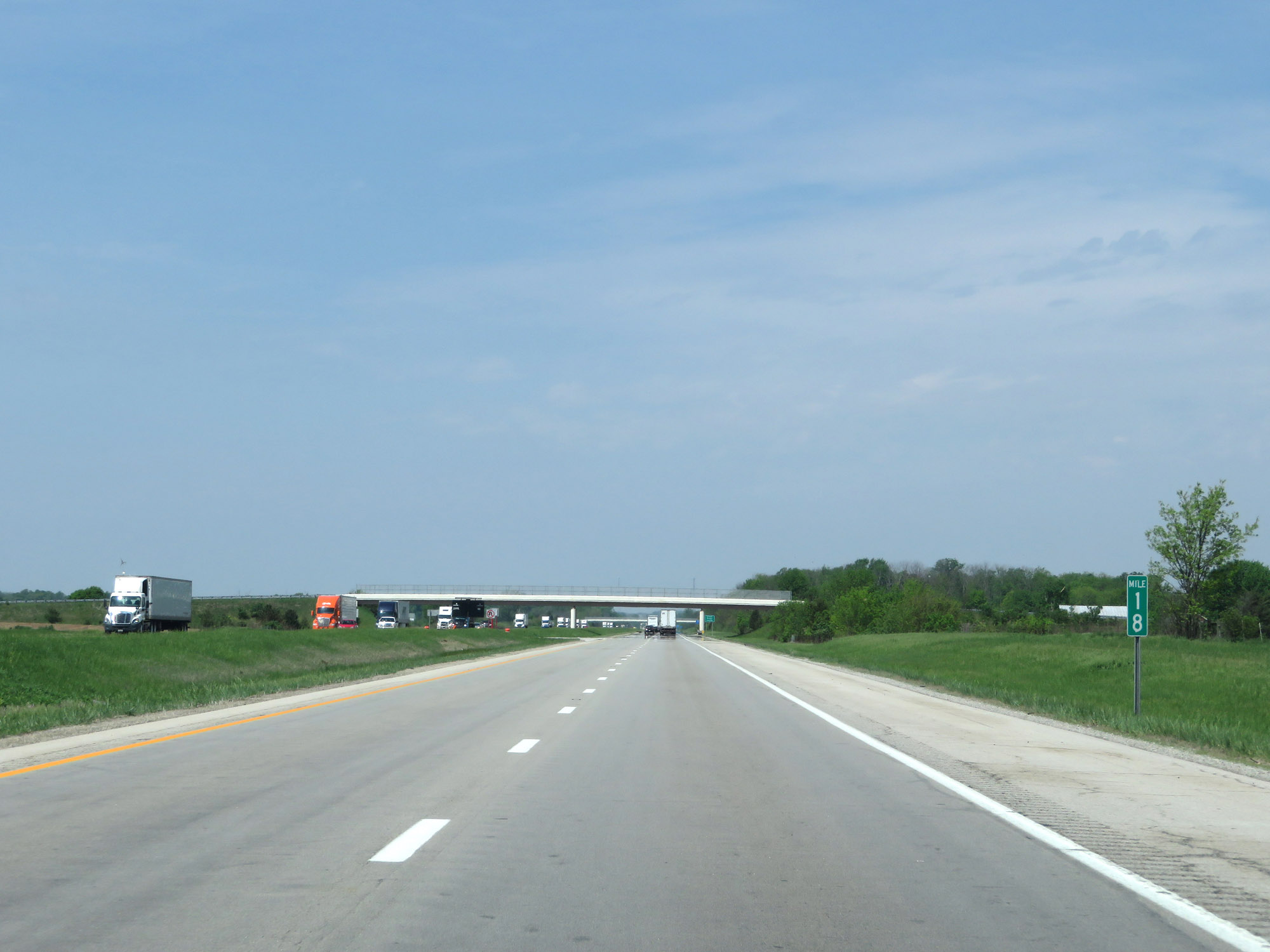 |
View on Interstate 70 West at mile marker 18. (Photo taken 5/15/18). |
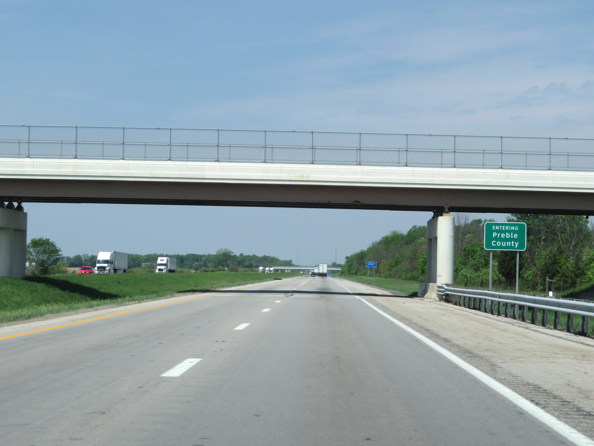 |
Interstate 70 West as it enters Preble County. (Photo taken 5/15/18). |
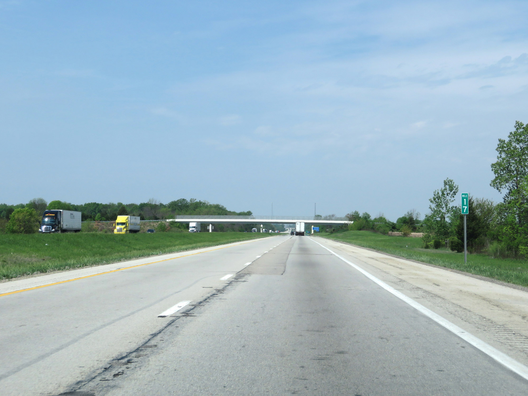 |
Interstate 70 West at mile marker 17. (Photo taken 5/15/18). |
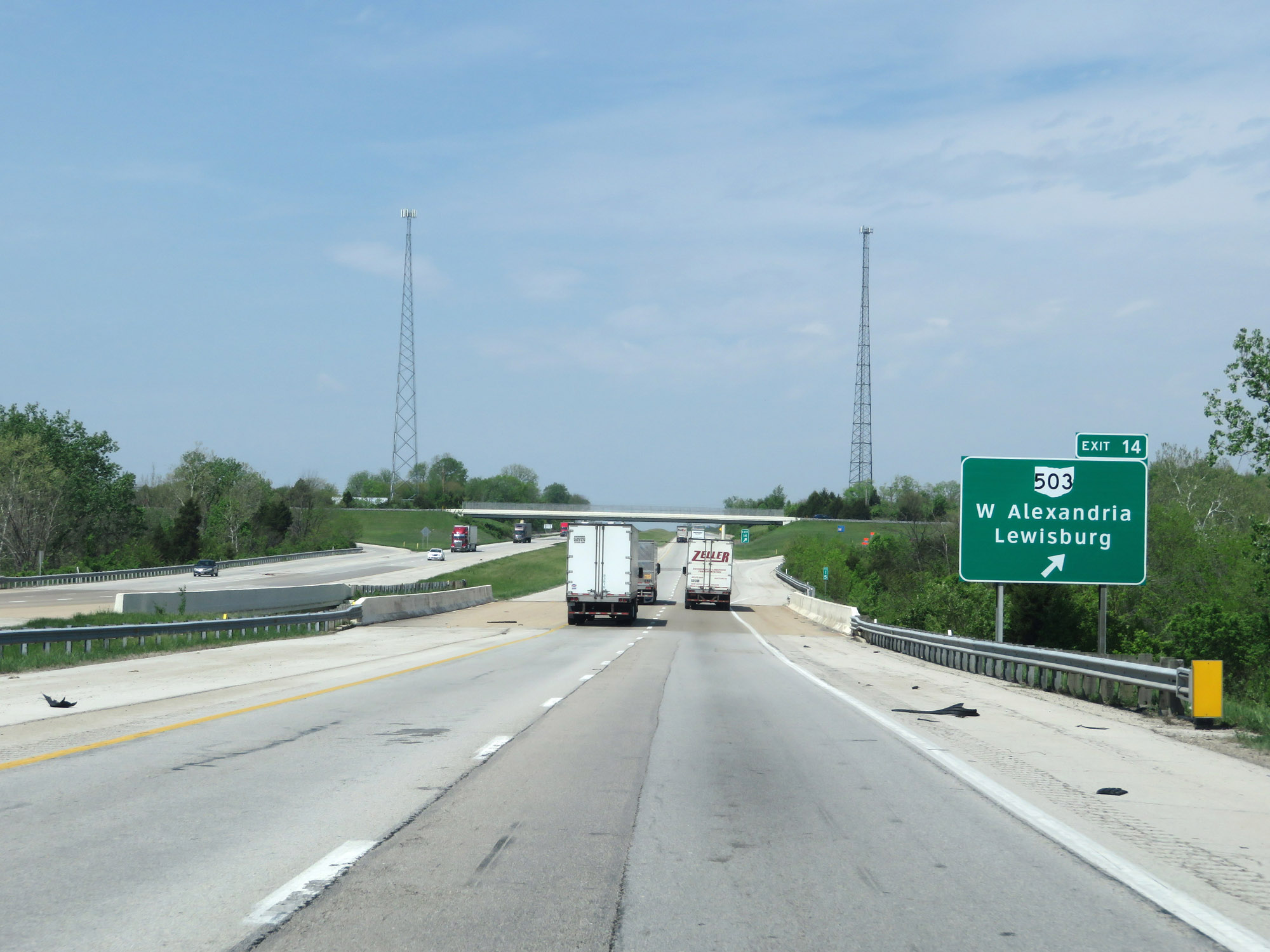 |
Interstate 70 West at Exit 14: OH 503 - West Alexandria / Lewisburg (Photo taken 5/15/18). |
 |
Take Exit 10 to Hueston Woods State Park. (Photo taken 5/15/18). |
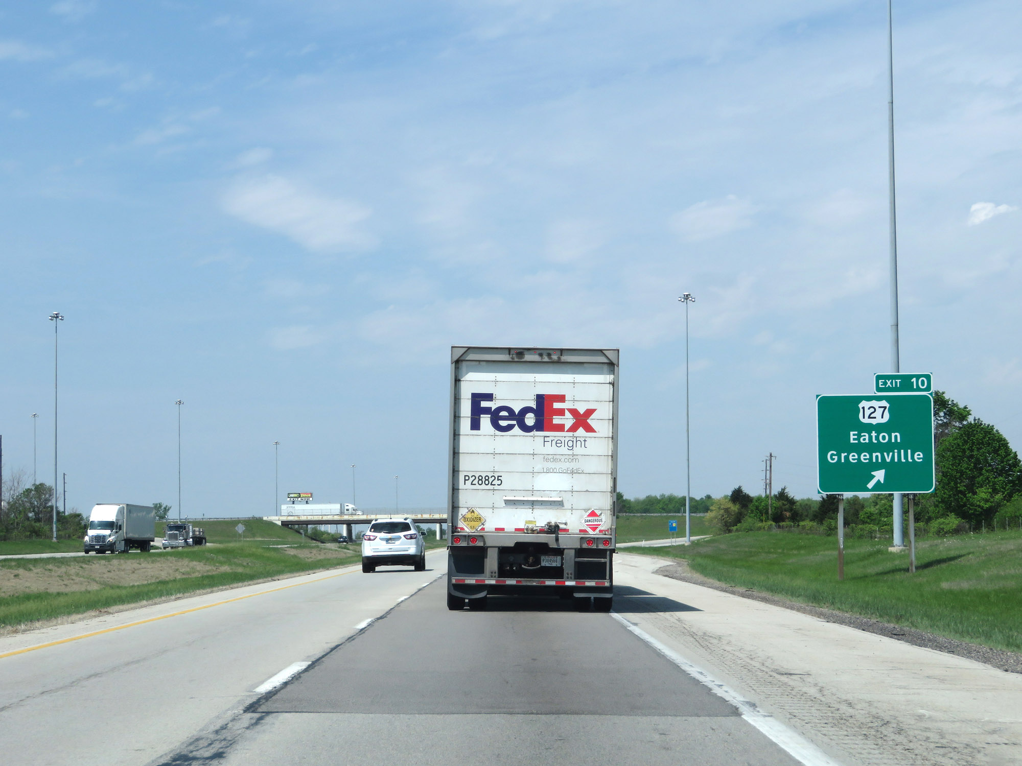 |
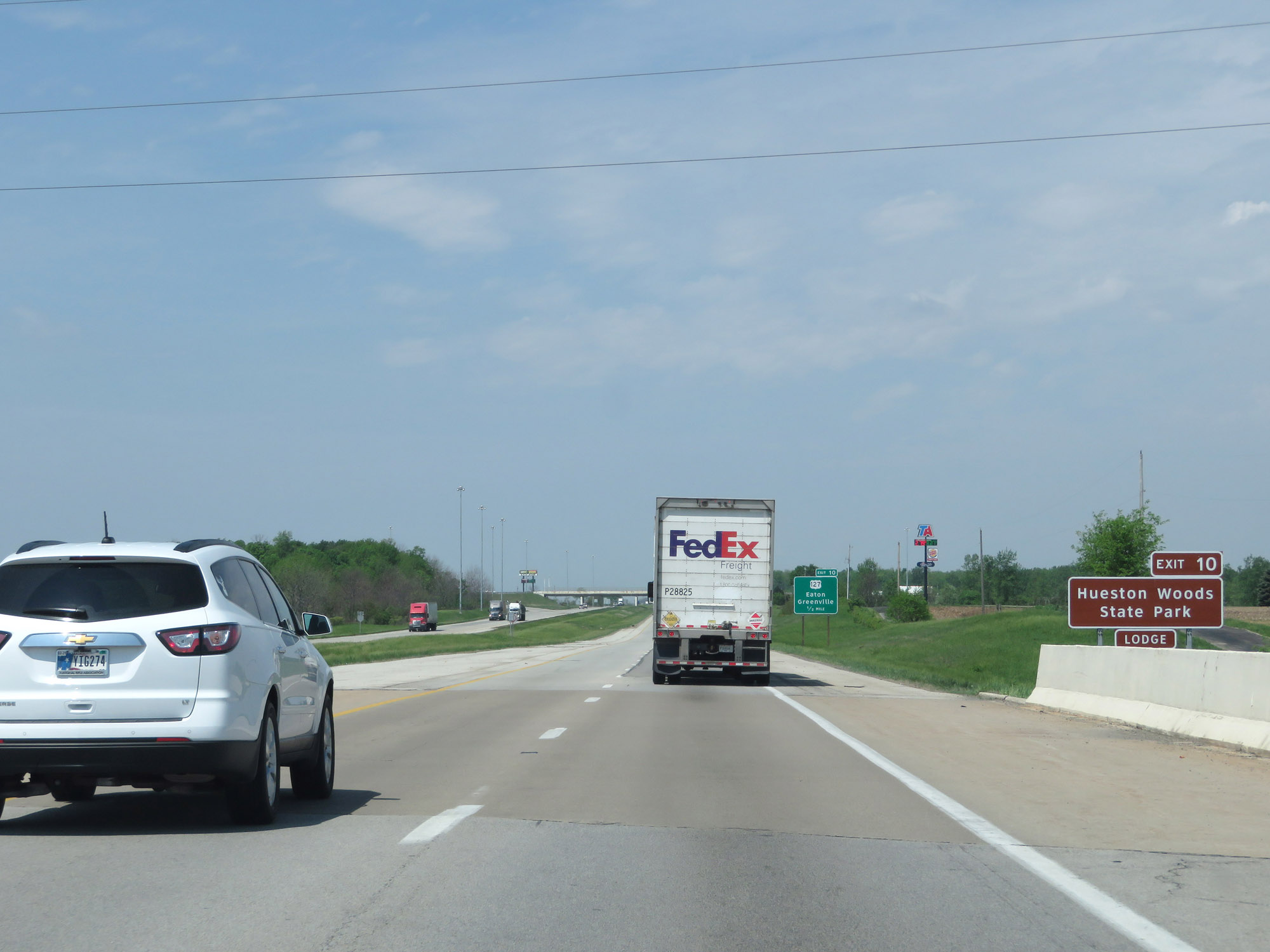
Interstate 70 West at Exit 10: US 127 - Eaton / Greenville (Photo taken 5/15/18). |
 |
Mileage sign at mile marker 9. It's 9 miles to Richmond and 81 miles to Indianapolis. (Photo taken 5/15/18). |
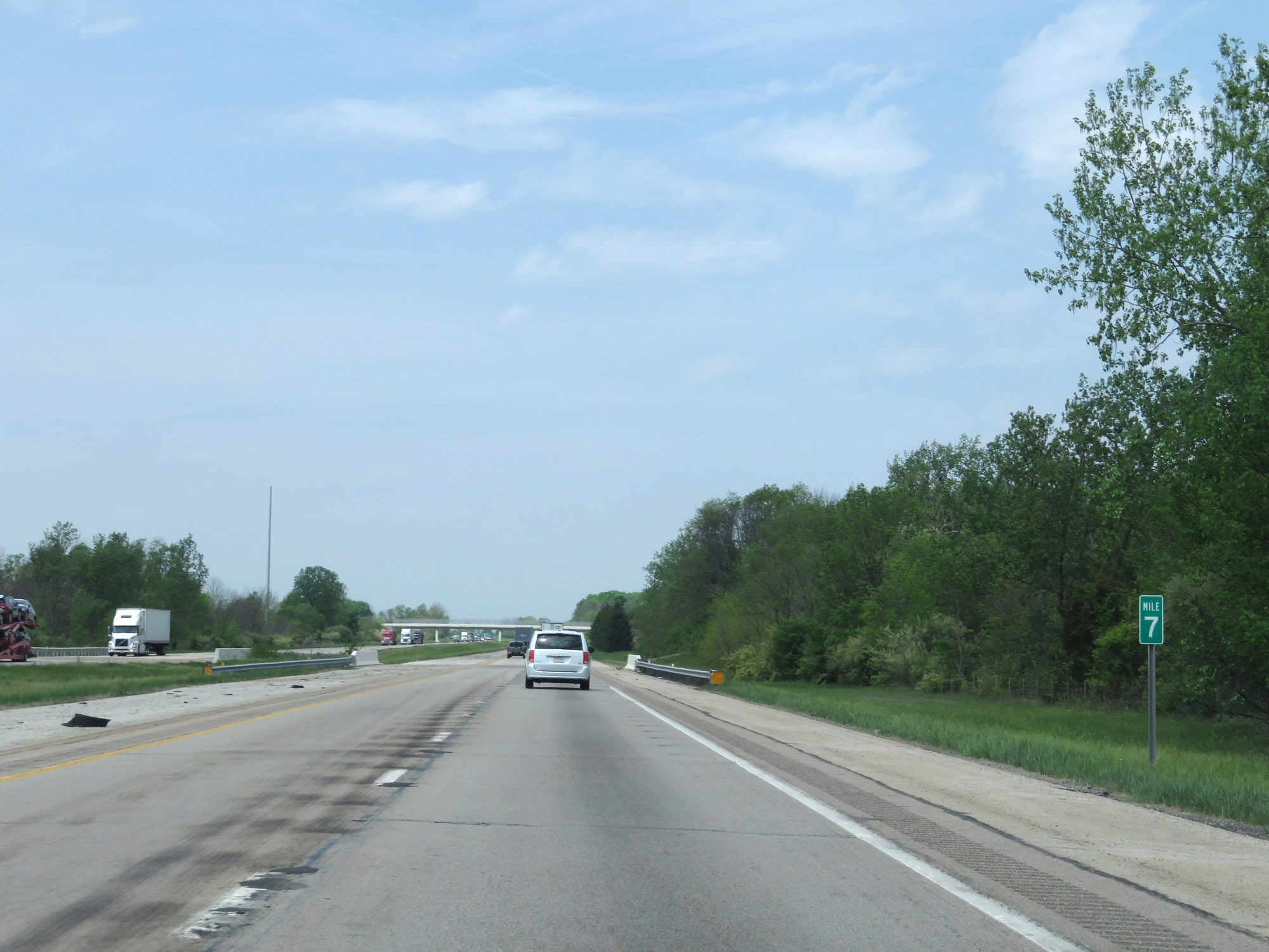 |
View on Interstate 70 West at mile marker 7. (Photo taken 5/15/18). |
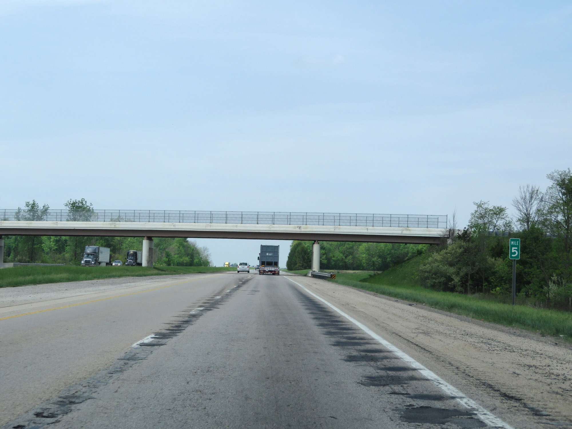 |
Interstate 70 West at mile marker 5. (Photo taken 5/15/18). |
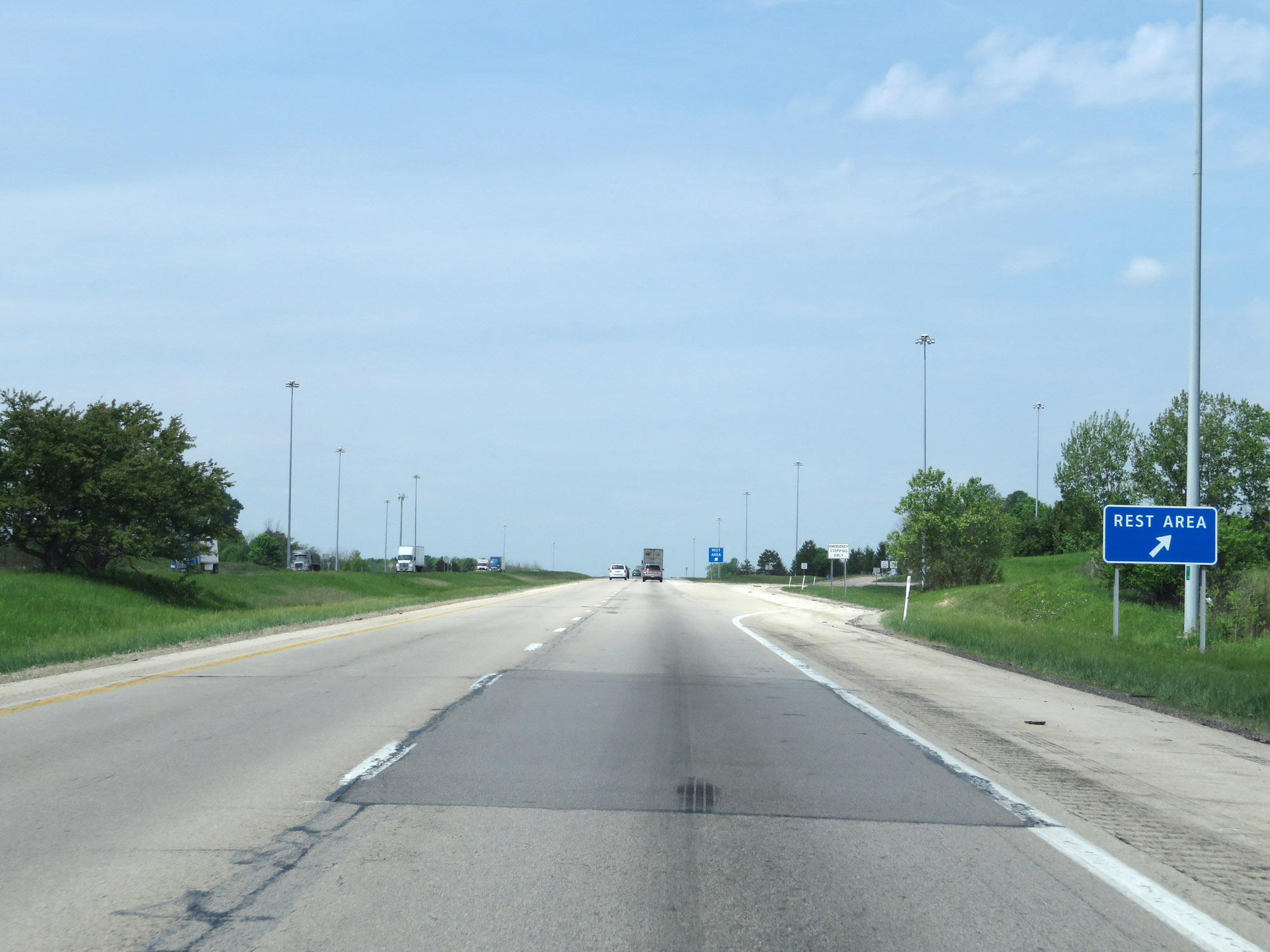 |
Rest Area on Interstate 70 West in Preble County. (Photo taken 5/15/18). |
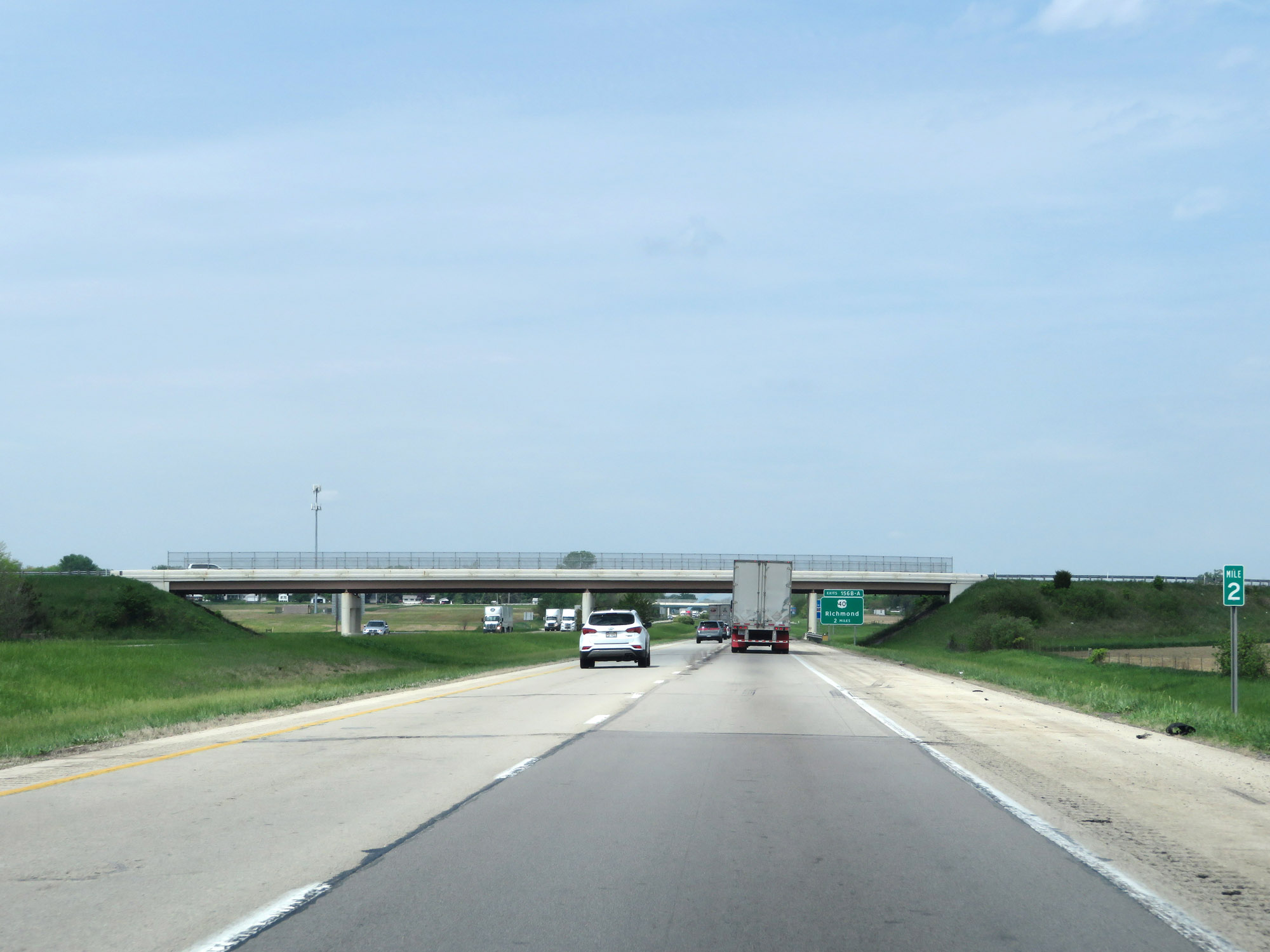 |
View on Interstate 70 West at mile marker 2. (Photo taken 5/15/18). |
 |
Interstate 70 West at mile marker 1. (Photo taken 5/15/18). |
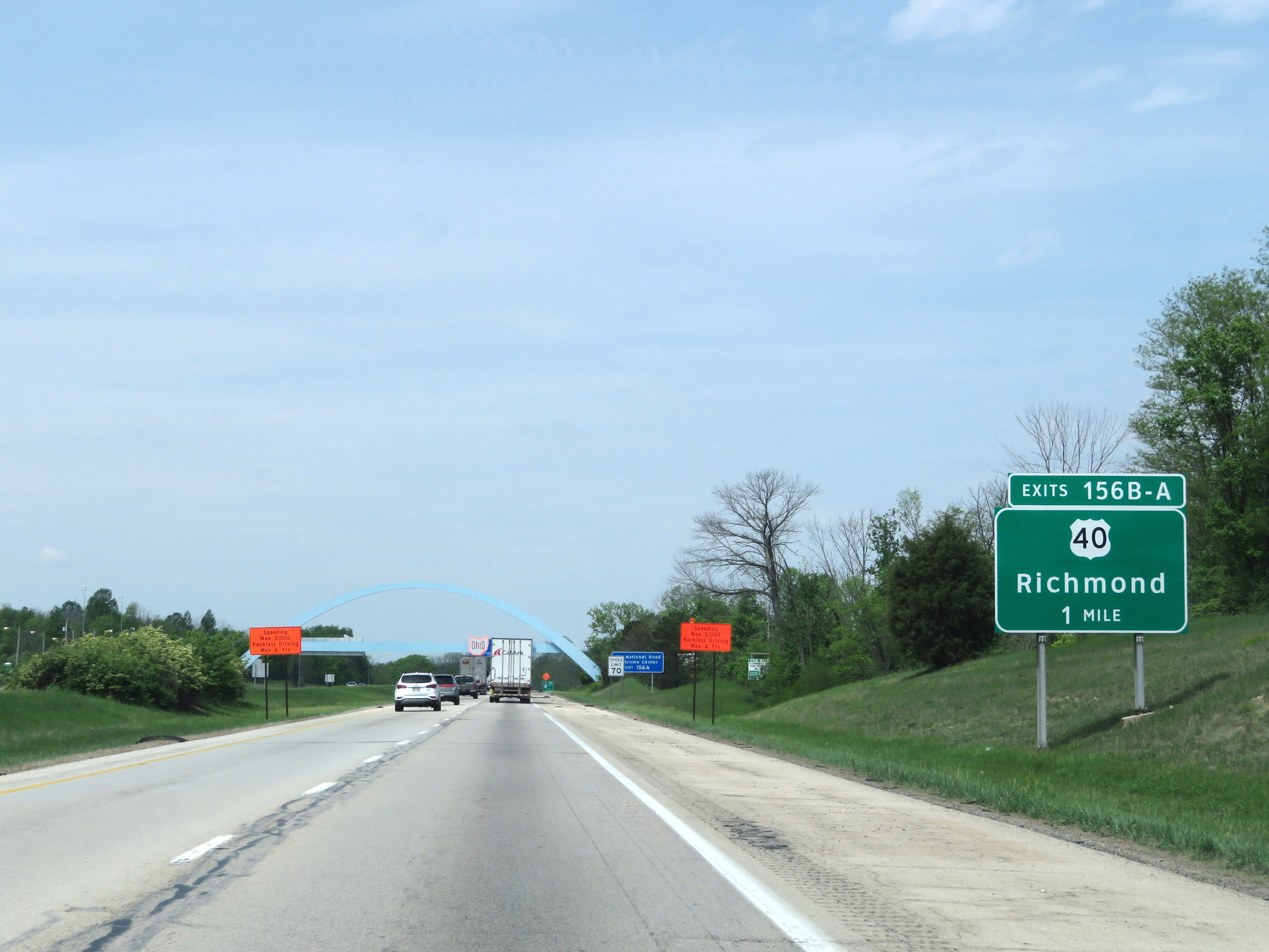 |
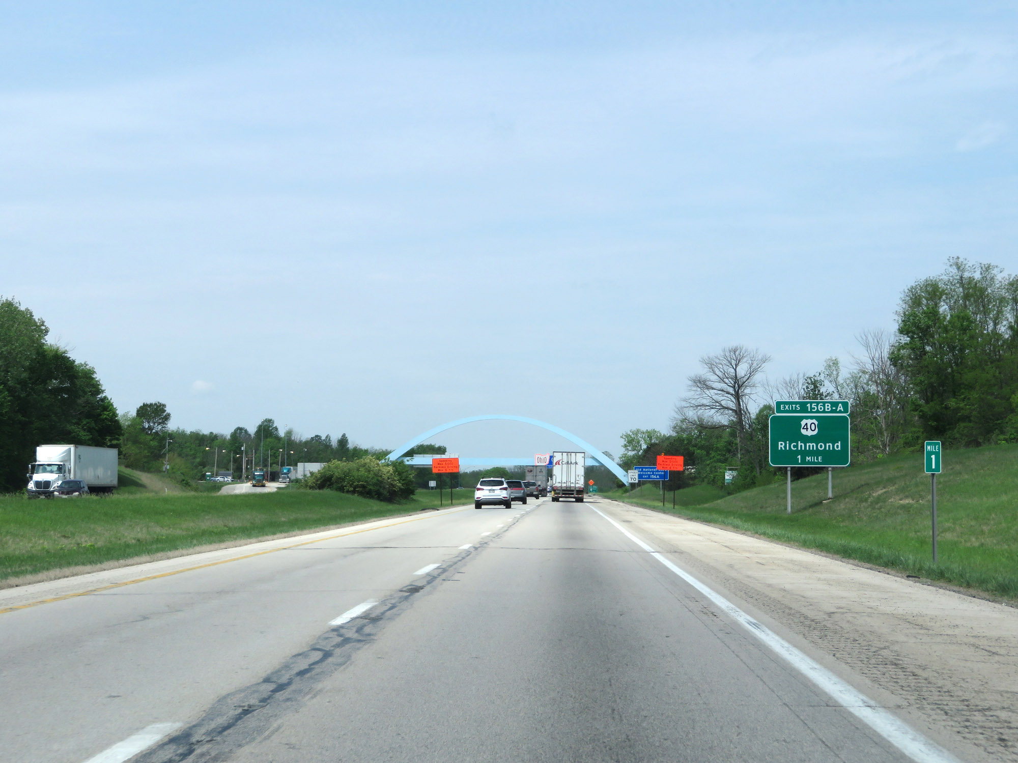
Advance signage for Exits 156B-A, which will be the first exits in Indiana on Interstate 70 West. (Photo taken 5/15/18). |
 |
Take Exit 156A in Indiana to the Old National Road Welcome Center. (Photo taken 5/15/18). |
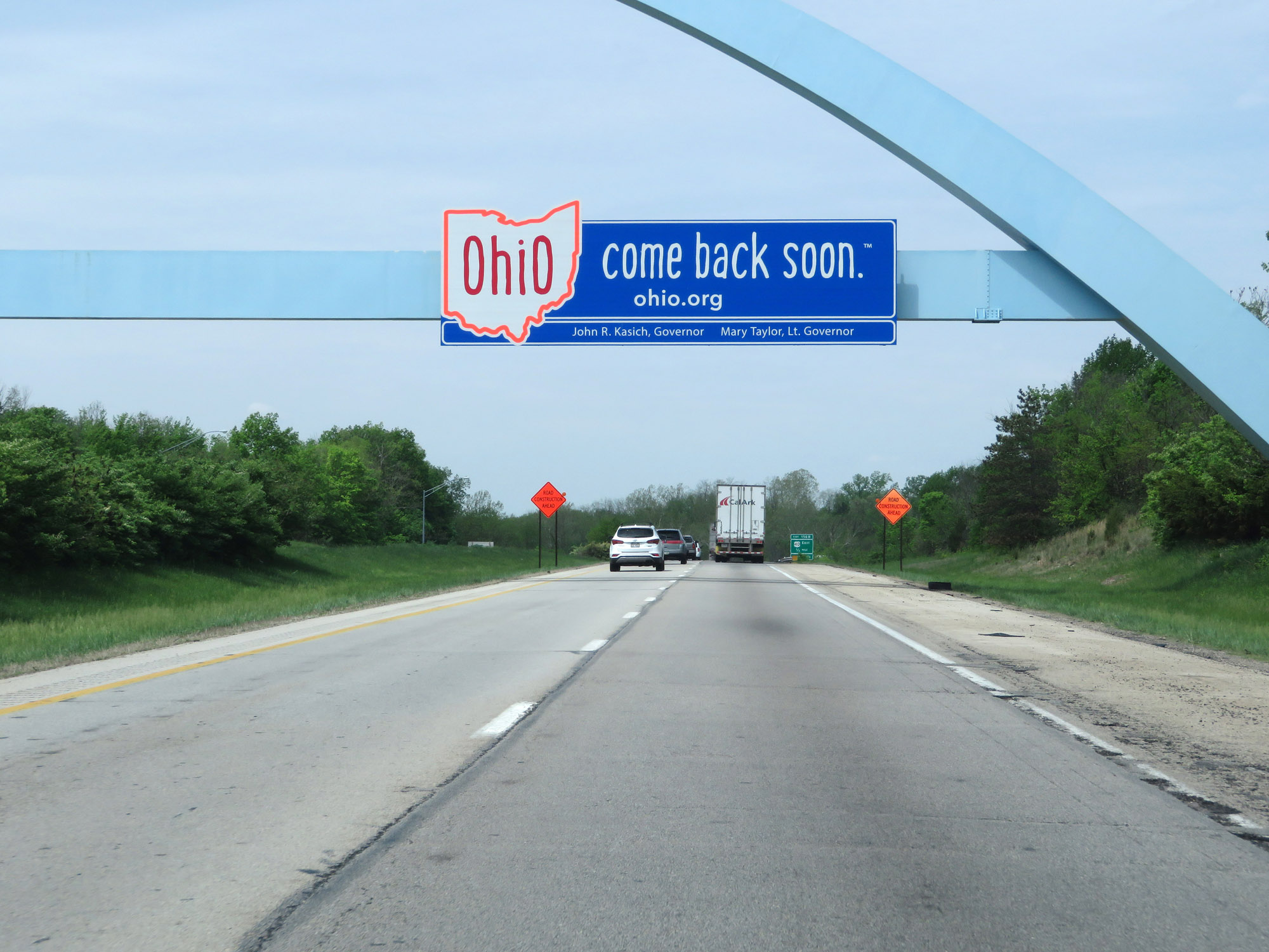 |
Overhead sign as Interstate 70 West prepares to leave Ohio, urging motorists to come back soon. (Photo taken 5/15/18). |
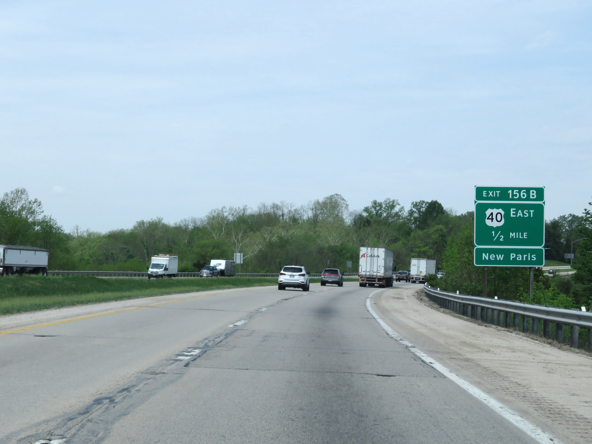 |
Advance signage for Exit 156B, just before Interstate 70 West enters Indiana. (Photo taken 5/15/18). |