Road Information |
||
 |
||
| Total Mileage in State: | 114 miles | |
| Northern End: | At Iowa state line | |
| Southern End: | At Kansas state line | |
| Mileage covered in Photos: | 114 miles | |
| Counties covered in Photos: | Harrison, Daviess, DeKalb, Clinton, Clay, Jackson | |
| Major Junctions in Photos: | US 36, in Cameron I-435, in Claycomo I-29 North, in Kansas City I-70, in Kansas City I-670, in Kansas City |
|
| Control Cities in Photos: | Bethany, Cameron, Liberty, Claycomo, North Kansas City, Kansas City | |
Southbound
- Section 1: Iowa Border to Cameron (Exit 54)
- Section 2: Cameron (Exit 54) to Kansas City (Exit 5)
- Section 3: Kansas City (Exit 5) to Kansas Border
Section 1: Iowa Border to Cameron (Exit 54)
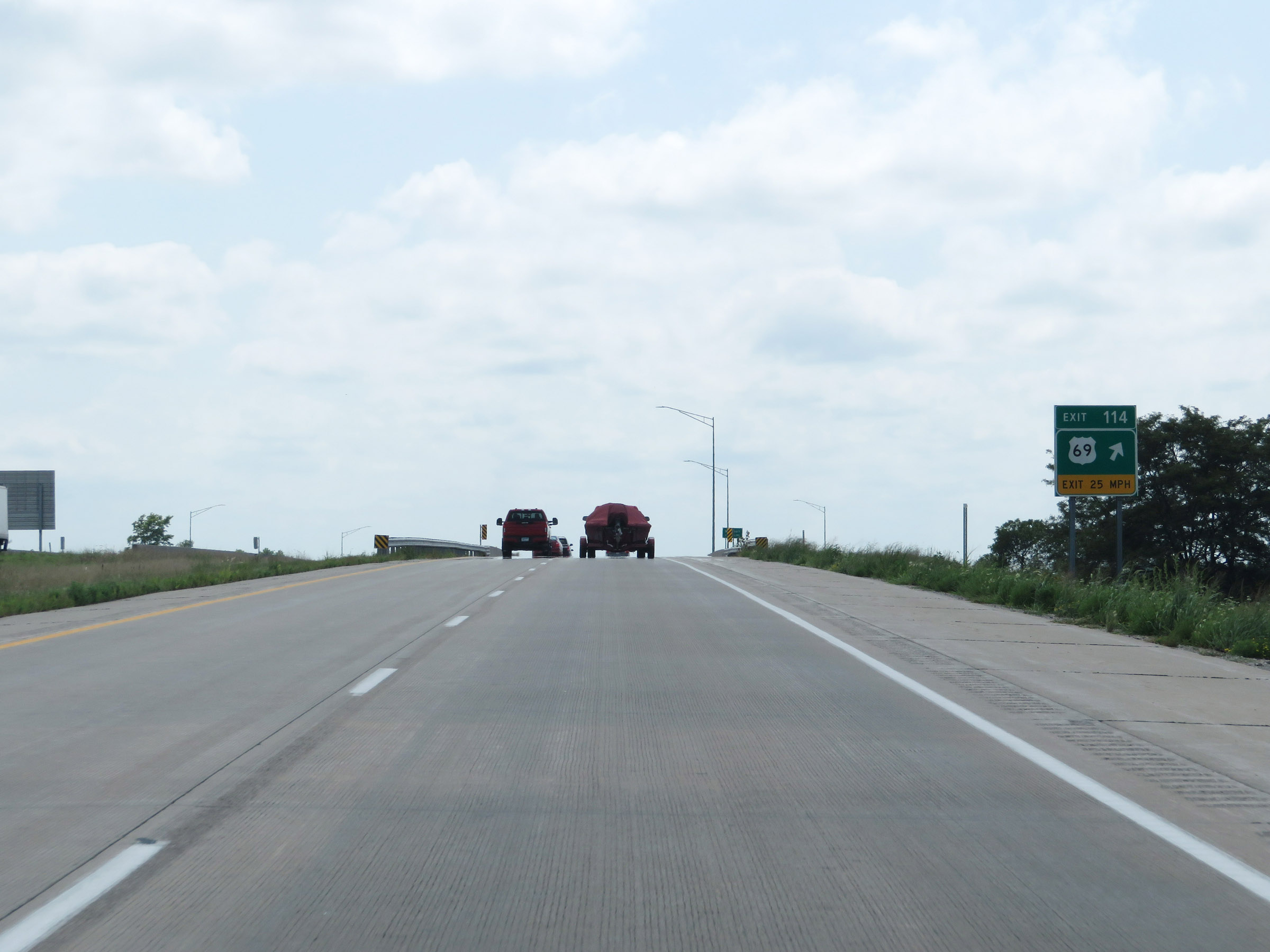 |
Interstate 35 South at Exit 114: US 69. This exit signage is actually still in Iowa, just before crossing the state line into Missouri. (Photo taken 8/8/20). |
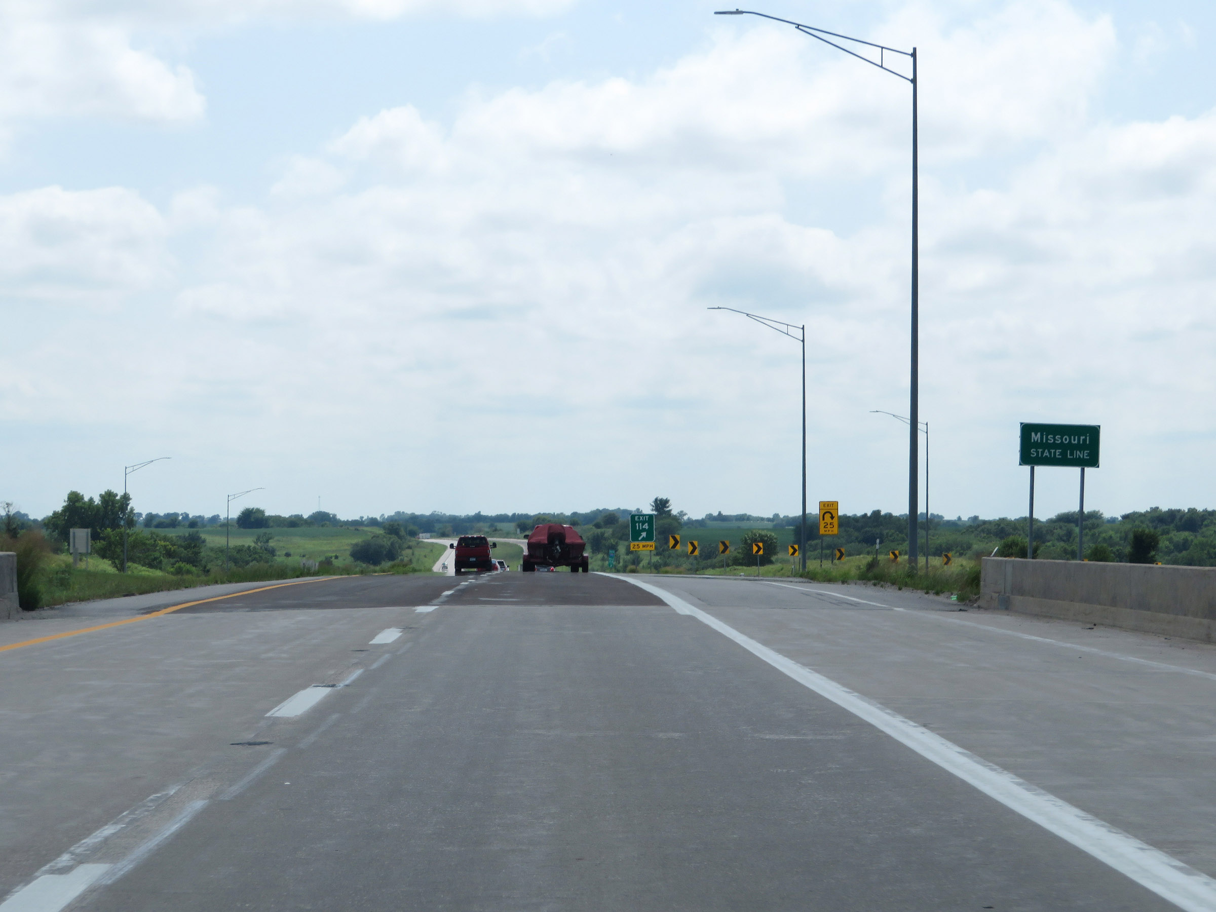 |
Interstate 35 South as it enters Missouri from Iowa, just before the ramp for Exit 114. (Photo taken 8/8/20). |
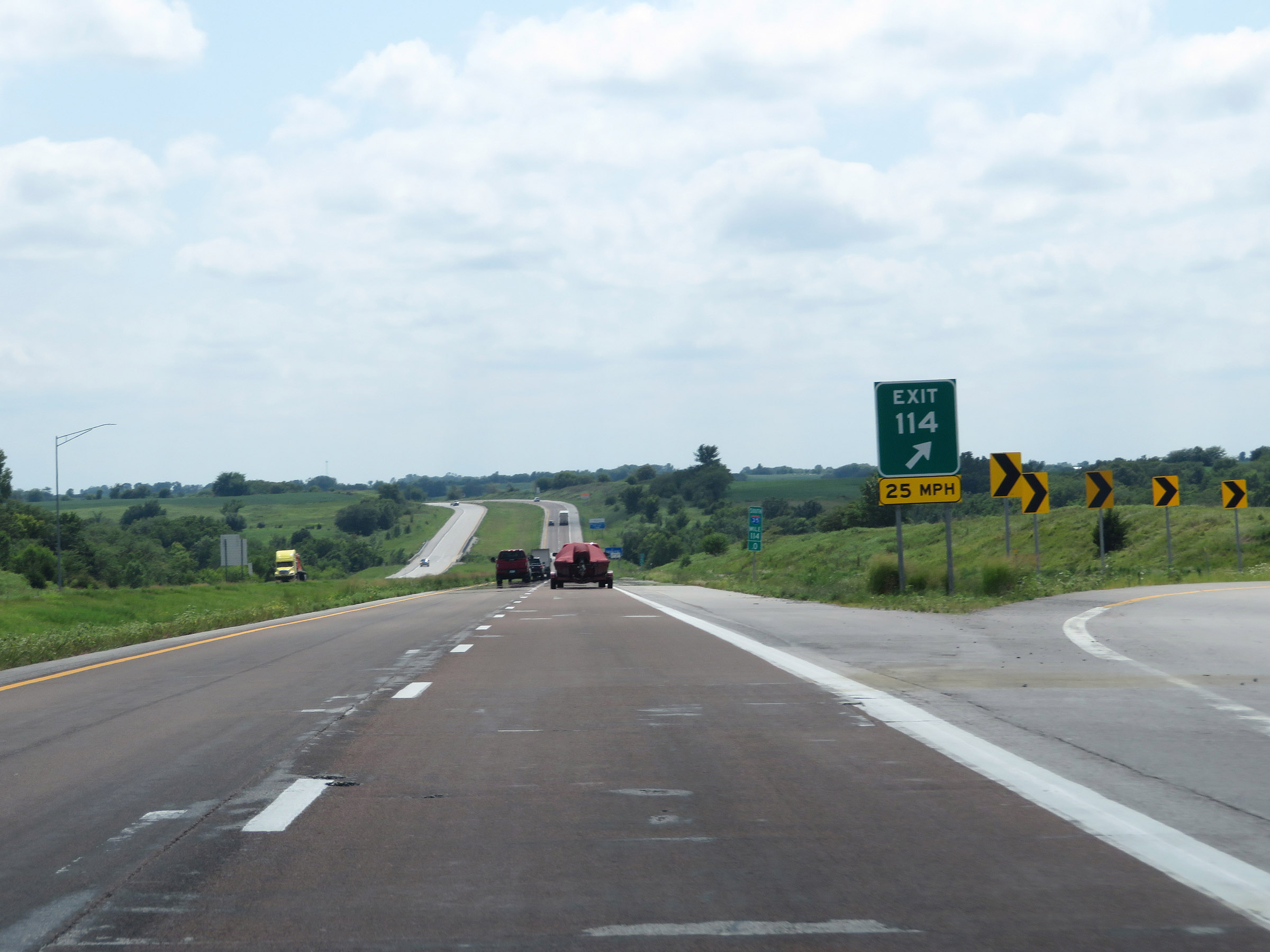 |
Interstate 35 South at the ramp for Exit 114. (Photo taken 8/8/20). |
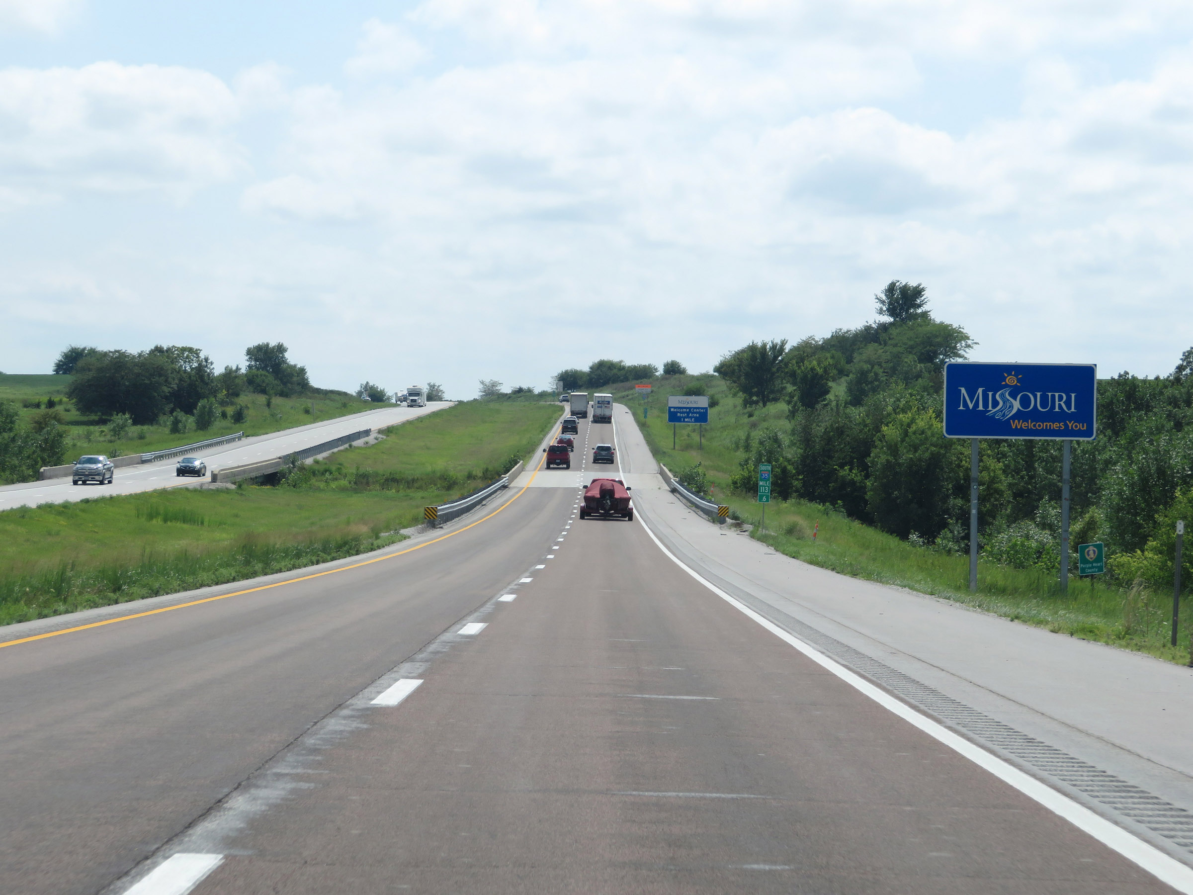 |
Missouri welcome sign on Interstate 35 South at mile marker 113.6. (Photo taken 8/8/20). |
 |
State-named Interstate 35 South reassurance shield. (Photo taken 8/8/20). |
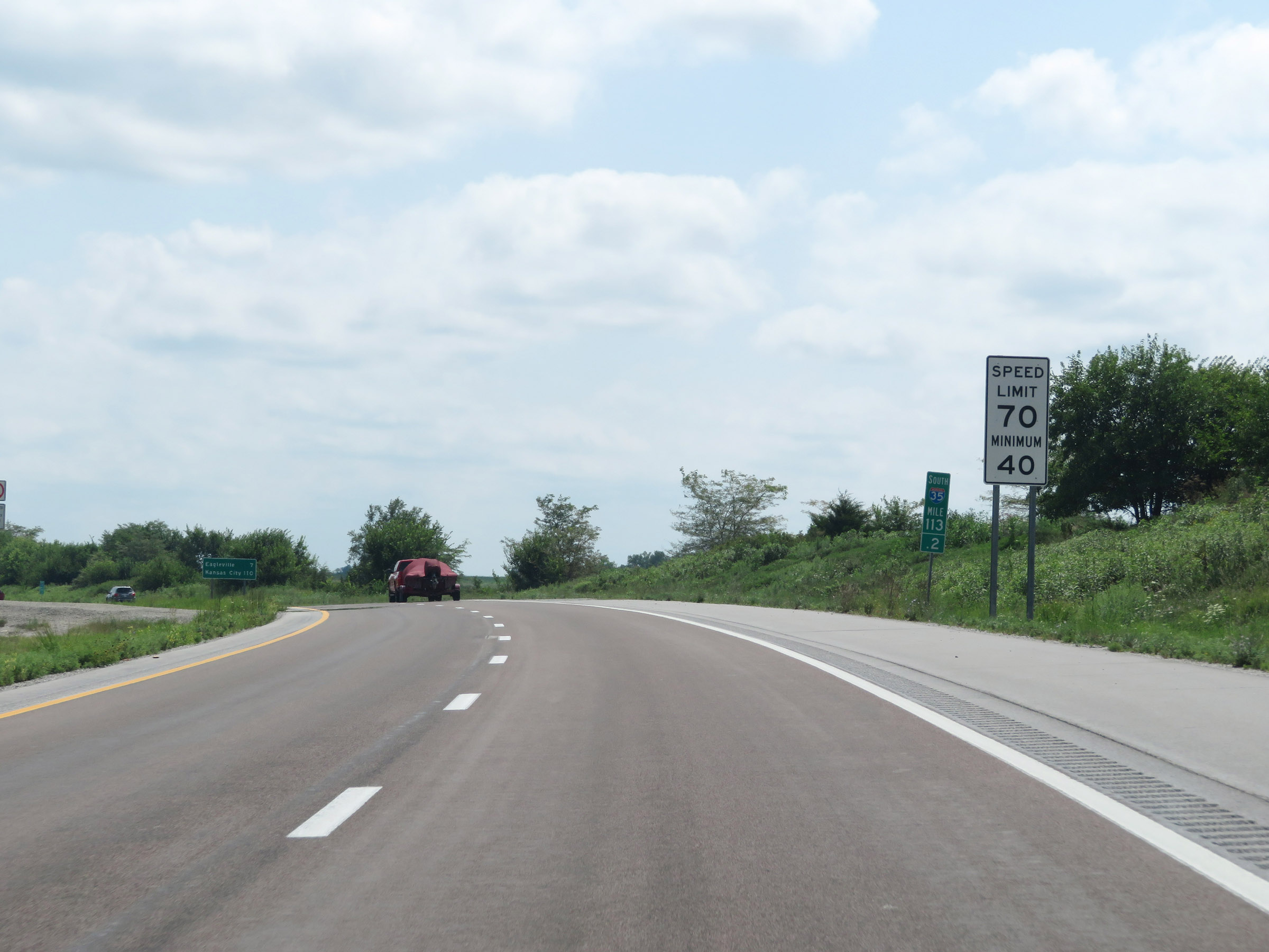 |
Speed limit signs at mile marker 113.2. The speed limits on Interstate 35 South start out at 70 mph maximum and 40 mph minimum. These are the standard speed limits on most rural Interstate highways in Missouri. (Photo taken 8/8/20). |
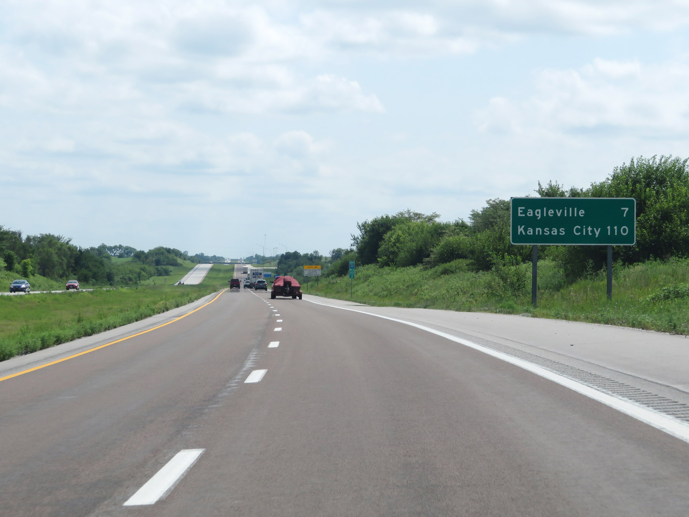 |
Mileage sign on Interstate 35 South. It's 7 miles to Eagleville and 110 miles to Kansas City. (Photo taken 8/8/20). |
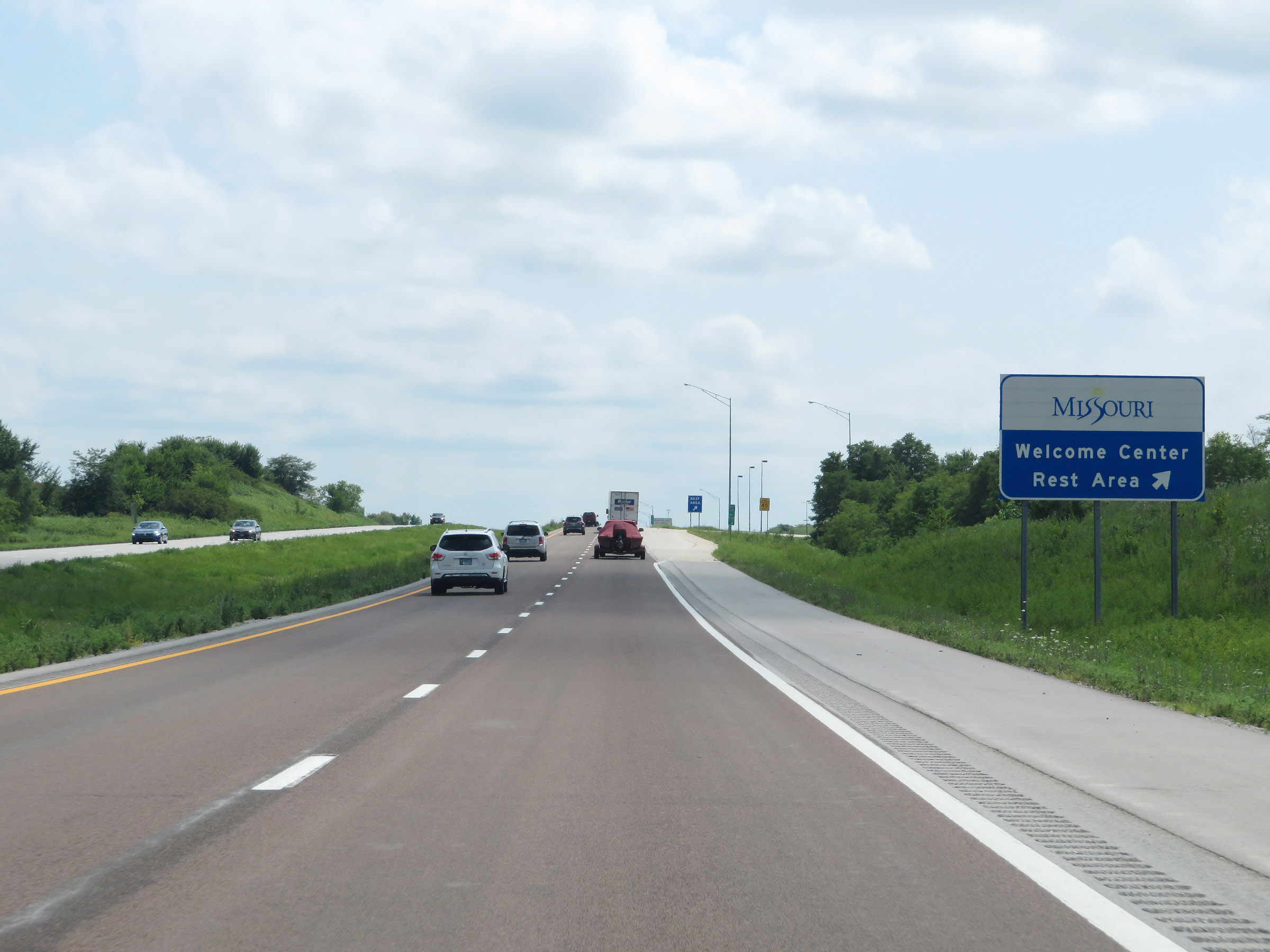 |
Rest Area / Missouri Welcome Center on Interstate 35 South in Harrison County. (Photo taken 8/8/20). |
 |
View on Interstate 35 South at mile marker 111.6. (Photo taken 8/8/20). |
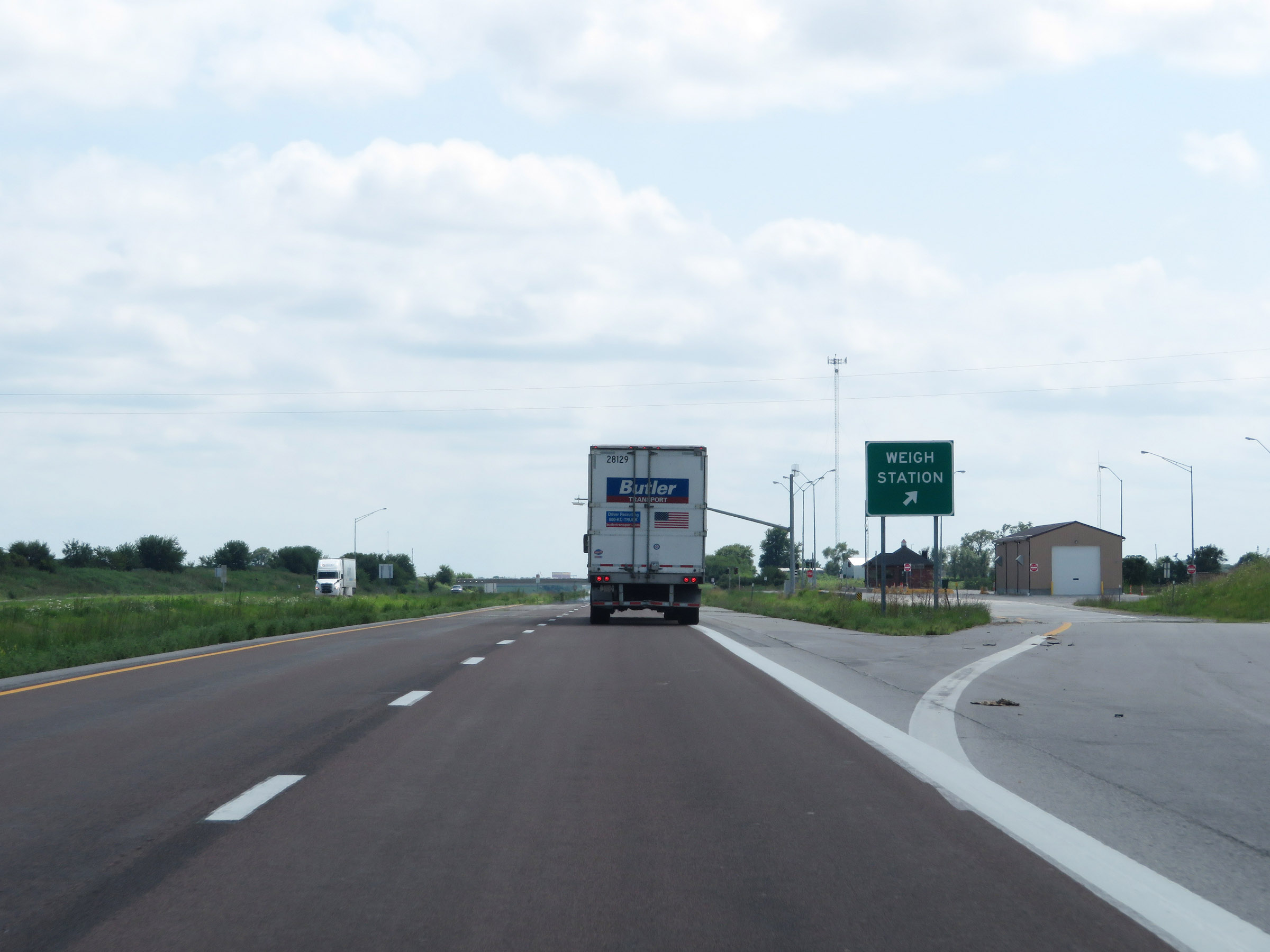 |
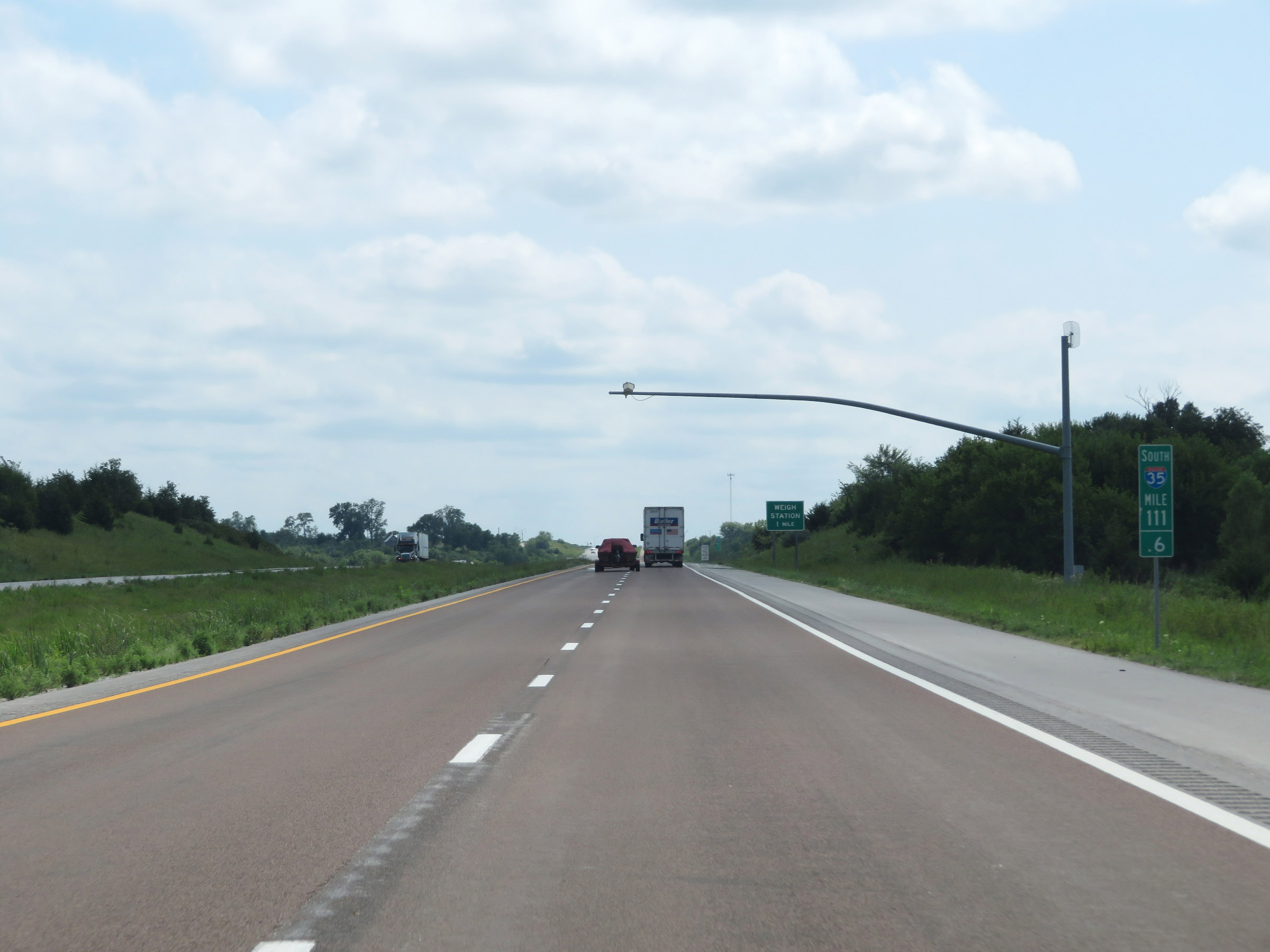
Weigh Station on Interstate 35 South in Harrison County. (Photo taken 8/8/20). |
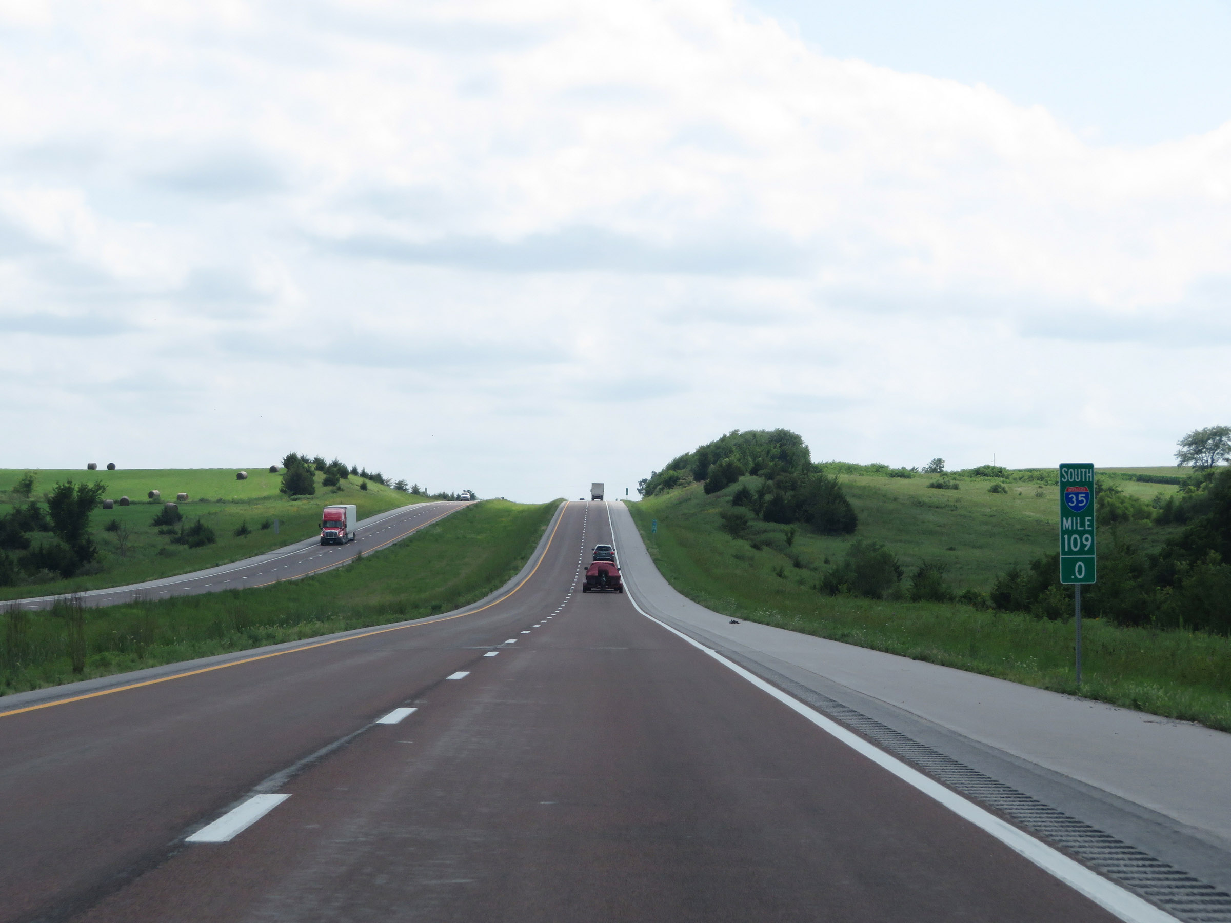 |
Interstate 35 South at mile marker 109. (Photo taken 8/8/20). |
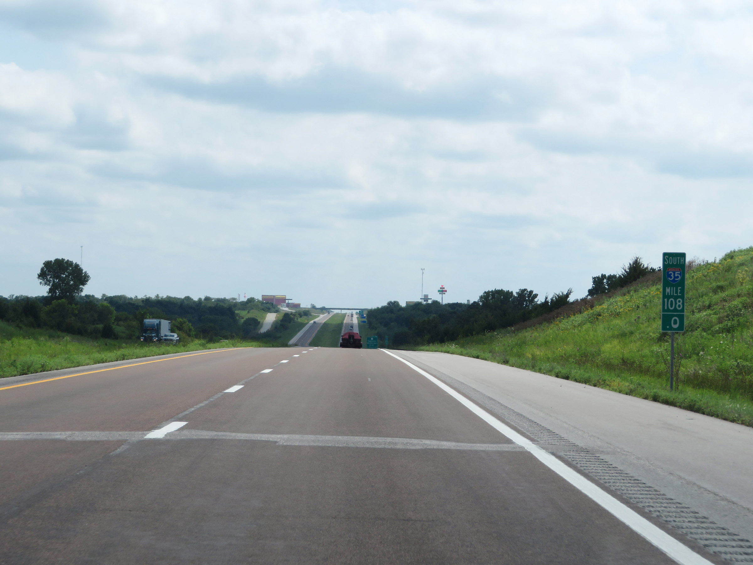 |
Mile marker 108 on Interstate 35 South in Harrison County. (Photo taken 8/8/20). |
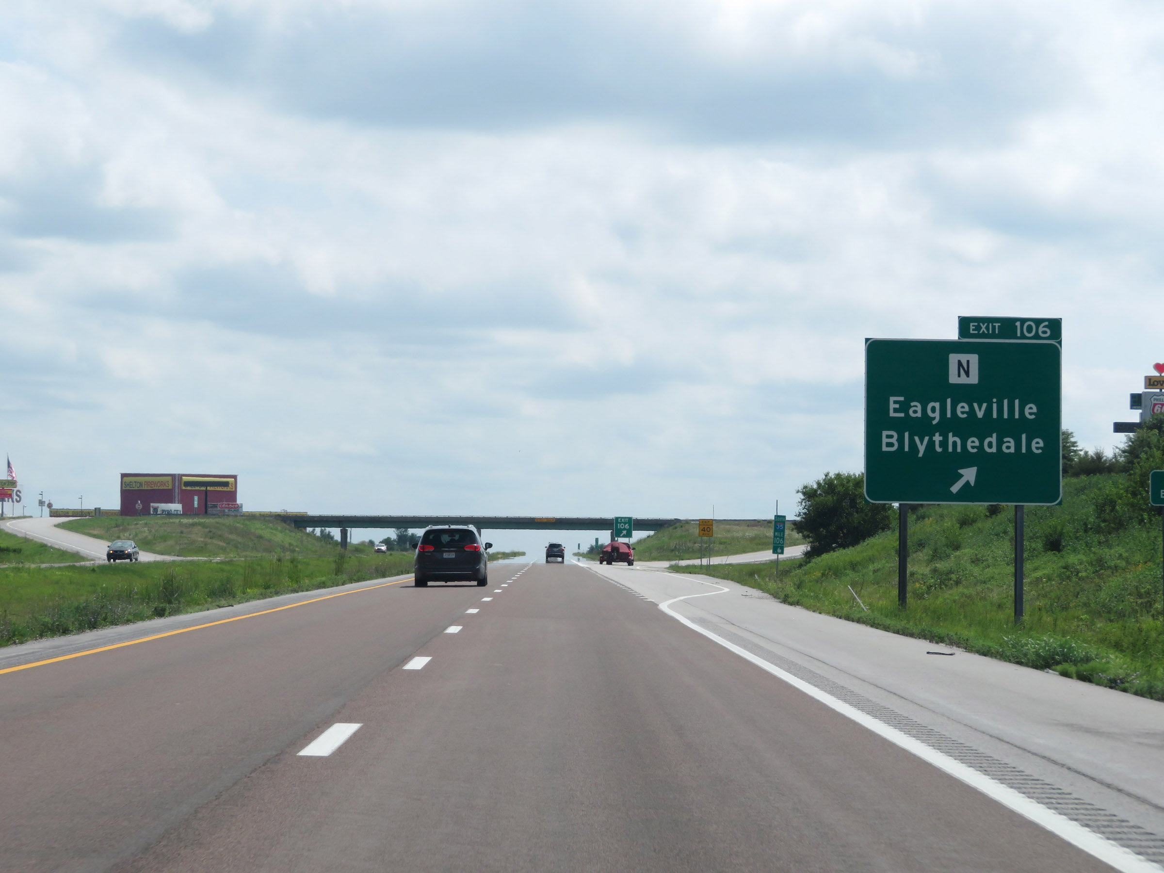 |
Interstate 35 South at Exit 106: Route N - Eagleville / Blythedale (Photo taken 8/8/20). |
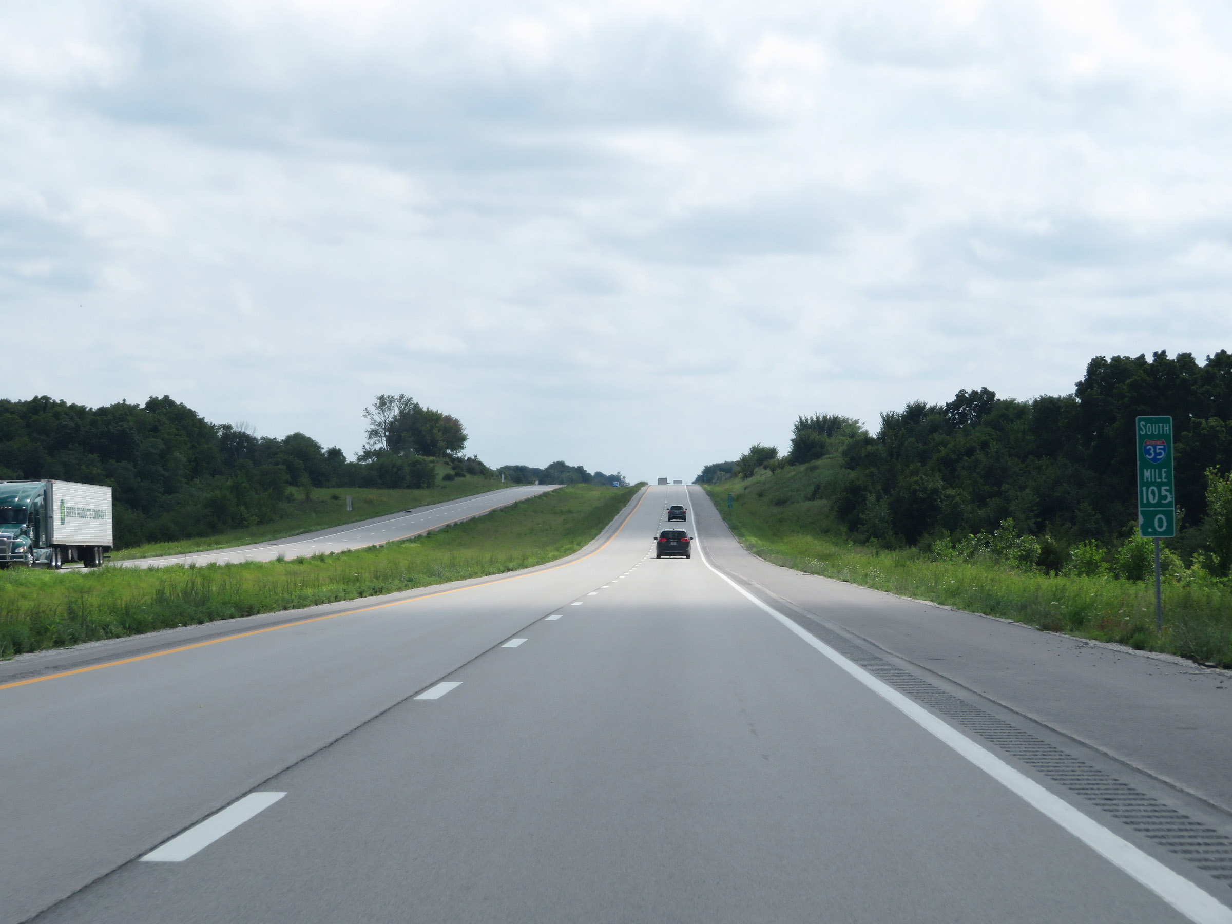 |
View on Interstate 35 South at mile marker 105. (Photo taken 8/8/20). |
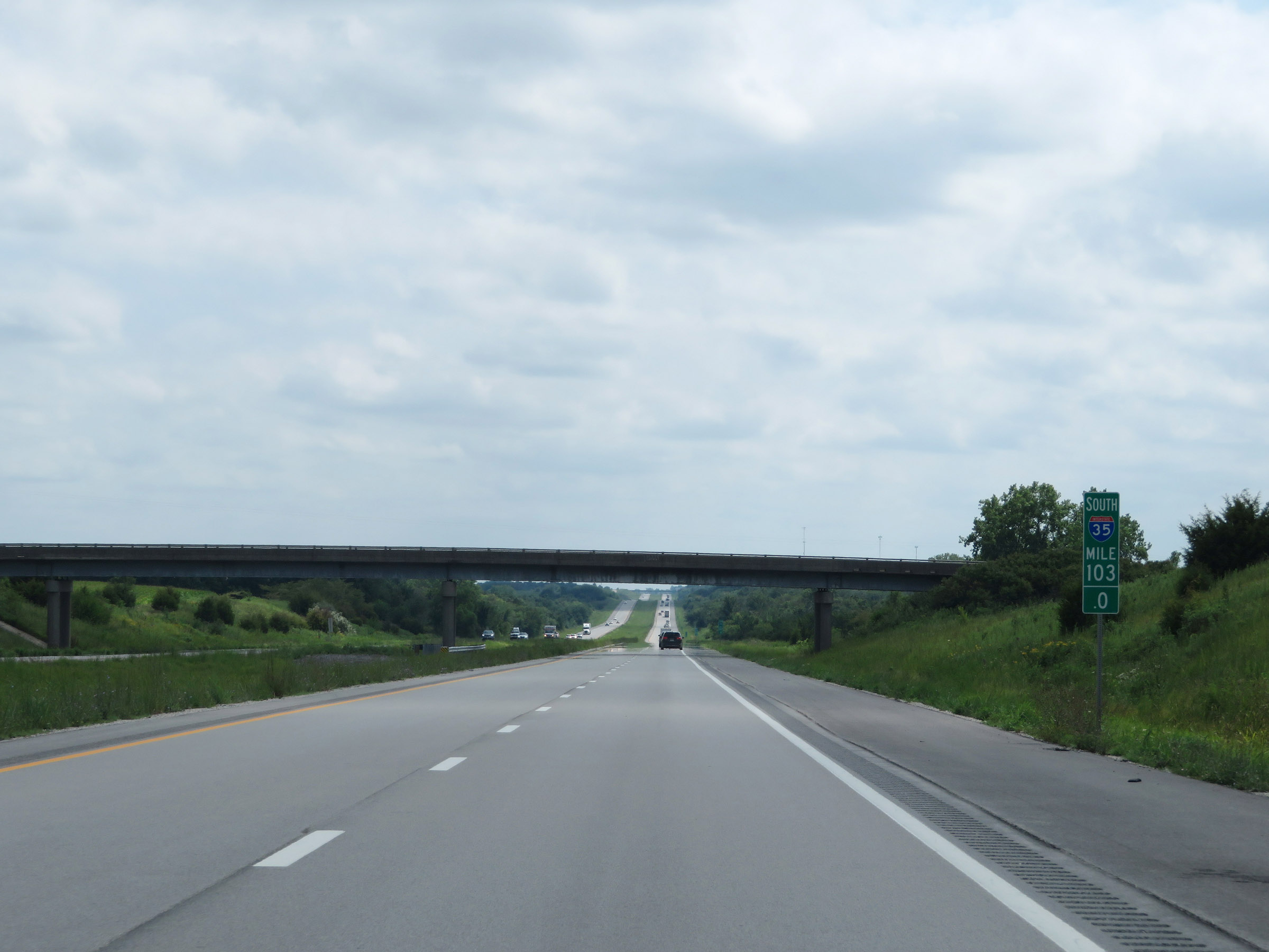 |
Interstate 35 South at mile marker 103. (Photo taken 8/8/20). |
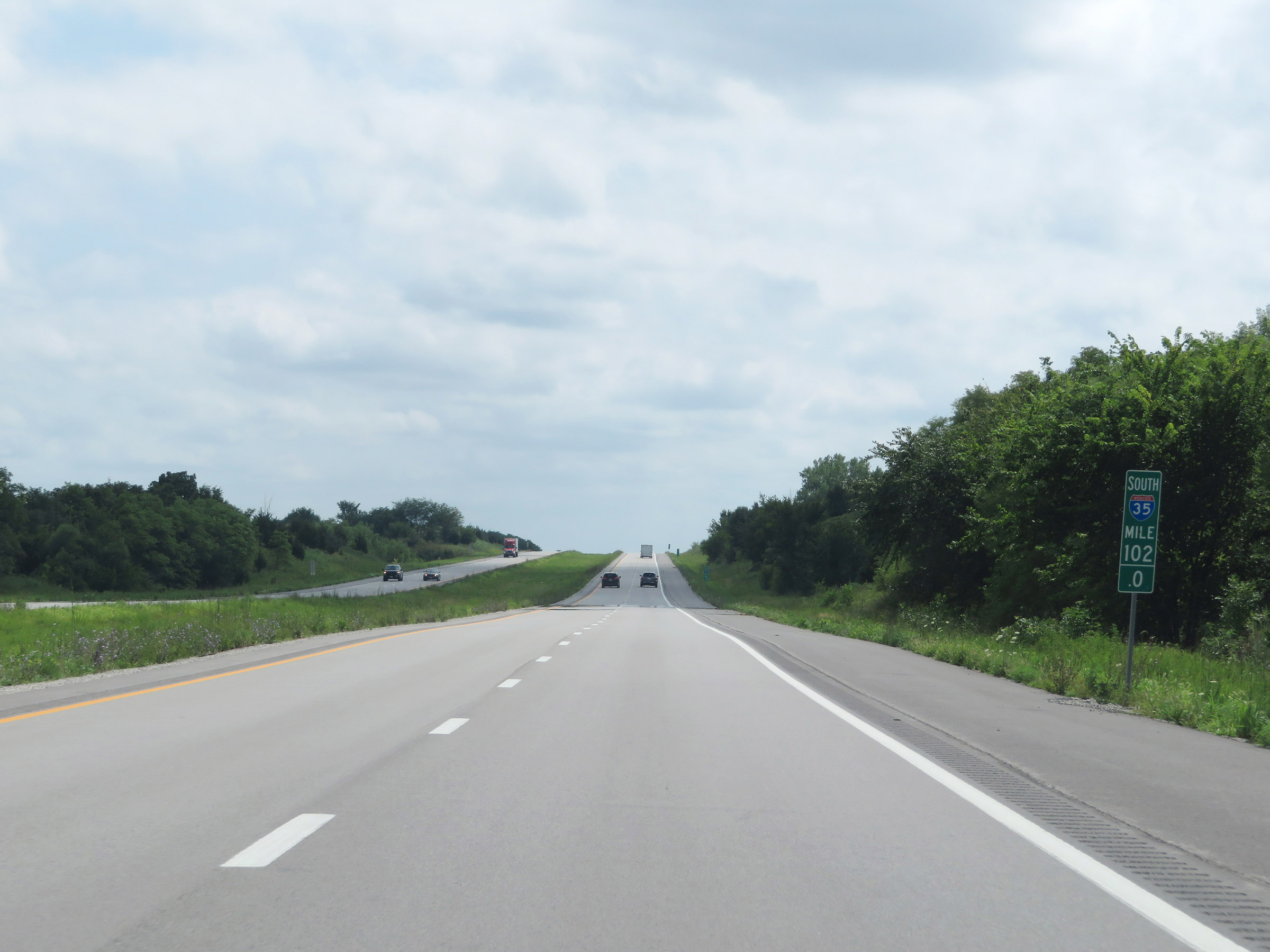 |
View on Interstate 35 South at mile marker 102. (Photo taken 8/8/20). |
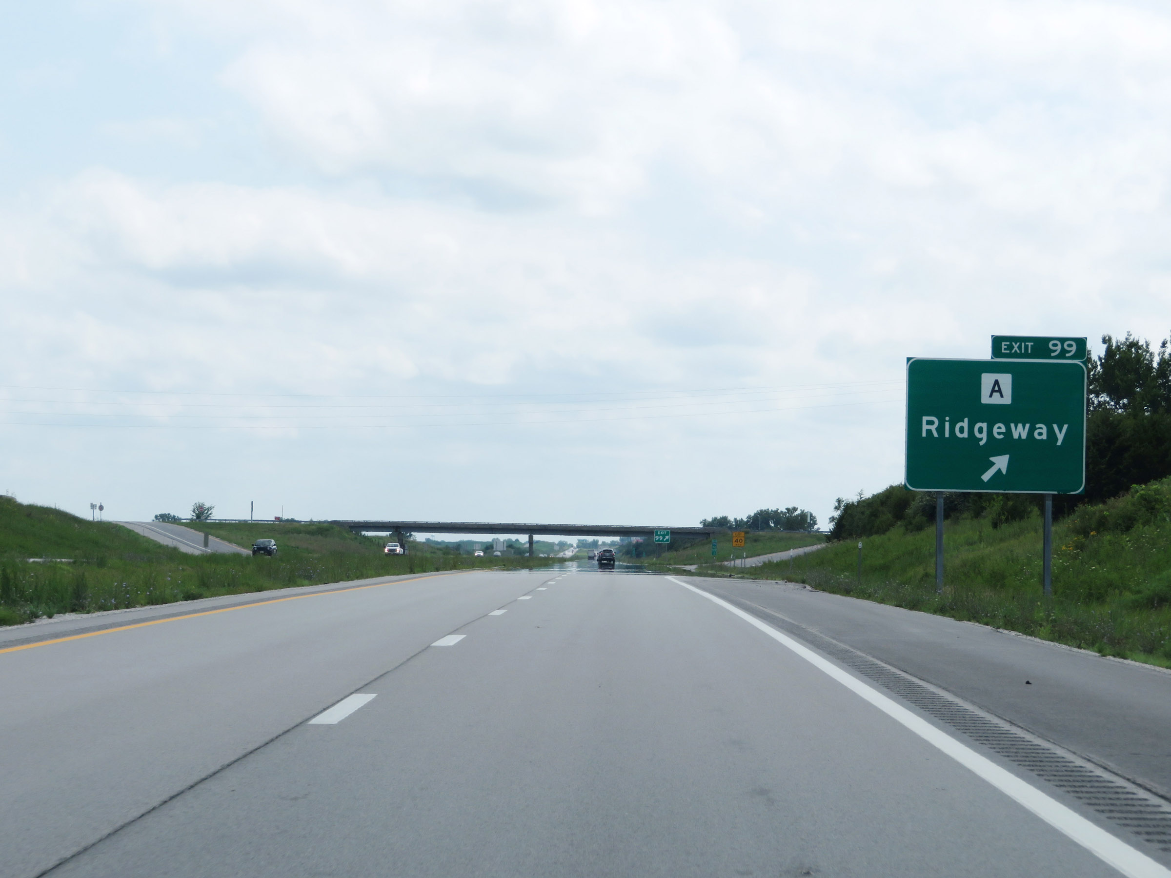 |
Interstate 35 South at Exit 99: Route A - Ridgeway (Photo taken 8/8/20). |
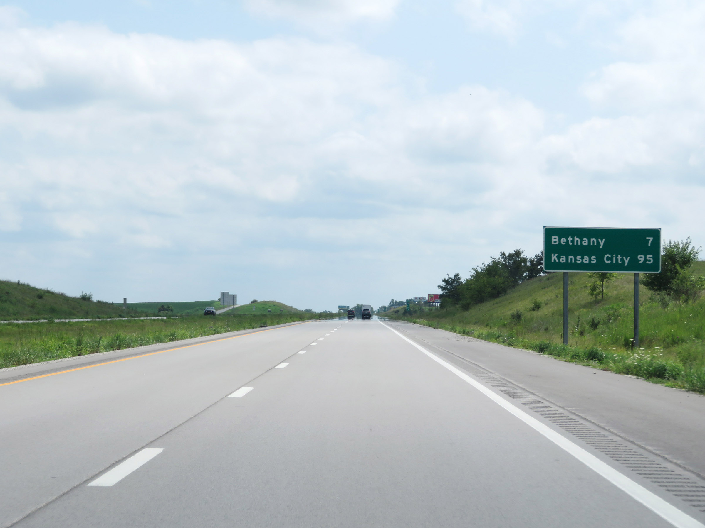 |
Another mileage sign on Interstate 35 South. It's 7 miles to Bethany and 95 miles to Kansas City. (Photo taken 8/8/20). |
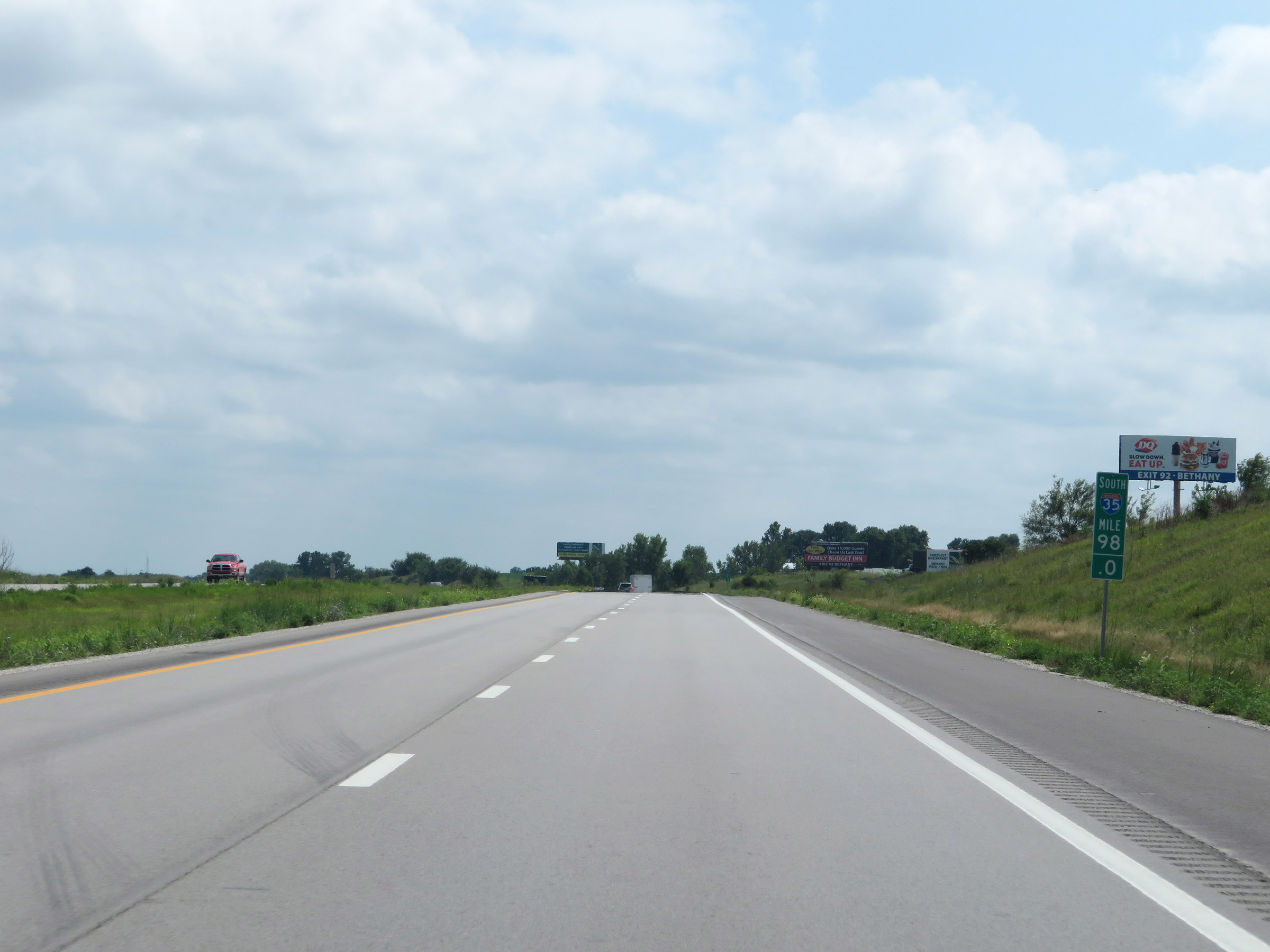 |
View on Interstate 35 South at mile marker 98. (Photo taken 8/8/20). |
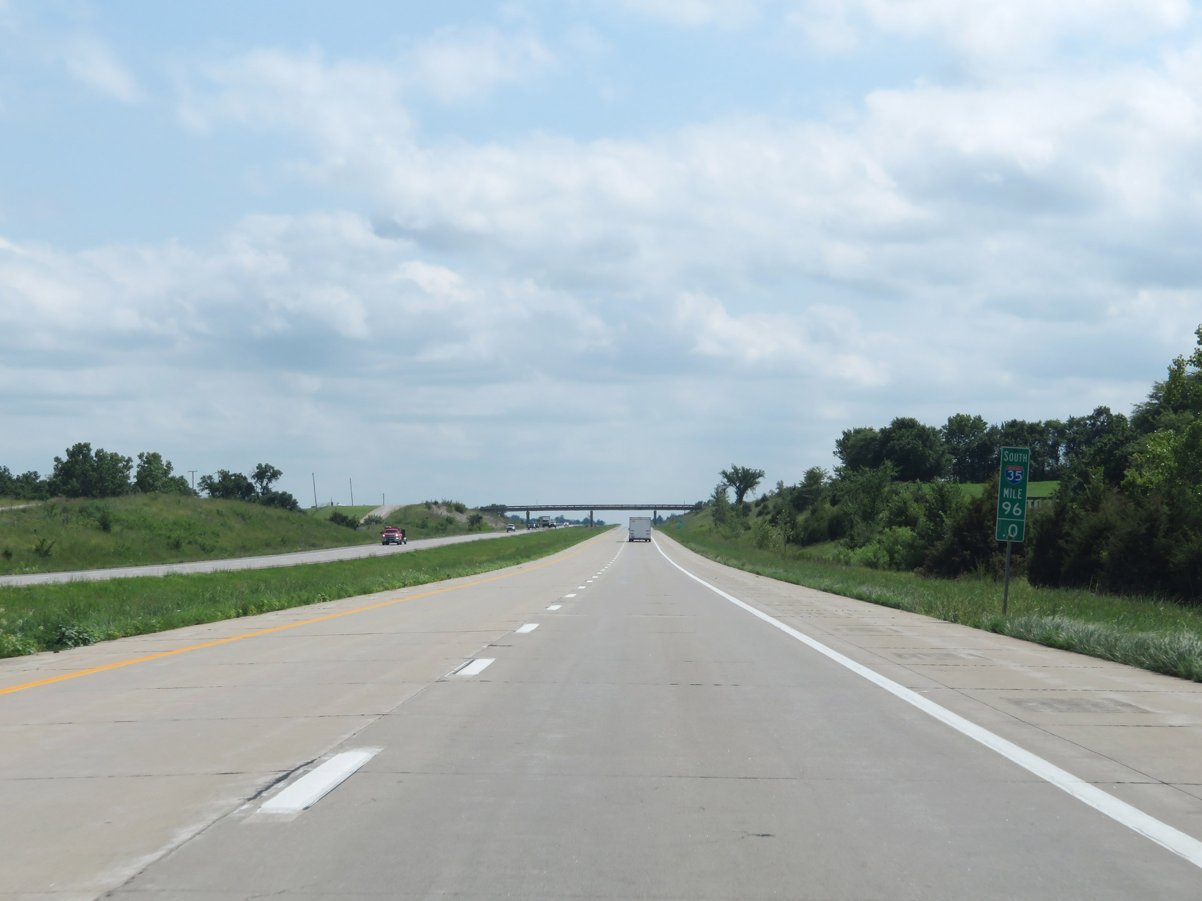 |
Interstate 35 South at mile marker 96. (Photo taken 8/8/20). |
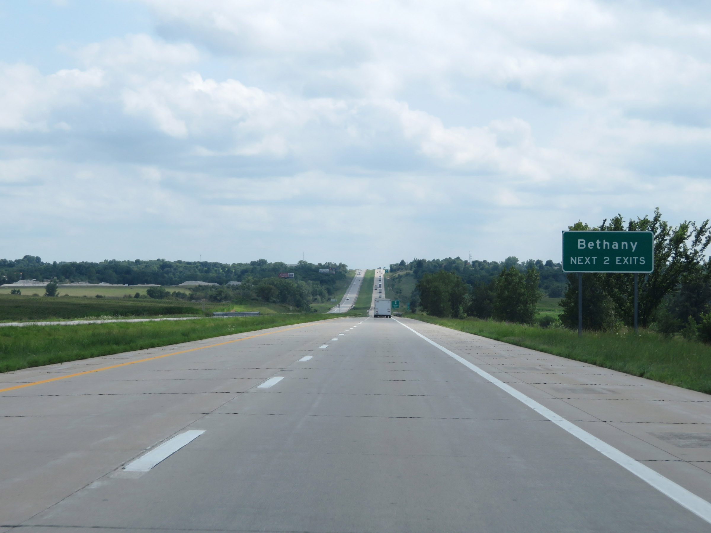 |
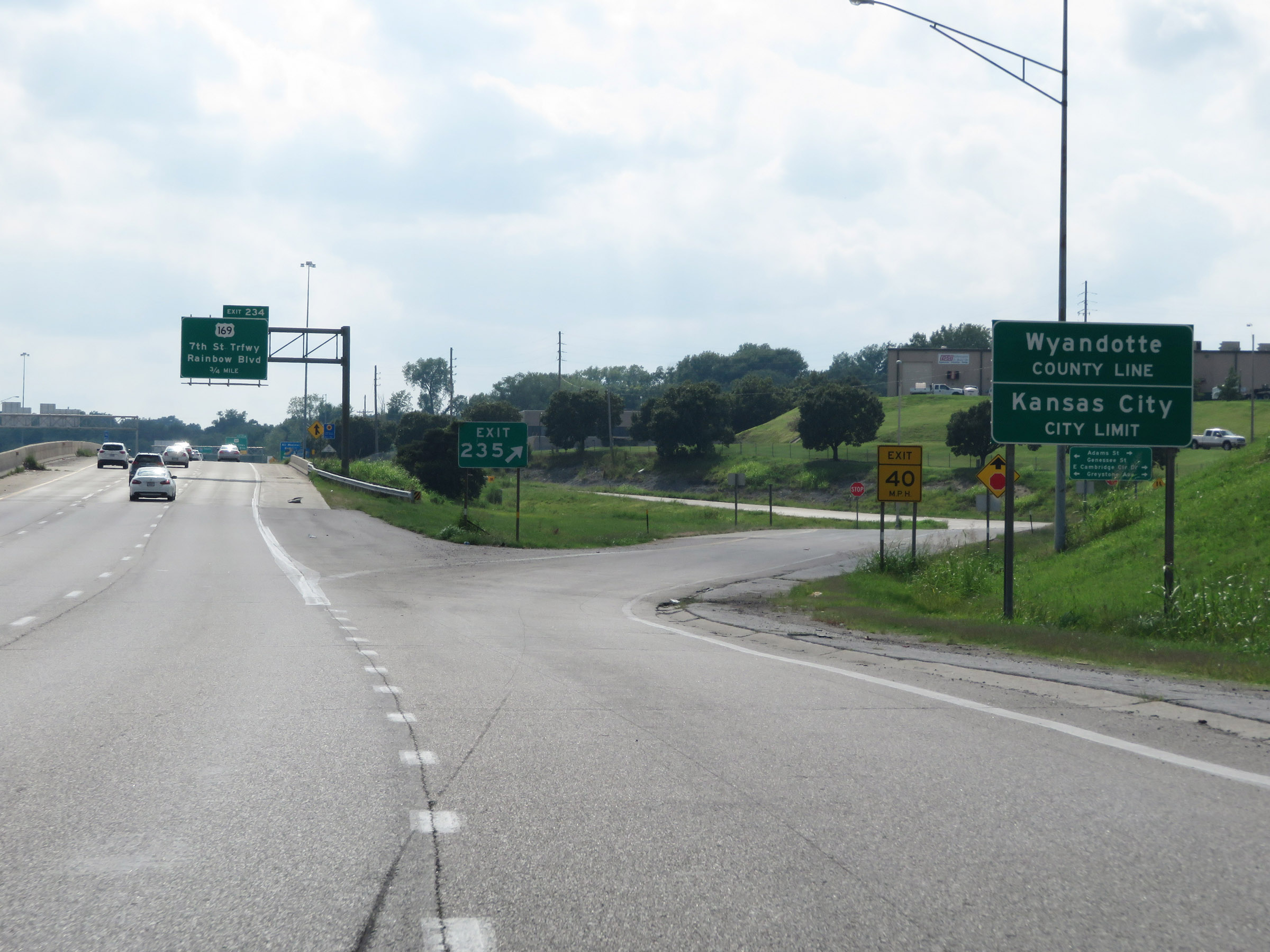
Take either of the next 2 exits to Bethany. (Photo taken 8/8/20). |
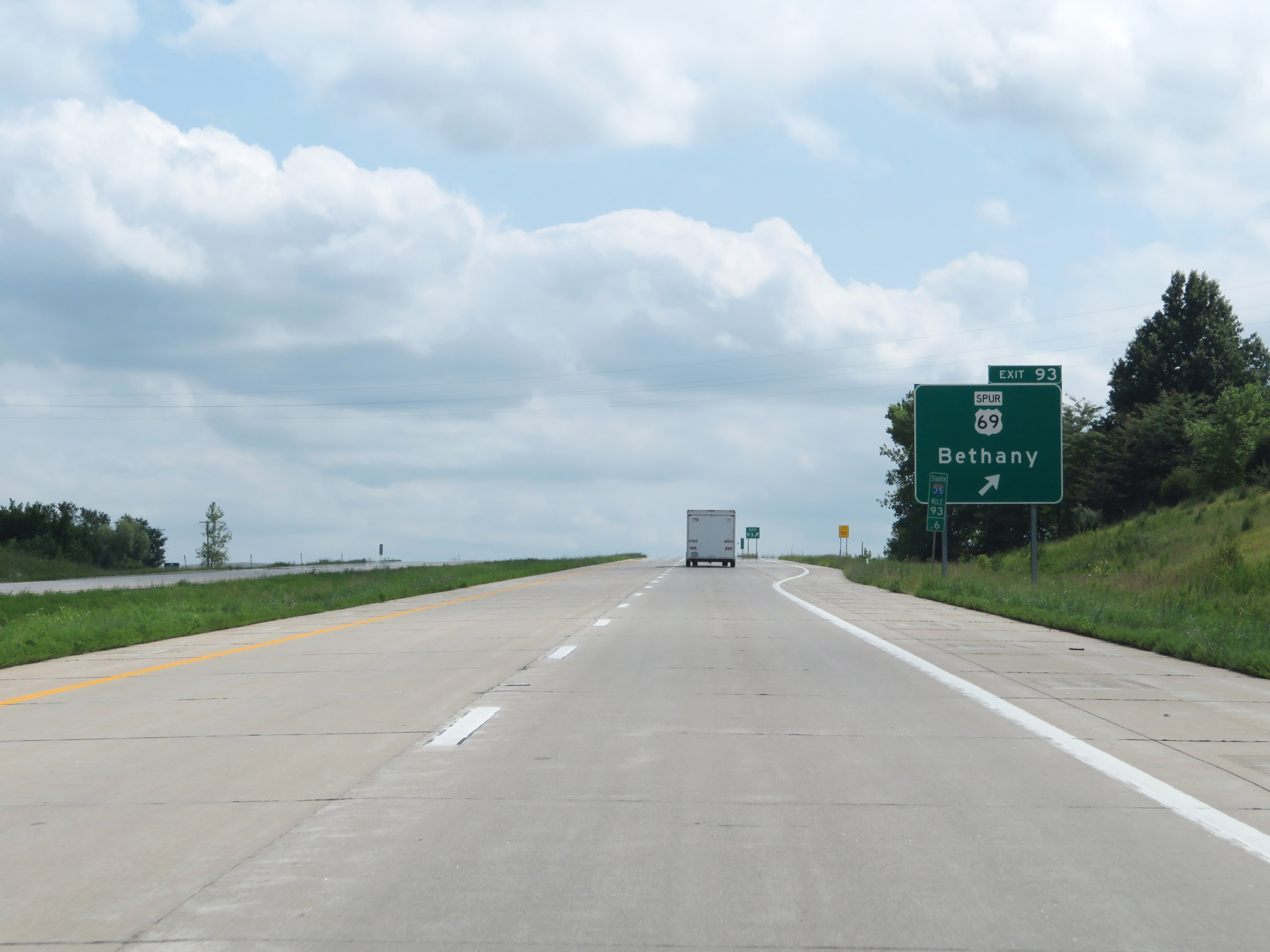 |
Interstate 35 South at Exit 93: US 69 Spur - Bethany (Photo taken 8/8/20). |
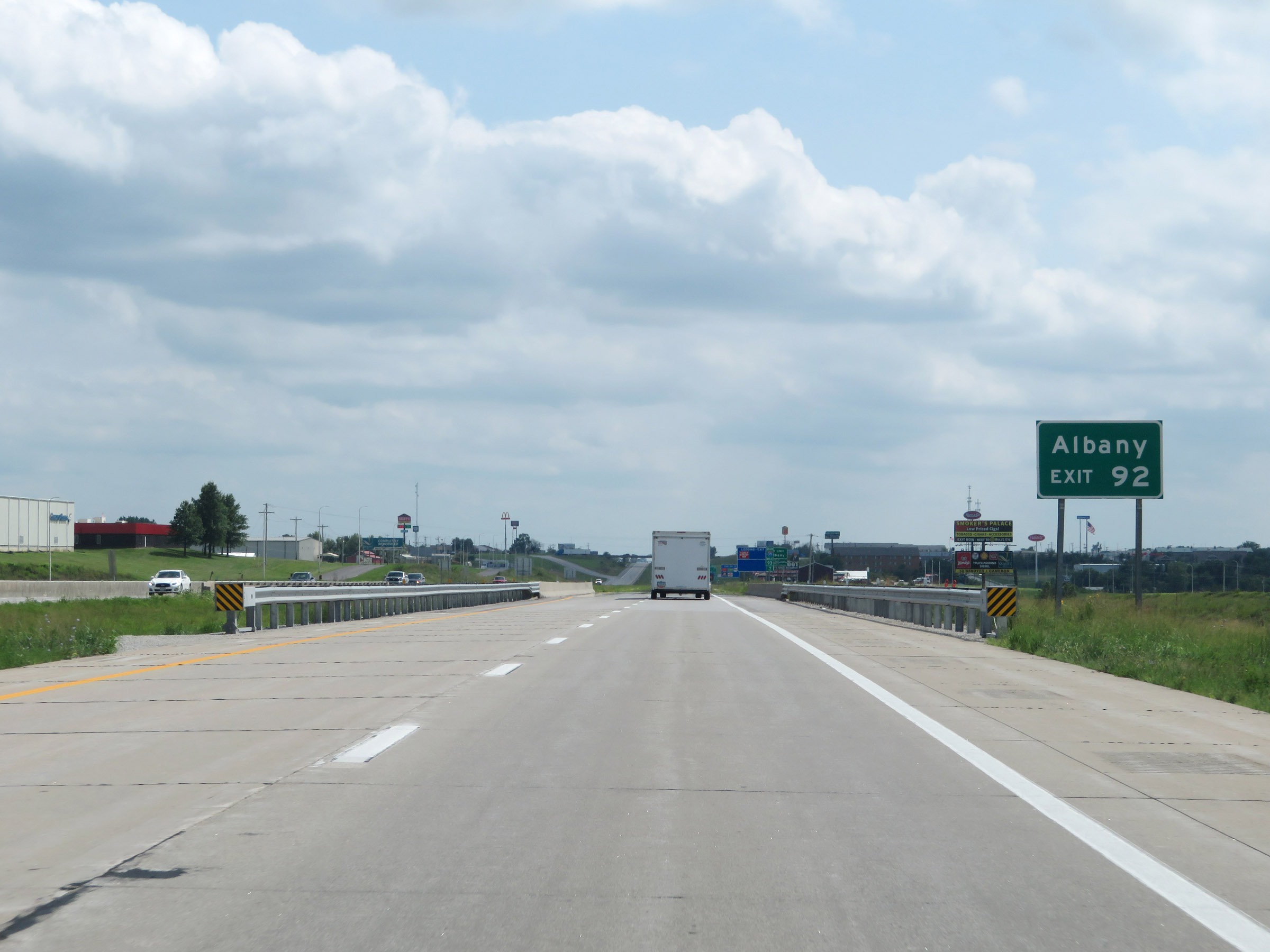 |
Take Exit 92 to Albany. (Photo taken 8/8/20). |
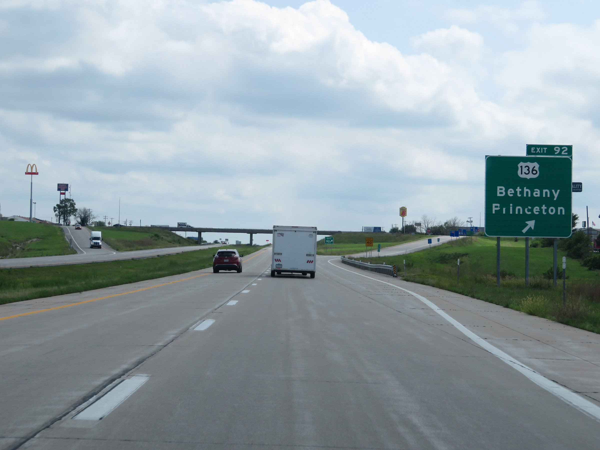 |
Interstate 35 South at Exit 92: US 136 - Bethany / Princeton (Photo taken 8/8/20). |
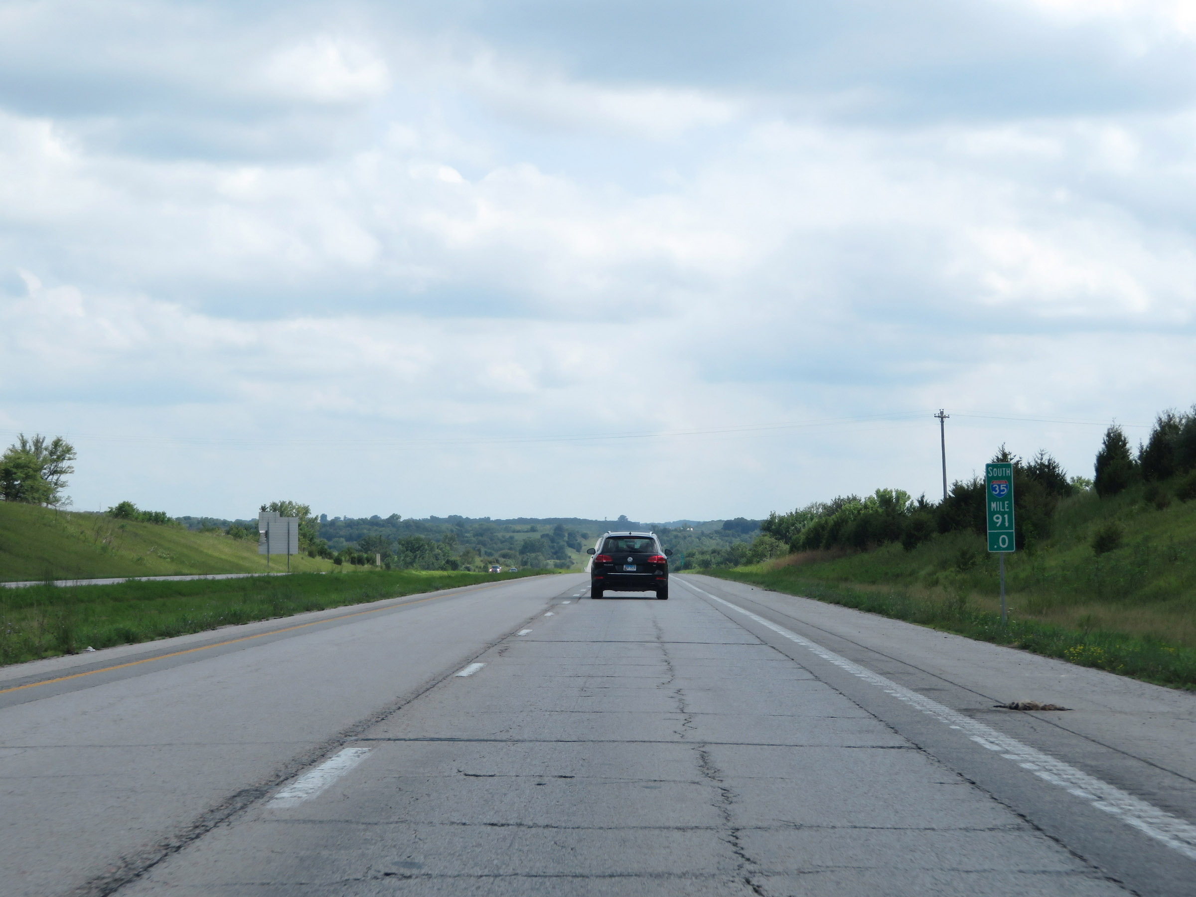 |
Interstate 35 South at mile marker 91. (Photo taken 8/8/20). |
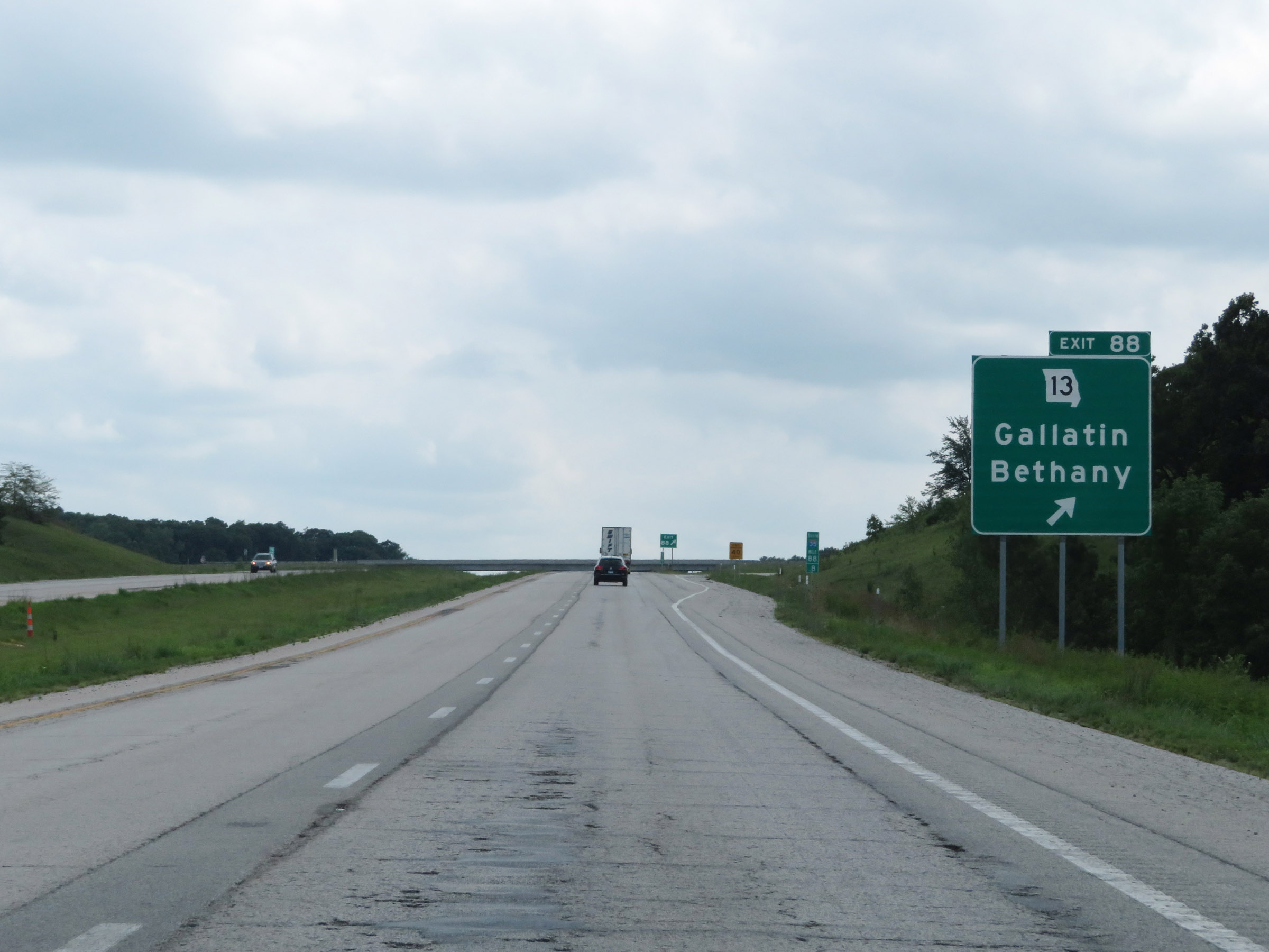 |
Interstate 35 South at Exit 88: MO 13 - Gallatin / Bethany (Photo taken 8/8/20). |
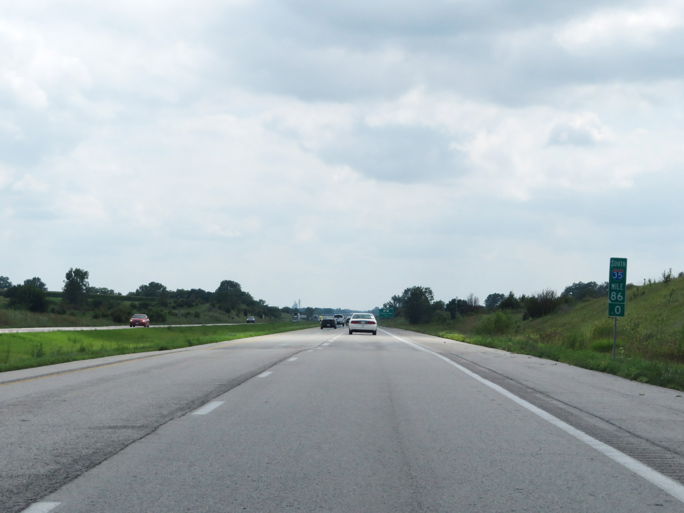 |
View on Interstate 35 South at mile marker 86. (Photo taken 8/8/20). |
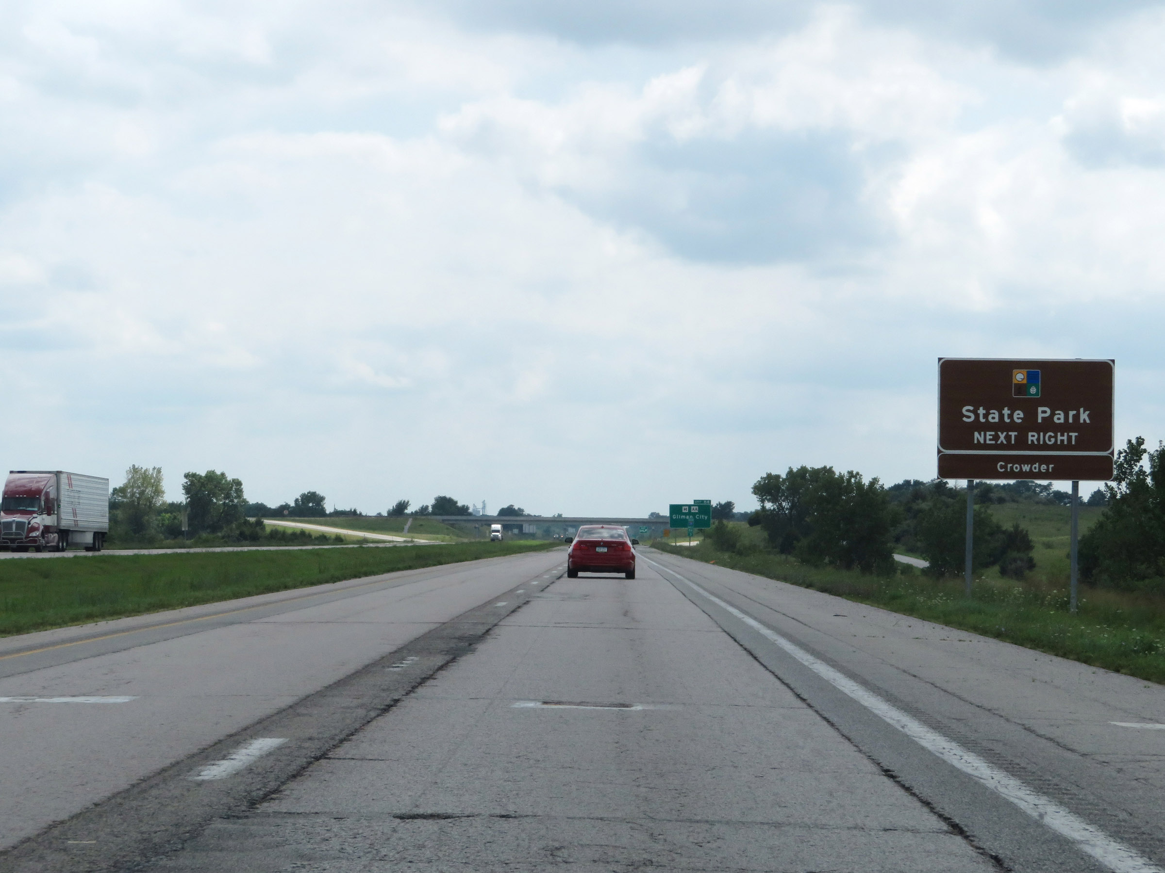 |
Take Exit 84 to Crowder State Park. (Photo taken 8/8/20). |
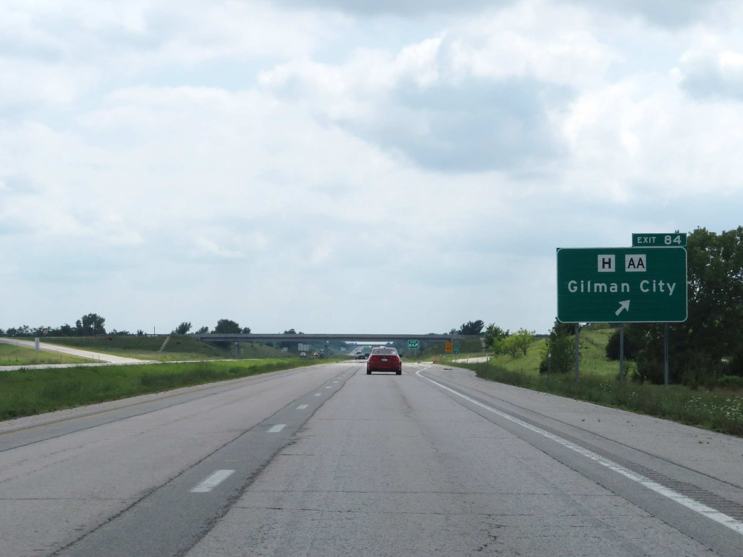 |
Interstate 35 South at Exit 84: Route H / Route AA - Gilman City (Photo taken 8/8/20). |
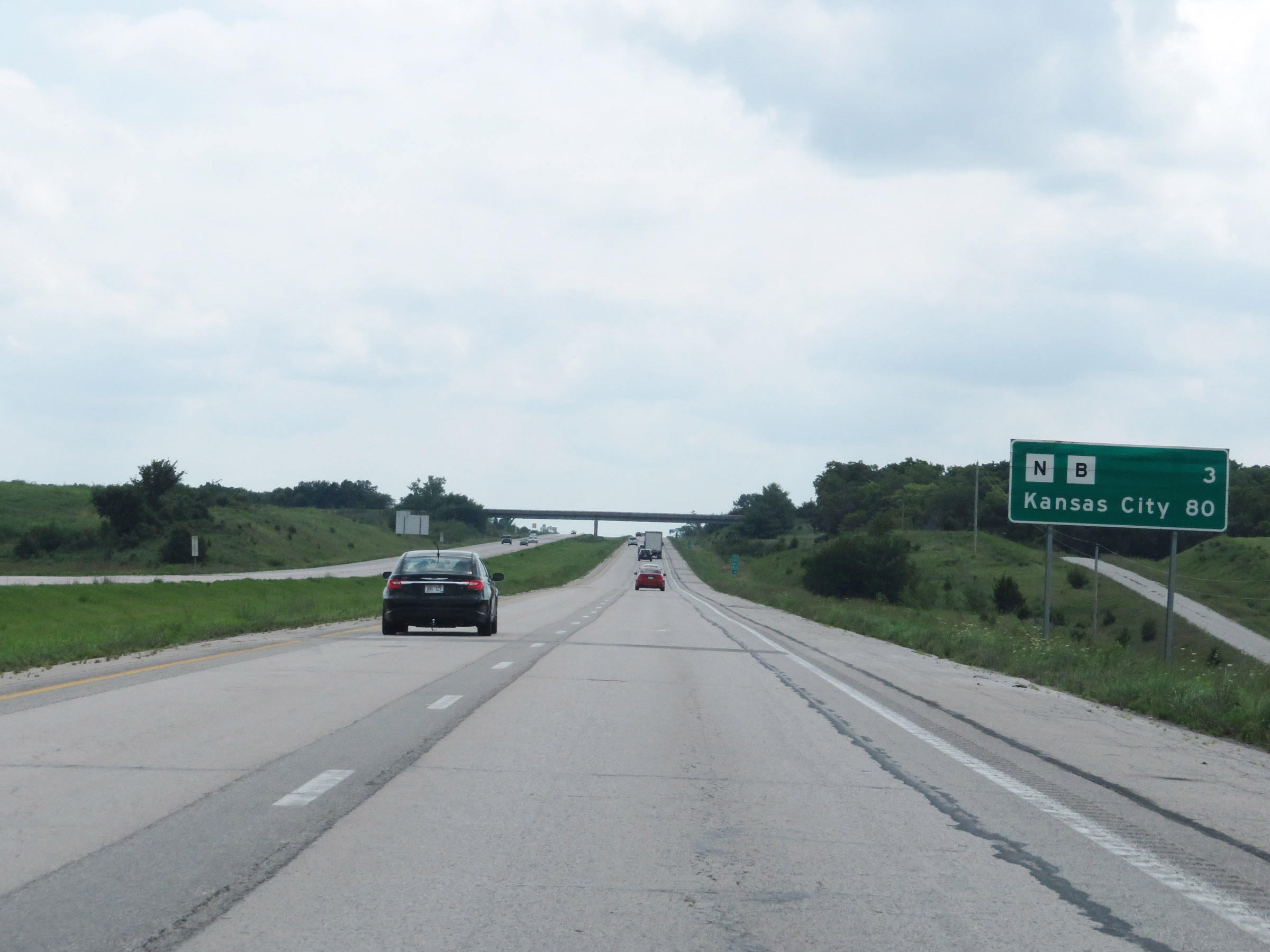 |
Mileage sign on Interstate 35 South. It's 3 miles to the junction of Routes N / B and 80 miles to Kansas City. (Photo taken 8/8/20). |
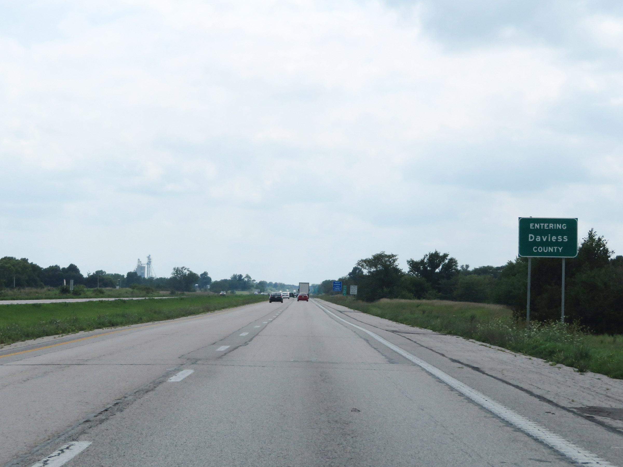 |
Interstate 35 South as it enters Daviess County. (Photo taken 8/8/20). |
 |
View on Interstate 35 South at mile marker 82. (Photo taken 8/8/20). |
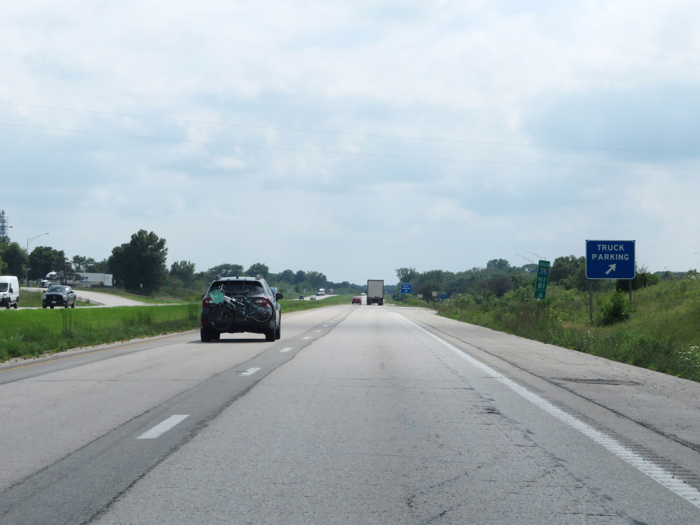 |
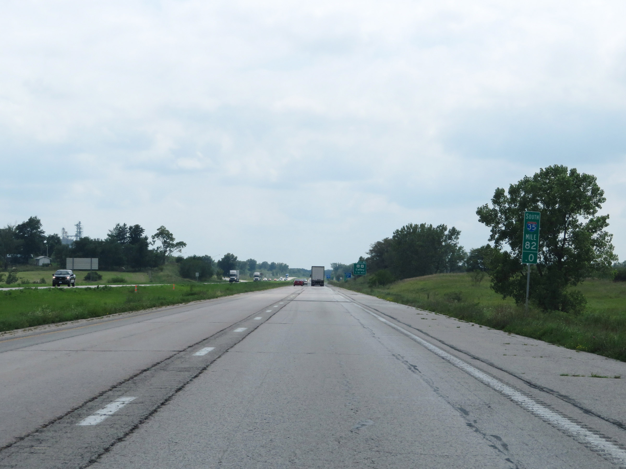
Truck Parking Area on Interstate 35 South in Daviess County, at mile marker 81.4. (Photo taken 8/8/20). |
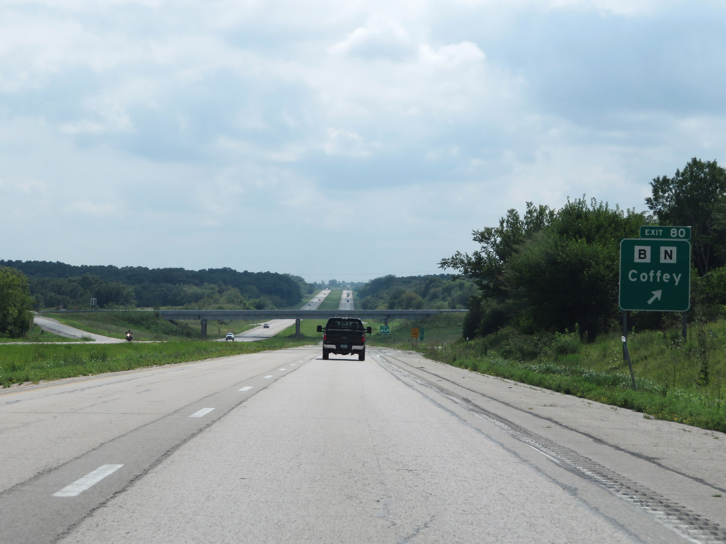 |
Interstate 35 South at Exit 80: Route B / Route N - Coffey (Photo taken 8/8/20). |
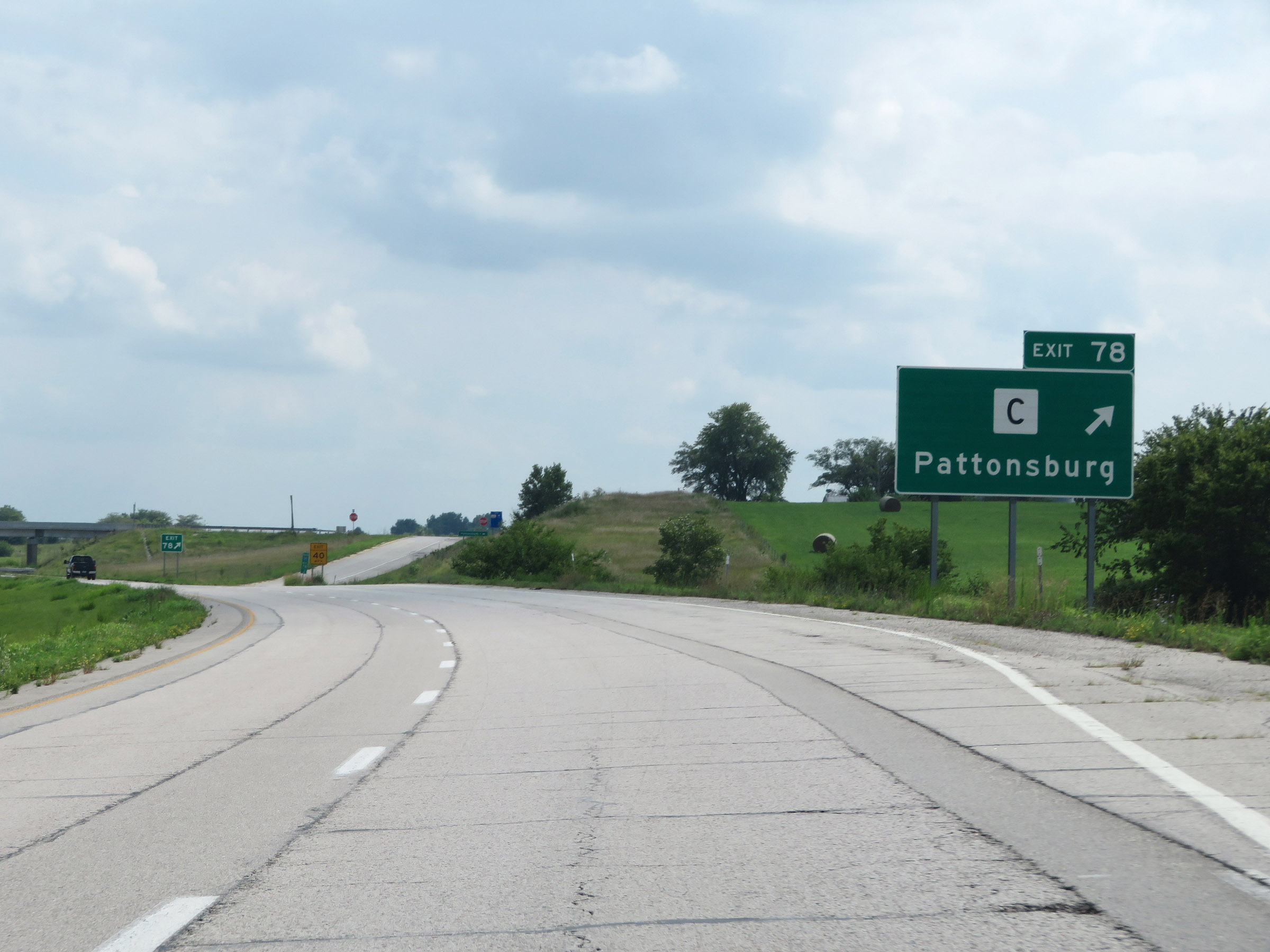 |
Interstate 35 South at Exit 78: Route C - Pattonsburg (Photo taken 8/8/20). |
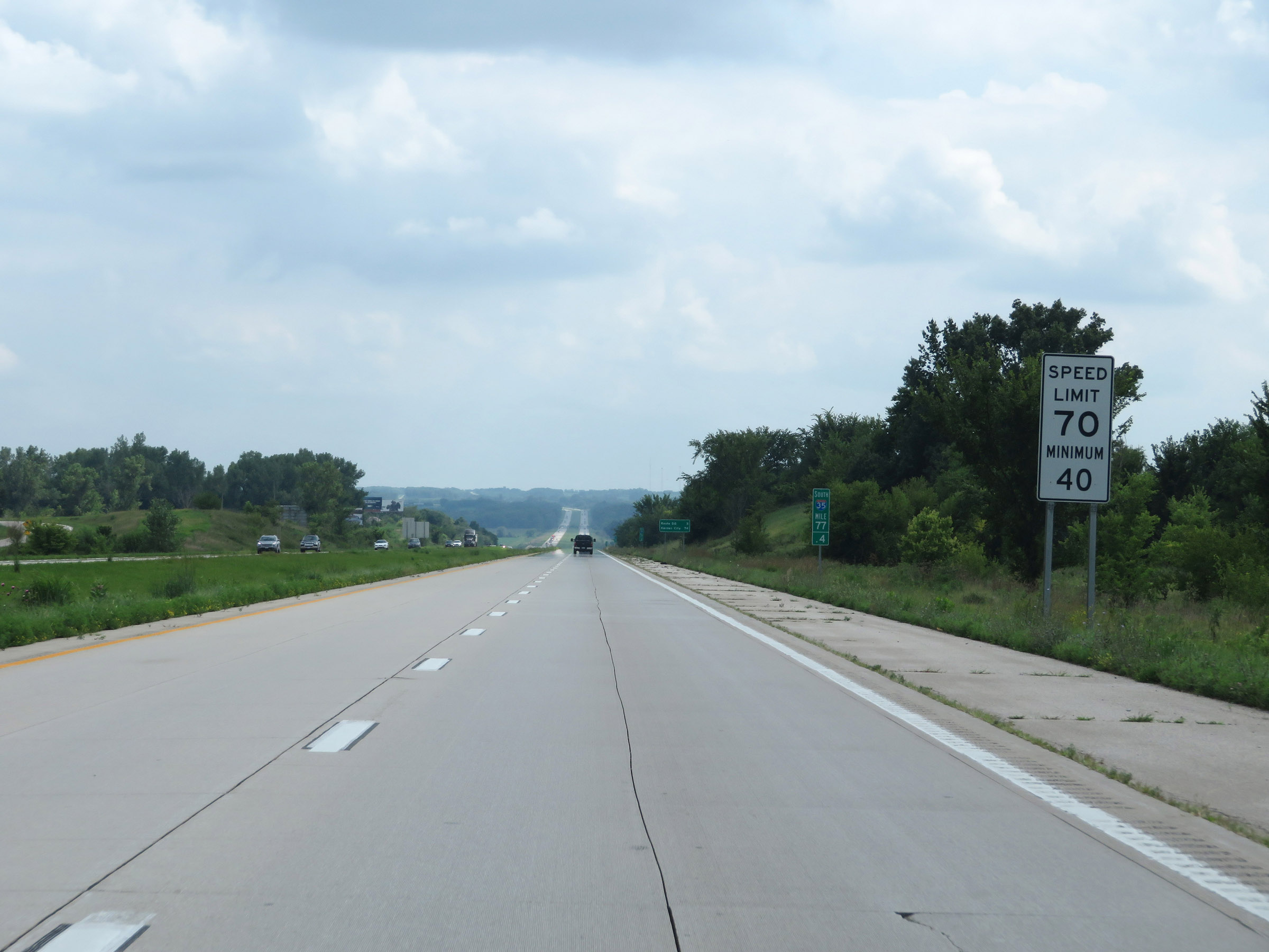 |
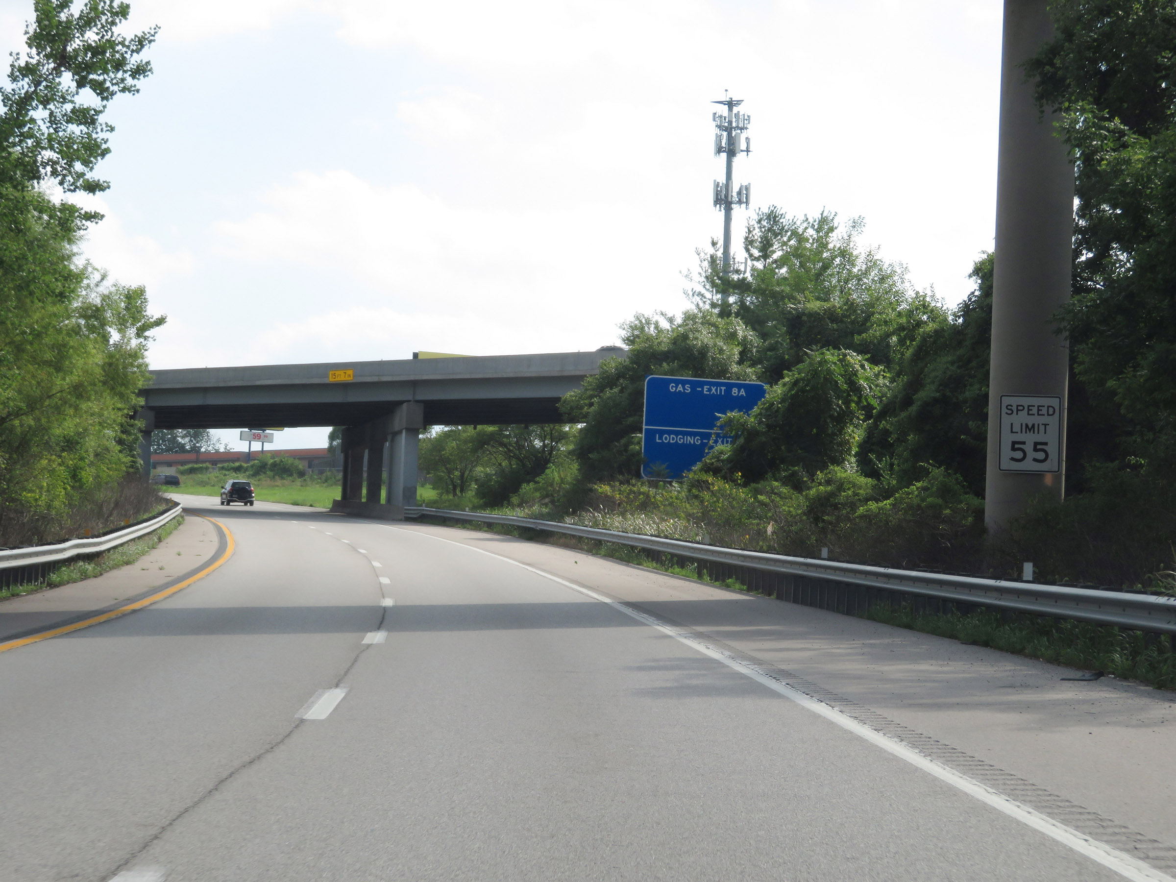
The speed limits remain 70 mph maximum and 40 mph minimum. (Photo taken 8/8/20). |
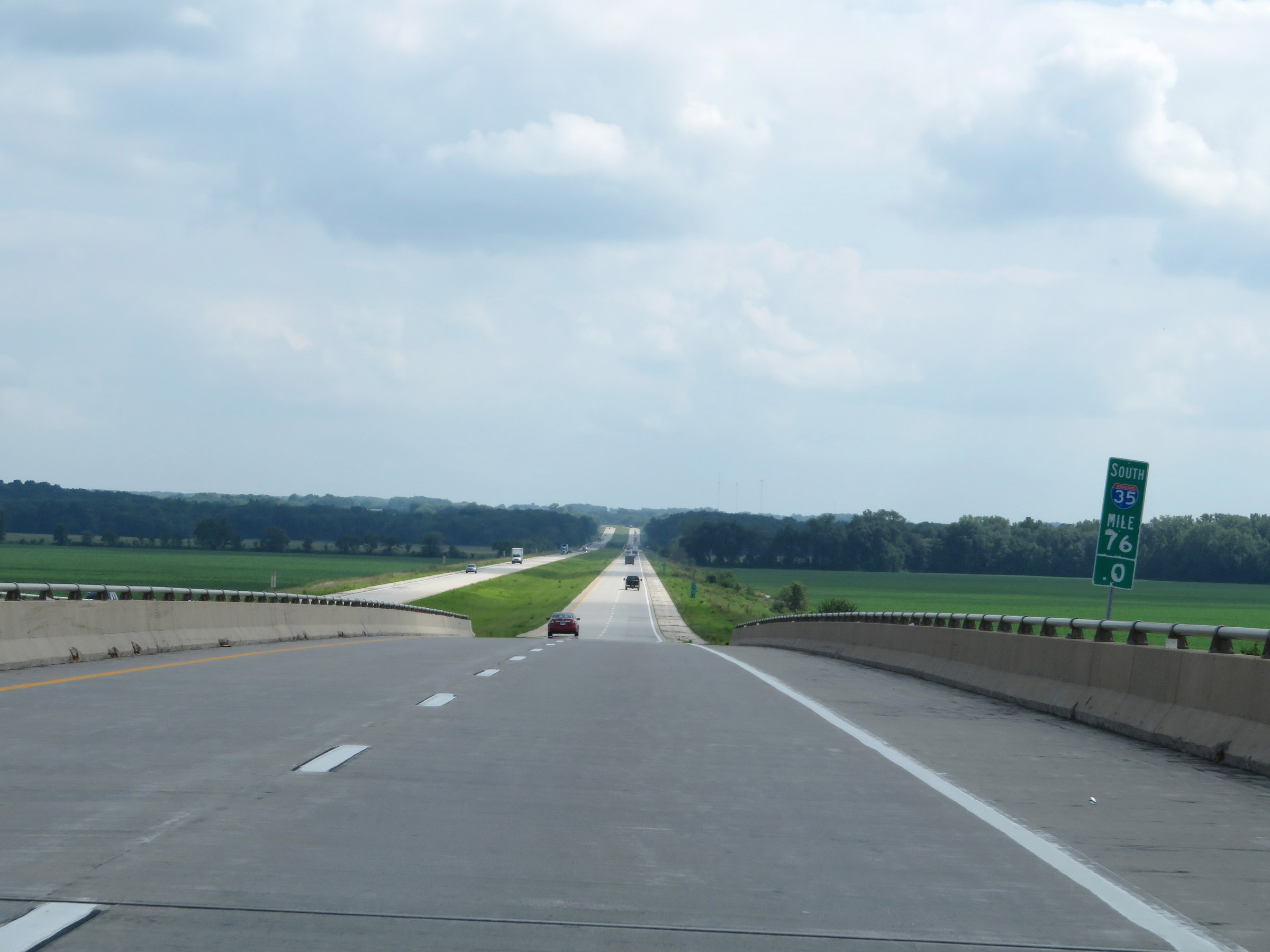 |
View on Interstate 35 South at mile marker 76. (Photo taken 8/8/20). |
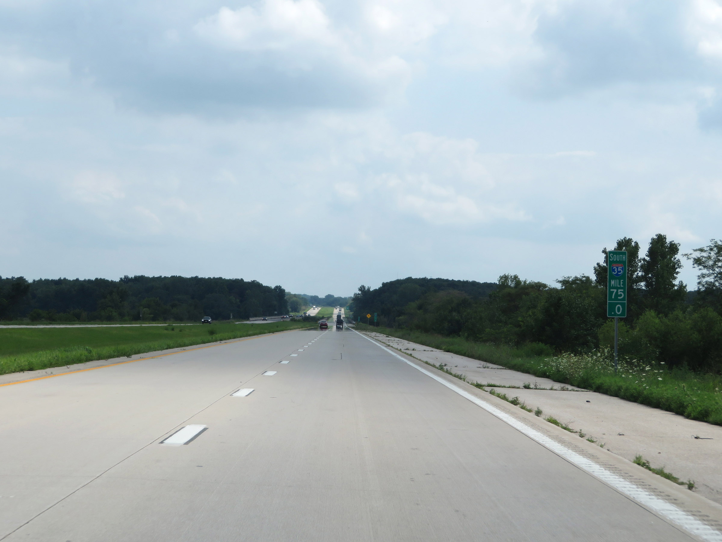 |
Interstate 35 South at mile marker 75. (Photo taken 8/8/20). |
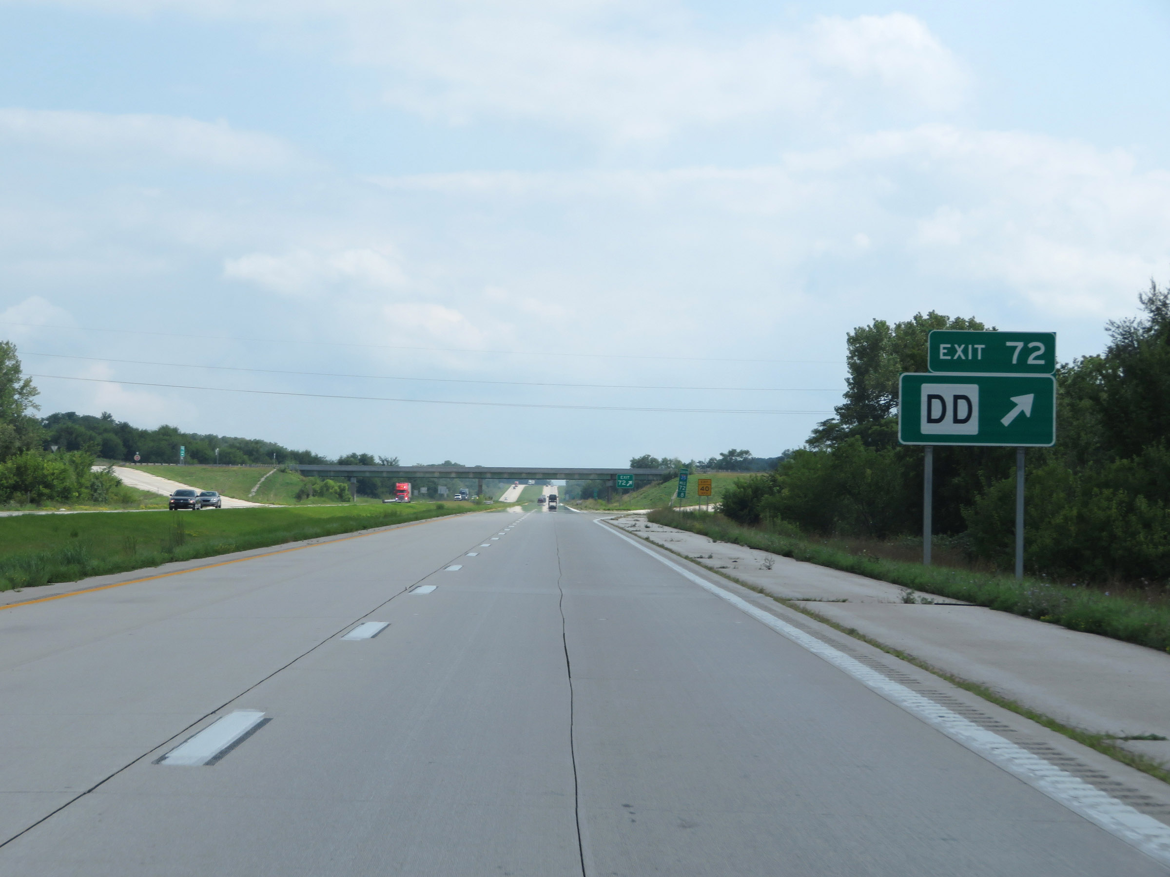 |
Interstate 35 South at Exit 72: Route DD (Photo taken 8/8/20). |
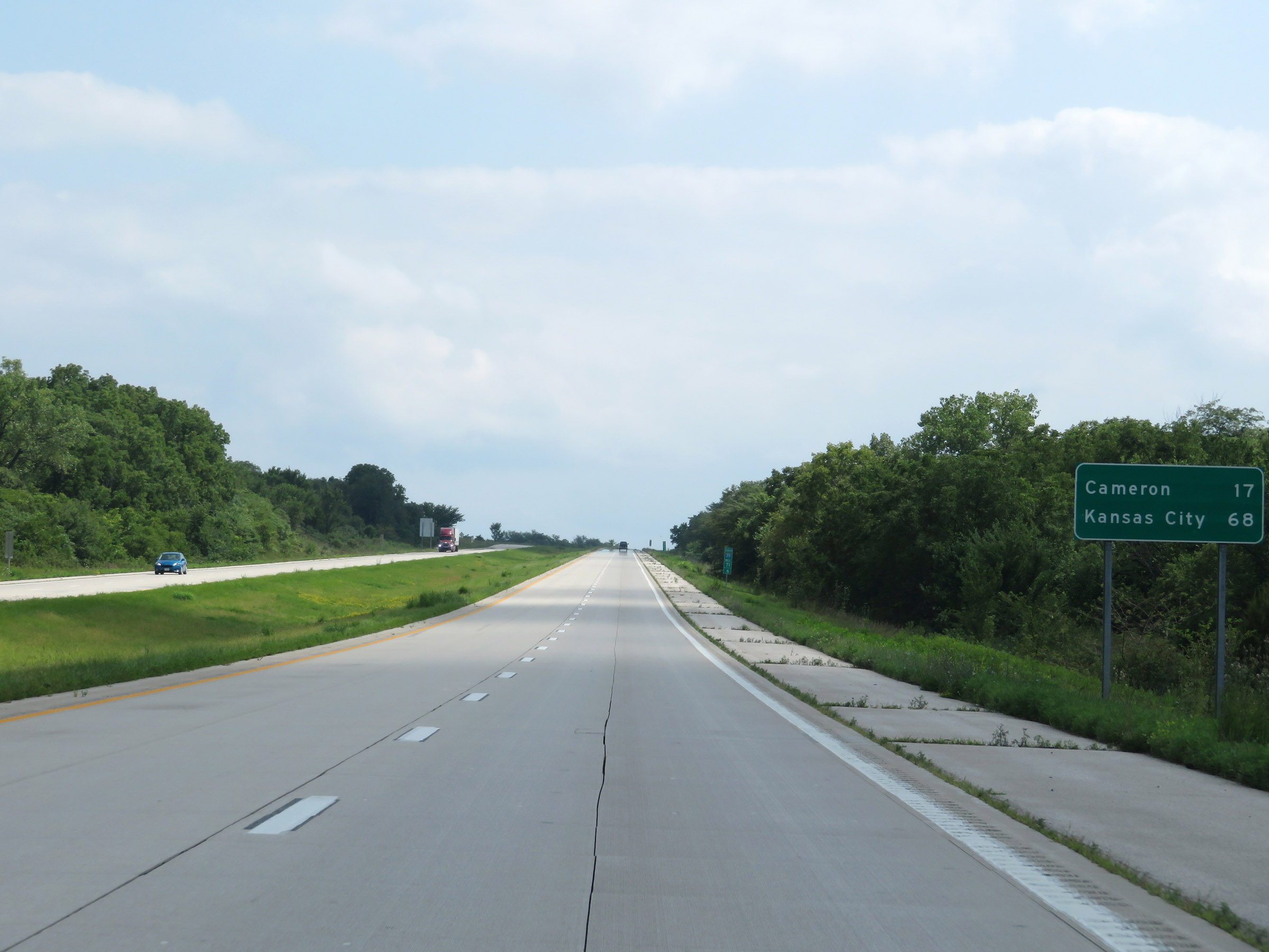 |
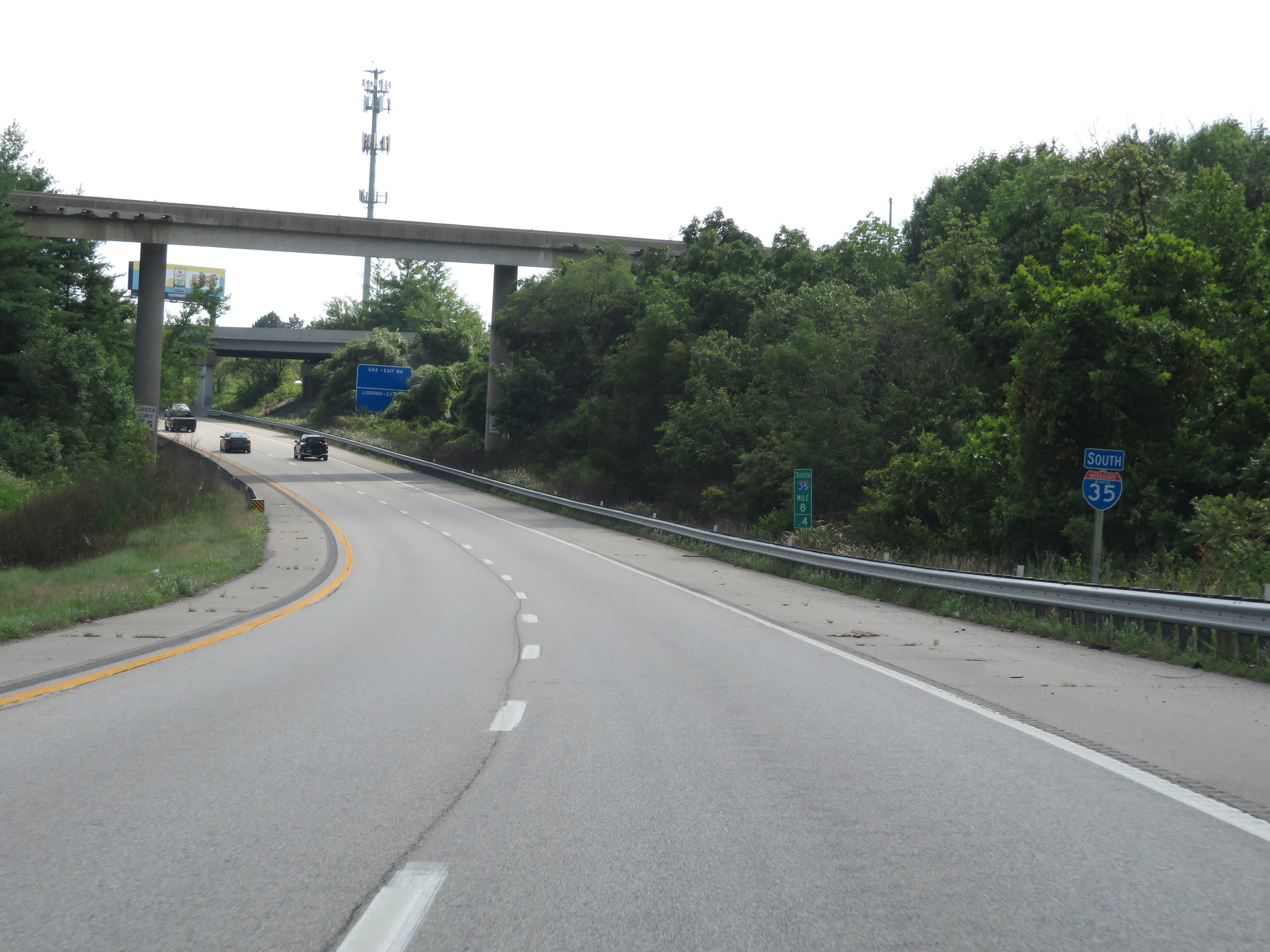
Mileage sign on Interstate 35 South. It's 17 miles to Cameron and 68 miles to Kansas City. (Photo taken 8/8/20). |
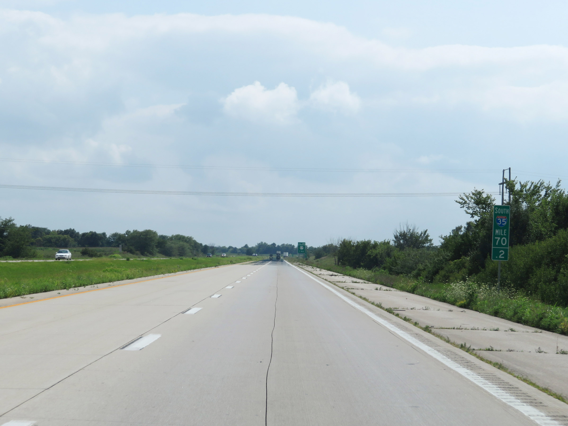 |
View on Interstate 35 South at mile marker 70.2. (Photo taken 8/8/20). |
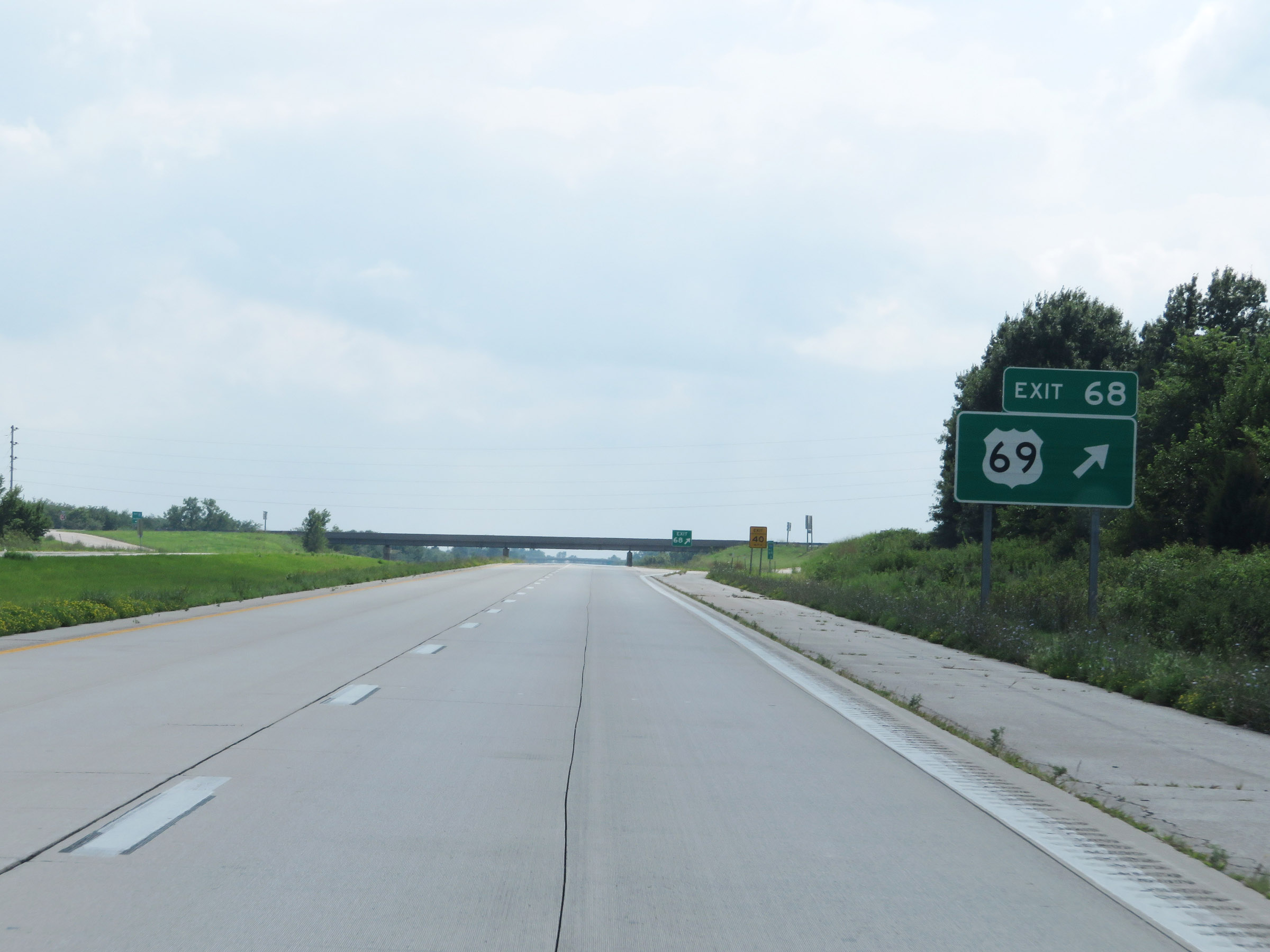 |
Interstate 35 South at Exit 68: US 69 (Photo taken 8/8/20). |
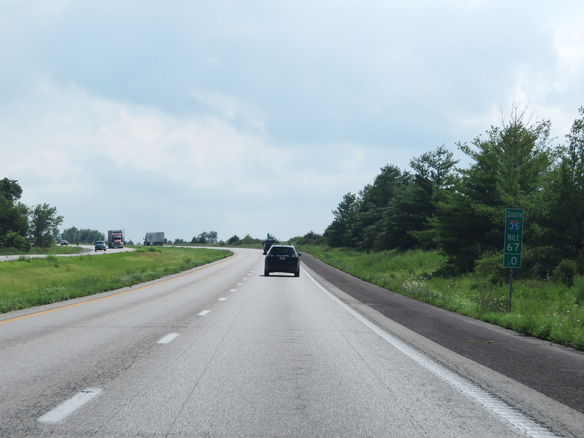 |
Interstate 35 South at mile marker 67. (Photo taken 8/8/20). |
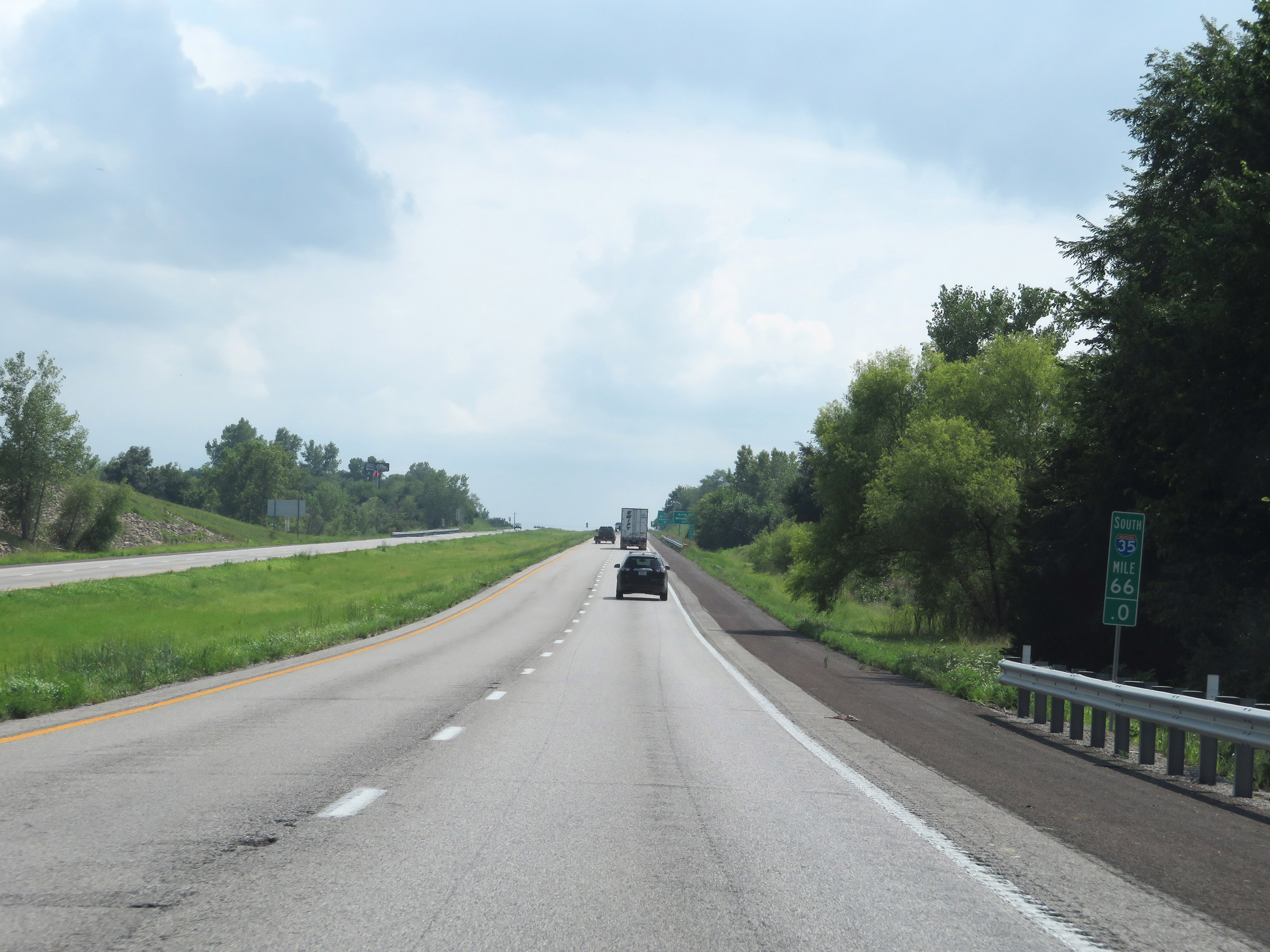 |
View on Interstate 35 South at mile marker 66. (Photo taken 8/8/20). |
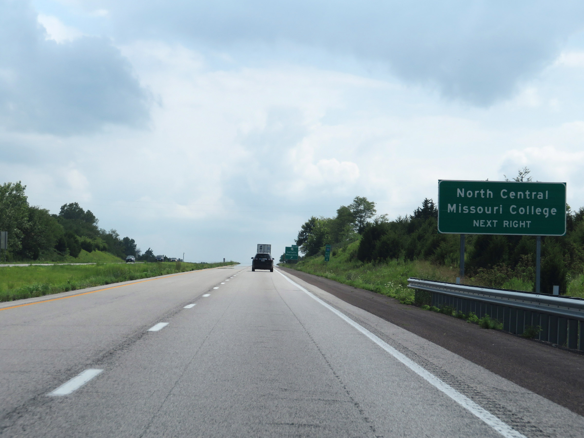 |
Take Exit 64 to North Central Missouri College. (Photo taken 8/8/20). |
 |
Interstate 35 South at Exit 64: MO 6 - Gallatin / Maysville (Photo taken 8/8/20). |
 |
View on Interstate 35 South at mile marker 63. (Photo taken 8/8/20). |
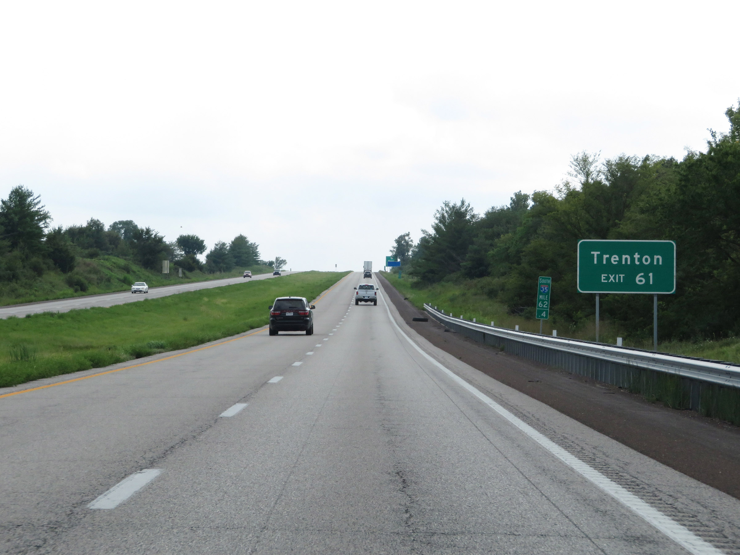 |
Take Exit 61 to Trenton. (Photo taken 8/8/20). |
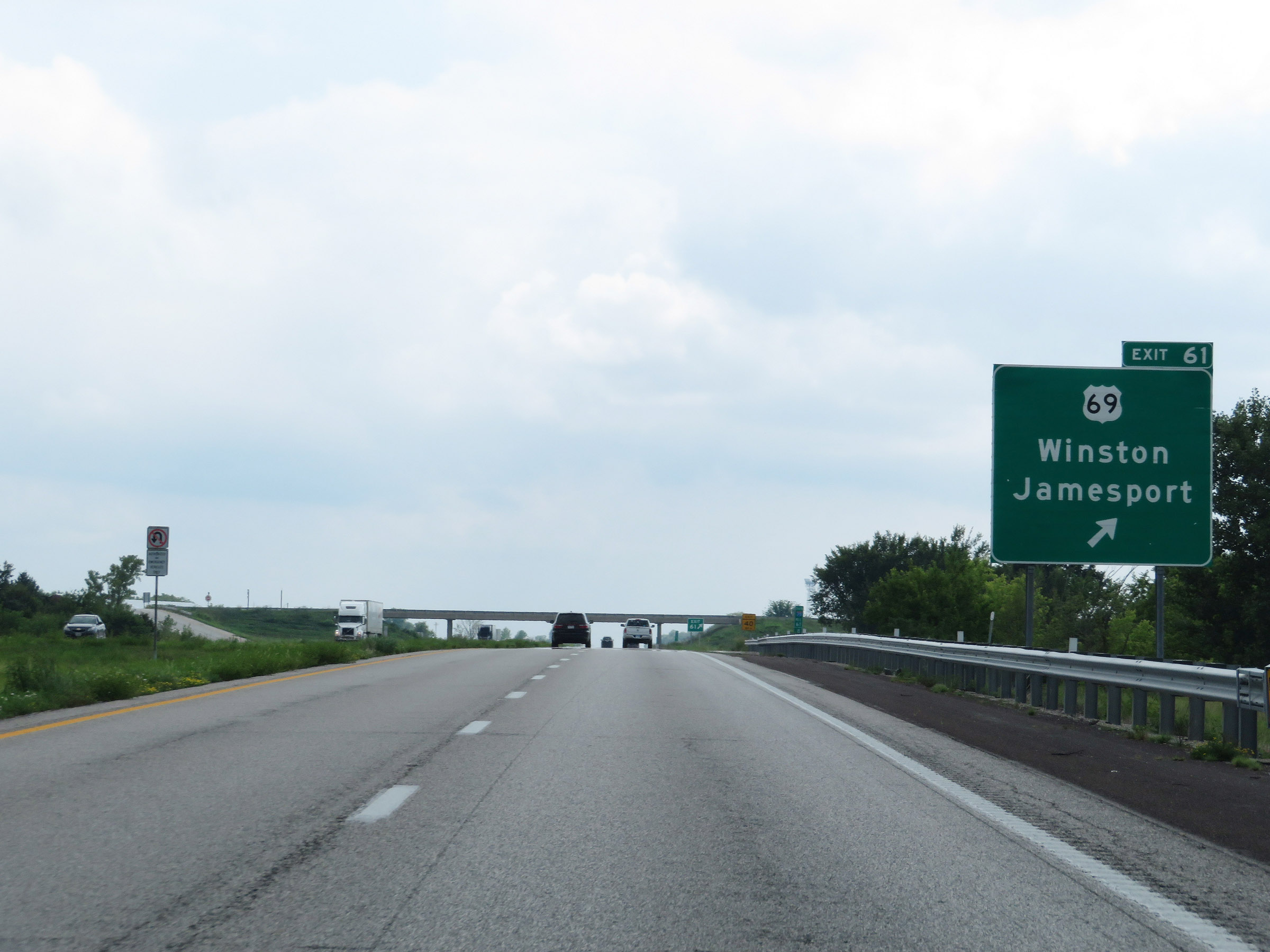 |
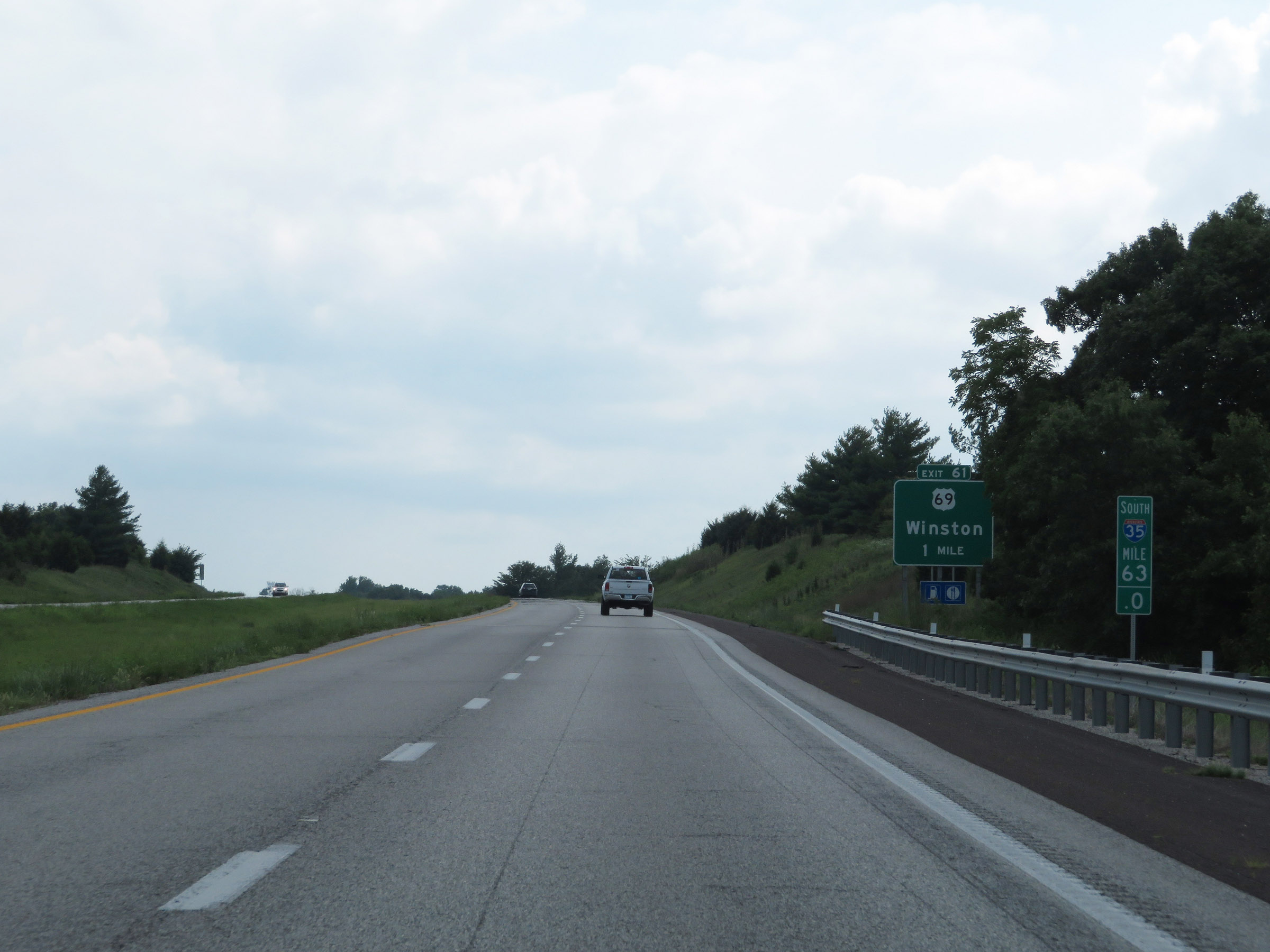
Interstate 35 South at Exit 61: US 69 - Winston / Jamesport (Photo taken 8/8/20). |
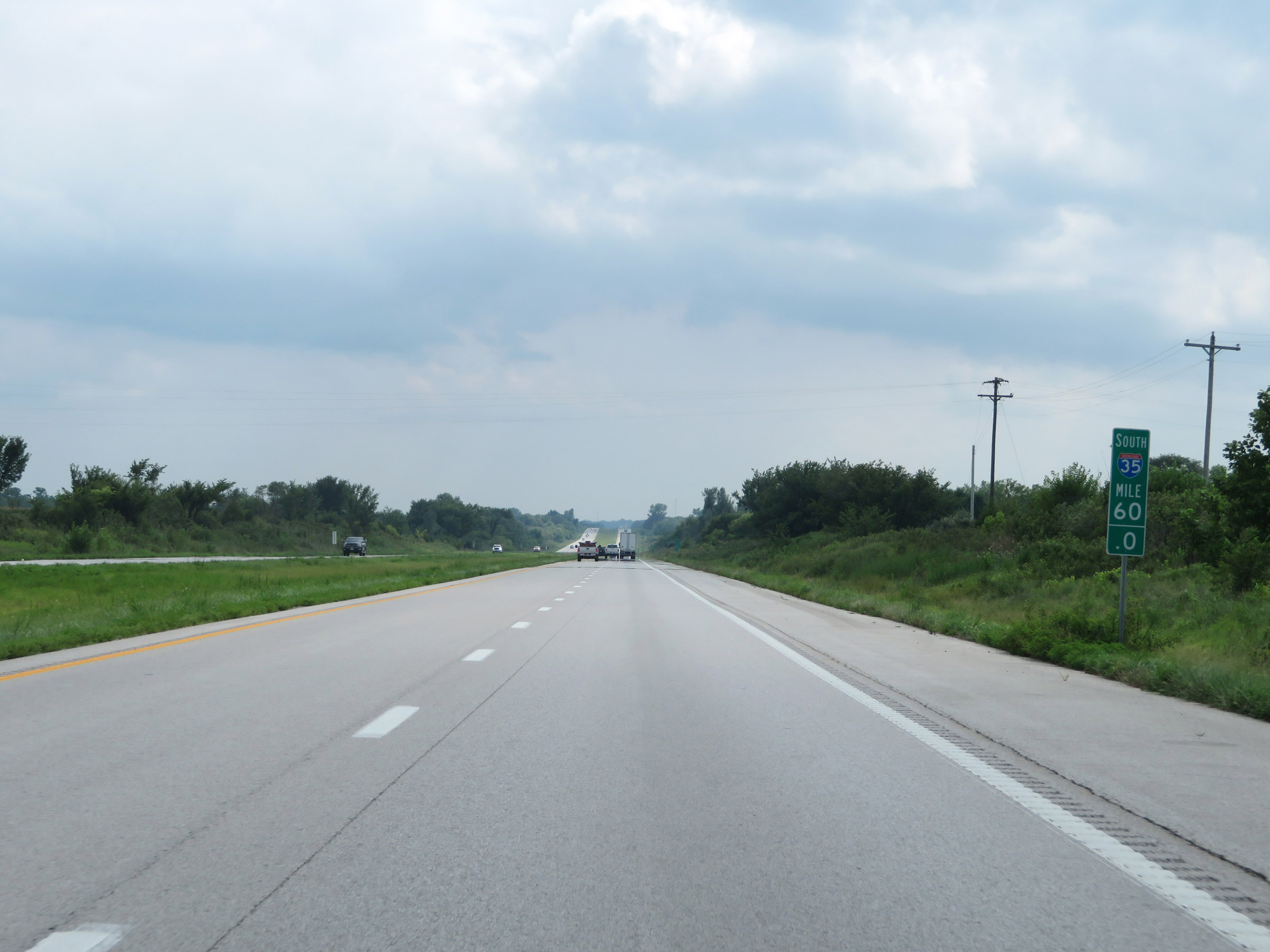 |
Mile marker 60 on Interstate 35 South in Daviess County. (Photo taken 8/8/20). |
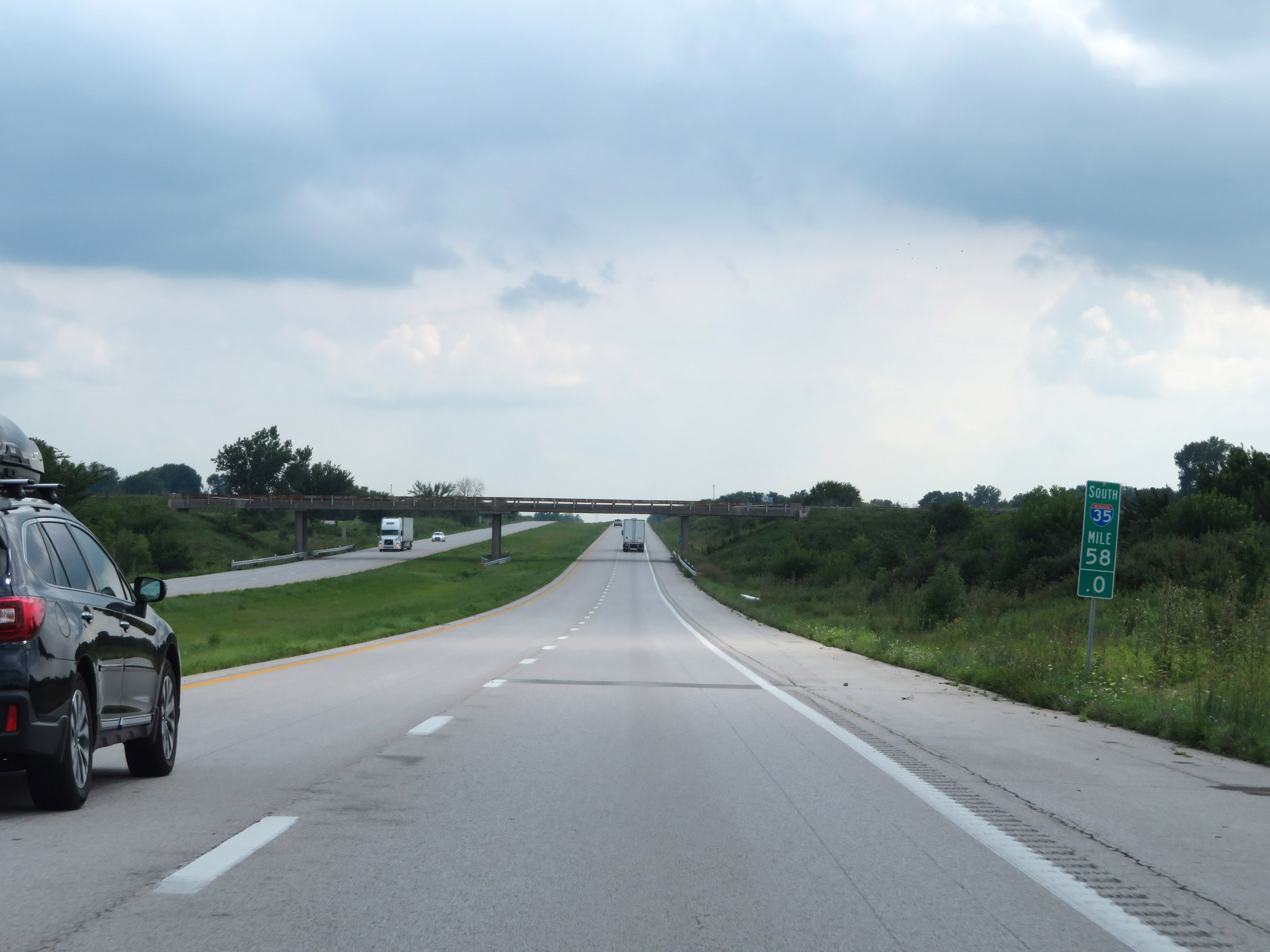 |
View on Interstate 35 South at mile marker 58. (Photo taken 8/8/20). |
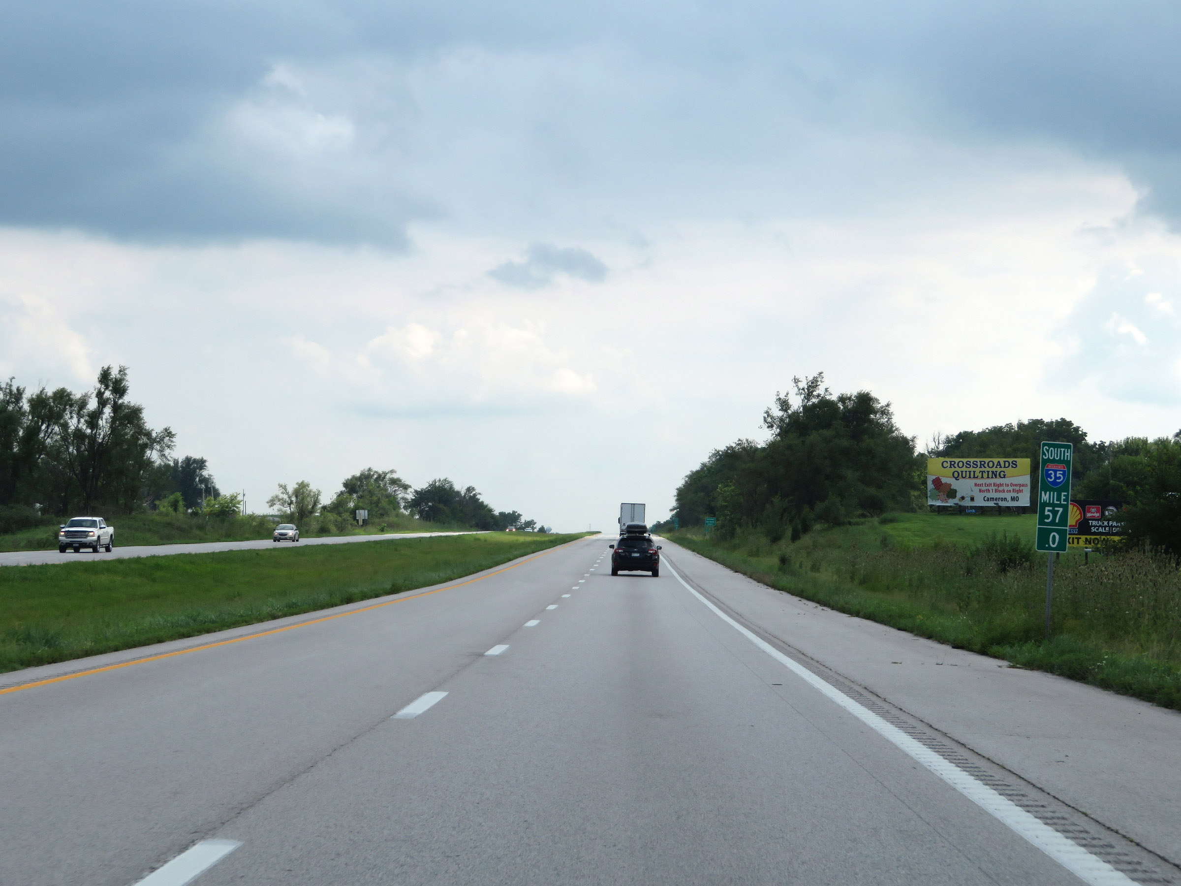 |
Interstate 35 South at mile marker 57. (Photo taken 8/8/20). |
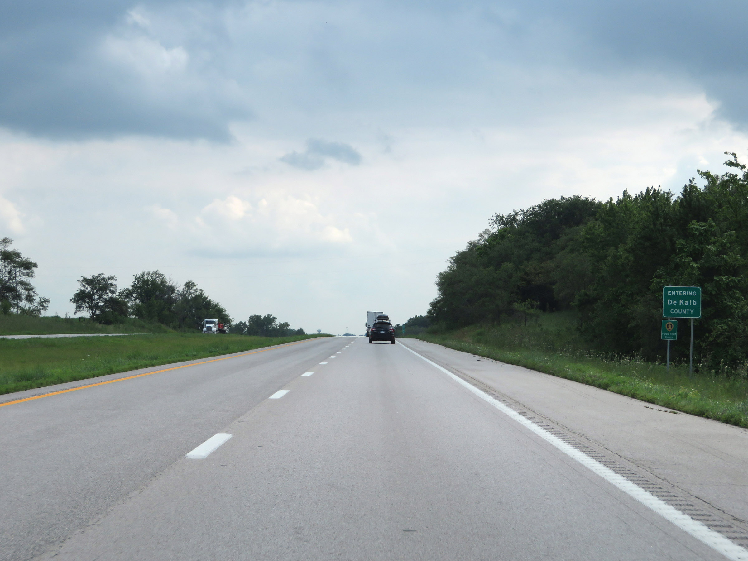 |
Interstate 35 South as it enters DeKalb County. (Photo taken 8/8/20). |
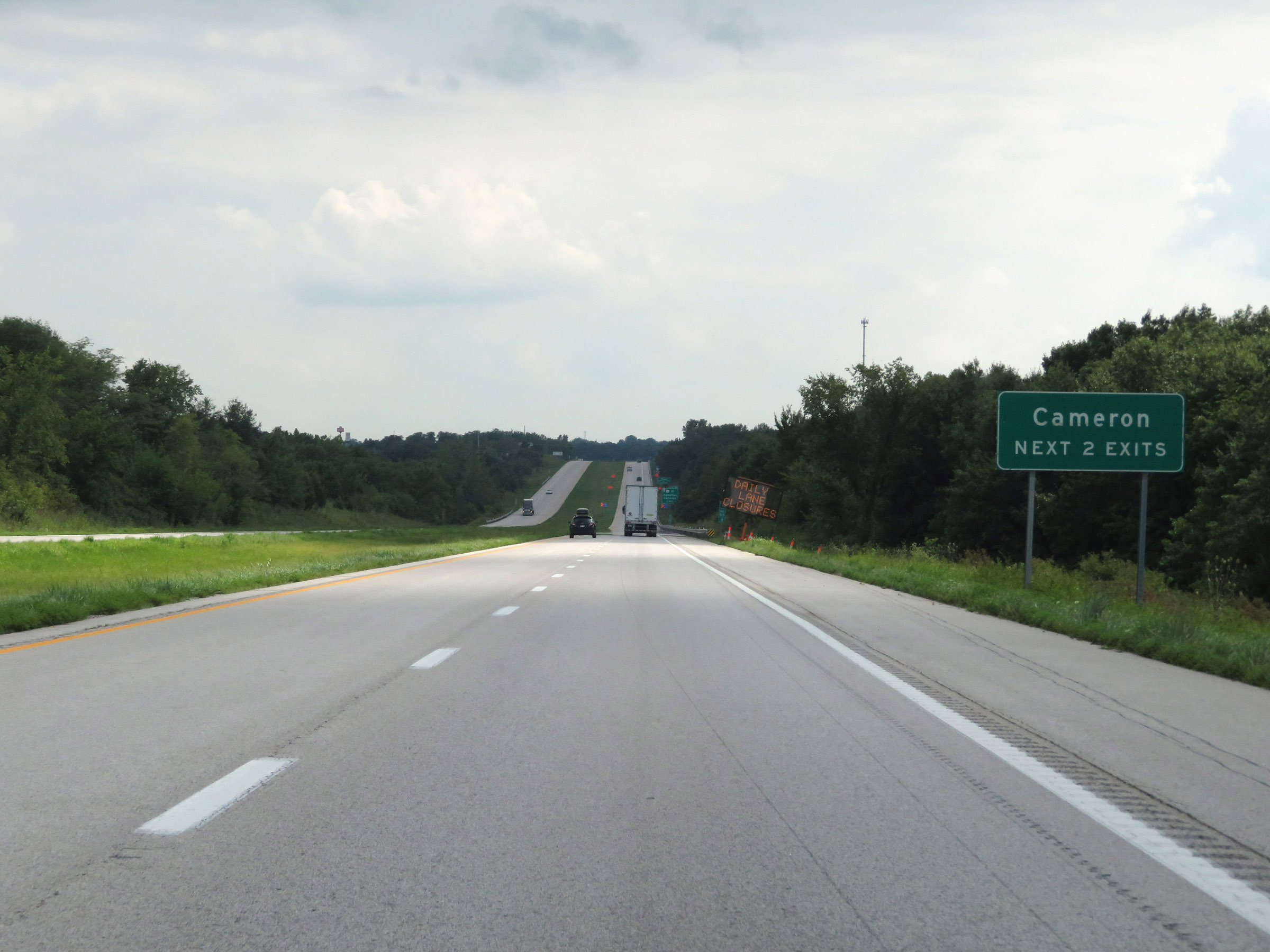 |
Take either of the next 2 exits to Cameron. (Photo taken 8/8/20). |
 |
Interstate 35 South approaching Exit 54 - 1 mile. (Photo taken 8/8/20). |
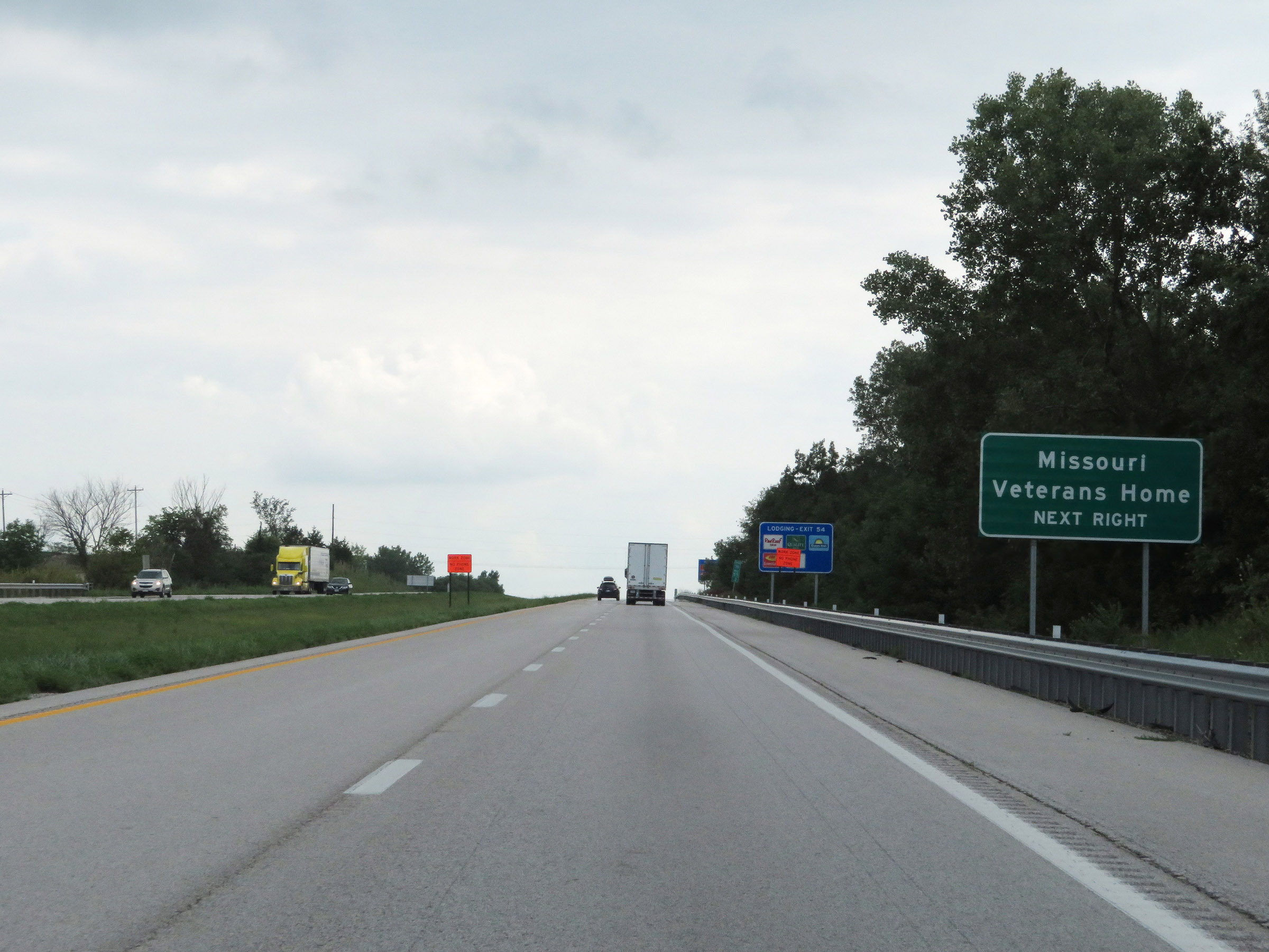 |
Take Exit 54 to the Missouri Veterans Home. (Photo taken 8/8/20). |
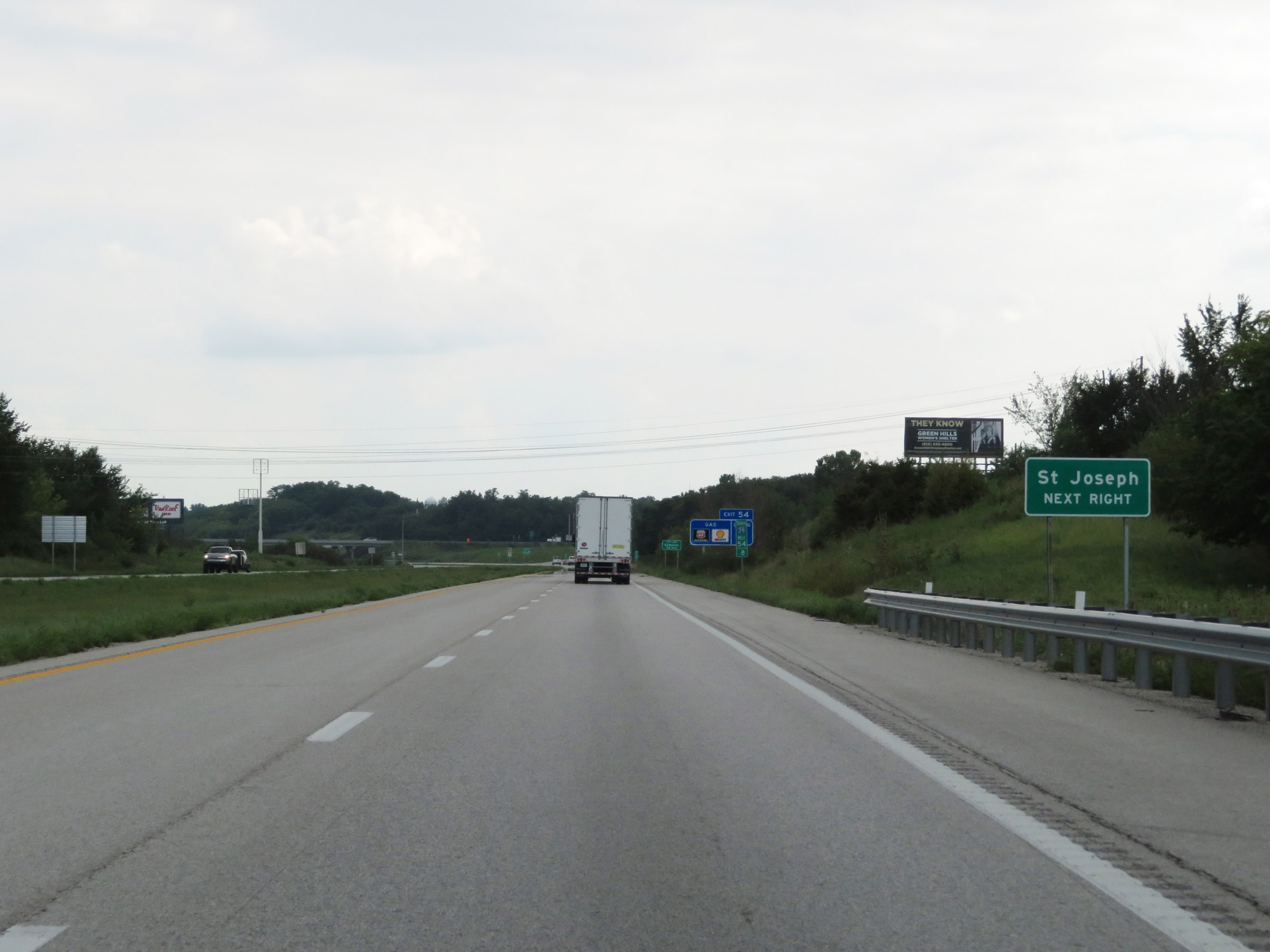 |
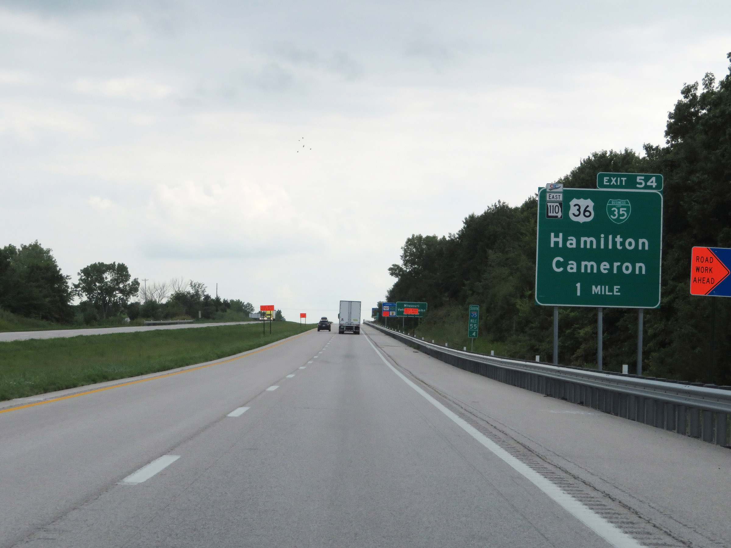
Also take Exit 54 to St. Joseph. (Photo taken 8/8/20). |
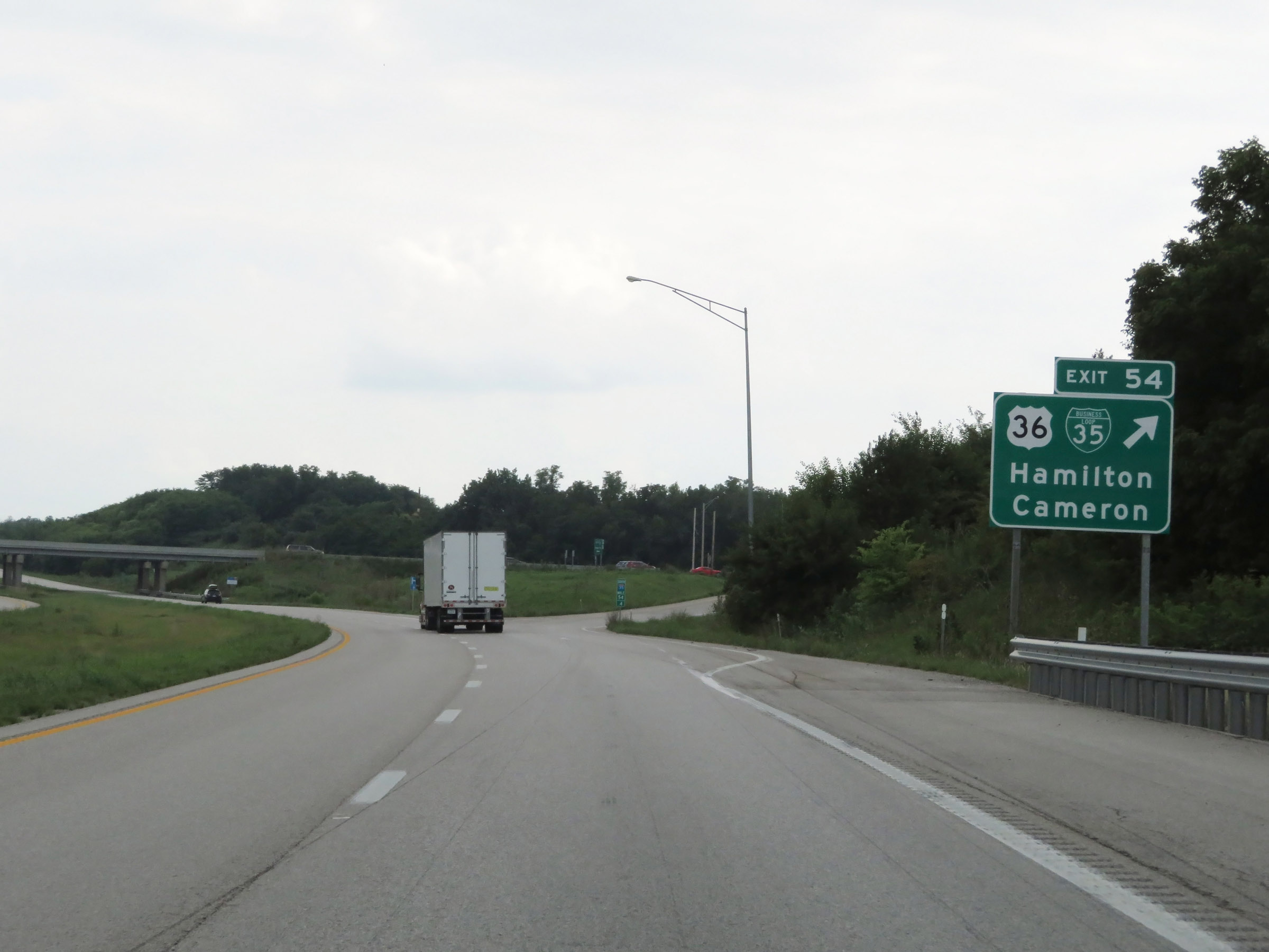 |
Interstate 35 South at Exit 54: US 36 / Interstate 35 Business Loop - Hamilton / Cameron (Photo taken 8/8/20). |
Section 2: Cameron (Exit 54) to Kansas City (Exit 5)
 |
South of Exit 54, Interstate 35 South enters Clinton County. (Photo taken 8/8/20). |
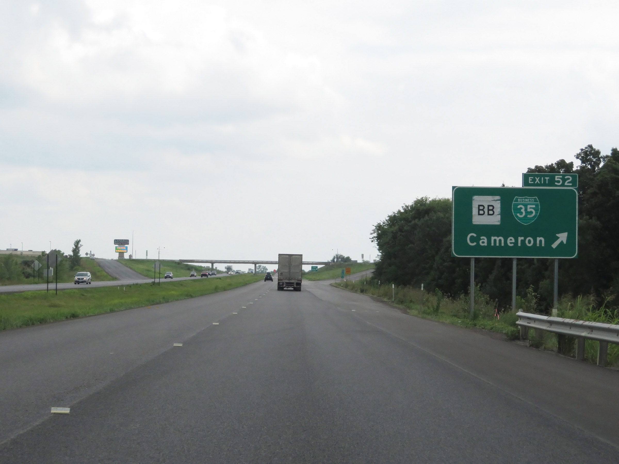 |
Interstate 35 South at Exit 52: Route BB / Interstate 35 Business Loop - Cameron (Photo taken 8/8/20). |
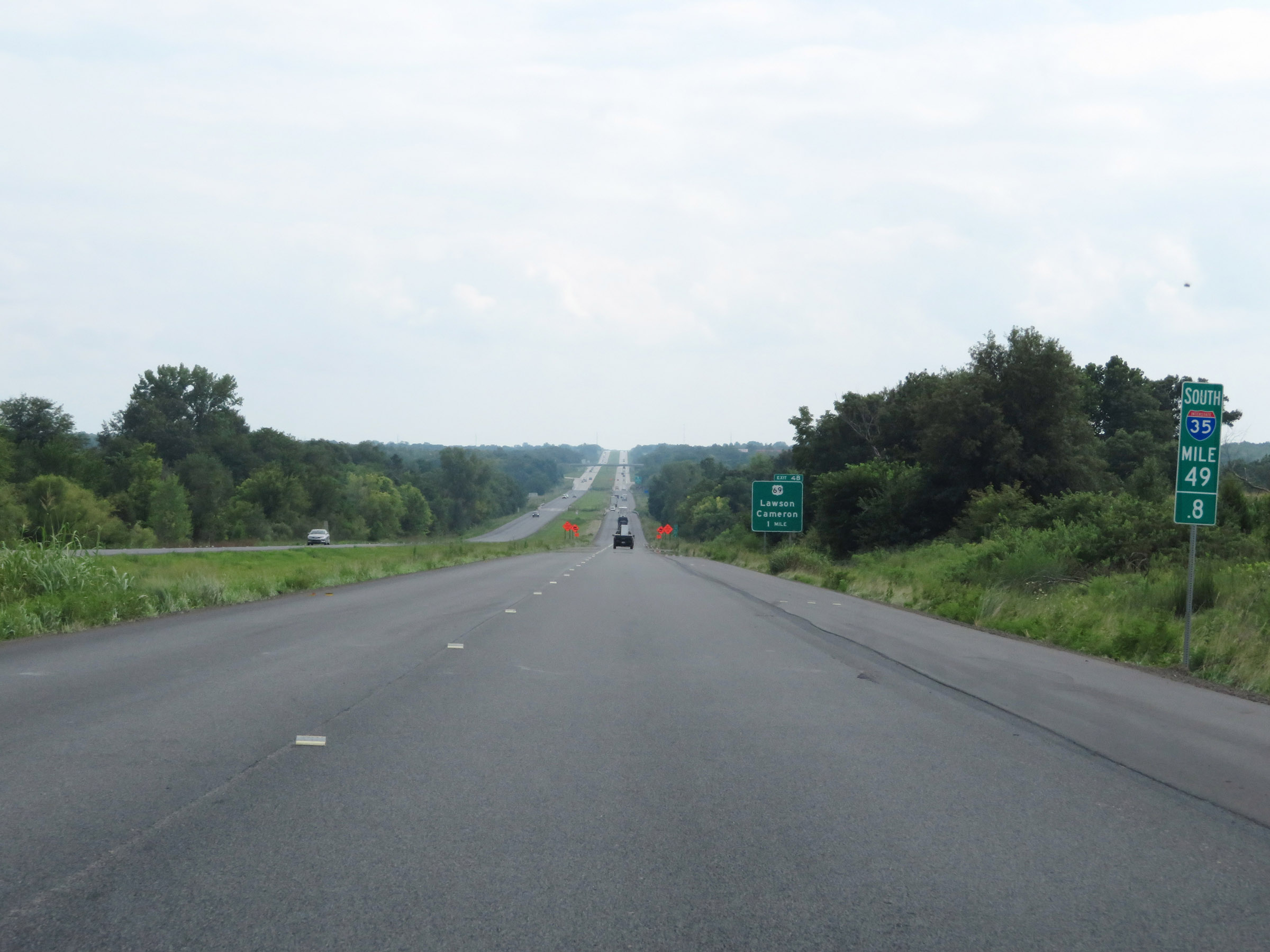 |
View on Interstate 35 South at mile marker 49.8. (Photo taken 8/8/20). |
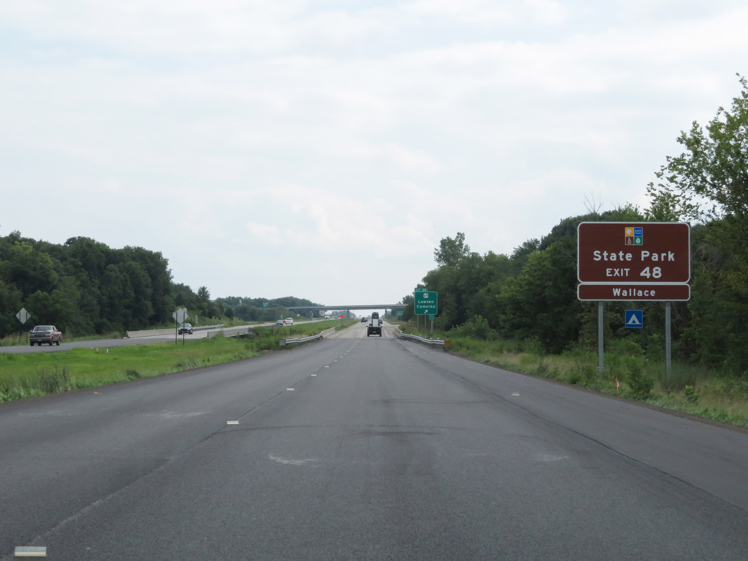 |
Take Exit 48 to Wallace State Park. (Photo taken 8/8/20). |
 |
Interstate 35 South at Exit 48: US 69 - Lawson / Cameron (Photo taken 8/8/20). |
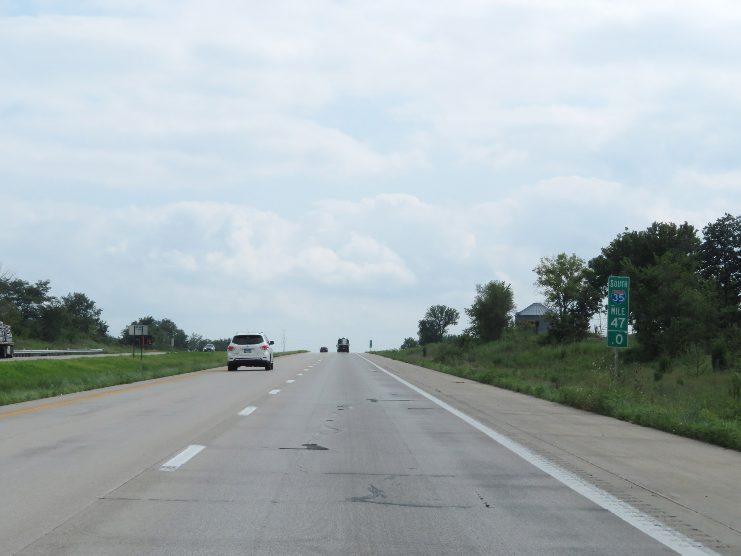 |
View on Interstate 35 South at mile marker 47. (Photo taken 8/8/20). |
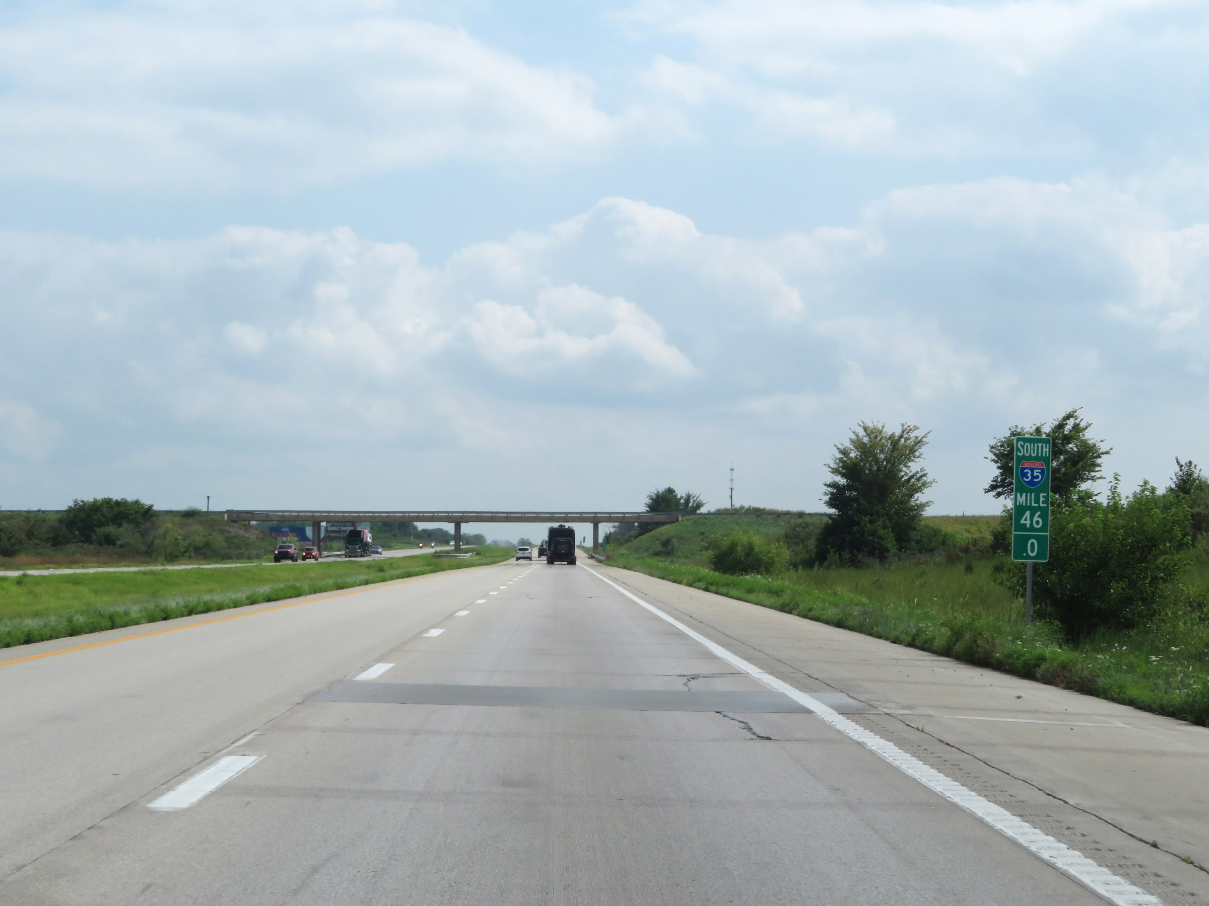 |
Interstate 35 South at mile marker 46. (Photo taken 8/8/20). |
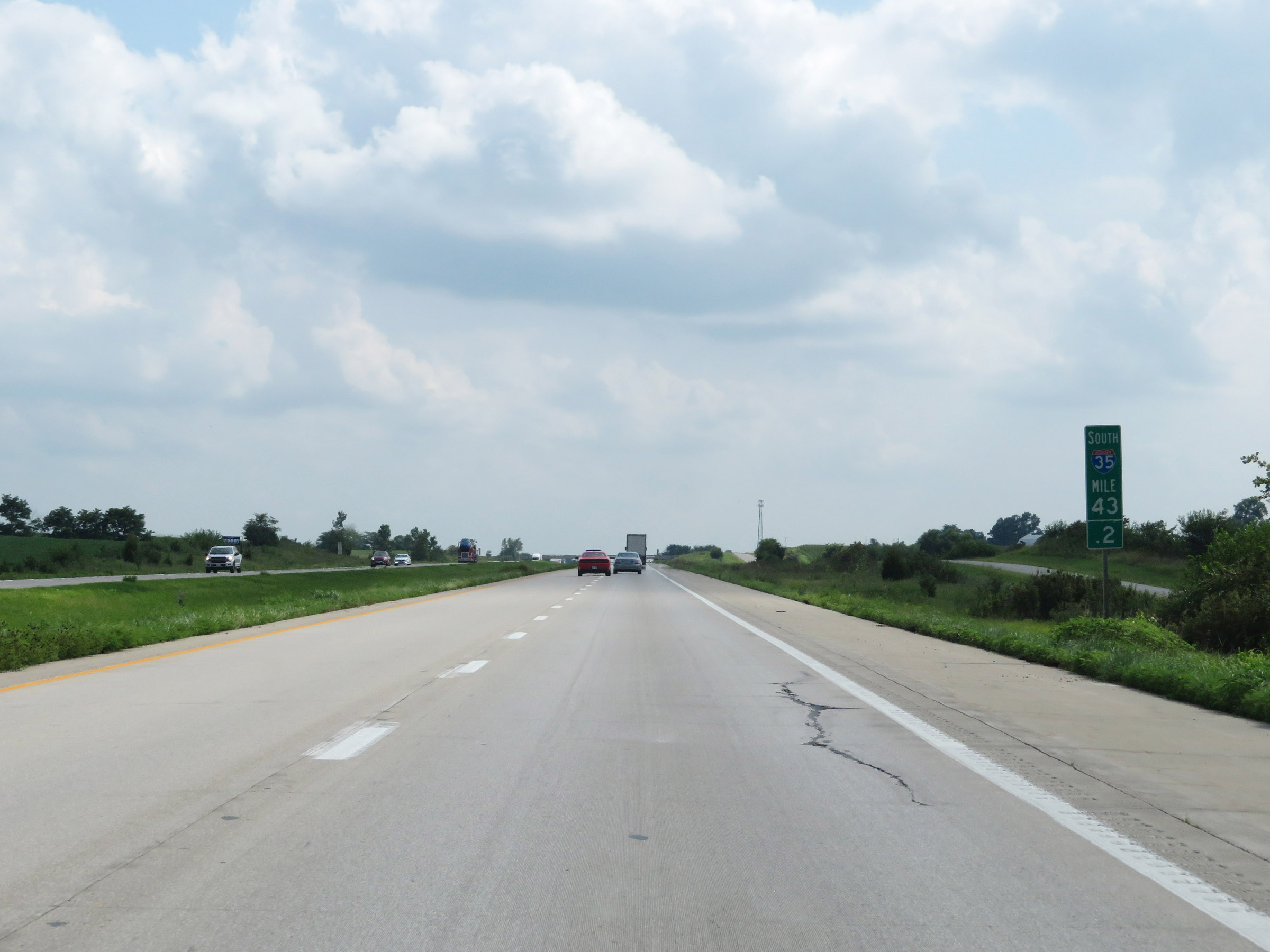 |
Mile marker 43.2 on Interstate 35 South in Clinton County. (Photo taken 8/8/20). |
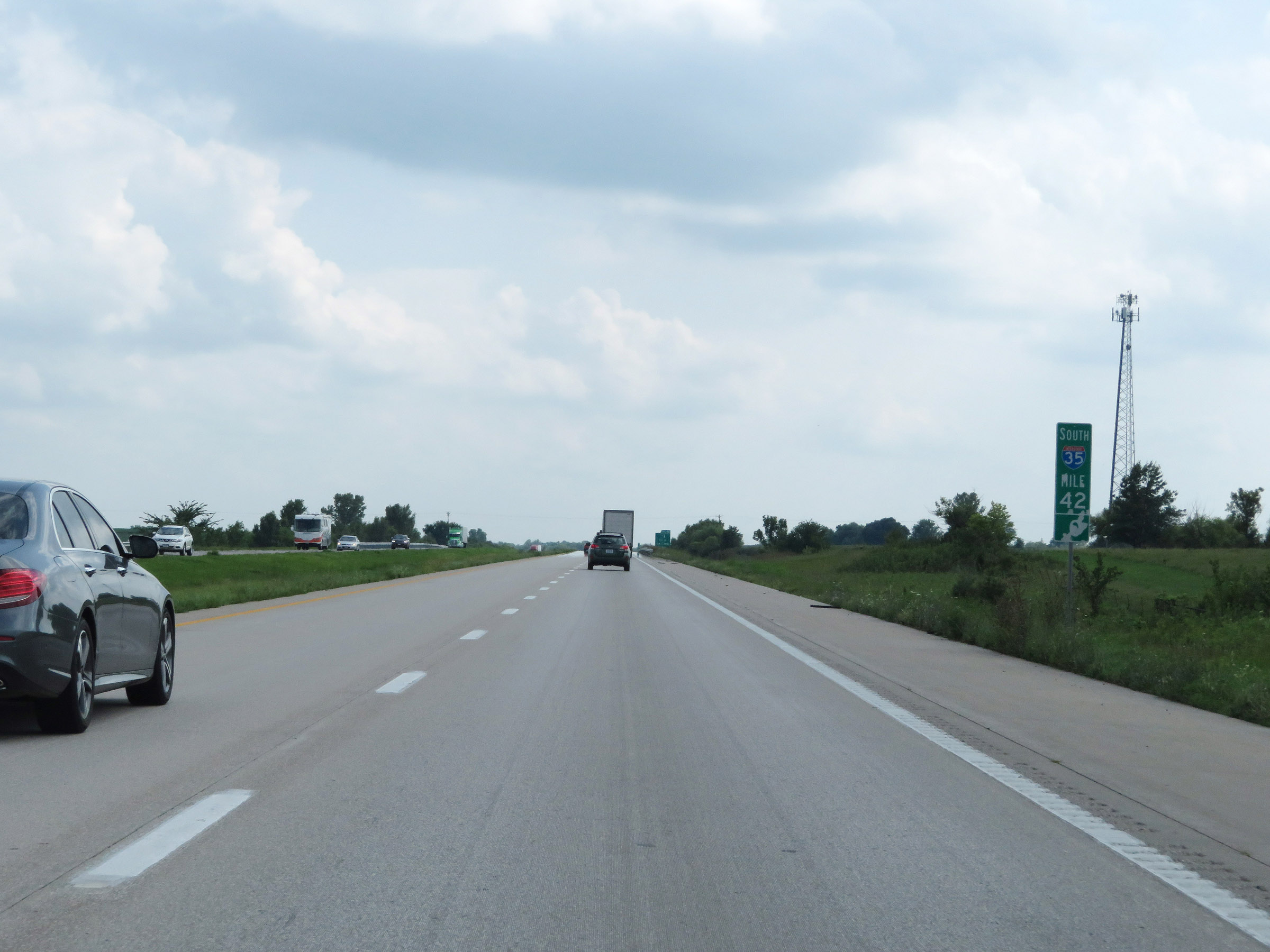 |
View on Interstate 35 South at mile marker 42. (Photo taken 8/8/20). |
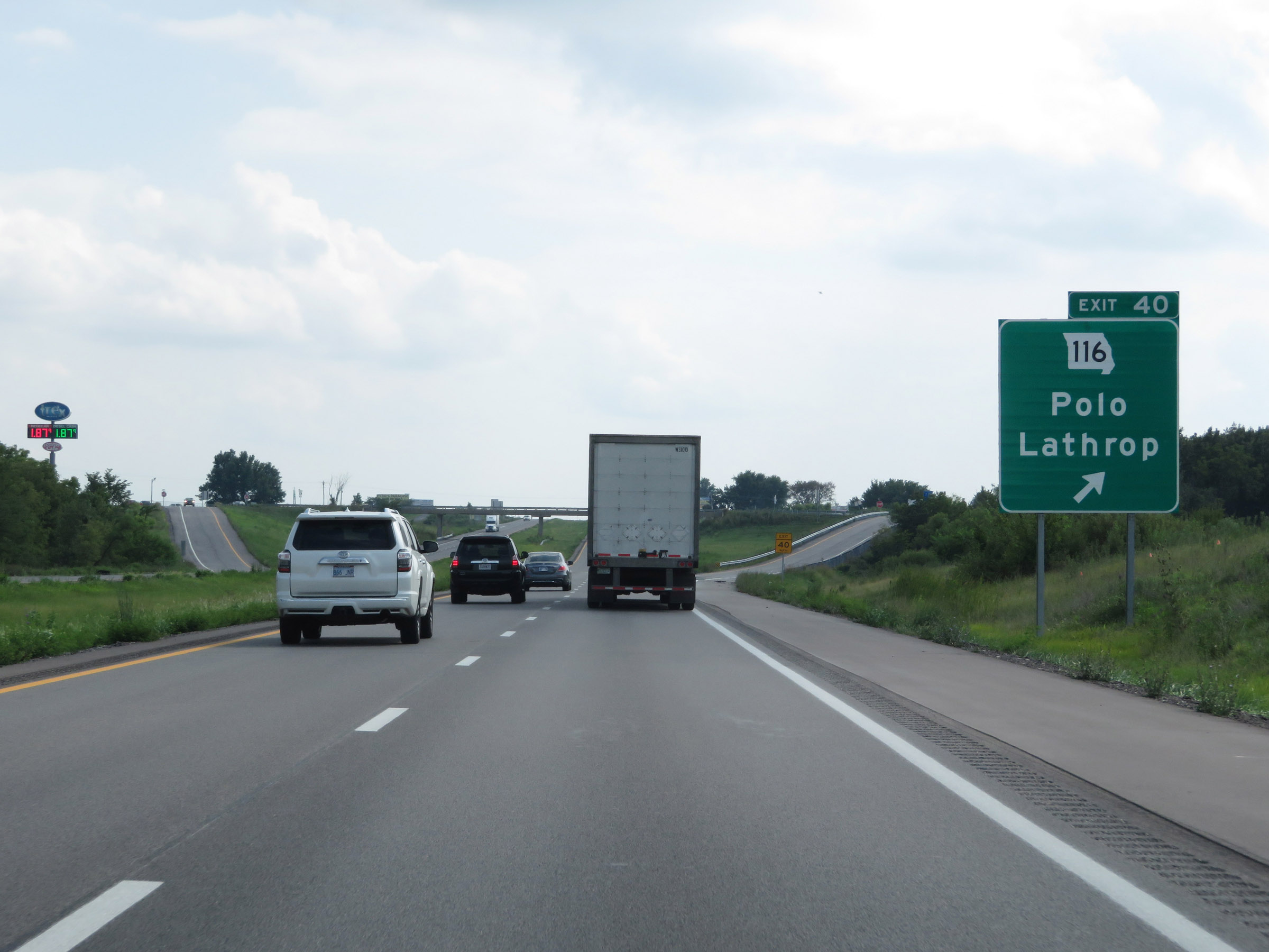 |
Interstate 35 South at Exit 40: MO 116 - Polo / Lathrop (Photo taken 8/8/20). |
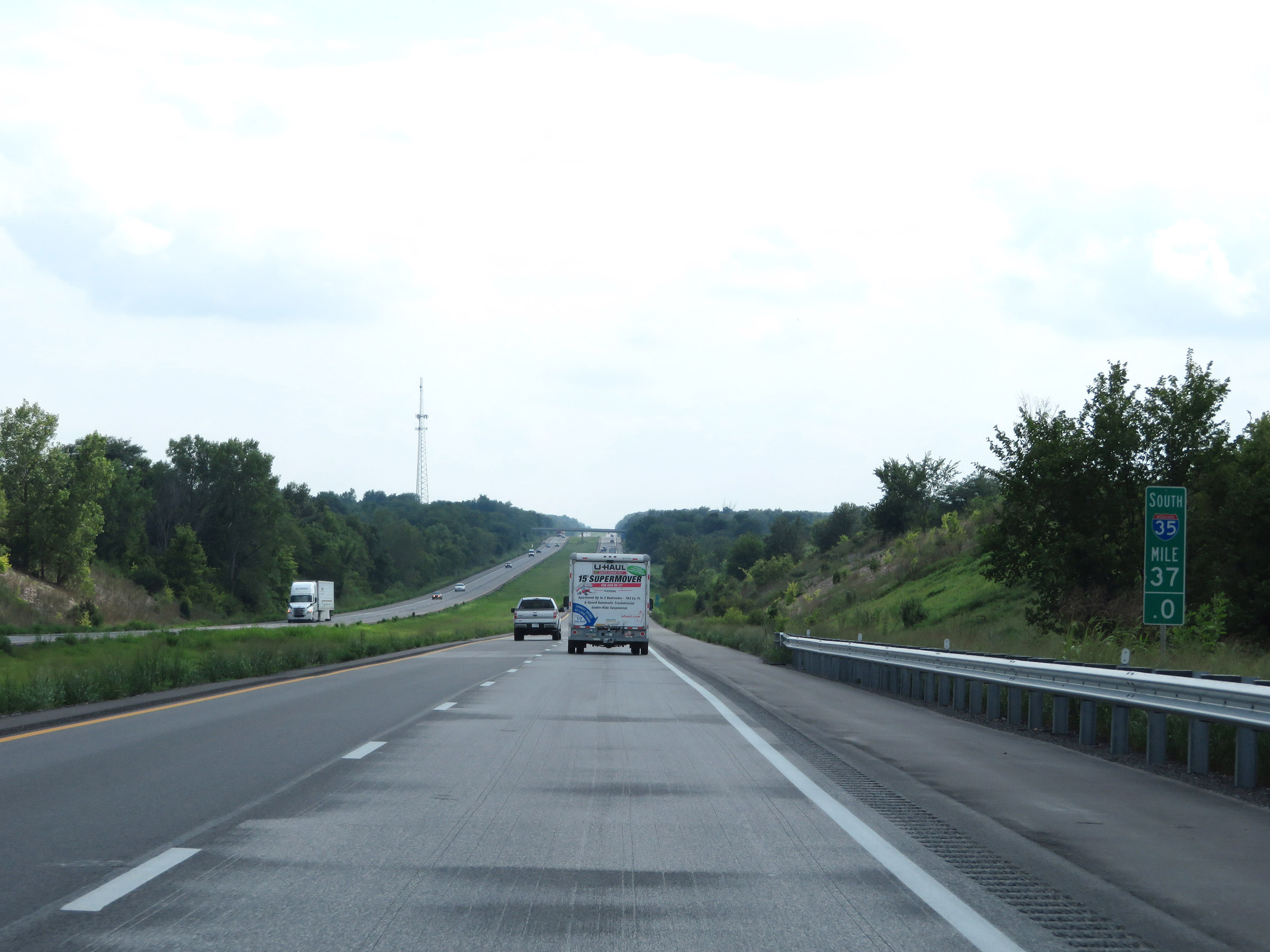 |
Interstate 35 South at mile marker 37. (Photo taken 8/8/20). |
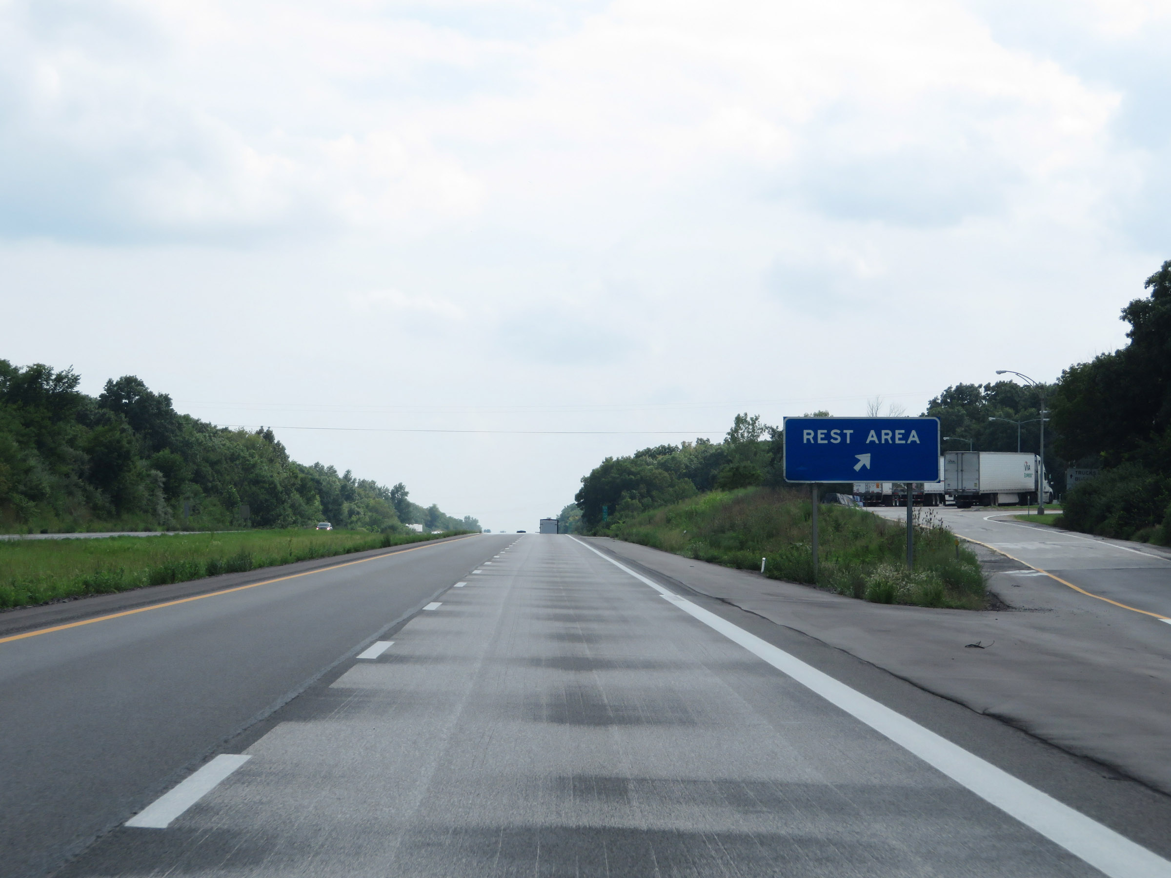 |
Rest Area on Interstate 35 South in Clinton County. (Photo taken 8/8/20). |
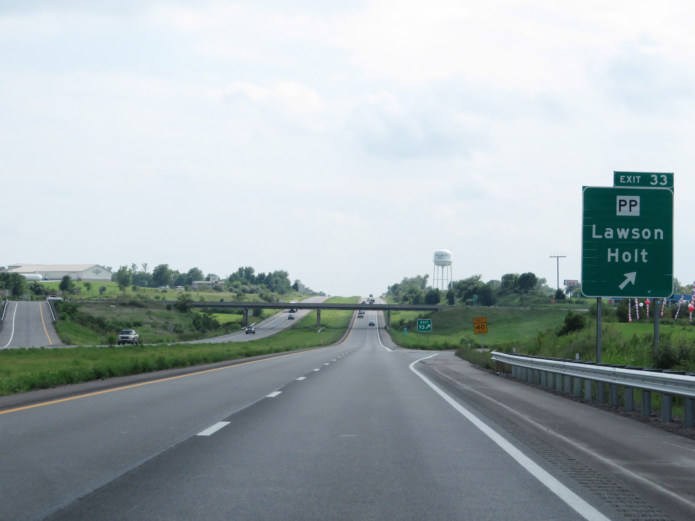 |
Interstate 35 South at Exit 33: Route PP - Lawson / Holt (Photo taken 8/8/20). |
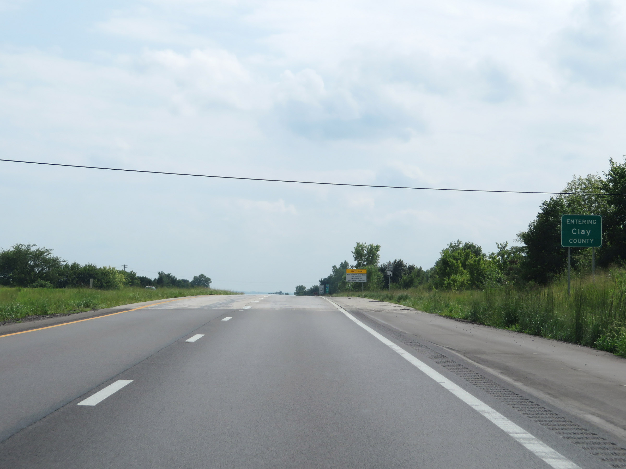 |
Interstate 35 South as it enters Clay County. (Photo taken 8/8/20). |
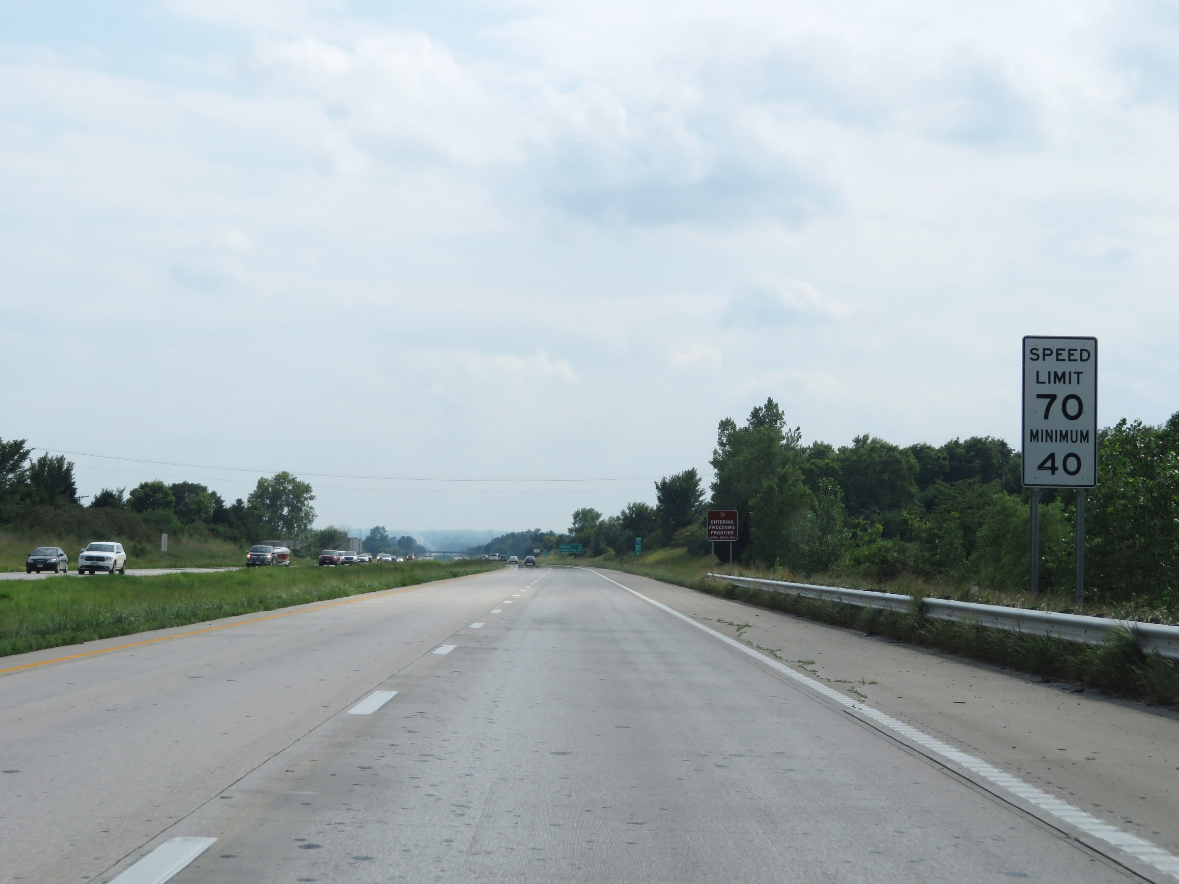 |
The speed limits remain 70 mph maximum and 40 mph minimum. (Photo taken 8/8/20). |
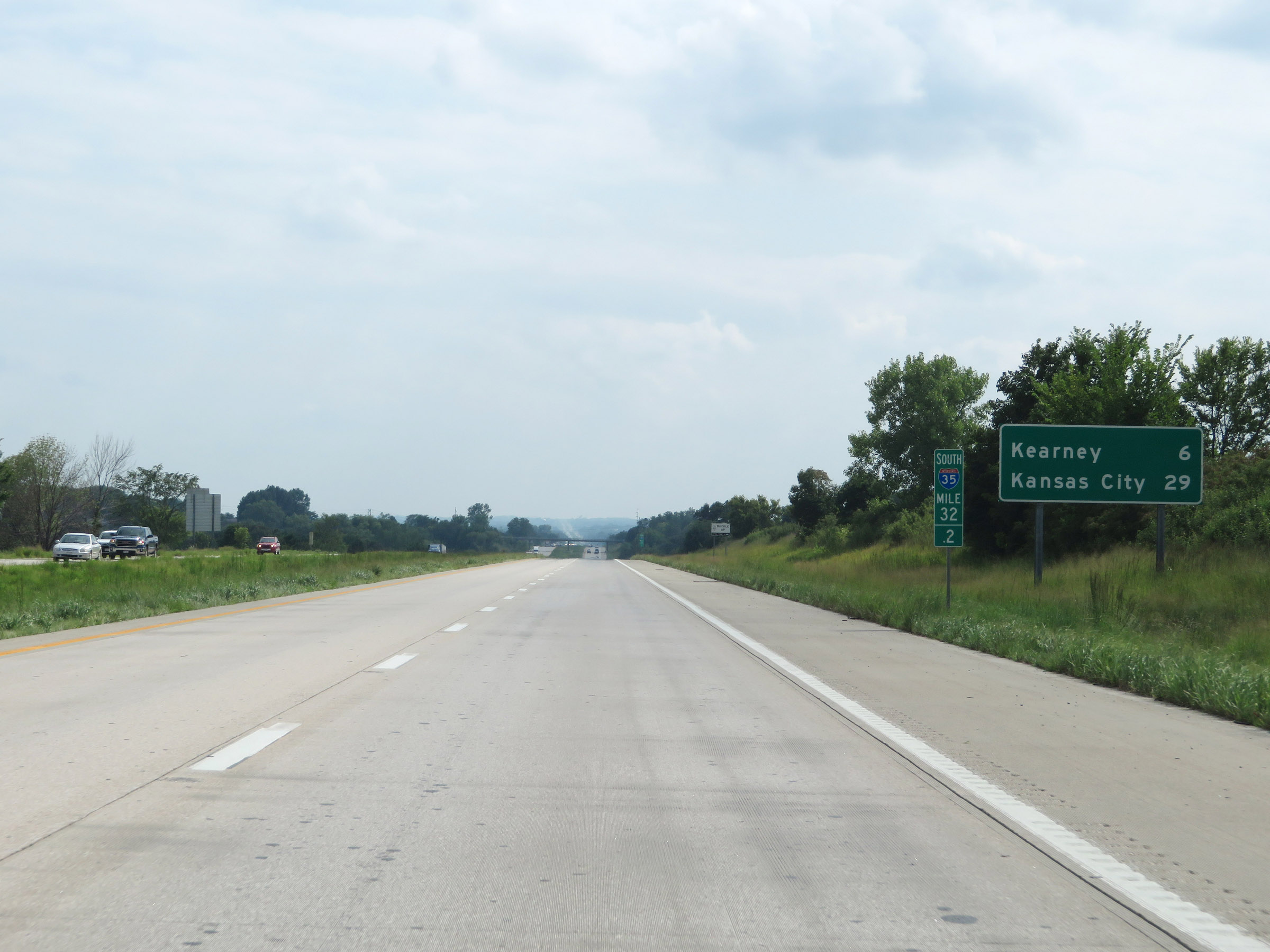 |
Mileage sign at mile marker 32.2. It's 6 miles to Kearney and 29 miles to Kansas City. (Photo taken 8/8/20). |
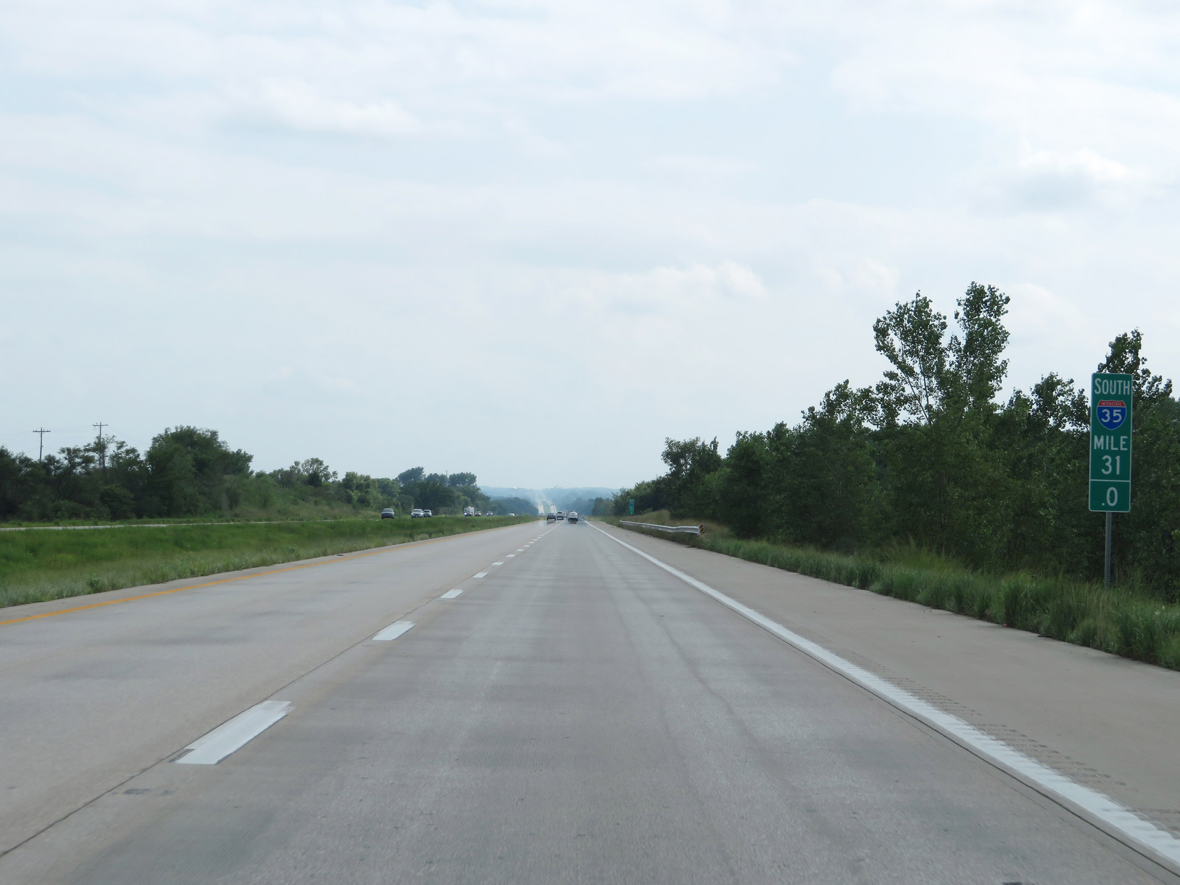 |
View on Interstate 35 South at mile marker 31. (Photo taken 8/8/20). |
 |
Interstate 35 South at mile marker 30. (Photo taken 8/8/20). |
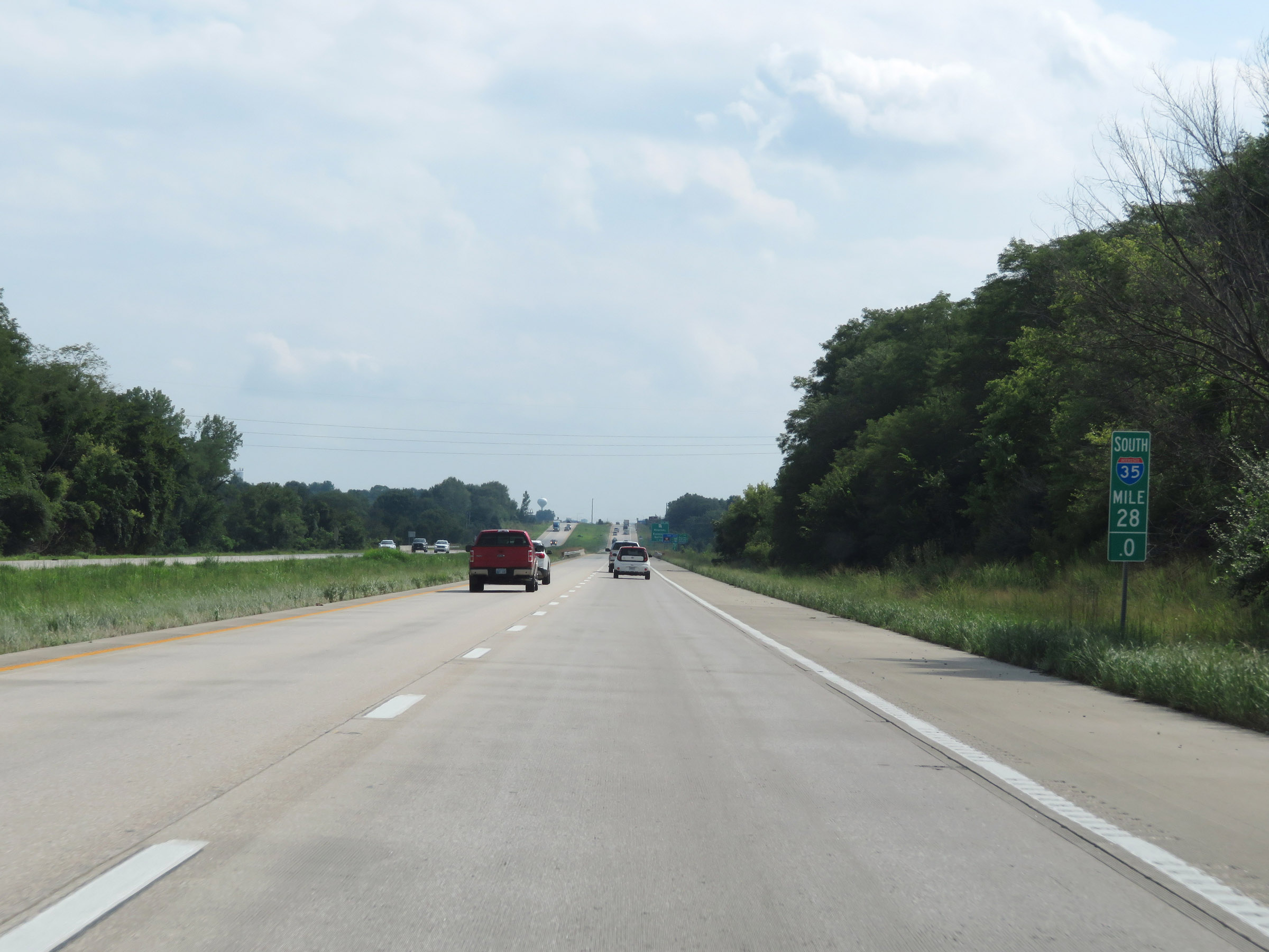 |
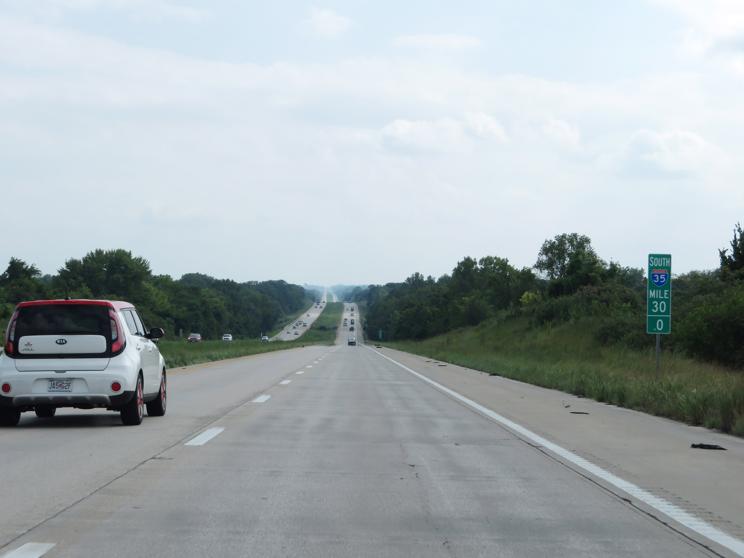
Mile marker 28 on Interstate 35 South in Clay County. (Photo taken 8/8/20). |
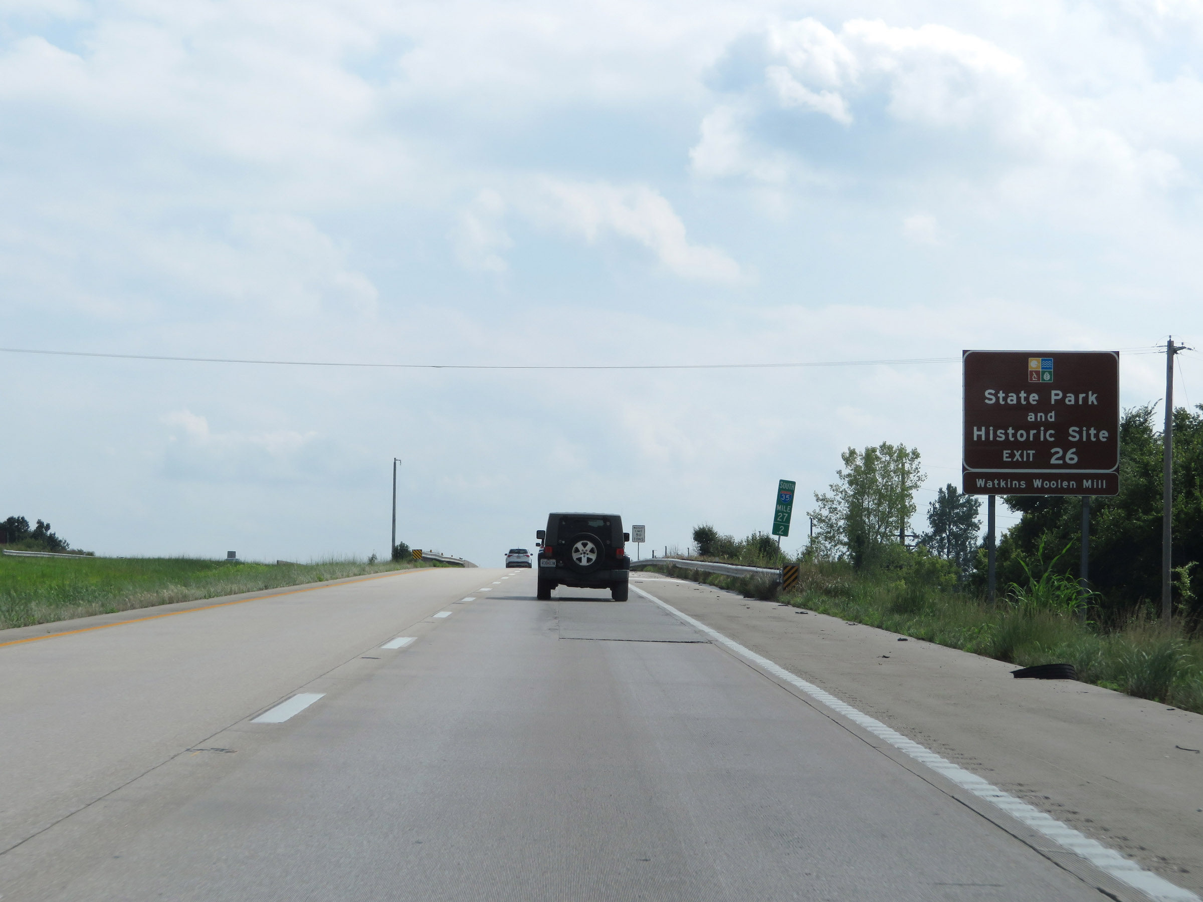 |
Take Exit 26 to Watkins Woolen Mill State Park and Historic Site. (Photo taken 8/8/20). |
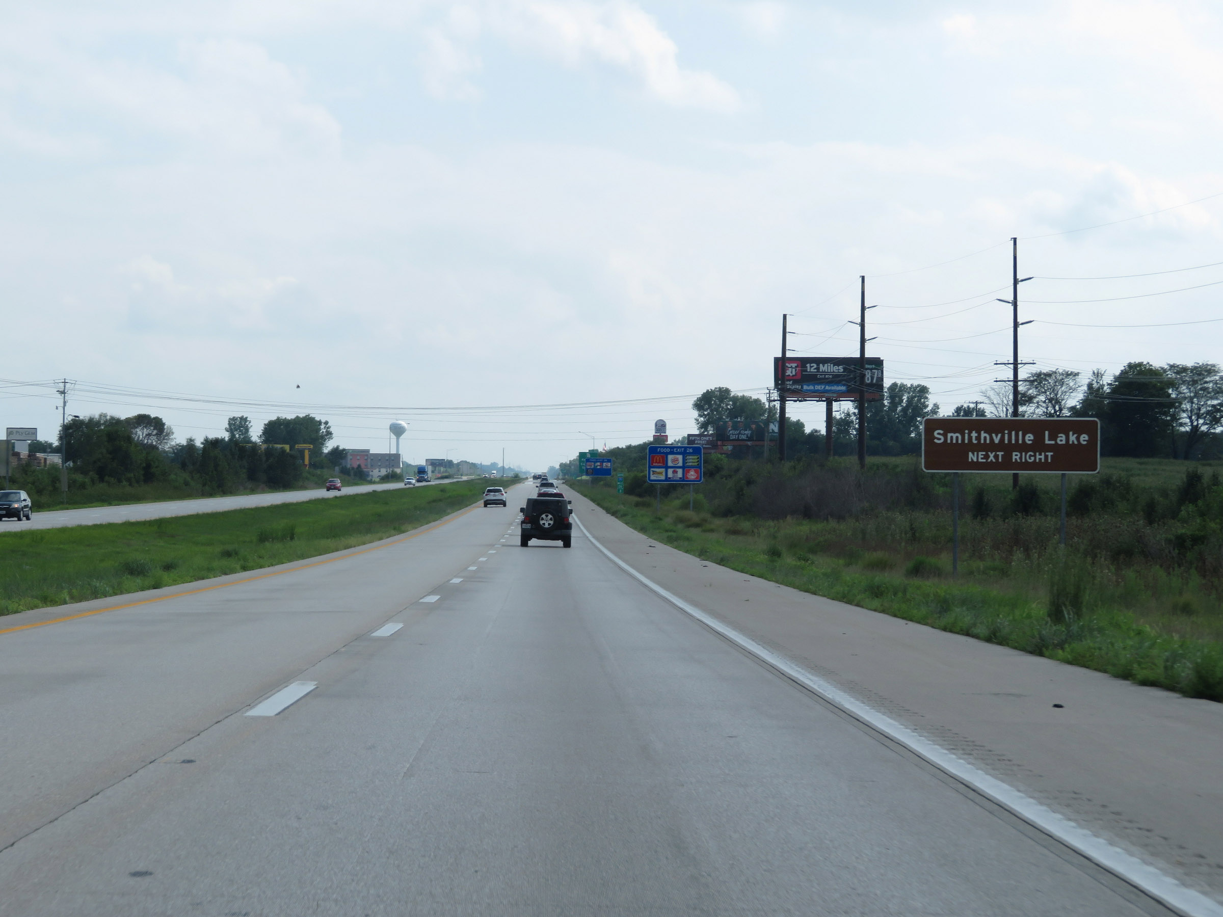 |
Also take Exit 26 to Smithville Lake. (Photo taken 8/8/20). |
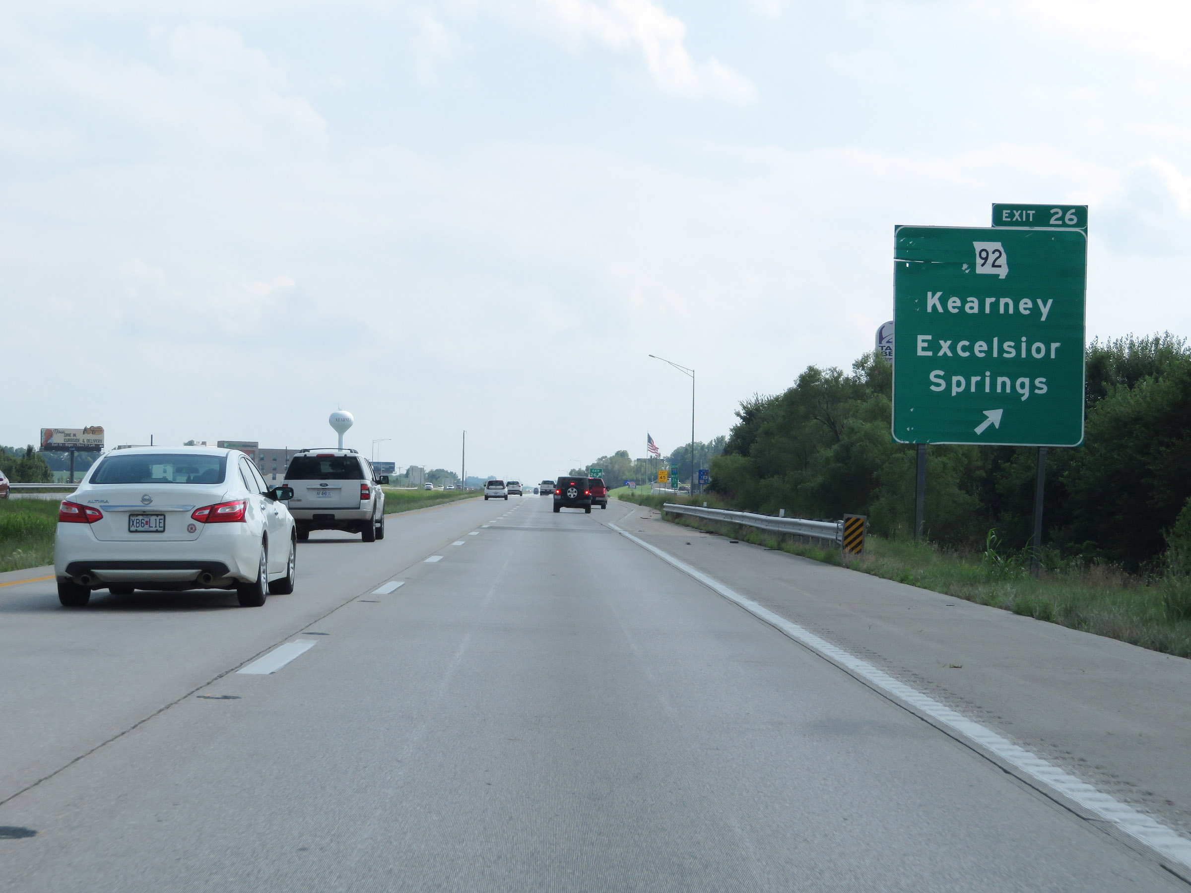 |
Interstate 35 South at Exit 26: MO 92 - Kearney / Excelsior Springs (Photo taken 8/8/20). |
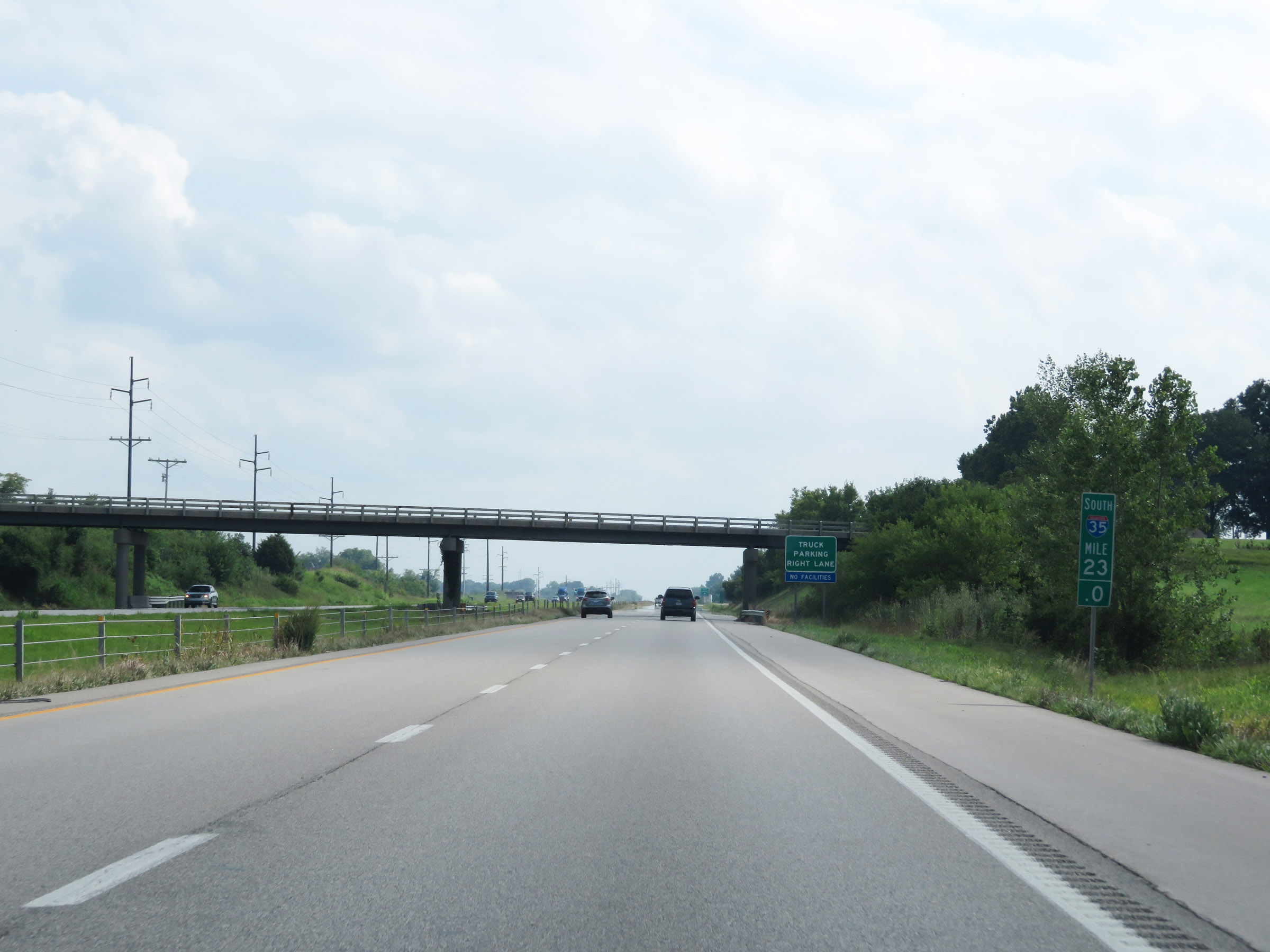 |
View on Interstate 35 South at mile marker 23. (Photo taken 8/8/20). |
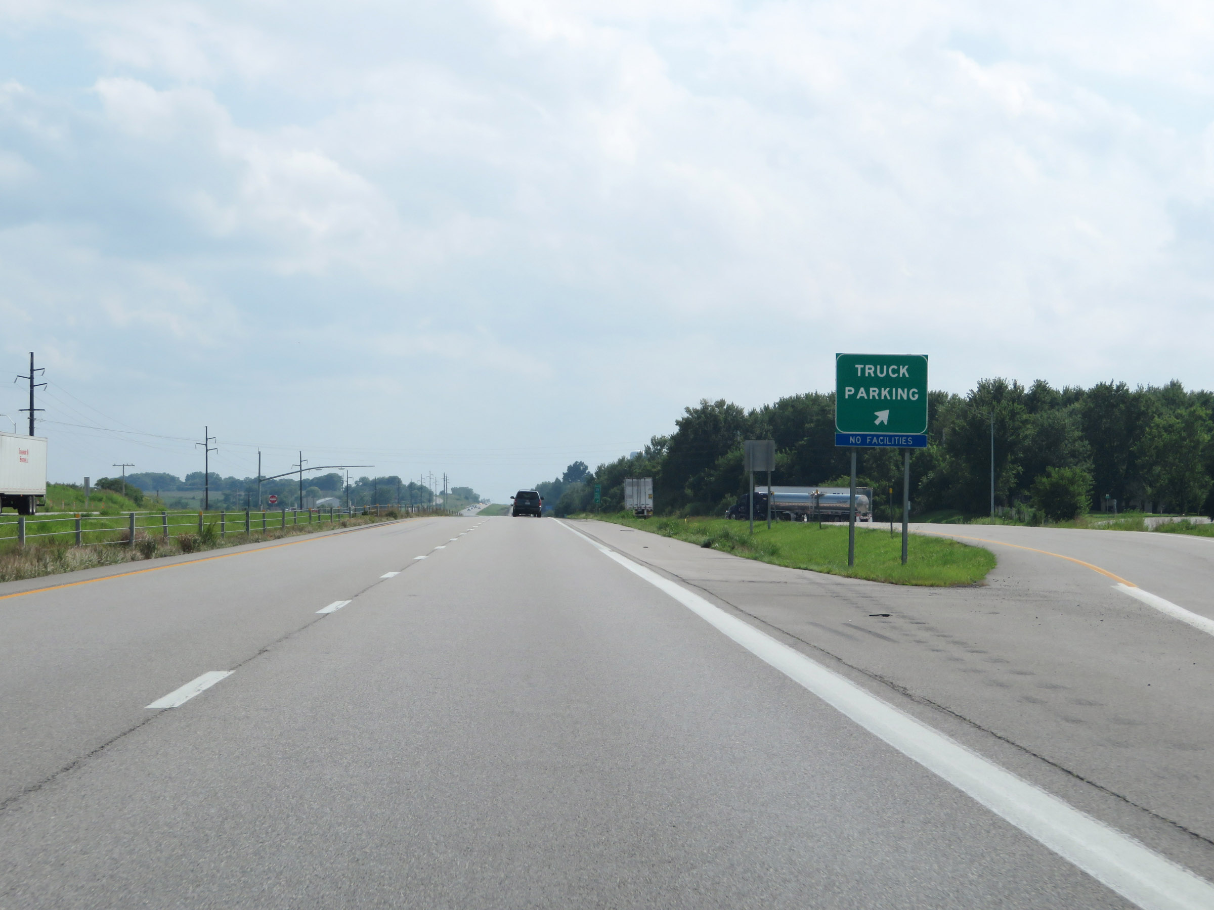 |
Truck Parking Area on Interstate 35 South in Clay County. (Photo taken 8/8/20). |
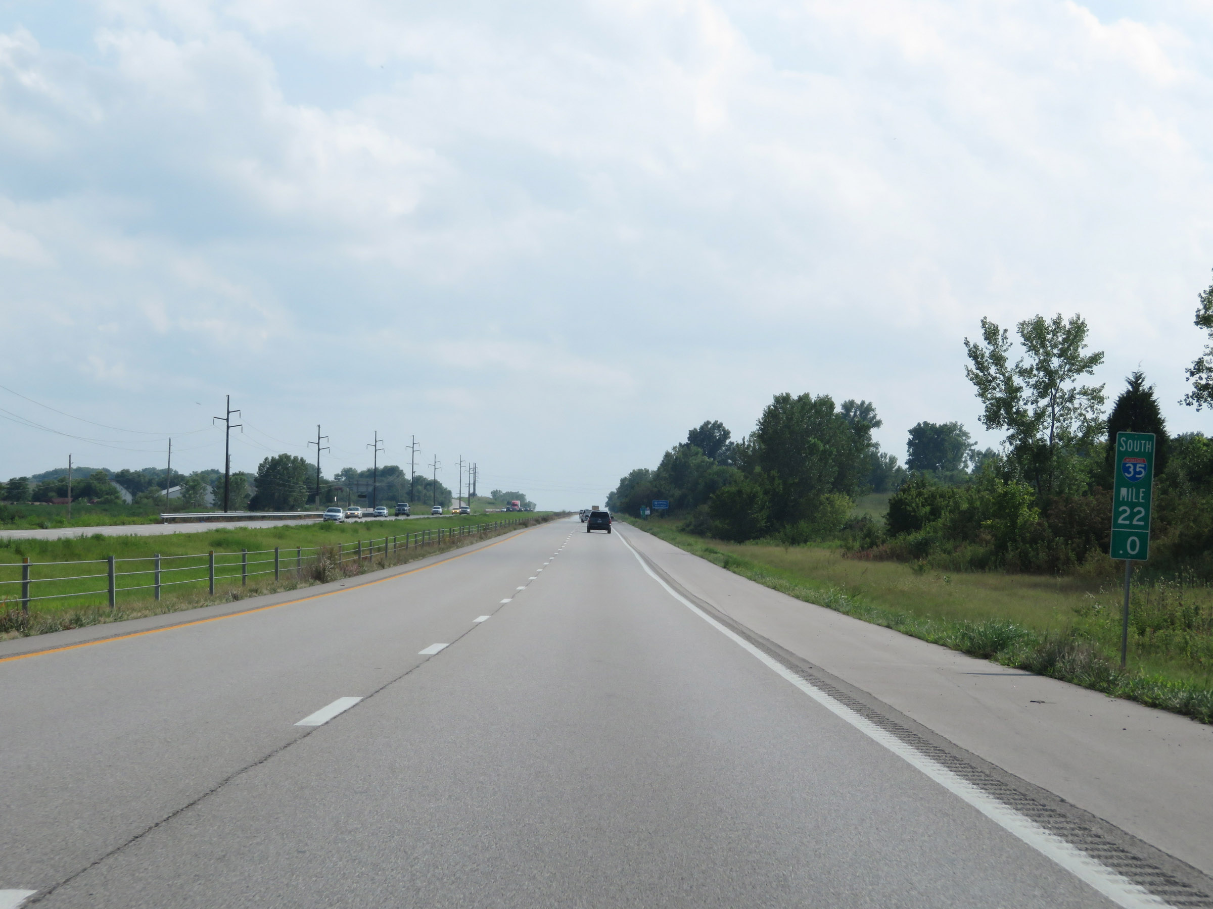 |
Interstate 35 South at mile marker 22. (Photo taken 8/8/20). |
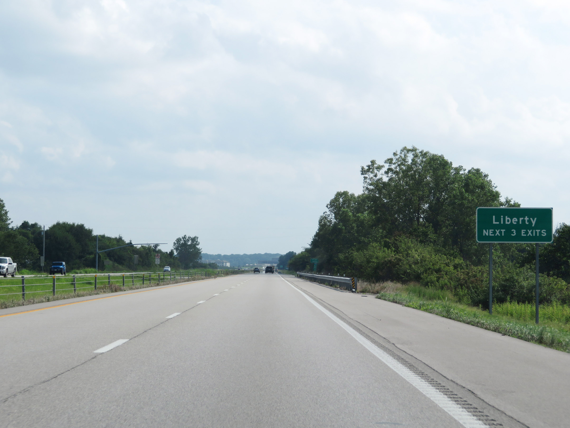 |
Take any of the next 3 exits to Liberty. (Photo taken 8/8/20). |
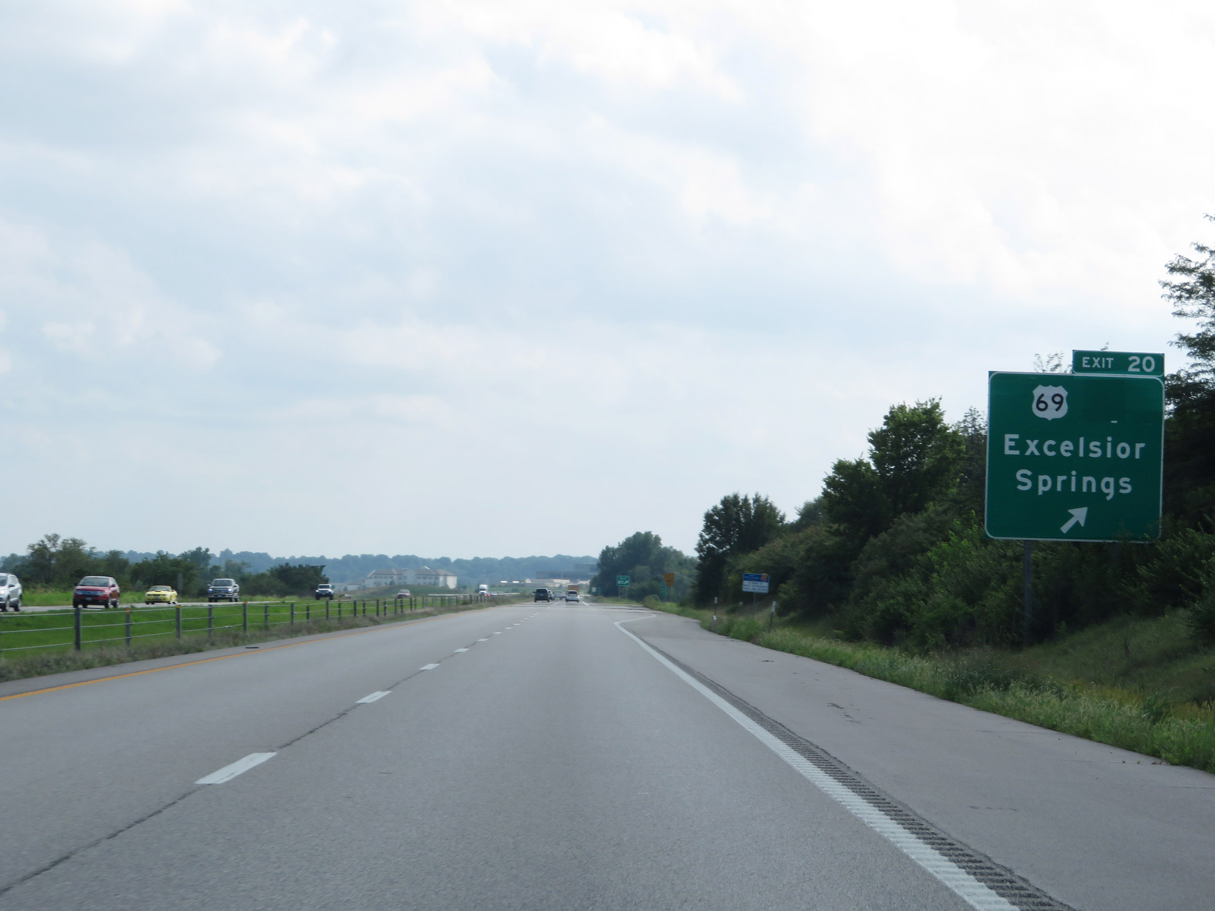 |
Interstate 35 South at Exit 20: US 69 - Excelsior Springs (Photo taken 8/8/20). |
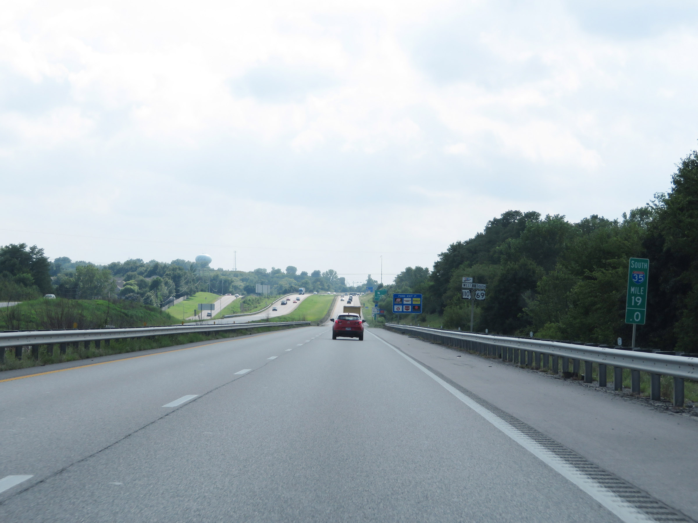 |
View on Interstate 35 South at mile marker 19. (Photo taken 8/8/20). |
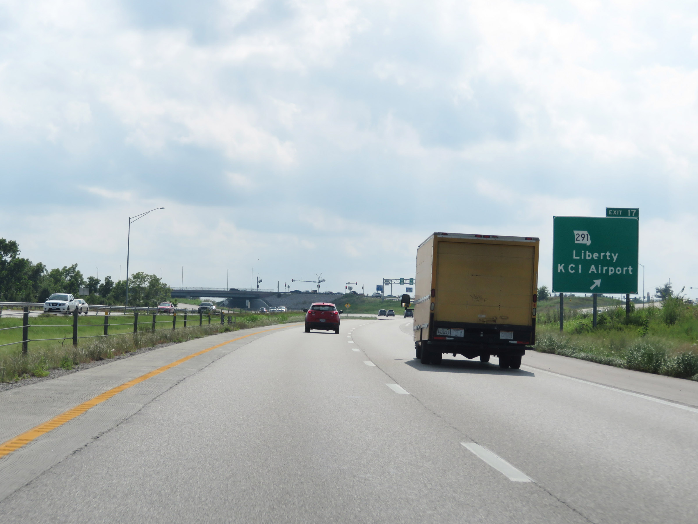 |
Interstate 35 South at Exit 17: MO 291 - Liberty / Kansas City International Airport (Photo taken 8/8/20). |
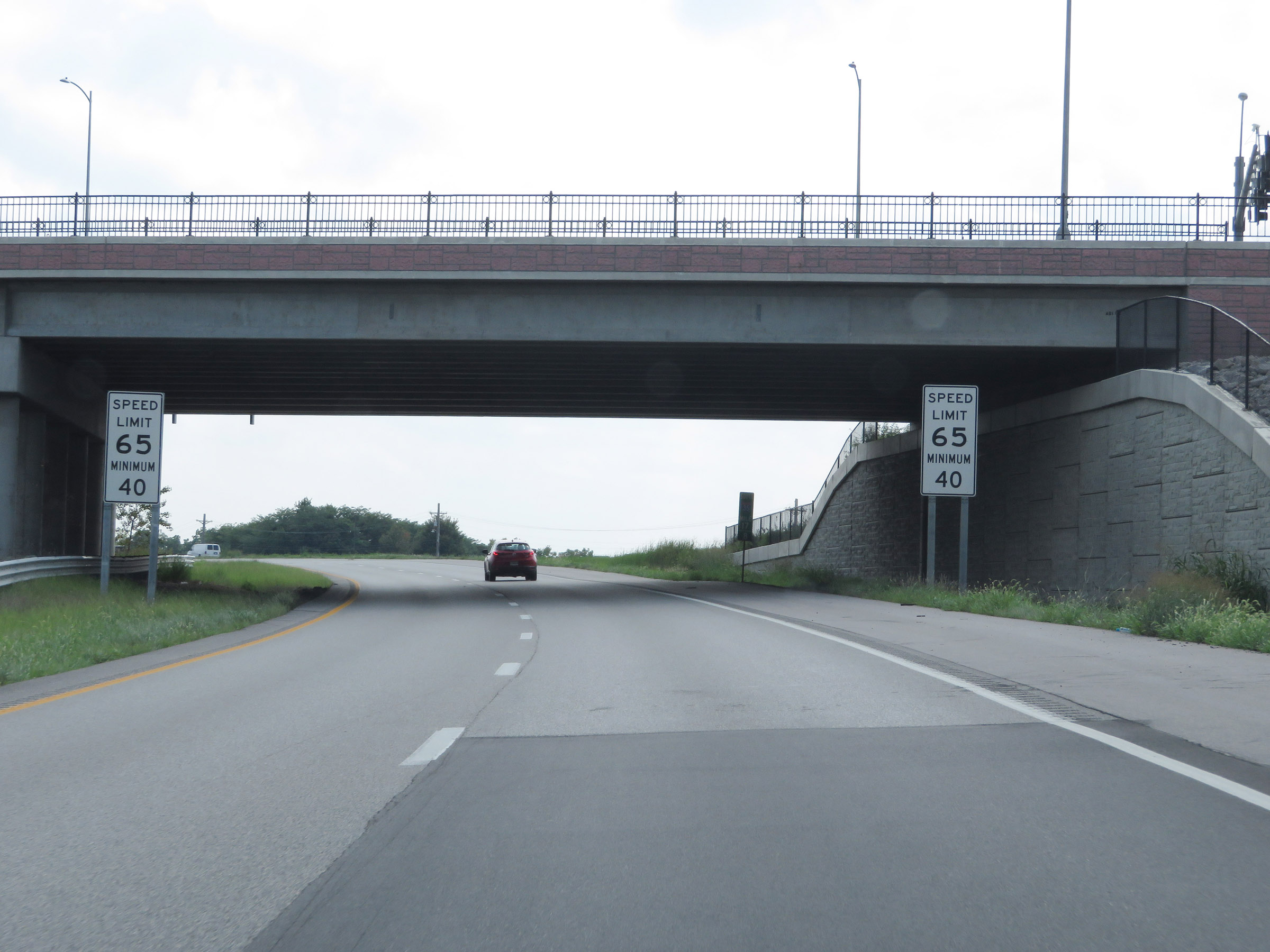 |
South of Exit 17, the maximum speed limit decreases to 65 mph. The minimum remain 40 mph as usual. (Photo taken 8/8/20). |
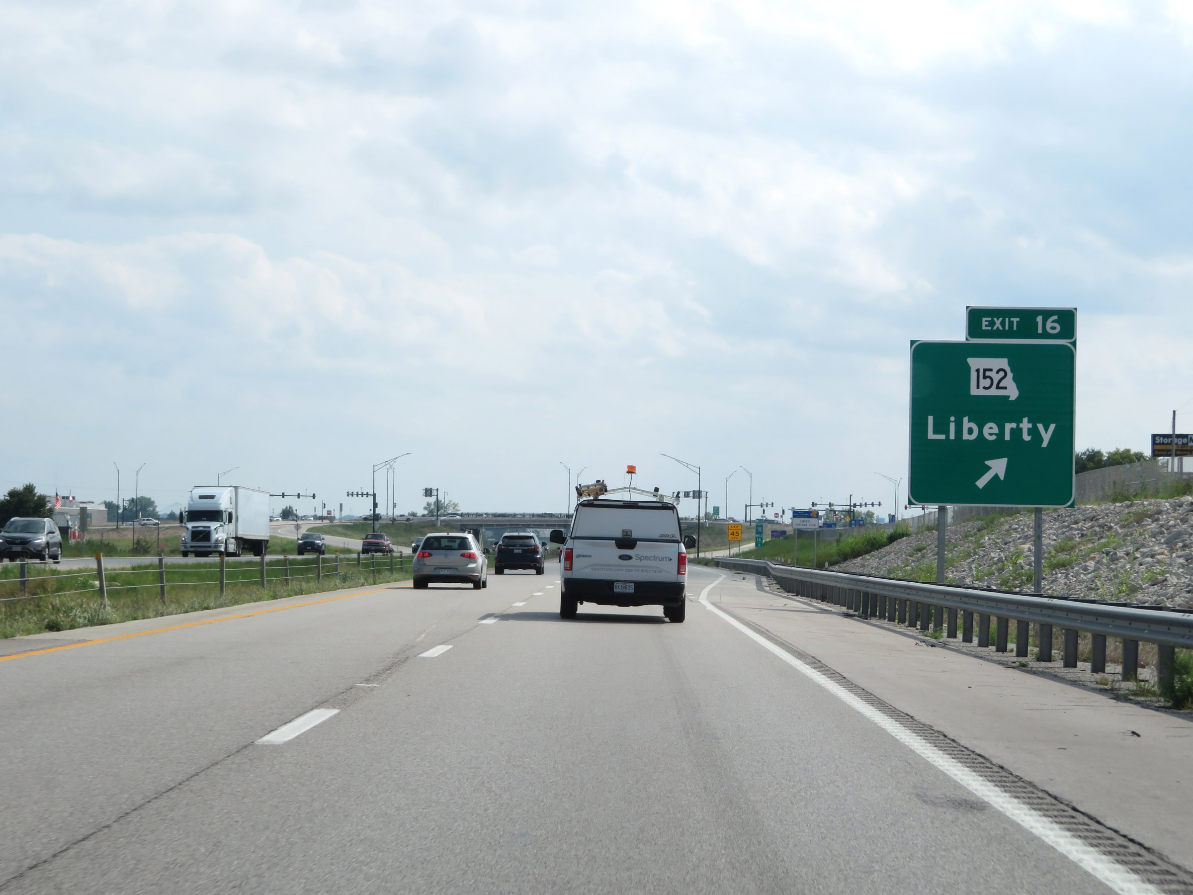 |
Interstate 35 South at Exit 16: MO 152 - Liberty (Photo taken 8/8/20). |
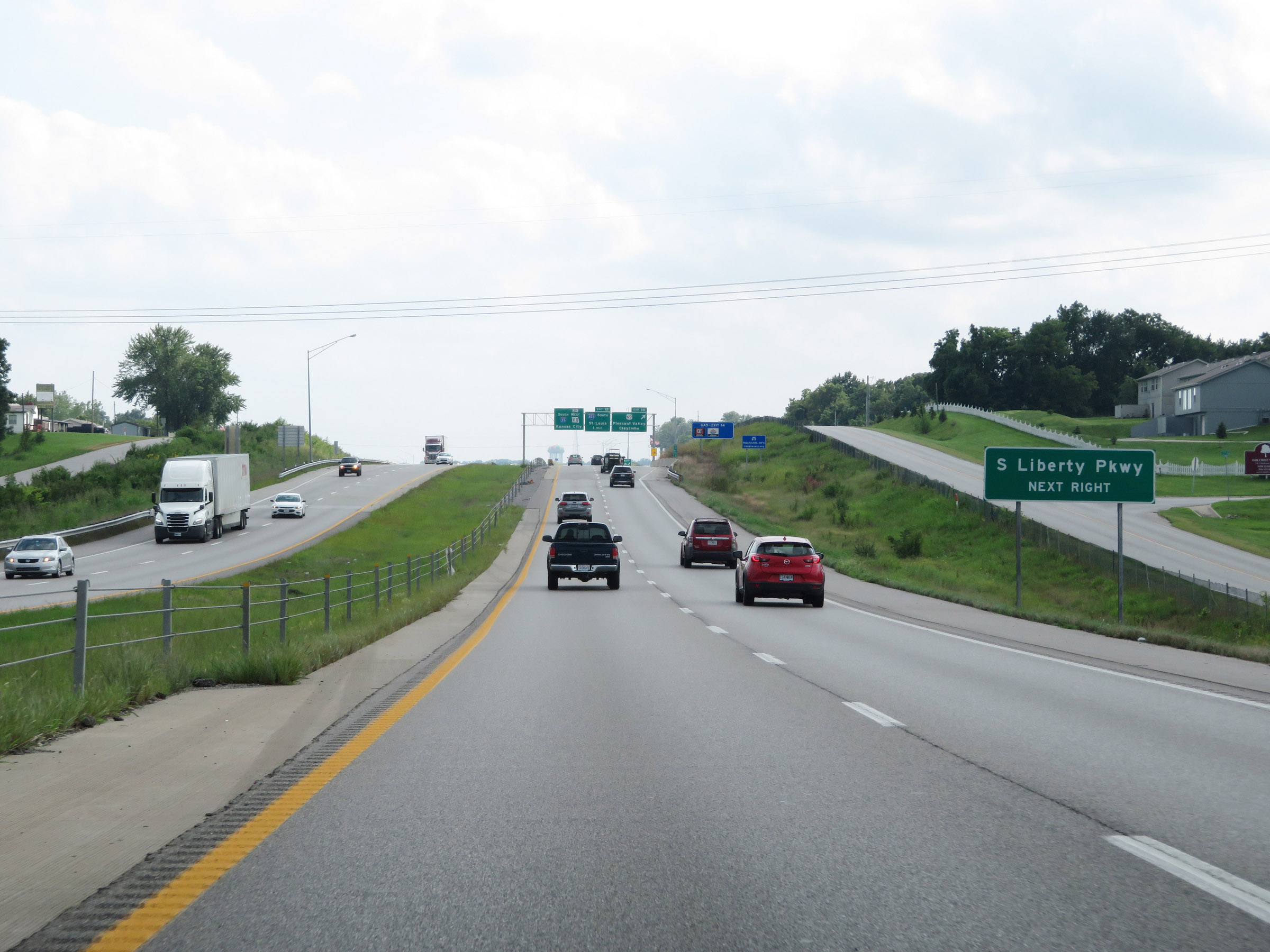 |
Take Exit 14 to S Liberty Pkwy. (Photo taken 8/8/20). |
 |
Interstate 35 South at Exit 14: US 69 - Pleasant Valley / Claycomo (Photo taken 8/8/20). |
 |
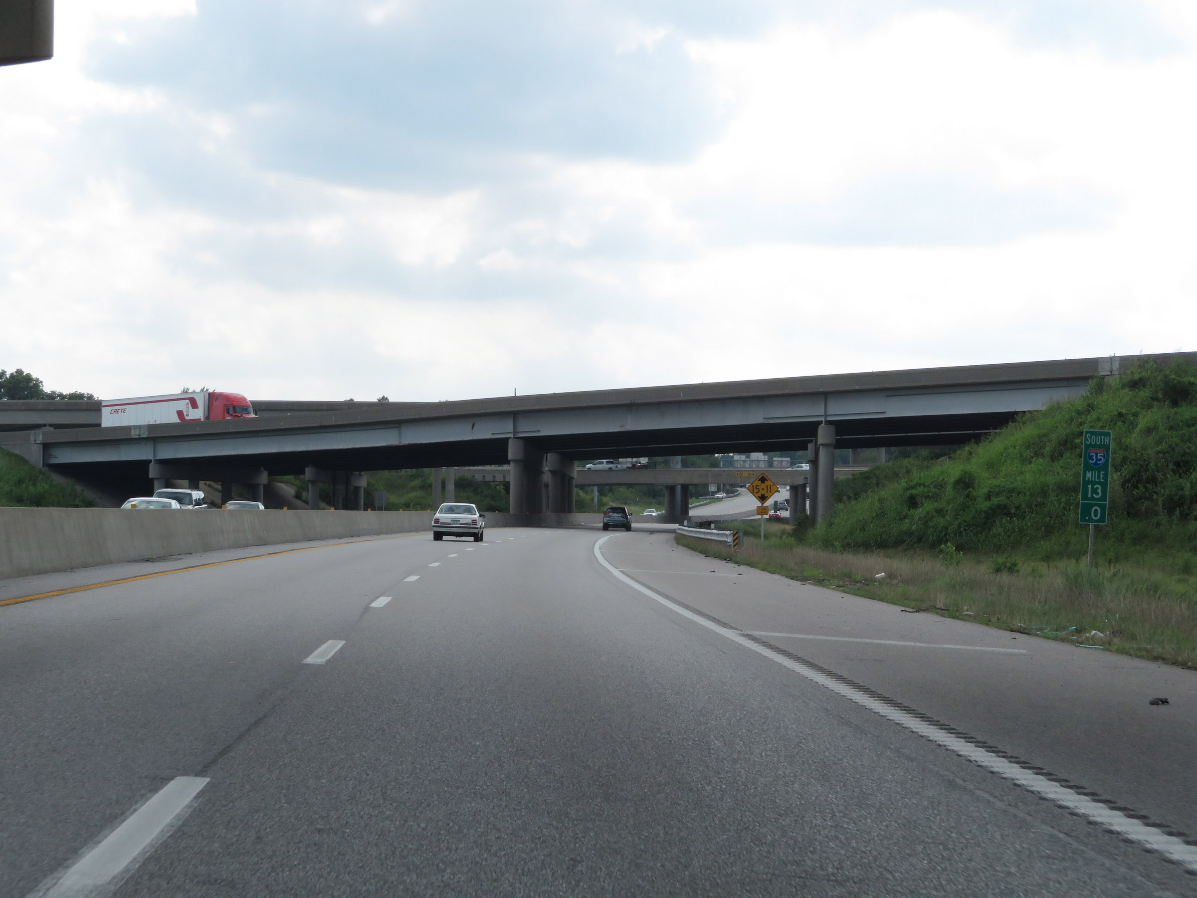
View on Interstate 35 South at mile marker 14. (Photo taken 8/8/20). |
 |
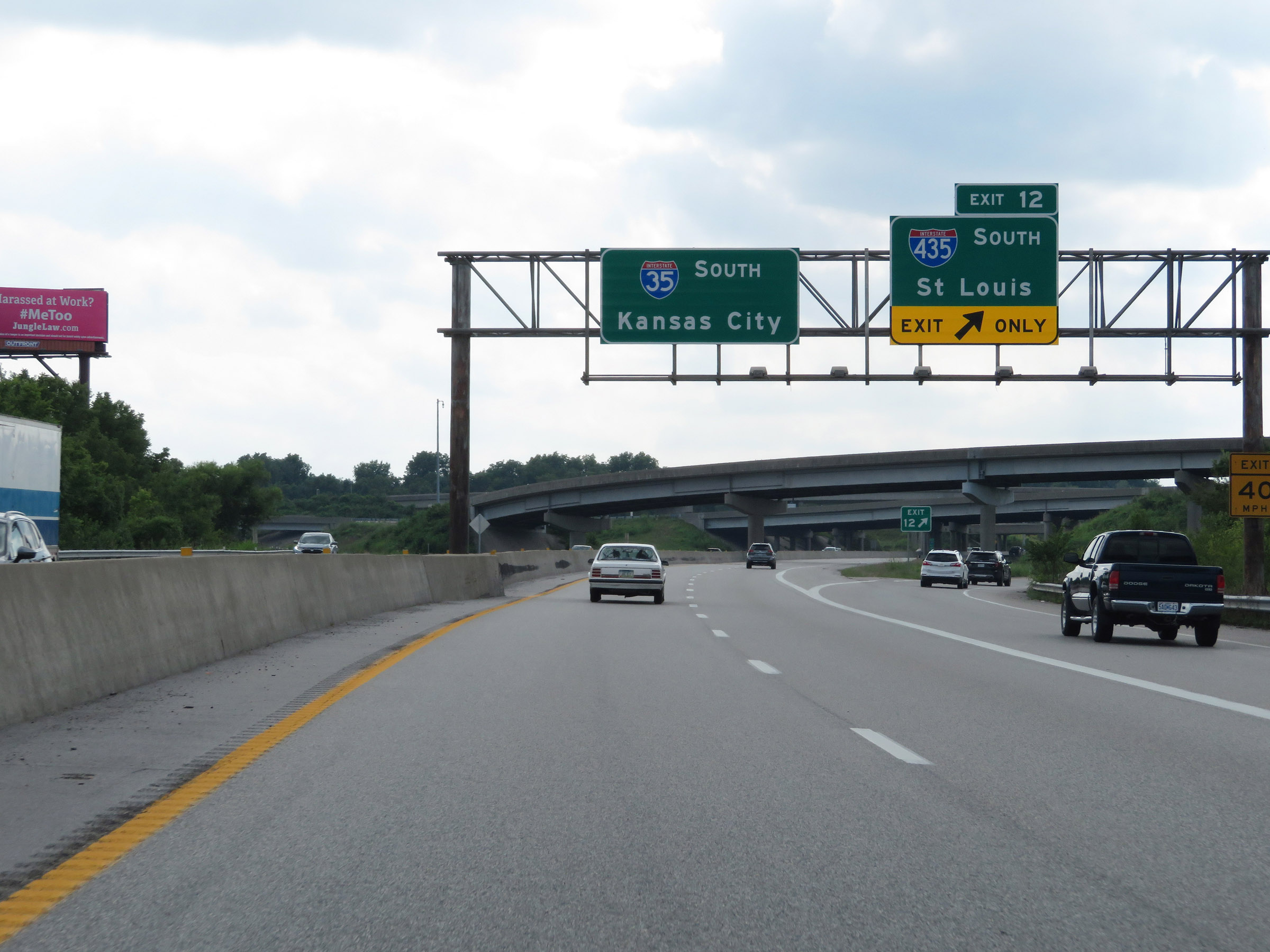
Interstate 35 South approaching Exit 12. The rightmost lane of I-35 South becomes an exit only lane for Exit 12. (Photo taken 8/8/20). |
 |
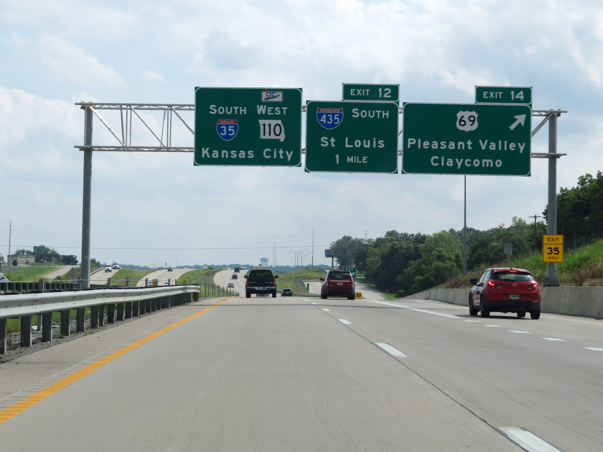
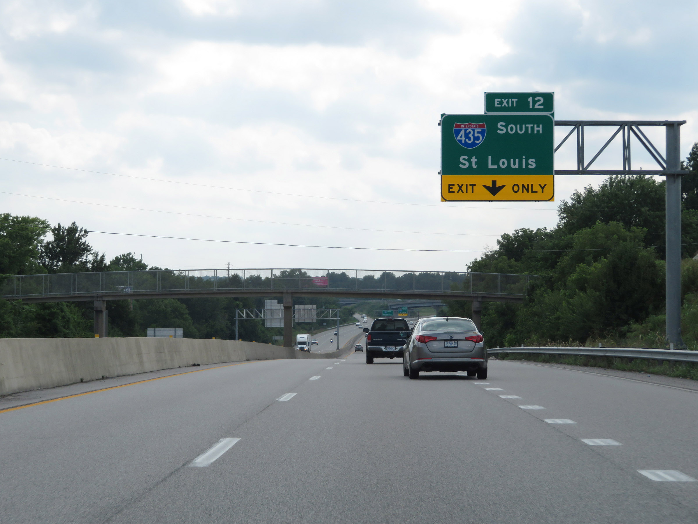
Interstate 35 South at Exit 12: Interstate 435 South - St Louis (Photo taken 8/8/20). |
 |
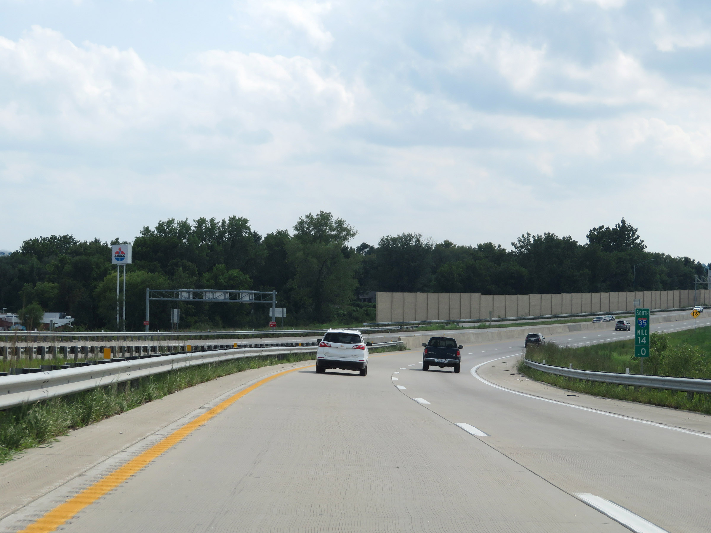
View on Interstate 35 South at mile marker 13. (Photo taken 8/8/20). |
 |
Interstate 35 South at mile marker 12.2. (Photo taken 8/8/20). |
 |
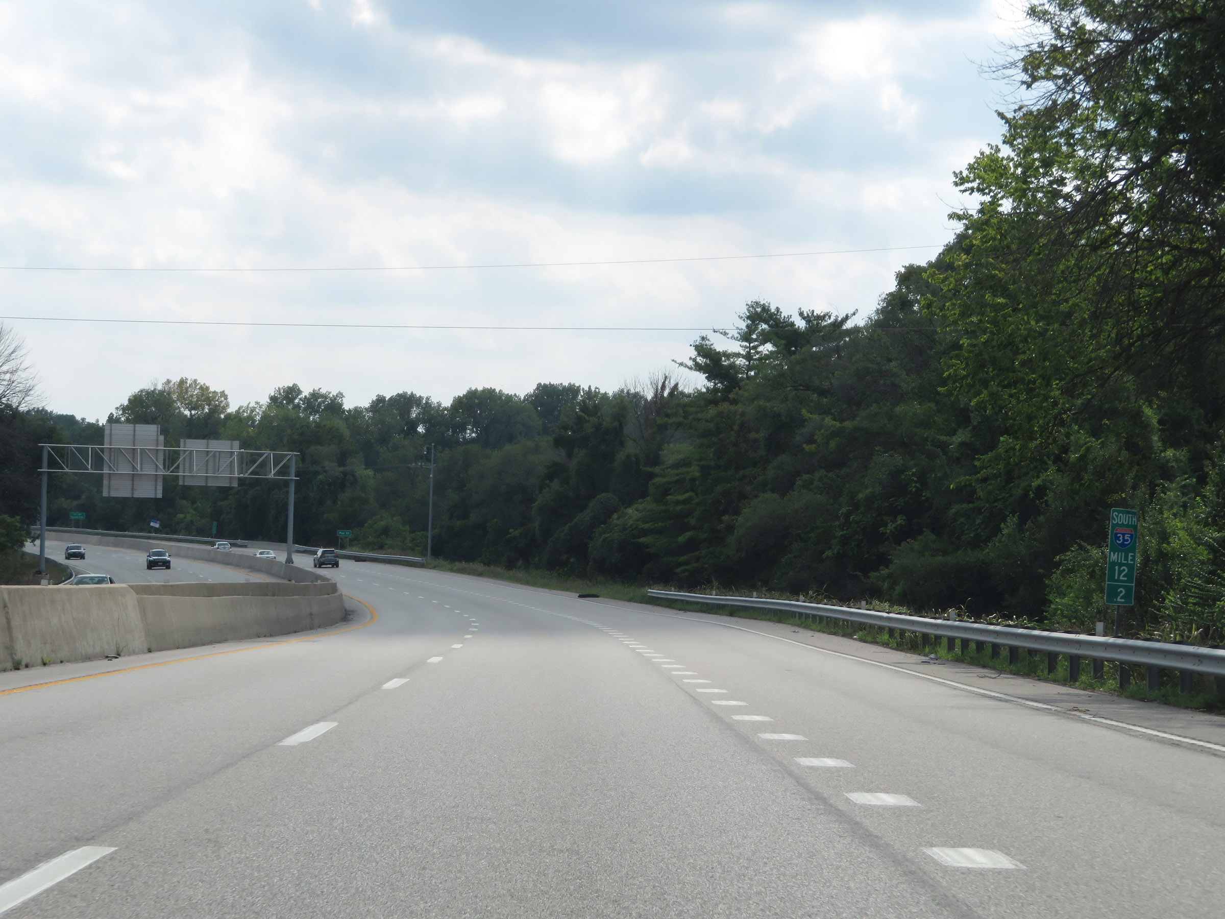
Interstate 35 South enters the Kansas City city limits one mile north of Exit 11. The Kansas City city limits stretch out quite a ways, into surrounding counties such as Clay County. (Photo taken 8/8/20). |
 |
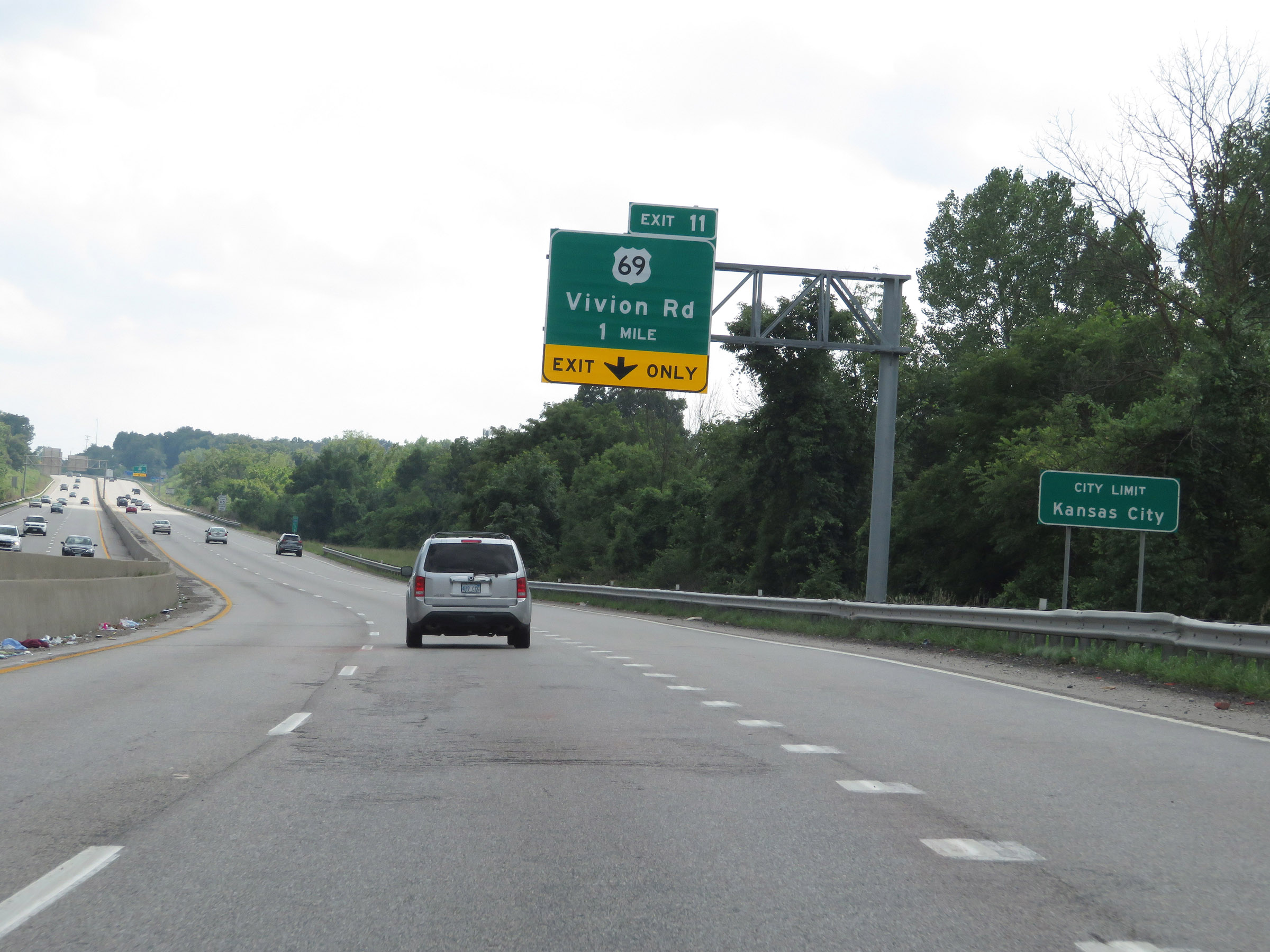
Interstate 35 South at Exit 11: US 69 - Vivion Rd (Photo taken 8/8/20). |
 |
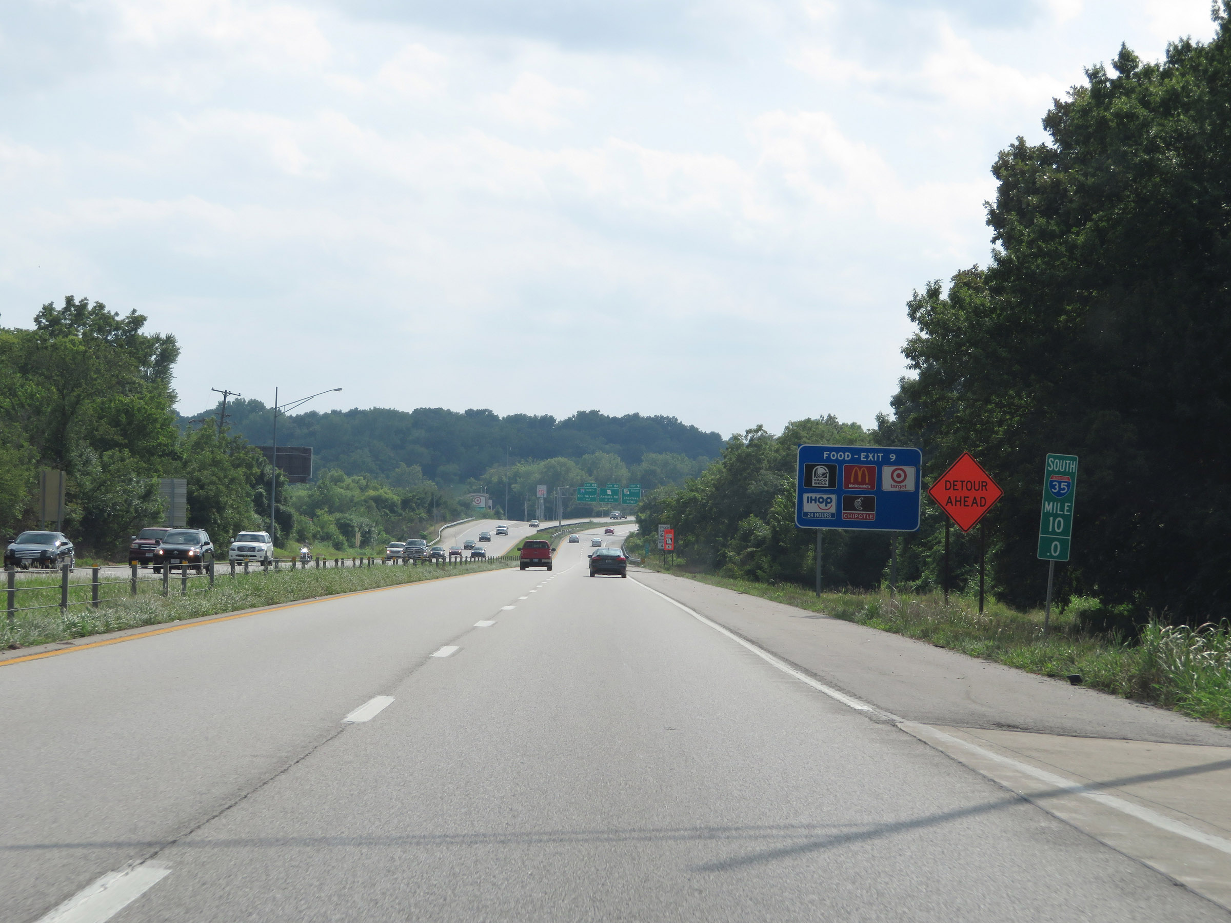
Advance signage for Exit 8B - 2 miles ahead. (Photo taken 8/8/20). |
 |
View on Interstate 35 South at mile marker 10. (Photo taken 8/8/20). |
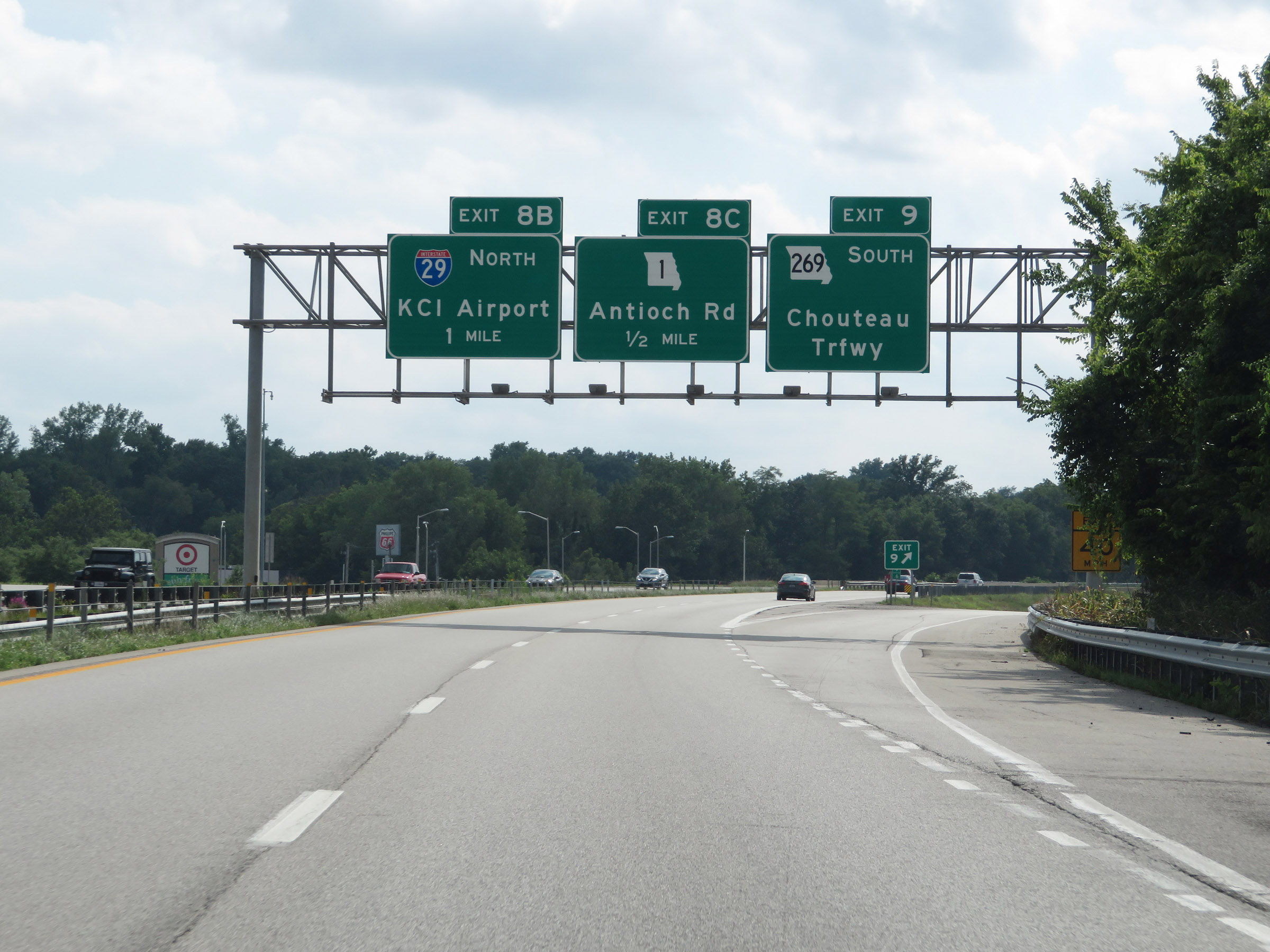 |
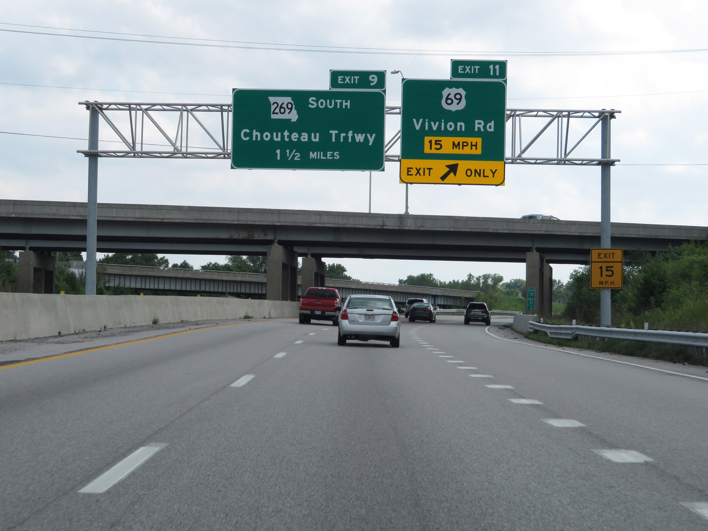
Interstate 35 South at Exit 9: MO 269 South - Chouteau Trafficway (Photo taken 8/8/20). |
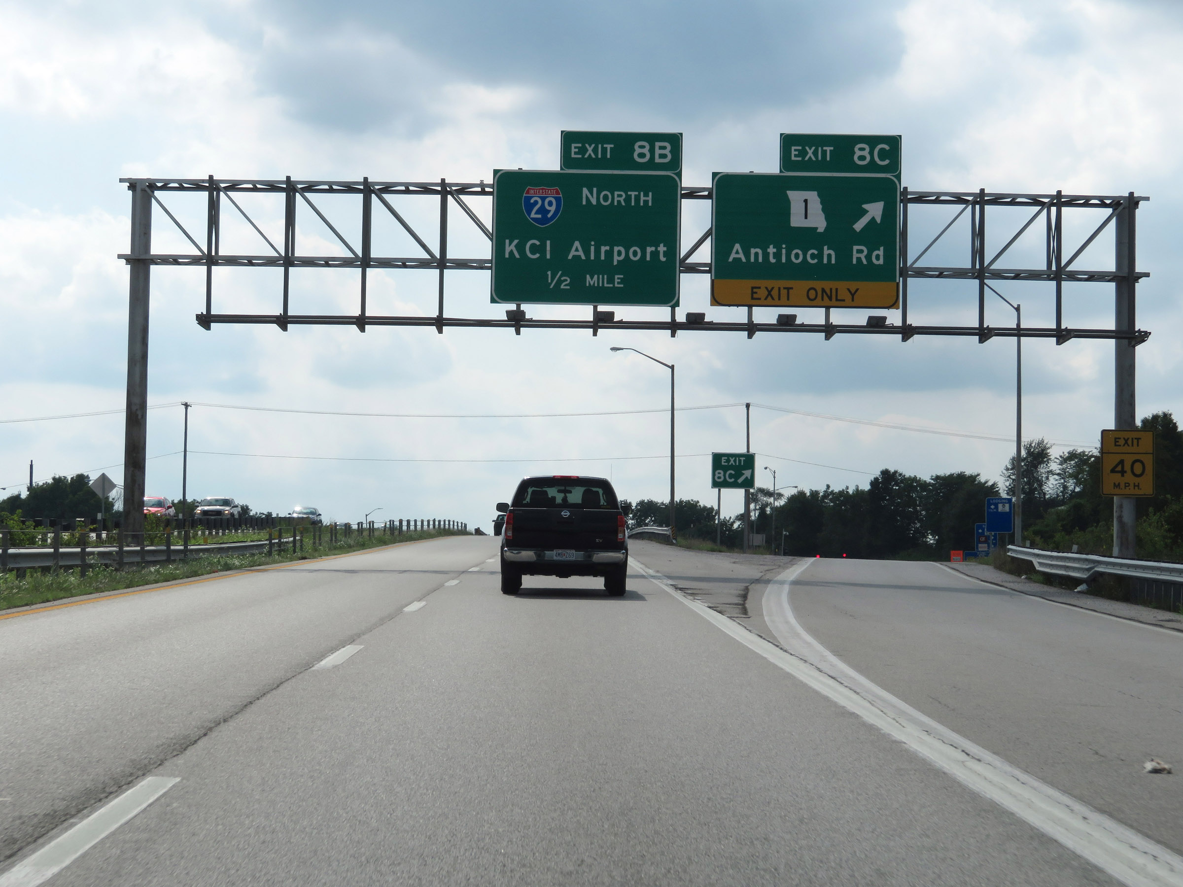 |
Interstate 35 South at Exit 8C: MO 1 - Antioch Rd (Photo taken 8/8/20). |
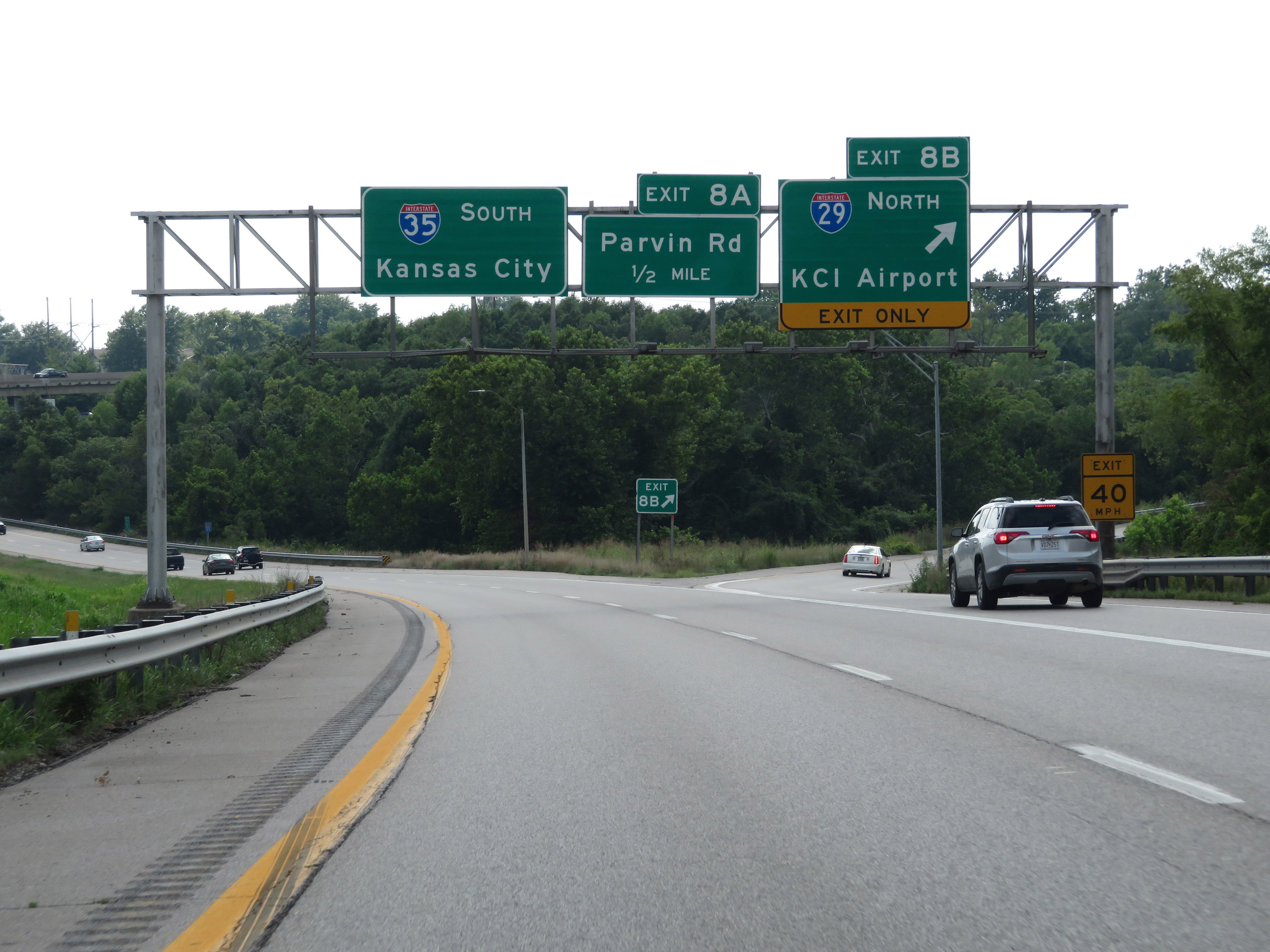 |
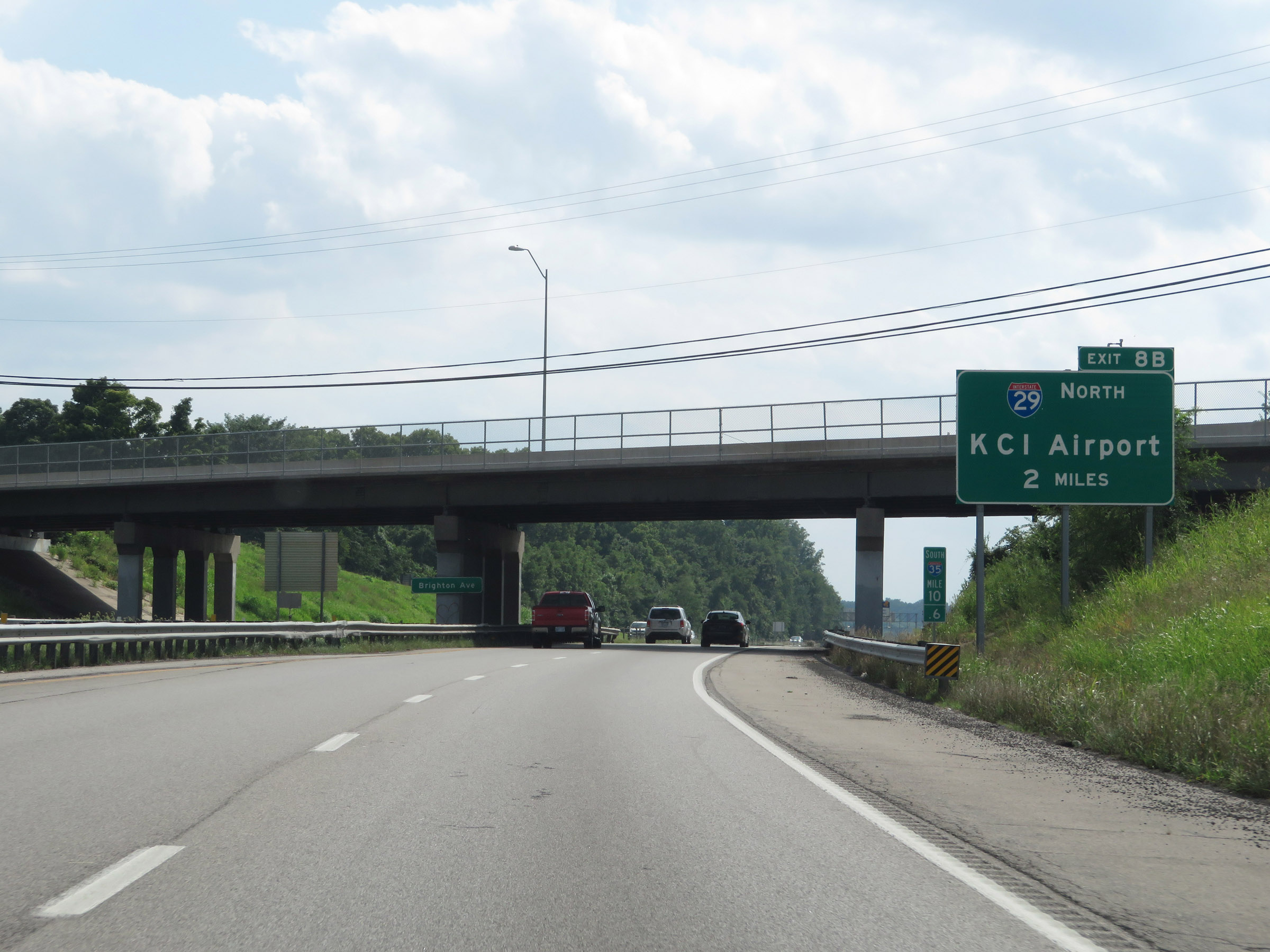
Interstate 35 South at Exit 8B: Interstate 29 North - Kansas City International Airport (Photo taken 8/8/20). |
 |
State-named Interstate 35 South reassurance shield at mile marker 8.4. Ahead, Interstate 29 South will merge into I-35 South, and the duplex will continue to downtown Kansas City and the junction of Interstate 70. (Photo taken 8/8/20). |
 |
Approaching the merging of Interstate 29 South traffic into Interstate 35 South, the maximum speed limit decreases to 55 mph. The overpass we see here is the ramp from I-29 South to I-35 North. (Photo taken 8/8/20). |
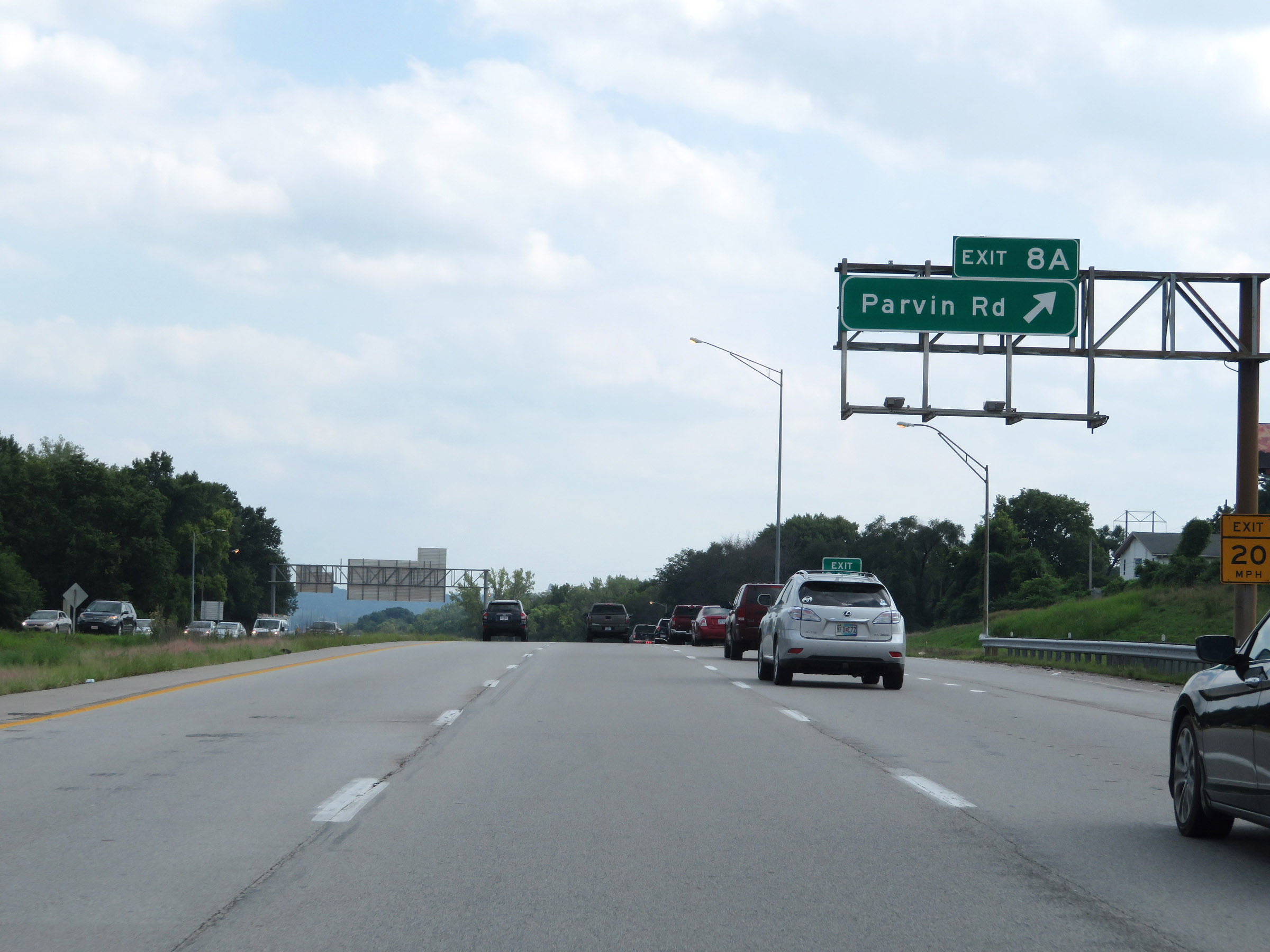 |
Interstate 35 South / Interstate 29 South at Exit 8A: Parvin Rd (Photo taken 8/8/20). |
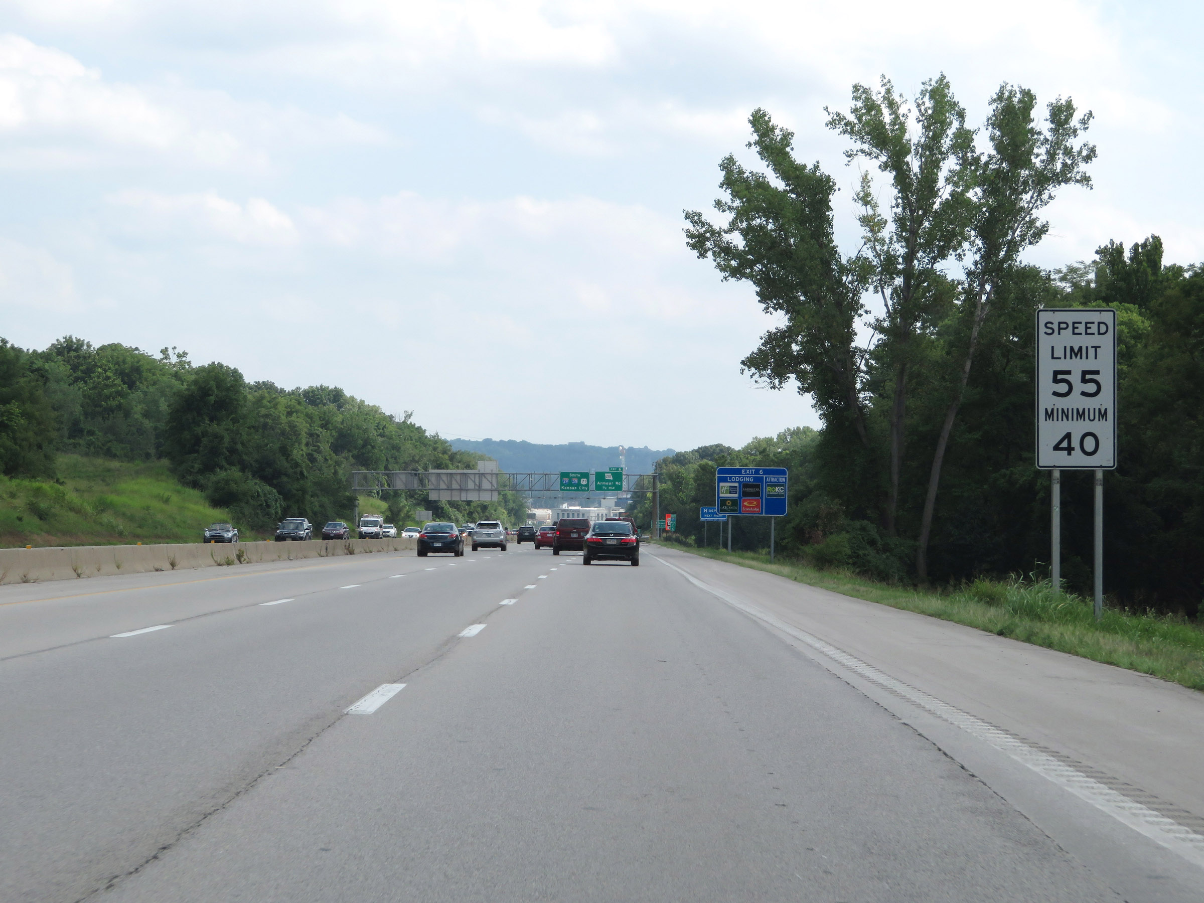 |
The speed limits remain 55 mph maximum and 40 mph minimum as Interstate 35 South / Interstate 29 South begin to approach downtown Kansas City. (Photo taken 8/8/20). |
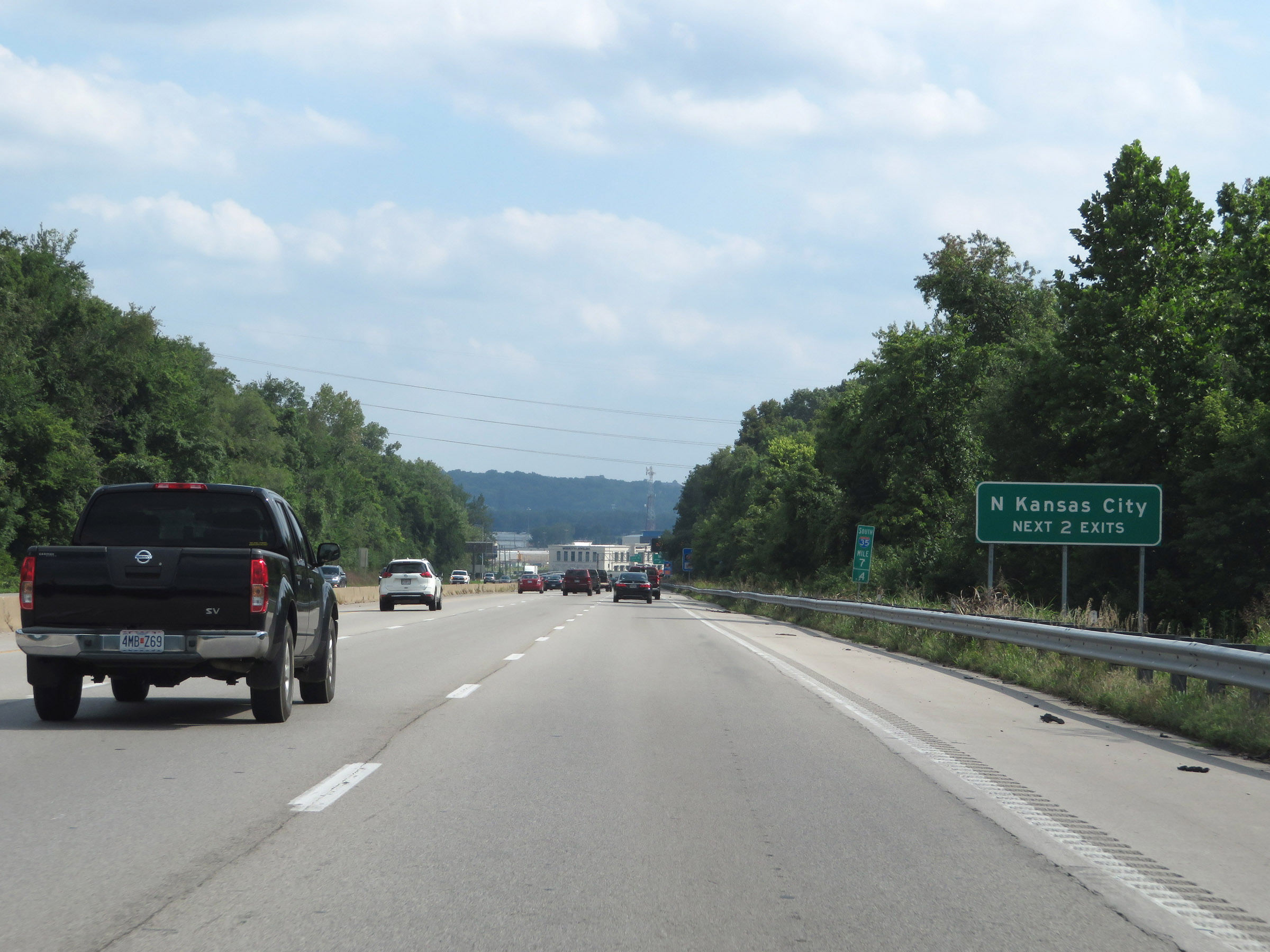 |
Take either of the next 2 exits to North Kansas City. (Photo taken 8/8/20). |
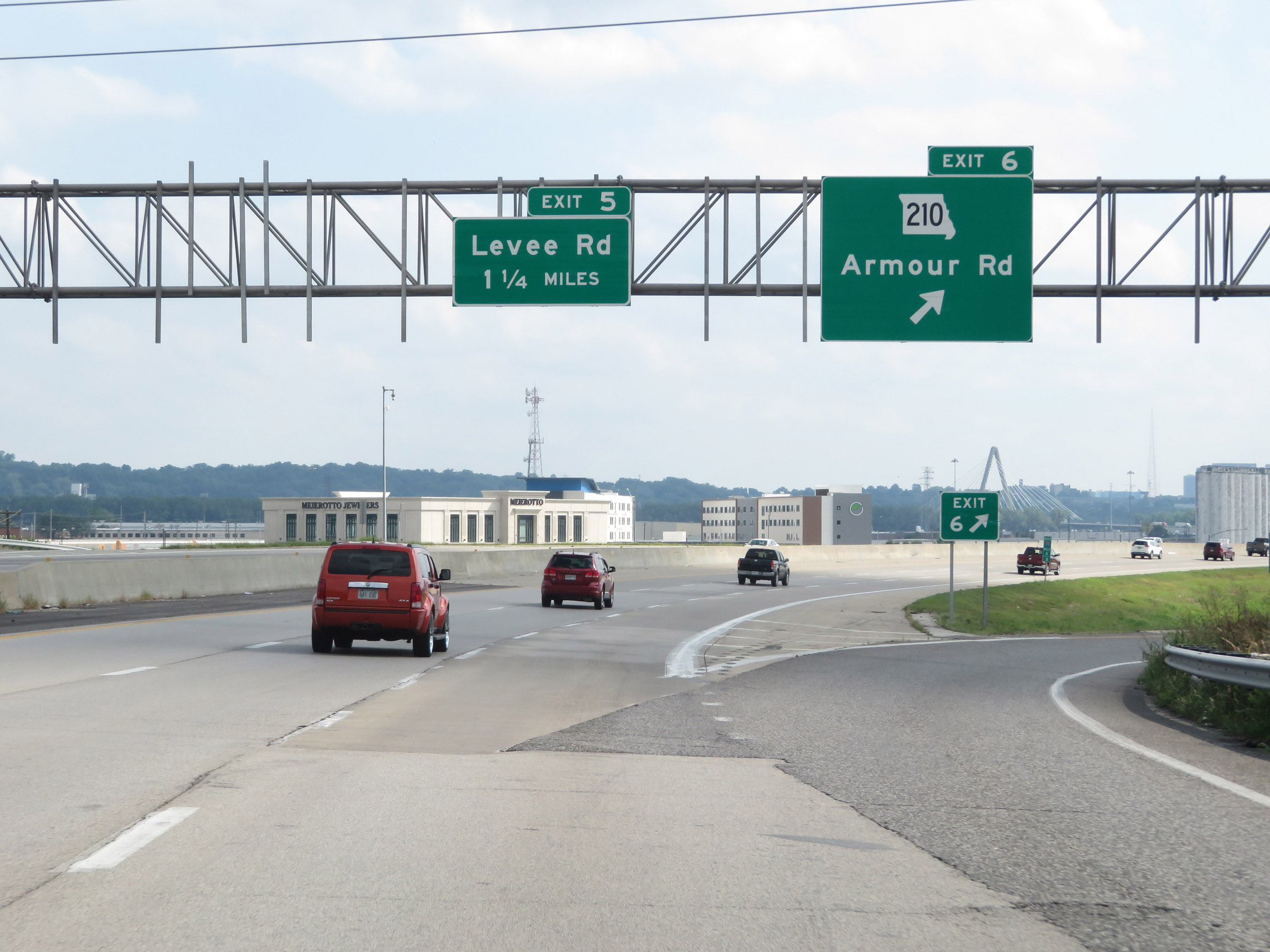 |
Interstate 35 South / Interstate 29 South at Exit 6: MO 210 - Armour Rd (Photo taken 8/8/20). |
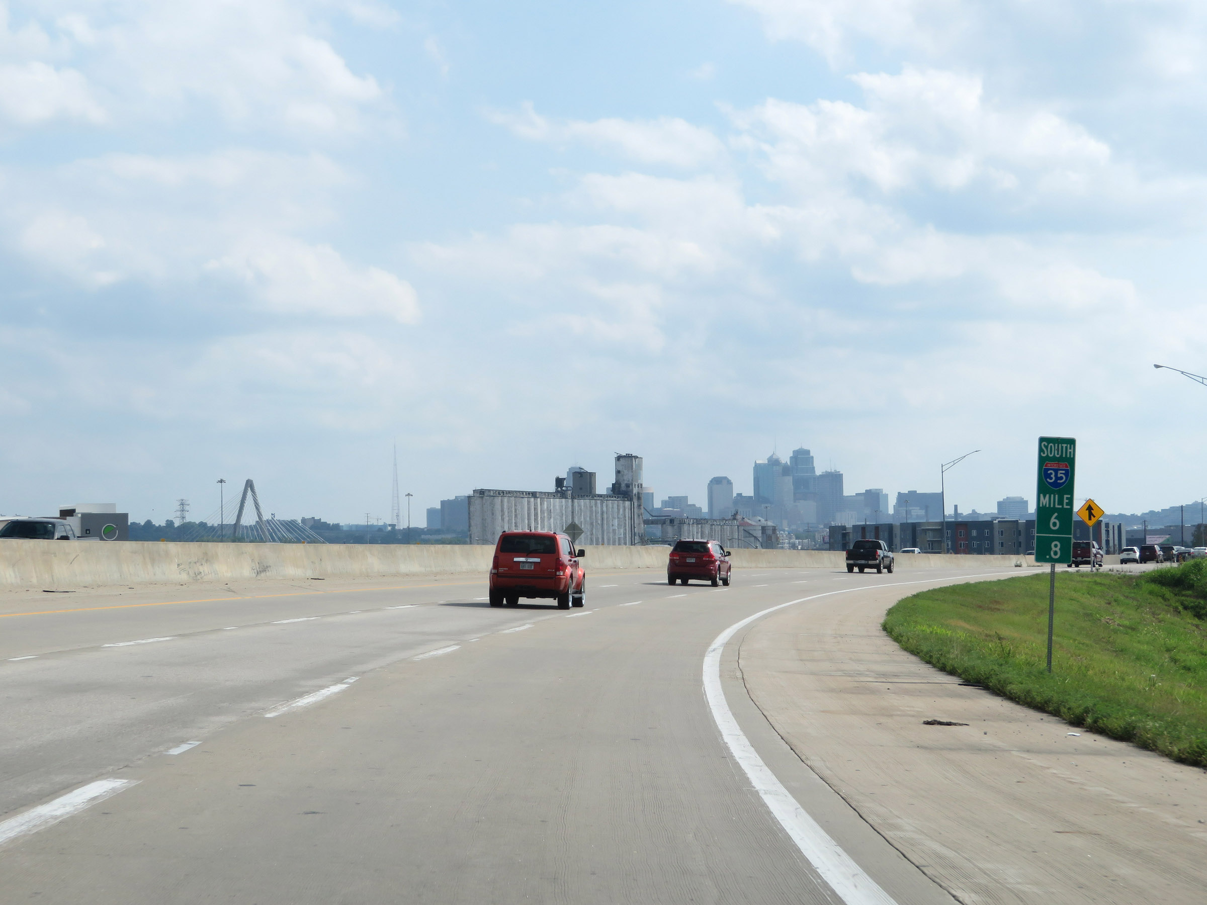 |
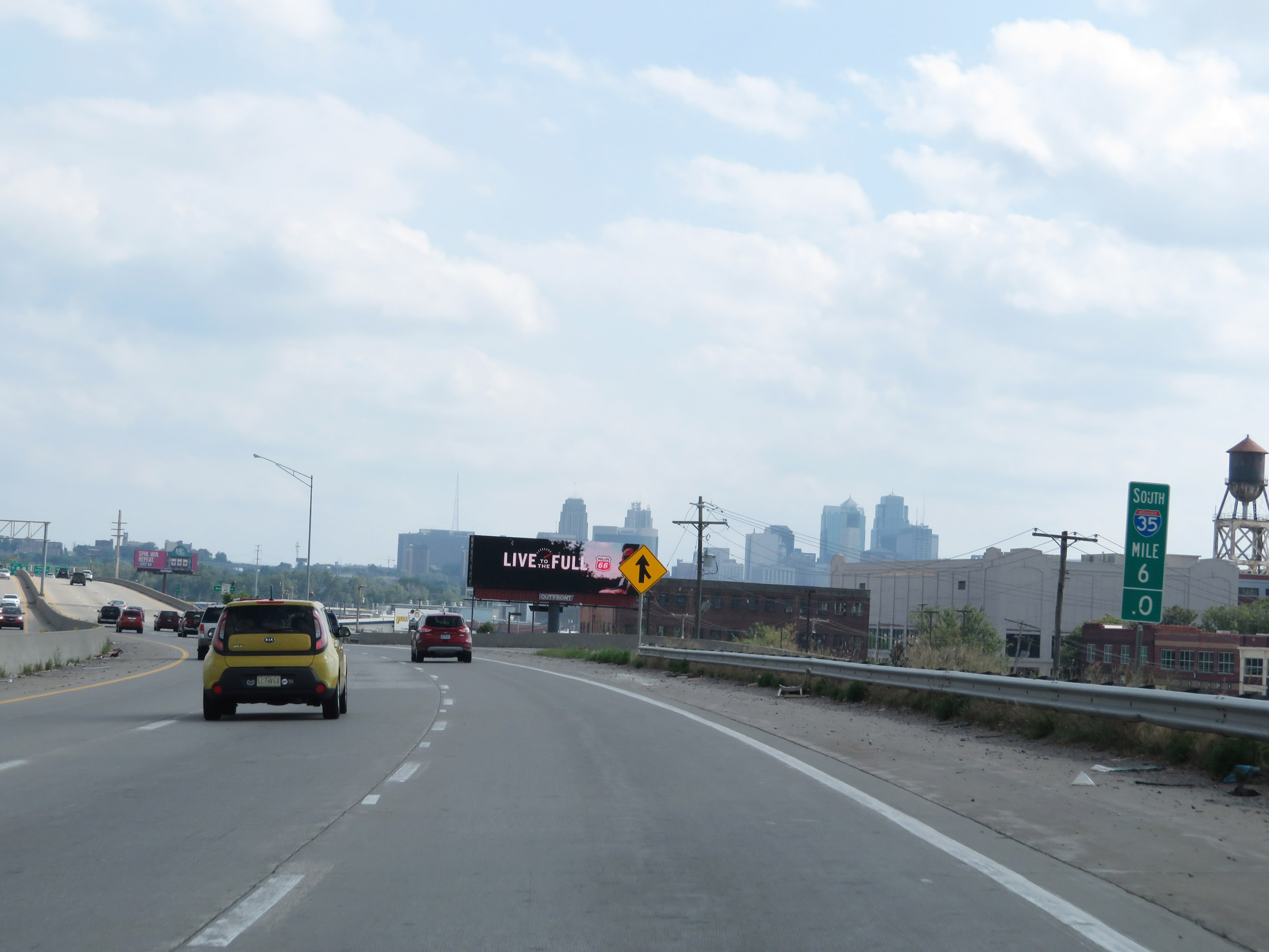
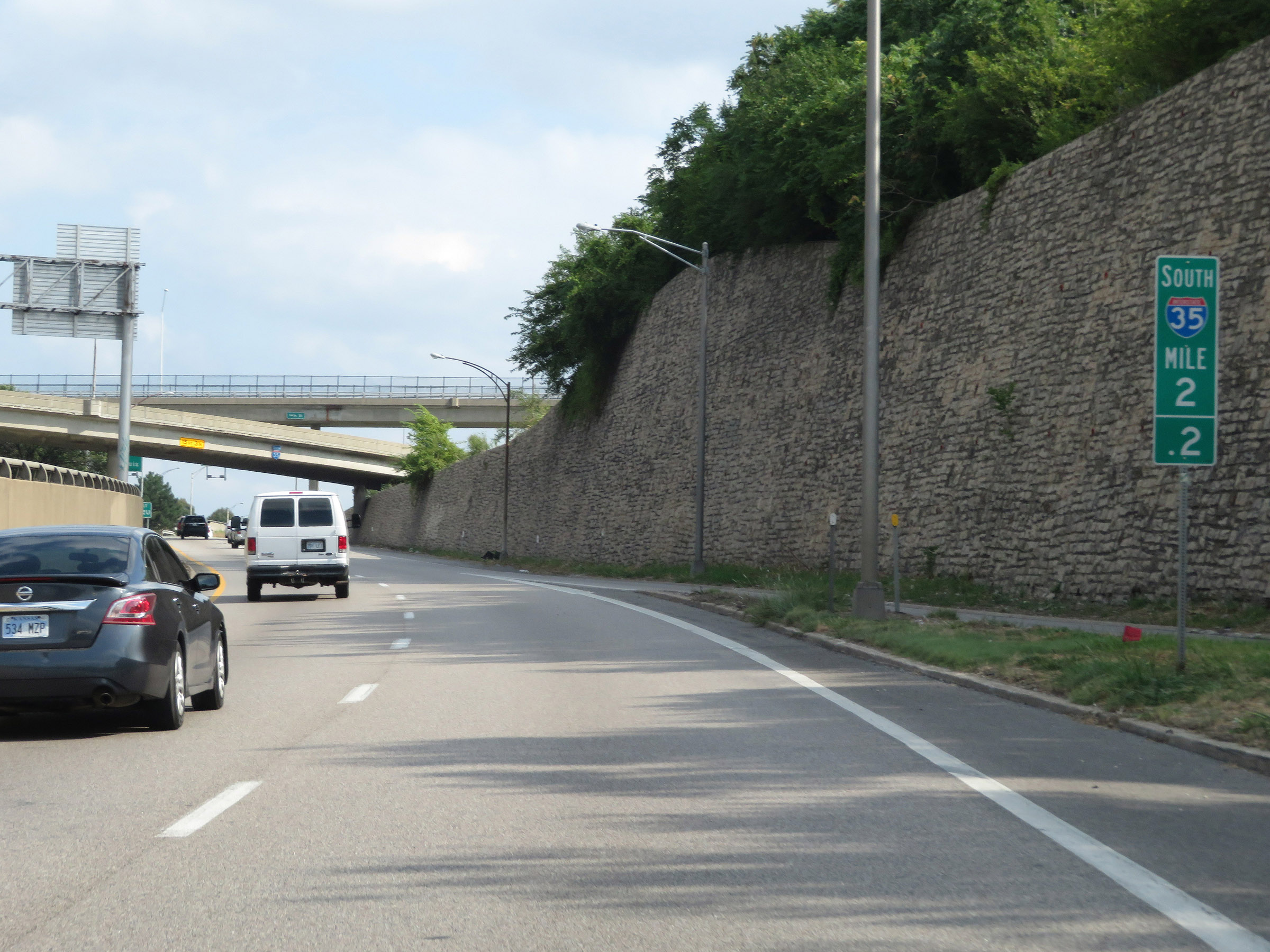
Interstate 35 South / Interstate 29 South at mile marker 6.8. During the I-35 / I-29 concurrency, the mileage and exit numbers are based off the mileage of I-35. (Photo taken 8/8/20). |
 |
Overhead mileage sign at mile marker 6.1, listing the distances to the three upcoming Kansas City exits. (Photo taken 8/8/20). |
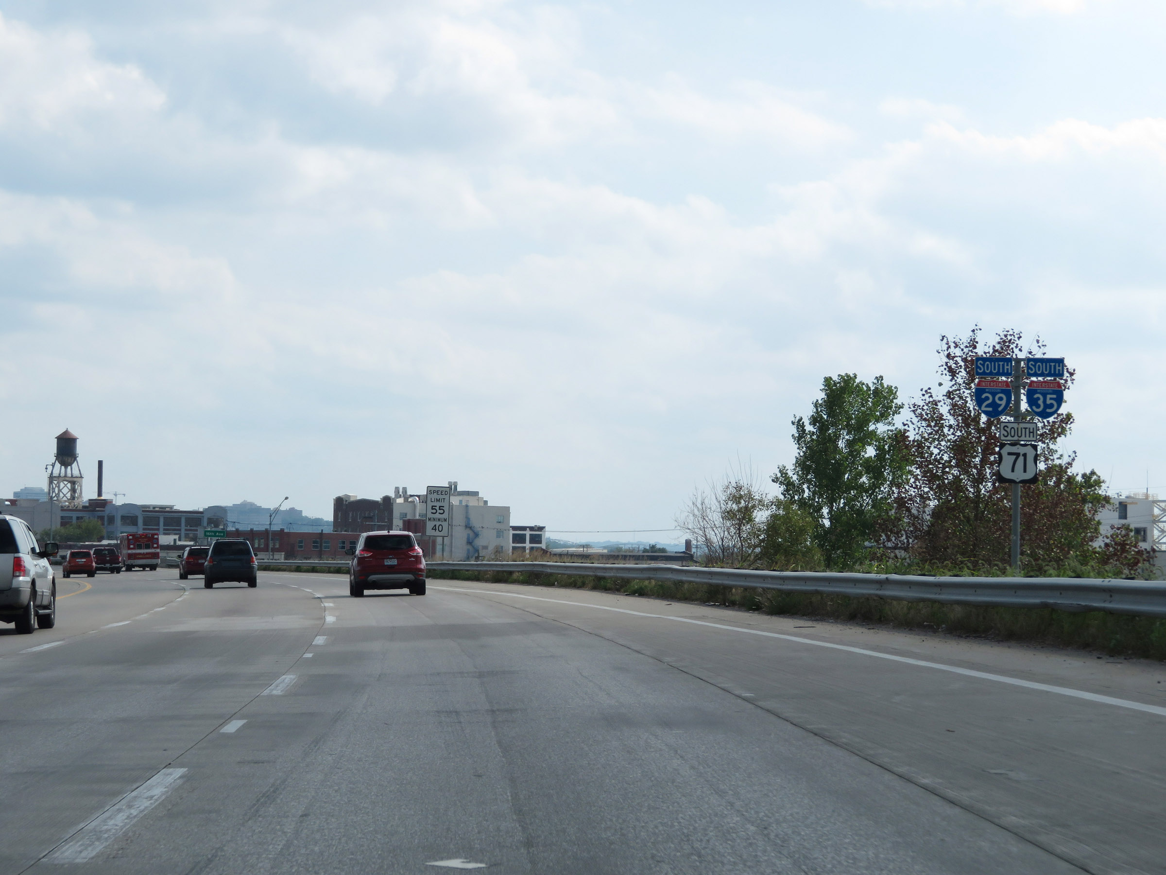 |
State-named Interstate 35 South / Interstate 29 South reassurance shields. (Photo taken 8/8/20). |
 |
View on Interstate 35 South / Interstate 29 South at mile marker 6, as downtown Kansas City comes into clearer view. (Photo taken 8/8/20). |
 |
Interstate 35 South / Interstate 29 South at Exit 5: Levee Rd (Photo taken 8/8/20). |
Section 3: Kansas City (Exit 5) to Kansas Border
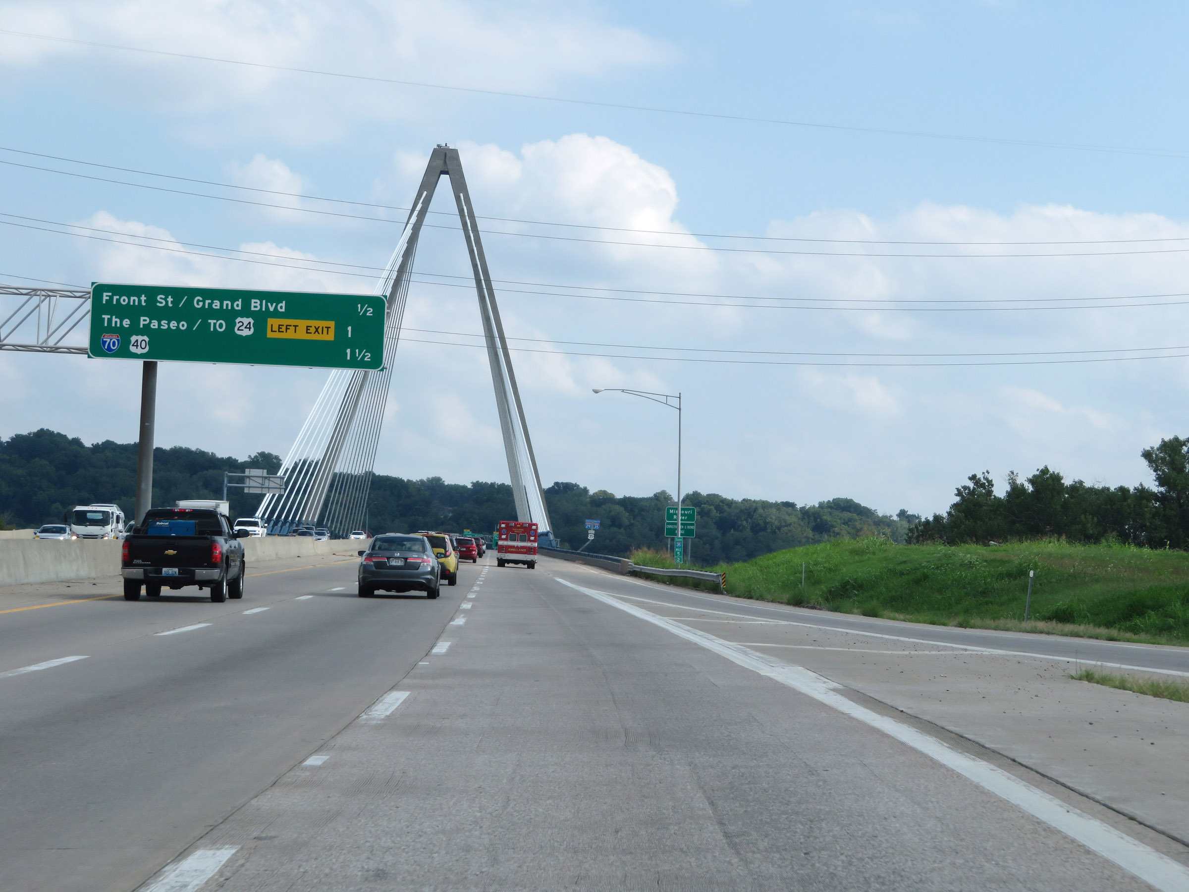 |
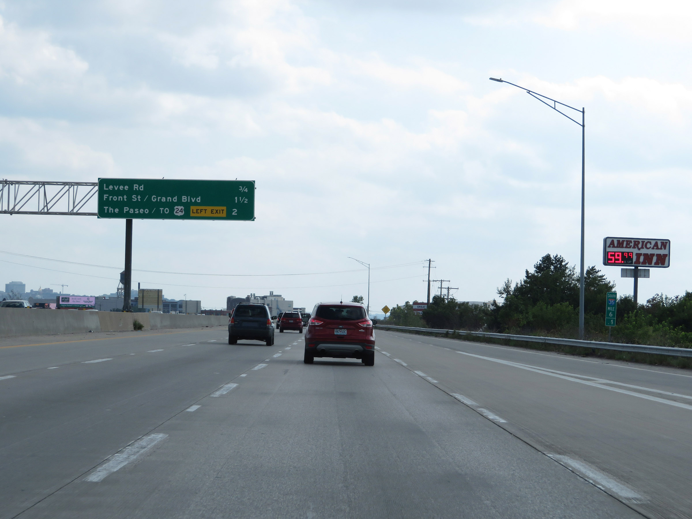
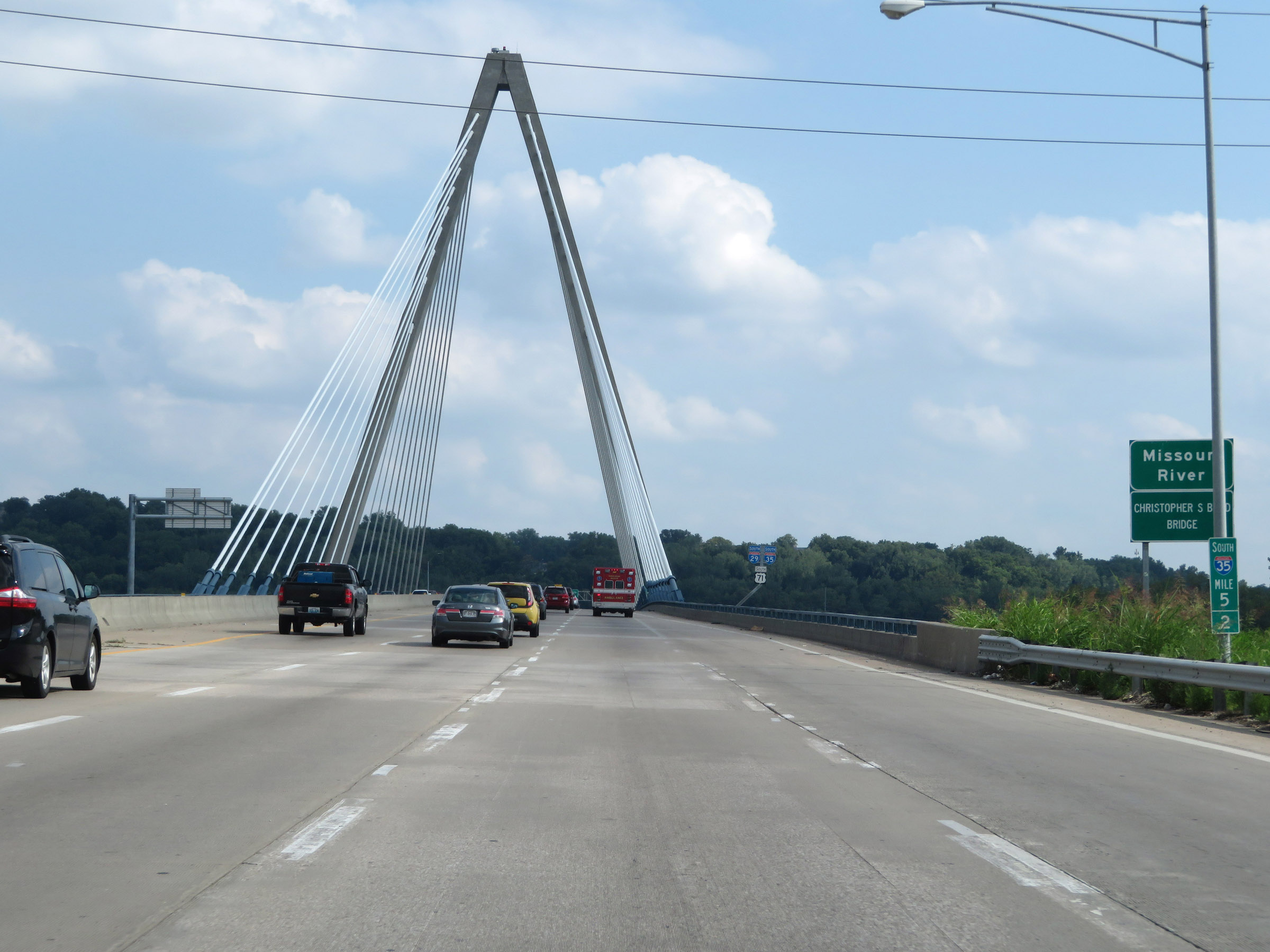
Overhead mileage sign listing the distances to the next 3 exits on Interstate 35 South / Interstate 29 South in Kansas City, as the Christopher S. Bond Bridge over the Missouri River comes into clear view straight ahead. (Photo taken 8/8/20). |
 |
Interstate 35 South / Interstate 29 South at mile marker 5.2, as it starts across the Christopher S. Bond Bridge over the Missouri River. (Photo taken 8/8/20). |
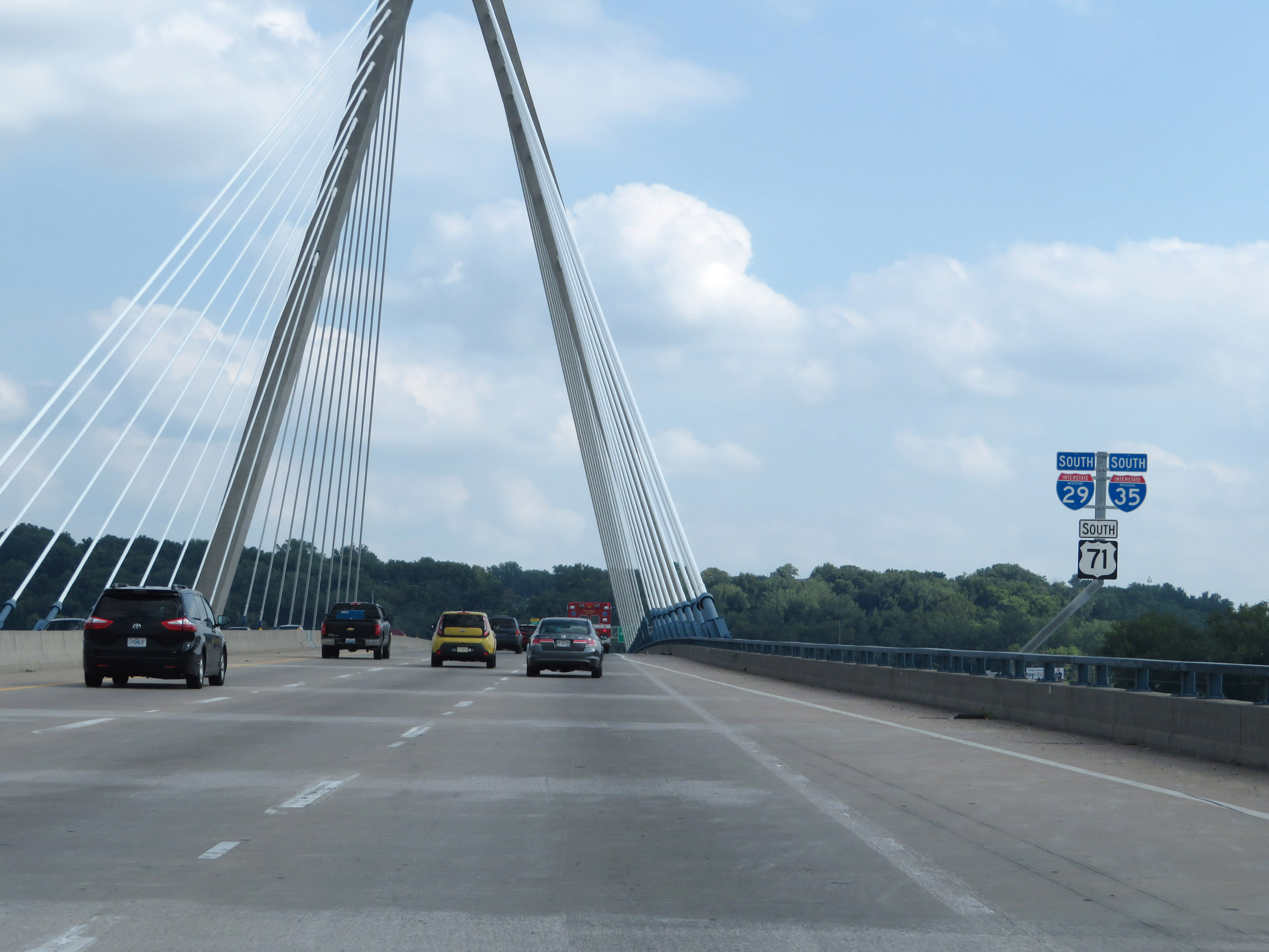 |
State-named Interstate 35 South / Interstate 29 South reassurance shields on the Christopher S. Bond Bridge over the Missouri River in Kansas City. (Photo taken 8/8/20). |
 |
Interstate 35 South / Interstate 29 South at Exit 4B: Front St / Grand Blvd (Photo taken 8/8/20). |
 |
View on Interstate 35 South / Interstate 29 South at mile marker 4.6. (Photo taken 8/8/20). |
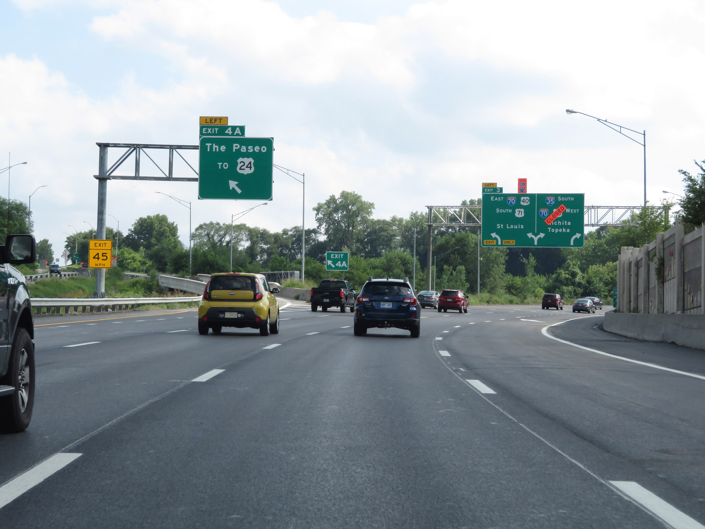 |
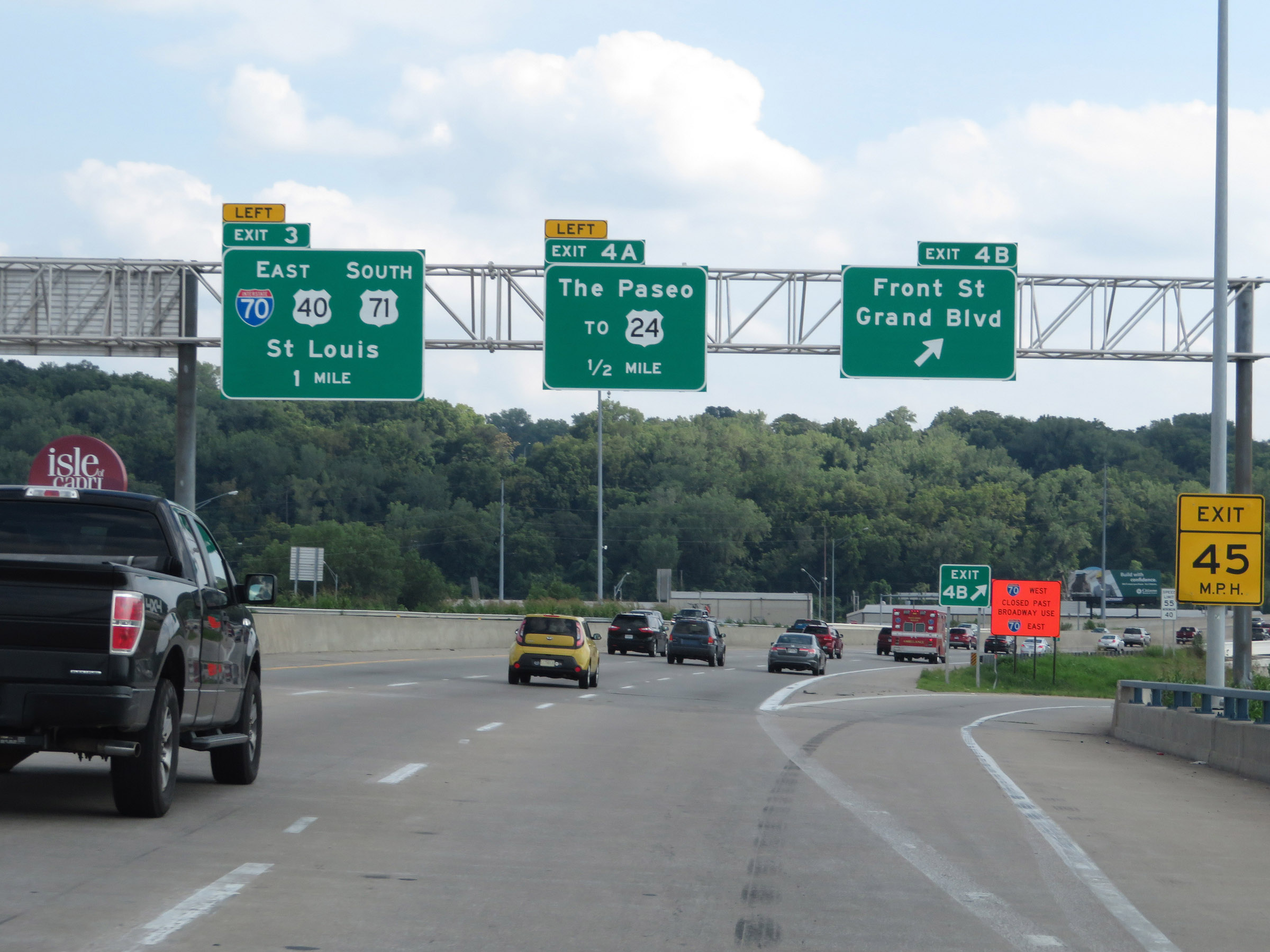
Interstate 35 South / Interstate 29 South at Exit 4A: To US 24 - The Paseo (Photo taken 8/8/20). |
 |
Interstate 35 South / Interstate 29 South approaching Exit 3 - 1/2 mile on the left. Interstate 35 South / Interstate 29 South thru traffic should remain in the center or right lanes. (Photo taken 8/8/20). |
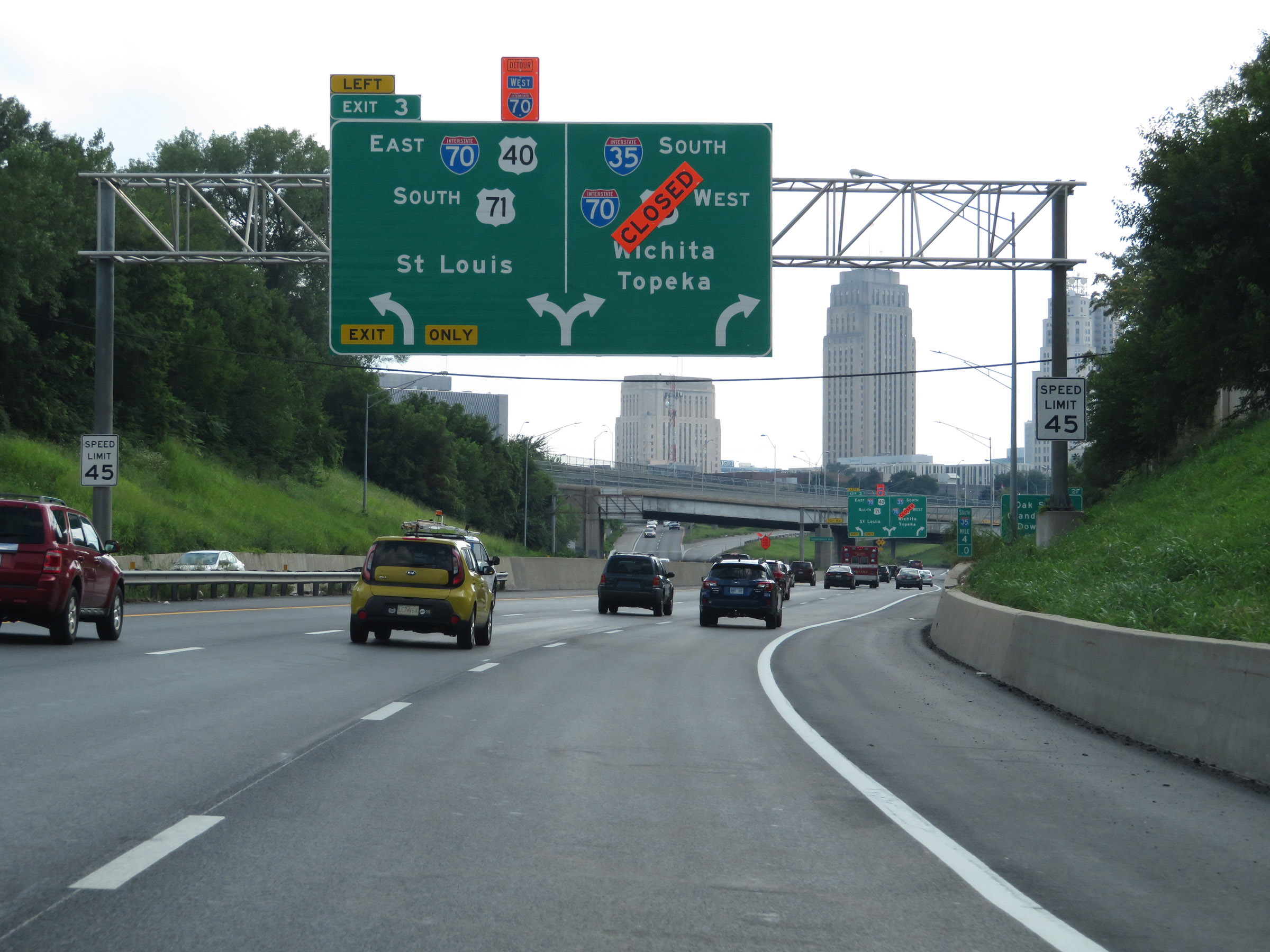 |
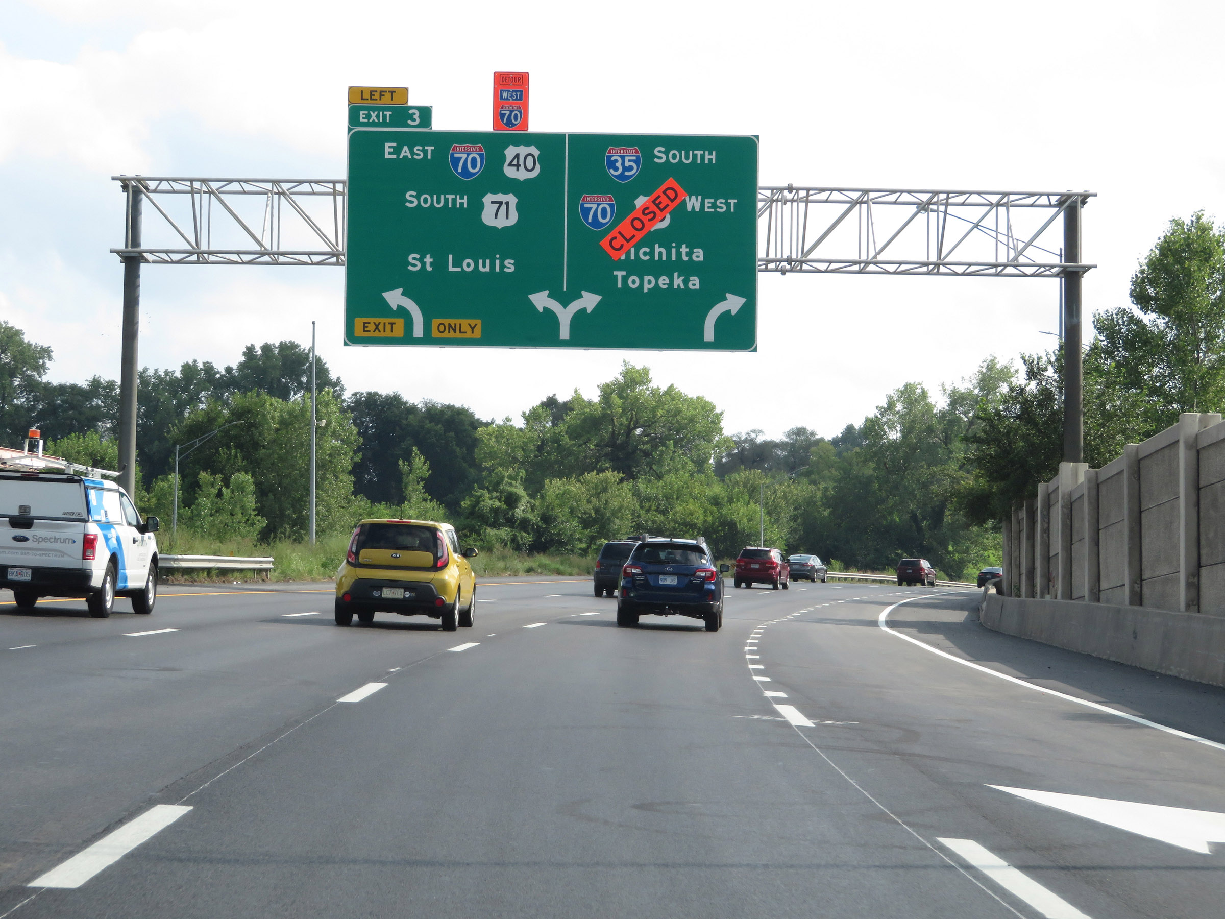
The speed limit decreases to 45 mph as you approach downtown Kansas City and the junction of Interstate 70 at Exit 3. (Photo taken 8/8/20). |
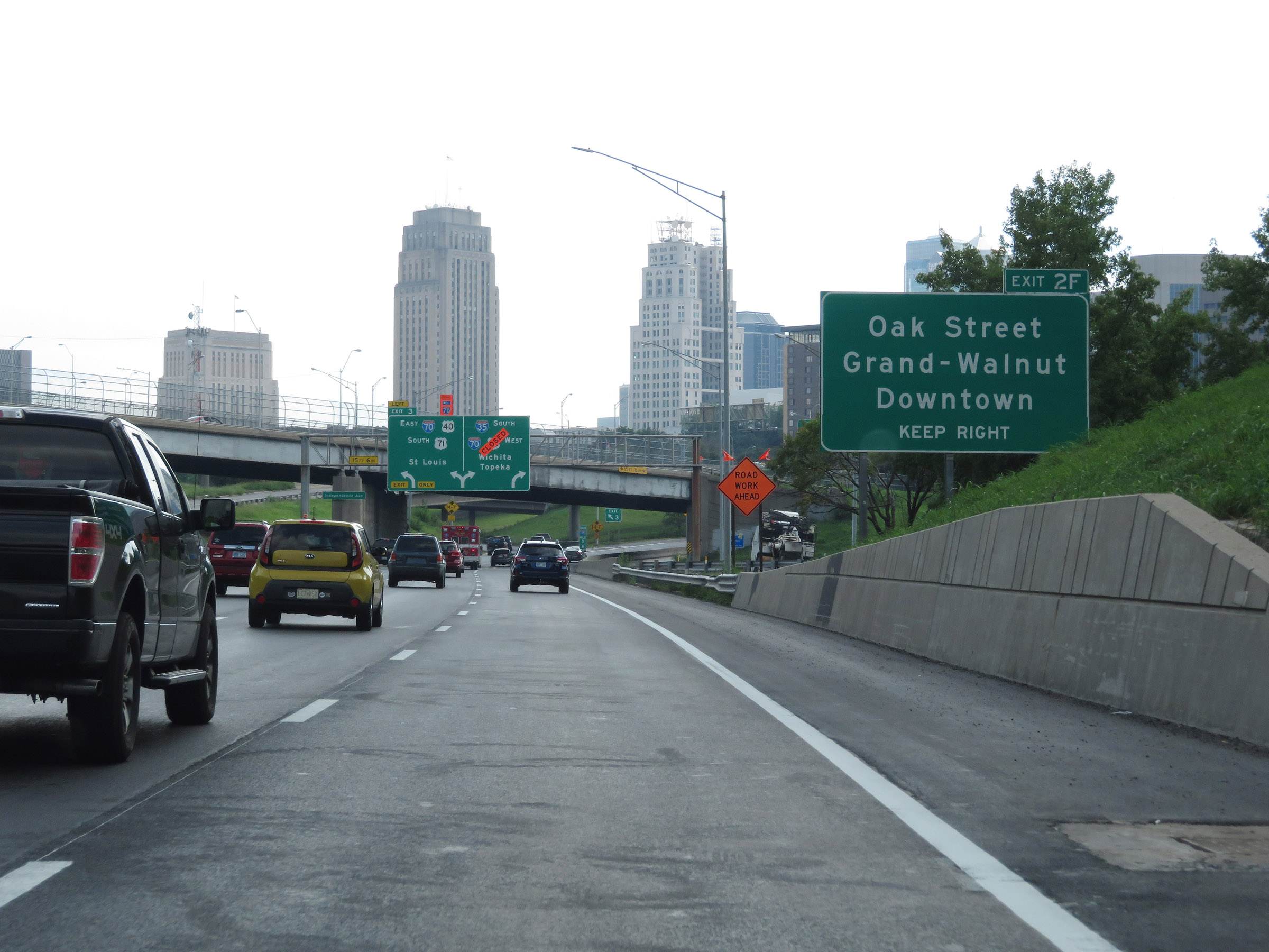 |
Take Exit 2F to Oak Street, Grand-Walnut, and Downtown. (Photo taken 8/8/20). |
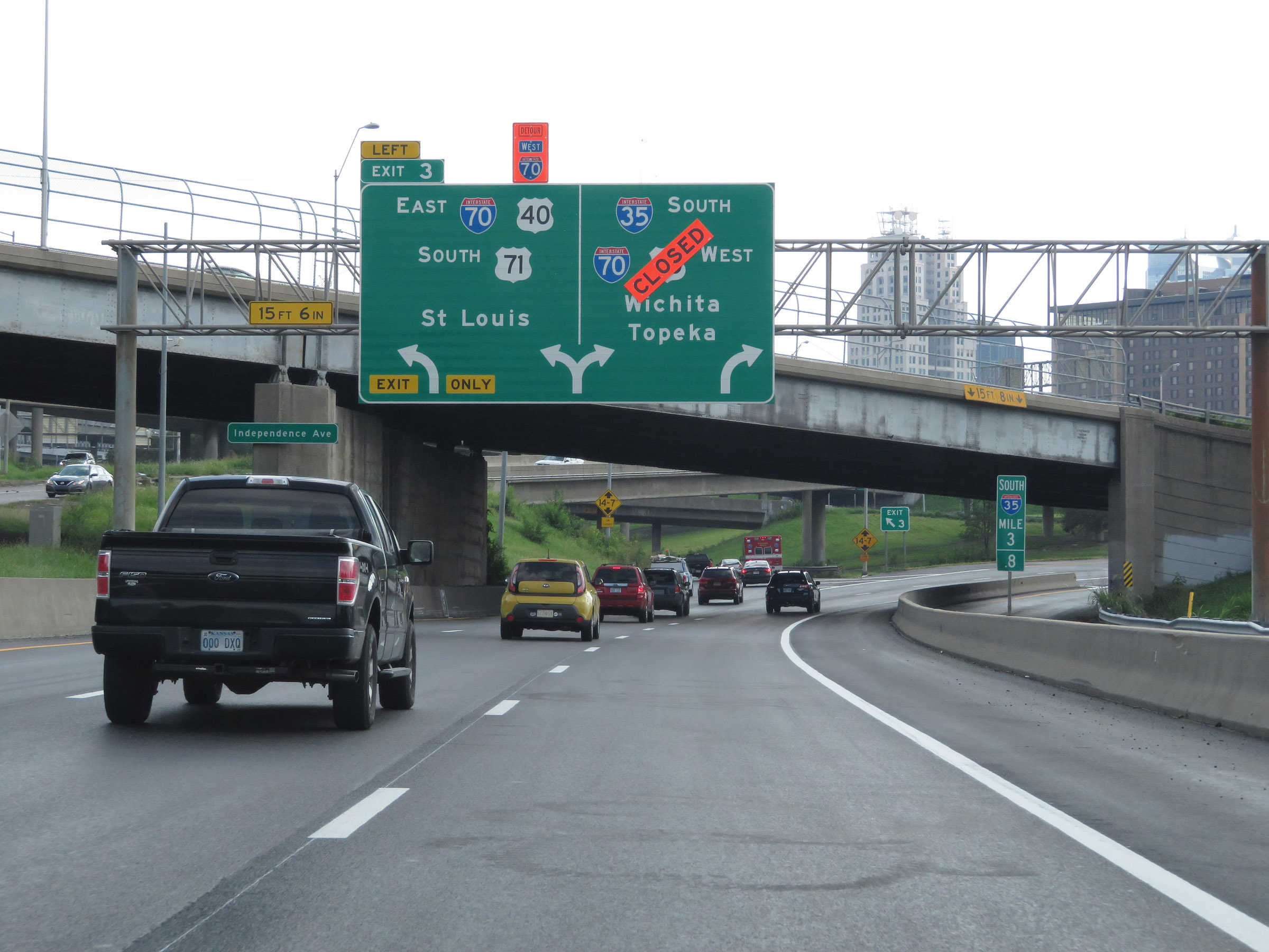 |
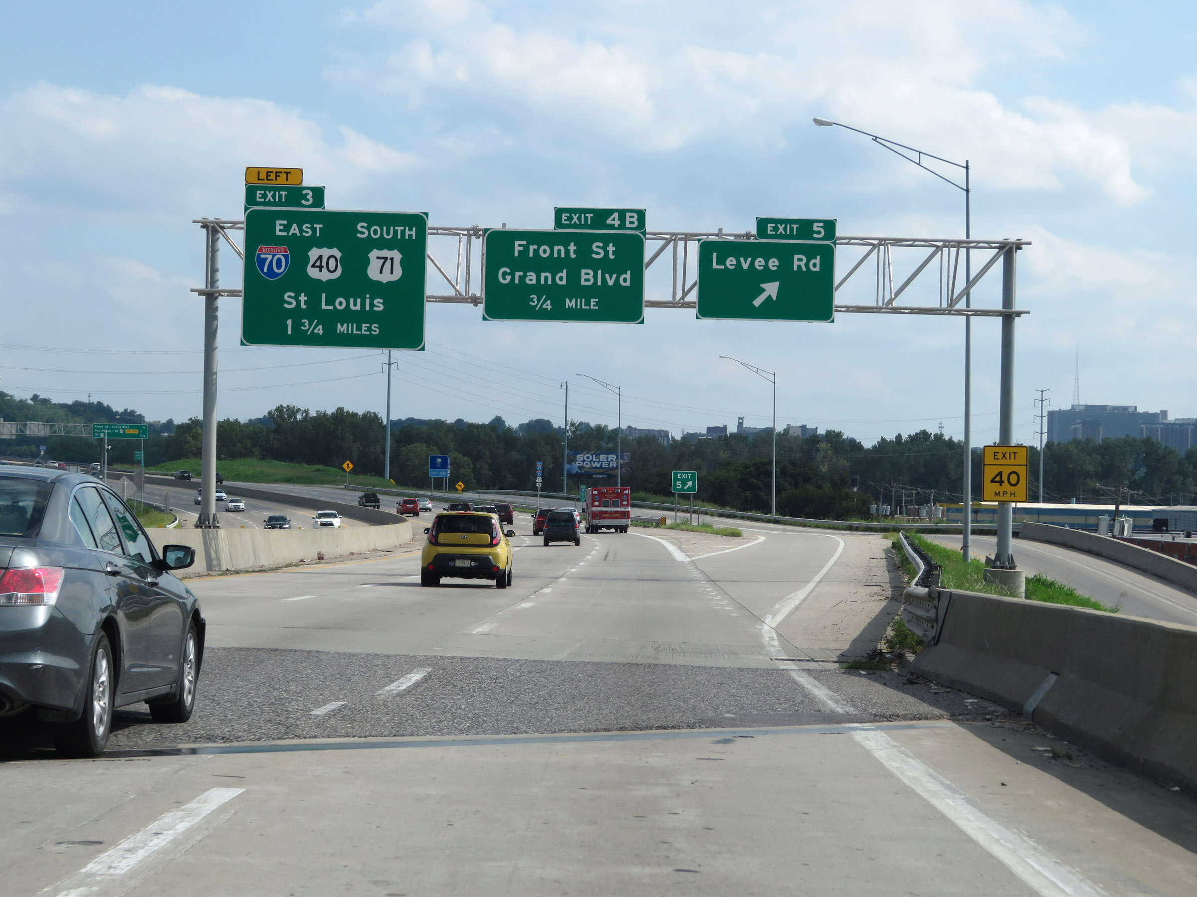
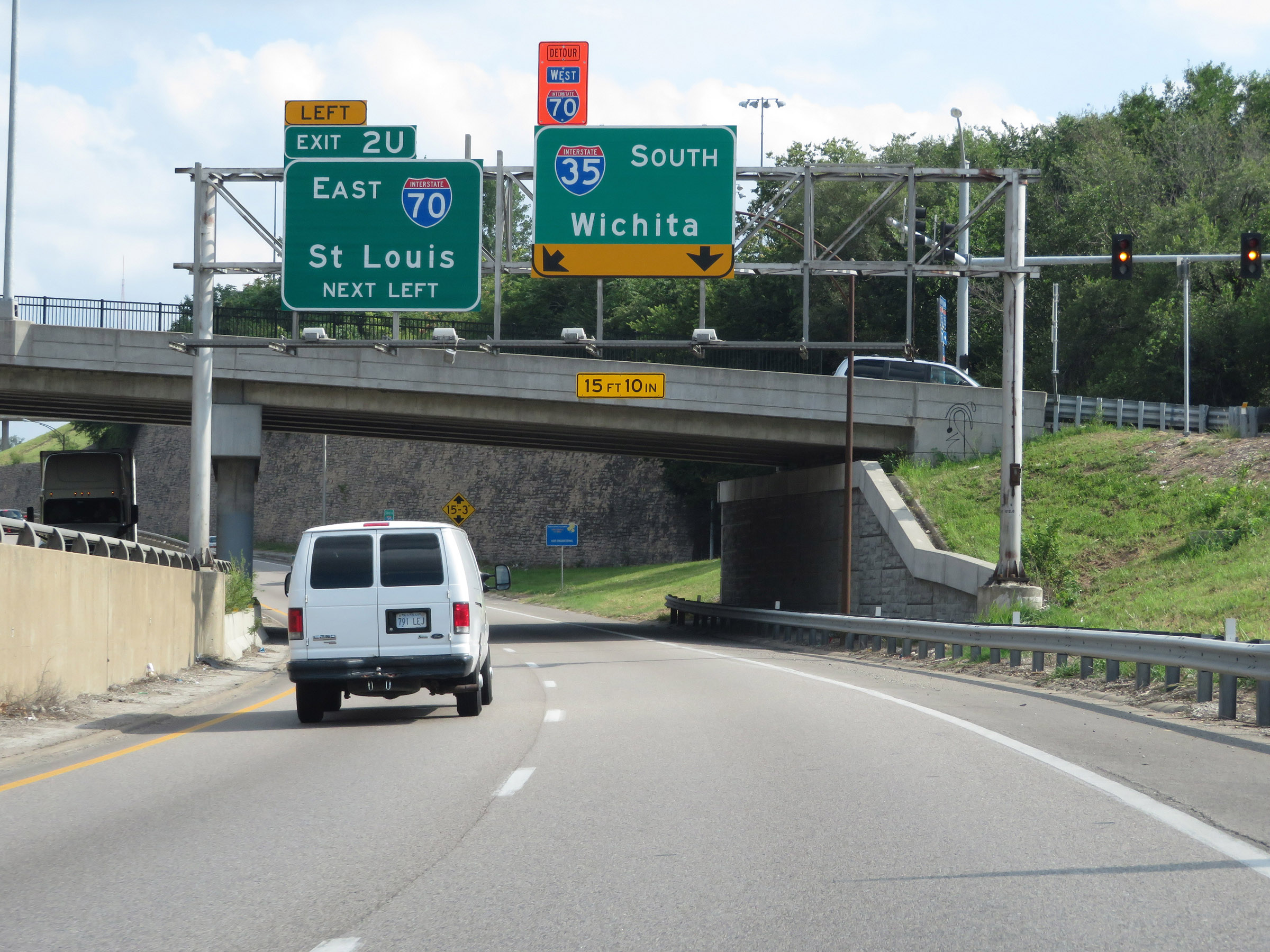
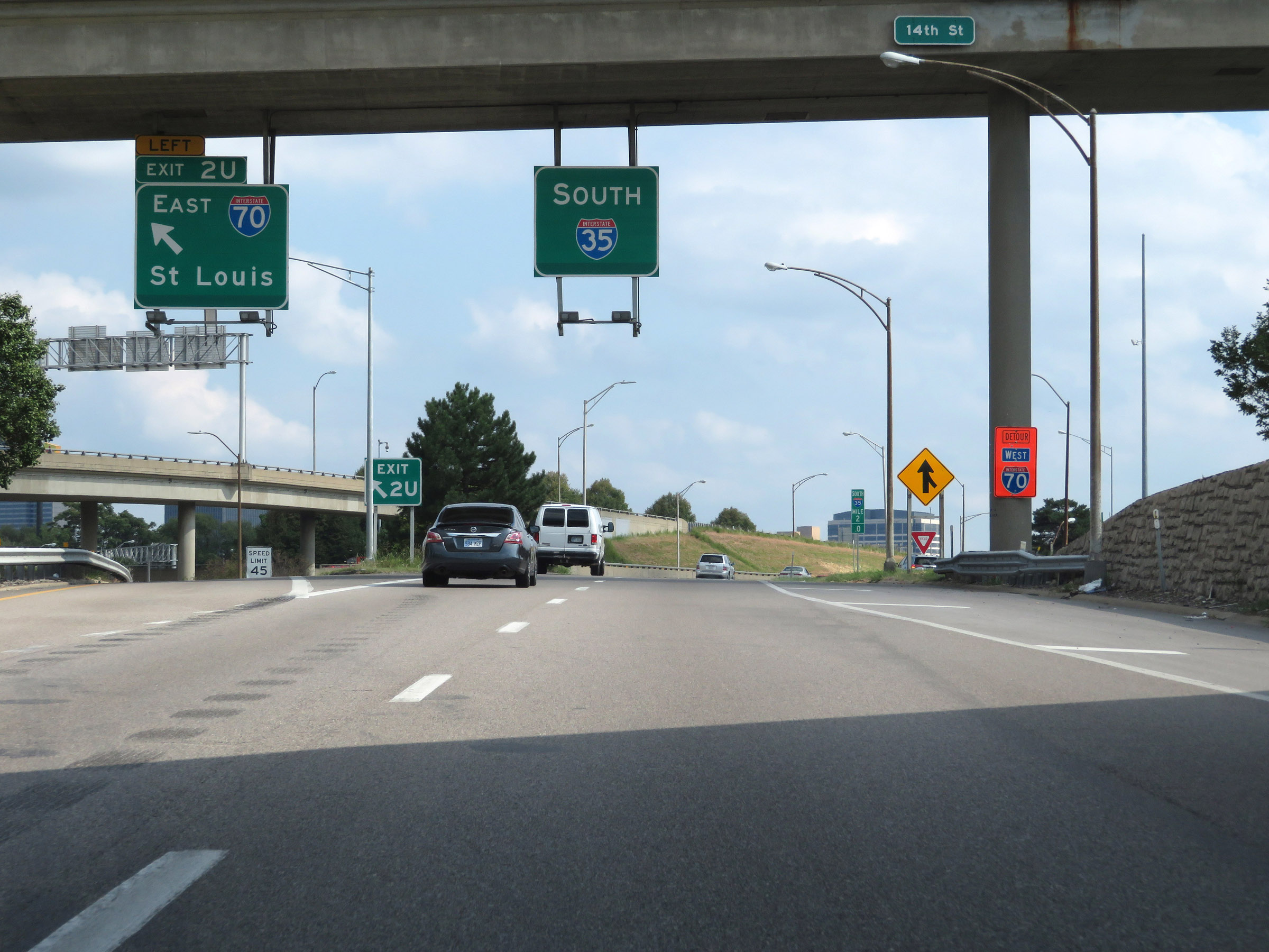
Interstate 35 South / Interstate 29 South at Exit 3: Interstate 70 East / US 40 East / US 71 South - St Louis (Photo taken 8/8/20). |
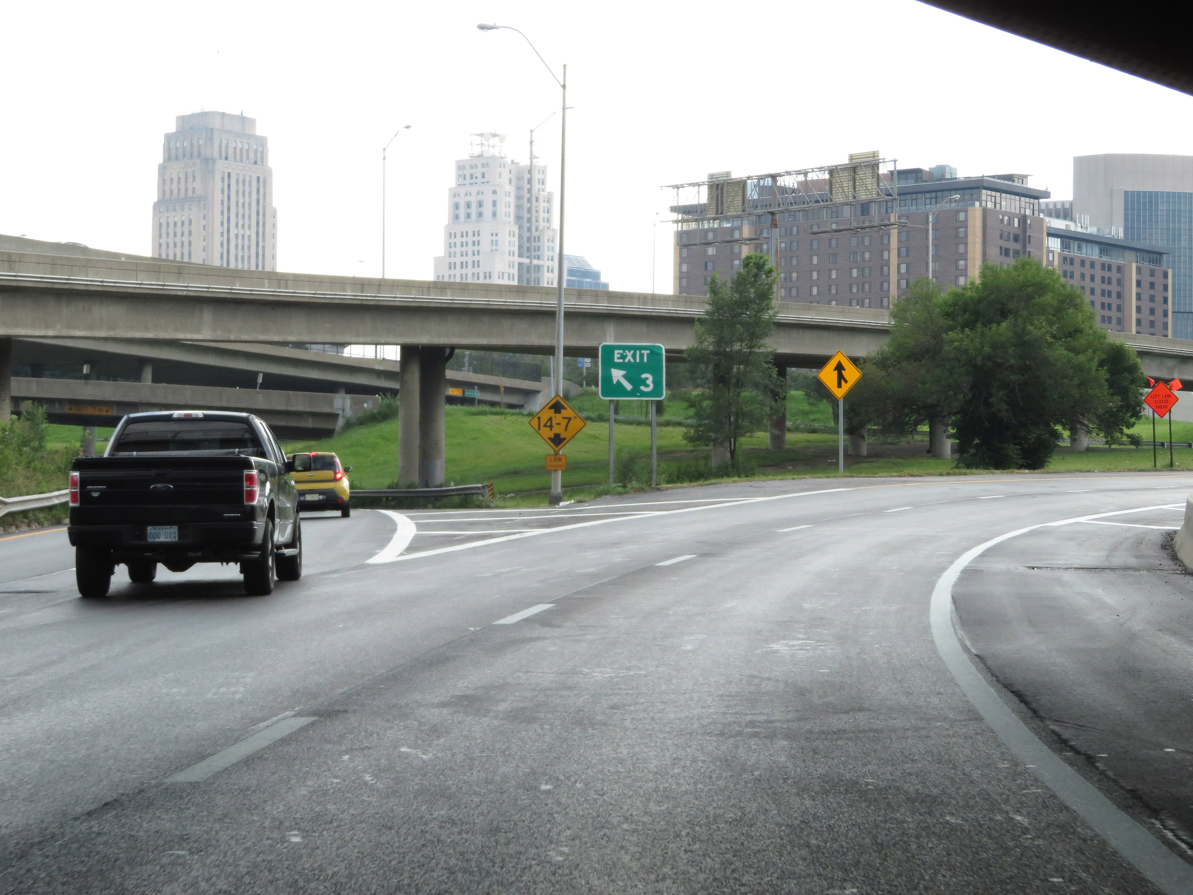 |
View of the ramp to Exit 3 from Interstate 35 South / Interstate 29 South, as they curve to the west to join Interstate 70 West. At this point, Interstate 29 reaches its southern terminus. (Photo taken 8/8/20). |
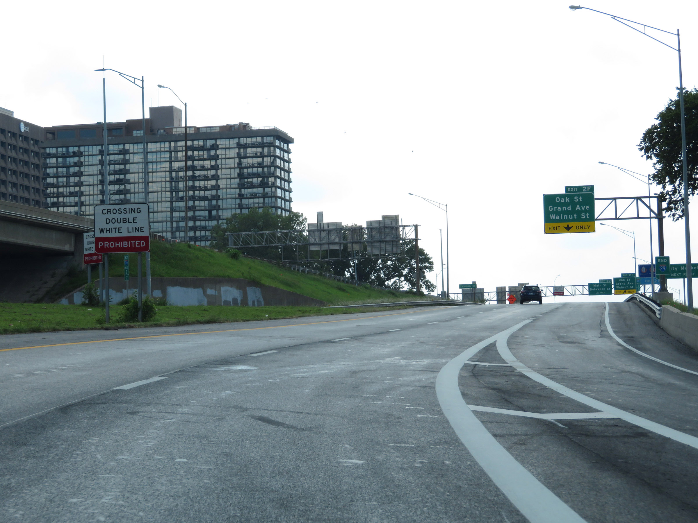 |
This sign warns that crossing the double white lines ahead is prohibited, as Interstate 70 West traffic merges into Interstate 35 South on the left ahead. (Photo taken 8/8/20). |
 |
Interstate 29 END shield approaching Exit 2F on Interstate 35 South / Interstate 70 West. Take Exit 2F to City Market. (Photo taken 8/8/20). |
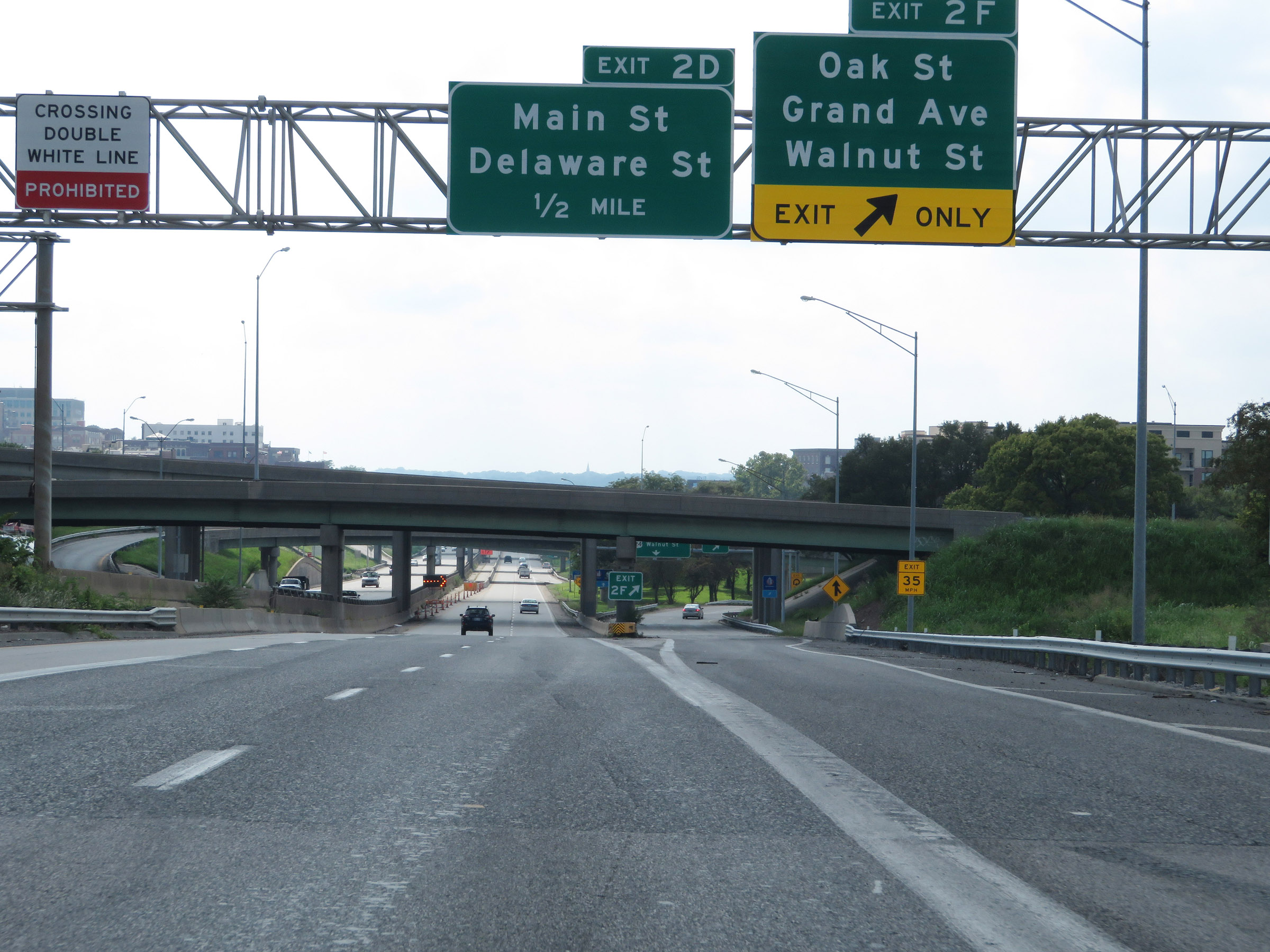 |
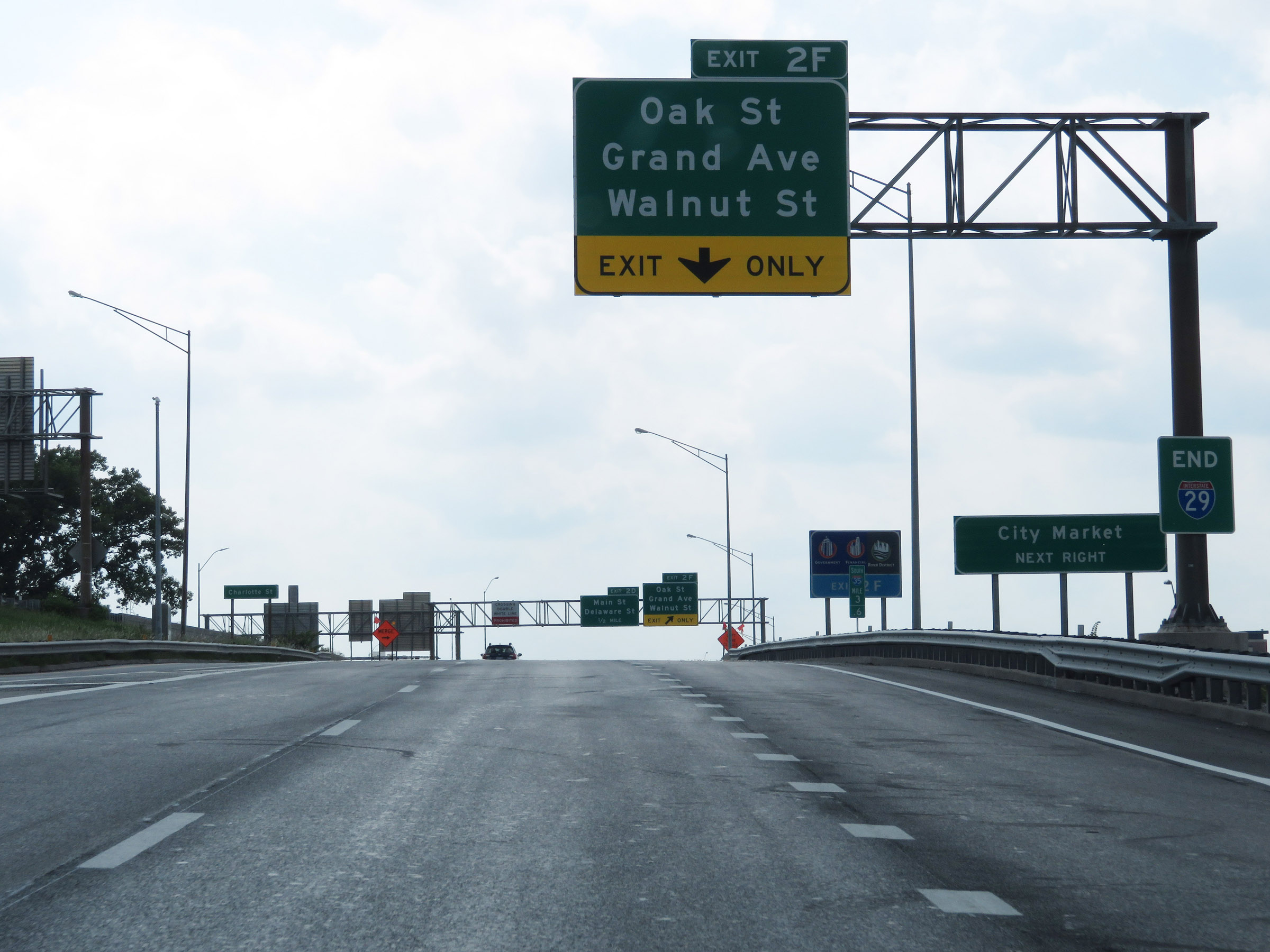
Interstate 35 South / Interstate 70 West at Exit 2F: Oak St / Grand Ave / Walnut St (Photo taken 8/8/20). |
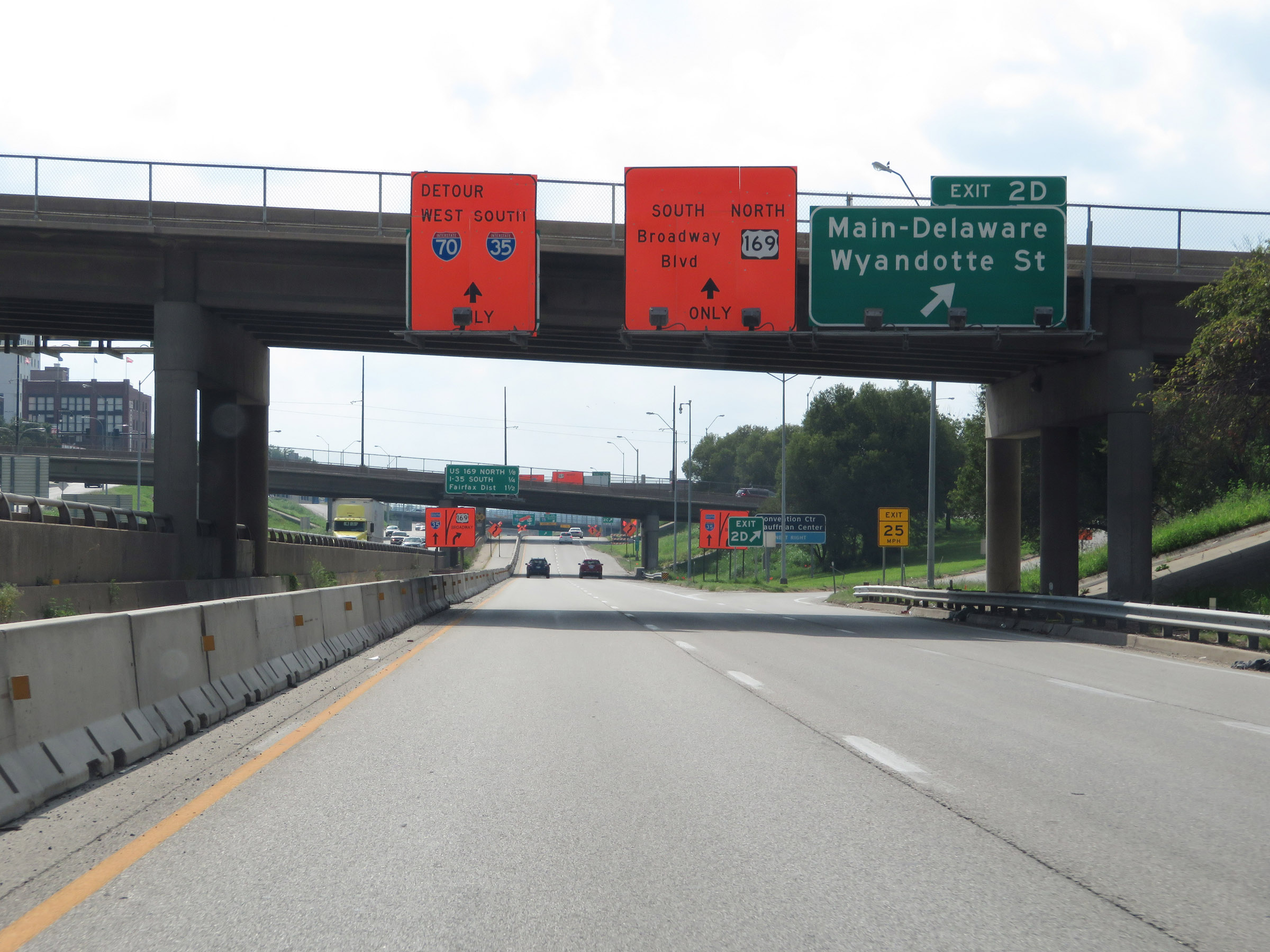 |
Interstate 35 South / Interstate 70 West at Exit 2D: Main St / Delaware St / Wyandotte St (Photo taken 8/8/20). |
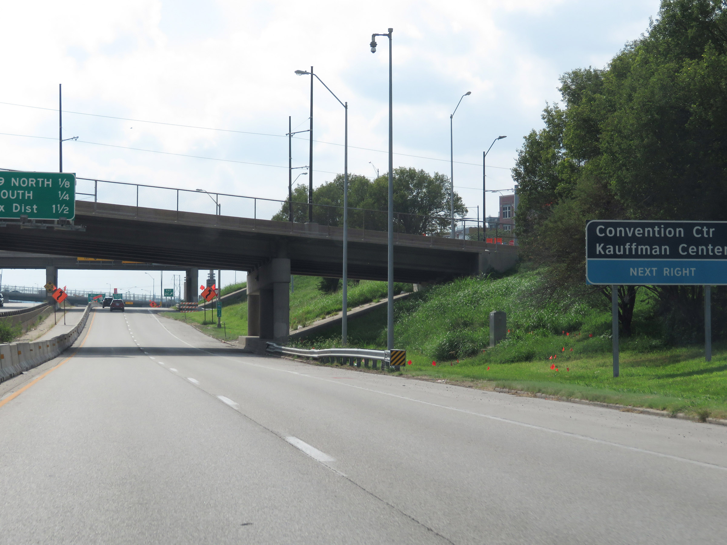 |
Take Exit 2C to the Convention Center and Kauffman Center. (Photo taken 8/8/20). |
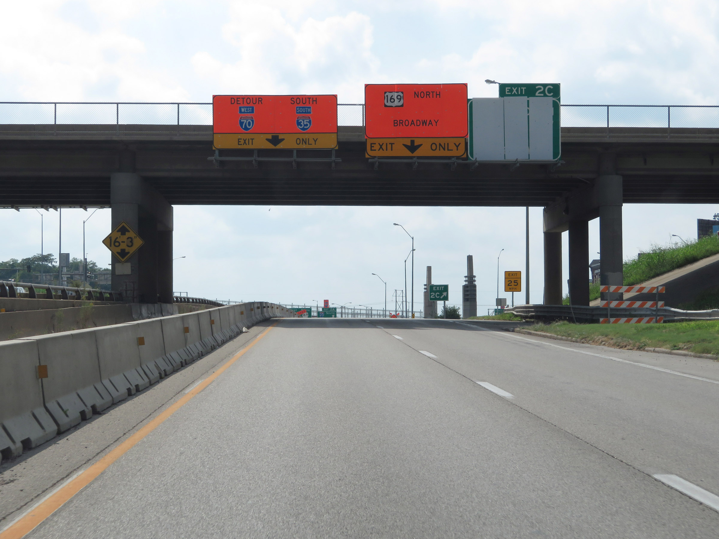 |
Interstate 35 South / Interstate 70 West at Exit 2C: US 169 North - Broadway Blvd (Photo taken 8/8/20). |
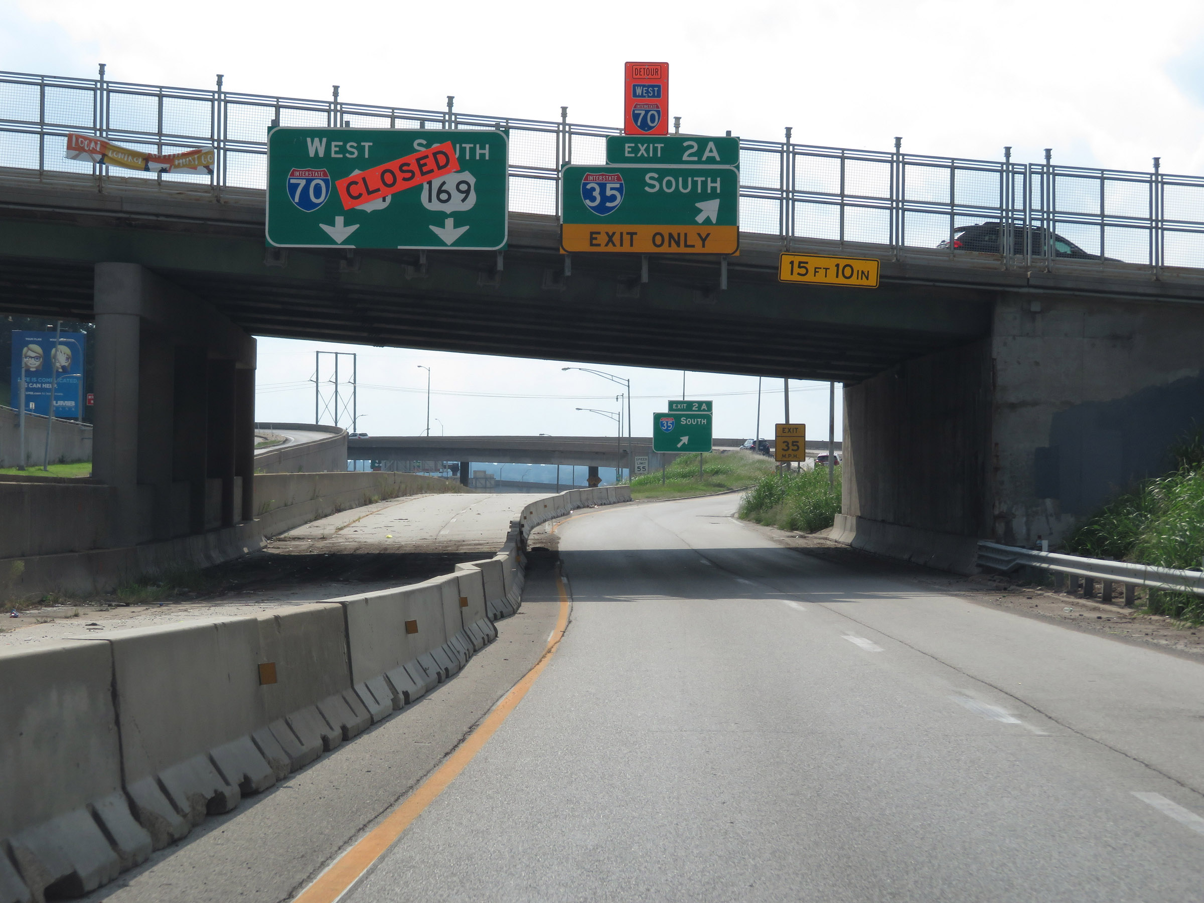 |
Interstate 35 South / Interstate 70 West at Exit 2A: Interstate 35 South. With I-70 West being closed beyond this point at the time, all traffic is routed onto I-35 South. (Photo taken 8/8/20). |
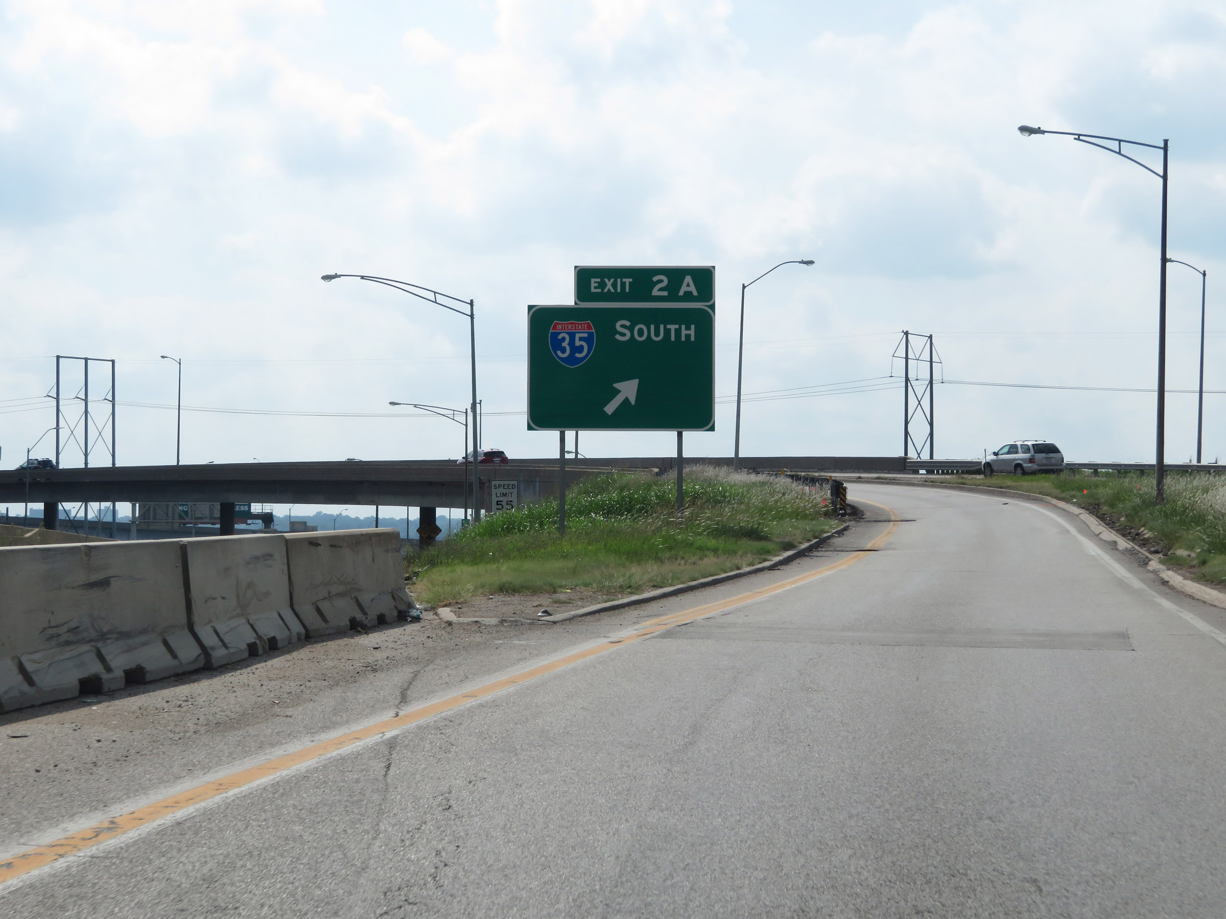 |
View on the ramp for Exit 2A, to remain on Interstate 35 South as it departs Interstate 70 West in downtown Kansas City. Ahead, I-35 South will curve back to the south. (Photo taken 8/8/20). |
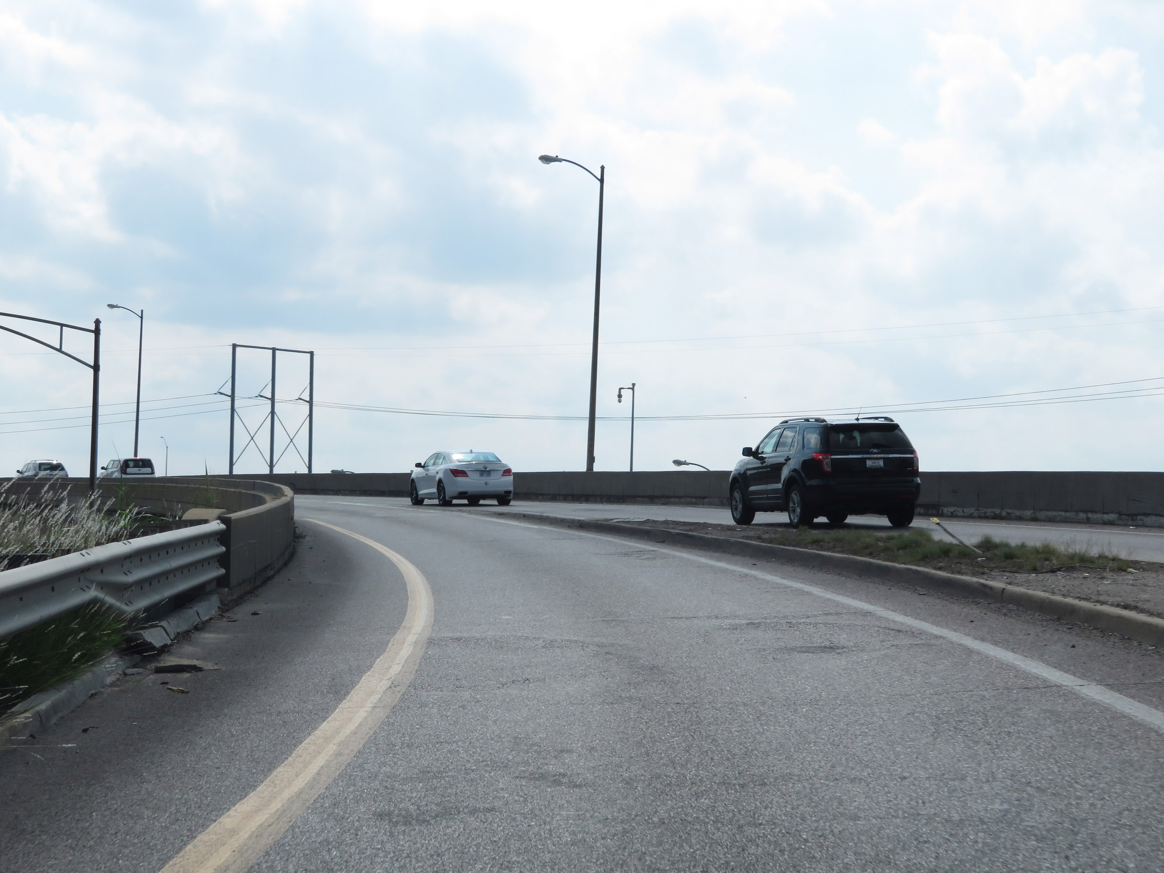 |
View on Interstate 35 South as it crosses over Interstate 70 West and curves back to the south. (Photo taken 8/8/20). |
 |
Interstate 35 South, how heading southbound once again, as traffic from W 5th St joins it on the right. (Photo taken 8/8/20). |
 |
View on Interstate 35 South at mile marker 2.6. (Photo taken 8/8/20). |
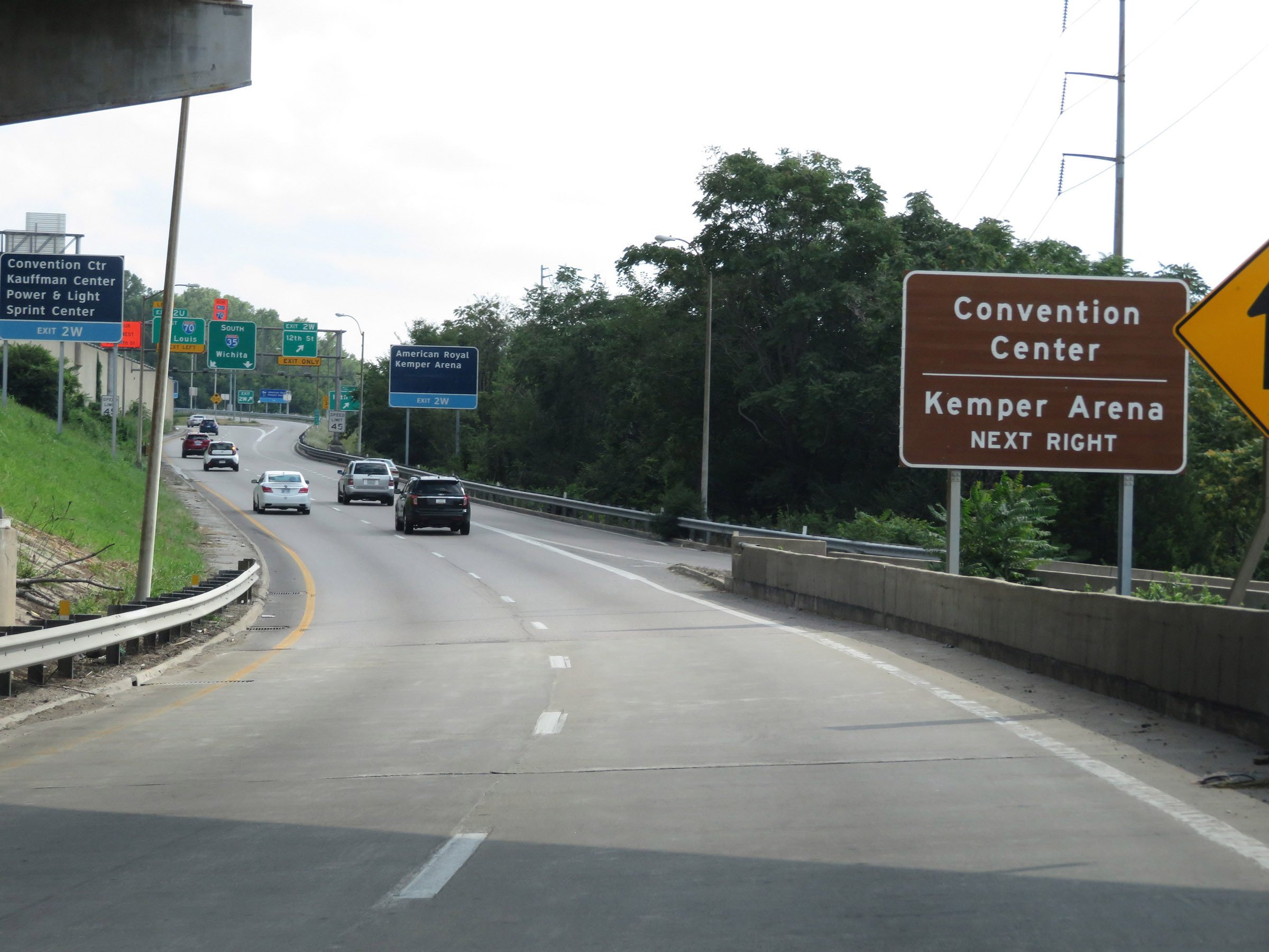 |
Take Exit 2W to the Convention Center and Kemper Arena. (Photo taken 8/8/20). |
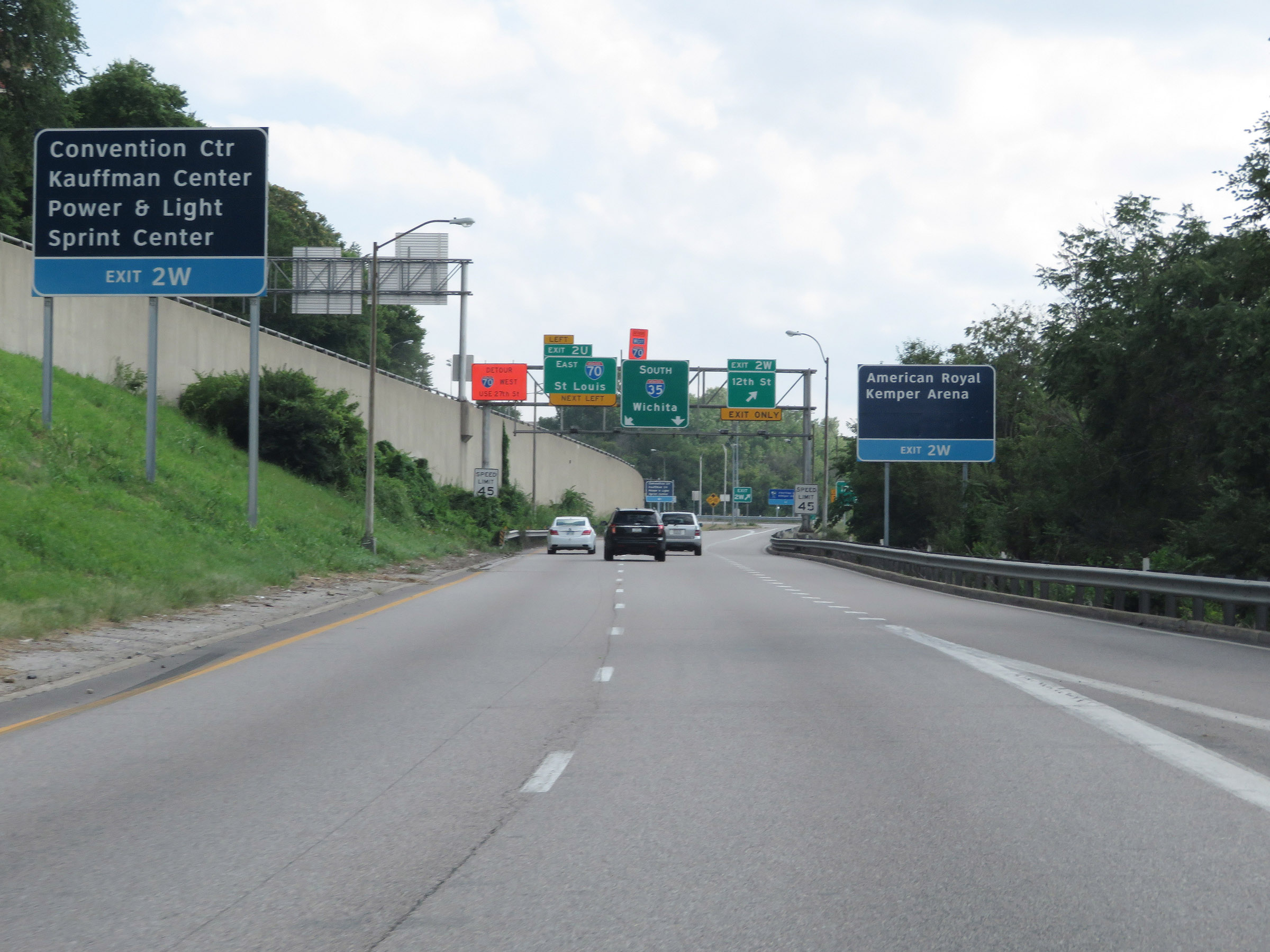 |
Also take Exit 2W to the Power & Light District and Sprint Center. (Photo taken 8/8/20). |
 |
Take Exit 2W to the American Royal Center. (Photo taken 8/8/20). |
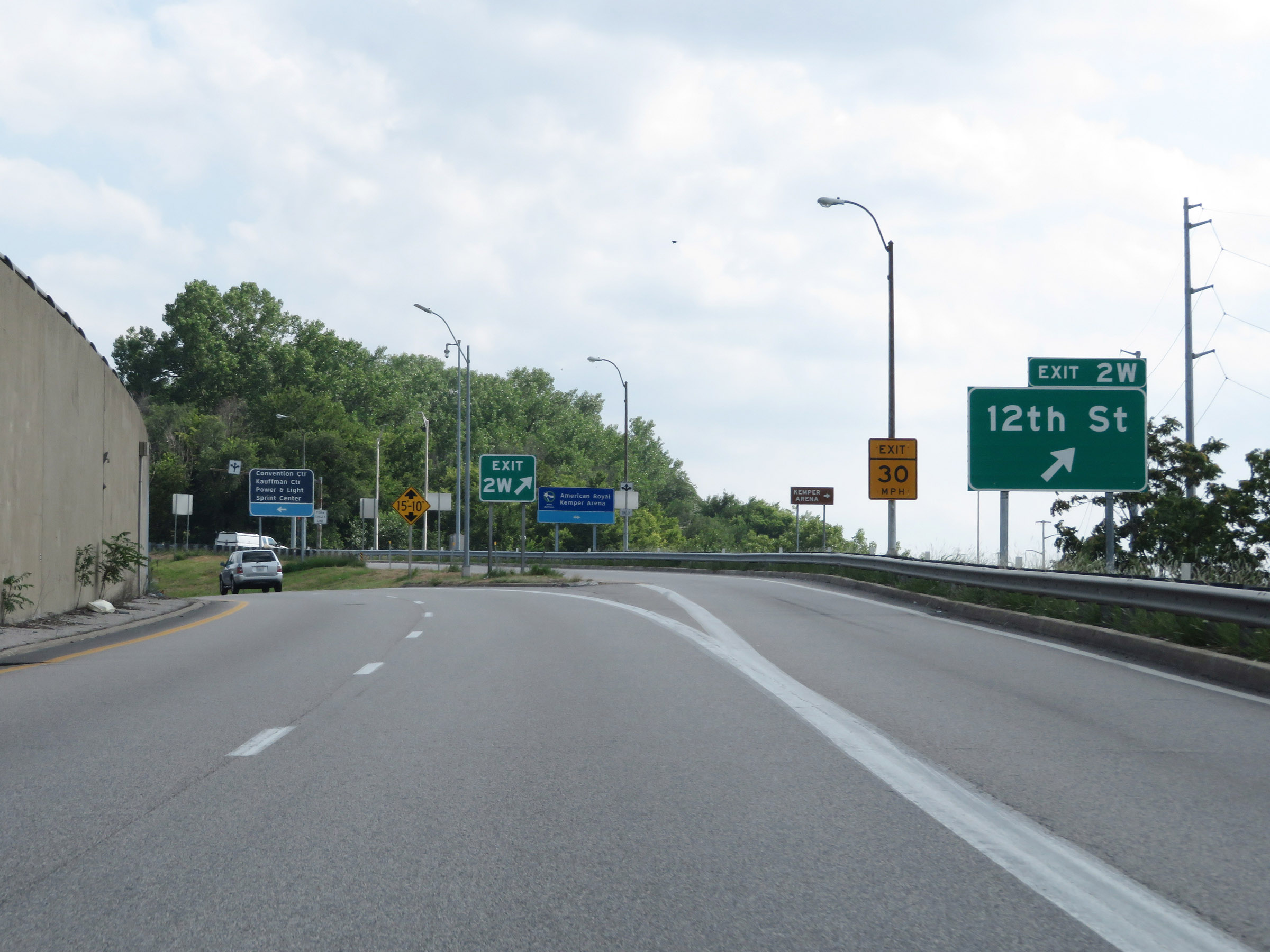 |
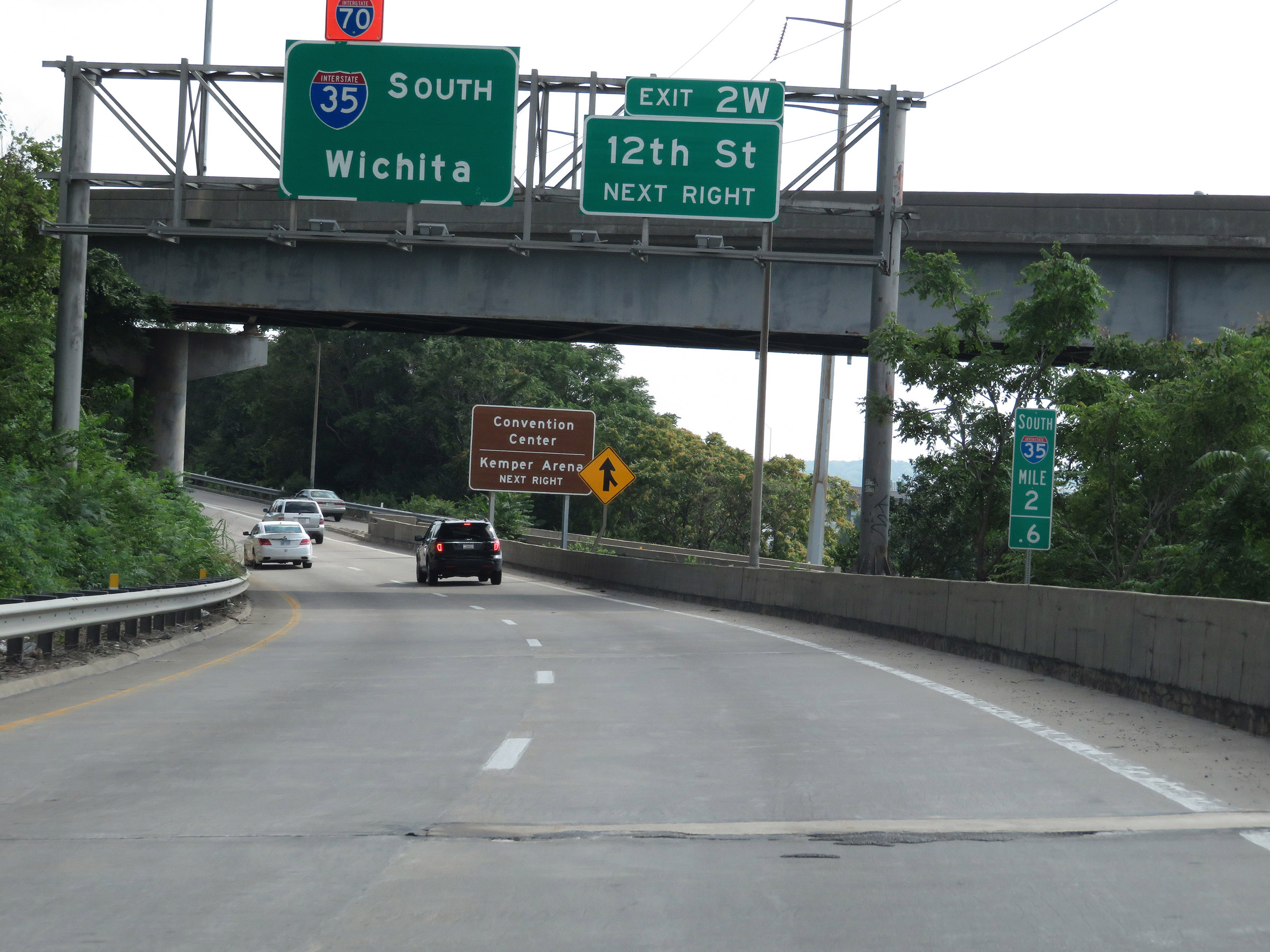
Interstate 35 South at Exit 2W: 12th St (Photo taken 8/8/20). |
 |
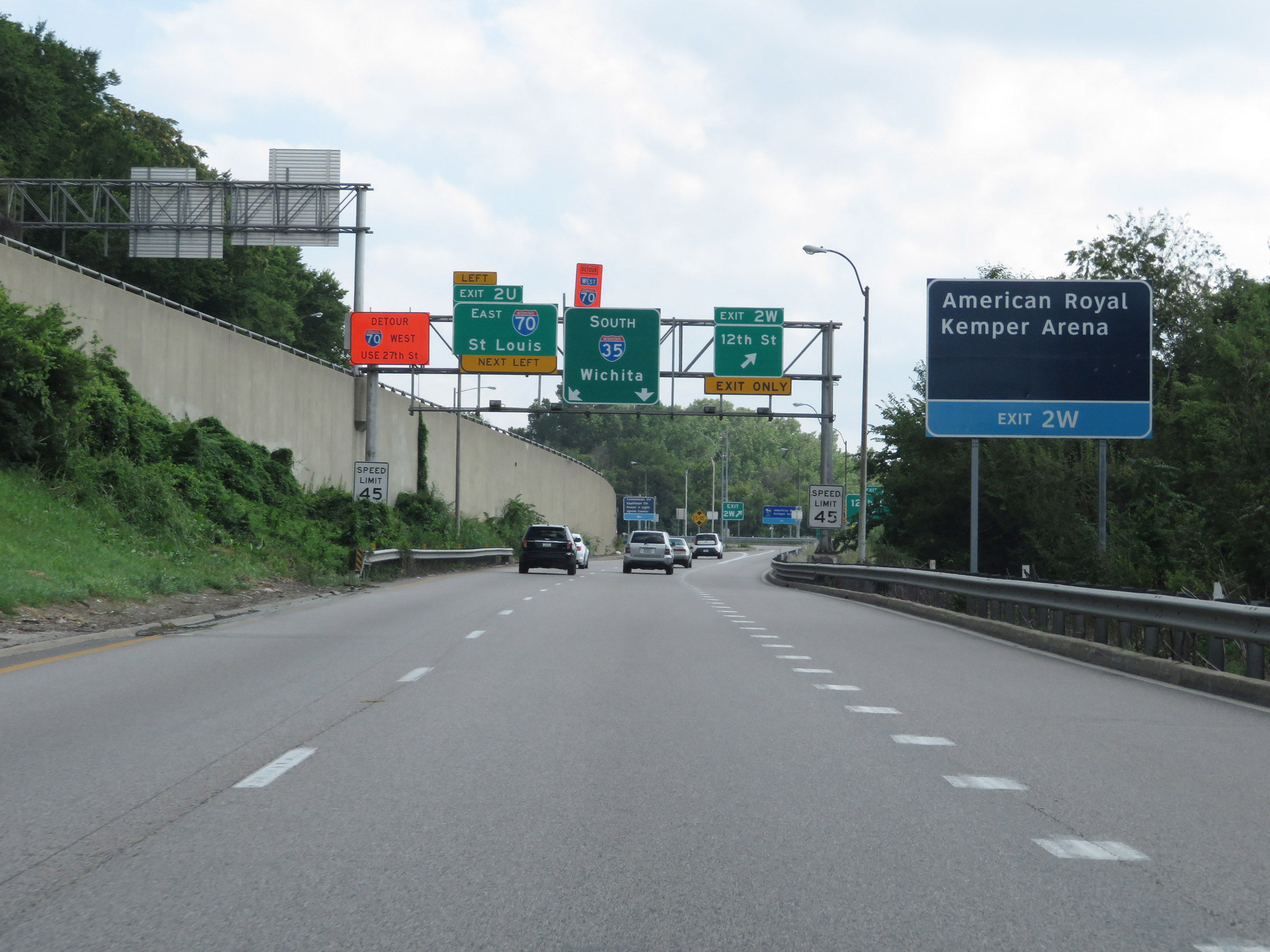
Interstate 35 South approaching Exit 2U - 1/4 mile on the left. This sign isn't completely accurate. Exit 2U actually takes you onto Interstate 670 East, which leads straight to Interstate 70 East. (Photo taken 8/8/20). |
 |
View on Interstate 35 South at mile marker 2.2 in downtown Kansas City. (Photo taken 8/8/20). |
 |
Interstate 35 South at Exit 2U: Interstate 670 East / To Interstate 70 East - St Louis (Photo taken 8/8/20). |
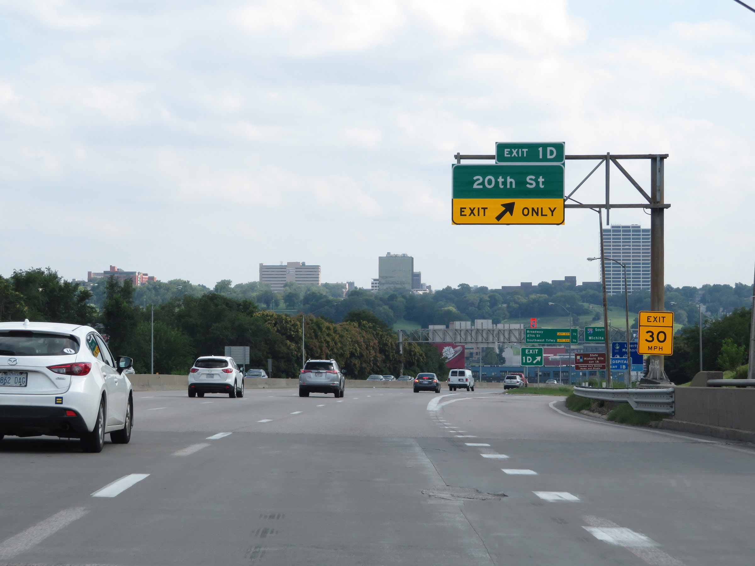 |
Interstate 35 South at Exit 1D: 20th St (Photo taken 8/8/20). |
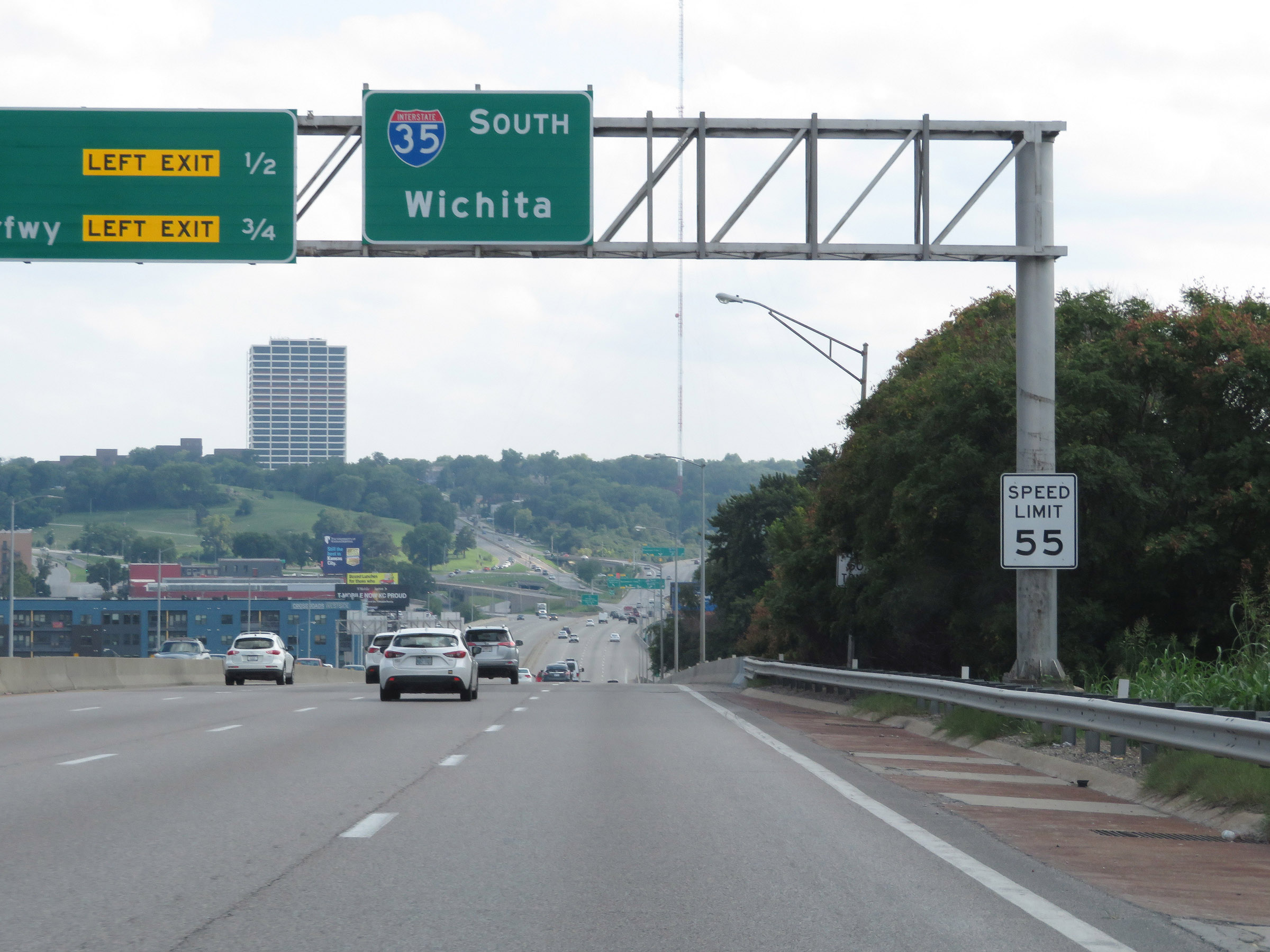 |
Beyond Exit 1D, the speed limit increases to 55 mph once again. (Photo taken 8/8/20). |
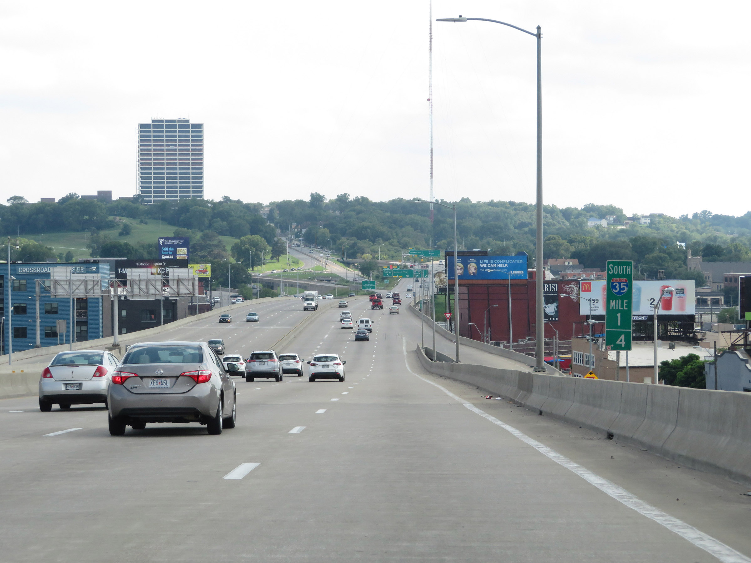 |
View on Interstate 35 South at mile marker 1.4. (Photo taken 8/8/20). |
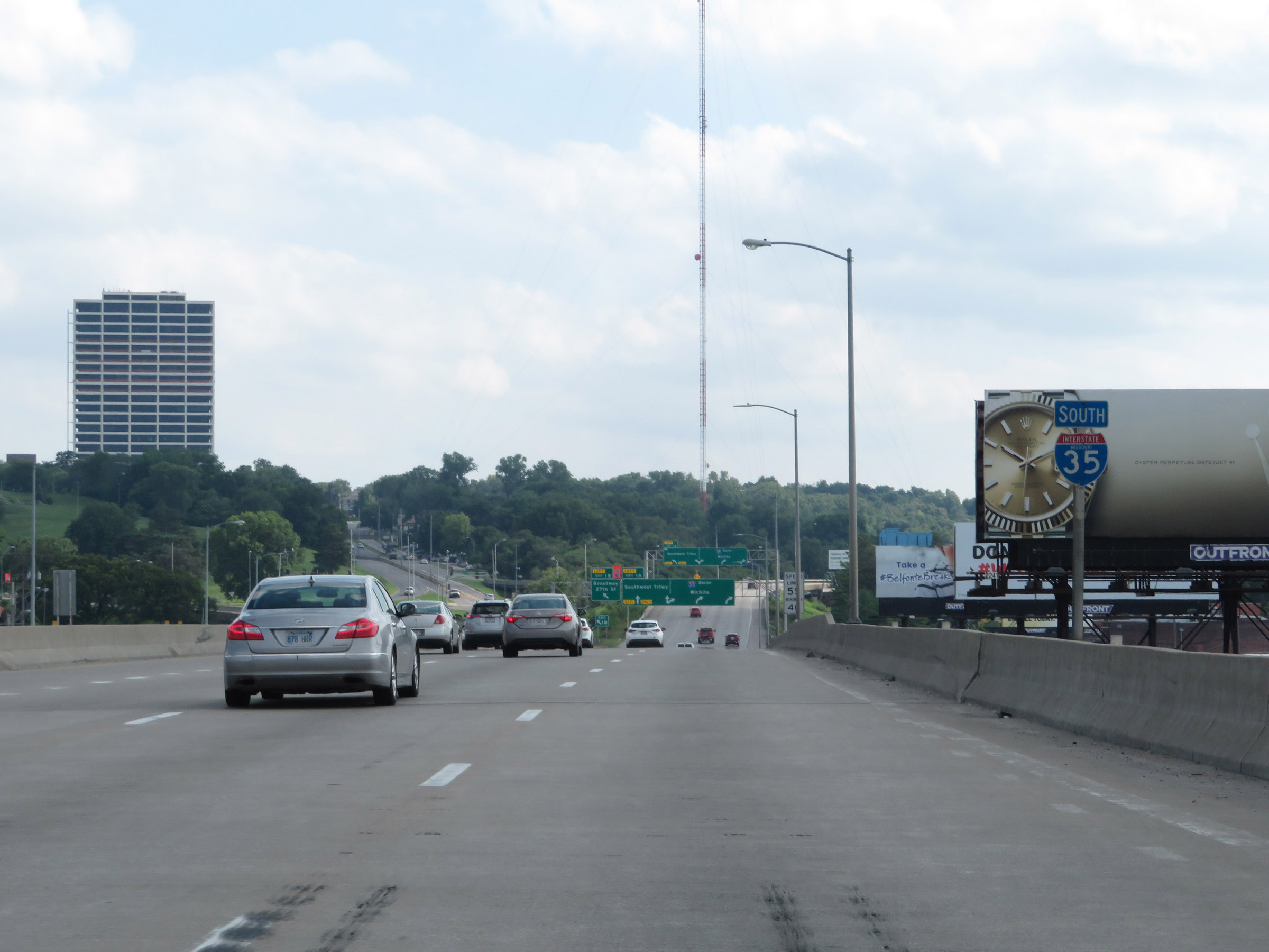 |
State-named Interstate 35 South reassurance shield approaching Exit 1B. (Photo taken 8/8/20). |
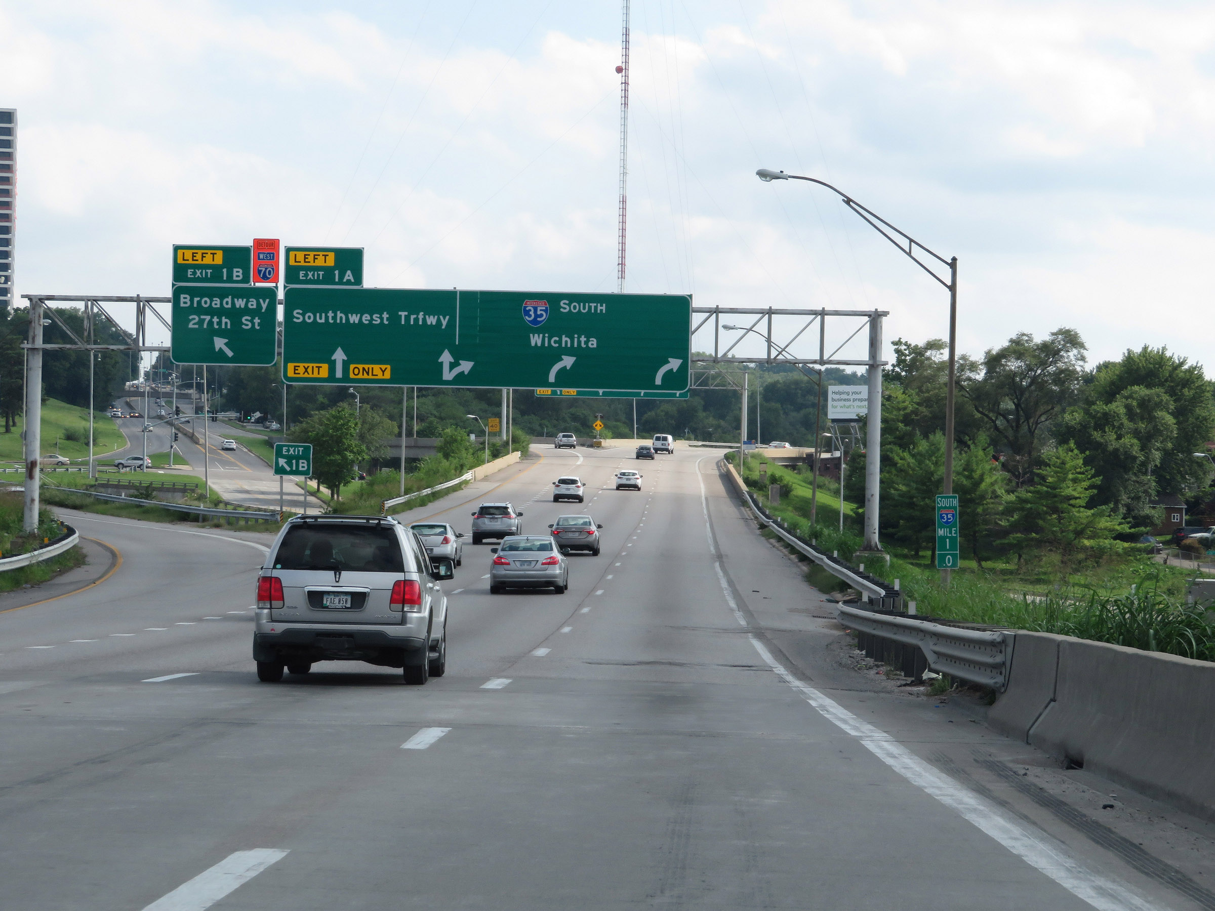 |
Interstate 35 South at Exit 1B: Broadway / 27th St (Photo taken 8/8/20). |
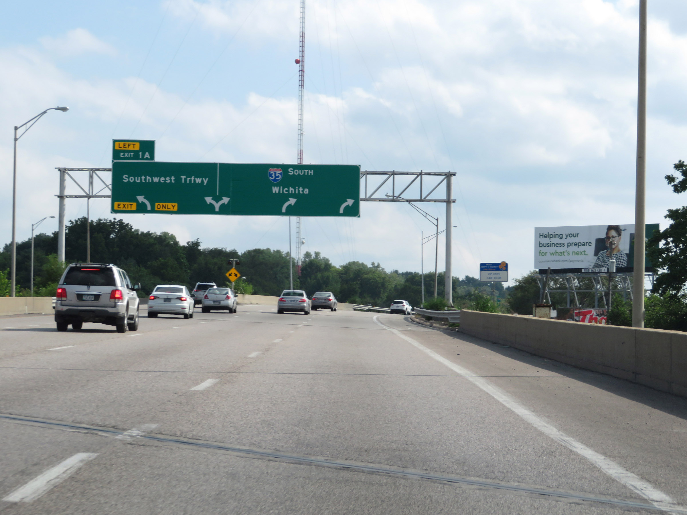 |
Interstate 35 South at Exit 1A: Southwest Trafficway (Photo taken 8/8/20). |
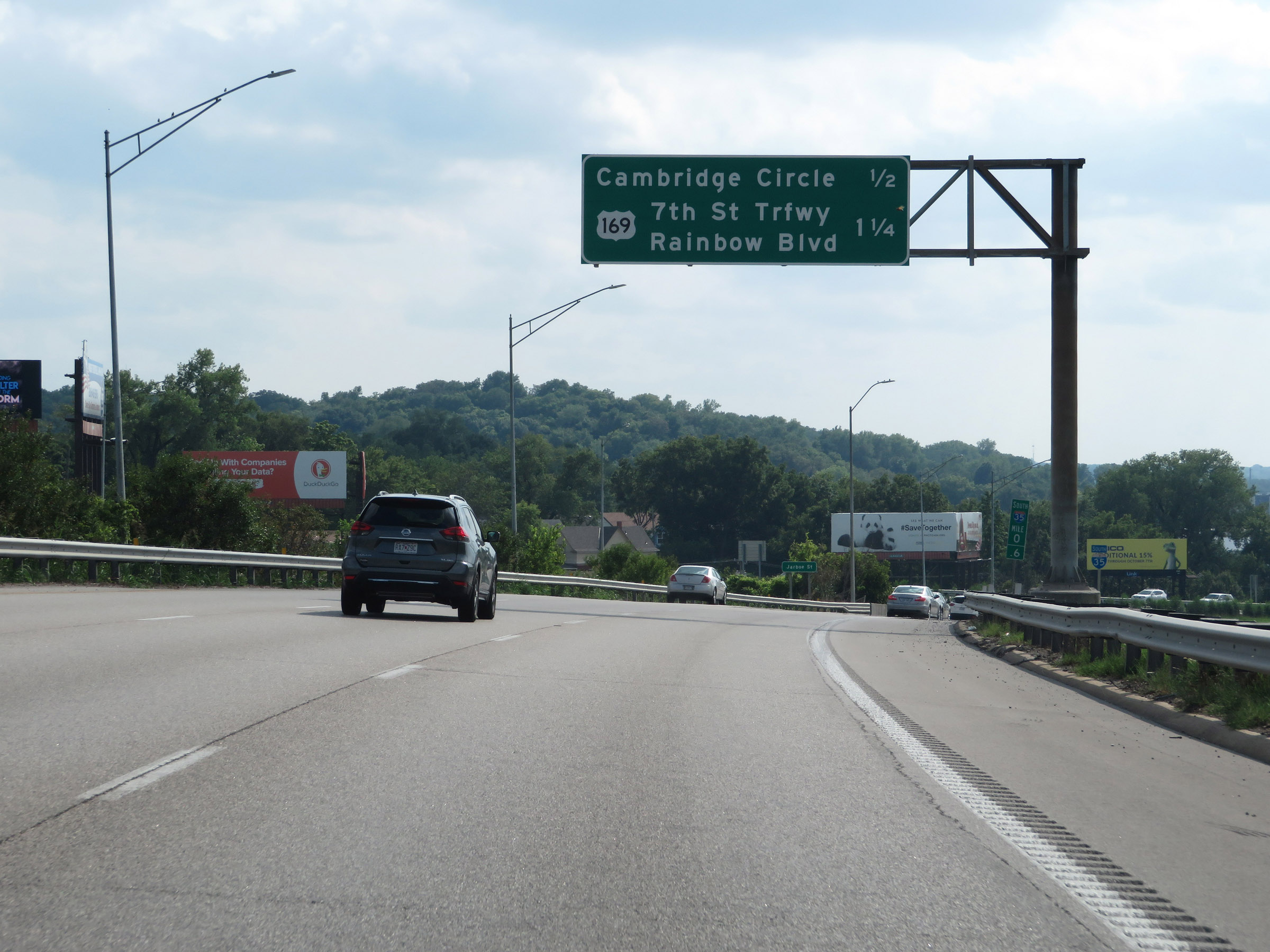 |
Overhead mileage sign listing the distances to the next 2 exits on Interstate 35 South, both of which will occur across the border in Kansas. (Photo taken 8/8/20). |
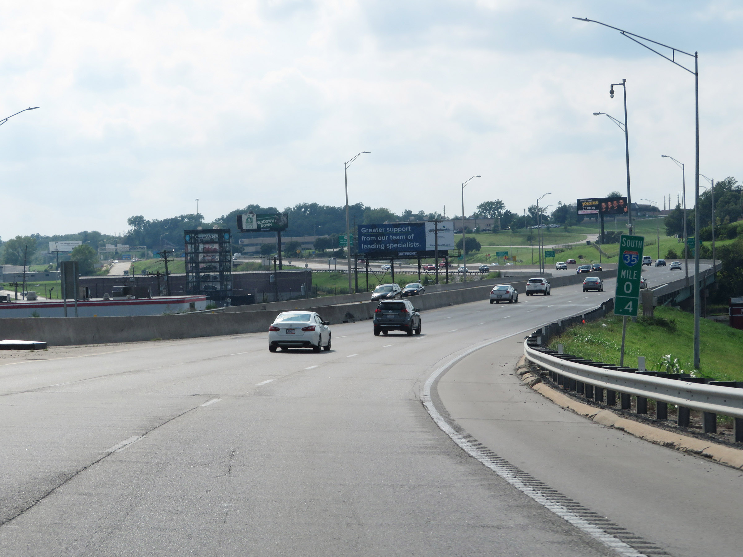 |
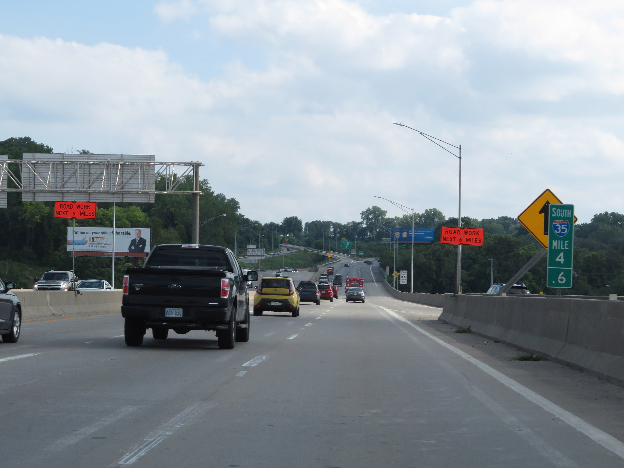
Interstate 35 South at mile marker 0.4, as it curves in a southwestern direction in preparation to cross the state line into Kansas. (Photo taken 8/8/20). |
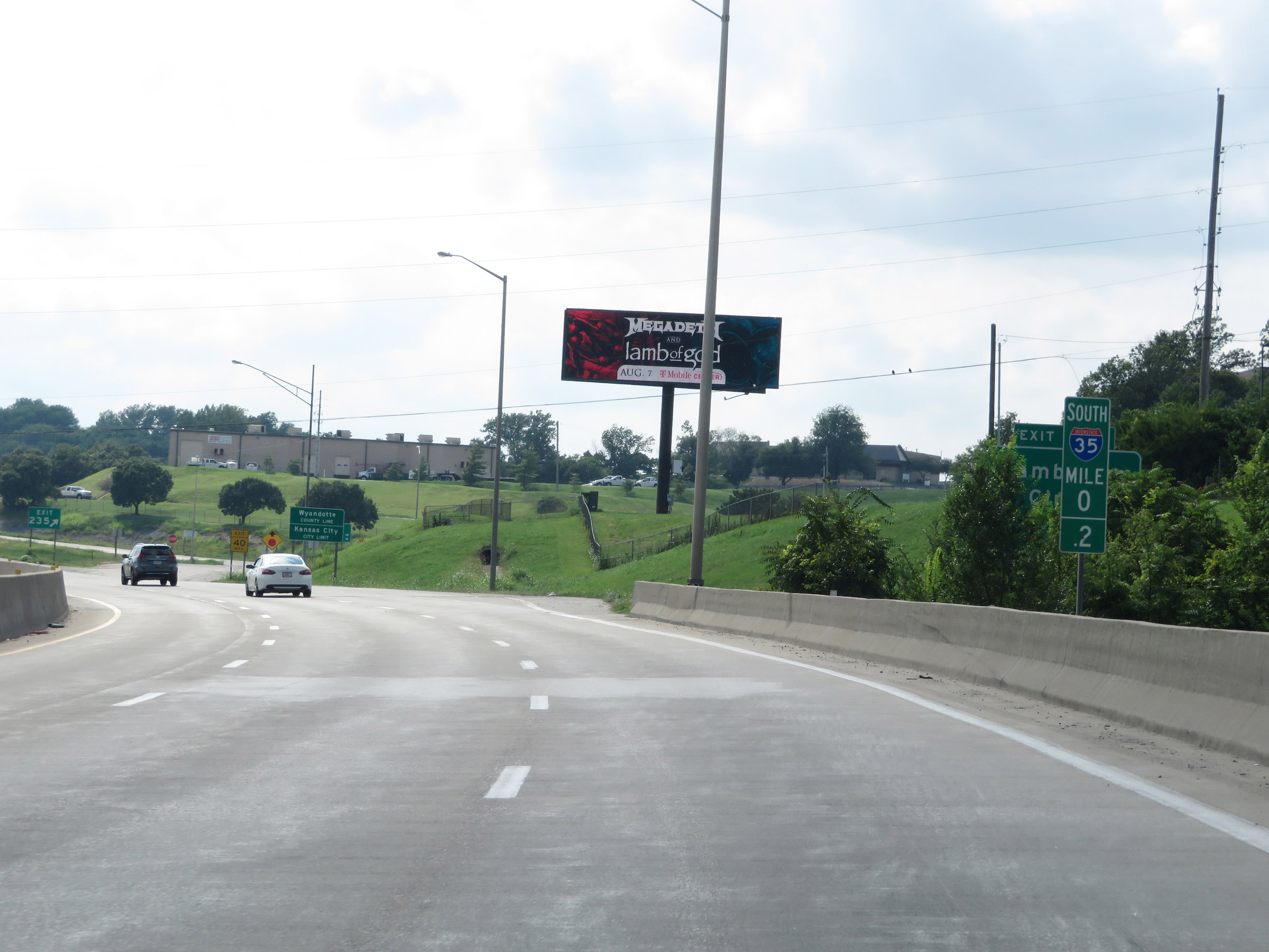 |
View on Interstate 35 South at mile marker 0.2, approaching Exit 235 and the Kansas border. (Photo taken 8/8/20). |
 |
Interstate 35 South as it enters Kansas at the ramp for Exit 235. (Photo taken 8/8/20). |