Road Information |
||
 |
||
| Total Mileage in State: | 128 miles | |
| Northern End: | At Iowa state line | |
| Southern End: | At I-70, in Kansas City | |
| Mileage covered in Photos: | 128 miles | |
| Counties covered in Photos: | Jackson, Clay, Platte, Buchanan, Andrew, Holt, Atchison | |
| Major Junctions in Photos: | I-35 North, in Kansas City I-635, in Kansas City I-435 East, in Kansas City I-435 South, in Platte City I-229 North, near St. Joseph I-229 South, near St. Joseph US 136, in Rock Port |
|
| Control Cities in Photos: | Kansas City, North Kansas City, Platte City, St. Joseph, Rock Port | |
Northbound
- Section 1: Kansas City to Platte City (Exit 18)
- Section 2: Platte City (Exit 18) to St. Joseph (Exit 56B)
- Section 3: St. Joseph (Exit 56B) to Iowa Border
Section 1: Kansas City to Platte City (Exit 18)
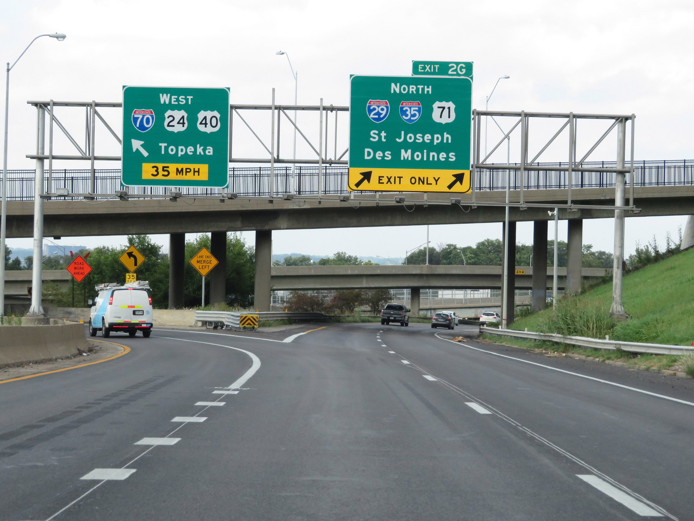 |
Interstate 29 North begins here, at Exit 2G on Interstate 70 West in downtown Kansas City. It will run concurrently with Interstate 35 North for the next 4.5 miles. (Photo taken 8/8/20). |
 |
View on Interstate 29 North as it starts. It will join with the northbound traffic of Interstate 35 ahead, which will join I-29 on the left. (Photo taken 8/8/20). |
 |
Interstate 29 North / Interstate 35 North at mile marker 3.8. During the I-29 / I-35 concurrency, the mileage and exit numbers are based off the mileage of I-35. (Photo taken 8/8/20). |
 |
Interstate 29 North / Interstate 35 North reassurance shields at mile marker 4. (Photo taken 8/8/20). |
 |
The speed limits on the Interstate 29 North / Interstate 35 North duplex start out at 55 mph maximum and 40 mph minimum. (Photo taken 8/8/20). |
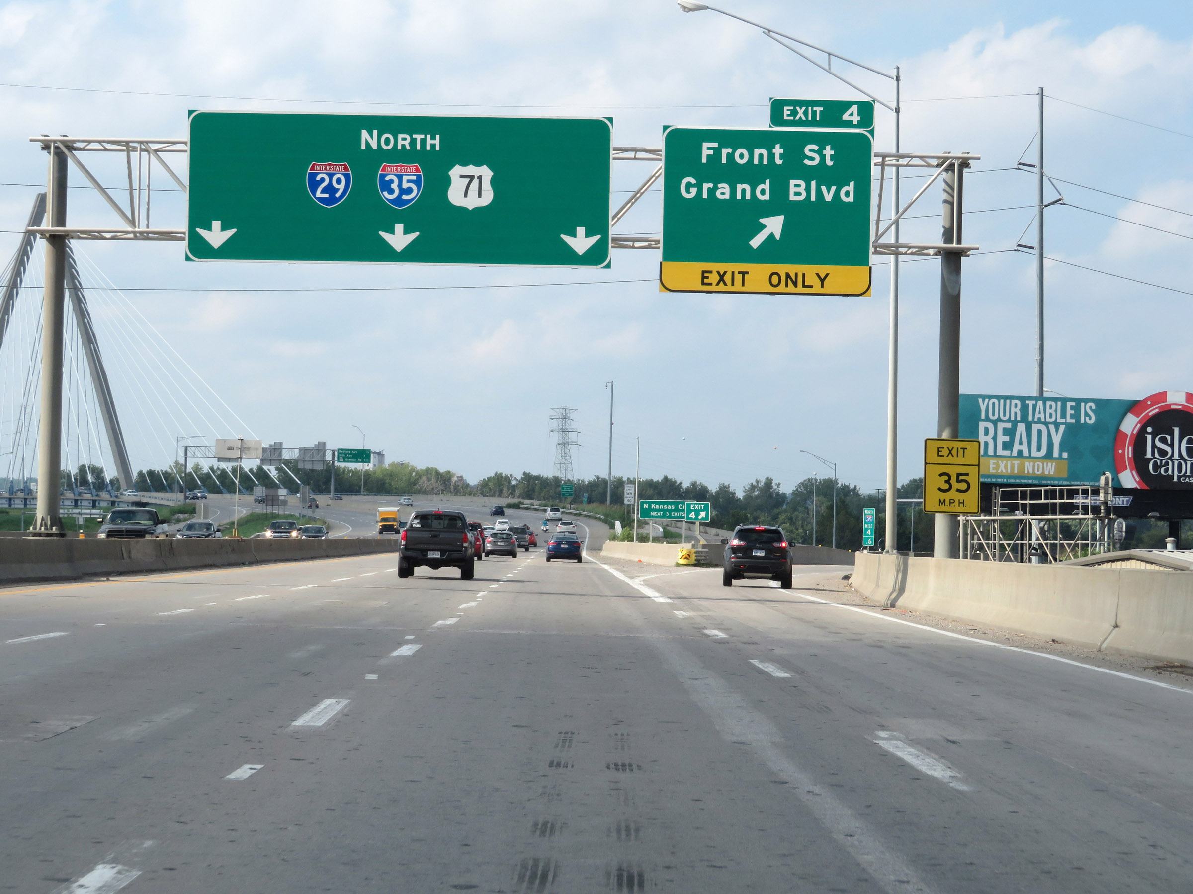 |
Interstate 29 North / Interstate 35 North at Exit 4: Front St / Grand Blvd (Photo taken 8/8/20). |
 |
Take any of the next 3 exits to North Kansas City. (Photo taken 8/8/20). |
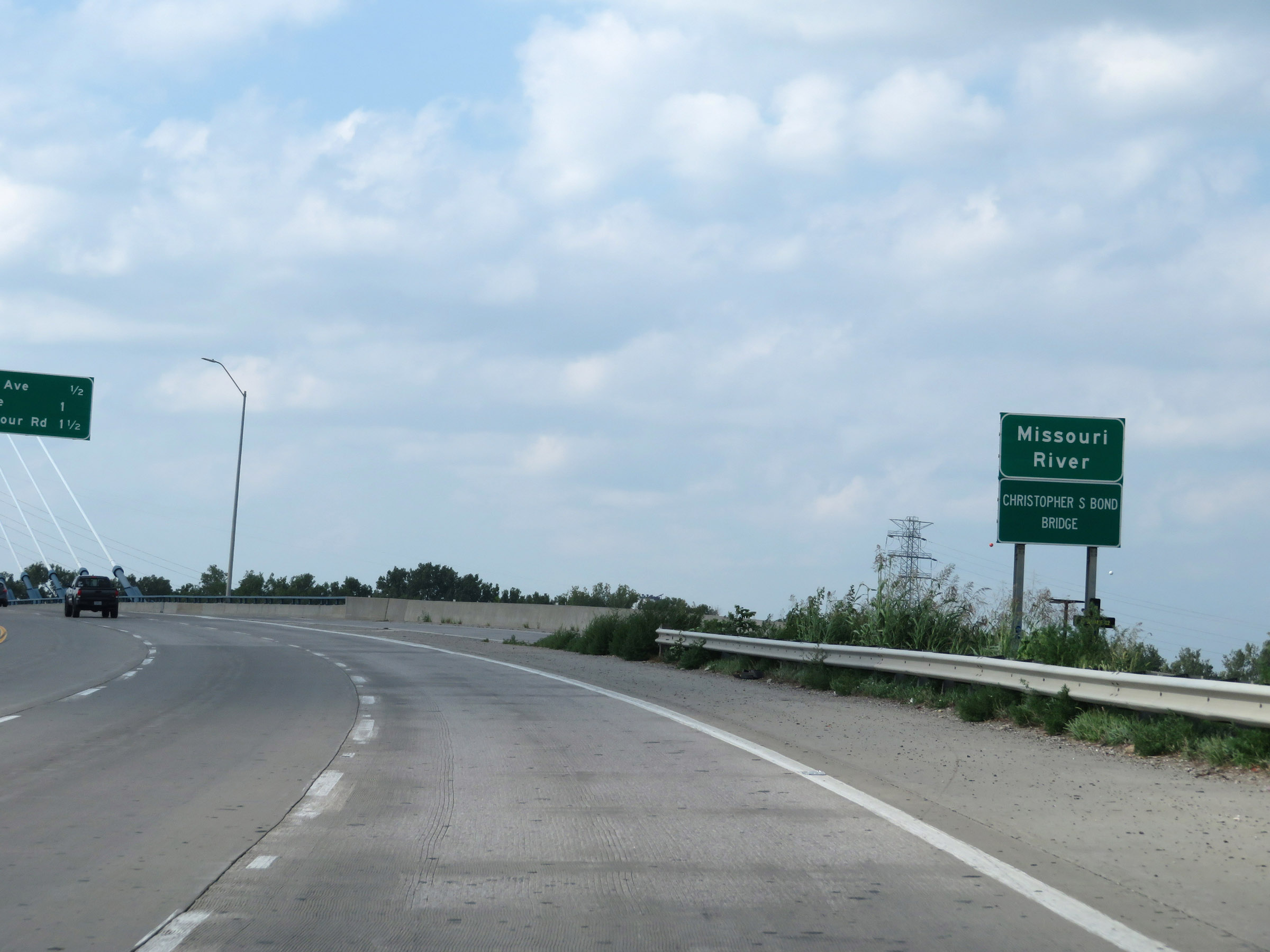 |
Interstate 29 North / Interstate 35 North as they prepare to cross the Missouri River on the Christopher S. Bond Bridge. (Photo taken 8/8/20). |
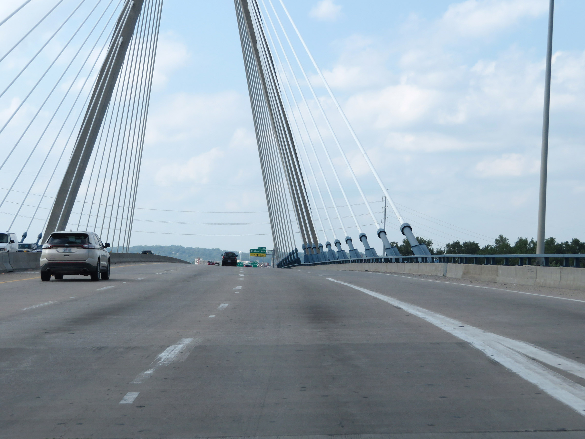 |
View on the Christopher S. Bond Bridge as it crosses the Missouri River to the north of downtown Kansas City on Interstate 29 North / Interstate 35 North. (Photo taken 8/8/20). |
 |
Another view on the Christopher S. Bond Bridge. (Photo taken 8/8/20). |
 |
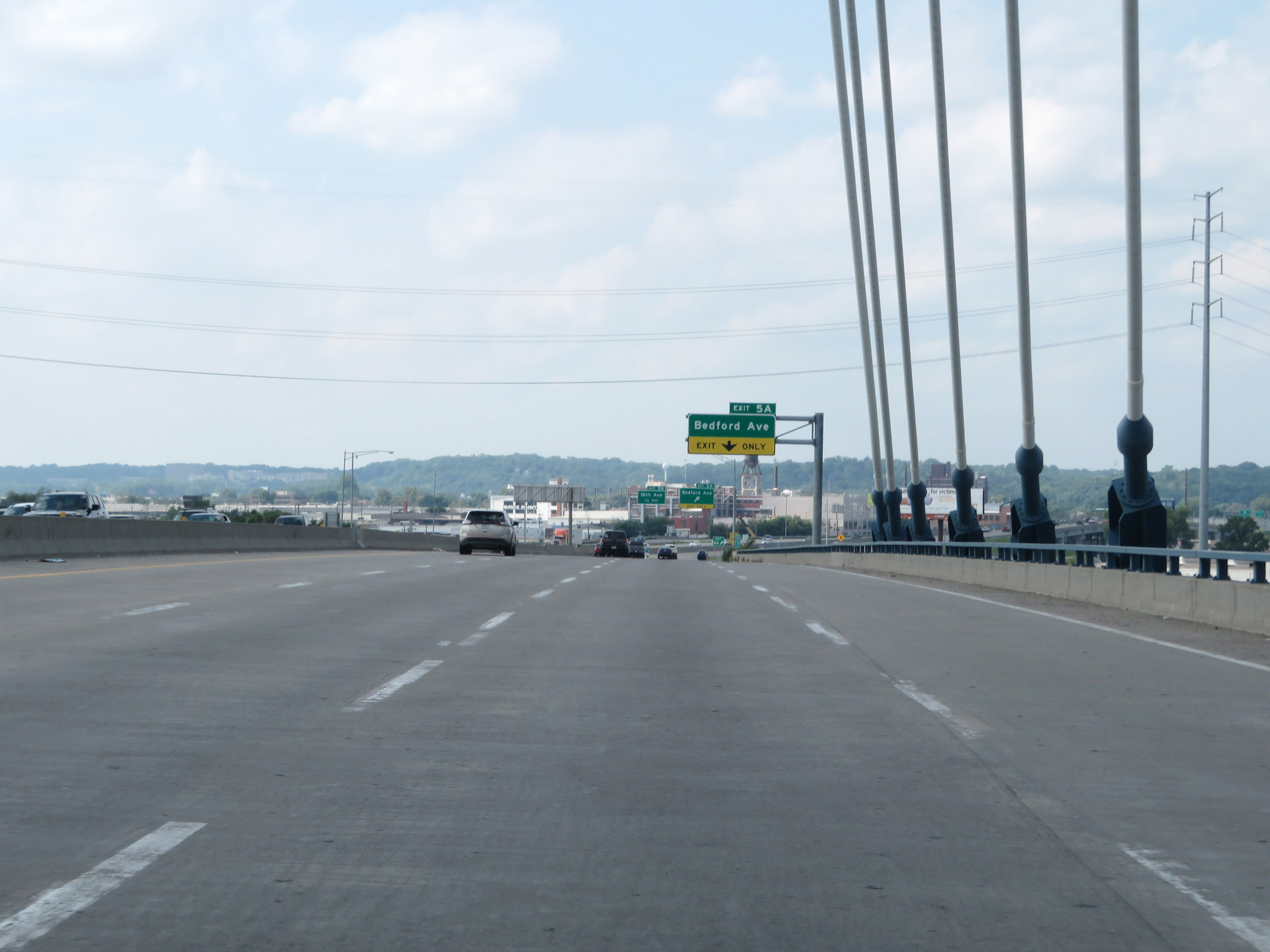
Interstate 29 North / Interstate 35 North at Exit 5A: Bedford Ave (Photo taken 8/8/20). |
 |
Interstate 29 North / Interstate 35 North at mile marker 5.4. (Photo taken 8/8/20). |
 |
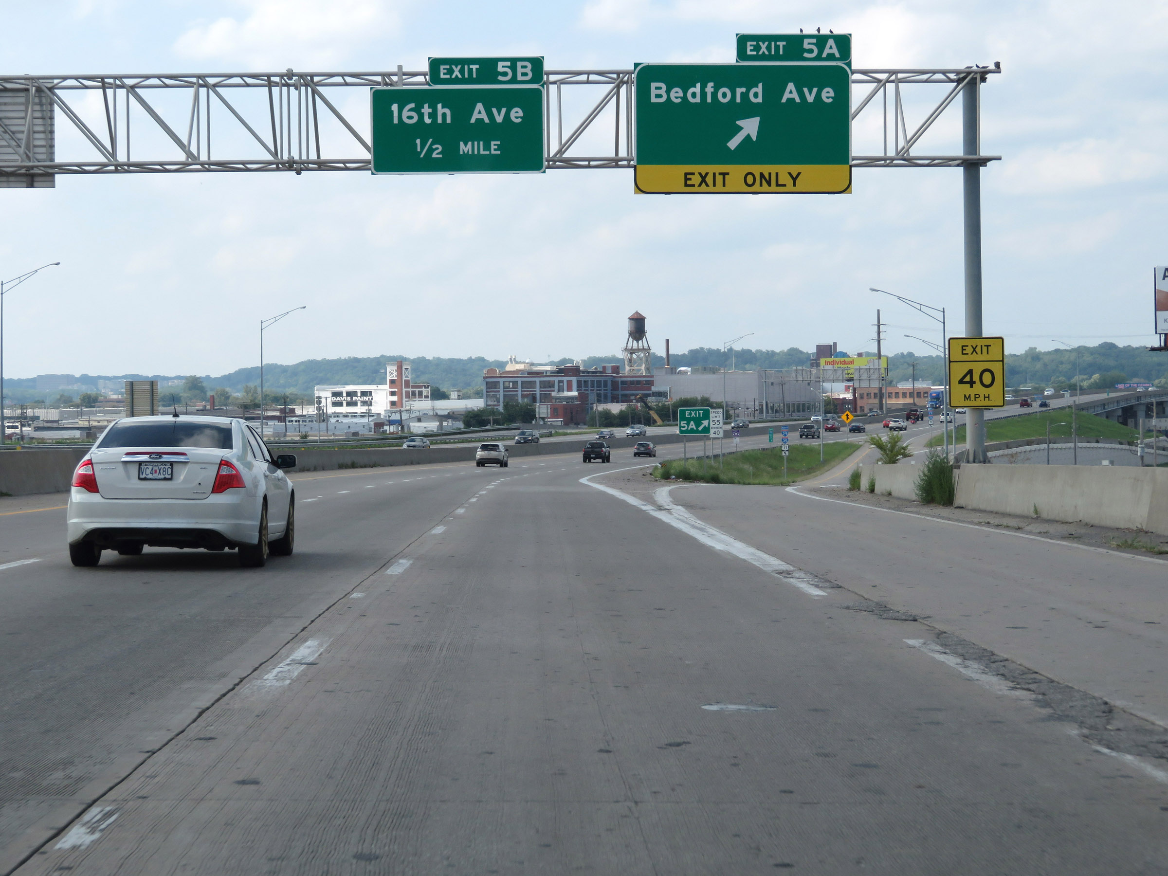
Interstate 29 North / Interstate 35 North at Exit 5B: 16th Ave (Photo taken 8/8/20). |
 |
Interstate 29 North / Interstate 35 North at Exit 6: MO 210 - Armour Rd (Photo taken 8/8/20). |
 |
View on Interstate 29 North / Interstate 35 North at mile marker 6.8. (Photo taken 8/8/20). |
 |
Another set of Interstate 29 North / Interstate 35 North reassurance shields. (Photo taken 8/8/20). |
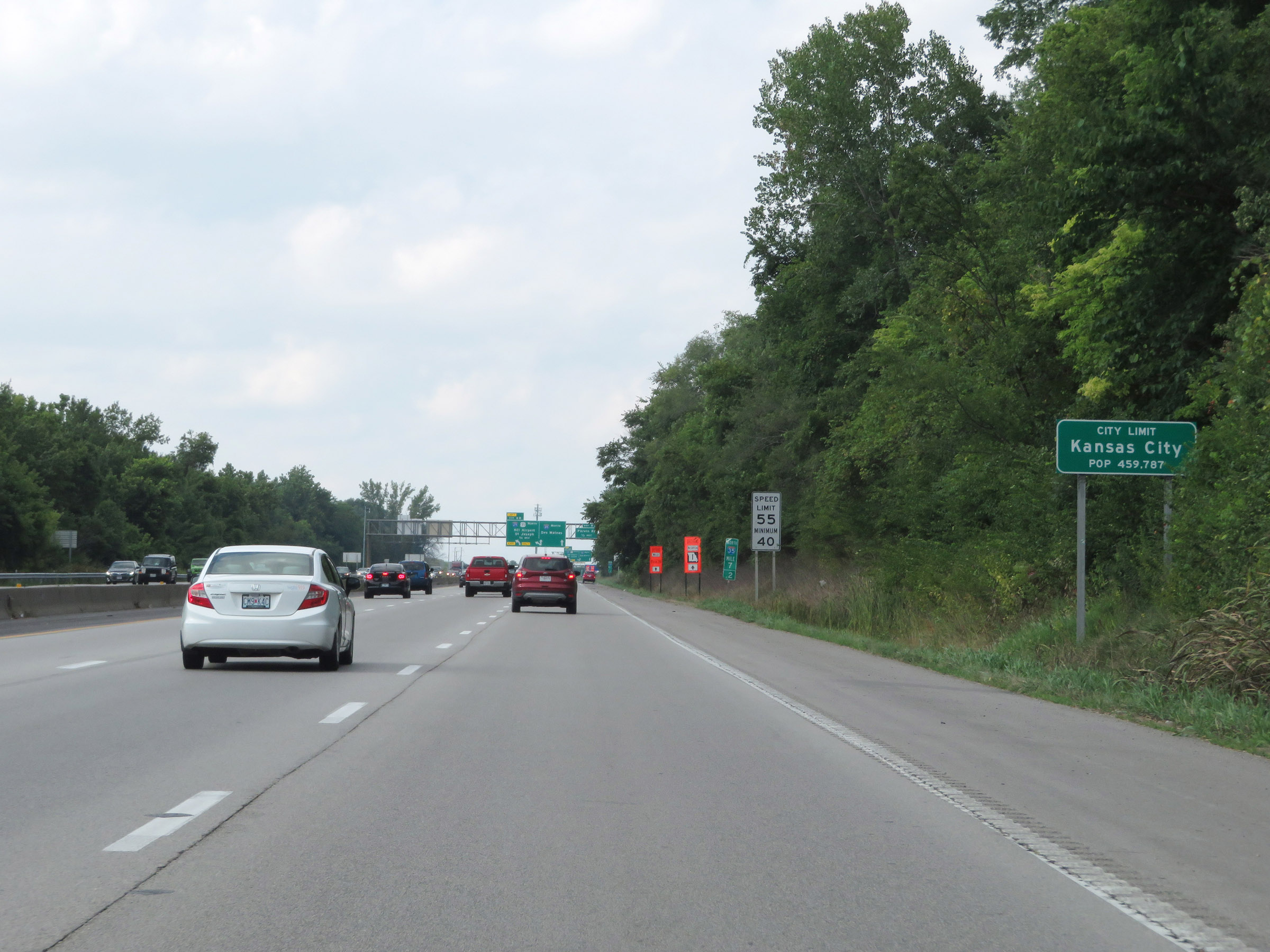 |
After a brief time in North Kansas City, Interstate 29 North / Interstate 35 North reenter the Kansas City city limits at mile marker 7.2. (Photo taken 8/8/20). |
 |
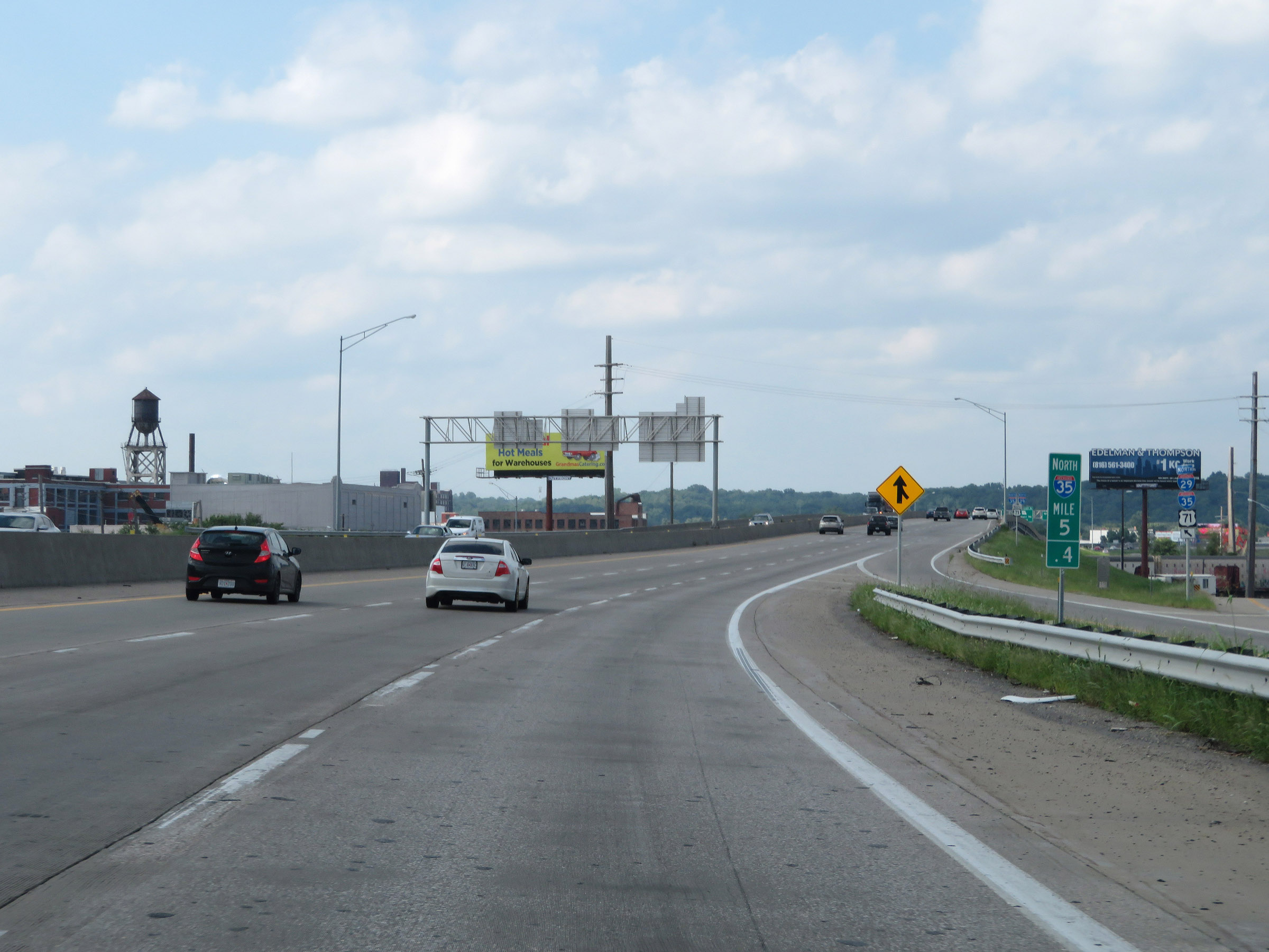
Interstate 29 North / Interstate 35 North approaching Exit 8B - 3/4 mile on the left. (Photo taken 8/8/20). |
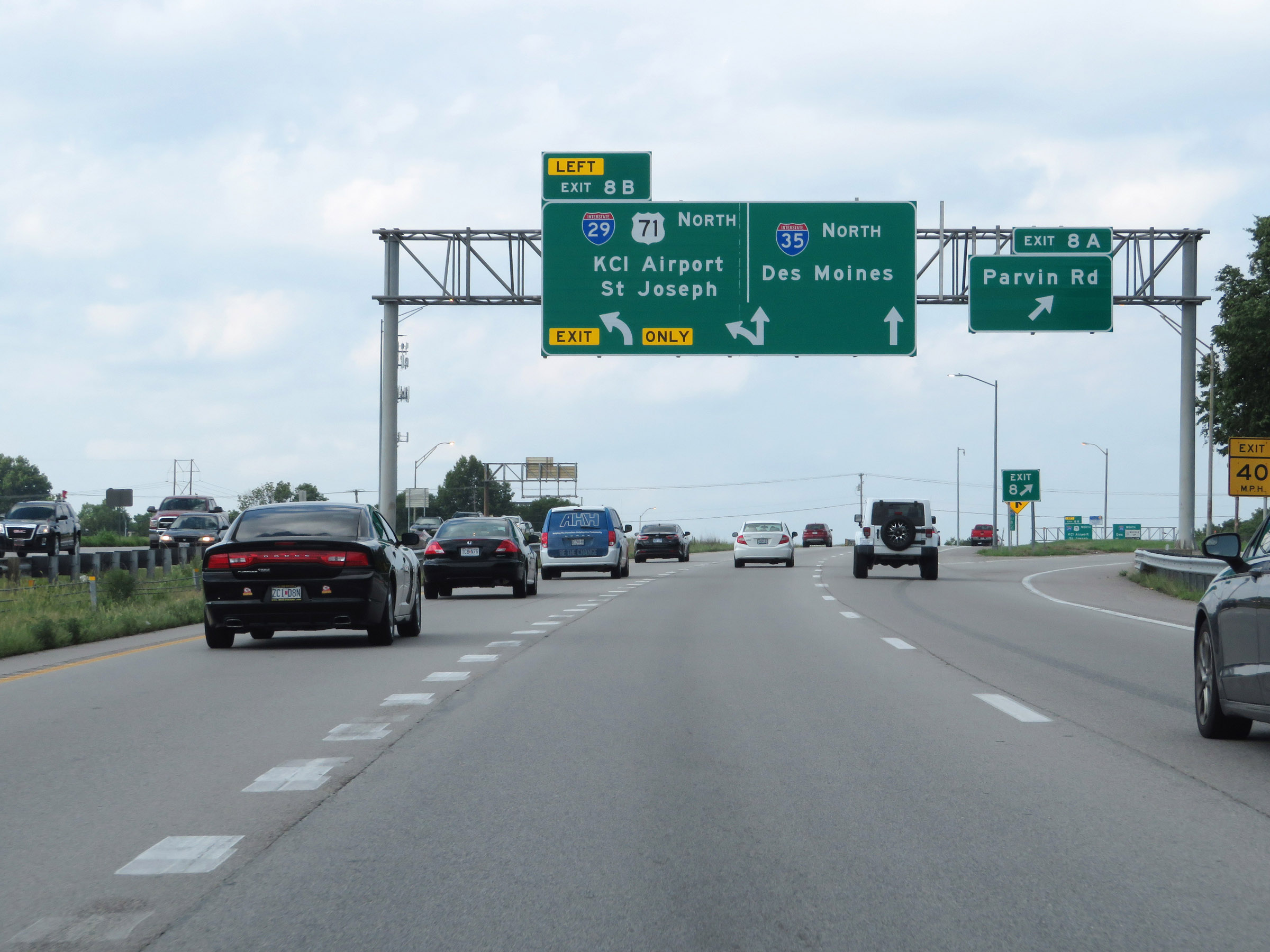 |
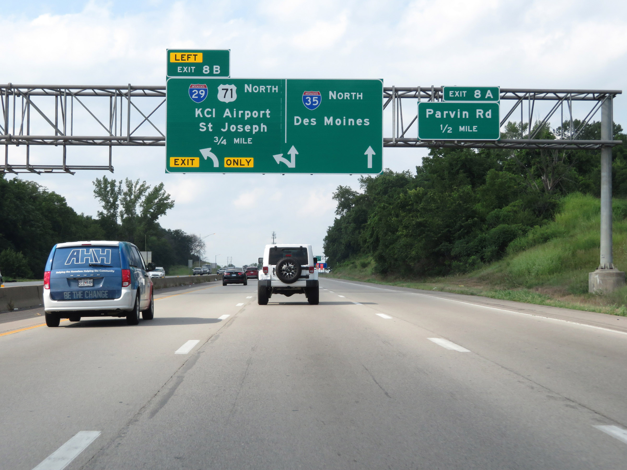
Interstate 29 North / Interstate 35 North at Exit 8A: Parvin Rd (Photo taken 8/8/20). |
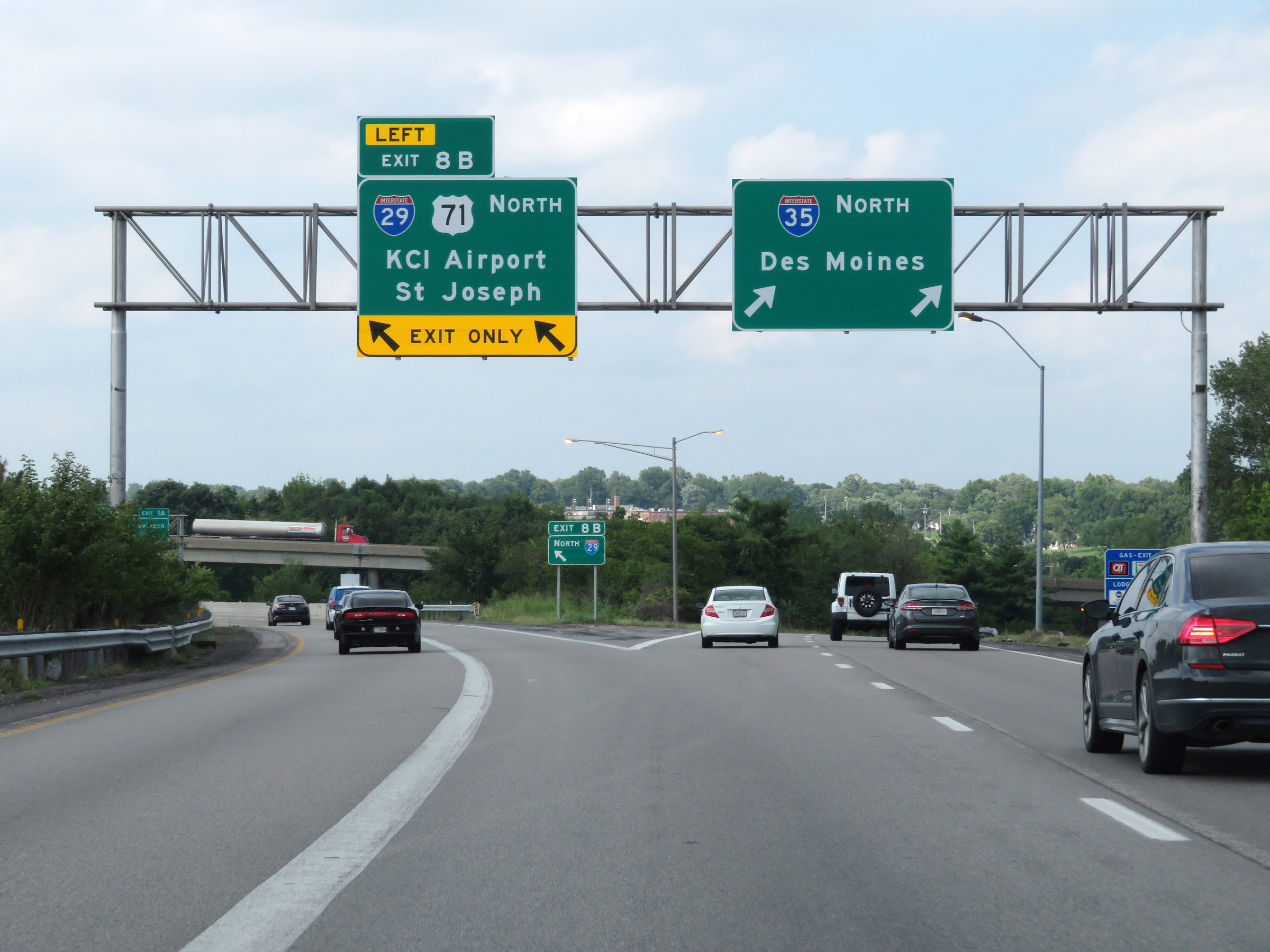 |
Interstate 29 North / Interstate 35 North at Exit 8B: Interstate 29 North / US 71 North - KCI Airport / St Joseph (Photo taken 8/8/20). |
 |
A closer view of the gore point signage for Exit 8B, as Interstate 29 North departs Interstate 35. (Photo taken 8/8/20). |
 |
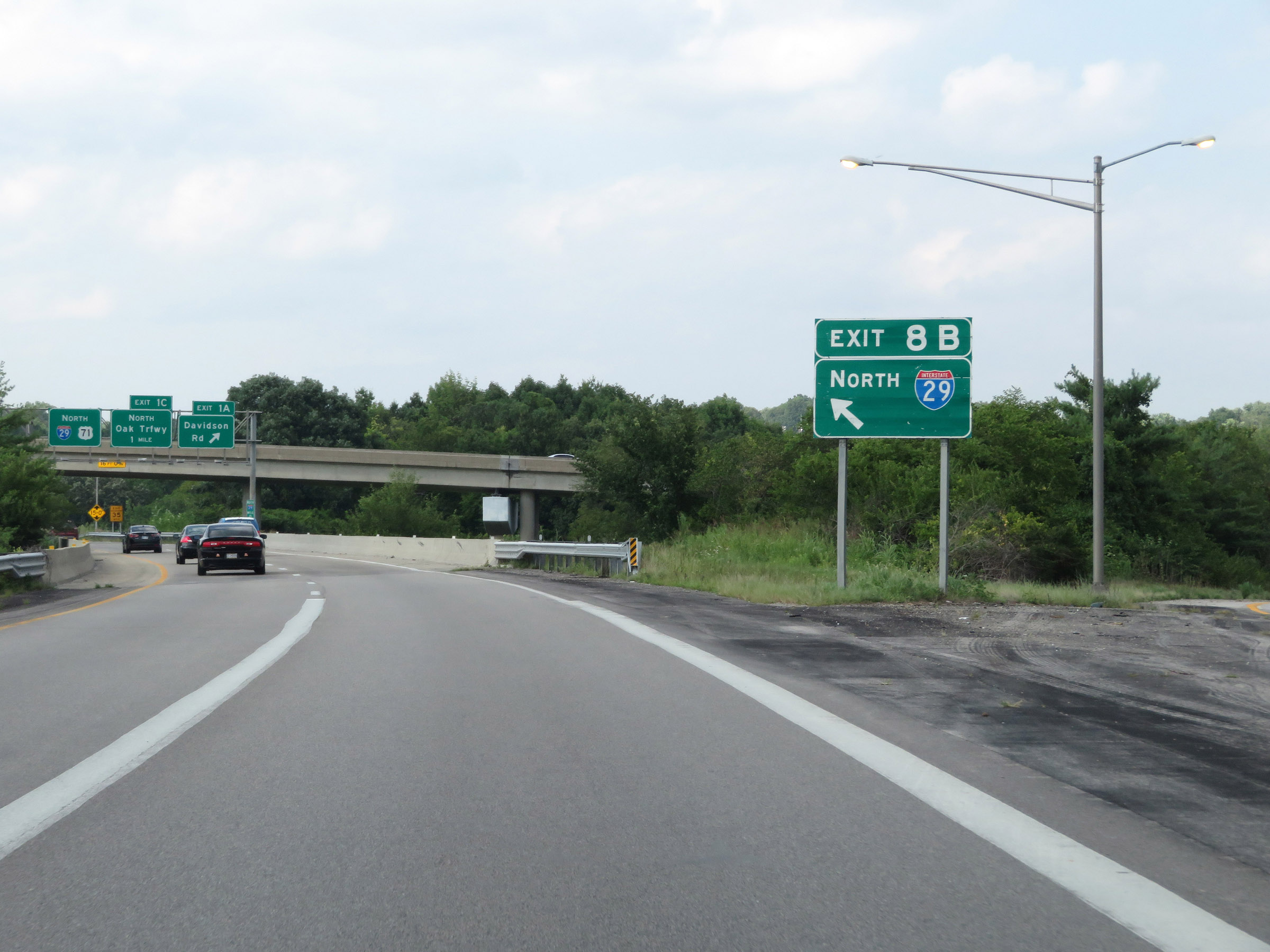
Interstate 29 North at Exit 1A: Davidson Rd (Photo taken 8/8/20). |
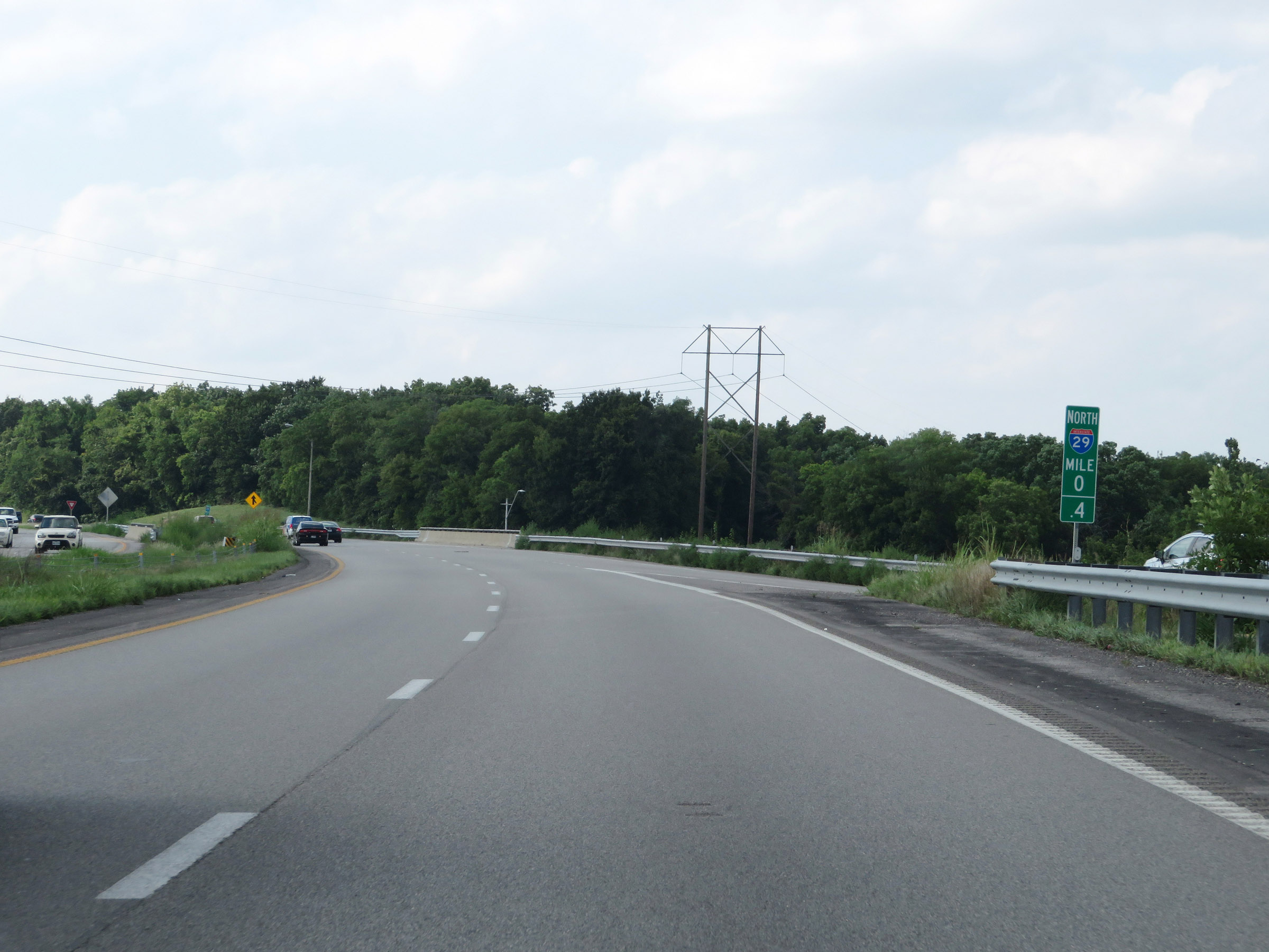 |
Interstate 29 North at mile marker 0.4. After departing Interstate 35, I-29's mileage starts at 0 despite it running concurrently with I-35 for 4.5 miles previously. (Photo taken 8/8/20). |
 |
State-named Interstate 29 North reassurance shield. (Photo taken 8/8/20). |
 |
The speed limits remain 55 mph maximum and 40 mph minimum. (Photo taken 8/8/20). |
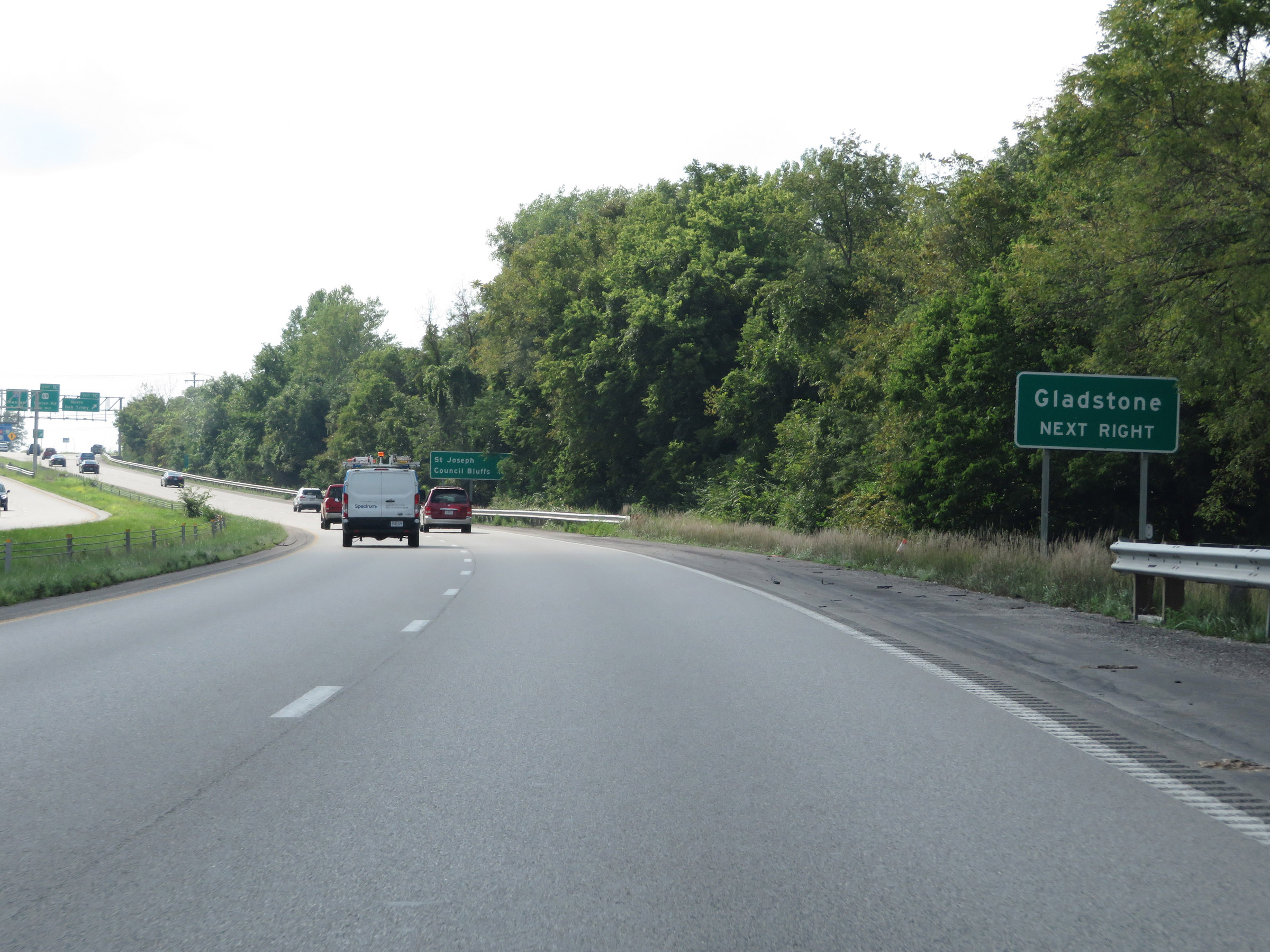 |
Take Exit 1C to Gladstone. (Photo taken 8/8/20). |
 |
Interstate 29 North at Exit 1C: Oak Trafficway North (Photo taken 8/8/20). |
 |
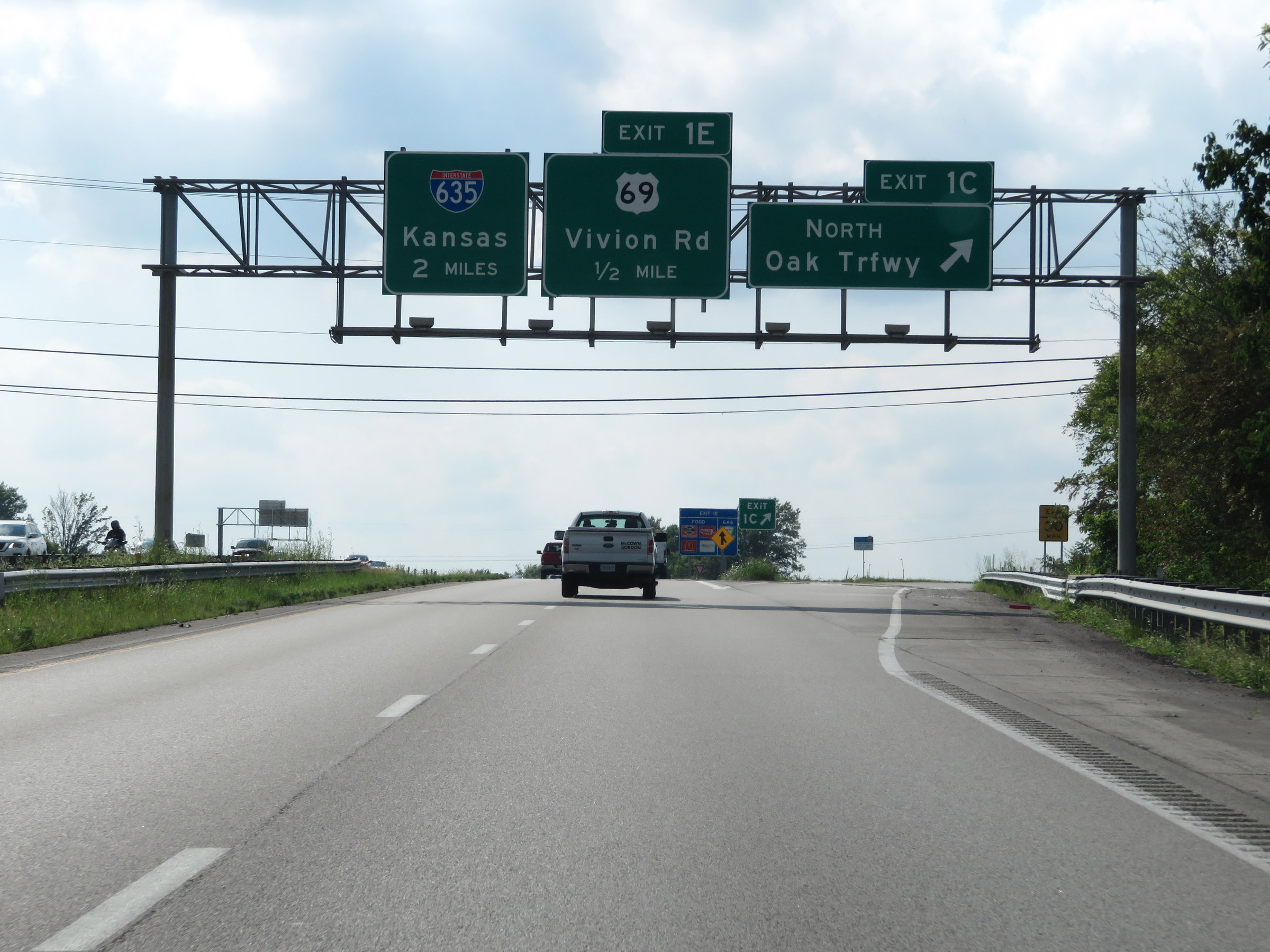
Interstate 29 North at Exit 1E: US 69 - Vivion Rd (Photo taken 8/8/20). |
 |
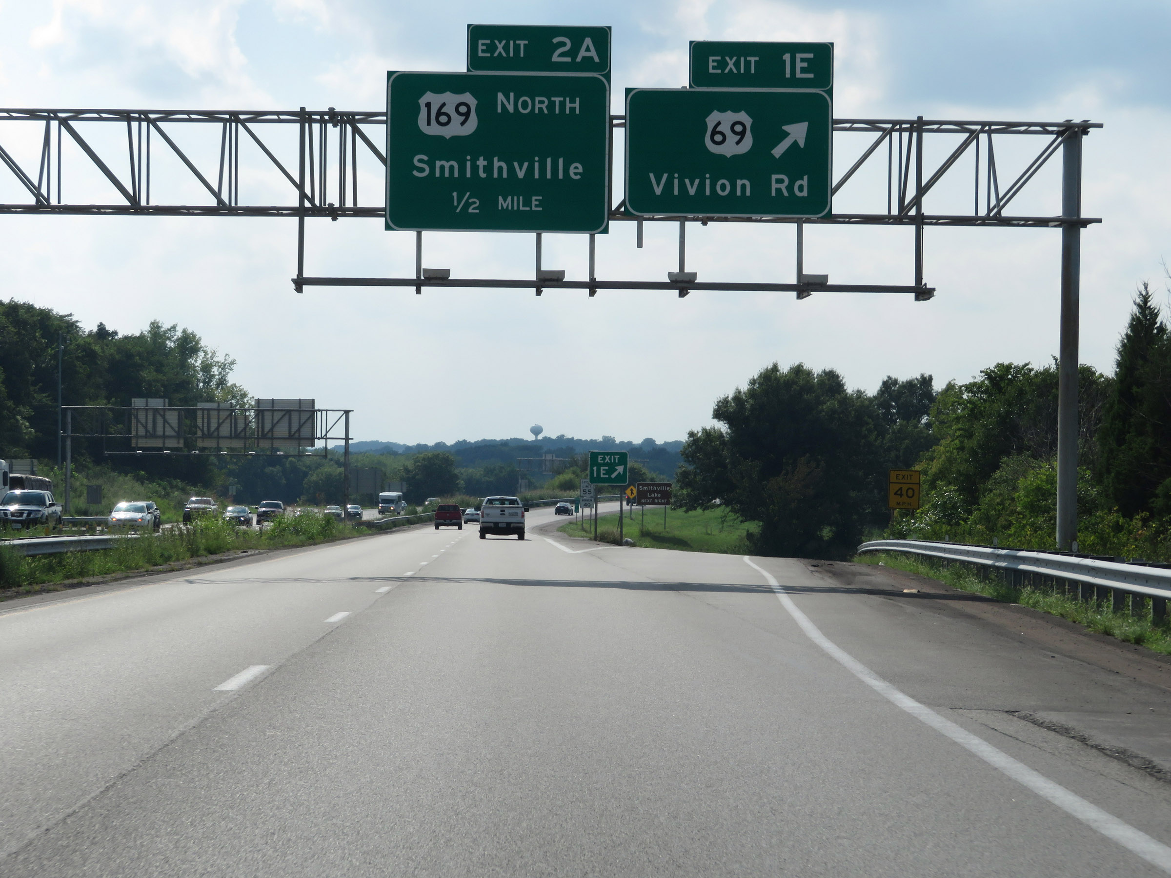
Take Exit 2A to Smithville Lake. (Photo taken 8/8/20). |
 |
Interstate 29 North at Exit 2A: US 169 North - Smithville (Photo taken 8/8/20). |
 |
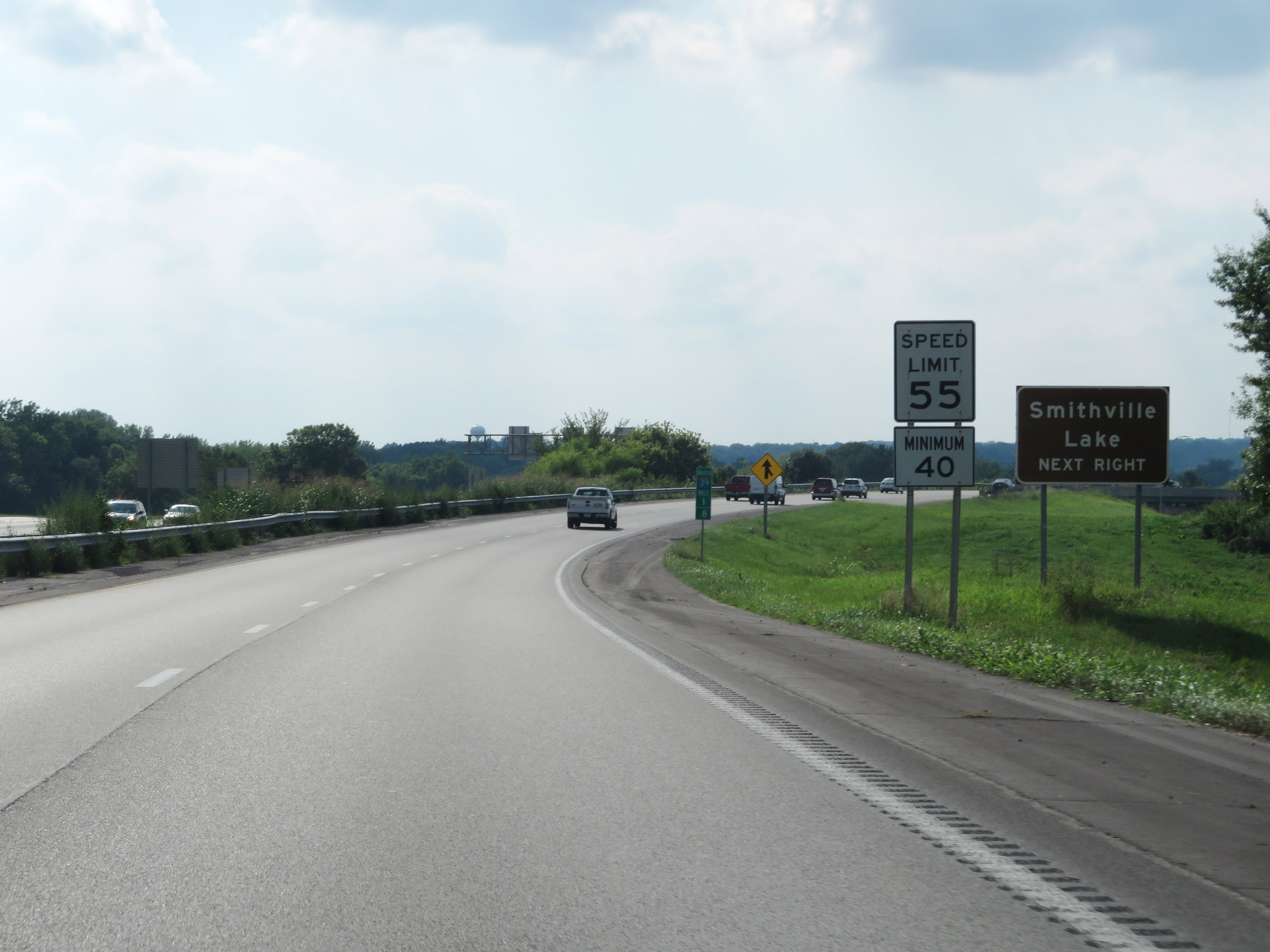
View on Interstate 29 North at mile marker 2.6. (Photo taken 8/8/20). |
 |
Interstate 29 North approaching Exit 3B - 3/4 mile on the left. (Photo taken 8/8/20). |
 |
At mile marker 3, Interstate 29 North enters Platte County. (Photo taken 8/8/20). |
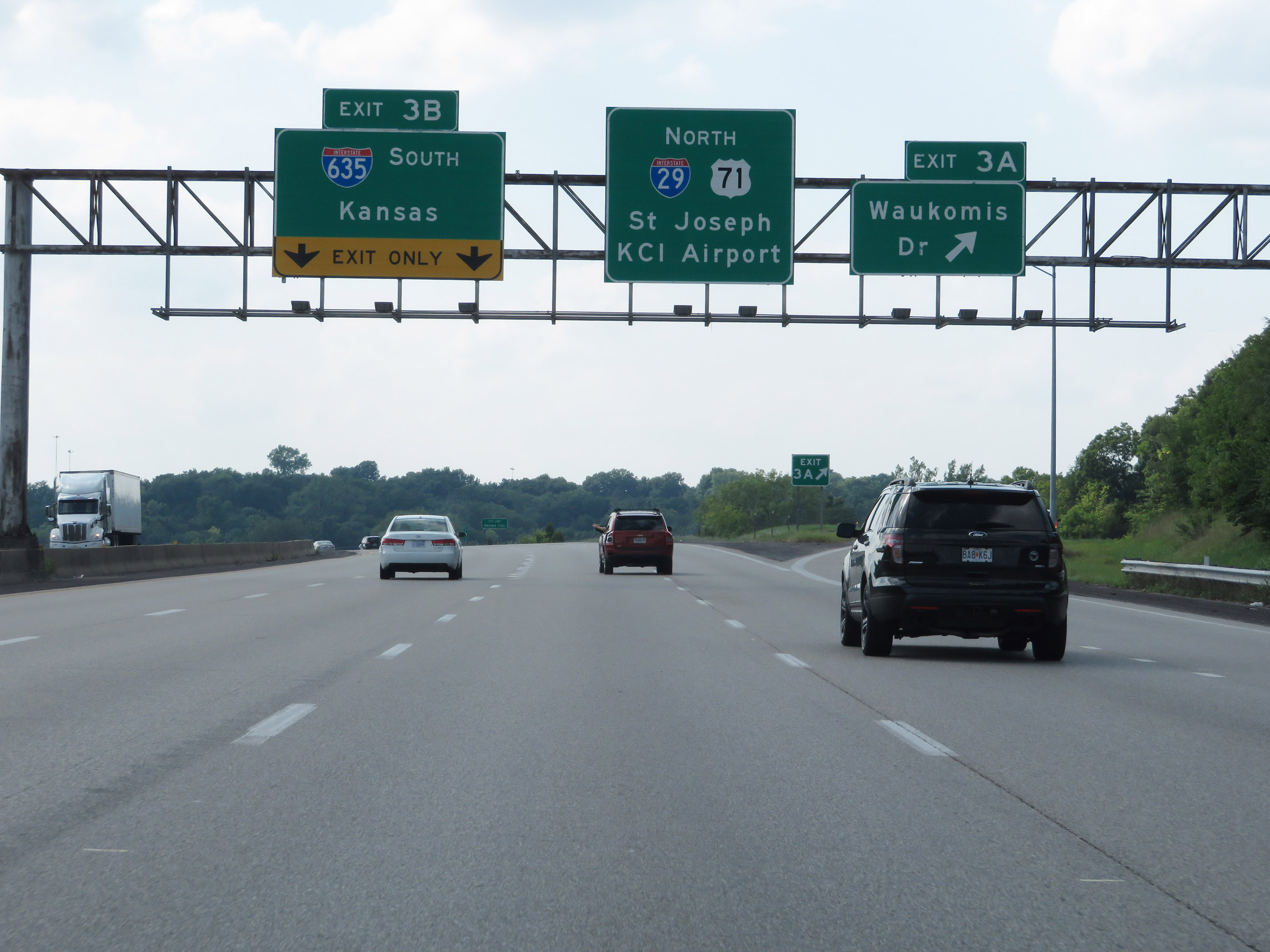 |
Interstate 29 North at Exit 3A: Waukomis Dr (Photo taken 8/8/20). |
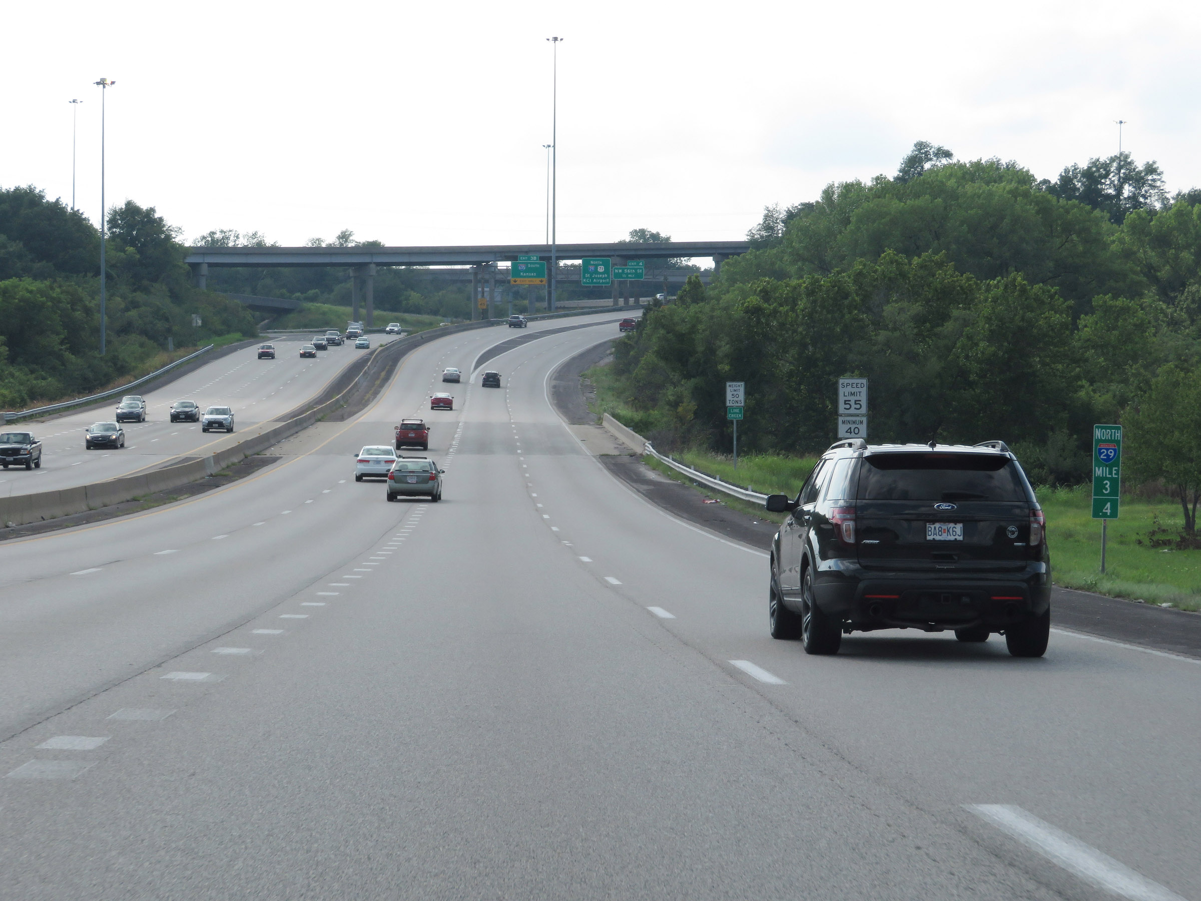 |
View on Interstate 29 North at mile marker 3.4. (Photo taken 8/8/20). |
 |
Interstate 29 North at Exit 3B: Interstate 635 South - Kansas (Photo taken 8/8/20). |
 |
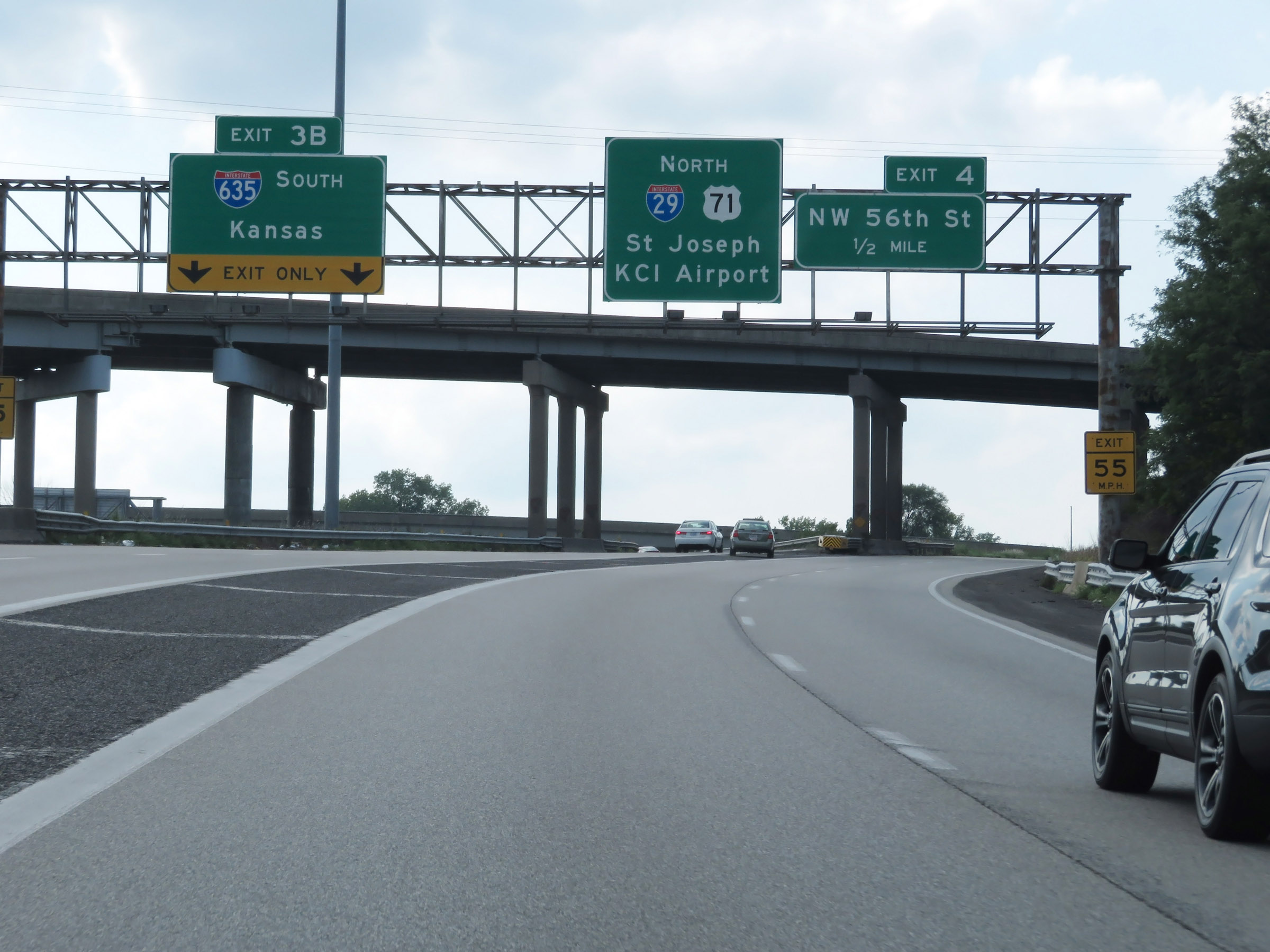
Interstate 29 North at Exit 4: NW 56th St (Photo taken 8/8/20). |
 |
North of Exit 4, the maximum speed limit increases to 65 mph while the minimum remains 40 mph. (Photo taken 8/8/20). |
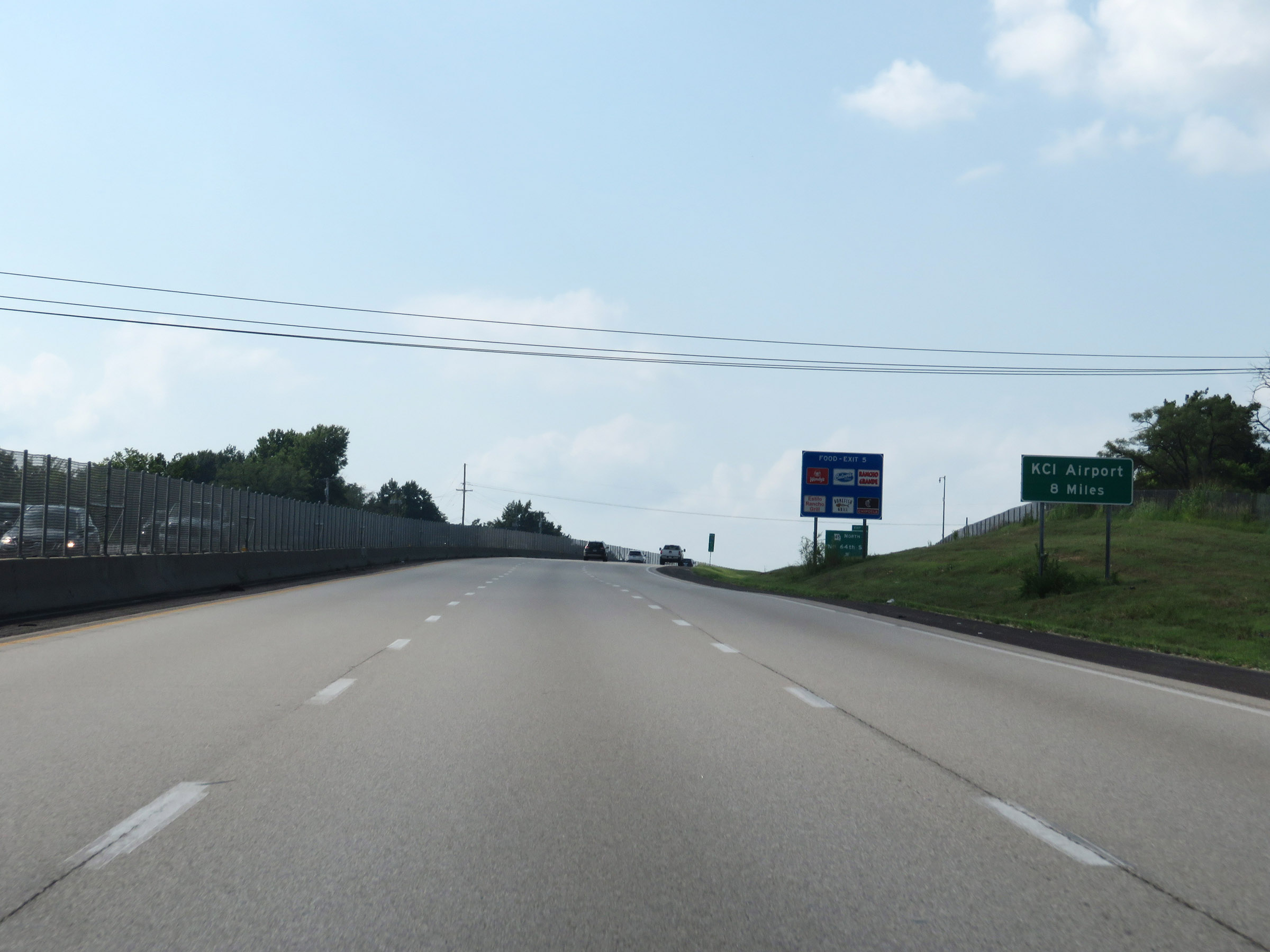 |
Kansas City International Airport is now just 8 miles ahead. (Photo taken 8/8/20). |
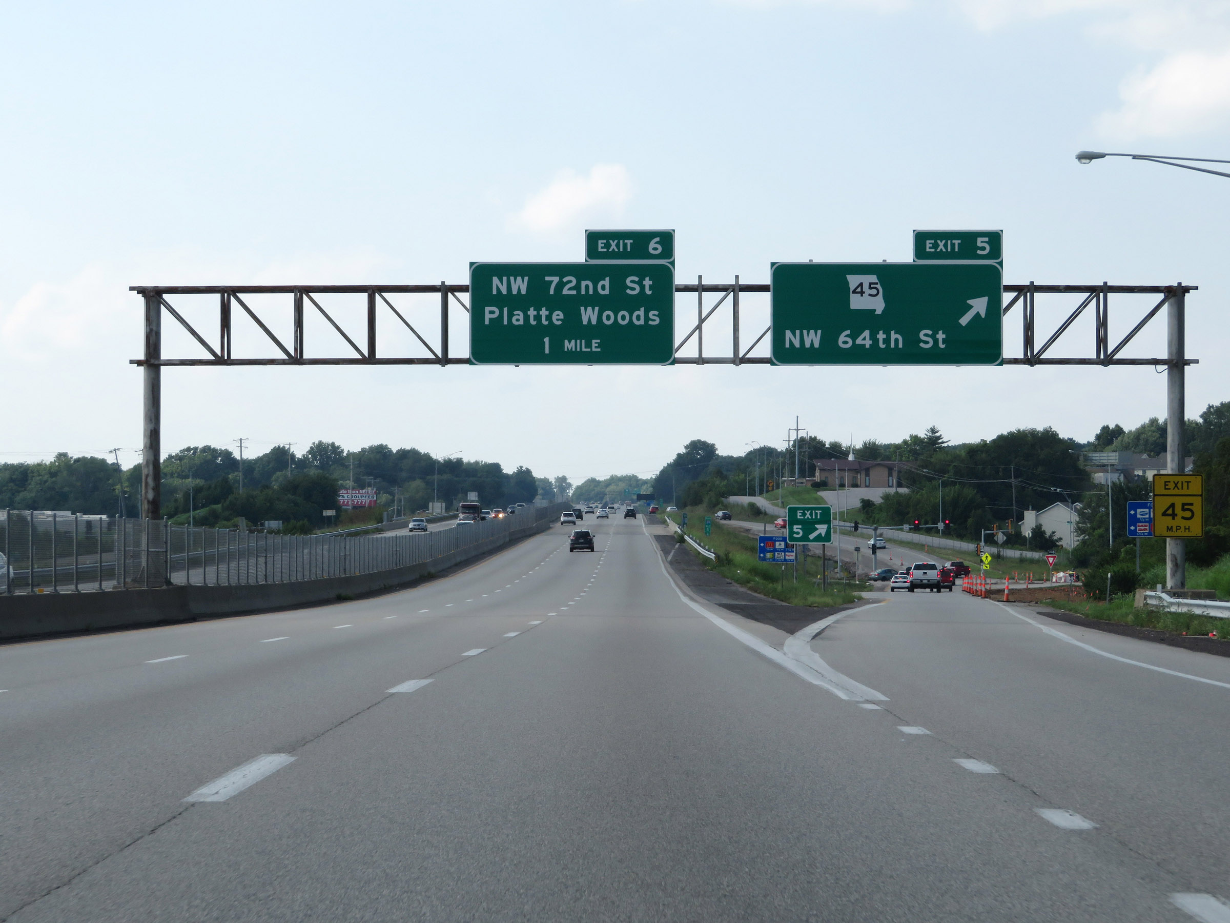 |
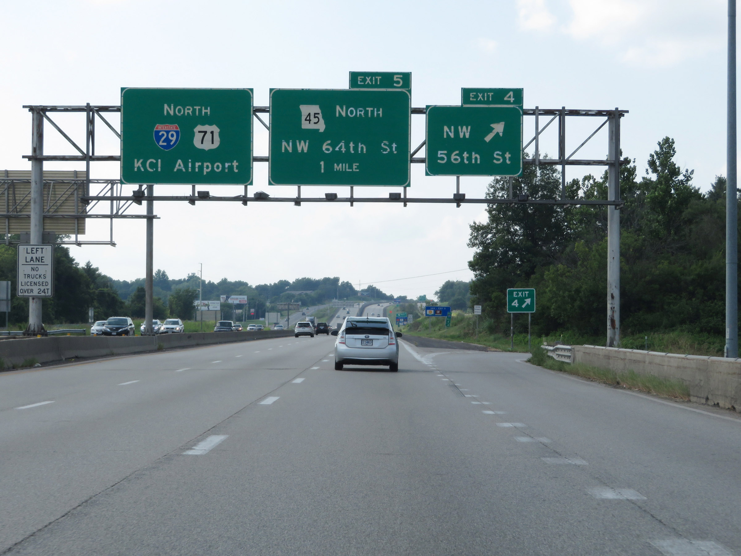
Interstate 29 North at Exit 5: MO 45 - NW 64th St (Photo taken 8/8/20). |
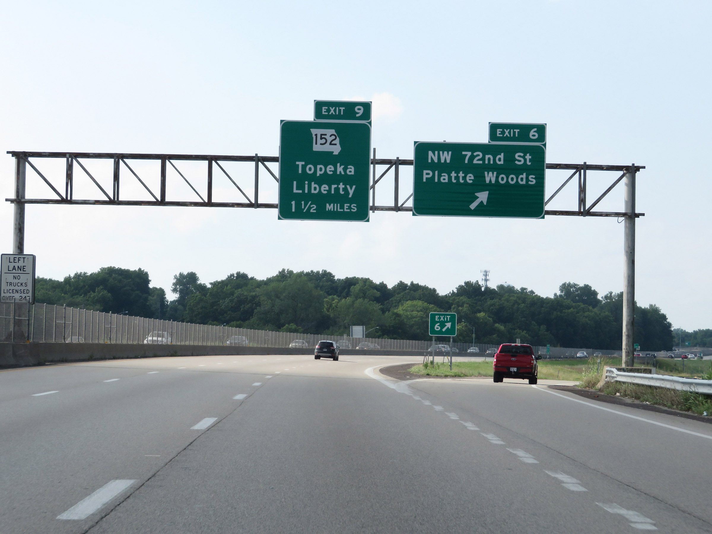 |
Interstate 29 North at Exit 6: NW 72nd St / Platte Woods (Photo taken 8/8/20). |
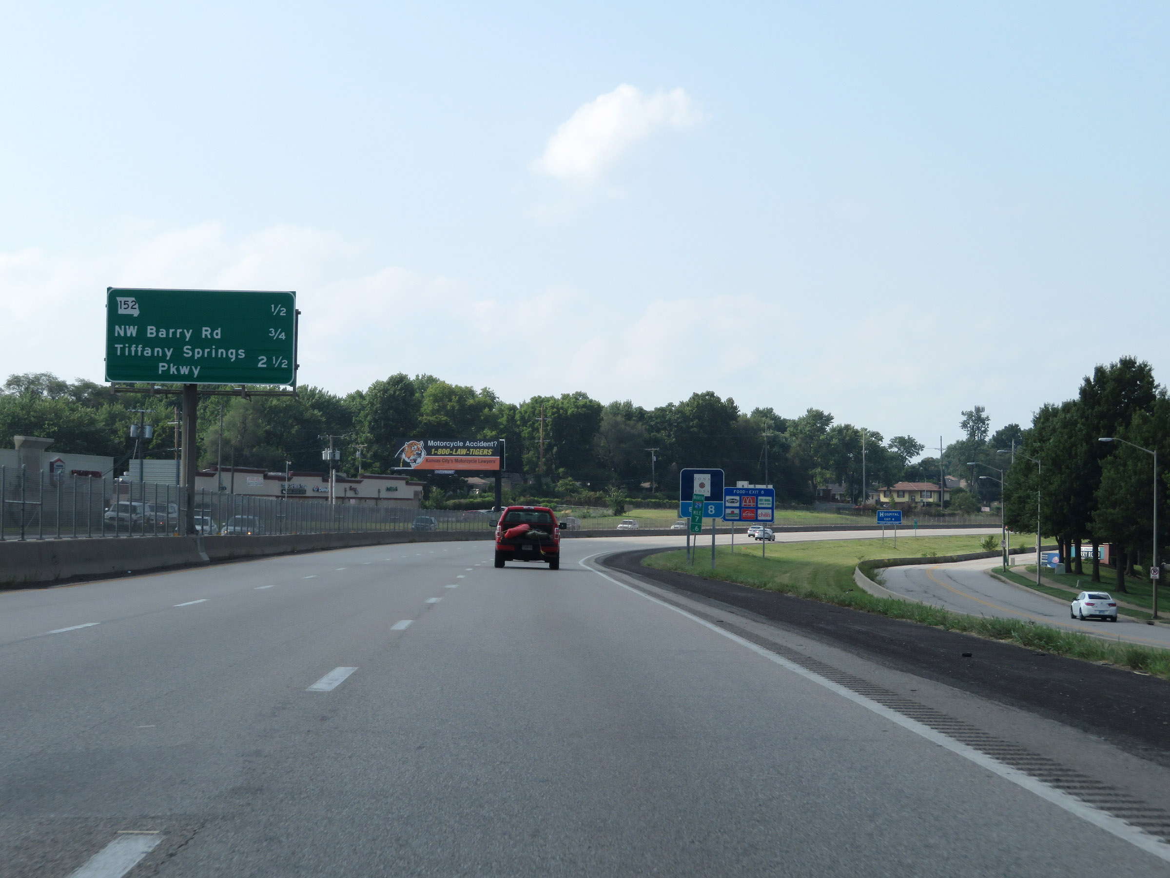 |
Mileage sign listing the distances to the three upcoming exits on Interstate 29 North. (Photo taken 8/8/20). |
 |
Interstate 29 North at Exit 9: MO 152 - Topeka / Liberty. Because the ramp for Exit 9 splits into Exits 9A and 9B after traveling quite a distance and over NW Barry Rd, Exit 9 occurs before Exit 8. (Photo taken 8/8/20). |
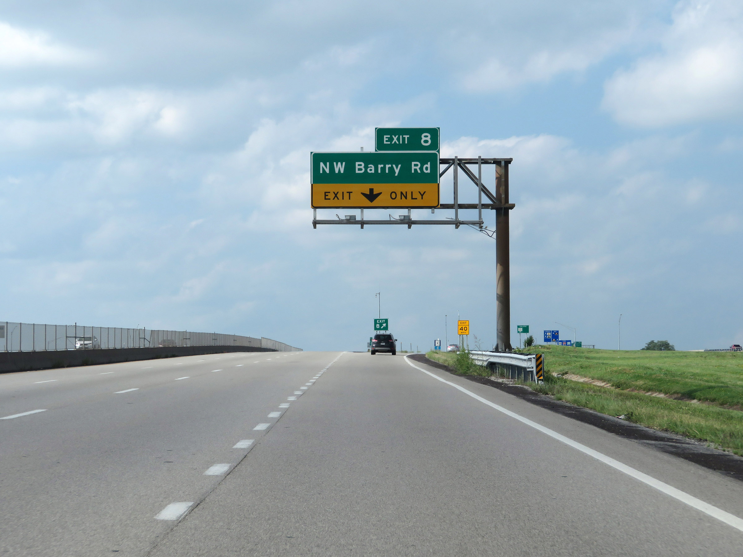 |
Interstate 29 North at Exit 8: NW Barry Rd (Photo taken 8/8/20). |
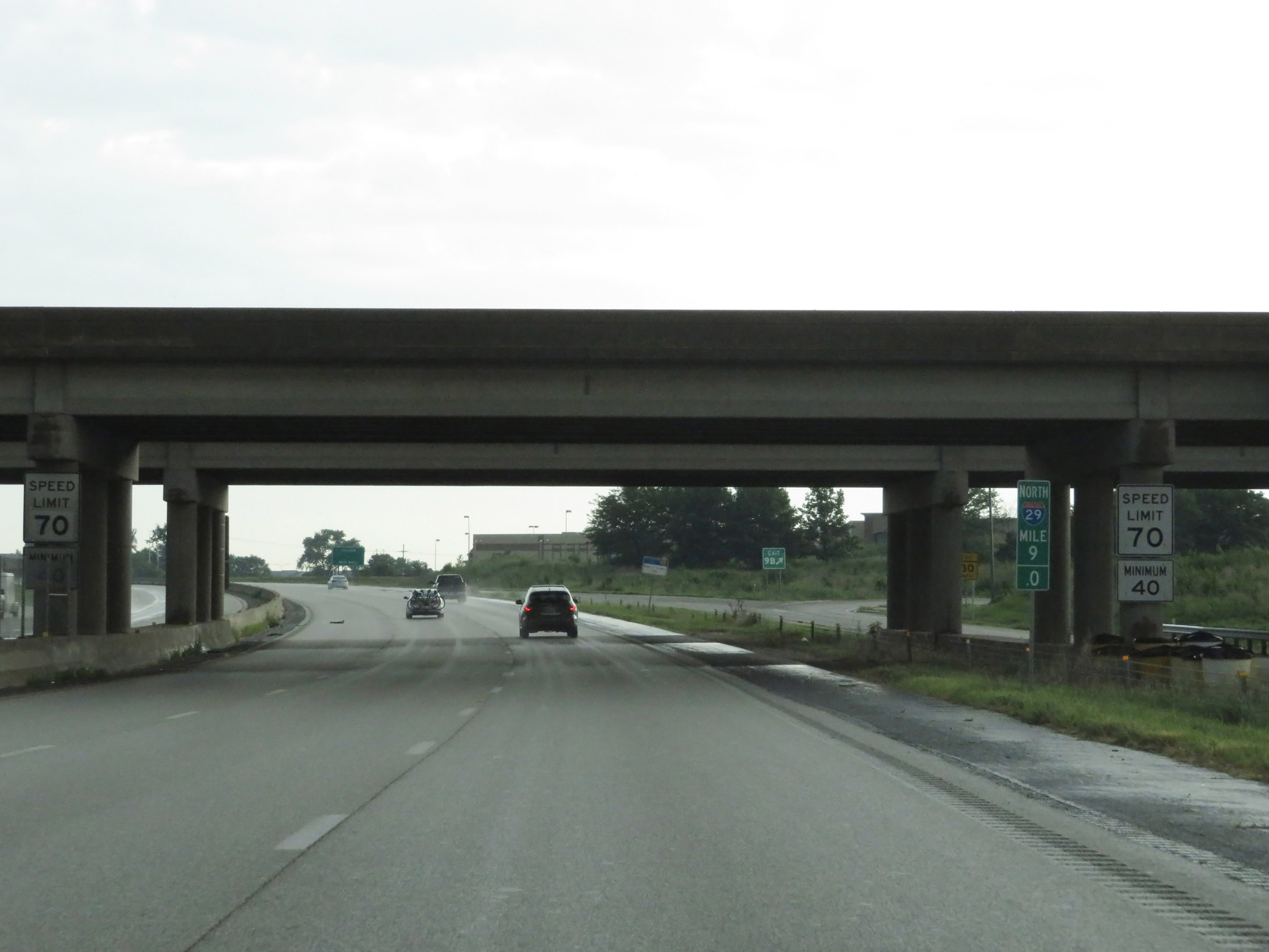 |
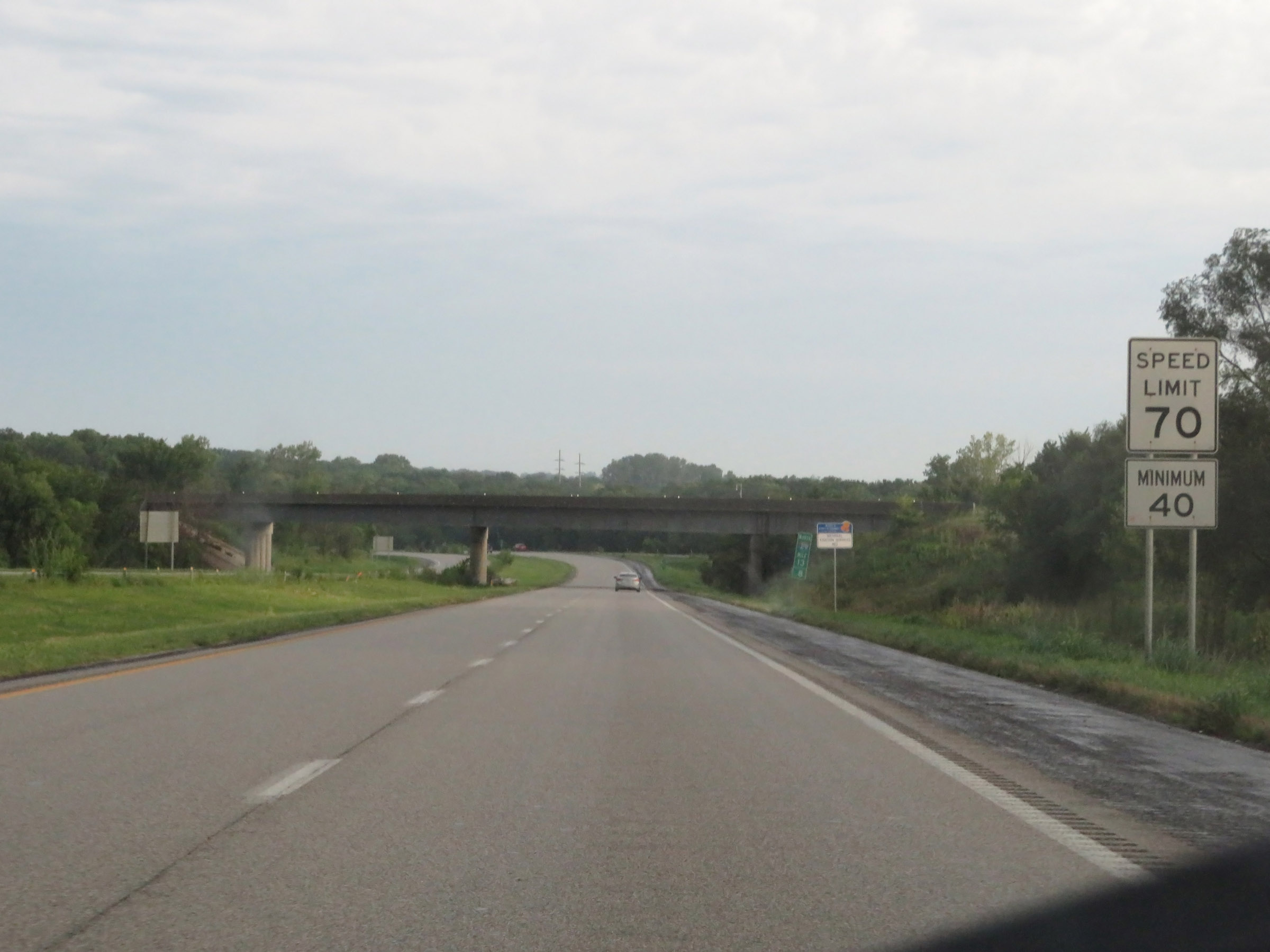
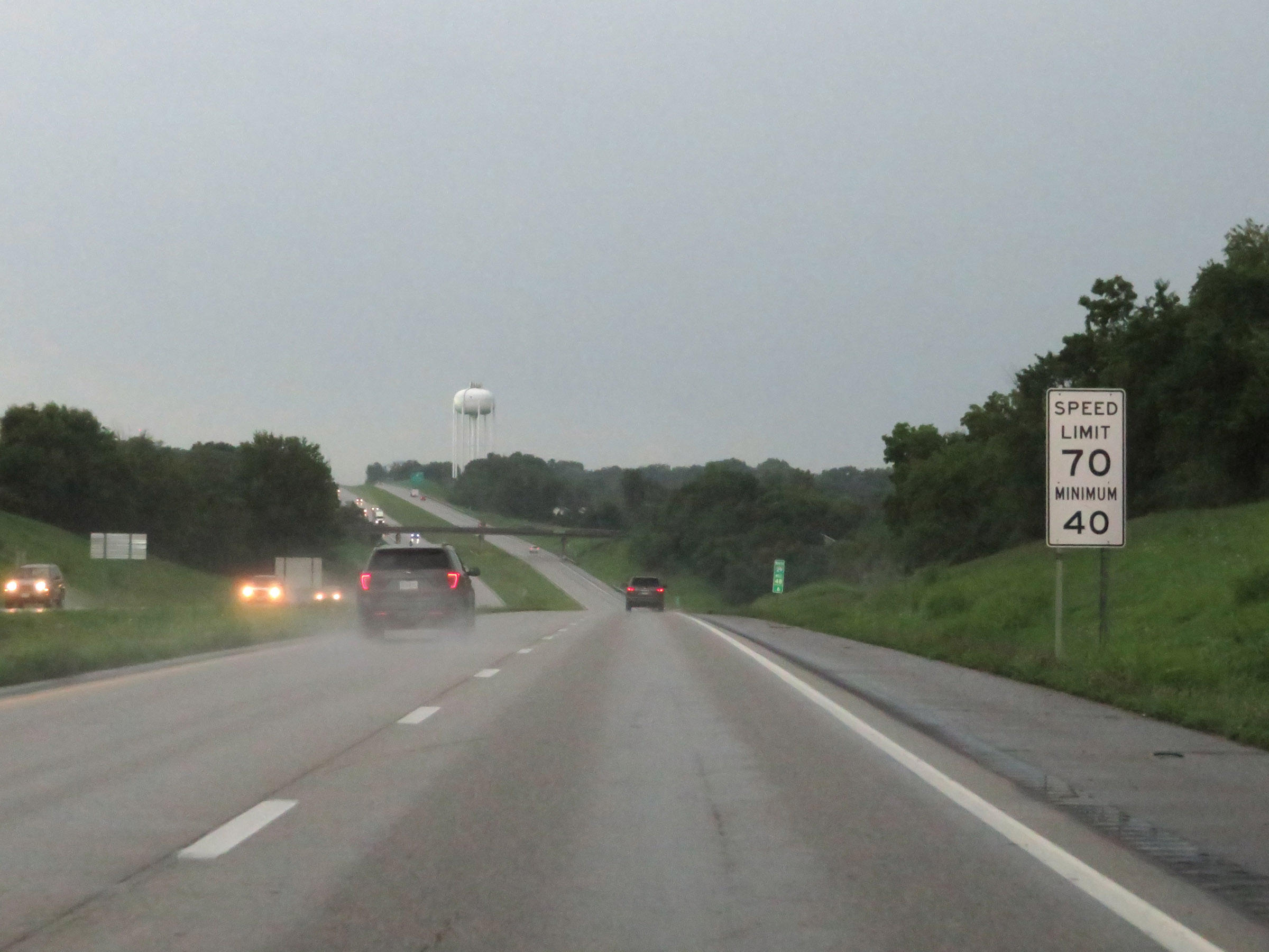
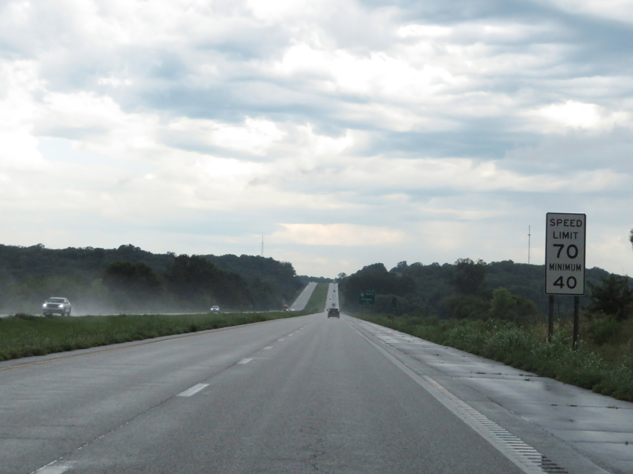
At mile marker 9, the maximum speed limit increases to 70 mph and the minimum remains 40 mph. These are the standard speed limits on most rural Interstate highways in Missouri. (Photo taken 8/9/20). |
 |
Interstate 29 North at Exit 10: Tiffany Springs Pkwy / Ambassador Dr (Photo taken 8/9/20). |
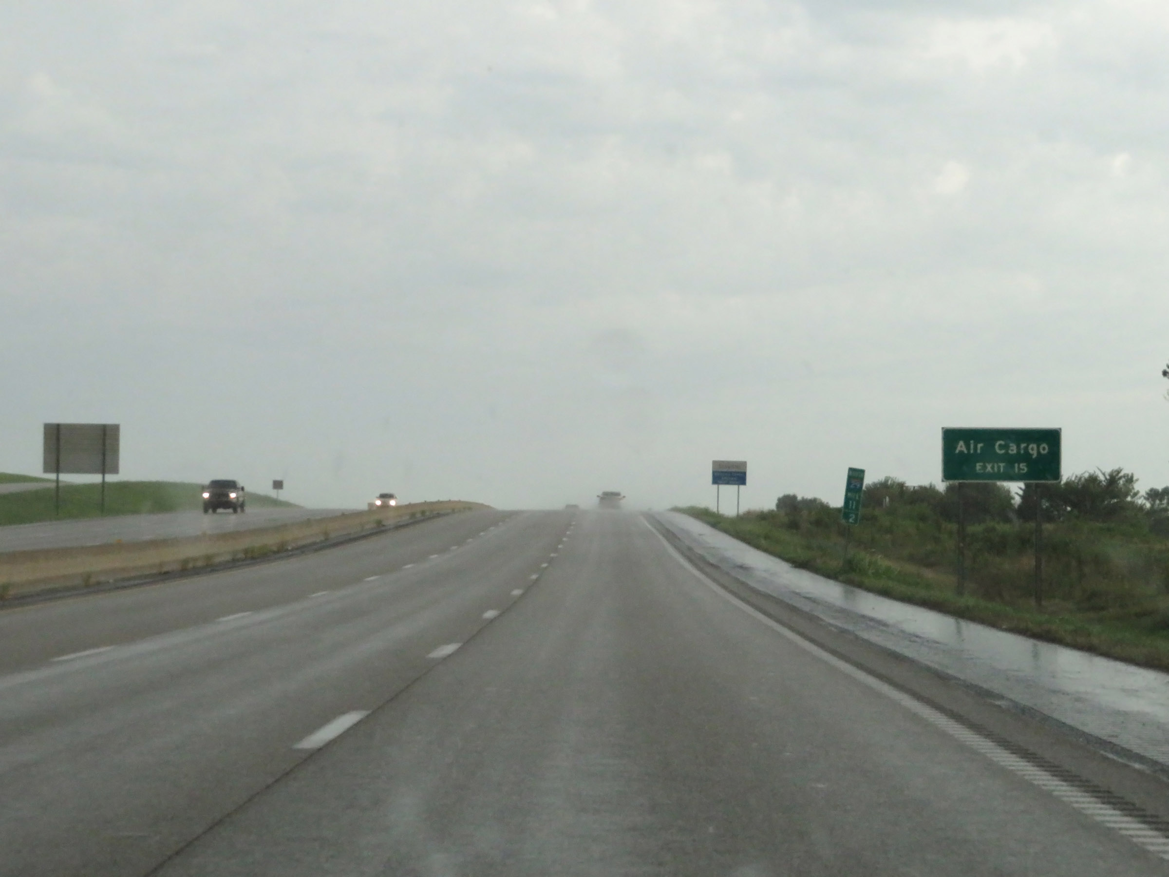 |
Take Exit 15 to KCI Airport's Air Cargo area. (Photo taken 8/9/20). |
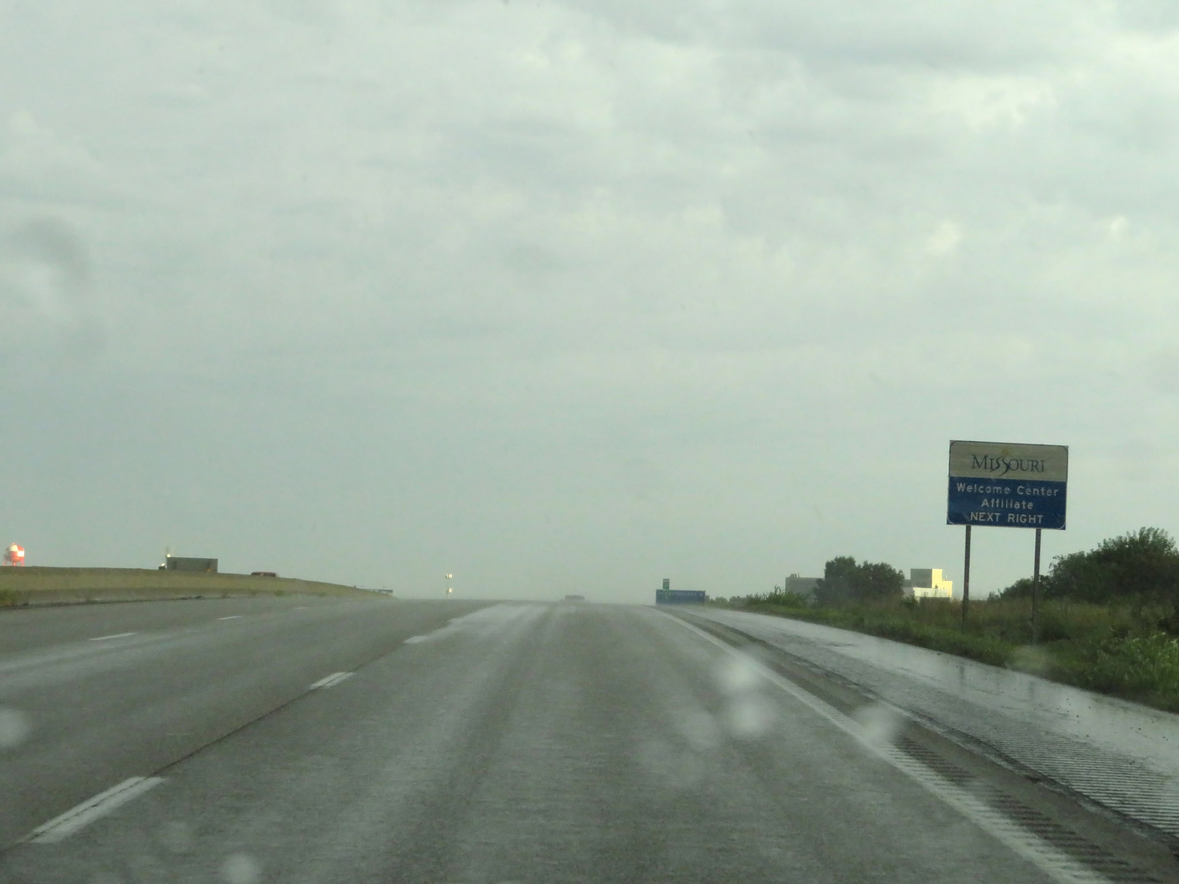 |
Take Exit 12 to a Missouri Welcome Center Affiliate. (Photo taken 8/9/20). |
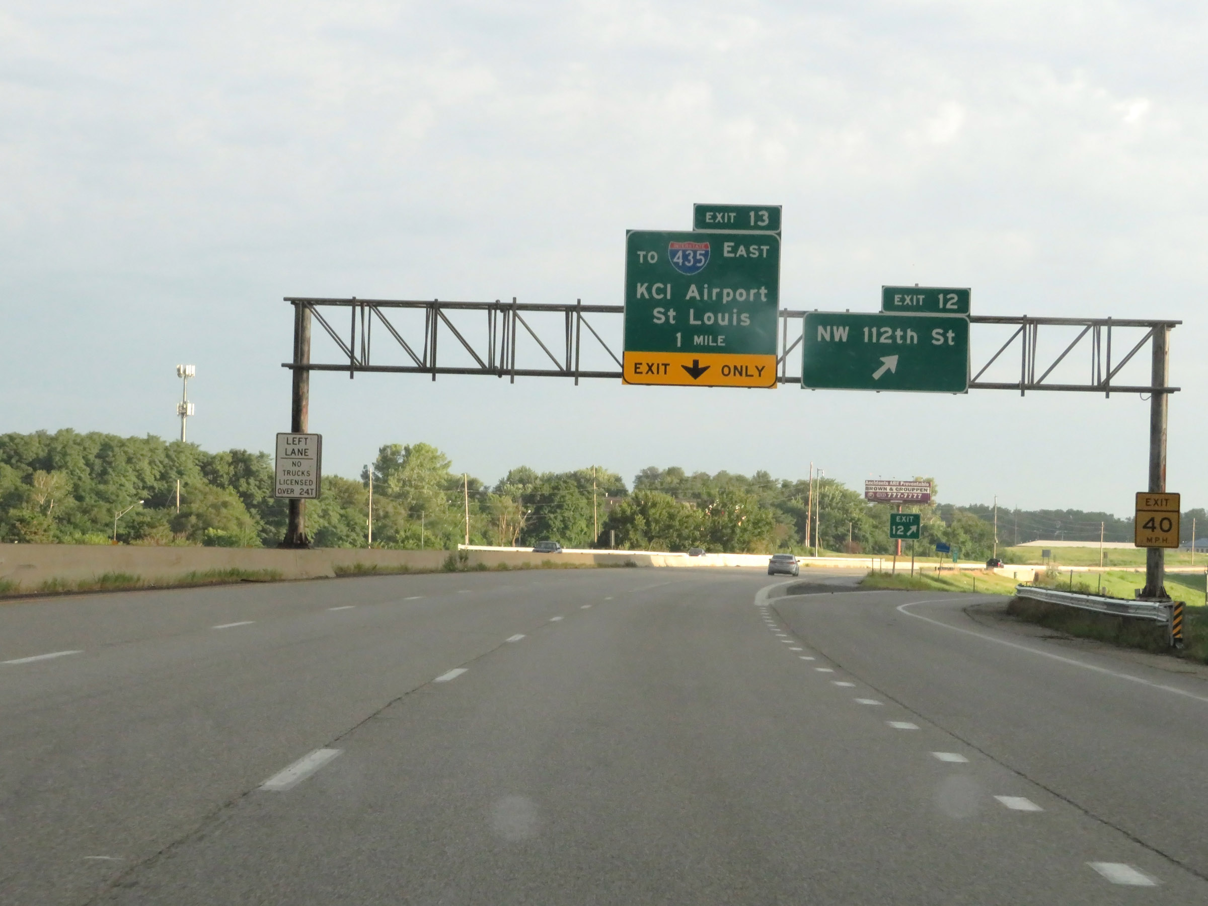 |
Interstate 29 North at Exit 12: NW 112th St (Photo taken 8/9/20). |
 |
The two rightmost lanes will become exit only lanes for Exit 13 ahead. (Photo taken 8/9/20). |
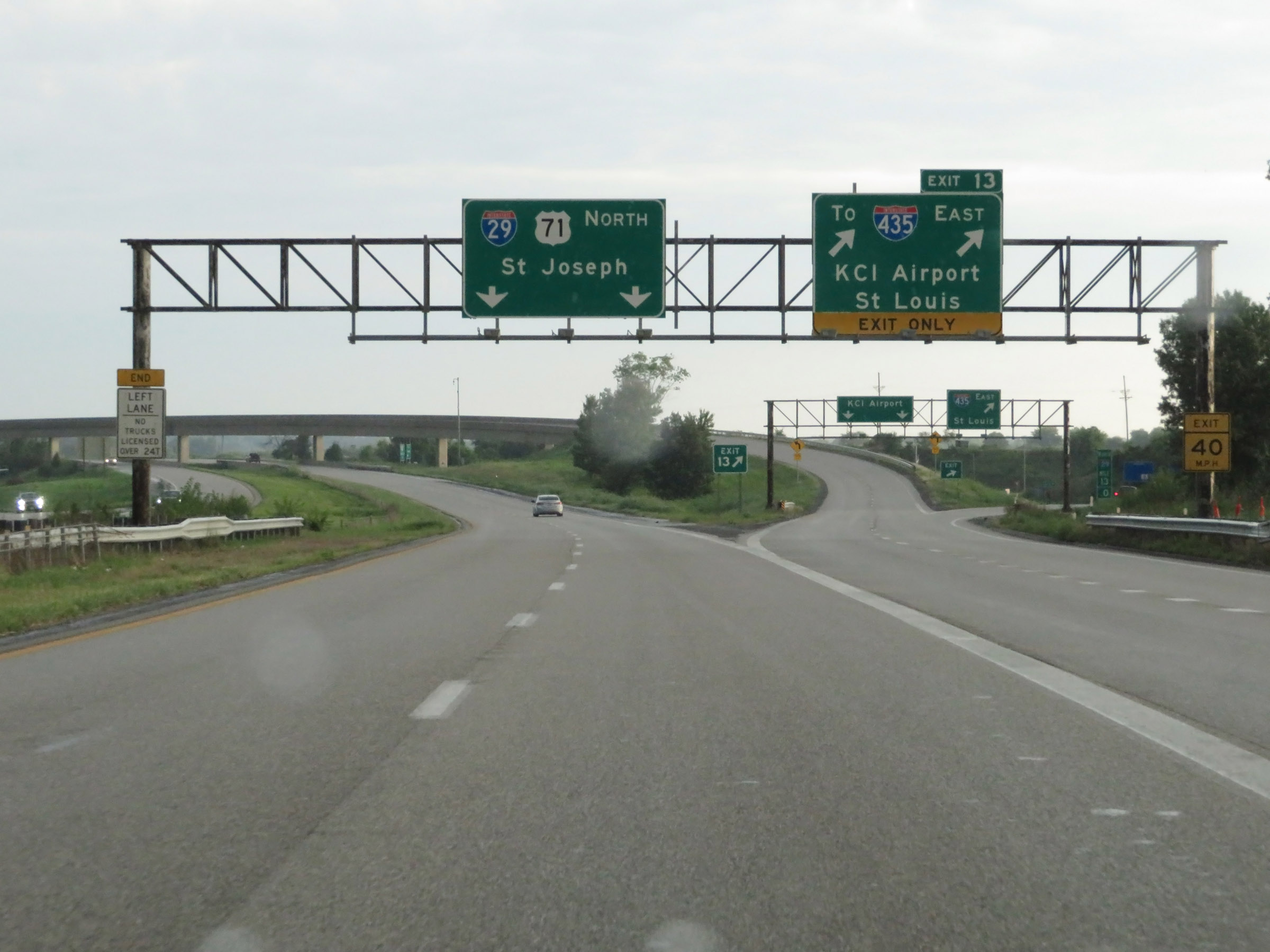 |
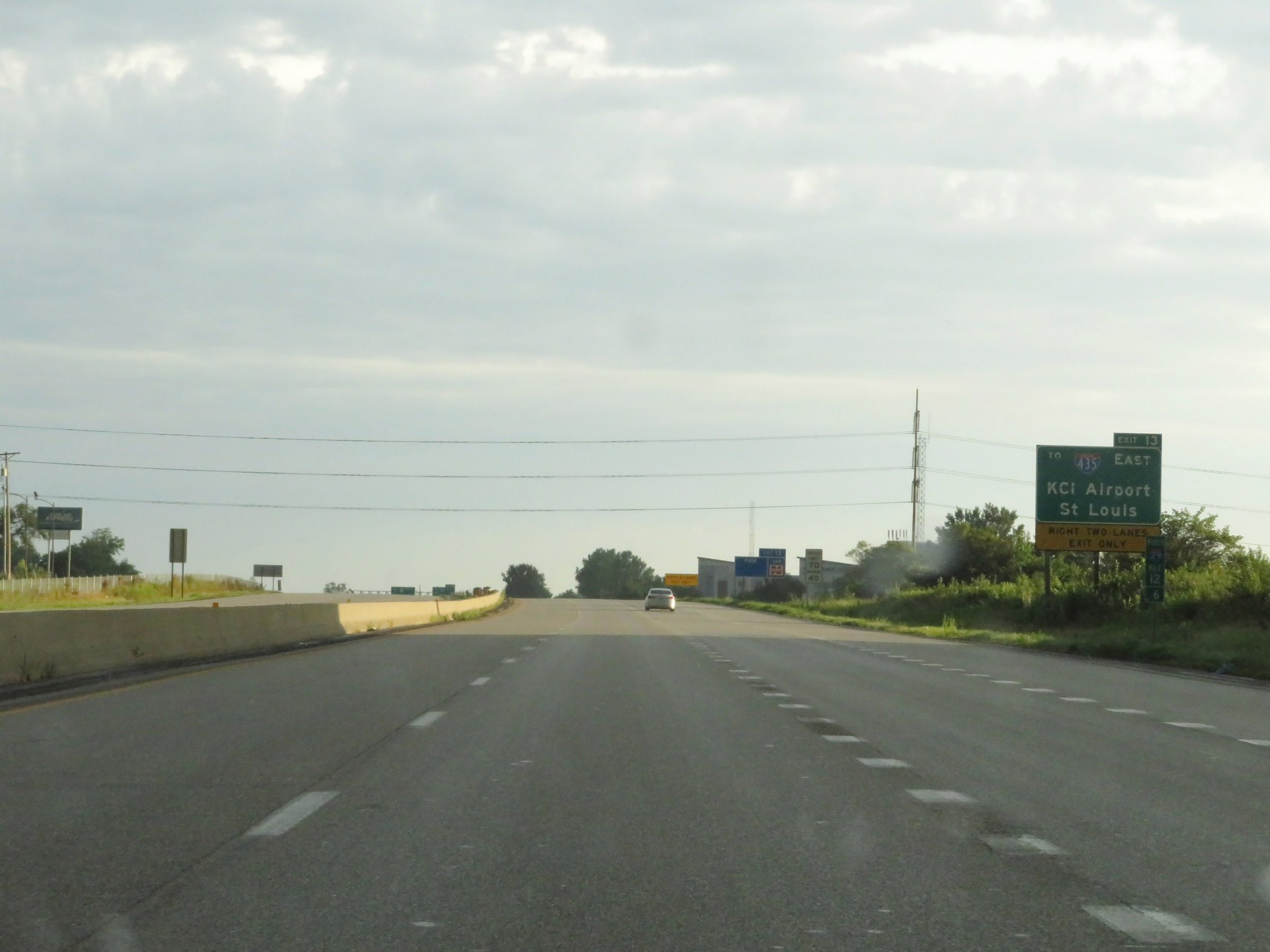
Interstate 29 North at Exit 13: To Interstate 435 East - KCI Airport / St Louis (Photo taken 8/9/20). |
 |
State-named Interstate 29 North reassurance shield. Ahead, I-29 North will see the westbound lanes of Interstate 435 joining up with it for a brief concurrency. (Photo taken 8/9/20). |
 |
The speed limits remain 70 mph maximum and 40 mph minimum. (Photo taken 8/9/20). |
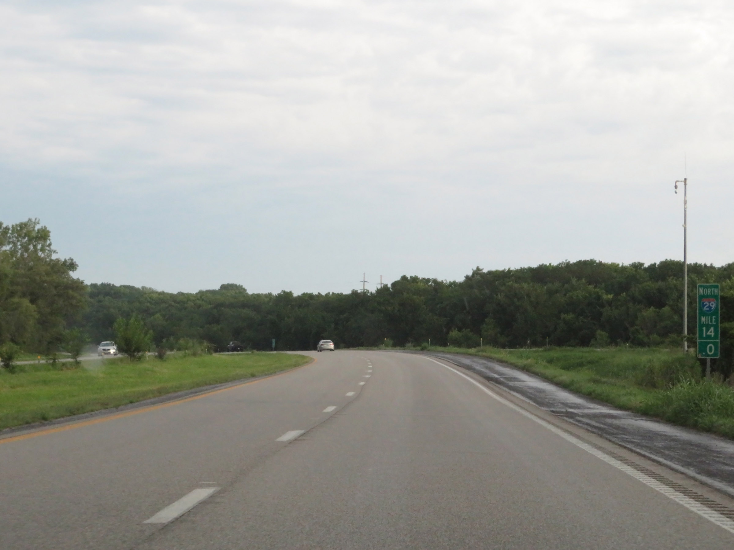 |
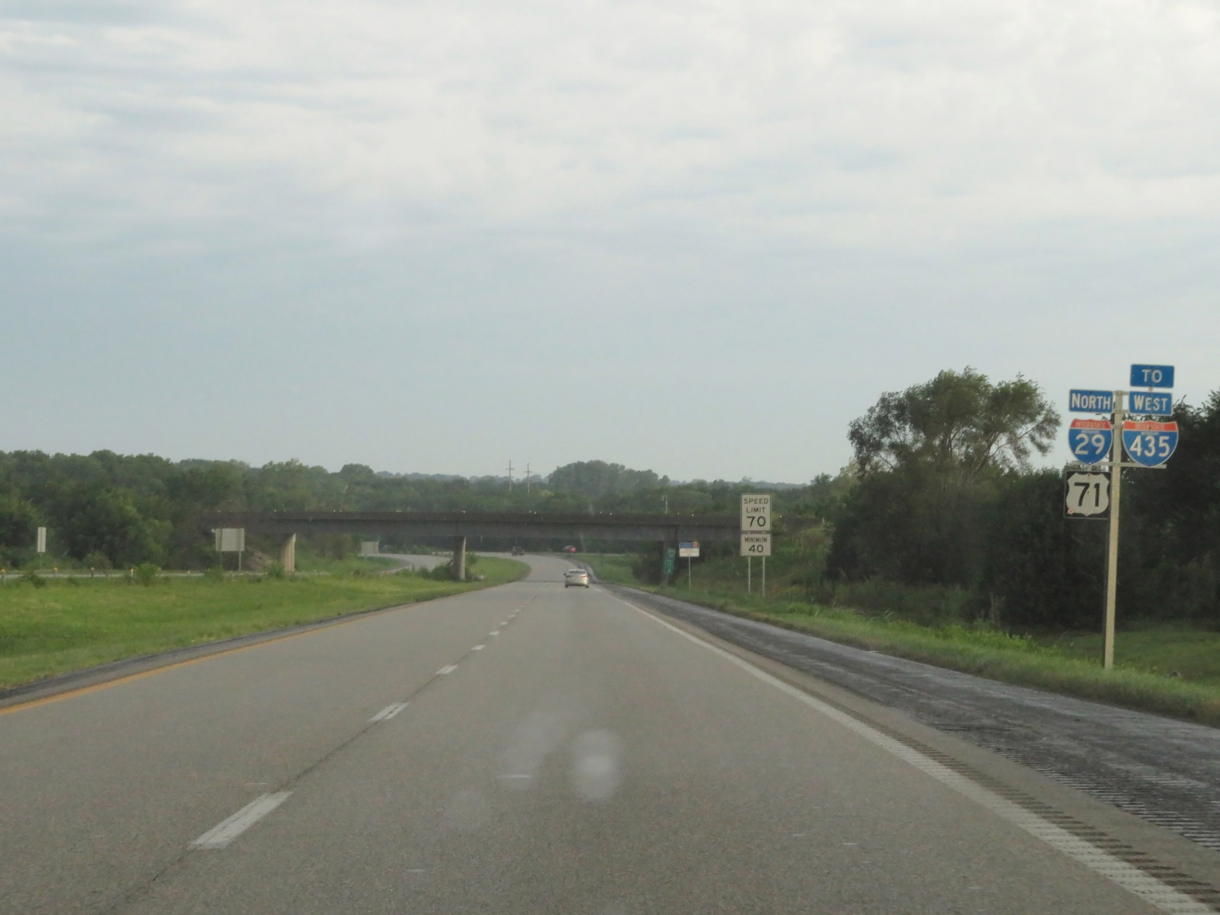
View on Interstate 29 North at mile marker 14, as Interstate 435 West traffic prepares to join it ahead on the right. During the I-29 / I-435 concurrency, the mileage and exit numbers are based on the mileage of I-29. (Photo taken 8/9/20). |
 |
State-named Interstate 29 North / Interstate 435 West reassurance shields as the concurrency begins. (Photo taken 8/9/20). |
 |
Interstate 29 North / Interstate 435 West at Exit 15: Mexico City Ave (Photo taken 8/9/20). |
 |
Interstate 29 North / Interstate 435 West approaching Exit 17 - 1 mile. (Photo taken 8/9/20). |
 |
View on Interstate 29 North / Interstate 435 West at mile marker 16.4. (Photo taken 8/9/20). |
 |
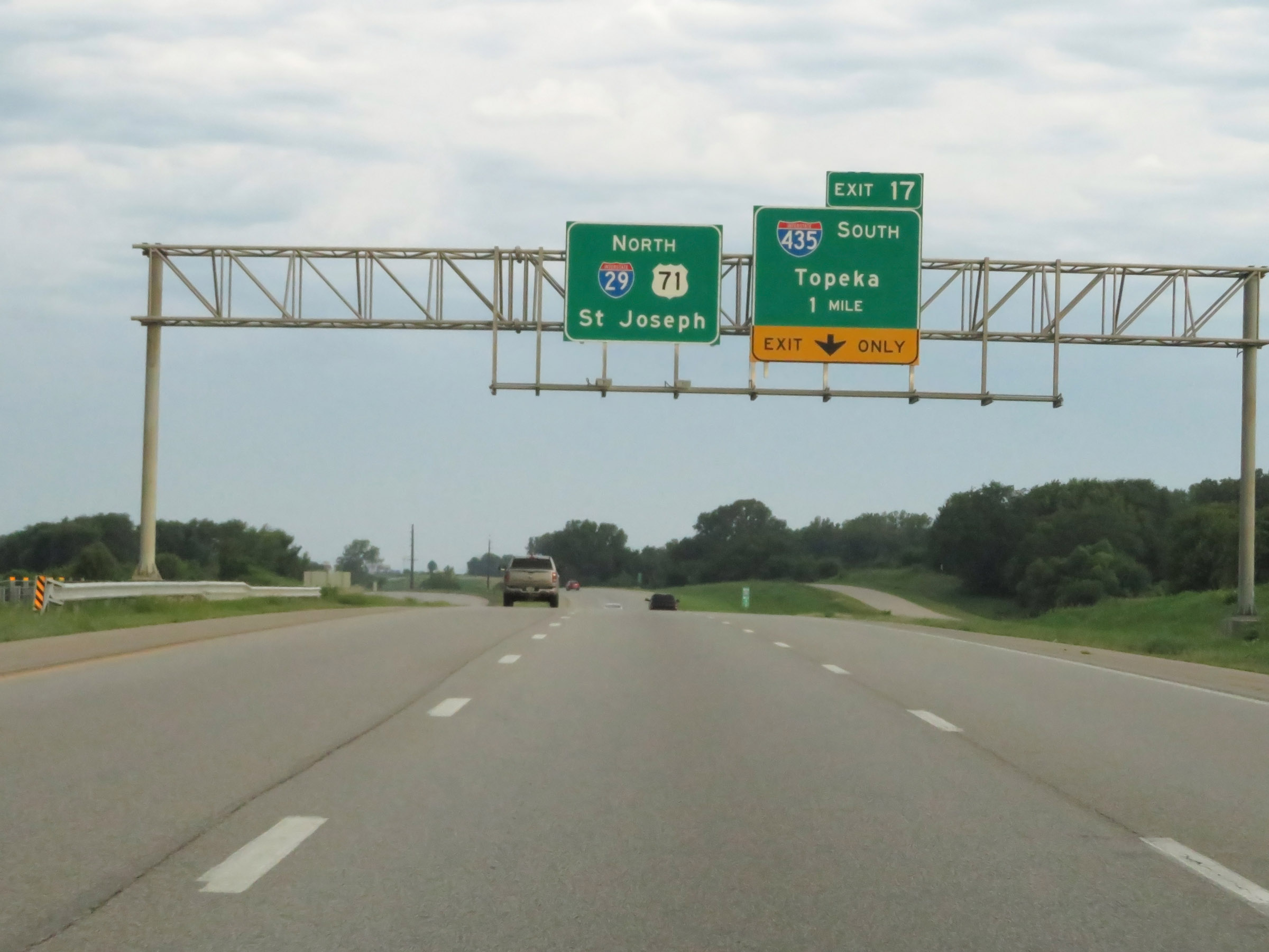
Interstate 29 North / Interstate 435 West at Exit 17: Interstate 435 South - Topeka (Photo taken 8/9/20). |
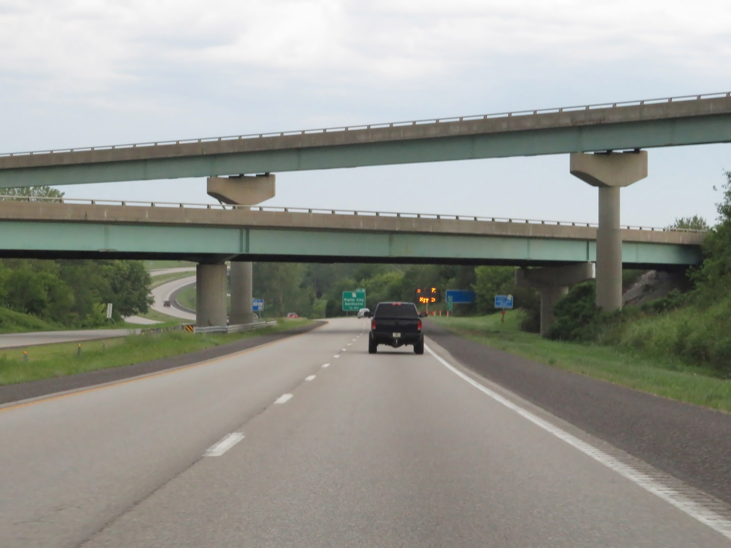 |
View on Interstate 29 North just after Interstate 435 West departs it and I-29 prepares to pass under the ramps to I-435. (Photo taken 8/9/20). |
 |
Interstate 29 North approaching Exit 18 - 1/2 mile. (Photo taken 8/9/20). |
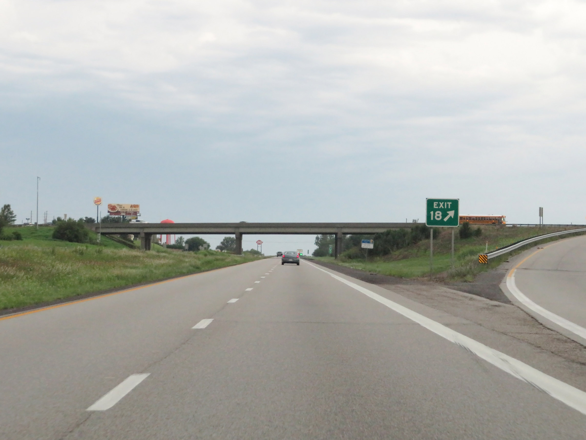 |
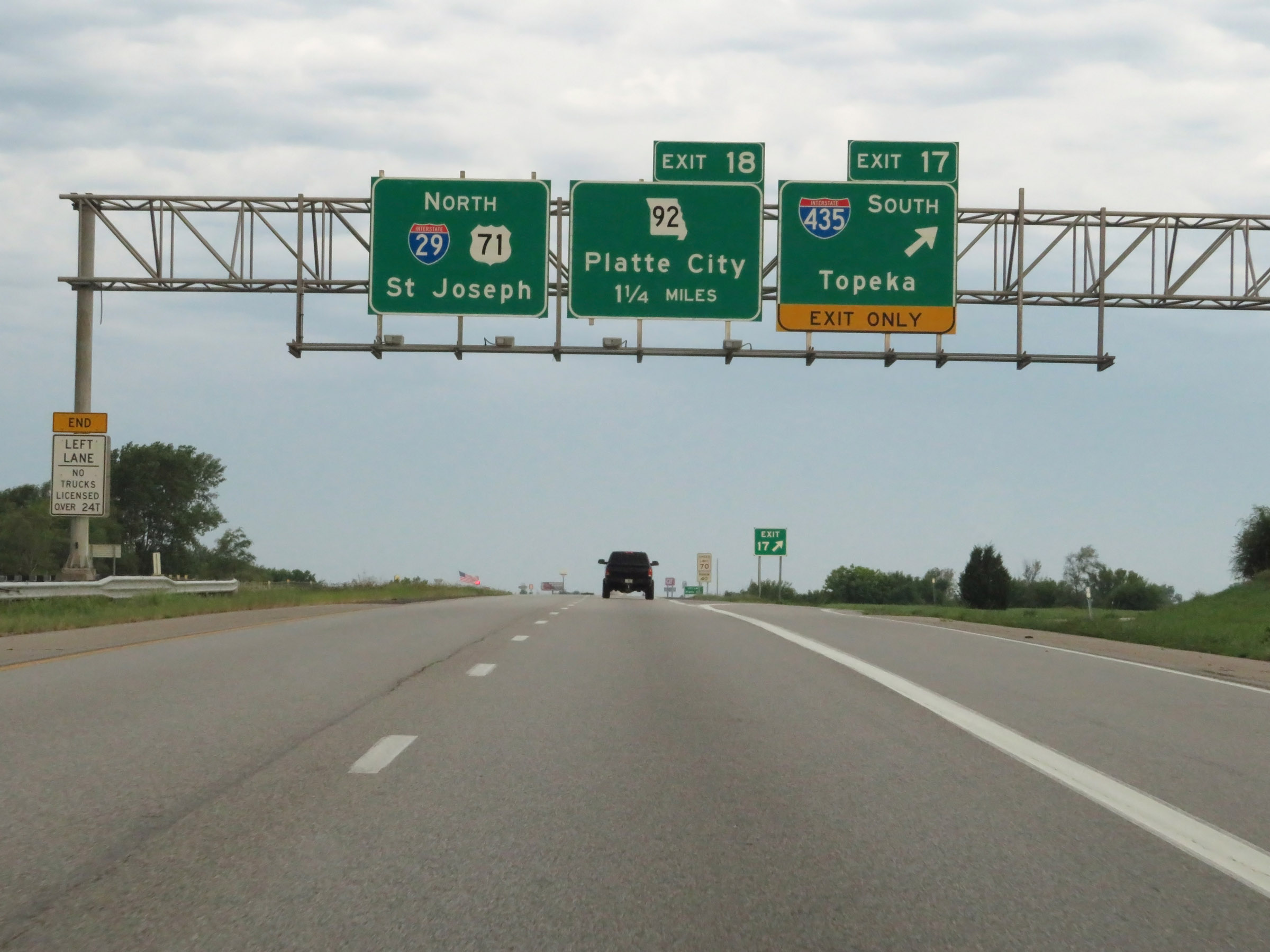
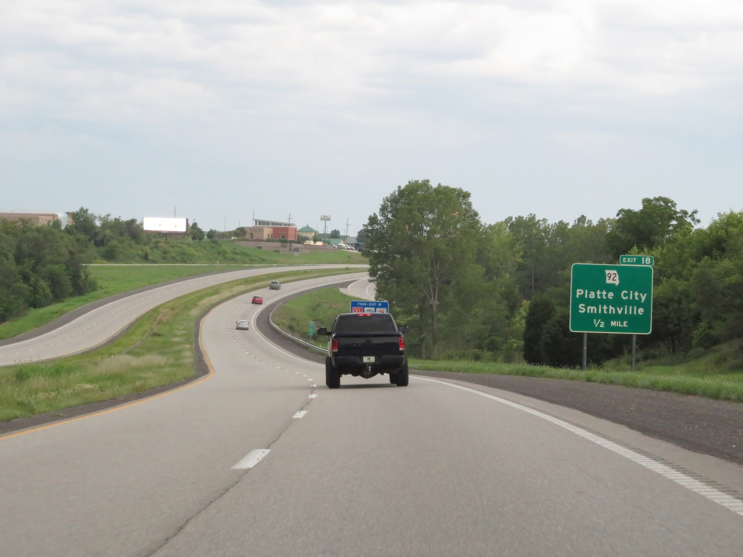
Interstate 29 North at Exit 18: MO 92 - Platte City / Smithville (Photo taken 8/9/20). |
Section 2: Platte City (Exit 18) to St. Joseph (Exit 56B)
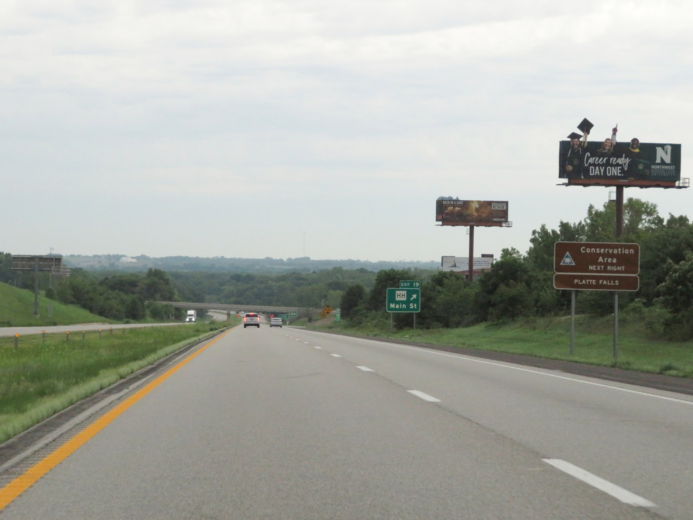 |
Take Exit 19 to Platte Falls Conservation Area. (Photo taken 8/9/20). |
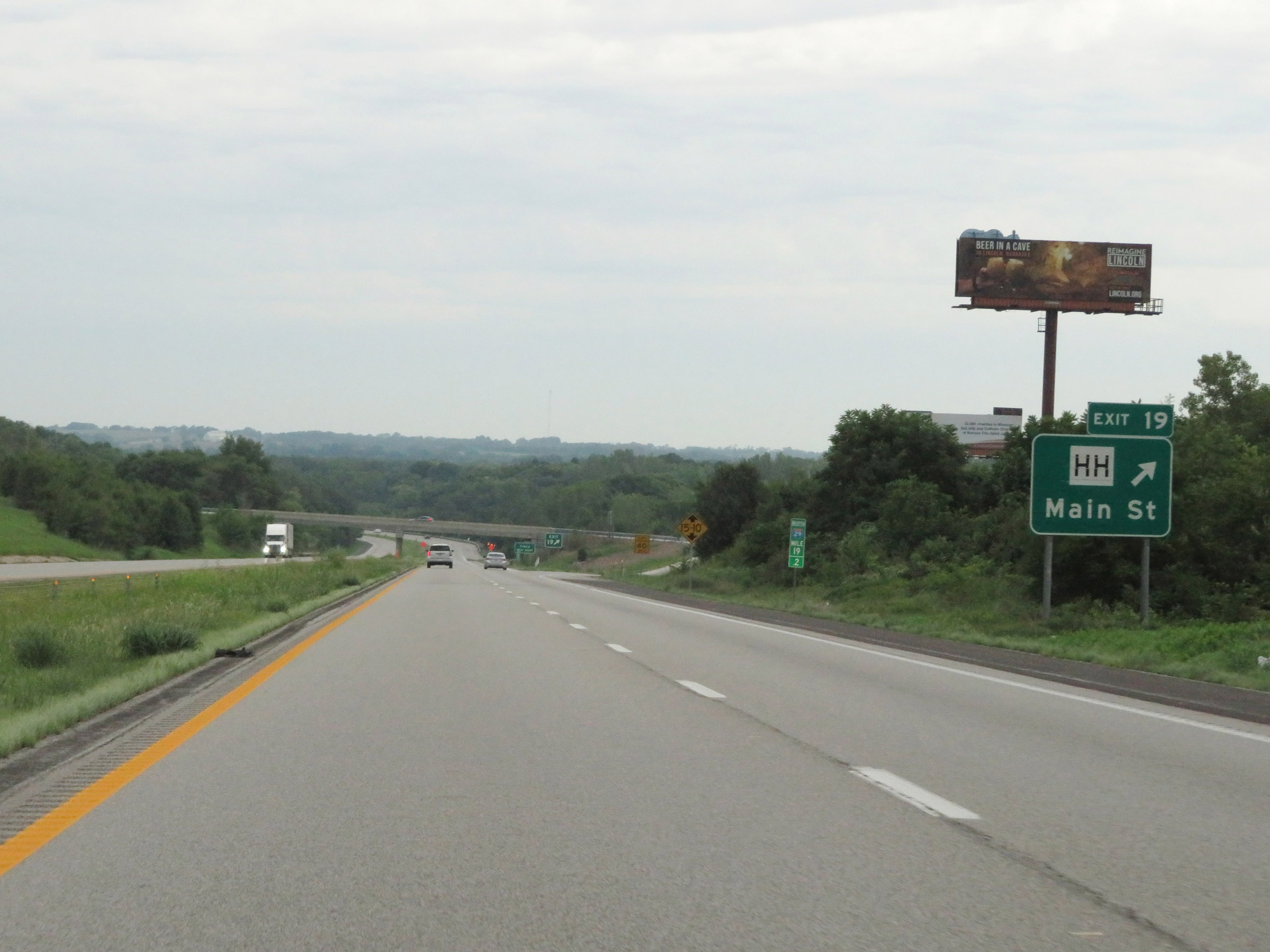 |
Interstate 29 North at Exit 19: Route HH - Main St (Photo taken 8/9/20). |
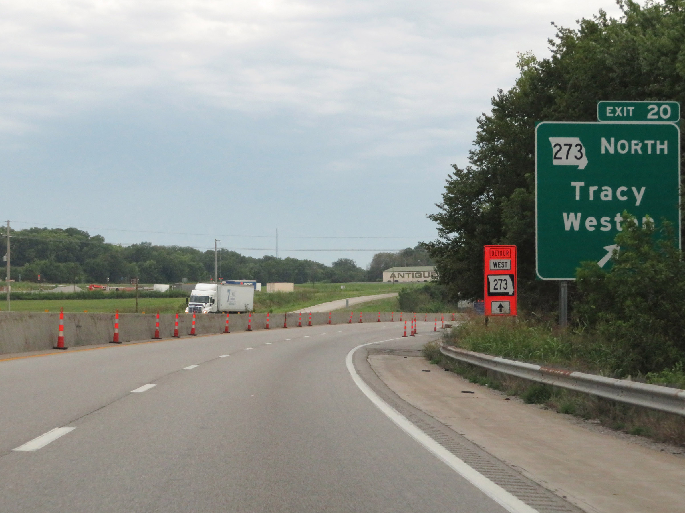 |
Interstate 29 North at Exit 20: MO 273 North - Tracy / Weston (Photo taken 8/9/20). |
 |
View on Interstate 29 North at mile marker 21.4. (Photo taken 8/9/20). |
 |
Mileage sign on Interstate 29 North. It's 4 miles to the junction of Routes U / E and 26 miles to St. Joseph. (Photo taken 8/9/20). |
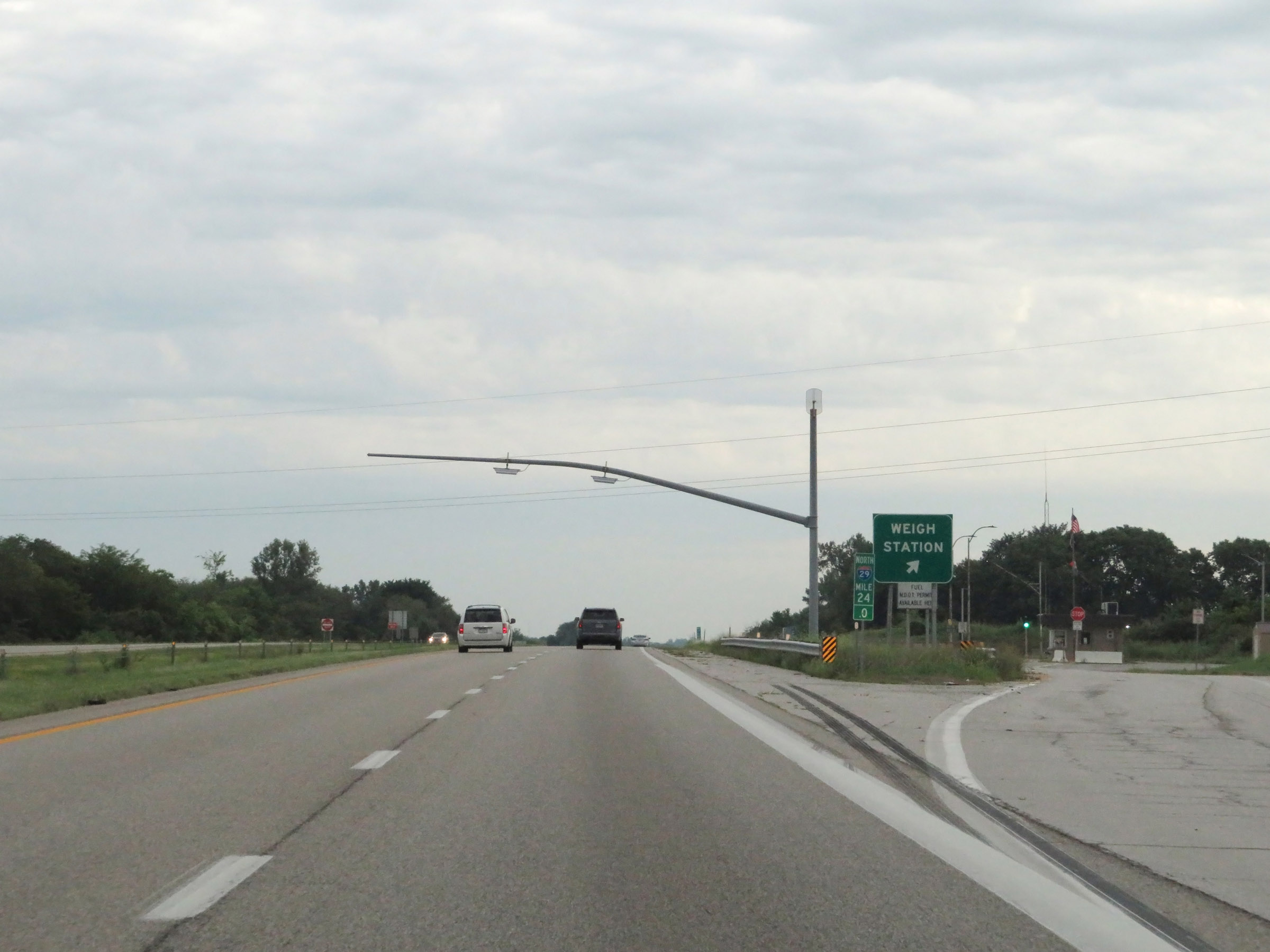 |
Weigh Station on Interstate 29 North in Platte County at mile marker 24. (Photo taken 8/9/20). |
 |
Interstate 29 North at Exit 25: Route U / Route E - Camden Point (Photo taken 8/9/20). |
 |
View on Interstate 29 North at mile marker 26. (Photo taken 8/9/20). |
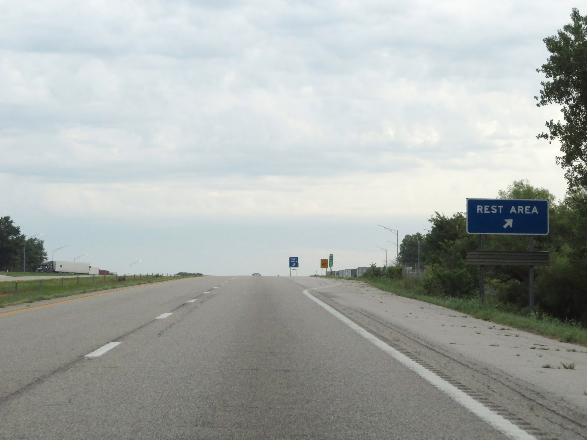 |
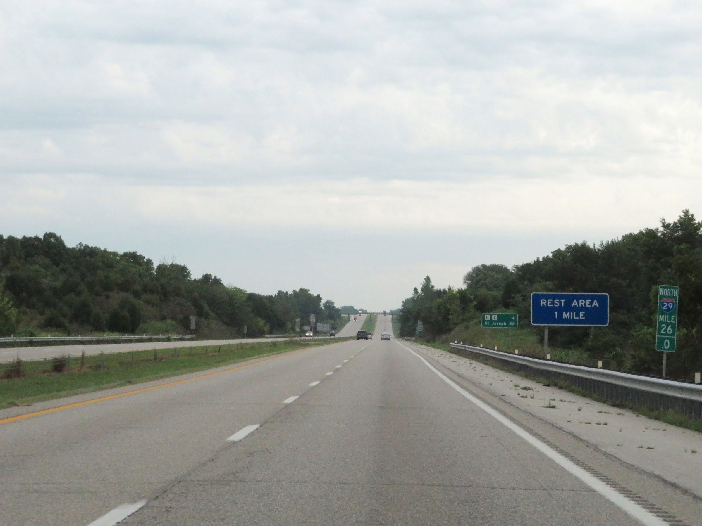
Rest Area on Interstate 29 North in Platte County. (Photo taken 8/9/20). |
 |
Interstate 29 North at mile marker 28. (Photo taken 8/9/20). |
 |
Interstate 29 North at Exit 30: Route H / Route Z - New Market / Dearborn (Photo taken 8/9/20). |
 |
Interstate 29 North as it enters Buchanan County. (Photo taken 8/9/20). |
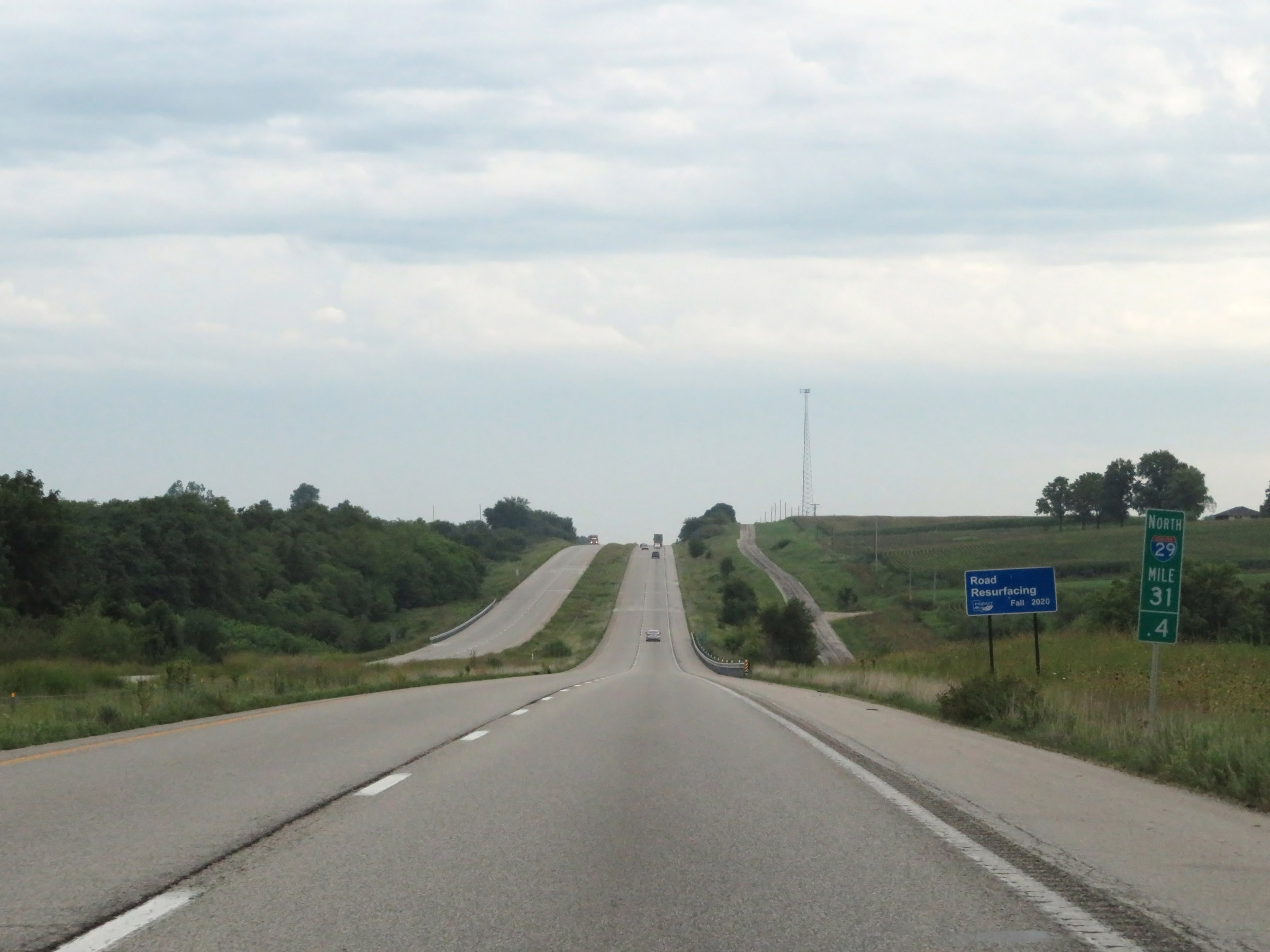 |
View on Interstate 29 North at mile marker 31.4. (Photo taken 8/9/20). |
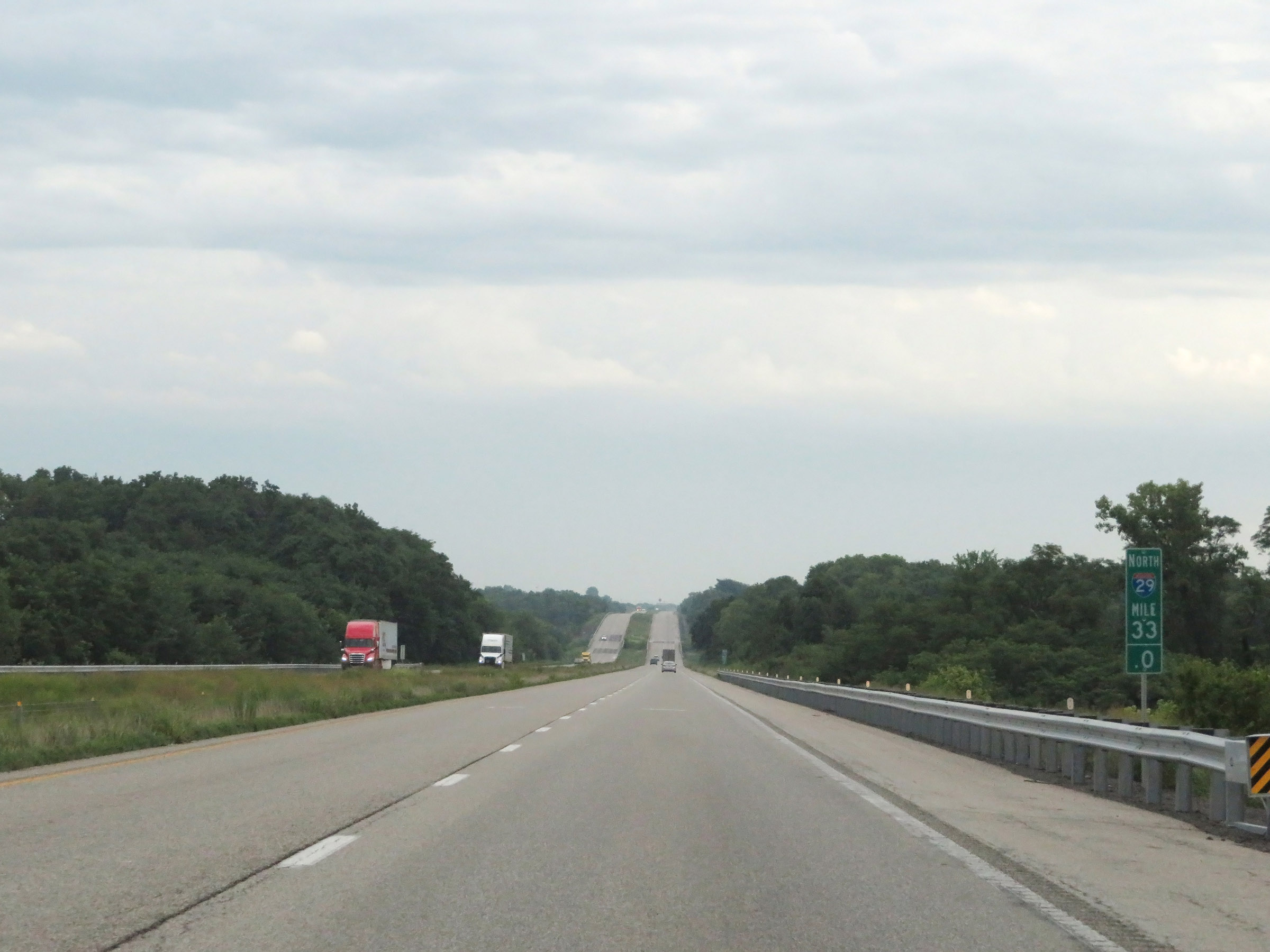 |
Mile marker 33 on Interstate 29 North in Buchanan County. (Photo taken 8/9/20). |
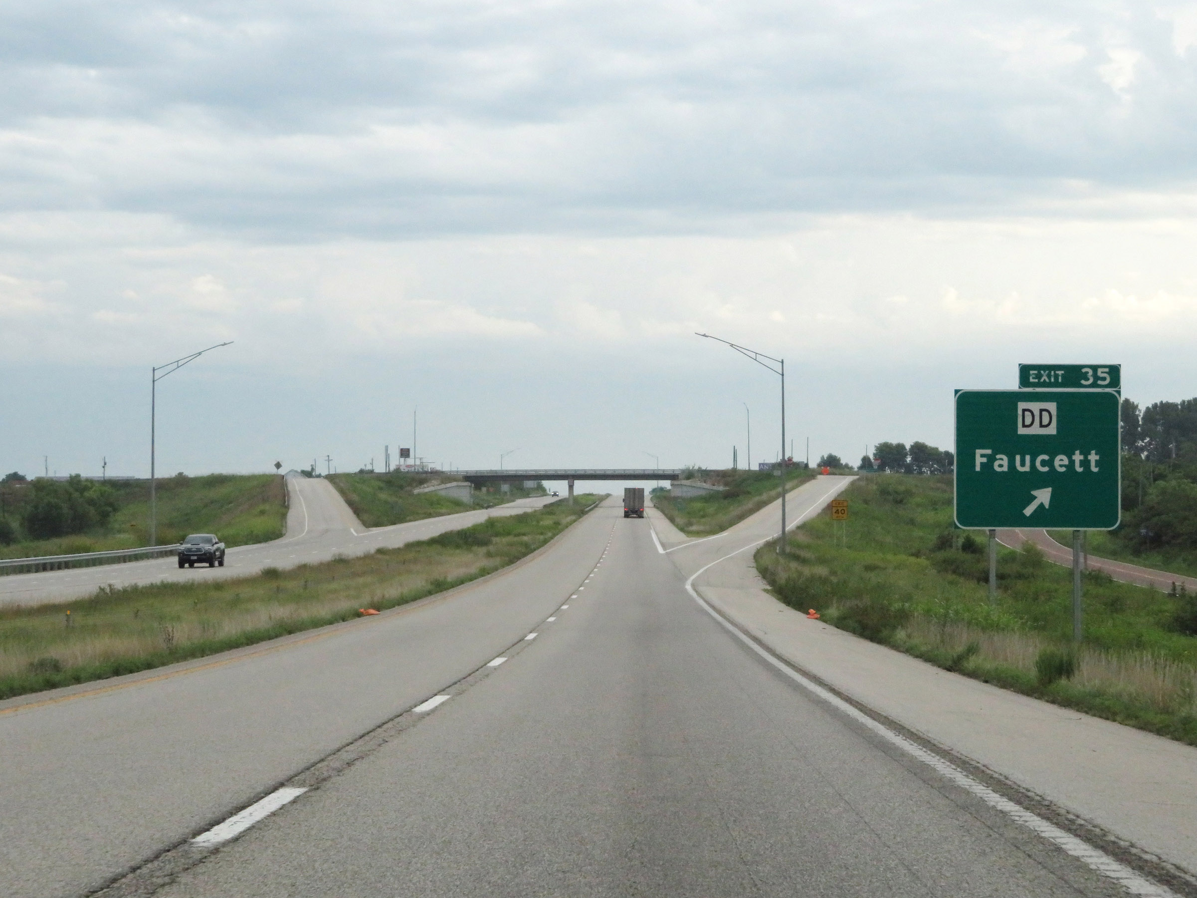 |
Interstate 29 North at Exit 35: Route DD - Faucett (Photo taken 8/9/20). |
 |
Another state-named Interstate 29 North reassurance shield. (Photo taken 8/9/20). |
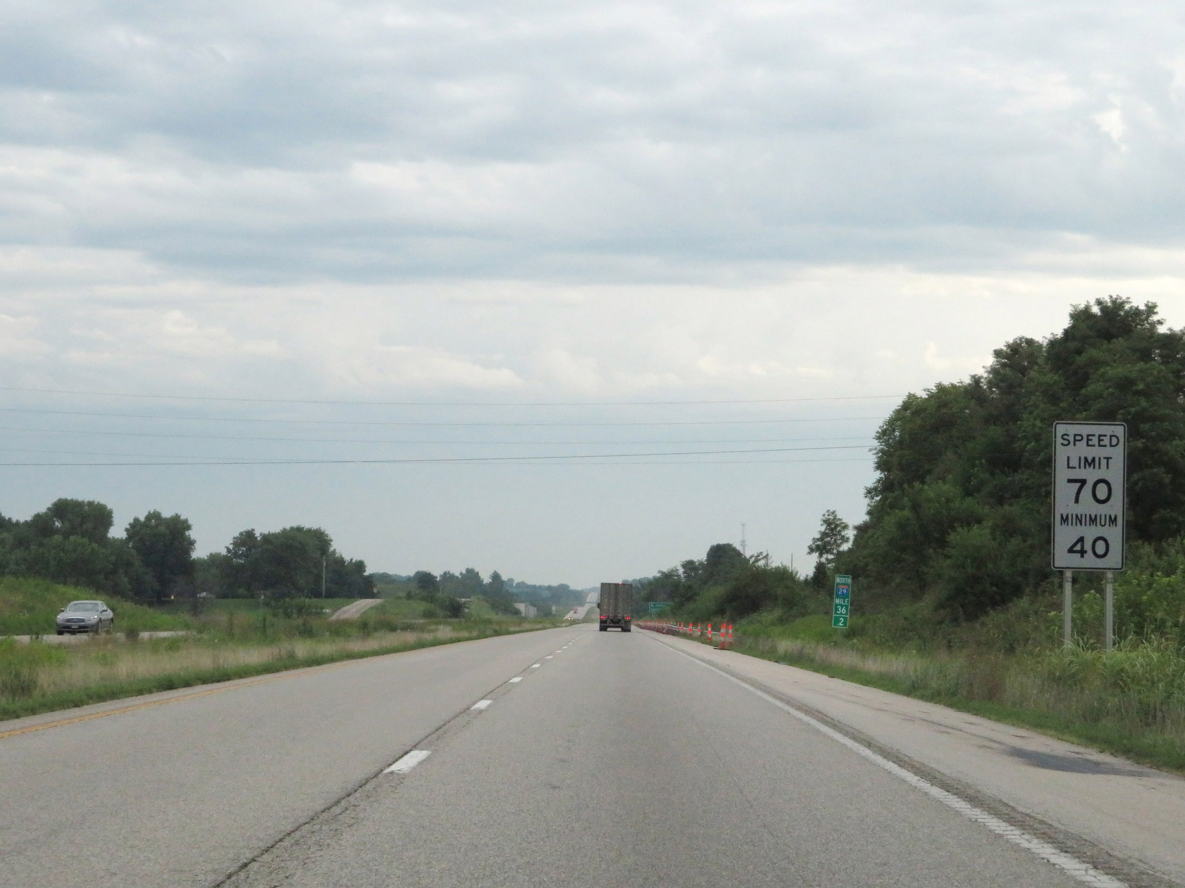 |
Speed limit sign at mile marker 36.2. The speed limits remain 70 mph maximum and 40 mph minimum. (Photo taken 8/9/20). |
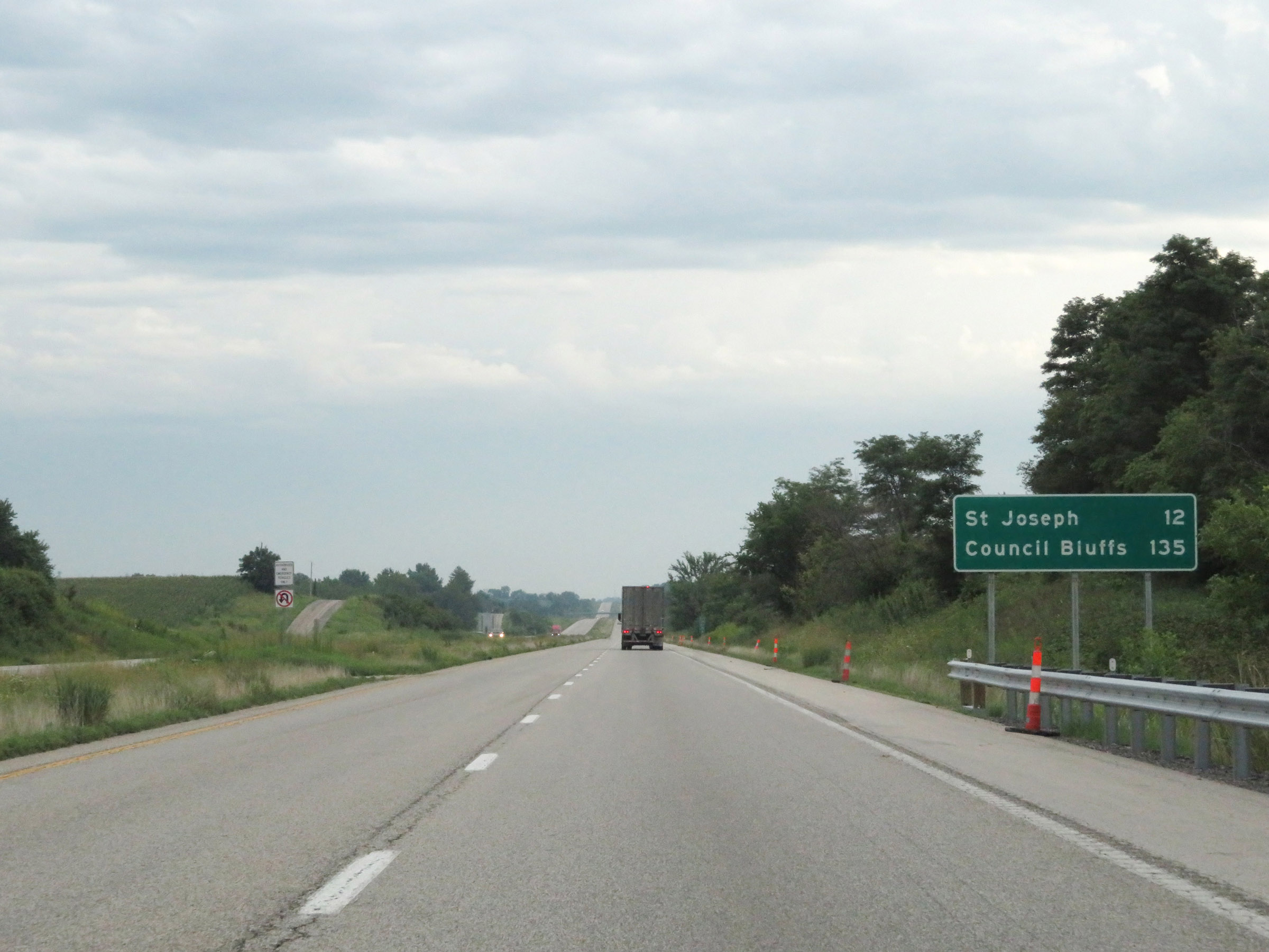 |
Mileage sign on Interstate 29 North. It's 12 miles to St Joseph and 135 miles to Council Bluffs. (Photo taken 8/9/20). |
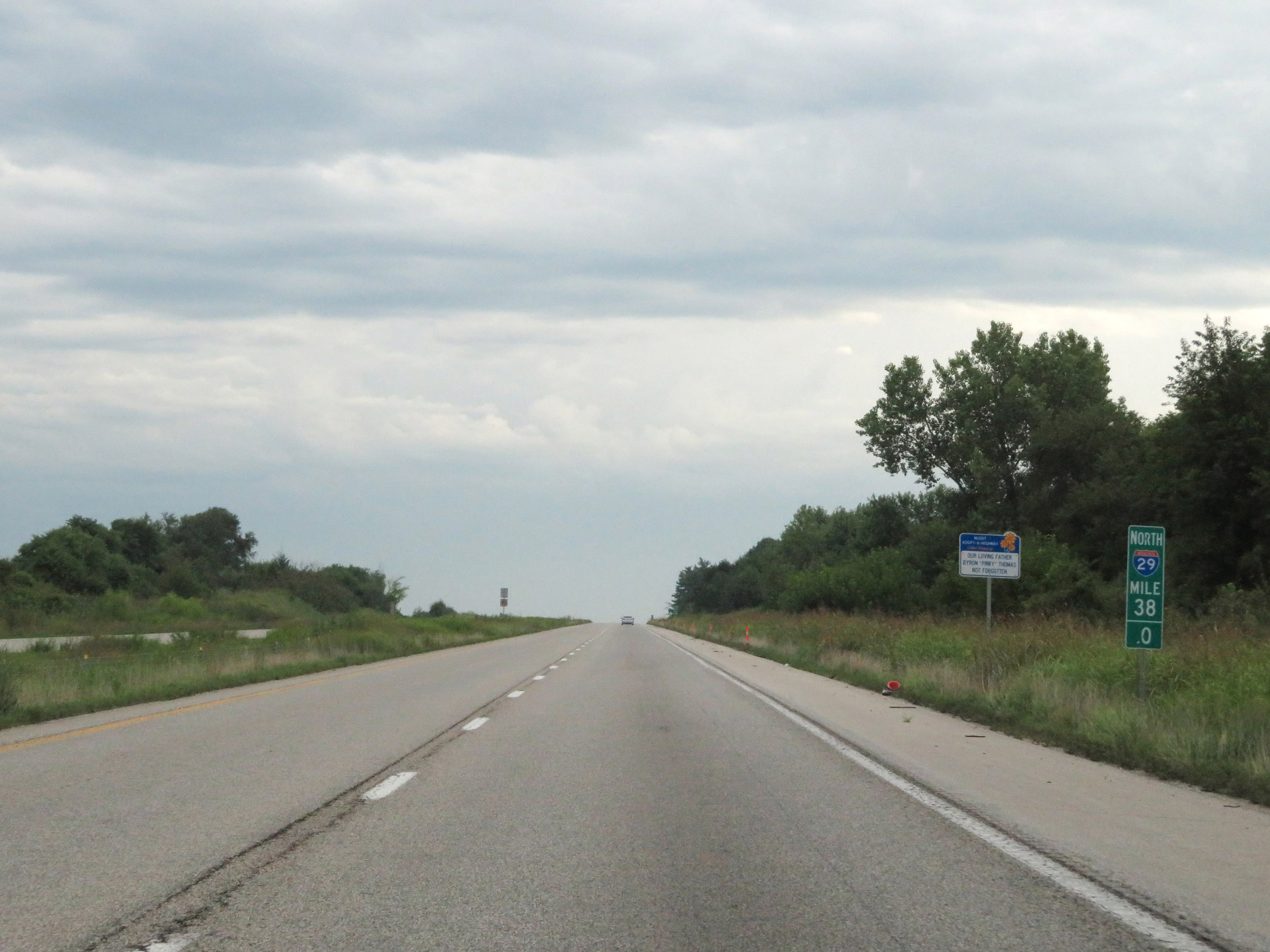 |
View on Interstate 29 North at mile marker 38. (Photo taken 8/9/20). |
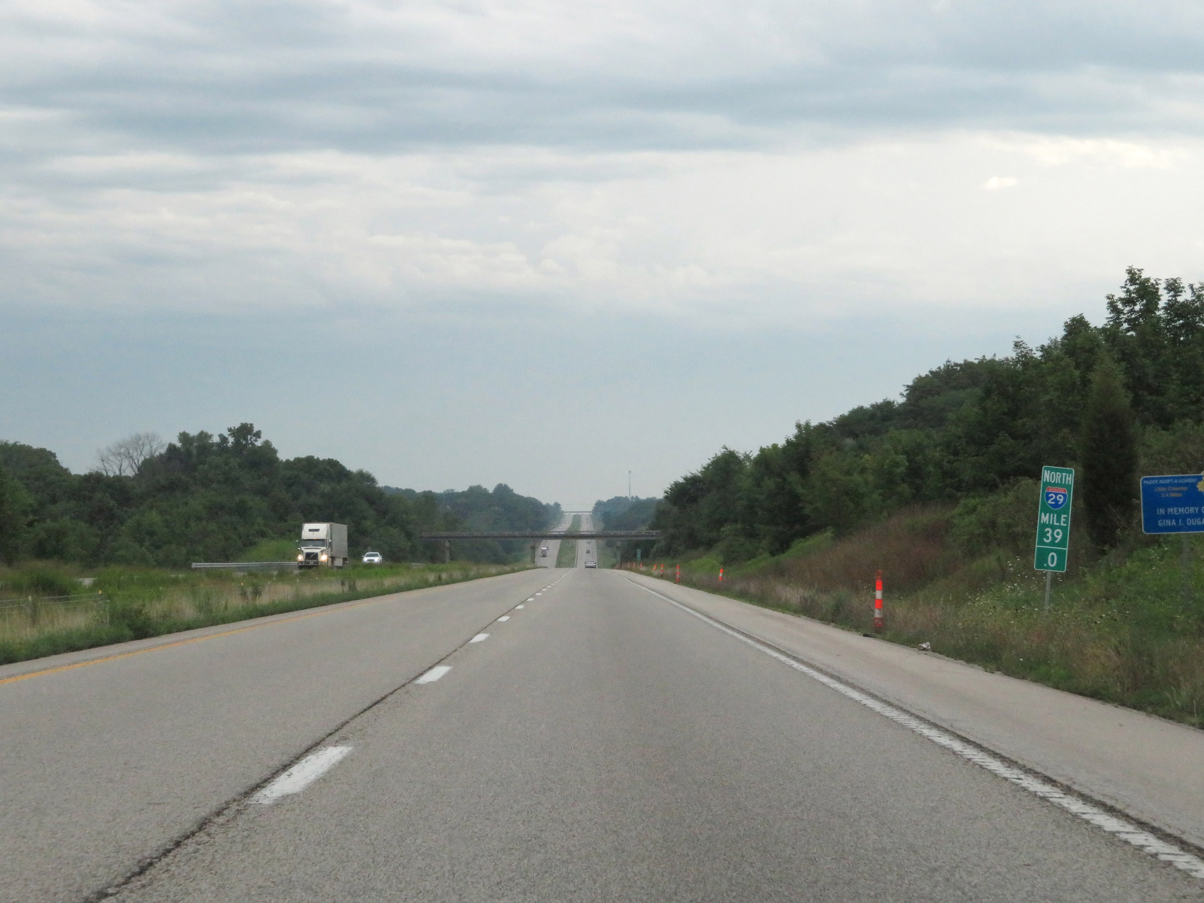 |
Interstate 29 North at mile marker 39. (Photo taken 8/9/20). |
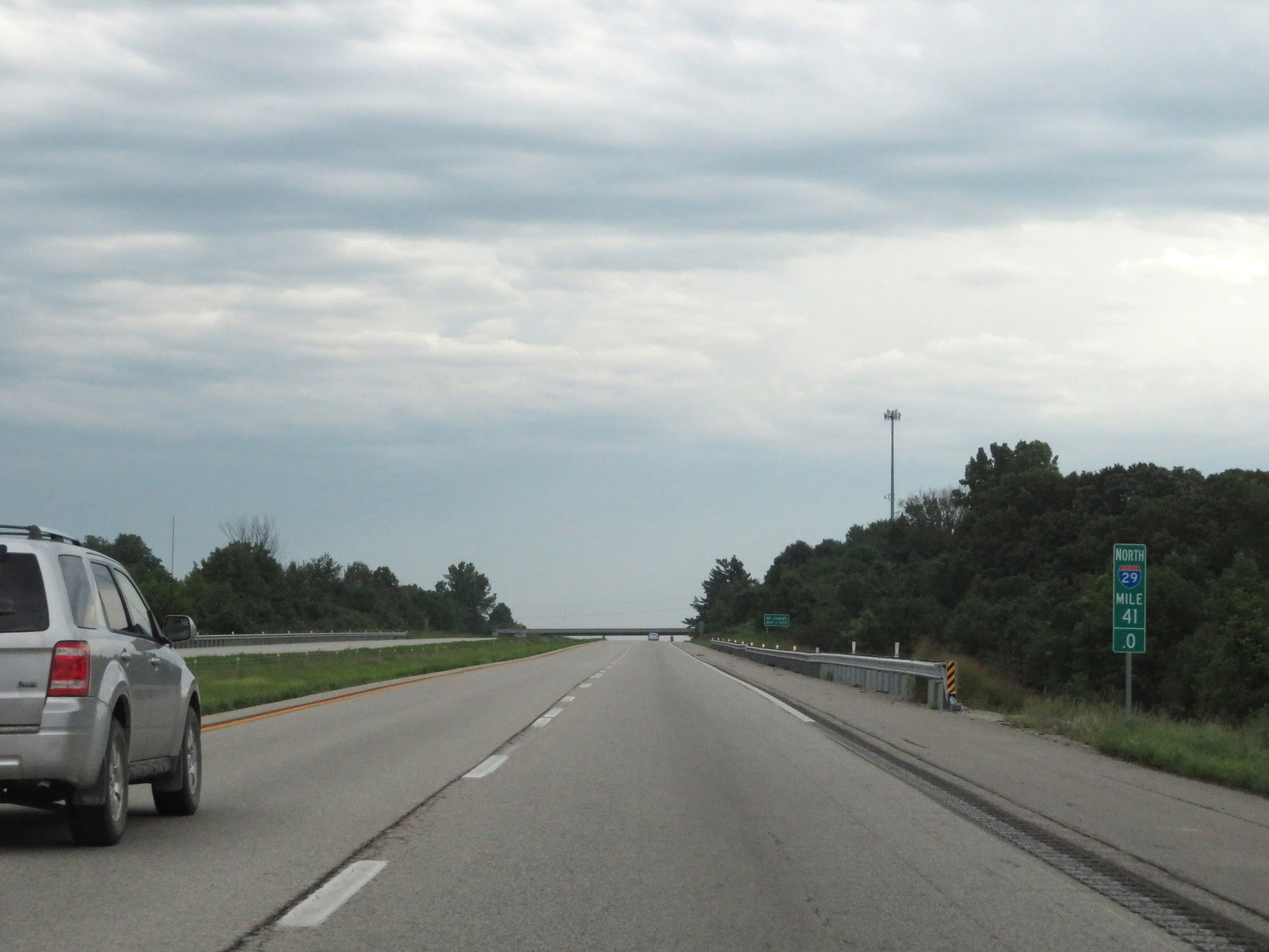 |
View on Interstate 29 North at mile marker 41. (Photo taken 8/9/20). |
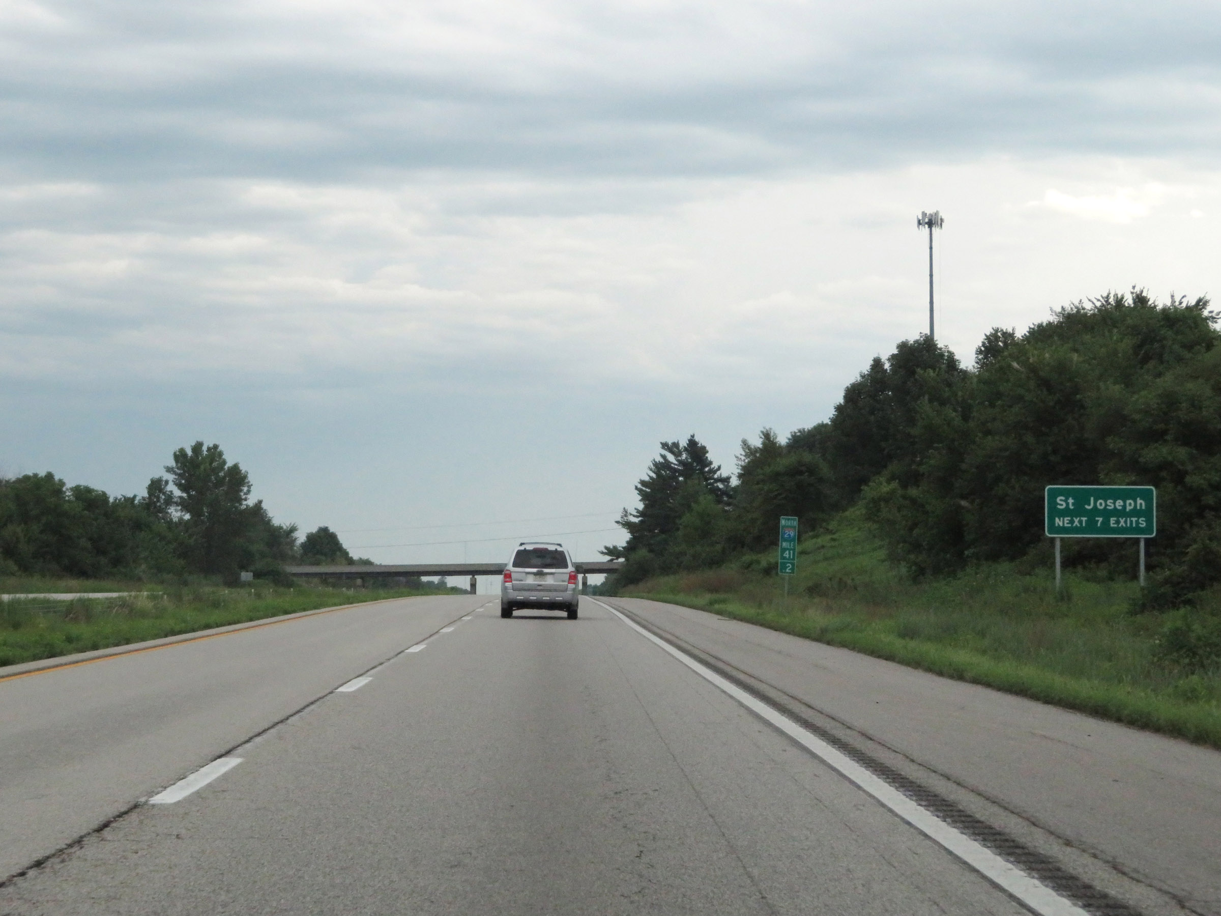 |
Take any of the next 7 exits to St. Joseph. (Photo taken 8/9/20). |
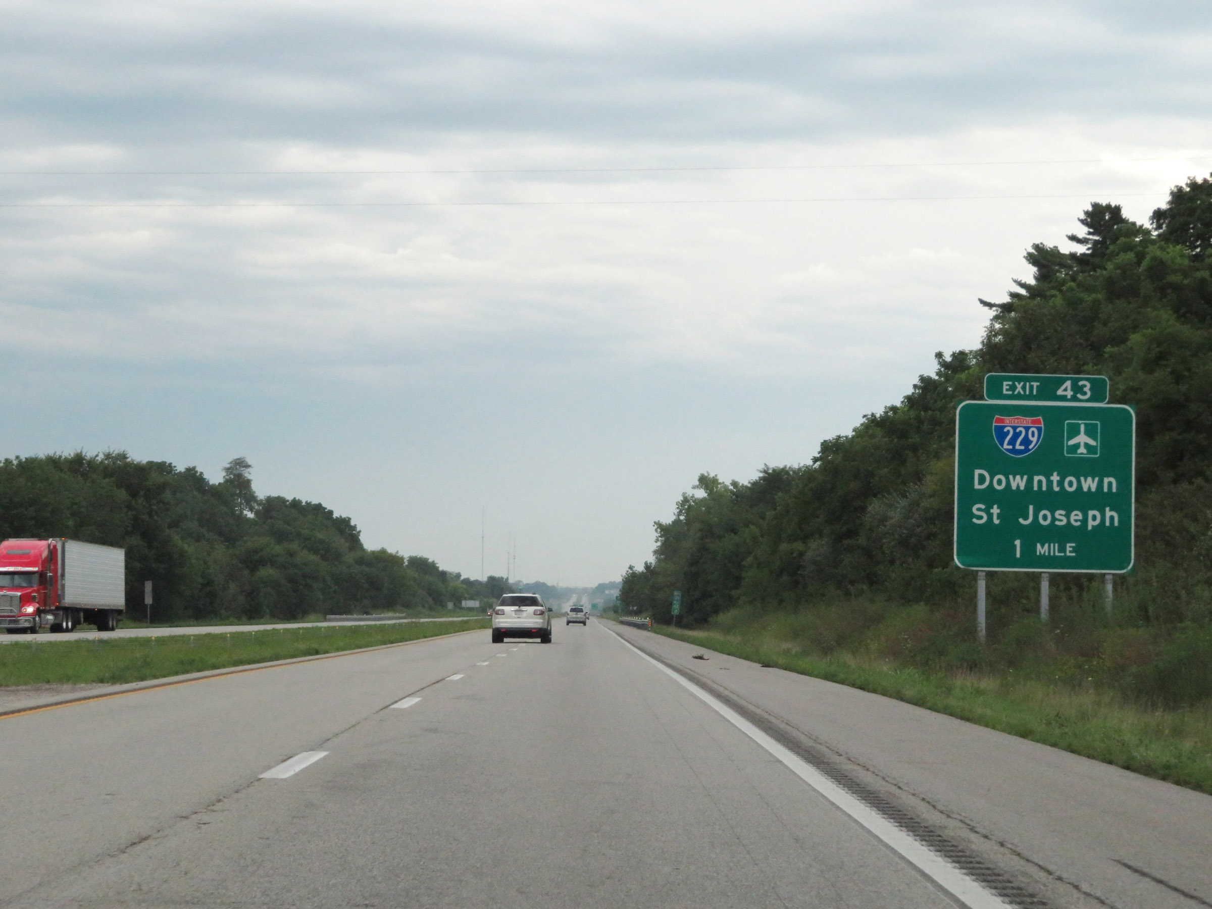 |
Interstate 29 North approaching Exit 43 - 1 mile. (Photo taken 8/9/20). |
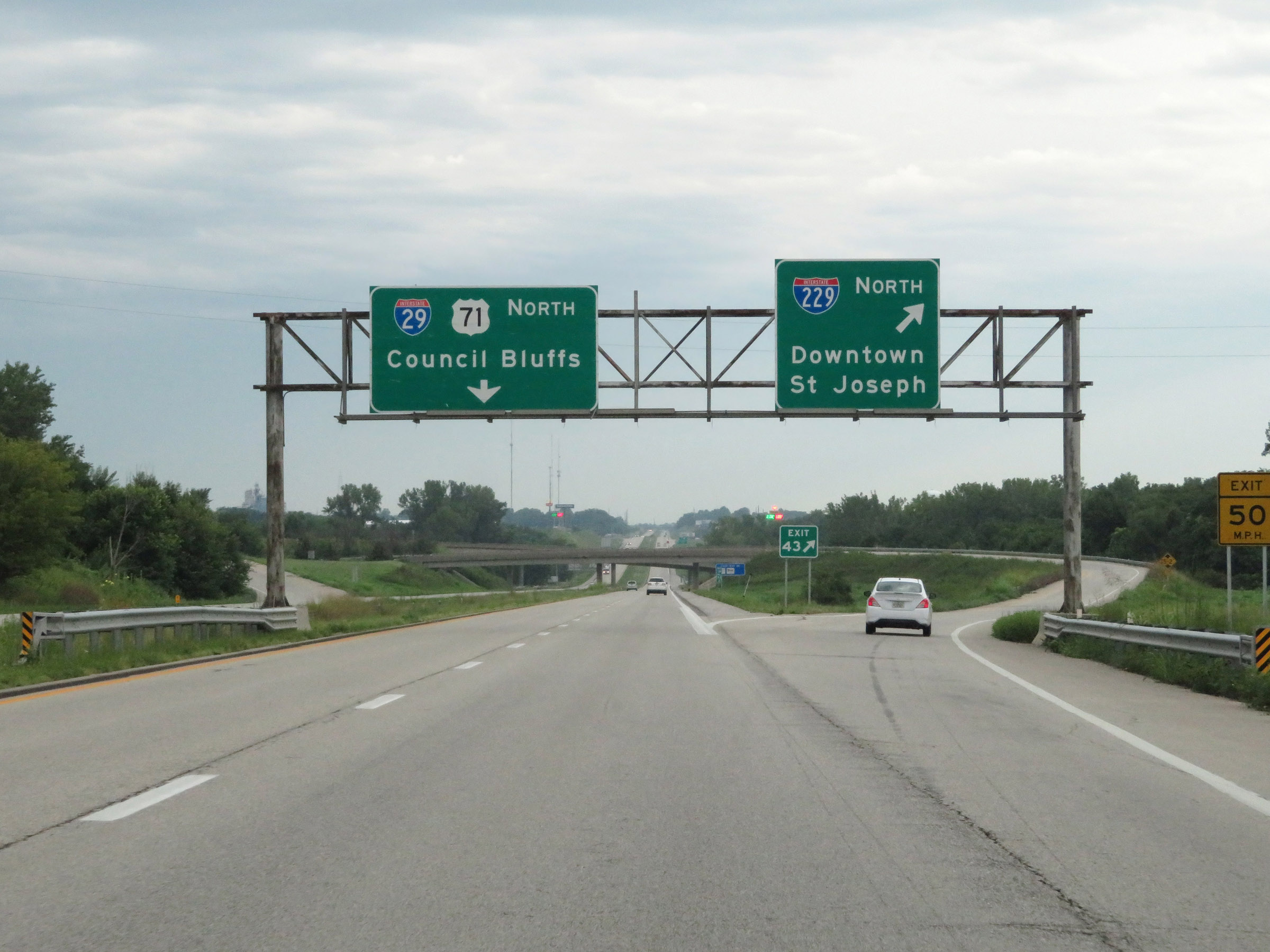 |
Interstate 29 North at Exit 43: Interstate 229 North - Downtown St Joseph (Photo taken 8/9/20). |
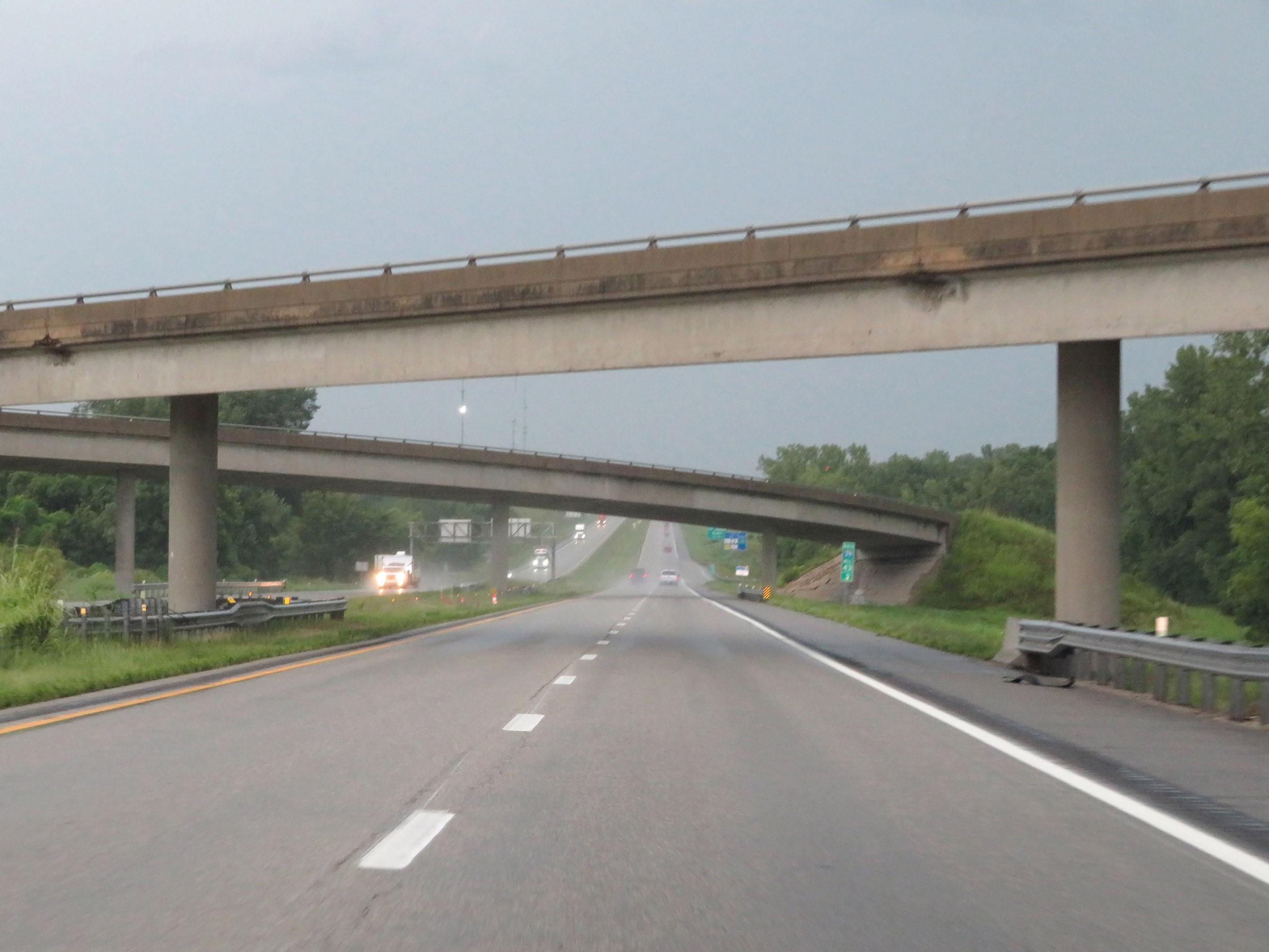 |
Interstate 29 North as it passes under the ramps to and from Interstate 229. (Photo taken 8/9/20). |
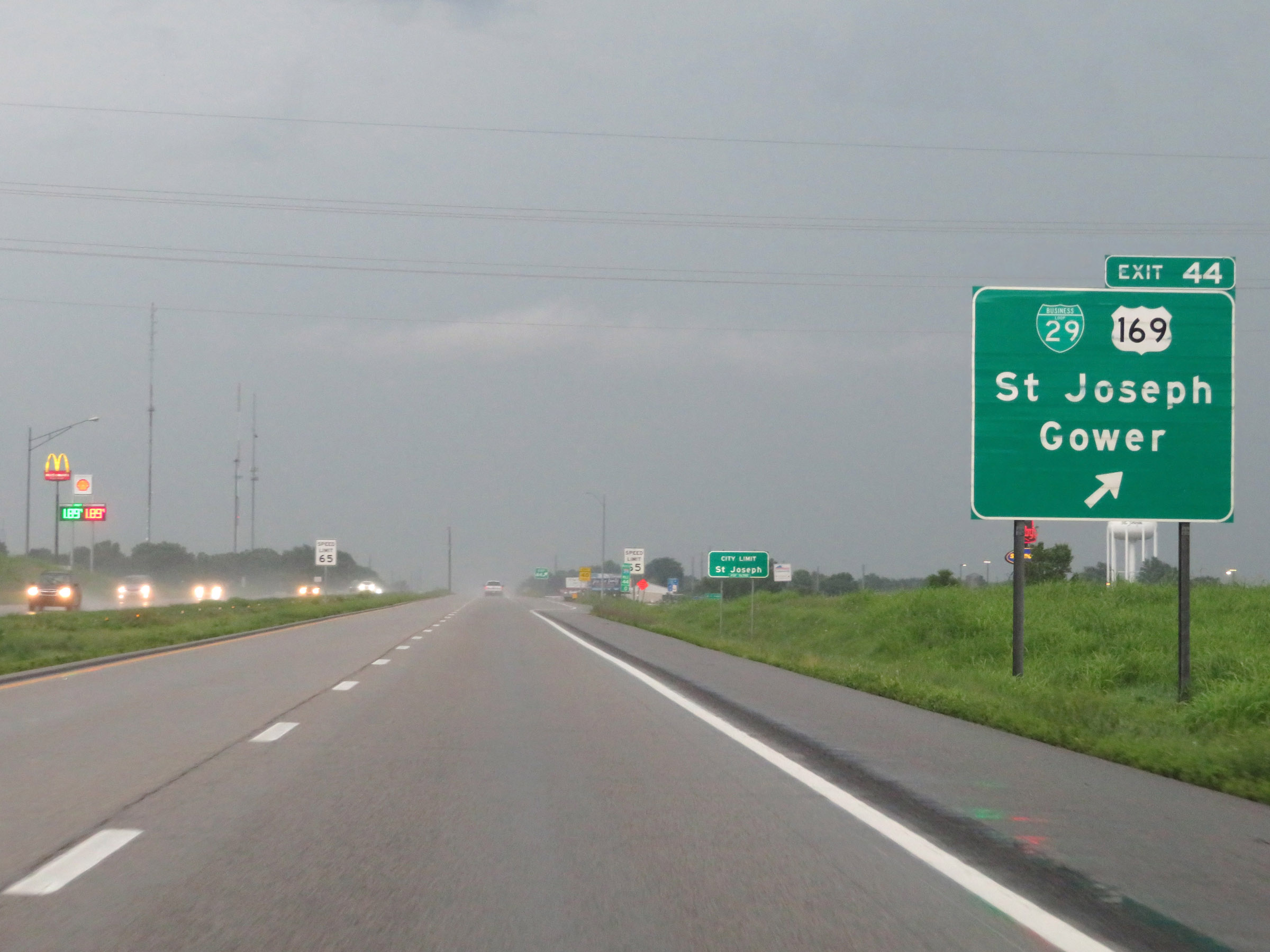 |
Interstate 29 North at Exit 44: Interstate 29 Business Loop / US 169 - St Joseph / Gower (Photo taken 8/9/20). |
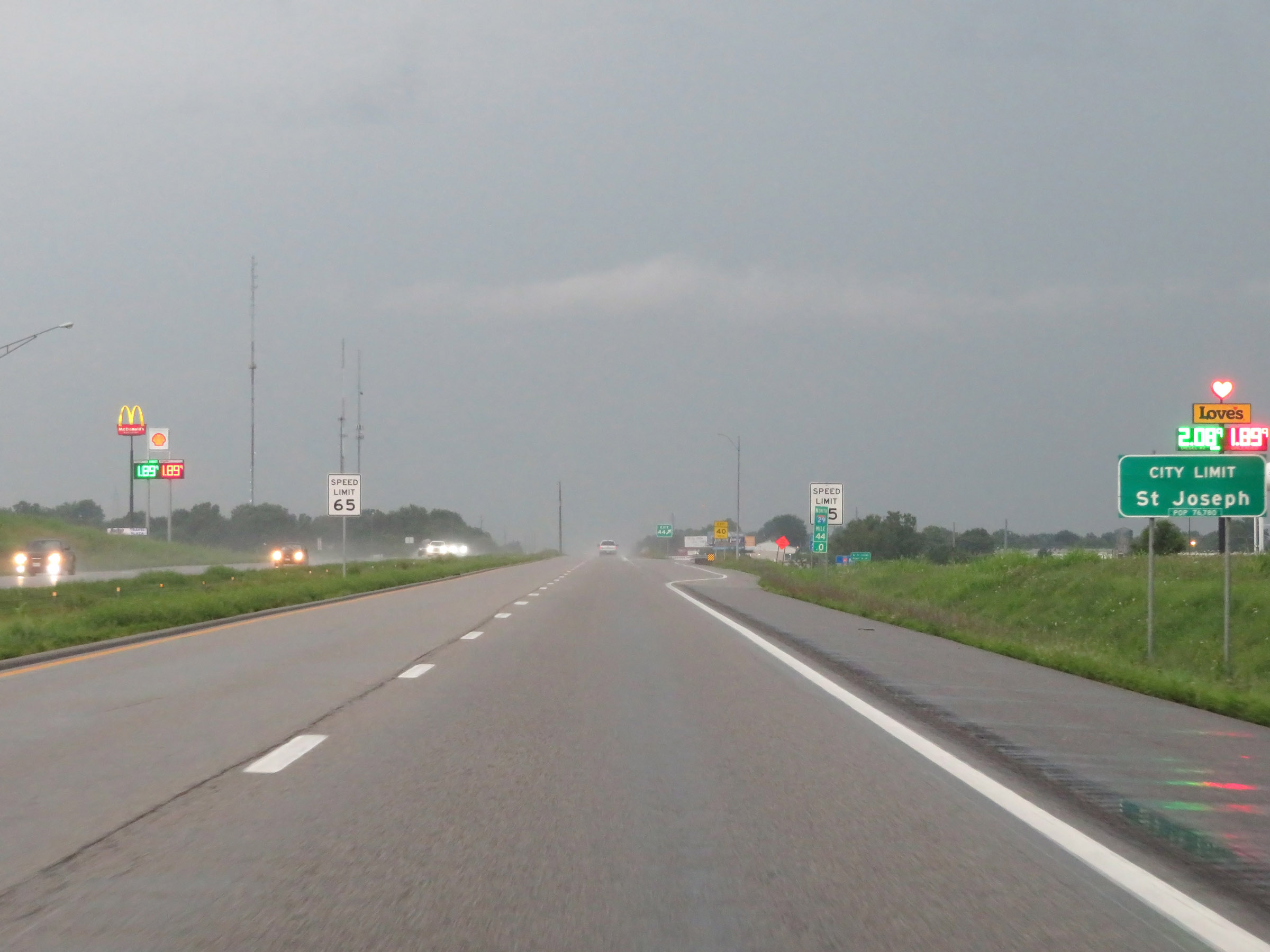 |
As Interstate 29 North enters the St. Joseph city limits at mile marker 44, the maximum speed limit decreases to 65 mph. (Photo taken 8/9/20). |
 |
Take Exit 46A to Missouri Western State University. (Photo taken 8/9/20). |
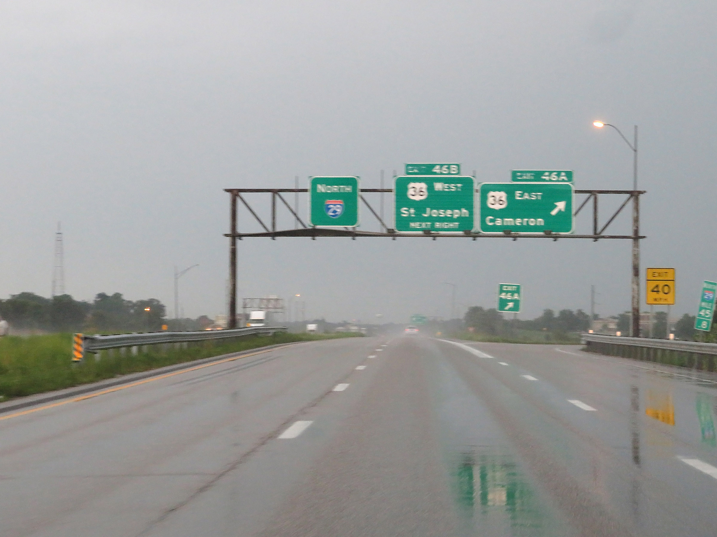 |
Interstate 29 North at Exit 46A: US 36 East - Cameron (Photo taken 8/9/20). |
 |
Interstate 29 North at Exit 46B: US 36 West - St Joseph (Photo taken 8/9/20). |
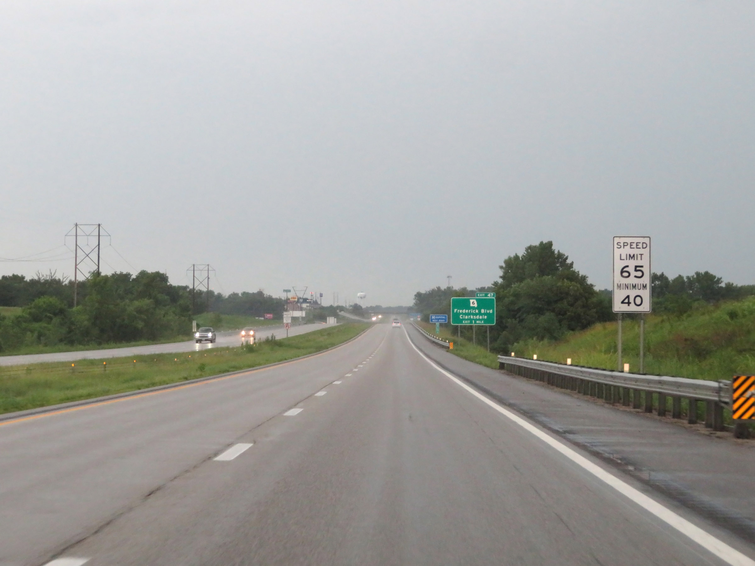 |
The speed limits remain 65 mph maximum and 40 mph minimum on Interstate 29 North through the St. Joseph area. (Photo taken 8/9/20). |
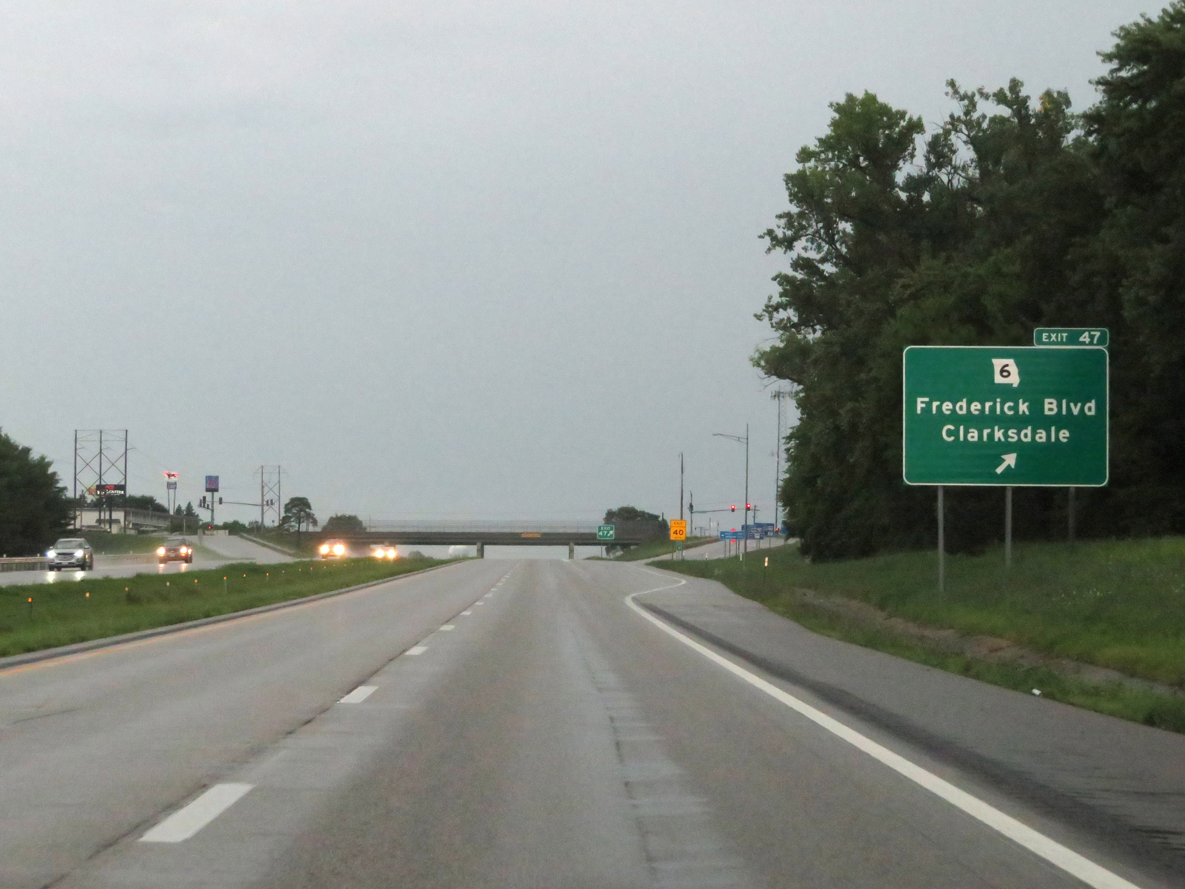 |
Interstate 29 North at Exit 47: MO 6 - Frederick Blvd / Clarksdale (Photo taken 8/9/20). |
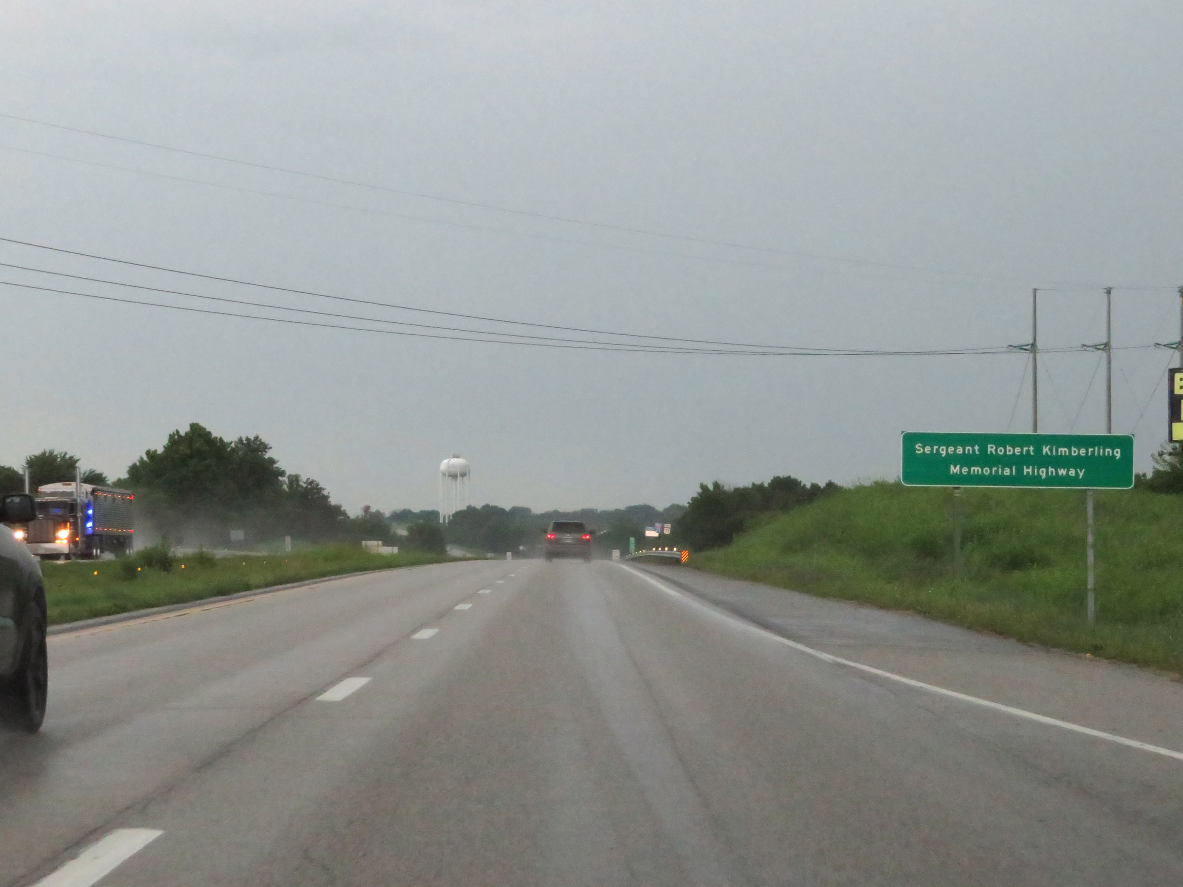 |
Interstate 29 in the St. Joseph area is also known as Sergeant Robert Kimberling Memorial Highway. (Photo taken 8/9/20). |
 |
North of Exit 47, the maximum speed limit increases to 70 mph once again. The minimum speed limit remains 40 mph. (Photo taken 8/9/20). |
 |
Interstate 29 North at Exit 50: US 169 - King City / St Joseph (Photo taken 8/9/20). |
 |
North of Exit 50, Interstate 29 North enters Andrew County. (Photo taken 8/9/20). |
 |
View on Interstate 29 North at mile marker 52. (Photo taken 8/9/20). |
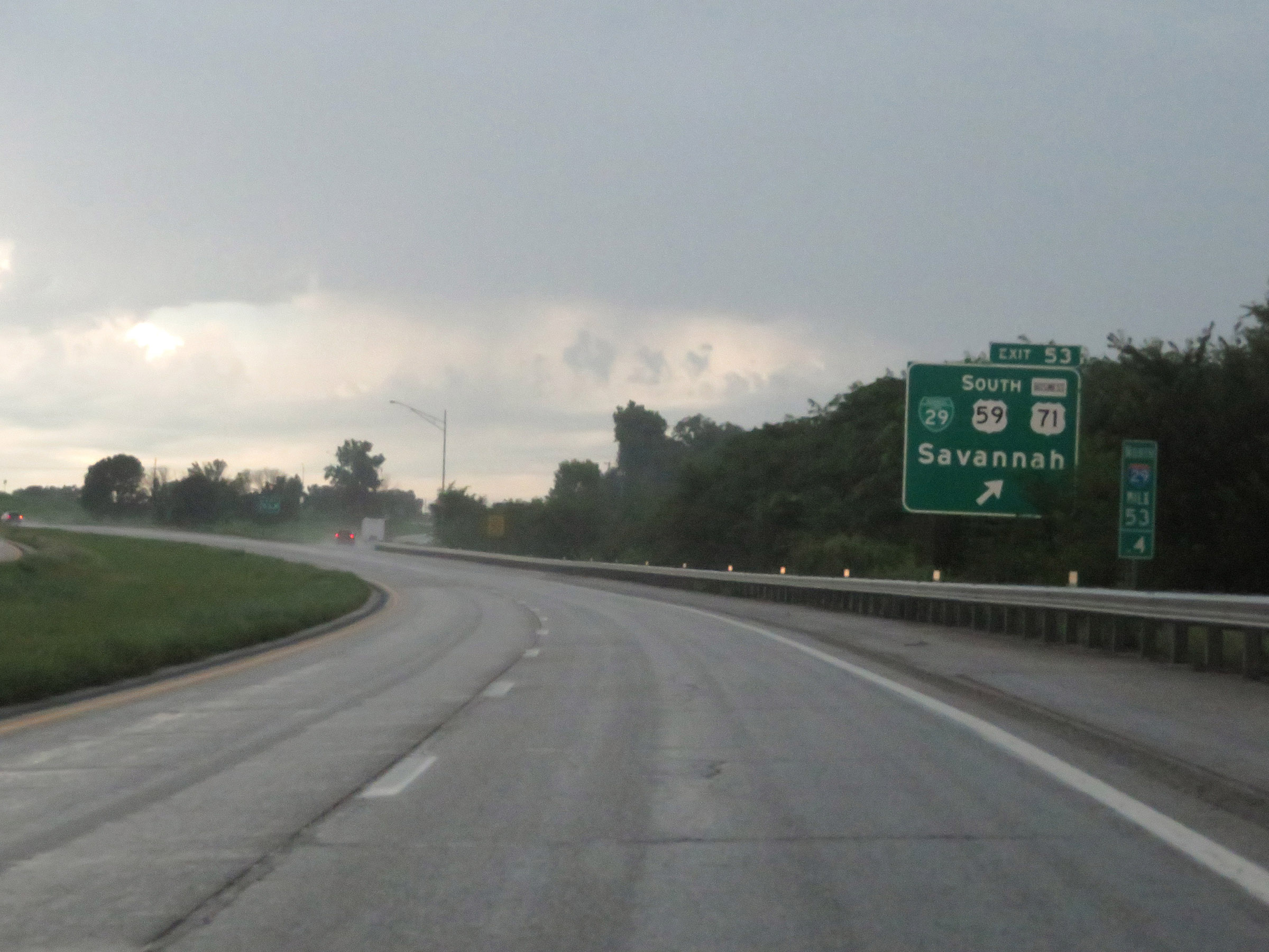 |
Interstate 29 North at Exit 53: Interstate 29 Business Loop / US 59 South / US 71 Business - Savannah (Photo taken 8/9/20). |
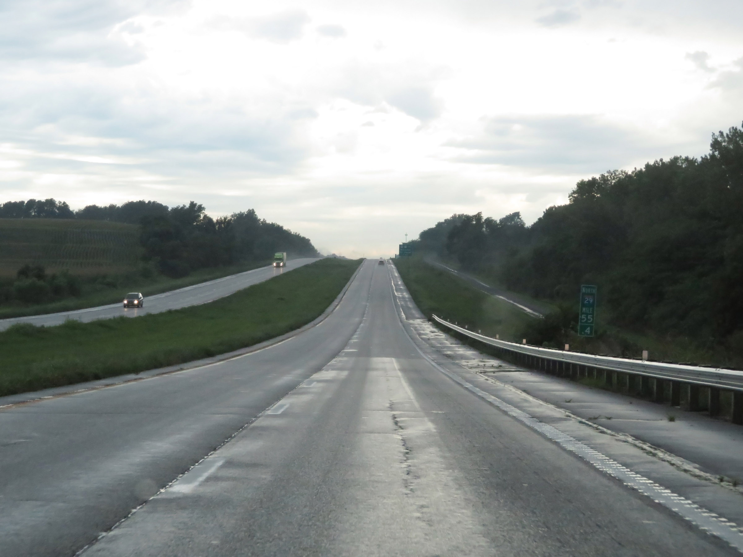 |
Interstate 29 North at mile marker 55.4. (Photo taken 8/9/20). |
 |
Interstate 29 North approaching Exits 56A-B - 1 mile. (Photo taken 8/9/20). |
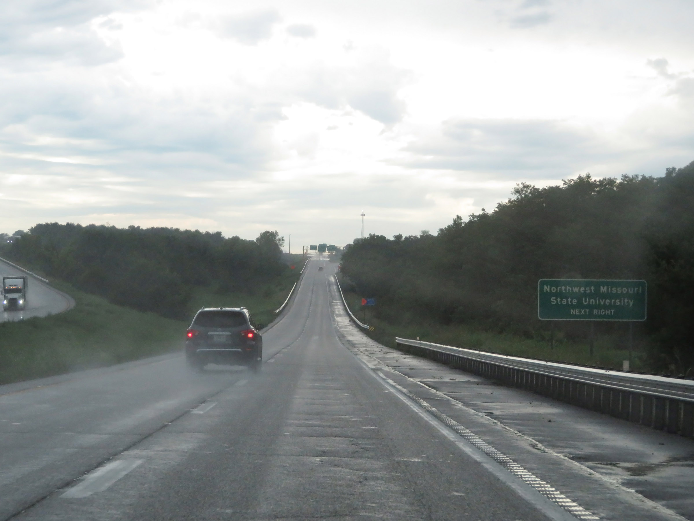 |
Take Exit 56A to Northwest Missouri State University. (Photo taken 8/9/20). |
 |
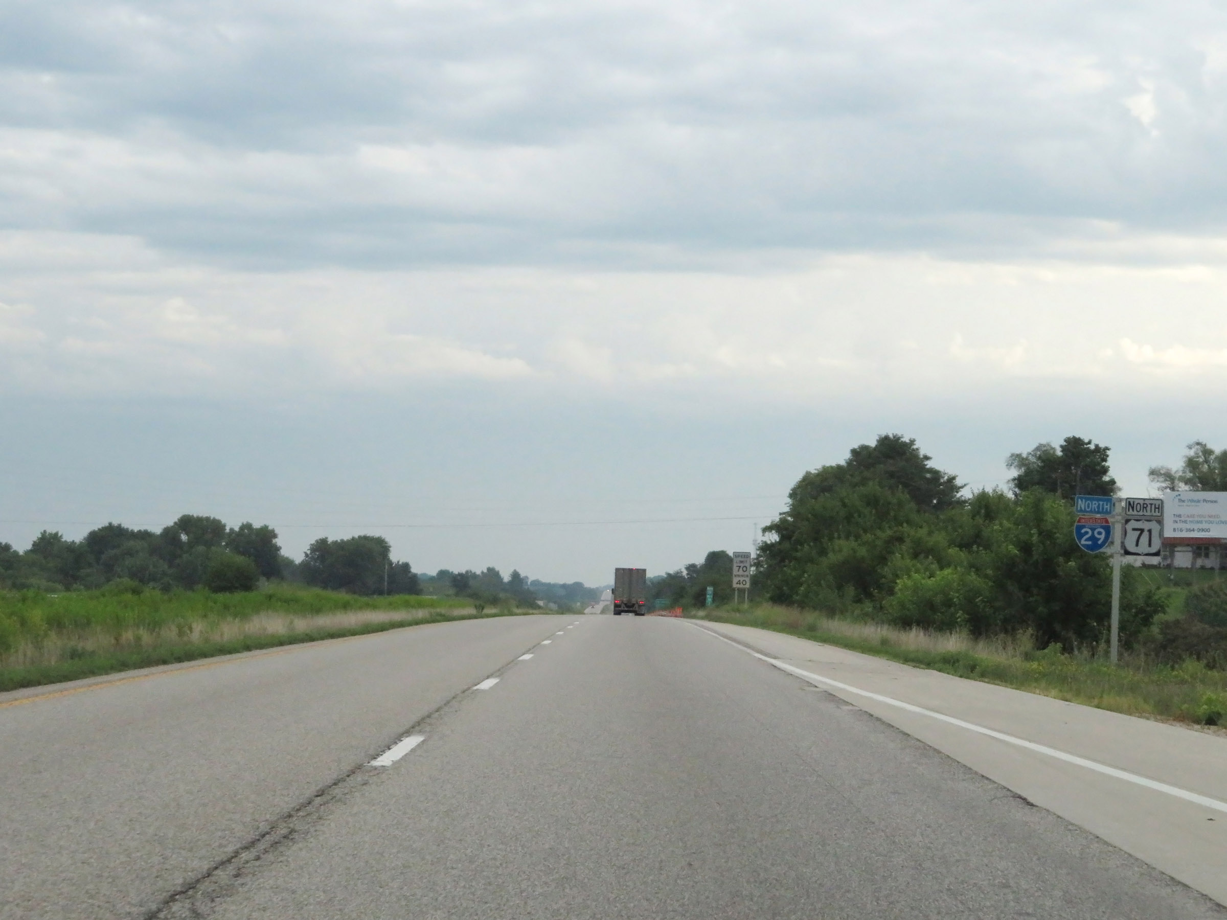
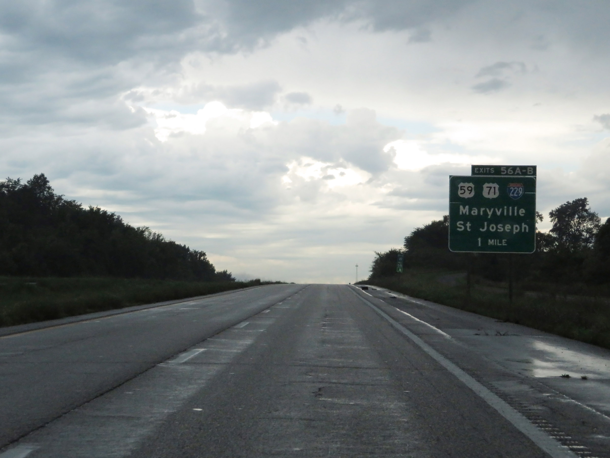
Interstate 29 North at Exit 56A: US 71 North / US 59 North - Maryville (Photo taken 8/9/20). |
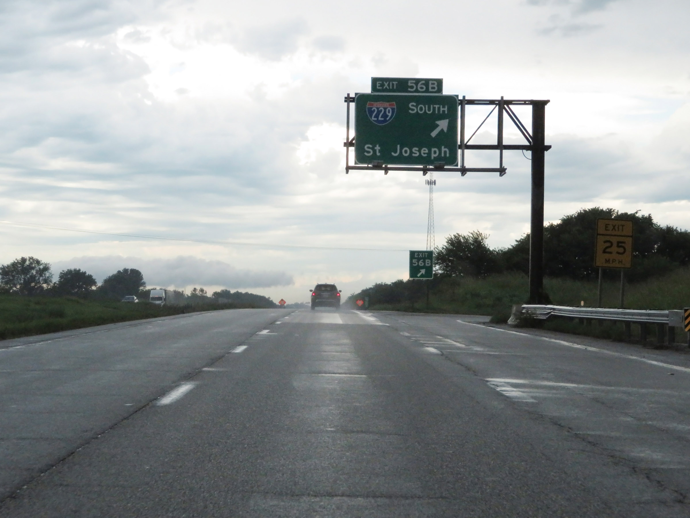 |
Interstate 29 North at Exit 56B: Interstate 229 South - St Joseph (Photo taken 8/9/20). |
Section 3: St. Joseph (Exit 56B) to Iowa Border
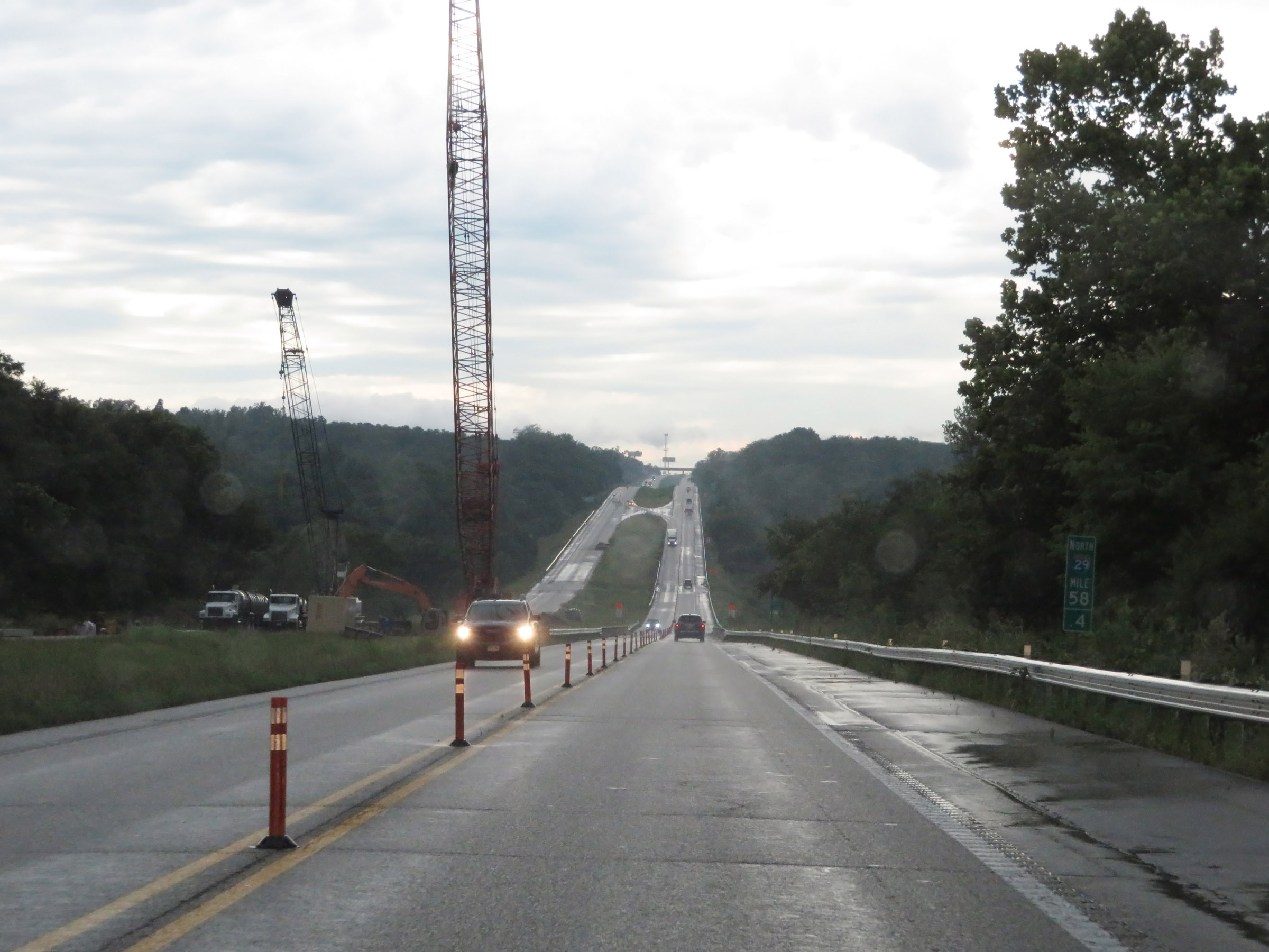 |
View on Interstate 29 North at mile marker 58.4. (Photo taken 8/9/20). |
 |
Interstate 29 North approaching Exit 60 - 1 mile. (Photo taken 8/9/20). |
 |
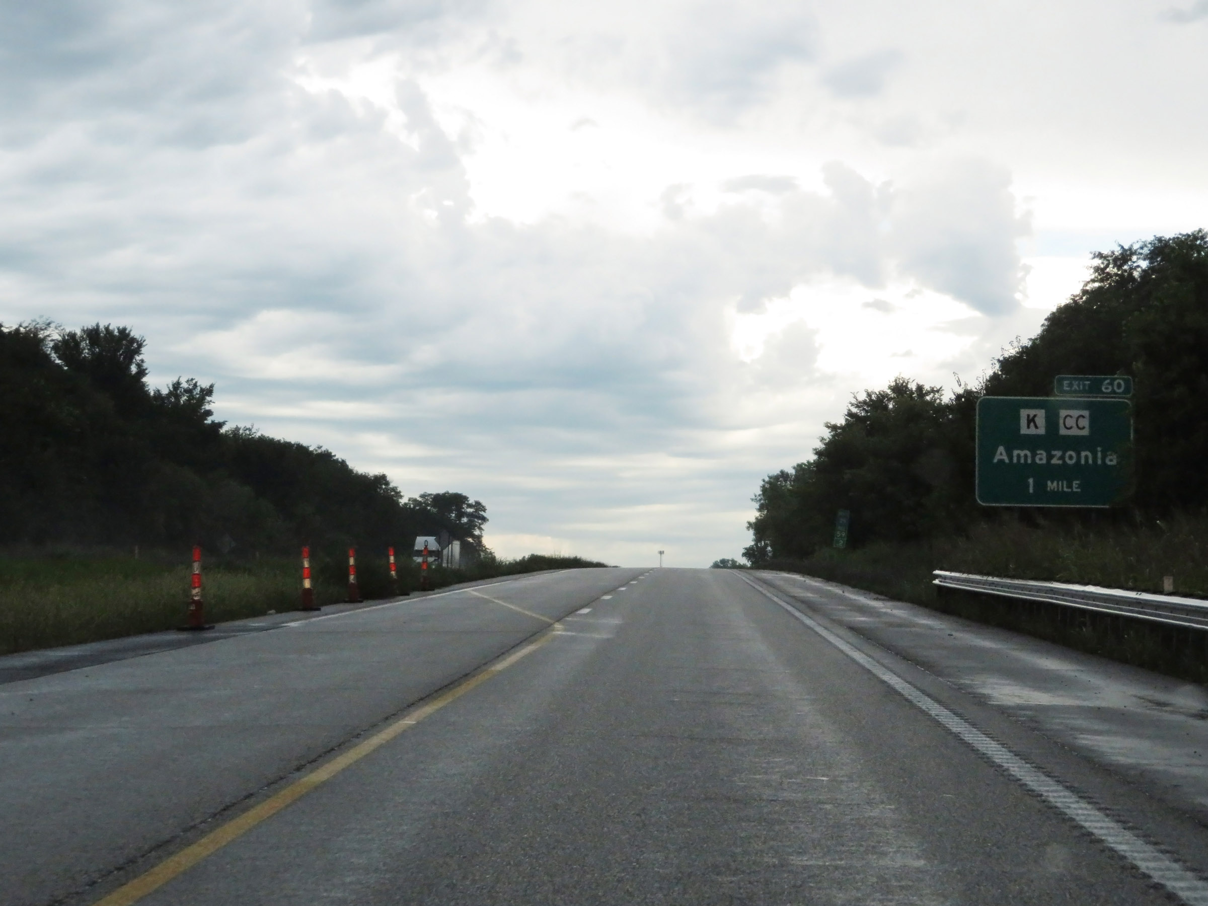
Interstate 29 North at Exit 60: Route K / Route CC - Amazonia (Photo taken 8/9/20). |
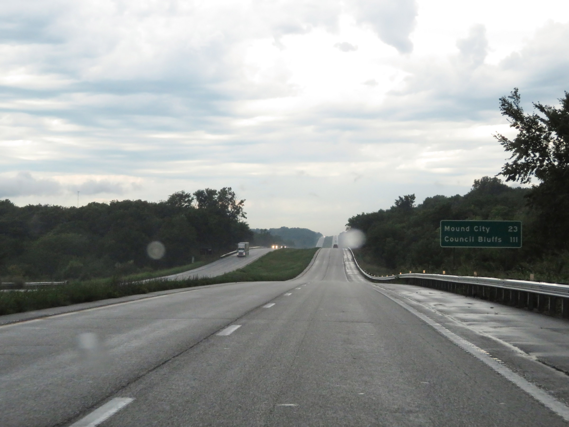 |
Mileage sign on Interstate 29 North. It's 23 miles to Mound City and 111 miles to Council Bluffs. (Photo taken 8/9/20). |
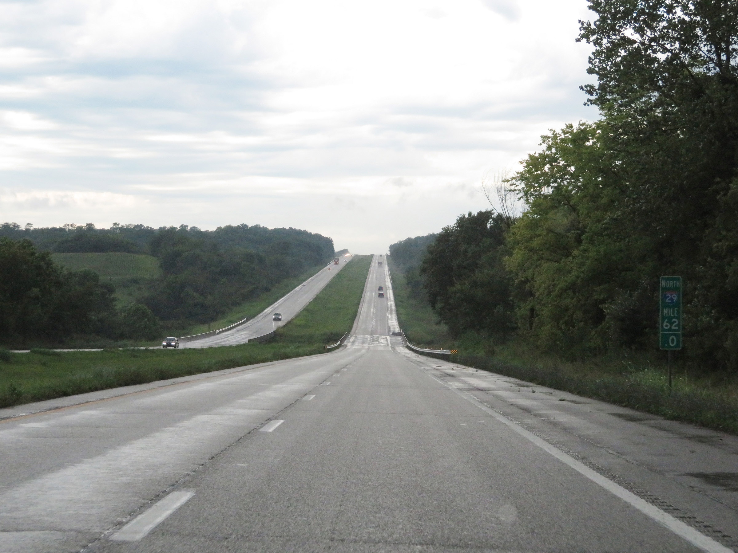 |
View on Interstate 29 North at mile marker 62. (Photo taken 8/9/20). |
 |
Interstate 29 North at mile marker 64. (Photo taken 8/9/20). |
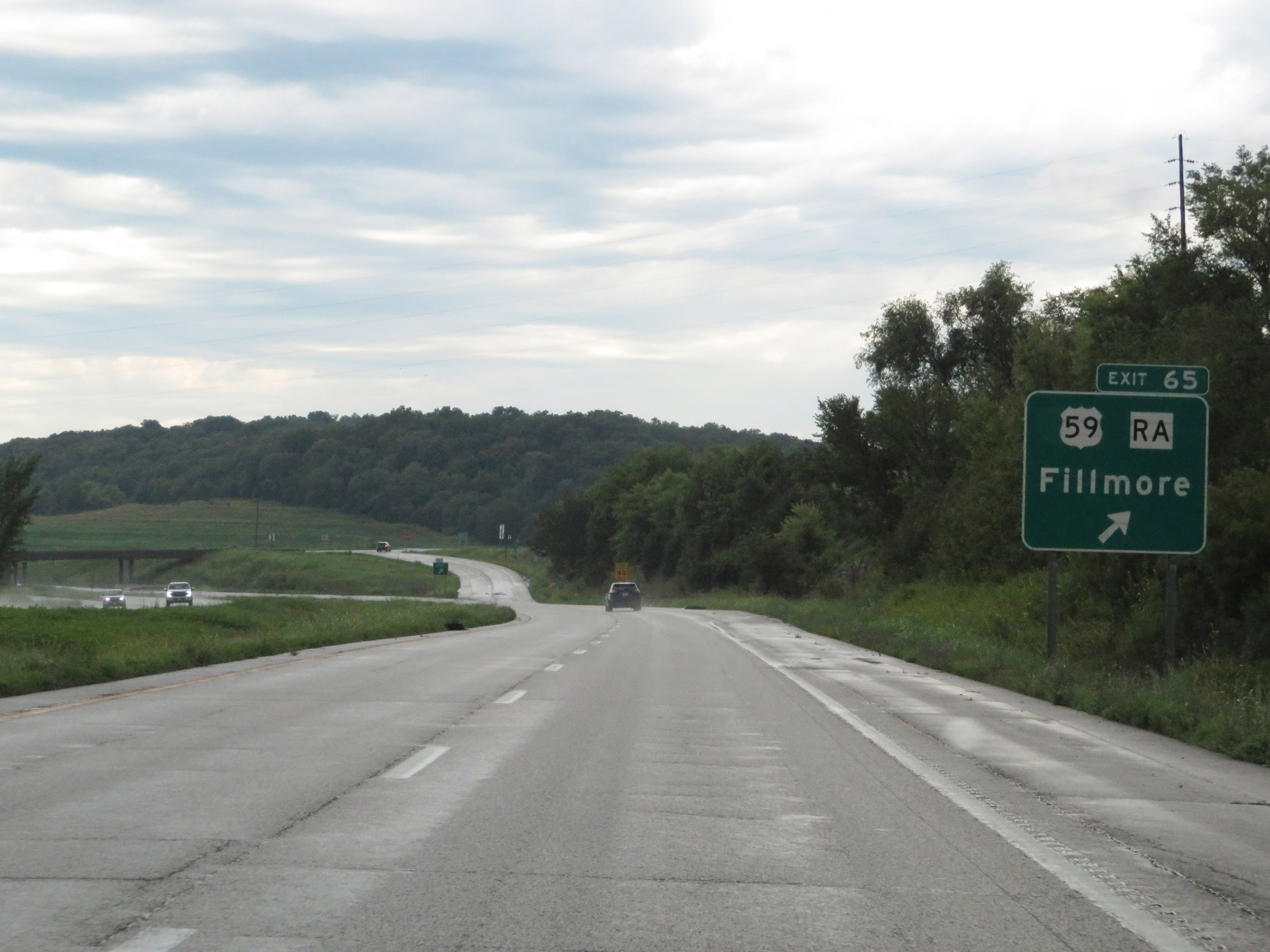 |
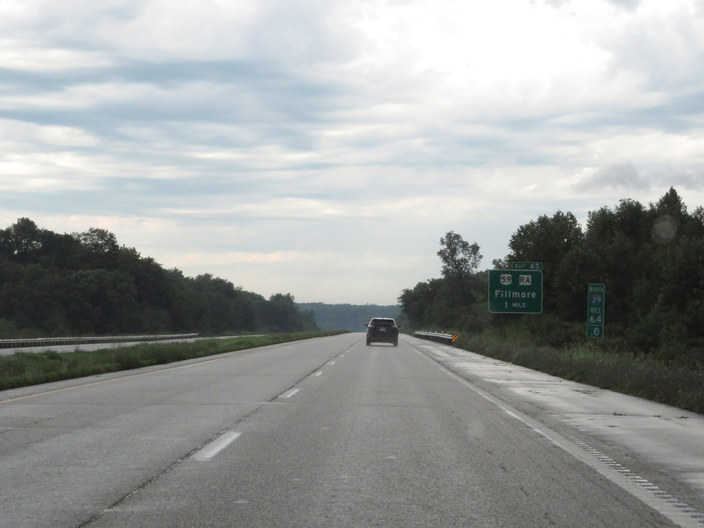
Interstate 29 North at Exit 65: US 59 / Route RA - Fillmore (Photo taken 8/9/20). |
 |
The speed limits remain 70 mph maximum and 40 mph minimum. These are the standard speed limits on most rural Interstate highways in Missouri. (Photo taken 8/9/20). |
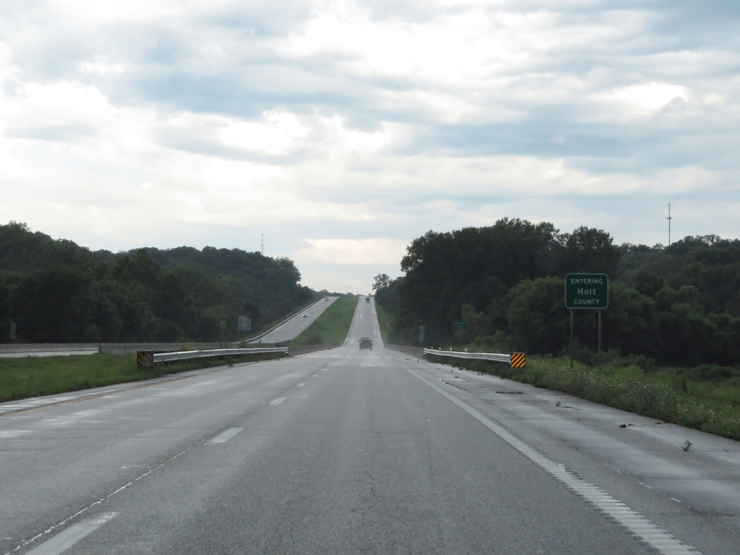 |
Entering Holt County on Interstate 29 North. (Photo taken 8/9/20). |
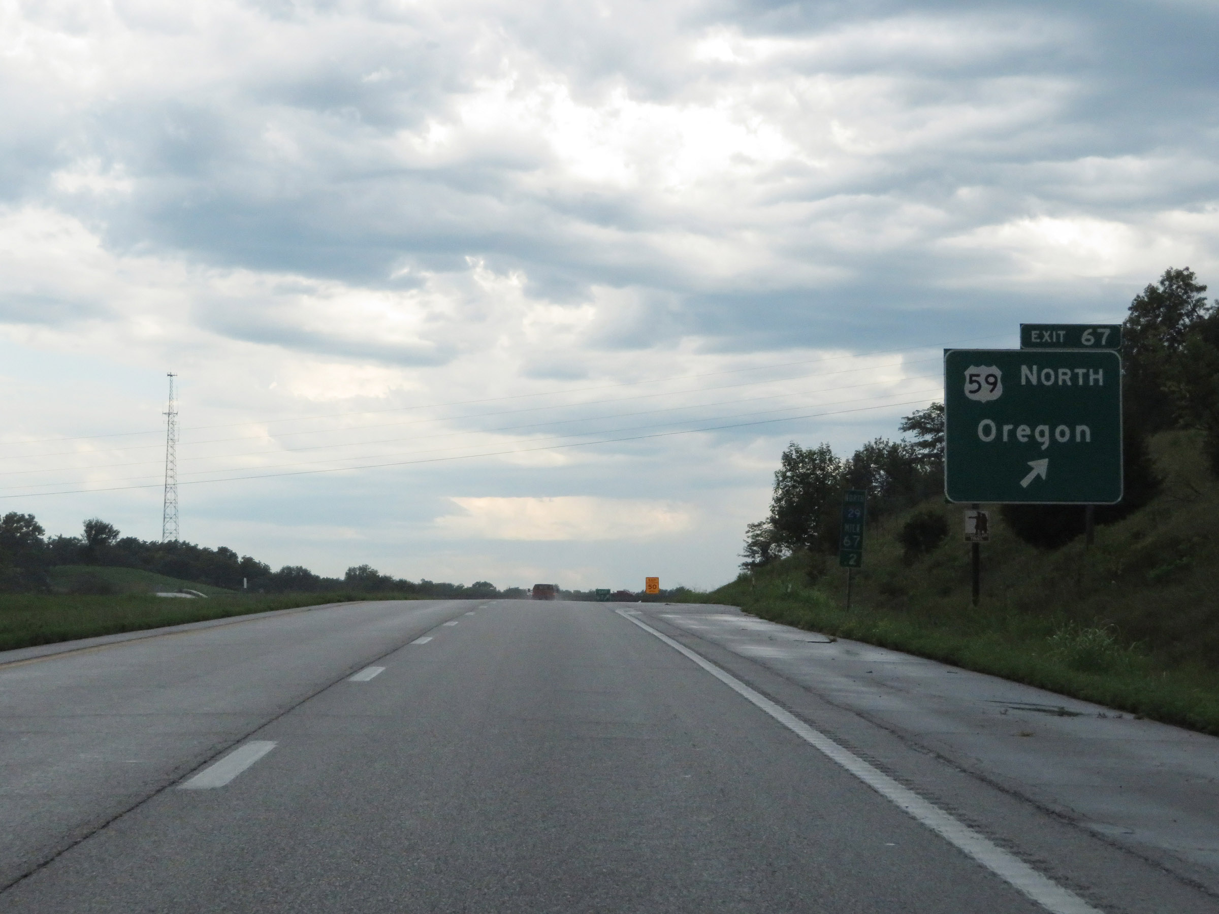 |
Interstate 29 North at Exit 67: US 59 North - Oregon (Photo taken 8/9/20). |
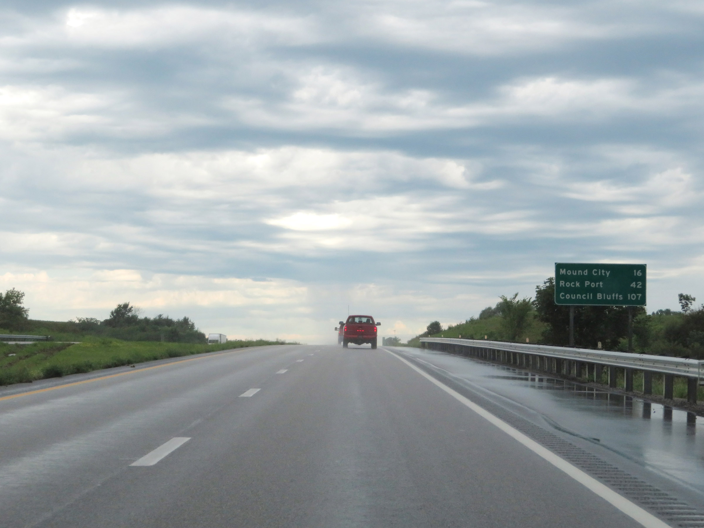 |
Another mileage sign on Interstate 29 North. It's 16 miles to Mound City, 42 miles to Rock Port, and 107 miles to Council Bluffs. (Photo taken 8/9/20). |
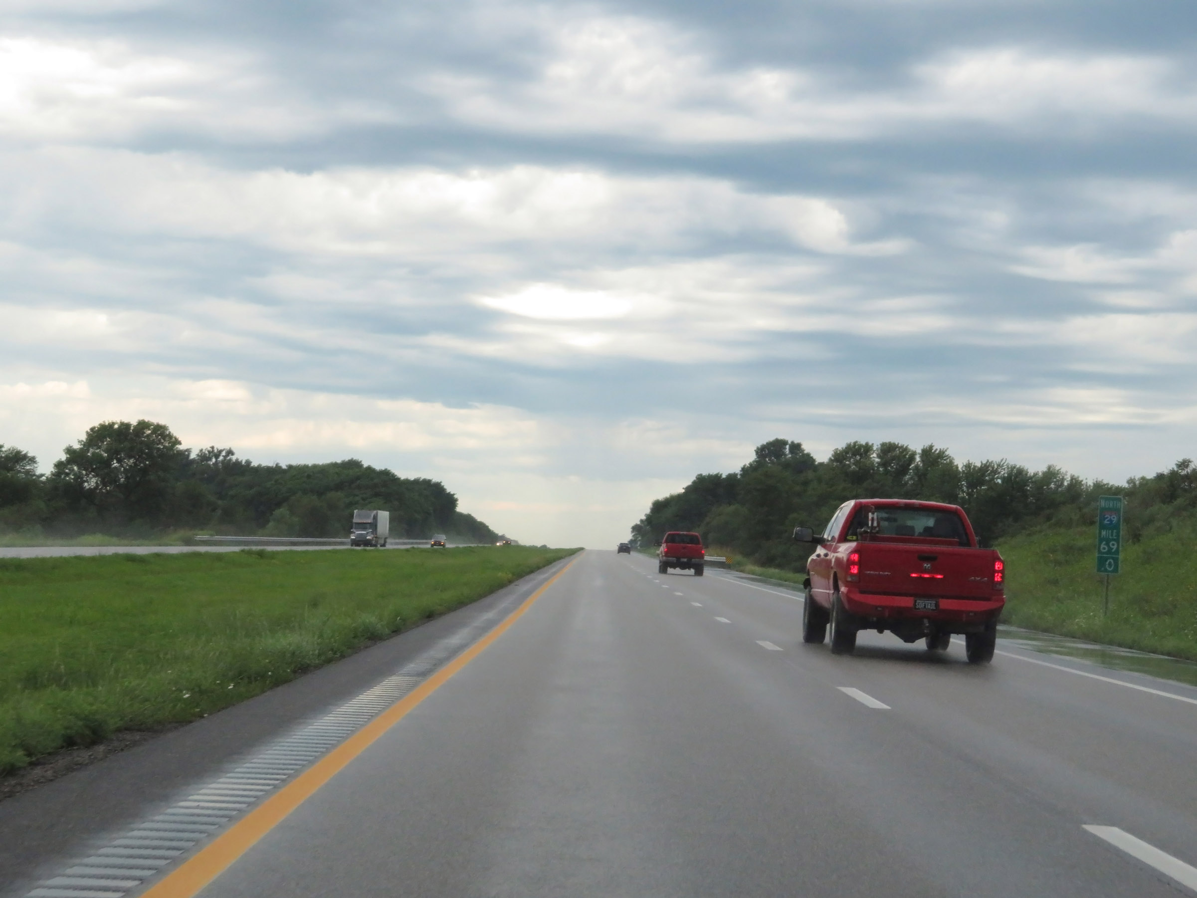 |
View on Interstate 29 North at mile marker 69. (Photo taken 8/9/20). |
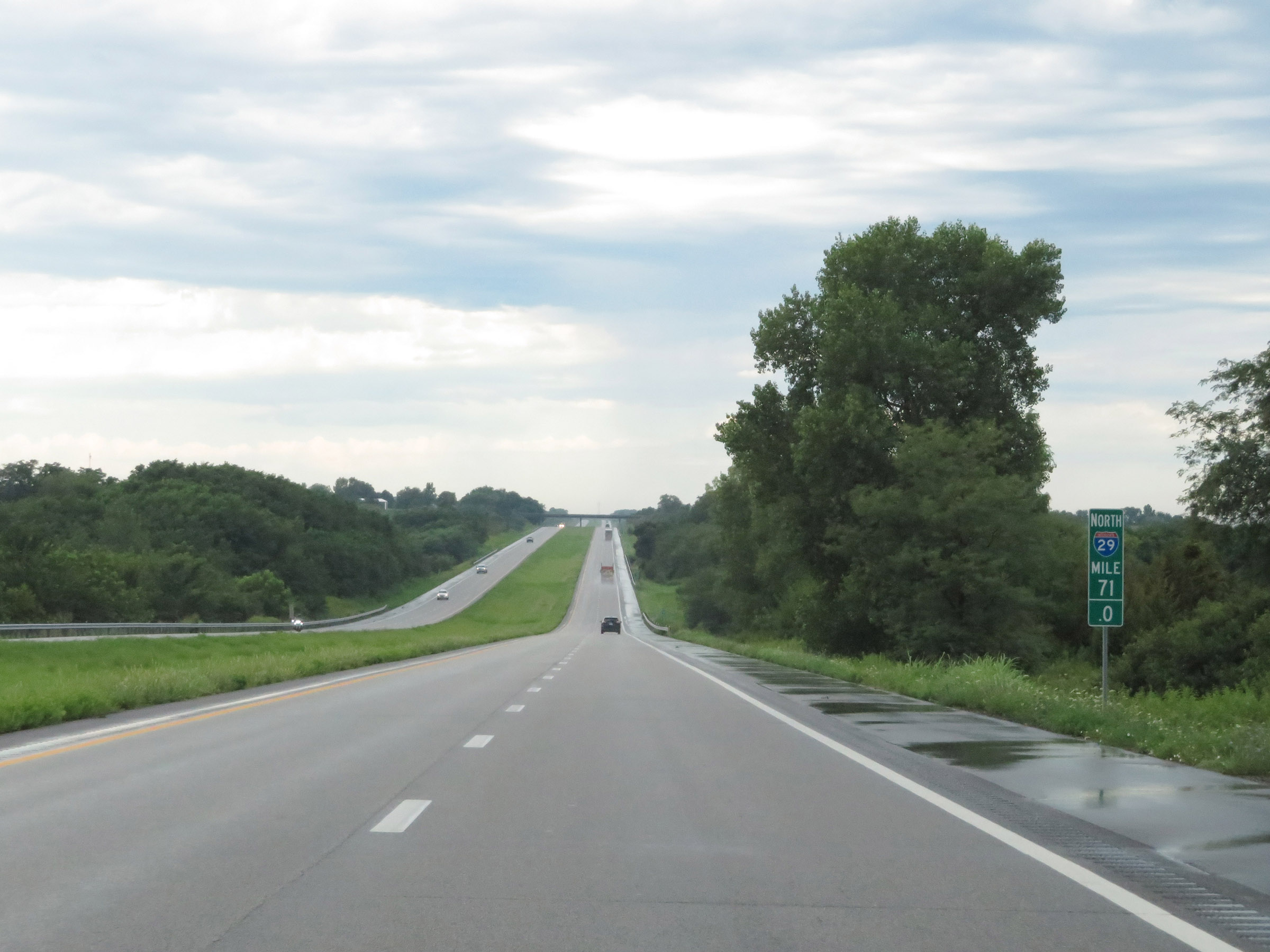 |
Interstate 29 North at mile marker 71. (Photo taken 8/9/20). |
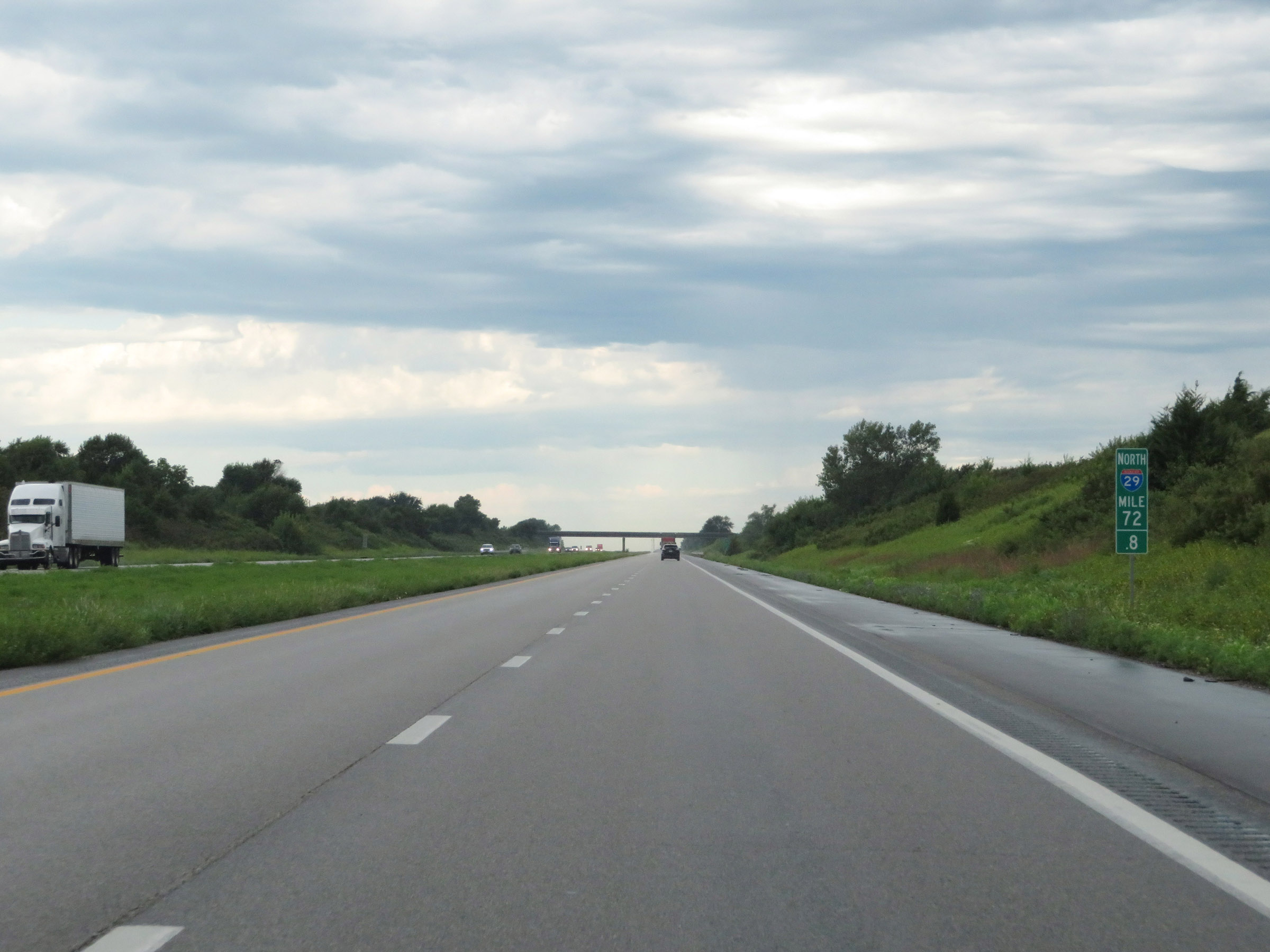 |
Mile marker 72.8 on Interstate 29 North in Holt County. (Photo taken 8/9/20). |
 |
View on Interstate 29 North at mile marker 74. (Photo taken 8/9/20). |
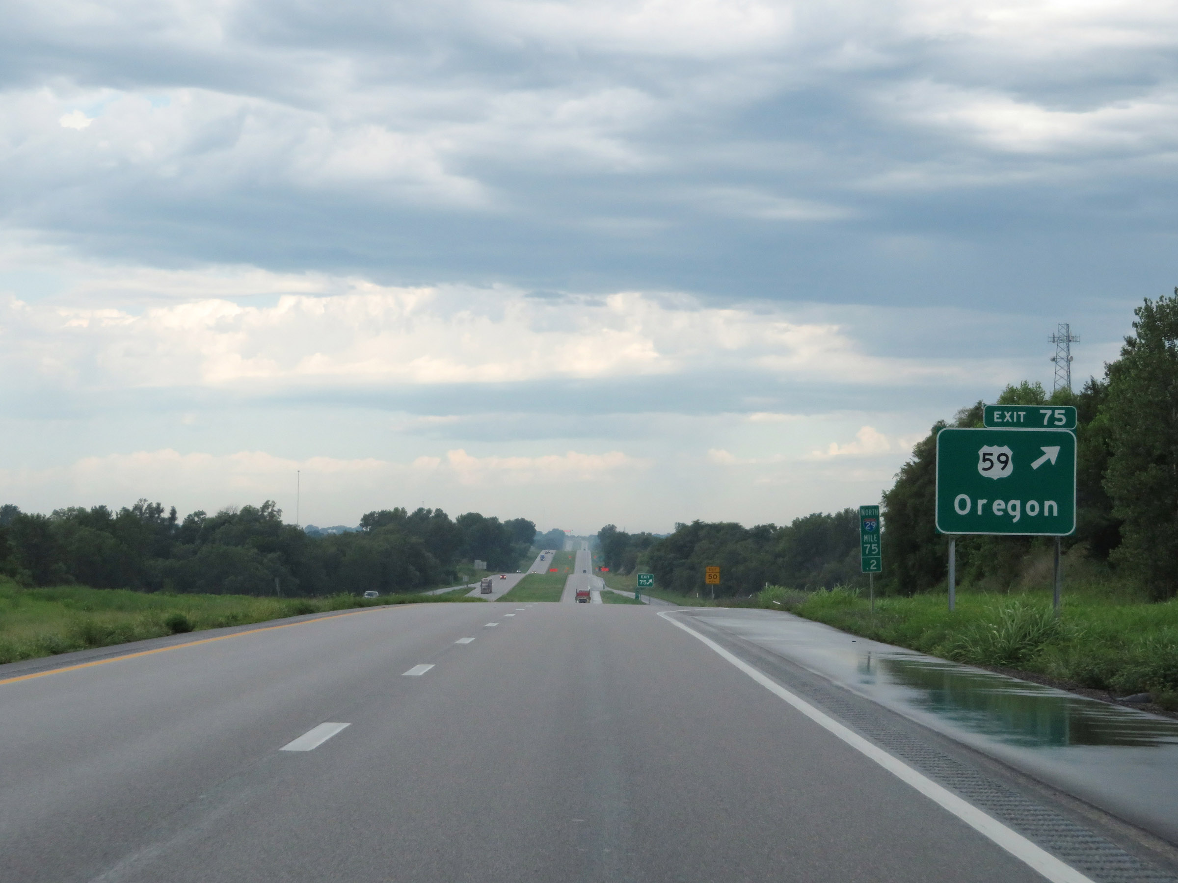 |
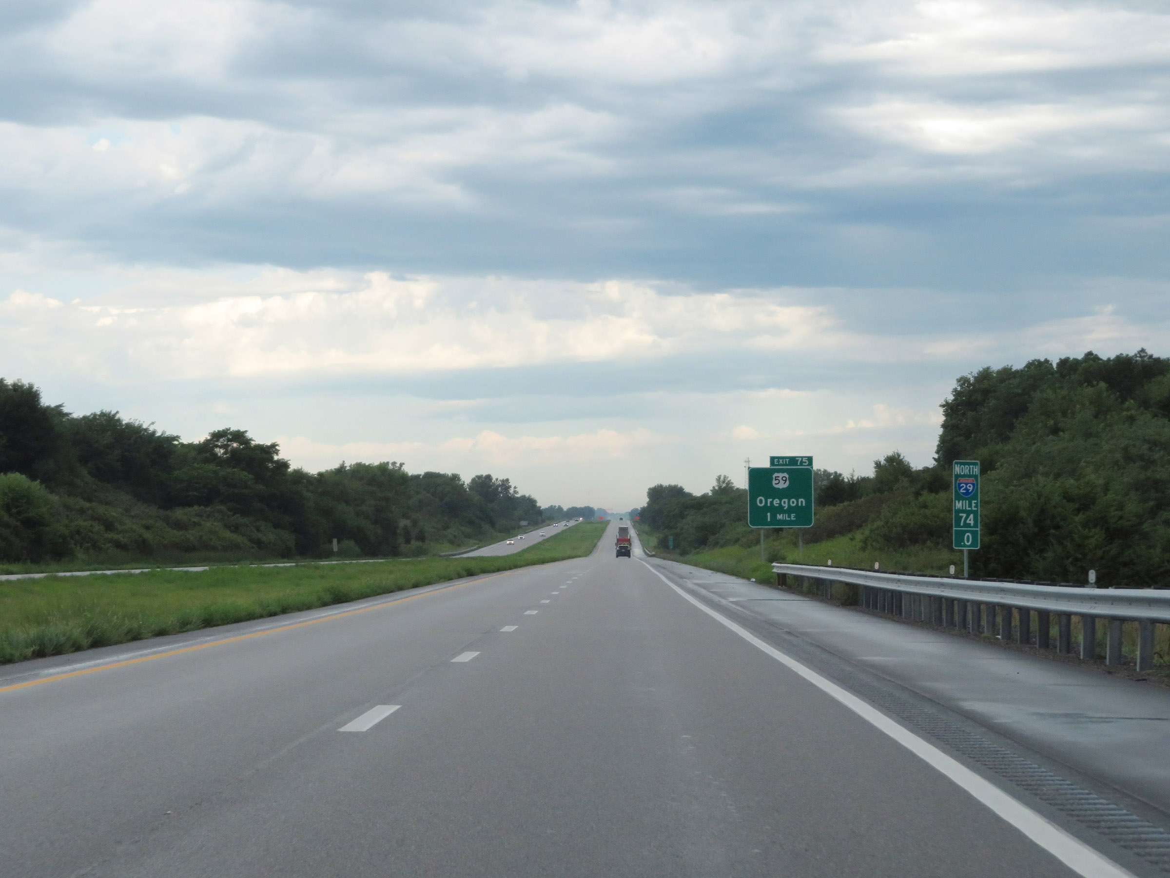
Interstate 29 North at Exit 75: US 59 - Oregon (Photo taken 8/9/20). |
 |
Interstate 29 North reassurance shield. (Photo taken 8/9/20). |
 |
View on Interstate 29 North at mile marker 77. (Photo taken 8/9/20). |
 |
Interstate 29 North at mile marker 78. (Photo taken 8/9/20). |
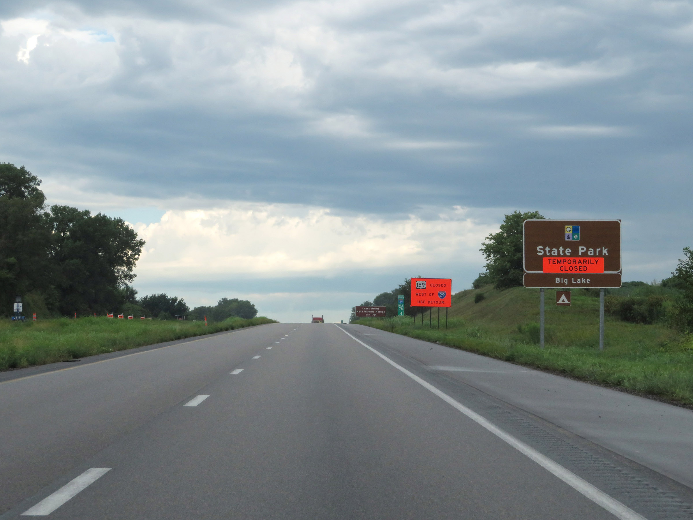 |
Take Exit 79 to Big Lake State Park. (Photo taken 8/9/20). |
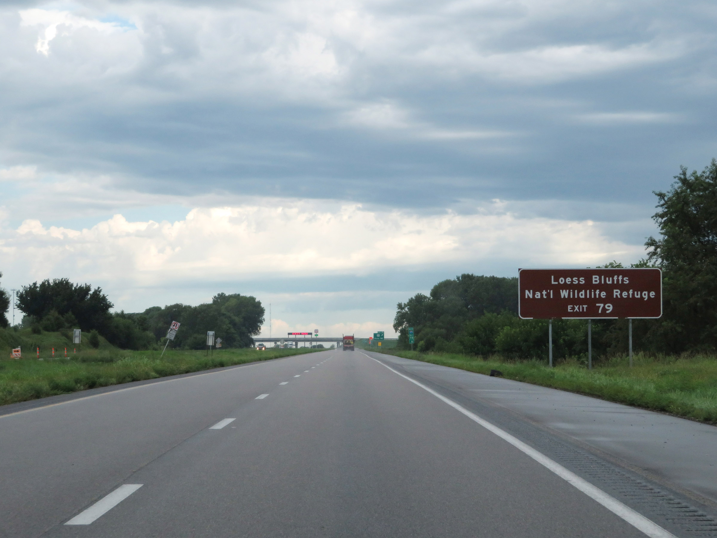 |
Also take Exit 79 to Loess Bluffs National Wildlife Refuge. (Photo taken 8/9/20). |
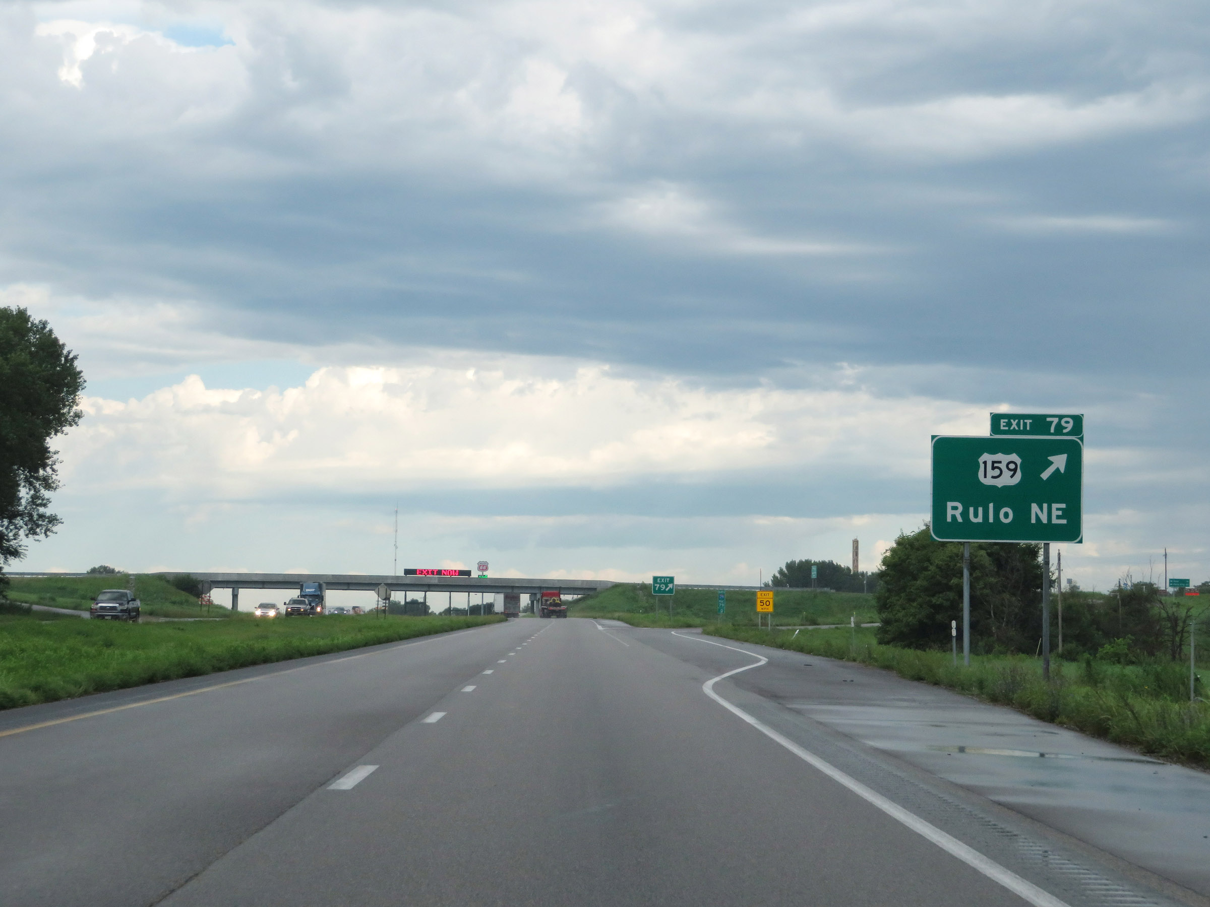 |
Interstate 29 North at Exit 79: US 159 - Rulo, NE (Photo taken 8/9/20). |
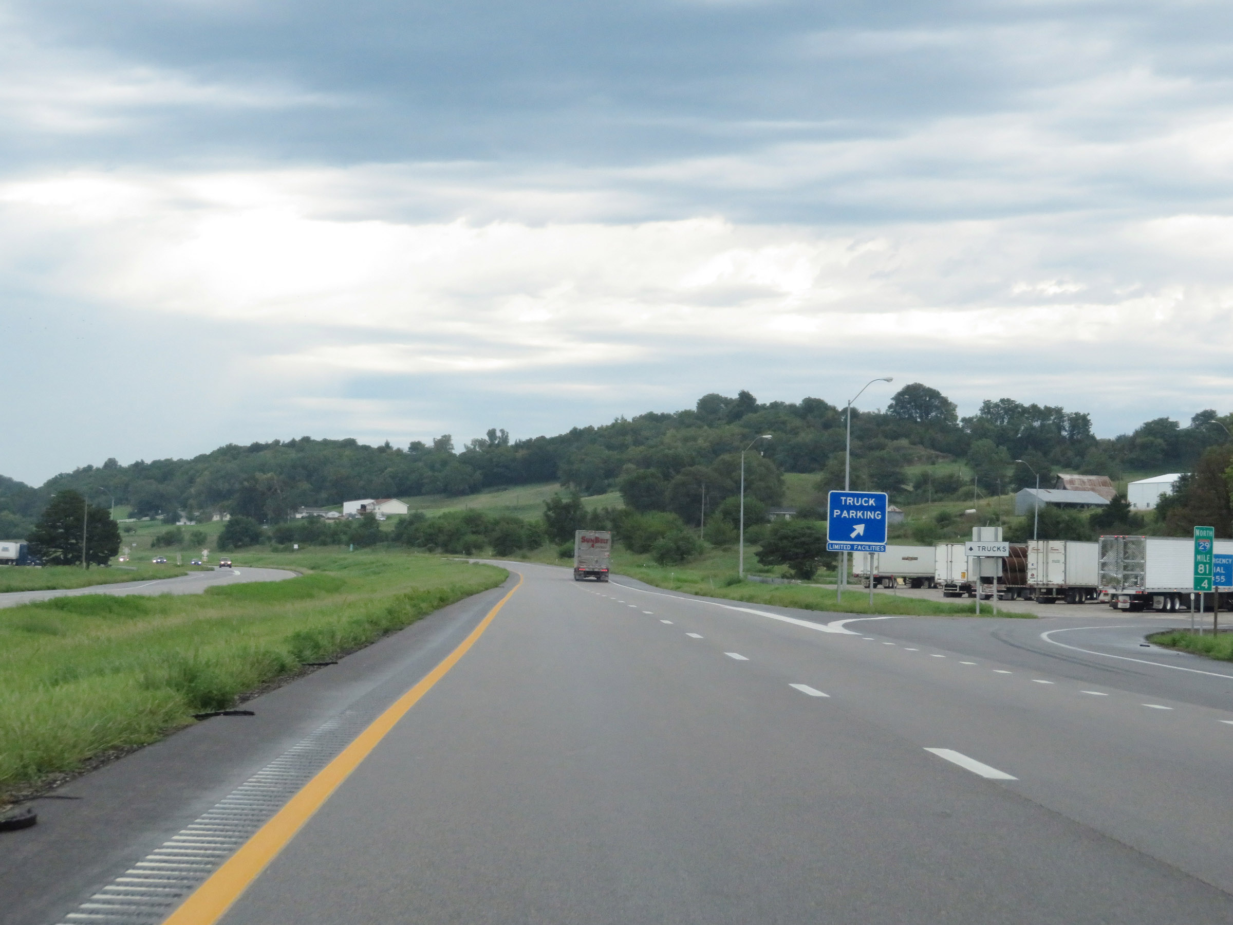 |
Truck Parking Area on Interstate 29 North at mile marker 81.4 in Holt County. (Photo taken 8/9/20). |
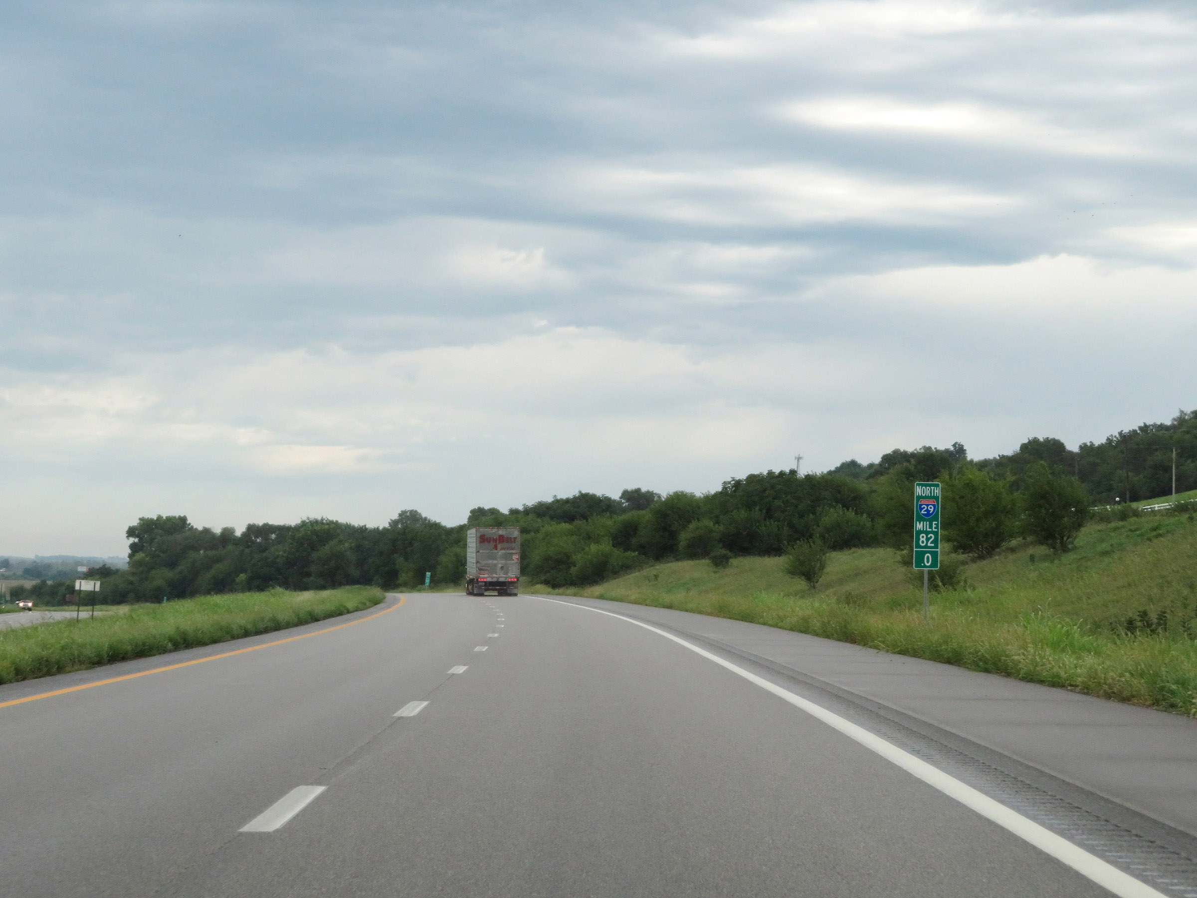 |
View on Interstate 29 North at mile marker 82. (Photo taken 8/9/20). |
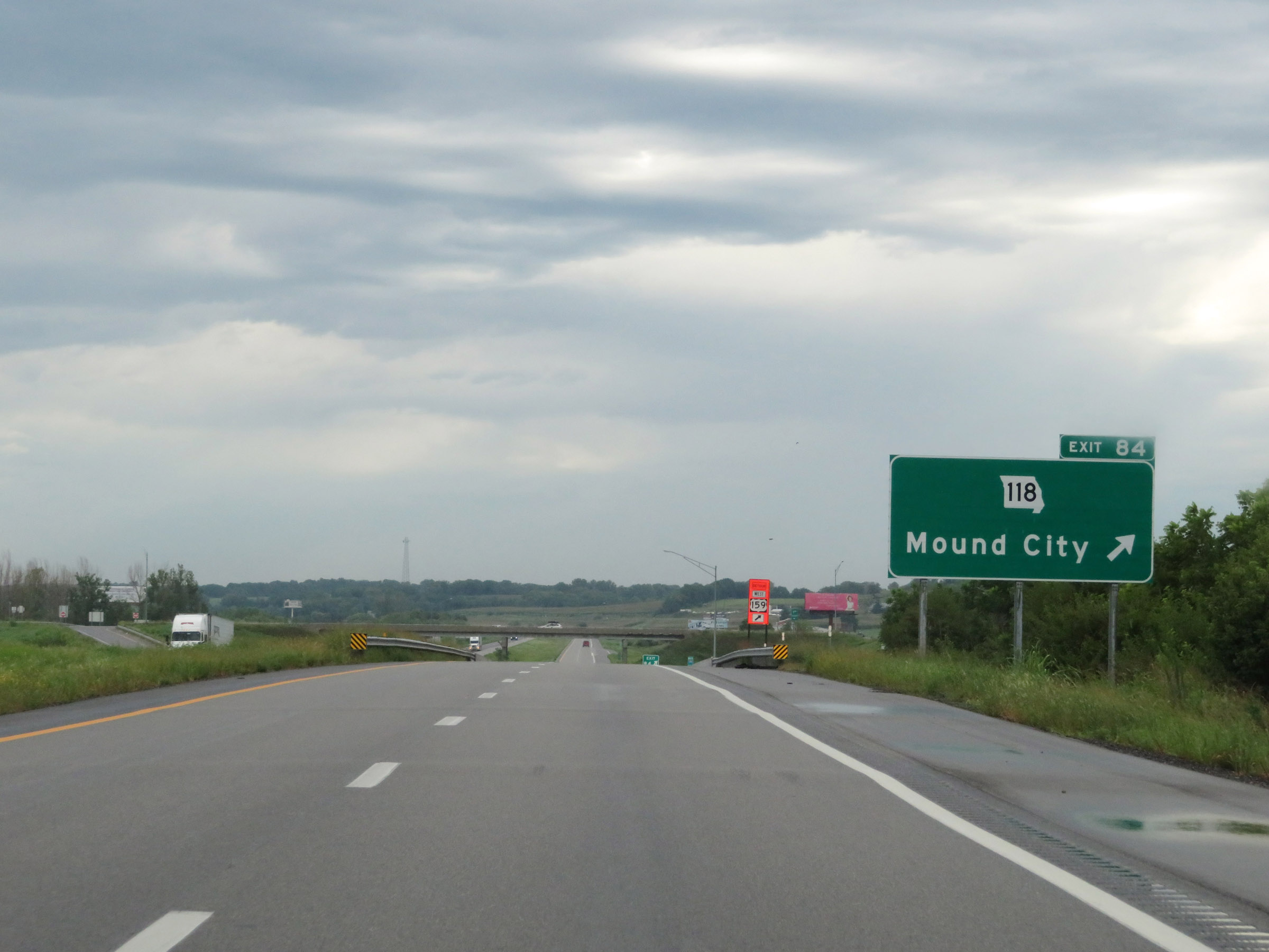 |
Interstate 29 North at Exit 84: MO 118 - Mound City (Photo taken 8/9/20). |
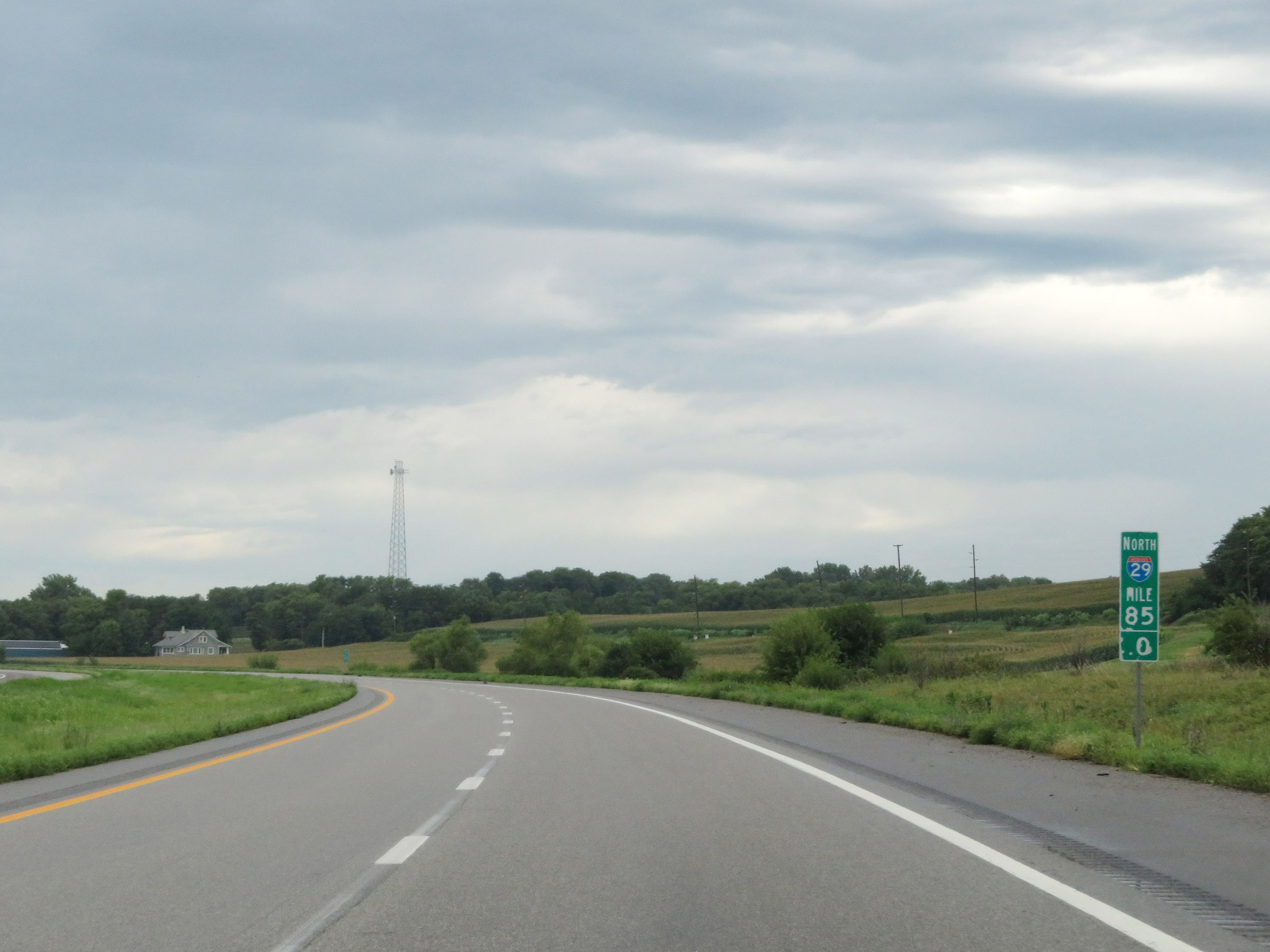 |
Interstate 29 North at mile marker 85. (Photo taken 8/9/20). |
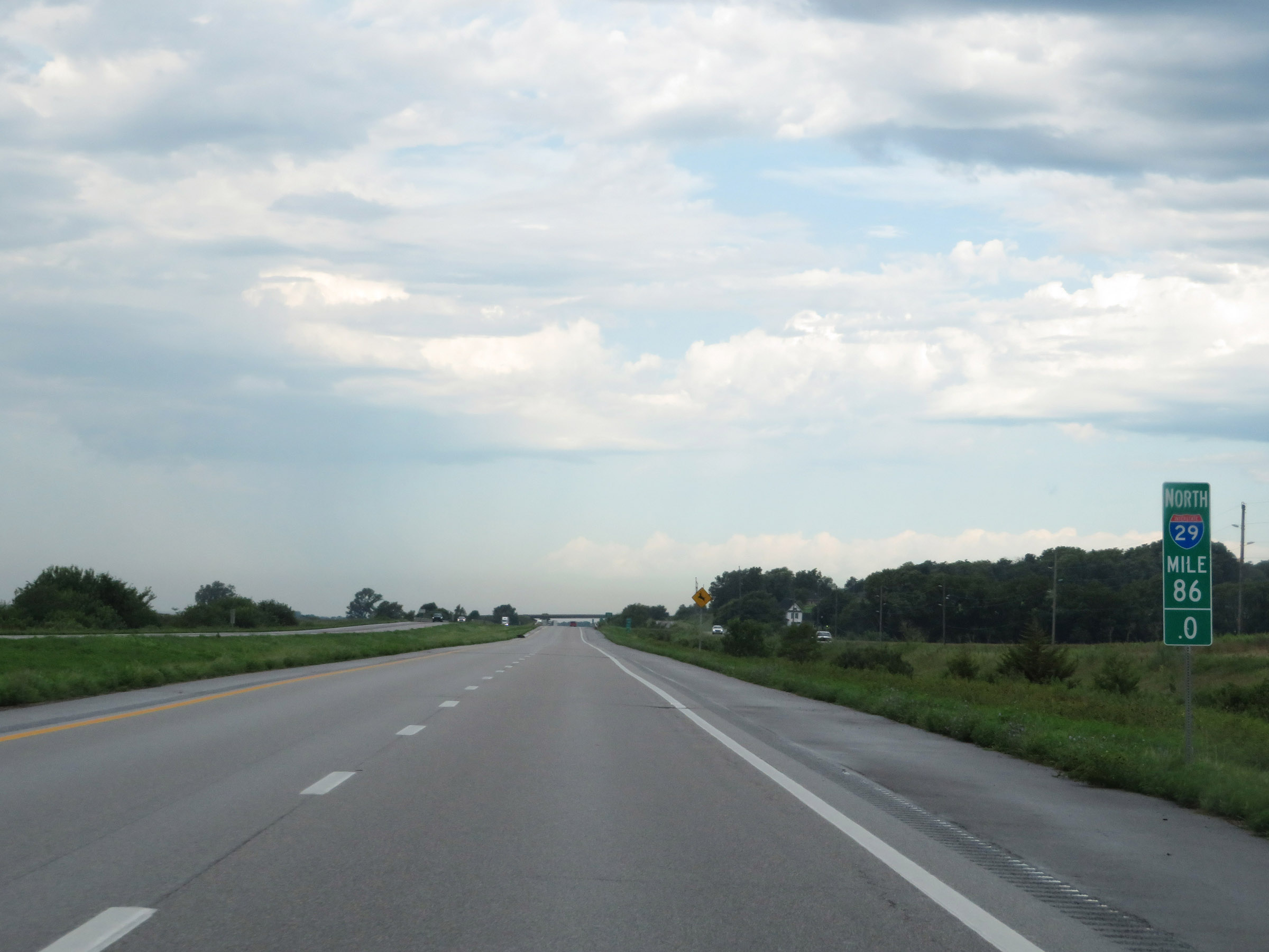 |
View on Interstate 29 North at mile marker 86. (Photo taken 8/9/20). |
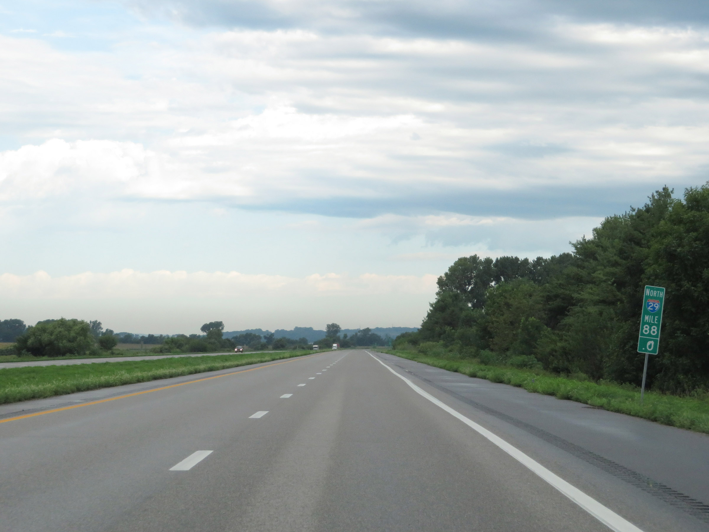 |
Mile marker 88 on Interstate 29 North in Holt County. (Photo taken 8/9/20). |
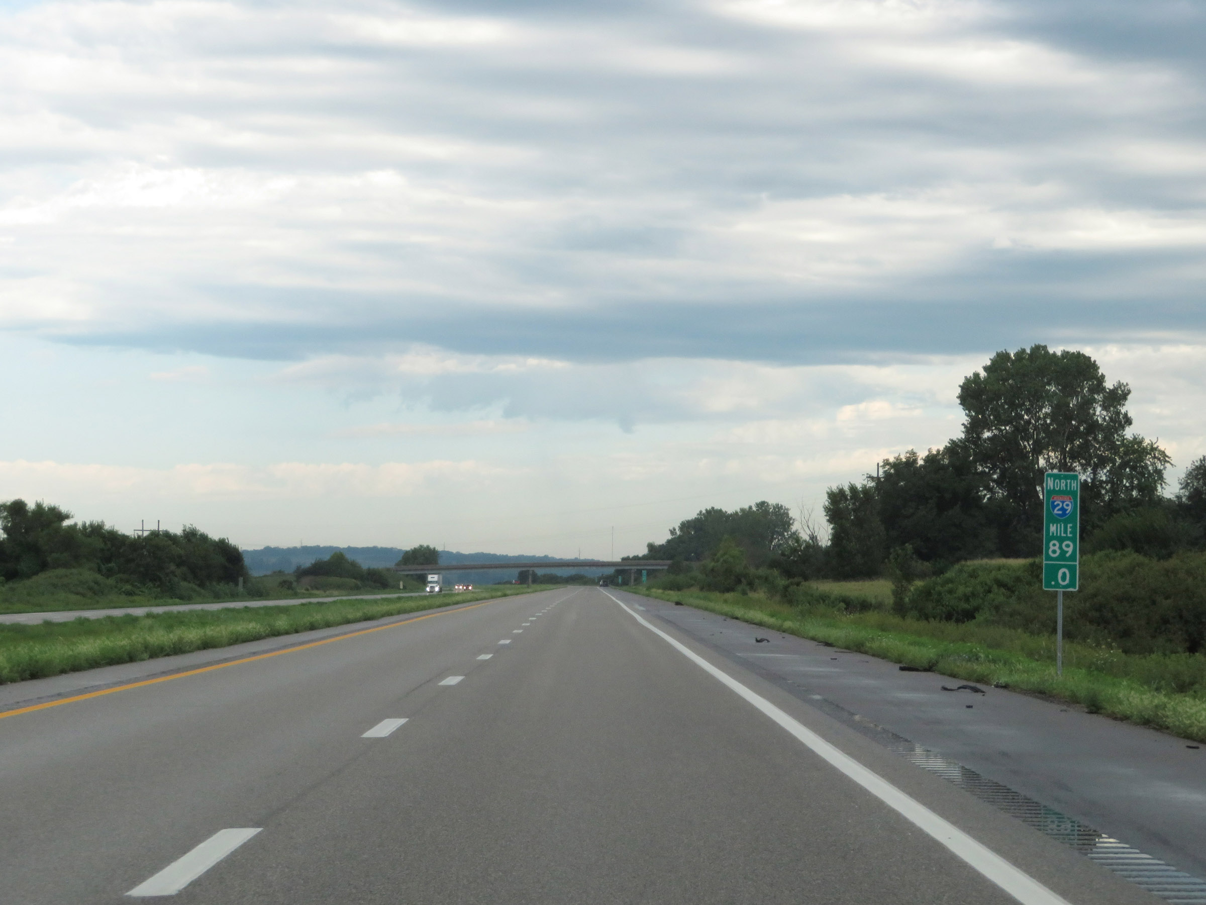 |
Interstate 29 North at mile marker 89. (Photo taken 8/9/20). |
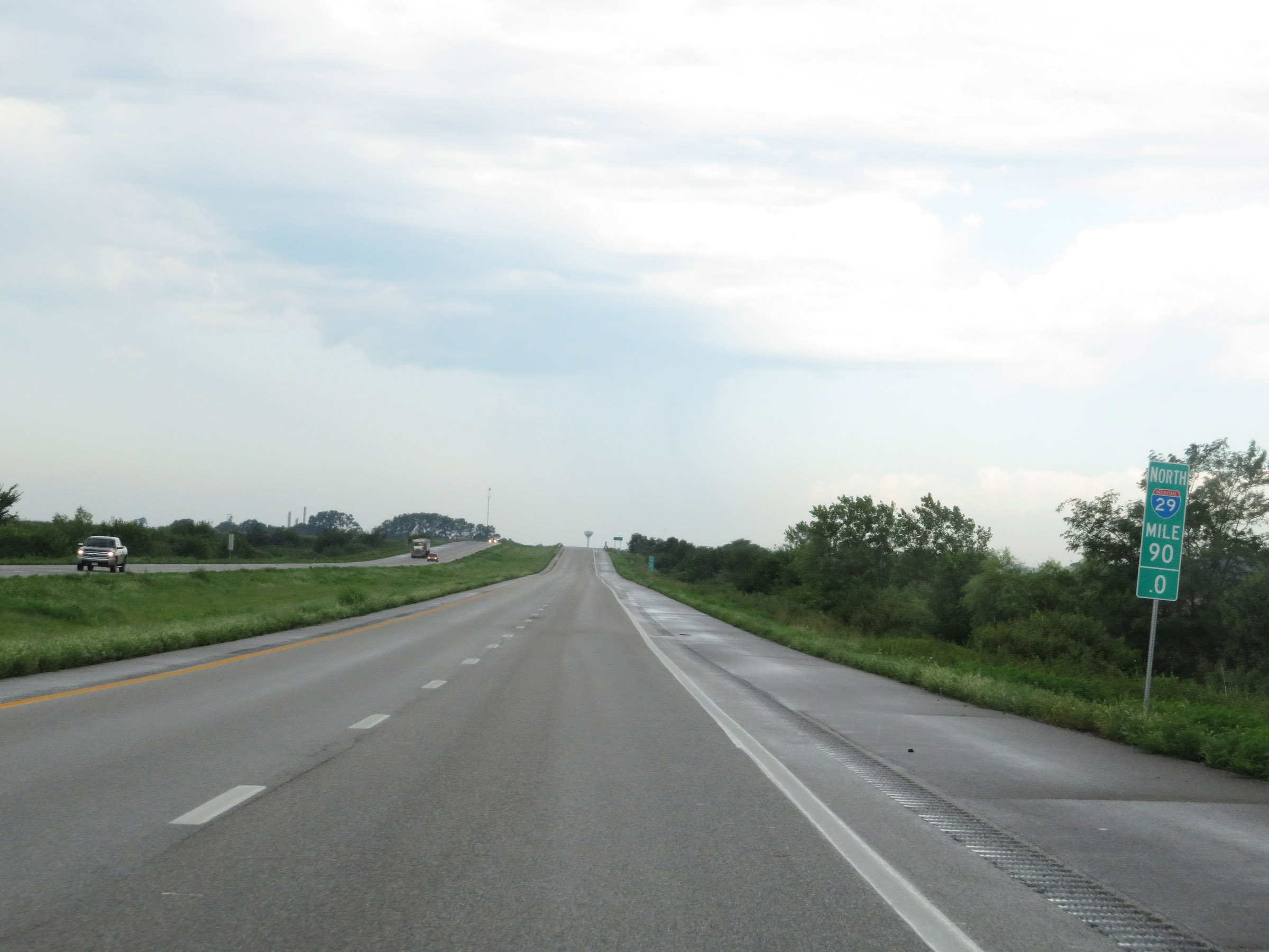 |
View on Interstate 29 North at mile marker 90. (Photo taken 8/9/20). |
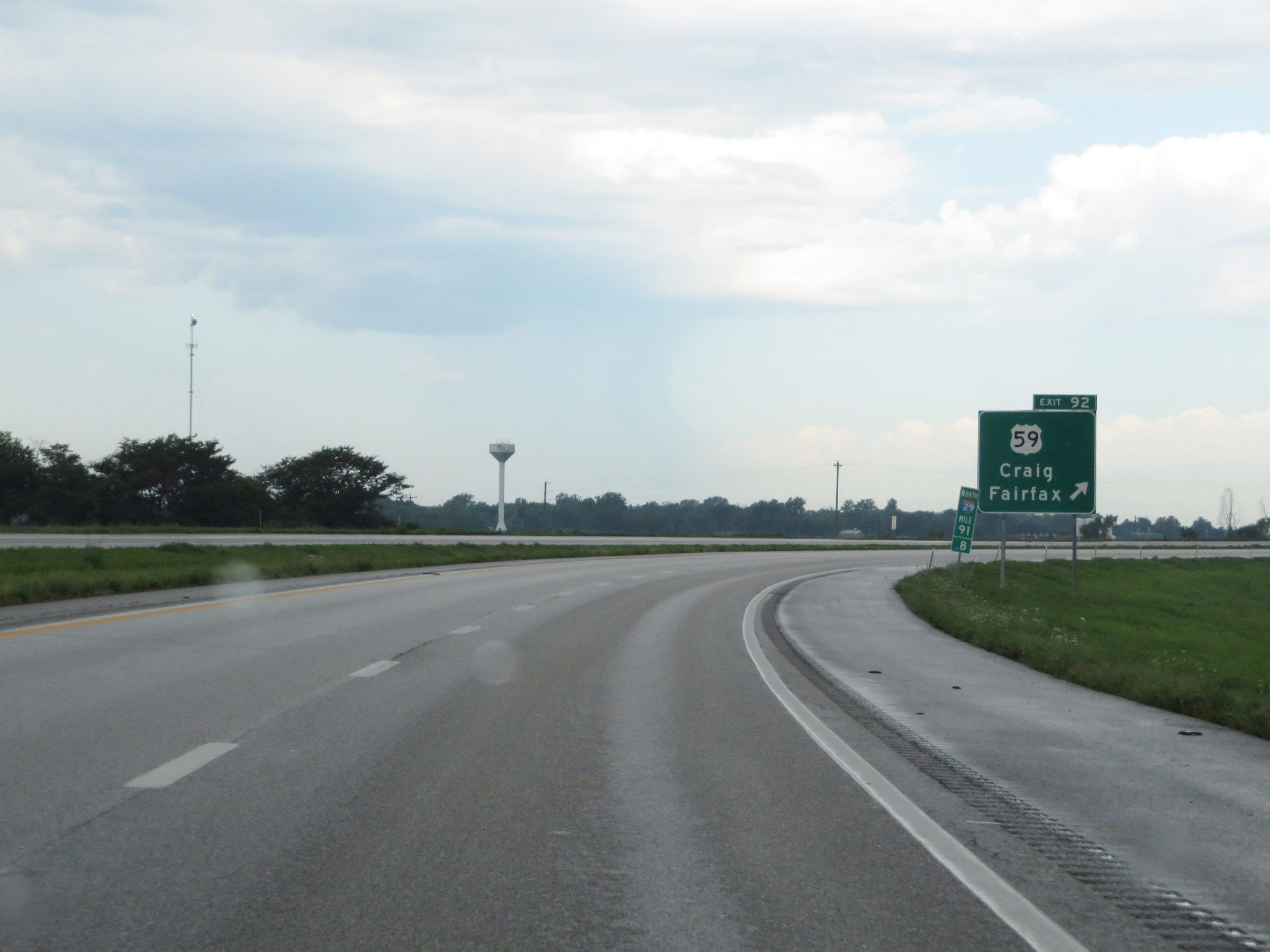 |
Interstate 29 North at Exit 92: US 59 - Craig / Fairfax (Photo taken 8/9/20). |
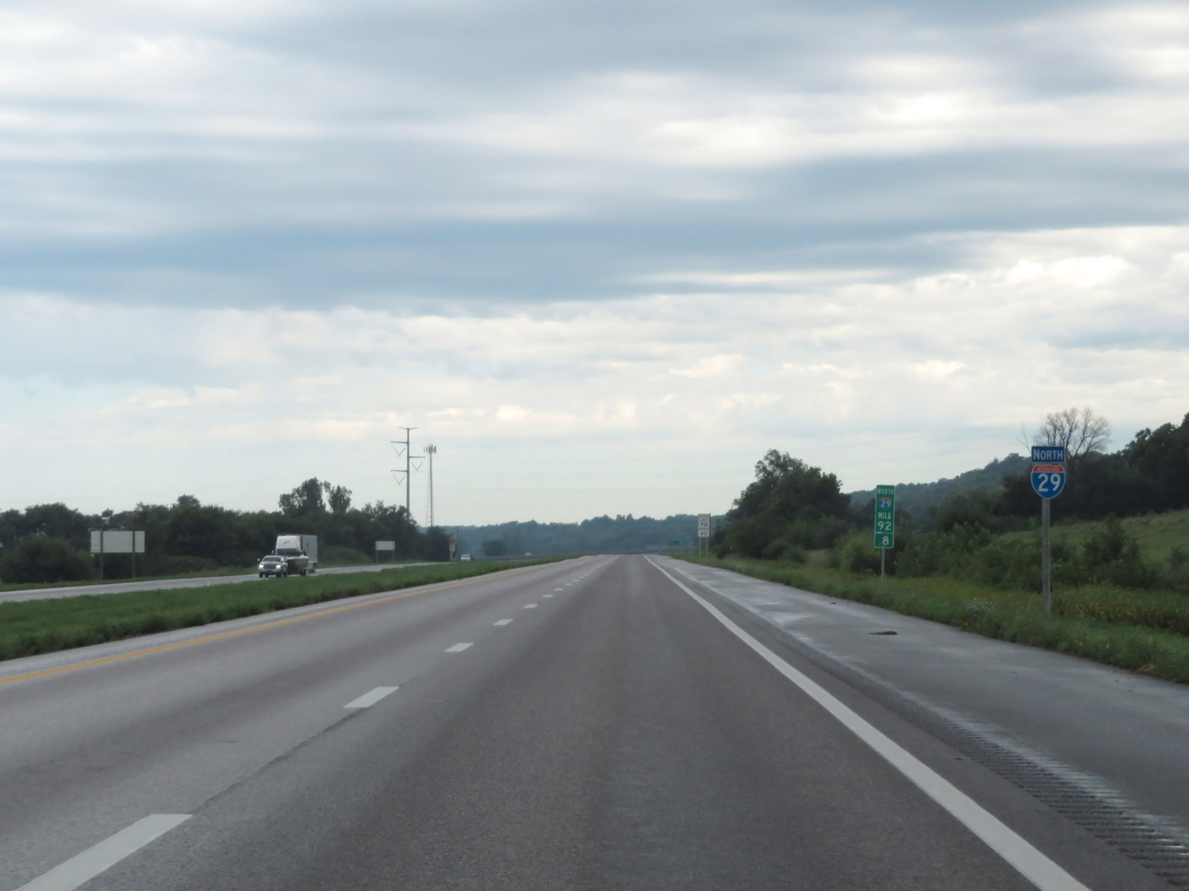 |
Another Interstate 29 North reassurance shield at mile marker 92.8. (Photo taken 8/9/20). |
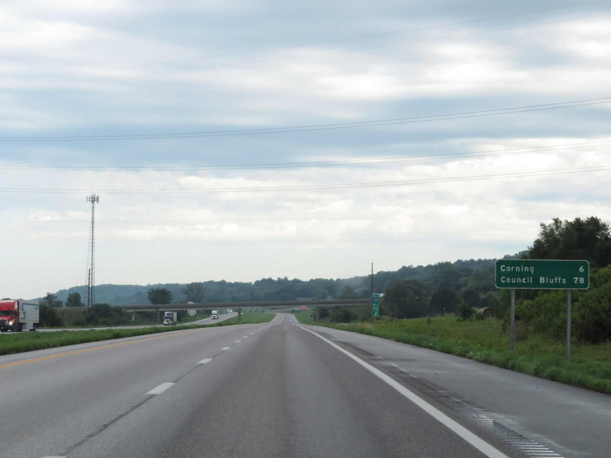 |
Mileage sign on Interstate 29 North at mile marker 93.2. It's 6 miles to Corning and 78 miles to Council Bluffs. (Photo taken 8/9/20). |
 |
View on Interstate 29 North at mile marker 94. (Photo taken 8/9/20). |
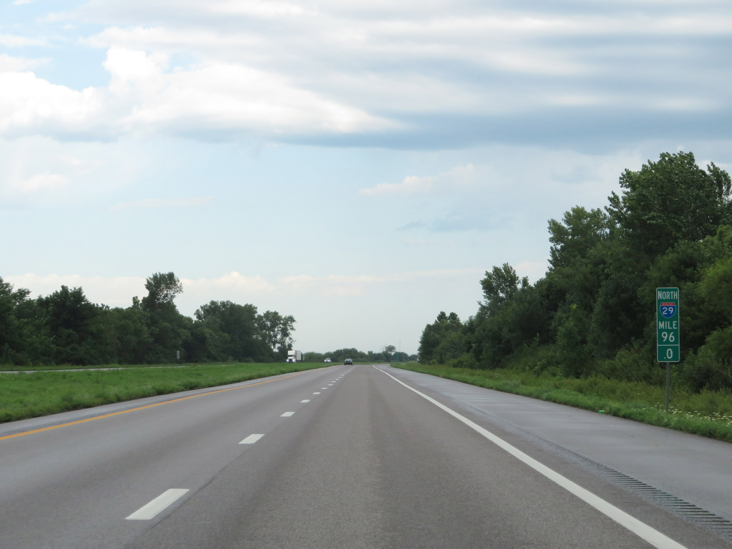 |
Interstate 29 North at mile marker 96. (Photo taken 8/9/20). |
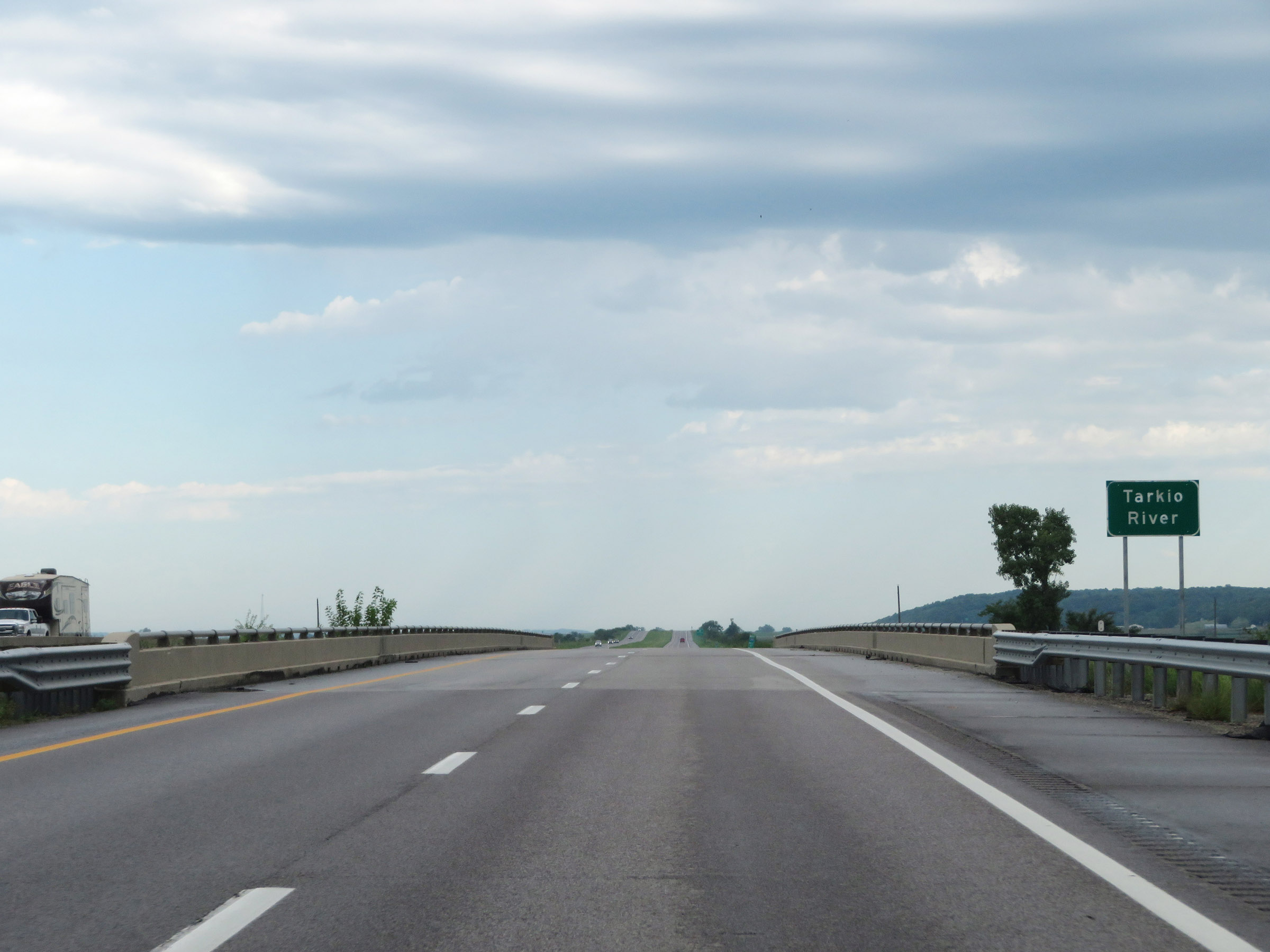 |
Interstate 29 North as it crosses the Tarkio River in Holt County. (Photo taken 8/9/20). |
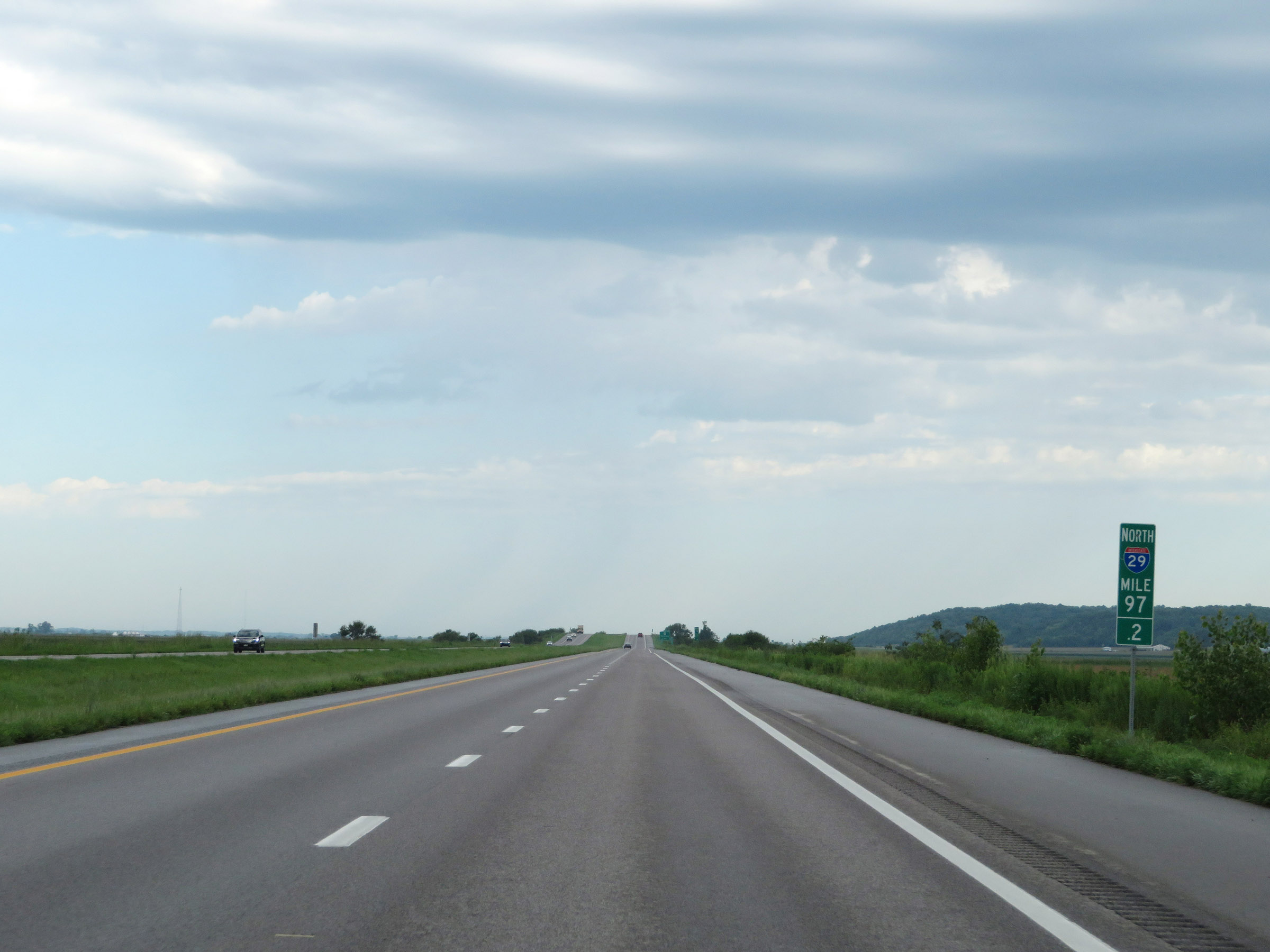 |
View on Interstate 29 North at mile marker 97.2. (Photo taken 8/9/20). |
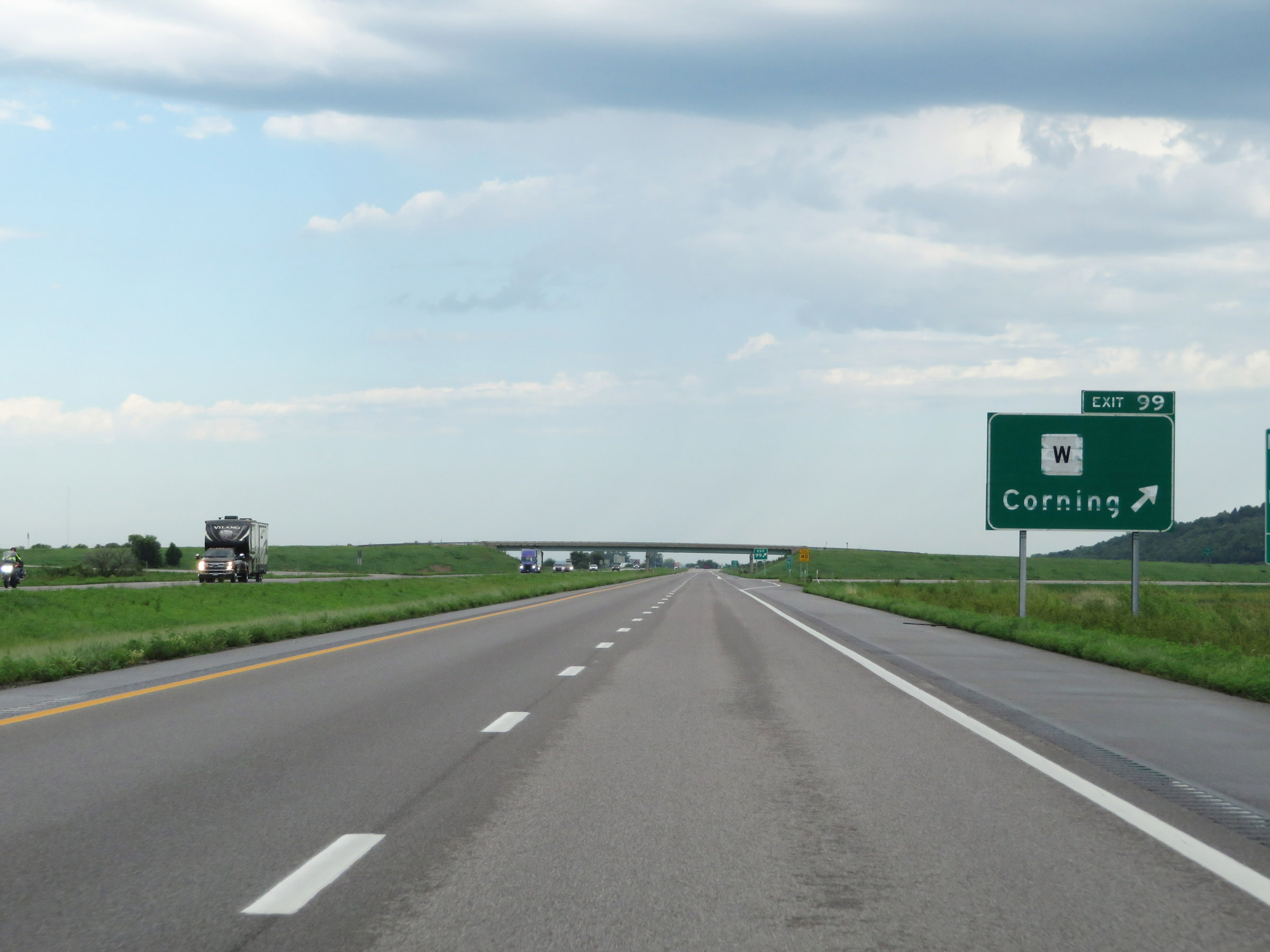 |
Interstate 29 North at Exit 99: Route W - Corning (Photo taken 8/9/20). |
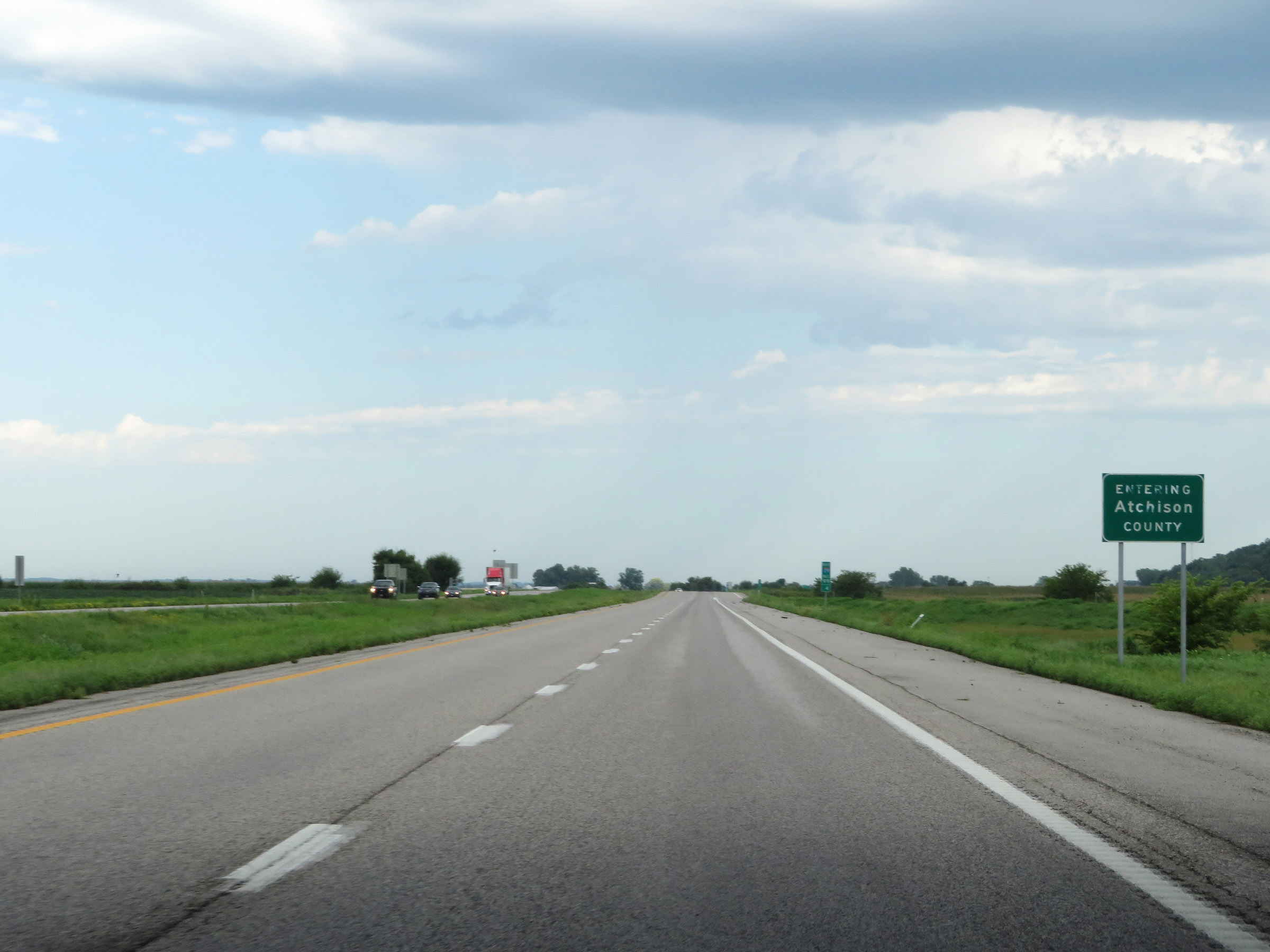 |
Interstate 29 North as it enters Atchison County. (Photo taken 8/9/20). |
 |
Speed limit sign at mile marker 100. The speed limits remain 70 mph maximum and 40 mph minimum. (Photo taken 8/9/20). |
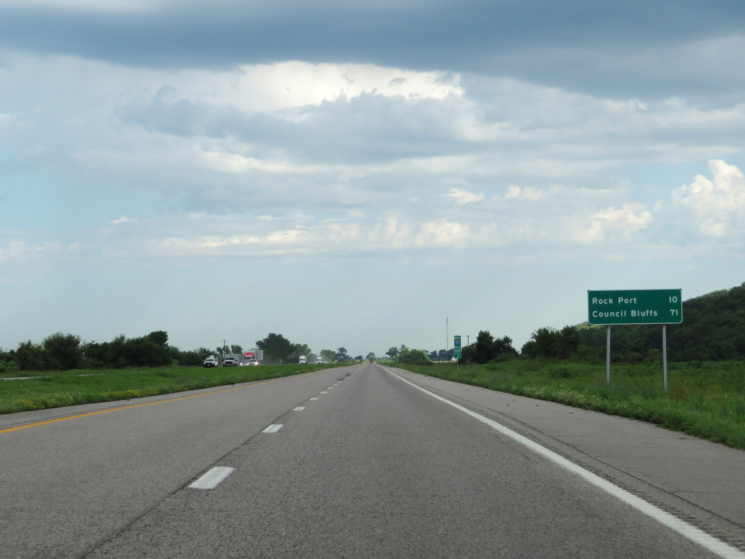 |
Mileage sign on Interstate 29 North at mile marker 100.2. It's 10 miles to Rock Port and 71 miles to Council Bluffs. (Photo taken 8/9/20). |
 |
View on Interstate 29 North at mile marker 101. (Photo taken 8/9/20). |
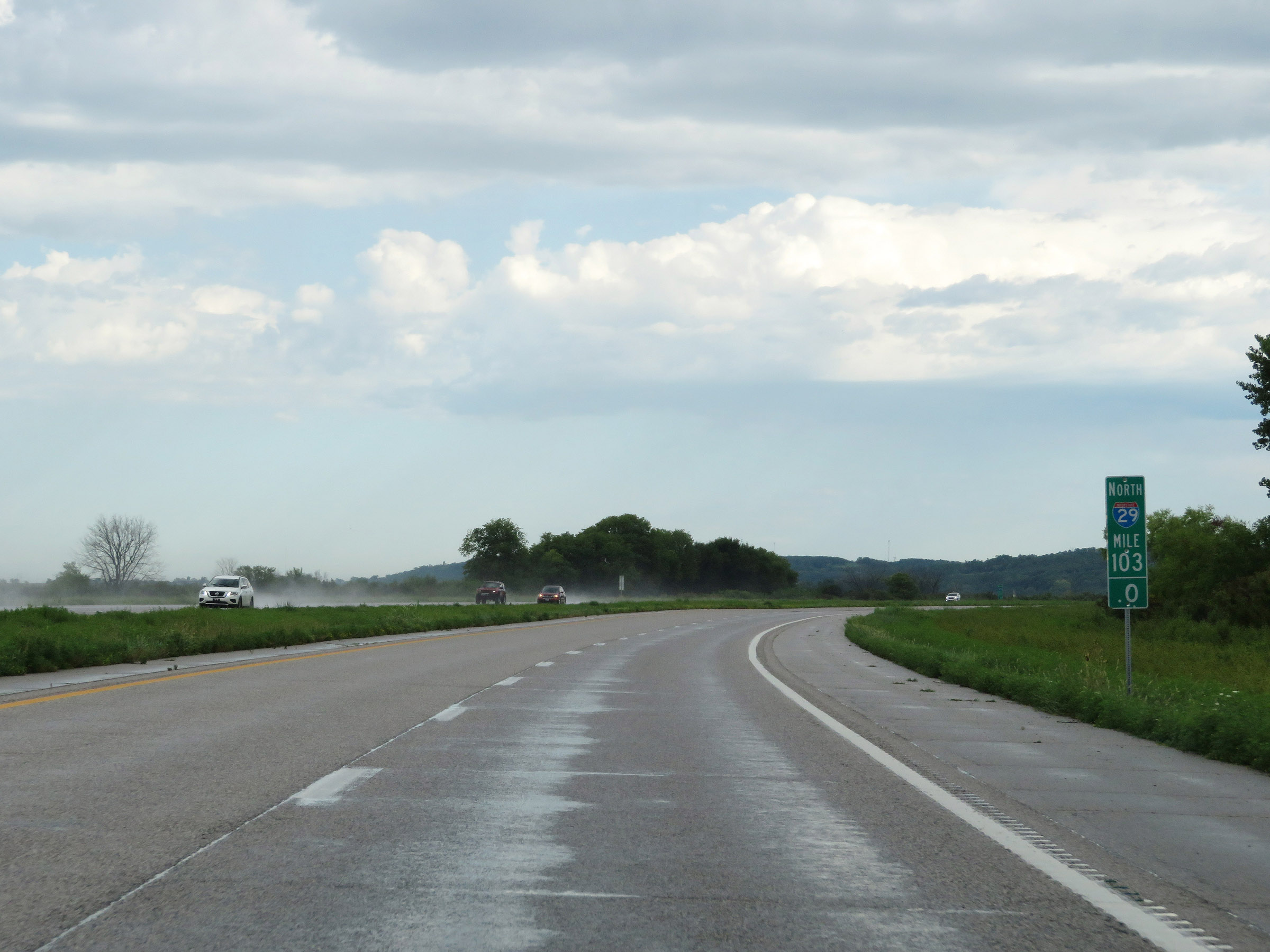 |
Mile marker 103 on Interstate 29 North in Atchison County. (Photo taken 8/9/20). |
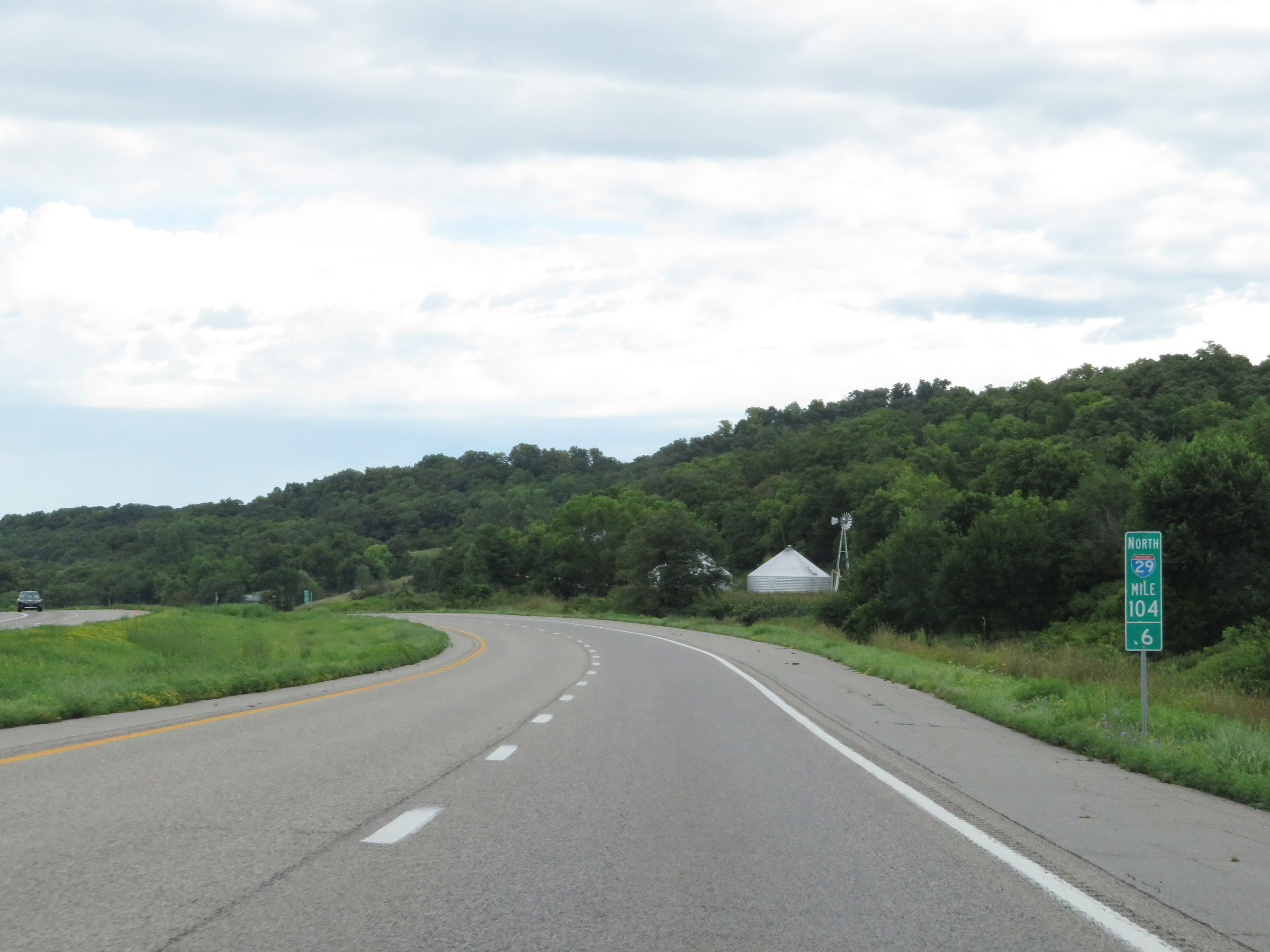 |
Interstate 29 North at mile marker 104.6. (Photo taken 8/9/20). |
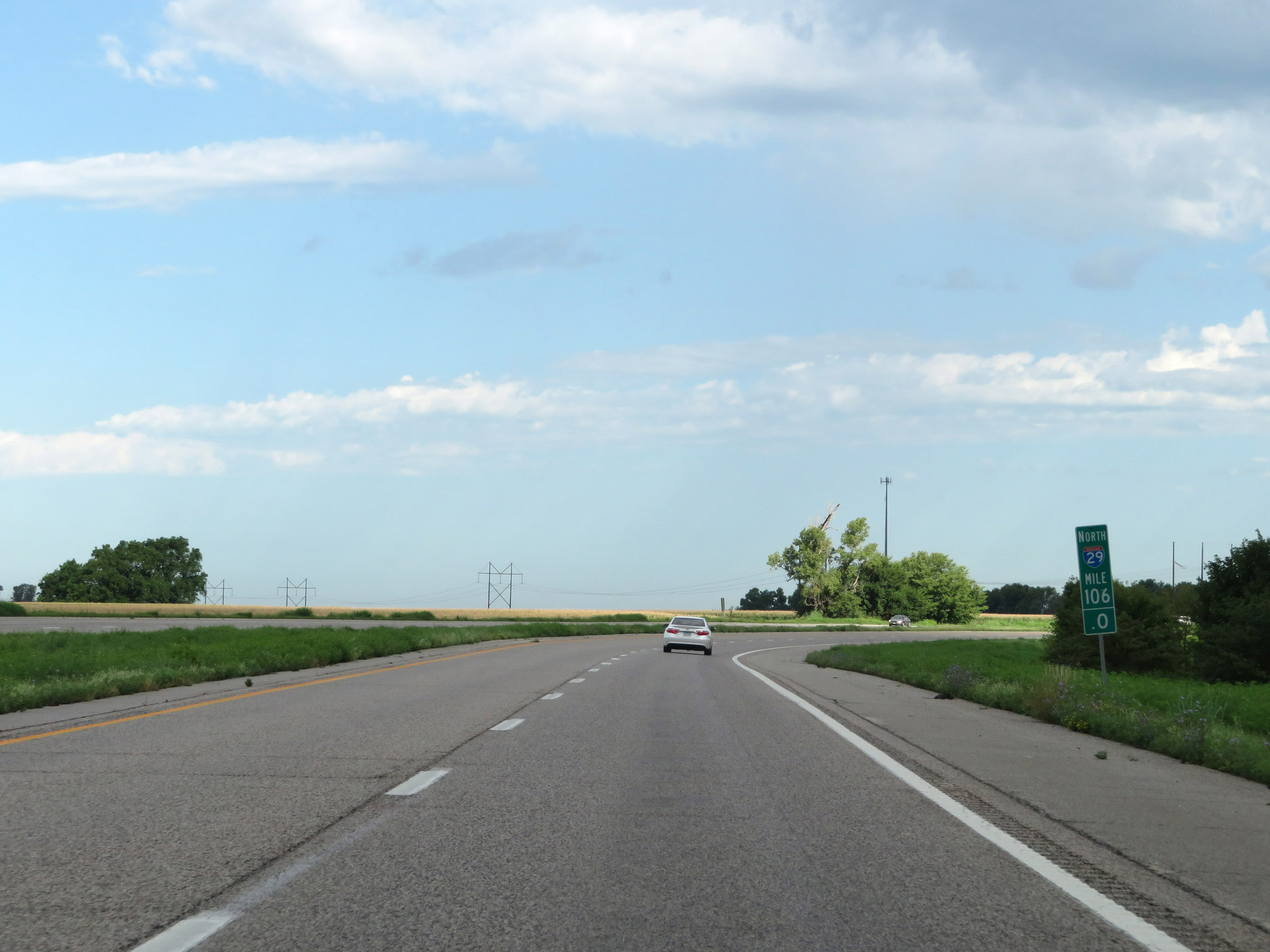 |
View on Interstate 29 North at mile marker 106. (Photo taken 8/9/20). |
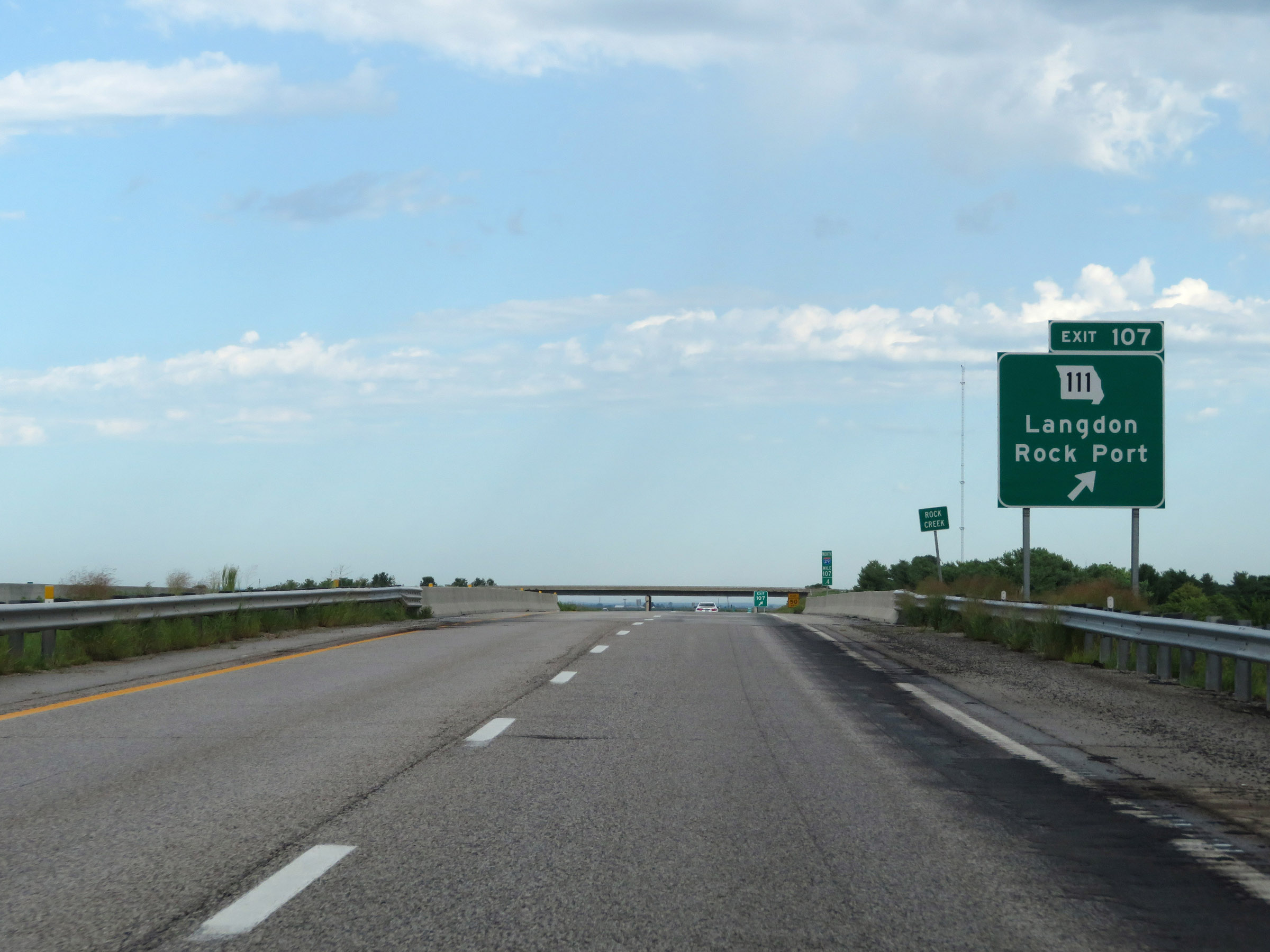 |
Interstate 29 North at Exit 107: MO 111 - Langdon / Rock Port (Photo taken 8/9/20). |
 |
State-named Interstate 29 North reassurance shield. (Photo taken 8/9/20). |
 |
View on Interstate 29 North at mile marker 109. (Photo taken 8/9/20). |
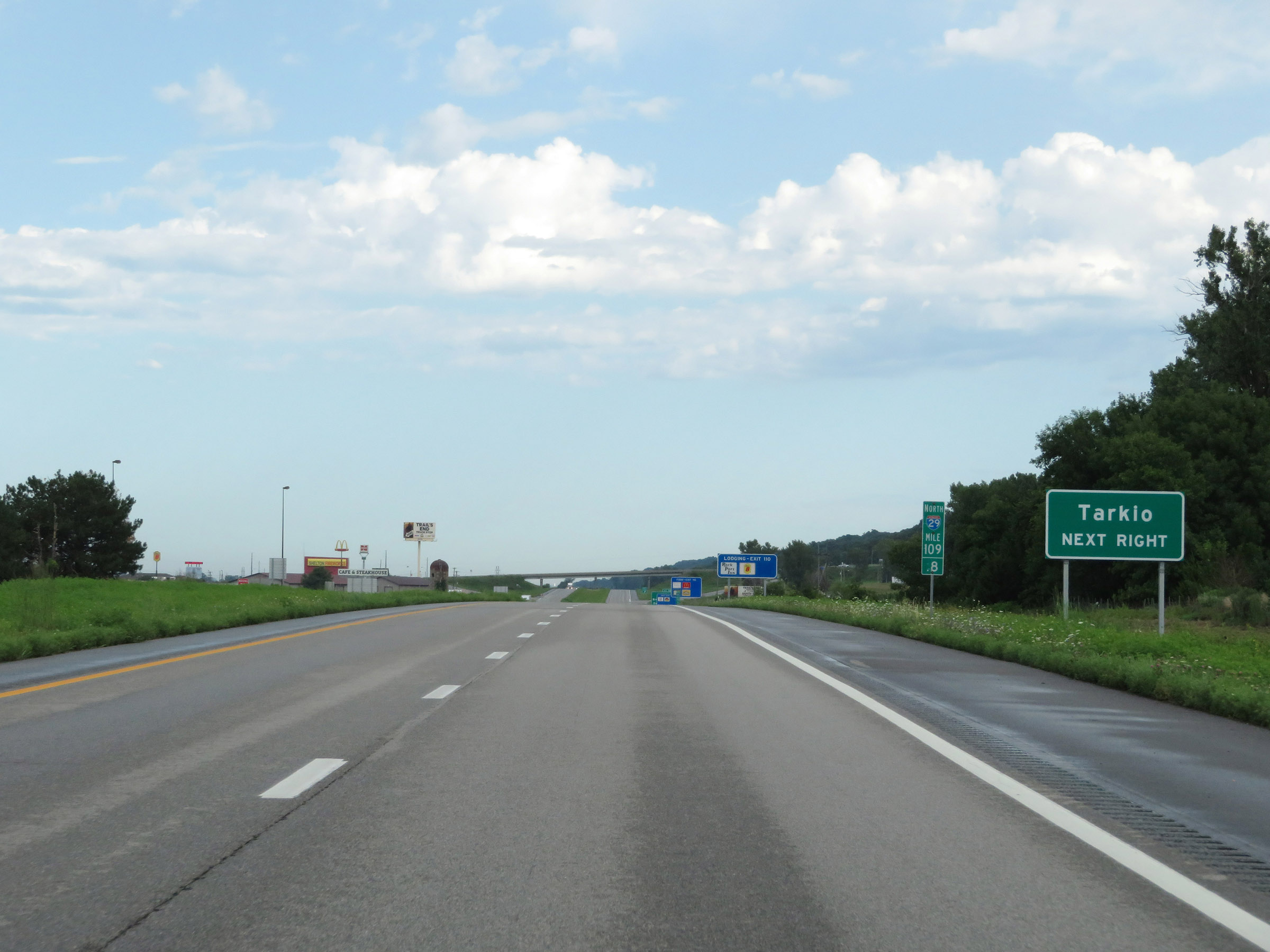 |
Take Exit 110 to Tarkio. (Photo taken 8/9/20). |
 |
Interstate 29 North at Exit 110: US 136 - Brownville, NE / Rock Port (Photo taken 8/9/20). |
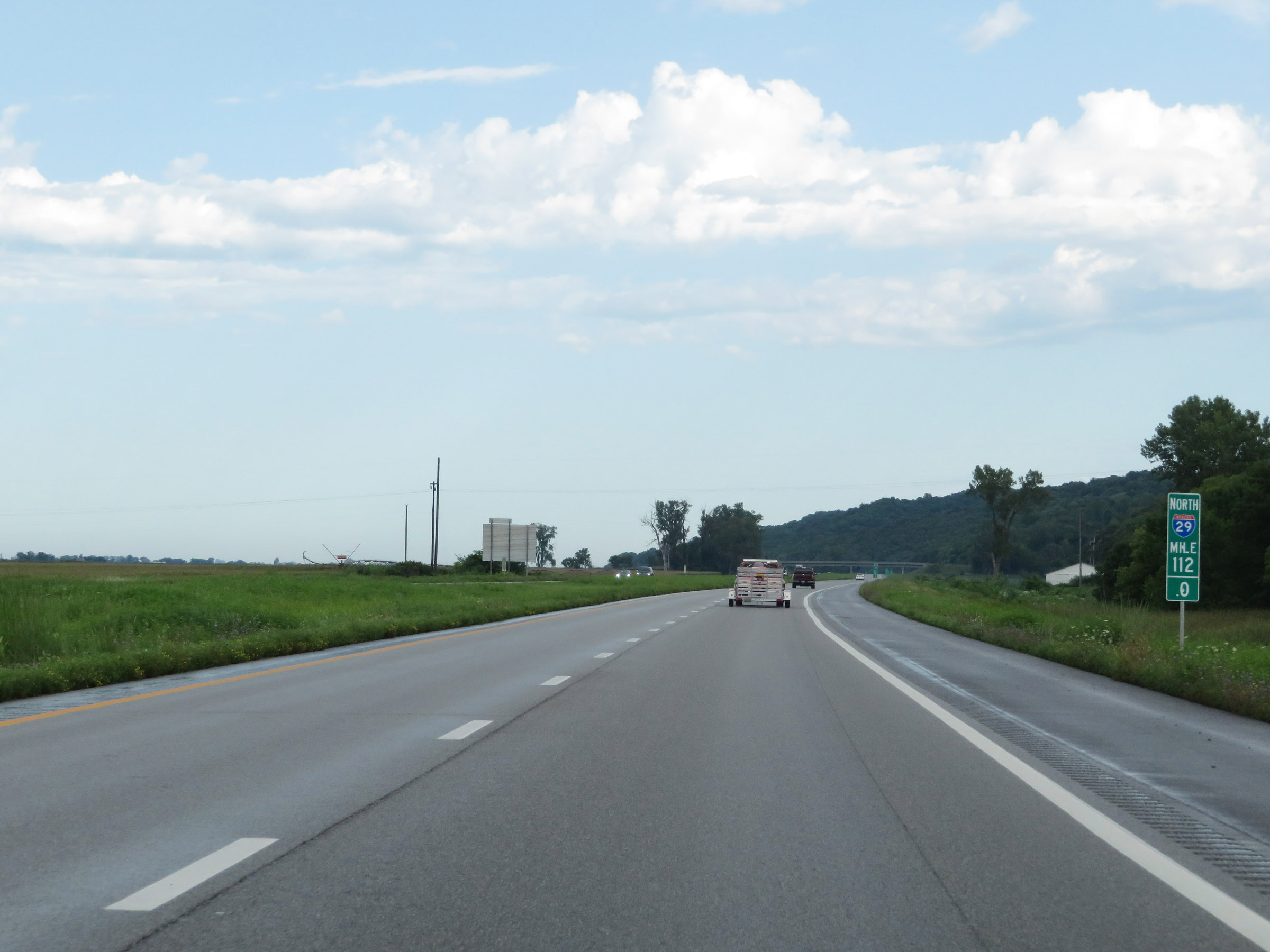 |
View on Interstate 29 North at mile marker 112. (Photo taken 8/9/20). |
 |
Interstate 29 North at mile marker 114. (Photo taken 8/9/20). |
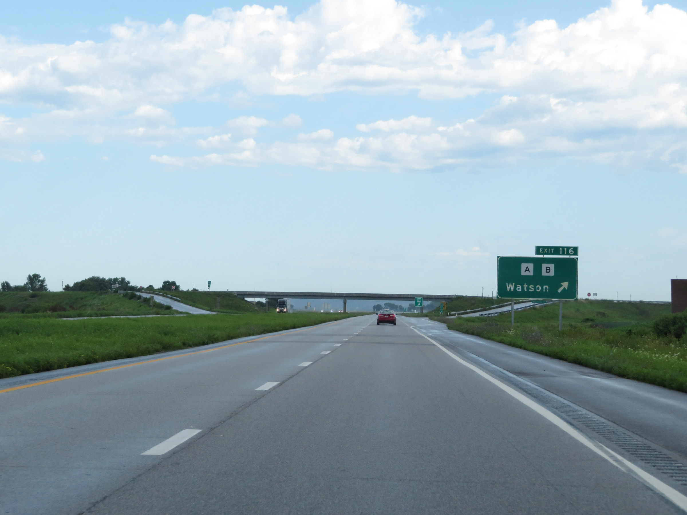 |
Interstate 29 North at Exit 116: Route A / Route B - Watson (Photo taken 8/9/20). |
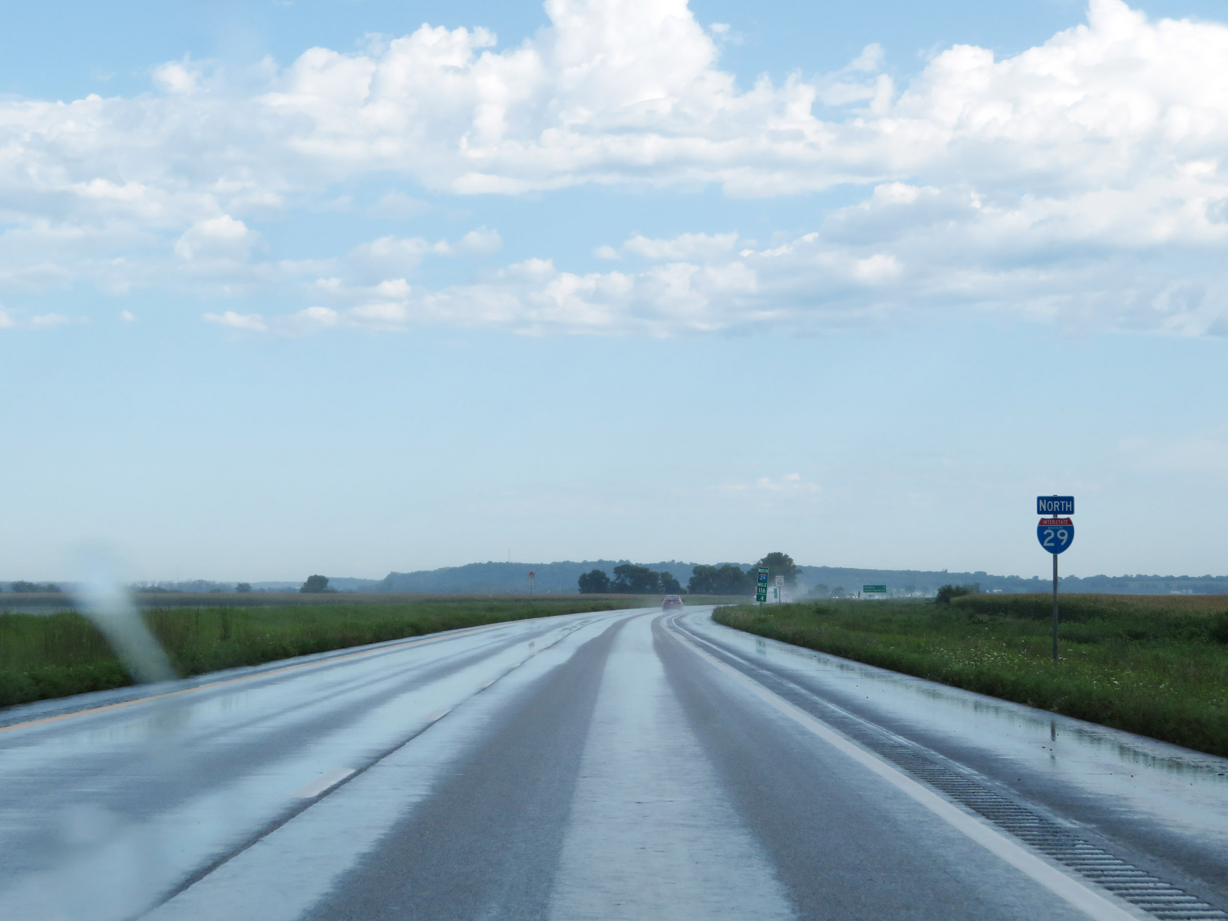 |
One final state-named Interstate 29 North reassurance shield. (Photo taken 8/9/20). |
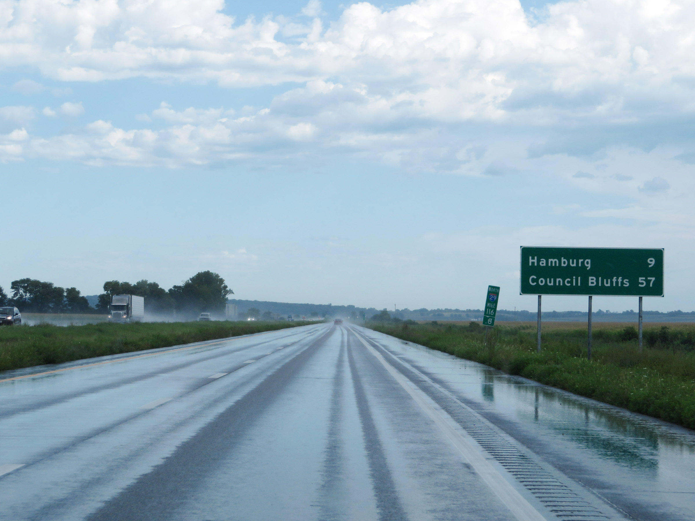 |
Mileage sign at mile marker 116.8. It's 9 miles to Hamburg and 57 miles to Council Bluffs. (Photo taken 8/9/20). |
 |
View on Interstate 29 North at mile marker 118. (Photo taken 8/9/20). |
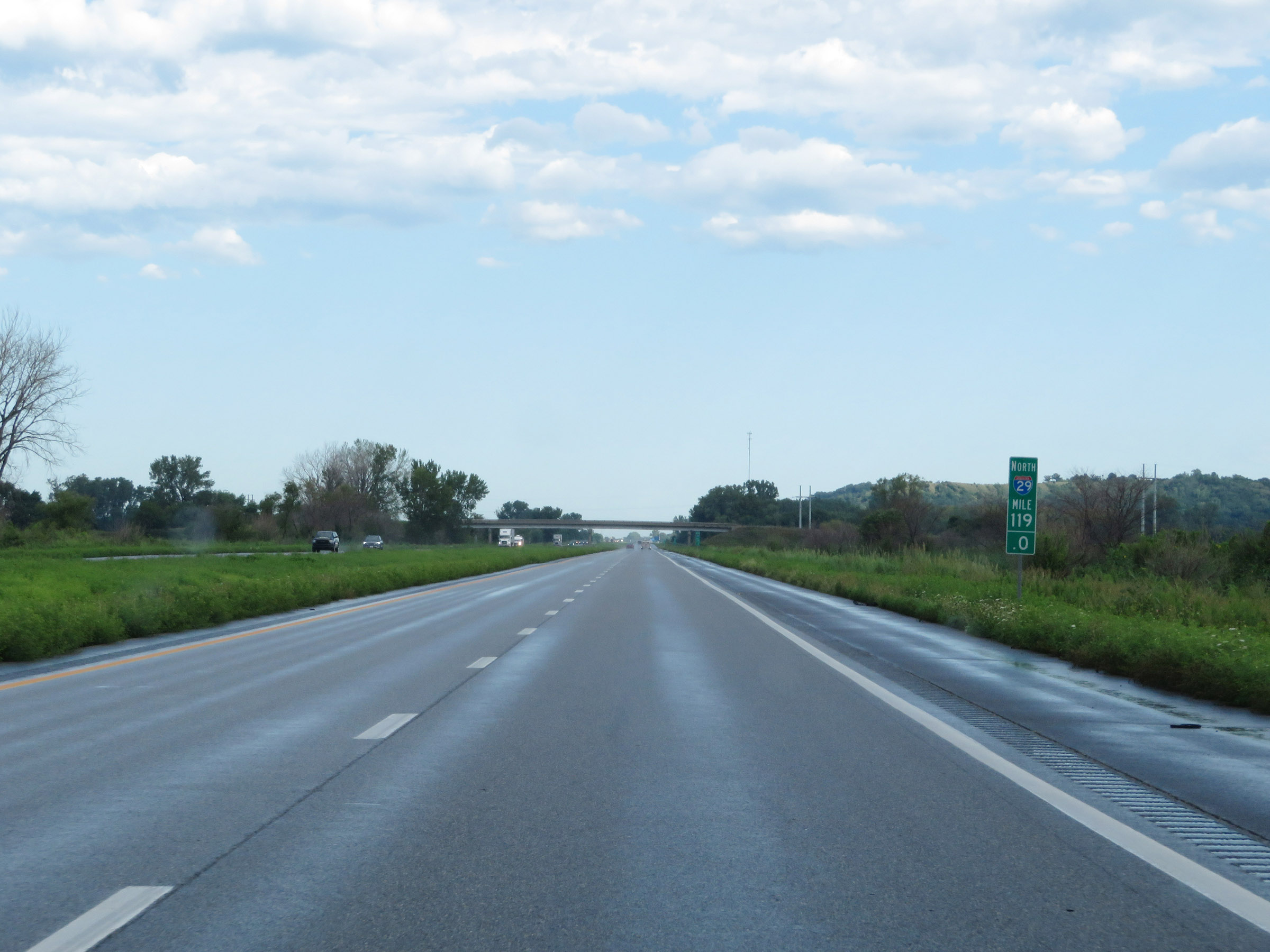 |
Interstate 29 North at mile marker 119. (Photo taken 8/9/20). |
 |
Mile marker 120 on Interstate 29 North in Atchison County. (Photo taken 8/9/20). |
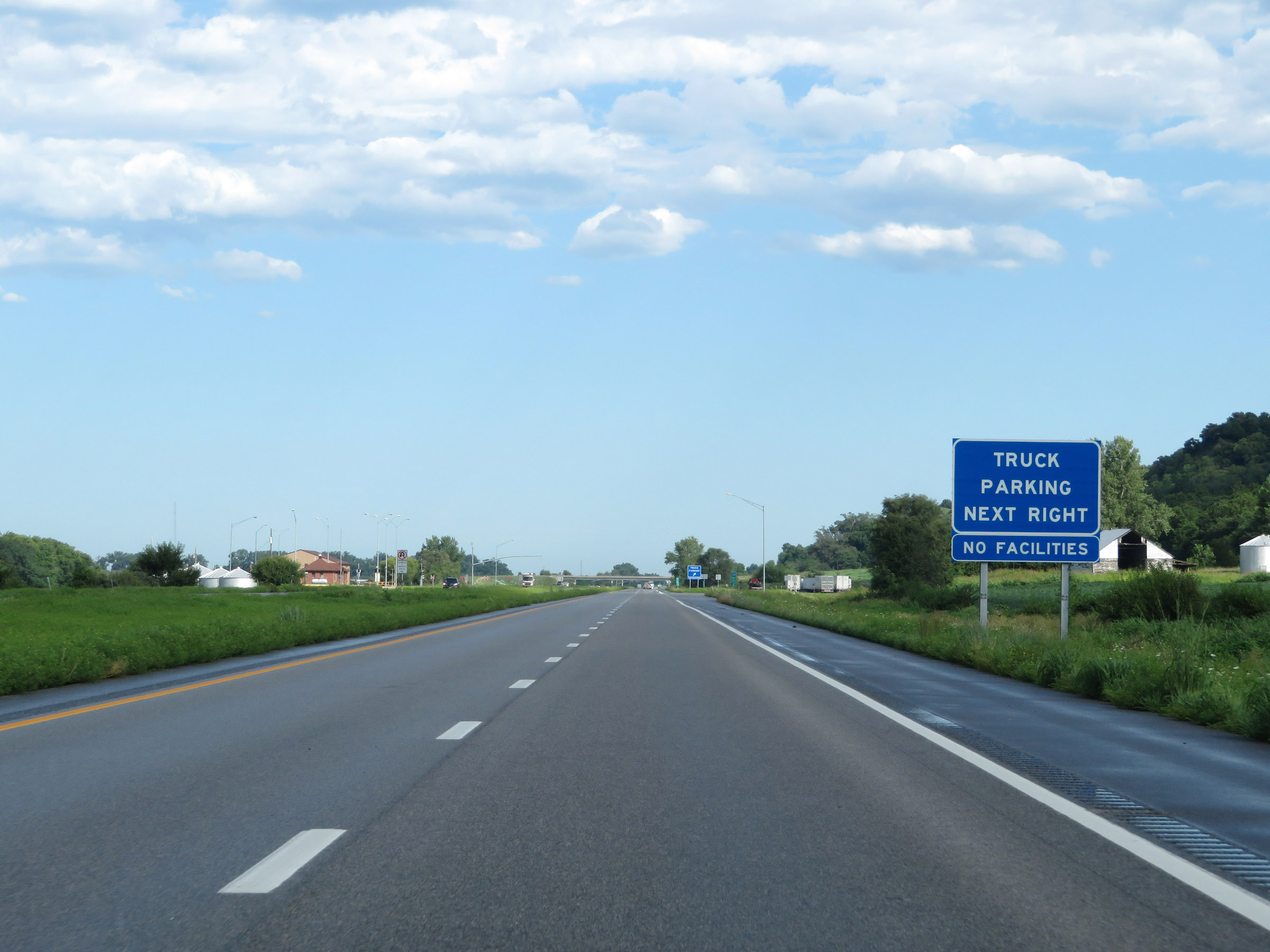 |
Truck Parking Area on Interstate 29 North in Atchison County, nearing the Iowa border. (Photo taken 8/9/20). |
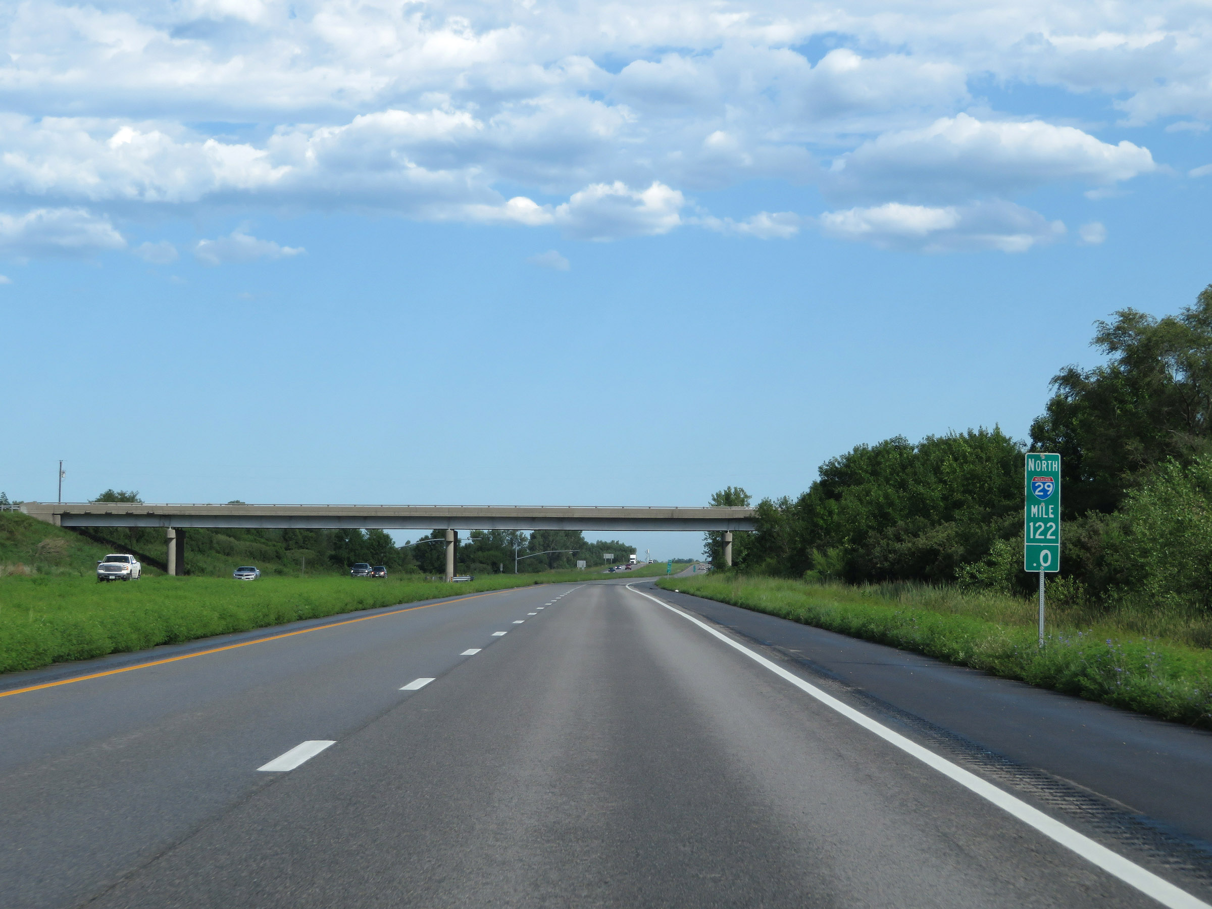 |
View on Interstate 29 North at mile marker 122. (Photo taken 8/9/20). |
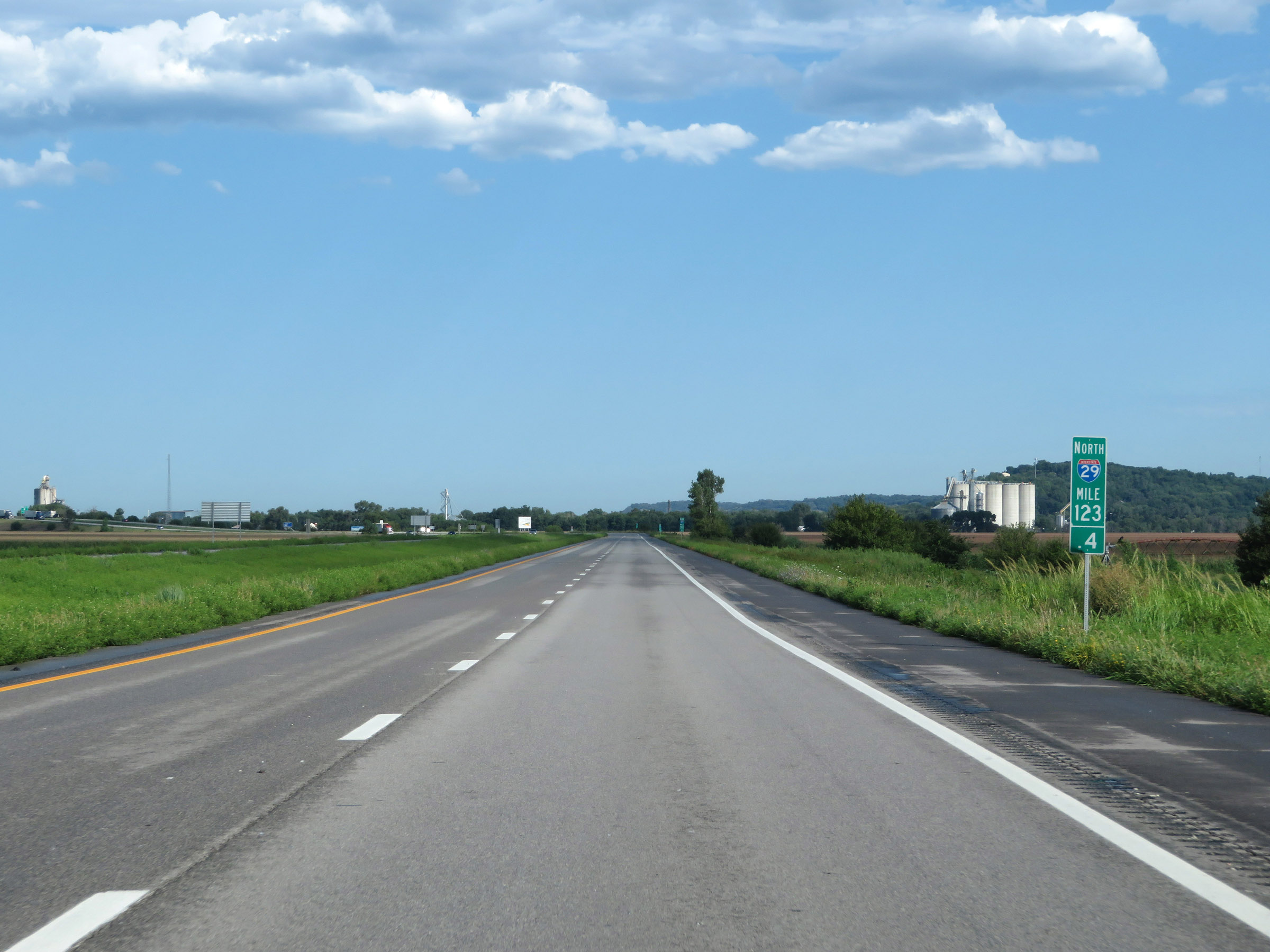 |
Interstate 29 North at mile marker 123.4, as the Iowa border comes into view in the distance. (Photo taken 8/9/20). |
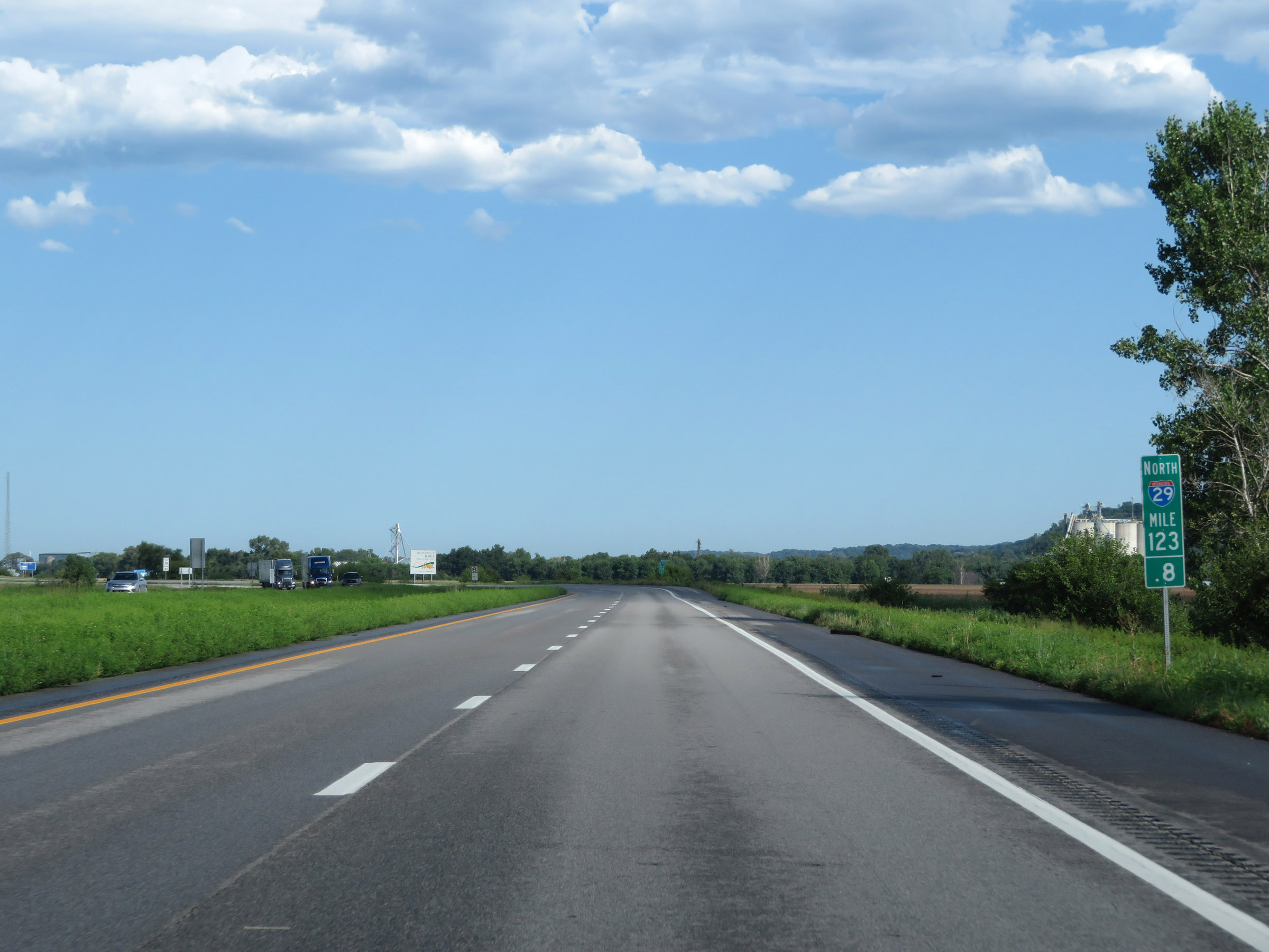 |
View on Interstate 29 North at mile marker 123.8, as it prepares to cross into Iowa. (Photo taken 8/9/20). |
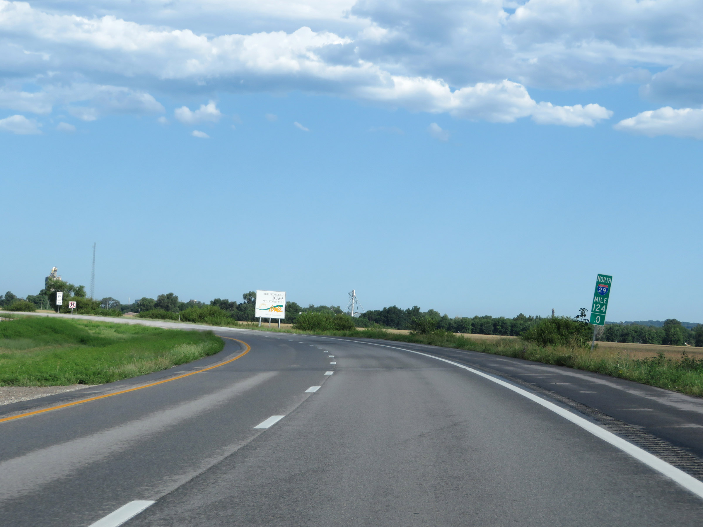 |
Interstate 29 North at mile marker 124, as it crosses the state line into Iowa. (Photo taken 8/9/20). |