Road Information |
||
 |
||
| Total Mileage in State: | 192 miles | |
| Eastern End: | At I-75, in Detroit | |
| Western End: | At US 31, in Norton Shores | |
| Mileage covered in Photos: | 192 miles | |
| Counties covered in Photos: | Wayne, Oakland, Livingston, Ingham, Eaton, Clinton, Ionia, Kent, Ottawa, Muskegon | |
| Major Junctions in Photos: | I-94, in Detroit I-275, near Livonia I-696, in Farmington Hills US 23, in Brighton I-496/US 127, in Lansing I-69, in Lansing I-196, in Grand Rapids Unsigned I-296/US 131, in Walker US 31, in Norton Shores |
|
| Control Cities in Photos: | Detroit, Livonia, Novi, Brighton, Lansing, Grand Rapids, Walker, Norton Shores | |
Westbound
- Section 1: Detroit to Novi (Exit 162)
- Section 2: Novi (Exit 160) to Lansing (Exit 106A)
- Section 3: Lansing (Exit 106A) to Grand Rapids (Exit 38)
- Section 4: Grand Rapids (Exit 38) to Western Terminus
Section 1: Detroit to Novi (Exit 162)
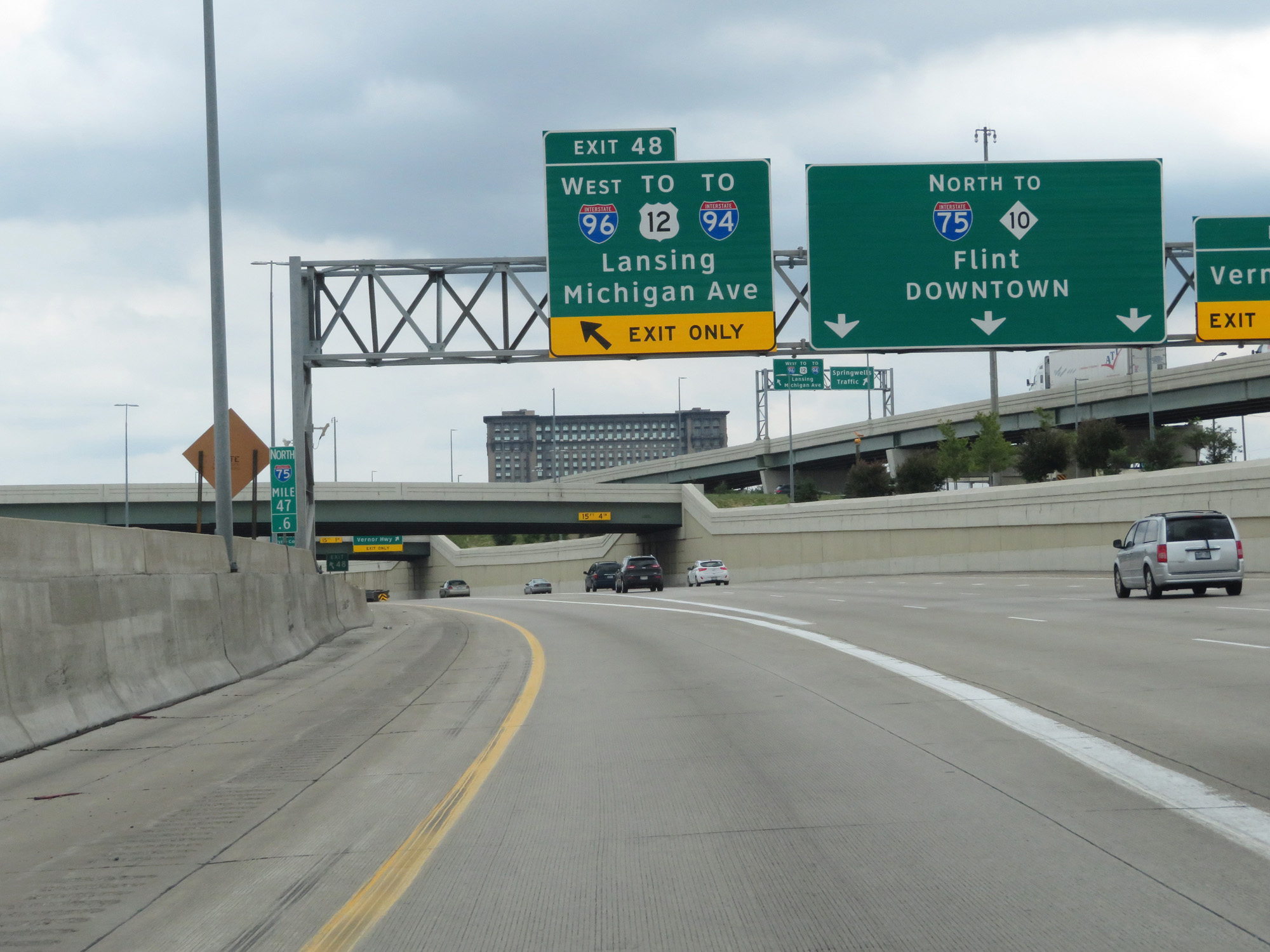 |
Interstate 96 West begins at Exit 48 on Interstate 75 North in Detroit. (Photo taken 7/16/17). |
 |
Interstate 96 West at mile marker 192.2. (Photo taken 7/16/17). |
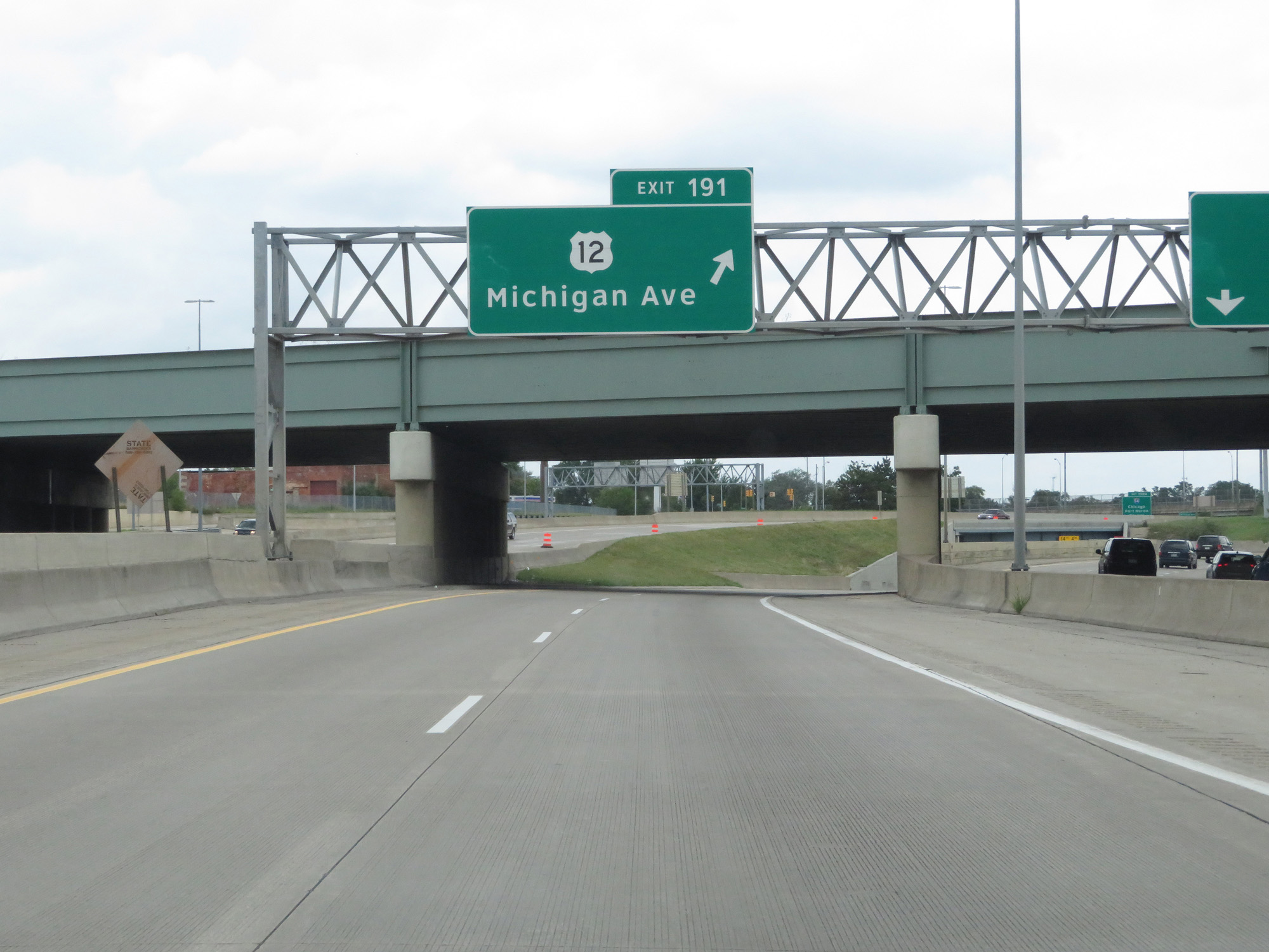 |
Interstate 96 West at Exit 191: US 12 - Michigan Ave (Photo taken 7/16/17). |
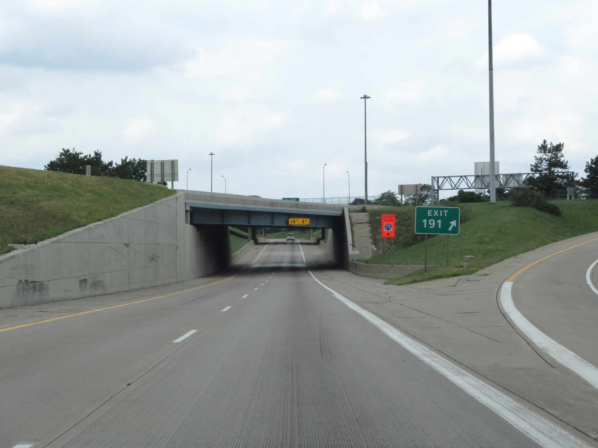 |
Gore point signage for Exit 191. (Photo taken 7/16/17). |
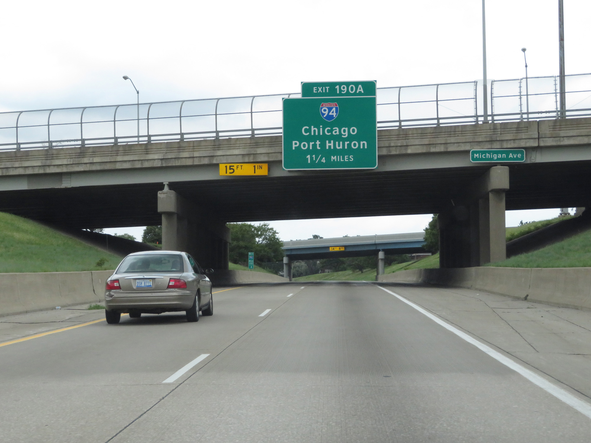 |
Interstate 96 West approaching Exit 190A - 1 1/4 miles. (Photo taken 7/16/17). |
 |
Interstate 96 West reassurance shield. (Photo taken 7/16/17). |
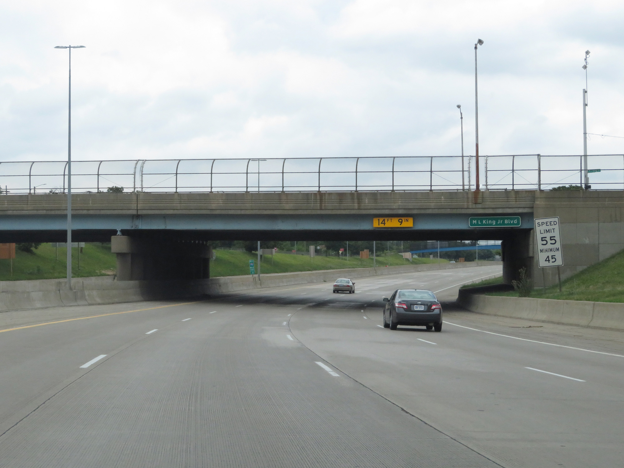 |
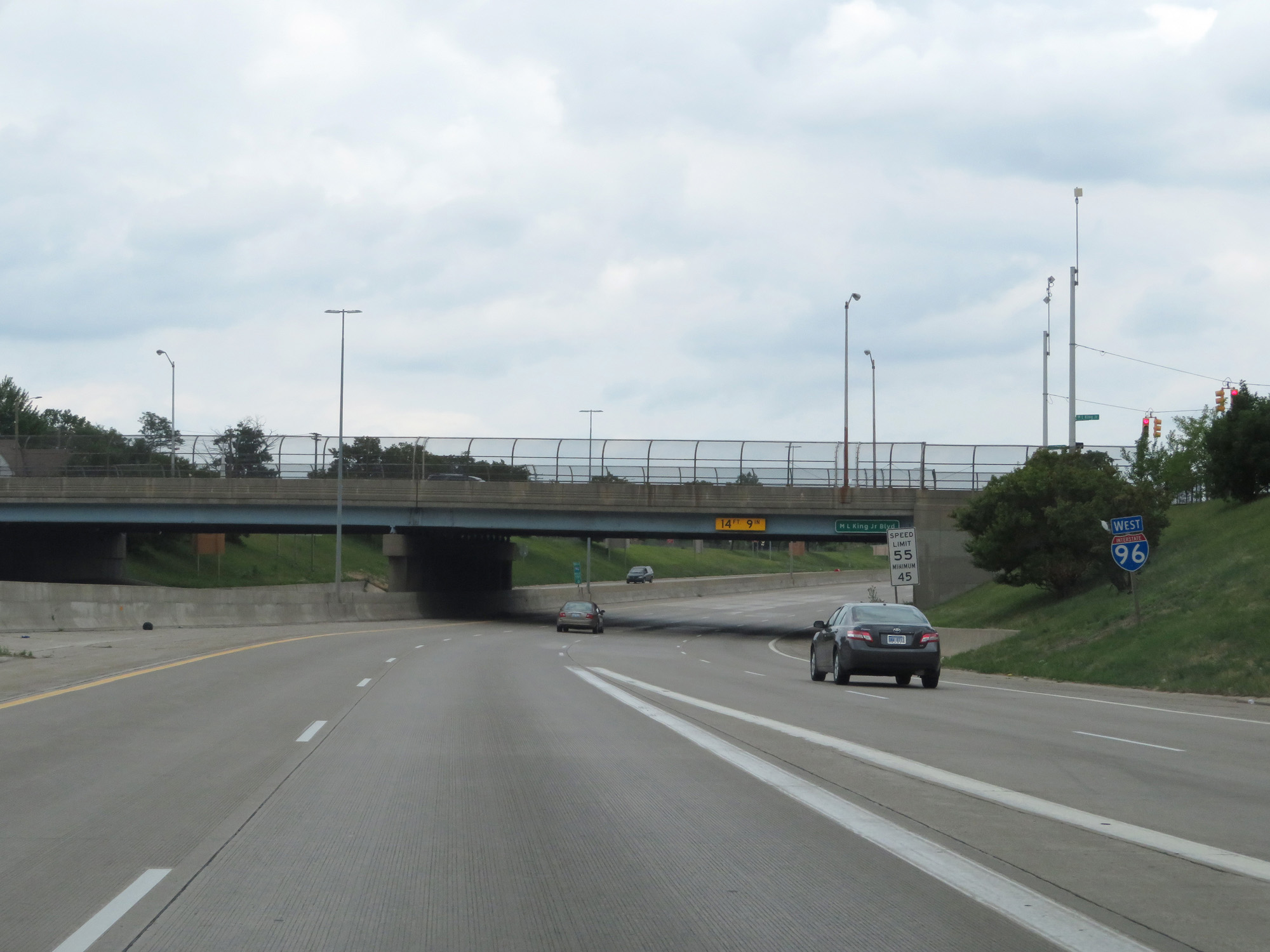
The speed limit on Interstate 96 West in Detroit starts out at 55 mph with a minimum speed limit of 45 mph. (Photo taken 7/16/17). |
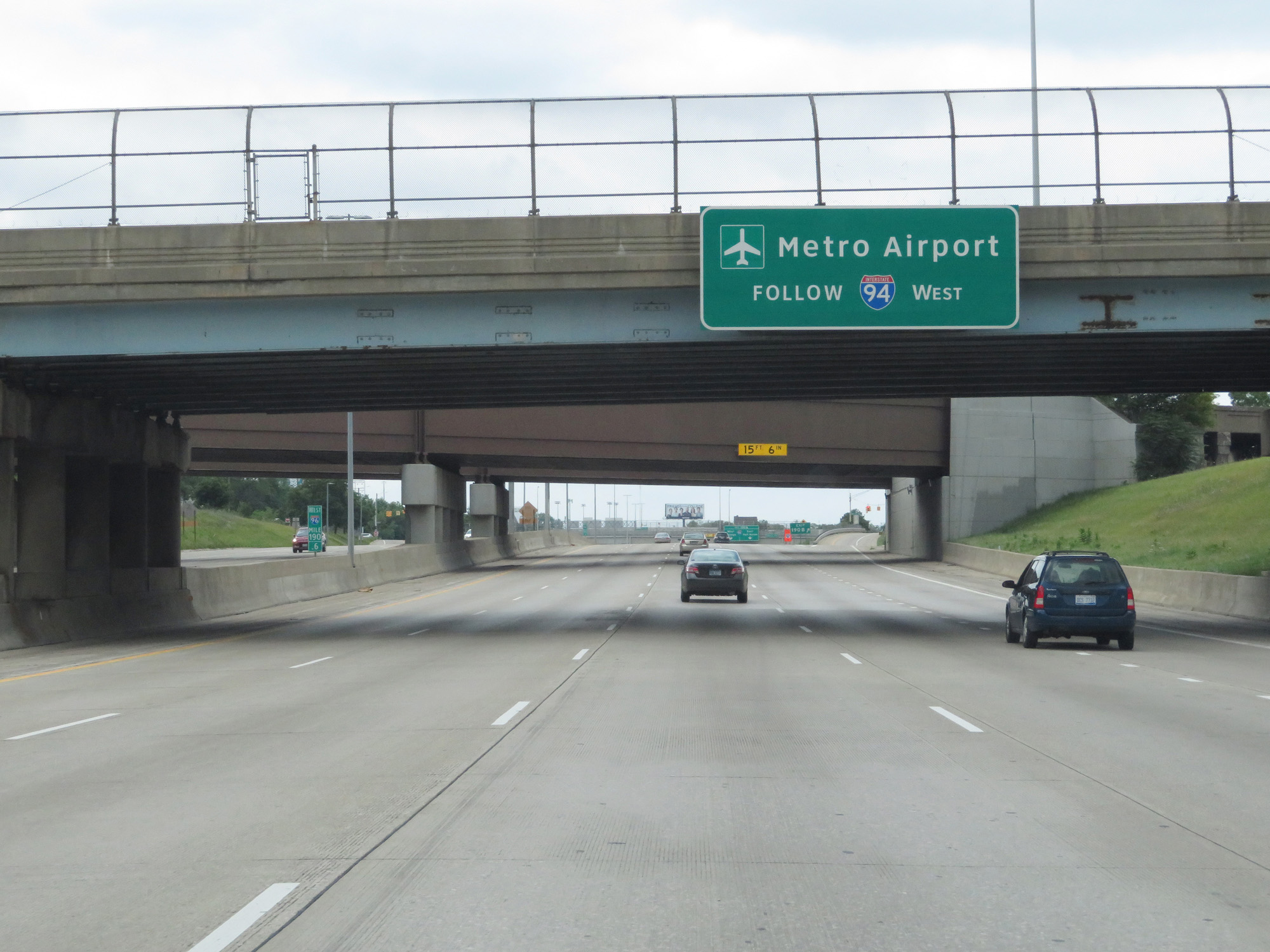 |
Follow Interstate 94 West to Metro Airport. (Photo taken 7/16/17). |
 |
Interstate 96 West at Exit 190B: Warren Ave (Photo taken 7/16/17). |
 |
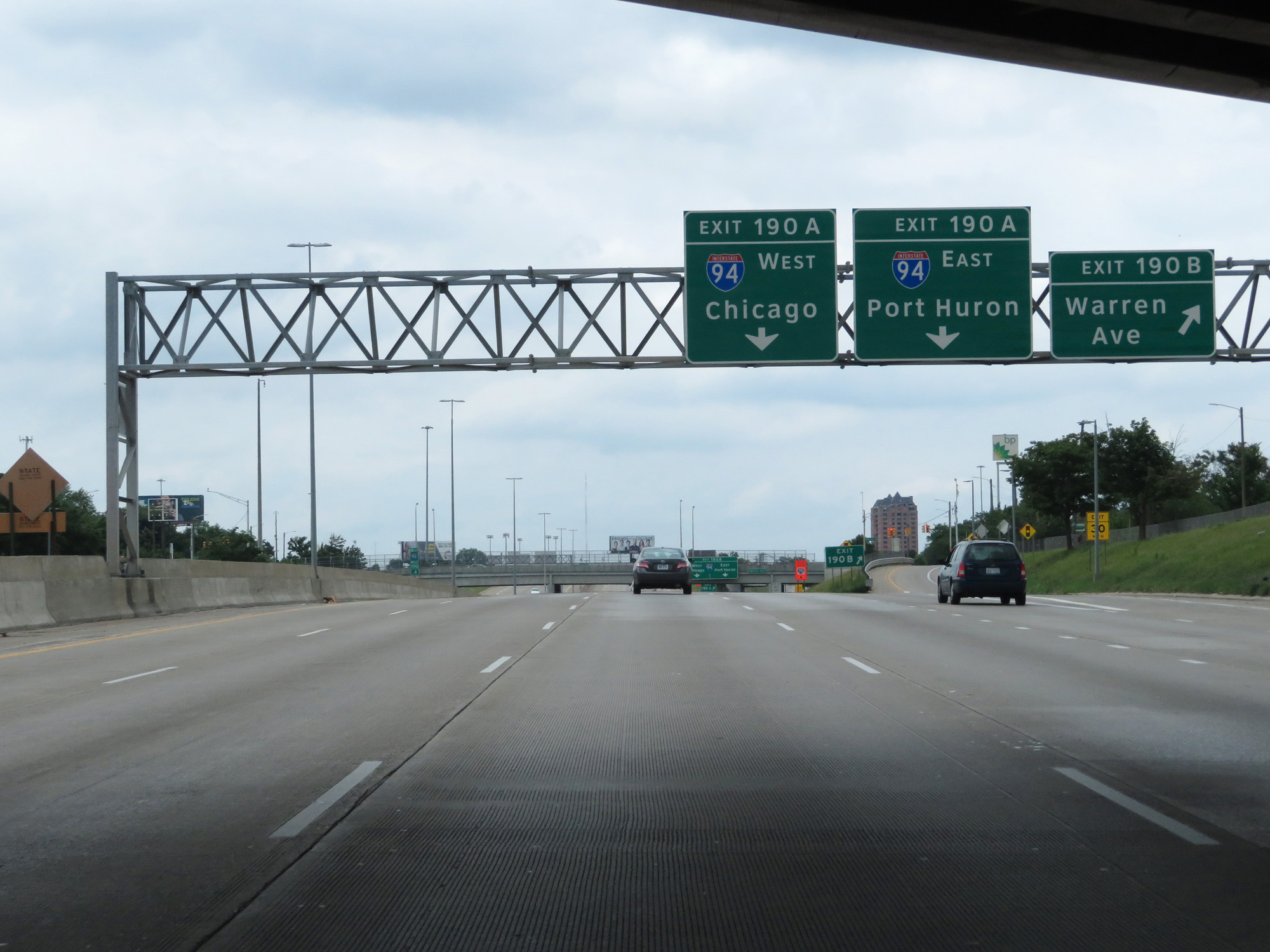
Interstate 96 West at Exit 190A: Interstate 94 - Port Huron / Chicago (Photo taken 7/16/17). |
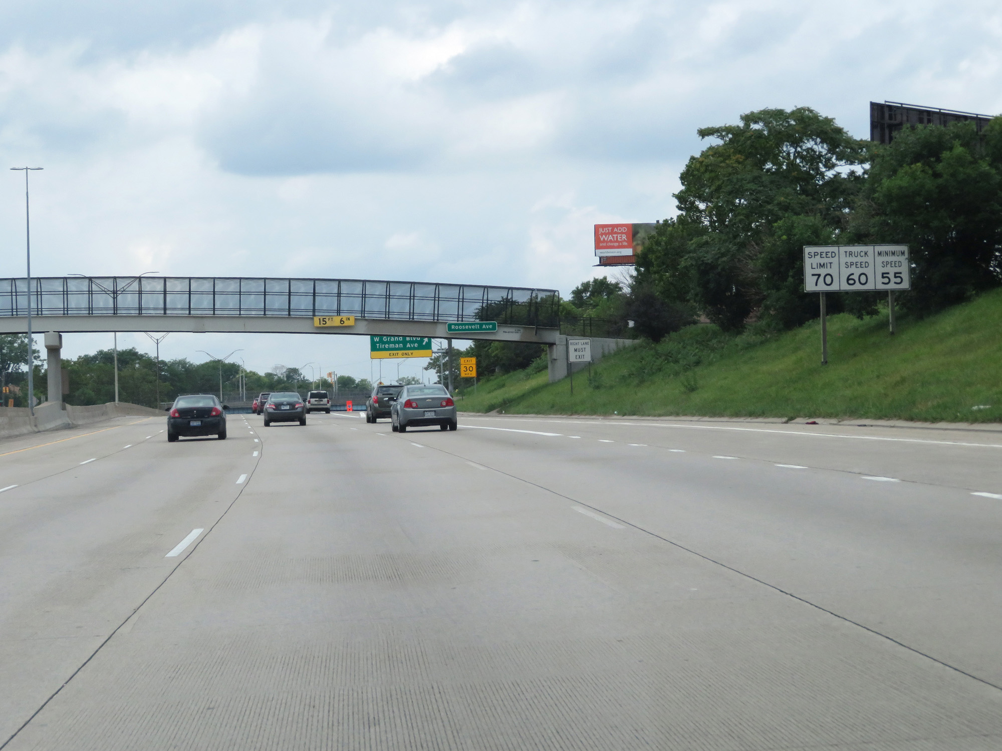 |
Just west of Exit 190A, the speed limit jumps up to 70 mph for cars and 60 mph for trucks. The minimum speed limit increases to 55 mph. These are the standard speed limits on most rural Interstate highways in Michigan. (Photo taken 7/16/17). |
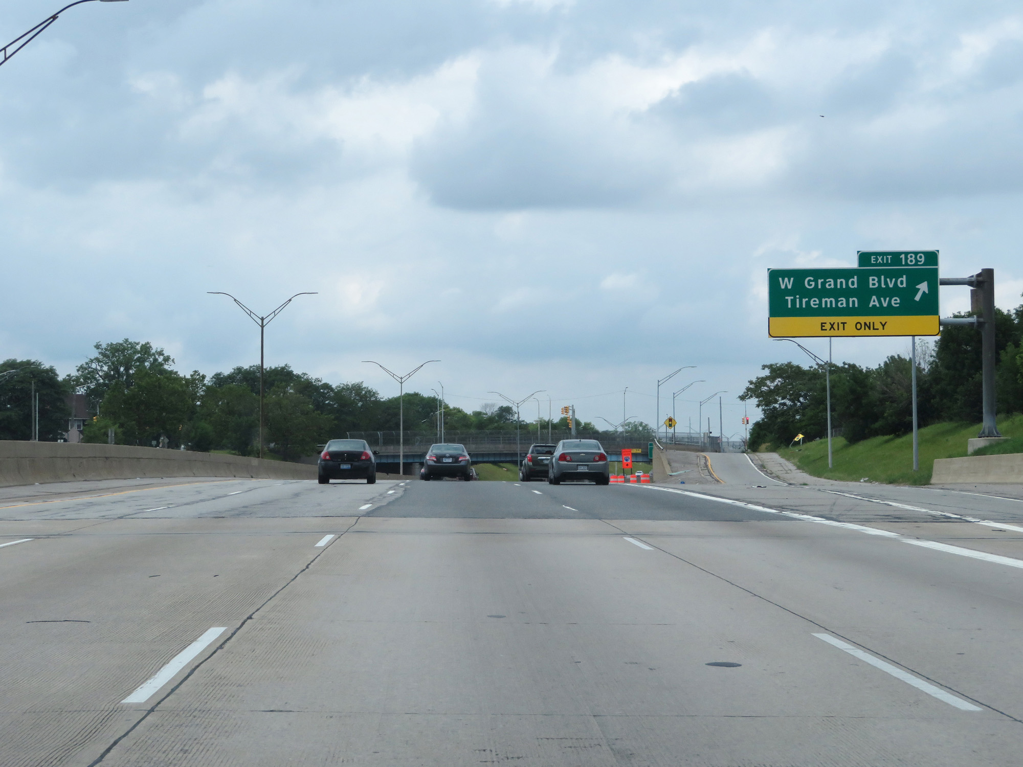 |
Interstate 96 West at Exit 189: W Grand Blvd / Tireman Ave (Photo taken 7/16/17). |
 |
Interstate 96 West at Exit 188B: Joy Rd (Photo taken 7/16/17). |
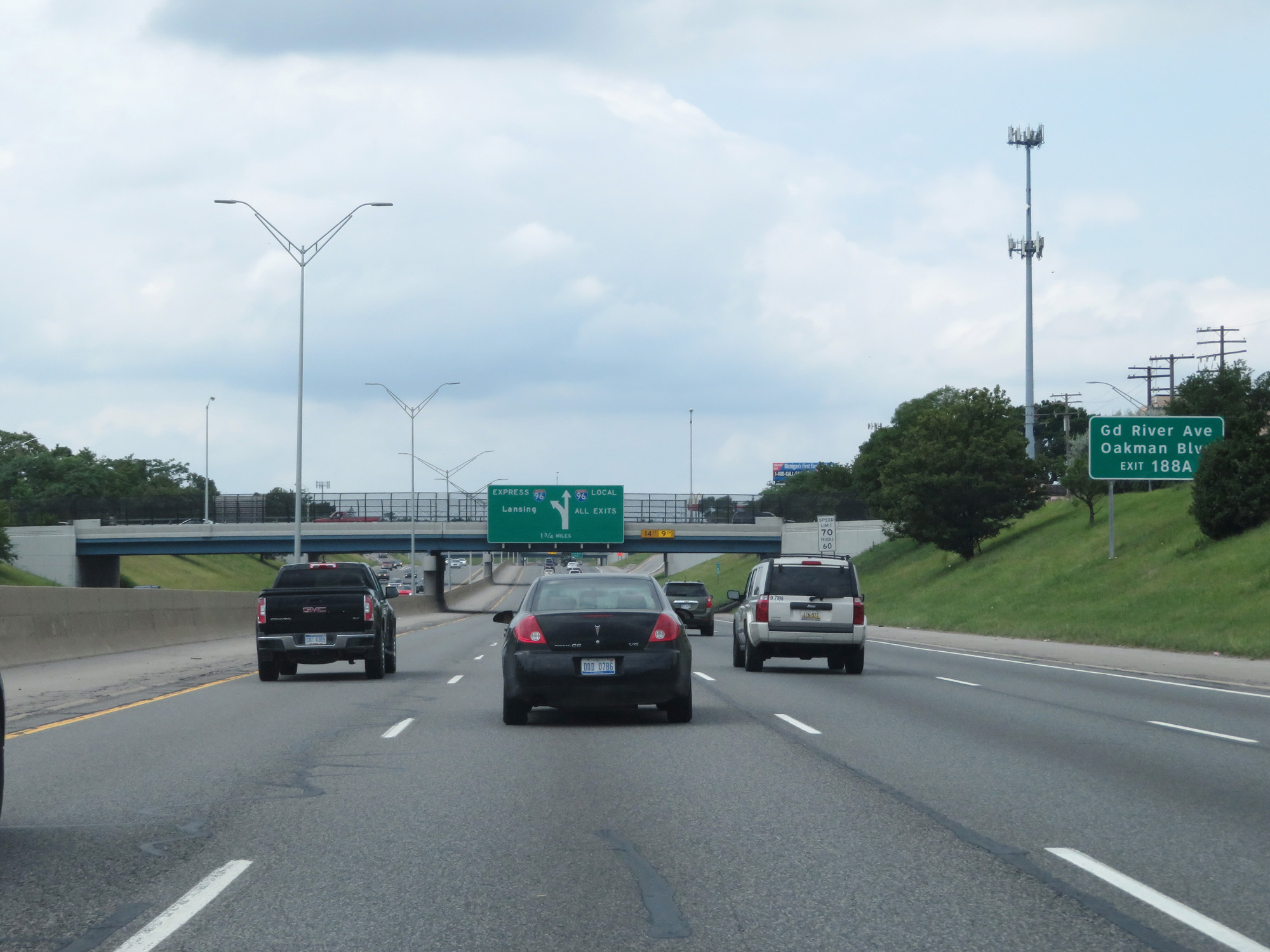 |
Take Exit 188A to Grand River Ave and Oakman Blvd. (Photo taken 7/16/17). |
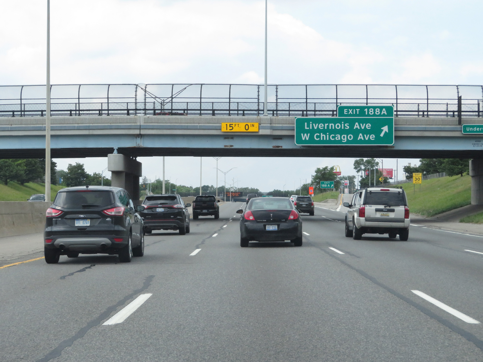 |
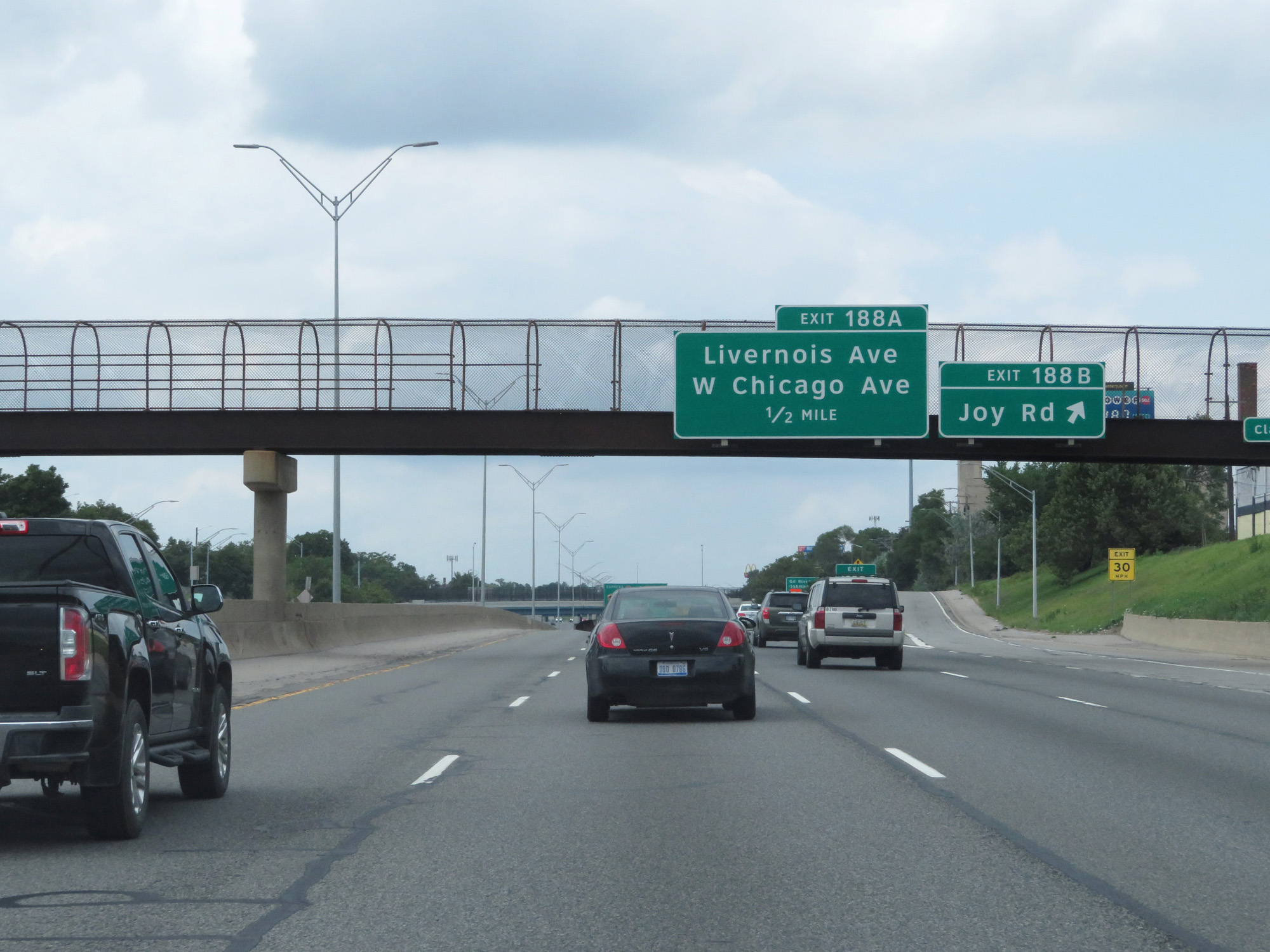
Interstate 96 West at Exit 188A: Livernois Ave / W Chicago Ave (Photo taken 7/16/17). |
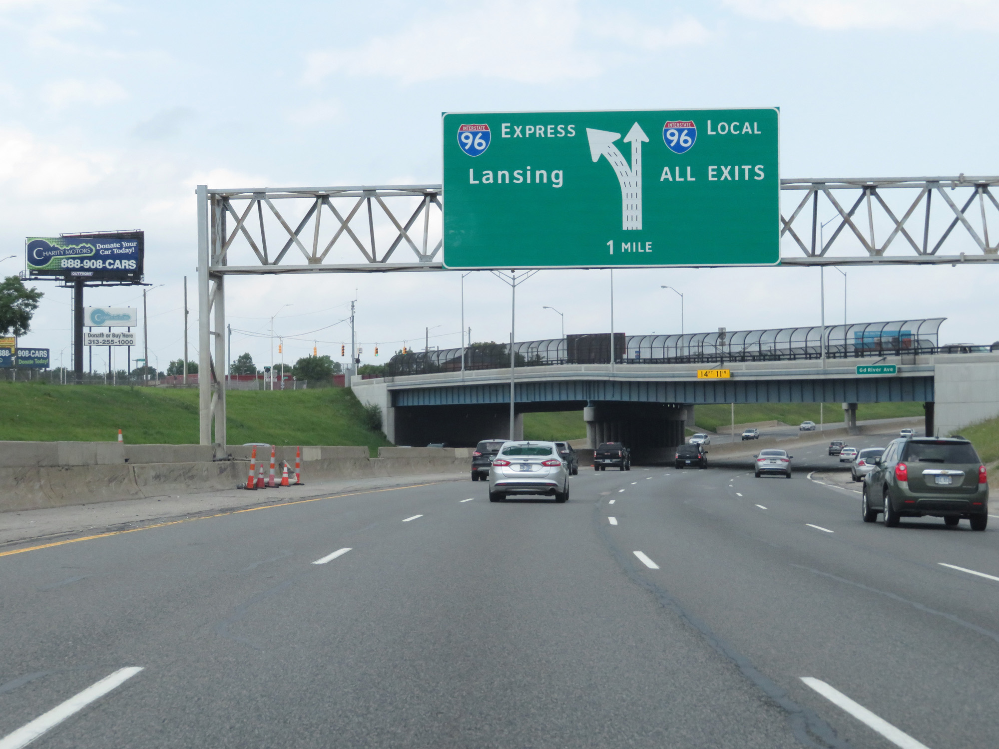 |
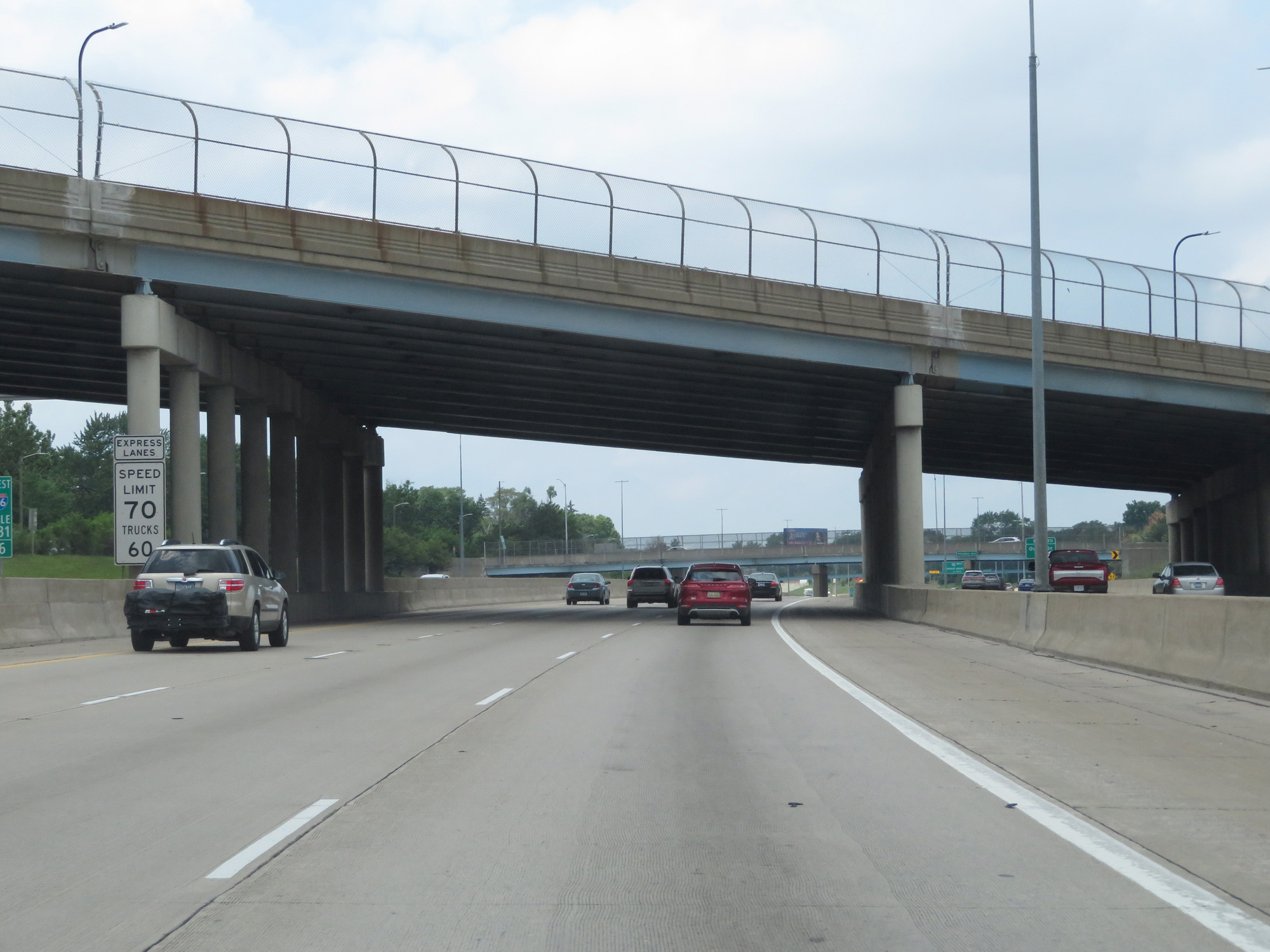
One mile ahead, Interstate 96 West splits into local and express lanes. (Photo taken 7/16/17). |
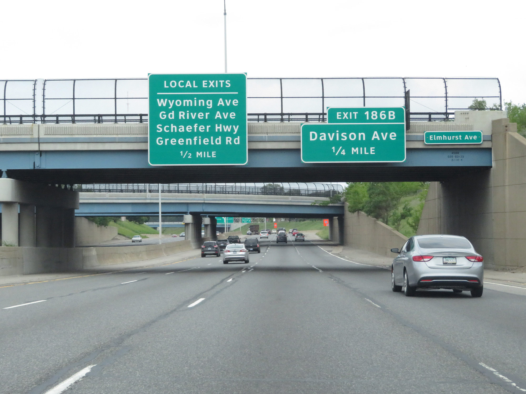 |
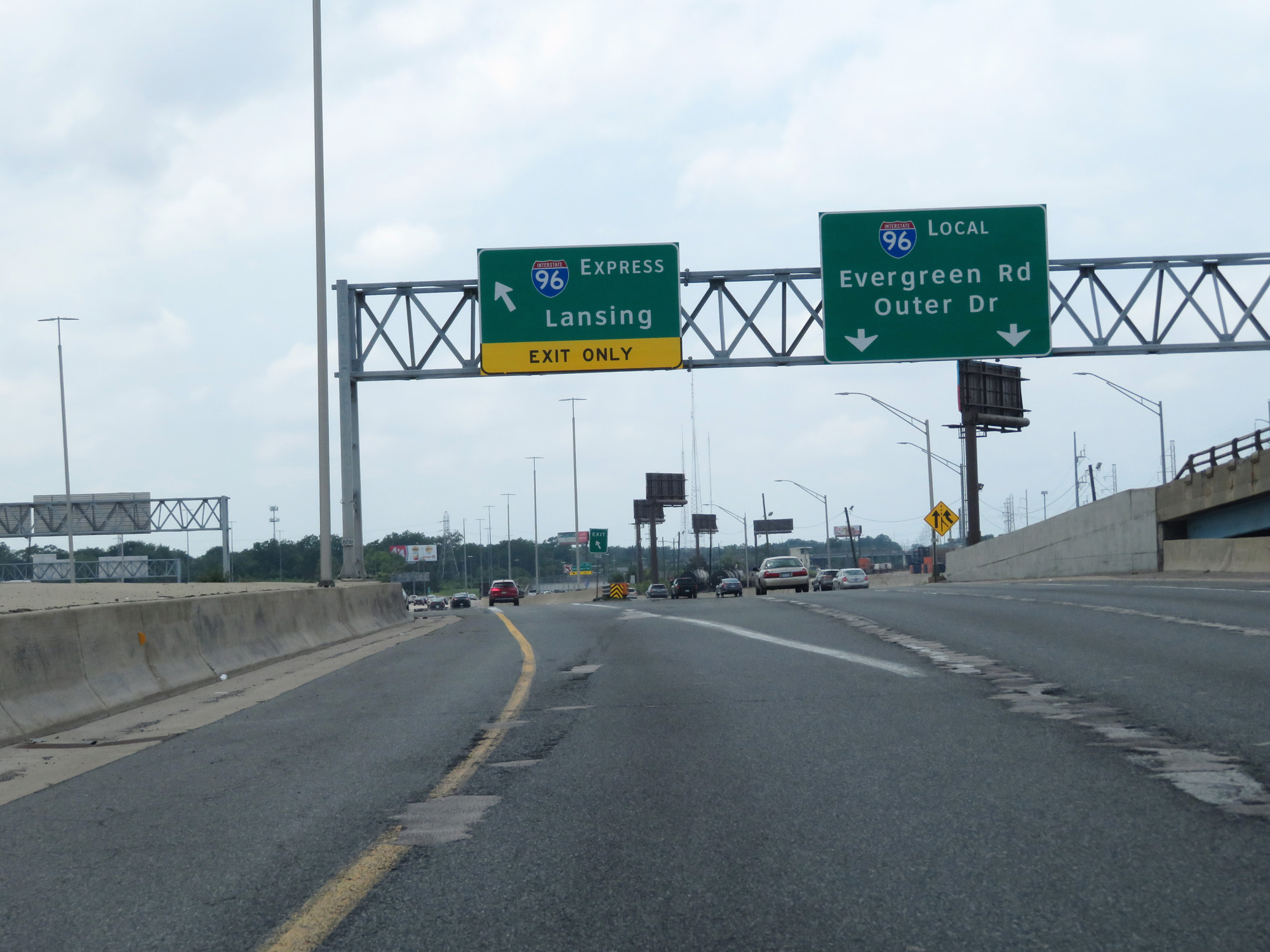
Enter the local lanes ahead if you're planning to take any of the exits listed on this overhead guide sign. (Photo taken 7/16/17). |
 |
Interstate 96 West at Exit 186B: Davison Ave (Photo taken 7/16/17). |
 |
Interstate 96 West as it splits into local and express lanes. To start out, I entered the local lanes and then moved into the express lanes after a few miles. (Photo taken 7/16/17). |
 |
The speed limit in the local lanes on Interstate 96 West is 55 mph as seen here. (Photo taken 7/16/17). |
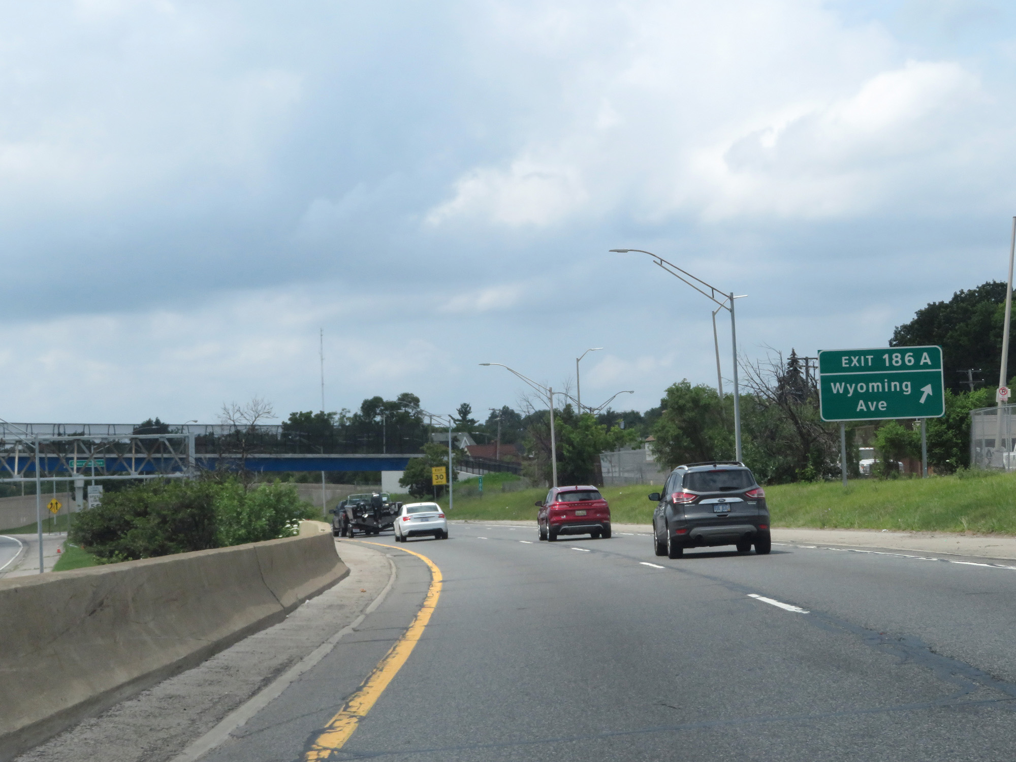 |
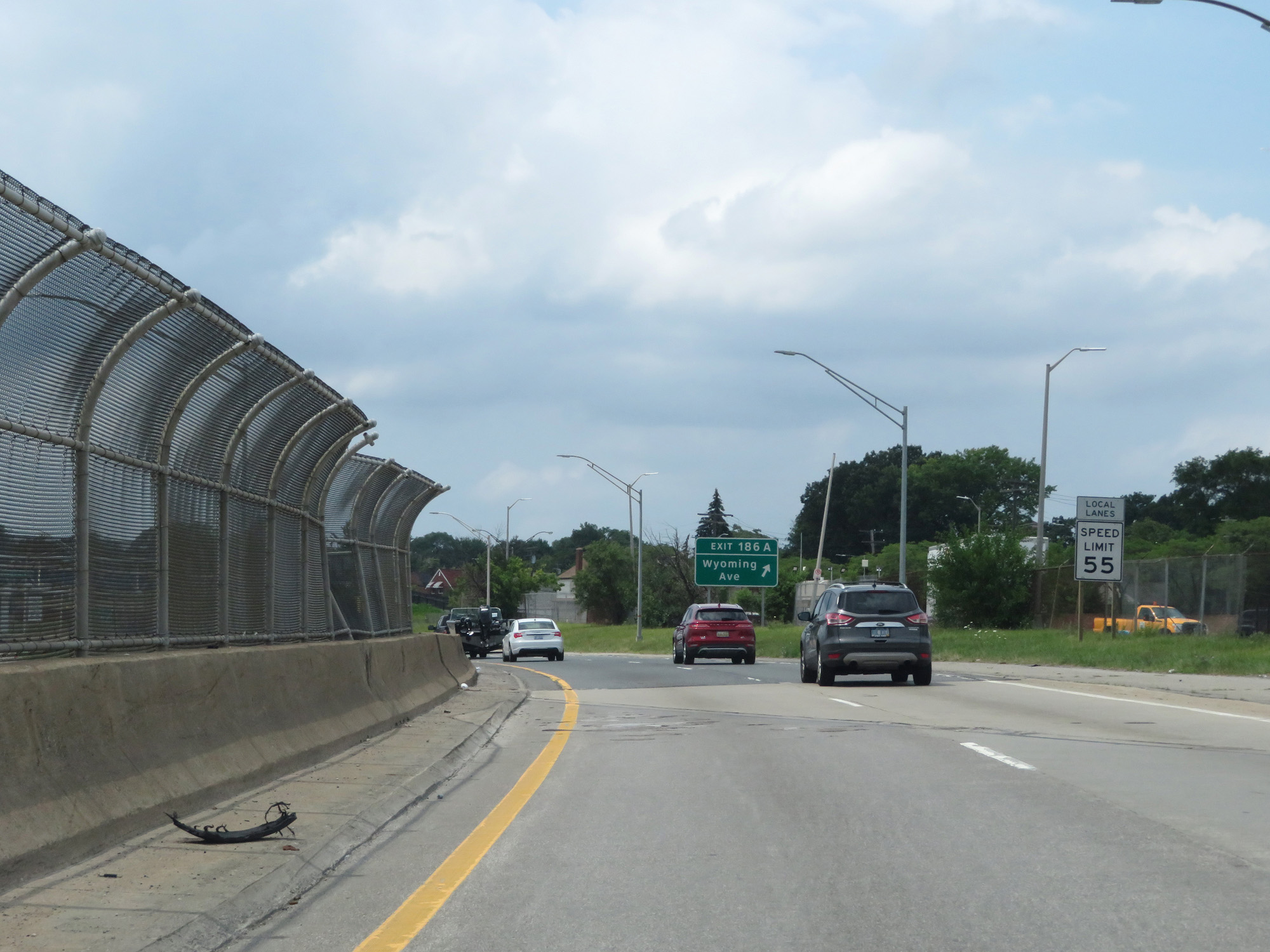
Interstate 96 West (Local) at Exit 186A: Wyoming Ave (Photo taken 7/16/17). |
 |
Interstate 96 West reassurance shield as seen from the local lanes. (Photo taken 7/16/17). |
 |
Again, the speed limit in the local lanes is 55 mph for all traffic. (Photo taken 7/16/17). |
 |
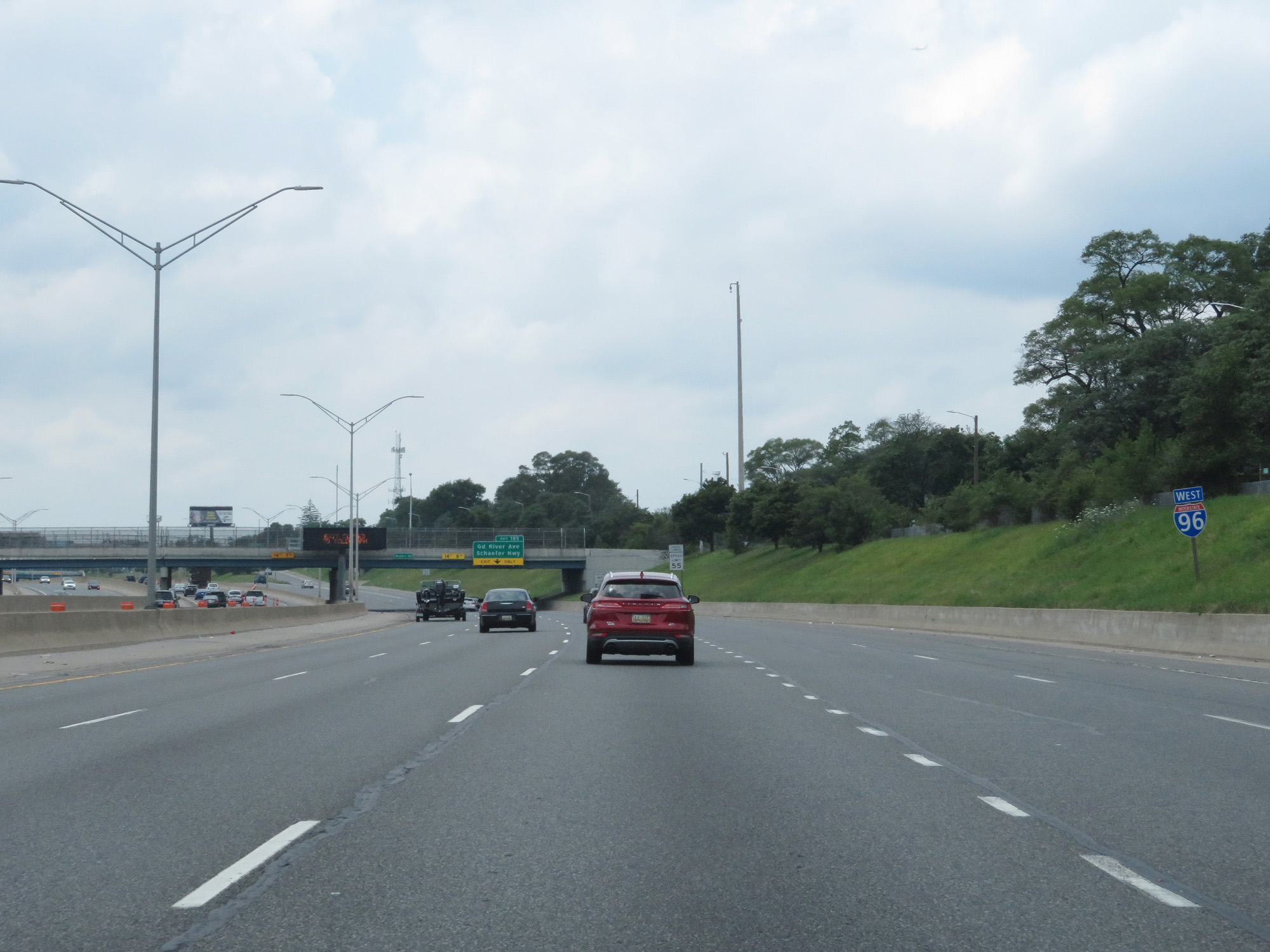
Interstate 96 West (Local) at Exit 185: Grand River Ave / Schaefer Hwy (Photo taken 7/16/17). |
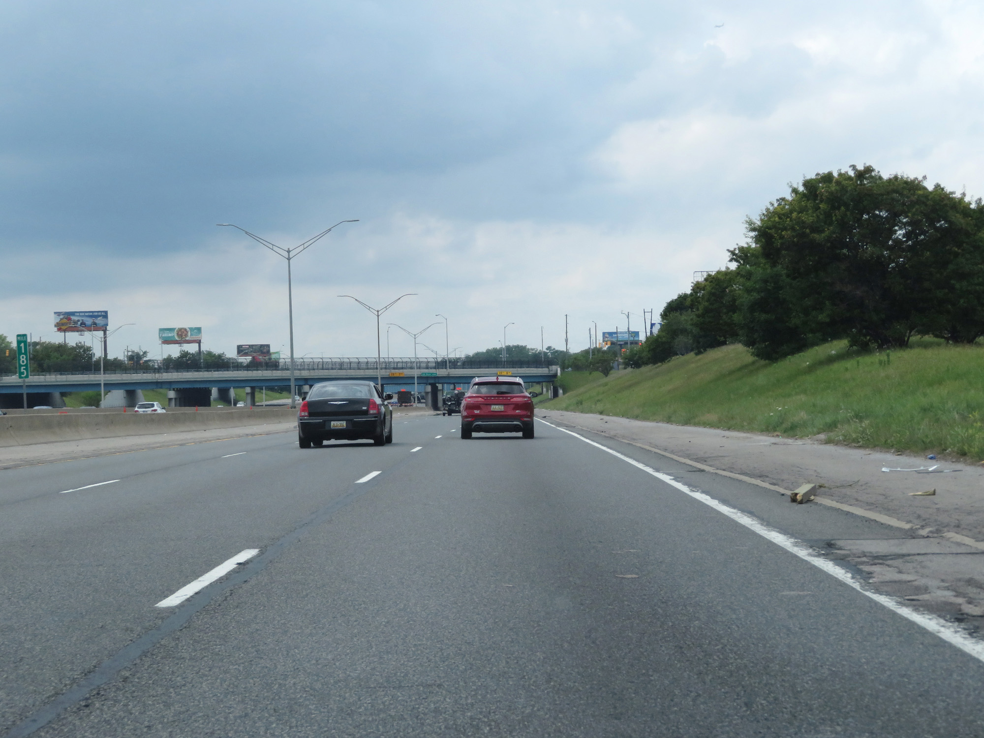 |
Interstate 96 West (Local) at mile marker 185. (Photo taken 7/16/17). |
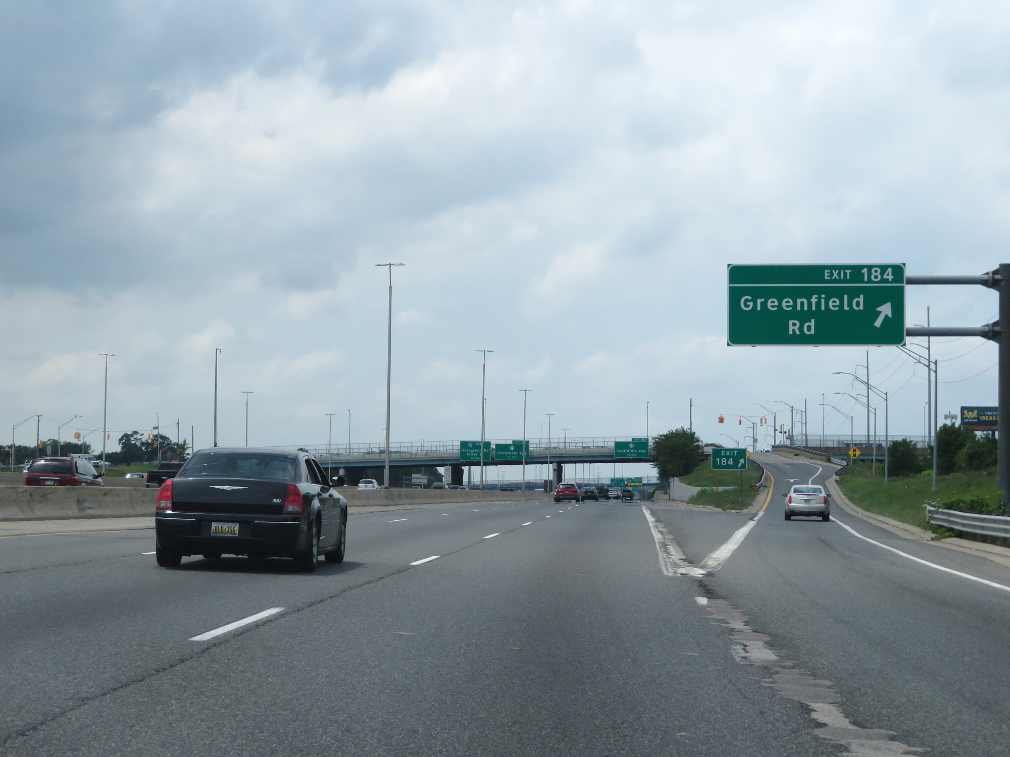 |
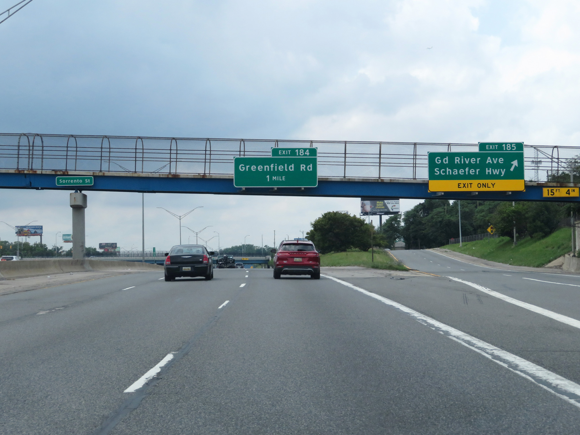
Interstate 96 West (Local) at Exit 184: Greenfield Rd (Photo taken 7/16/17). |
 |
Interstate 96 West (Local) at Exit 183: M-39 - Southfield Fwy (Photo taken 7/16/17). |
 |
Interstate 96 West (Local) approaching an express lanes entrance on the left. (Photo taken 7/16/17). |
 |
Interstate 96 West (Local) at an express lane entrance on the left. Here, I entered the express lanes to get both perspectives. (Photo taken 7/16/17). |
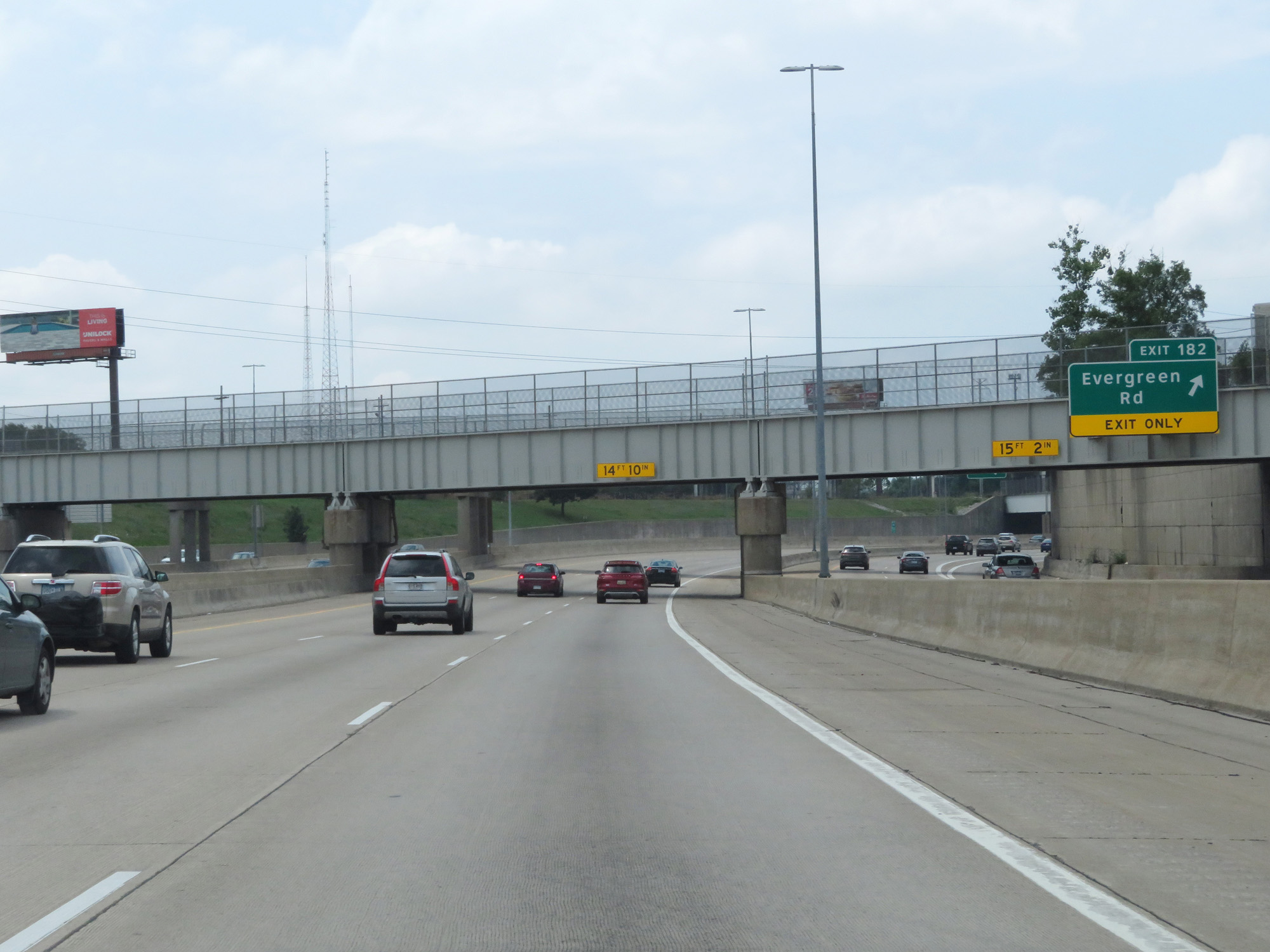 |
Interstate 96 West (Express) at Exit 182: Evergreen Rd (Photo taken 7/16/17). |
 |
Interstate 96 West (Express) at mile marker 181.8. (Photo taken 7/16/17). |
 |
The speed limits in the express lanes of Interstate 96 remain the standard rural Interstate speed limits - 70 mph for cars and 60 mph for trucks. (Photo taken 7/16/17). |
 |
At mile marker 181.2, this sign warns that the express lanes of Interstate 96 West come to an end 1/2 mile ahead. (Photo taken 7/16/17). |
 |
Interstate 96 West (Express) at Exit 180: Outer Dr (Photo taken 7/16/17). |
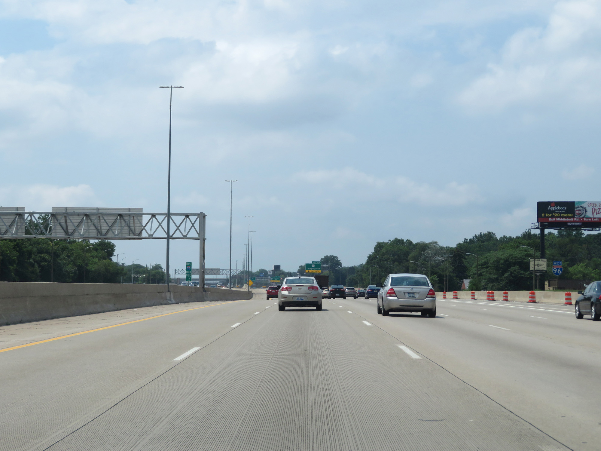 |
Interstate 96 West at mile marker 180.2, as the local lanes and express lanes merge back together. (Photo taken 7/16/17). |
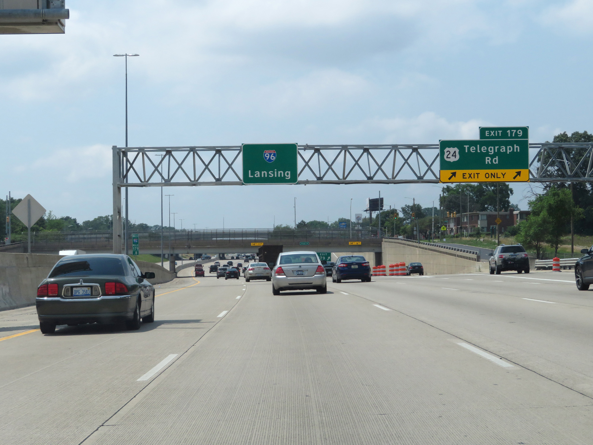 |
Interstate 96 West at Exit 179: US 24 - Telegraph Rd (Photo taken 7/16/17). |
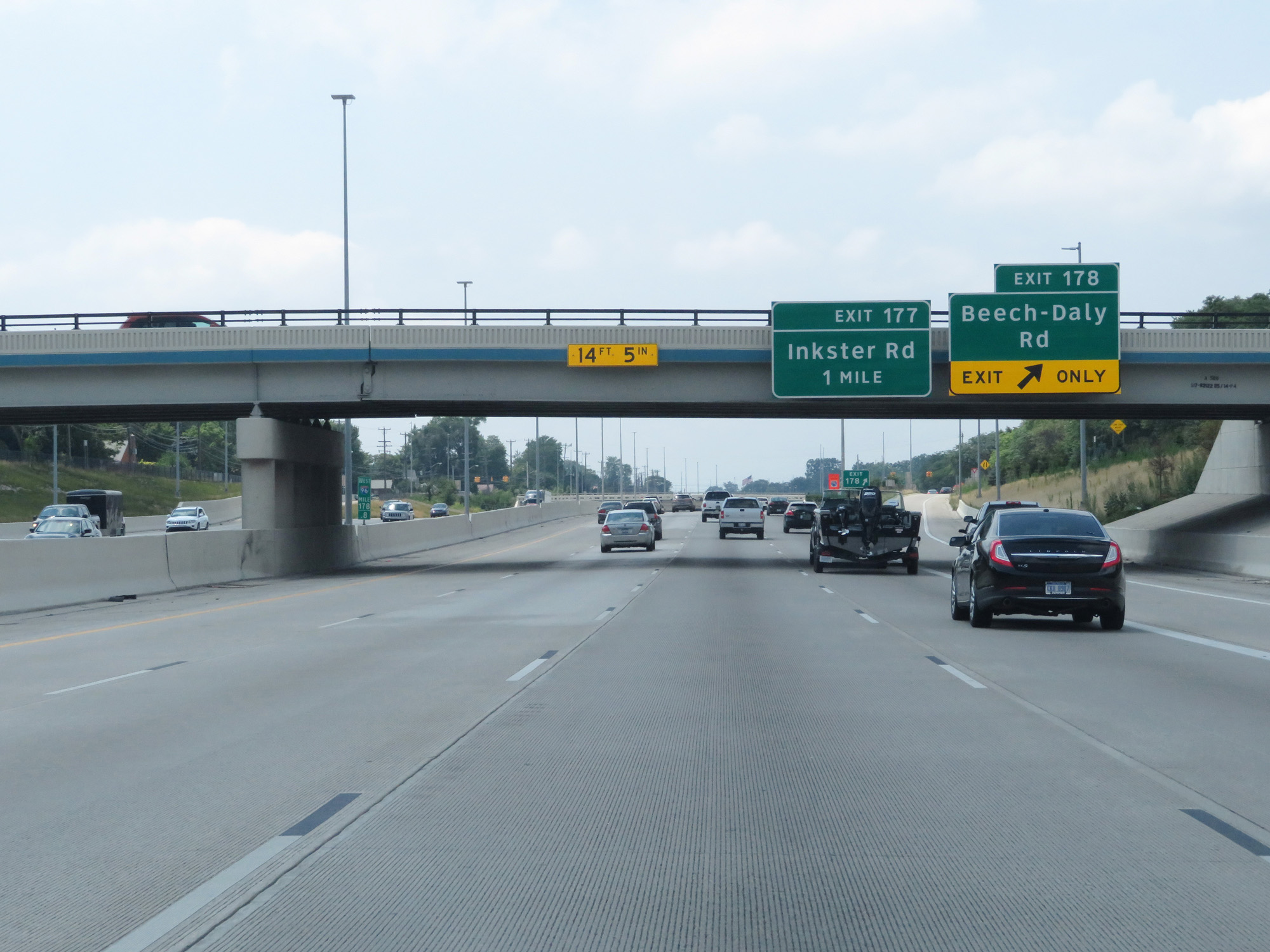 |
Interstate 96 West at Exit 178: Beech-Daly Rd (Photo taken 7/16/17). |
 |
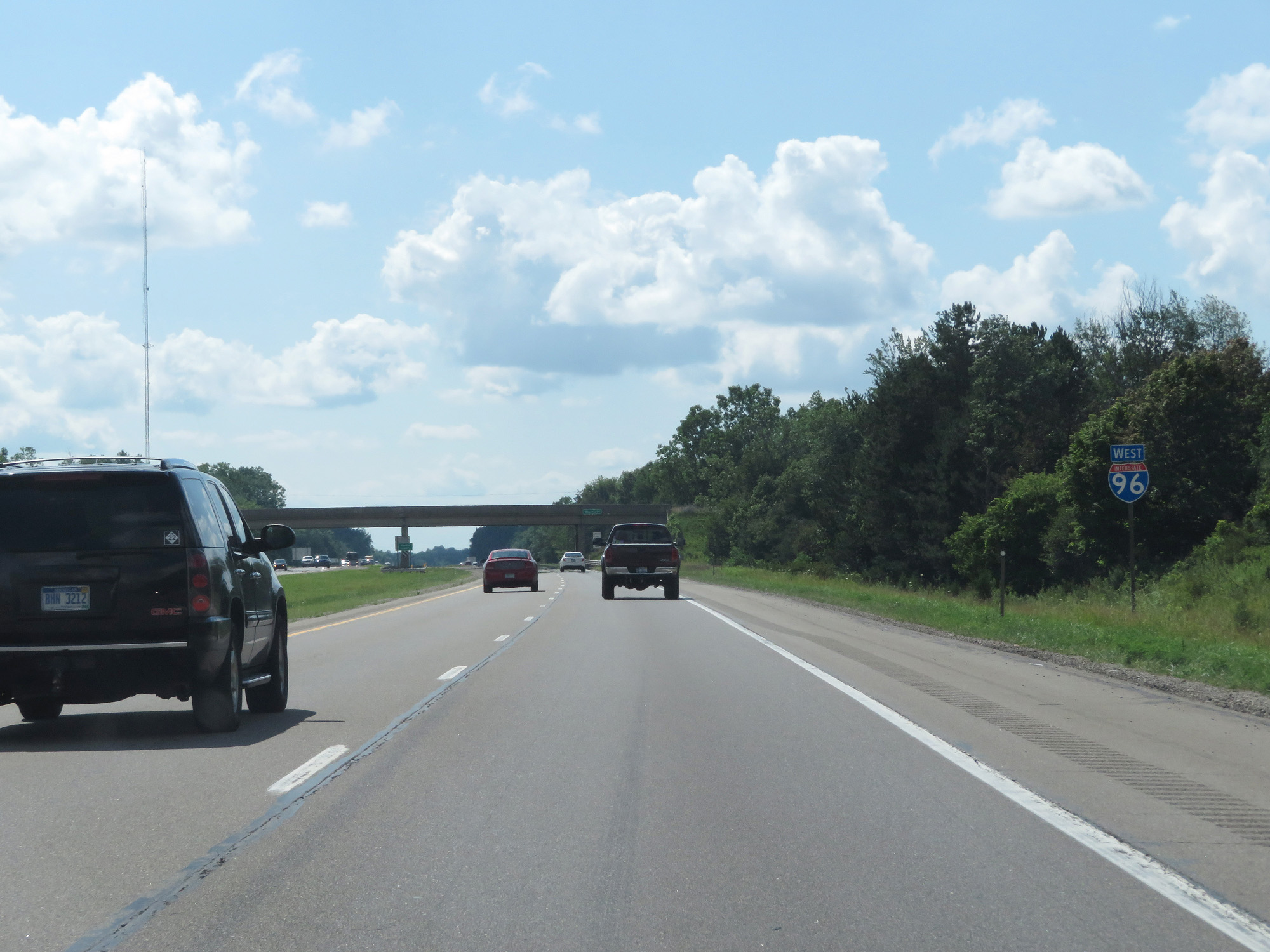
Interstate 96 West reassurance shield. (Photo taken 7/16/17). |
 |
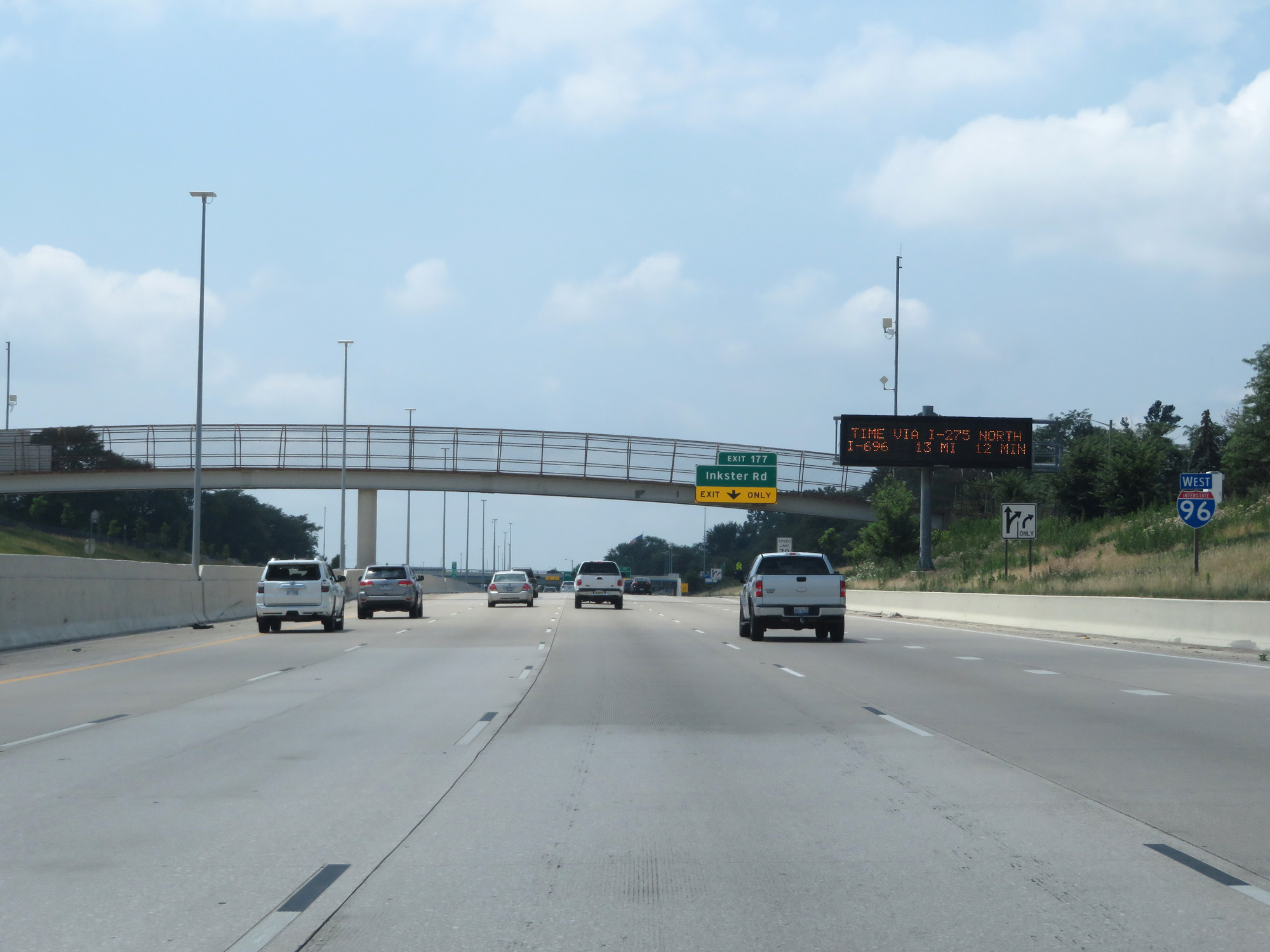
Interstate 96 West at Exit 177: Inkster Rd (Photo taken 7/16/17). |
 |
Interstate 96 West entering the Livonia city limits. (Photo taken 7/16/17). |
 |
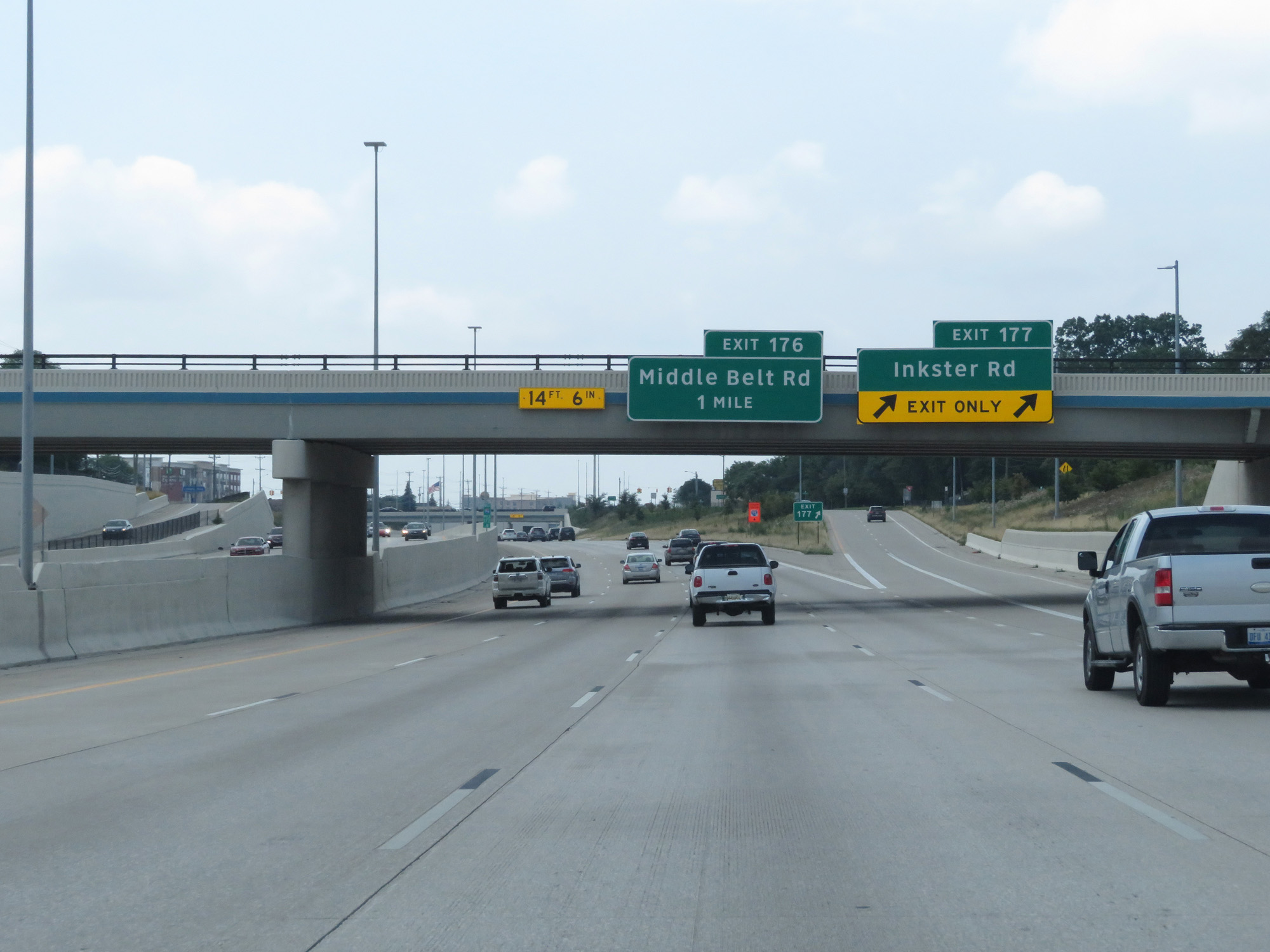
Interstate 96 West at Exit 177: Middle Belt Rd (Photo taken 7/16/17). |
 |
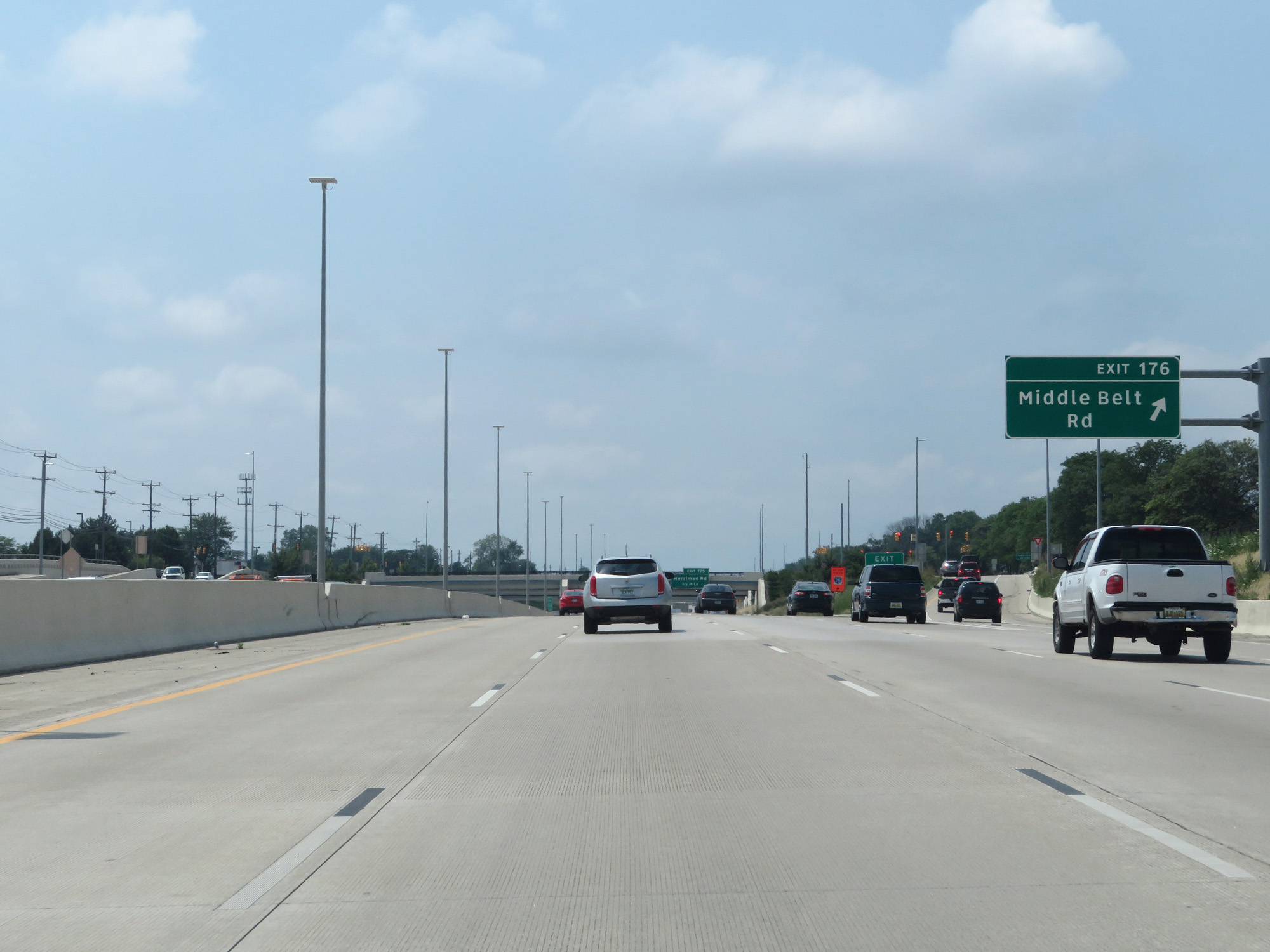
Interstate 96 West at Exit 176: Merriman Rd (Photo taken 7/16/17). |
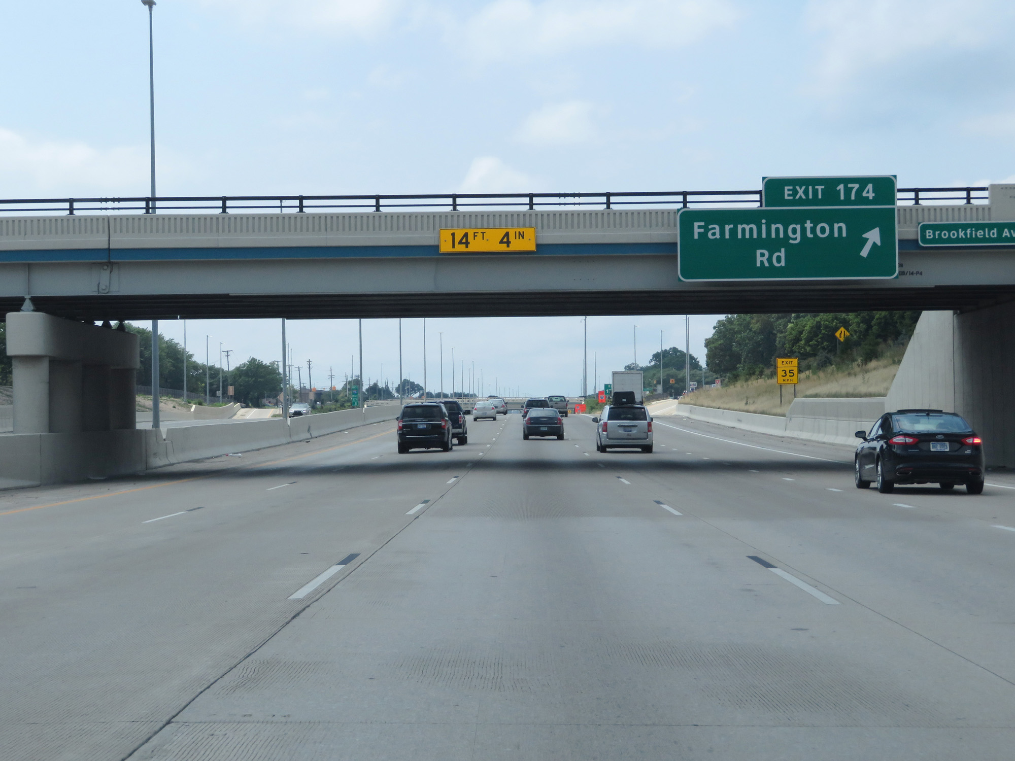 |
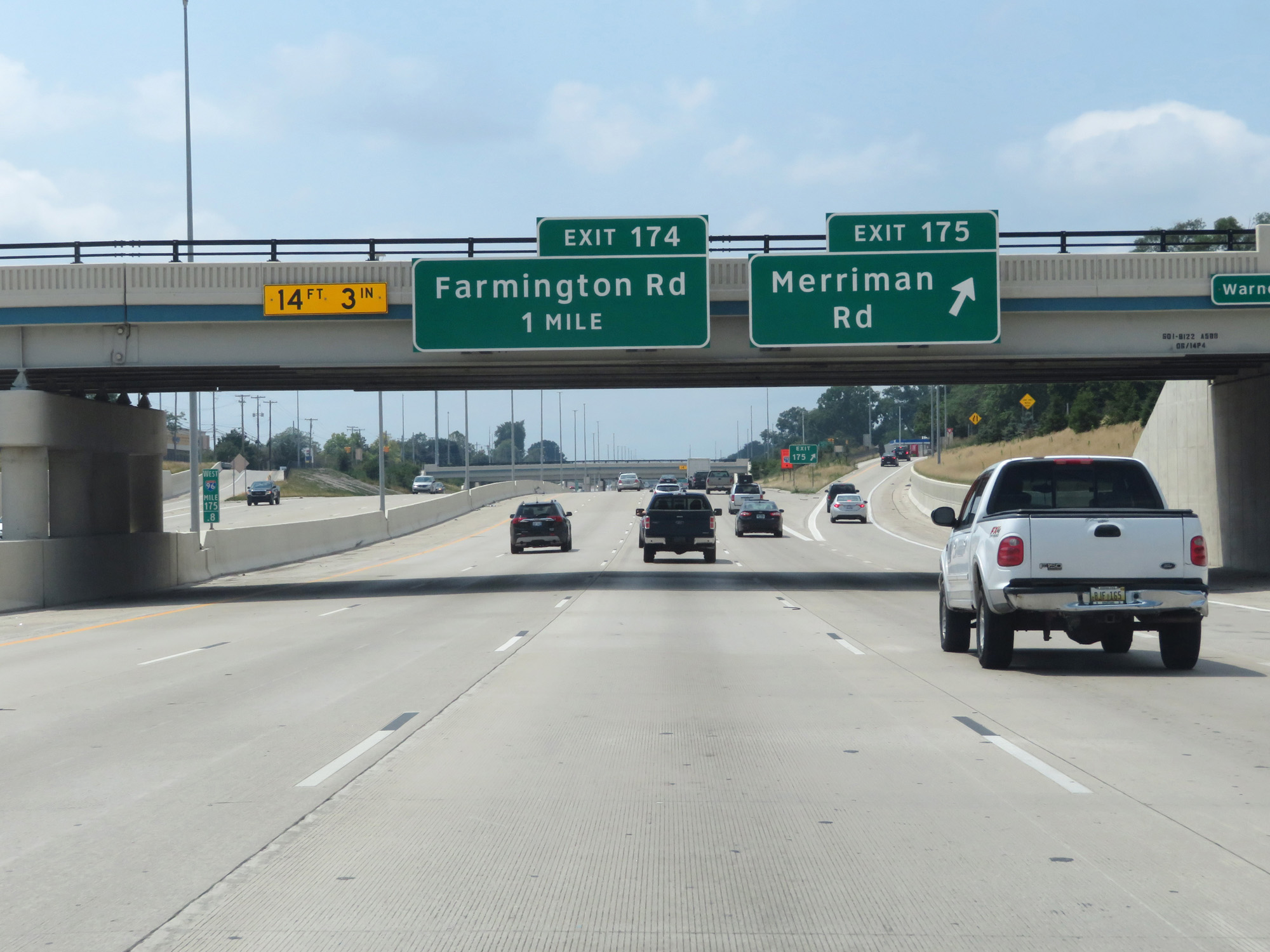
Interstate 96 West at Exit 174: Farmington Rd (Photo taken 7/16/17). |
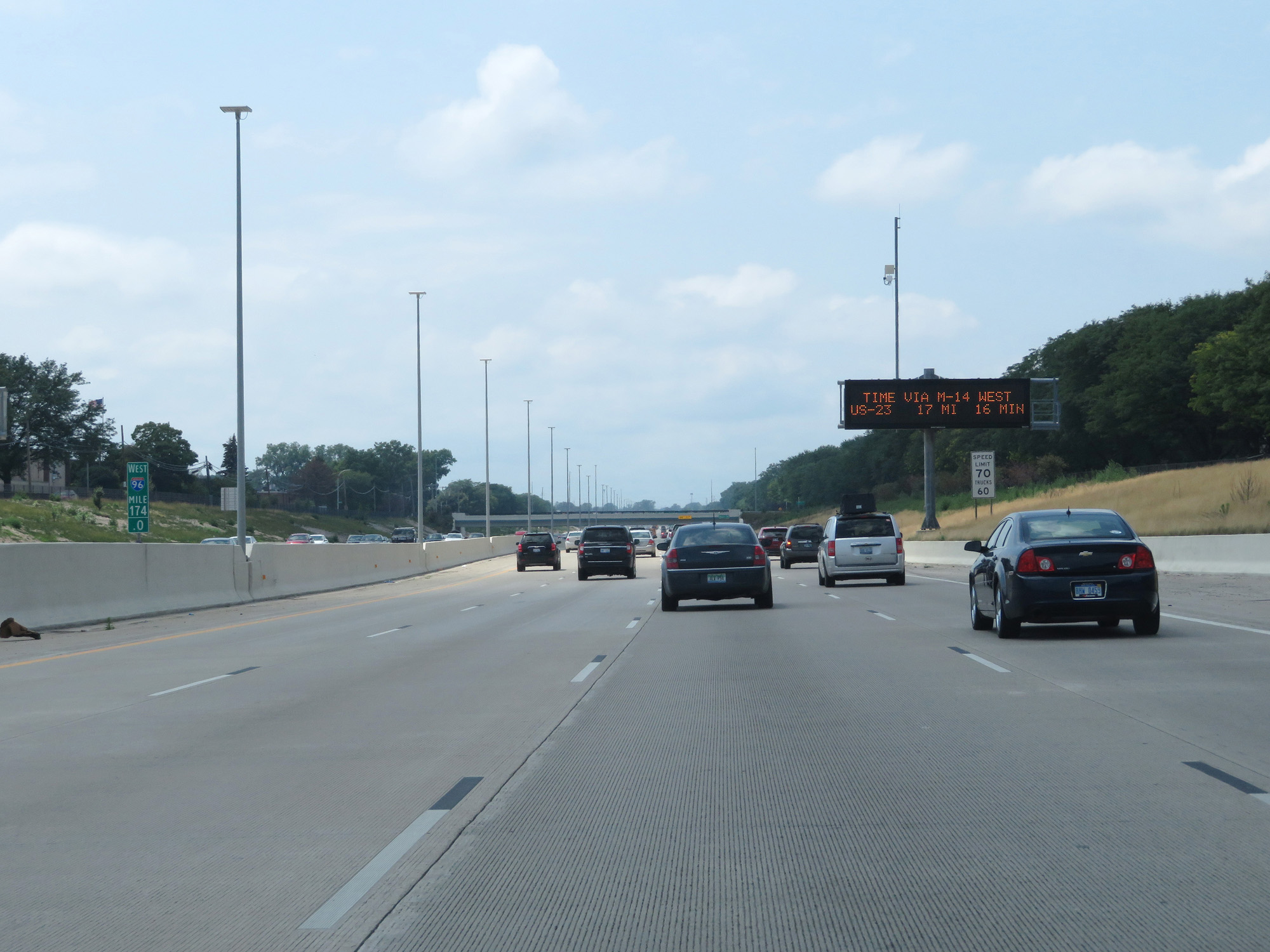 |
Interstate 96 West at mile marker 174. (Photo taken 7/16/17). |
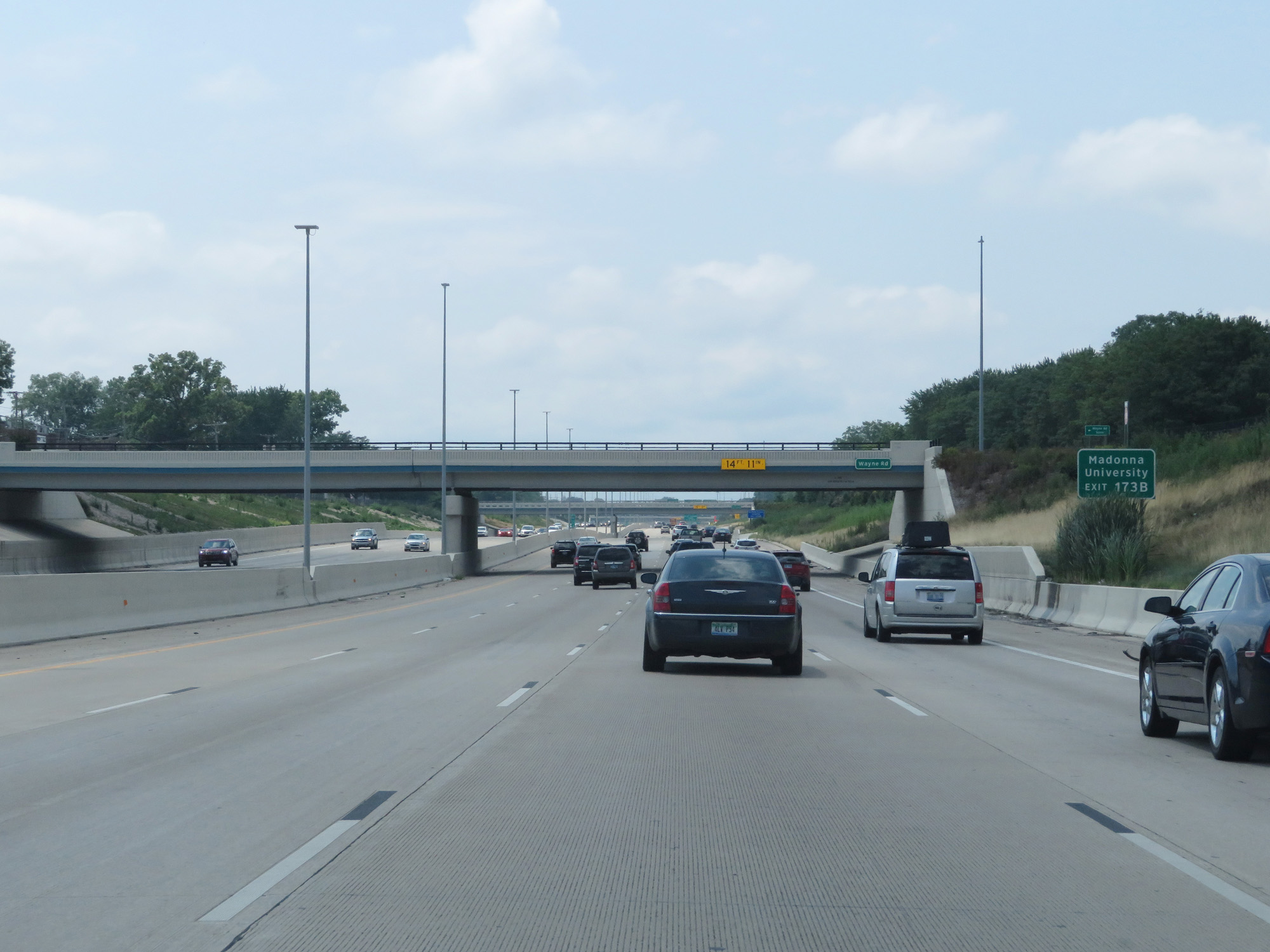 |
Take Exit 173B to Madonna University. (Photo taken 7/16/17). |
 |
Interstate 96 West at Exit 173B: Levan Rd (Photo taken 7/16/17). |
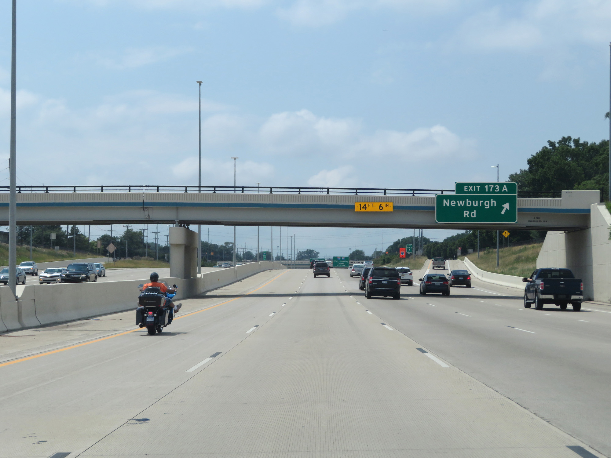 |
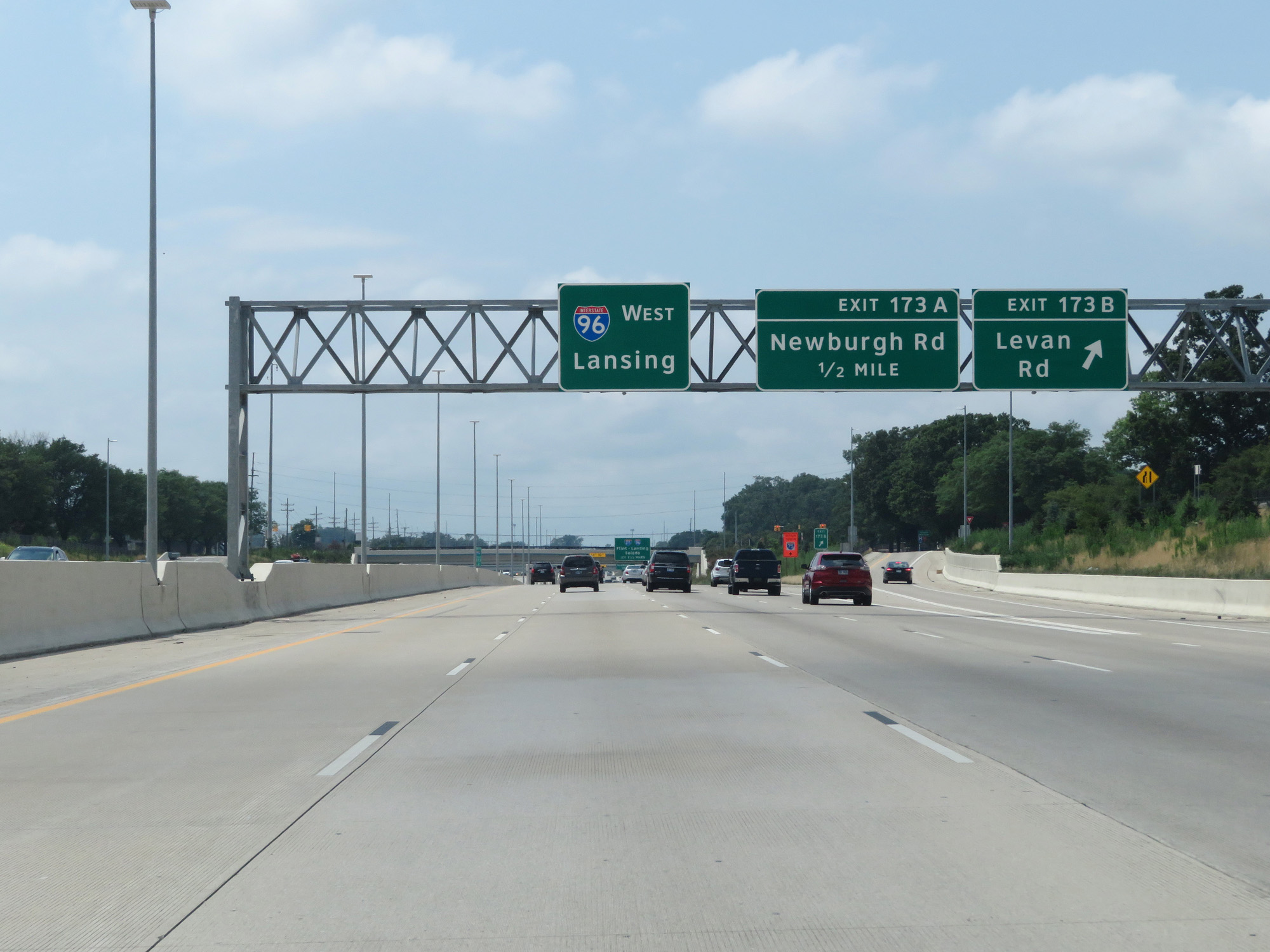
Interstate 96 West at Exit 173A: Newburgh Rd (Photo taken 7/16/17). |
 |
Interstate 96 West approaching the junction of Interstate 275 and M-14 - 1 mile. (Photo taken 7/16/17). |
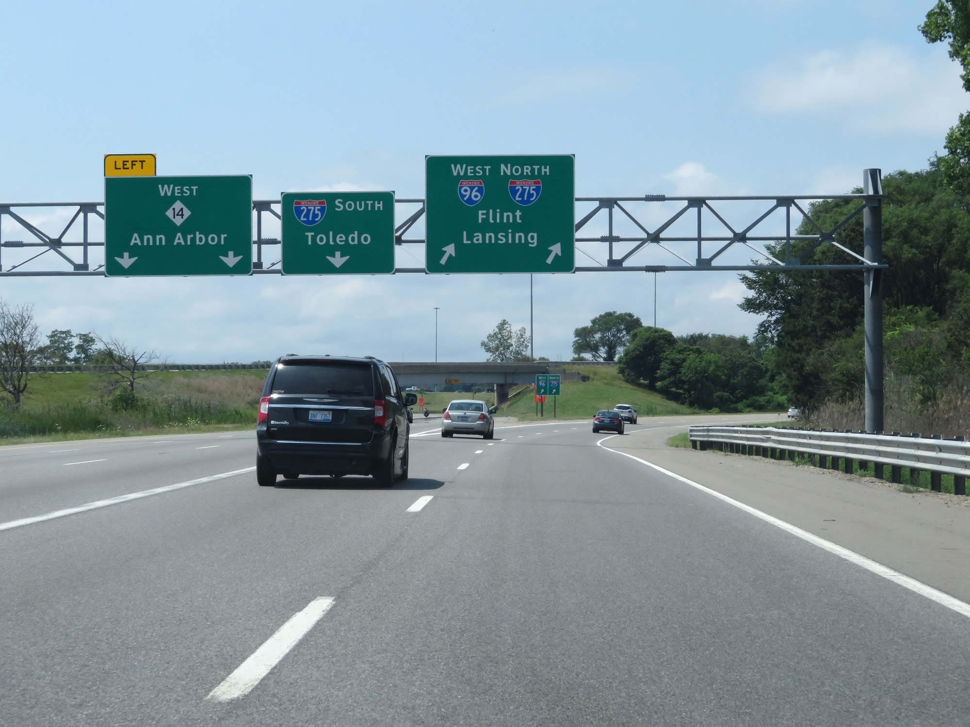 |
Interstate 96 West at the junction of M-14 - Ann Arbor; Interstate 275 South - Toledo; Interstate 275 North - Flint / Lansing. Interstate 96 West and Interstate 275 North will run concurrently to the northern terminus of I-275. (Photo taken 7/16/17). |
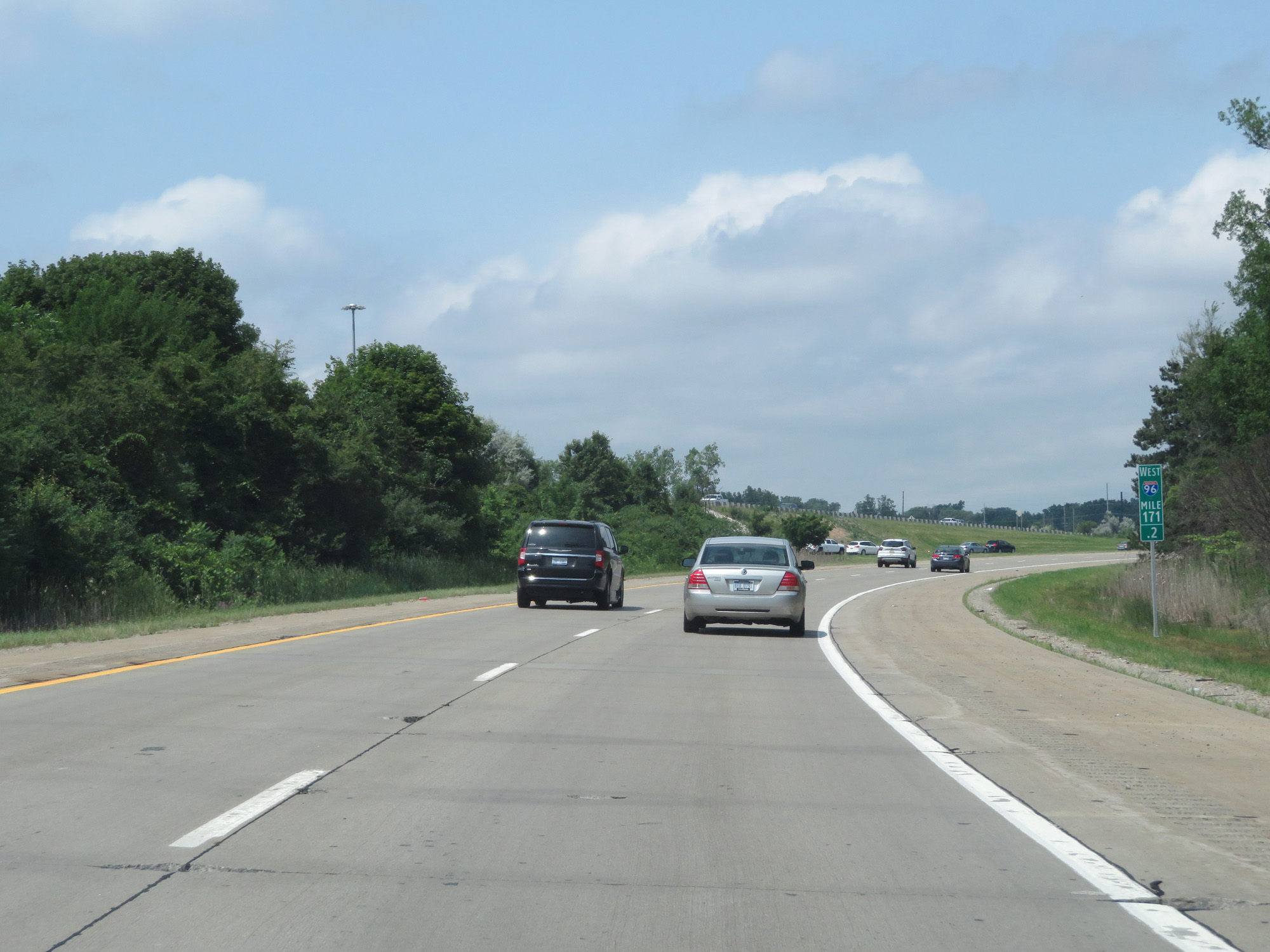 |
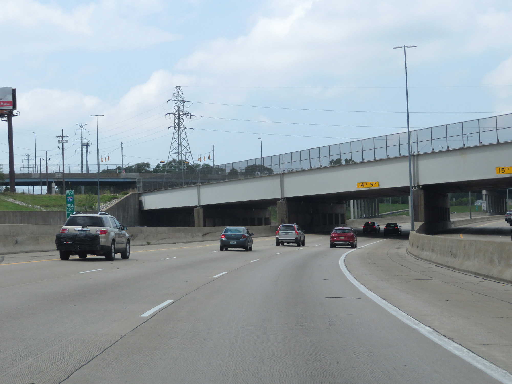
Interstate 96 West at mile marker 171.2. (Photo taken 7/16/17). |
 |
Interstate 96 West / Interstate 275 North reassurance shields as the concurrency officially begins. (Photo taken 7/16/17). |
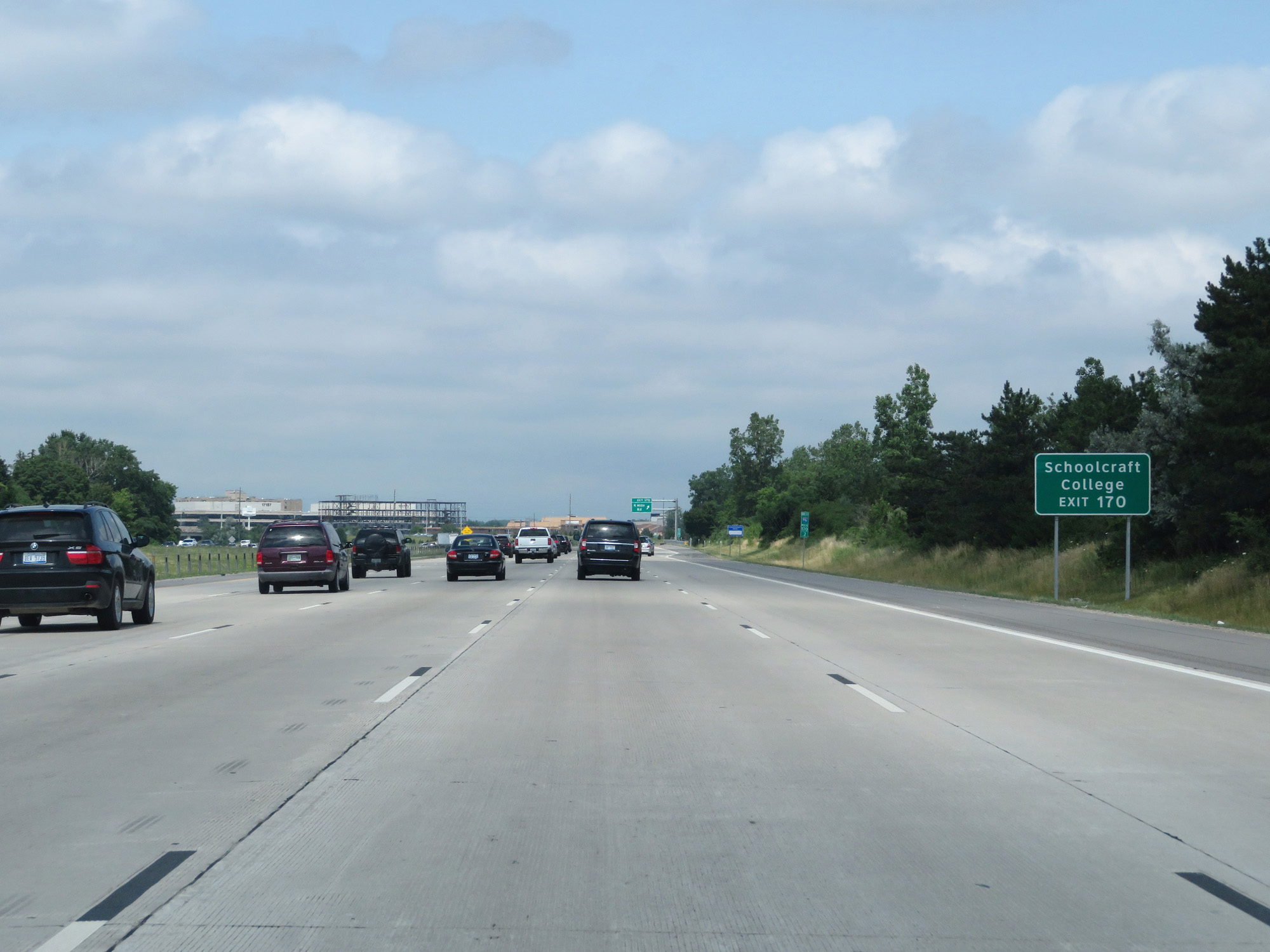 |
Take Exit 170 to Schoolcraft College. (Photo taken 7/16/17). |
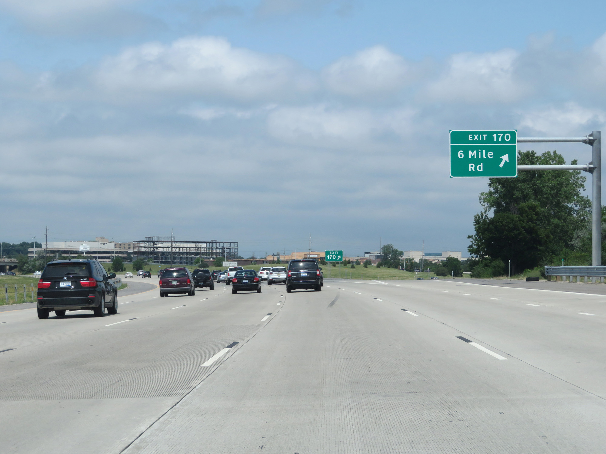 |
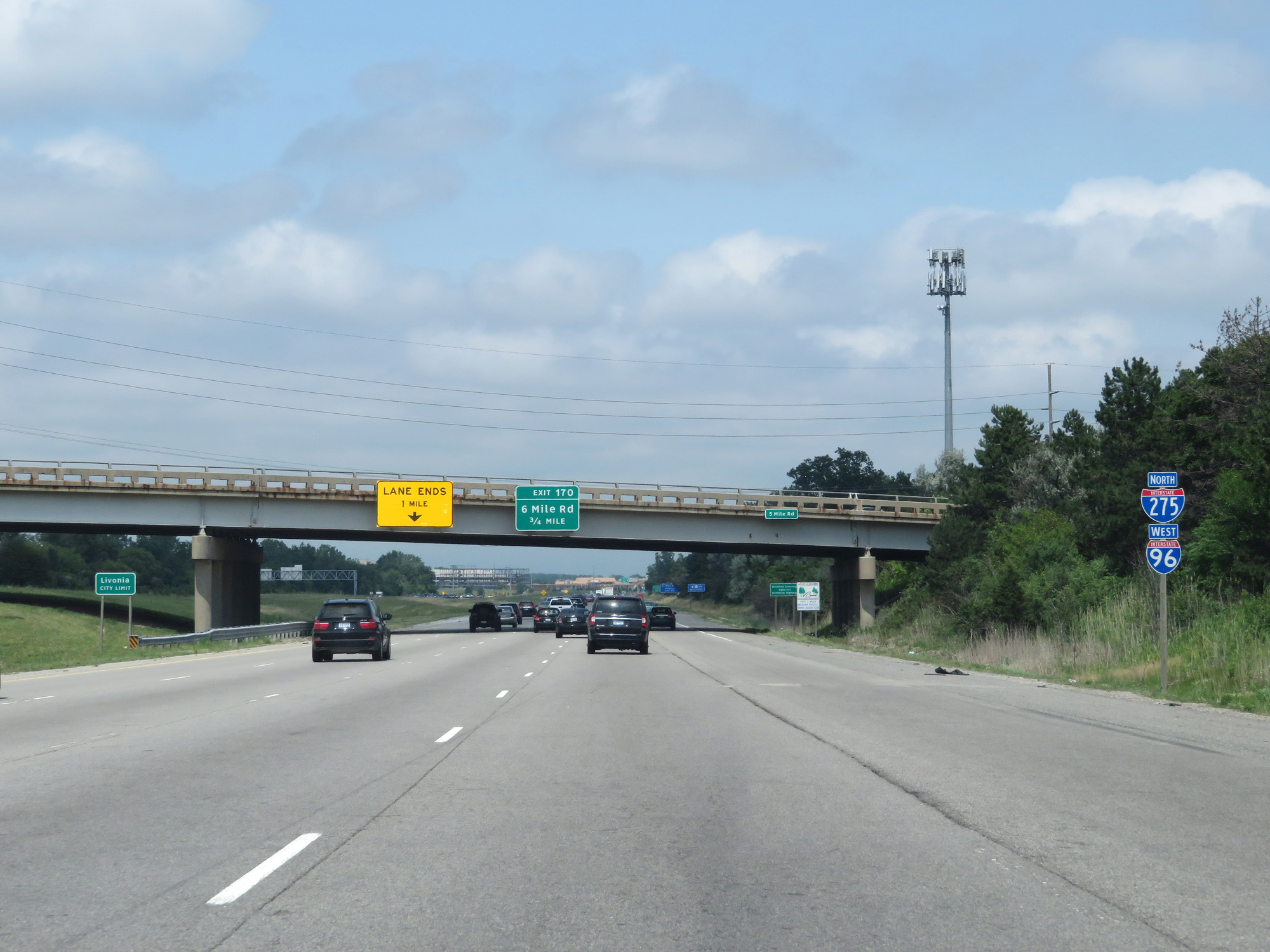
Interstate 96 West / Interstate 275 North at Exit 170: 6 Mile Rd (Photo taken 7/16/17). |
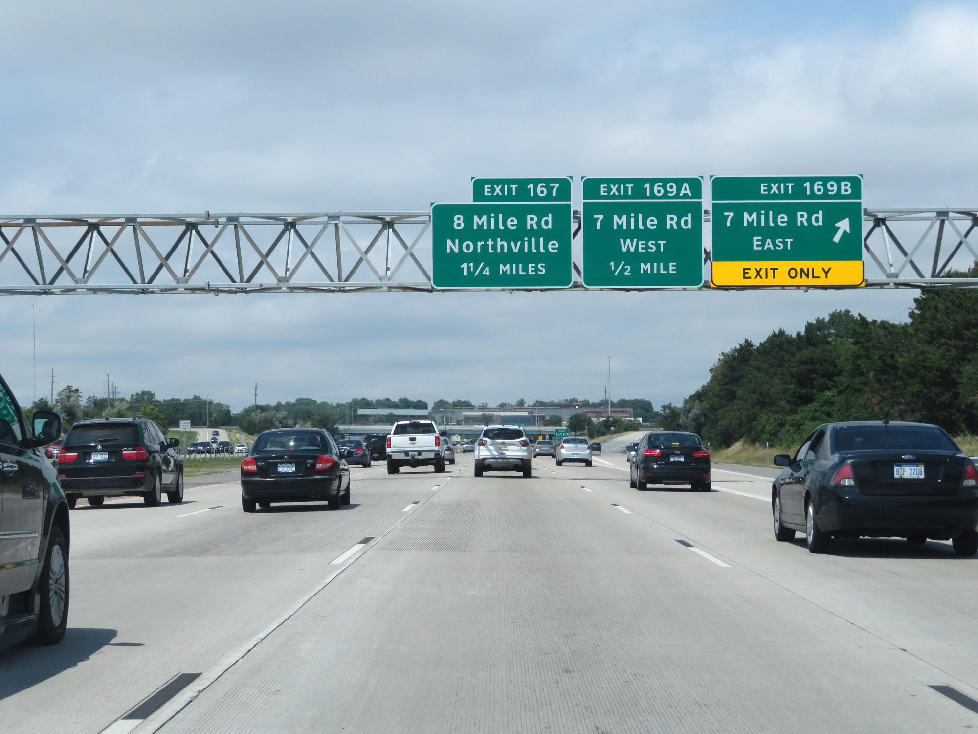 |
Interstate 96 West / Interstate 275 North at Exit 169B: 7 Mile Rd East (Photo taken 7/16/17). |
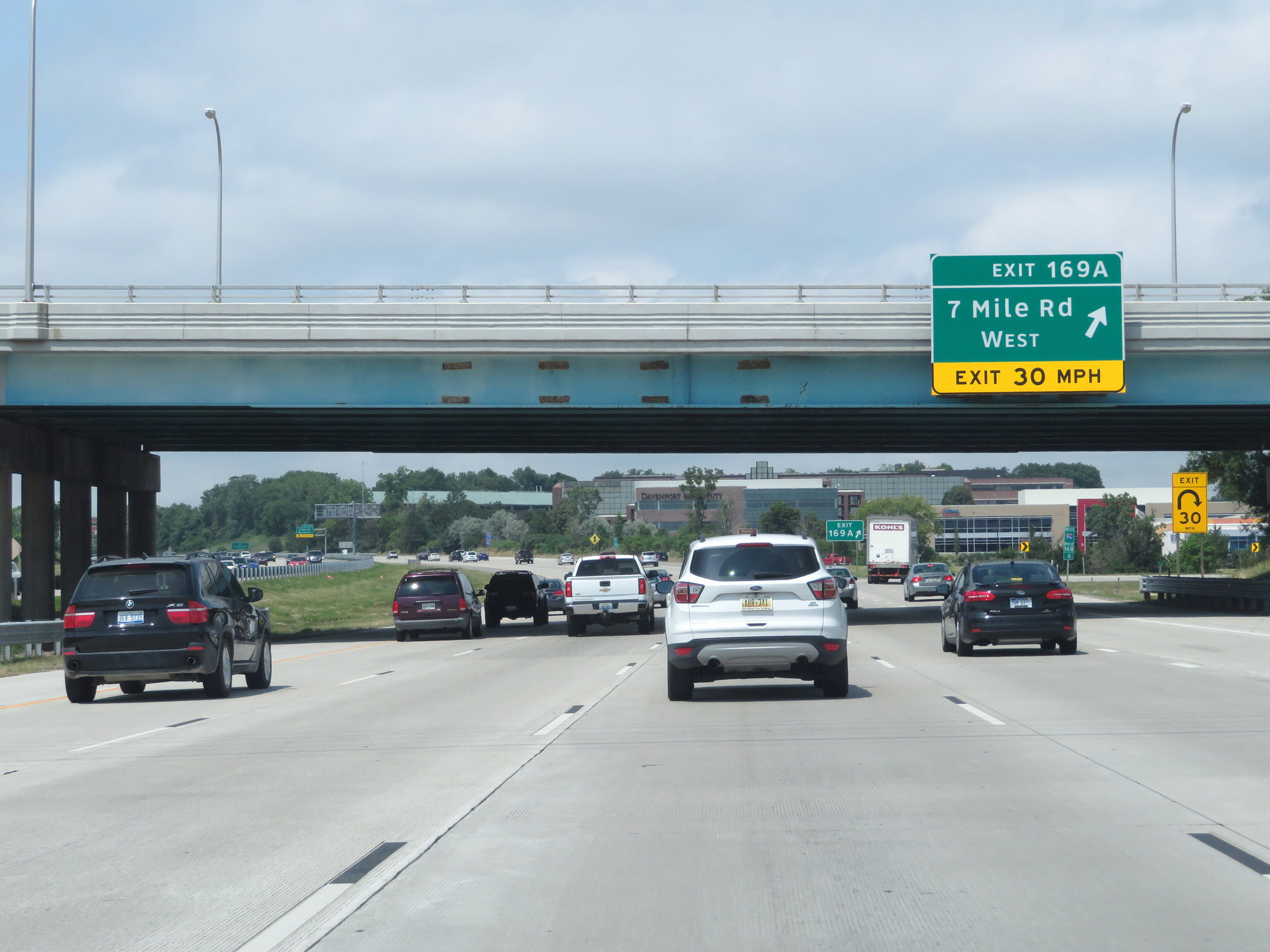 |
Interstate 96 West / Interstate 275 North at Exit 169A: 7 Mile Rd West (Photo taken 7/16/17). |
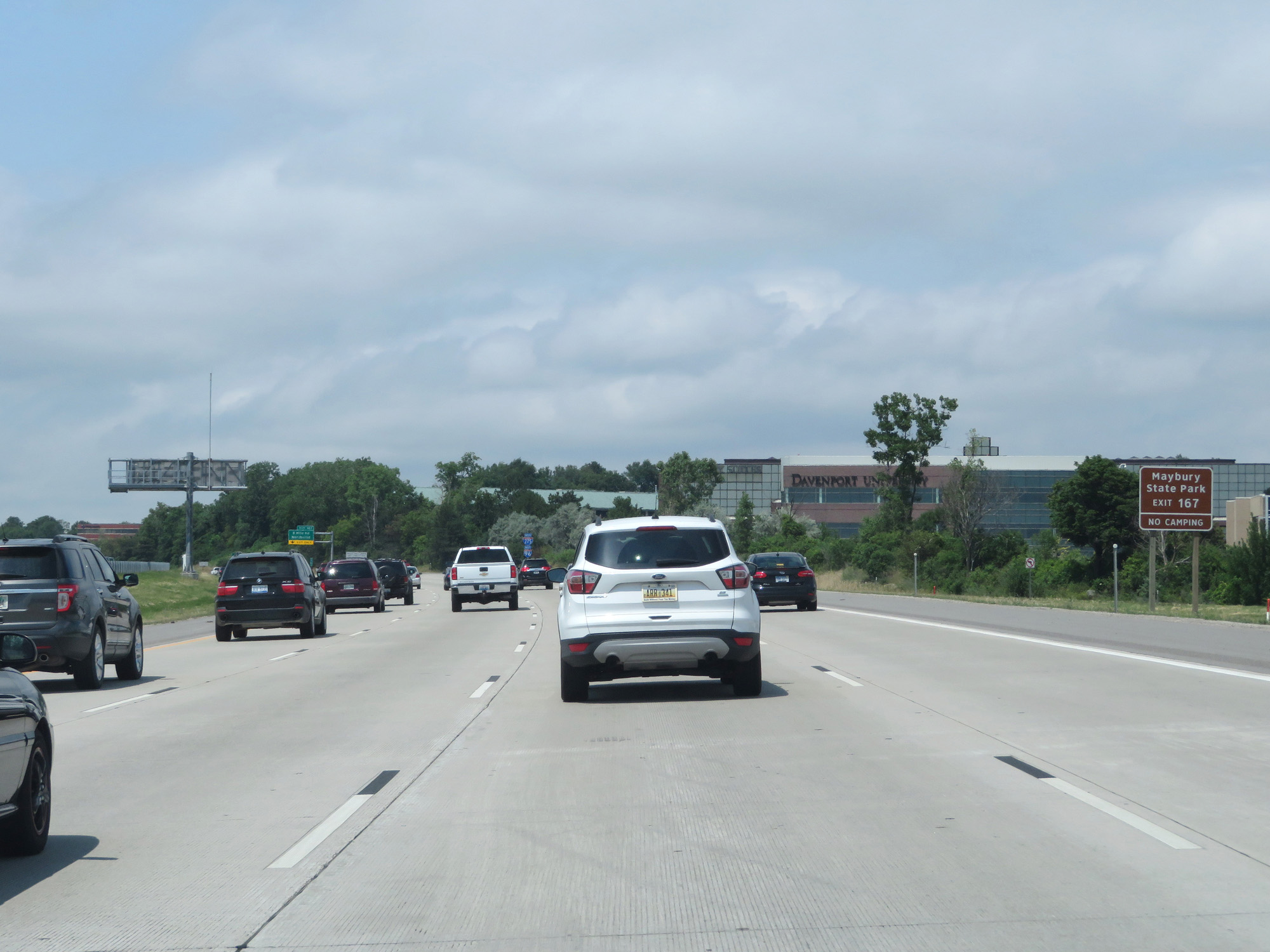 |
Take Exit 167 to Maybury State Park. (Photo taken 7/16/17). |
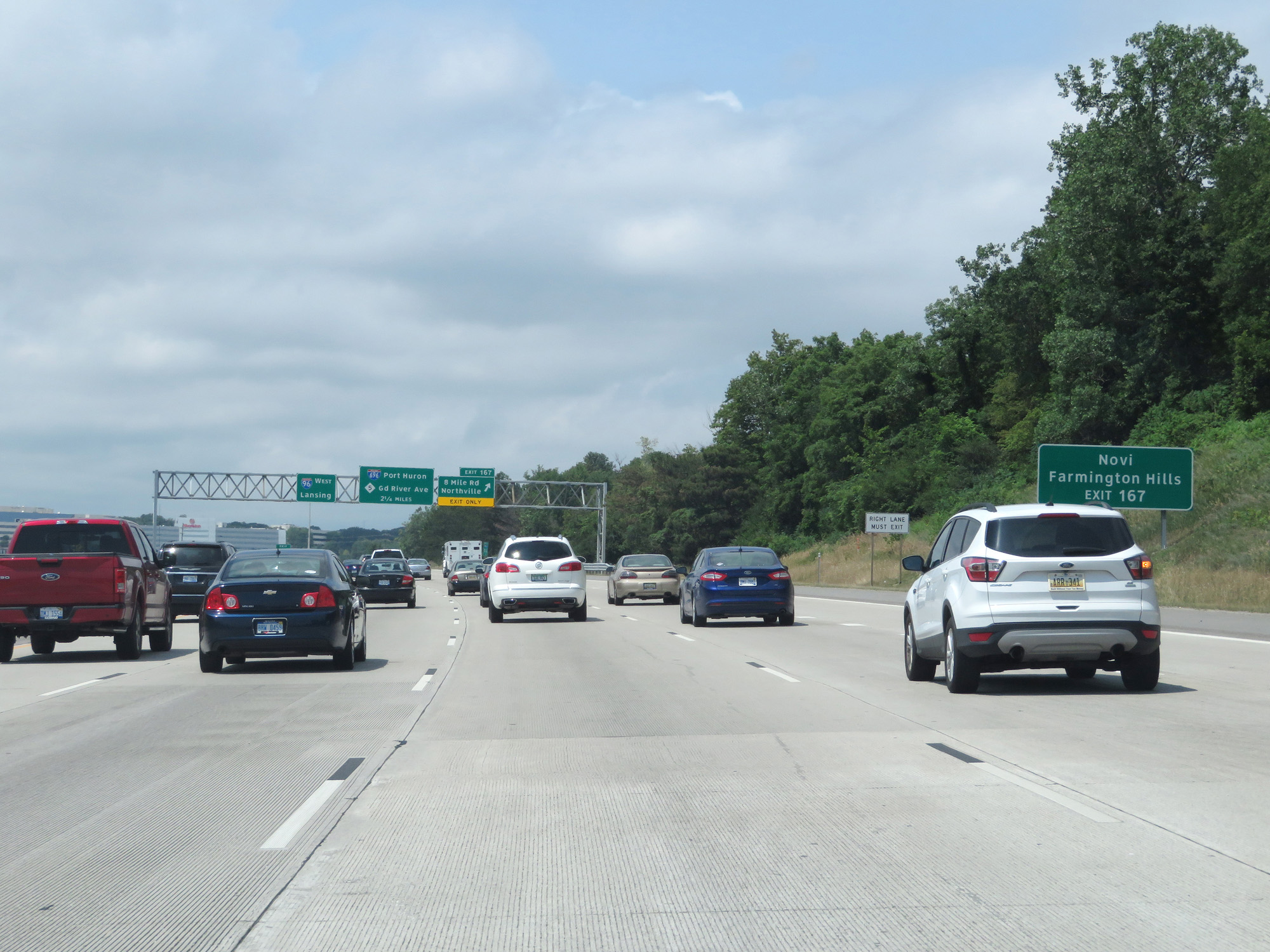 |
Also take Exit 167 to Novi and Farmington Hills. (Photo taken 7/16/17). |
 |
Interstate 96 West / Interstate 275 North at Exit 167: 8 Mile Rd / Northville (Photo taken 7/16/17). |
 |
Interstate 96 West / Interstate 275 North entering Oakland County. (Photo taken 7/16/17). |
 |
Interstate 96 West / Interstate 275 North reassurance shields. If you haven't noticed, the mileage and exit numbers during the I-96/I-275 concurrency are based on those of Interstate 96. (Photo taken 7/16/17). |
 |
Interstate 96 West / Interstate 275 North approaching the junction of Interstate 696 and M-5 - 1 mile. (Photo taken 7/16/17). |
 |
Traffic headed to Flint should follow Interstate 96 West. (Photo taken 7/16/17). |
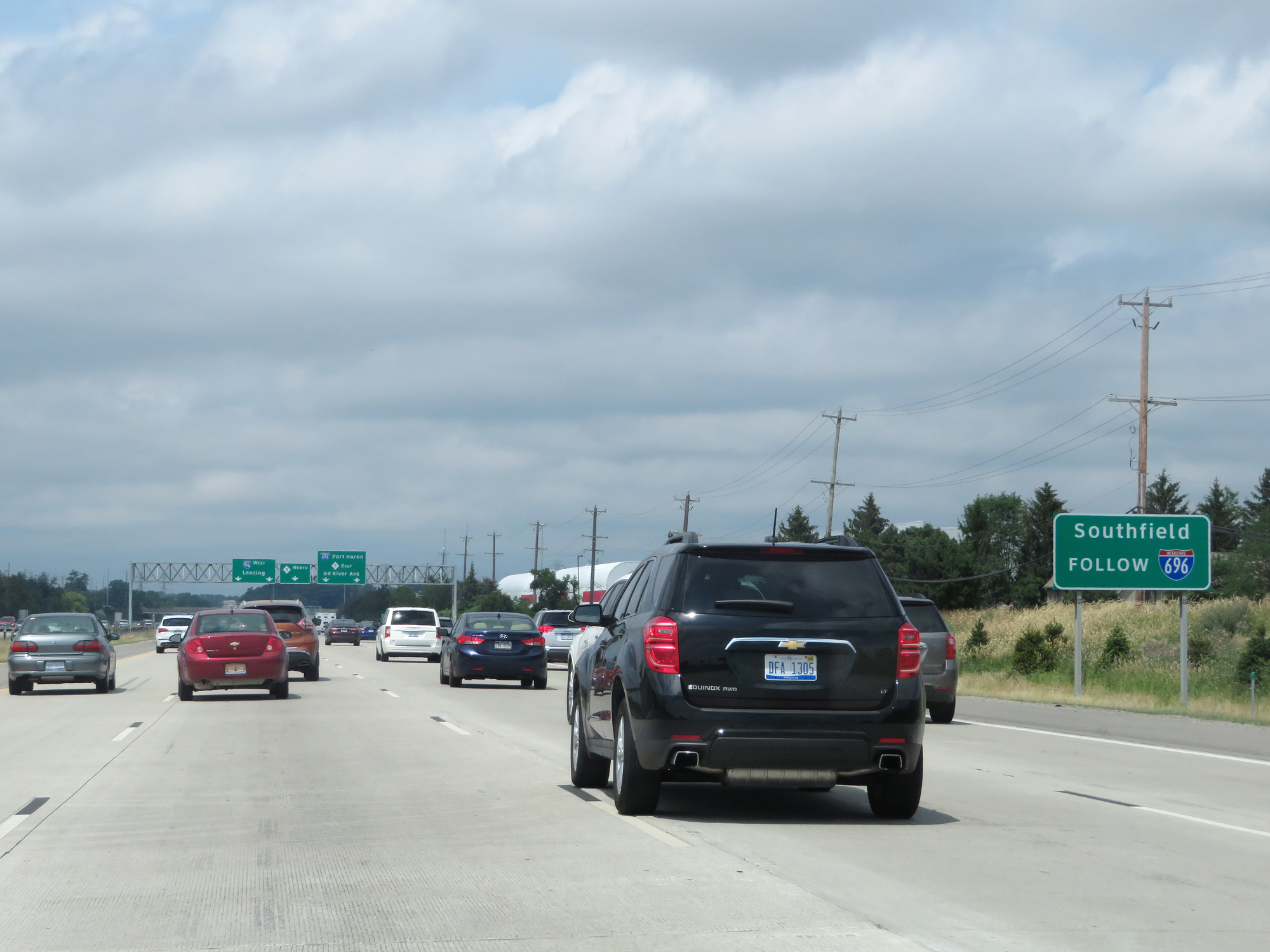 |
Traffic headed to Southfield should follow Interstate 696 East. (Photo taken 7/16/17). |
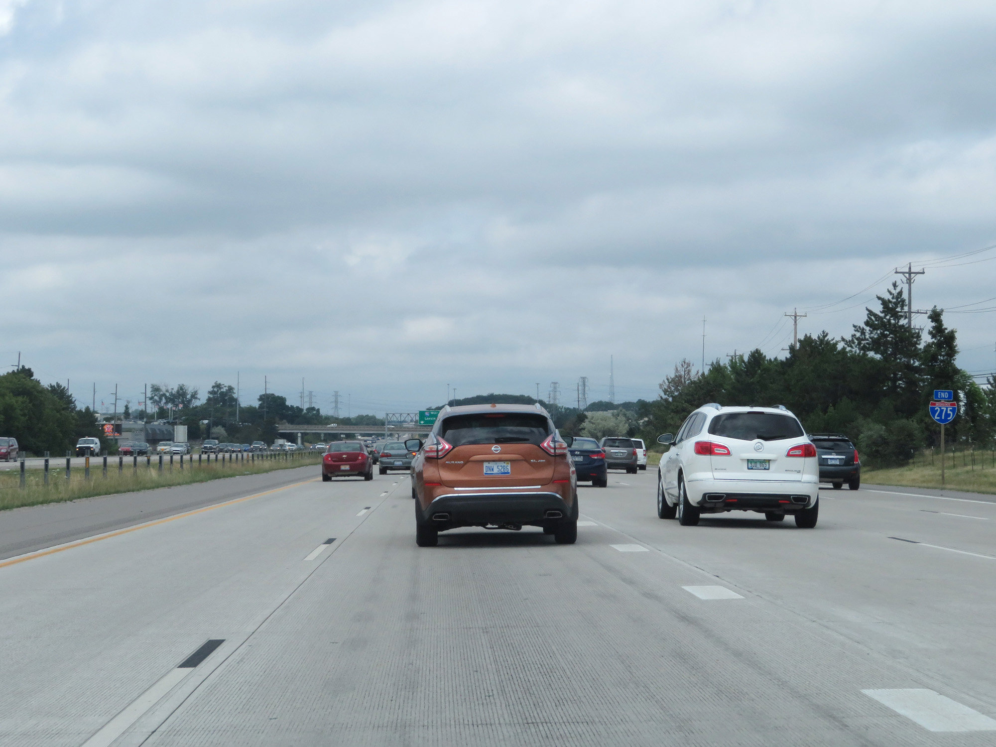 |
Interstate 275 North END shield, posted just a bit prematurely. Better early than never though. (Photo taken 7/16/17). |
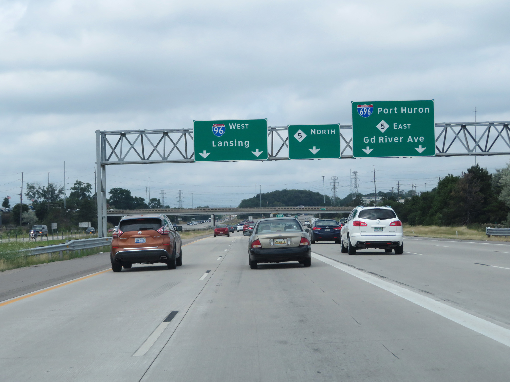 |
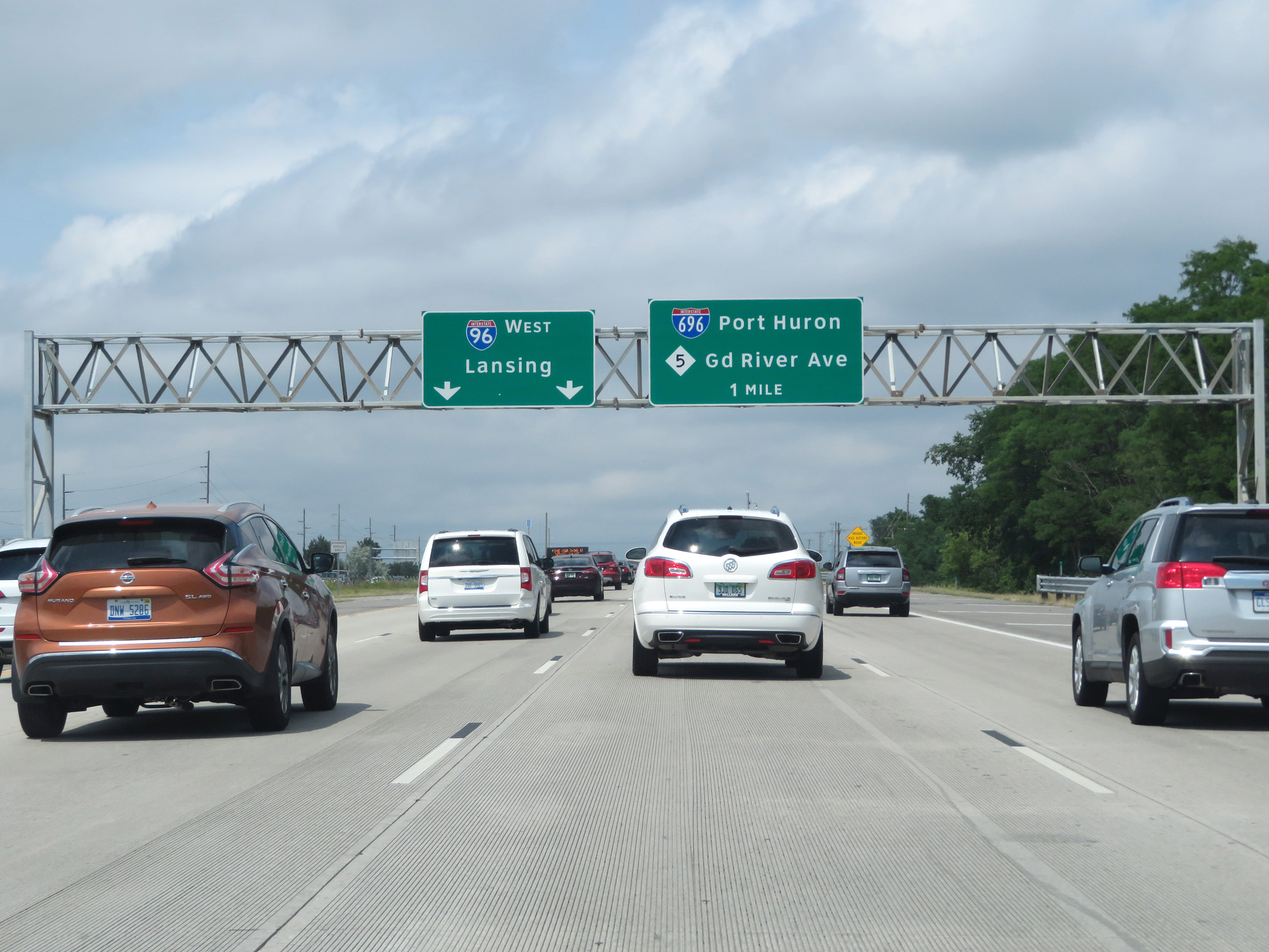
Interstate 96 West / Interstate 275 North at the junction of Interstate 696 / M-5 East - Port Huron / Grand River Ave; M-5 North (Photo taken 7/16/17). |
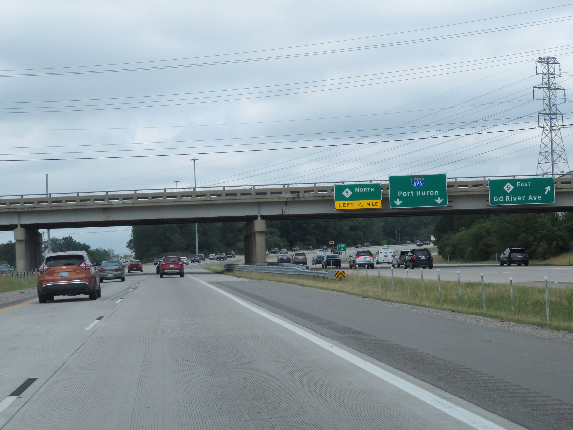 |
A closer view of the ramp to M-5 East. (Photo taken 7/16/17). |
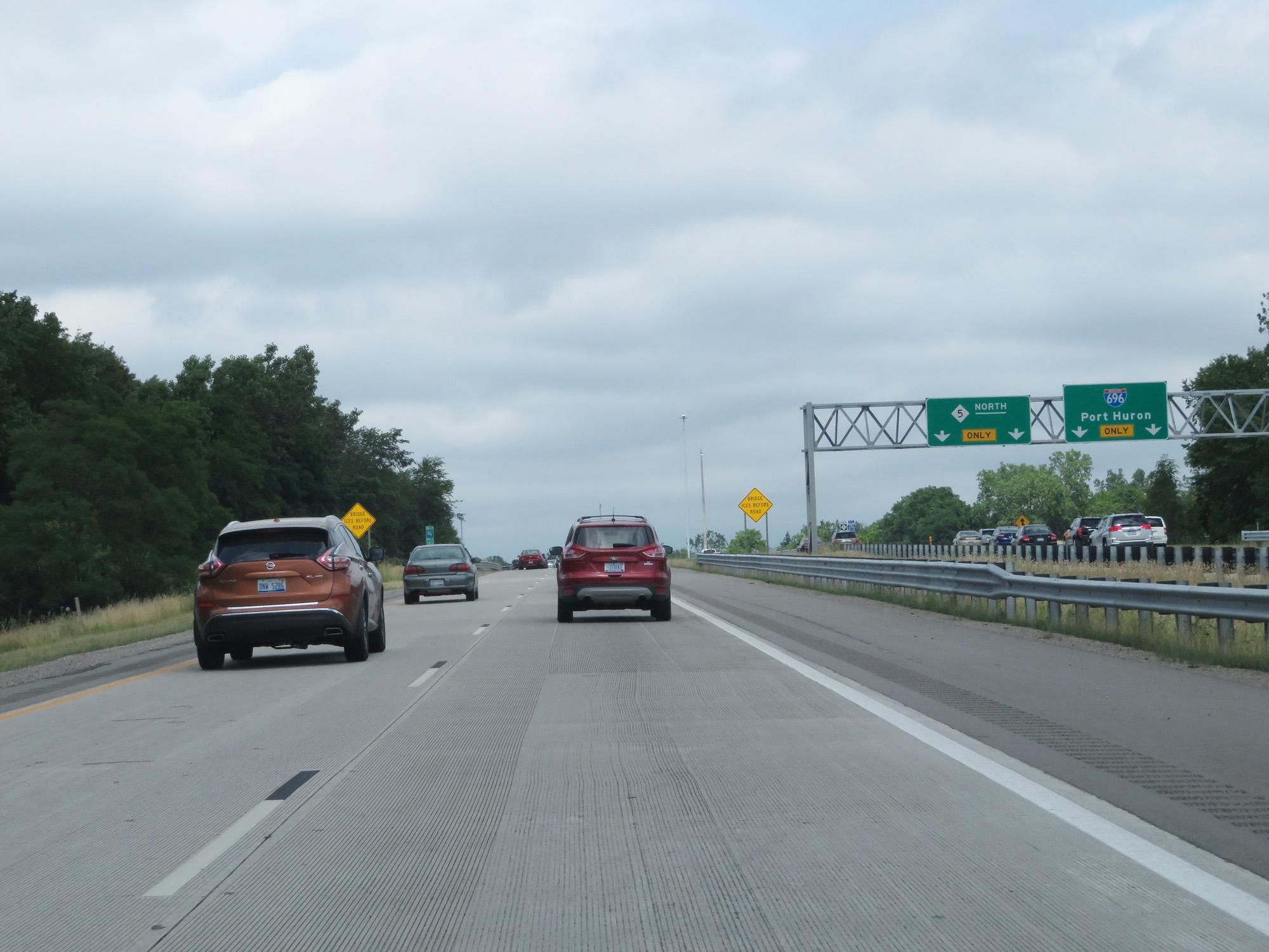 |
A closer view of the ramp to Interstate 696 East toward Port Huron and M-5 North. (Photo taken 7/16/17). |
 |
View on Interstate 96 West / Interstate 275 North. (Photo taken 7/16/17). |
 |
This sign on Interstate 96 West / Interstate 275 North warns drivers to not cross the median. I think it would be pretty difficult to do that since the median is heavily fortified. (Photo taken 7/16/17). |
 |
Interstate 96 West / Interstate 275 North as I-275 North ends at the same point Interstate 696 West ends, as noted by the END shield seen on the left. (Photo taken 7/16/17). |
 |
Interstate 96 West at Exit 162: Novi / Walled Lake (Photo taken 7/16/17). |
Section 2: Novi (Exit 162) to Lansing (Exit 106A)
 |
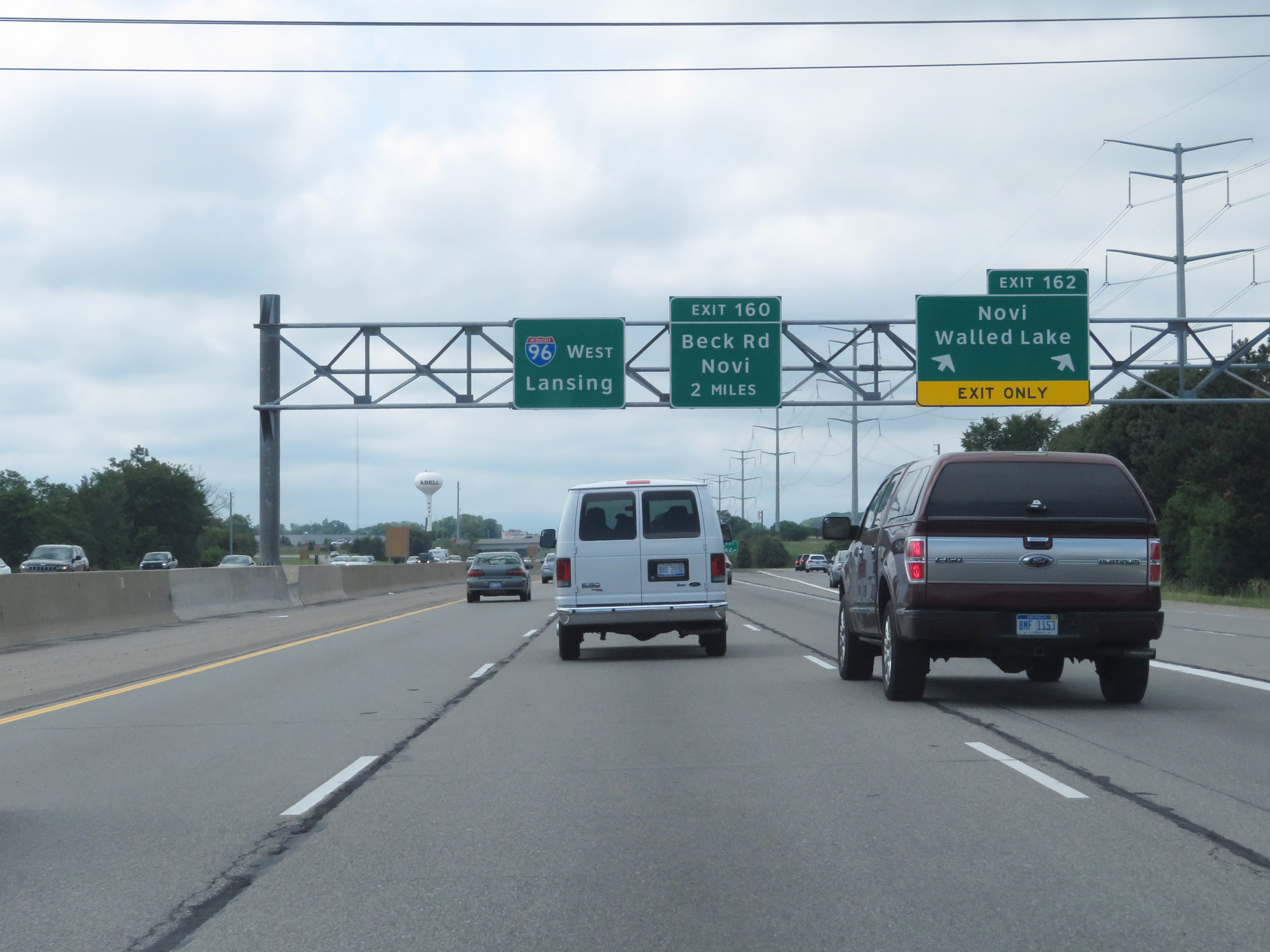
Take Exit 160 to Maybury State Park. (Photo taken 7/16/17). |
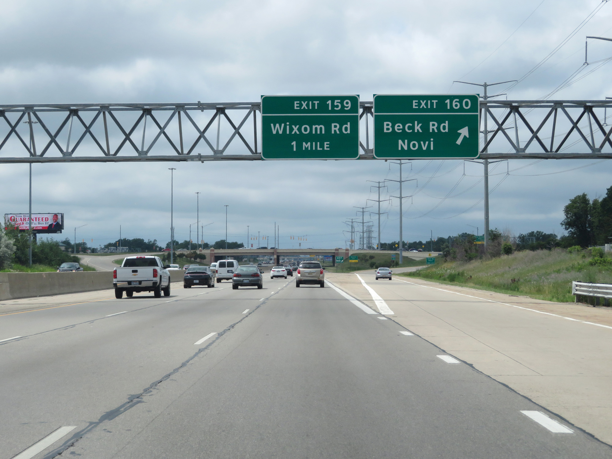 |
Interstate 96 West at Exit 160: Beck Rd / Novi (Photo taken 7/16/17). |
 |
Interstate 96 West reassurance shield. (Photo taken 7/16/17). |
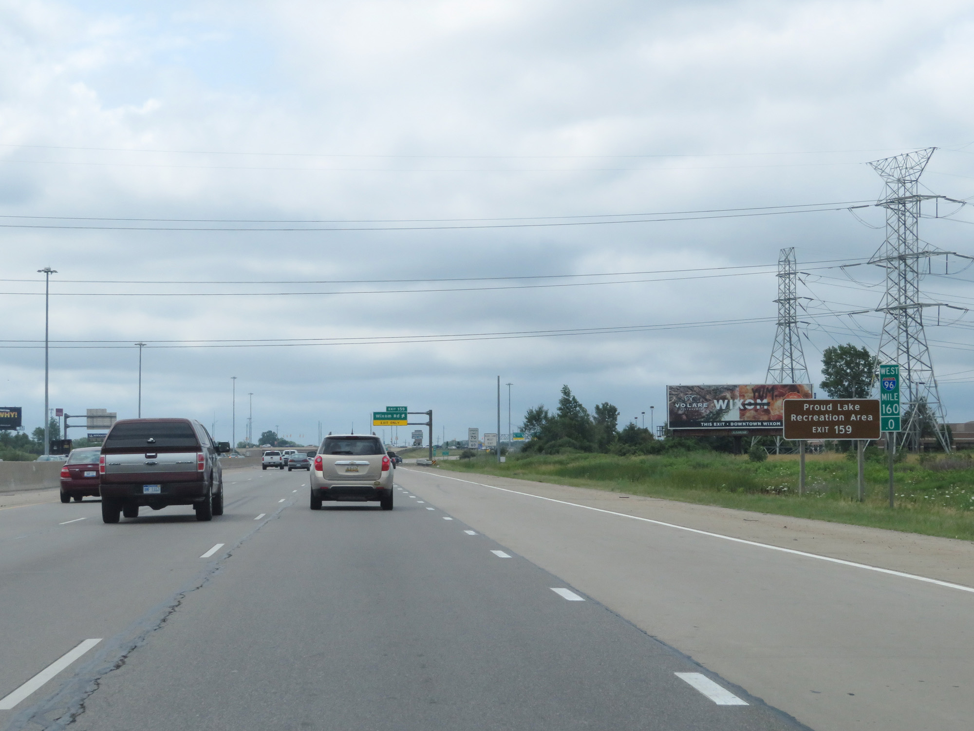 |
Take Exit 159 to Proud Lake Recreation Area. (Photo taken 7/16/17). |
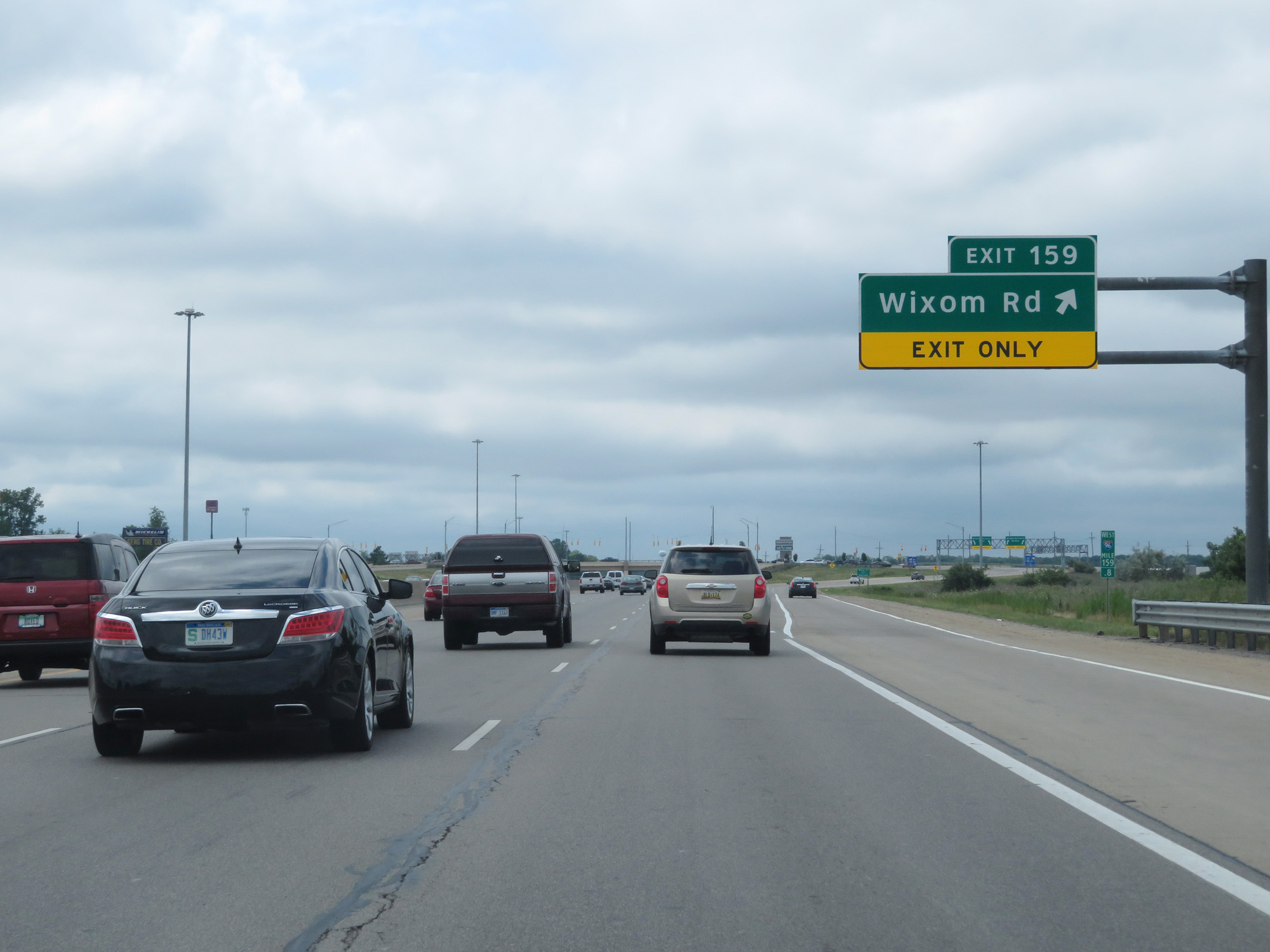 |
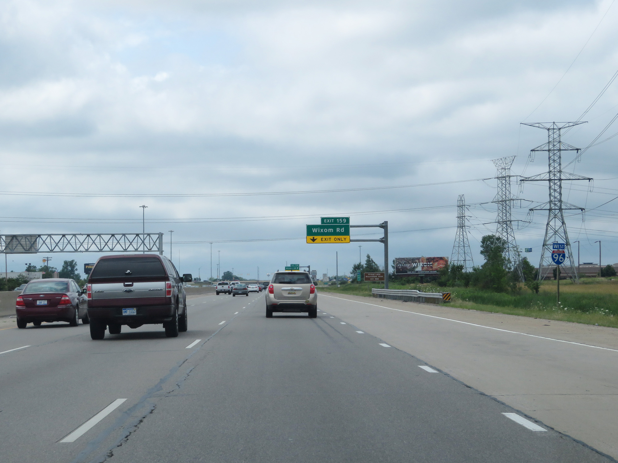
Interstate 96 West at Exit 159: Wixom Rd (Photo taken 7/16/17). |
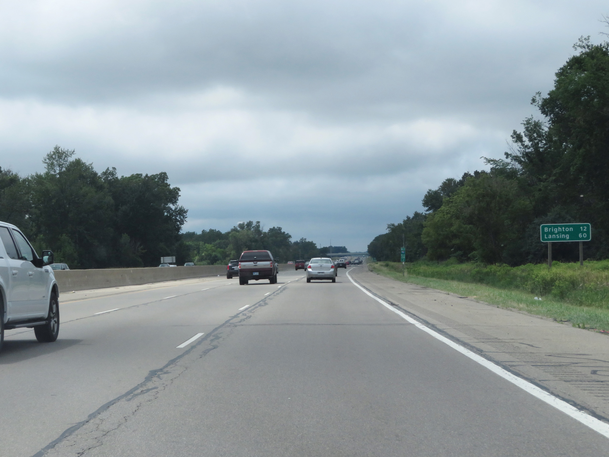 |
Mileage sign on Interstate 96 West. It's 12 miles to Brighton and 60 miles to Lansing. (Photo taken 7/16/17). |
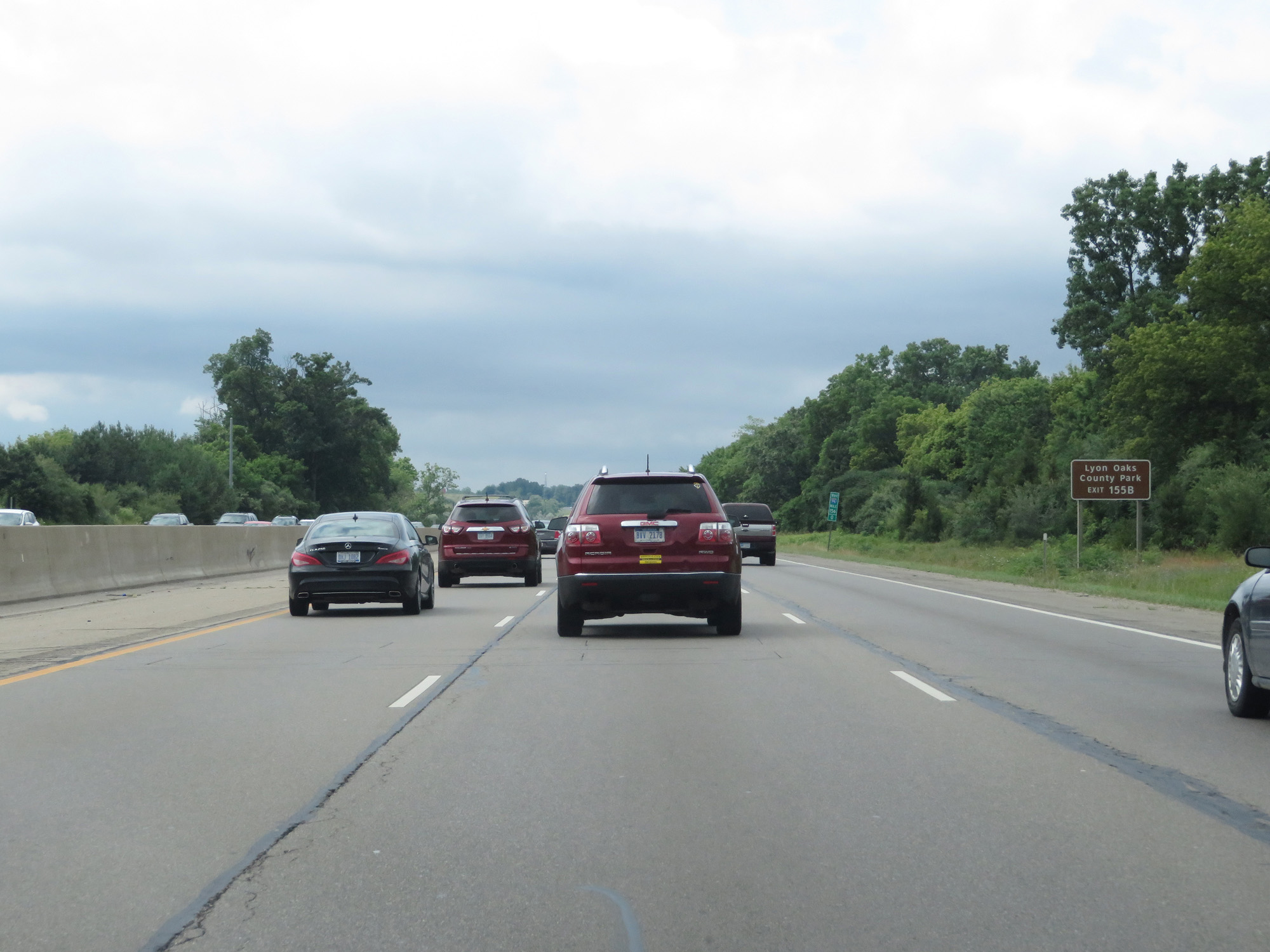 |
Take Exit 155B to Lyon Oaks County Park. (Photo taken 7/16/17). |
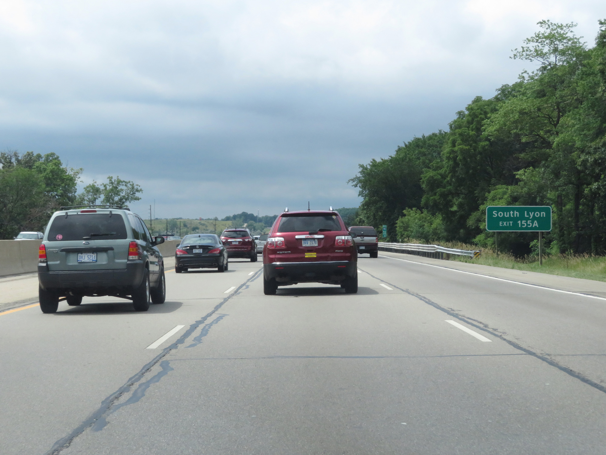 |
Take Exit 155A to South Lyon. (Photo taken 7/16/17). |
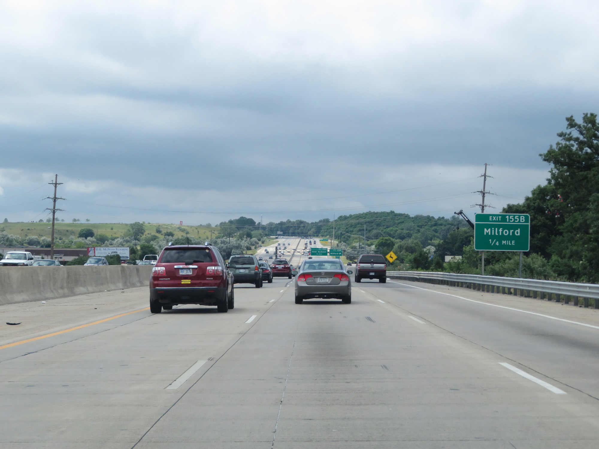 |
Interstate 96 West approaching Exit 155B - 1/4 mile. (Photo taken 7/16/17). |
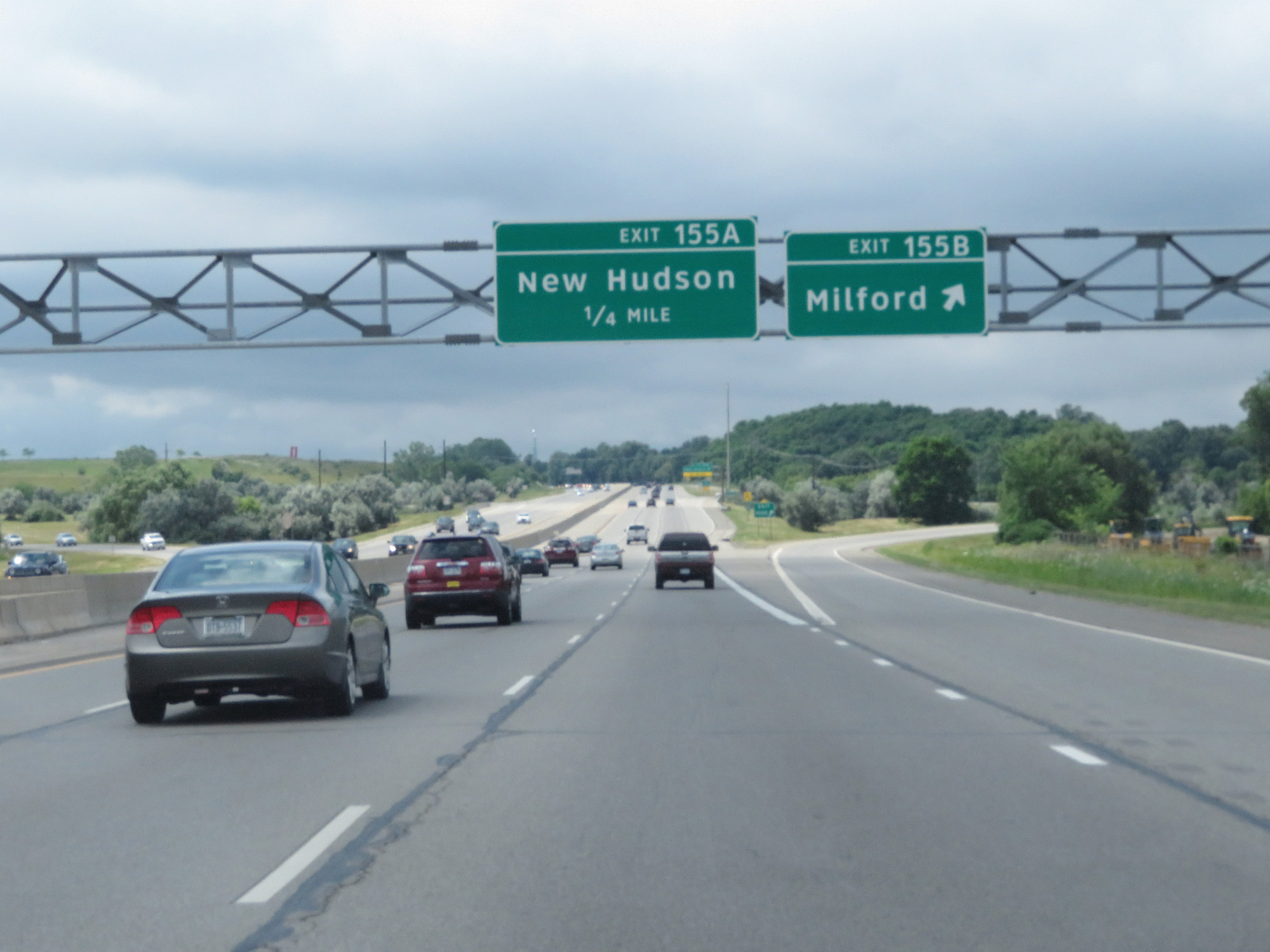 |
Interstate 96 West at Exit 155B: Milford. File this one under "botched photo". (Photo taken 7/16/17). |
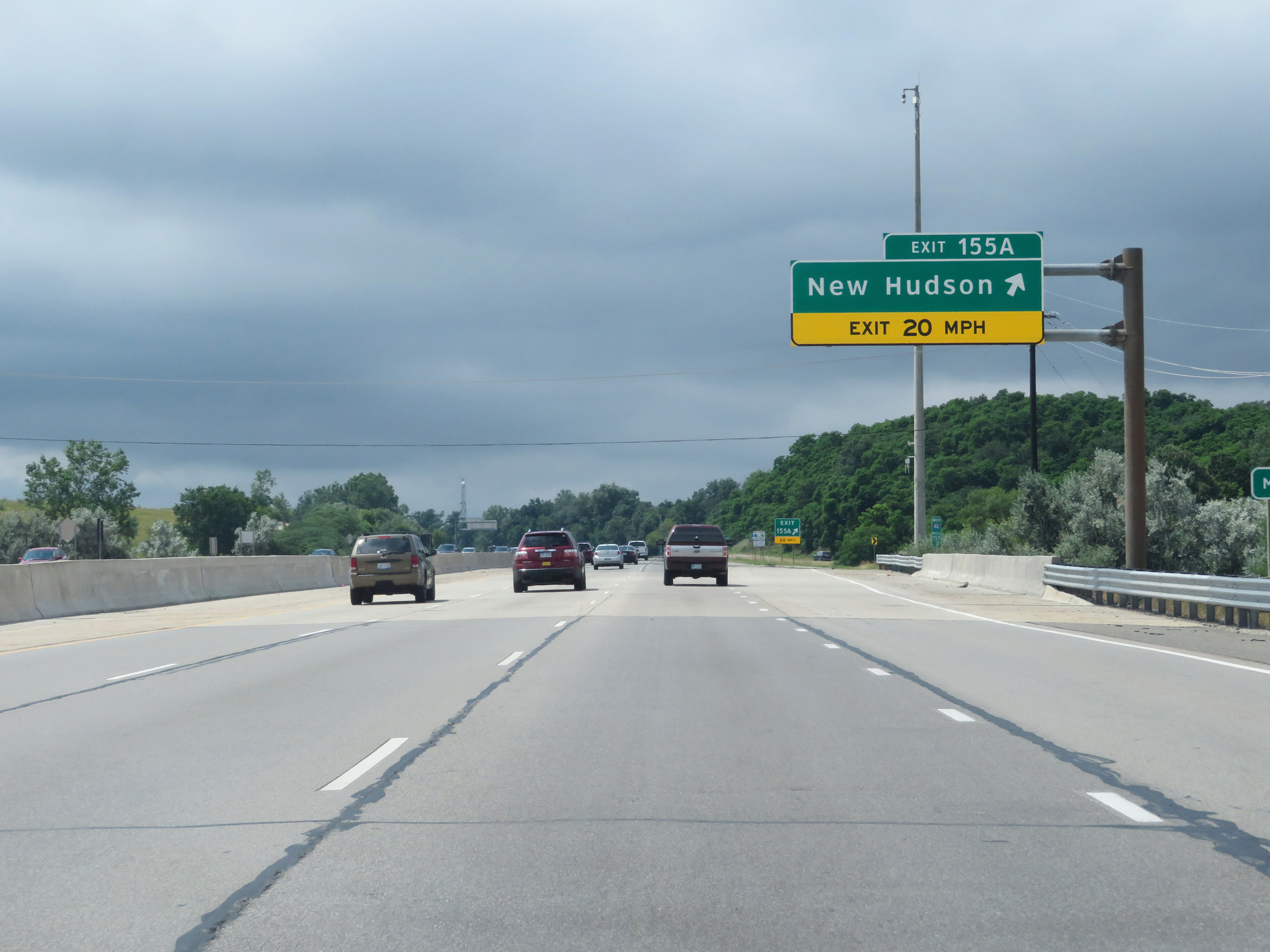 |
Interstate 96 West at Exit 155A: New Hudson (Photo taken 7/16/17). |
 |
Interstate 96 West at mile marker 154. (Photo taken 7/16/17). |
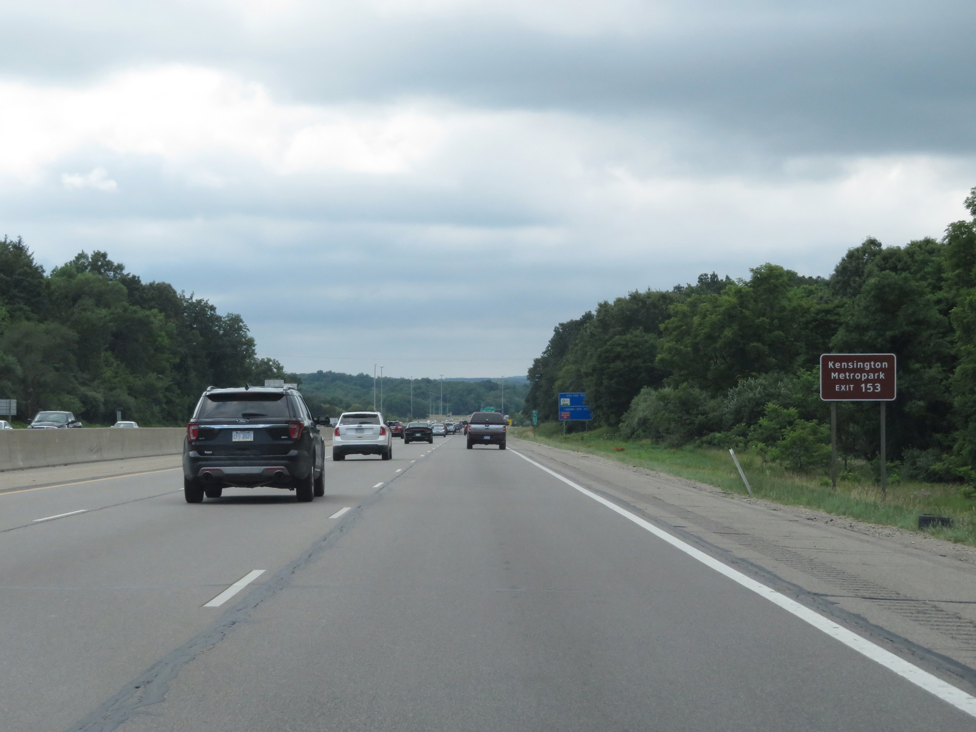 |
Take Exit 153 to Kensington Metropark. (Photo taken 7/16/17). |
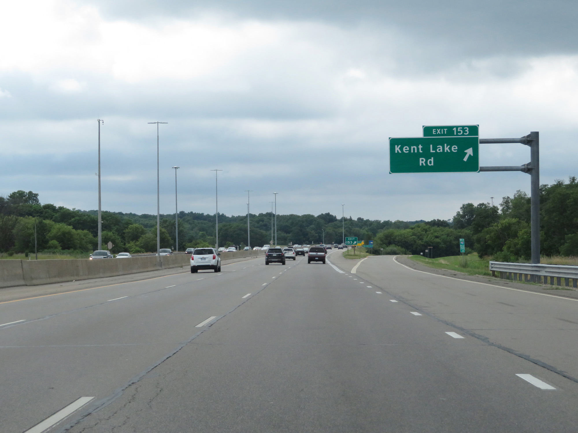 |
Interstate 96 West at Exit 153: Kent Lake Rd (Photo taken 7/16/17). |
 |
Interstate 96 West entering Livingston County. (Photo taken 7/16/17). |
 |
Take Exit 151 to Island Lake Recreation Area and Kensington Metropark. (Photo taken 7/16/17). |
 |
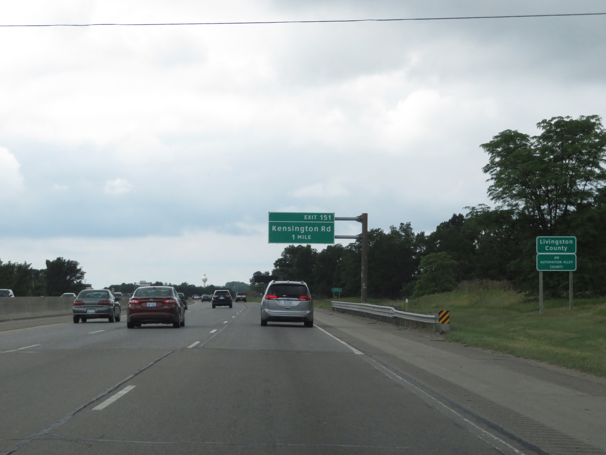
Interstate 96 West at Exit 151: Kensington Rd (Photo taken 7/16/17). |
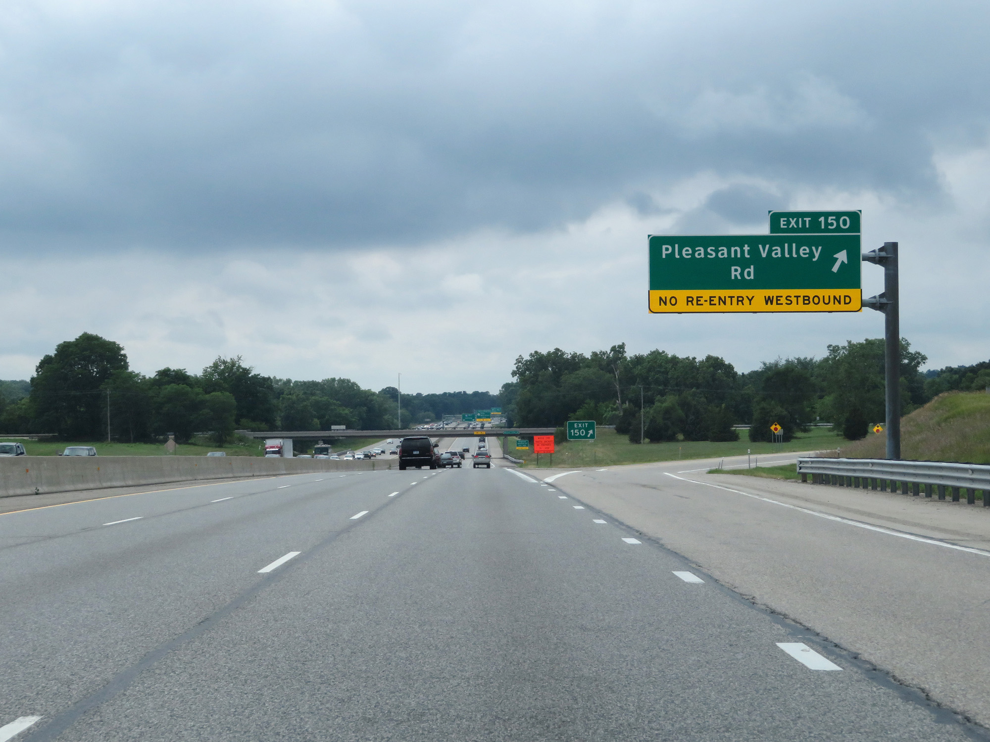 |
Interstate 96 West at Exit 150: Pleasant Valley Rd (Photo taken 7/16/17). |
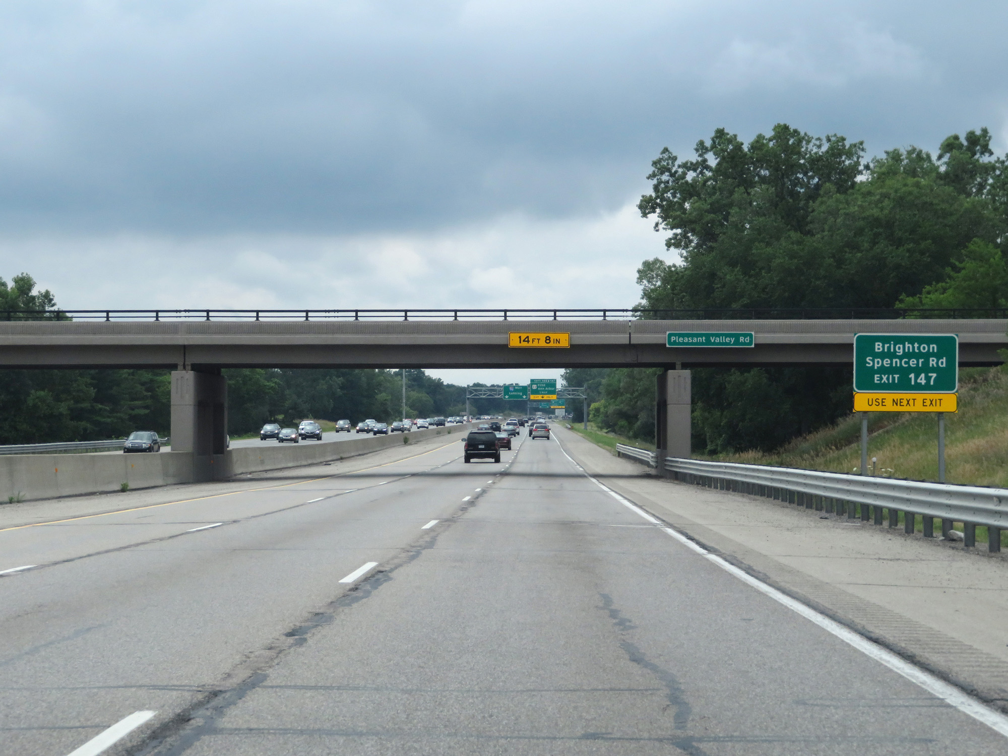 |
Take Exit 147 to Brighton and Spencer Rd. (Photo taken 7/16/17). |
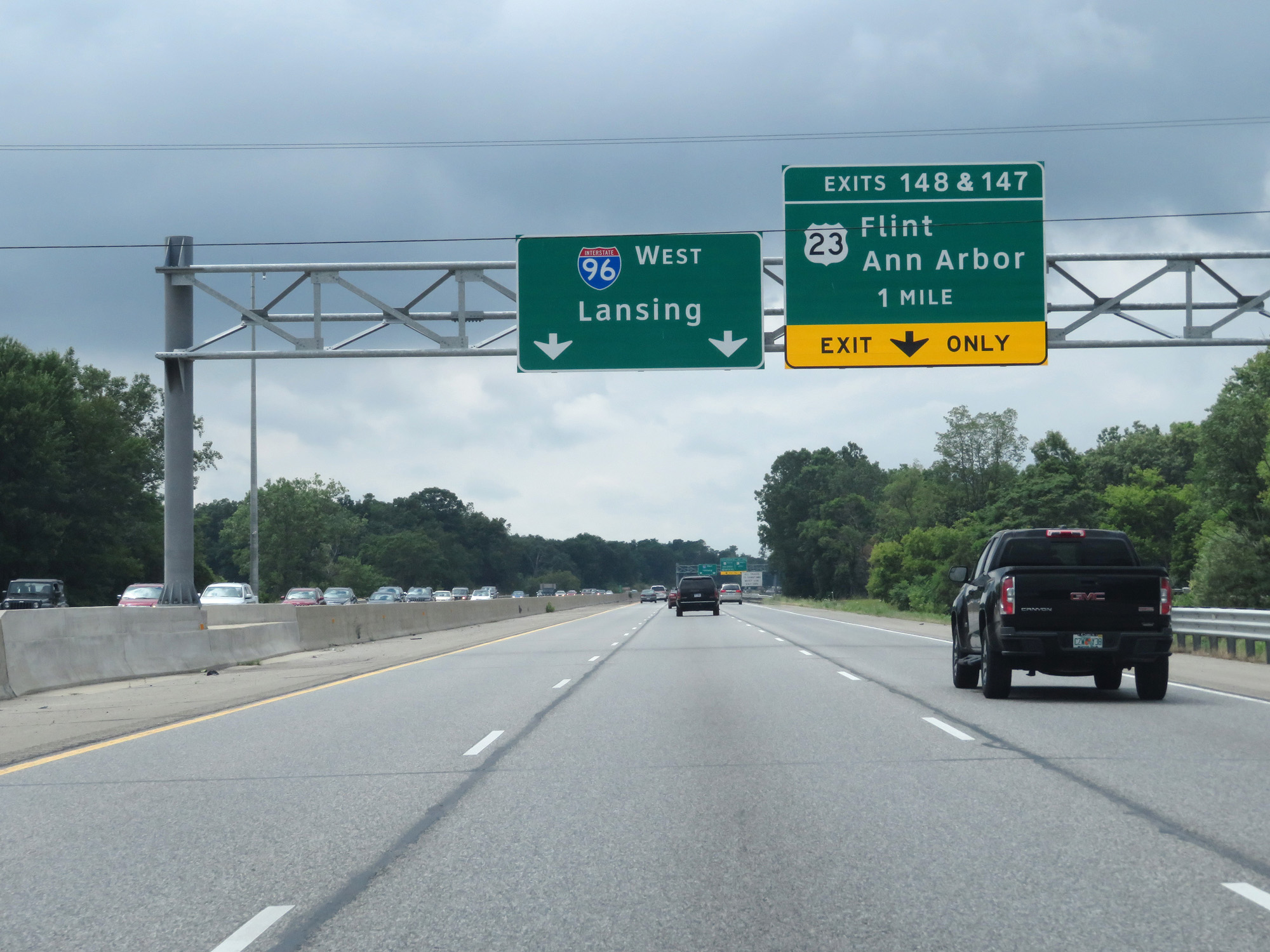 |
Interstate 96 West approaching Exits 148 & 147 - 1 mile. (Photo taken 7/16/17). |
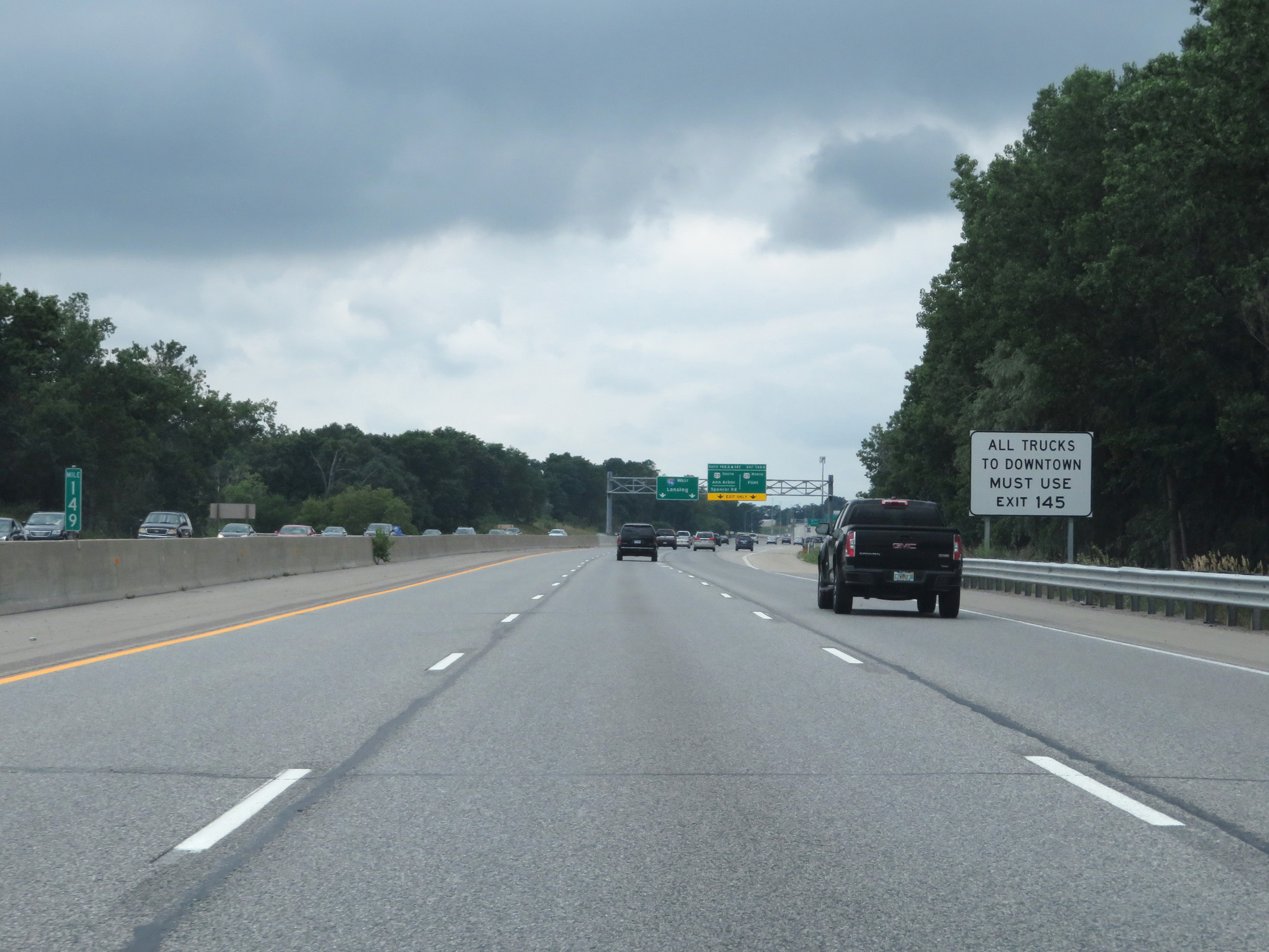 |
All trucks to downtown Brighton should use Exit 145. (Photo taken 7/16/17). |
 |
Interstate 96 West at Exit 148B: US 23 North - Flint; Exit 148A: US 23 South - Ann Arbor; Exit 147 - Spencer Rd / Brighton (Photo taken 7/16/17). |
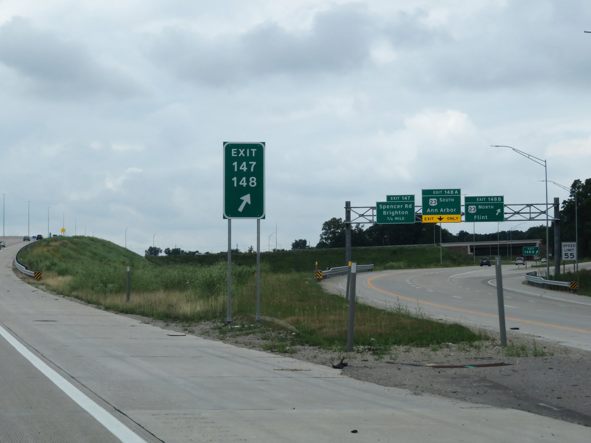 |
A closer view of the ramps for Exits 148B-A. (Photo taken 7/16/17). |
 |
A closer view of Exit 147. (Photo taken 7/16/17). |
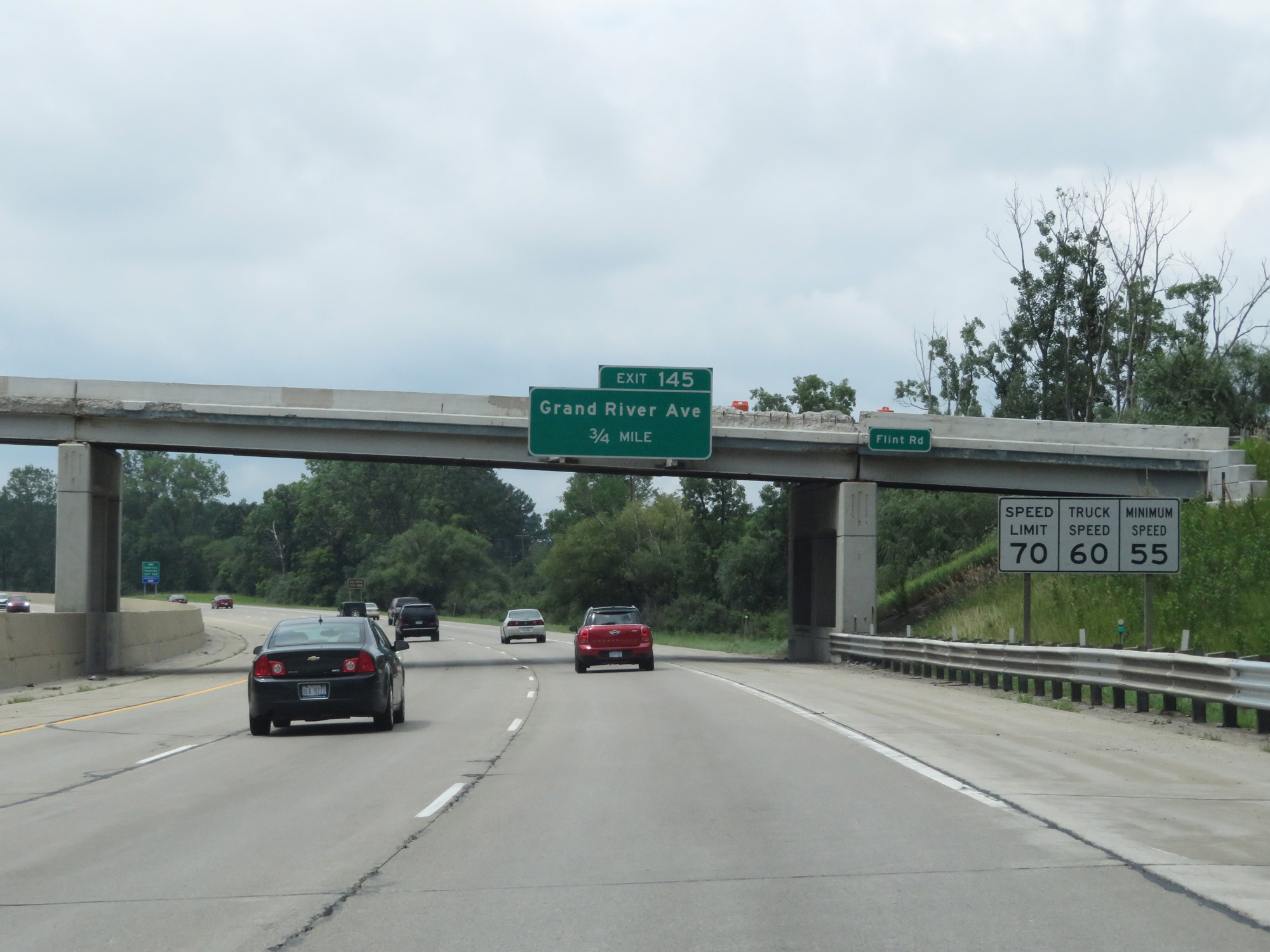 |
A set of speed limit signs on Interstate 96 West. The speed limit remains 70 mph for cars and 60 mph for trucks, with the minimum speed limit being 55 mph. (Photo taken 7/16/17). |
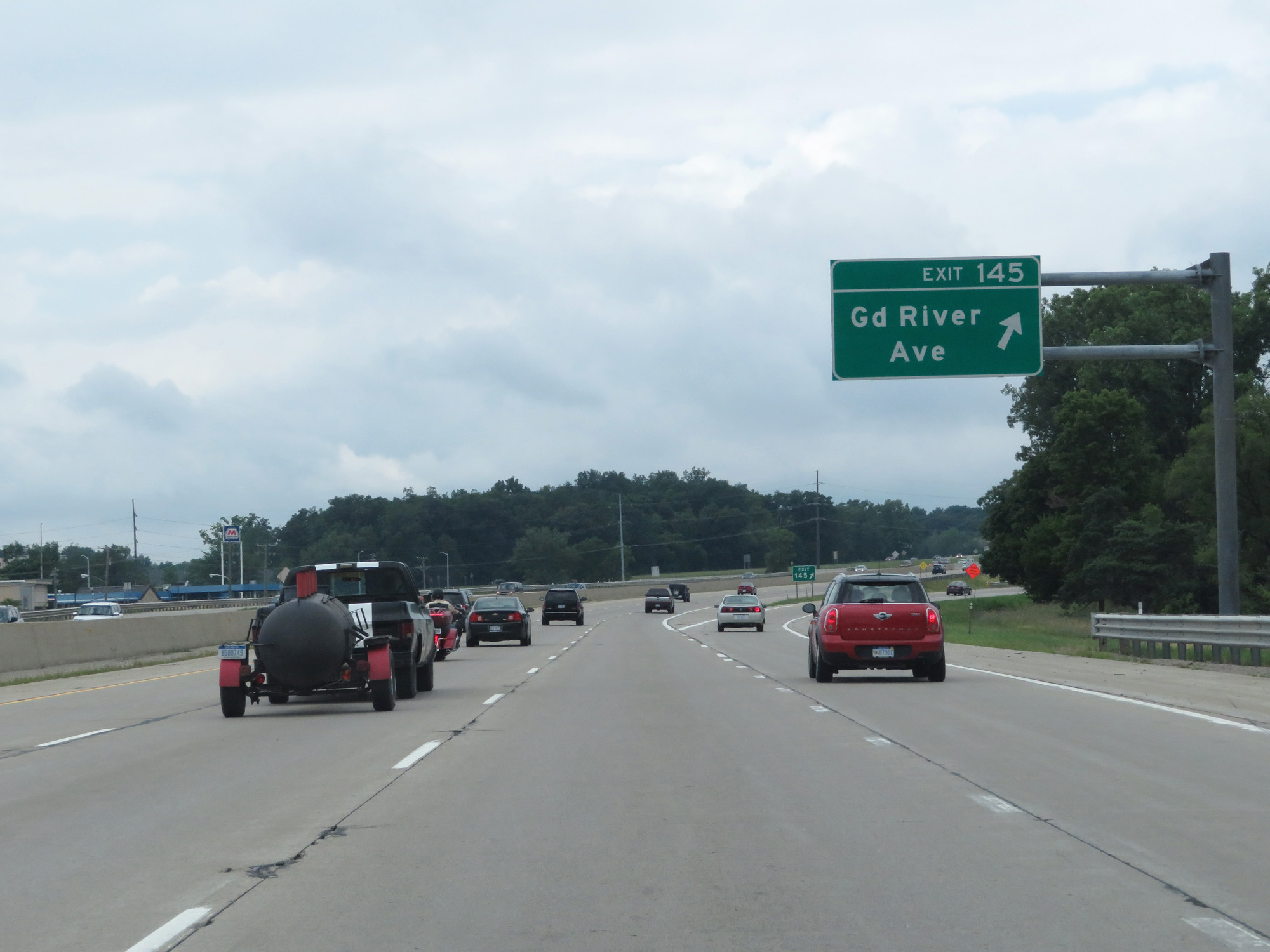 |
Interstate 96 West at Exit 145: Grand River Ave (Photo taken 7/16/17). |
 |
Trucks are restricted to the two rightmost lanes. (Photo taken 7/16/17). |
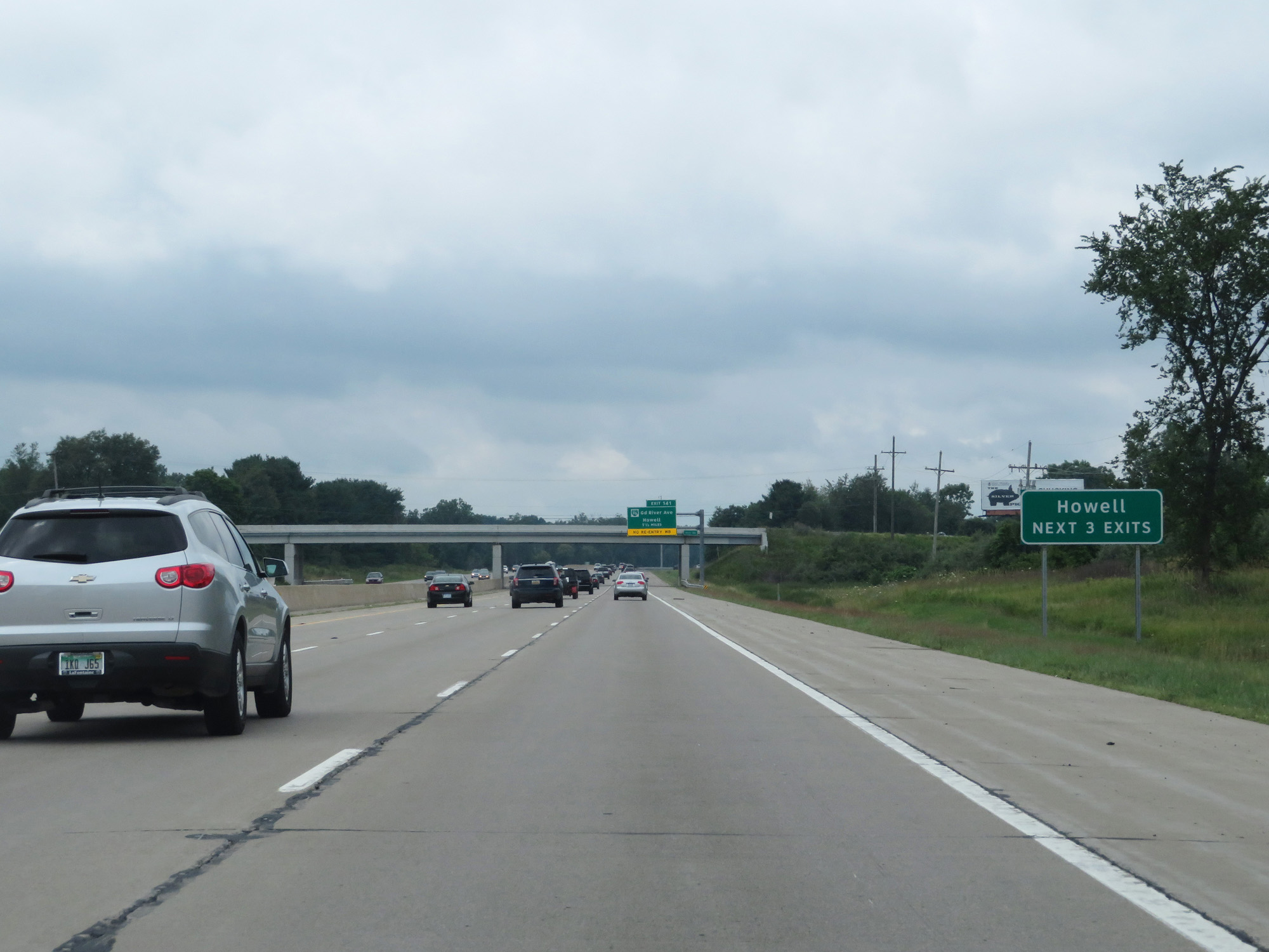 |
Take any of the next 3 exits to Howell. (Photo taken 7/16/17). |
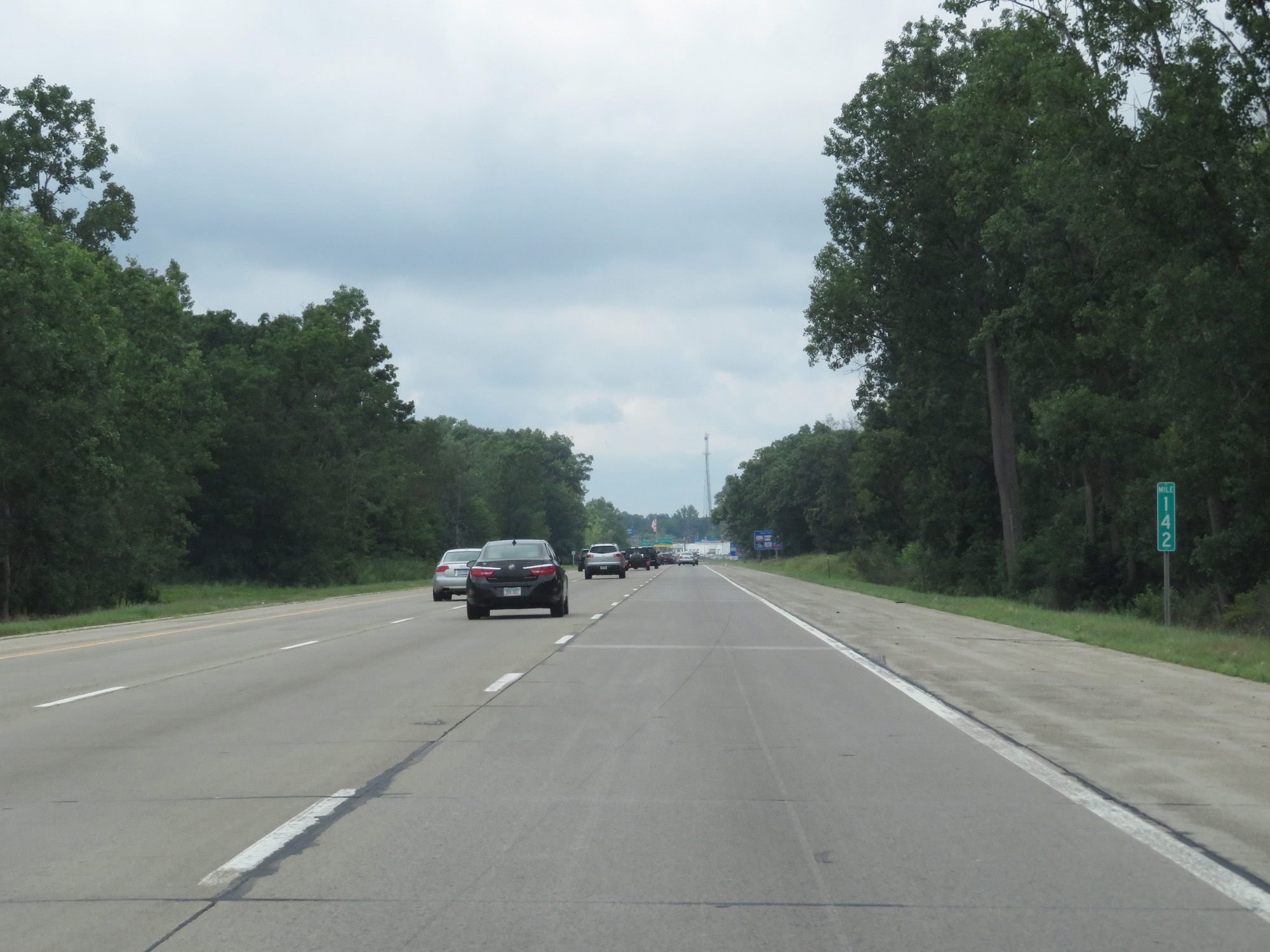 |
Interstate 96 West at mile marker 142. (Photo taken 7/16/17). |
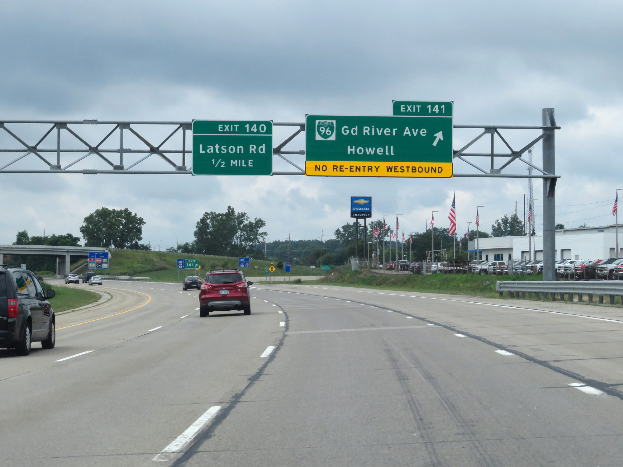 |
Interstate 96 West at Exit 141: Interstate 96 Business Loop - Grand River Ave / Howell (Photo taken 7/16/17). |
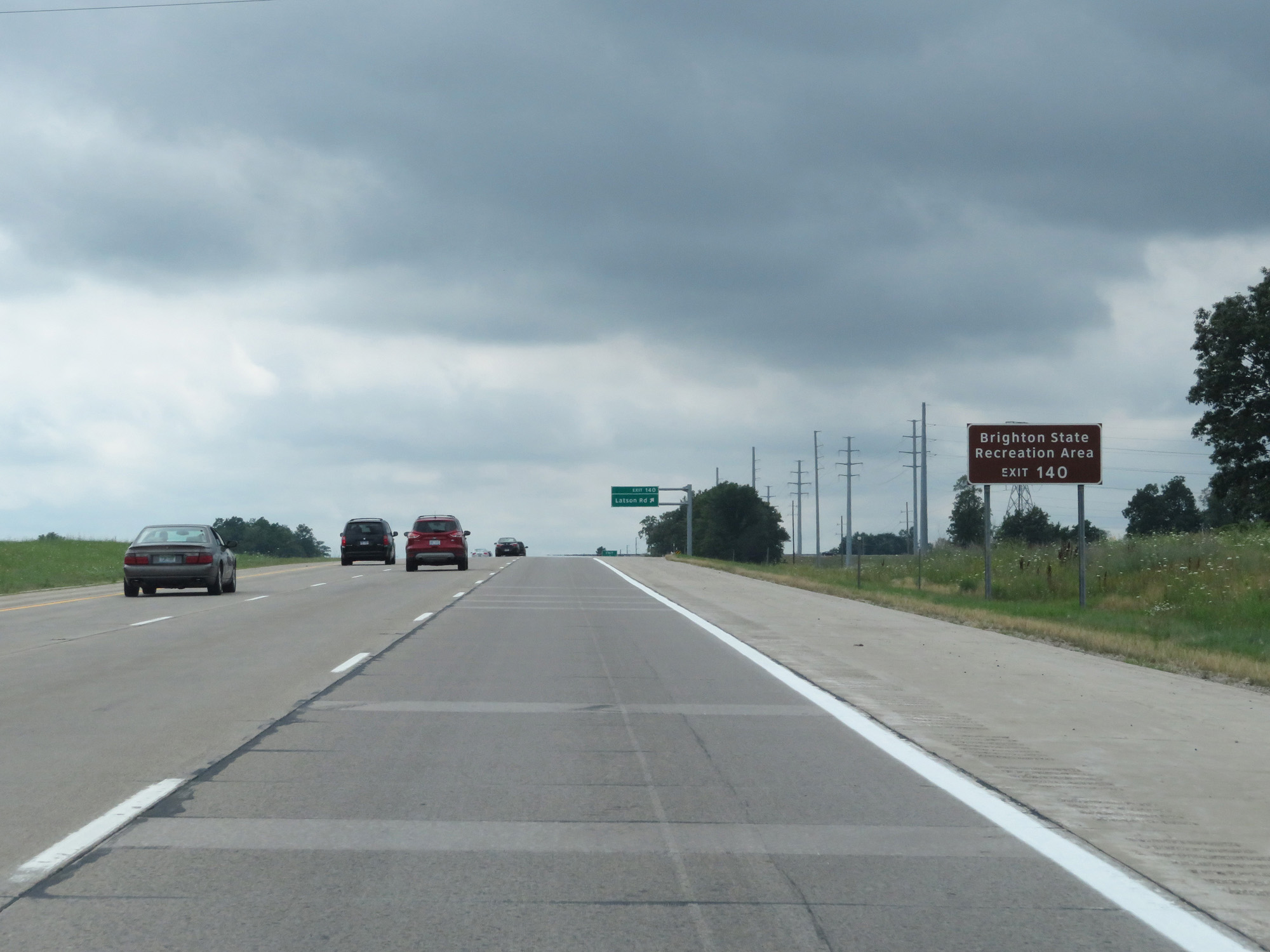 |
Take Exit 140 to Brighton State Recreation Area. (Photo taken 7/16/17). |
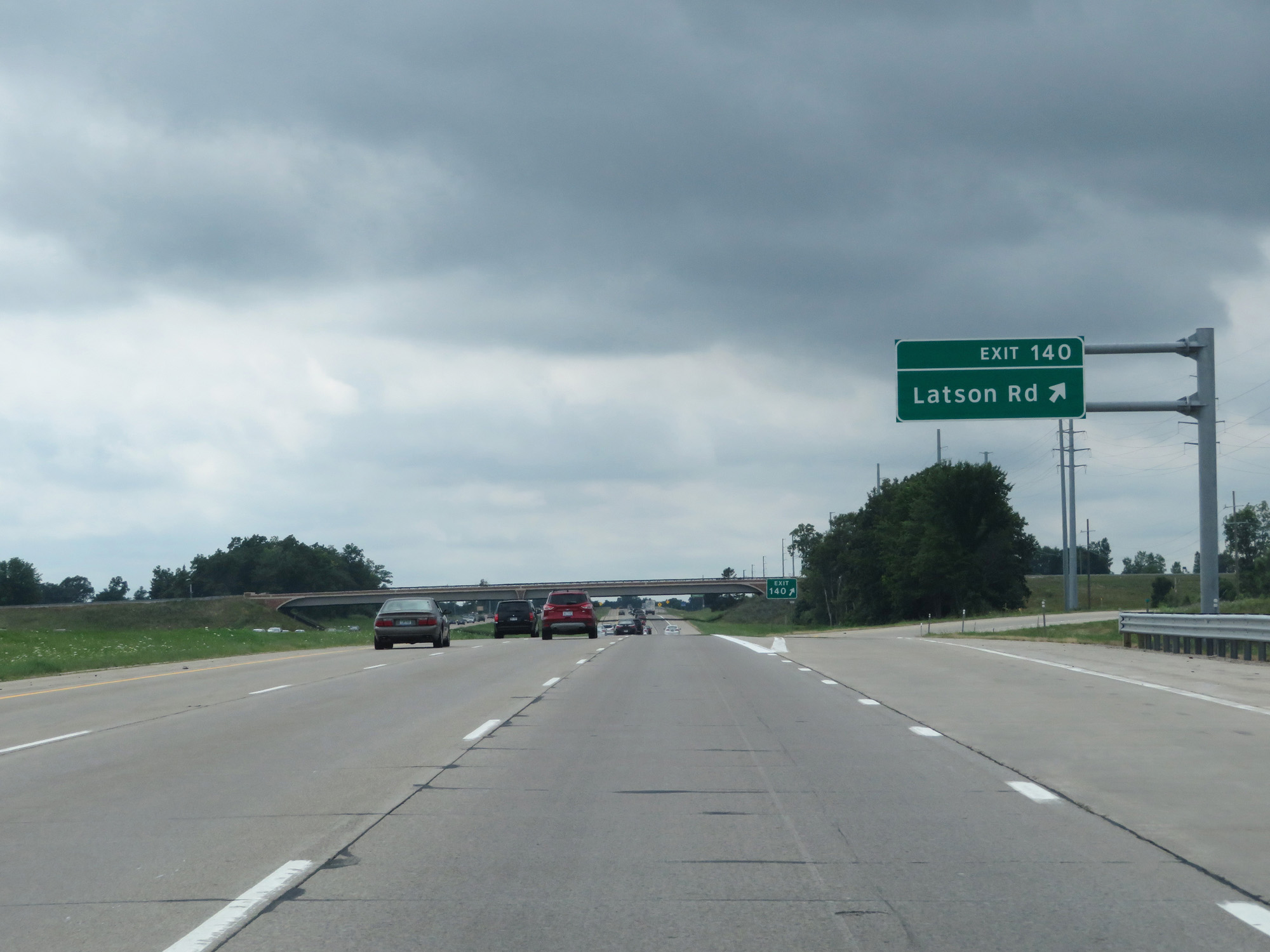 |
Interstate 96 West at Exit 140: Latson Rd (Photo taken 7/16/17). |
 |
Interstate 96 West reassurance shield. (Photo taken 7/16/17). |
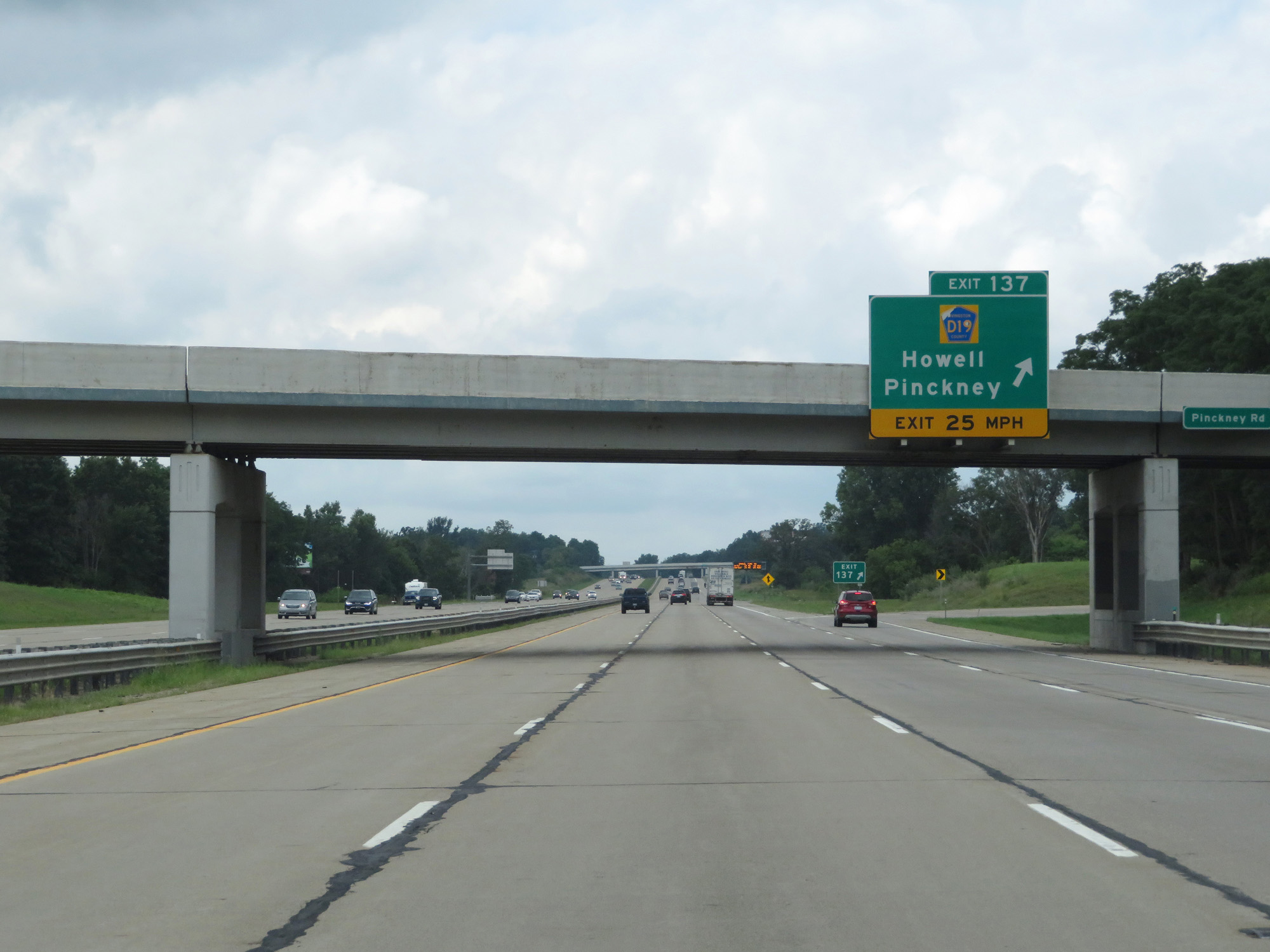 |
Interstate 96 West at Exit 137: CR D19 - Howell / Pinckney (Photo taken 7/16/17). |
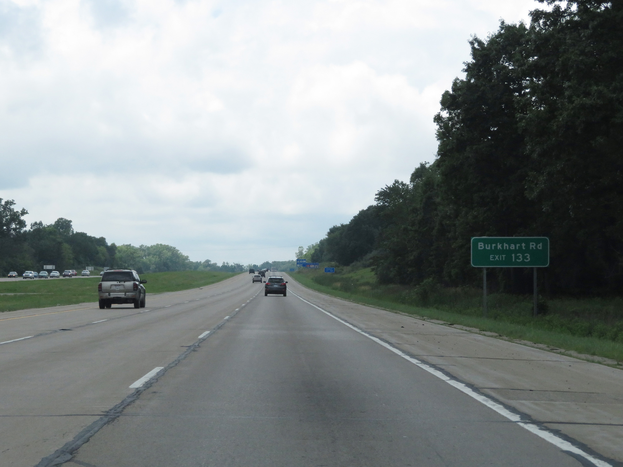 |
Take Exit 133 to Burkhart Rd. (Photo taken 7/16/17). |
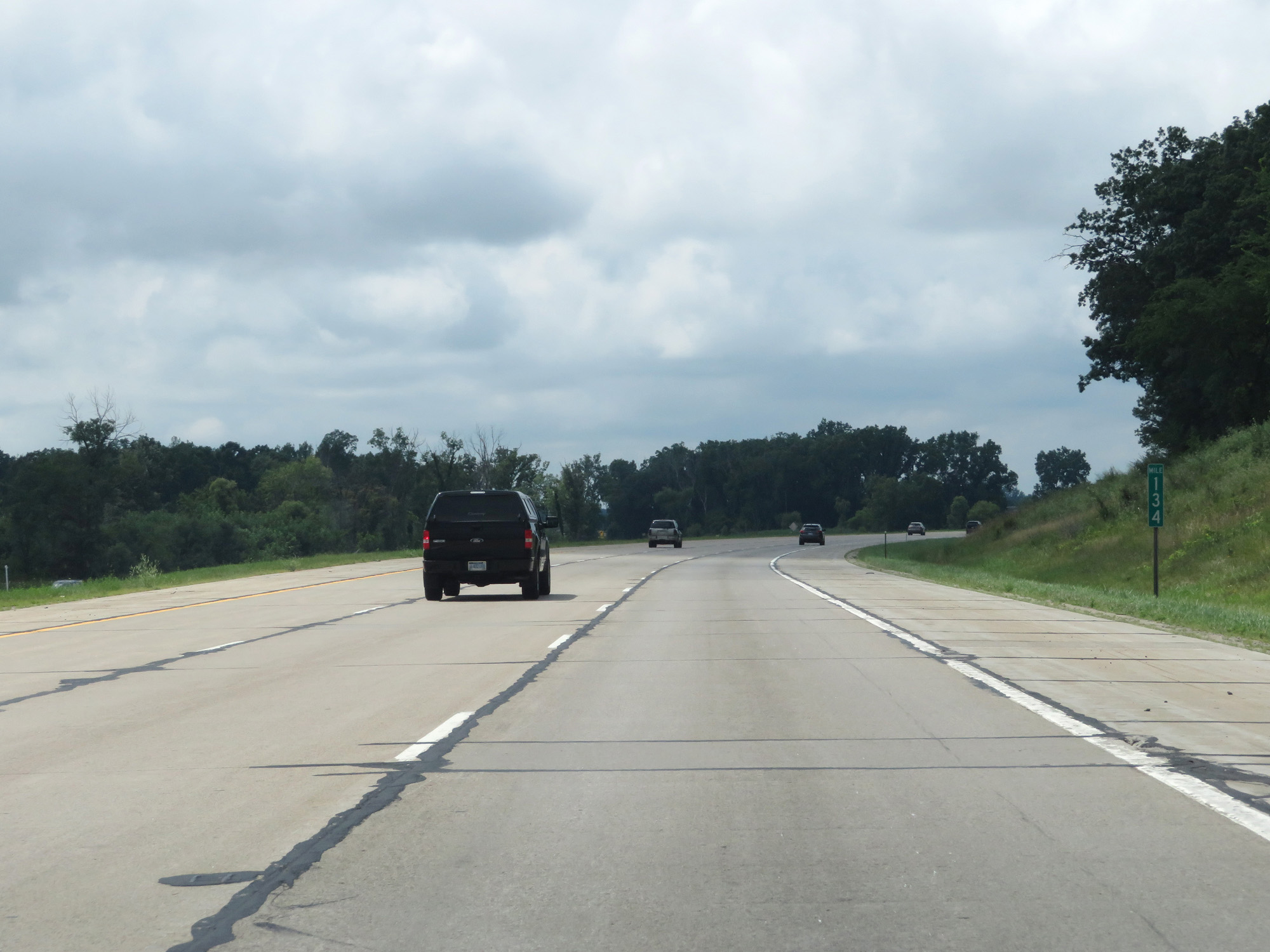 |
Interstate 96 West at mile marker 134. (Photo taken 7/16/17). |
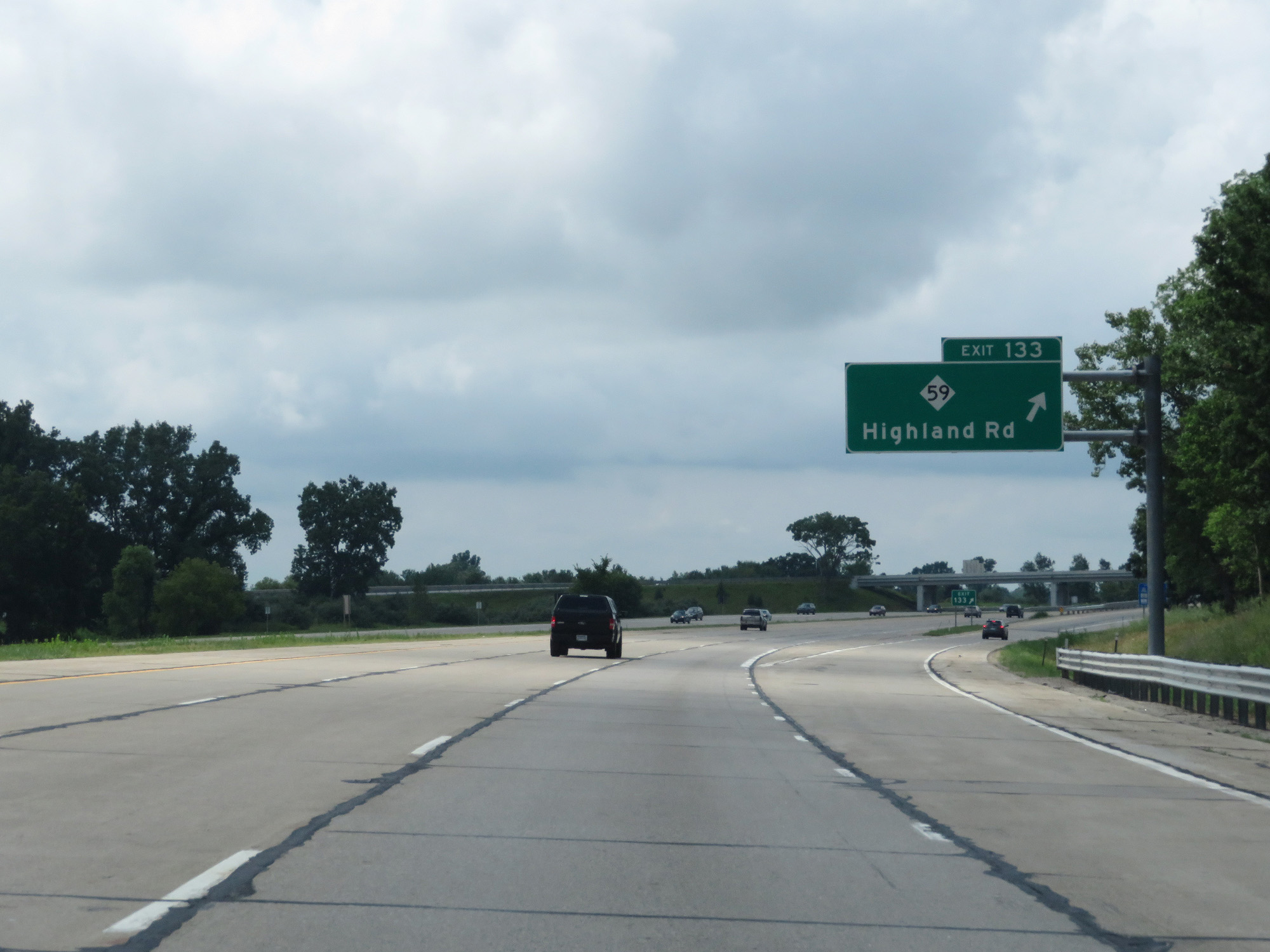 |
Interstate 96 West at Exit 133: M-59 - Highland Rd (Photo taken 7/16/17). |
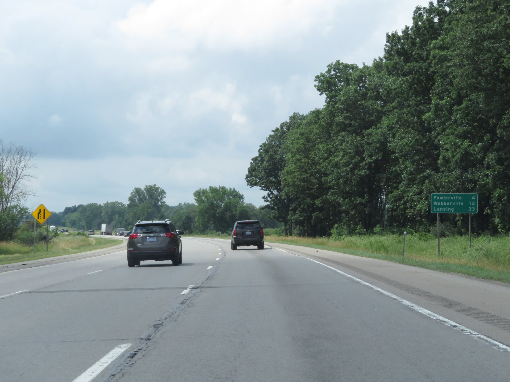 |
Mileage sign on Interstate 96 West. It's 4 miles to Fowlerville, 12 miles to Webberville, and 33 miles to Lansing. (Photo taken 7/16/17). |
 |
Interstate 96 West at mile marker 130. (Photo taken 7/16/17). |
 |
Take Exit 129 to the Fowlerville Fairgrounds. (Photo taken 7/16/17). |
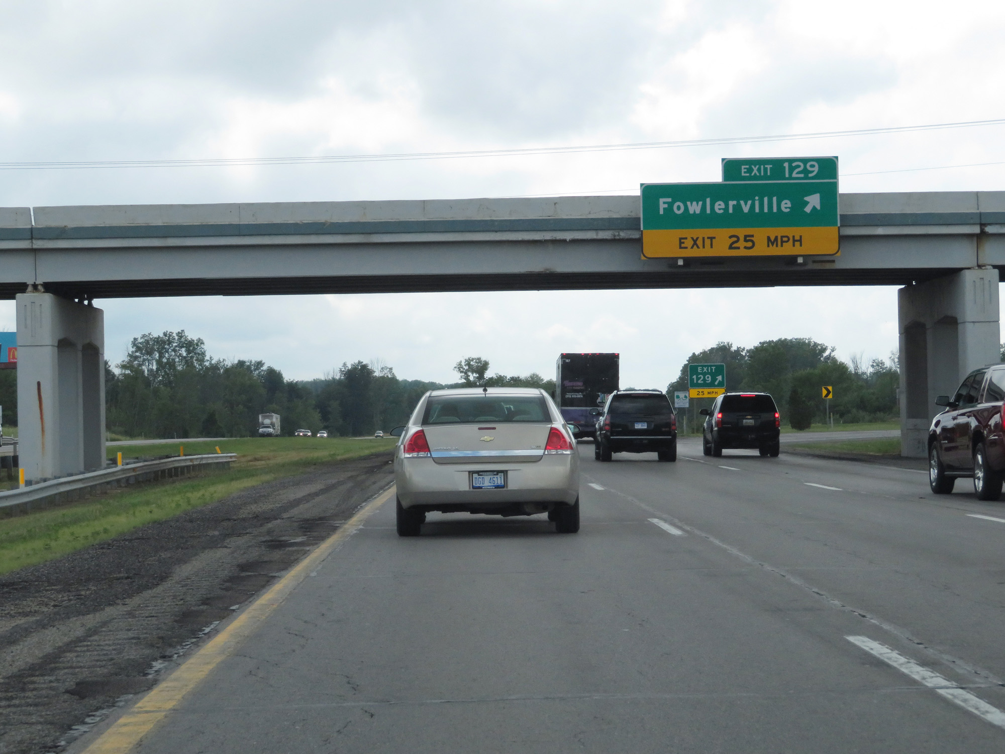 |
Interstate 96 West at Exit 129: Fowlerville (Photo taken 7/16/17). |
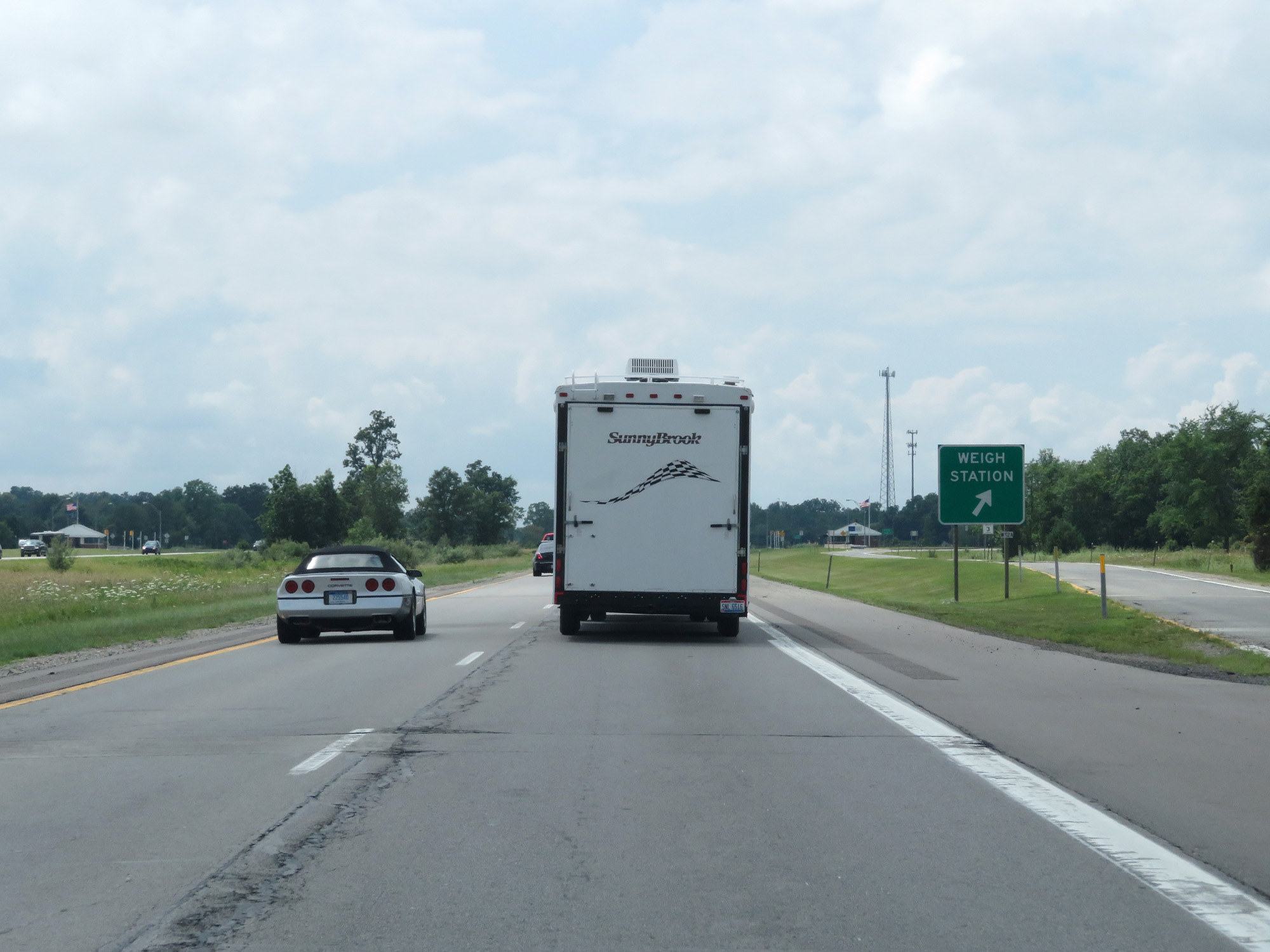 |
Interstate 96 West at the Weigh Station in Livingston County. (Photo taken 7/16/17). |
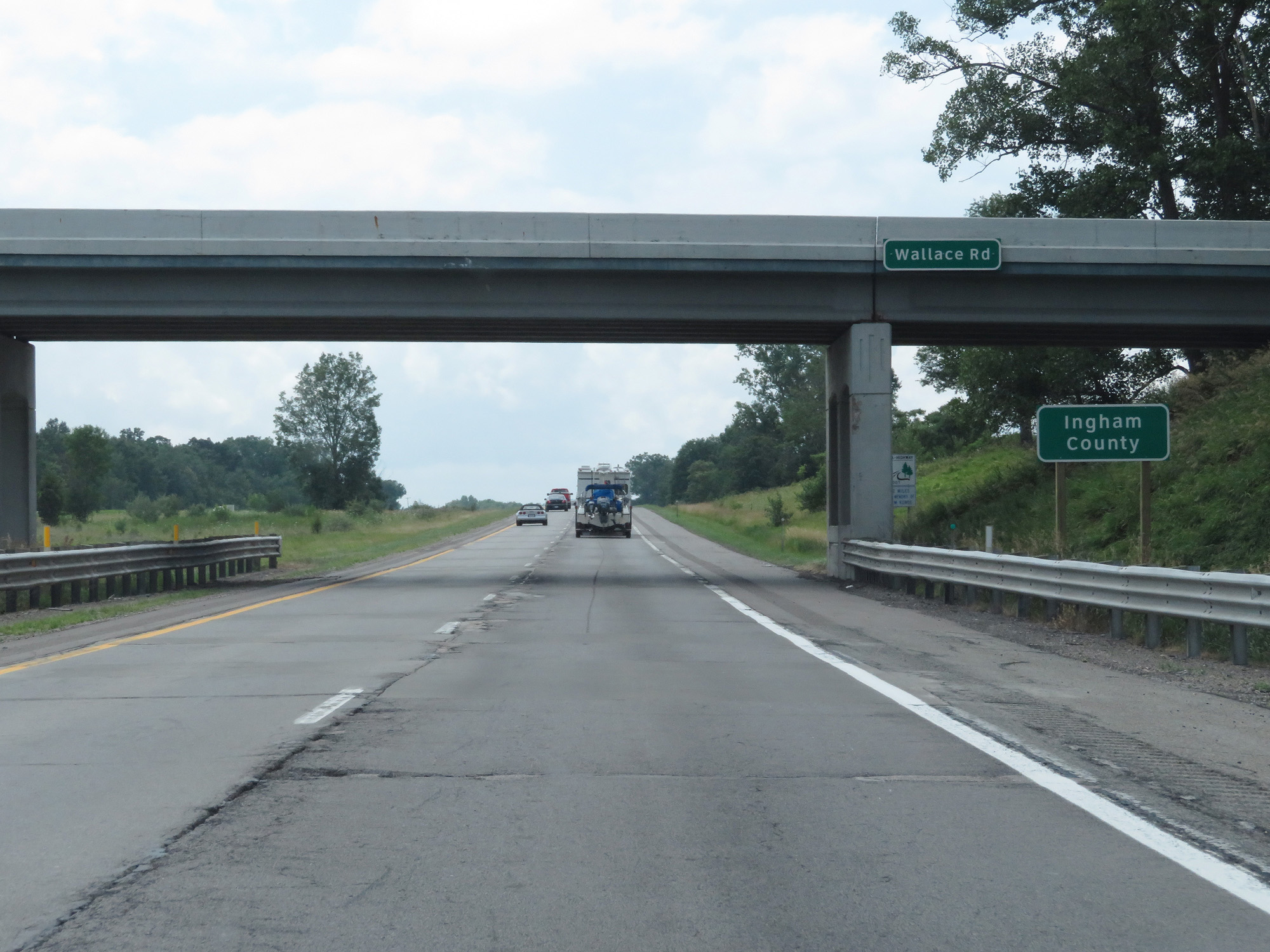 |
Interstate 96 West entering Ingham County. (Photo taken 7/16/17). |
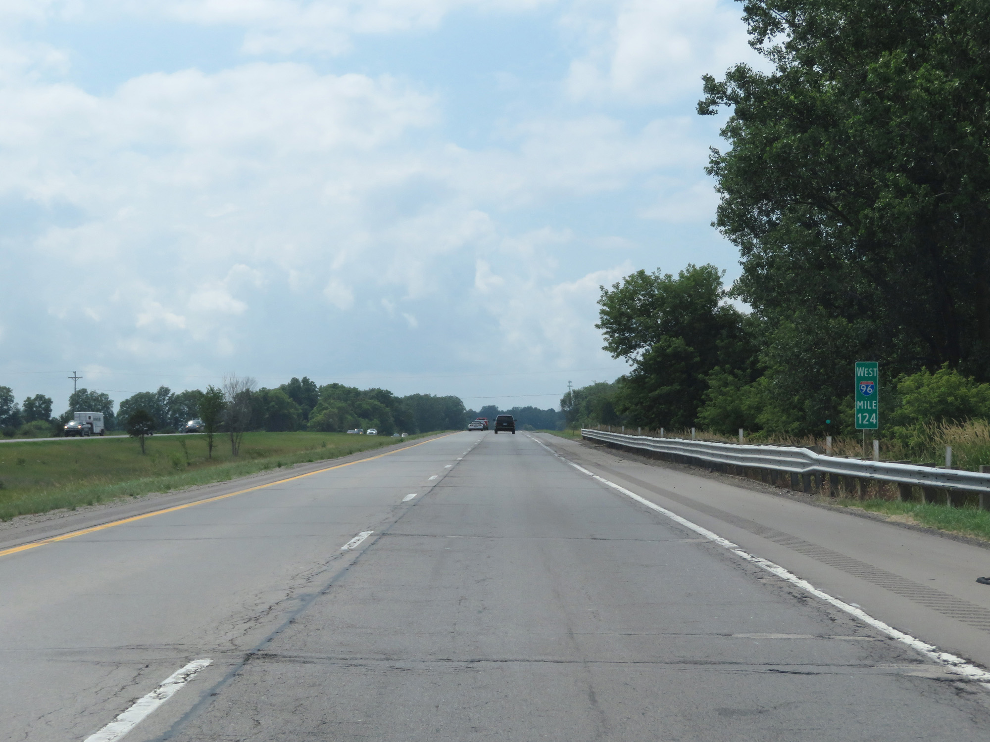 |
Interstate 96 West at mile marker 124. (Photo taken 7/16/17). |
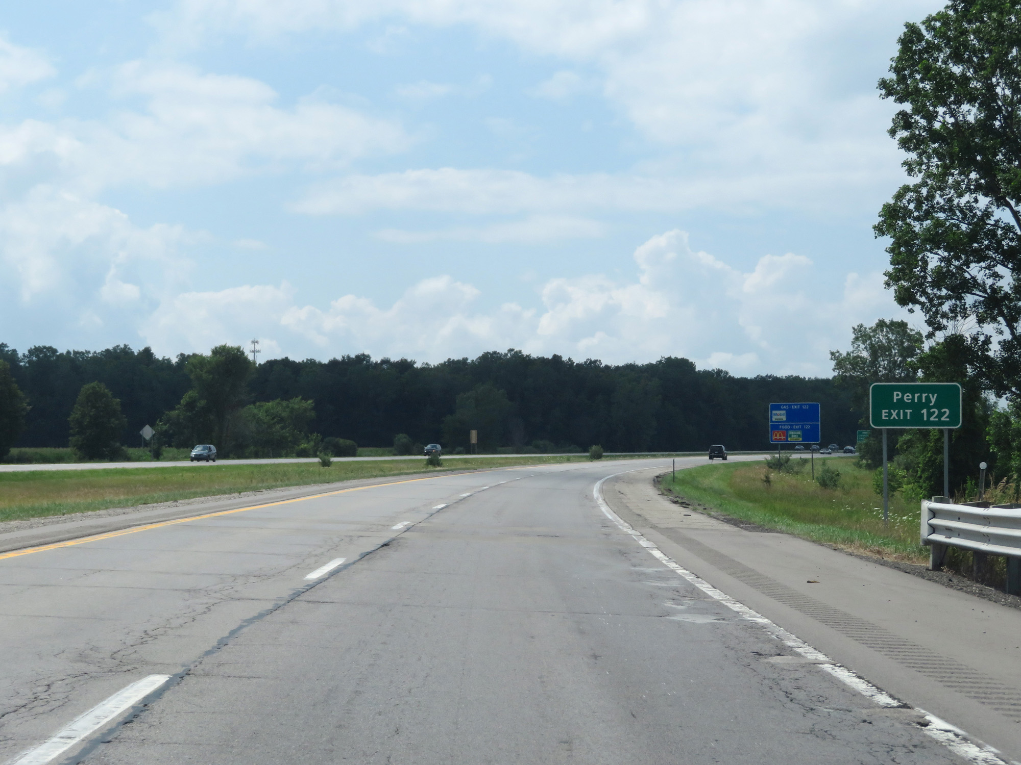 |
Take Exit 122 to Perry. (Photo taken 7/16/17). |
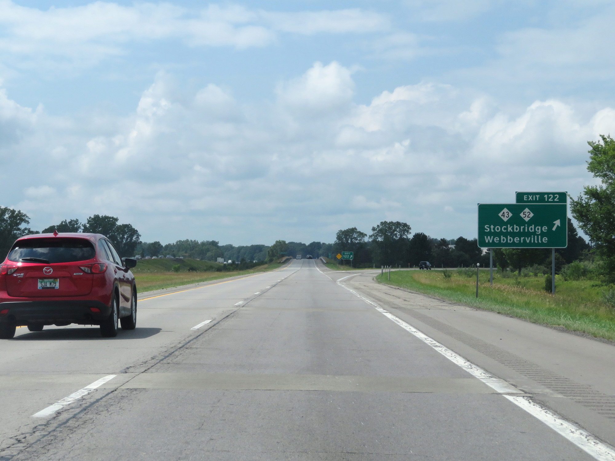 |
Interstate 96 West at Exit 122: M-43 / M-52 - Stockbridge / Webberville (Photo taken 7/16/17). |
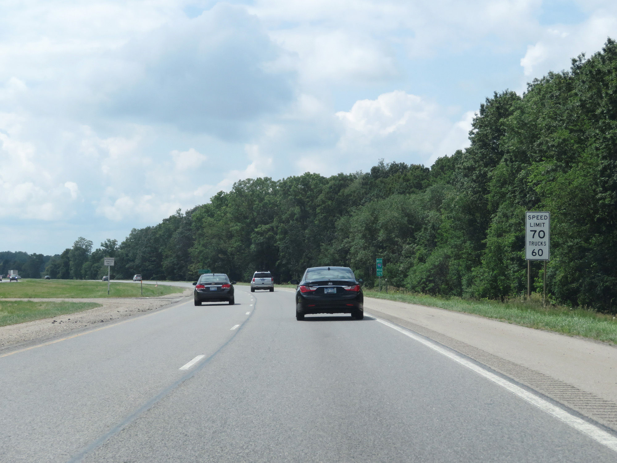 |
Speed Limit - 70 mph for cars, 60 mph for trucks. (Photo taken 7/16/17). |
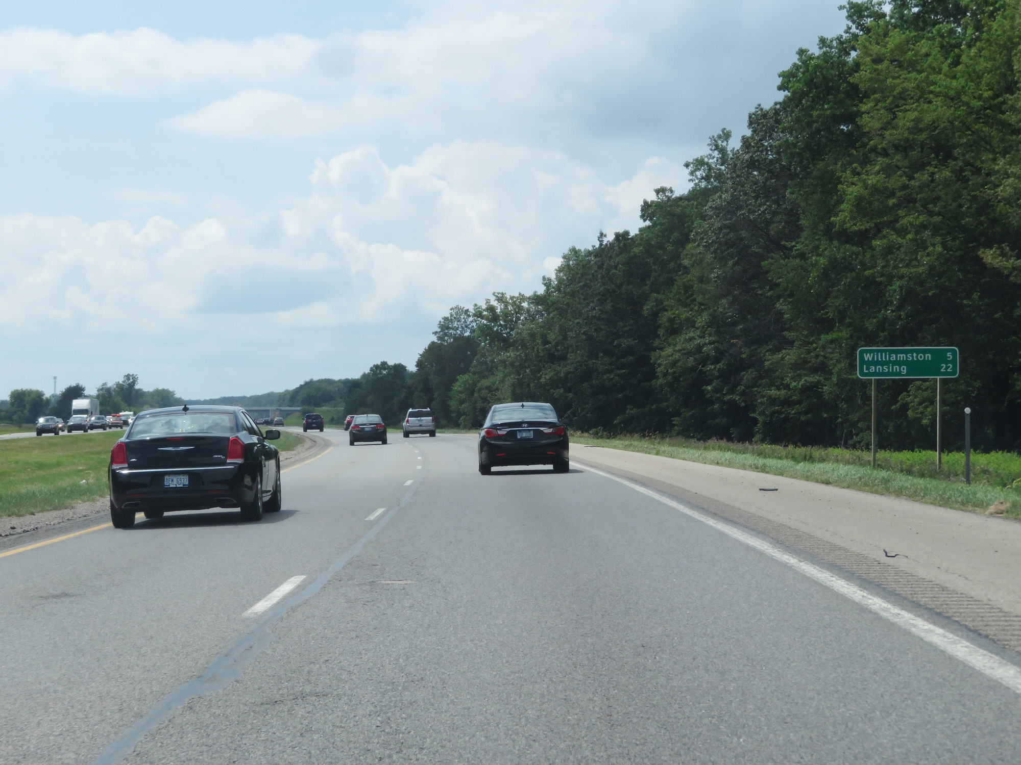 |
Mileage sign on Interstate 96 West. It's 5 miles to Williamston and 22 miles to Lansing. (Photo taken 7/16/17). |
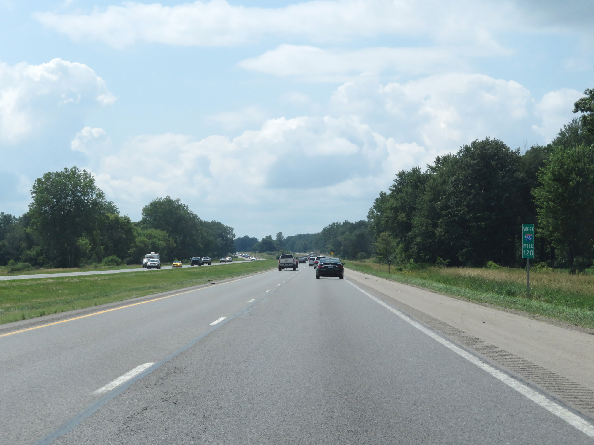 |
Interstate 96 West at mile marker 120. (Photo taken 7/16/17). |
 |
Interstate 96 West at Exit 117: Dansville / Williamston (Photo taken 7/16/17). |
 |
Interstate 96 West at mile marker 114. (Photo taken 7/16/17). |
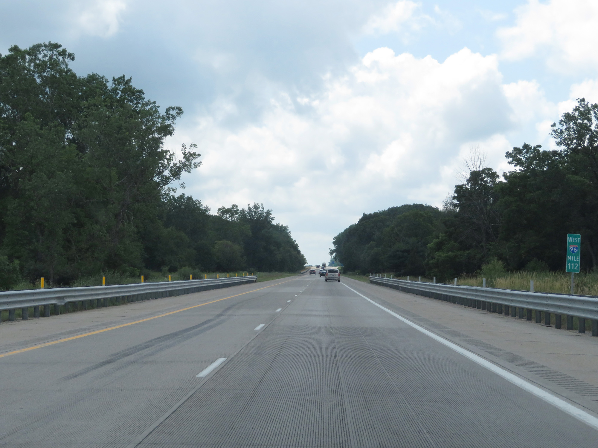 |
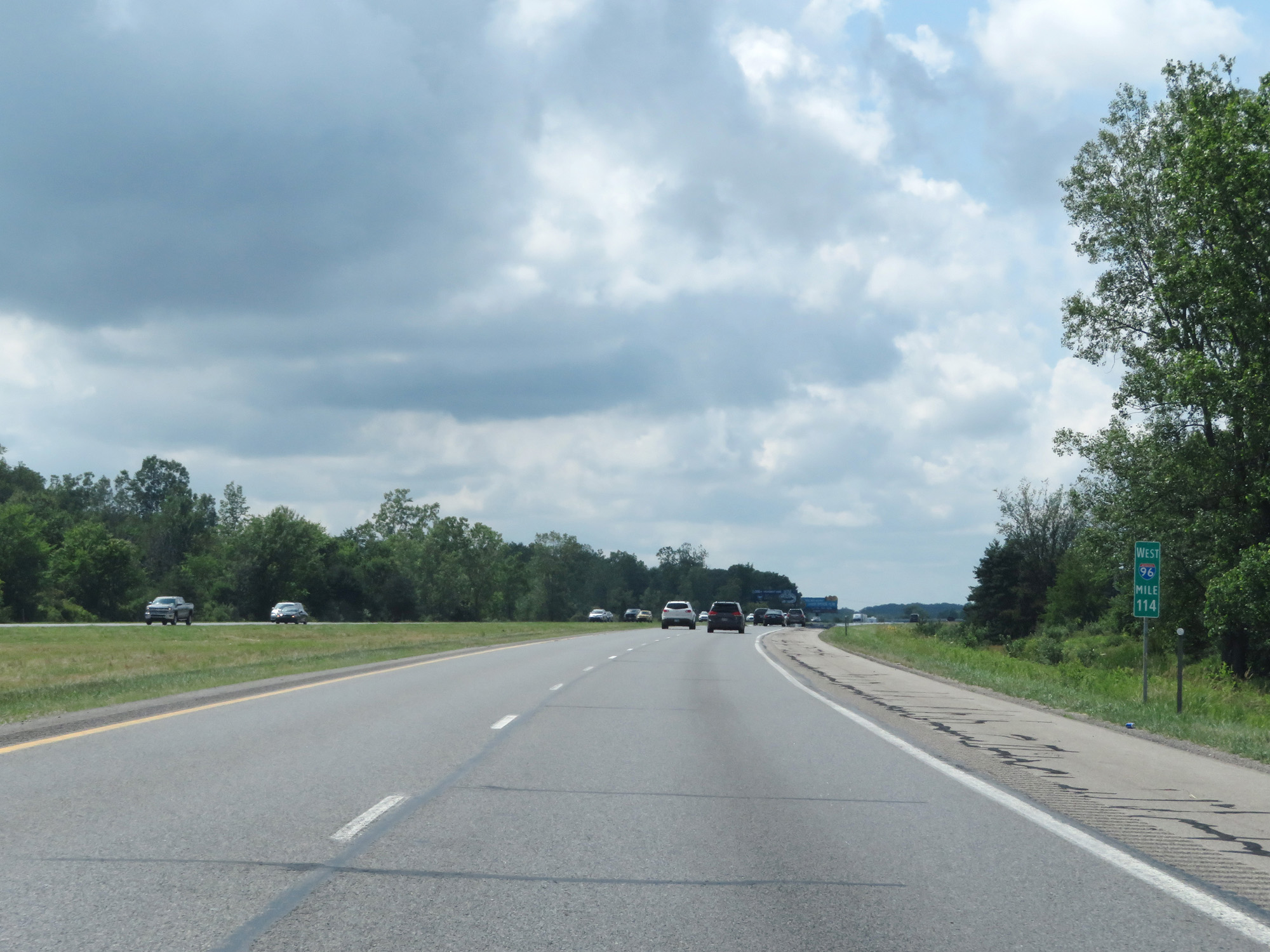
Interstate 96 West at mile marker 112. (Photo taken 7/16/17). |
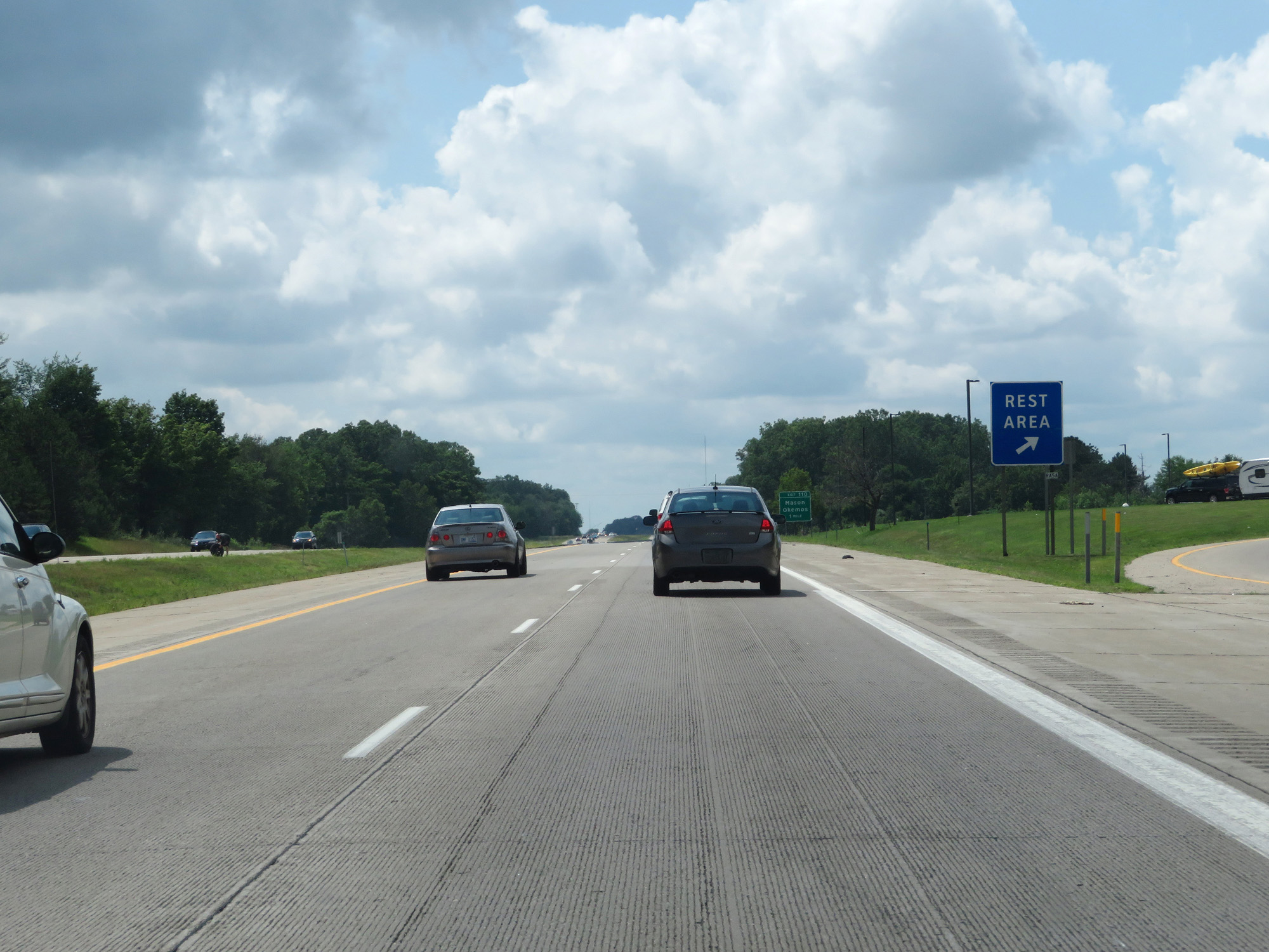 |
Interstate 96 West at the Rest Area in Ingham County. (Photo taken 7/16/17). |
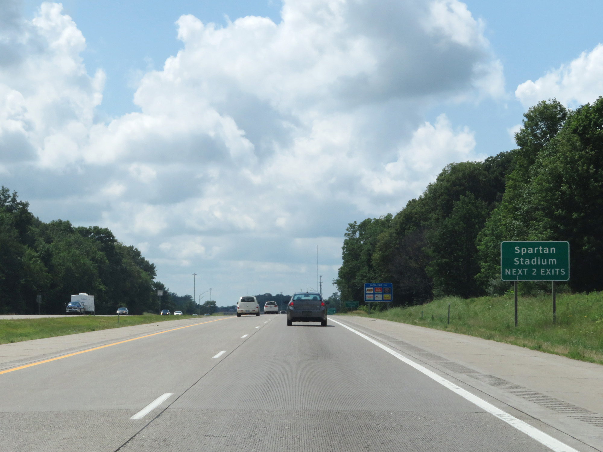 |
Take either of the next 2 exits to Spartan Stadium. (Photo taken 7/16/17). |
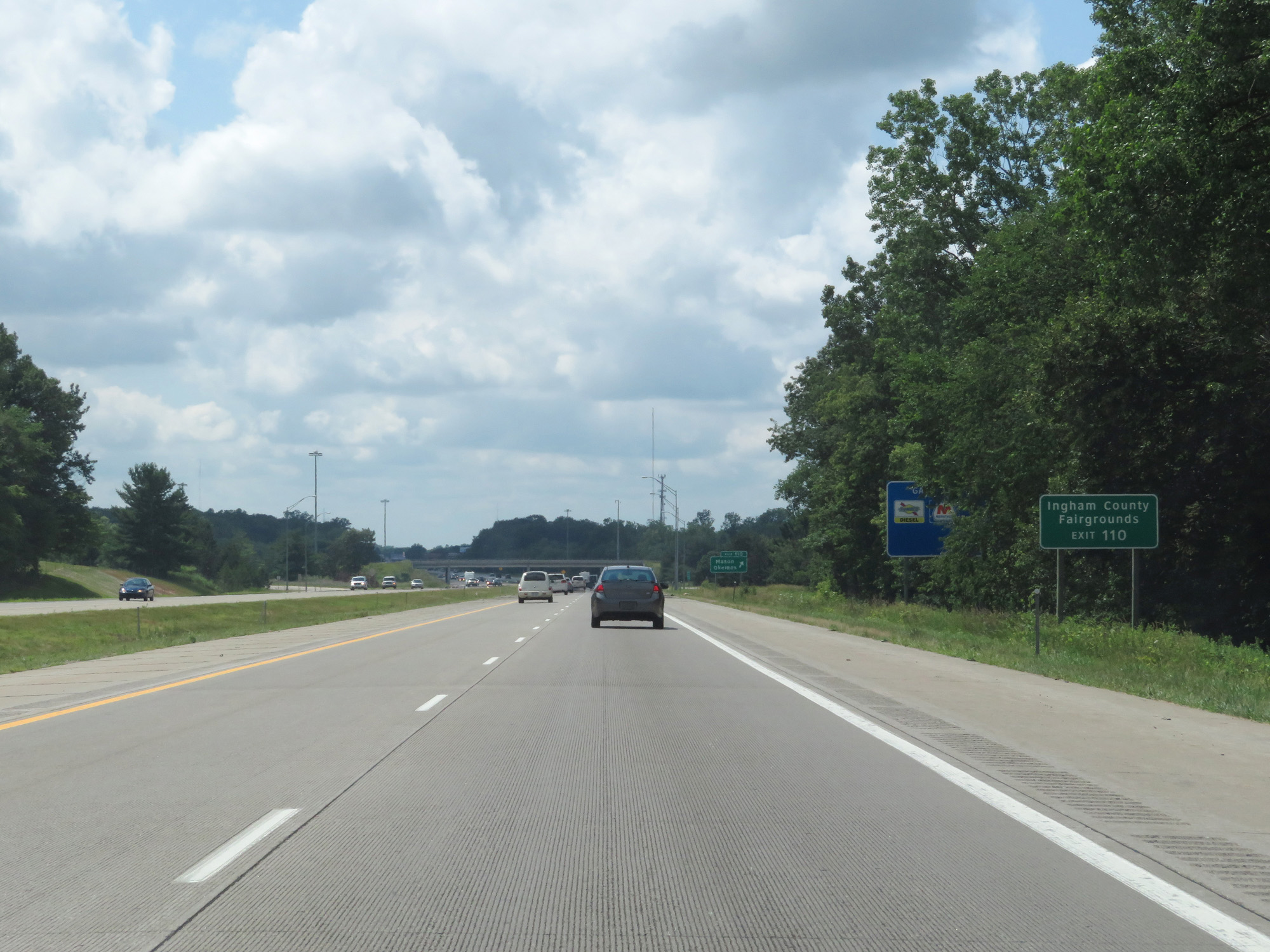 |
Take Exit 110 to Ingham County Fairgrounds. (Photo taken 7/16/17). |
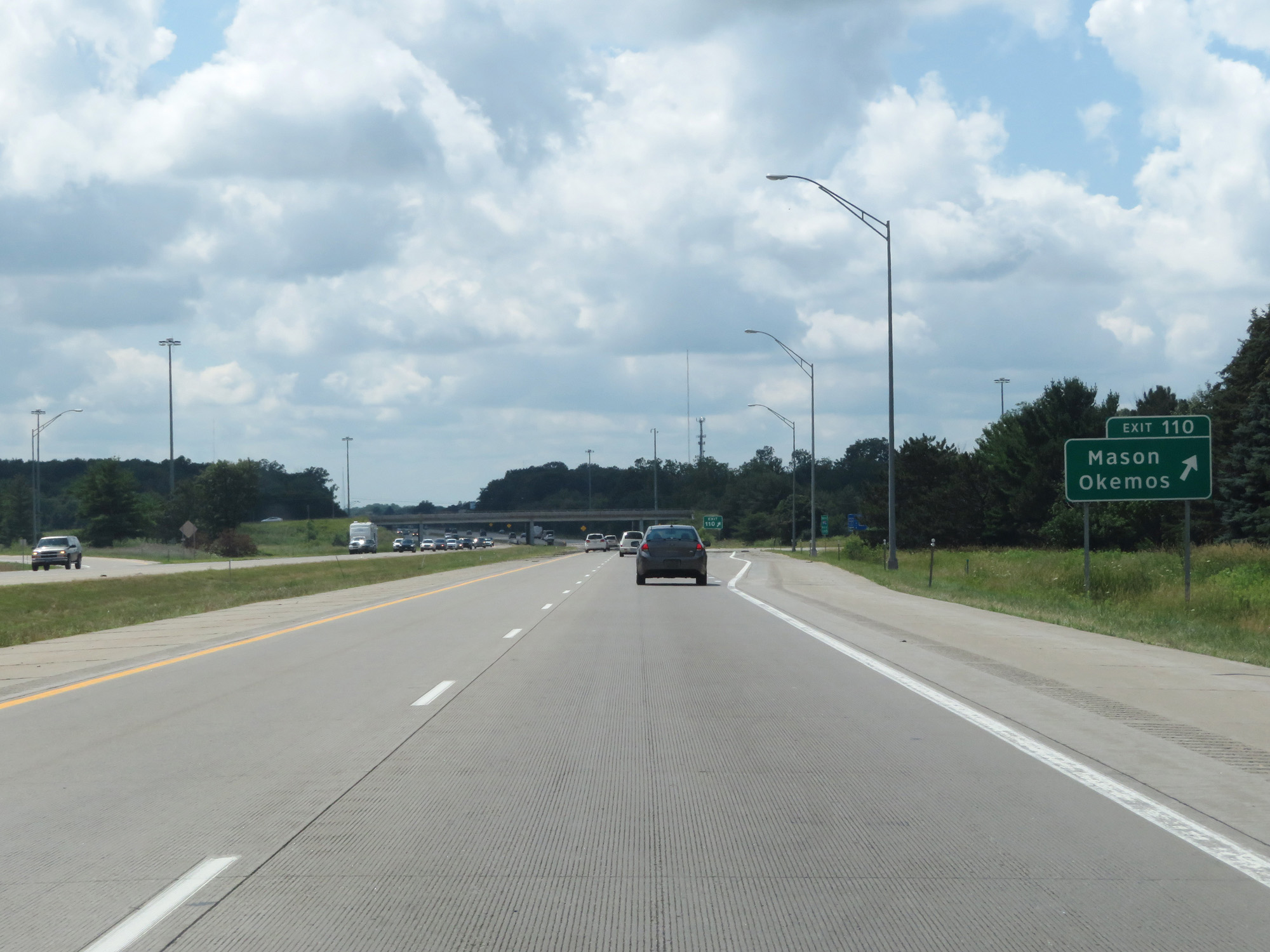 |
Interstate 96 West at Exit 110: Mason / Okemos (Photo taken 7/16/17). |
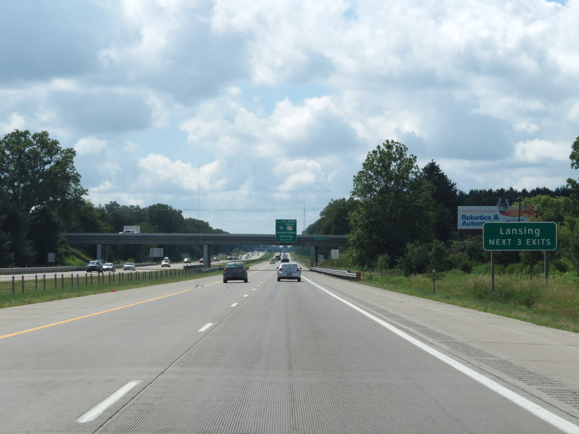 |
Take any of the next 3 exits to Lansing. (Photo taken 7/16/17). |
 |
Interstate 96 West approaching Exit 106B - 1 1/4 miles. (Photo taken 7/16/17). |
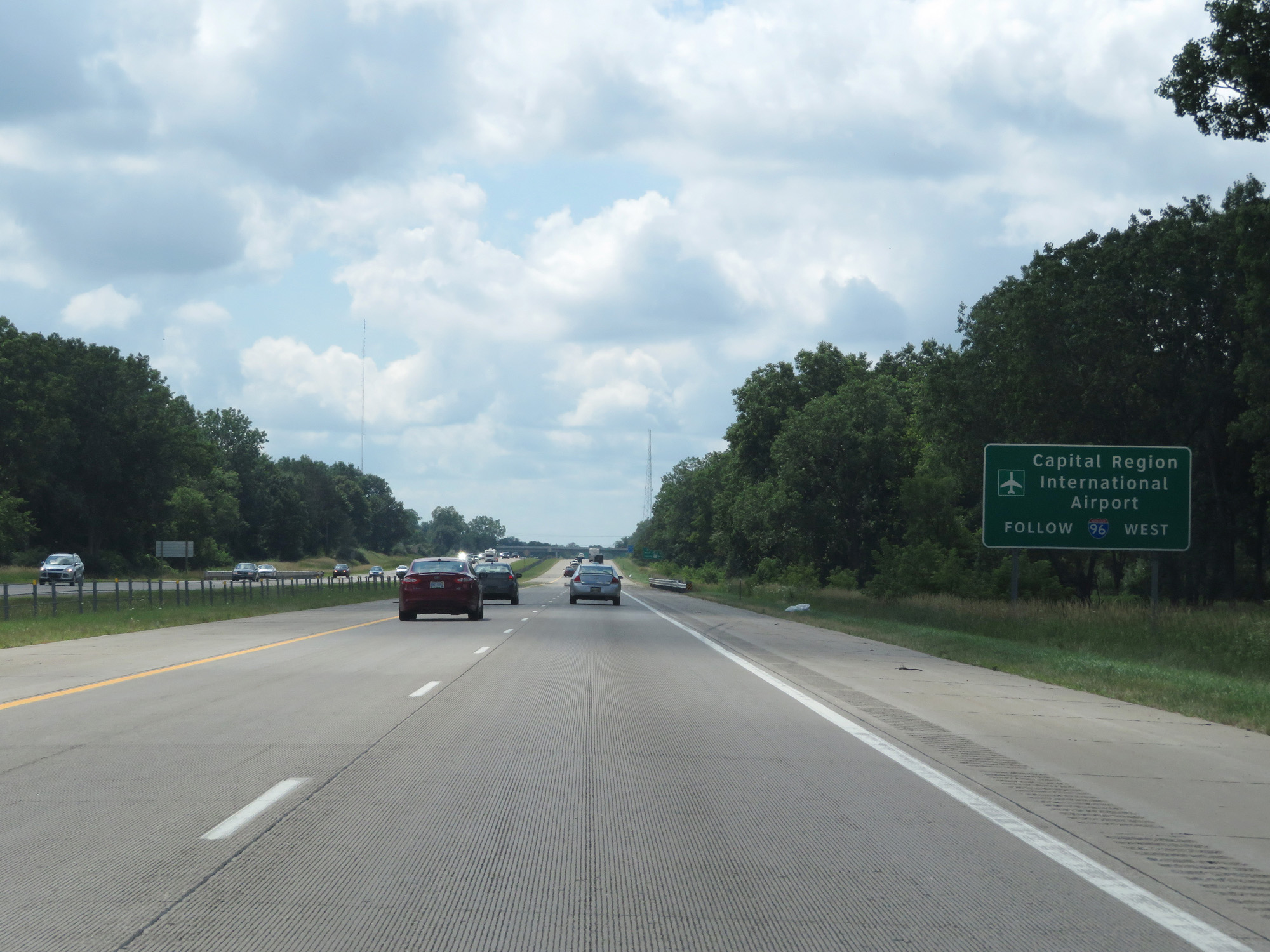 |
Stay on Interstate 96 West to get to Capital Region International Airport. (Photo taken 7/16/17). |
 |
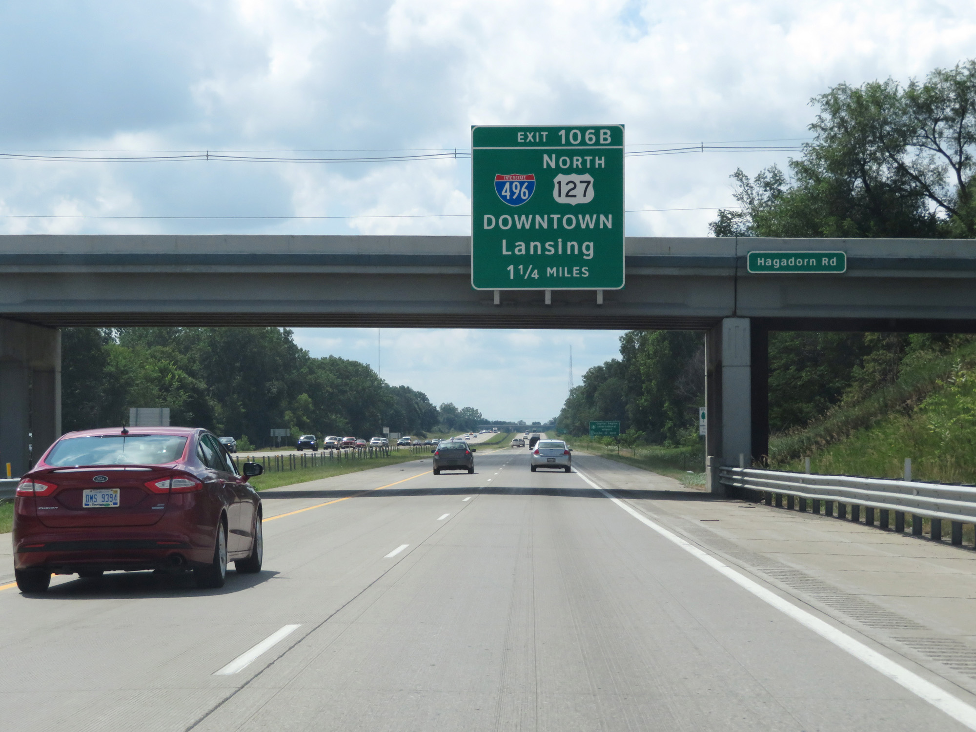
Follow US 127 North via Exit 106B to East Lansing and Michigan State University. (Photo taken 7/16/17). |
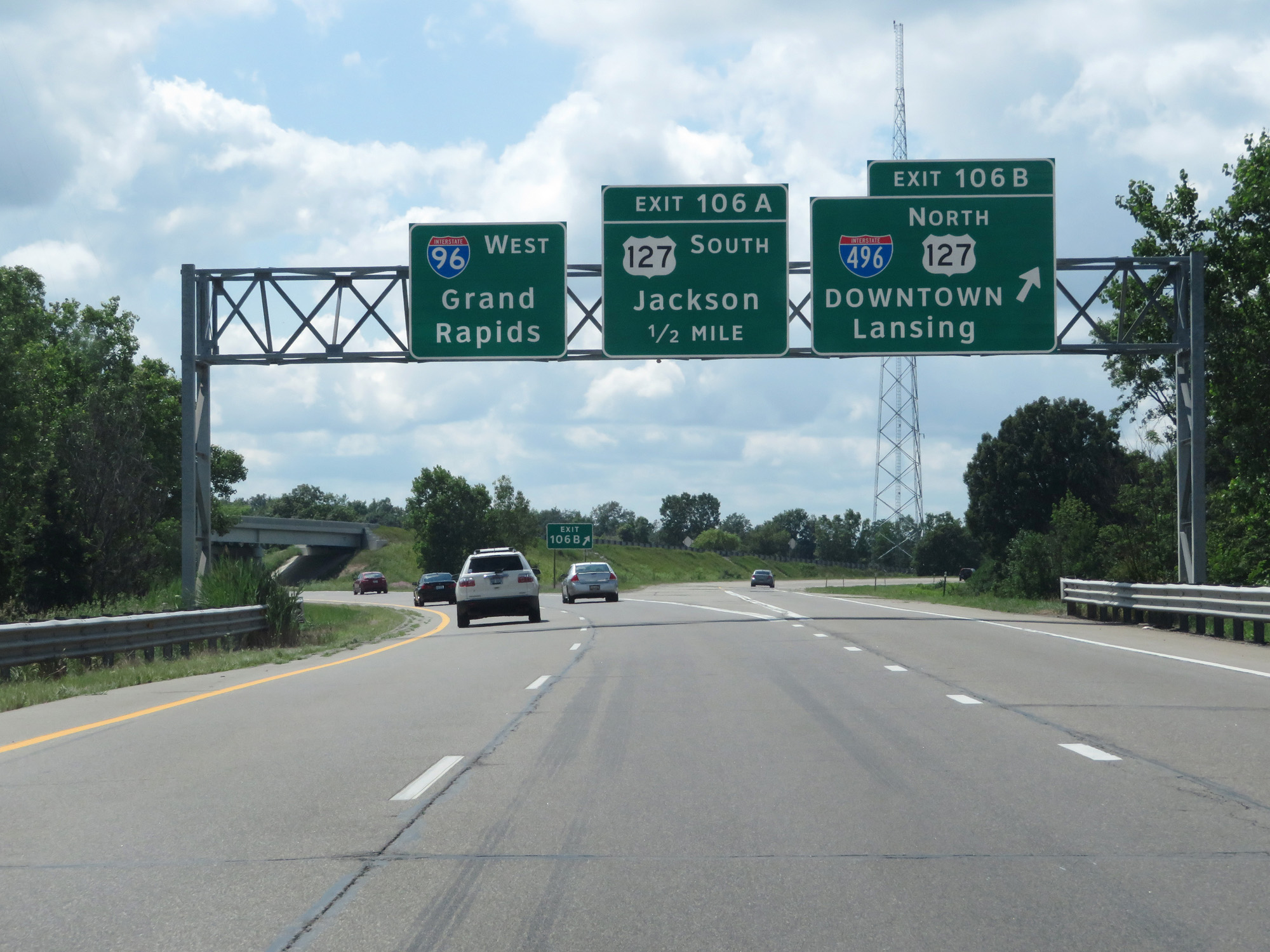 |
Interstate 96 West at Exit 106: Interstate 496 / US 127 North - Downtown Lansing (Photo taken 7/16/17). |
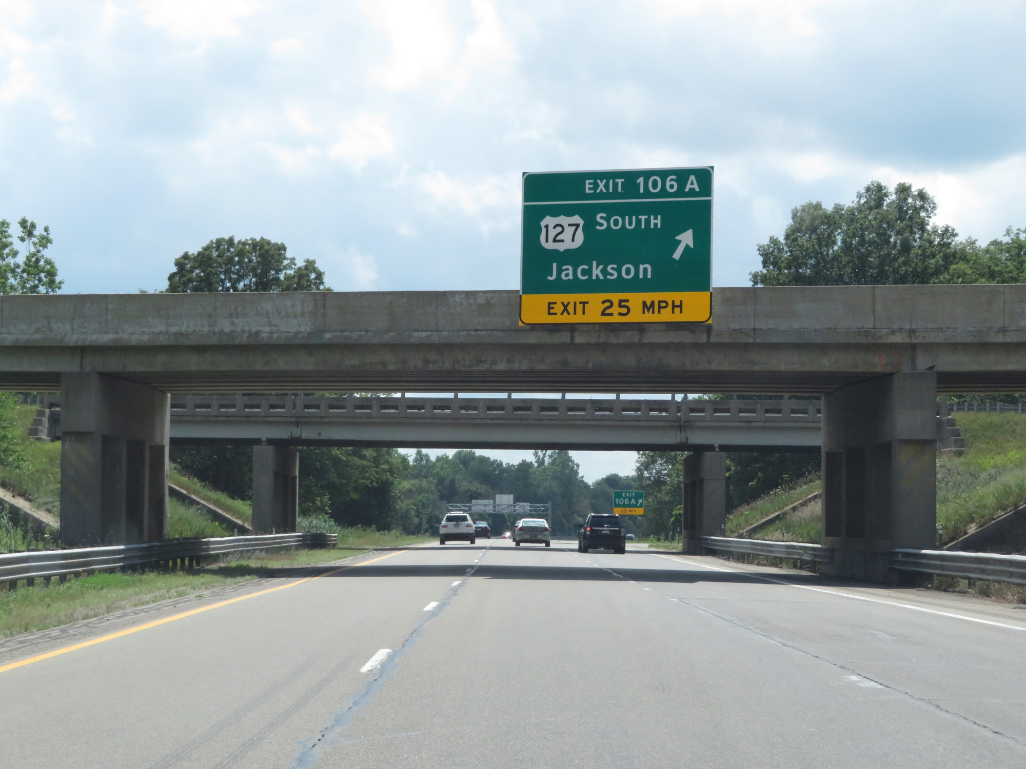 |
Interstate 96 West at Exit 106A: US 127 South - Jackson (Photo taken 7/16/17). |
Section 3: Lansing (Exit 106A) to Grand Rapids (Exit 38)
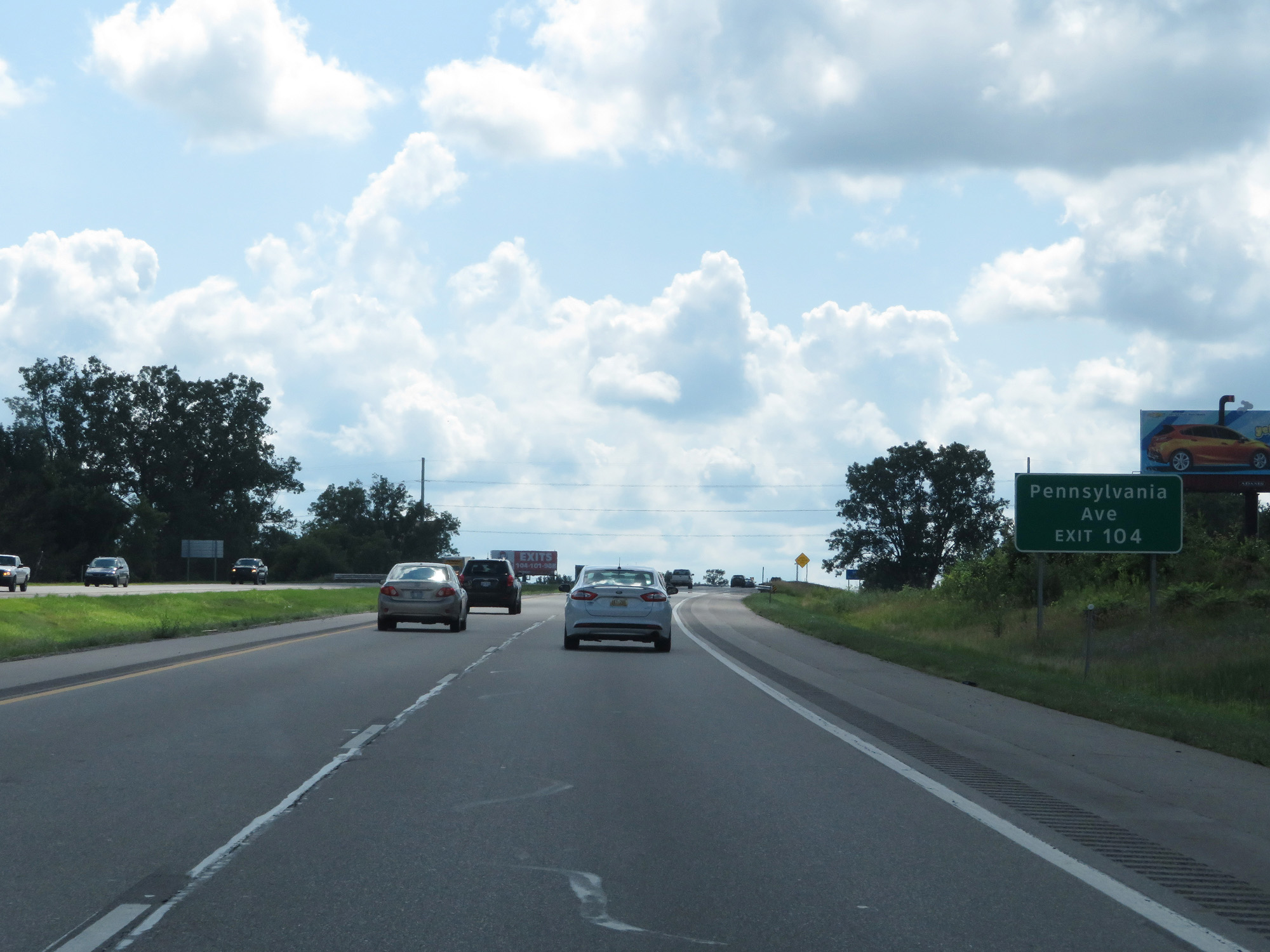 |
Take Exit 104 to Pennsylvania Ave. (Photo taken 7/16/17). |
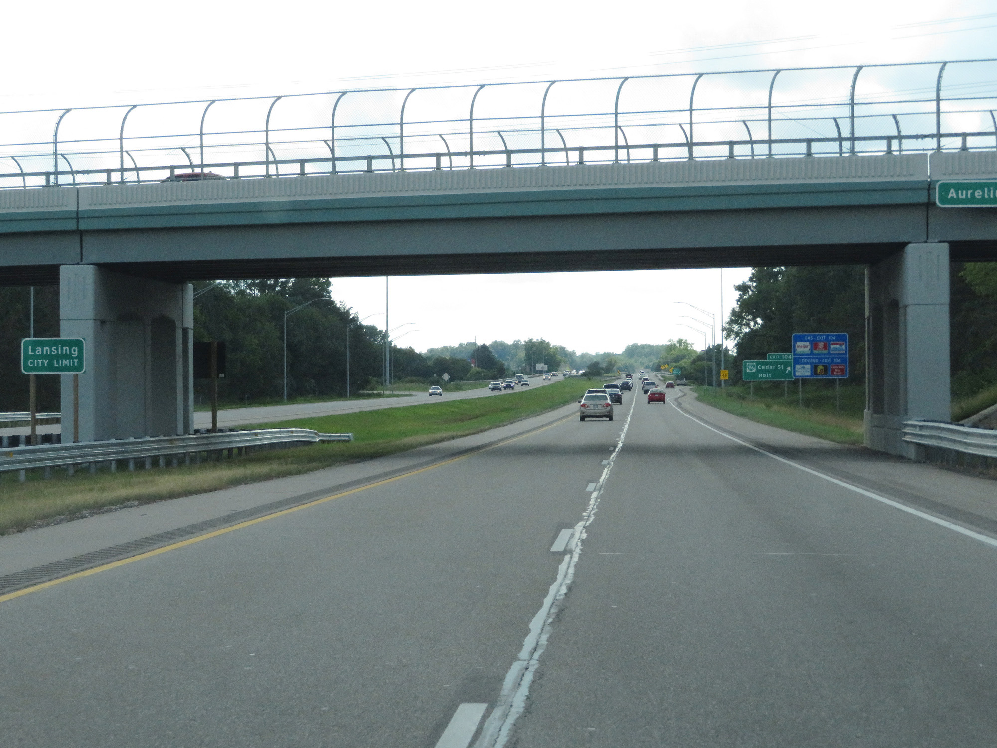 |
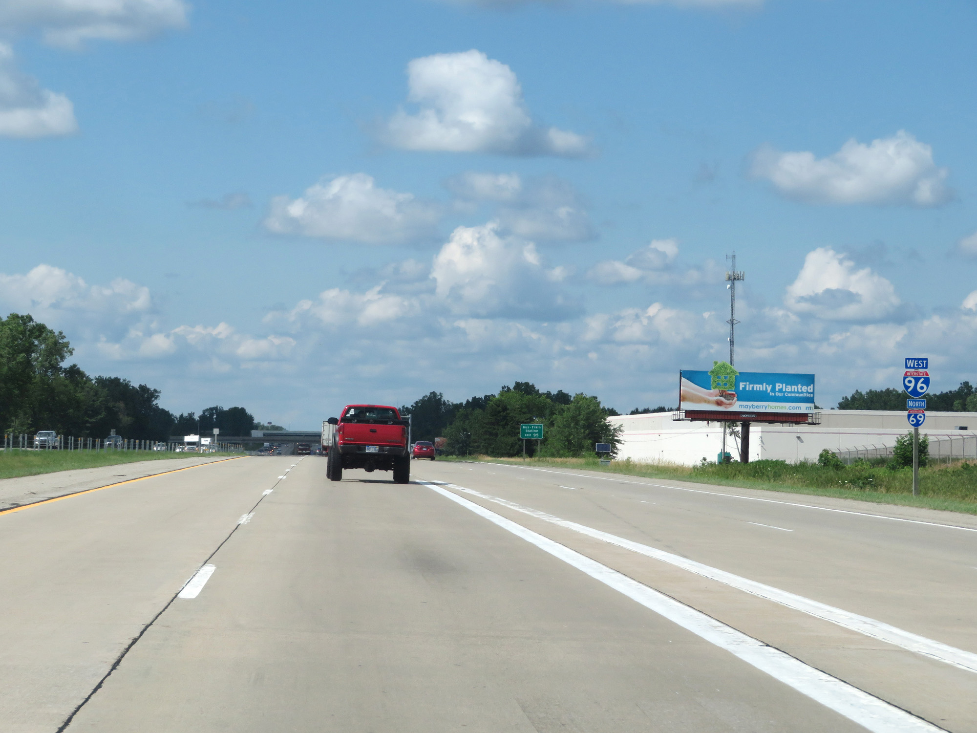
Interstate 96 West entering the Lansing city limits. (Photo taken 7/16/17). |
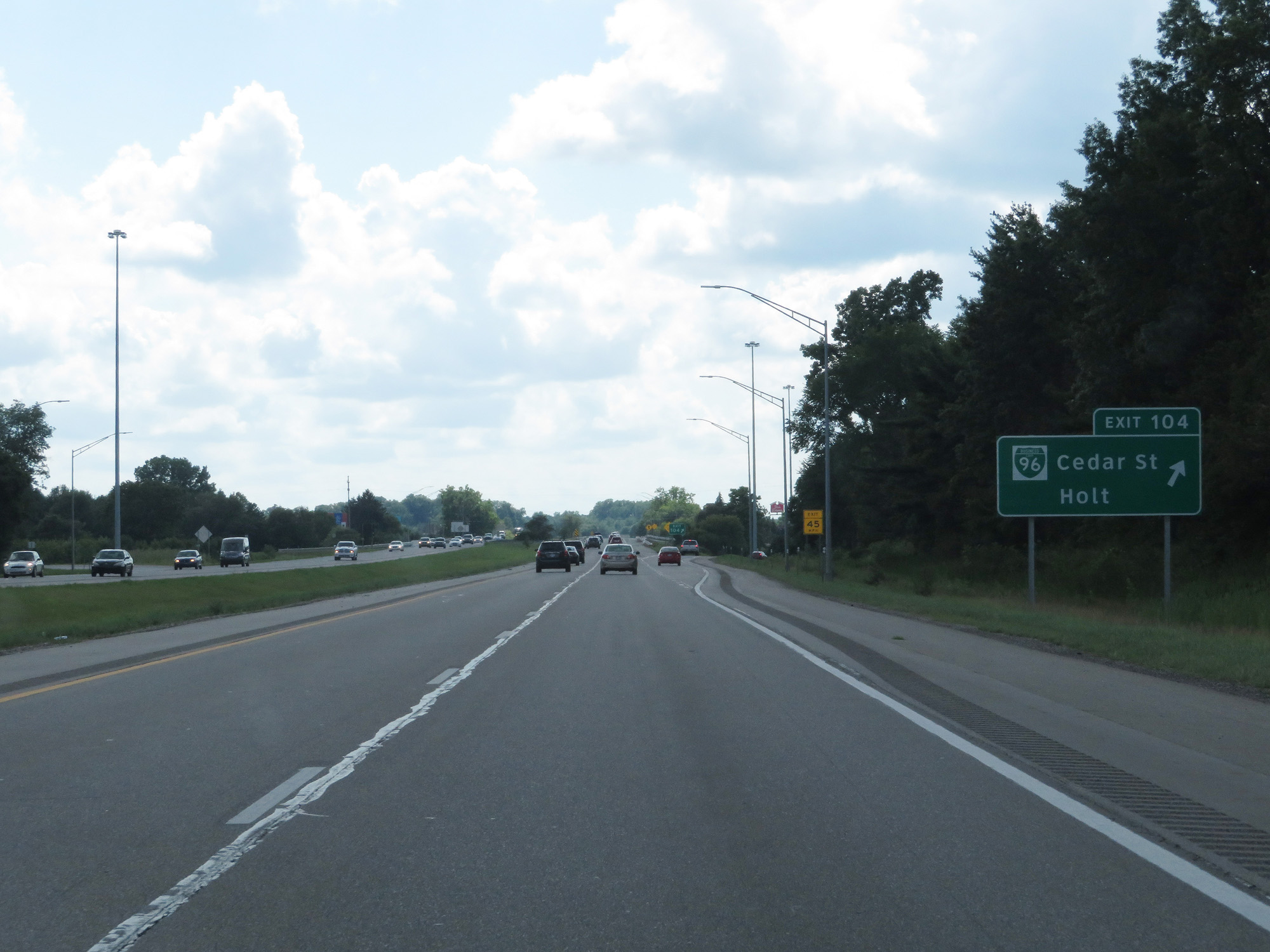 |
Interstate 96 West at Exit 104: Interstate 96 Business Loop - Cedar St / Holt (Photo taken 7/16/17). |
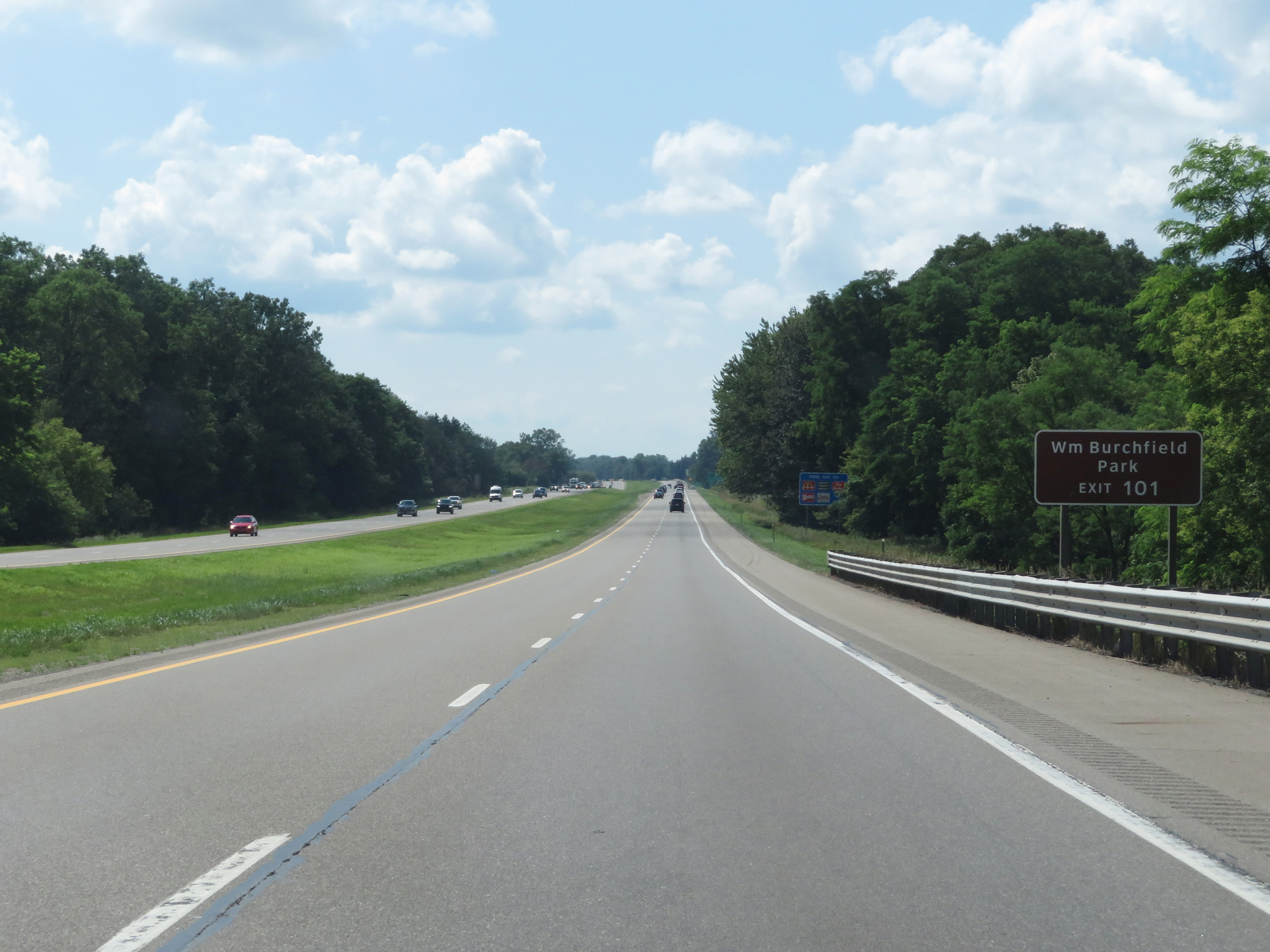 |
Take Exit 101 to William Burchfield Park. (Photo taken 7/16/17). |
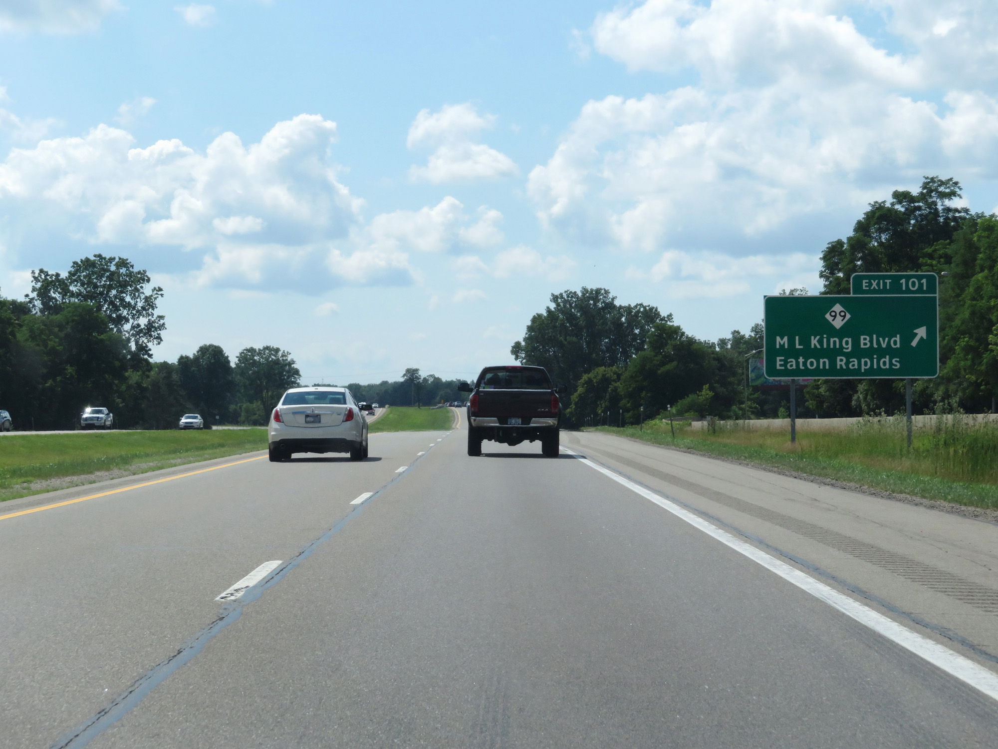 |
Interstate 96 West at Exit 101: M-99 - ML King Blvd / Eaton Rapids (Photo taken 7/16/17). |
 |
Interstate 96 West reassurance shield. (Photo taken 7/16/17). |
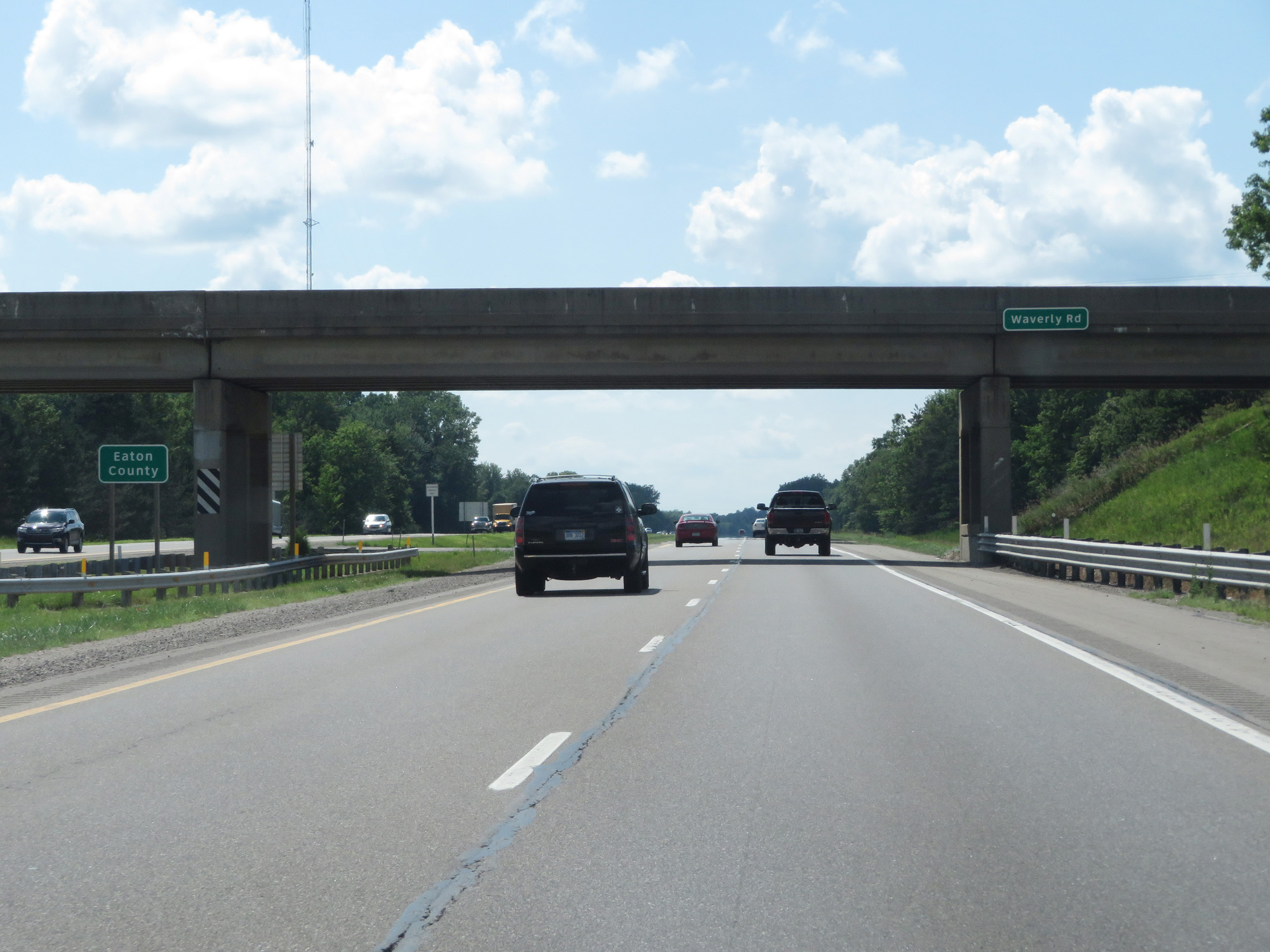 |
Interstate 96 West entering Eaton County. (Photo taken 7/16/17). |
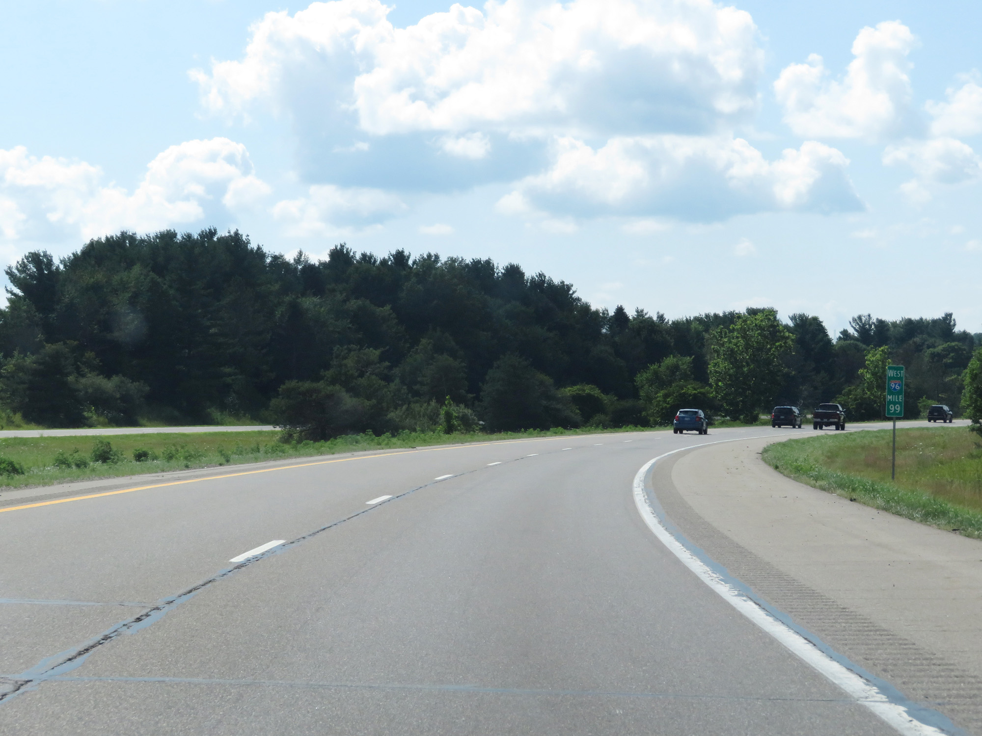 |
Interstate 96 West at mile marker 99. (Photo taken 7/16/17). |
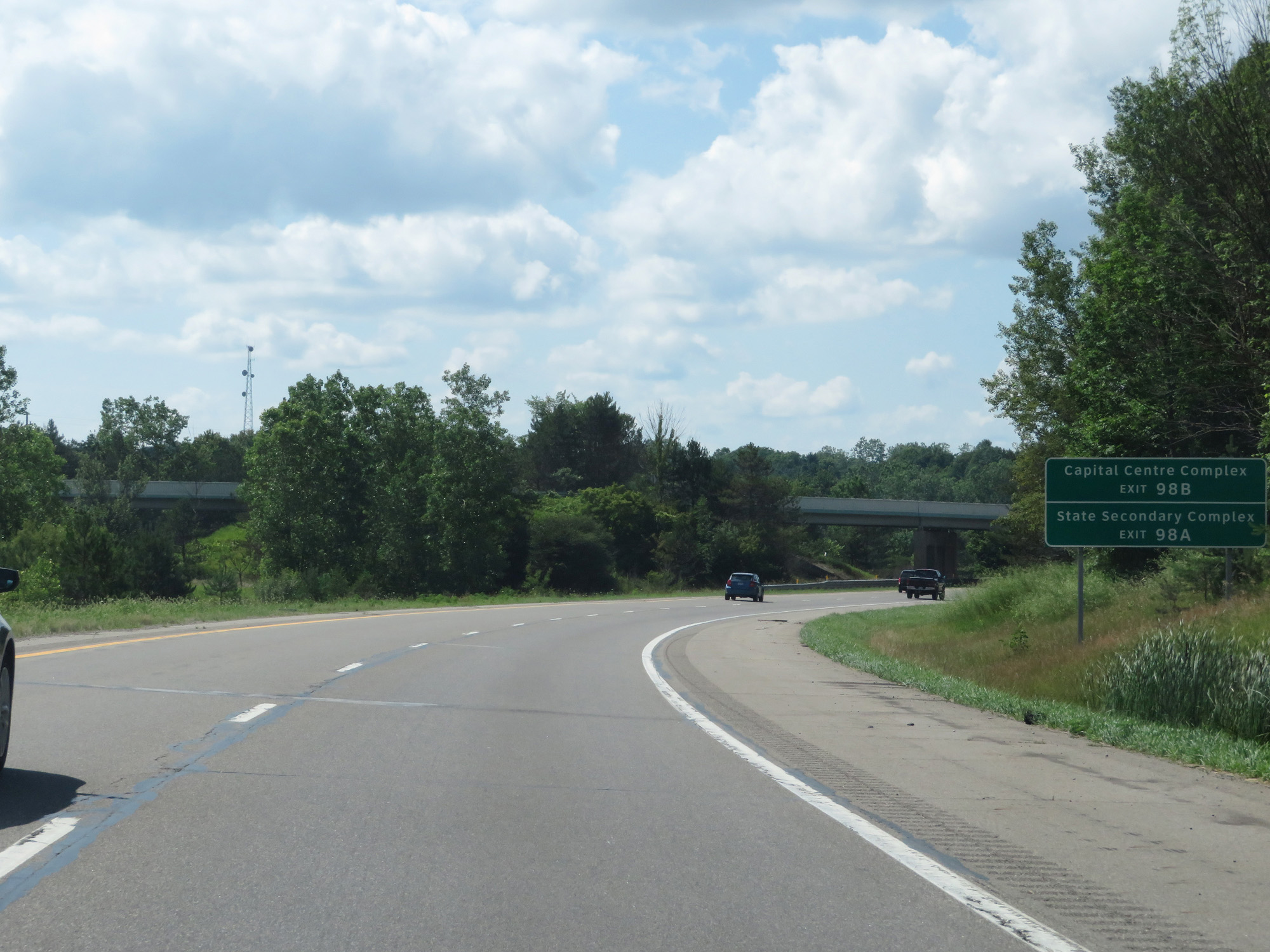 |
Take Exit 98B to Capital Centre Complex. Take Exit 98A to State Secondary Complex. (Photo taken 7/16/17). |
 |
Interstate 96 West at Exit 98B: Lansing Rd North (Photo taken 7/16/17). |
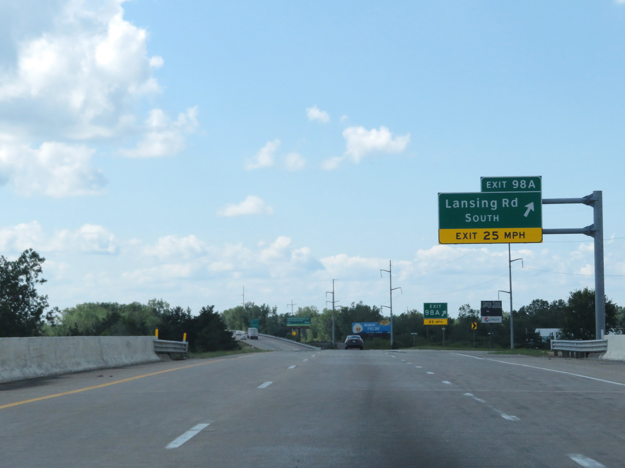 |
Interstate 96 West at Exit 98A: Lansing Rd South (Photo taken 7/16/17). |
 |
Interstate 96 West approaching Exit 97 - 3/4 mile. (Photo taken 7/16/17). |
 |
Interstate 96 West at Exit 97: Interstate 69 South - Charlotte / Fort Wayne (Photo taken 7/16/17). |
 |
Interstate 96 West at mile marker 96. (Photo taken 7/16/17). |
 |
Interstate 96 West / Interstate 69 North reassurance shields as traffic from Interstate 69 North merges into Interstate 96 West for a 6-mile concurrency on the west side of Lansing. (Photo taken 7/16/17). |
 |
Speed limit signs on interstate 96 West / Interstate 69 North. The speed limit remains 70 mph for cars and 60 mph for trucks, while the minimum speed limit remains 55 mph for all traffic. (Photo taken 7/16/17). |
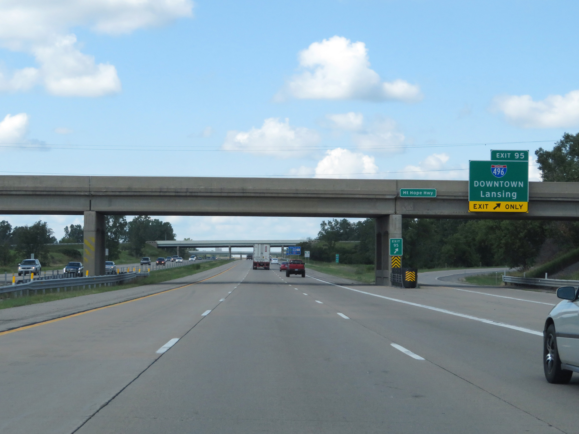 |
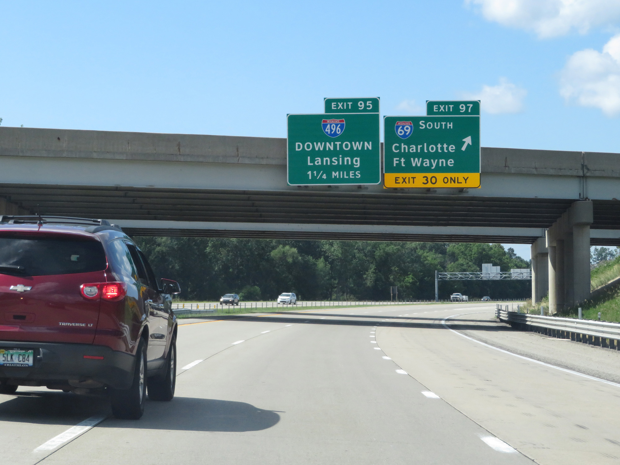
Interstate 96 West / Interstate 69 North at Exit 95: Interstate 496 - Downtown Lansing (Photo taken 7/16/17). |
 |
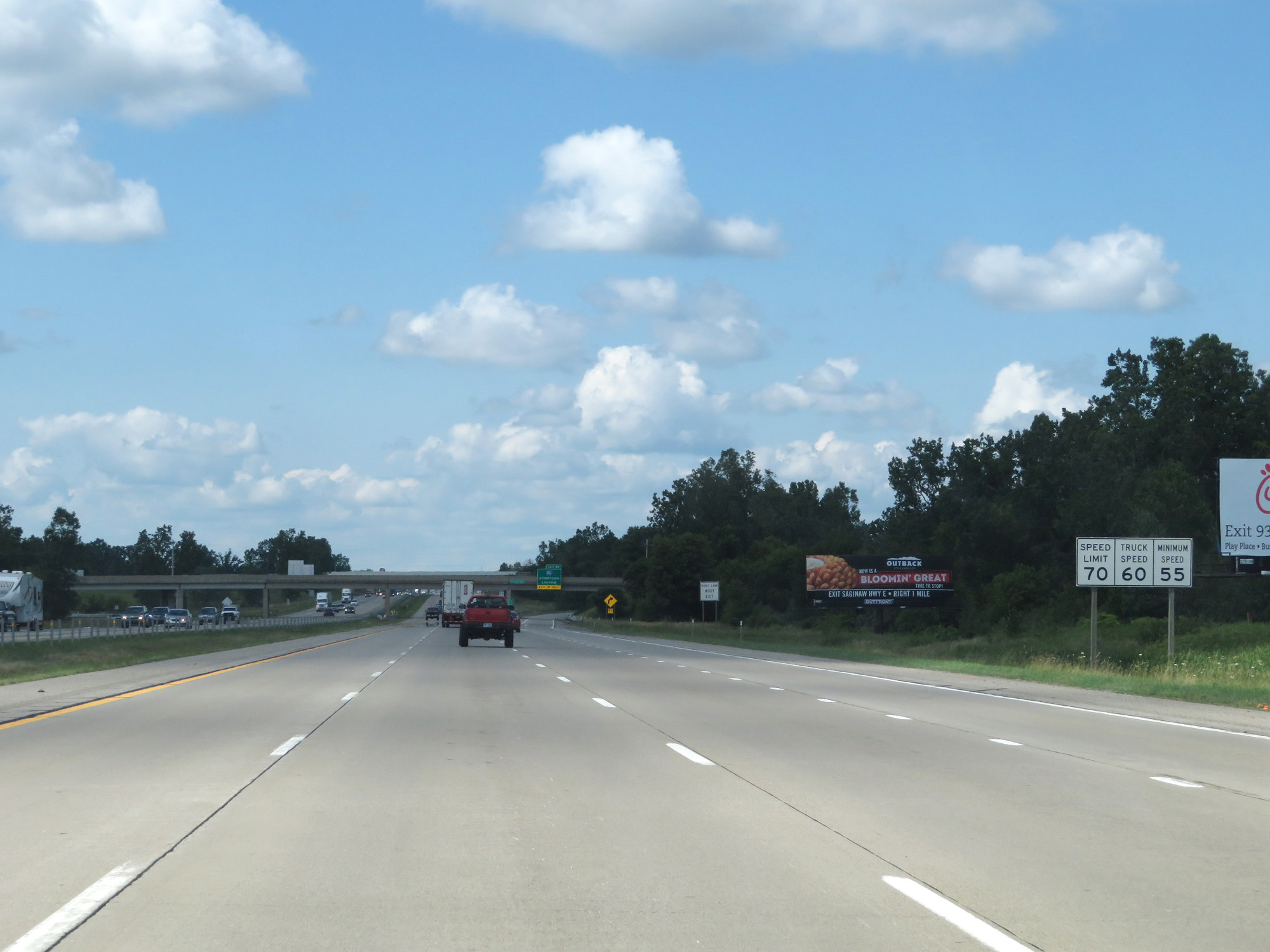
Interstate 96 West / Interstate 69 North at Exit 93B: Interstate 69 Business Loop / M-43 East - Saginaw Hwy (Photo taken 7/16/17). |
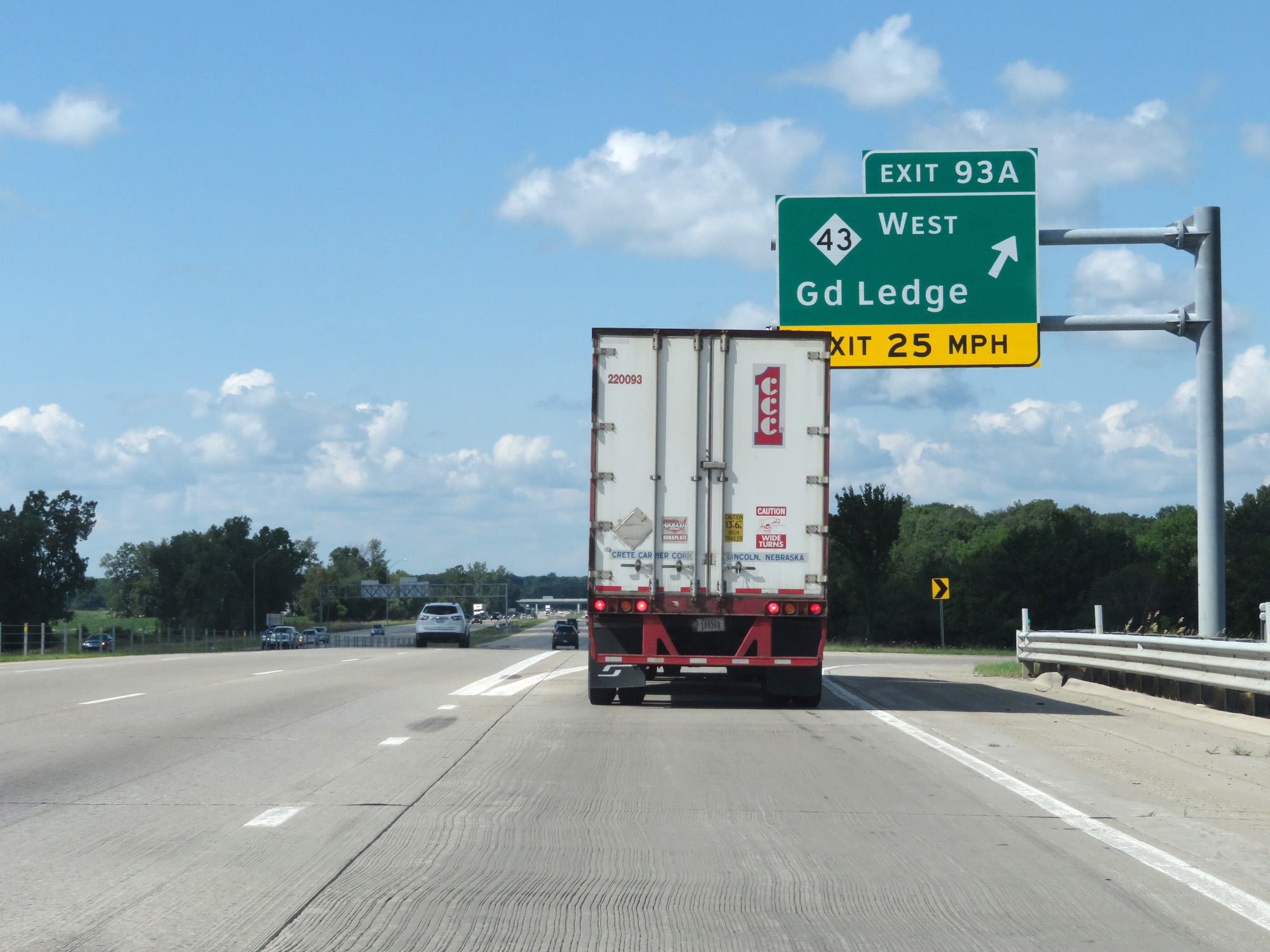 |
Interstate 96 West / Interstate 69 North at Exit 93A: M-43 West - Grand Ledge (Photo taken 7/16/17). |
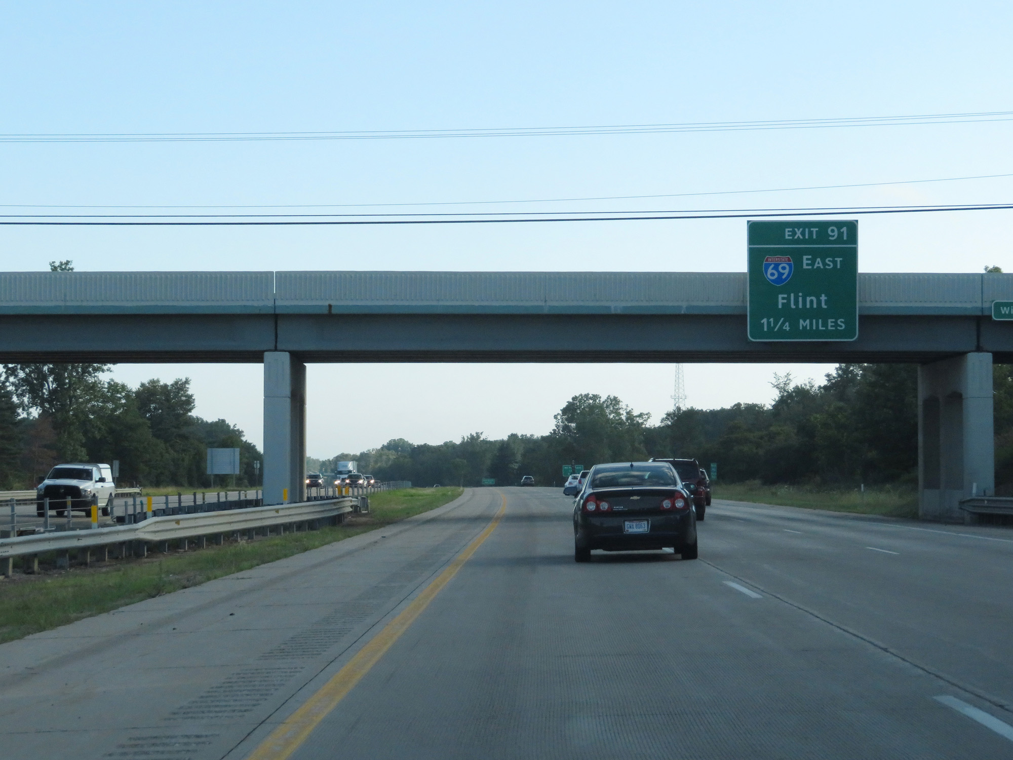 |
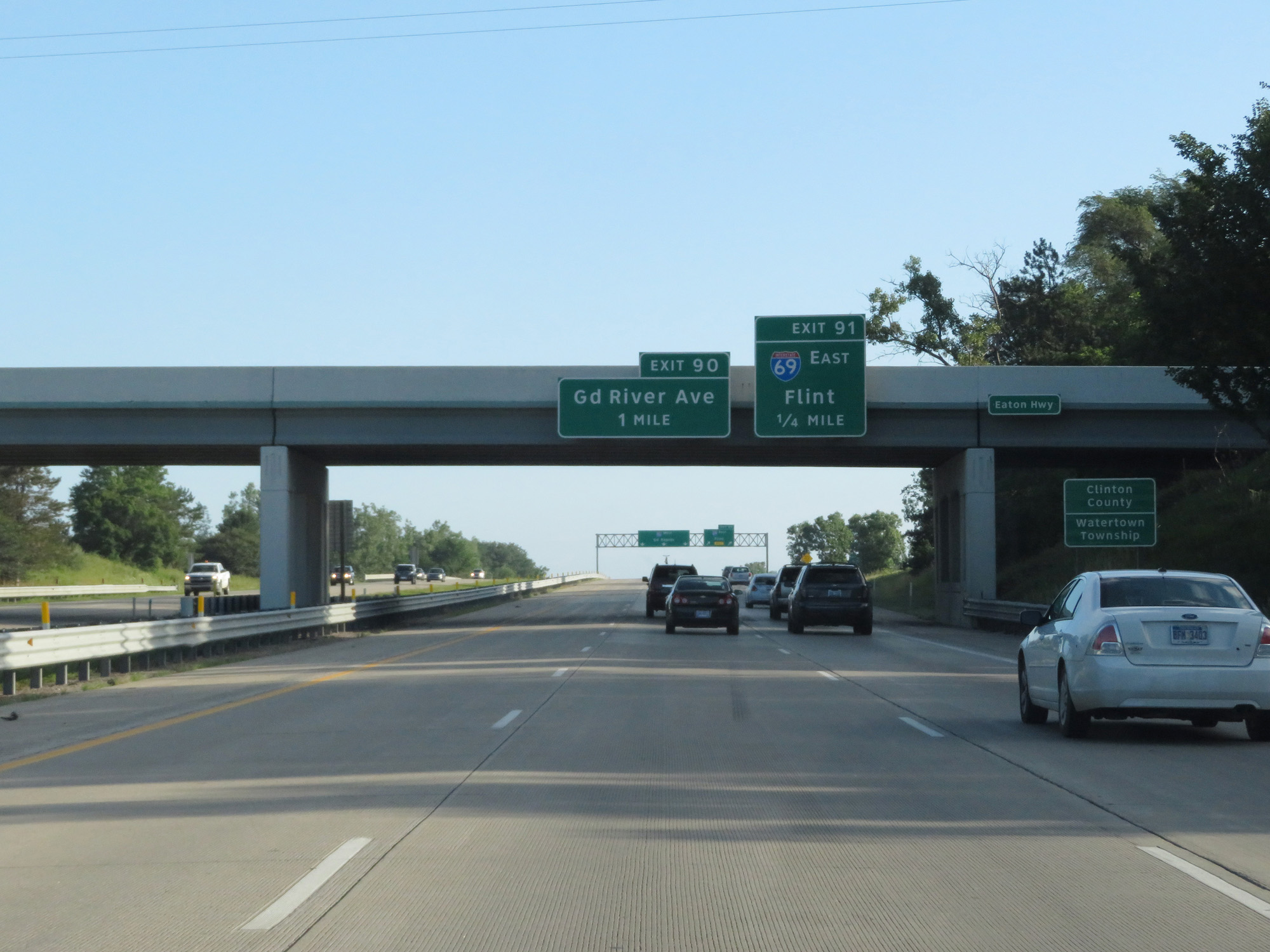
Interstate 96 West / Interstate 69 North approaching Exit 91 - 1 1/4 miles. (Photo taken 7/17/17). |
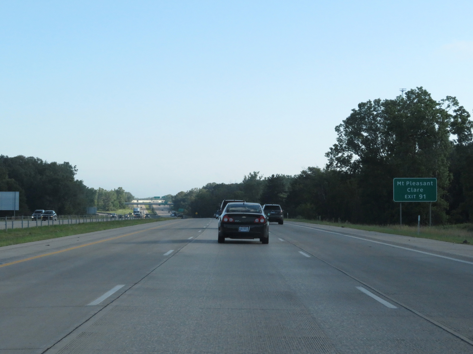 |
Take Exit 91 (Interstate 69 East) to Mt Pleasant and Clare. (Photo taken 7/17/17). |
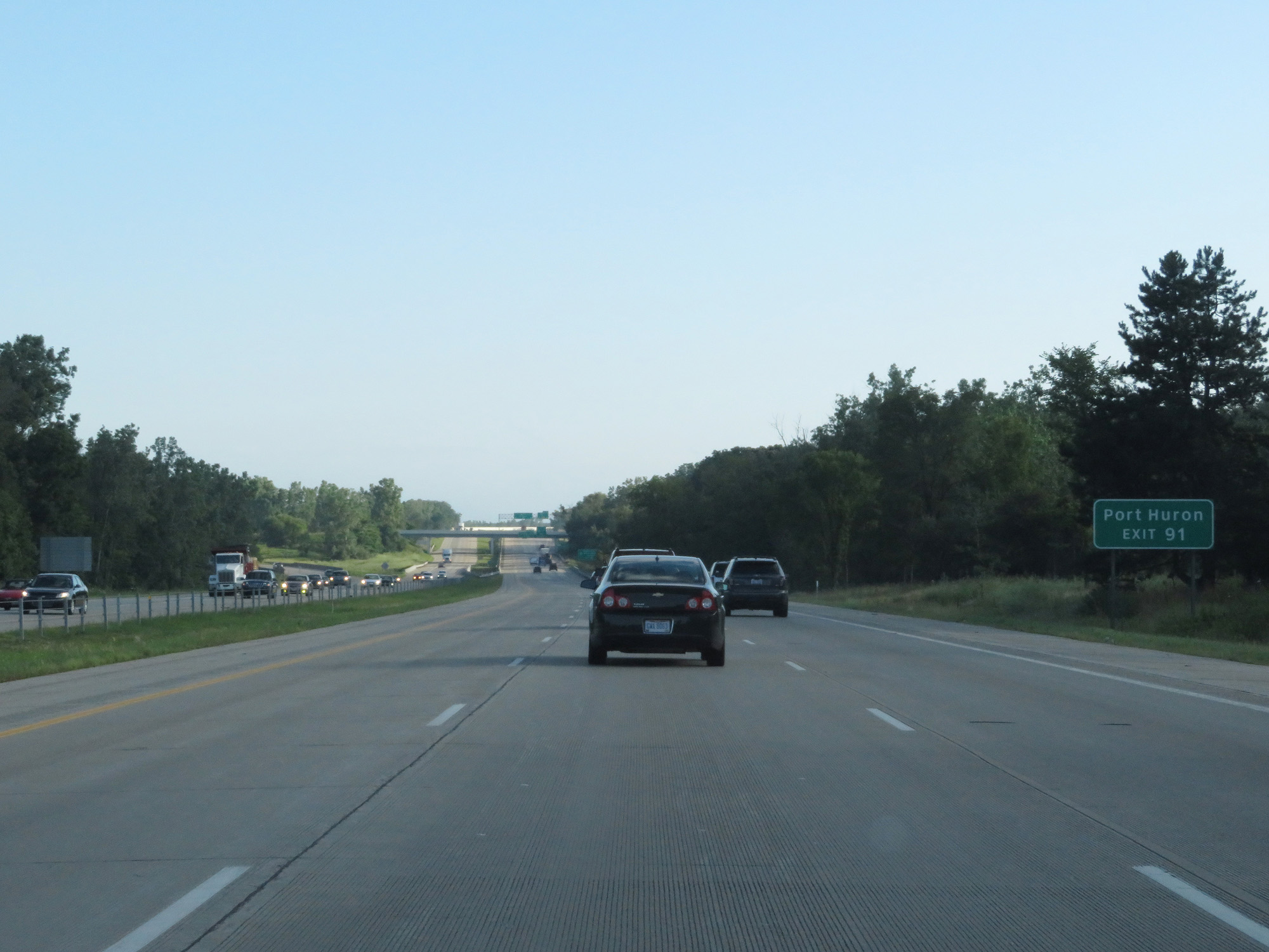 |
Also take Exit 91 to Port Huron. (Photo taken 7/17/17). |
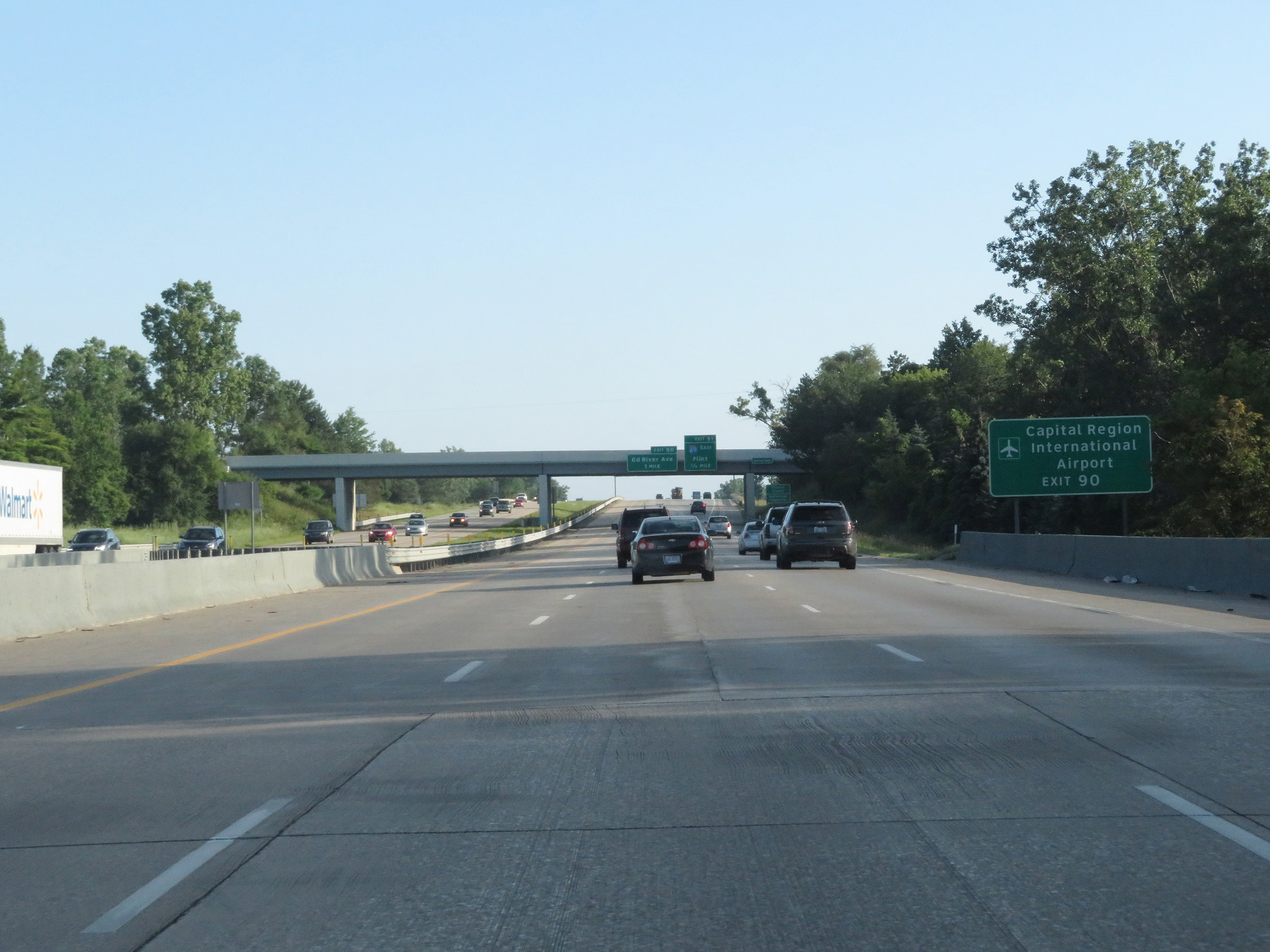 |
Take Exit 90 to Capital Region International Airport. (Photo taken 7/17/17). |
 |
Interstate 96 West / Interstate 69 North entering Clinton County. (Photo taken 7/17/17). |
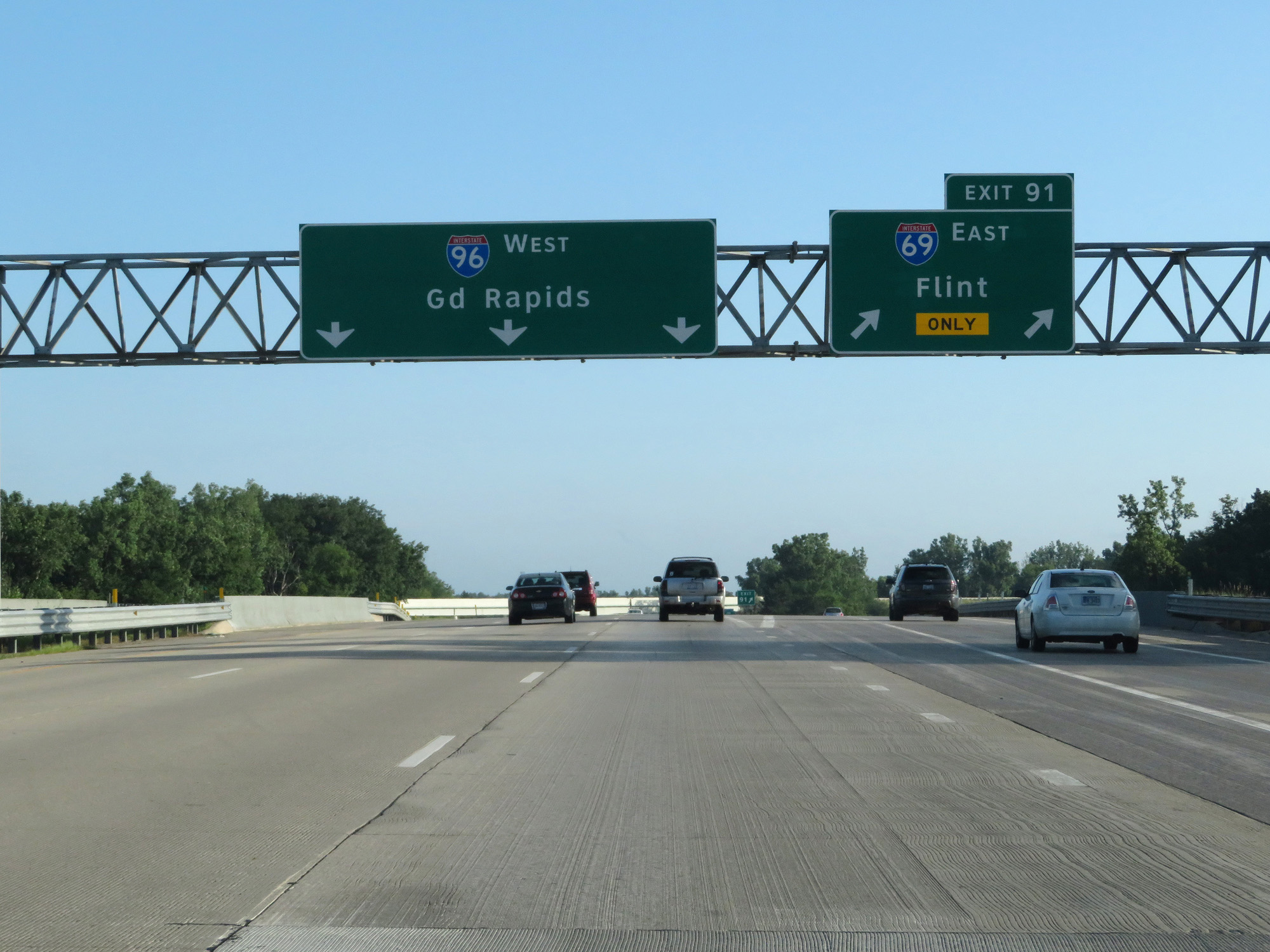 |
Interstate 96 West / Interstate 69 North at Exit 91: Interstate 69 East - Flint (Photo taken 7/17/17). |
 |
Interstate 96 West at Exit 90: Grand River Ave (Photo taken 7/17/17). |
 |
Interstate 96 West reassurance shield. (Photo taken 7/17/17). |
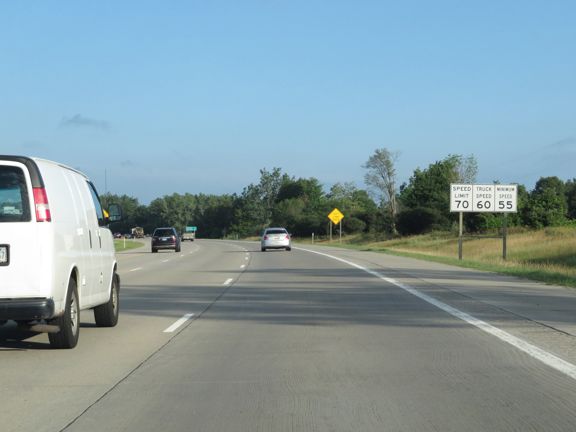 |
Speed Limits: 70 mph for cars, 60 mph for trucks, 55 mph minimum. (Photo taken 7/17/17). |
 |
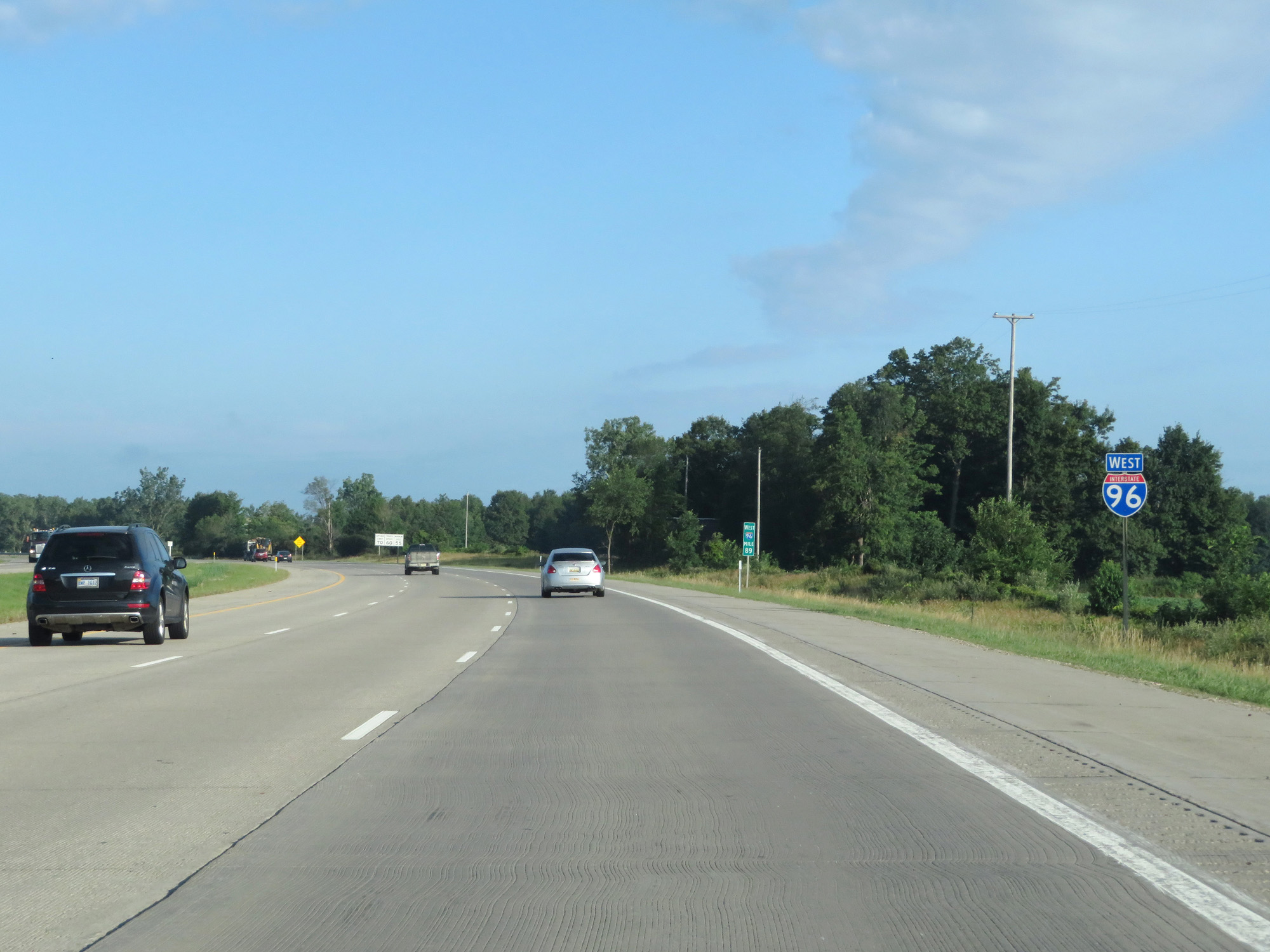
Mileage sign on Interstate 96 West. It's 12 miles to Portland and 54 miles to Grand Rapids. (Photo taken 7/17/17). |
 |
Take Exit 86 to Fitzgerald Park and Lincoln Brick Park. (Photo taken 7/17/17). |
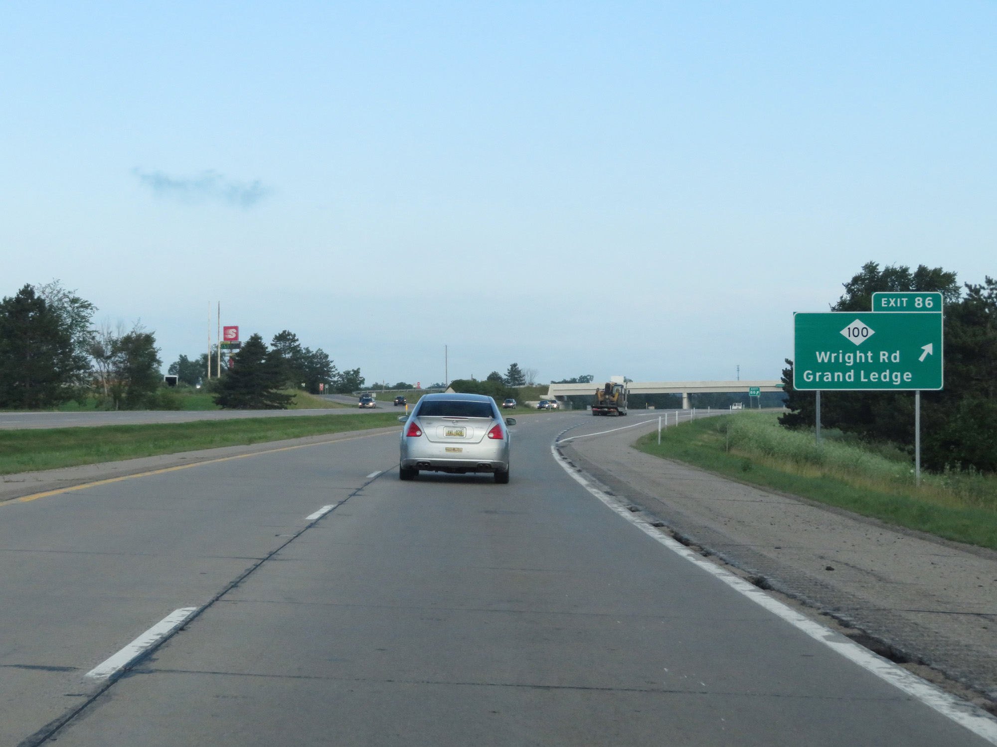 |
Interstate 96 West at Exit 86: M-100 - Wright Rd / Grand Ledge (Photo taken 7/17/17). |
 |
Interstate 96 West at mile marker 85. (Photo taken 7/17/17). |
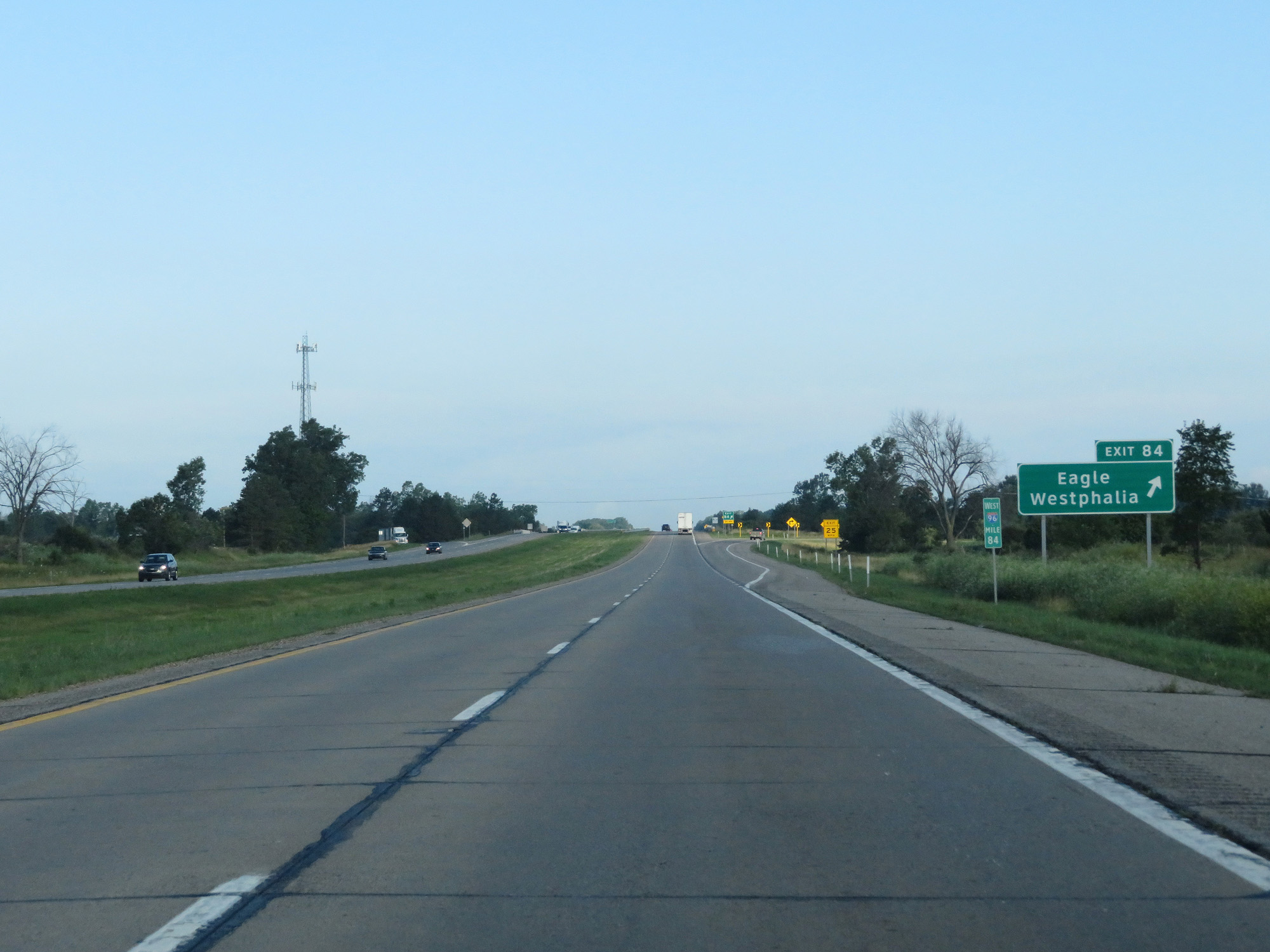 |
Interstate 96 West at Exit 84: Eagle / Westphalia (Photo taken 7/17/17). |
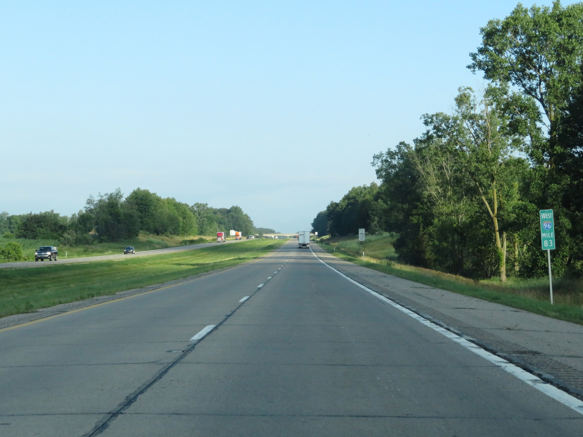 |
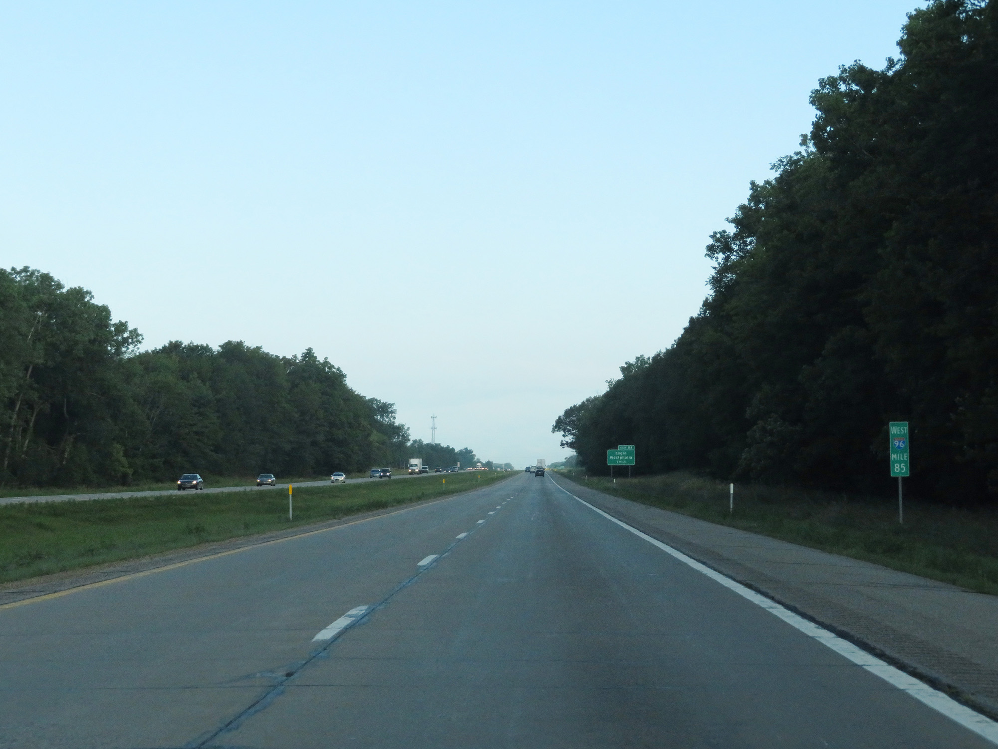
Interstate 96 West at mile marker 83. (Photo taken 7/17/17). |
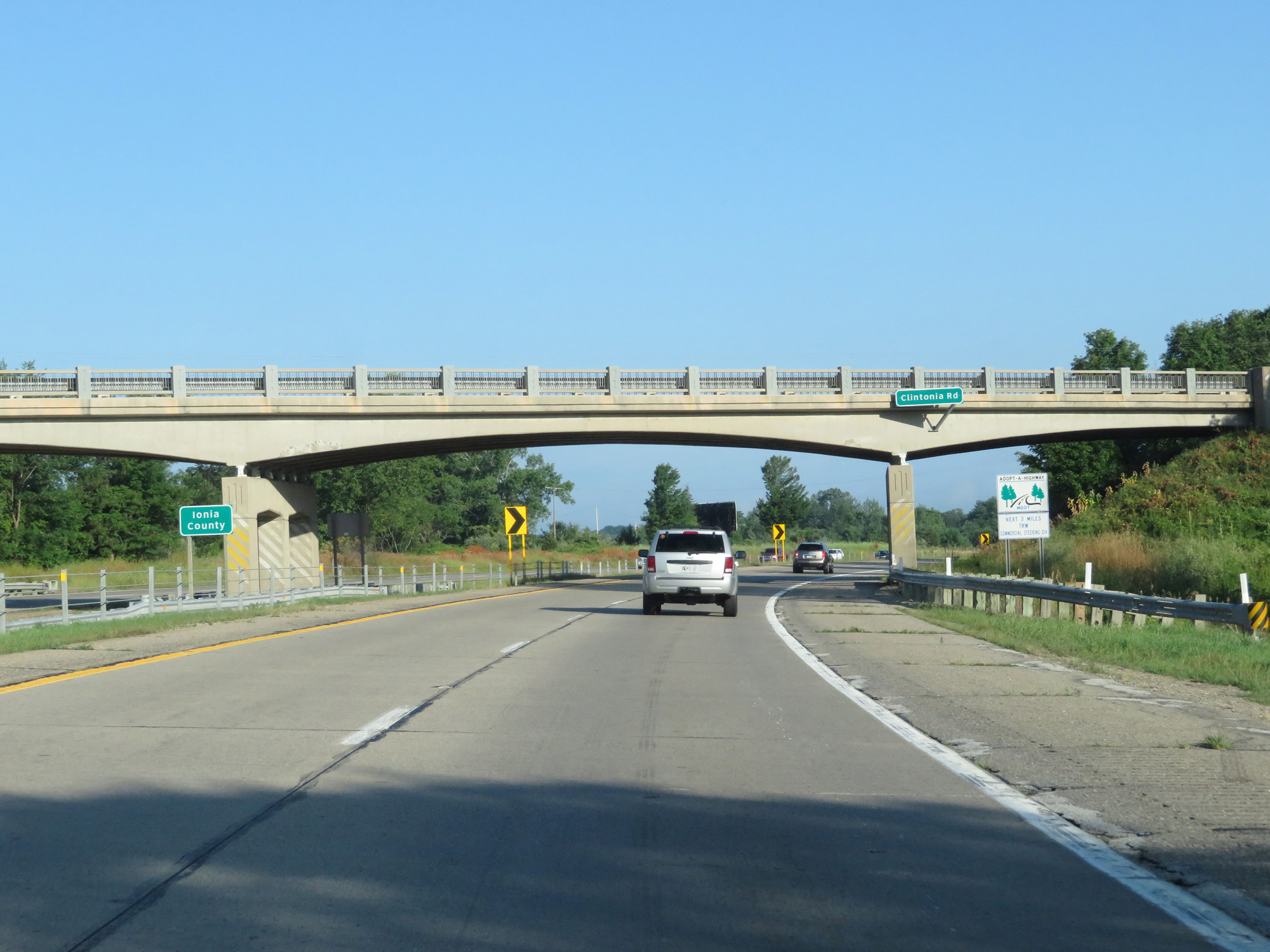 |
Interstate 96 West entering Ionia County. (Photo taken 7/17/17). |
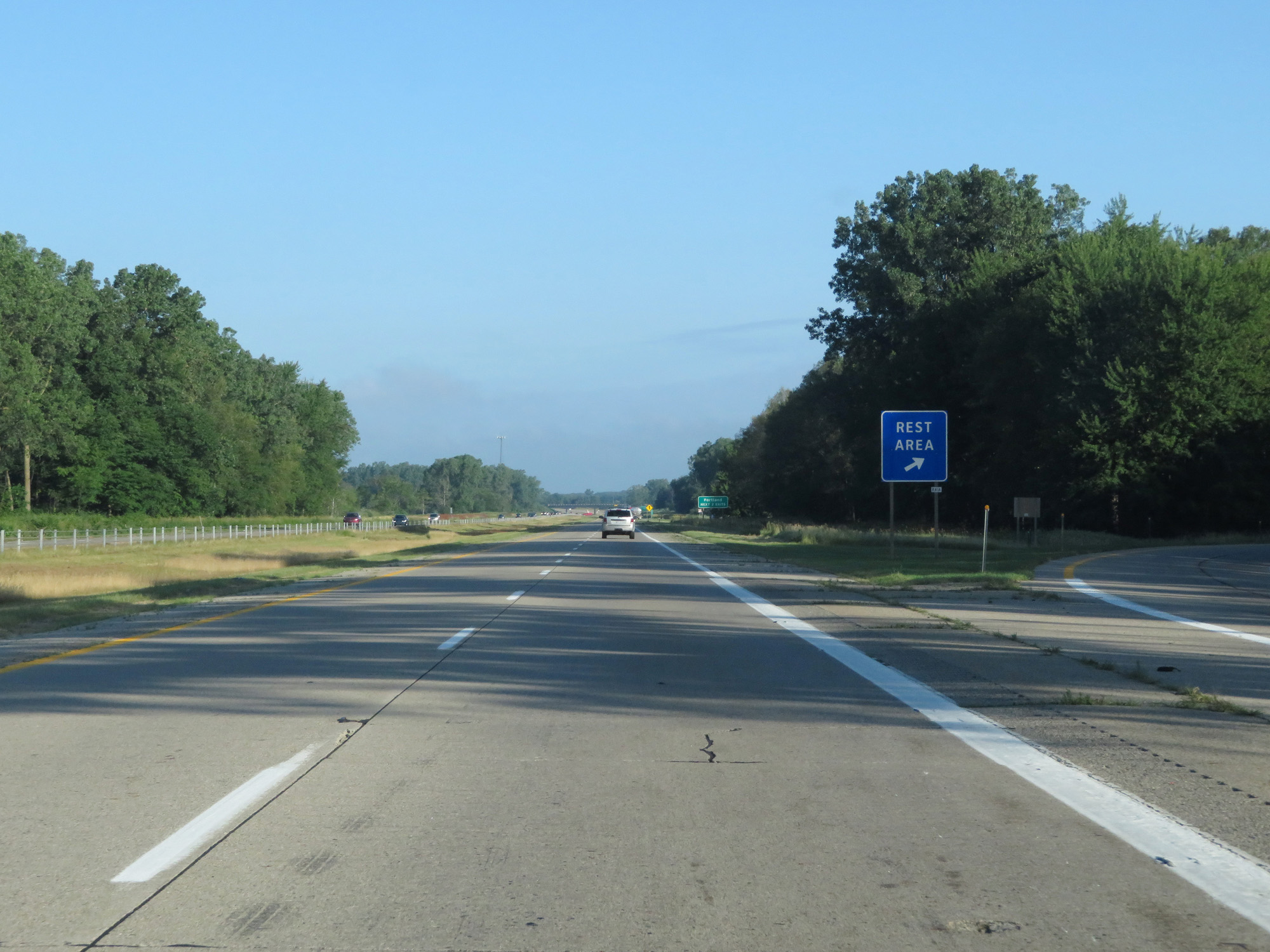 |
Interstate 96 West at the Rest Area in Ionia County. (Photo taken 7/17/17). |
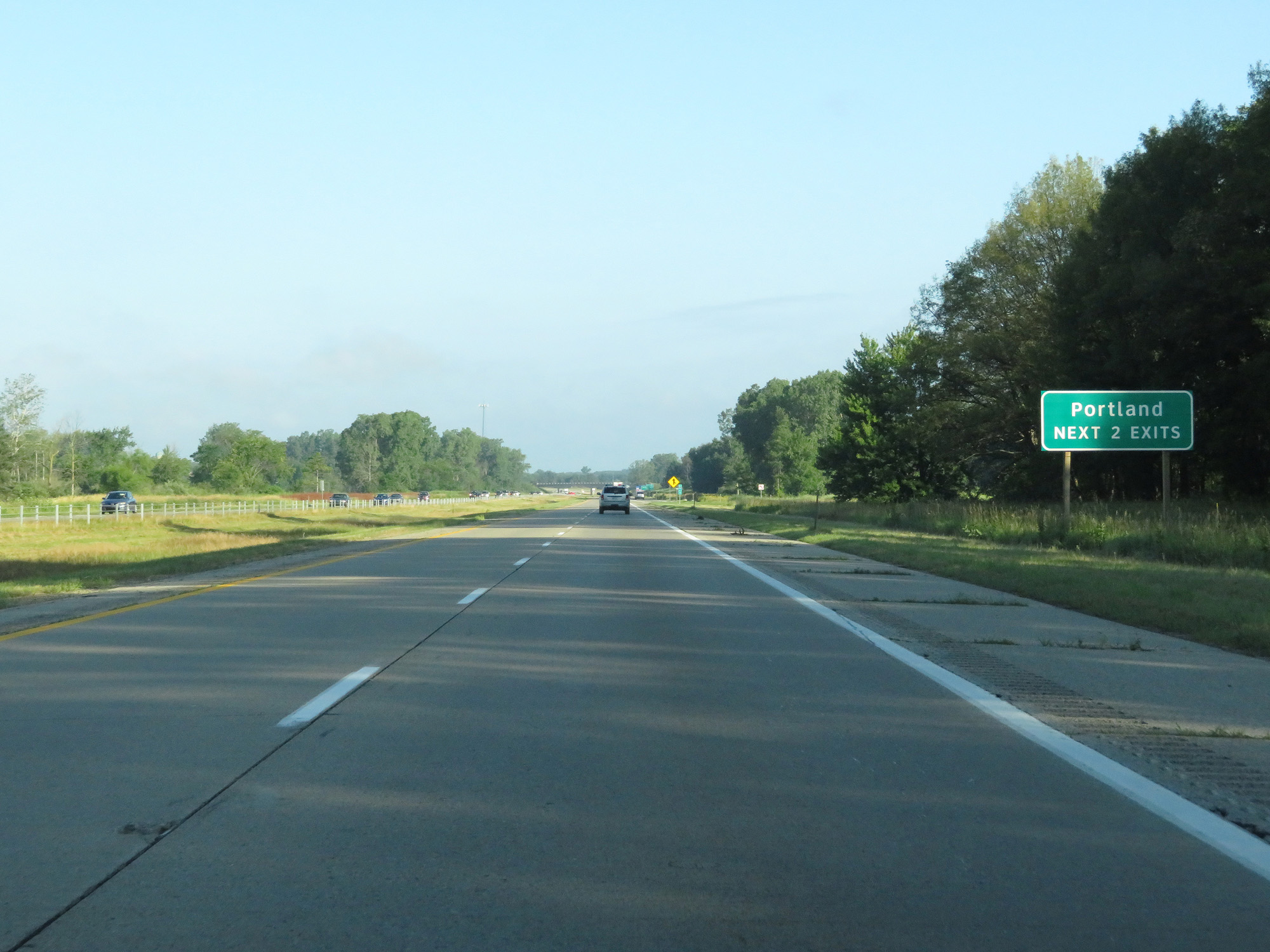 |
Take either of the next 2 exits to Portland. (Photo taken 7/17/17). |
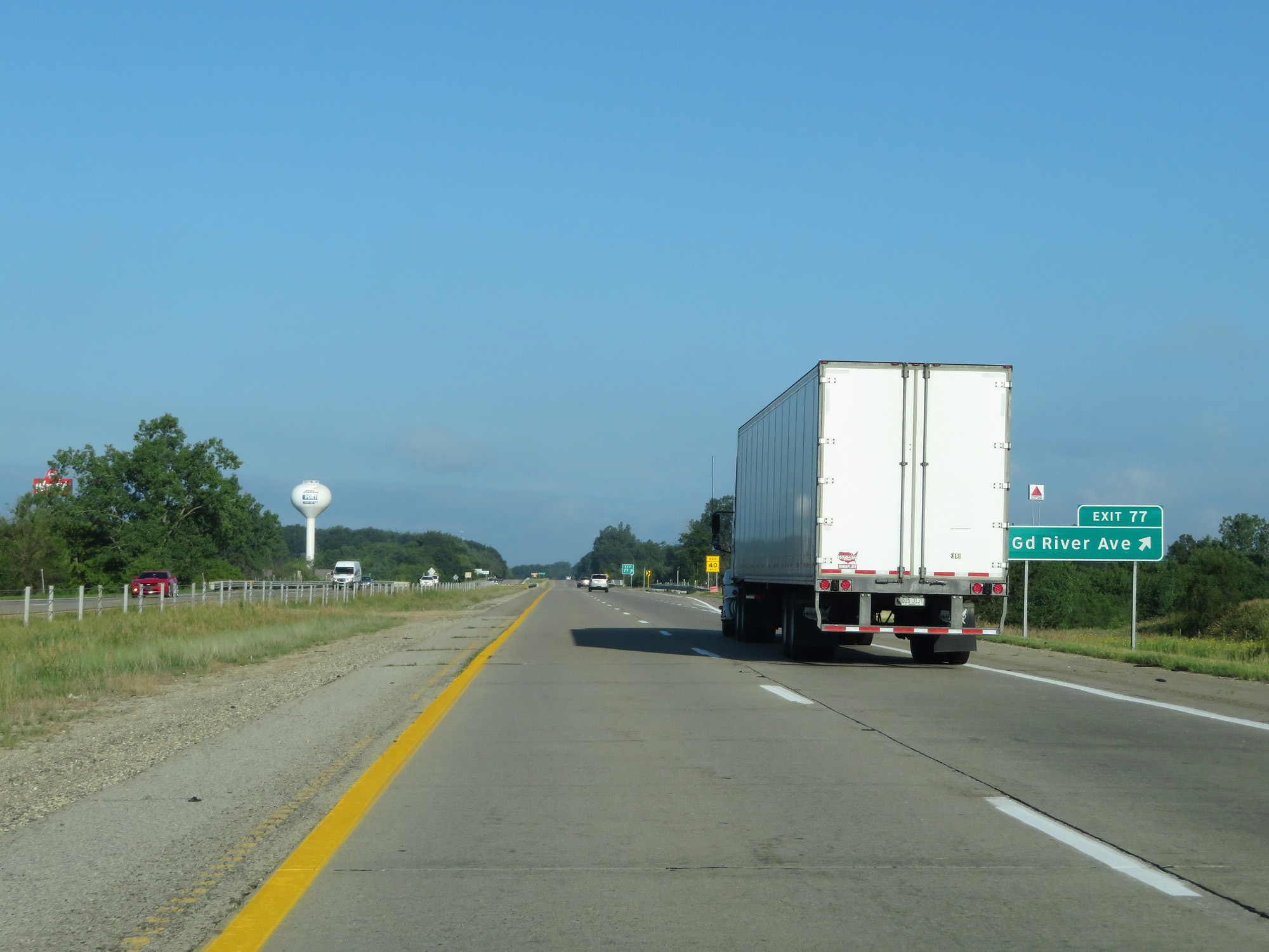 |
Interstate 96 West at Exit 77: Grand River Ave (Photo taken 7/17/17). |
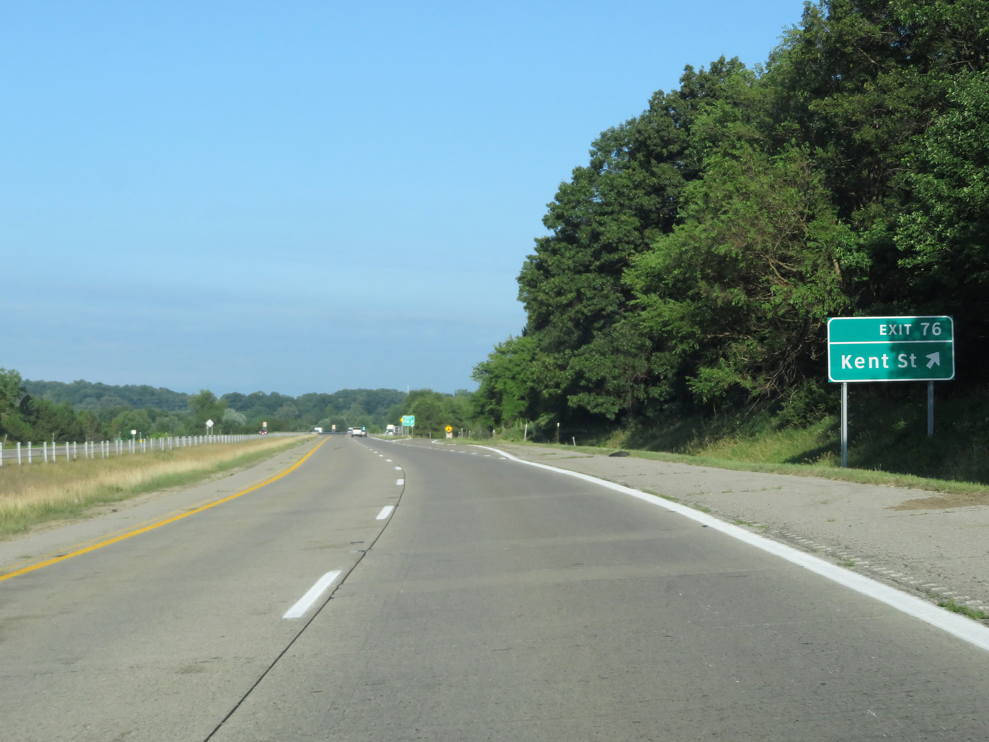 |
Interstate 96 West at Exit 76: Kent St (Photo taken 7/17/17). |
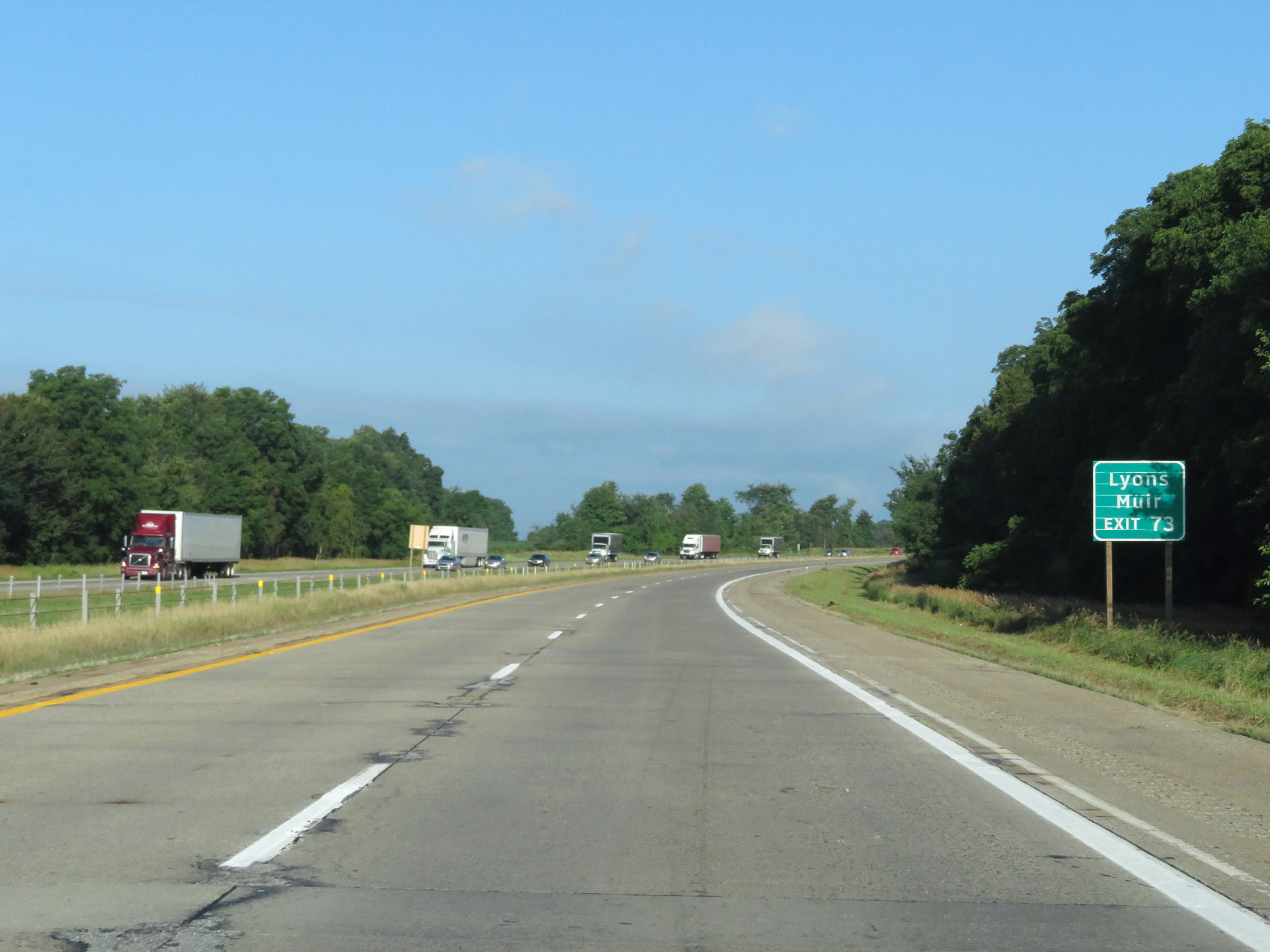 |
Take Exit 73 to Lyons and Muir. (Photo taken 7/17/17). |
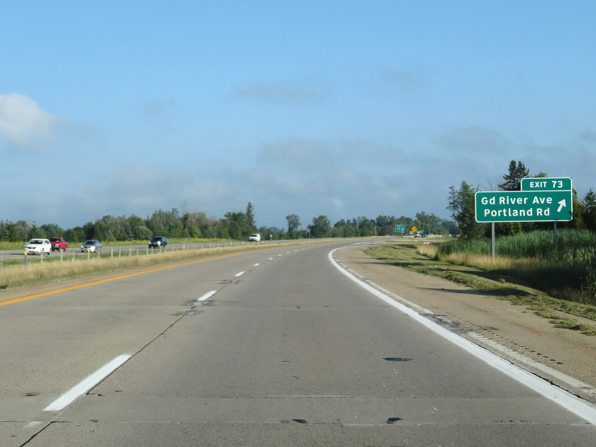 |
Interstate 96 West at Exit 73: Grand River Ave / Portland Rd (Photo taken 7/17/17). |
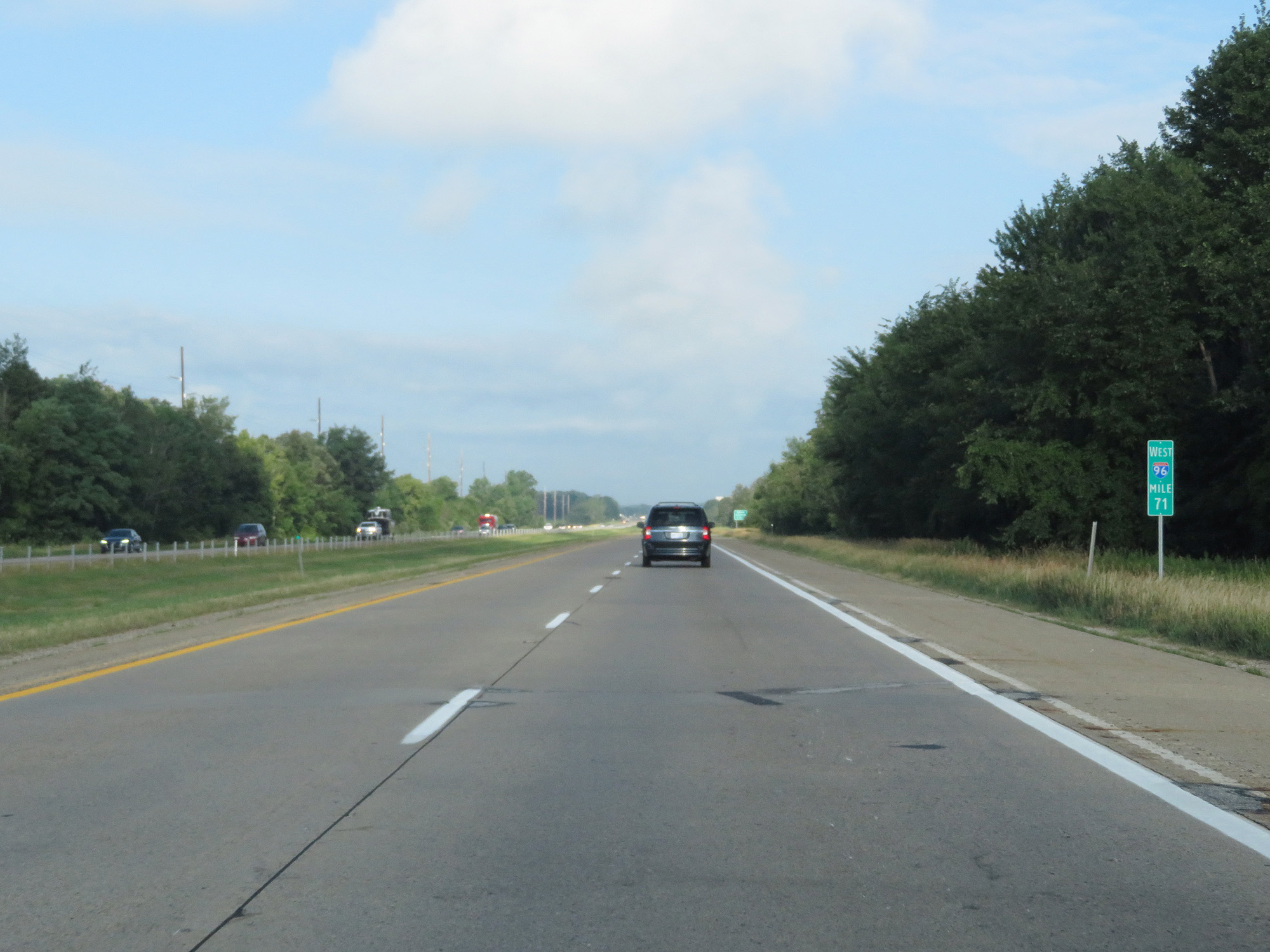 |
Interstate 96 West at mile marker 71. (Photo taken 7/17/17). |
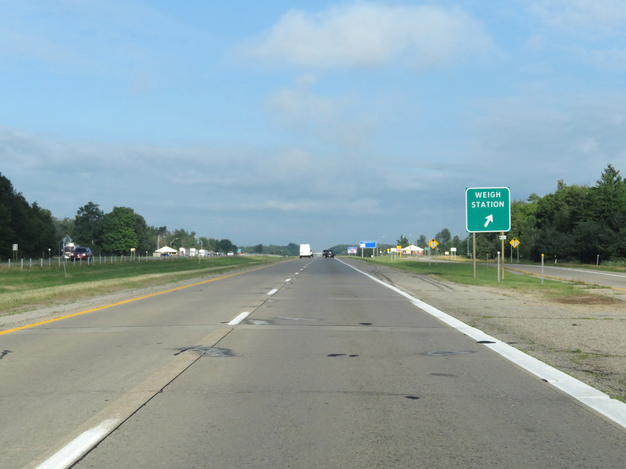 |
Interstate 96 West at the Weigh Station in Ionia County. (Photo taken 7/17/17). |
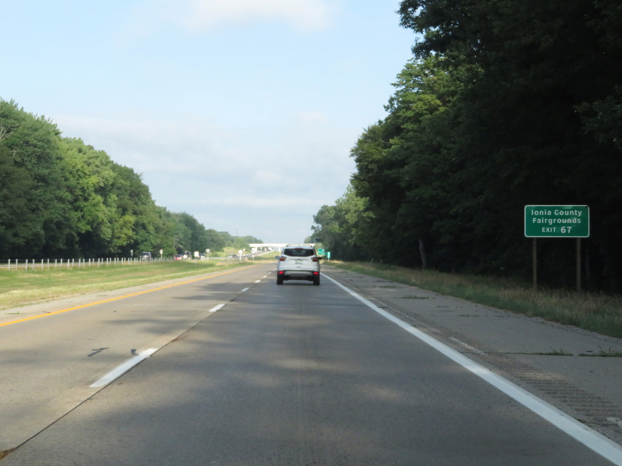 |
Take Exit 67 to the Ionia County Fairgrounds. (Photo taken 7/17/17). |
 |
Interstate 96 West at Exit 67: M-66 - Battle Creek / Ionia (Photo taken 7/17/17). |
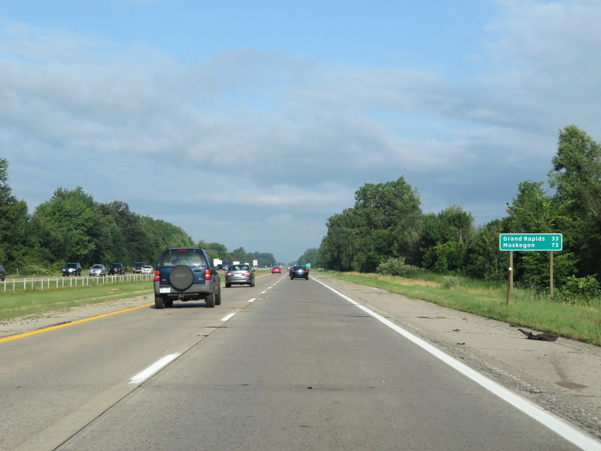 |
Mileage sign on Interstate 96 West. It's 33 miles to Grand Rapids and 73 miles to Muskegon. (Photo taken 7/17/17). |
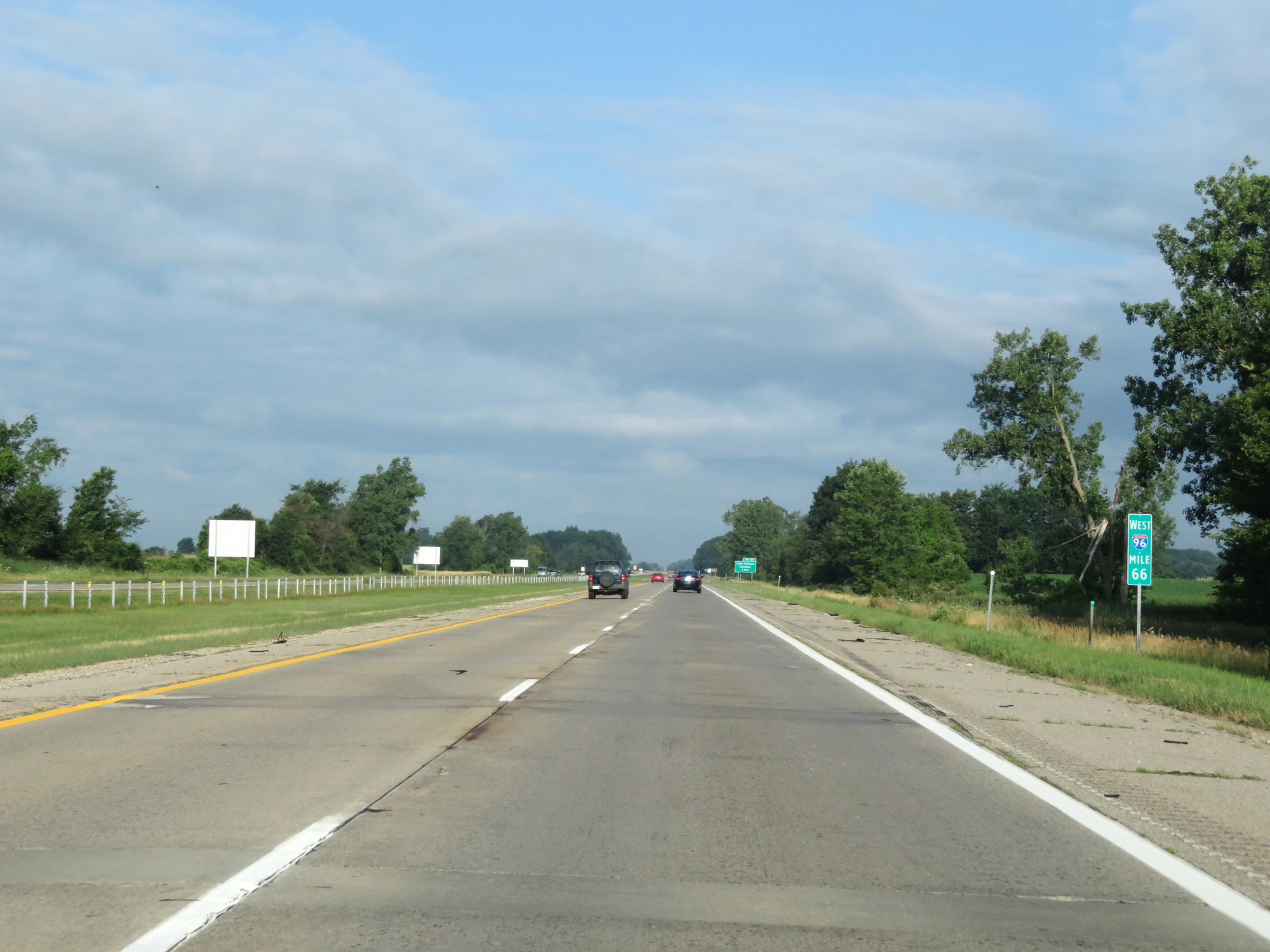 |
Interstate 96 West at mile marker 66. (Photo taken 7/17/17). |
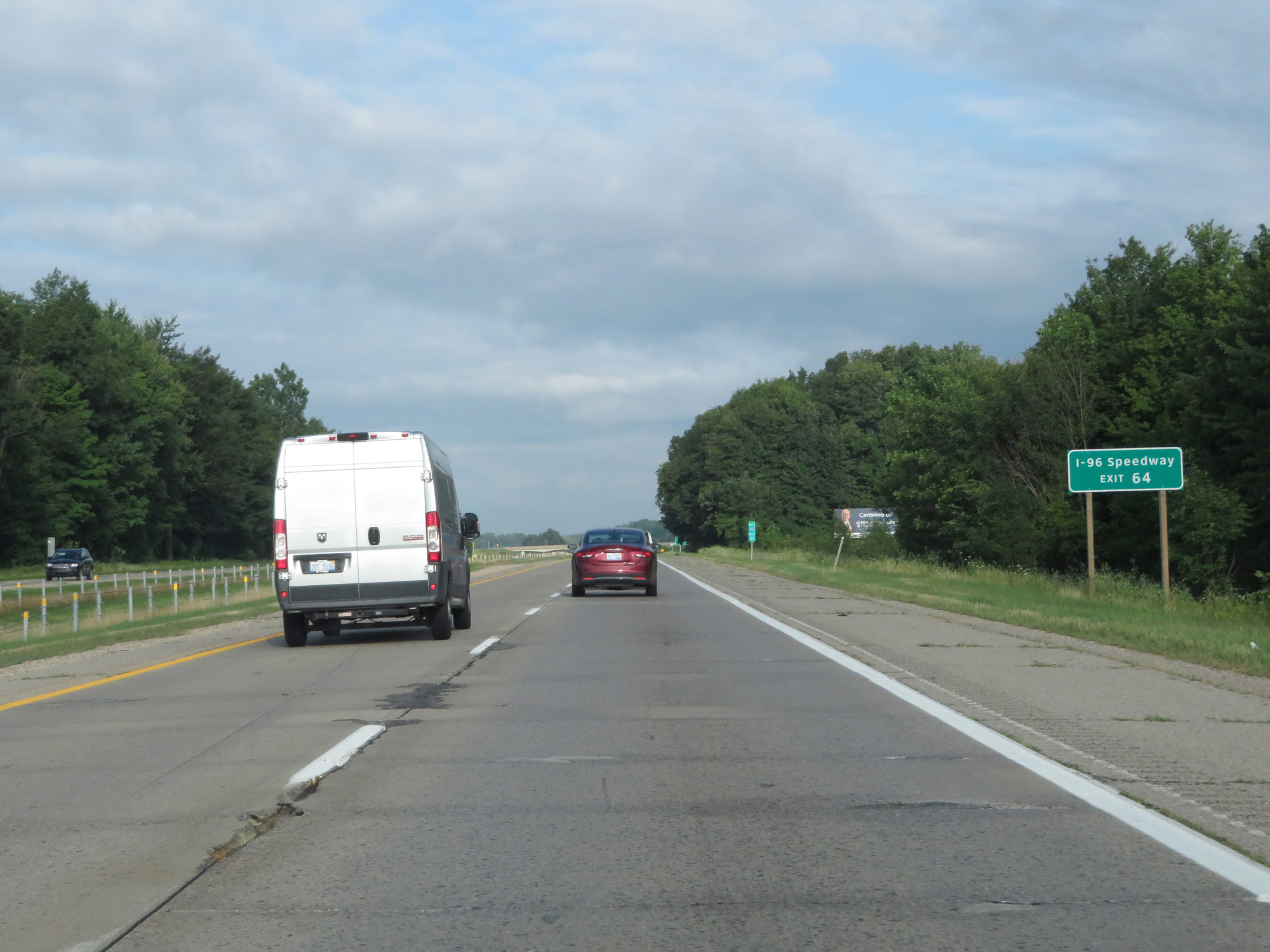 |
Take Exit 64 to I-96 Speedway. (Photo taken 7/17/17). |
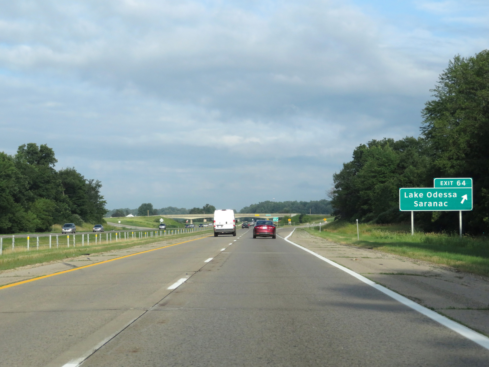 |
Interstate 96 West at Exit 64: Lake Odessa / Saranac Take Exit 64 to I-96 Speedway. (Photo taken 7/17/17). |
 |
Interstate 96 West reassurance shield. (Photo taken 7/17/17). |
 |
Interstate 96 West at mile marker 61. (Photo taken 7/17/17). |
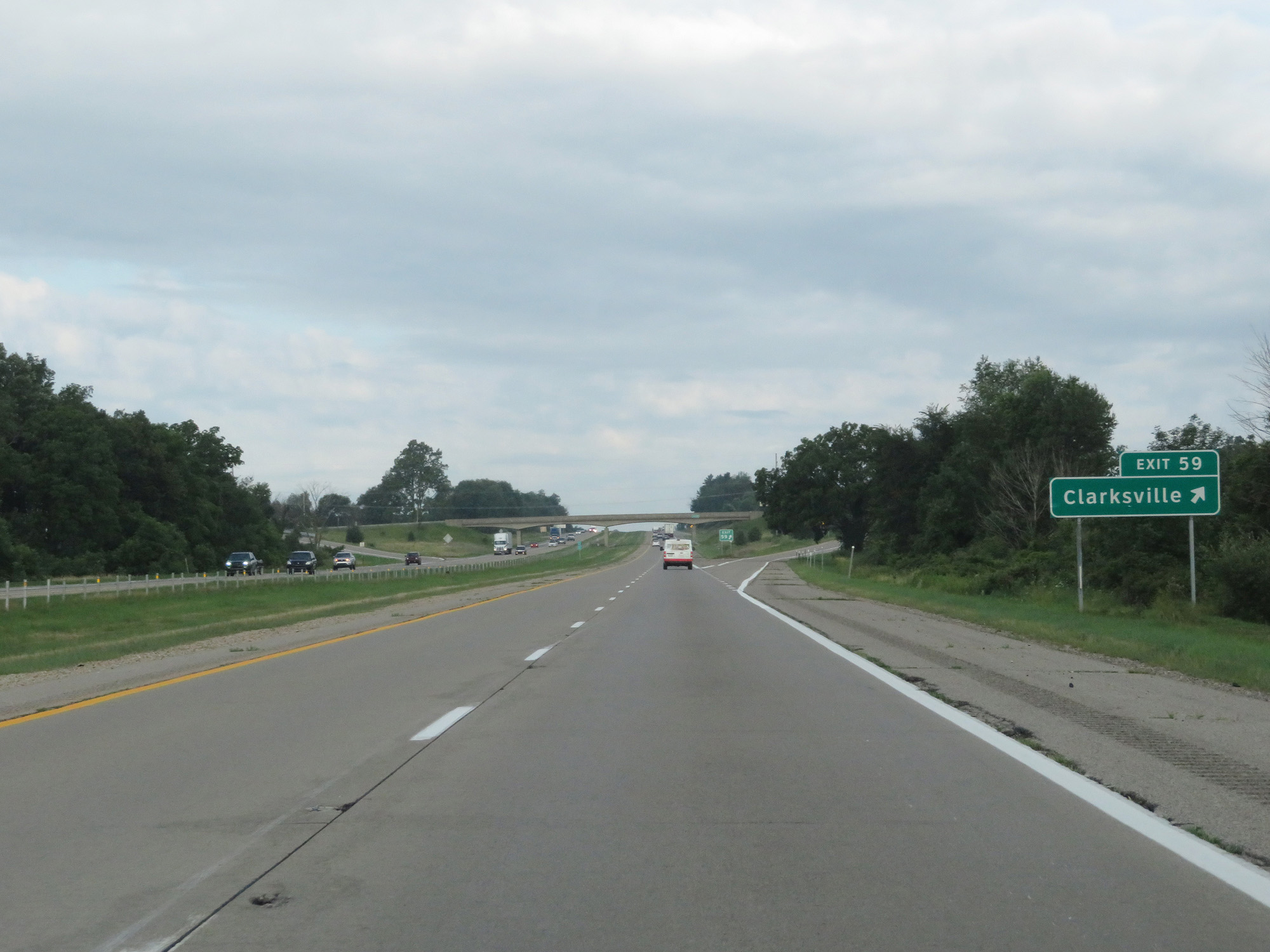 |
Interstate 96 West at Exit 59: Clarksville (Photo taken 7/17/17). |
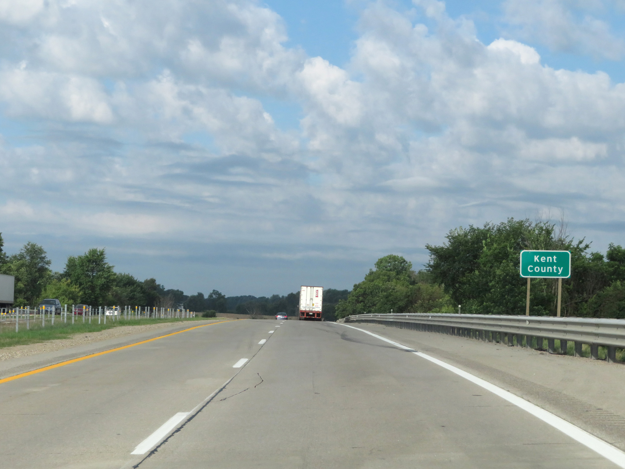 |
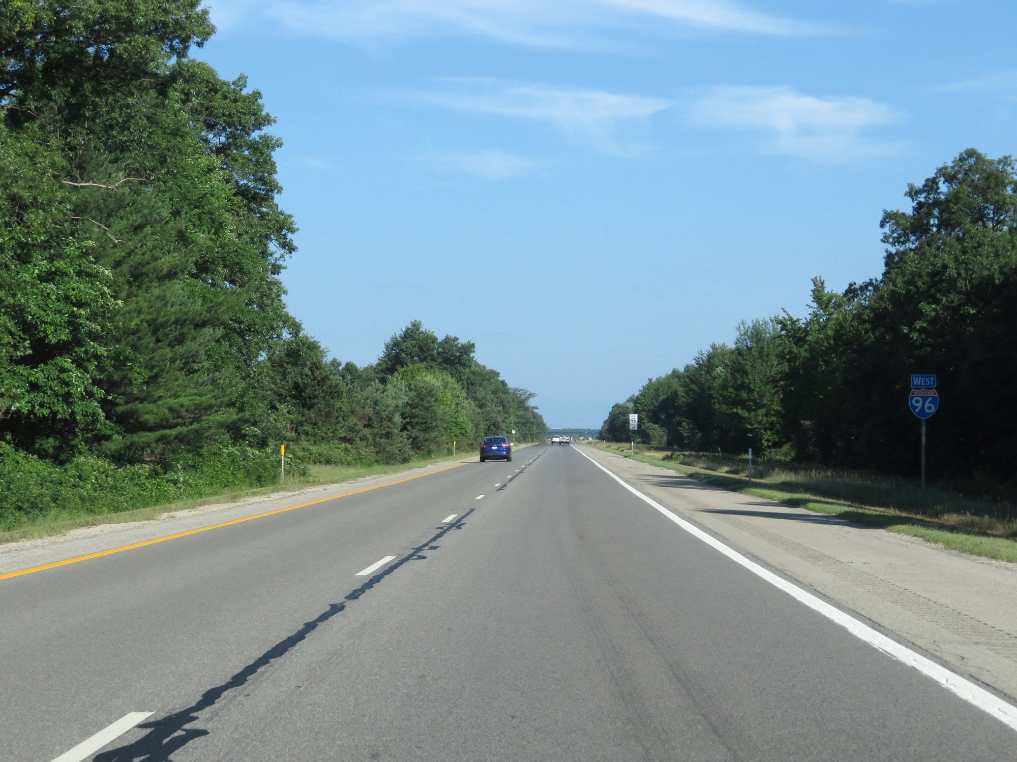
Interstate 96 West entering Kent County. (Photo taken 7/17/17). |
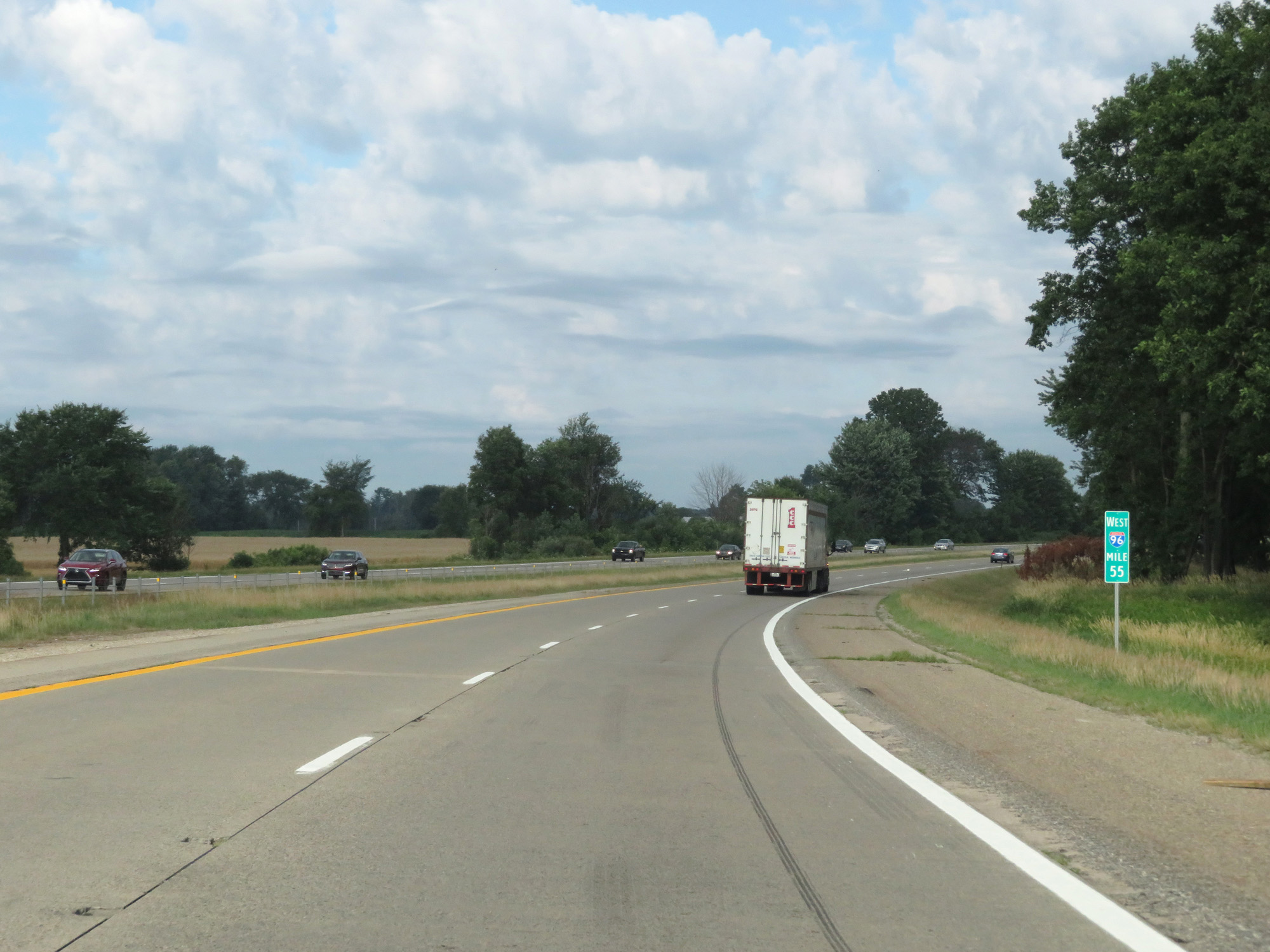 |
Interstate 96 West at mile marker 55. (Photo taken 7/17/17). |
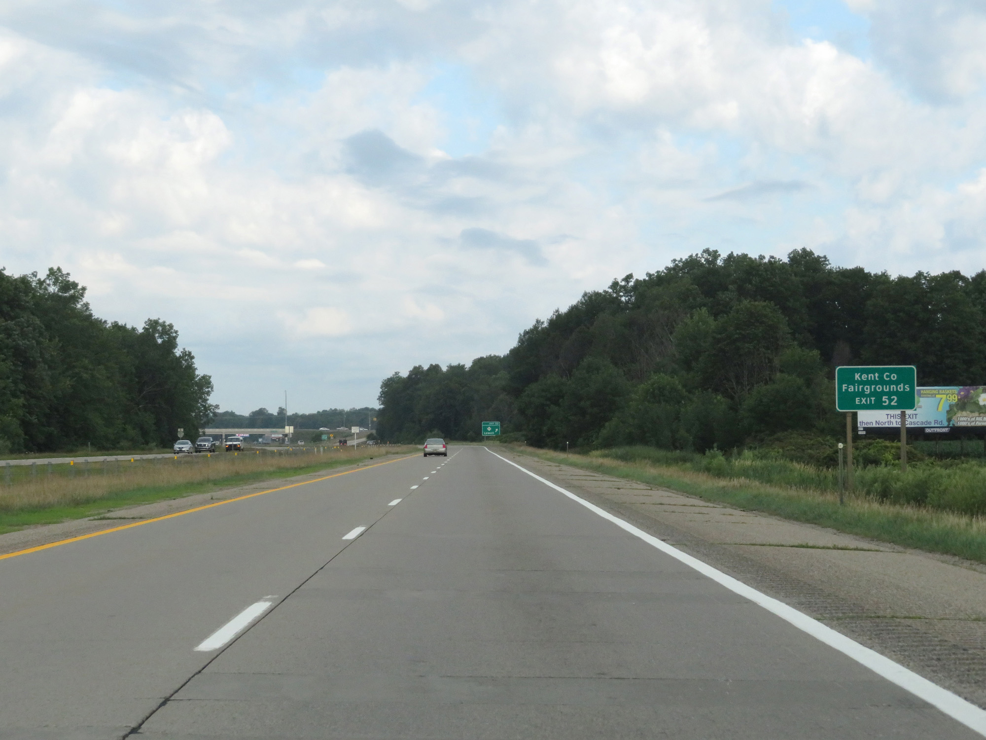 |
Take Exit 52 to the Kent County Fairgrounds. (Photo taken 7/17/17). |
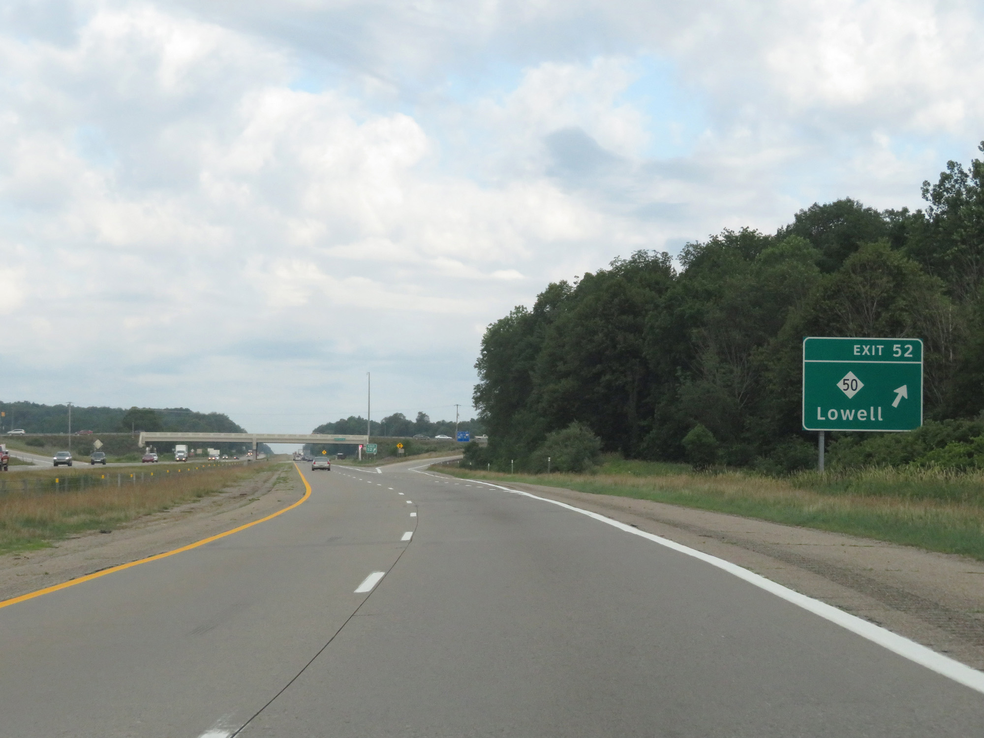 |
Interstate 96 West at Exit 52: M-50 - Lowell (Photo taken 7/17/17). |
 |
Interstate 96 West at mile marker 51. (Photo taken 7/17/17). |
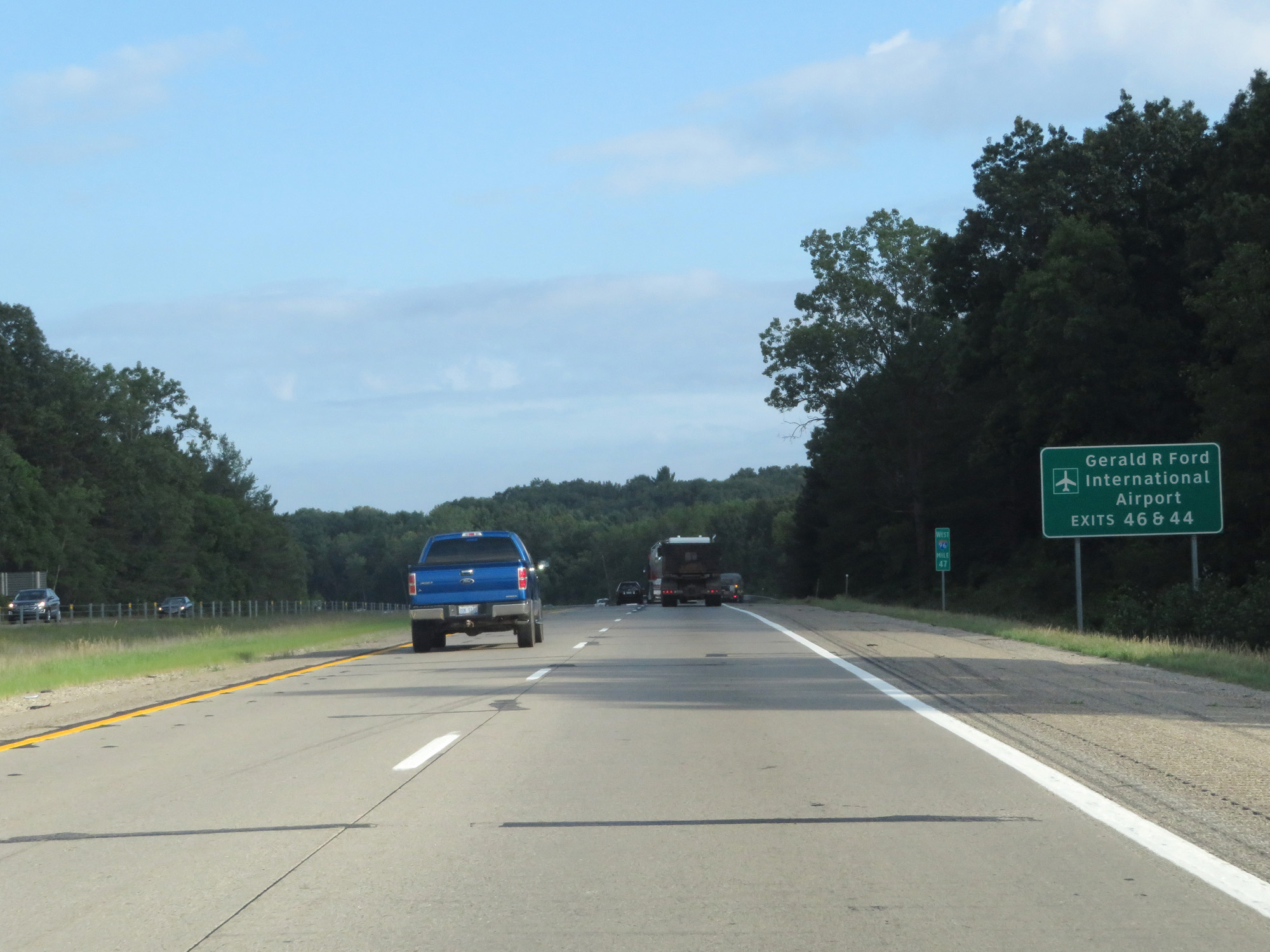 |
Take Exit 46 or Exit 44 to Gerald R Ford International Airport. (Photo taken 7/17/17). |
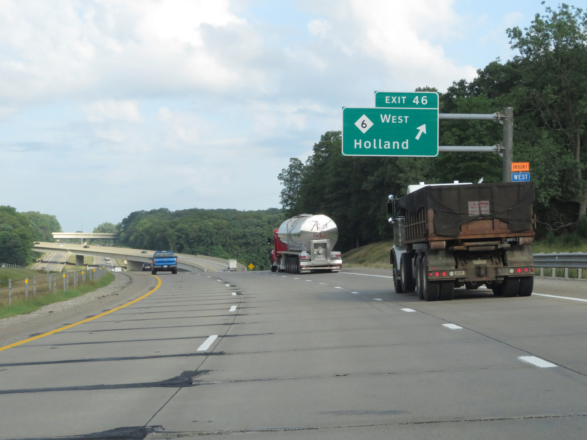 |
Interstate 96 West at Exit 46: M-6 West - Holland (Photo taken 7/17/17). |
 |
Gore point signage for Exit 46. (Photo taken 7/17/17). |
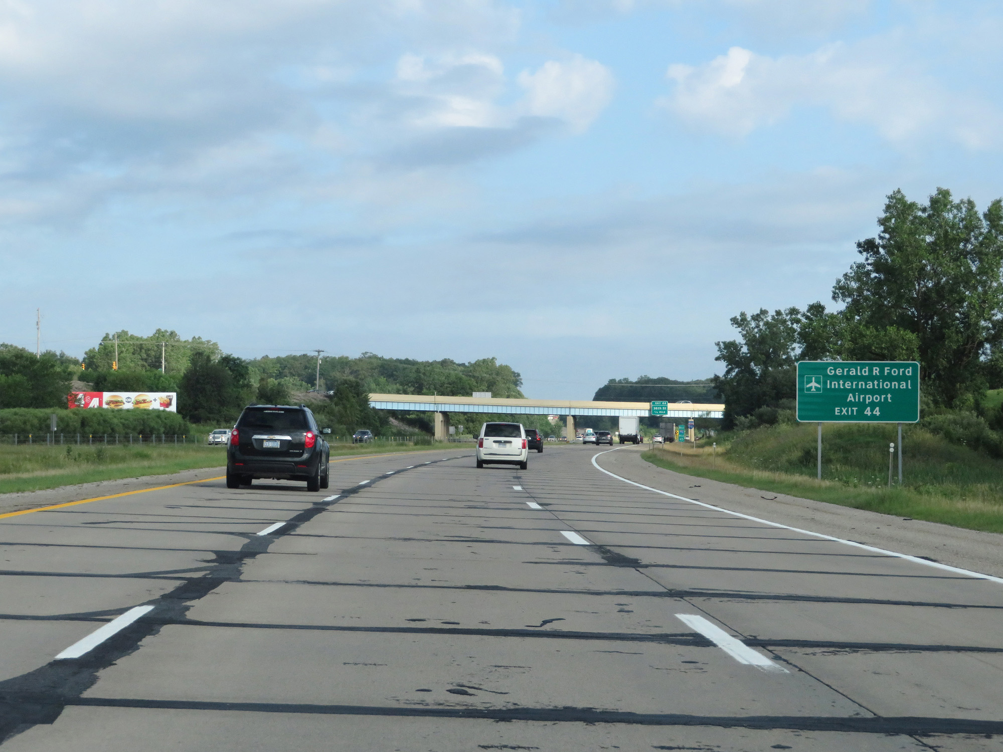 |
Take Exit 44 to Gerald R Ford International Airport. (Photo taken 7/17/17). |
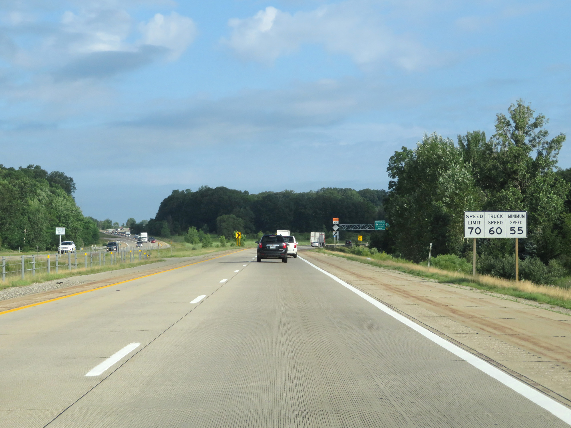 |
The speed limits through the Grand Rapids area on Interstate 96 West remain 70 mph for cars, 60 mph for trucks, and 55 mph minimum. (Photo taken 7/17/17). |
 |
Interstate 96 West at Exit 44: 36th St (Photo taken 7/17/17). |
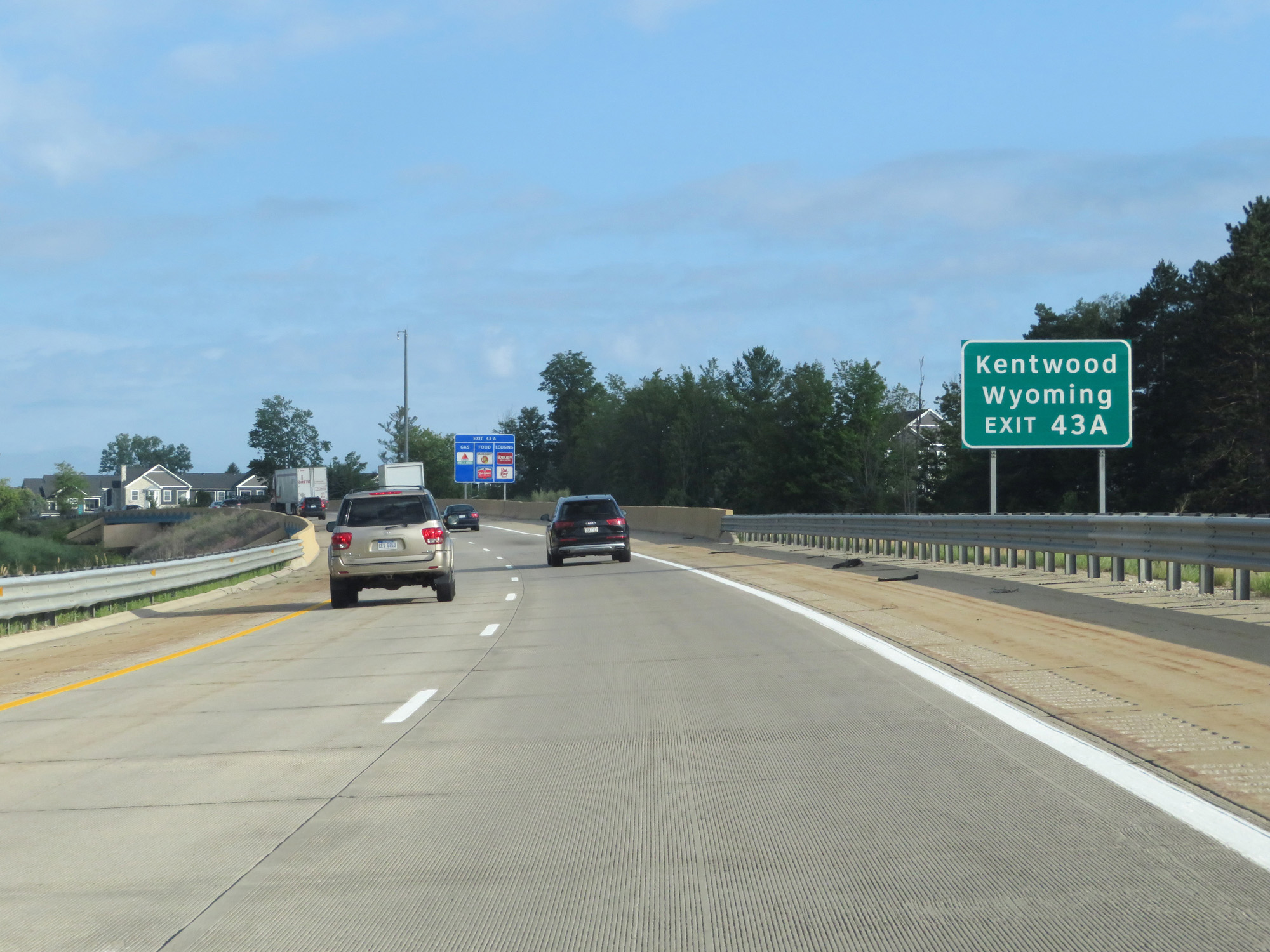 |
Take Exit 43A to Kentwood and Wyoming. (Photo taken 7/17/17). |
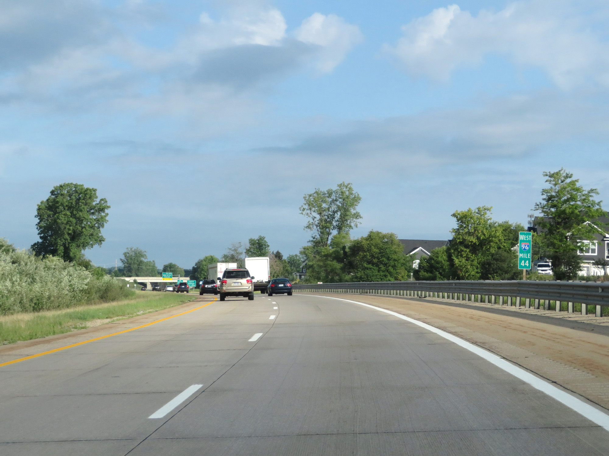 |
Interstate 96 West at mile marker 44. (Photo taken 7/17/17). |
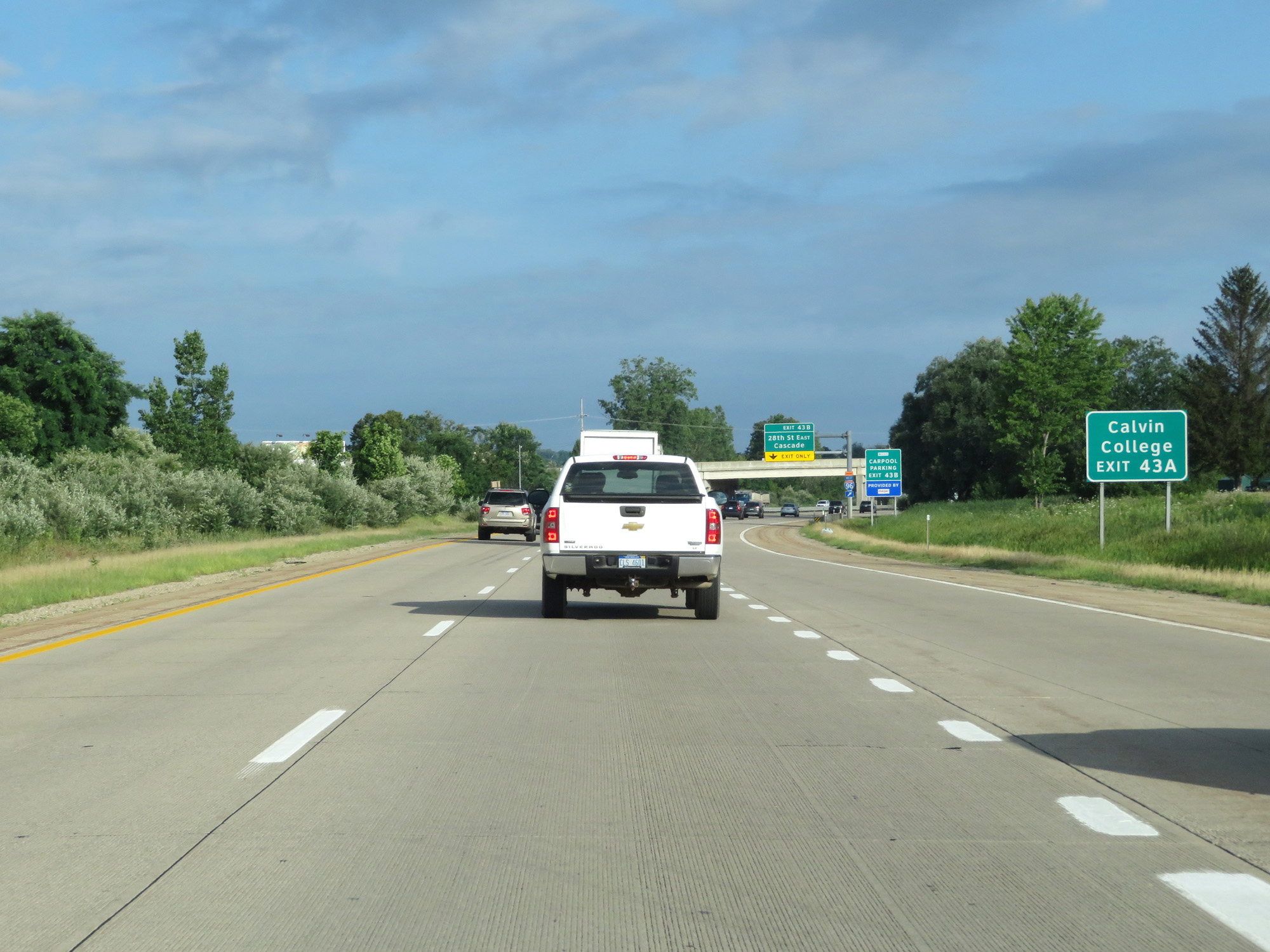 |
Take Exit 43A to Calvin College. (Photo taken 7/17/17). |
 |
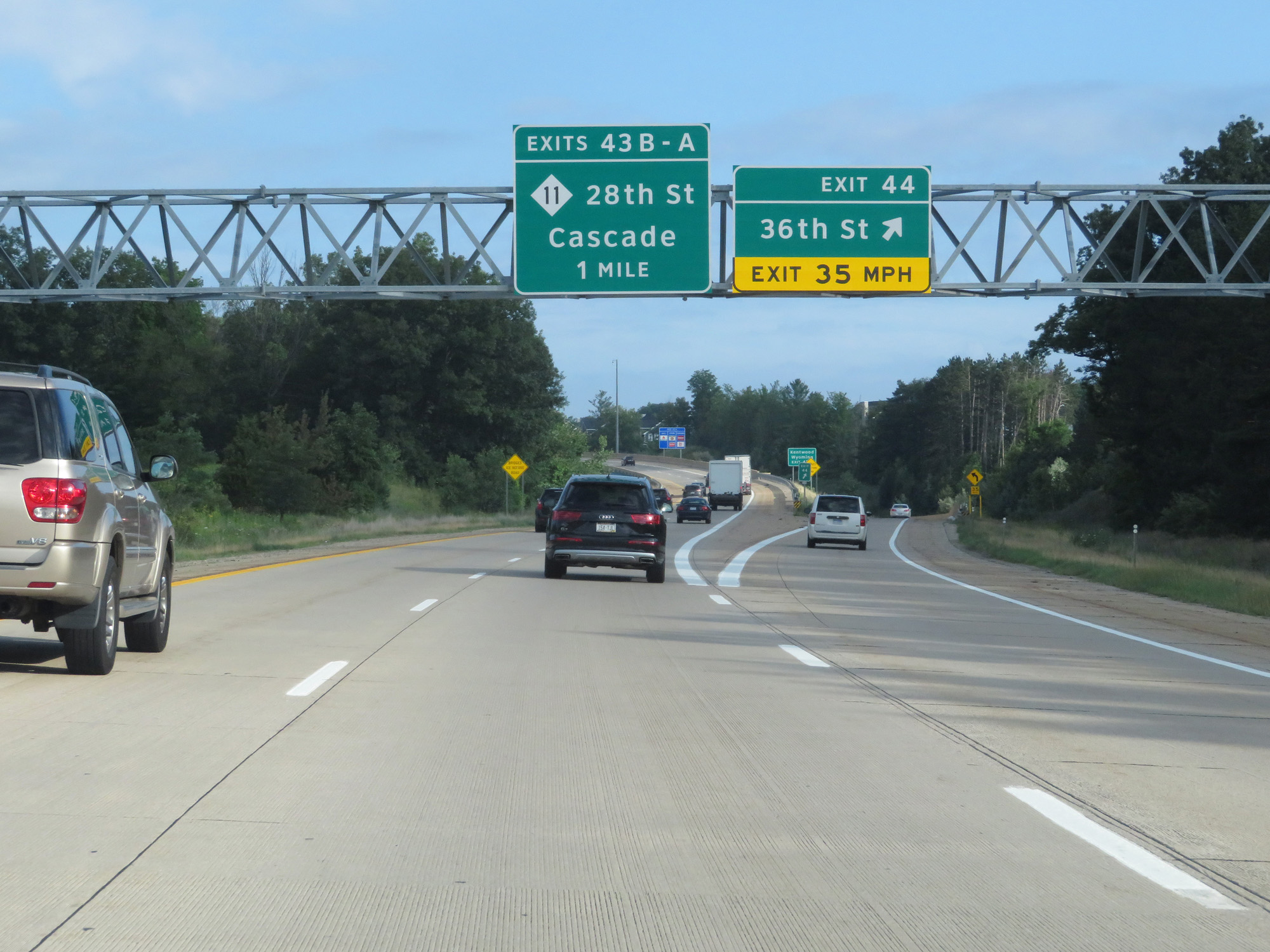
Interstate 96 West at Exit 43B: 28th St East / Cascade (Photo taken 7/17/17). |
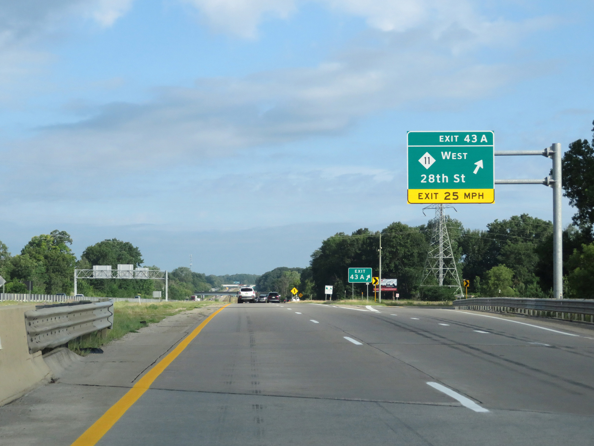 |
Interstate 96 West at Exit 43A: M-11 West - 28th St (Photo taken 7/17/17). |
 |
Interstate 96 West reassurance shield. (Photo taken 7/17/17). |
 |
Interstate 96 West at mile marker 42. (Photo taken 7/17/17). |
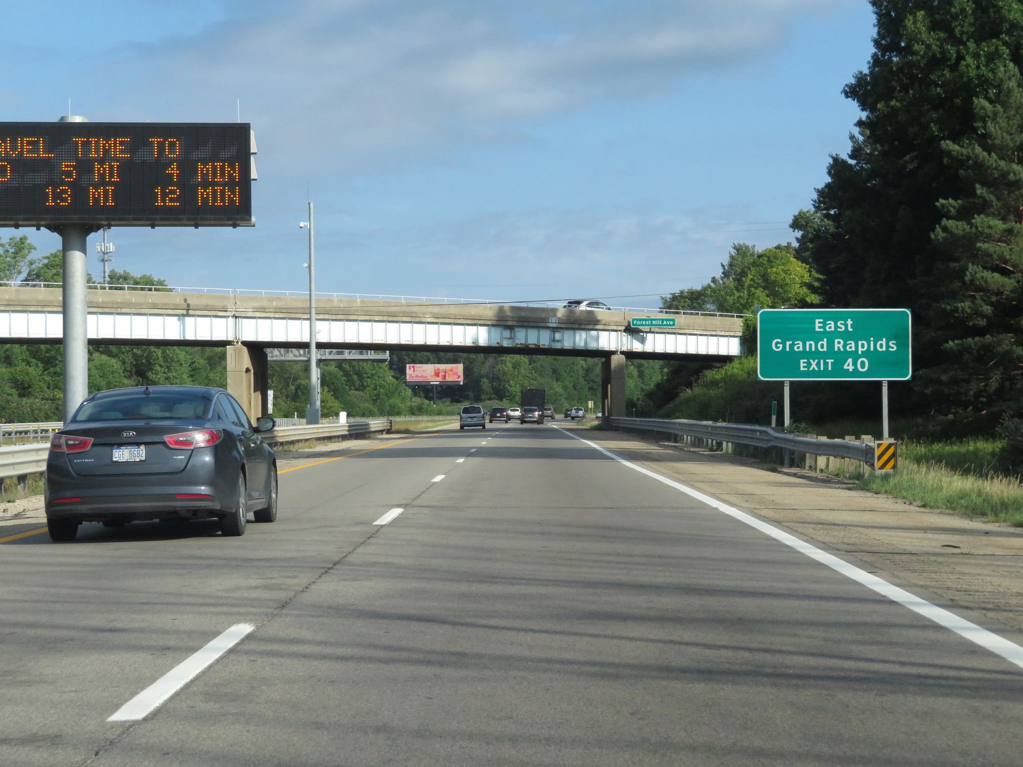 |
Take Exit 40 to East Grand Rapids. (Photo taken 7/17/17). |
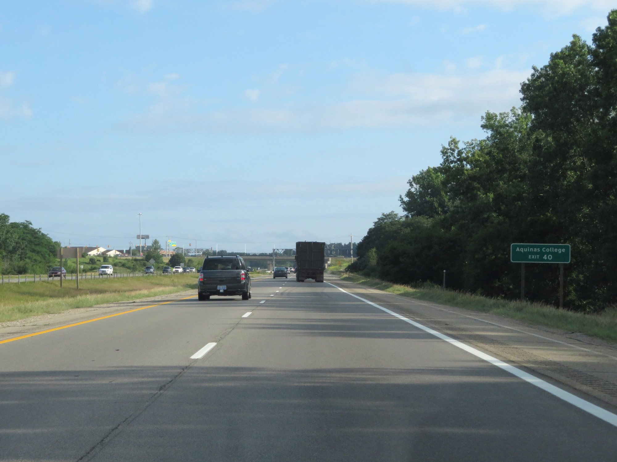 |
Also take Exit 40 to Aquinas College. (Photo taken 7/17/17). |
 |
Interstate 96 West at Exit 40: Cascade Rd (Photo taken 7/17/17). |
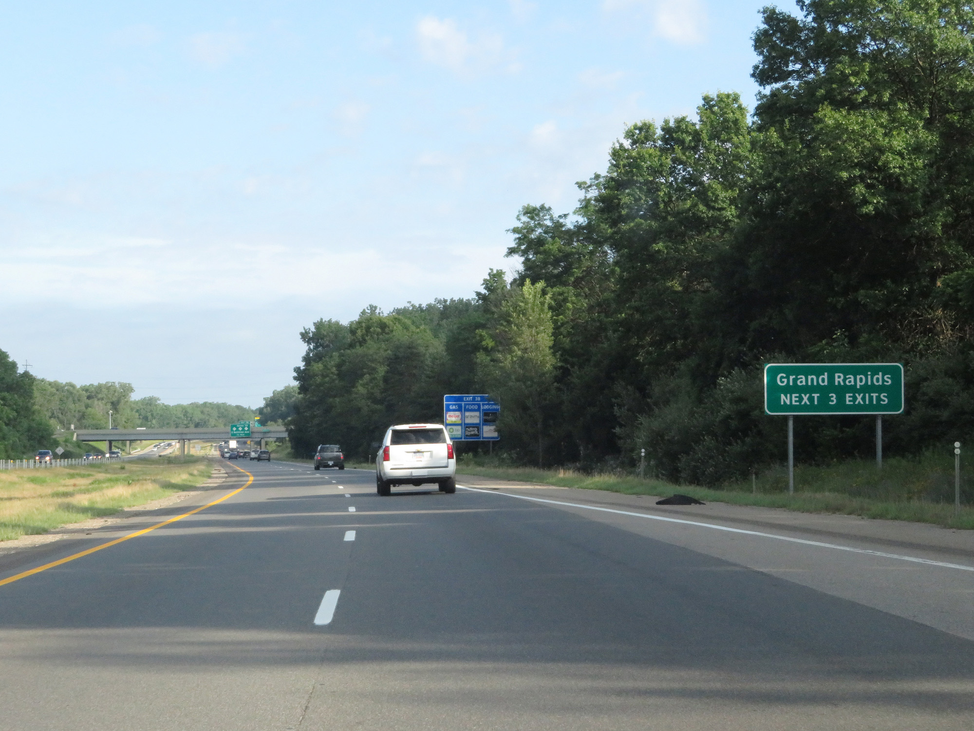 |
Take any of the next 3 exits to Grand Rapids. (Photo taken 7/17/17). |
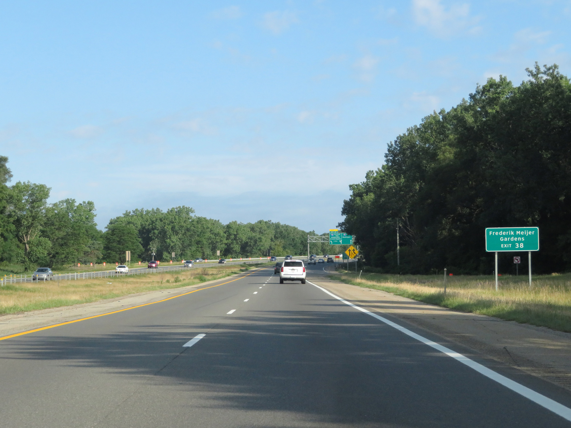 |
Take Exit 38 to Frederik Meijer Gardens. (Photo taken 7/17/17). |
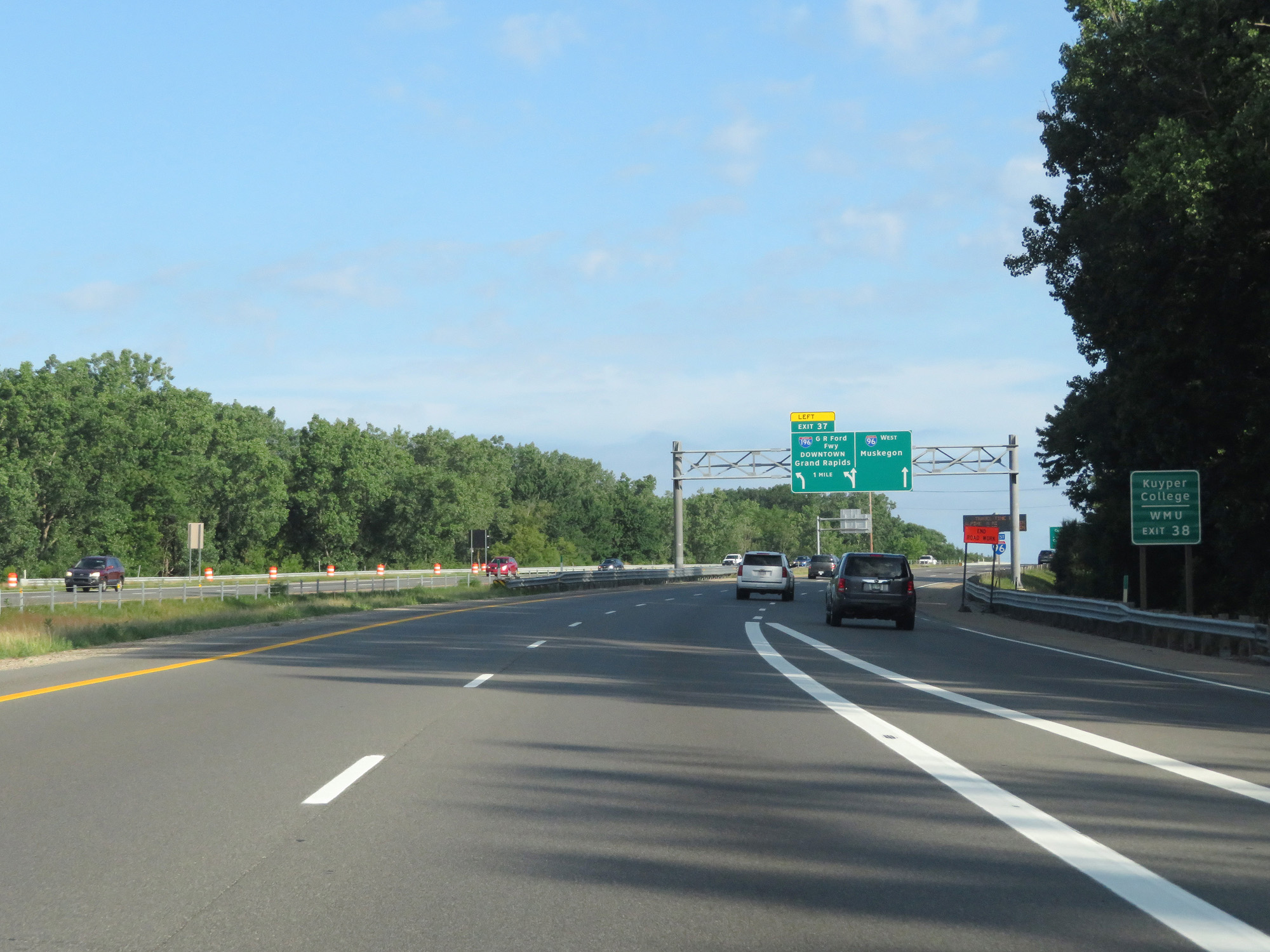 |
Also take Exit 38 to Kuyper College and WMU. (Photo taken 7/17/17). |
 |
Interstate 96 West approachcing Exit 37 - 1 mile on the left. (Photo taken 7/17/17). |
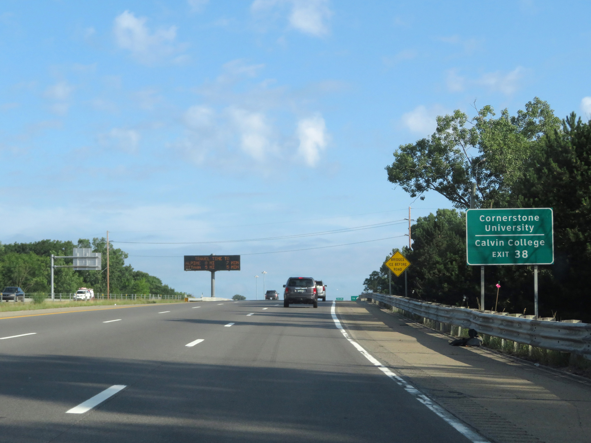 |
Take Exit 38 to Cornerstone University and Calvin College as well. (Photo taken 7/17/17). |
 |
Interstate 96 West entering the Grand Rapids city limits. (Photo taken 7/17/17). |
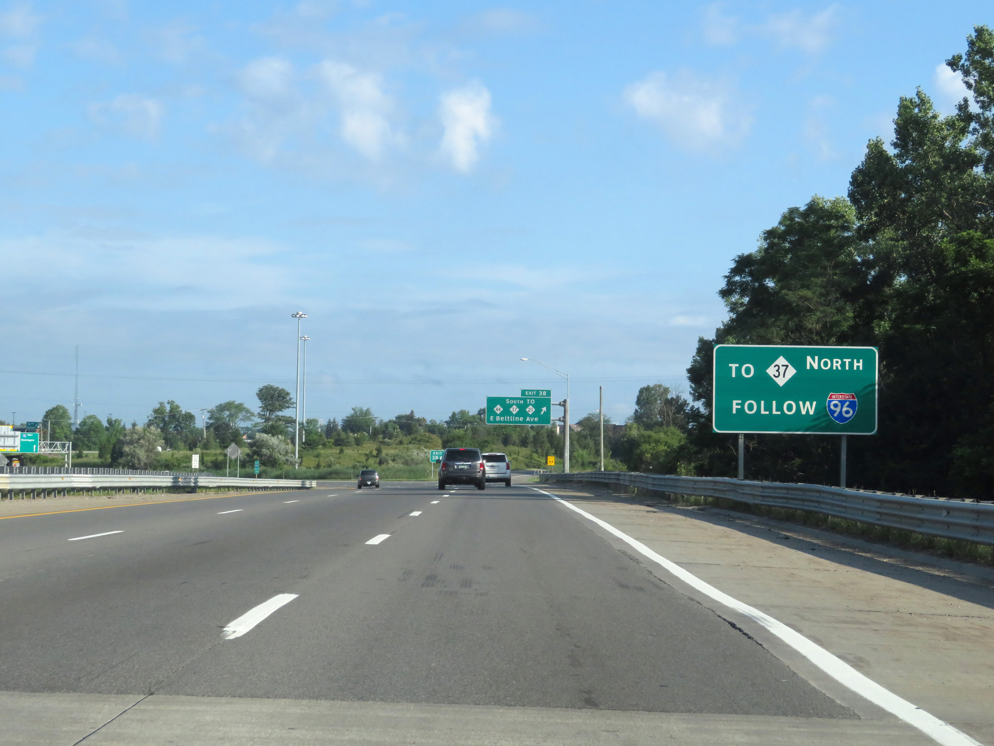 |
Stay on Interstate 96 West to get to M-37 North. (Photo taken 7/17/17). |
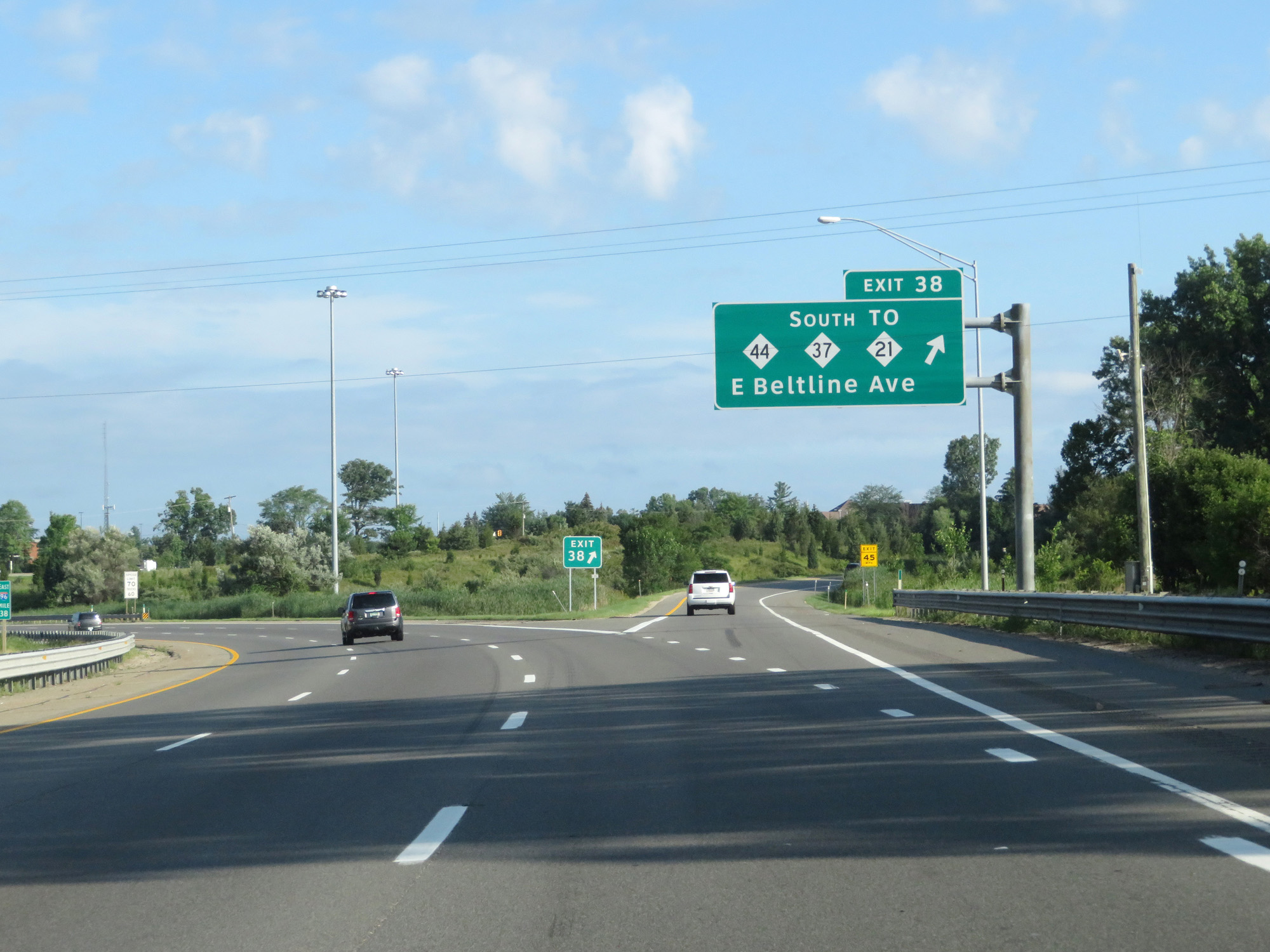 |
Interstate 96 West at Exit 38: M-44 / M-37 South / To M-21 - E Beltline Ave (Photo taken 7/17/17). |
Section 4: Grand Rapids (Exit 38) to Western Terminus
 |
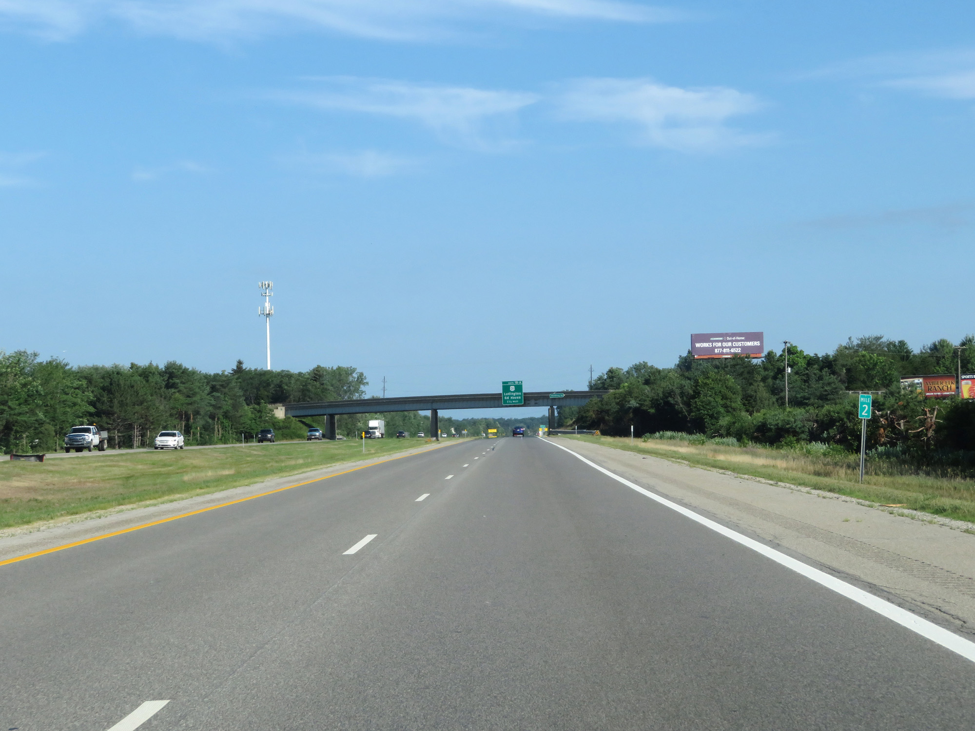
Take Interstate 196 West via Exit 37 to Holland. (Photo taken 7/17/17). |
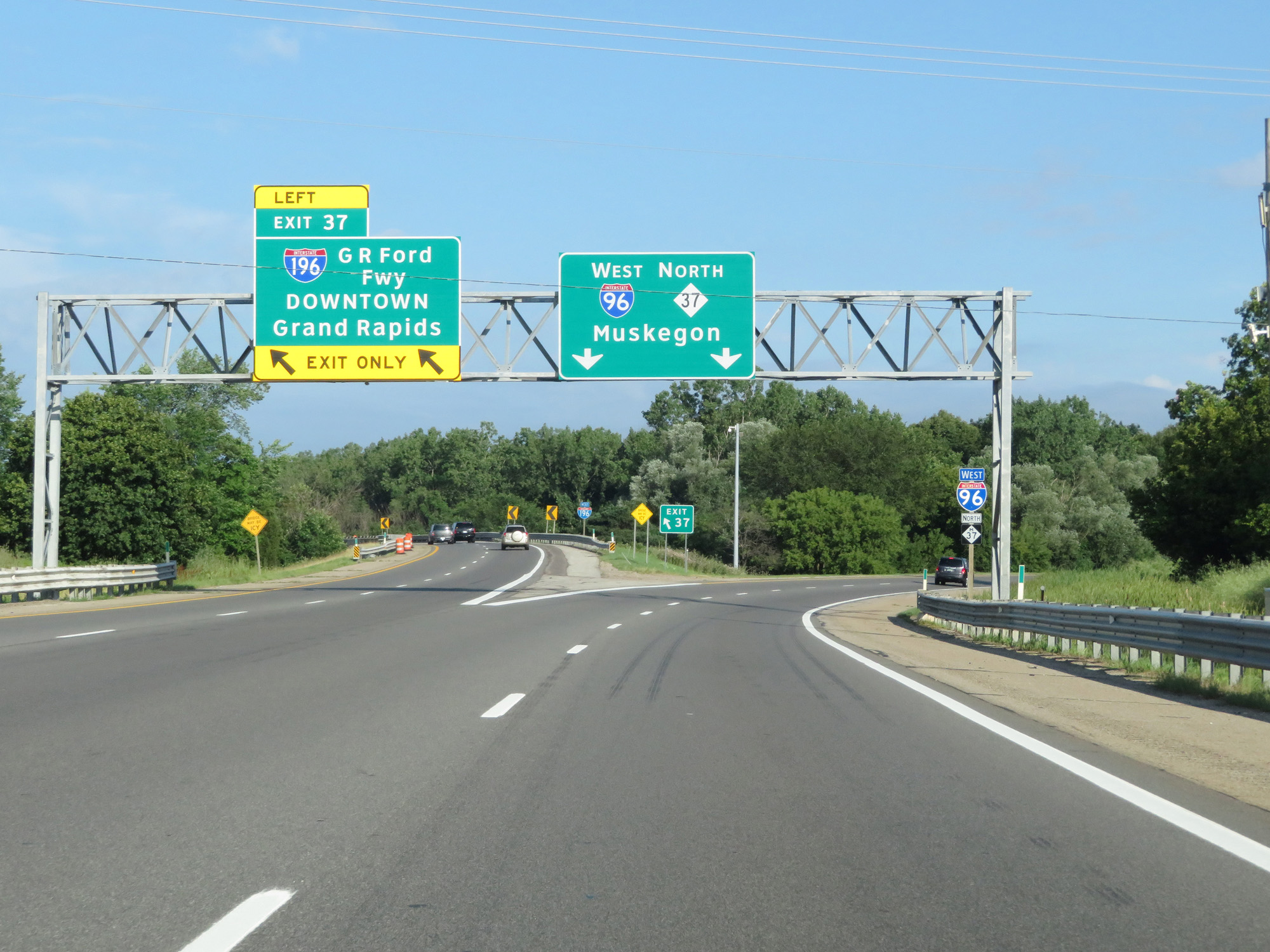 |
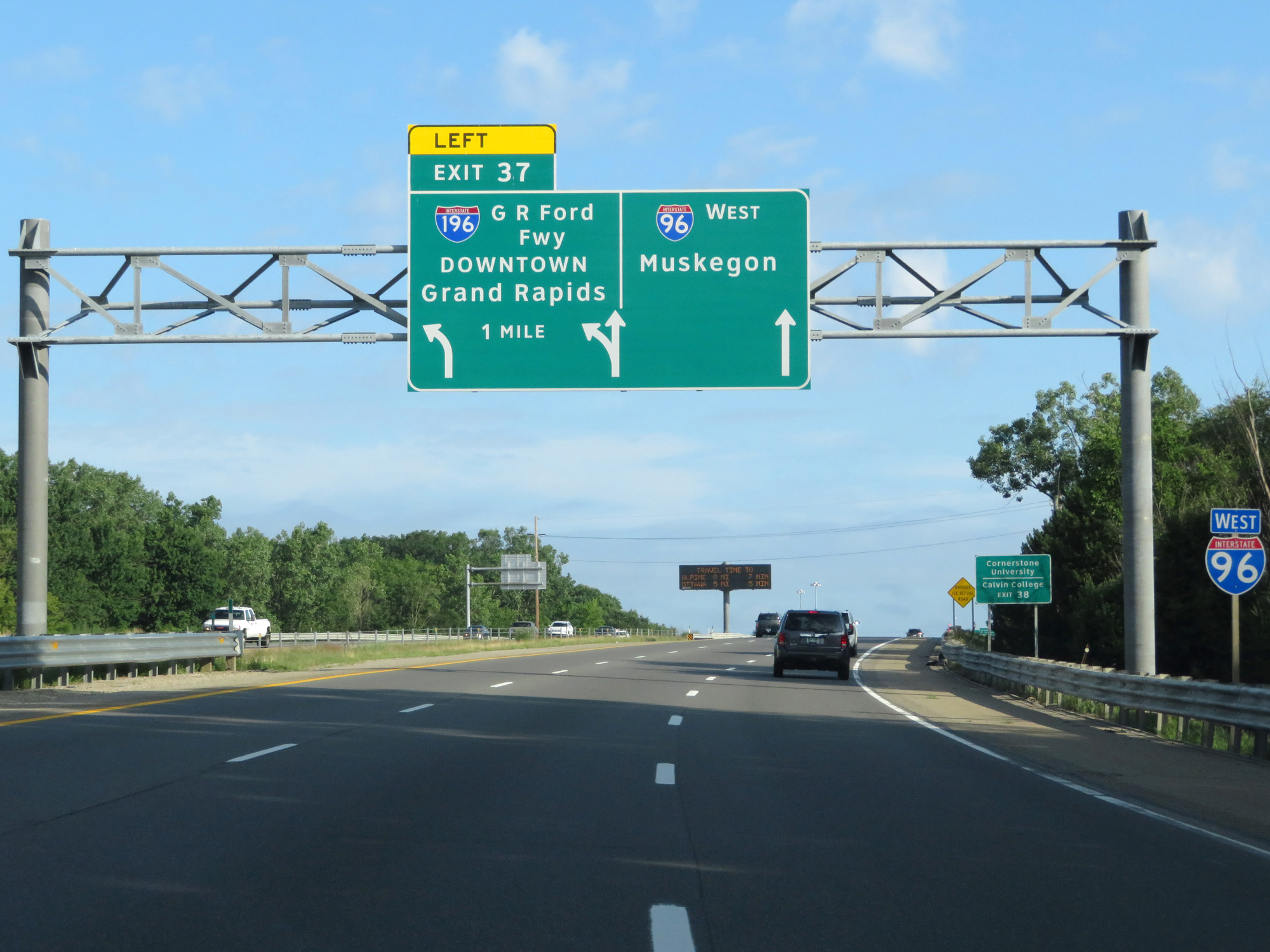
Interstate 96 West at Exit 37: Interstate 196 (Gerald R Ford Fwy) - Downtown Grand Rapids (Photo taken 7/17/17). |
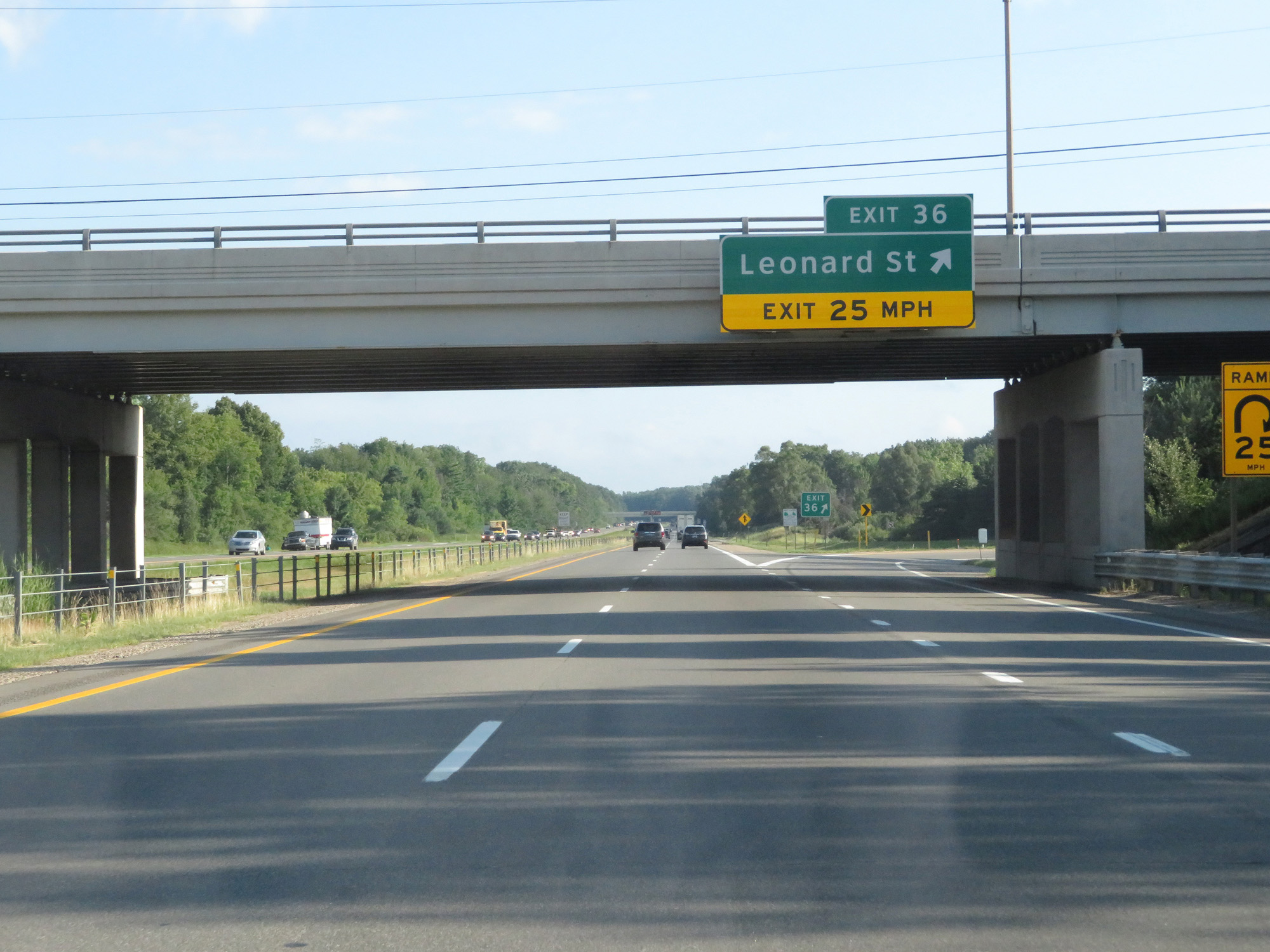 |
Interstate 96 West at Exit 36: Leonard St (Photo taken 7/17/17). |
 |
Interstate 96 West at Exit 33: M-44 Connector - Plainfield Ave (Photo taken 7/17/17). |
 |
Interstate 96 West reassurance shield. (Photo taken 7/17/17). |
 |
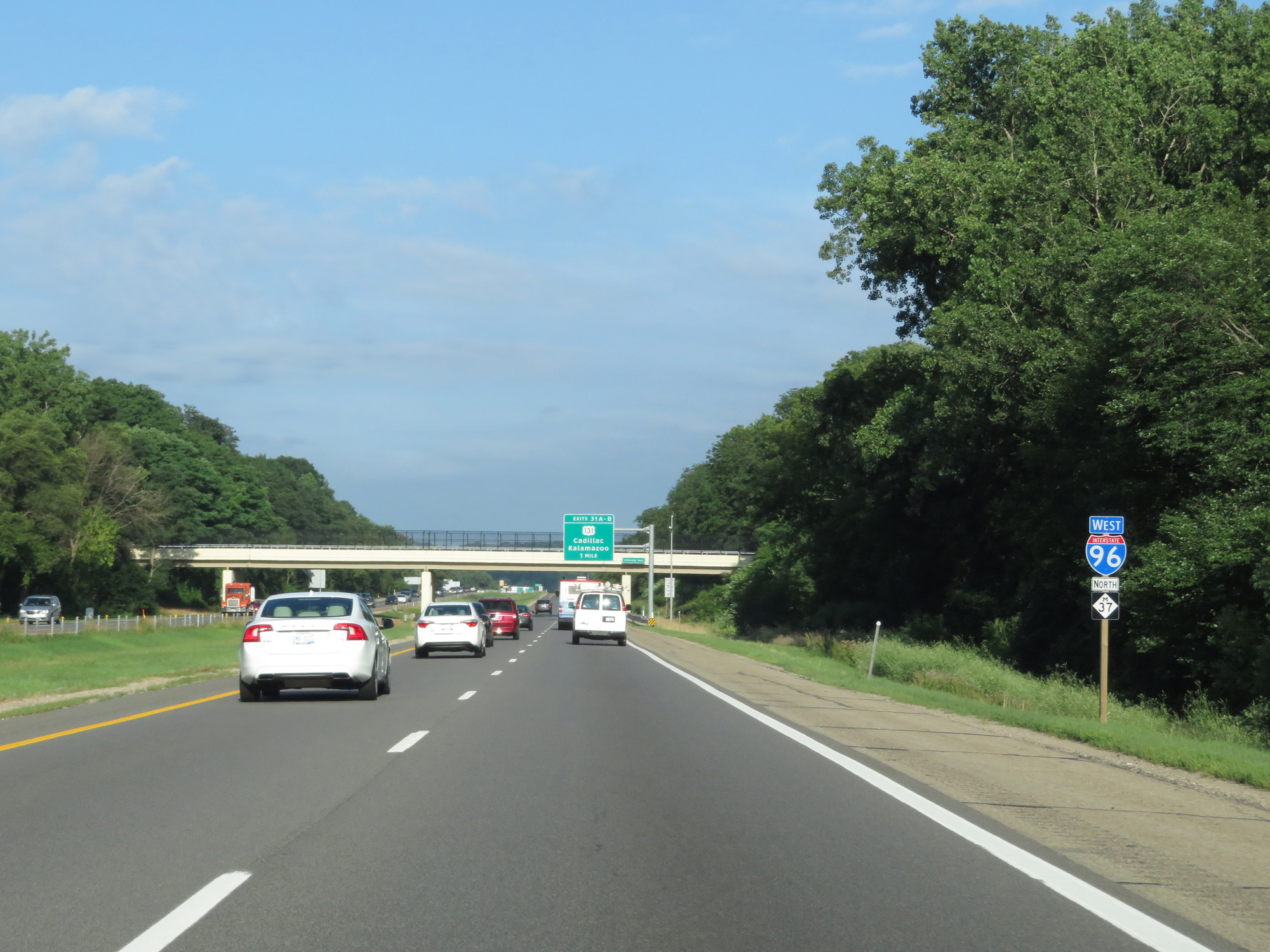
Interstate 96 West approaching Exits 31A-B - 1 mile. (Photo taken 7/17/17). |
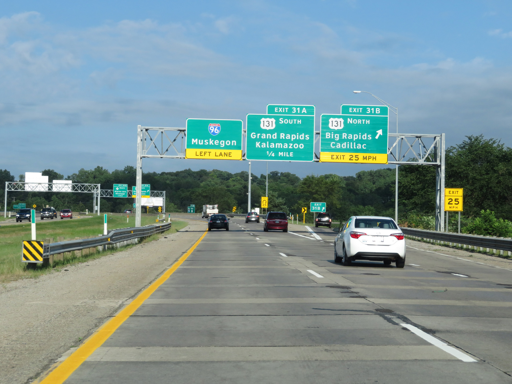 |
Interstate 96 West at Exit 31B: US 131 North - Big Rapids / Cadillac (Photo taken 7/17/17). |
 |
Interstate 96 West at Exit 31A: US 131 South - Grand Rapids / Kalamazoo (Photo taken 7/17/17). |
 |
Take Exit 30B to Sparta and Kent City. (Photo taken 7/17/17). |
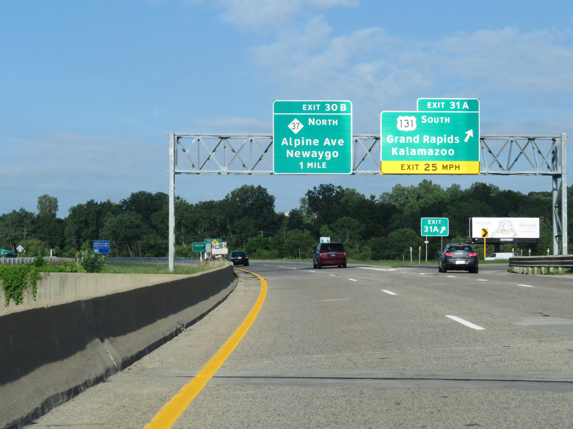
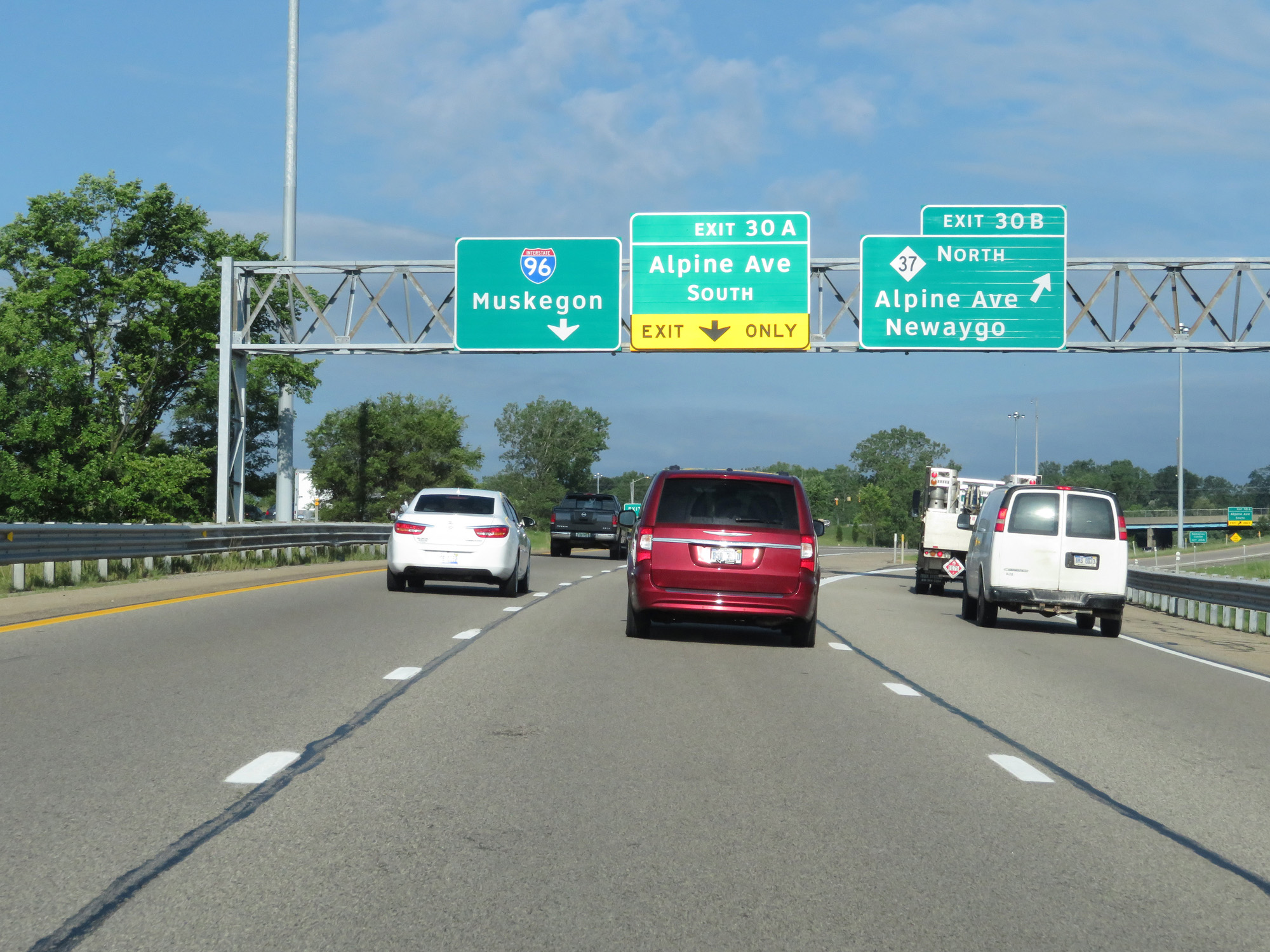 |
Interstate 96 West at Exit 30B: M-37 North - Alpine Ave / Newaygo (Photo taken 7/17/17). |
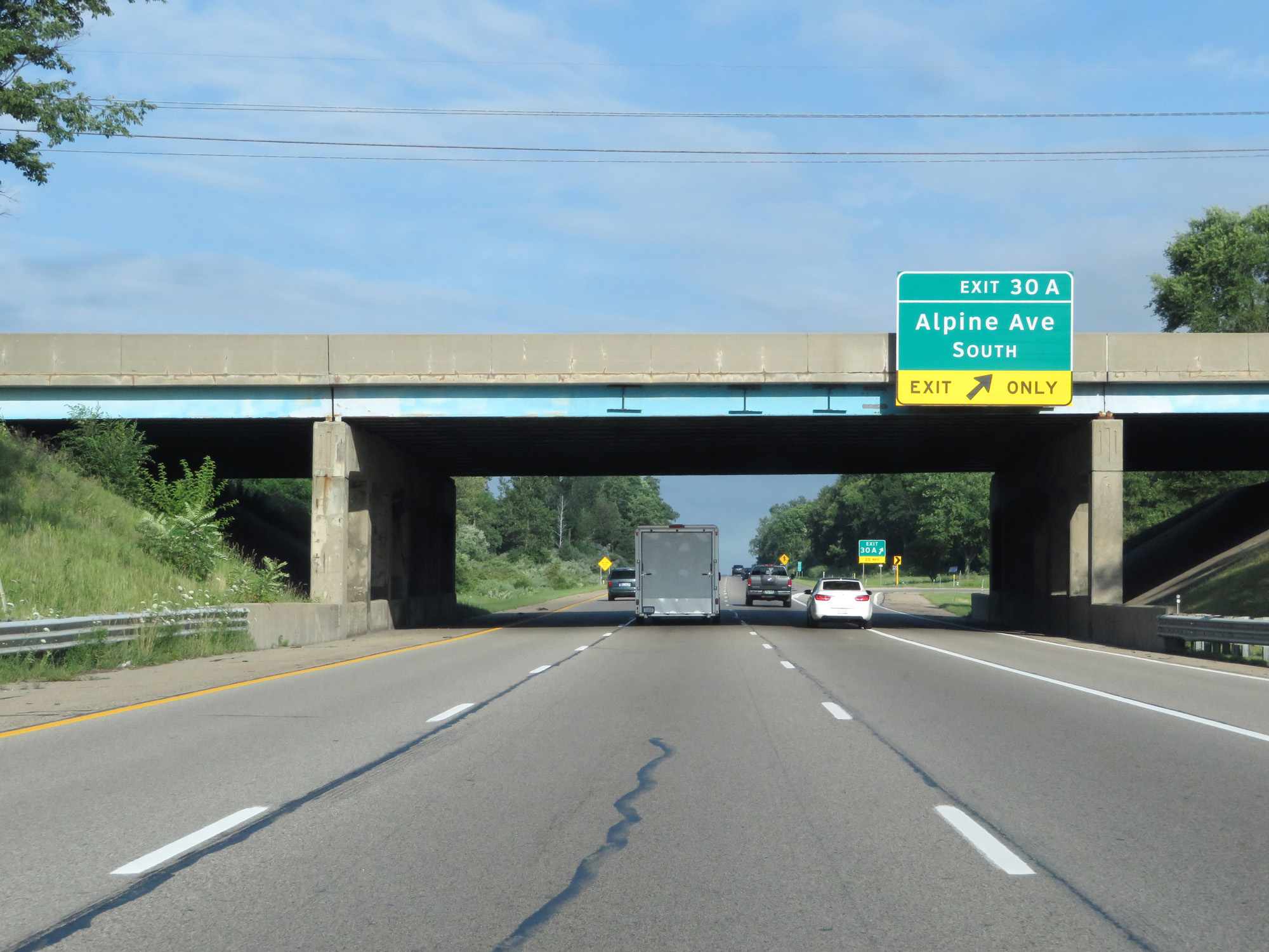 |
Interstate 96 West at Exit 30A: Alpine Ave South (Photo taken 7/17/17). |
 |
Interstate 96 West at Exit 28: Walker Ave (Photo taken 7/17/17). |
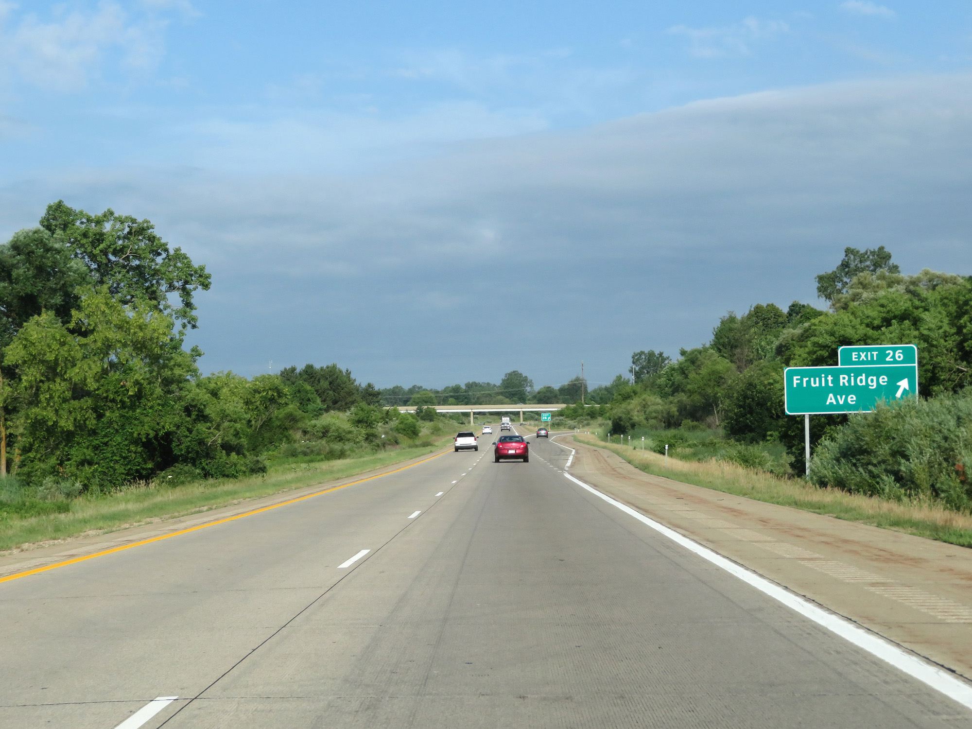 |
Interstate 96 West at Exit 26: Fruit Ridge Ave (Photo taken 7/17/17). |
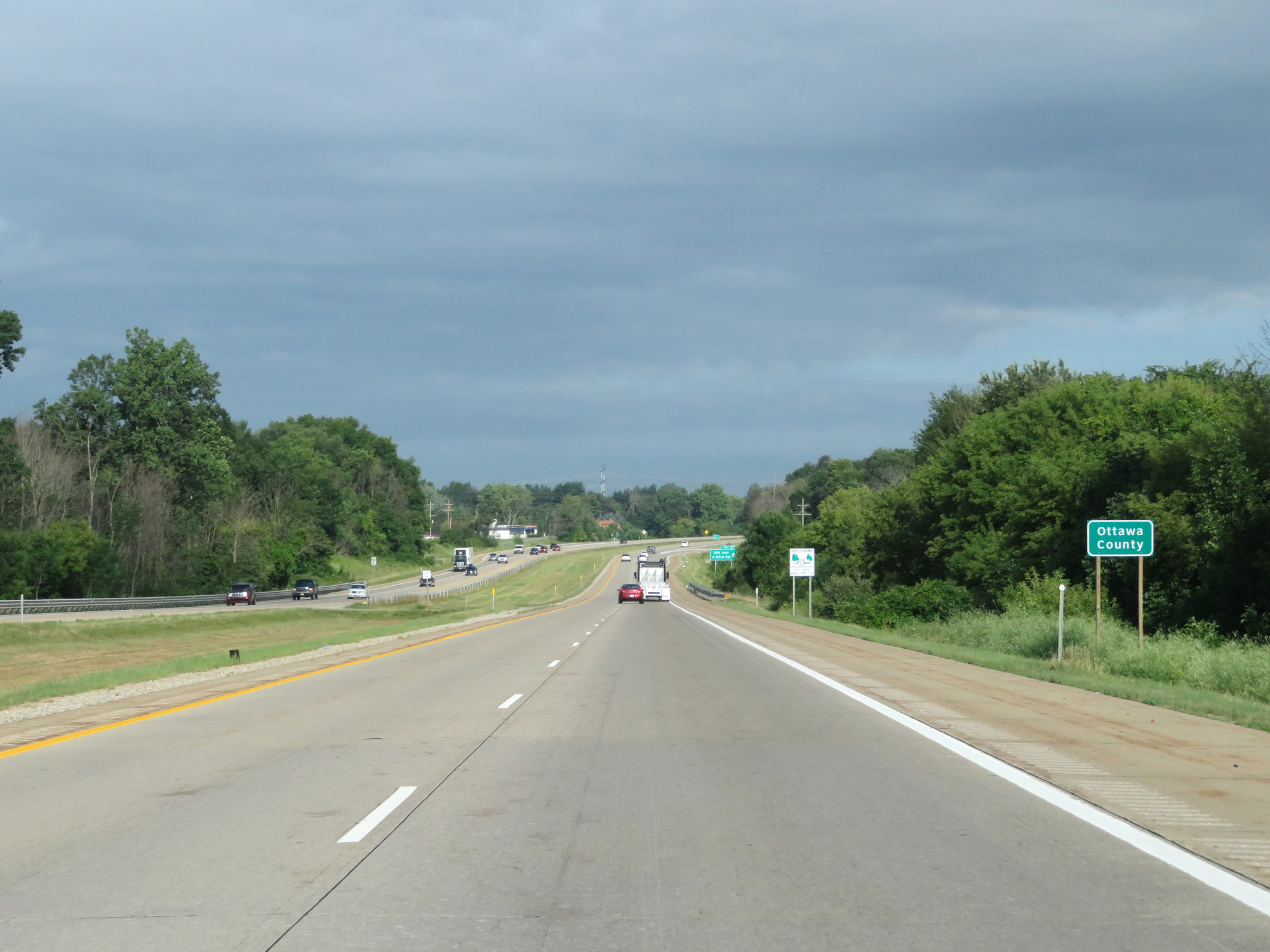 |
Interstate 96 West entering Ottawa County. (Photo taken 7/17/17). |
 |
Interstate 96 West at Exit 25: 8th Ave / 4 Mile Rd (Photo taken 7/17/17). |
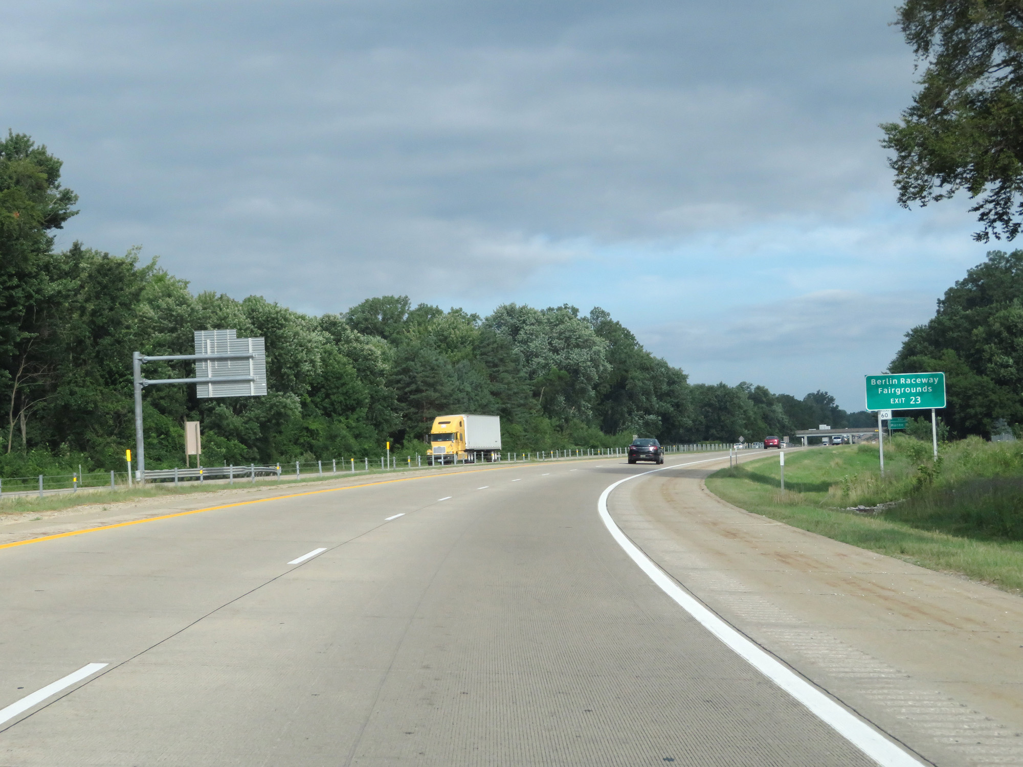 |
Take Exit 23 to Berlin Raceway and the Fairgrounds. (Photo taken 7/17/17). |
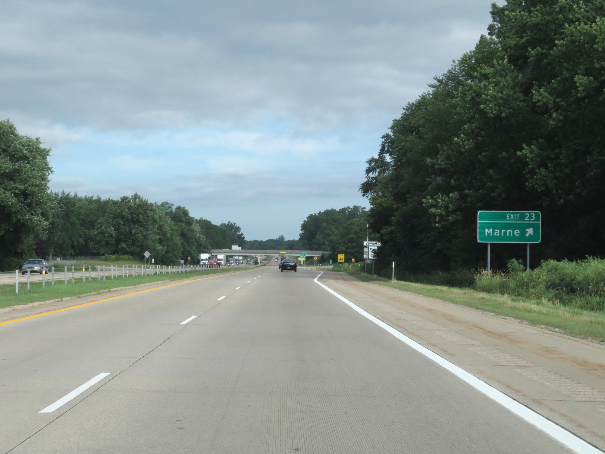 |
Interstate 96 West at Exit 23: Marne (Photo taken 7/17/17). |
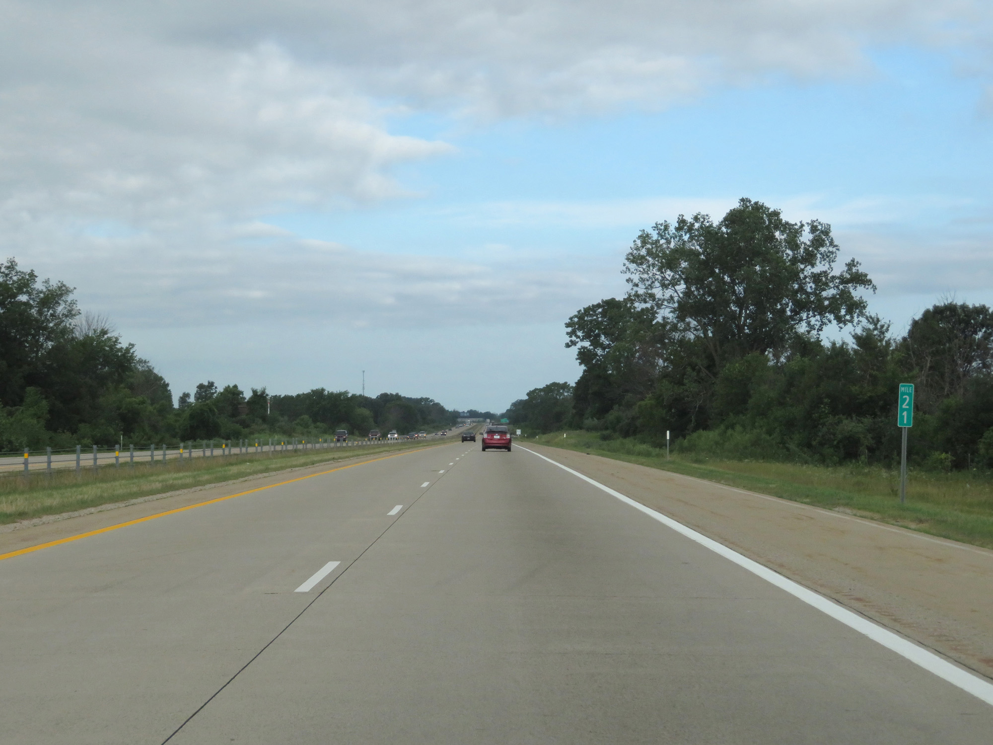 |
Interstate 96 West at mile marker 21. (Photo taken 7/17/17). |
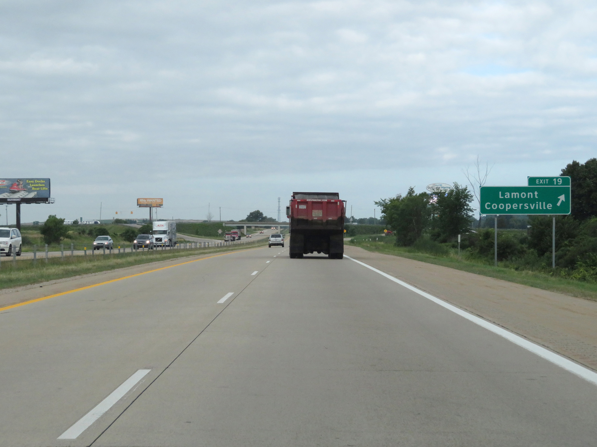 |
Interstate 96 West at Exit 19: Lamont / Coopersville (Photo taken 7/17/17). |
 |
Interstate 96 West at mile marker 18. (Photo taken 7/17/17). |
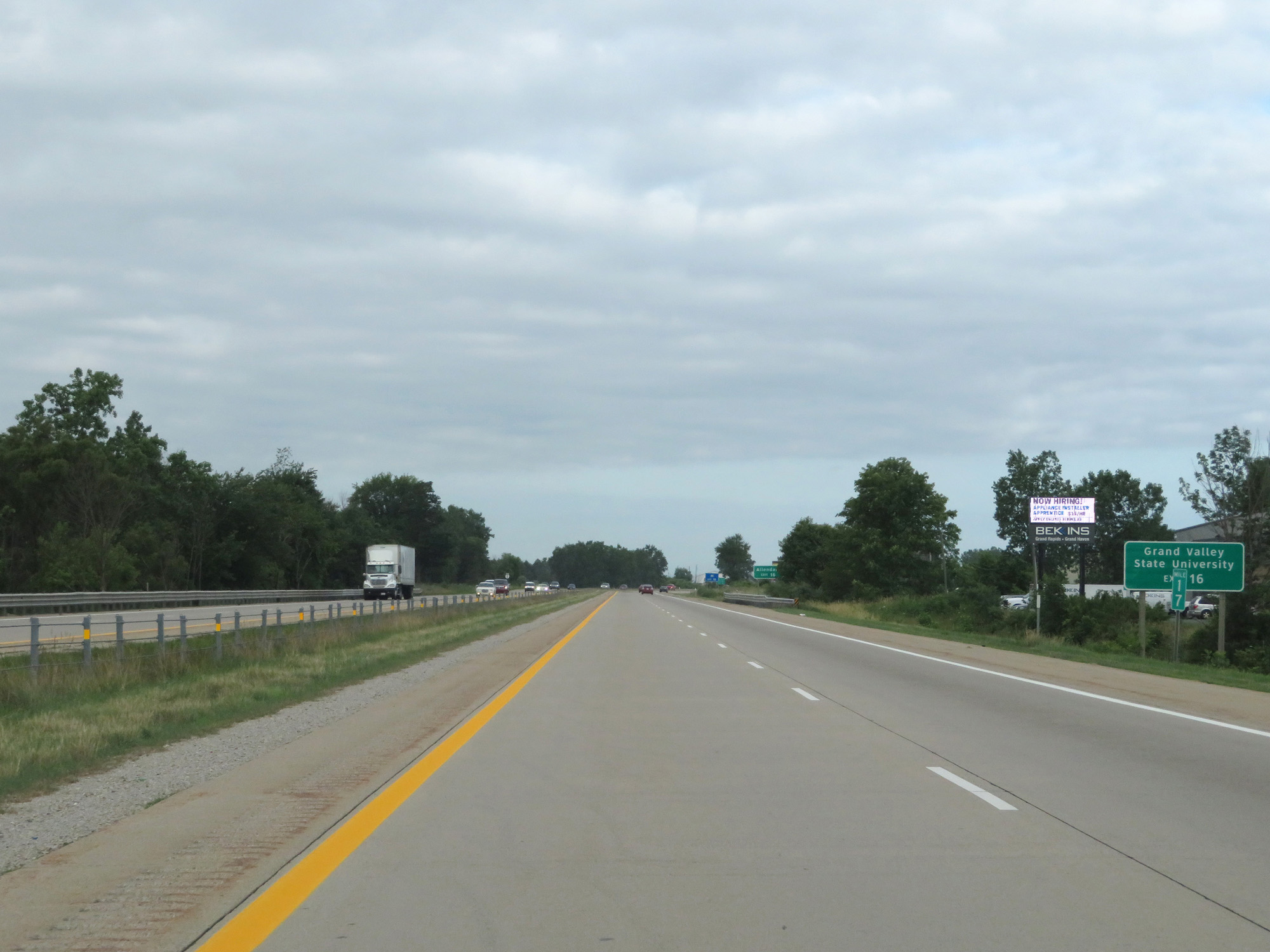 |
Take Exit 16 to Grand Valley State University. (Photo taken 7/17/17). |
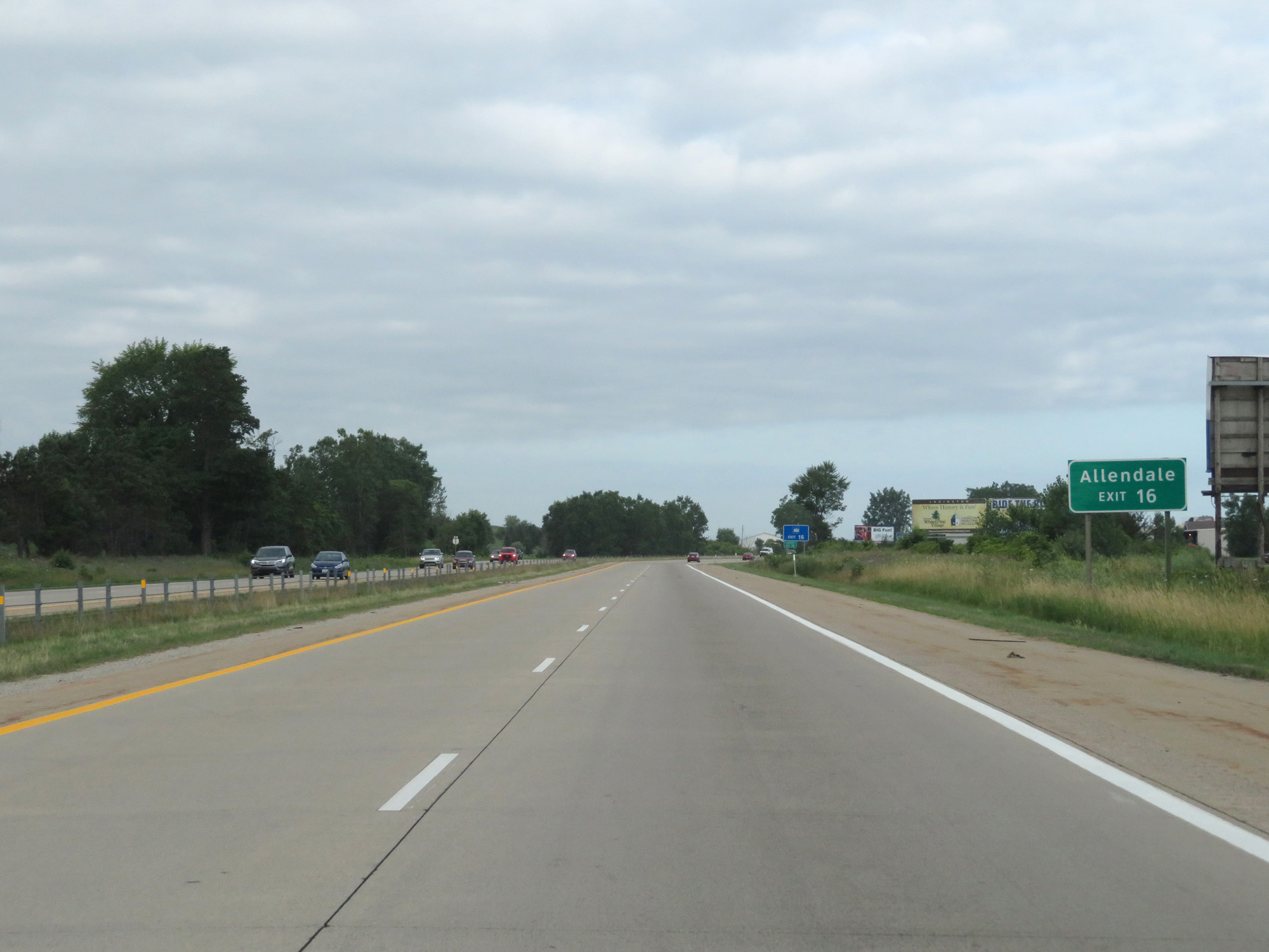 |
Also take Exit 16 to Allendale. (Photo taken 7/17/17). |
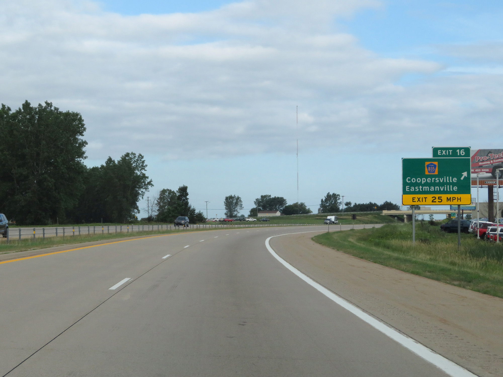 |
Interstate 96 West at Exit 16: CR B35 - Coopersville / Eastmanville (Photo taken 7/17/17). |
 |
Interstate 96 West reassurance shield. (Photo taken 7/17/17). |
 |
Speed Limits: 70 mph for cars, 60 mph for trucks. (Photo taken 7/17/17). |
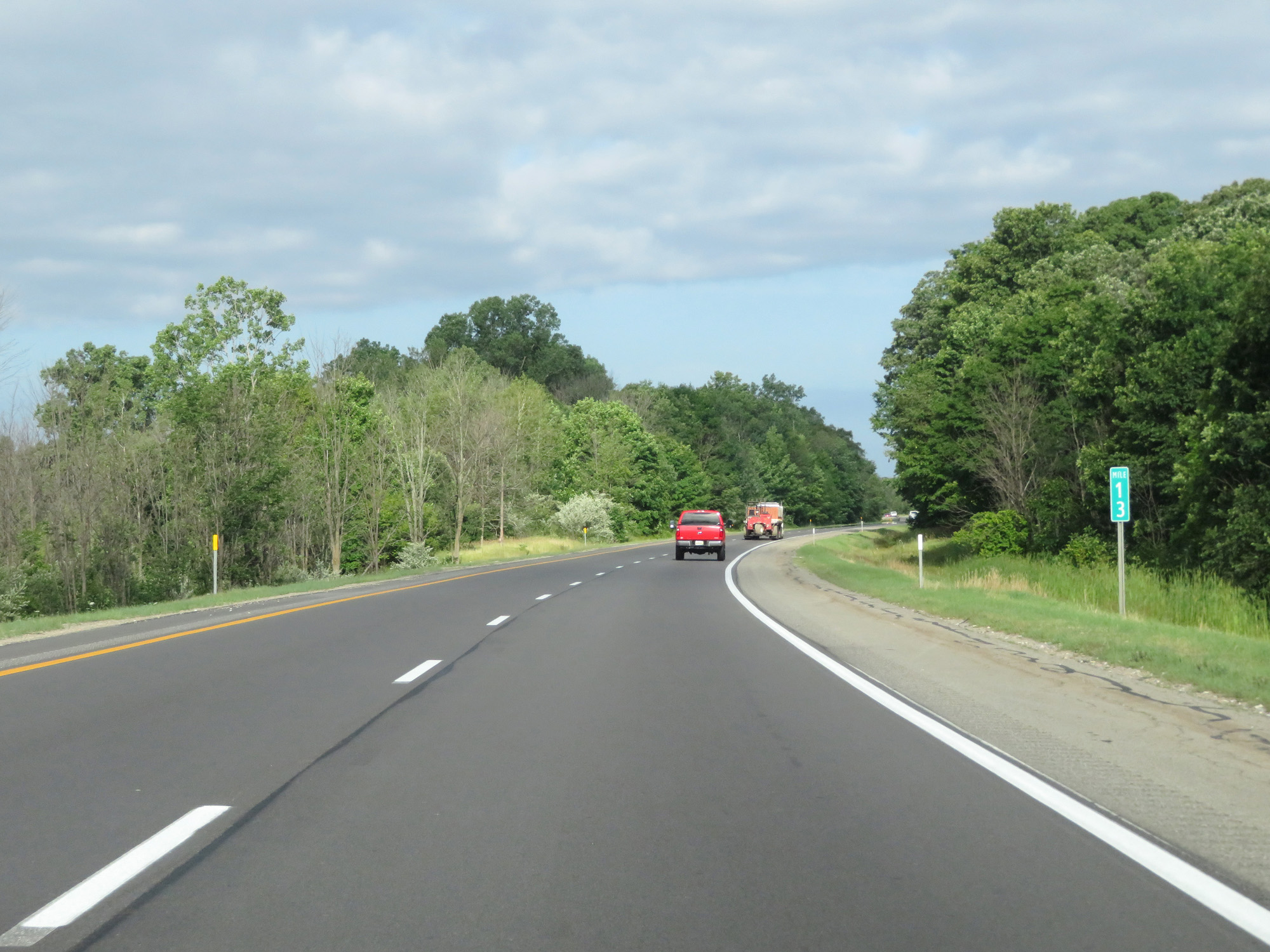 |
Interstate 96 West at mile marker 13. (Photo taken 7/17/17). |
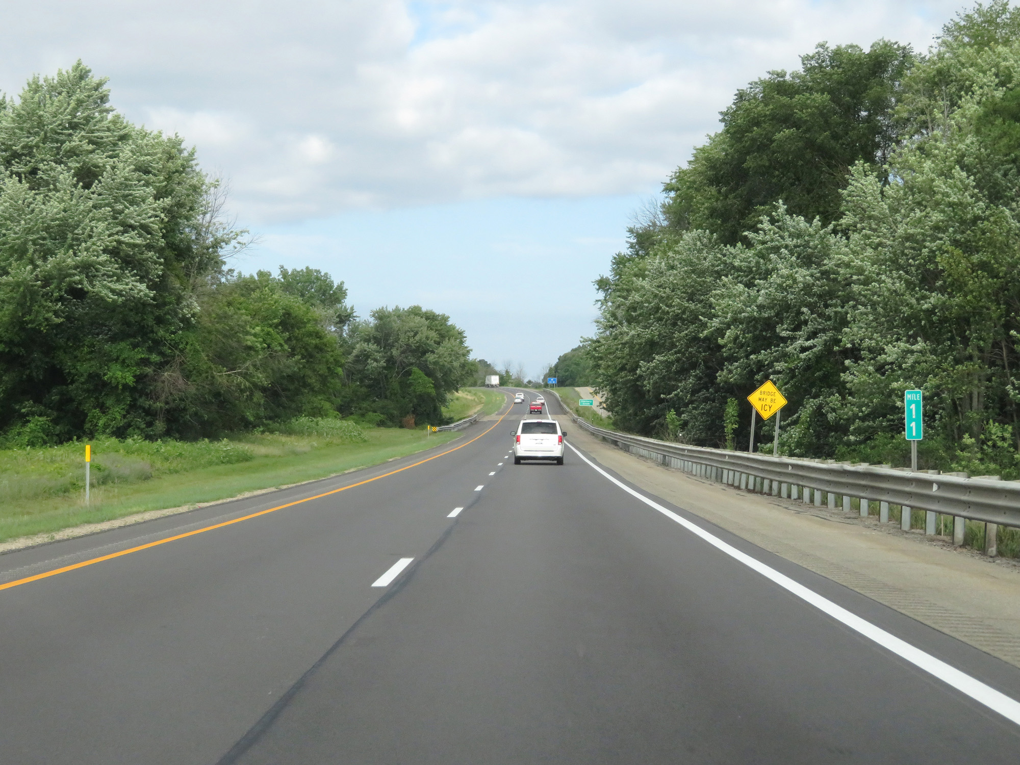 |
Interstate 96 West at mile marker 11. (Photo taken 7/17/17). |
 |
Interstate 96 West at Exit 10: CR B31 - Nunica (Photo taken 7/17/17). |
 |
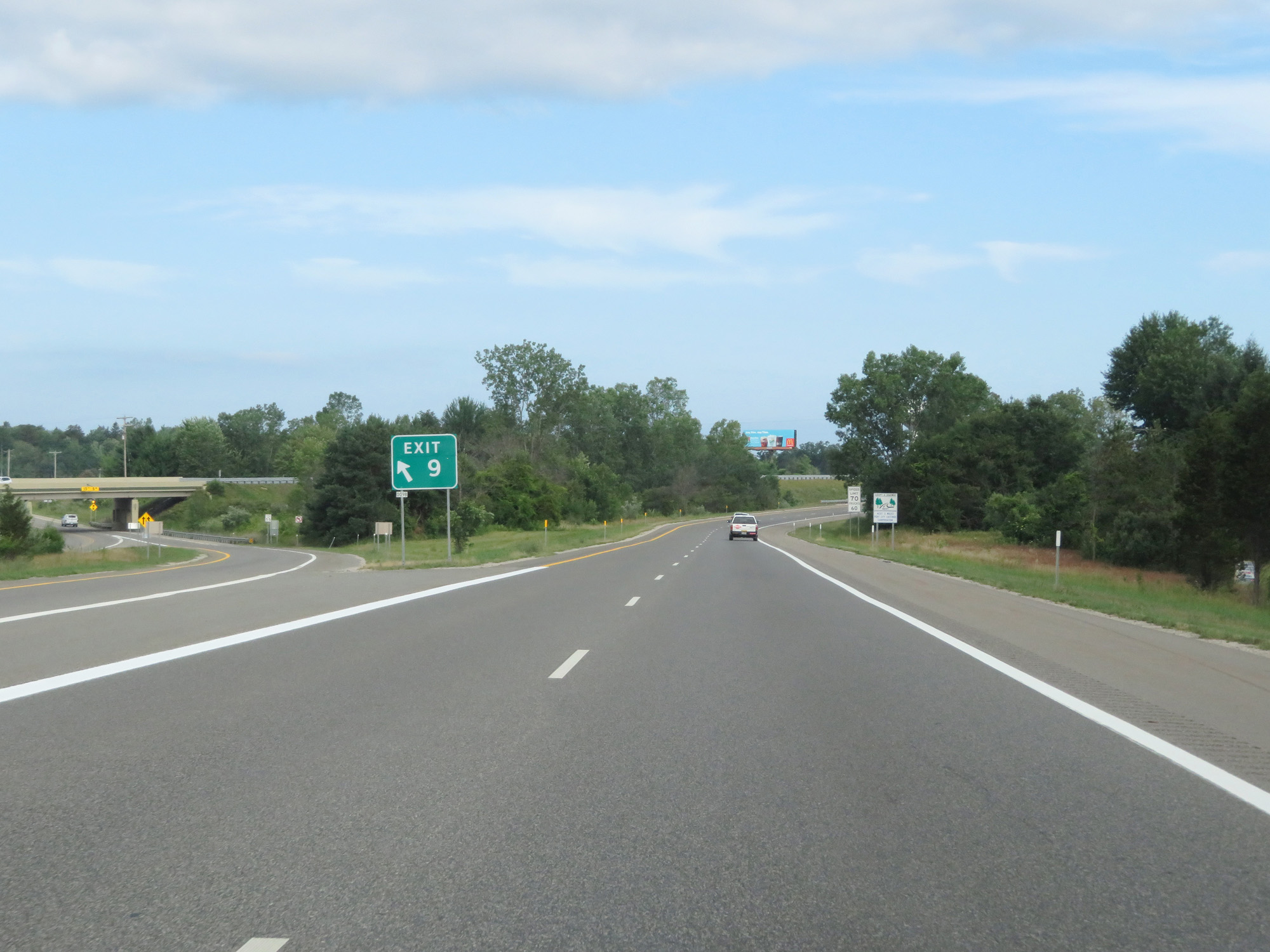
Take Exit 9 to Grand Haven State Park. (Photo taken 7/17/17). |
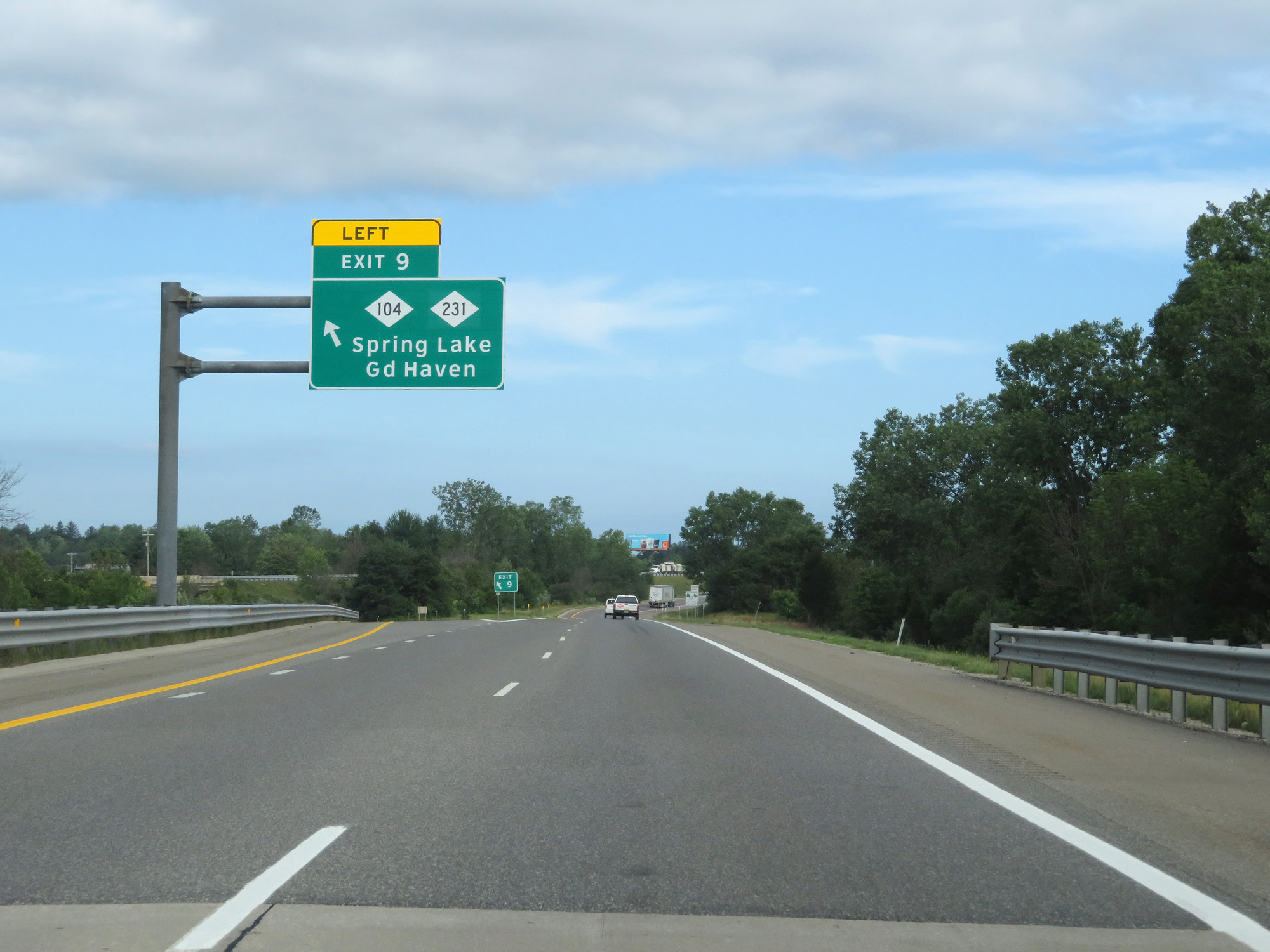 |
Interstate 96 West at Exit 9: M-104 / M-231 - Spring Lake / Grand Haven (Photo taken 7/17/17). |
 |
Gore point signage for Exit 9. (Photo taken 7/17/17). |
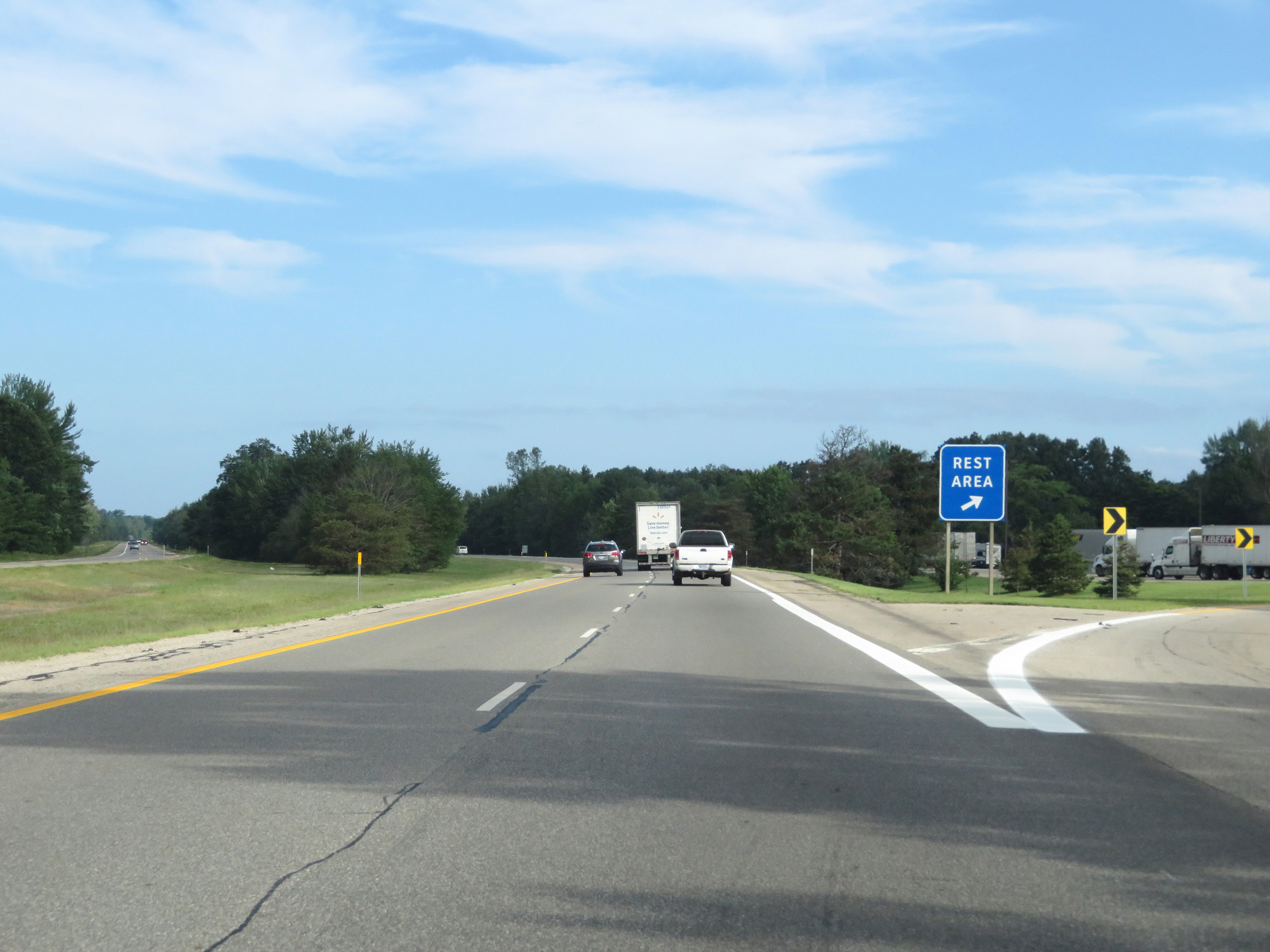 |
Interstate 96 West at the Rest Area in Ottawa County. (Photo taken 7/17/17). |
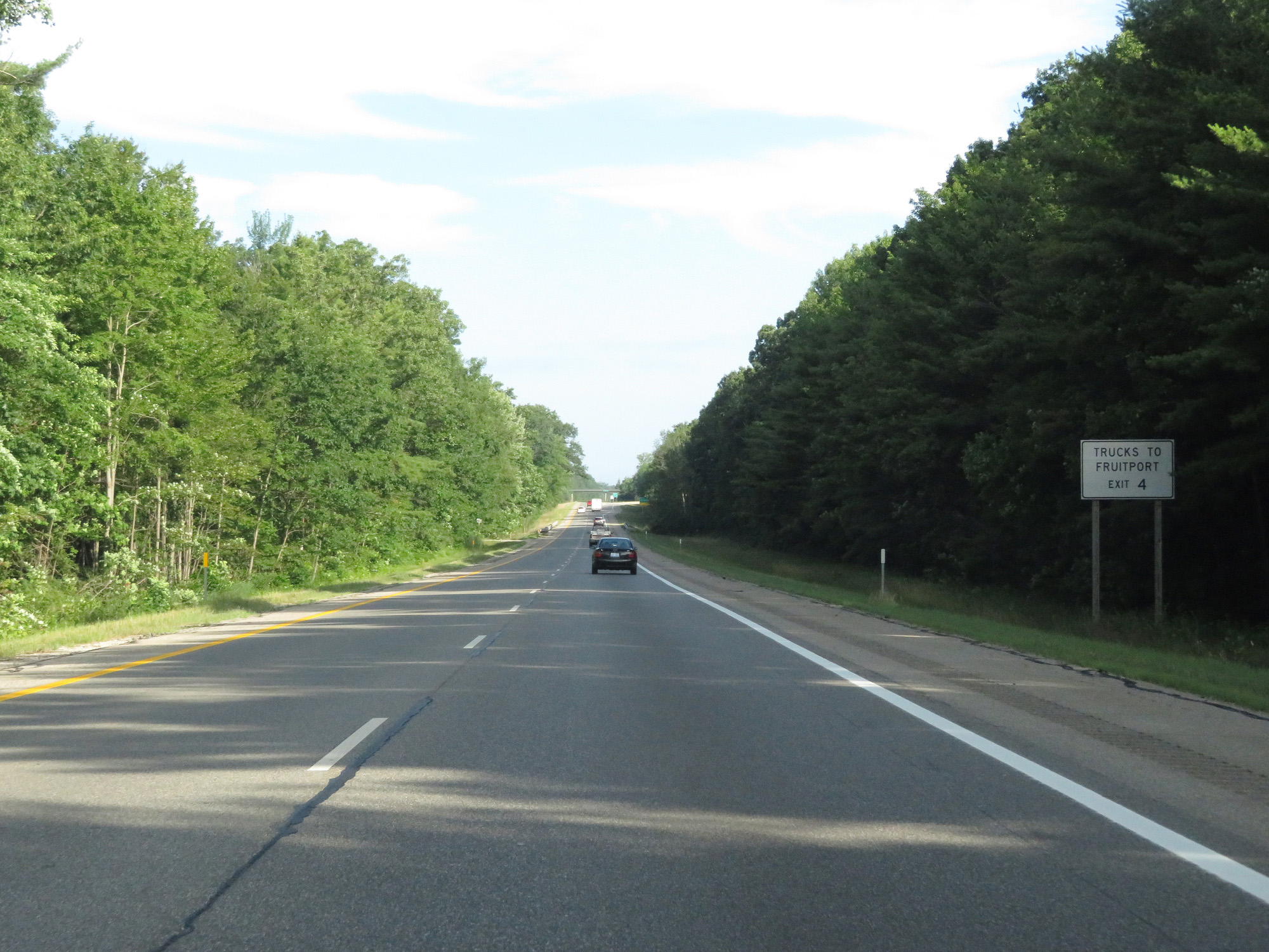 |
Trucks to Fruitport should use Exit 4. (Photo taken 7/17/17). |
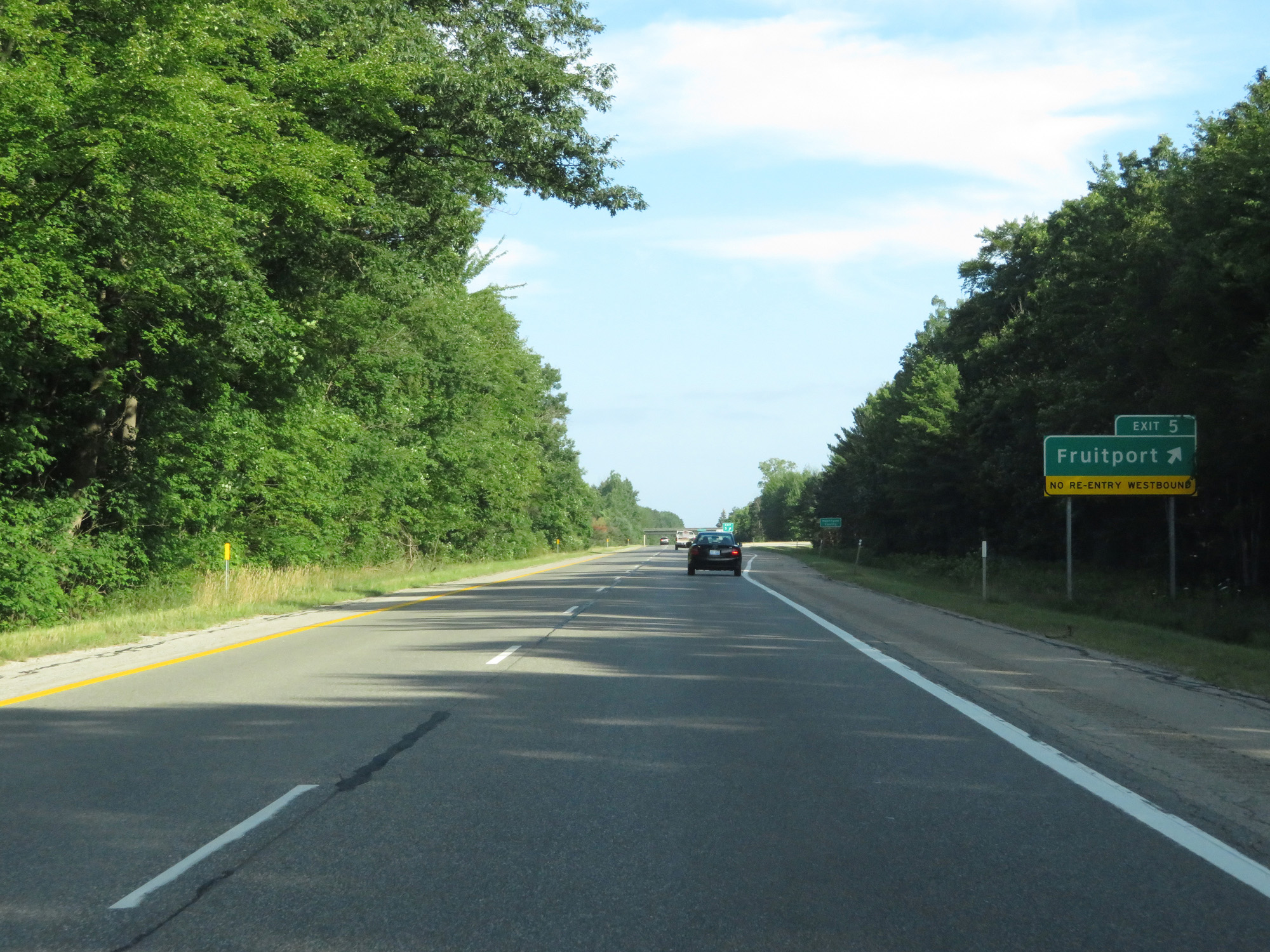 |
Interstate 96 West at Exit 5: Fruitport (Photo taken 7/17/17). |
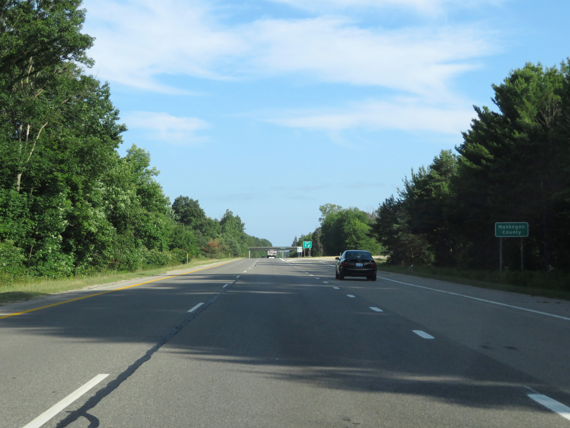 |
Interstate 96 West enters Muskegon County at Exit 5. (Photo taken 7/17/17). |
 |
Take Exit 4 to PJ Hoffmaster State Park. (Photo taken 7/17/17). |
 |
Interstate 96 West at Exit 4: Airline Rd (Photo taken 7/17/17). |
 |
Interstate 96 West reassurance shield. (Photo taken 7/17/17). |
 |
Interstate 96 West at mile marker 2. (Photo taken 7/17/17). |
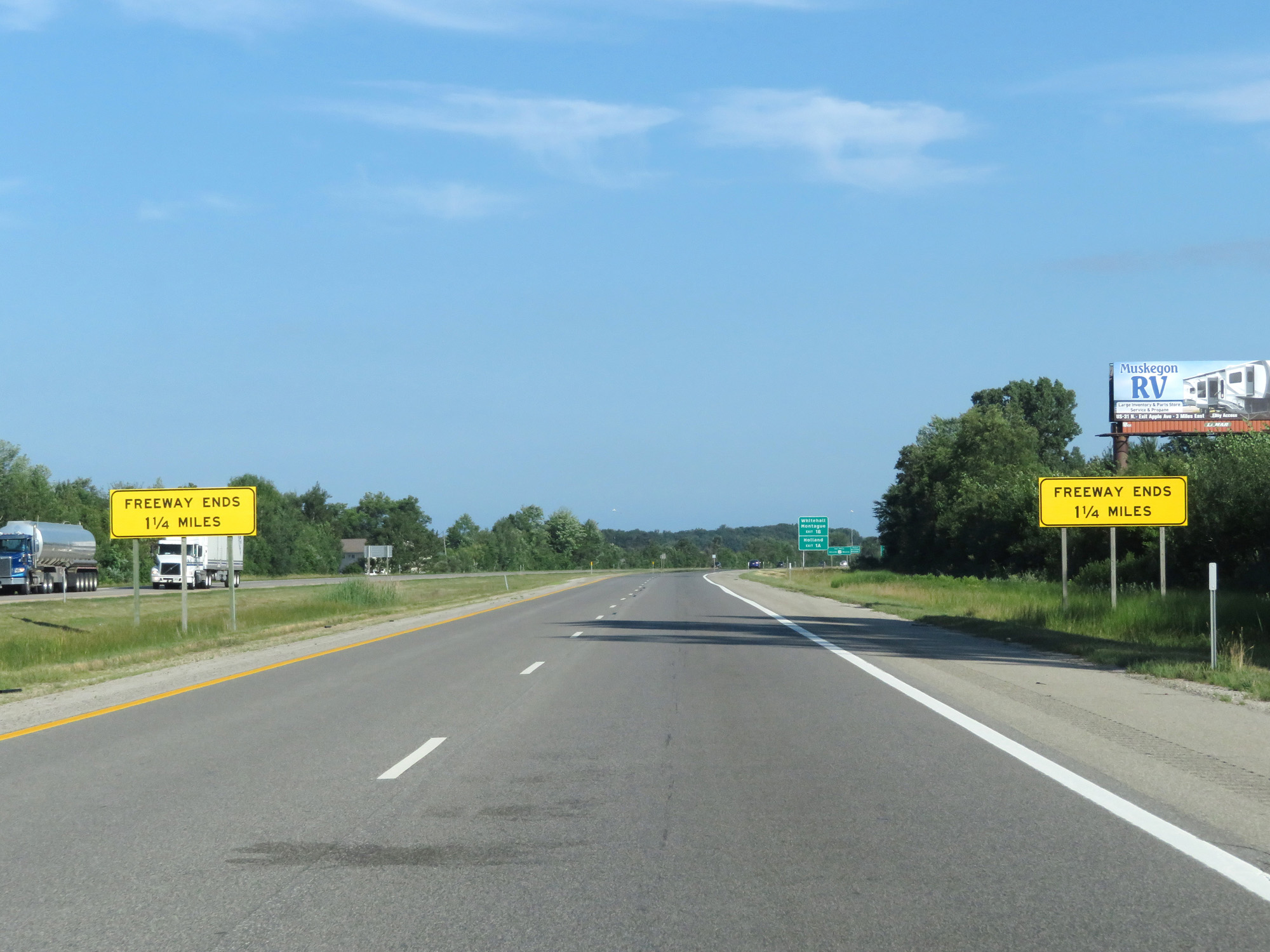 |
As these signs read, the limited access freeway (Interstate 96, in other words) ends 1 1/4 miles ahead. (Photo taken 7/17/17). |
 |
Take Exit 1B to Whitehall and Montague. Take Exit 1A to Holland. (Photo taken 7/17/17). |
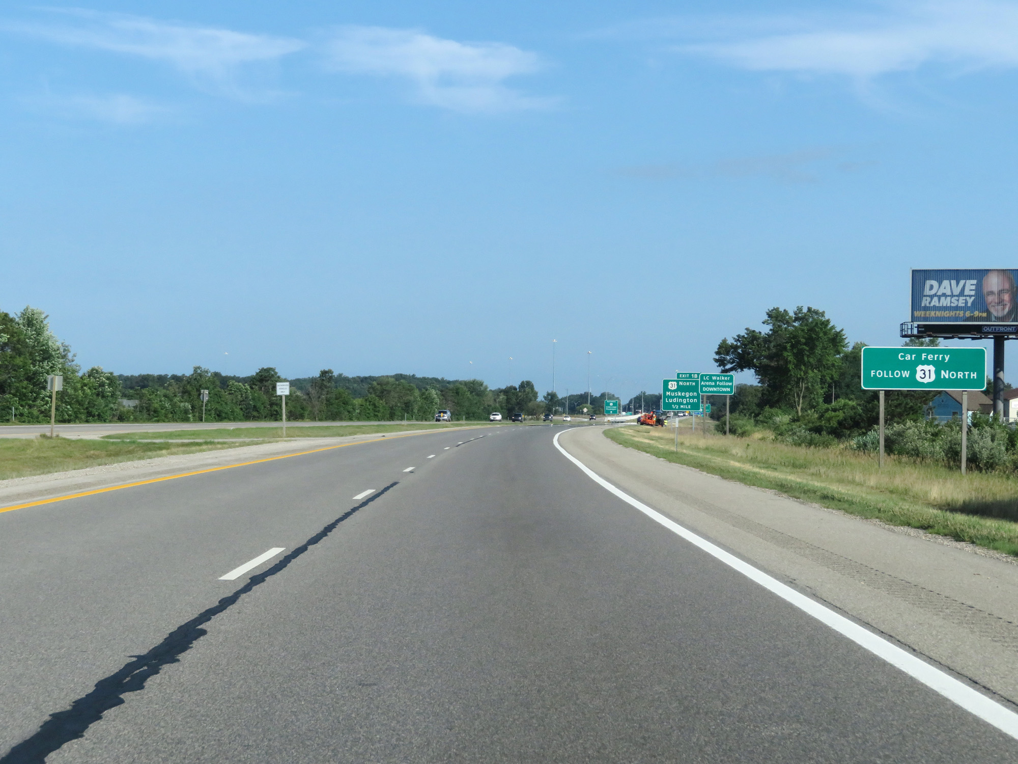 |
Follow US 31 North via Exit 1B to the Car Ferry. (Photo taken 7/17/17). |
 |
Interstate 96 West approaching Exit 1B - 1/2 mile. (Photo taken 7/17/17). |
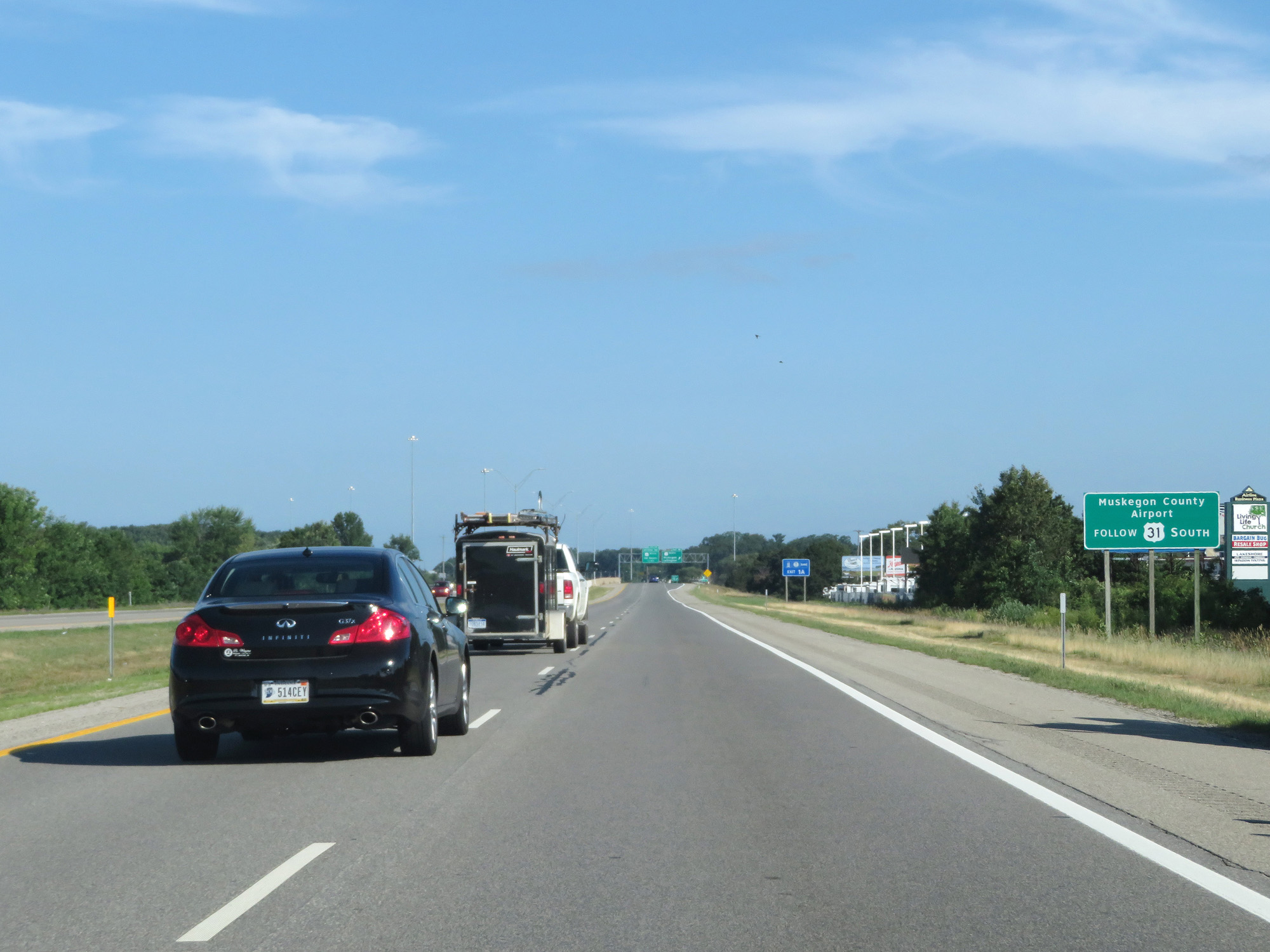 |
Follow US 31 South via Exit 1A to Muskegon County Airport. (Photo taken 7/17/17). |
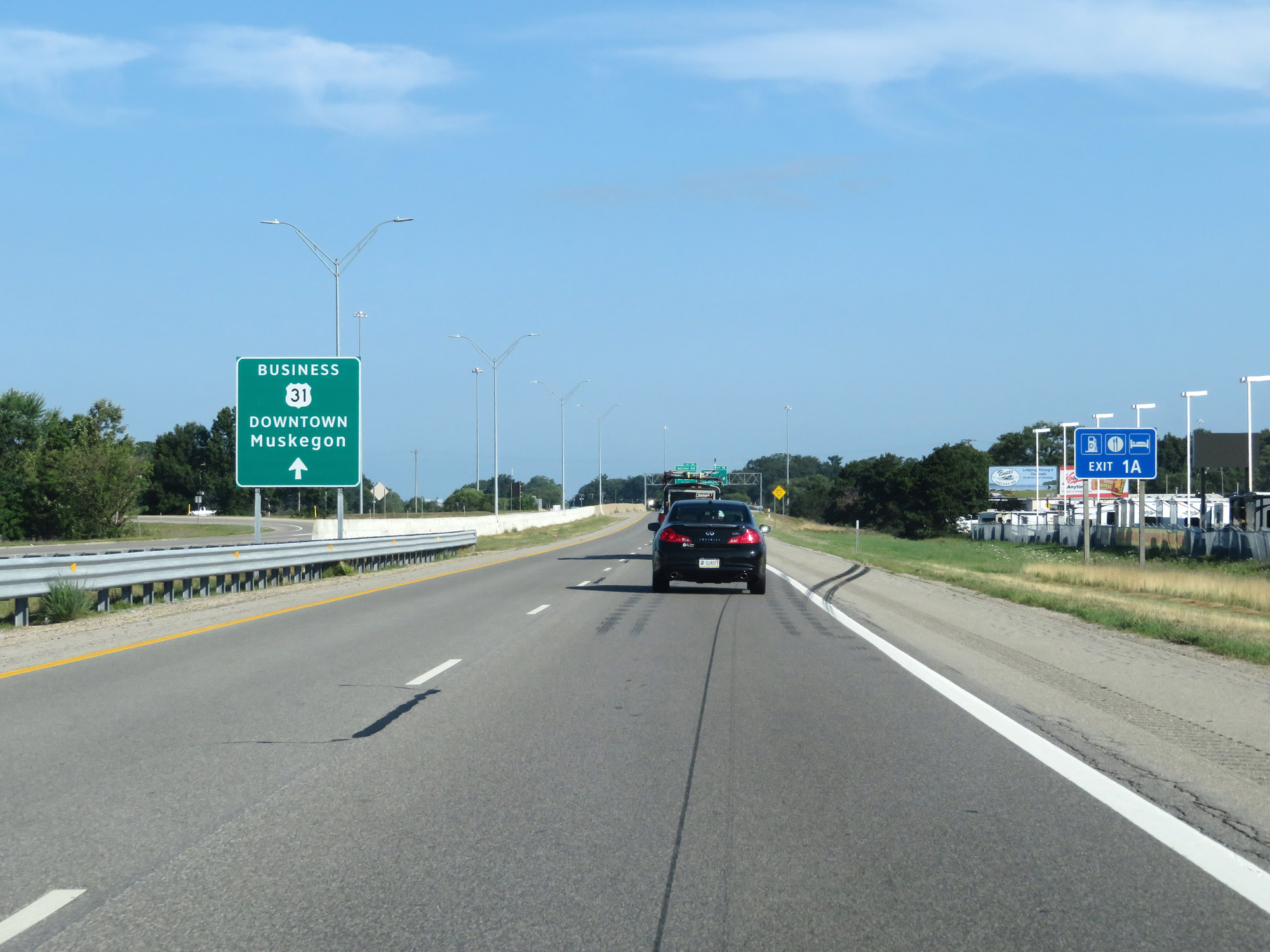 |
Staying straight ahead beyond Exit 1A will take you onto US 31 Business toward downtown Muskegon. (Photo taken 7/17/17). |
 |
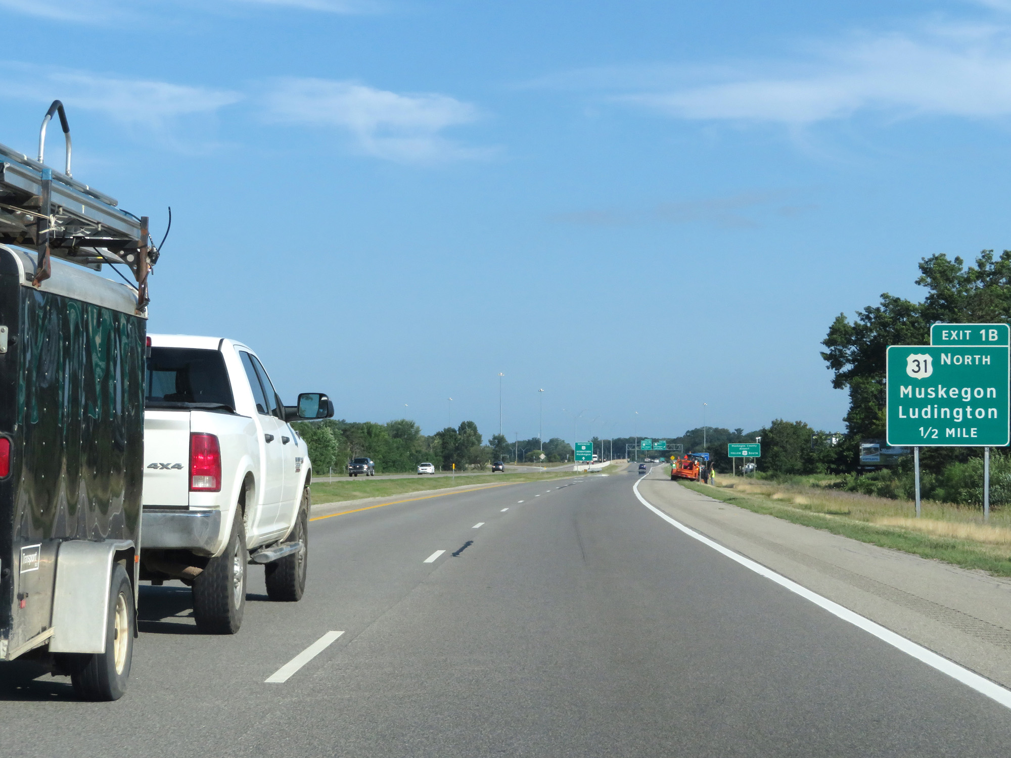
Interstate 96 West at Exit 1B: US 31 North - Muskegon / Ludington (Photo taken 7/17/17). |
 |
Interstate 96 West enters the Norton Shores city limits just before its western terminus. (Photo taken 7/17/17). |
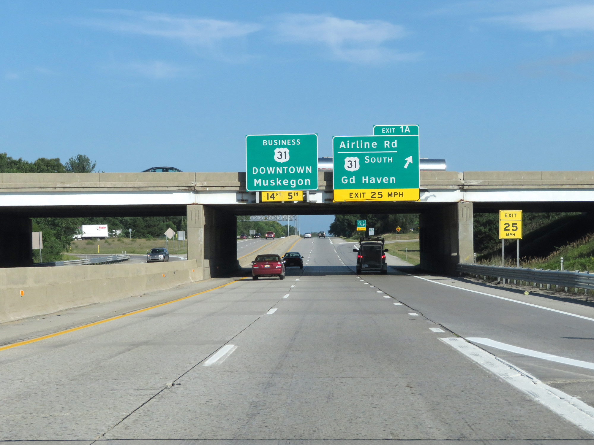 |
Interstate 96 West at Exit 1A: US 31 South - Grand Haven / Airline Rd (Photo taken 7/17/17). |
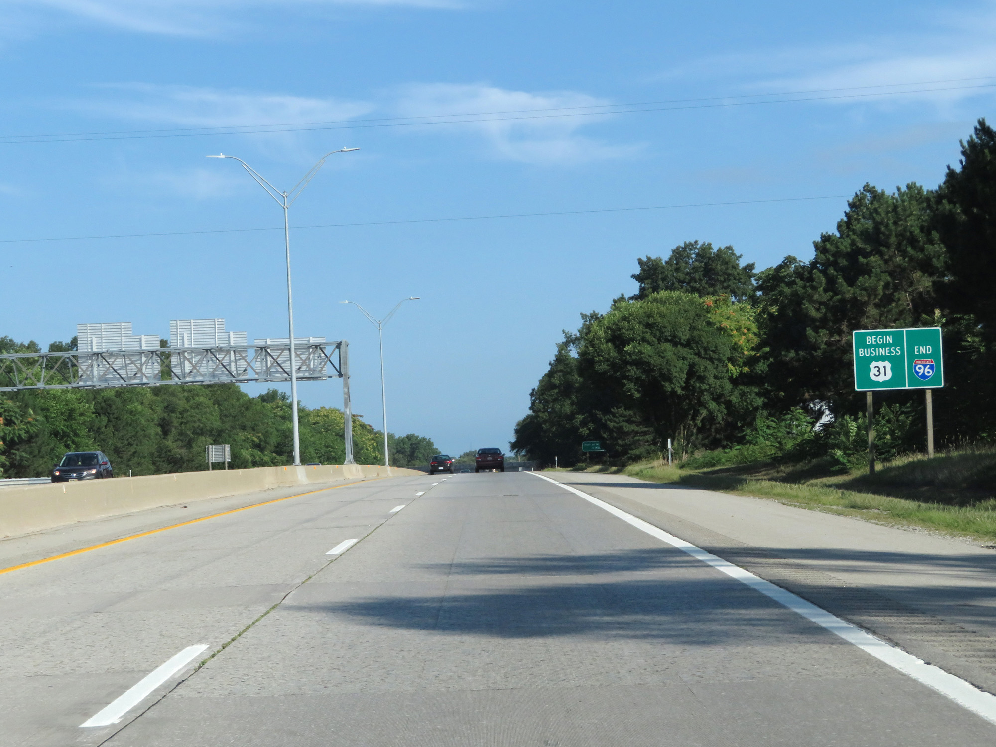 |
Interstate 96 END shield just west of Exit 1A. (Photo taken 7/17/17). |
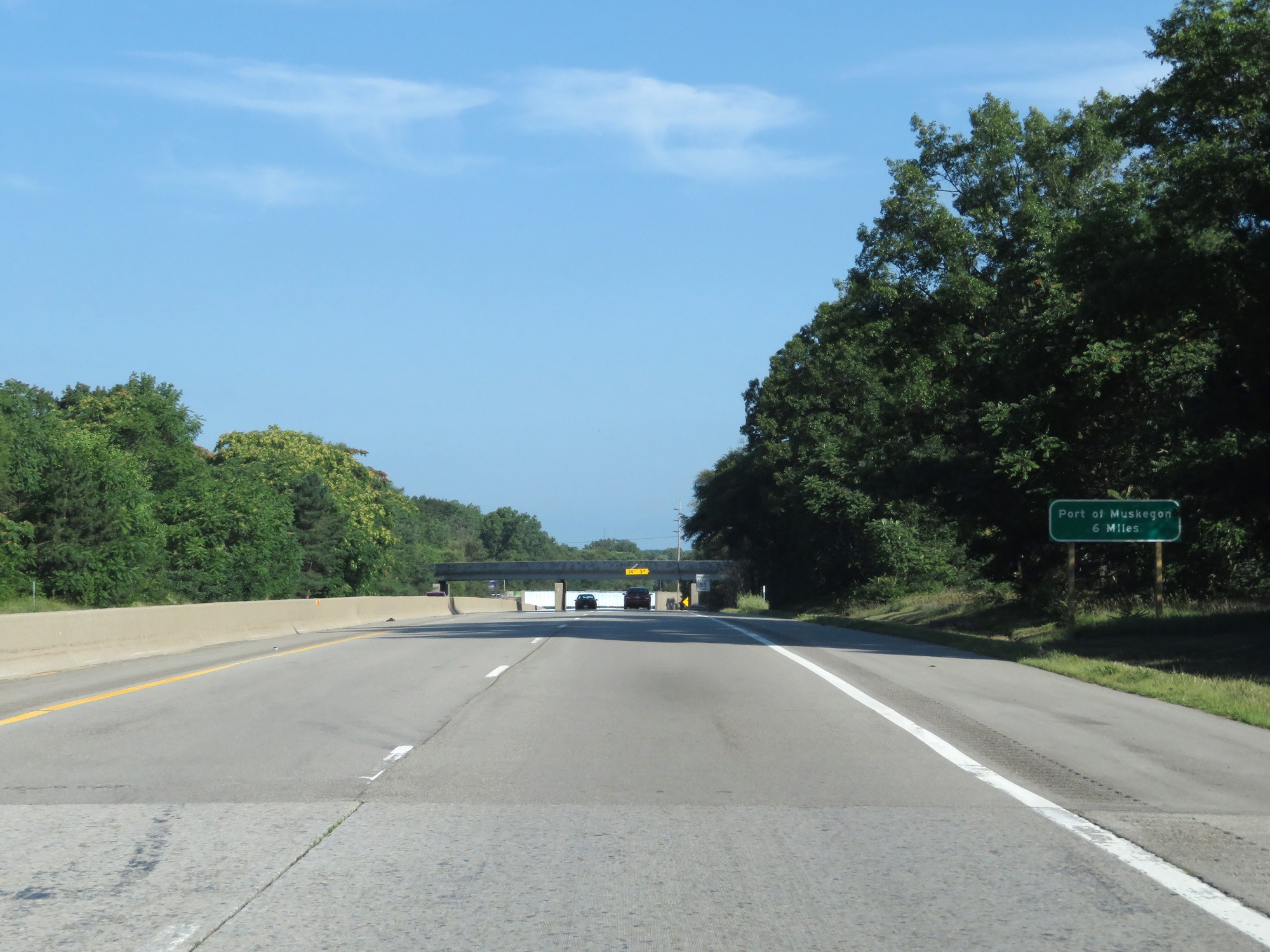 |
Port of Muskegon lies 6 miles ahead on US 31 Business. (Photo taken 7/17/17). |
 |
US 31 Business North reassurance marker. (Photo taken 7/17/17). |