Road Information |
||
 |
||
| Total Mileage in State: | 66 miles | |
| Northern End: | At Mississippi state line | |
| Southern End: | At I-10, in La Place | |
| Mileage covered in Photos: | 66 miles | |
| Parishes covered in Photos: | St. John the Baptist, Tangipahoa | |
| Major Junctions in Photos: | US 51, in Hammond I-12, in Hammond US 190, in Hammond |
|
| Control Cities in Photos: | La Place, Hammond, Kentwood | |
Northbound
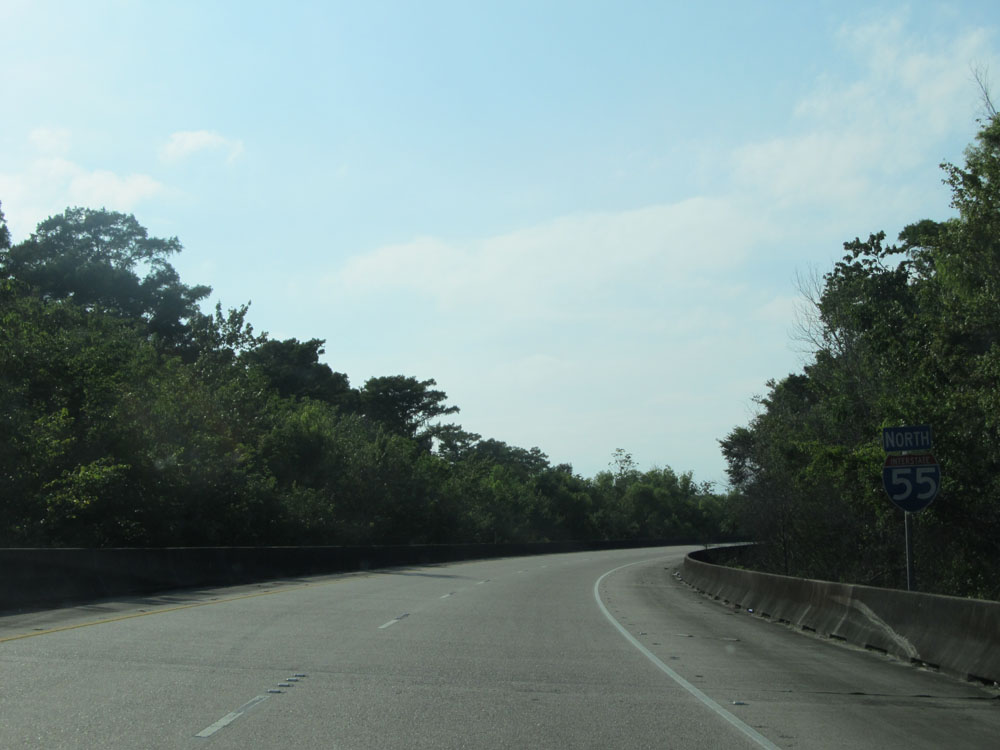 |
Interstate 55 North shield after merging from Interstate 10 West. (Photo taken 5/22/15). |
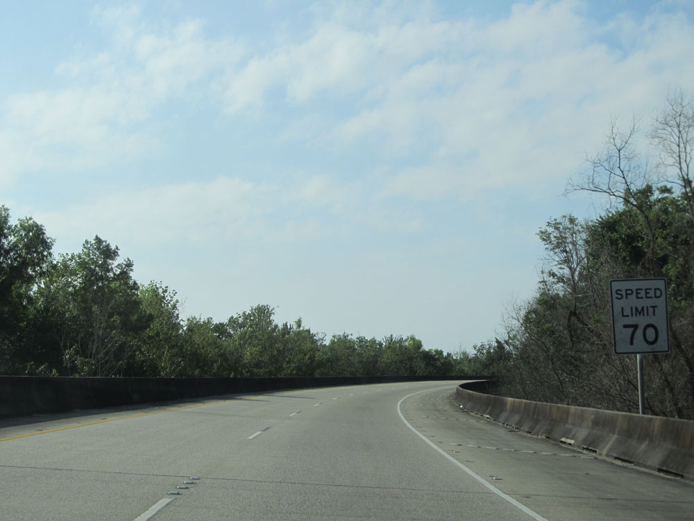 |
Speed limit sign shortly after merging on Interstate 55 North from Interstate 10 West. The speed limit on most rural Interstates in Louisiana is 70 mph. (Photo taken 5/22/15). |
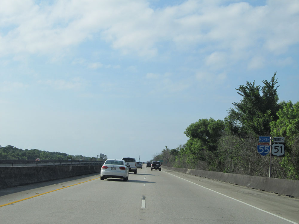 |
Dual Interstate 55 North / US 51 North shields near mile marker 1. You can see we've already begun crossing the Manchac Swamp Bridge, which lasts for about the next 21 miles. This makes it one of the longest bridges over water in the world. (Photo taken 5/22/15). |
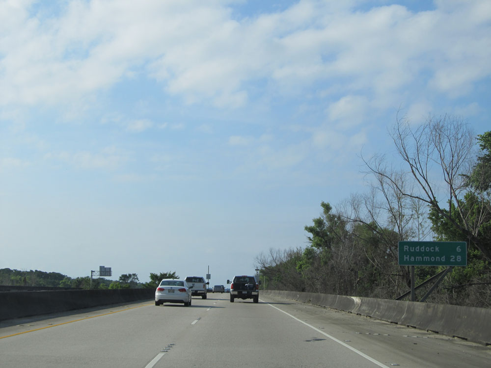 |
Mileage sign near mile marker 1. It's 6 miles to Ruddock and 28 miles to Hammond. (Photo taken 5/22/15). |
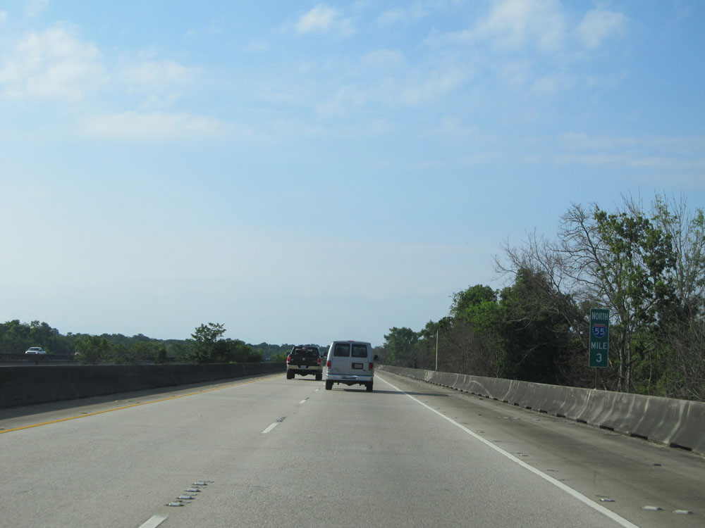 |
Interstate 55 North: Road view from mile marker 3. (Photo taken 5/22/15). |
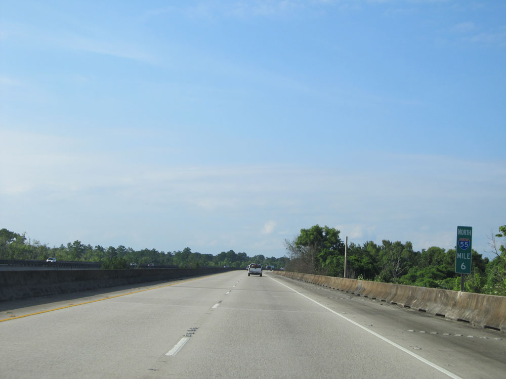 |
Interstate 55 North: Road view from mile marker 6. (Photo taken 5/22/15). |
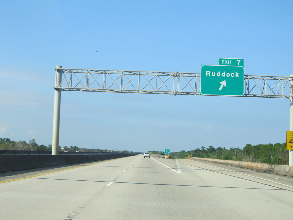 |
Interstate 55 North at Exit 7: Ruddock (Photo taken 5/22/15). |
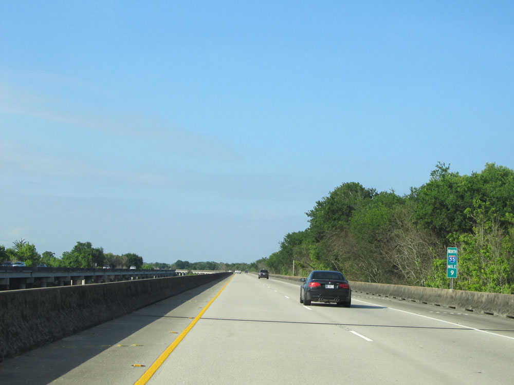 |
Interstate 55 North: Road/Bridge view from mile marker 9. (Photo taken 5/22/15). |
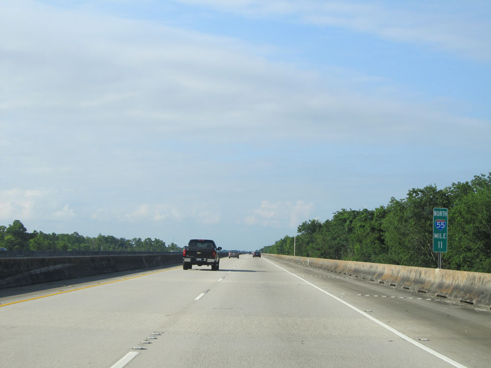 |
Interstate 55 North at mile marker 11. (Photo taken 5/22/15). |
 |
Interstate 55 North at mile marker 12. (Photo taken 5/22/15). |
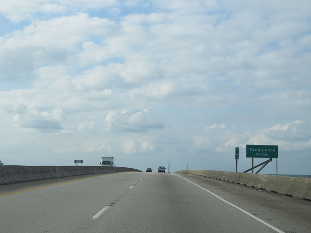 |
Interstate 55 North entering Tangipahoa Parish at mile marker 14.6. (Photo taken 5/22/15). |
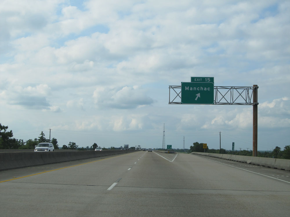 |
Interstate 55 North at Exit 15: Manchac (Photo taken 5/22/15). |
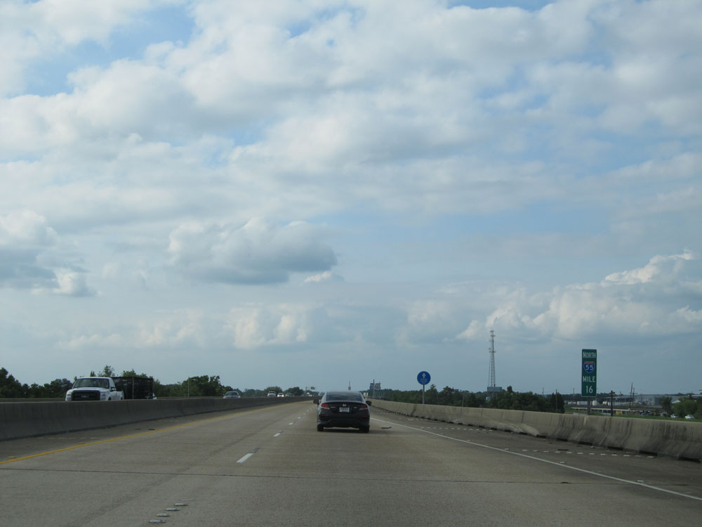 |
Interstate 55 North: Road/Bridge view from mile marker 16. (Photo taken 5/22/15). |
 |
Dual Interstate 55 North / US 51 North shields located just past mile marker 16. (Photo taken 5/22/15). |
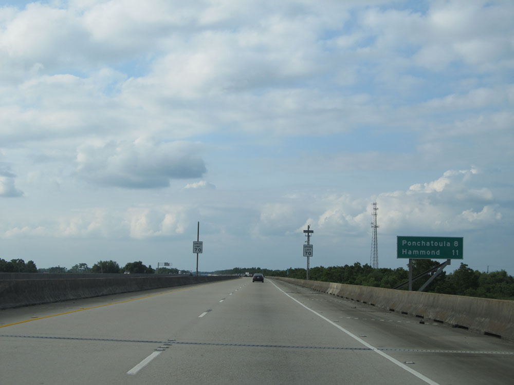 |
Mileage sign on Interstate 55 North. It's 8 miles to Ponchatoula and 11 miles to Hammond. (Photo taken 5/22/15). |
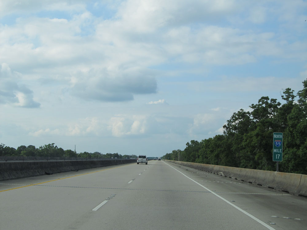 |
Interstate 55 North at mile marker 17. (Photo taken 5/22/15). |
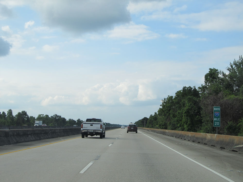 |
Interstate 55 North: Road/Bridge view from mile marker 20. (Photo taken 5/22/15). |
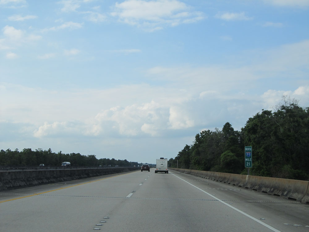 |
Interstate 55 North at mile marker 21. (Photo taken 5/22/15). |
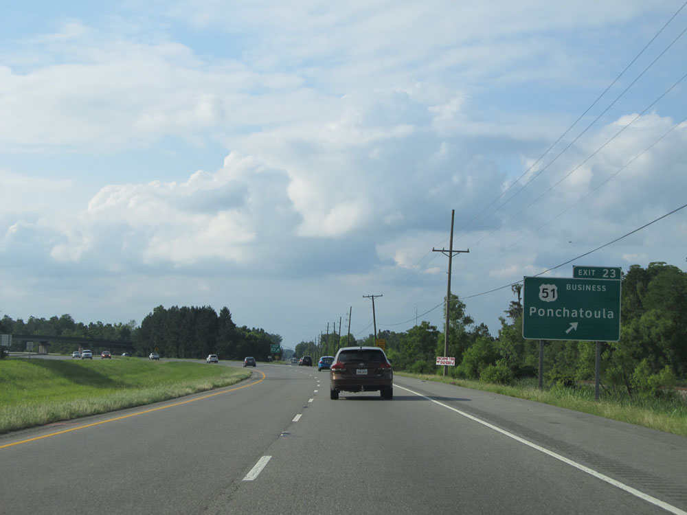 |
Interstate 55 North at Exit 23: US 51 BR - Ponchatoula. In case you didn't notice, the Manchac Swamp bridge came to an end just before this exit. (Photo taken 5/22/15). |
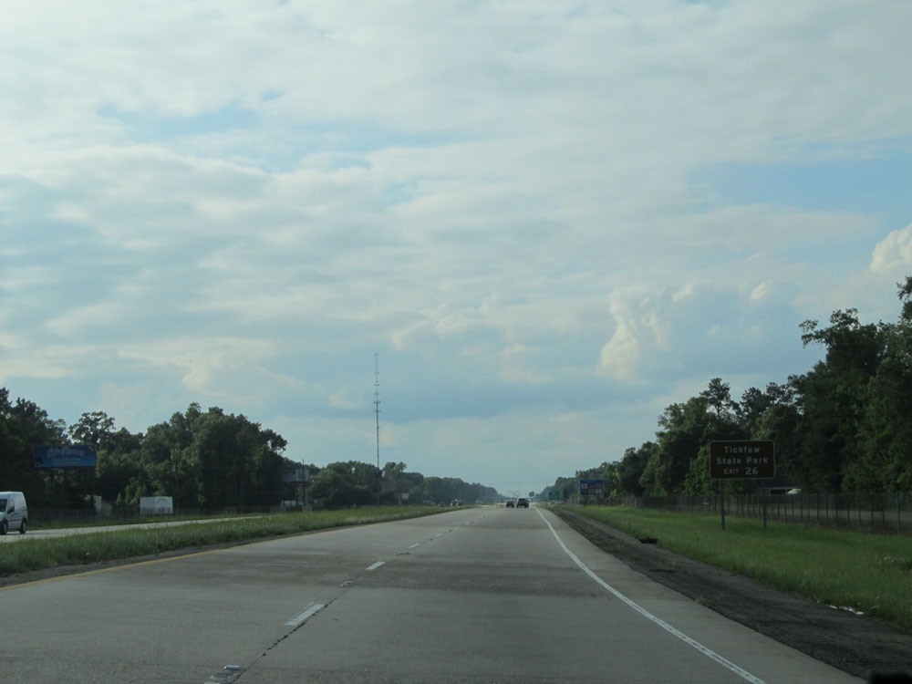 |
Take Exit 26 to Tickfaw State Park. (Photo taken 5/22/15). |
 |
Interstate 55 North: Road view from mile marker 25. (Photo taken 5/22/15). |
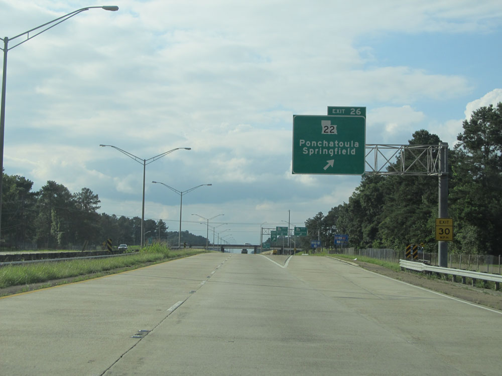 |
Interstate 55 North at Exit 26: LA 22 - Ponchatoula / Springfield (Photo taken 5/22/15). |
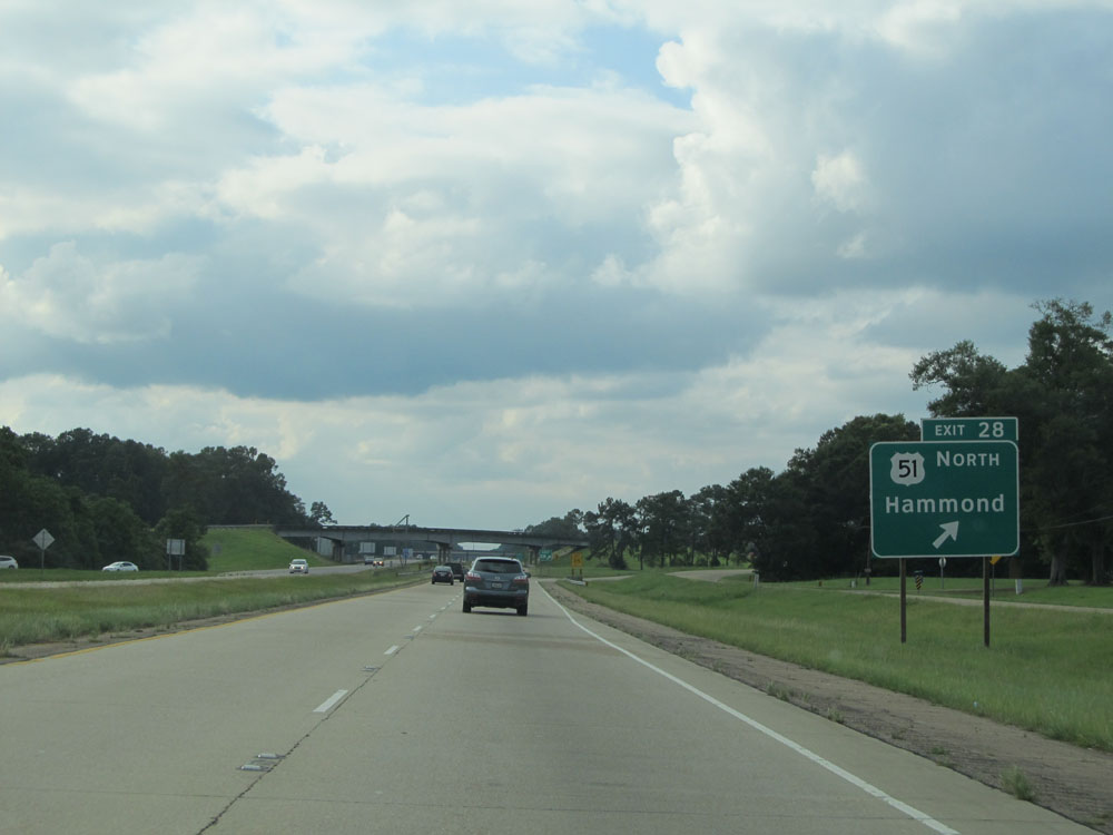 |
Interstate 55 North at Exit 28: US 51 North - Hammond (Photo taken 5/22/15). |
 |
Interstate 55 North approaching Exit 29A - 1/4 mile. (Photo taken 5/22/15). |
 |
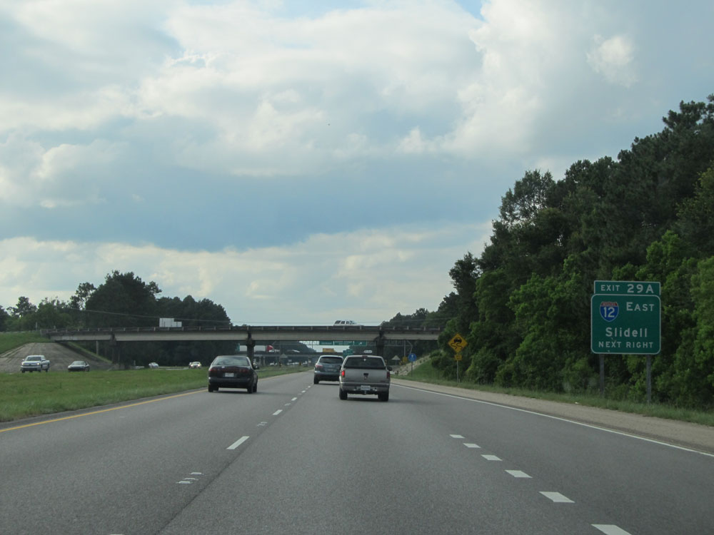
Interstate 55 North at Exit 29A: Interstate 12 East - Slidell (Photo taken 5/22/15). |
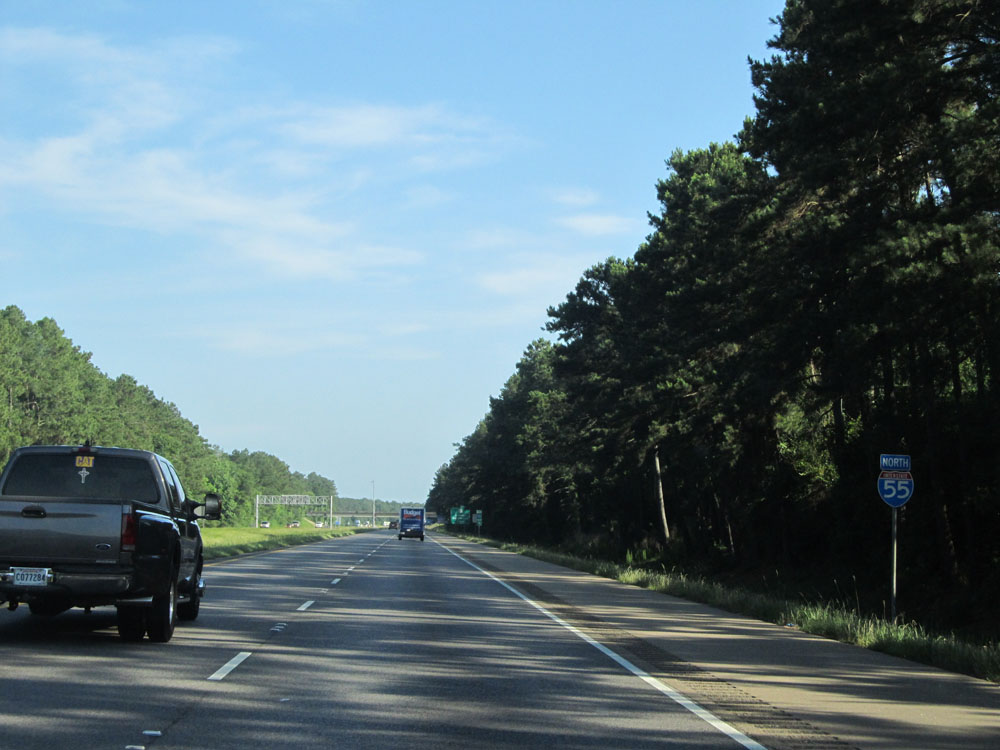 |
Interstate 55 North assurance shield just past the junction of Interstate 12. (Photo taken 5/23/15). |
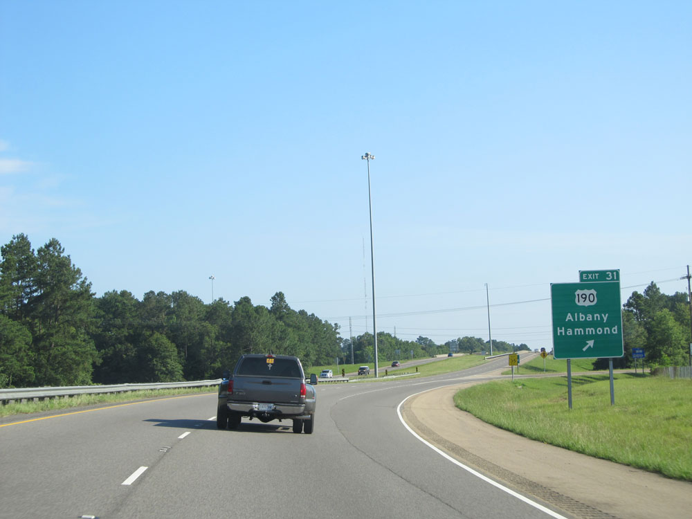 |
Interstate 55 North at Exit 31: US 190 - Albany / Hammond (Photo taken 5/23/15). |
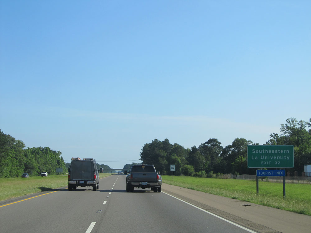 |
Take Exit 32 to Southeastern Louisiana University. (Photo taken 5/23/15). |
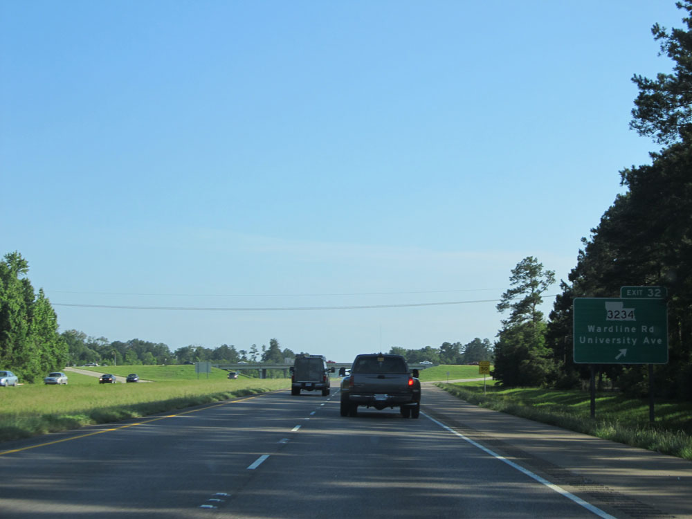 |
Interstate 55 North at Exit 32: LA 3234 - Wardline Rd / University Ave (Photo taken 5/23/15). |
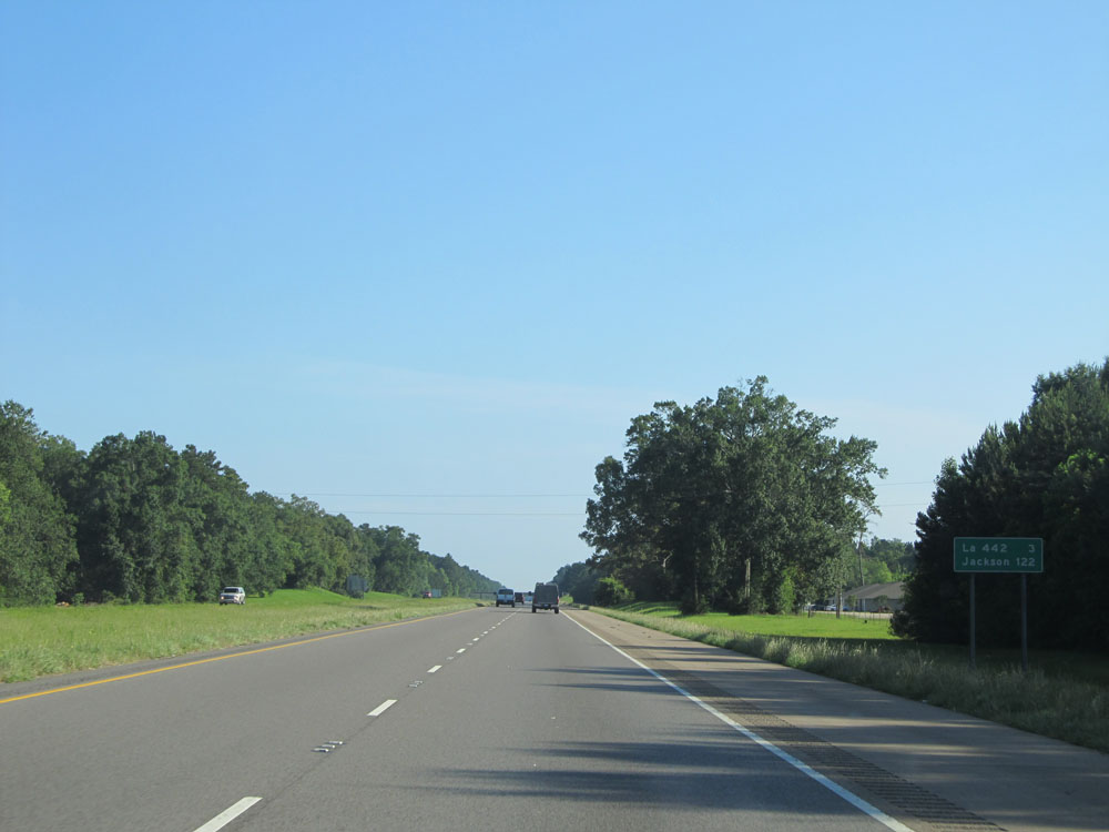 |
Mileage sign located near mile marker 32. It's 3 miles to the next exit (junction of LA 442) and it's 122 miles to Jackson, MS. (Photo taken 5/23/15). |
 |
Interstate 55 North: Road view from mile marker 35. (Photo taken 5/23/15). |
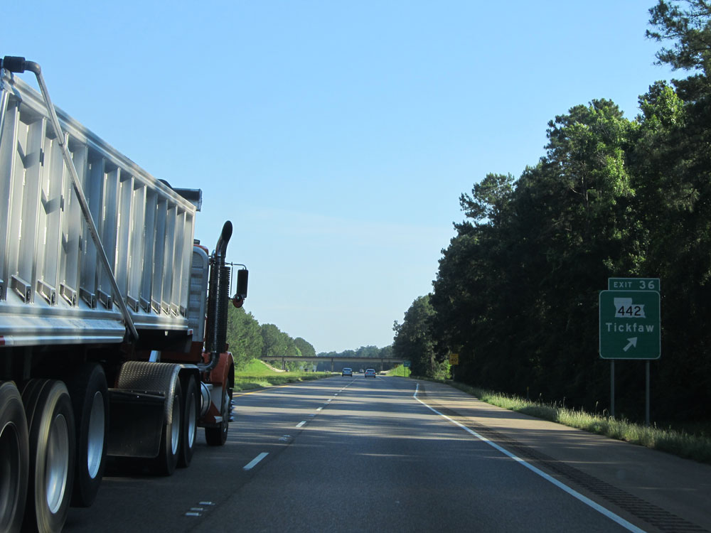 |
Interstate 55 North at Exit 36: LA 442 - Tickfaw (Photo taken 5/23/15). |
 |
Interstate 55 North at mile marker 37. (Photo taken 5/23/15). |
 |
Interstate 55 North: Road view from mile marker 38. (Photo taken 5/23/15). |
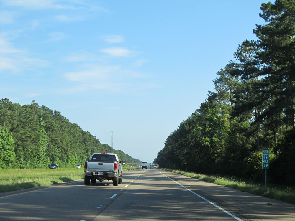 |
Interstate 55 North at mile marker 39. (Photo taken 5/23/15). |
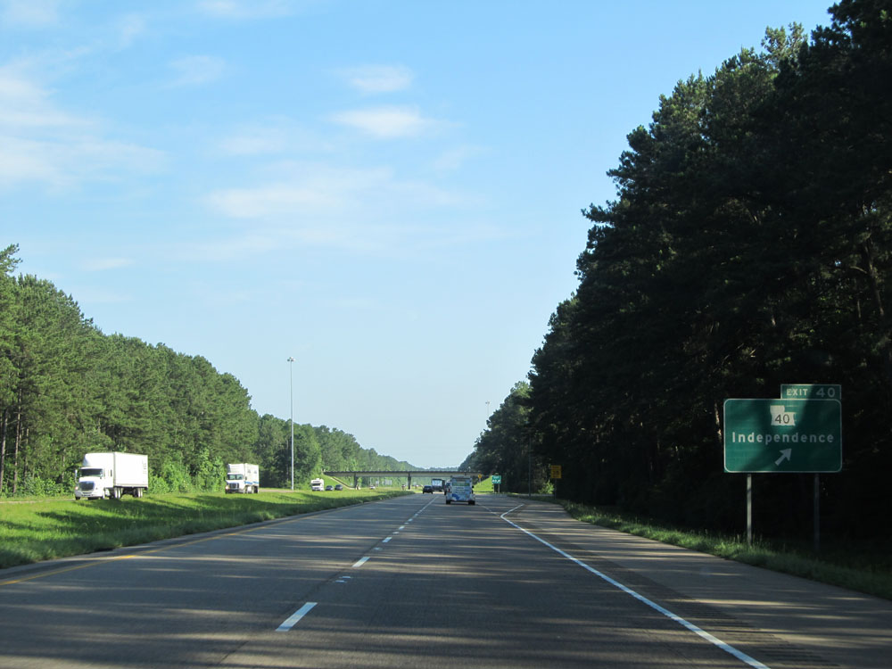 |
Interstate 55 North at Exit 40: LA 40 - Independence (Photo taken 5/23/15). |
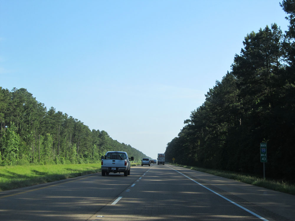 |
Interstate 55 North: Road view from mile marker 43. (Photo taken 5/23/15). |
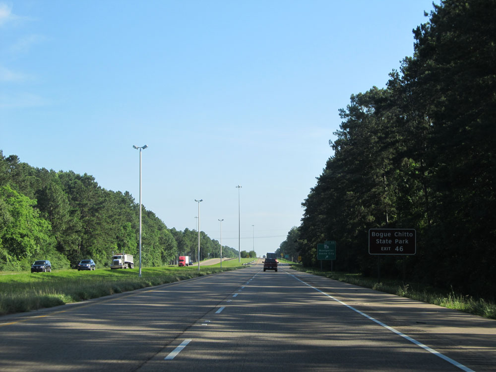 |
Take Exit 46 to Bogue Chitto State Park. (Photo taken 5/23/15). |
 |
Interstate 55 North at Exit 46: LA 16 - Montpelier / Amite City (Photo taken 5/23/15). |
 |
Interstate 55 North assurance shield near mile marker 46. (Photo taken 5/23/15). |
 |
Speed limit sign near mile marker 46. Once again, the speed limit on most rural Interstates in Louisiana is 70 mph. (Photo taken 5/23/15). |
 |
Interstate 55 North at Exit 50: LA 1048 - Arcola / Roseland (Photo taken 5/23/15). |
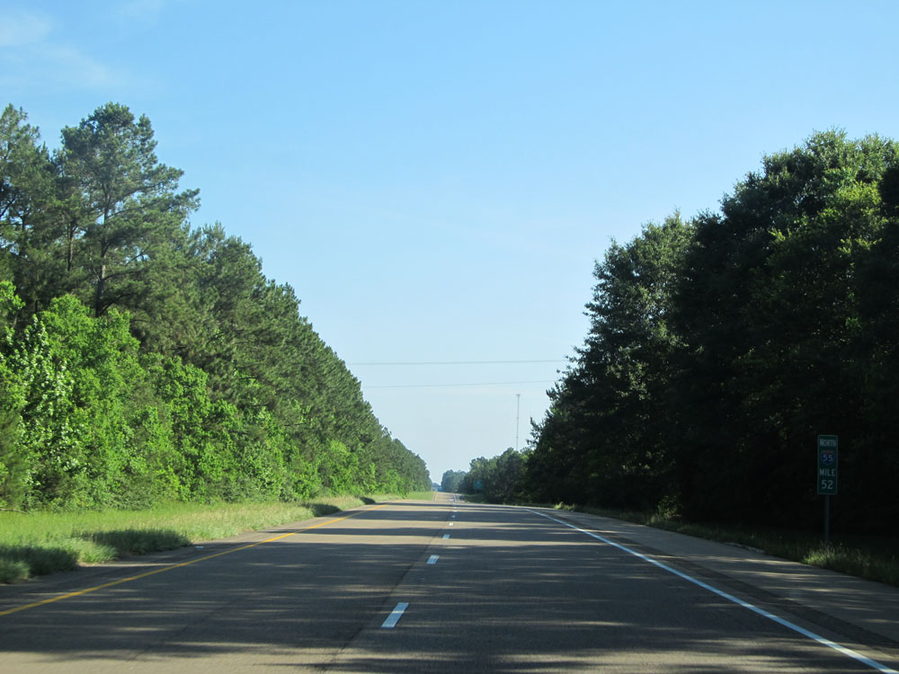 |
Interstate 55 North: Road view from mile marker 52. (Photo taken 5/23/15). |
 |
Take Exit 53 to Northshore Tech Community College (NTCC) Fla Parishes Campus. (Photo taken 5/23/15). |
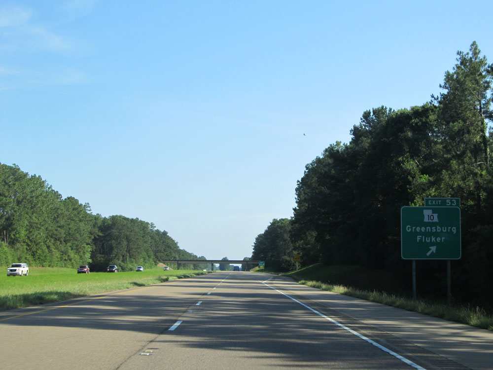 |
Interstate 55 North at Exit 53: LA 10 - Greensburg / Fluker (Photo taken 5/23/15). |
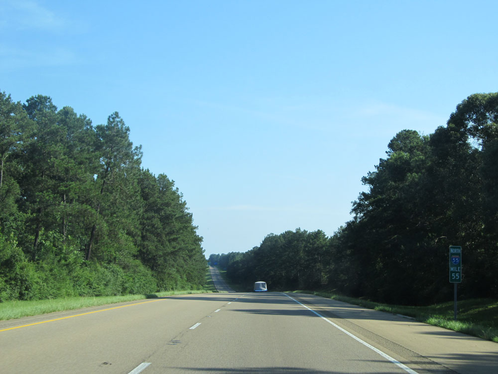 |
Interstate 55 North at mile marker 55. (Photo taken 5/23/15). |
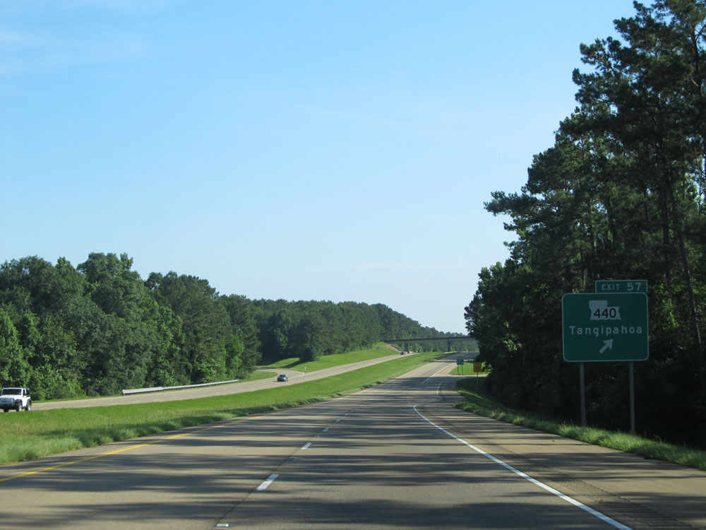 |
Interstate 55 North at Exit 57: LA 440 - Tangipahoa (Photo taken 5/23/15). |
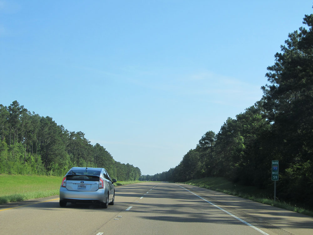 |
Interstate 55 North: Road view from mile marker 59. (Photo taken 5/23/15). |
 |
Interstate 55 North at Exit 61: LA 38 - Liverpool / Kentwood (Photo taken 5/23/15). |
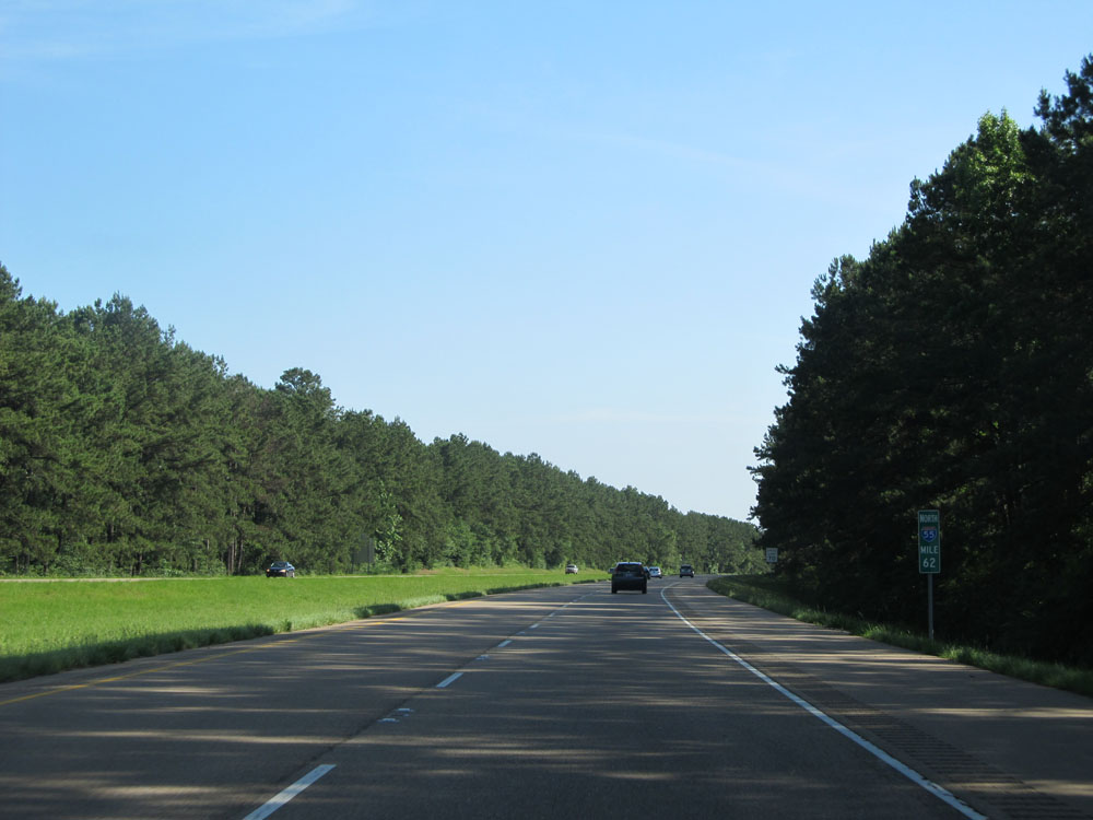 |
Interstate 55 North: Road view from mile marker 62. (Photo taken 5/23/15). |
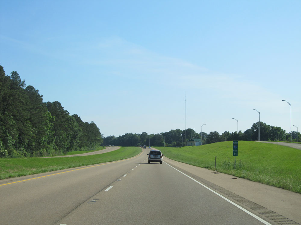 |
Interstate 55 North: Road view from mile marker 64, at what appears to be an closed down Weigh Station. (Photo taken 5/23/15). |
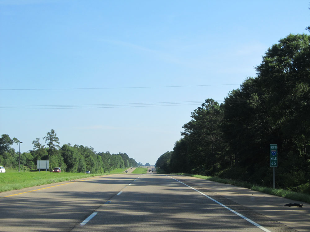 |
Interstate 55 North: Road view from mile marker 65, as we near the Mississippi border. (Photo taken 5/23/15). |
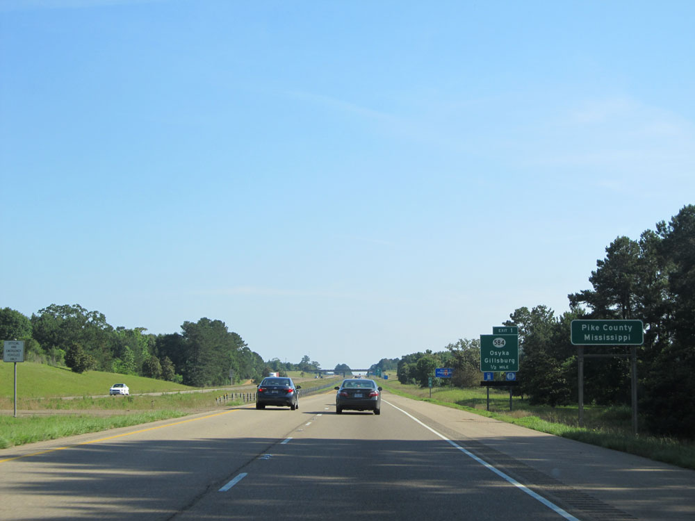 |
Interstate 55 North as it prepares to cross the Mississippi border into Pike County at mile marker 66. (Photo taken 5/23/15). |