Road Information |
||
 |
||
| Total Mileage in State: | 93 miles | |
| Eastern End: | At Tennessee state line | |
| Western End: | At Illinois state line | |
| Mileage covered in Photos: | 93 miles | |
| Counties covered in Photos: | Christian, Trigg, Caldwell, Lyon, Livingston, Marshall, McCracken | |
| Major Junctions in Photos: | I-169, near Cadiz I-69, in Eddyville I-69, in Calvert City |
|
| Control Cities in Photos: | Oak Grove, Cadiz, Eddyville, Calvert City, Paducah | |
Westbound
- Section 1: Tennessee Border to Eddyville (Exit 40)
- Section 2: Eddyville (Exit 40) to Illinois Border
Section 1: Tennessee Border to Eddyville (Exit 40)
 |
Kentucky welcome sign as Interstate 24 West enters the state from Tennessee. (Photo taken 12/15/20). |
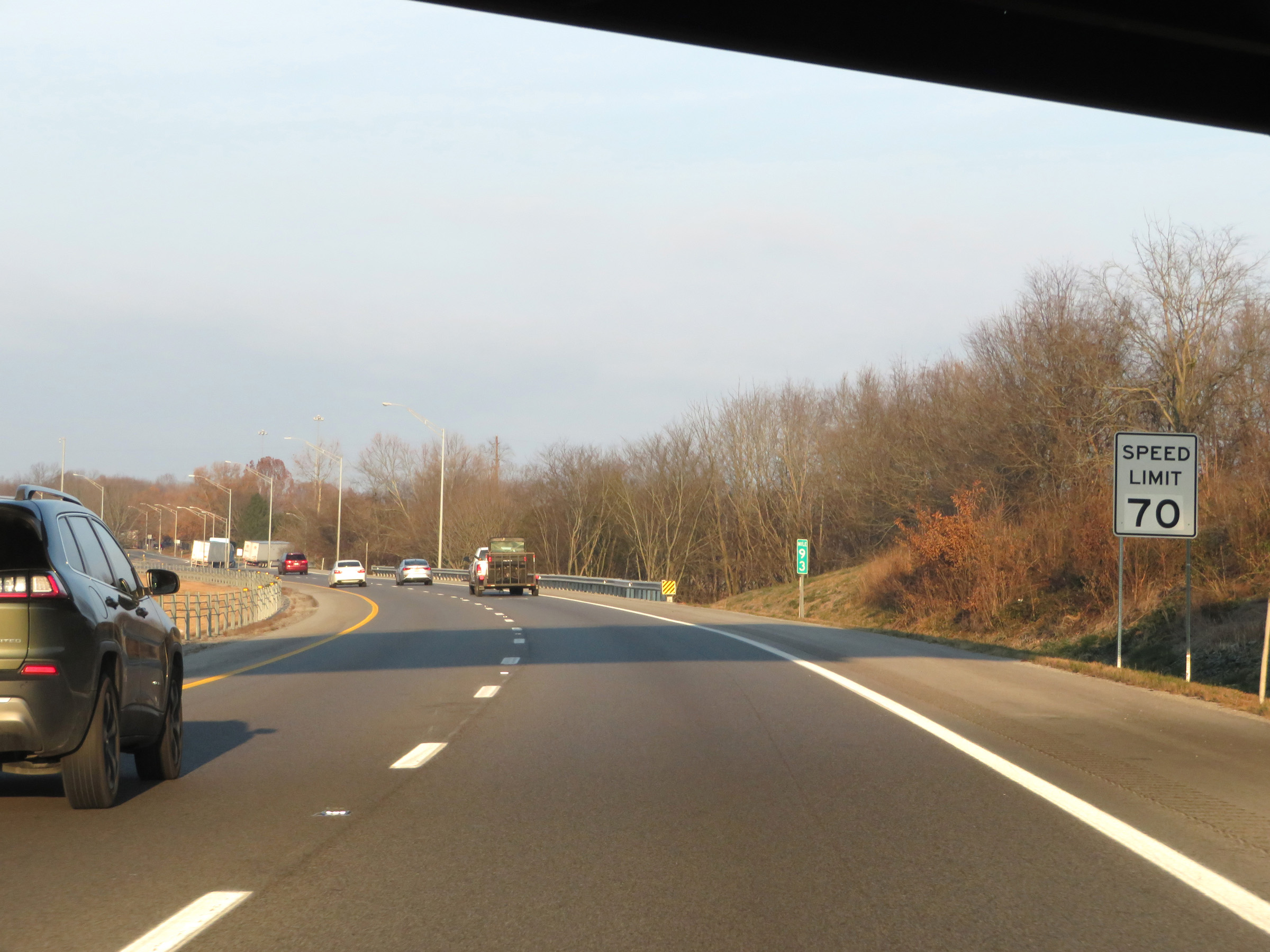 |
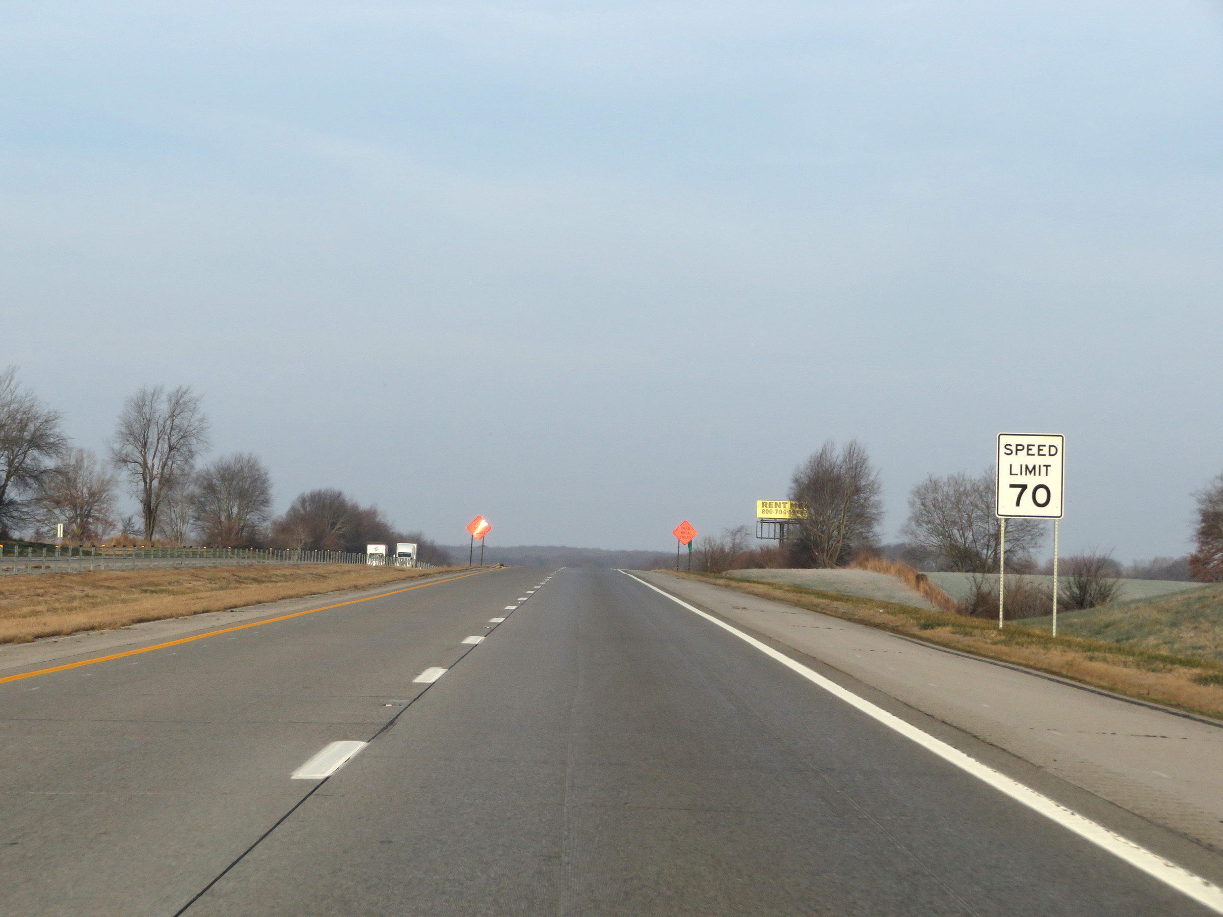
Speed limit sign on Interstate 24 West at mile marker 93. The speed limit starts out at 70 mph, which is the standard speed limit on most rural Interstate highways in Kentucky. (Photo taken 12/15/20). |
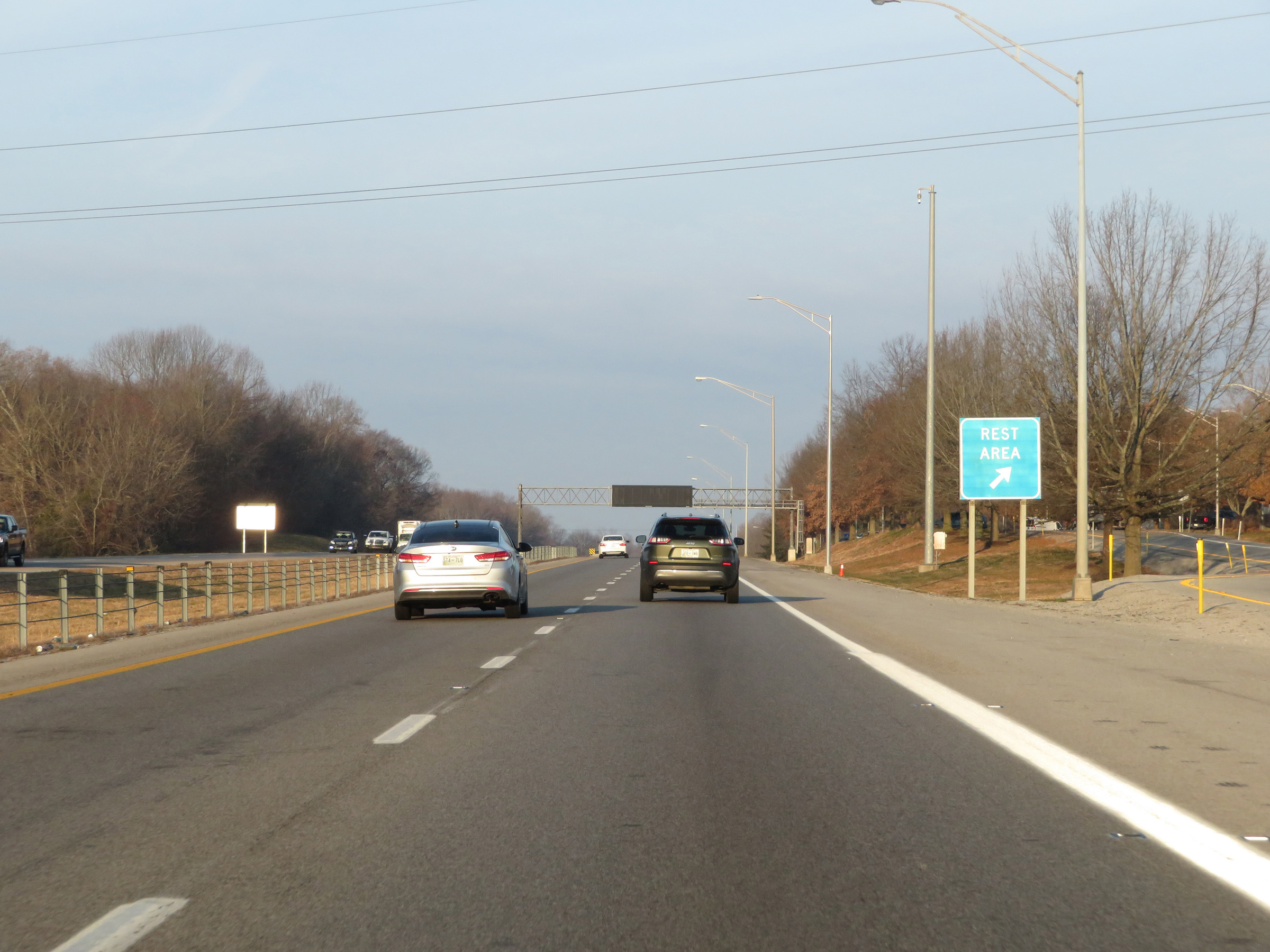 |
Rest Area / Kentucky Welcome Center on Interstate 24 West in Christian County. (Photo taken 12/15/20). |
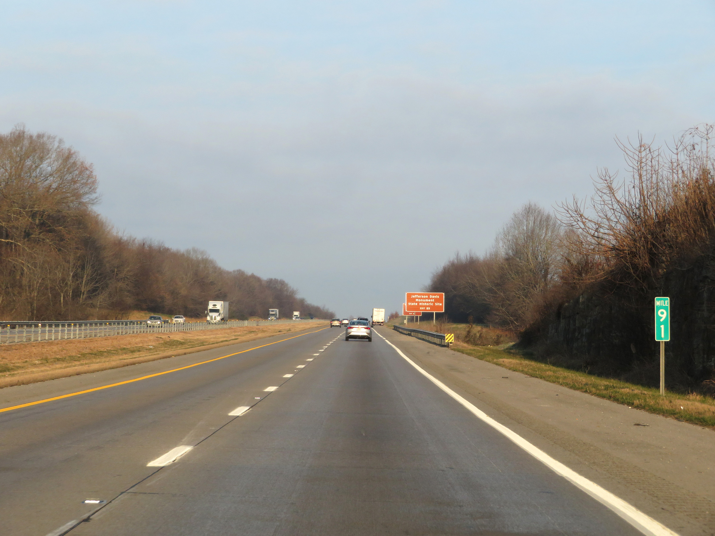 |
View on Interstate 24 West at mile marker 91. (Photo taken 12/15/20). |
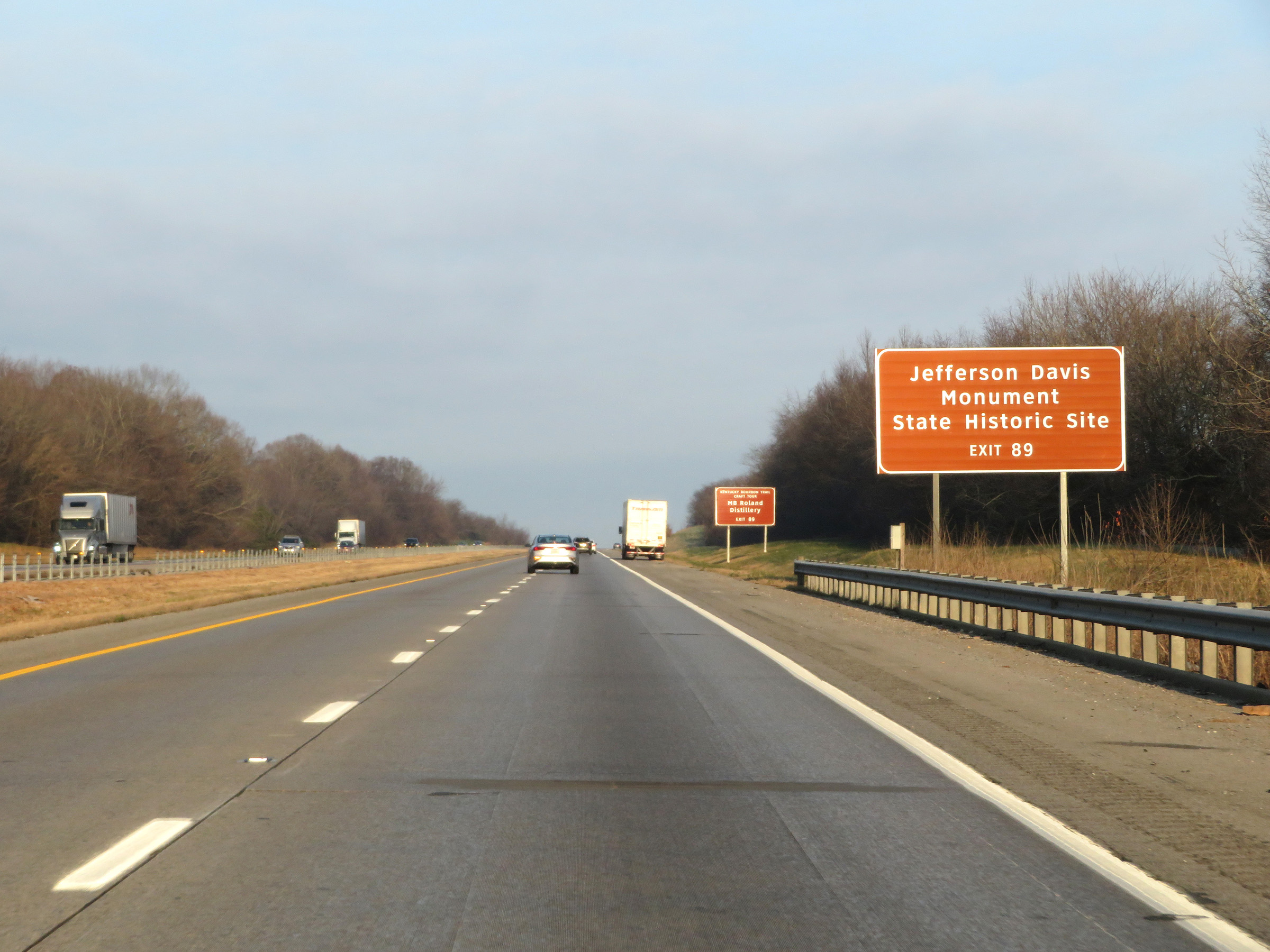 |
Take Exit 89 to the Jefferson Davis Monument State Historic Site. (Photo taken 12/15/20). |
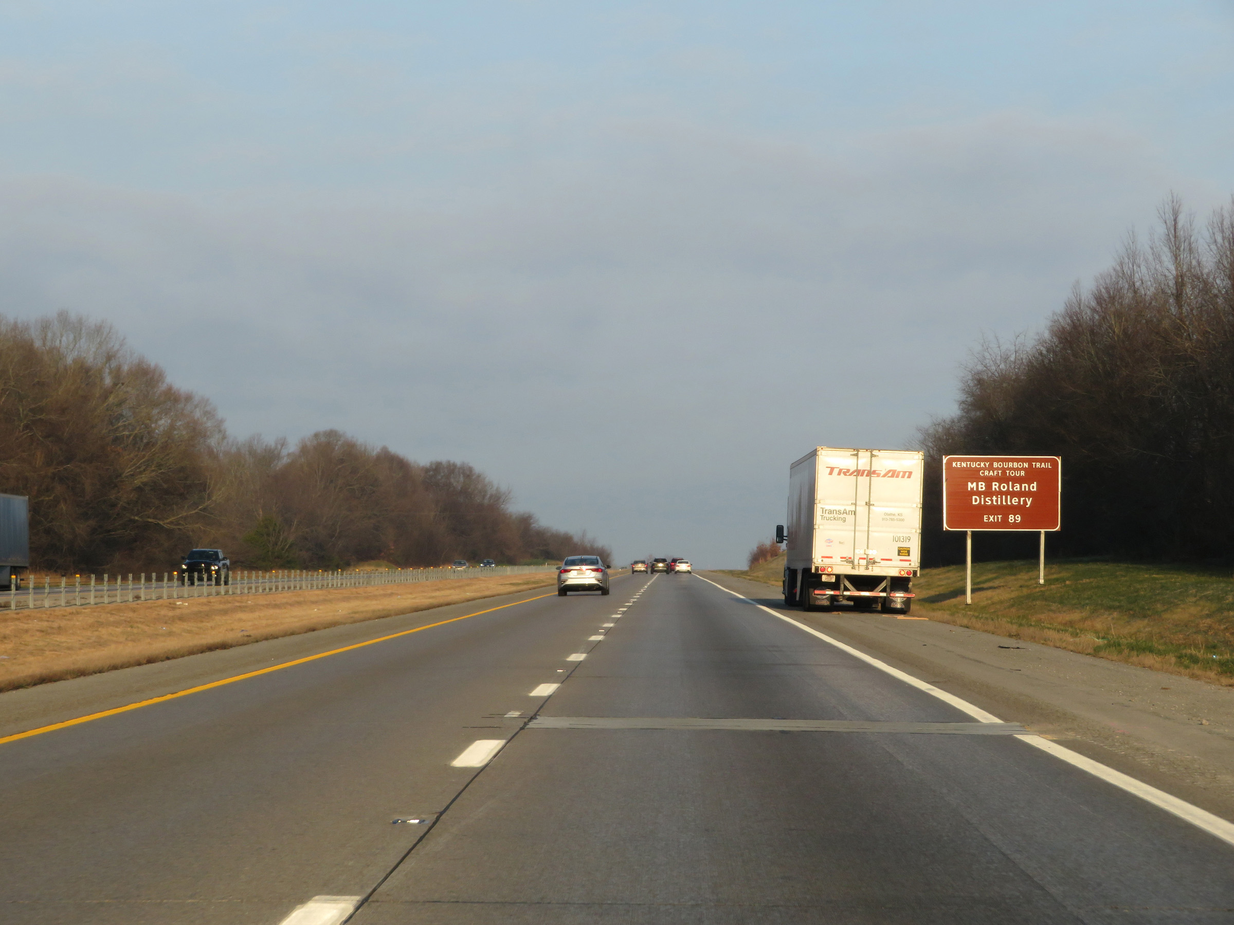 |
Also take Exit 89 to M.B. Roland Distillery. (Photo taken 12/15/20). |
 |
Mile marker 90 on Interstate 24 West in Christian County. (Photo taken 12/15/20). |
 |
Interstate 24 West at Exit 89: KY 115 - Oak Grove / Pembroke (Photo taken 12/15/20). |
 |
Interstate 24 West reassurance shield. (Photo taken 12/15/20). |
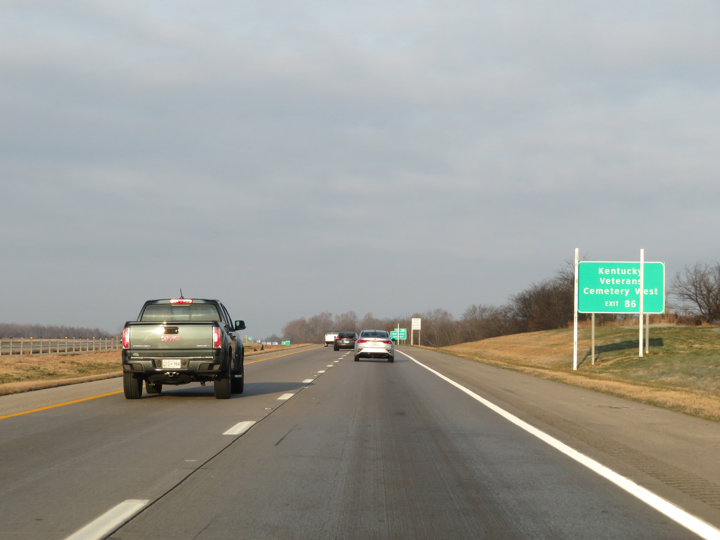 |
Take Exit 86 to Kentucky Veterans Cemetery West. (Photo taken 12/15/20). |
 |
Also take Exit 86 to Oak Grove. (Photo taken 12/15/20). |
 |
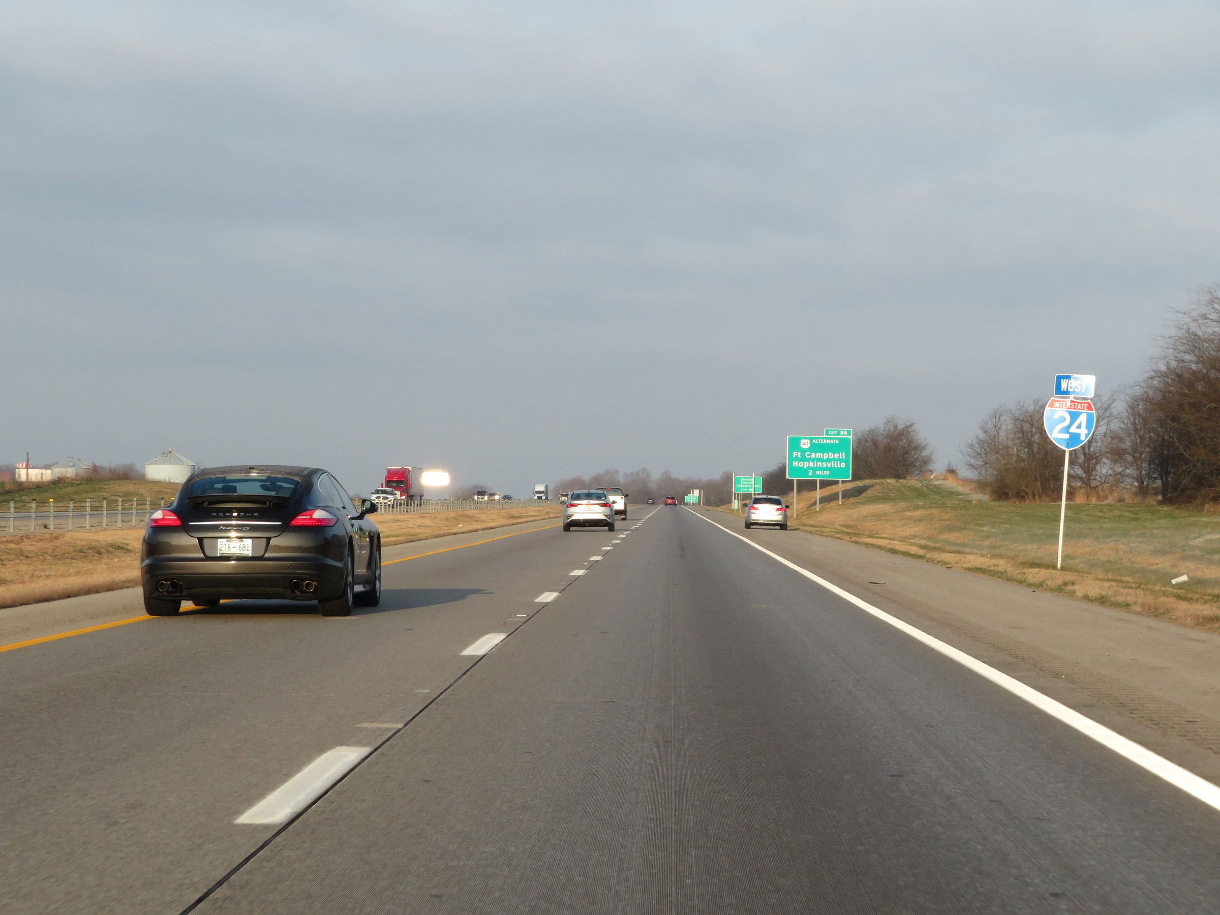
Interstate 24 West at Exit 86: US 41 Alternate - Fort Campbell / Hopkinsville (Photo taken 12/15/20). |
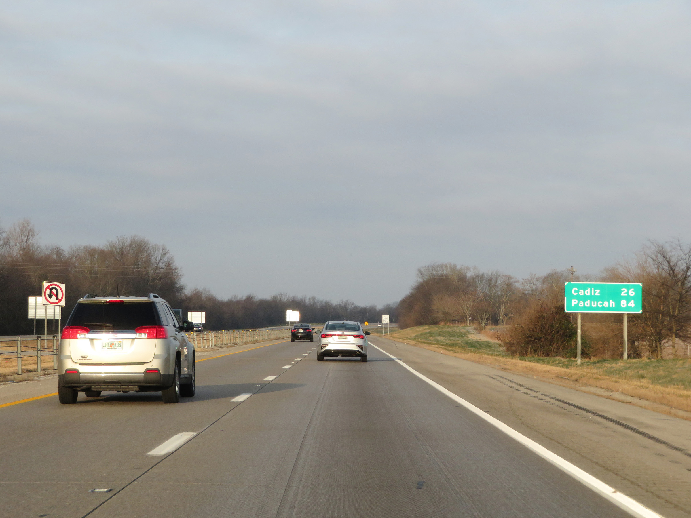 |
Mileage sign on Interstate 24 West. It's 26 miles to Cadiz and 84 miles to Paducah. (Photo taken 12/15/20). |
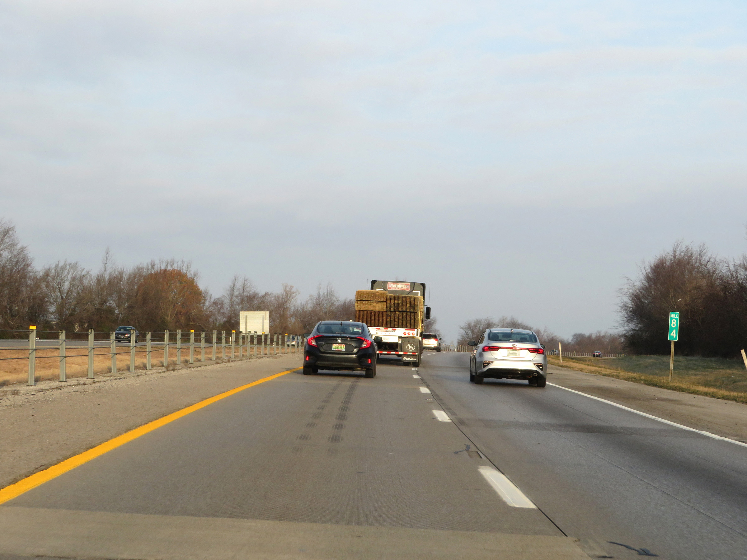 |
Interstate 24 West at mile marker 84. (Photo taken 12/15/20). |
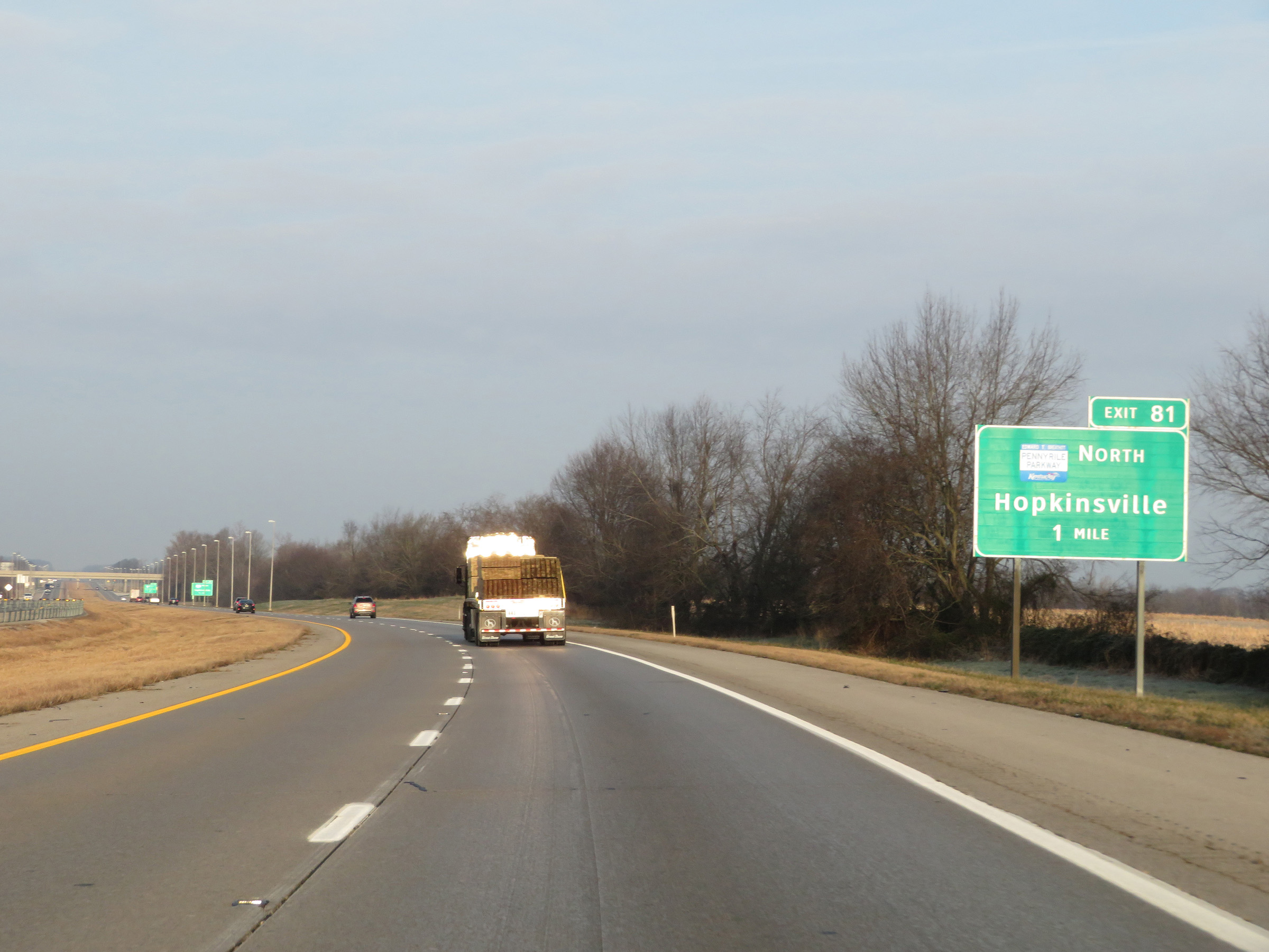 |
Interstate 24 West approaching Exit 81 - 1 mile. (Photo taken 12/15/20). |
 |
Interstate 24 West at Exit 81: Interstate 169 North / Pennyrile Pkwy North - Hopkinsville (Photo taken 12/15/20). |
 |
Another Interstate 24 West reassurance shield. (Photo taken 12/15/20). |
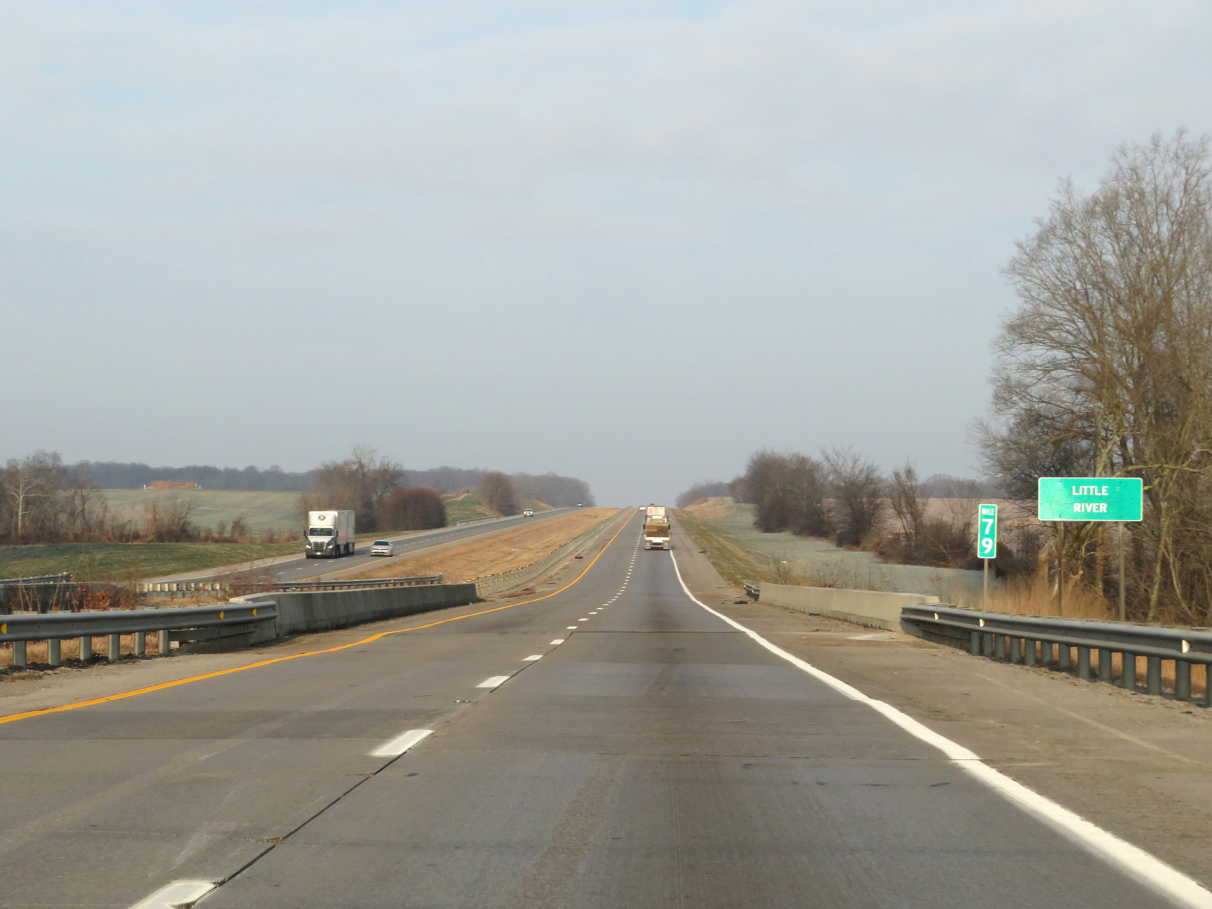 |
View on Interstate 24 West at mile marker 79. (Photo taken 12/15/20). |
 |
Interstate 24 West at mile marker 78. (Photo taken 12/15/20). |
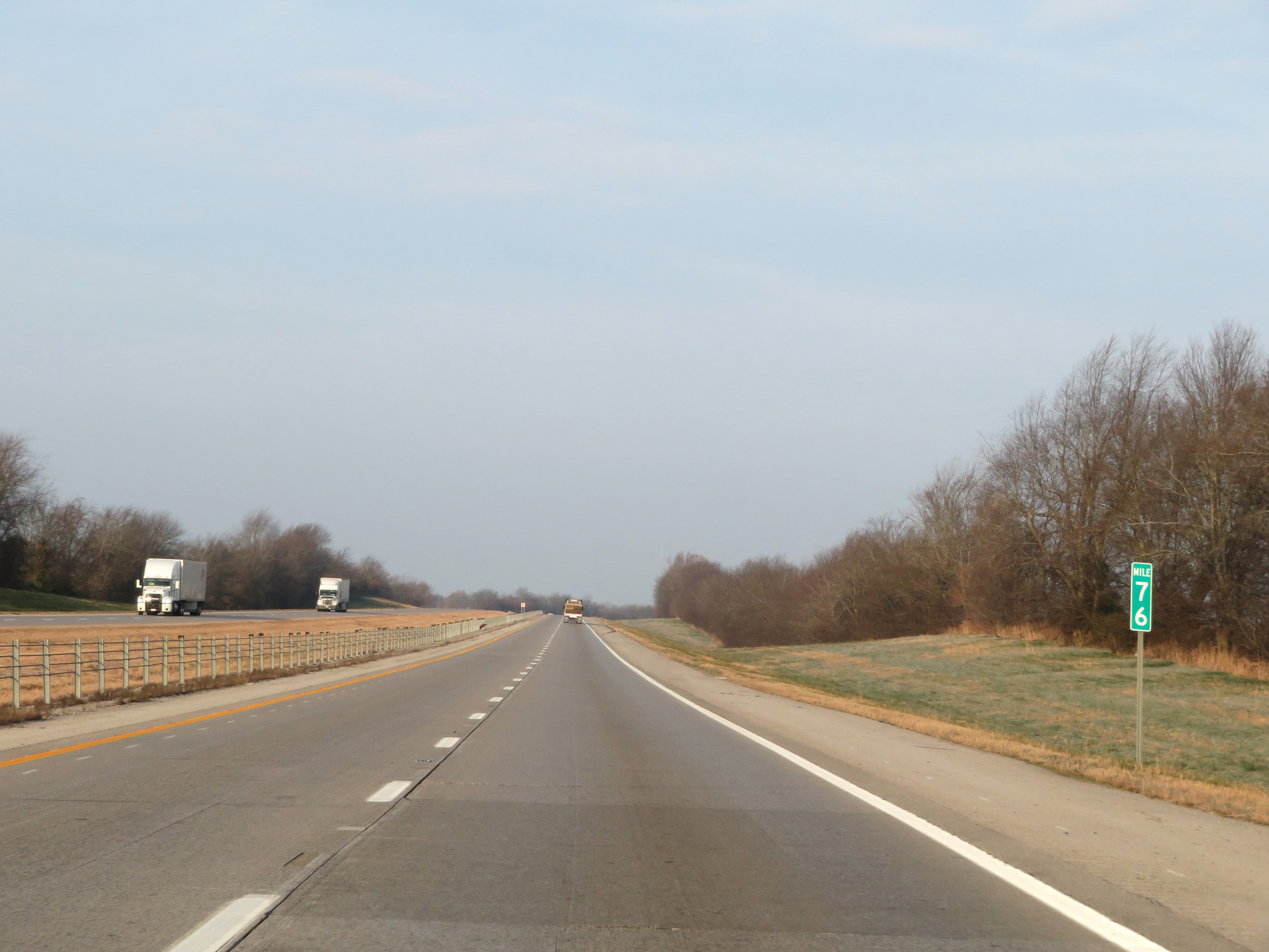 |
Mile marker 76 on Interstate 24 West in Christian County. (Photo taken 12/15/20). |
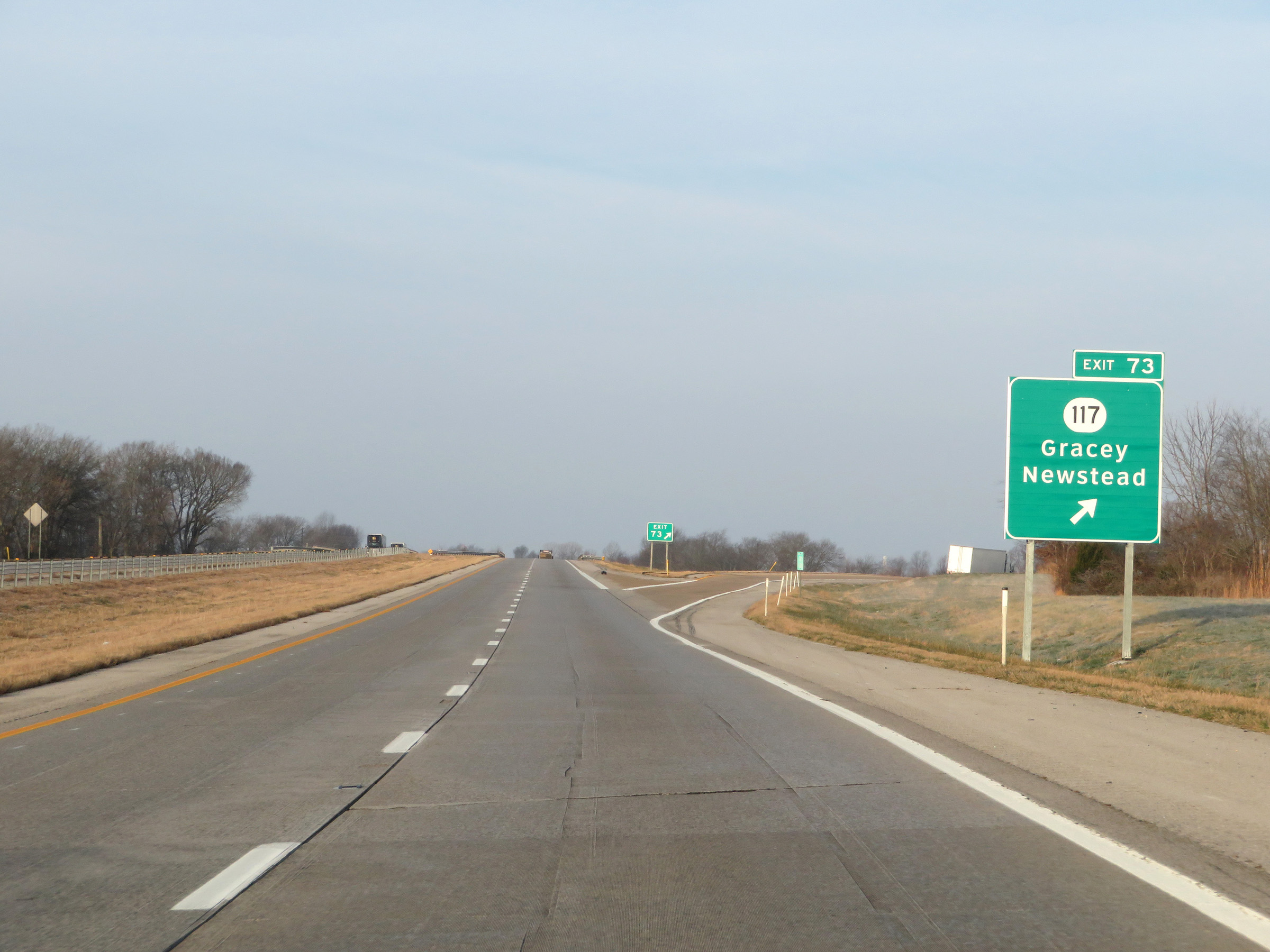 |
Interstate 24 West at Exit 73: KY 117 - Gracey / Newstead (Photo taken 12/15/20). |
 |
The speed limit remains 70 mph. (Photo taken 12/15/20). |
 |
Interstate 24 West at mile marker 71. (Photo taken 12/15/20). |
 |
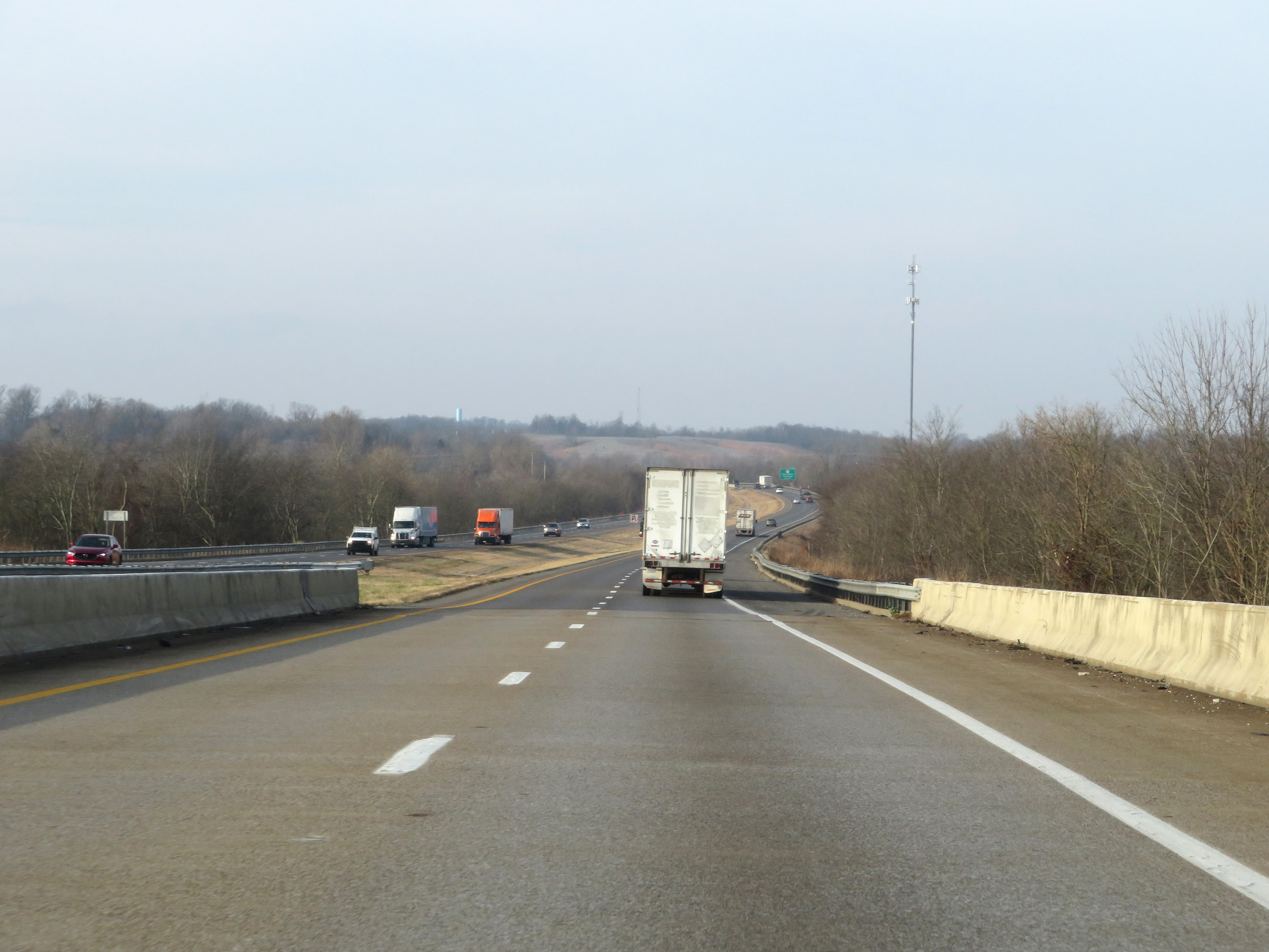
Interstate 24 West as it enters Trigg County. (Photo taken 12/15/20). |
 |
Take any of the next 3 exits to the Lake Barkley/Kentucky Lake Recreational Area. (Photo taken 12/15/20). |
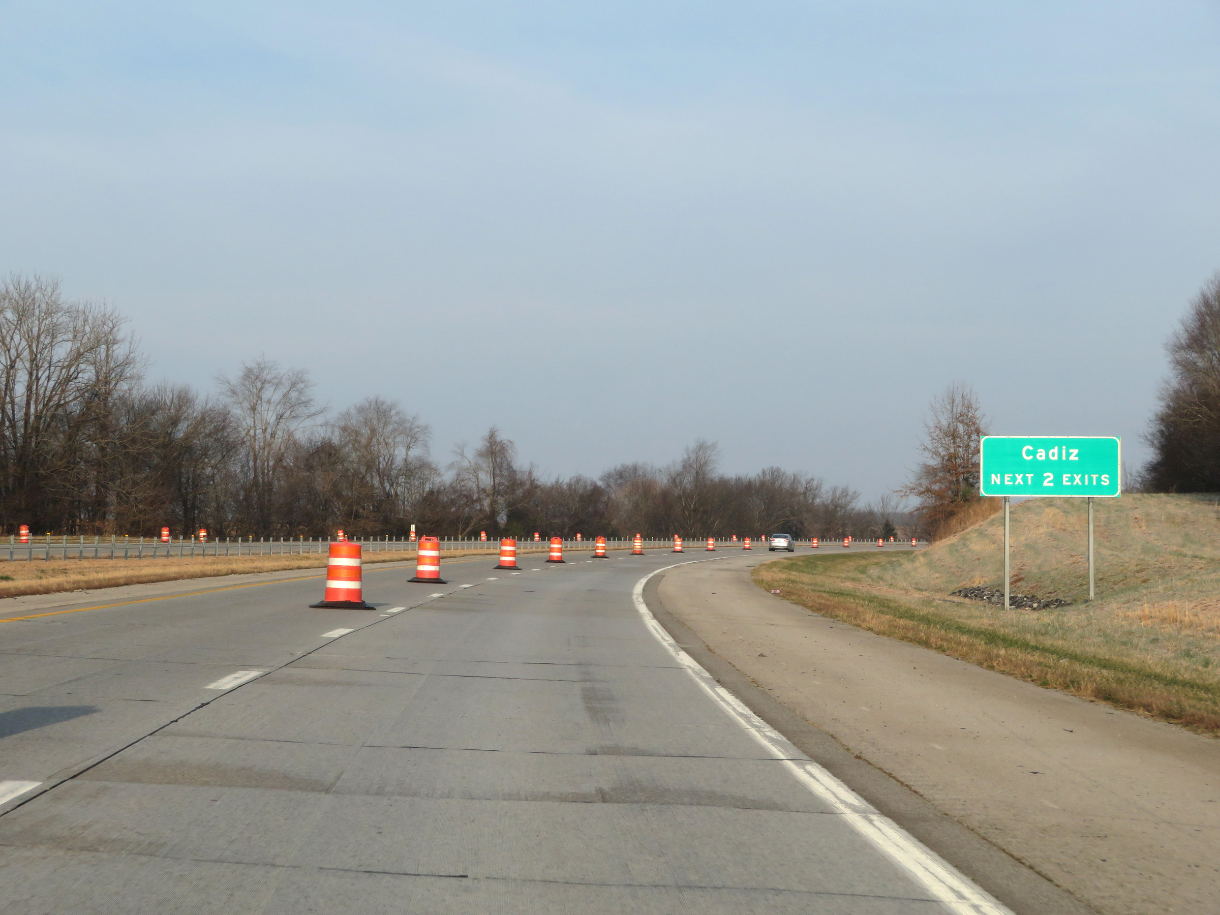 |
Take either of the next 2 exits to Cadiz. (Photo taken 12/15/20). |
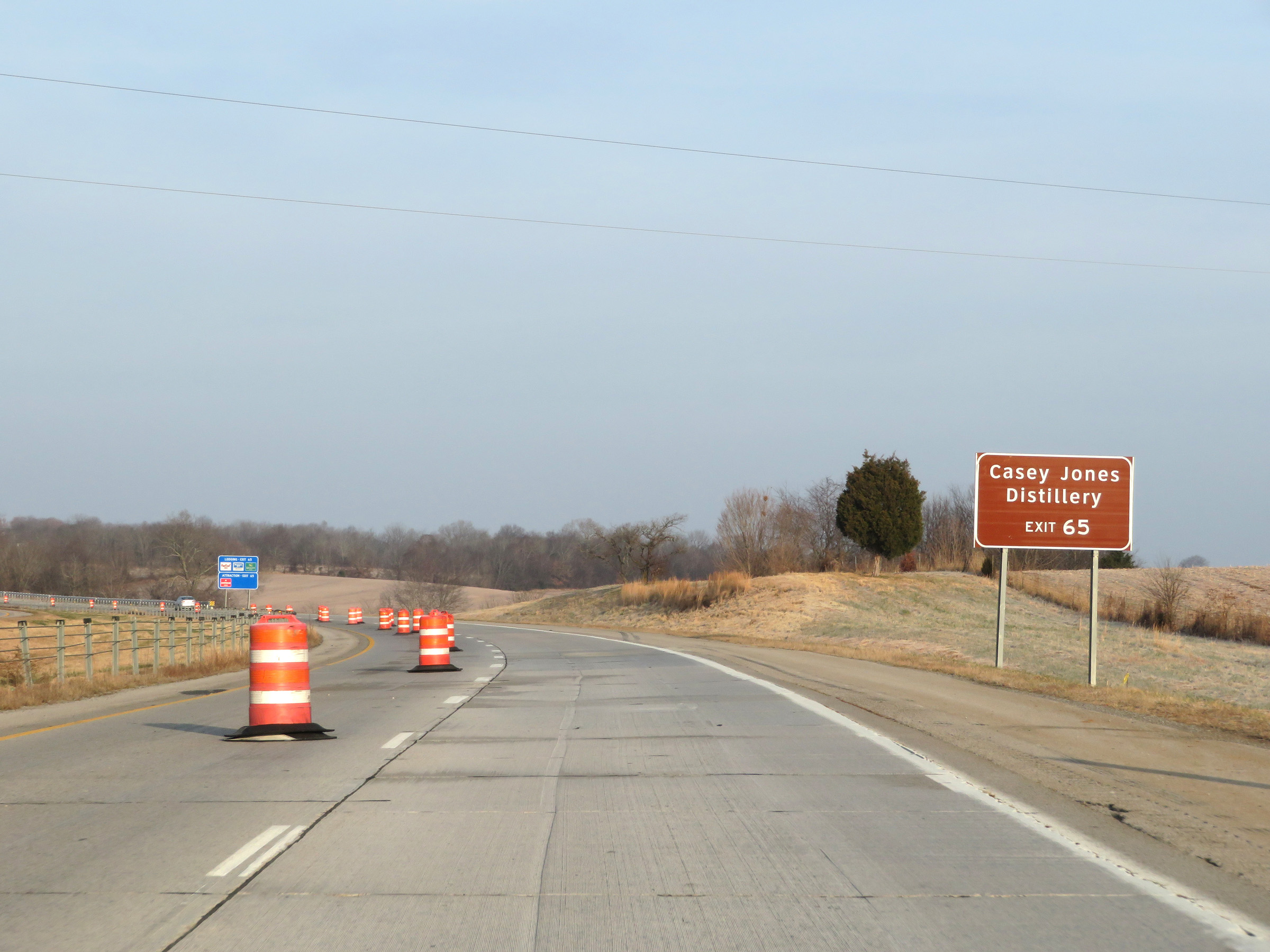 |
Take Exit 65 to the Casey Jones Distillery. (Photo taken 12/15/20). |
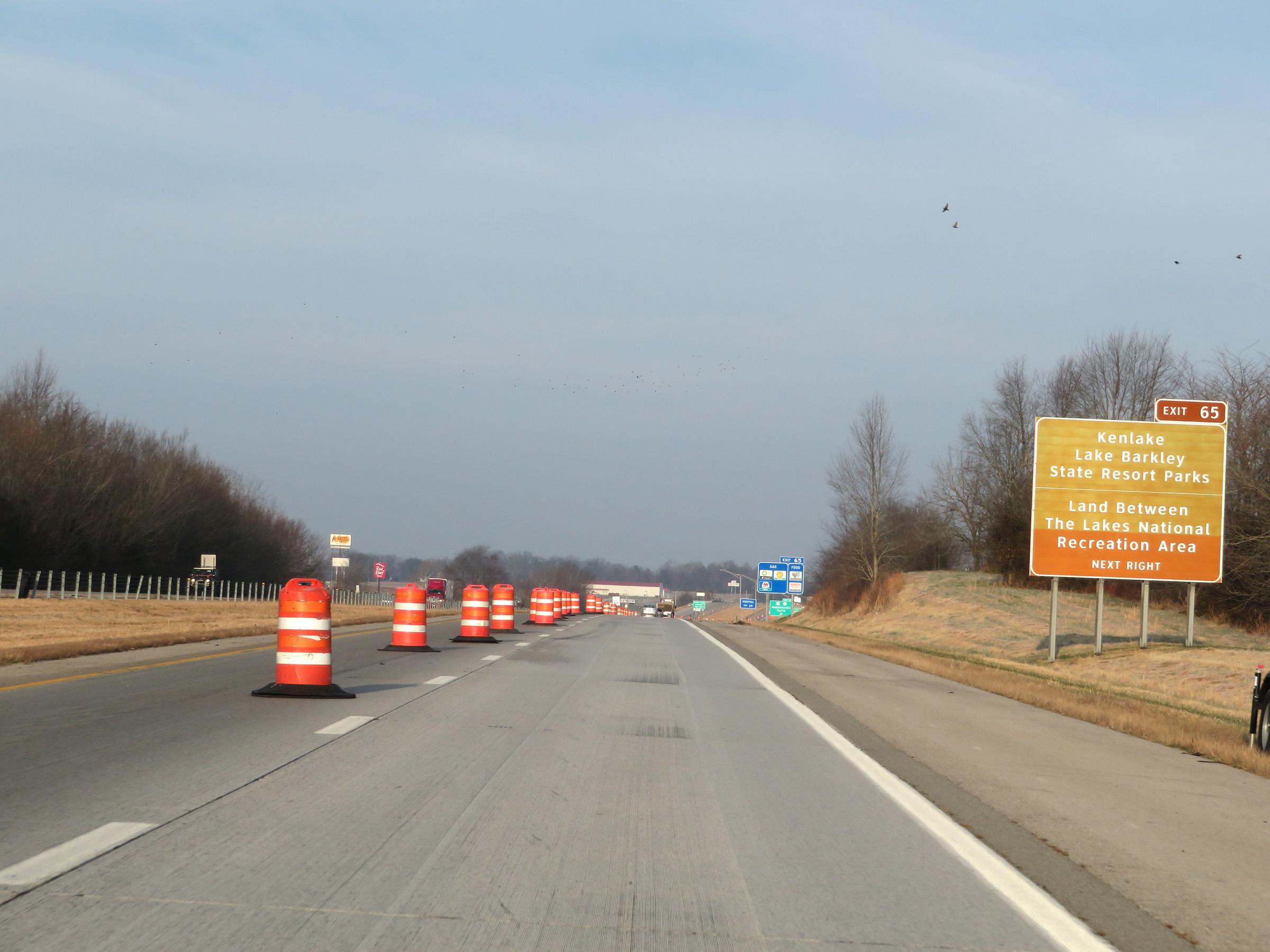 |
Also take Exit 65 to Kenlake / Lake Barkley State Resort Parks and Land Between The Lakes National Recreation Area. (Photo taken 12/15/20). |
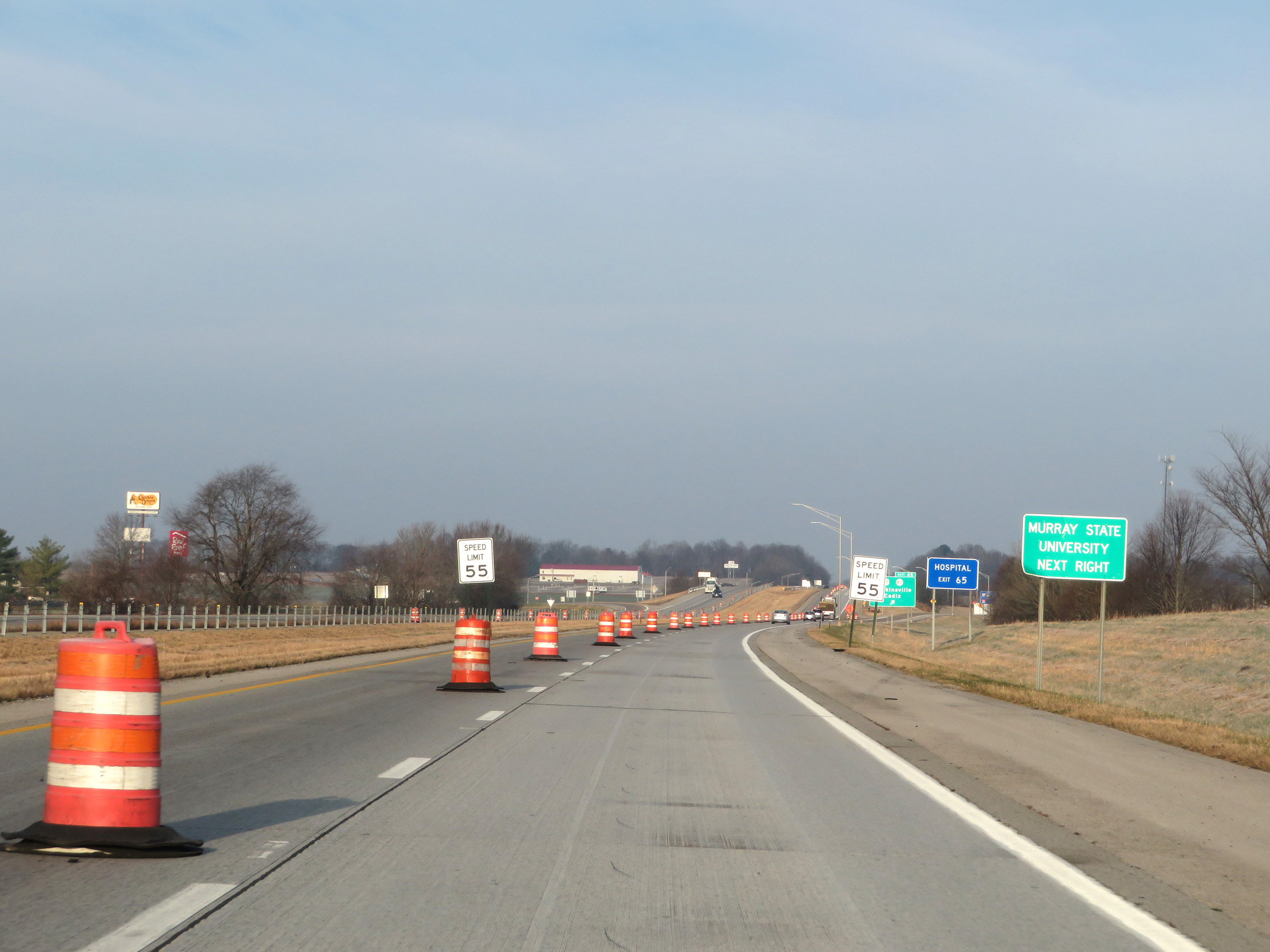 |
Take Exit 65 to Murray State University as well. (Photo taken 12/15/20). |
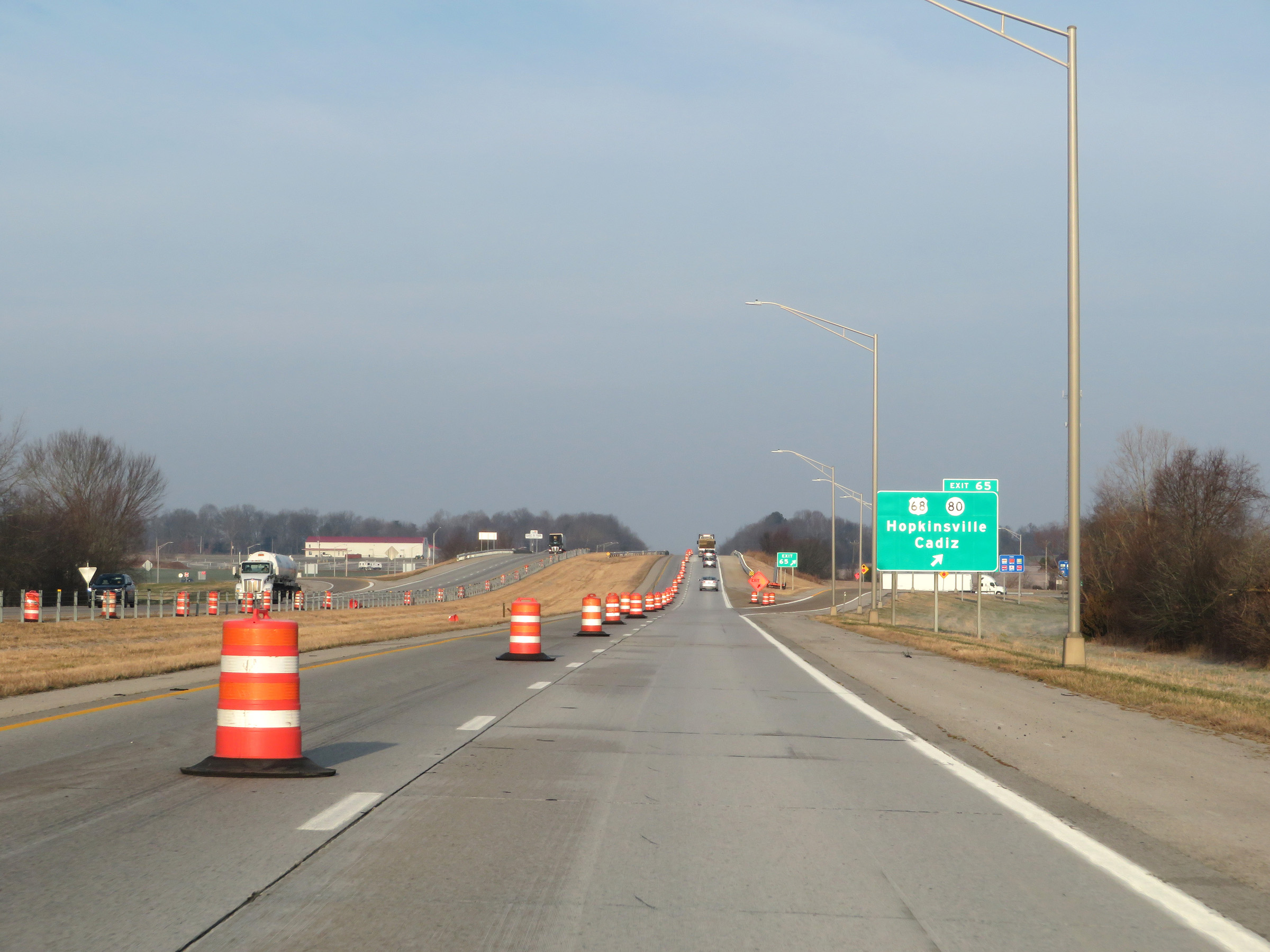 |
Interstate 24 West at Exit 65: US 68 / KY 80 - Hopkinsville / Cadiz (Photo taken 12/15/20). |
 |
Mileage sign on Interstate 24 West. It's 23 miles to the junction of Interstate 69, 27 miles to Eddyville, and 54 miles to Paducah. (Photo taken 12/15/20). |
 |
View on Interstate 24 West at mile marker 63. (Photo taken 12/15/20). |
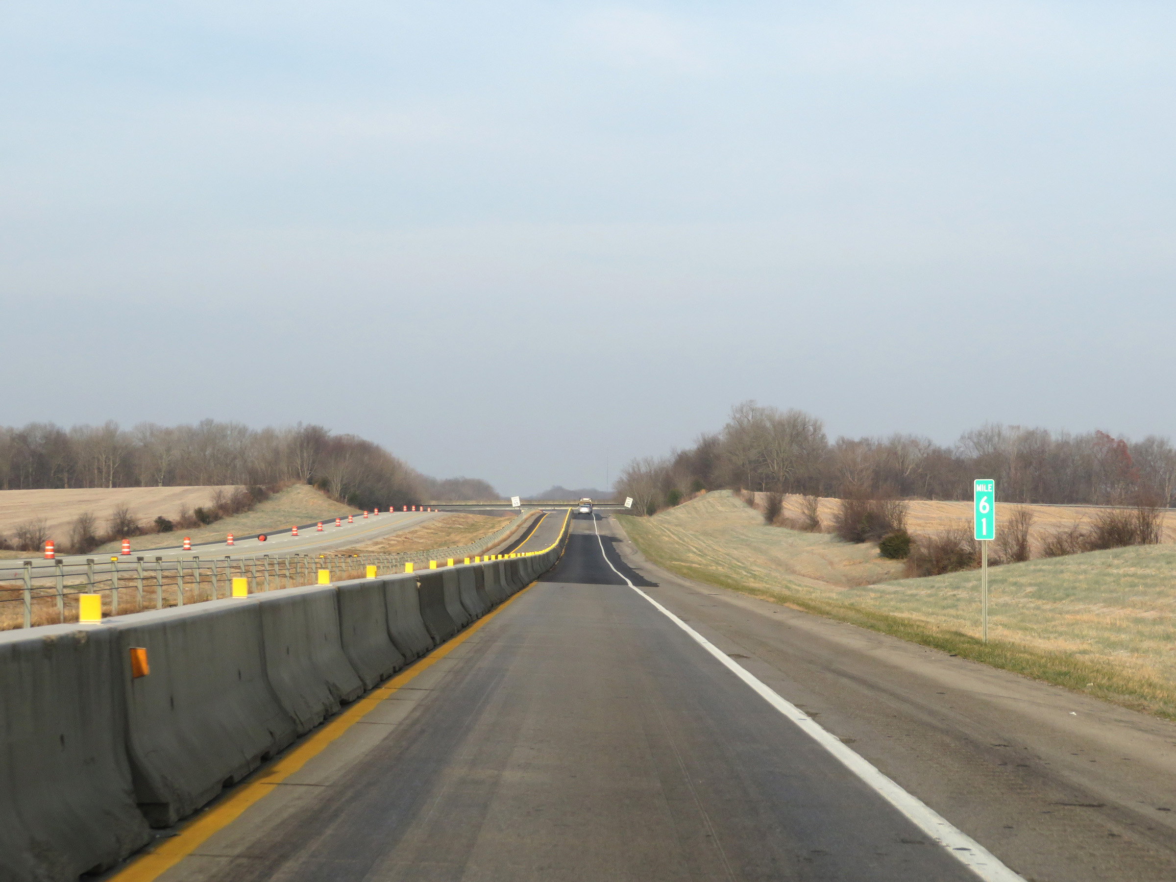 |
Interstate 24 West at mile marker 61. (Photo taken 12/15/20). |
 |
Mile marker 59 on Interstate 24 West in Trigg County. (Photo taken 12/15/20). |
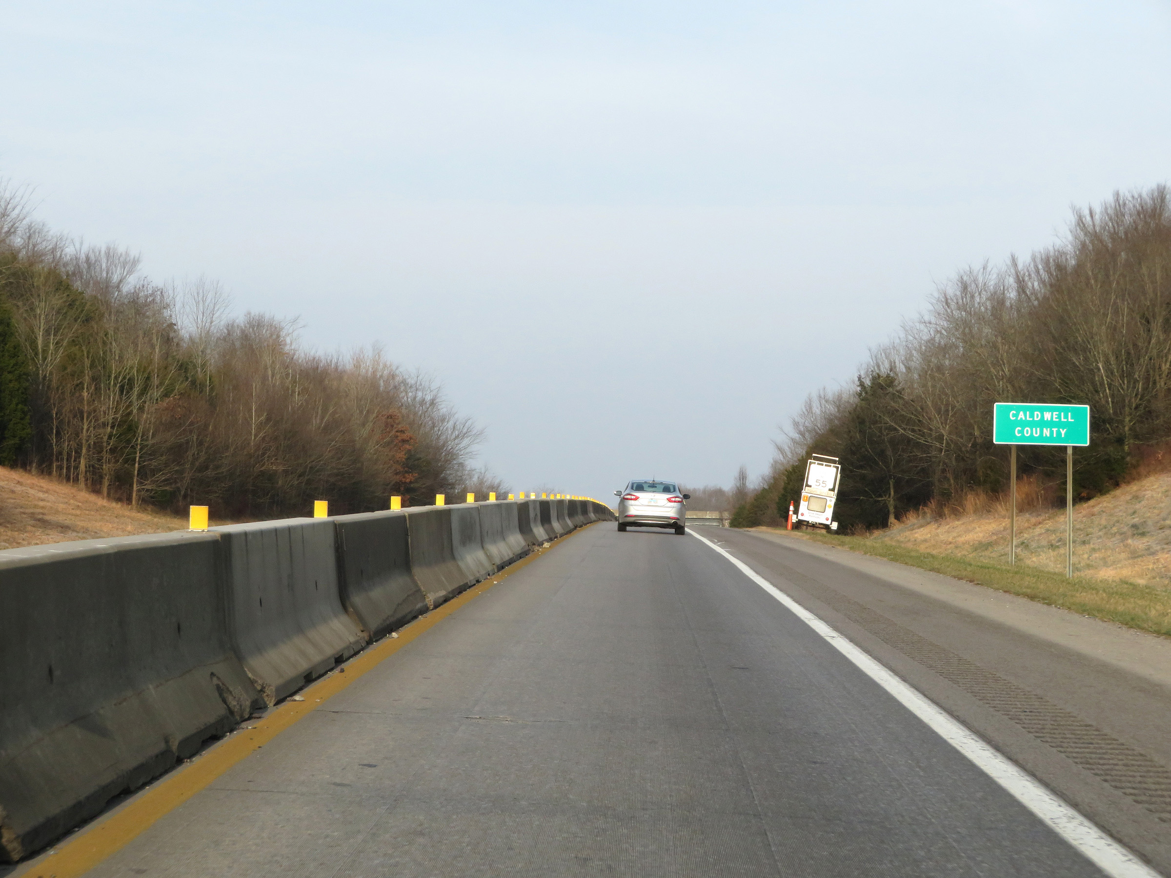 |
Interstate 24 West as it touches into Caldwell County. (Photo taken 12/15/20). |
 |
View on Interstate 24 West at mile marker 57. (Photo taken 12/15/20). |
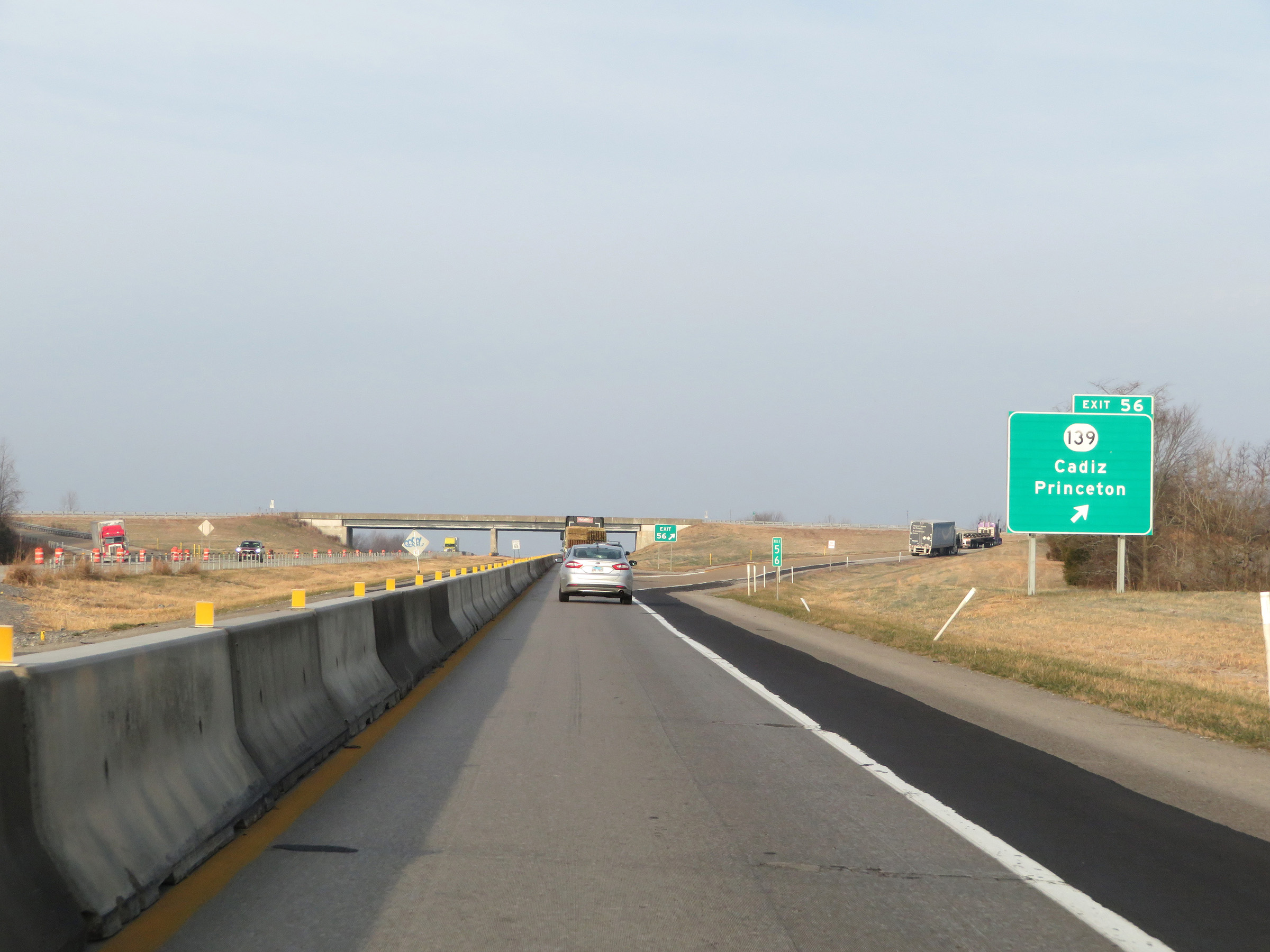 |
Interstate 24 West at Exit 56: KY 139 - Cadiz / Princeton (Photo taken 12/15/20). |
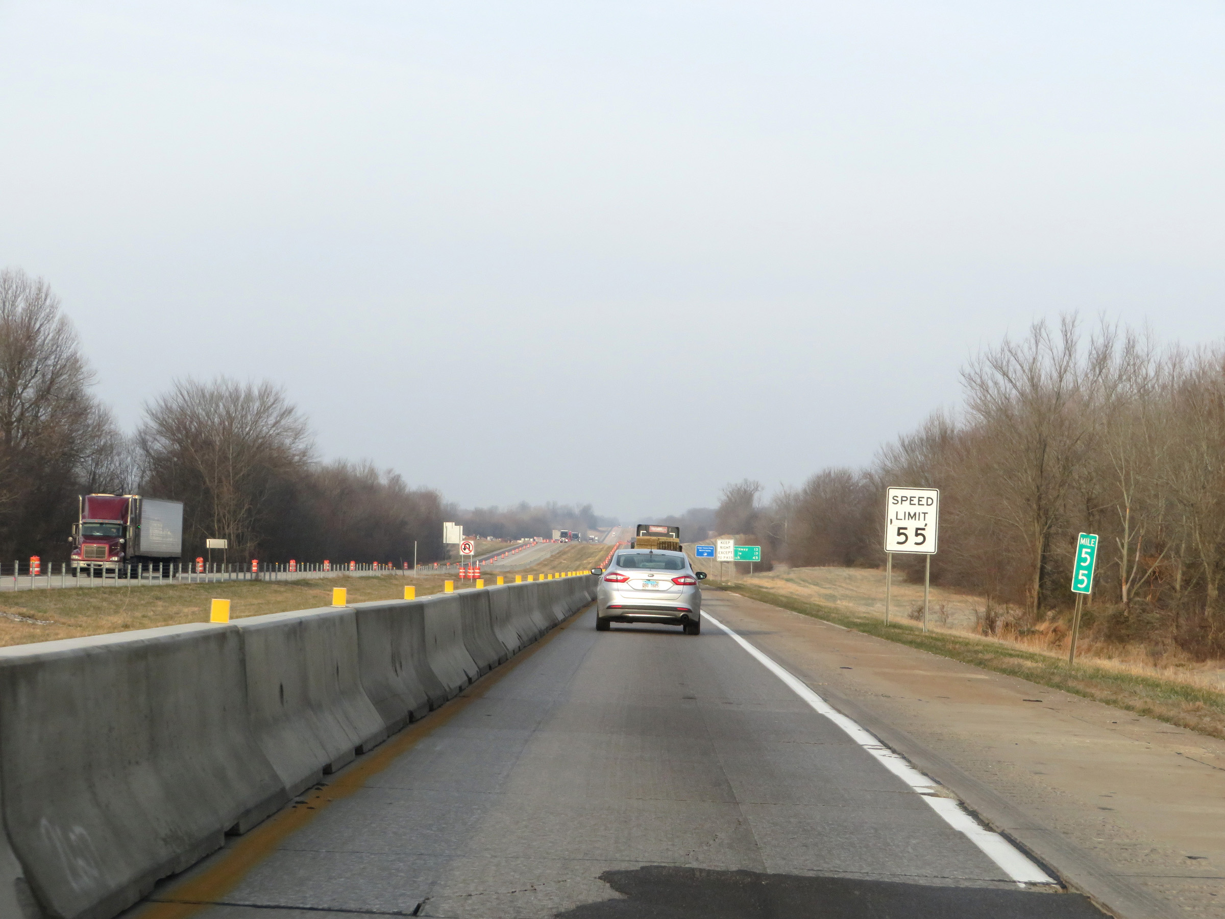 |
Mile marker 55 on Interstate 24 West in Caldwell County. (Photo taken 12/15/20). |
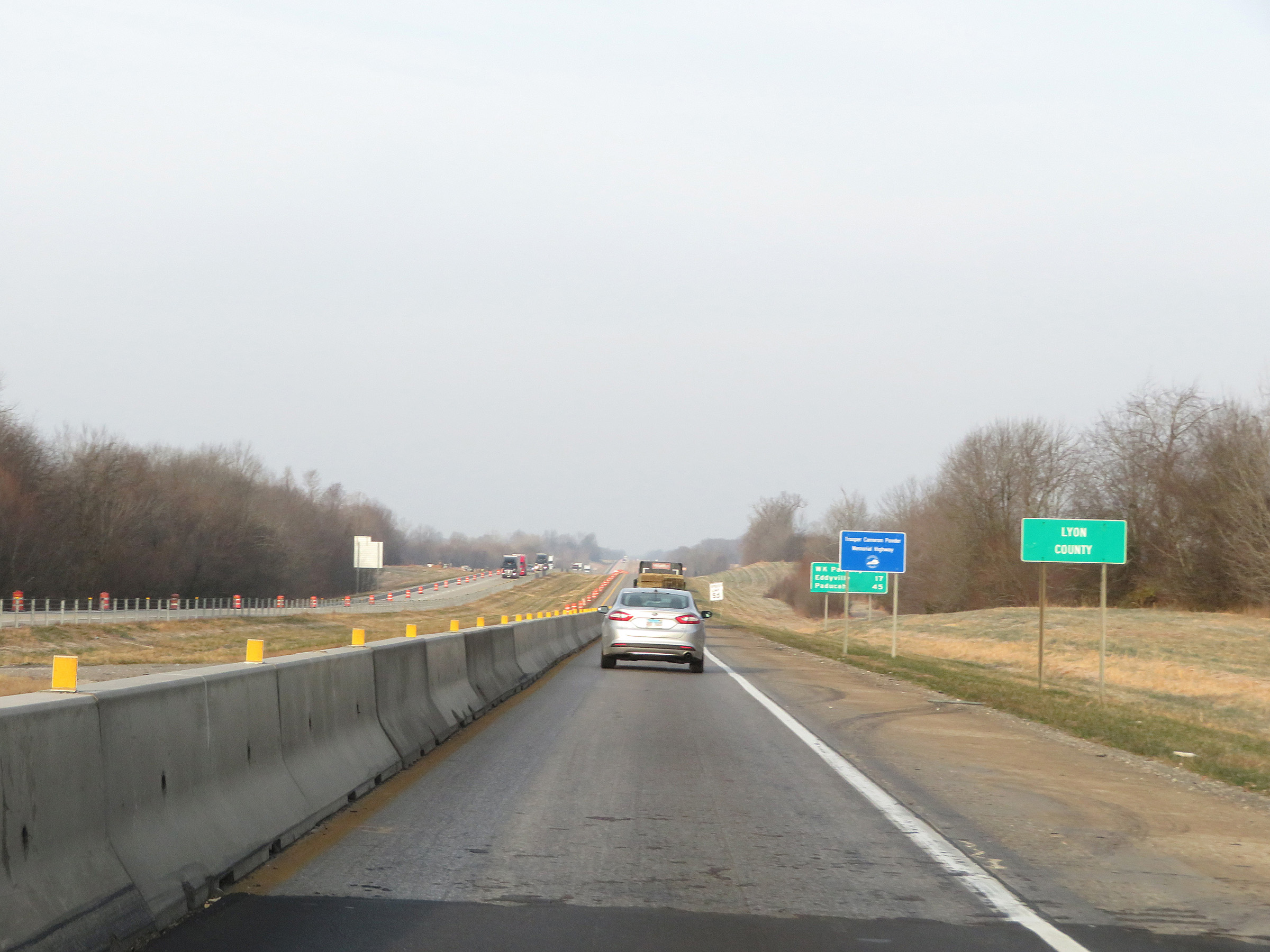 |
Interstate 24 West as it enters Lyon County. (Photo taken 12/15/20). |
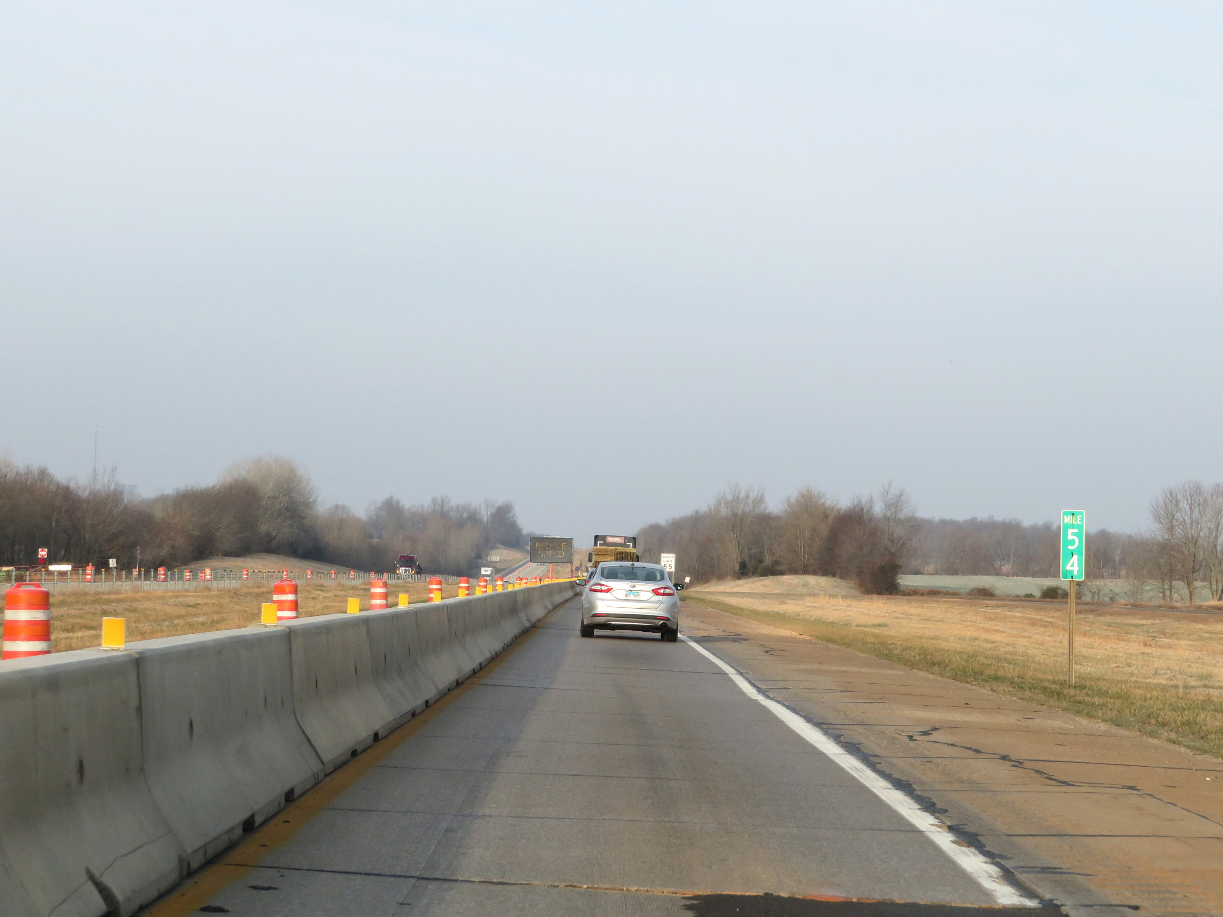 |
View on Interstate 24 West at mile marker 54. (Photo taken 12/15/20). |
 |
Interstate 24 West at mile marker 52. (Photo taken 12/15/20). |
 |
View on Interstate 24 West at mile marker 51. (Photo taken 12/15/20). |
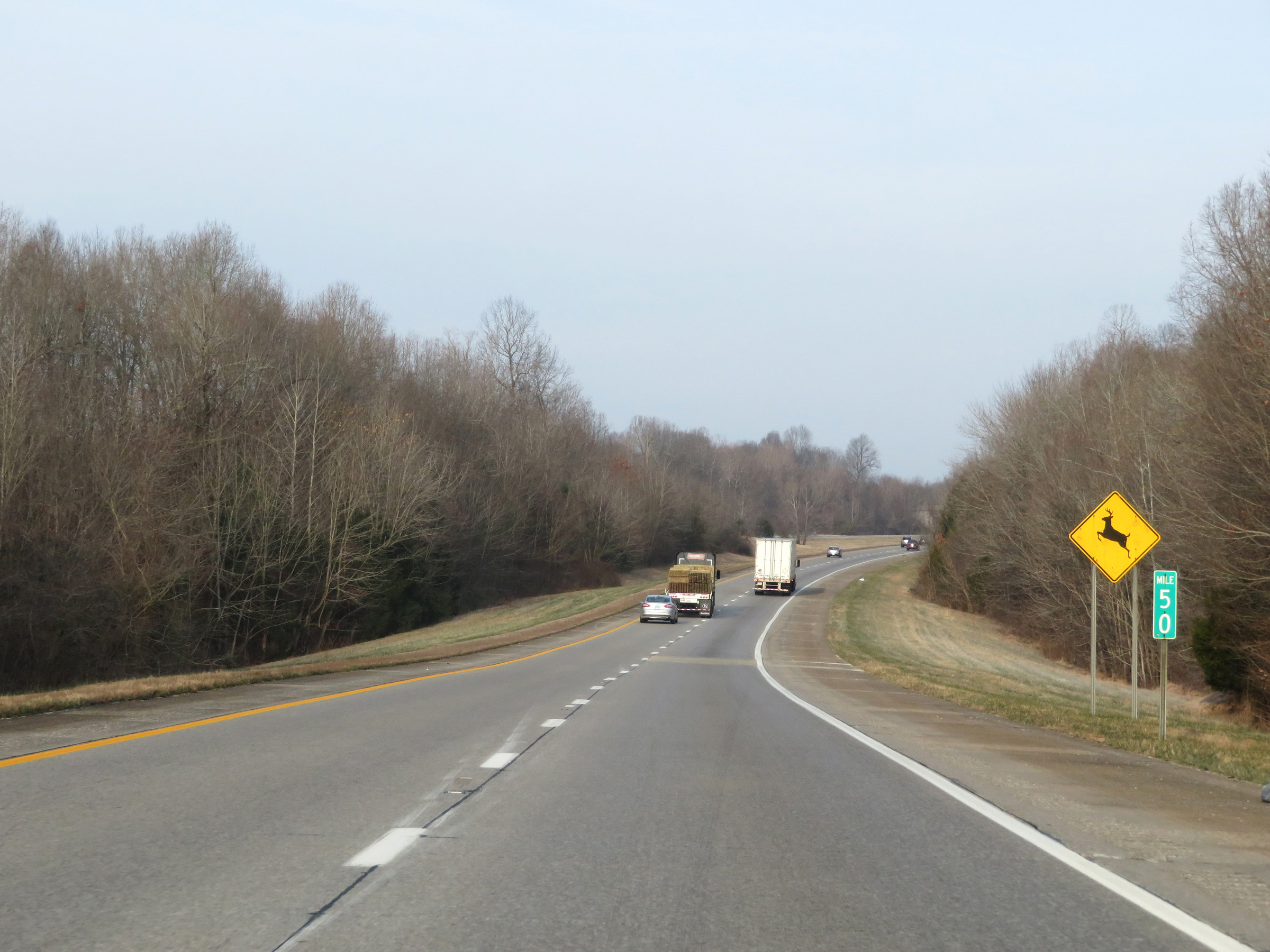 |
Mile marker 50 on Interstate 24 West in Lyon County. (Photo taken 12/15/20). |
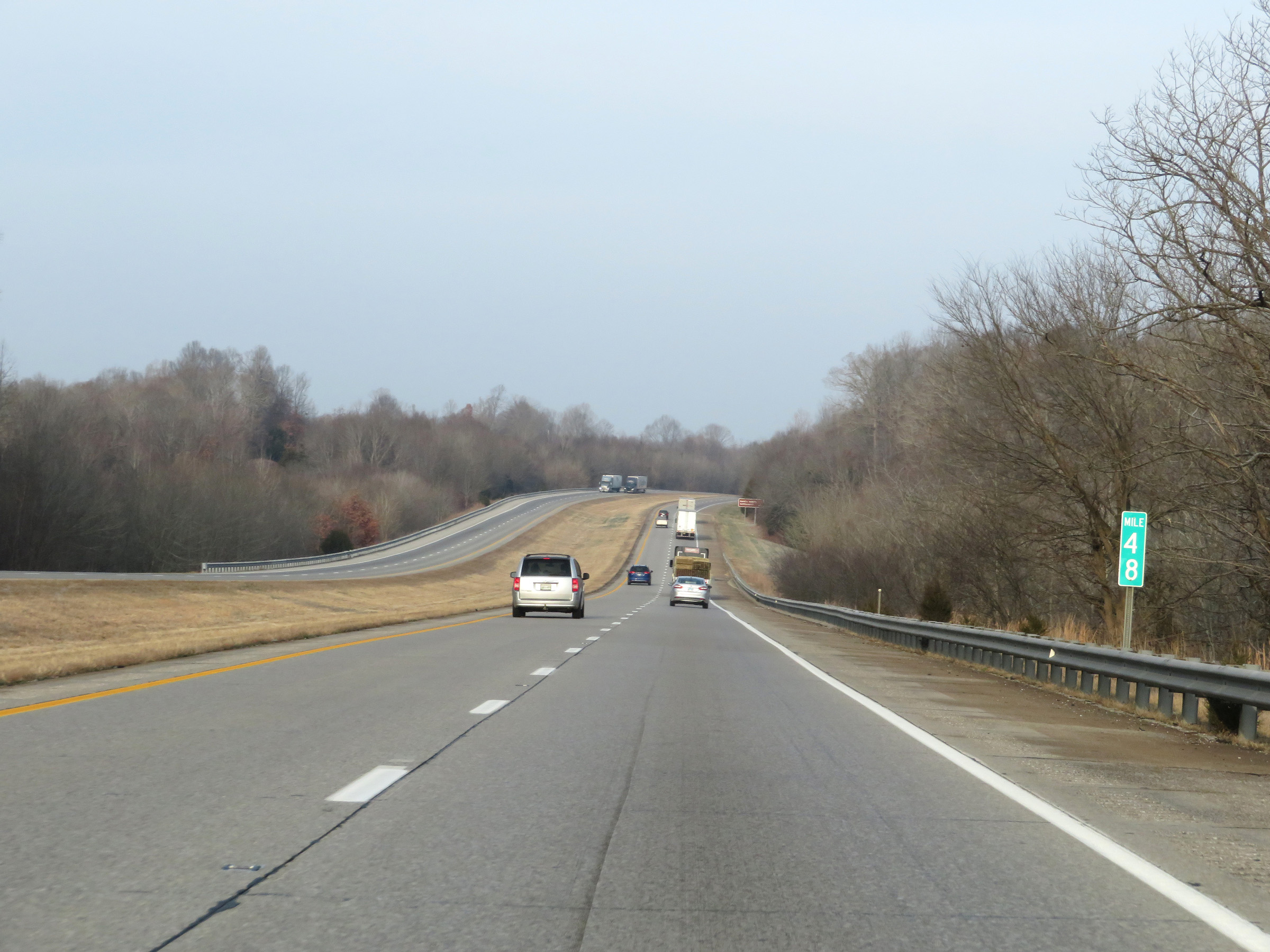 |
View on Interstate 24 West at mile marker 48. (Photo taken 12/15/20). |
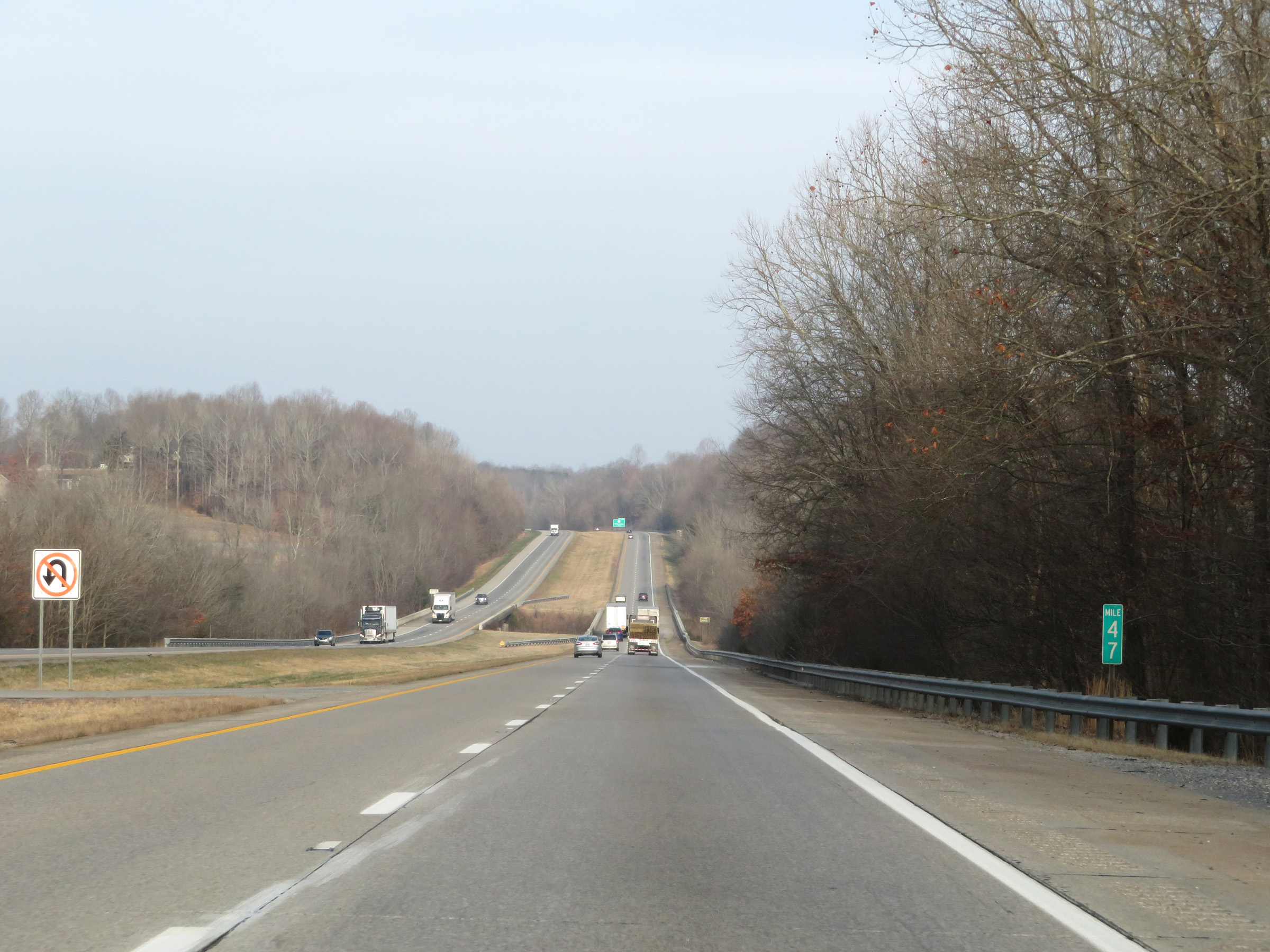 |
Interstate 24 West at mile marker 47. (Photo taken 12/15/20). |
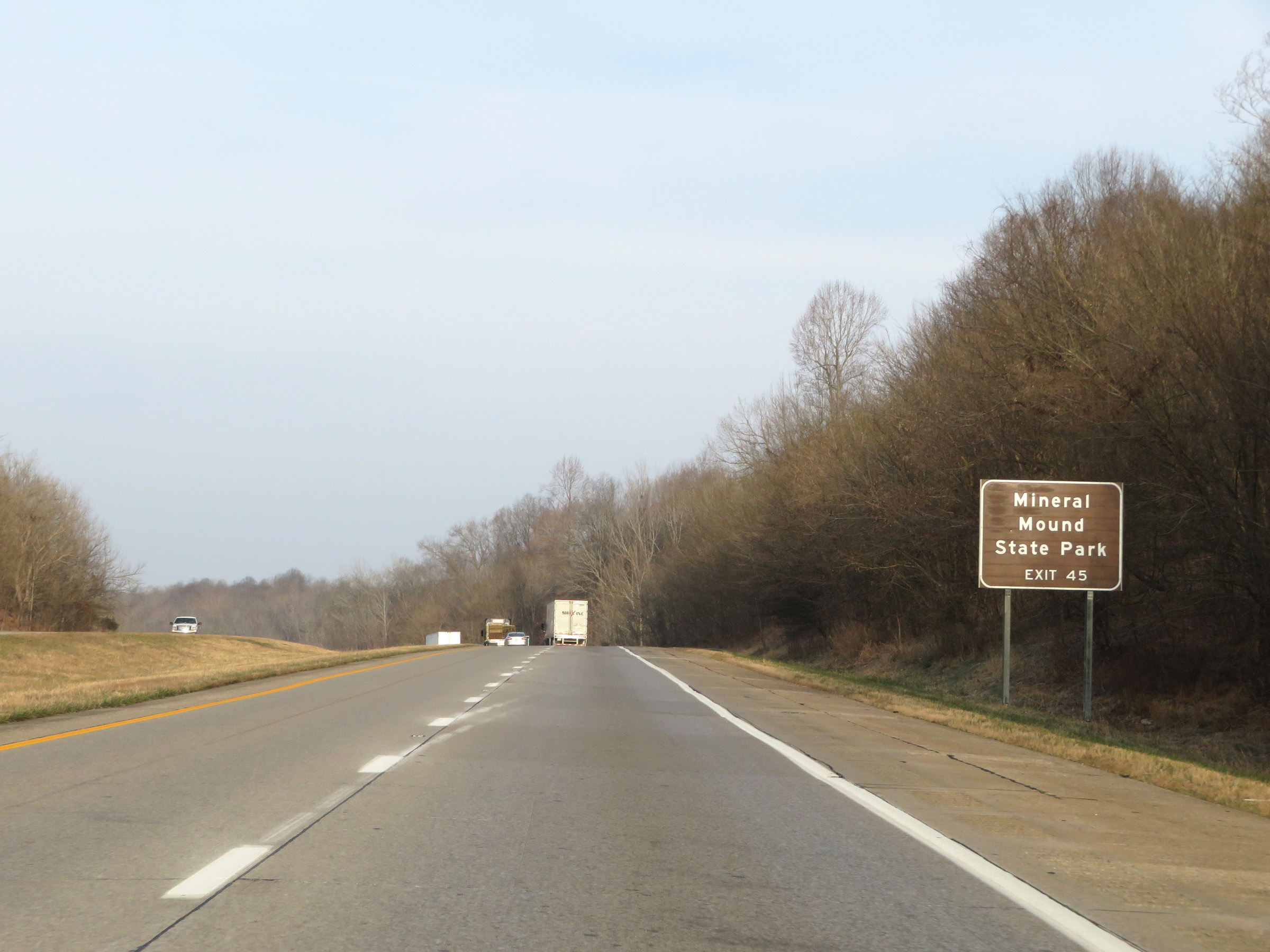 |
Take Exit 45 to Mineral Mound State Park. (Photo taken 12/15/20). |
 |
Also take Exit 45 to Kentucky State Penitentiary. (Photo taken 12/15/20). |
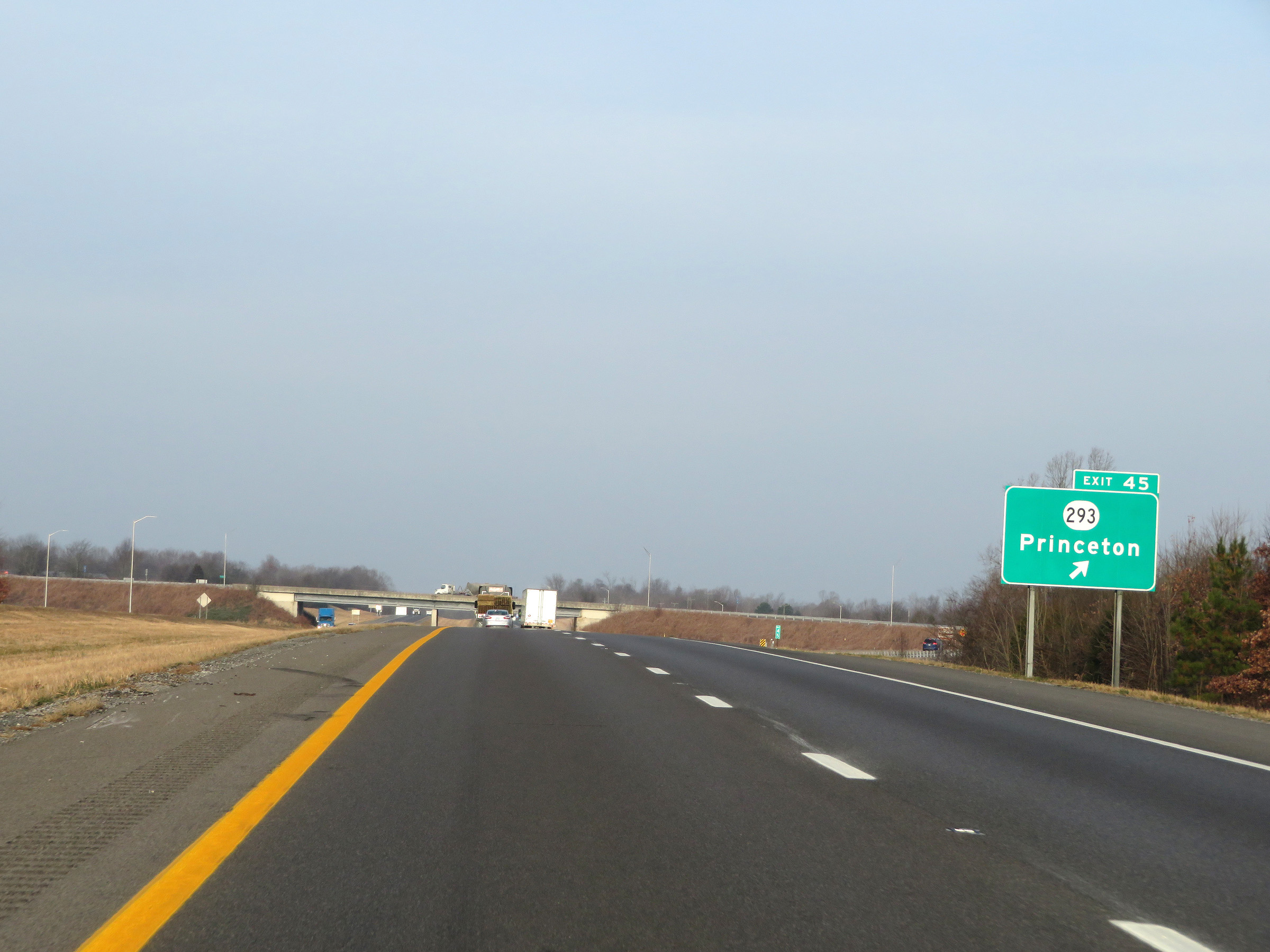 |
Interstate 24 West at Exit 45: KY 293 - Princeton (Photo taken 12/15/20). |
 |
Interstate 24 West reassurance shield. (Photo taken 12/15/20). |
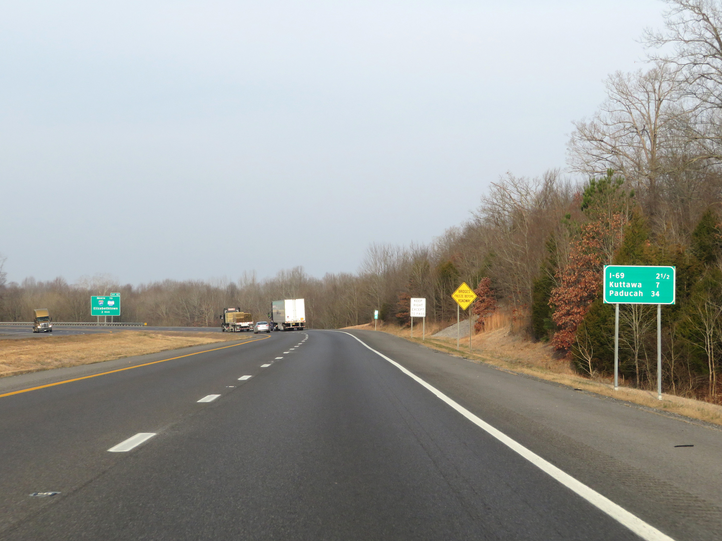 |
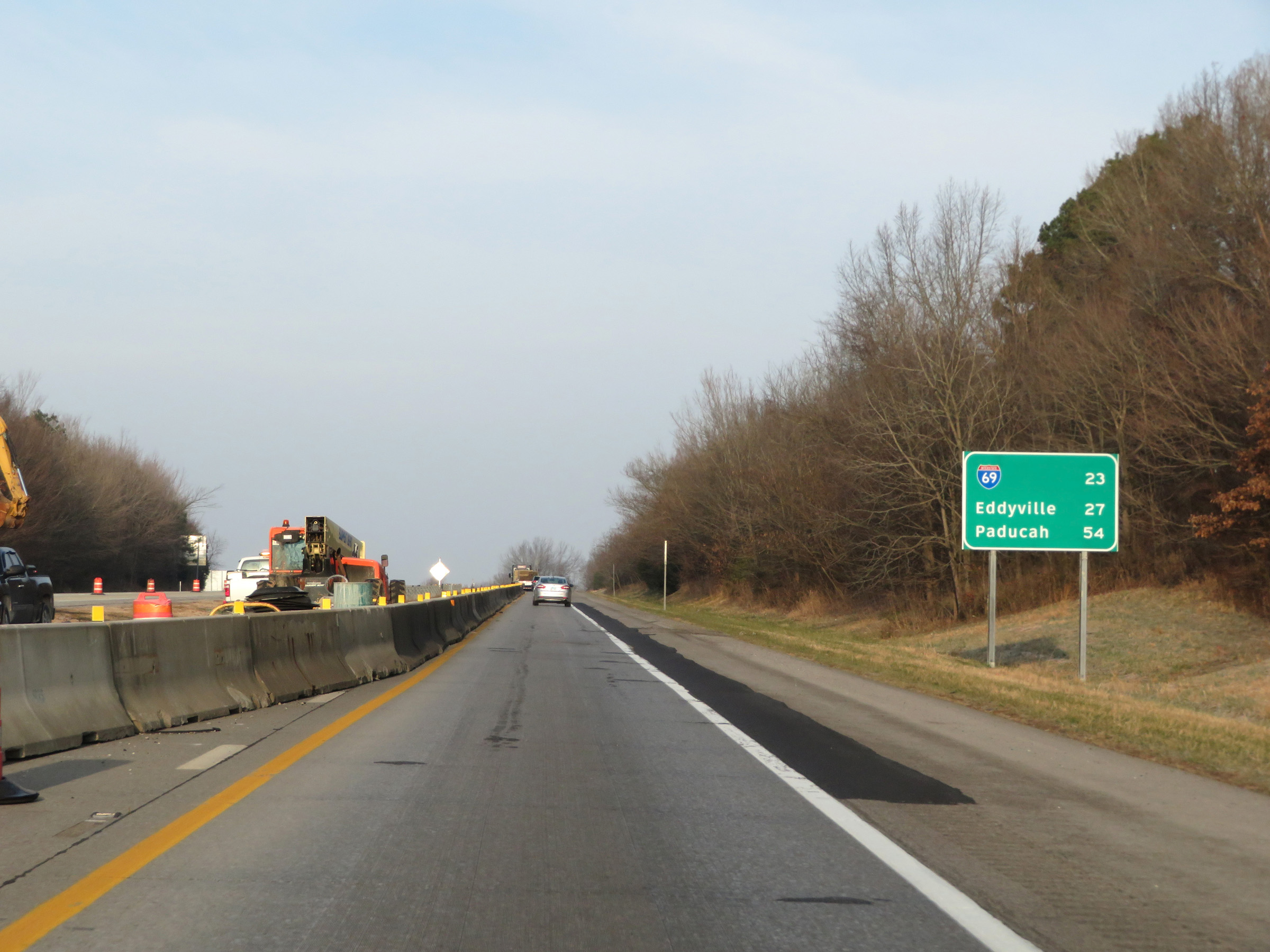
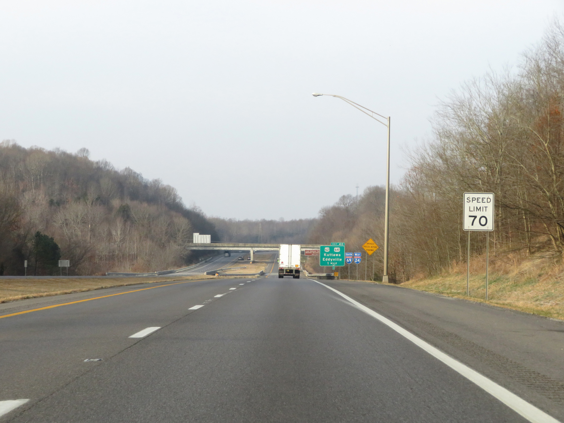
Another mileage sign on Interstate 24 West. It's 2 1/2 miles to the junction of Interstate 69, 7 miles to Kuttawa, and 34 miles to Paducah. (Photo taken 12/15/20). |
 |
Interstate 24 West approaching Exit 42 - 1 mile. (Photo taken 12/15/20). |
 |
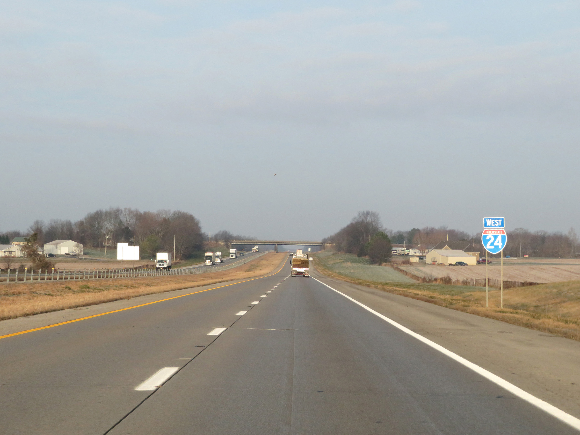
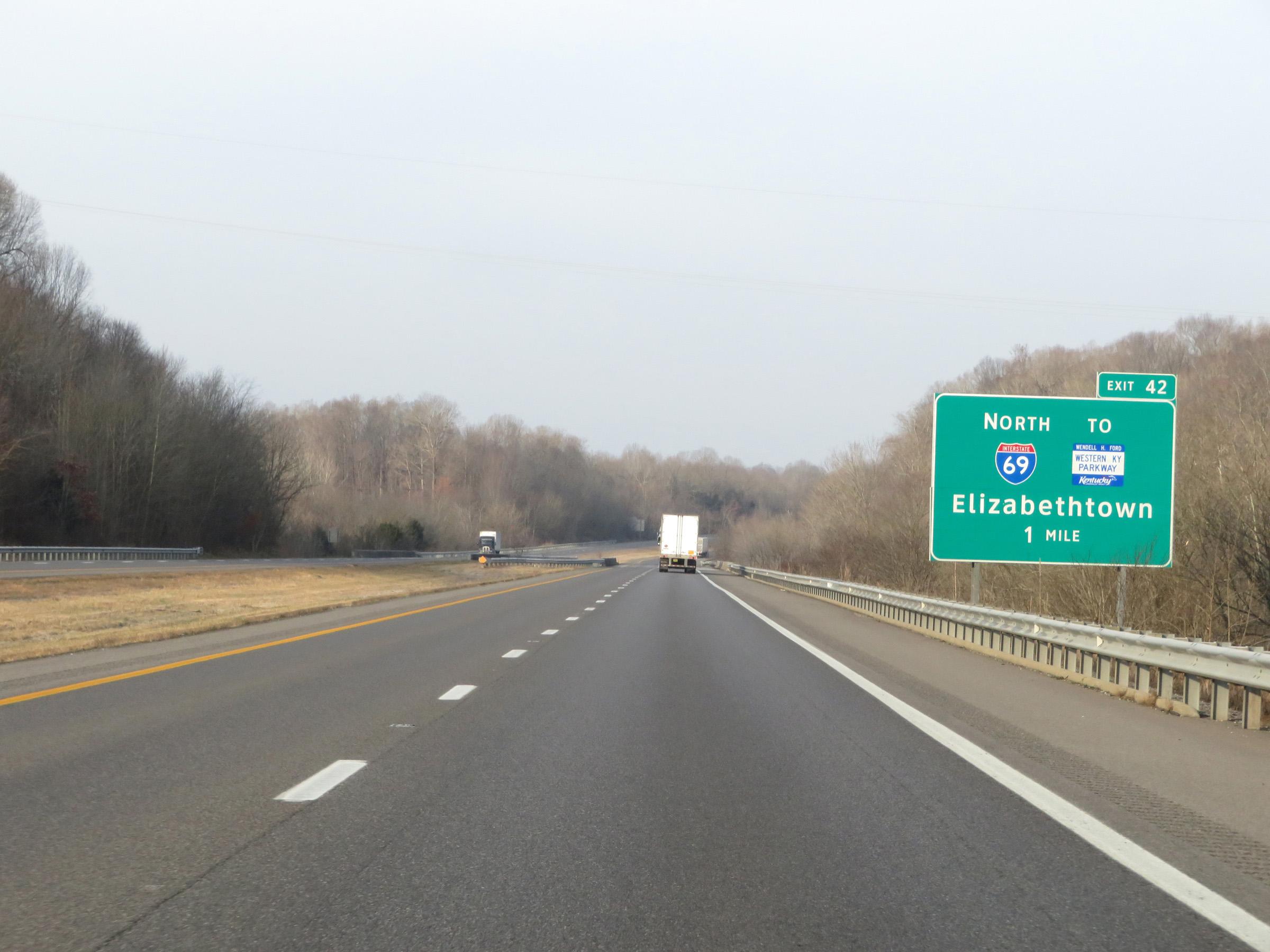
Interstate 24 West at Exit 42: Interstate 69 North / To Western Kentucky Pkwy - Elizabethtown (Photo taken 12/15/20). |
 |
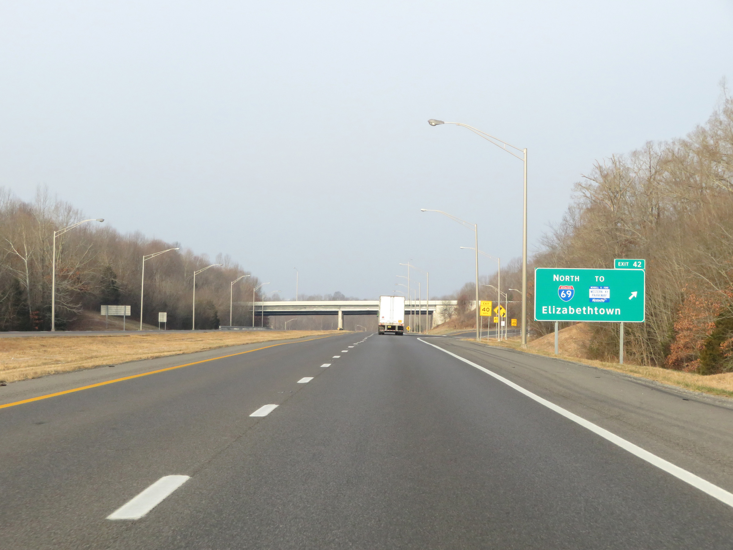
A closer view of the ramp to Interstate 69 North via Exit 42. (Photo taken 12/15/20). |
 |
The speed limit remains 70 mph on Interstate 24 West / Interstate 69 South. (Photo taken 12/15/20). |
 |
Interstate 24 West / Interstate 69 South reassurance shields at mile marker 41. I-24 and I-69 will run concurrenty for the next 17 miles. During this concurrency, the mileage and exit numbers remain based off the total mileage of I-24 in Kentucky. (Photo taken 12/15/20). |
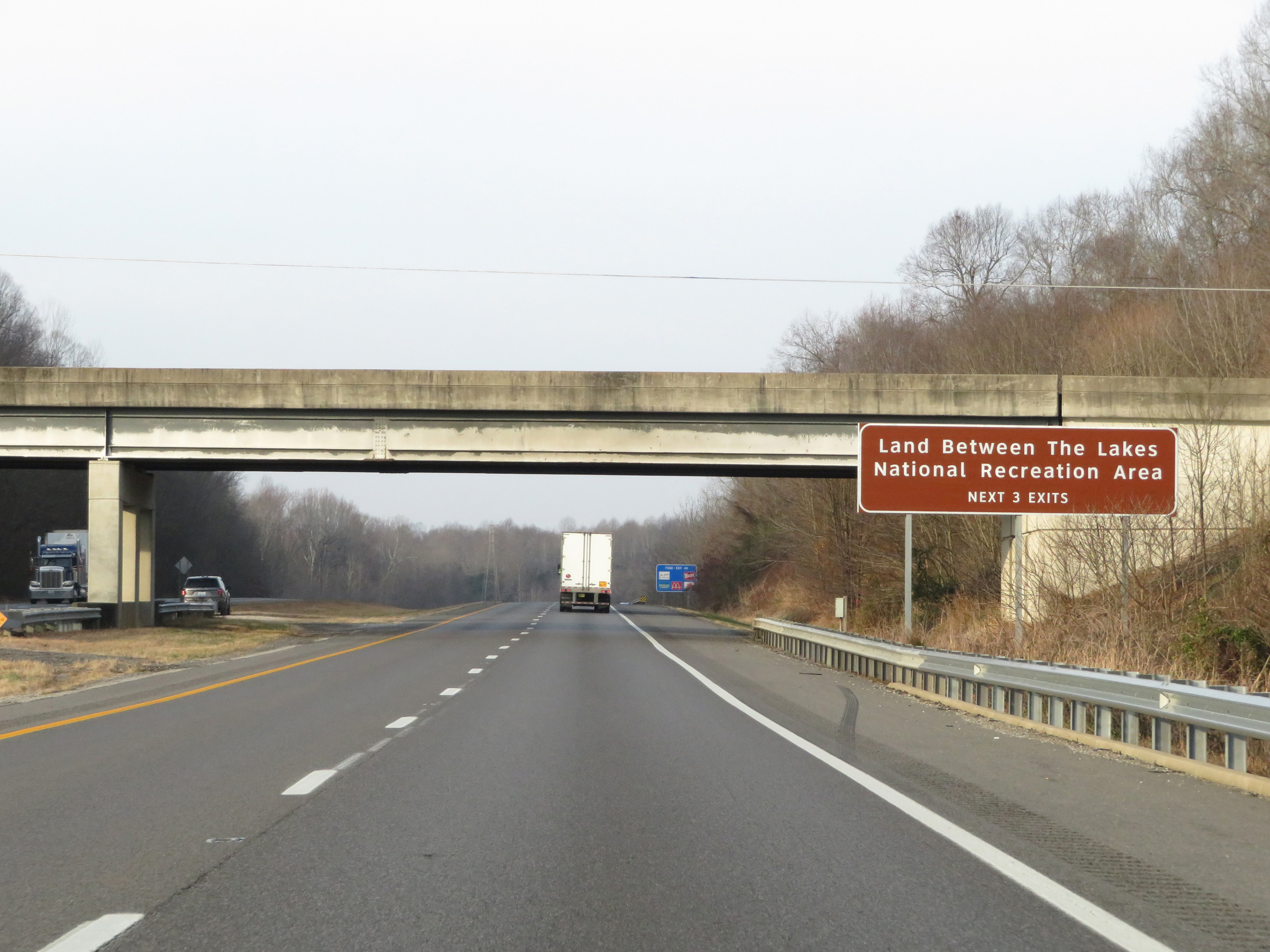 |
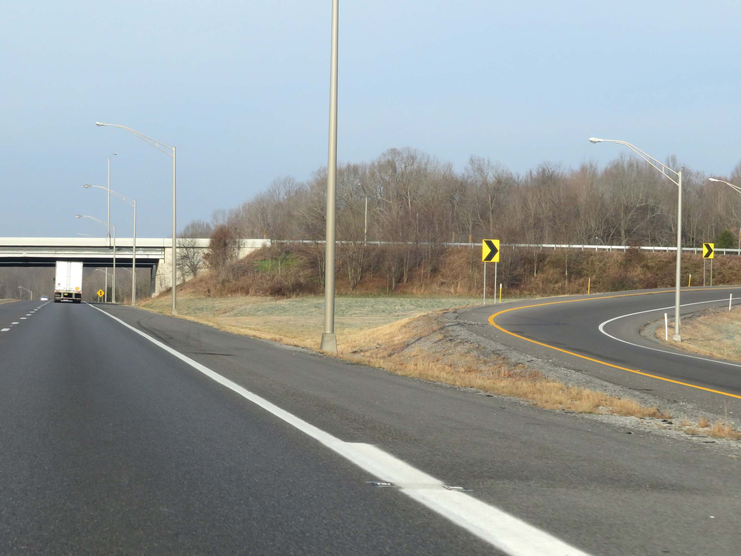
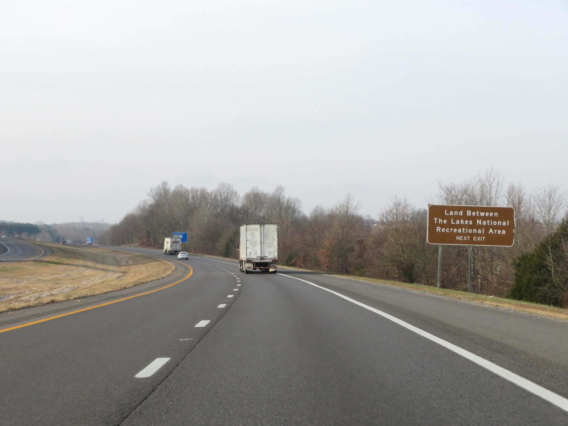
Take any of the next 3 exits to Land Between The Lakes National Recreation Area. (Photo taken 12/15/20). |
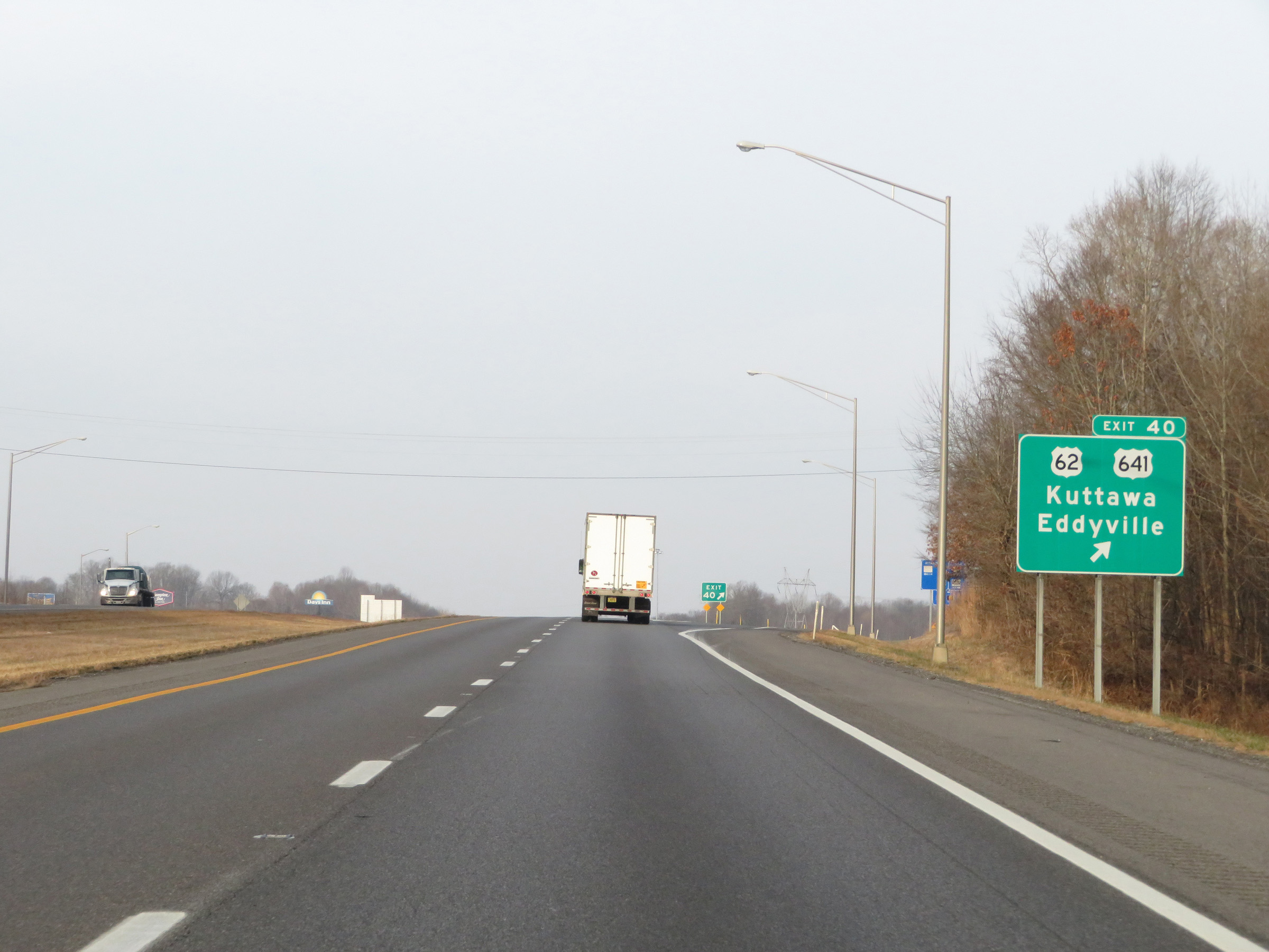 |
Interstate 24 West / Interstate 69 South at Exit 40: US 62 / US 641 - Kuttawa / Eddyville (Photo taken 12/15/20). |
Section 2: Eddyville (Exit 40) to Illinois Border
 |
Mileage sign on Interstate 24 West / Interstate 69 South. It's 10 miles to Grand Rivers and 29 miles to Paducah. (Photo taken 12/15/20). |
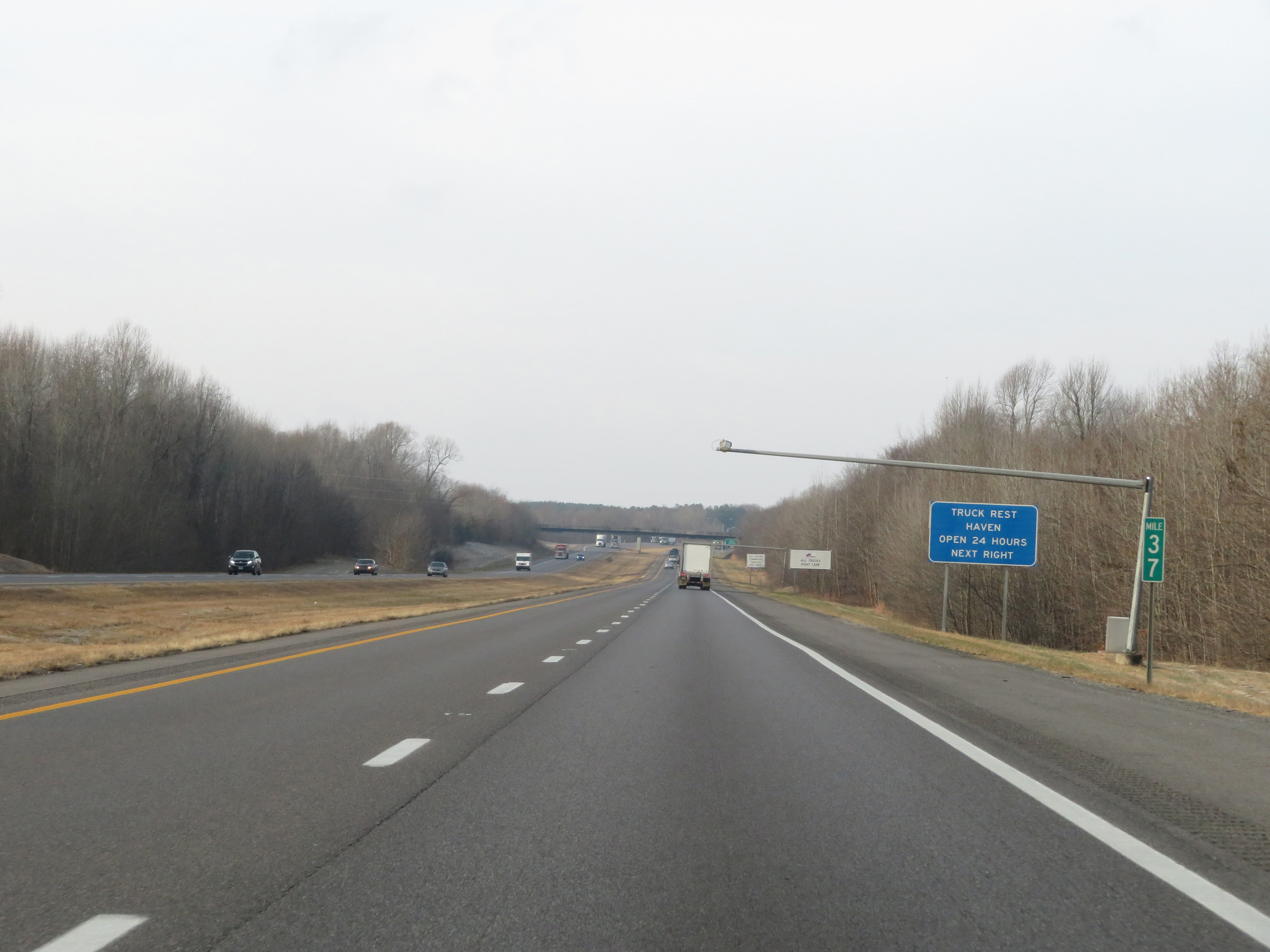 |
View on Interstate 24 West / Interstate 69 South at mile marker 37. (Photo taken 12/15/20). |
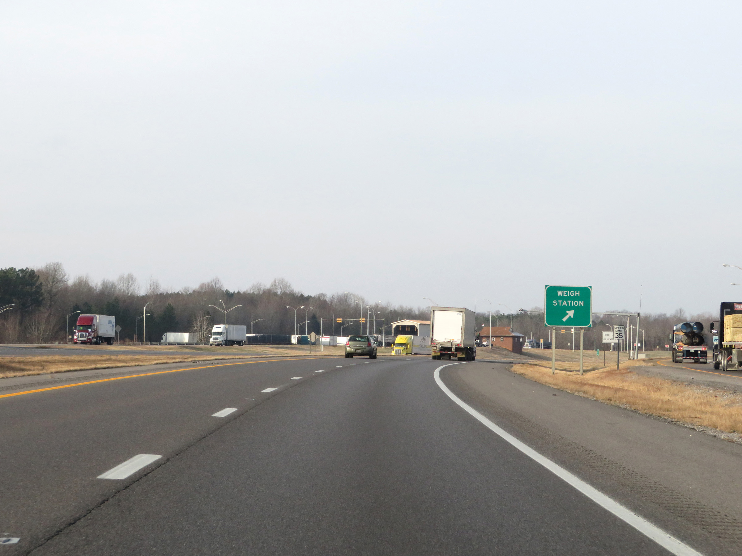 |
Weigh Station on Interstate 24 West / Interstate 69 South in Lyon County. (Photo taken 12/15/20). |
 |
Interstate 24 West / Interstate 69 South at mile marker 35. (Photo taken 12/15/20). |
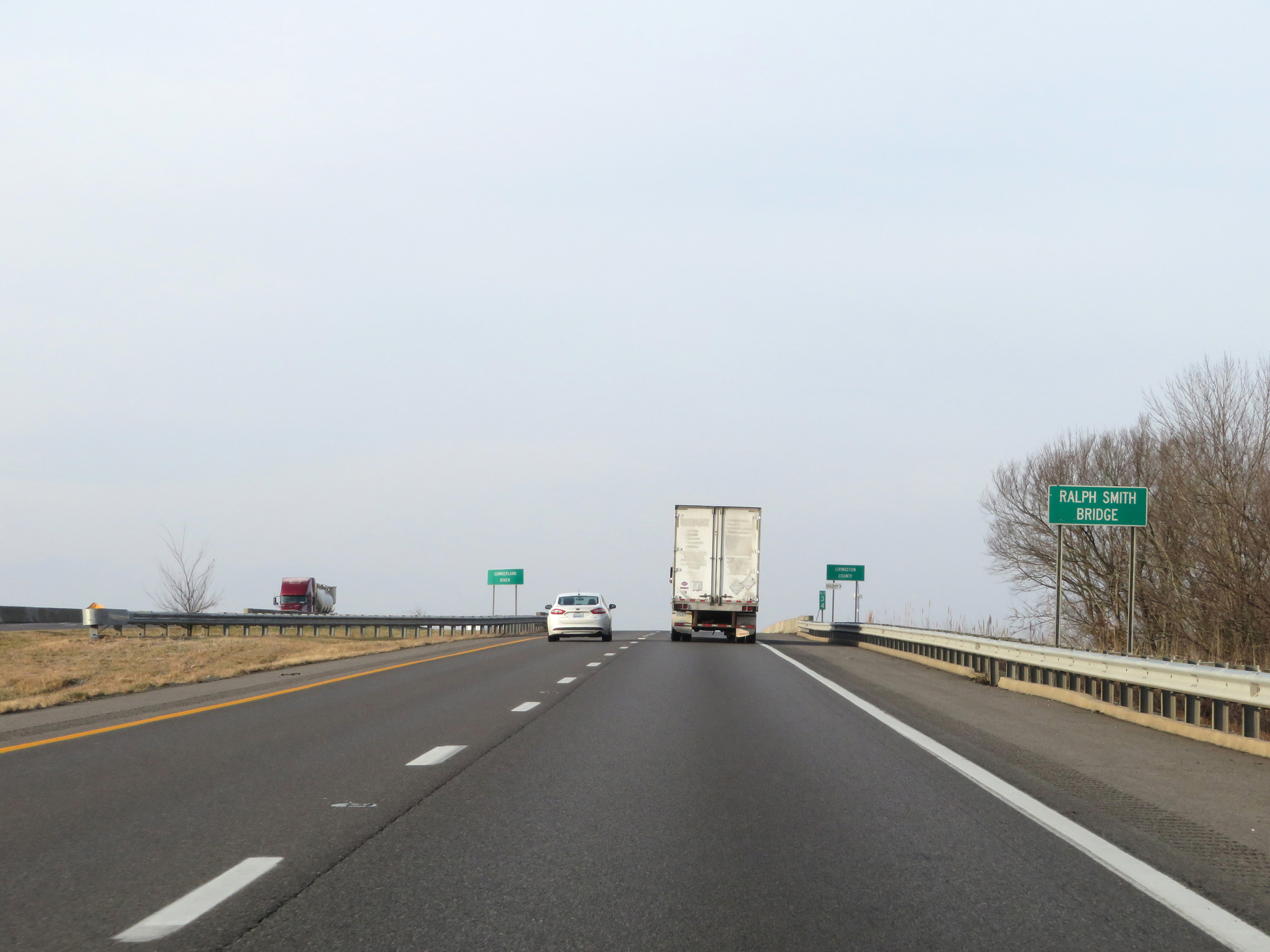 |
Interstate 24 West / Interstate 69 South as they prepare to cross the Ralph Smith Bridge over the Cumberland River. (Photo taken 12/15/20). |
 |
At mile marker 34, Interstate 24 West / Interstate 69 South enter Livingston County upon crossing the Ralph Smith Bridge over the Cumberland River. (Photo taken 12/15/20). |
 |
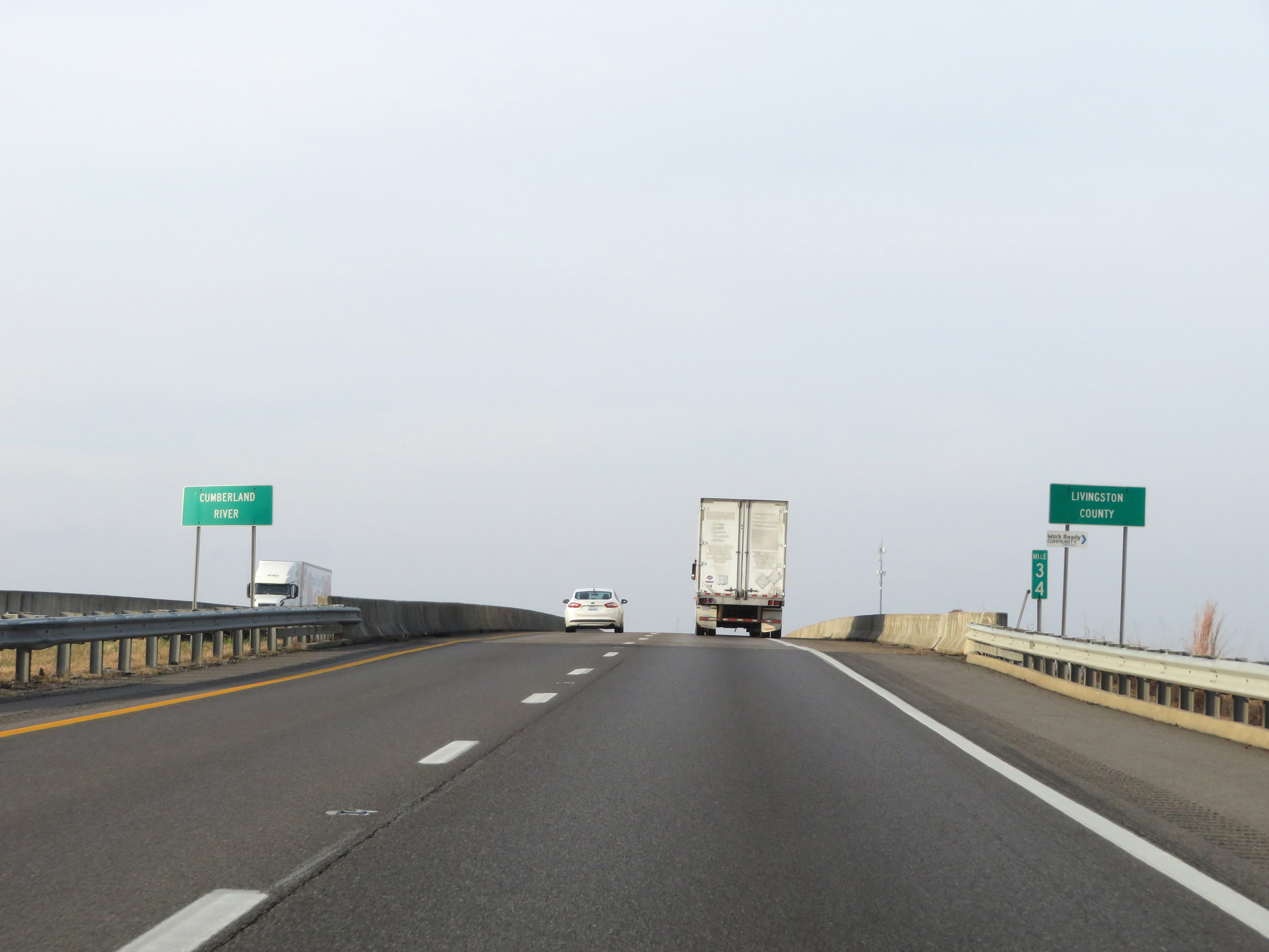
View on Interstate 24 West / Interstate 69 South as it crosses the Ralph Smith Bridge over the Cumberland River. (Photo taken 12/15/20). |
 |
Take Exit 31 to Land Between The Lakes National Recreational Area. (Photo taken 12/15/20). |
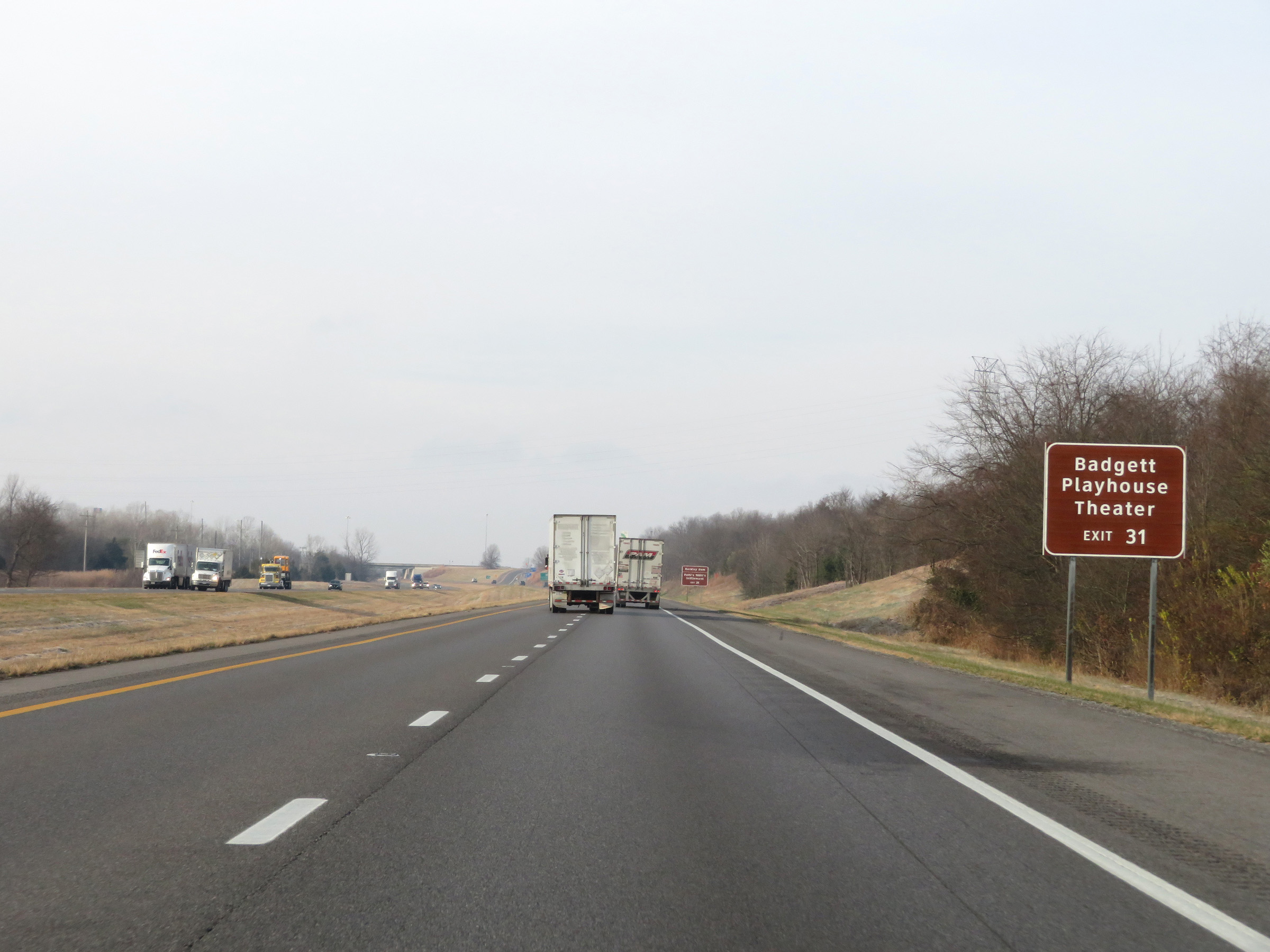 |
Also take Exit 31 to Badgett Playhouse Theater. (Photo taken 12/15/20). |
 |
Take Exit 31 to Barkley Dam and Patti's 1880's Settlement as well. (Photo taken 12/15/20). |
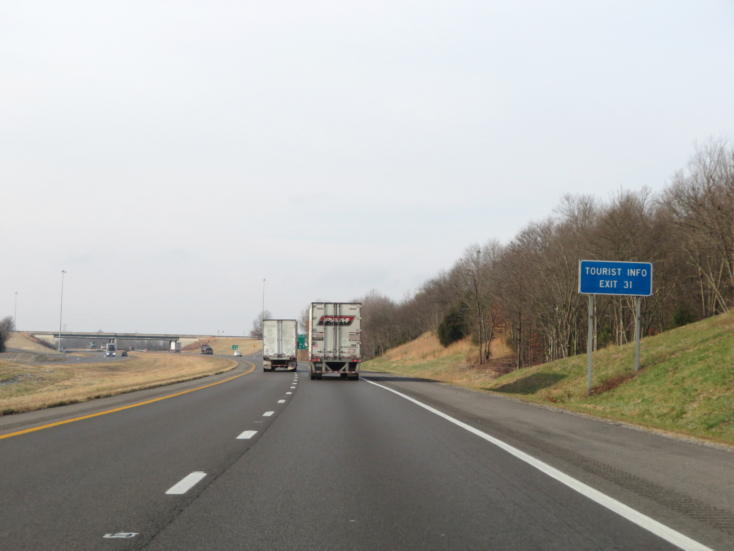 |
Tourist Info is available at Exit 31. (Photo taken 12/15/20). |
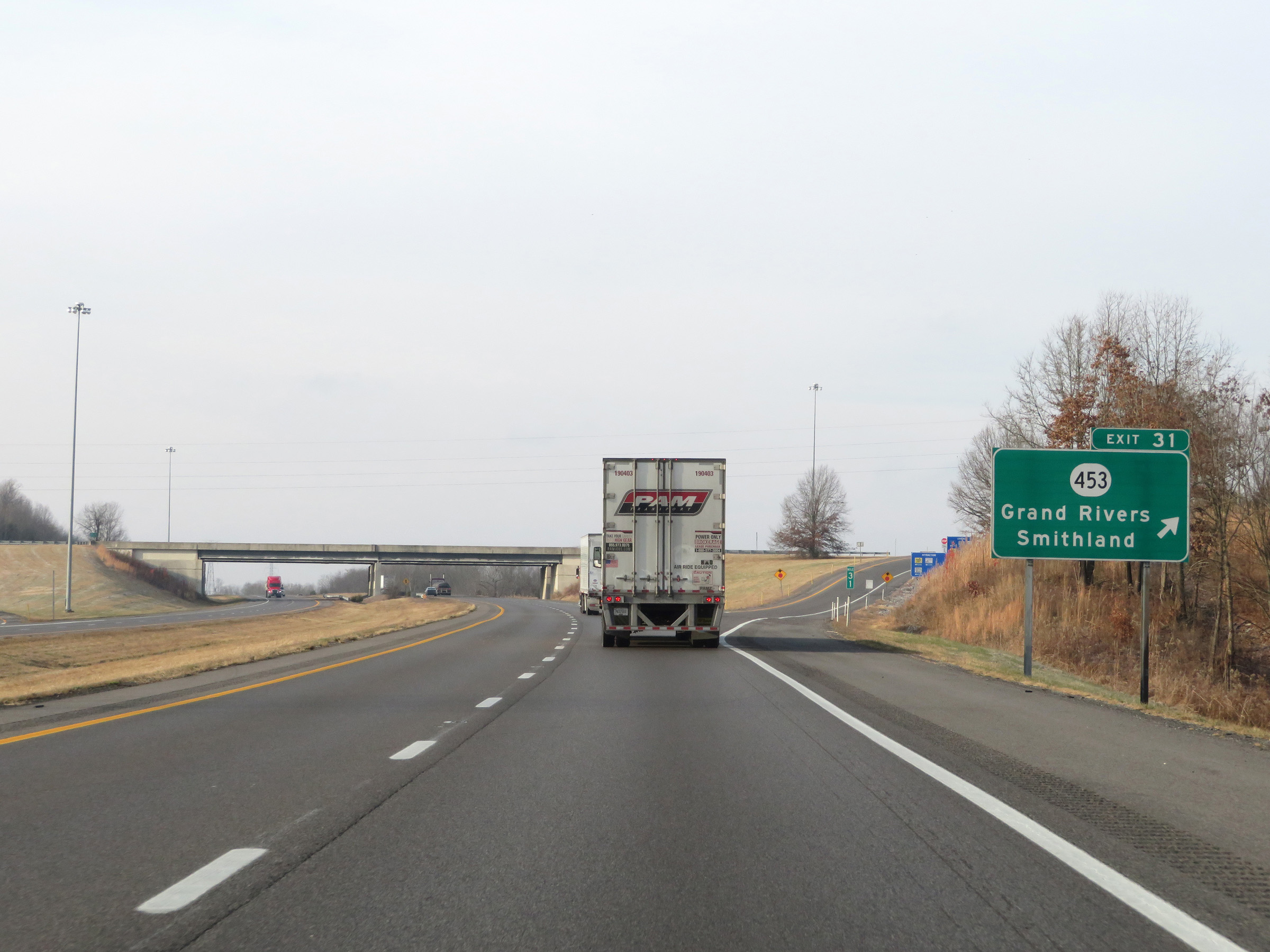 |
Interstate 24 West / Interstate 69 South at Exit 31: KY 453 - Grand Rivers / Smithland (Photo taken 12/15/20). |
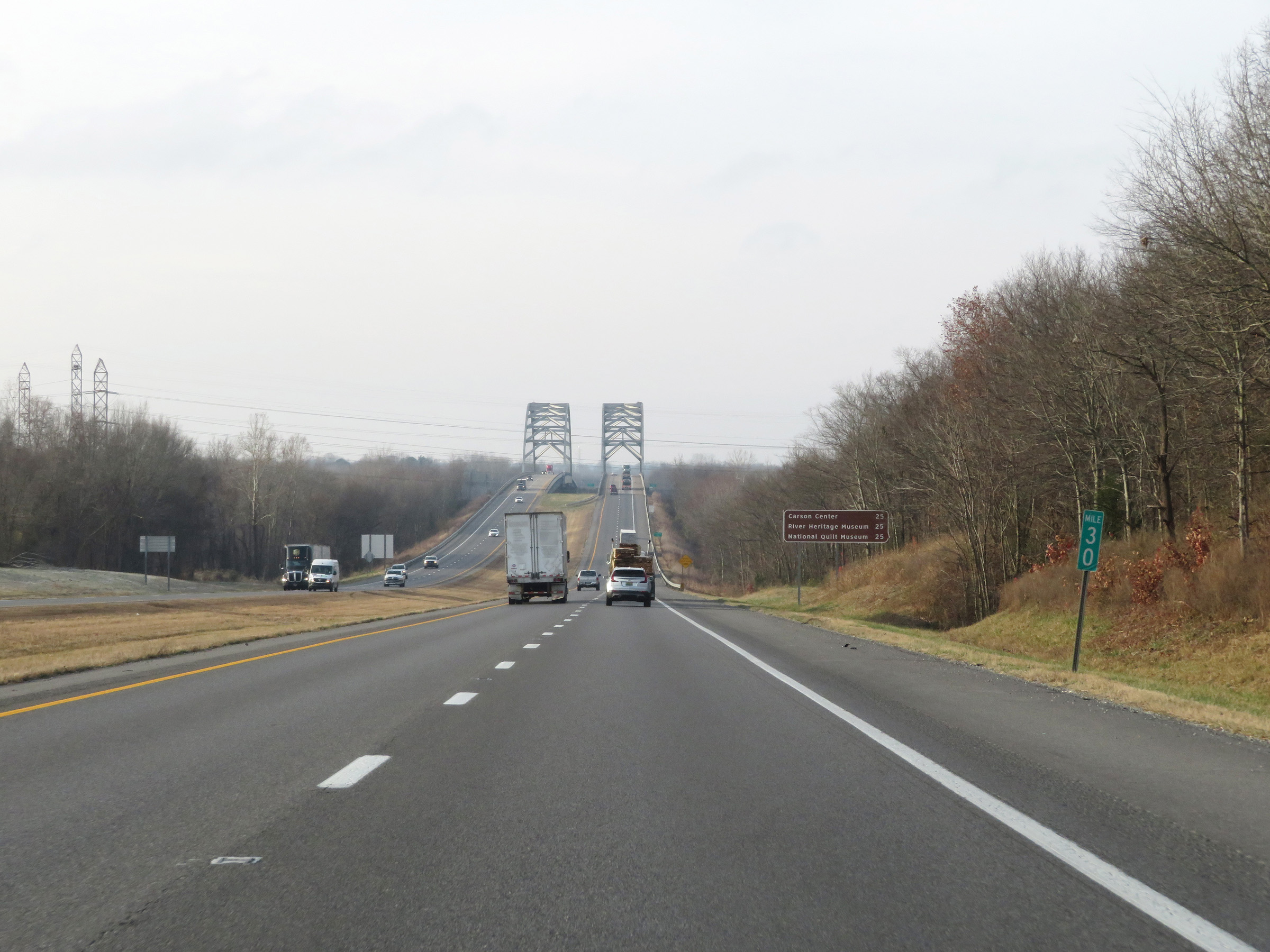 |
View on Interstate 24 West / Interstate 69 South at mile marker 30. (Photo taken 12/15/20). |
 |
Interstate 24 West / Interstate 69 South approaching the Luther Draffen Bridge, which will carry the duplex over the Tennessee River and into Marshall County. (Photo taken 12/15/20). |
 |
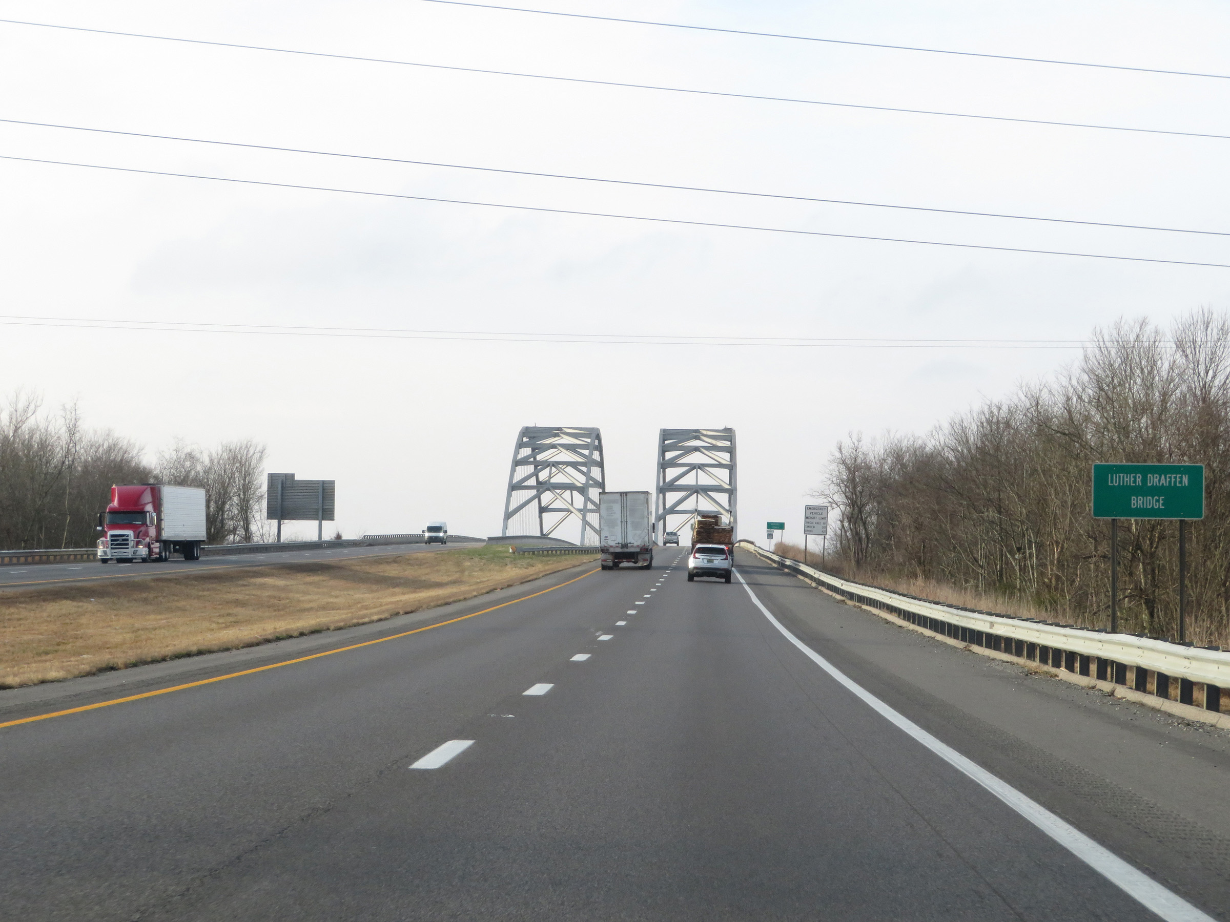
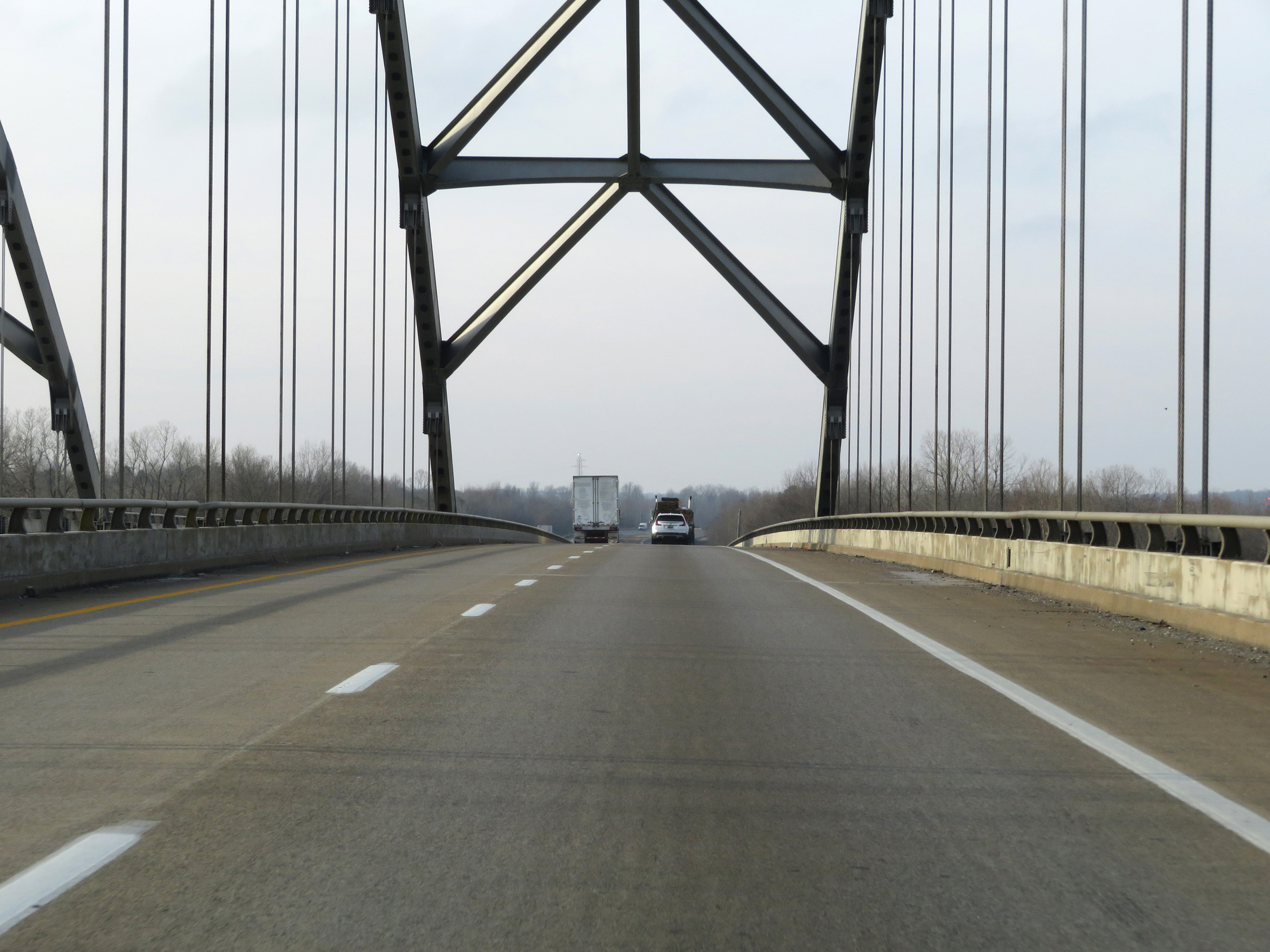
Interstate 24 West / Interstate 69 South as it starts across the Luther Draffen Bridge over the Tennessee River. (Photo taken 12/15/20). |
 |
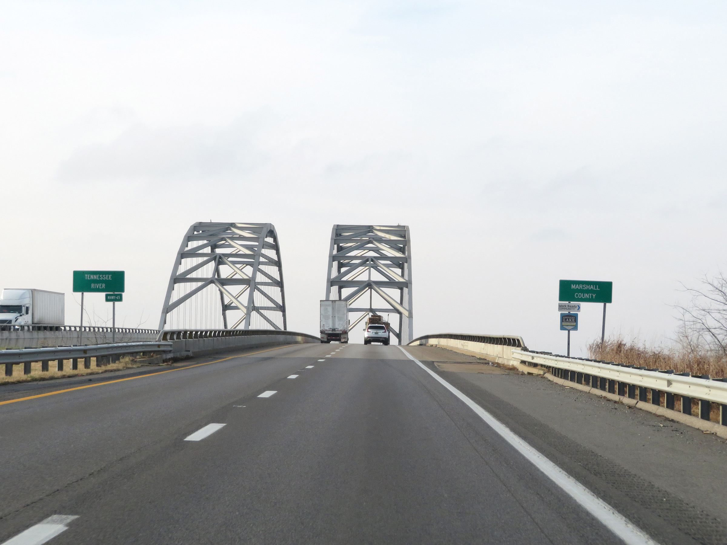
View on Interstate 24 West / Interstate 69 South as they cross the Tennessee River on the Luther Draffen Bridge. (Photo taken 12/15/20). |
 |
Upon crossing the Tennessee River on the Luther Draffen Bridge, Interstate 24 West / Interstate 69 South enter Marshall County. (Photo taken 12/15/20). |
 |
Interstate 24 West / Interstate 69 South at mile marker 29. (Photo taken 12/15/20). |
 |
View on Interstate 24 West / Interstate 69 South at mile marker 28. (Photo taken 12/15/20). |
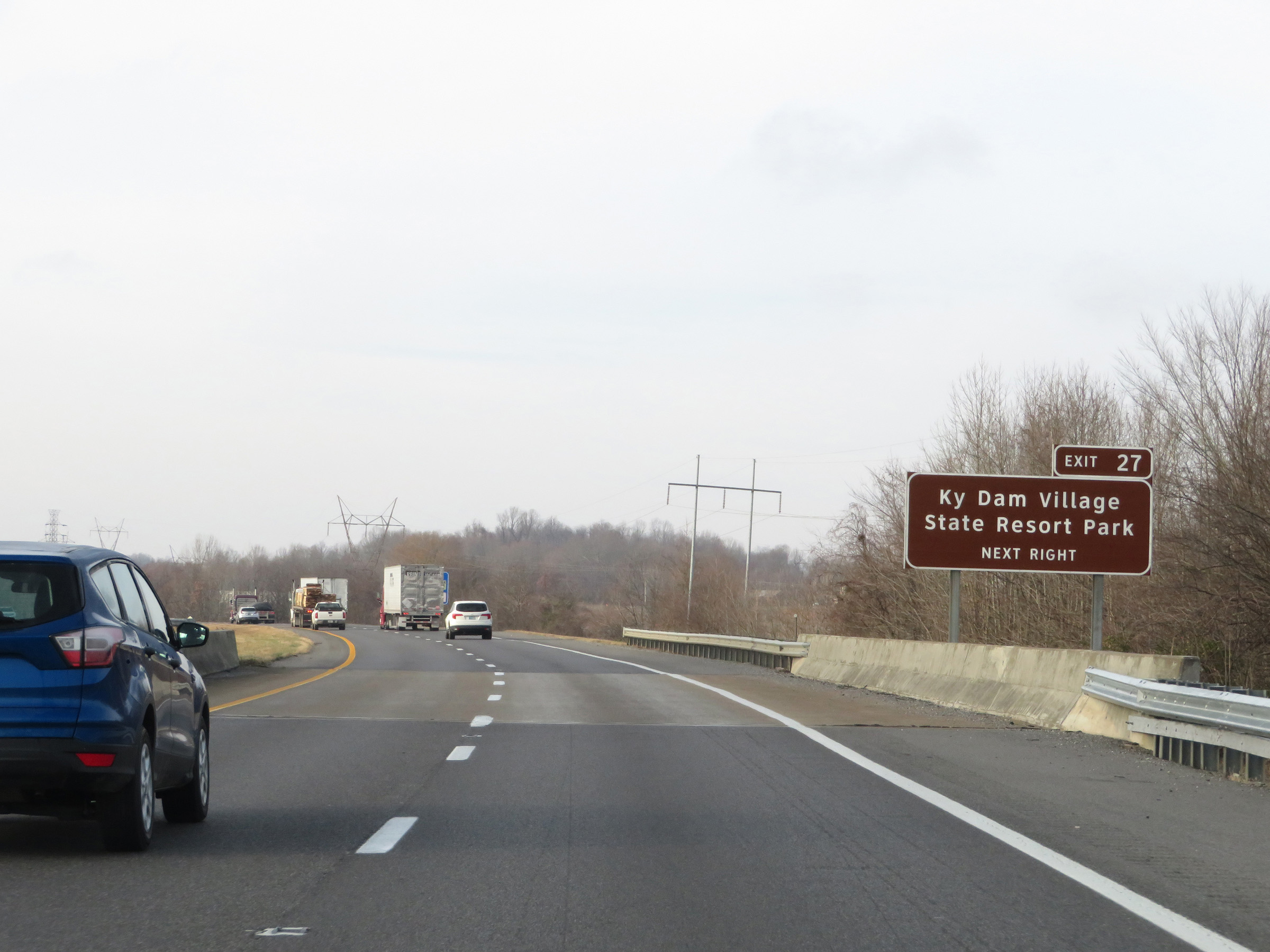 |
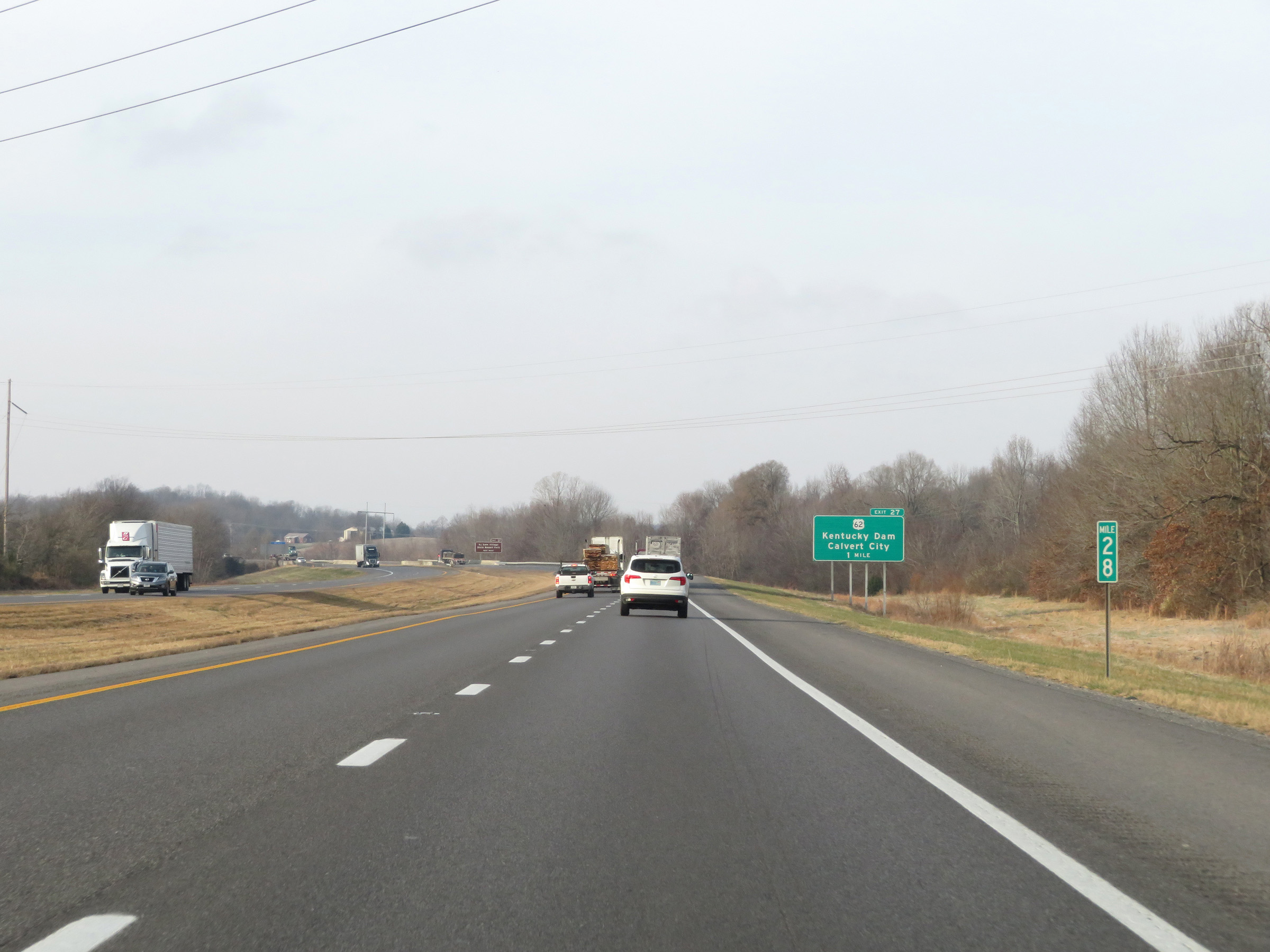
Take Exit 27 to Kentucky Dam Village State Resort Park. (Photo taken 12/15/20). |
 |
Interstate 24 West / Interstate 69 South at Exit 27: US 62 - Kentucky Dam / Calvert City (Photo taken 12/15/20). |
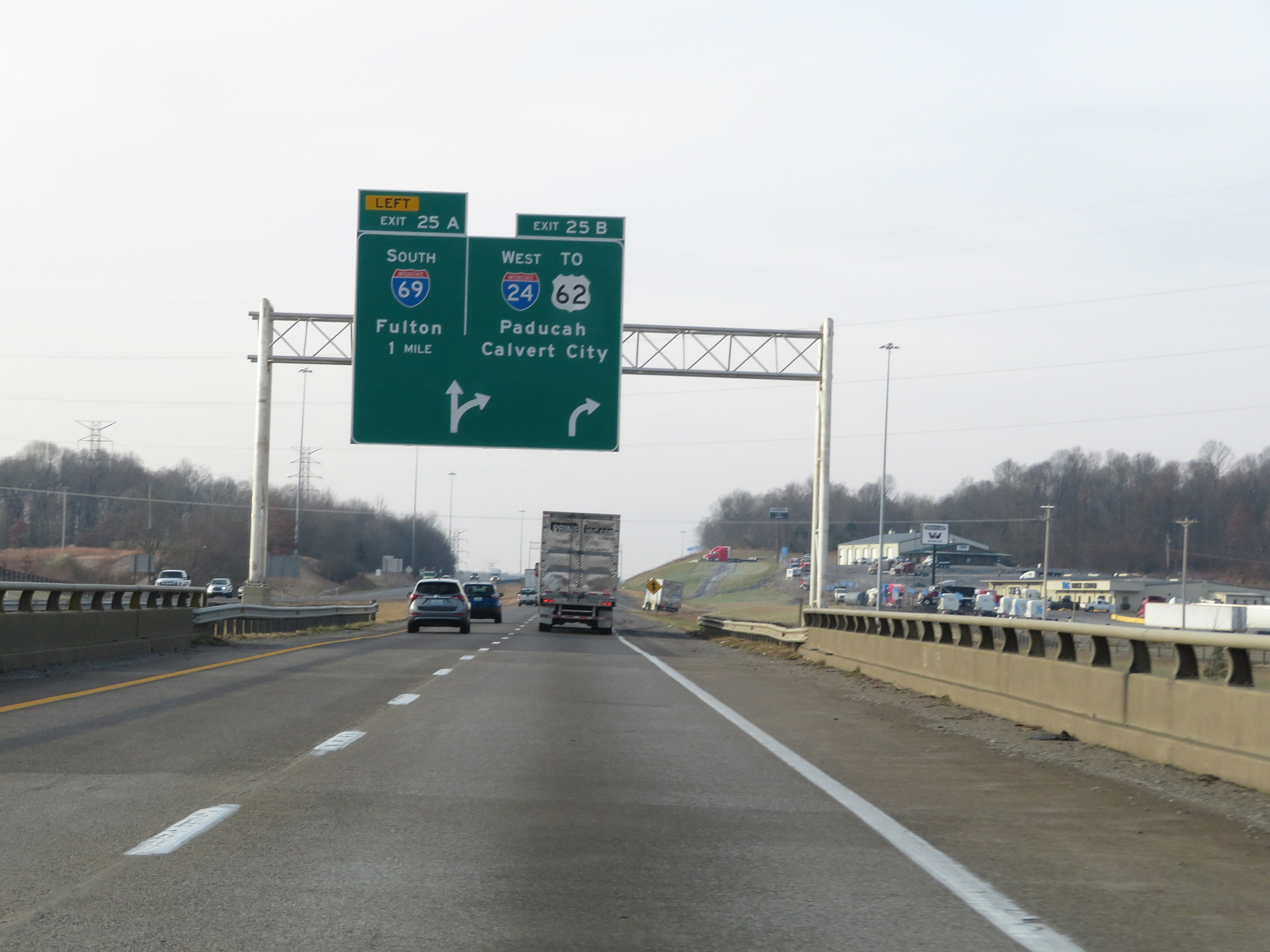 |
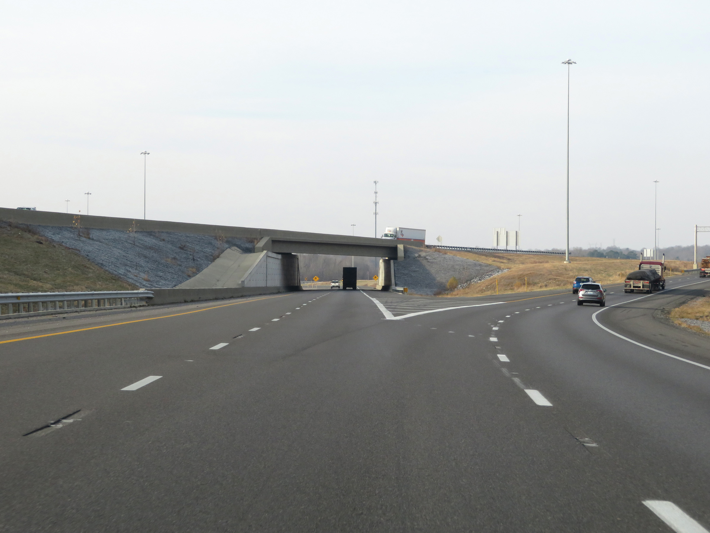
Interstate 24 West / Interstate 69 South approaching Exits 25B-A - 1 mile. (Photo taken 12/15/20). |
 |
Take Exit 25A (Interstate 69 South) to Benton, Murray, and Mayfield. (Photo taken 12/15/20). |
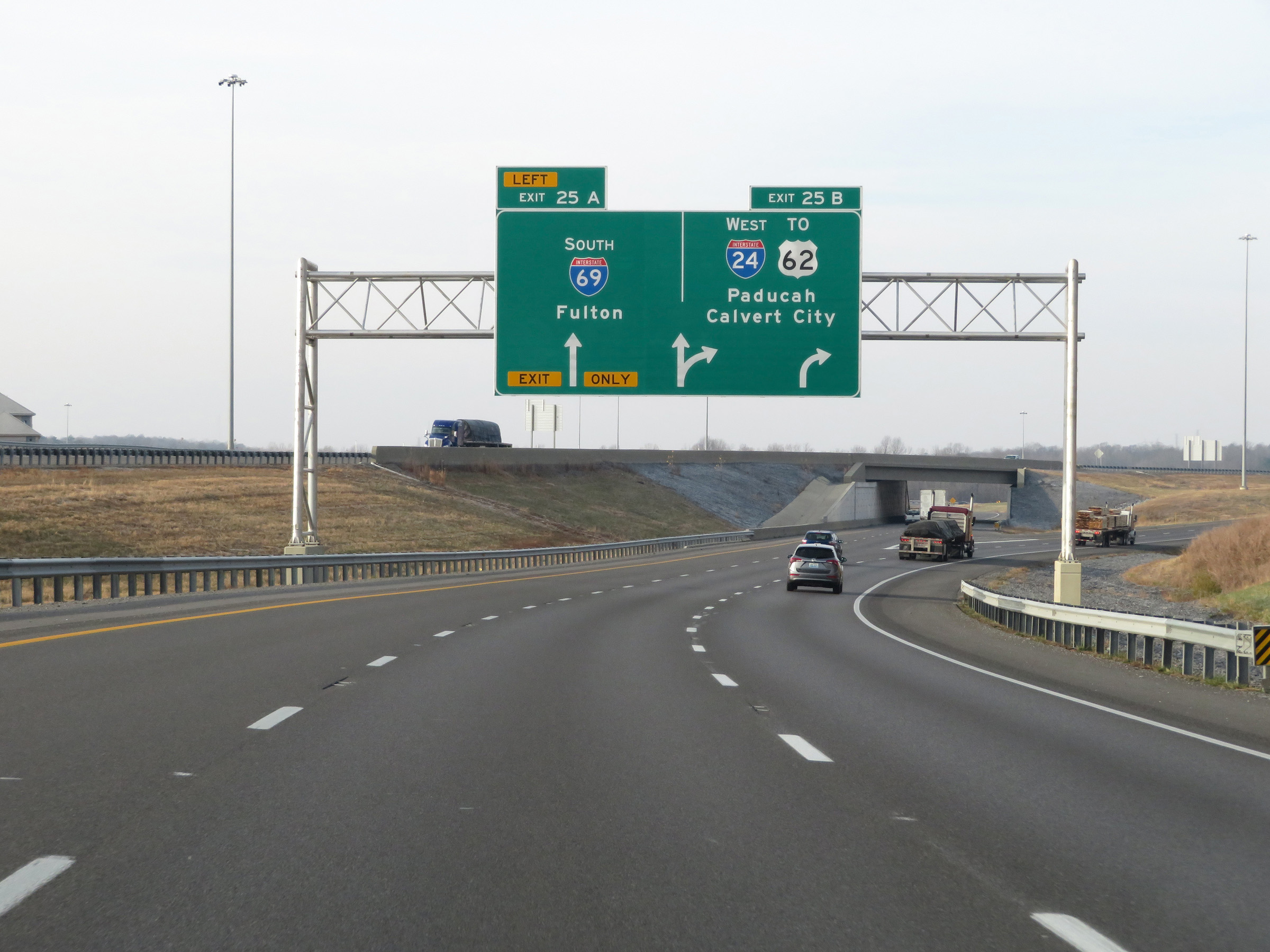 |
Interstate 24 West / Interstate 69 South at Exit 25A: Interstate 69 South - Fulton (Photo taken 12/15/20). |
 |
A closer view of the ramp to Interstate 69 South via Exit 25A on the left. (Photo taken 12/15/20). |
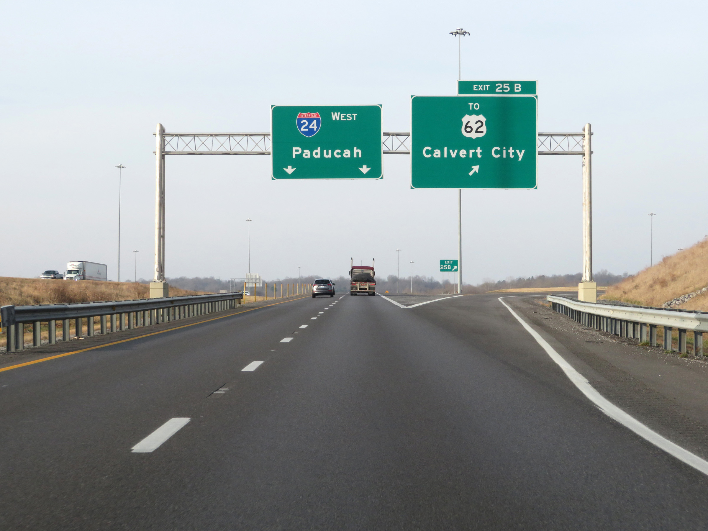 |
Interstate 24 West at Exit 25B: To US 62 - Calvert City (Photo taken 12/15/20). |
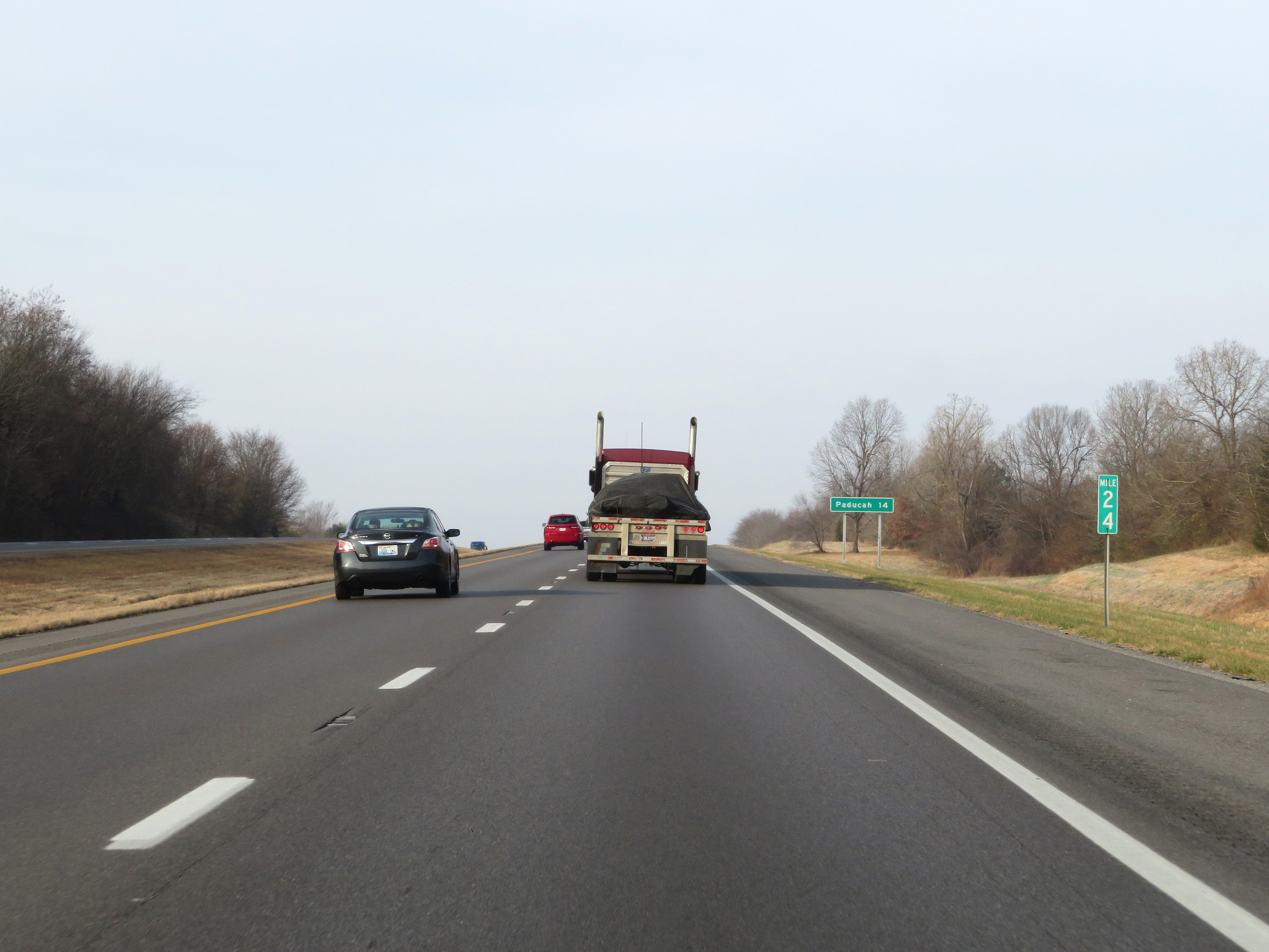 |
Interstate 24 West at mile marker 24. (Photo taken 12/15/20). |
 |
View on Interstate 24 West at mile marker 23. (Photo taken 12/15/20). |
 |
Mile marker 22 on Interstate 24 West in Marshall County. (Photo taken 12/15/20). |
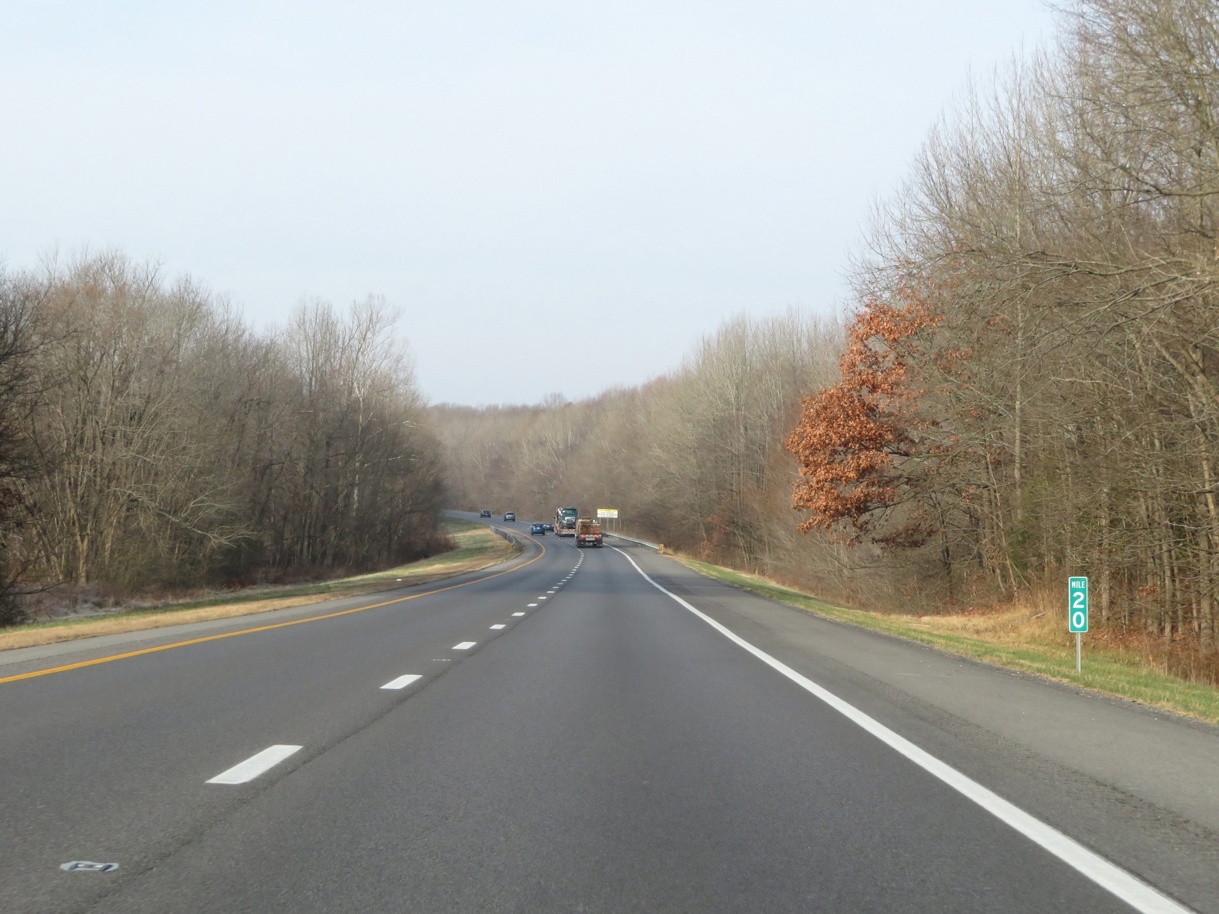 |
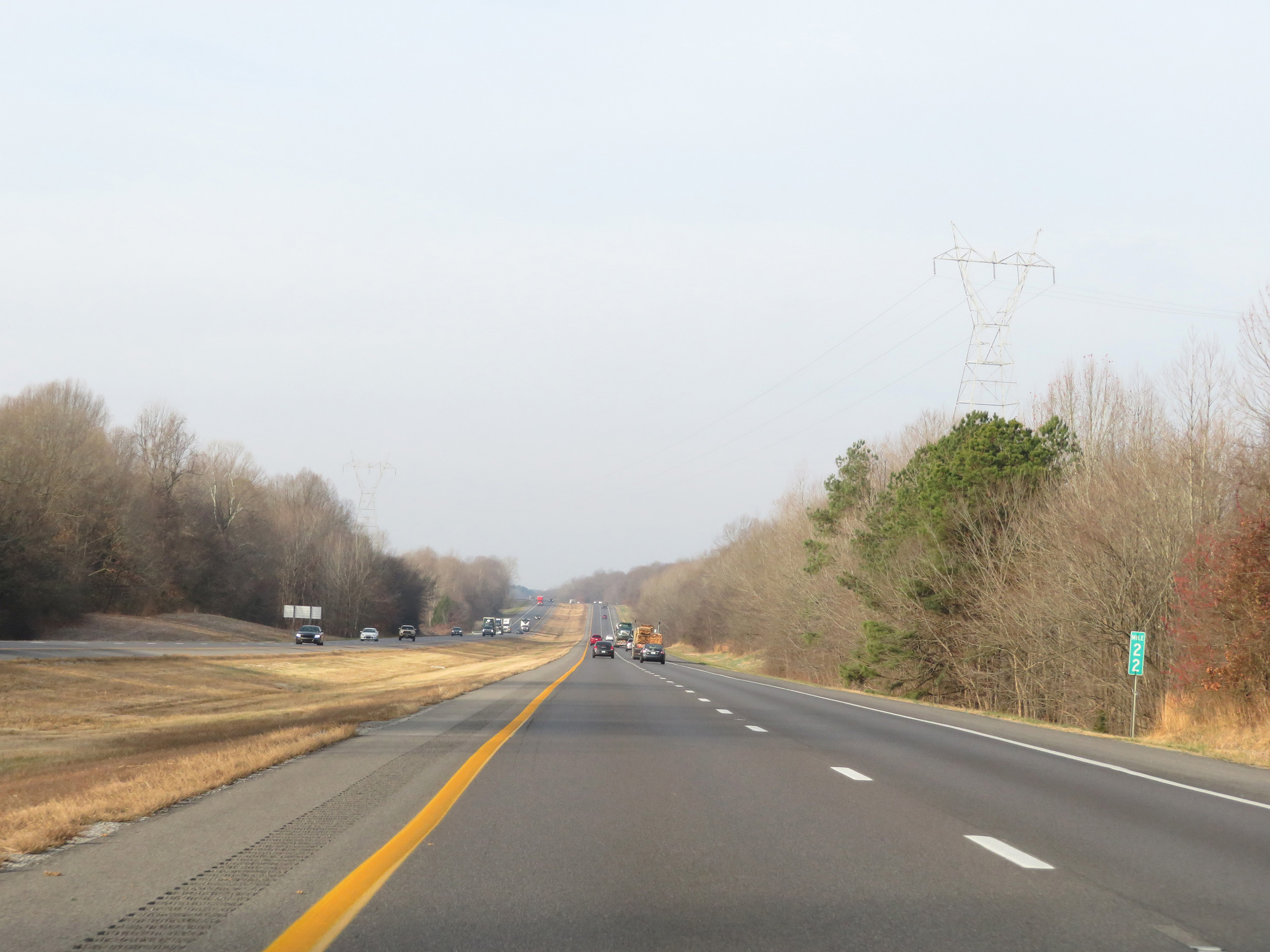
View on Interstate 24 West at mile marker 20. (Photo taken 12/15/20). |
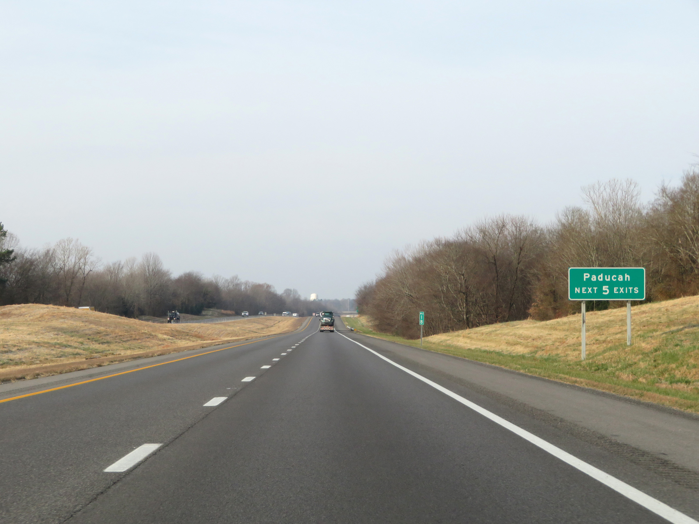 |
Take any of the next 5 exits to Paducah. (Photo taken 12/15/20). |
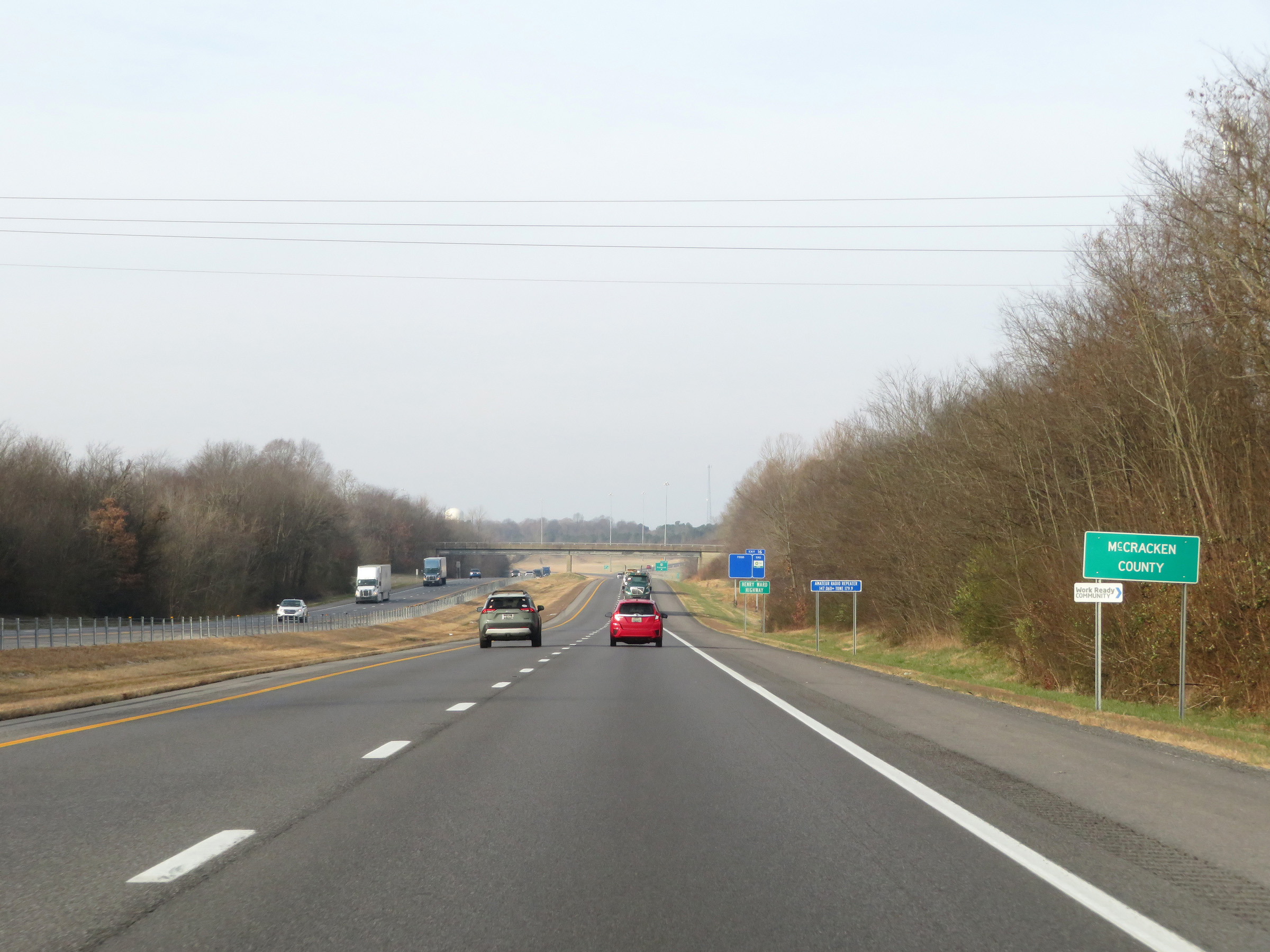 |
Interstate 24 West as it enters McCracken County. (Photo taken 12/15/20). |
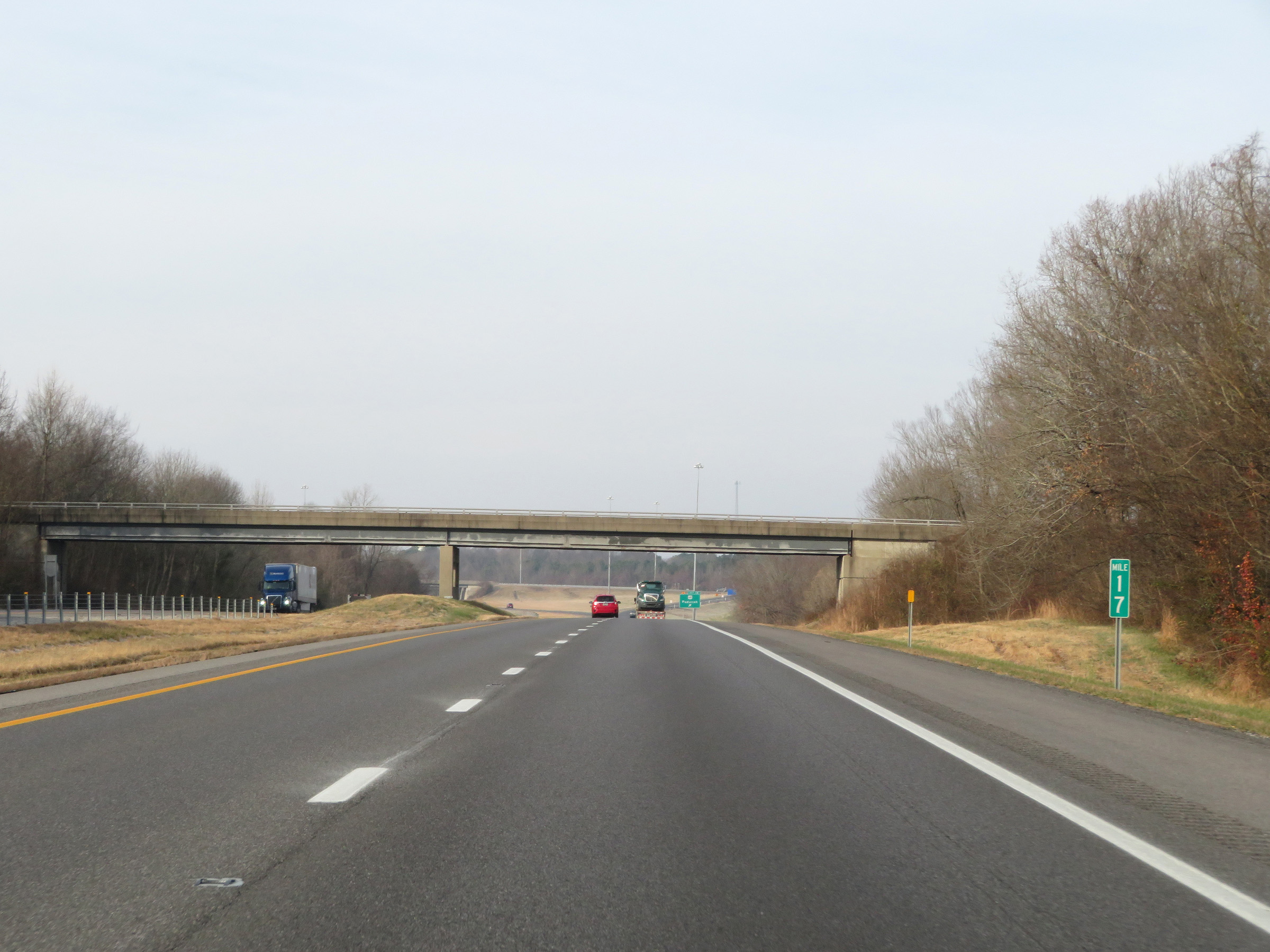 |
View on Interstate 24 West at mile marker 17. (Photo taken 12/15/20). |
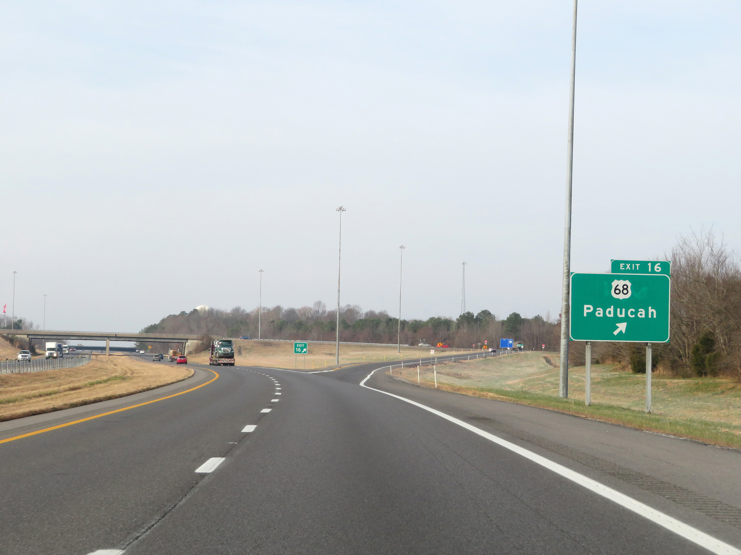 |
Interstate 24 West at Exit 16: US 68 - Paducah (Photo taken 12/15/20). |
 |
Interstate 24 West reassurance shield. (Photo taken 12/15/20). |
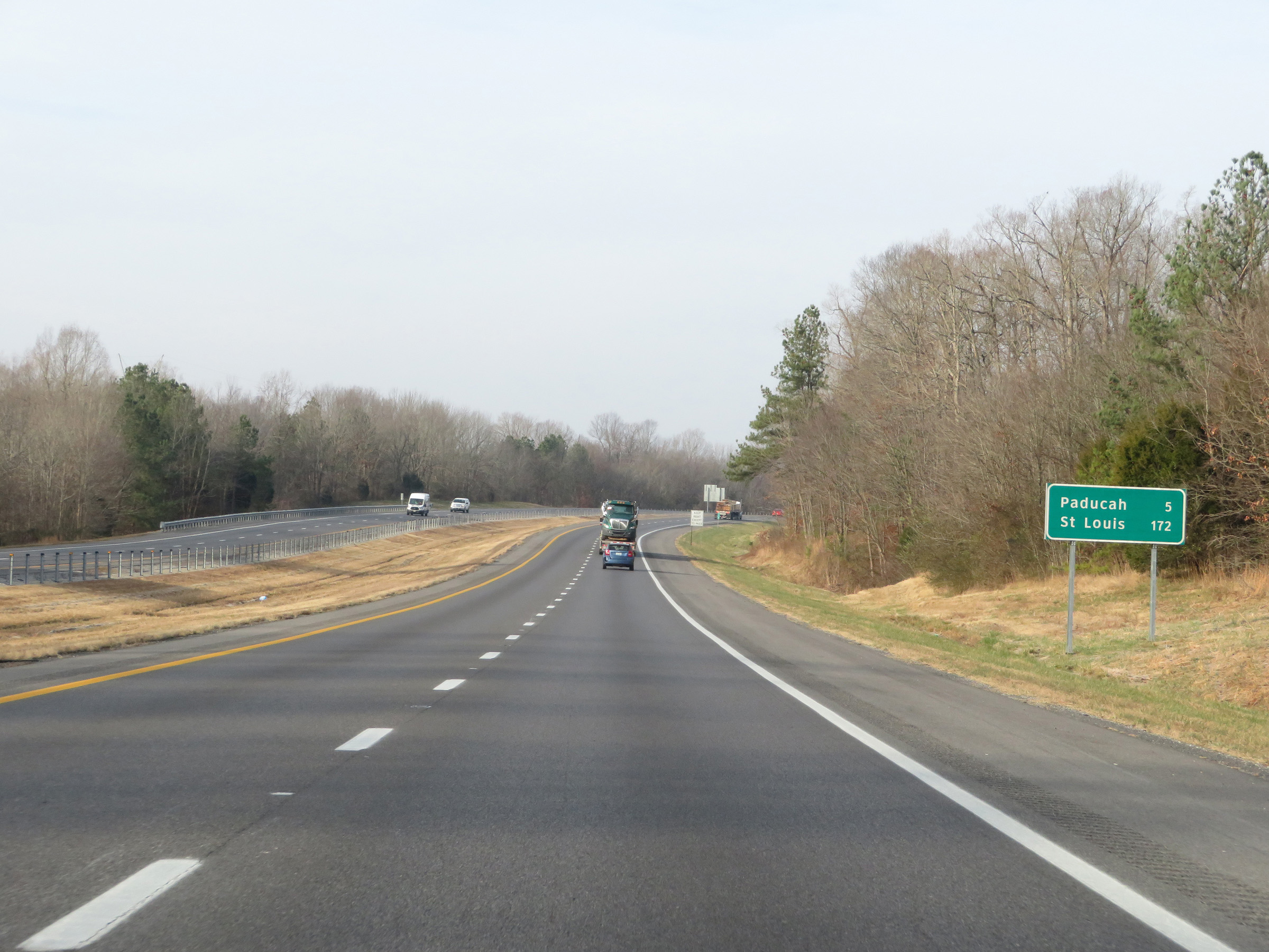 |
Mileage sign on Interstate 24 West. It's 5 miles to Paducah and 172 miles to St. Louis. (Photo taken 12/15/20). |
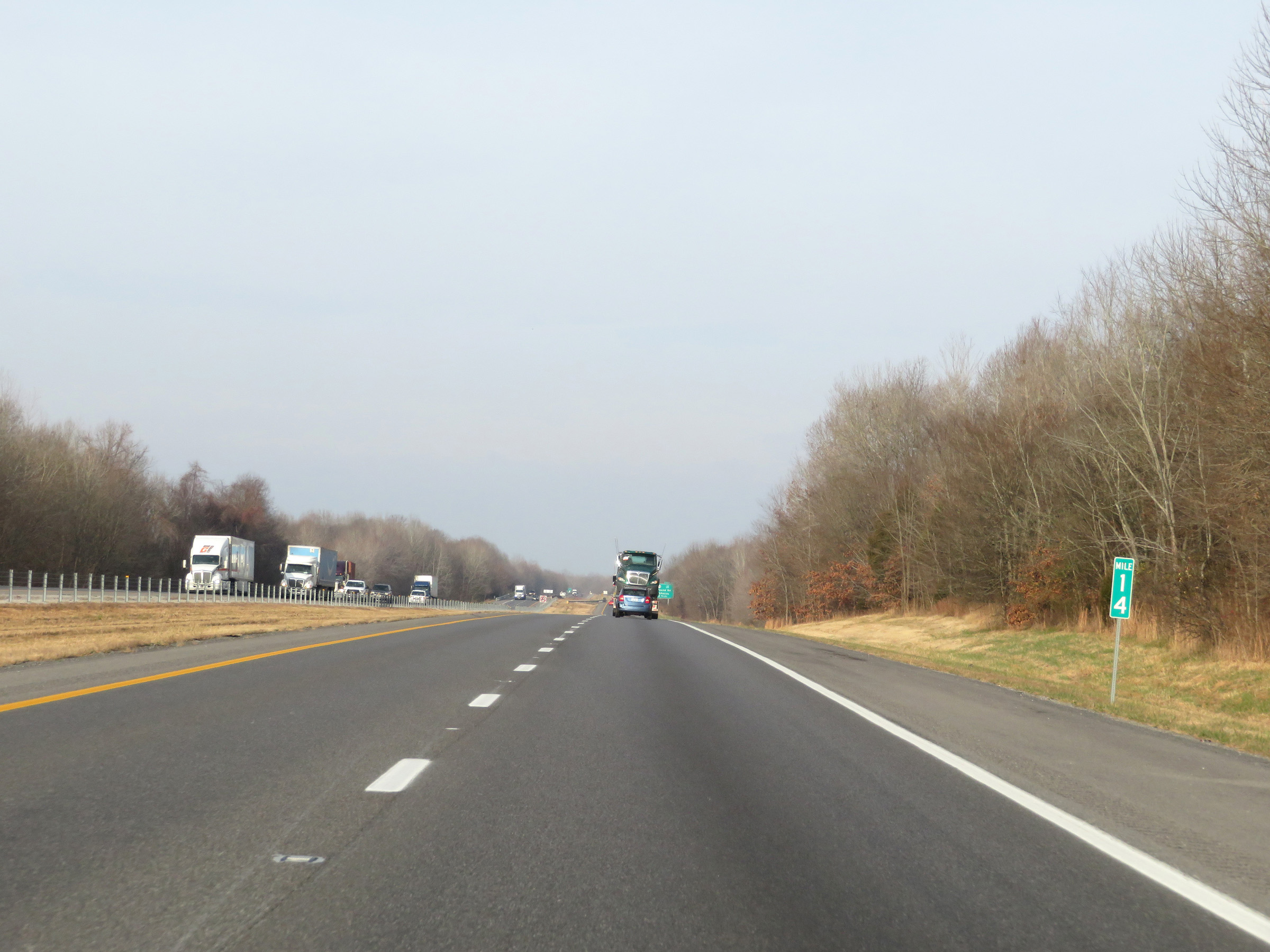 |
Mile marker 14 on Interstate 24 West in McCracken County. (Photo taken 12/15/20). |
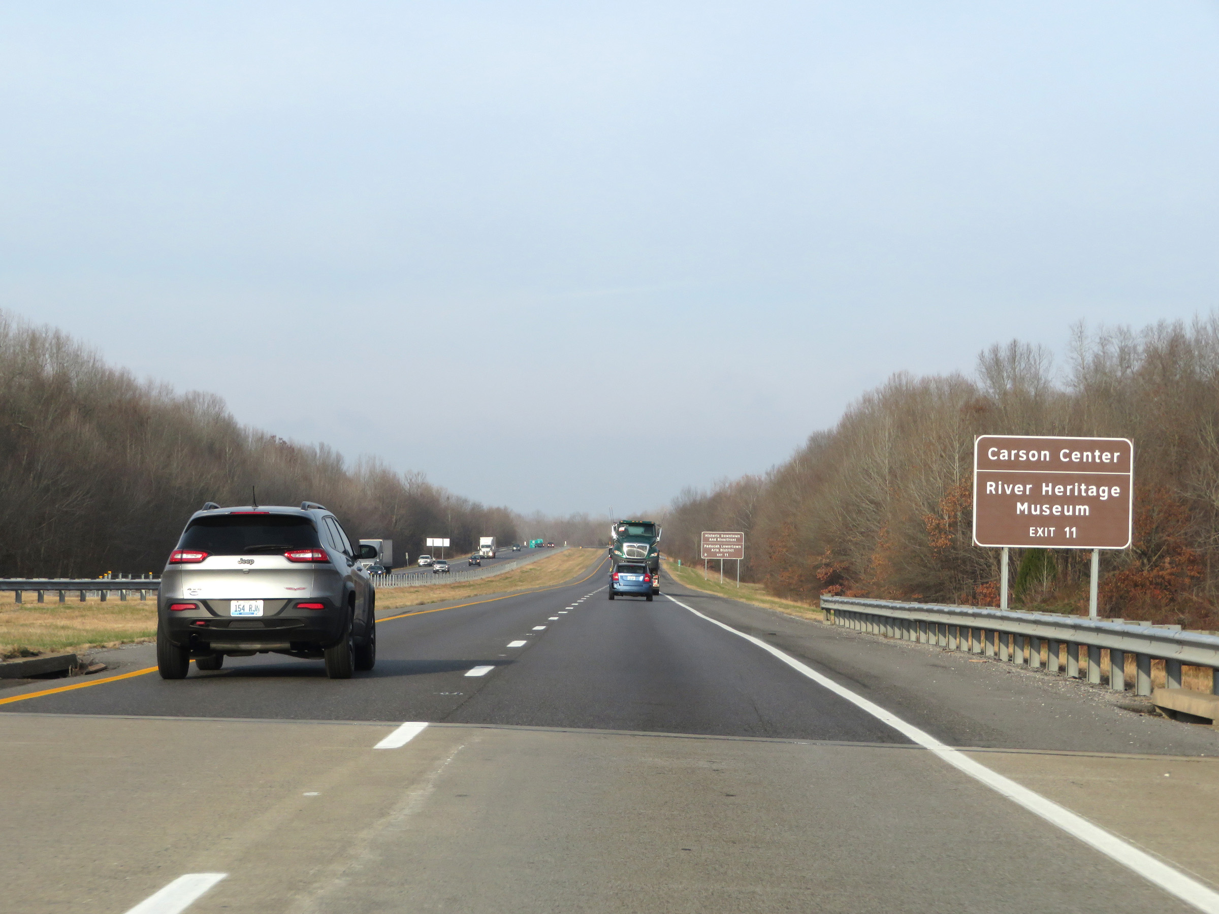 |
Take Exit 11 to Carson Center and the River Heritage Museum. (Photo taken 12/15/20). |
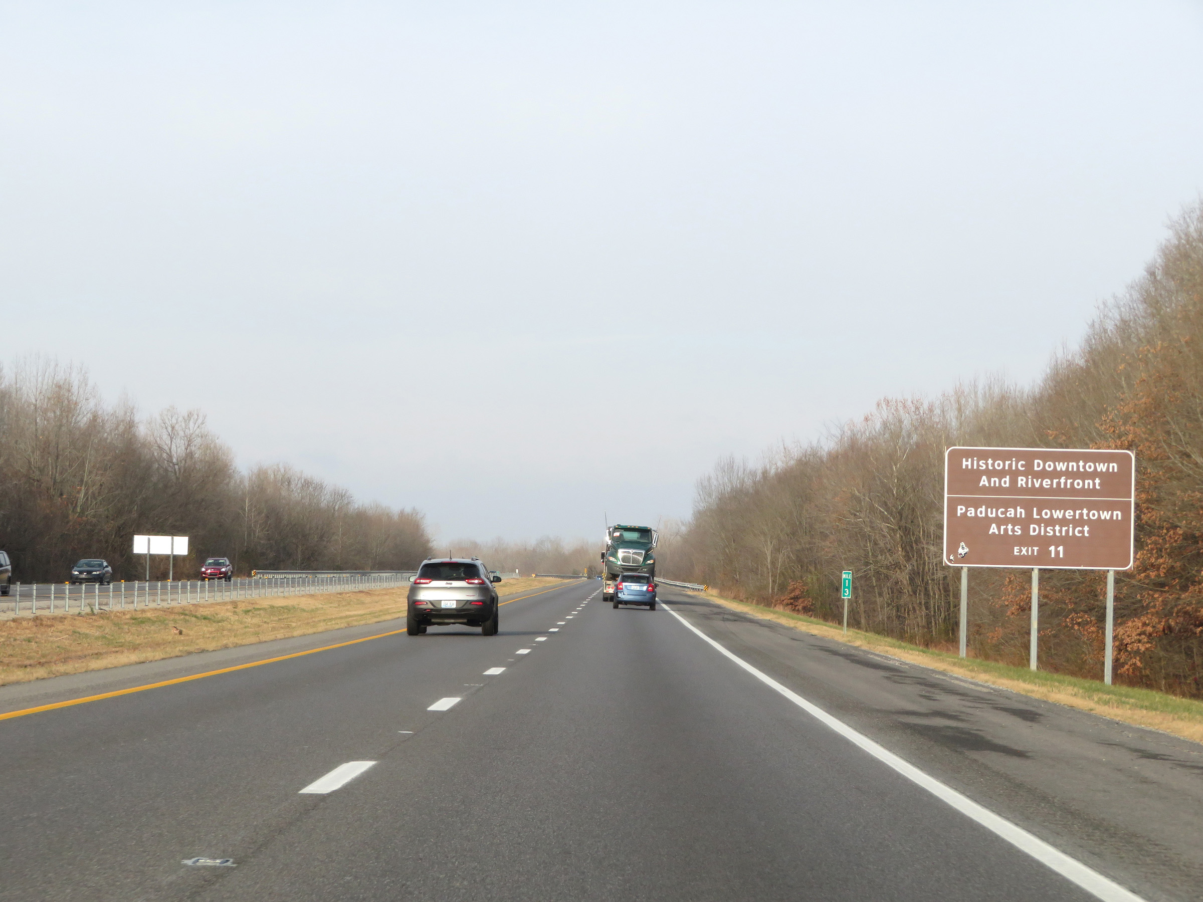 |
Also take Exit 11 to Historic Downtown and Riverfront as well as Paducah Lowertown Arts District. (Photo taken 12/15/20). |
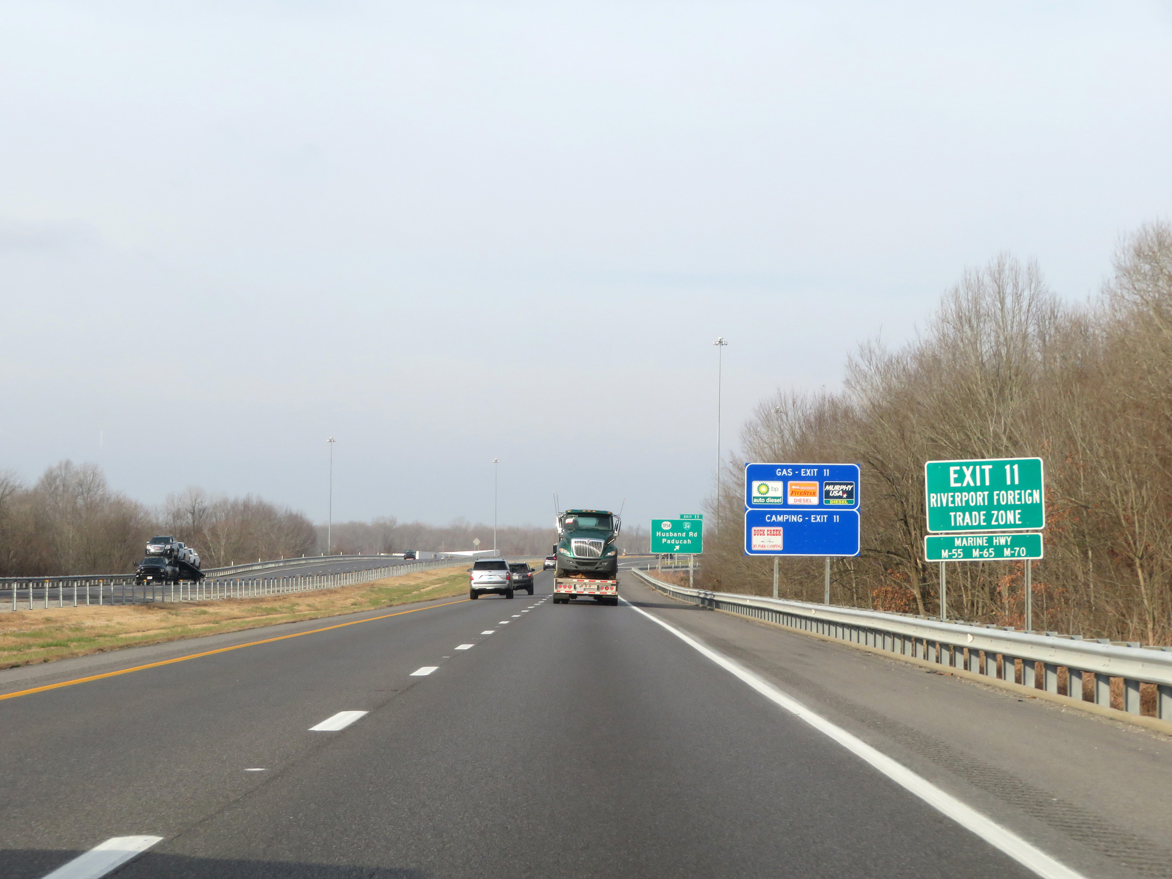 |
Take Exit 11 to the Riverport Foreign Trade Zone as well. (Photo taken 12/15/20). |
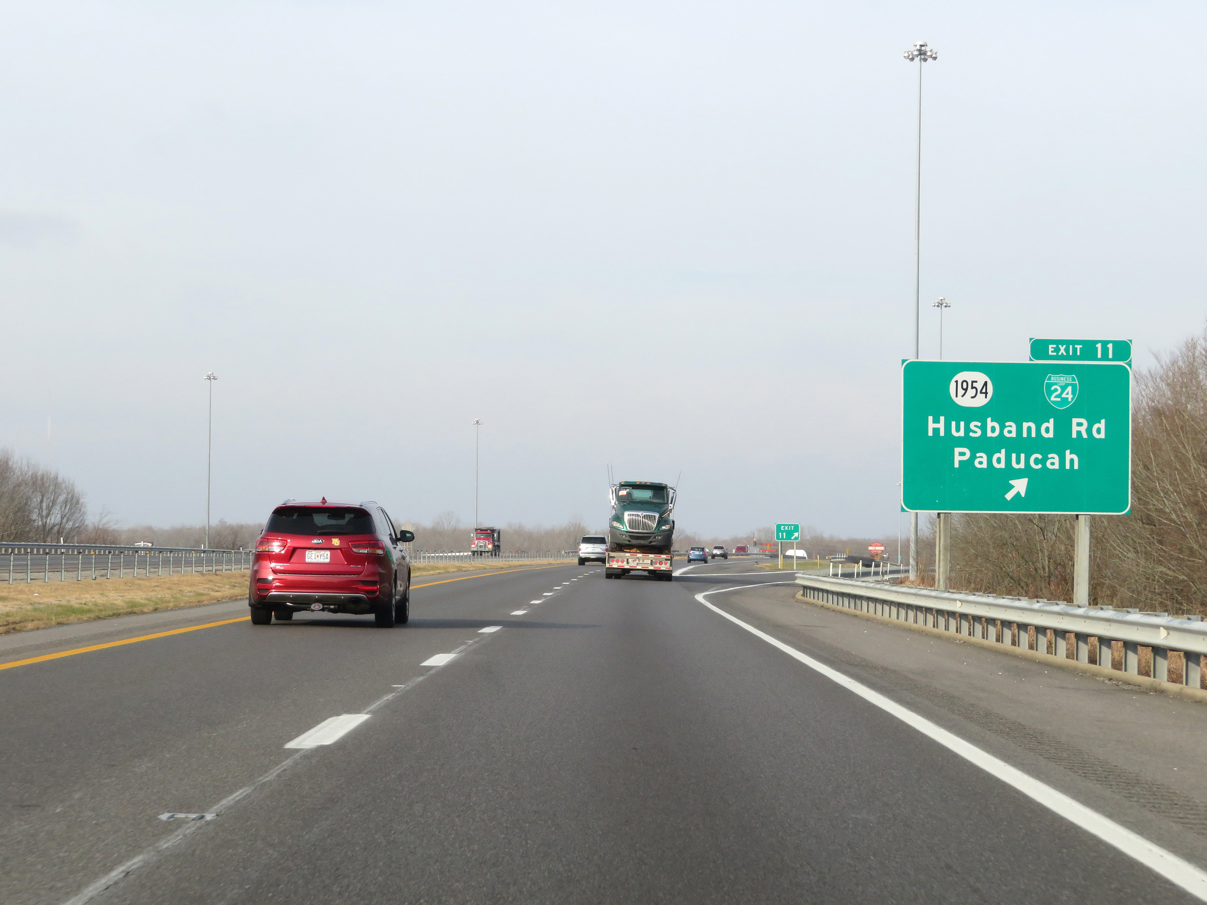 |
Interstate 24 West at Exit 11: KY 1954 / Interstate 24 Business Loop - Husband Rd / Paducah (Photo taken 12/15/20). |
 |
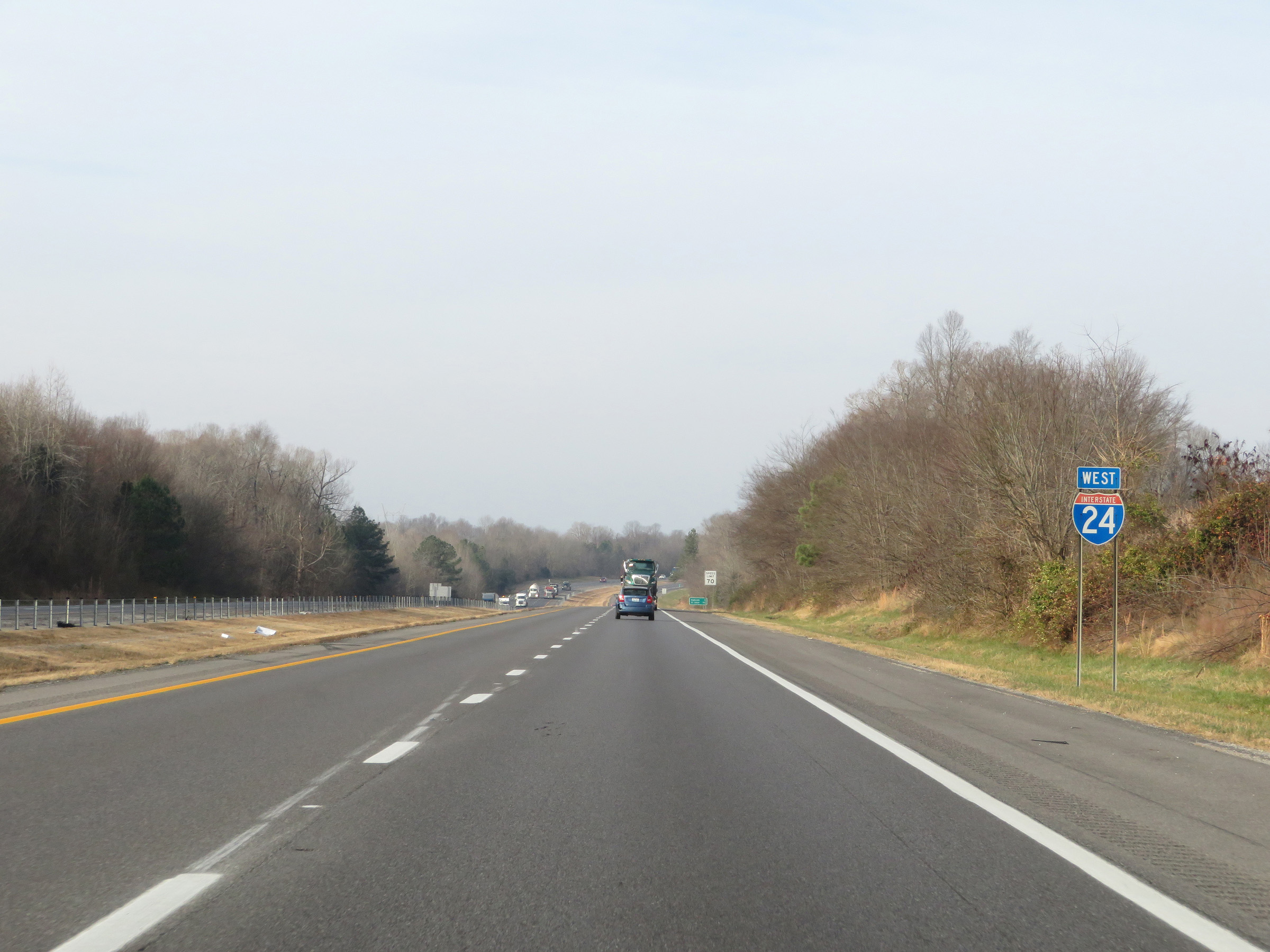
The speed limit remains 70 mph on Interstate 24 West. (Photo taken 12/15/20). |
 |
Interstate 24 West at mile marker 10. (Photo taken 12/15/20). |
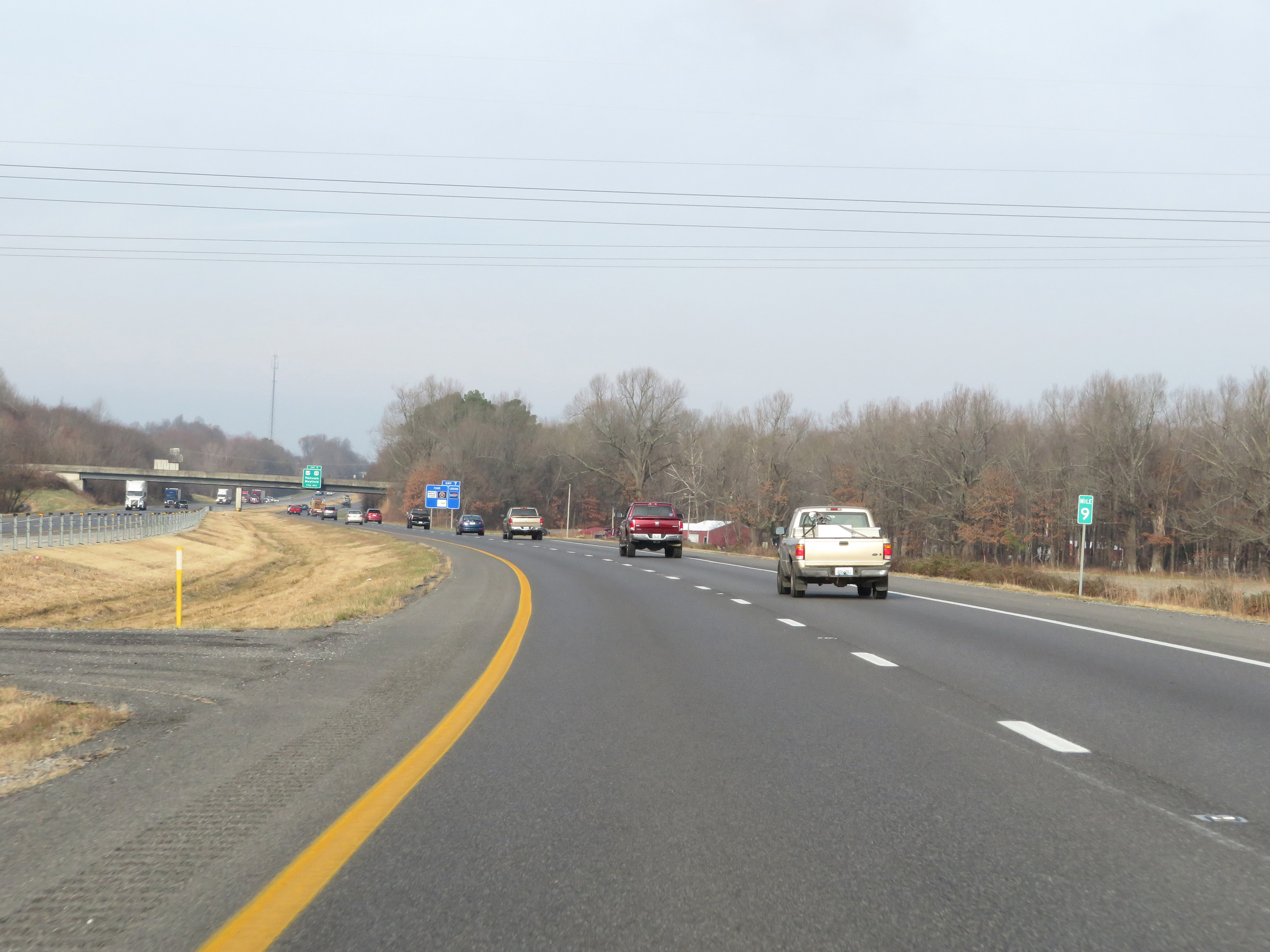 |
View on Interstate 24 West at mile marker 9. (Photo taken 12/15/20). |
 |
Take Exit 7 to West Kentucky Community and Technical College as well as Murray State University Paducah Campus. (Photo taken 12/15/20). |
 |
Also take Exit 7 to Purple Toad Winery. (Photo taken 12/15/20). |
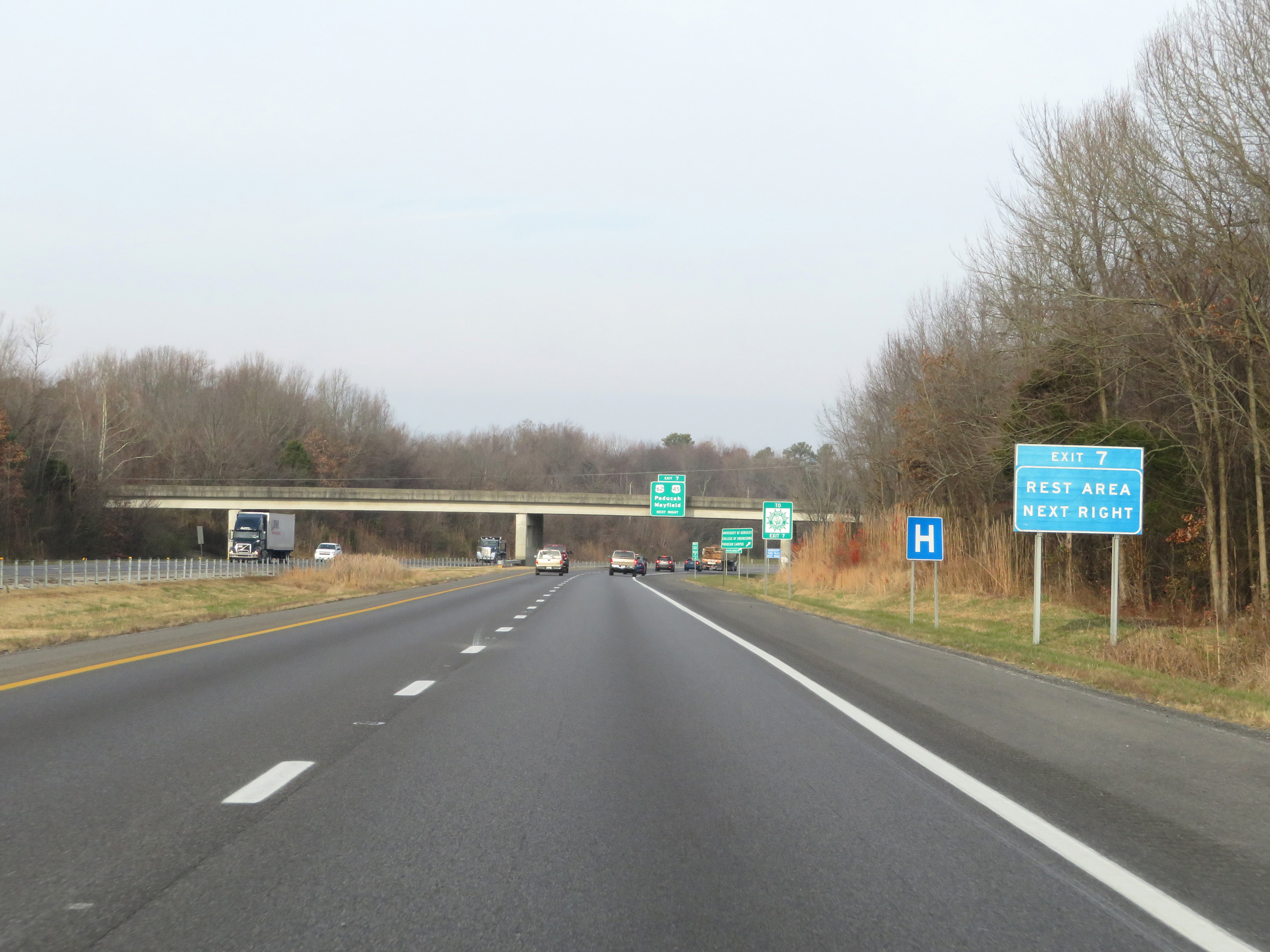 |
A Rest Area exists off Exit 7. (Photo taken 12/15/20). |
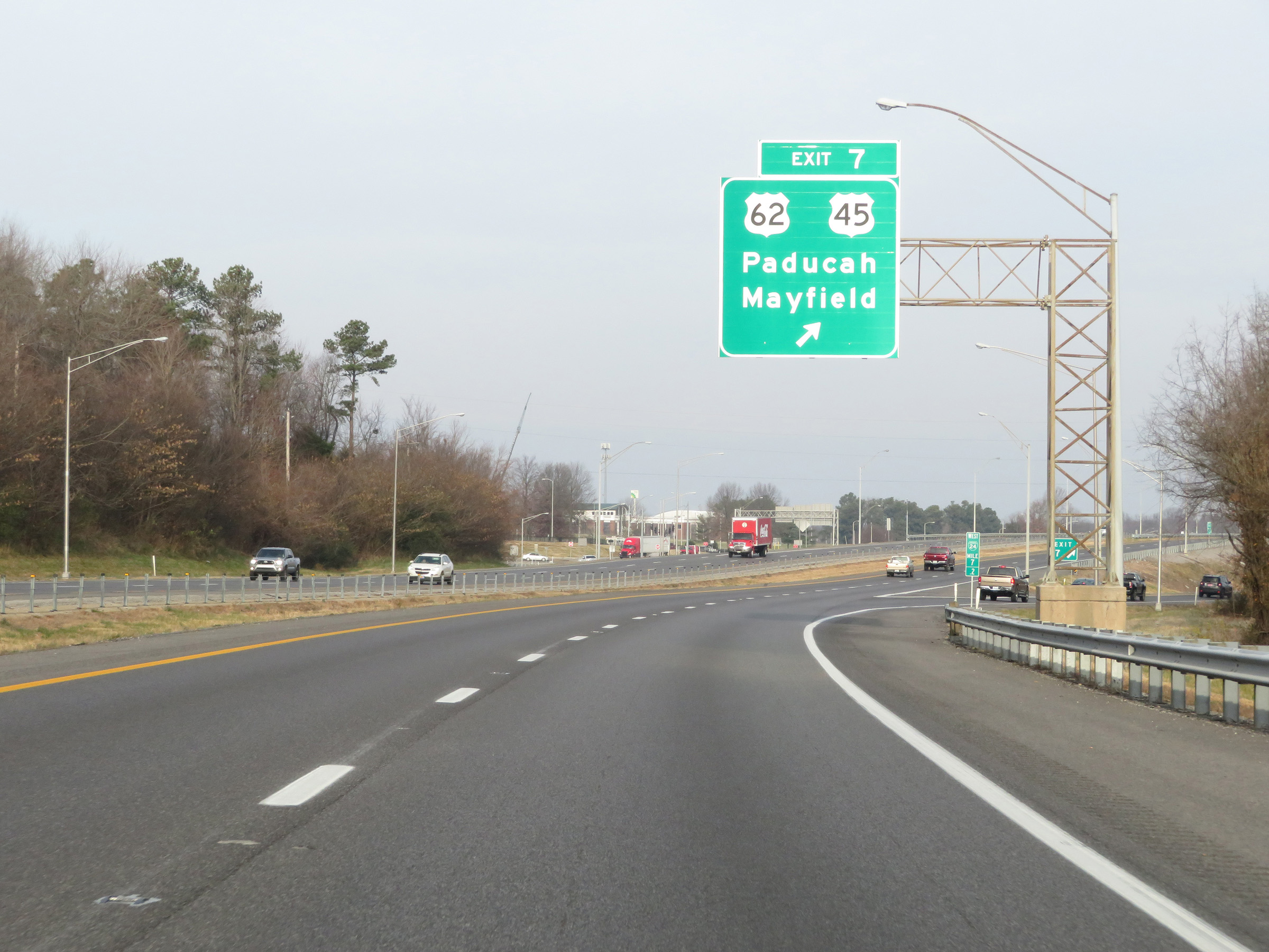 |
Interstate 24 West at Exit 7: US 62 / US 45 - Paducah / Mayfield (Photo taken 12/15/20). |
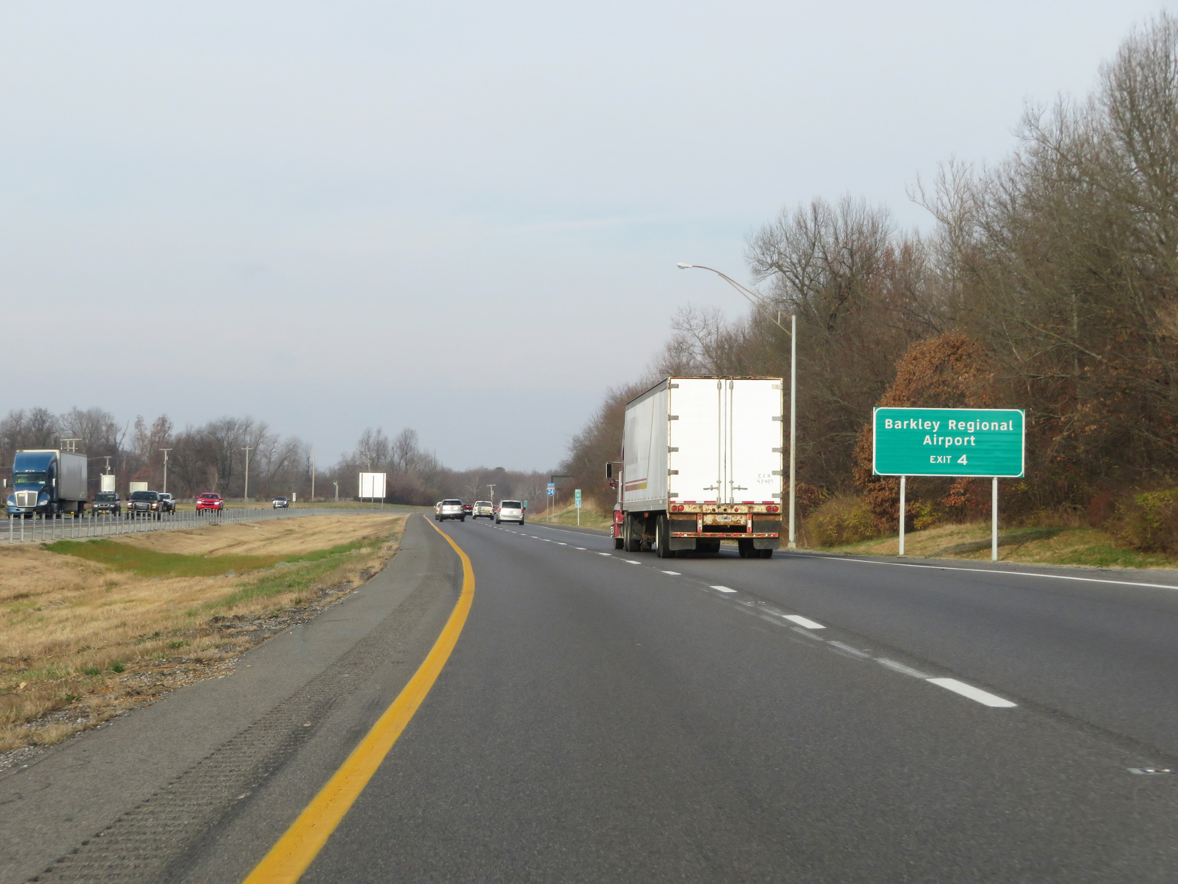 |
Take Exit 4 to Barkley Regional Airport. (Photo taken 12/15/20). |
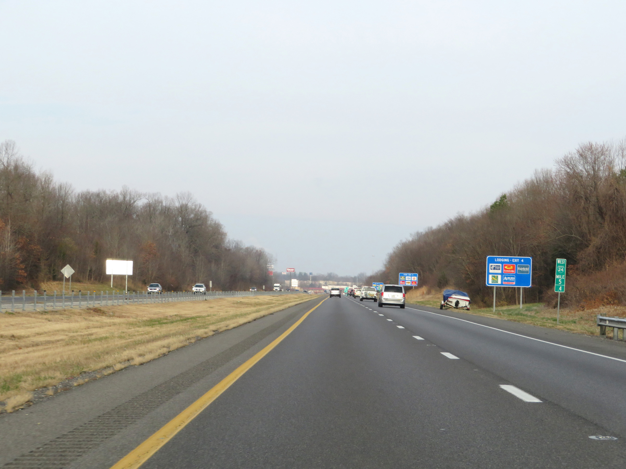 |
Mile marker 5.4 on Interstate 24 West in McCracken County. It's a shame they used the Business shield on these mileposts instead of the proper Interstate shield. (Photo taken 12/15/20). |
 |
Also take Exit 4 to McCracken County High School. (Photo taken 12/15/20). |
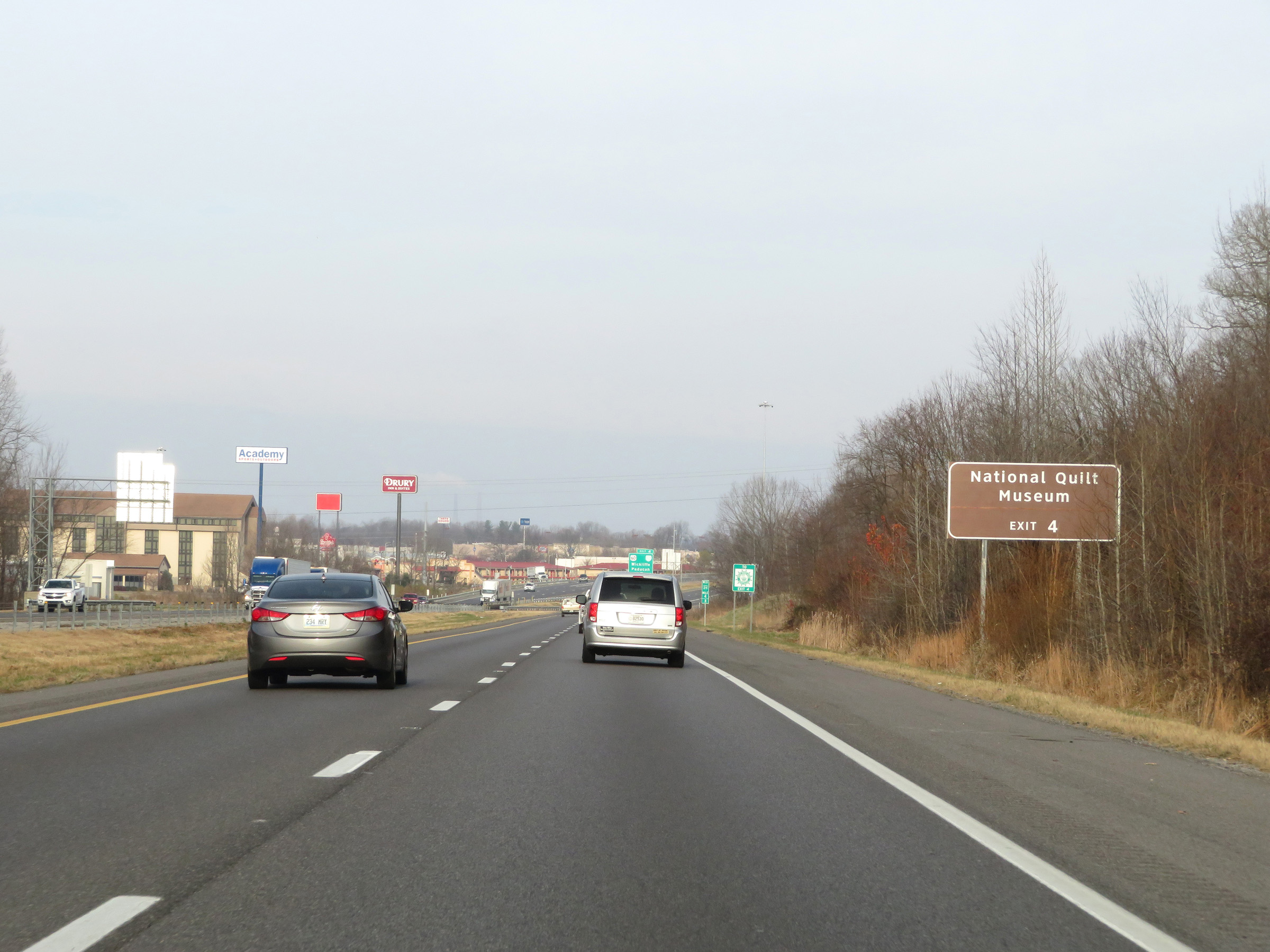 |
Take Exit 4 to the National Quilt Museum as well. (Photo taken 12/15/20). |
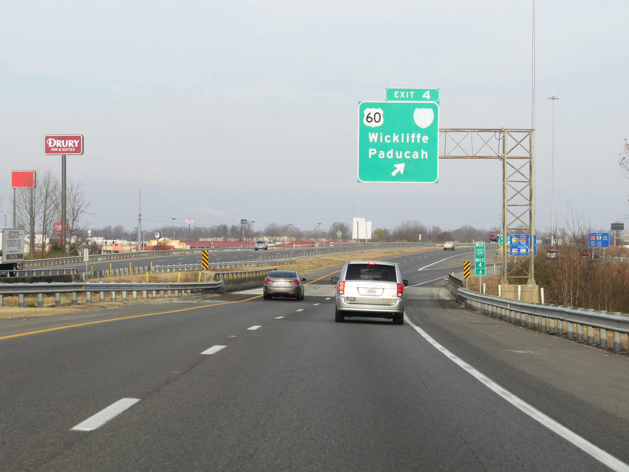 |
Interstate 24 West at Exit 4: US 60 / Interstate 24 Business Loop - Wickliffe / Paducah (Photo taken 12/15/20). |
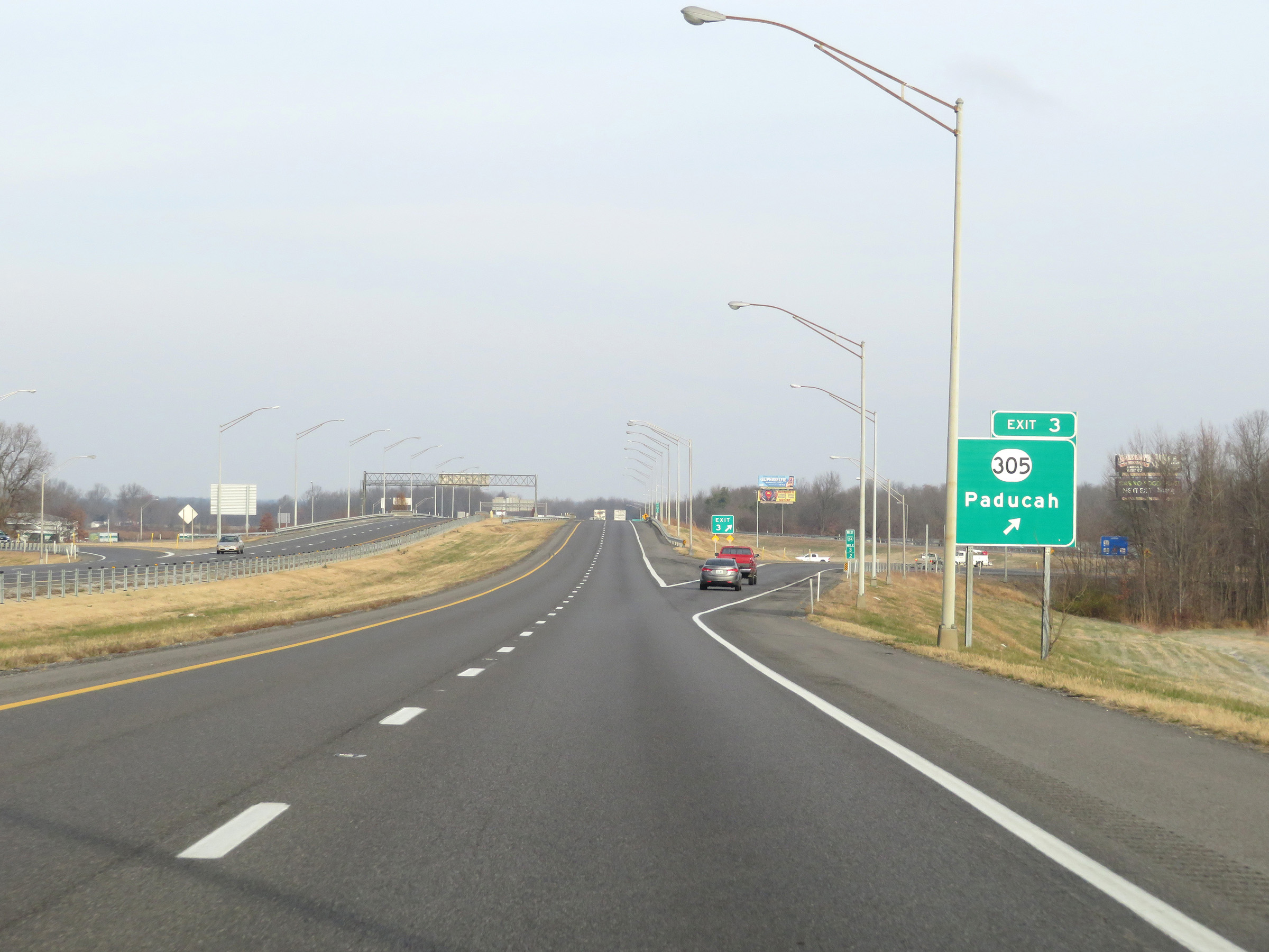 |
Interstate 24 West at Exit 3: KY 305 - Paducah (Photo taken 12/15/20). |
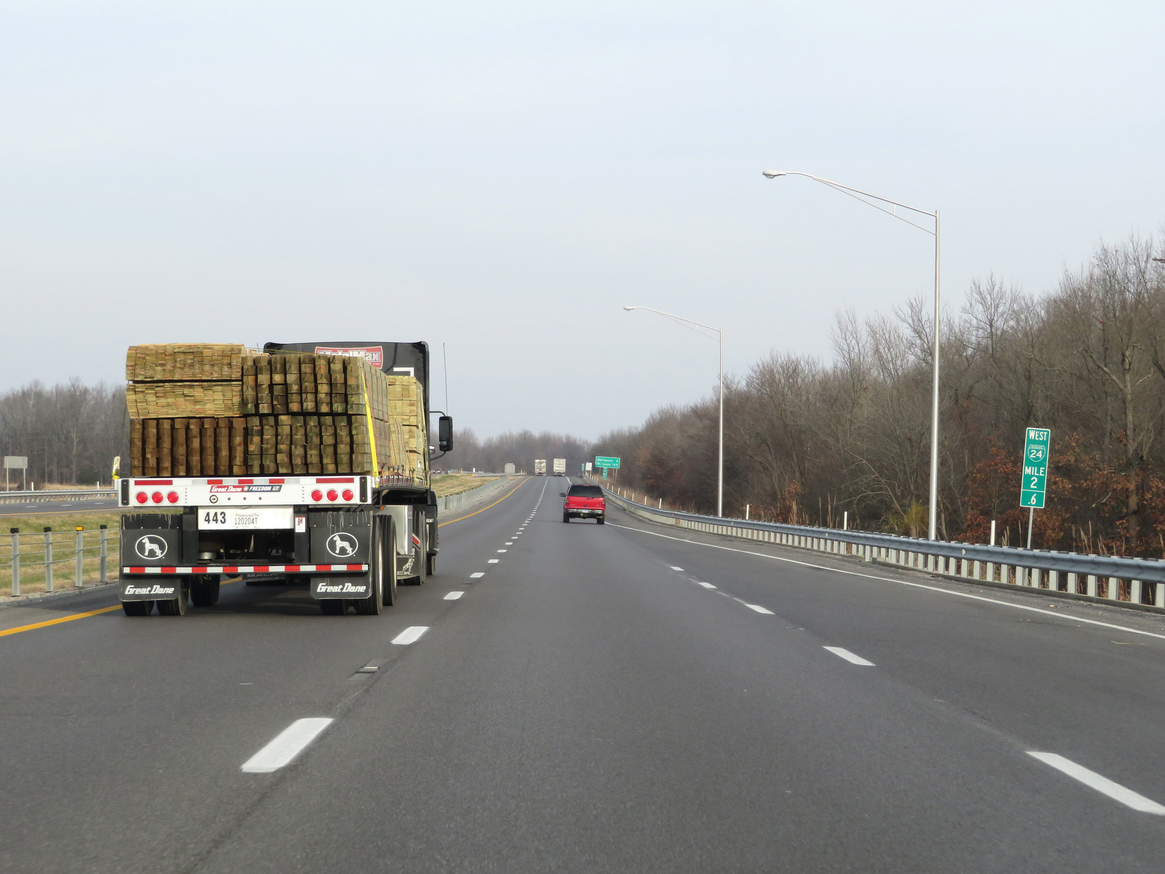 |
View on Interstate 24 West at mile marker 2.6. (Photo taken 12/15/20). |
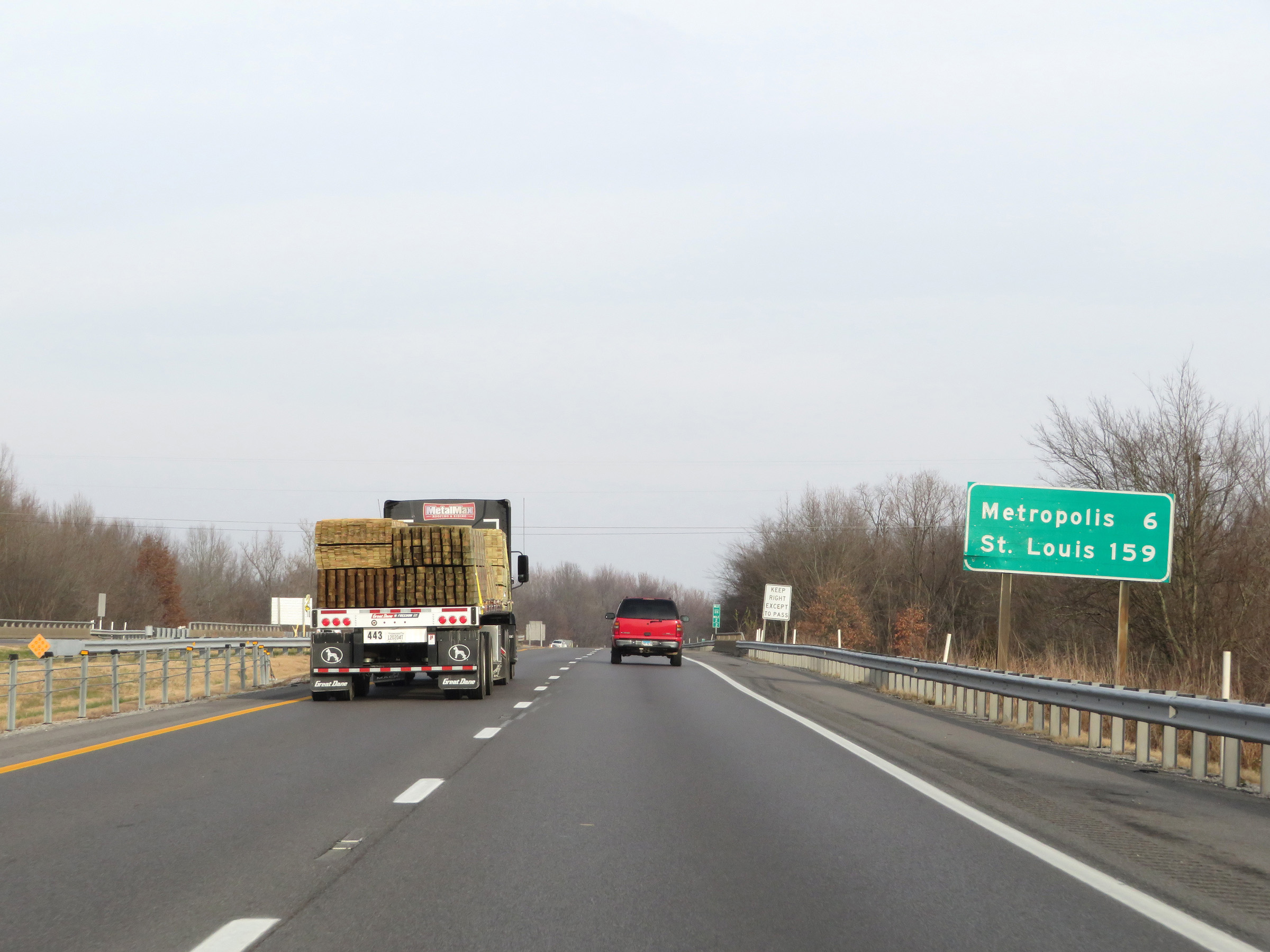 |
Another mileage sign on Interstate 24 West. It's 6 miles to Metropolis and 159 miles to St. Louis. (Photo taken 12/15/20). |
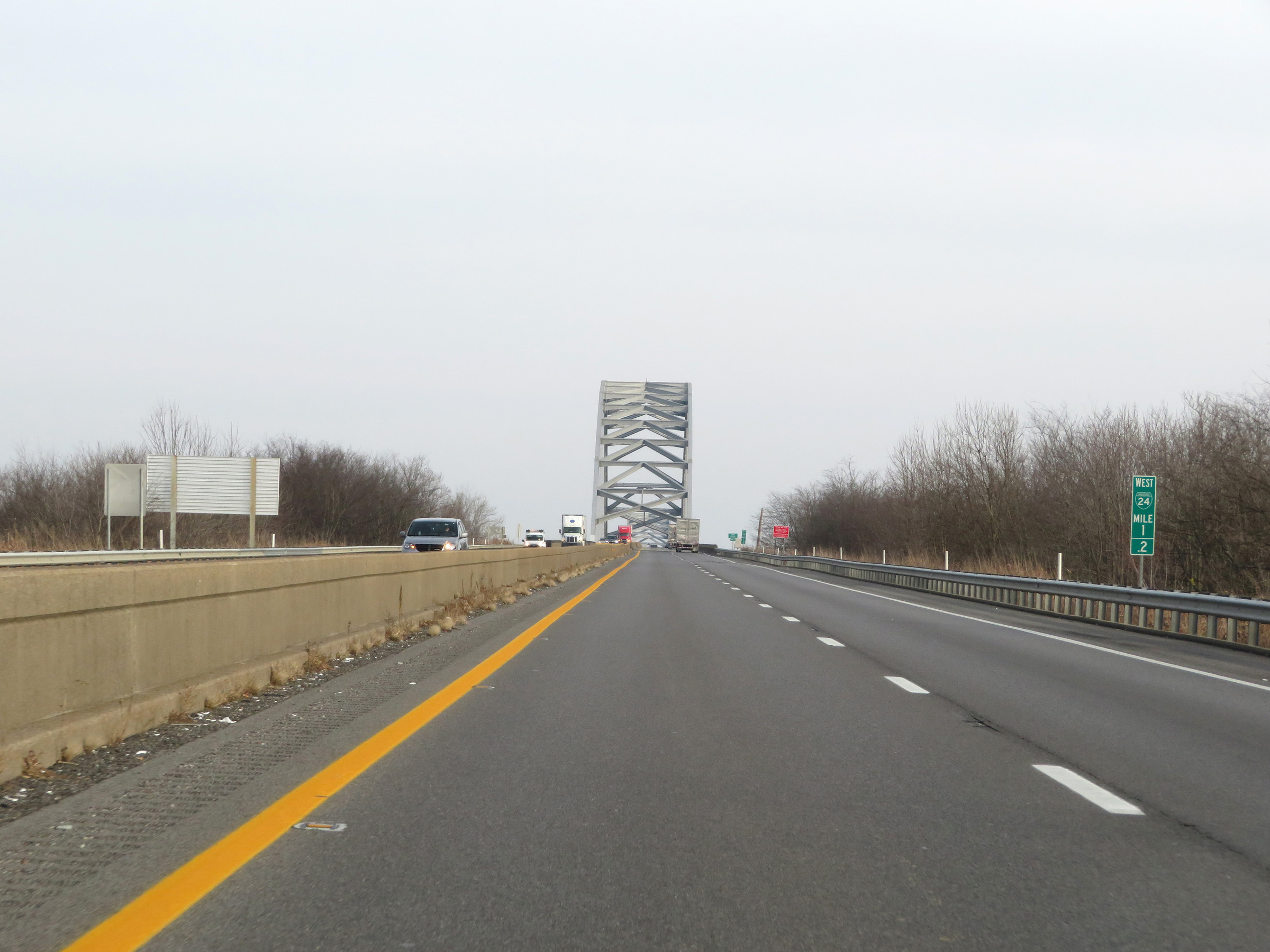 |
At mile marker 1.2, the Interstate 24 Bridge over the Ohio River comes into clear view. (Photo taken 12/15/20). |
 |
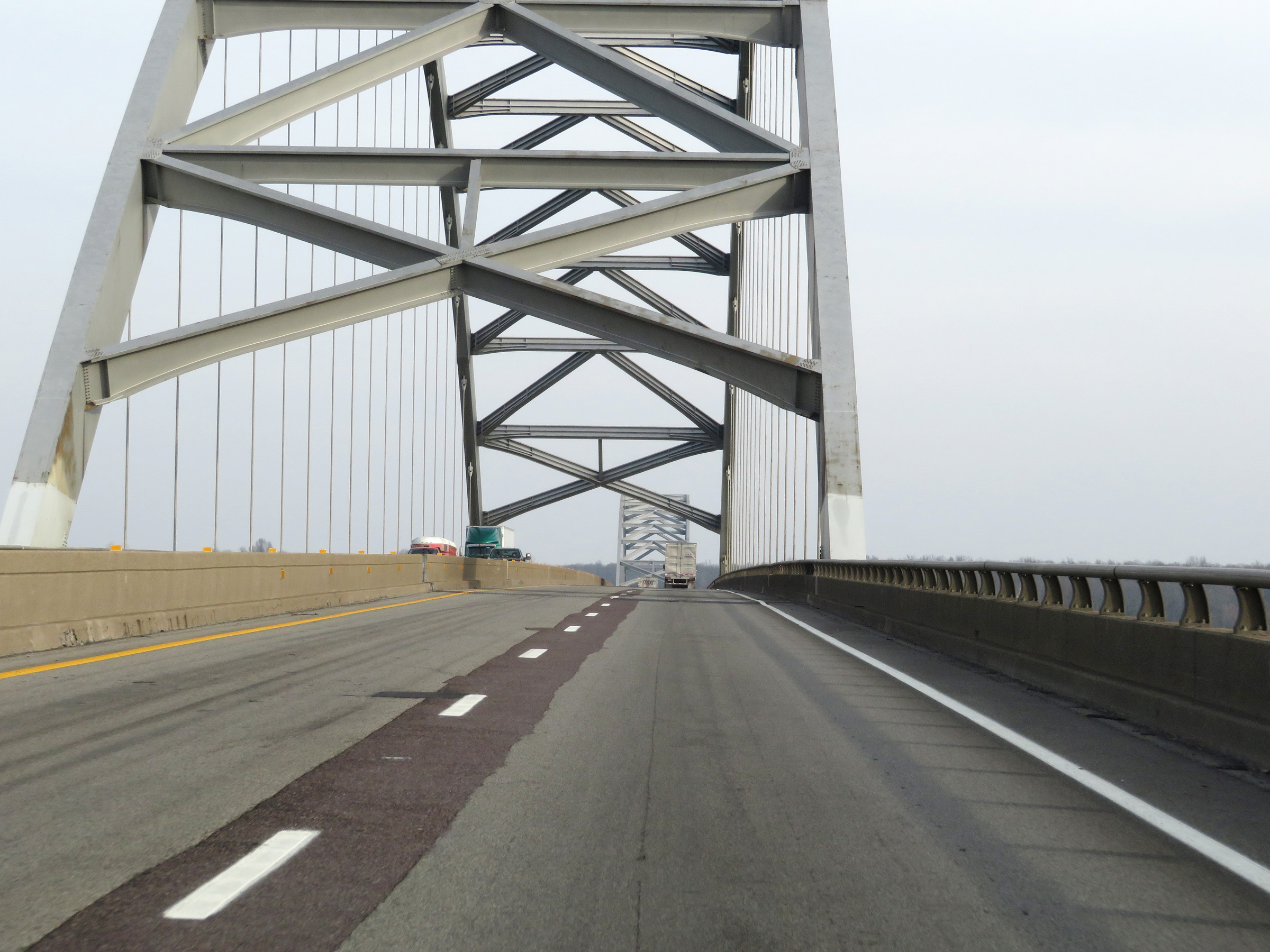
Interstate 24 West as it starts across the Interstate 24 Bridge over the Ohio River at mile marker 1. (Photo taken 12/15/20). |
 |
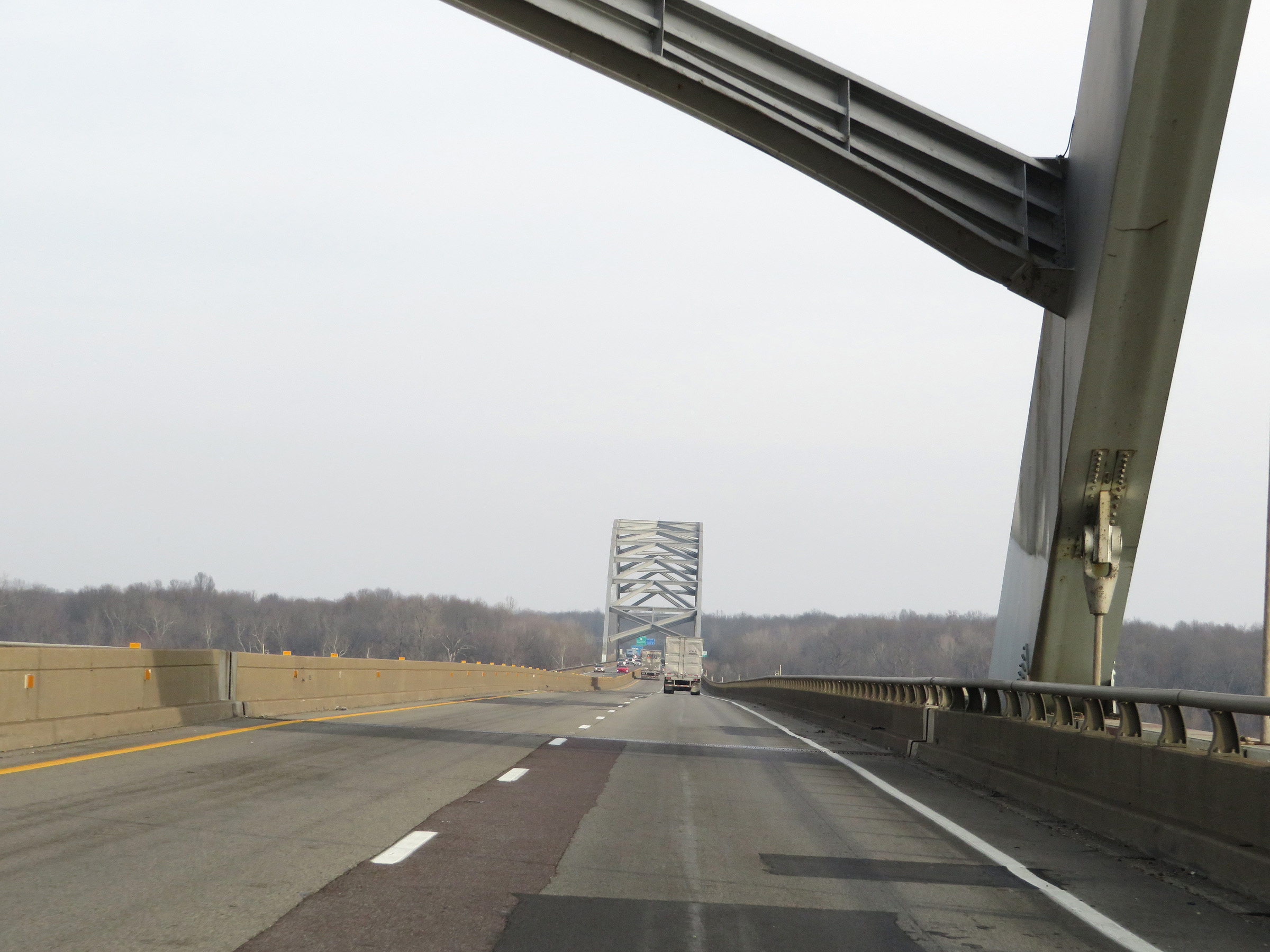
View on Interstate 24 West as it crosses the Interstate 24 Bridge over the Ohio River. (Photo taken 12/15/20). |
 |
Another view on the Interstate 24 Bridge on Interstate 24 West. (Photo taken 12/15/20). |
 |
Interstate 24 West as it continues across the Ohio River on the Interstate 24 Bridge. (Photo taken 12/15/20). |
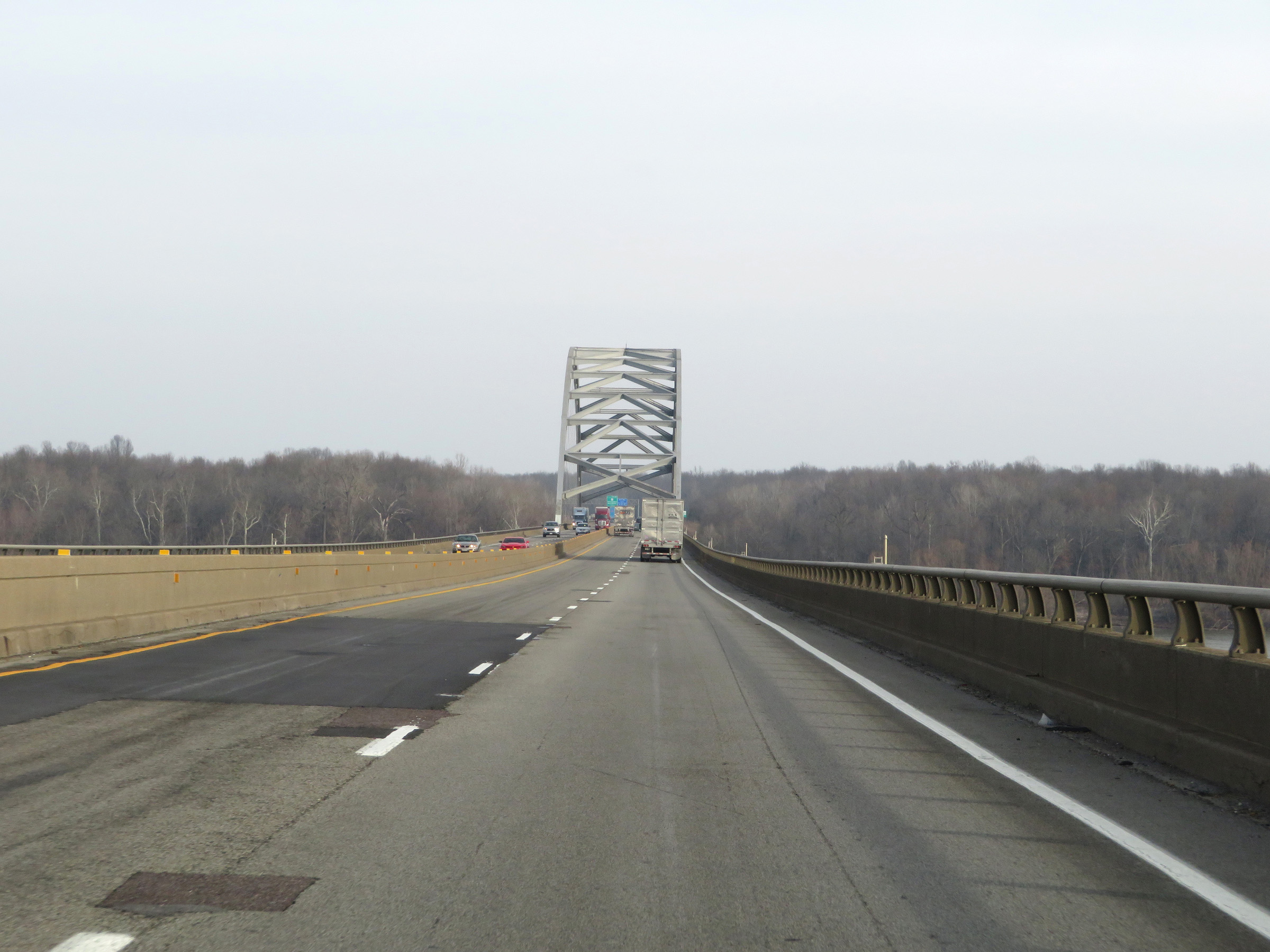 |
Interstate 24 West will cross the state line into Illinois once across the Interstate 24 Bridge over the Ohio River. (Photo taken 12/15/20). |
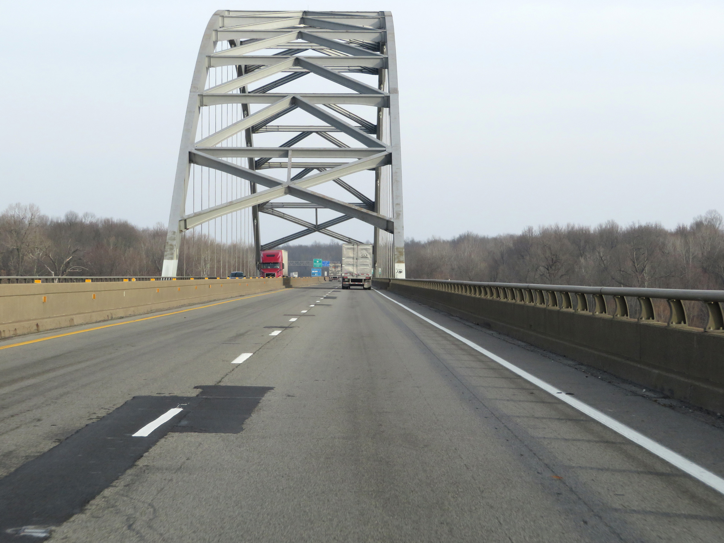 |
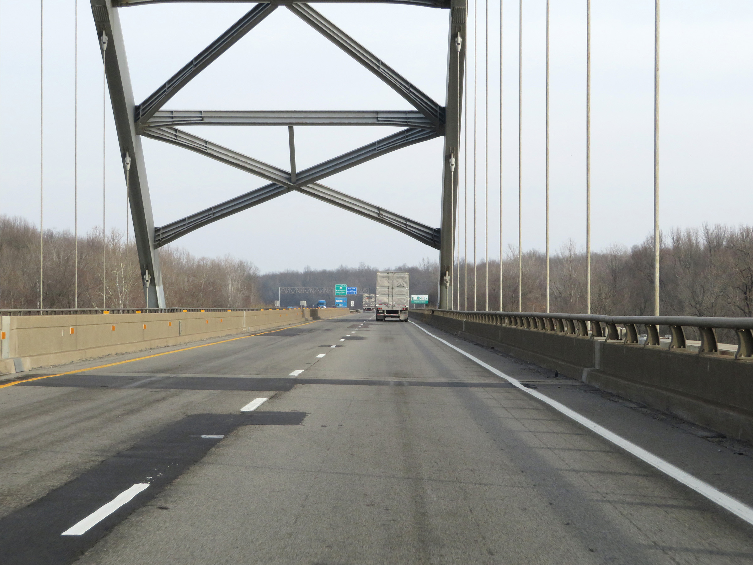
Another view on Interstate 24 West as it crosses the Ohio River on the Interstate 24 Bridge, approaching the Illinois border. (Photo taken 12/15/20). |
 |
Here, Interstate 24 West crosses the state line into Illinois while on the Interstate 24 Bridge over the Ohio River. (Photo taken 12/15/20). |