Road Information |
||
 |
||
| Total Mileage in State: | 34 miles | |
| Northern End: | At I-69 / Western KY Pkwy, near Nortonville | |
| Southern End: | At I-24, near Hopkinsville | |
| Mileage covered in Photos: | 34 miles | |
| Counties covered in Photos: | Hopkins, Christian | |
| Major Junctions in Photos: | I-69 / Western KY Pkwy, near Nortonville US 41, in Hopkinsville I-24, near Hopkinsville |
|
| Control Cities in Photos: | Nortonville, Hopkinsville | |
Southbound
 |
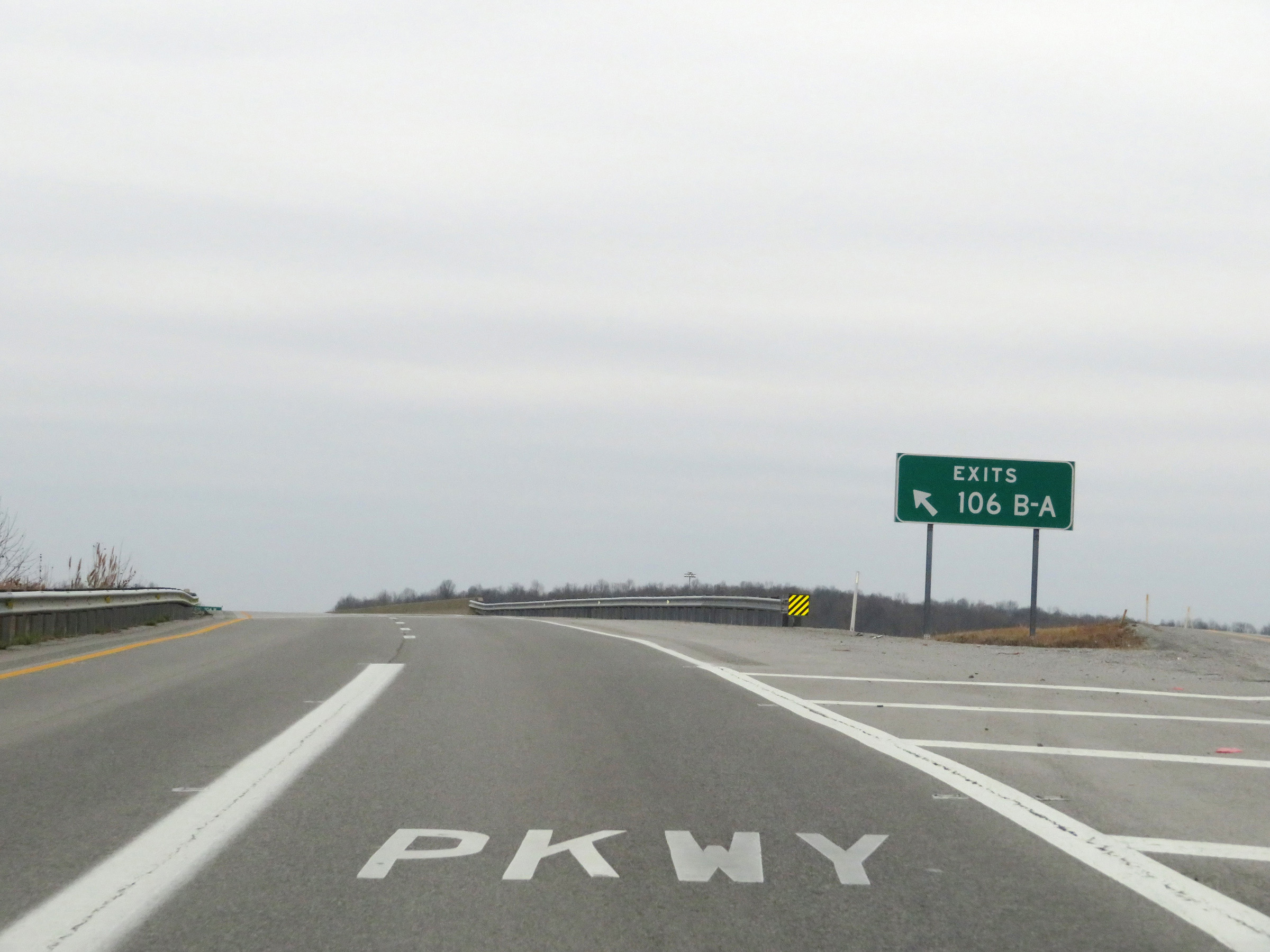
Interstate 169 South and the Western Kentucky Parkway East can be accessed via Exits 106B-A on Interstate 69 South near Nortonville, seen here. (Photo taken 12/15/20). |
 |
A closer view of the ramp to Interstate 169 South / Western Kentucky Pkwy East via Exits 106B-A. (Photo taken 12/15/20). |
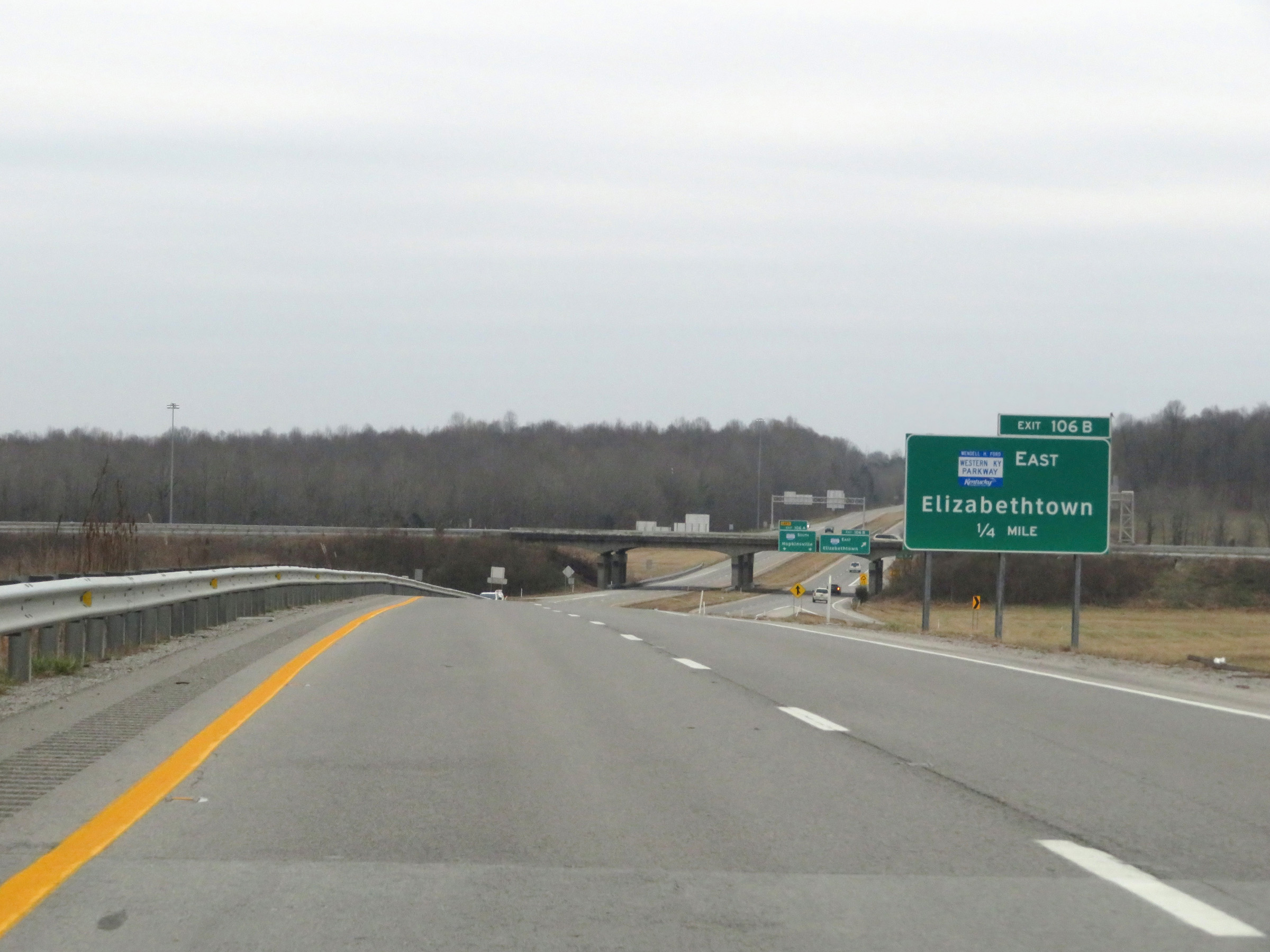 |
Traffic to the Western Kentucky Parkway East toward Elizabethtown will have to exit off to the right ahead onto Exit 106B as Interstate 169 South begins. (Photo taken 12/15/20). |
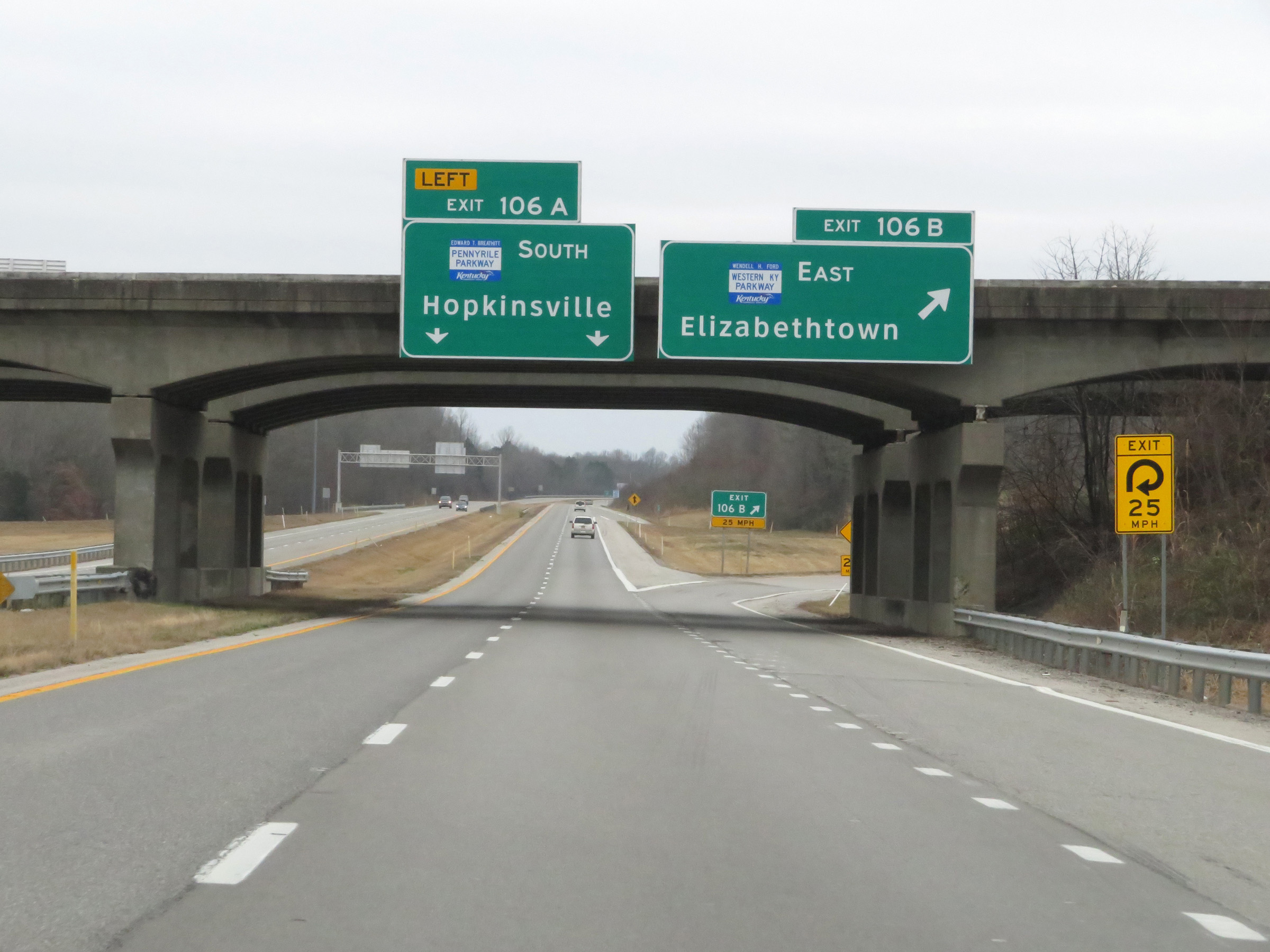 |
Here, the ramp to Exits 106B-A finally split. Interstate 169 South traffic can stay straight ahead onto Exit 106A. (Photo taken 12/15/20). |
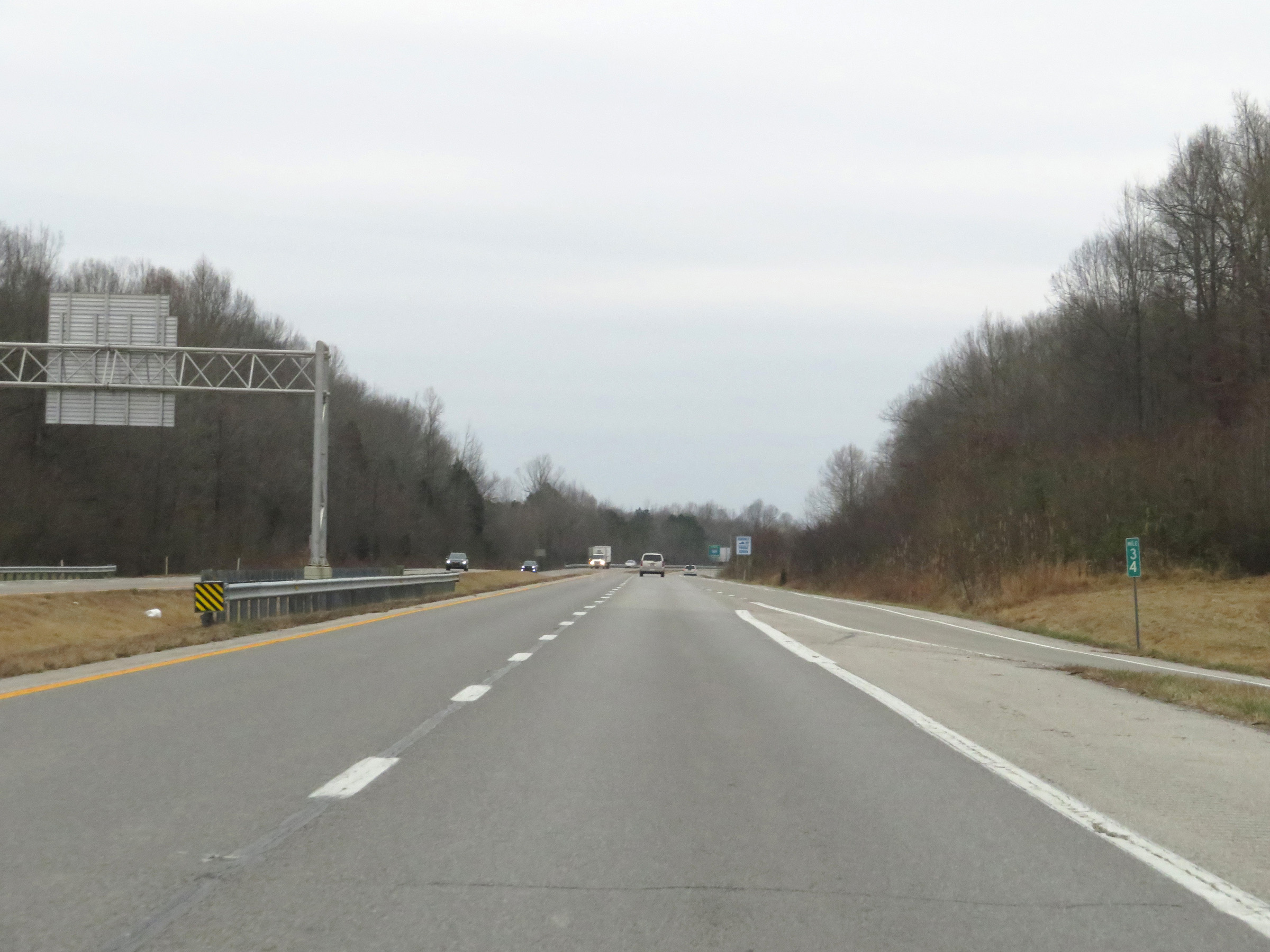 |
Interstate 169 South at mile marker 34, as it begins. (Photo taken 12/15/20). |
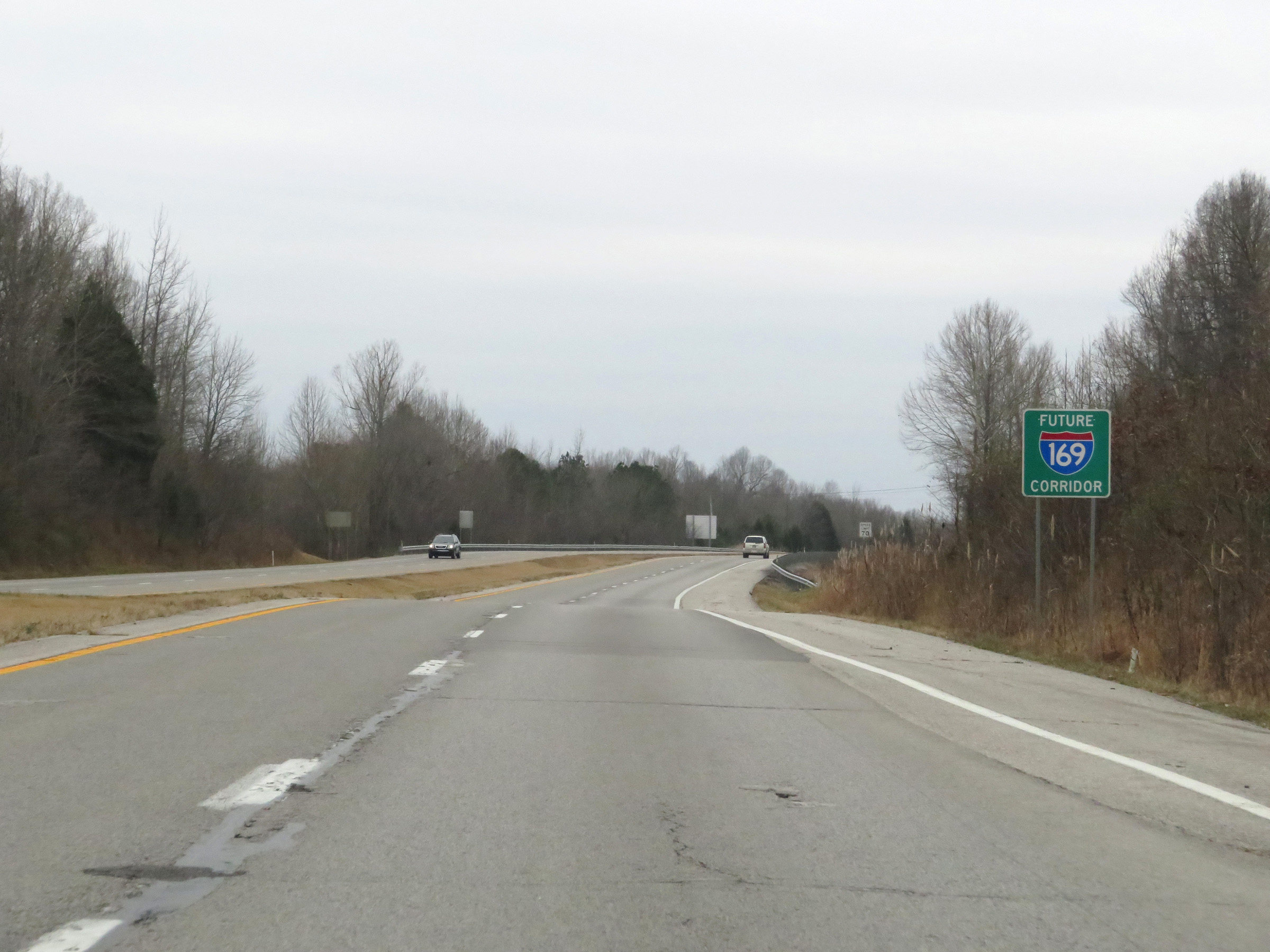 |
Future Interstate 169 reassurance marker. It's important to note that although I-169 in Kentucky was still signed as Future I-169 / Pennyrile Parkway at the time, it was designated in the middle of 2017 as part of the Interstate highway system. Therefore, I will refer to it as Interstate 169. (Photo taken 12/15/20). |
 |
The speed limit on Interstate 169 South starts out at 70 mph. This is the standard speed limit on most rural Interstate highways in Kentucky. (Photo taken 12/15/20). |
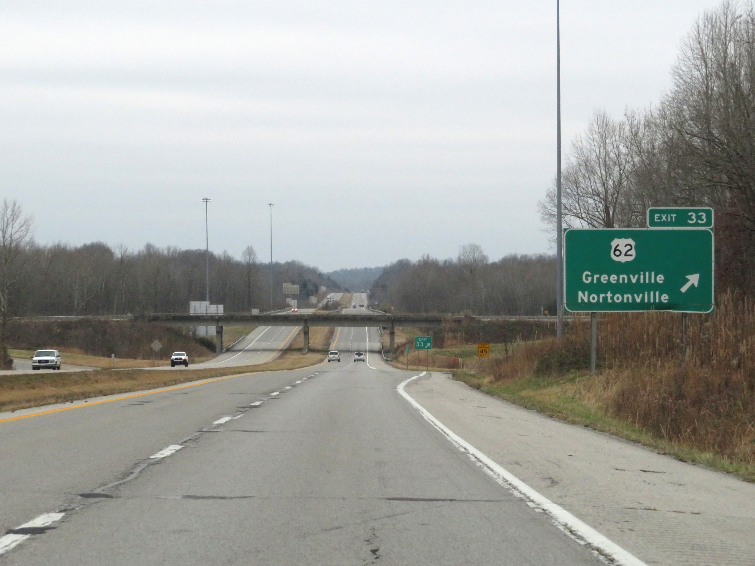 |
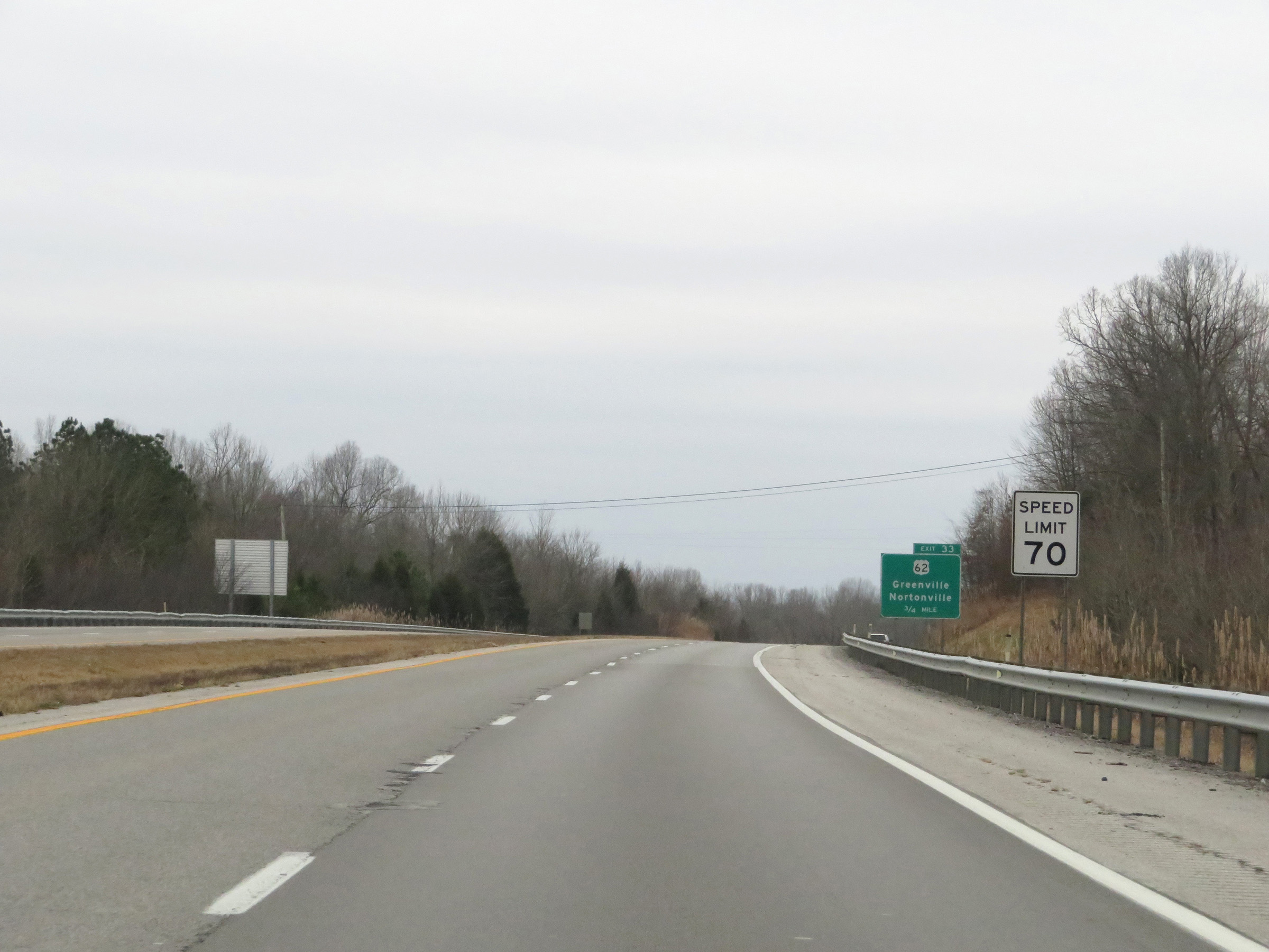
Interstate 169 South at Exit 33: US 62 - Greenville / Nortonville (Photo taken 12/15/20). |
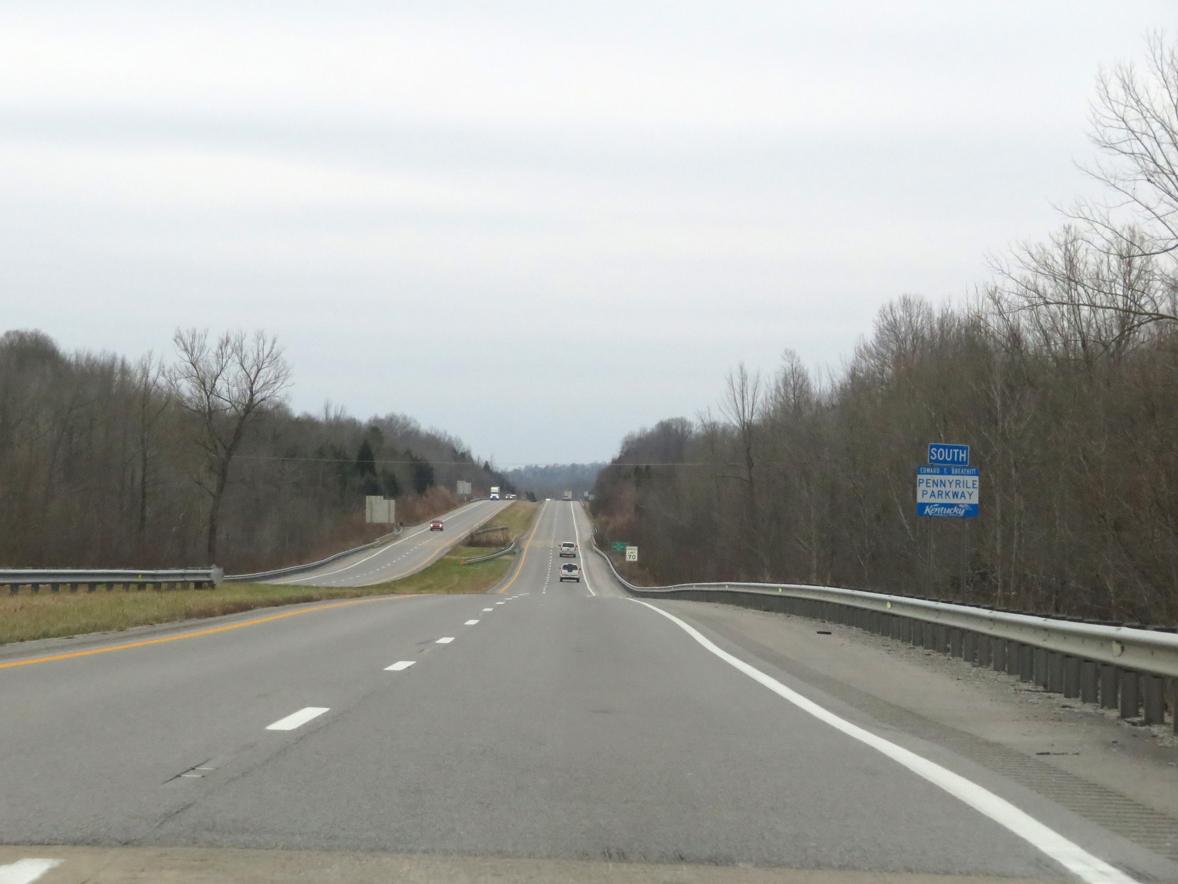 |
Pennyrile Pkwy South reassurance shield, which will soon be replaced with an Interstate 169 South reassurance shield. (Photo taken 12/15/20). |
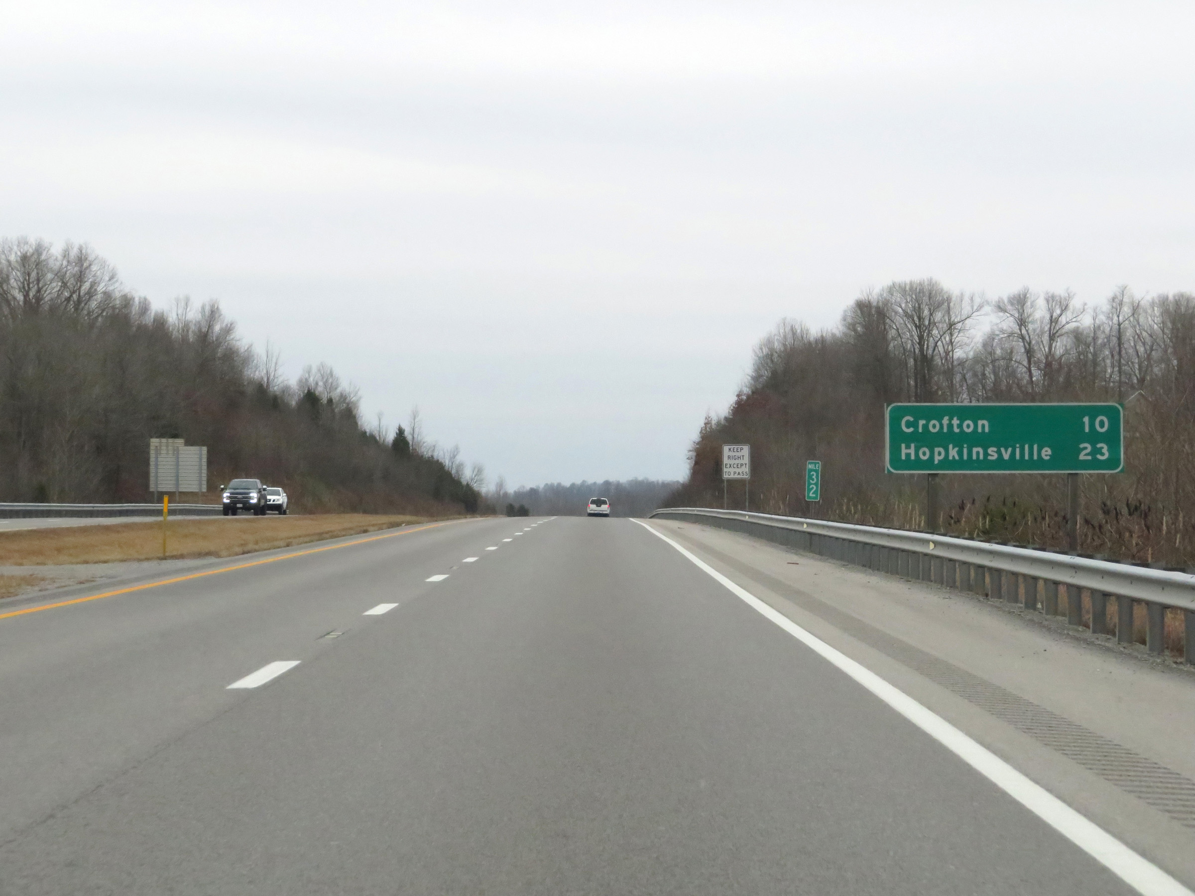 |
Mileage sign at mile marker 32. It's 10 miles to Crofton and 23 miles to Hopkinsville. (Photo taken 12/15/20). |
 |
Interstate 169 South at Exit 30: US 41 (Photo taken 12/15/20). |
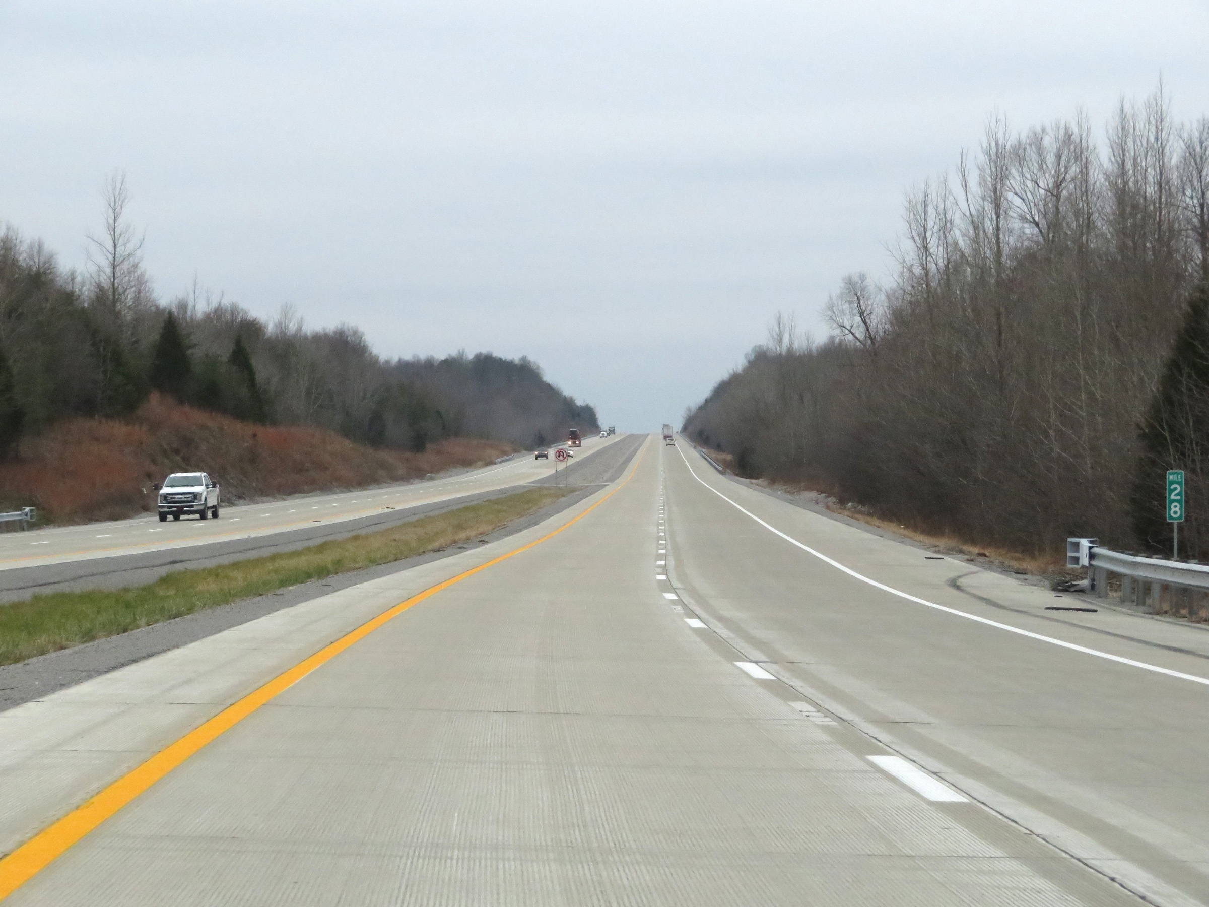 |
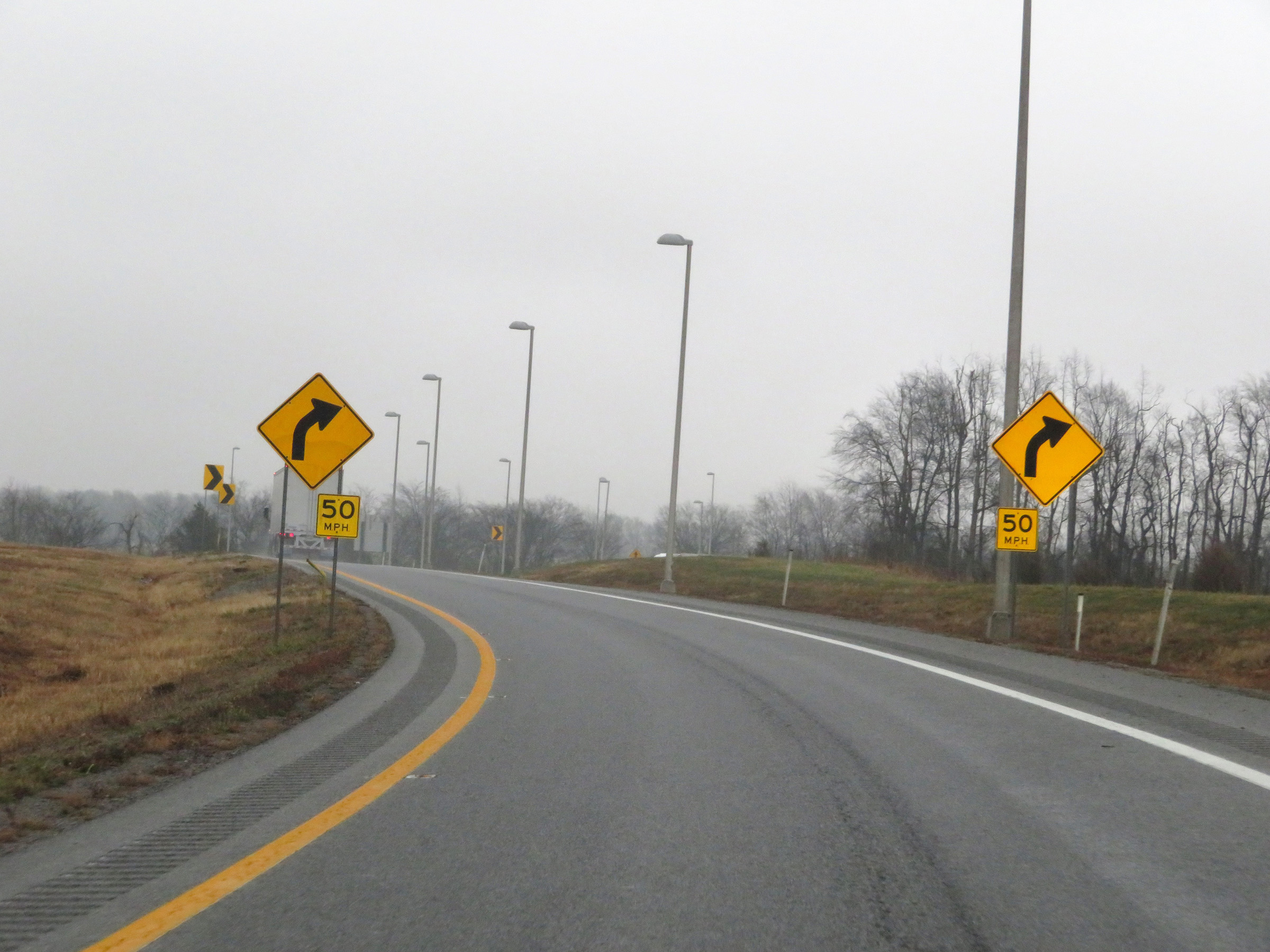
View on Interstate 169 South at mile marker 28. (Photo taken 12/15/20). |
 |
Interstate 169 South at mile marker 26. (Photo taken 12/15/20). |
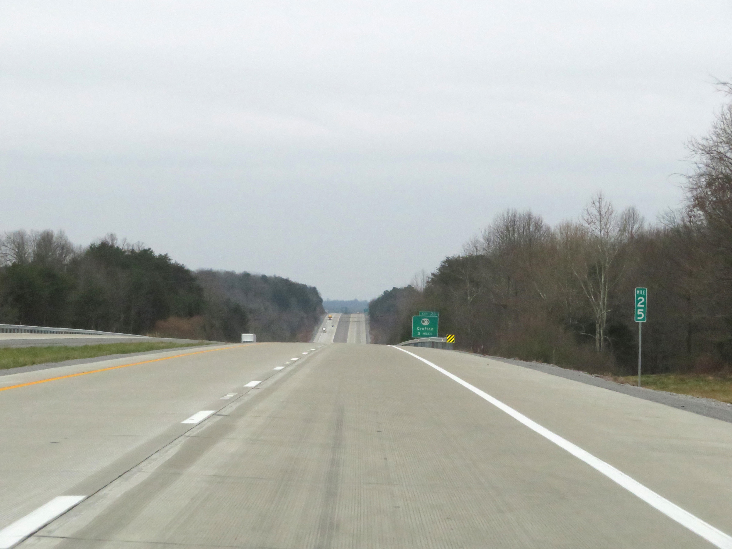 |
Mile marker 25 on Interstate 169 South in Hopkins County. (Photo taken 12/15/20). |
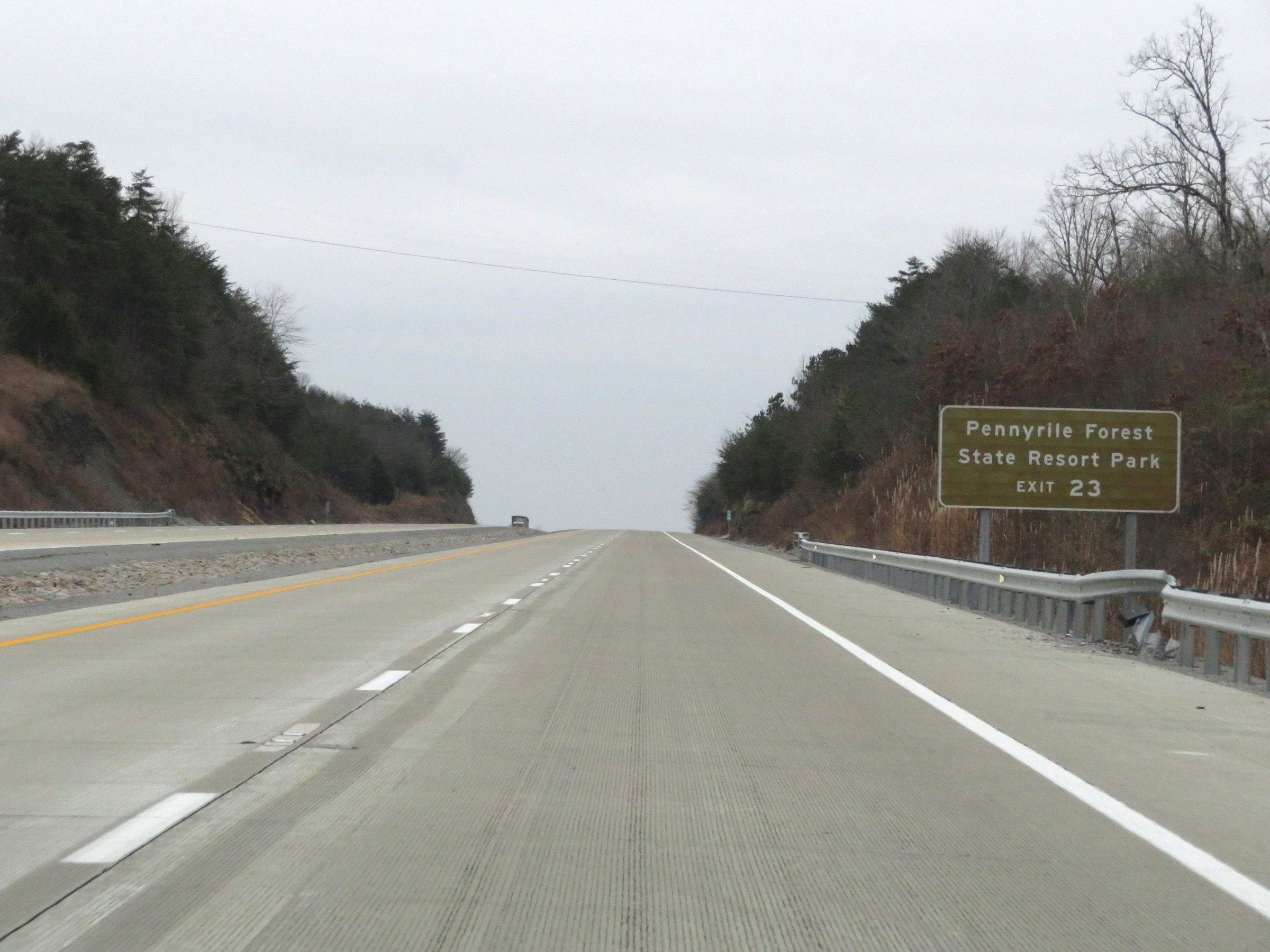 |
Take Exit 23 to Pennyrile Forest State Resort Park. (Photo taken 12/15/20). |
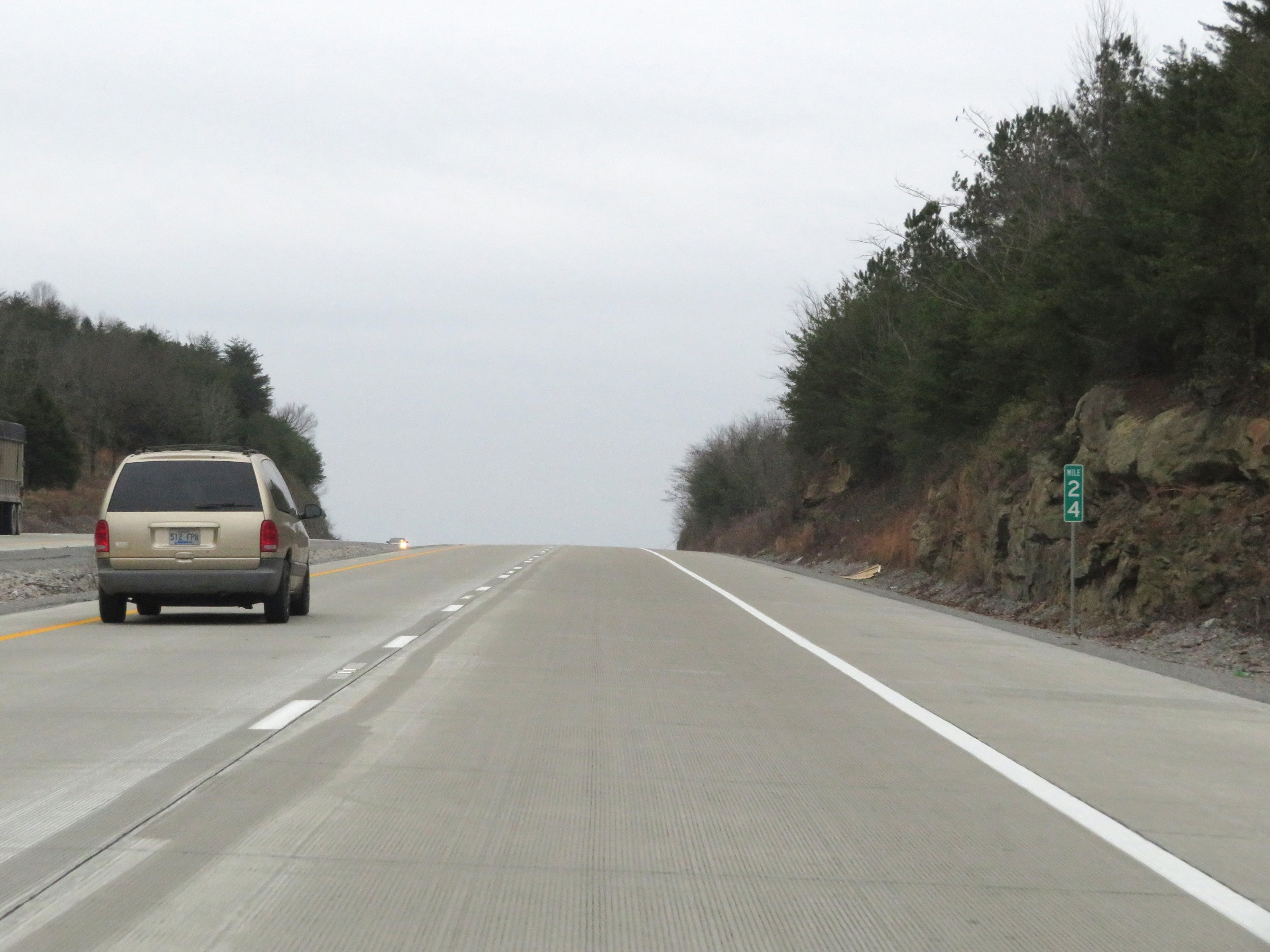 |
View on Interstate 169 South at mile marker 24. (Photo taken 12/15/20). |
 |
Interstate 169 South at Exit 23: KY 800 - Crofton (Photo taken 12/15/20). |
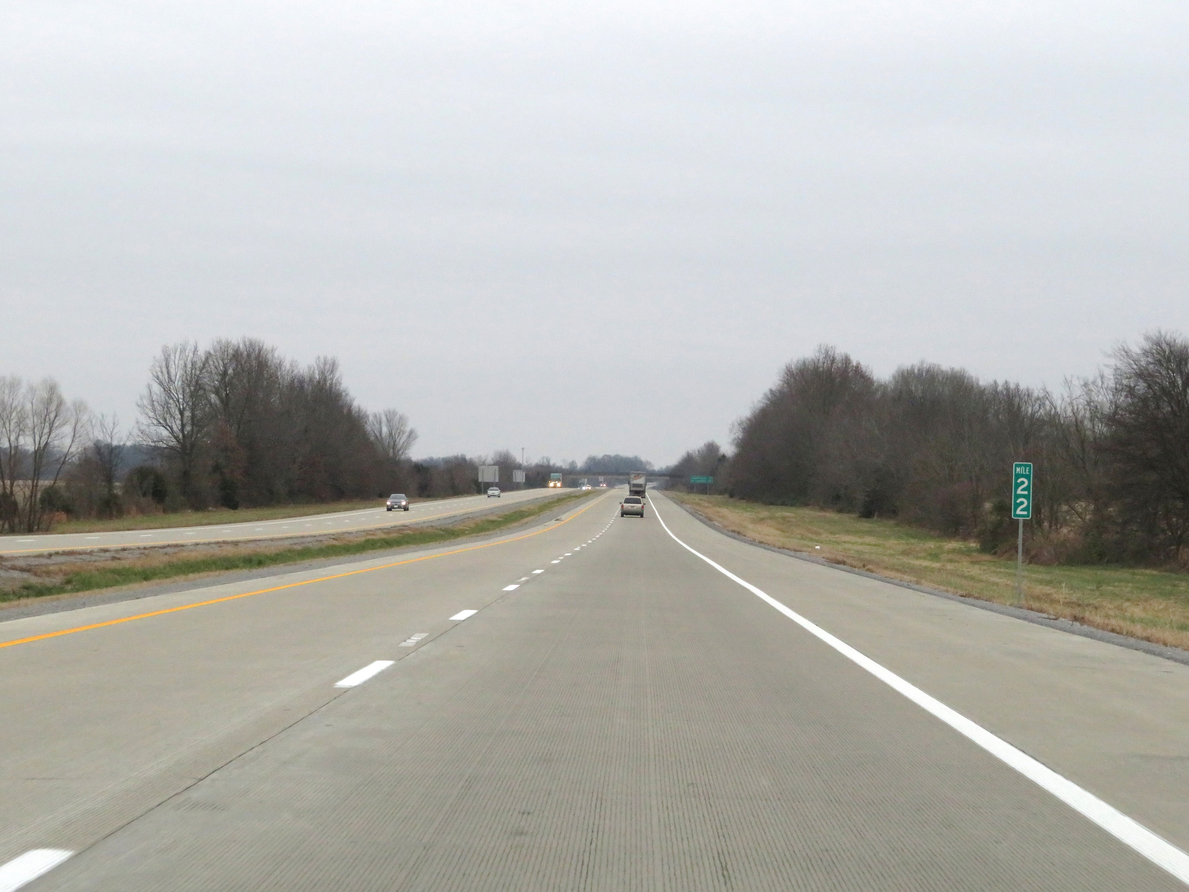 |
Interstate 169 South at mile marker 22. (Photo taken 12/15/20). |
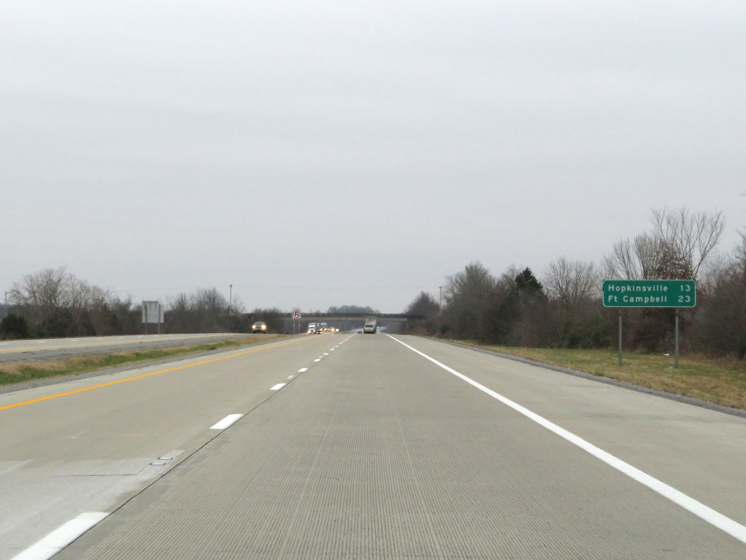 |
Another mileage sign on Interstate 169 South. It's 13 miles to Hopkinsville and 23 miles to Fort Campbell. (Photo taken 12/15/20). |
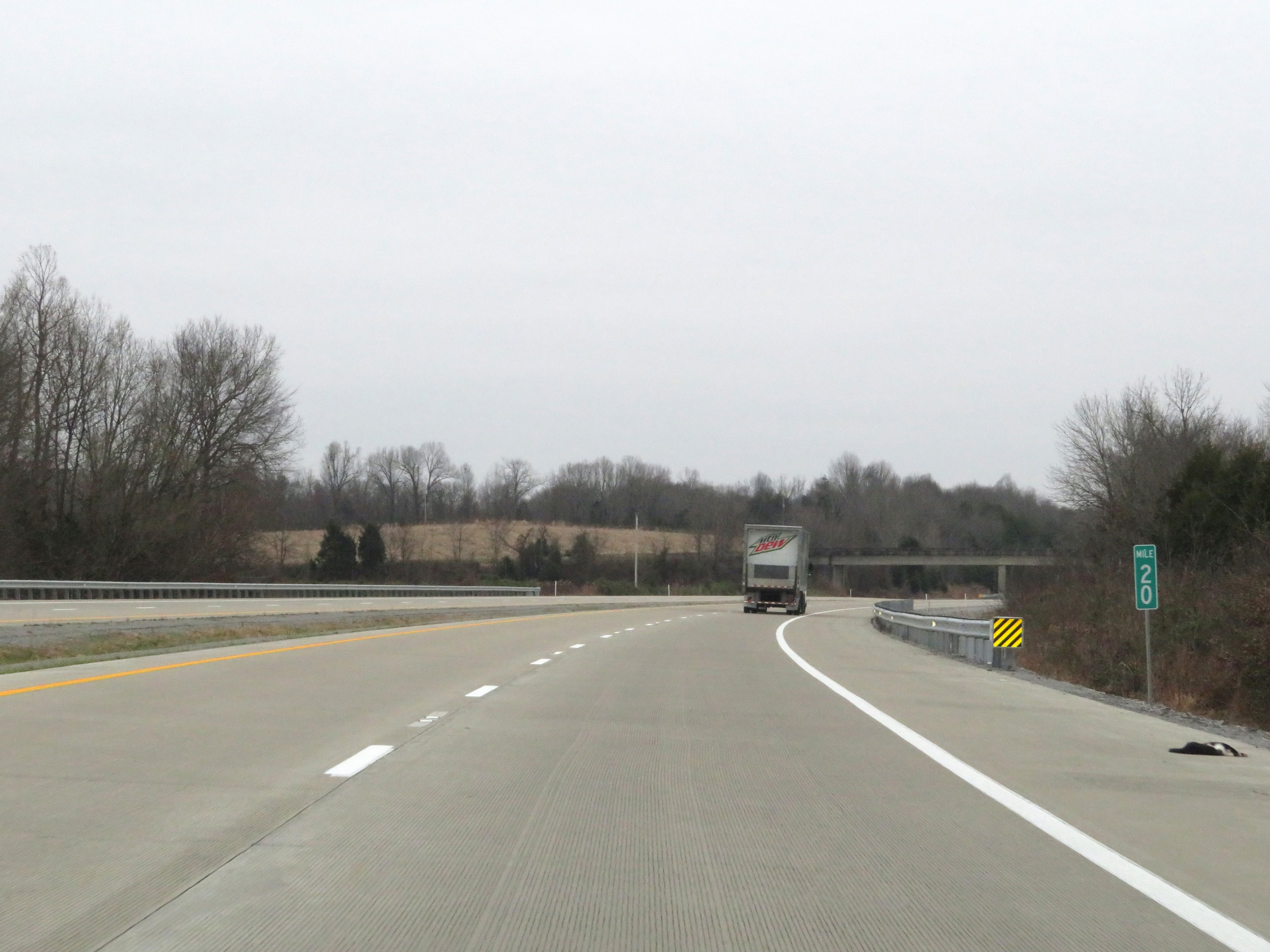 |
View on Interstate 169 South at mile marker 20. (Photo taken 12/15/20). |
 |
Mile marker 19 on Interstate 169 South in Christian County. (Photo taken 12/15/20). |
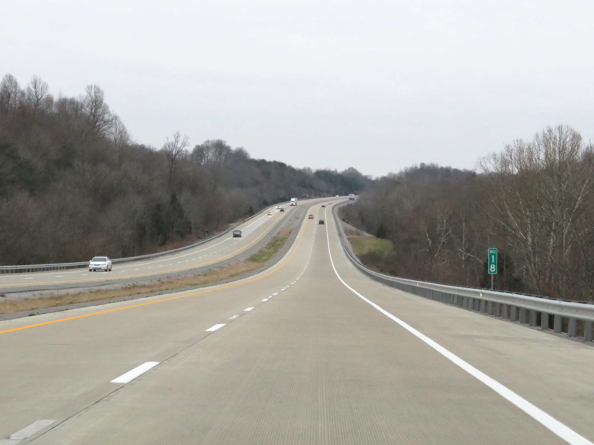 |
View on Interstate 169 South at mile marker 18. (Photo taken 12/15/20). |
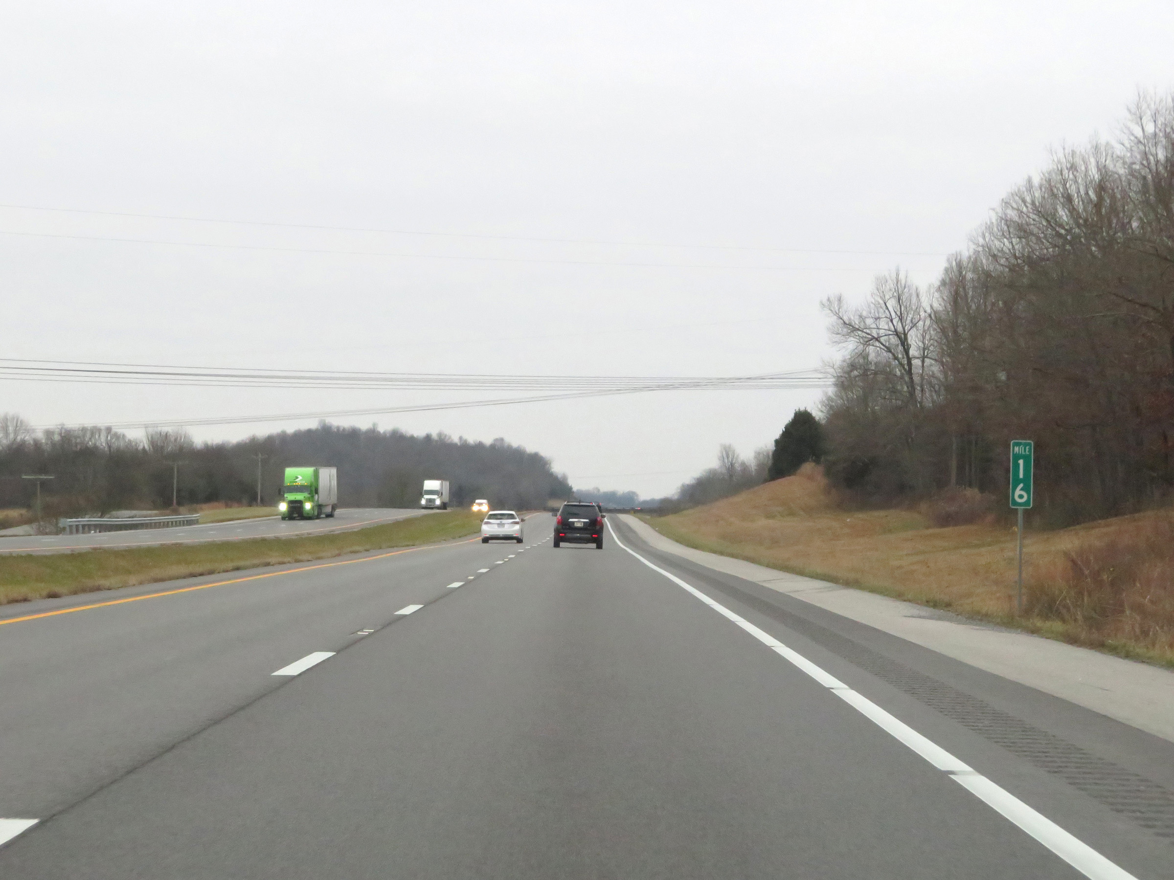 |
Interstate 169 South at mile marker 16. (Photo taken 12/15/20). |
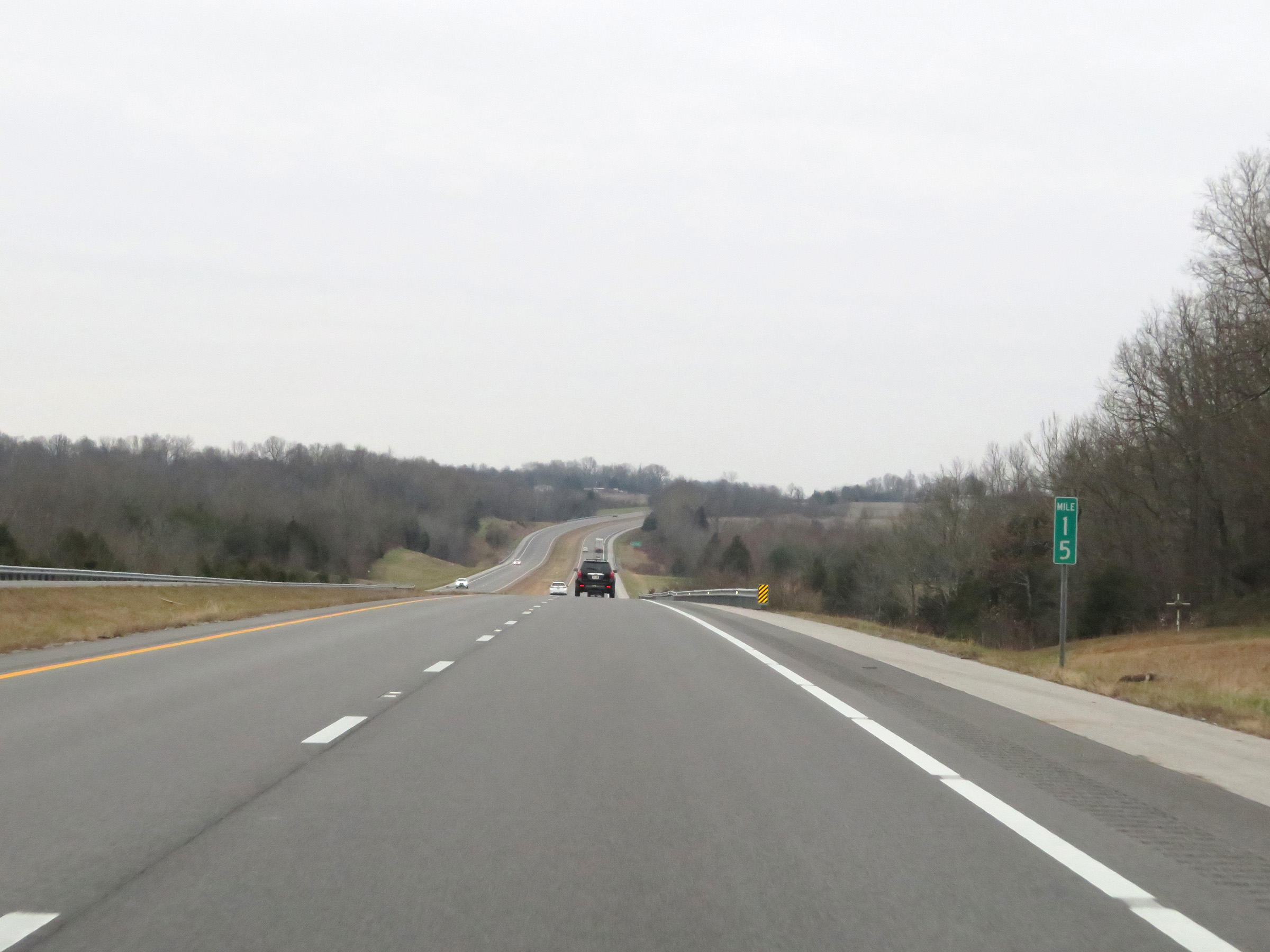 |
Interstate 169 South at mile marker 15. (Photo taken 12/15/20). |
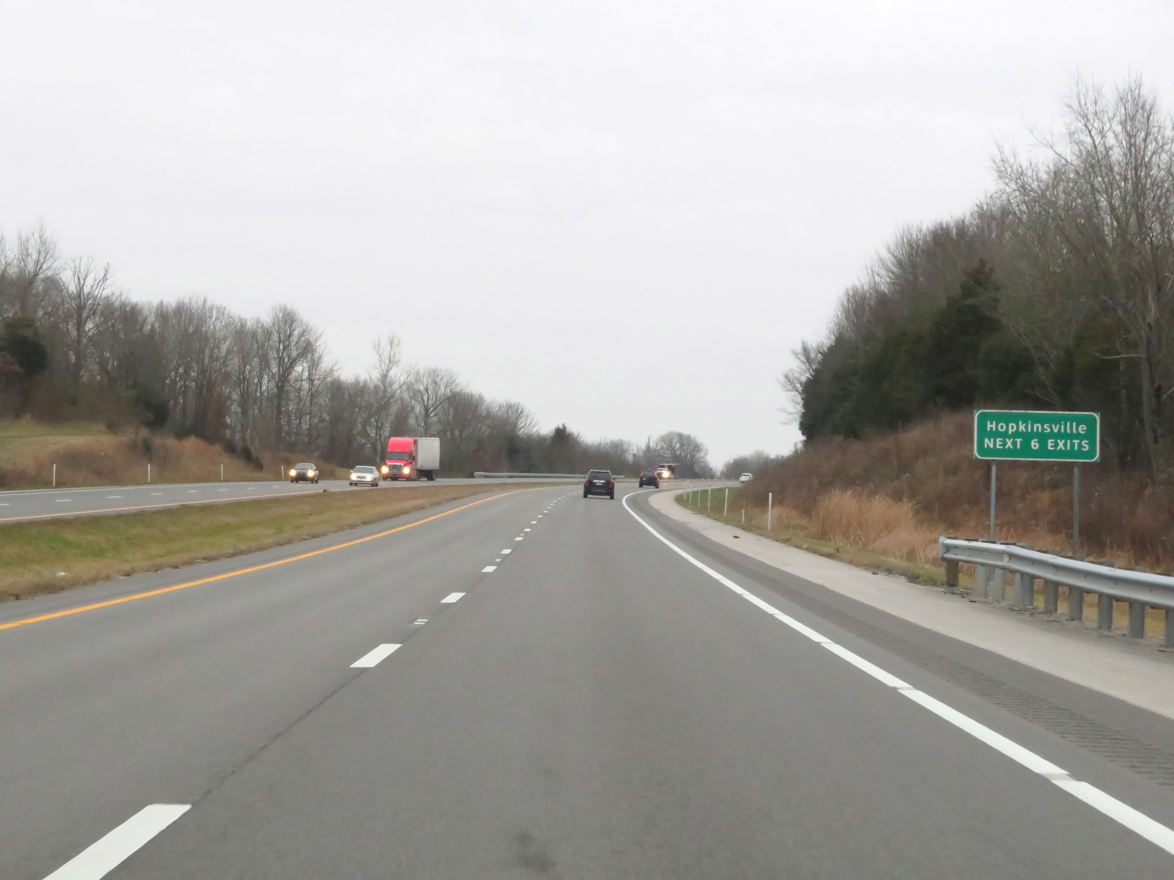 |
Take any of the next 6 exits to Hopkinsville. (Photo taken 12/15/20). |
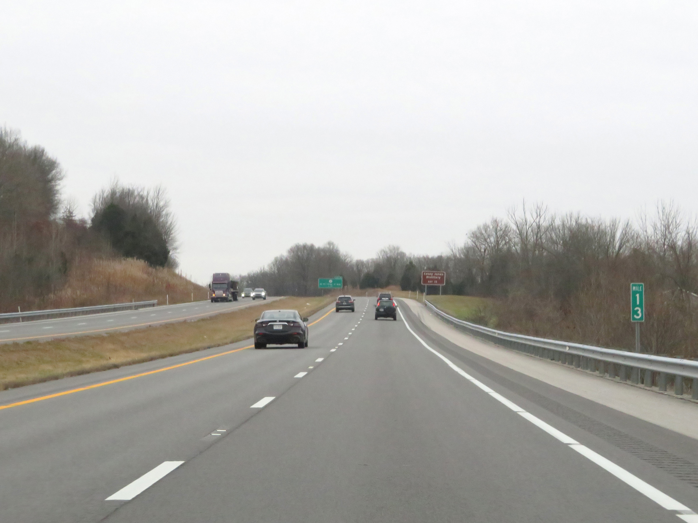 |
View on Interstate 169 South at mile marker 13. (Photo taken 12/15/20). |
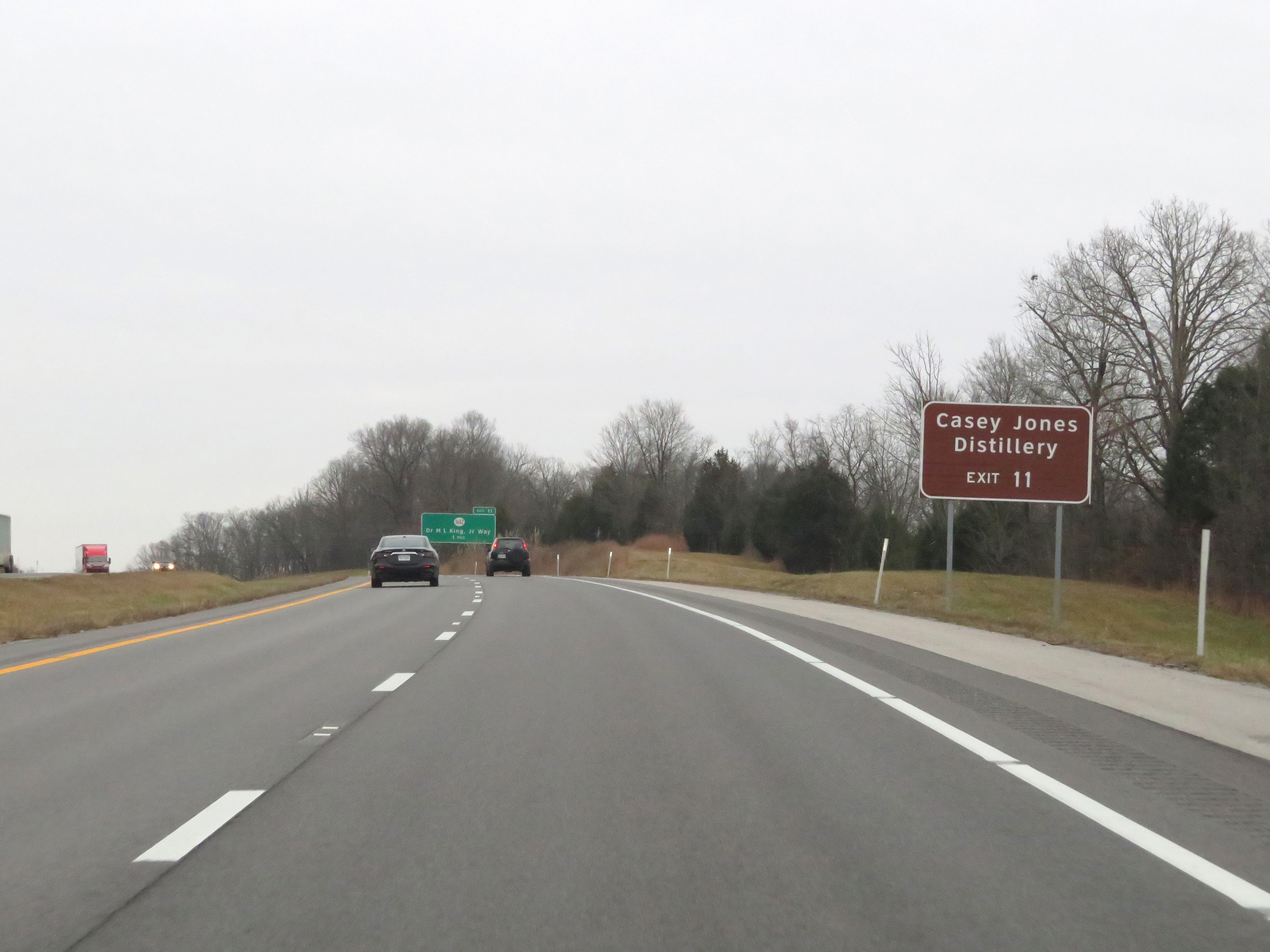 |
Take Exit 11 to Casey Jones Distillery. (Photo taken 12/15/20). |
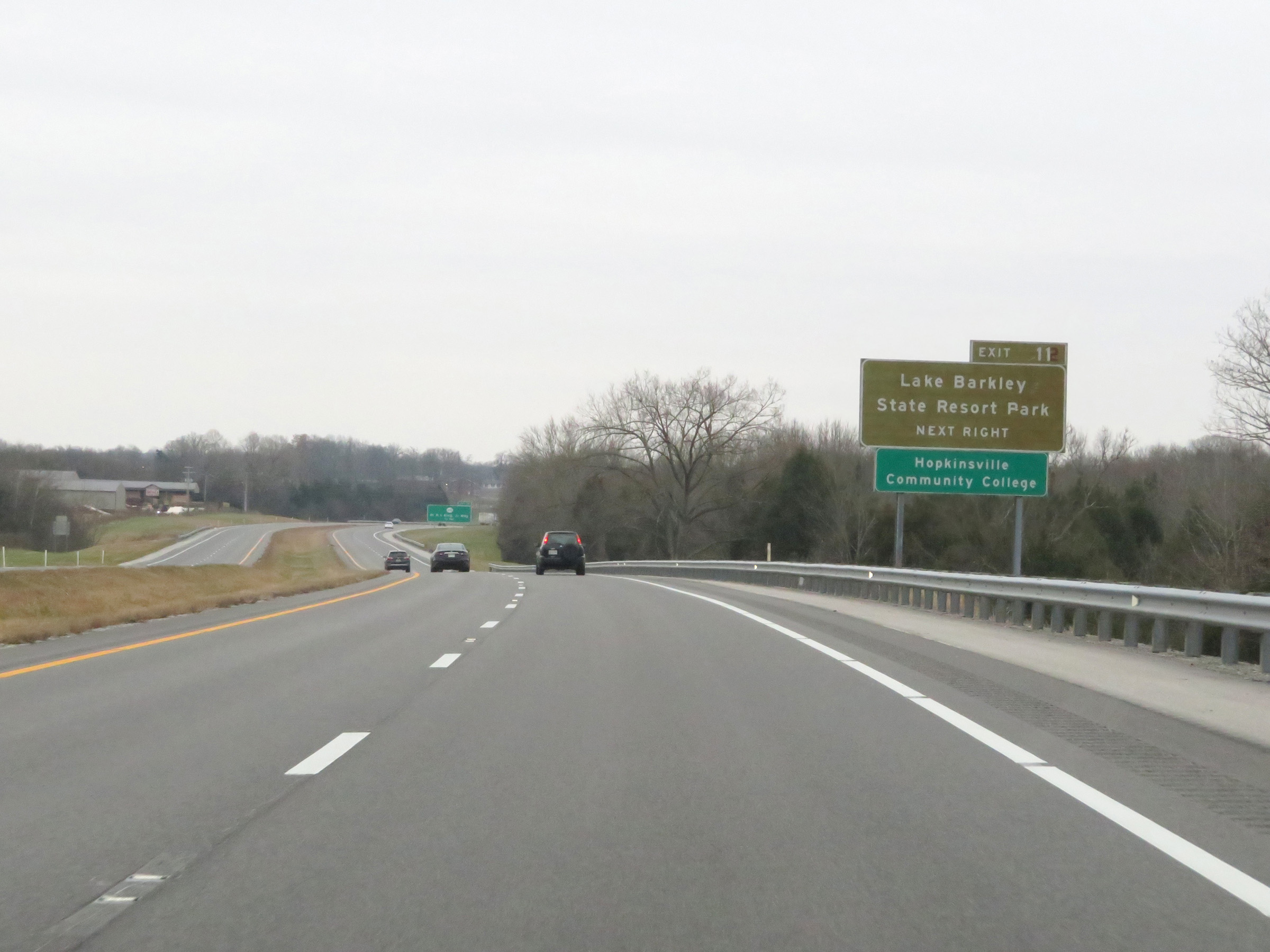 |
Also take Exit 11 to Lake Barkley State Resort Park and Hopkinsville Community College. (Photo taken 12/15/20). |
 |
Interstate 169 South at Exit 11: KY 1682 - Dr. Martin Luther King Jr. Way (Photo taken 12/15/20). |
 |
Another Pennyrile Parkway South reassurance marker, hopefully to soon be replaced. (Photo taken 12/15/20). |
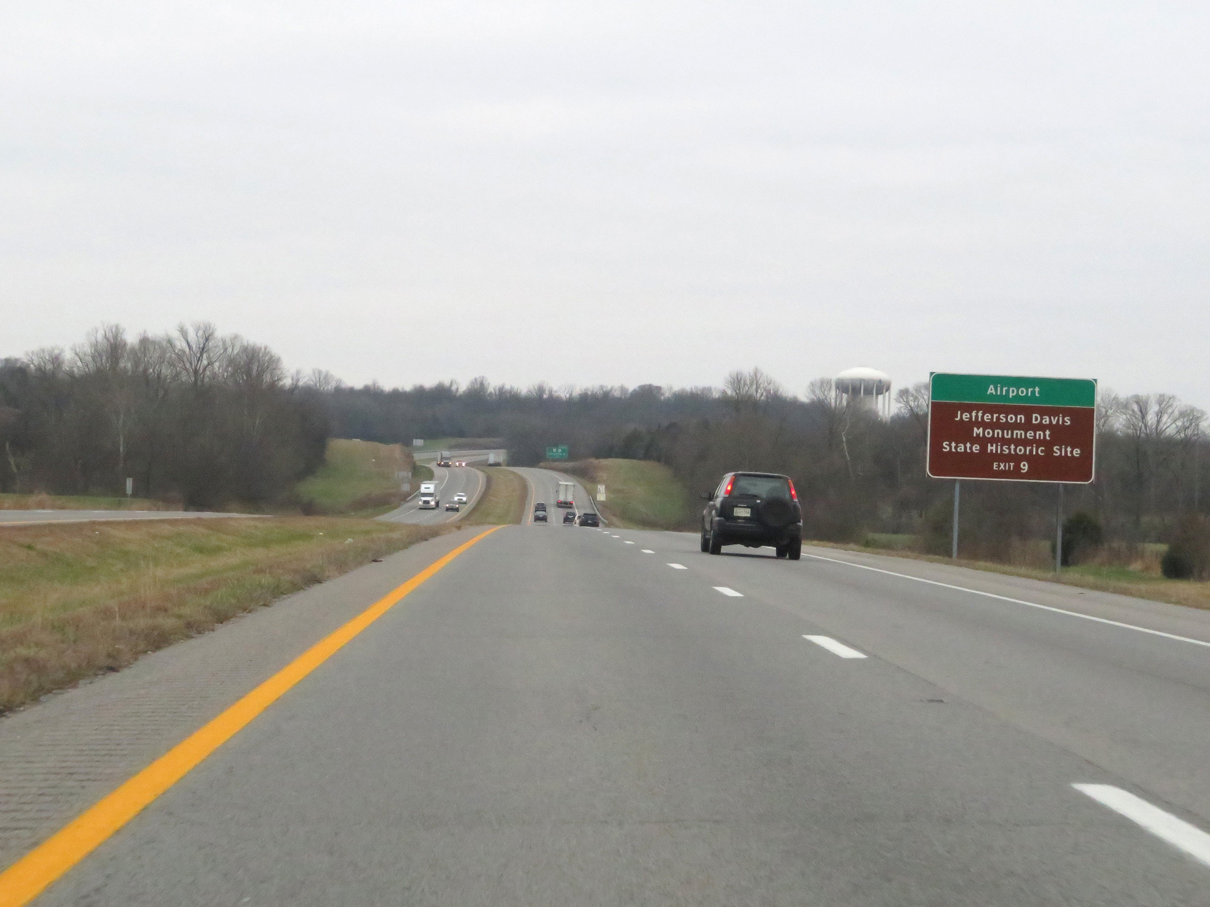 |
Take Exit 9 to the Airport and Jefferson Davis Monument State Historic Site. (Photo taken 12/15/20). |
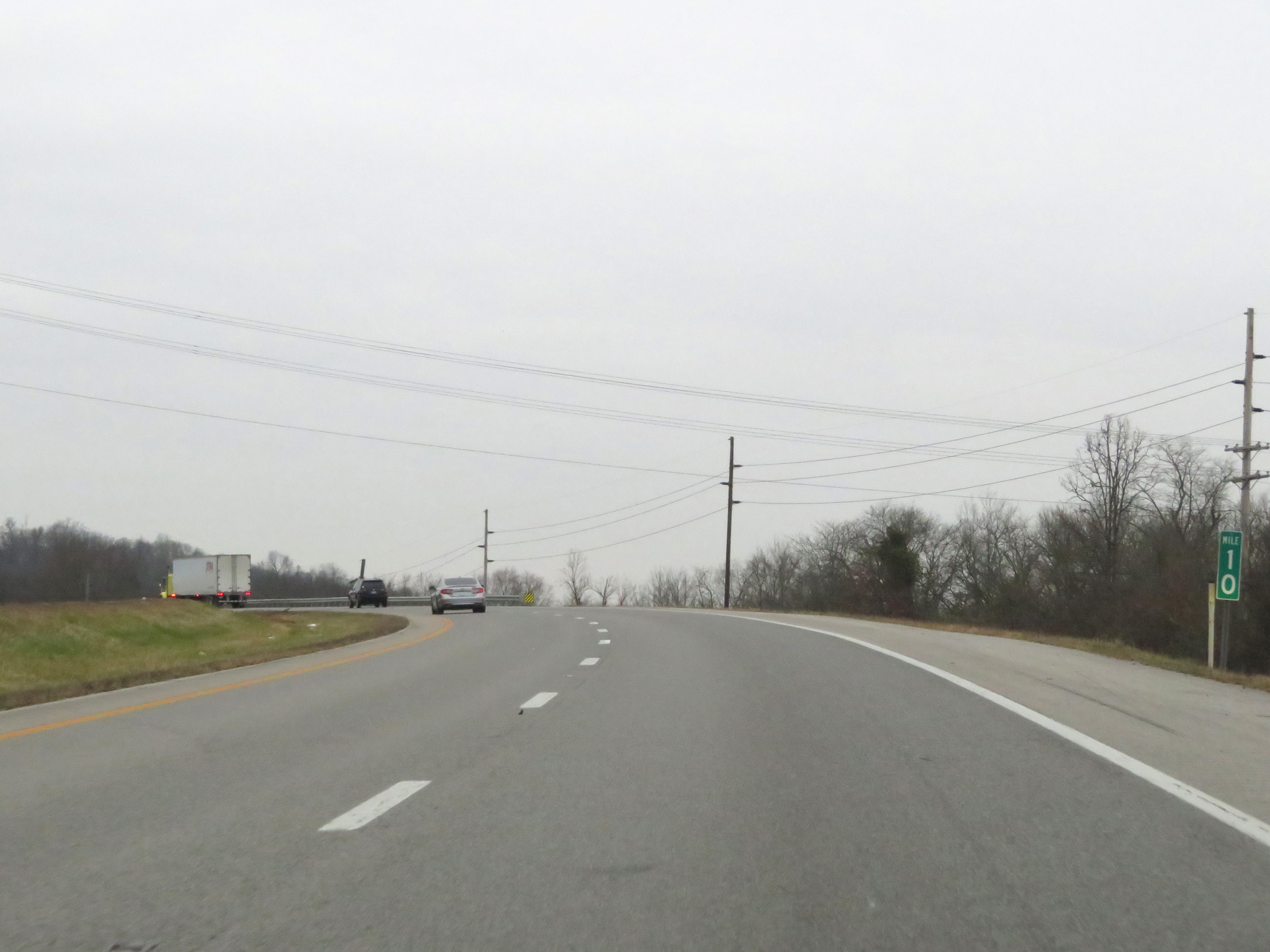 |
View on Interstate 169 South at mile marker 10. (Photo taken 12/15/20). |
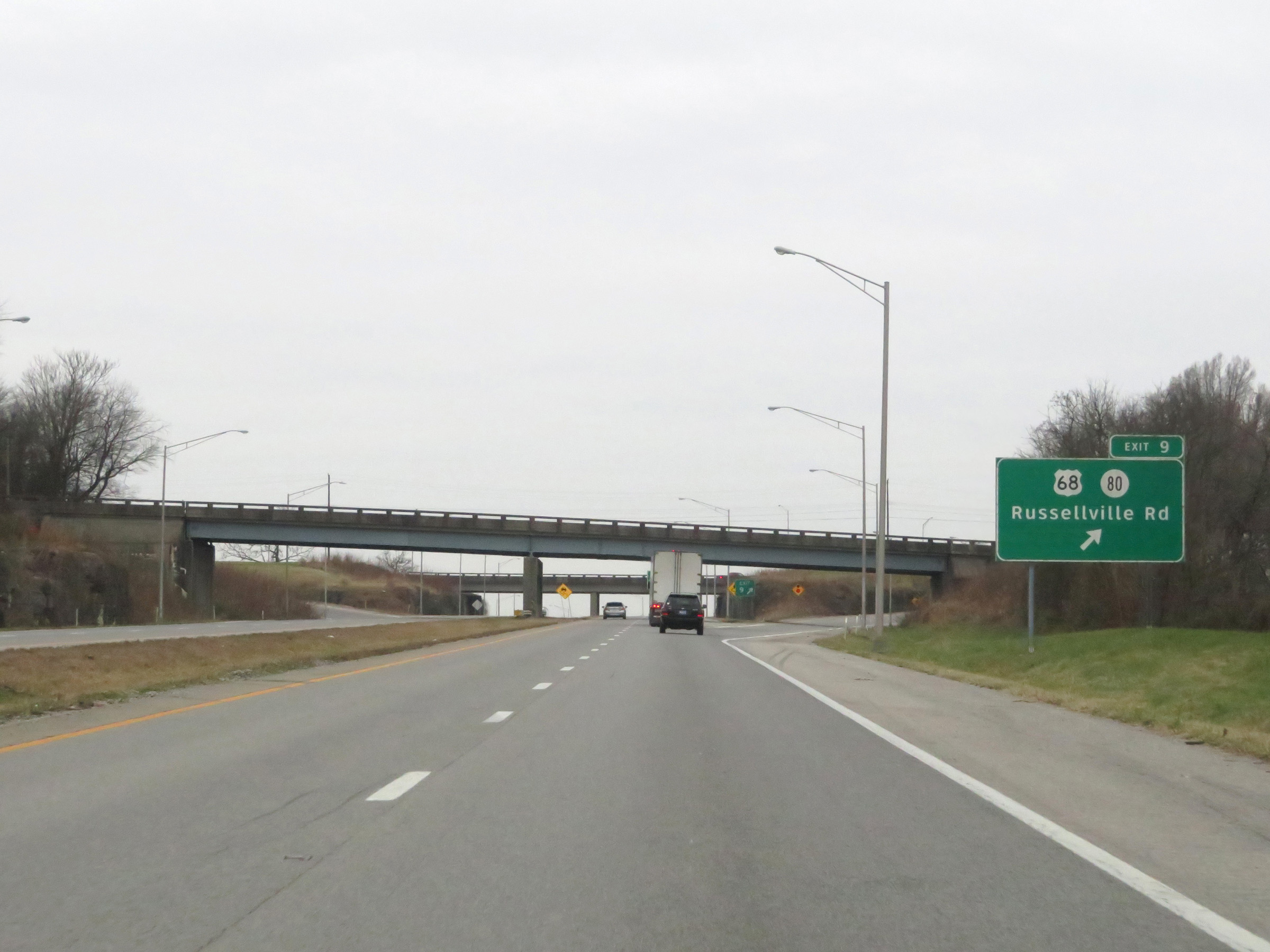 |
Interstate 169 South at Exit 9: US 68 / KY 80 - Russellville Rd (Photo taken 12/15/20). |
 |
Take Exit 8 to M.B. Roland Distillery. (Photo taken 12/15/20). |
 |
Interstate 169 South at Exit 8: US 41 - Pembroke Rd (Photo taken 12/15/20). |
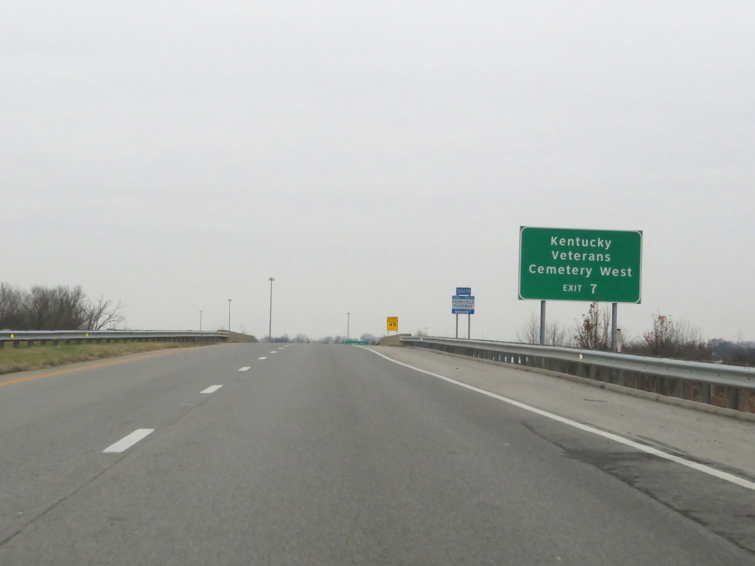 |
Take Exit 7 to Kentucky Veterans Cemetery West. (Photo taken 12/15/20). |
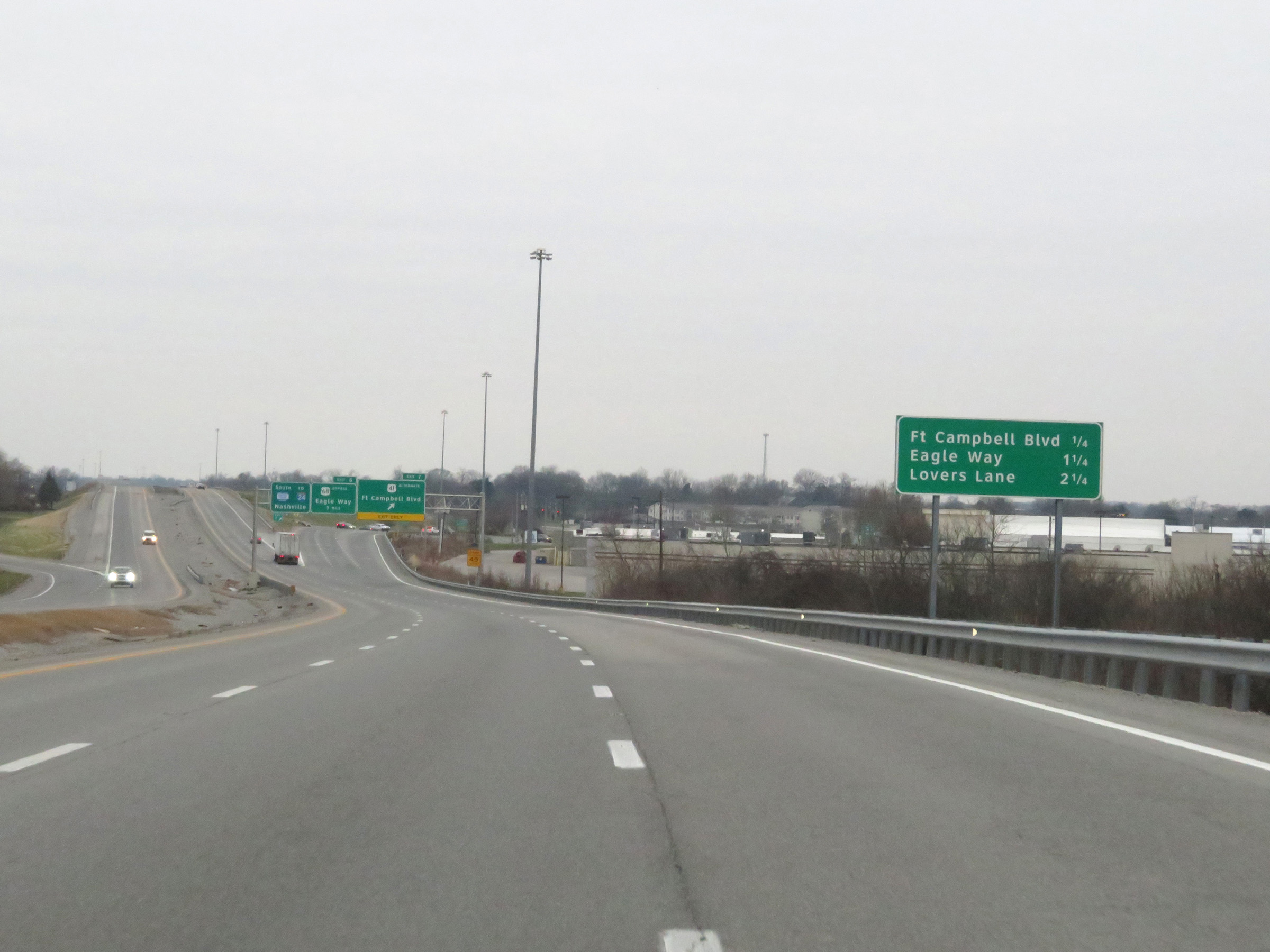 |
Mileage sign listing the distances to the three upcoming exits to Hopkinsville. (Photo taken 12/15/20). |
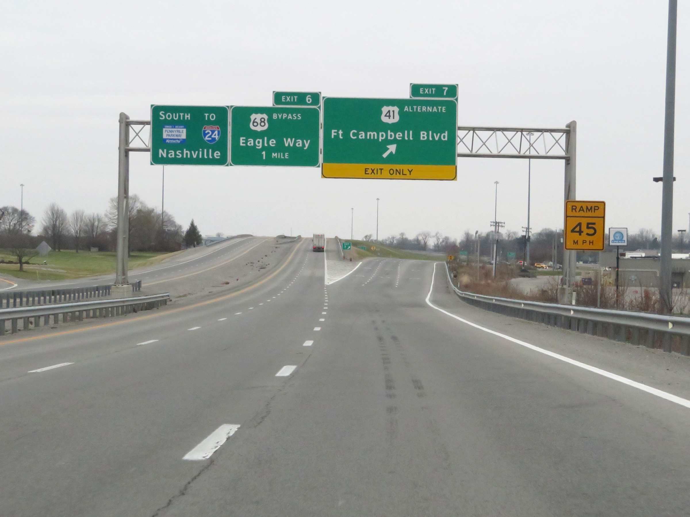 |
Interstate 169 South at Exit 7: US 41 Alternate - Fort Campbell Blvd (Photo taken 12/15/20). |
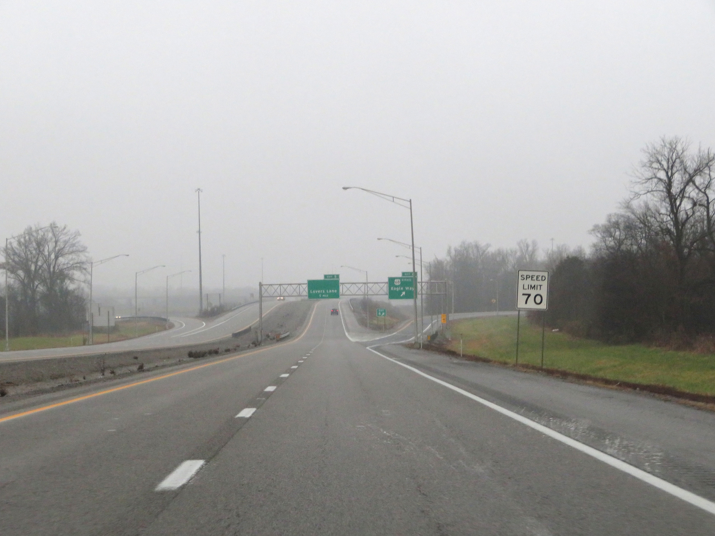 |
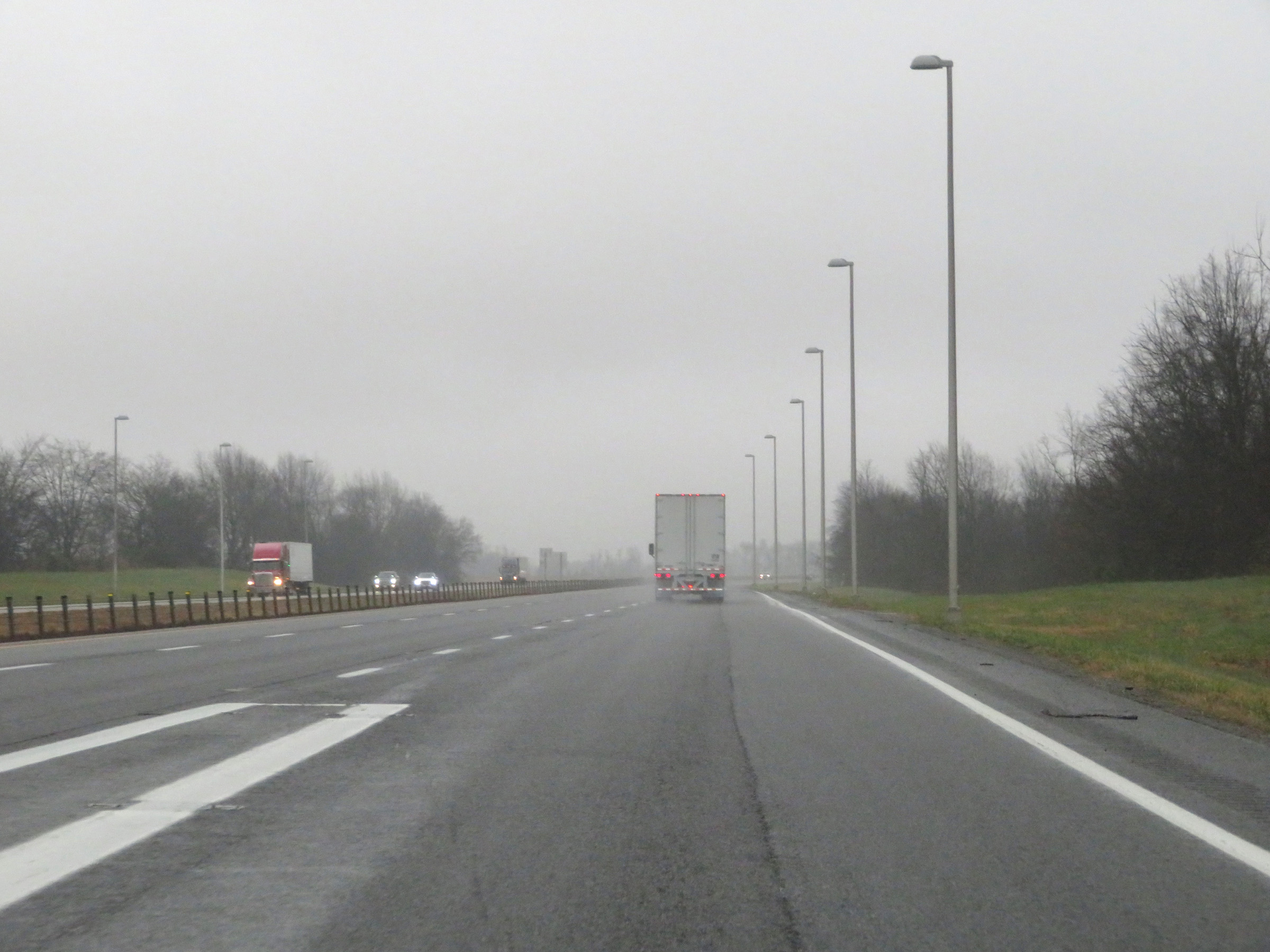
The speed limit remains 70 mph on Interstate 169 South through the Hopkinsville area. (Photo taken 12/16/20). |
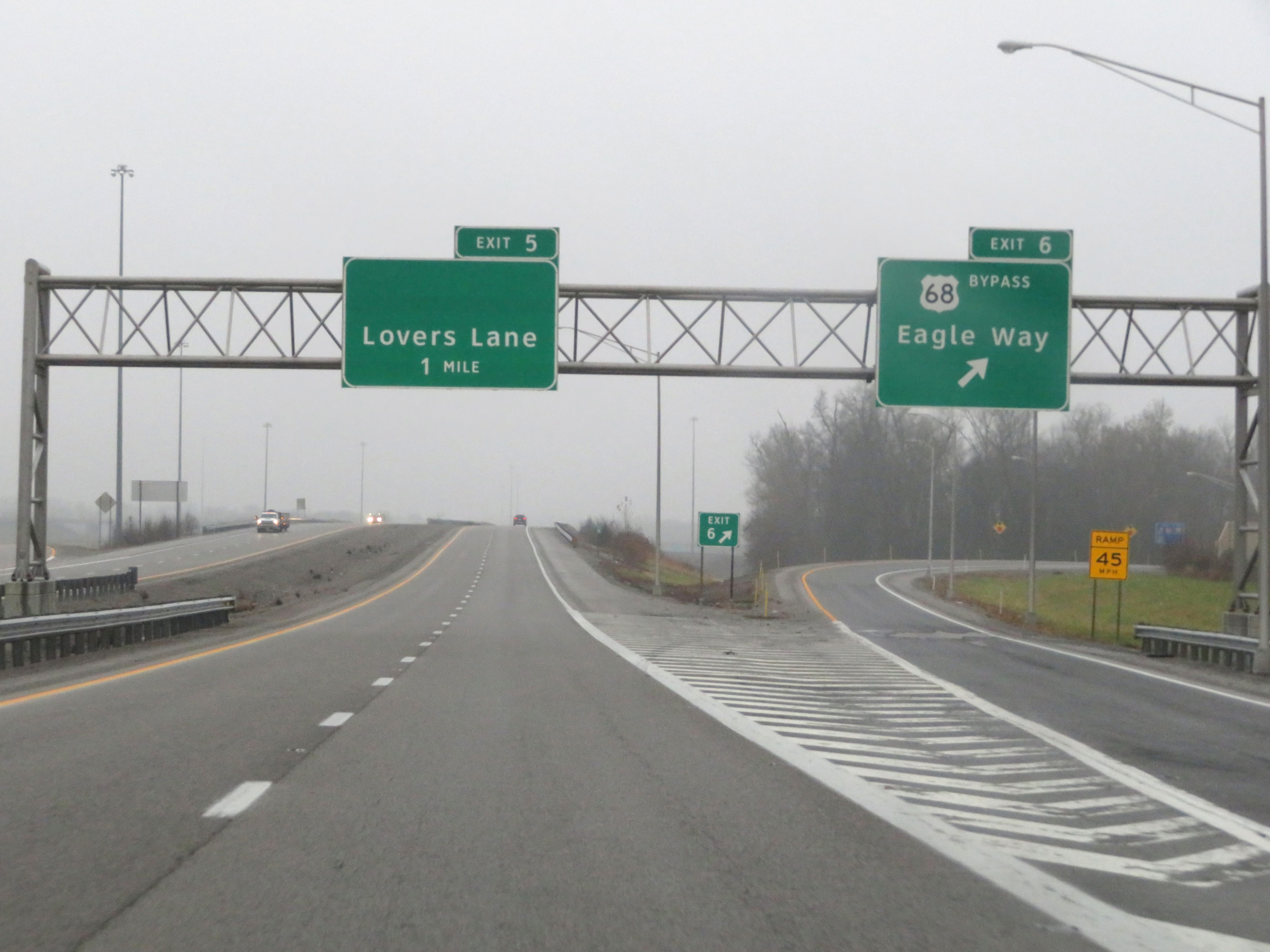 |
Interstate 169 South at Exit 6: US 68 Bypass - Eagle Way (Photo taken 12/16/20). |
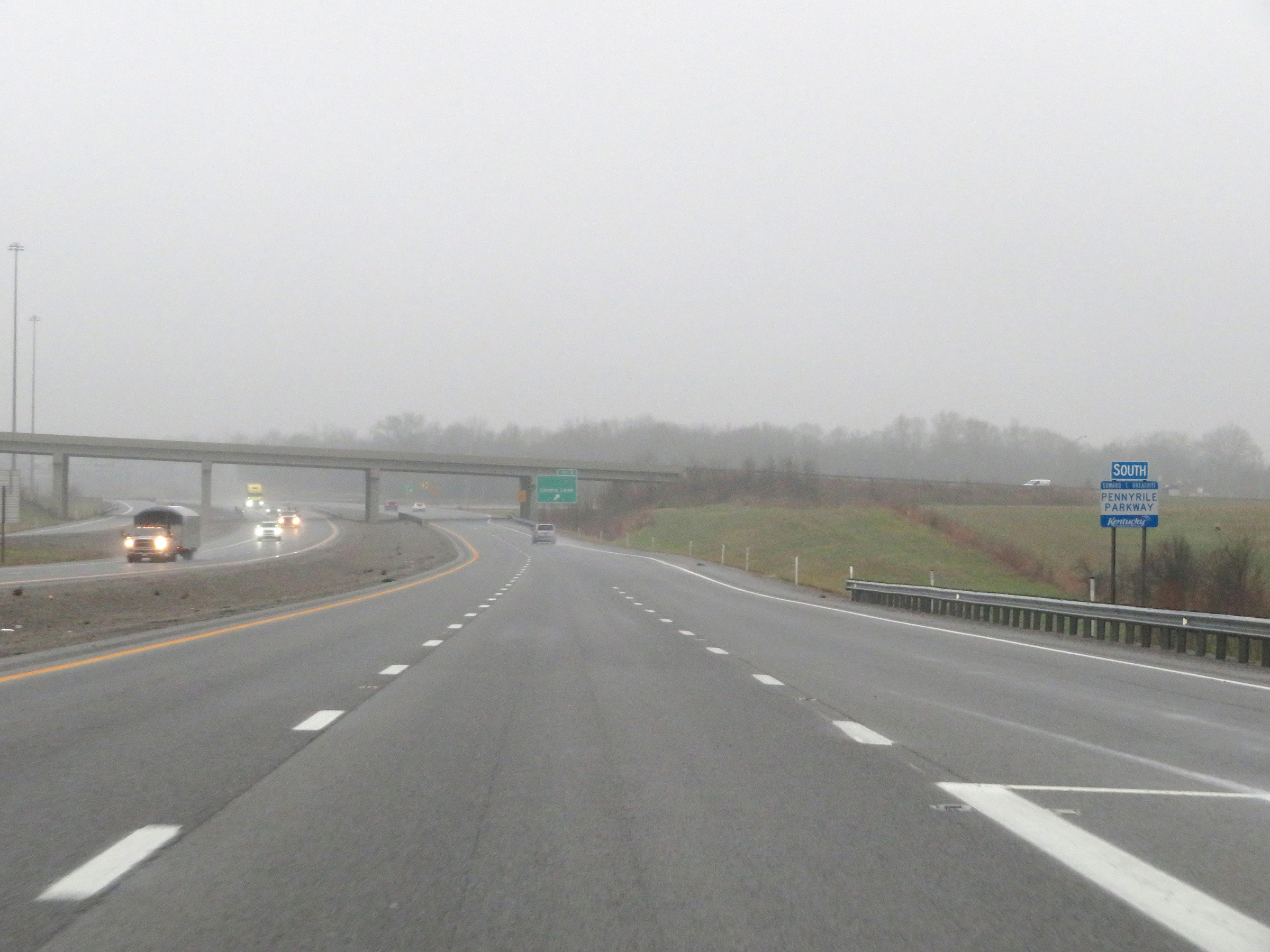 |
Pennyrile Parkway South reassurance marker approaching Exit 5. (Photo taken 12/16/20). |
 |
Interstate 169 South at Exit 5: Lovers Lane (Photo taken 12/16/20). |
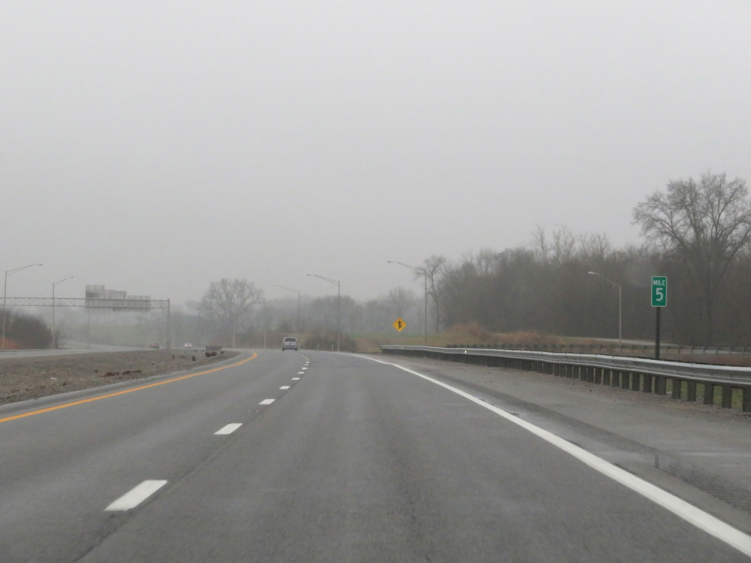 |
View on Interstate 169 South at mile marker 5. (Photo taken 12/16/20). |
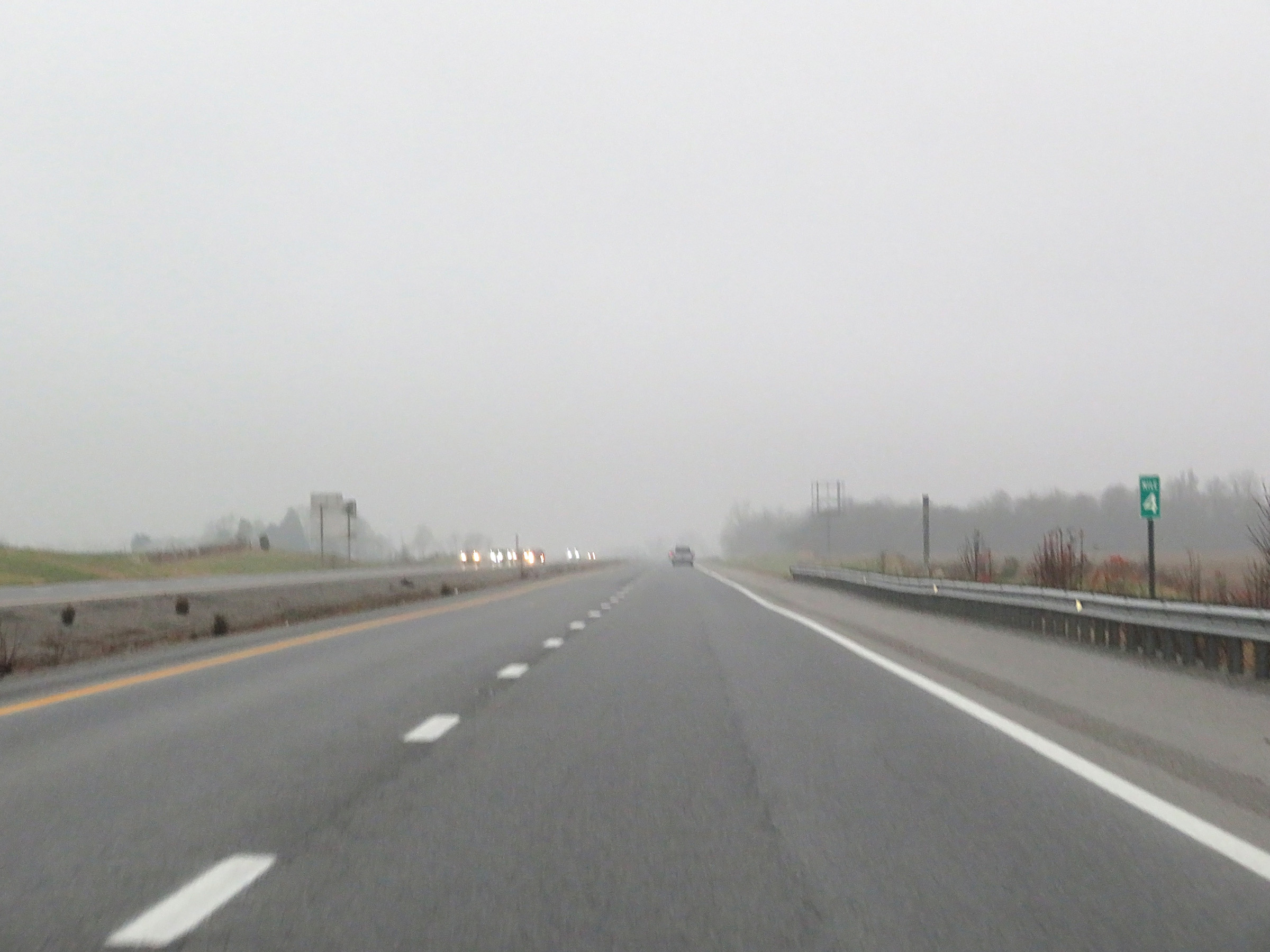 |
Interstate 169 South at mile marker 4. (Photo taken 12/16/20). |
 |
Mile marker 2 on Interstate 169 South in Christian County. (Photo taken 12/16/20). |
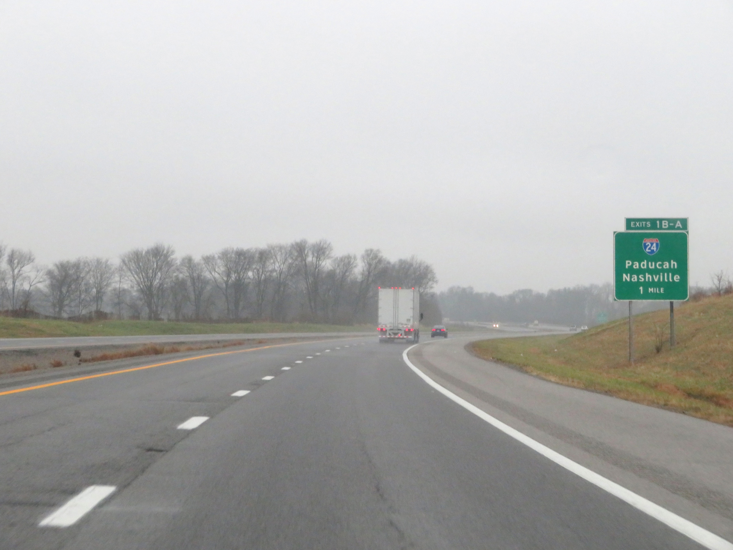 |
Interstate 169 South approaching Exits 1B-A - 1 mile. (Photo taken 12/16/20). |
 |
More advance signage for the junction of Interstate 24, which will mark the southern terminus of Interstate 169. (Photo taken 12/16/20). |
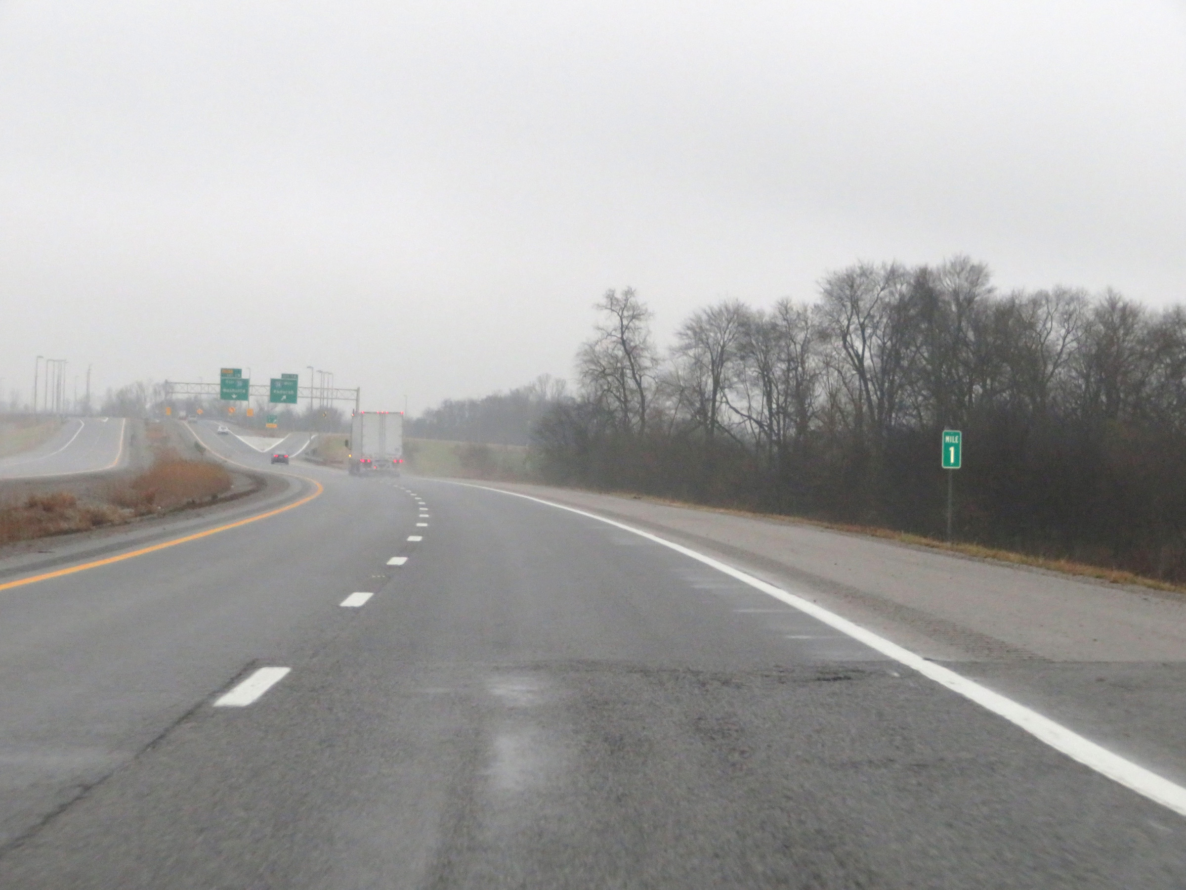 |
View on Interstate 169 South at mile marker 1. (Photo taken 12/16/20). |
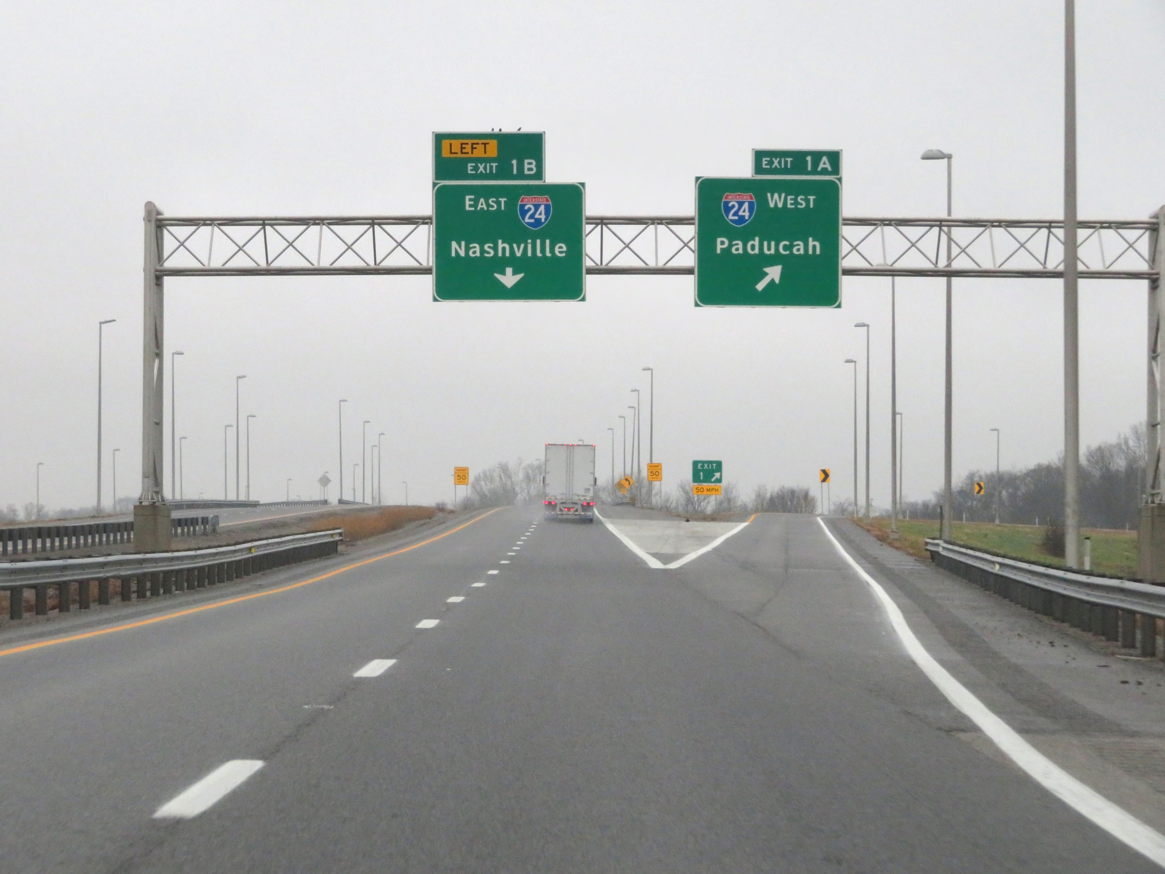 |
Interstate 169 South at Exit 1B: Interstate 24 East - Nashville; Exit 1A: Interstate 24 West - Paducah (Photo taken 12/16/20). |
 |
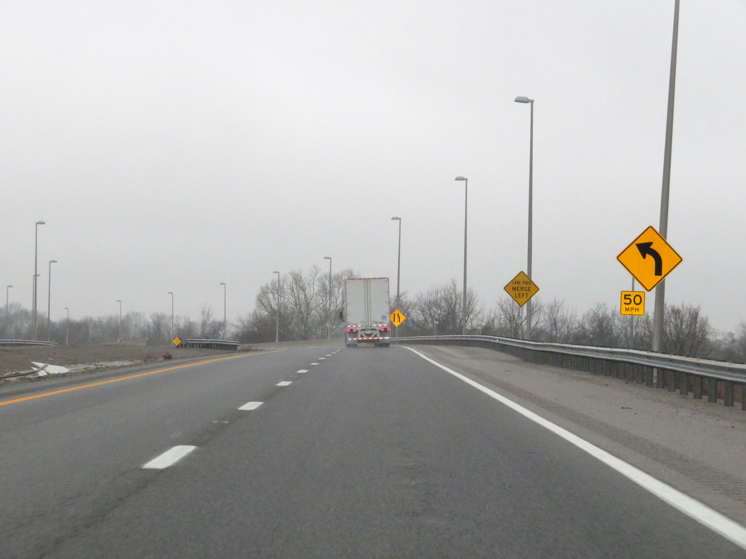
A closer view of the ramps to Exits 1B-A as they split. The ramp to Interstate 24 East (Exit 1B) maintains the two southbound lanes of Interstate 169 for a short time. (Photo taken 12/16/20). |
 |
The ramp to Interstate 24 East via Exit 1B prepares to curve to the east ahead. (Photo taken 12/16/20). |
 |
The right lane will come to an end ahead, as the ramp prepares to pass over Interstate 24. (Photo taken 12/16/20). |
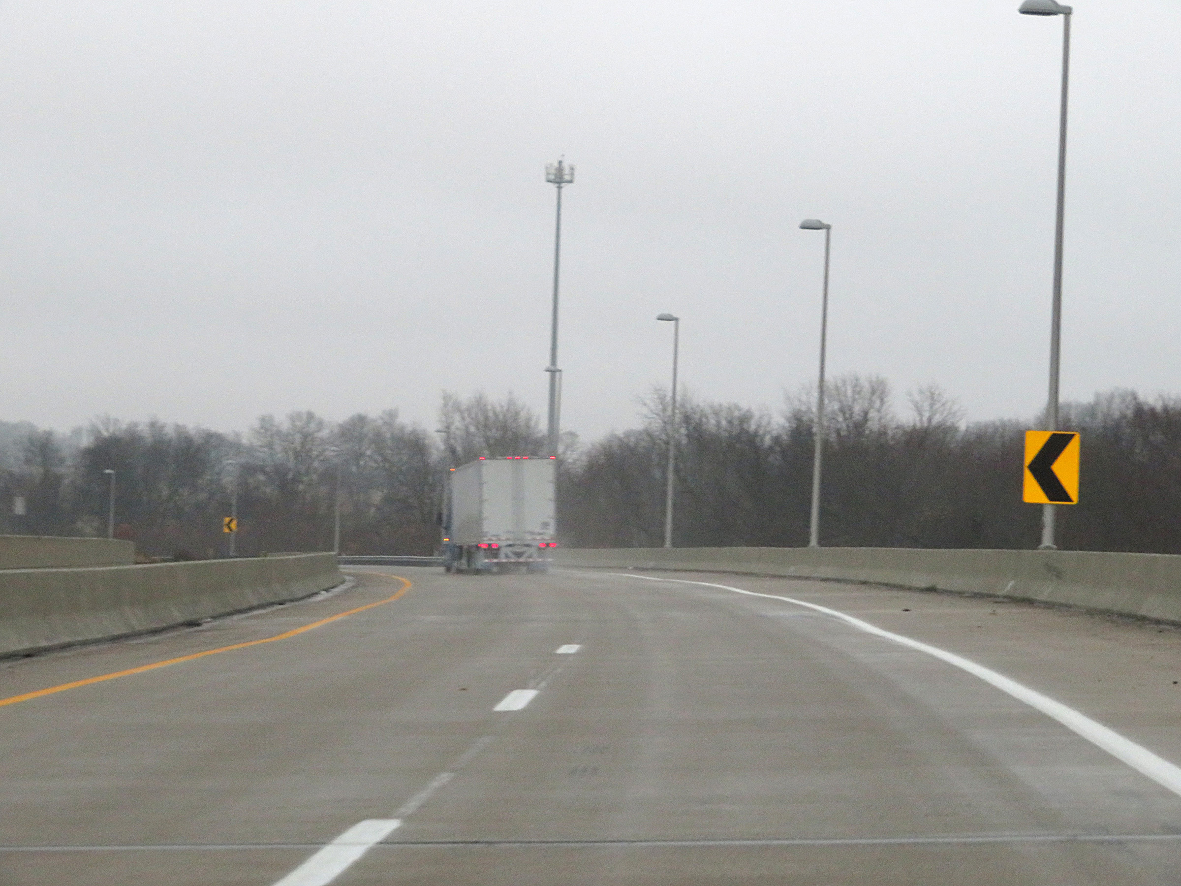 |
View on the ramp as it is reduced to a single lane and curves to the east, passing over Interstate 24. (Photo taken 12/16/20). |
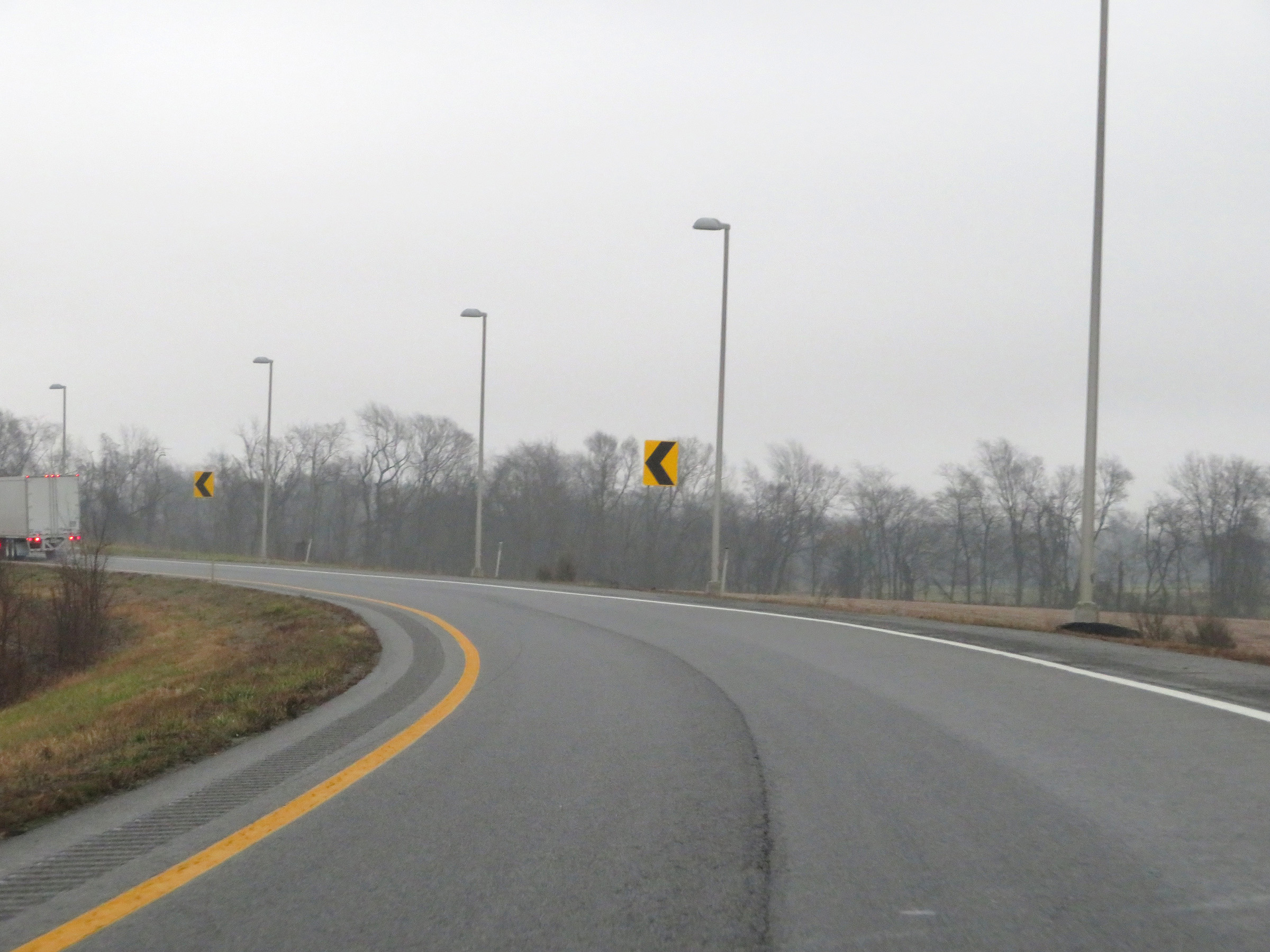 |
The ramp as it continues to curve to the east. (Photo taken 12/16/20). |
 |
Ahead, the ramp will curve back to the right in preparation for merging into the eastbound lanes of Interstate 24. (Photo taken 12/16/20). |
 |
View on the ramp as the eastbound lanes of Interstate 24 come into clear view on the left. (Photo taken 12/16/20). |
 |
The ramp comes to an end here as it merges into the eastbound lanes of Interstate 24. (Photo taken 12/16/20). |