Road Information |
||
 |
||
| Total Mileage in State: | 220 miles | |
| Eastern End: | At Indiana state line | |
| Western End: | At Iowa state line | |
| Mileage covered in Photos: | 220 miles | |
| Counties covered in Photos: | Rock Island, Henry, Knox, Peoria, Tazewell, Woodford, McLean, DeWitt, Piatt, Champaign, Vermilion | |
| Major Junctions in Photos: | I-280, in Moline I-80, near Colona I-474, in Peoria I-474, in East Peoria I-155, near Morton I-55, in Bloomington I-57, in Champaign |
|
| Control Cities in Photos: | Moline, Galesburg, Peoria, East Peoria, Bloomington, Champaign, Urbana, Danville | |
Eastbound
- Section 1: Iowa Border to Galesburg (Exit 48)
- Section 2: Galesburg (Exit 48) to Peoria (Exit 93)
- Section 3: Peoria (Exit 93) to Bloomington (Exit 135)
- Section 4: Bloomington (Exit 135) to Champaign (Exit 182)
- Section 5: Champaign (Exit 182) to Indiana Border
Section 1: Iowa Border to Galesburg (Exit 48)
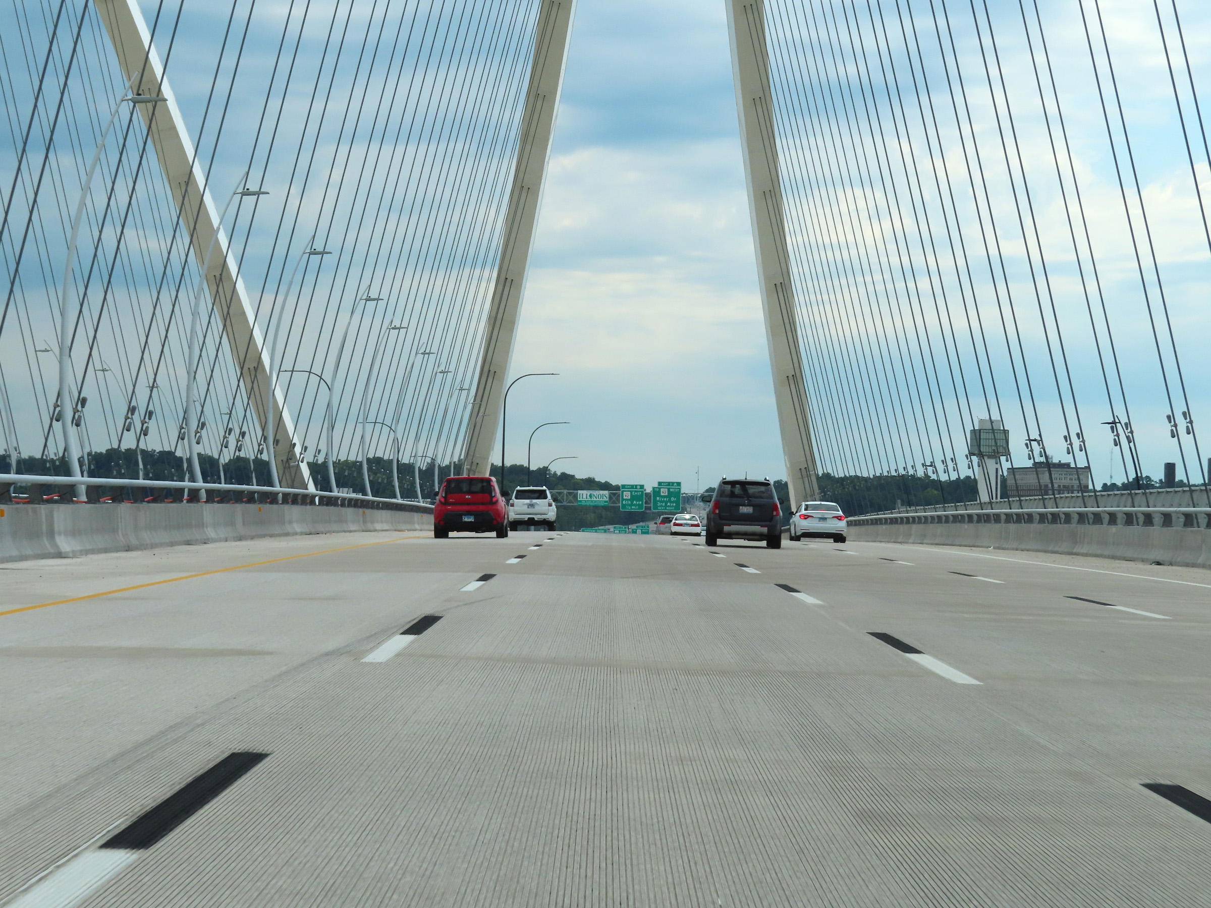 |
Interstate 74 East as it crosses the new I-74 Bridge over the Mississippi River from Iowa into Illinois. (Photo taken 8/19/22). |
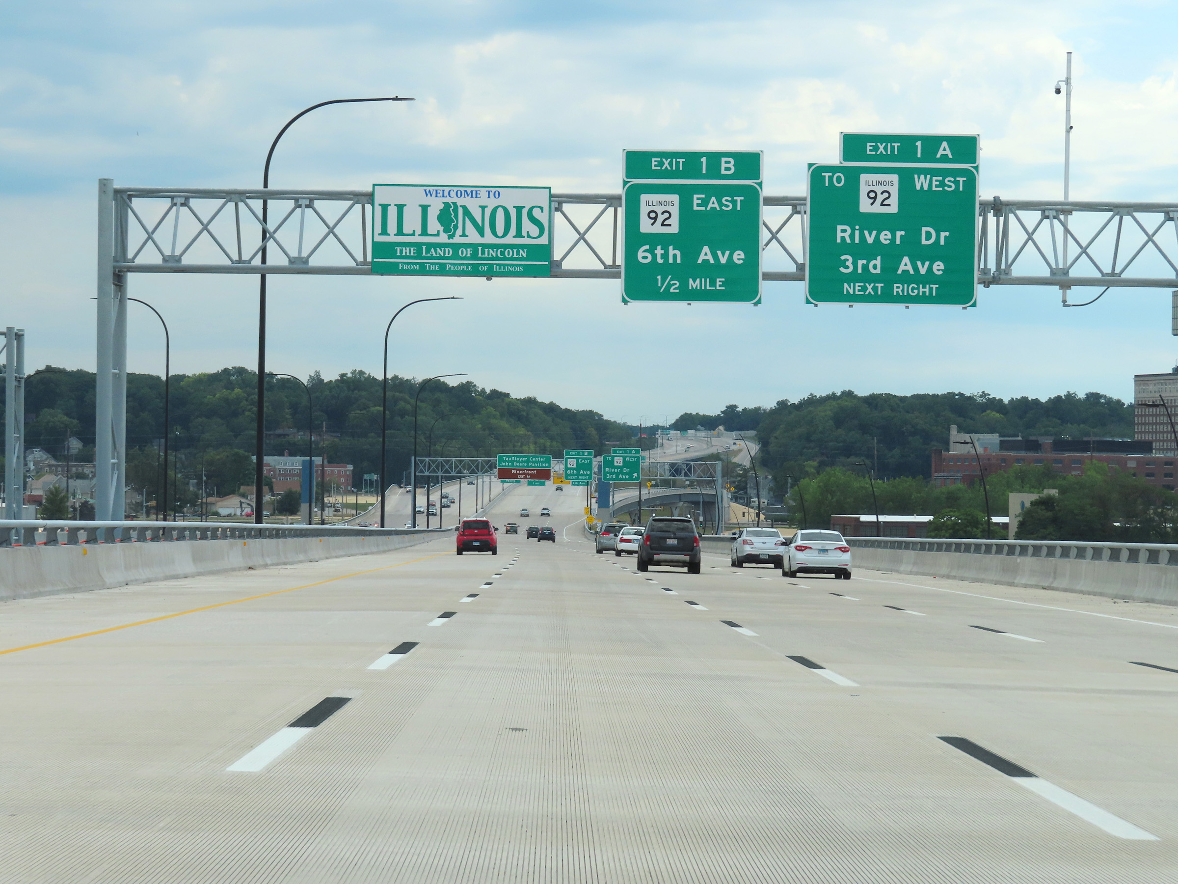 |
Overhead Illinois welcome sign on Interstate 74 East as it descends the south side of the I-74 Bridge into Moline. (Photo taken 8/19/22). |
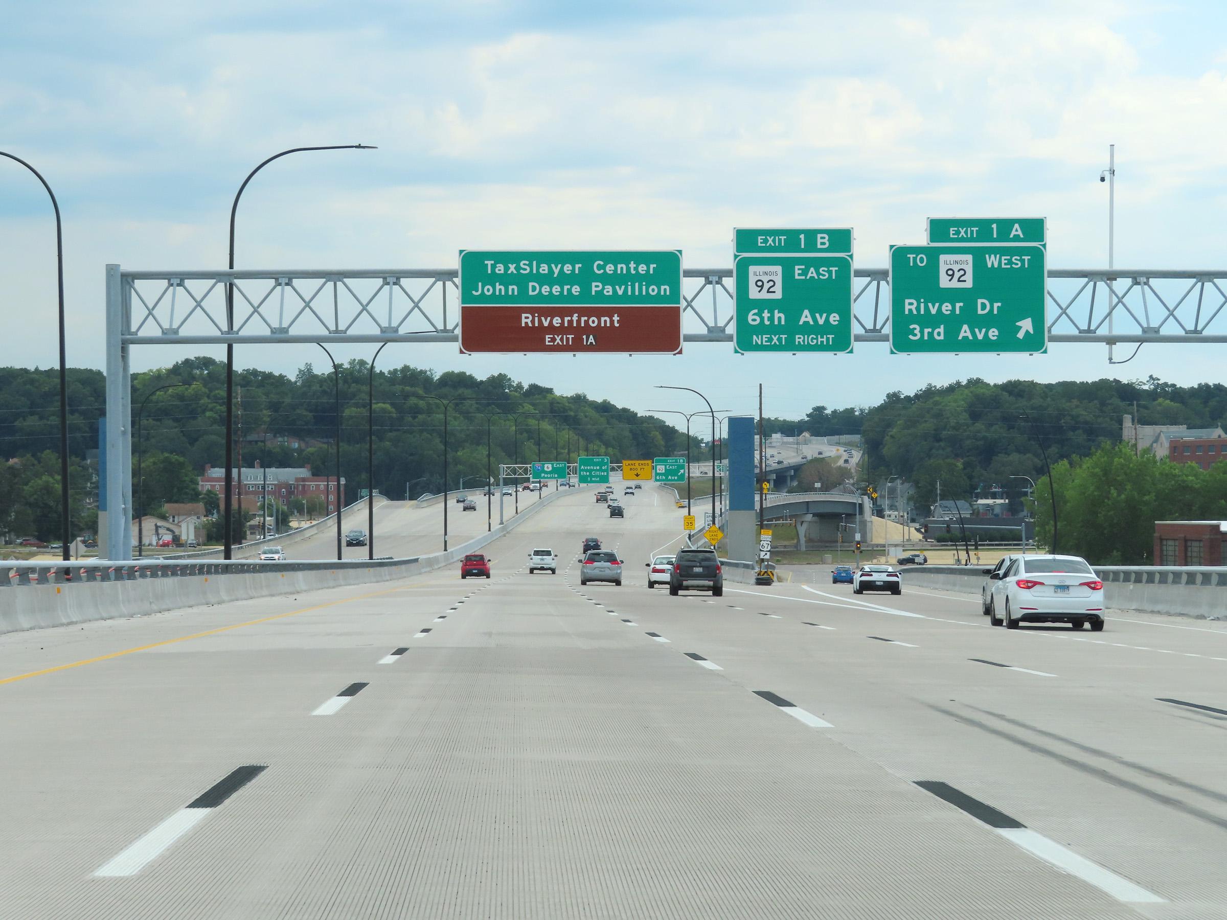 |
Interstate 74 East at Exit 1A: To IL 92 West - River Dr / 3rd Ave (Photo taken 8/19/22). |
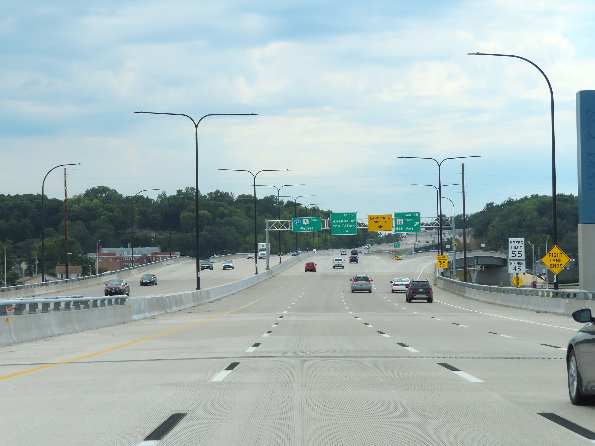 |
The speed limits on Interstate 74 East in Illinois start out at 55 mph maximum and 45 mph minimum. (Photo taken 8/19/22). |
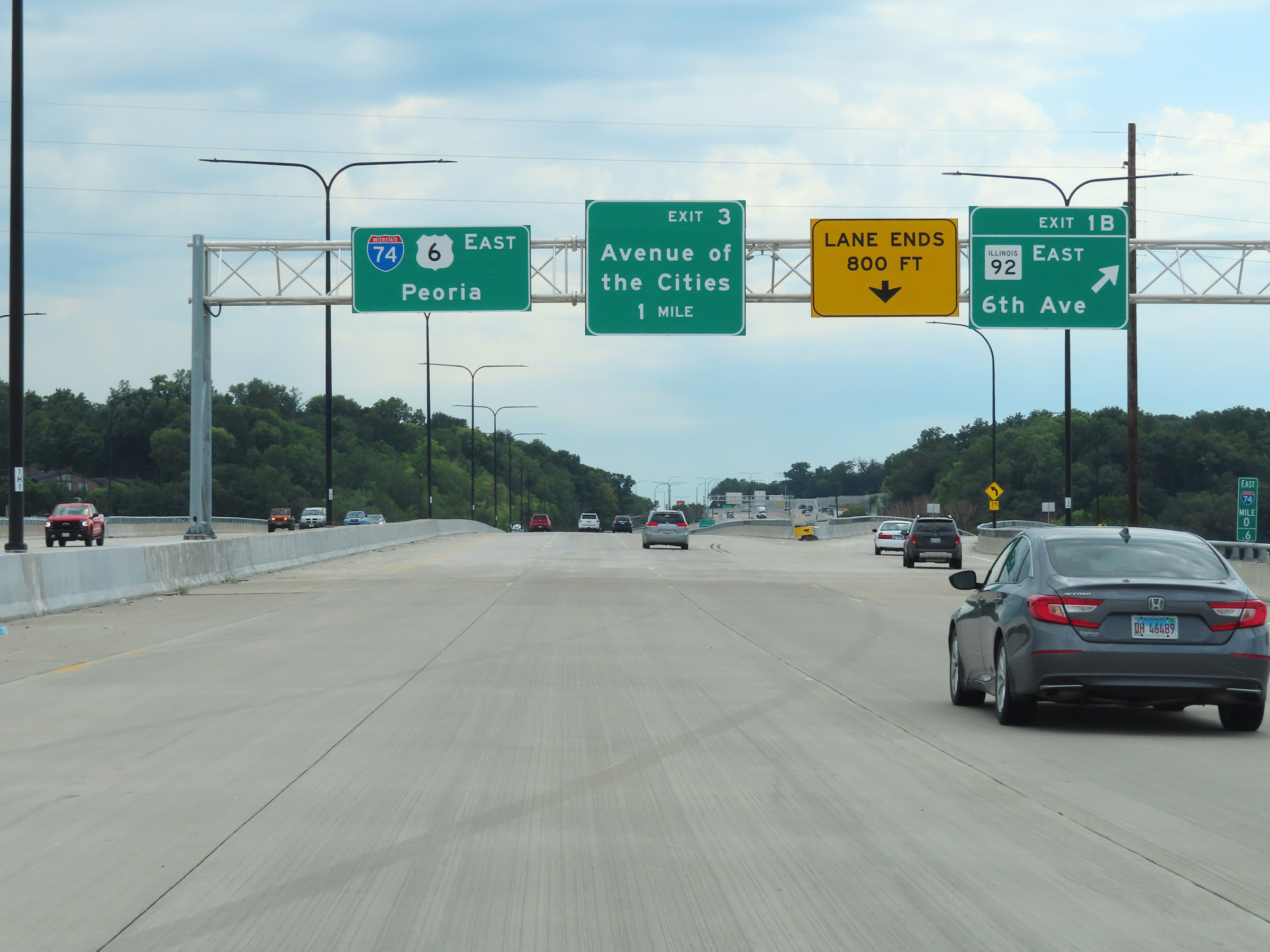 |
Interstate 74 East at Exit 1B: IL 92 East - 6th Ave (Photo taken 8/19/22). |
 |
View on Interstate 74 East approaching mile marker 1 in Moline. (Photo taken 8/19/22). |
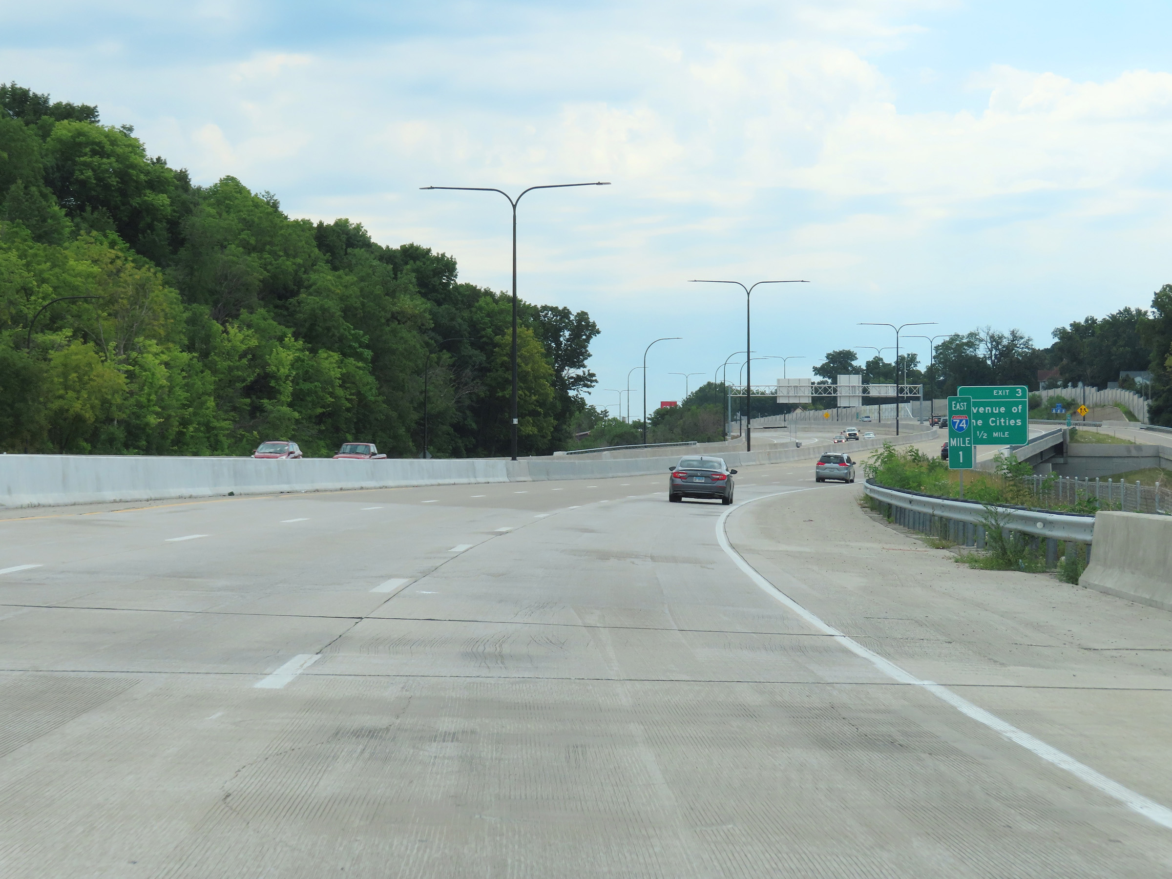 |
Interstate 74 East at mile marker 1. (Photo taken 8/19/22). |
 |
Interstate 74 East at Exit 3: Avenue of the Cities (Photo taken 8/19/22). |
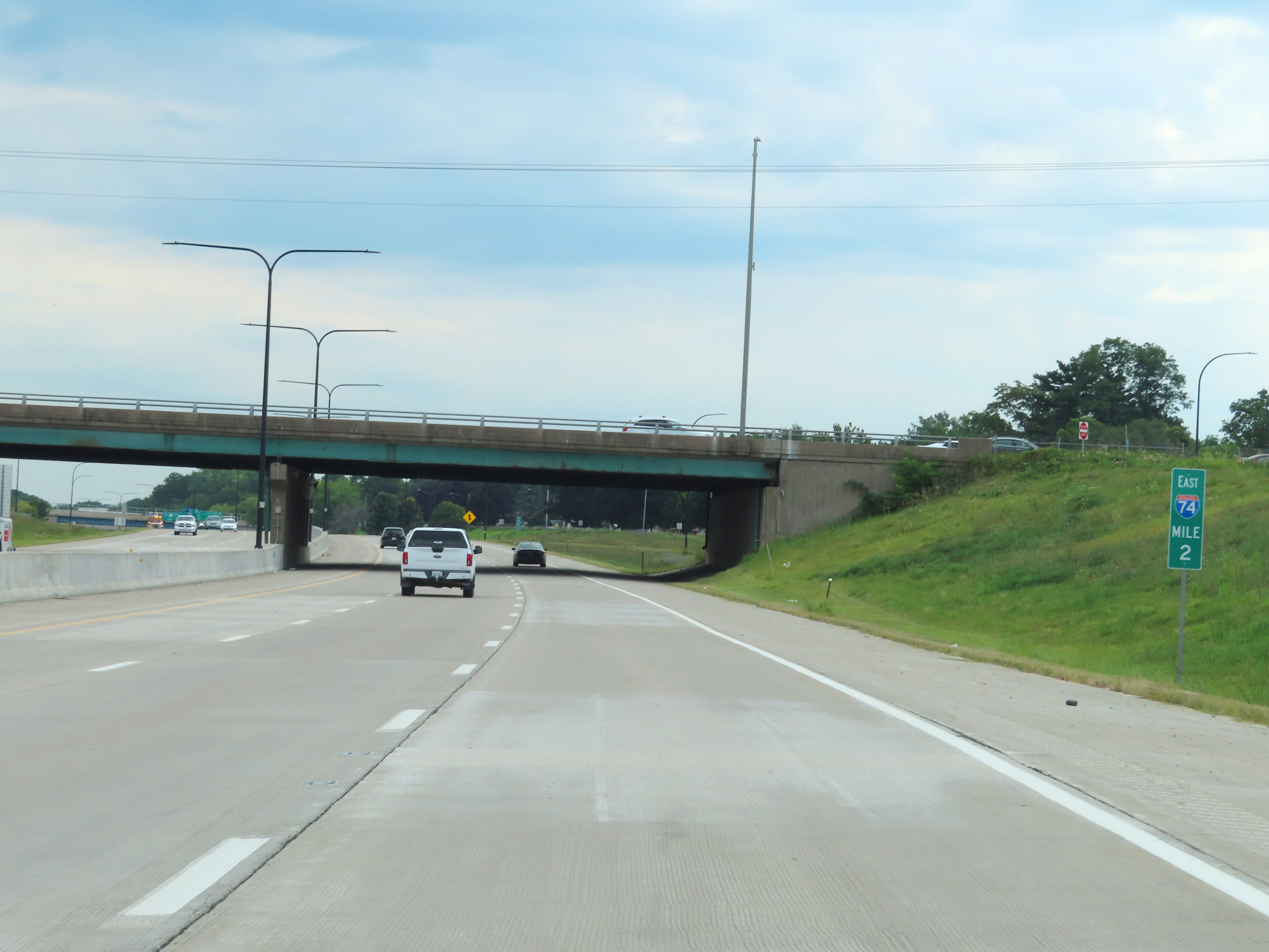 |
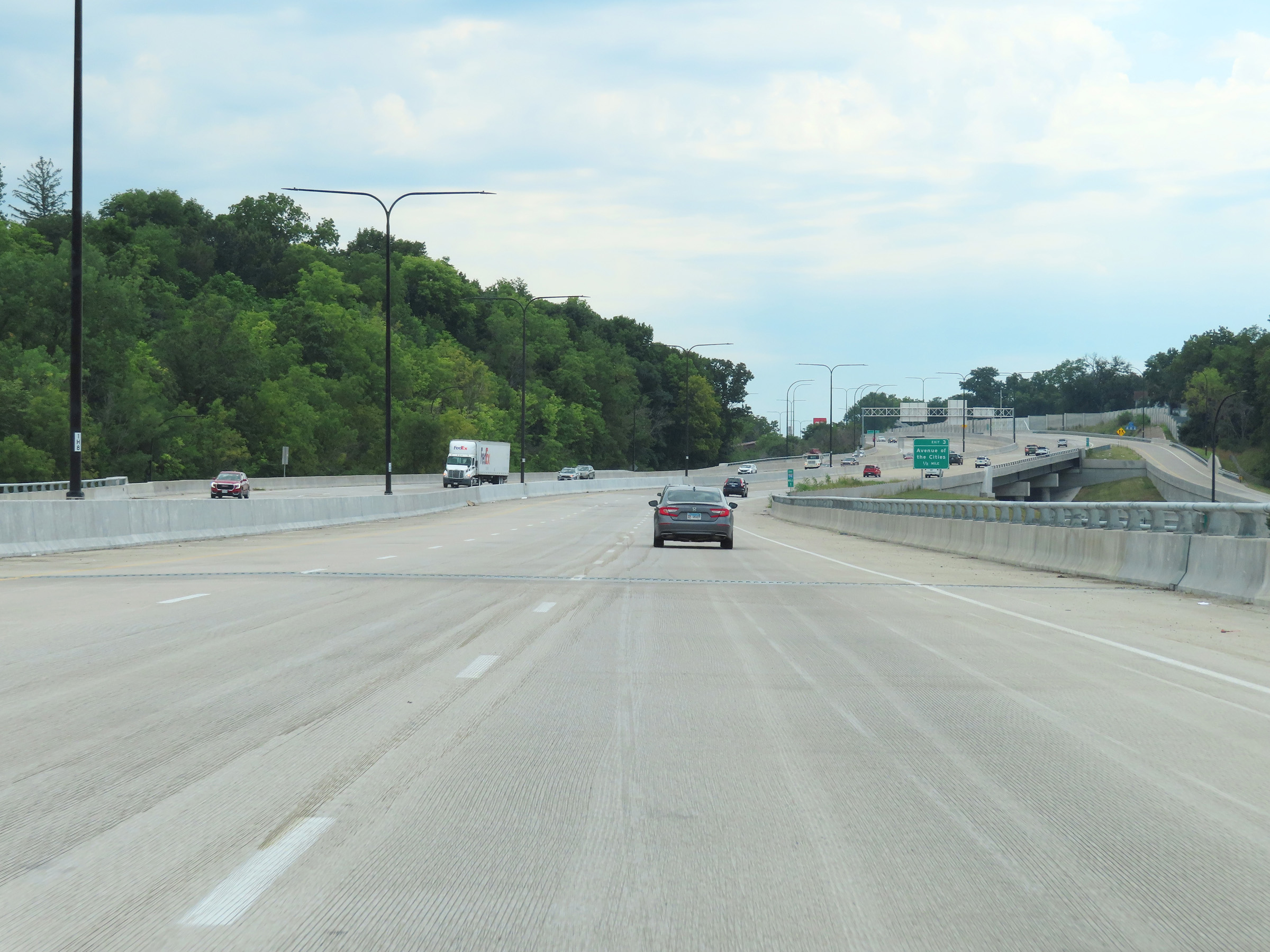
View on Interstate 74 East at mile marker 2. (Photo taken 8/19/22). |
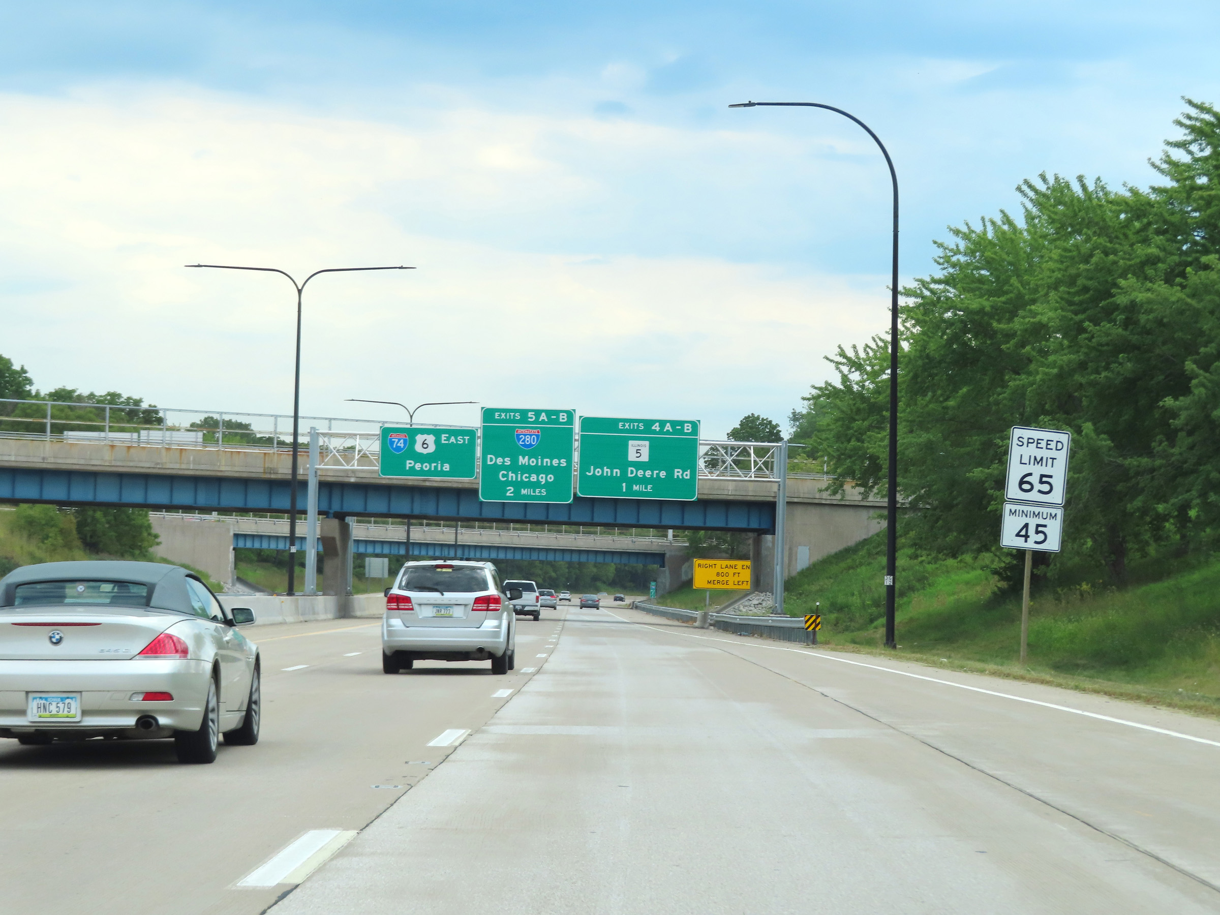 |
Near mile marker 2.4, the maximum speed limit on Interstate 74 East increases to 65 mph. The minimum speed limit remains 45 mph. (Photo taken 8/19/22). |
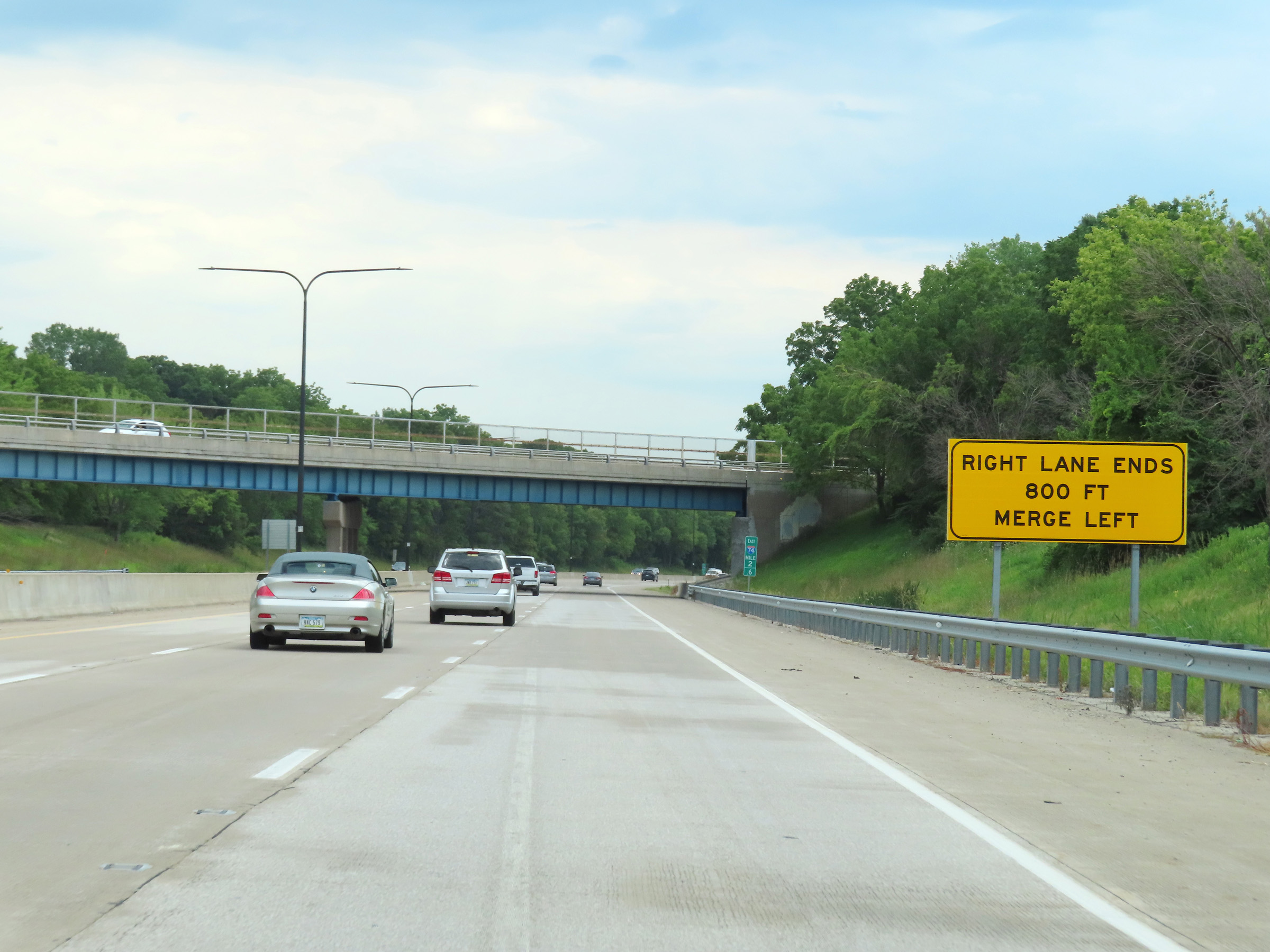 |
This sign at mile marker 2.6 warns that the right lane will come to an end ahead, and Interstate 74 East will be reduced to two thru lanes. (Photo taken 8/19/22). |
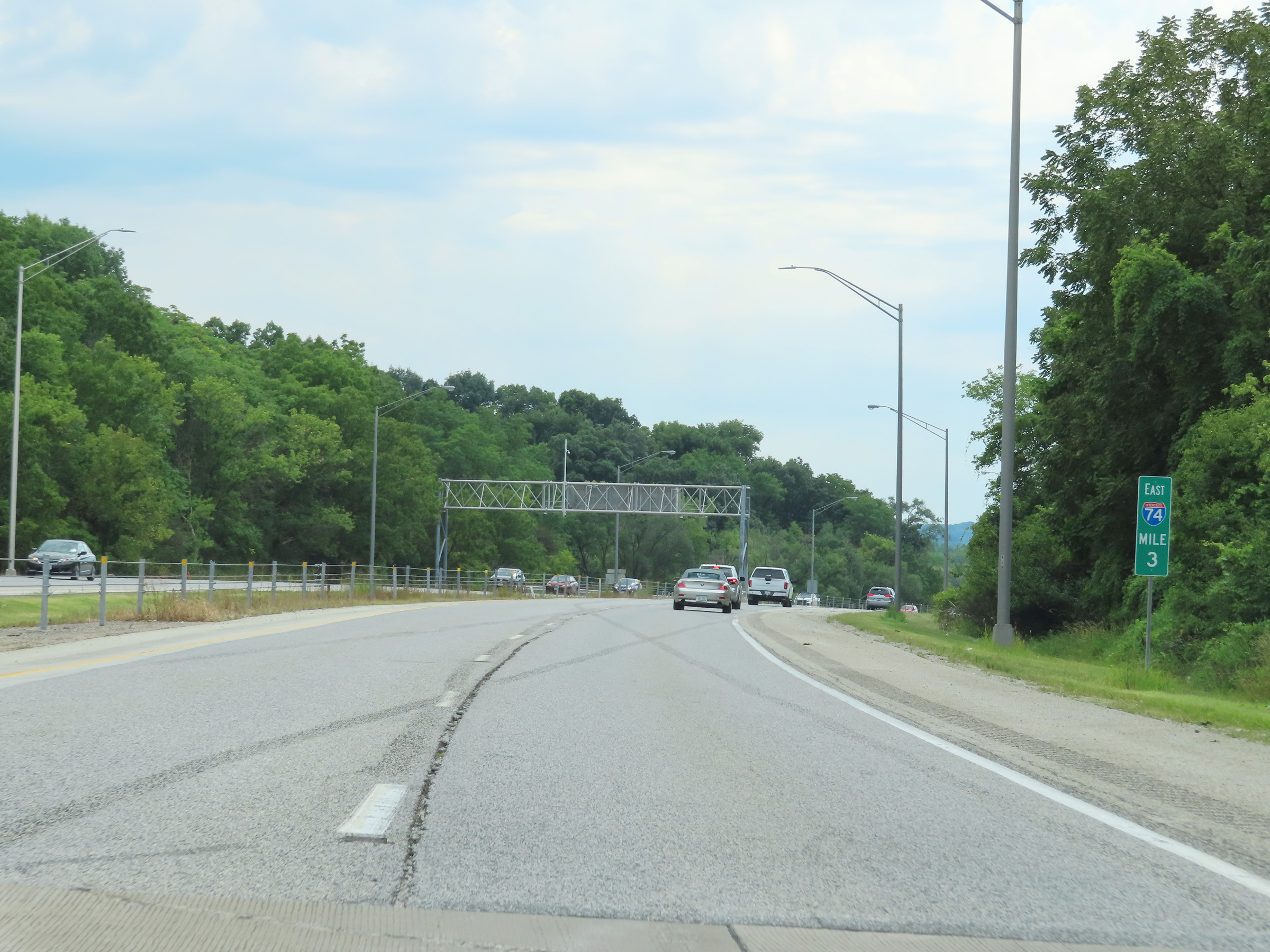 |
View on Interstate 74 East at mile marker 3. (Photo taken 8/19/22). |
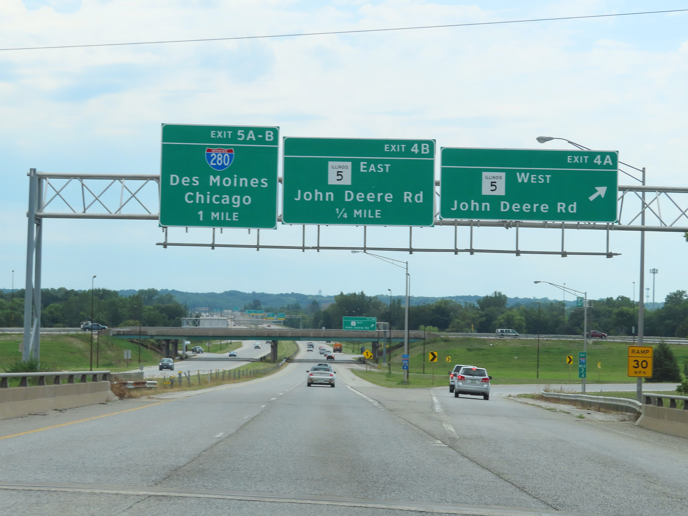 |
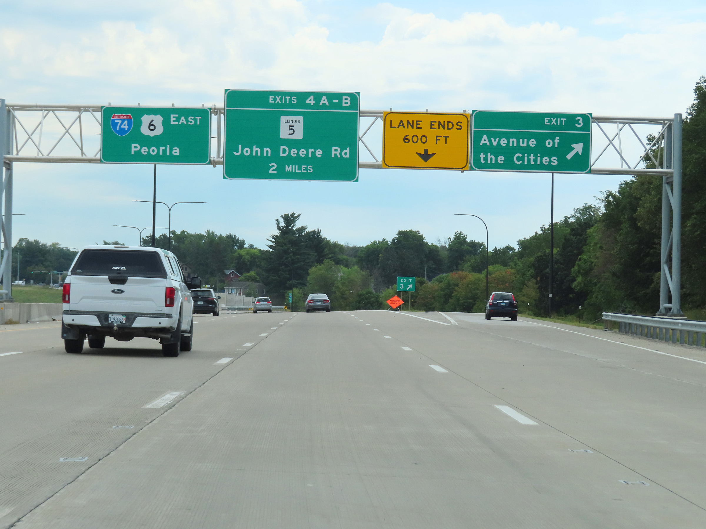
Interstate 74 East at Exit 4A: IL 5 West - John Deere Rd (Photo taken 8/19/22). |
 |
Interstate 74 East at Exit 4B: IL 5 East - John Deere Rd (Photo taken 8/19/22). |
 |
Interstate 74 East approaching Exit 5A - 1/4 mile. (Photo taken 8/19/22). |
 |
Interstate 74 East crosses the Rock River at mile marker 4.2, just before the junction of Interstate 280. (Photo taken 8/19/22). |
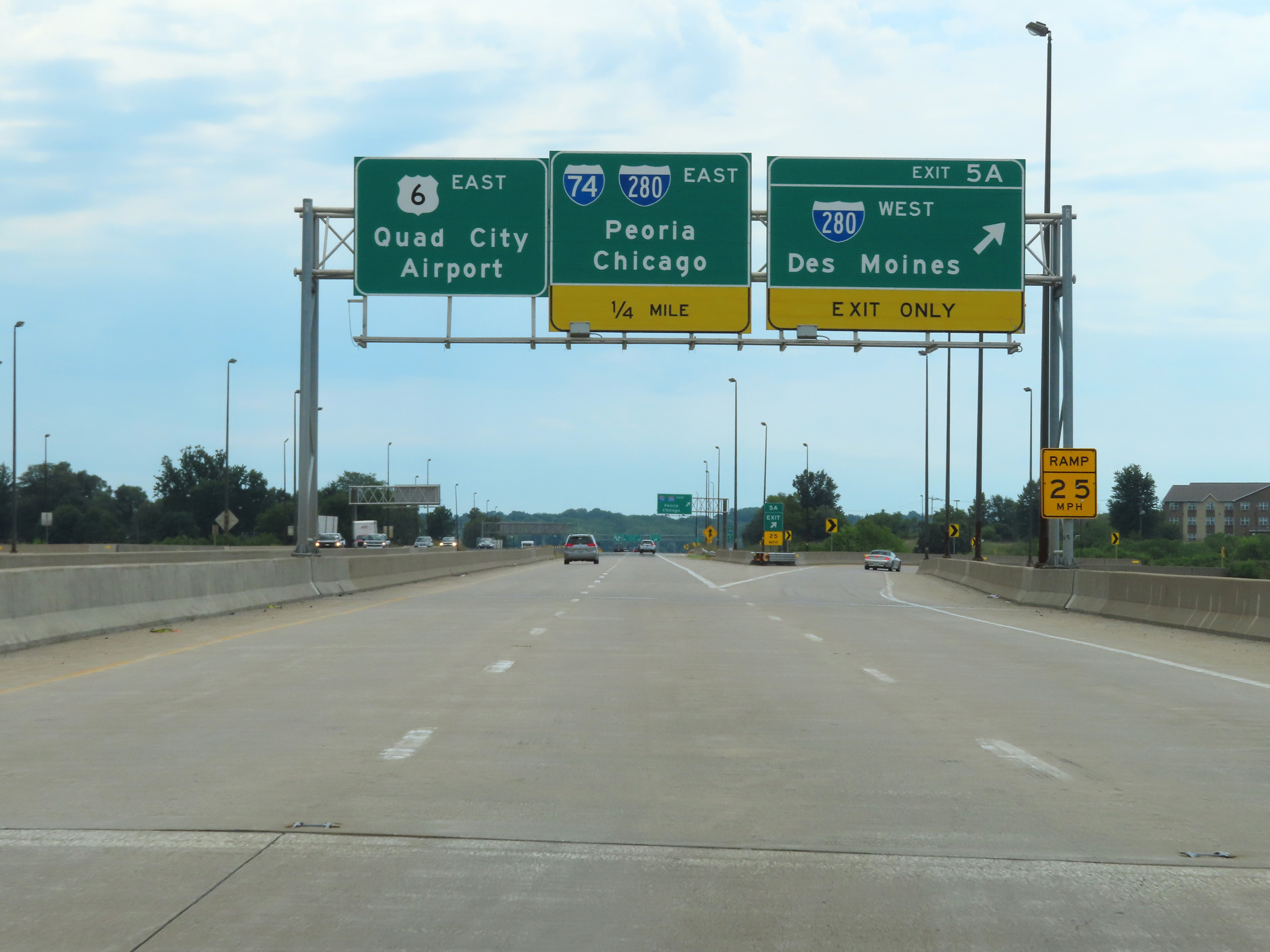 |
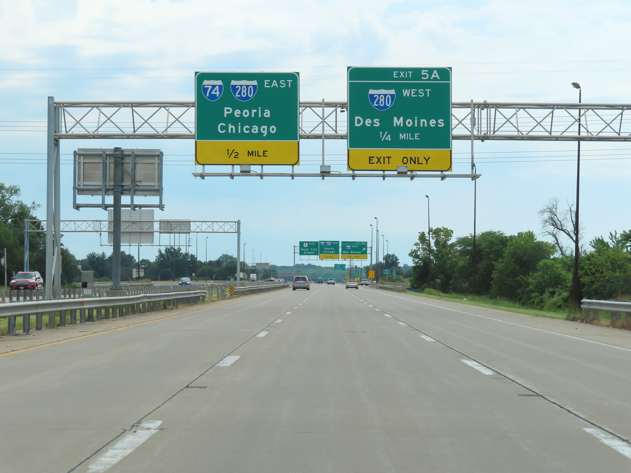
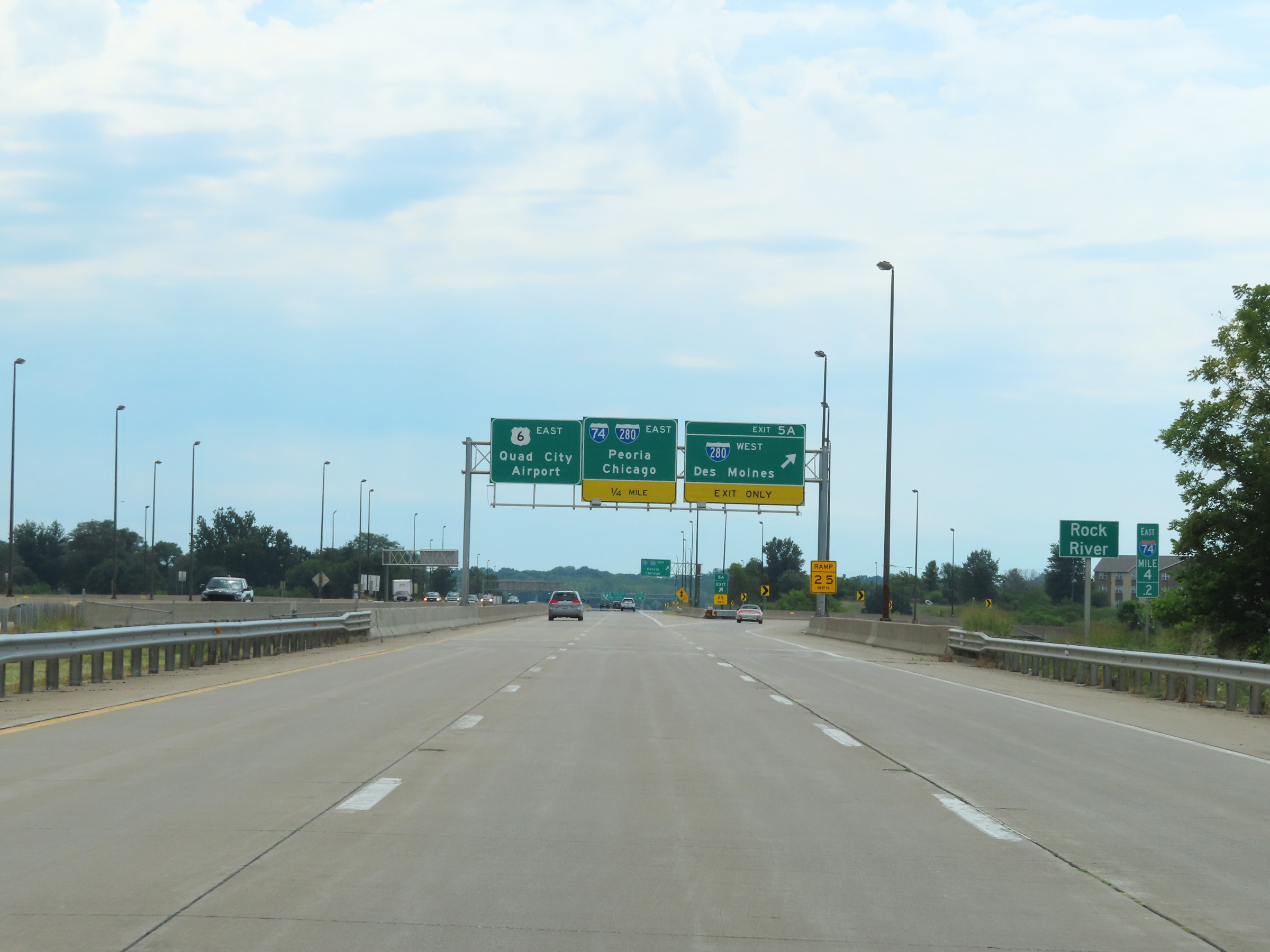
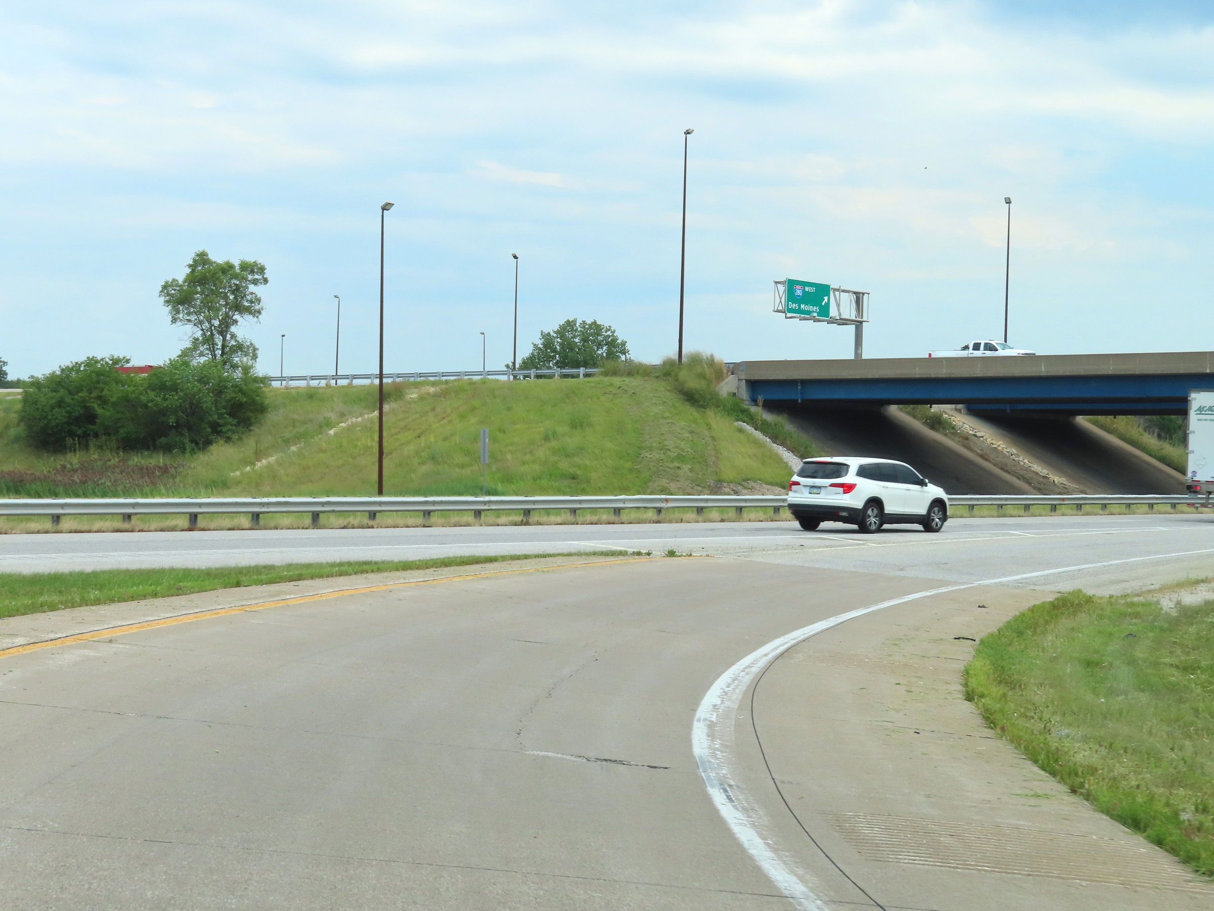
Interstate 74 East at Exit 5A: Interstate 280 West - Des Moines (Photo taken 8/19/22). |
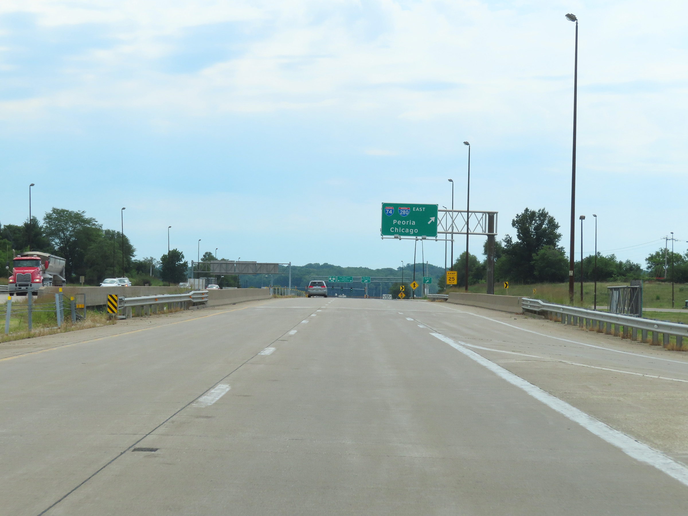 |
The two thru lanes of Interstate 74 East will become US 6 East ahead. I-74 East thru traffic must take the loop ramp ahead on the right. (Photo taken 8/19/22). |
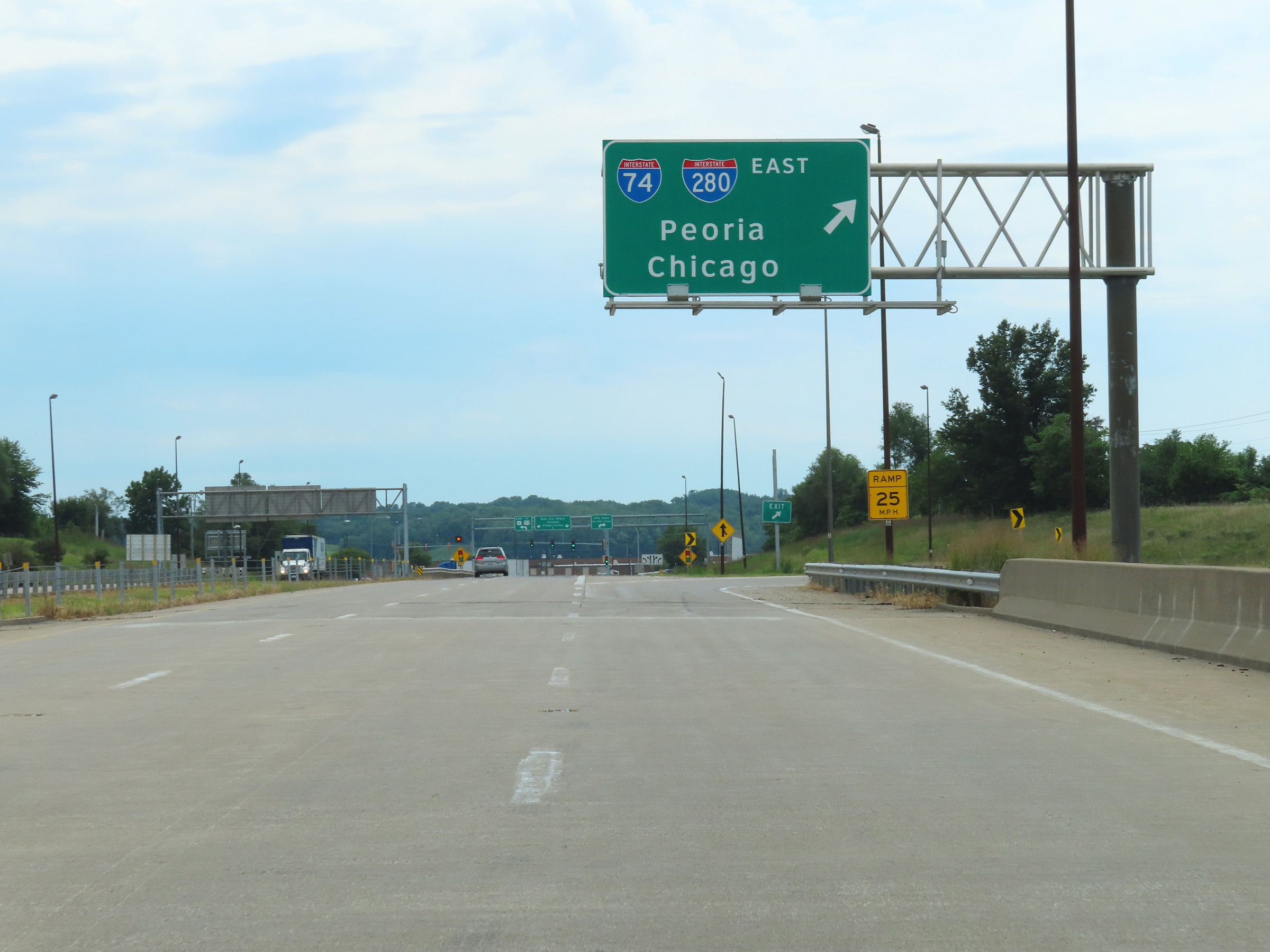 |
Interstate 74 East at Exit: Interstate 74 East / Interstate 280 East - Peoria / Chicago (Photo taken 8/19/22). |
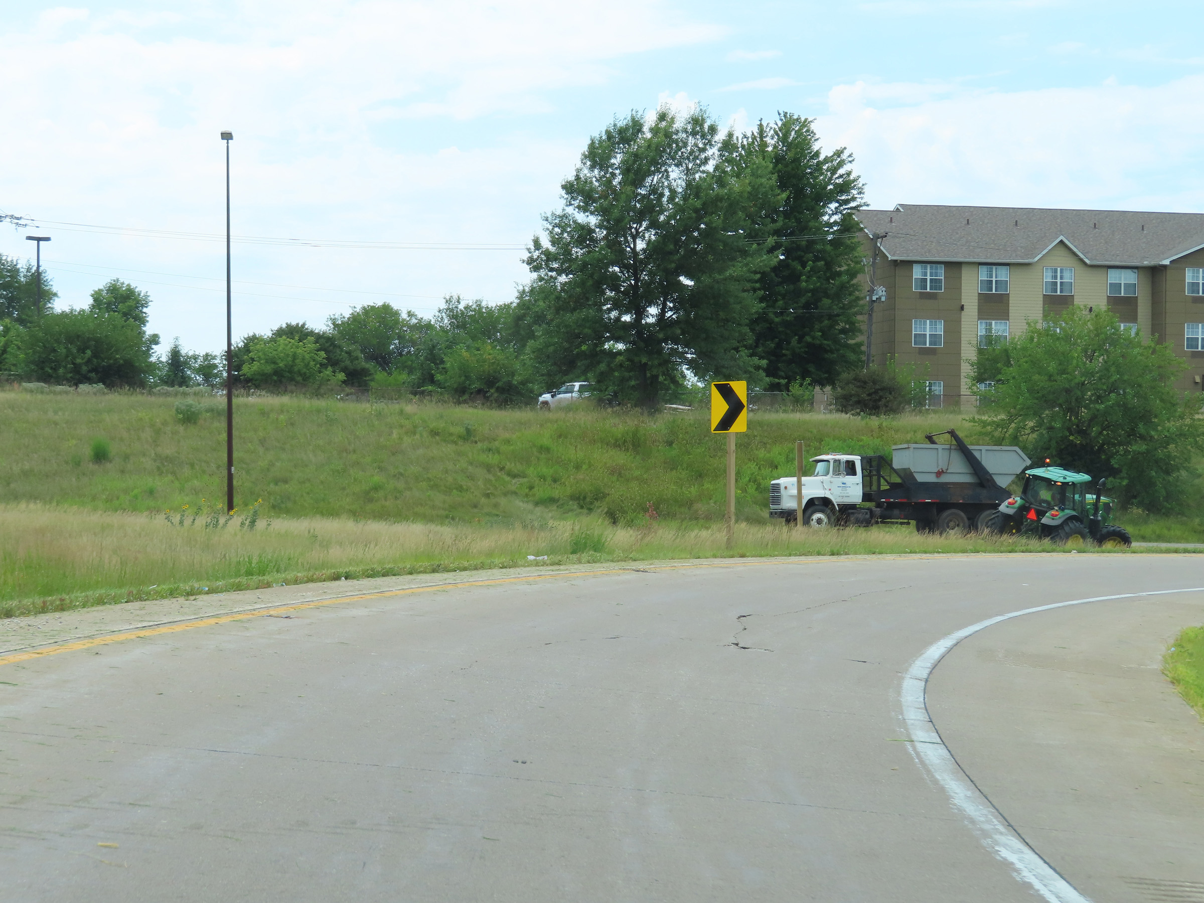 |
Interstate 74 East is reduced to a single lane on the loop ramp to join Interstate 280 East. (Photo taken 8/19/22). |
 |
Coming out of the loop ramp, Interstate 74 East prepares to merge into the eastbound lanes of Interstate 280. (Photo taken 8/19/22). |
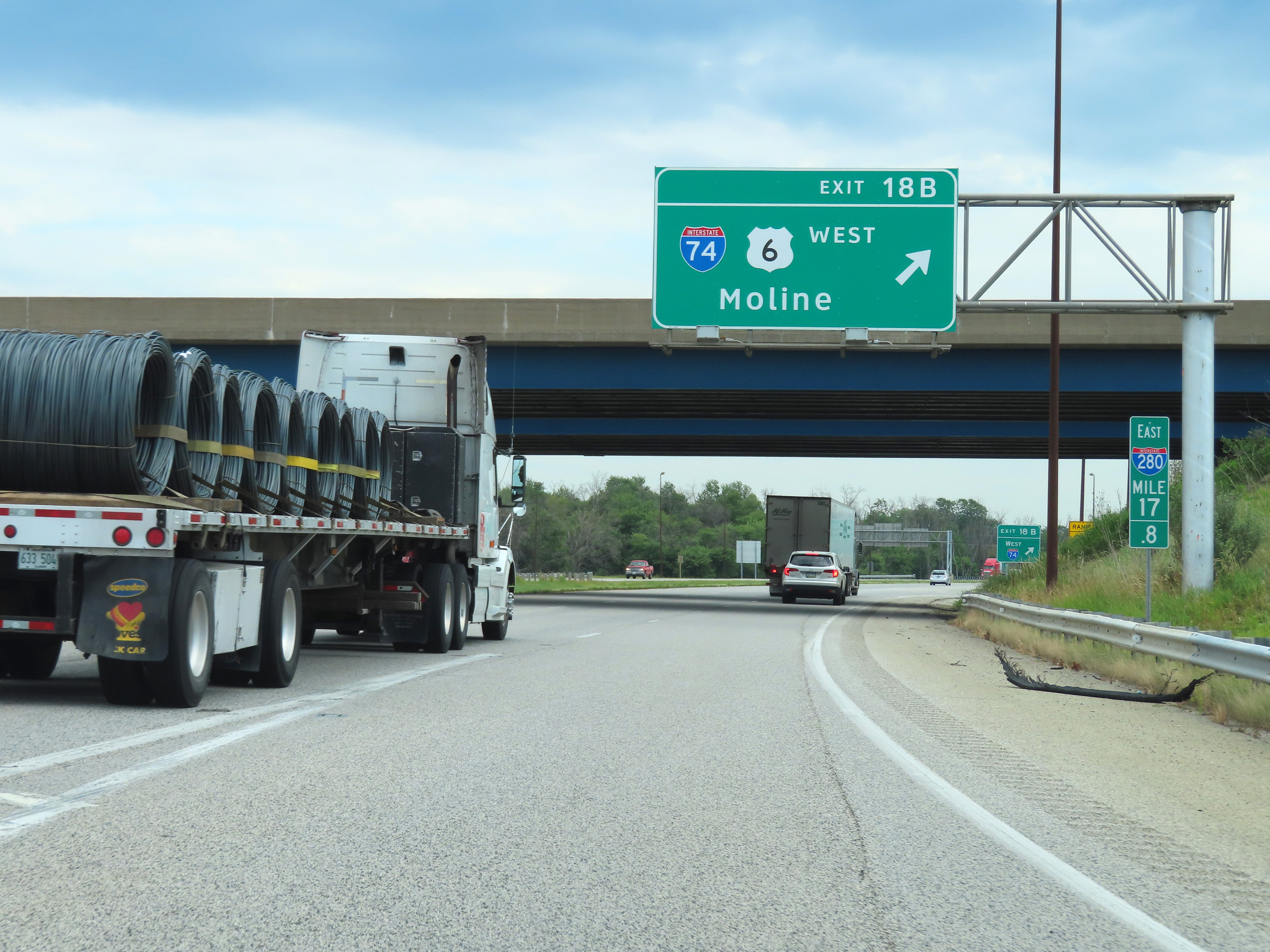 |
Interstate 74 East / Interstate 280 East at Exit 18B: Interstate 74 West / US 6 West - Moline. I-74 East and I-280 East will run concurrently for the next 9 miles. During the concurrency, the mileage and exit numbers are based on the total mileage of I-74, with the exception of this exit. (Photo taken 8/19/22). |
 |
Interstate 74 East / Interstate 280 East at mile marker 4.6, as the exit signage to the right of it is still numbered based on the mileage of I-280. (Photo taken 8/19/22). |
 |
As Interstate 74 East and Interstate 280 East join together, the maximum speed limit is 70 mph and the minimum speed limit remains 45 mph as always. These are the standard speed limits on most rural Interstate highways in Illinois. (Photo taken 8/19/22). |
 |
Interstate 74 East / Interstate 280 East reassurance shields. (Photo taken 8/19/22). |
|
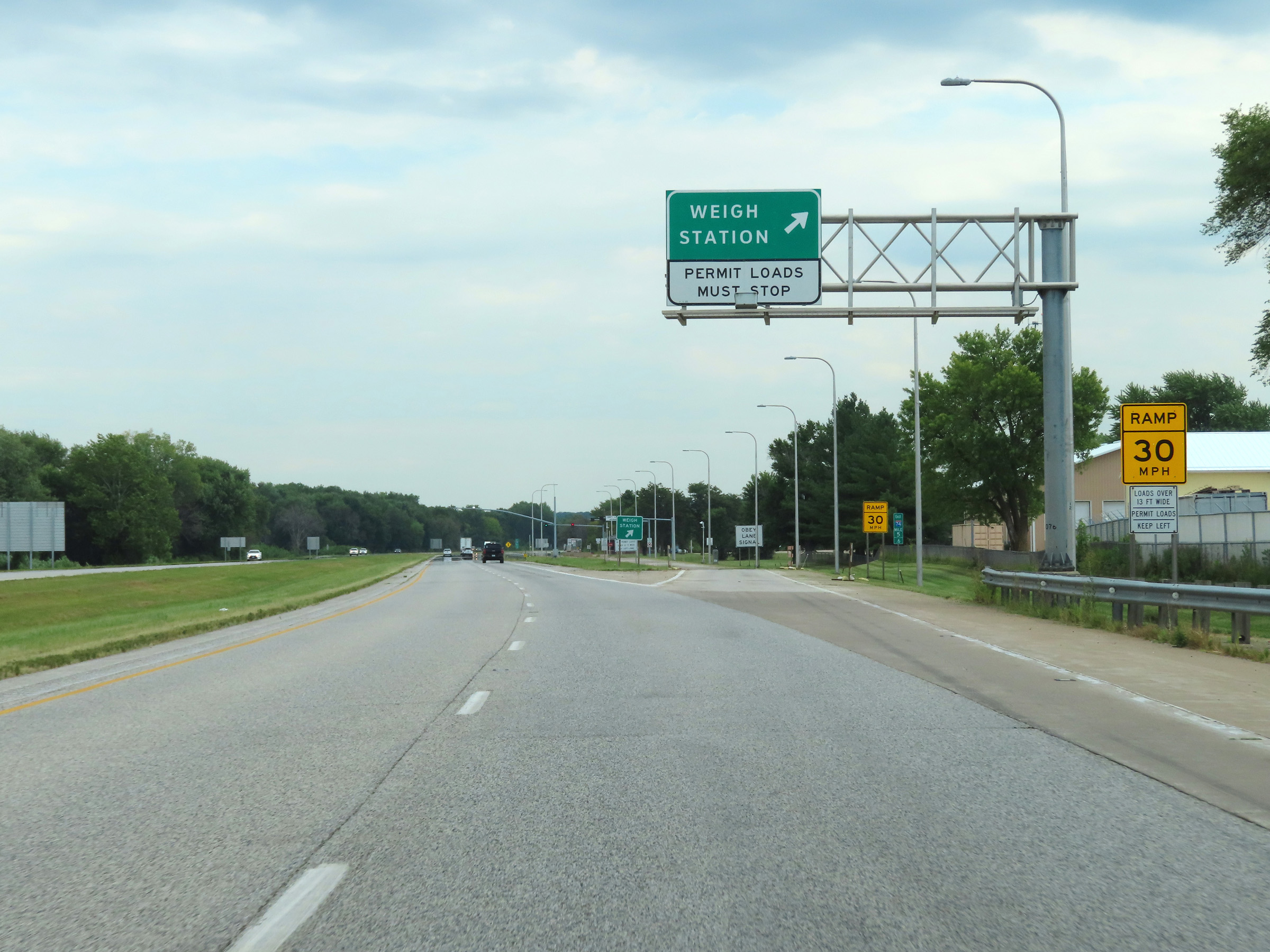
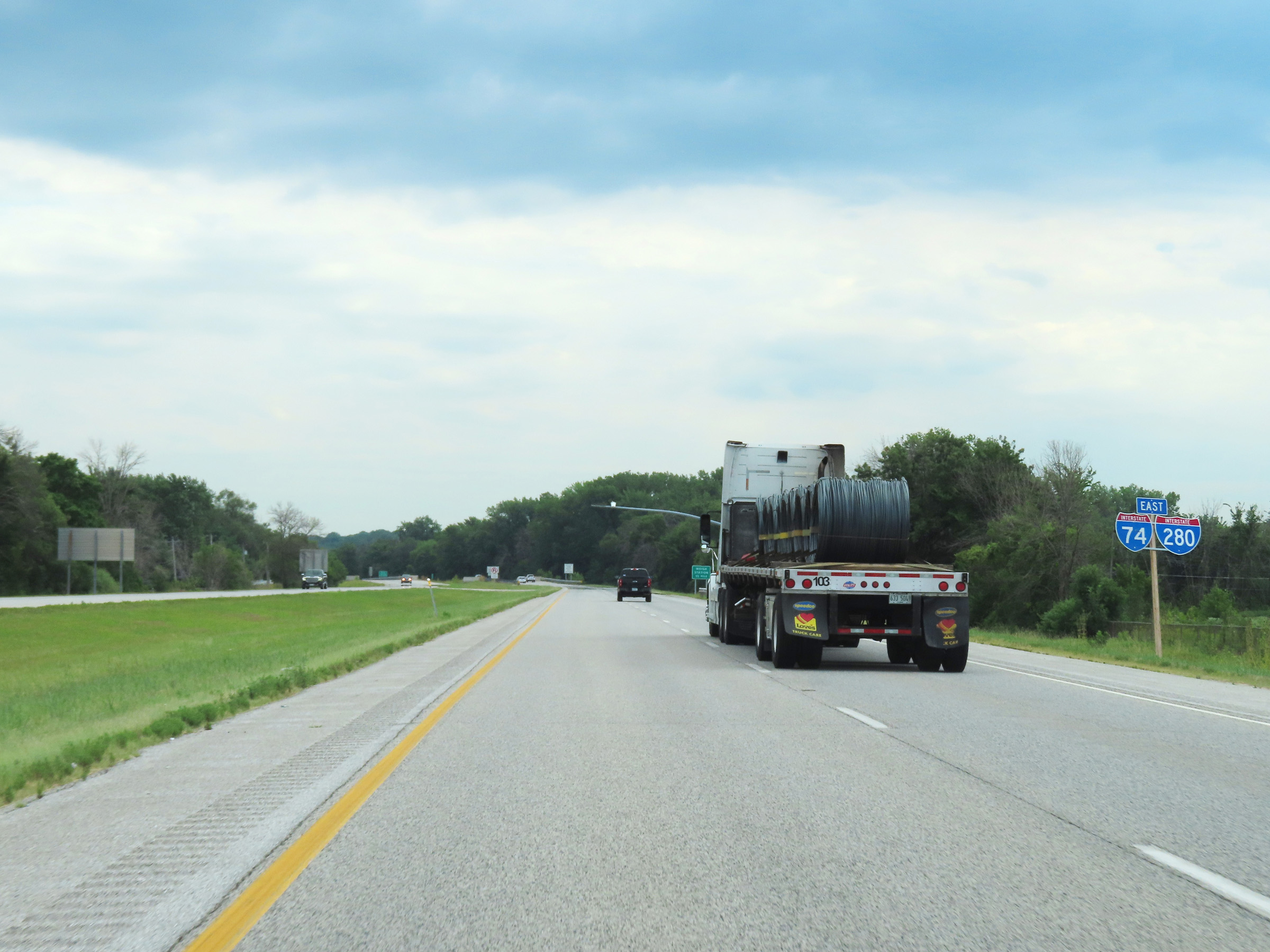
Weigh Station on Interstate 74 East / Interstate 280 East at mile marker 5.6 in Rock Island County. (Photo taken 8/19/22). |
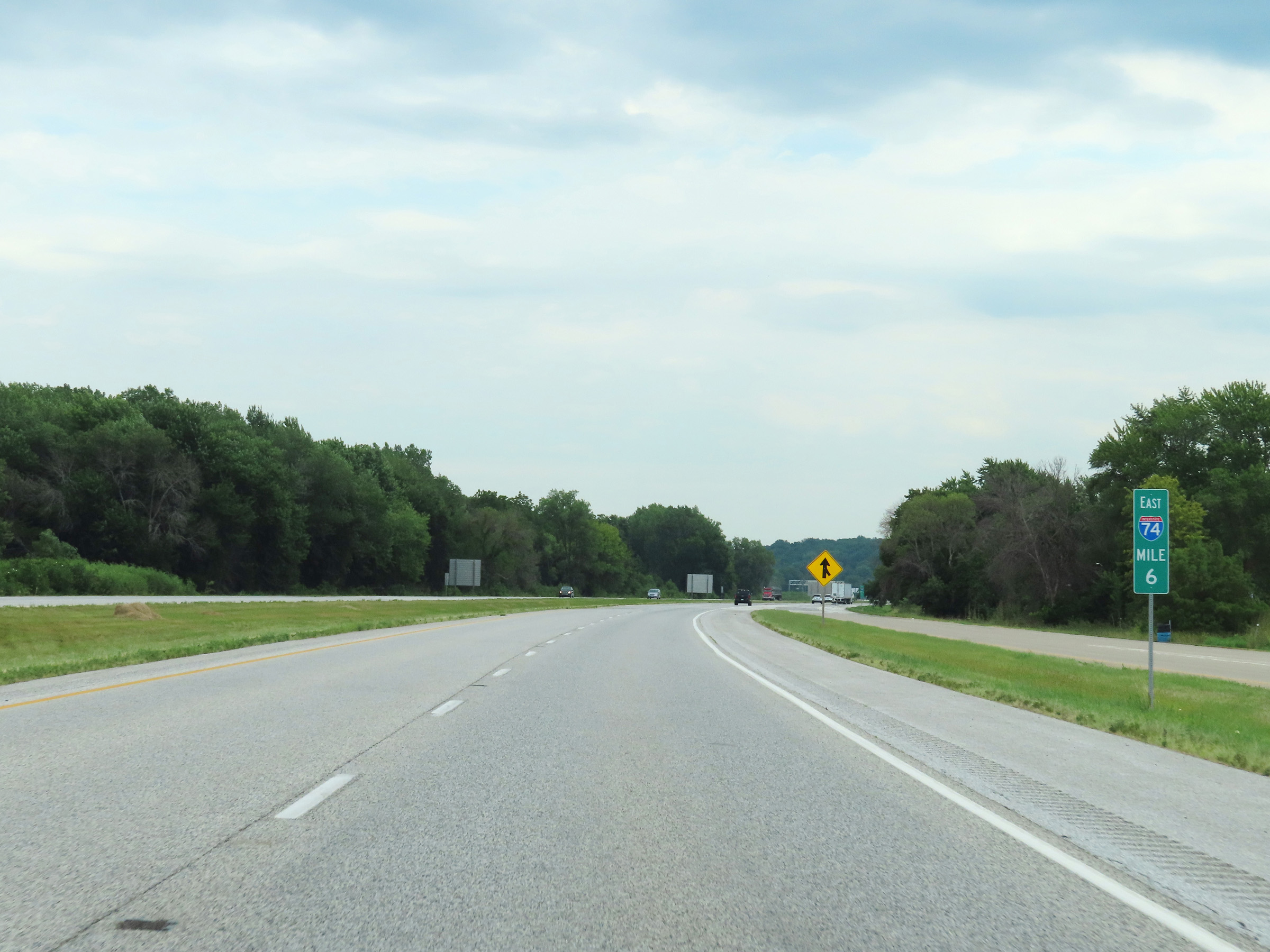 |
View on Interstate 74 East / Interstate 280 East at mile marker 6. (Photo taken 8/19/22). |
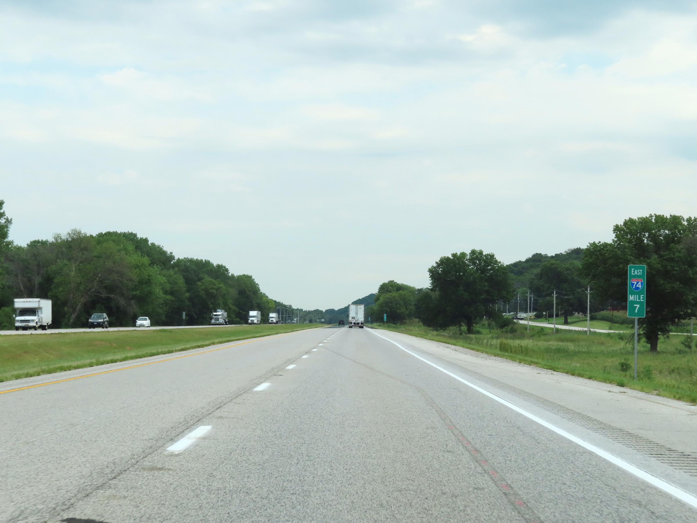 |
Interstate 74 East / Interstate 280 East at mile marker 7. (Photo taken 8/19/22). |
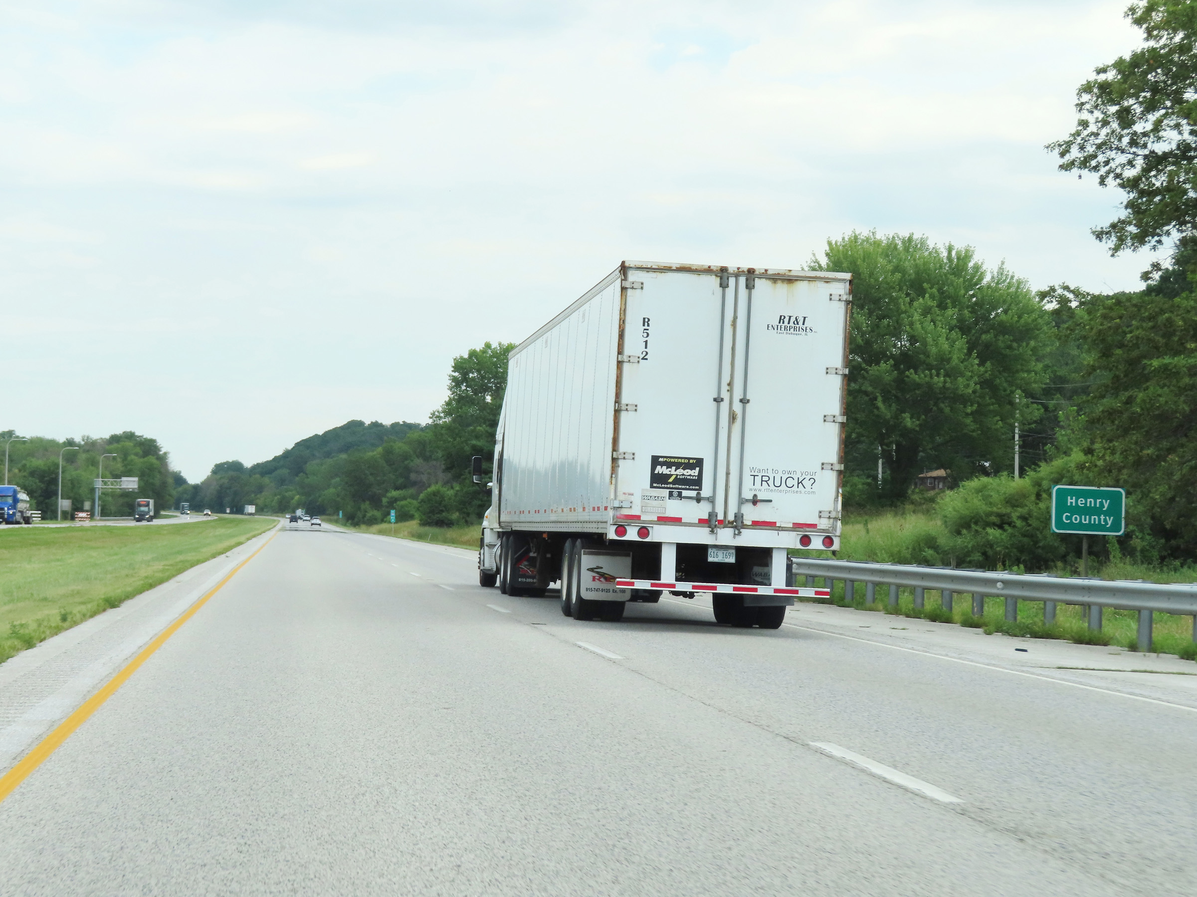 |
Interstate 74 East / Interstate 280 East as the duplex enters Henry County. (Photo taken 8/19/22). |
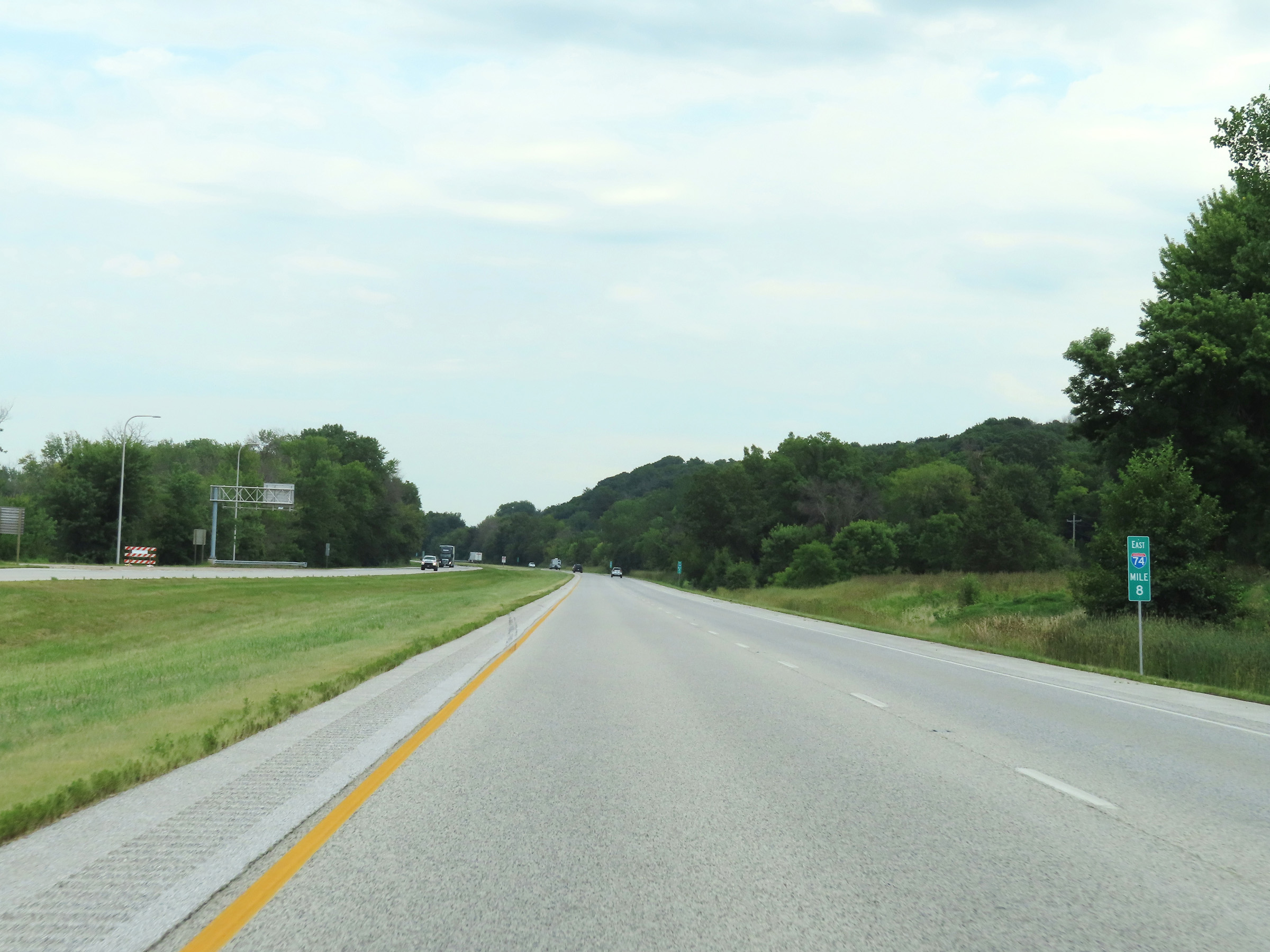 |
Interstate 74 East / Interstate 280 East at mile marker 8. (Photo taken 8/19/22). |
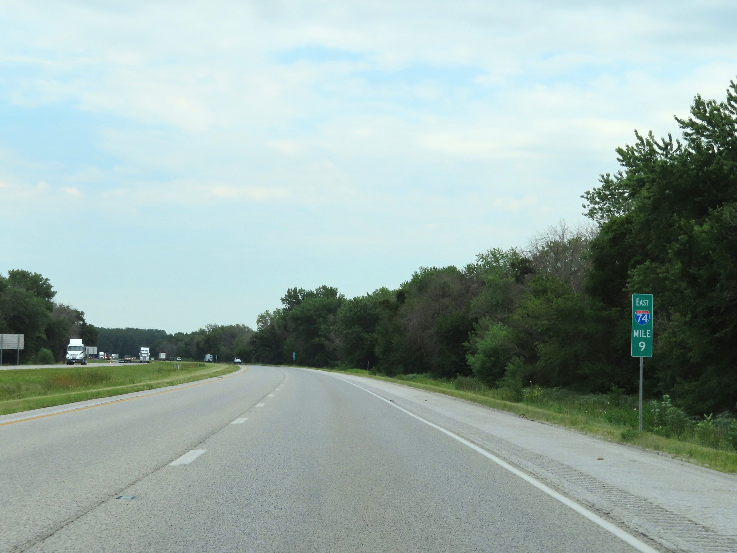 |
View on Interstate 74 East / Interstate 280 East at mile marker 9. (Photo taken 8/19/22). |
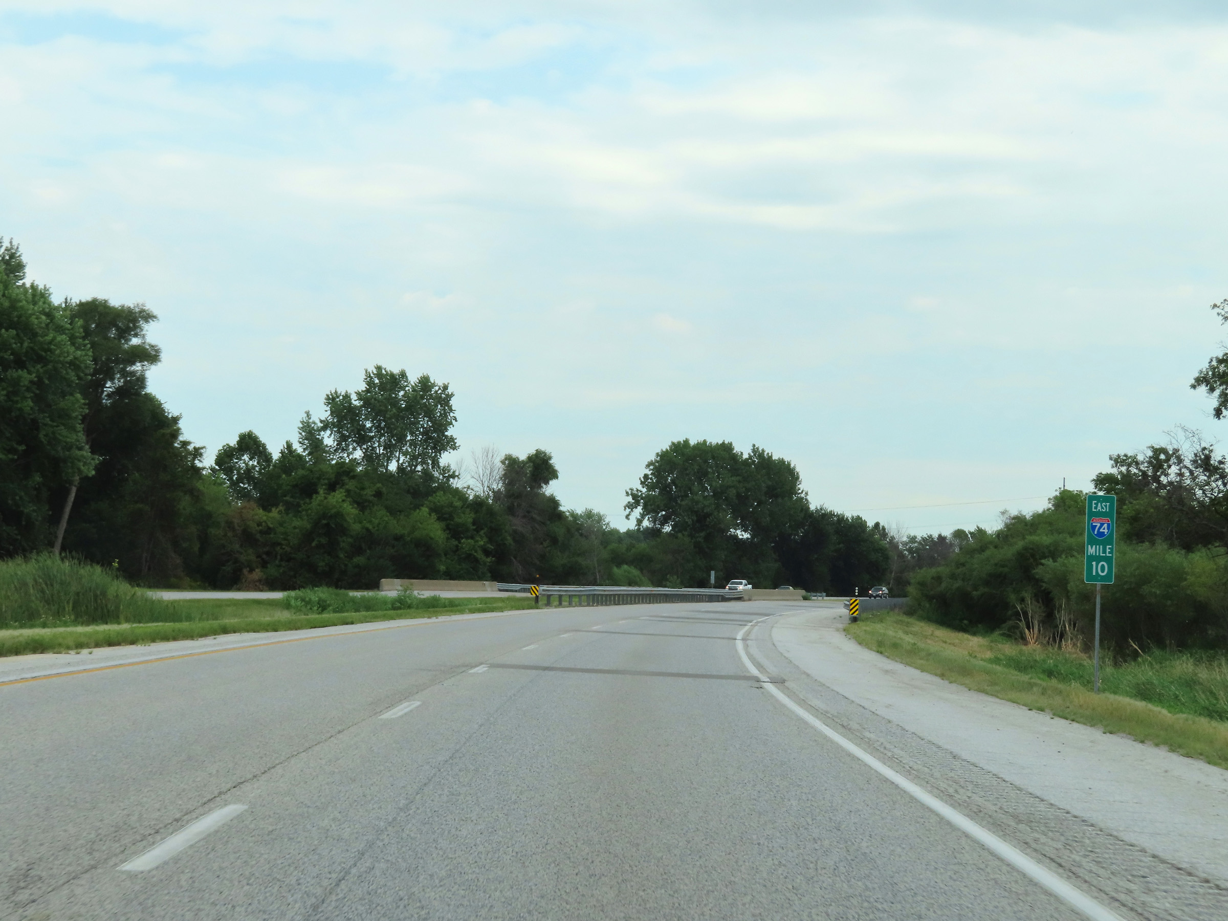 |
Mile marker 10 on Interstate 74 East / Interstate 280 East in Henry County. (Photo taken 8/19/22). |
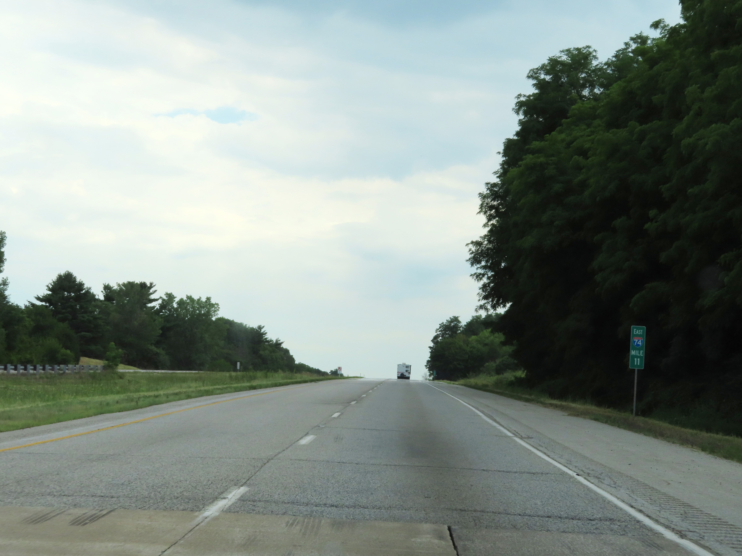 |
Interstate 74 East / Interstate 280 East at mile marker 11. (Photo taken 8/19/22). |
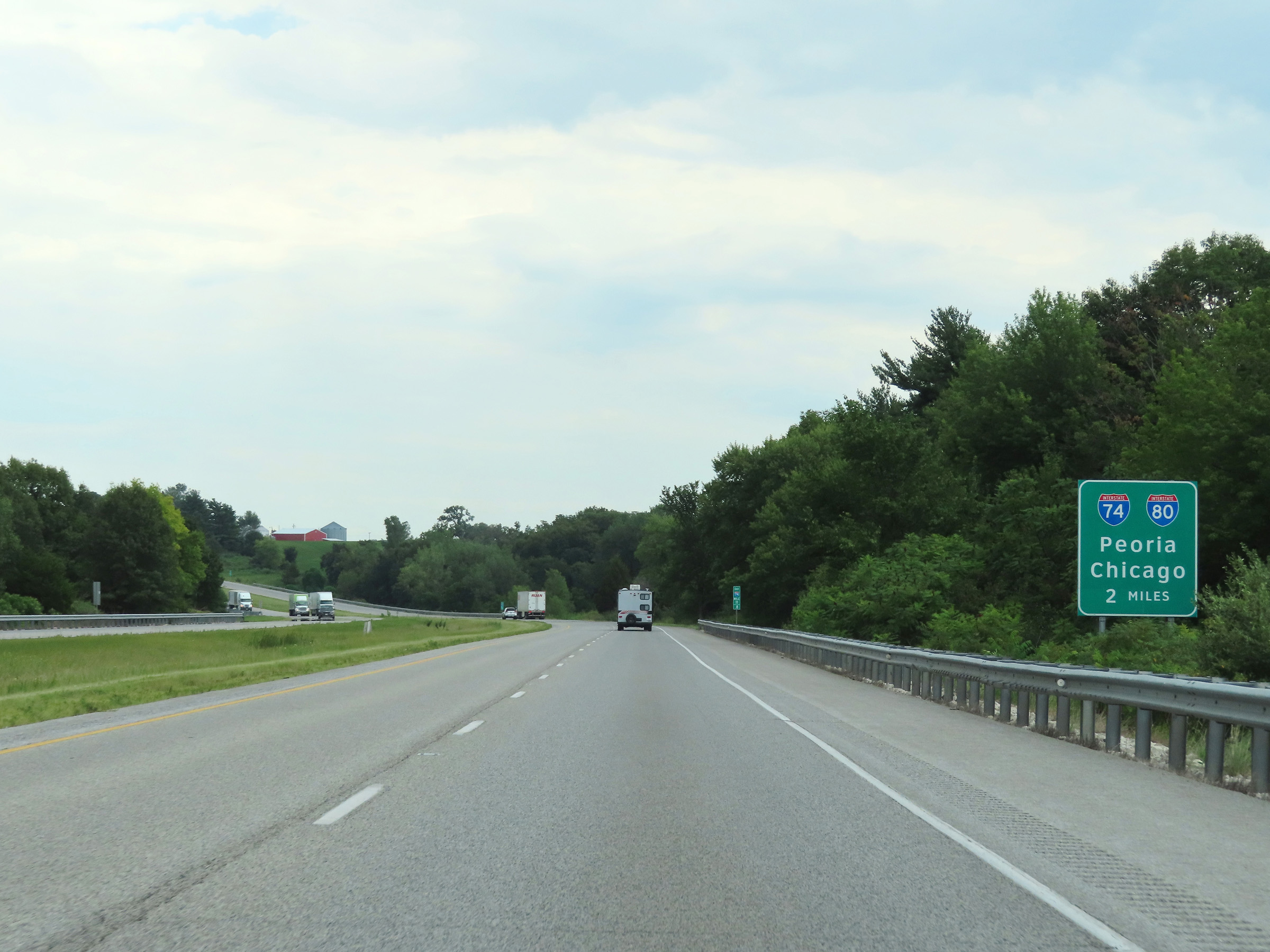 |
Interstate 74 East will depart to the south on its own 2 miles ahead, at the junction of Interstate 80. (Photo taken 8/19/22). |
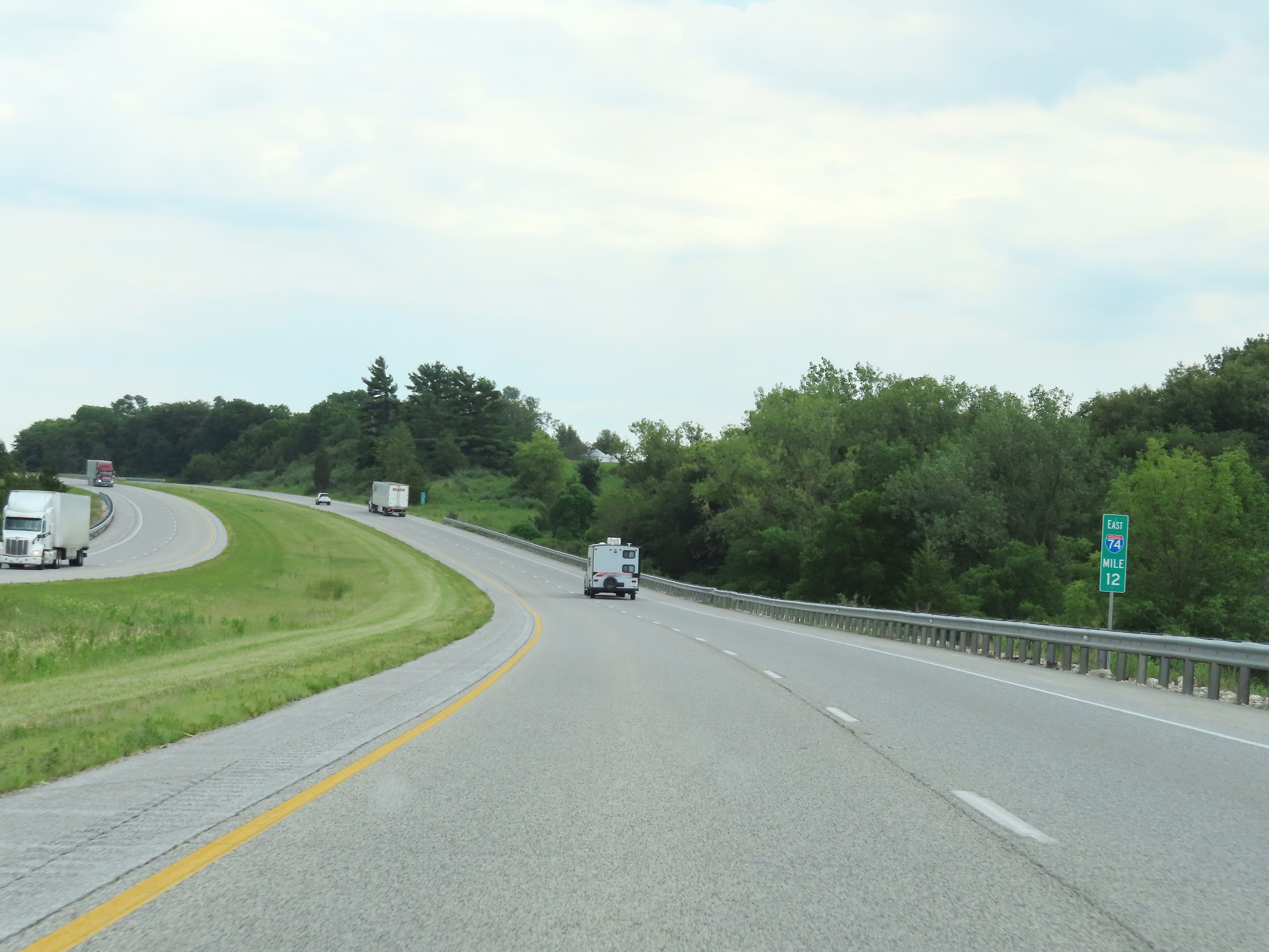 |
View on Interstate 74 East / Interstate 280 East at mile marker 12. (Photo taken 8/19/22). |
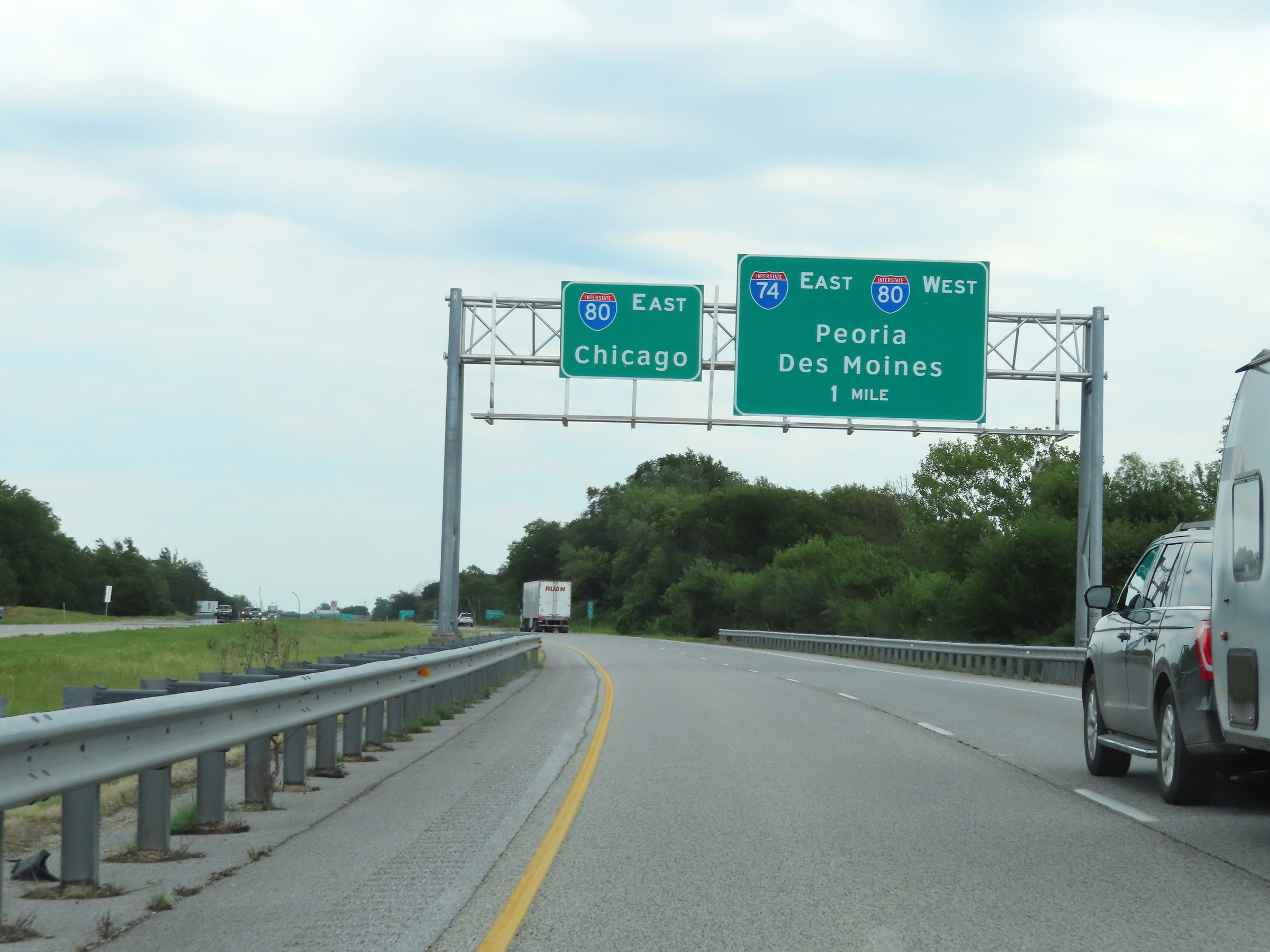 |
The junction of Interstate 80 and the eastern terminus of Interstate 280 are now 1 mile ahead. Interstate 74 East thru traffic will have to exit off to the right 1 mile ahead. (Photo taken 8/19/22). |
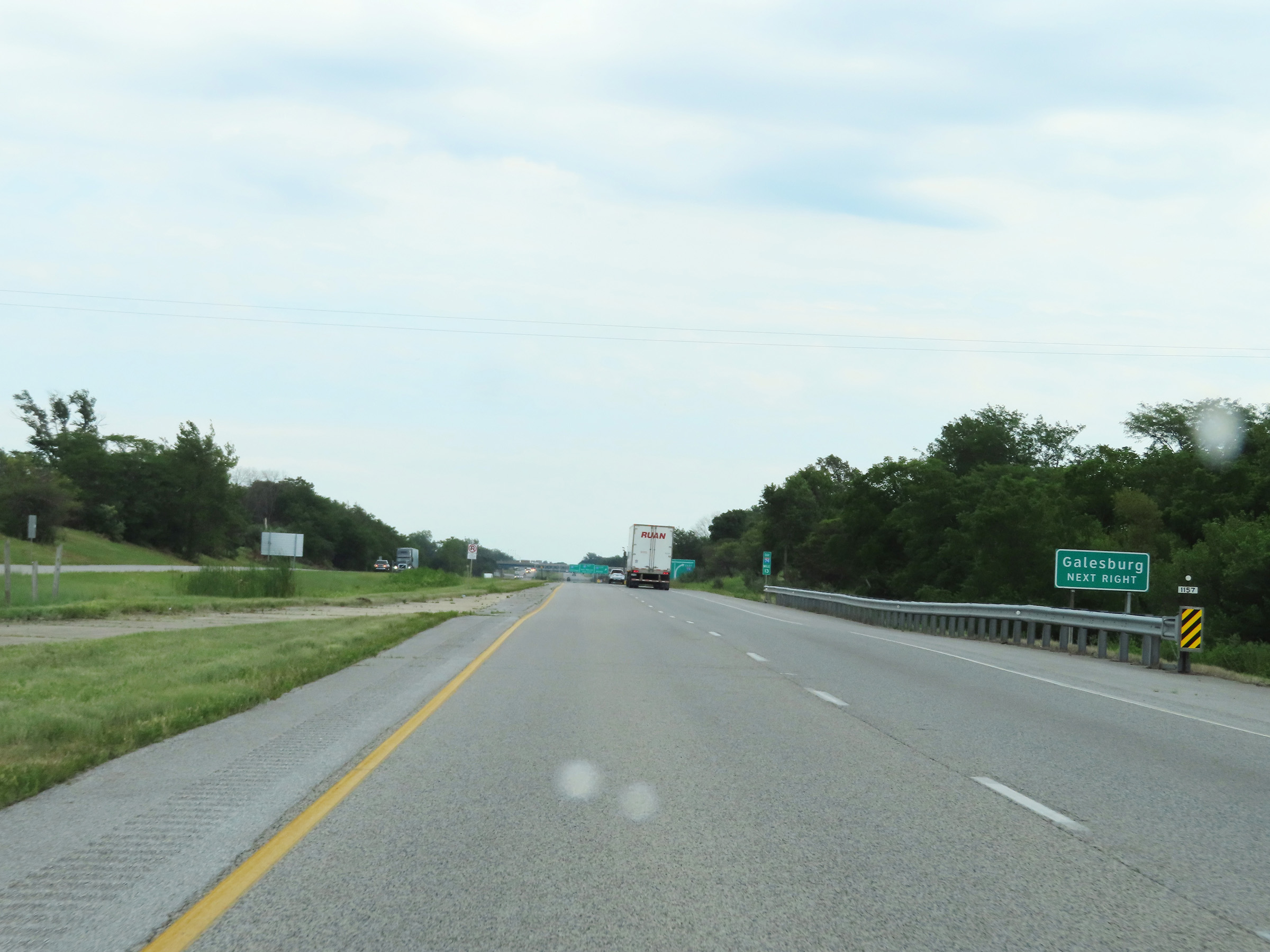 |
Traffic to Galesburg should follow Interstate 74 East. (Photo taken 8/19/22). |
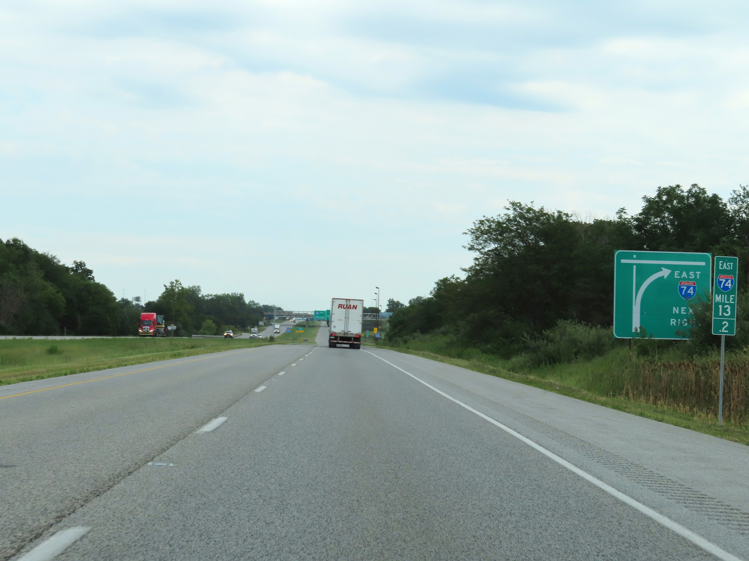 |
This sign at mile marker 13.2 shows that Interstate 74 East thru traffic will need to take the next ramp on the right, just ahead. (Photo taken 8/19/22). |
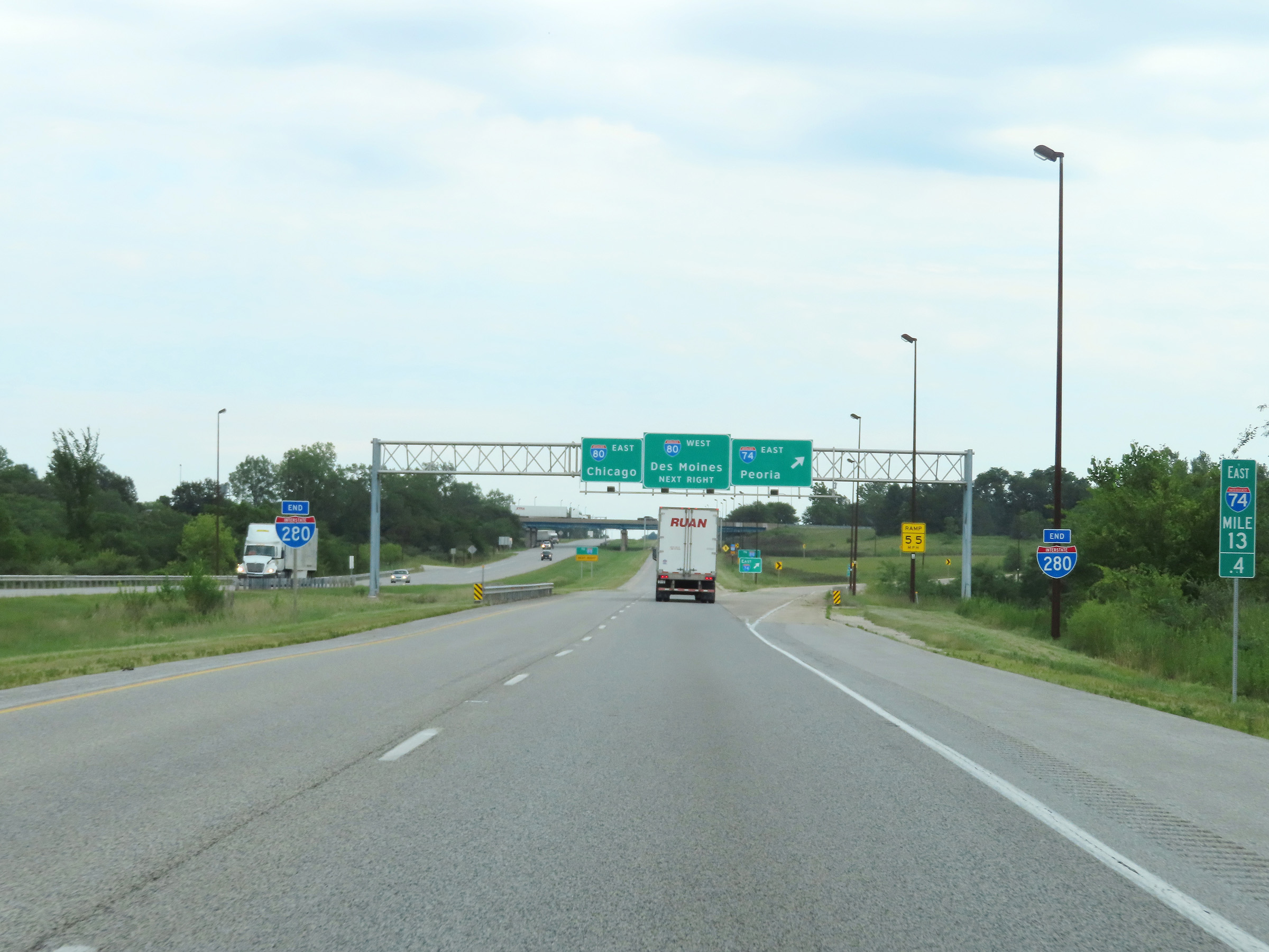 |
Interstate 280 East ends at the junction of Interstate 80, and we see its END markers here at mile marker 13.4. Again, Interstate 74 East thru traffic must take the ramp ahead on the right. (Photo taken 8/19/22). |
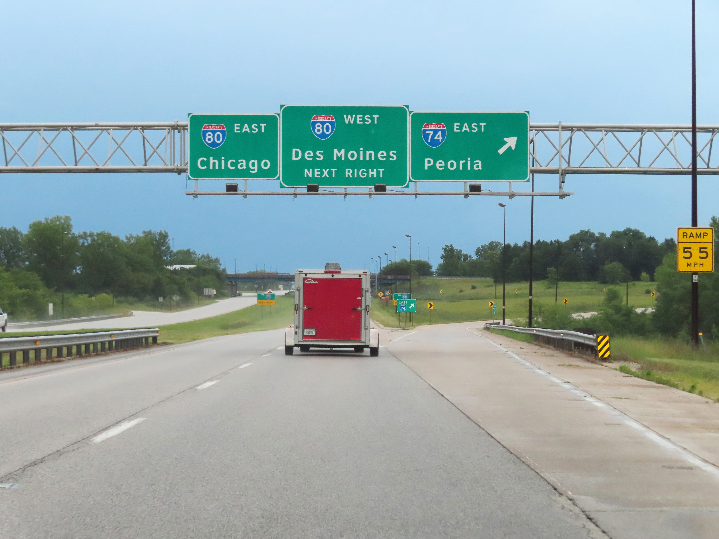 |
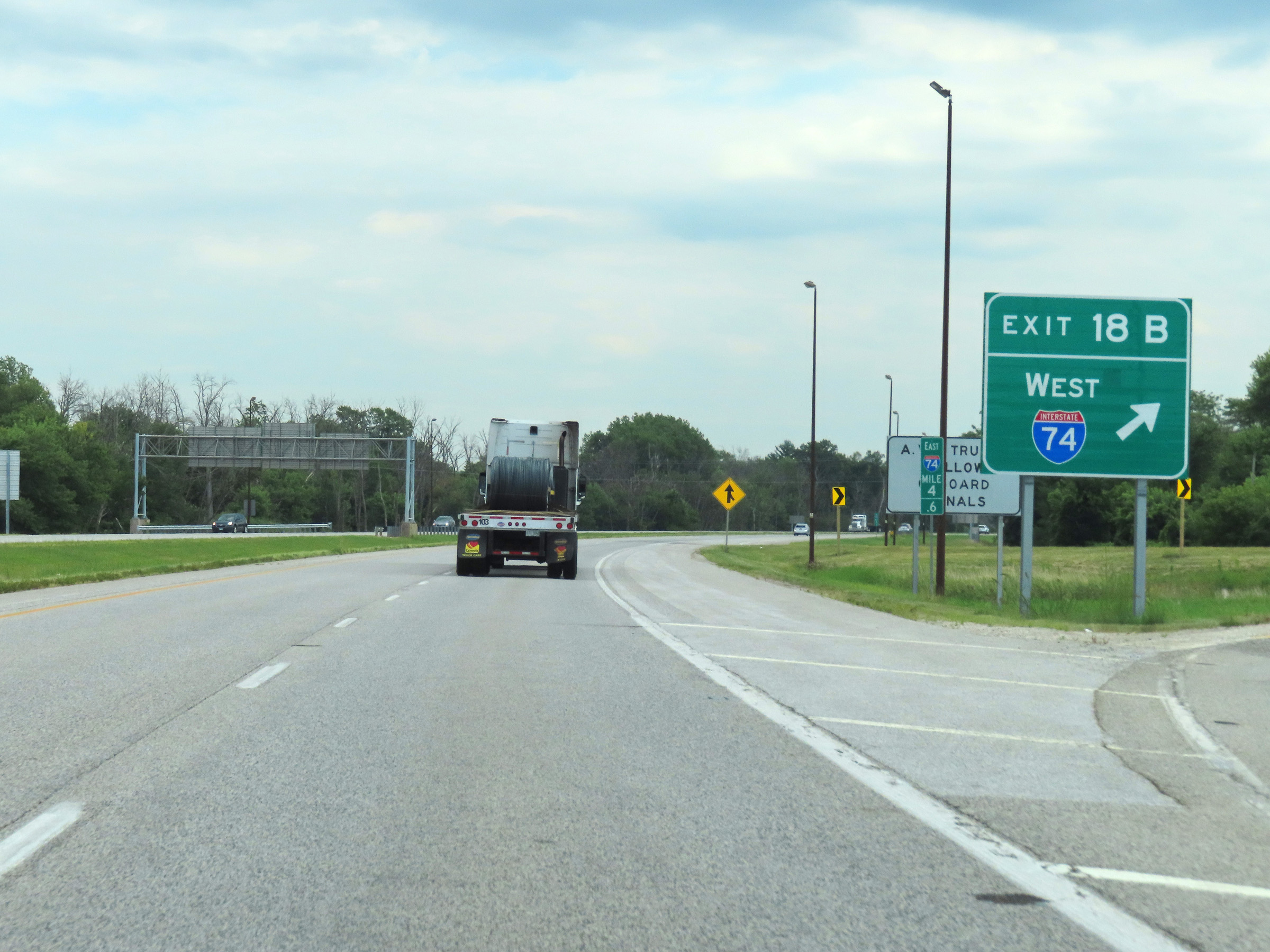
Interstate 74 East / Interstate 280 East at Exit: Interstate 74 East - Peoria (Photo taken 8/20/22). |
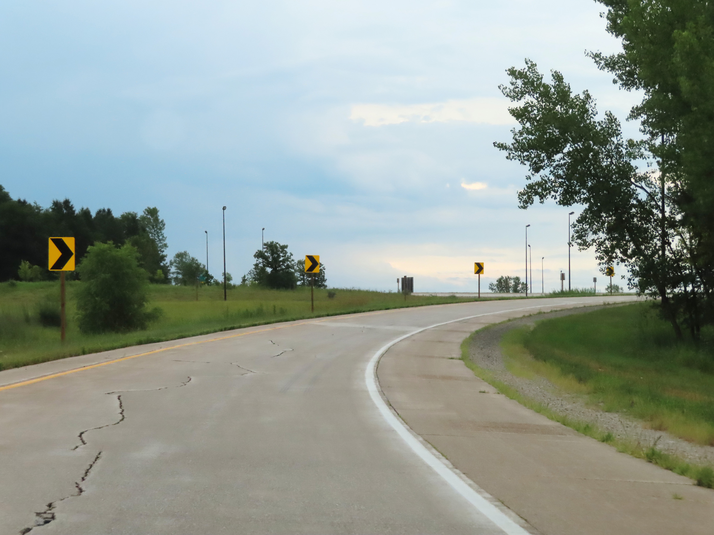 |
Interstate 74 East is once again reduced to a single lane as it curves to the south and will be joined by traffic from Interstate 80 East ahead on the left. (Photo taken 8/20/22). |
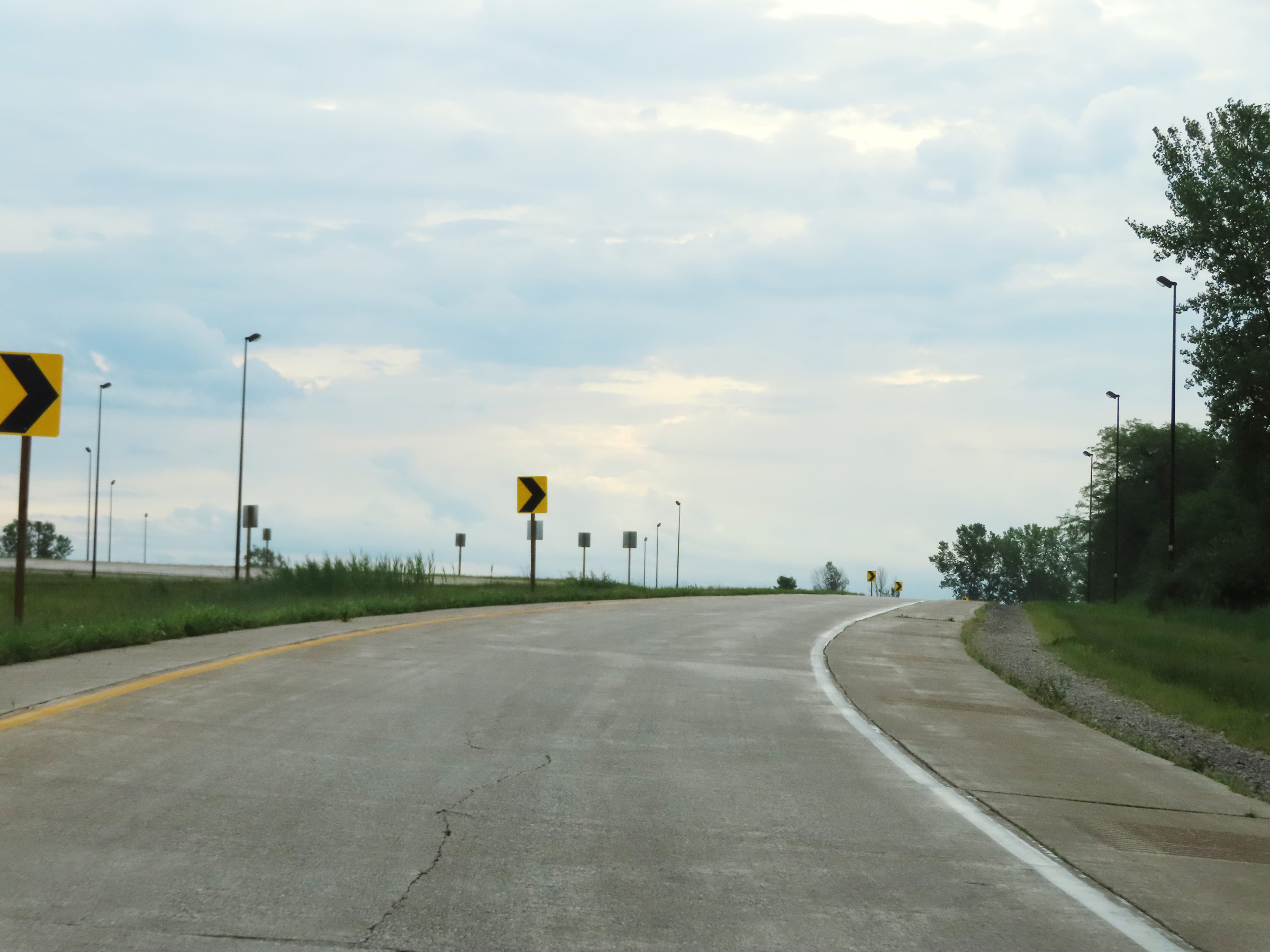 |
Another view on the ramp to remain on Interstate 74 East near Colona. (Photo taken 8/20/22). |
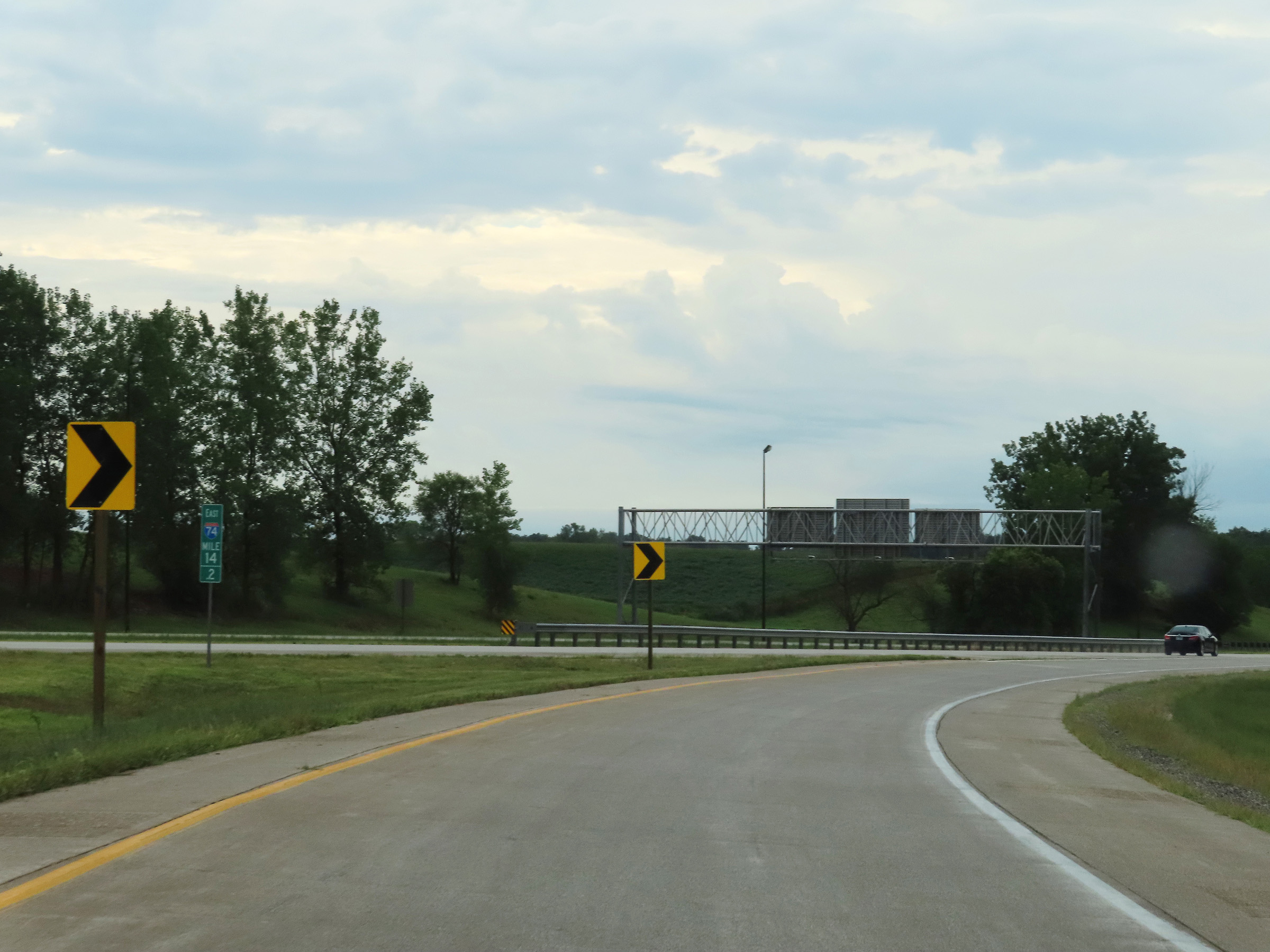 |
Interstate 74 East at mile marker 14.2, as traffic from Interstate 80 East joins its current single lane ramp from the left. (Photo taken 8/20/22). |
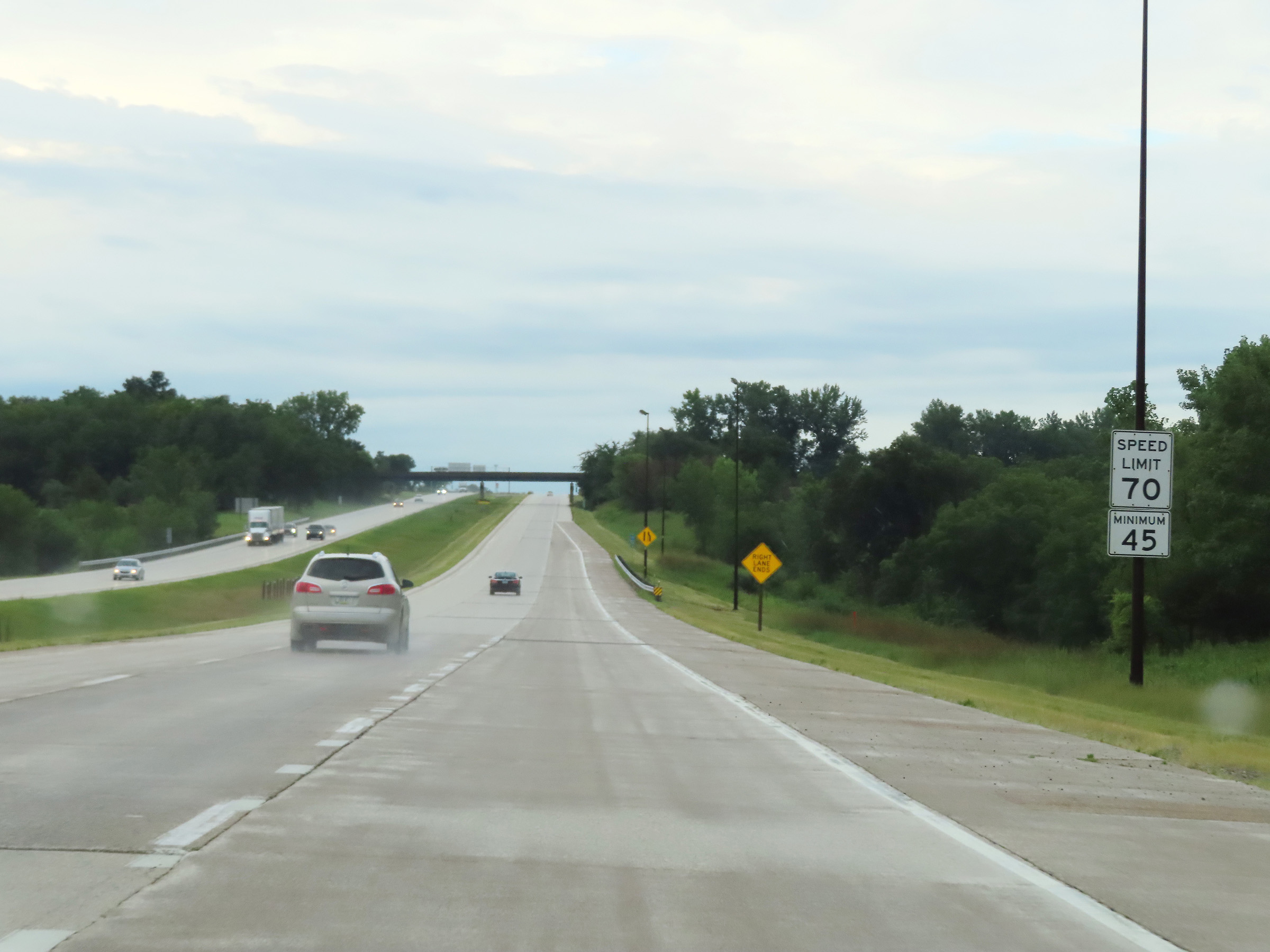 |
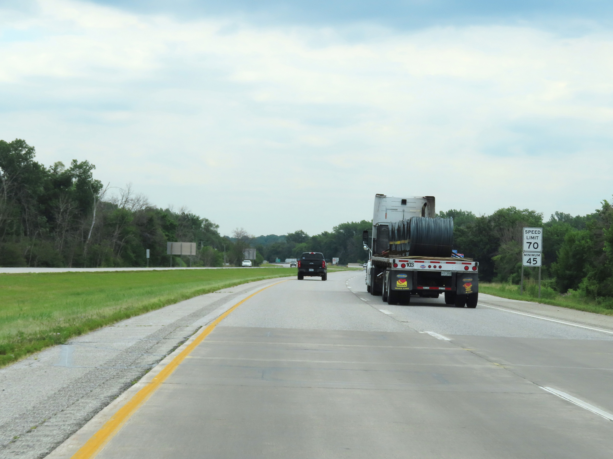
The ramp comes to an end here as it joins the two thru lanes from Interstate 80 East. The speed limits remain the rural standard 70 mph maximum and 45 mph minimum. (Photo taken 8/20/22). |
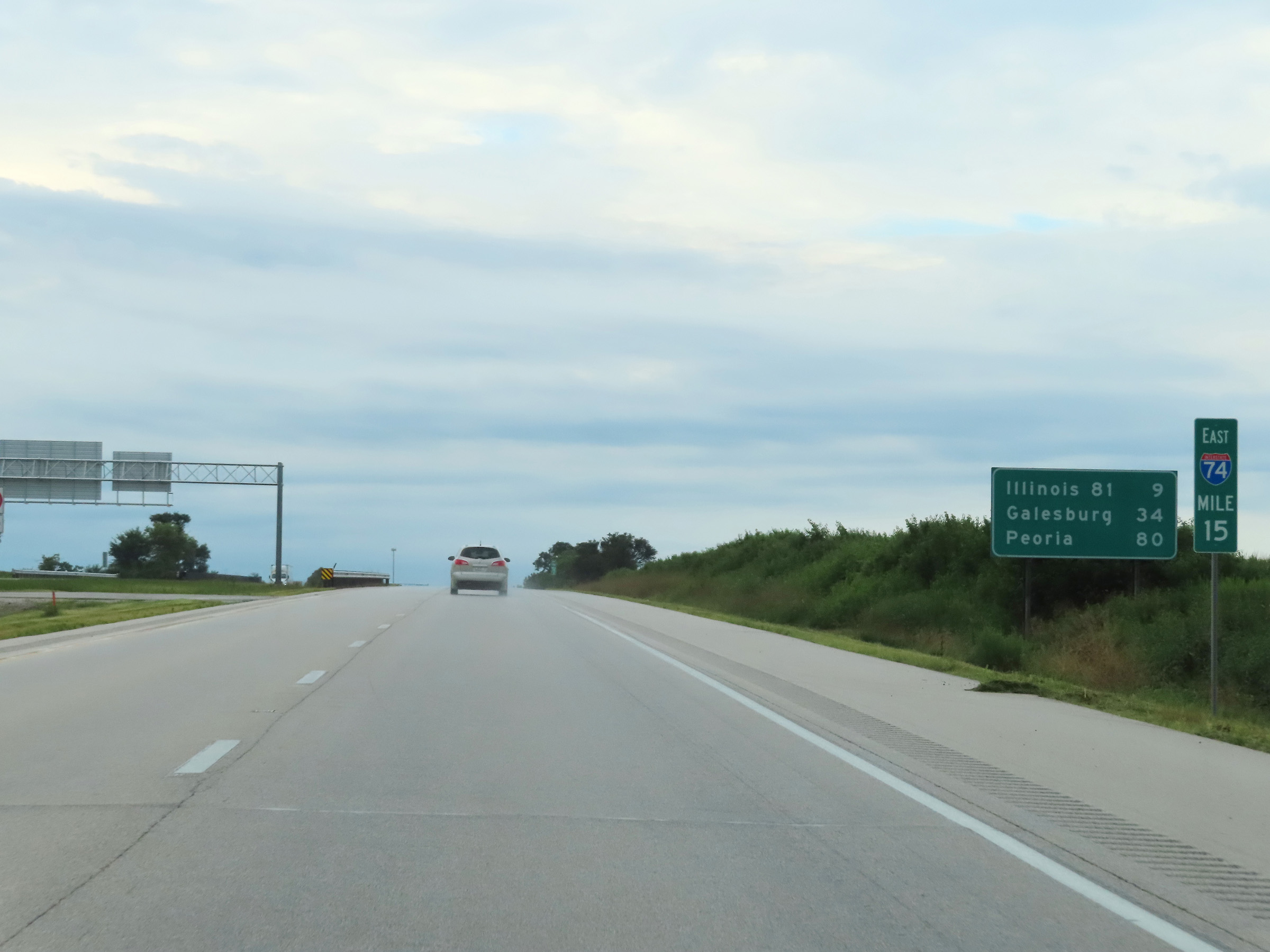 |
Mileage sign at mile marker 15. It's 9 miles to the junction of IL 81, 34 miles to Galesburg, and 80 miles to Peoria. (Photo taken 8/20/22). |
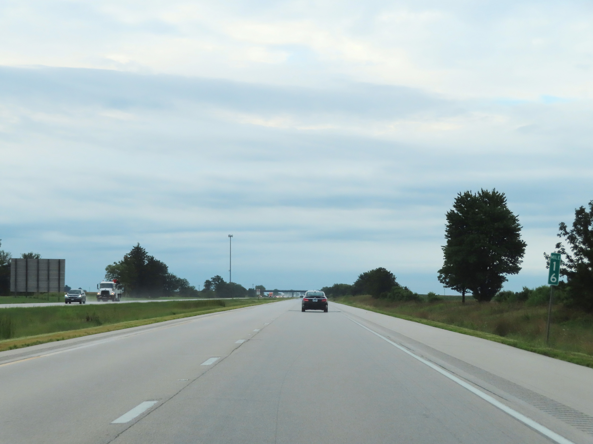 |
Mile marker 16 on Interstate 74 East in Henry County. (Photo taken 8/20/22). |
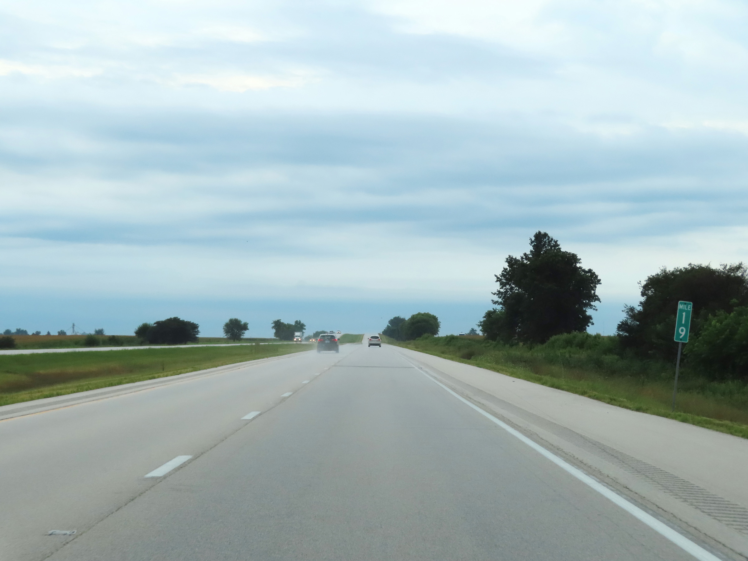 |
View on Interstate 74 East at mile marker 19. (Photo taken 8/20/22). |
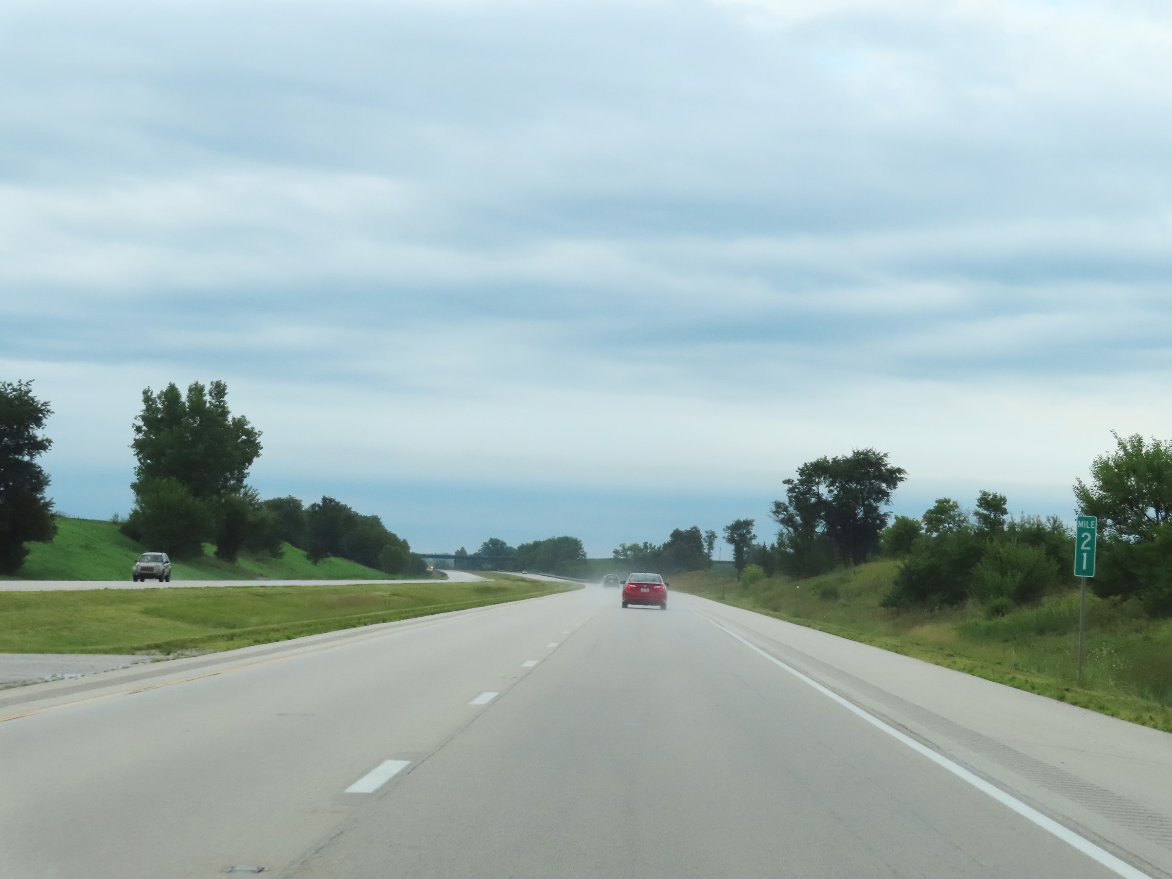 |
Interstate 74 East at mile marker 21. (Photo taken 8/20/22). |
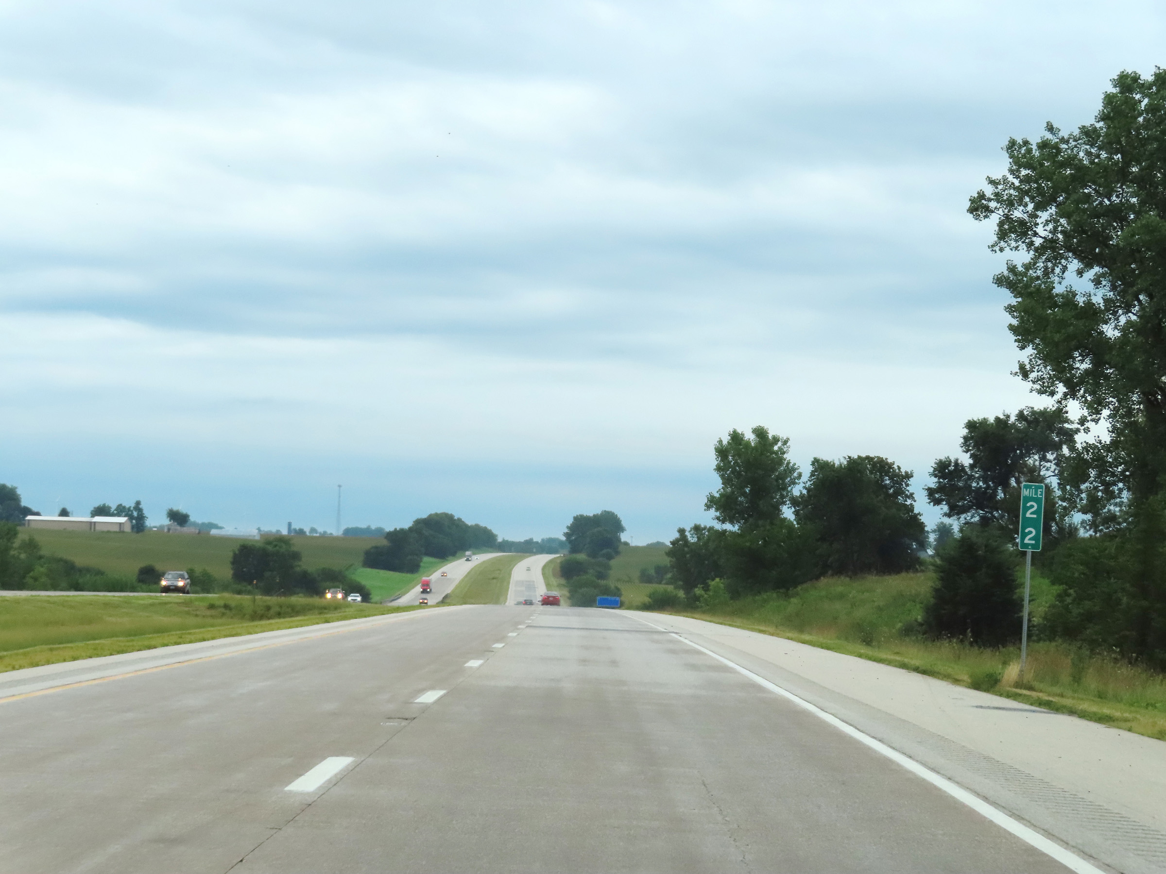 |
View on Interstate 74 East at mile marker 22. (Photo taken 8/20/22). |
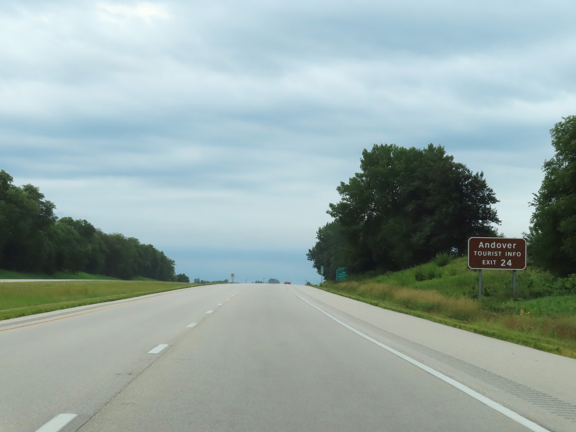 |
Take Exit 24 to Andover and a Tourist Info Center. (Photo taken 8/20/22). |
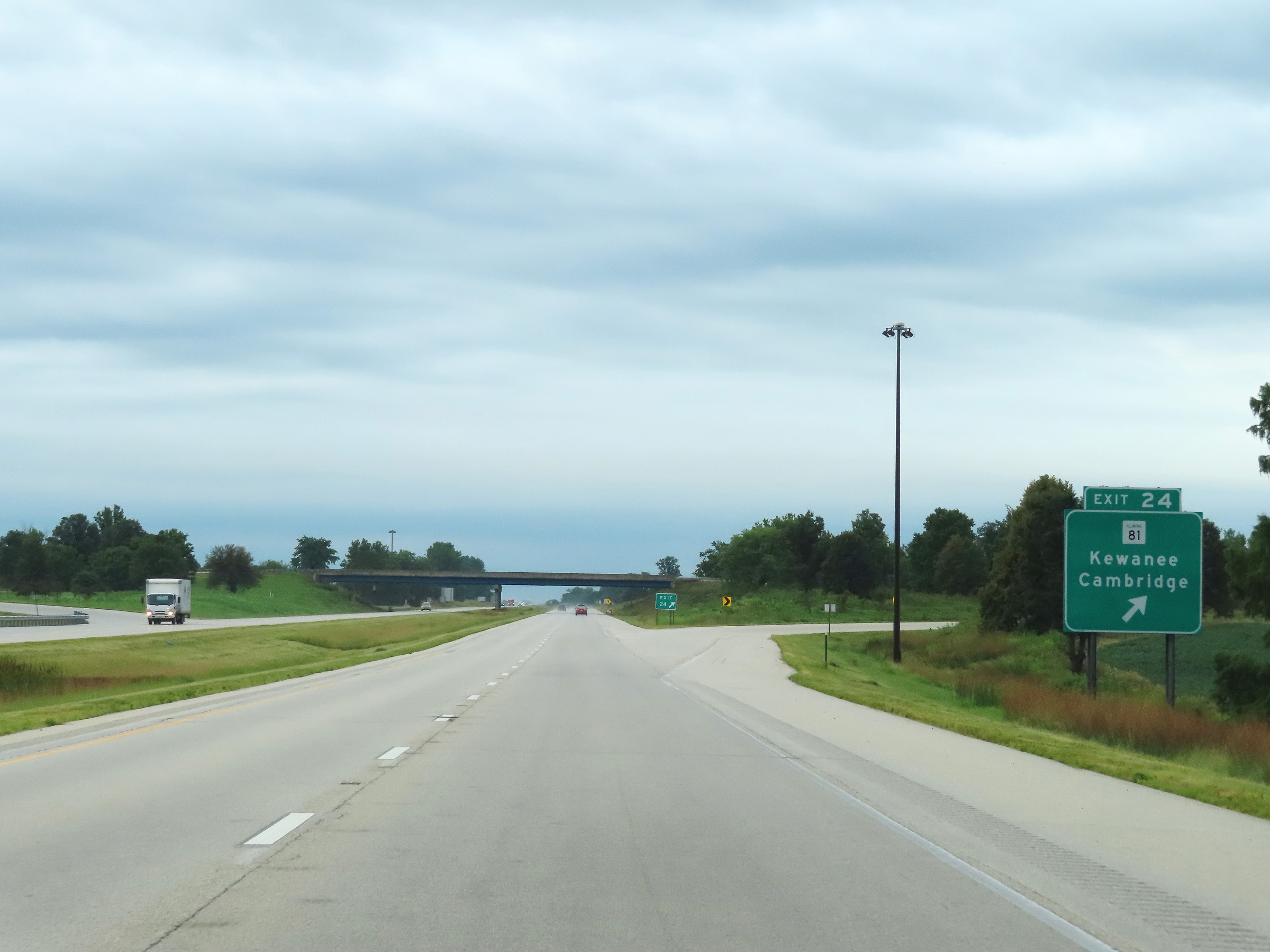 |
Interstate 74 East at Exit 24: IL 81 - Kewanee / Cambridge (Photo taken 8/20/22). |
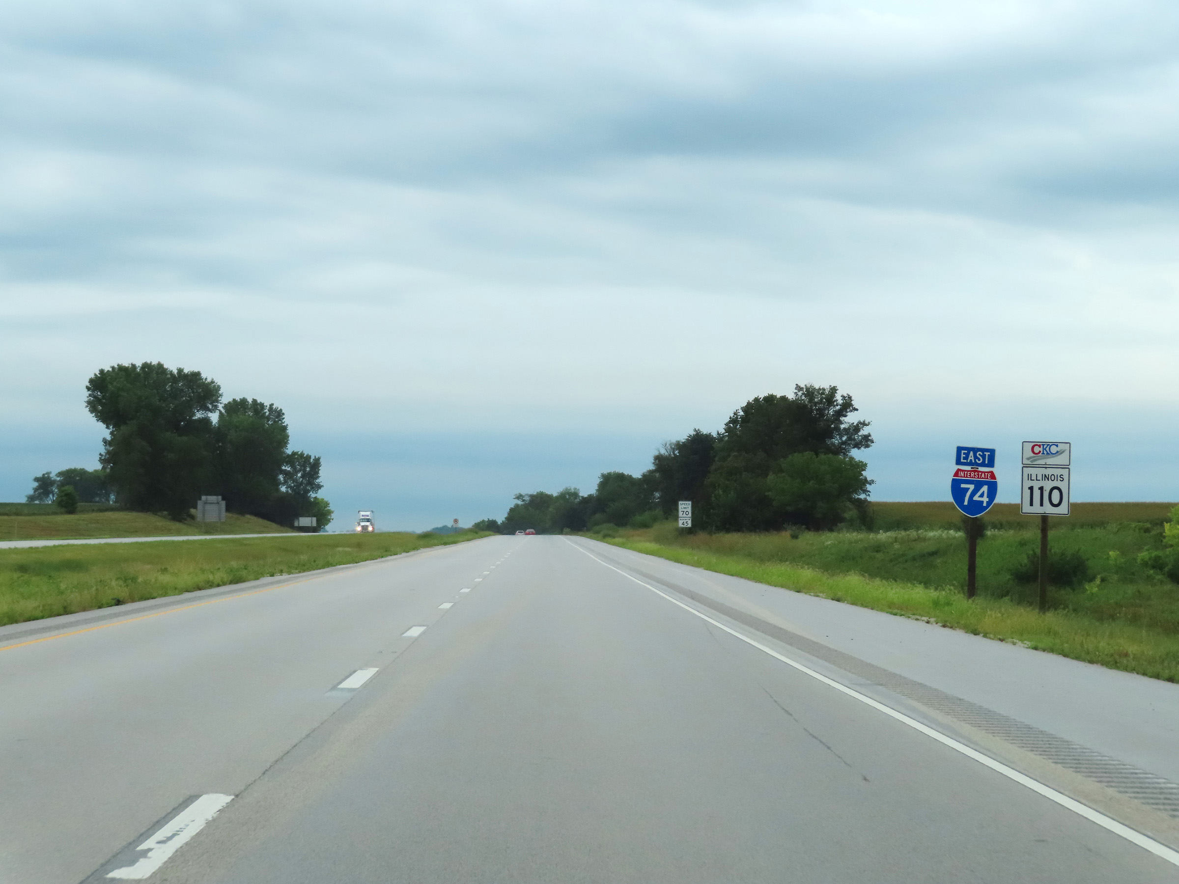 |
Interstate 74 East reassurance shield. (Photo taken 8/20/22). |
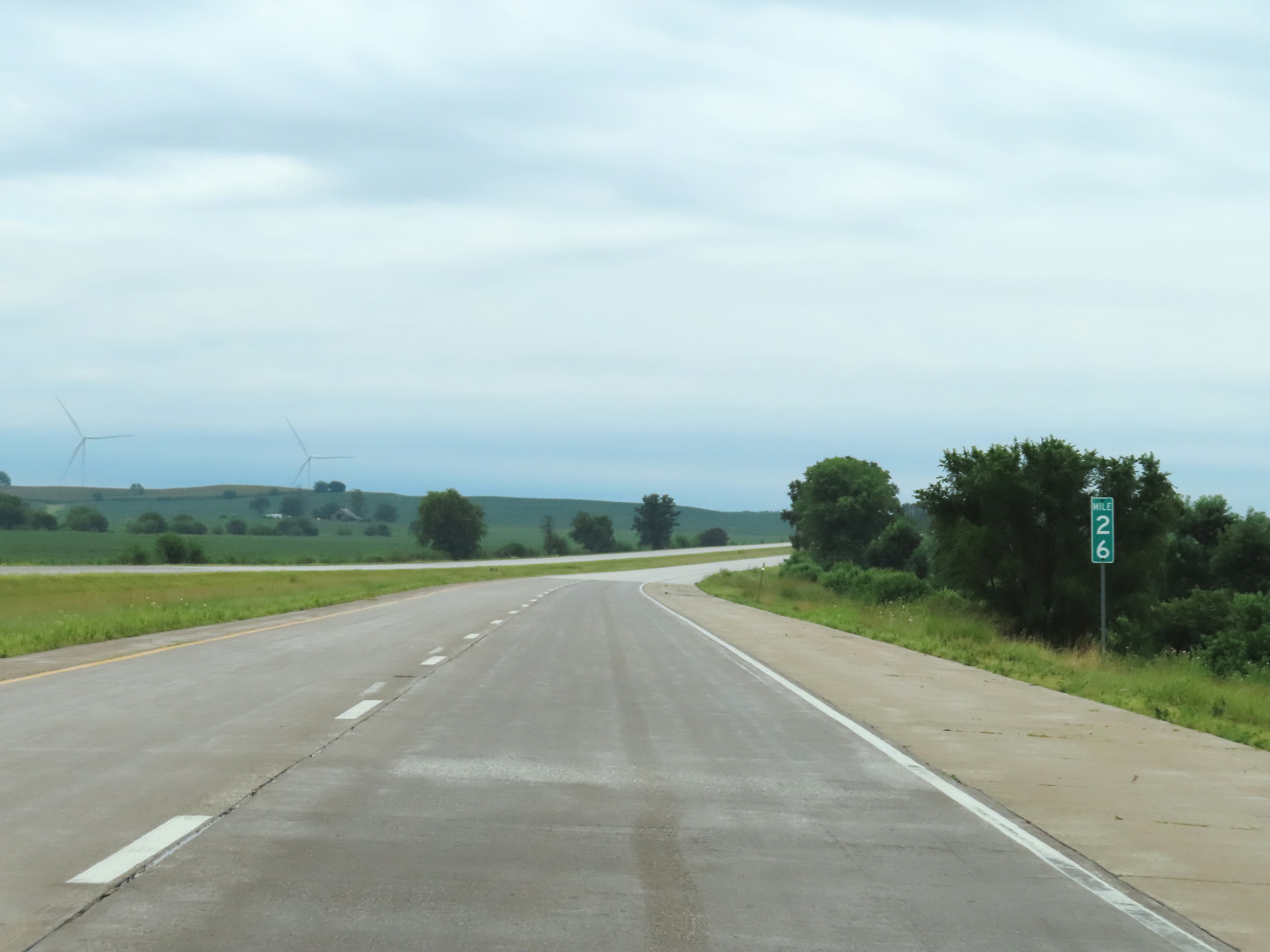 |
View on Interstate 74 East at mile marker 26. (Photo taken 8/20/22). |
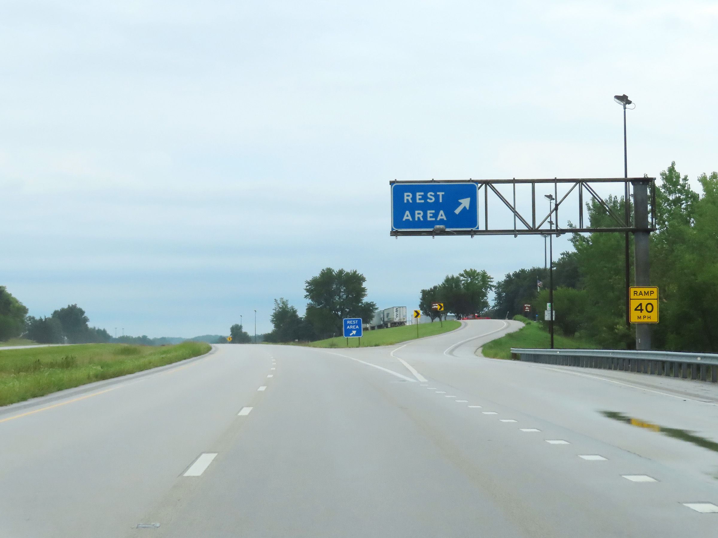 |
Rest Area on Interstate 74 East in Henry County. (Photo taken 8/20/22). |
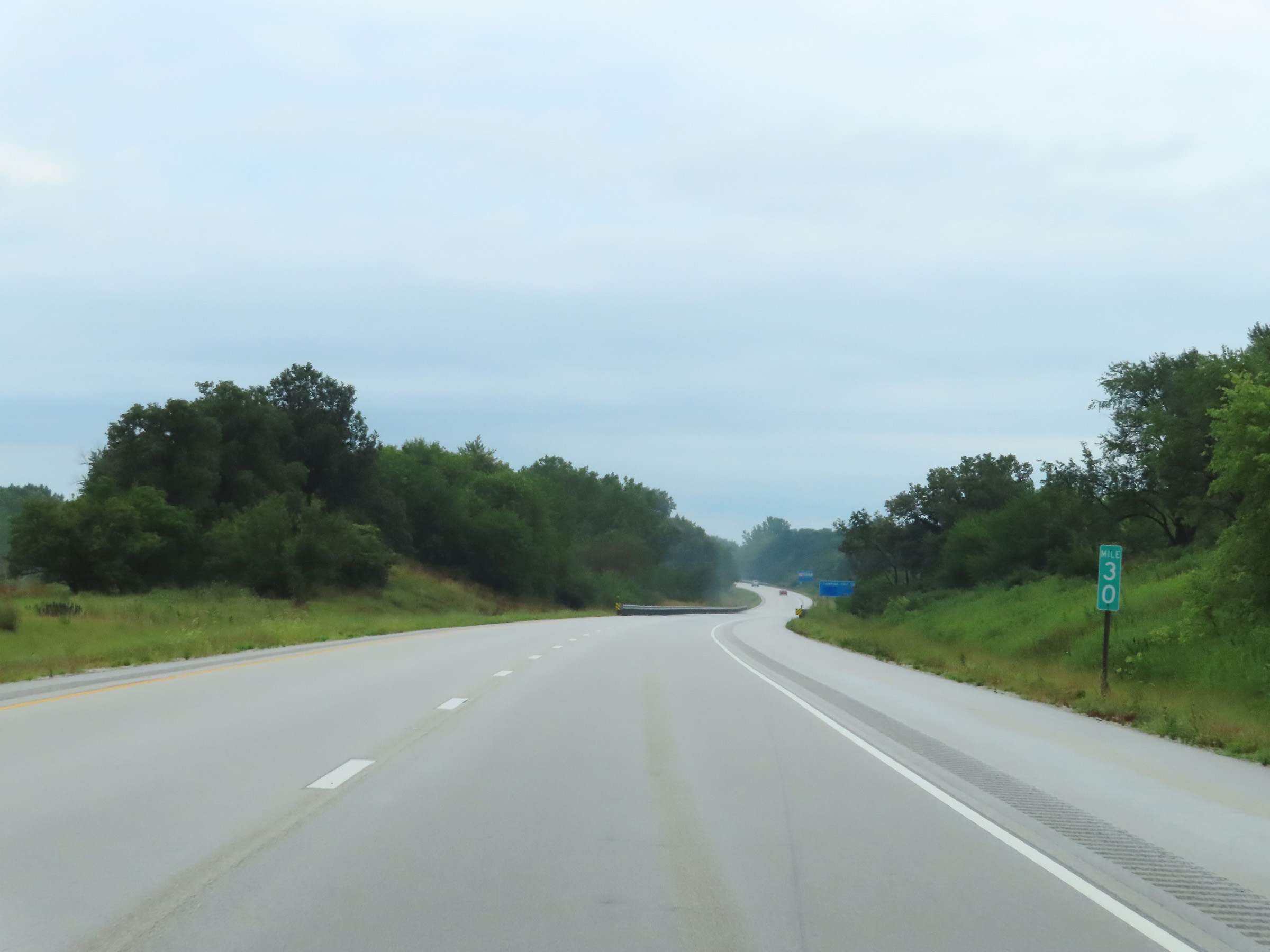 |
Interstate 74 East at mile marker 30. (Photo taken 8/20/22). |
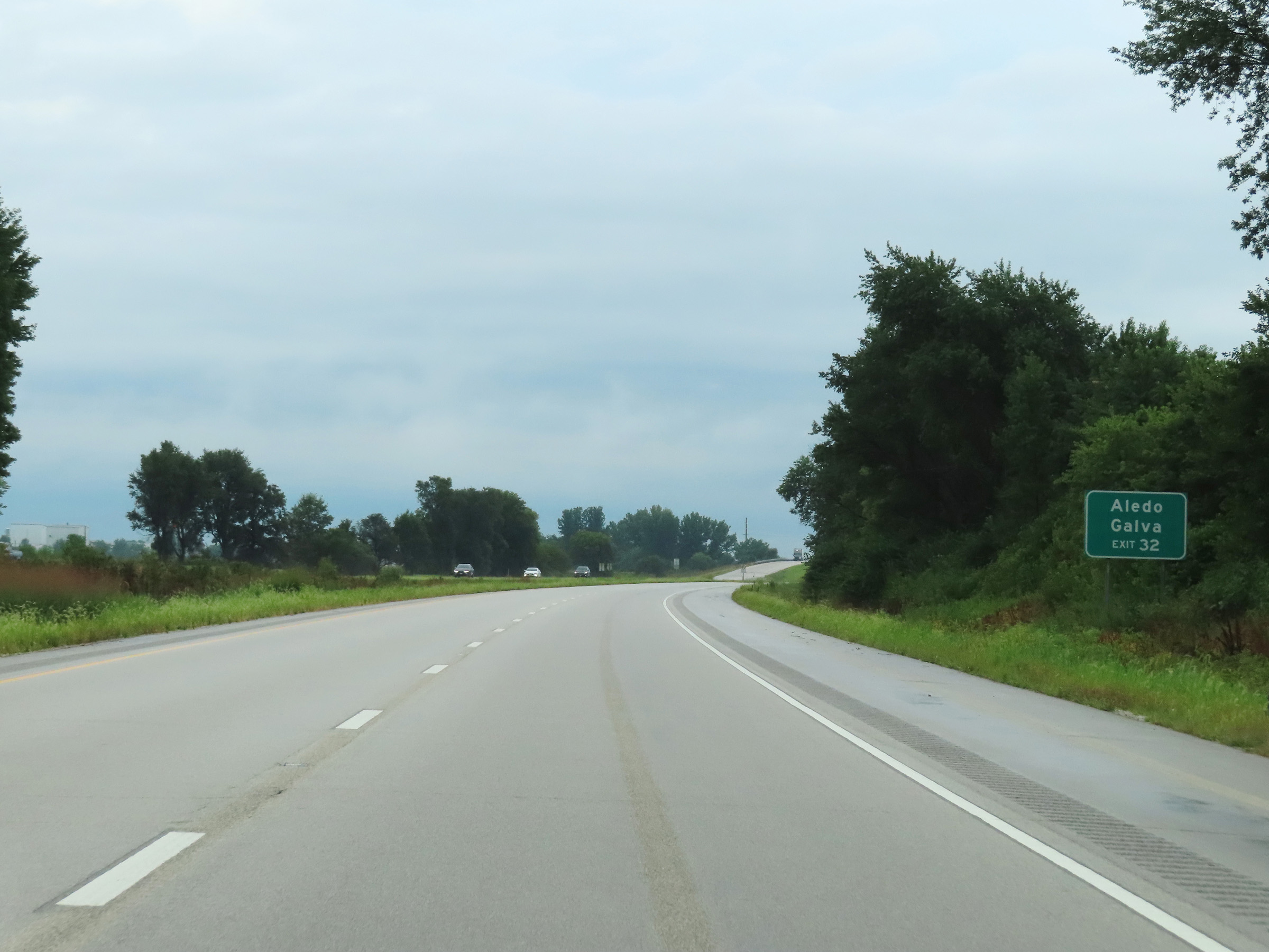 |
Take Exit 32 to Aledo and Galva. (Photo taken 8/20/22). |
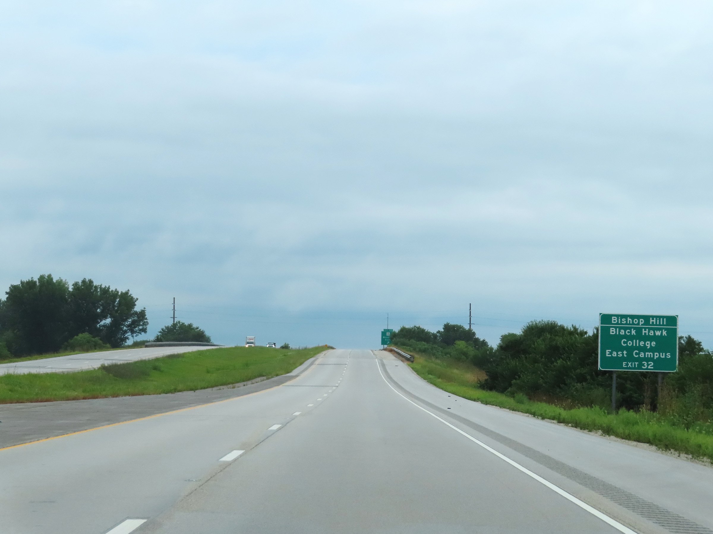 |
Also take Exit 32 to Bishop Hill and Black Hawk College East Campus. (Photo taken 8/20/22). |
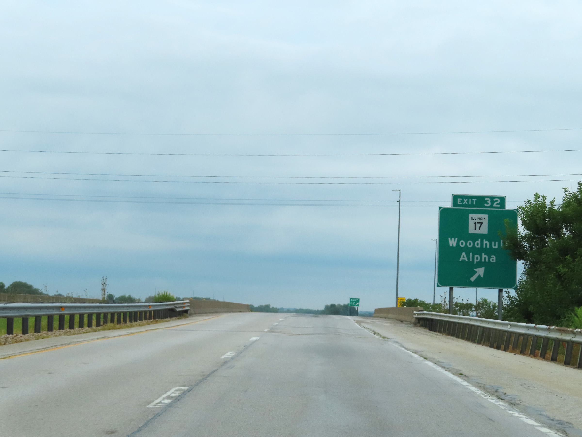 |
Interstate 74 East at Exit 32: IL 17 - Woodhull / Alpha (Photo taken 8/20/22). |
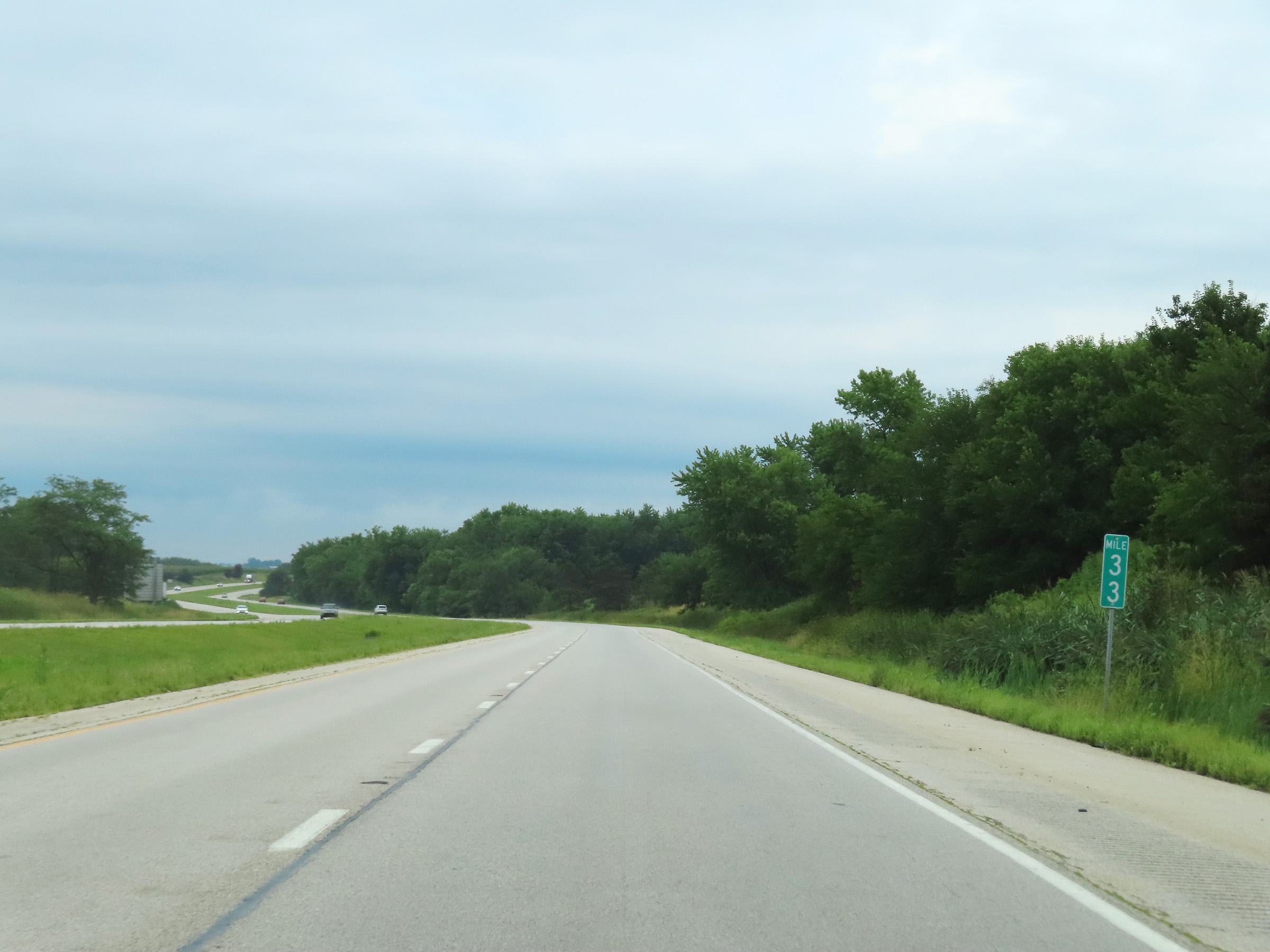 |
View on Interstate 74 East at mile marker 33. (Photo taken 8/20/22). |
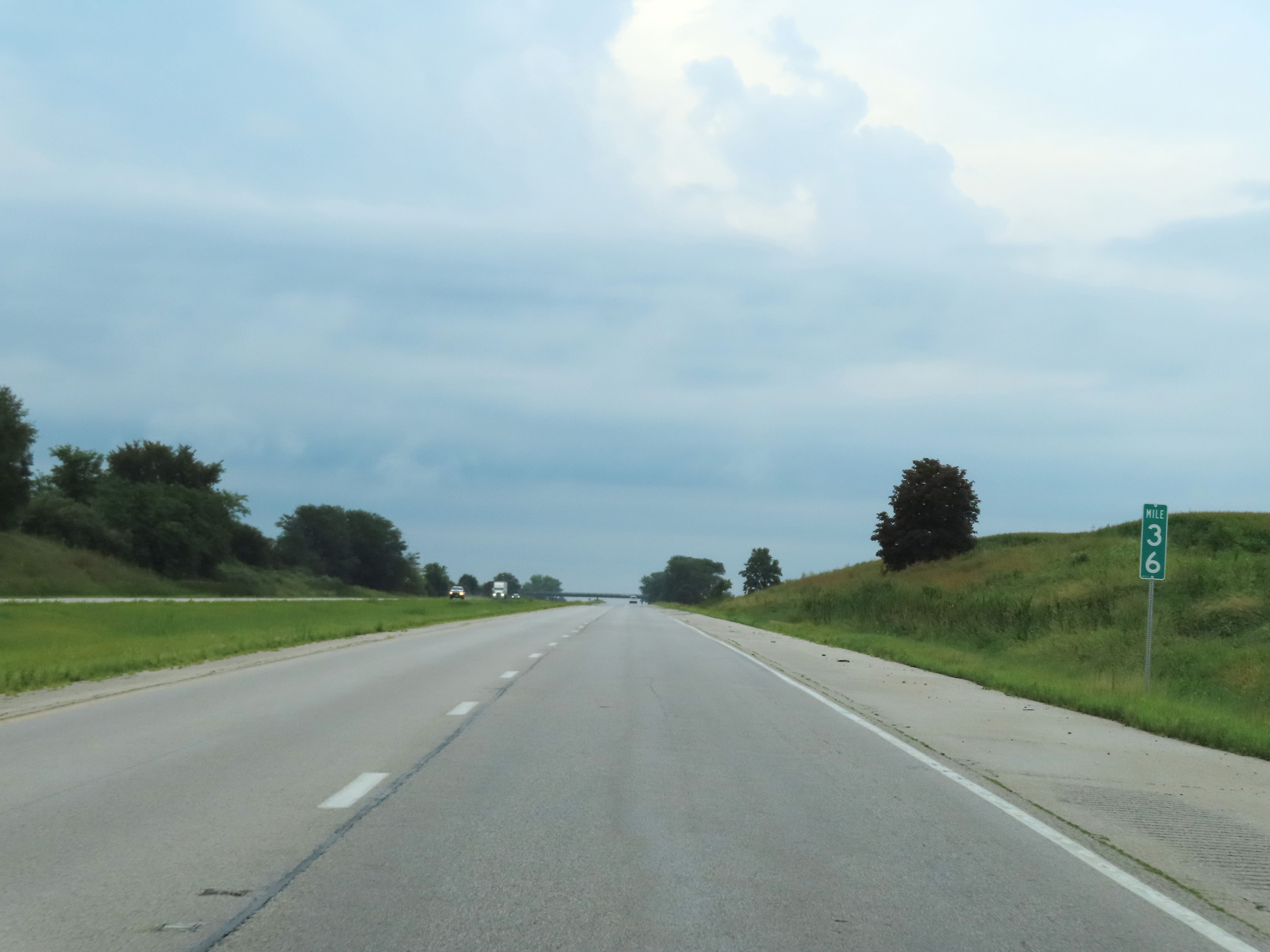 |
Interstate 74 East at mile marker 36. (Photo taken 8/20/22). |
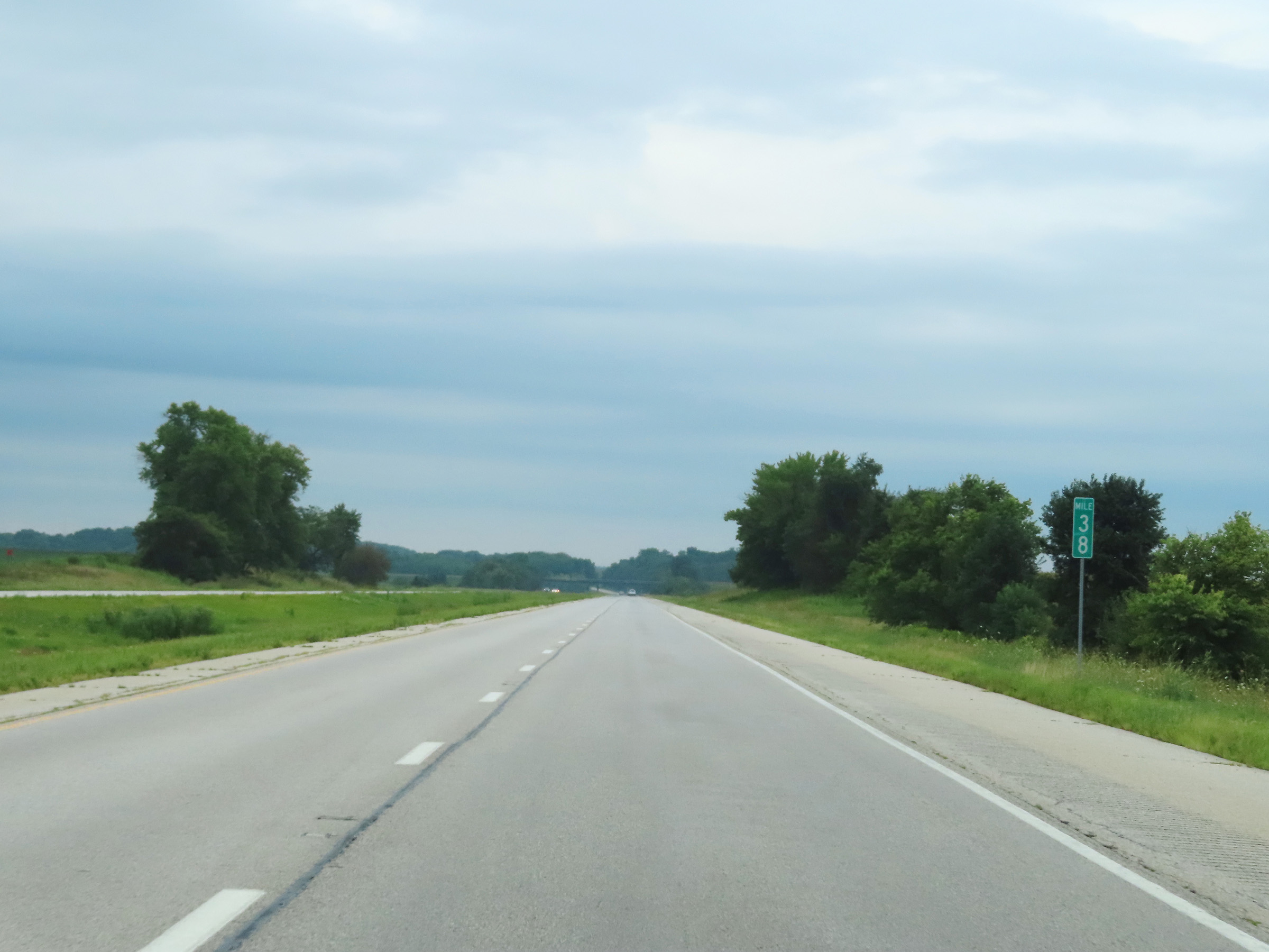 |
Mile marker 38 on Interstate 74 East. (Photo taken 8/20/22). |
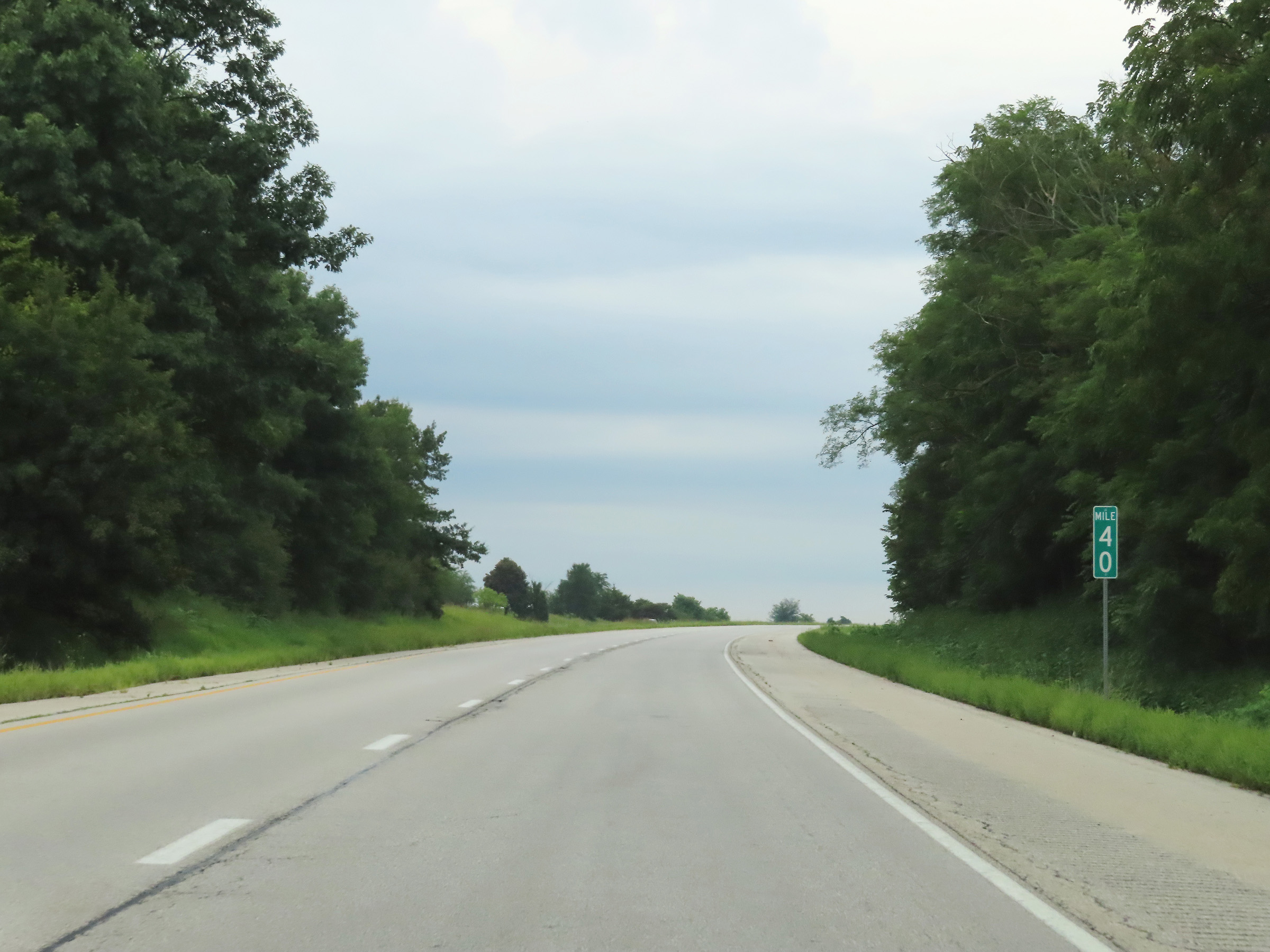 |
View on Interstate 74 East at mile marker 40. (Photo taken 8/20/22). |
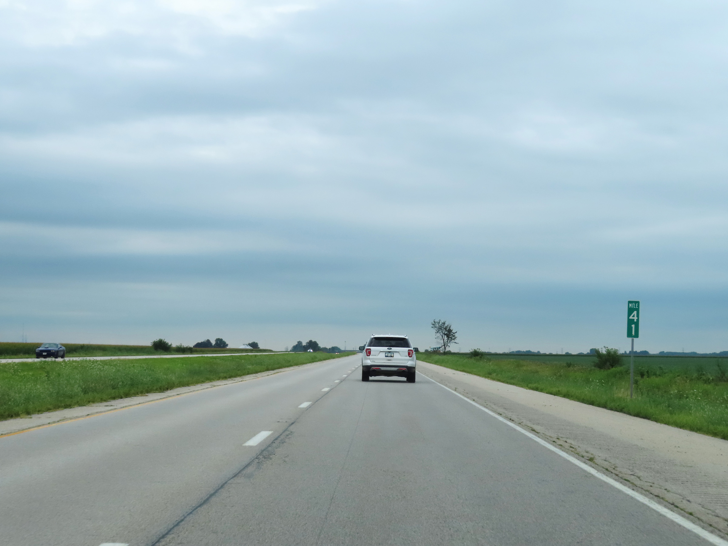 |
Interstate 74 East at mile marker 41. (Photo taken 8/20/22). |
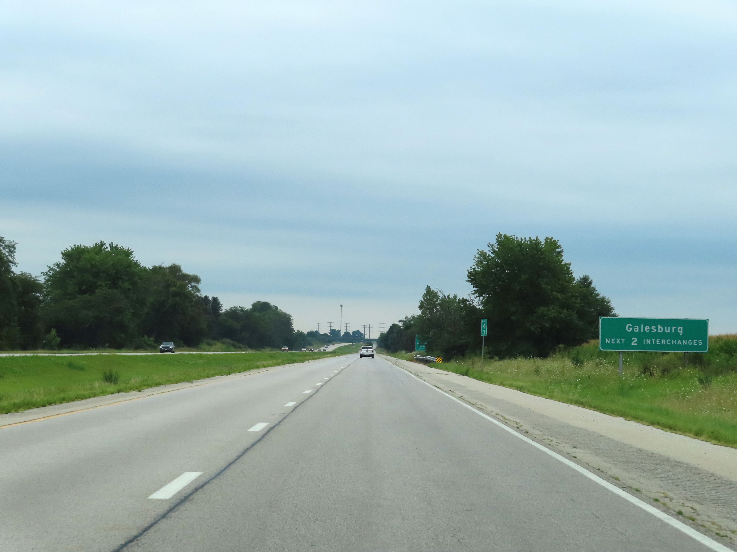 |
Use either of the next 2 interchanges to get to Galesburg. (Photo taken 8/20/22). |
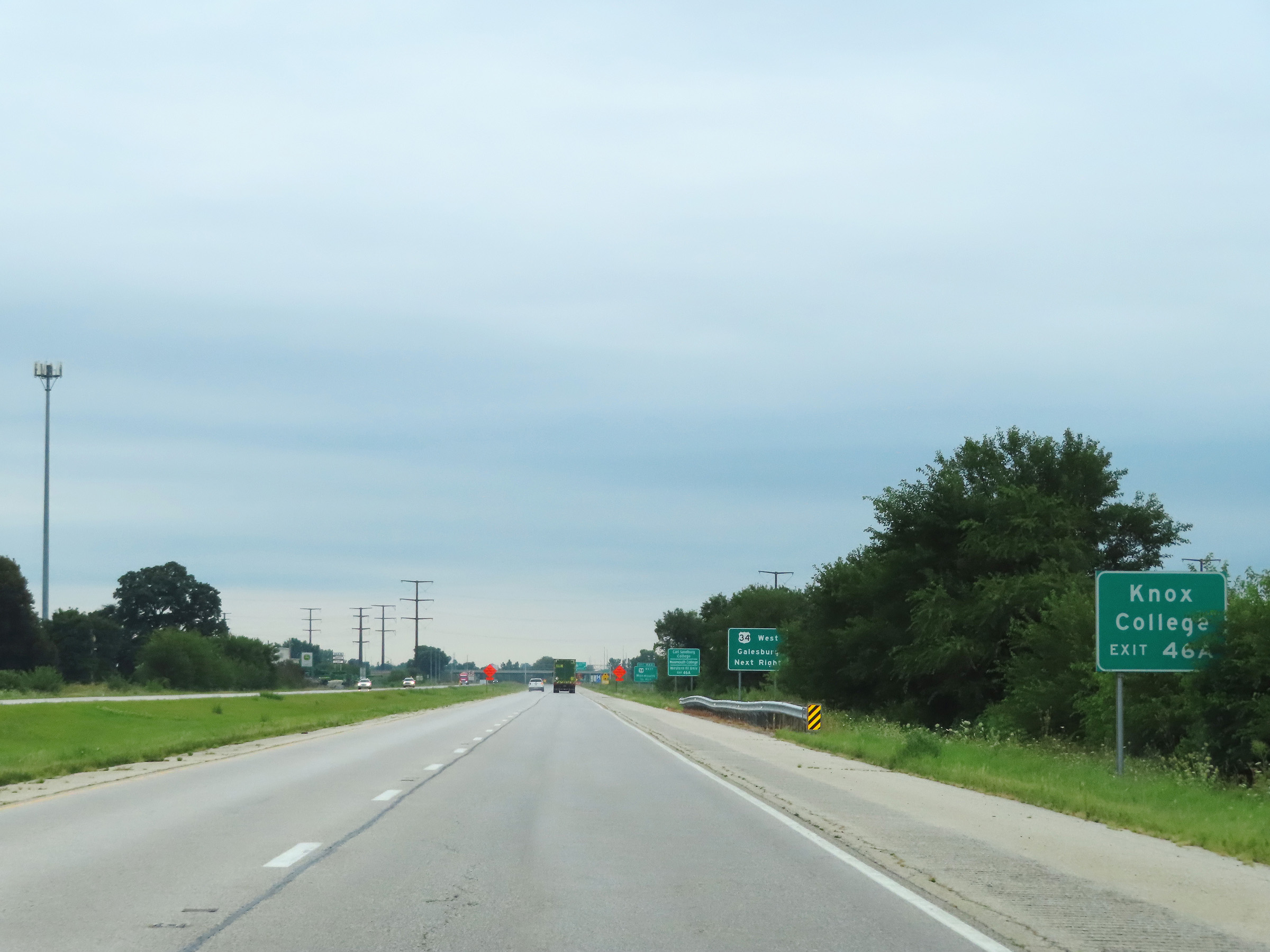 |
Take Exit 46A to Knox College. (Photo taken 8/20/22). |
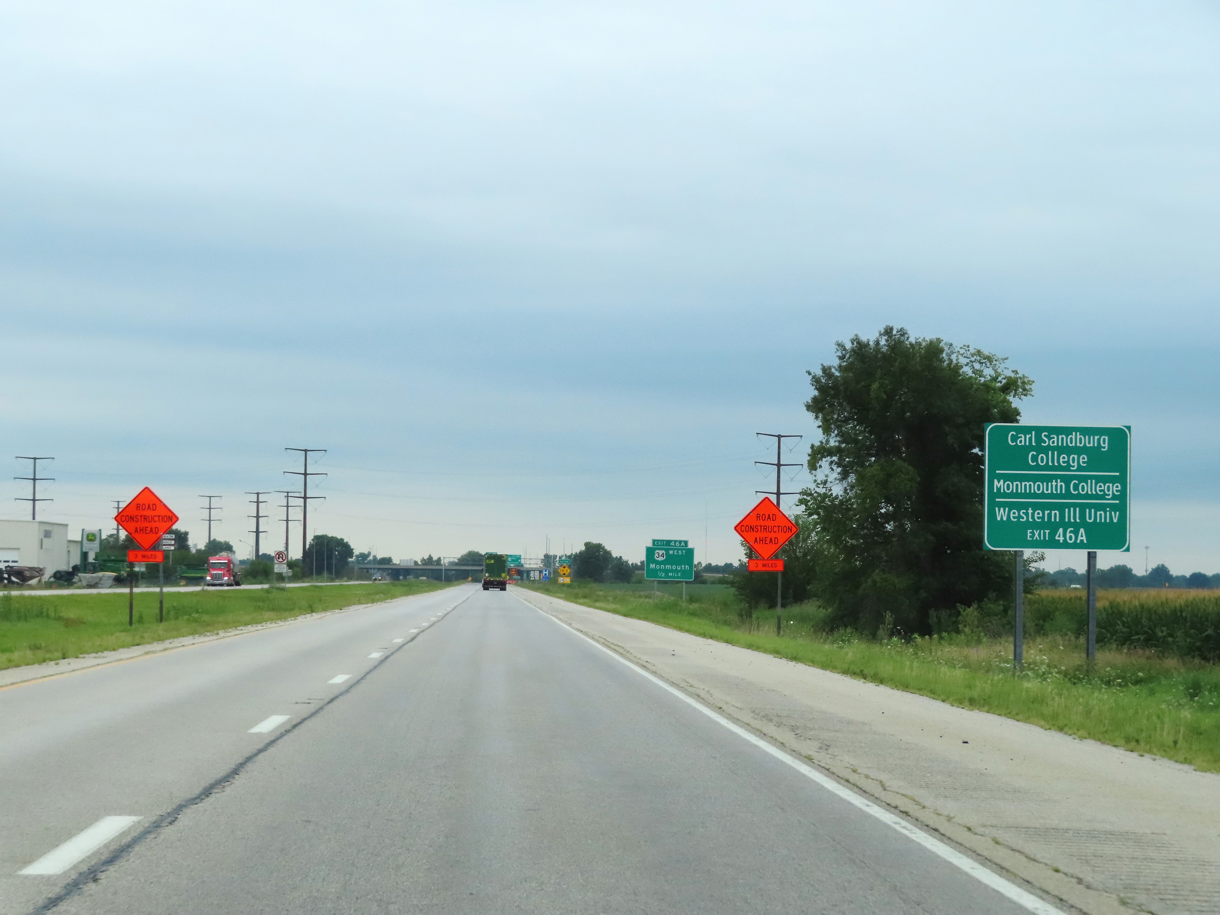 |
Also take Exit 46A to Carl Sandburg College, Monmouth College, and Western Illinois University. (Photo taken 8/20/22). |
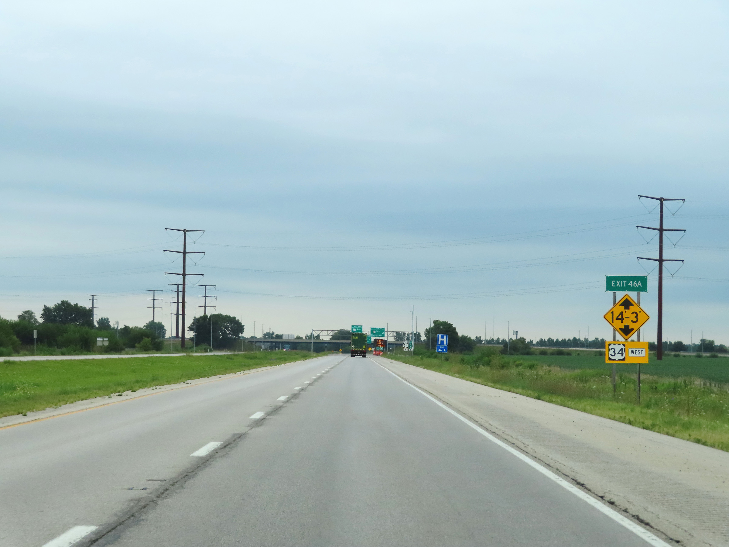 |
This sign warns that there is a low clearance of 14'-3" on US 34 West via Exit 46A. (Photo taken 8/20/22). |
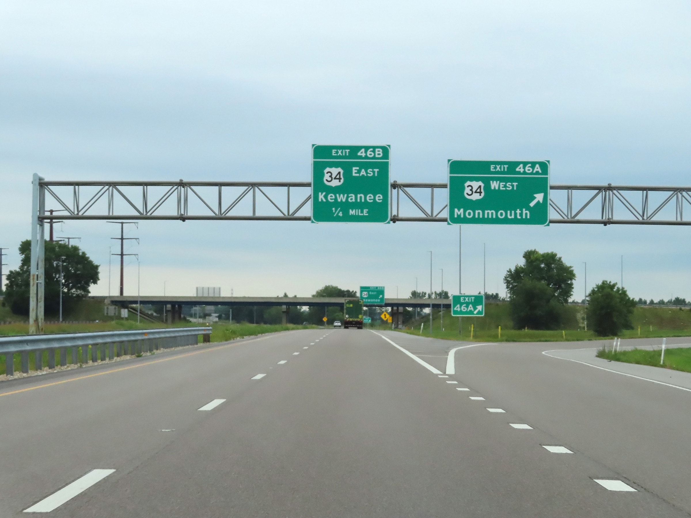 |
Interstate 74 East at Exit 46A: US 34 West - Monmouth (Photo taken 8/20/22). |
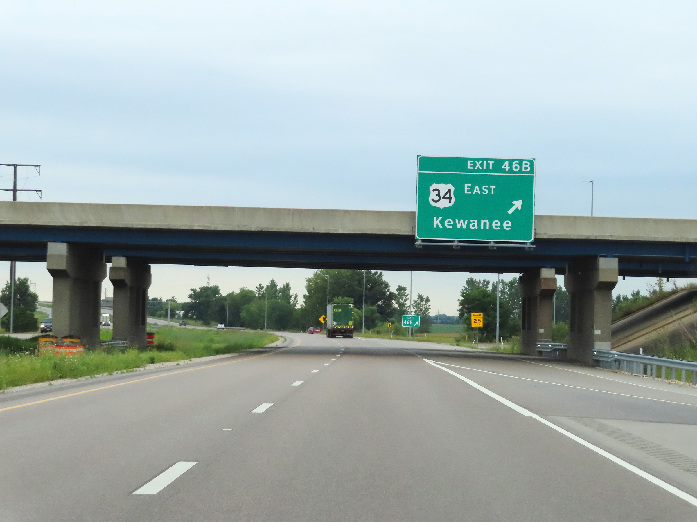 |
Interstate 74 East at Exit 46B: US 34 East - Kewanee (Photo taken 8/20/22). |
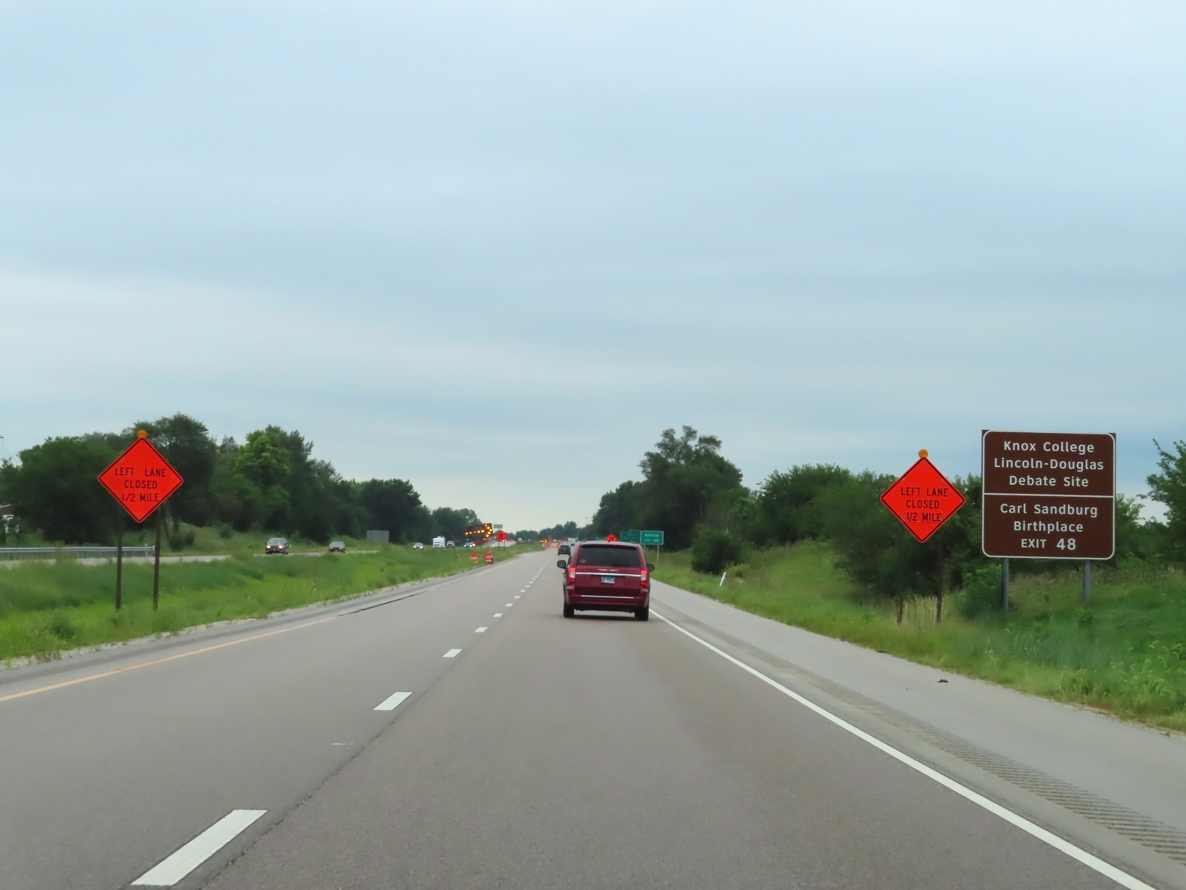 |
Take Exit 48 to Knox College, the Lincoln-Douglas Debate Site, and the Carl Sandburg Birthplace. (Photo taken 8/20/22). |
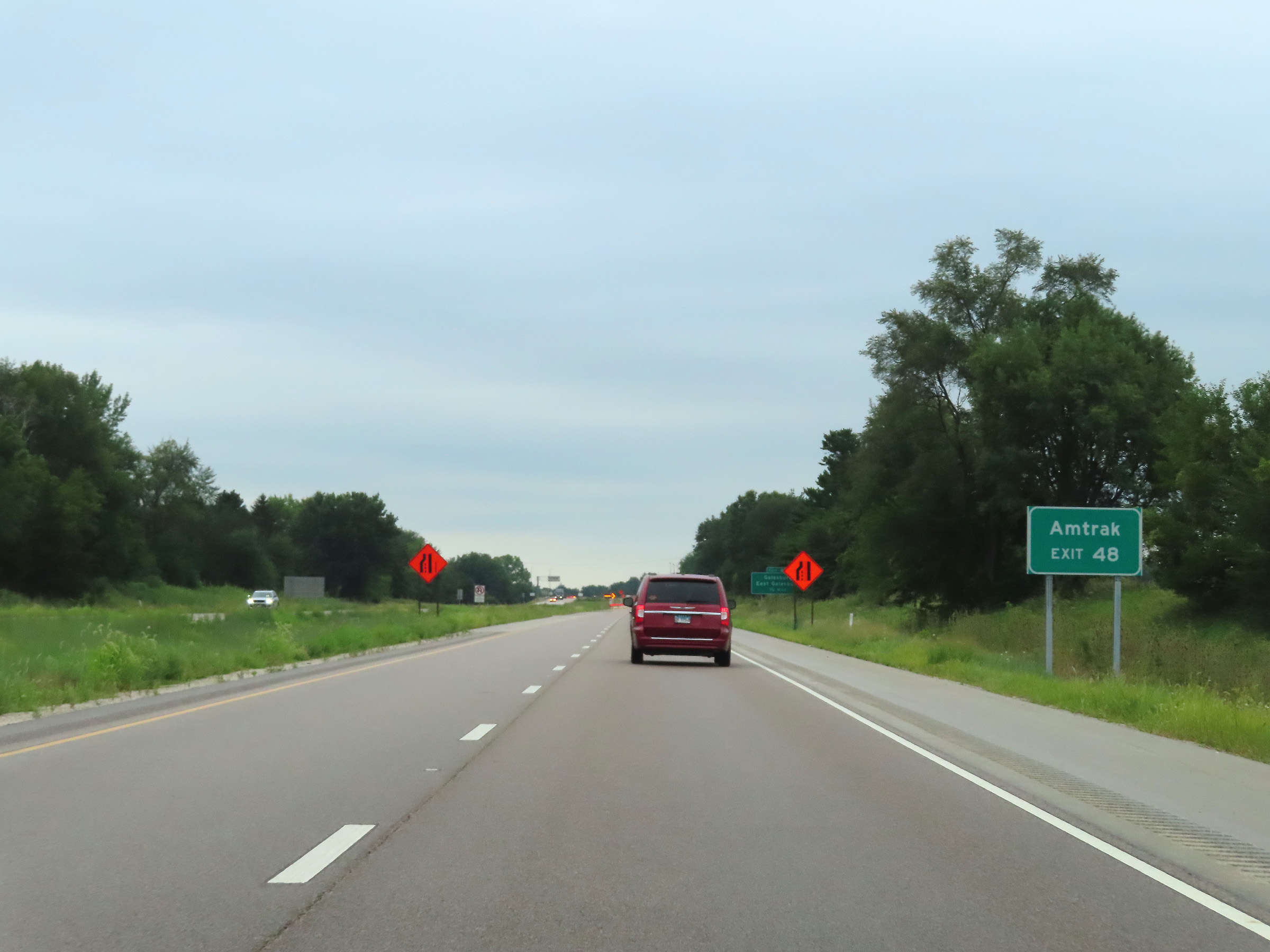 |
Also take Exit 48 to the Amtrak station. (Photo taken 8/20/22). |
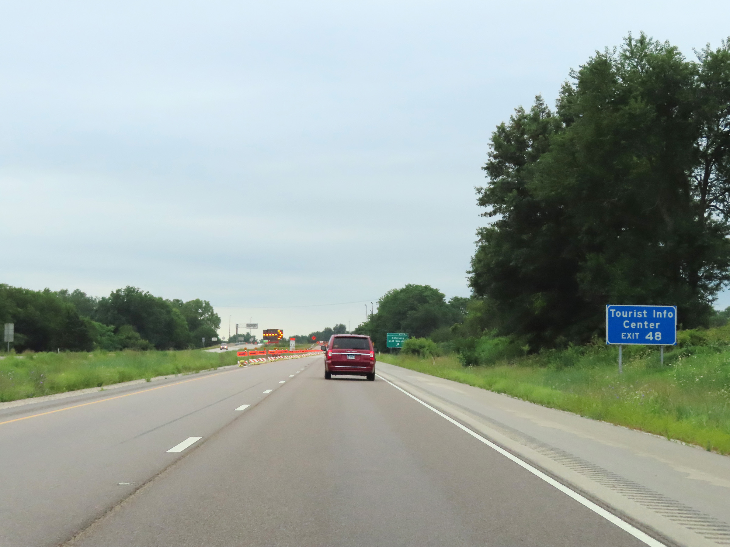 |
A Tourist Info Center also exists off Exit 48. (Photo taken 8/20/22). |
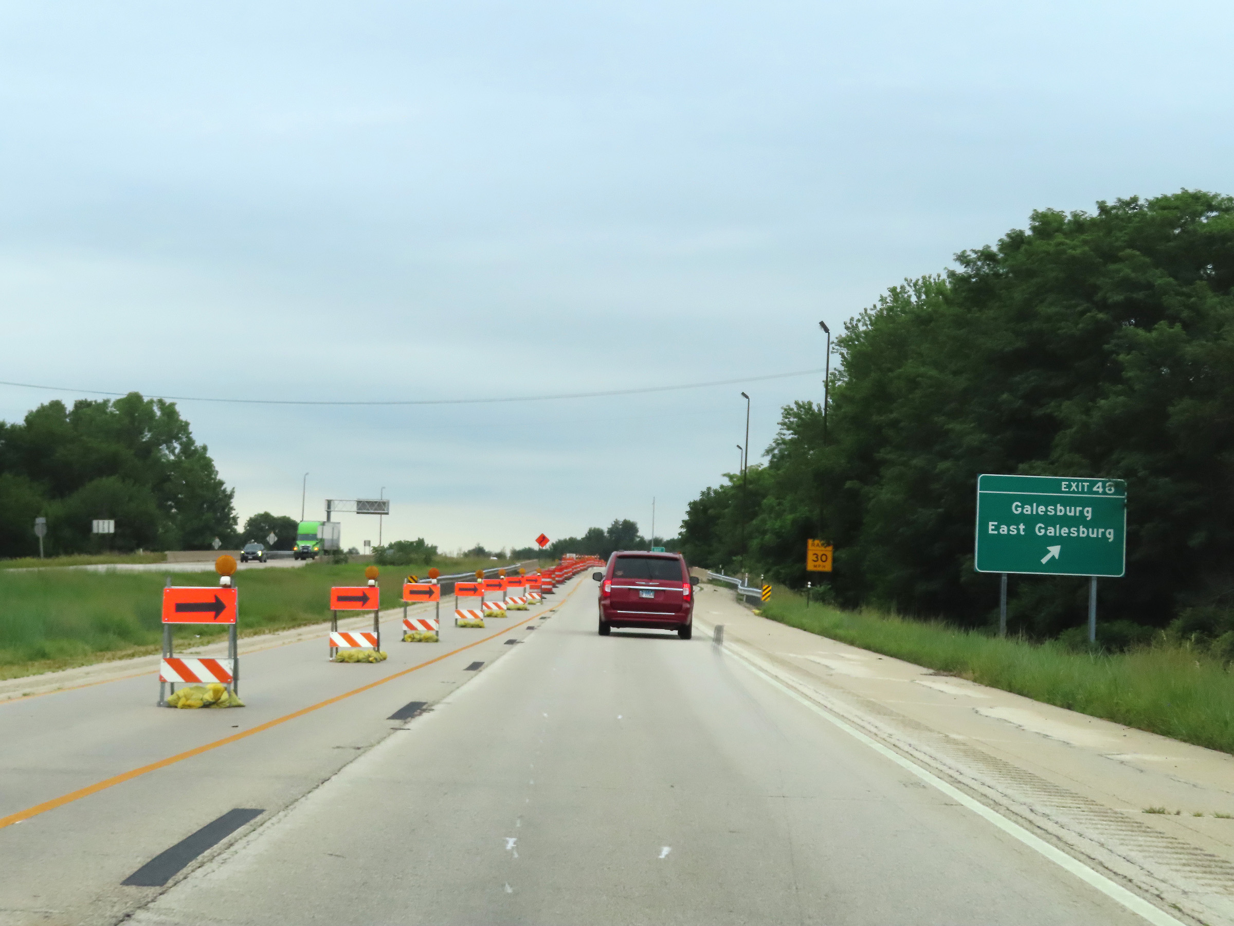 |
Interstate 74 East at Exit 48: Galesburg / East Galesburg (Photo taken 8/20/22). |
Section 2: Galesburg (Exit 48) to Peoria (Exit 93)
 |
Interstate 74 East reassurance shield as it begins to curve to the east beyond Exit 48 after heading due south from the junction of Interstate 80 to this point in Galesburg. (Photo taken 8/20/22). |
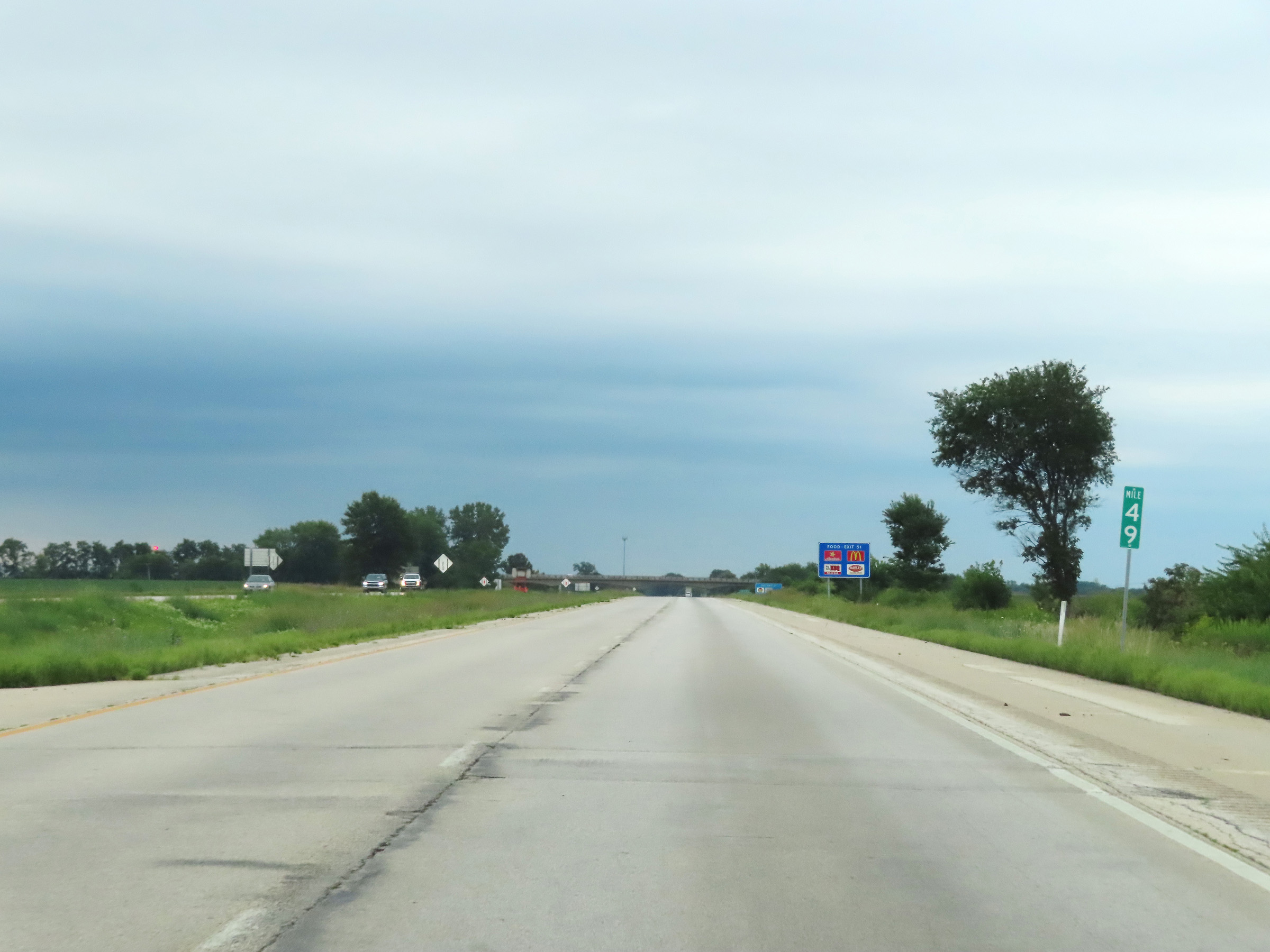 |
View on Interstate 74 East at mile marker 49. (Photo taken 8/20/22). |
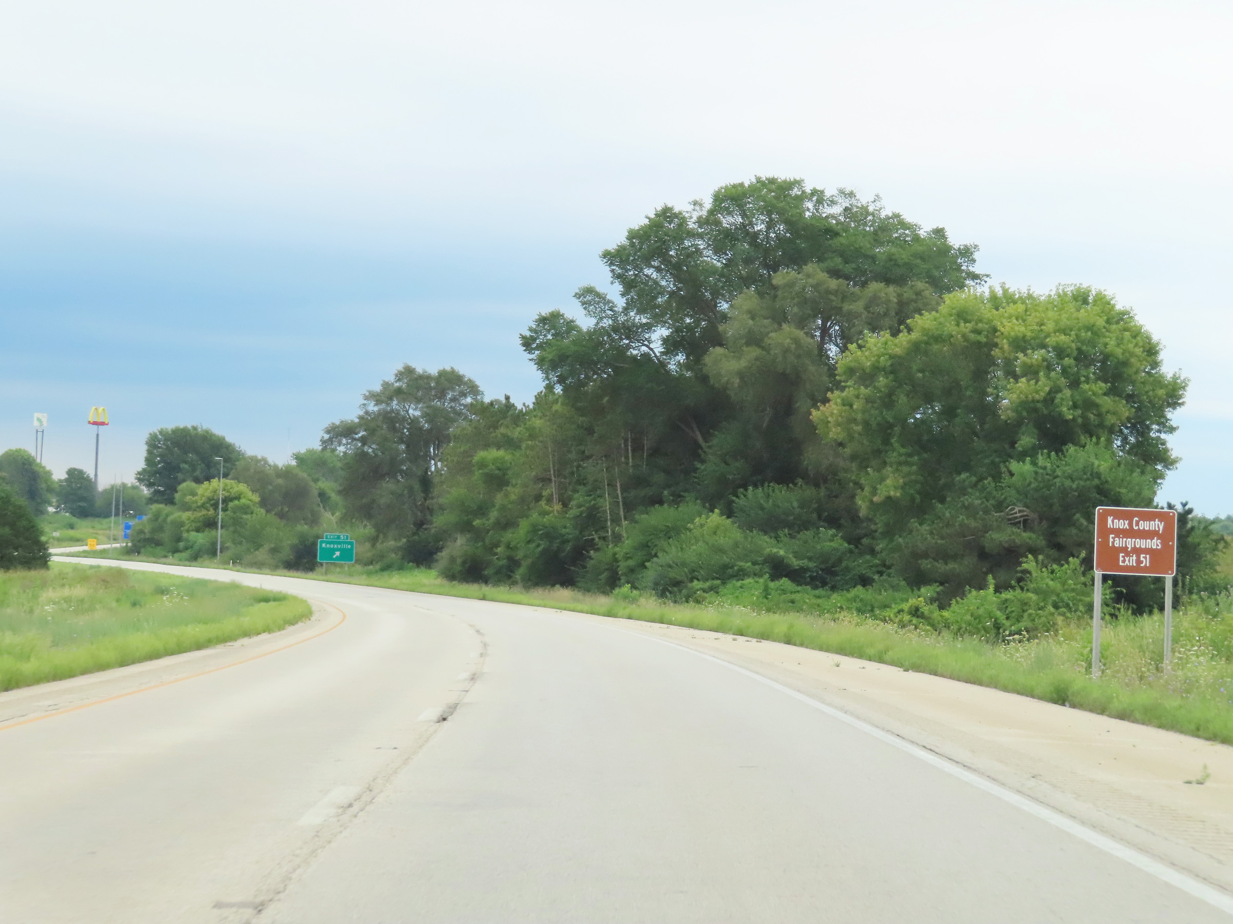 |
Take Exit 51 to the Knox County Fairgrounds. (Photo taken 8/20/22). |
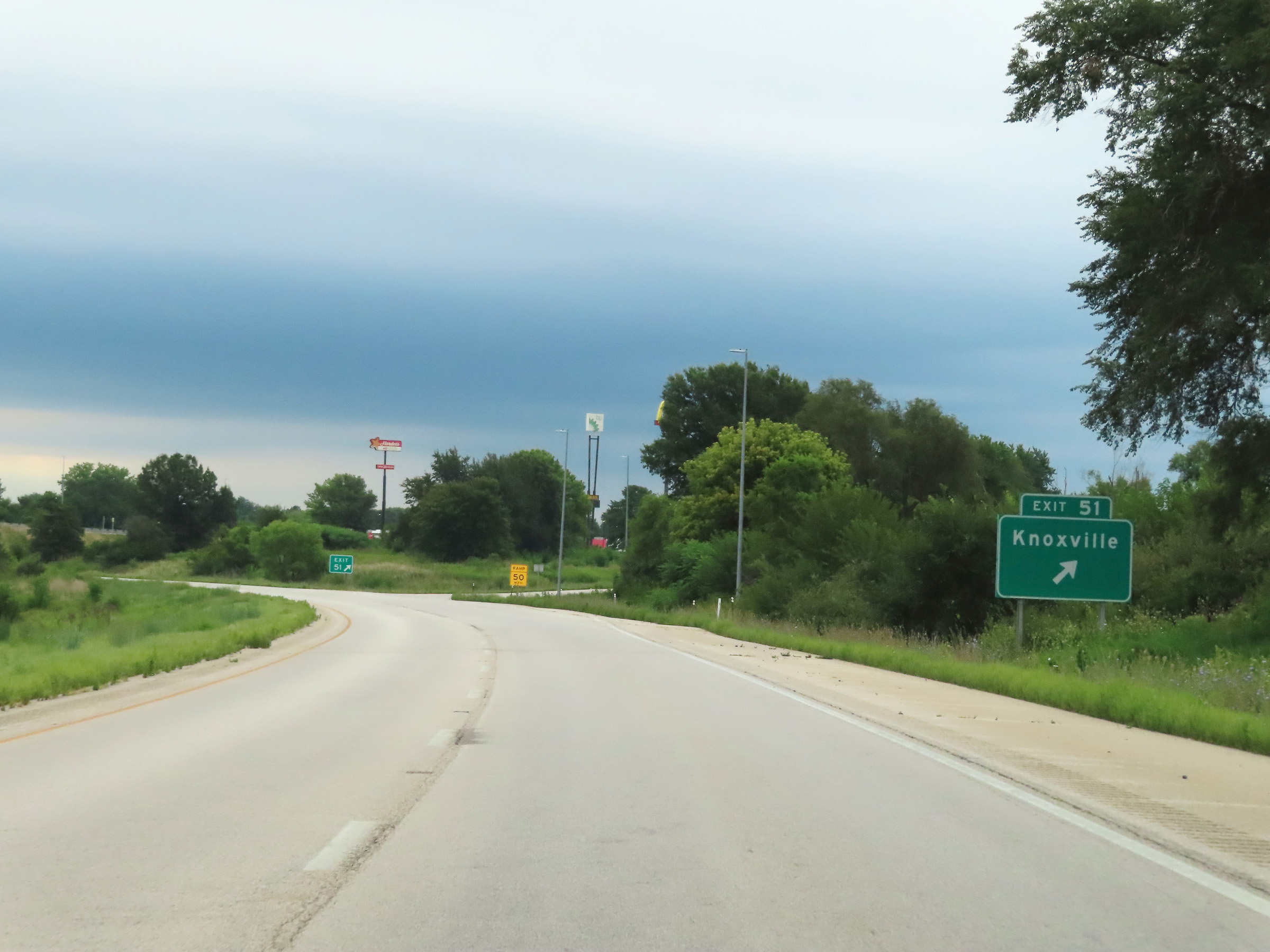 |
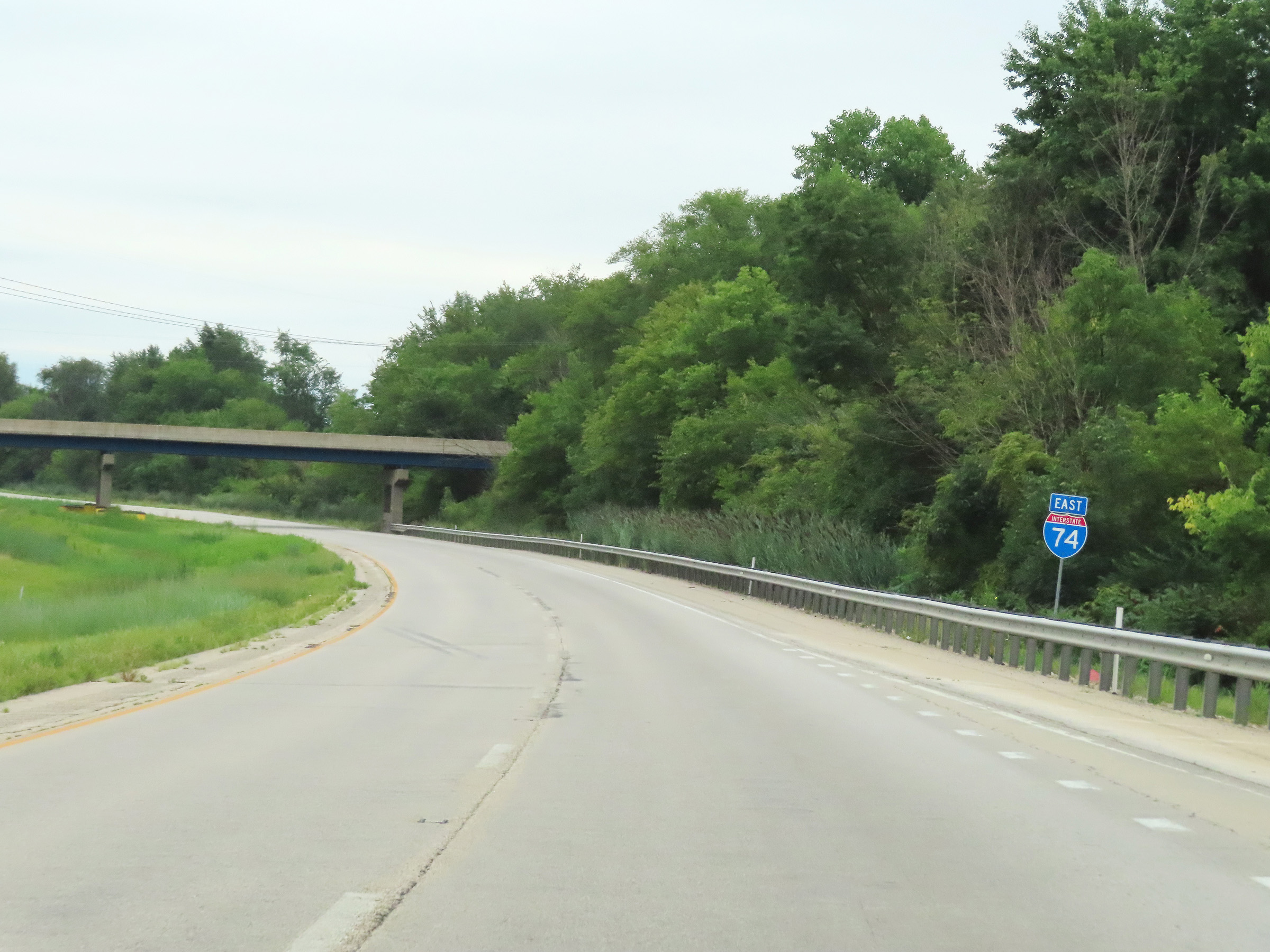
Interstate 74 East at Exit 51: Knoxville (Photo taken 8/20/22). |
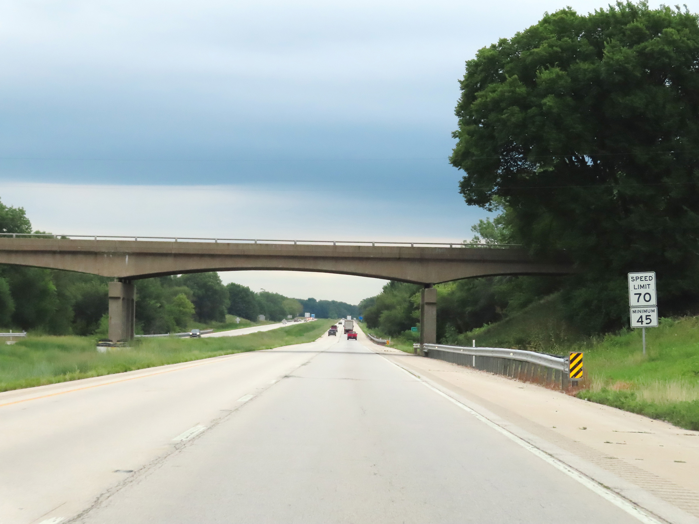 |
The speed limits remain 70 mph maximum and 45 mph minimum on Interstate 74 East. (Photo taken 8/20/22). |
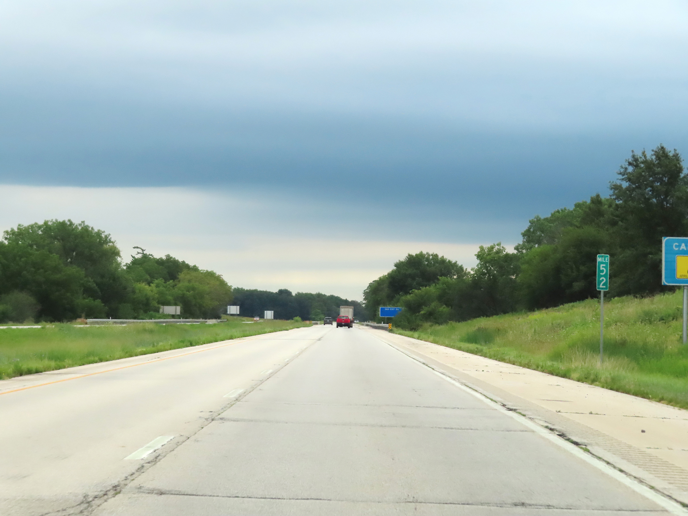 |
Interstate 74 East at mile marker 52. (Photo taken 8/20/22). |
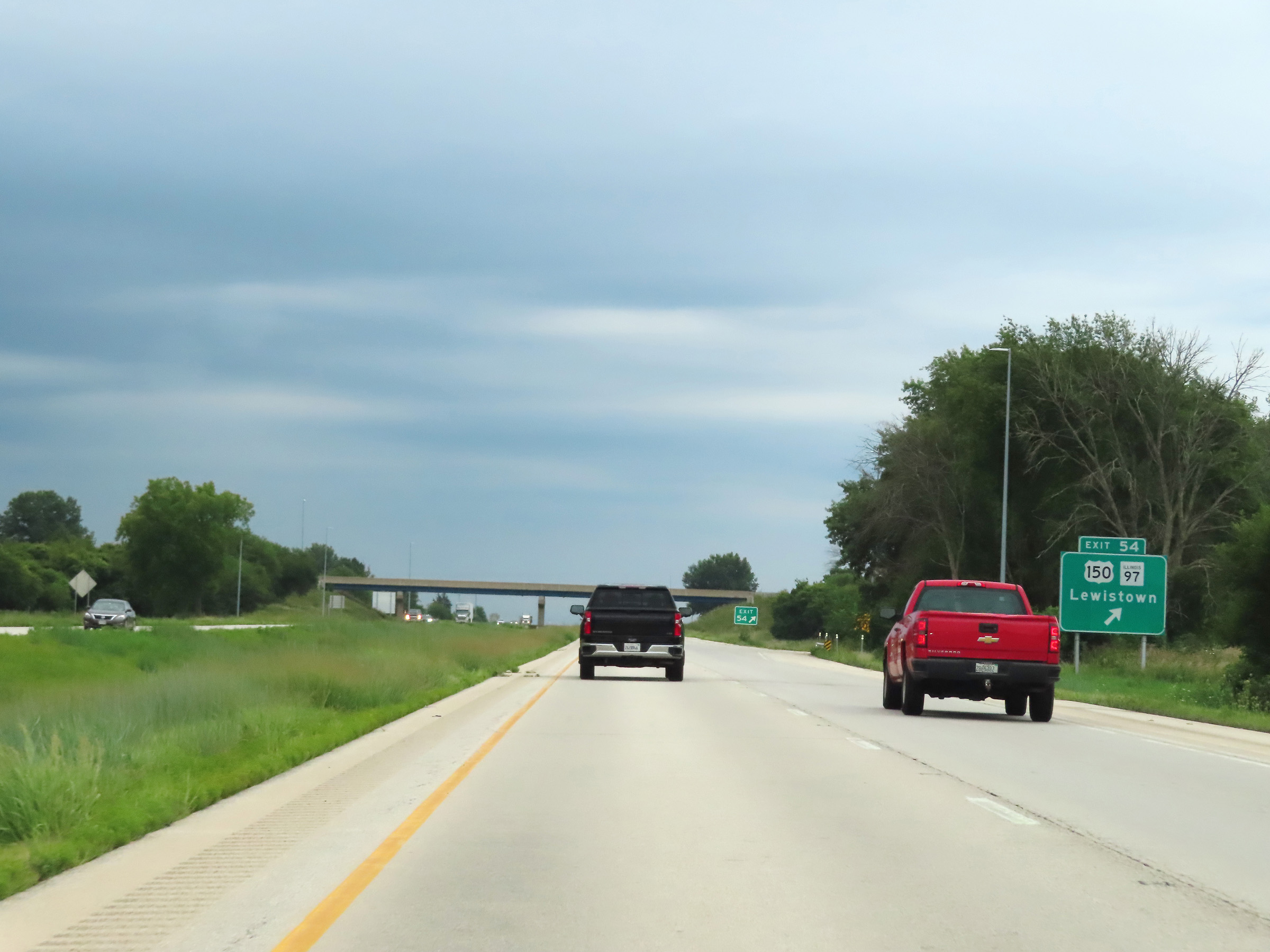 |
Interstate 74 East at Exit 54: US 150 / IL 97 - Lewistown (Photo taken 8/20/22). |
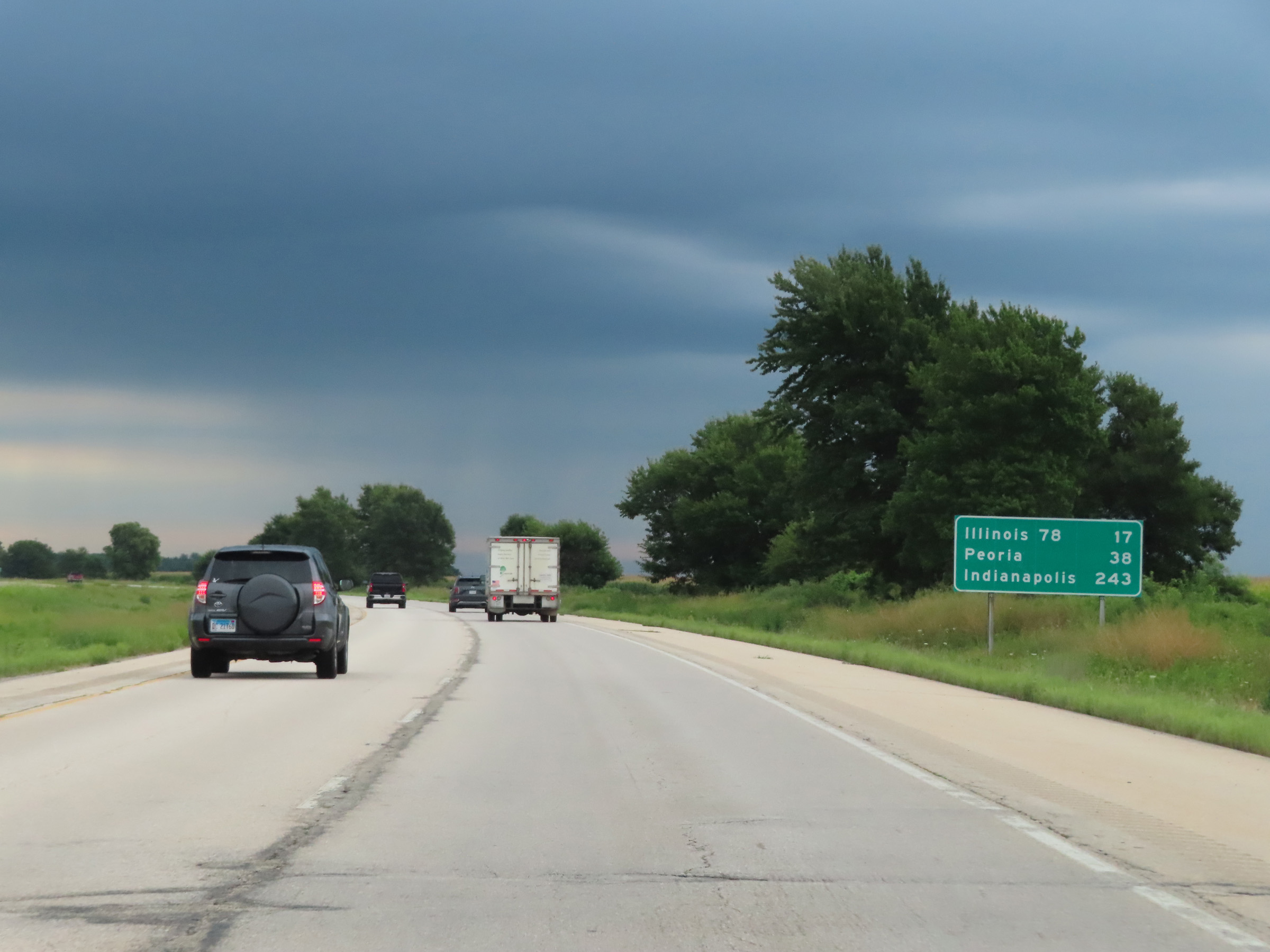 |
Mileage sign on Interstate 74 East. It's 17 miles to the junction of IL 78, 38 miles to Peoria, and 243 miles to Indianapolis. (Photo taken 8/20/22). |
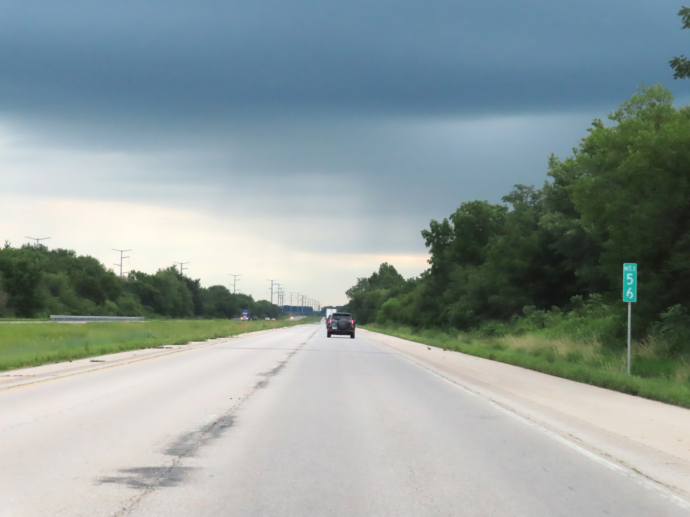 |
Mile marker 56 on Interstate 74 East in Knox County. (Photo taken 8/20/22). |
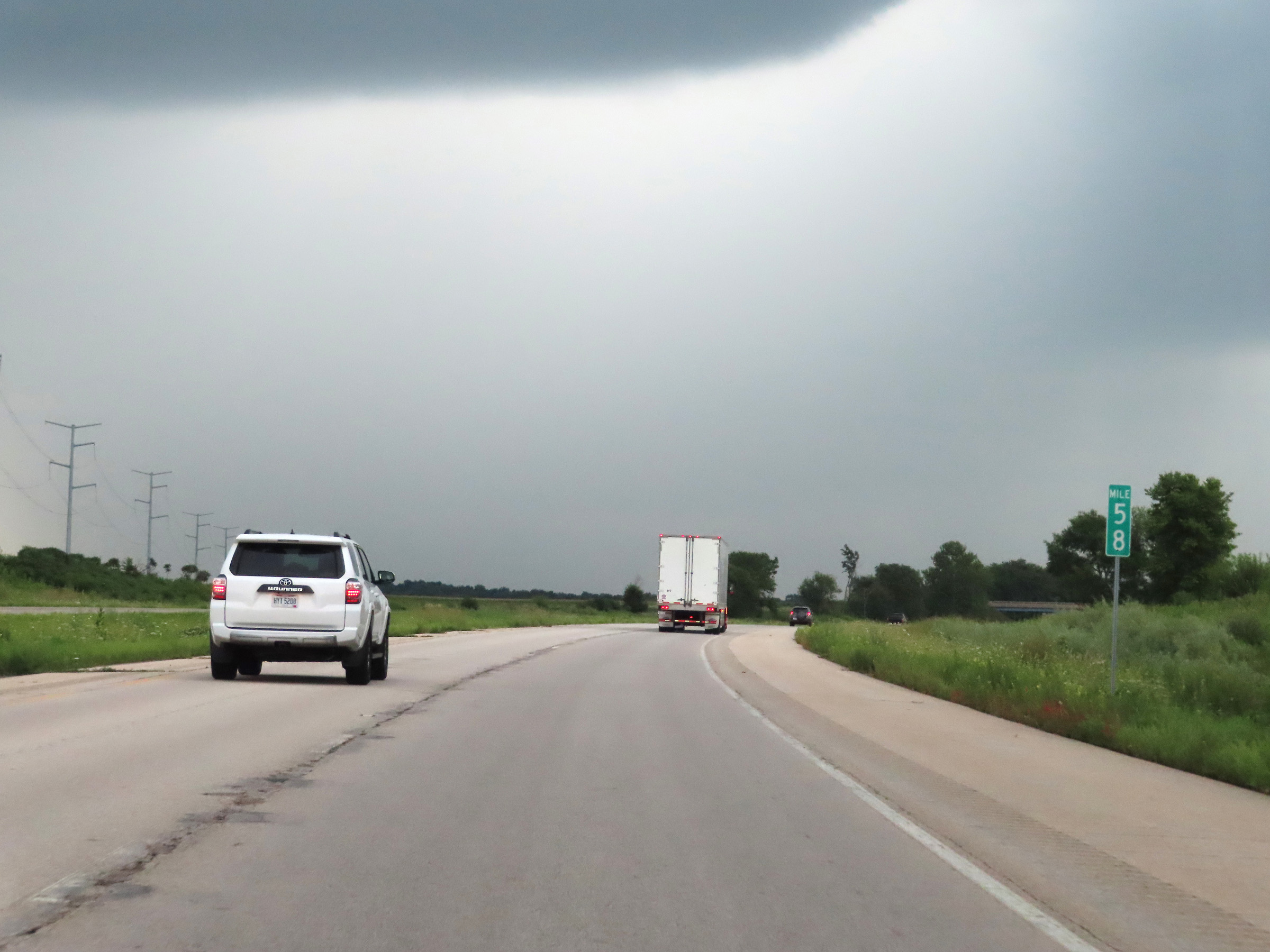 |
Interstate 74 East at mile marker 58. (Photo taken 8/20/22). |
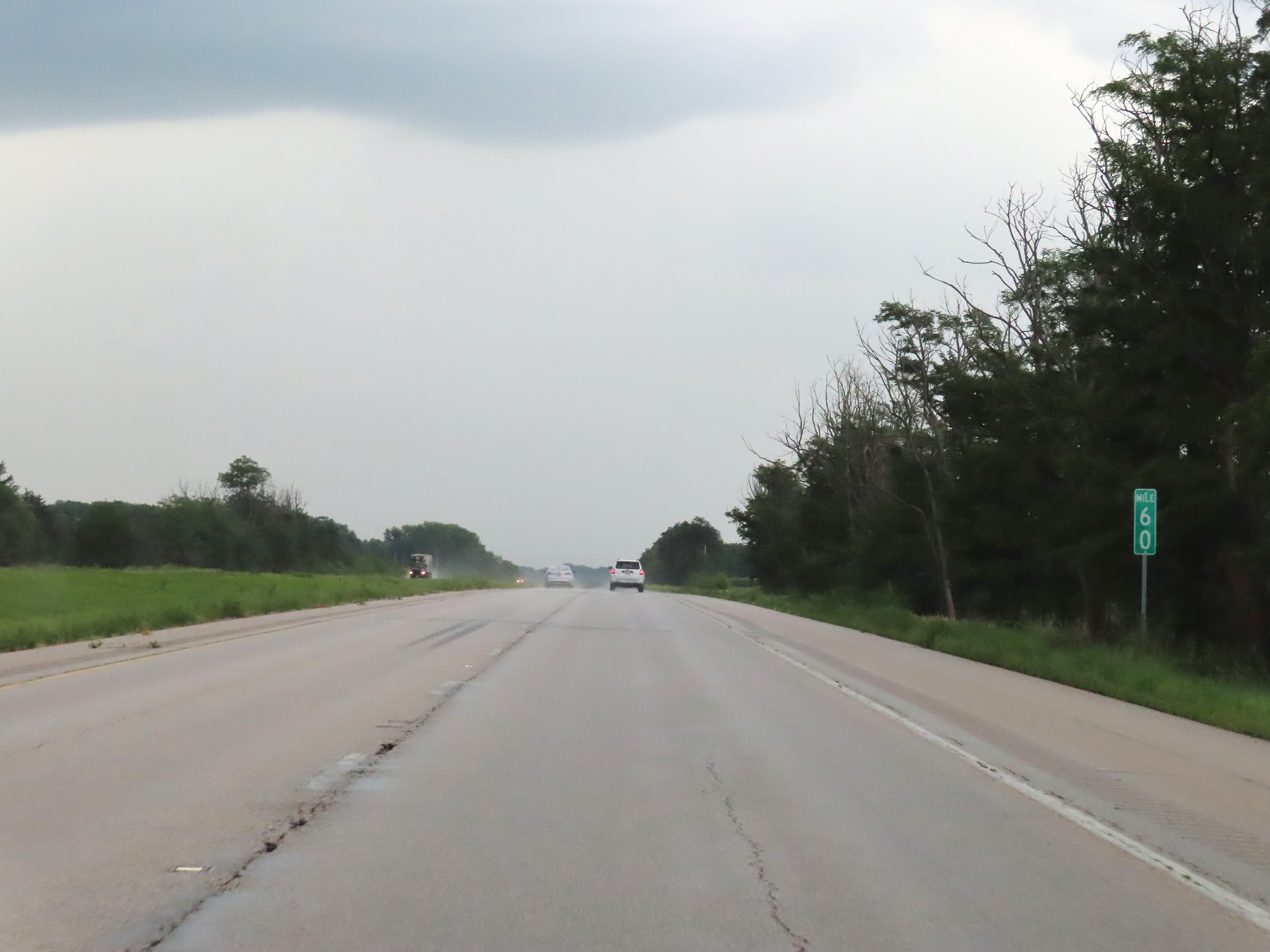 |
View on Interstate 74 East at mile marker 60. (Photo taken 8/20/22). |
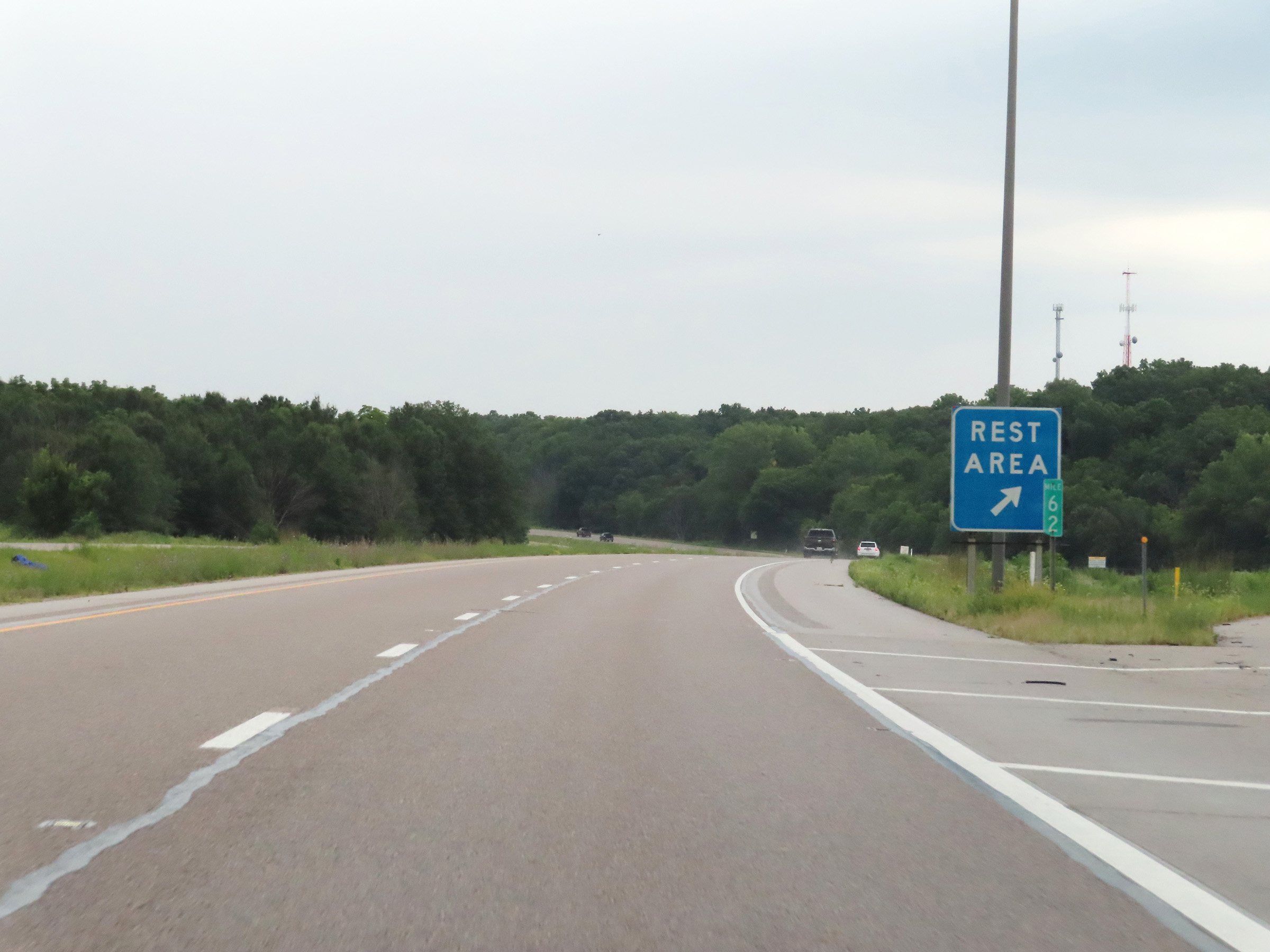 |
Rest Area on Interstate 74 East at mile marker 62 in Knox County. (Photo taken 8/20/22). |
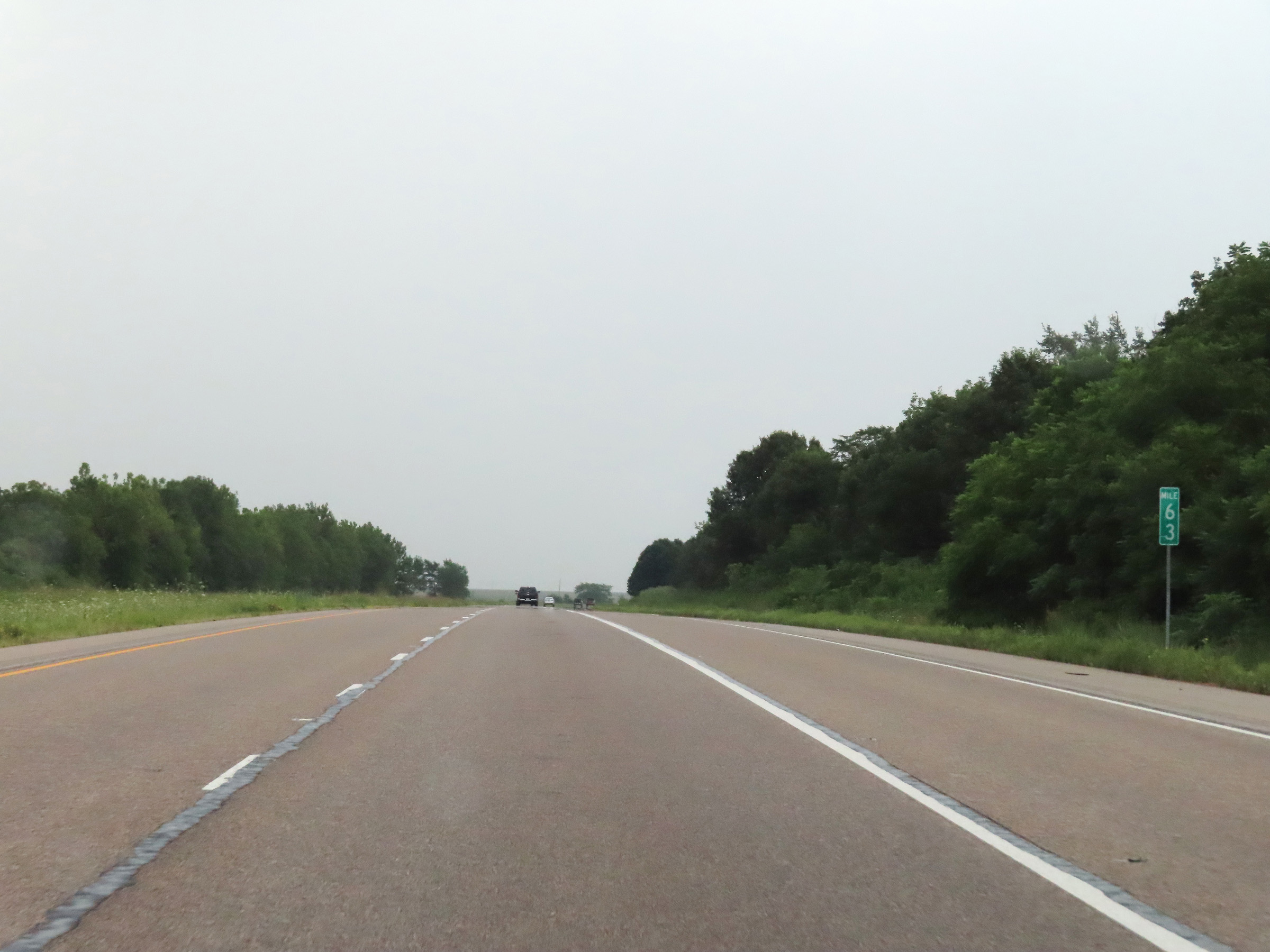 |
Interstate 74 East at mile marker 63. (Photo taken 8/20/22). |
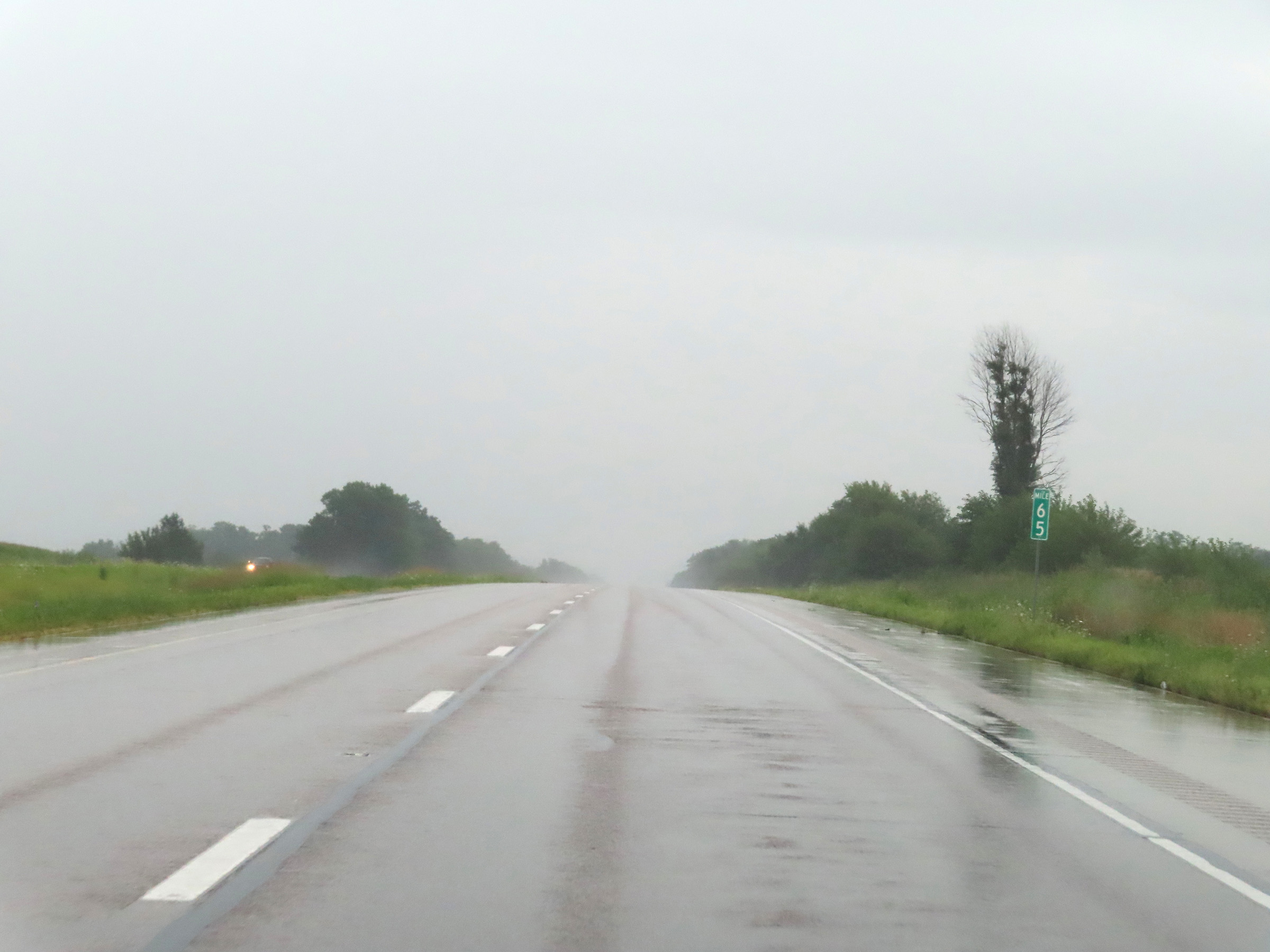 |
Mile marker 65 on Interstate 74 East in Knox County. (Photo taken 8/20/22). |
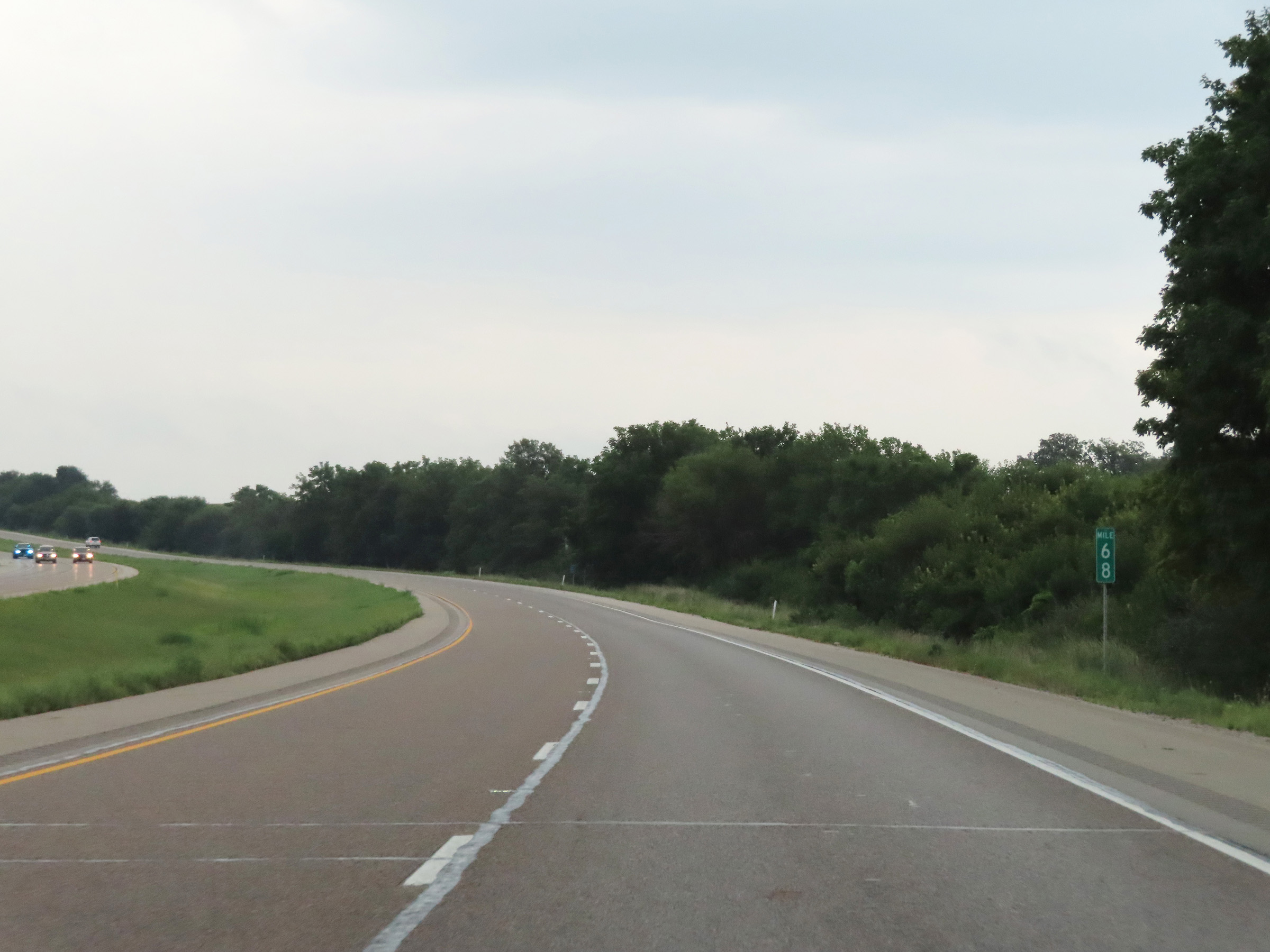 |
View on Interstate 74 East at mile marker 68. (Photo taken 8/20/22). |
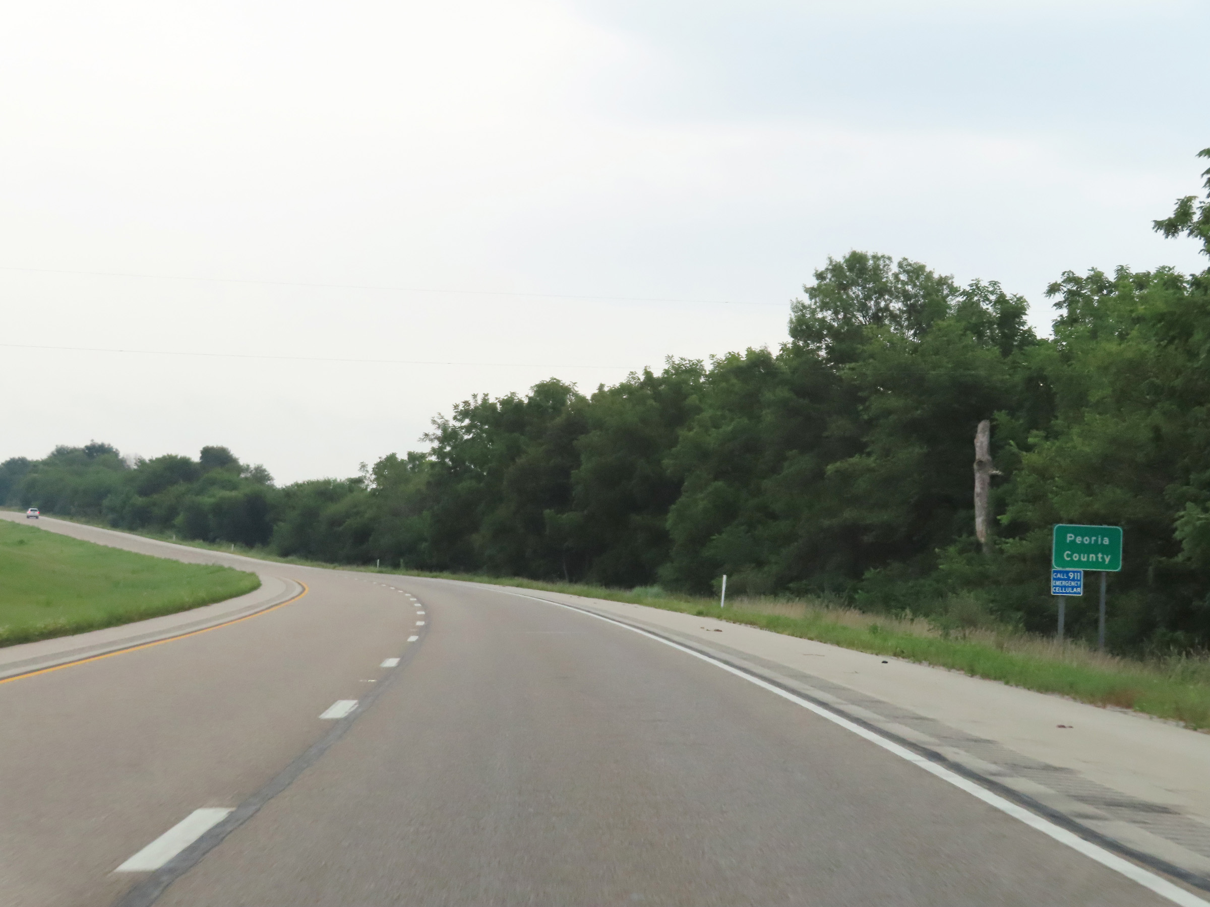 |
Interstate 74 East as it enters Peoria County. (Photo taken 8/20/22). |
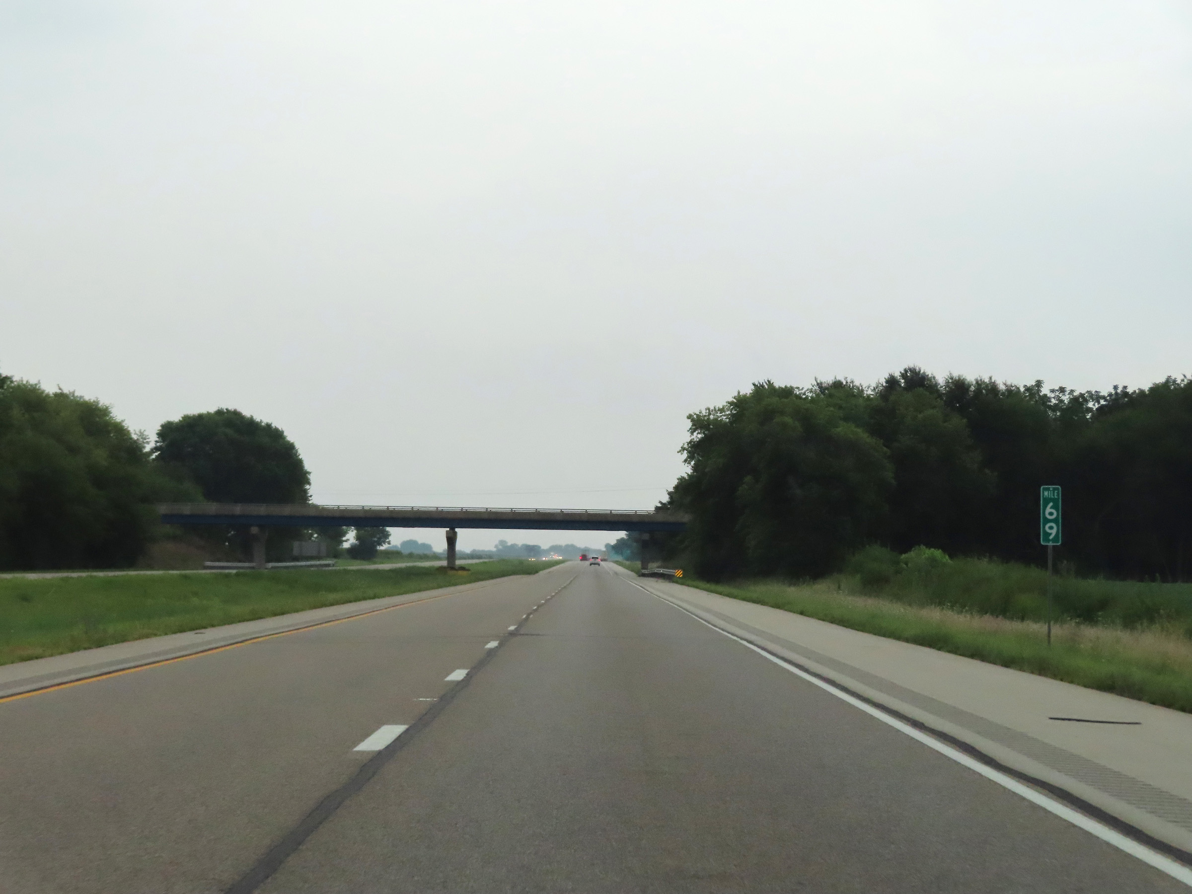 |
Interstate 74 East at mile marker 69. (Photo taken 8/20/22). |
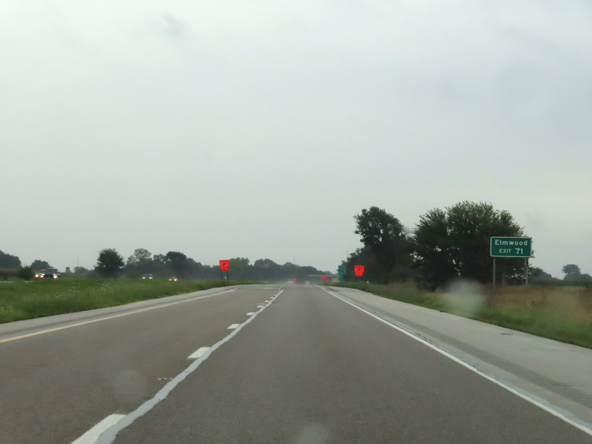 |
Take exit 71 to Elmwood. (Photo taken 8/20/22). |
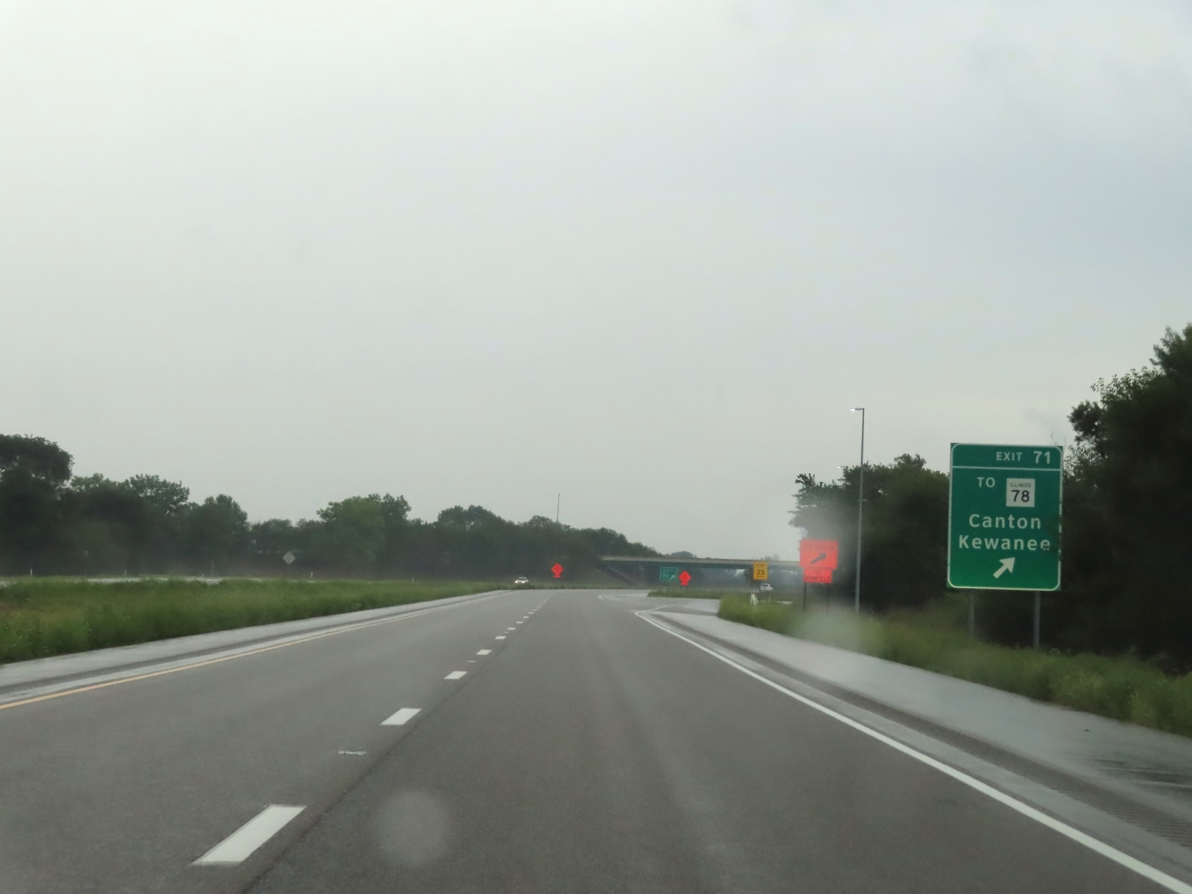 |
Interstate 74 East at Exit 71: To IL 78 - Canton / Kewanee (Photo taken 8/20/22). |
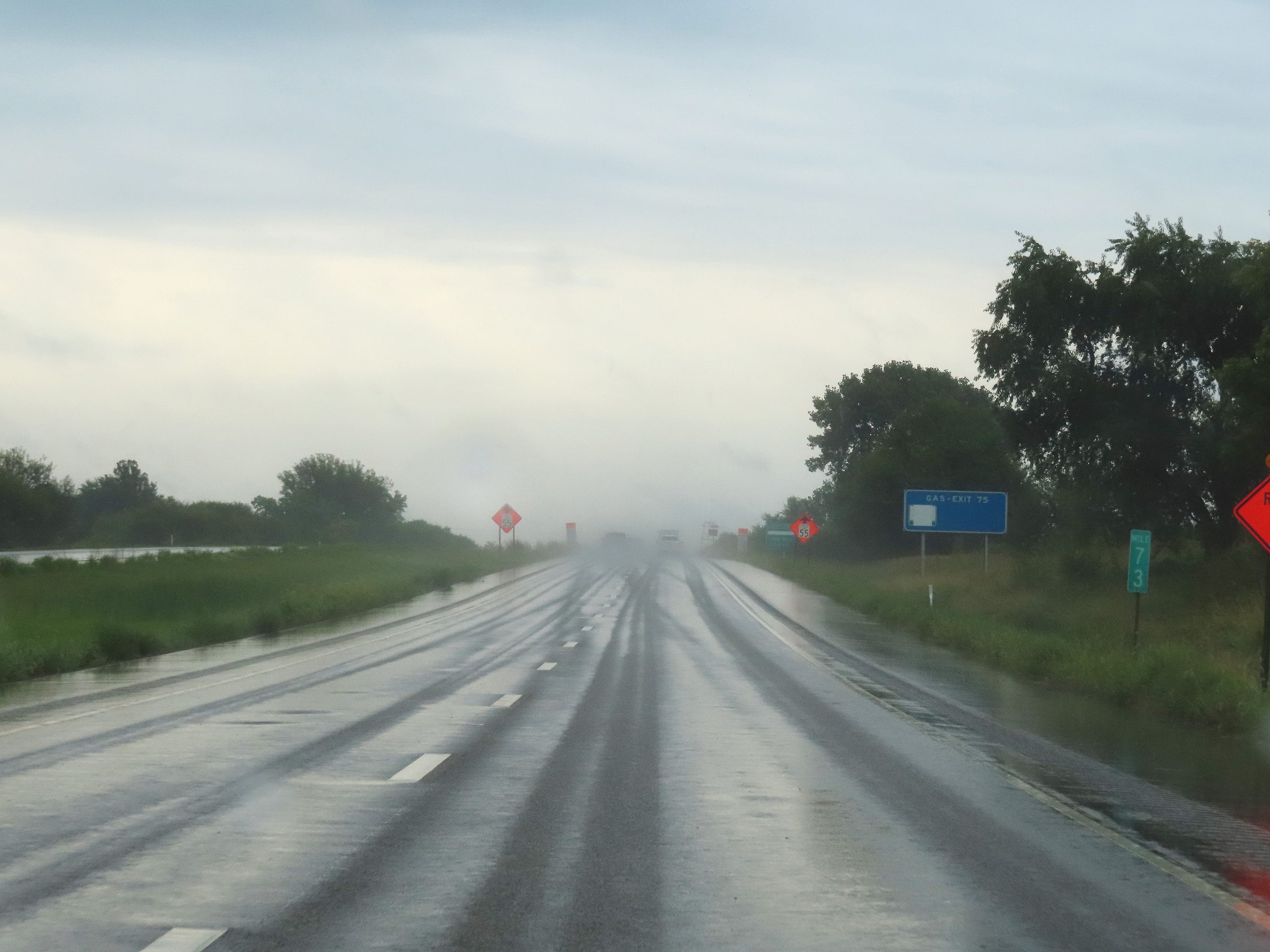 |
Mile marker 73 on Interstate 74 East in Peoria County. (Photo taken 8/20/22). |
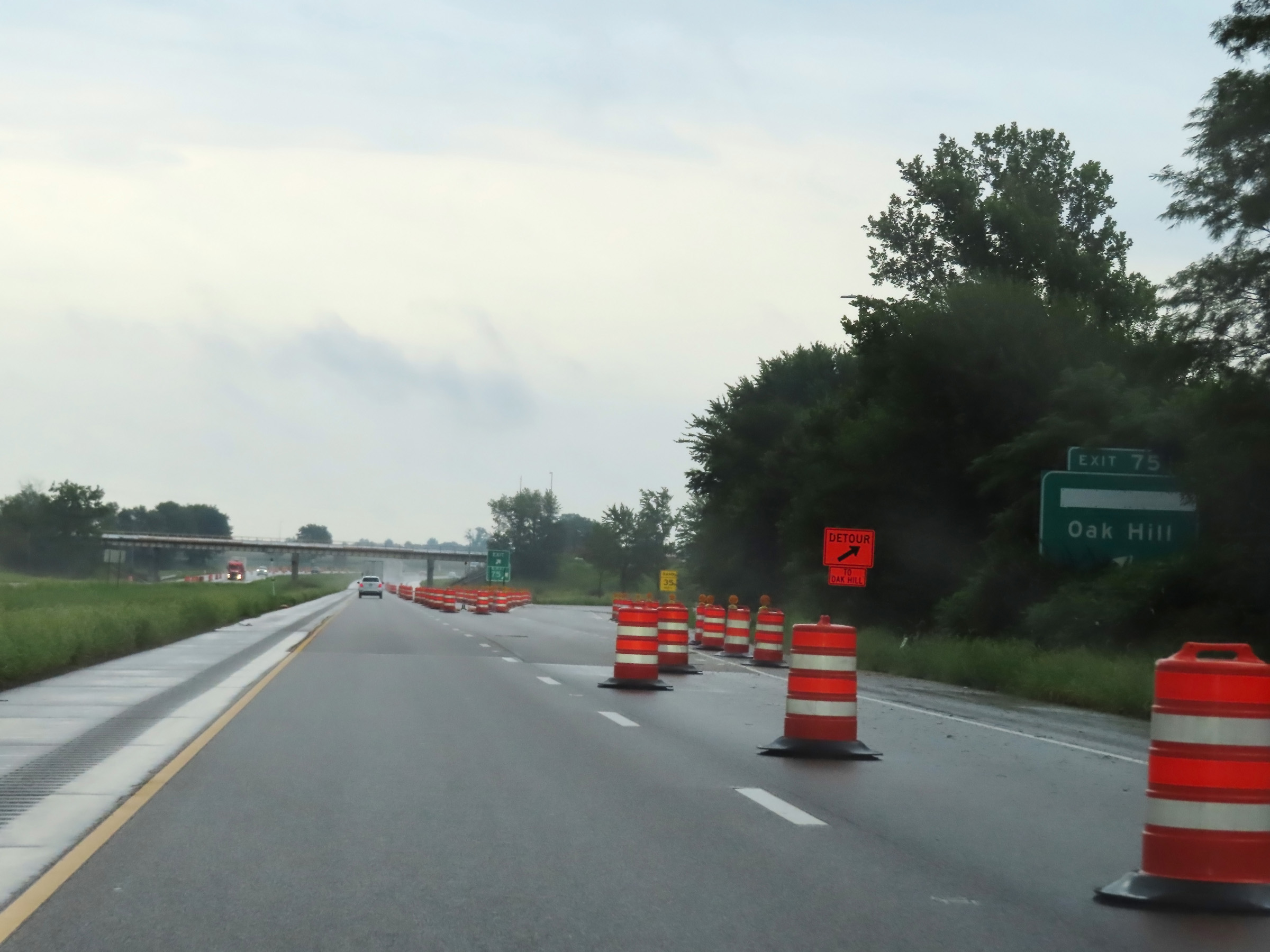 |
Interstate 74 East at Exit 75: Brimfield / Oak Hill (Photo taken 8/20/22). |
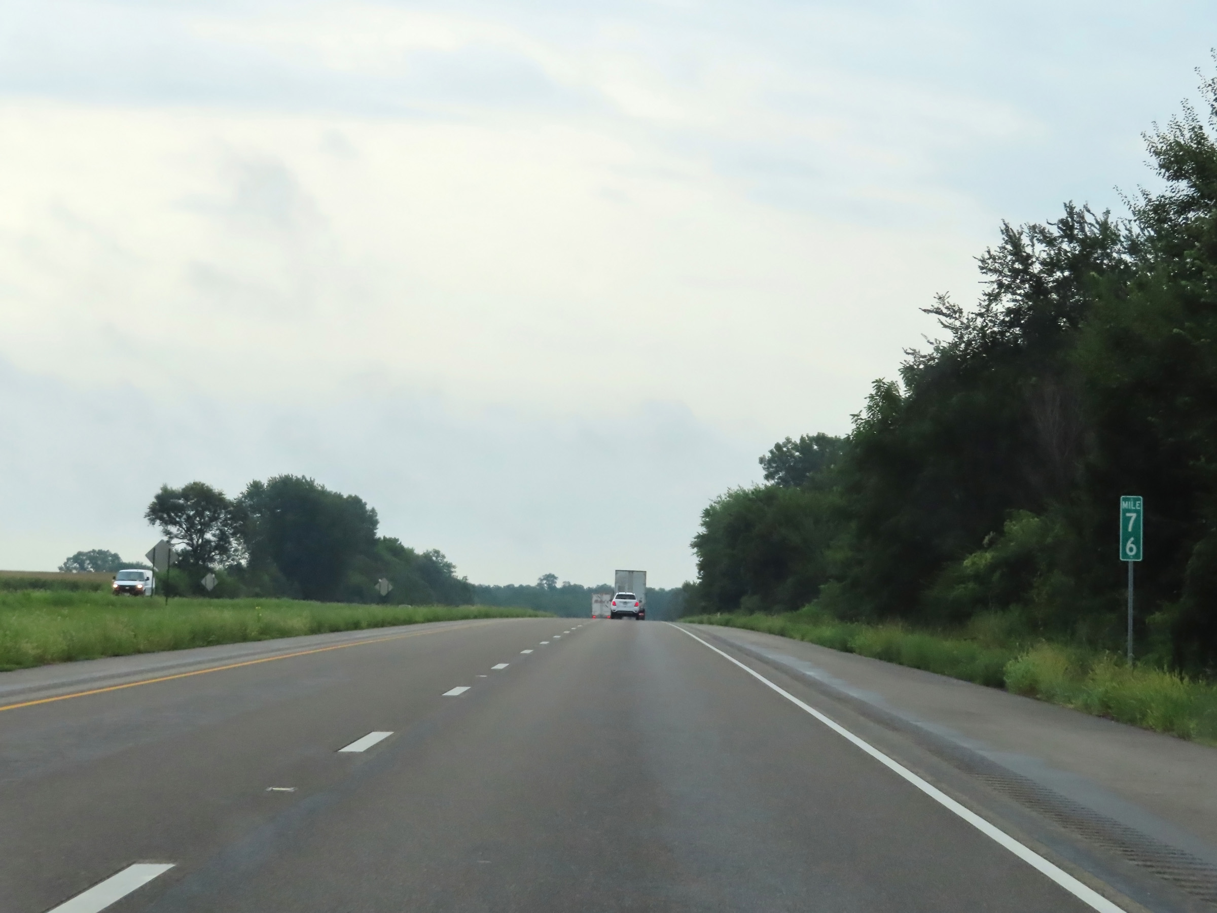 |
View on Interstate 74 East at mile marker 76. (Photo taken 8/20/22). |
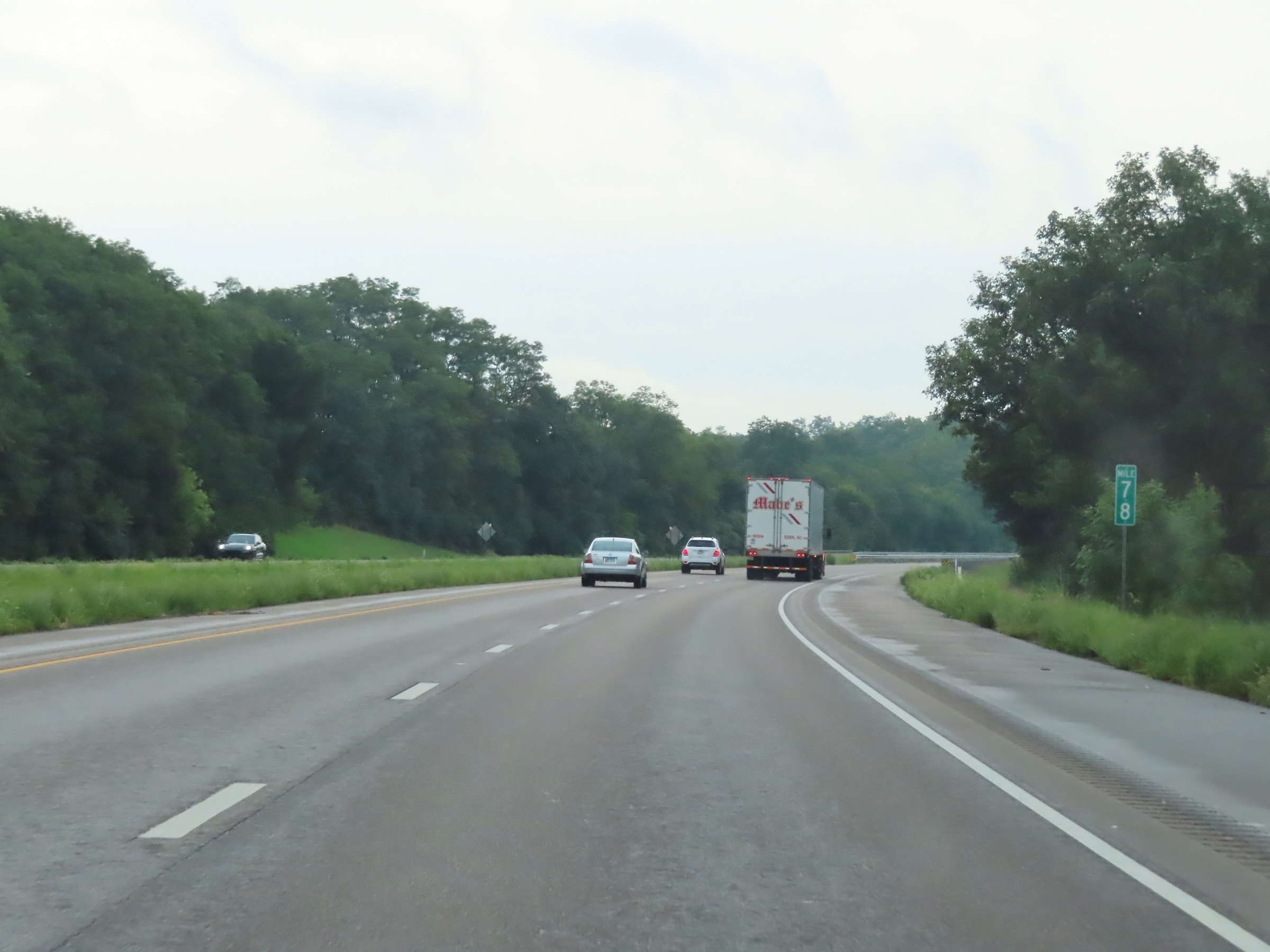 |
Interstate 74 East at mile marker 78. (Photo taken 8/20/22). |
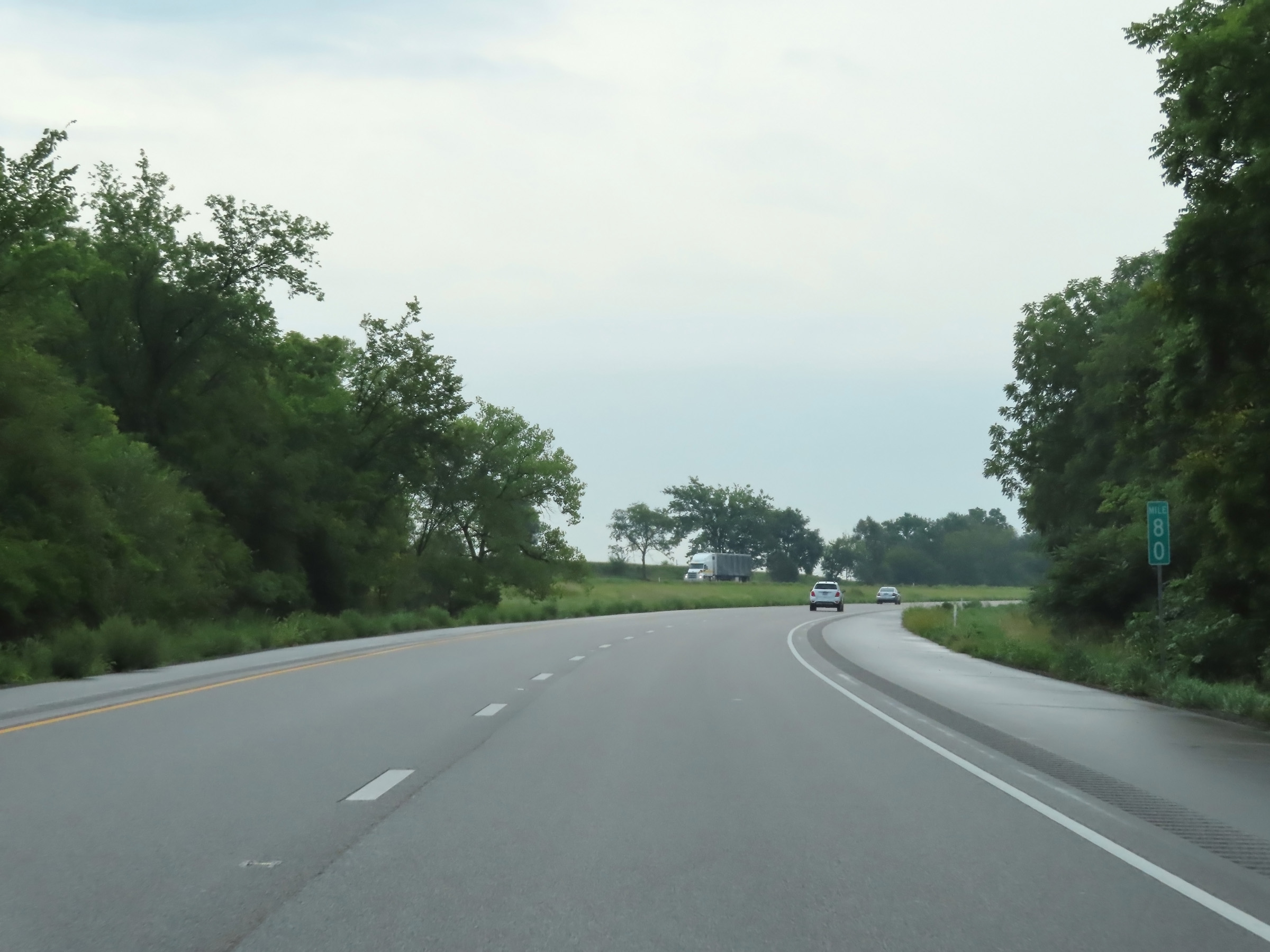 |
Mile marker 80 on Interstate 74 East in Peoria County. (Photo taken 8/20/22). |
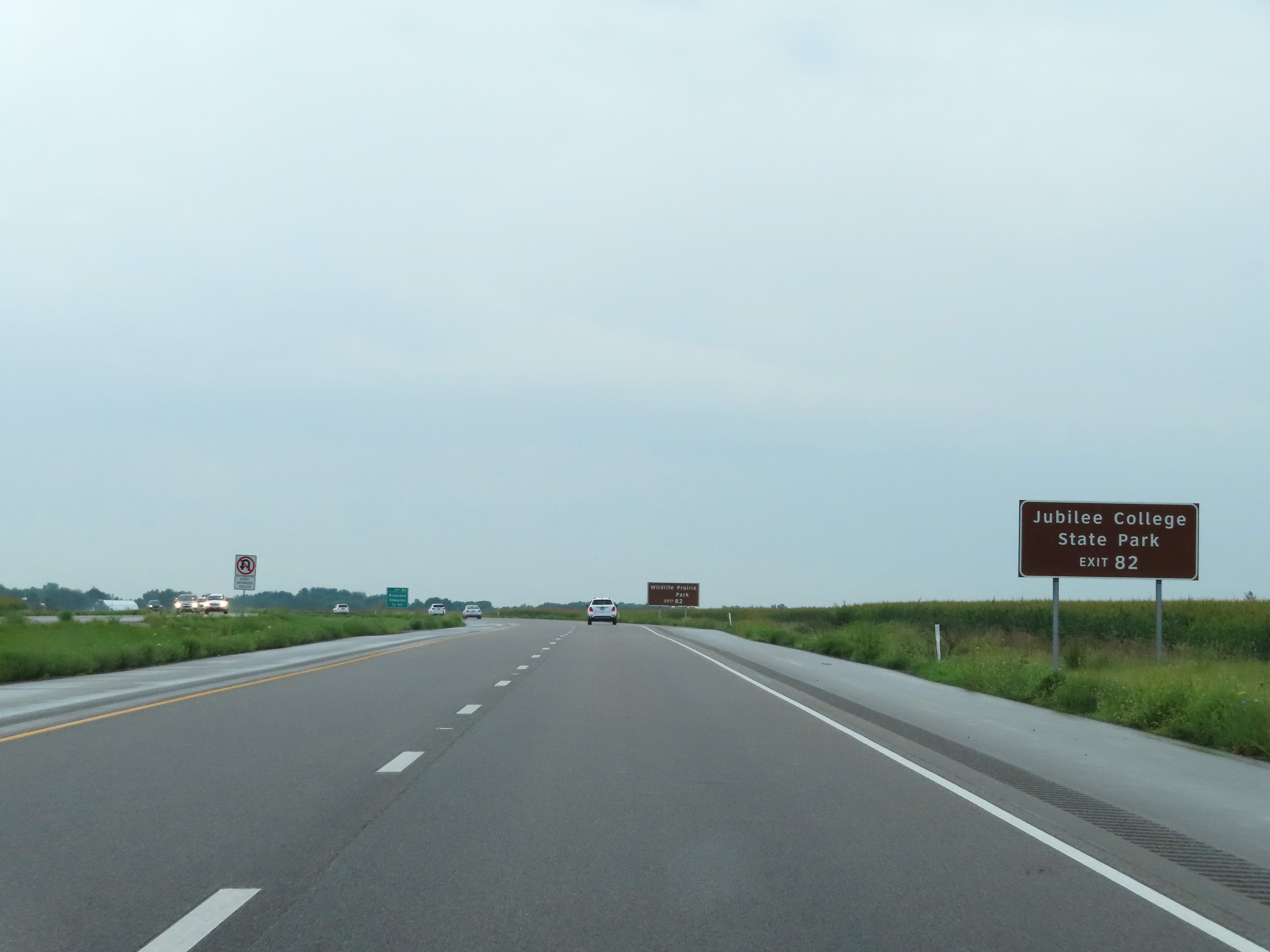 |
Take Exit 82 to Jubilee College State Park. (Photo taken 8/20/22). |
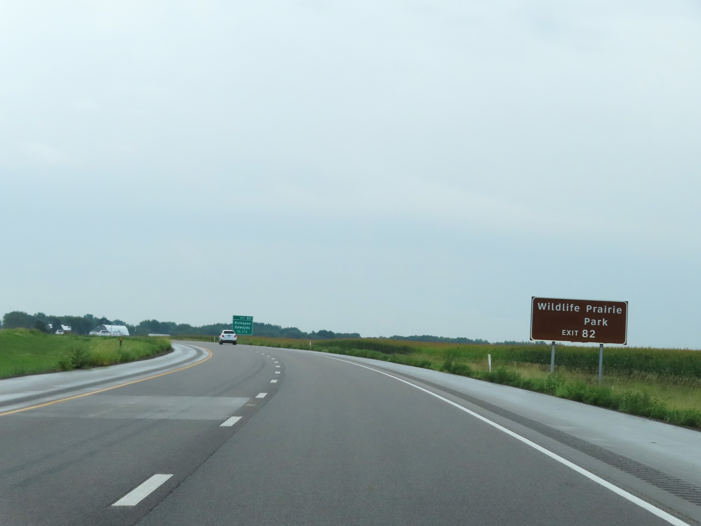 |
Also take Exit 82 to Wildlife Prairie Park. (Photo taken 8/20/22). |
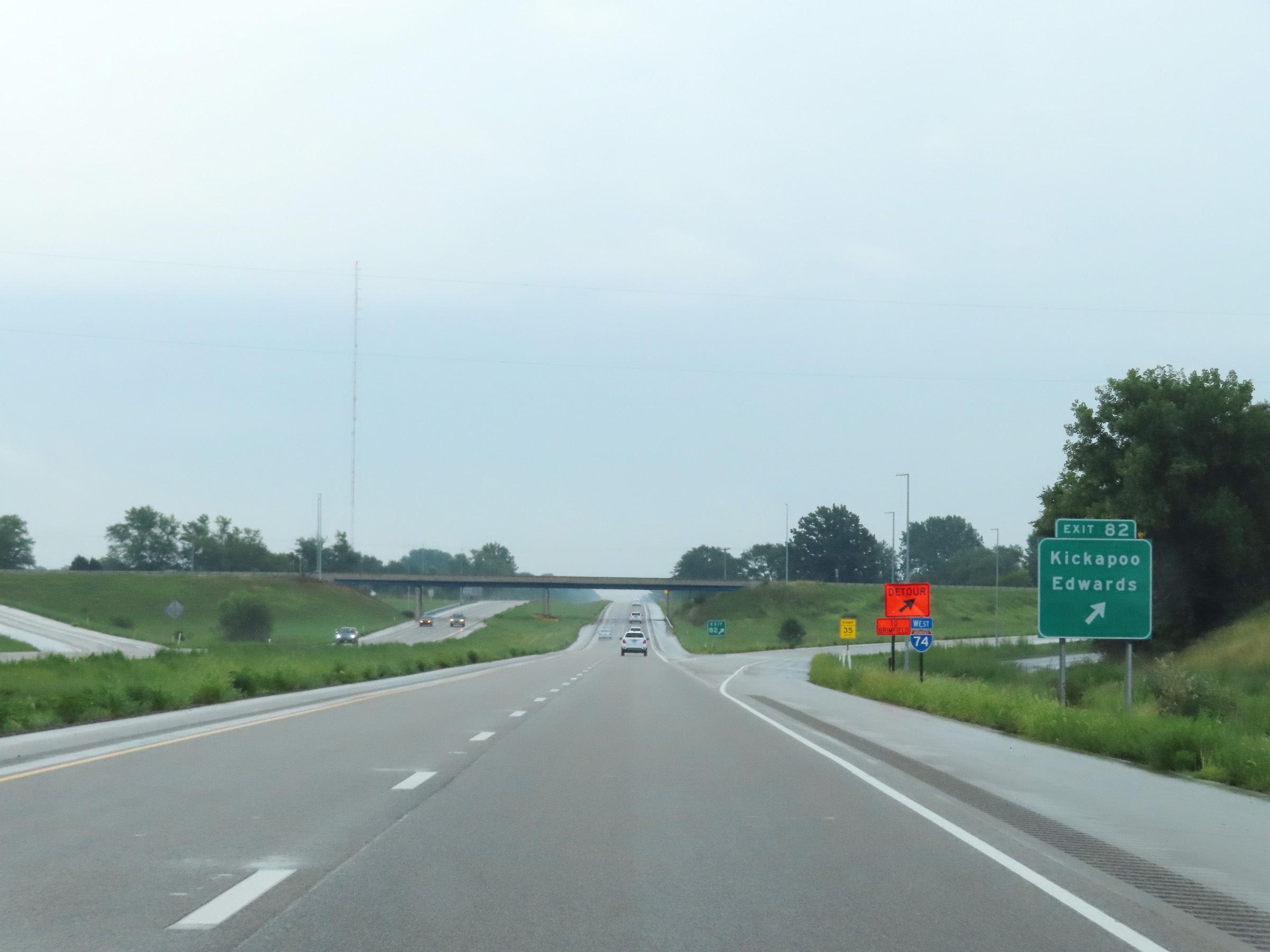 |
Interstate 74 East at Exit 82: Kickapoo / Edwards (Photo taken 8/20/22). |
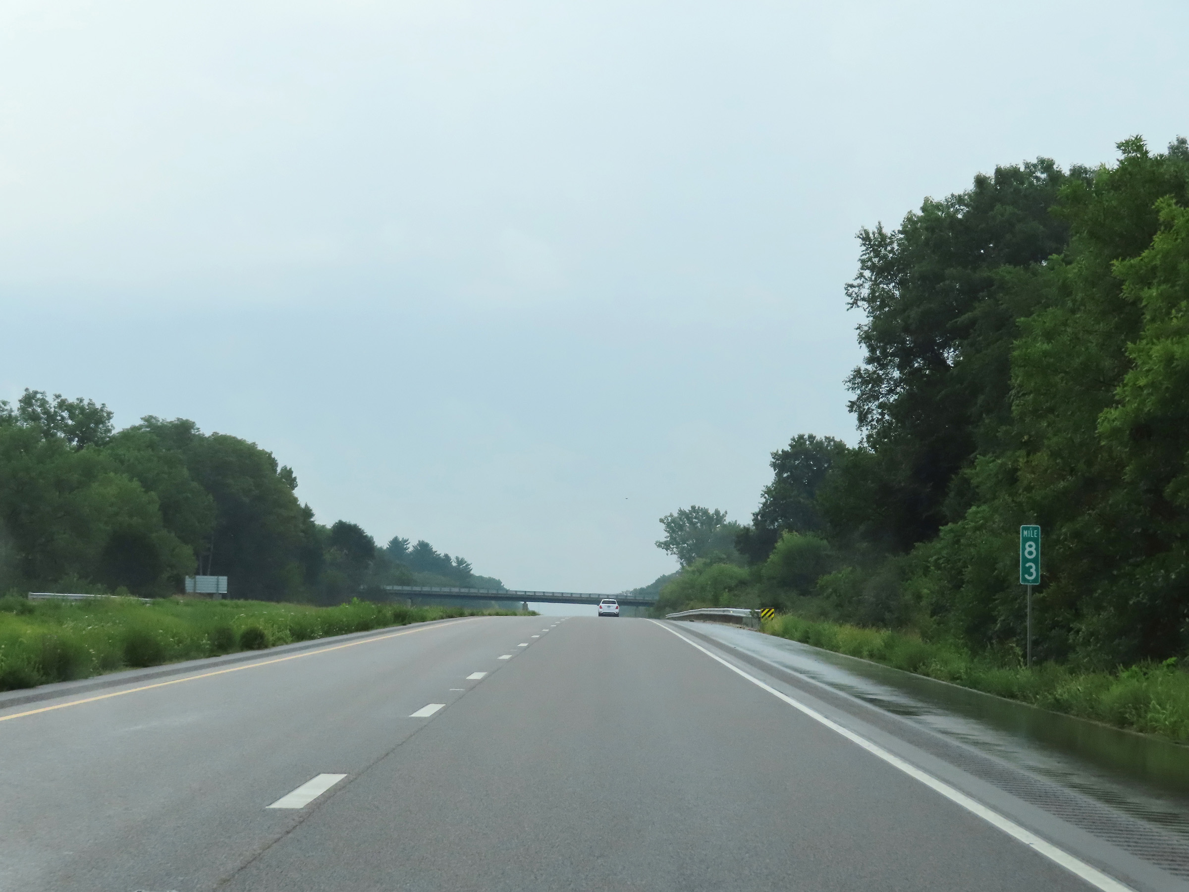 |
Interstate 74 East at mile marker 83. (Photo taken 8/20/22). |
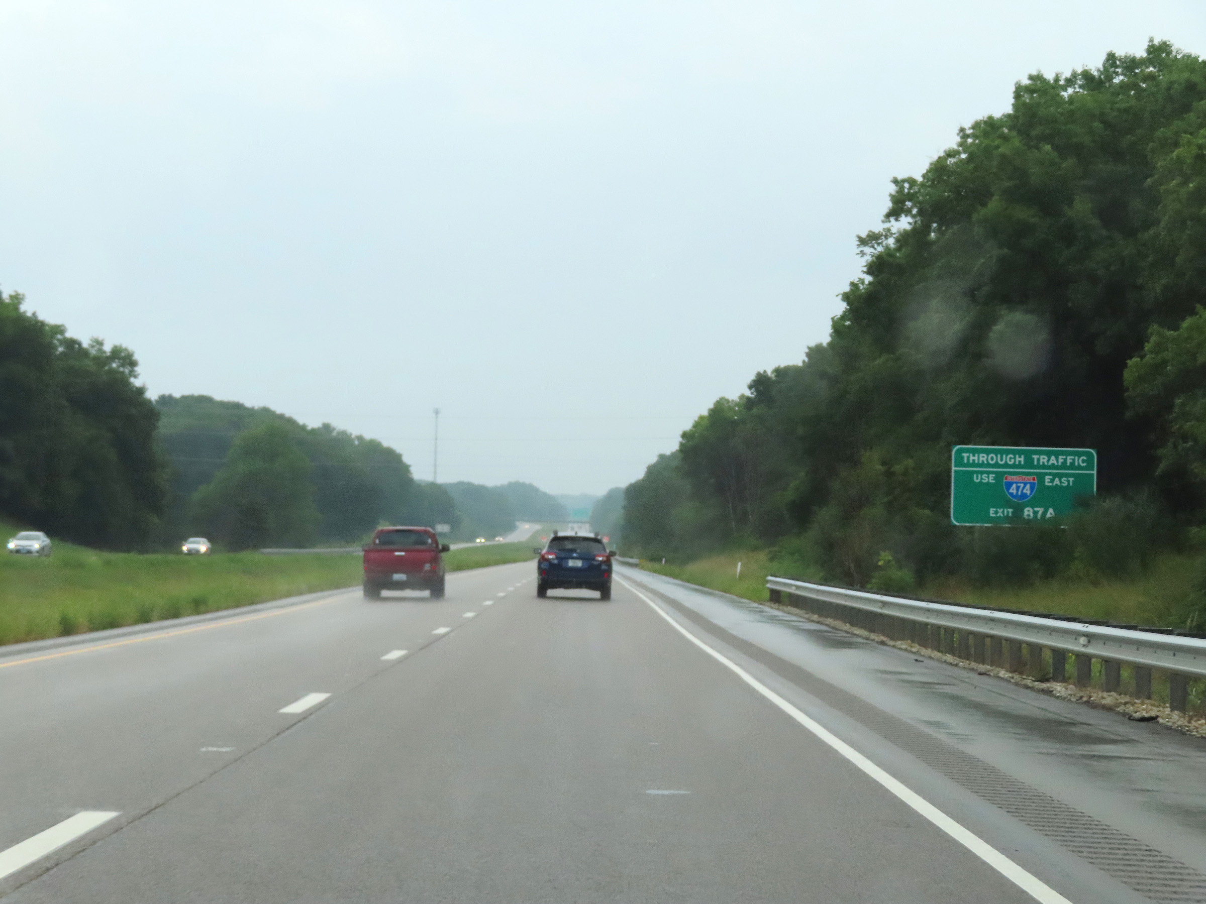 |
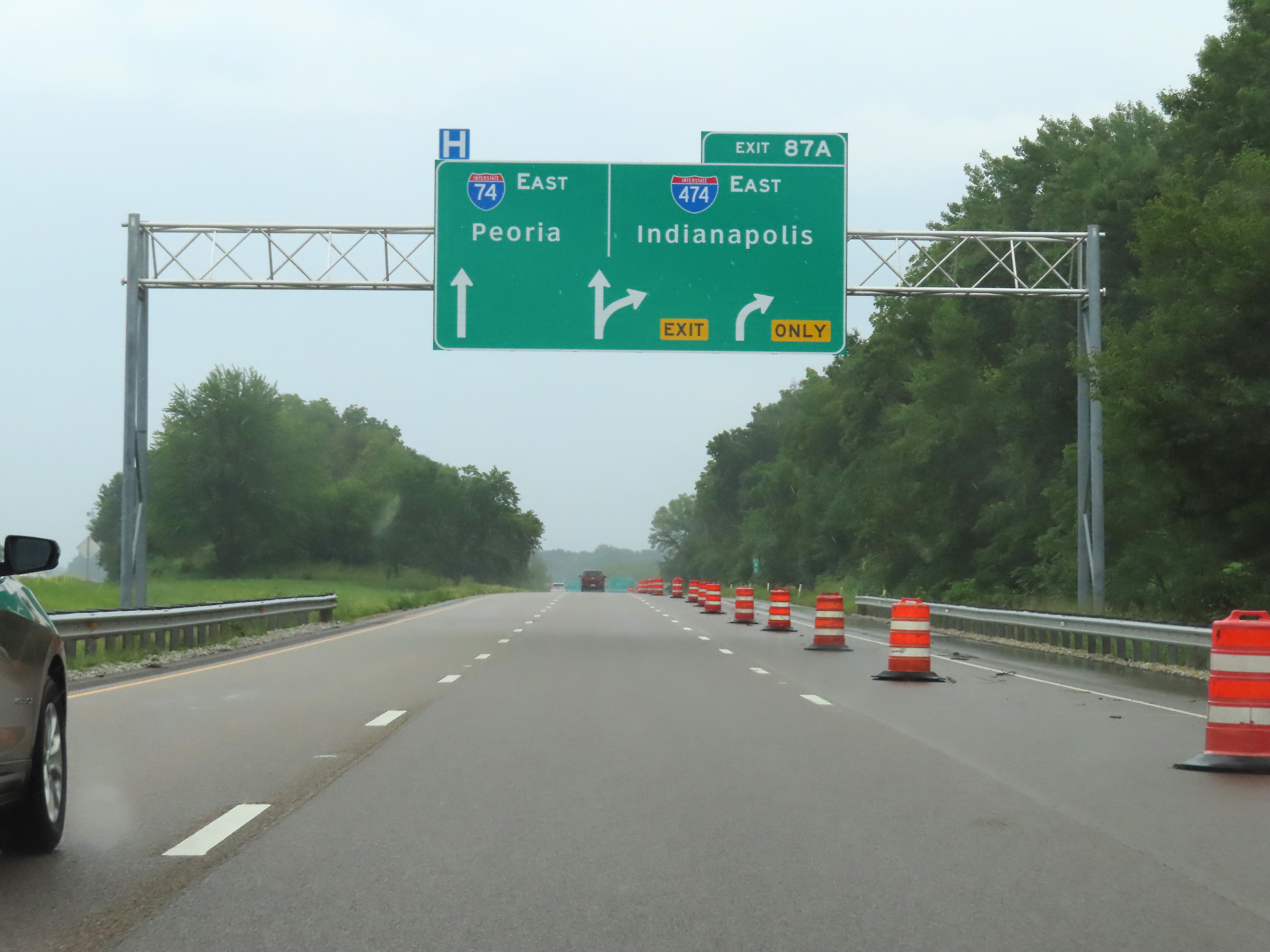
This sign encourages Interstate 74 East thru traffic to use Interstate 474 East in Peoria via Exit 87A. (Photo taken 8/20/22). |
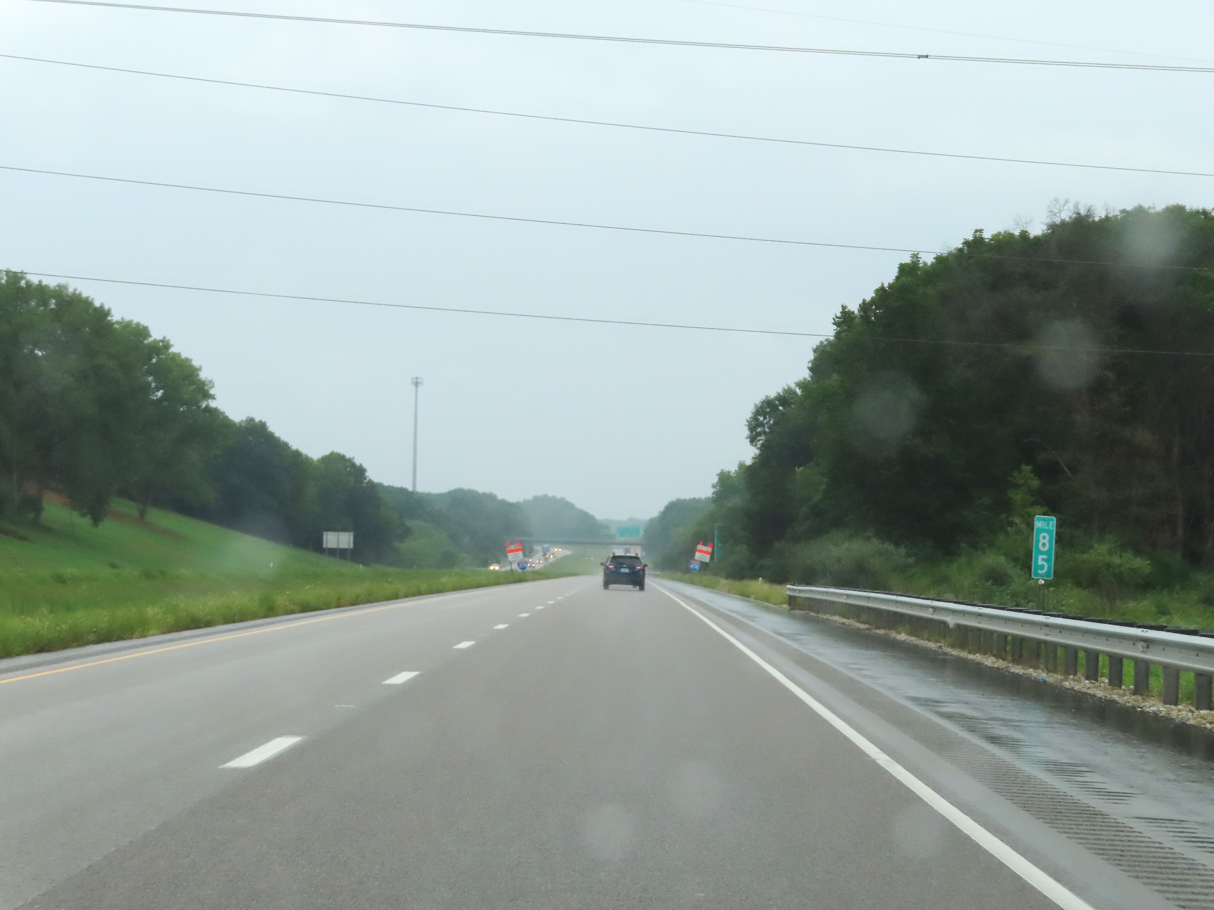 |
View on Interstate 74 East at mile marker 85. (Photo taken 8/20/22). |
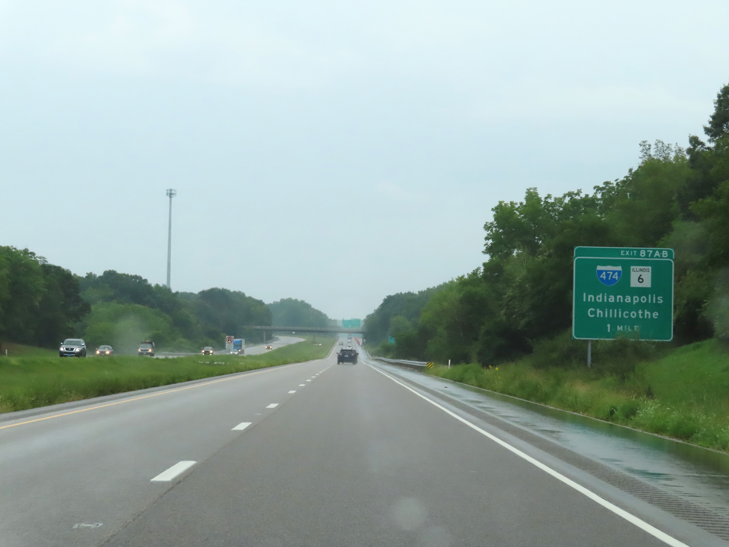 |
Interstate 74 East approaching Exits 87A-B - 1 mile. (Photo taken 8/20/22). |
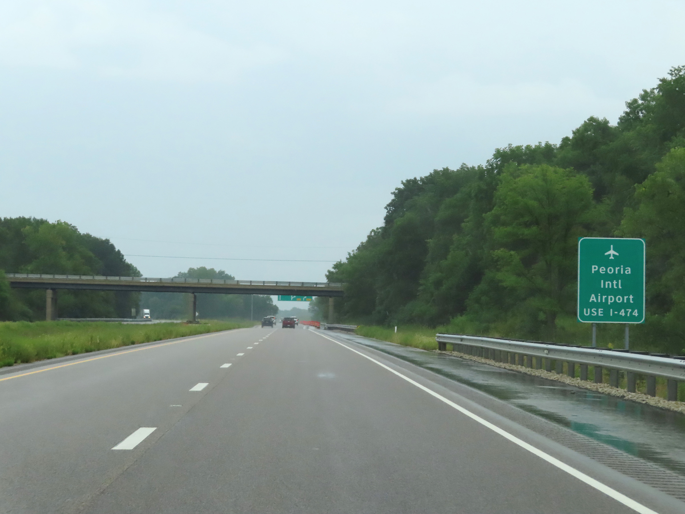 |
Traffic to Peoria International Airport should use Interstate 474 East via Exit 87A. (Photo taken 8/20/22). |
 |
A third lane appears on the right approaching Exit 87A on Interstate 74 East. It will become an Exit Only lane for Exit 87A ahead. (Photo taken 8/20/22). |
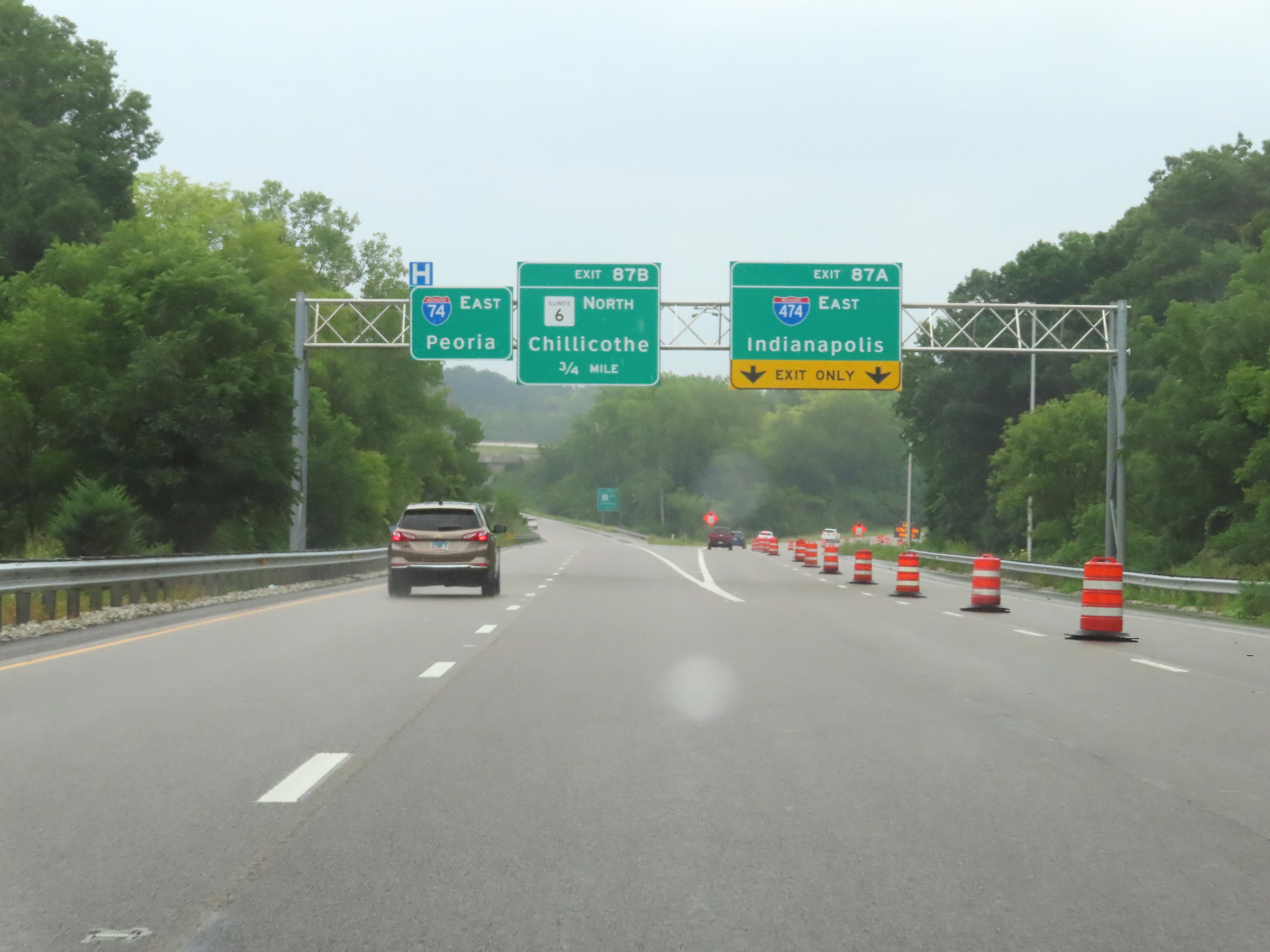 |
Interstate 74 East at Exit 87A: Interstate 474 East - Indianapolis (Photo taken 8/20/22). |
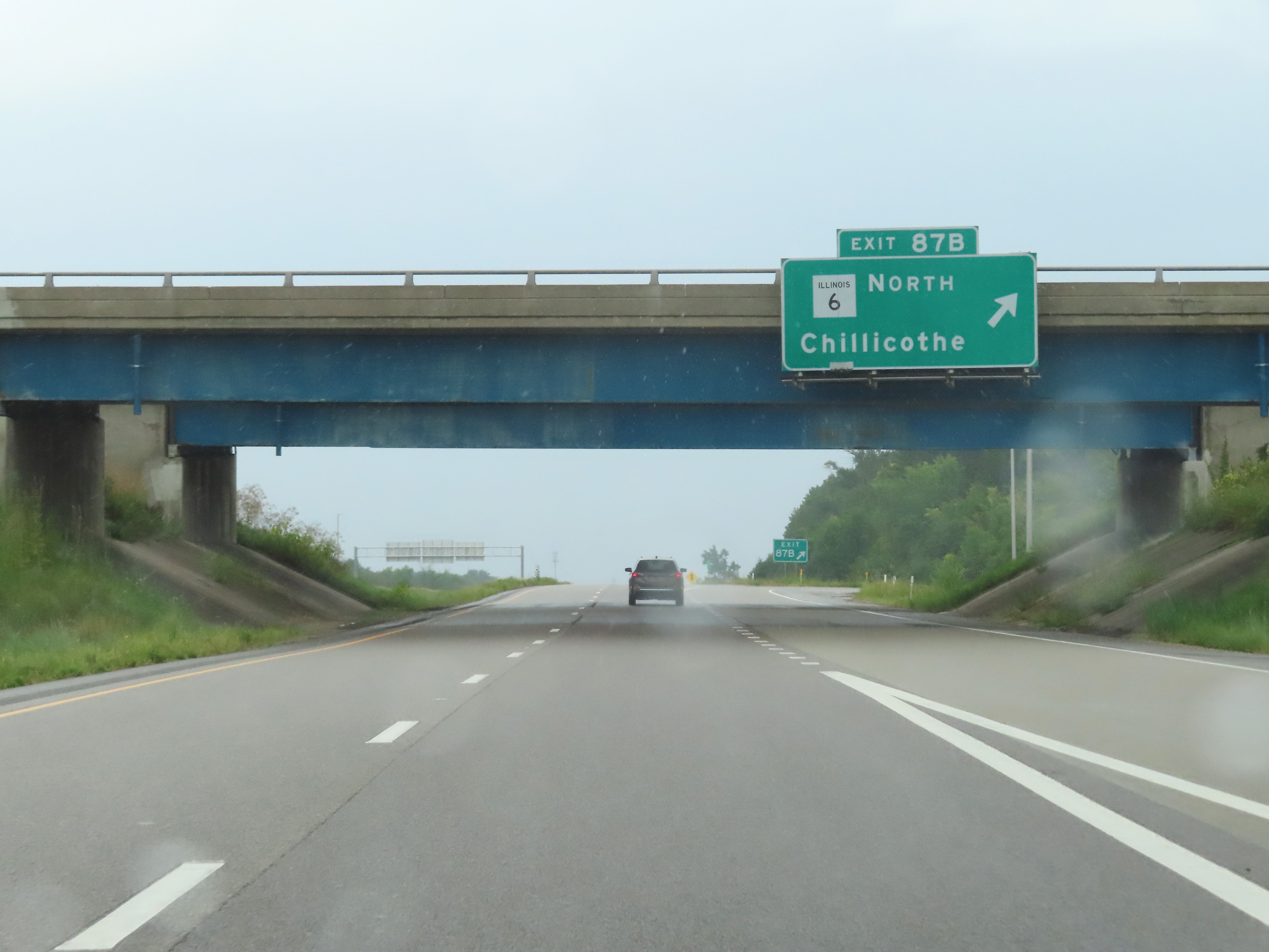 |
Interstate 74 East at Exit 87B: IL 6 North - Chillicothe (Photo taken 8/20/22). |
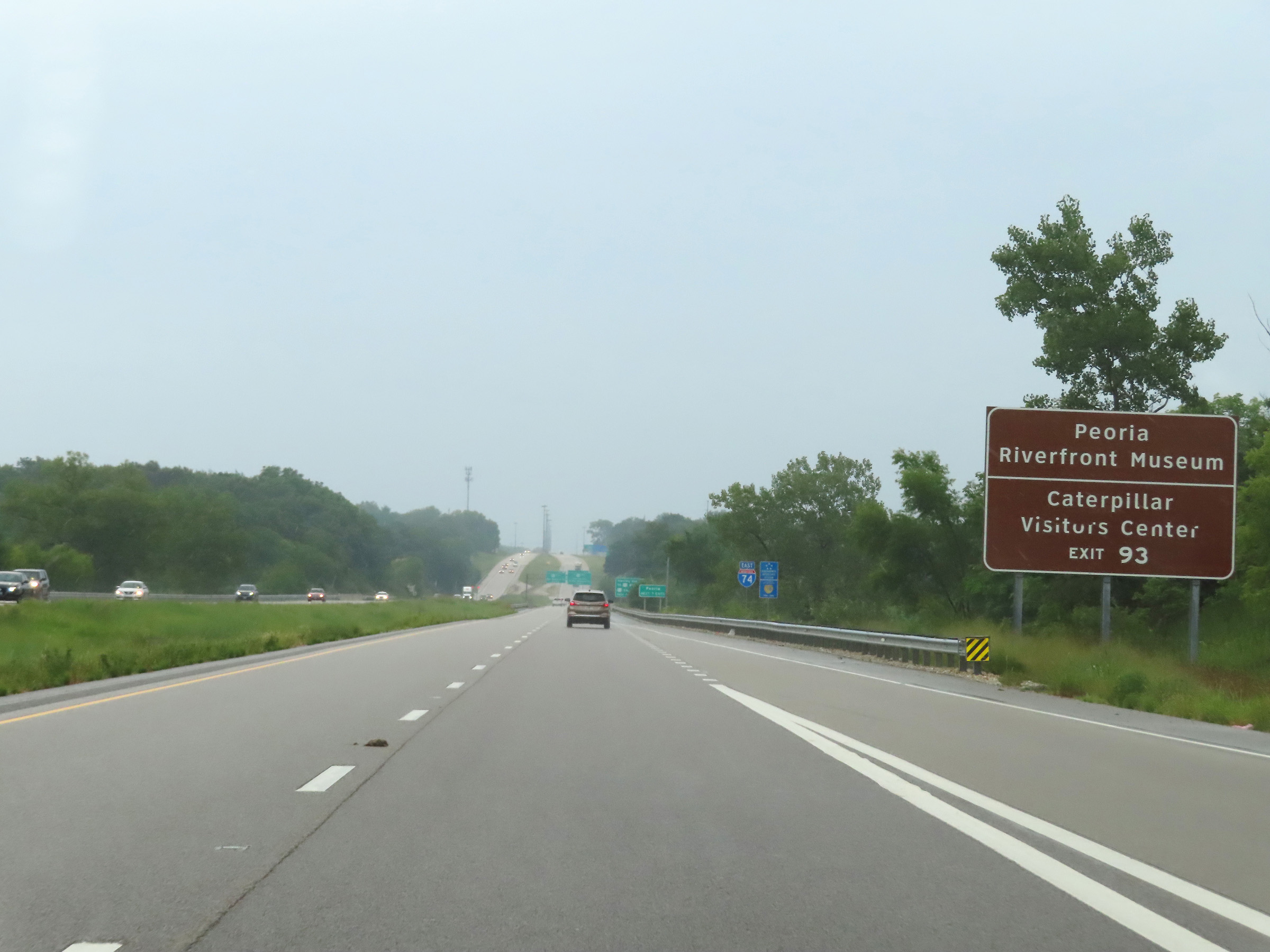 |
Take Exit 93 to the Peoria Riverfront Museum and Caterpillar Visitors Center. (Photo taken 8/20/22). |
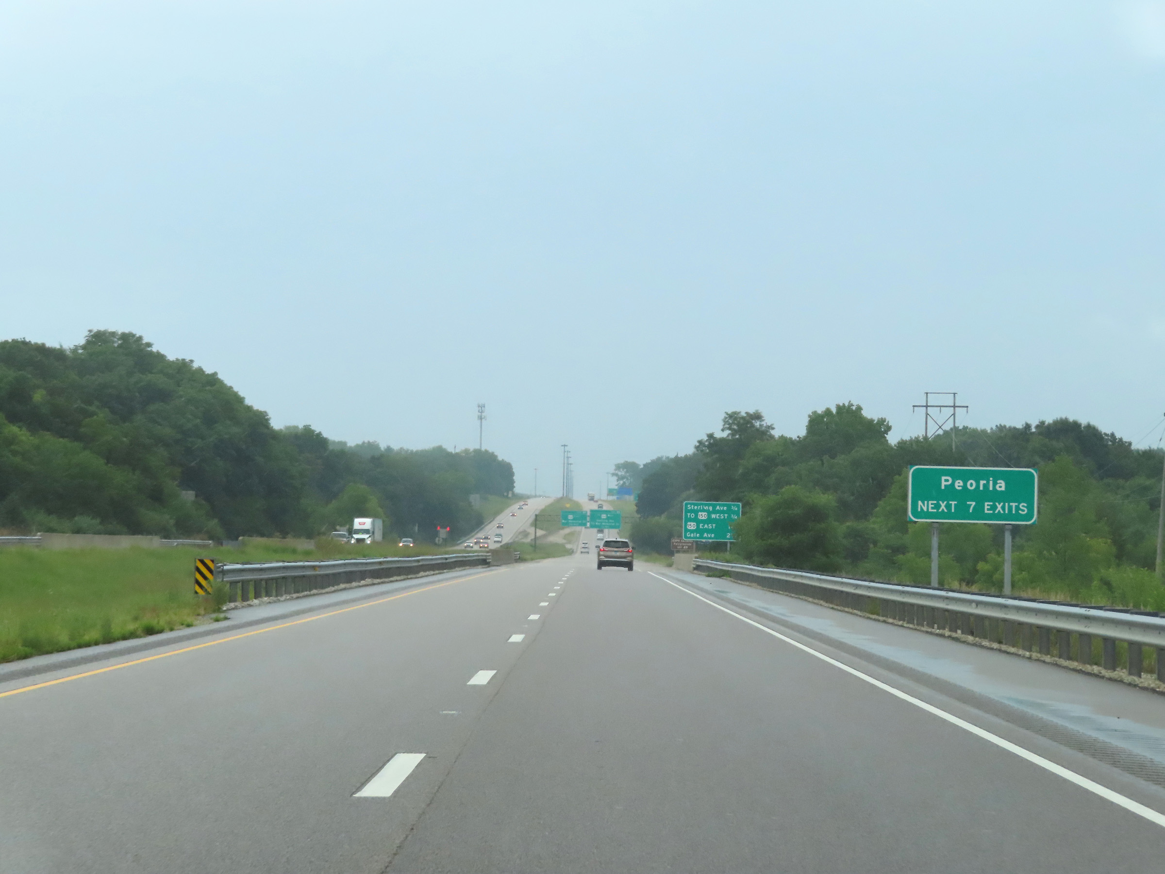 |
Take any of the next 7 exits to Peoria. (Photo taken 8/20/22). |
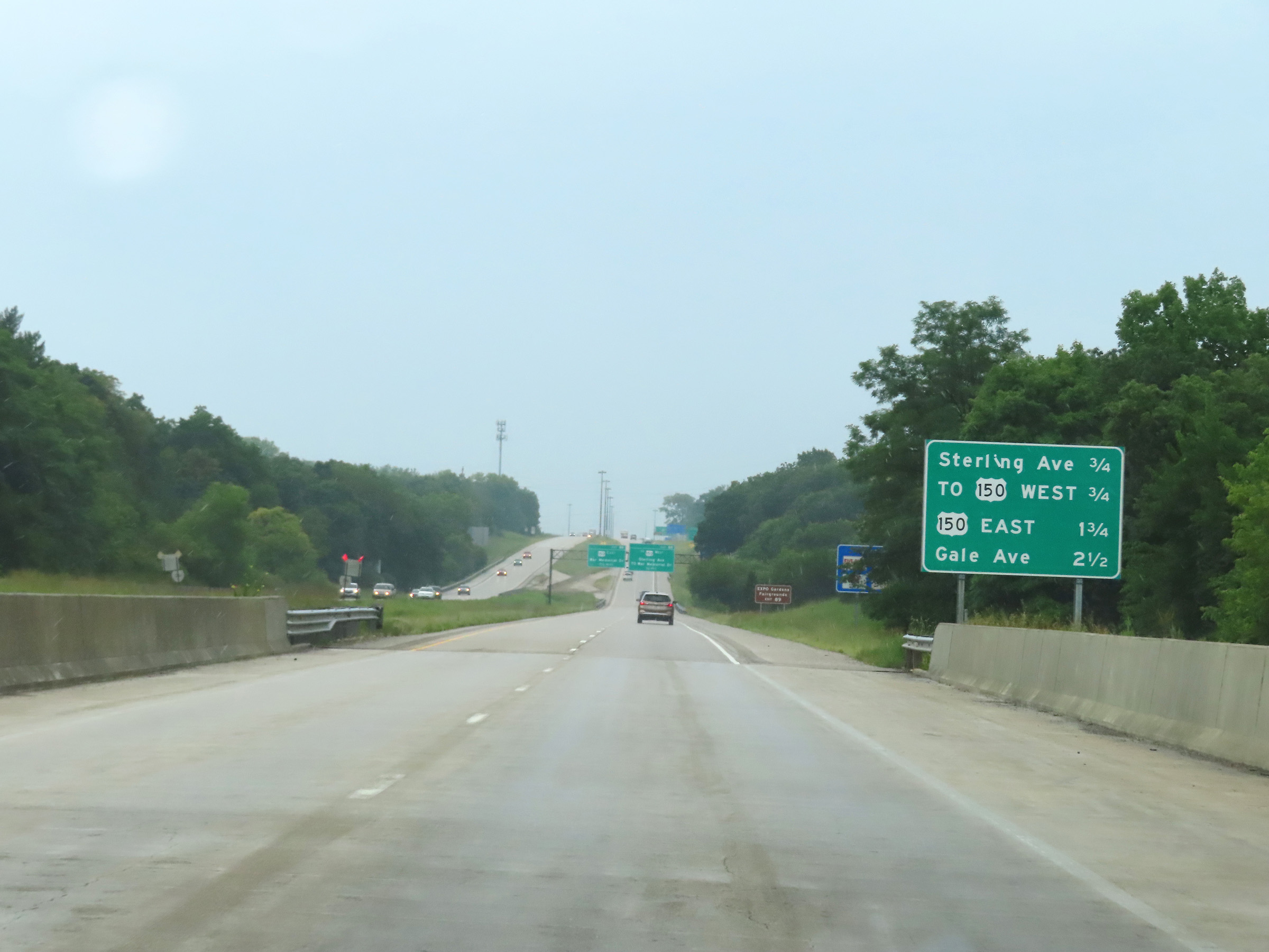 |
Mileage sign listing the distances to the next 4 exits to Peoria on Interstate 74 East. (Photo taken 8/20/22). |
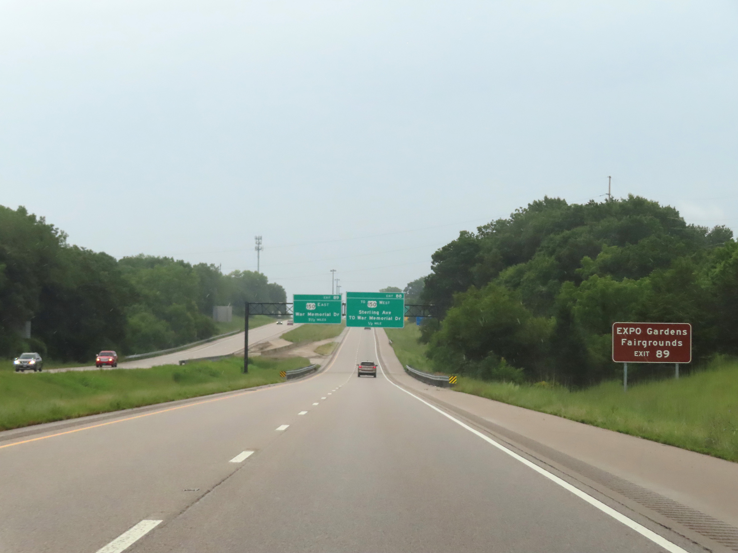 |
Take Exit 89 to EXPO Gardens and the Fairgrounds. (Photo taken 8/20/22). |
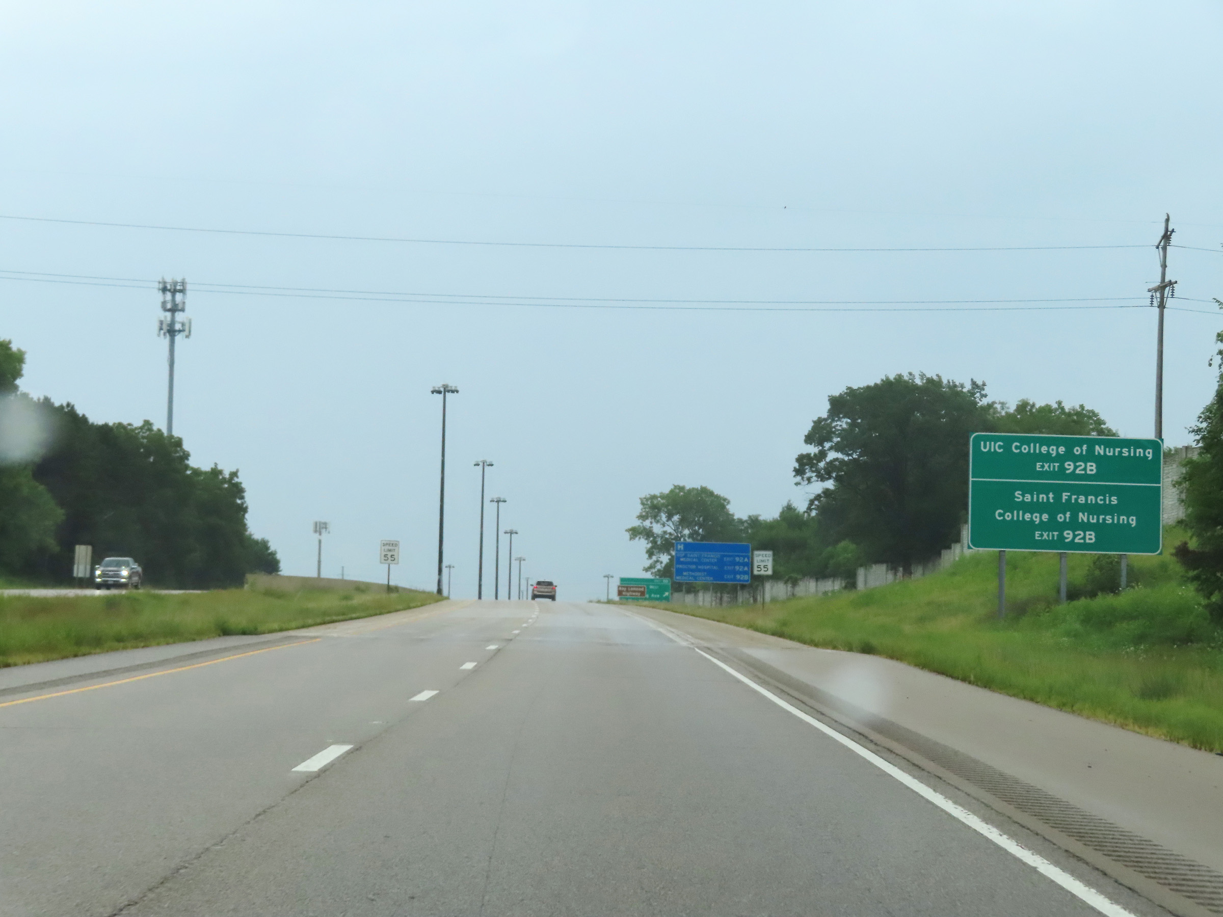 |
Take Exit 92B to UIC College of Nursing. Take Exit 92B to Saint Francis College of Nursing. (Photo taken 8/20/22). |
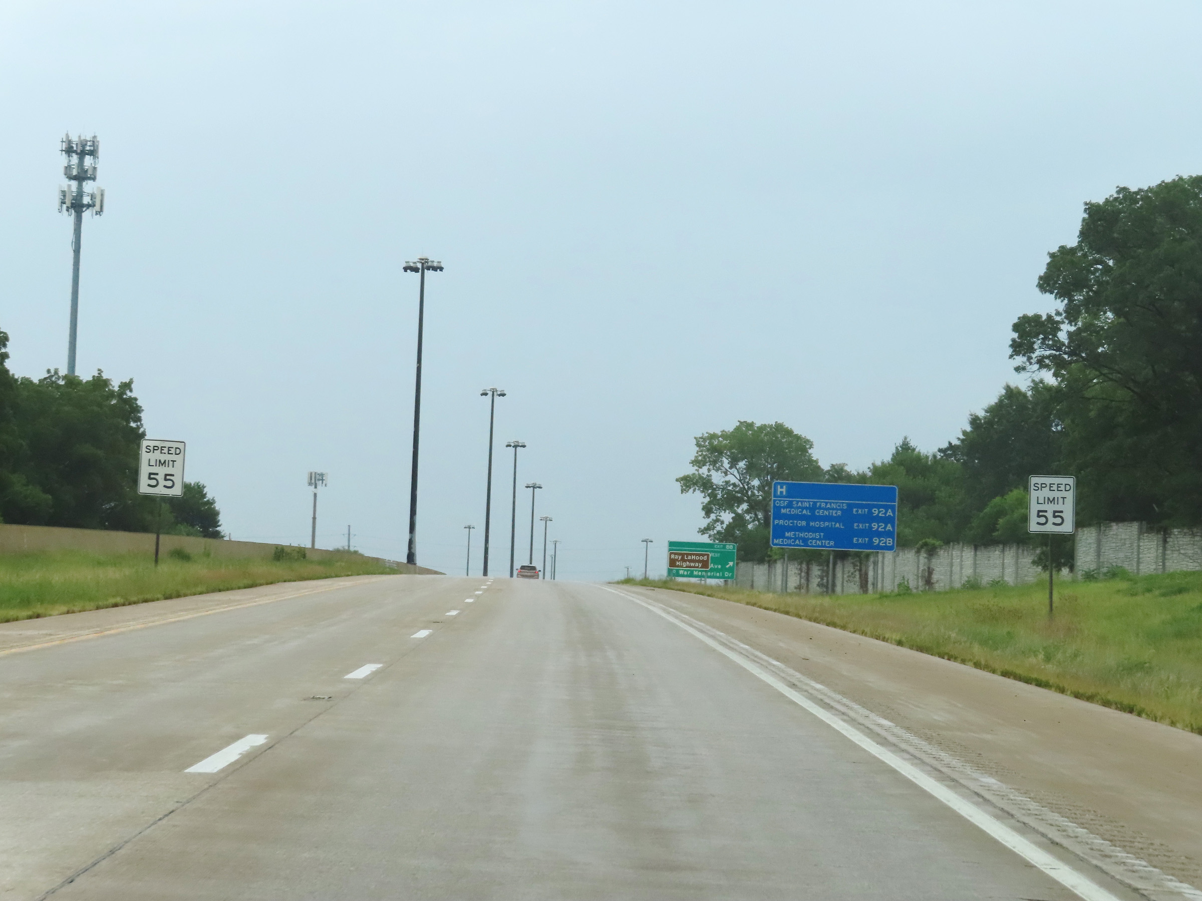 |
As Interstate 74 East begins to approach downtown Peoria, the speed limit decreases to 55 mph. (Photo taken 8/20/22). |
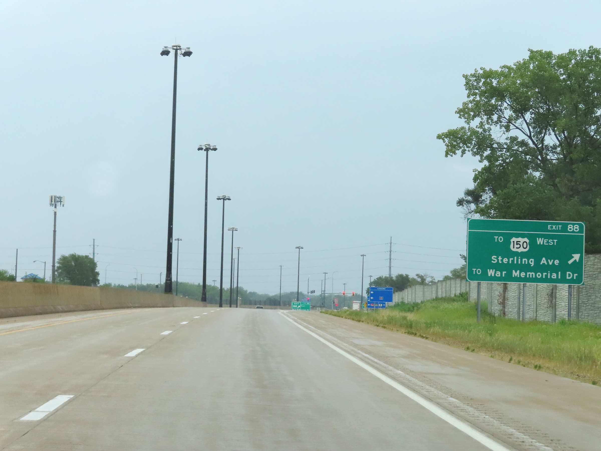 |
Interstate 74 East at Exit 88: To US 150 West - Sterling Ave / To War Memorial Dr (Photo taken 8/20/22). |
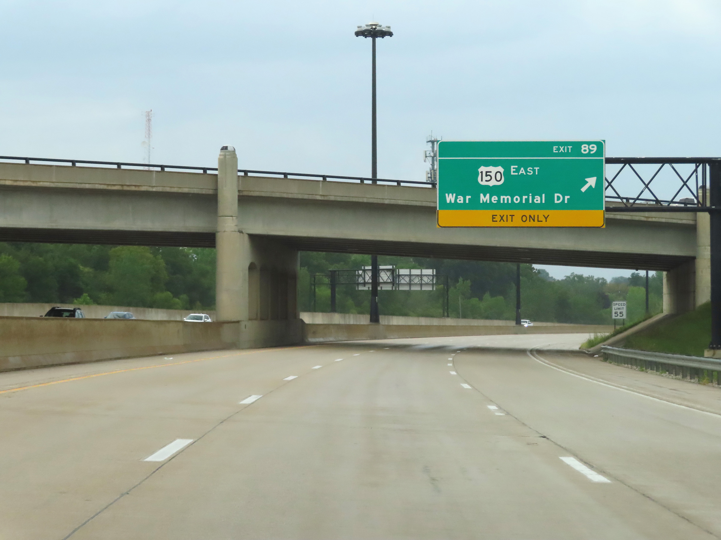 |
Interstate 74 East at Exit 89: US 150 East - War Memorial Dr (Photo taken 8/20/22). |
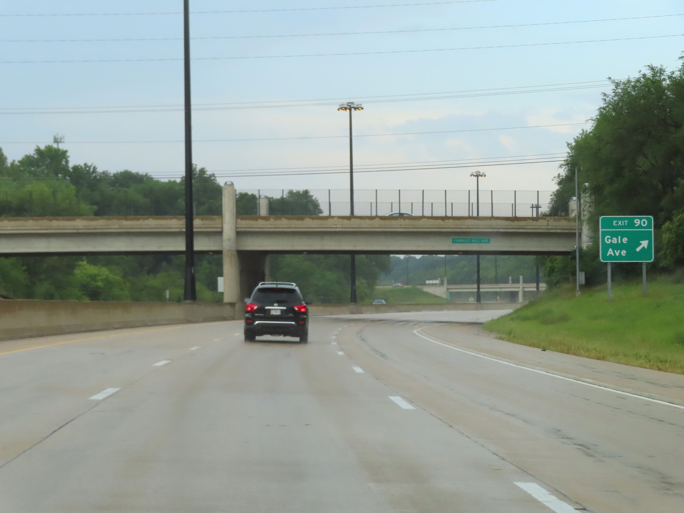 |
Interstate 74 East at Exit 90: Gale Ave (Photo taken 8/20/22). |
 |
Take Exit 91 to Shea Stadium. (Photo taken 8/20/22). |
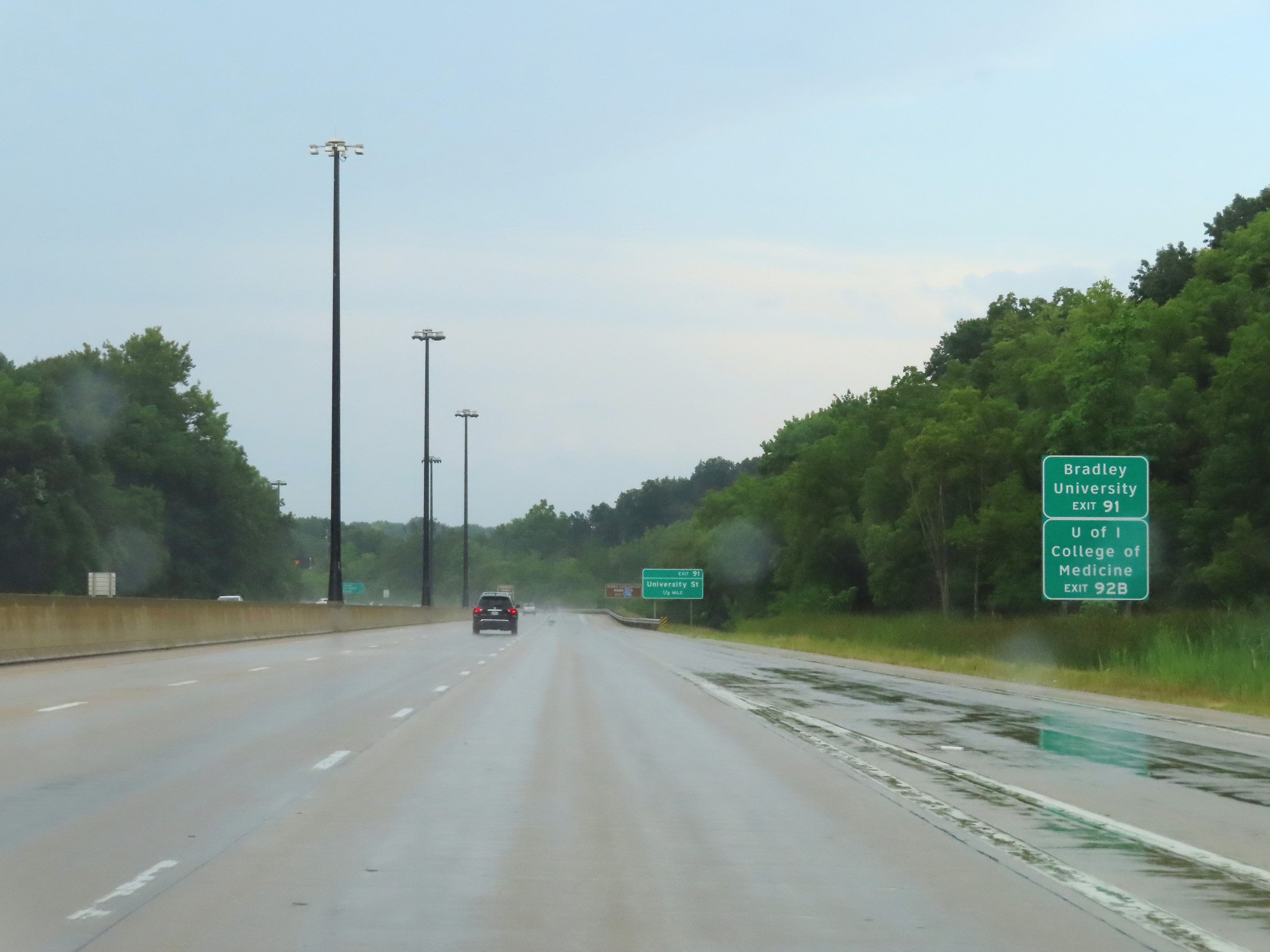 |
Also take Exit 91 to Bradley University. Traffic to the University of Illinois College of Medicine should use Exit 92B. (Photo taken 8/20/22). |
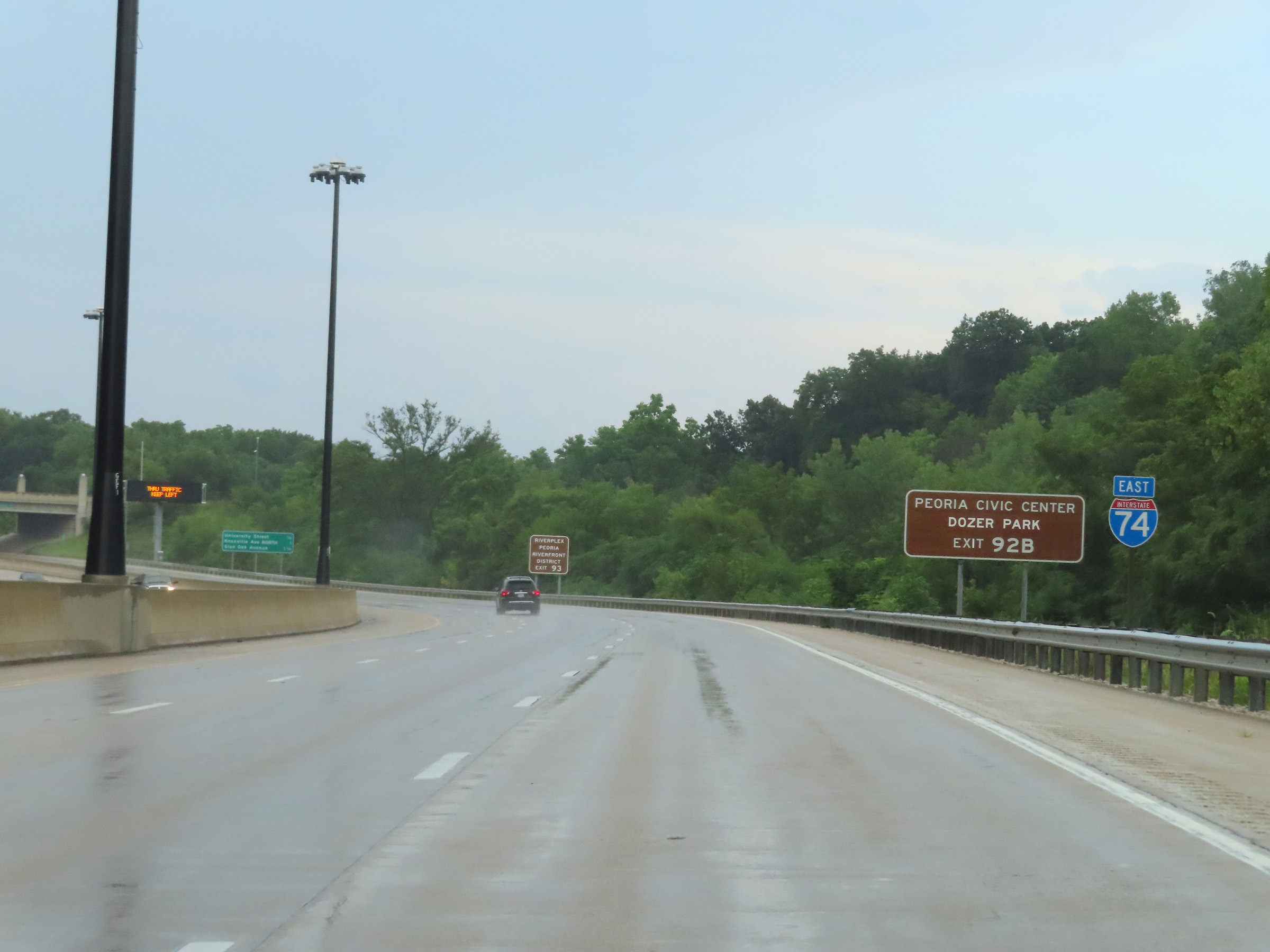 |
Also take Exit 92B to the Peoria Civic Center and Dozer Park. (Photo taken 8/20/22). |
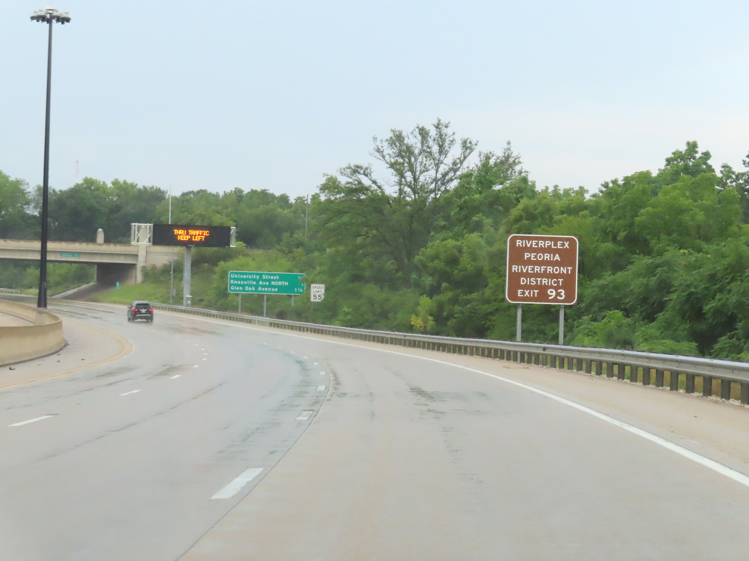 |
The Riverplex and Peoria Riverfront District can be accessed via Exit 93. (Photo taken 8/20/22). |
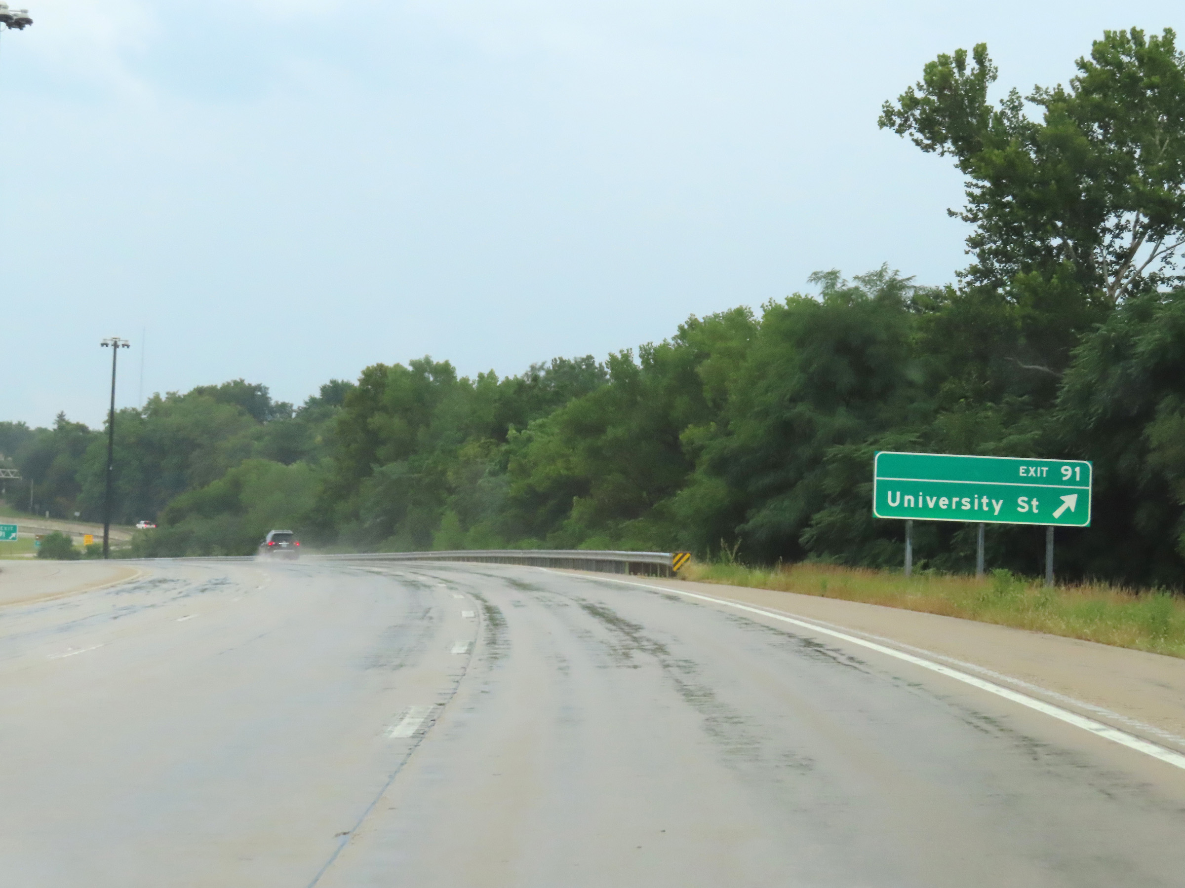 |
Interstate 74 East at Exit 91: University St (Photo taken 8/20/22). |
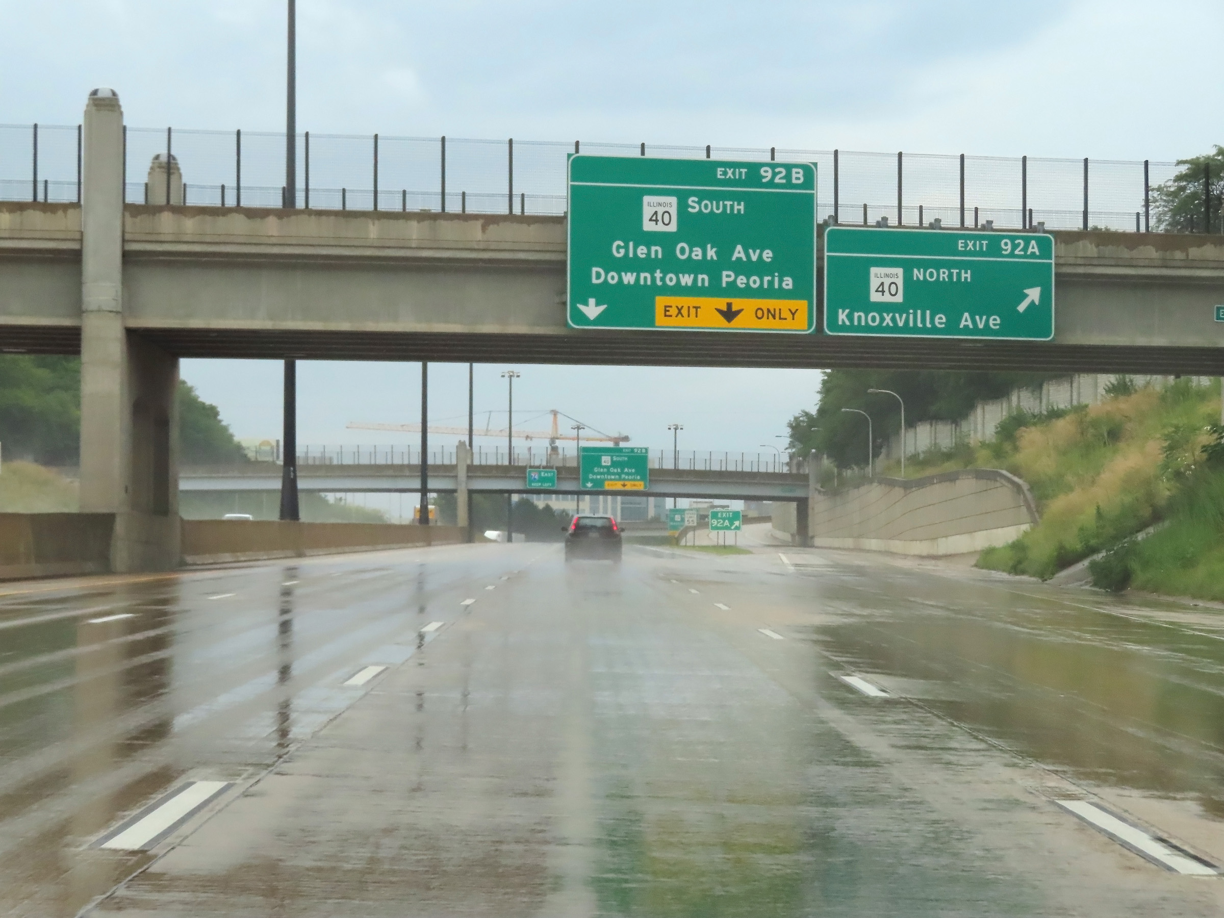 |
Interstate 74 East at Exit 92A: IL 40 North - Knoxville Ave (Photo taken 8/20/22). |
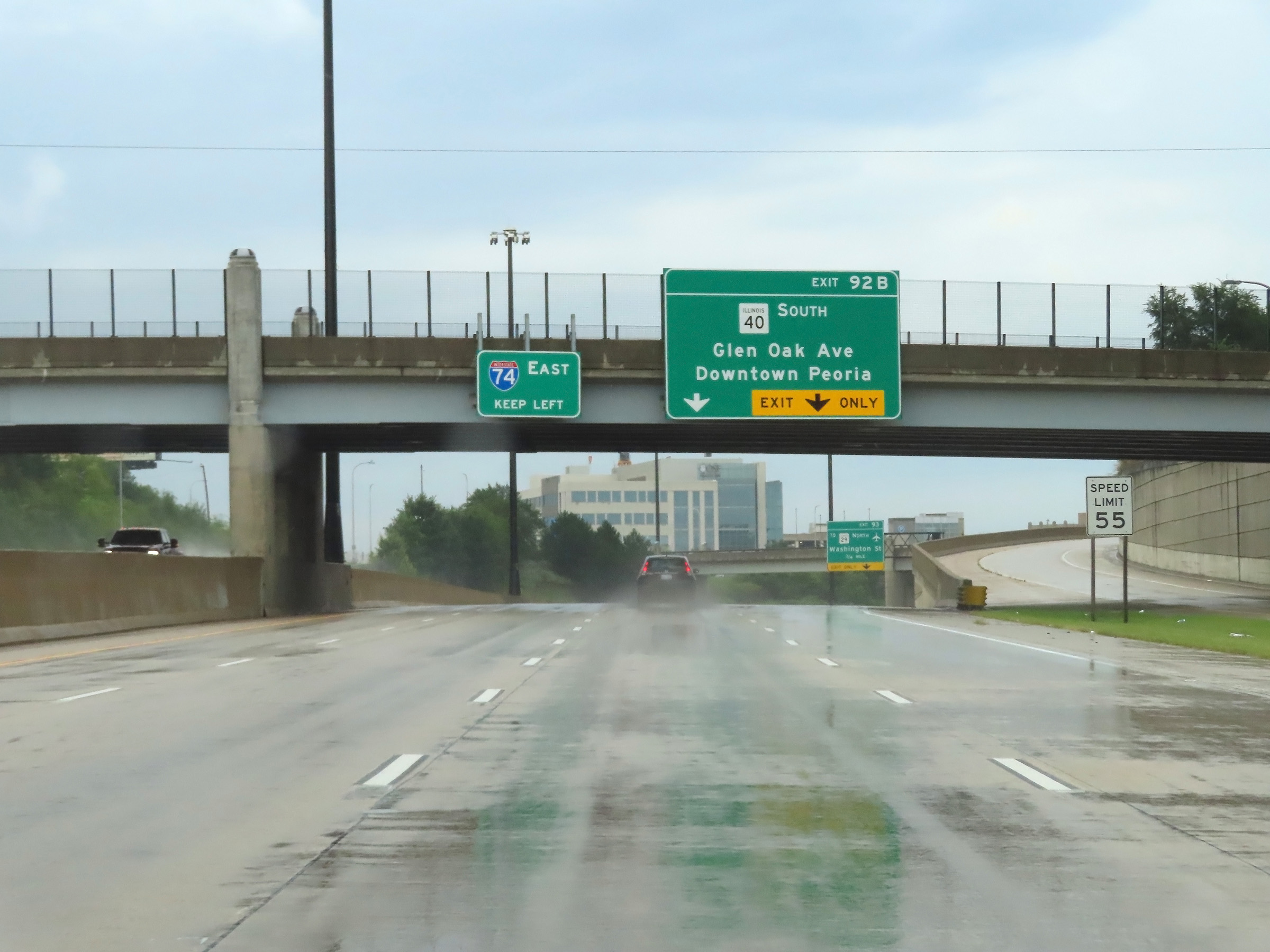 |
Interstate 74 East at Exit 92B: IL 40 South - Glen Oak Ave / Downtown Peoria (Photo taken 8/20/22). |
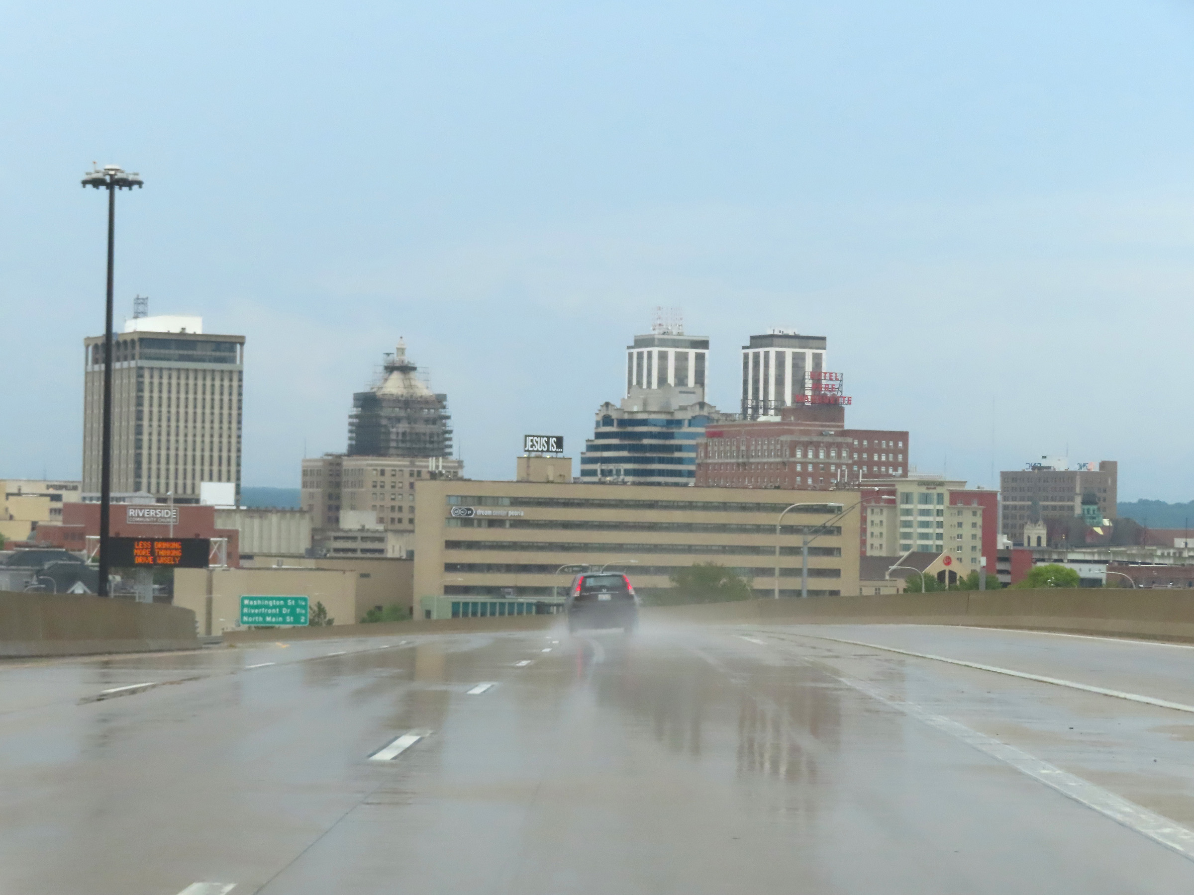 |
A view of downtown Peoria on Interstate 74 East, just beyond Exit 92B. (Photo taken 8/20/22). |
 |
Another mileage sign, listing the distances to the upcoming exits on Interstate 74 East to Peoria and East Peoria. (Photo taken 8/20/22). |
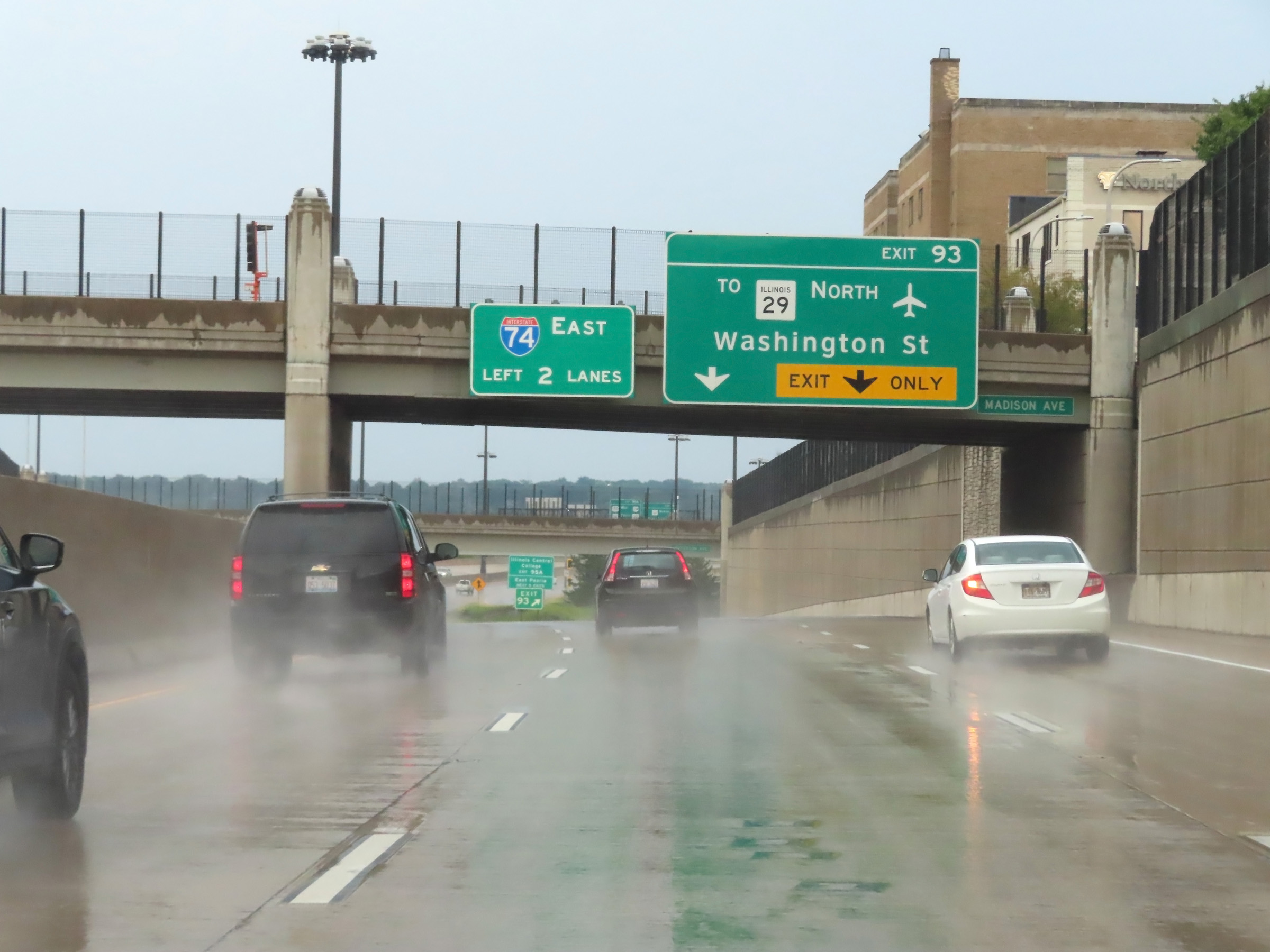 |
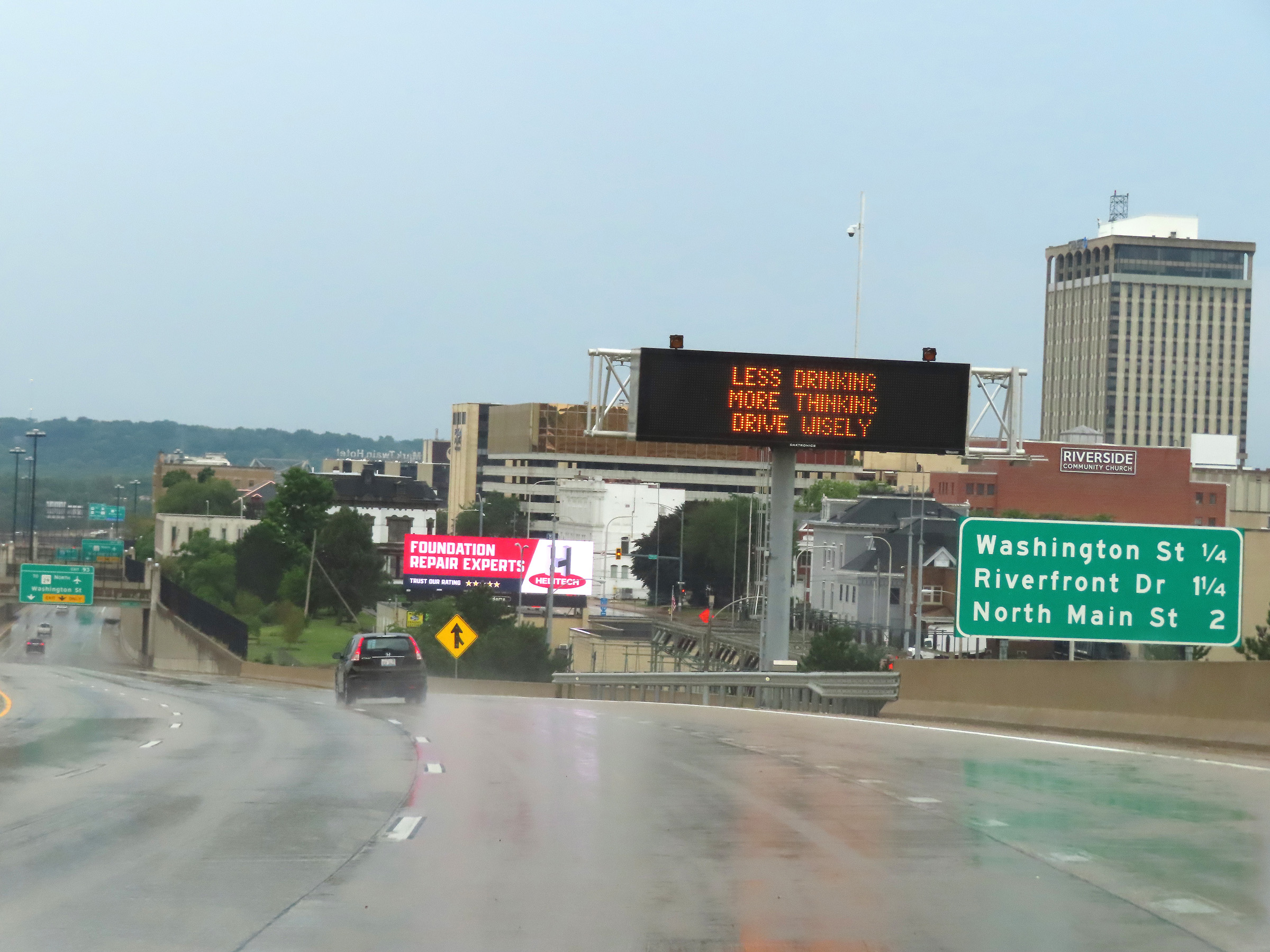
Interstate 74 East at Exit 93: To IL 29 North - Washington St (Photo taken 8/20/22). |
Section 3: Peoria (Exit 93) to Bloomington (Exit 135)
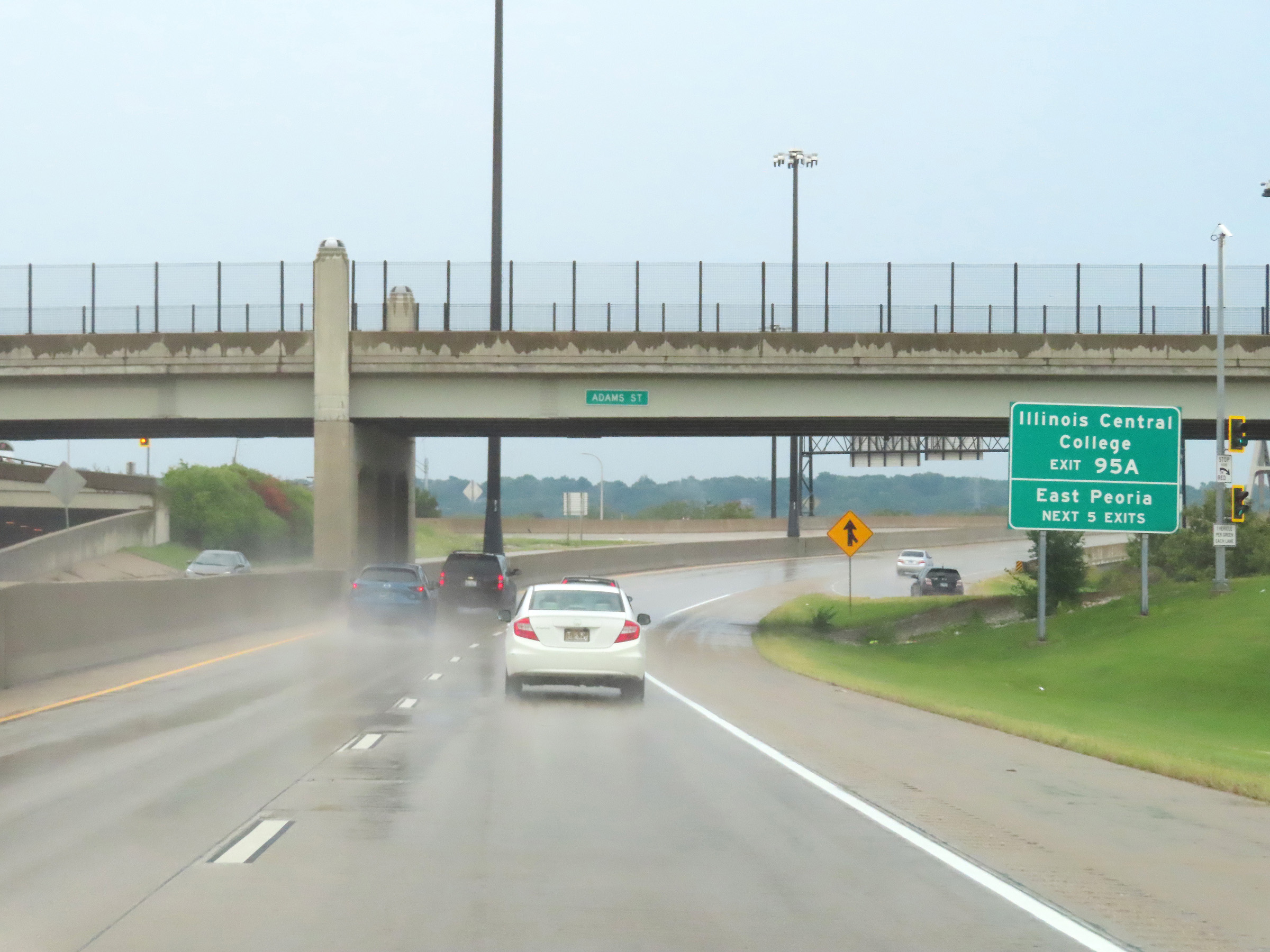 |
Take any of the next 5 exits to East Peoria. Use Exit 95A to Illinois Central College. (Photo taken 8/20/22). |
 |
View on Interstate 74 East as it prepares to cross the Illinois River on the Murray Baker Bridge, which will carry I-74 East traffic from Peoria to East Peoria. (Photo taken 8/20/22). |
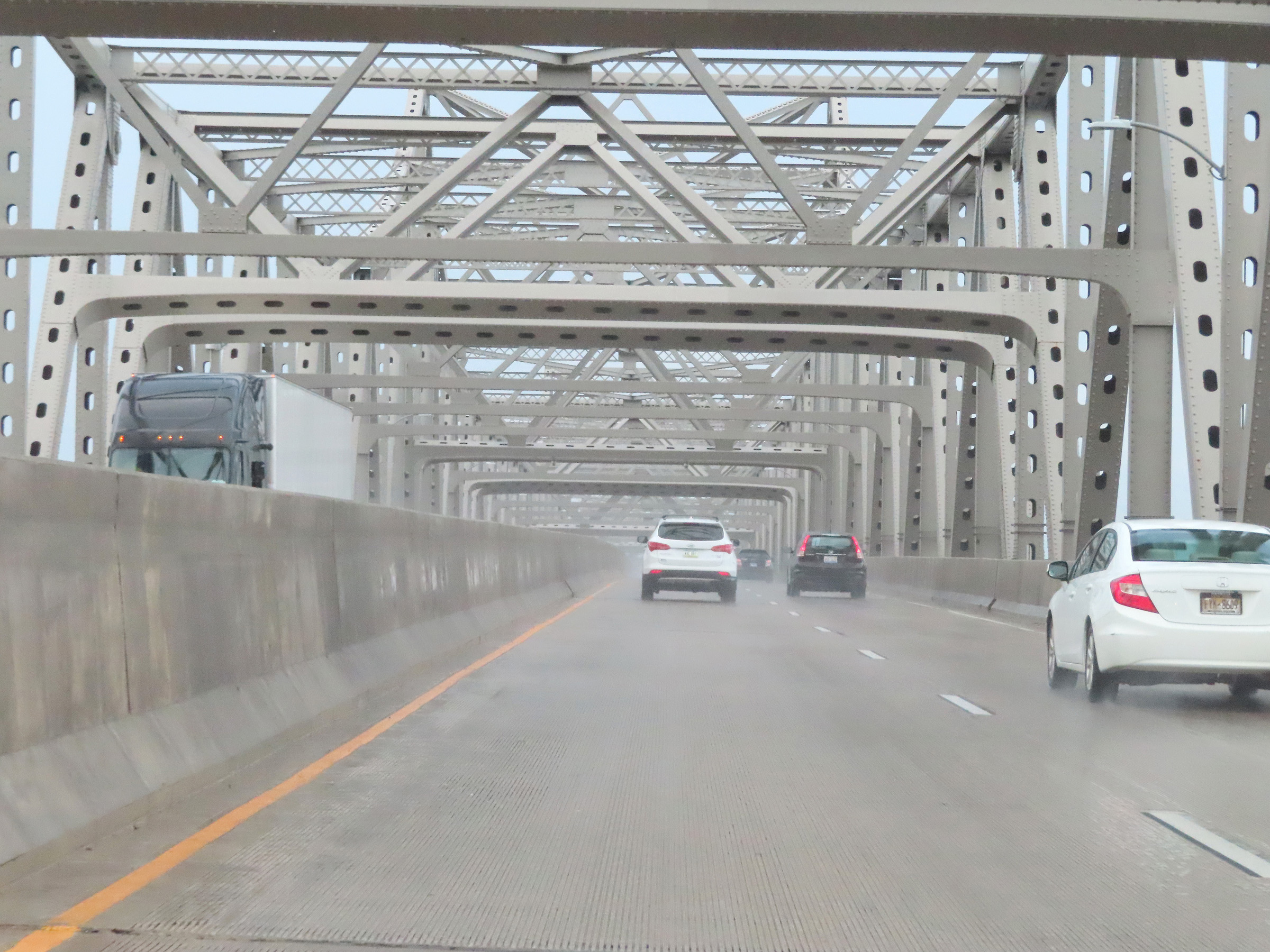 |
View on Interstate 74 East as it crosses the Murray Baker Bridge over the Illinois River. (Photo taken 8/20/22). |
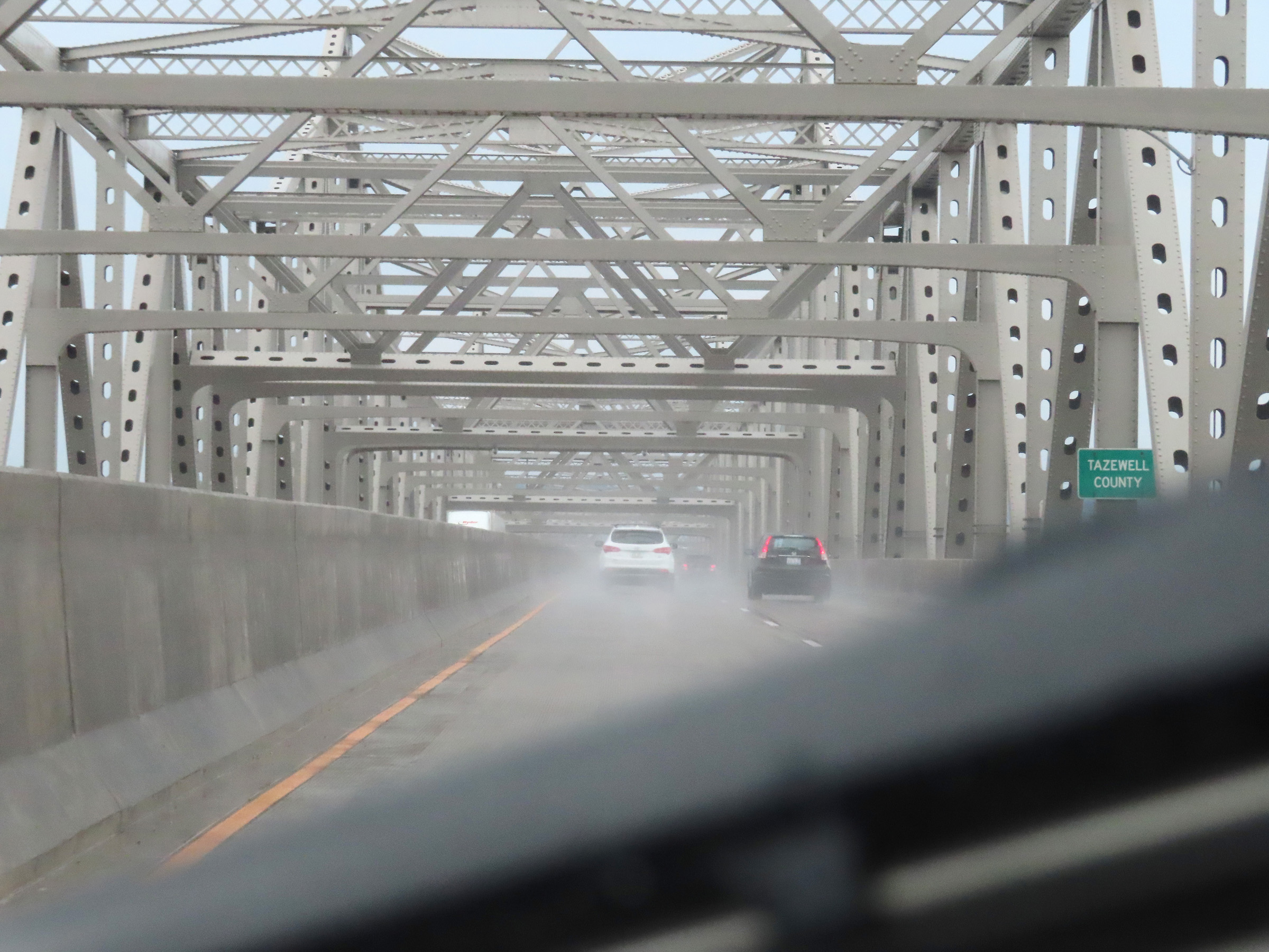 |
Upon crossing the Illinois River on the Murray Baker Bridge, Interstate 74 East enters Tazewell County and East Peoria. (Photo taken 8/20/22). |
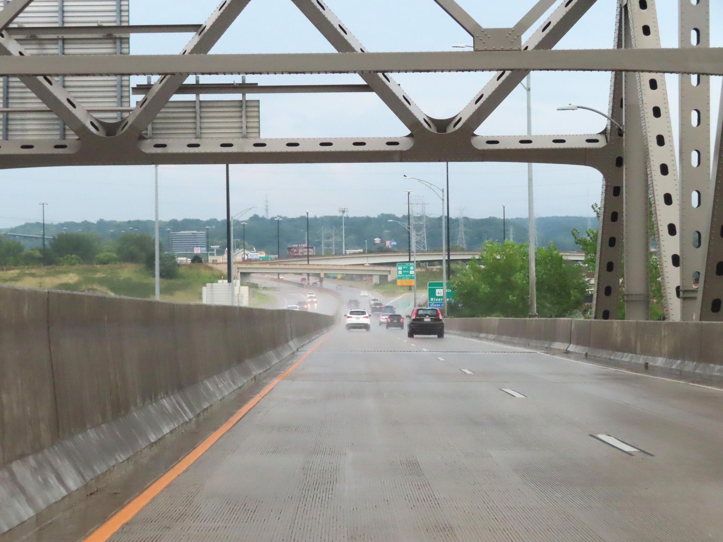 |
Interstate 74 East as it descends the Murray Baker Bridge over the Illinois River into East Peoria. (Photo taken 8/20/22). |
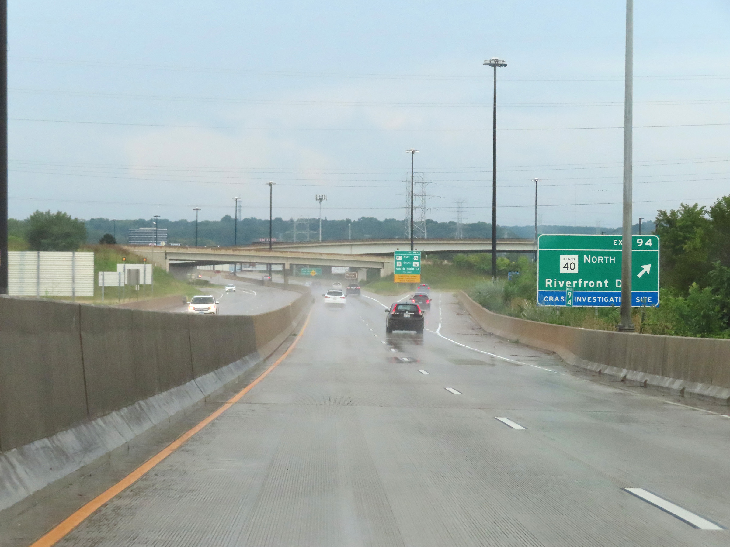 |
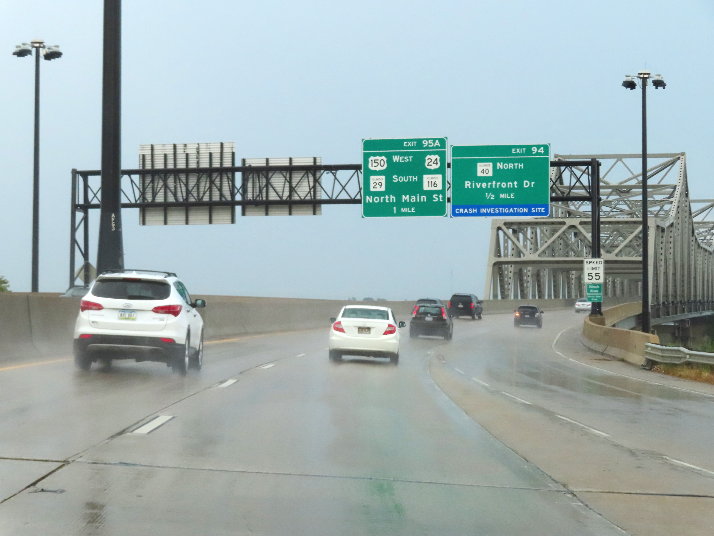
Interstate 74 East at Exit 94: IL 40 North - Riverfront Dr (Photo taken 8/20/22). |
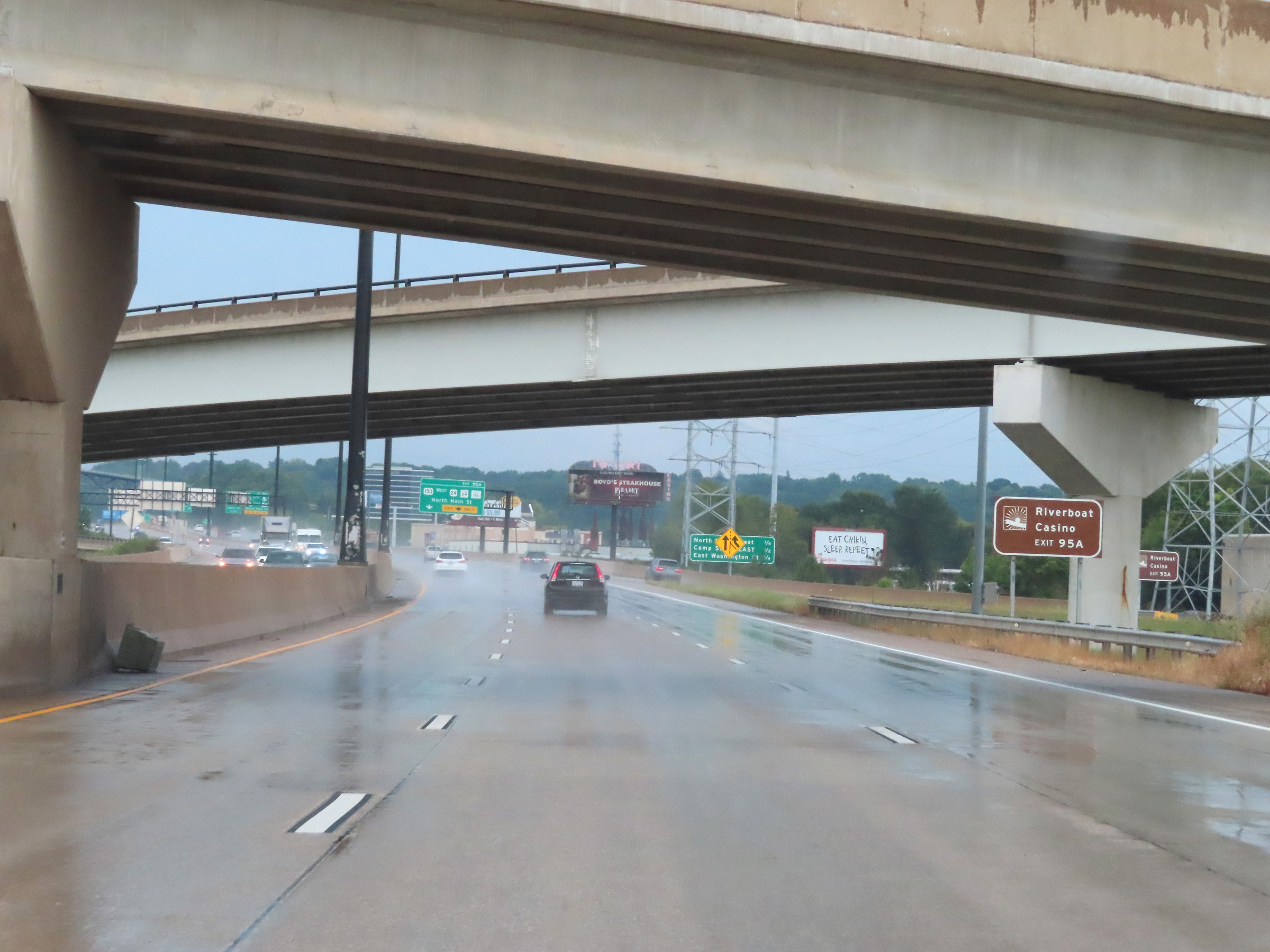 |
Take Exit 95A to the Riverboat Casino. (Photo taken 8/20/22). |
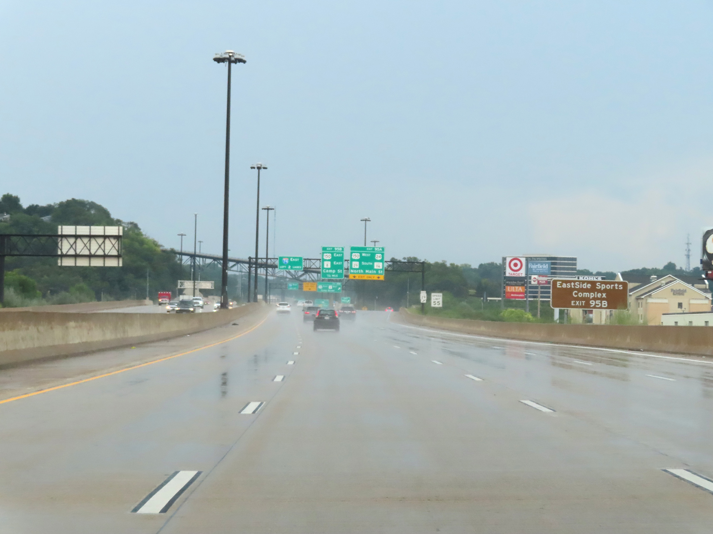 |
Traffic to the EastSide Sports Complex should use Exit 95B. (Photo taken 8/20/22). |
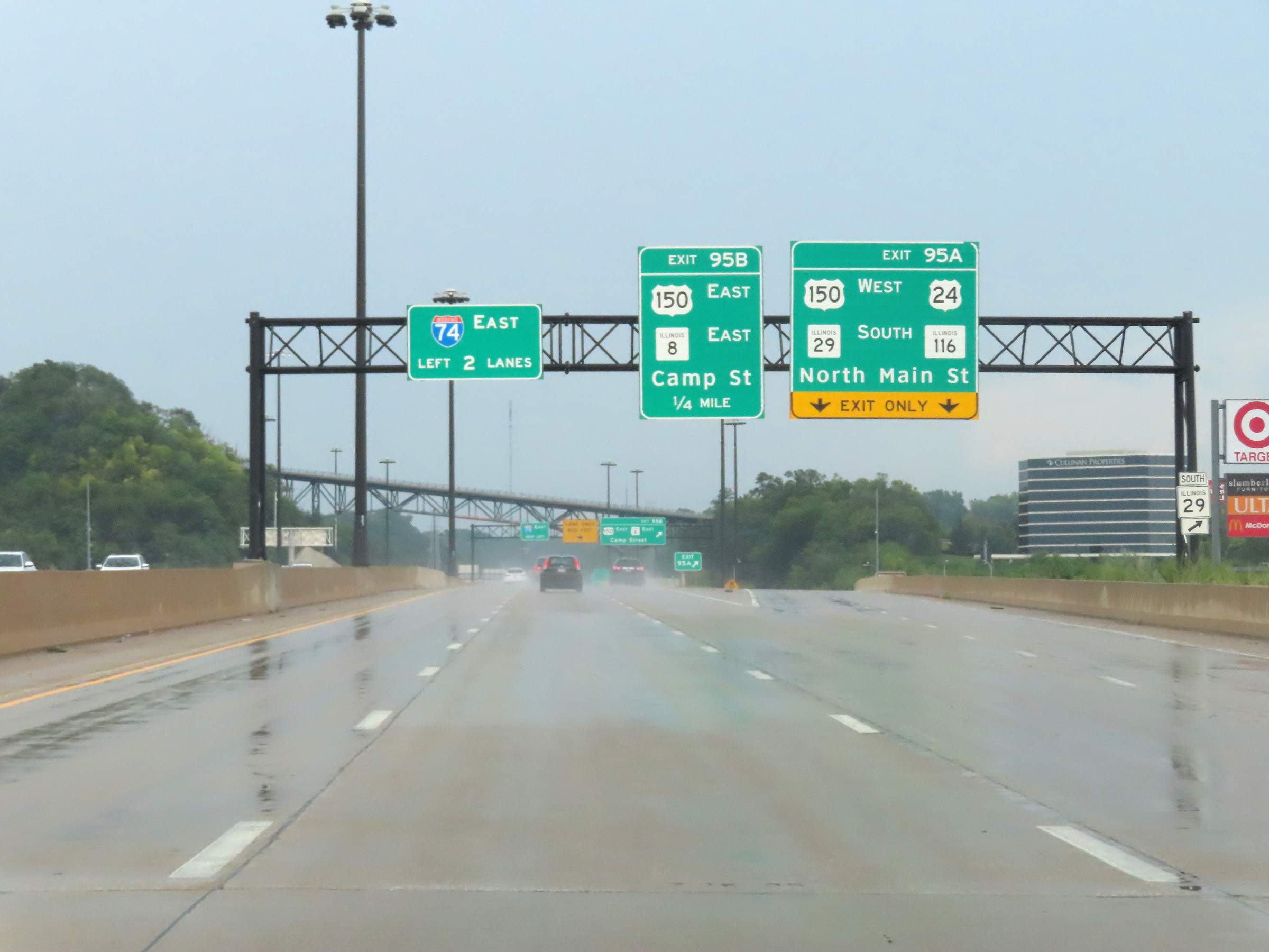 |
Interstate 74 East at Exit 95A: US 150 West / US 24 / IL 29 South / IL 116 - North Main St (Photo taken 8/20/22). |
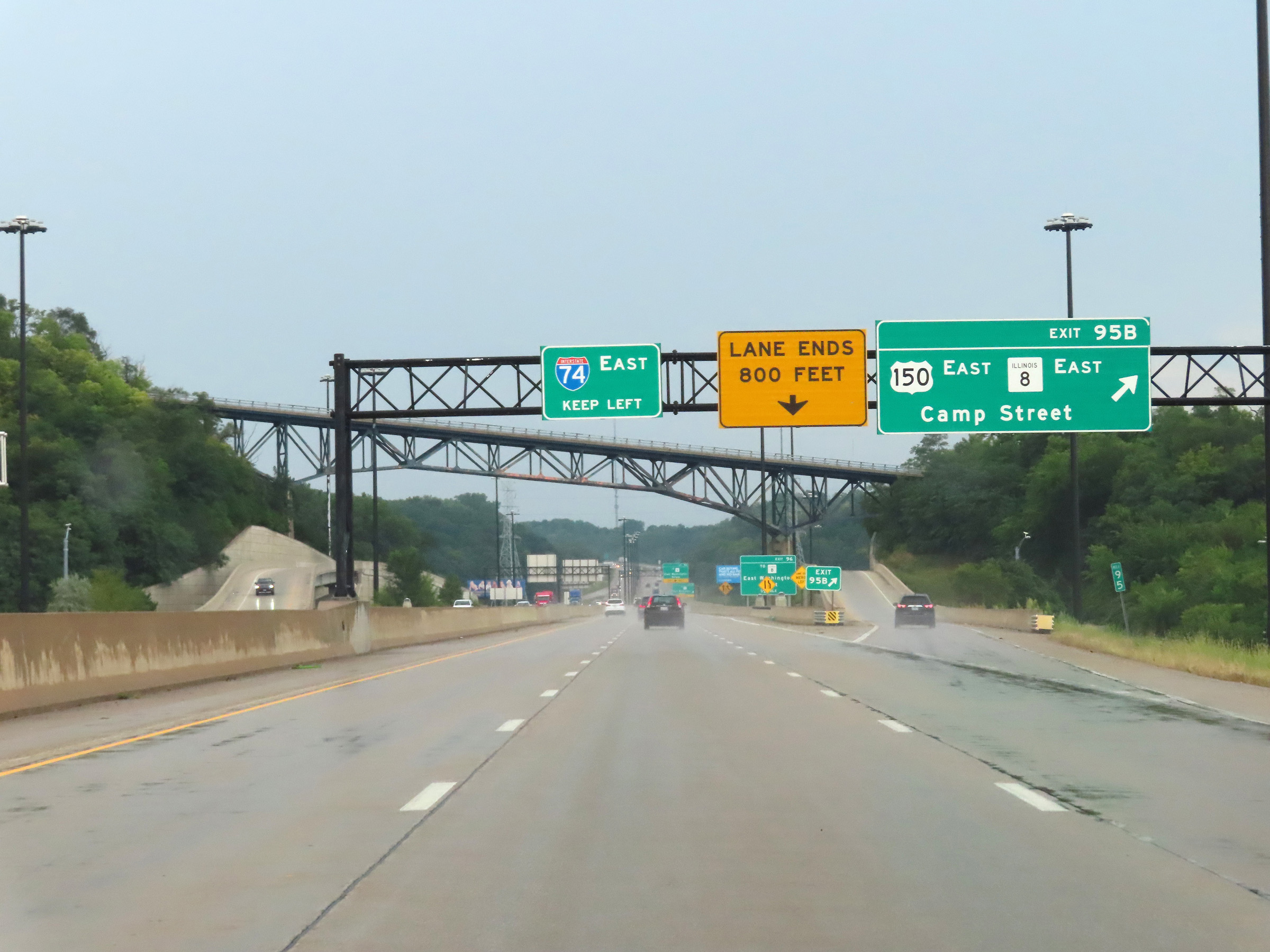 |
Interstate 74 East at Exit 95B: US 150 East / IL 8 East - Camp Street (Photo taken 8/20/22). |
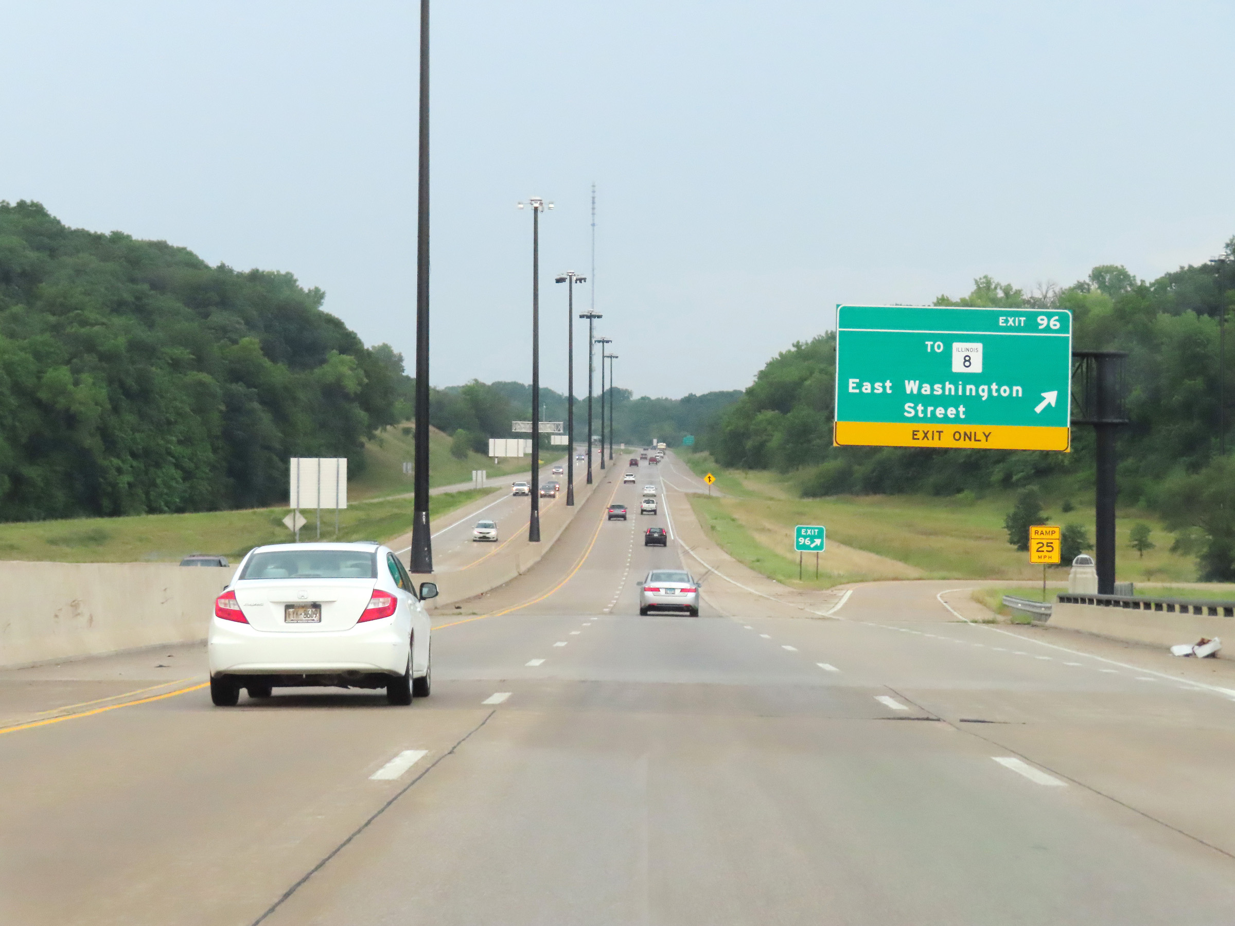 |
Interstate 74 East at Exit 96: To IL 8 - East Washington Street (Photo taken 8/20/22). |
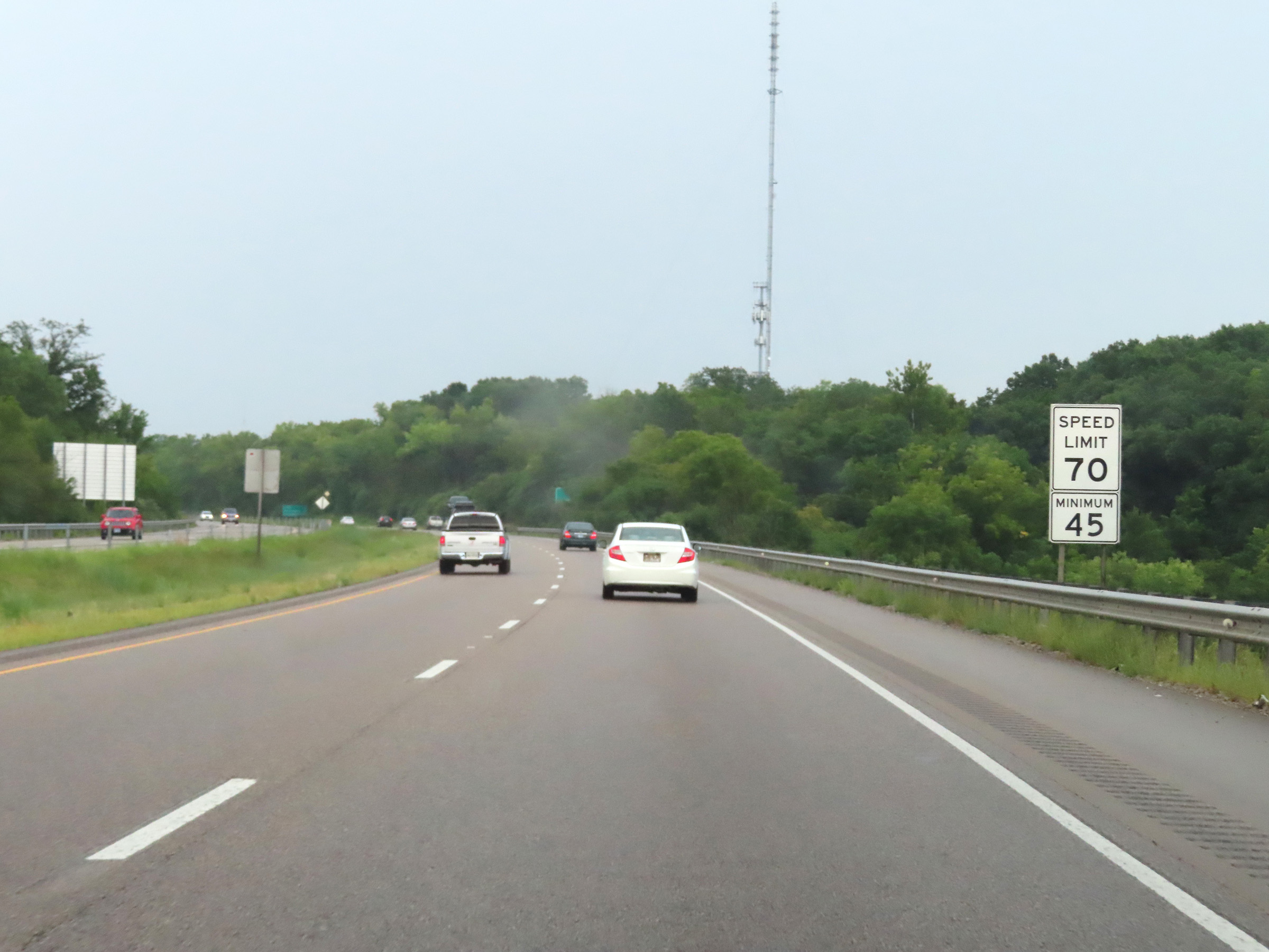 |
As Interstate 74 East climbs up out of the East Peoria area, the maximum speed limit increases to 70 mph once again. The minimum speed limit remains 45 mph as always. (Photo taken 8/20/22). |
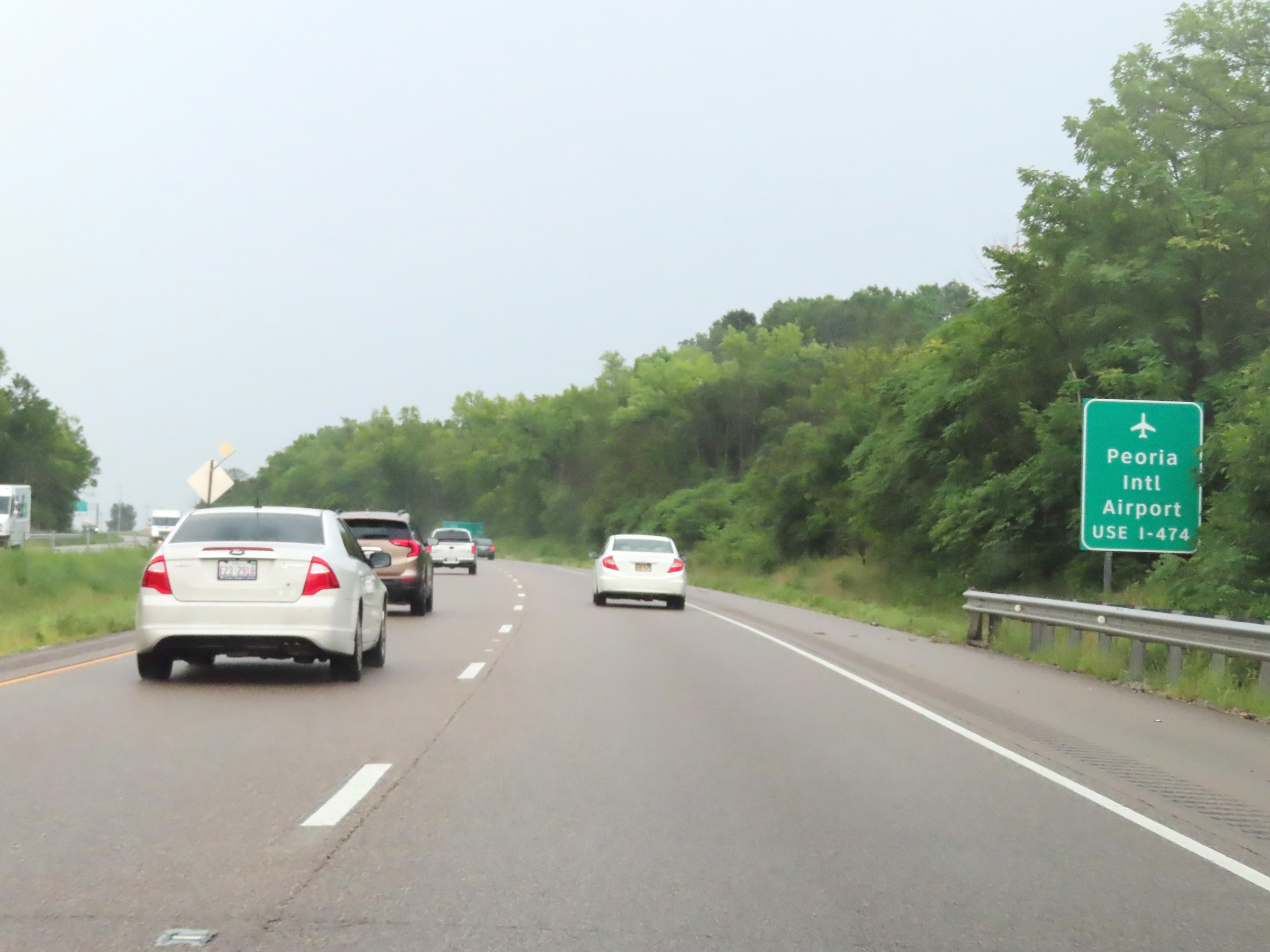 |
Again, traffic to Peoria International Airport is to use Interstate 474 West via Exit 99. (Photo taken 8/20/22). |
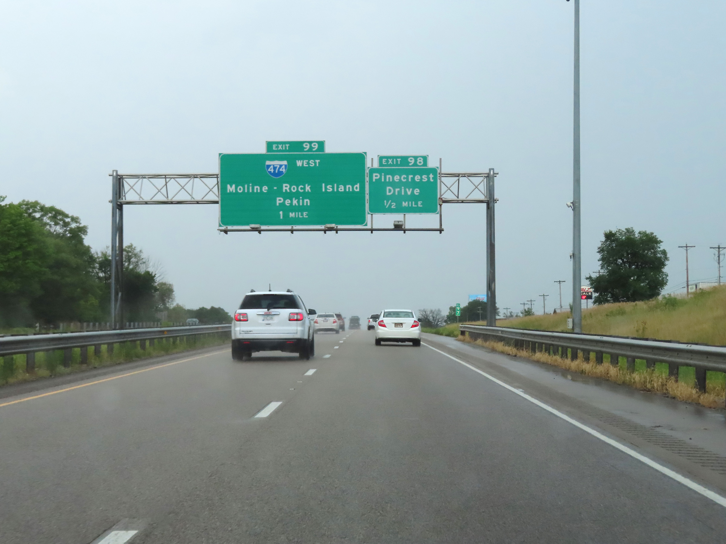 |
Interstate 74 East approaching Exit 99 - 1 mile. (Photo taken 8/20/22). |
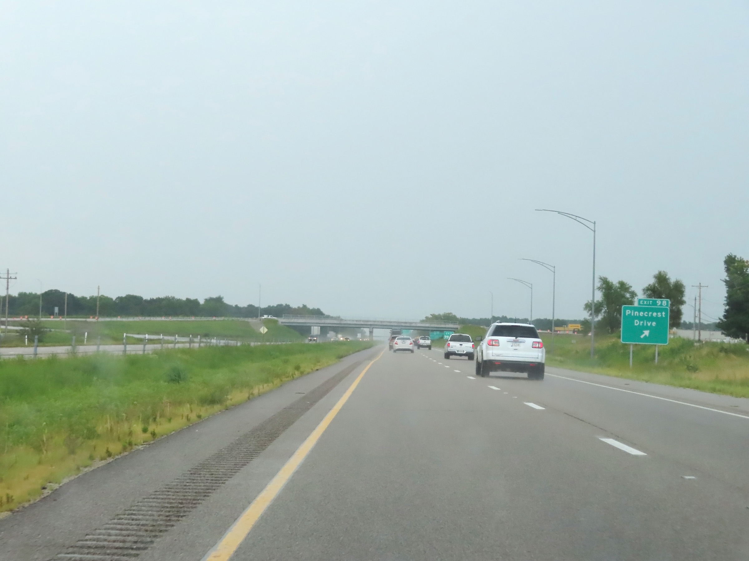 |
Interstate 74 East at Exit 98: Pinecrest Drive (Photo taken 8/20/22). |
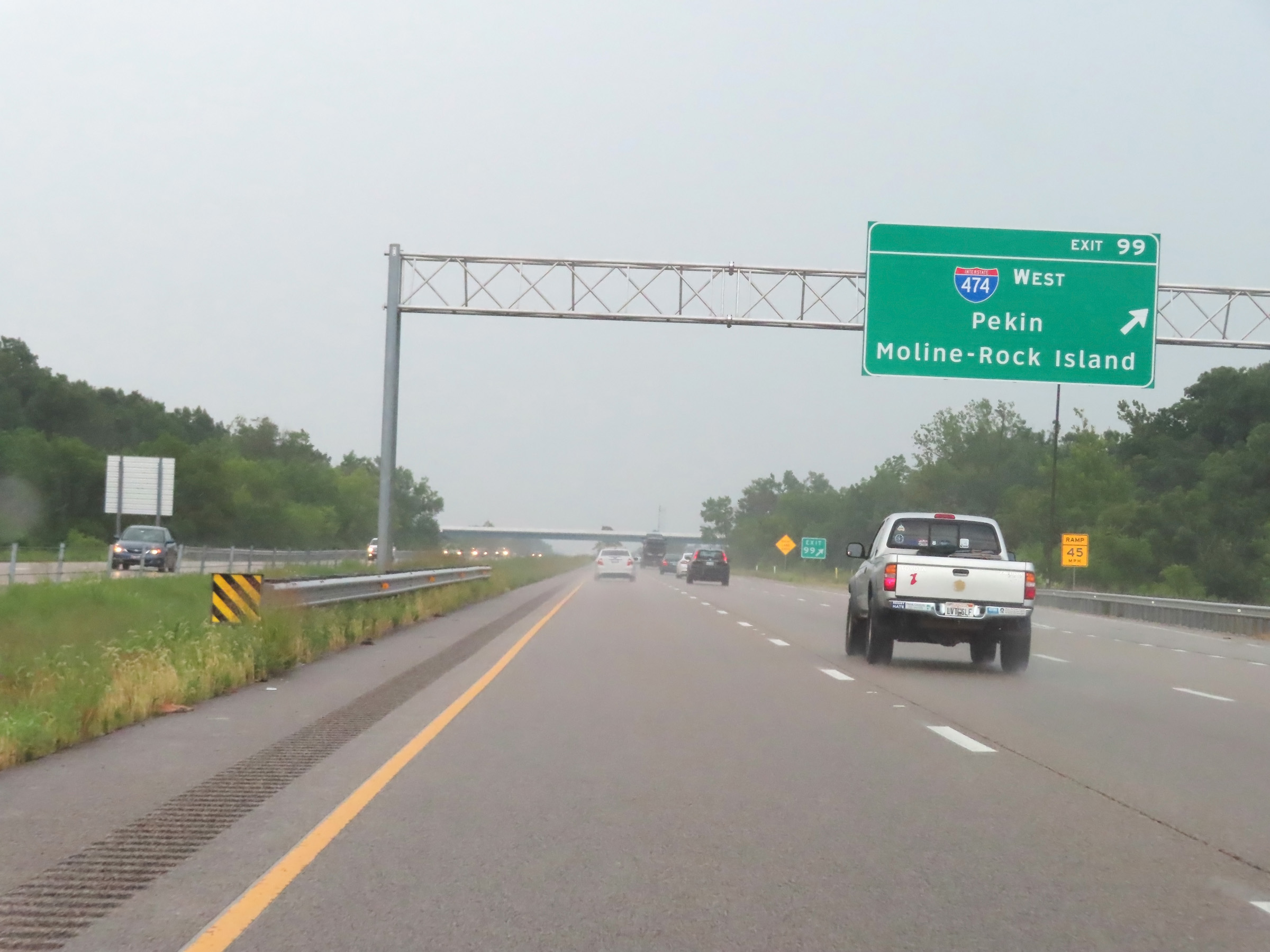 |
Interstate 74 East at Exit 99: Interstate 474 West - Pekin / Moline-Rock Island (Photo taken 8/20/22). |
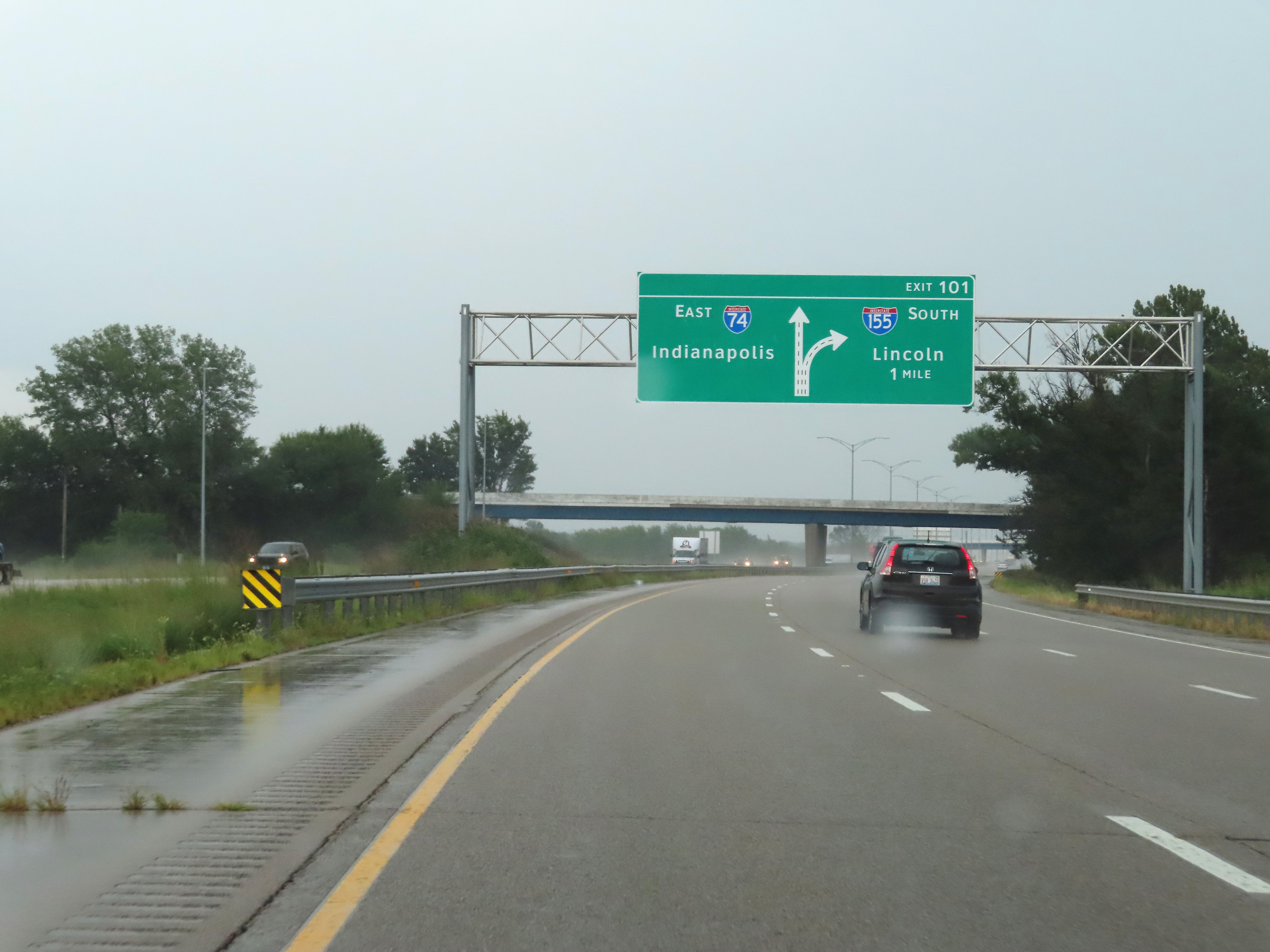 |
Interstate 74 East approaching Exit 101 - 1 mile. (Photo taken 8/20/22). |
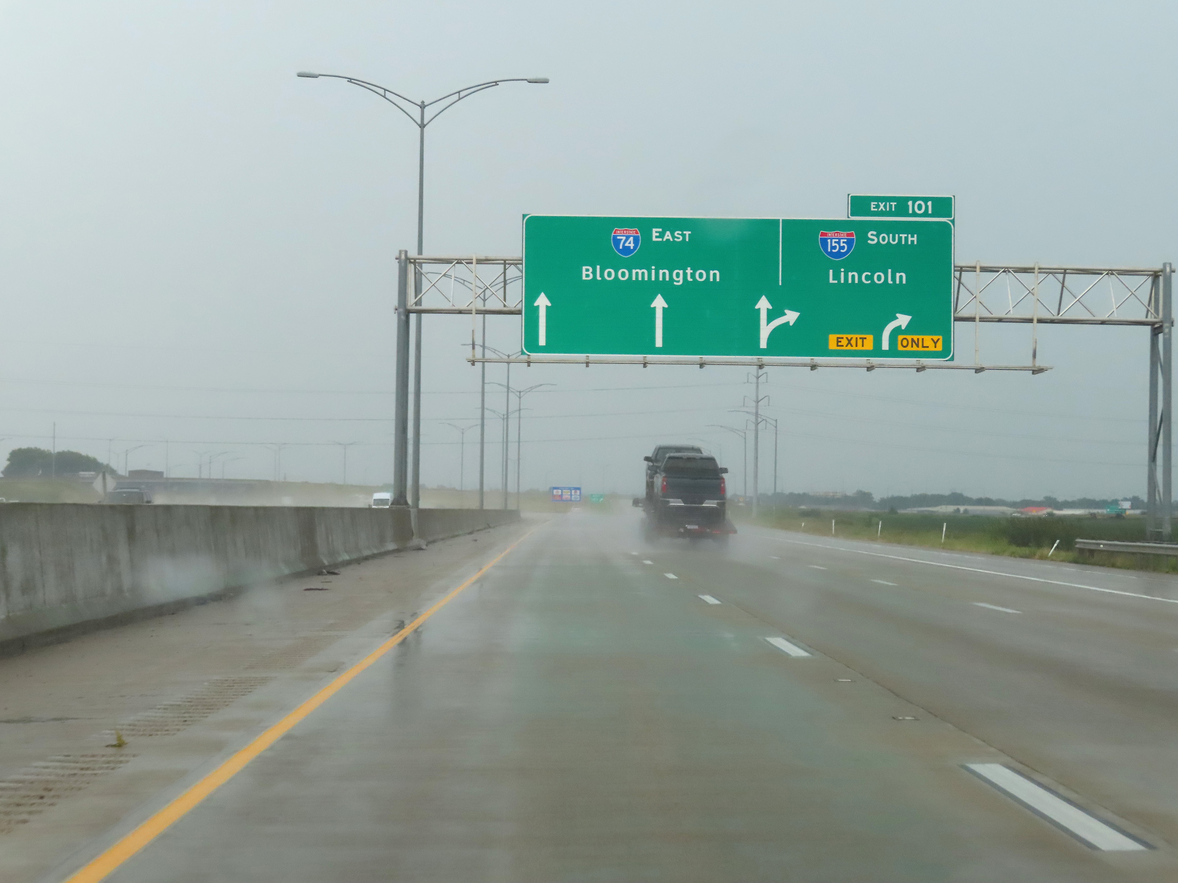 |
Interstate 74 East at Exit 101: Interstate 155 South - Lincoln (Photo taken 8/20/22). |
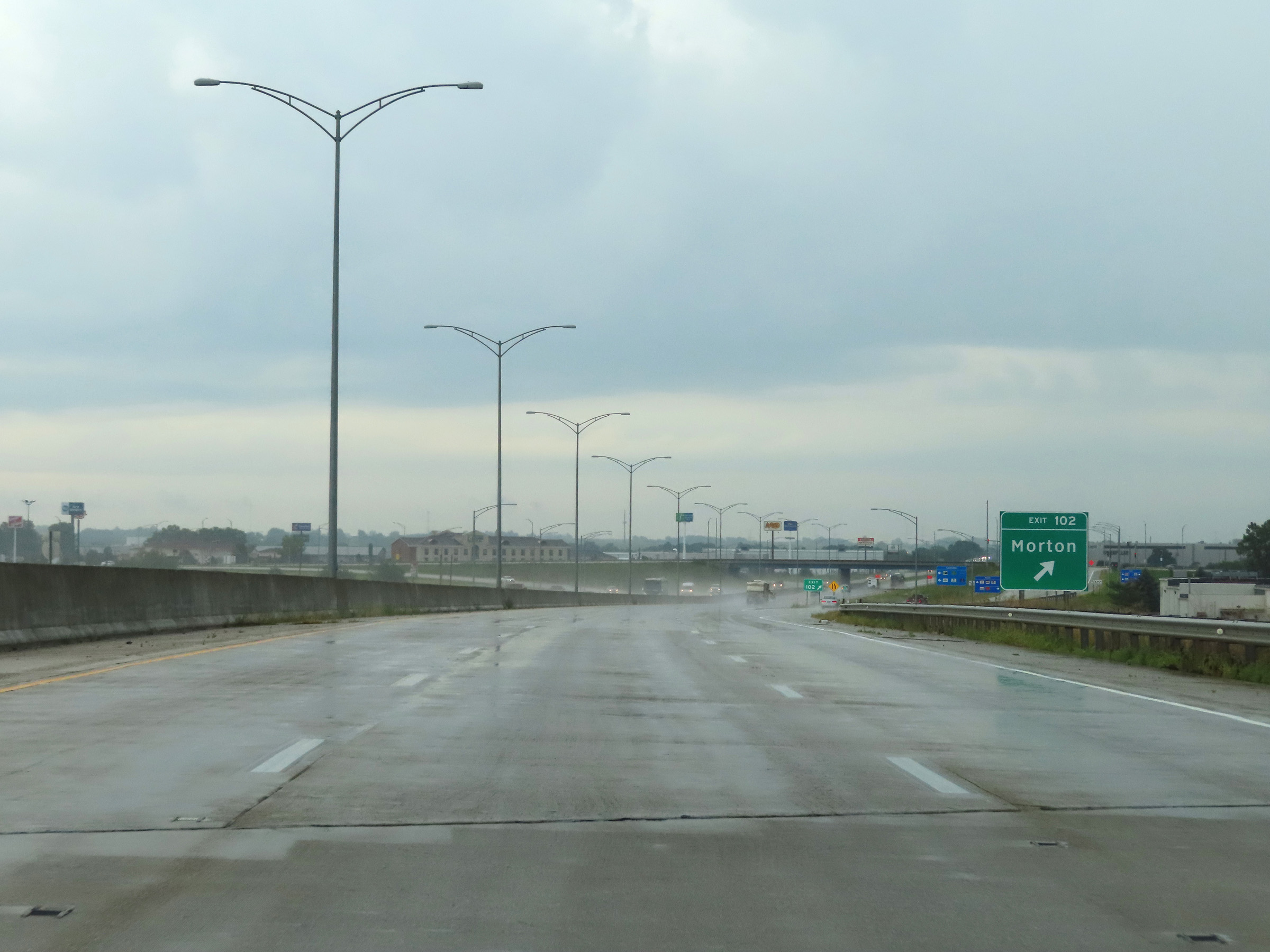 |
Interstate 74 East at Exit 102: Morton (Photo taken 8/20/22). |
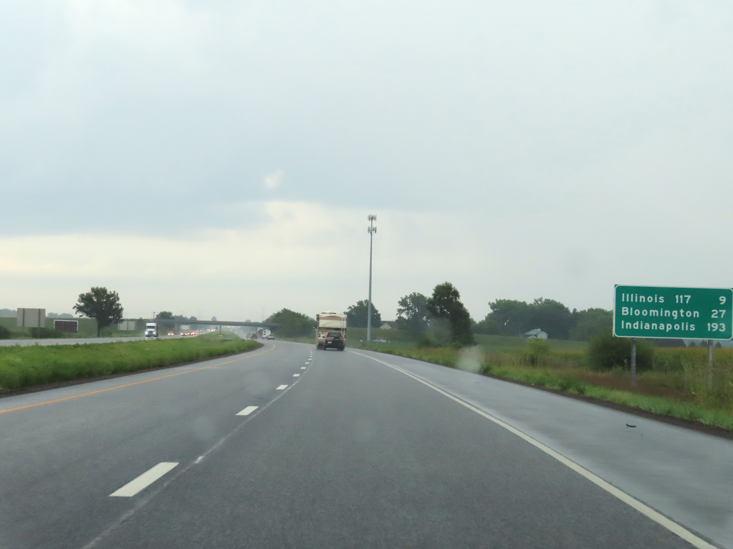 |
Mileage sign on Interstate 74 East. It's 9 miles to the junction of IL 9, 27 miles to Bloomington, and 193 miles to Indianapolis. (Photo taken 8/20/22). |
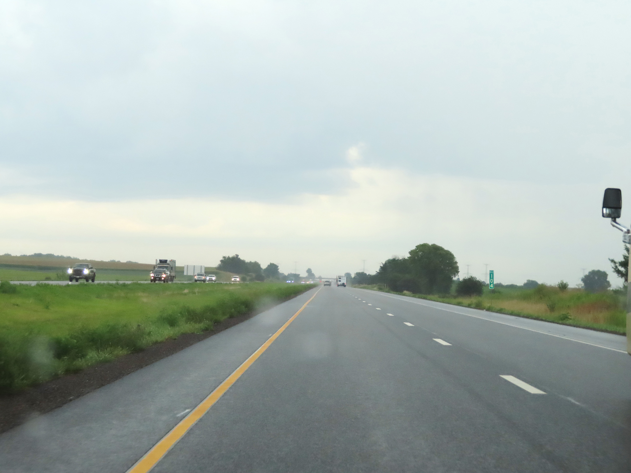 |
View on Interstate 74 East at mile marker 104. (Photo taken 8/20/22). |
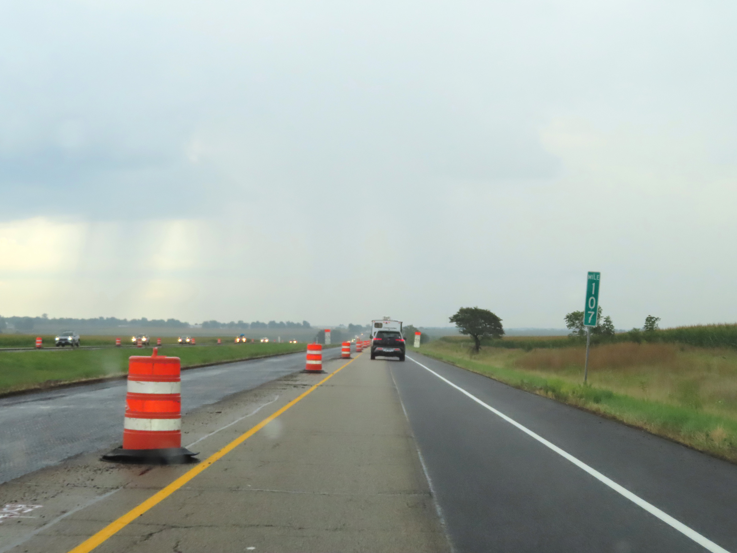 |
Mile marker 107 on Interstate 74 East in Tazewell County. (Photo taken 8/20/22). |
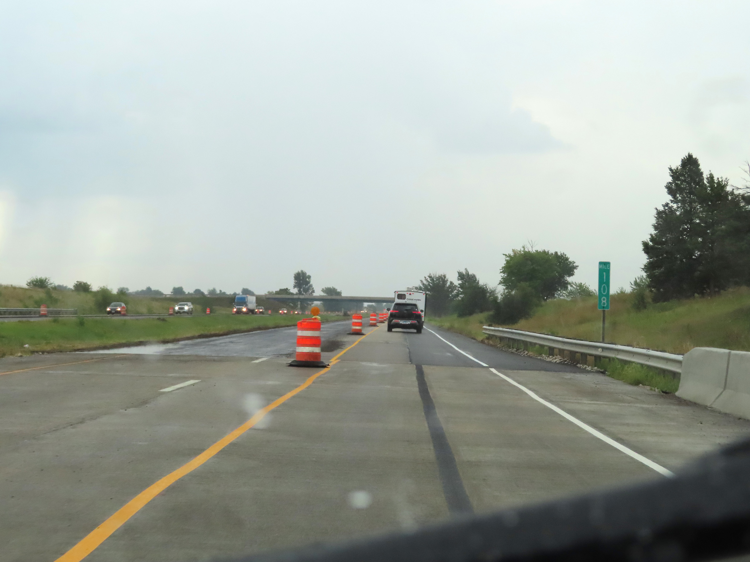 |
Interstate 74 East at mile marker 108. (Photo taken 8/20/22). |
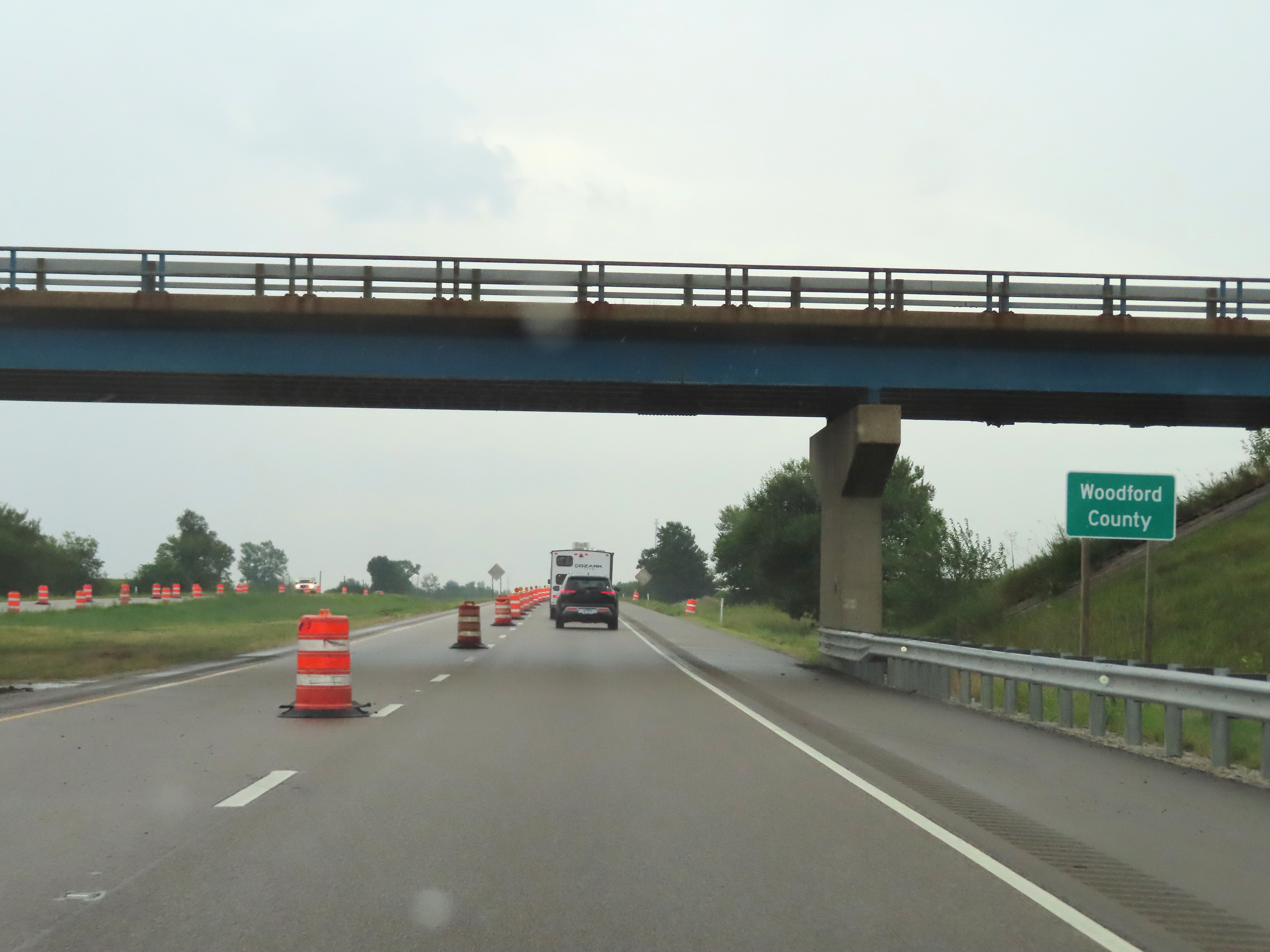 |
Interstate 74 East as it enters Woodford County. (Photo taken 8/20/22). |
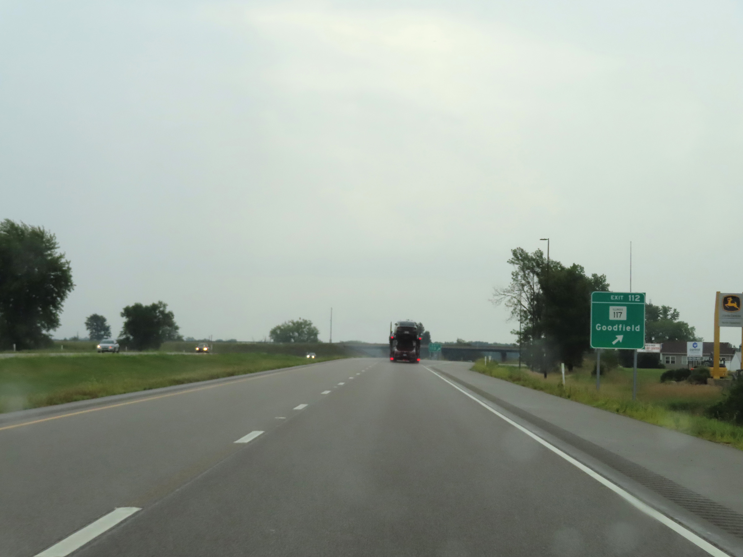 |
Interstate 74 East at Exit 112: IL 117 - Goodfield (Photo taken 8/20/22). |
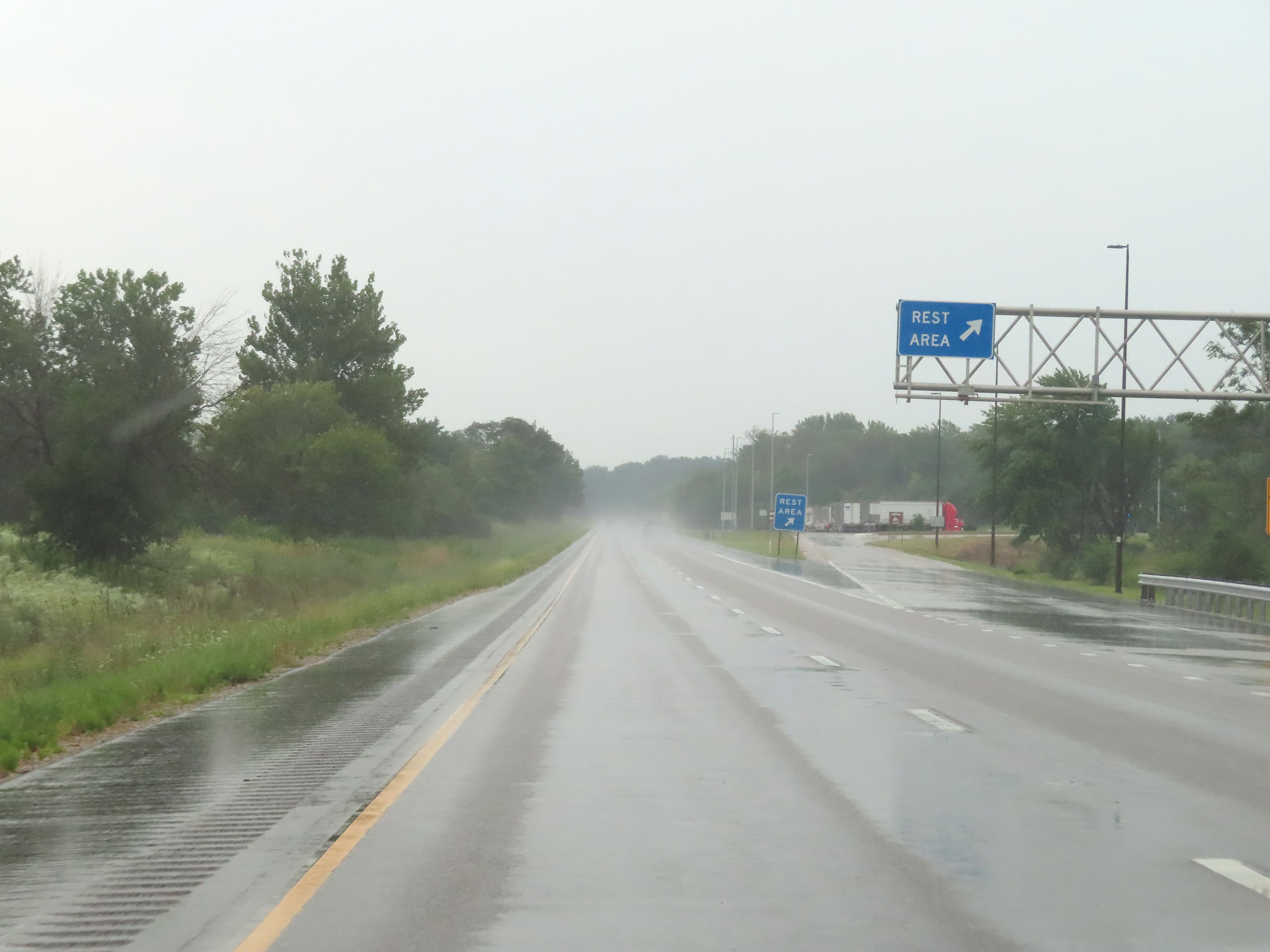 |
Rest Area on Interstate 74 East in Woodford County. (Photo taken 8/20/22). |
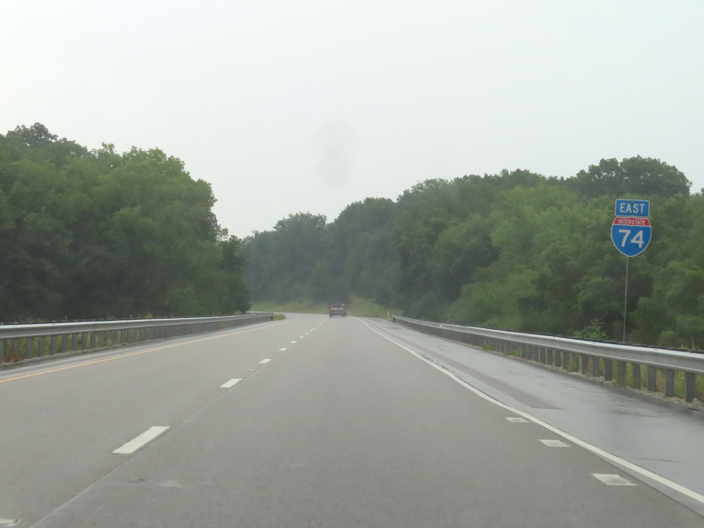 |
Interstate 74 East reassurance shield. (Photo taken 8/20/22). |
 |
View on Interstate 74 East at mile marker 116. (Photo taken 8/20/22). |
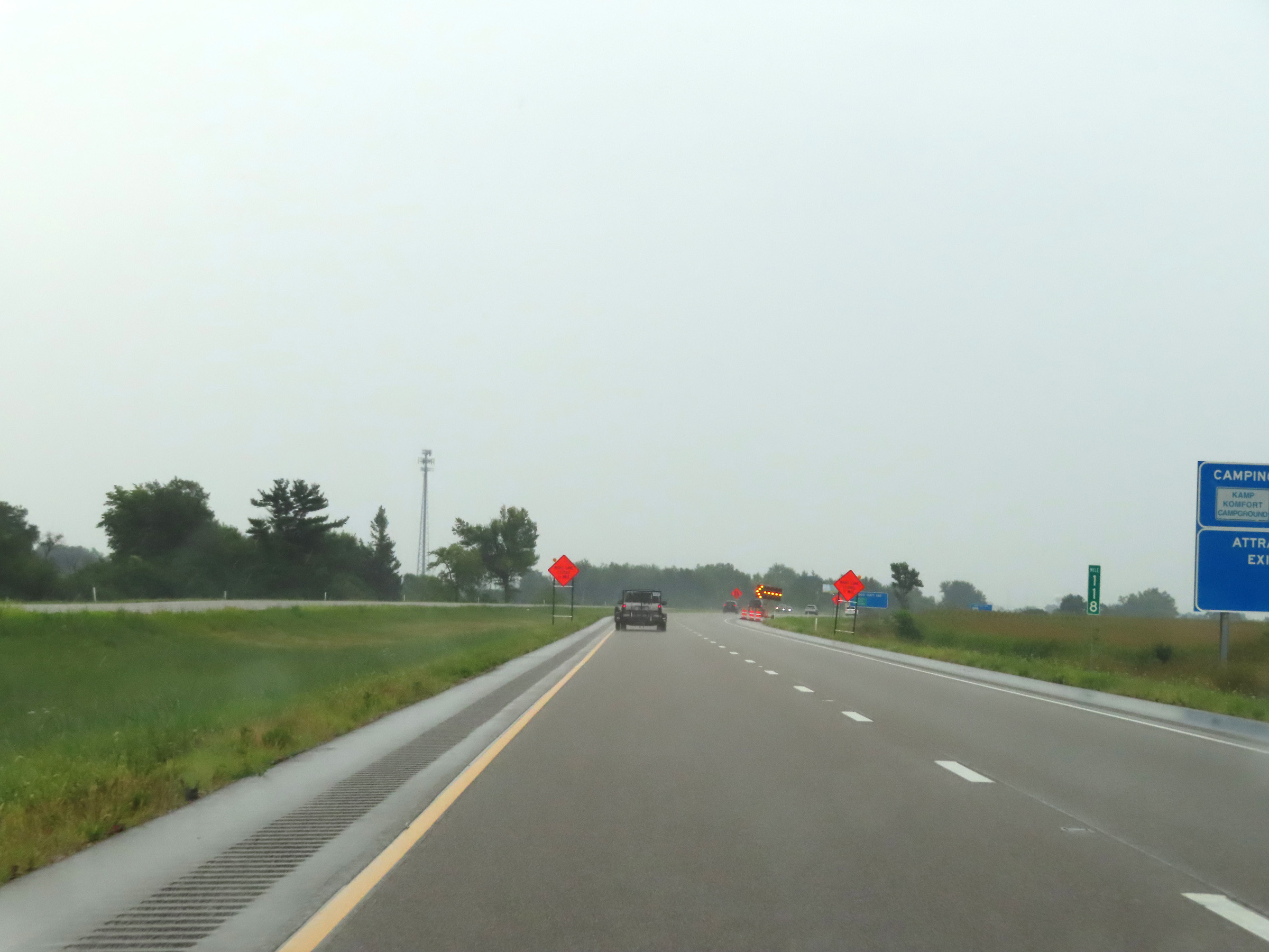 |
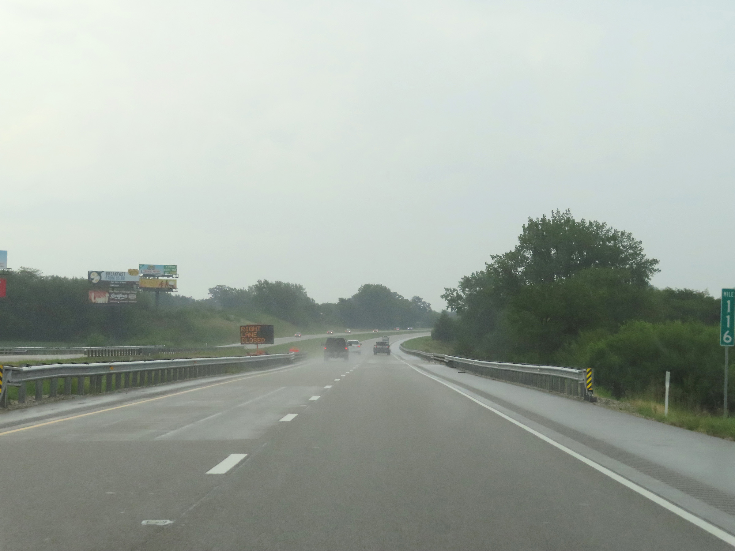
Interstate 74 East at mile marker 118. (Photo taken 8/20/22). |
 |
Interstate 74 East as it enters McLean County. (Photo taken 8/20/22). |
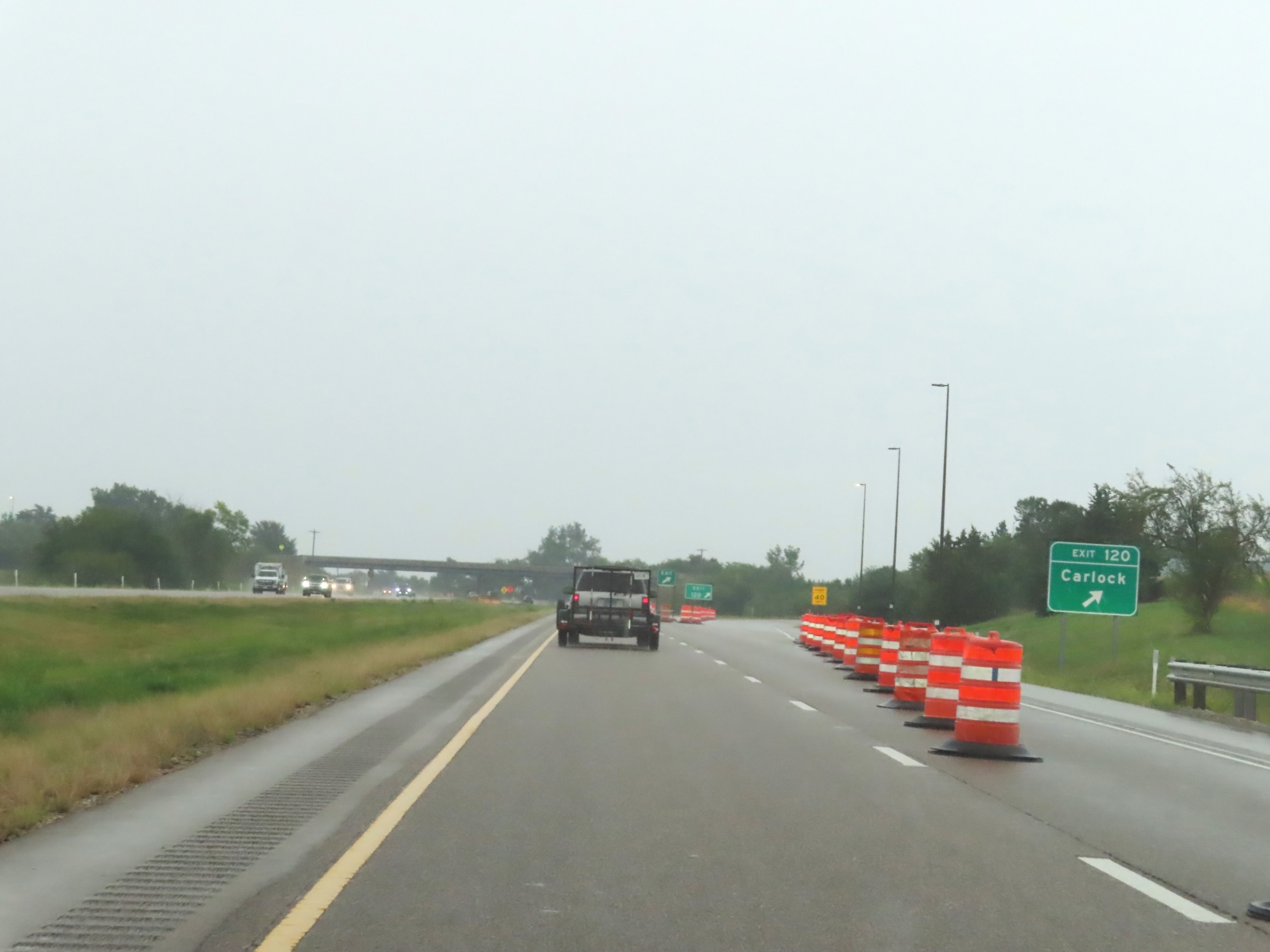 |
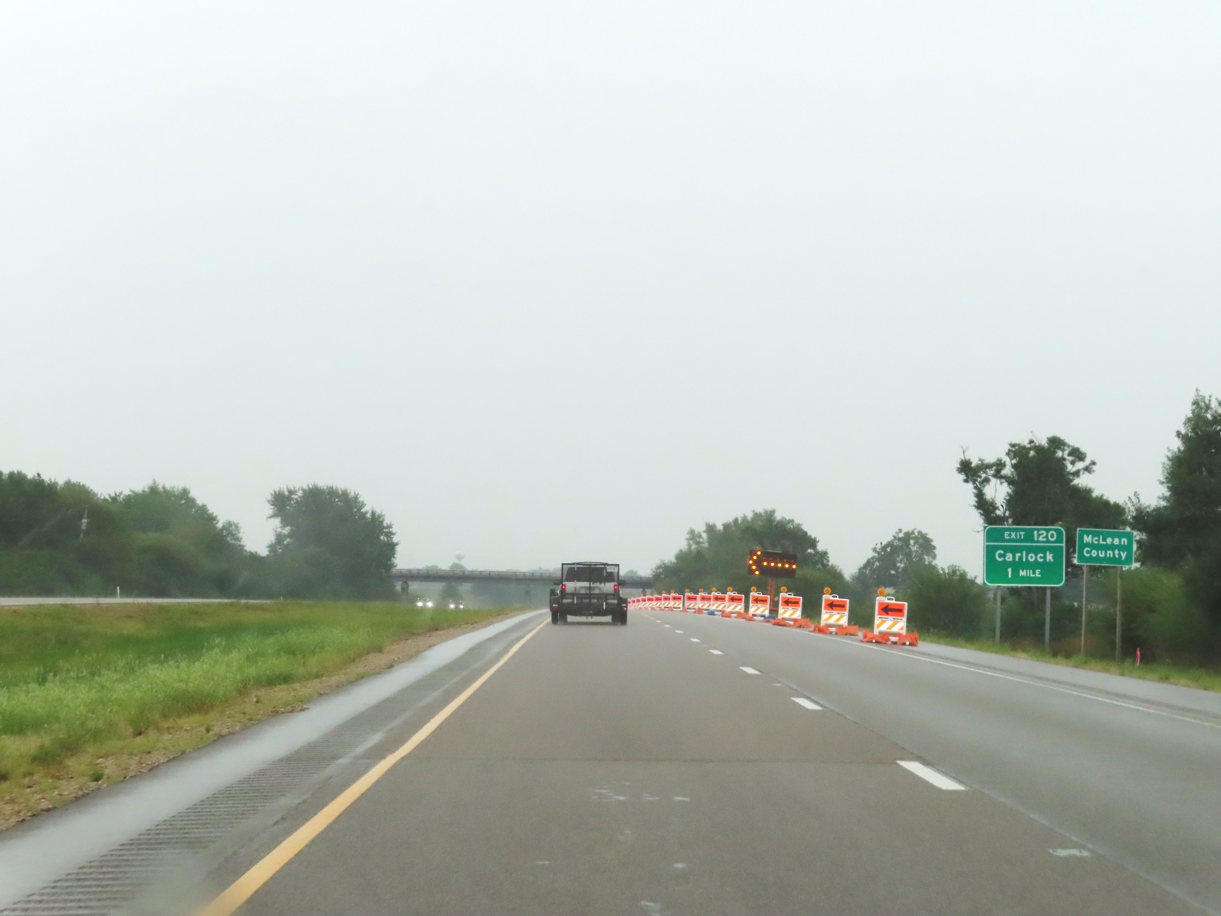
Interstate 74 East at Exit 120: Carlock (Photo taken 8/20/22). |
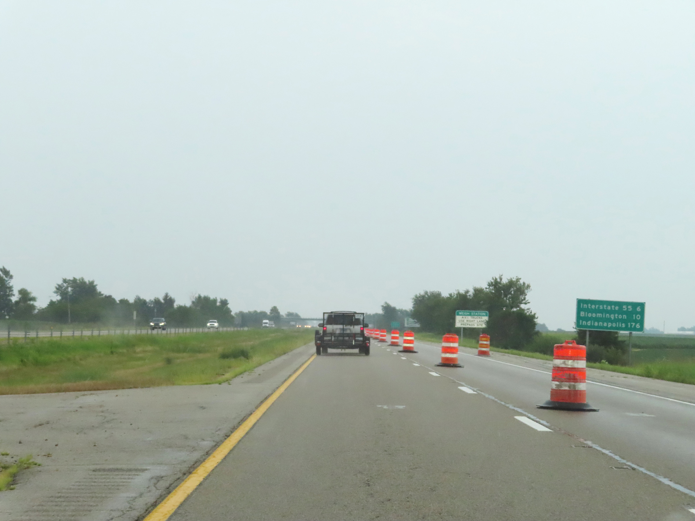 |
Mileage sign on Interstate 74 East upon entering McLean County. It's 6 miles to the junction of Interstate 55, 10 miles to Bloomington, and 176 miles to Indianapolis. (Photo taken 8/20/22). |
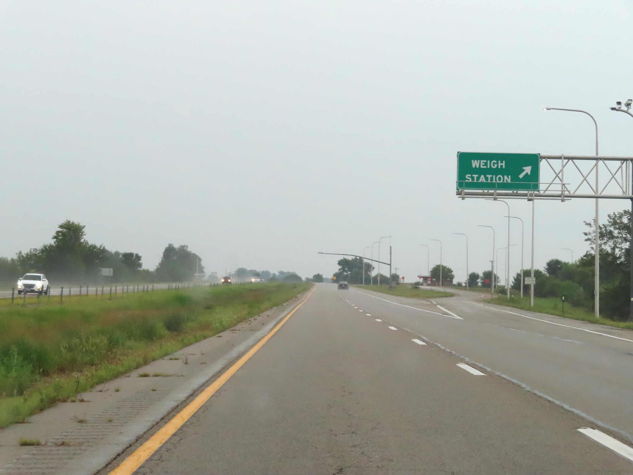 |
Weigh Station on Interstate 74 East in McLean County. (Photo taken 8/20/22). |
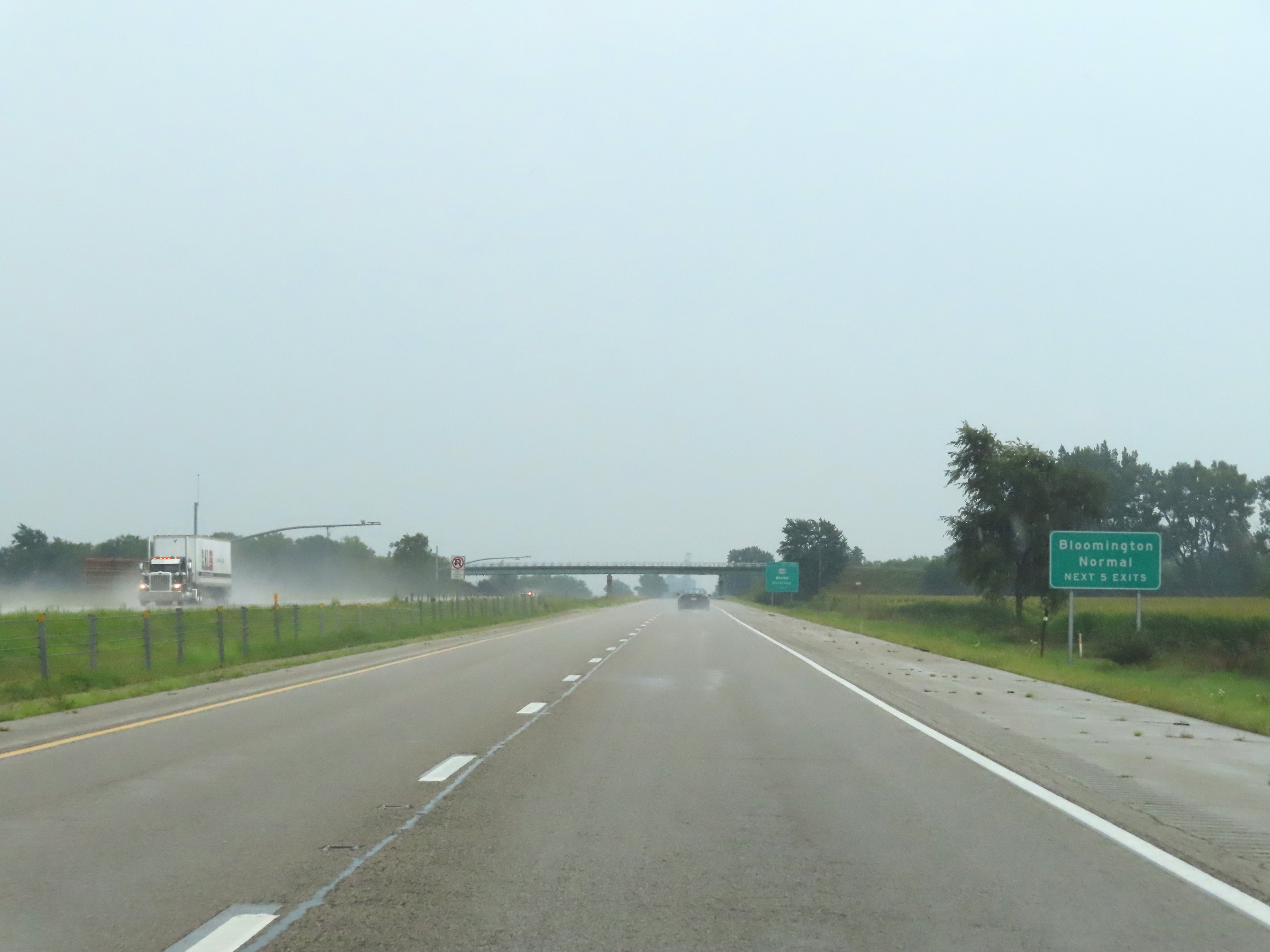 |
Take any of the next 5 exits on Interstate 74 East to Bloomington and Normal. (Photo taken 8/20/22). |
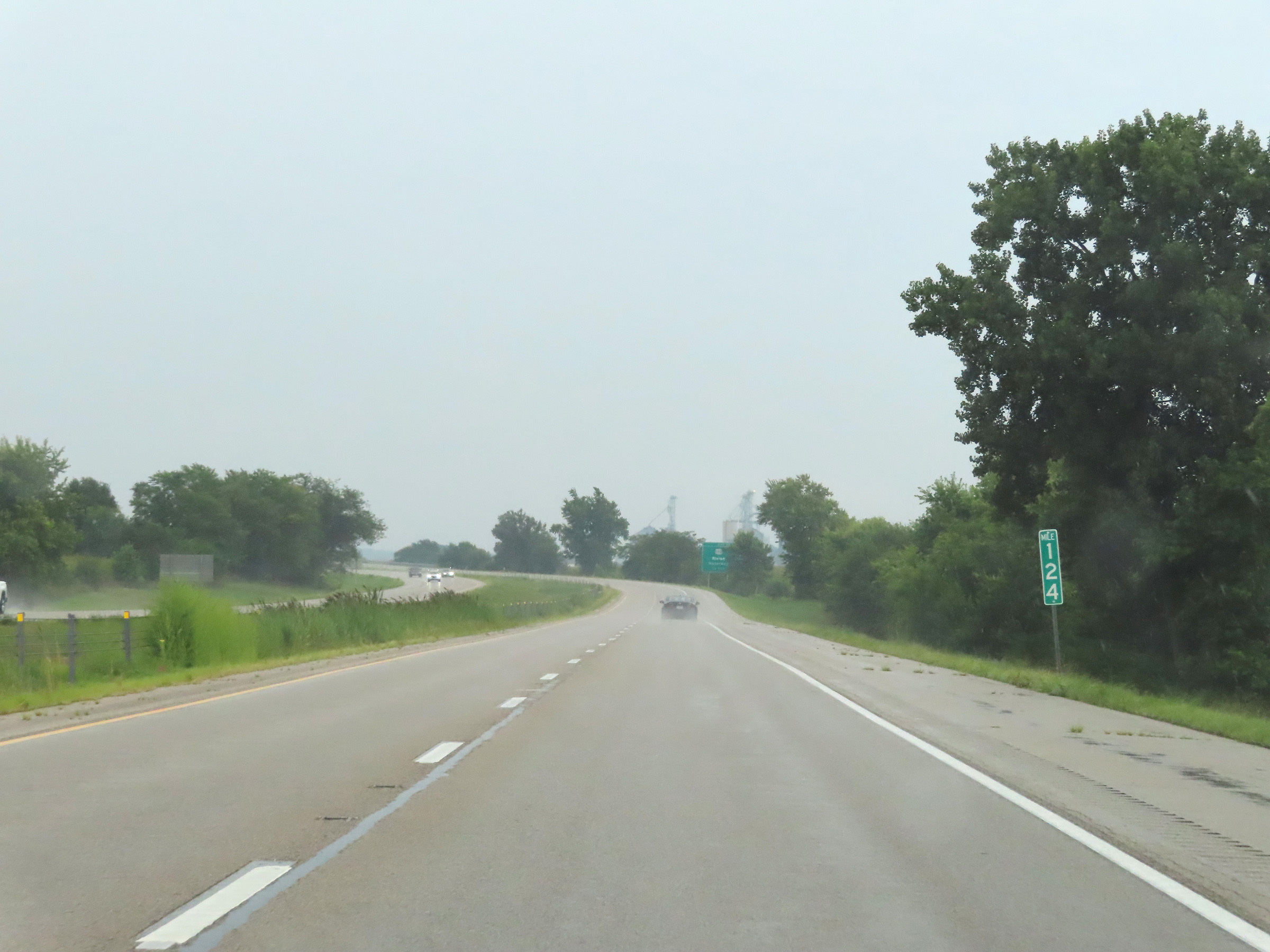 |
View on Interstate 74 East at mile marker 124. (Photo taken 8/20/22). |
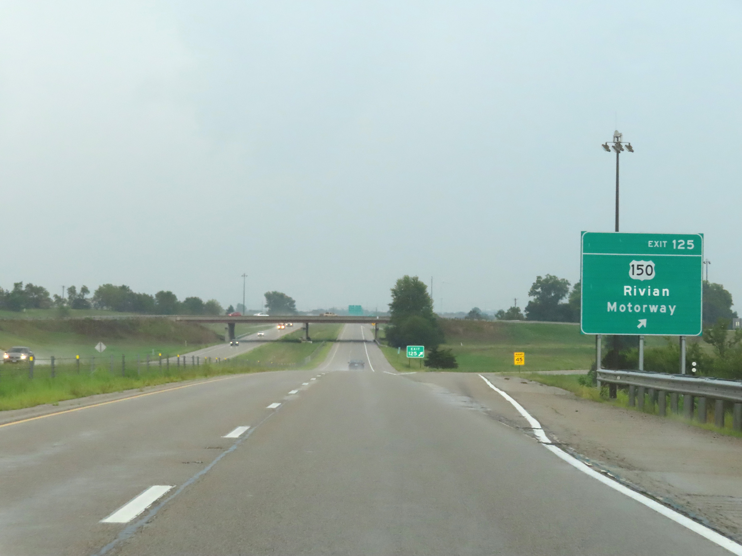 |
Interstate 74 East at Exit 125: US 150 - Rivian Motorway (Photo taken 8/20/22). |
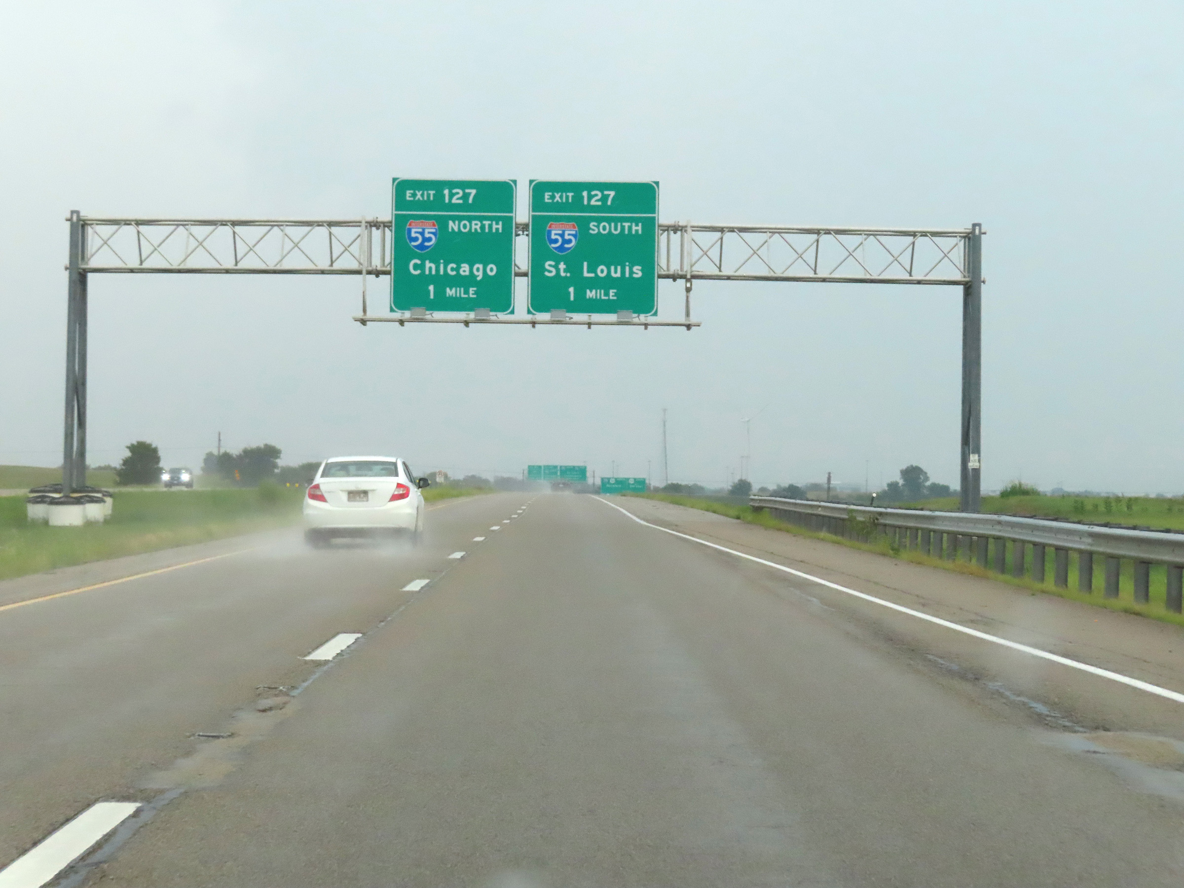 |
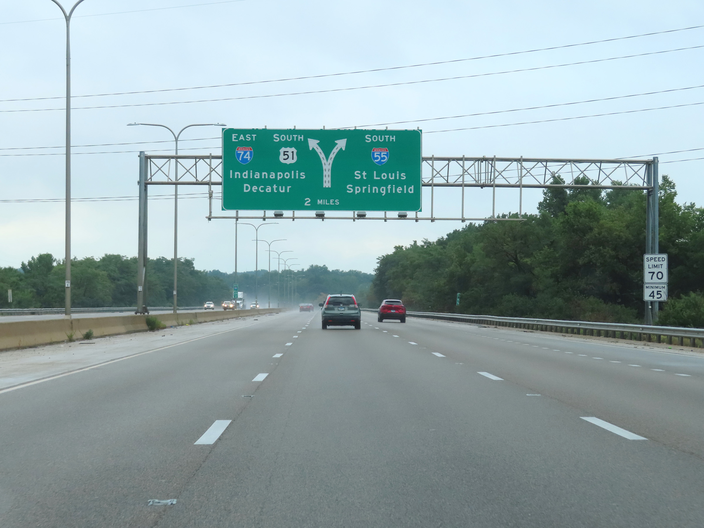
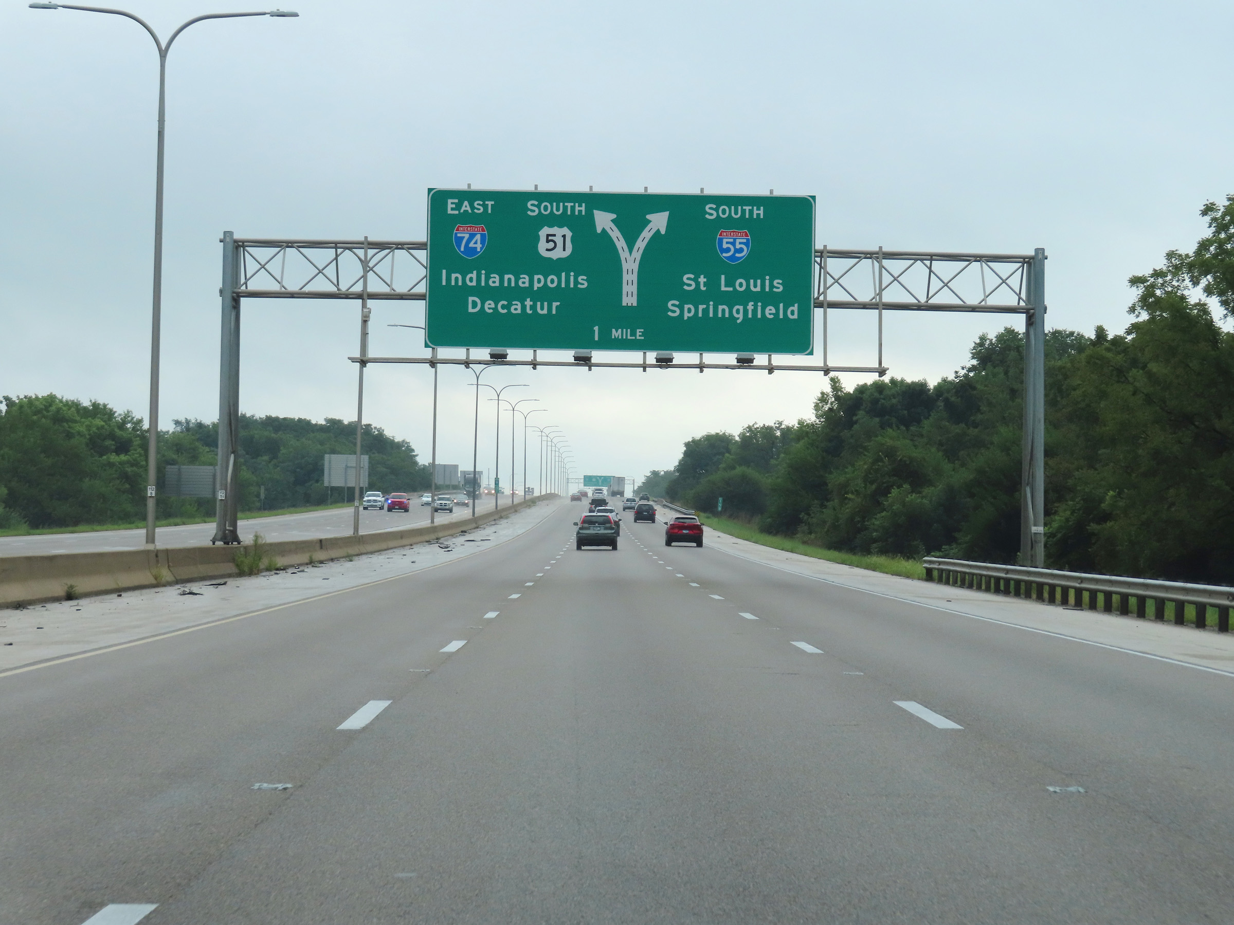
Interstate 74 East approaching the junction of Interstate 55 via Exit 127 - 1 mile ahead. (Photo taken 8/20/22). |
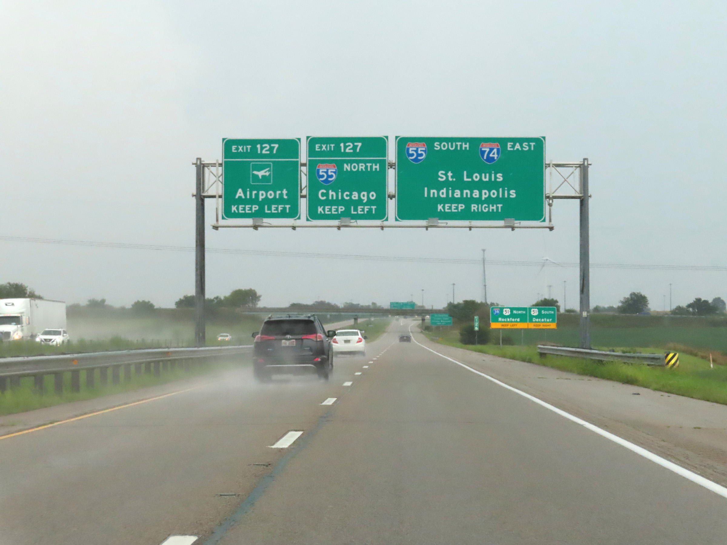 |
Airport traffic should keep left and follow Interstate 55 North. I-55 South and Interstate 74 East will run concurrently ahead in the Bloomington area. (Photo taken 8/20/22). |
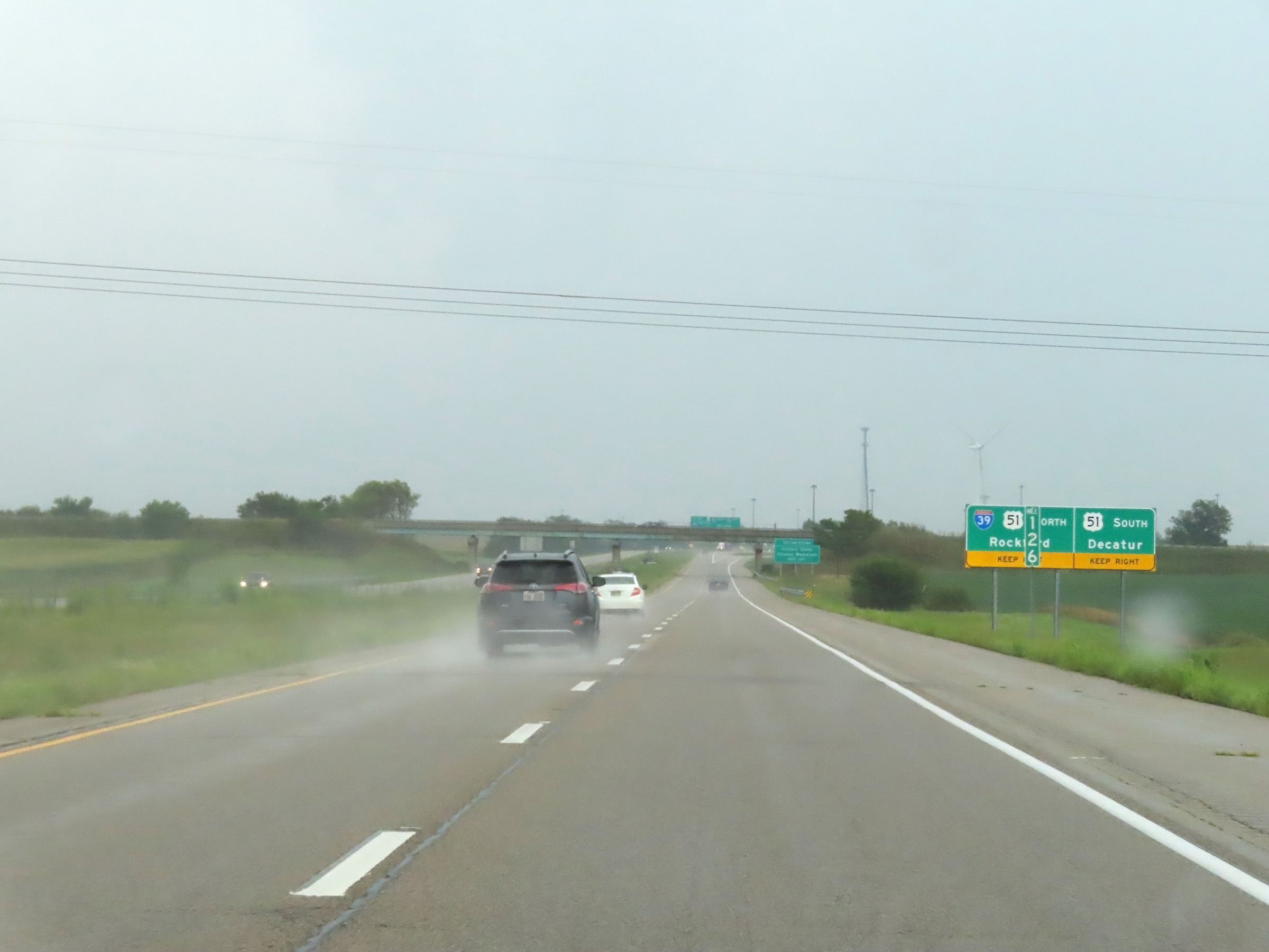 |
Traffic to Interstate 39 North / US 51 North should keep left and follow Interstate 55 North. Those to US 51 South toward Decatur should keep right and follow Interstate 74 East / Interstate 55 South. (Photo taken 8/20/22). |
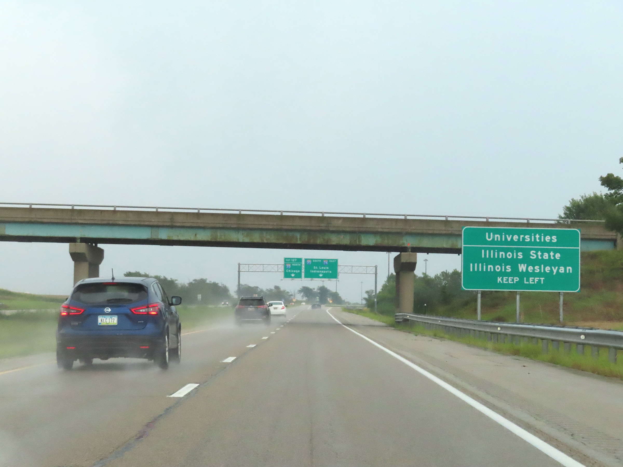 |
Take Exit 127 and follow Interstate 55 North to get to Illinois State University and Illinois Wesleyan University. (Photo taken 8/20/22). |
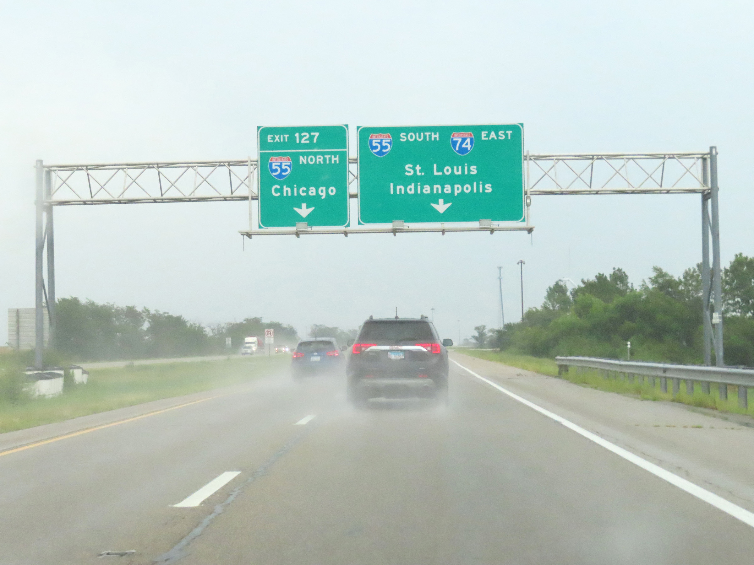 |
Interstate 74 East at Exit 127: Interstate 55 North - Chicago (Photo taken 8/20/22). |
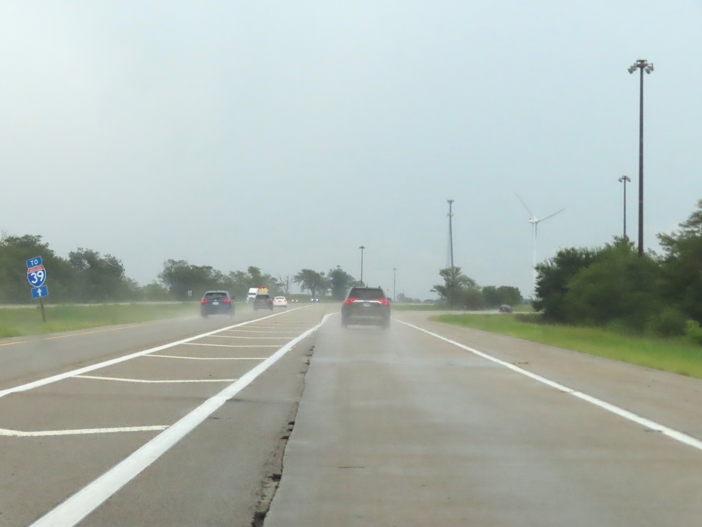 |
At the split, this sign on the left reminds motorists that traffic to Interstate 39 should keep left and follow Interstate 55 North. (Photo taken 8/20/22). |
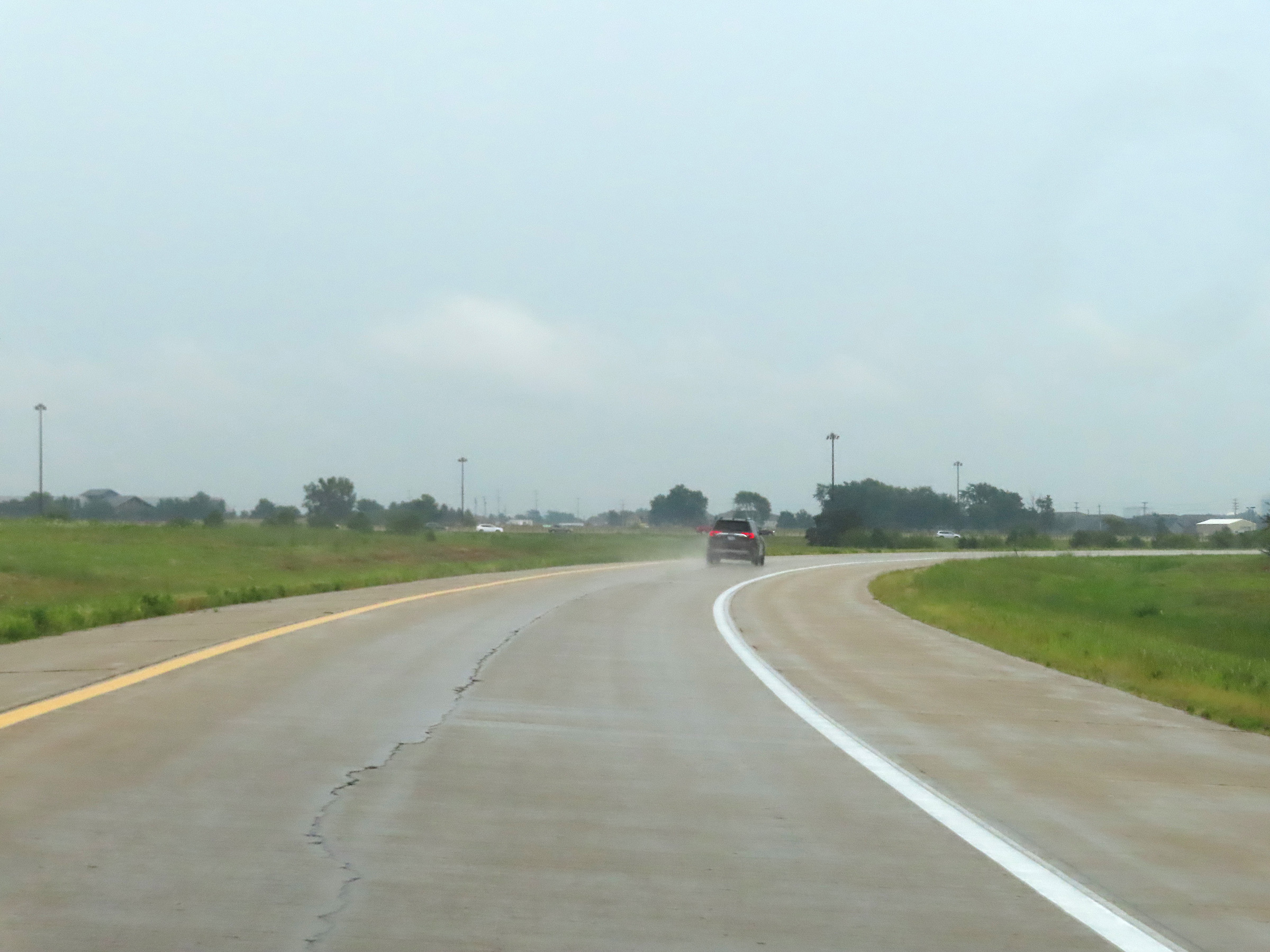 |
Interstate 74 East is reduced to a single lane for a third time in Illinois here, as it prepares to merge into the southbound lanes of Interstate 55 in Bloomington for a 5.5-mile concurrency. (Photo taken 8/20/22). |
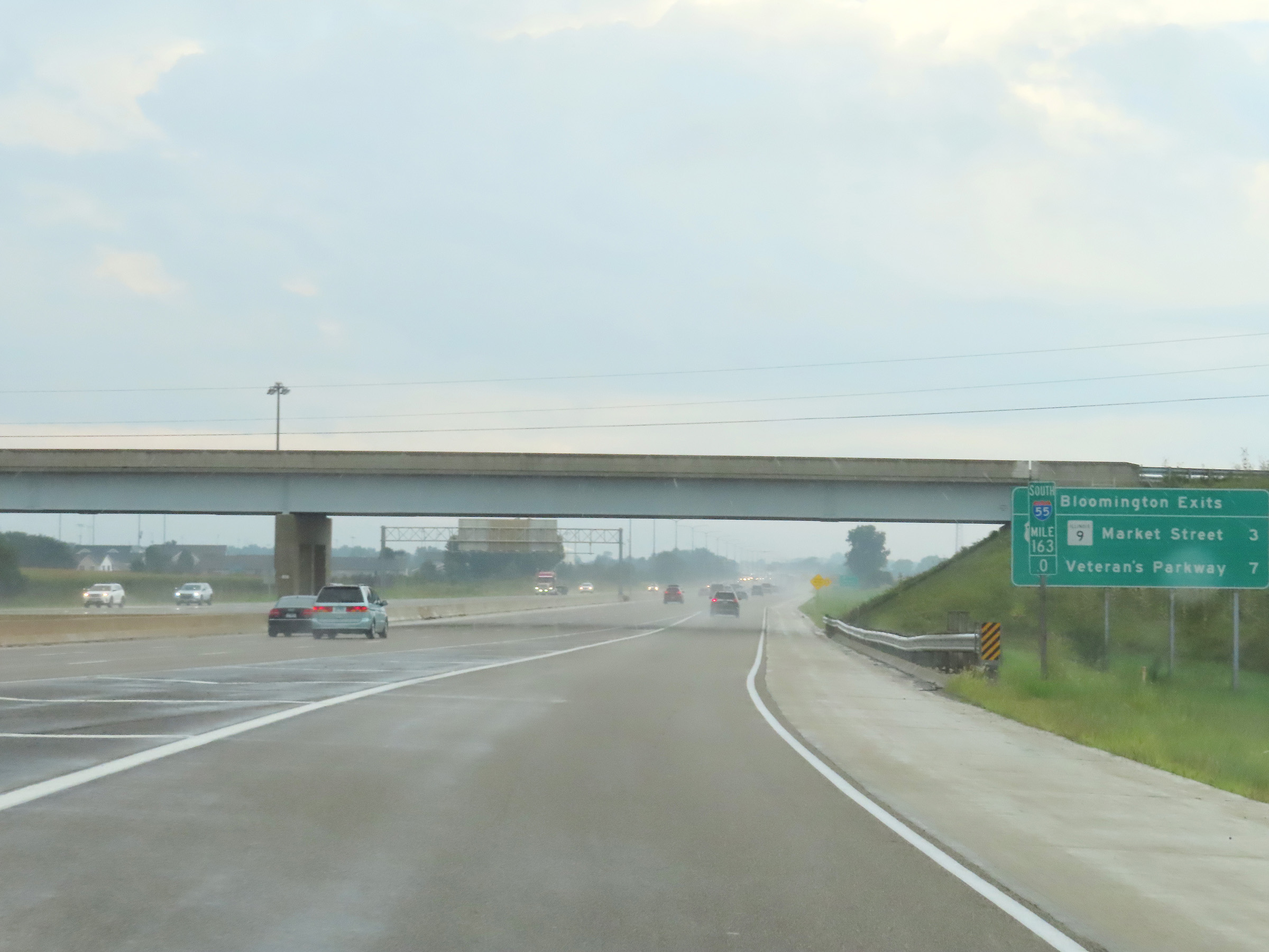 |
Mileage sign at mile marker 163 which lists the distances to the two upcoming exits to Bloomington on Interstate 74 East / Interstate 55 South. During the I-74 / I-55 concurrency, the mileage and exit numbers are based on the total mileage of I-55 in Illinois. (Photo taken 8/20/22). |
 |
The Interstate 74 East / Interstate 55 South concurrency officially begins here, as the single lane of I-74 East via the ramp ends and merges into the three thru lanes of I-55 South. (Photo taken 8/20/22). |
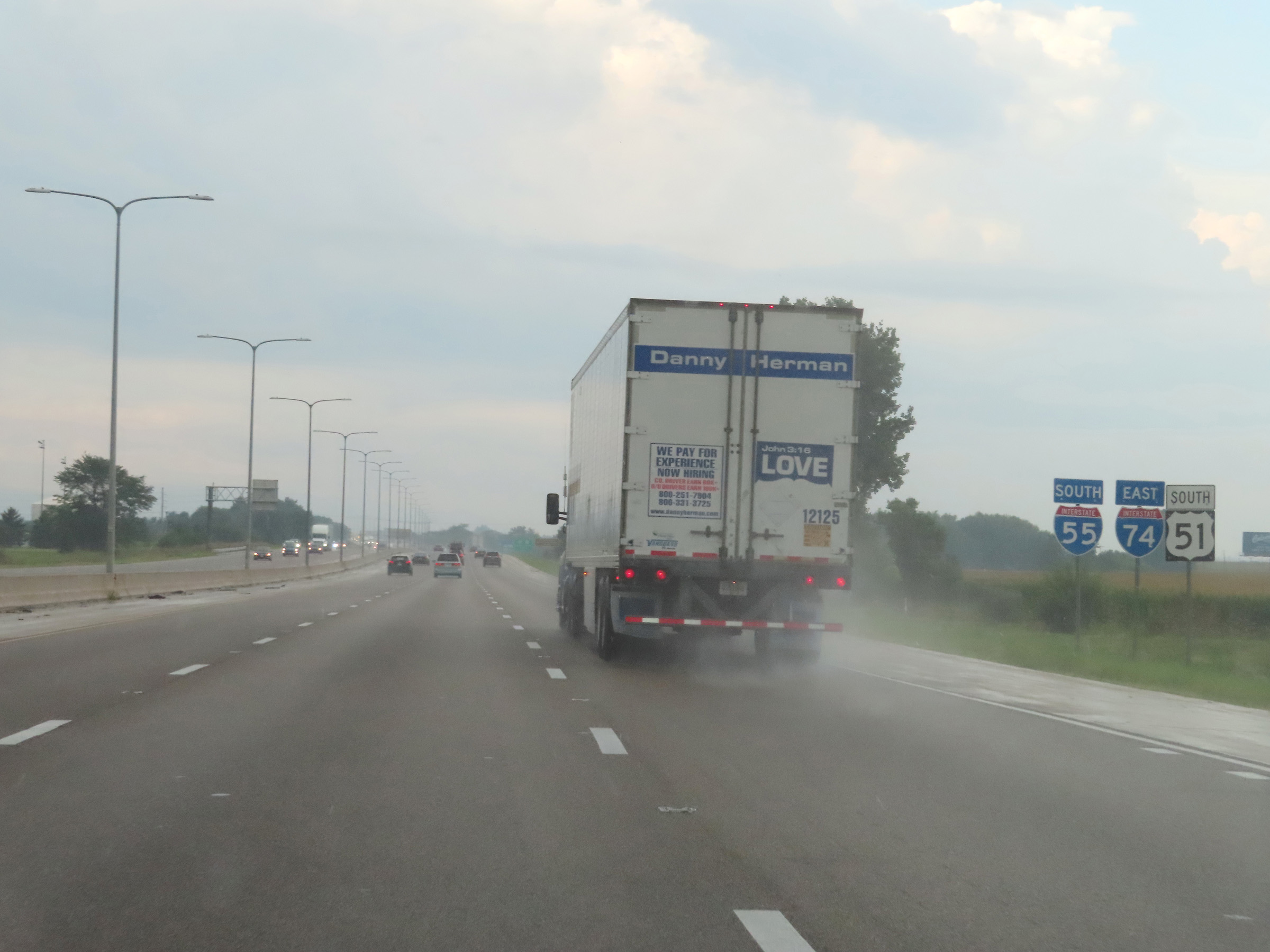 |
Dual Interstate 74 East / Interstate 55 South reassurance shields in Bloomington. (Photo taken 8/20/22). |
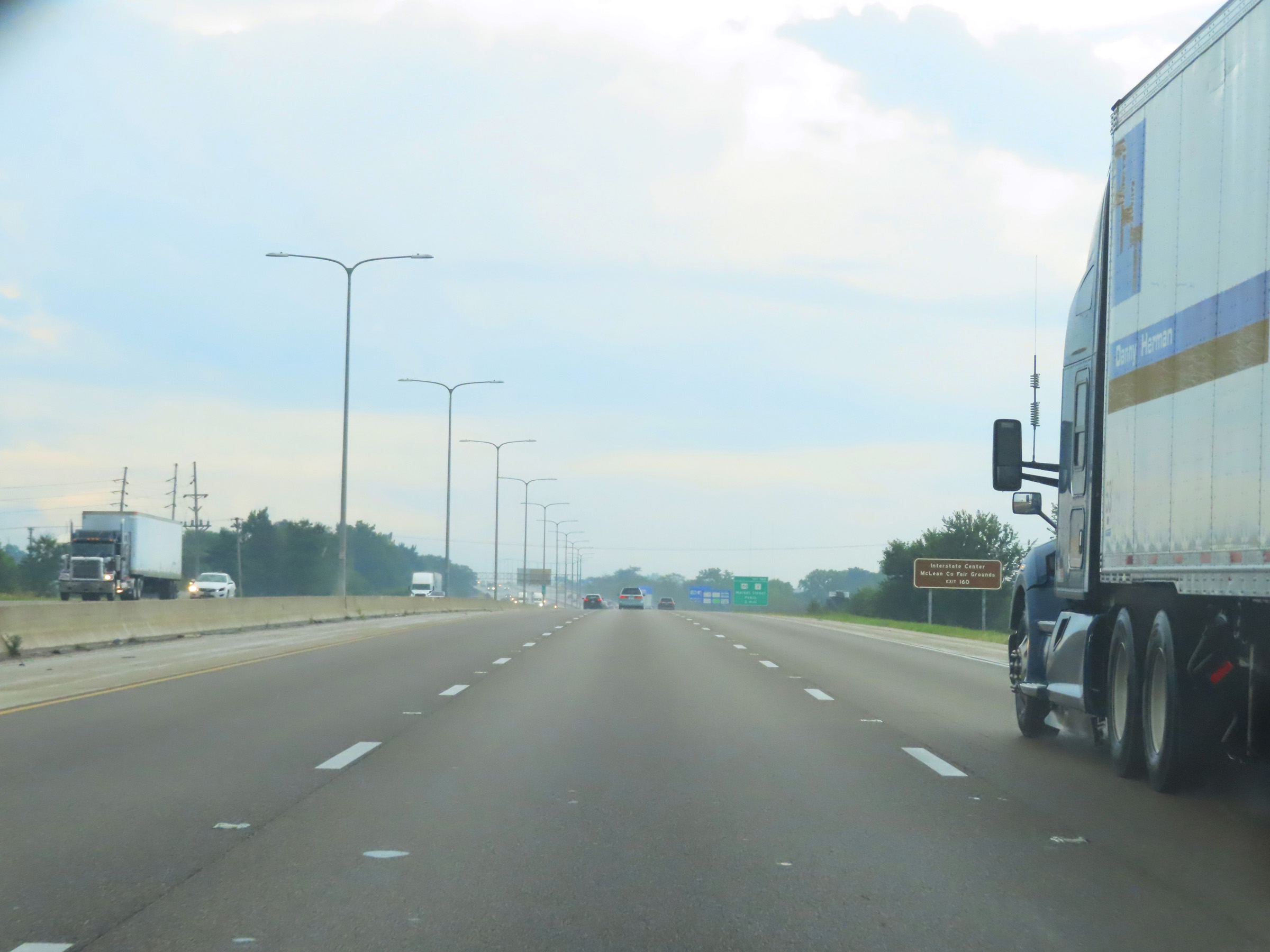 |
Take Exit 160 to Interstate Center and the McLean County Fairgrounds. (Photo taken 8/20/22). |
 |
View on Interstate 74 East / Interstate 55 South at mile marker 162. (Photo taken 8/20/22). |
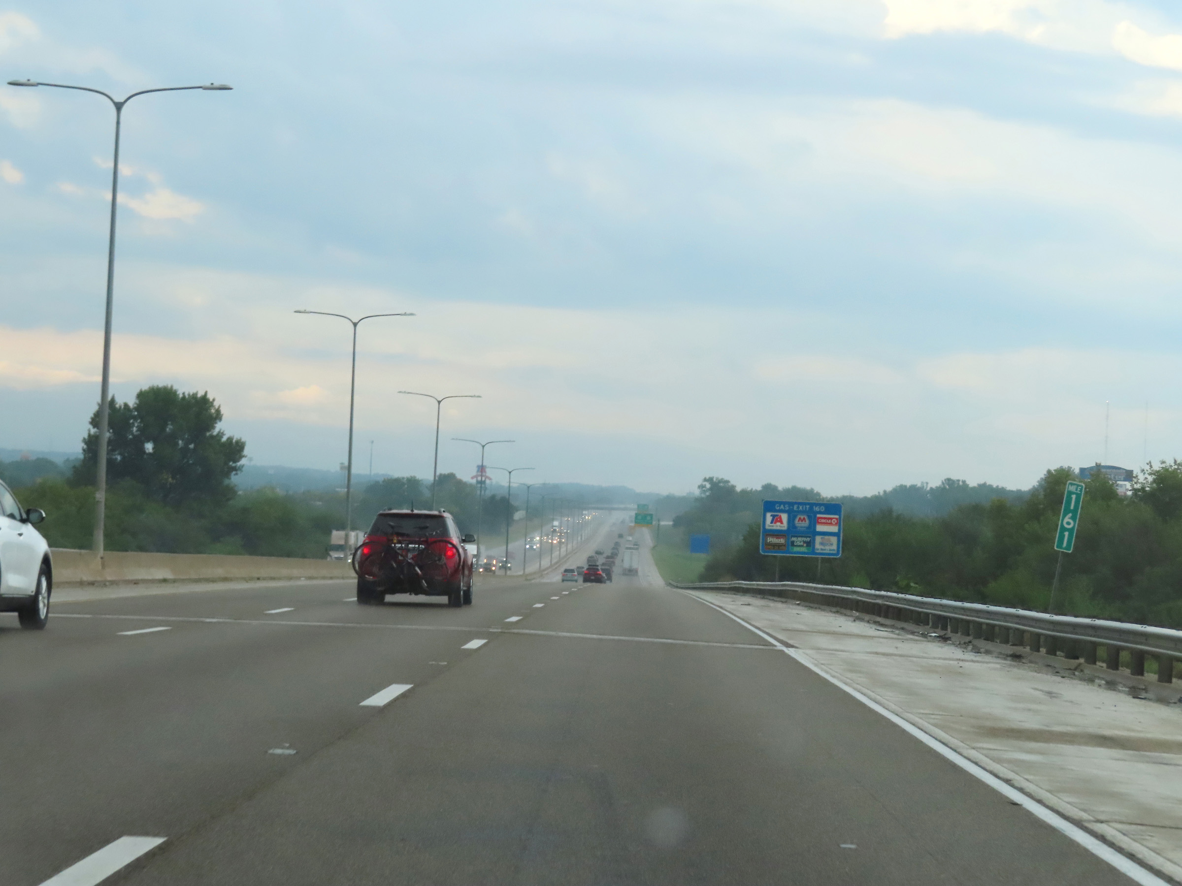 |
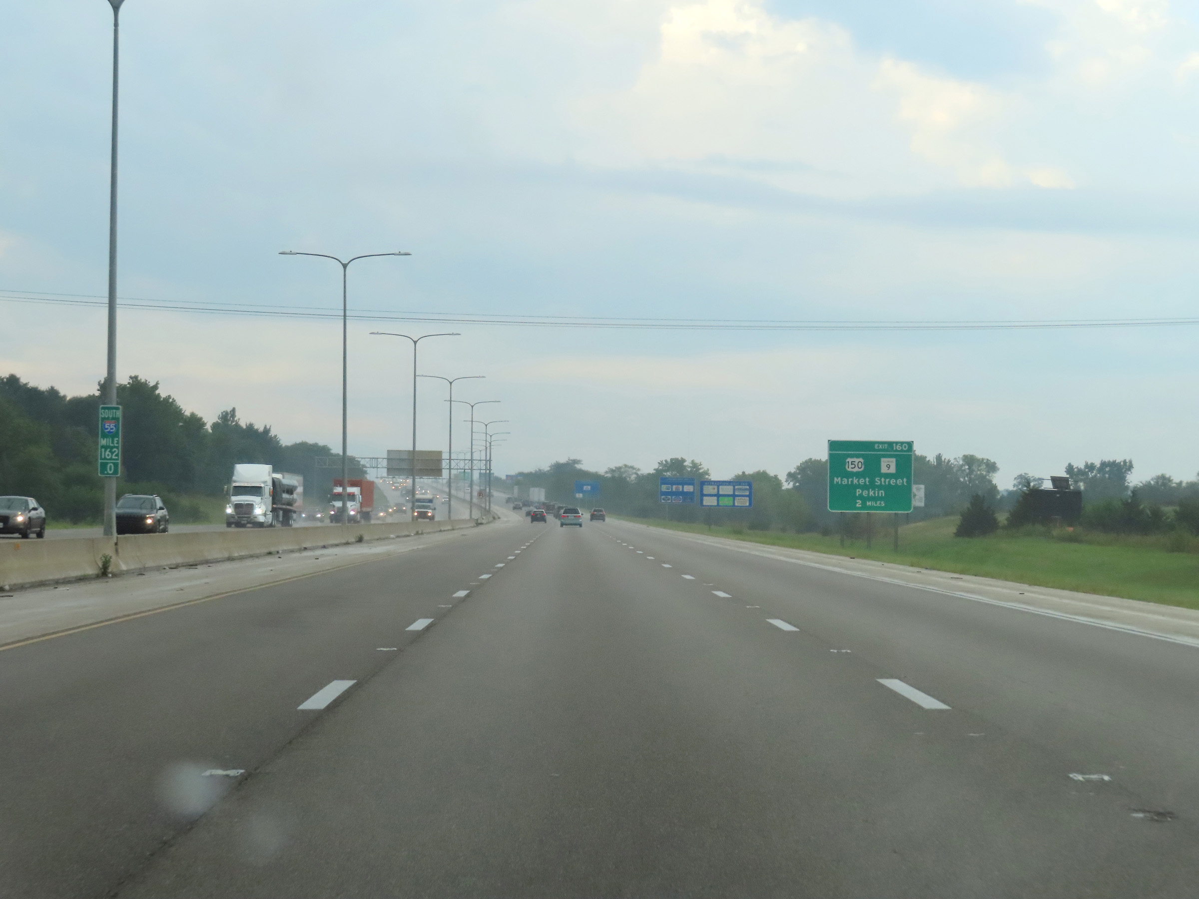
Interstate 74 East / Interstate 55 South at mile marker 161. (Photo taken 8/20/22). |
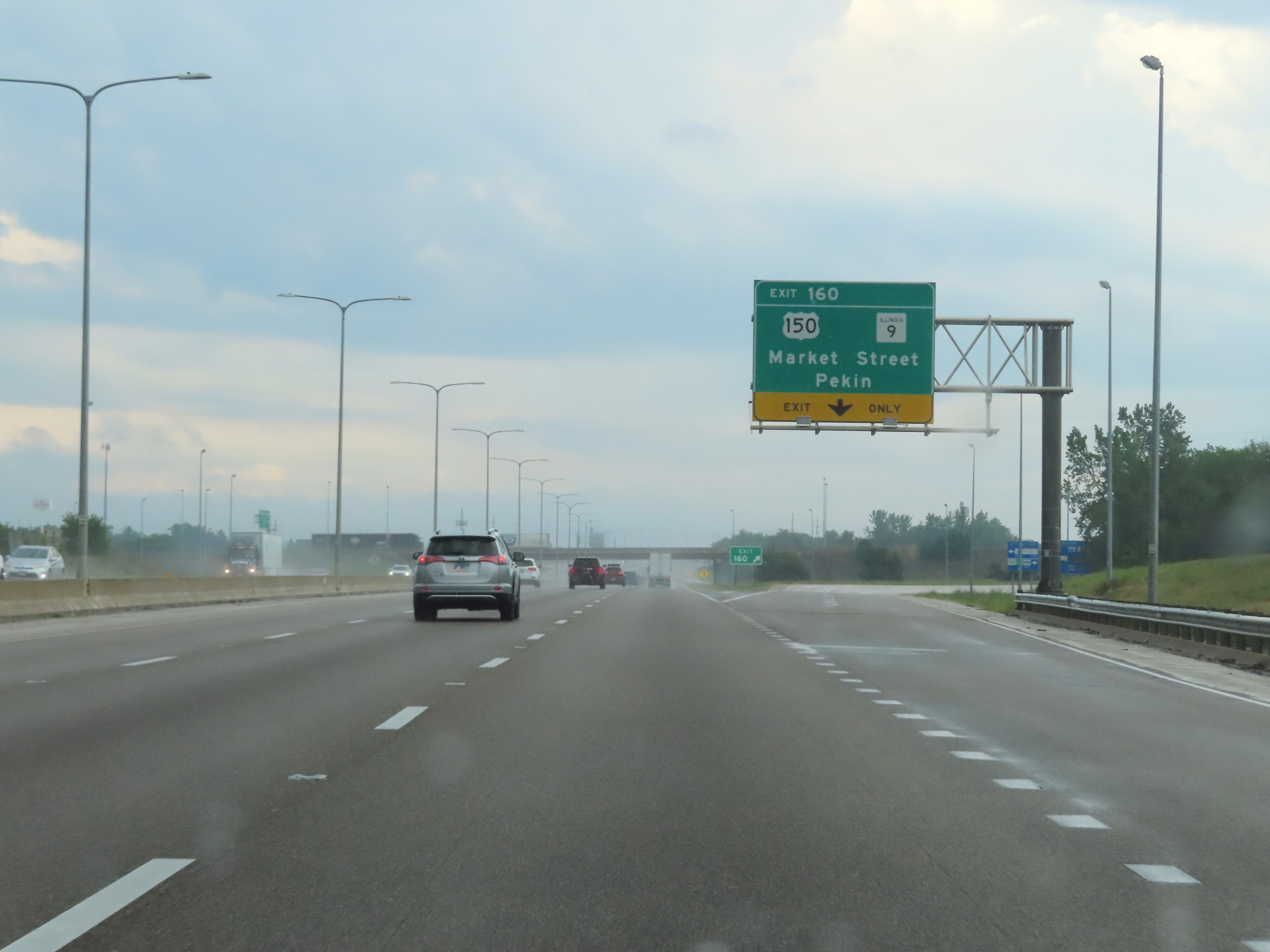 |
Interstate 74 East / Interstate 55 South at Exit 160: US 150 / IL 9 - Market Street / Pekin (Photo taken 8/20/22). |
 |
Another set of Interstate 74 East / Interstate 55 South reassurance shields. (Photo taken 8/20/22). |
 |
Interstate 74 East will depart Interstate 55 South 2 miles ahead, on the left. The speed limits on Interstate 74 East / Interstate 55 South in the Bloomington area are the rural standard 70 mph maximum and 45 mph minimum. (Photo taken 8/20/22). |
 |
Interstate 74 East / Interstate 55 South approaching their split - 1 mile ahead. I-74 East thru traffic should use either the left or center lanes. (Photo taken 8/20/22). |
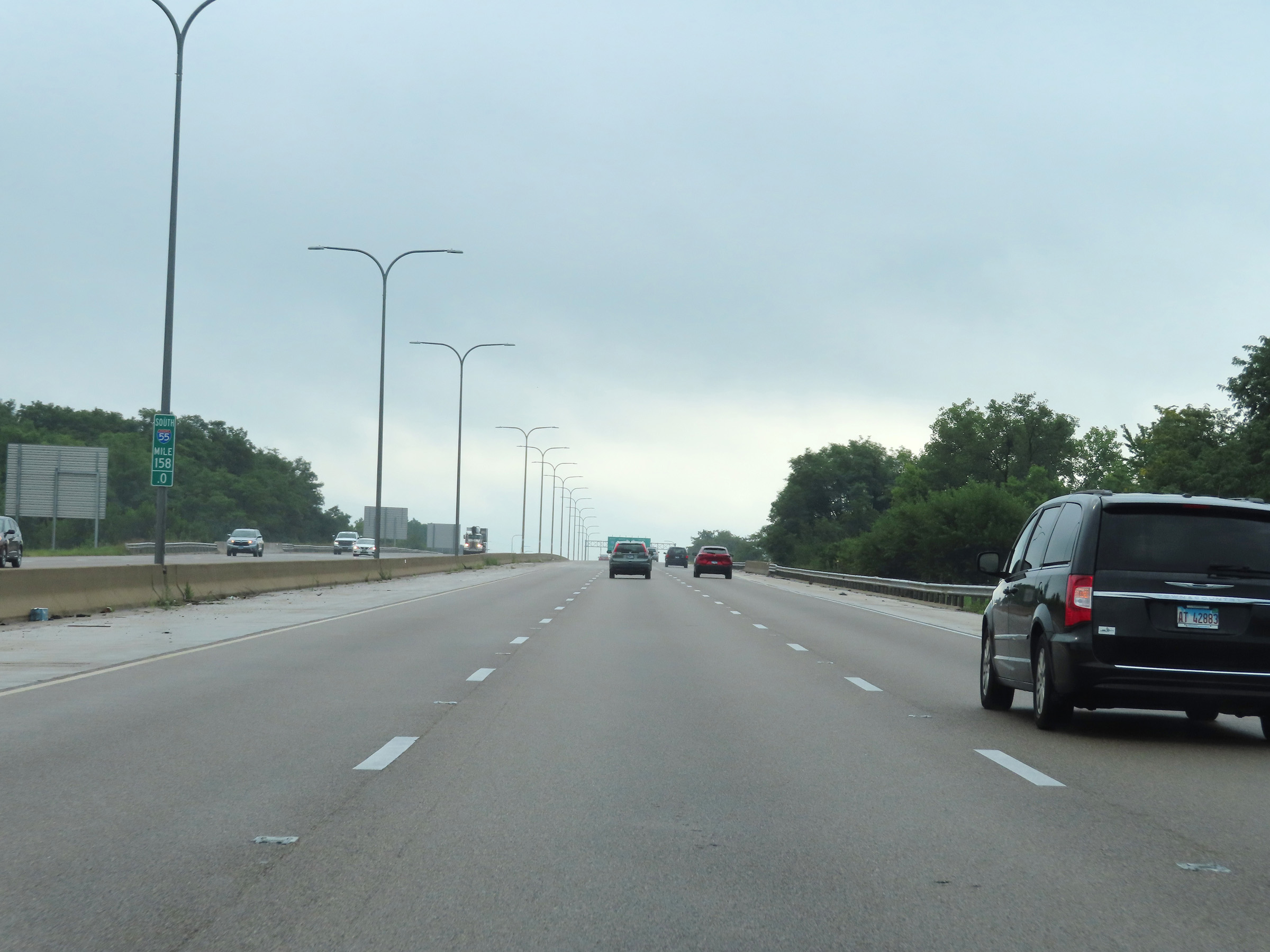 |
Mile marker 158 on Interstate 74 East / Interstate 55 South in McLean County. (Photo taken 8/20/22). |
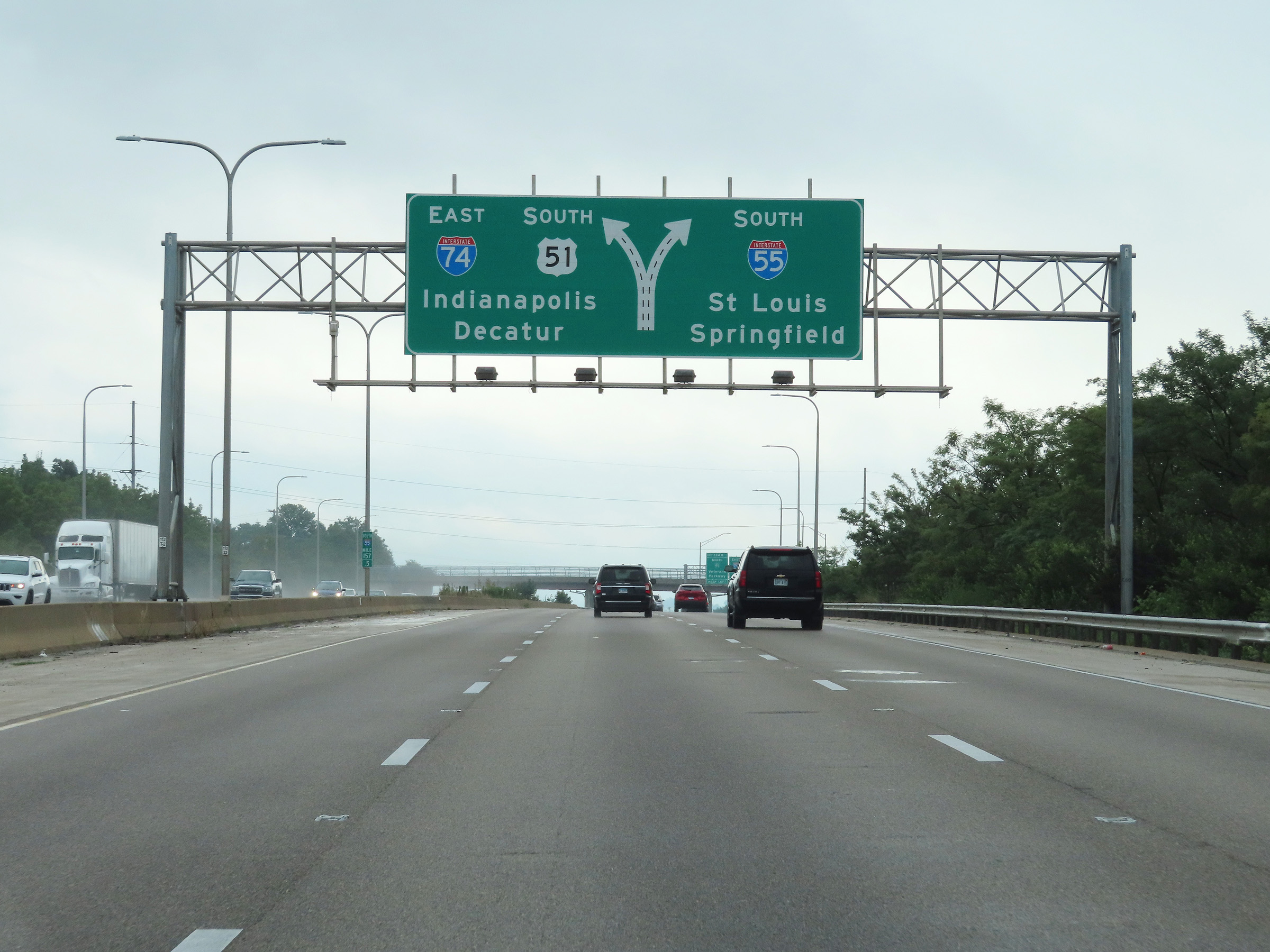 |
More overhead guide signage approaching the split of Interstate 74 East / Interstate 55 South ahead. Again, I-74 East thru traffic must use the center or left lanes. (Photo taken 8/20/22). |
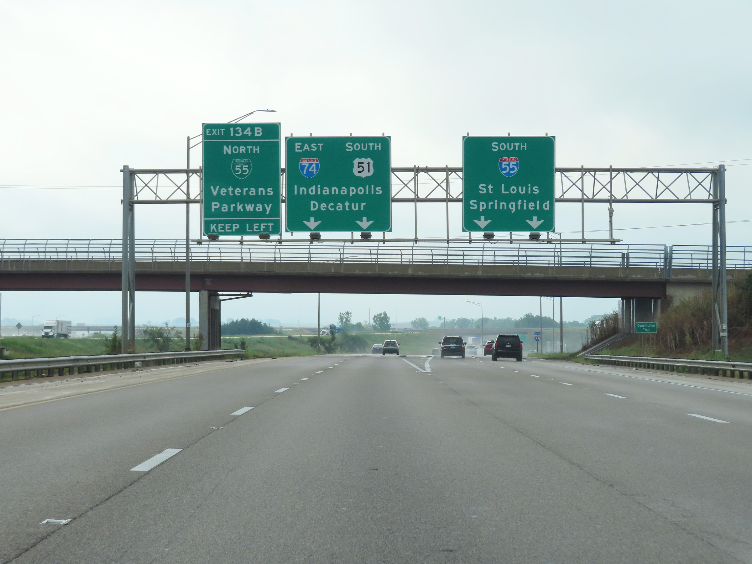 |
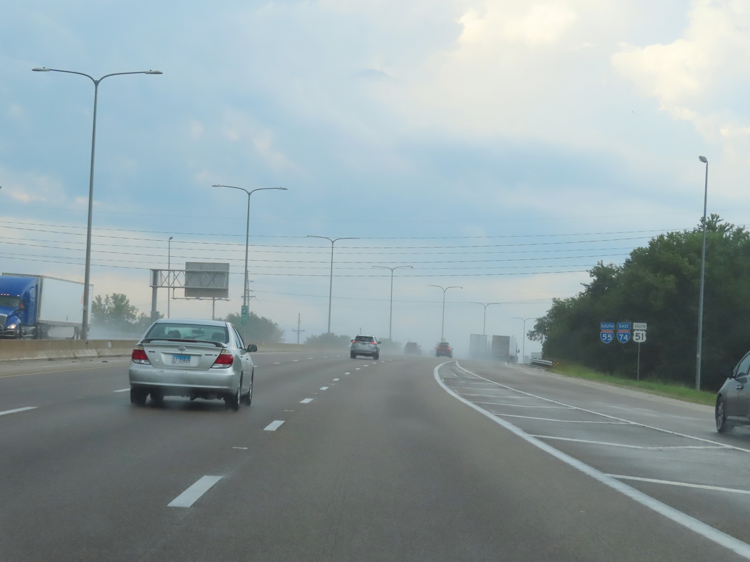
Interstate 74 East departs from Interstate 55 South at this point, to the south of Bloomington. (Photo taken 8/20/22). |
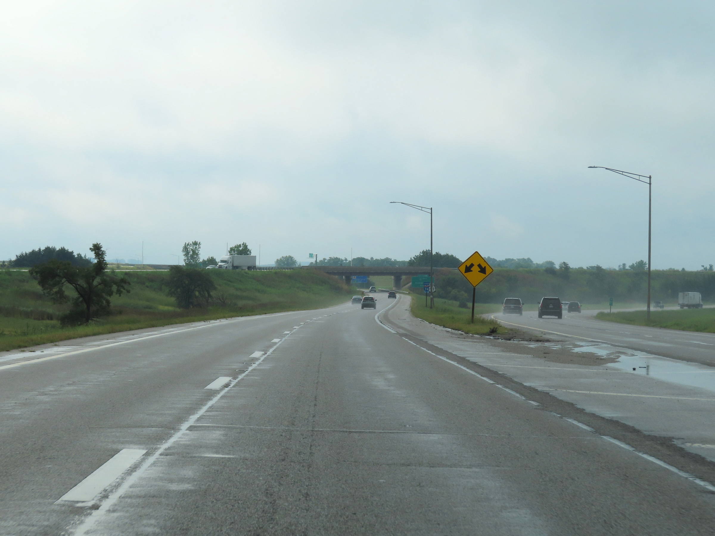 |
A closer view of the exact split point of Interstate 74 East (left) and Interstate 55 South (right). (Photo taken 8/20/22). |
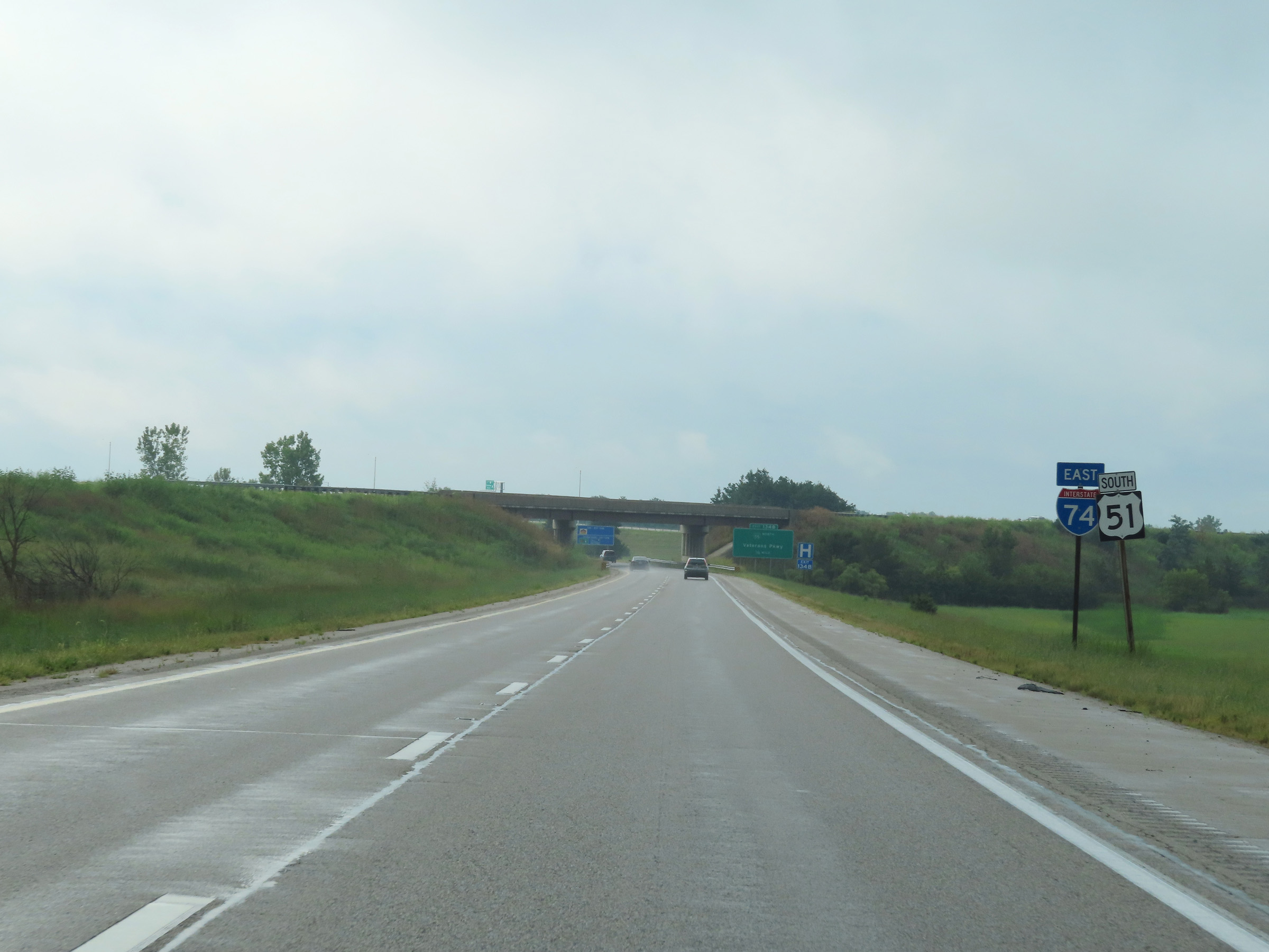 |
Interstate 74 East reassurance shield after its departure from Interstate 55 South. (Photo taken 8/20/22). |
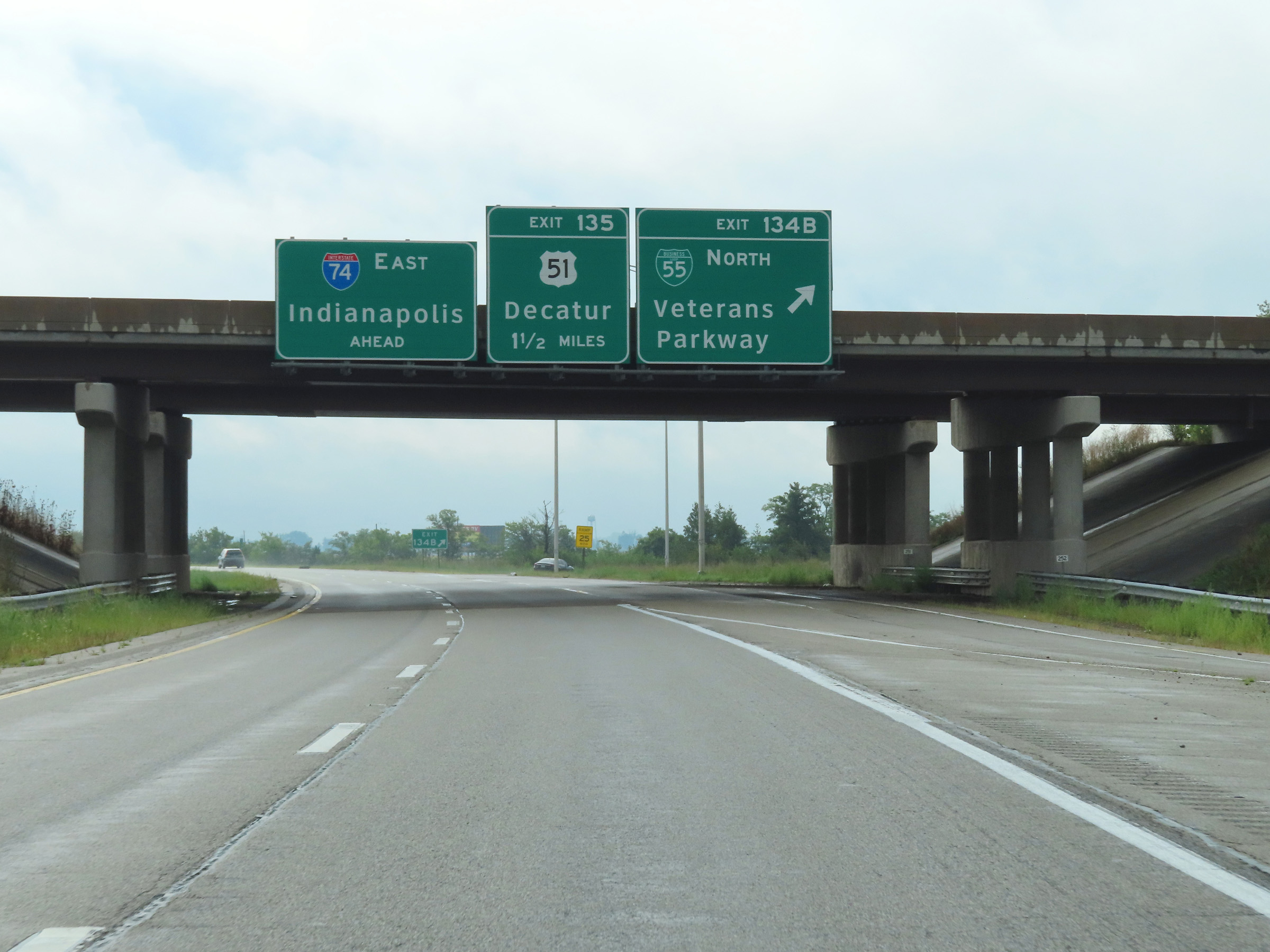 |
Interstate 74 East at Exit 134B: Interstate 55 Business Loop North - Veterans Parkway (Photo taken 8/20/22). |
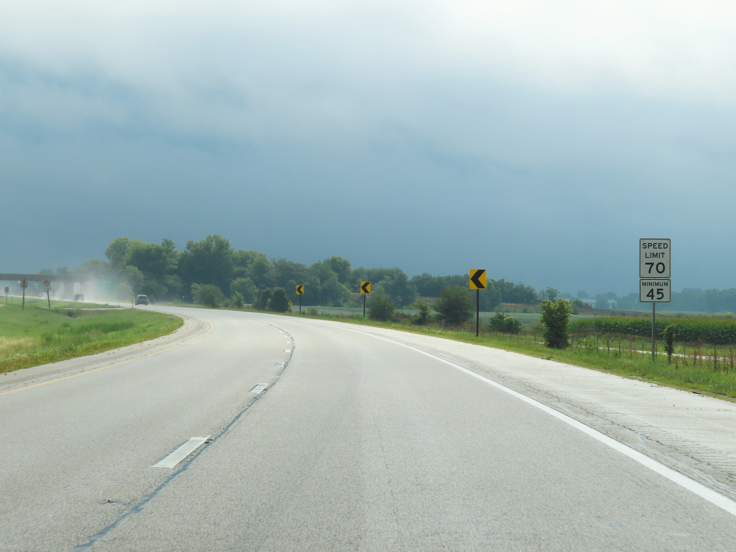 |
Speed limit signs on Interstate 74 East as it curves to the east once again to the south of Blooomington. The speed limits remain the rural standard 70 mph maximum and 45 mph minimum. (Photo taken 8/20/22). |
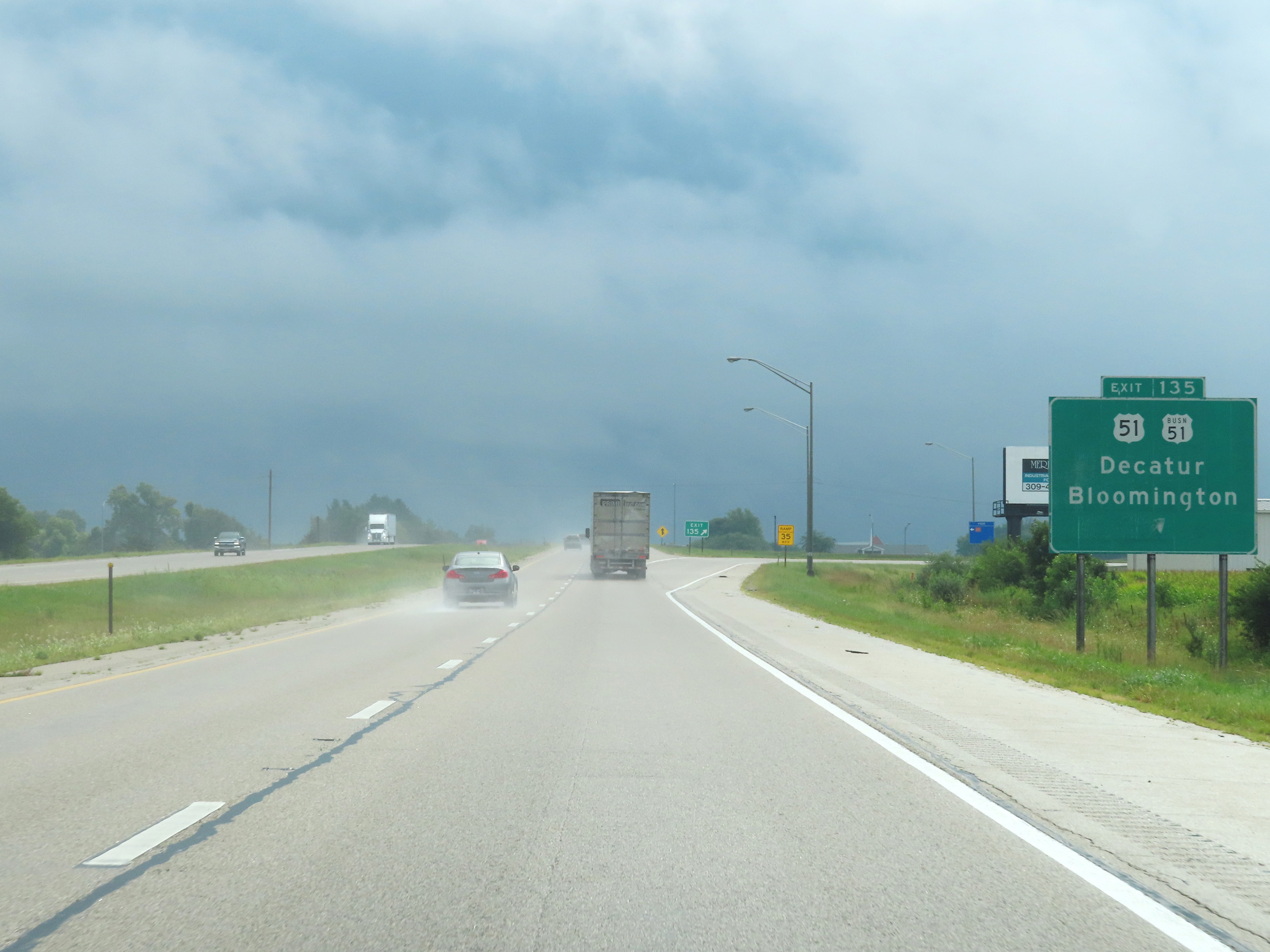 |
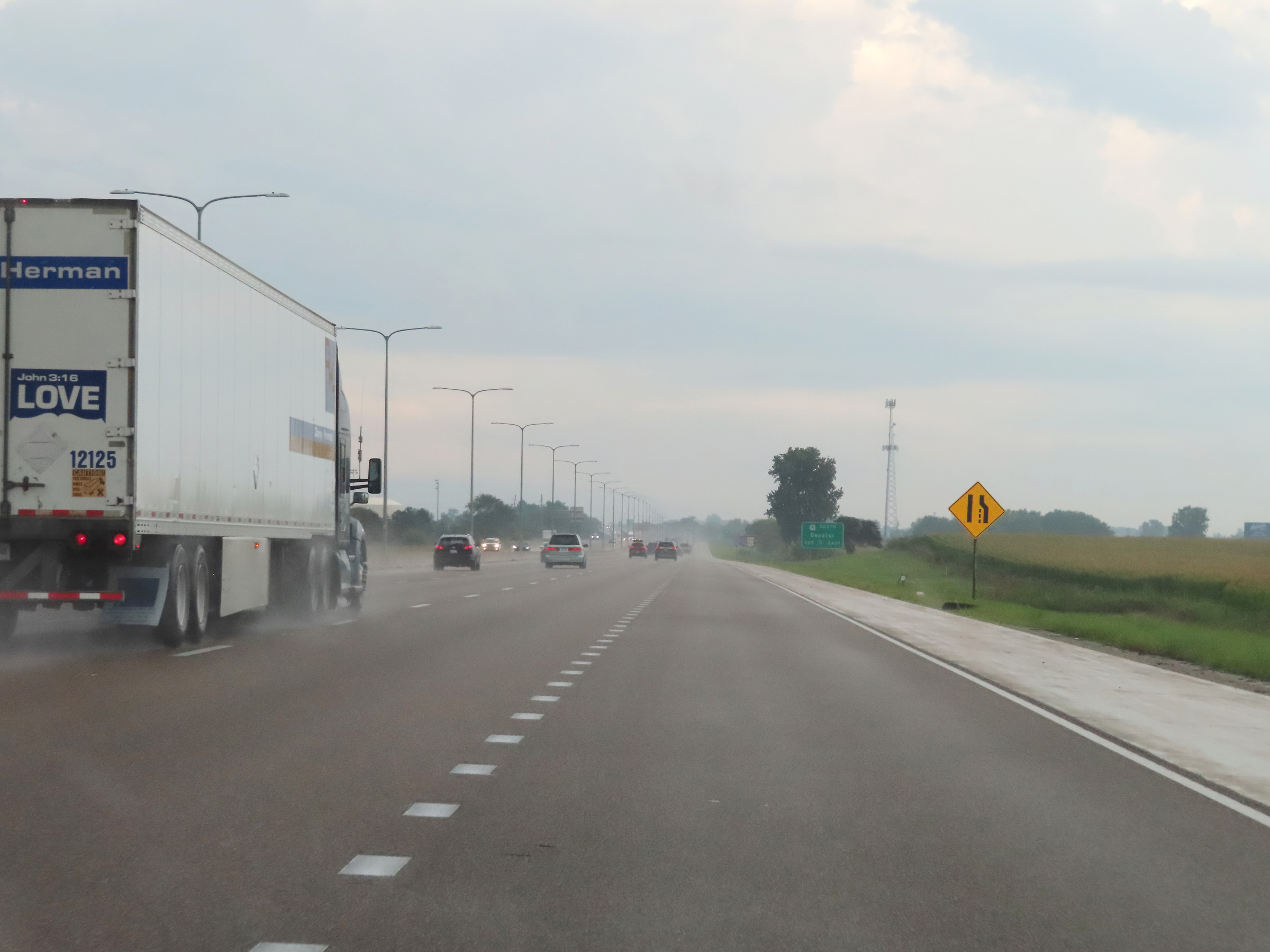
Interstate 74 East at Exit 135: US 51 / US 51 Business - Decatur / Bloomington (Photo taken 8/20/22). |
Section 4: Bloomington (Exit 135) to Champaign (Exit 182)
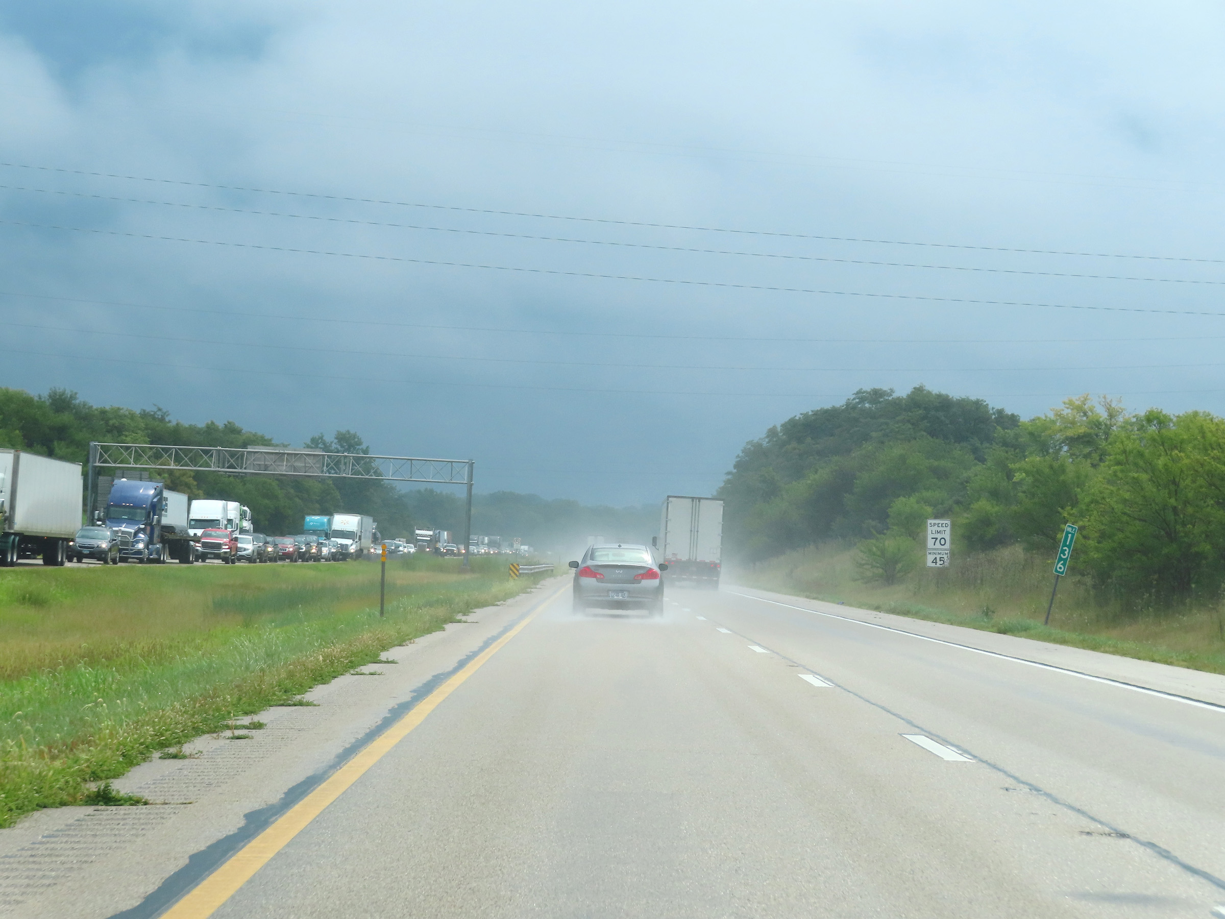 |
Interstate 74 East at mile marker 136. (Photo taken 8/20/22). |
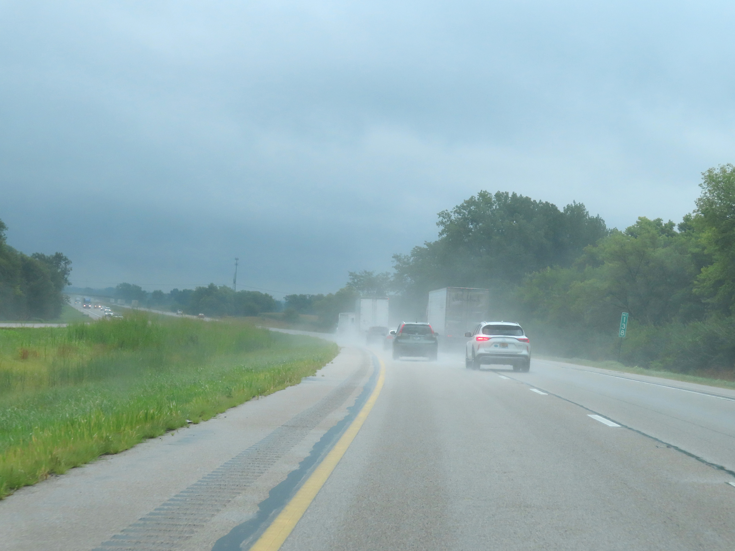 |
Mile marker 138 on Interstate 74 East in McLean County. (Photo taken 8/20/22). |
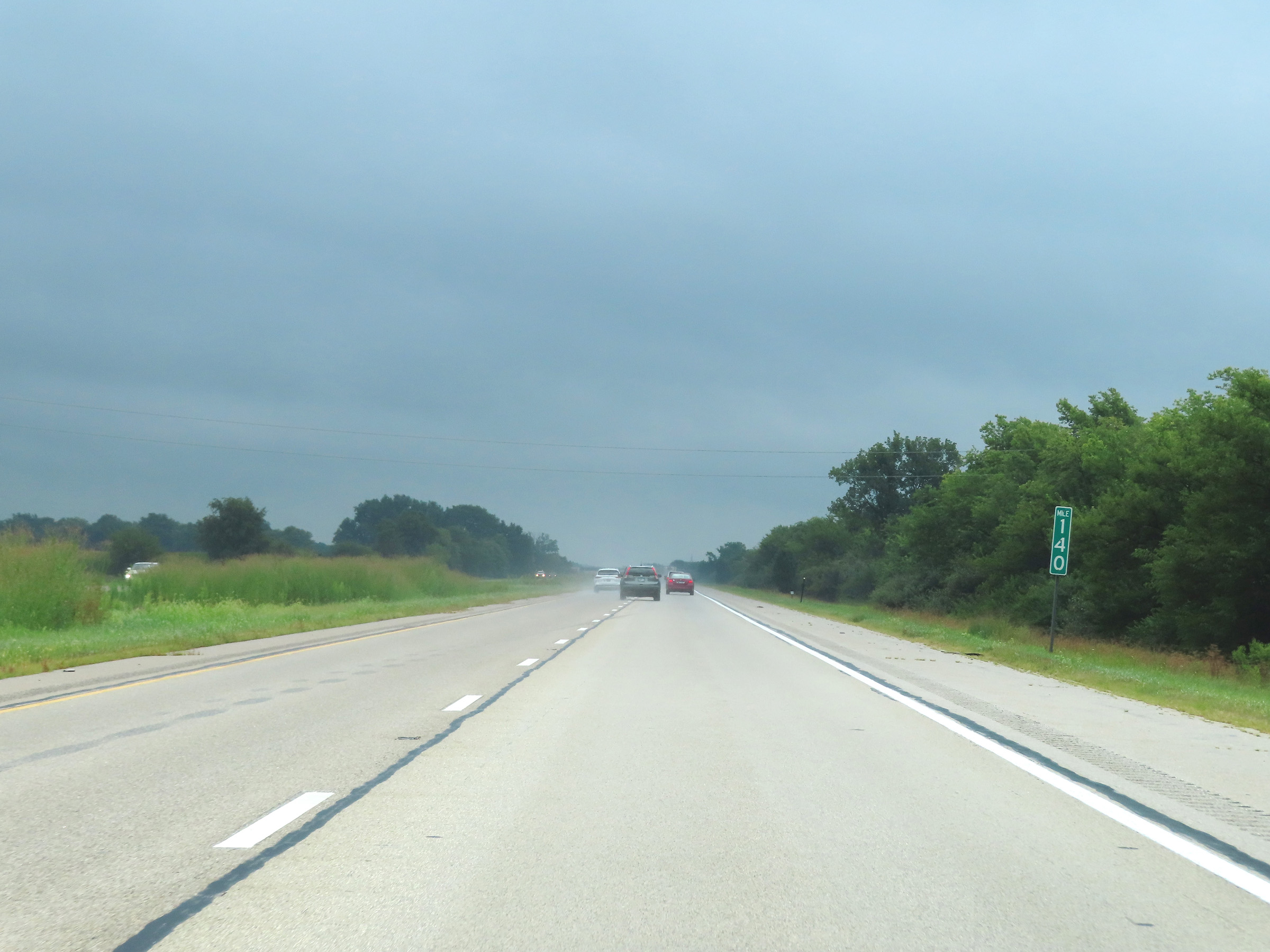 |
View on Interstate 74 East at mile amrker 140. (Photo taken 8/20/22). |
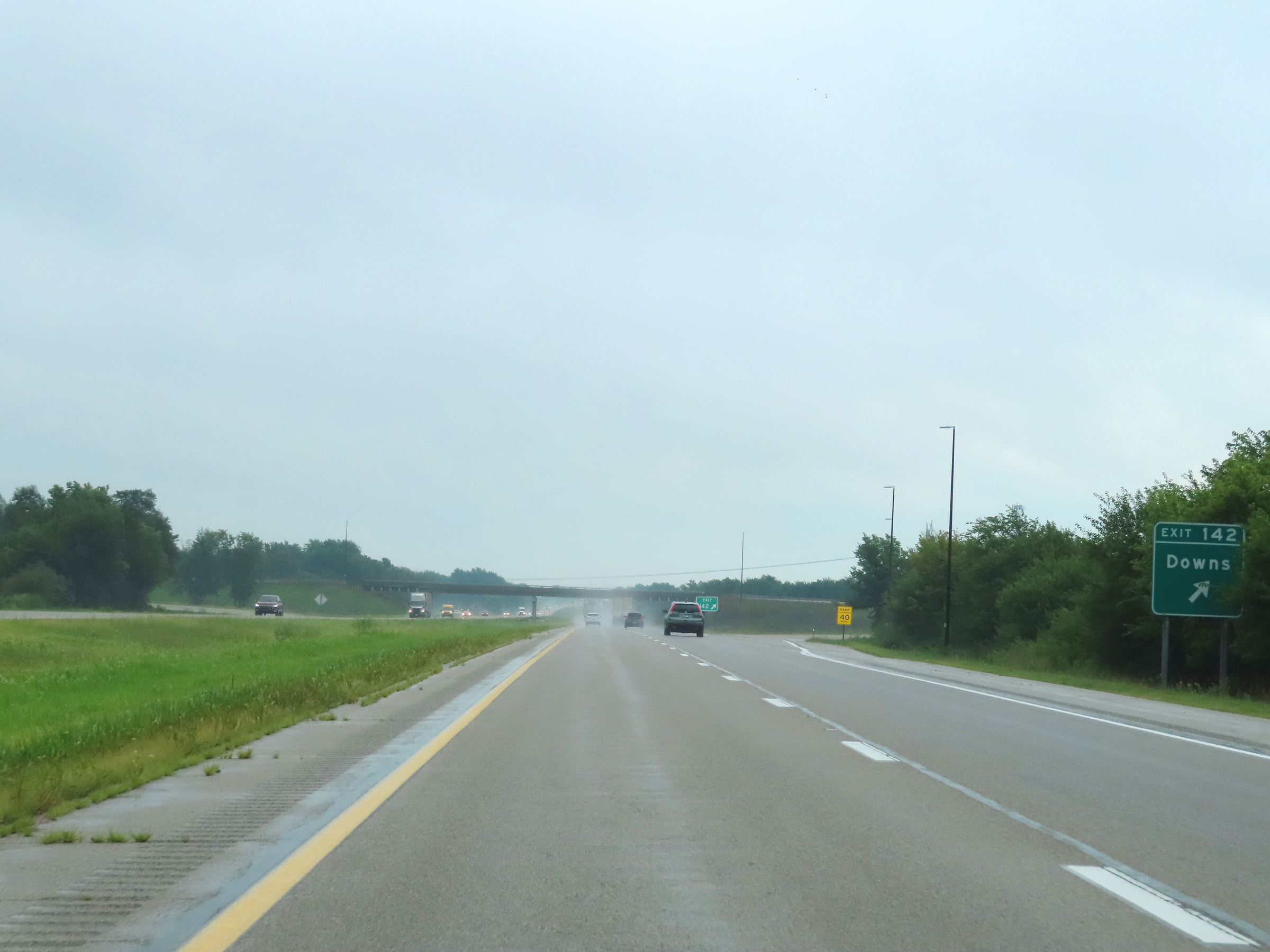 |
Interstate 74 East at Exit 142: Downs (Photo taken 8/20/22). |
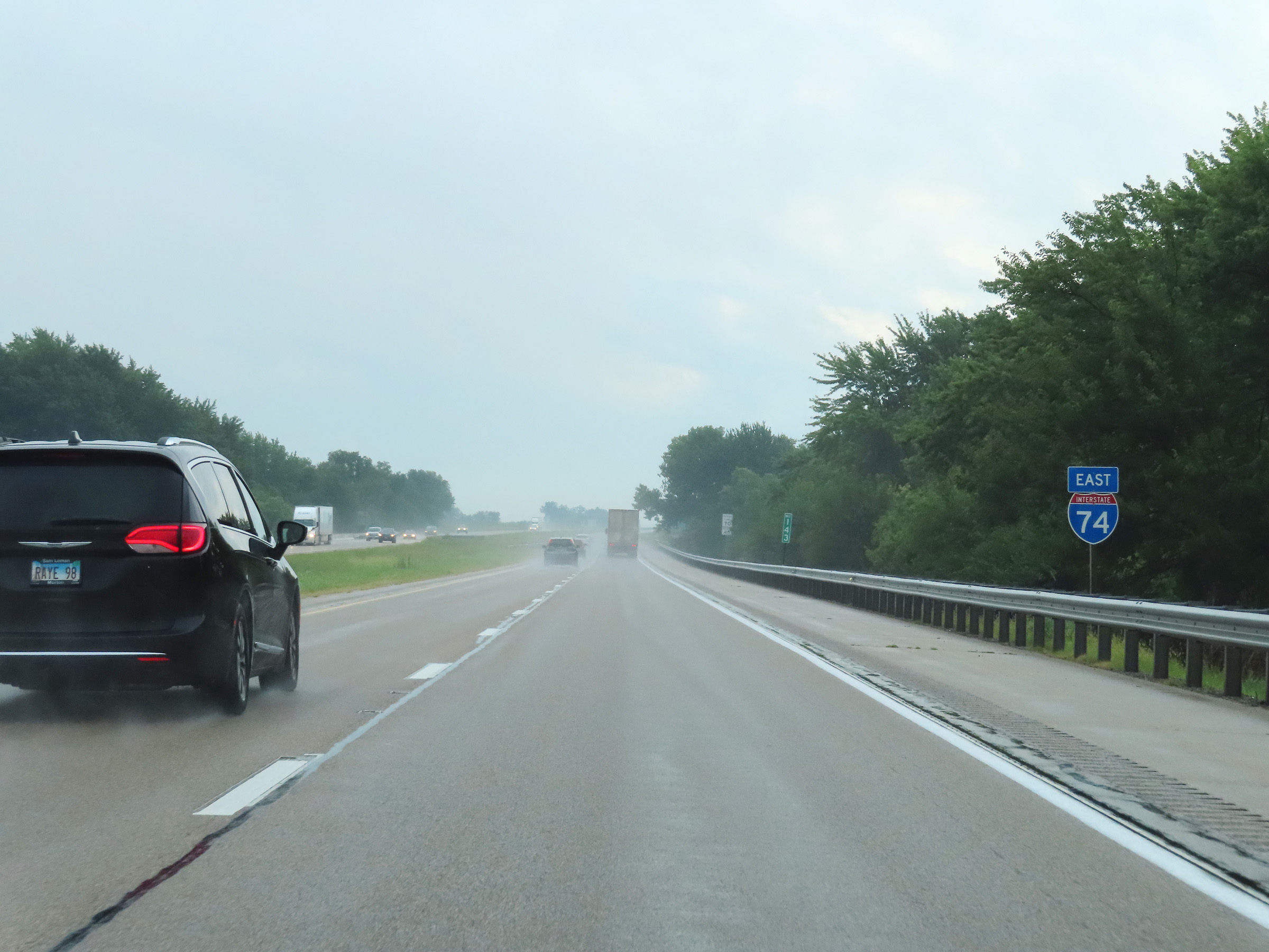 |
Another Interstate 74 East reassurance shield at mile marker 143. (Photo taken 8/20/22). |
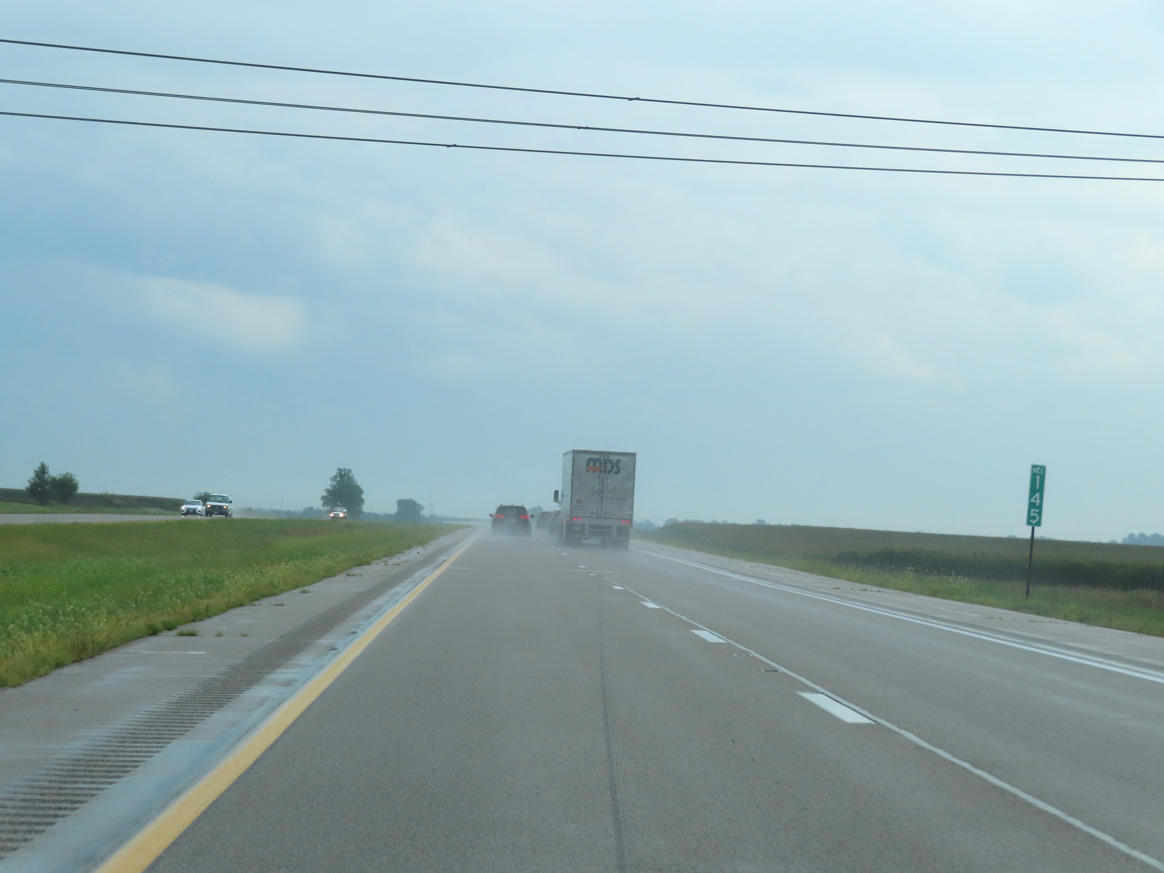 |
Mile marker 145 on Interstate 74 East in McLean County. (Photo taken 8/20/22). |
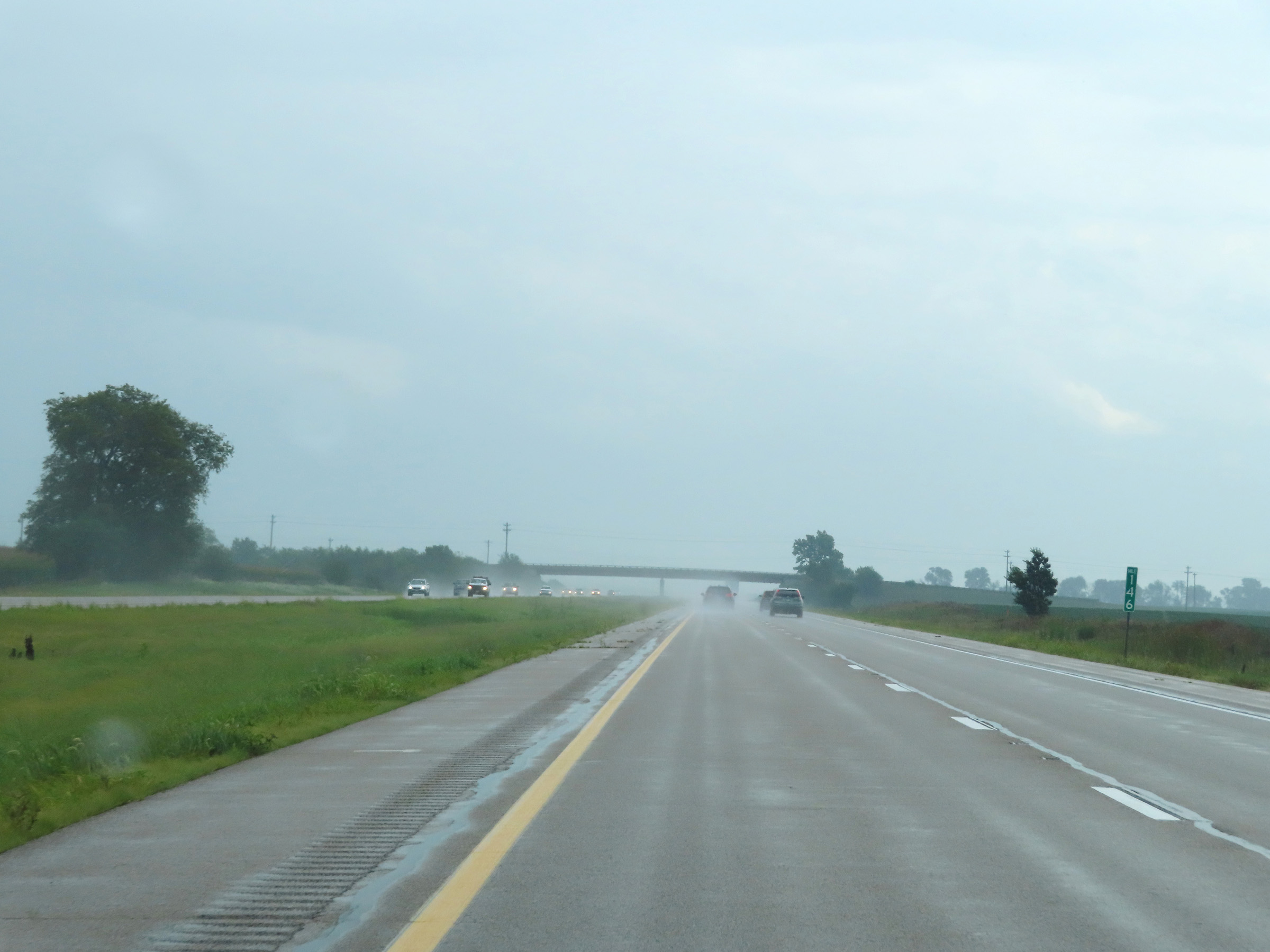 |
View on Interstate 74 East at mile marker 146. (Photo taken 8/20/22). |
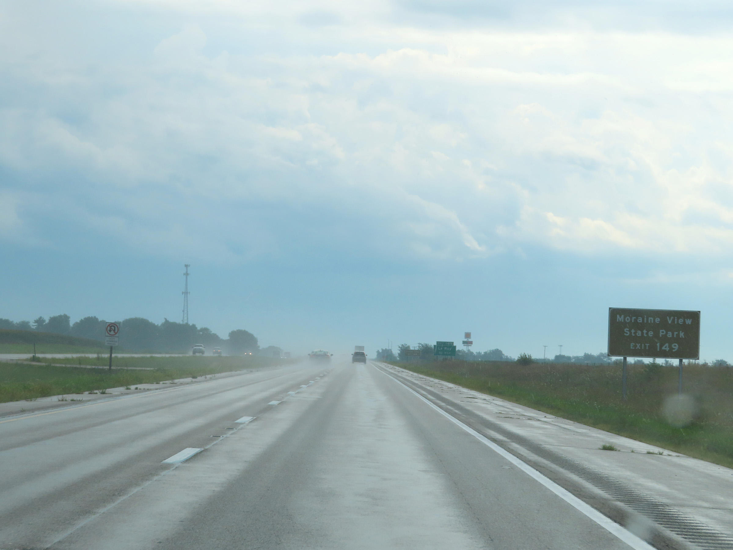 |
Take Exit 149 to Moraine View State Park. (Photo taken 8/20/22). |
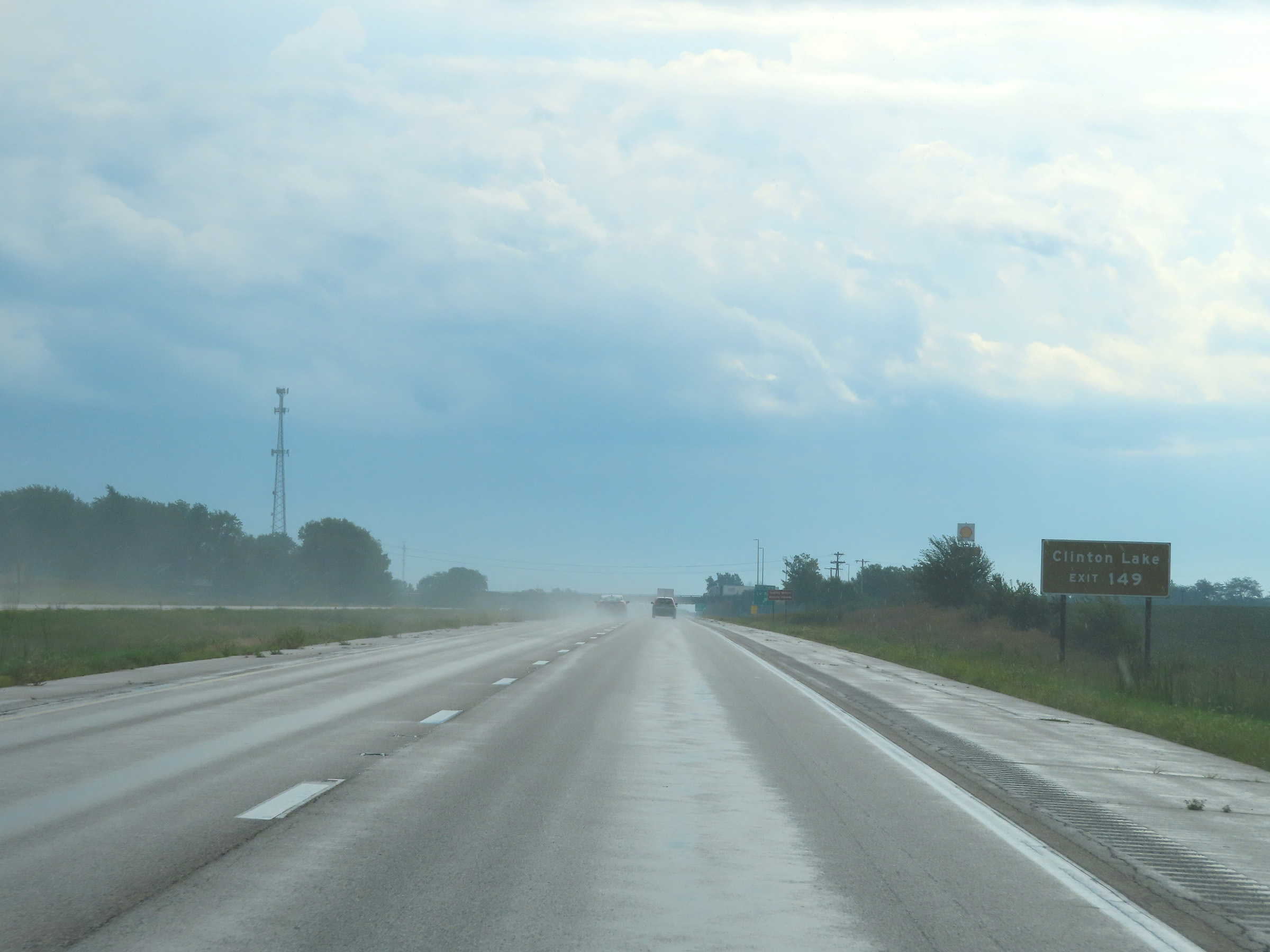 |
Also take Exit 149 to Clinton Lake. (Photo taken 8/20/22). |
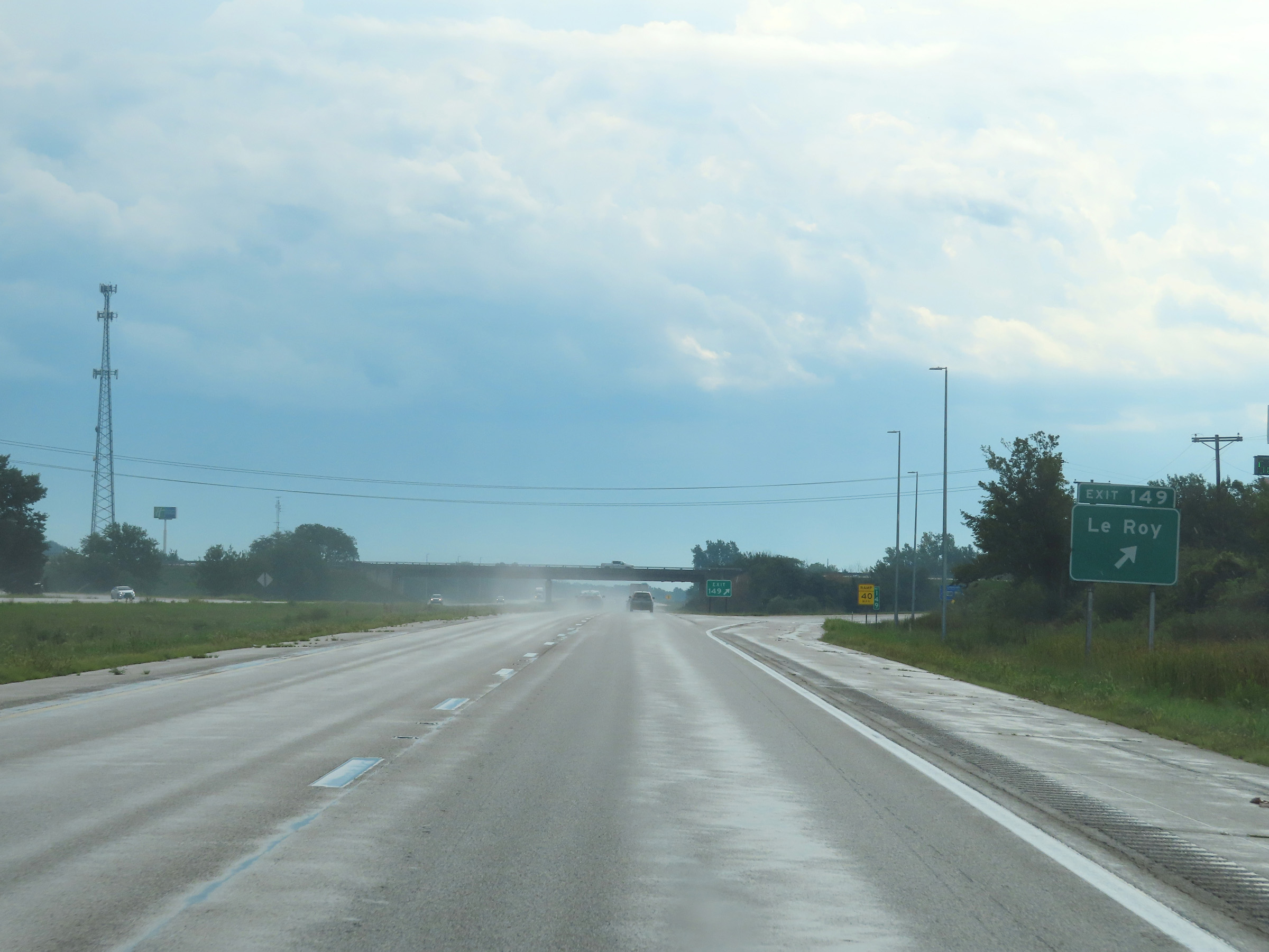 |
Interstate 74 East at Exit 149: Le Roy (Photo taken 8/20/22). |
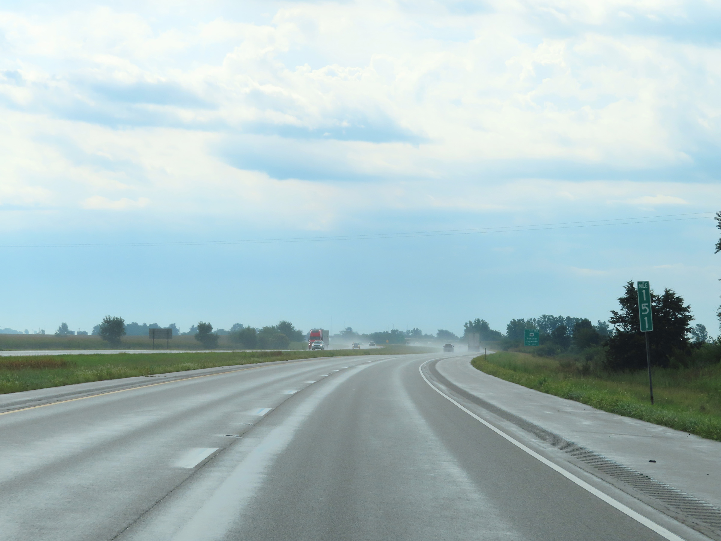 |
View on Interstate 74 East at mile marker 151. (Photo taken 8/20/22). |
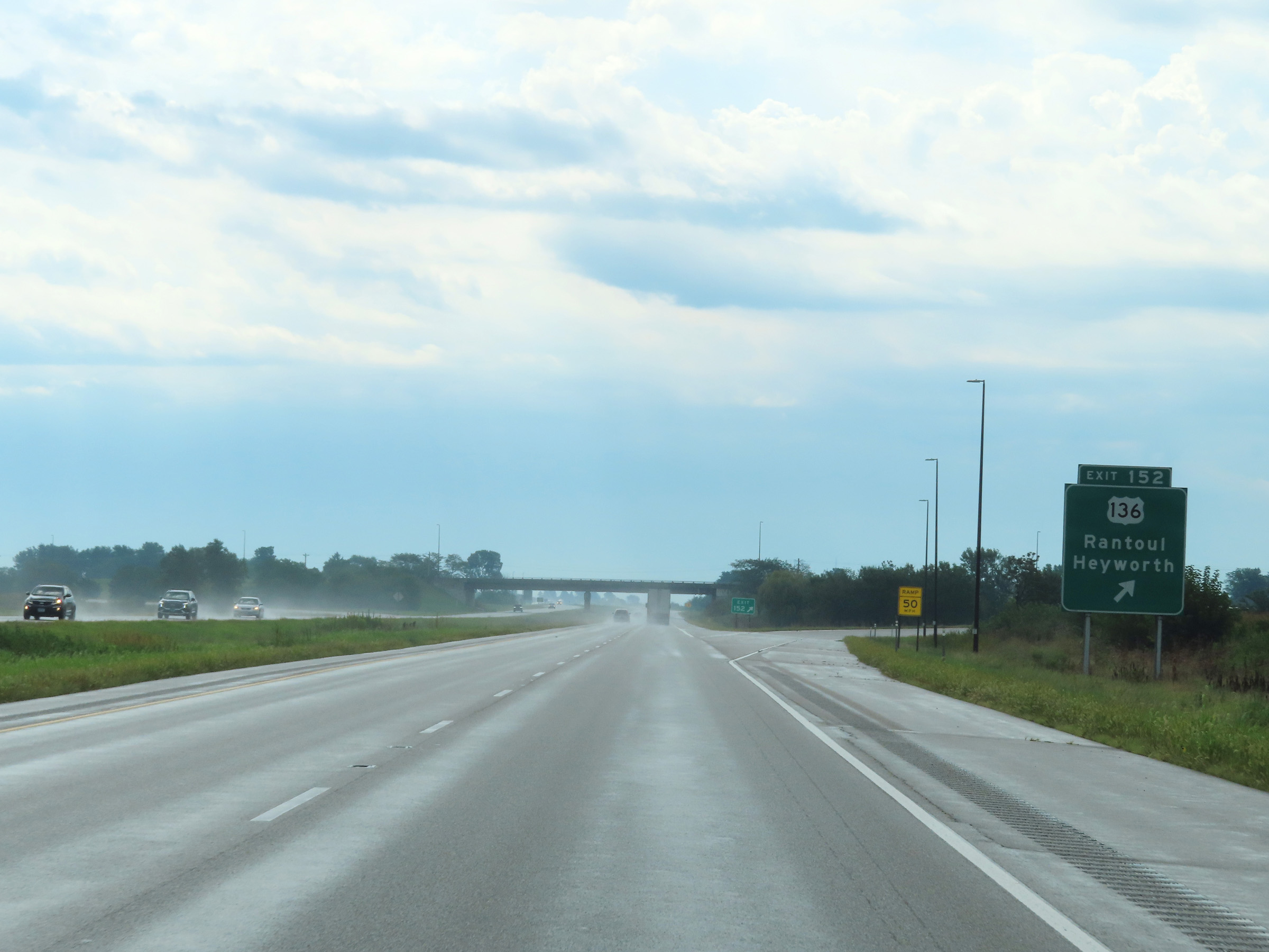 |
Interstate 74 East at Exit 152: US 136 - Rantoul / Heyworth (Photo taken 8/20/22). |
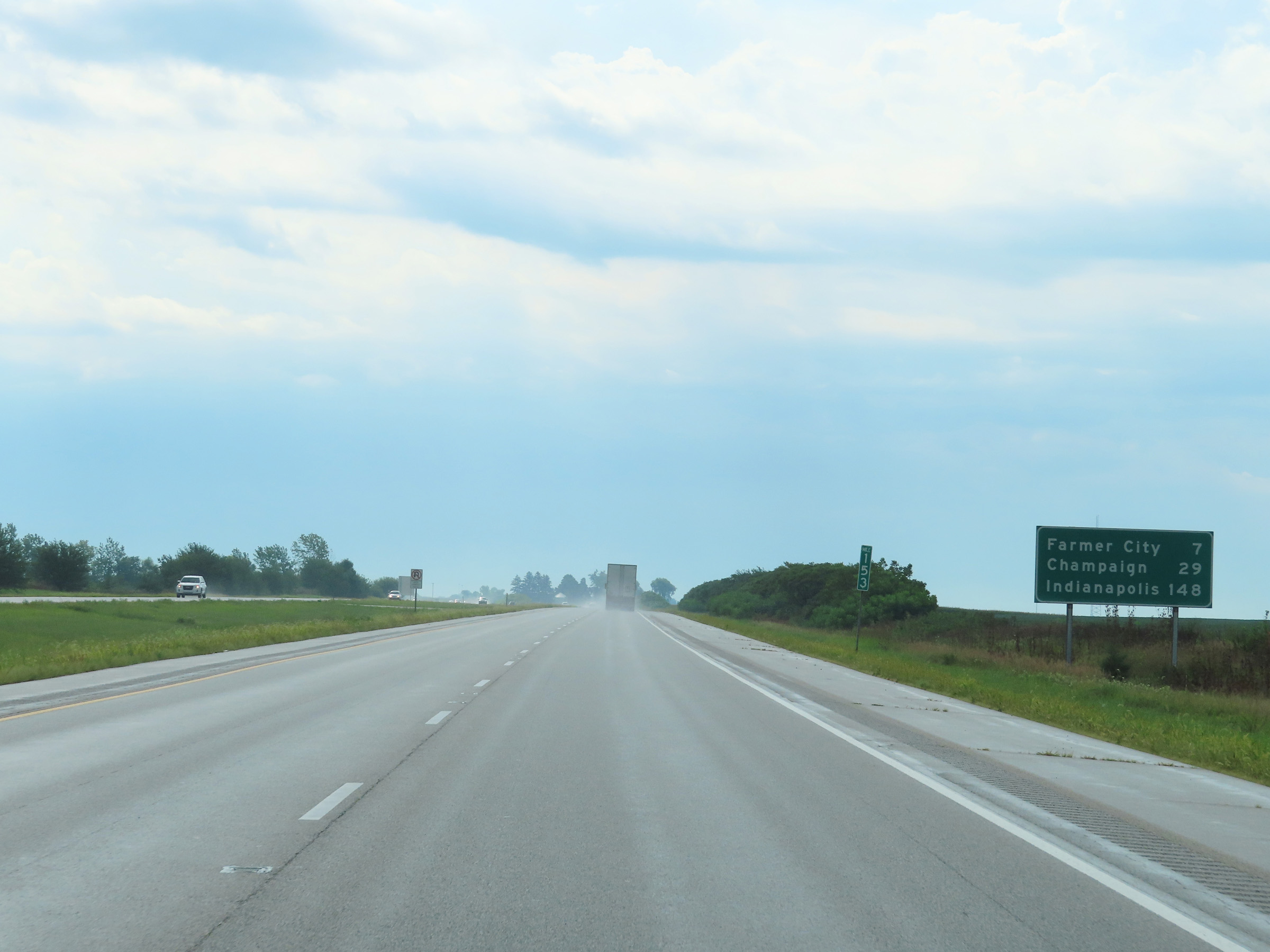 |
Mileage sign at mile marker 153. It's 7 miles to Farmer City, 29 miles to Champaign, and 148 miles to Indianapolis. (Photo taken 8/20/22). |
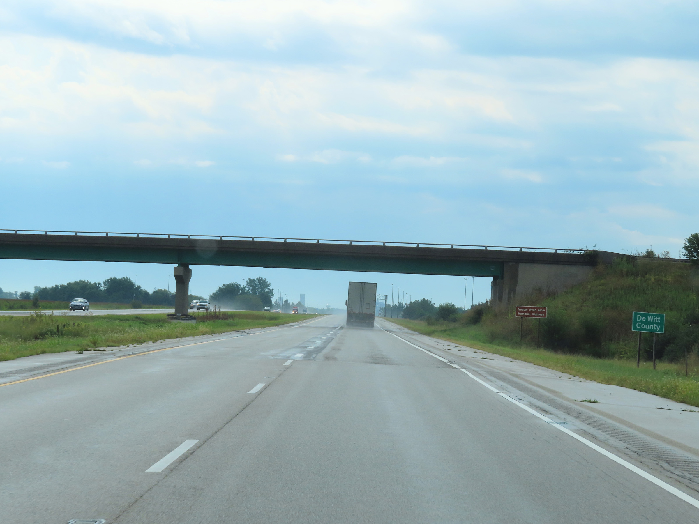 |
Interstate 74 East as it enters DeWitt County. (Photo taken 8/20/22). |
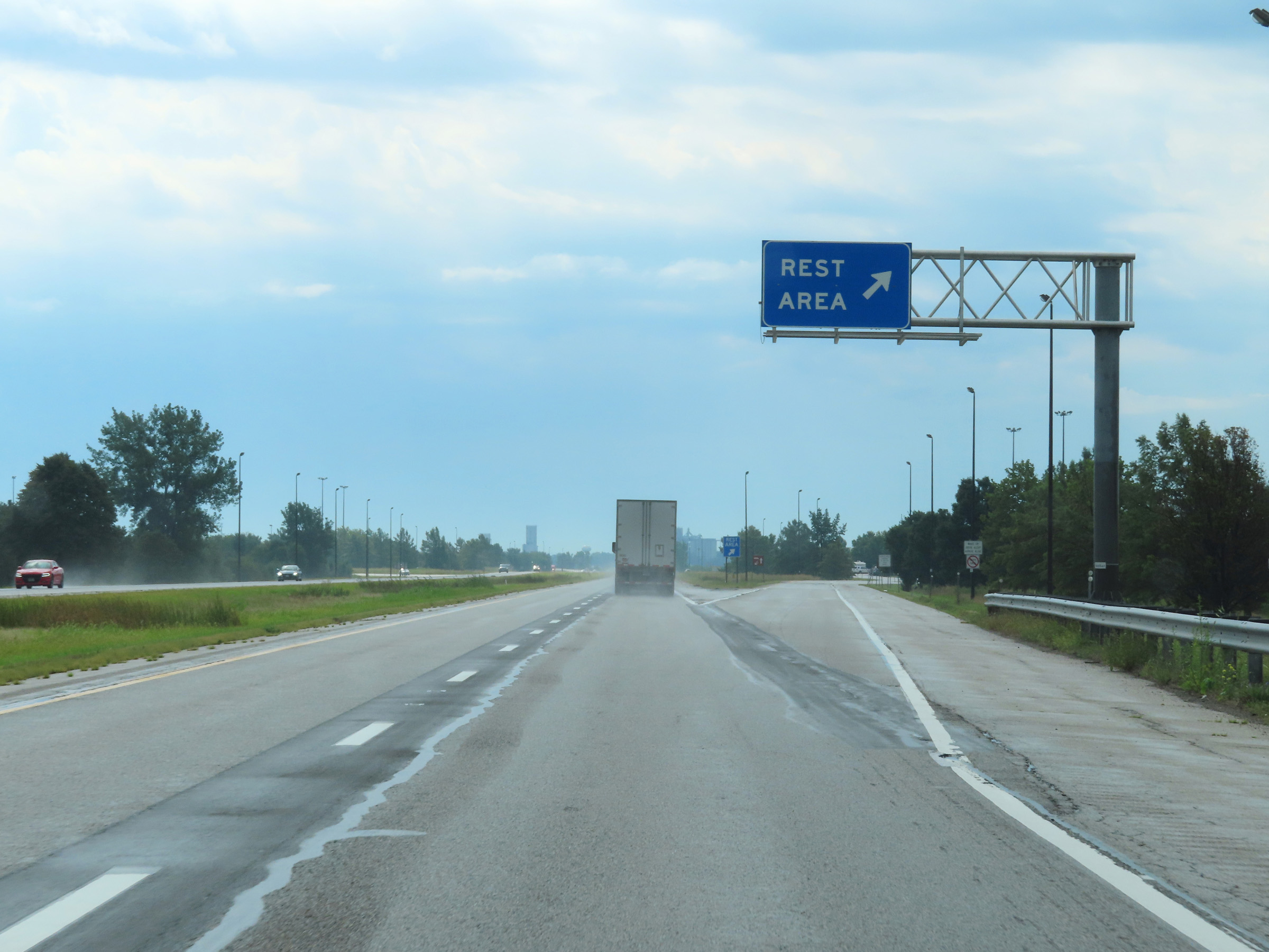 |
Rest Area on Interstate 74 East in DeWitt County. (Photo taken 8/20/22). |
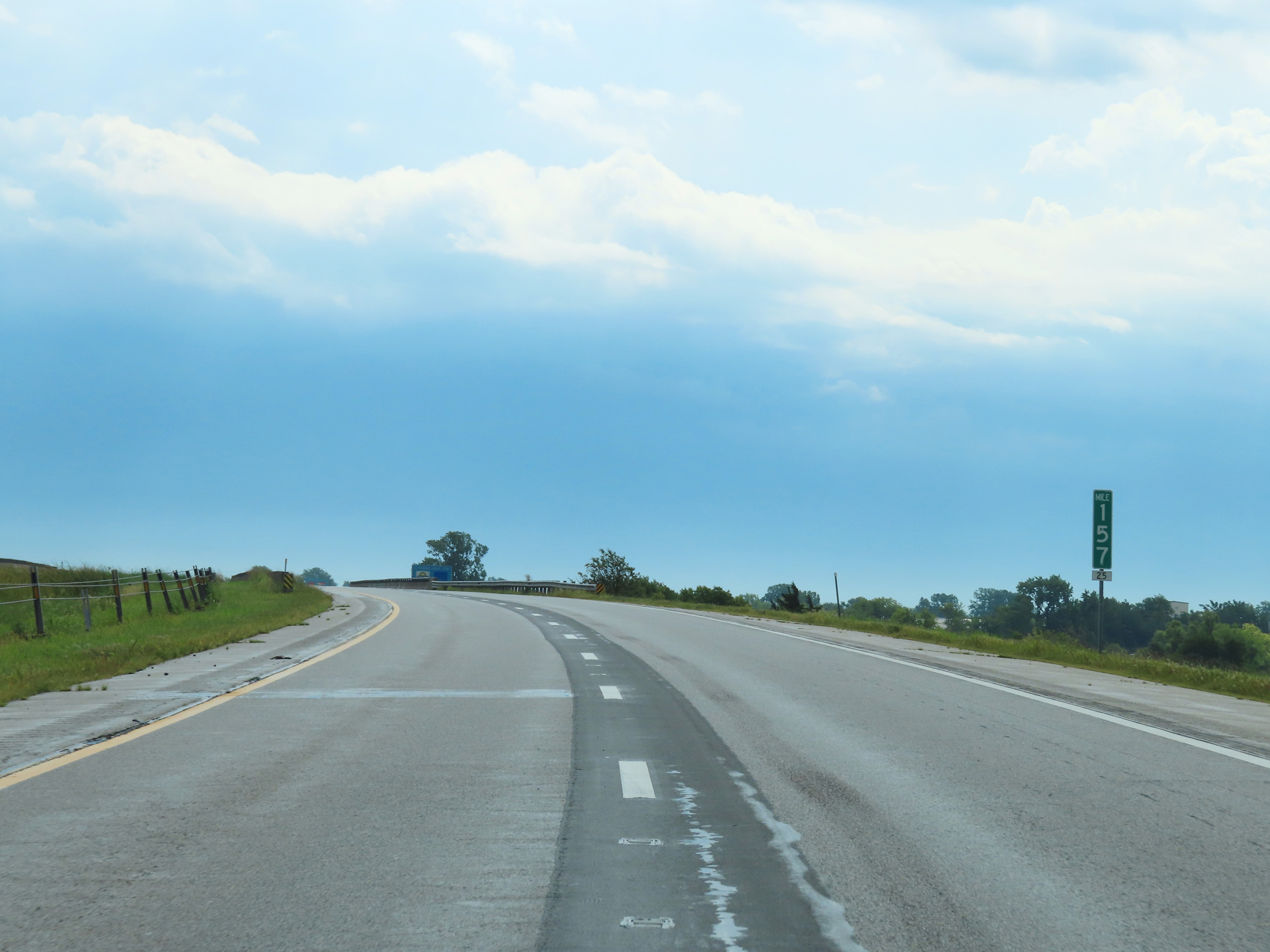 |
Interstate 74 East at mile marker 157. (Photo taken 8/20/22). |
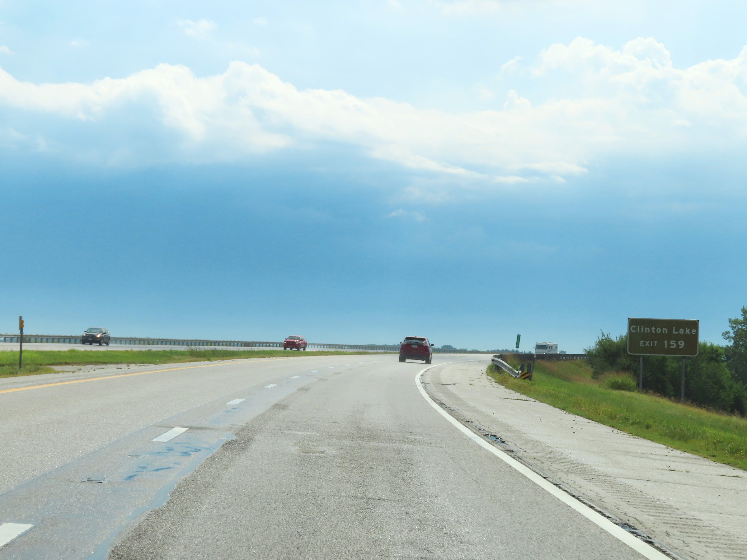 |
Take Exit 159 to Clinton Lake. (Photo taken 8/20/22). |
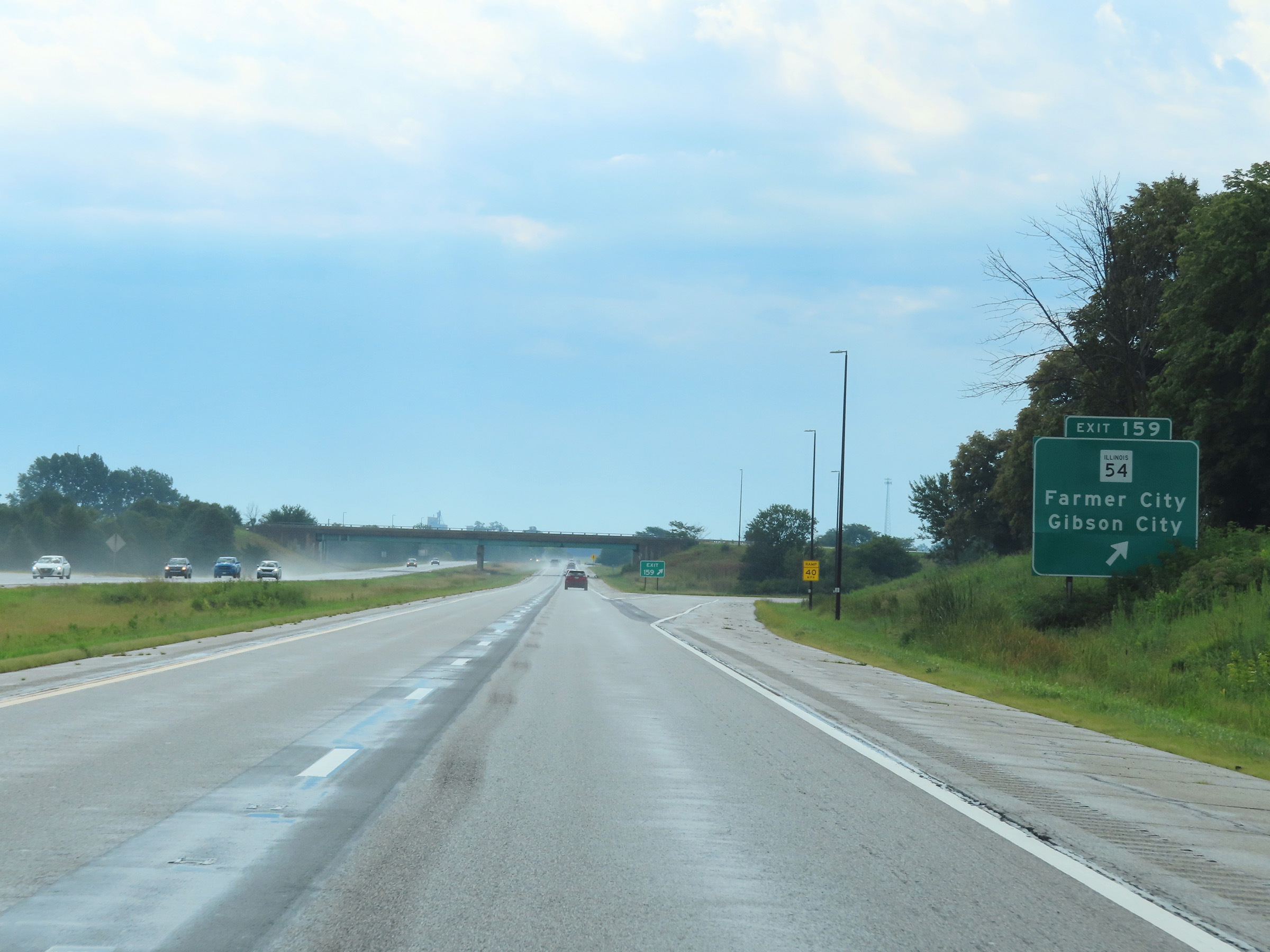 |
Interstate 74 East at Exit 159: IL 54 - Farmer City / Gibson City (Photo taken 8/20/22). |
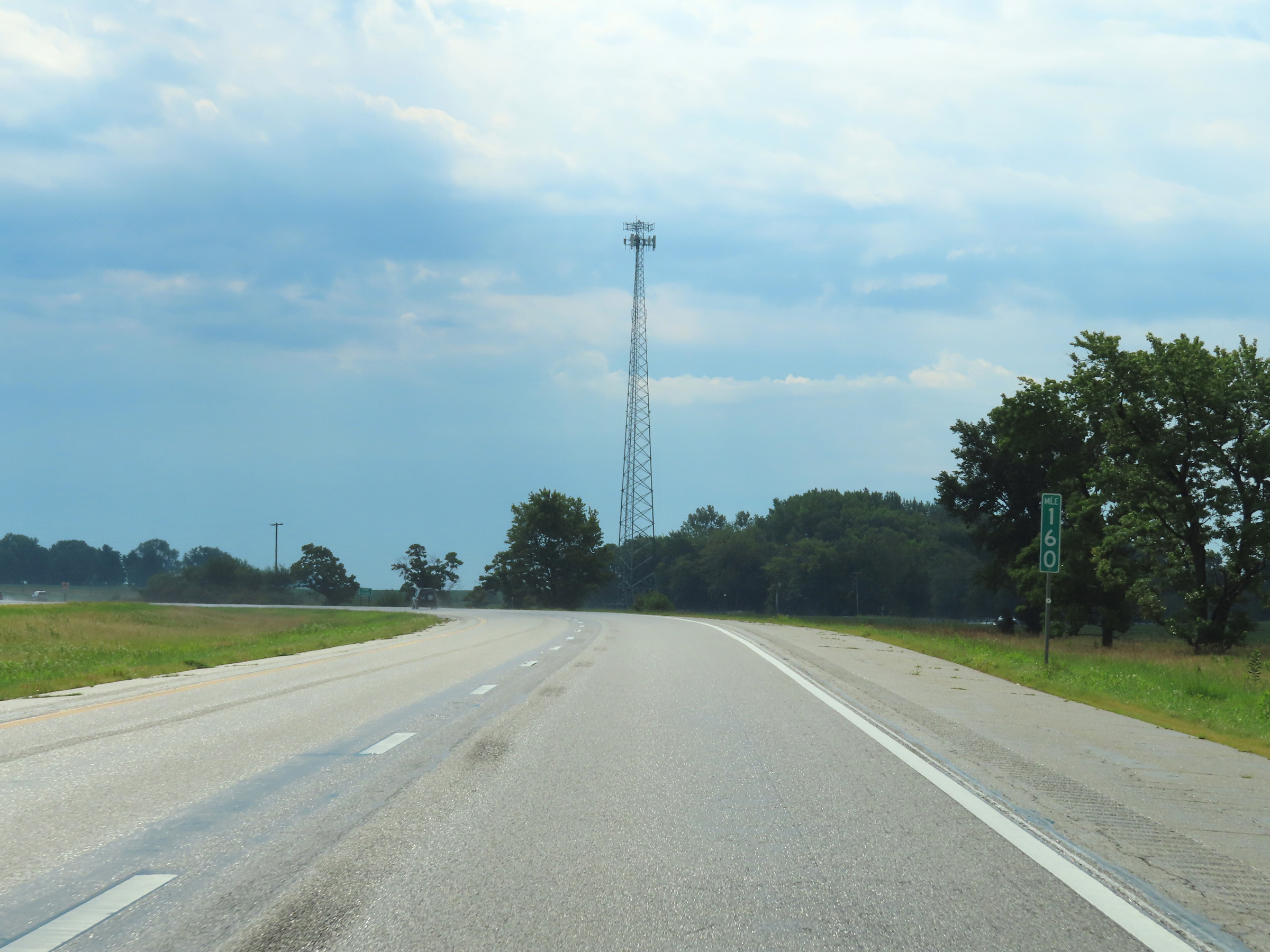 |
View on Interstate 74 East at mile marker 160. (Photo taken 8/20/22). |
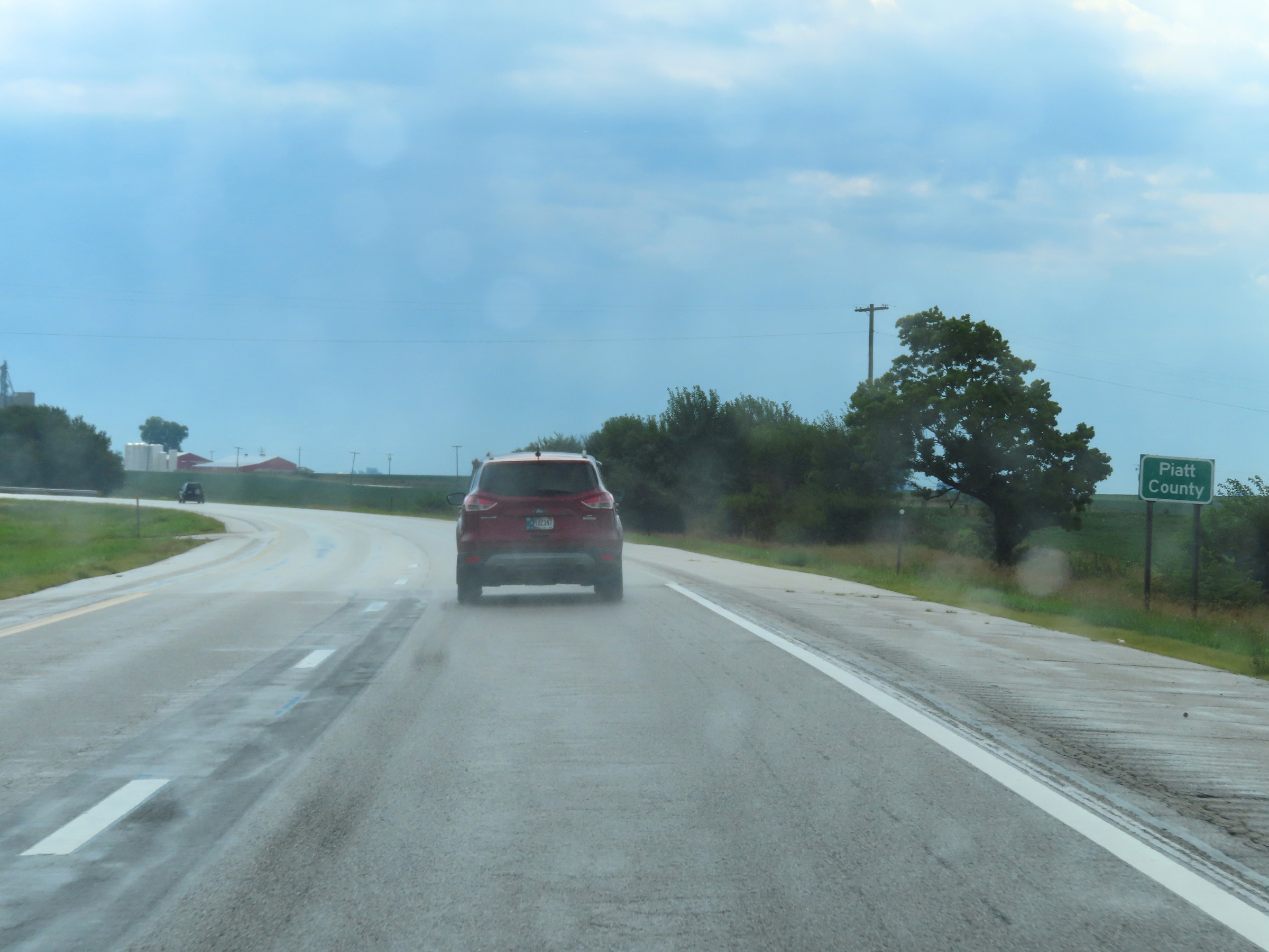 |
Interstate 74 East as it enters Piatt County. (Photo taken 8/20/22). |
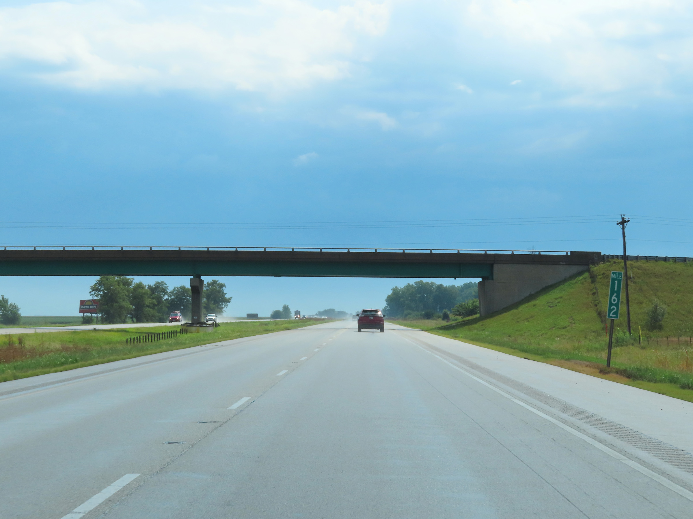 |
Interstate 74 East at mile marker 162. (Photo taken 8/20/22). |
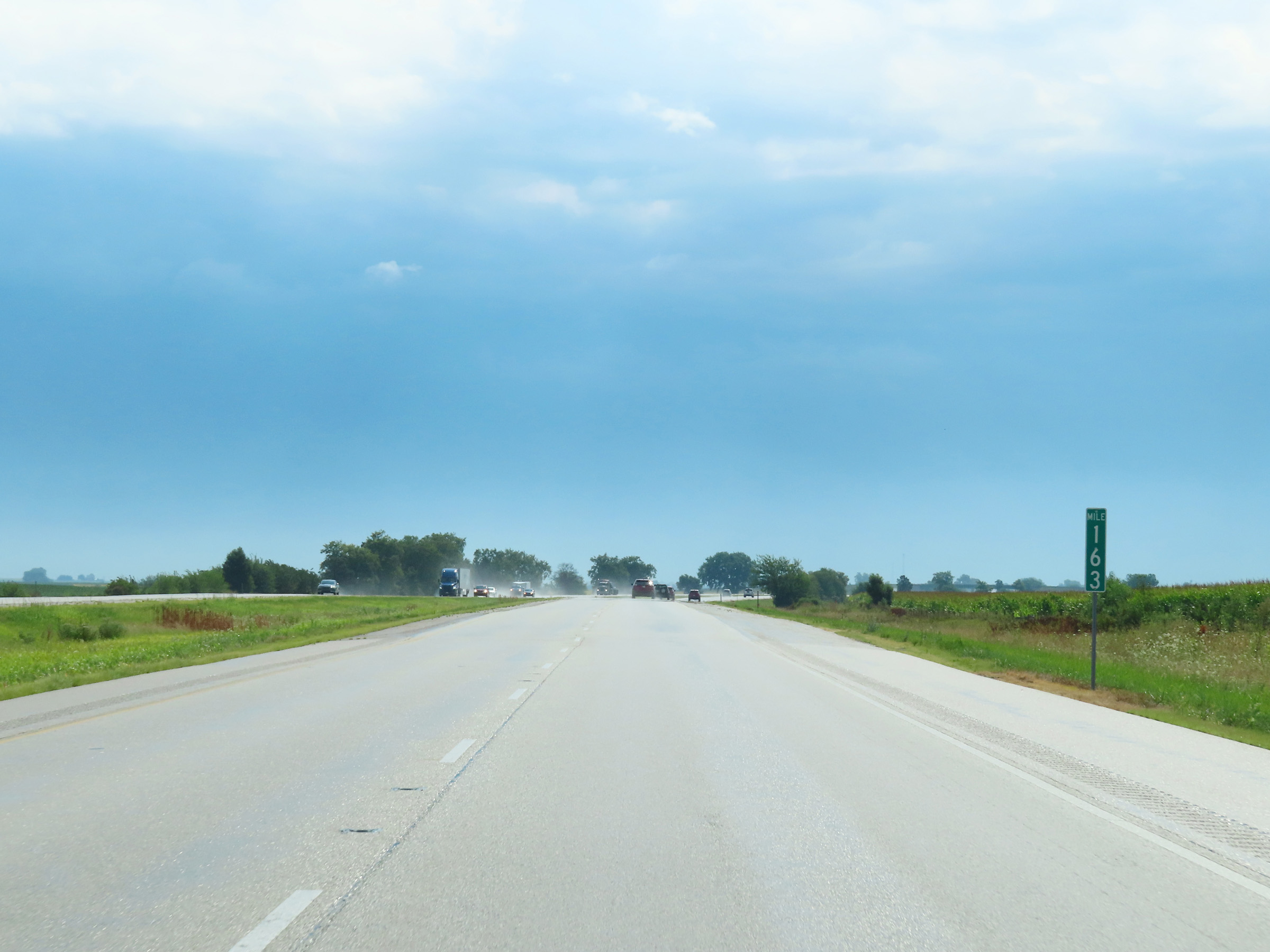 |
View on Interstate 74 East at mile marker 163. (Photo taken 8/20/22). |
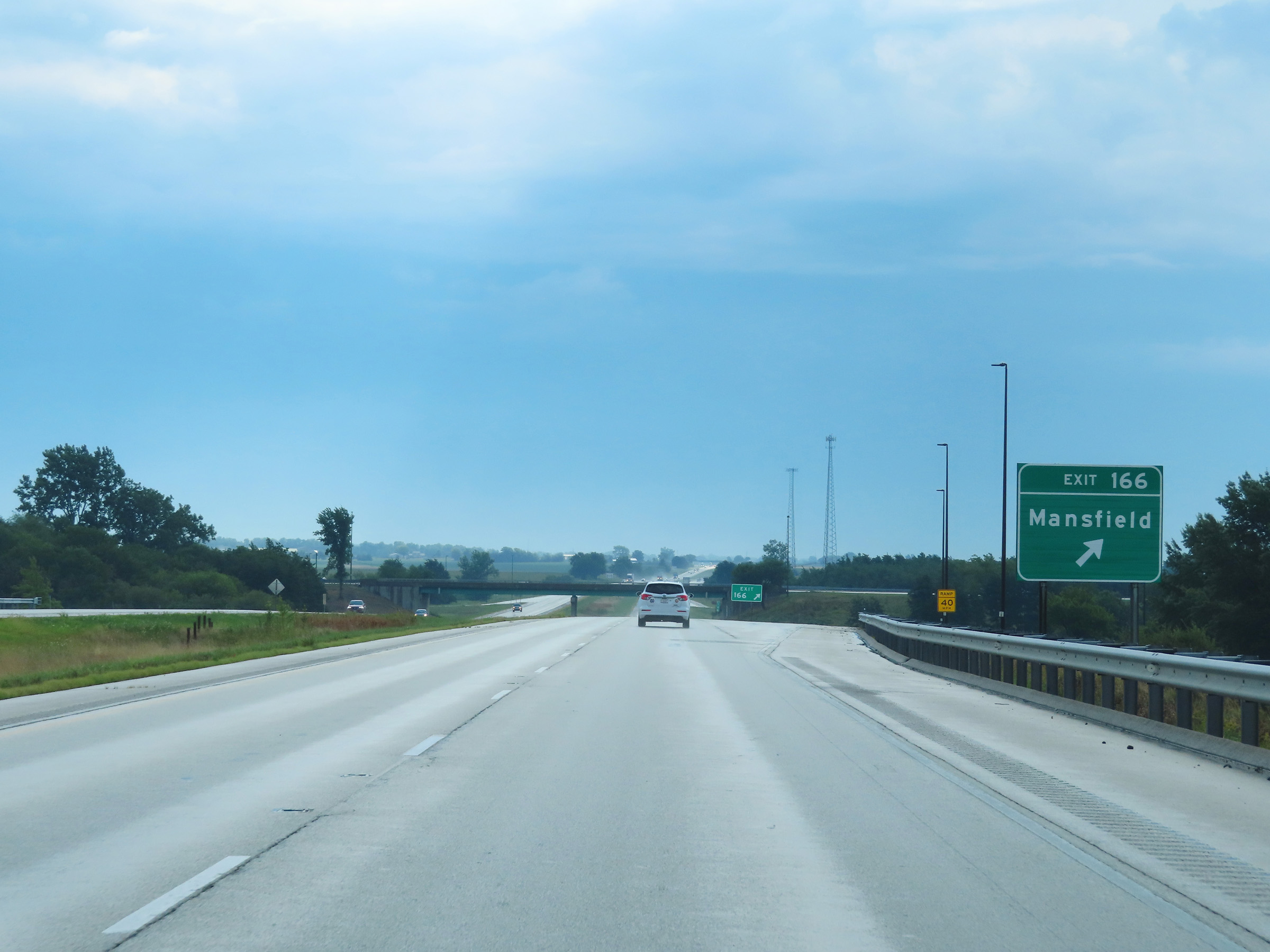 |
Interstate 74 East at Exit 166: Mansfield (Photo taken 8/20/22). |
 |
Interstate 74 East reassurance shield. (Photo taken 8/20/22). |
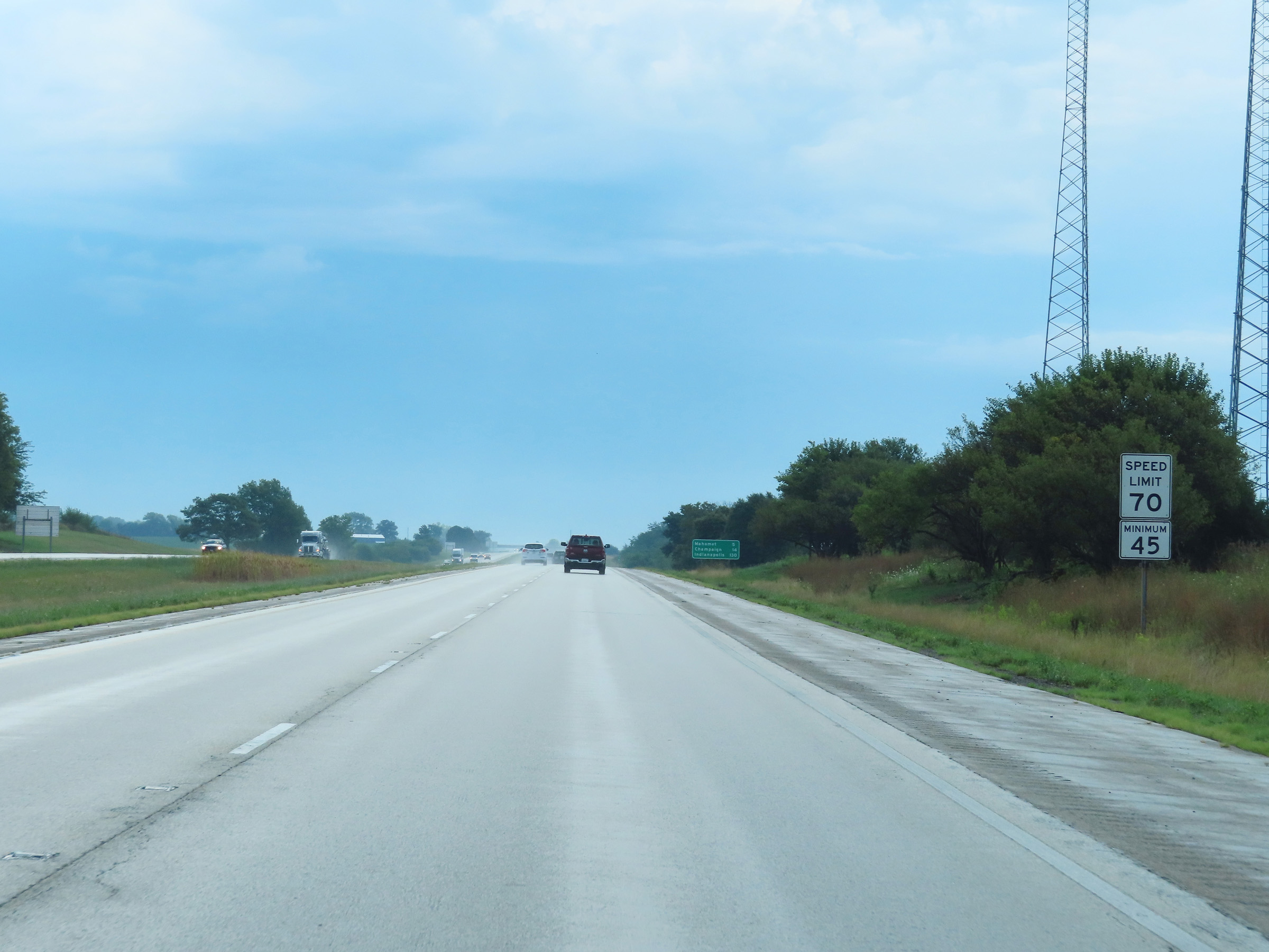 |
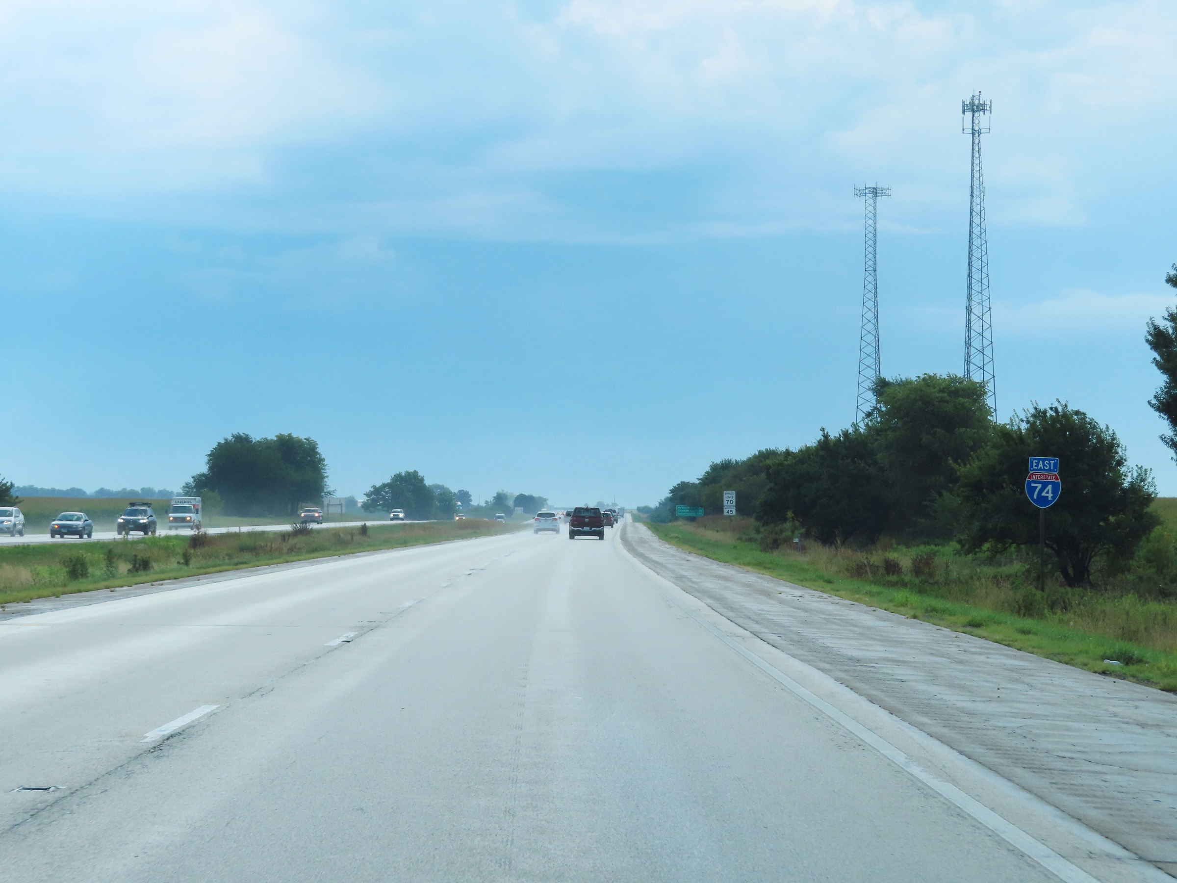
The speed limits on Interstate 74 East remain 70 mph maximum and 45 mph minimum. (Photo taken 8/20/22). |
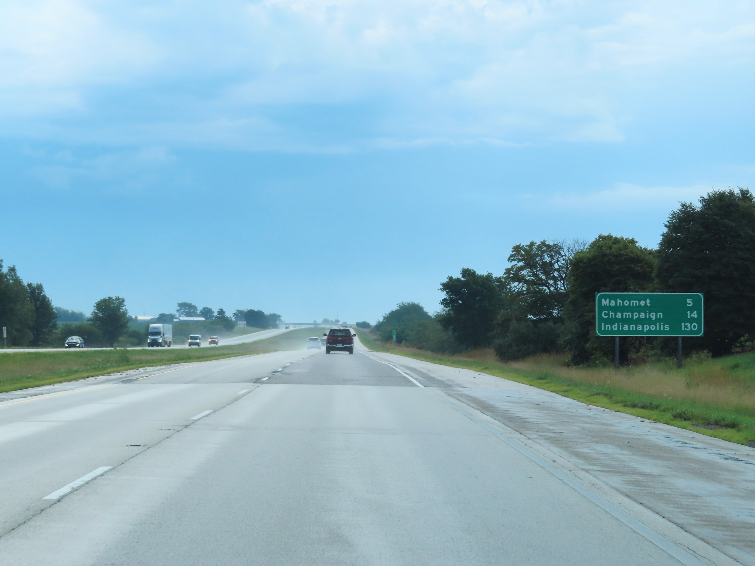 |
Mileage sign on Interstate 74 East at mile marker 167. It's 5 miles to Mahomet, 14 miles to Champaign, and 130 miles to Indianapolis. (Photo taken 8/20/22). |
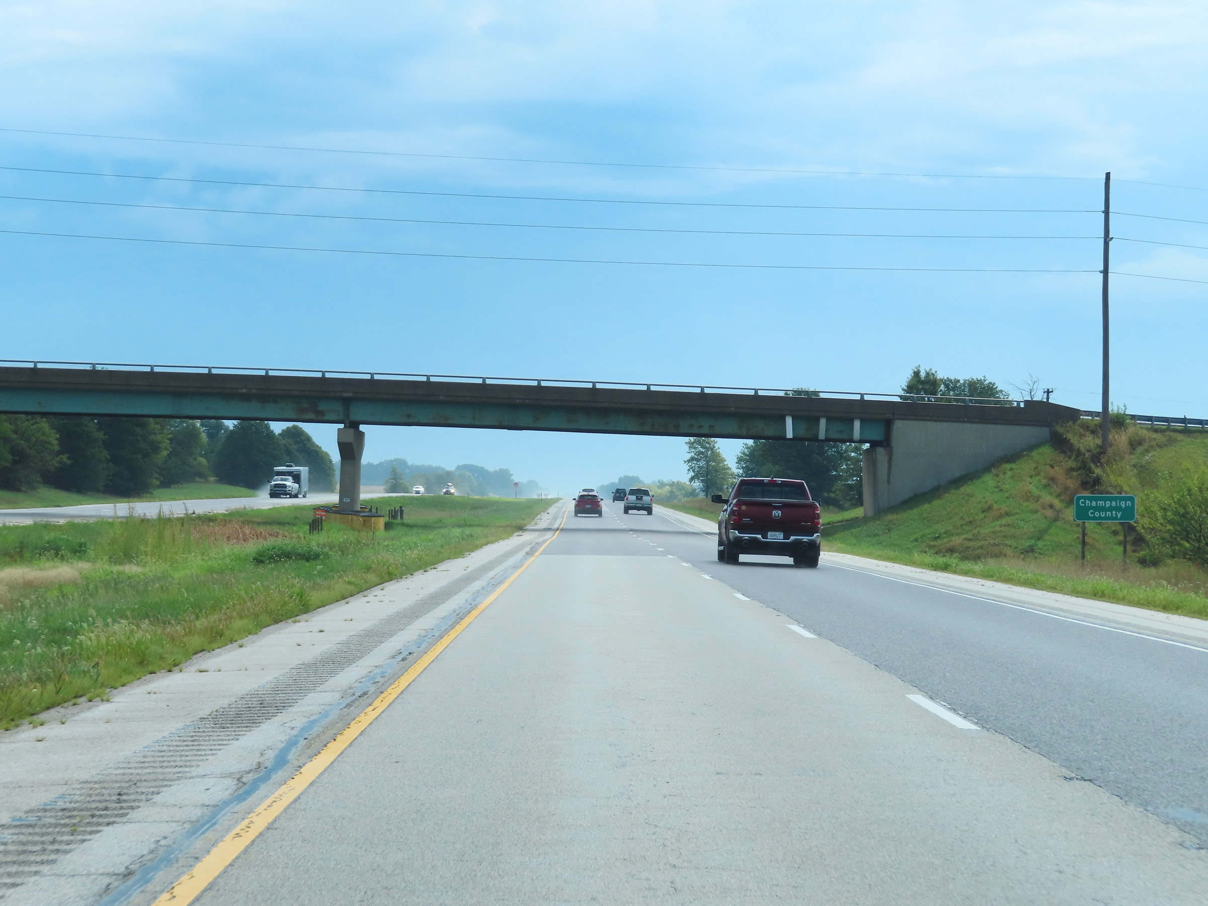 |
Interstate 74 East as it enters Champaign County. (Photo taken 8/20/22). |
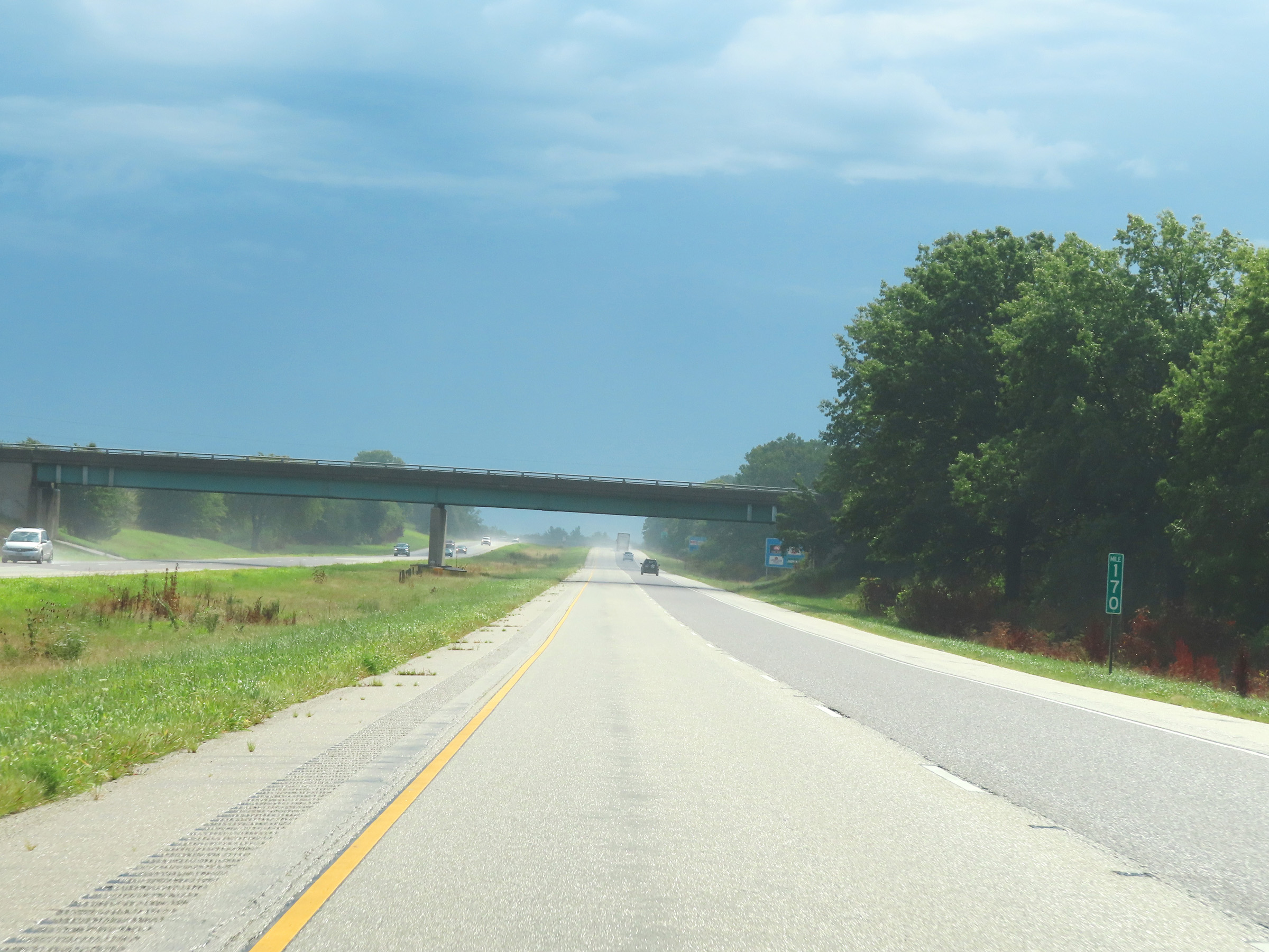 |
View on Interstate 74 East at mile marker 170. (Photo taken 8/20/22). |
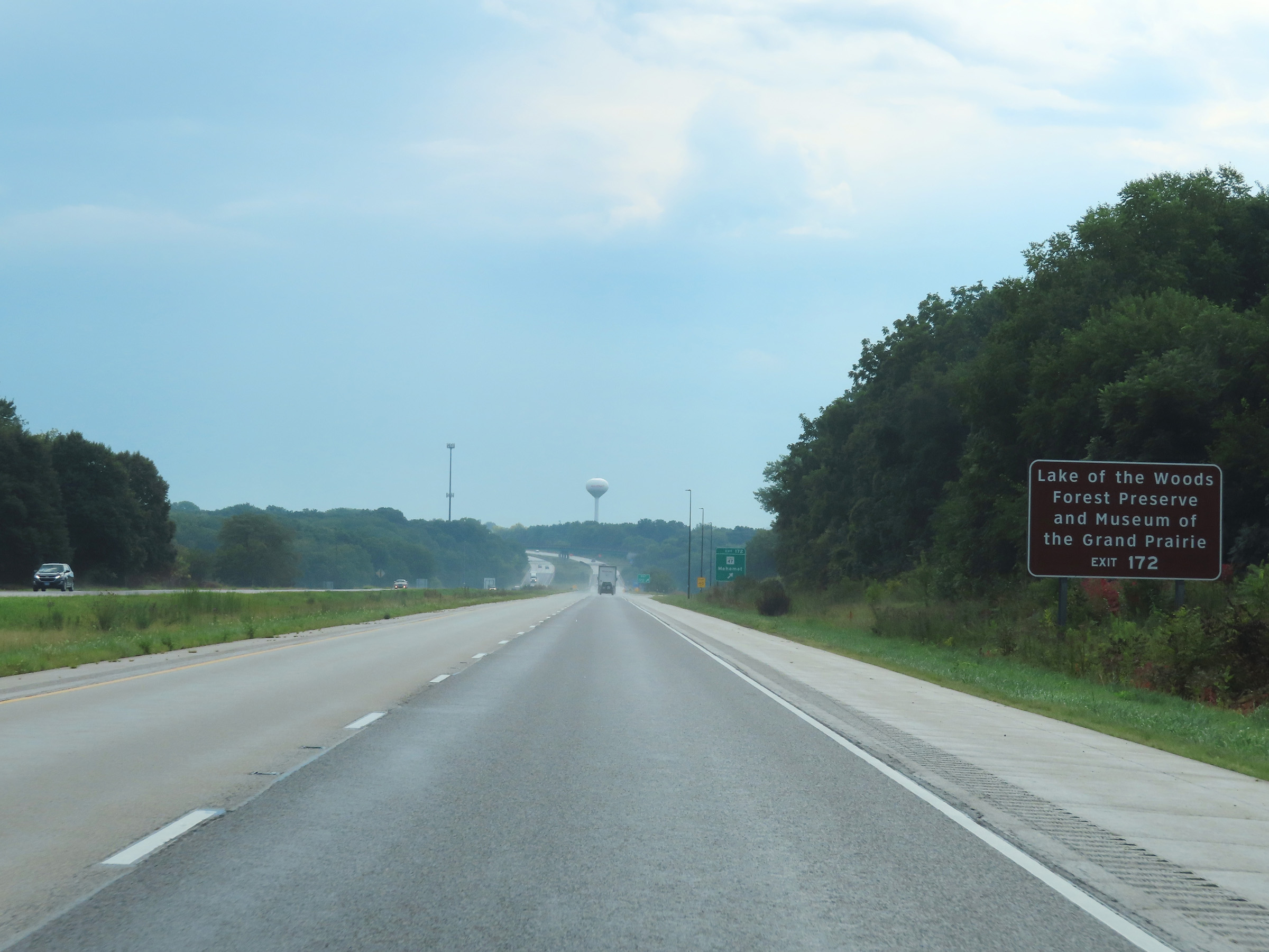 |
Take Exit 172 to Lake of the Woods Forest Preserve and Museum of the Grand Prairie. (Photo taken 8/20/22). |
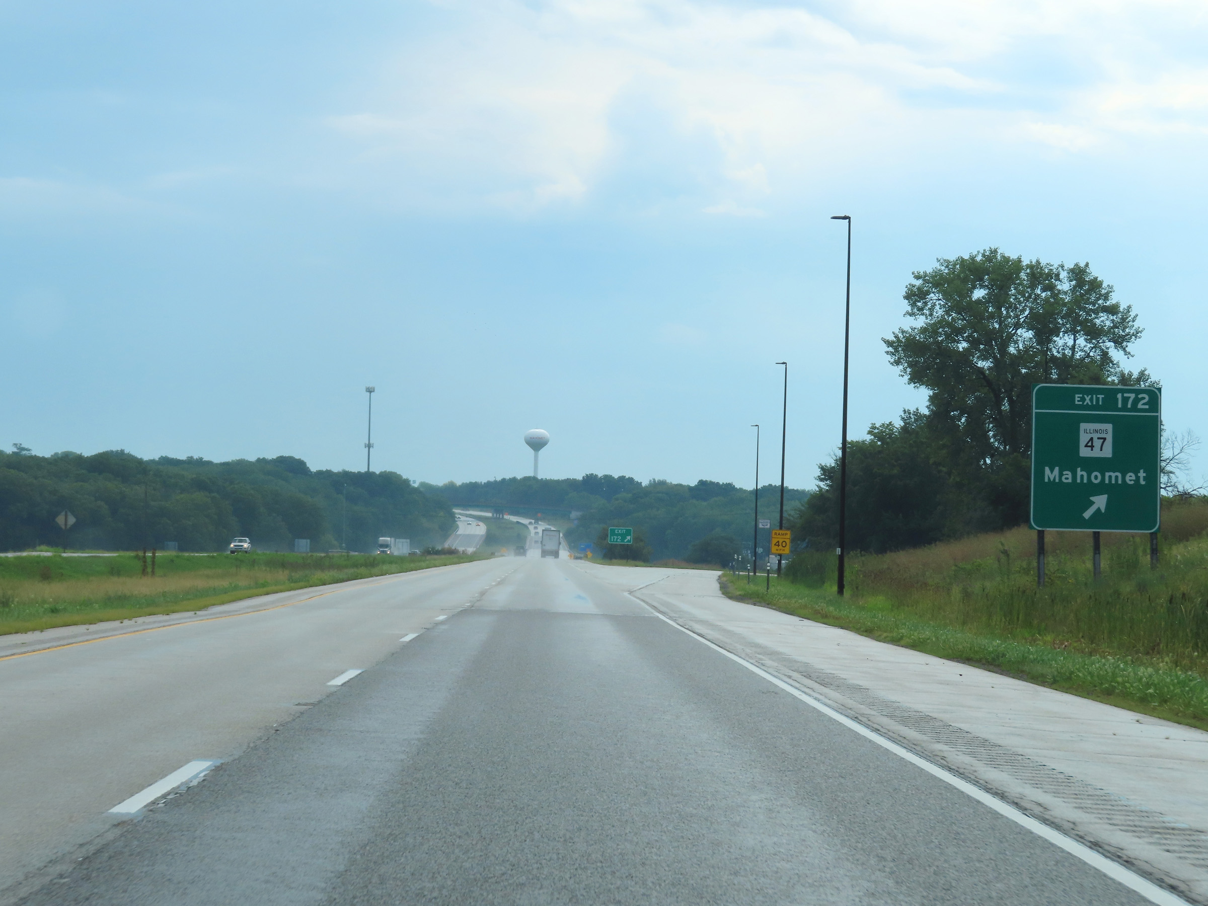 |
Interstate 74 East at Exit 172: IL 47 - Mahomet (Photo taken 8/20/22). |
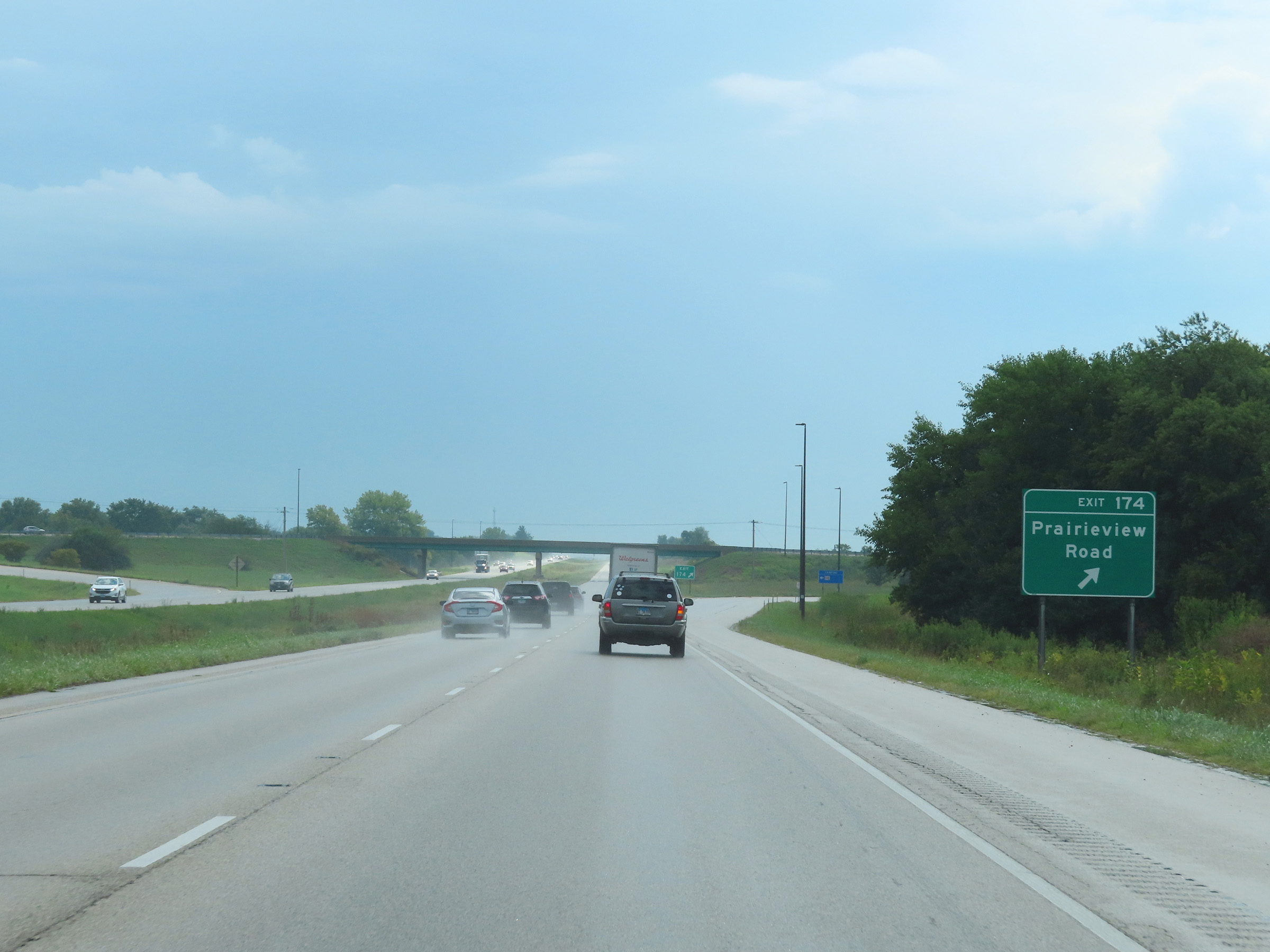 |
Interstate 74 East at Exit 174: Prairieview Road (Photo taken 8/20/22). |
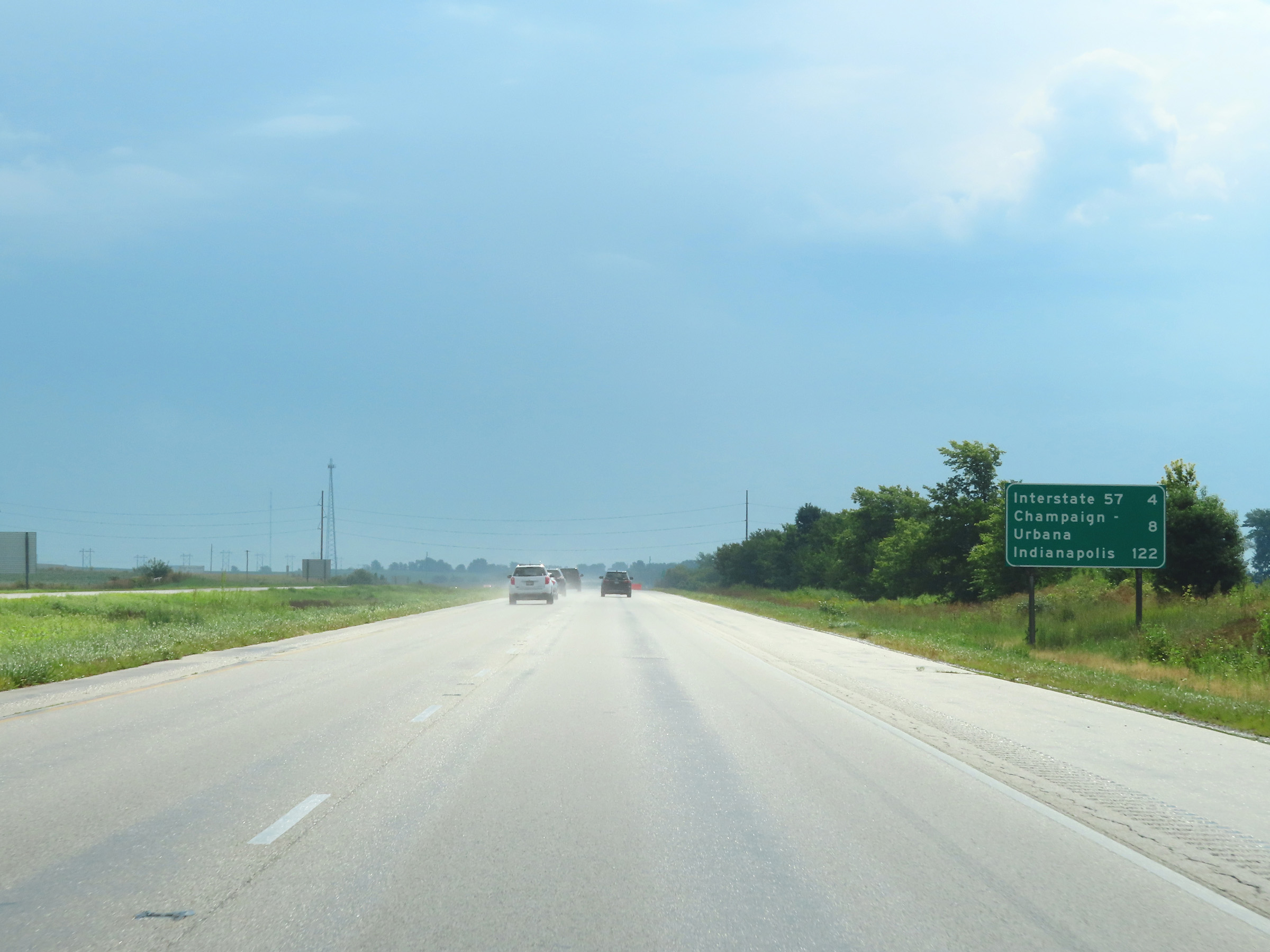 |
Mileage sign on Interstate 74 East. It's 4 miles to the junction of Interstate 57, 8 miles to Champaign-Urbana, and 122 miles to Indianapolis. (Photo taken 8/20/22). |
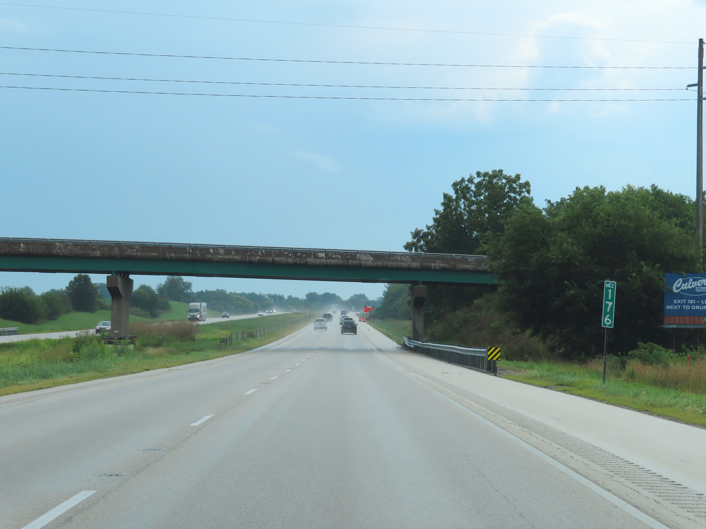 |
View on Interstate 74 East at mile marker 176. (Photo taken 8/20/22). |
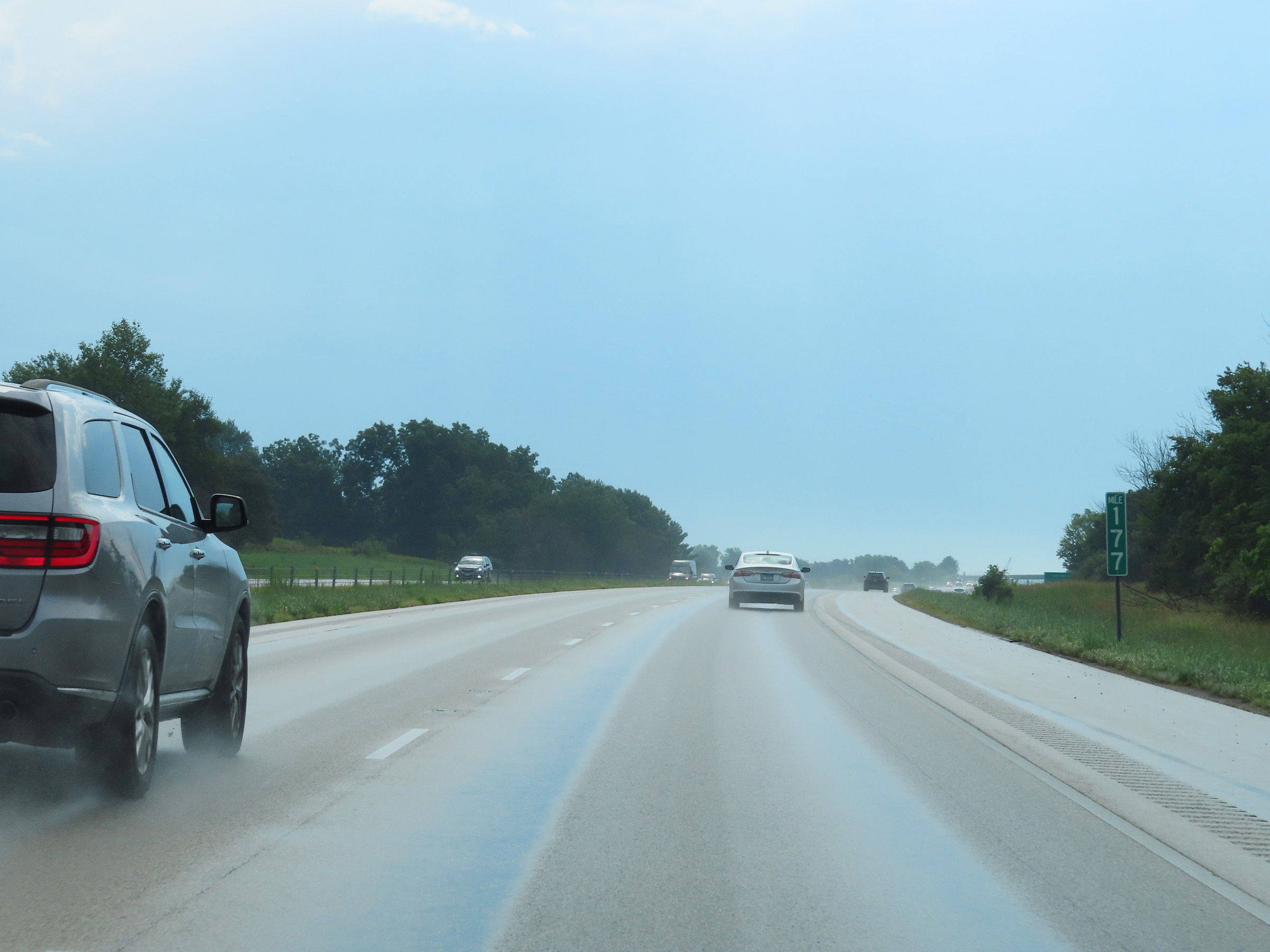 |
Mile marker 177 on Interstate 74 East in Champaign County. (Photo taken 8/20/22). |
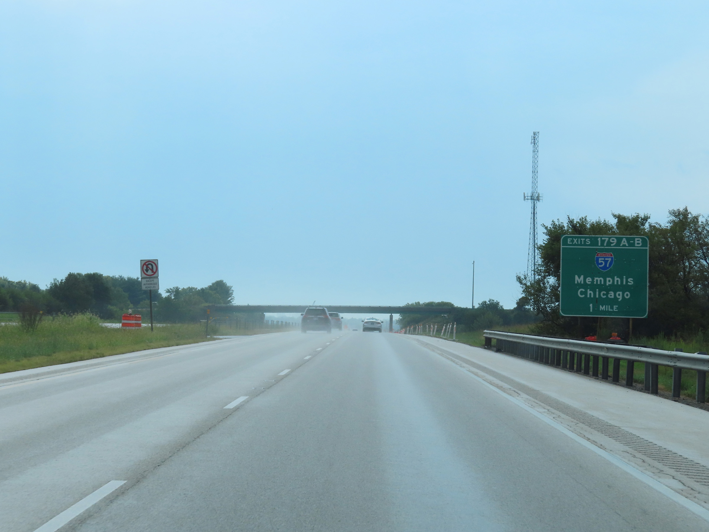 |
Interstate 74 East approaching Exits 179A-B - 1 mile. (Photo taken 8/20/22). |
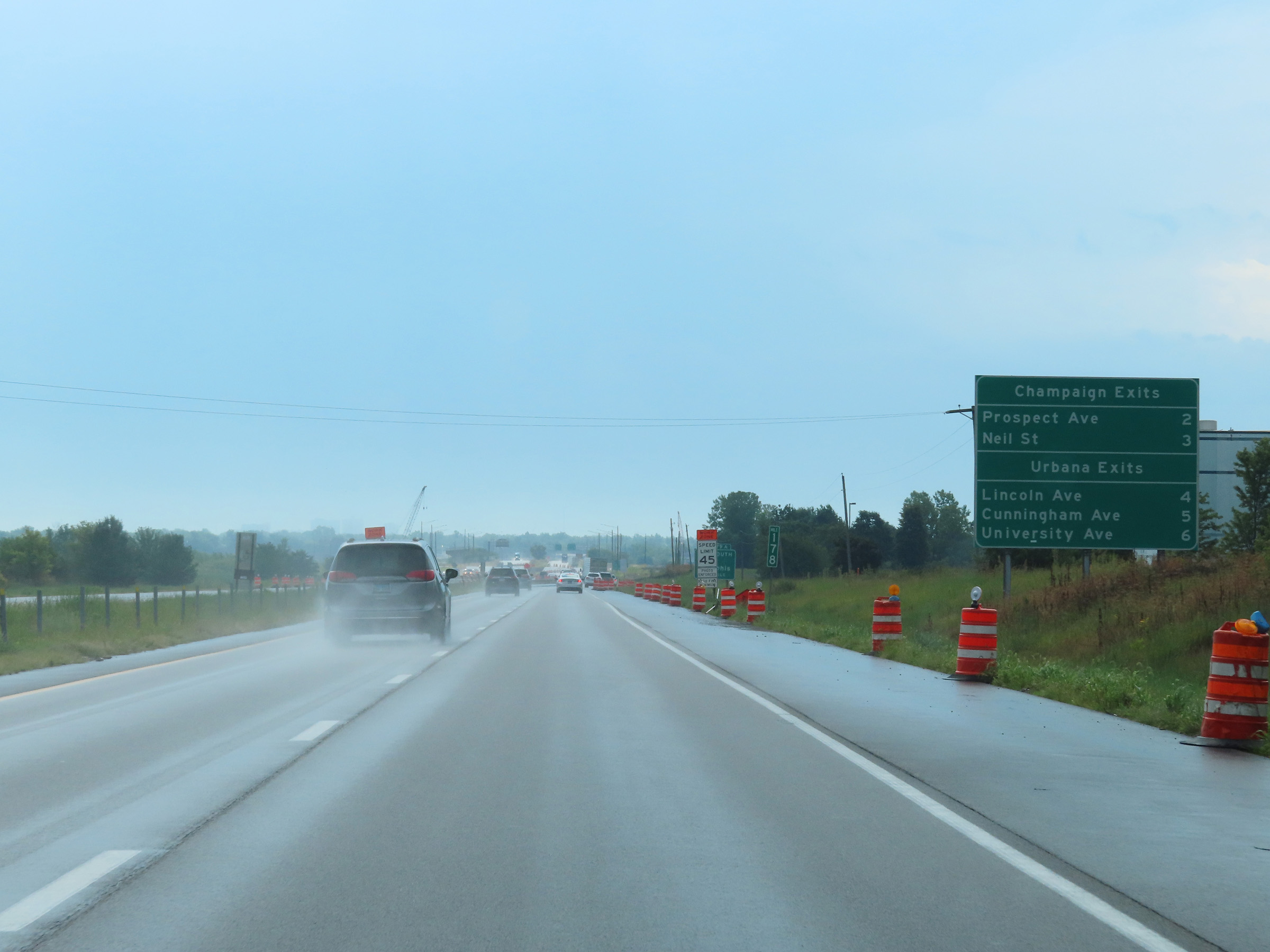 |
This mileage sign at mile marker 178 lists the distances to the upcoming exits on Interstate 74 East to both Champaign and Urbana. (Photo taken 8/20/22). |
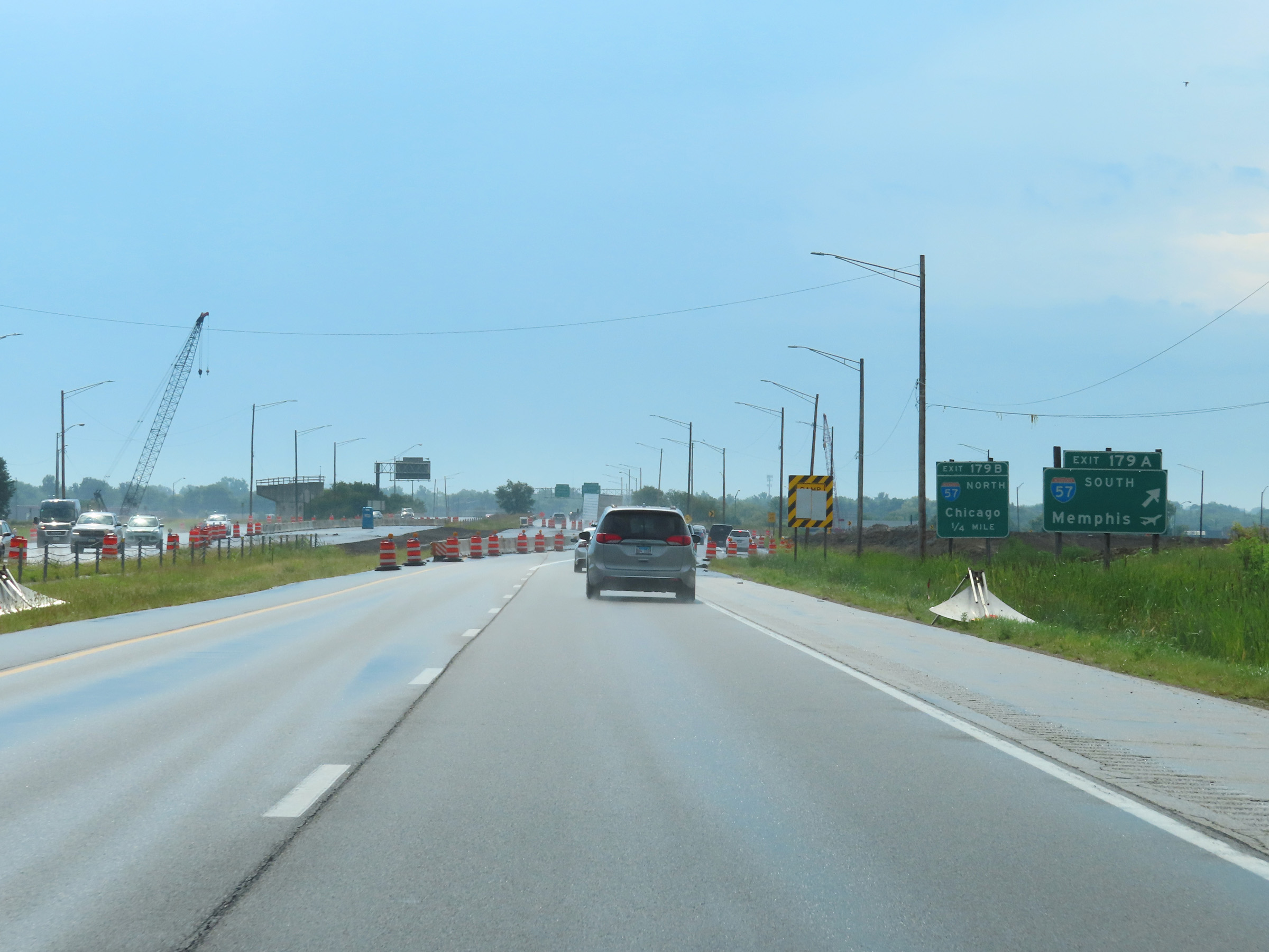 |
Interstate 74 East at Exit 179A: Interstate 57 South - Memphis (Photo taken 8/20/22). |
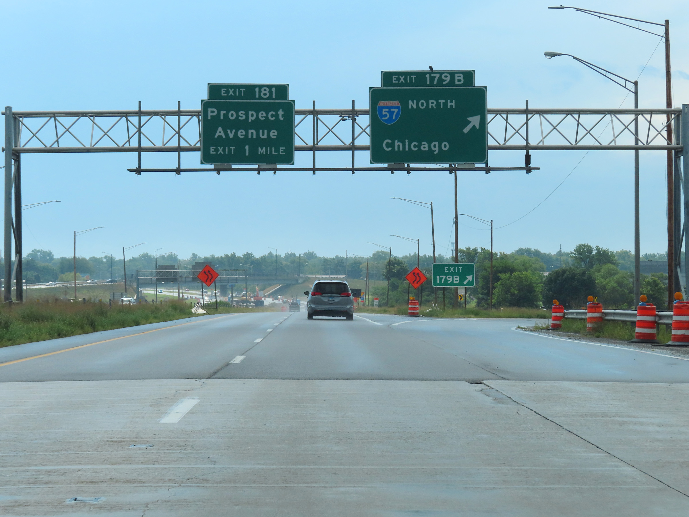 |
Interstate 74 East at Exit 179B: Interstate 57 North - Chicago (Photo taken 8/20/22). |
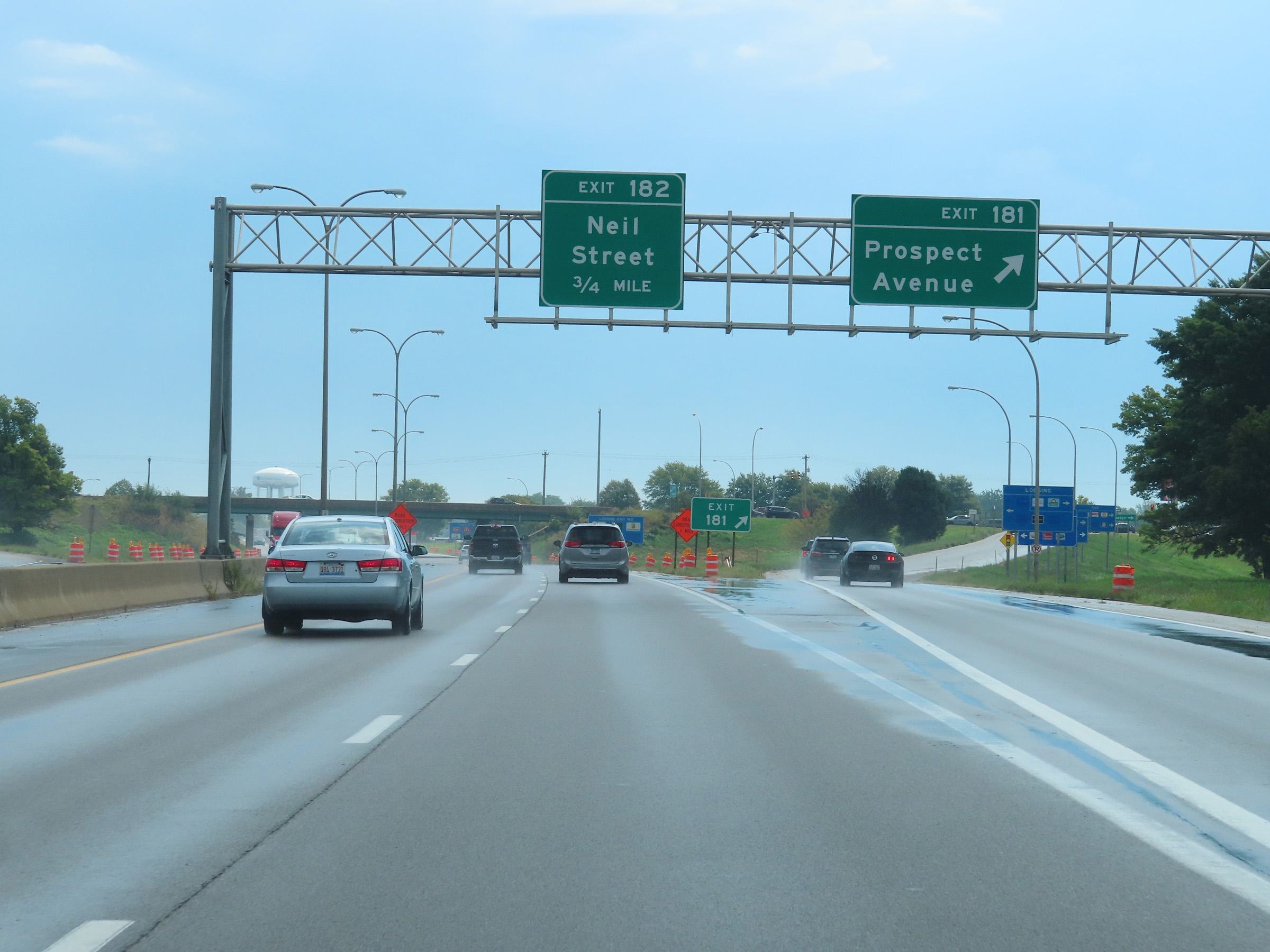 |
Interstate 74 East at Exit 181: Prospect Avenue (Photo taken 8/20/22). |
 |
Interstate 74 East at Exit 182: Neil Street (Photo taken 8/20/22). |
Section 5: Champaign (Exit 182) to Indiana Border
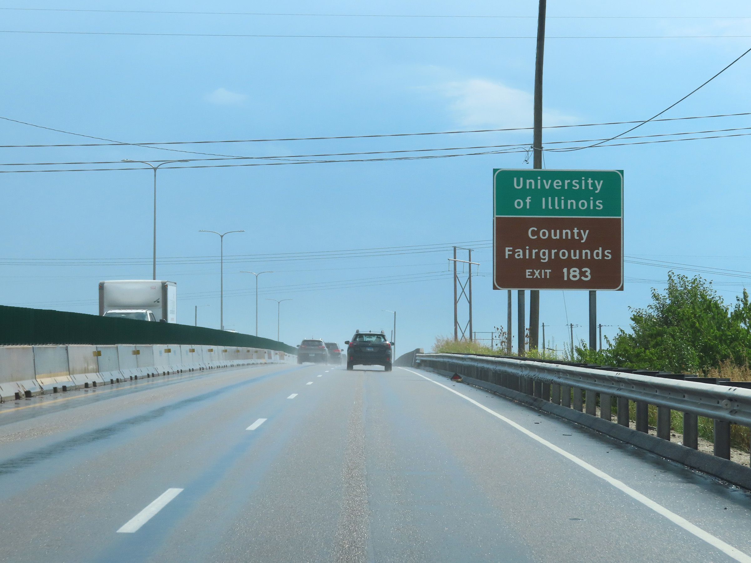 |
Take Exit 183 to the University of Illinois and the Champaign County Fairgrounds. (Photo taken 8/20/22). |
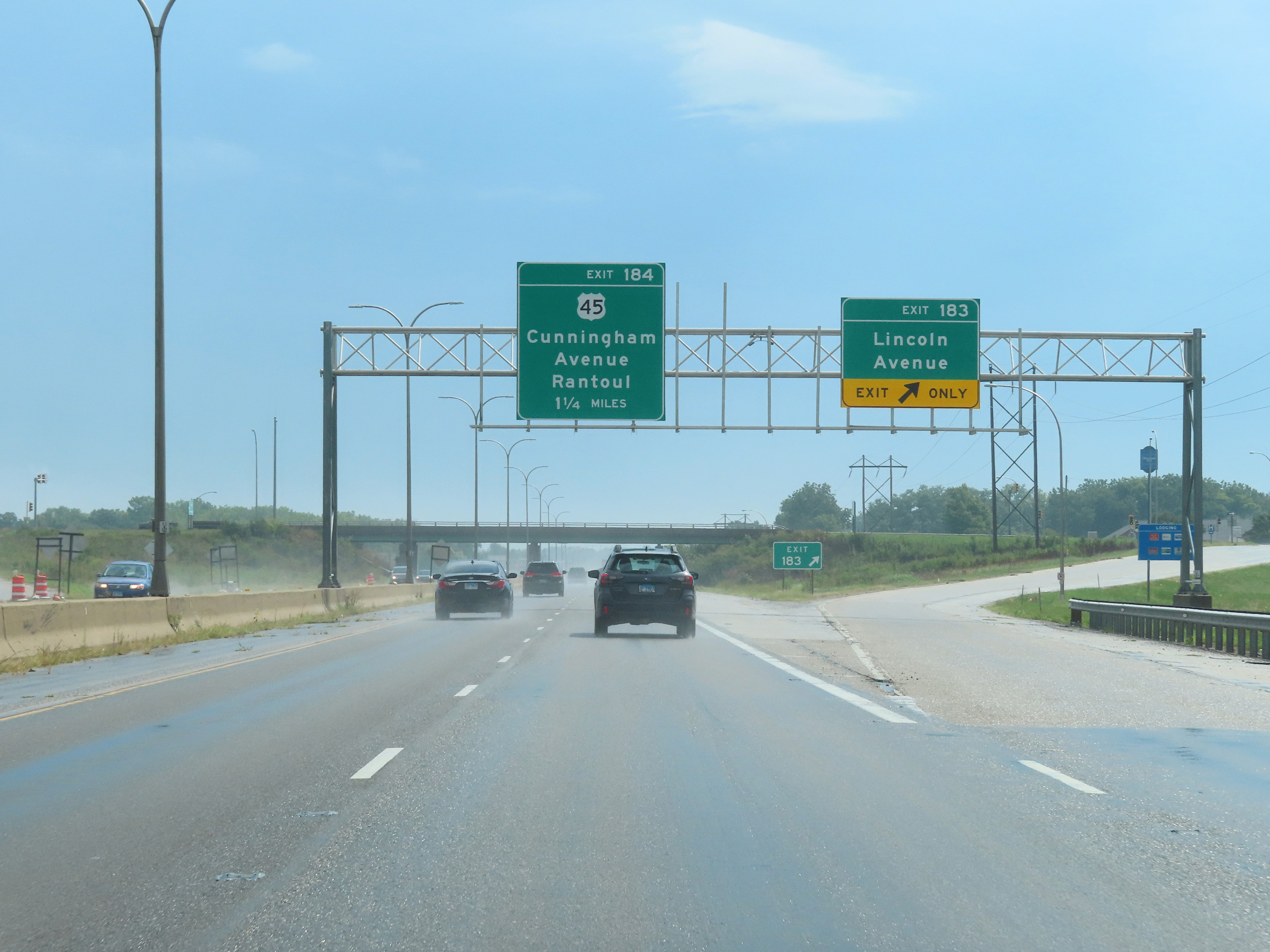 |
Interstate 74 East at Exit 183: Lincoln Avenue (Photo taken 8/20/22). |
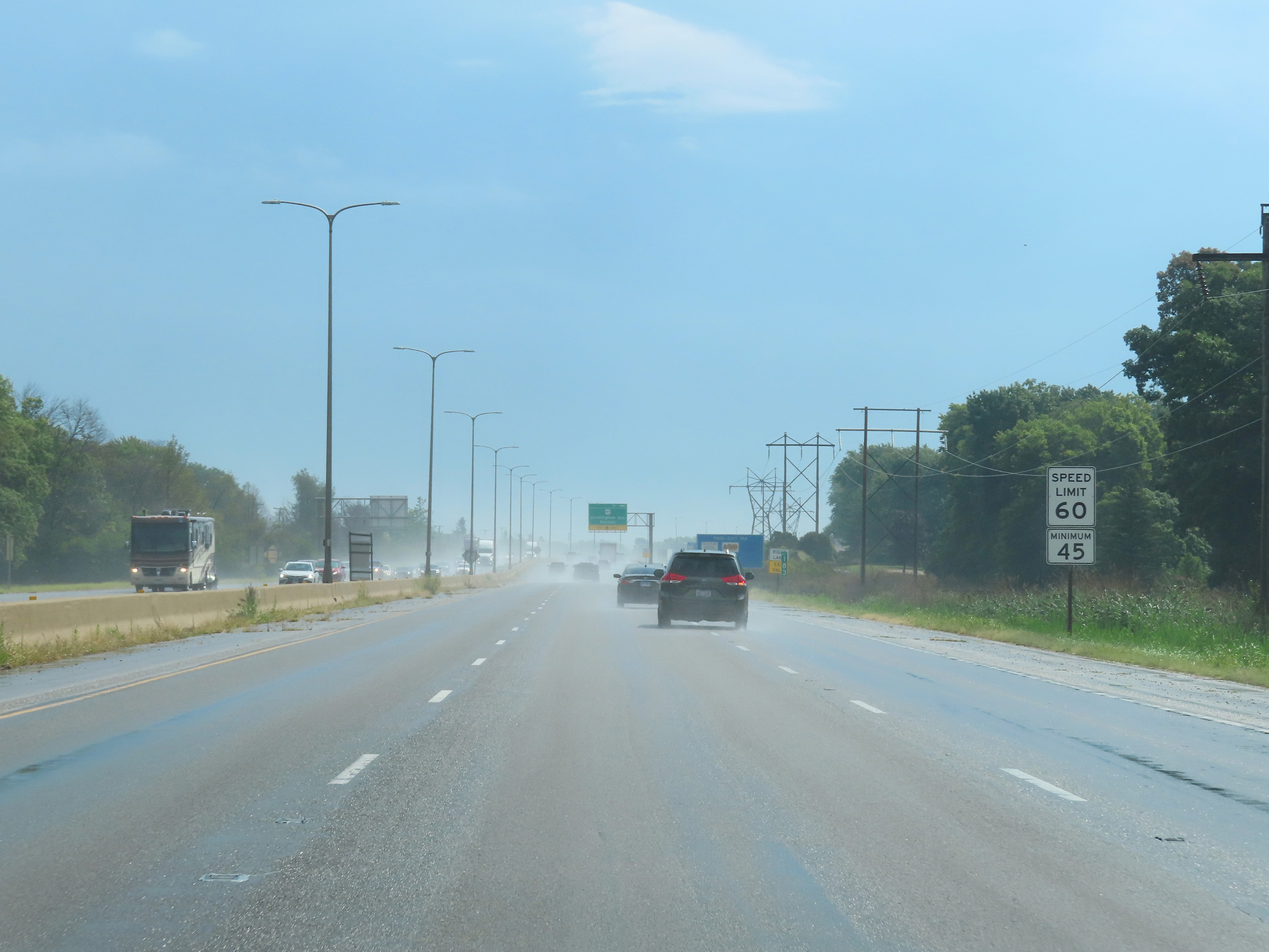 |
As Interstate 74 East passes through Champaign, the maximum speed limit decreases to 60 mph. (Photo taken 8/20/22). |
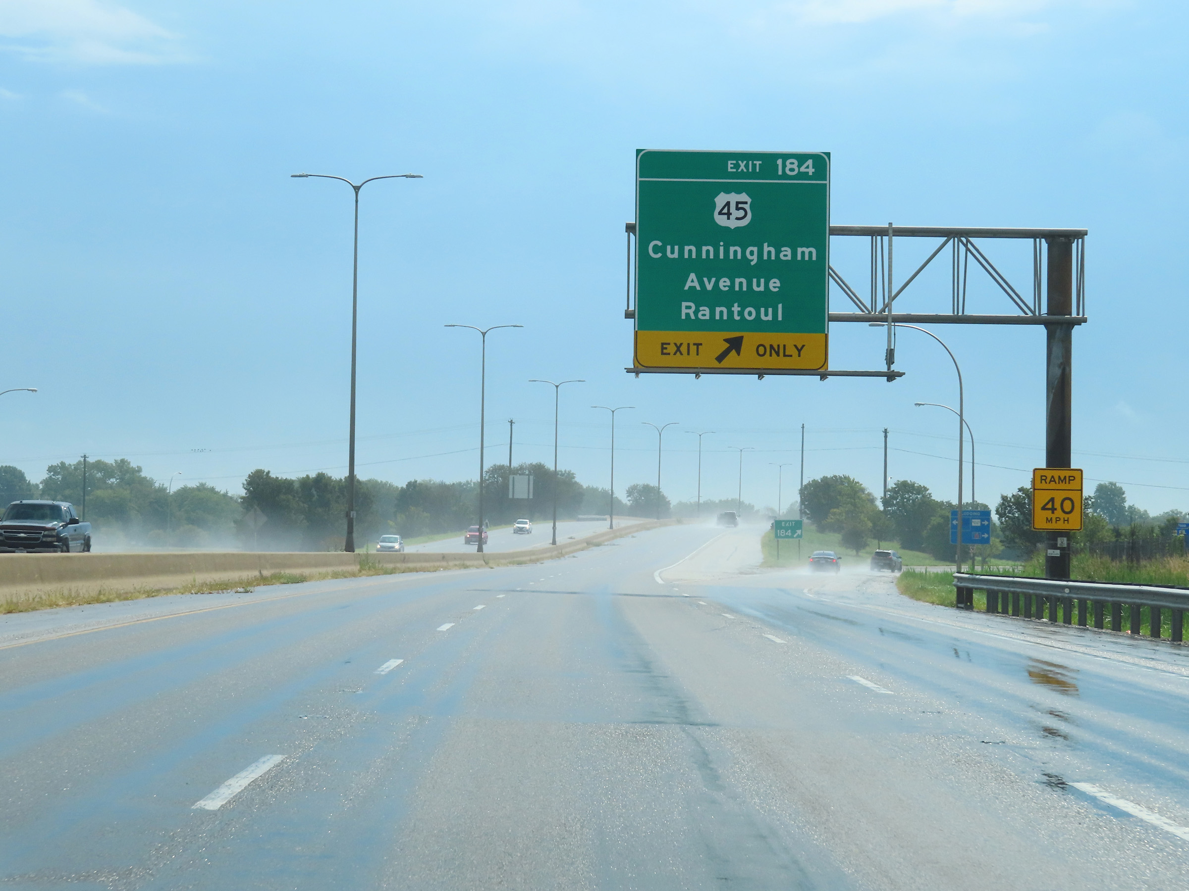 |
Interstate 74 East at Exit 184: US 45 - Cunningham Avenue / Rantoul (Photo taken 8/20/22). |
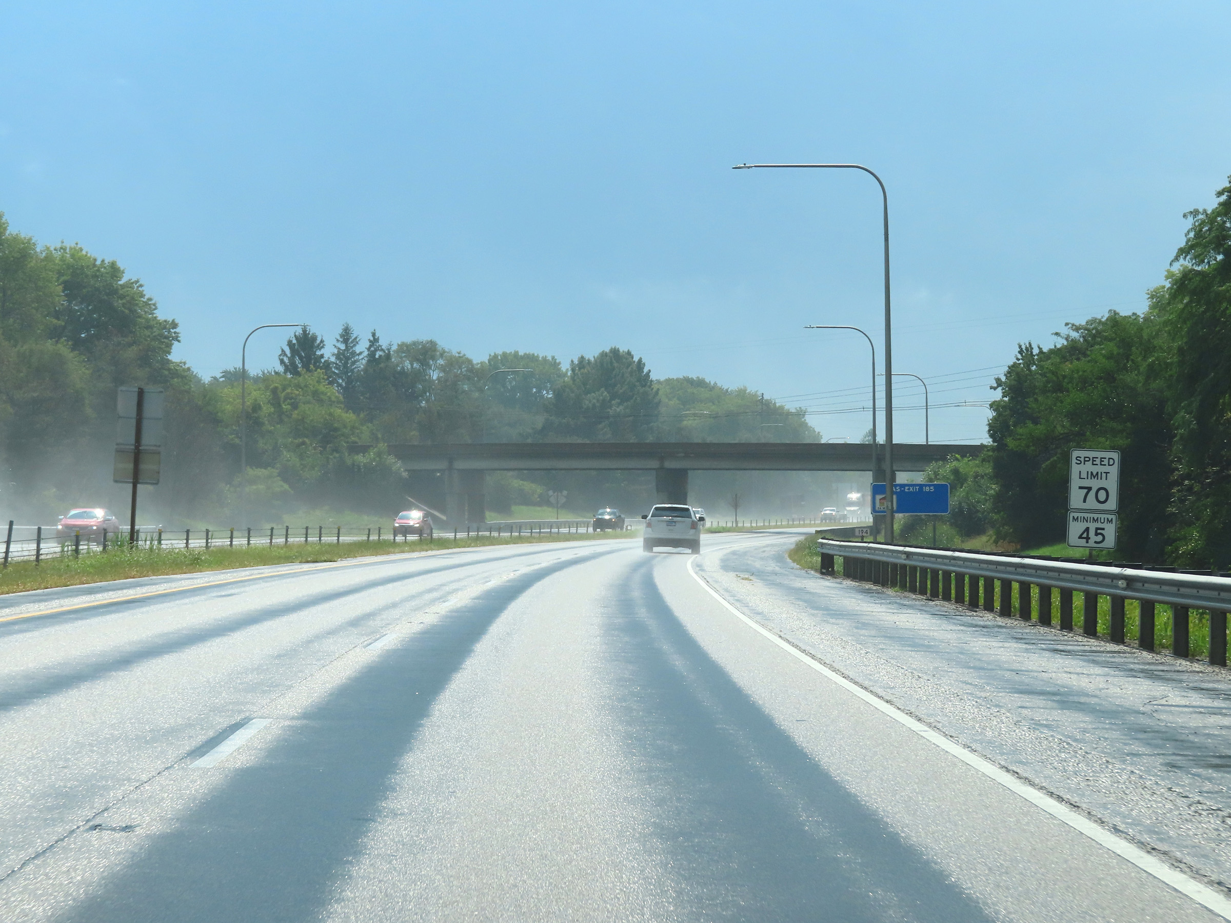 |
East of Exit 184, the maximum speed limit on Interstate 74 East increases to 70 mph once again. The minimum remains 45 mph as usual. (Photo taken 8/20/22). |
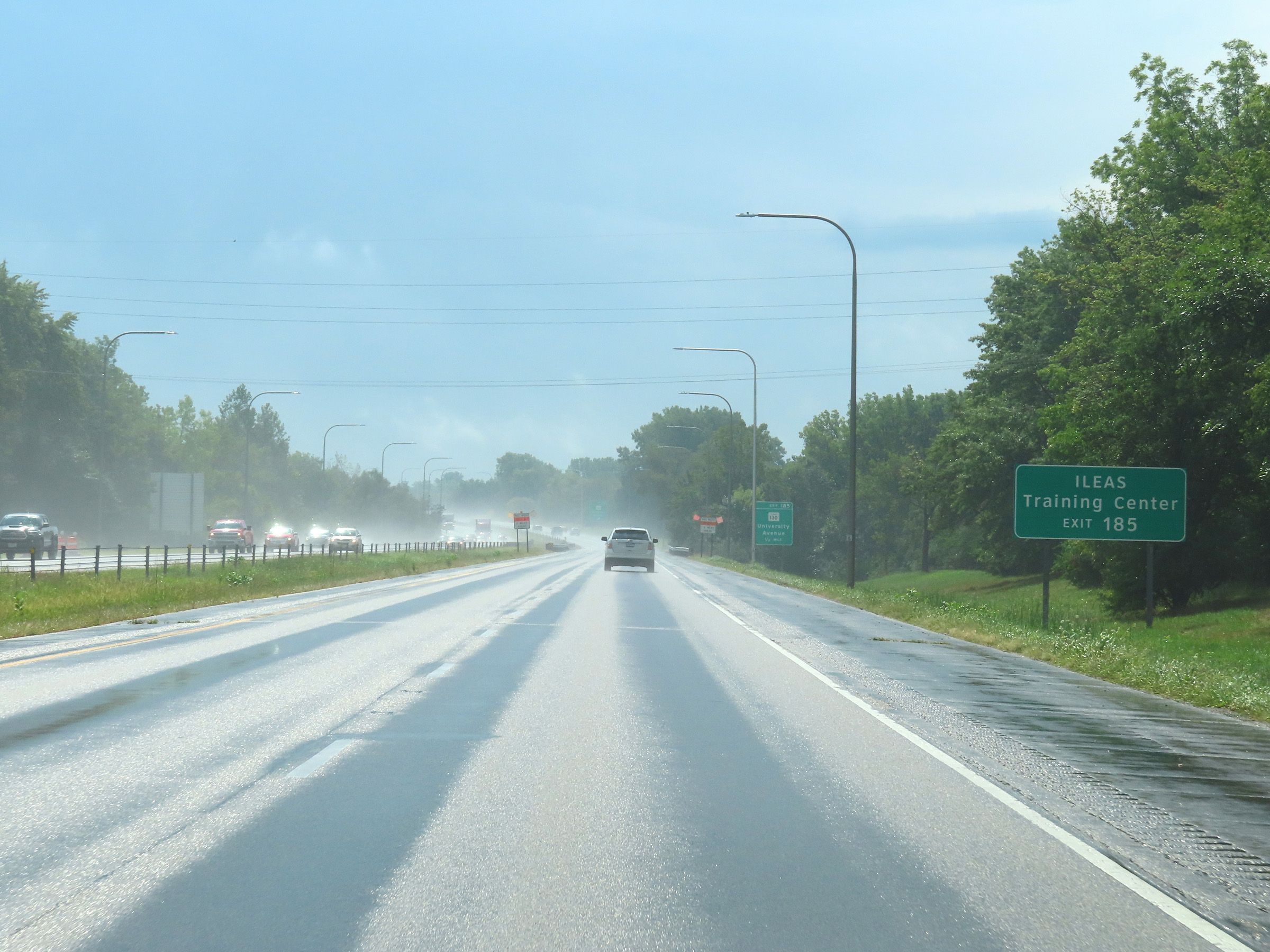 |
Take Exit 185 to the ILEAS Training Center. (Photo taken 8/20/22). |
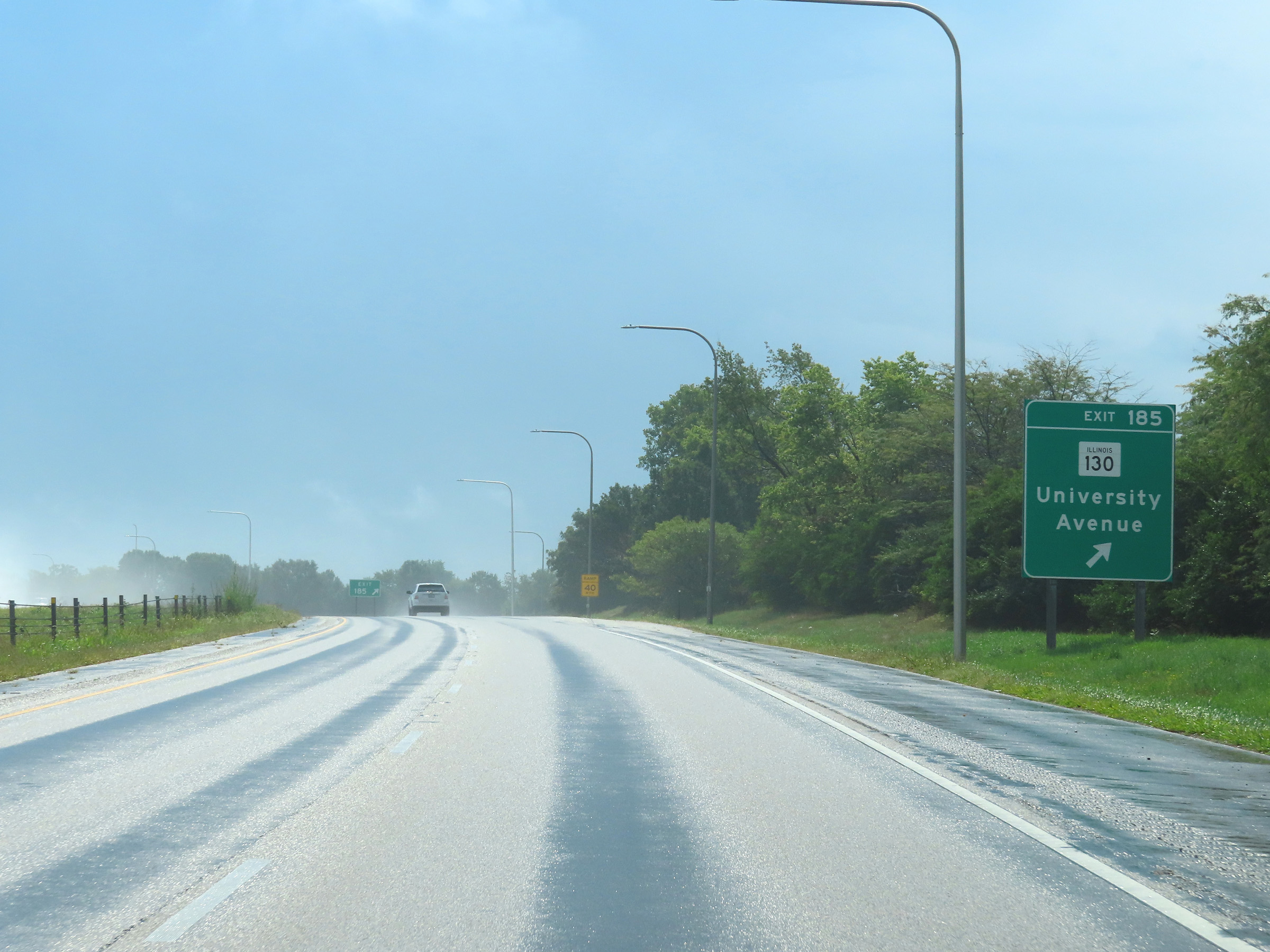 |
Interstate 74 East at Exit 185: IL 130 - University Avenue (Photo taken 8/20/22). |
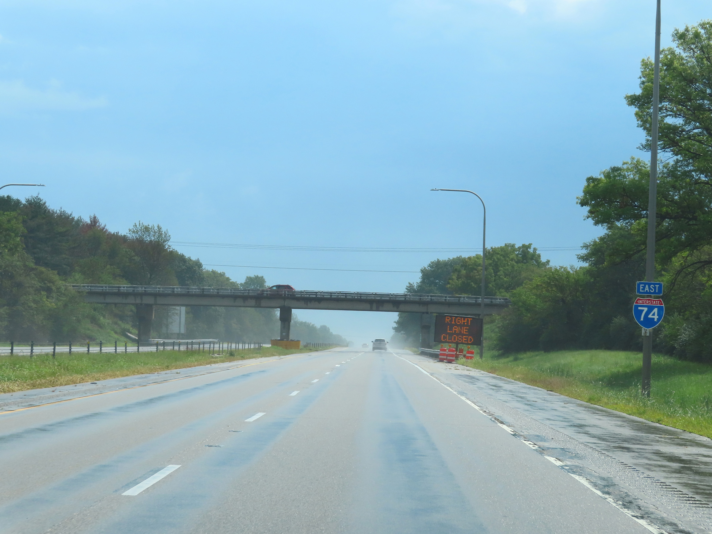 |
Interstate 74 East reassurance shield in Urbana. (Photo taken 8/20/22). |
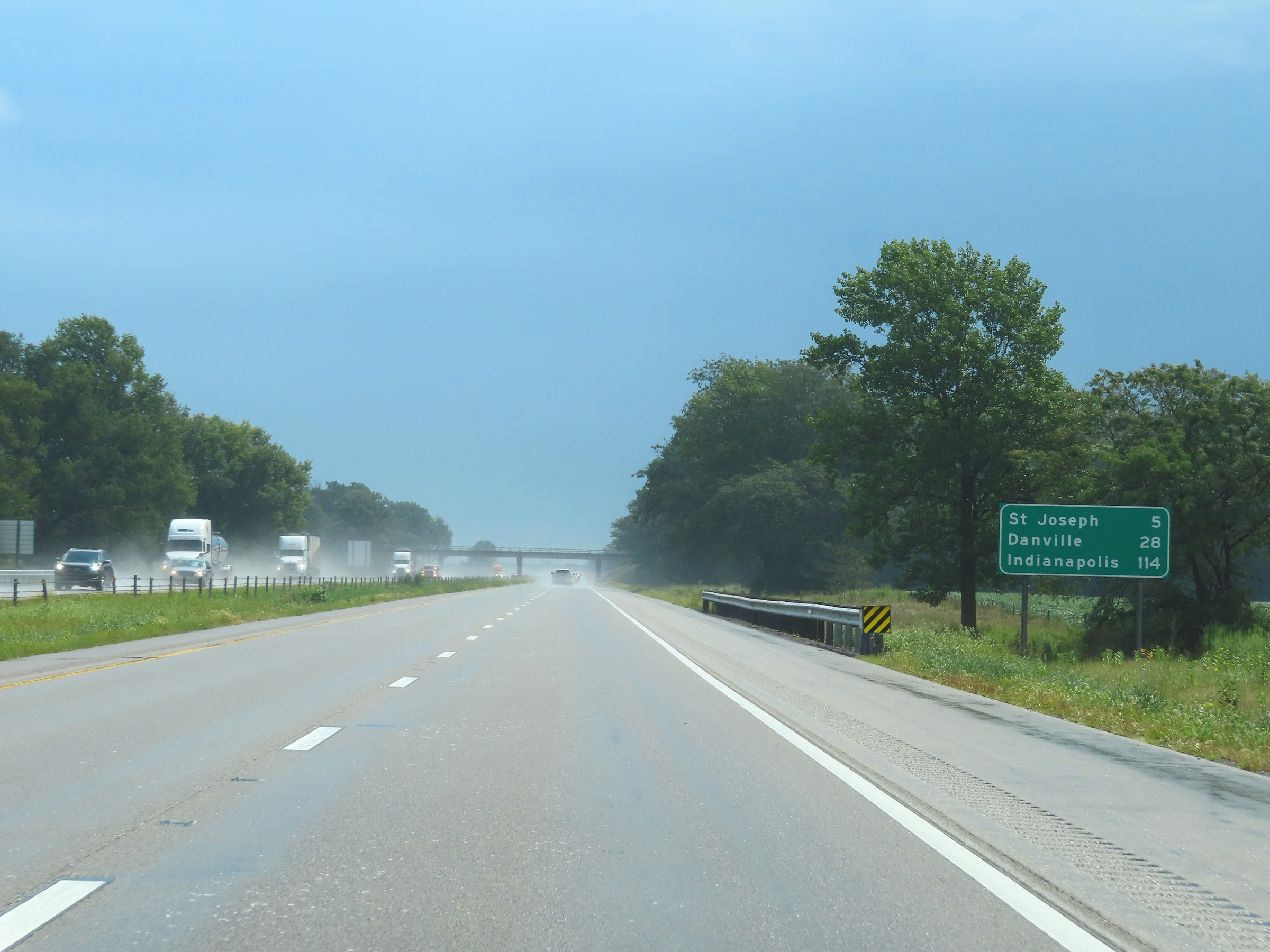 |
Mileage sign on Interstate 74 East leaving Urbana. It's 5 miles to St. Joseph, 28 miles to Danville, and 114 miles to Indianapolis. (Photo taken 8/20/22). |
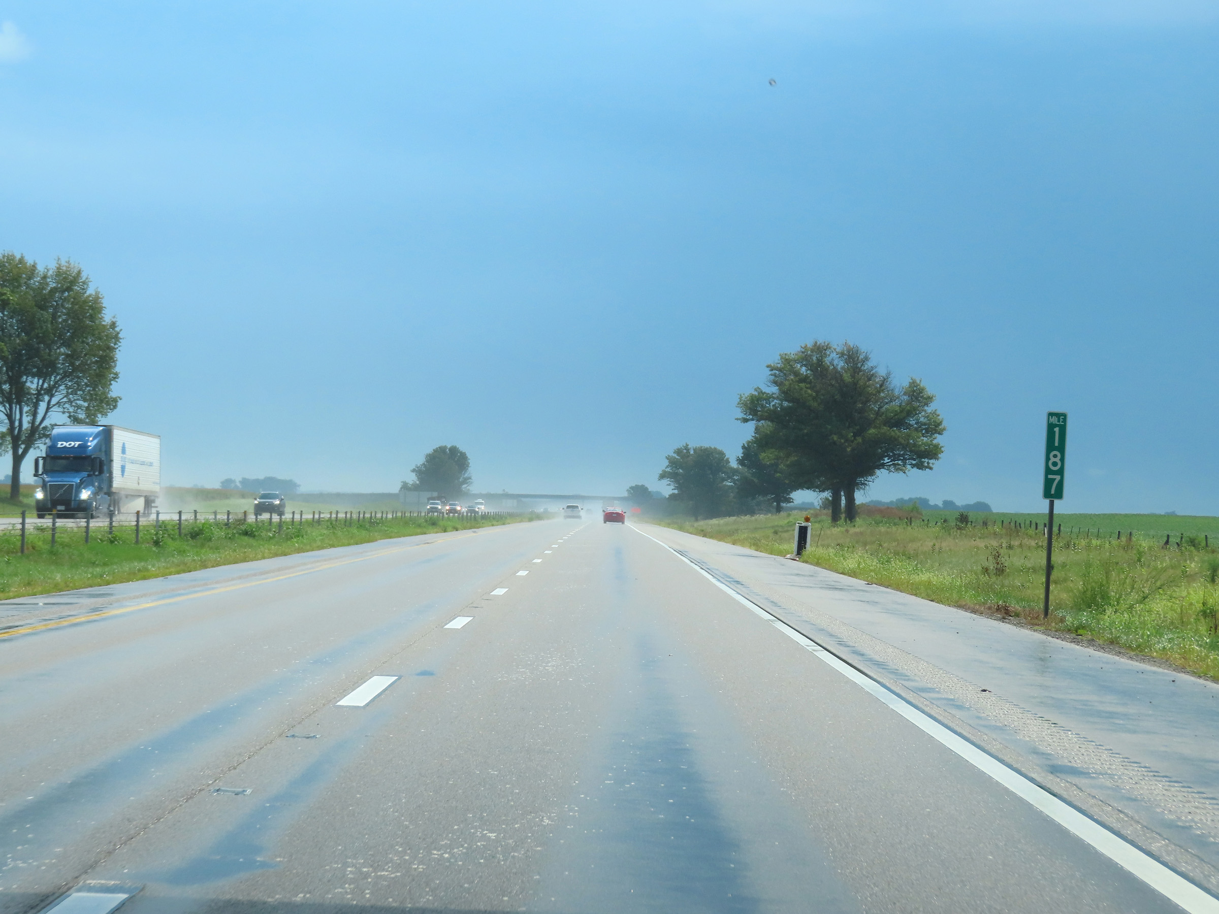 |
View on Interstate 74 East at mile marker 187. (Photo taken 8/20/22). |
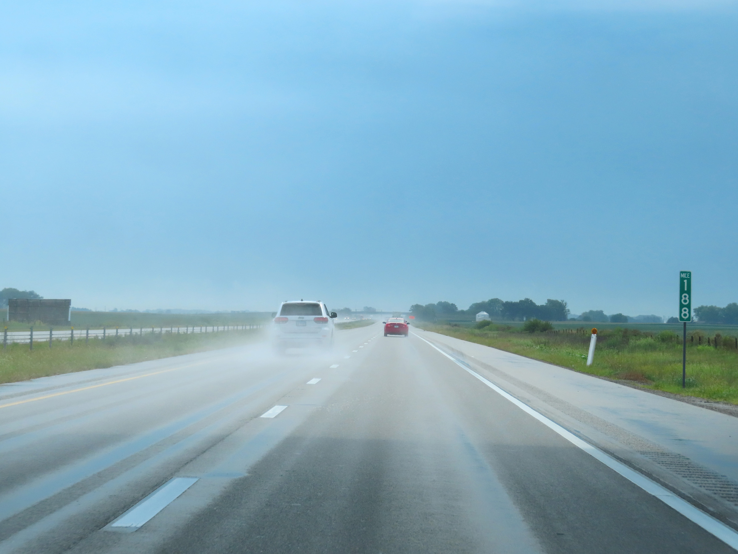 |
Mile marker 188 on Interstate 74 East in Champaign County. (Photo taken 8/20/22). |
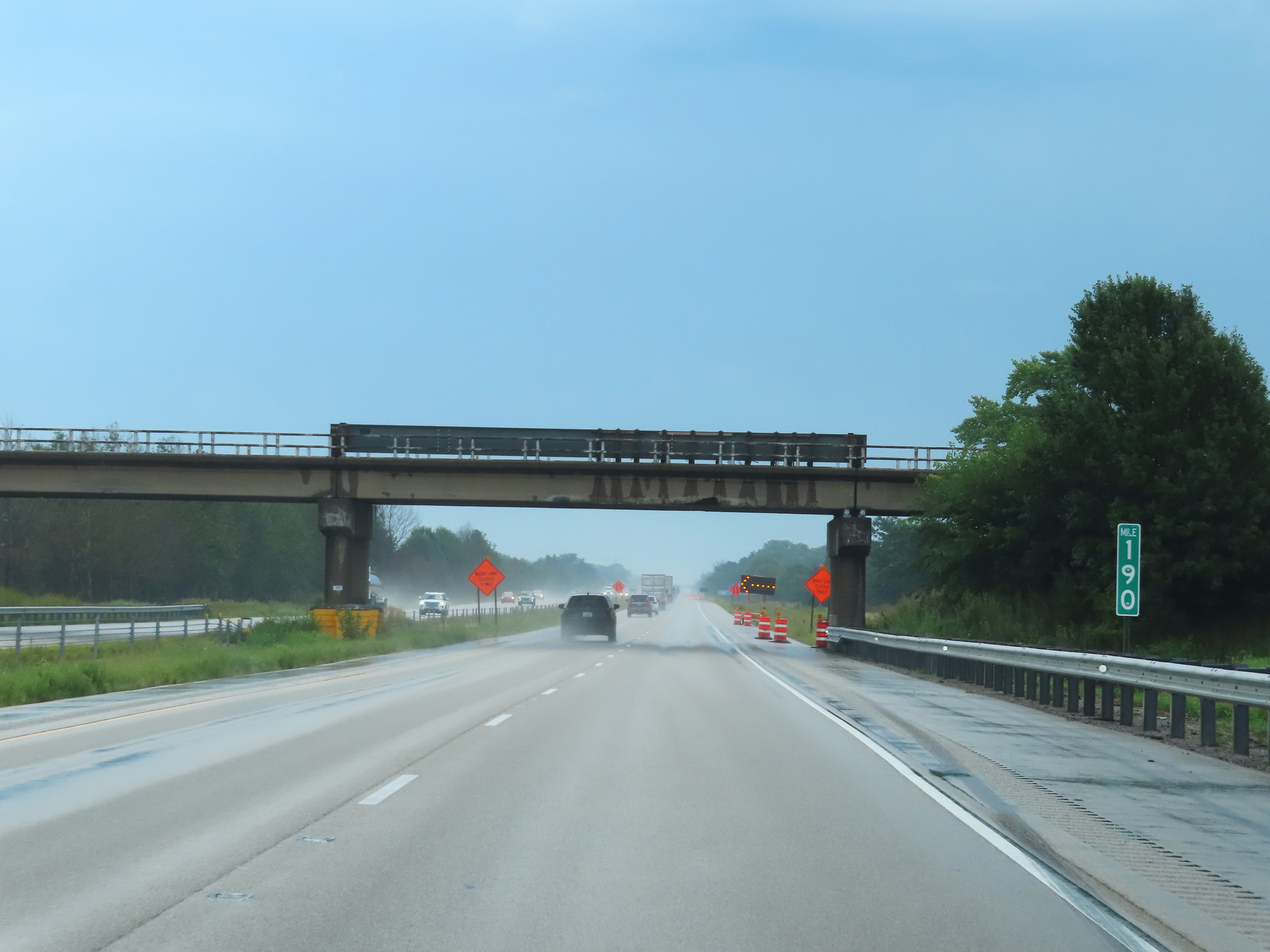 |
Interstate 74 East at mile marker 190. (Photo taken 8/20/22). |
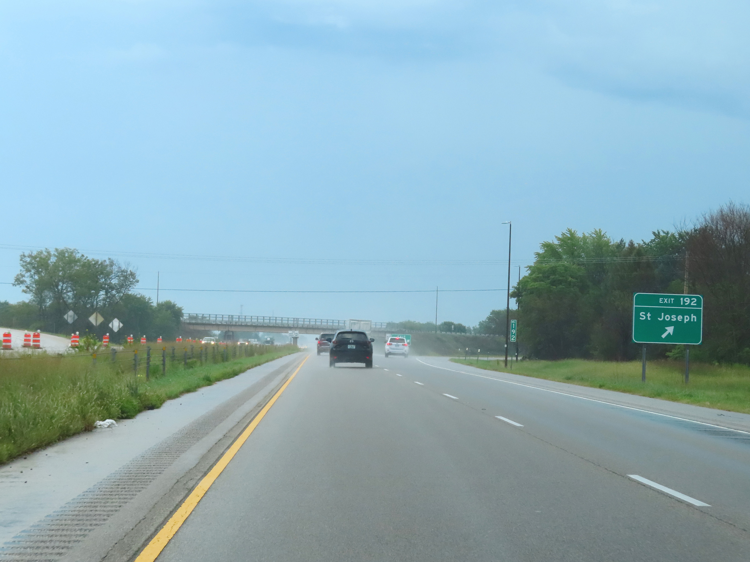 |
Interstate 74 East at Exit 192: St. Joseph (Photo taken 8/20/22). |
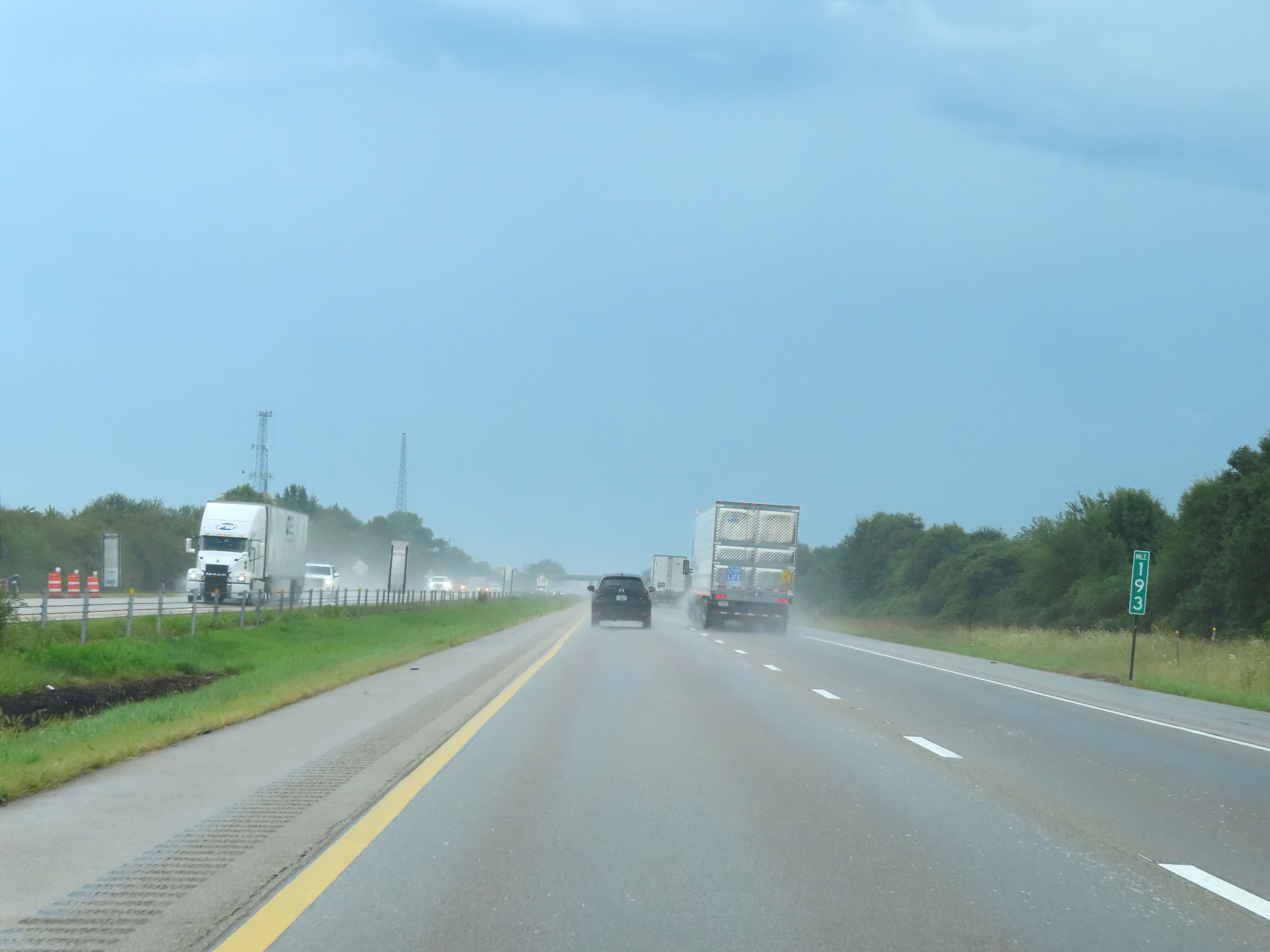 |
Mile marker 193 on Interstate 74 East in Champaign County. (Photo taken 8/20/22). |
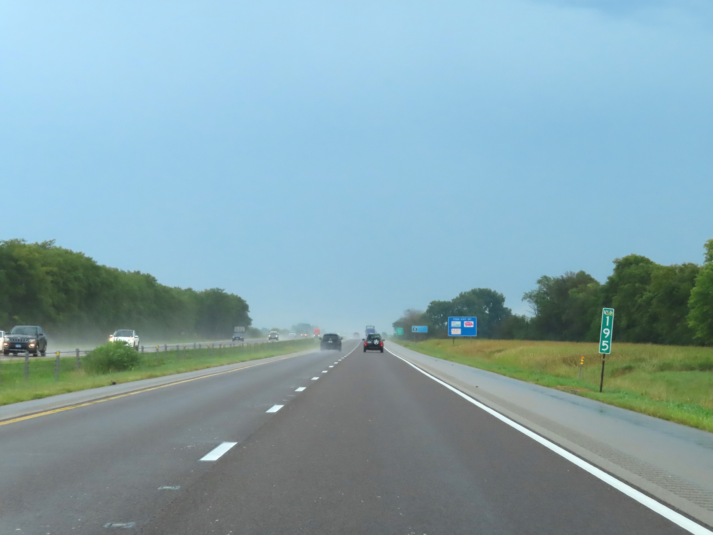 |
View on Interstate 74 East at mile marker 195. (Photo taken 8/20/22). |
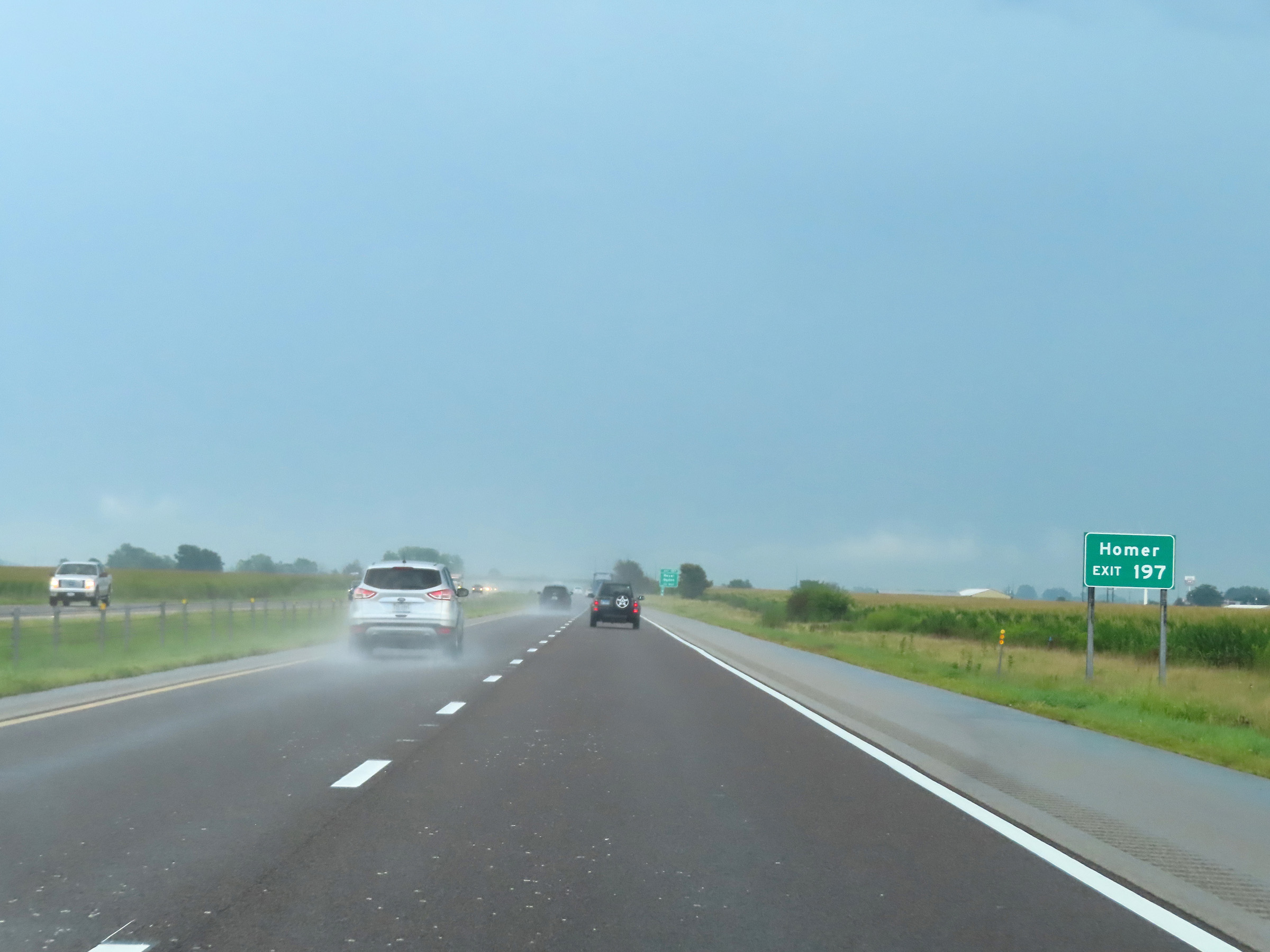 |
Take Exit 197 to Homer. (Photo taken 8/20/22). |
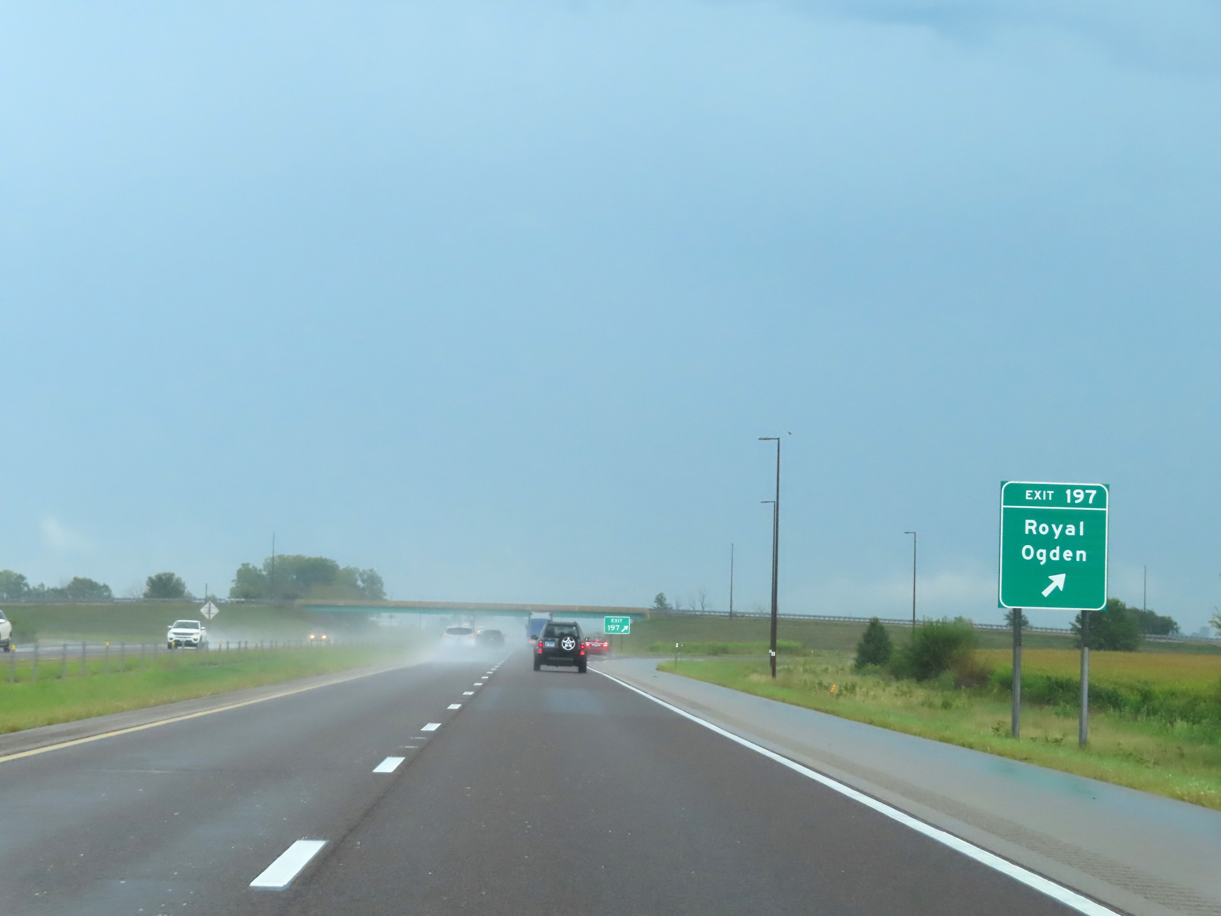 |
Interstate 74 East at Exit 197: Royal / Ogden (Photo taken 8/20/22). |
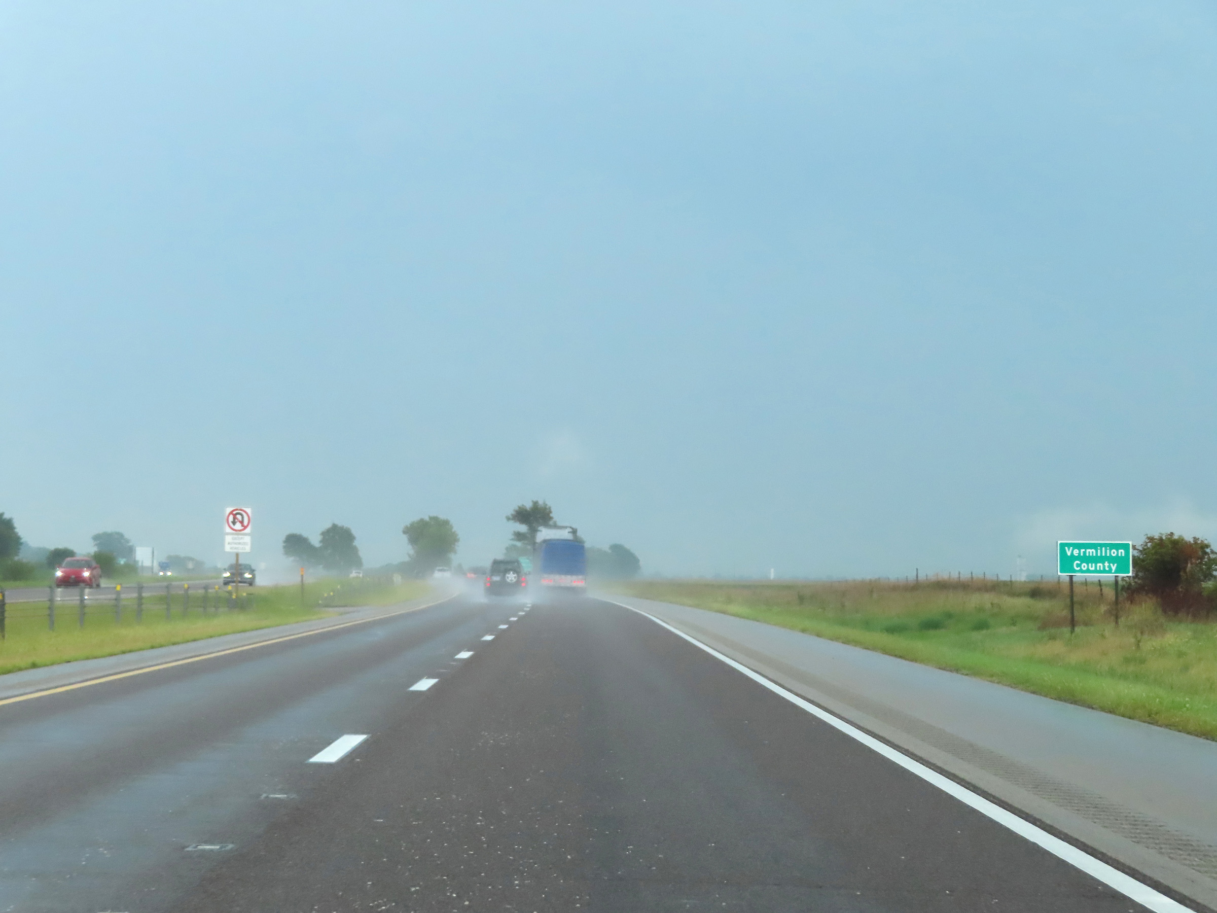 |
Interstate 74 East as it enters Vermilion County. (Photo taken 8/20/22). |
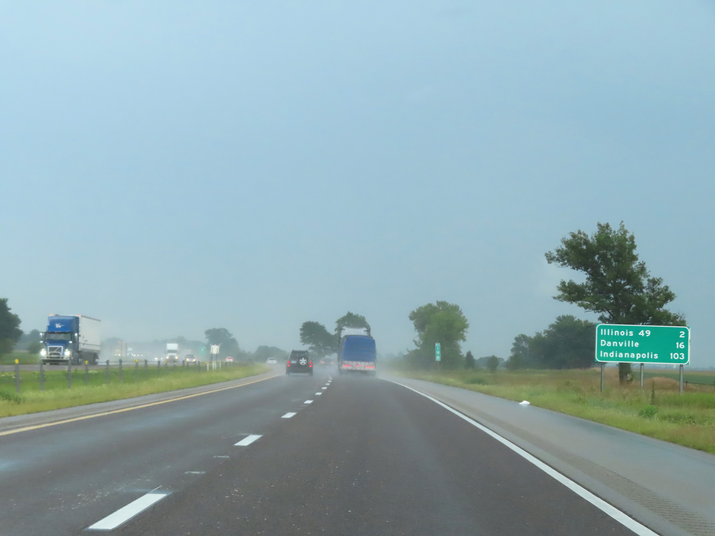 |
Mileage sign at mile marker 198. It's 2 miles to the junction of IL 49, 16 miles to Danville, and 103 miles to Indianapolis. (Photo taken 8/20/22). |
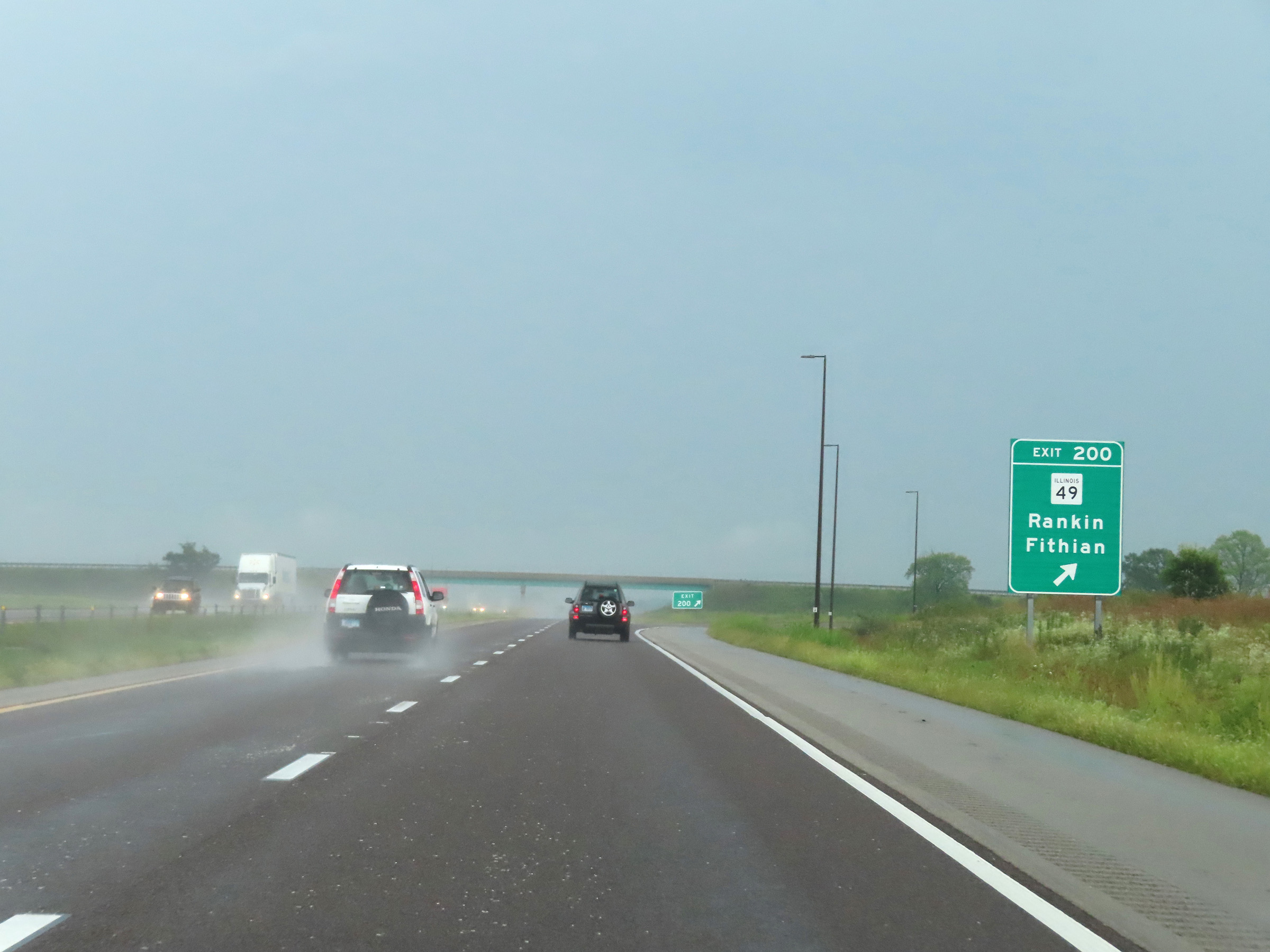 |
Interstate 74 East at Exit 200: IL 49 - Rankin / Fithian (Photo taken 8/20/22). |
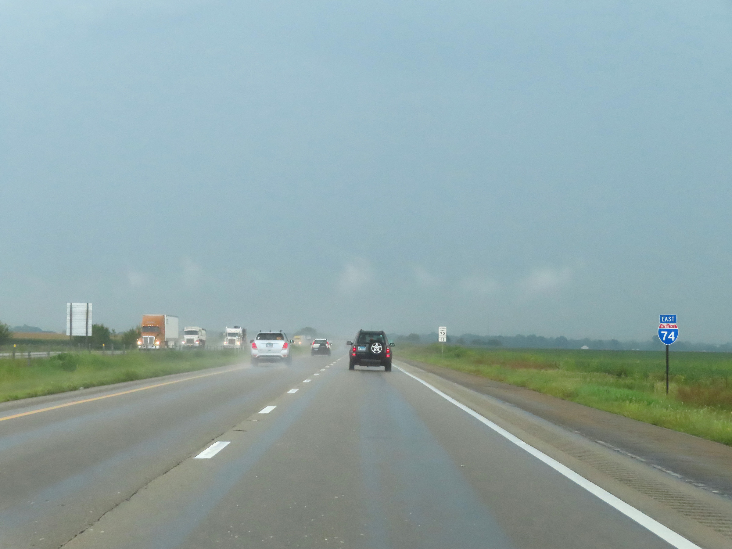 |
Another Interstate 74 East reassurance shield. (Photo taken 8/20/22). |
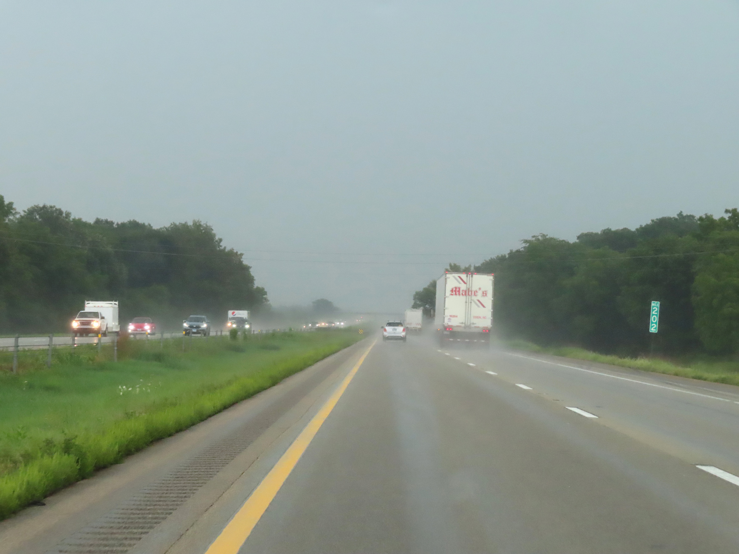 |
Mile marker 202 on Interstate 74 East in Vermilion County. (Photo taken 8/20/22). |
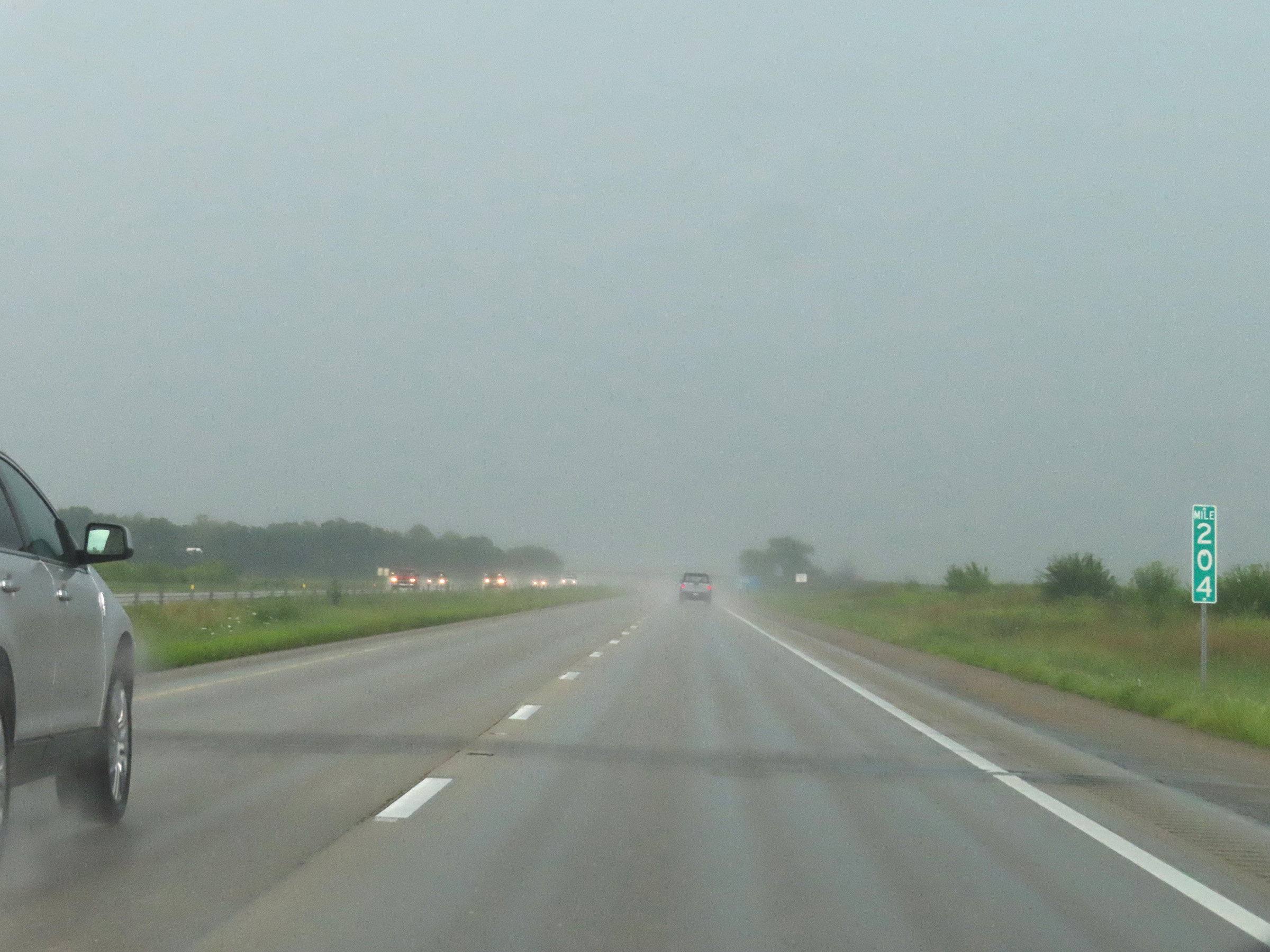 |
View on Interstate 74 East at mile marker 204. (Photo taken 8/20/22). |
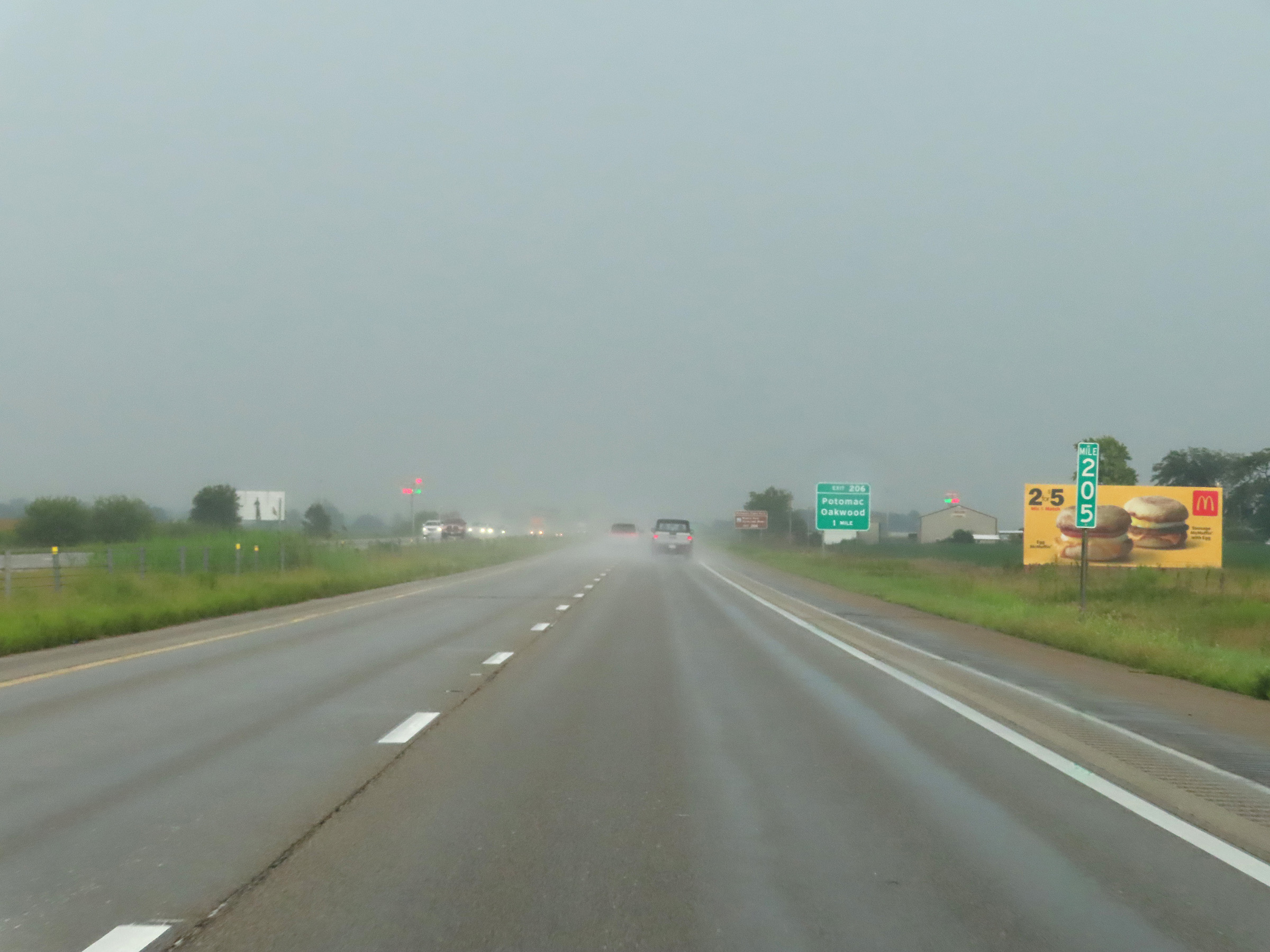 |
Interstate 74 East at mile marker 205. (Photo taken 8/20/22). |
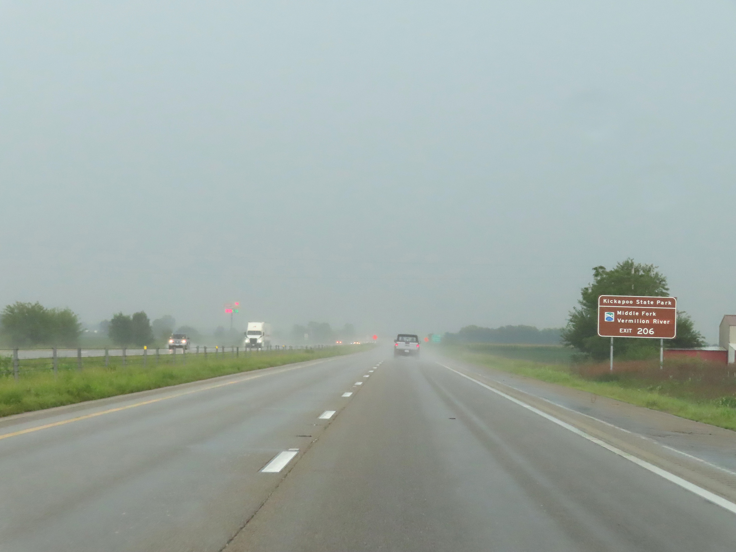 |
Take Exit 206 to Kickapoo State Park and the Middle Fork of the Vermilion River. (Photo taken 8/20/22). |
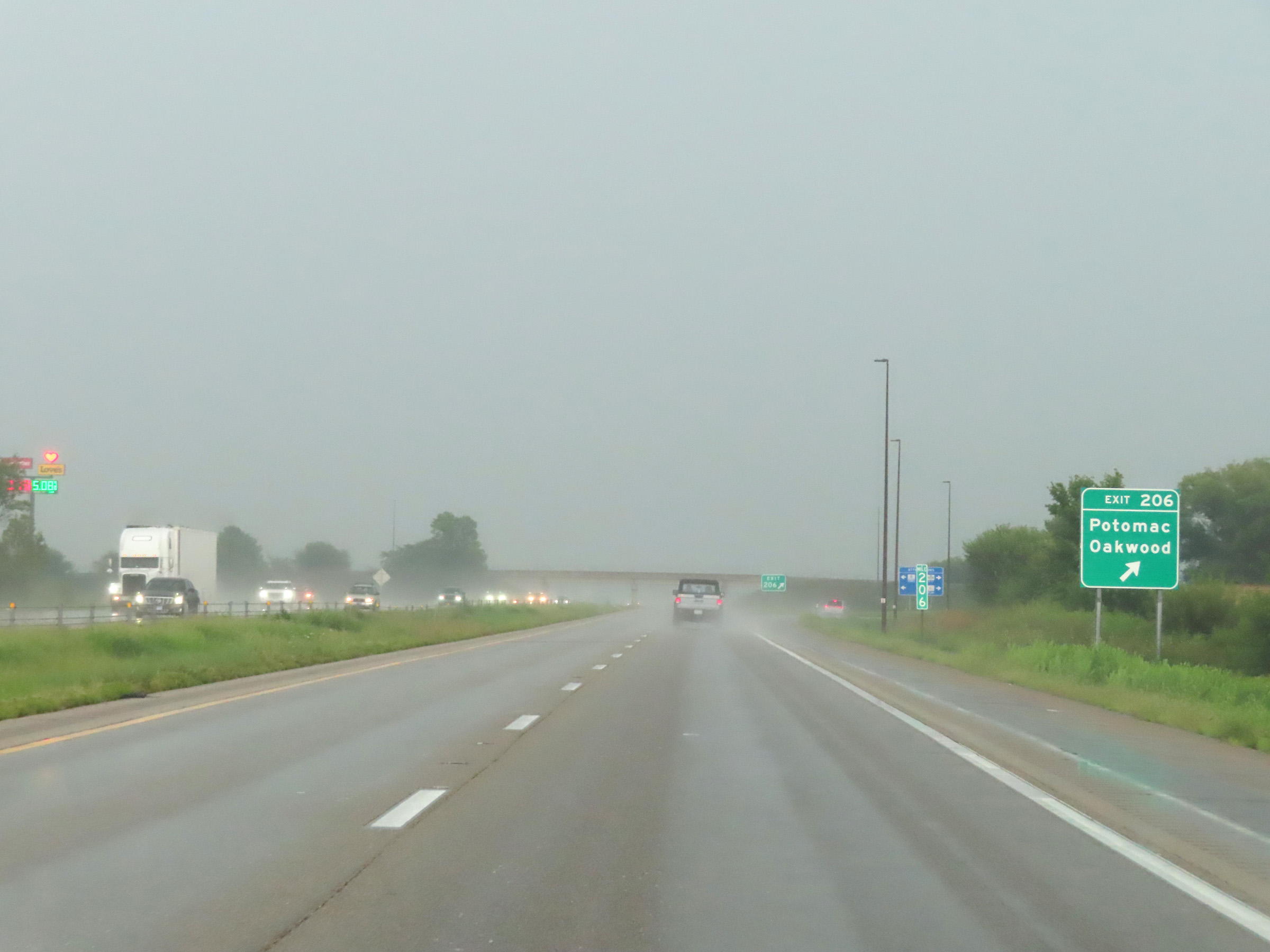 |
Interstate 74 East at Exit 206: Potomac / Oakwood (Photo taken 8/20/22). |
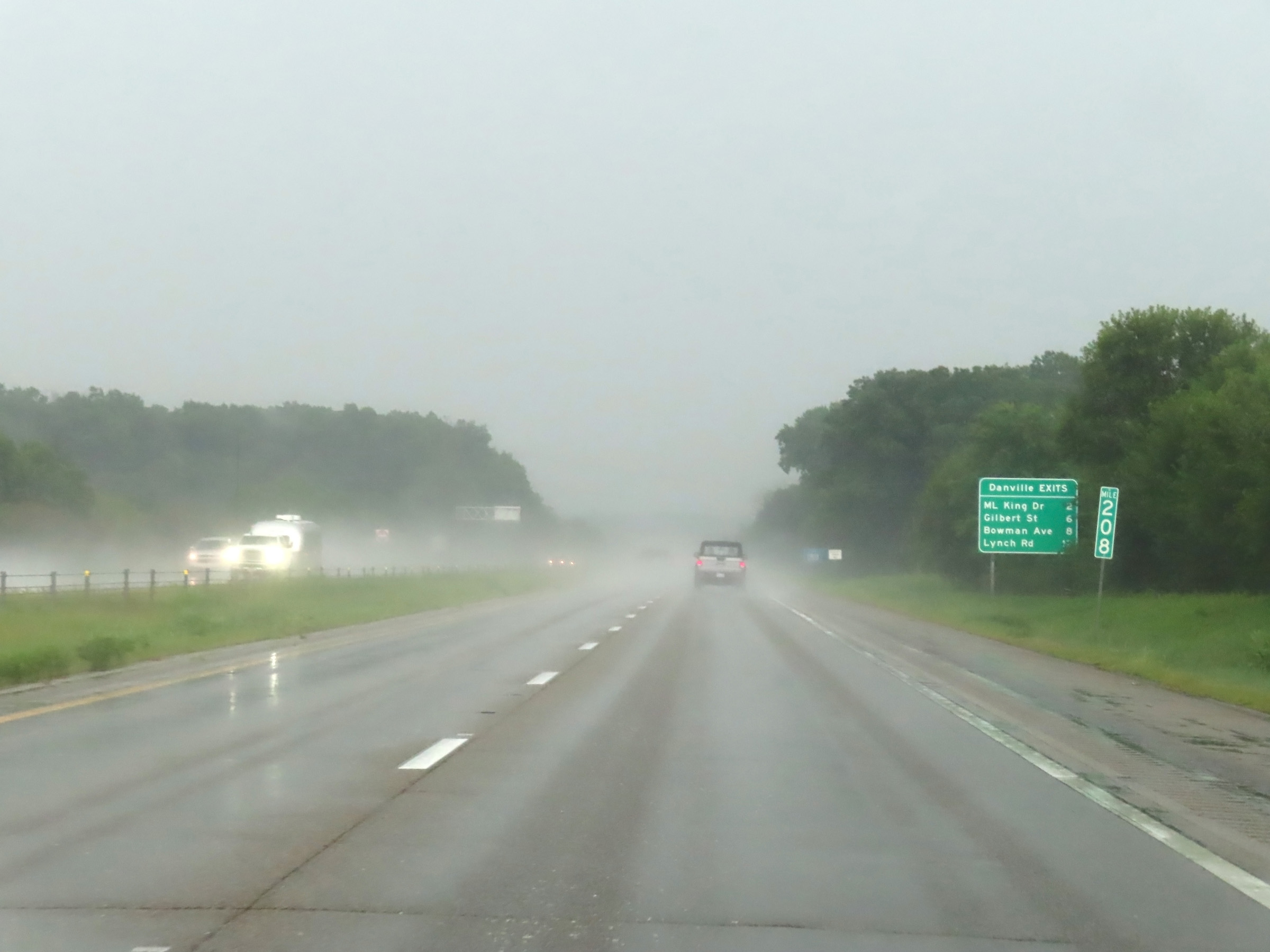 |
Mileage sign at mile marker 208, listing the distances to the four upcoming exits to Danville on Interstate 74 East. (Photo taken 8/20/22). |
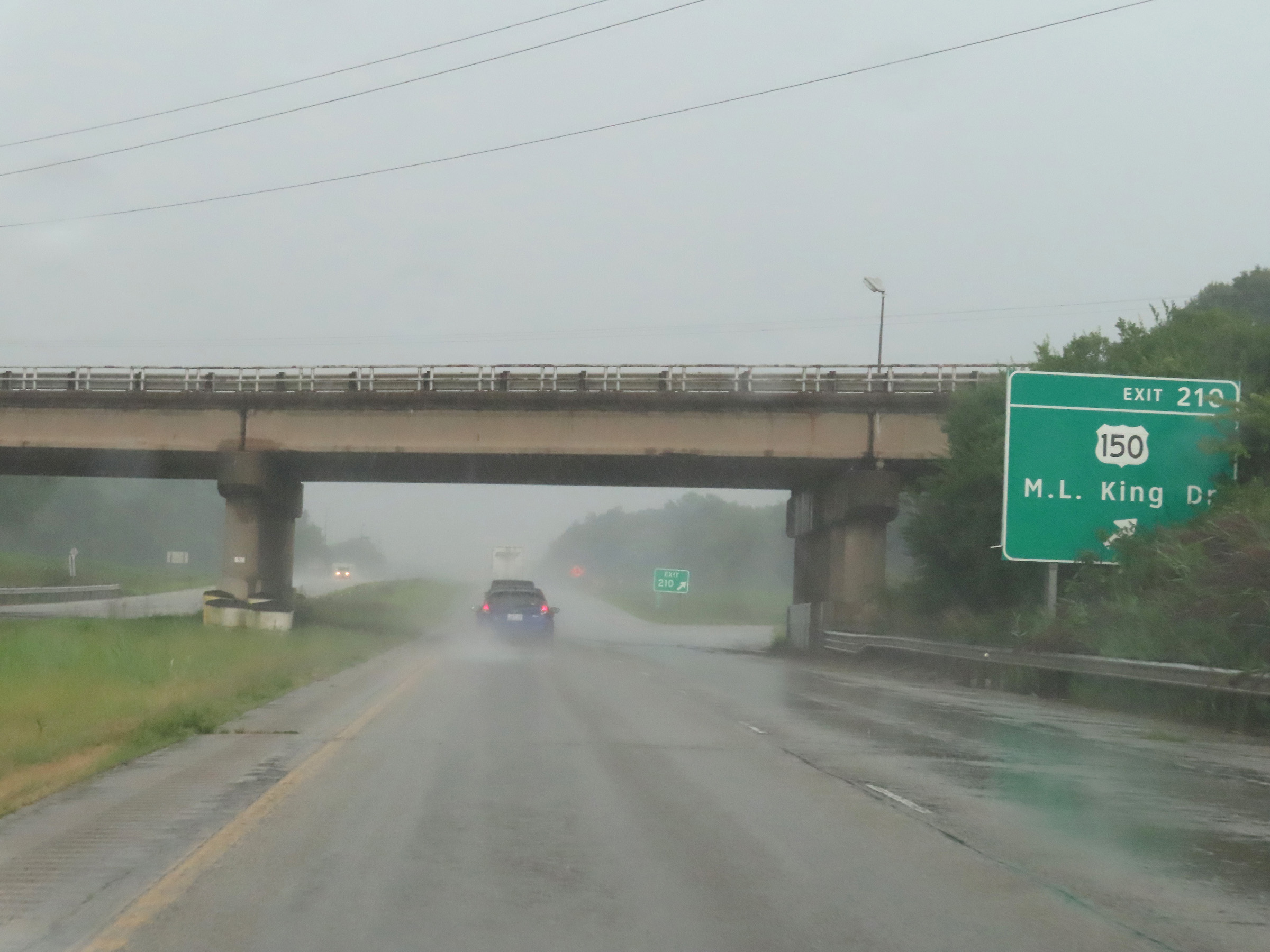 |
Interstate 74 East at Exit 210: US 150 - M.L. King Dr (Photo taken 8/20/22). |
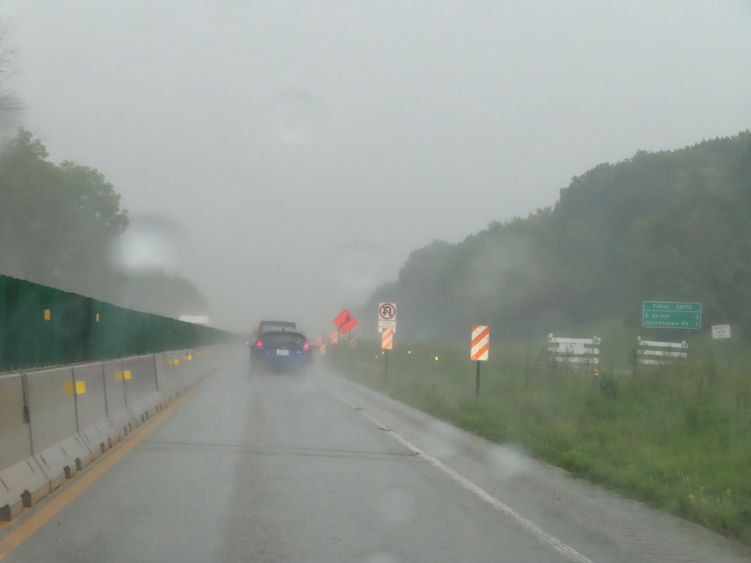 |
This mileage sign lists the distances to the two exits on Interstate 74 East to Tilton. (Photo taken 8/20/22). |
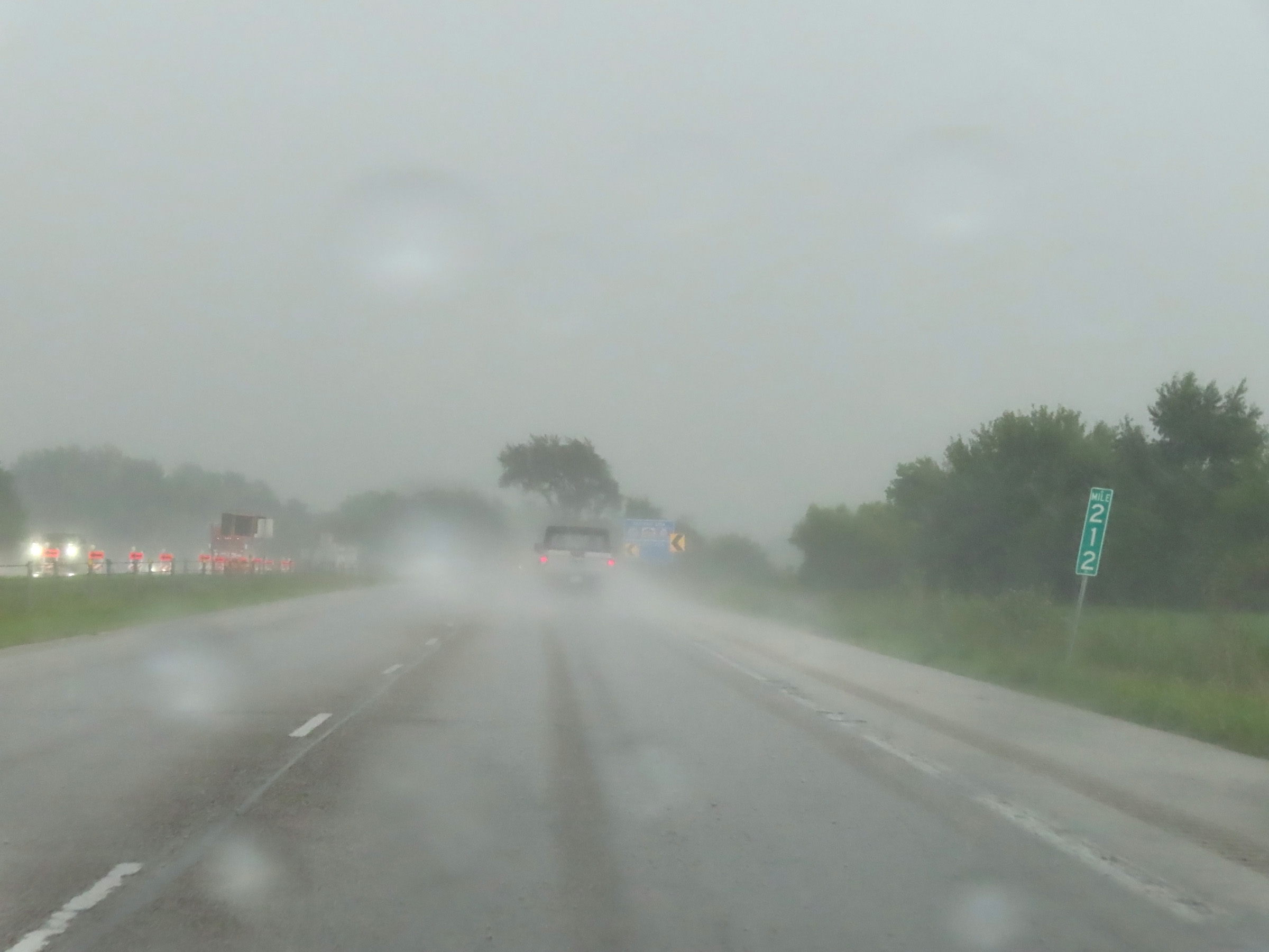 |
Mile marker 212 on Interstate 74 East in Vermilion County. (Photo taken 8/20/22). |
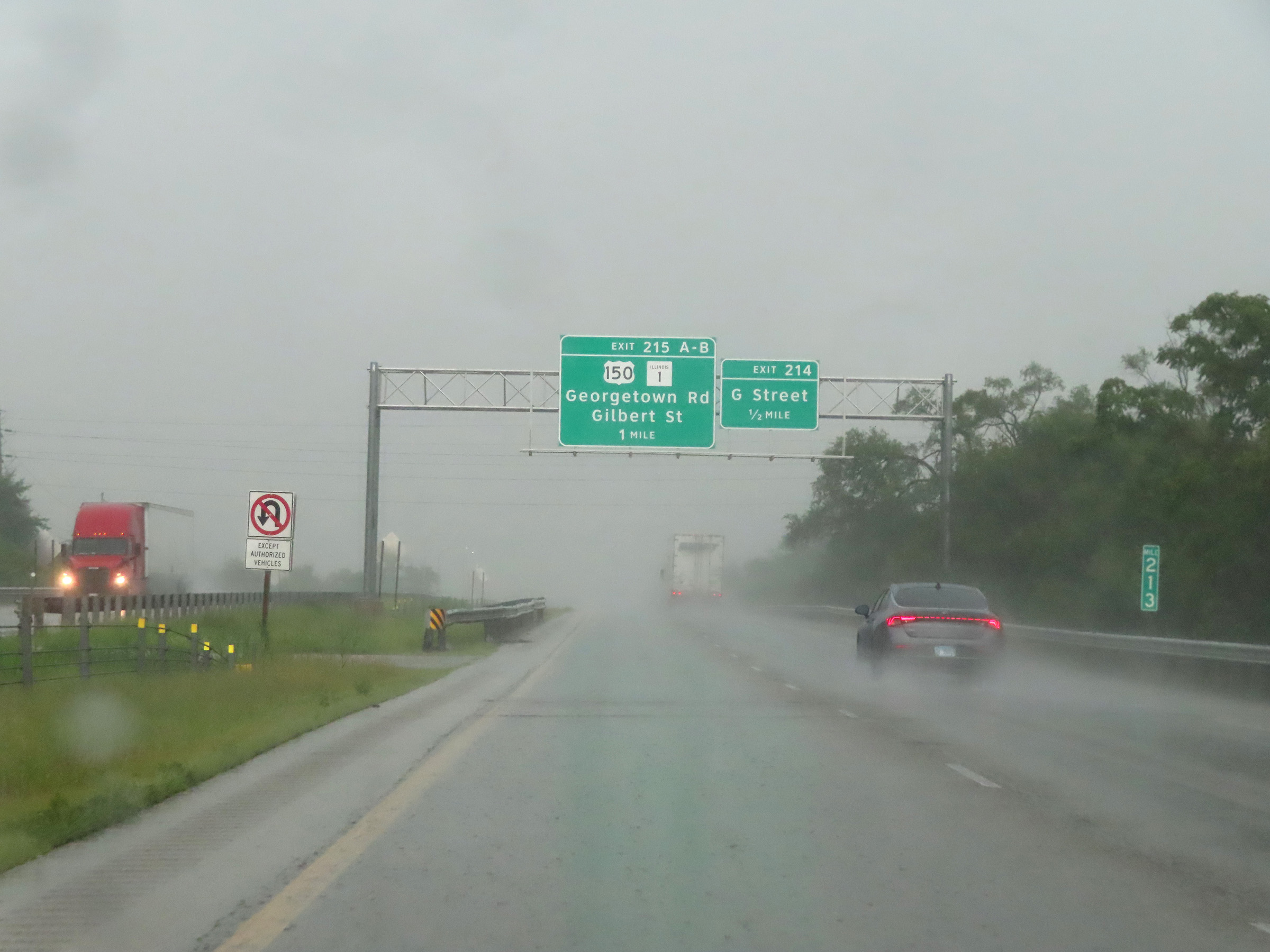 |
View on Interstate 74 East at mile marker 213. (Photo taken 8/20/22). |
 |
Interstate 74 East at Exit 214: G Street (Photo taken 8/20/22). |
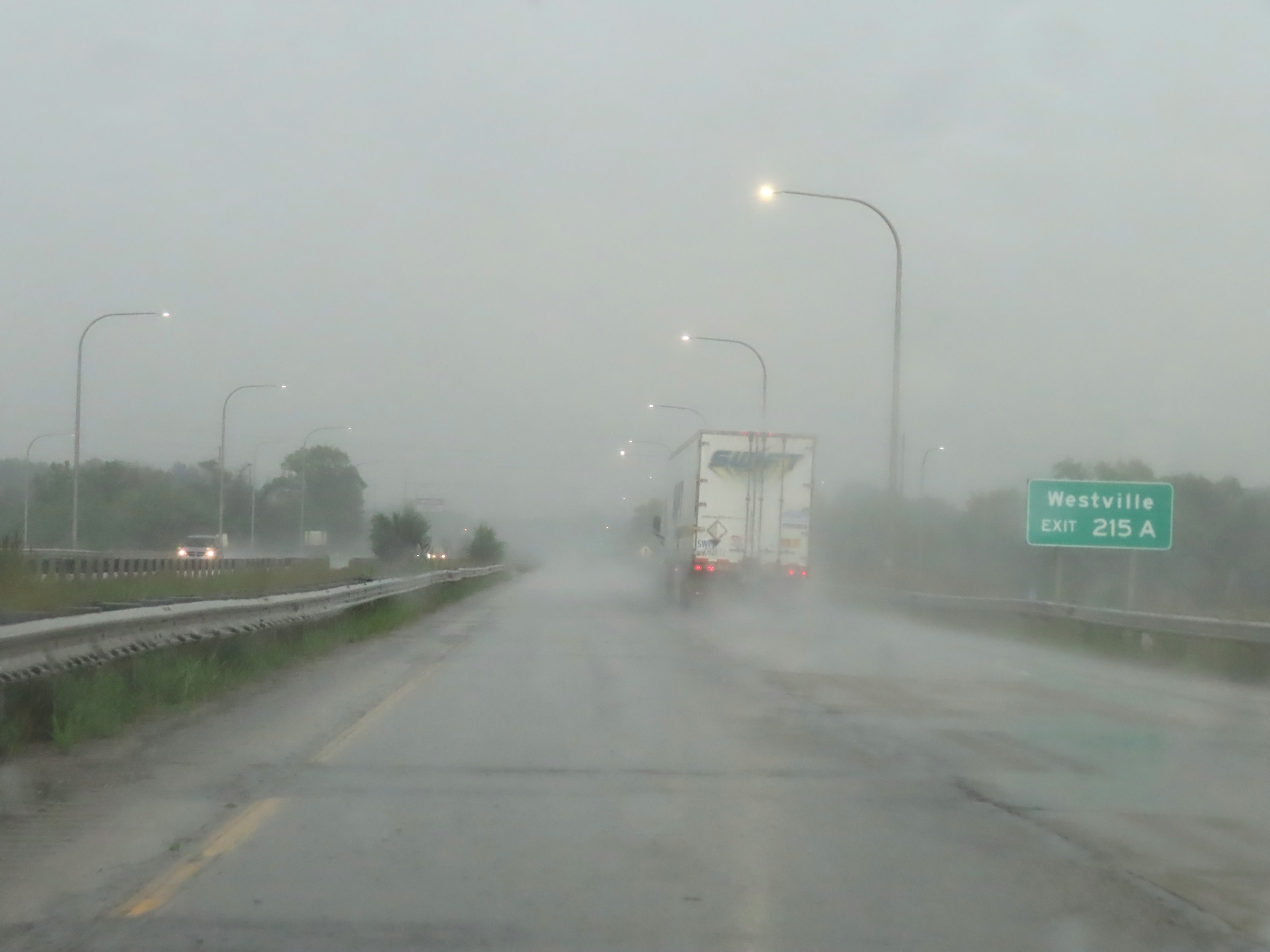 |
Take Exit 215A to Westville. (Photo taken 8/20/22). |
 |
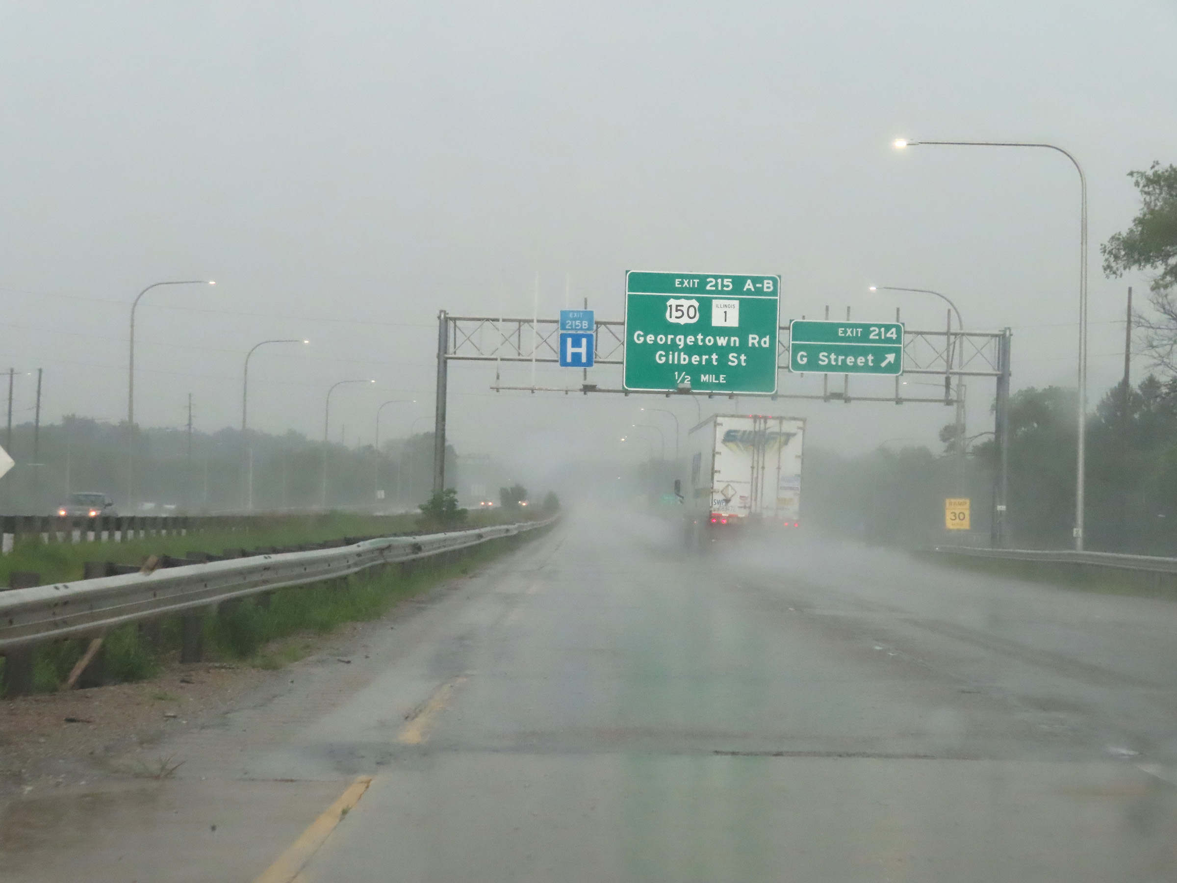
Interstate 74 East at Exits 215A-B: US 150 / IL 1 - Georgetown Rd / Gilbert St (Photo taken 8/20/22). |
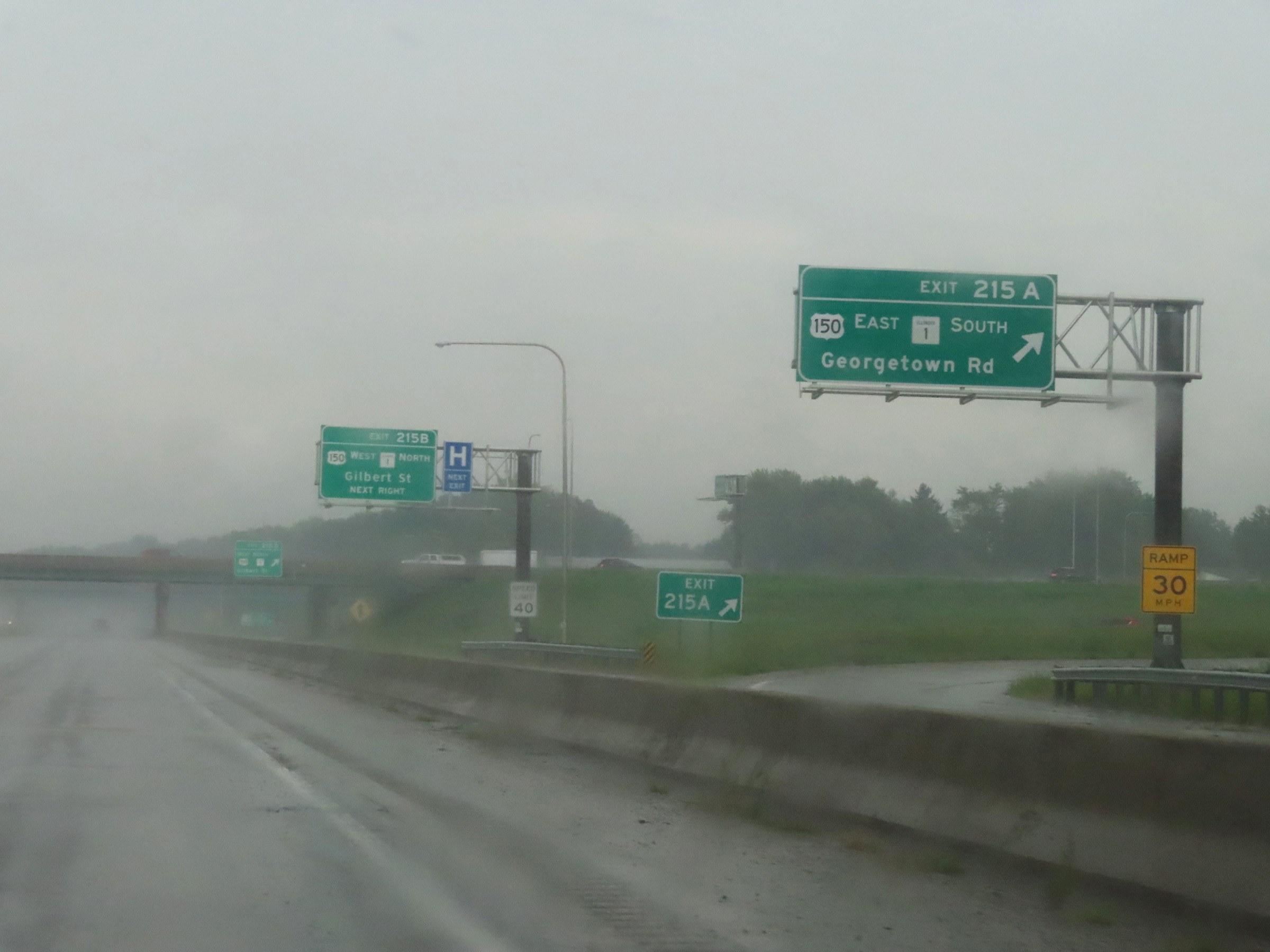 |
Interstate 74 East at Exit 215A: US 150 East / IL 1 South - Georgetown Rd (Photo taken 8/20/22). |
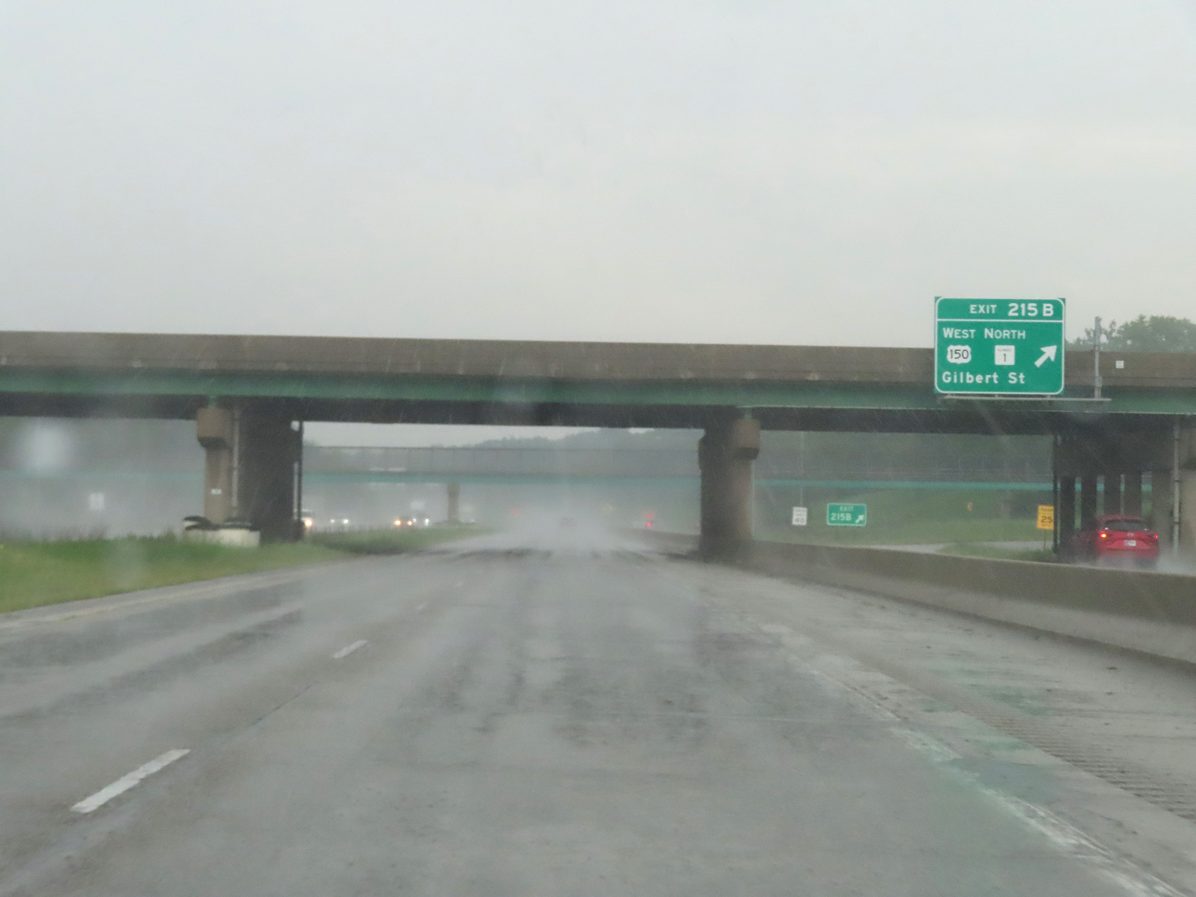 |
Interstate 74 East at Exit 215B: US 150 West / IL 1 North - Gilbert St (Photo taken 8/20/22). |
 |
Interstate 74 East reassurance shield. (Photo taken 8/20/22). |
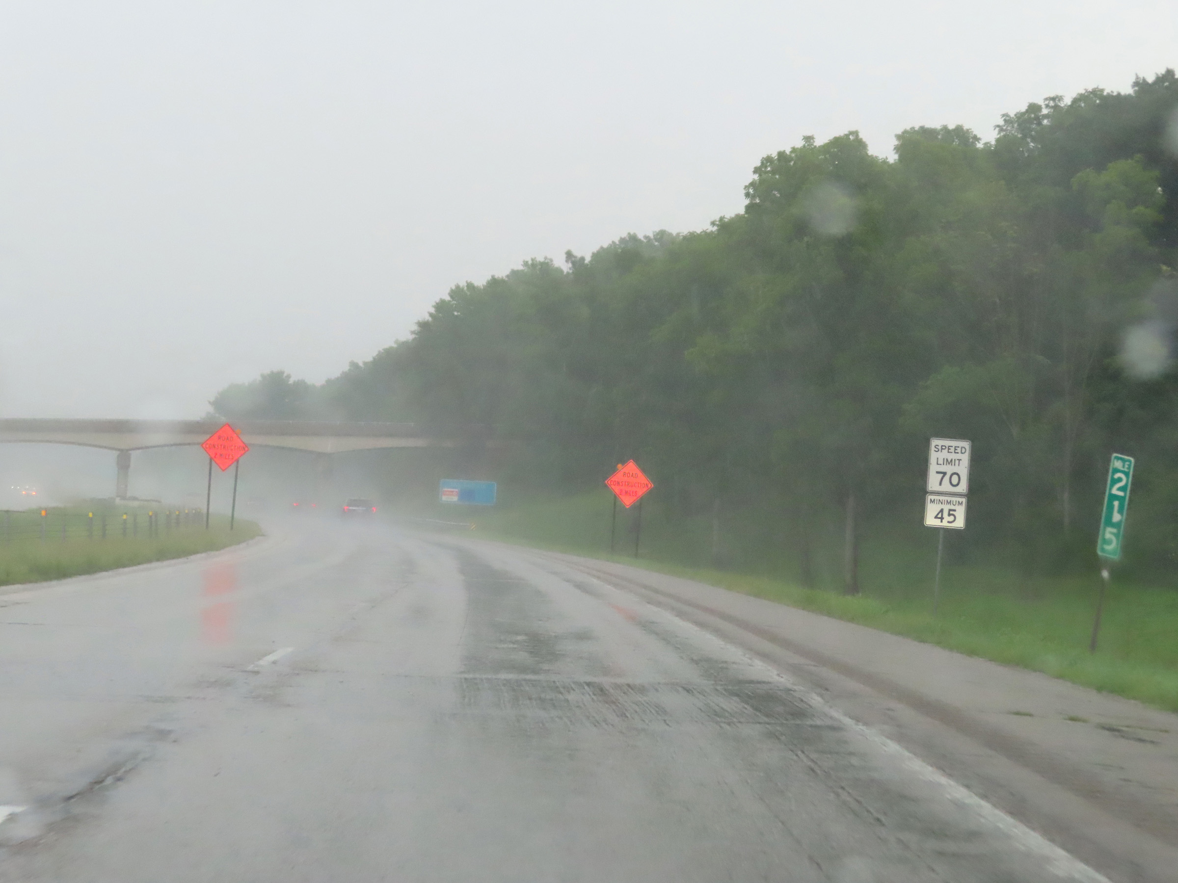 |
Speed limit signs at mile marker 215. The speed limits remain the rural standard 70 mph maximum and 45 mph minimum through the Danville-Tilton area. (Photo taken 8/20/22). |
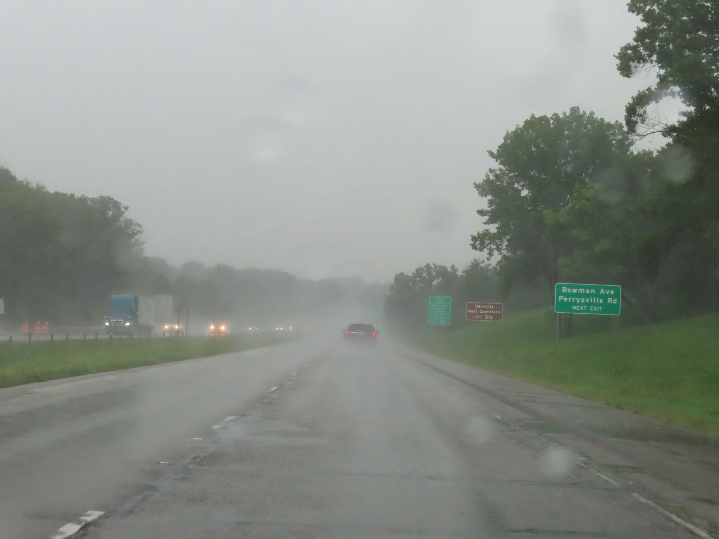 |
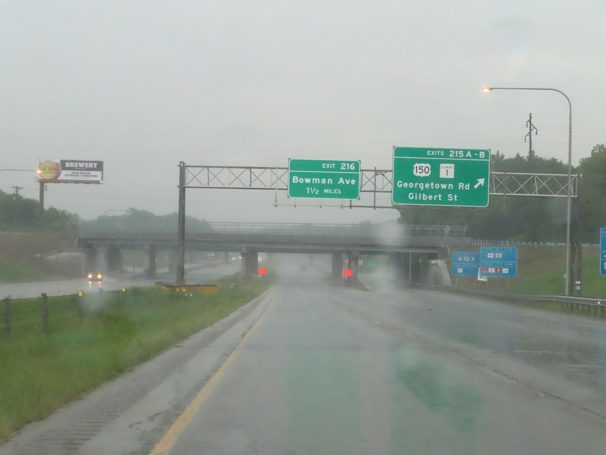
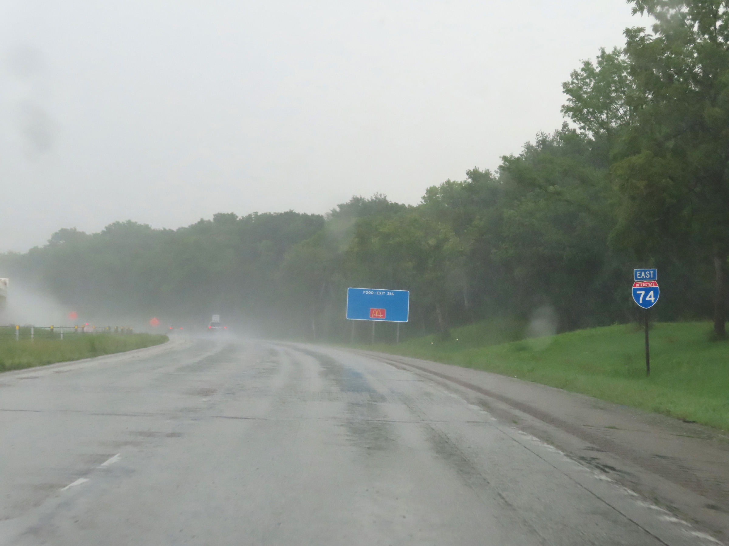
Take Exit 216 to Bowman Ave and Perrysville Rd. (Photo taken 8/20/22). |
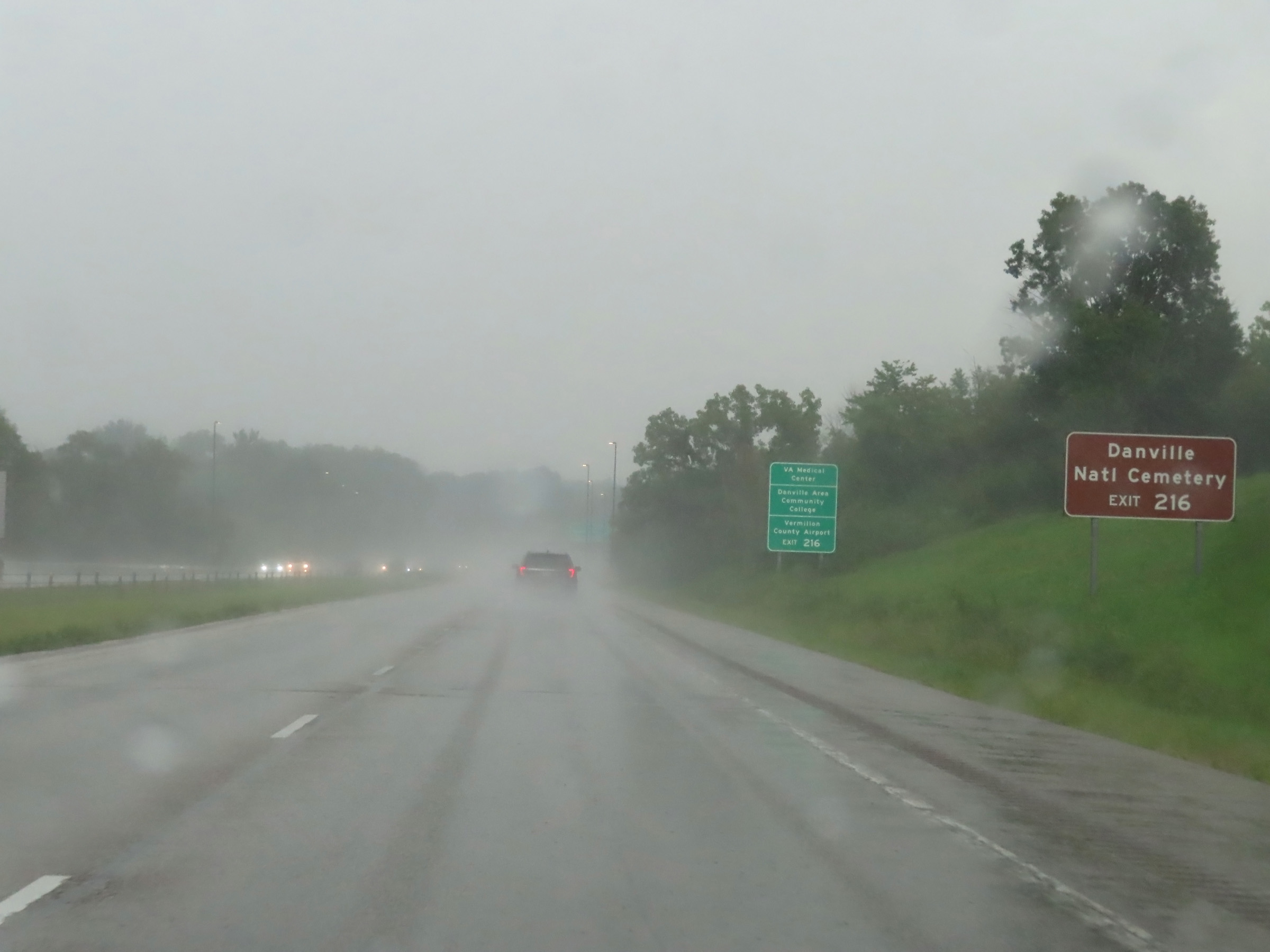 |
Also take Exit 216 to Danville National Cemetery. (Photo taken 8/20/22). |
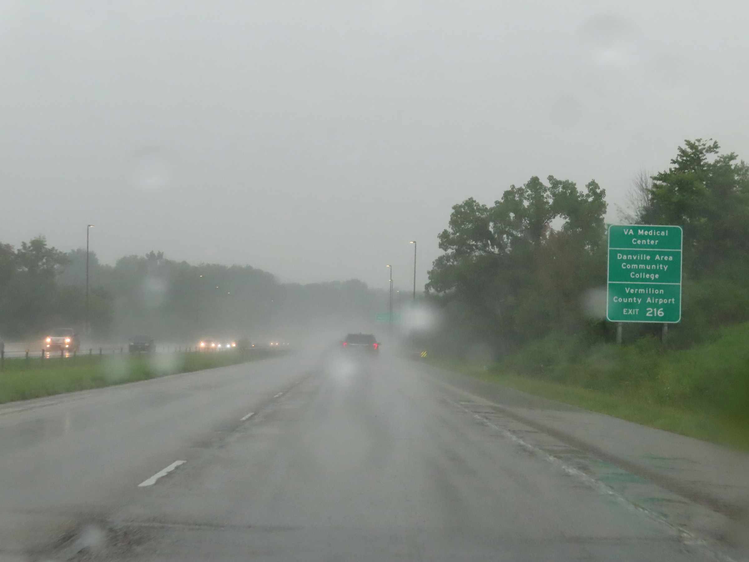 |
Traffic to the VA Medical Center, Danville Area Community College, and the Vermilion County Airport should also use Exit 216. (Photo taken 8/20/22). |
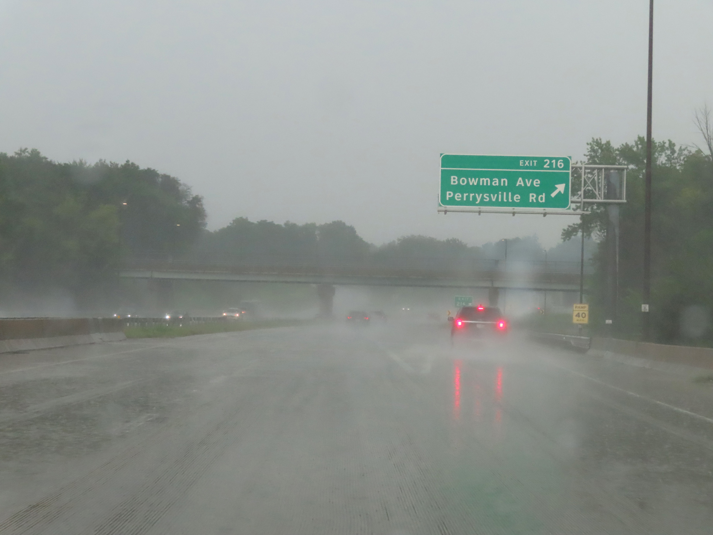 |
Interstate 74 East at Exit 216: Bowman Ave / Perrysville Rd (Photo taken 8/20/22). |
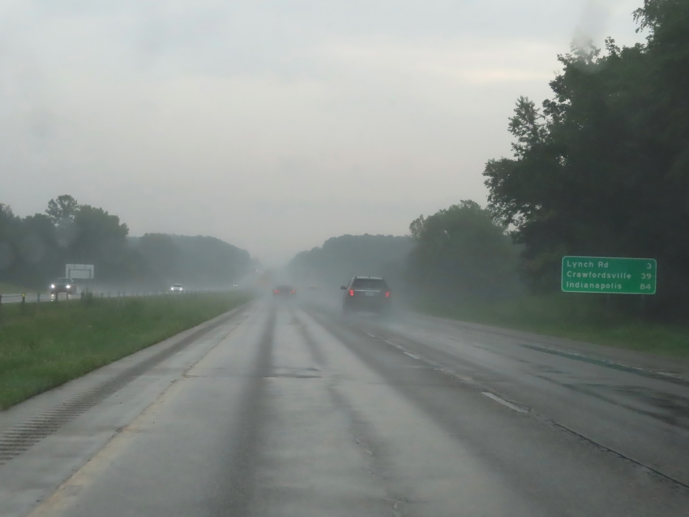 |
Mileage sign on Interstate 74 East as it leaves the Danville-Tilton area. It's 3 miles to the interchange with Lynch Rd, 39 miles to Crawfordsville, and 84 miles to Indianapolis. (Photo taken 8/20/22). |
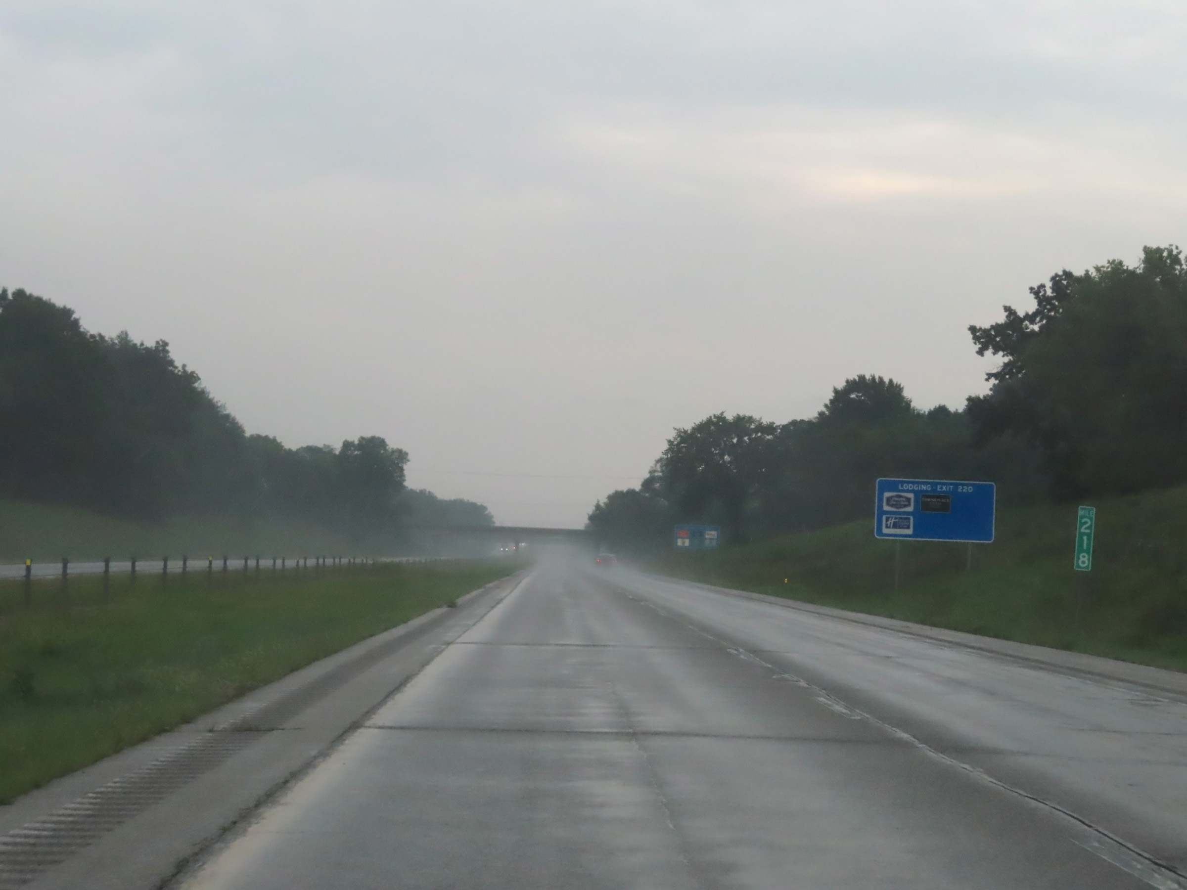 |
View on Interstate 74 East at mile marker 218. (Photo taken 8/20/22). |
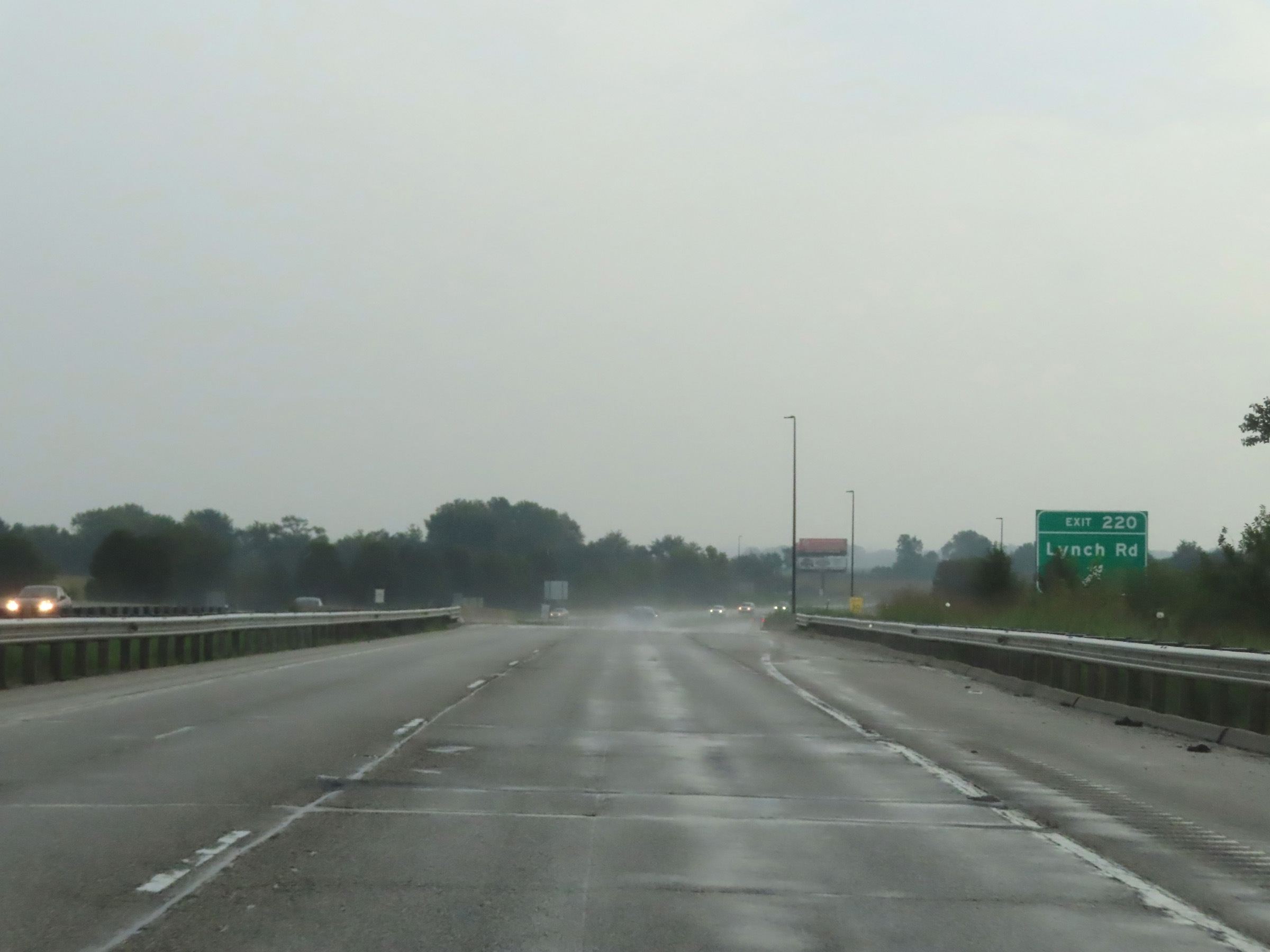 |
Interstate 74 East at Exit 220: Lynch Rd (Photo taken 8/20/22). |
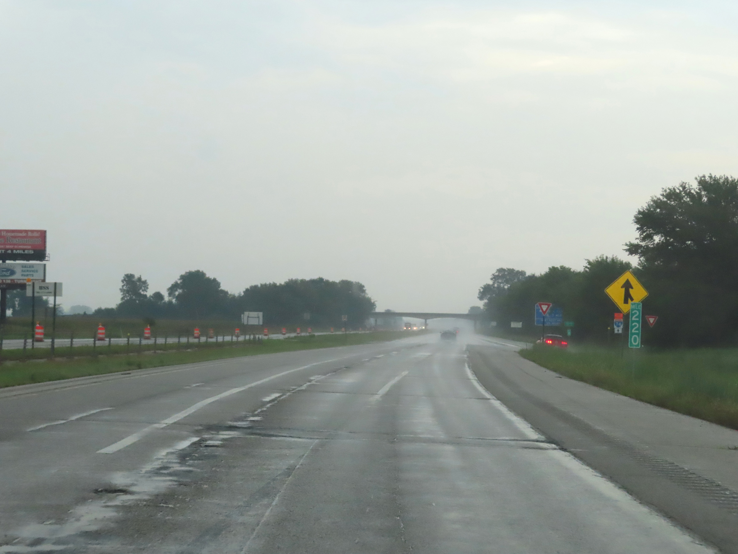 |
View on Interstate 74 East at mile marker 220, as we begin to make the approach to the Indiana state line. (Photo taken 8/20/22). |
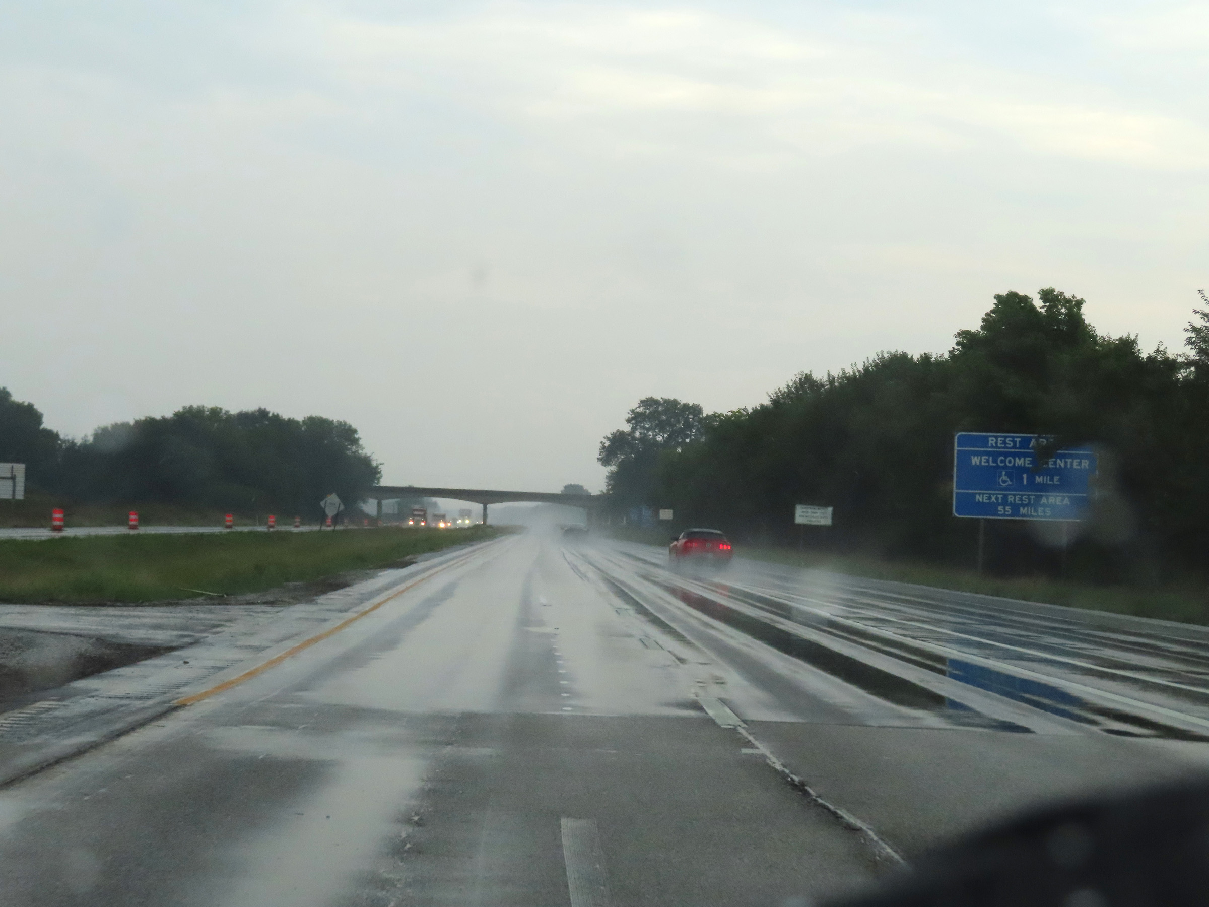 |
A Rest Area / Welcome Center exists 1 mile ahead after crossing the state line into Indiana. (Photo taken 8/20/22). |
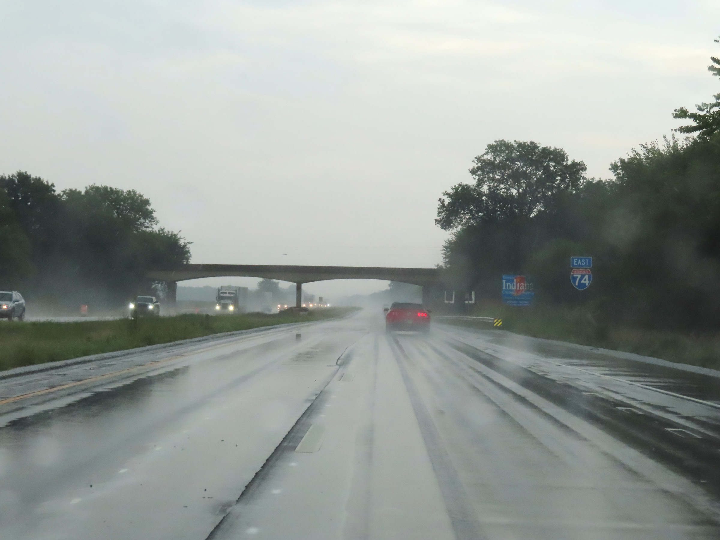 |
Interstate 74 East reassurance shield as it prepares to cross the state line from Illinois into Indiana. (Photo taken 8/20/22). |