Road Information |
||
 |
||
| Total Mileage in State: | 141 miles | |
| Northern End: | At Wisconsin state line | |
| Southern End: | At I-55, in Normal | |
| Mileage covered in Photos: | 141 miles | |
| Counties covered in Photos: | Winnebago, Ogle, Lee, LaSalle, Marshall, Woodford, McLean | |
| Major Junctions in Photos: | I-90, near Rockford I-88, in Rochelle I-80, near LaSalle I-55, in Normal |
|
| Control Cities in Photos: | South Beloit, Rockford, Rochelle, LaSalle, Normal | |
Southbound
- Section 1: Wisconsin Border to Rockford (Exit 115)
- Section 2: Rockford (Exit 115) to LaSalle (Exit 59A)
- Section 3: LaSalle (Exit 59A) to Interstate 55
Section 1: Wisconsin Border to Rockford (Exit 115)
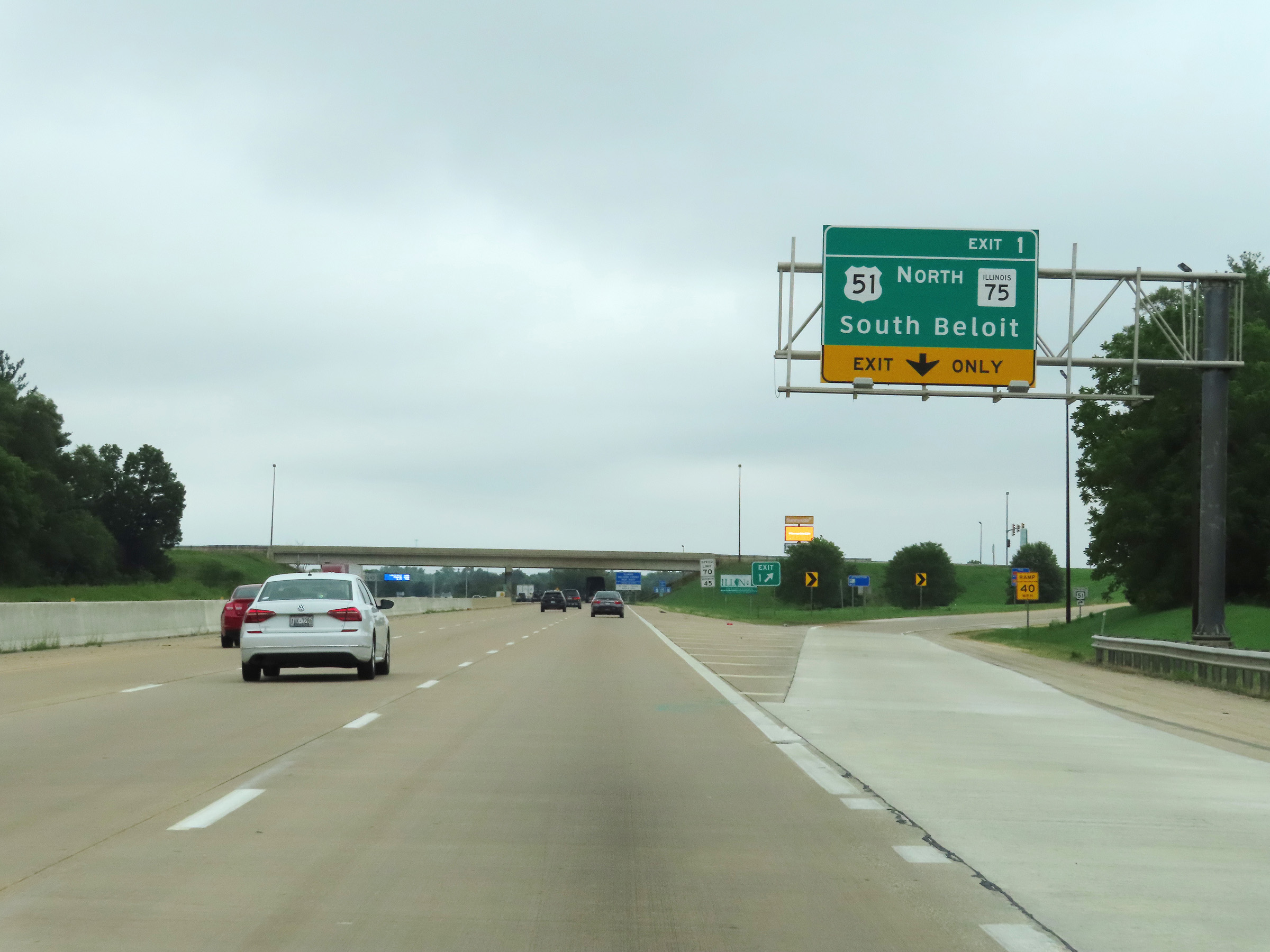 |
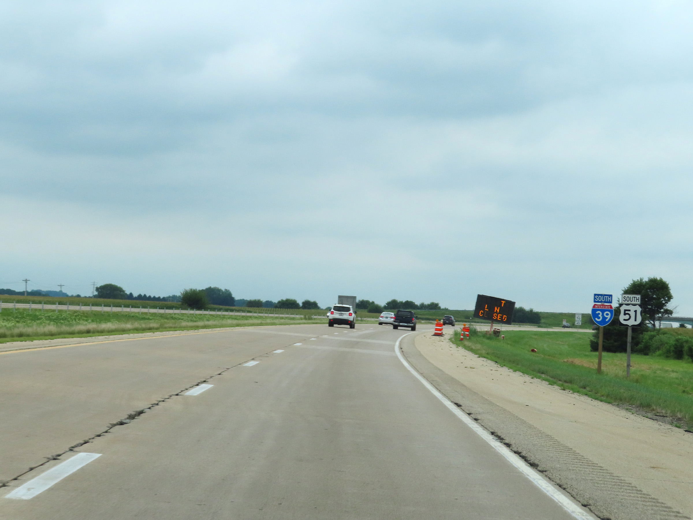
Interstate 39 South / Interstate 90 East at Exit 1: US 51 North / IL 75 - South Beloit (Photo taken 8/14/22). |
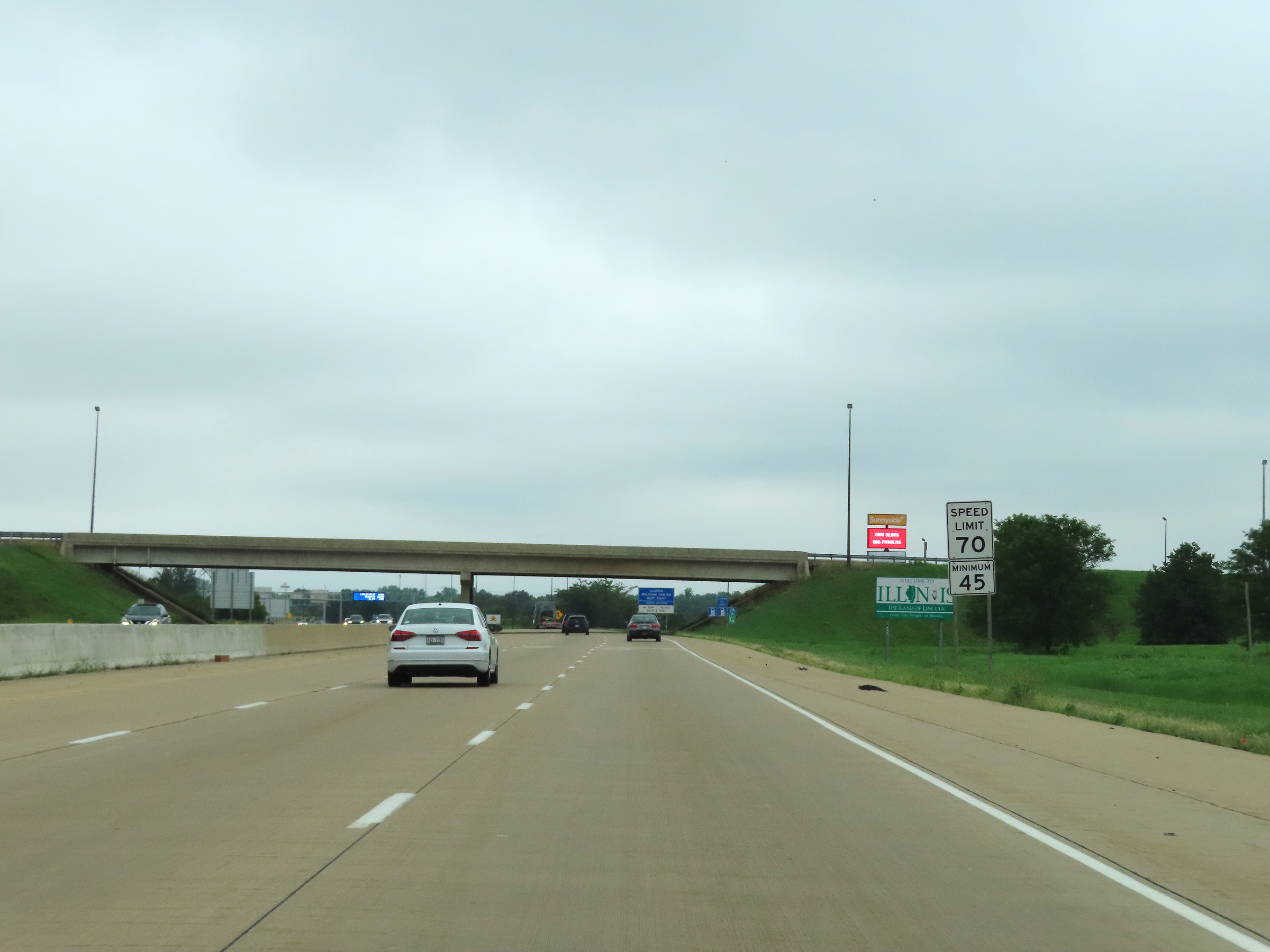 |
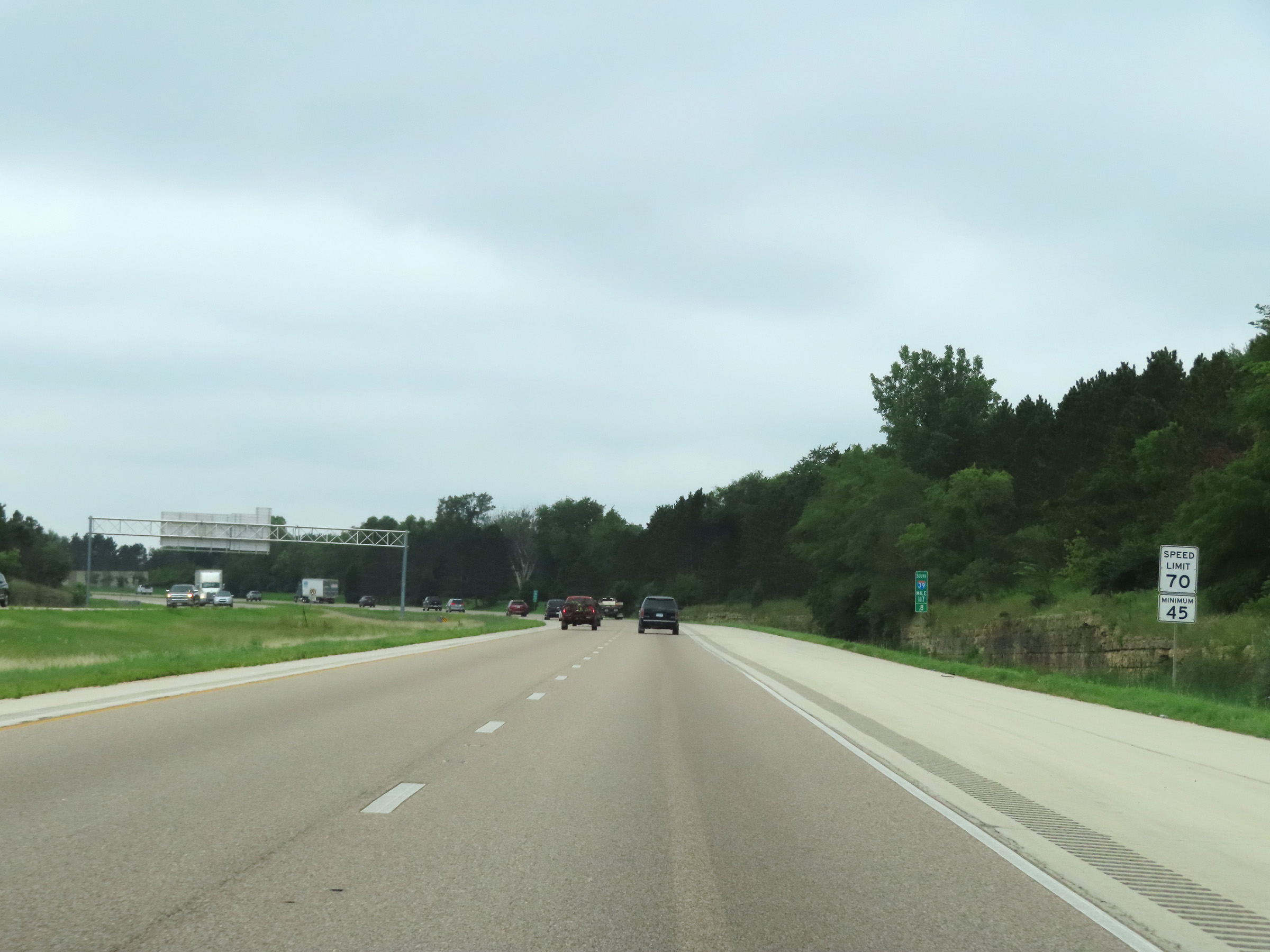
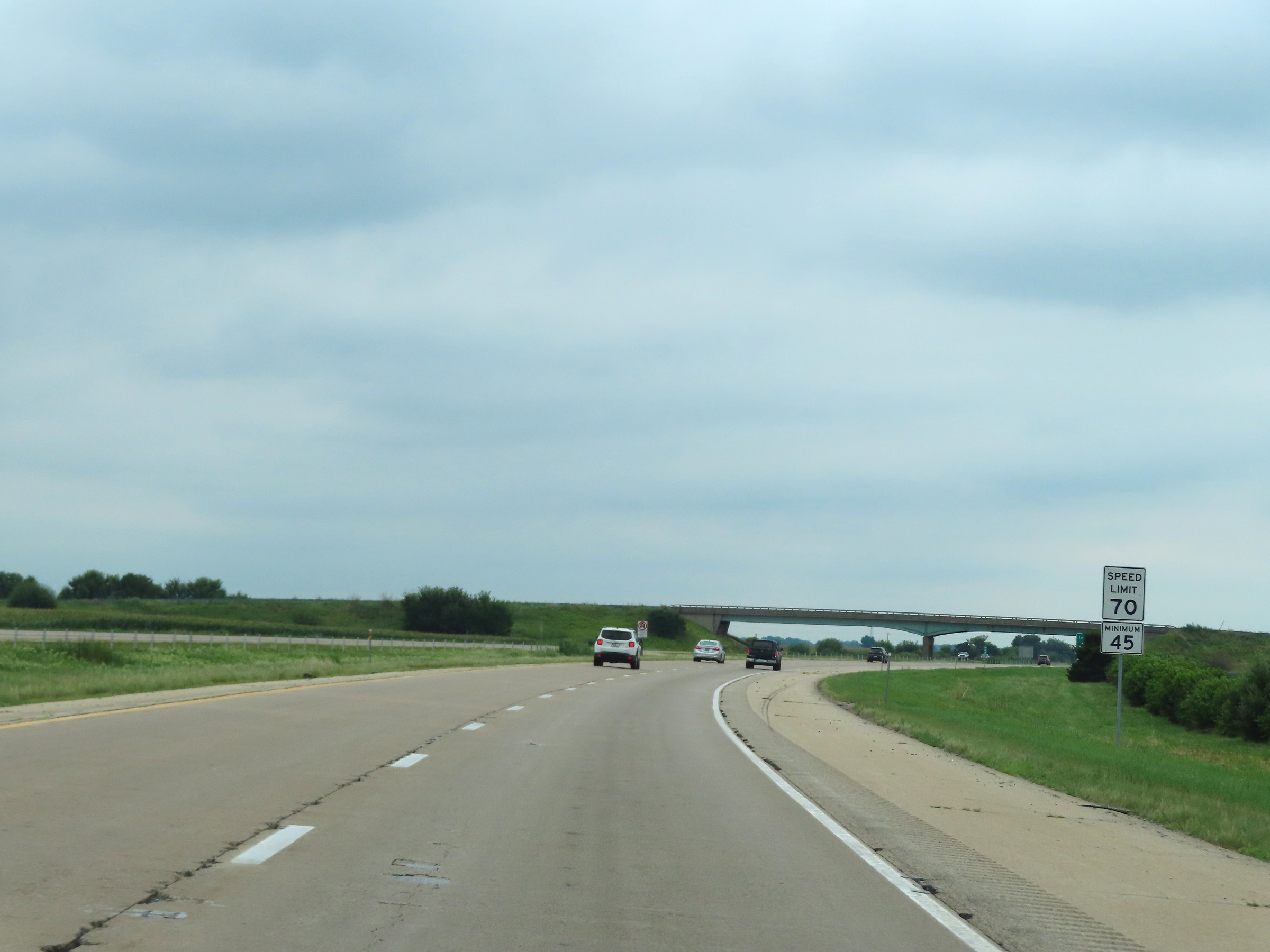
The speed limits on Interstate 39 South / Interstate 90 East in Illinois start out at 70 mph maximum and 45 mph minimum. These are the standard speed limits on most rural Interstate highways in Illinois. (Photo taken 8/14/22). |
 |
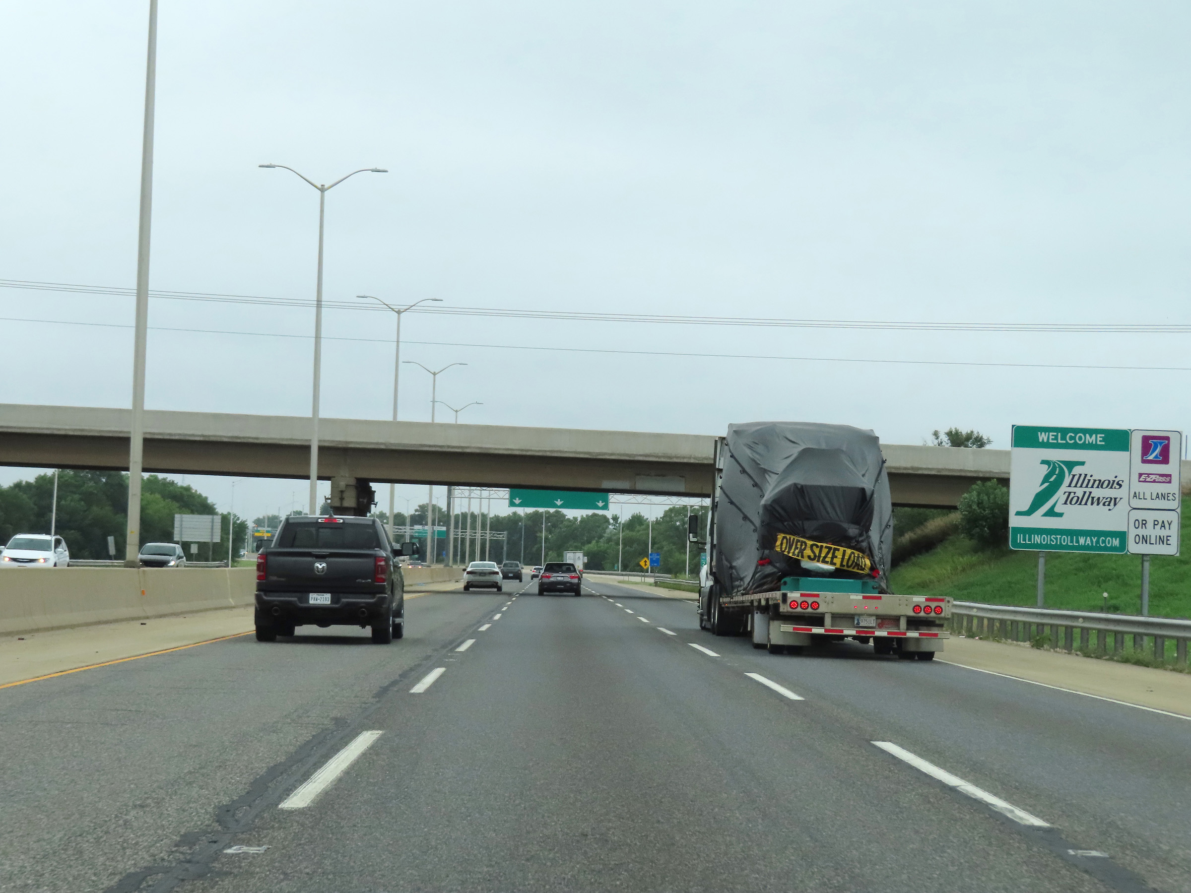
Illinois welcome sign on Interstate 39 South / Interstate 90 East as the duplex enters the Prairie State from Wisconsin. I-39 South and I-90 East will run concurrently for the next 17 miles. (Photo taken 8/14/22). |
 |
Interstate 39 South / Interstate 90 East reassurance shields at mile marker 0.75. During this 17-mile concurrency in the Rockford area, the mileage and exit numbers are based on the total mileage of I-90. (Photo taken 8/14/22). |
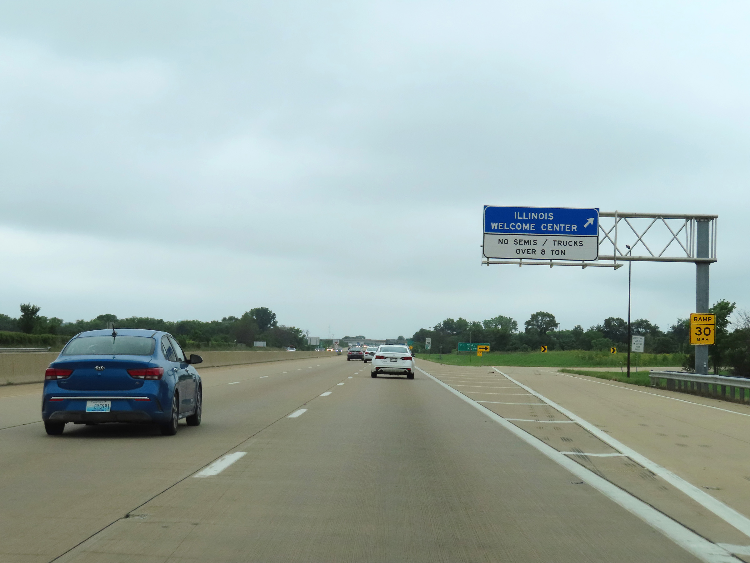 |
Rest Area / Illinois Welcome Center near mile marker 1 on Interstate 39 South / Interstate 90 East in Winnebago County. (Photo taken 8/14/22). |
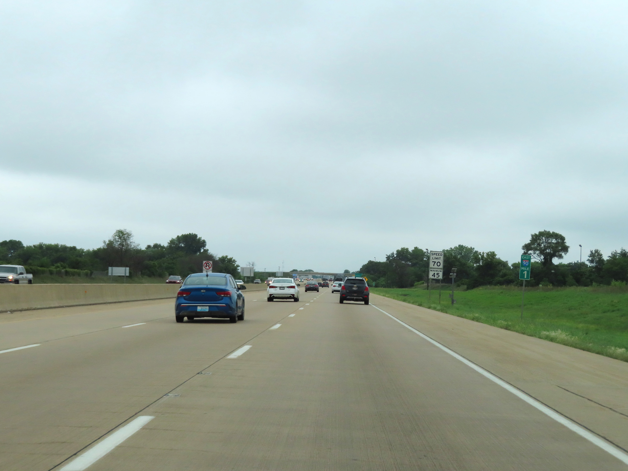 |
View on Interstate 39 South / Interstate 90 East at mile marker 1. (Photo taken 8/14/22). |
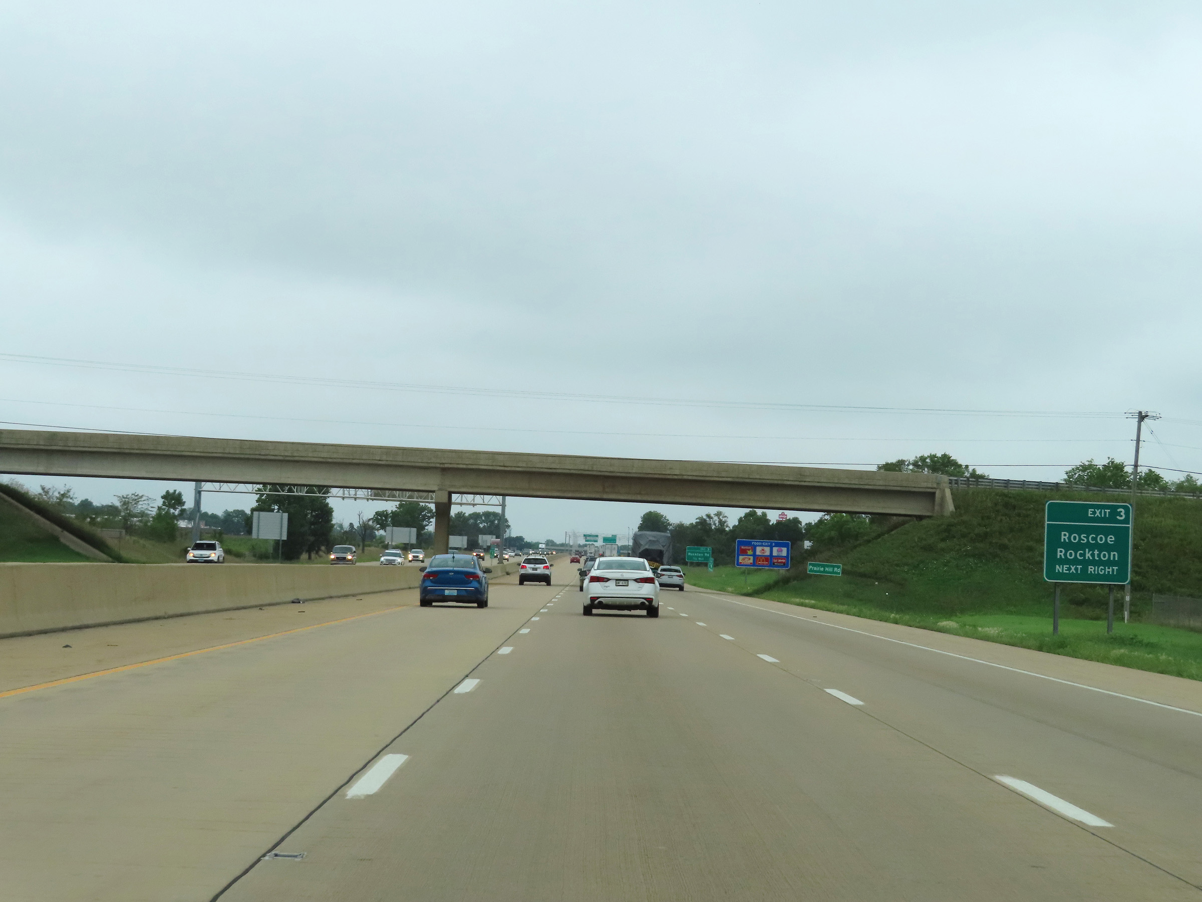 |
Take Exit 3 to Roscoe and Rockton. (Photo taken 8/14/22). |
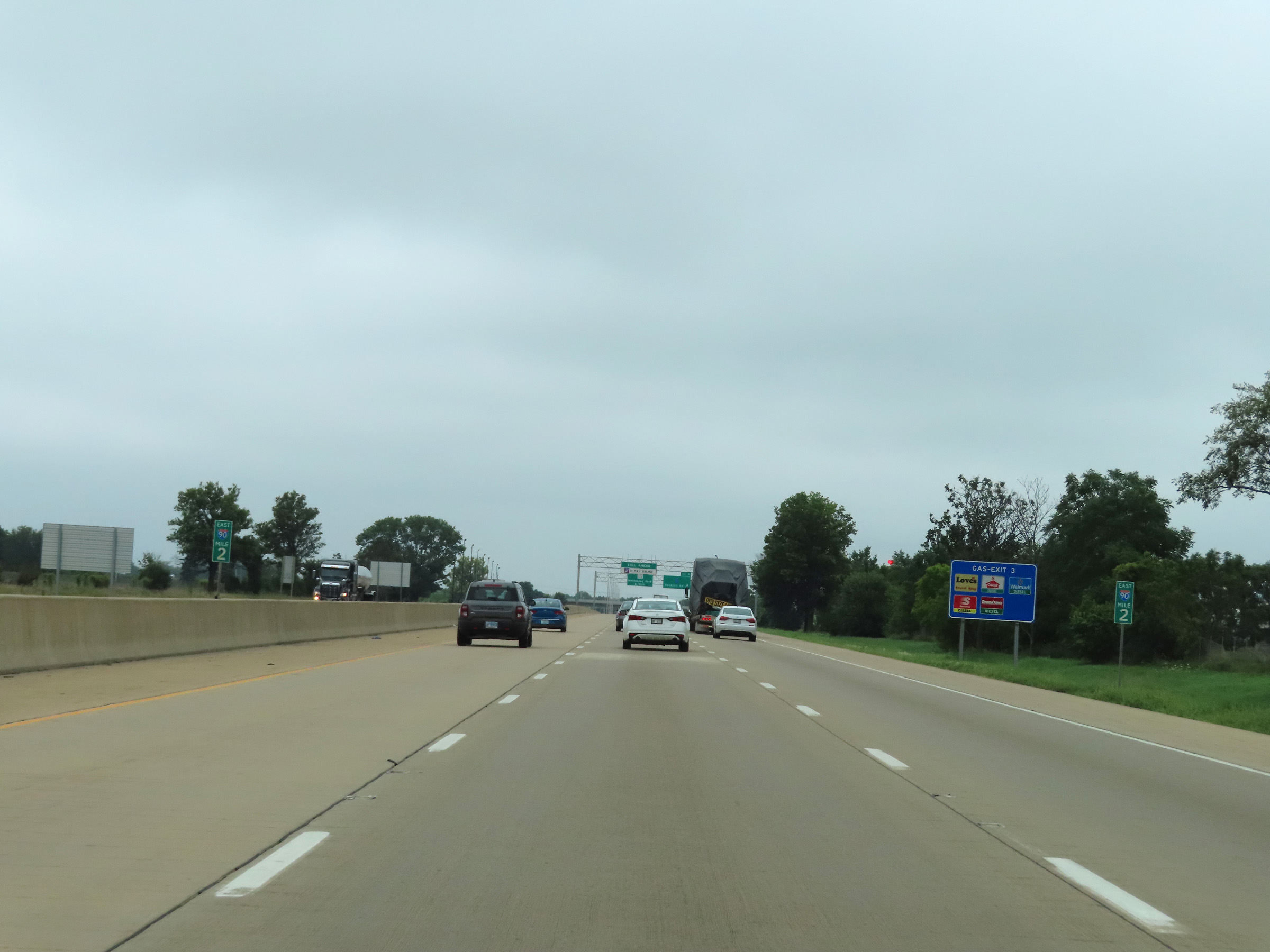 |
Mile marker 2 on Interstate 39 South / Interstate 90 East in Winnebago County. (Photo taken 8/14/22). |
 |
Interstate 39 South / Interstate 90 East at Exit 3: CR 9 - Rockton Rd (Photo taken 8/14/22). |
 |
South of Exit 3, Interstate 39 South / Interstate 90 East enter the Illinois Tollway as the Jane Addams Memorial Tollway. The tolled portion of I-39 South will last until Exit 17 when I-90 East departs. (Photo taken 8/14/22). |
 |
Interstate 39 South / Interstate 90 East at mile marker 3, as it begins to make its approach to the South Beloit Toll Plaza. (Photo taken 8/14/22). |
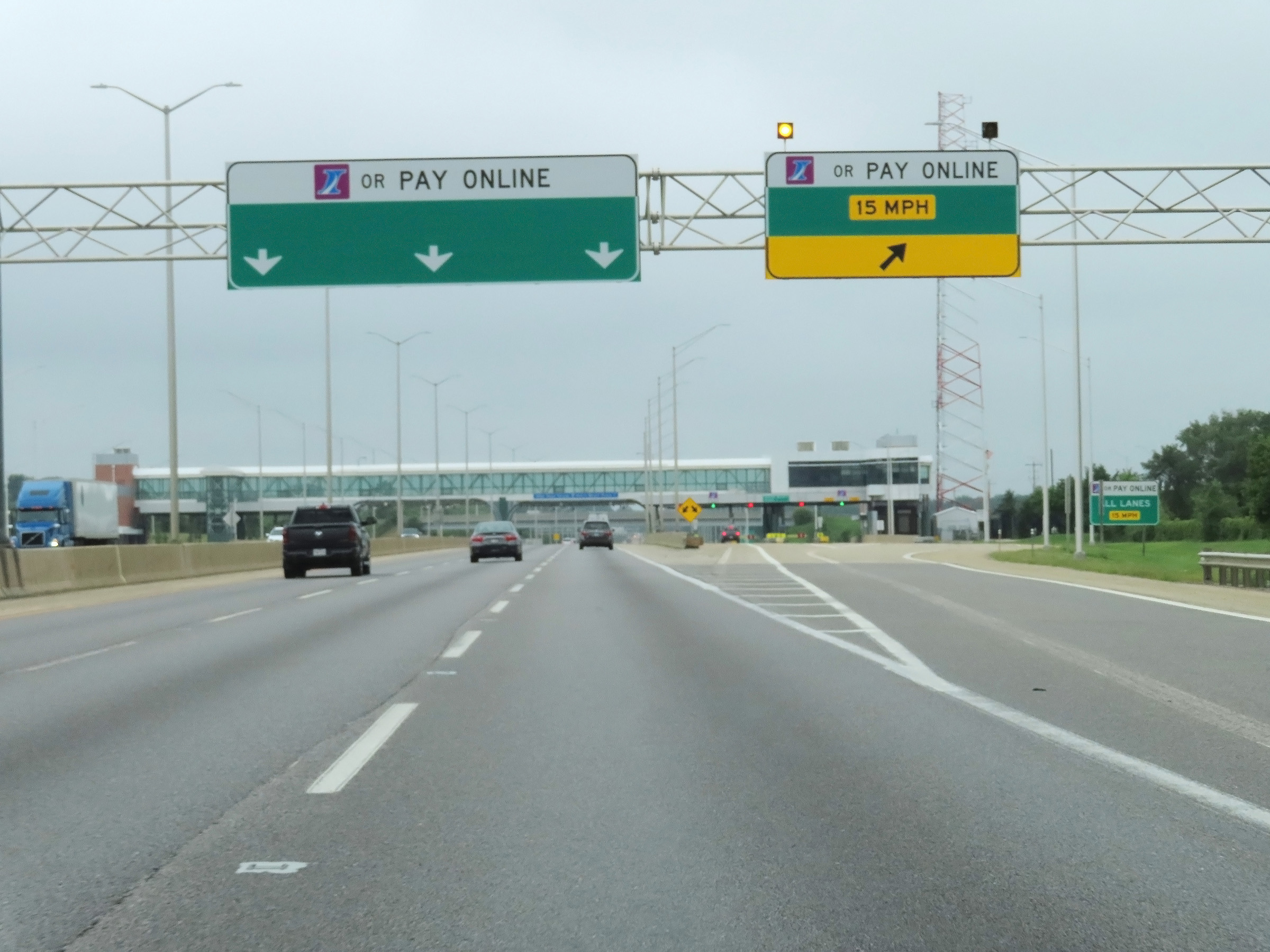 |
Nearing the South Beloit Toll Plaza, this overhead signage shows that the only payment options are EZ Pass / I-Pass or paying online by plate. There are no longer any toll collectors or cash option on the Jane Addams Memorial Tollway. (Photo taken 8/14/22). |
 |
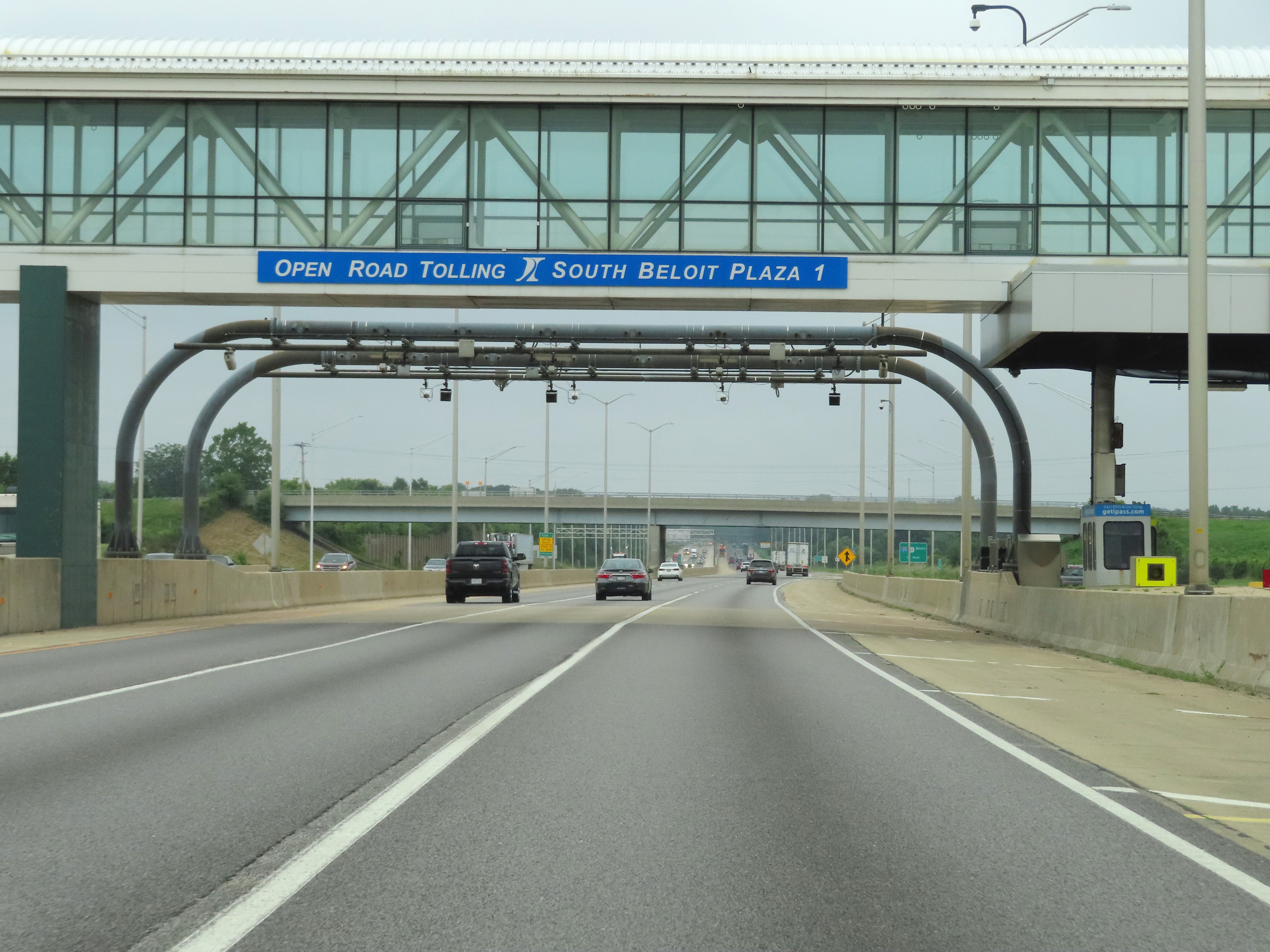
View of the South Beloit Toll Plaza on Interstate 39 South / Interstate 90 East at mile marker 3.5. (Photo taken 8/14/22). |
 |
Passing under the electronic toll gantry on Interstate 39 South / Interstate 90 East at the South Beloit Toll Plaza. (Photo taken 8/14/22). |
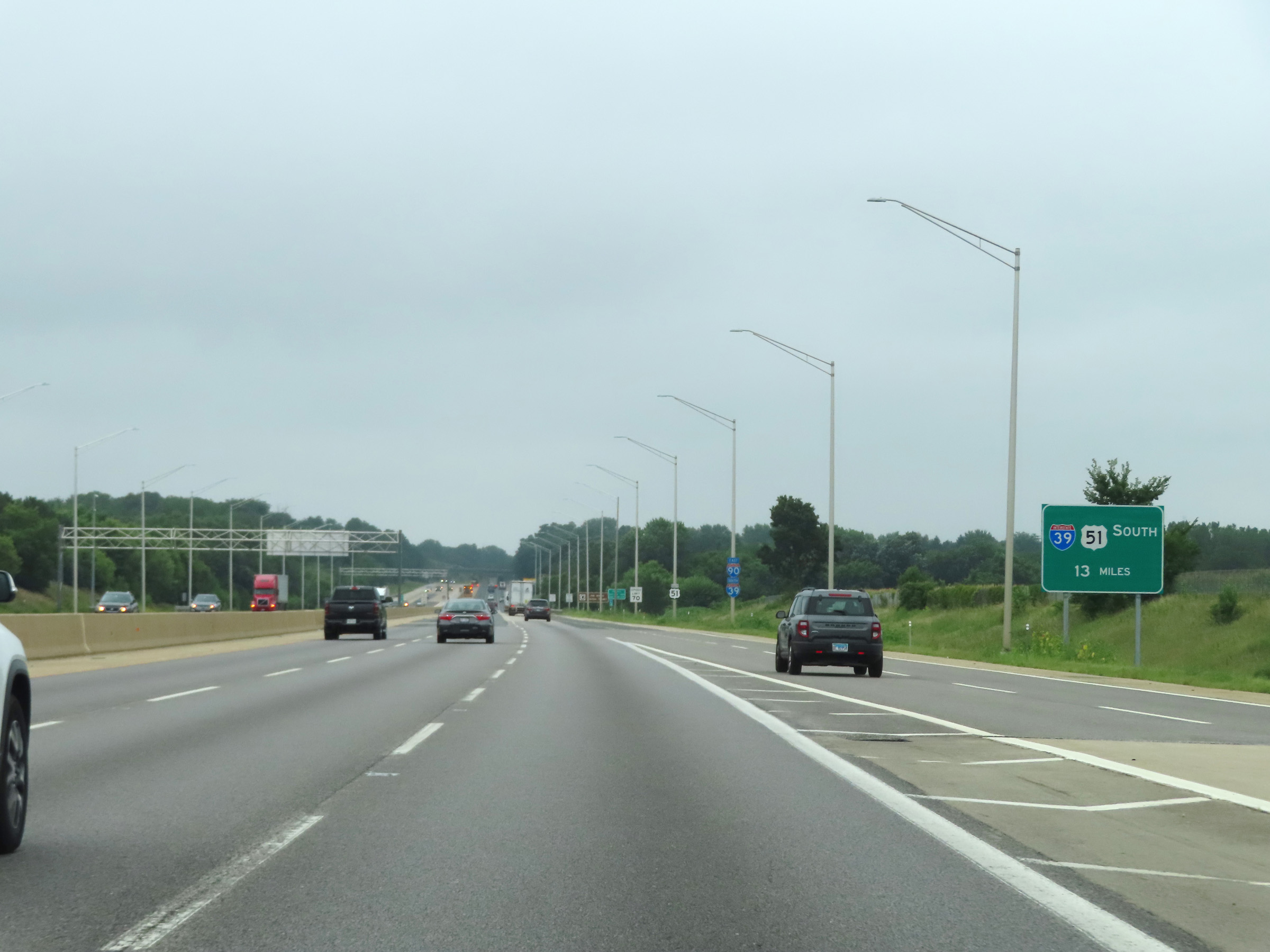 |
Leaving the toll plaza, this sign shows that Interstate 39 South traffic will depart from Interstate 90 East 13 miles ahead. (Photo taken 8/14/22). |
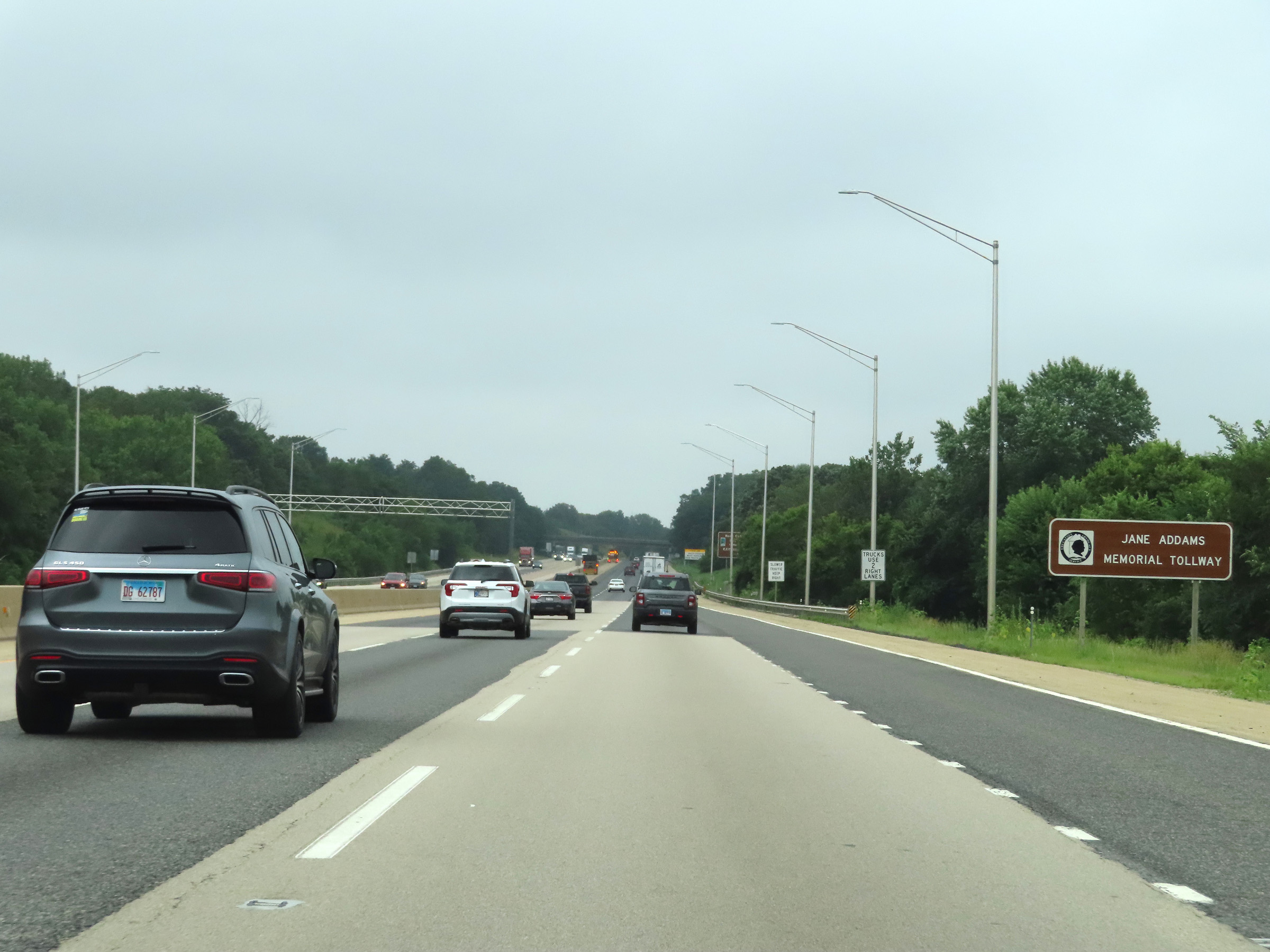 |
As previously mentioned, this section of the Illinois Tollway is known as the Jane Addams Memorial Tollway. (Photo taken 8/14/22). |
 |
View on Interstate 39 South / Interstate 90 East at mile marker 4.5. (Photo taken 8/14/22). |
 |
Mile marker 5.25 on Interstate 39 South / Interstate 90 East in Winnebago County. (Photo taken 8/14/22). |
 |
Interstate 39 South / Interstate 90 East at mile marker 6. (Photo taken 8/14/22). |
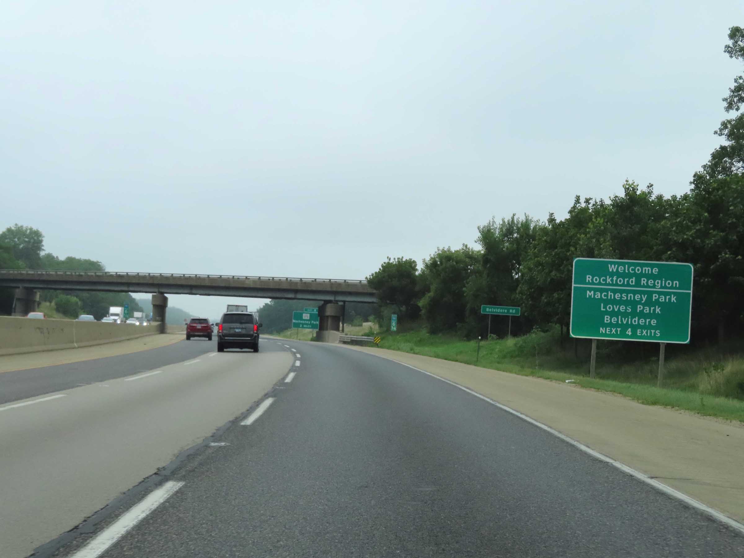 |
Take any of the next 4 exits to Machesney Park, Loves Park, and Belvidere. (Photo taken 8/14/22). |
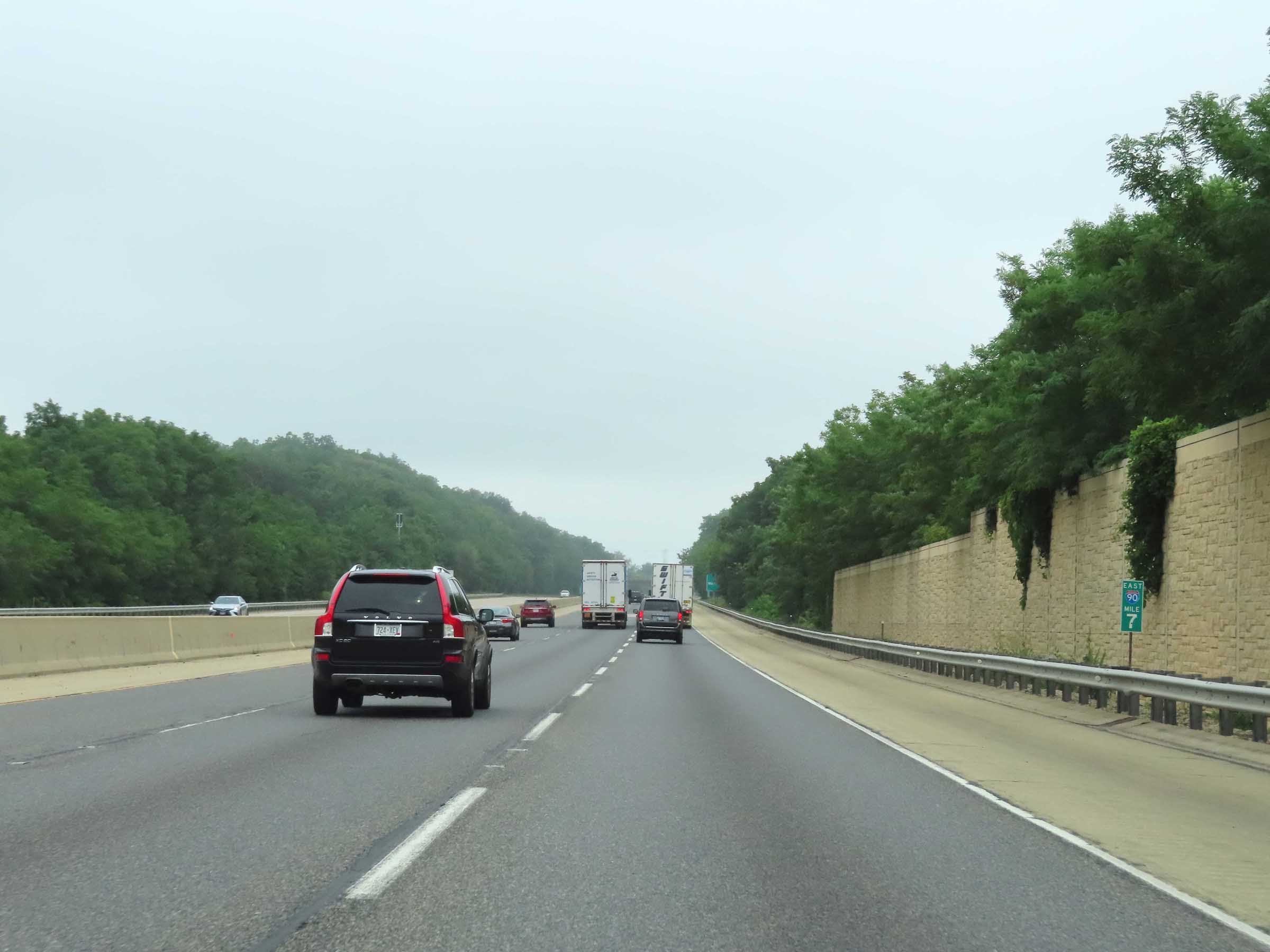 |
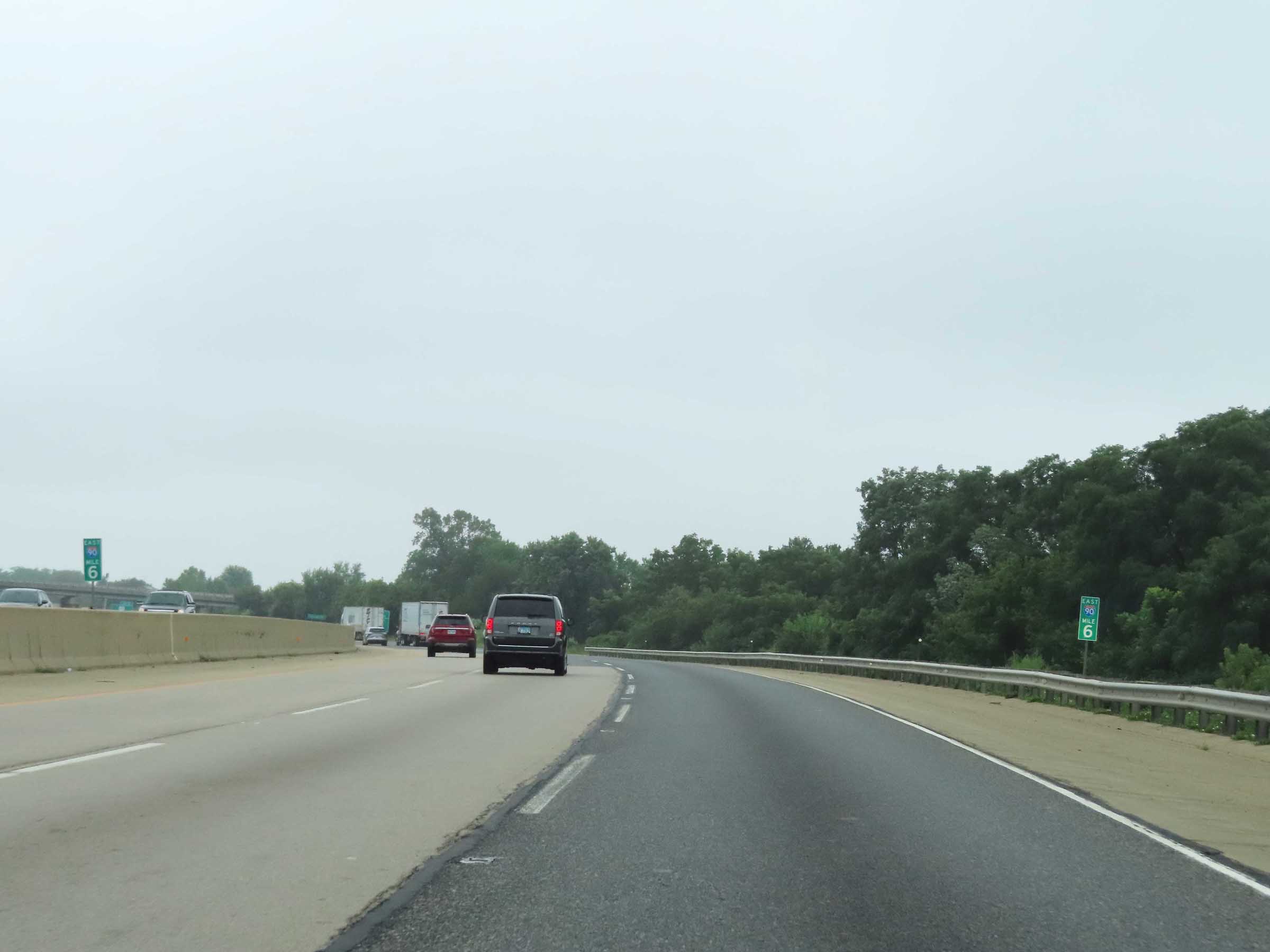
View on Interstate 39 South / Interstate 90 East at mile marker 7. (Photo taken 8/14/22). |
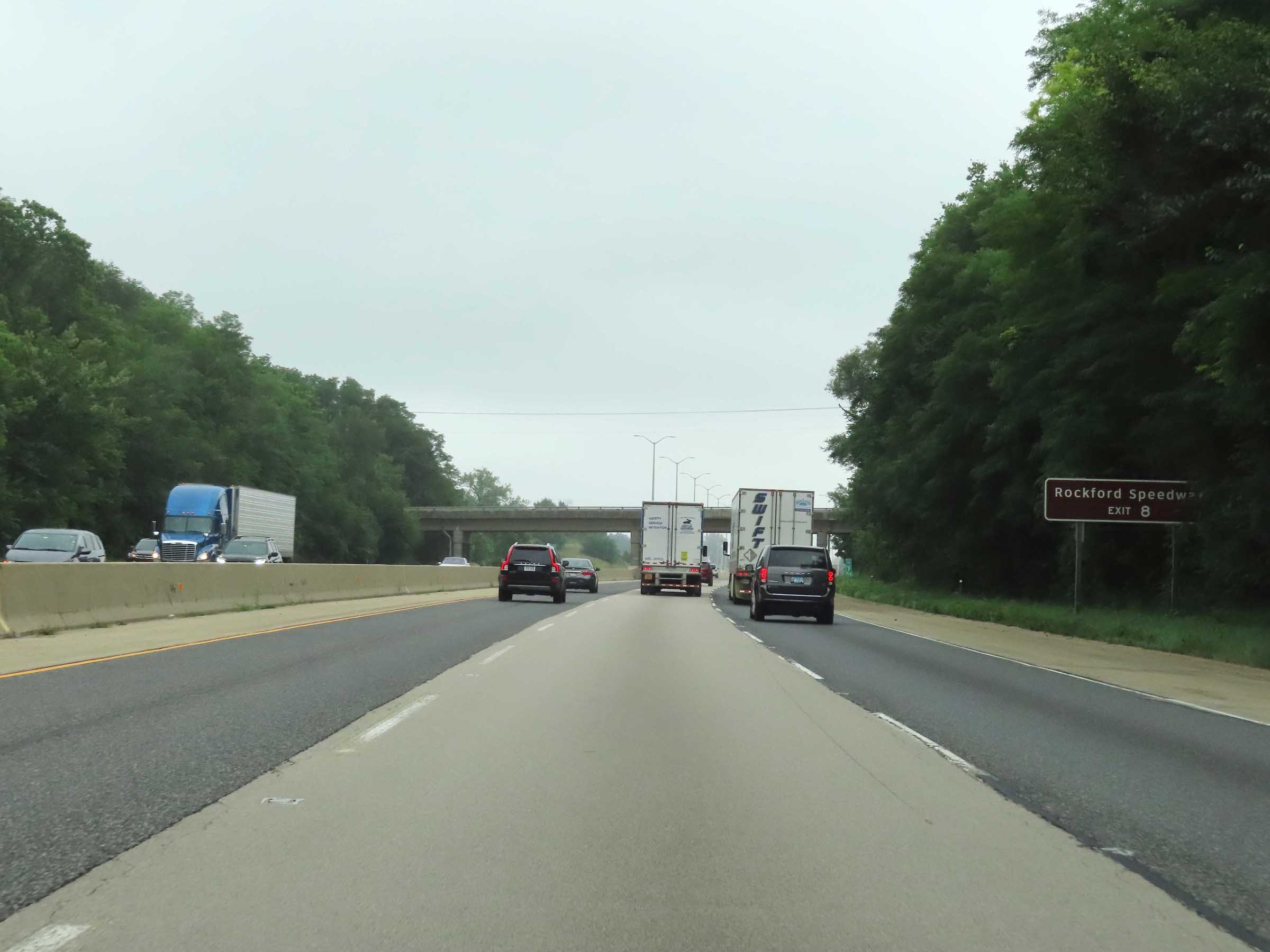 |
Take Exit 8 to Rockford Speedway. (Photo taken 8/14/22). |
 |
Also take Exit 8 to Rock Cut State Park. (Photo taken 8/14/22). |
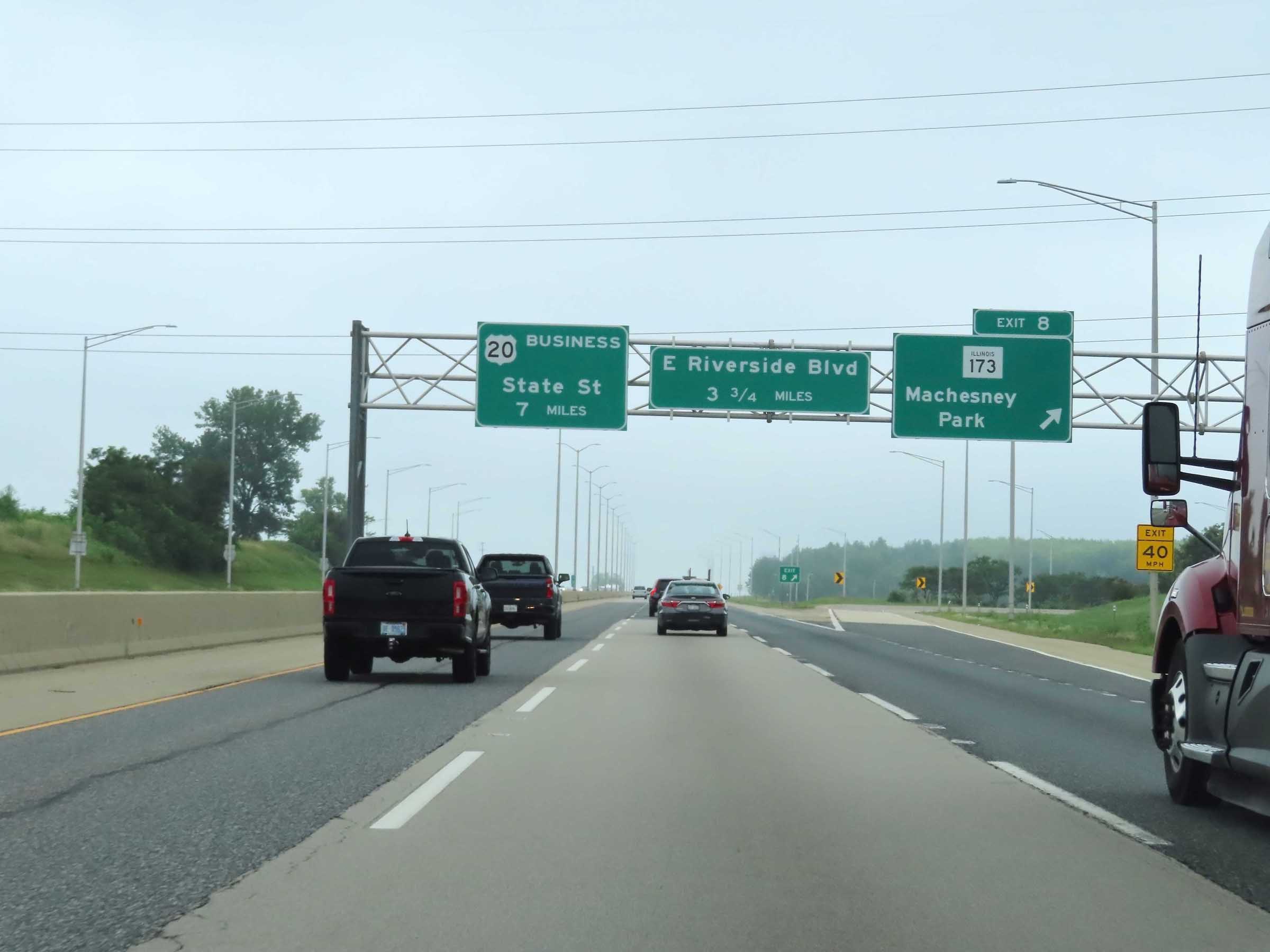 |
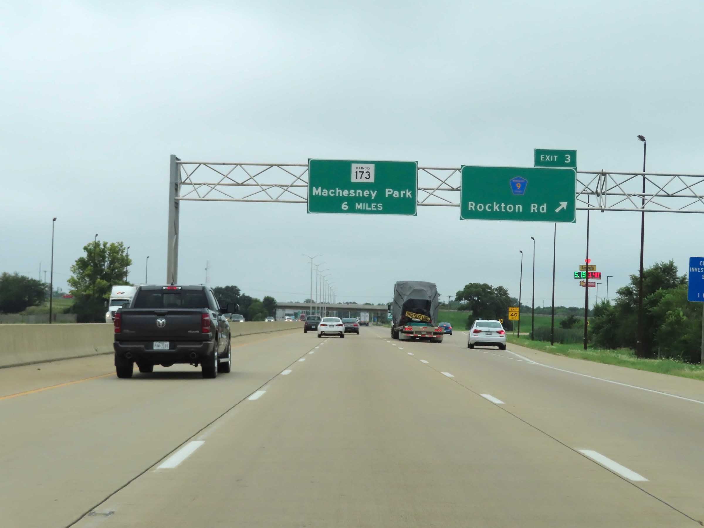
Interstate 39 South / Interstate 90 East at Exit 8: IL 173 - Machesney Park (Photo taken 8/14/22). |
 |
View on Interstate 39 South / Interstate 90 East at mile marker 11. (Photo taken 8/14/22). |
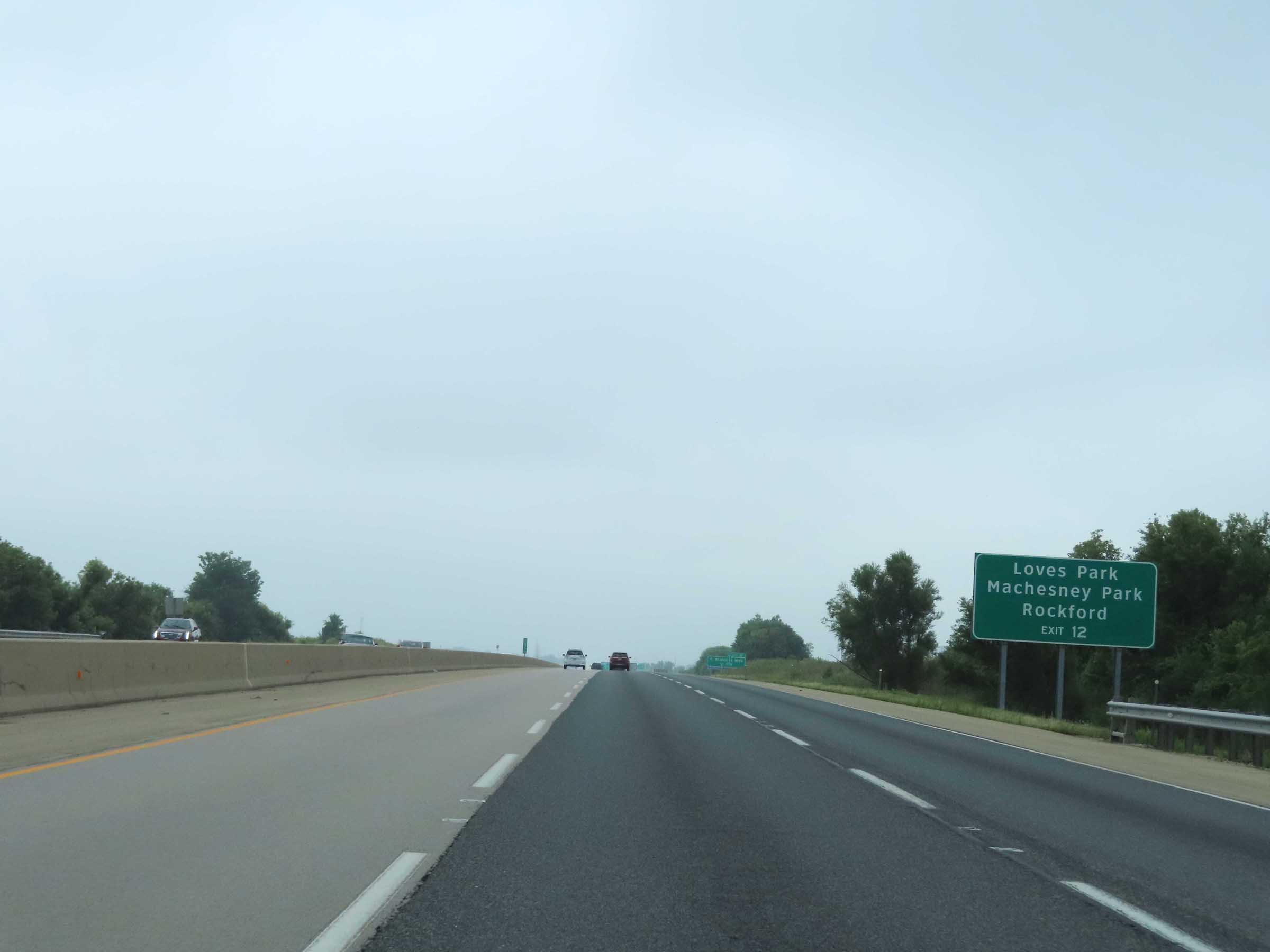 |
Take Exit 12 to Loves Park, Machesney Park, and Rockford. (Photo taken 8/14/22). |
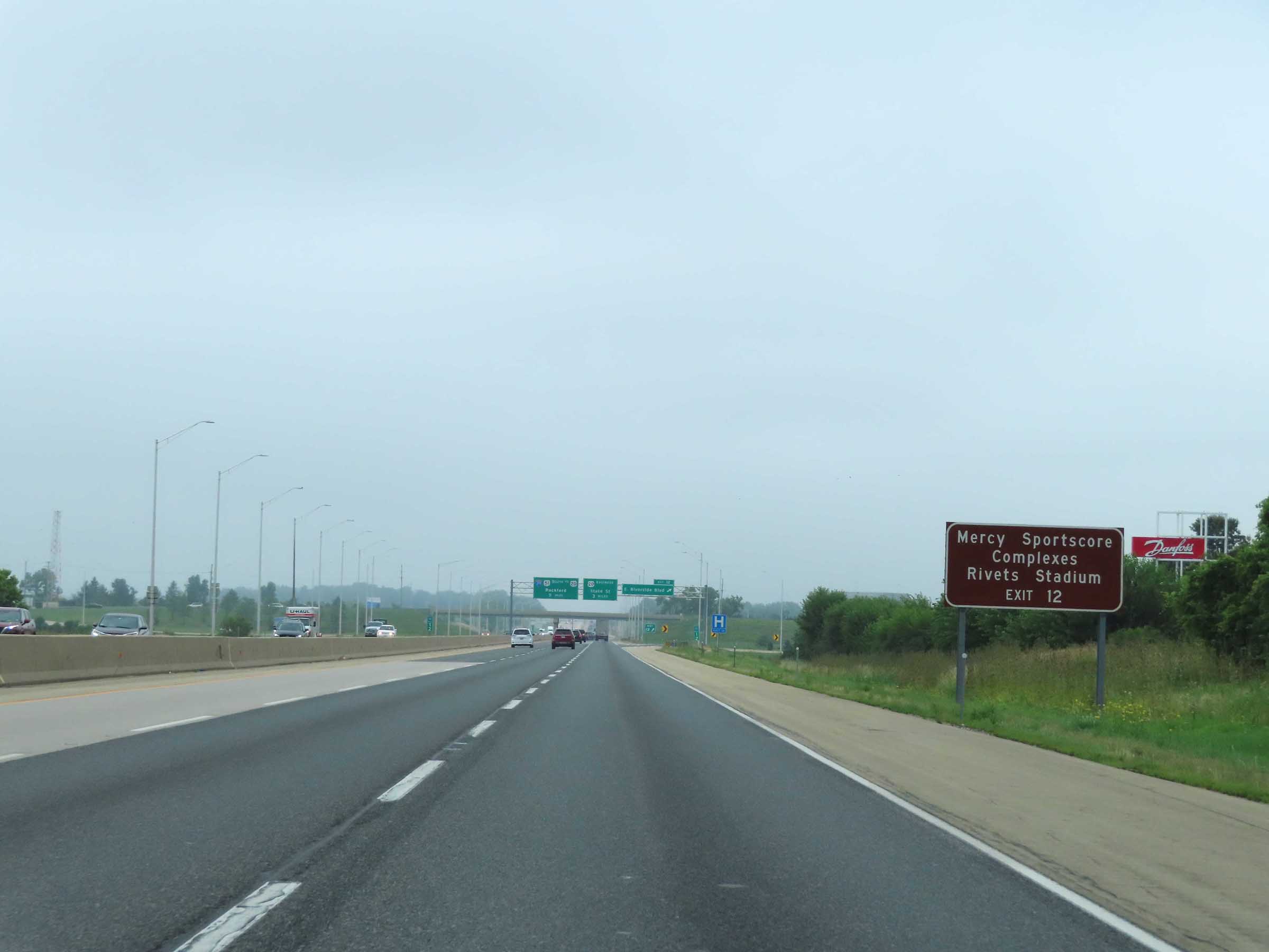 |
Also take Exit 12 to the Mercy Sportscore Complexes and Rivets Stadium. (Photo taken 8/14/22). |
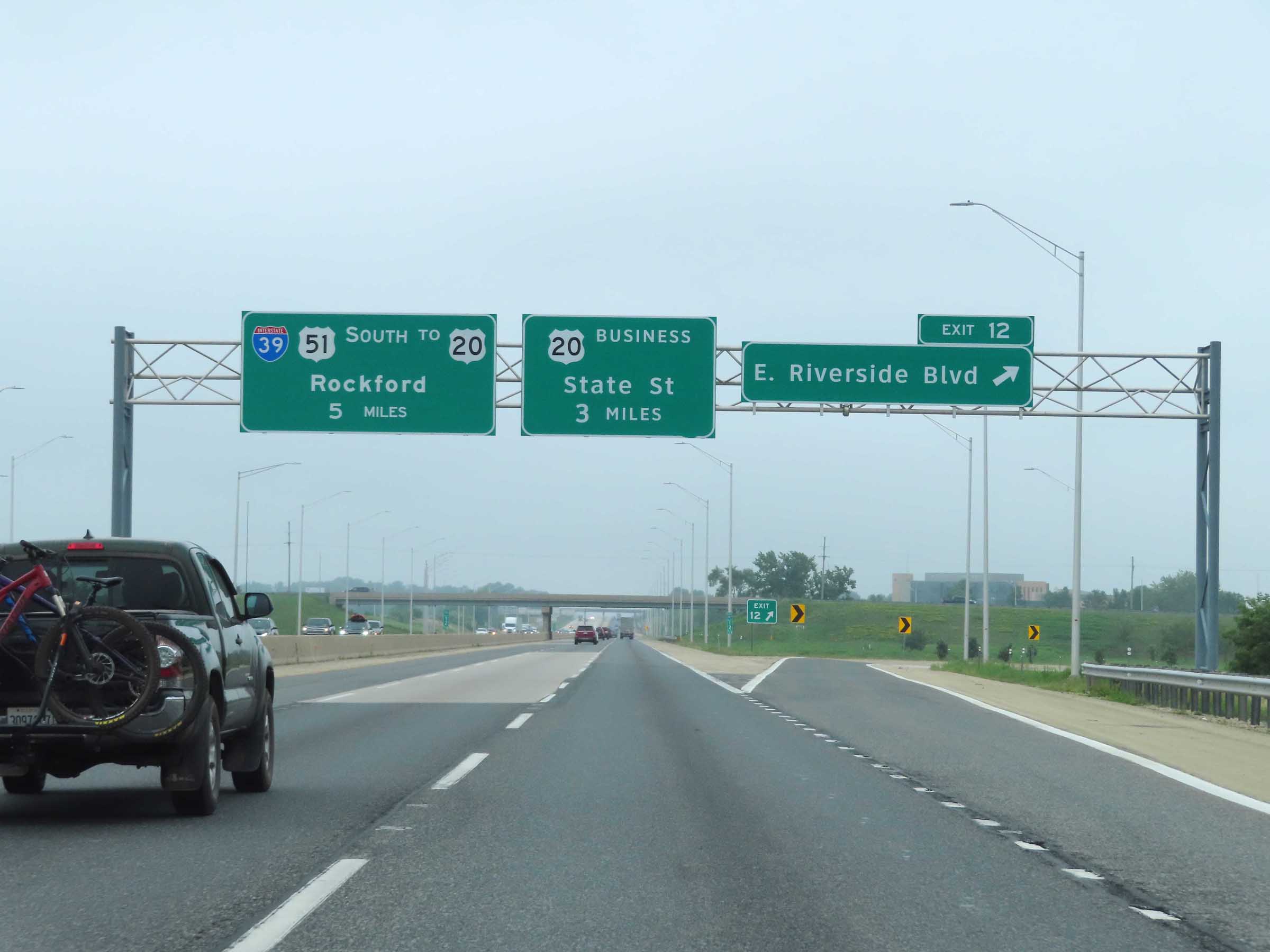 |
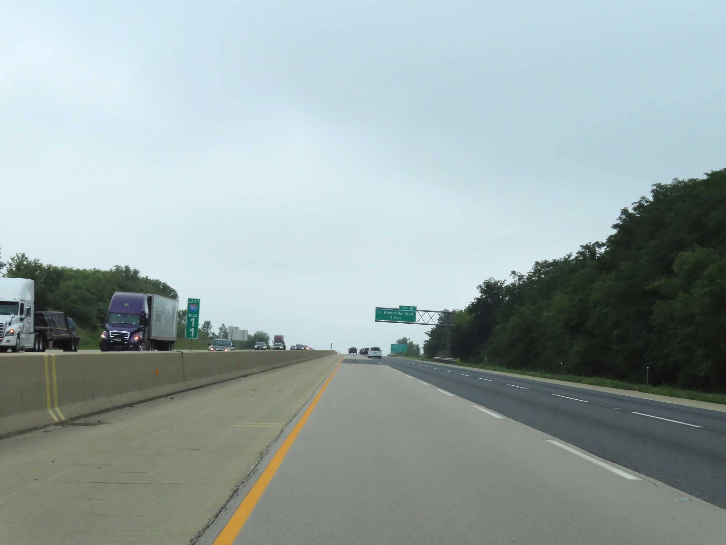
Interstate 39 South / Interstate 90 East at Exit 12: East Riverside Blvd (Photo taken 8/14/22). |
 |
Another set of Interstate 39 South / Interstate 90 East reassurance shields. (Photo taken 8/14/22). |
 |
View on Interstate 39 South / Interstate 90 East at mile marker 14. (Photo taken 8/14/22). |
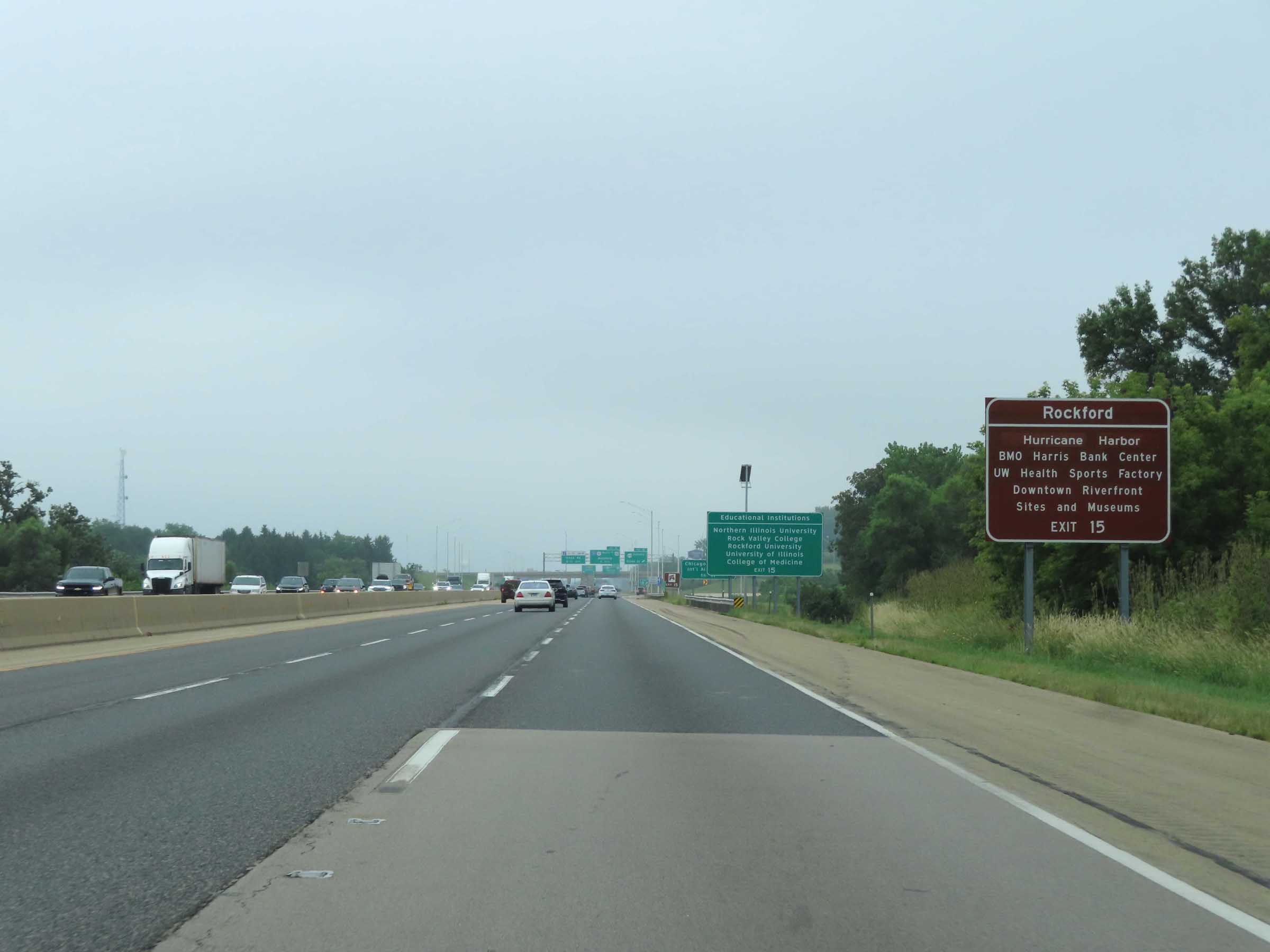 |
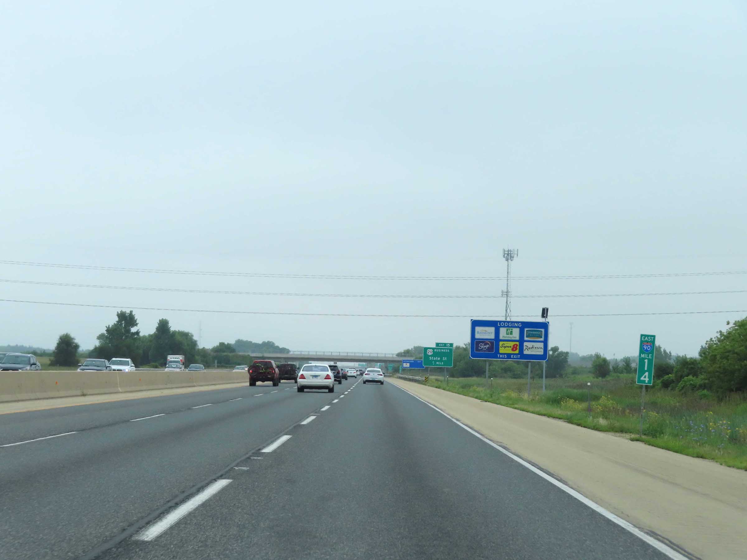
Take Exit 15 to Hurricane Harbor, BMO Harris Bank Center, UW Health Sports Factory, and the Downtown Riverfront Sites / Museums. (Photo taken 8/14/22). |
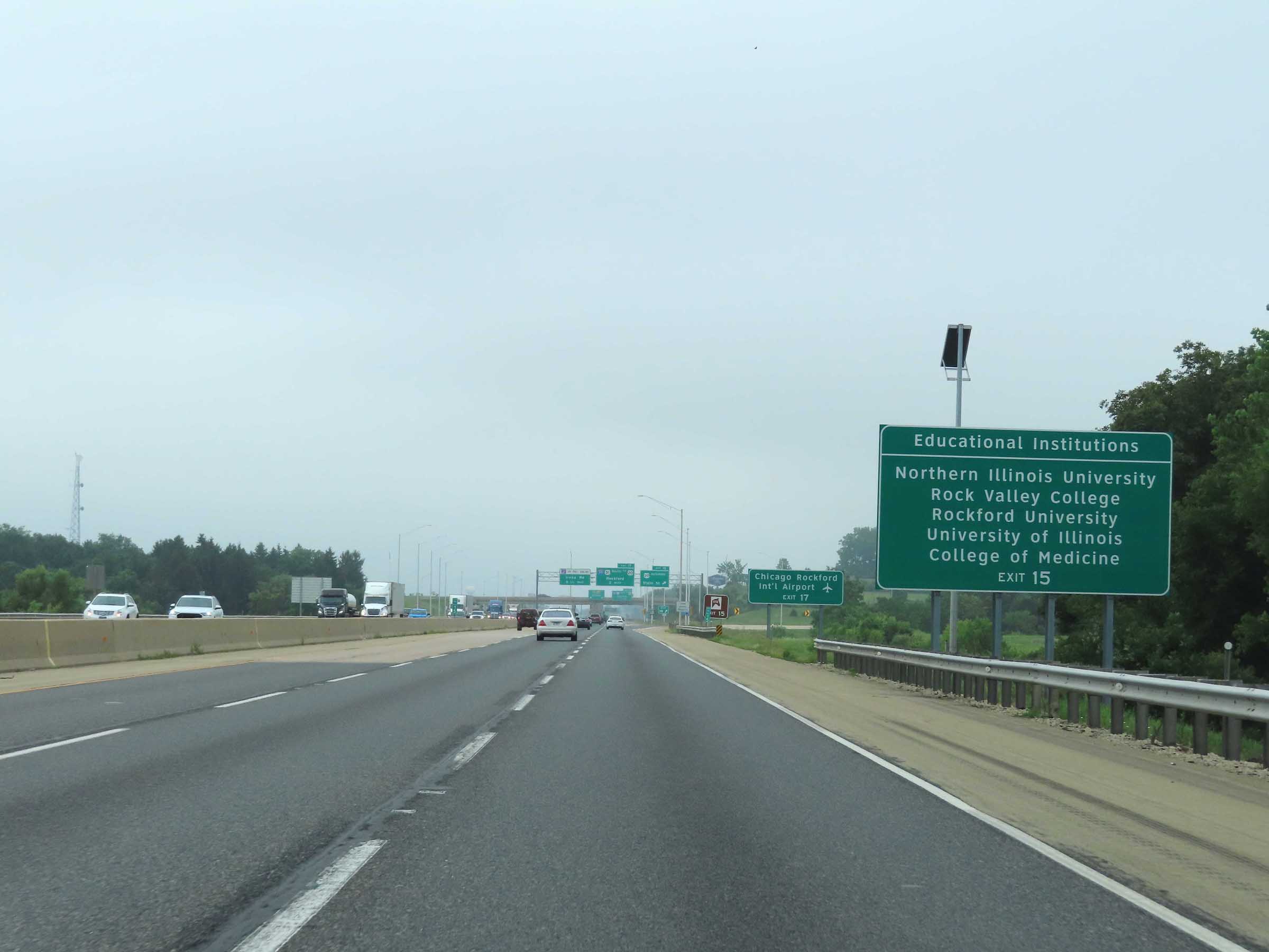 |
Also take Exit 15 to Northern Illinois University, Rock Valley College, Rockford University, and the University of Illinois College of Medicine. (Photo taken 8/14/22). |
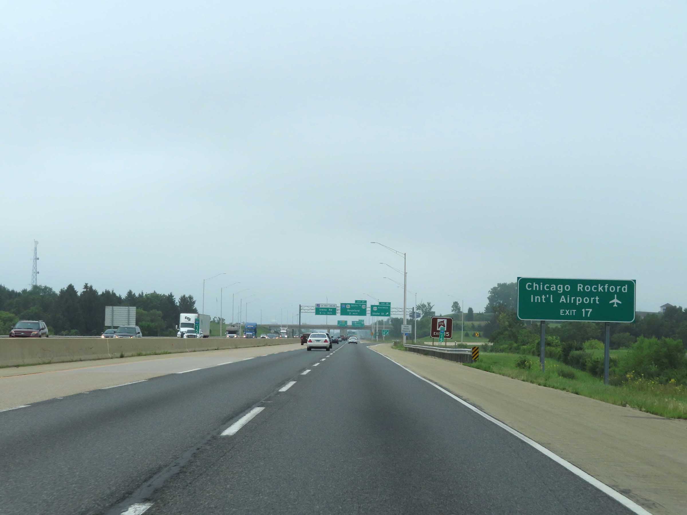 |
Traffic to Chicago Rockford International Airport should take Exit 17 (continue to follow Interstate 39 South). (Photo taken 8/14/22). |
 |
Interstate 39 South / Interstate 90 East at Exit 15: US 20 Business - State St (Photo taken 8/14/22). |
 |
View on Interstate 39 South / Interstate 90 East at mile marker 16. (Photo taken 8/14/22). |
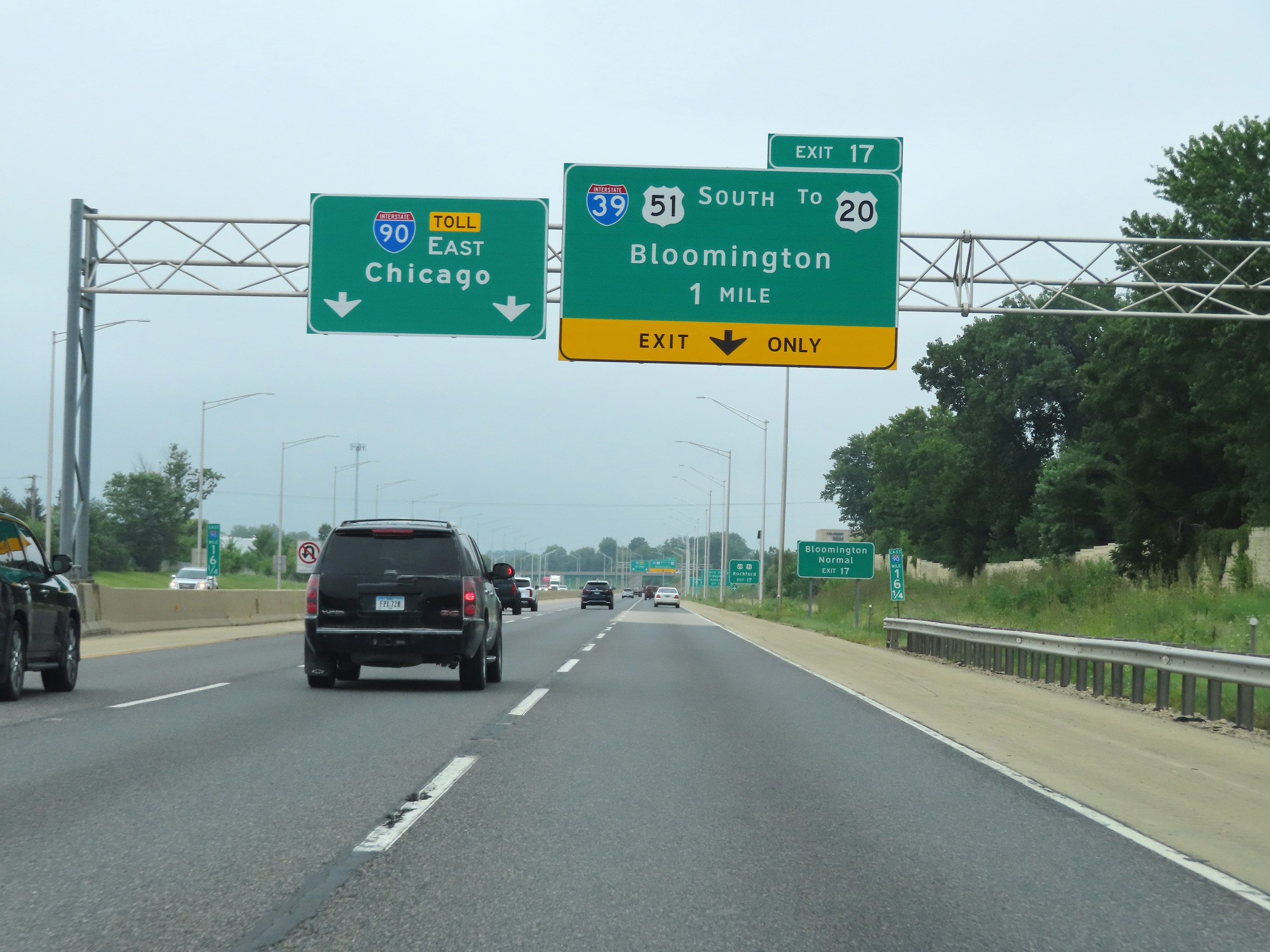 |
Interstate 39 South / Interstate 90 East approaching Exit 17 - 1 mile. (Photo taken 8/14/22). |
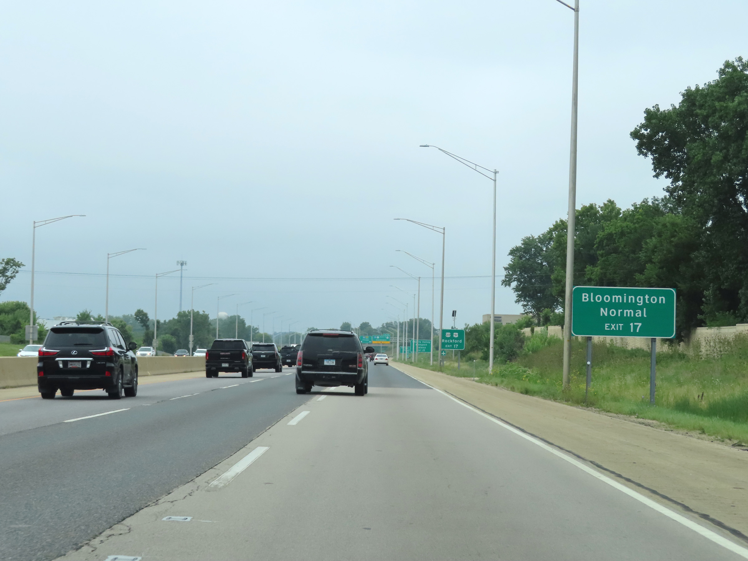 |
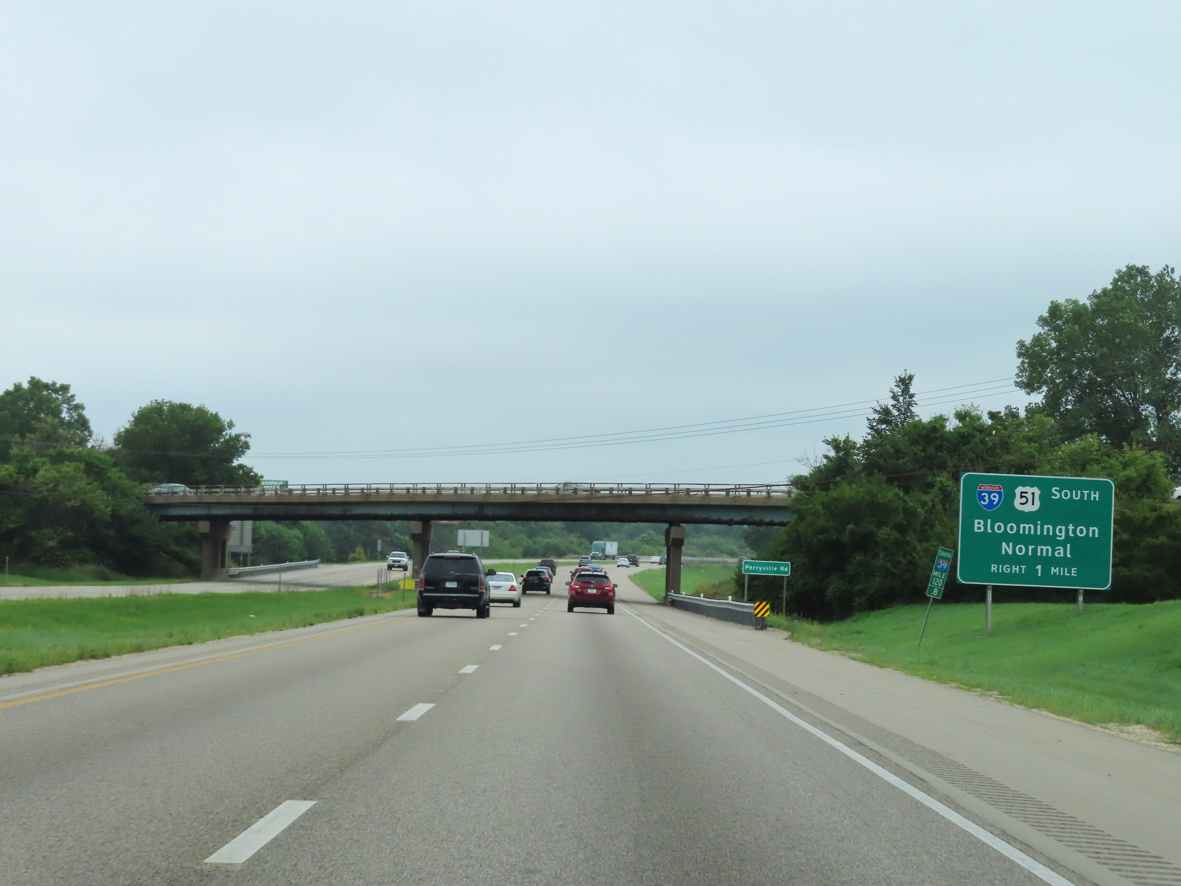
Continue to follow Interstate 39 South via Exit 17 to Bloomington and Normal. (Photo taken 8/14/22). |
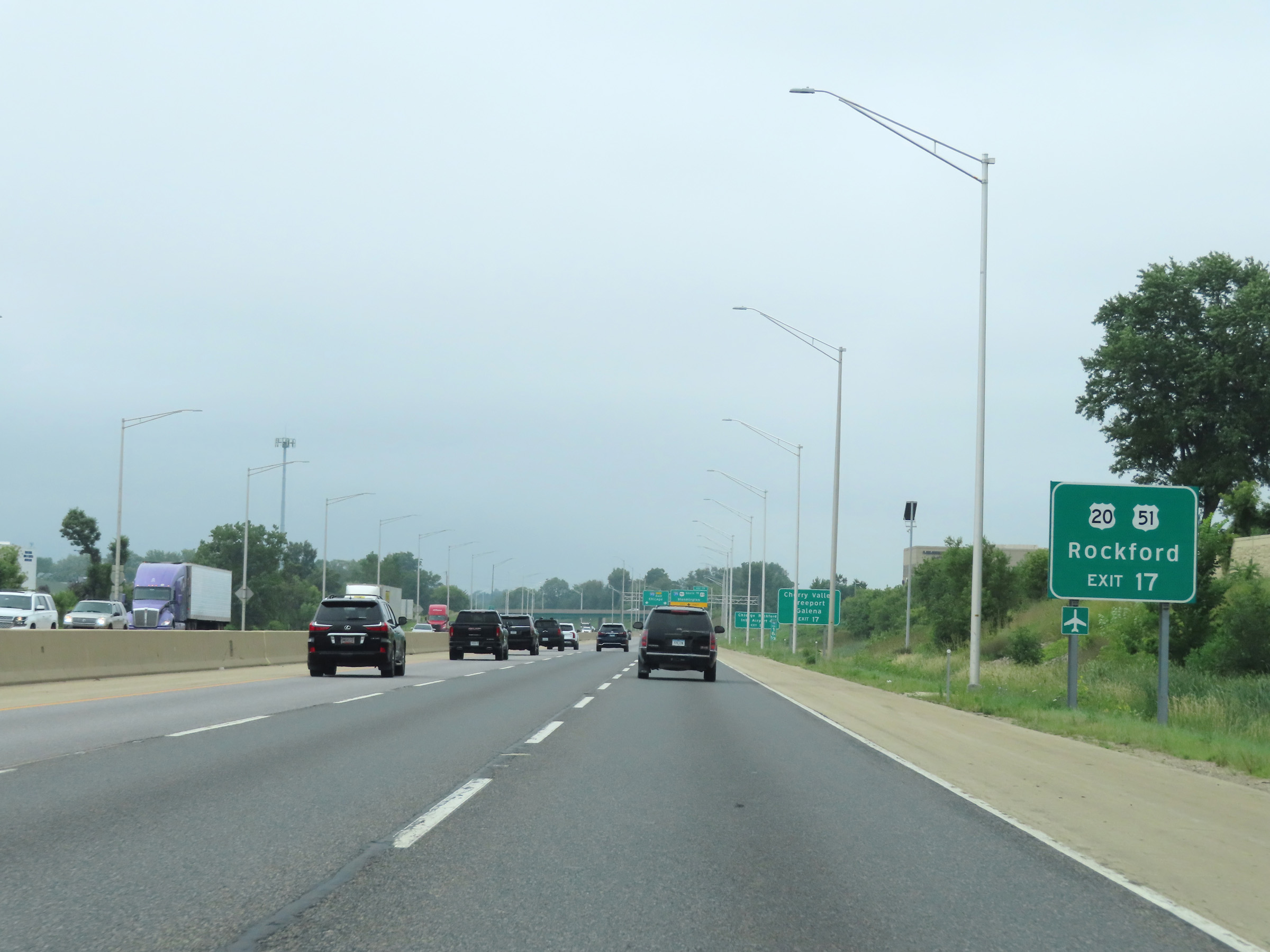 |
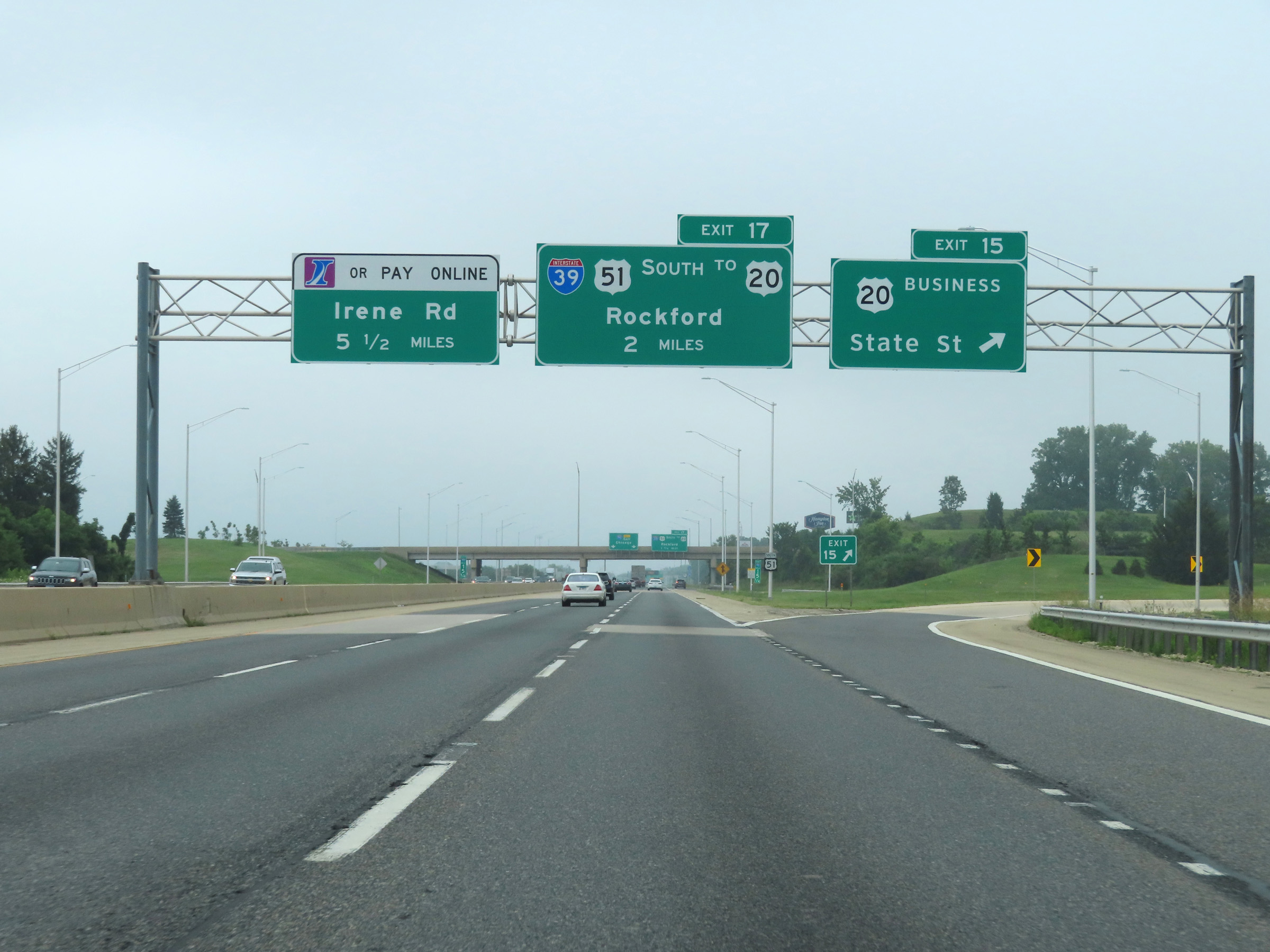
Traffic to Rockford via US 20 and US 51 should also continue to follow Interstate 39 South via Exit 17. (Photo taken 8/14/22). |
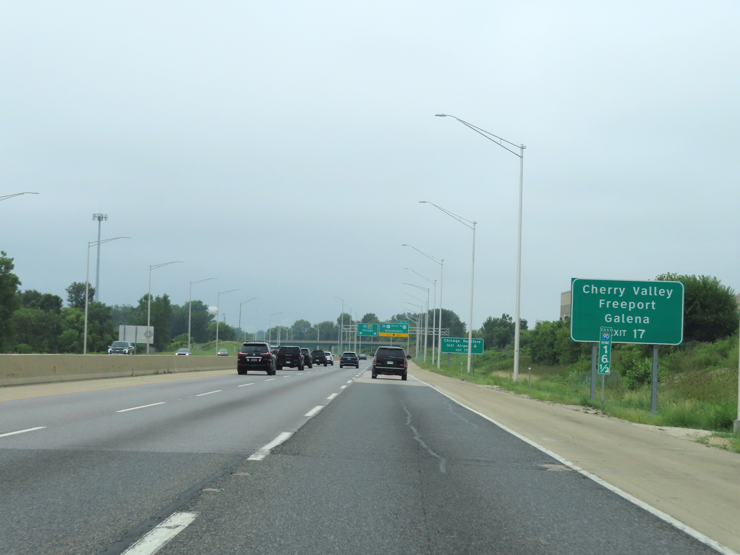 |
Take Exit 17 to Cherry Valley, Freeport, and Galena as well. (Photo taken 8/14/22). |
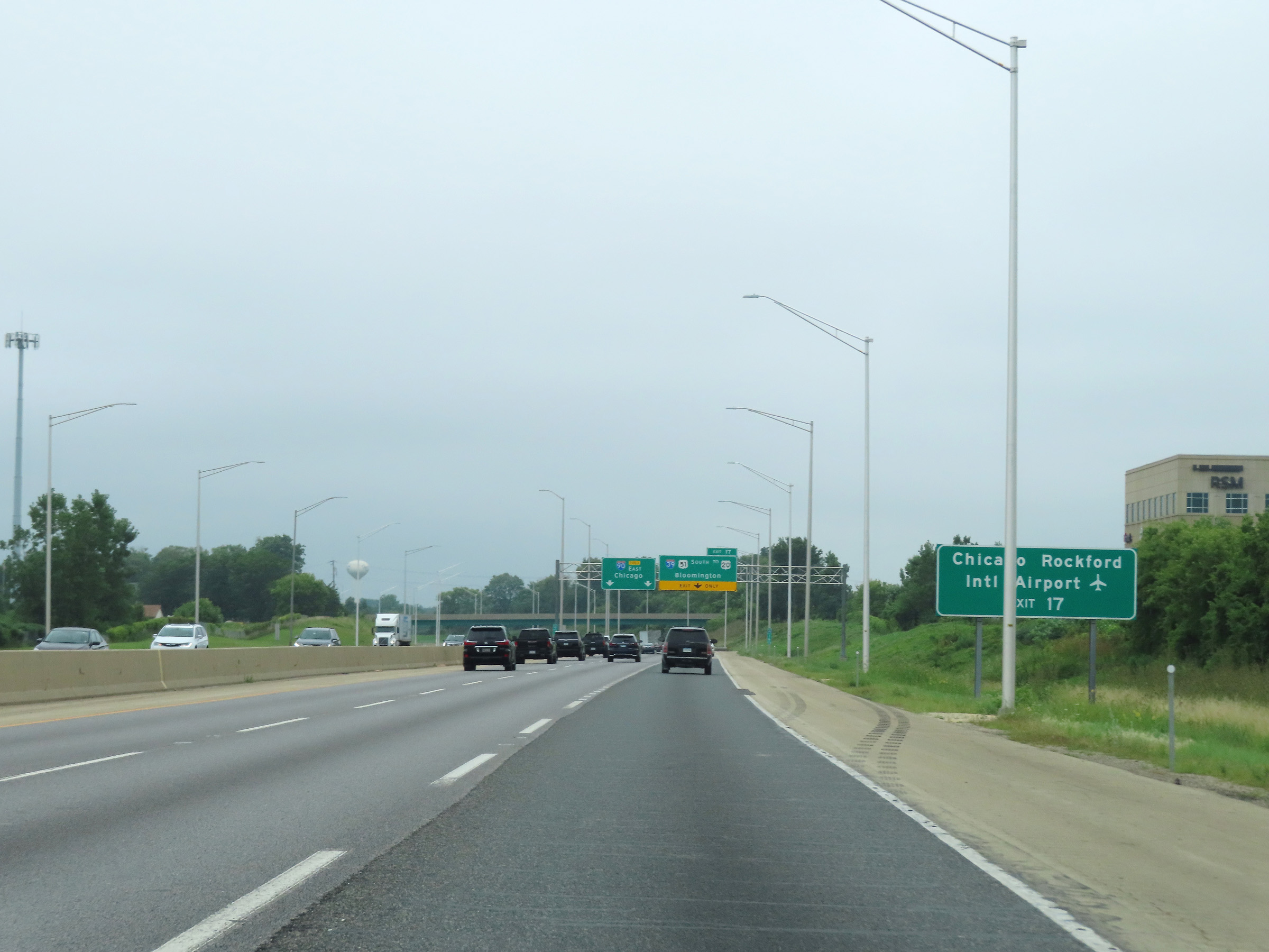 |
Again, follow Interstate 39 South via Exit 17 ahead to Chicago Rockford International Airport. (Photo taken 8/14/22). |
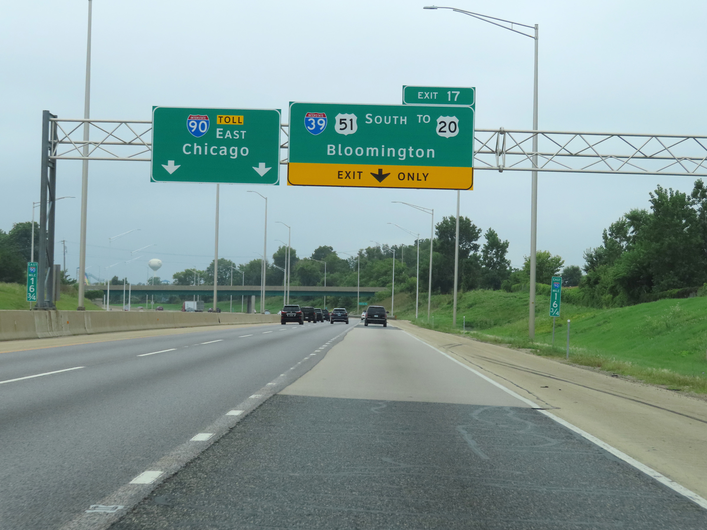 |
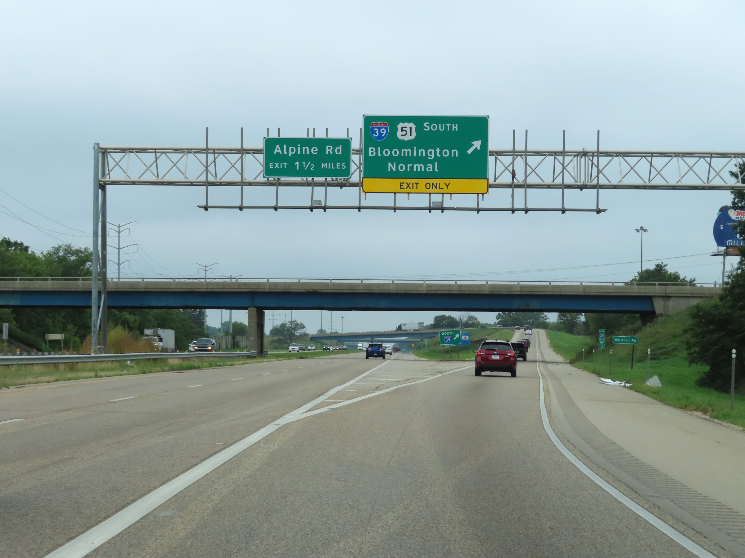
As Interstate 39 South prepares to depart Interstate 90 East and the Jane Addams Memorial Tollway ahead, the right lane will be an Exit Only lane for it at Exit 17 ahead. (Photo taken 8/14/22). |
 |
Interstate 39 South / Interstate 90 East at Exit 17: Interstate 39 South / US 51 South / To US 20 - Bloomington (Photo taken 8/14/22). |
 |
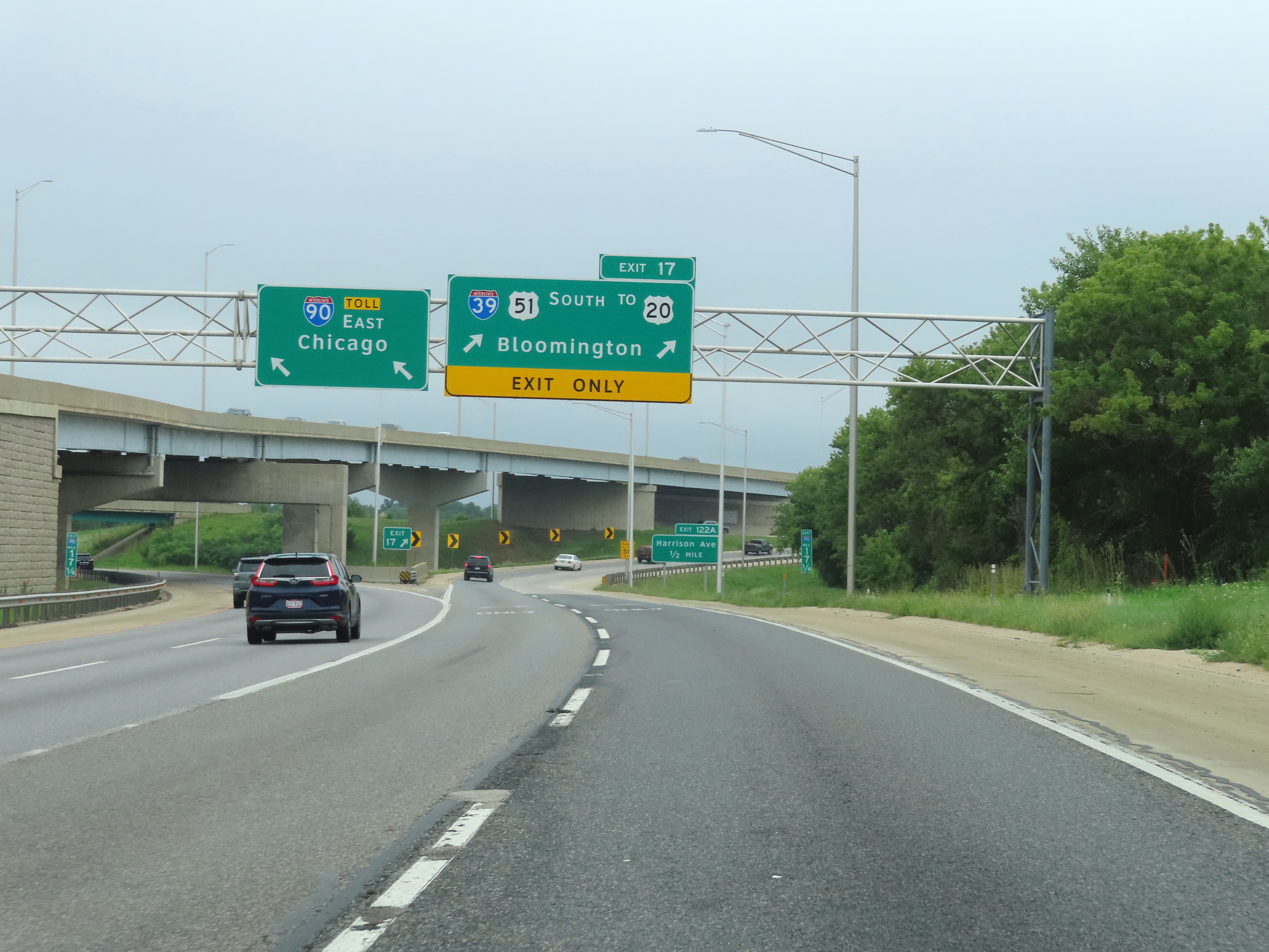
A closer view at Exit 17, as Interstate 39 South departs Interstate 90 East and the Illinois Tollway. (Photo taken 8/14/22). |
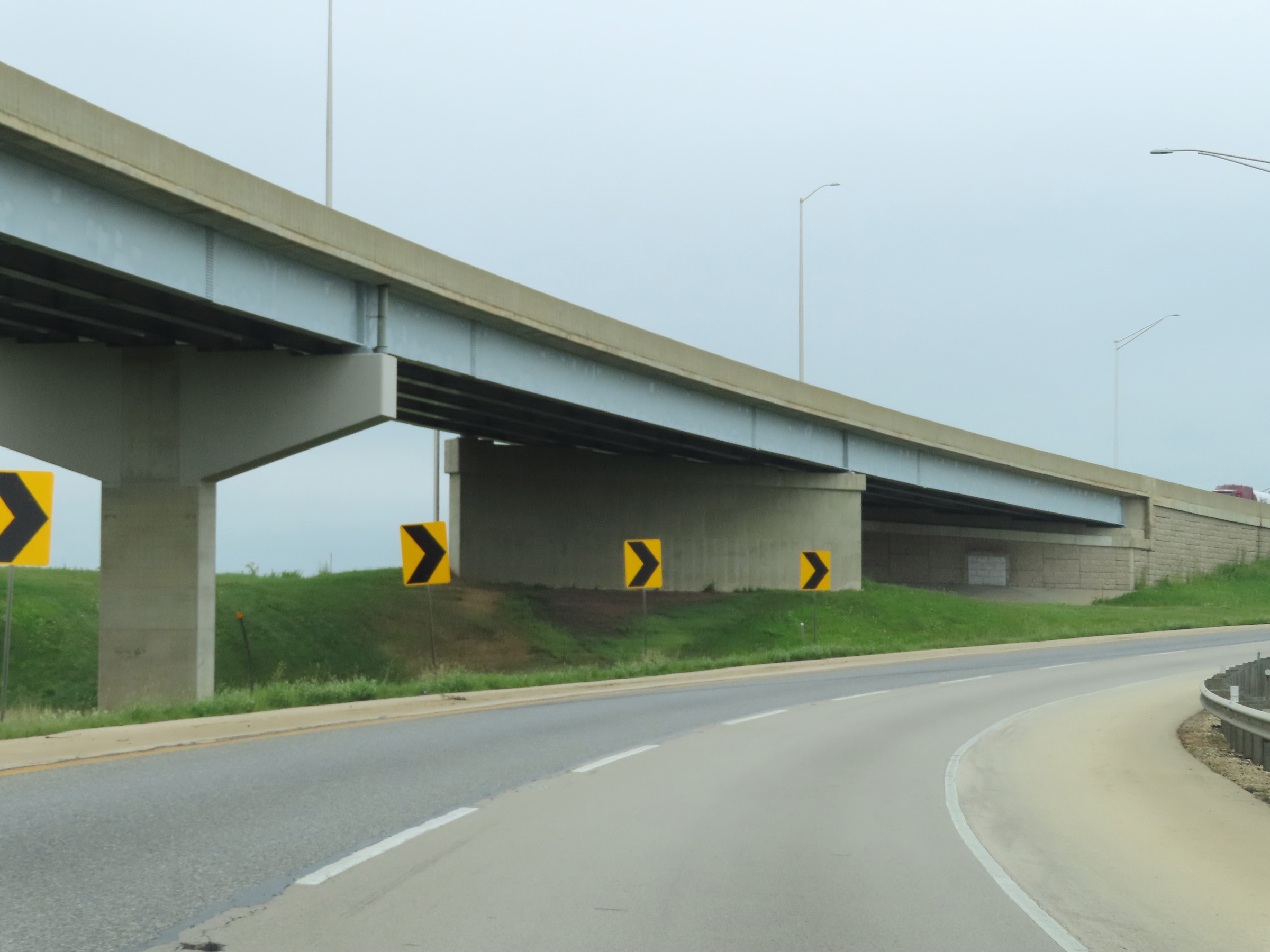 |
As Interstate 39 South curves to the west, traffic from Interstate 90 West merges into it ahead on the left. (Photo taken 8/14/22). |
 |
Here, traffic from Interstate 90 West merges into the southbound lanes of Interstate 39 from the left. (Photo taken 8/14/22). |
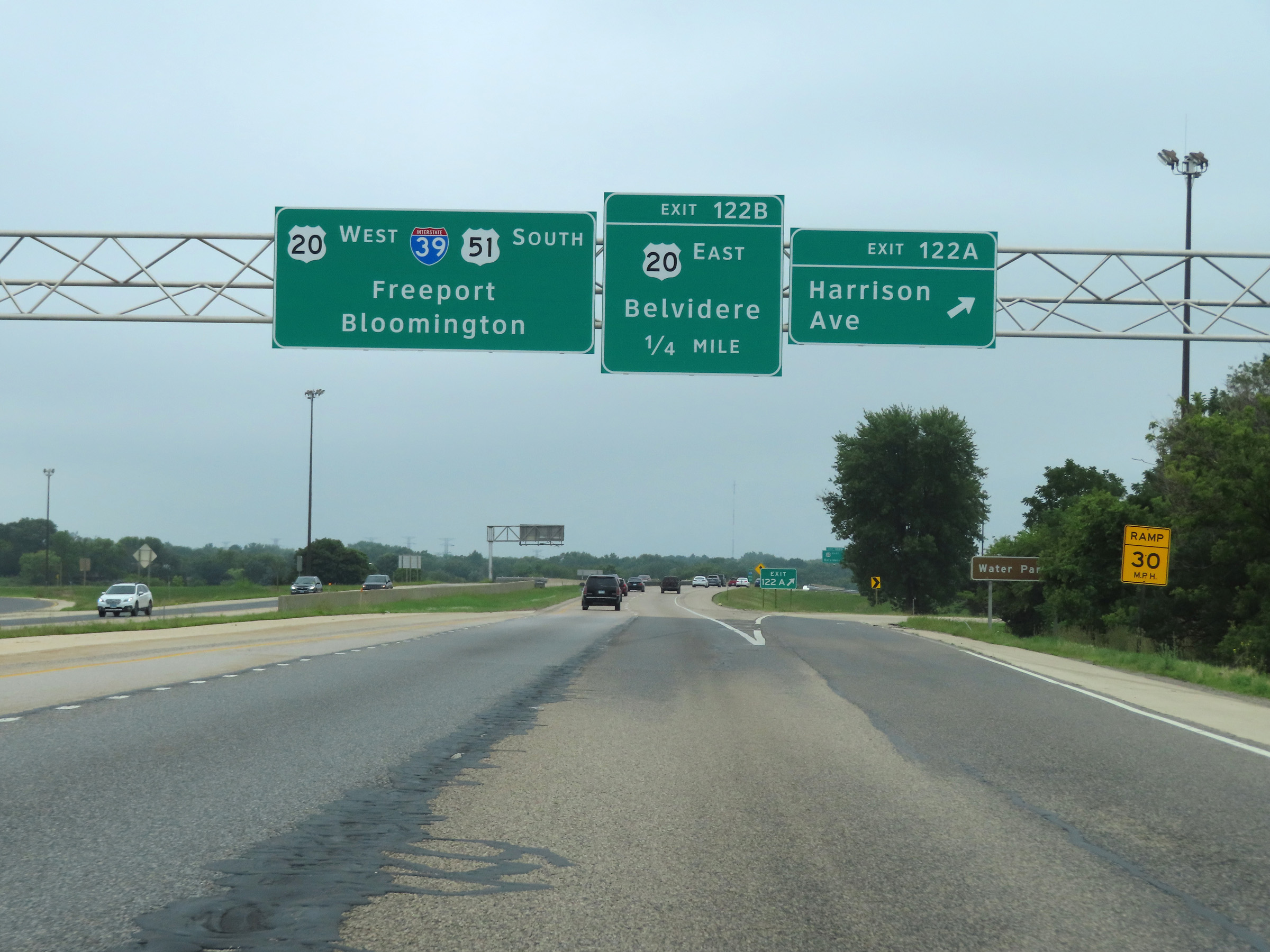 |
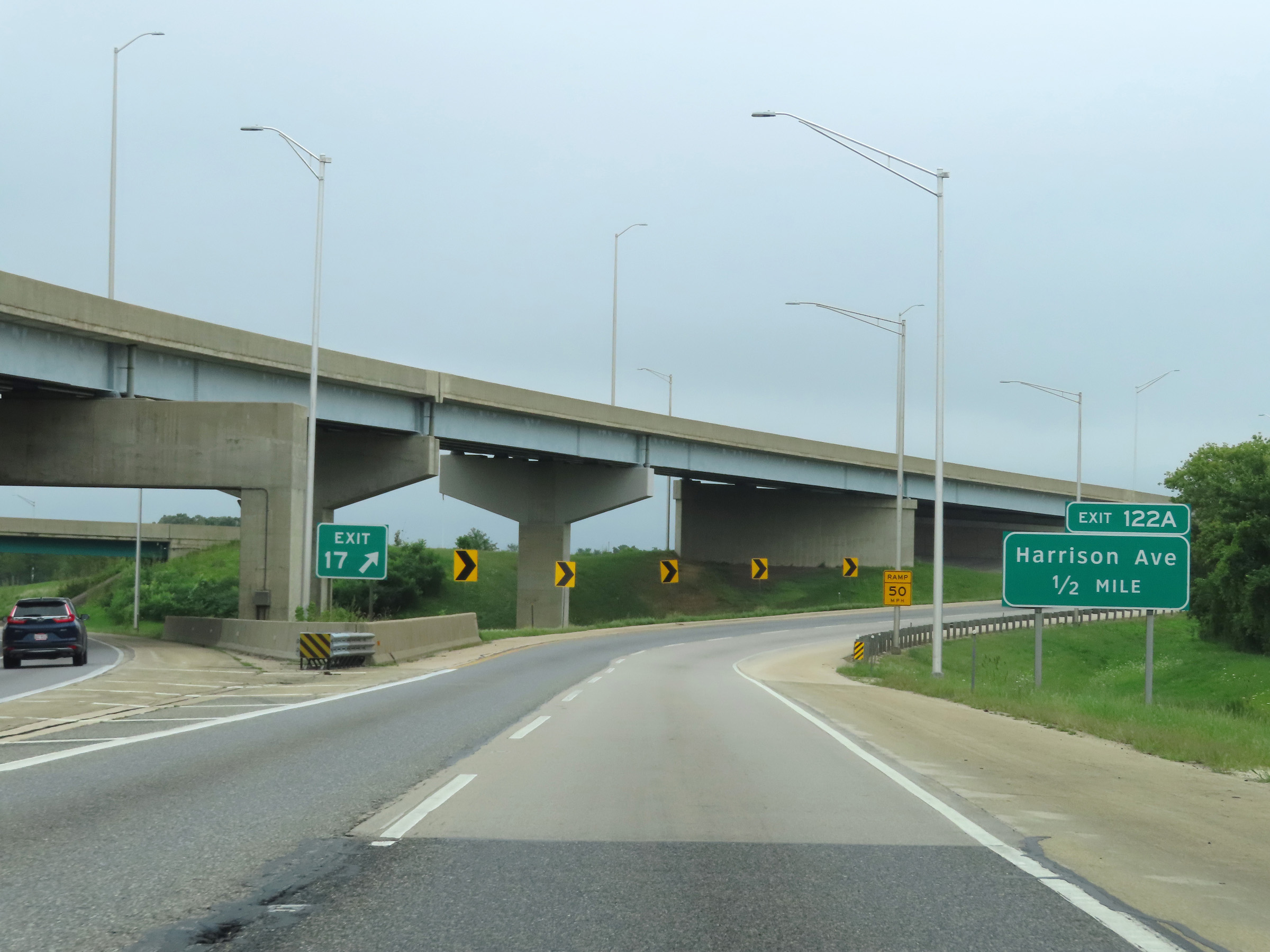
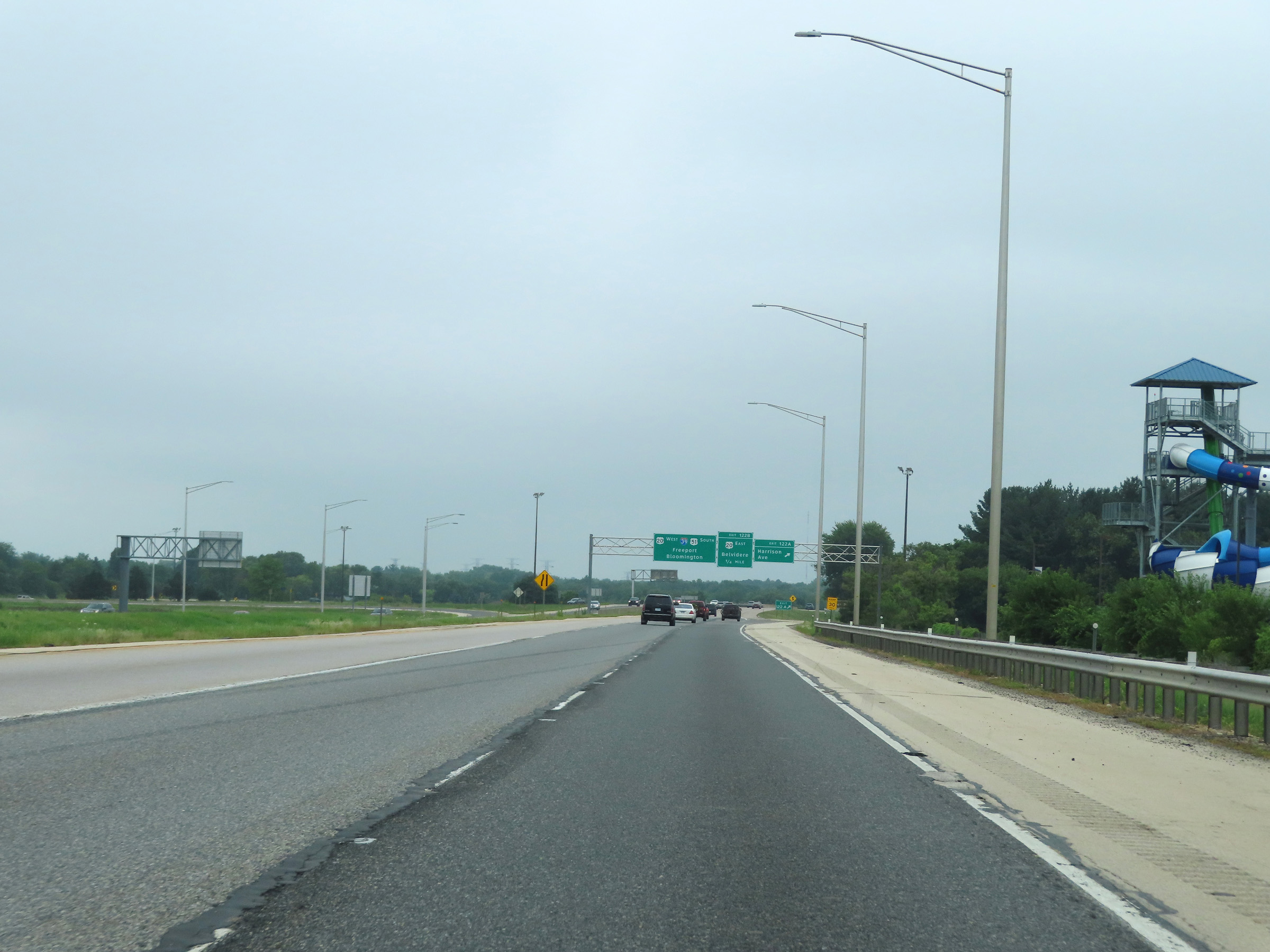
Interstate 39 South at Exit 122A: Harrison Ave (Photo taken 8/14/22). |
 |
Interstate 39 South at Exit 122B: US 20 East - Belvidere (Photo taken 8/14/22). |
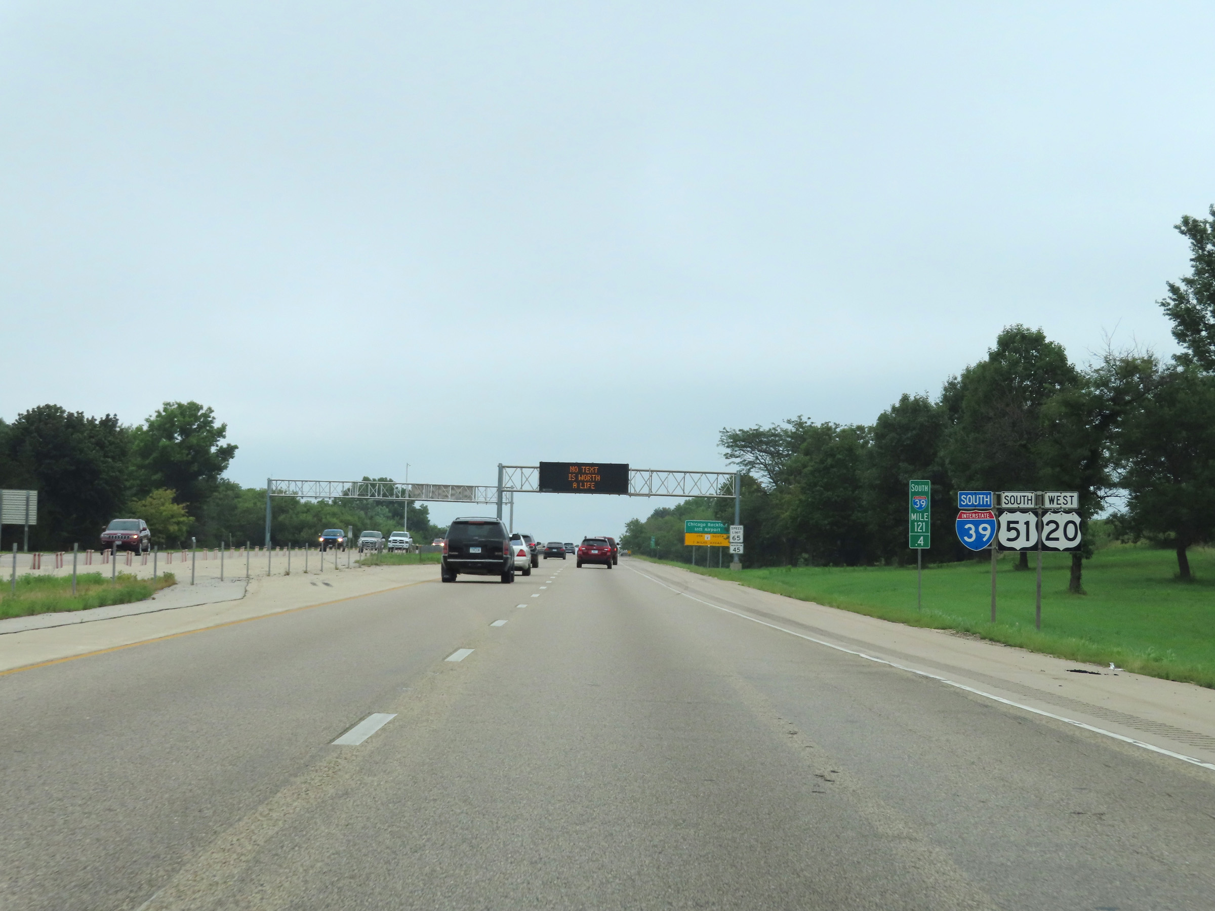 |
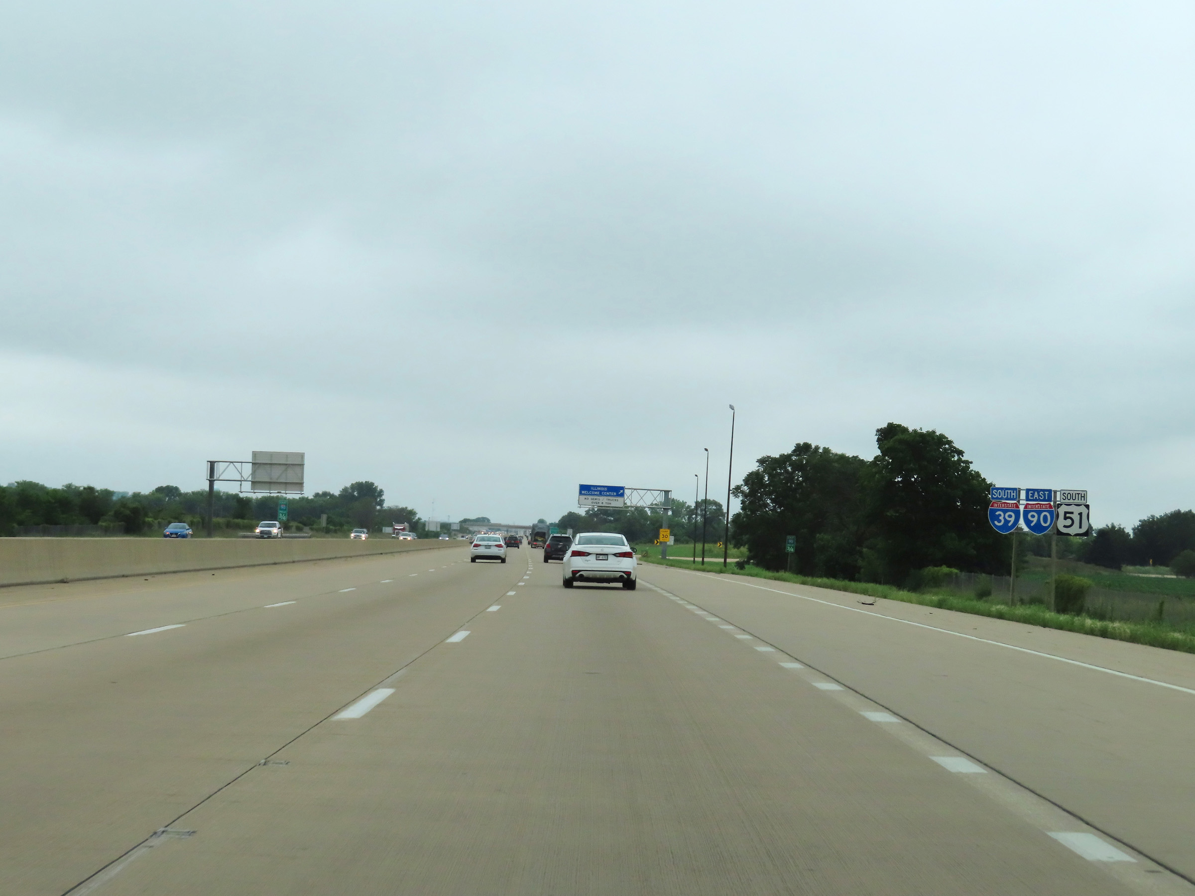
Interstate 39 South reassurance shield at mile marker 121.4. US 20 West traffic has joined it, but will depart at an unnumbered exit ahead. (Photo taken 8/14/22). |
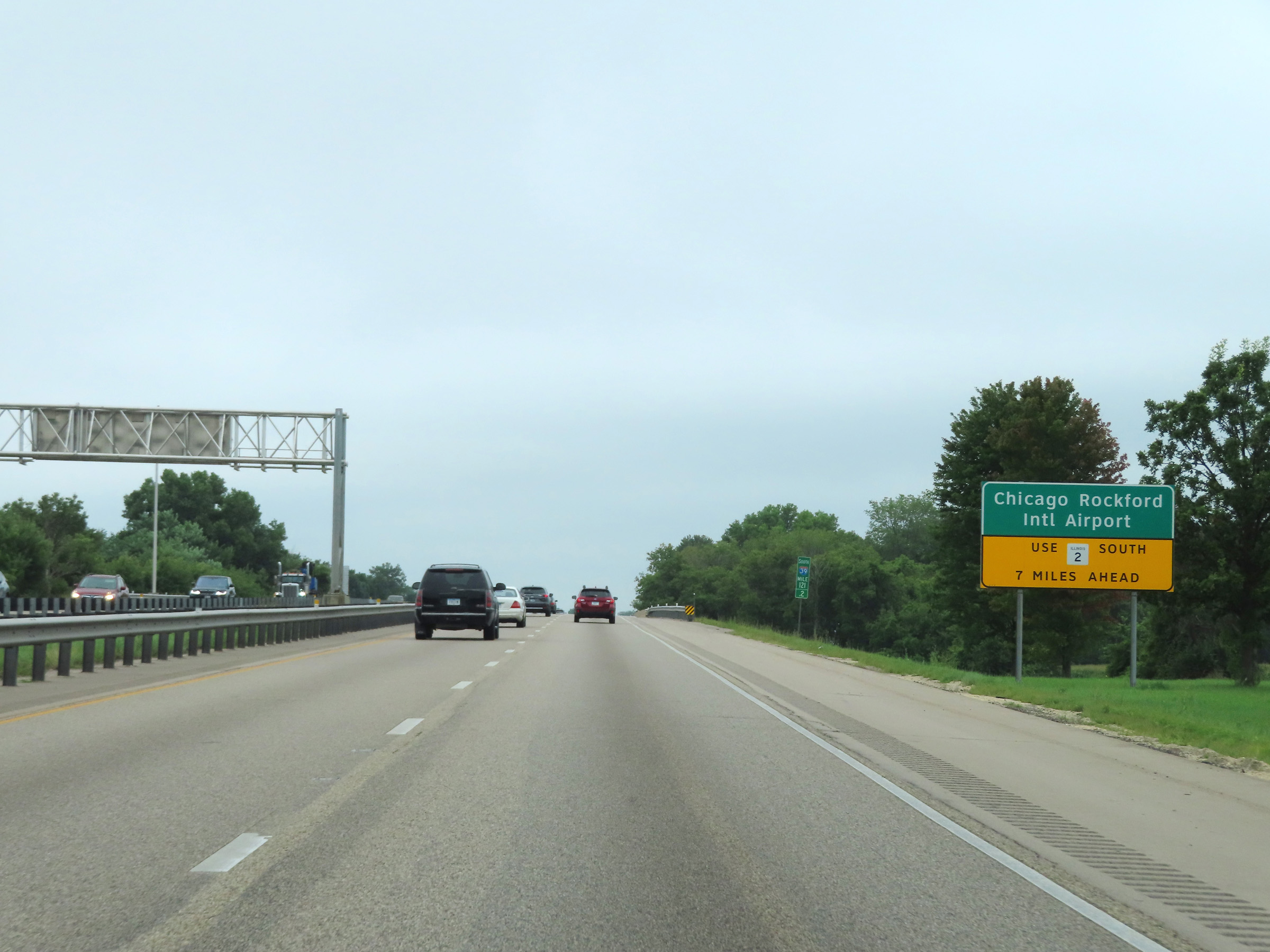 |
Traffic to Chicago Rockford International Airport should follow US 20 West to IL 2 South, 7 miles ahead. (Photo taken 8/14/22). |
 |
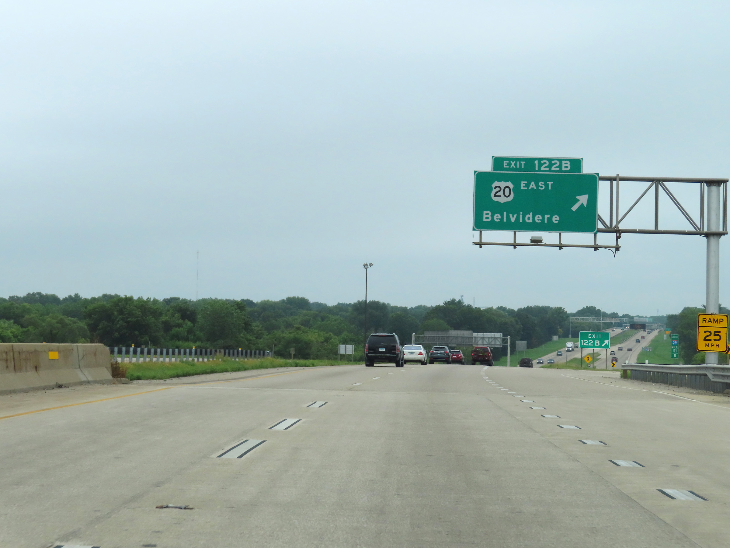
One mile ahead, Interstate 39 South thru traffic will once again have to exit off to the right at the point which US 20 West separates from it. (Photo taken 8/14/22). |
 |
Approaching the departure of US 20 West, the right lane will become an Exit Only lane for Interstate 39 South thru traffic again. (Photo taken 8/14/22). |
 |
View on Interstate 39 South at mile marker 120. (Photo taken 8/14/22). |
 |
At this unnumbered exit at mile marker 119.6, Interstate 39 South thru traffic must exit off to the right once again as US 20 West continues straight ahead. (Photo taken 8/14/22). |
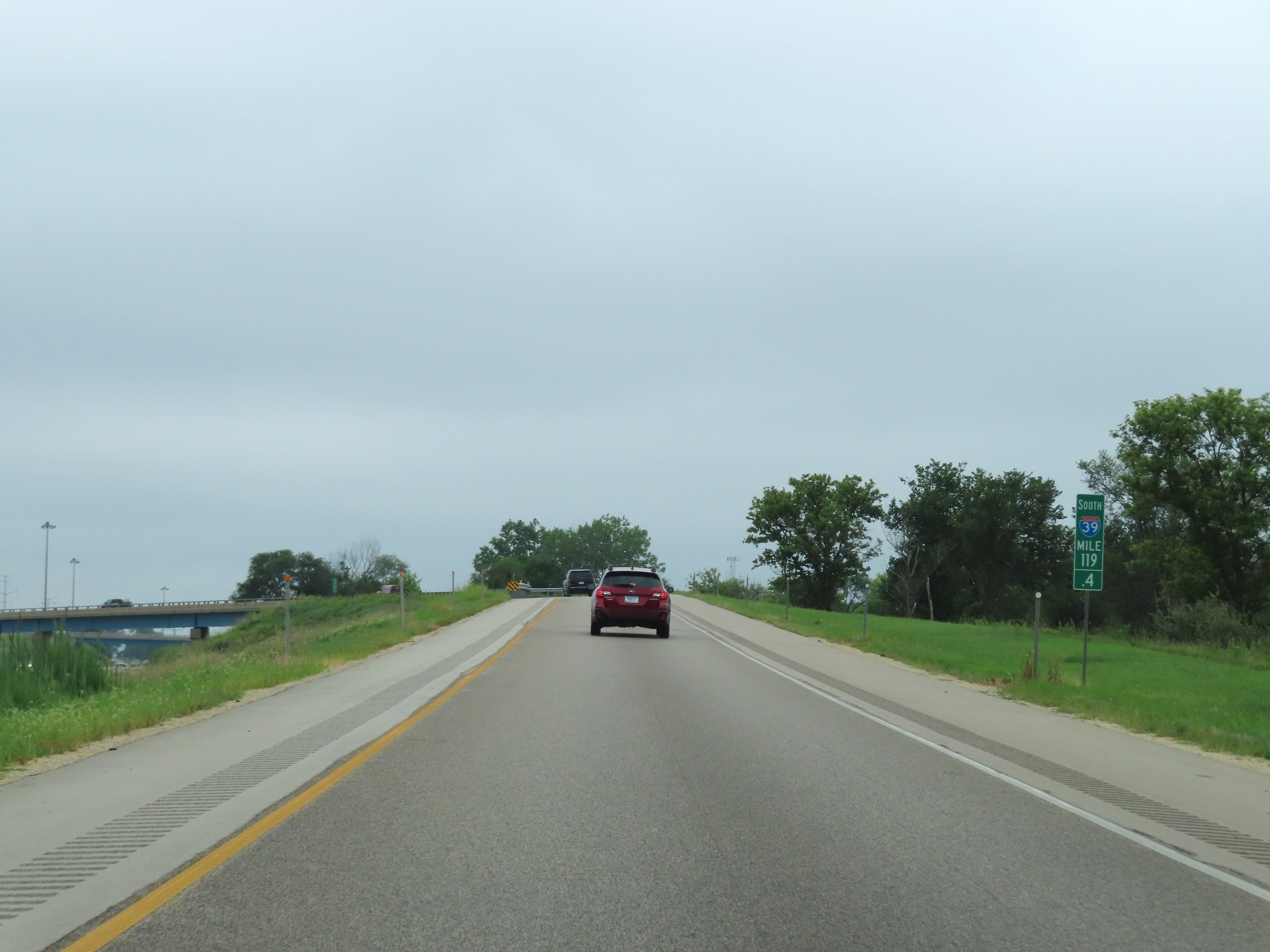 |
View on Interstate 39 South at mile marker 119.4, as it is reduced to a single lane for a brief time while its ramp prepares to pass over US 20 and curve to the south once again. (Photo taken 8/14/22). |
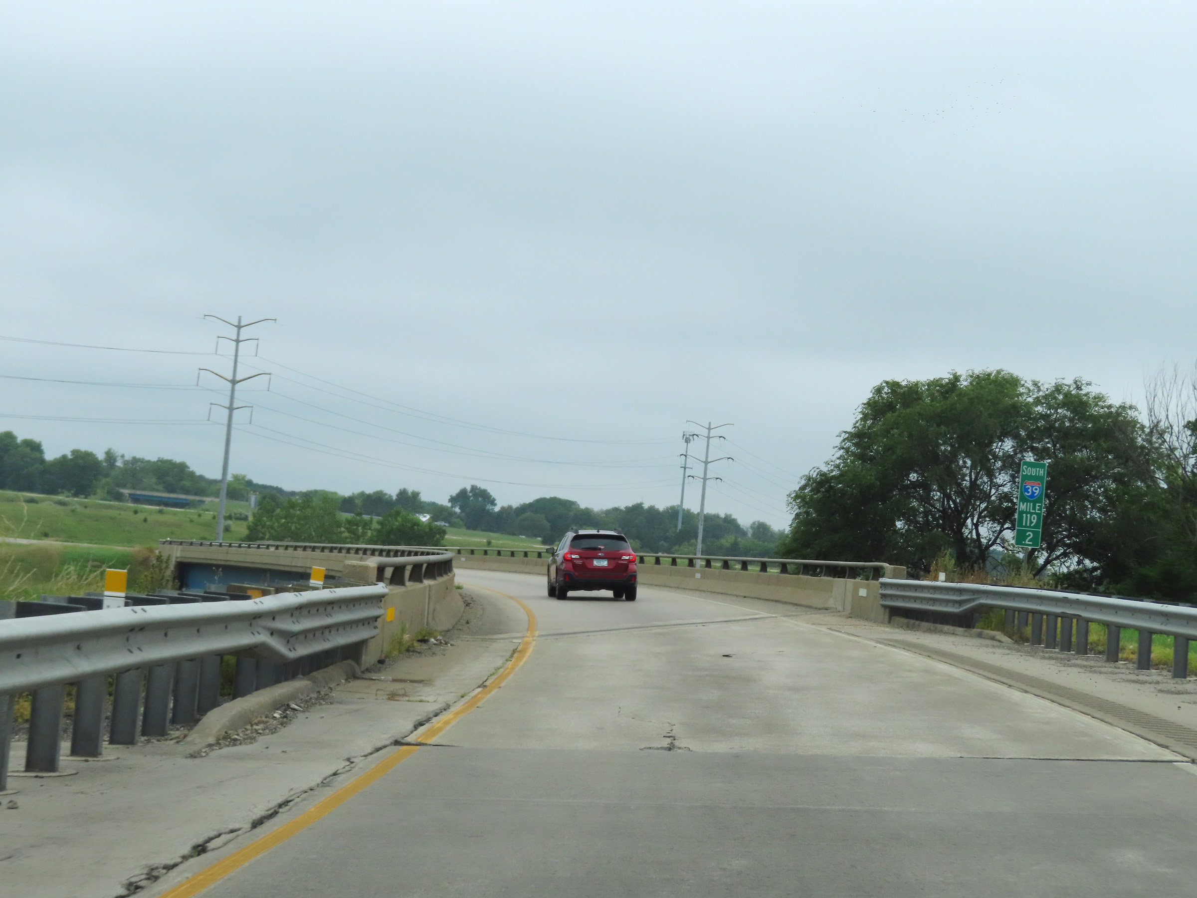 |
At mile marker 119.2, the single lane ramp of Interstate 39 South passes over US 20. (Photo taken 8/14/22). |
 |
View on Interstate 39 South at mile marker 118.6, as its current single lane continues to curve to the south. (Photo taken 8/14/22). |
 |
At mile marker 118.4, we see traffic from US 20 East merging into Interstate 39 South from the right. (Photo taken 8/14/22). |
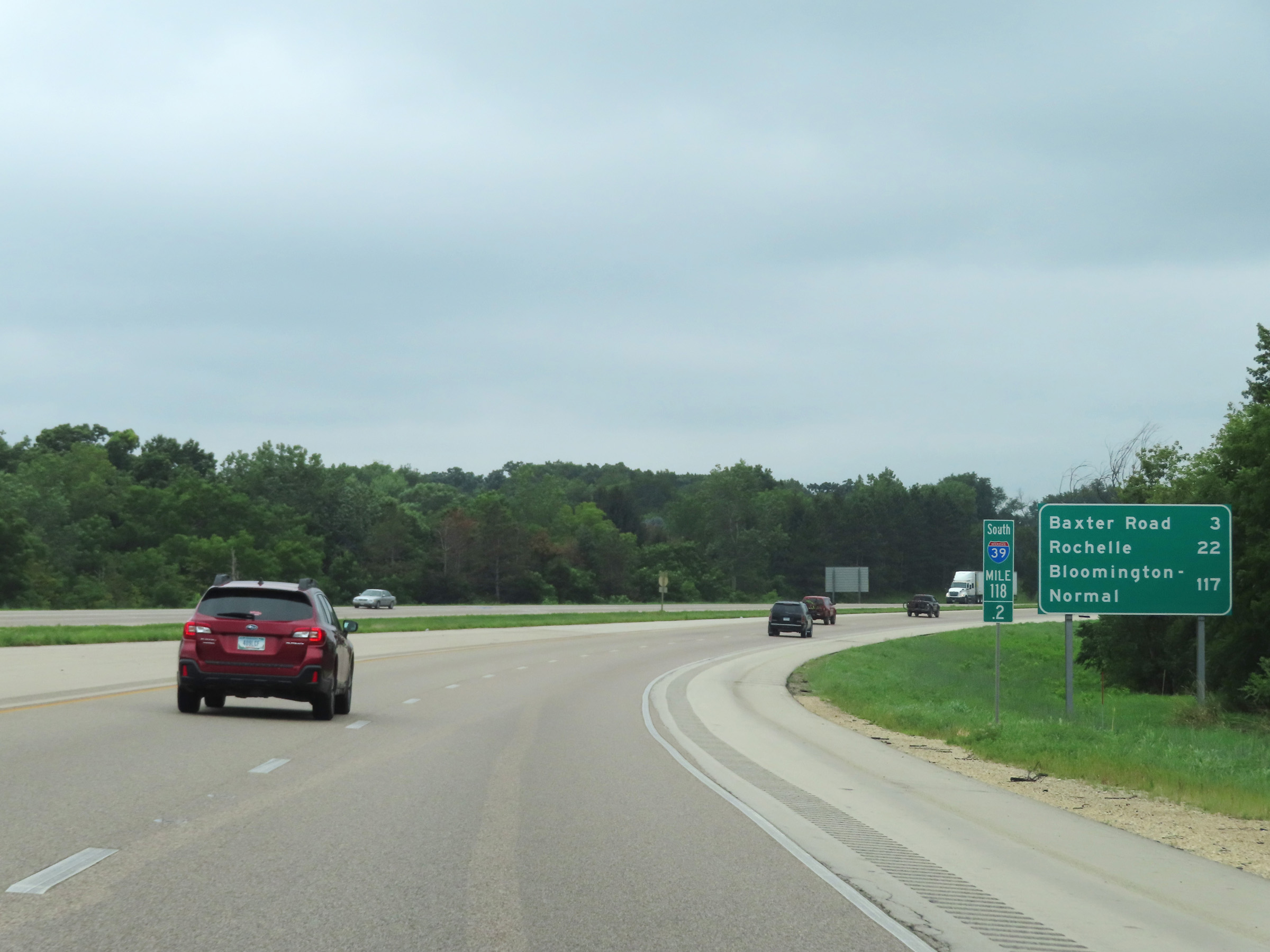 |
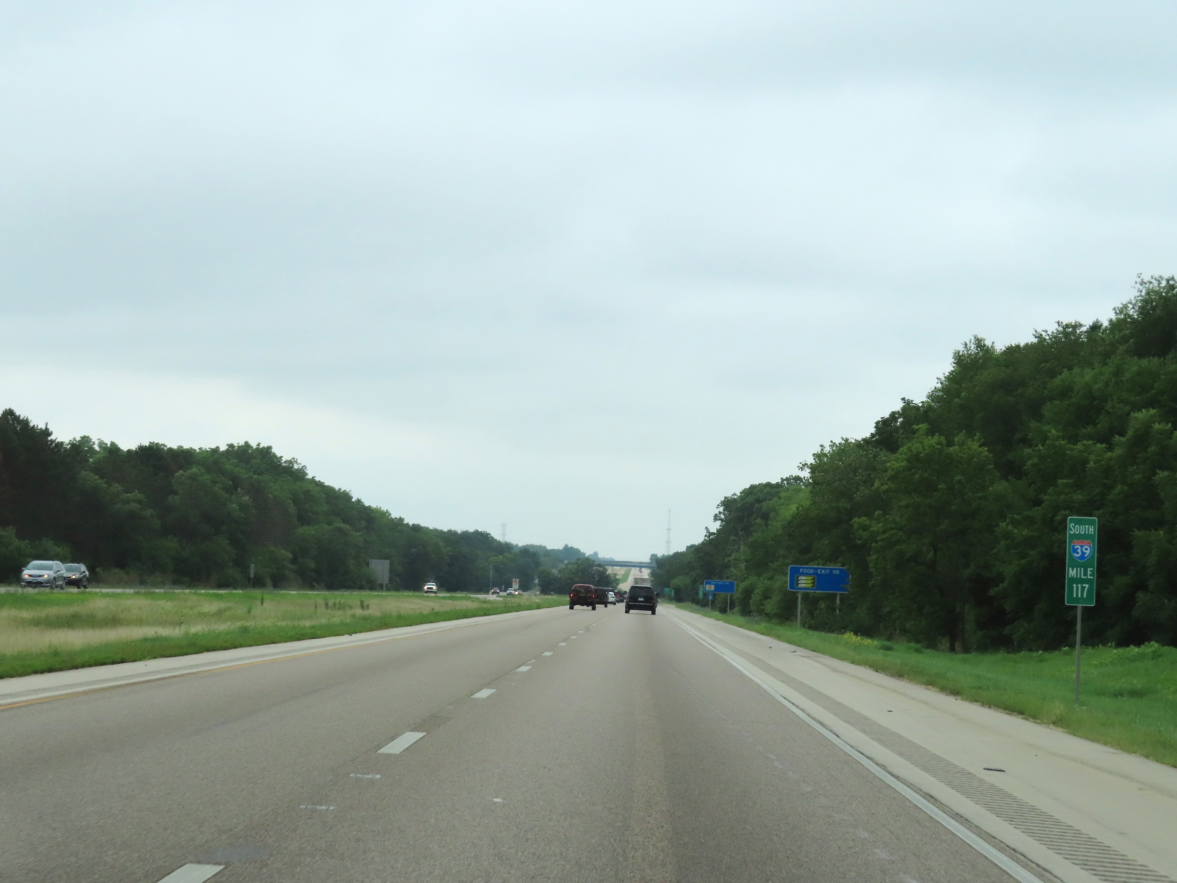
Mileage sign at mile marker 118.2, as the ramp from US 20 East merges into the single lane of Interstate 39 South to give it two thru lanes once again. It's 3 miles to Baxter Road, 22 miles to Rochelle, and 117 miles to Bloomington-Normal. (Photo taken 8/14/22). |
 |
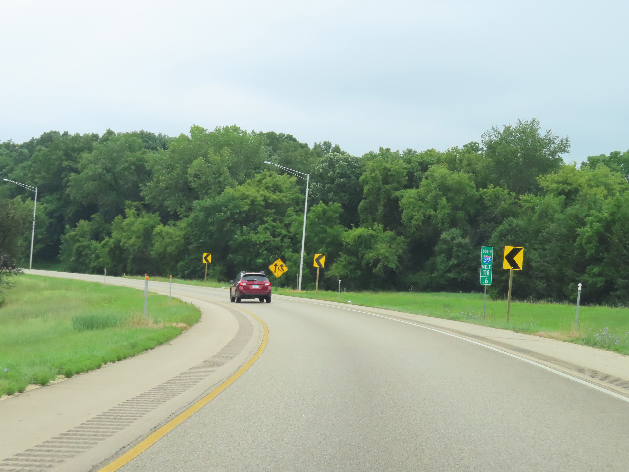
Interstate 39 South reassurance shield at mile marker 118. (Photo taken 8/14/22). |
 |
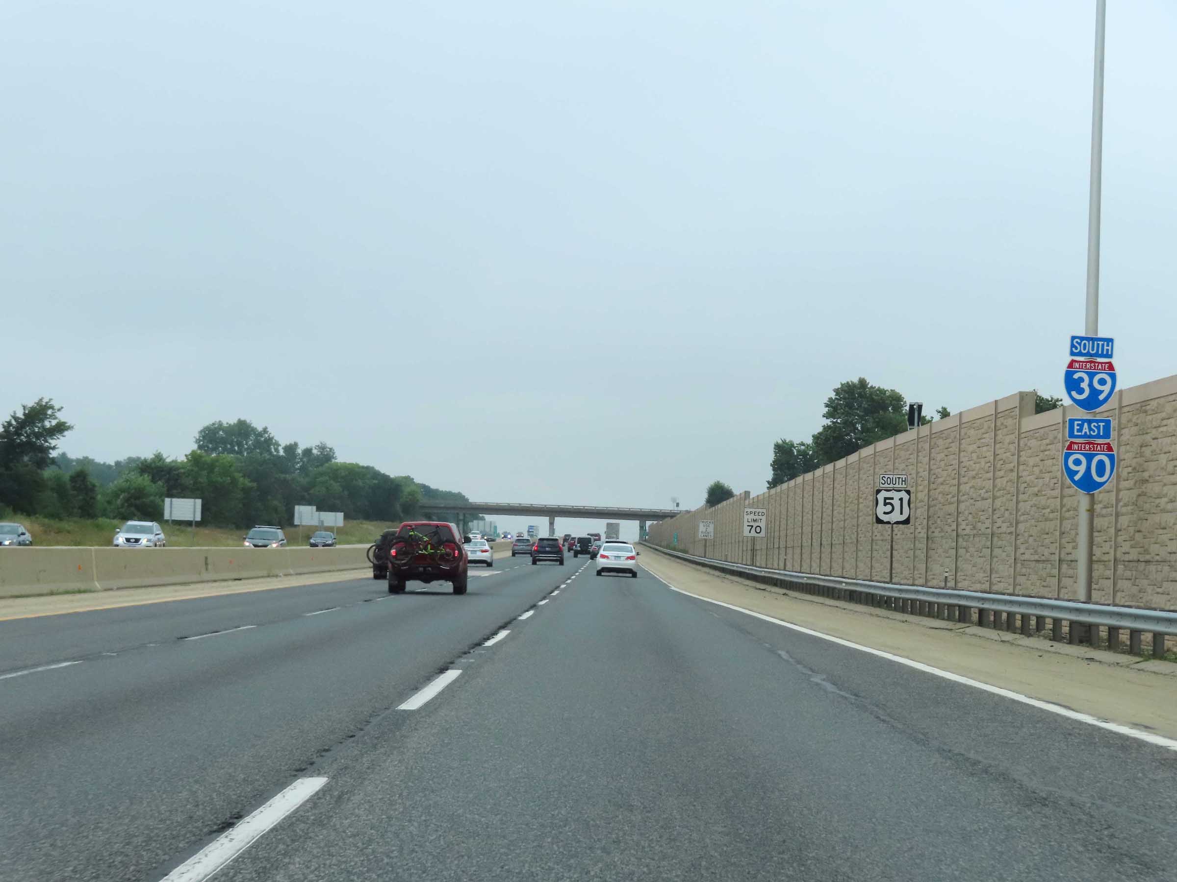
The speed limits remain the rural standard 70 mph maximum and 45 mph minimum. (Photo taken 8/14/22). |
 |
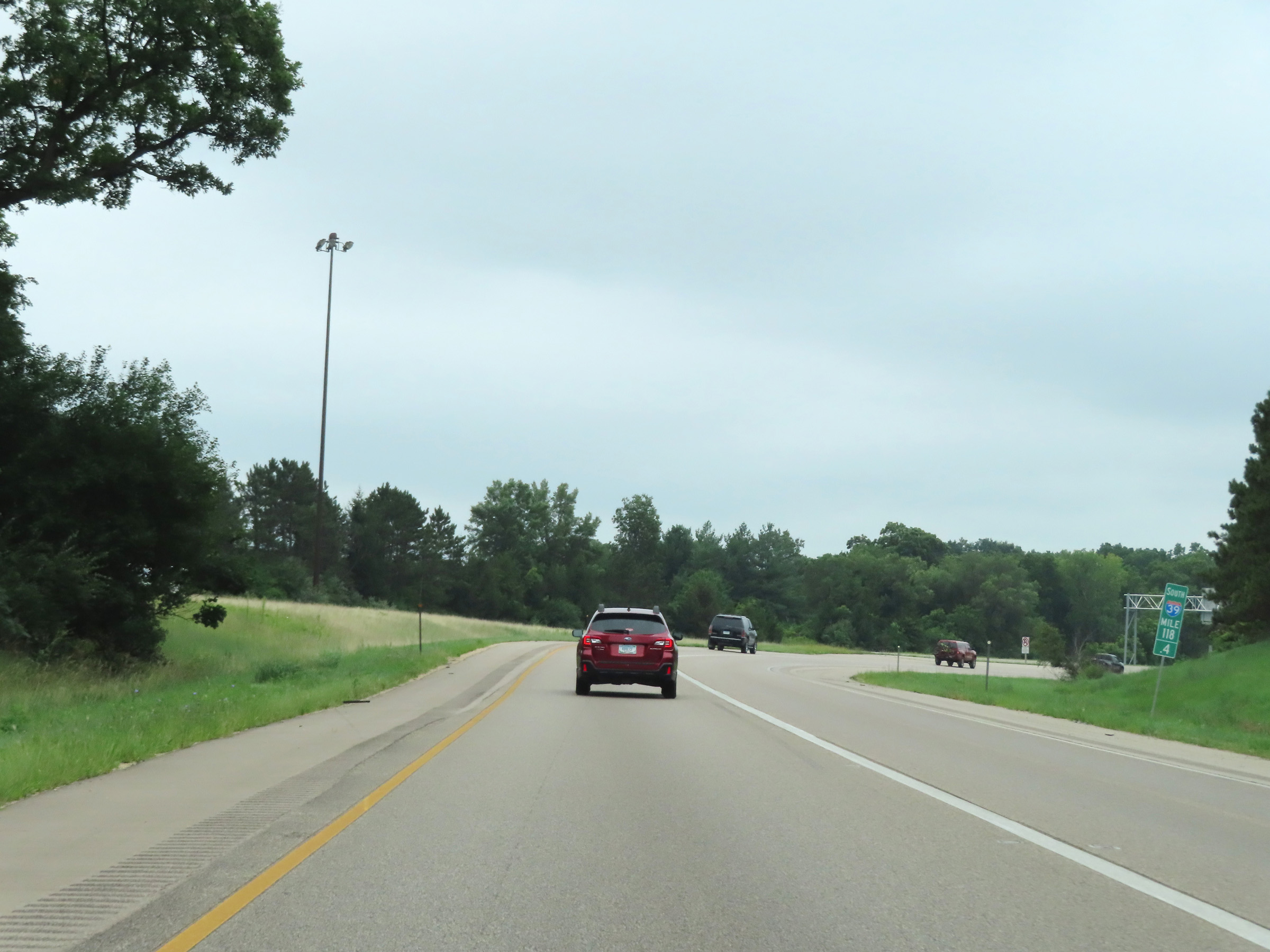
View on Interstate 39 South at mile marker 117. (Photo taken 8/14/22). |
 |
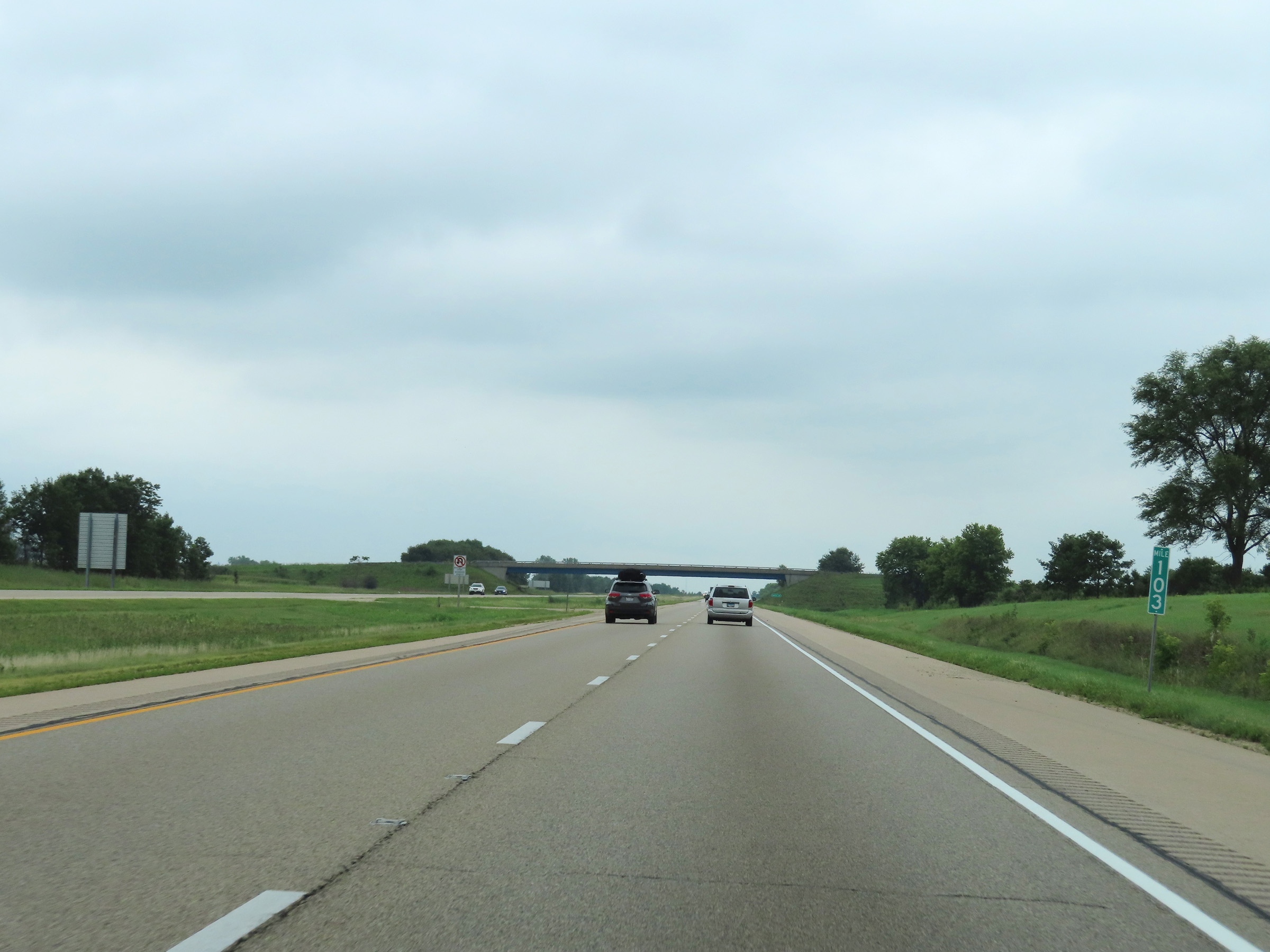
Mile marker 116 on Interstate 39 South in Winnebago County. (Photo taken 8/14/22). |
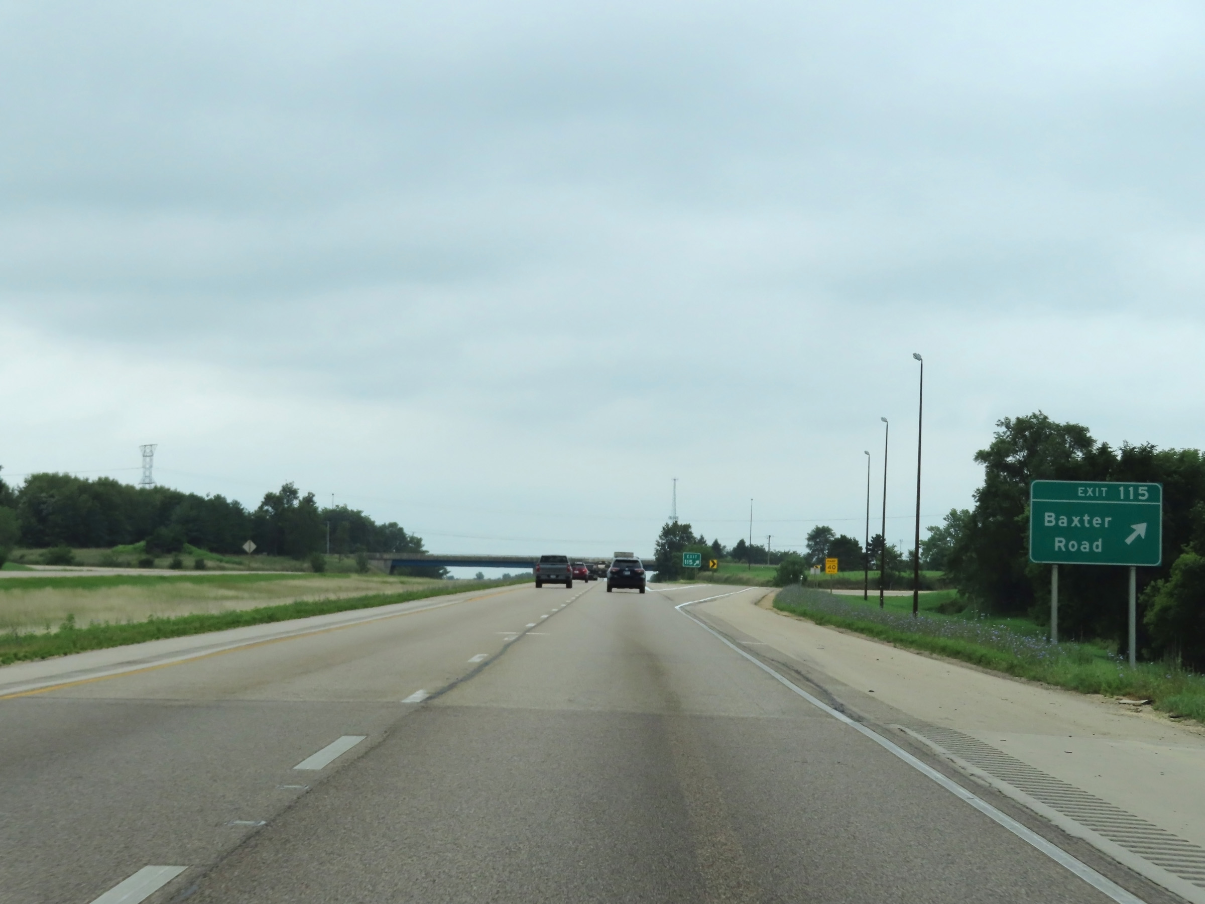 |
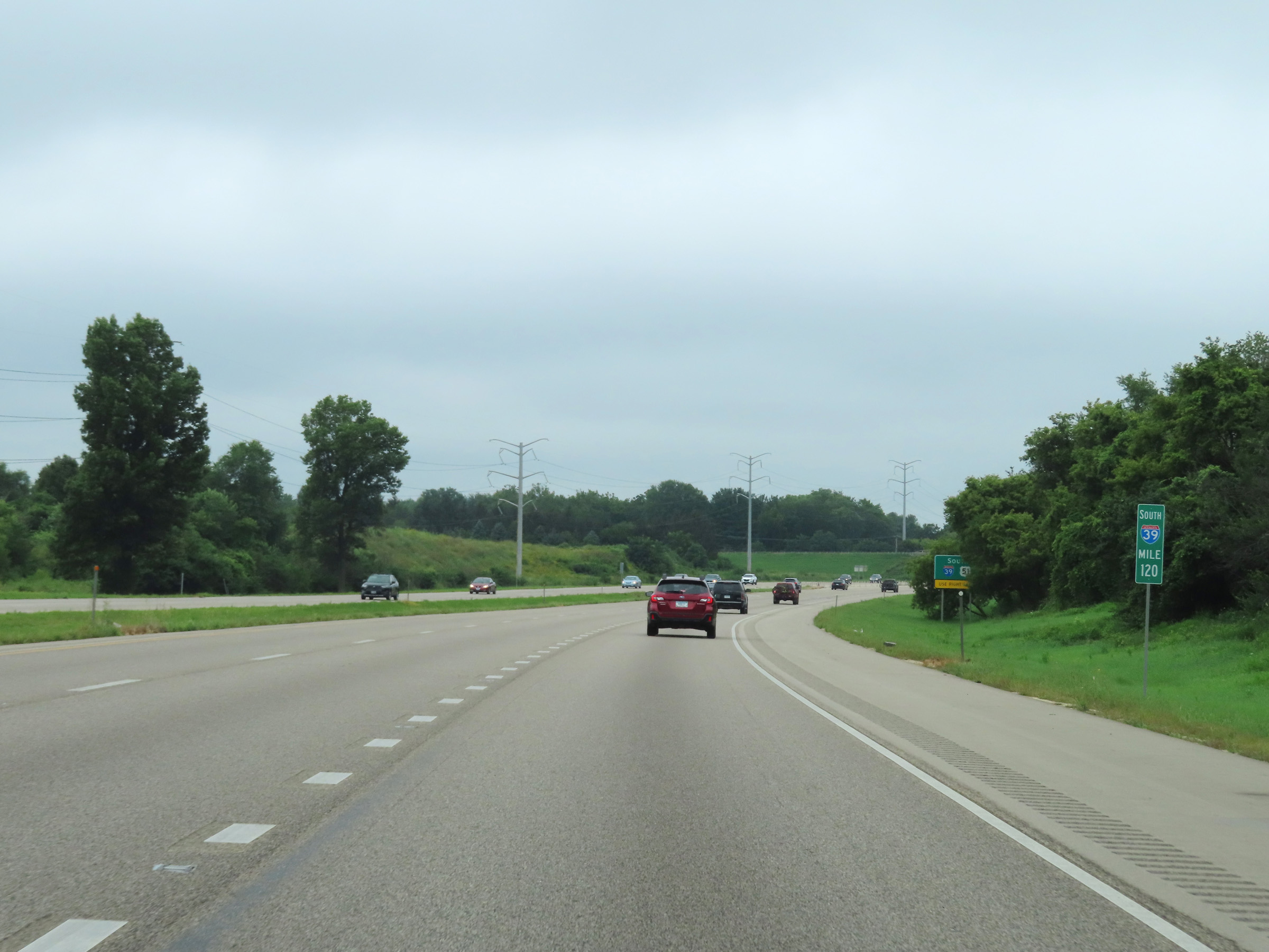
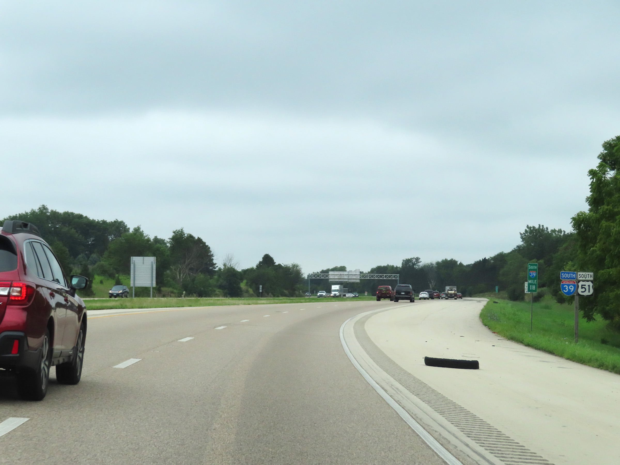
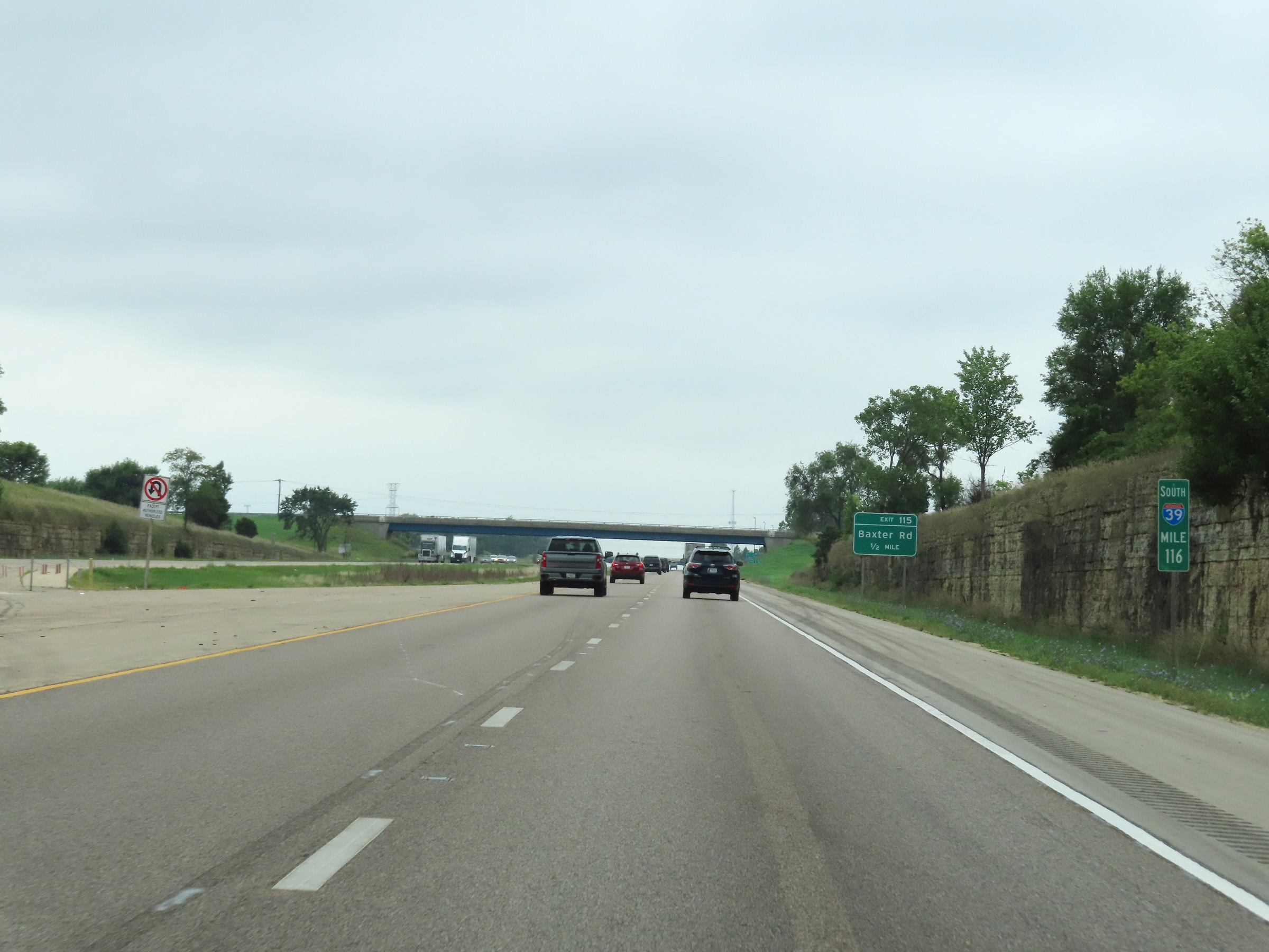
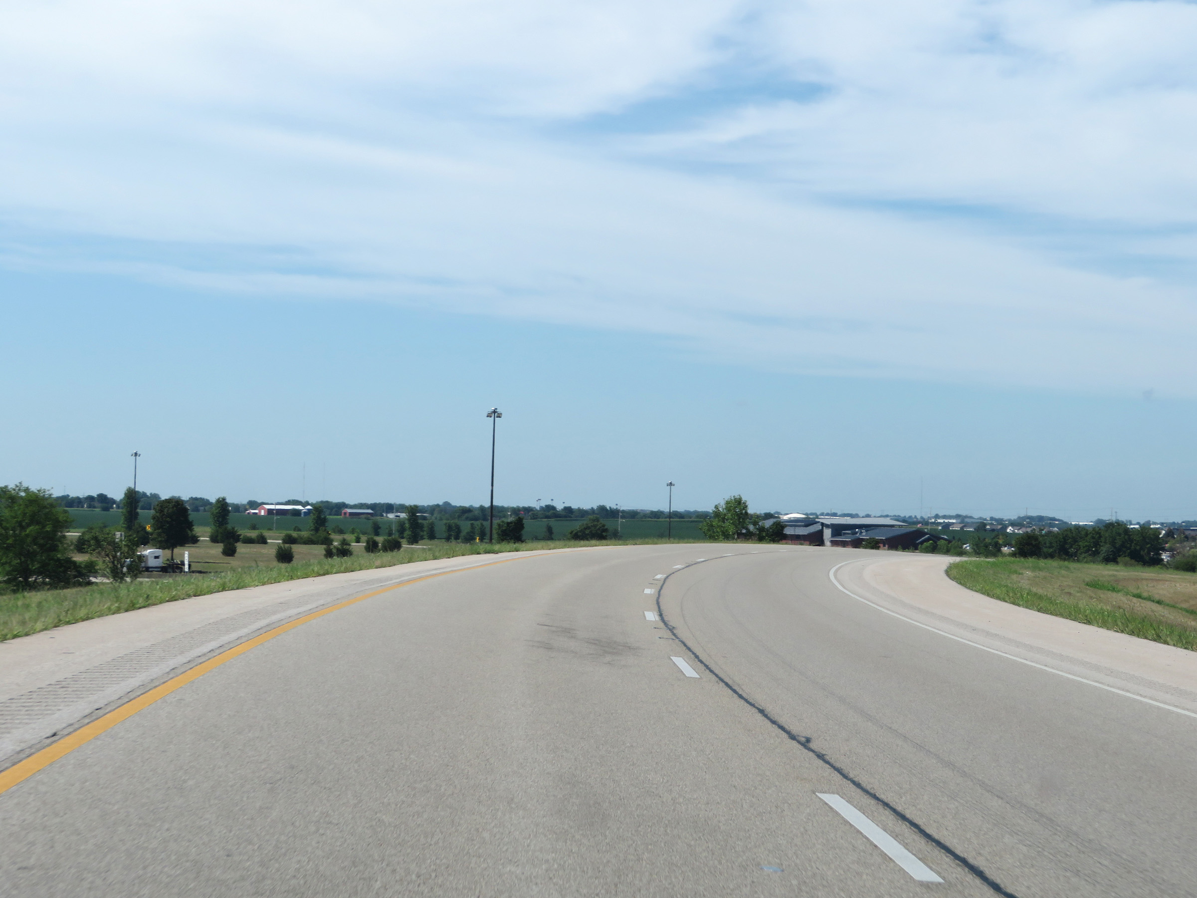
Interstate 39 South at Exit 115: Baxter Road (Photo taken 8/14/22). |
Section 2: Rockford (Exit 115) to LaSalle (Exit 59A)
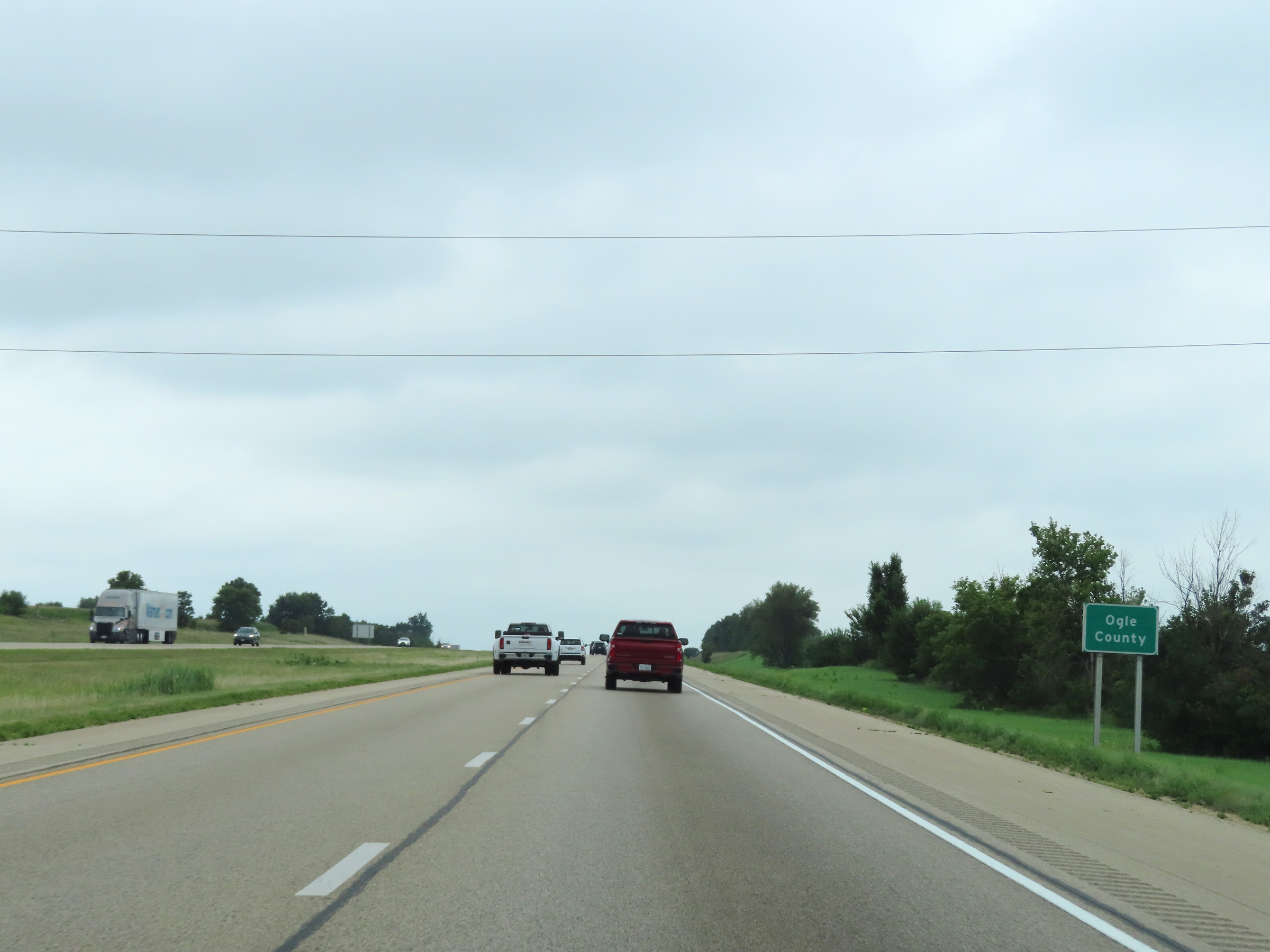 |
South of Exit 115, Interstate 39 South enters Ogle County. (Photo taken 8/14/22). |
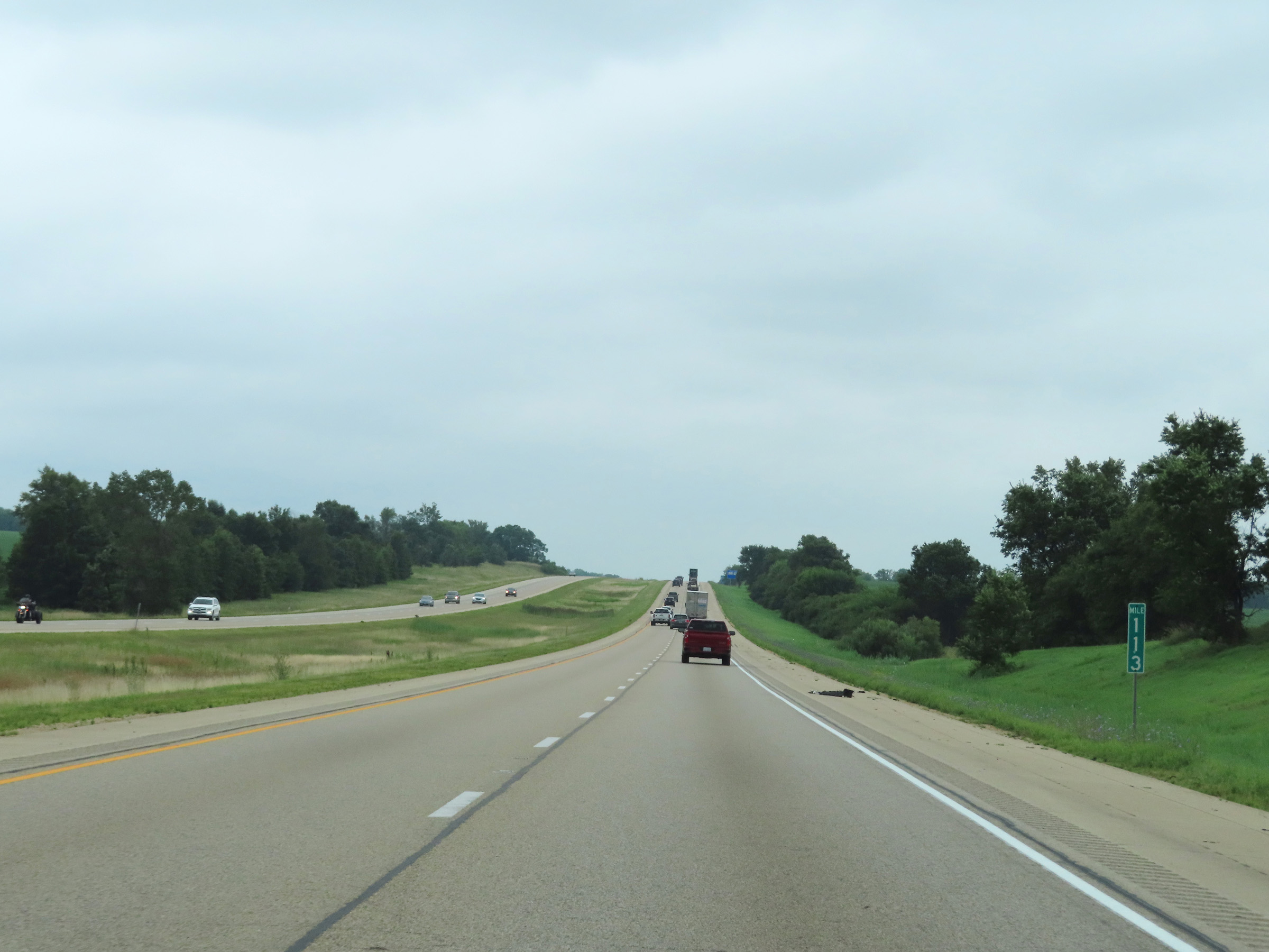 |
View on Interstate 39 South at mile marker 113. (Photo taken 8/14/22). |
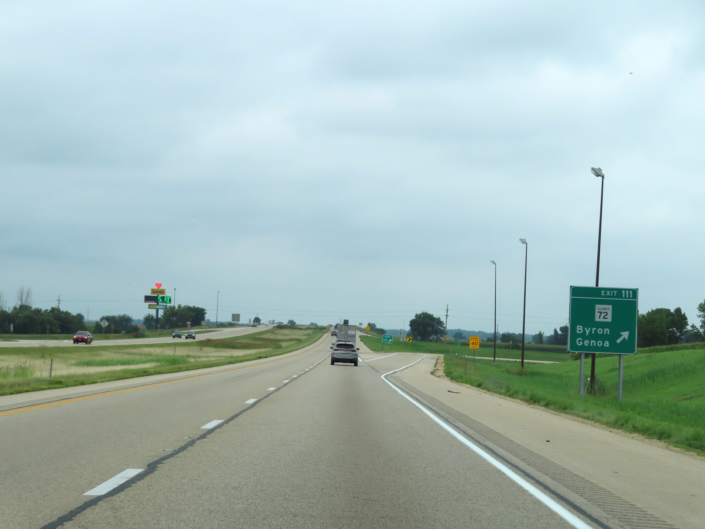 |
Interstate 39 South at Exit 111: IL 72 - Byron / Genoa (Photo taken 8/14/22). |
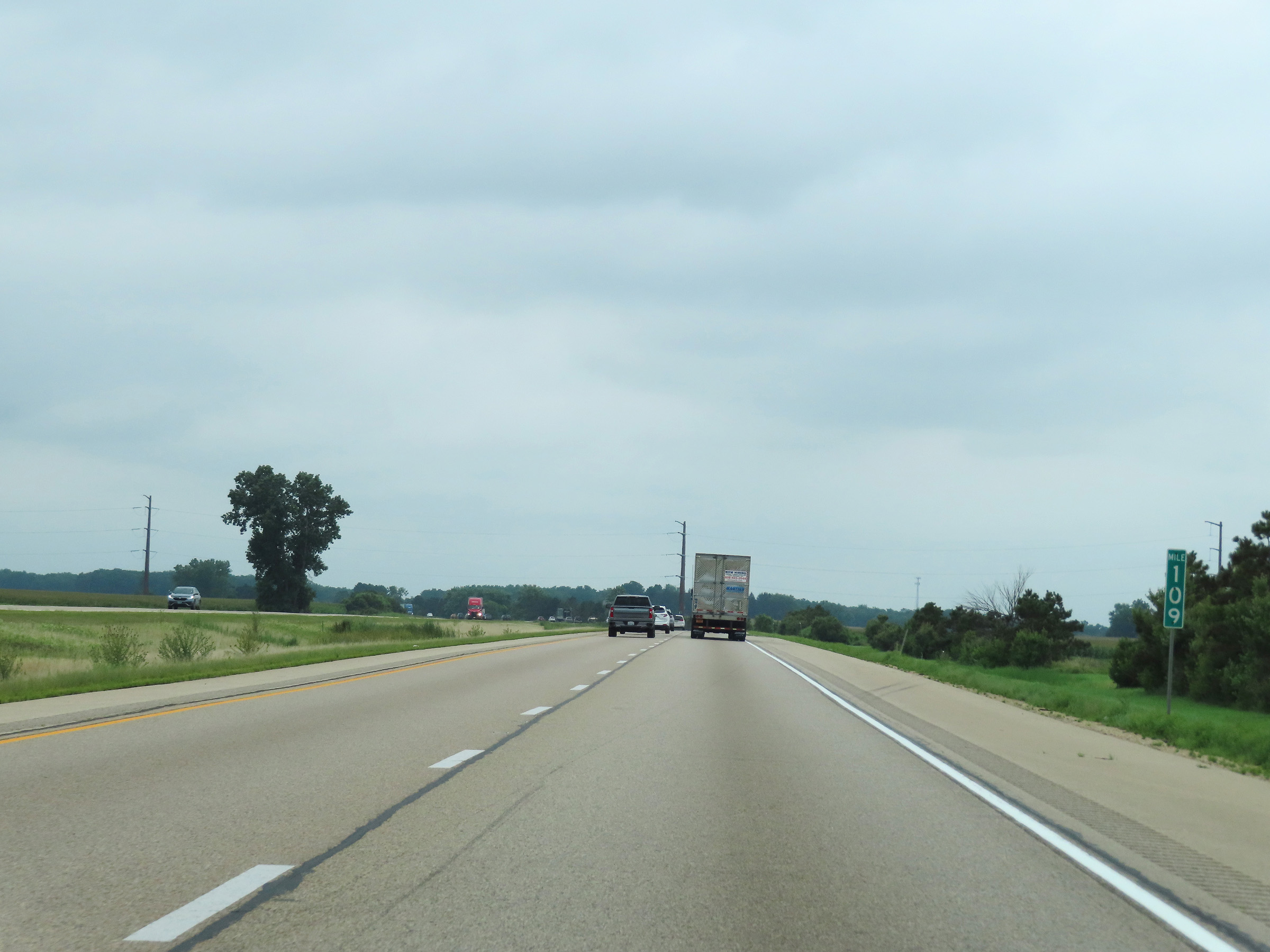 |
Interstate 39 South at mile marker 109. (Photo taken 8/14/22). |
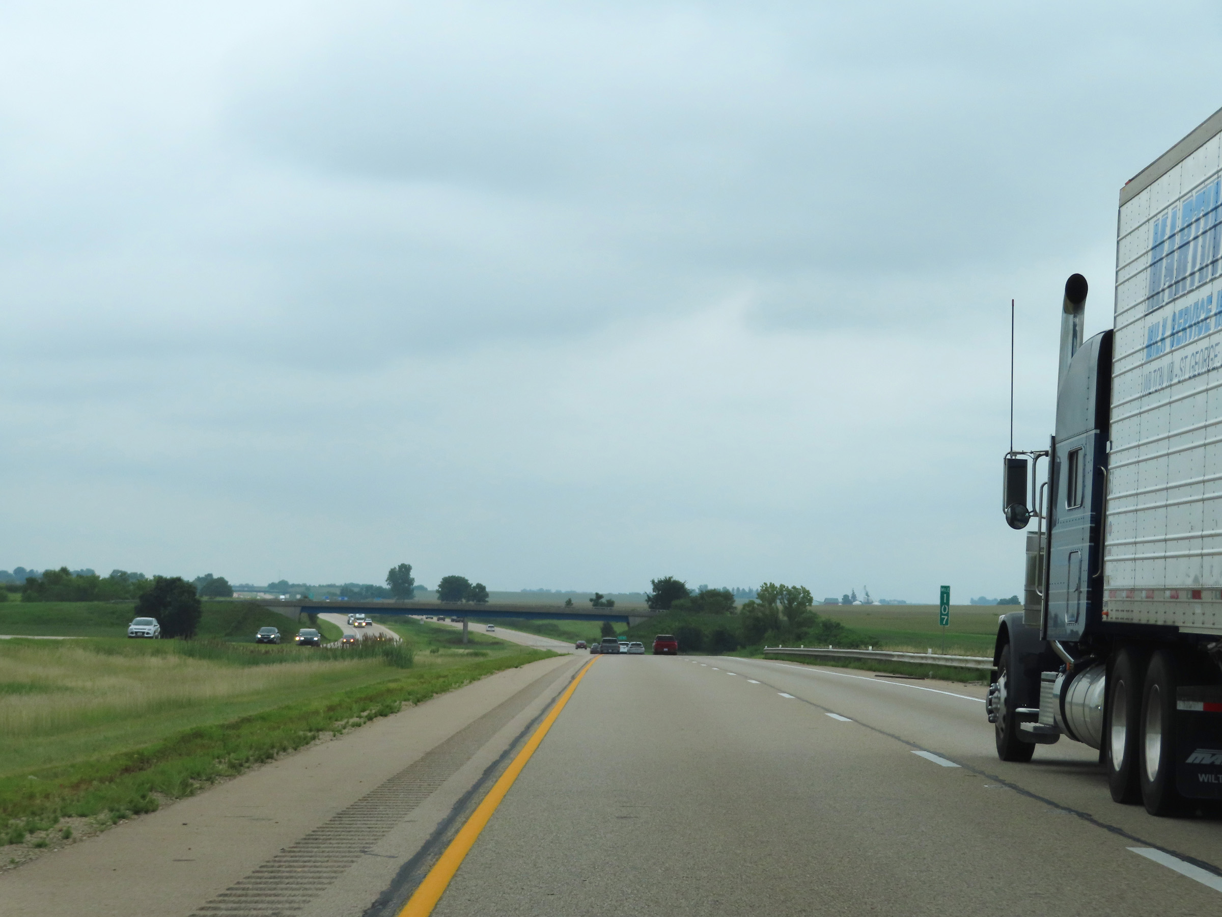 |
Mile marker 107 on Interstate 39 South in Ogle County. (Photo taken 8/14/22). |
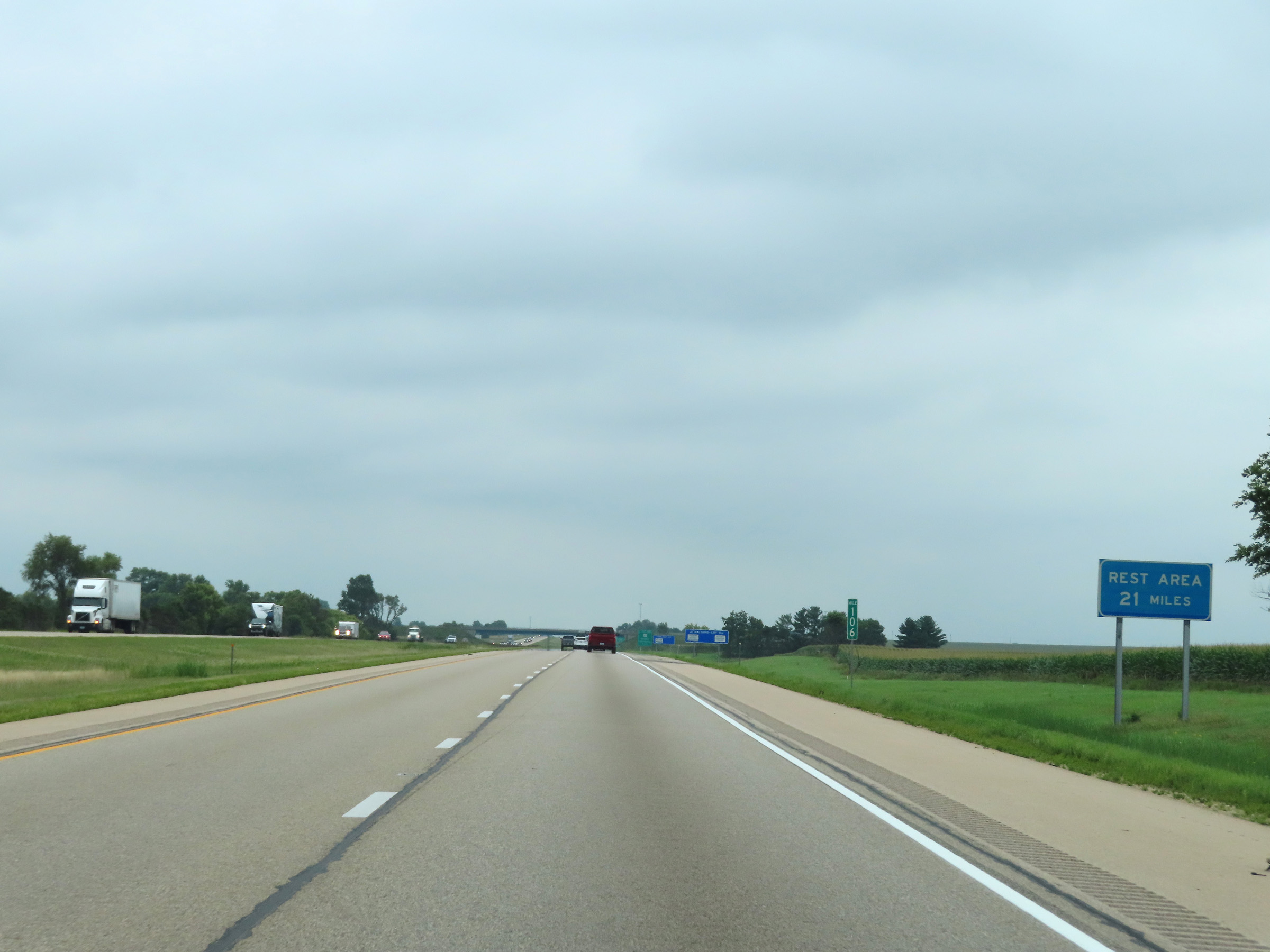 |
As this sign at mile marker 106 reads, the next Rest Area on Interstate 39 South is 21 miles ahead. (Photo taken 8/14/22). |
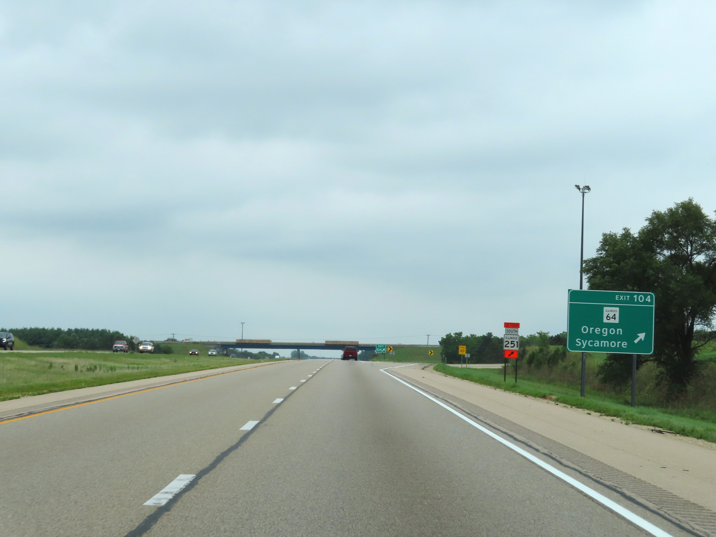 |
Interstate 39 South at Exit 104: IL 64 - Oregon / Sycamore (Photo taken 8/14/22). |
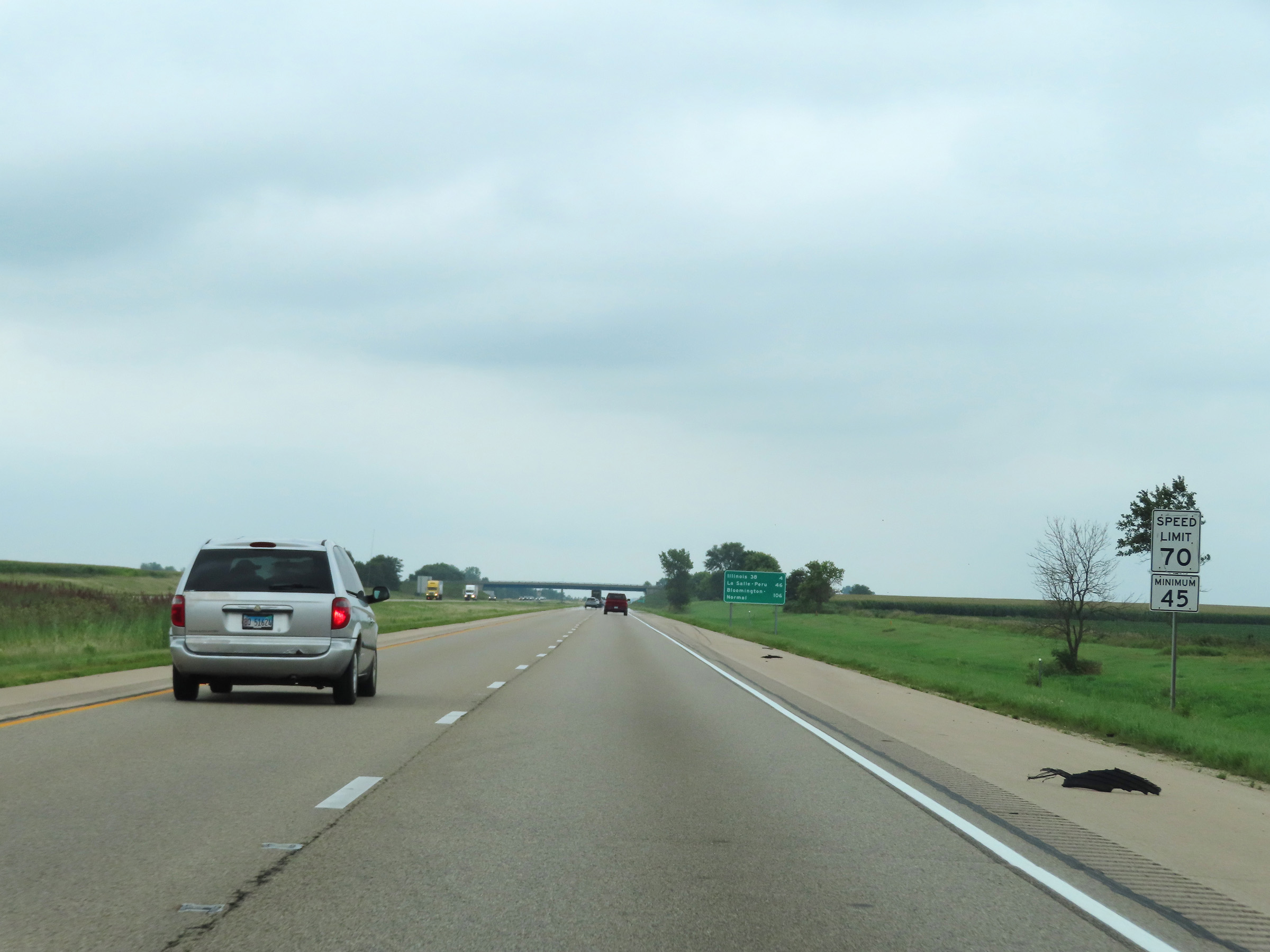 |
Speed limit signage on Interstate 39 South. The speed limits are 70 mph maximum and 45 mph minimum. (Photo taken 8/14/22). |
 |
View on Interstate 39 South at mile marker 103. (Photo taken 8/14/22). |
 |
Interstate 39 South at mile marker 101. (Photo taken 8/14/22). |
 |
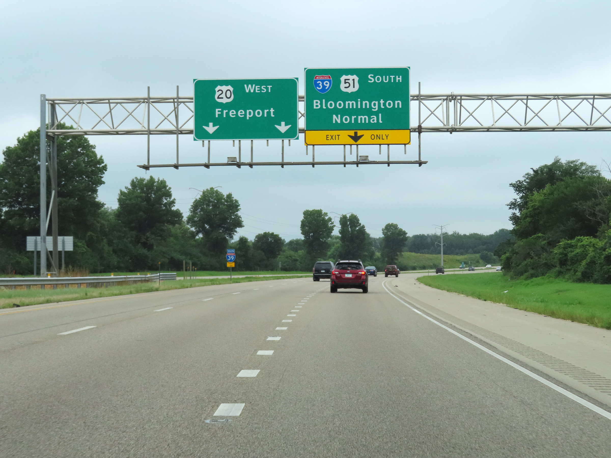
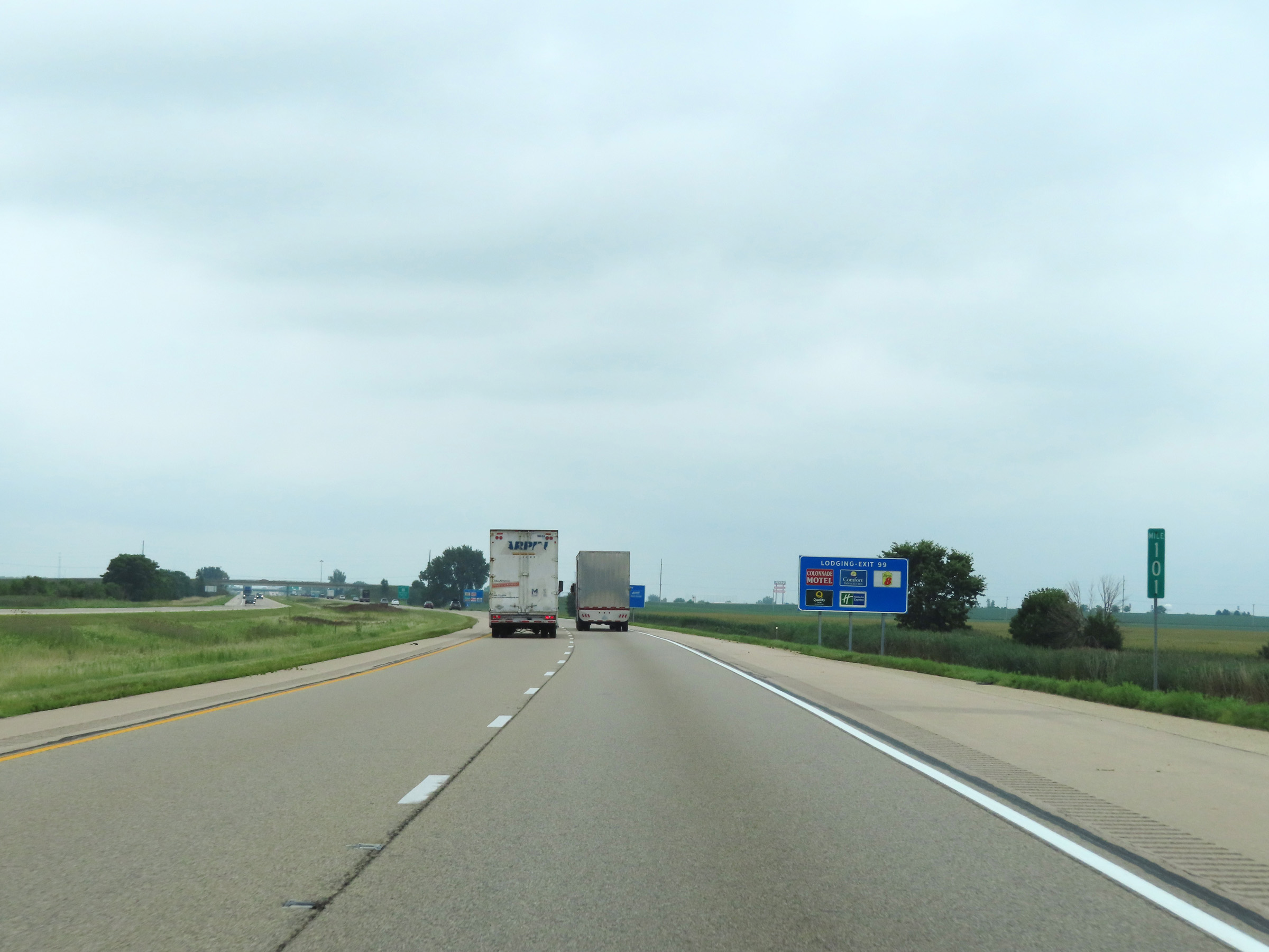
Interstate 39 South at Exit 99: IL 38 - Rochelle / DeKalb (Photo taken 8/14/22). |
 |
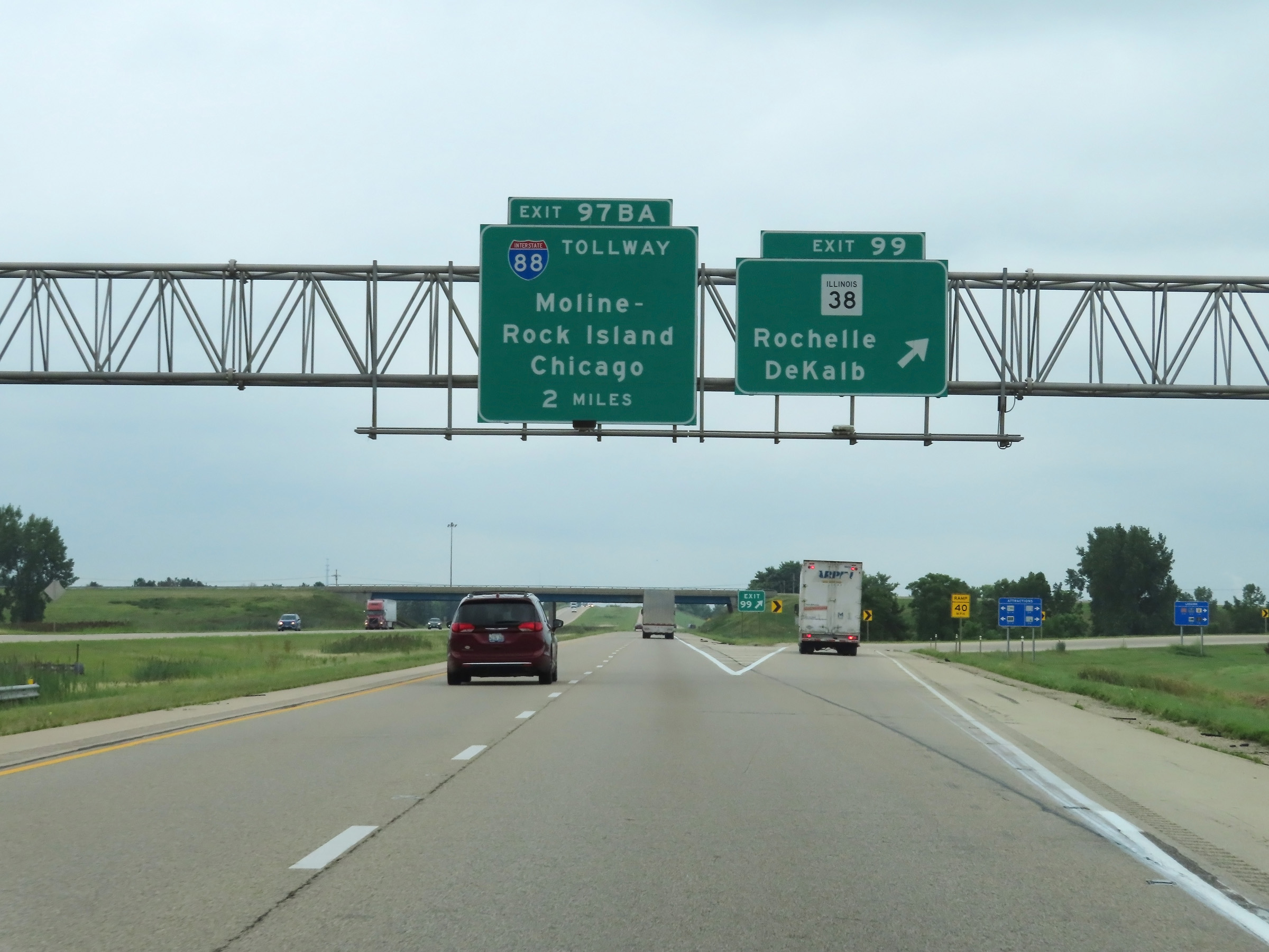
Interstate 39 South approaching Exits 97B-A - 1 mile. (Photo taken 8/14/22). |
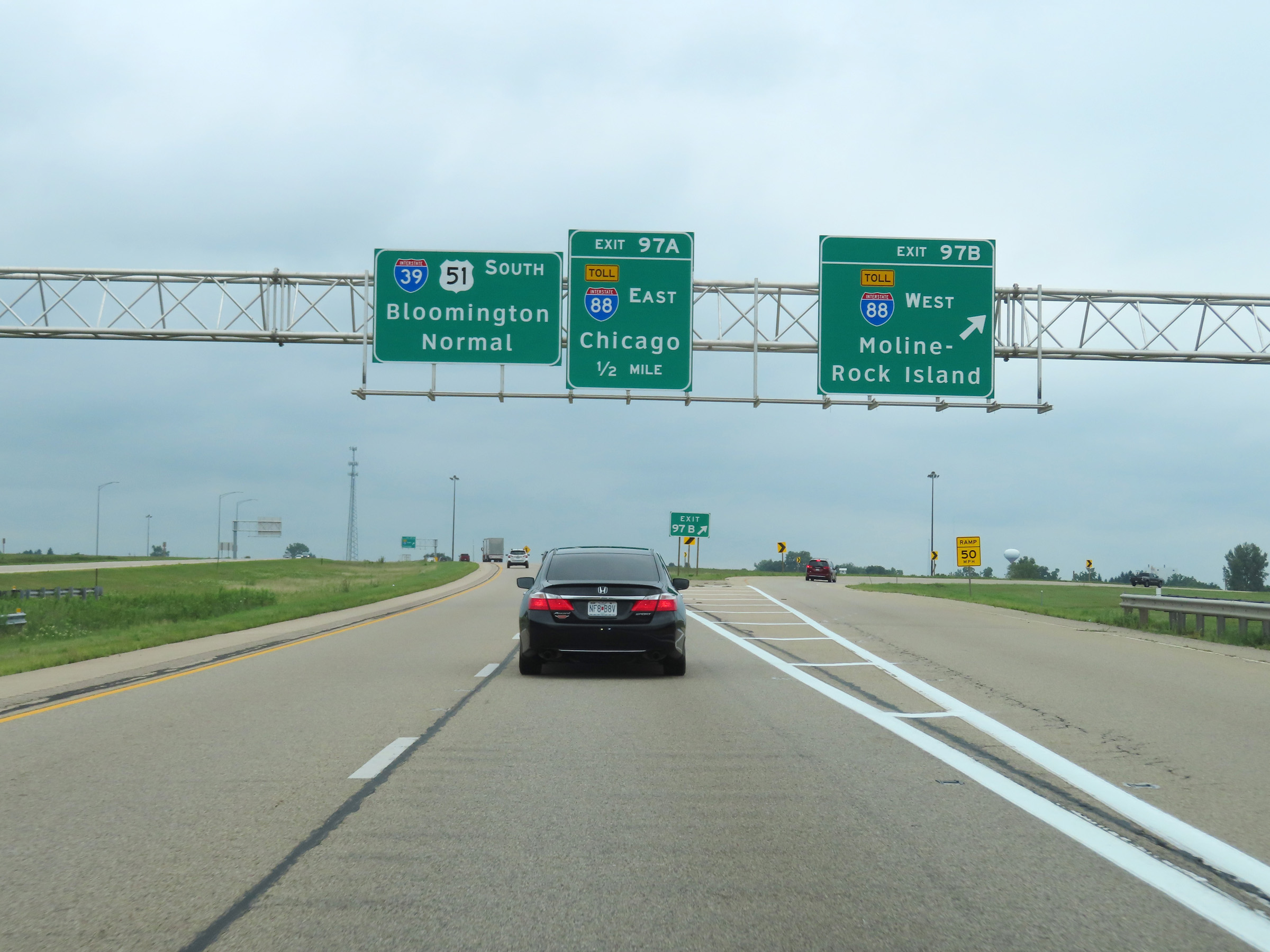 |
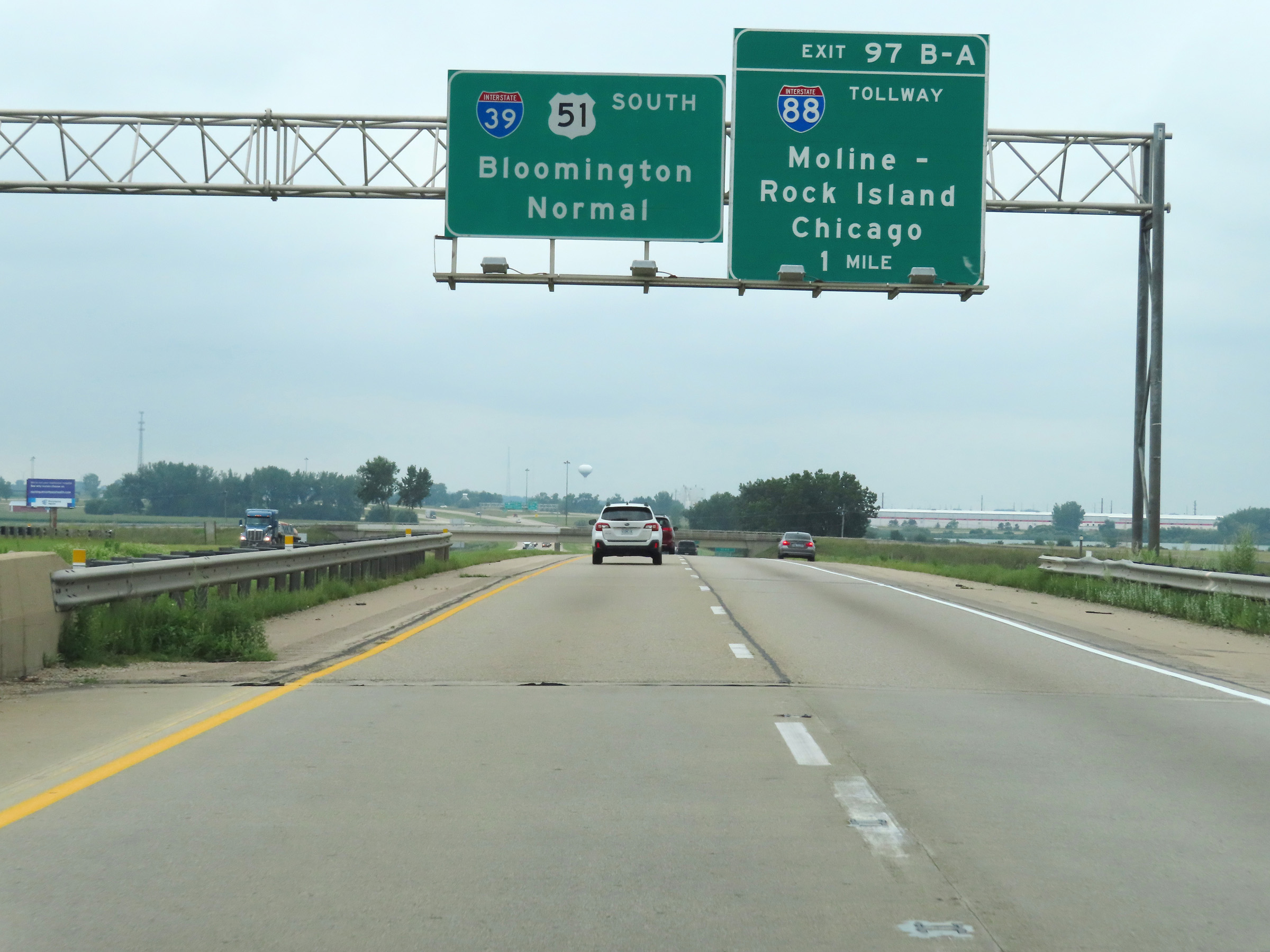
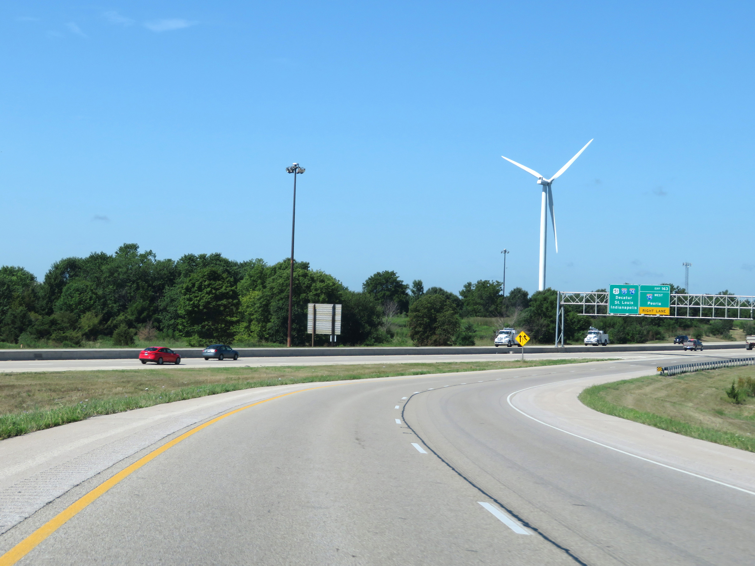
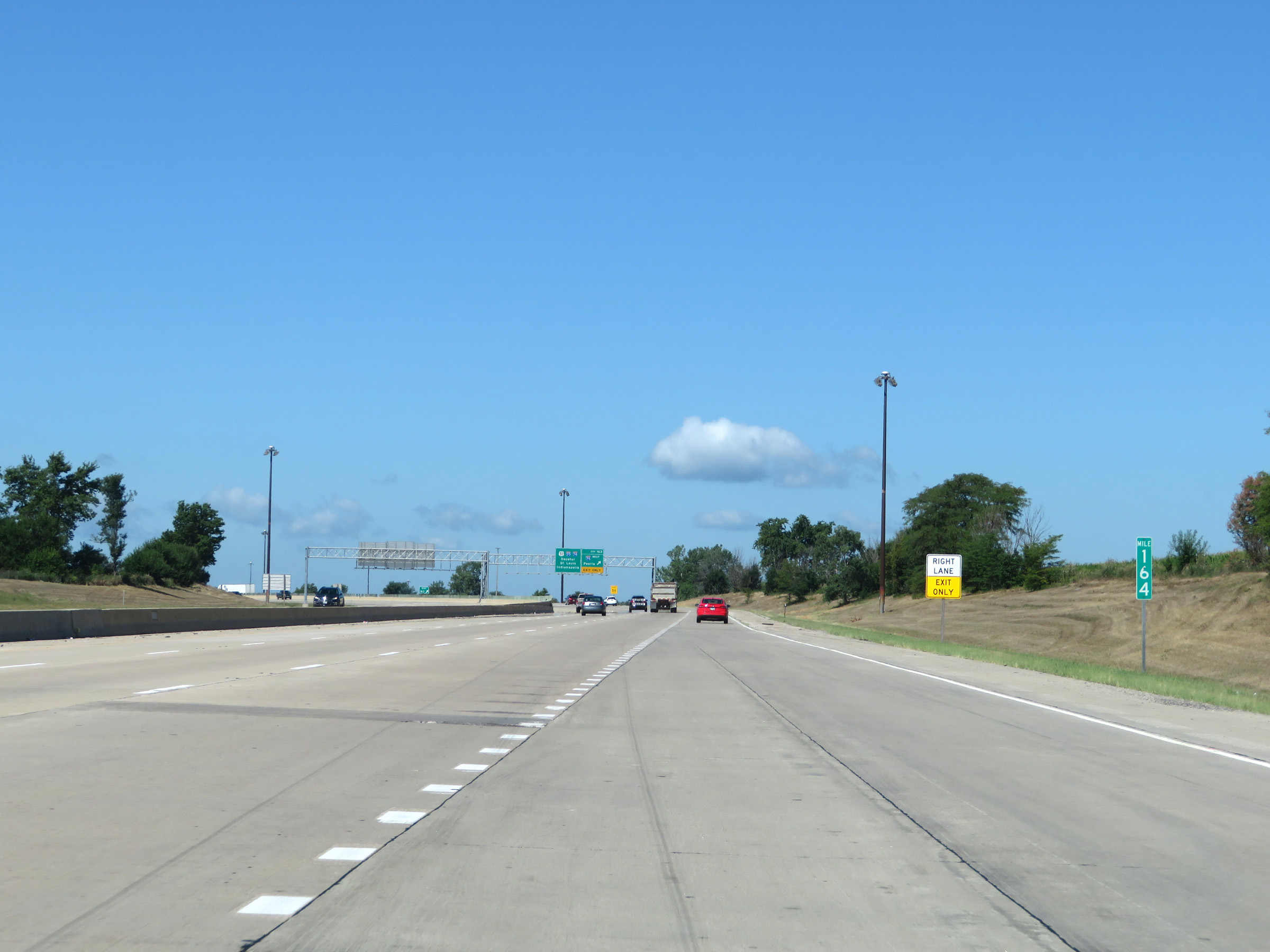
Interstate 39 South at Exit 97B: Interstate 88 West - Moline-Rock Island (Photo taken 8/14/22). |
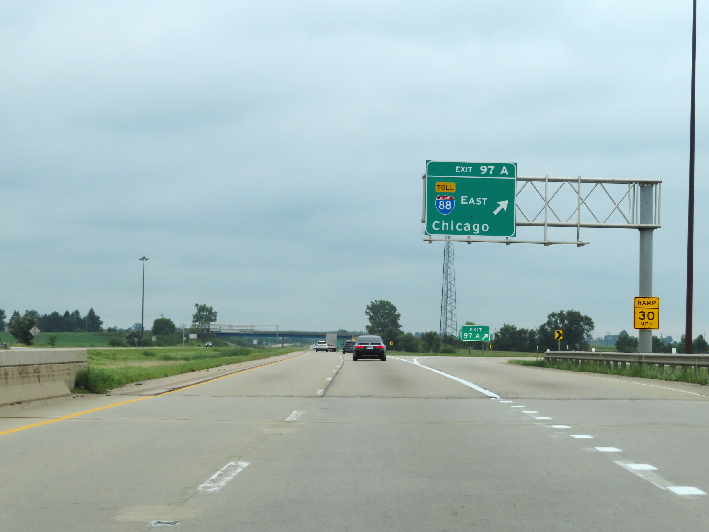 |
Interstate 39 South at Exit 97A: Interstate 88 East - Chicago (Photo taken 8/14/22). |
 |
Another Interstate 39 South reassurance shield. (Photo taken 8/14/22). |
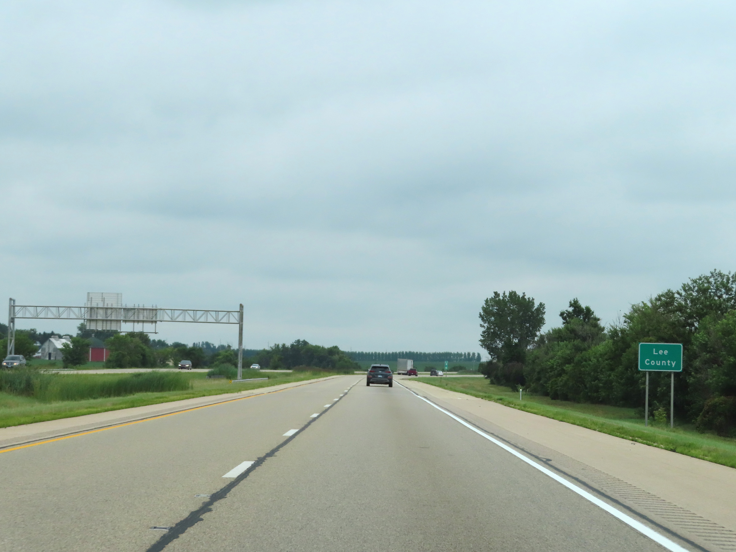 |
At mile marker 96, Interstate 39 South enters Lee County. (Photo taken 8/14/22). |
 |
View on Interstate 39 South at mile marker 95. (Photo taken 8/14/22). |
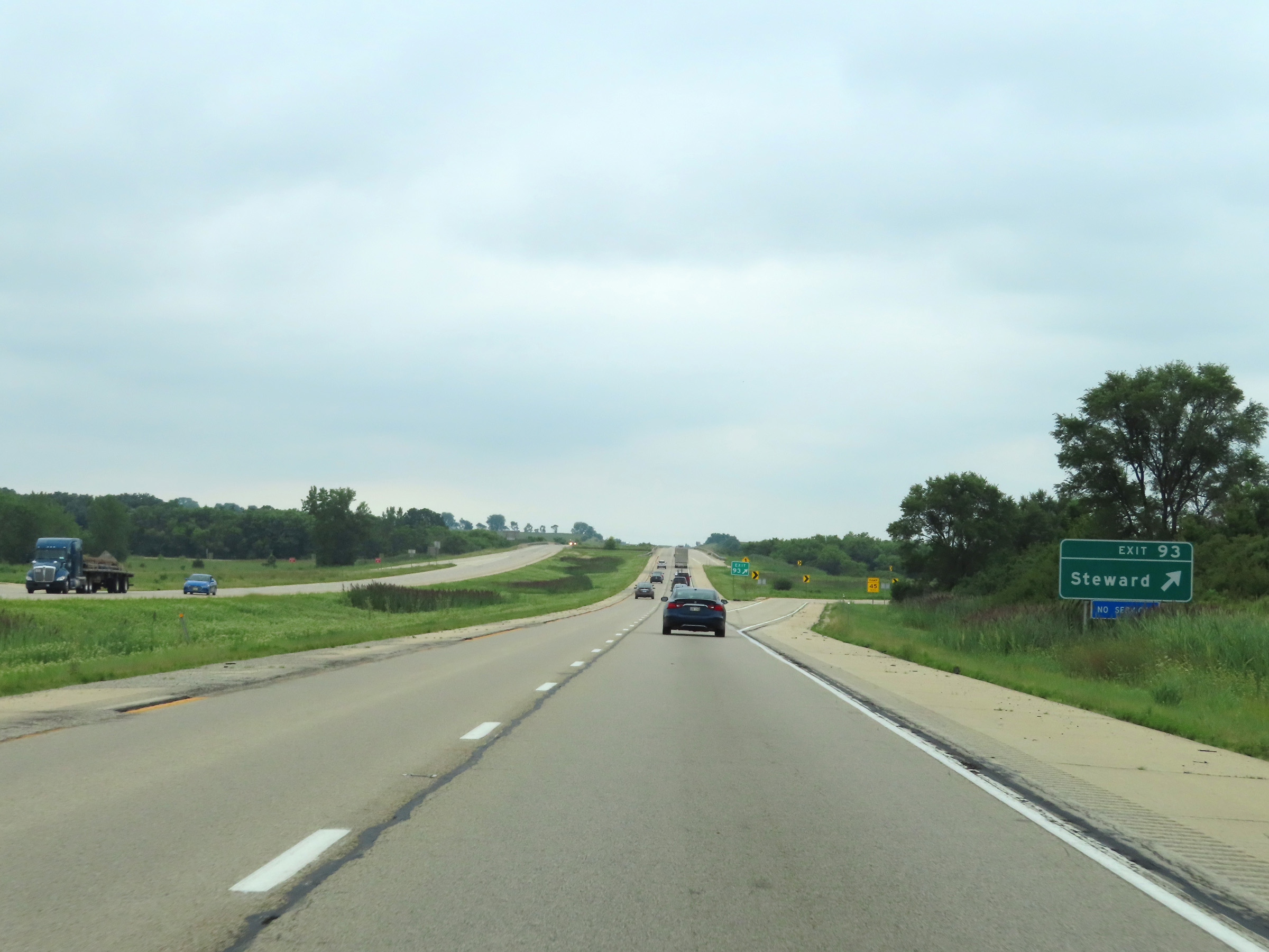 |
Interstate 39 South at Exit 93: Steward (Photo taken 8/14/22). |
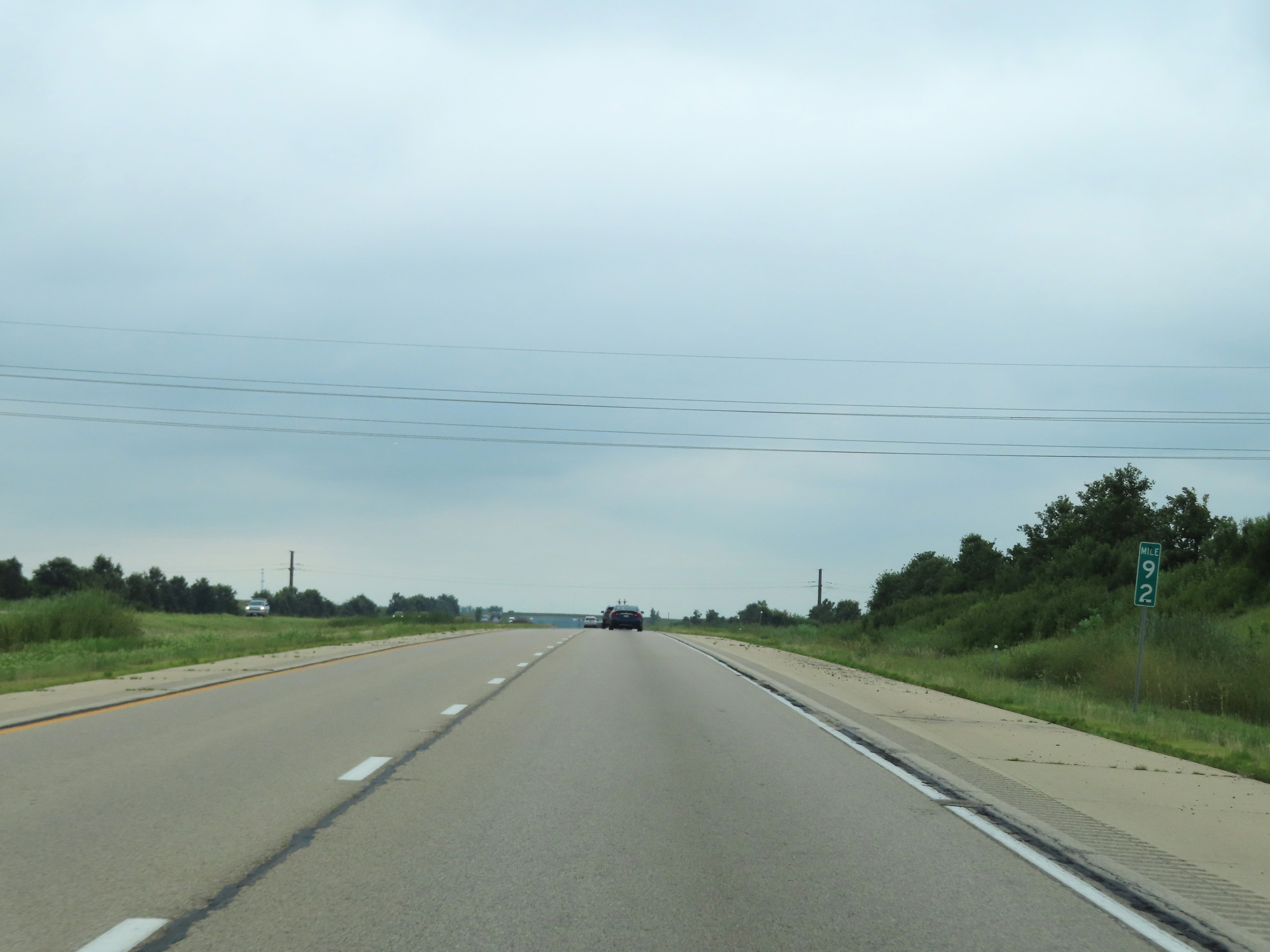 |
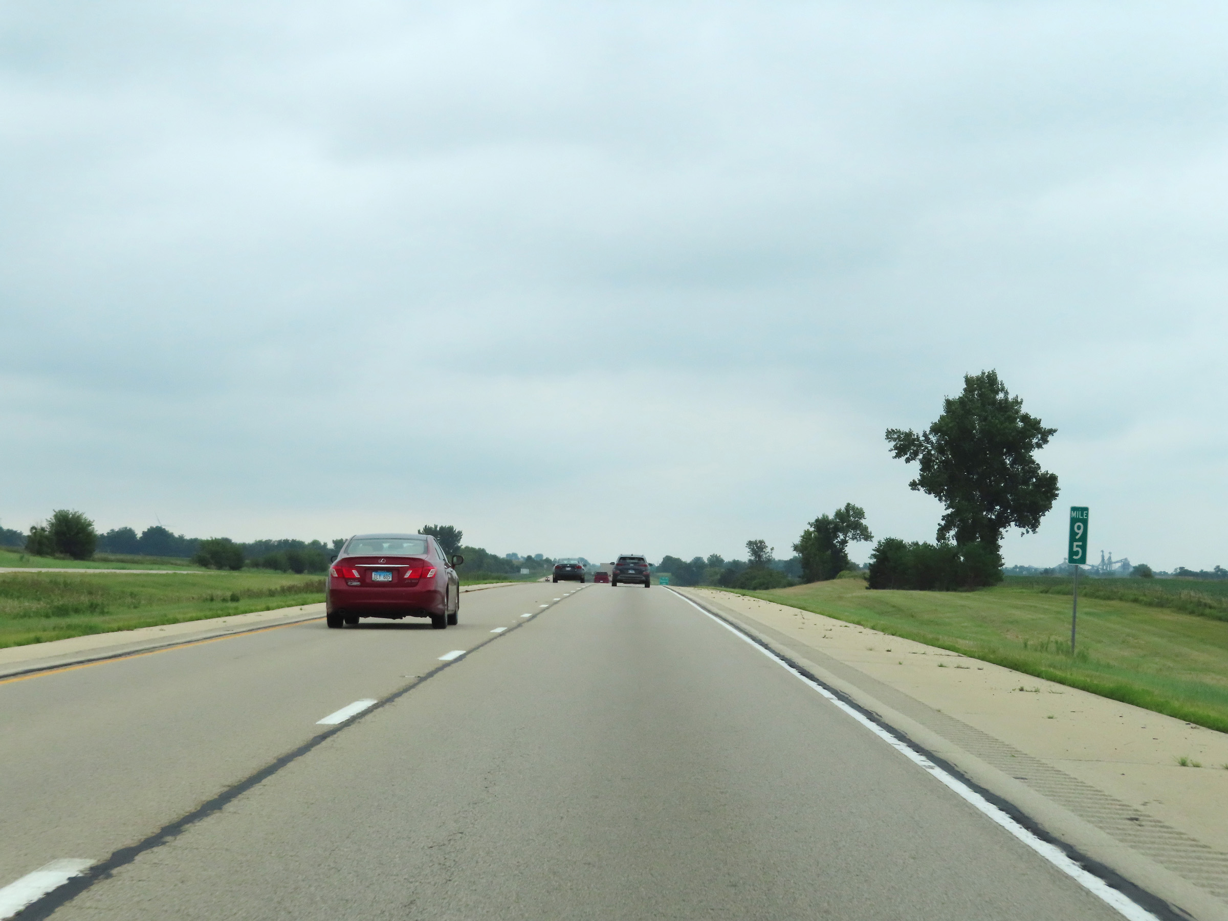
Mile marker 92 on Interstate 39 South in Lee County. (Photo taken 8/14/22). |
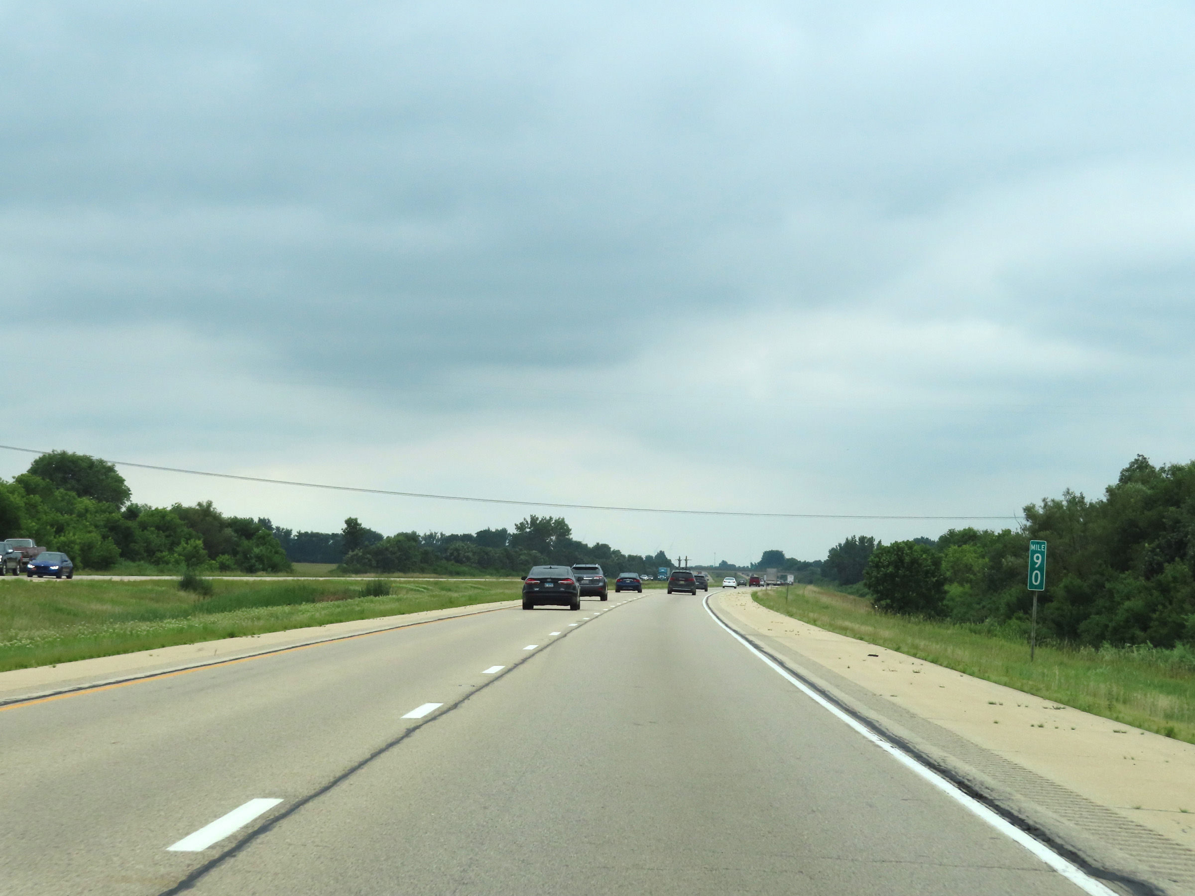 |
View on Interstate 39 South at mile marker 90. (Photo taken 8/14/22). |
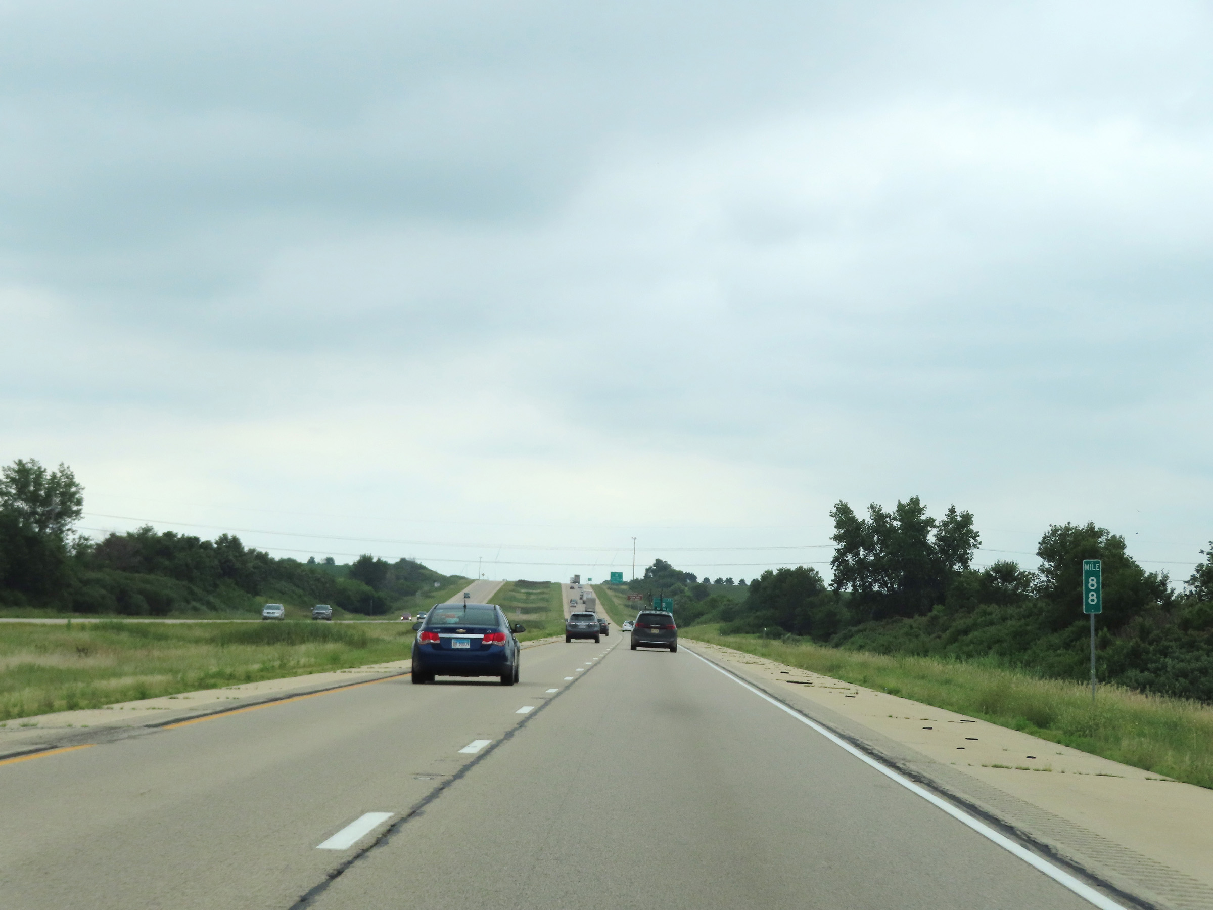 |
Interstate 39 South at mile marker 88. (Photo taken 8/14/22). |
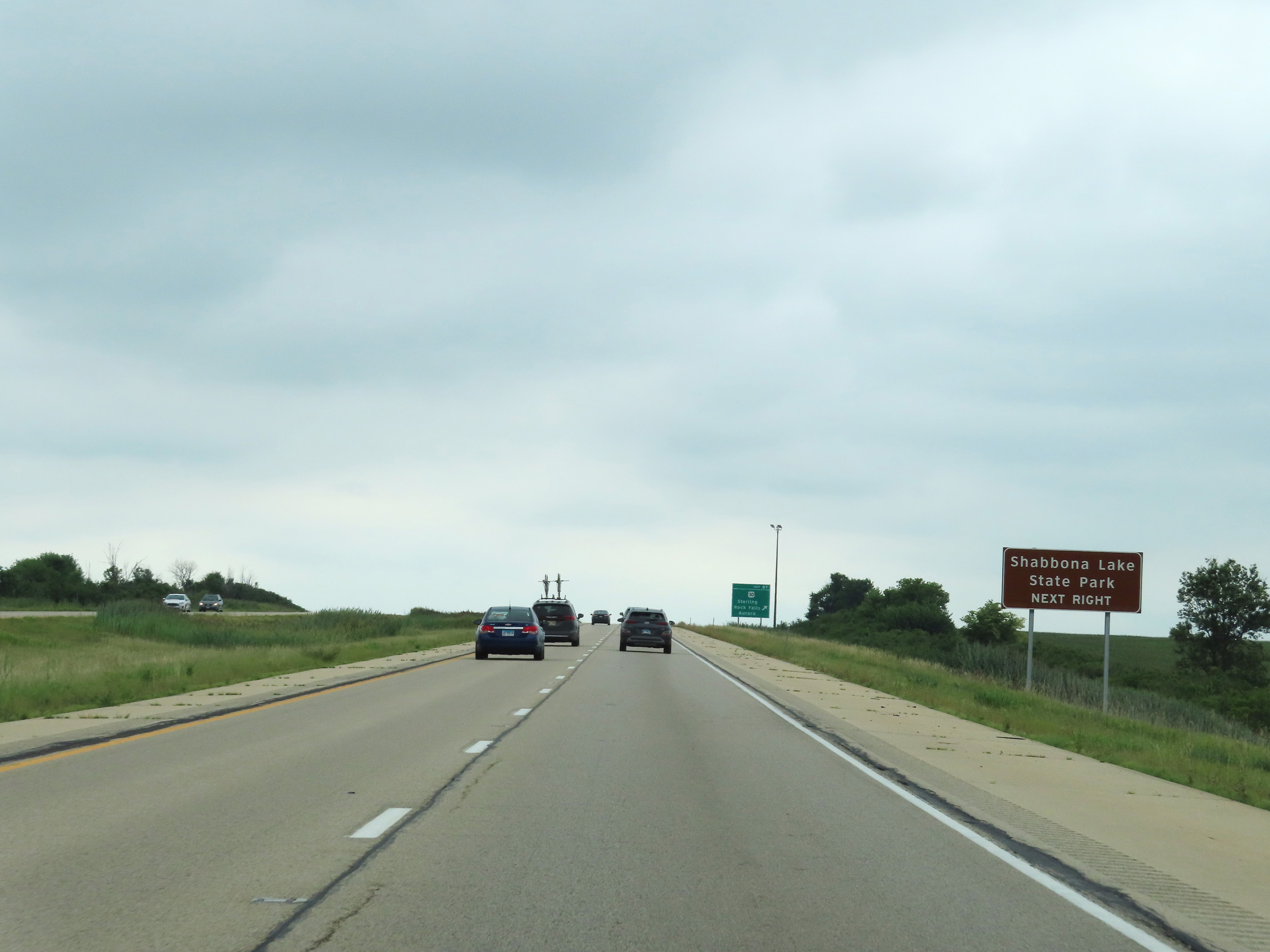 |
Take Exit 87 to Shabbona Lake State Park. (Photo taken 8/14/22). |
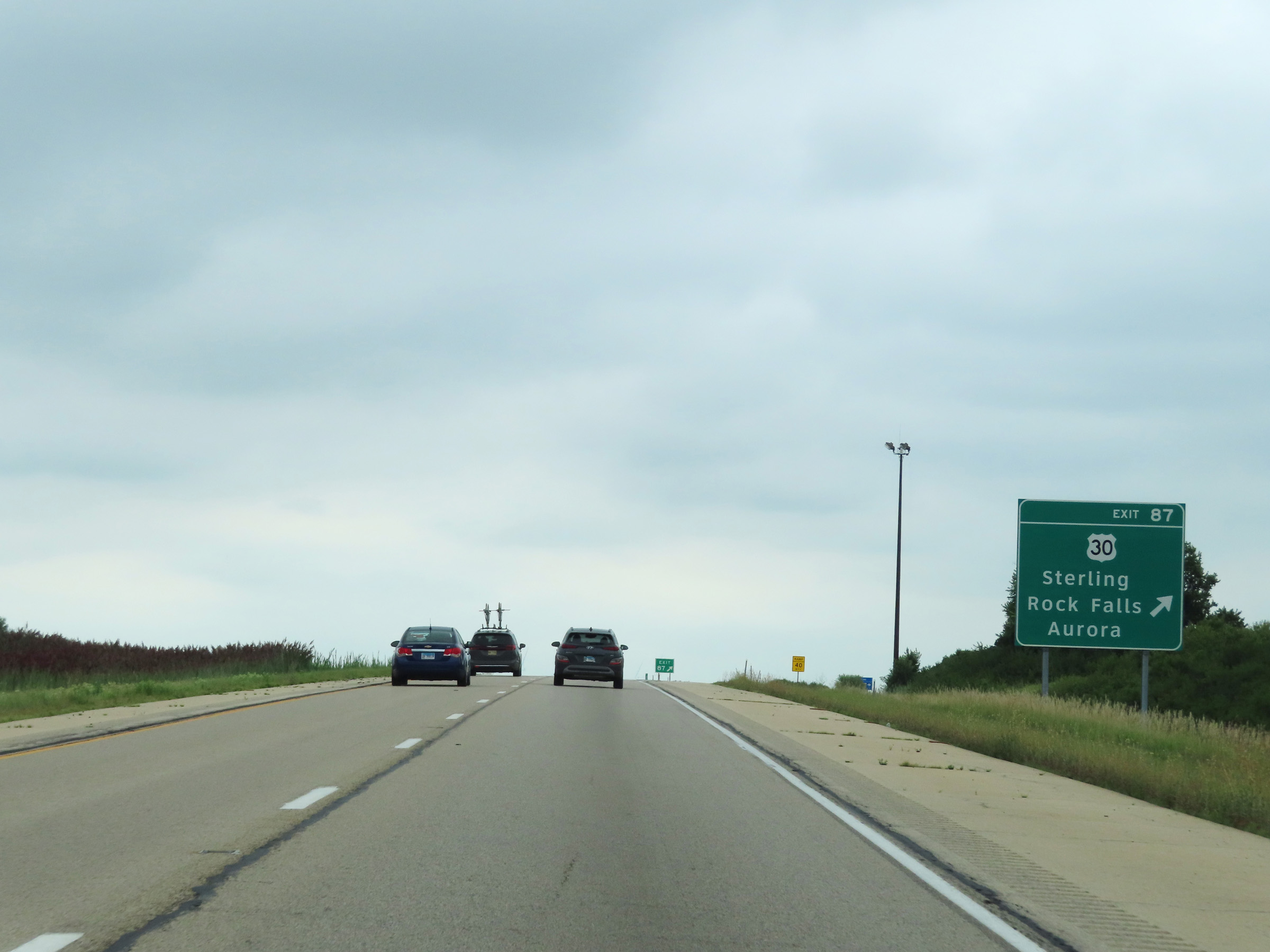 |
Interstate 39 South at Exit 87: US 30 - Sterling / Rock Falls / Aurora (Photo taken 8/14/22). |
 |
Interstate 39 South reassurance shield in Lee County. (Photo taken 8/14/22). |
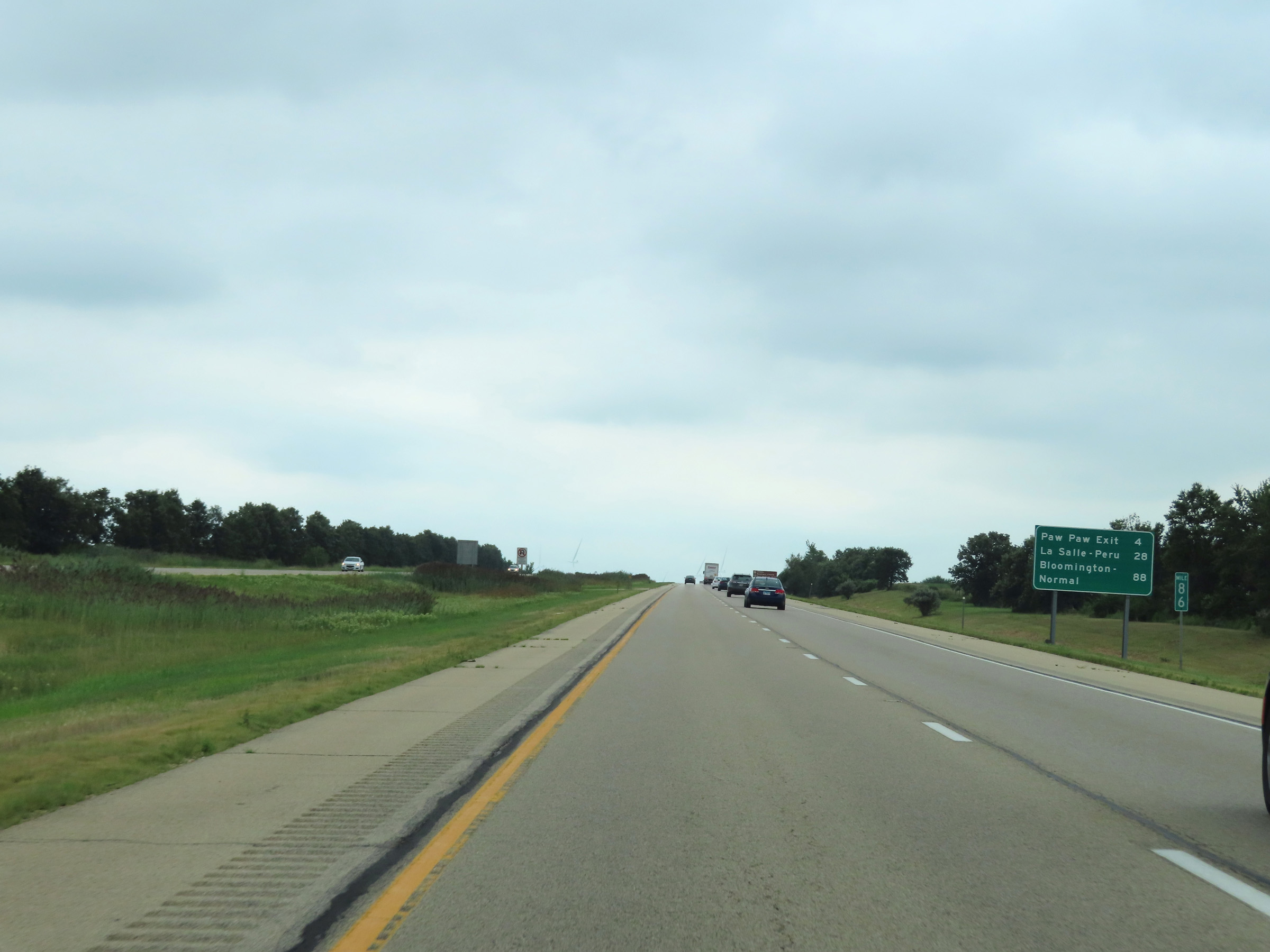 |
Another mileage sign on Interstate 39 South at mile marker 86. It's 4 miles to the next exit, 28 miles to LaSalle-Peru, and 88 miles to Bloomington-Normal. (Photo taken 8/14/22). |
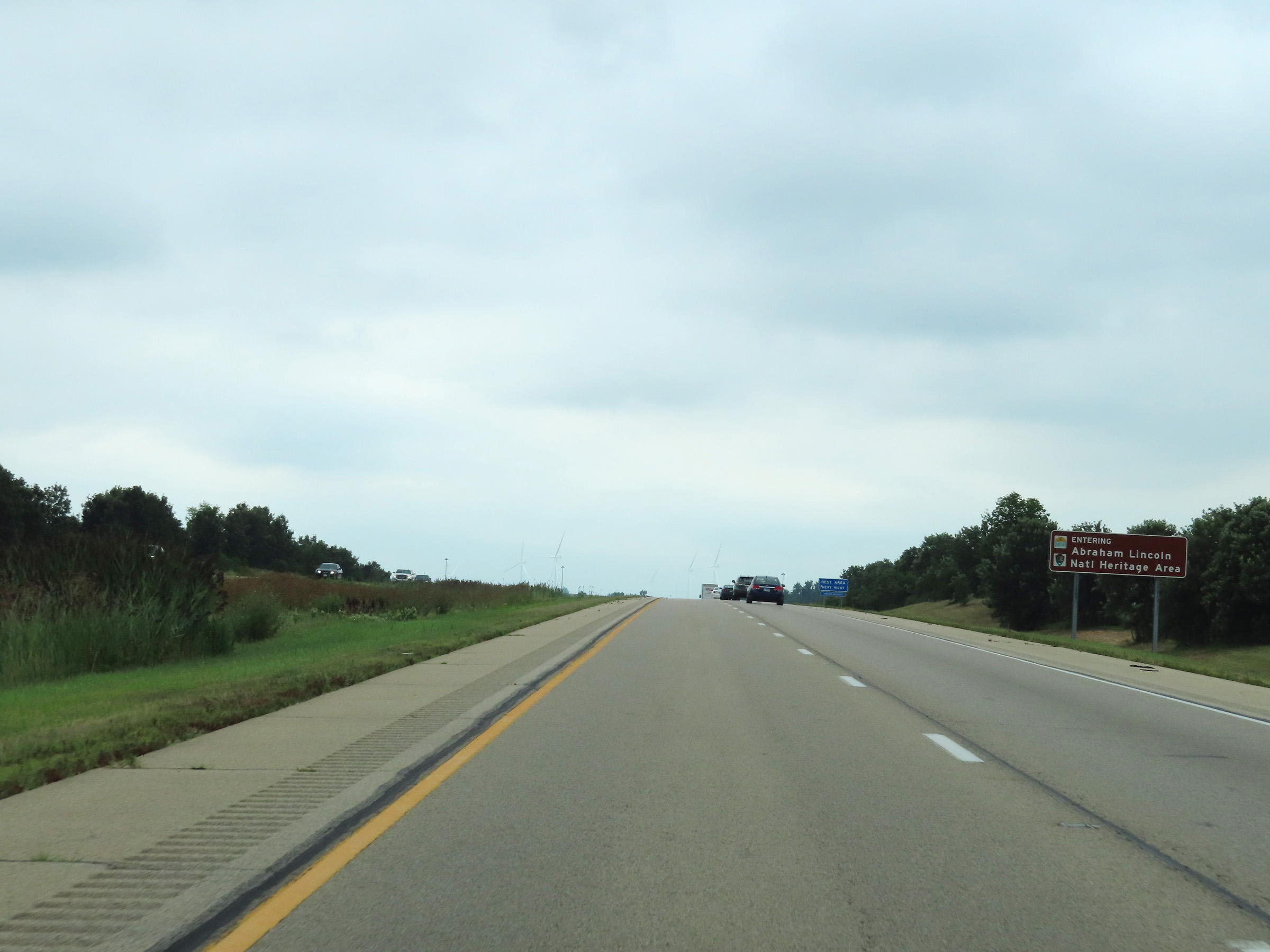 |
Near mile marker 85.5, Interstate 39 South enters the Abraham Lincoln National Heritage Area. (Photo taken 8/14/22). |
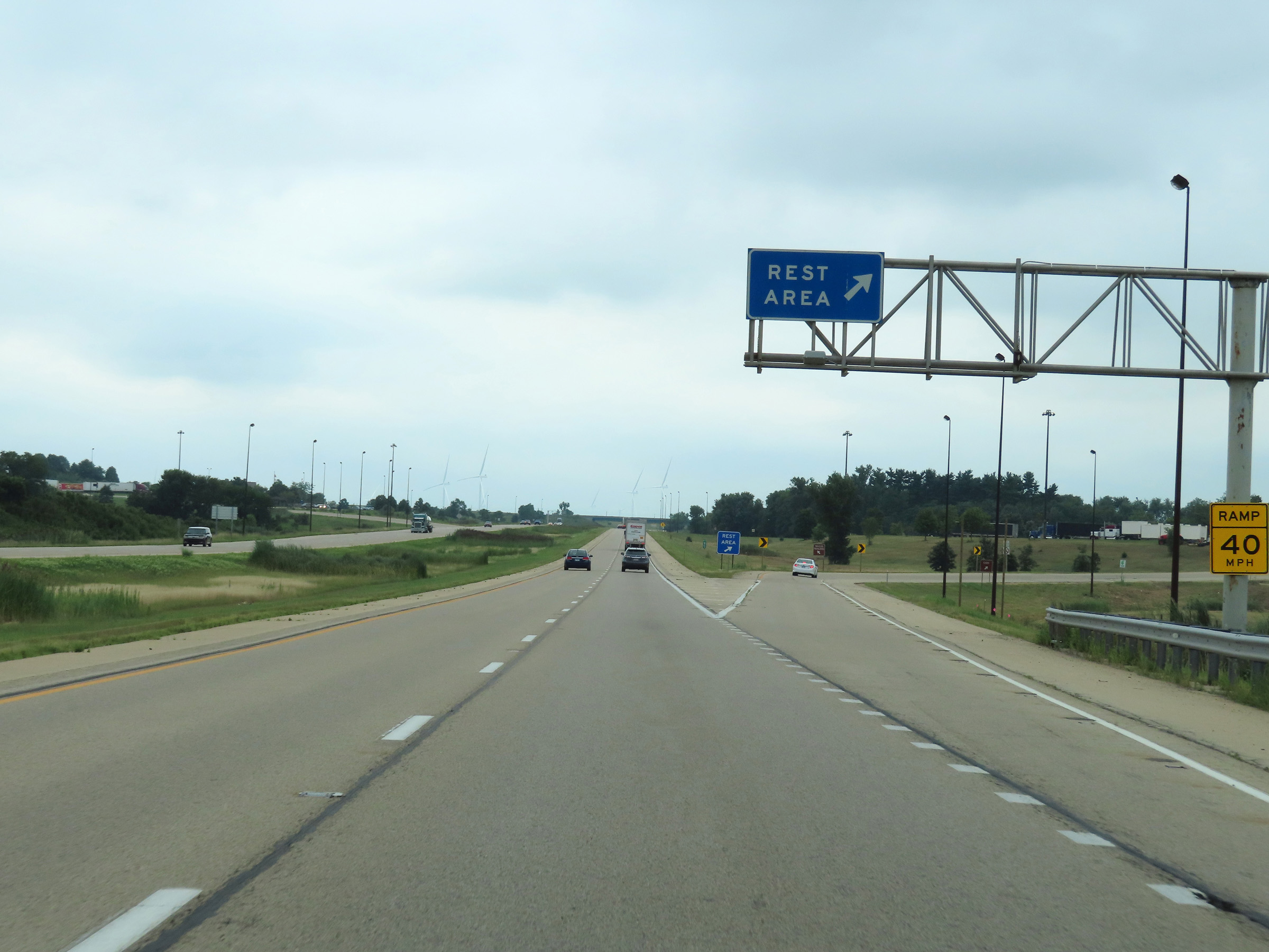 |
Rest Area on Interstate 39 South at mile marker 85 in Lee County. (Photo taken 8/14/22). |
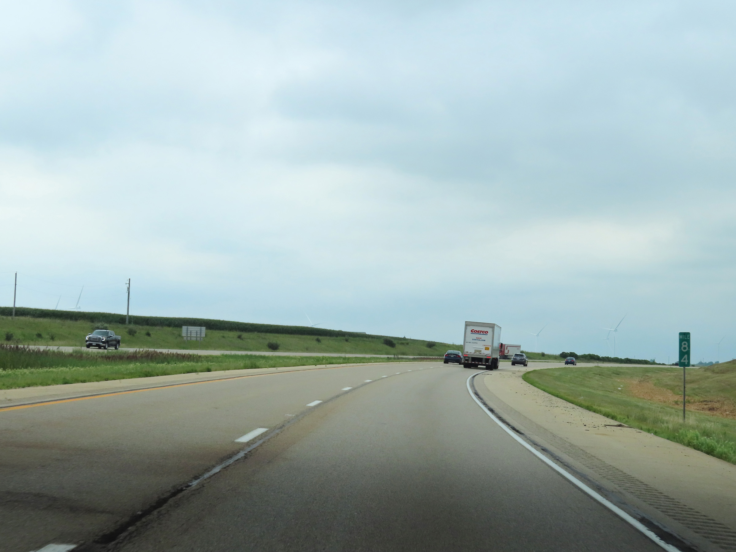 |
View on Interstate 39 South at mile marker 84. (Photo taken 8/14/22). |
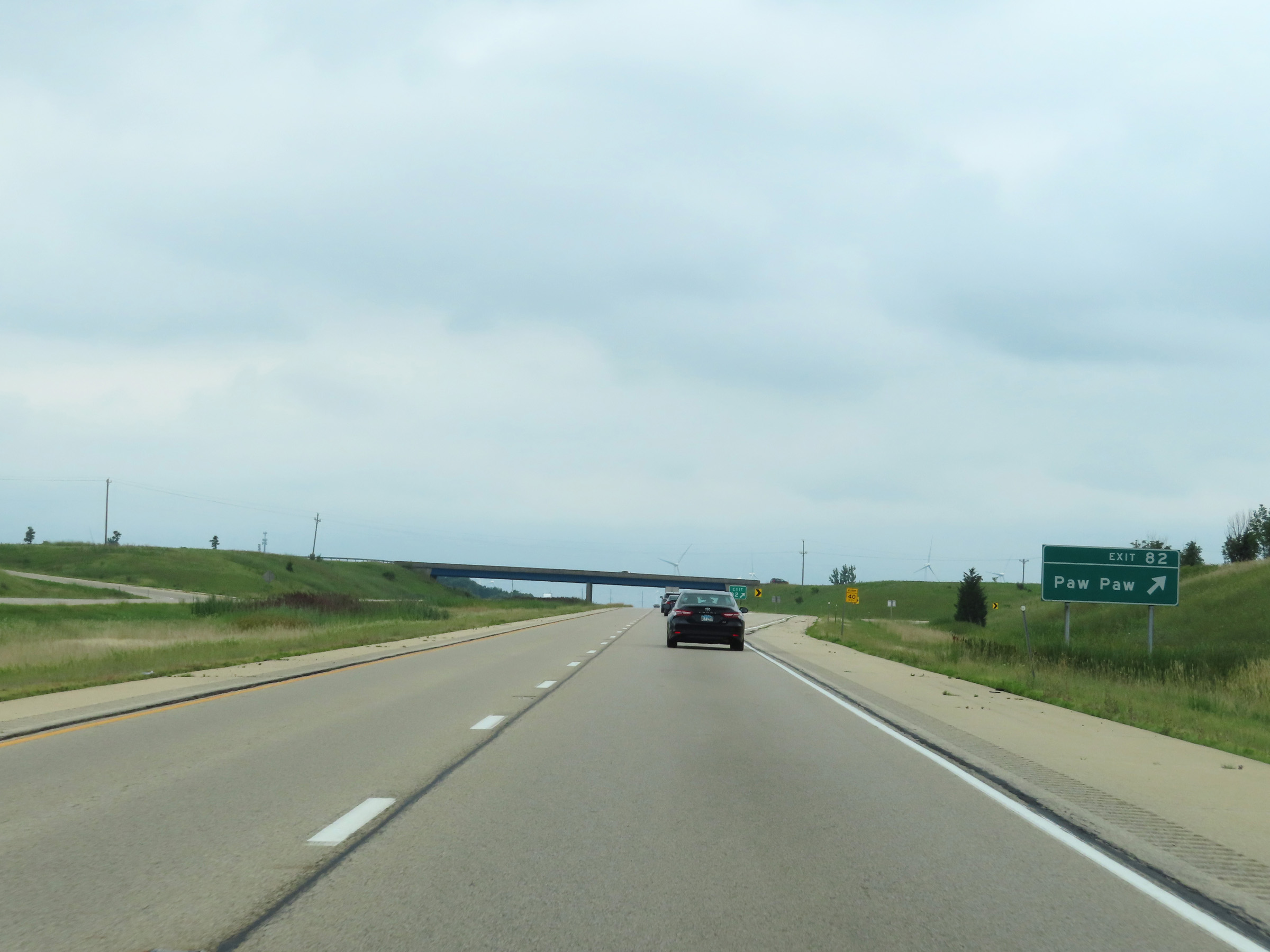 |
Interstate 39 South at Exit 82: Paw Paw (Photo taken 8/14/22). |
 |
Interstate 39 South at mile marker 81. (Photo taken 8/14/22). |
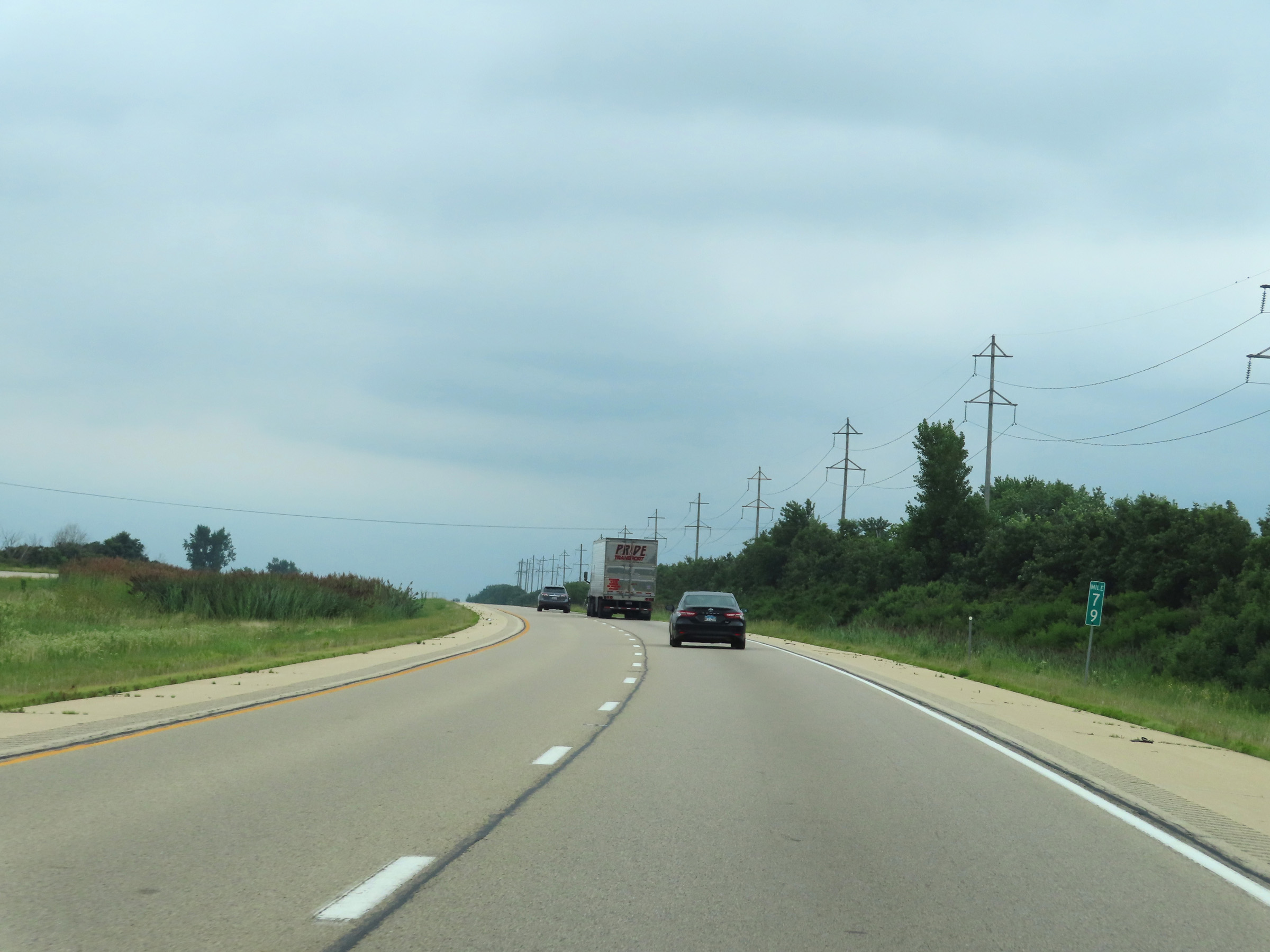 |
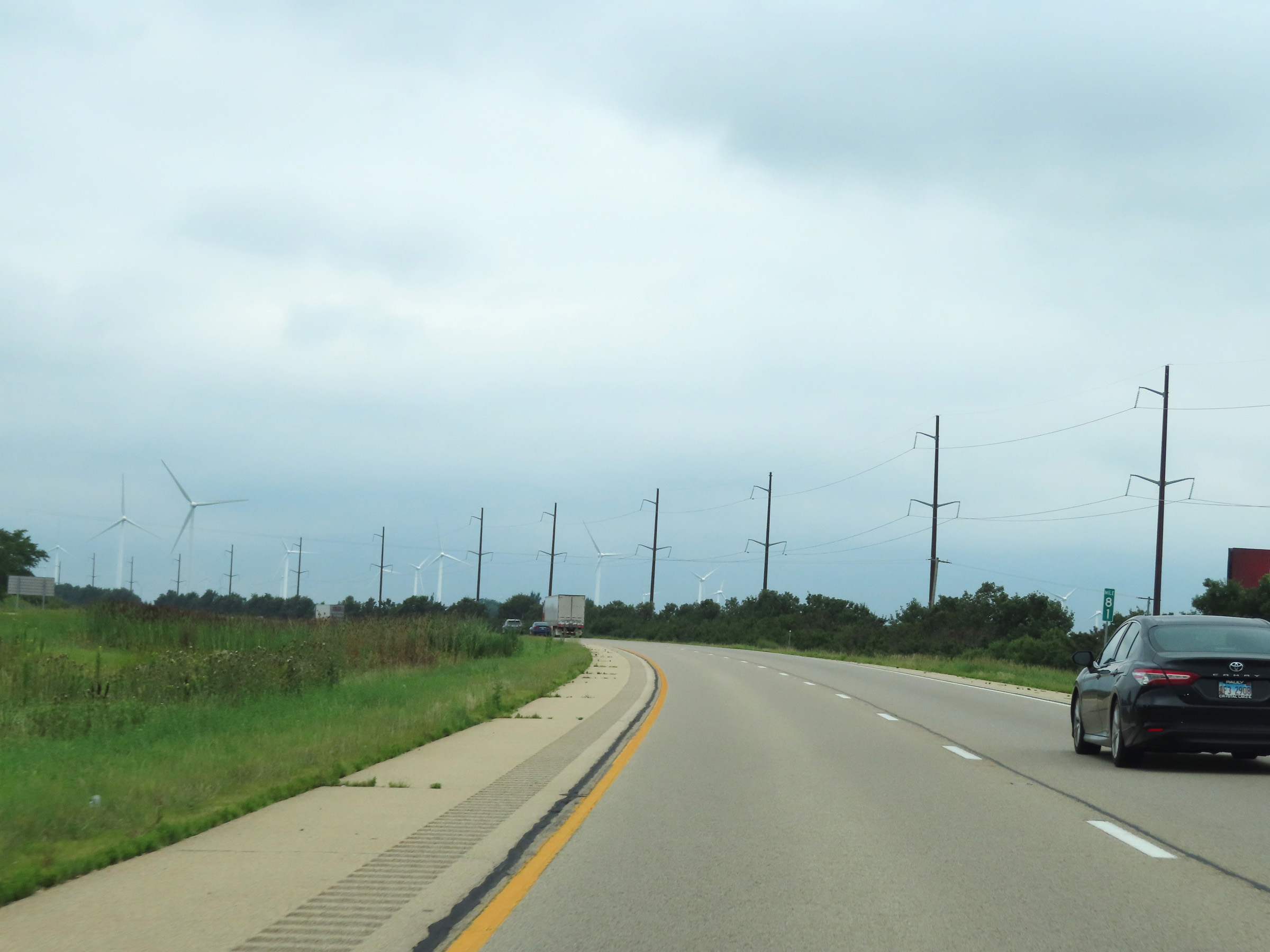
Mile marker 79 on Interstate 39 South in Lee County. (Photo taken 8/14/22). |
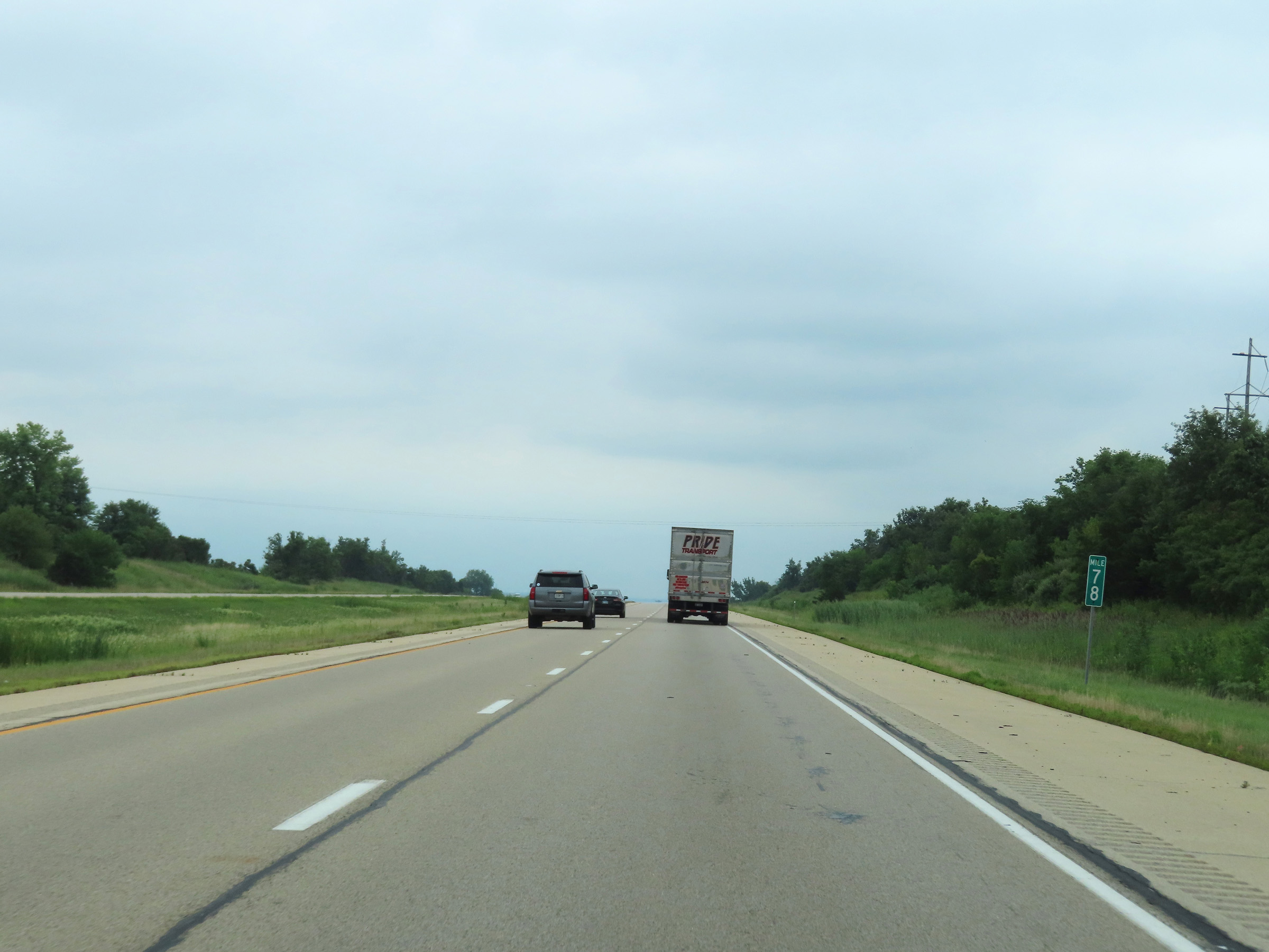 |
Interstate 39 South at mile marker 78. (Photo taken 8/14/22). |
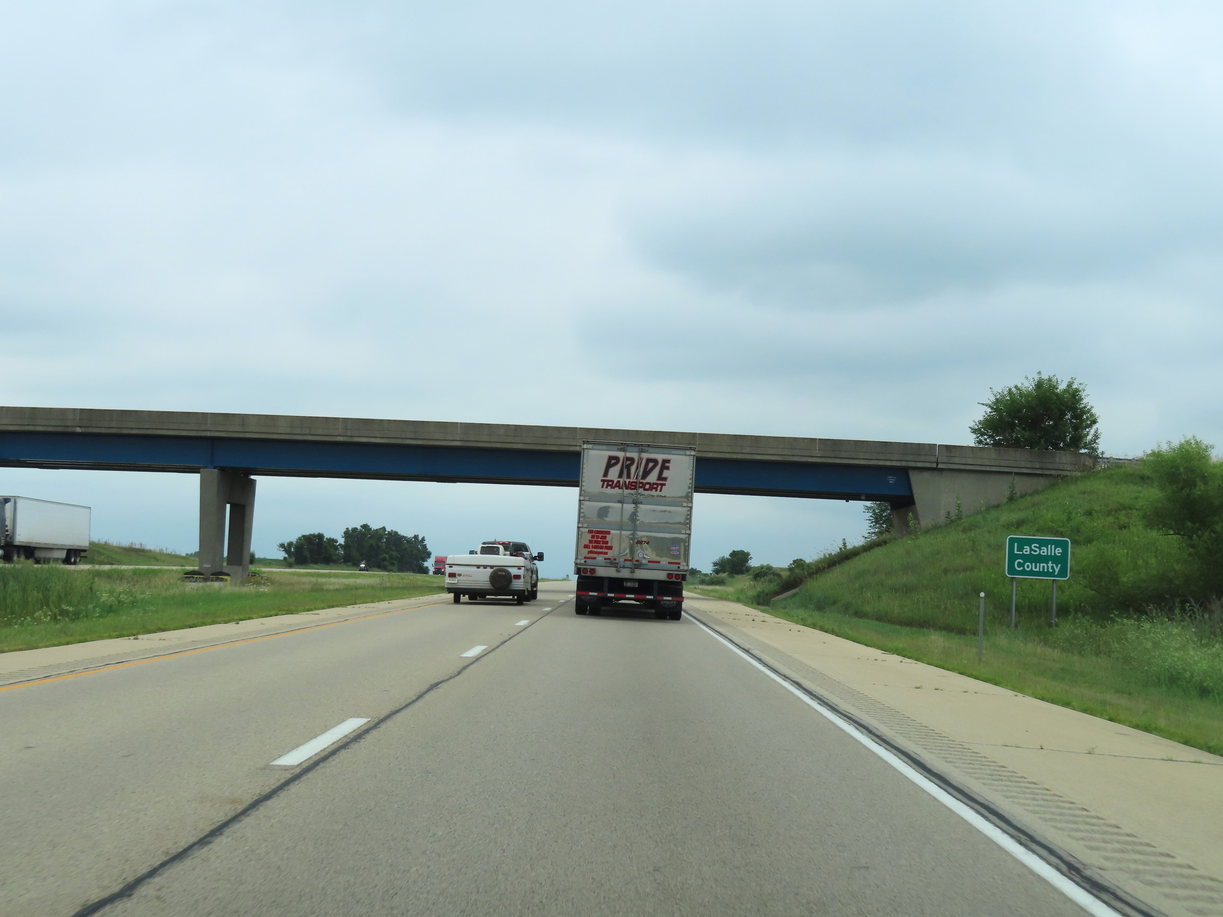 |
Interstate 39 South as it enters LaSalle County. (Photo taken 8/14/22). |
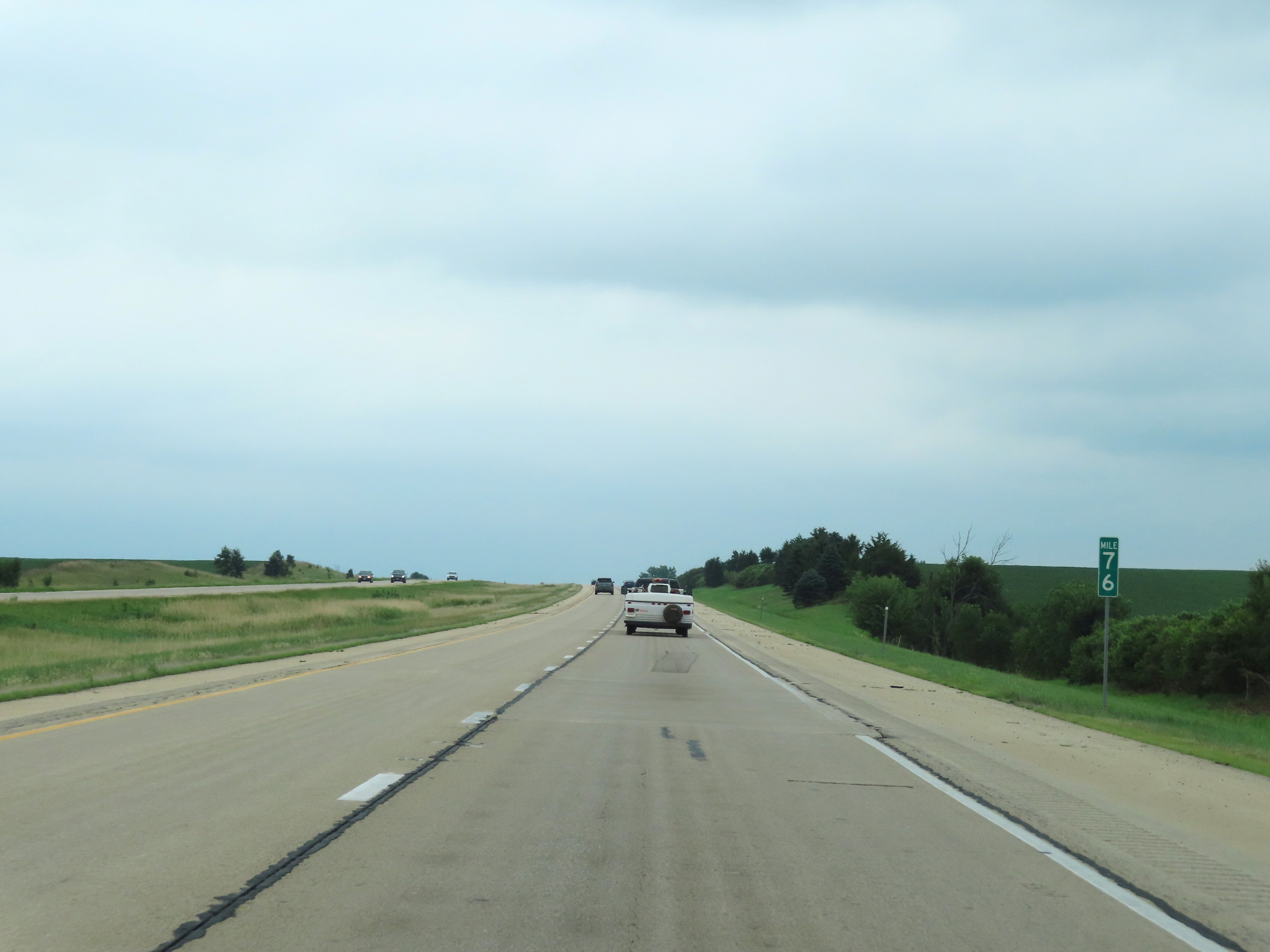 |
View on Interstate 39 South at mile marker 76. (Photo taken 8/14/22). |
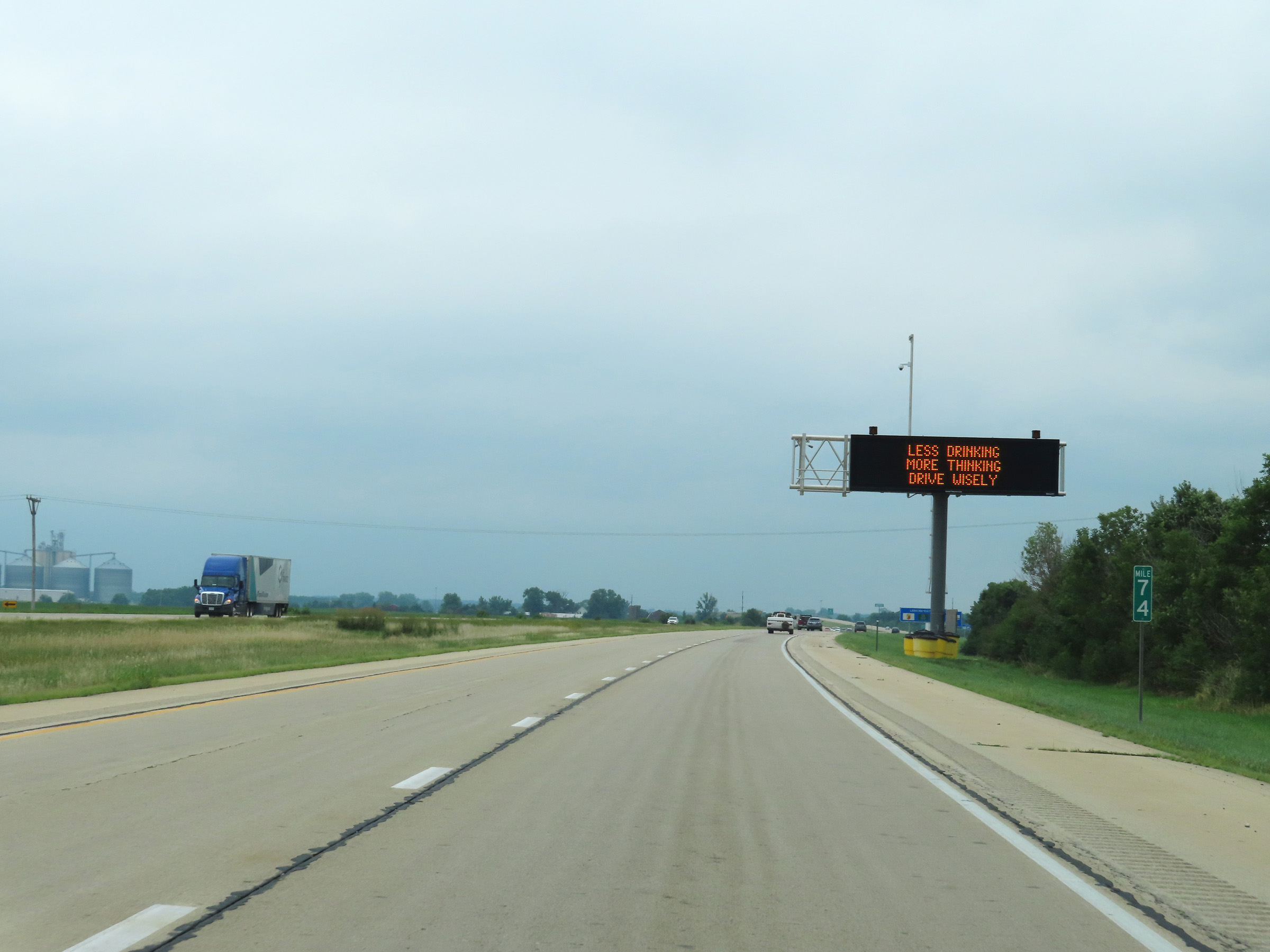 |
Interstate 39 South at mile marker 74. (Photo taken 8/14/22). |
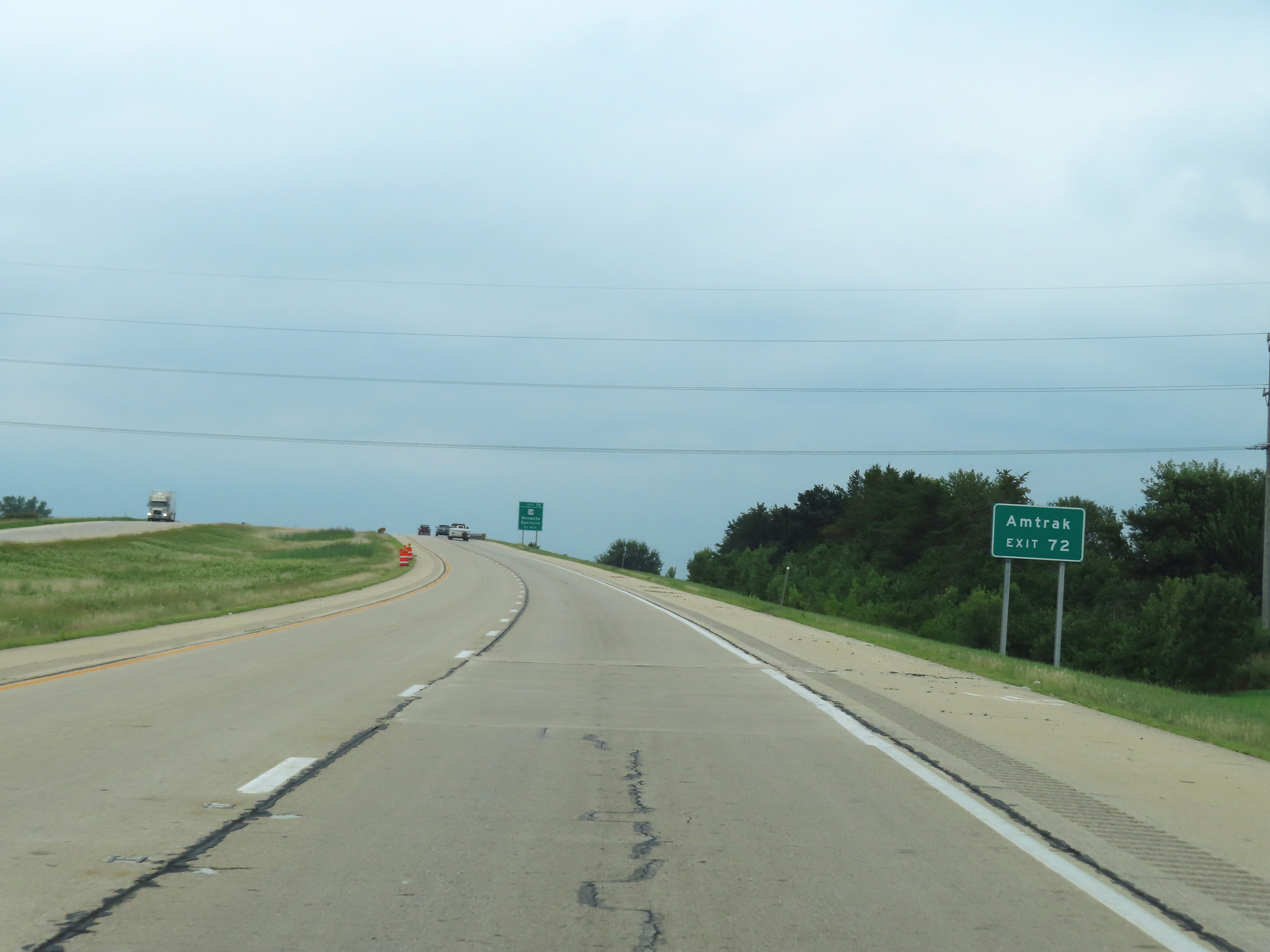 |
Take Exit 72 to the Amtrak station. (Photo taken 8/14/22). |
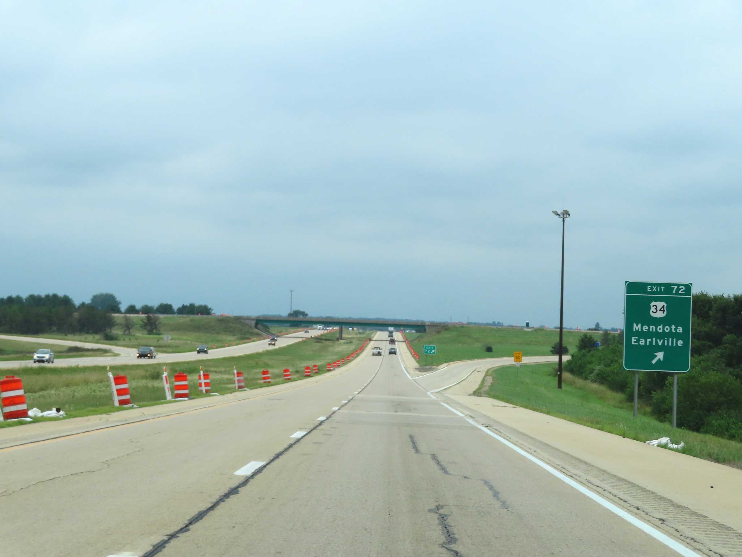 |
Interstate 39 South at Exit 72: US 34 - Mendota / Earlville (Photo taken 8/14/22). |
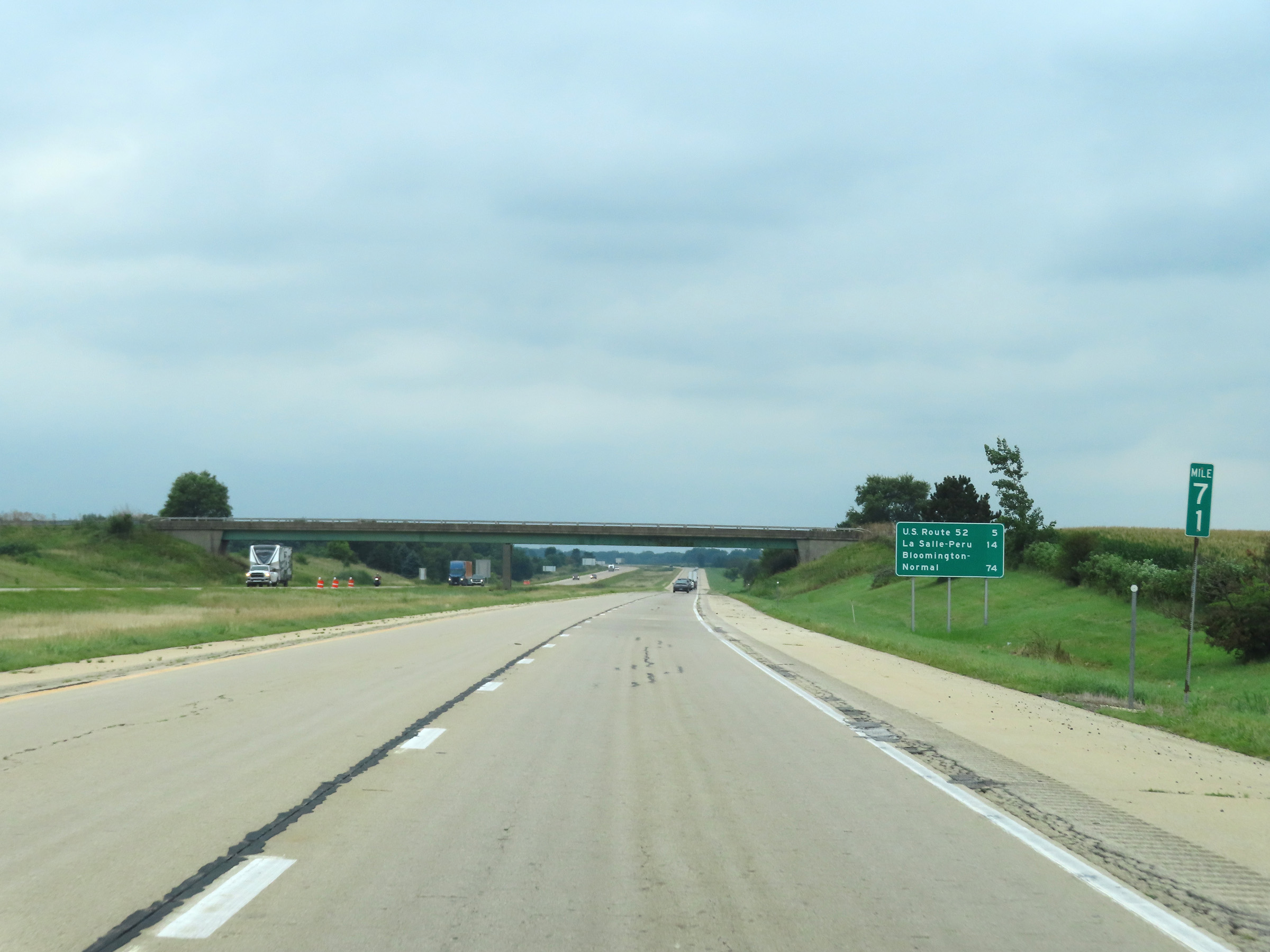 |
View on Interstate 39 South at mile marker 71. (Photo taken 8/14/22). |
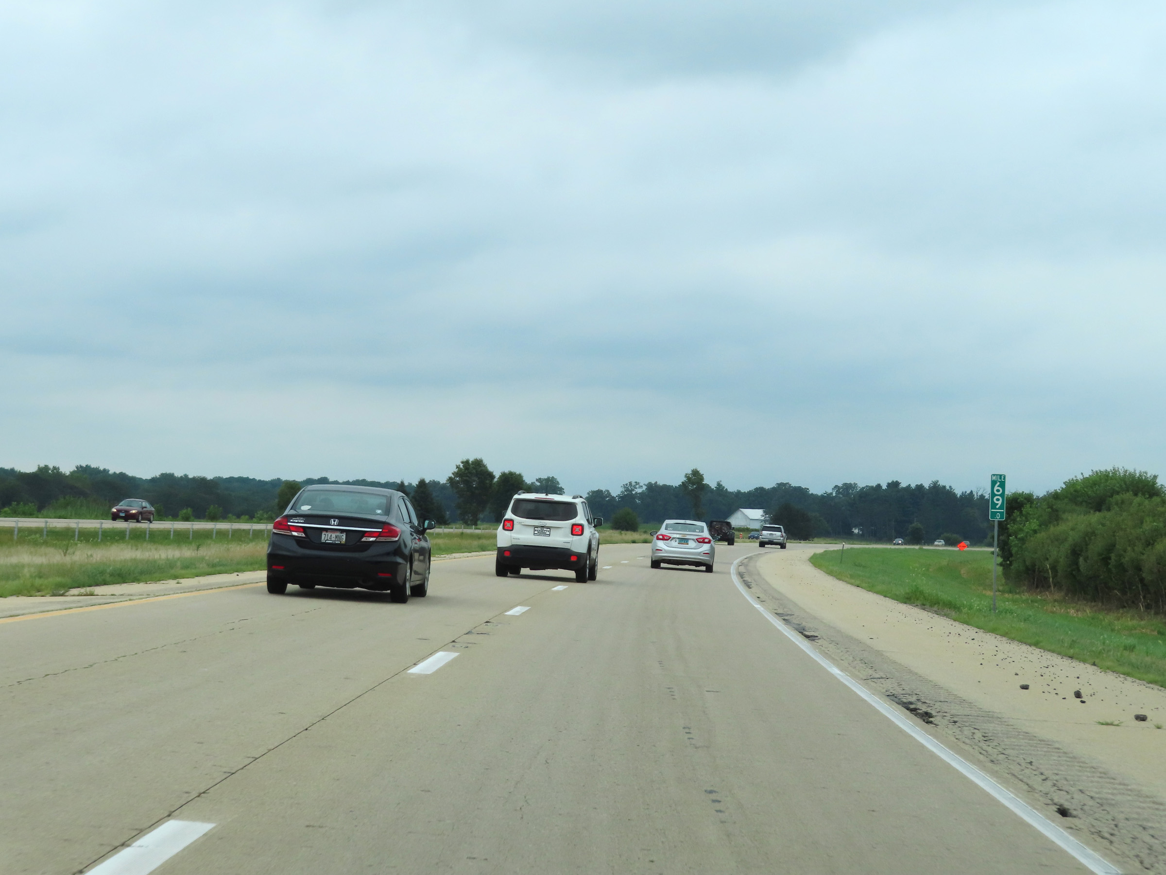 |
Interstate 39 South at mile marker 69. (Photo taken 8/14/22). |
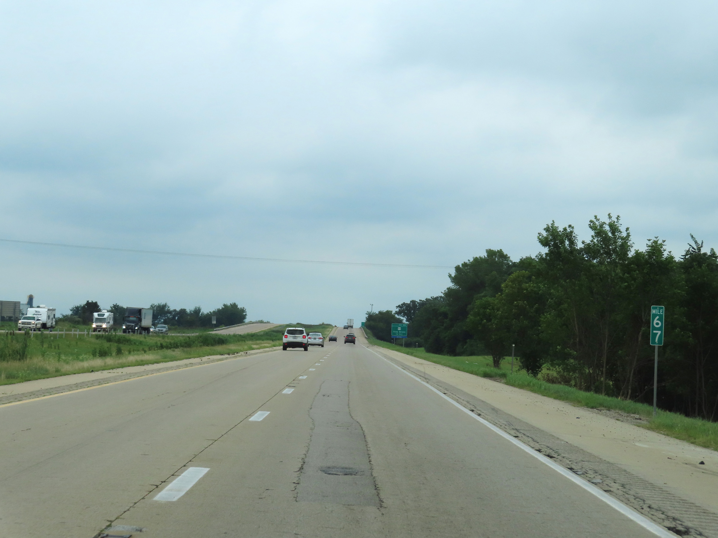 |
View on Interstate 39 South at mile marker 67. (Photo taken 8/14/22). |
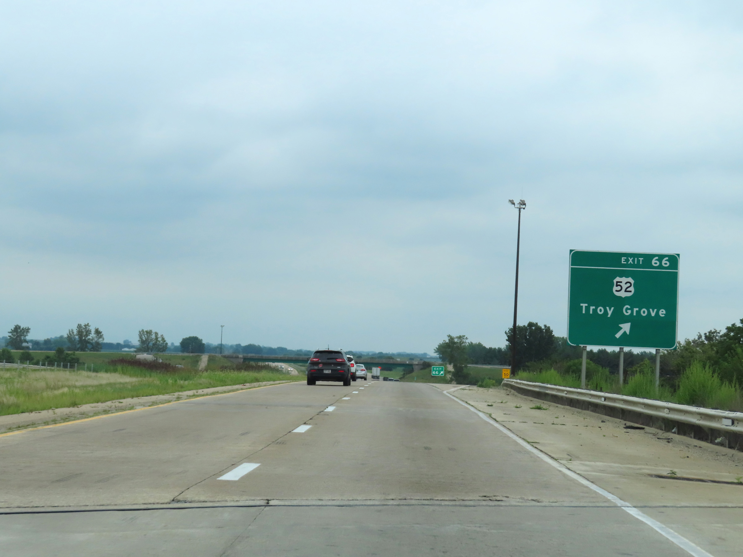 |
Interstate 39 South at Exit 66: US 52 - Troy Grove (Photo taken 8/14/22). |
 |
Interstate 39 South reassurance shield in LaSalle County. (Photo taken 8/14/22). |
 |
The speed limits remain 70 mph maximum and 45 mph minimum. (Photo taken 8/14/22). |
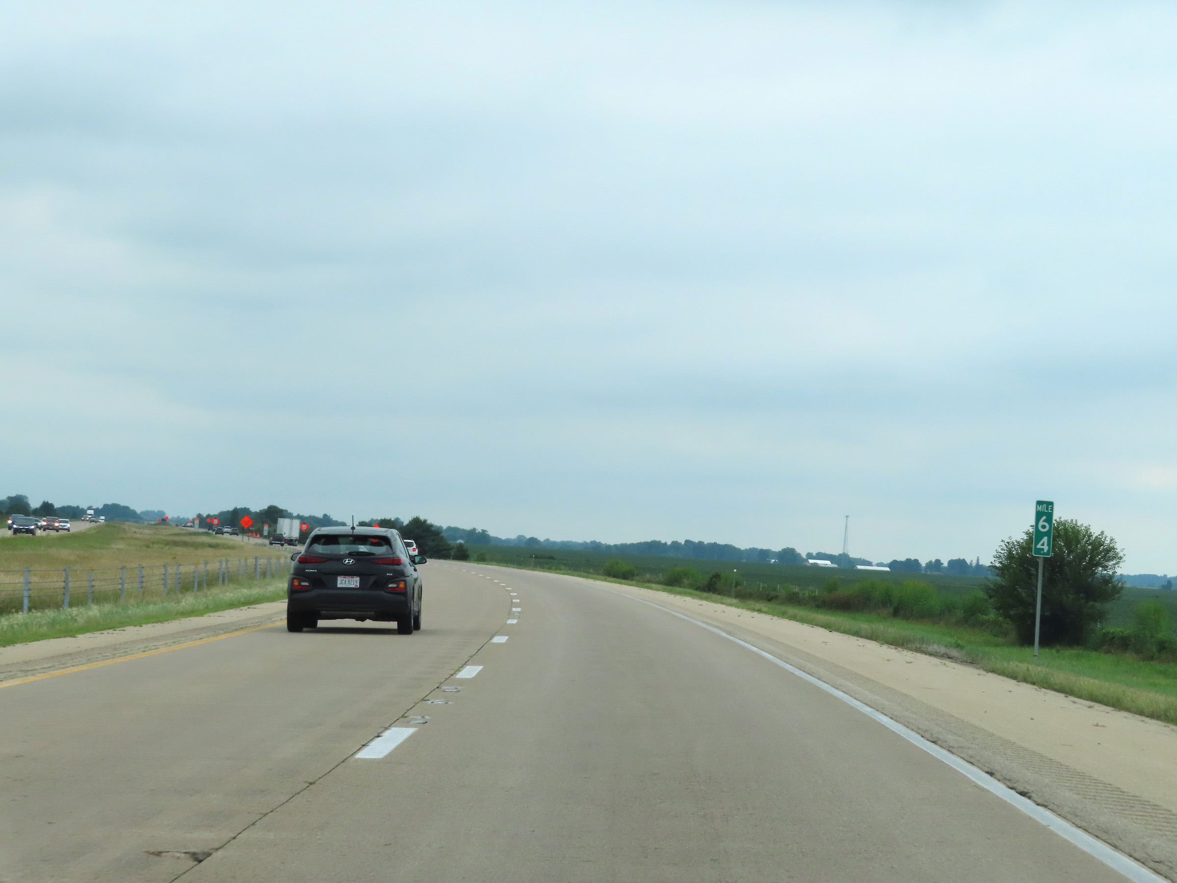 |
View on Interstate 39 South at mile marker 64. (Photo taken 8/14/22). |
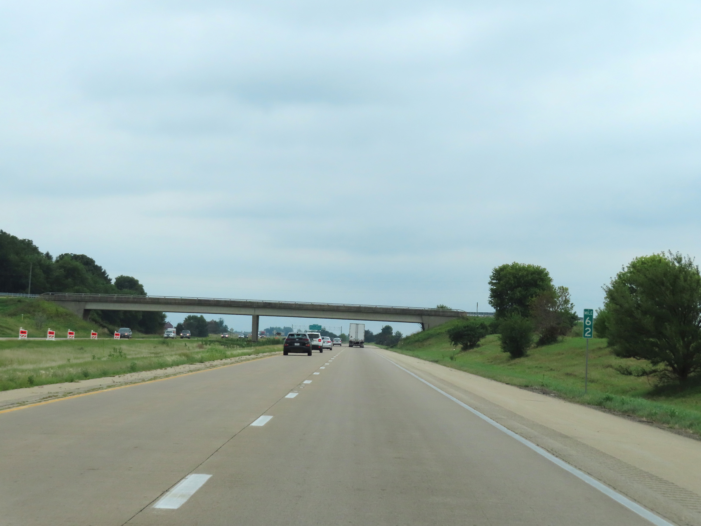 |
Mile marker 62 on Interstate 39 South in LaSalle County. (Photo taken 8/14/22). |
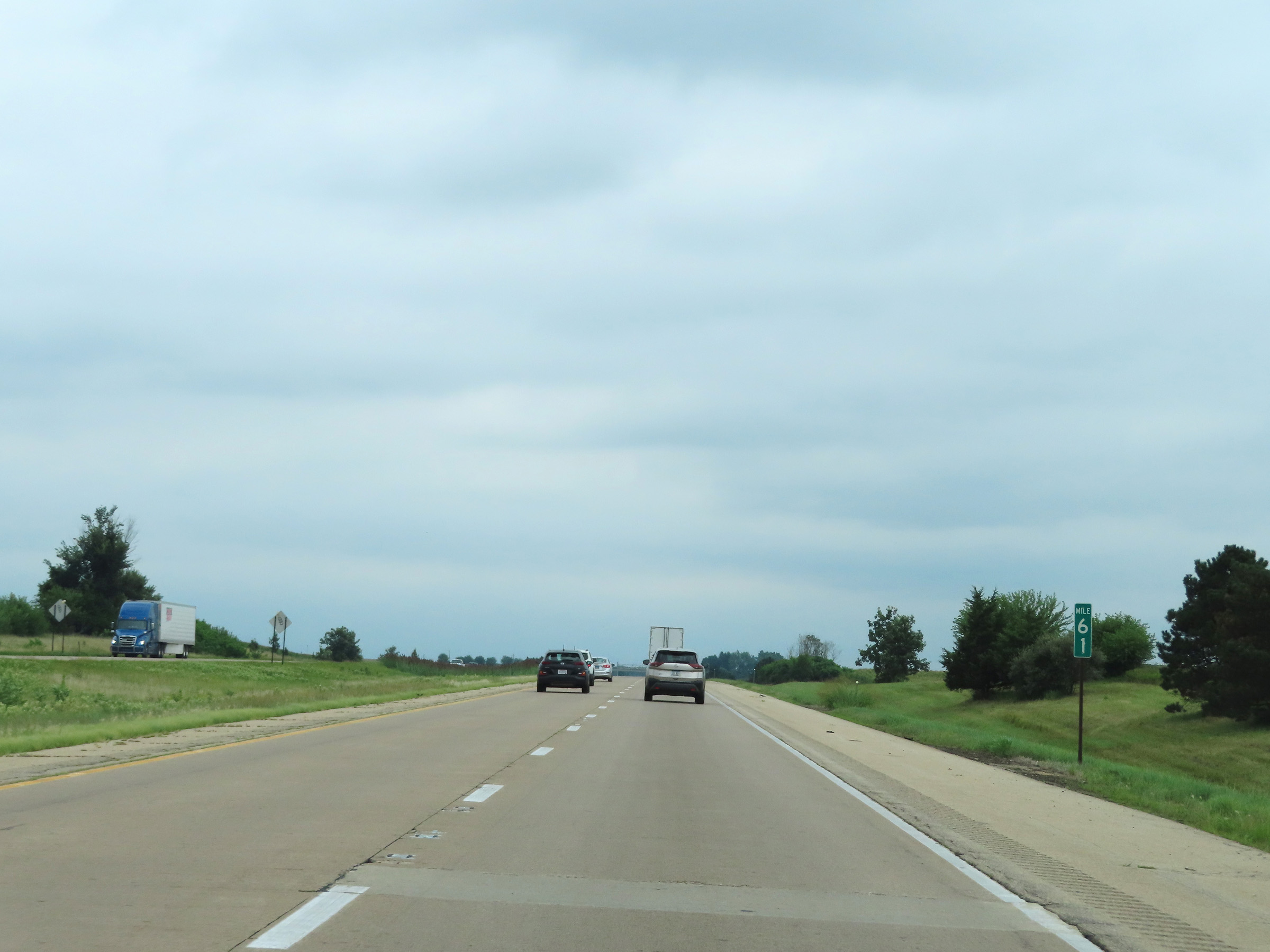 |
Interstate 39 South at mile marker 61. (Photo taken 8/14/22). |
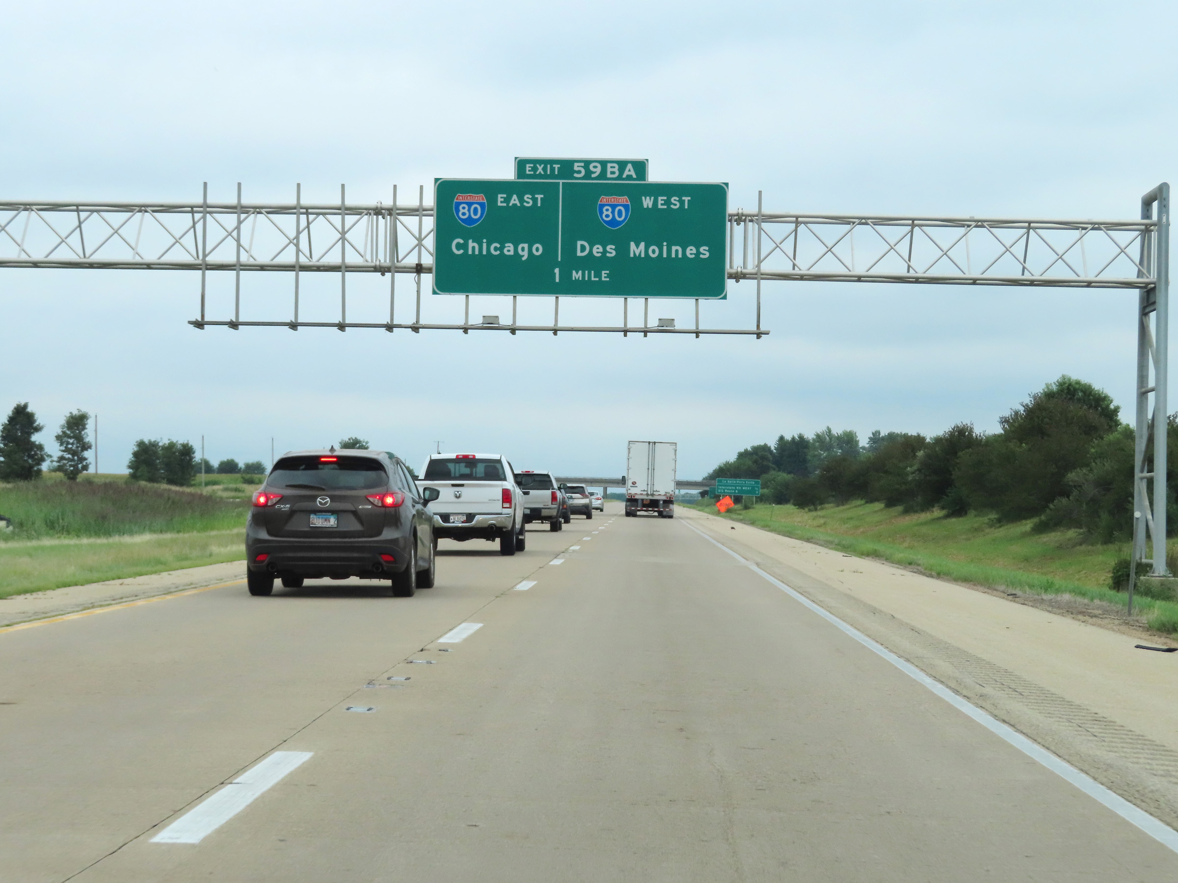 |
Interstate 39 South approaching Exits 59B-A - 1 mile. (Photo taken 8/14/22). |
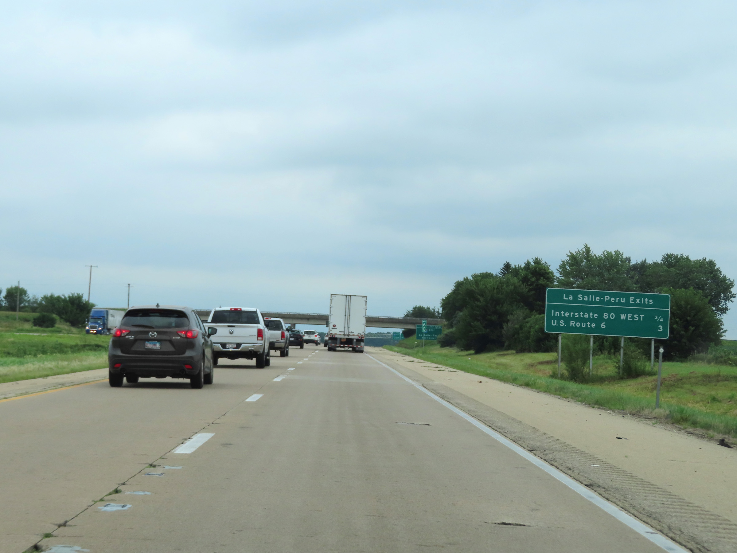 |
This mileage sign shows the distances to the two upcoming exits on Interstate 39 South to LaSalle-Peru. (Photo taken 8/14/22). |
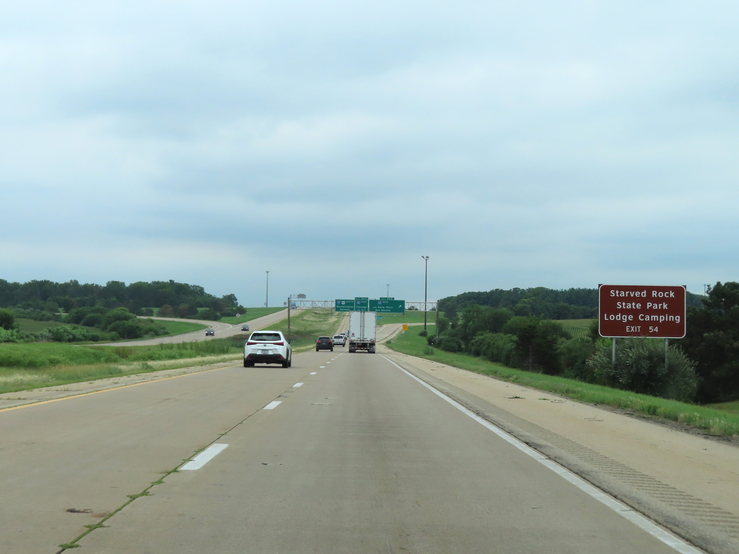 |
Take Exit 54 to Starved Rock State Park. (Photo taken 8/14/22). |
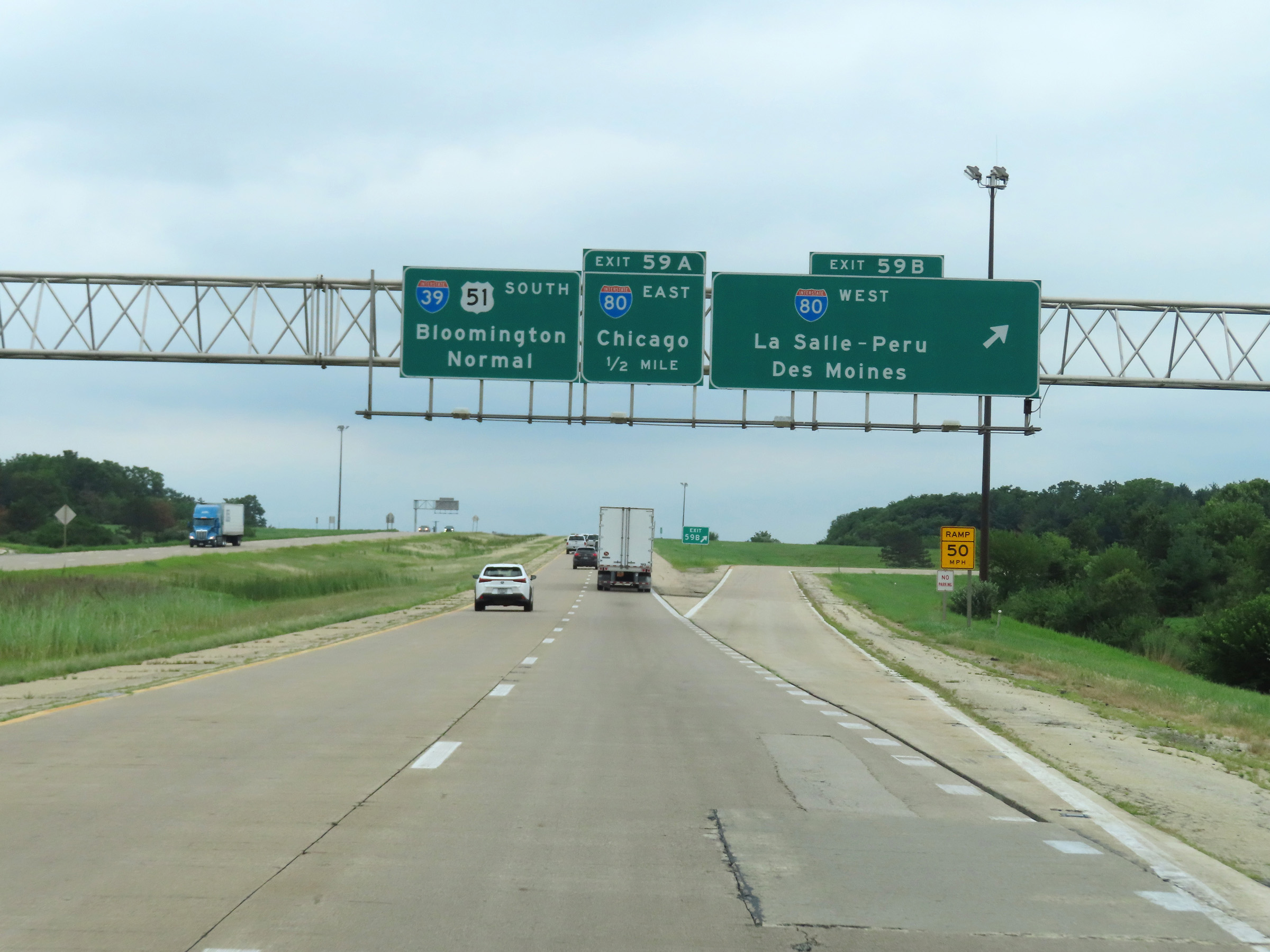 |
Interstate 39 South at Exit 59B: Interstate 80 West - LaSalle-Peru / Des Moines (Photo taken 8/14/22). |
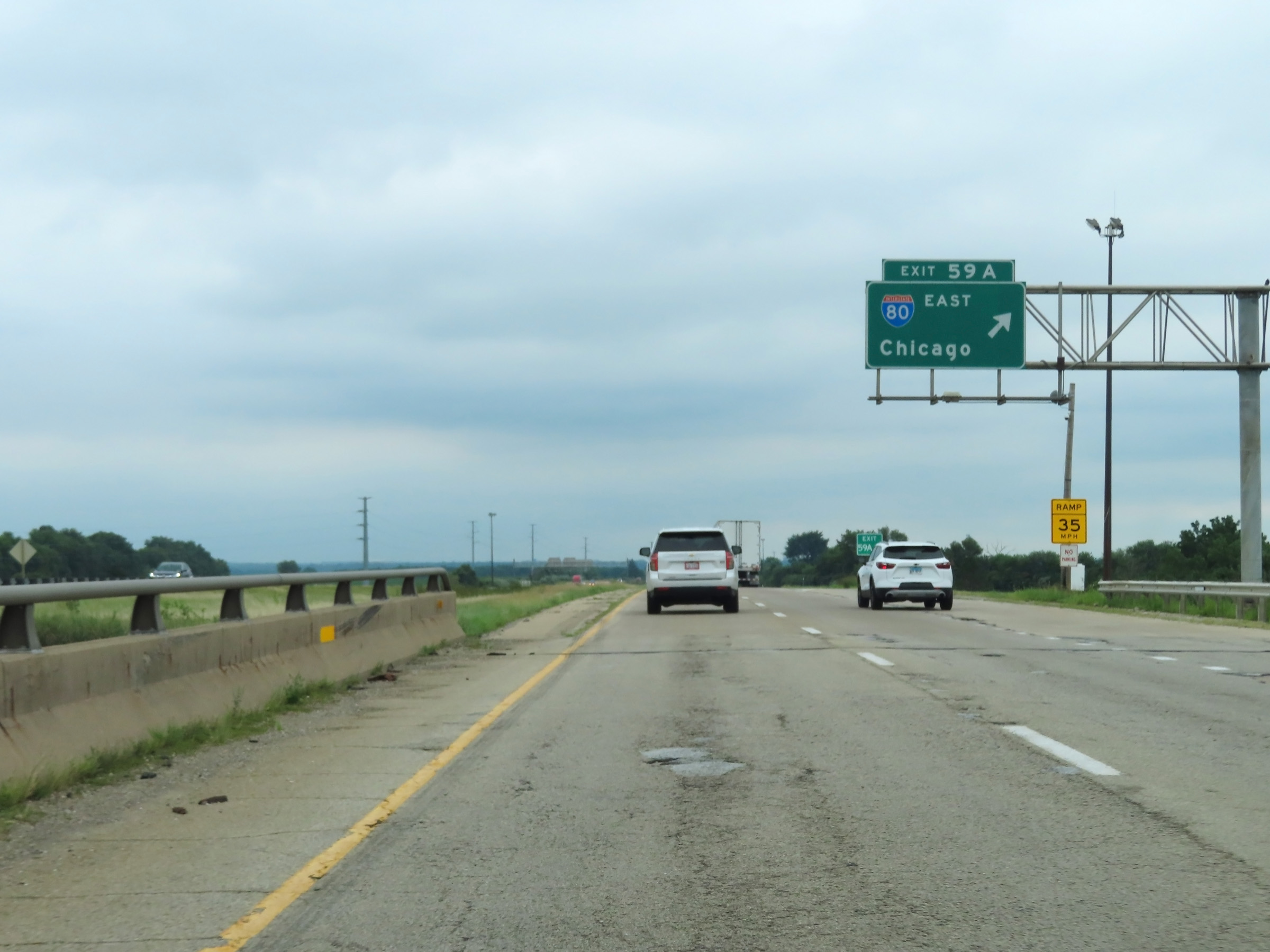 |
Interstate 39 South at Exit 59A: Interstate 80 East - Chicago (Photo taken 8/14/22). |
Section 3: LaSalle (Exit 59A) to Interstate 55
 |
Interstate 39 South reassurance shield just south of Interstate 80 in La Salle. (Photo taken 8/14/19). |
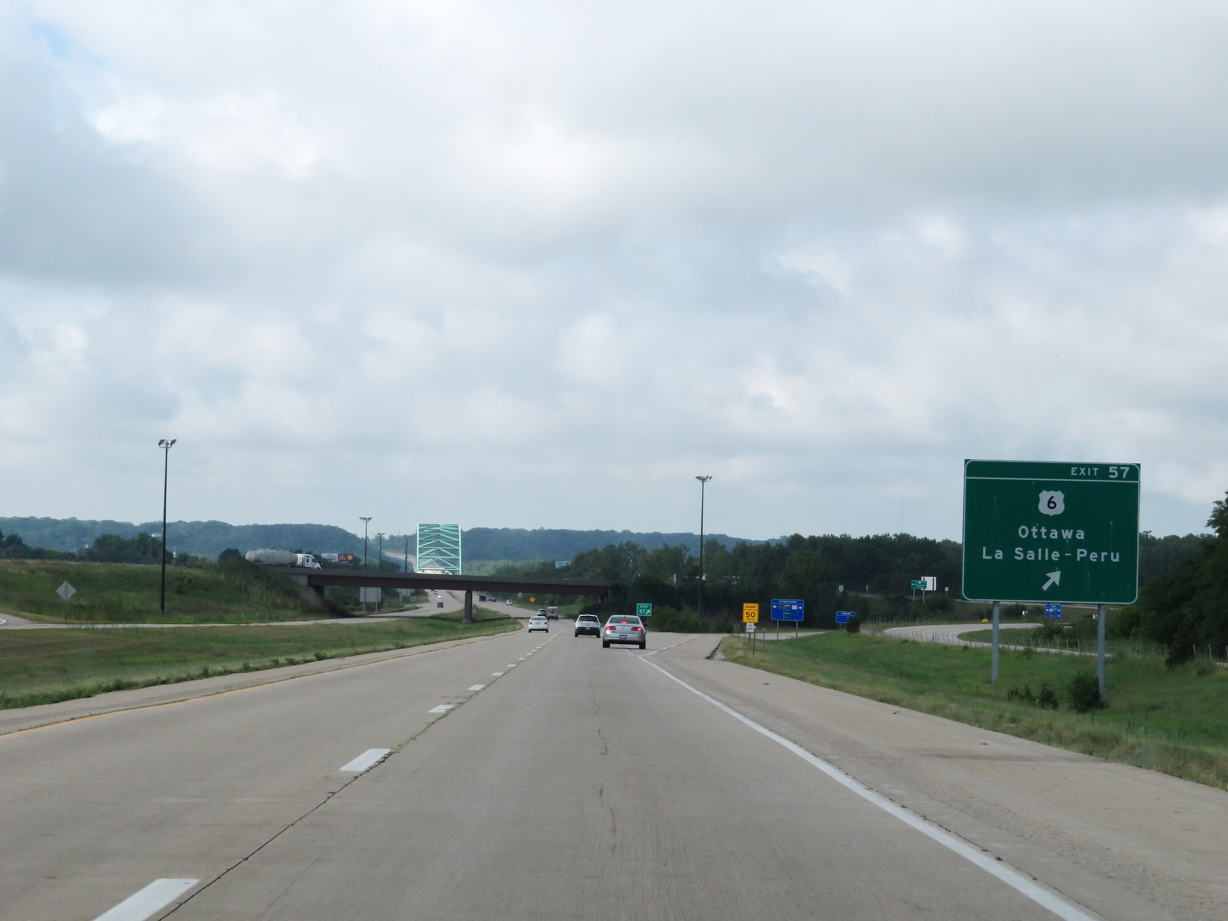 |
Interstate 39 South at Exit 57: US 6 - Ottawa / La Salle-Peru (Photo taken 8/14/19). |
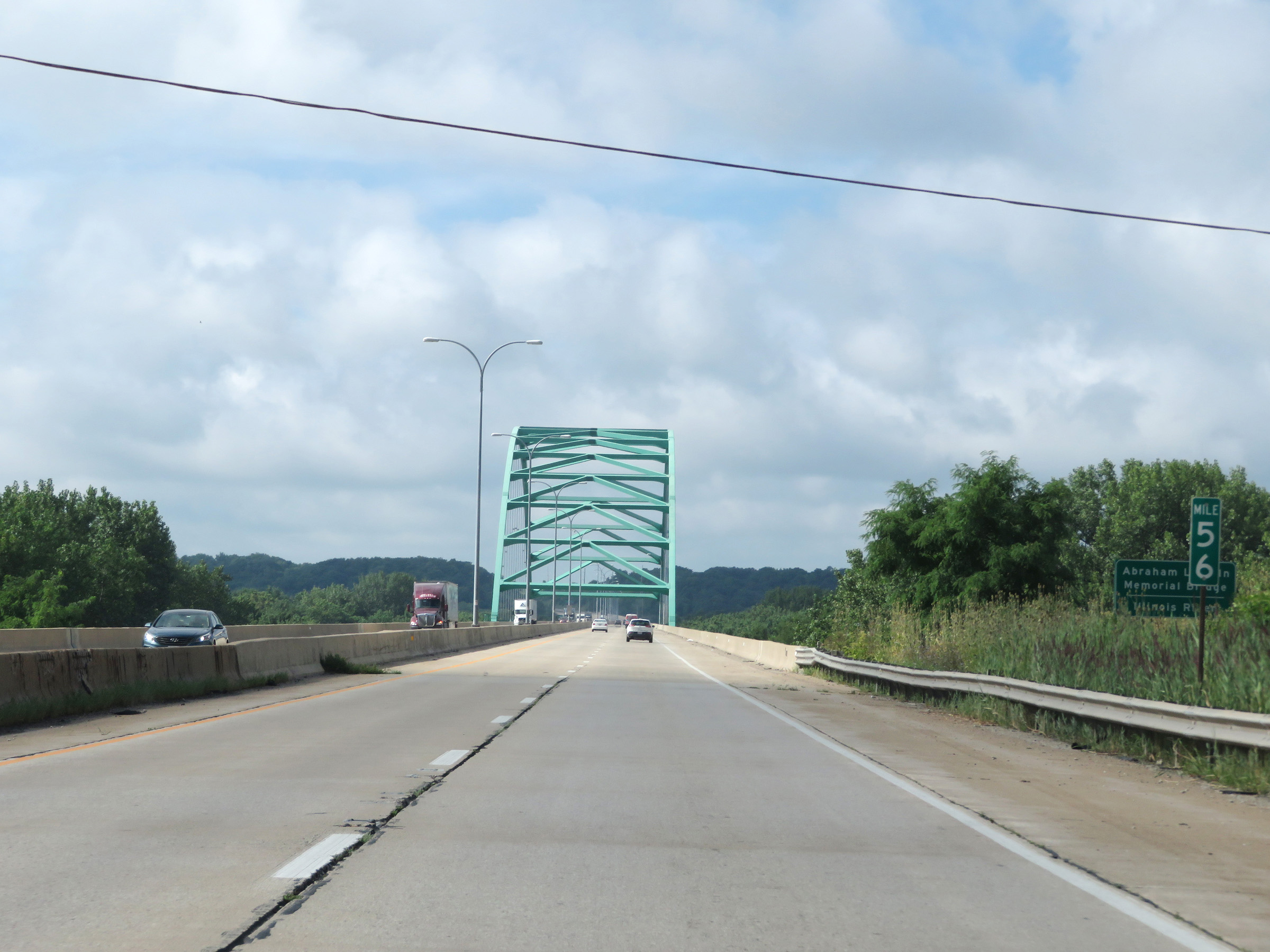 |
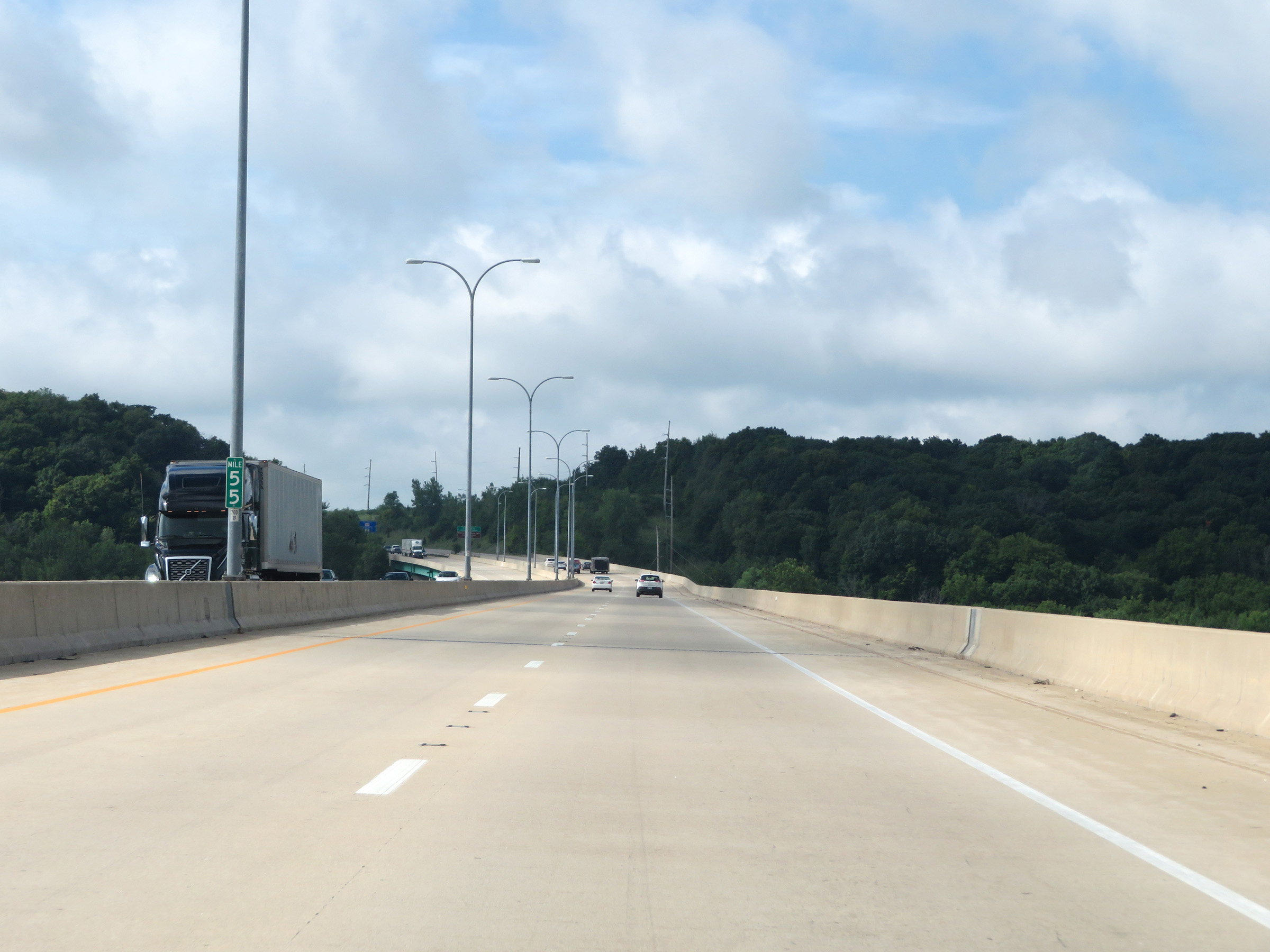
At mile marker 56, Interstate 39 South prepares to start across the Abraham Lincoln Memorial Bridge over the Illinois River. (Photo taken 8/14/19). |
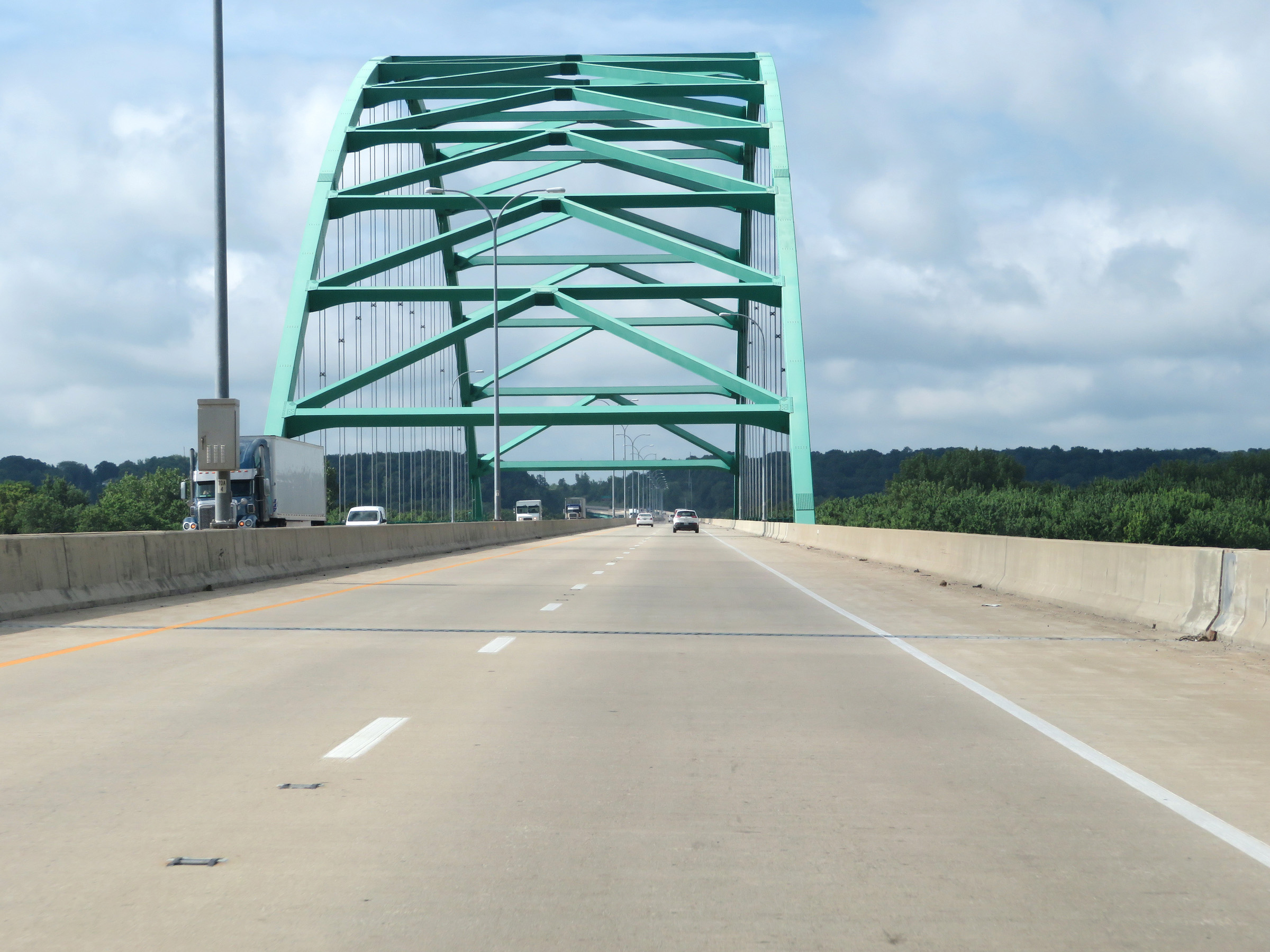 |
Interstate 39 South on the Abraham Lincoln Memorial Bridge over the Illinois River. (Photo taken 8/14/19). |
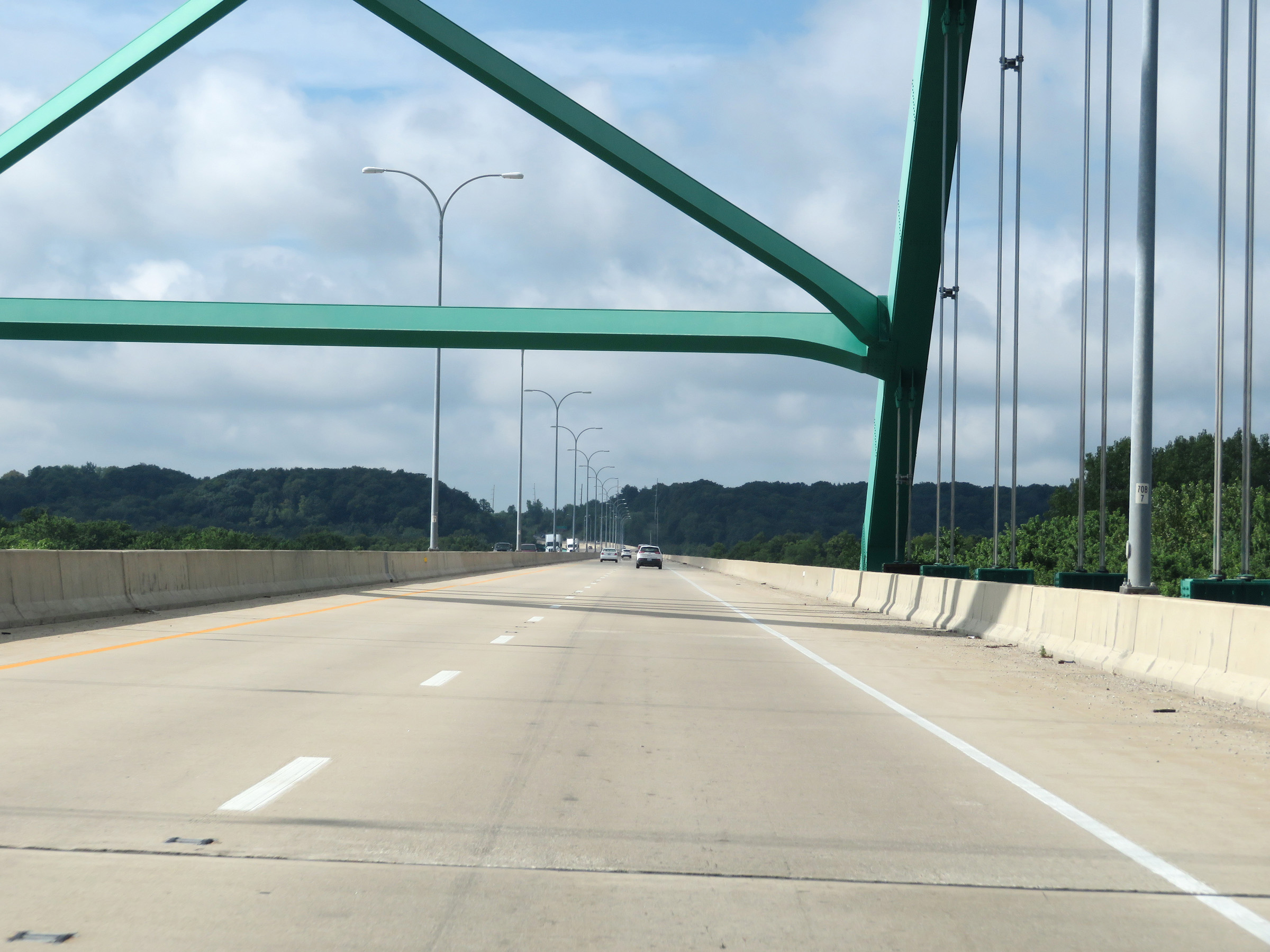 |
Another view of the Abraham Lincoln Memorial Bridge over the Illinois River on Interstate 39 South. (Photo taken 8/14/19). |
 |
View on Interstate 39 South on the south side of the Abraham Lincoln Memorial Bridge over the Illinois River. (Photo taken 8/14/19). |
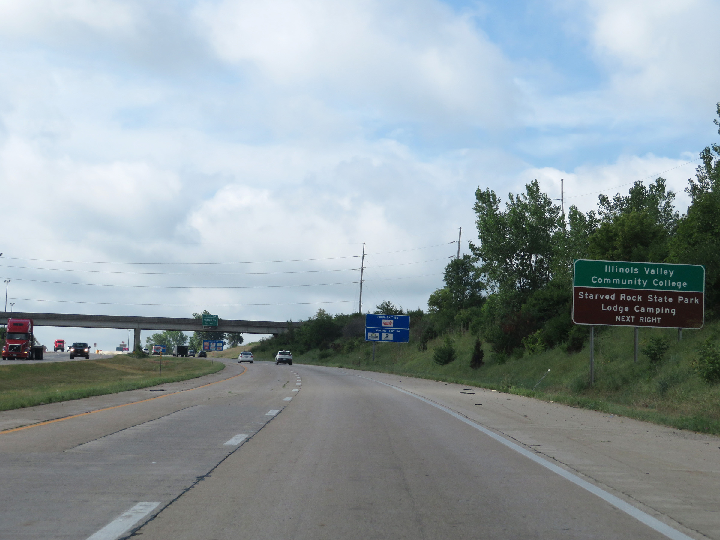 |
Take Exit 54 to Illinois Valley Community College and Starved Rock State Park Lodging and Camping. (Photo taken 8/14/19). |
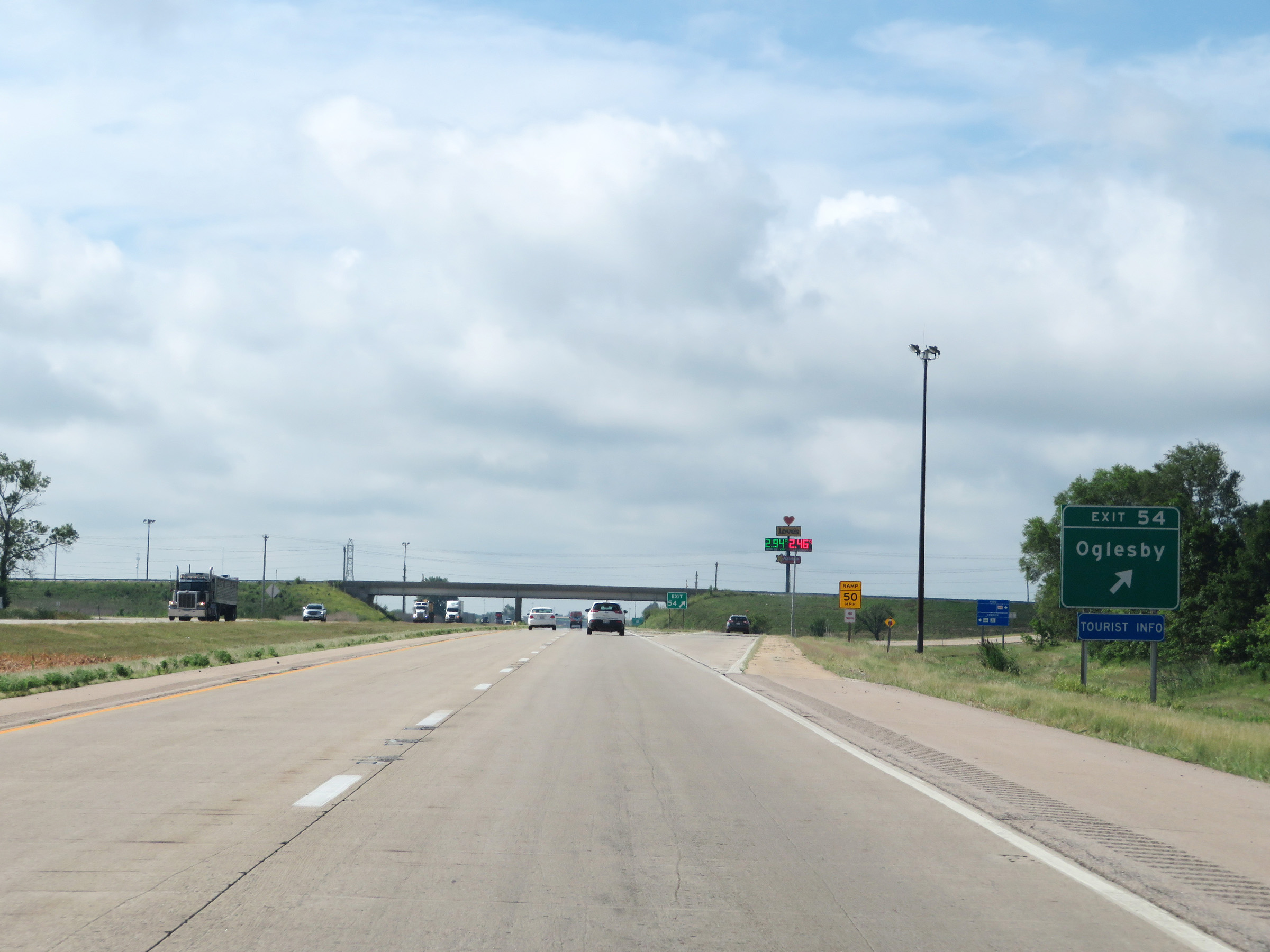 |
Interstate 39 South at Exit 54: Oglesby (Photo taken 8/14/19). |
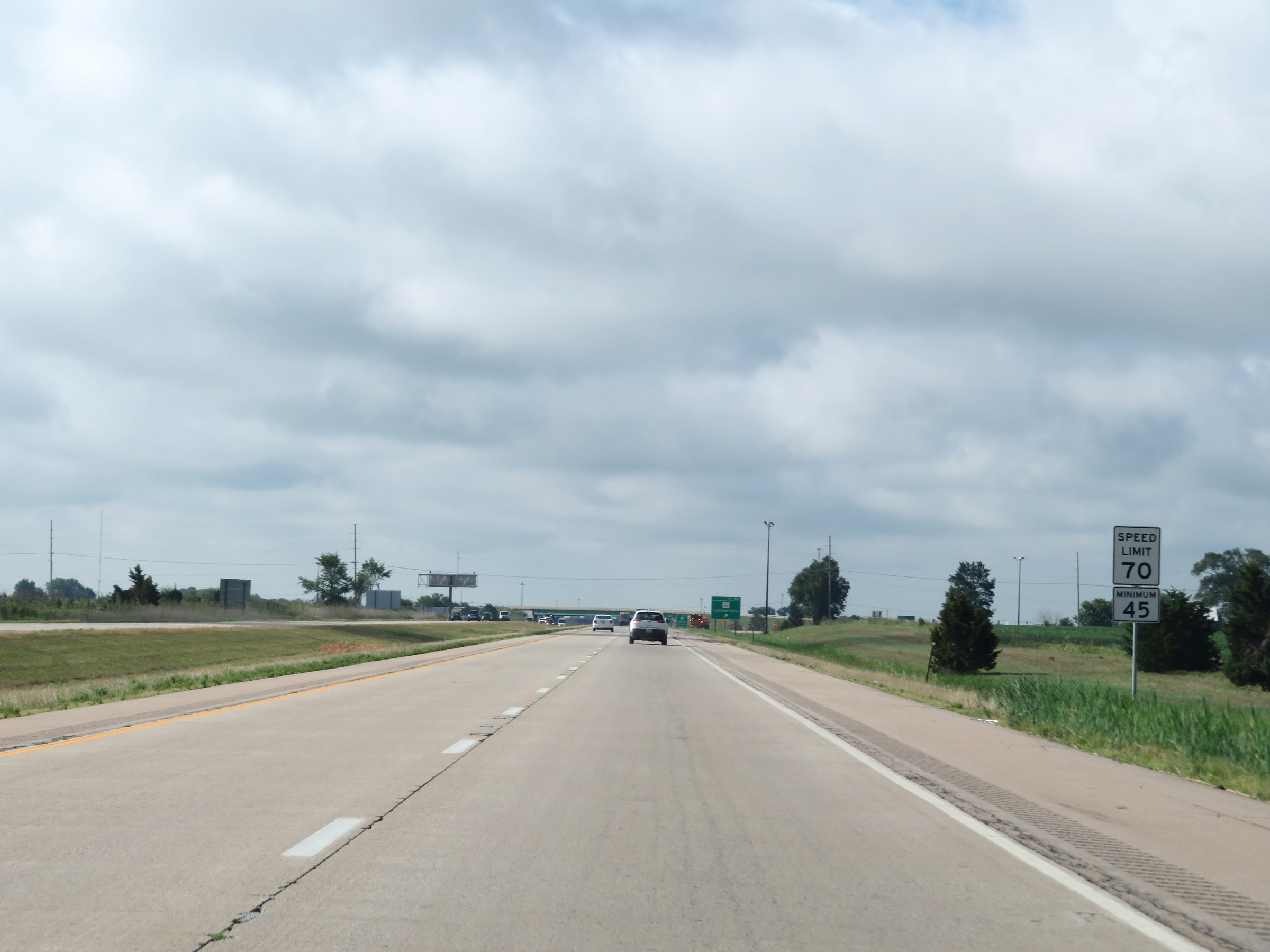 |
Speed limit signs on Interstate 39 South. The speed limits on this stretch of I-39 South are 70 mph maximum and 45 mph minimum, which are the standard speed limits on most rural Interstate highways in Illinois. (Photo taken 8/14/19). |
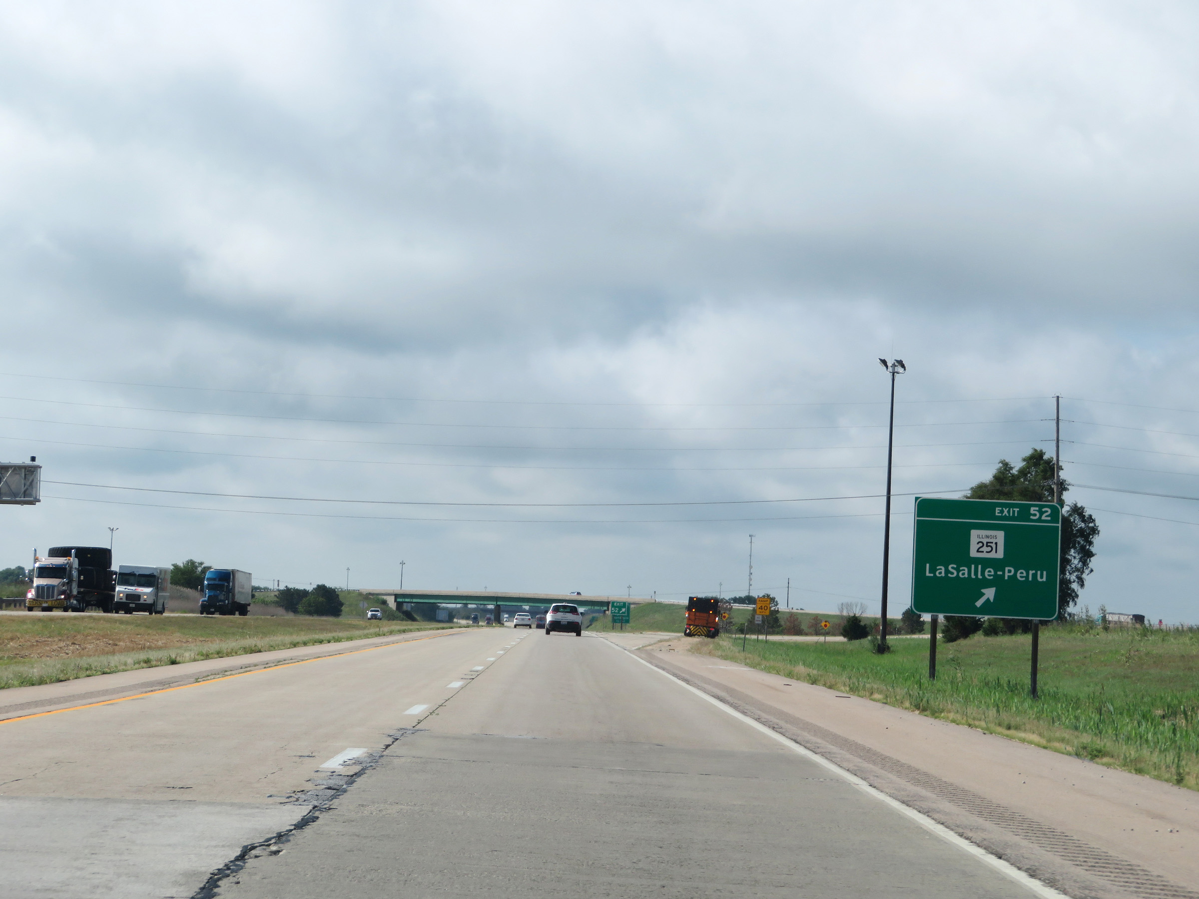 |
Interstate 39 South at Exit 52: IL 251 - La Salle-Peru (Photo taken 8/14/19). |
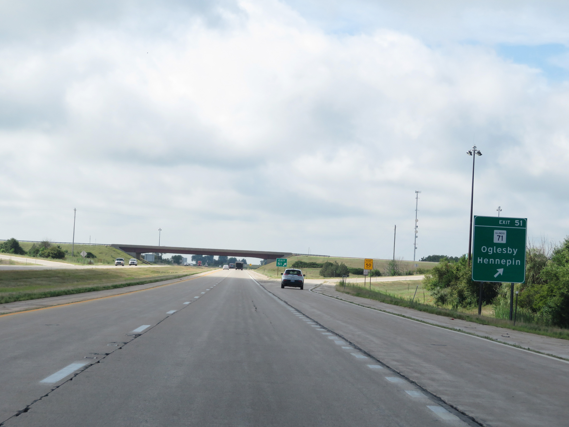 |
Interstate 39 South at Exit 51: IL 71 - Oglesby / Hennepin (Photo taken 8/14/19). |
 |
Another Interstate 39 South reassurance shield. (Photo taken 8/14/19). |
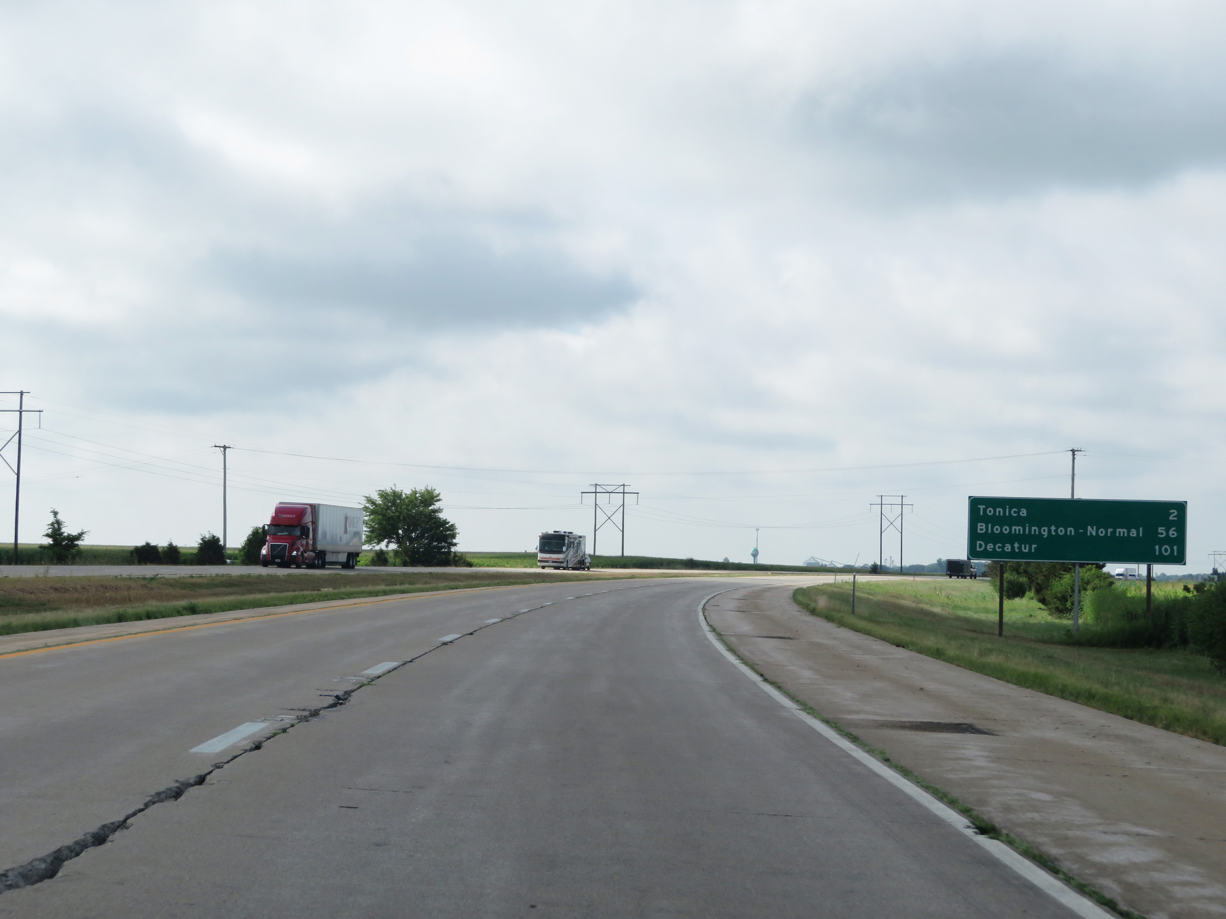 |
Mileage sign on Interstate 39 South. It's 2 miles to Tonica, 56 miles to Bloomington-Normal, and 101 miles to Decatur. (Photo taken 8/14/19). |
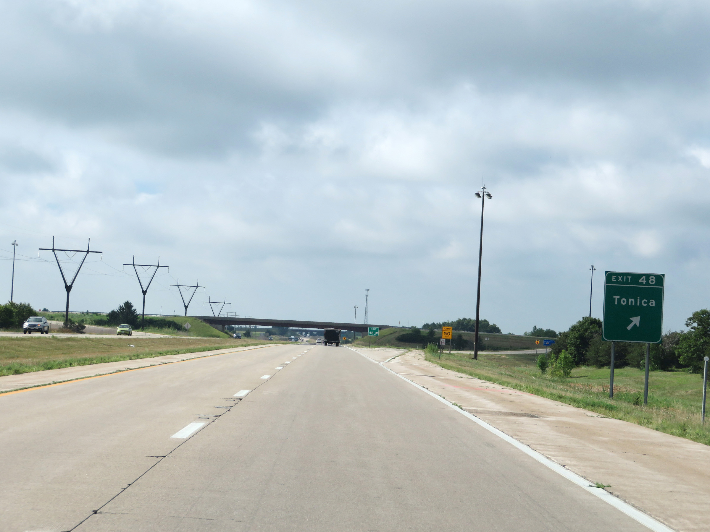 |
Interstate 39 South at Exit 48: Tonica (Photo taken 8/14/19). |
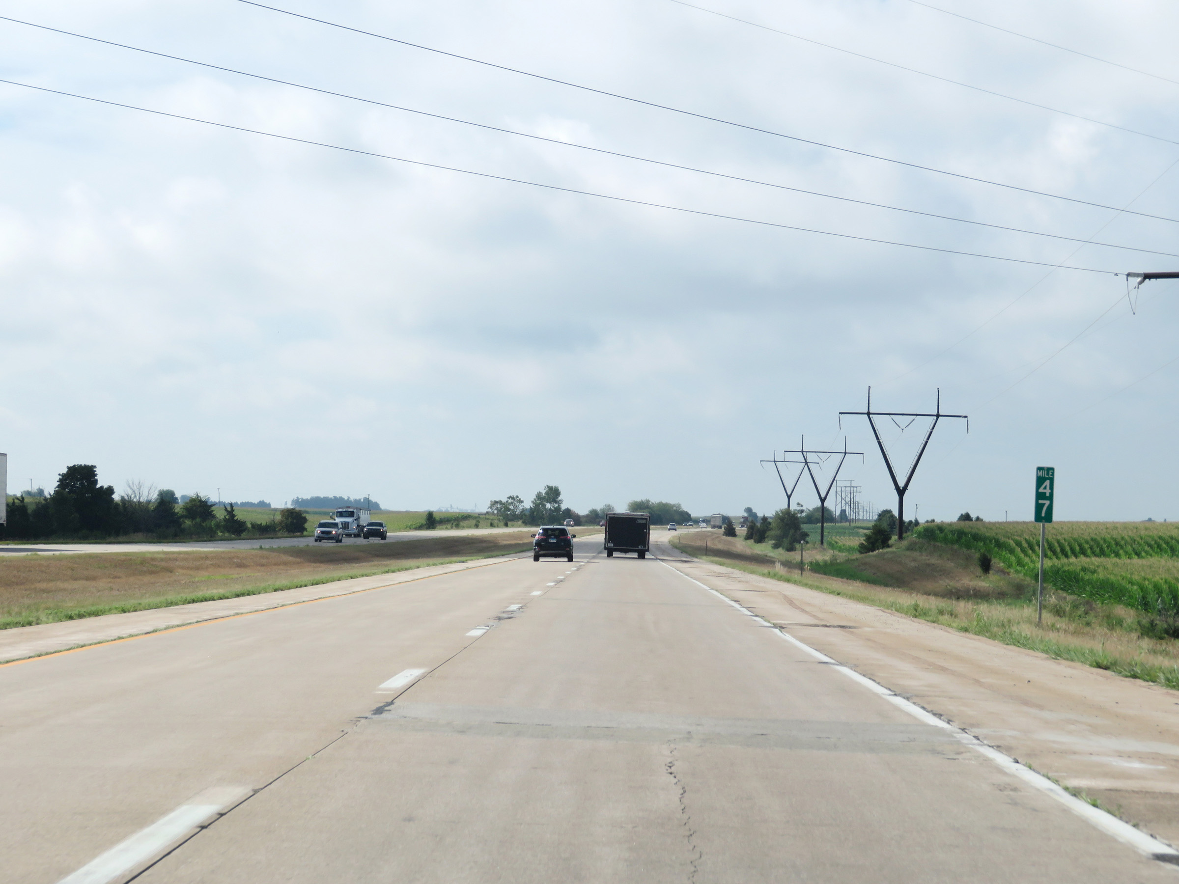 |
View on Interstate 39 South at mile marker 47. (Photo taken 8/14/19). |
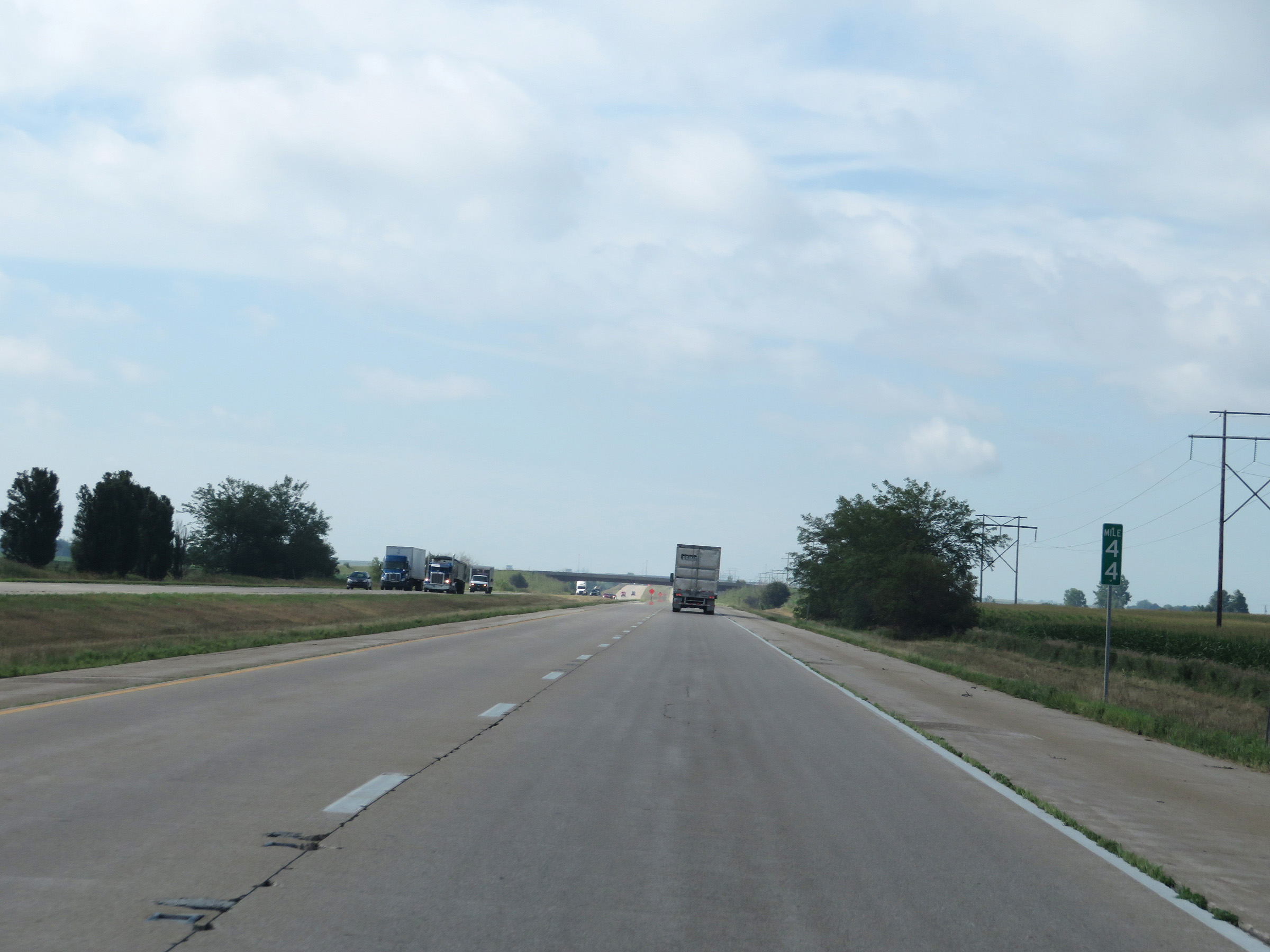 |
Interstate 39 South at mile marker 44. (Photo taken 8/14/19). |
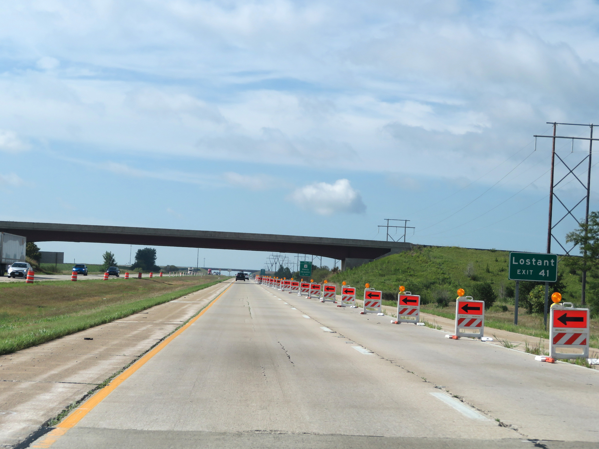 |
Take Exit 41 to Lostant. (Photo taken 8/14/19). |
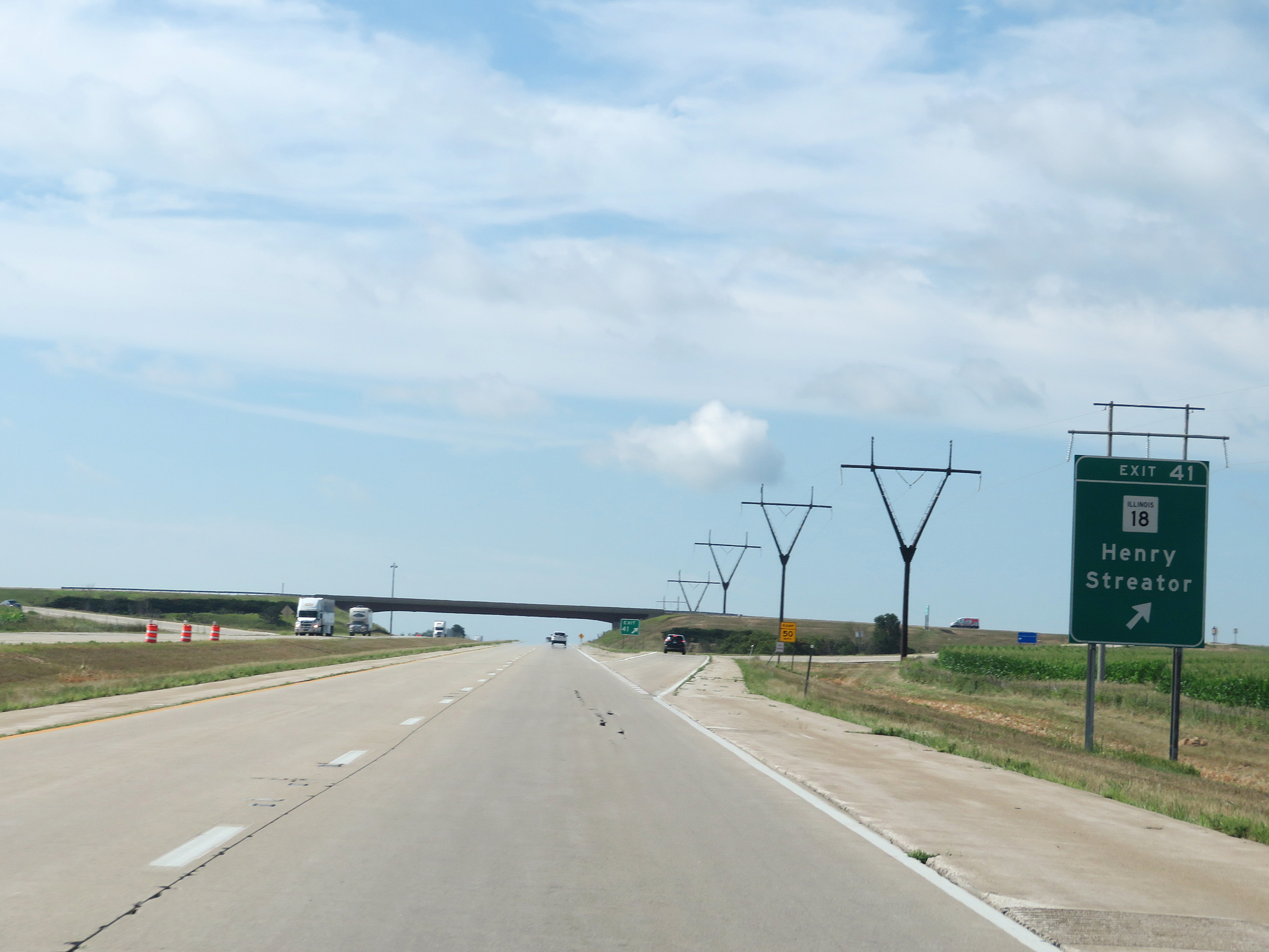 |
Interstate 39 South at Exit 41: IL 18 - Henry / Streator (Photo taken 8/14/19). |
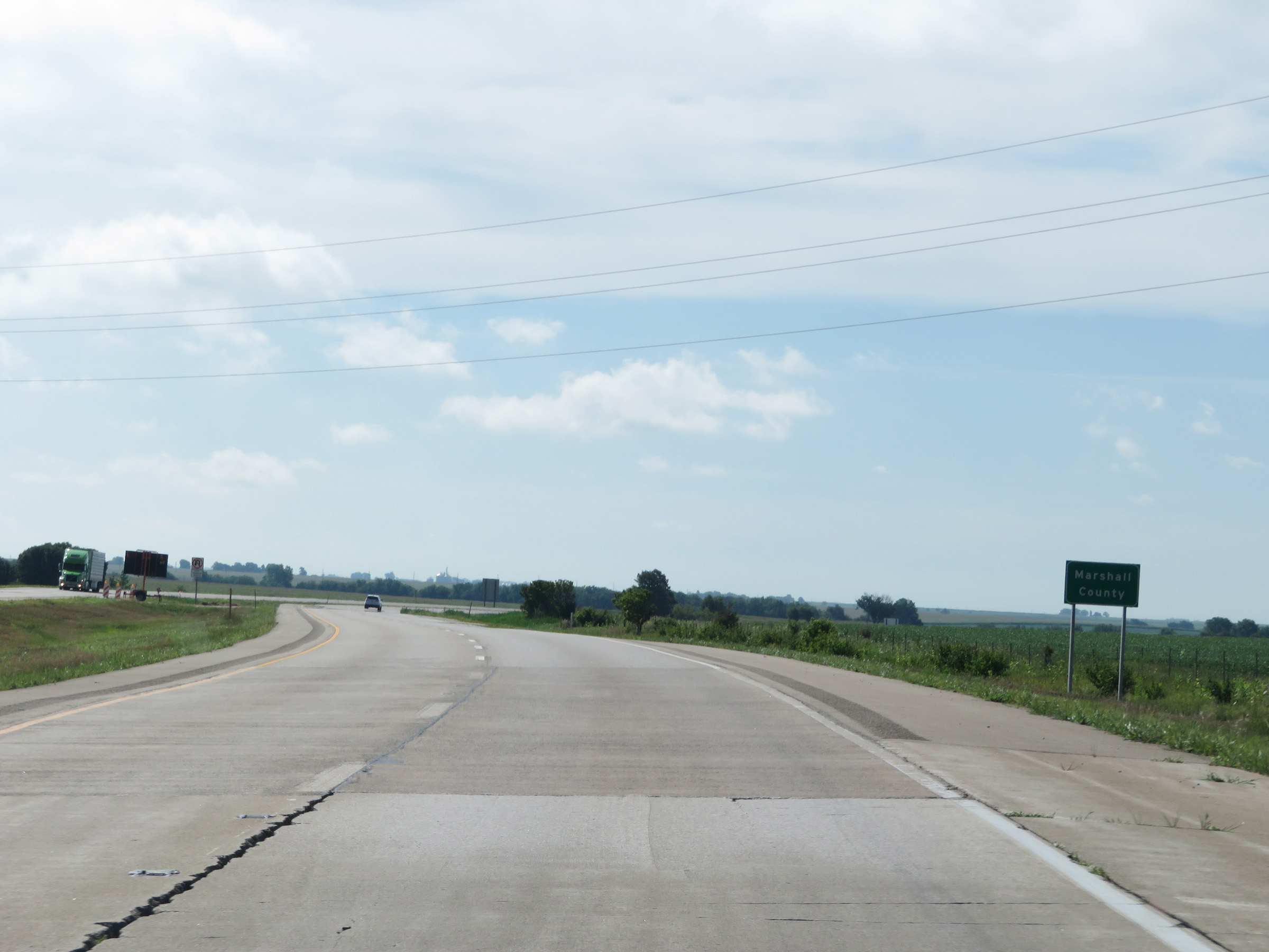 |
Interstate 39 South as it enters Marshall County. (Photo taken 8/14/19). |
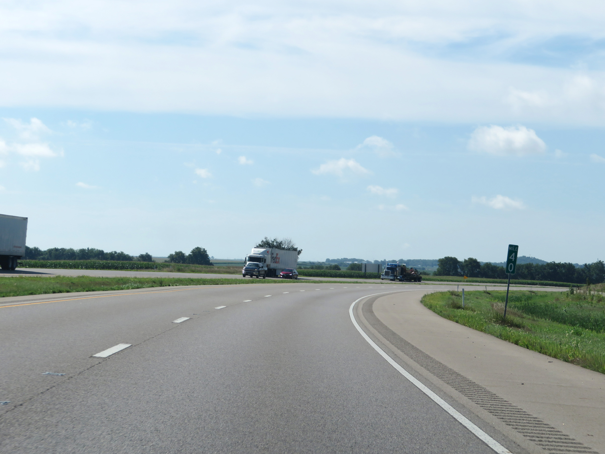 |
View on Interstate 39 South at mile marker 40. (Photo taken 8/14/19). |
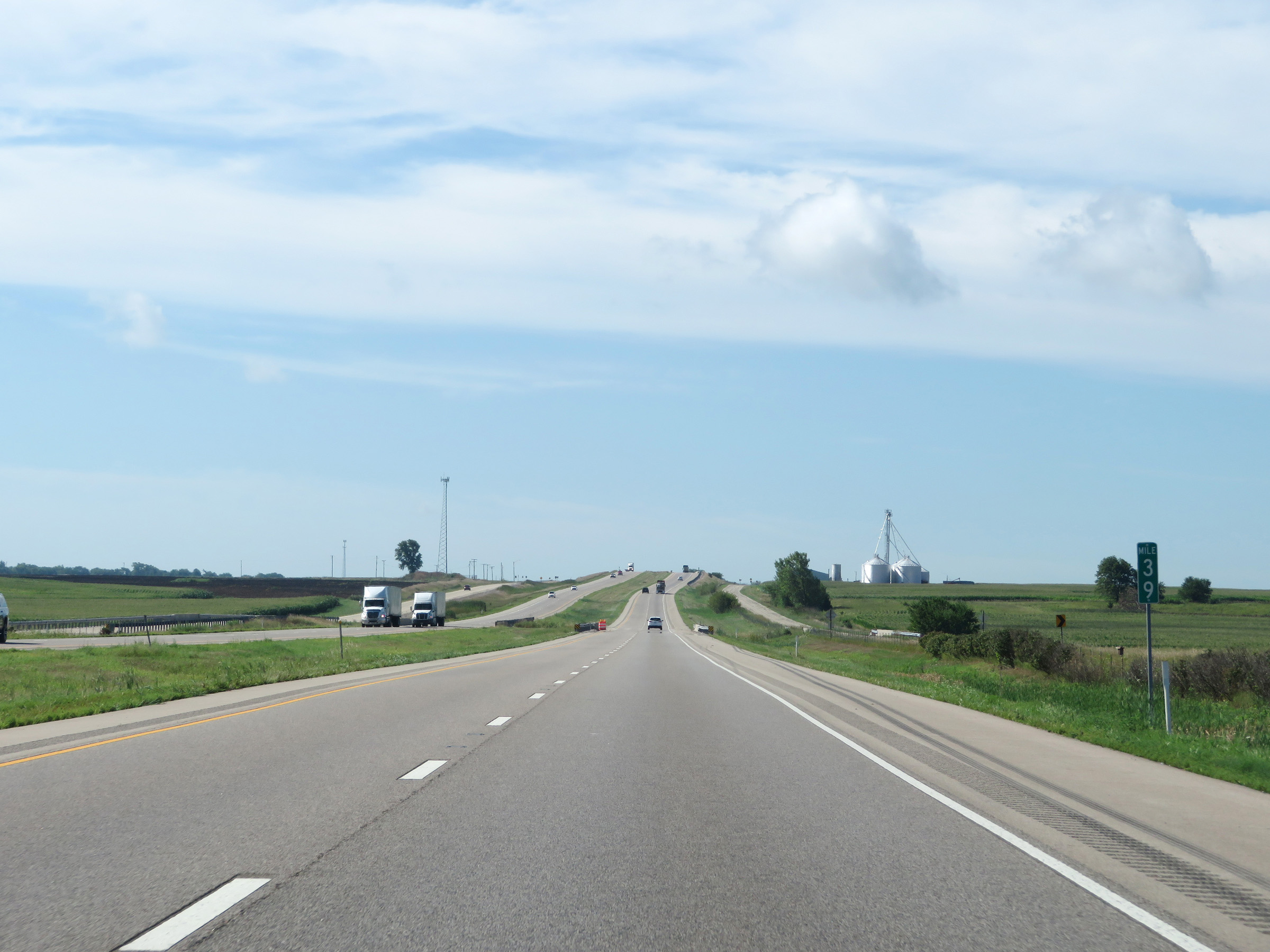 |
Interstate 39 South at mile marker 39. (Photo taken 8/14/19). |
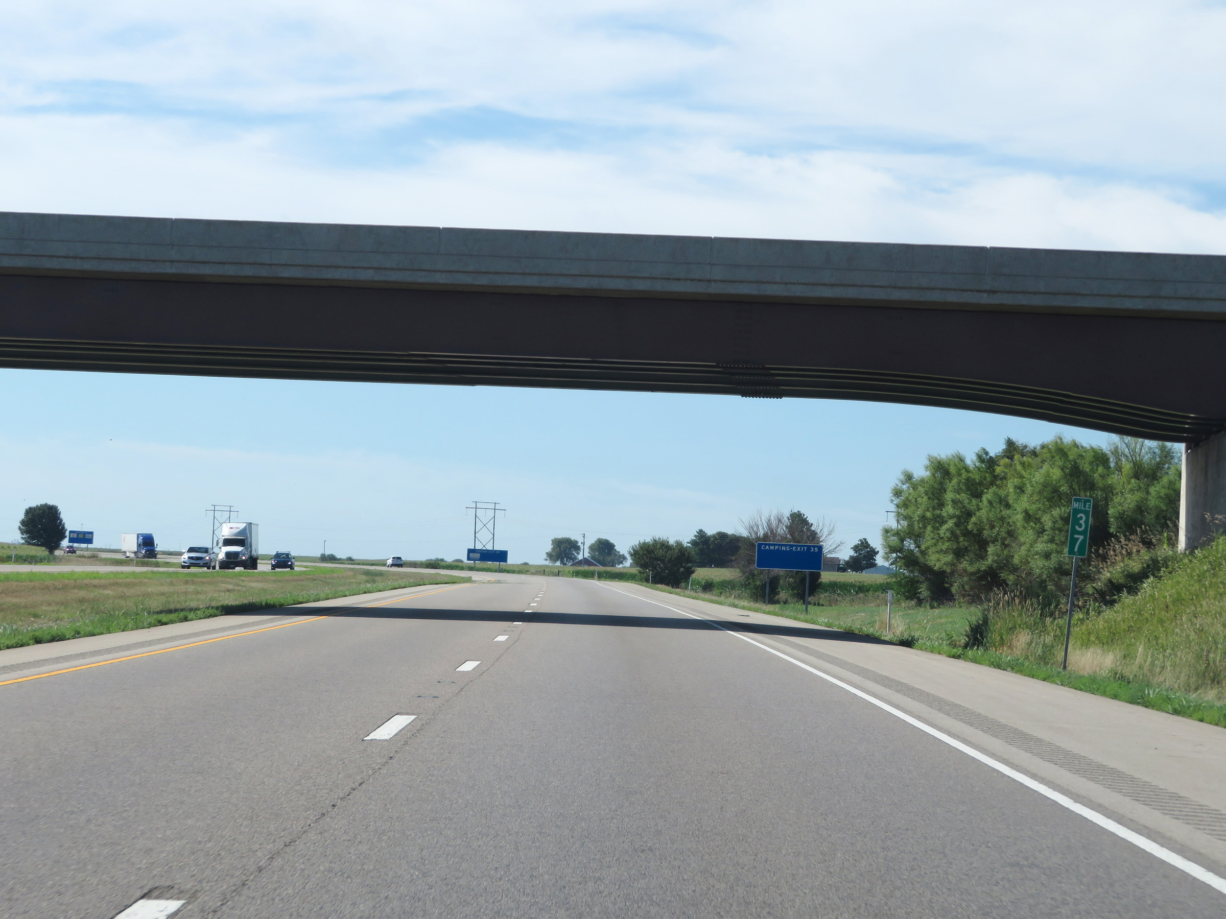 |
Mile marker 37 on Interstate 39 South in Marshall County. (Photo taken 8/14/19). |
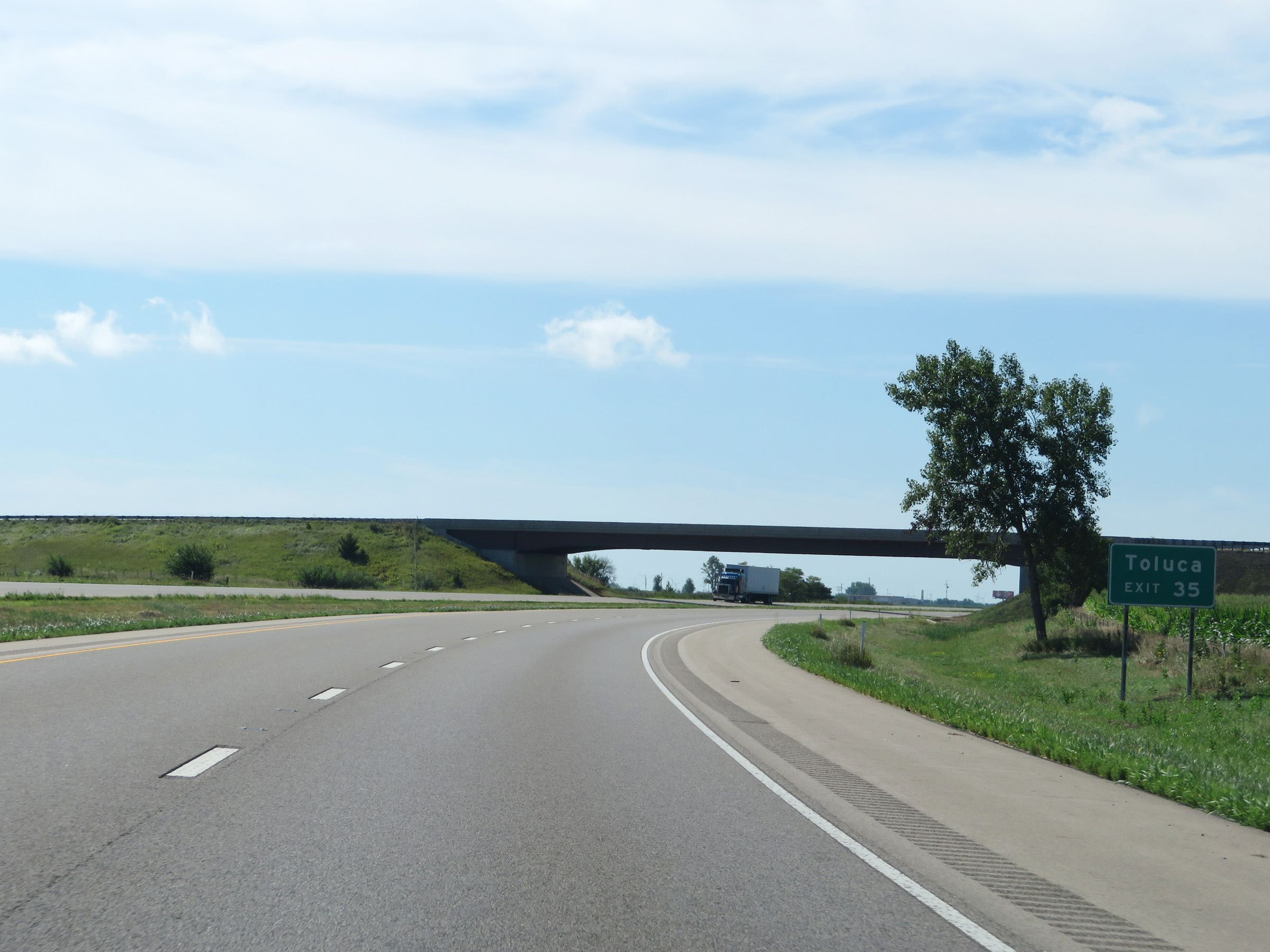 |
Take Exit 35 to Toluca. (Photo taken 8/14/19). |
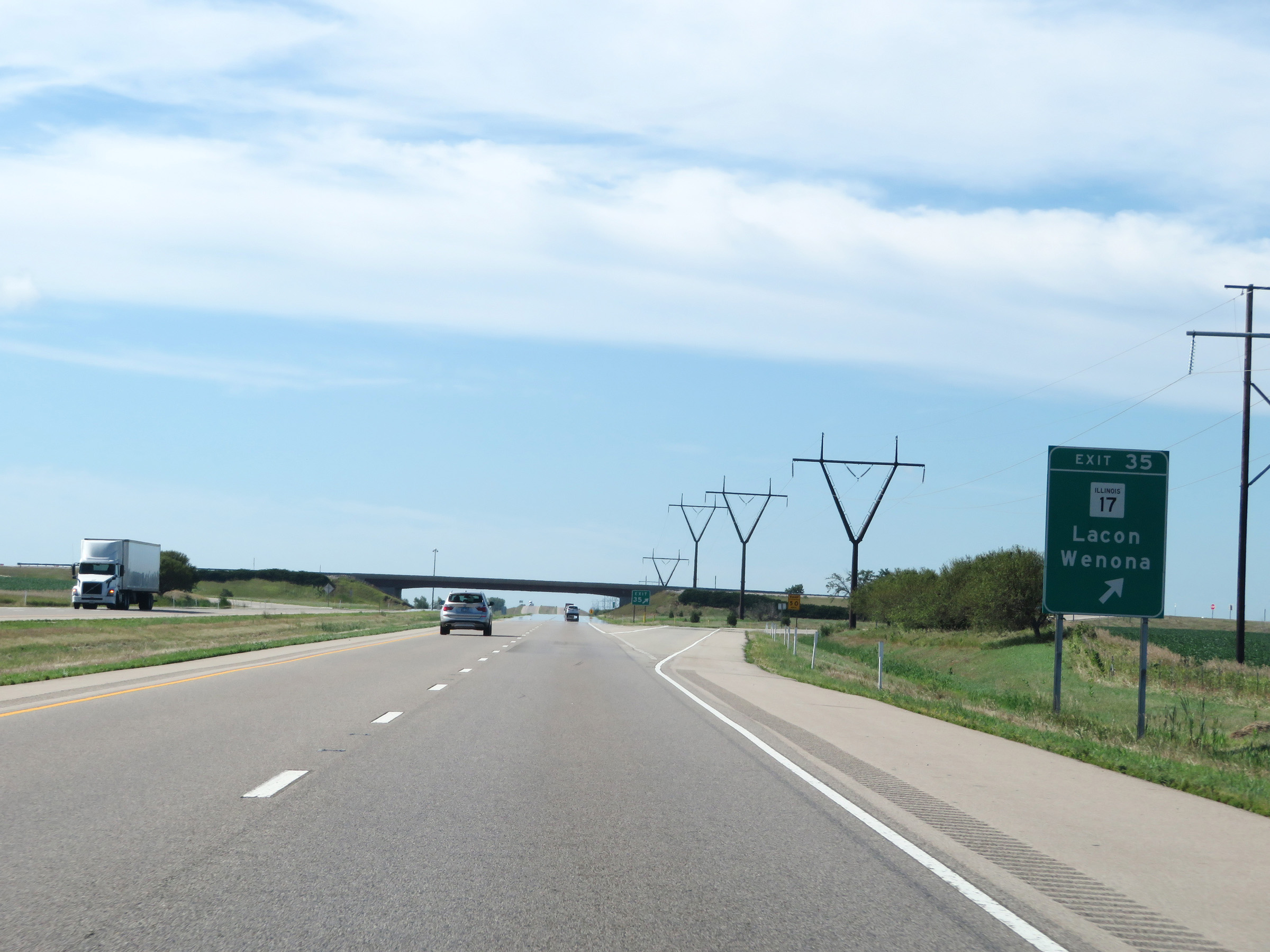 |
Interstate 39 South at Exit 35: IL 17 - Lacon / Wenona (Photo taken 8/14/19). |
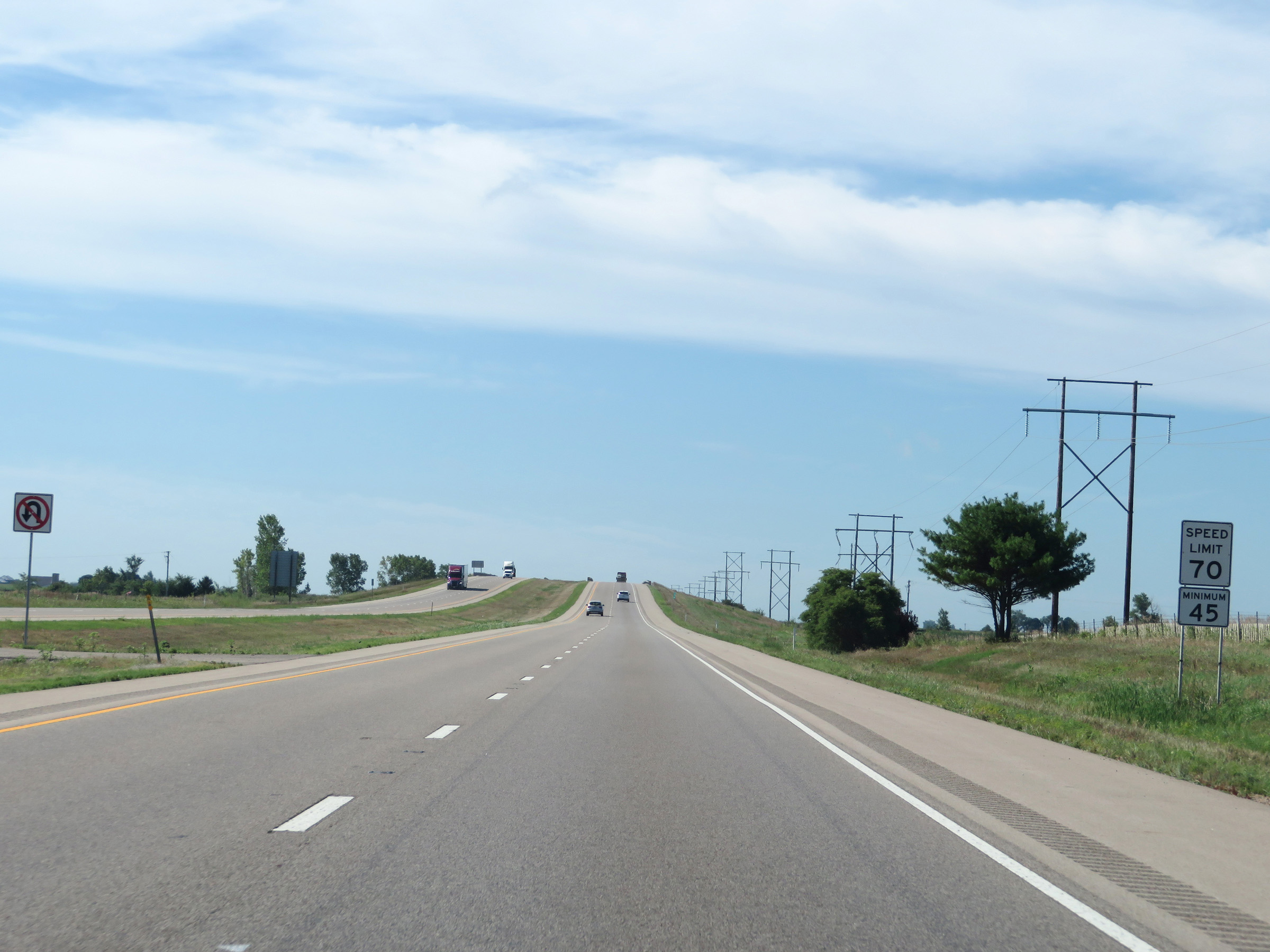 |
The speed limits remain 70 mph maximum and 45 mph minimum on Interstate 39 South. (Photo taken 8/14/19). |
 |
Mile marker 32 on Interstate 39 South in Marshall County. (Photo taken 8/14/19). |
 |
View on Interstate 39 South at mile marker 31. (Photo taken 8/14/19). |
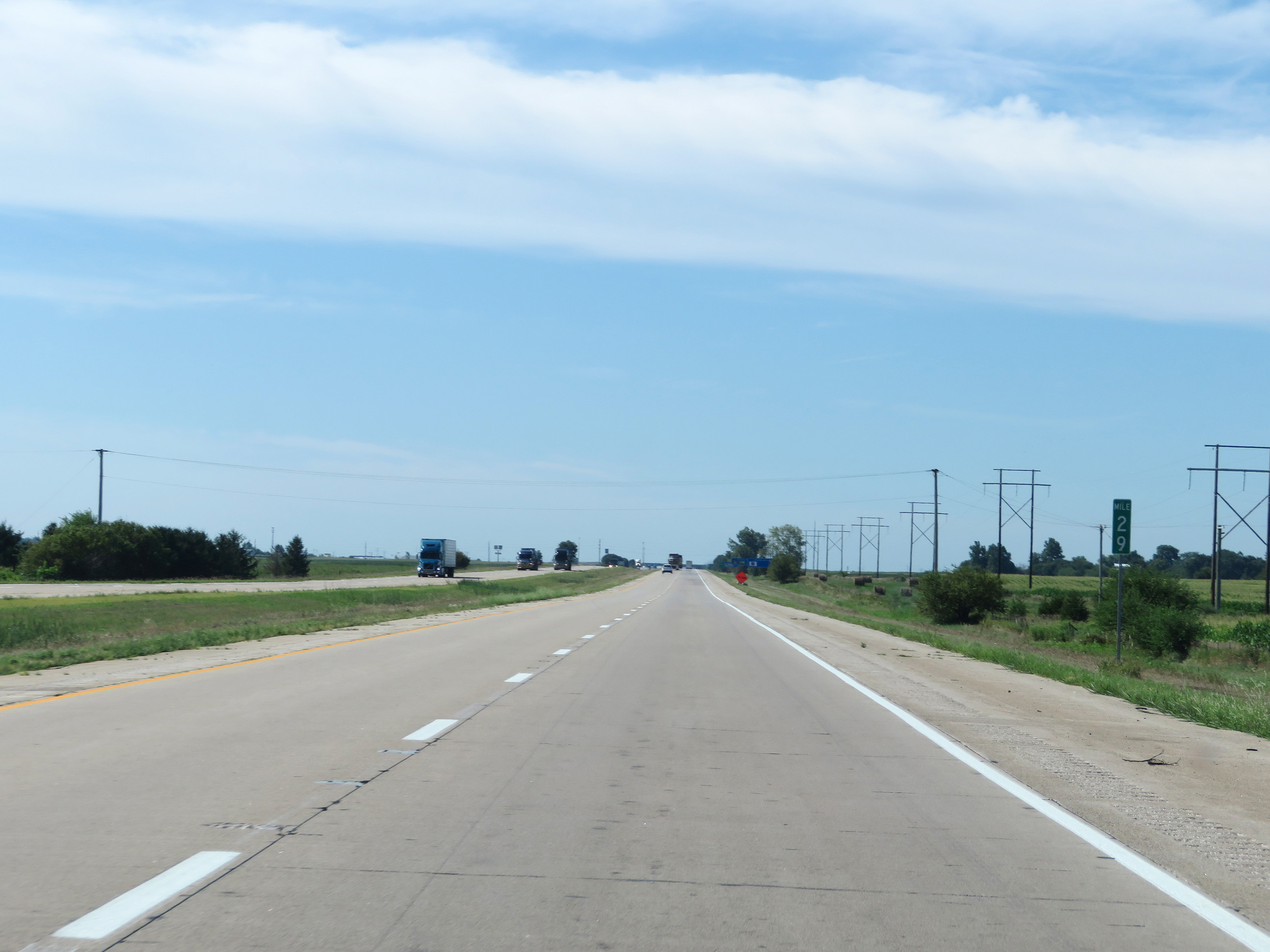 |
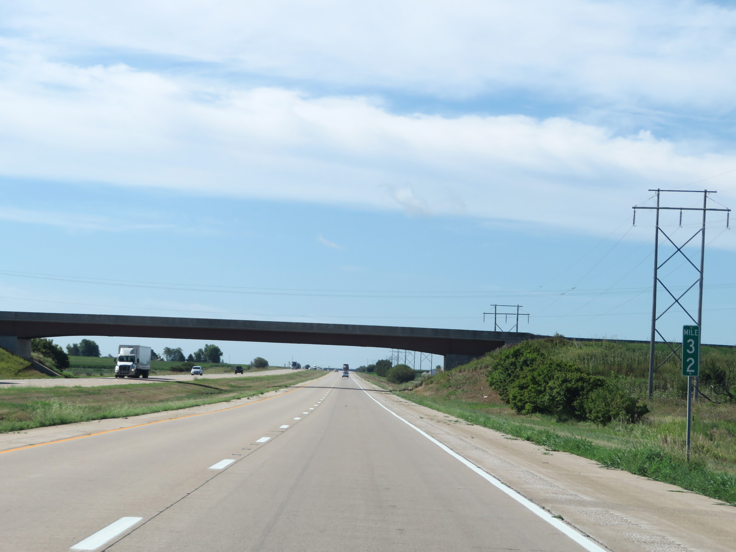
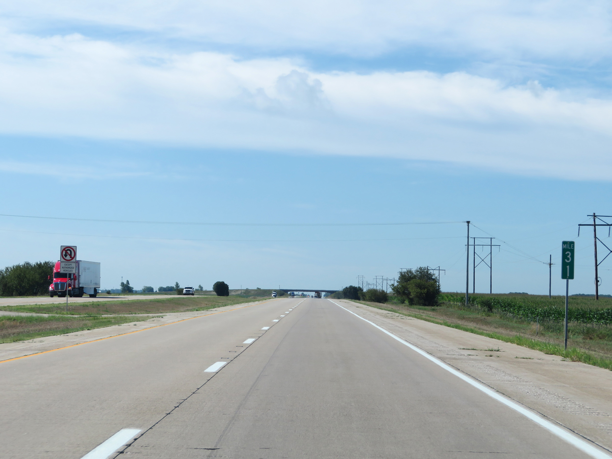
Interstate 39 South at mile marker 29. (Photo taken 8/14/19). |
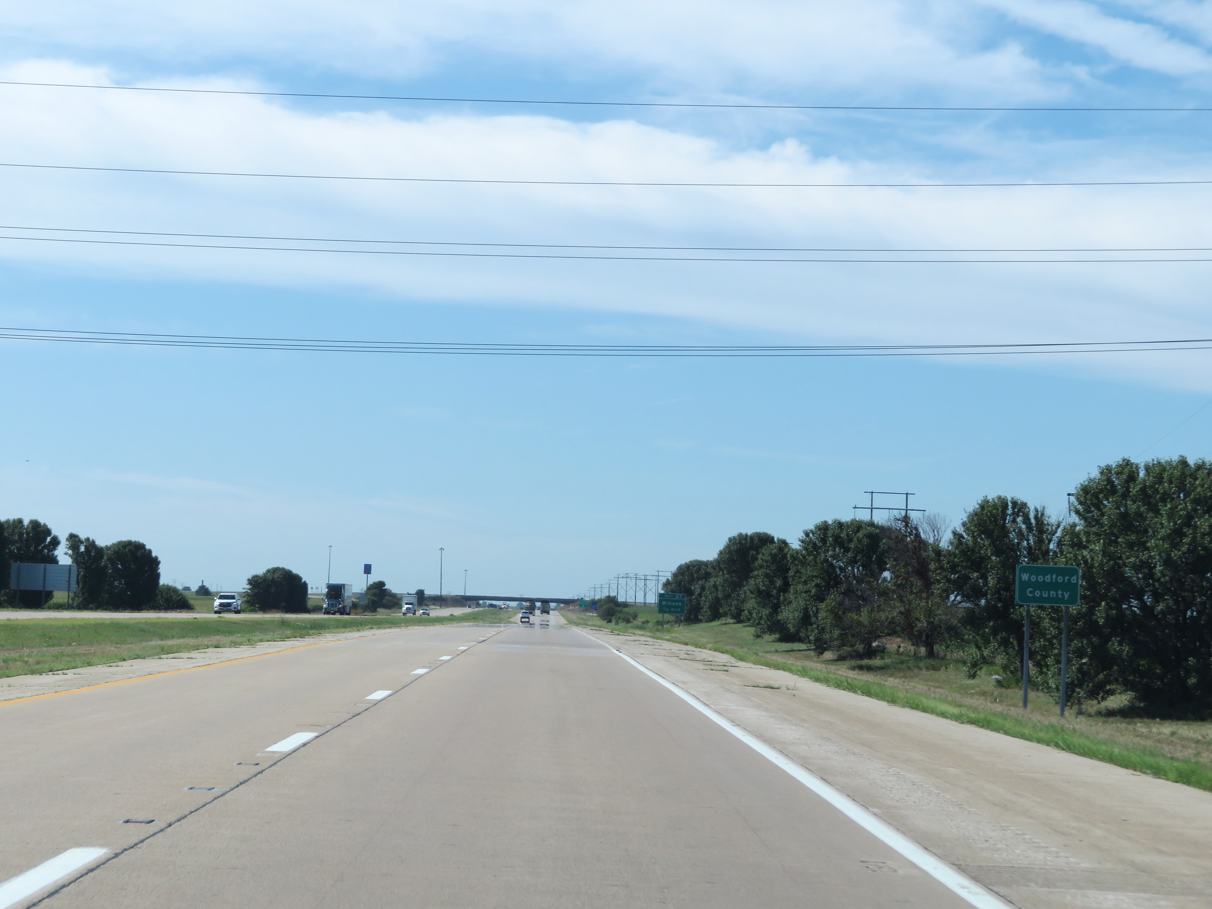 |
Entering Woodford County on Interstate 39 South. (Photo taken 8/14/19). |
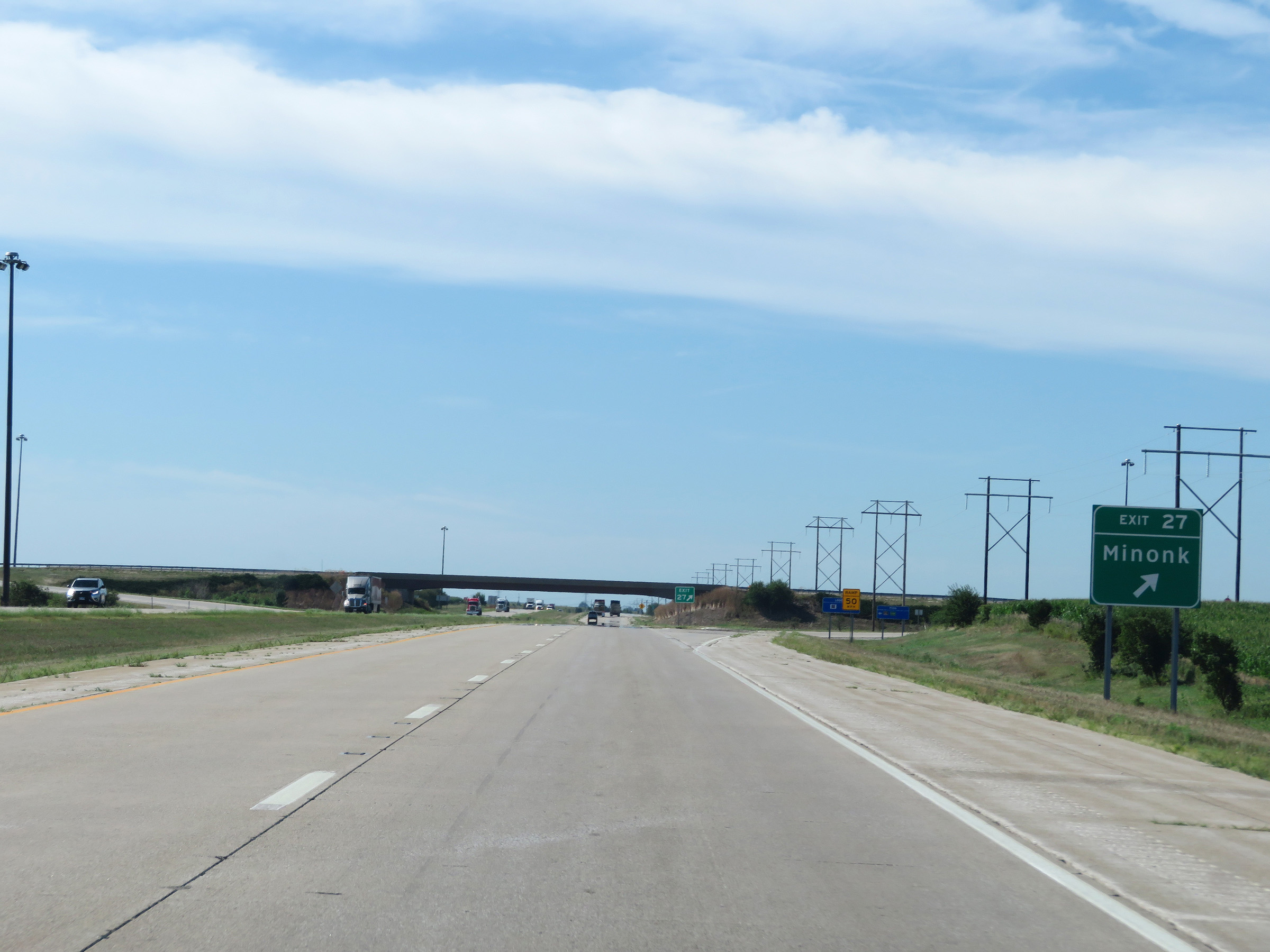 |
Interstate 39 South at Exit 27: Minonk (Photo taken 8/14/19). |
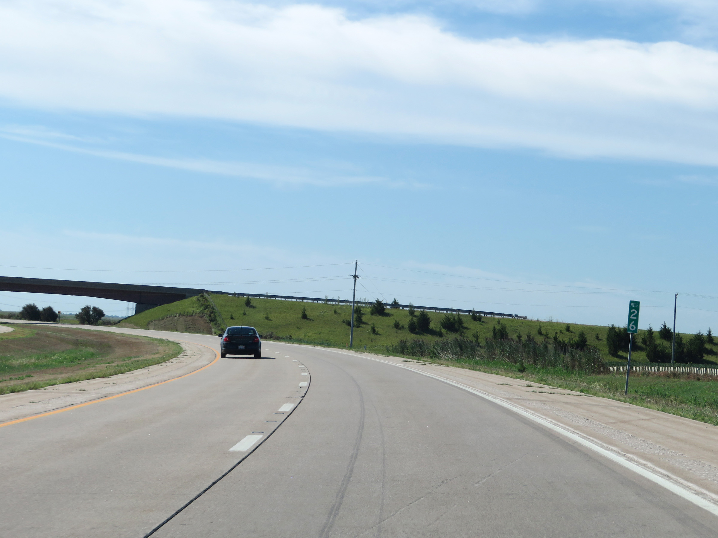 |
Interstate 39 South at mile marker 26. (Photo taken 8/14/19). |
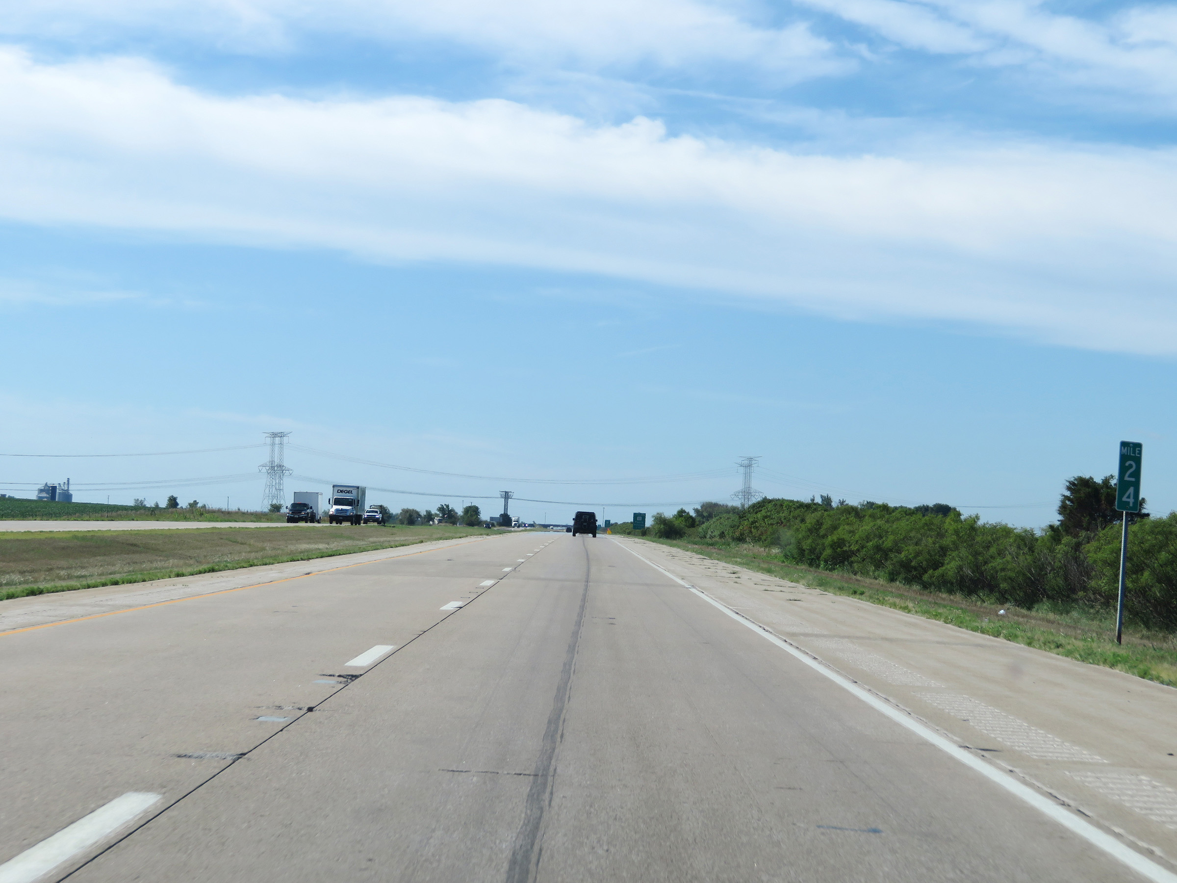 |
View on Interstate 39 South at mile marker 24. (Photo taken 8/14/19). |
 |
Interstate 39 South approaching Exit 22 - 1 mile. (Photo taken 8/14/19). |
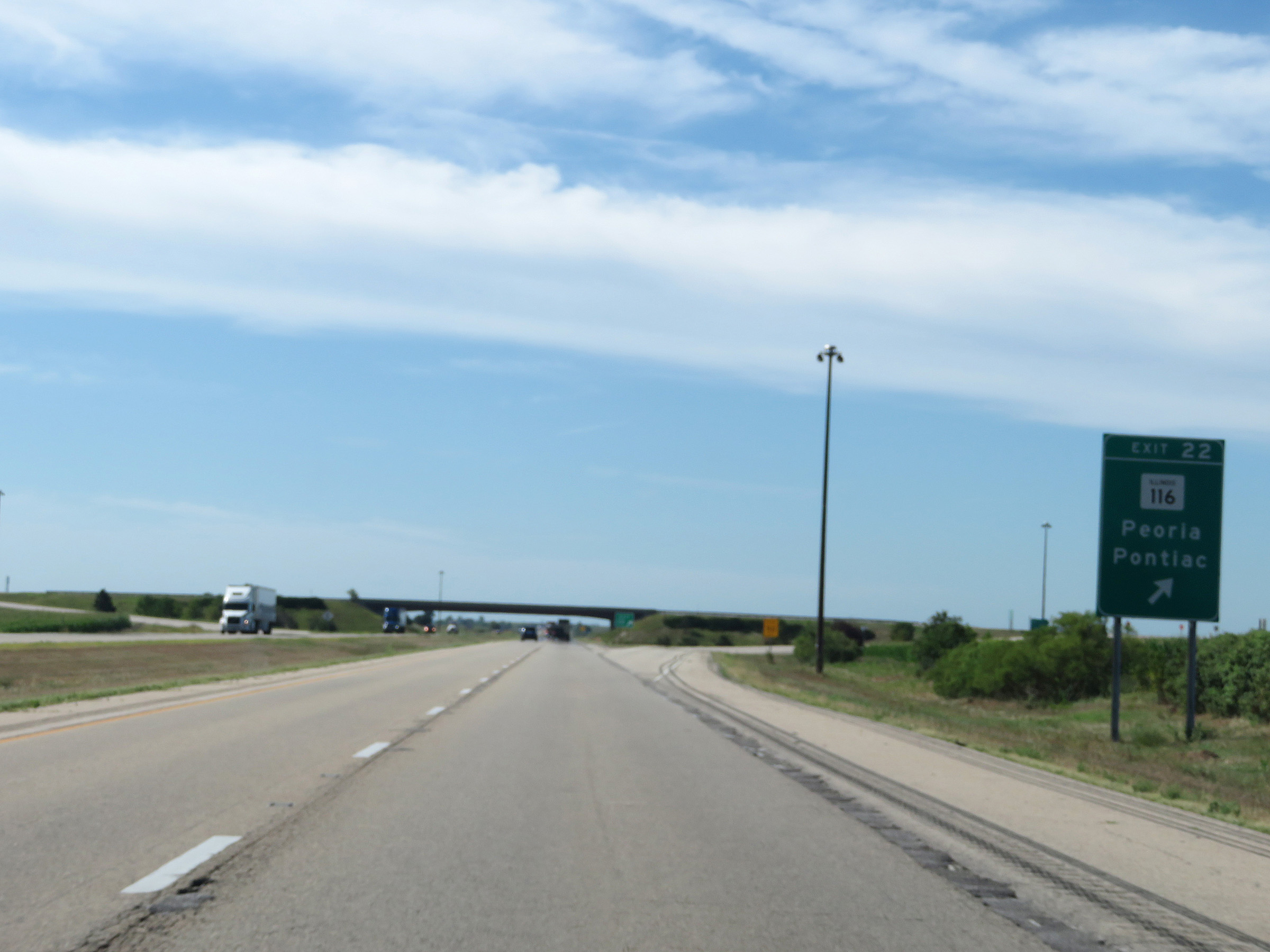 |
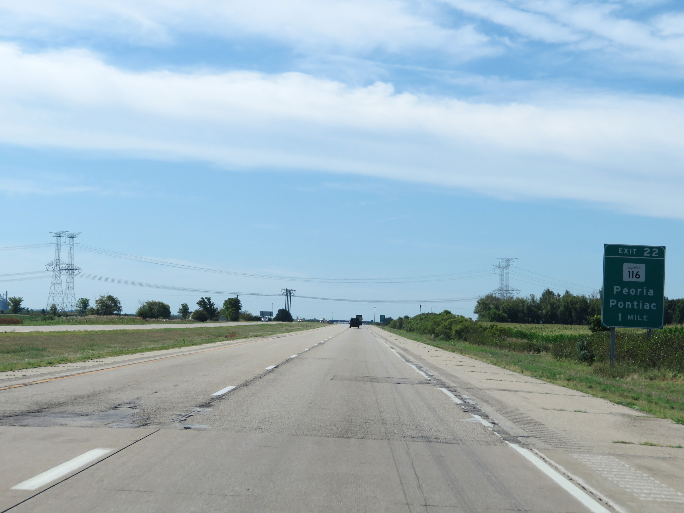
Interstate 39 South at Exit 22: IL 116 - Peoria / Pontiac (Photo taken 8/14/19). |
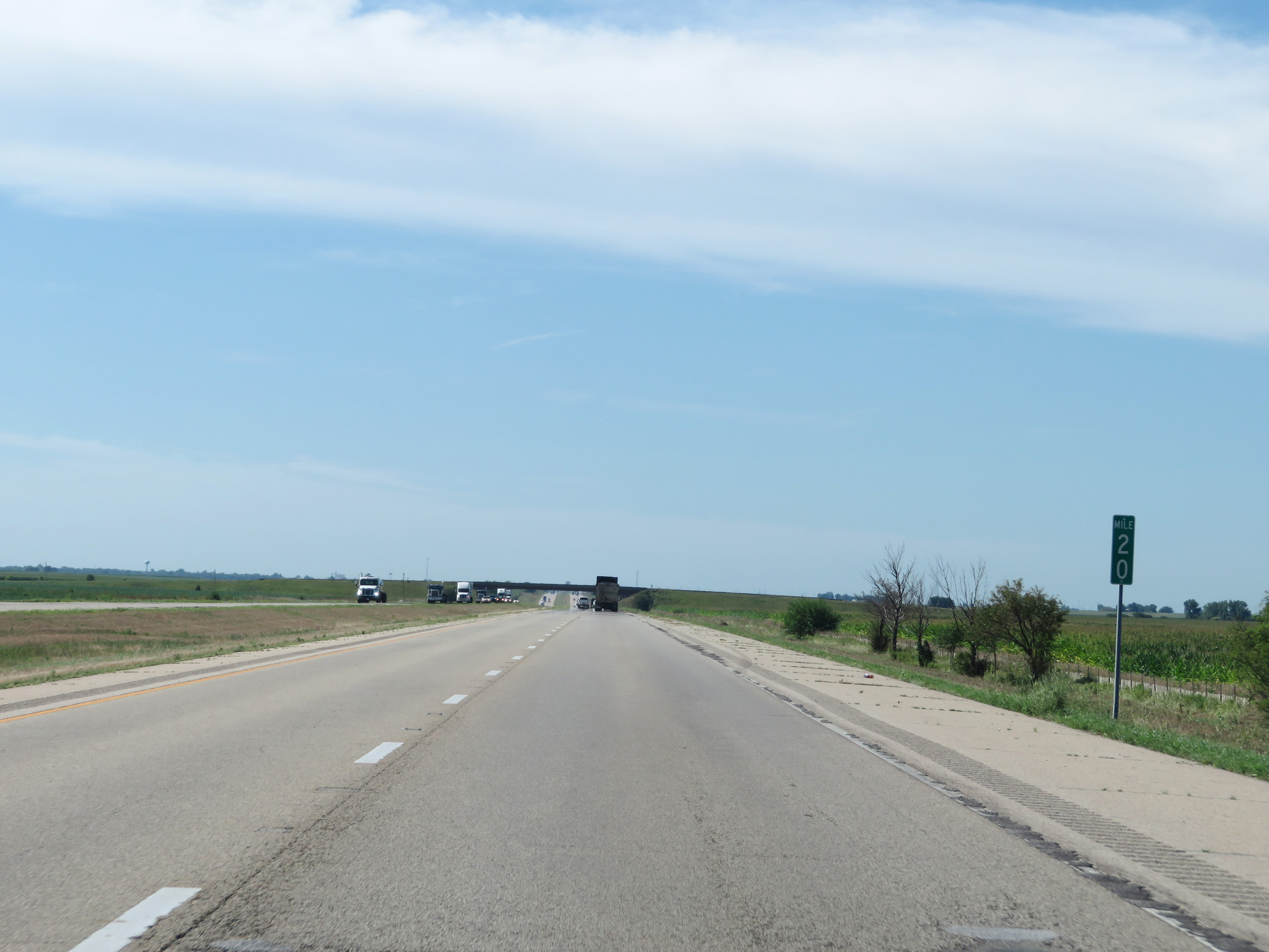 |
View on Interstate 39 South at mile marker 20. (Photo taken 8/14/19). |
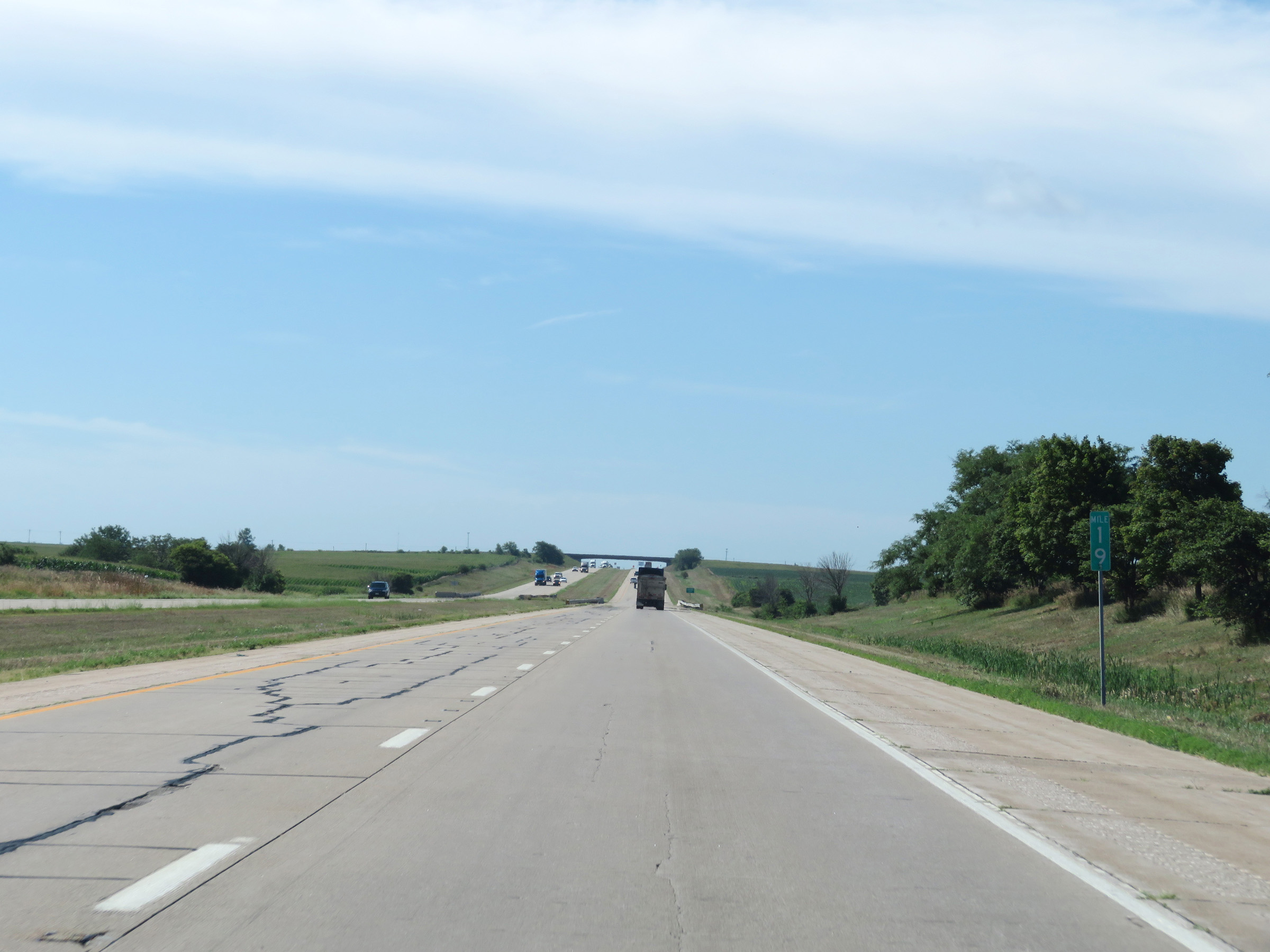 |
Mile marker 19 on Interstate 39 South in Woodford County. (Photo taken 8/14/19). |
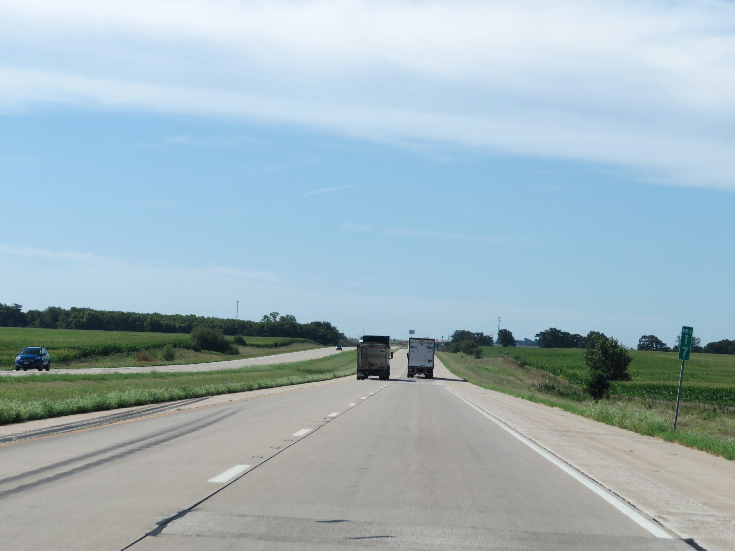 |
Interstate 39 South at mile marker 17. (Photo taken 8/14/19). |
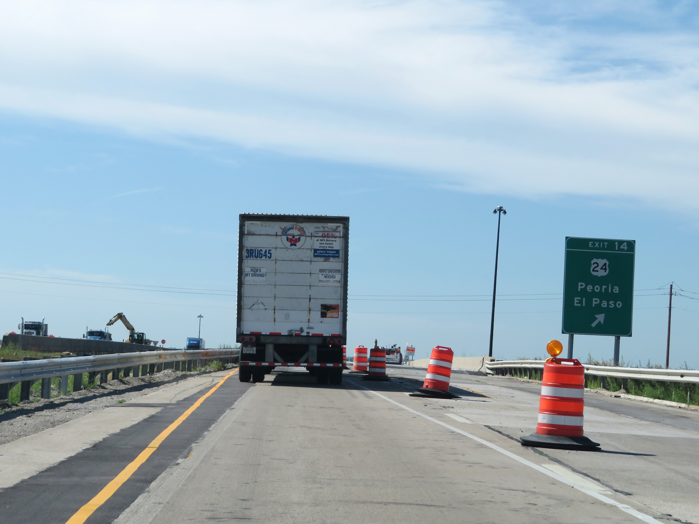 |
Interstate 39 South at Exit 14: US 24 - Peoria / El Paso (Photo taken 8/14/19). |
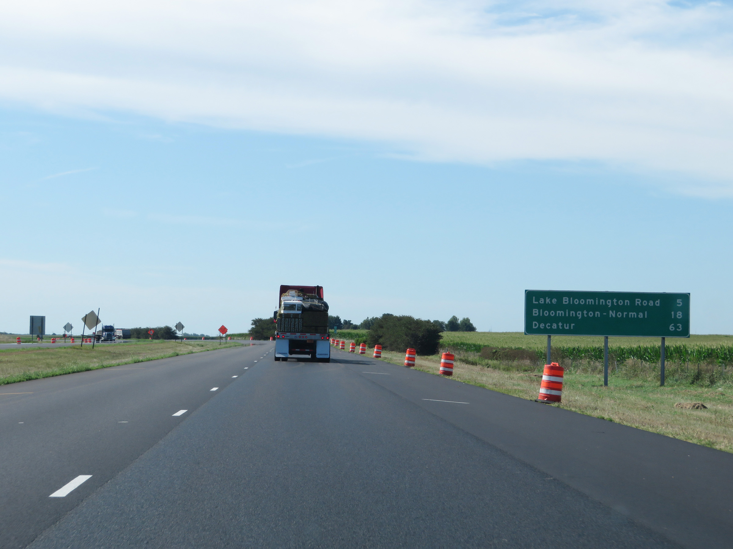 |
Another mileage sign on Interstate 39 South, approaching mile marker 13. It's 5 miles to the junction of Lake Bloomington Road, 18 miles to Bloomington-Normal, and 63 miles to Decatur. (Photo taken 8/14/19). |
 |
Interstate 39 South at mile marker 12. (Photo taken 8/14/19). |
 |
Mile marker 10 on Interstate 39 South in Woodford County. (Photo taken 8/14/19). |
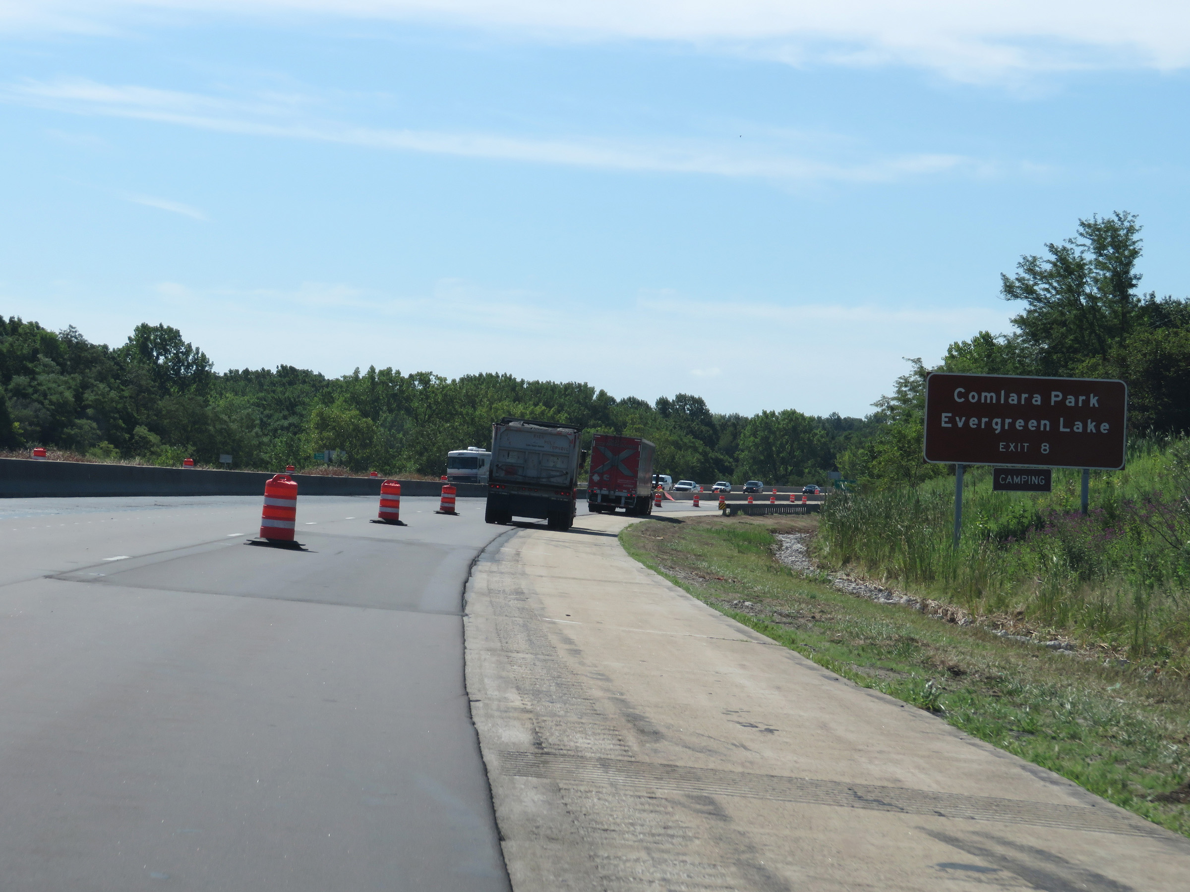 |
Take Exit 8 to Comlara Park and Evergreen Lake. (Photo taken 8/14/19). |
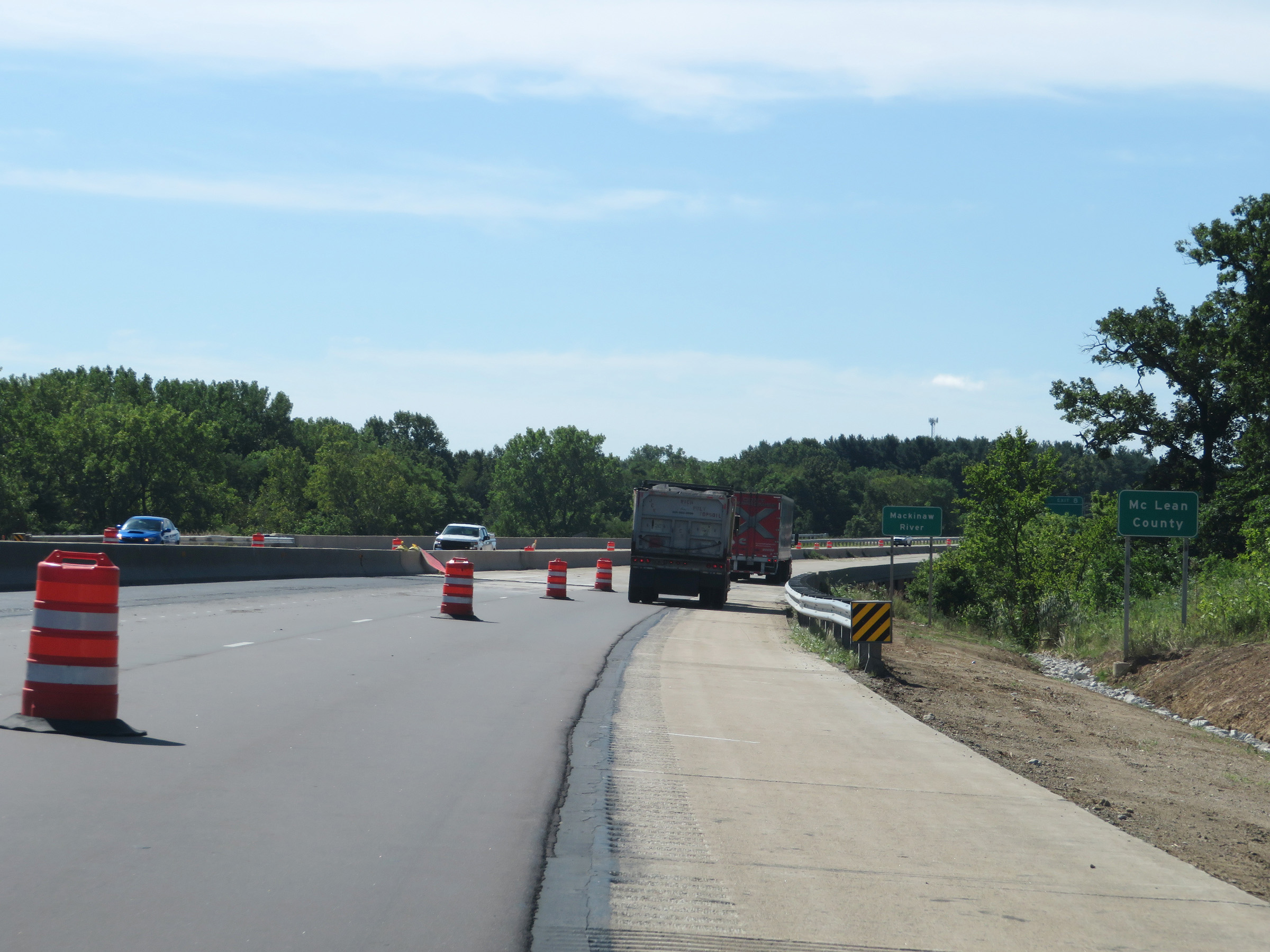 |
Interstate 39 South as it enters McLean County. (Photo taken 8/14/19). |
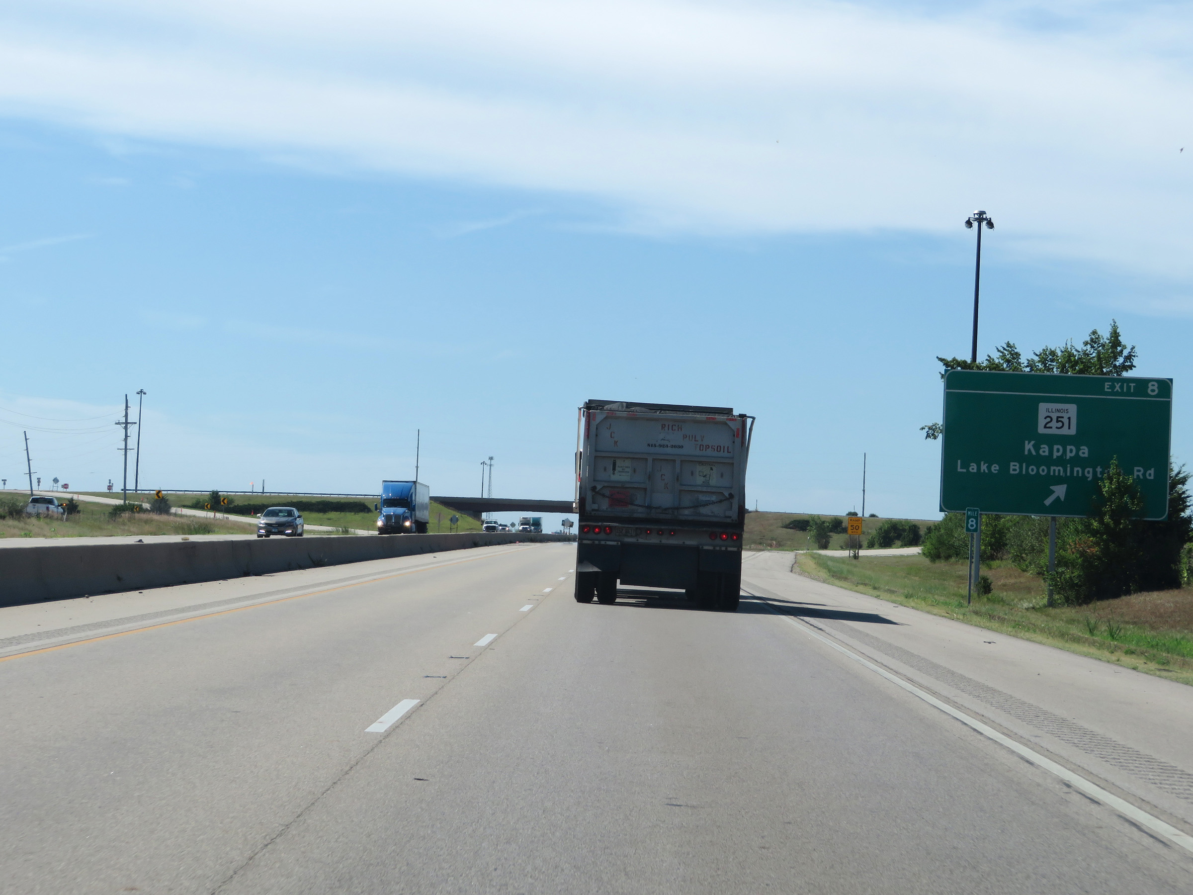 |
Interstate 39 South at Exit 8: IL 251 - Kappa / Lake Bloomington Rd (Photo taken 8/14/19). |
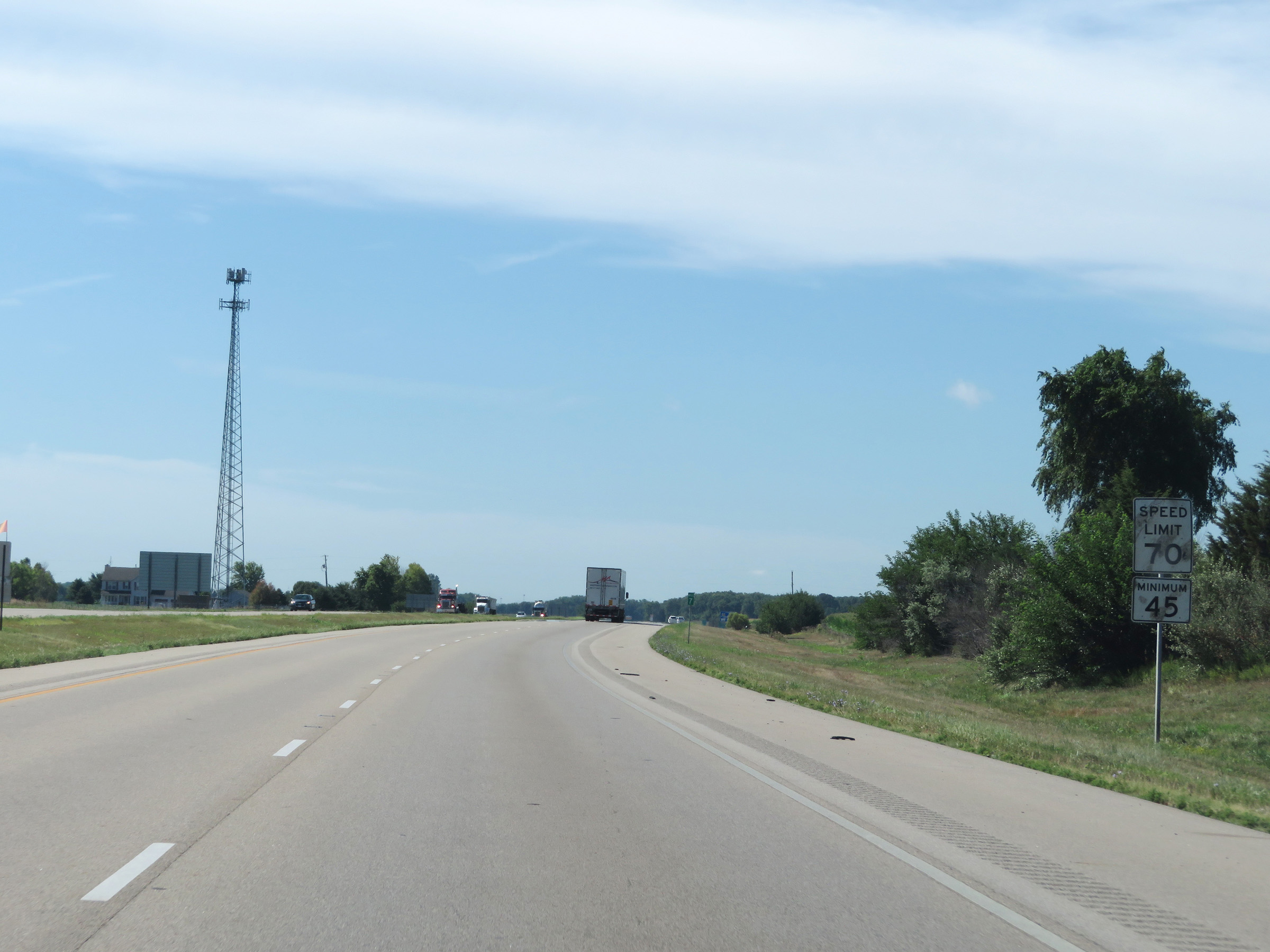 |
The speed limits remain 70 mph maximum and 45 mph minimum. (Photo taken 8/14/19). |
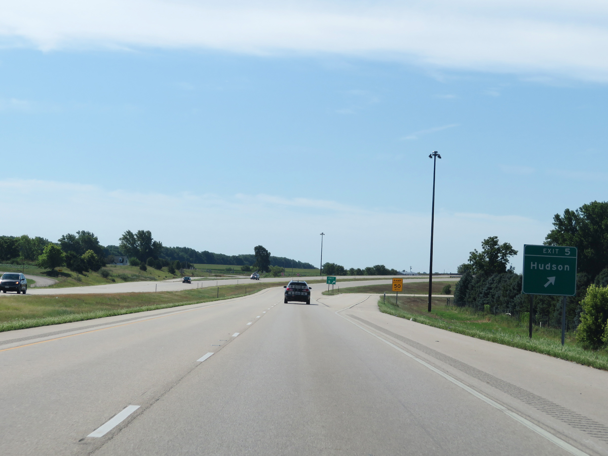 |
Interstate 39 South at Exit 5: Hudson (Photo taken 8/14/19). |
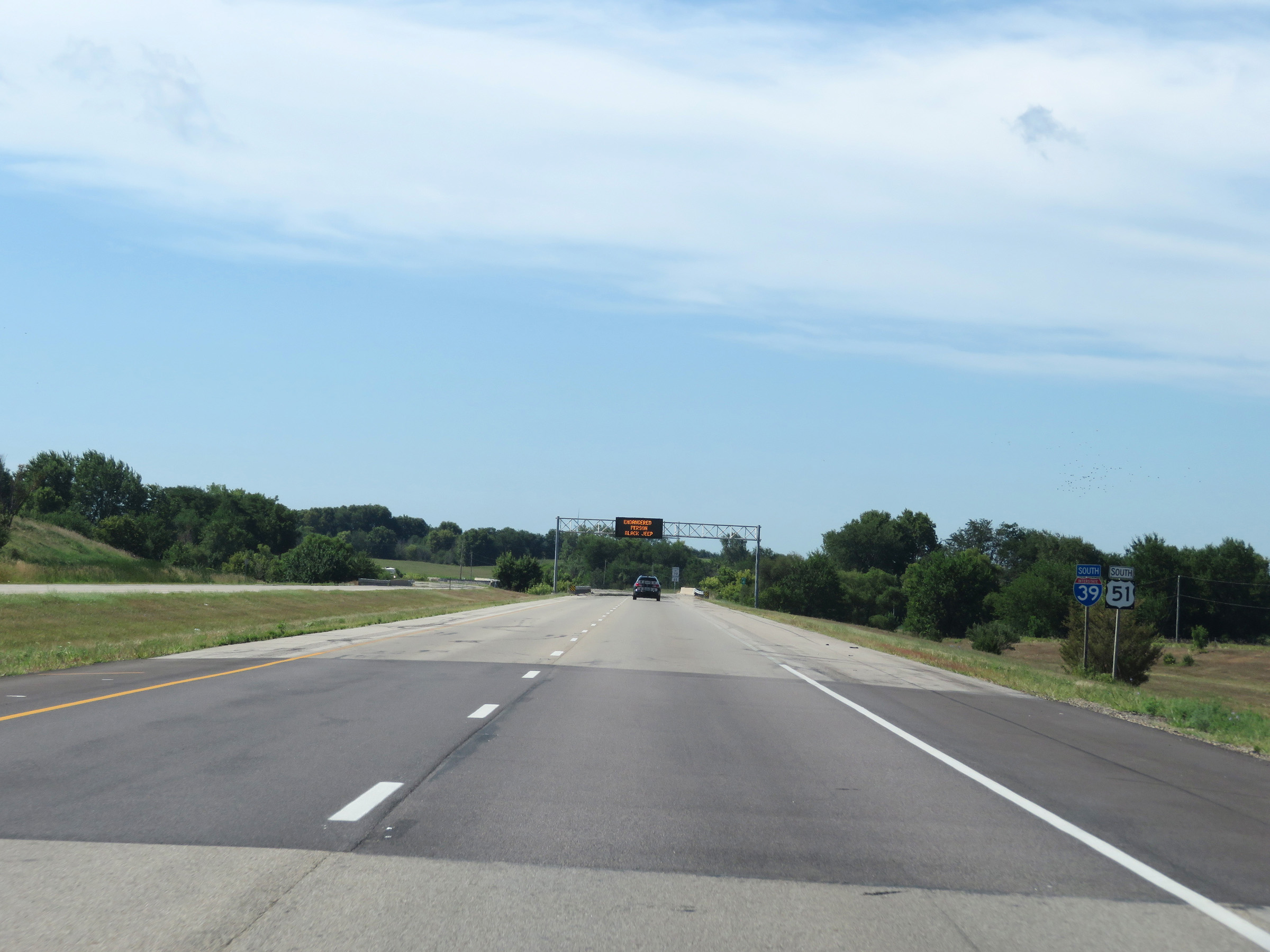 |
Interstate 39 South reassurance shield. (Photo taken 8/14/19). |
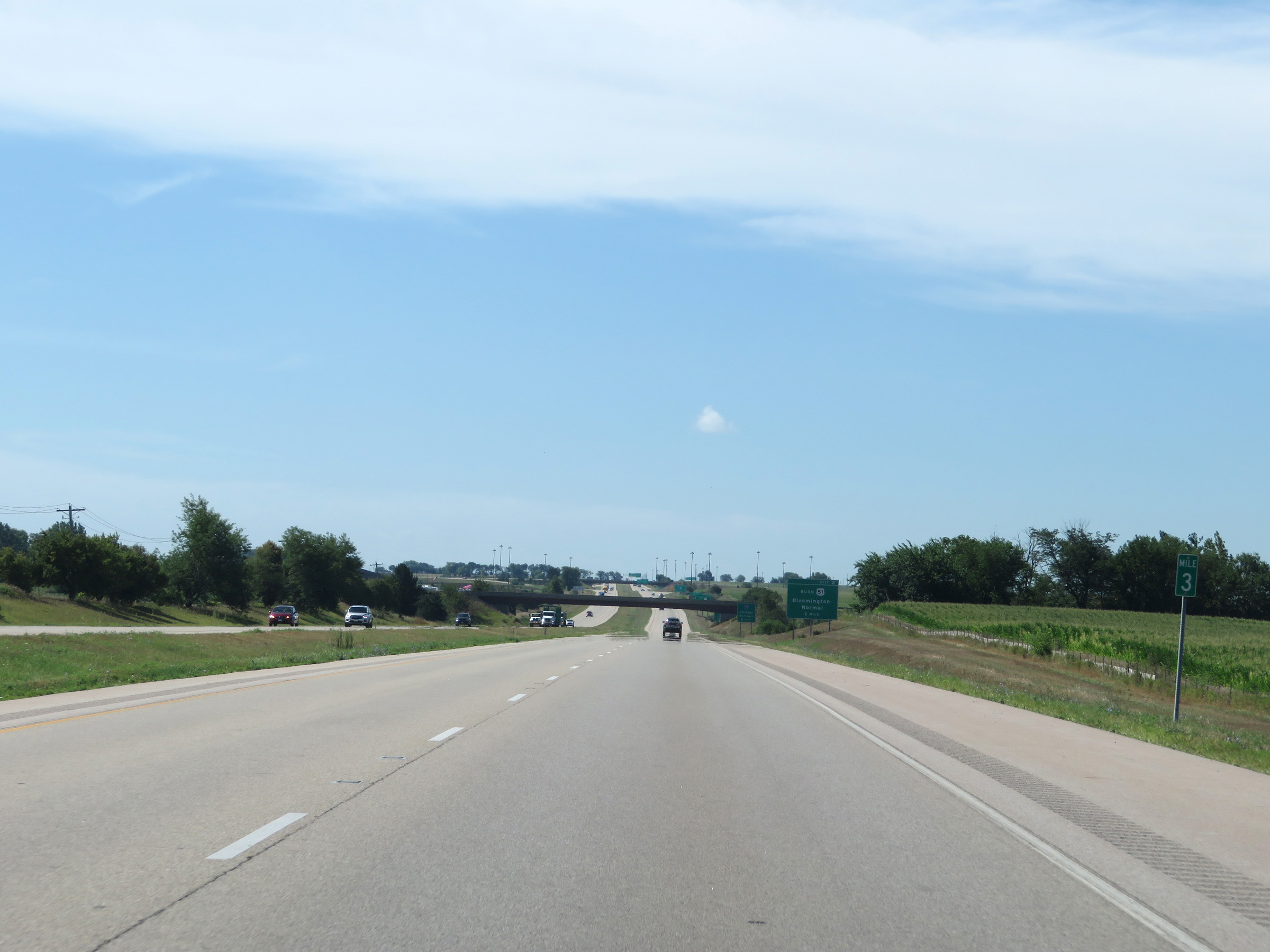 |
View on Interstate 39 South at mile marker 3. (Photo taken 8/14/19). |
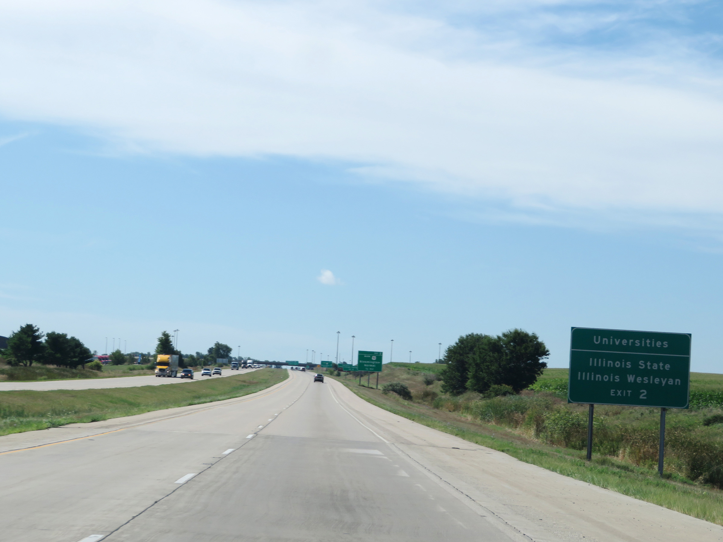 |
Take Exit 2 to Illinois State University and Illinois Wesleyan University. (Photo taken 8/14/19). |
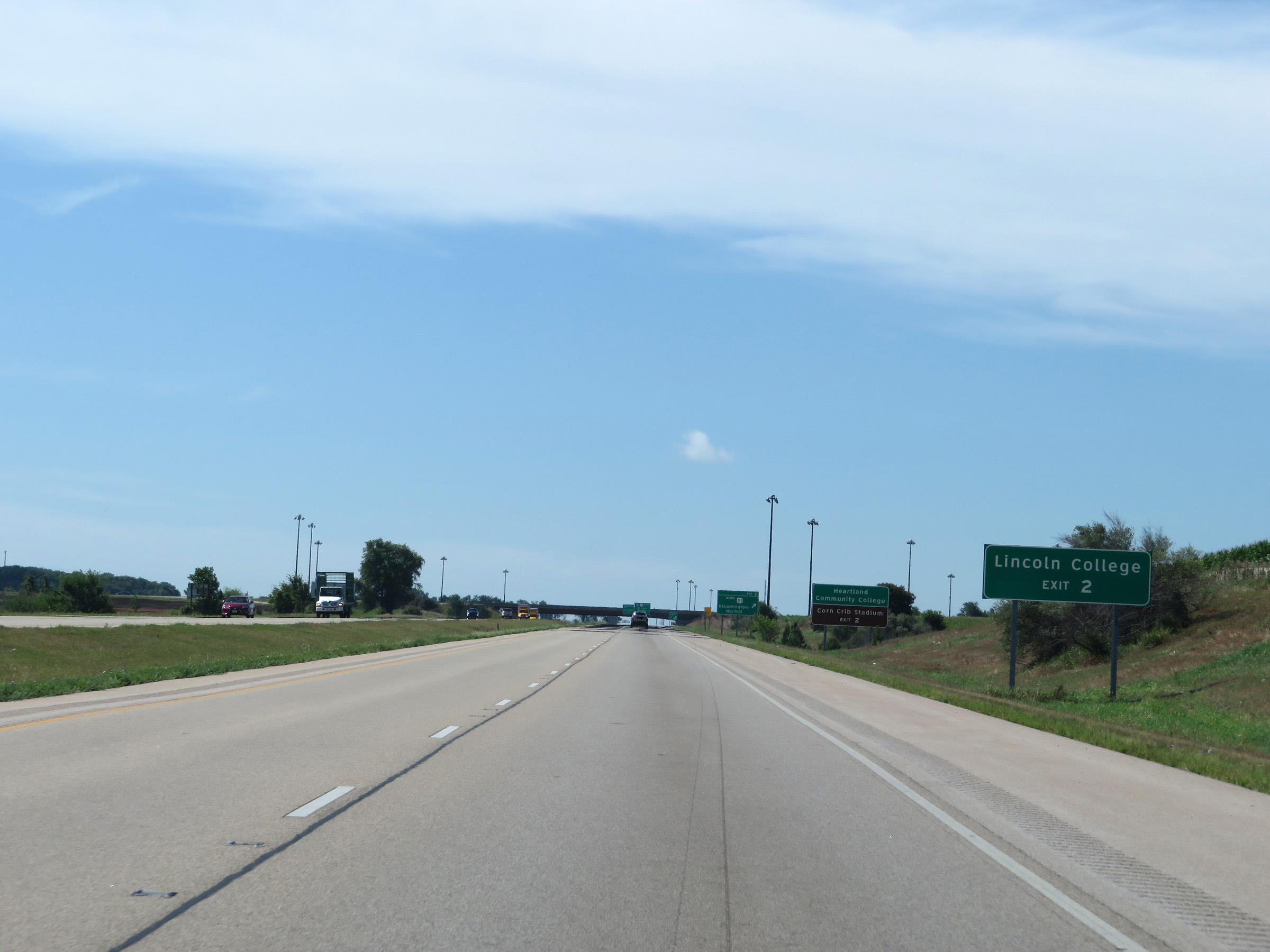 |
Also take Exit 2 to Lincoln College. (Photo taken 8/14/19). |
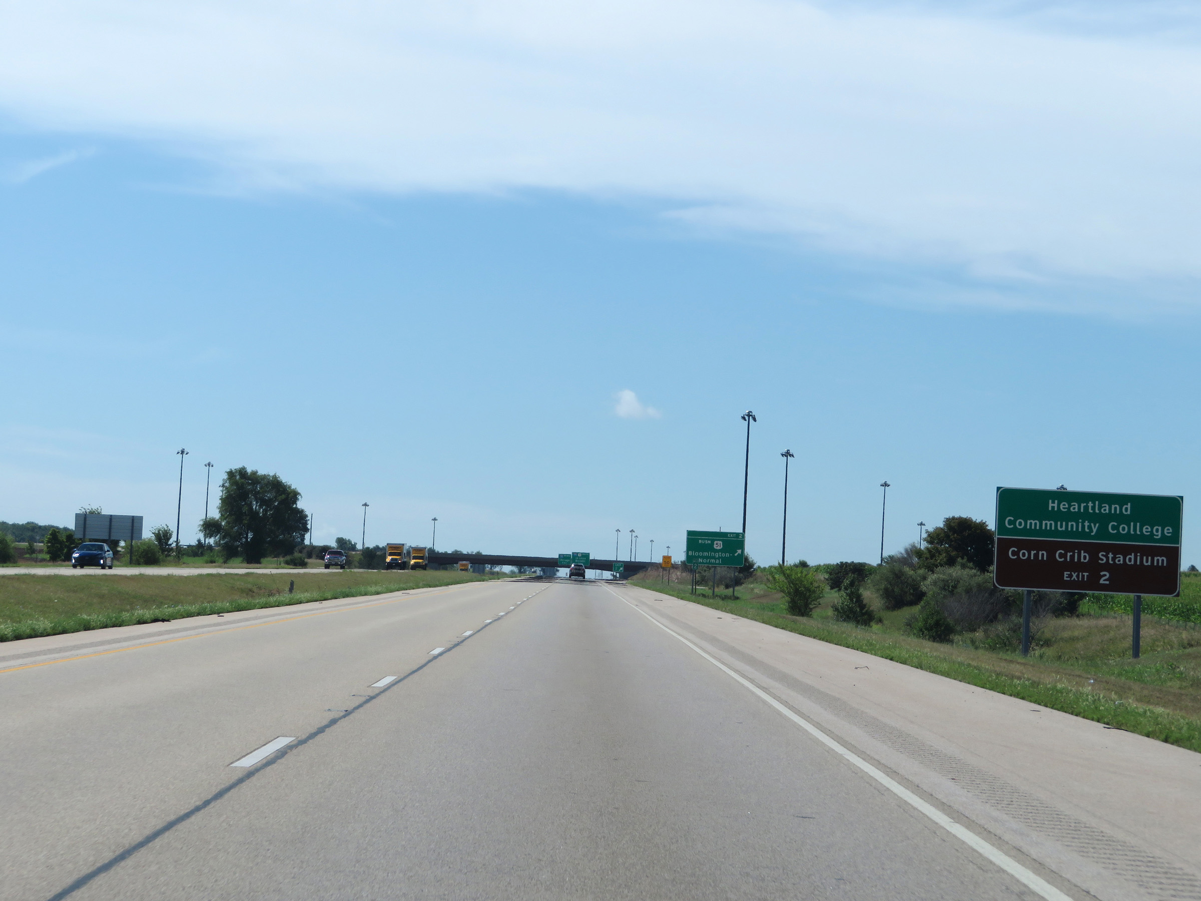 |
Take Exit 2 to Heartland Community College and Corn Crib Stadium as well. (Photo taken 8/14/19). |
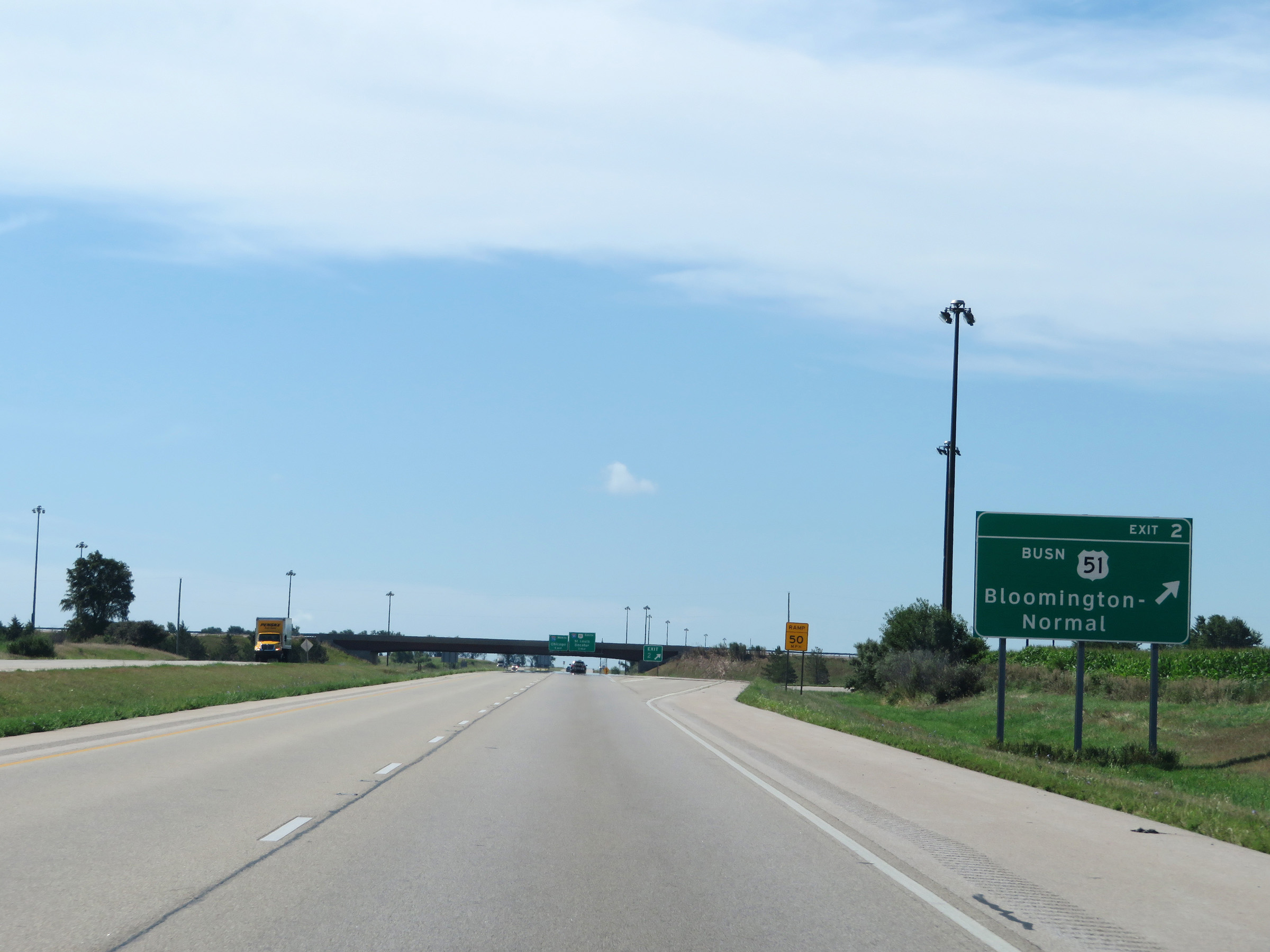 |
Interstate 39 South at Exit 2: US 51 Business - Bloomington-Normal (Photo taken 8/14/19). |
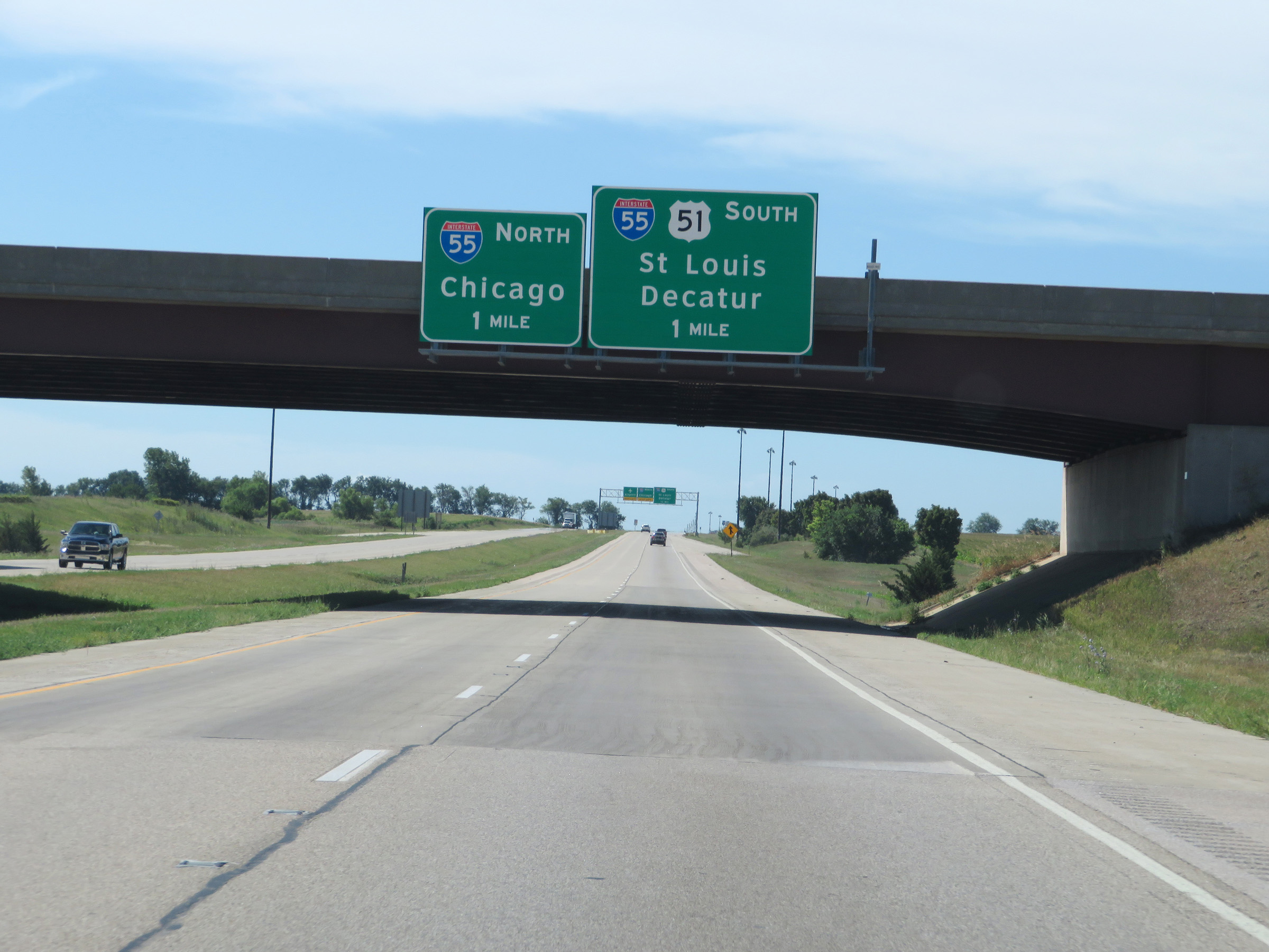 |
Interstate 39 South approaching its southern terminus at the junction of Interstate 55 - 1 mile ahead. (Photo taken 8/14/19). |
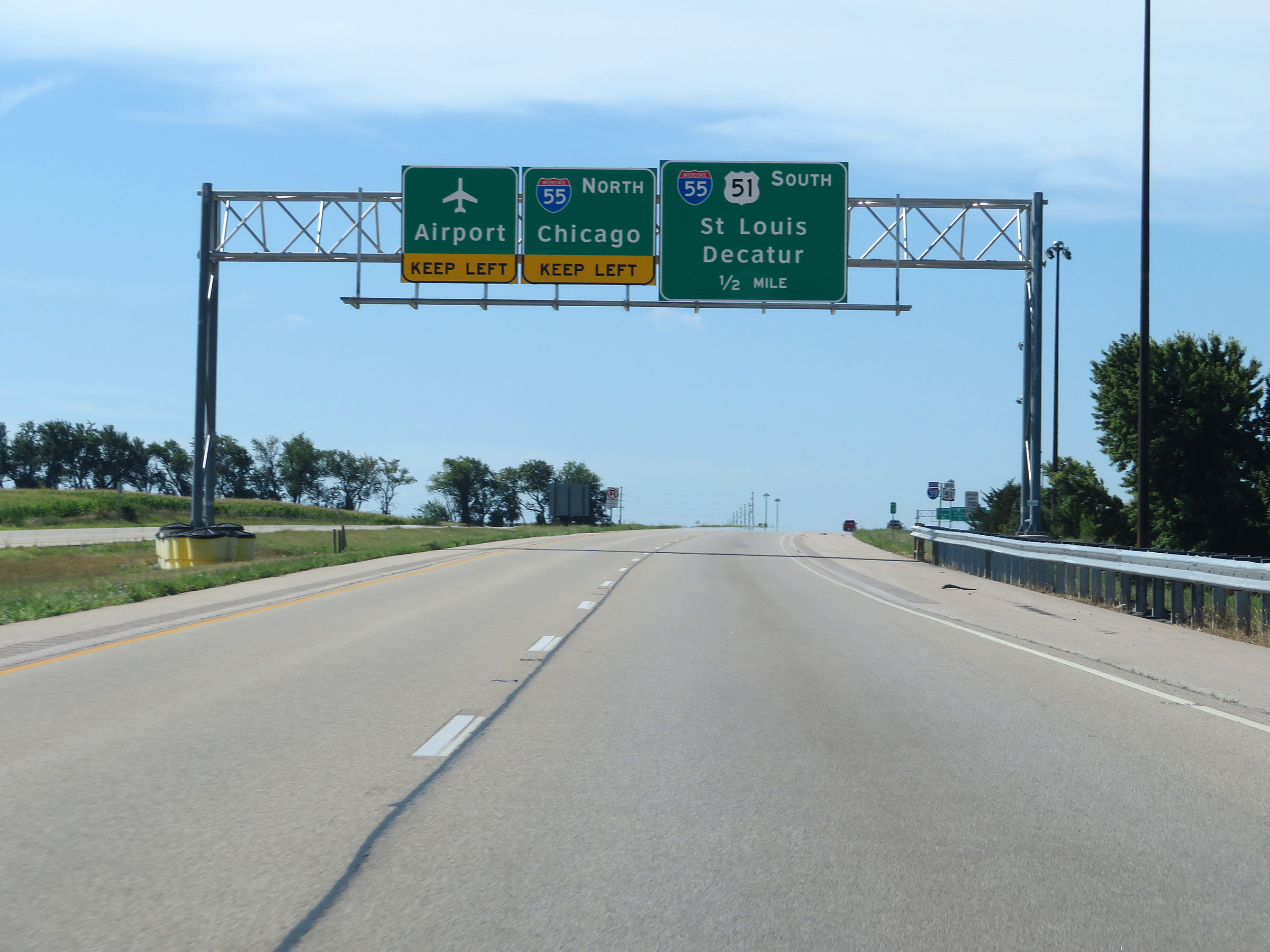 |
Traffic to the Airport should keep left and follow Interstate 55 North. (Photo taken 8/14/19). |
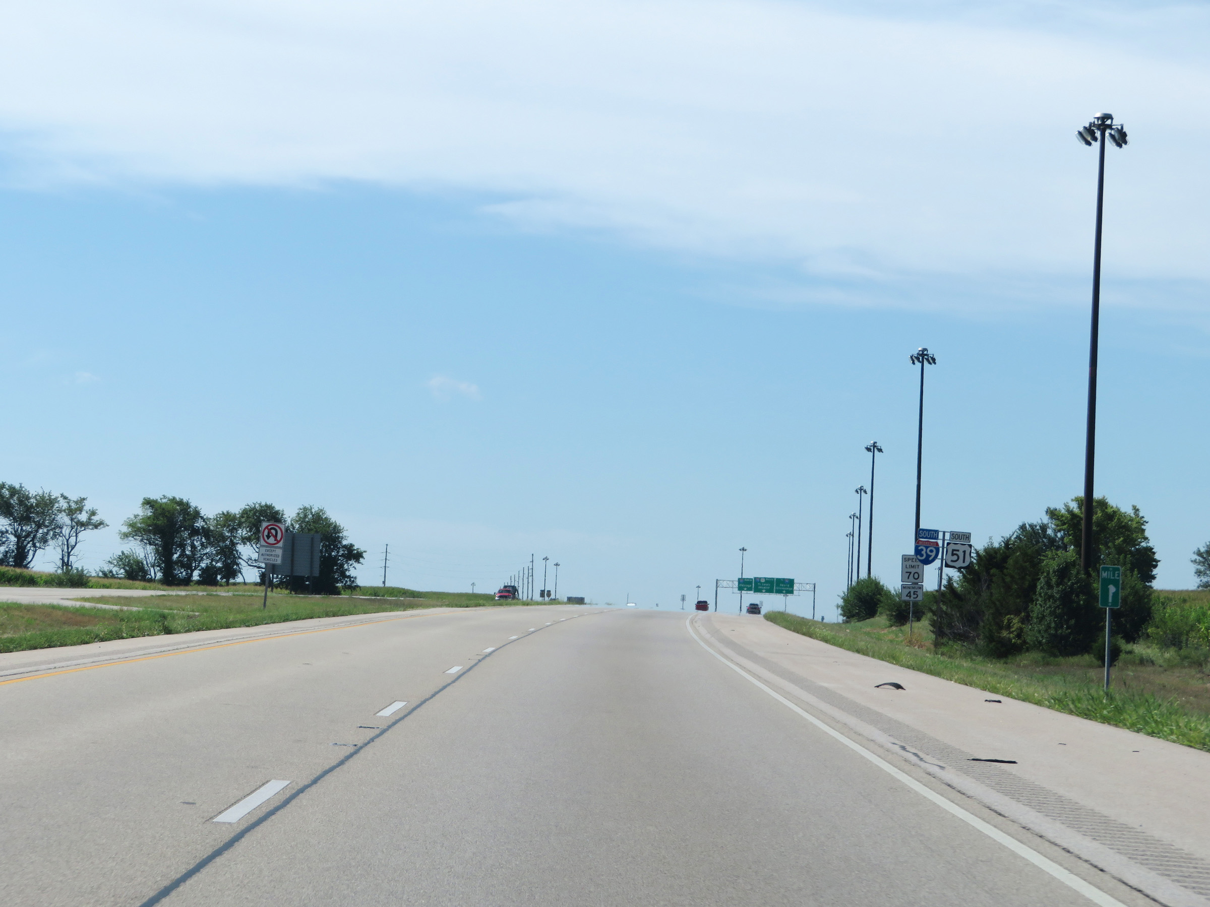 |
View on Interstate 39 South at mile marker 1. (Photo taken 8/14/19). |
 |
Interstate 39 South at Exit: Interstate 55 North - Chicago (Photo taken 8/14/19). |
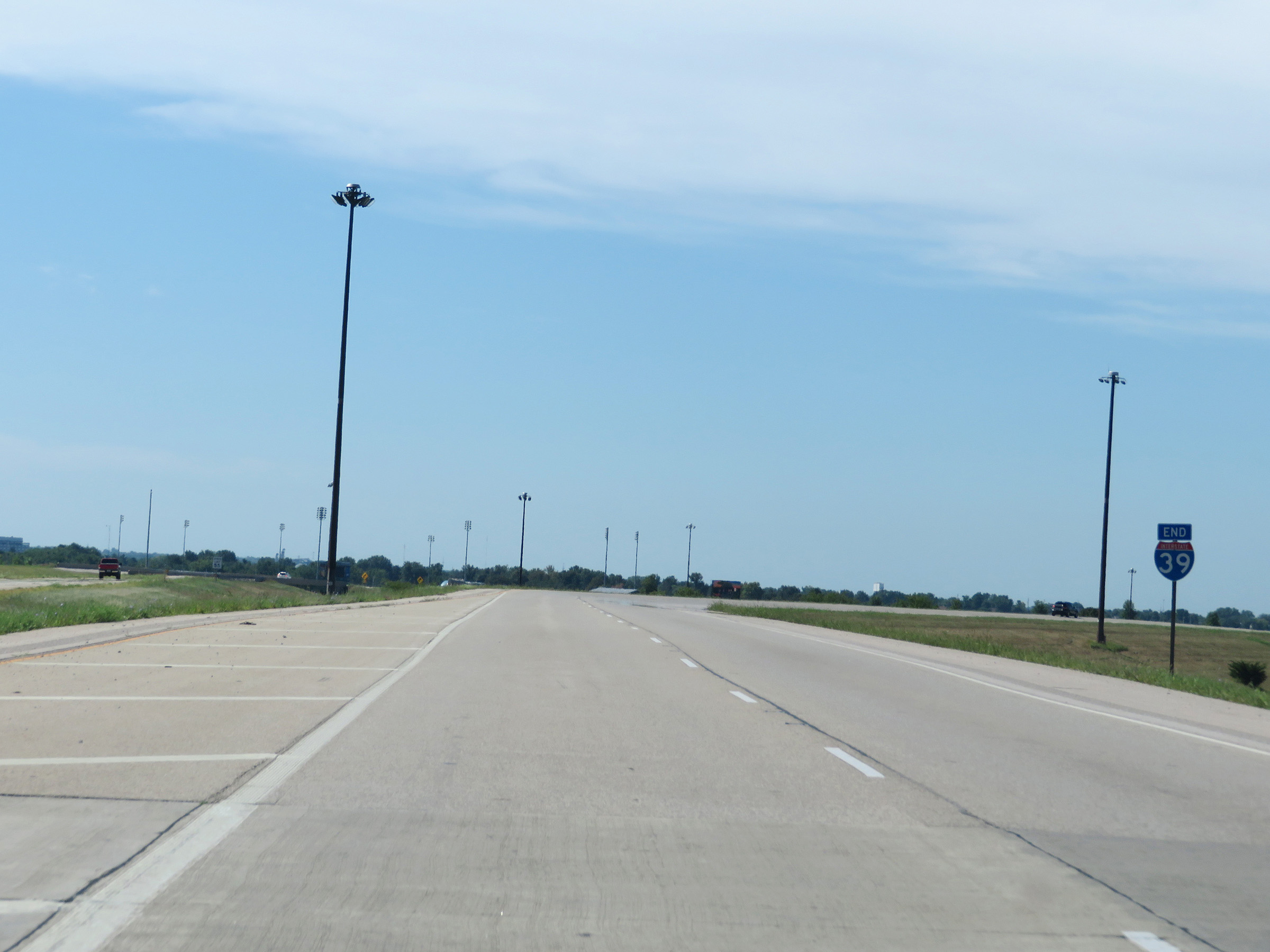 |
Interstate 39 END marker as its two southbound lanes continue as the ramp to Interstate 55 South in Normal. (Photo taken 8/14/19). |
 |
View on Interstate 39 South as its two southbound lanes transition into the ramp to Interstate 55 South in Normal. (Photo taken 8/14/19). |
 |
The ramp maintains the two southbound lanes of Interstate 39 as it curves to the west and prepares to join Interstate 55 South. (Photo taken 8/14/19). |
 |
The southbound lanes of Interstate 39 merge into Interstate 55 South at mile marker 164 in Normal. (Photo taken 8/14/19). |