Road Information |
||
 |
||
| Total Mileage in State: | 11 miles | |
| Northern End: | At I-285, near Forest Park | |
| Southern End: | At I-75, in Stockbridge | |
| Mileage covered in Photos: | 11 miles | |
| Counties covered in Photos: | Dekalb, Clayton, Henry | |
| Major Junctions in Photos: | I-75, in Stockbridge | |
| Control Cities in Photos: | Forest Park, Stockbridge | |
Southbound
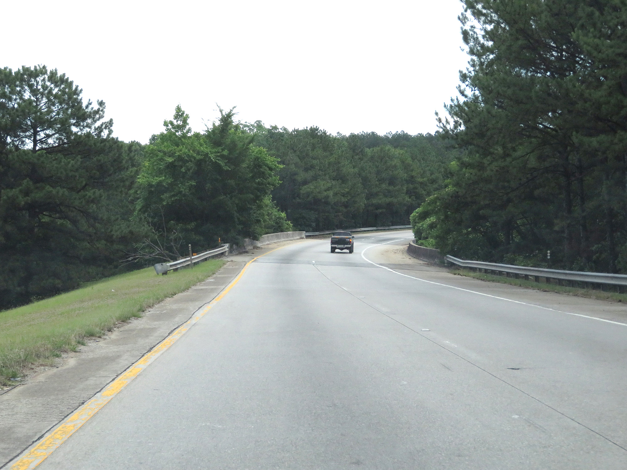 |
Merging onto Interstate 675 South from Interstate 285 Outer Loop (East) via Exit 52. (Photo taken 5/27/17). |
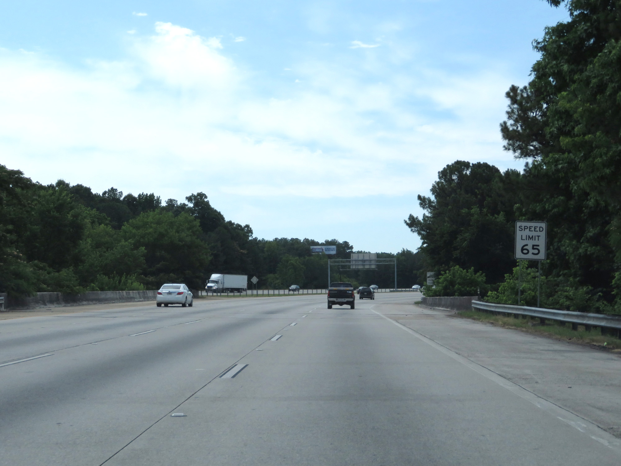 |
The maximum speed limit on Interstate 675 South starts out at 65 mph. (Photo taken 5/27/17). |
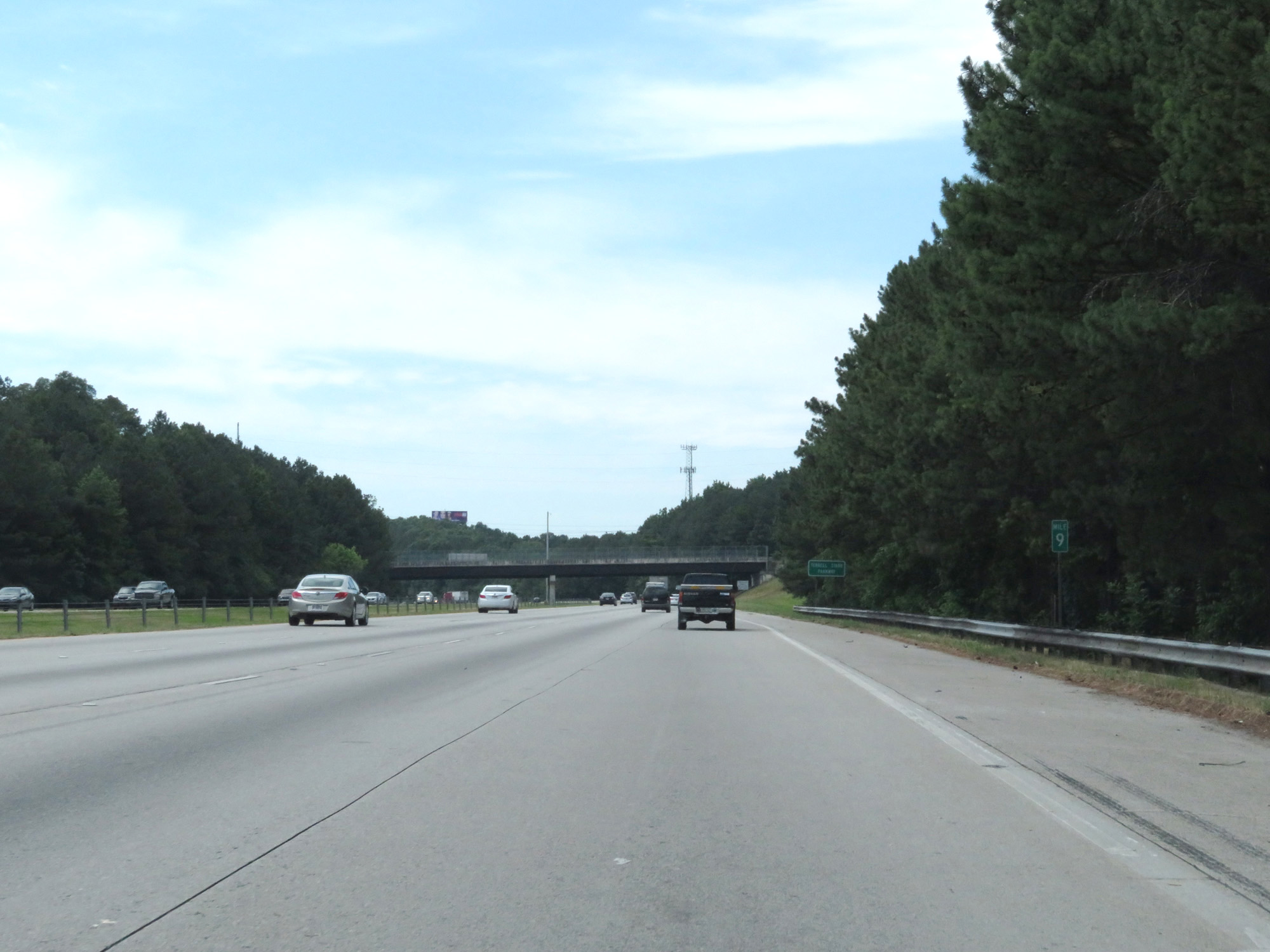 |
View on Interstate 675 South at mile marker 9. (Photo taken 5/27/17). |
 |
Interstate 675 in Georgia is also known as Terrell Starr Parkway, as this sign reads. (Photo taken 5/27/17). |
 |
Interstate 675 South starts out with 3 southbound lanes. As such, this sign warns that trucks over 6 wheels are restricted to the two rightmost lanes. (Photo taken 5/27/17). |
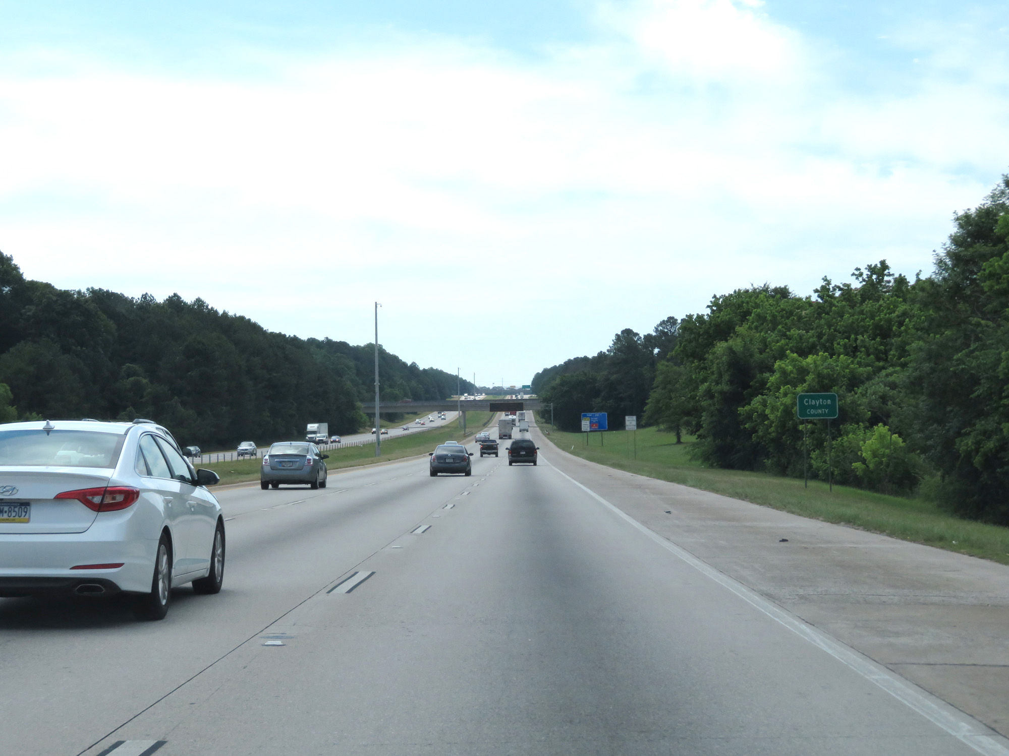 |
Interstate 675 South as it enters Clayton County. (Photo taken 5/27/17). |
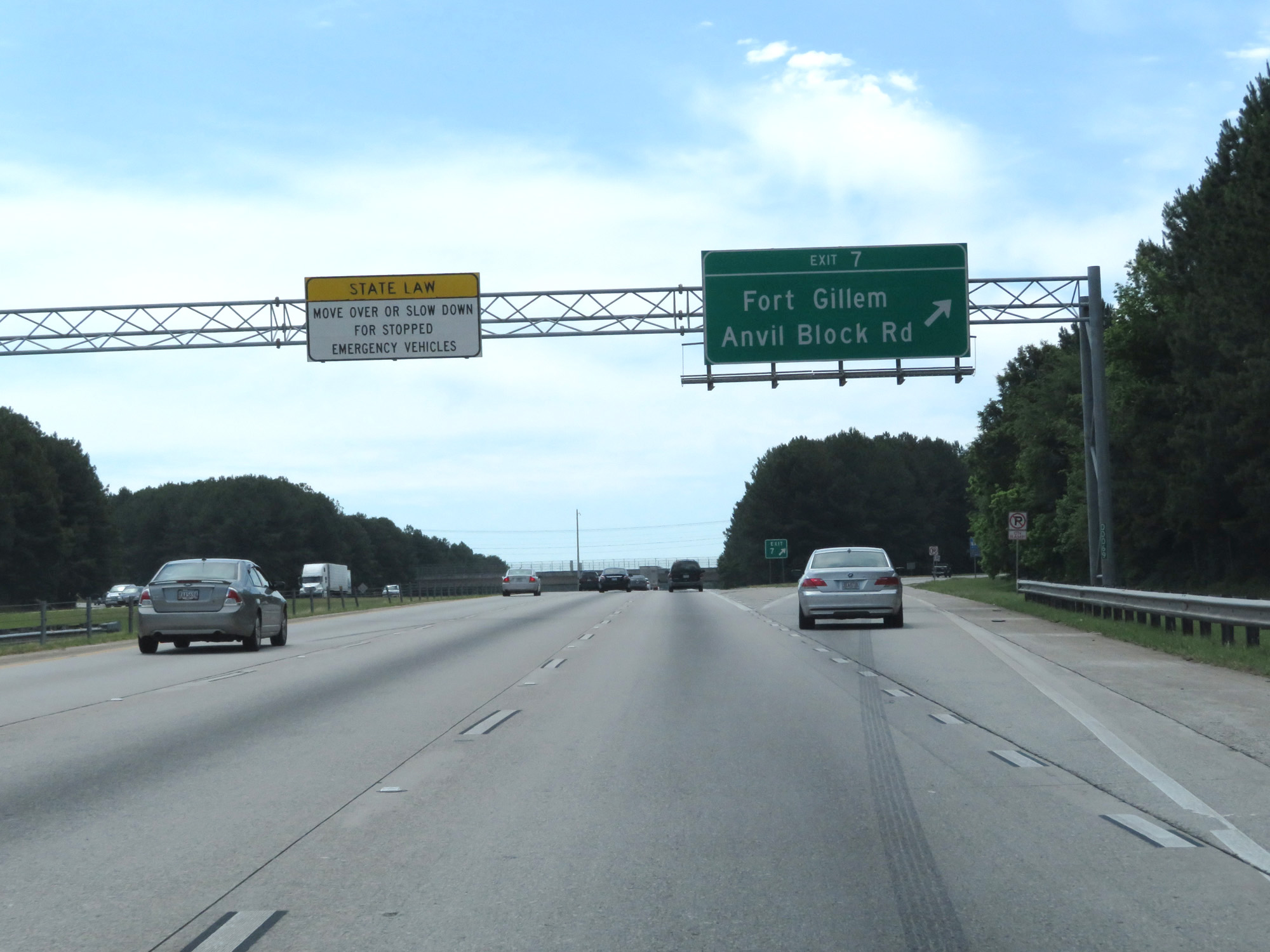 |
Interstate 675 South at Exit 7: Fort Gillem / Anvil Block Rd (Photo taken 5/27/17). |
 |
Take Exit 5 to Clayton State University, Georgia Archives, and National Archives. (Photo taken 5/27/17). |
 |
Interstate 675 South at Exit 5: Ellenwood Rd / Forest Pkwy (Photo taken 5/27/17). |
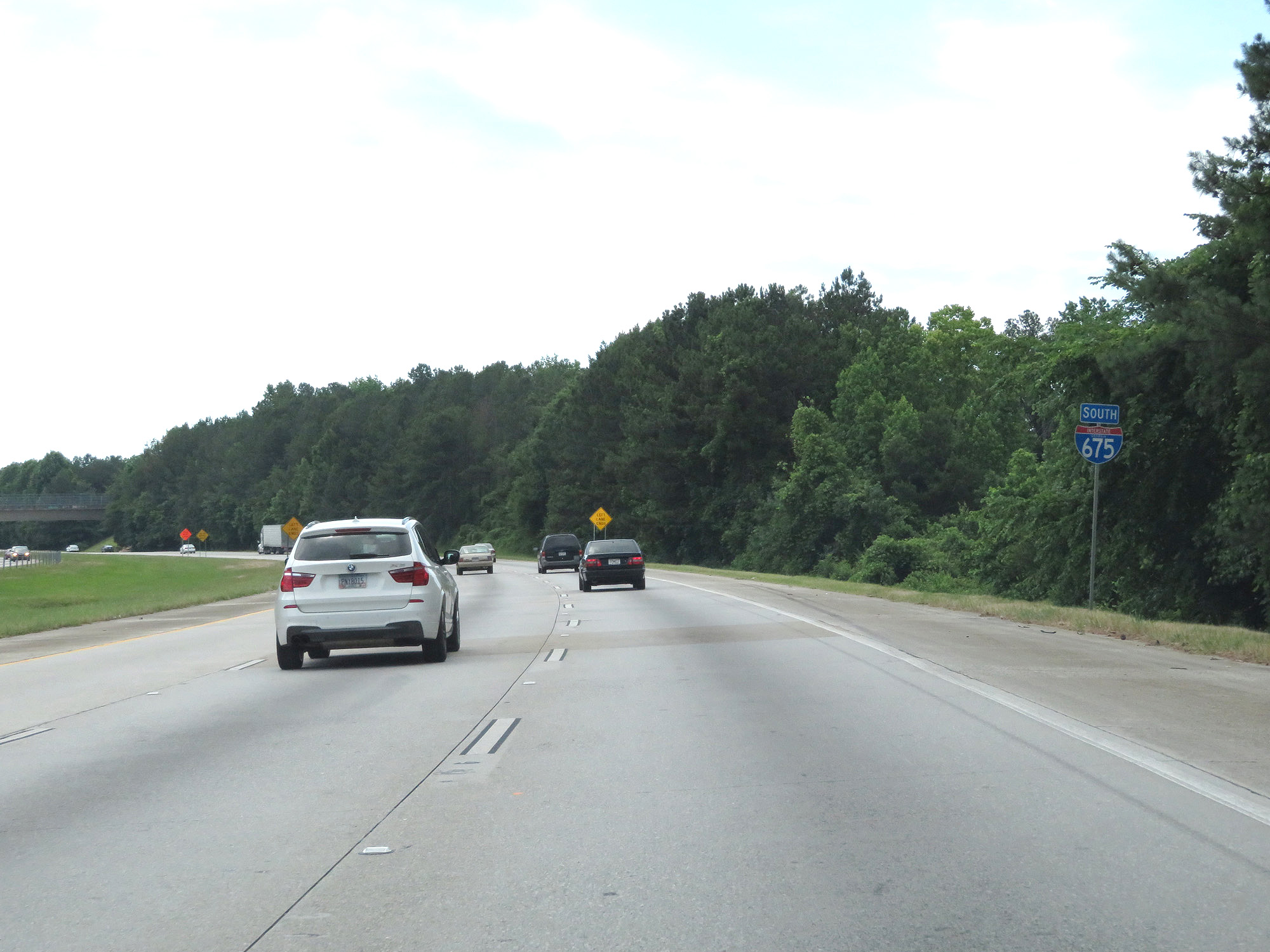 |
State-named Interstate 675 South reassurance shield. (Photo taken 5/27/17). |
 |
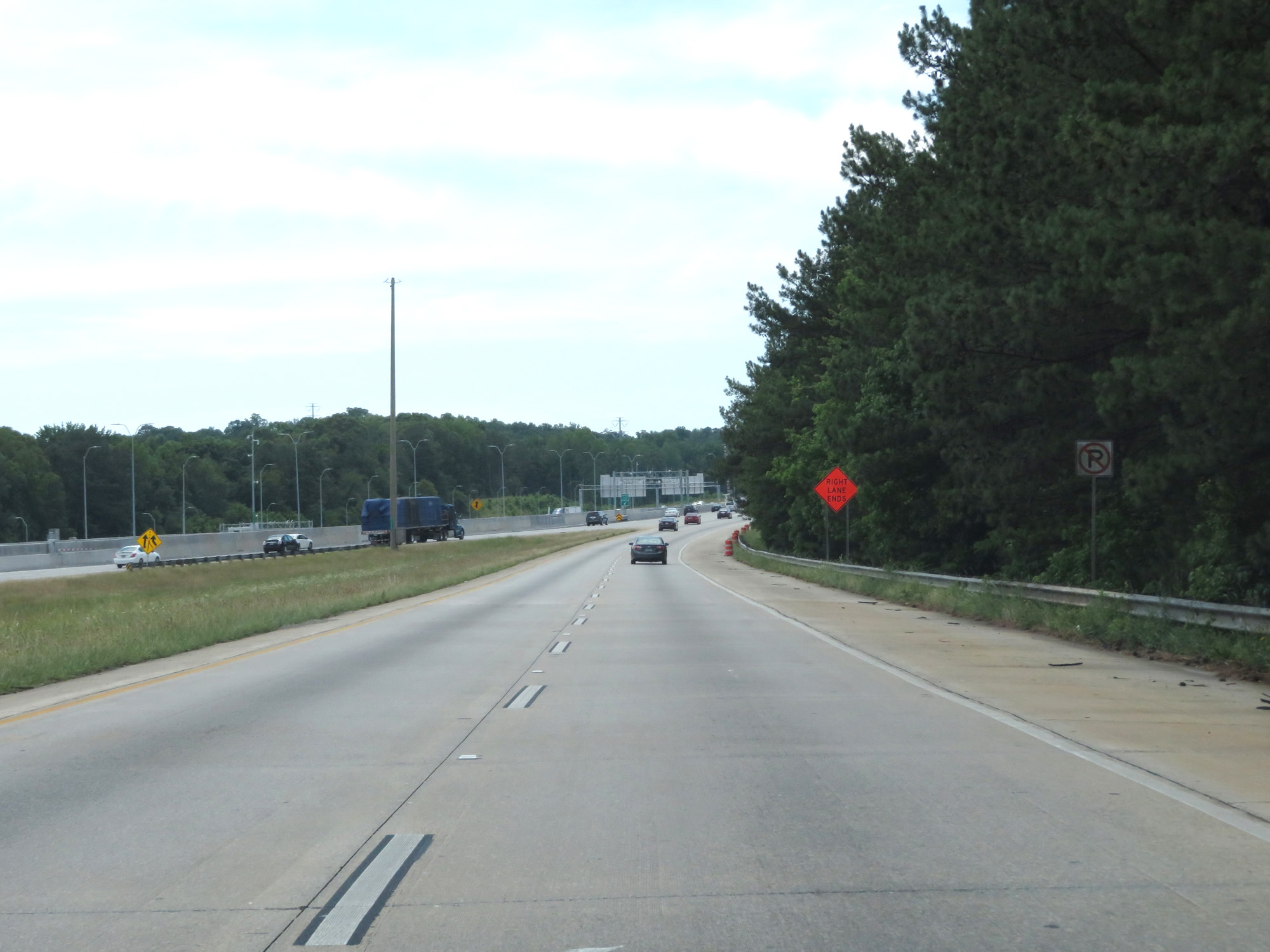
Near mile marker 4, the left lane prepares to come to an end leaving Interstate 675 with just two southbound lanes. (Photo taken 5/27/17). |
 |
The left lane comes to an end here. (Photo taken 5/27/17). |
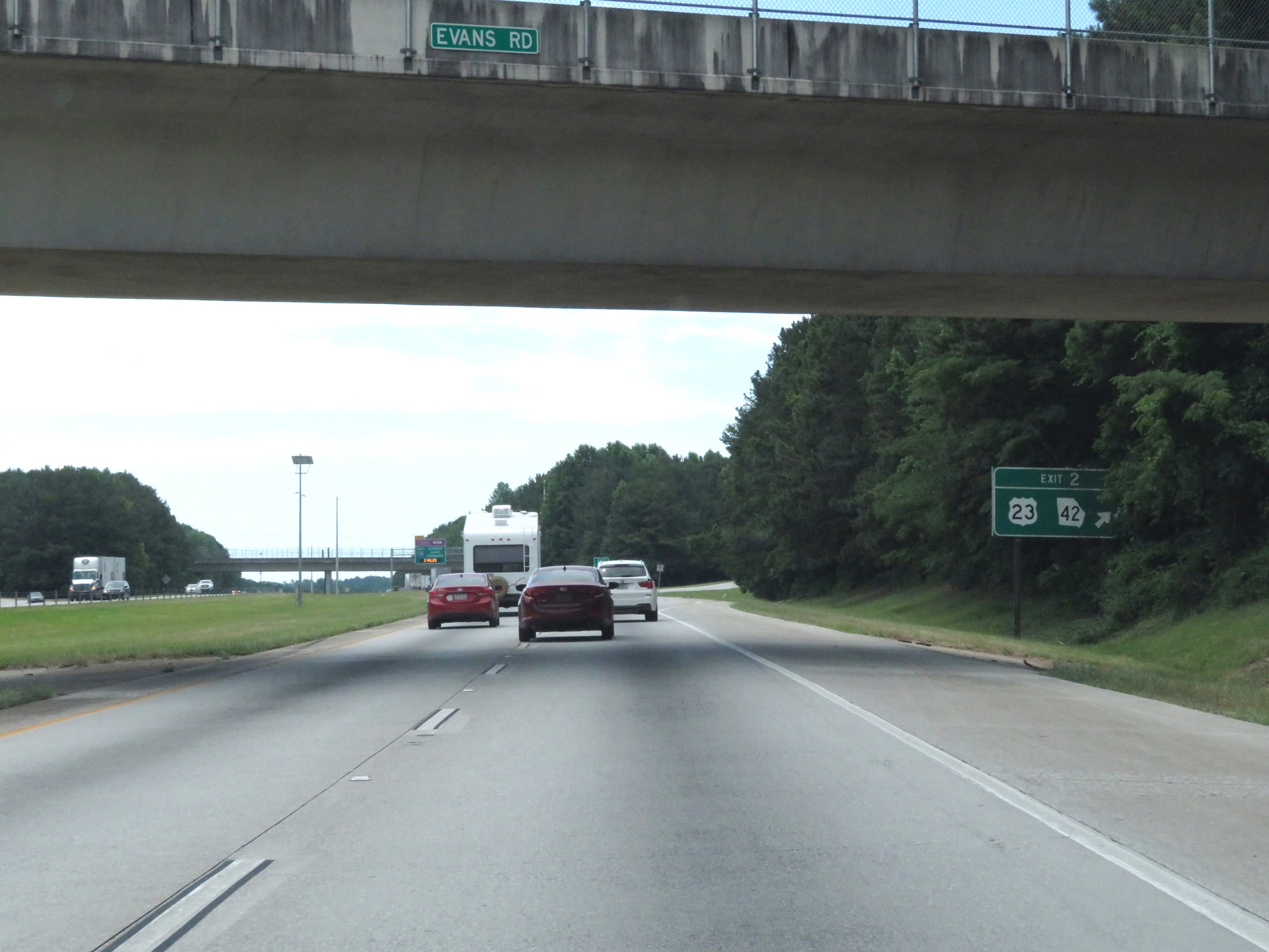 |
Interstate 675 South at Exit 2: US 23 / GA 42 (Photo taken 5/27/17). |
 |
This overhead sign displays the first two exits on Interstate 75 South available from the express lanes, which can be accessed directly from Interstate 675 South ahead on the left. (Photo taken 5/27/17). |
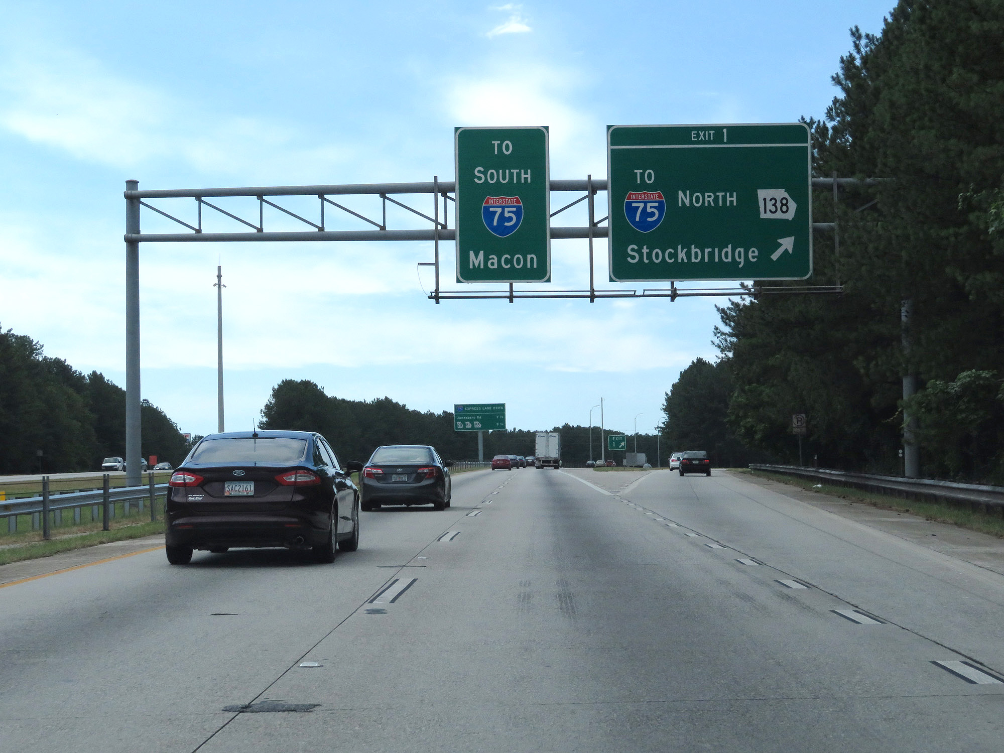 |
Interstate 675 South at Exit 1: GA 138 / To Interstate 75 North - Stockbridge (Photo taken 5/27/17). |
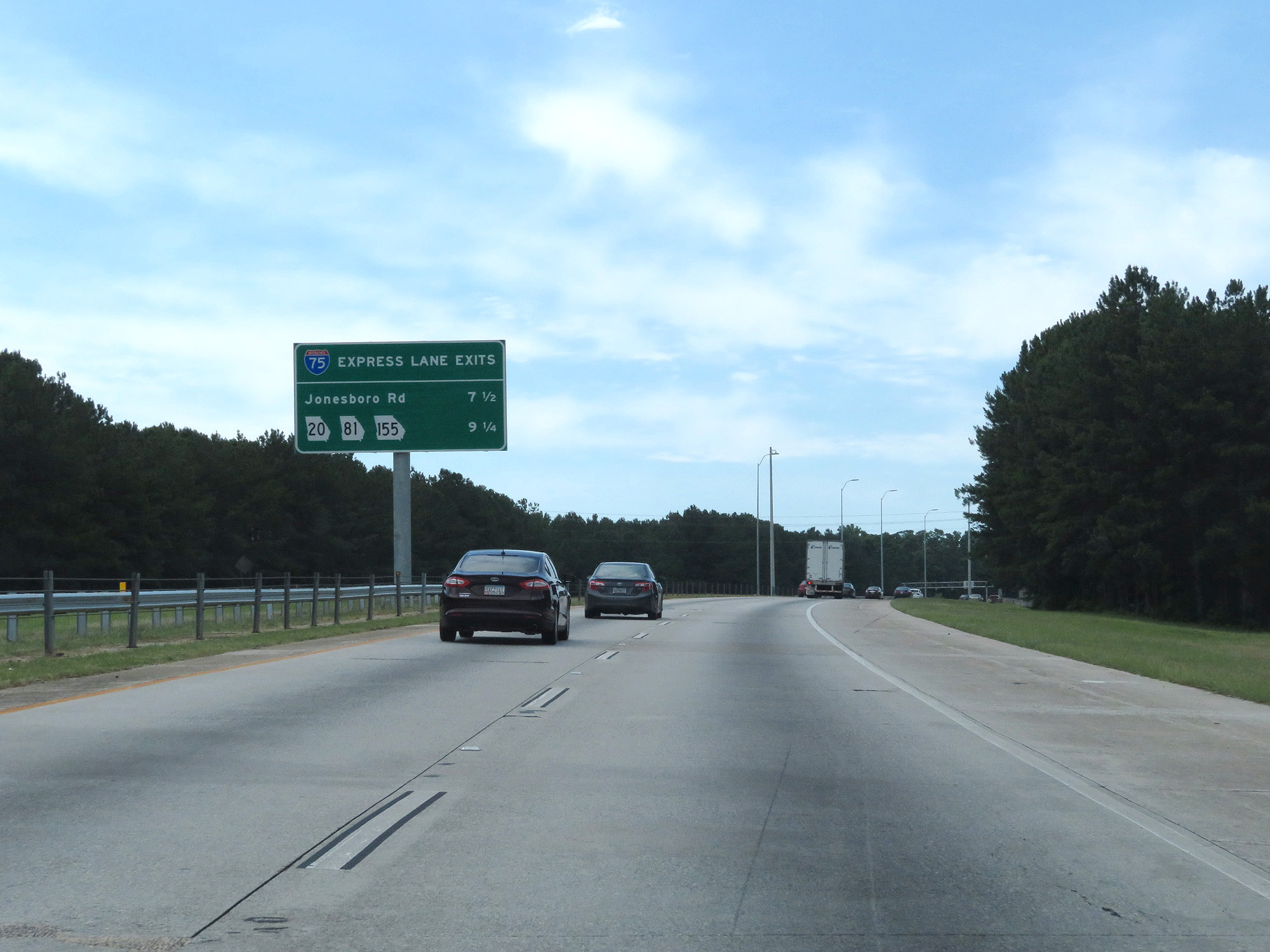 |
Approaching the express lane ramp, which will be ahead on the left, this sign lists the distances to the first two Interstate 75 South exits accessible from it. (Photo taken 5/27/17). |
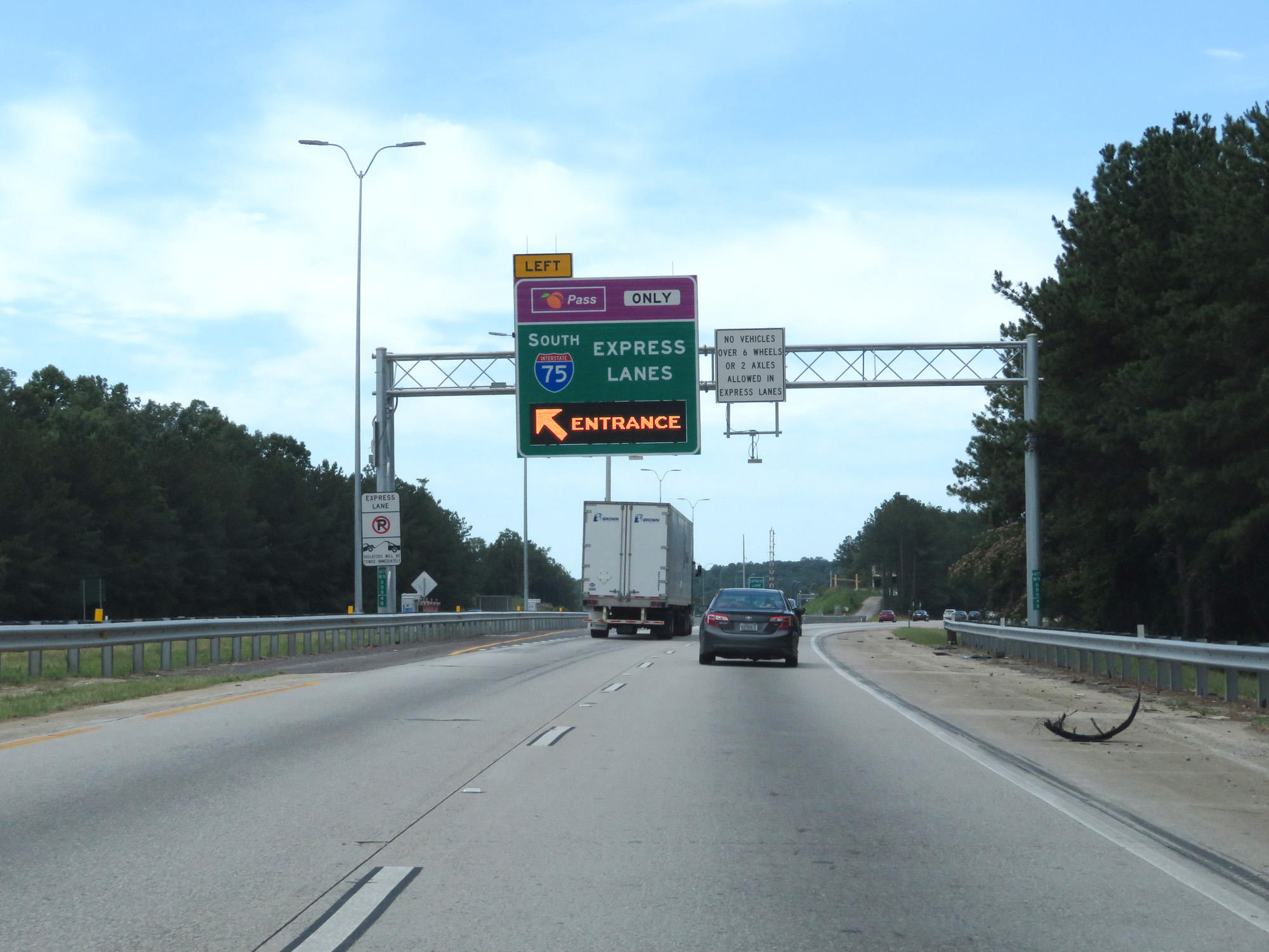 |
Interstate 675 South at the expres lane entrance to Interstate 75's southbound express lanes. The express lanes are tolled electronically, so a Peach Pass transponder is required to use them. Also, trucks over 6 wheels are prohibited from using the express lanes. (Photo taken 5/27/17). |
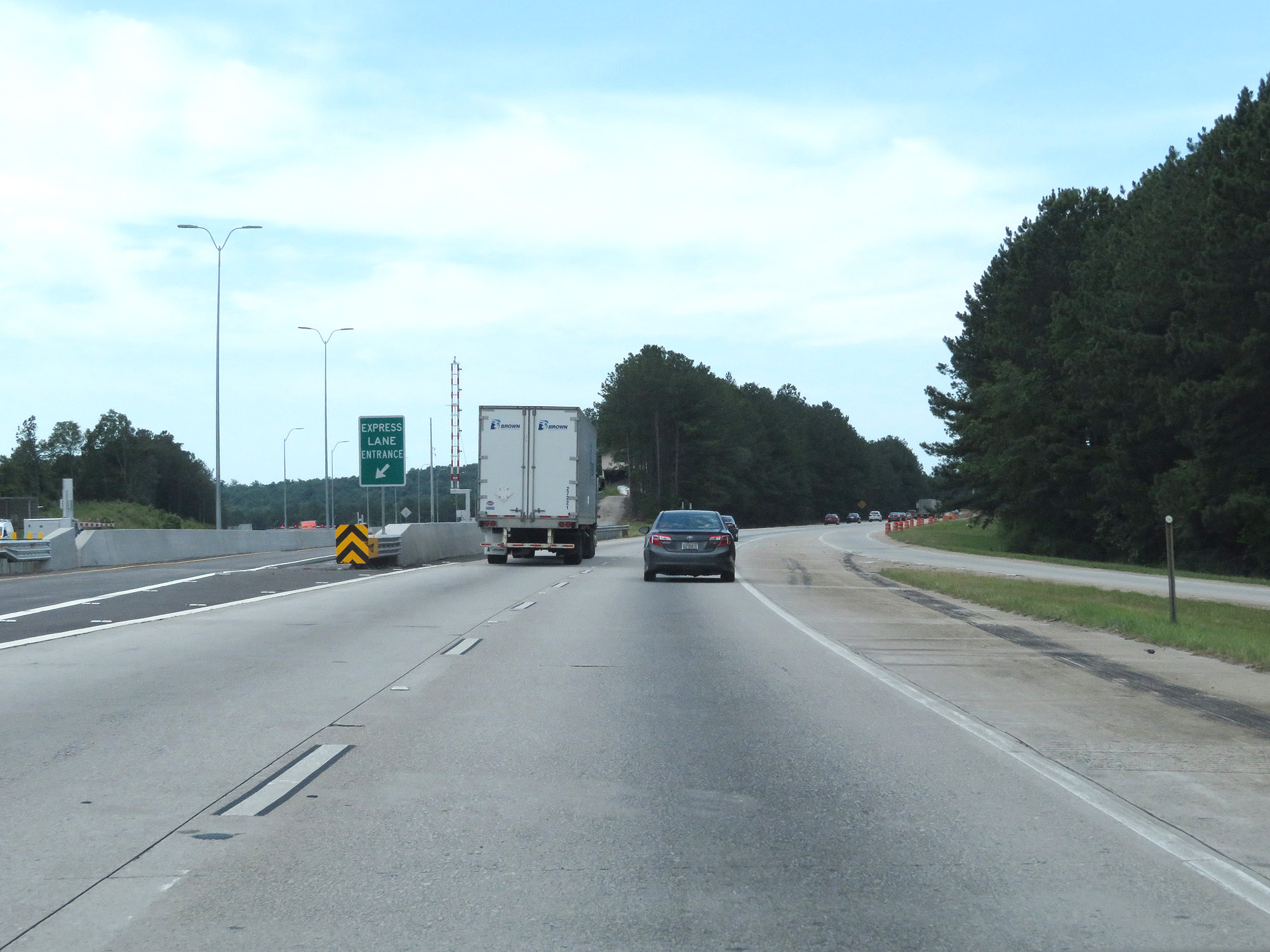 |
A closer view of the express lane entrance on the left. (Photo taken 5/27/17). |
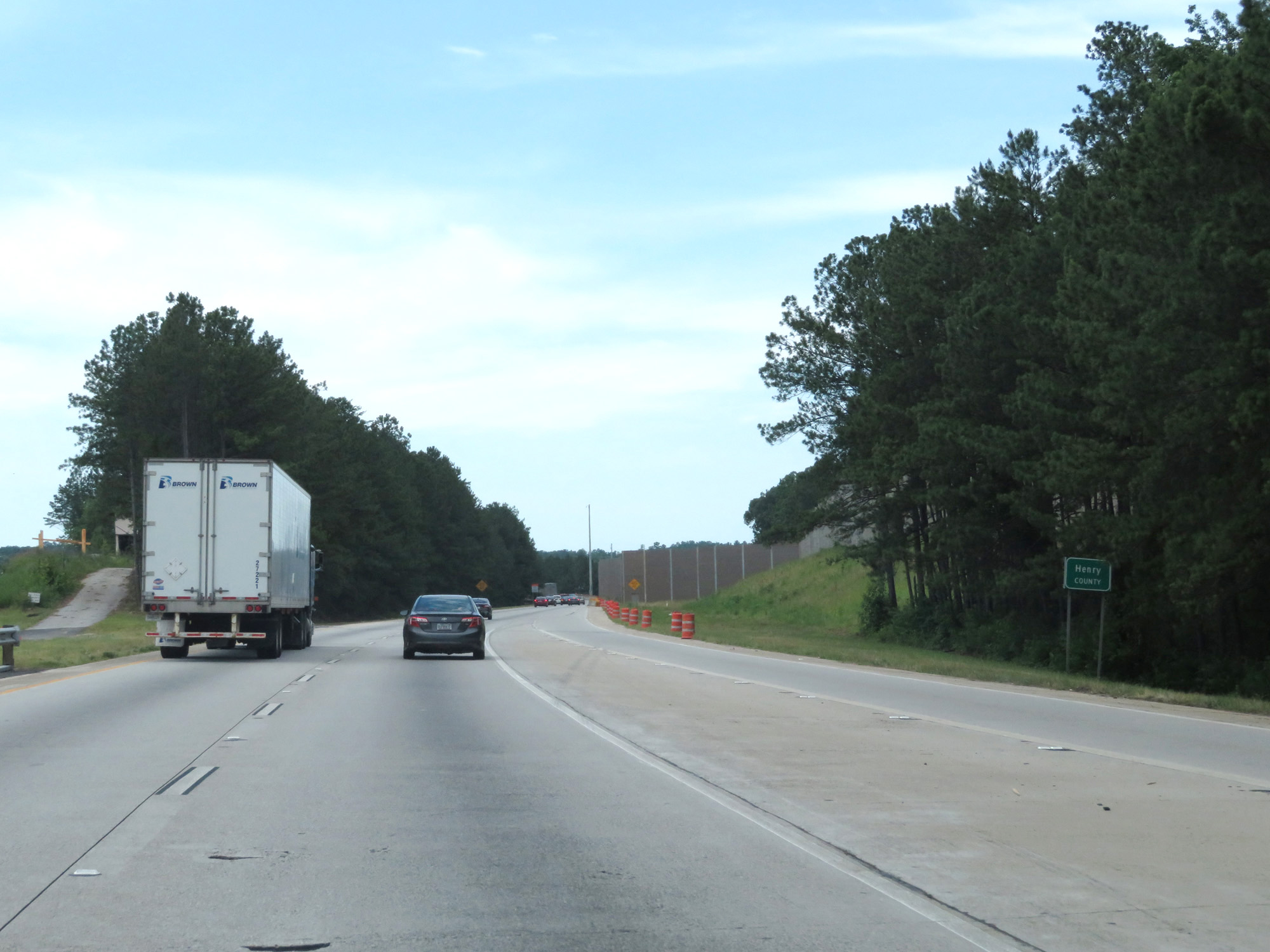 |
Interstate 675 South as it enters Henry County, approaching its southern terminus at Interstate 75 South. Although I-675 is only about 11 miles long, it passes through three different counties. (Photo taken 5/27/17). |
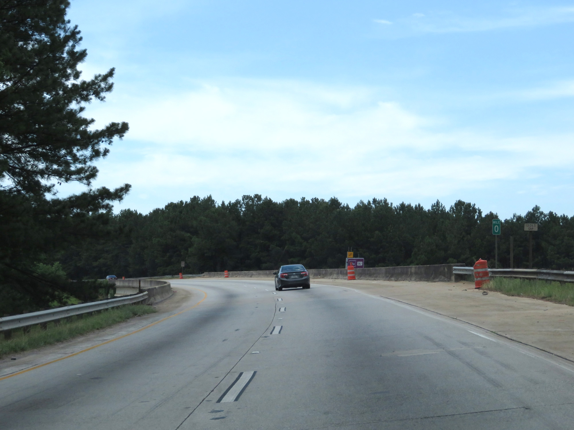 |
Interstate 675 South at mile marker 0, as its two southbound lanes become the ramp to Interstate 75 South. (Photo taken 5/27/17). |
 |
Interstate 675 reaches its southern terminus here, as it prepares to merge into the southbound lanes of Interstate 75. (Photo taken 5/27/17). |