Road Information |
||
 |
||
| Total Mileage in State: | 72 miles | |
| Northern End: | At Missouri state line | |
| Southern End: | At Tennessee state line | |
| Mileage covered in Photos: | 72 miles | |
| Counties covered in Photos: | Mississippi, Crittenden | |
| Major Junctions in Photos: | I-555/US 63, in Turrell I-40, in West Memphis |
|
| Control Cities in Photos: | Blytheville, West Memphis | |
Southbound
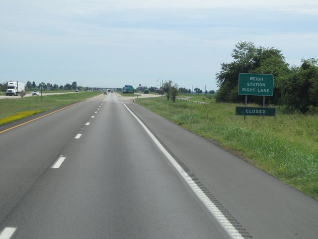 |
Interstate 55 South at the Weigh Station located near mile marker 72, as soon as I-55 crosses into Arkansas from Missouri. (Photo taken 8/24/11). |
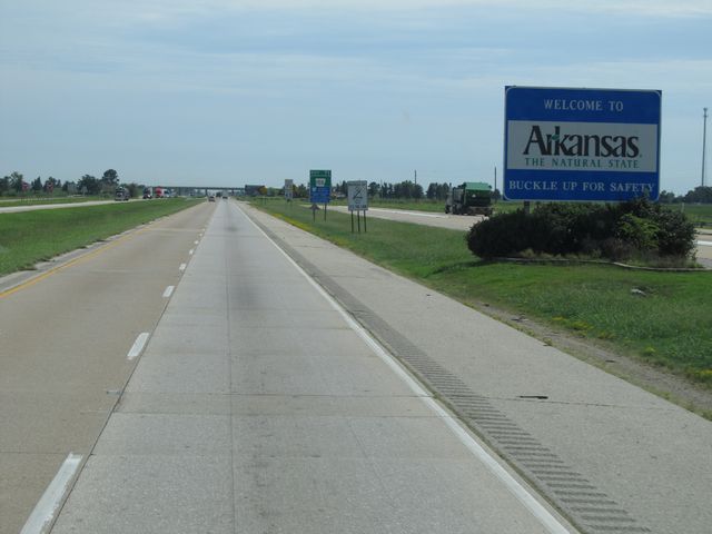 |
Arkansas welcome sign located at the Weigh Station, near mile marker 72. (Photo taken 8/24/11). |
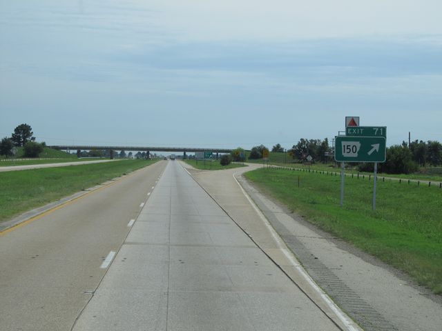 |
Interstate 55 South at Exit 71: AR 150 (Photo taken 8/24/11). |
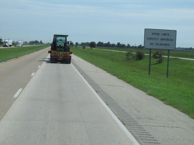 |
Sign near mile marker 71 indicating that speed laws are strictly enforced in Arkansas, and there is no tolerance. (Photo taken 8/24/11). |
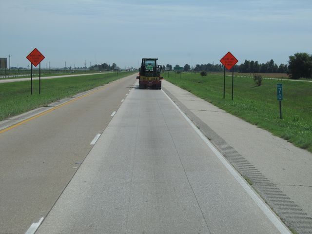 |
Interstate 55 South: Road view from mile marker 70. (Photo taken 8/24/11). |
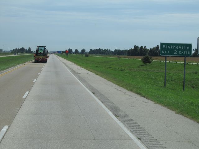 |
Use either of the next 2 exits to get to Blytheville. (Photo taken 8/24/11). |
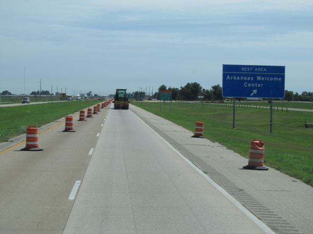 |
Interstate 55 South at the Rest Area / Arkansas Welcome Center located near mile marker 69. (Photo taken 8/24/11). |
 |
Interstate 55 South approaching Exit 67 - 3/4 mile. (Photo taken 8/24/11). |
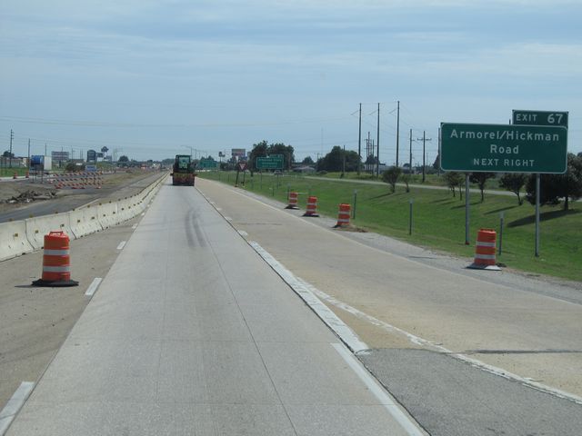 |
Use Exit 67 for Amorel / Hickman Road (Photo taken 8/24/11). |
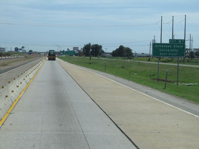 |
Use Exit 67 for Arkansas State University. (Photo taken 8/24/11). |
 |
Also use the next exit (Exit 67) for the Natural State Golf Trail. (Photo taken 8/24/11). |
 |
Interstate 55 South at Exit 67: AR 18 - Blytheville (Photo taken 8/24/11). |
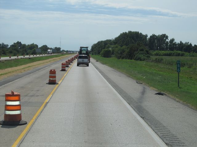 |
Interstate 55 South: Road view from mile marker 66. (Photo taken 8/24/11). |
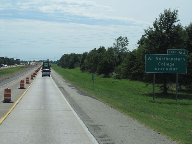 |
Use Exit 63 for Arkansas Northeastern College. (Photo taken 8/24/11). |
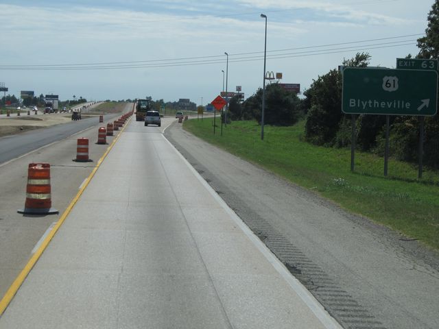 |
Interstate 55 South at Exit 63: US 61 - Blytheville (Photo taken 8/24/11). |
 |
Interstate 55 South assurance shield located near mile marker 62. (Photo taken 8/24/11). |
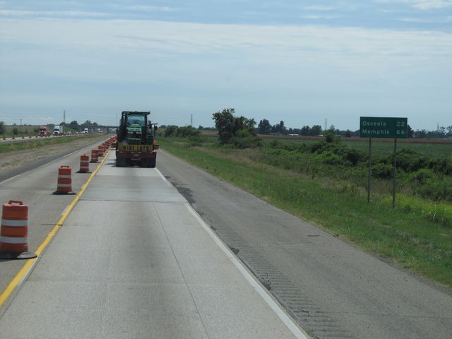 |
Mileage sign located near mile marker 62. It's 22 miles to Osceola and 66 miles to Memphis. (Photo taken 8/24/11). |
 |
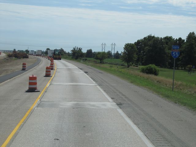
Interstate 55 South: Road view from mile marker 61. (Photo taken 8/24/11). |
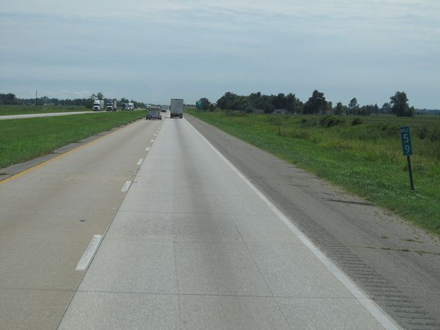 |
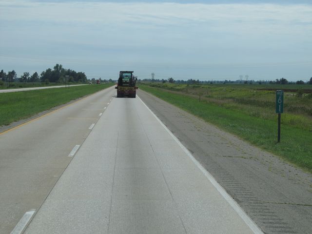
Interstate 55 South: Road view from mile marker 59. (Photo taken 8/24/11). |
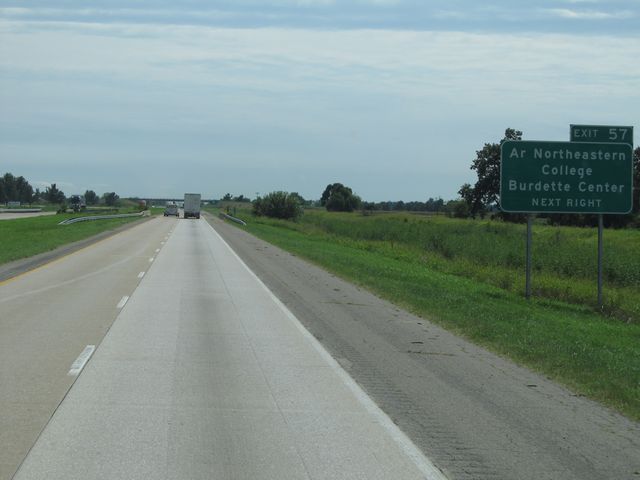 |
Use Exit 57 for Arkansas Northeastern College and Burdette Center. (Photo taken 8/24/11). |
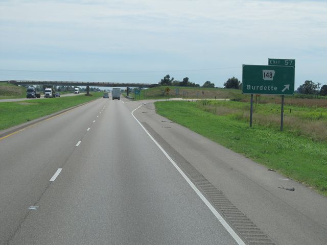 |
Interstate 55 South at Exit 57: AR 148 - Burdette (Photo taken 8/24/11). |
 |
Speed limit sign located near mile marker 57. The speed limits on most rural Arkansas Interstates used to be 70 mph for cars and 65 mph for trucks. However, they have since eliminated split speed limits in Arkansas and all traffic is permitted to go 70 mph. (Photo taken 8/24/11). |
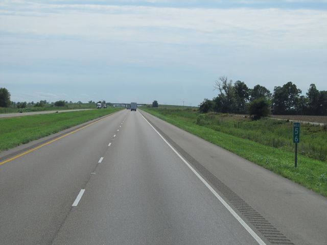 |
Interstate 55 South: Road view from mile marker 56. (Photo taken 8/24/11). |
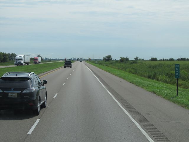 |
Interstate 55 South: Road view from mile marker 55. (Photo taken 8/24/11). |
 |
Interstate 55 South at Exit 53: AR 158 - Victoria / Luxora (Photo taken 8/24/11). |
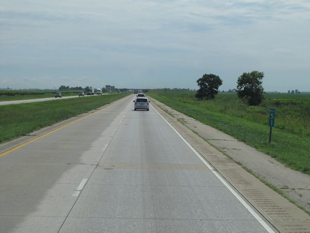 |
Interstate 55 South: Road view from mile marker 51. (Photo taken 8/24/11). |
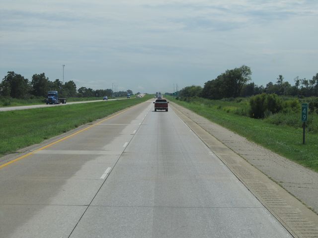 |
Interstate 55 South: Road view from mile marker 49. (Photo taken 8/24/11). |
 |
Interstate 55 South at Exit 48: AR 140 - Osceola (Photo taken 8/24/11). |
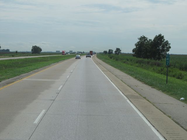 |
Interstate 55 South: Road view from mile marker 47. (Photo taken 8/24/11). |
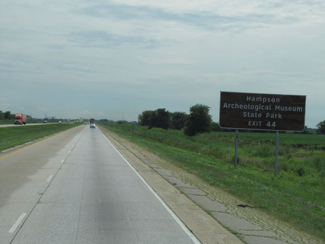 |
Use Exit 44 for Hampson Archeological Museum State Park. (Photo taken 8/24/11). |
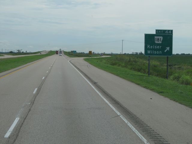 |
Interstate 55 South at Exit 44: AR 181 - Keiser / Wilson (Photo taken 8/24/11). |
 |
Interstate 55 South: Road view from mile marker 43. (Photo taken 8/24/11). |
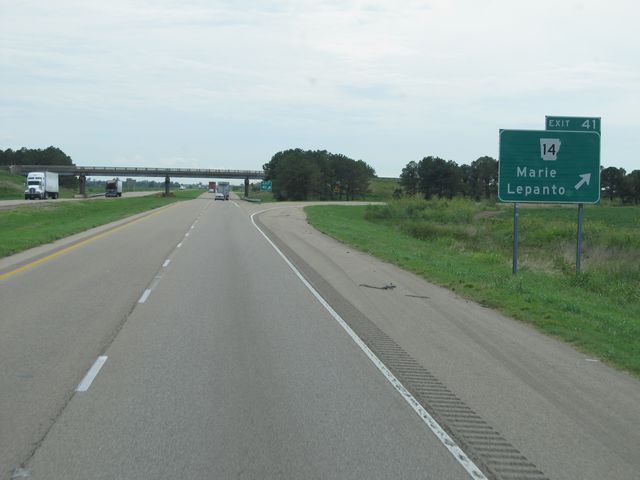 |
Interstate 55 South at Exit 41: AR 14 - Marie / Lepanto (Photo taken 8/24/11). |
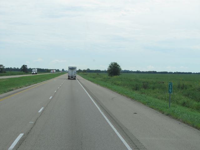 |
Interstate 55 South: Road view from mile marker 39. (Photo taken 8/24/11). |
 |
Interstate 55 South at Exit 36: AR 181 - Bassett (Photo taken 8/24/11). |
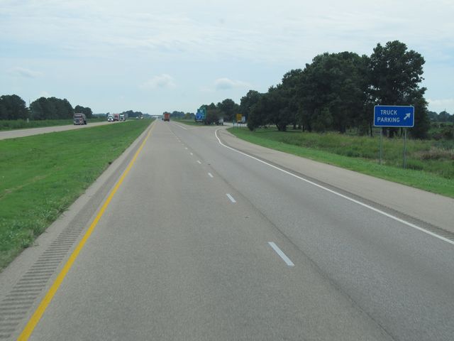 |
Interstate 55 South at the Truck Parking Area located at mile marker 35. (Photo taken 8/24/11). |
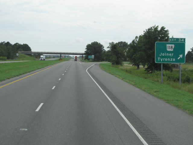 |
Interstate 55 South at Exit 34: AR 118 - Joiner / Tyronza (Photo taken 8/24/11). |
 |
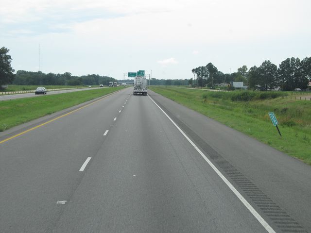
Interstate 55 South: Road view from mile marker 32. (Photo taken 8/24/11). |
 |
Interstate 55 South: Road view from mile marker 28. (Photo taken 8/24/11). |
 |
Interstate 55 South: Road view from mile marker 25. (Photo taken 8/24/11). |
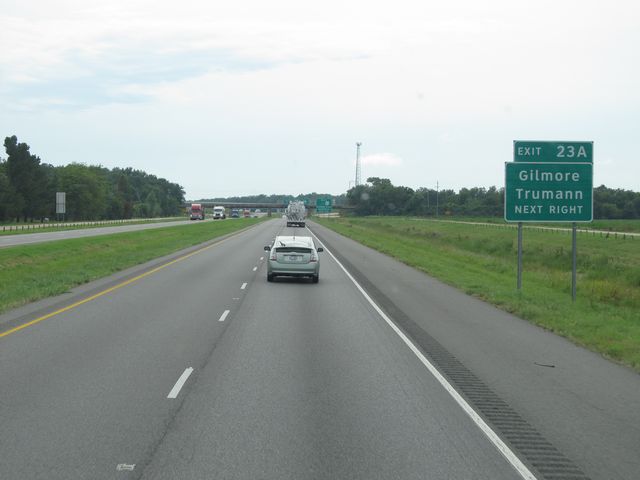 |
Use Exit 23A for Gilmore and Trumann. (Photo taken 8/24/11). |
 |
Interstate 55 South at Exit 23A: US 63 North - Marked Tree / Jonesboro (Photo taken 8/24/11). |
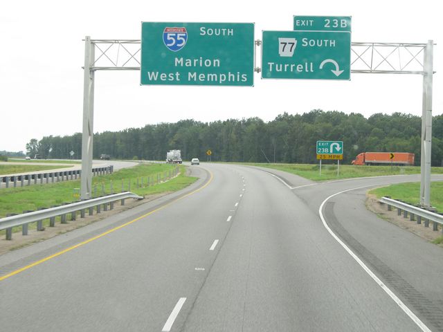 |
Interstate 55 South at Exit 23B: AR 77 South - Turrell (Photo taken 8/24/11). |
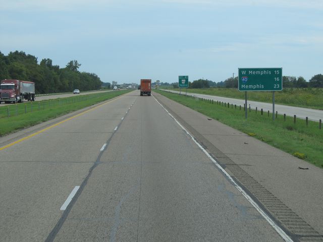 |
Mileage sign located near mile marker 22. It's 15 miles to West Memphis, 16 miles to the junction of Interstate 40, and 23 miles to Memphis. (Photo taken 8/24/11). |
 |
Interstate 55 South at Exit 21: AR 42 (Photo taken 8/24/11). |
 |
Interstate 55 South: Road view from mile marker 19. (Photo taken 8/24/11). |
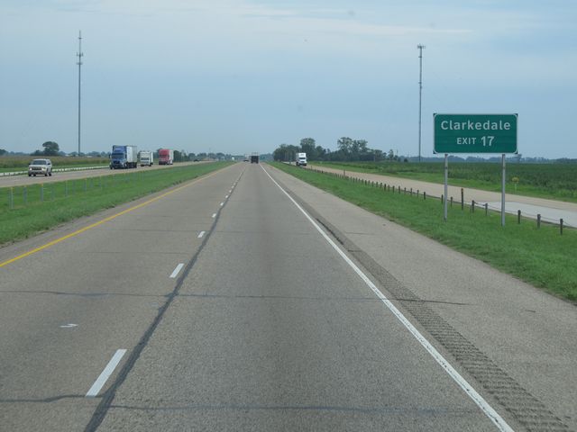 |
Use Exit 17 for Clarkedale. (Photo taken 8/24/11). |
 |
Interstate 55 South at Exit 17: AR 50 - Jericho (Photo taken 8/24/11). |
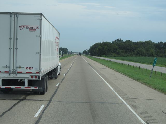 |
Interstate 55 South: Road view from mile marker 15. (Photo taken 8/24/11). |
 |
Interstate 55 South at Exit 14: CR 4 (Photo taken 8/24/11). |
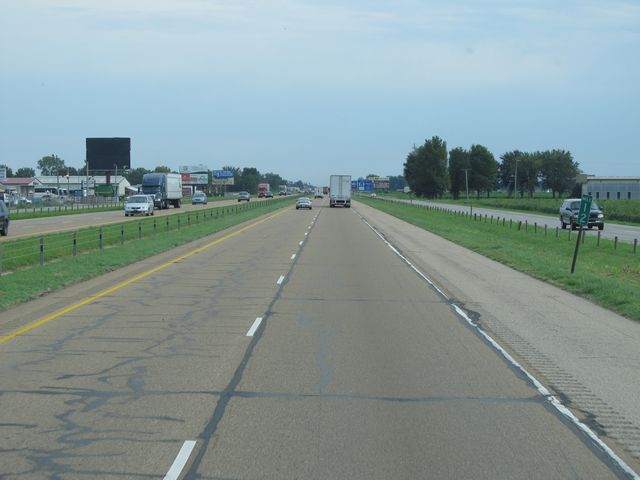 |
Interstate 55 South: Road view from mile marker 12. (Photo taken 8/24/11). |
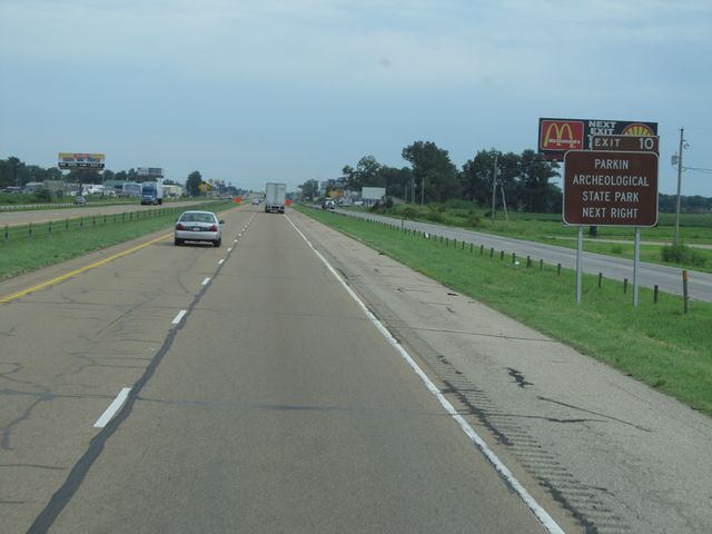 |
Use Exit 10 for Parkin Archeological State Park. (Photo taken 8/24/11). |
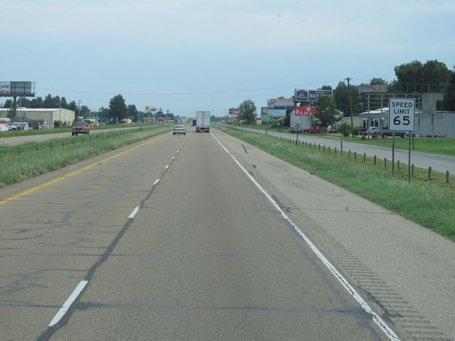 |
Near mile marker 11, the speed limit drops to 65 mph as you approach West Memphis. (Photo taken 8/24/11). |
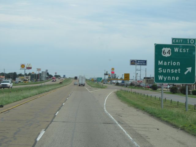 |
Interstate 55 South at Exit 10: US 64 West - Marion / Sunset / Wynne (Photo taken 8/24/11). |
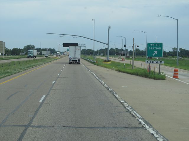 |
Interstate 55 South at the Weigh Station located at mile marker 9. (Photo taken 8/24/11). |
 |
Interstate 55 South approaching Exit 8 - 1 mile. (Photo taken 8/24/11). |
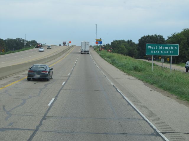 |
Use any of the next 5 exits to get to West Memphis. (Photo taken 8/24/11). |
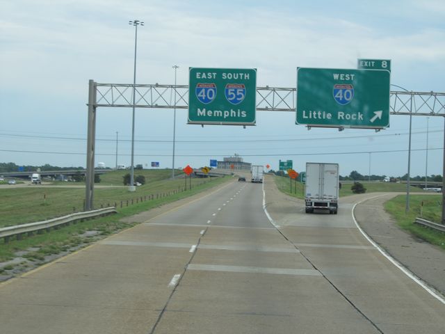 |
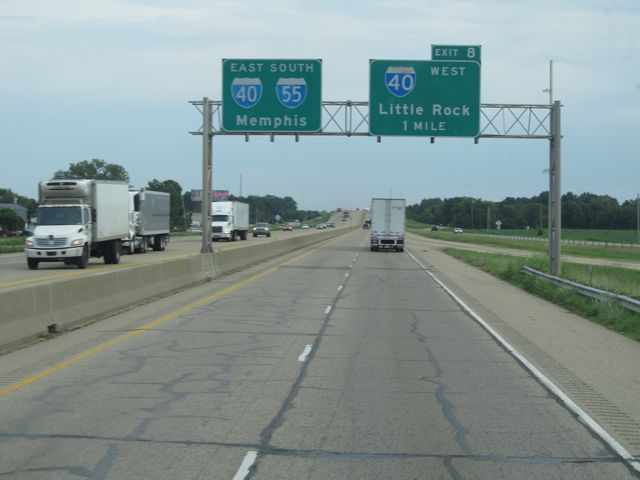
Interstate 55 South at Exit 8: Interstate 40 West - Little Rock. I-55 South joins up with Interstate 40 East here for a 4 mile duplex. (Photo taken 8/24/11). |
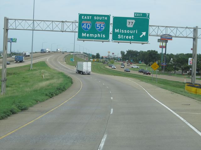 |
Interstate 55 South at Exit 7: AR 77 - Missouri Street (Photo taken 8/24/11). |
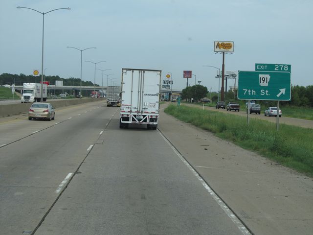 |
Interstate 55 South / Interstate 40 East at Exit 278: AR 191 - 7th St. During this brief duplex, the mileage is based on I-40's mileage. (Photo taken 8/24/11). |
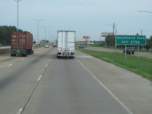 |
Use Exit 279A for Southland Park. (Photo taken 8/24/11). |
 |
Interstate 55 South / Interstate 40 East at Exit 279A: Ingram Blvd (Photo taken 8/24/11). |
 |
Interstate 55 South / Interstate 40 East at Exit 279B: Interstate 55 South - Memphis / Jackson, MS. I-55 splits off to the south here, while I-40 heads straight east toward downtown Memphis. (Photo taken 8/24/11). |
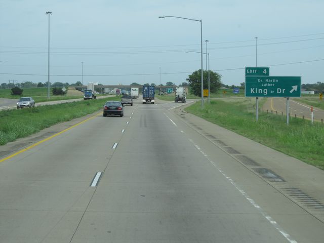 |
Interstate 55 South at Exit 4: Dr. Martin Luther King Jr. Blvd (Photo taken 8/24/11). |
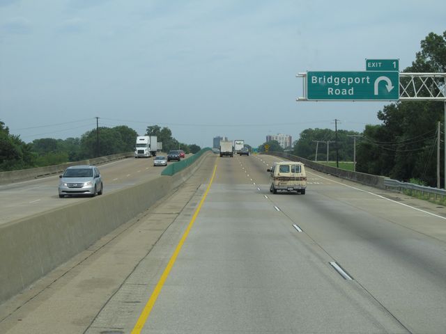 |
Interstate 55 South at Exit 1: Bridgeport Road (Photo taken 8/24/11). |
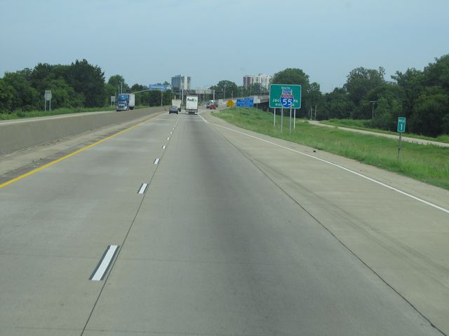 |
Interstate 55 South: Road view from mile marker 1. (Photo taken 8/24/11). |
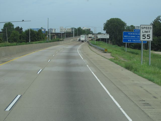 |
Near mile marker 0.5, the speed limit drops to 55 mph as you prepare to cross the Mississippi River. (Photo taken 8/24/11). |
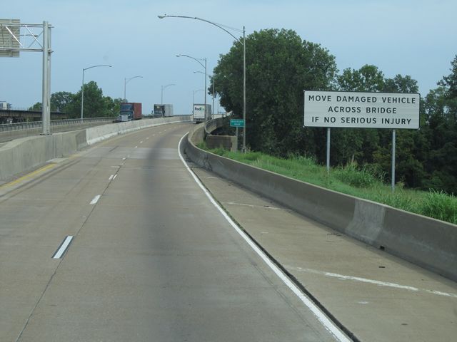 |
As this sign indicates, motorists are to move damaged vehicles across the bridge ahead if they suffer no serious injury in a crash. (Photo taken 8/24/11). |
 |
Interstate 55 South as it begins to cross the Mississippi River and into Tennessee. (Photo taken 8/24/11). |