Road Information |
||
 |
||
| Total Mileage in State: | 145 miles | |
| Northern End: | At AZ 89A, in Flagstaff | |
| Southern End: | At I-10, in Phoenix | |
| Mileage covered in Photos: | 145 miles | |
| Counties covered in Photos: | Maricopa, Yavapai, Coconino | |
| Major Junctions in Photos: | I-10, in Phoenix AZ 101 Loop, in Phoenix I-40, in Flagstaff |
|
| Control Cities in Photos: | Phoenix, Anthem, Camp Verde, Flagstaff | |
Northbound
- Section 1: Interstate 10 to Black Canyon City (Exit 242)
- Section 2: Black Canyon City (Exit 242) to Camp Verde (Exit 289)
- Section 3: Camp Verde (Exit 289) to Flagstaff
Section 1: Interstate 10 to Black Canyon City (Exit 242)
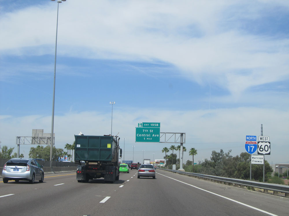 |
Interstate 17 North / US 60 West shields near mile marker 194, the beginning of I-17 North in Phoenix. (Photo taken 5/20/15). |
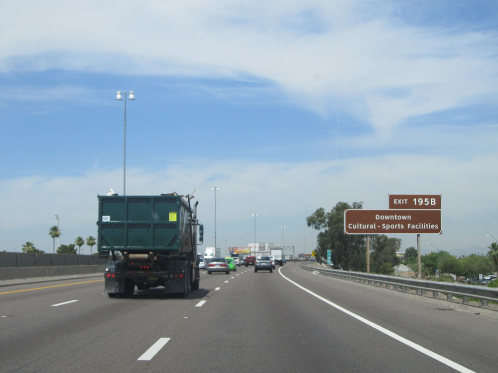 |
Take Exit 195B to Downtown and the Cultural/Sports Facilities. (Photo taken 5/20/15). |
 |
Sign listing the distances to the upcoming exits off Interstate 17 North in Phoenix. (Photo taken 5/20/15). |
 |
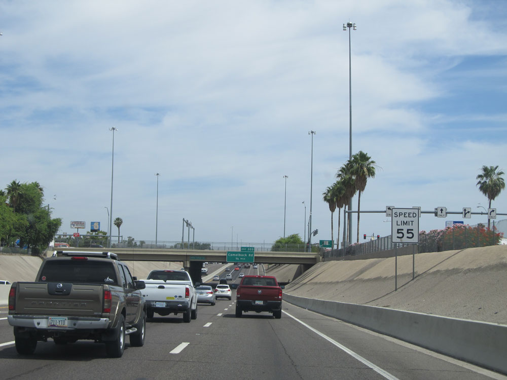
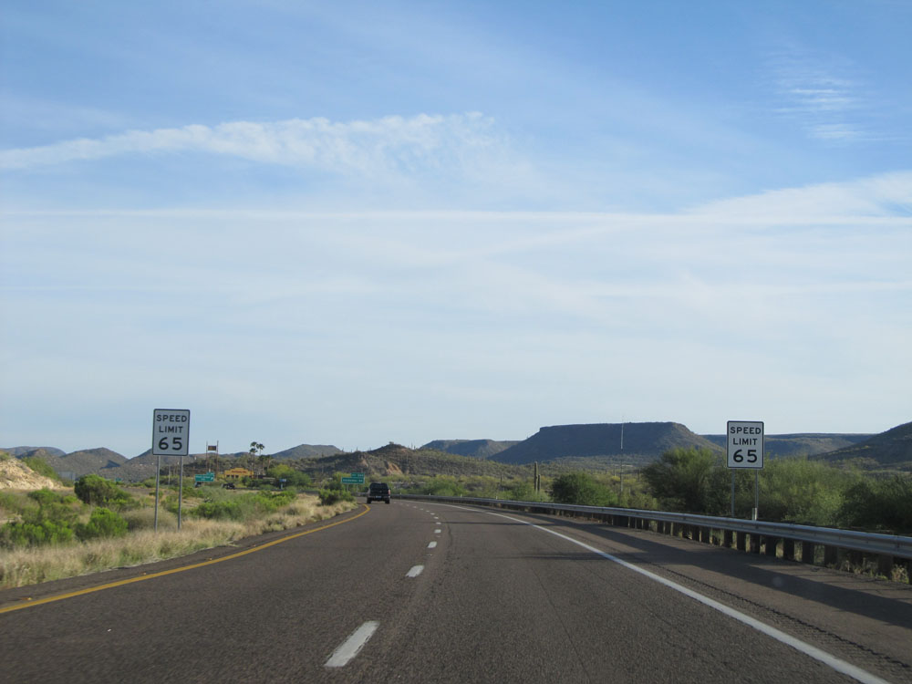
Speed limit sign just before Exit 195B. The speed limit on most of the freeways in and around the Phoenix area is 65 mph. However, on Interstate 17 North from its southern terminus (southeast of Phoenix) to Peoria Ave (Exit 208), the speed limit is 55 mph. This is one of the few stretches of highway in the Phoenix area that sees a 55 mph speed limit. (Photo taken 5/20/15). |
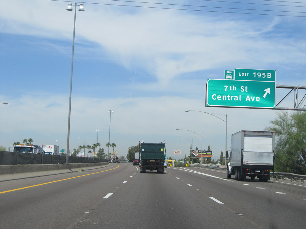 |
Interstate 17 North at Exit 195B: 7th St / Central Ave (Photo taken 5/20/15). |
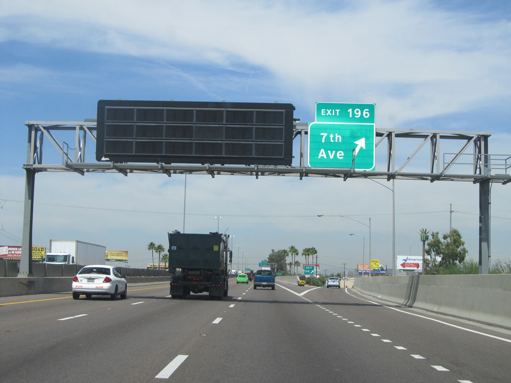 |
Interstate 17 North at Exit 196: 7th Ave. In Phoenix, there are several streets and avenues with the same numbers. Paying close attention to whether a street is called 'Street' or 'Avenue' is essential. (Photo taken 5/20/15). |
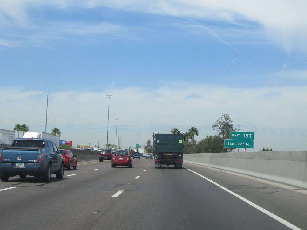 |
Take Exit 197 to the State Capitol. (Photo taken 5/20/15). |
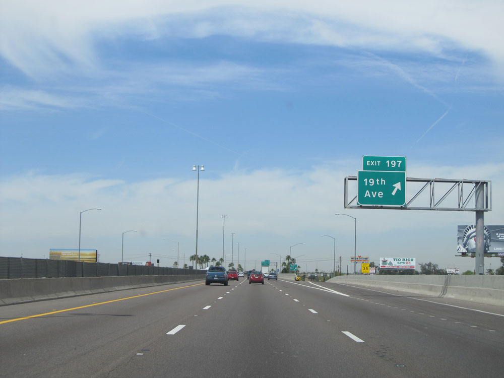 |
Interstate 17 North at Exit 197: 19th Ave (Photo taken 5/20/15). |
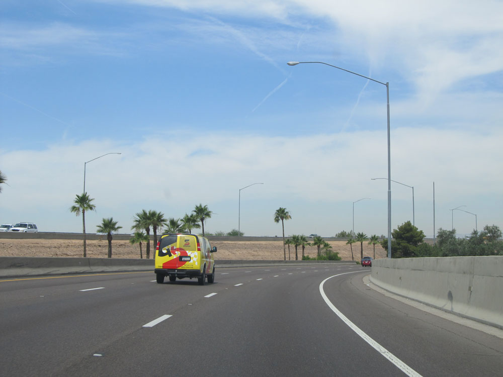 |
View on Interstate 17 North, as it curves to the north after heading westbound for the past 3 miles or so. (Photo taken 5/20/15). |
 |
Interstate 17 North at Exit 198: Buckeye Rd (Photo taken 5/20/15). |
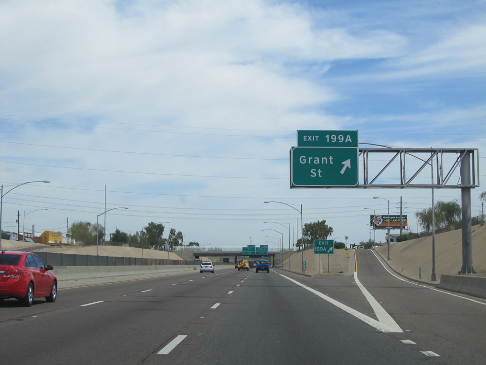 |
Interstate 17 North at Exit 199A: Grant St (Photo taken 5/20/15). |
 |
Interstate 17 North approaching Exit 200A - 1 mile. (Photo taken 5/20/15). |
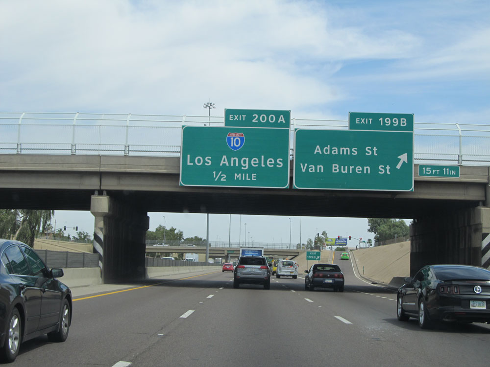 |
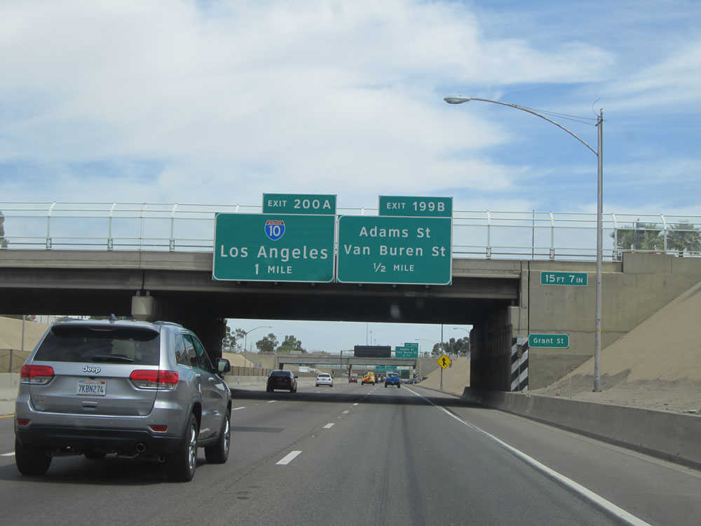
Interstate 17 North at Exit 199B: Adams St / Van Buren St (Photo taken 5/20/15). |
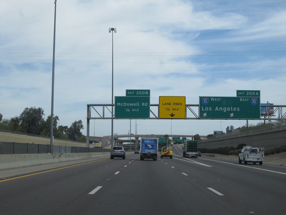 |
Interstate 17 North at Exit 200A: Interstate 10 - Los Angeles / Central Phoenix (Photo taken 5/20/15). |
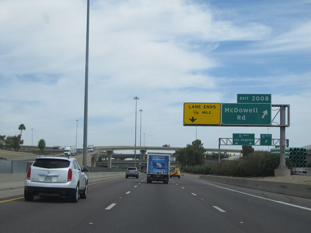 |
Interstate 17 North at Exit 200B: McDowell Rd. Yes, that is Interstate 10 that crosses over I-17 ahead in the distance. (Photo taken 5/20/15). |
 |
Take Exit 201 to the Colesium, Fairgrounds, and Phoenix College. (Photo taken 5/20/15). |
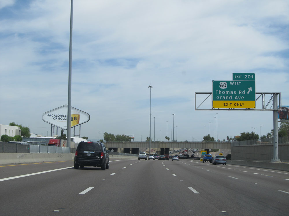 |
Interstate 17 North at Exit 201: US 60 West - Thomas Rd / Grand Ave (Photo taken 5/20/15). |
 |
Take Exit 202 to the VA Hospital. (Photo taken 5/20/15). |
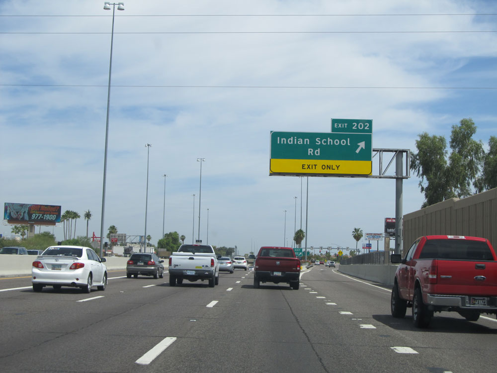 |
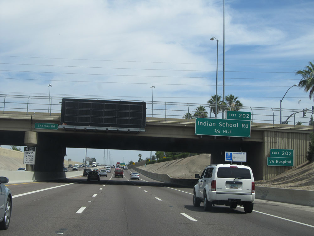
Interstate 17 North at Exit 202: Indian School Rd (Photo taken 5/20/15). |
 |
The speed limit remains 55 mph for just a little bit longer. (Photo taken 5/20/15). |
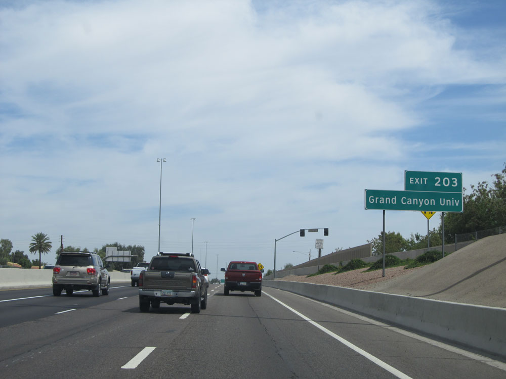 |
Take Exit 203 to Grand Canyon University. (Photo taken 5/20/15). |
 |
Interstate 17 North at Exit 203: Camelback Rd (Photo taken 5/20/15). |
 |
Take any of the next 3 exits to Glendale. (Photo taken 5/20/15). |
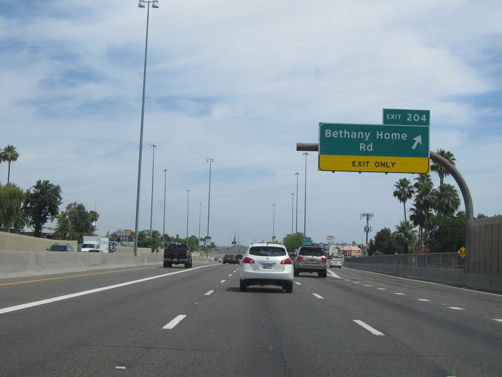 |
Interstate 17 North at Exit 204: Bethany Home Rd (Photo taken 5/20/15). |
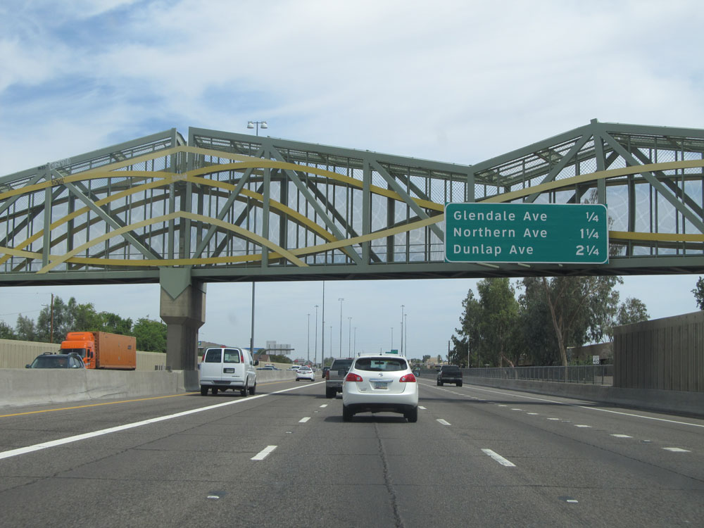 |
Sign listing the distances to the next 3 exits on Interstate 17 North. (Photo taken 5/20/15). |
 |
Interstate 17 North at Exit 205: Glendale Ave (Photo taken 5/20/15). |
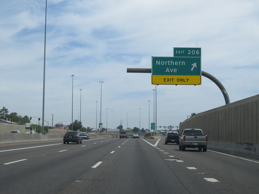 |
Interstate 17 North at Exit 206: Northern Ave (Photo taken 5/20/15). |
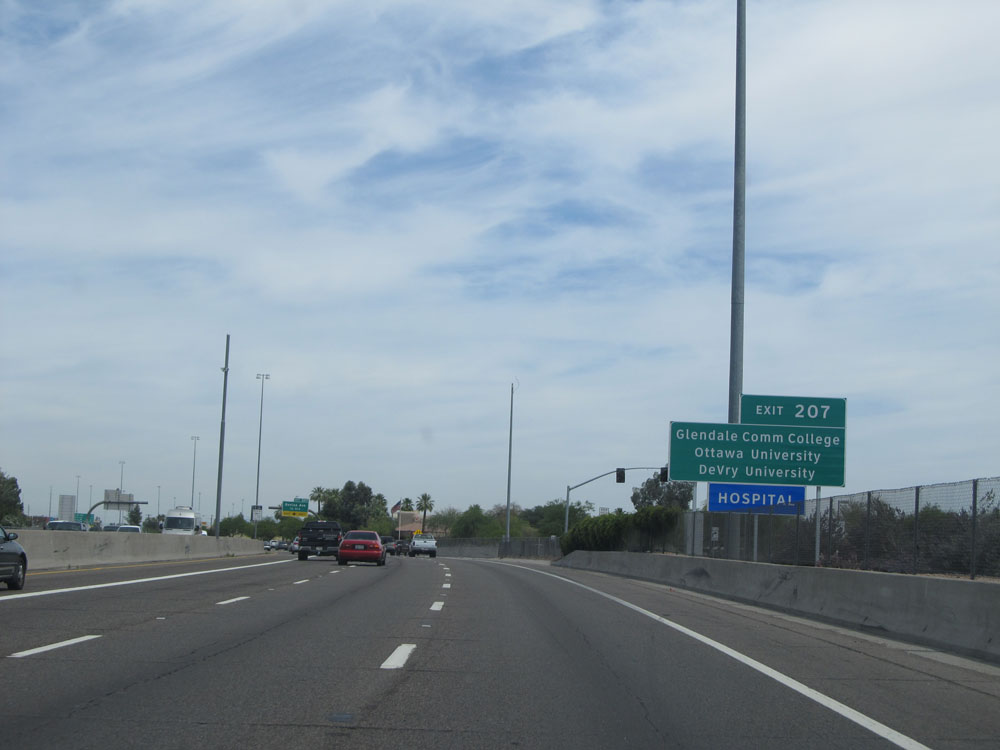 |
Take Exit 207 to Glendale Community College, Ottawa University, and DeVry University. (Photo taken 5/20/15). |
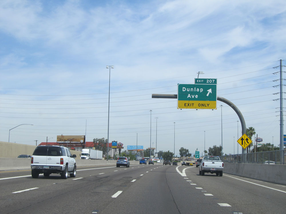 |
Interstate 17 North at Exit 207: Dunlap Ave (Photo taken 5/20/15). |
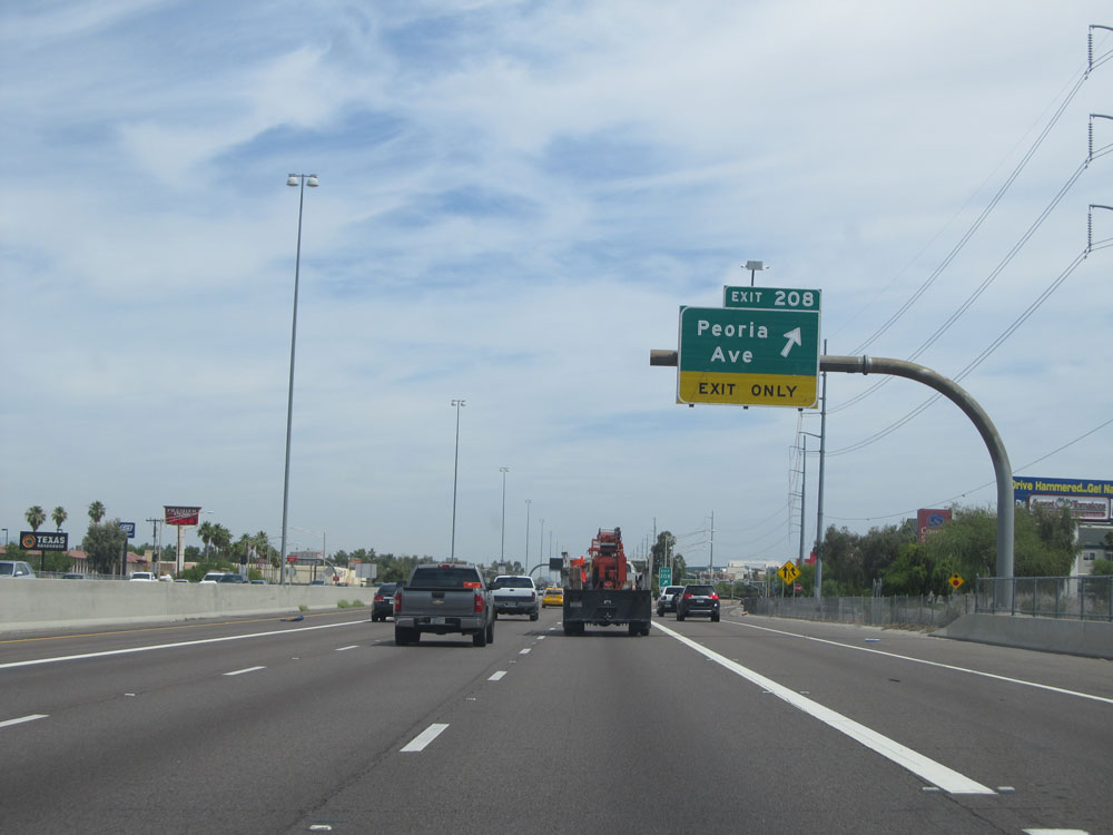 |
Interstate 17 North at Exit 208: Peoria Ave (Photo taken 5/20/15). |
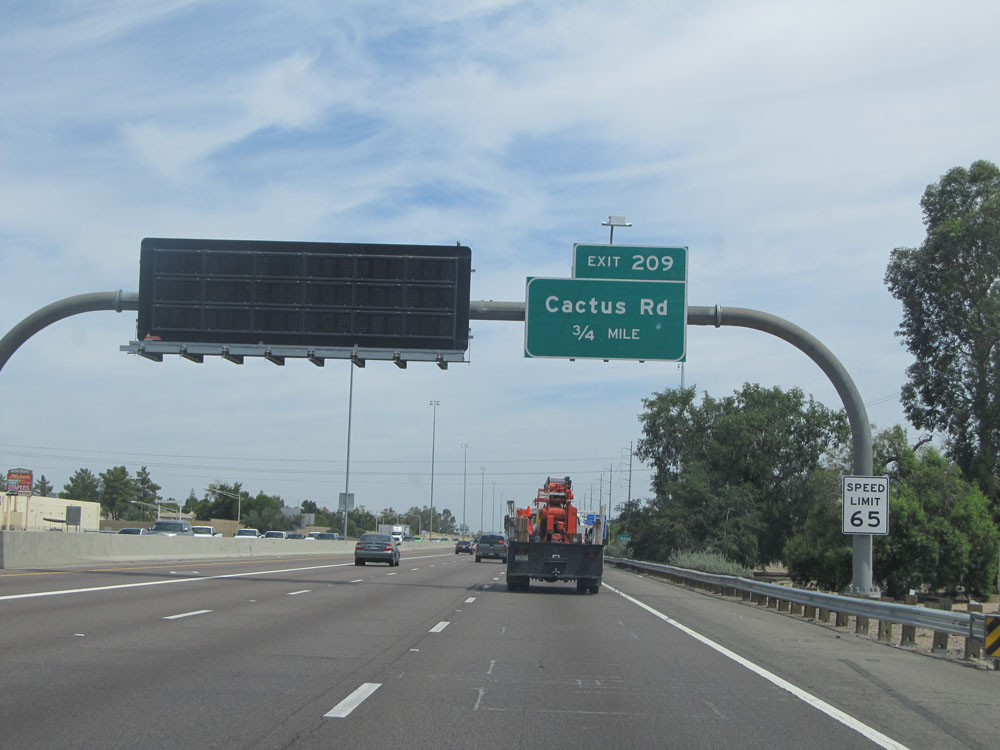 |
3/4 mile from Exit 209, the speed limit increases to 65 mph. (Photo taken 5/20/15). |
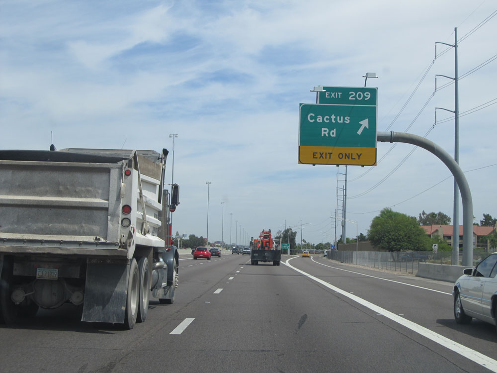 |
Interstate 17 North at Exit 209: Cactus Rd (Photo taken 5/20/15). |
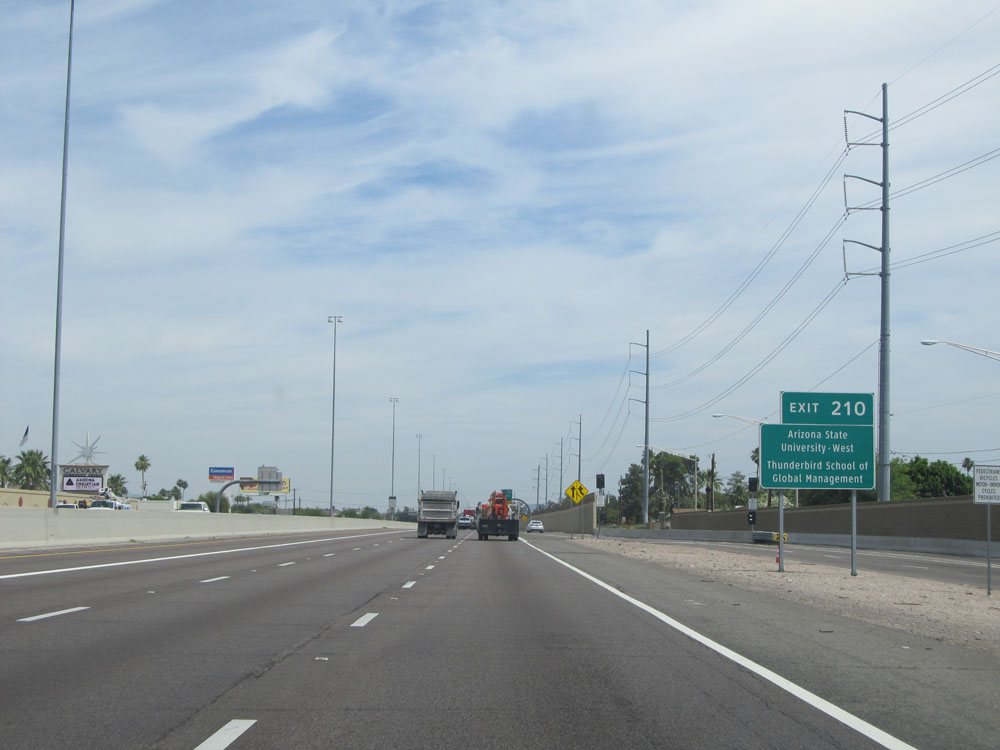 |
Take Exit 210 to Arizona State University - West and Thunderbird School of Global Management. (Photo taken 5/20/15). |
 |
Interstate 17 North assurance shield located near mile marker 210. (Photo taken 5/20/15). |
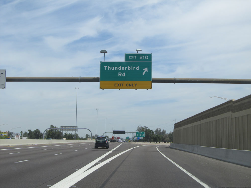 |
Interstate 17 North at Exit 210: Thunderbird Rd (Photo taken 5/20/15). |
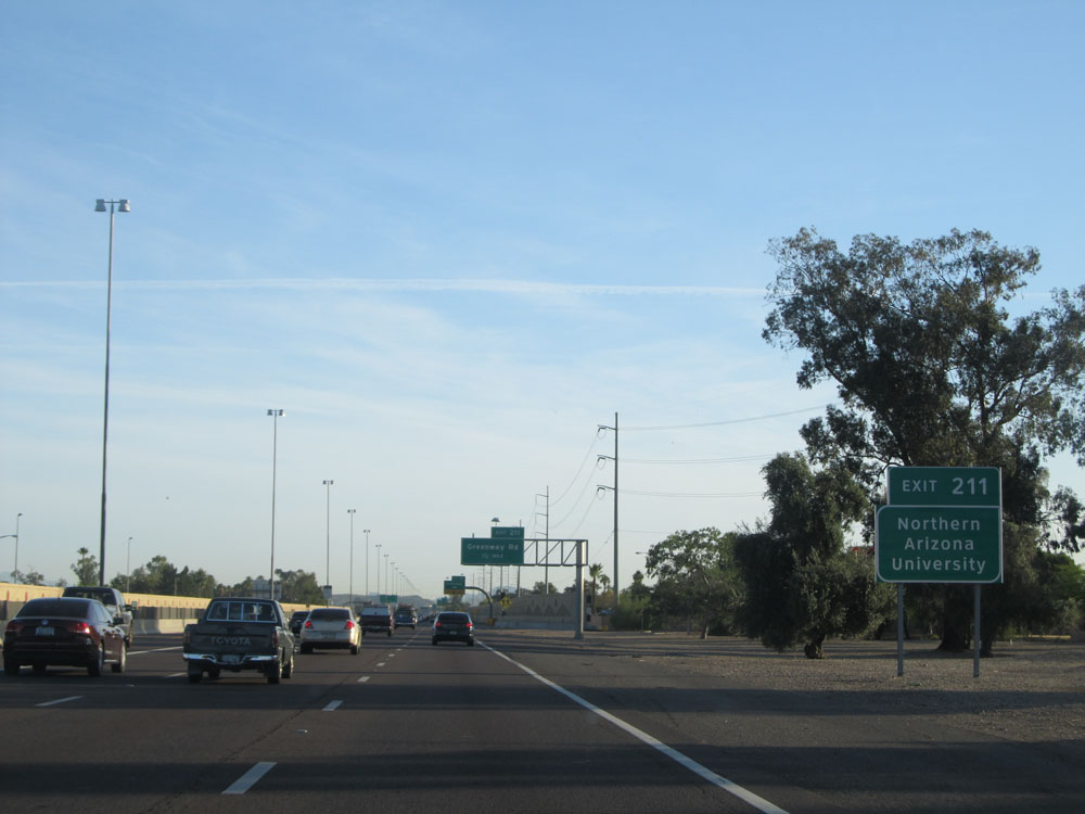 |
Take Exit 211 to Northern Arizona University. (Photo taken 5/20/15). |
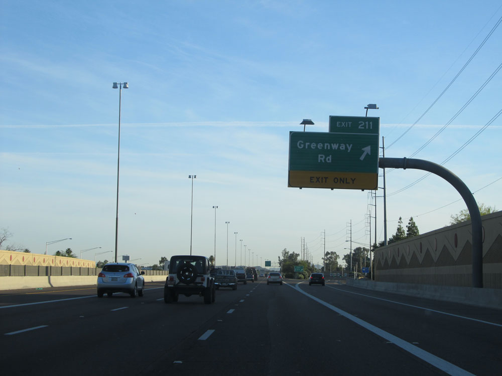 |
Interstate 17 North at Exit 211: Greenway Rd (Photo taken 5/20/15). |
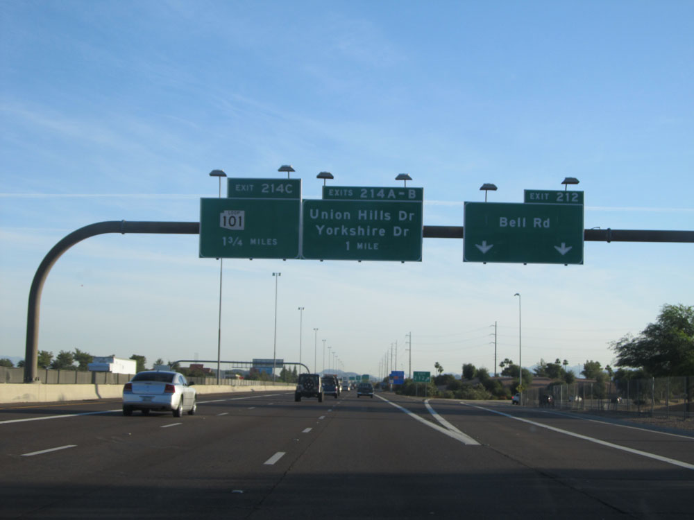 |
Interstate 17 North at Exit 212: Bell Rd (Photo taken 5/20/15). |
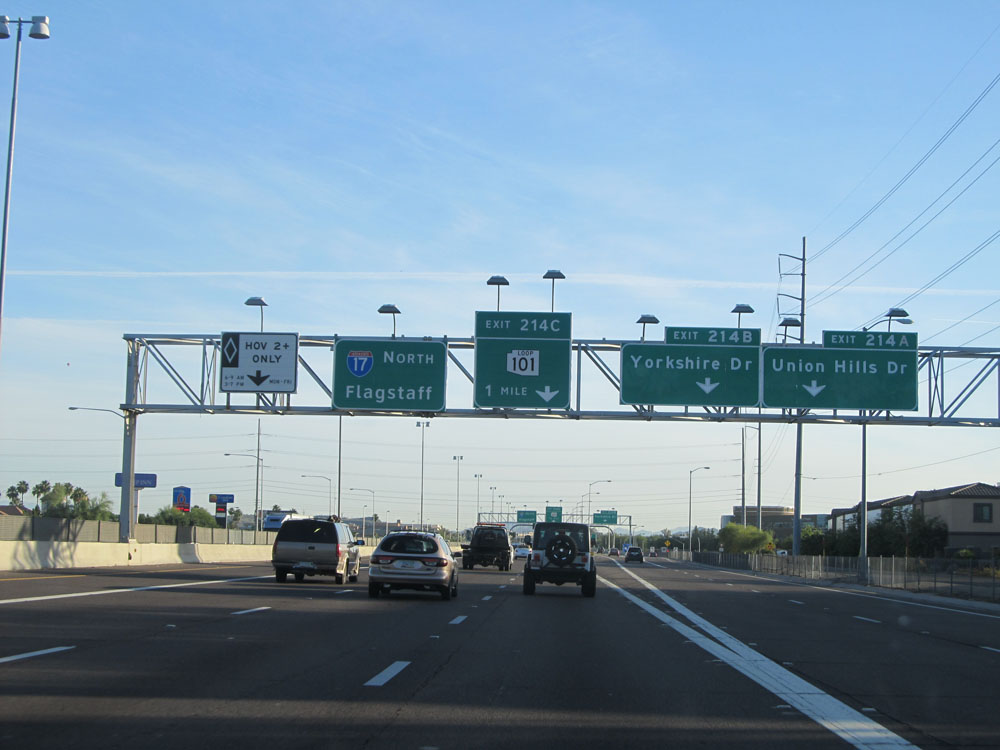 |
Interstate 17 North at Exit 214A: Union Hills Dr (Photo taken 5/20/15). |
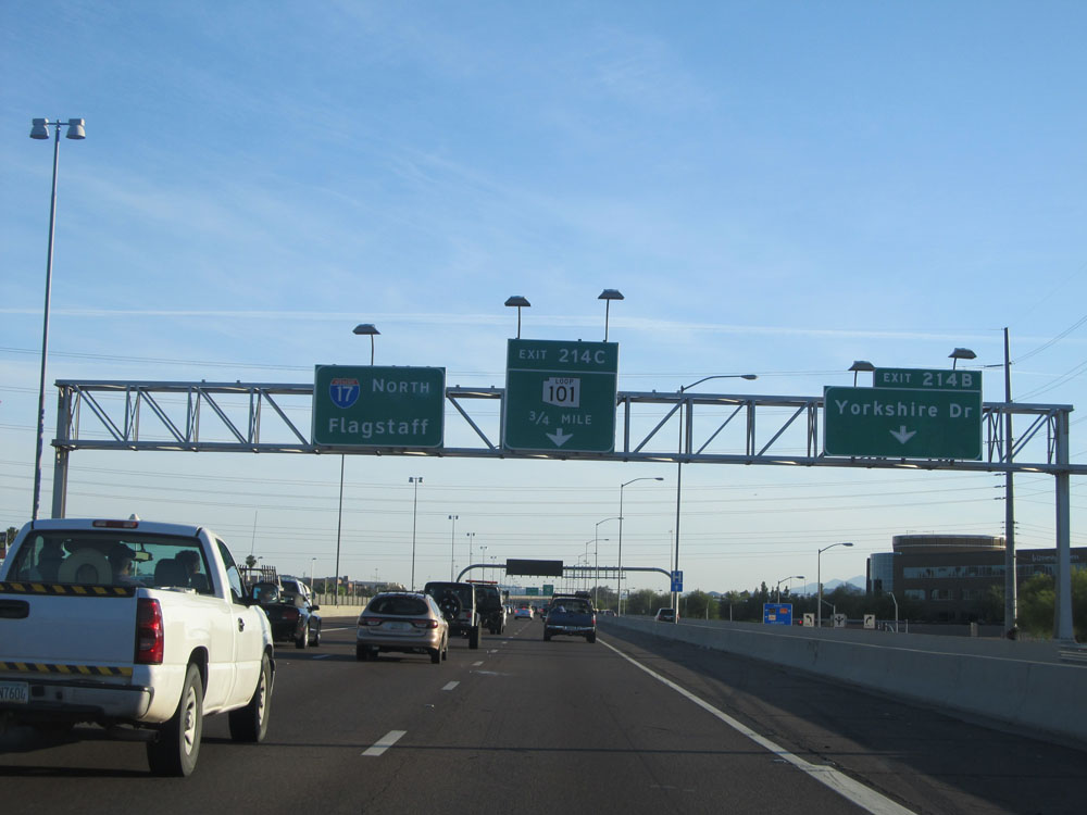 |
Interstate 17 North at Exit 214B: Yorkshire Dr (Photo taken 5/20/15). |
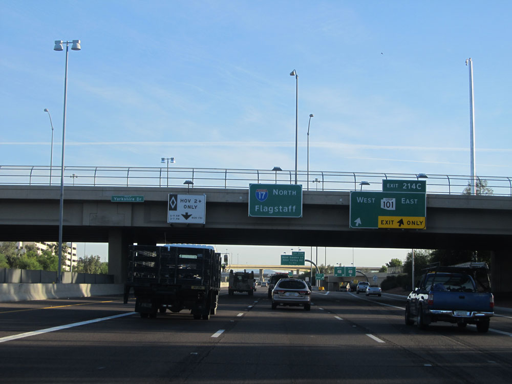 |
Interstate 17 North at Exit 214C: AZ Loop 101 (Photo taken 5/20/15). |
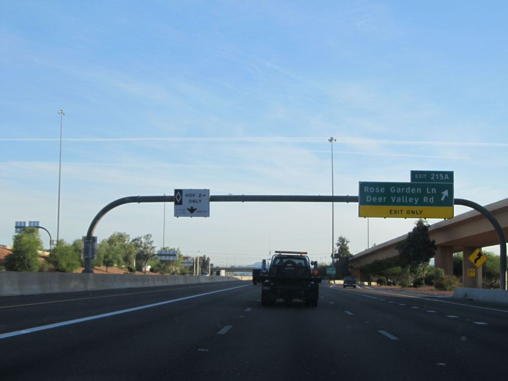 |
Interstate 17 North at Exit 215A: Rose Garden Ln / Deer Valley Rd (Photo taken 5/20/15). |
 |
Sign listing the distances to the three upcoming exits on Interstate 17 North. (Photo taken 5/20/15). |
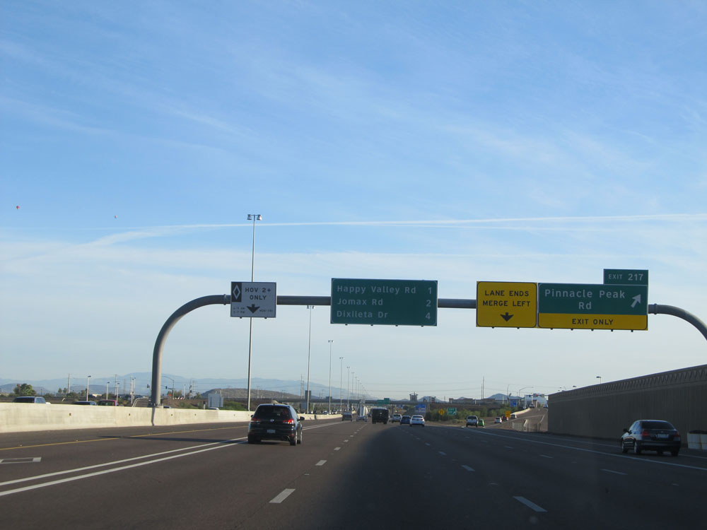 |
Interstate 17 North at Exit 217: Pinnacle Peak Rd (Photo taken 5/20/15). |
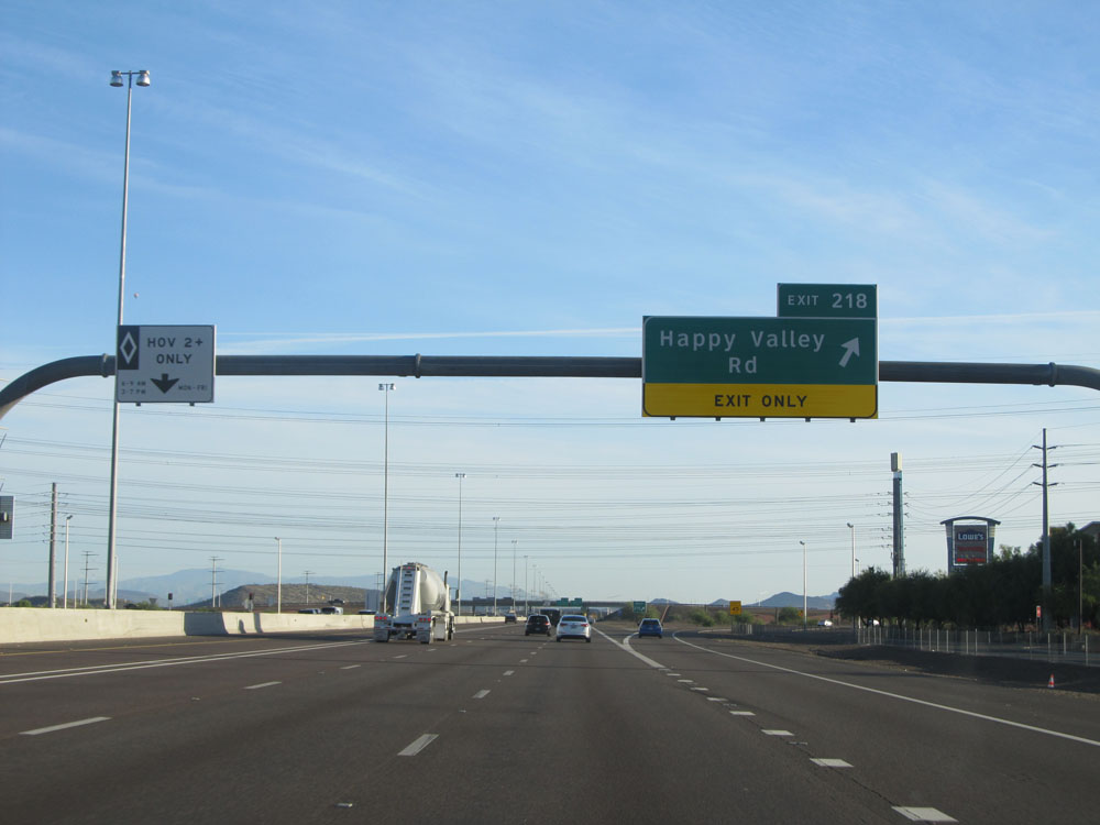 |
Interstate 17 North at Exit 218: Happy Valley Rd (Photo taken 5/20/15). |
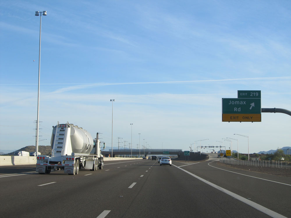 |
Interstate 17 North at Exit 219: Jomax Rd (Photo taken 5/20/15). |
 |
Interstate 17 North assurance shield near mile marker 219. (Photo taken 5/20/15). |
 |
The speed limit remains 65 mph for just a little longer on Interstate 17 North. (Photo taken 5/20/15). |
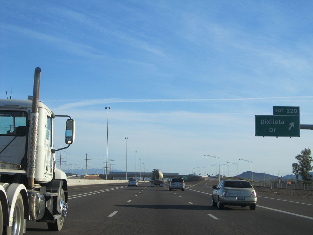 |
Interstate 17 North at Exit 220: Dixileta Rd (Photo taken 5/20/15). |
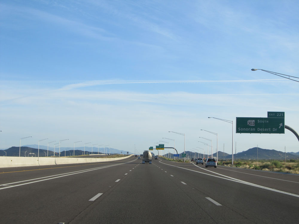 |
Interstate 17 North at Exit 221: AZ Loop 303 South - Sonoran Desert Dr (Photo taken 5/20/15). |
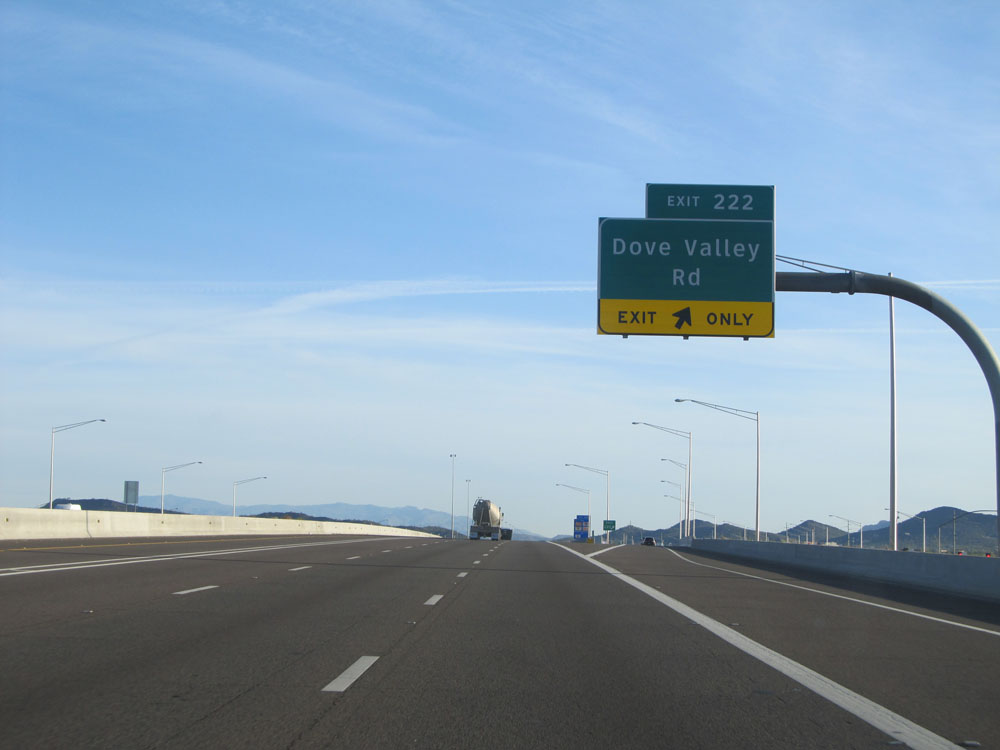 |
Interstate 17 North at Exit 222: Dove Valley Rd (Photo taken 5/20/15). |
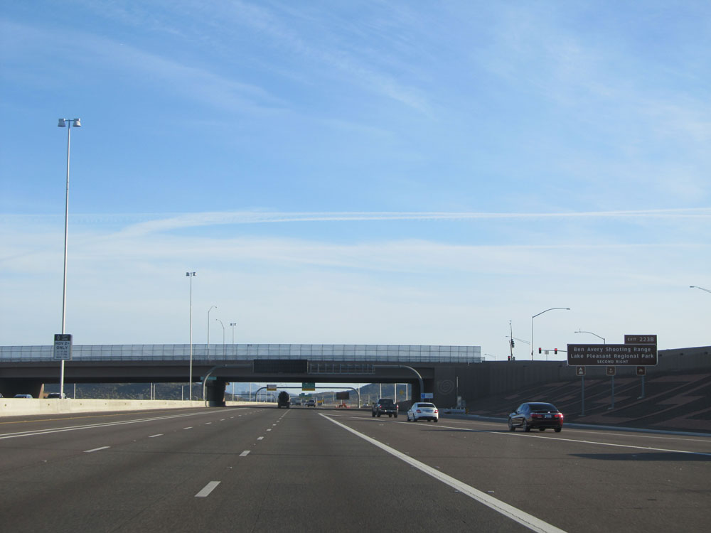 |
Take Exit 223B to Ben Avery Shooting Range and Lake Pleasant Regional Park. (Photo taken 5/20/15). |
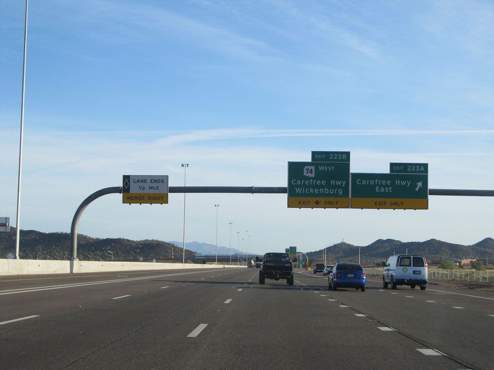 |
Interstate 17 North at Exit 223A: Carefree Hwy East (Photo taken 5/20/15). |
 |
Interstate 17 North at Exit 223B: AZ 74 West - Carefree Hwy West / Wickenburg (Photo taken 5/20/15). |
 |
Sign listing the distances to the three upcoming exits to Anthem. (Photo taken 5/20/15). |
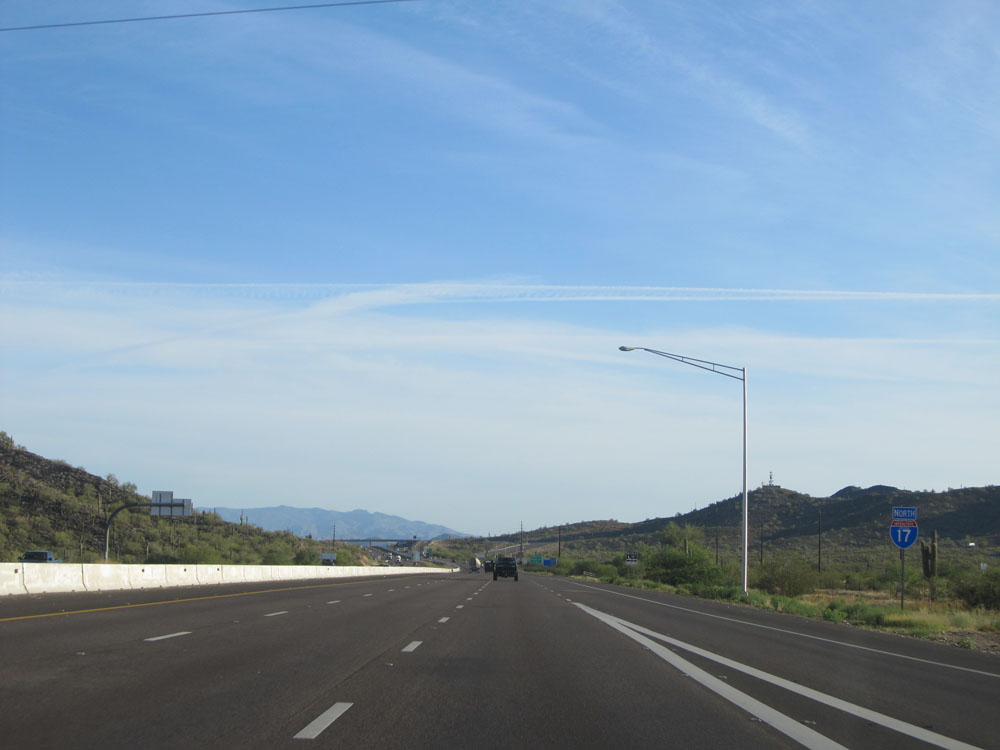 |
Interstate 17 North assurance shield near mile marker 224. This is also the first cactus sighting on I-17 North, with several more to come. (Photo taken 5/20/15). |
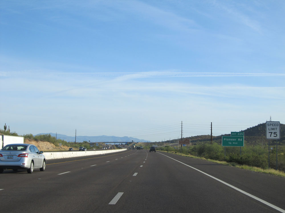 |
Approaching Exit 225, the speed limit increases to 75 mph. Hang on tight, because you're in for one of the best rides the Interstate Highway System has to offer! (Photo taken 5/20/15). |
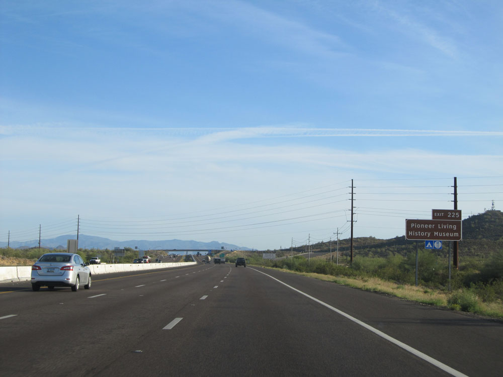 |
Take Exit 225 to Pioneer Living History Museum. (Photo taken 5/20/15). |
 |
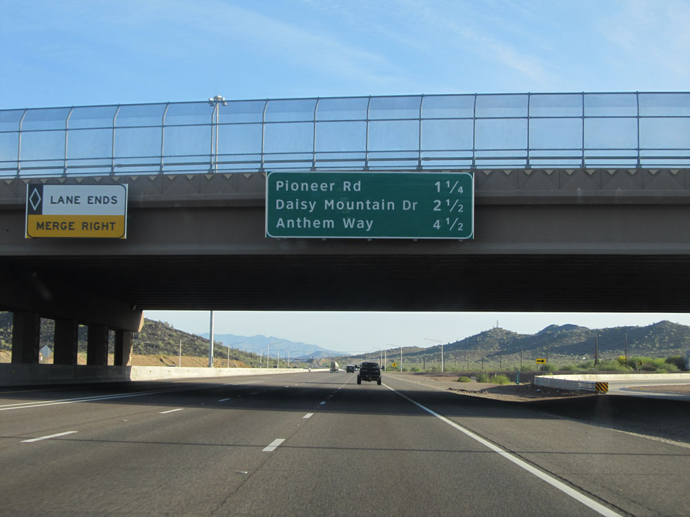
Interstate 17 North at Exit 225: Pioneer Rd (Photo taken 5/20/15). |
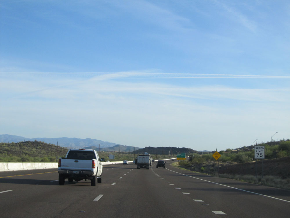 |
Another speed limit - 75 mph sign on Interstate 17 North. (Photo taken 5/20/15). |
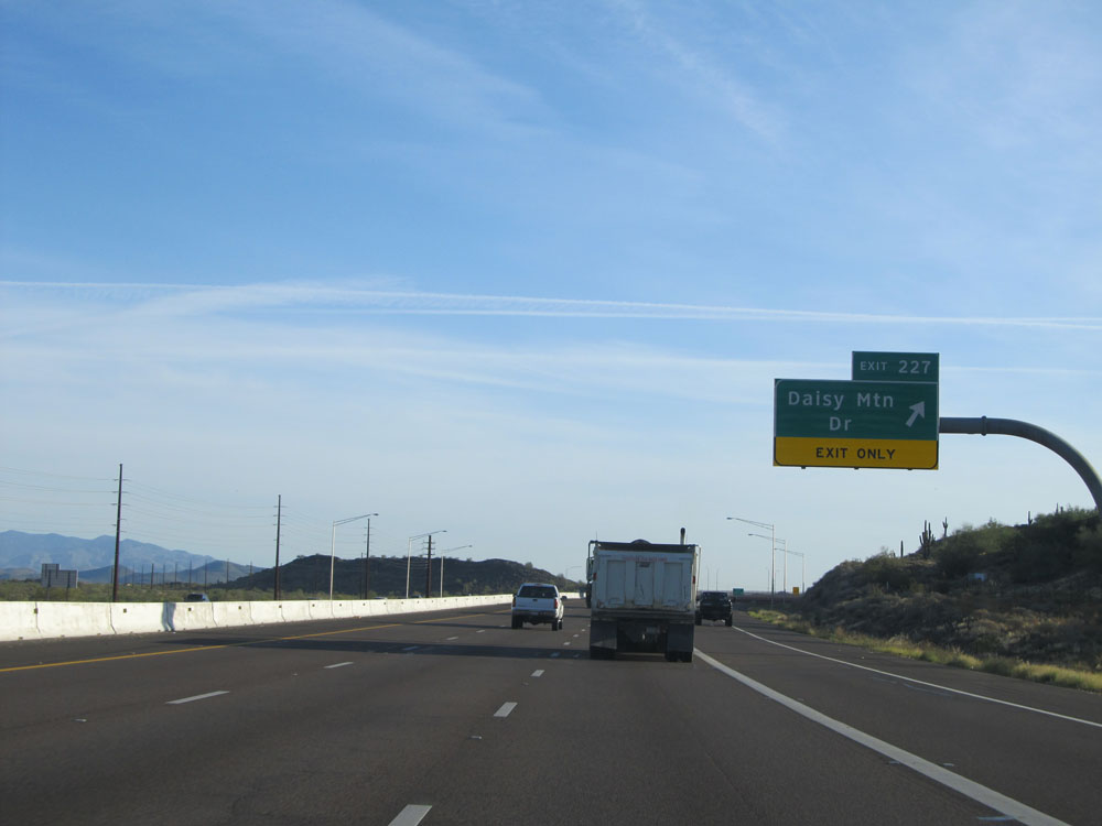 |
Interstate 17 North at Exit 227: Daisy Mtn Dr (Photo taken 5/20/15). |
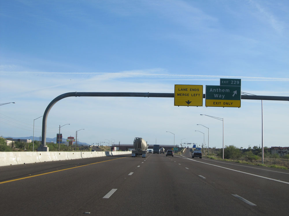 |
Interstate 17 North at Exit 229: Anthem Way (Photo taken 5/20/15). |
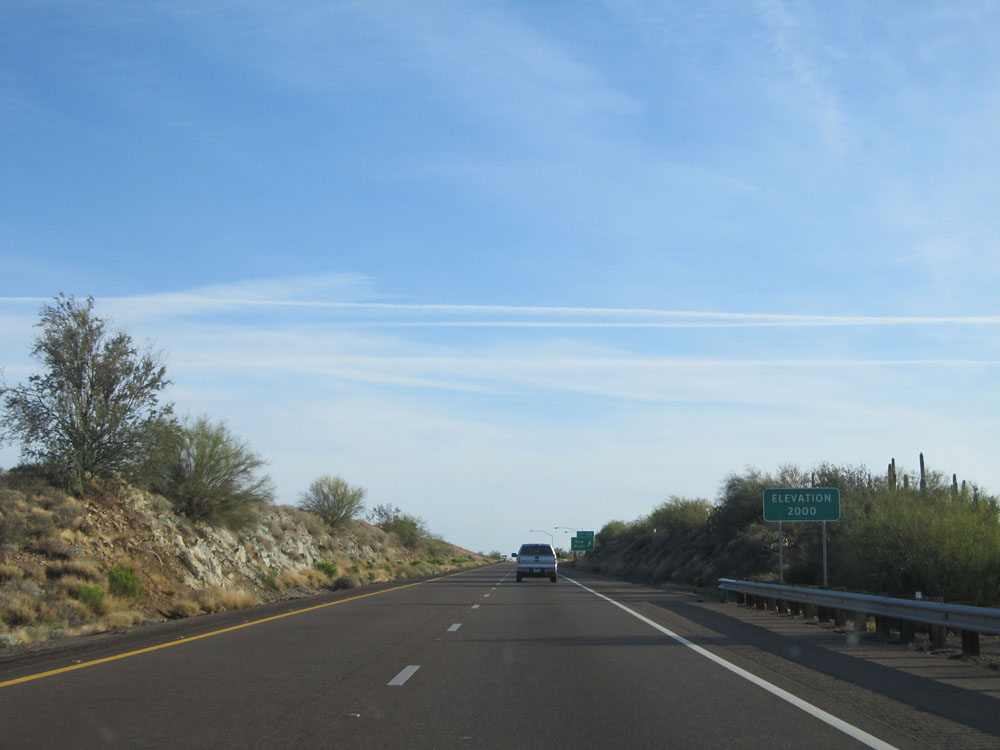 |
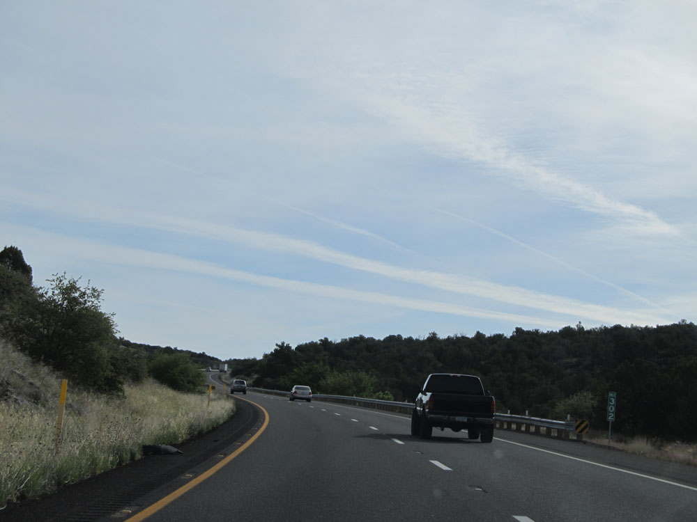
Near mile marker 229, we've sneakily climbed up to an elevation of 2,000 feet, almost 1,000 feet higher than we were back in Phoenix. (Photo taken 5/20/15). |
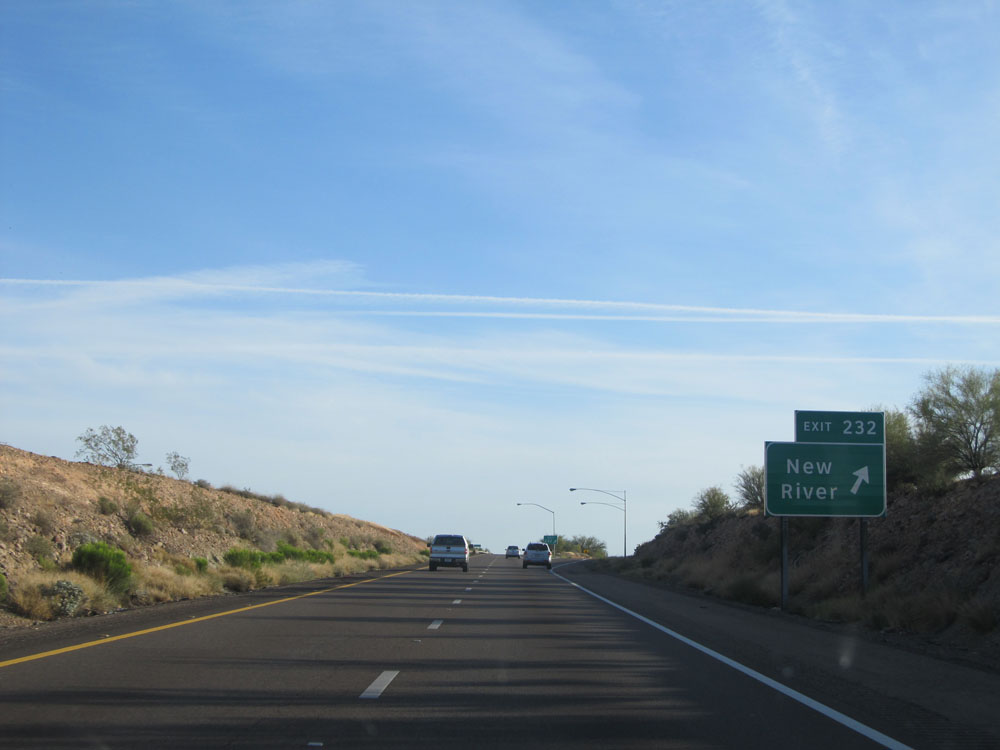 |
Interstate 17 North at Exit 232: New River (Photo taken 5/20/15). |
 |
Interstate 17 North assurance shield, with a side of cactus. (Photo taken 5/20/15). |
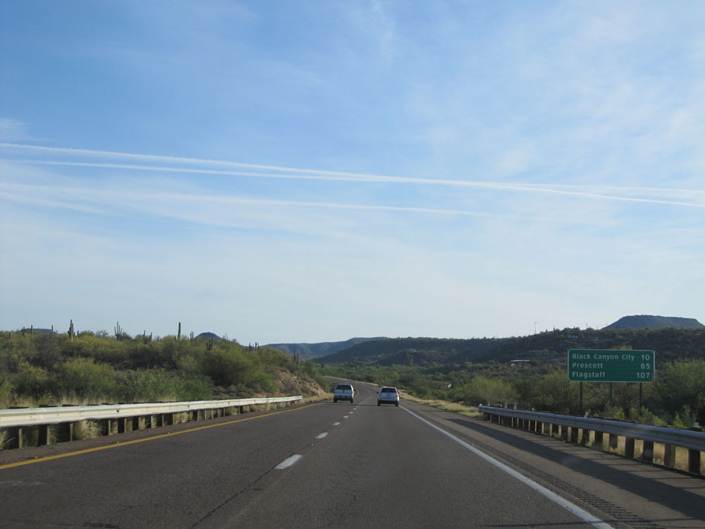 |
Mileage sign on Interstate 17 North. It's 10 miles to Black Canyon City, 65 miles to Prescott, and 107 miles to Flagstaff. (Photo taken 5/20/15). |
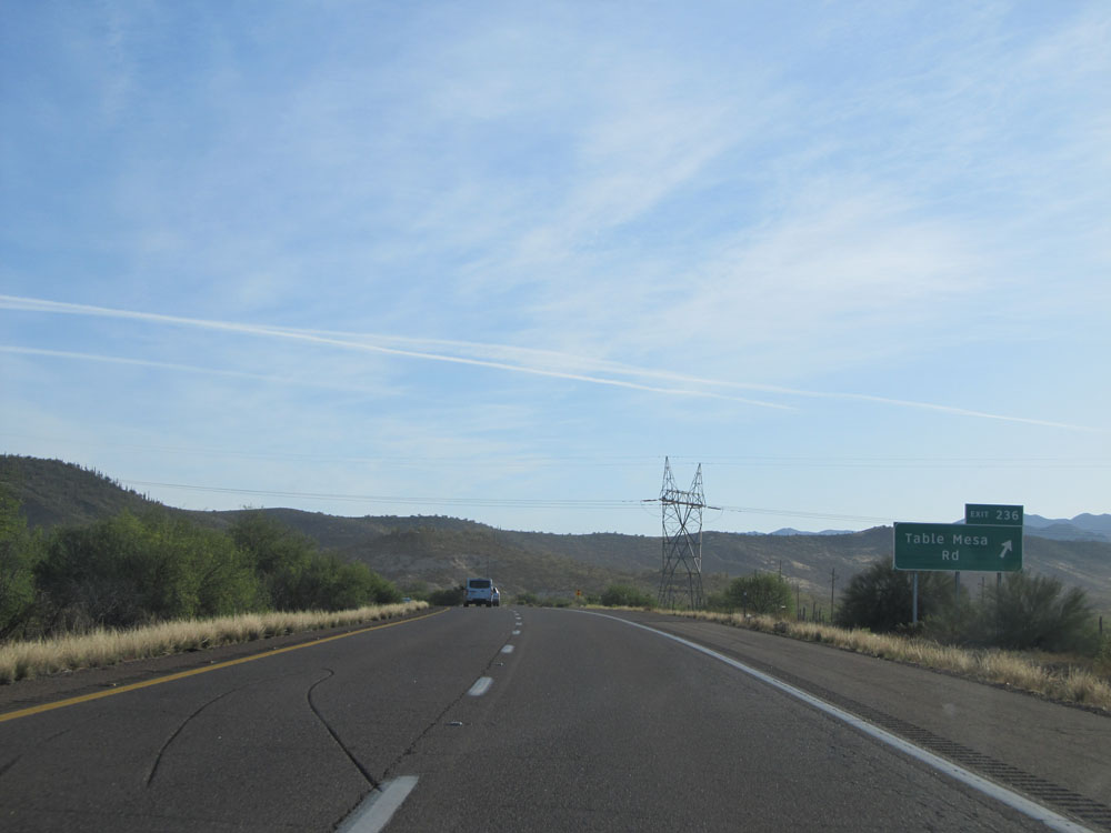 |
Interstate 17 North at Exit 236: Table Mesa Rd (Photo taken 5/20/15). |
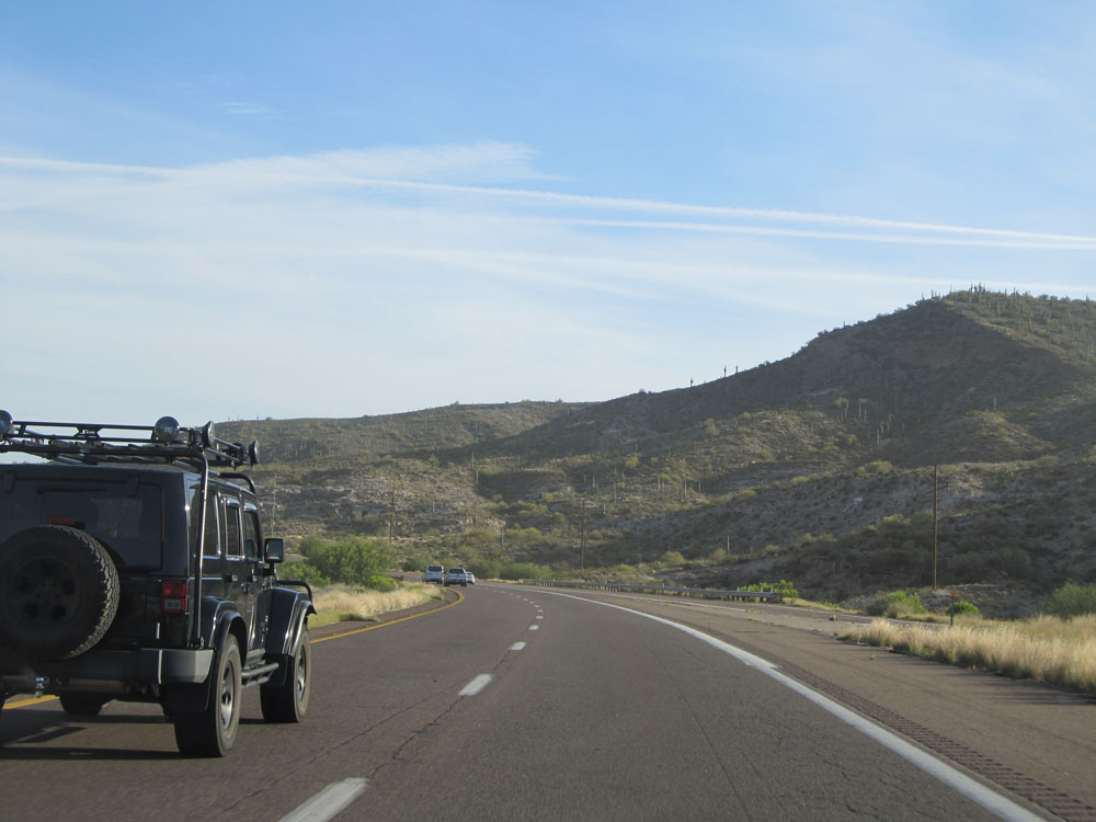 |
Road view on Interstate 17 North near mile marker 237. Don't worry, it only gets better! (Photo taken 5/20/15). |
 |
Interstate 17 North assurance shield. (Photo taken 5/20/15). |
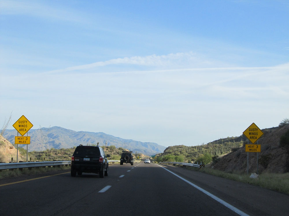 |
Warning signs alerting motorists that gusty winds may exist for the next 3 miles. (Photo taken 5/20/15). |
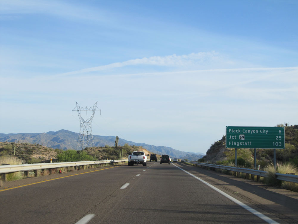 |
Another mileage sign on Interstate 17 North. It's 6 miles to Black Canyon City, 25 miles to the junction of AZ 69, and 103 miles to Flagstaff. (Photo taken 5/20/15). |
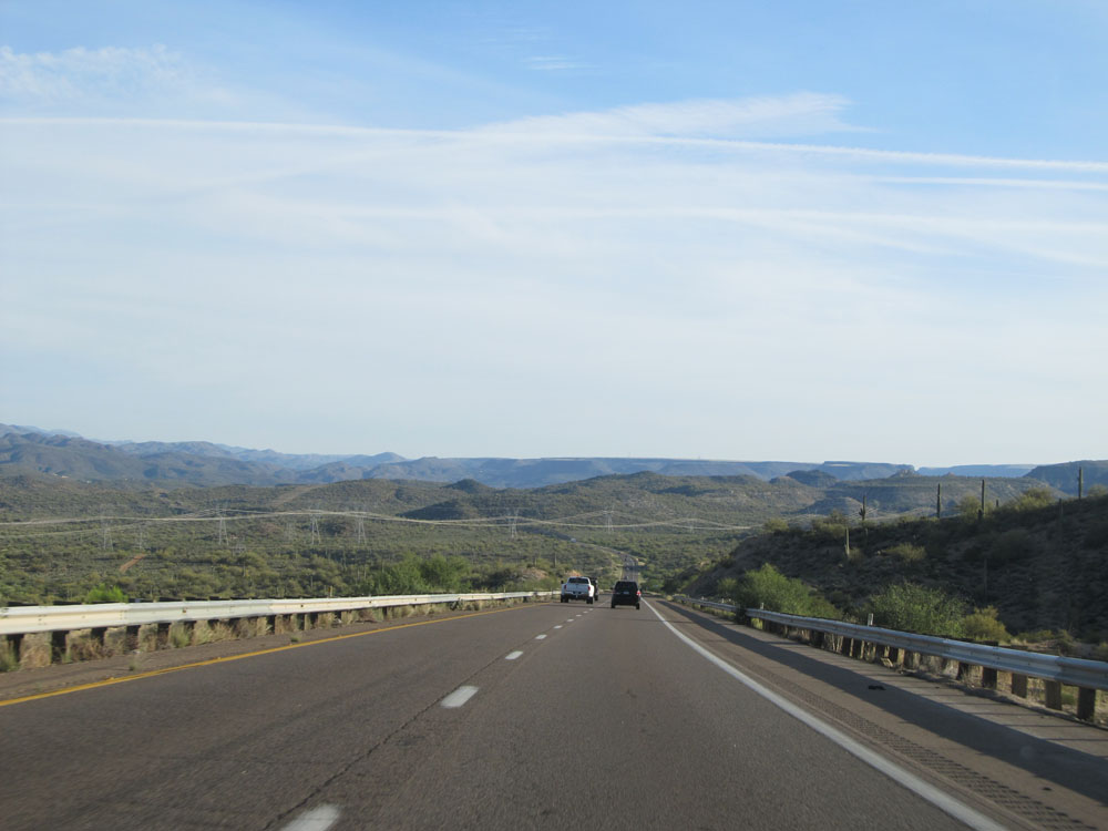 |
Another lovely road view on Interstate 17 North. (Photo taken 5/20/15). |
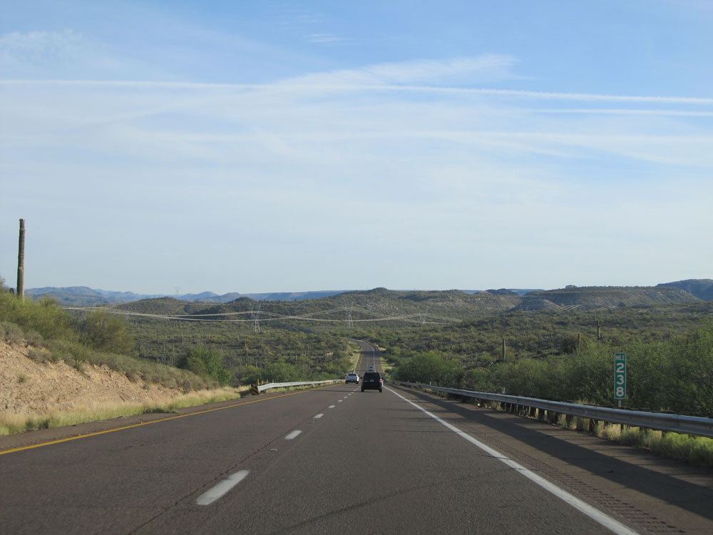 |
Interstate 17 North: Road view from mile marker 238. (Photo taken 5/20/15). |
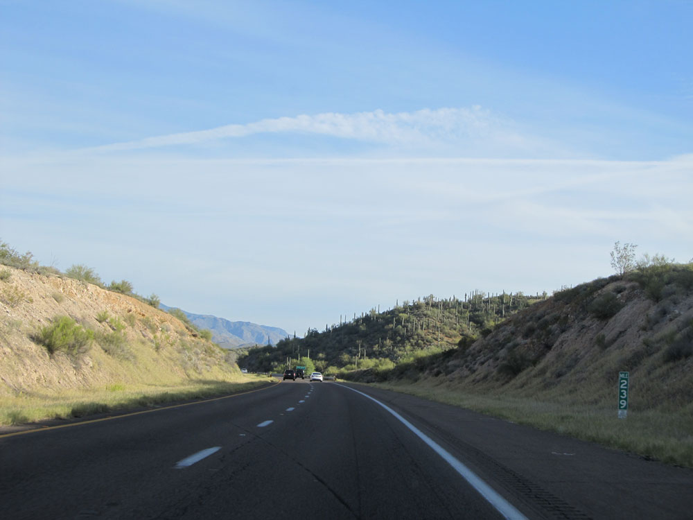 |
Interstate 17 North at mile marker 239. (Photo taken 5/20/15). |
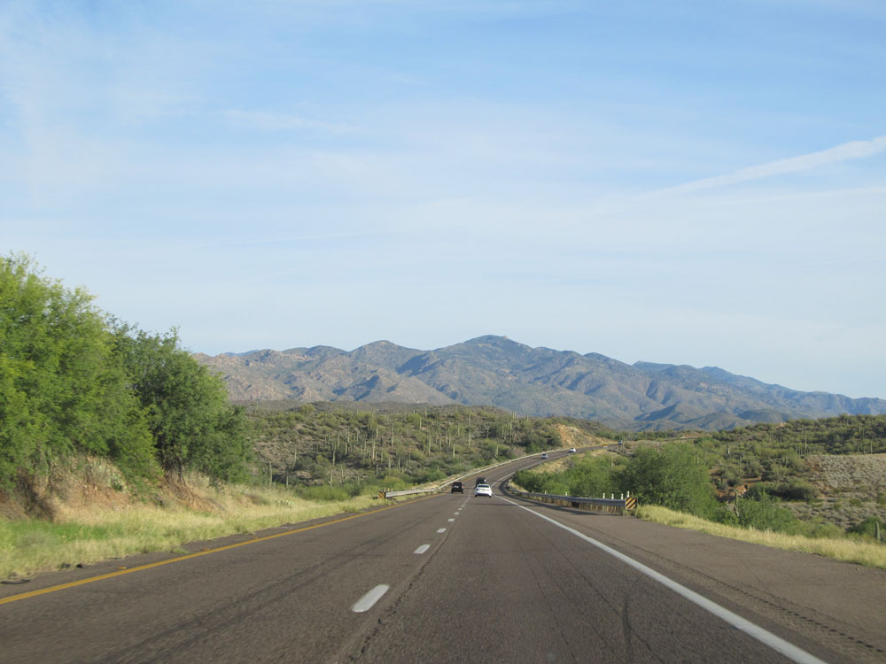 |
Interstate 17 North: Road view from near mile marker 240. (Photo taken 5/20/15). |
 |
Take either of the next 2 exits to Arizona Tourist Info. (Photo taken 5/20/15). |
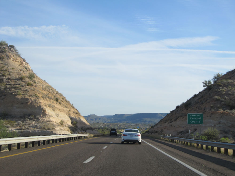 |
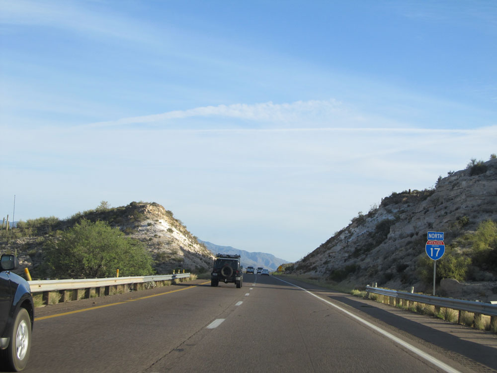
Interstate 17 North entering Yavapai County. (Photo taken 5/20/15). |
 |
Interstate 17 North at Exit 242: Rock Springs / Black Canyon City (Photo taken 5/20/15). |
Section 2: Black Canyon City (Exit 242) to Camp Verde (Exit 289)
 |
Approaching Exit 244, the speed limit drops to 65 mph as we're about to do a little climbing and winding around. (Photo taken 5/20/15). |
 |
Take Exit 244 to Coldwater Rd. (Photo taken 5/20/15). |
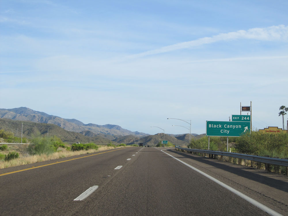 |
Interstate 17 North at Exit 244: Black Canyon City (Photo taken 5/20/15). |
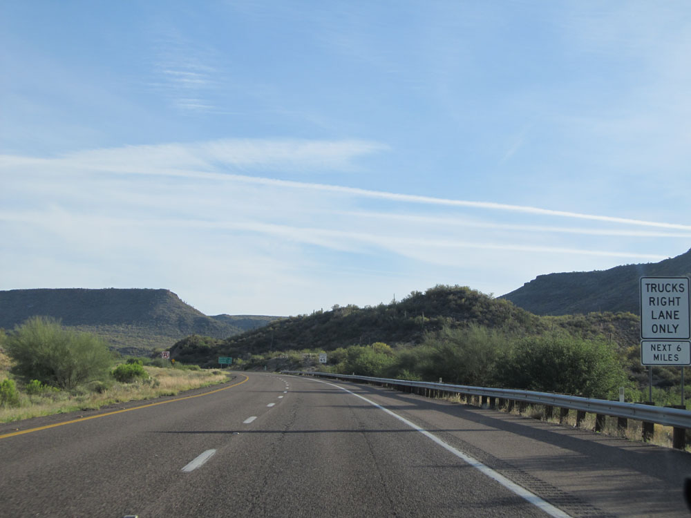 |
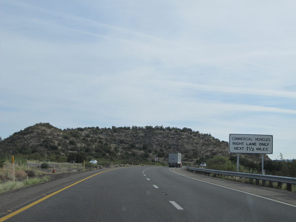
Trucks are restricted to the right lane only for the next 6 miles as we climb up quite a grade. (Photo taken 5/20/15). |
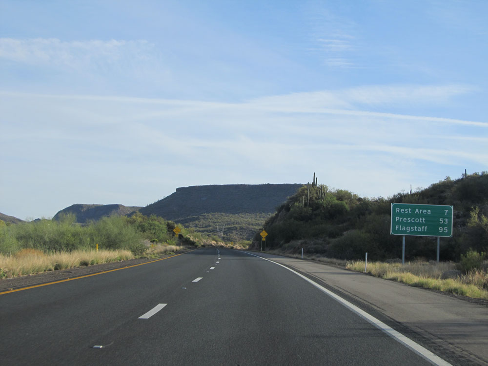 |
Mileage sign as we start up the grade. It's 7 miles to the next Rest Area, 53 miles to Prescott, and 95 miles to Flagstaff. (Photo taken 5/20/15). |
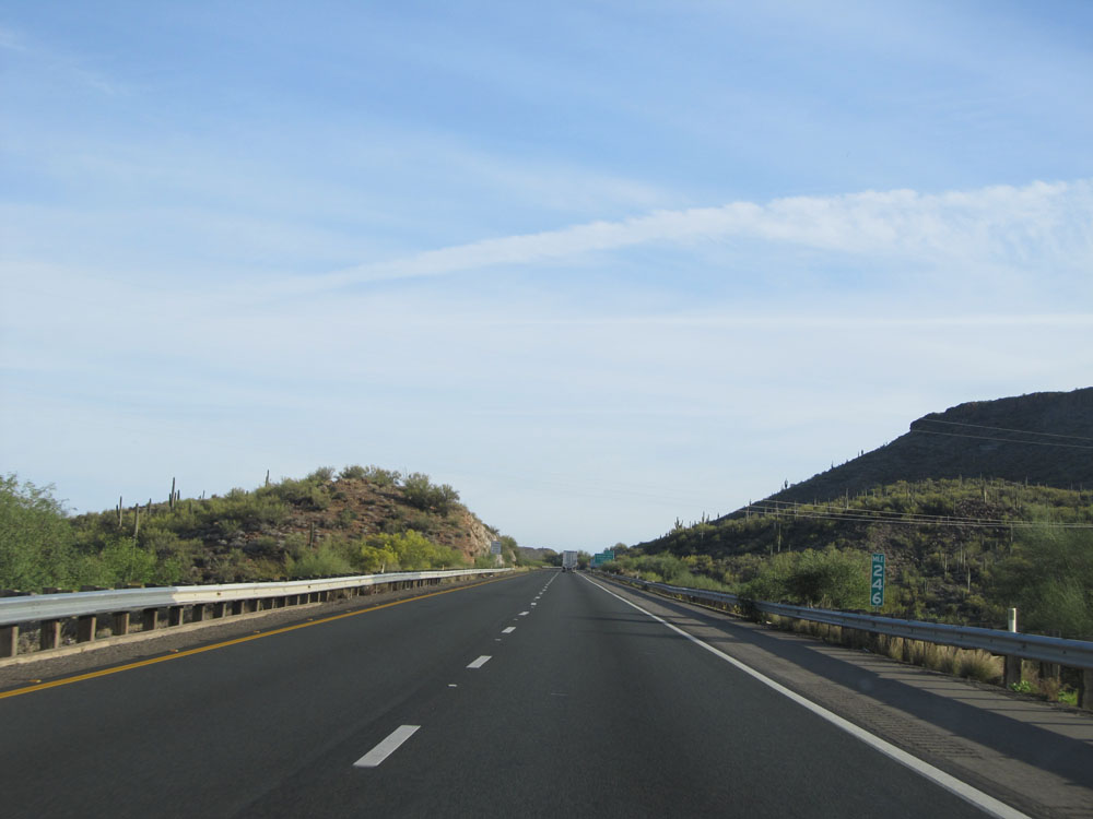 |
Interstate 17 North: Road view from mile marker 246. (Photo taken 5/20/15). |
 |
Another road view on Interstate 17 North as we continue to climb. (Photo taken 5/20/15). |
 |
Take Exit 248 to Horsethief Basin Recreation Area. (Photo taken 5/20/15). |
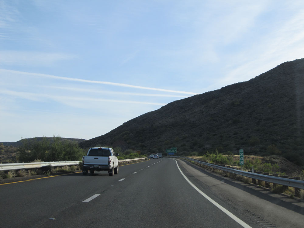 |
Interstate 17 North at mile marker 248. (Photo taken 5/20/15). |
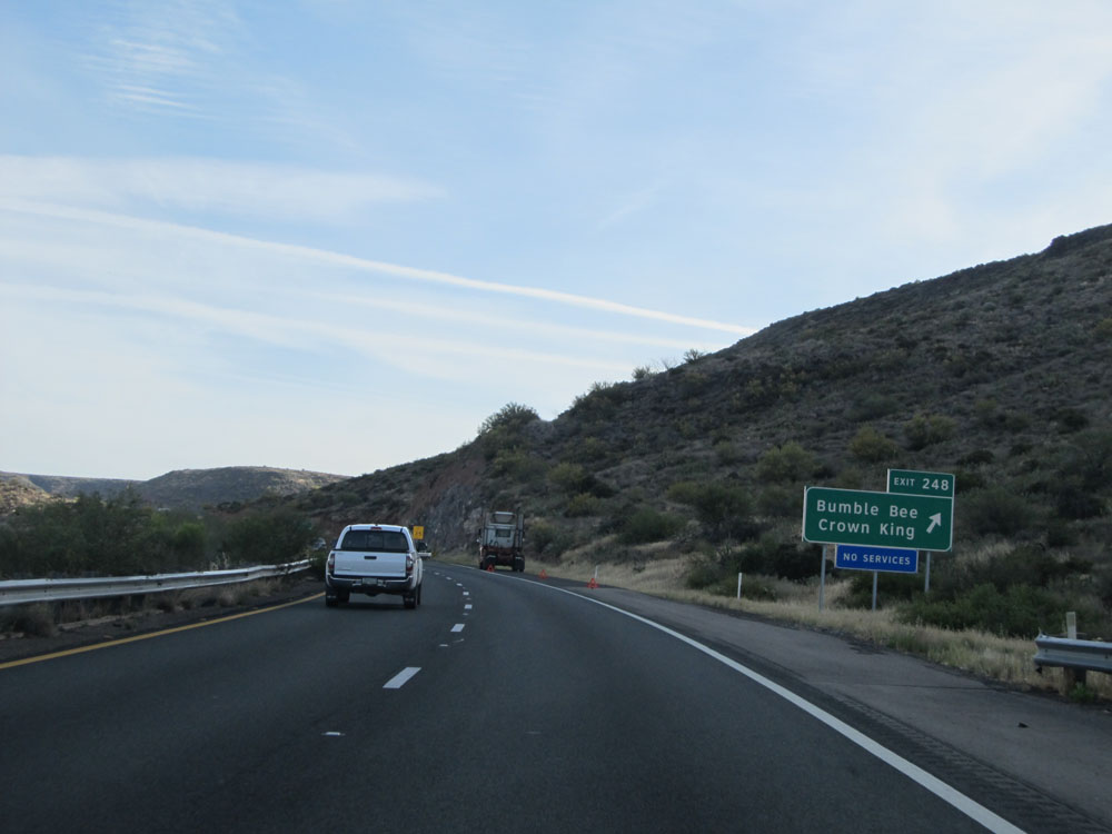 |
Interstate 17 North at Exit 248: Bumble Bee / Crown King (Photo taken 5/20/15). |
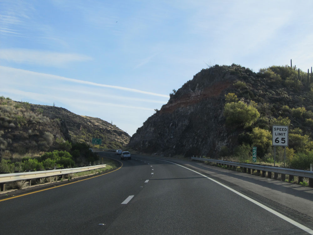 |
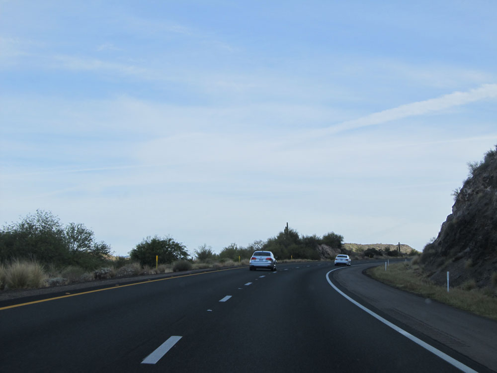
Interstate 17 North: Road view from mile marker 249. (Photo taken 5/20/15). |
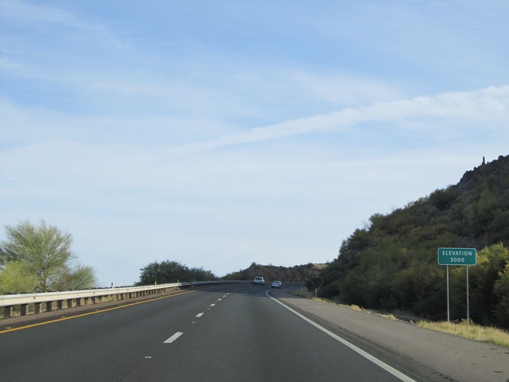 |
Near mile marker 249.5, Interstate 17 North reaches an elevation of 3,000 feet. Several more feet to go. (Photo taken 5/20/15). |
 |
Interstate 17 North at mile marker 250. (Photo taken 5/20/15). |
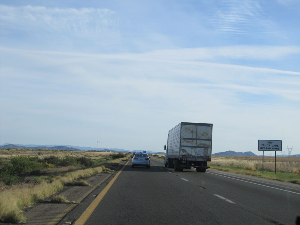 |
At the top of this 6-mile grade, this sign indicates that the truck lane restrictions now come to an end. (Photo taken 5/20/15). |
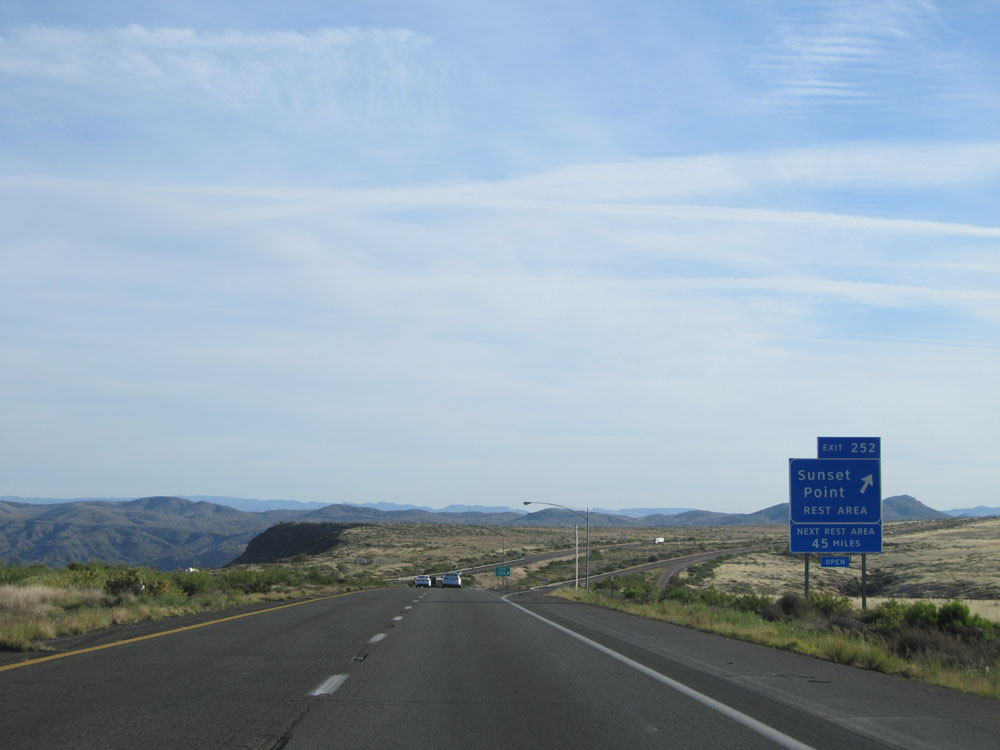 |
Interstate 17 North at Exit 252: Sunset Point Rest Area (Photo taken 5/20/15). |
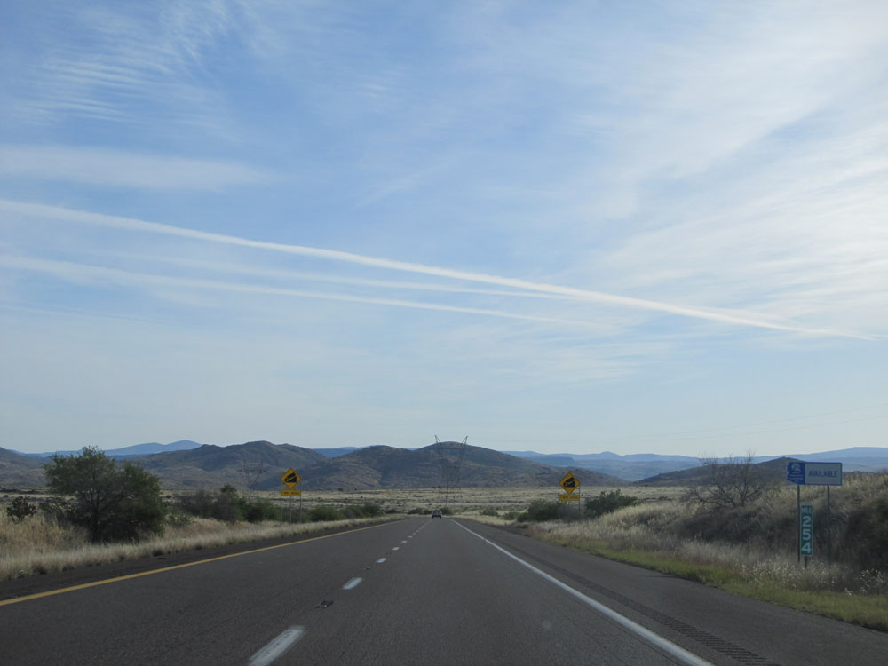 |
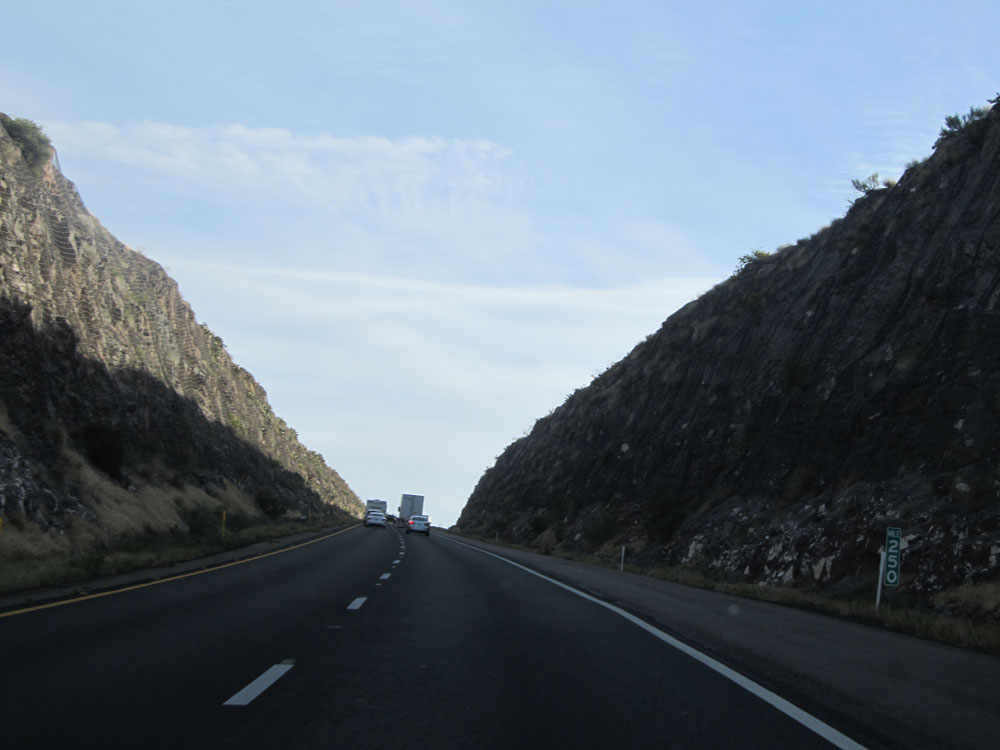
Interstate 17 North: Road view from mile marker 254. (Photo taken 5/20/15). |
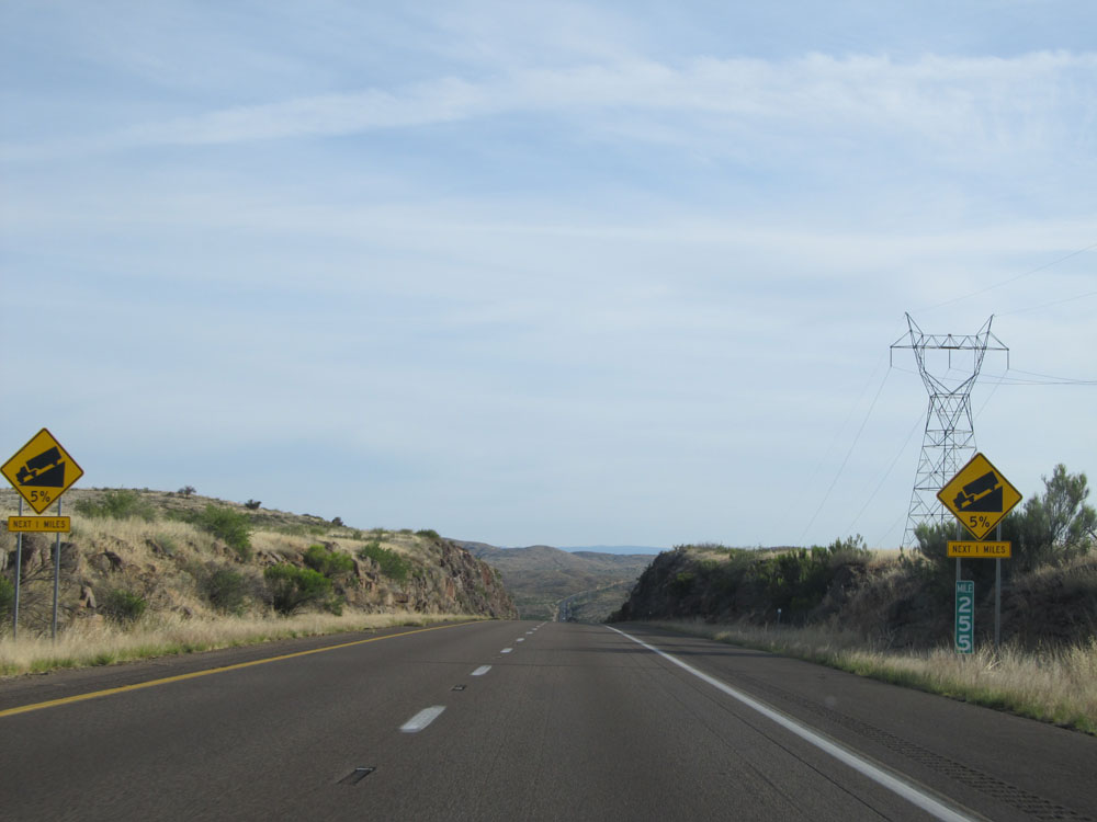 |
At mile marker 255, these warning signs indicate that Interstate 17 North is about to go down a 5% grade for the next 1 mile. (Photo taken 5/20/15). |
 |
Going down the grade, you can see that it's at least rather straight. (Photo taken 5/20/15). |
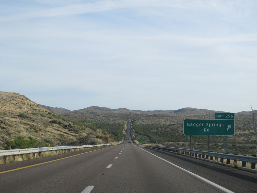 |
Interstate 17 North at Exit 256: Badger Springs Rd (Photo taken 5/20/15). |
 |
Interstate 17 North assurance shield near mile marker 256. (Photo taken 5/20/15). |
 |
Near mile marker 256, at the bottom of the grade, the standard speed limit of 75 mph resumes. (Photo taken 5/20/15). |
 |
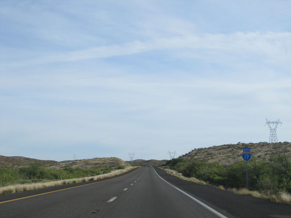
Mileage sign near mile marker 257. It's 5 miles to the junction of AZ 69, 41 miles to Prescott, and 83 miles to Flagstaff. (Photo taken 5/20/15). |
 |
Interstate 17 North: Road view from mile marker 258. (Photo taken 5/20/15). |
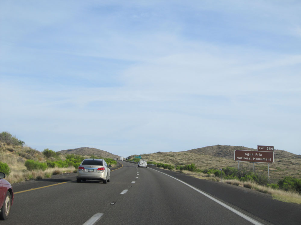 |
Take Exit 259 to Agua Fria National Monument. (Photo taken 5/20/15). |
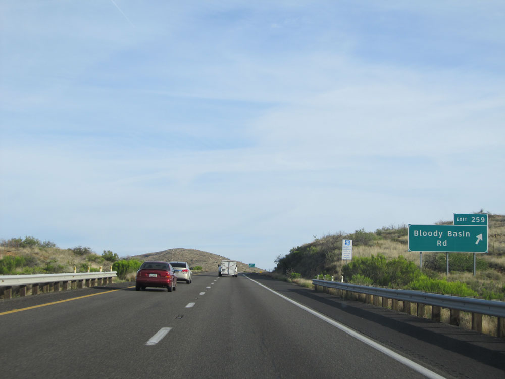 |
Interstate 17 North at Exit 259: Bloody Basin Rd (Photo taken 5/20/15). |
 |
Interstate 17 North approaching Exit 262 - 1 mile. (Photo taken 5/20/15). |
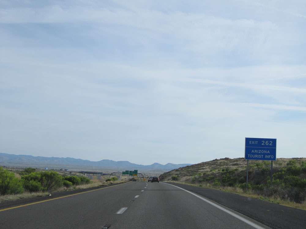 |
Take Exit 262 for Arizona Tourist Info. (Photo taken 5/20/15). |
 |
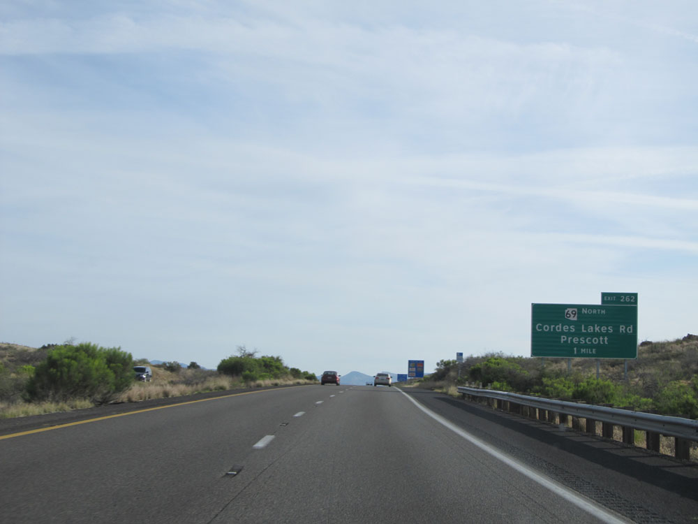
Interstate 17 North at Exit 262: AZ 69 North - Cordes Lakes Rd / Prescott (Photo taken 5/20/15). |
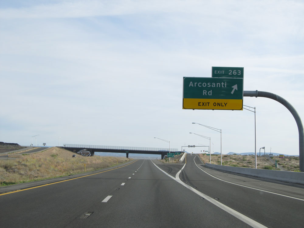 |
Interstate 17 North at Exit 263: Arcosanti Rd (Photo taken 5/20/15). |
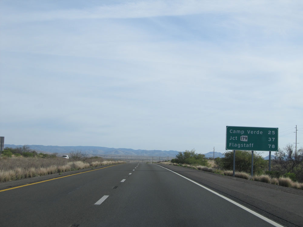 |
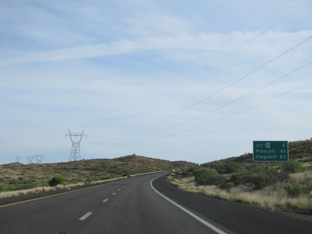
Mileage sign near mile marker 263. It's 25 miles to Camp Verde, 37 miles to the junction of AZ 179, and 78 miles to Flagstaff. (Photo taken 5/20/15). |
 |
Interstate 17 North: Road view from mile marker 266. (Photo taken 5/20/15). |
 |
Interstate 17 North at Exit 268: Orme Rd / Dugas Rd (Photo taken 5/20/15). |
 |
Interstate 17 North assurance shield near mile marker 268. (Photo taken 5/20/15). |
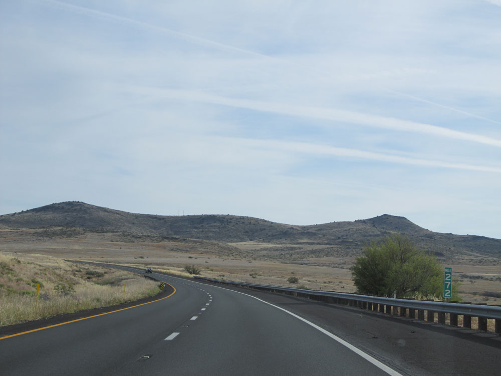 |
Interstate 17 North: Road view from mile marker 272. (Photo taken 5/20/15). |
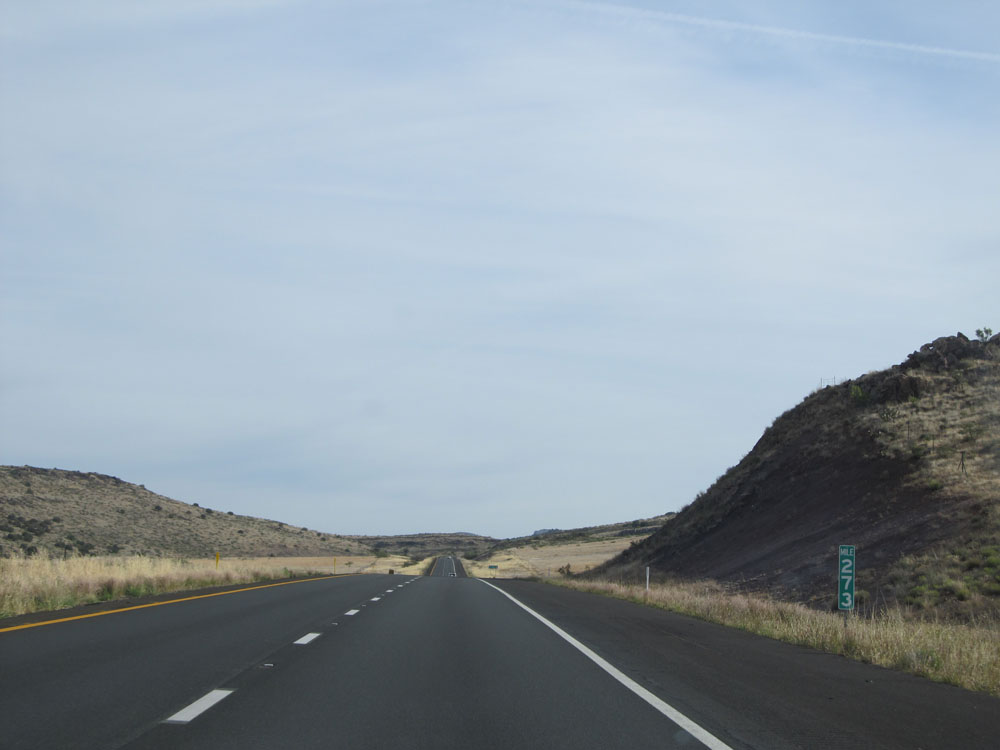 |
Interstate 17 North at mile marker 273. (Photo taken 5/20/15). |
 |
Interstate 17 North at mile marker 274. (Photo taken 5/20/15). |
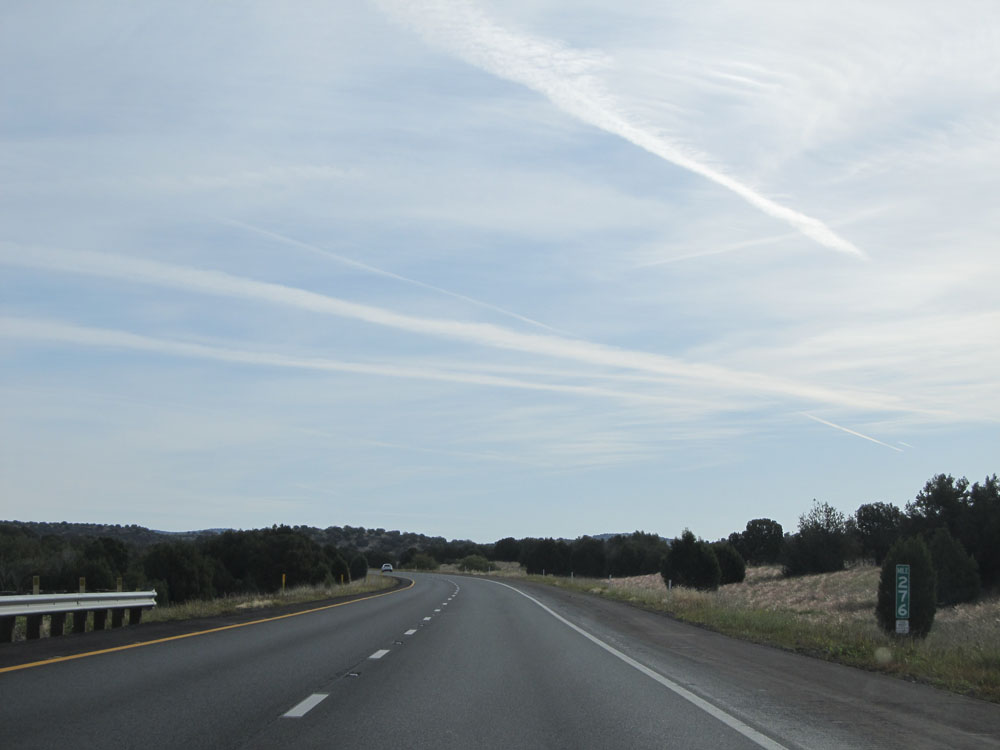 |
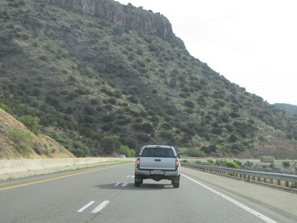
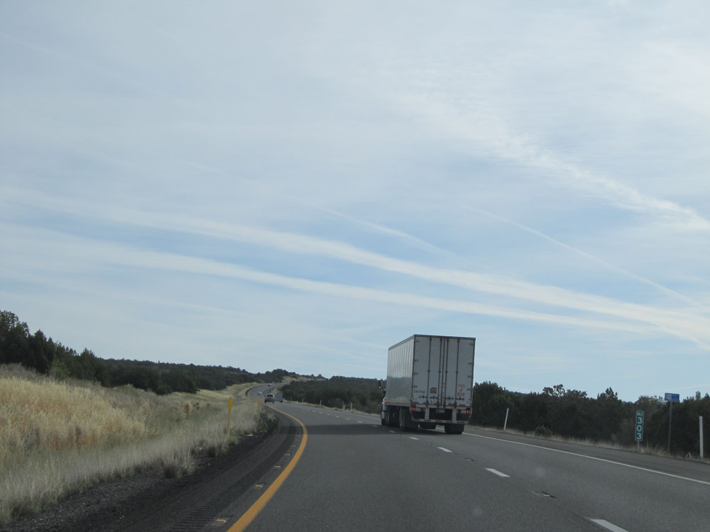
Interstate 17 North: Road view from mile marker 276. You can see quite a change in the types of plant life we are seeing here at this elevation compared to the cacti seen just about 40 miles ago. (Photo taken 5/20/15). |
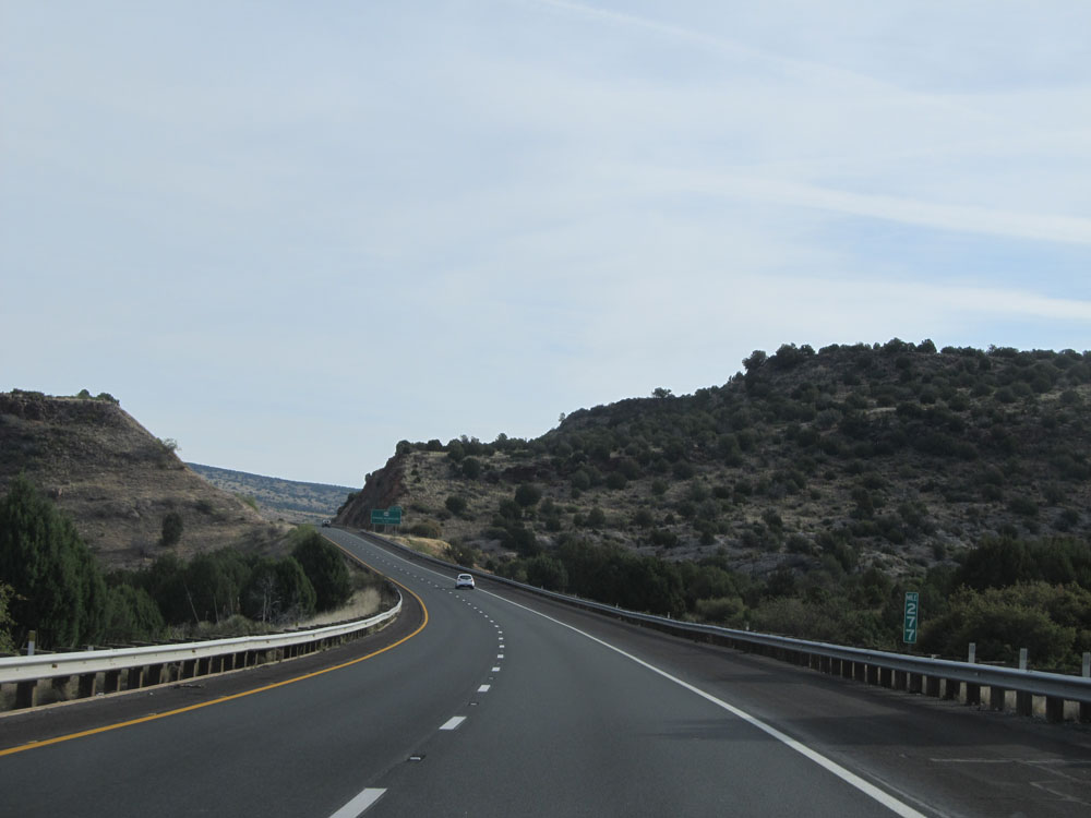 |
Interstate 17 North at mile marker 277. (Photo taken 5/20/15). |
 |
Interstate 17 North at Exit 278: AZ 169 - Dewey-Humboldt (Photo taken 5/20/15). |
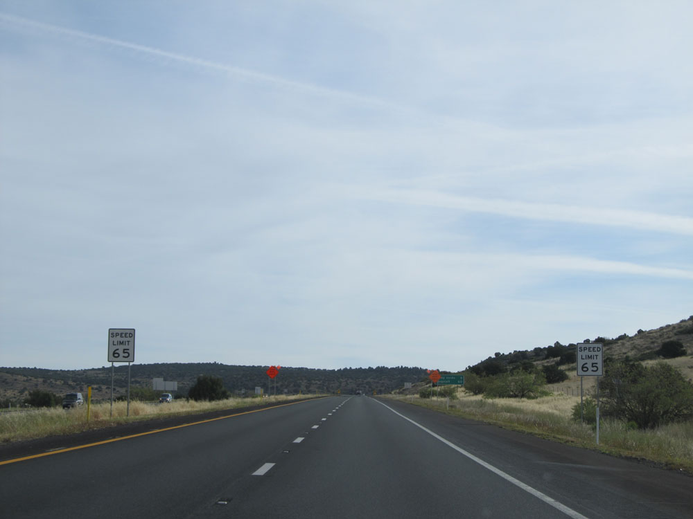 |
Shortly after Exit 278, we see the speed limit drop to 65 mph once again. This isn't because of a long climb this time. Rather, it's because of a long, steep downgrade ahead. (Photo taken 5/20/15). |
 |
Mileage sign near mile marker 279. It's 9 miles to Camp Verde and 60 miles to Flagstaff. (Photo taken 5/20/15). |
 |
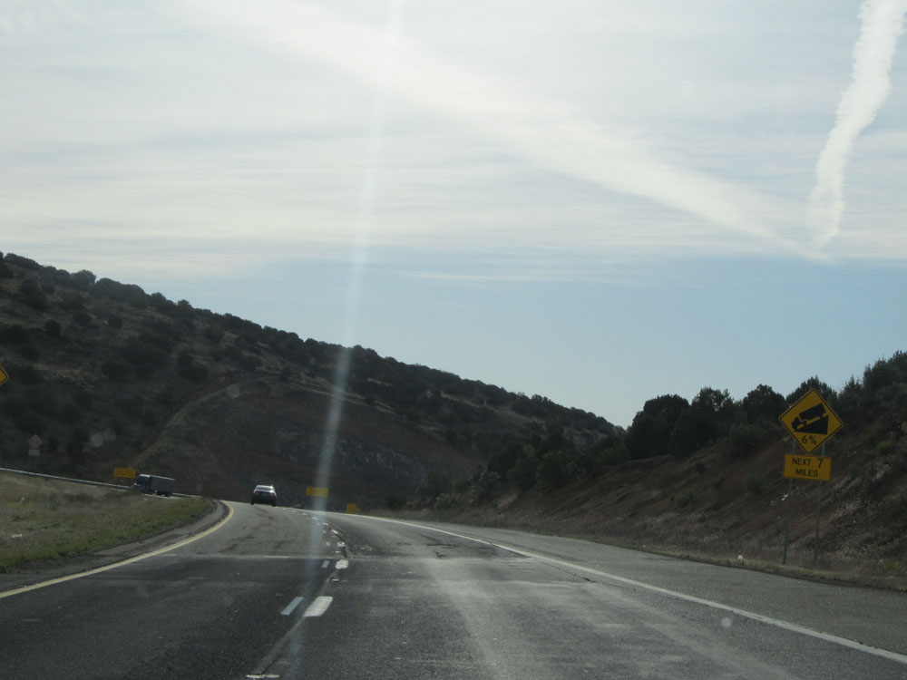
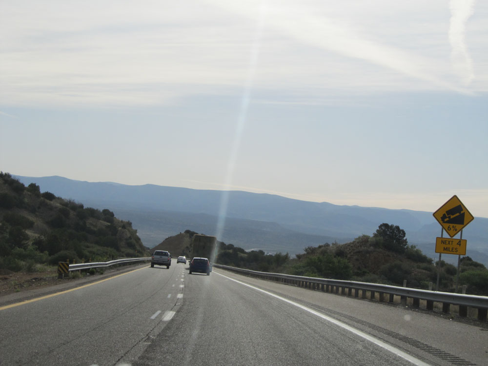
As these warning signs read, we're about to go down a steep (6%) grade 1 mile ahead, down into the Verde Valley. (Photo taken 5/20/15). |
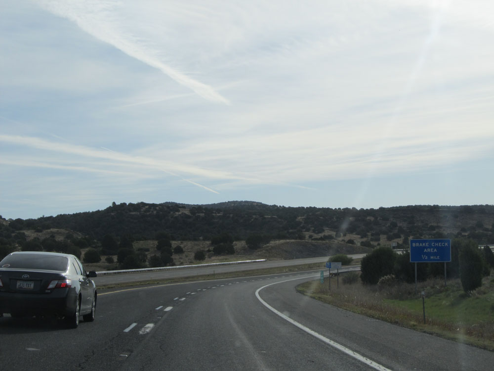 |
At mile marker 280, a Brake Check Area lies 1/2 mile ahead at the top of the grade. (Photo taken 5/20/15). |
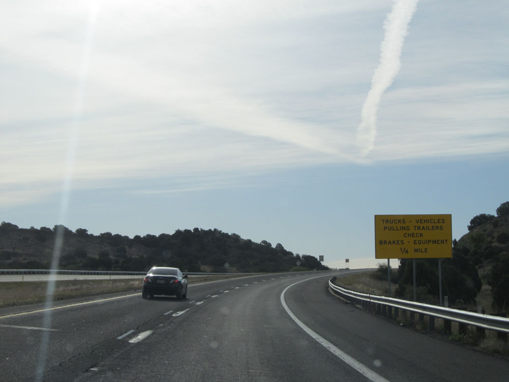 |
Trucks and vehicles pulling trailers are advised to stop at the Brake Check Area 1/4 mile ahead. (Photo taken 5/20/15). |
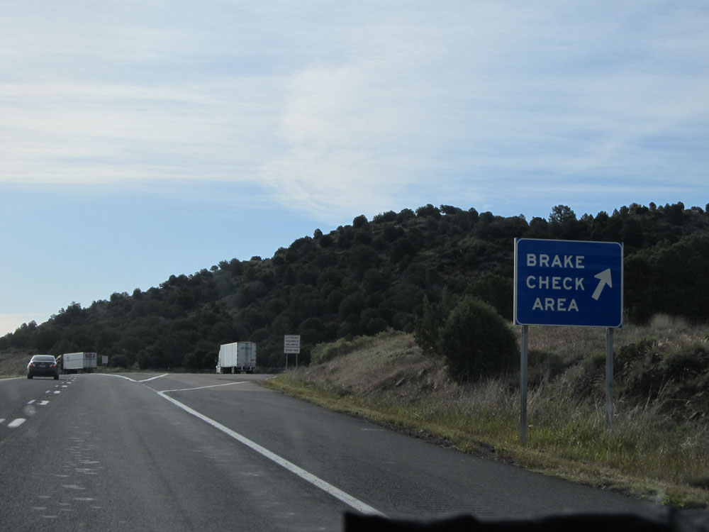 |
Interstate 17 North at the Brake Check Area near mile marker 280.5, just before our descent into the Verde Valley. Trust me, it's a keeper. (Photo taken 5/20/15). |
 |
As we prepare to head down the grade into the Verde Valley, these warning signs state that it's a 6% grade for the next 7 miles. Trucks should definitely gear down. (Photo taken 5/20/15). |
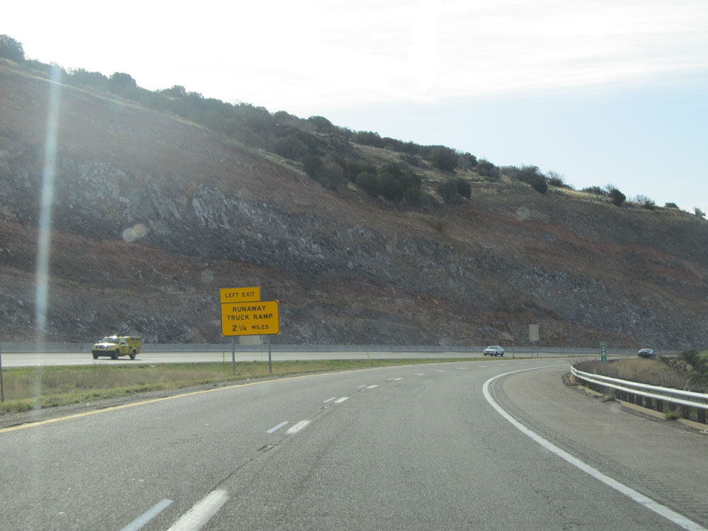 |
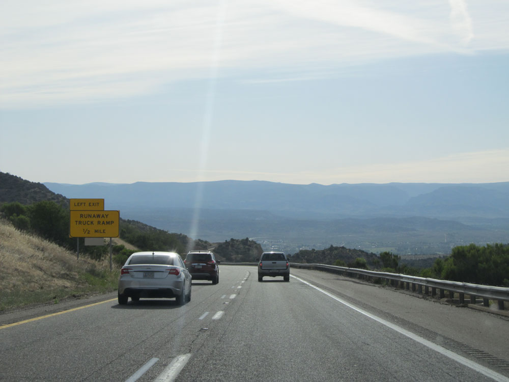
At mile marker 281, this sign alerts trucks of a Runaway Truck Ramp that lies 2 1/4 miles ahead on the left, should they lose their brakes due to them overheating from overuse. (Photo taken 5/20/15). |
 |
Interstate 17 North: Road view approaching mile marker 282, as we head down the steep grade. (Photo taken 5/20/15). |
 |
View on Interstate 17 North, continuing the descent. (Photo taken 5/20/15). |
 |
Interstate 17 North approaching the Runaway Truck Ramp - 1/2 mile on the left. (Photo taken 5/20/15). |
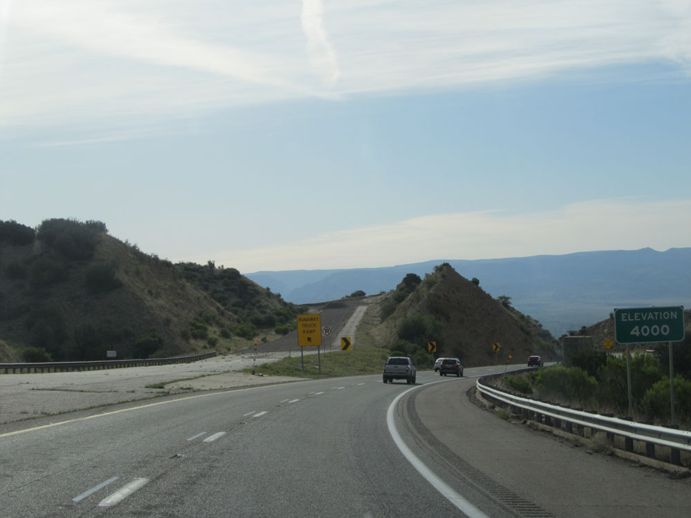 |
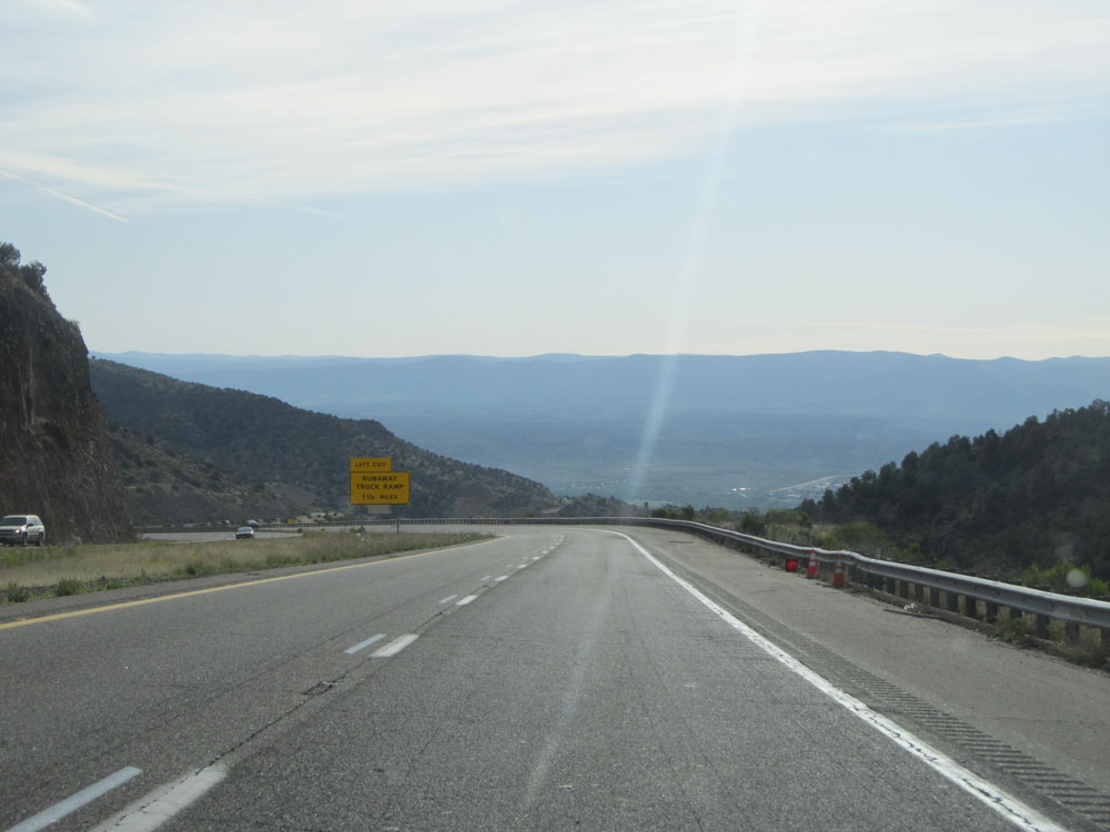
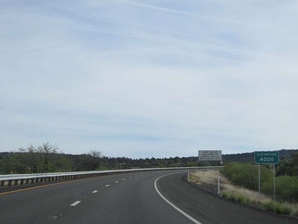
Interstate 17 North at the Runaway Truck Ramp on the left. Also, as the sign on the right says, we've gone down to 4,000 feet in elevation at this point. We never quite hit 5,000 feet YET. Don't worry, we will be exceeding 7,000 feet before we get to Flagstaff. (Photo taken 5/20/15). |
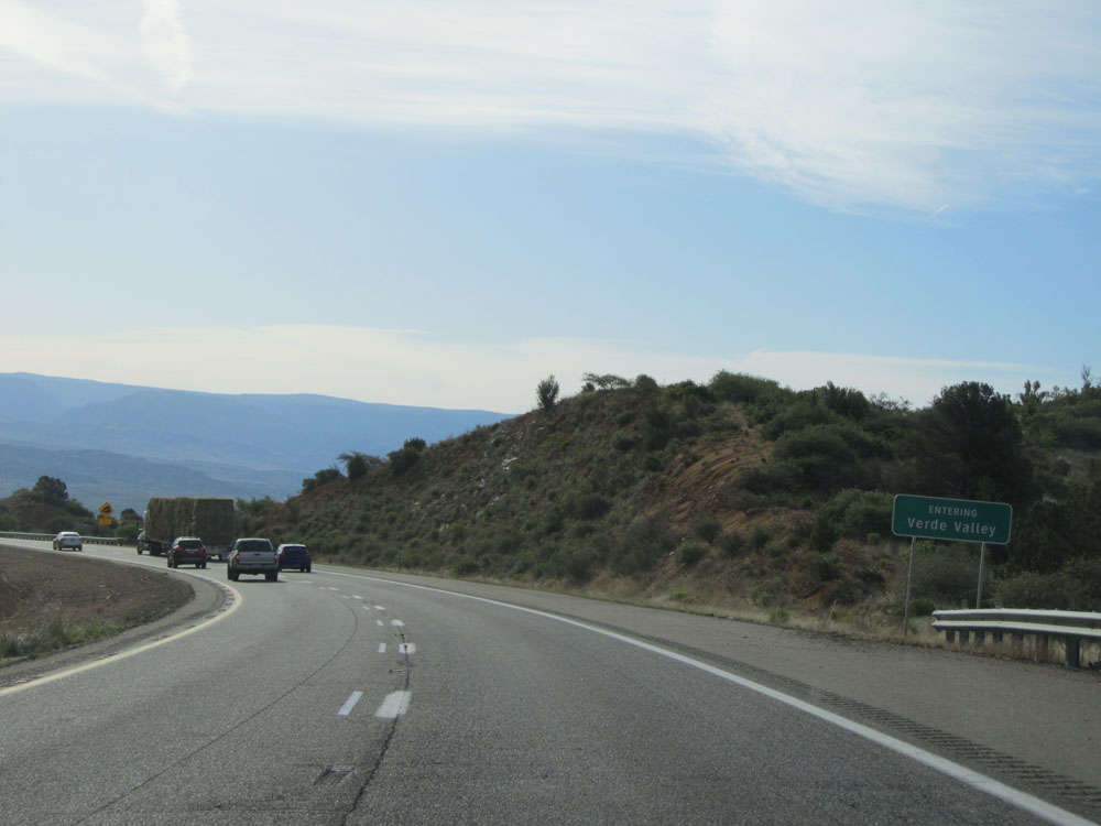 |
Interstate 17 North as it enters the Verde Valley. (Photo taken 5/20/15). |
 |
The steep 6% downgrade continues from this point for 4 more miles. (Photo taken 5/20/15). |
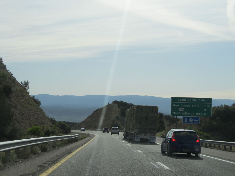 |
Sign listing the distances to the three upcoming exits to Camp Verde. (Photo taken 5/20/15). |
 |
Take Exit 285 to Fort Verde State Park. (Photo taken 5/20/15). |
 |
Interstate 17 North at Exit 285: General Crook Trail (Photo taken 5/20/15). |
 |
Past Exit 285, the standard speed limit of 75 mph resumes as you approach the bottom of the grade and Interstate 17 North straightens out a bit. (Photo taken 5/20/15). |
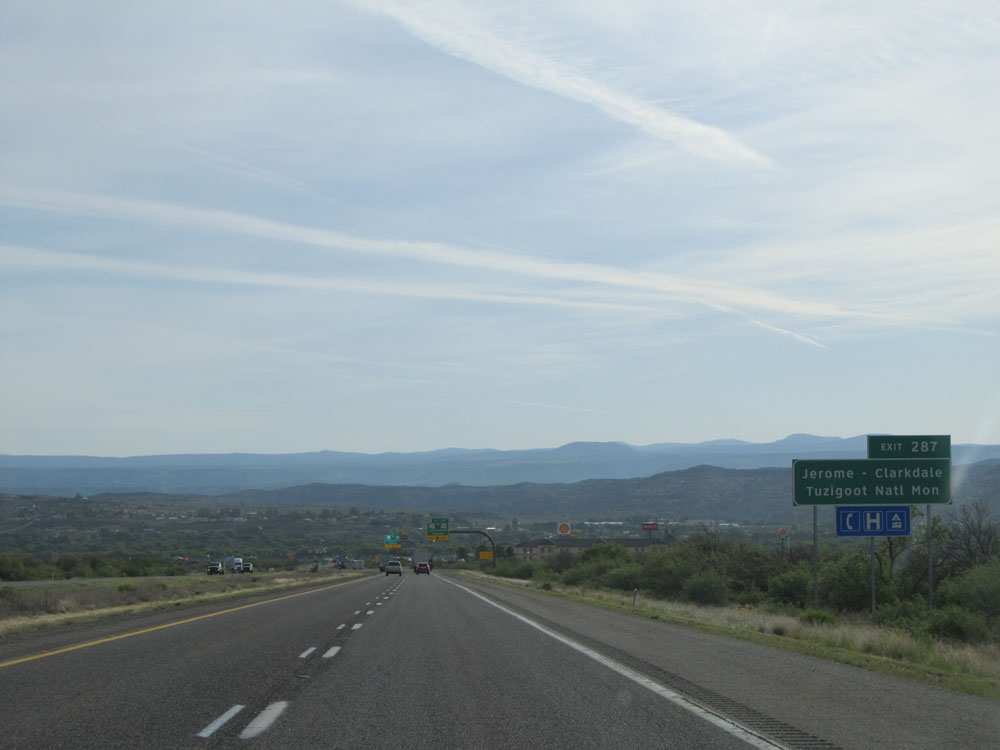 |
Take Exit 287 to Jerome-Clarkdale and Tuzigoot National Monument. (Photo taken 5/20/15). |
 |
Interstate 17 North at Exit 287: AZ 260 / To AZ 89A - Cottonwood / Payson (Photo taken 5/20/15). |
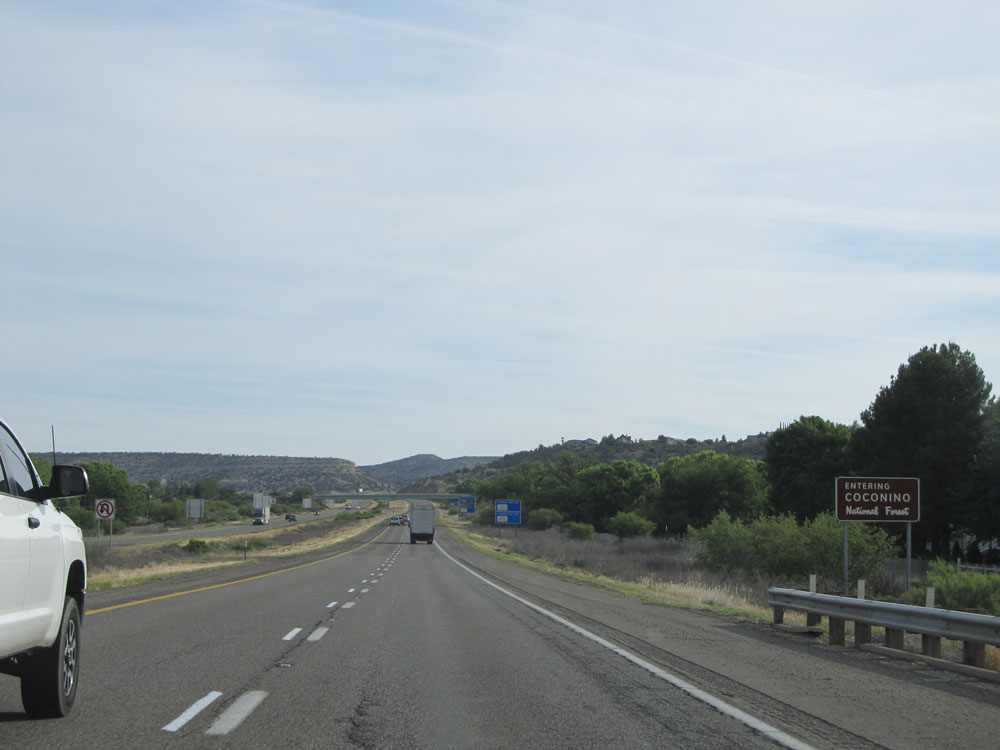 |
Interstate 17 North as it enters the Coconino National Forest. We remain in the Coconino National Forest for the rest of I-17's duration into Flagstaff. (Photo taken 5/20/15). |
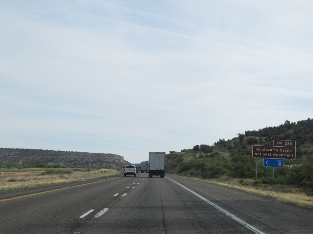 |
Take Exit 289 to Montezuma Castle National Monument. (Photo taken 5/20/15). |
 |
Interstate 17 North at Exit 289: Middle Verde Rd (Photo taken 5/20/15). |
Section 3: Camp Verde (Exit 289) to Flagstaff
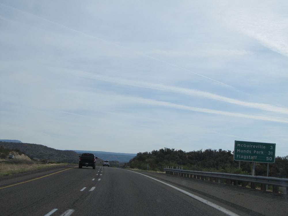 |
Mileage sign near mile marker 289. It's 3 miles to McGuireville, 31 miles to Munds Park, and 50 miles to Flagstaff. (Photo taken 5/20/15). |
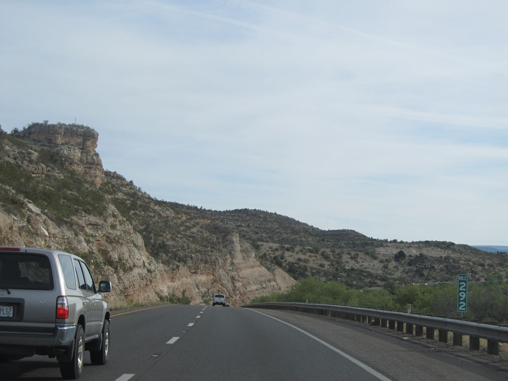 |
Interstate 17 North: Road view from mile marker 292. (Photo taken 5/20/15). |
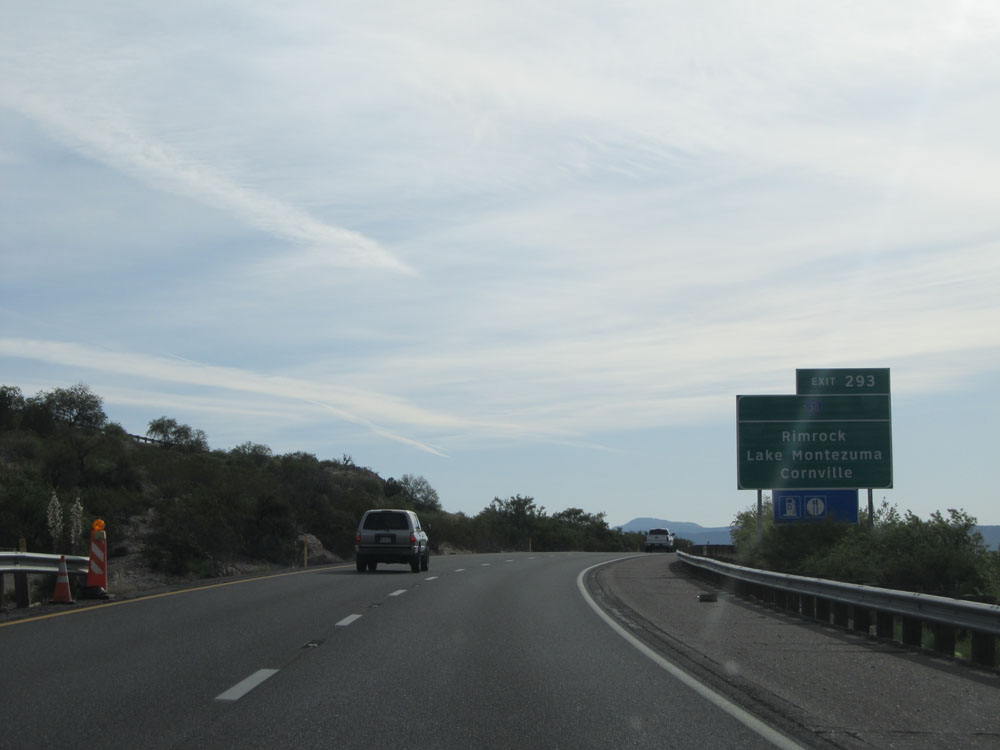 |
Take Exit 293 to Rimrock, Lake Montezuma, and Cornville. (Photo taken 5/20/15). |
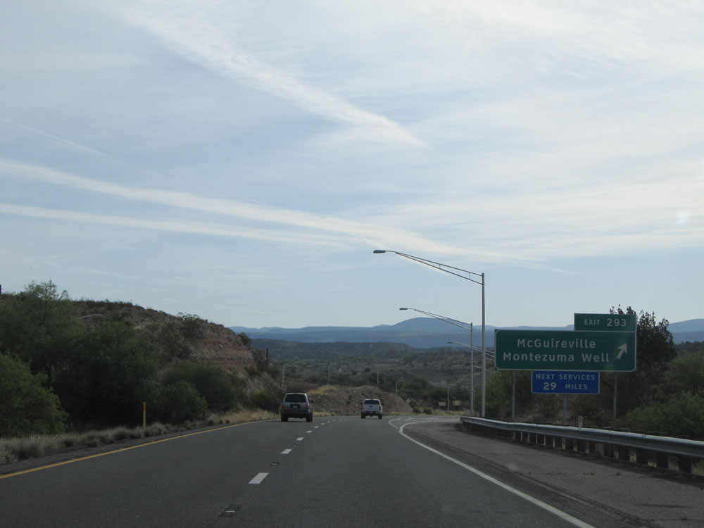 |
Interstate 17 North at Exit 293: McGuireville / Montezuma Well (Photo taken 5/20/15). |
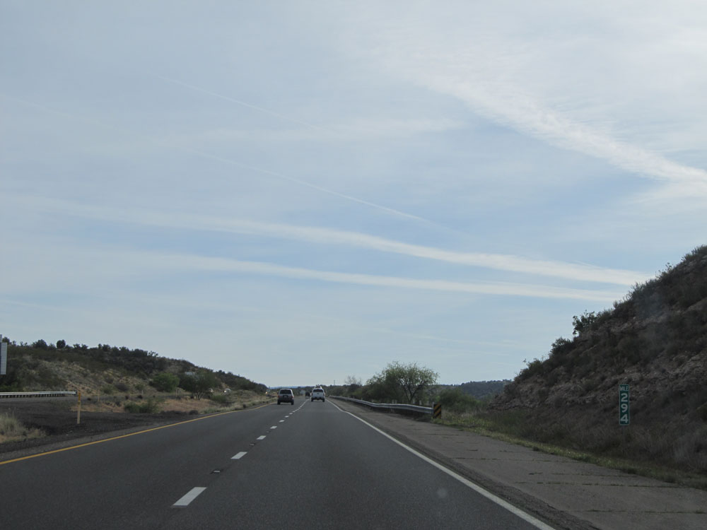 |
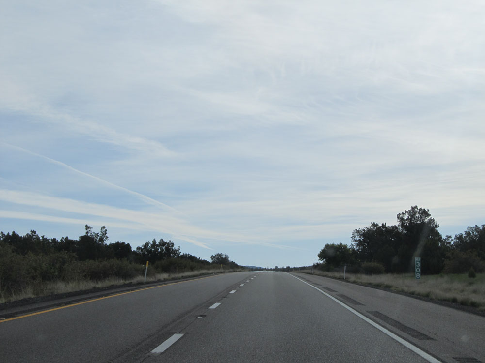
Interstate 17 North at mile marker 294. (Photo taken 5/20/15). |
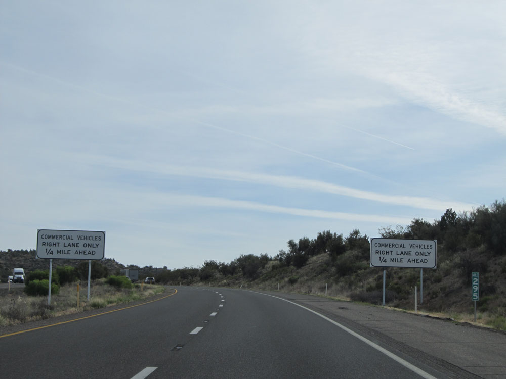 |
At mile marker 295, these signs alert of another truck restriction 1/4 mile ahead. Trucks will be restricted to the right lane only once again, as we're about to climb up, up, up and then up some more all the way to Flagstaff. (Photo taken 5/20/15). |
 |
Interstate 17 North as the truck lane control begins. Trucks are restricted to the right lane only for the next 1 1/2 miles. (Photo taken 5/20/15). |
 |
Interstate 17 North: Road view from mile marker 296. This is a slight break in the climbing action. (Photo taken 5/20/15). |
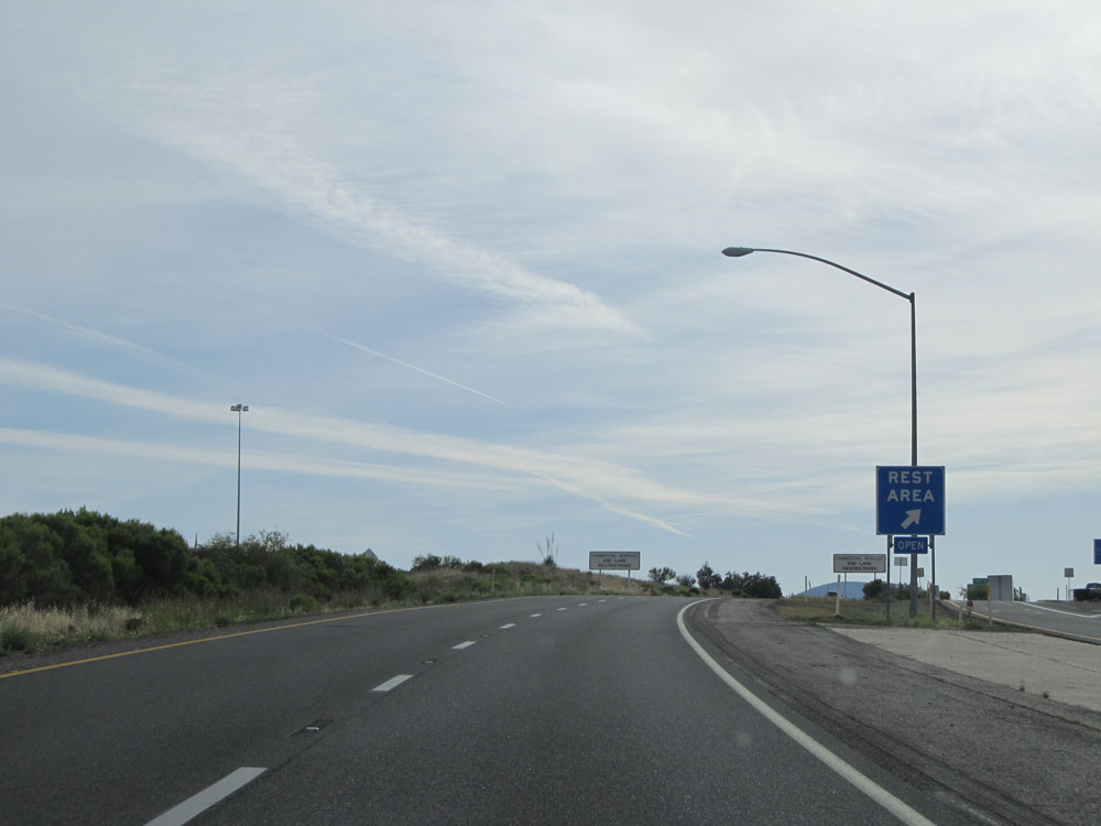 |
Interstate 17 North at the Rest Area located near mile marker 296.5. (Photo taken 5/20/15). |
 |
Take Exit 298 to Oak Creek Canyon. (Photo taken 5/20/15). |
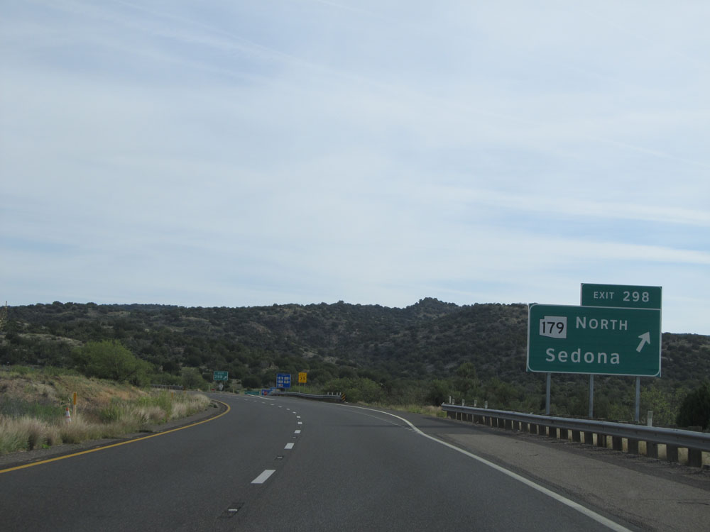 |
Interstate 17 North at Exit 298: AZ 179 North - Sedona (Photo taken 5/20/15). |
 |
Interstate 17 North: Road view from mile marker 299. Resume the climb. (Photo taken 5/20/15). |
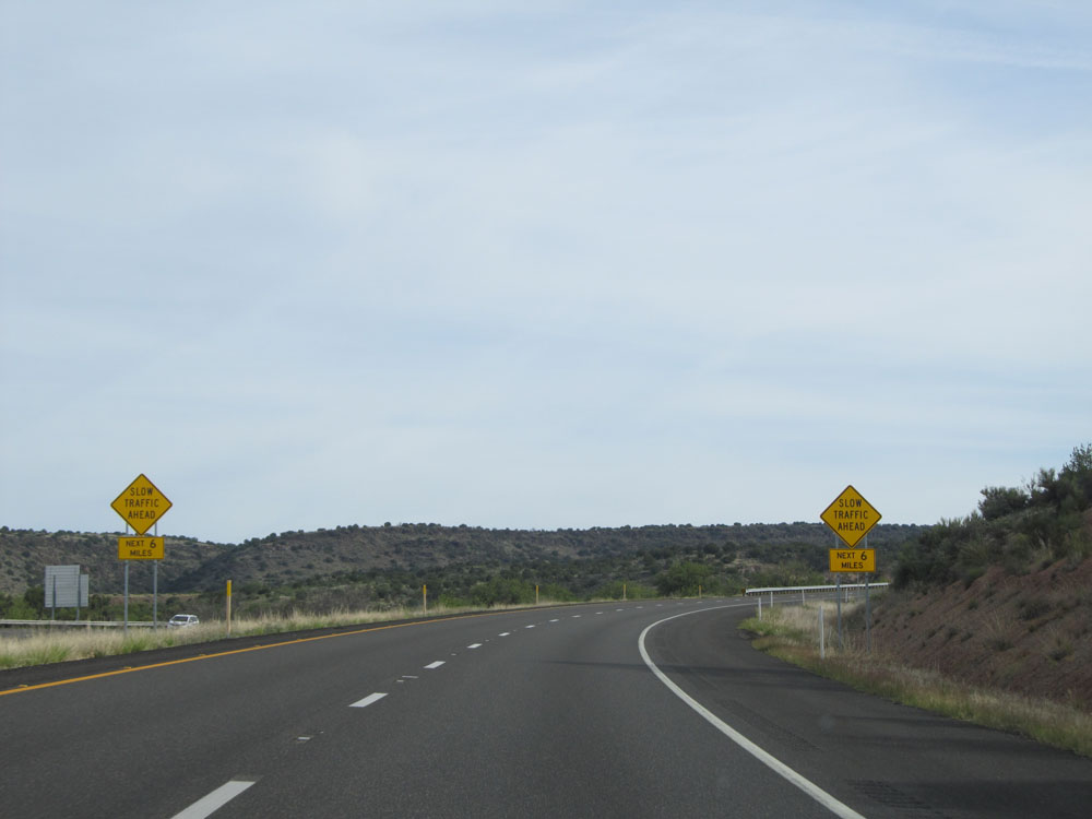 |
Warning signs alerting motorists that slow traffic might exist ahead for the next 6 miles. After all, although it might not look like it, we're going up a big mountain. (Photo taken 5/20/15). |
 |
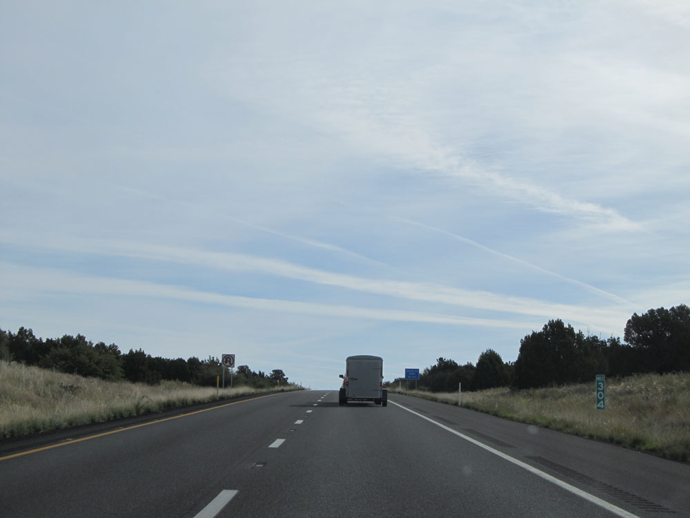
At this point we've returned to an elevation of 4,000 feet, after dropping down below 4,000 in Camp Verde. 3,000+ feet more to climb up to Flagstaff. (Photo taken 5/20/15). |
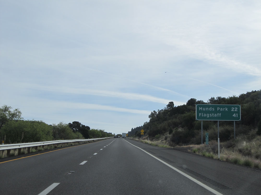 |
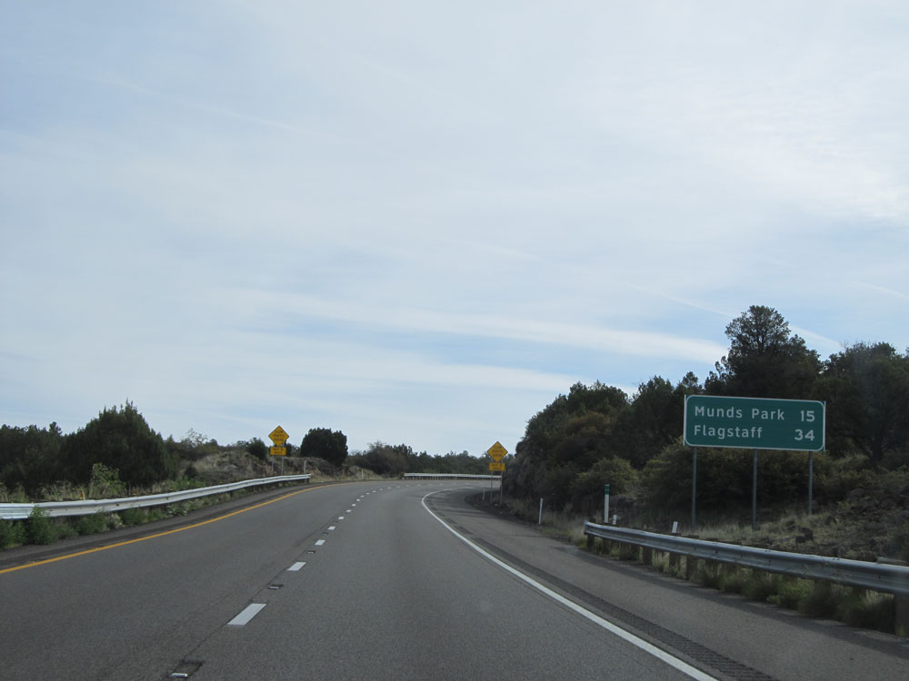
Mileage sign at mile marker 300. It's 22 miles to Munds Park and 41 miles to Flagstaff. (Photo taken 5/20/15). |
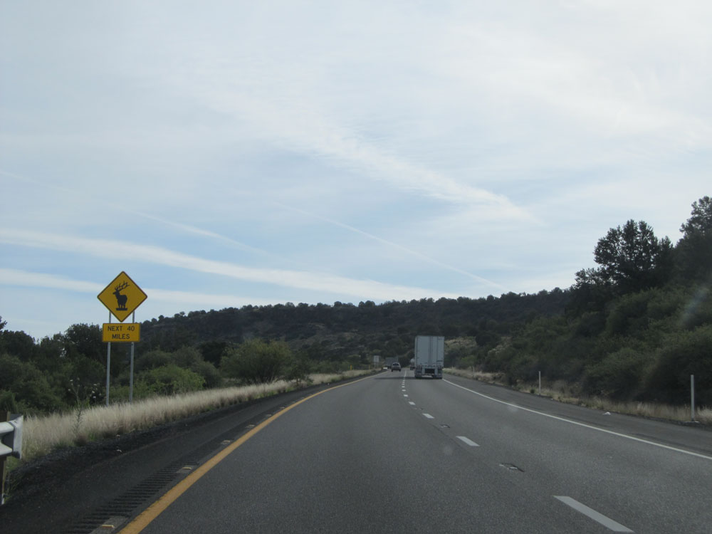 |
Watch for elk crossing the roadway for the next 40 miles. (Photo taken 5/20/15). |
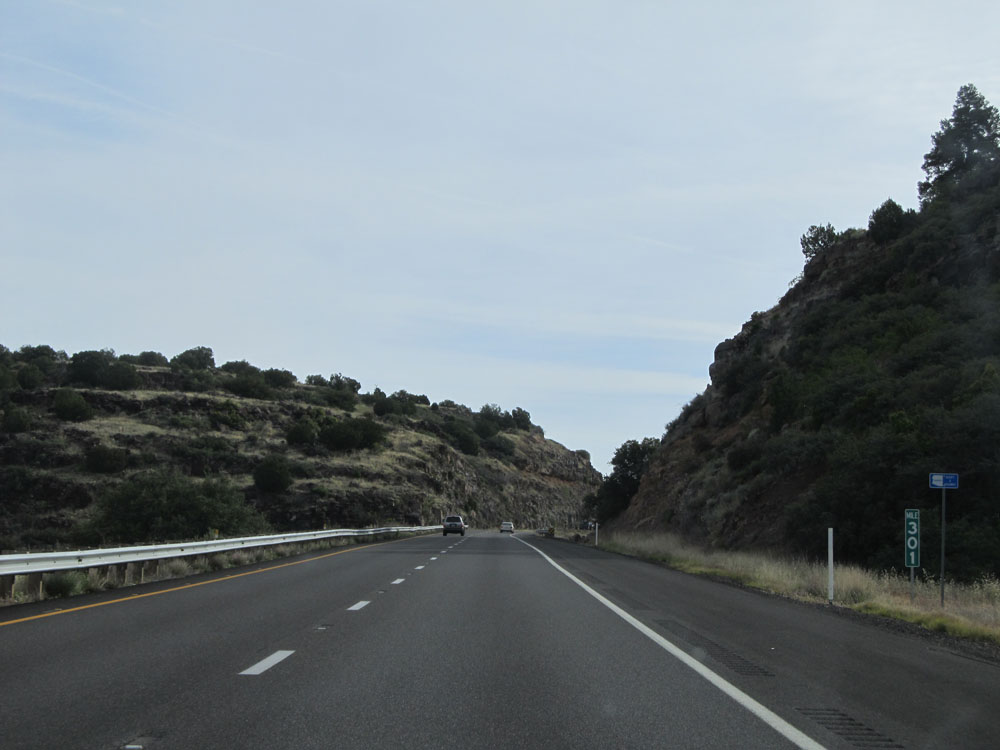 |
Interstate 17 North at mile marker 301. (Photo taken 5/20/15). |
 |
Interstate 17 North: Road view from mile marker 302. Like I said: Up, up, up. (Photo taken 5/20/15). |
 |
Interstate 17 North at mile marker 303. (Photo taken 5/20/15). |
 |
And just like that, in a matter of about 5 miles, we've gone up another thousand feet in altitude. Elevation - 5,000 feet. Notice the change in the plant life once again as we climb up. (Photo taken 5/20/15). |
 |
Interstate 17 North at mile marker 304. (Photo taken 5/20/15). |
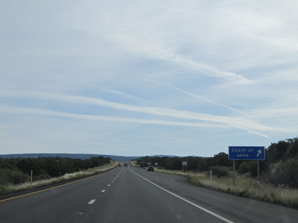 |
Interstate 17 North at the Chain Up Area located near mile marker 305. We might be in Arizona, but due to the elevation from here to Flagstaff coupled with the steep climbing we will be doing (and have been doing for a bit now), chains may very well be needed to continue in the winter. (Photo taken 5/20/15). |
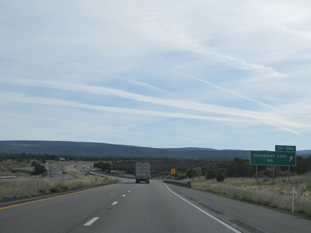 |
Interstate 17 North at Exit 306: Stoneman Lake Rd (Photo taken 5/20/15). |
 |
Mileage sign near mile marker 306. It's 12 miles to Munds Park and 34 miles to Flagstaff. (Photo taken 5/20/15). |
 |
Interstate 17 North: Road view from mile marker 308. (Photo taken 5/20/15). |
 |
And once again, just like that, in a matter of 5 miles, we've climbed another thousand feet to an elevation of 6,000 feet. (Photo taken 5/20/15). |
 |
Interstate 17 North at mile marker 311. Look at the plant life now. We started with cacti back near Phoenix and Black Canyon City, and just a little over 100 miles and 5,000 feet in elevation later, we start to see tall pine trees. Amazing! (Photo taken 5/20/15). |
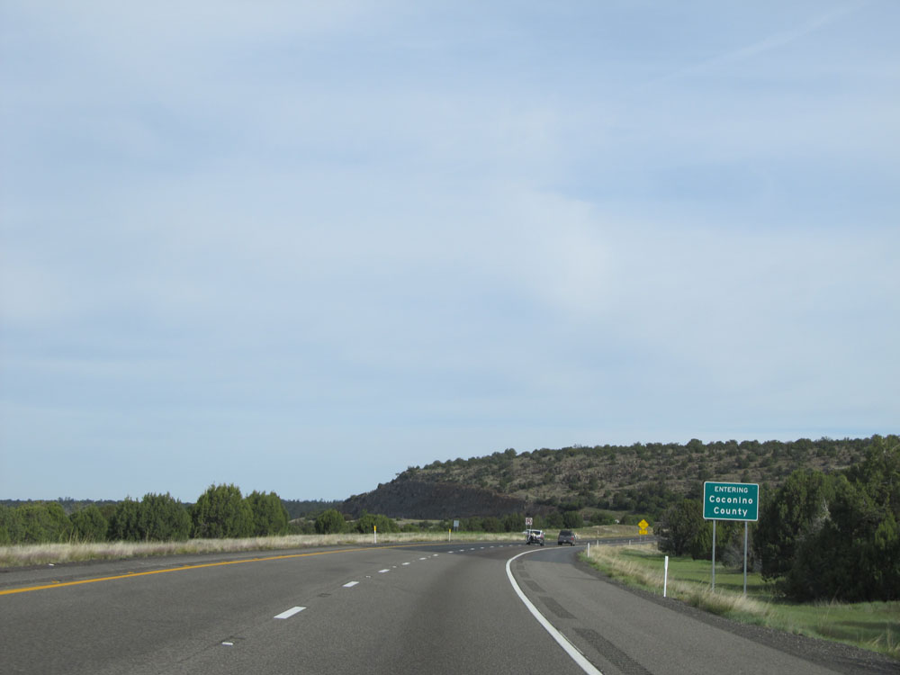 |
Interstate 17 North as it enters Coconino County. (Photo taken 5/20/15). |
 |
Interstate 17 North: Road view from mile marker 312. (Photo taken 5/20/15). |
 |
Interstate 17 North: Road view from mile marker 314. Can you believe the change of scenery since about 15 miles ago?!? It's simply remarkable! (Photo taken 5/20/15). |
 |
Interstate 17 North at Exit 315: Rocky Park Rd (Photo taken 5/20/15). |
 |
Interstate 17 North: Road view from mile marker 316. (Photo taken 5/20/15). |
 |
So you believe me that this is the same road we were on 20 miles ago, here's an Interstate 17 North assurance shield! (Photo taken 5/20/15). |
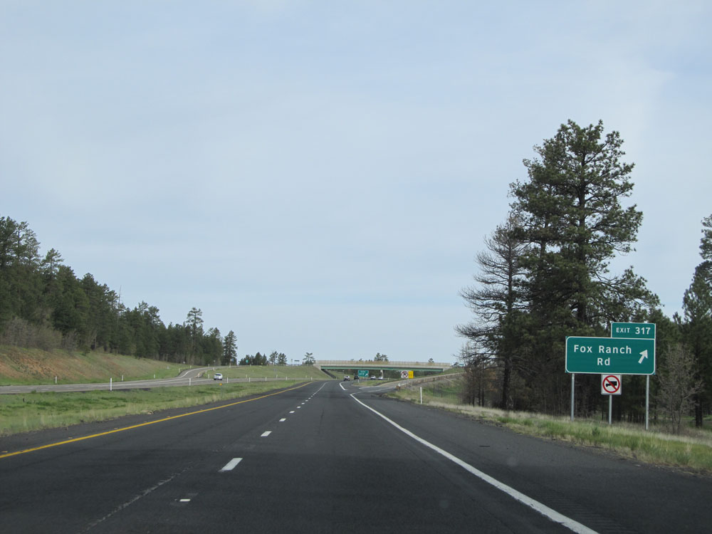 |
Interstate 17 North at Exit 317: Fox Ranch Rd (Photo taken 5/20/15). |
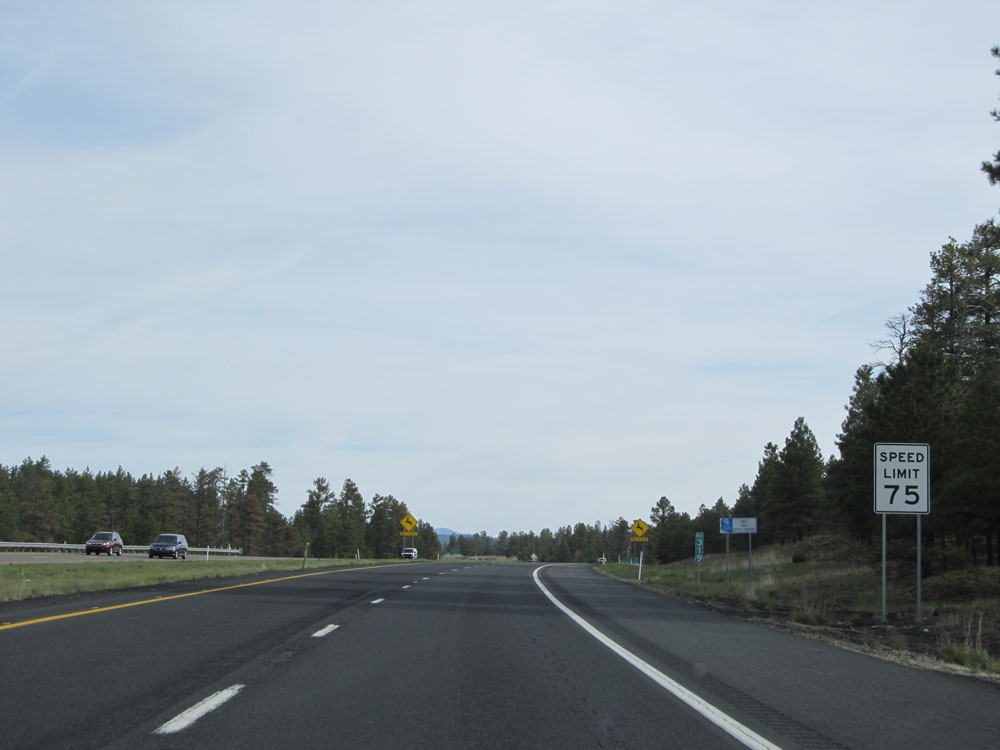 |
Speed limit sign at mile marker 319. The speed limit remains 75 mph until we get closer to Flagstaff. (Photo taken 5/20/15). |
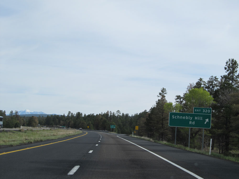 |
Interstate 17 North at Exit 320: Schnebly Hill Rd (Photo taken 5/20/15). |
 |
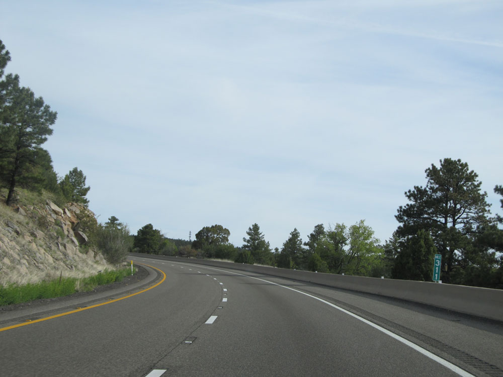
Interstate 17 North at mile marker 321. (Photo taken 5/20/15). |
 |
Take Exit 322 to Pinewood Blvd. (Photo taken 5/20/15). |
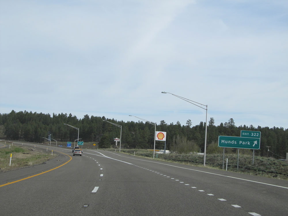 |
Interstate 17 North at Exit 322: Munds Park (Photo taken 5/20/15). |
 |
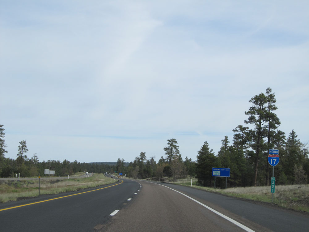
Mileage sign near mile marker 322. It's 15 miles to the junction of Interstate 40 and 17 miles to Flagstaff. (Photo taken 5/20/15). |
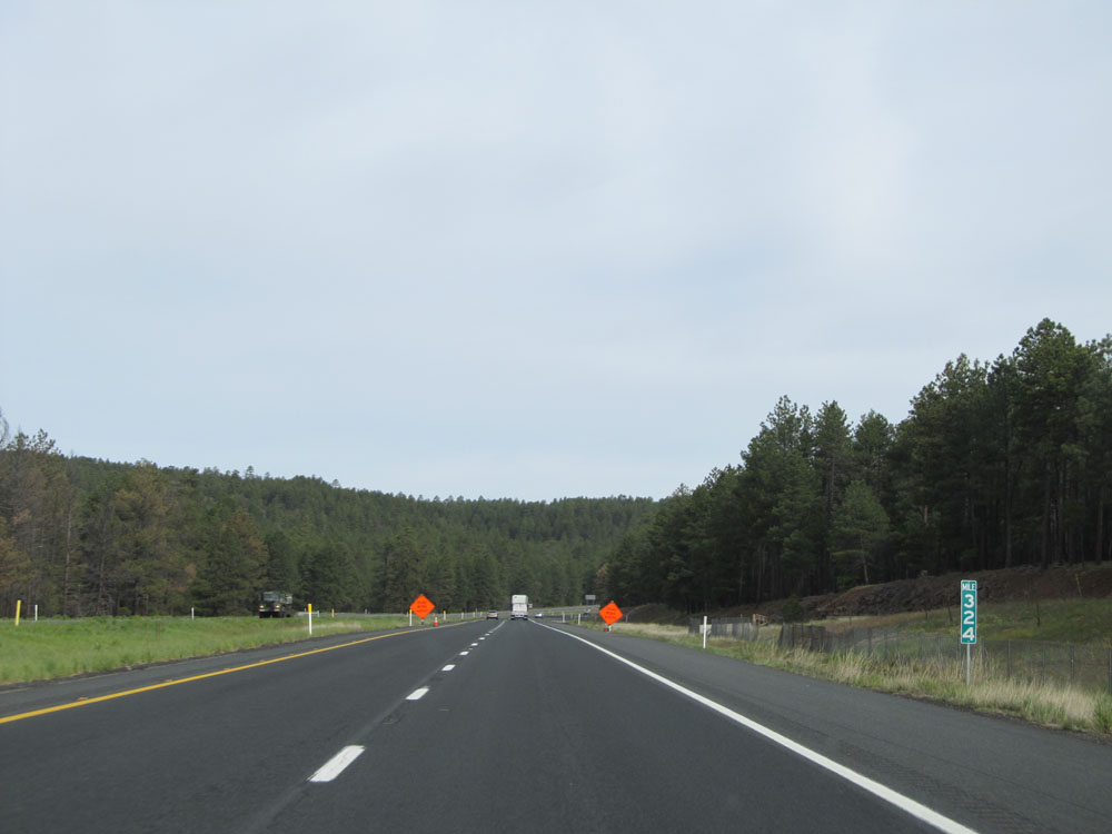 |
Interstate 17 North: Road view from mile marker 324. (Photo taken 5/20/15). |
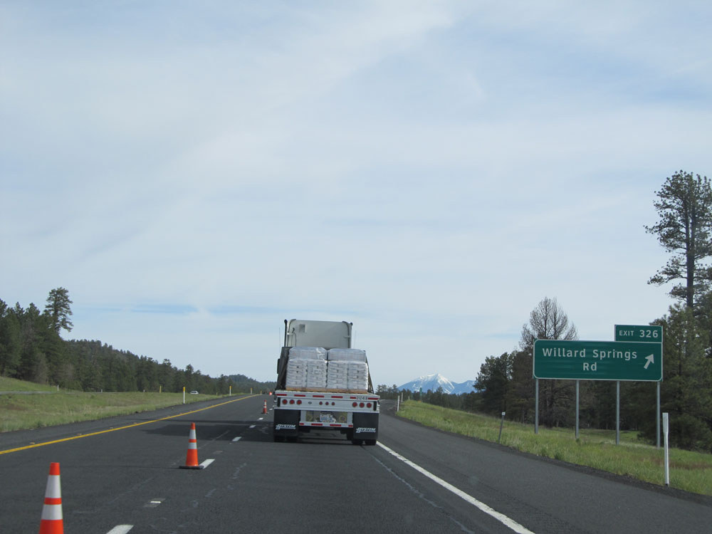 |
Interstate 17 North at Exit 326: Willard Springs Rd (Photo taken 5/20/15). |
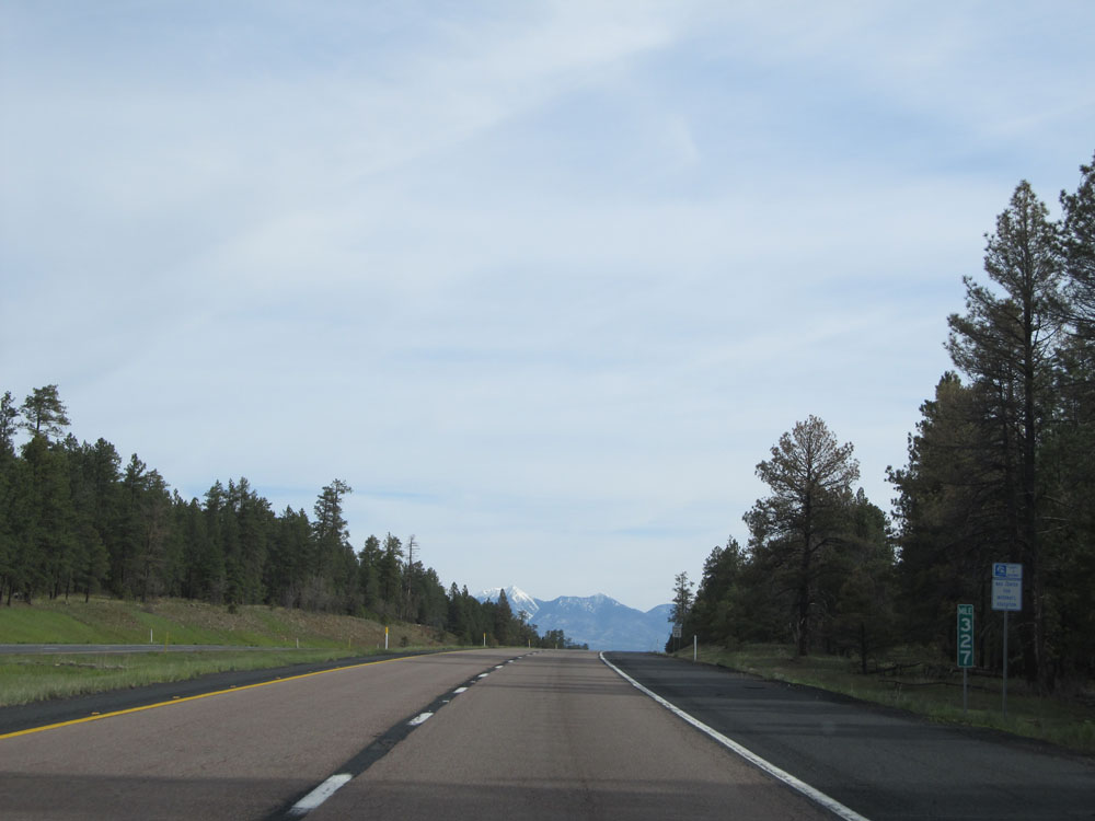 |
Interstate 17 North at mile marker 327. (Photo taken 5/20/15). |
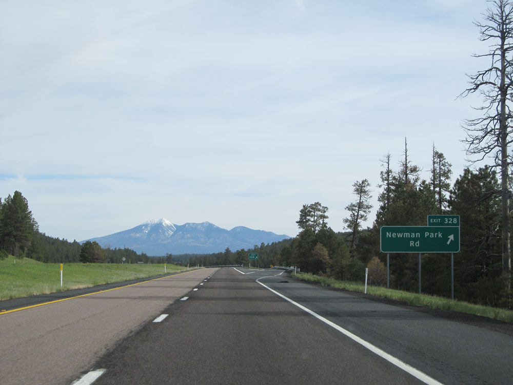 |
Interstate 17 North at Exit 328: Newman Park Rd (Photo taken 5/20/15). |
 |
Watch for elk crossing the roadway for the next 10 miles. (Photo taken 5/20/15). |
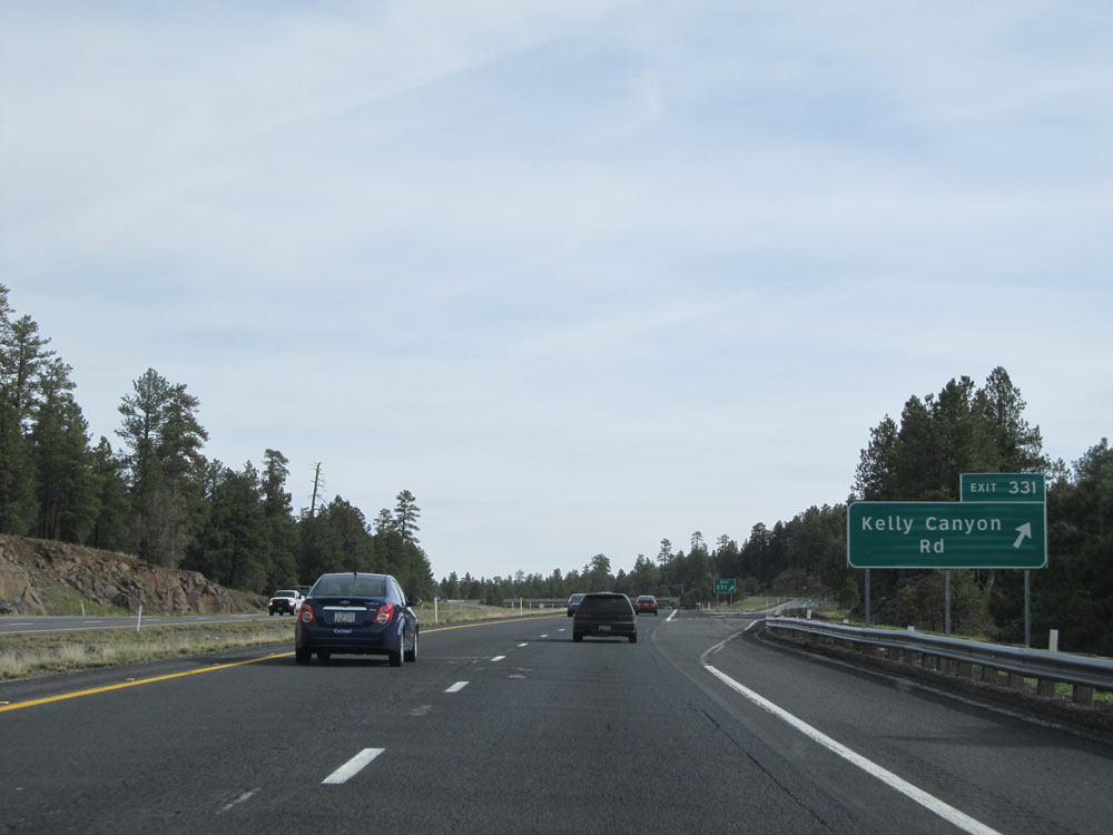 |
Interstate 17 North at Exit 331: Kelly Canyon Rd (Photo taken 5/20/15). |
 |
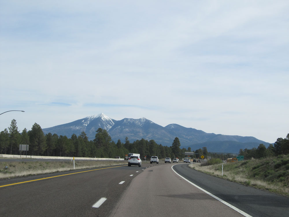
View on Interstate 17 North as it approaches Flagstaff. (Photo taken 5/20/15). |
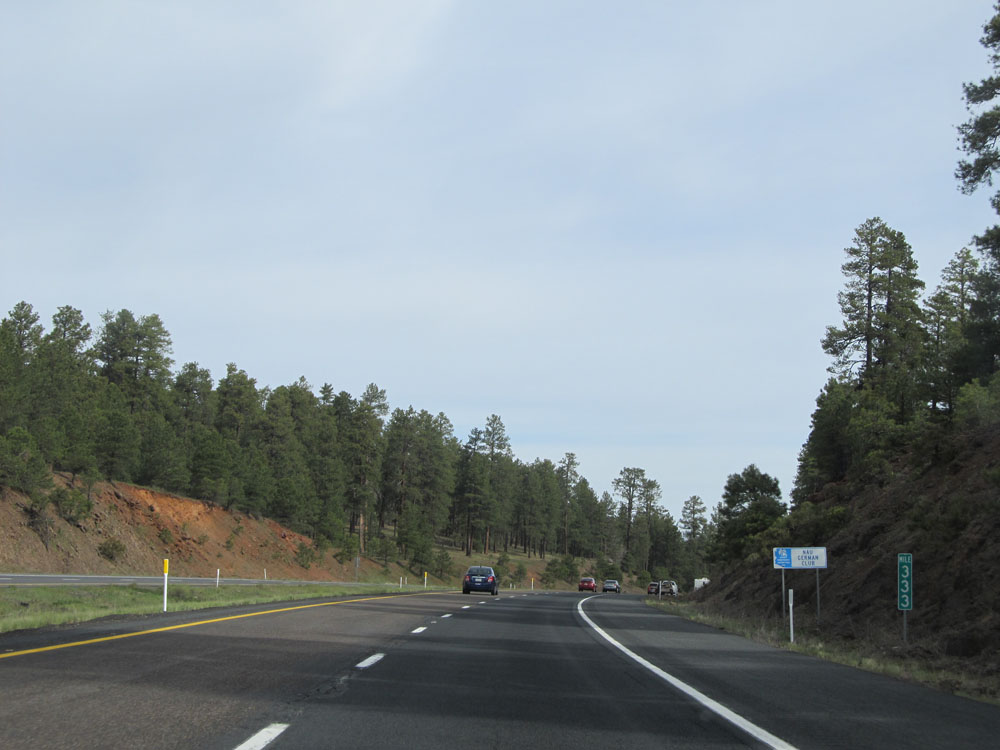 |
Interstate 17 North: Road view from mile marker 333. (Photo taken 5/20/15). |
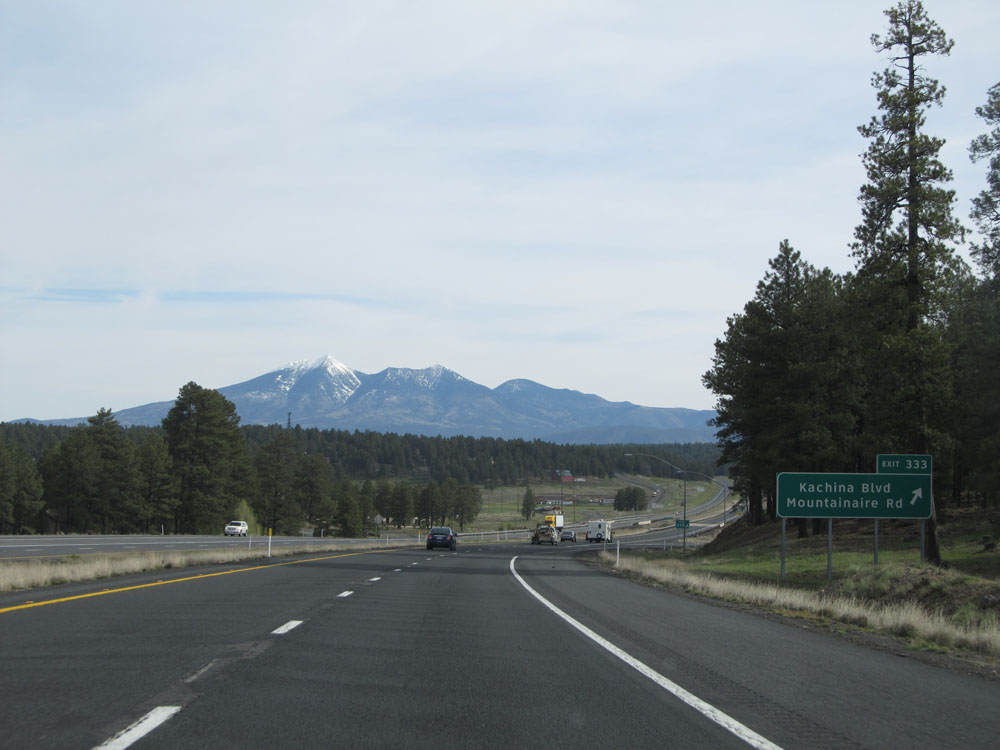 |
Interstate 17 North at Exit 333: Kachina Blvd / Mountainaire Rd (Photo taken 5/20/15). |
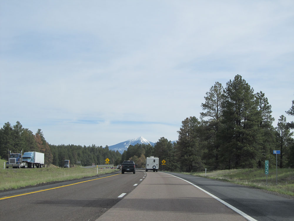 |
Interstate 17 North at mile marker 335. (Photo taken 5/20/15). |
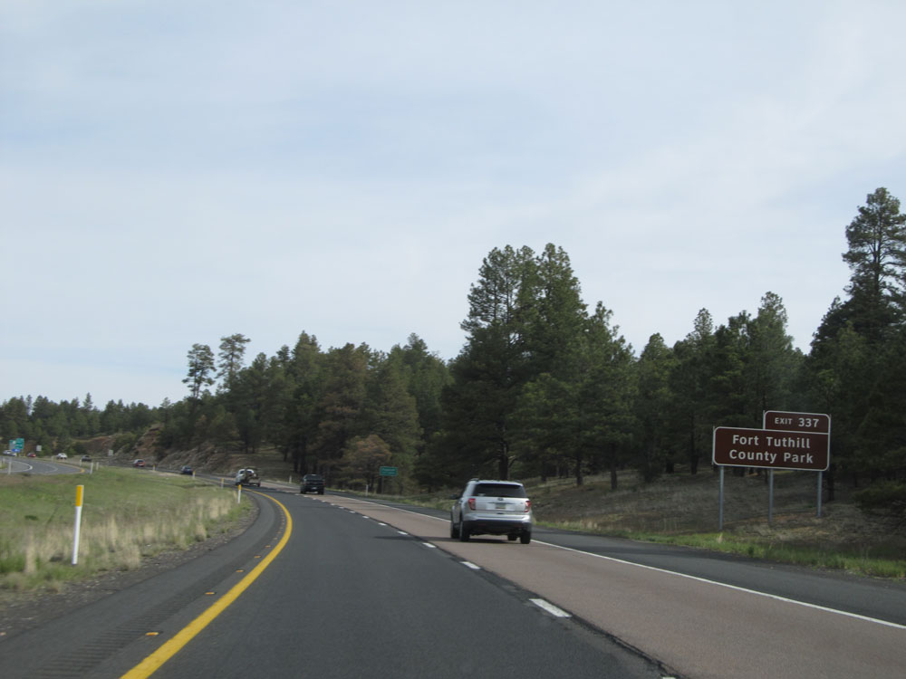 |
Take Exit 337 to Fort Tuthill County Park. (Photo taken 5/20/15). |
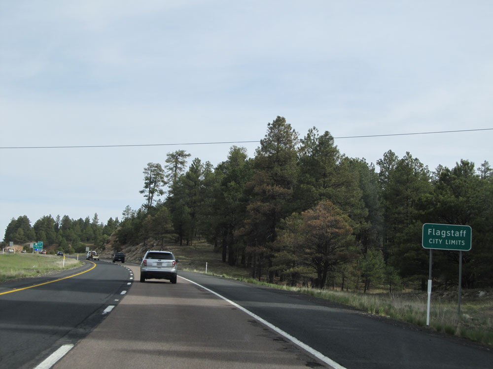 |
Interstate 17 North as it enters the Flagstaff city limits. (Photo taken 5/20/15). |
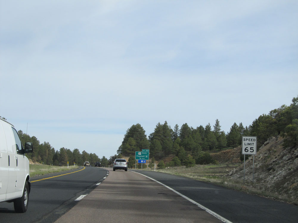 |
Upon entering the city limits, the speed limit decreases to 65 mph. (Photo taken 5/20/15). |
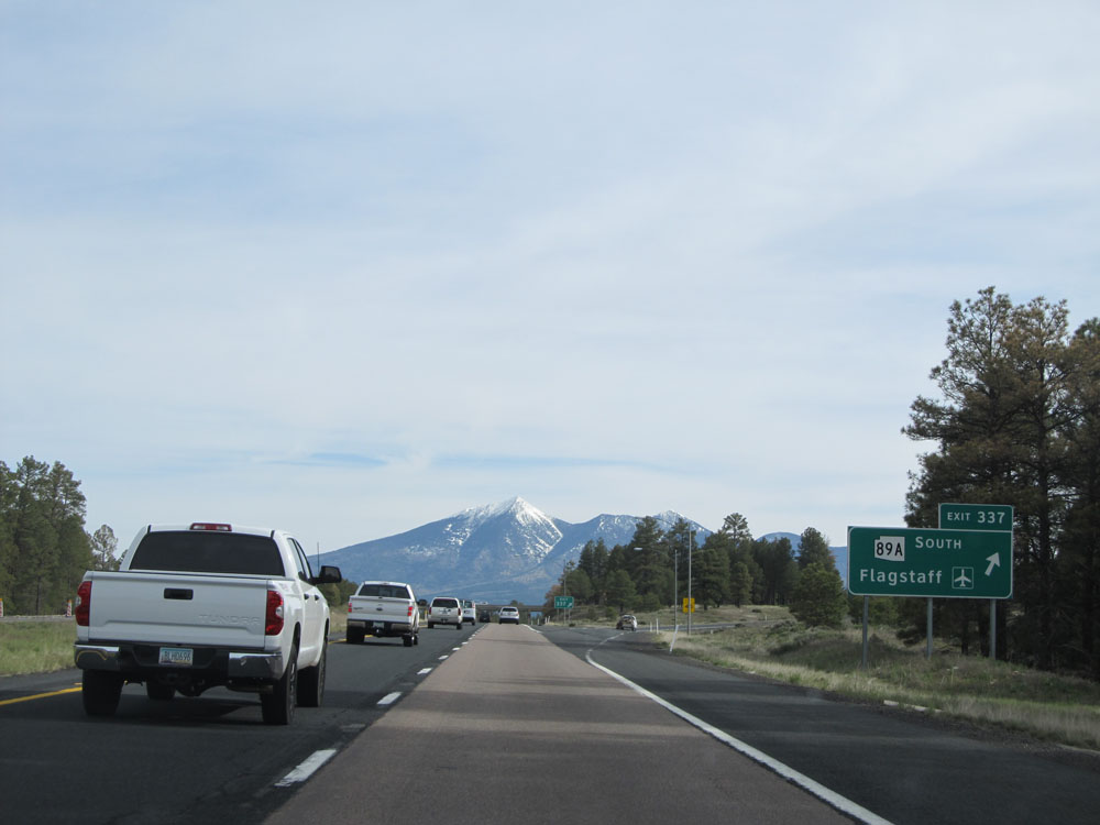 |
Interstate 17 North at Exit 337: AZ 89A South - Flagstaff (Photo taken 5/20/15). |
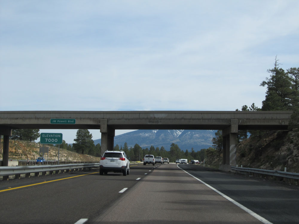 |
Near mile marker 337, we reach an elevation of 7,000 feet. (Photo taken 5/20/15). |
 |
View on Interstate 17 North approaching Flagstaff. (Photo taken 5/20/15). |
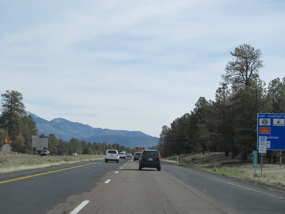 |
Interstate 17 North at mile marker 338. (Photo taken 5/20/15). |
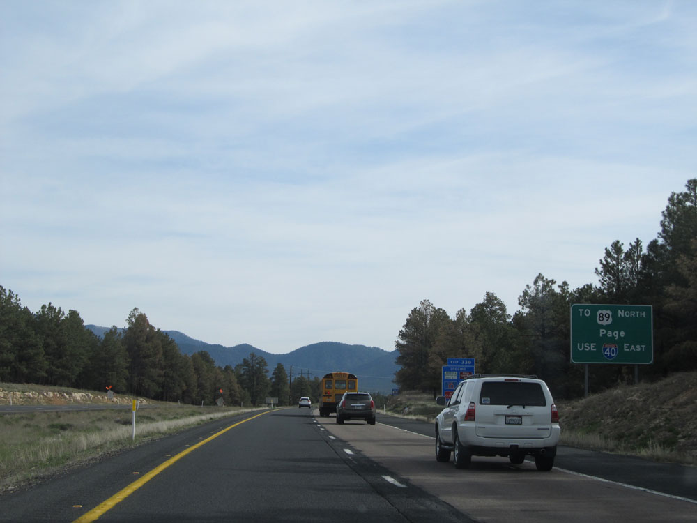 |
Use Interstate 40 East to get to US 89 North toward Page. (Photo taken 5/20/15). |
 |
Interstate 17 North approaching Exits 340A-B - 1 mile. (Photo taken 5/20/15). |
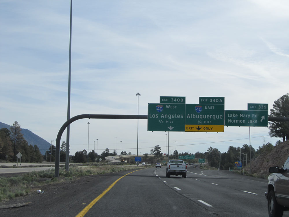 |
Interstate 17 North at Exit 339: Lake Mary Rd / Mormon Lake (Photo taken 5/20/15). |
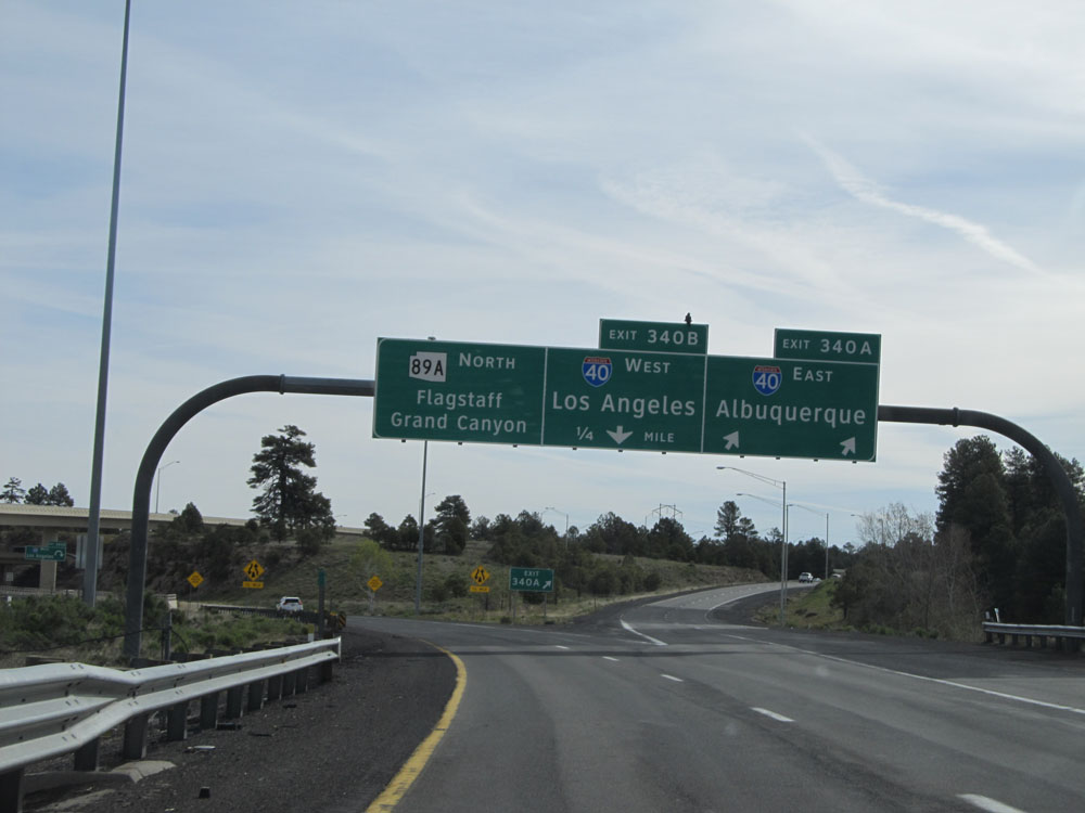 |
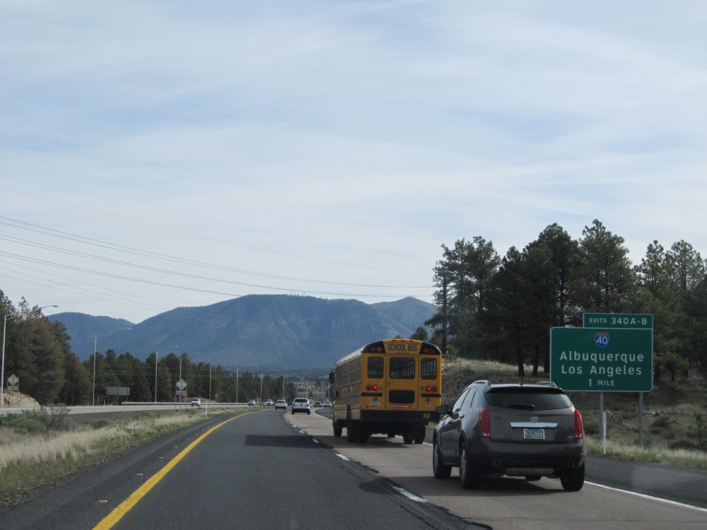
Interstate 17 North at Exit 340A: Interstate 40 East - Albuquerque (Photo taken 5/20/15). |
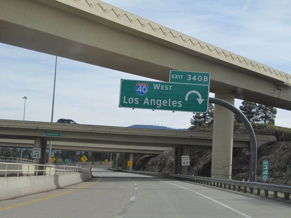 |
Interstate 17 North at Exit 340B: Interstate 40 West - Los Angeles (Photo taken 5/20/15). |
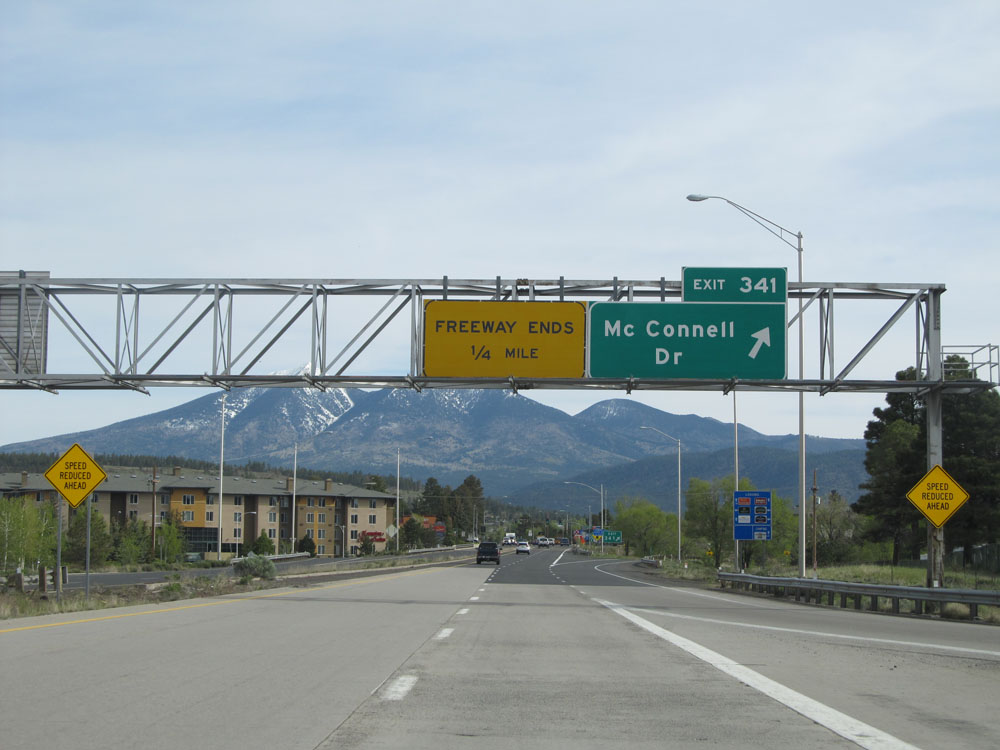 |
Interstate 17 North at Exit 341: McConnell Dr. This exit marks the northern terminus of Interstate 17, as the speed limit drops to 35 mph ahead as you enter Flagstaff. I hope you enjoyed the ride as much as I did! (Photo taken 5/20/15). |